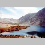
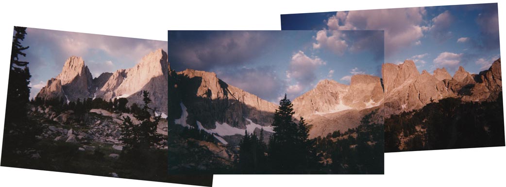
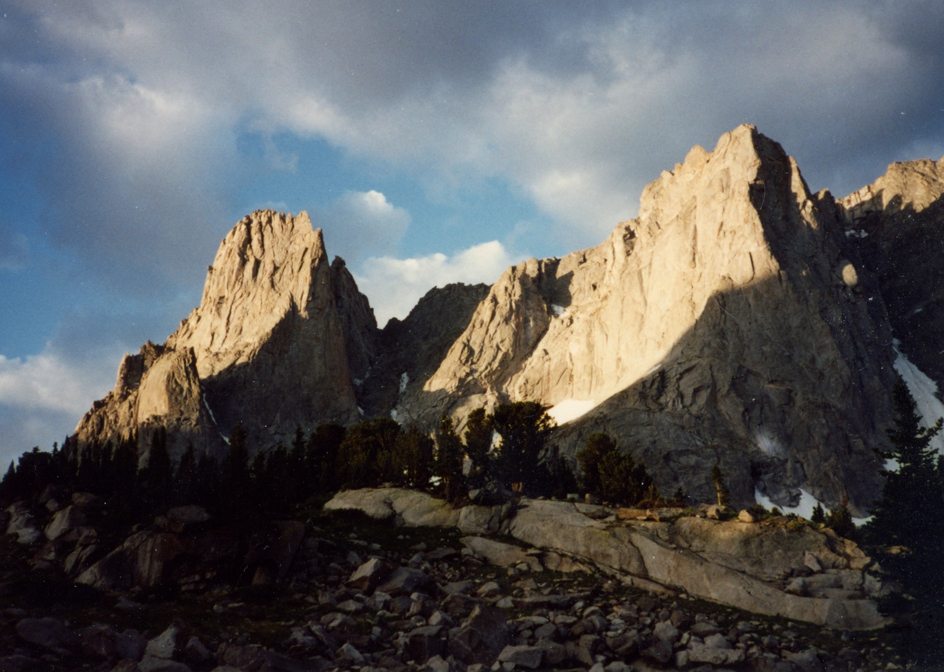
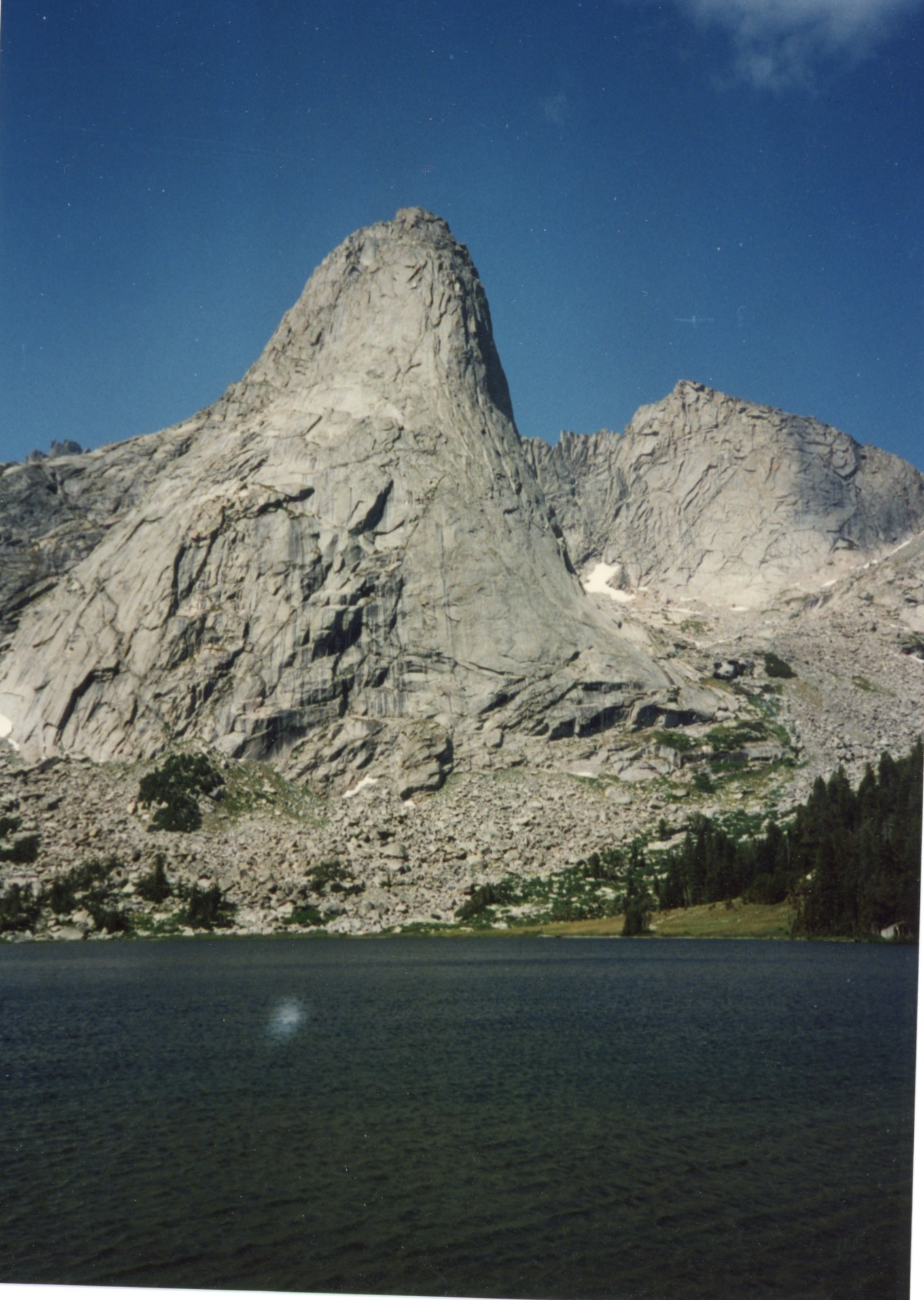
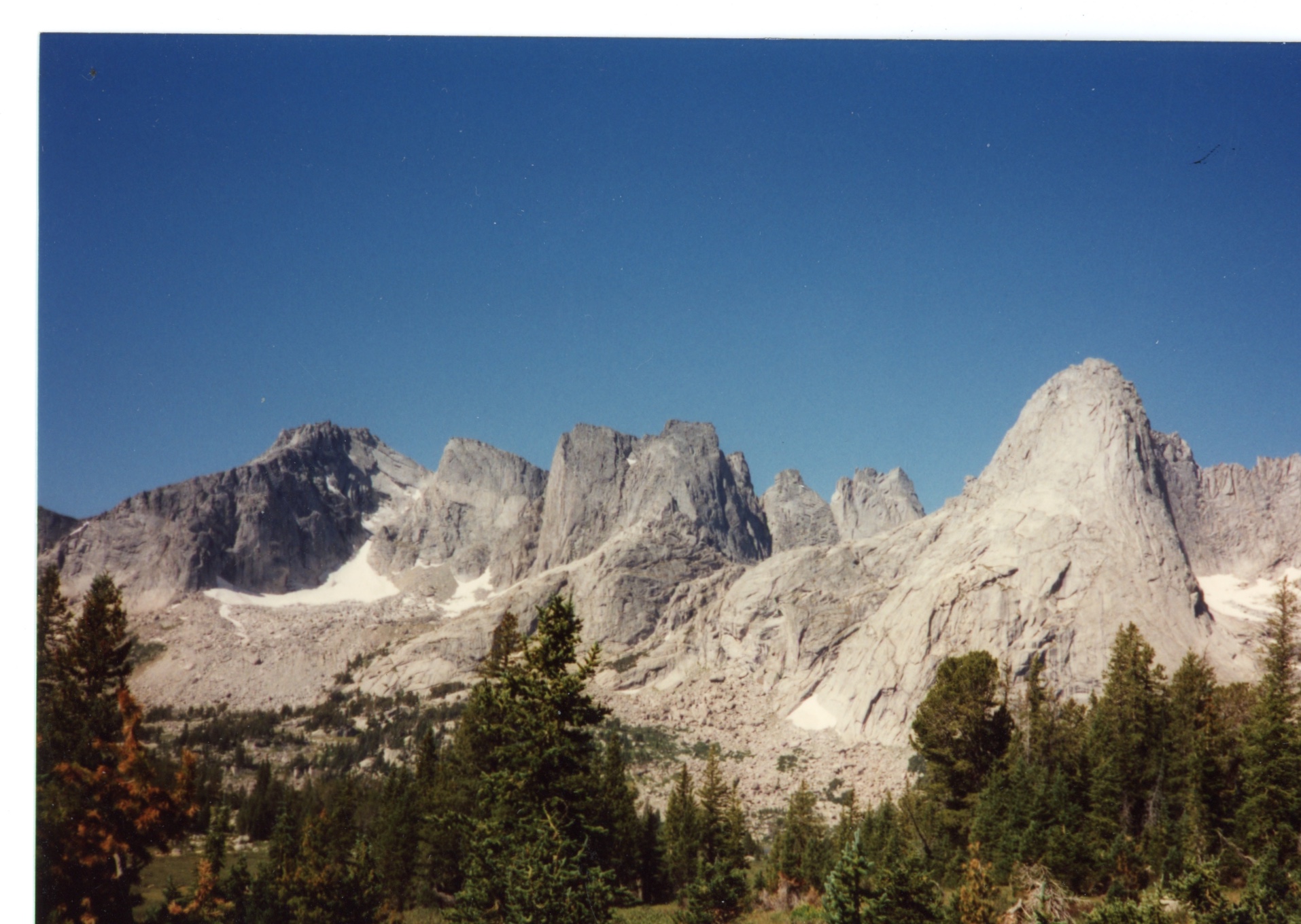
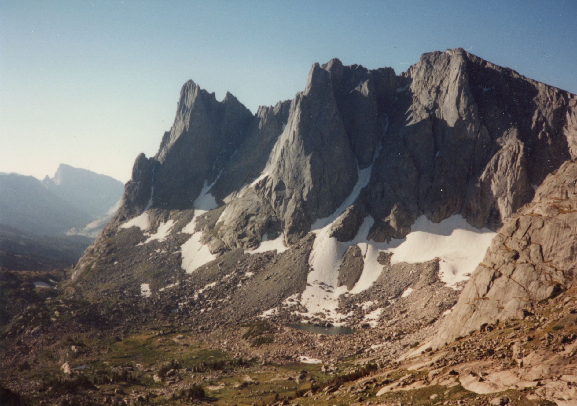
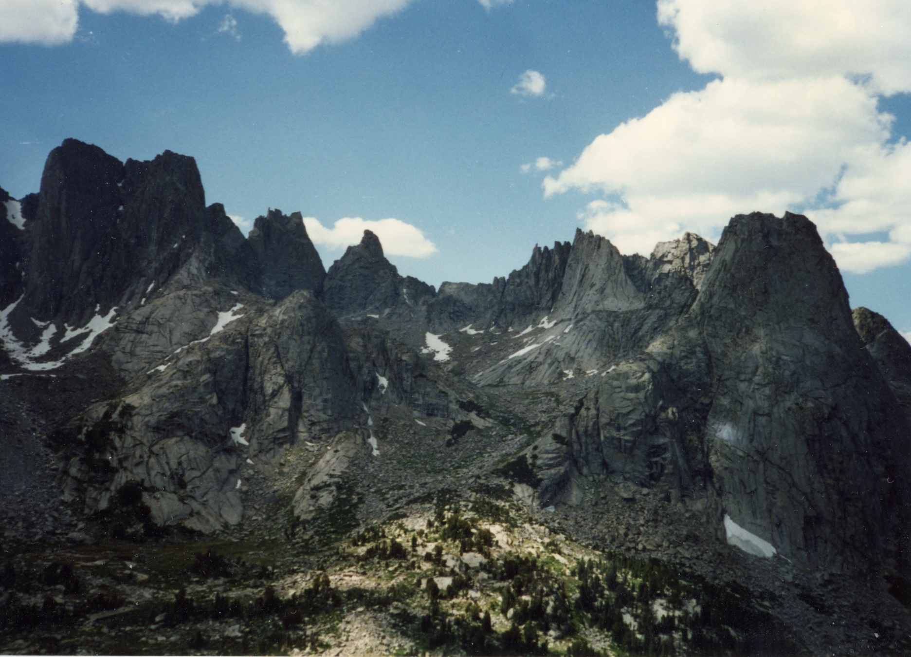
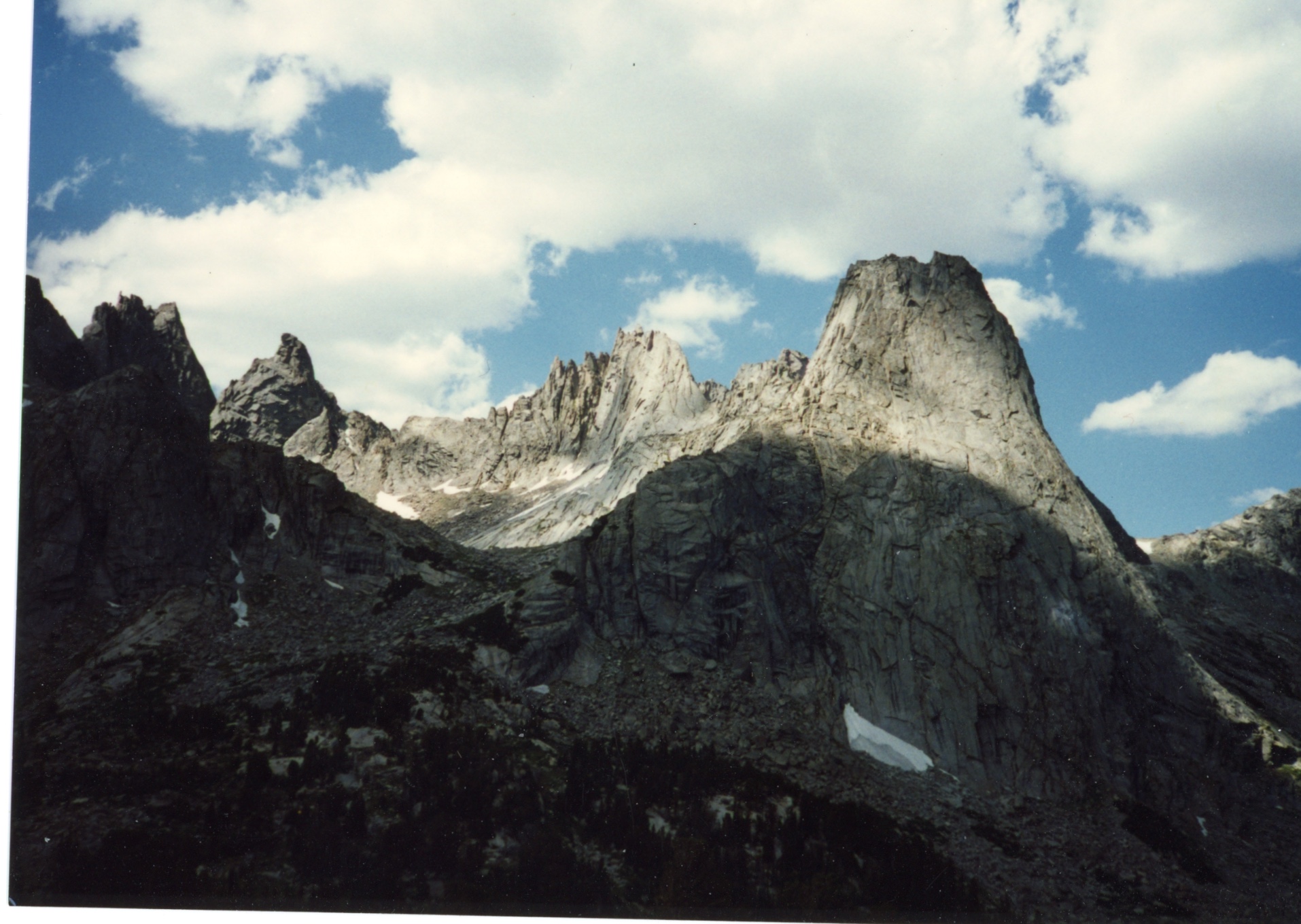
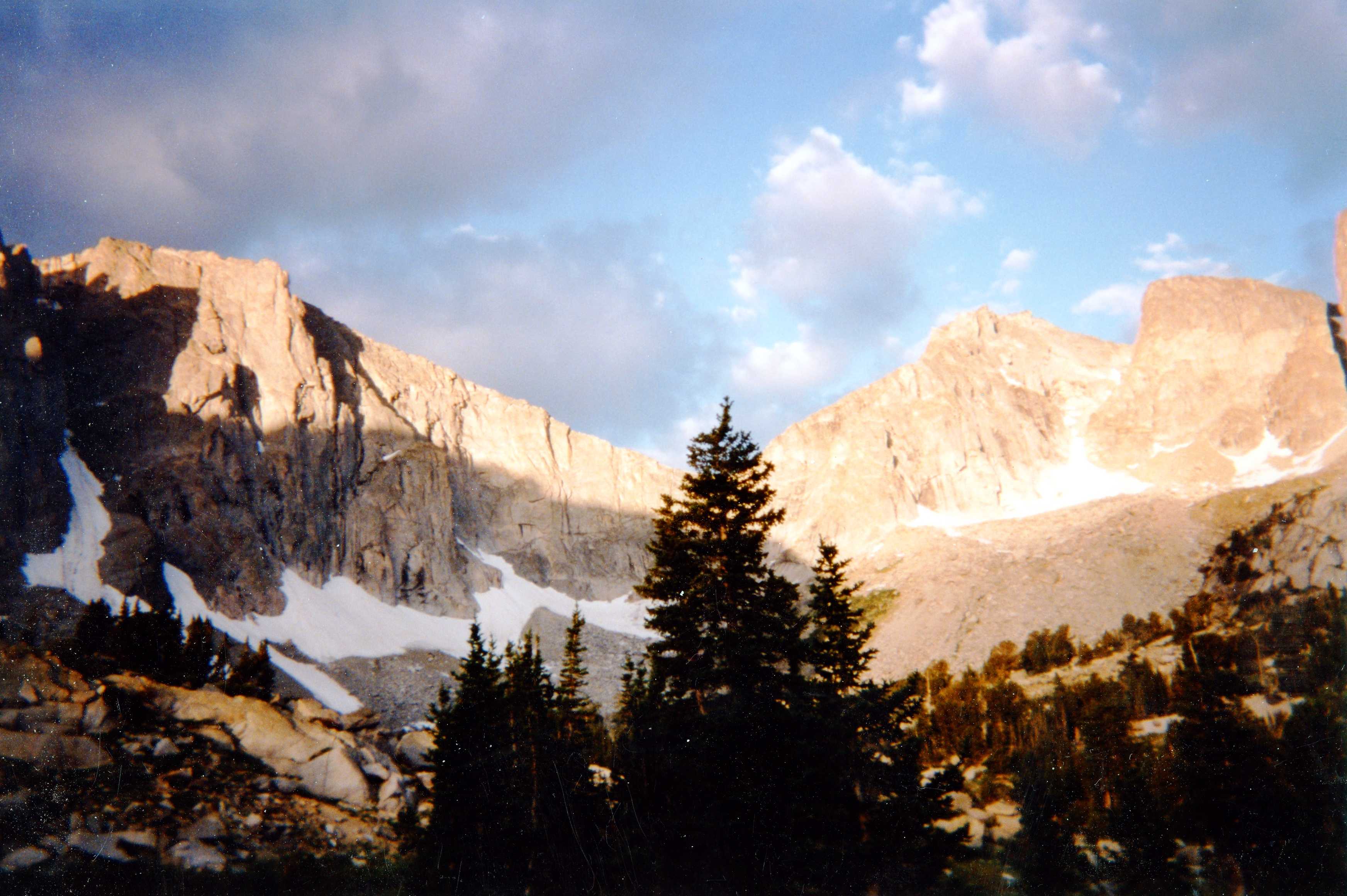
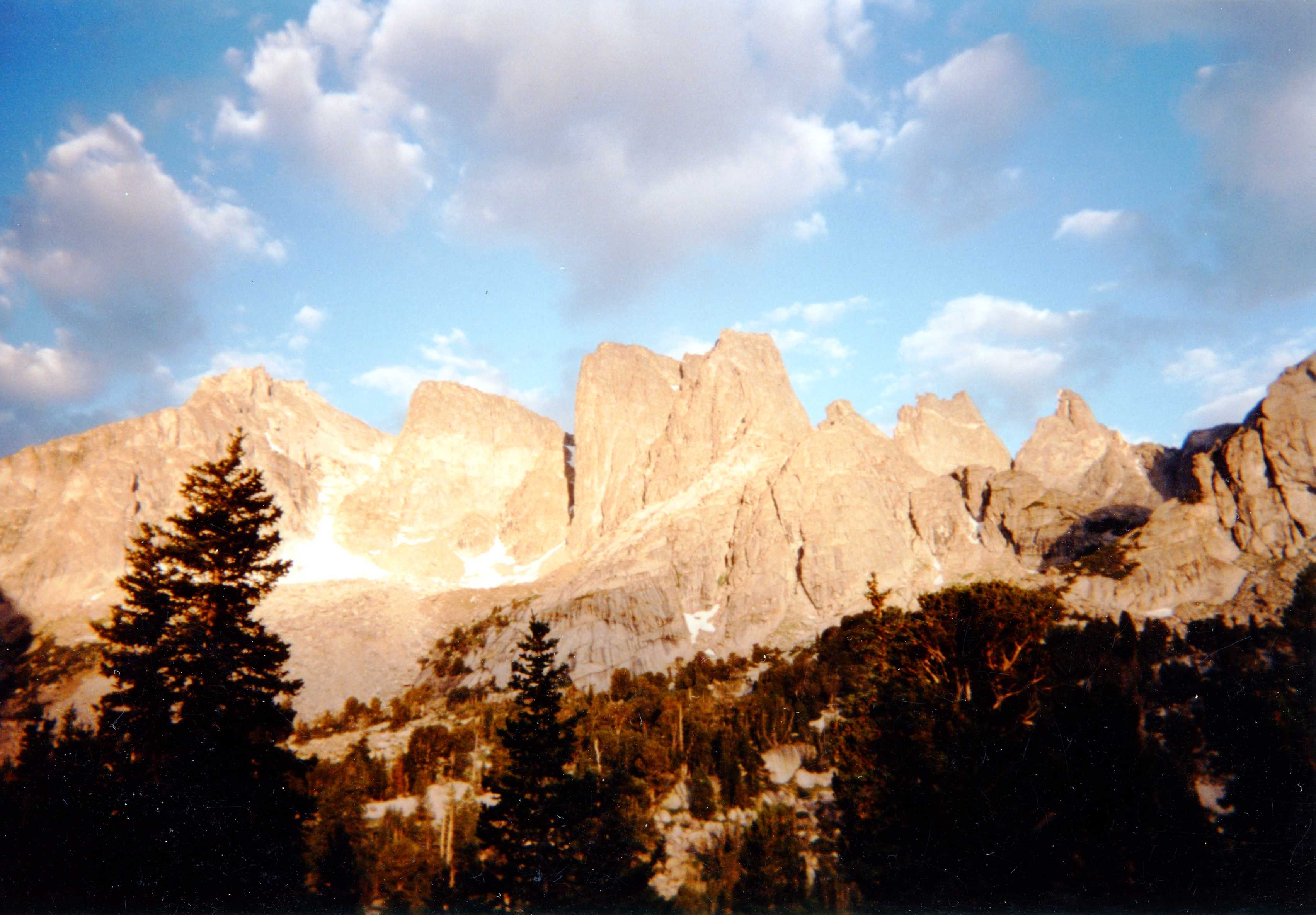
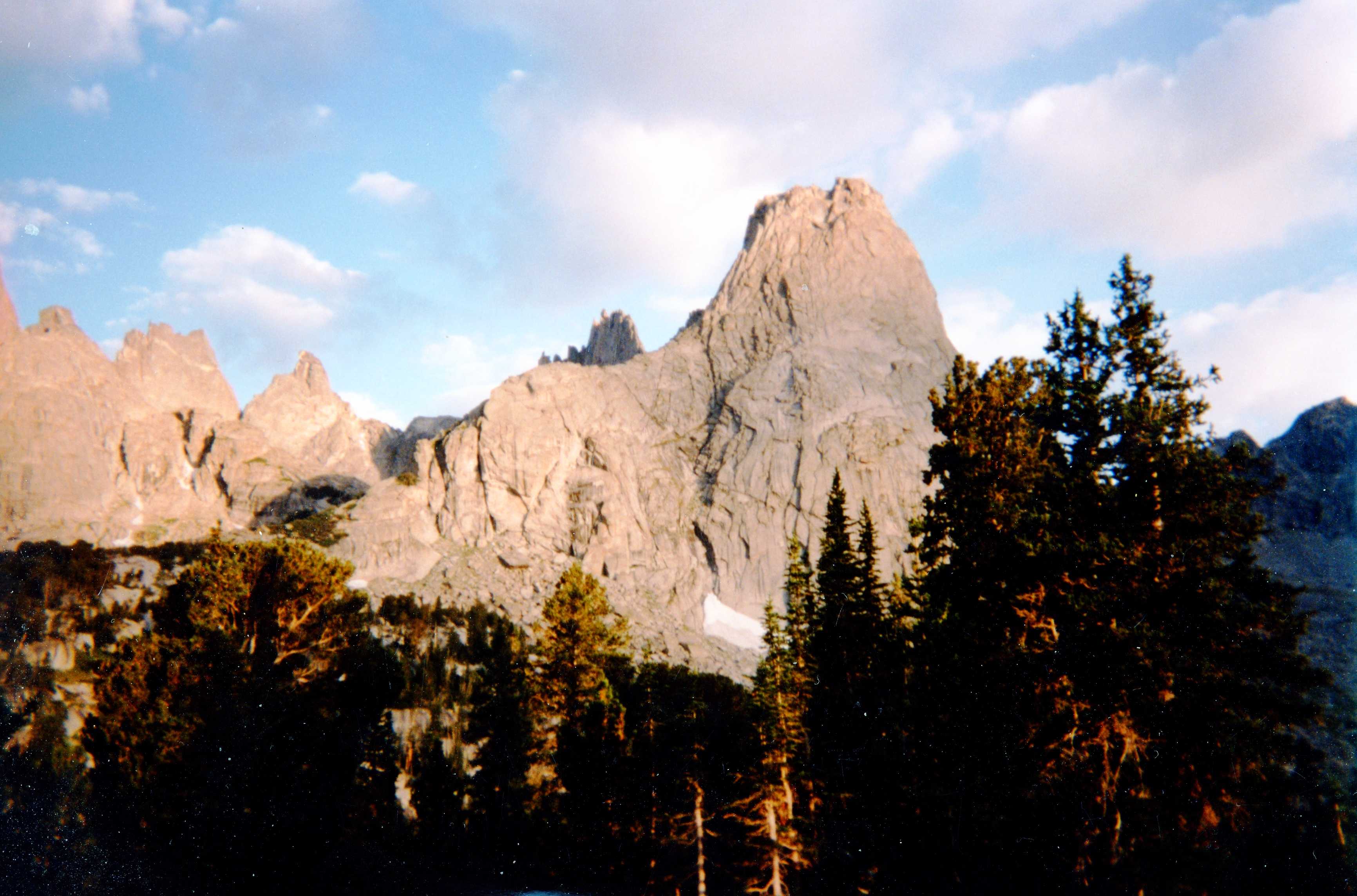
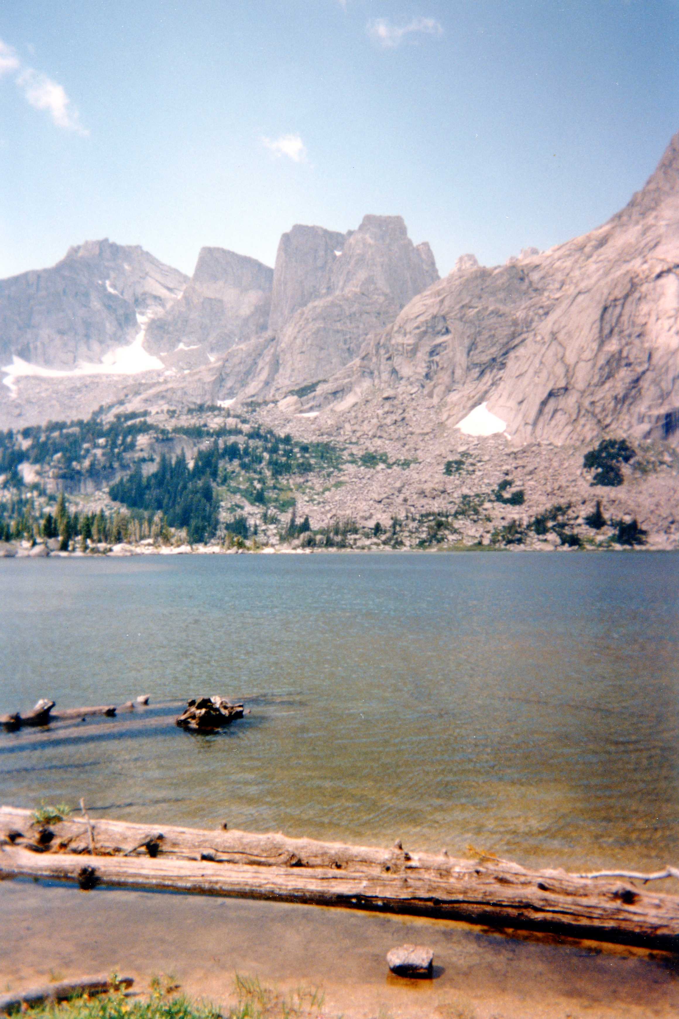
Cirque of the Towers, Popo Agie Wilderness, Wyoming
August 18 to 24, 1996
"We don't stop hiking because we grow old, we grow old because we stop hiking"
Finis Mitchell, 1901-1995
Hike Information
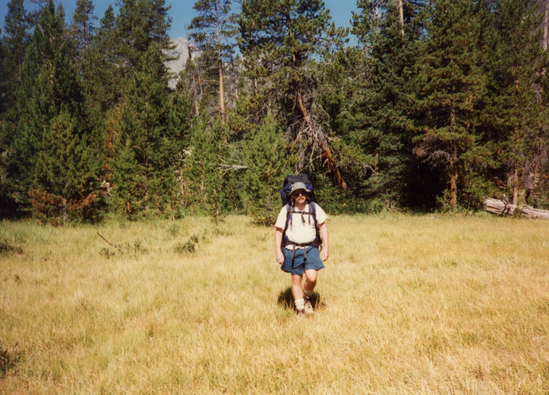
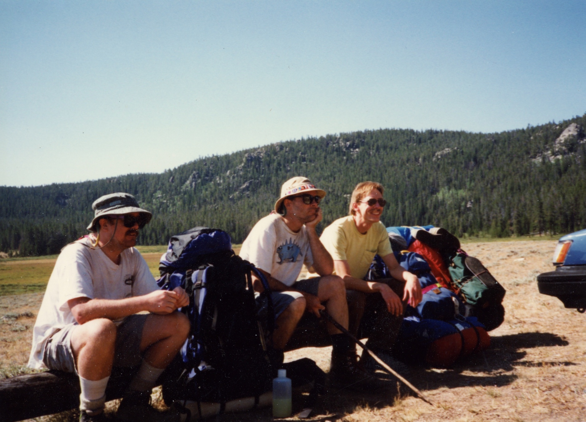
A walk up the Popo Agie to the Cirque of the Towers was the next trip scheduled. Ted, Brian, and Bob left from Laramie and drove to the campground at Dickinson Park, stopping at Split Rock along the way. It must have been impressive to have been a pioneer traveling through this area in a wagon train. When we went on this trip, road access was still allowed through Shoshone reservation land, hopefully one can still get there via this route.
Update Sept. 2004: Dickinson Park road is closed. Land use issues are becoming complicated in the west, and backpackers may suffer as a result. A similar road closure has occurred on a main route to the Wilson Peak Group in the San Miguels
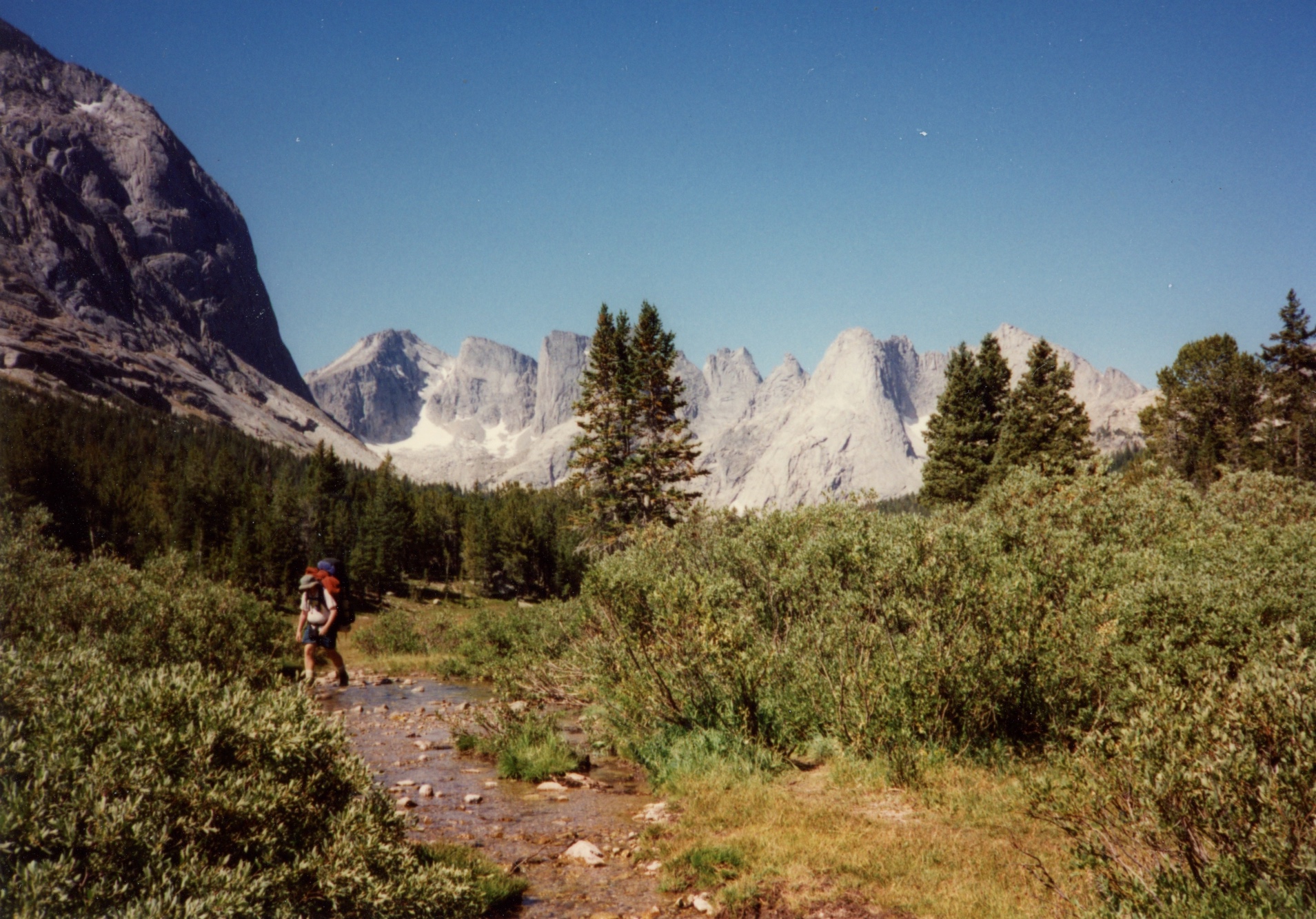
We picked going in through Dickinson Park to avoid the crowds at Big Sandy and to avoid Jackass Pass. This was also the first trip where Brian attempted to catch fish. While Bob was impressed with Brian's piscatorial expertise, he still told him that "Monkeys will fly out of my butt when you catch a fish". Luckily we brought along plenty of dried food as Brian didn't catch a thing on this trip and no monkeys were observed in the vicinity!
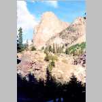
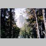
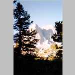
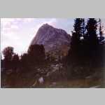
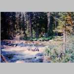
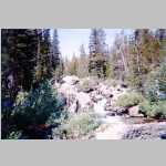
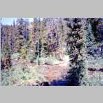
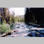
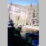
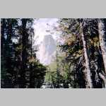
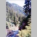
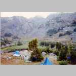
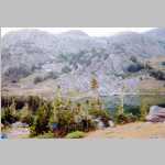
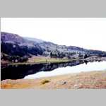
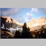
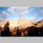
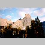
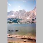
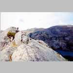
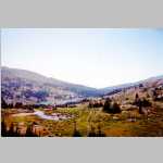
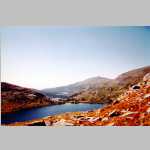
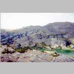
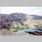
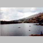
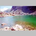
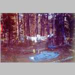
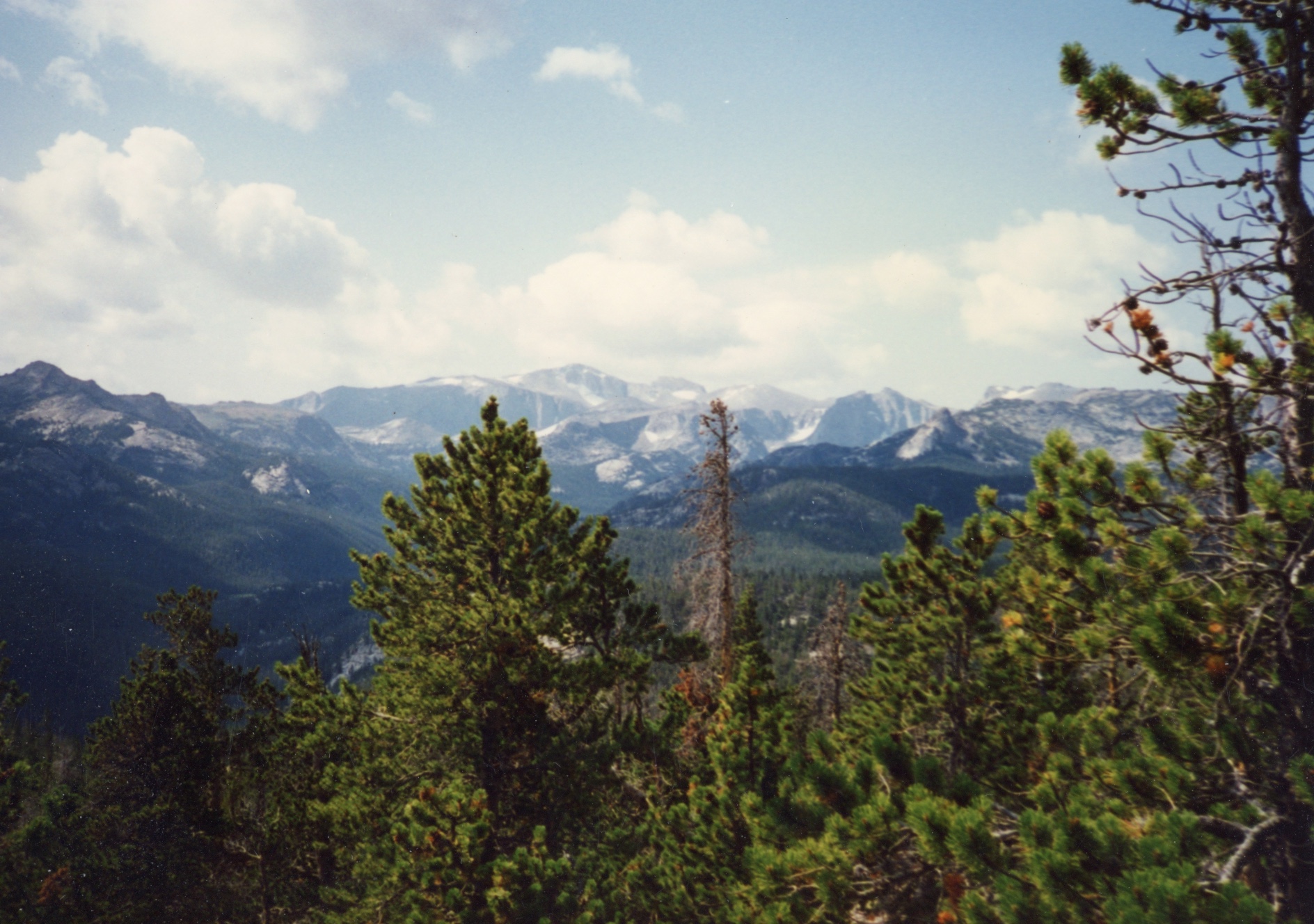
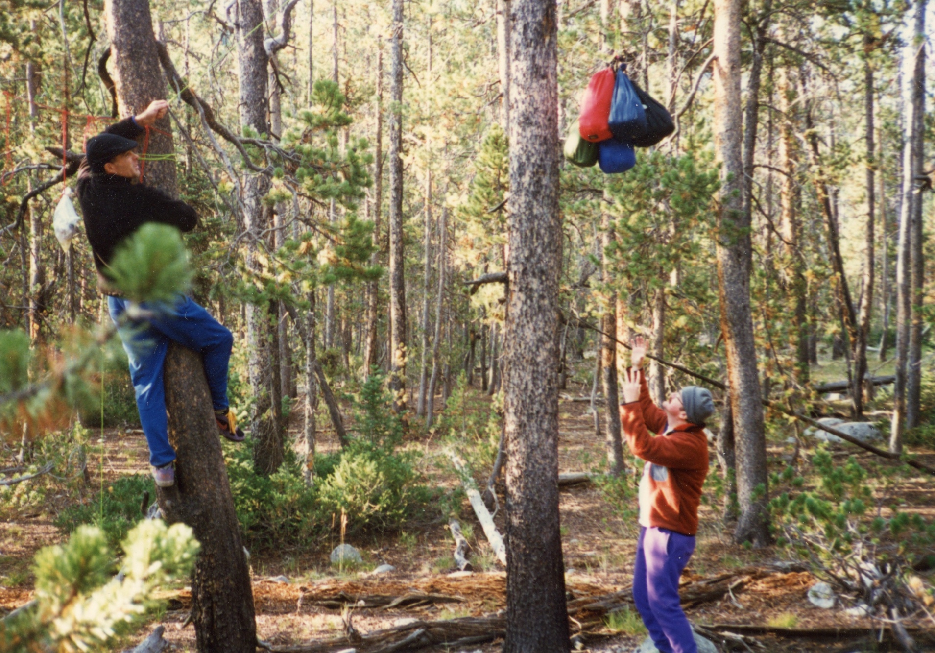
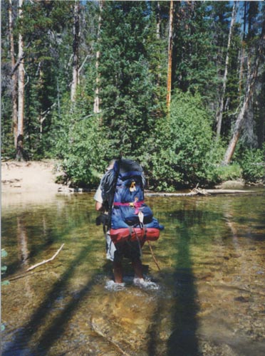
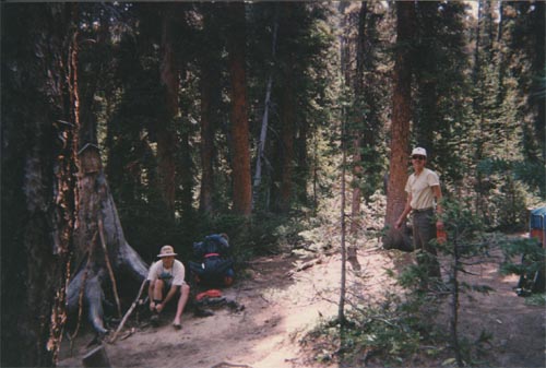
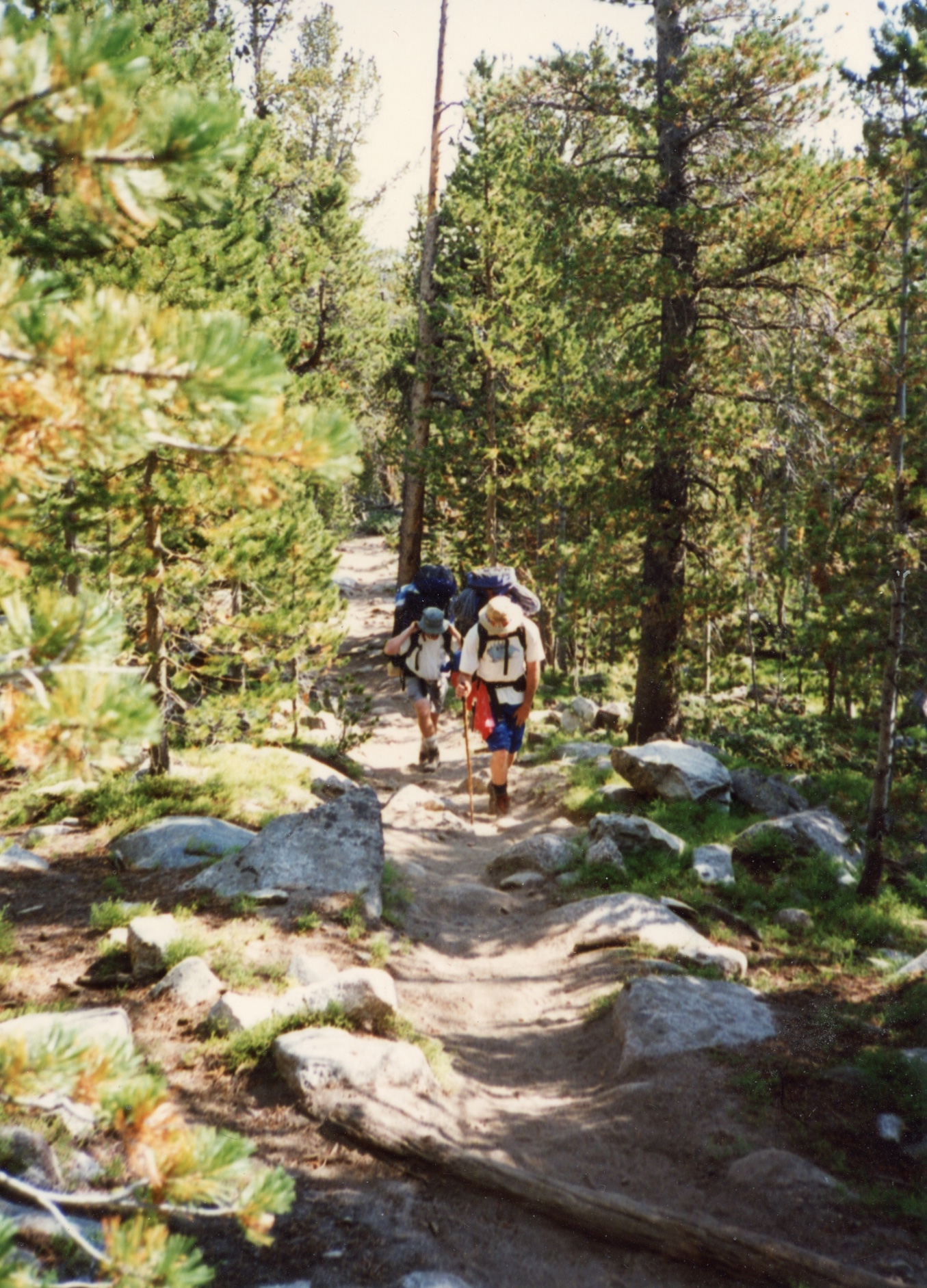
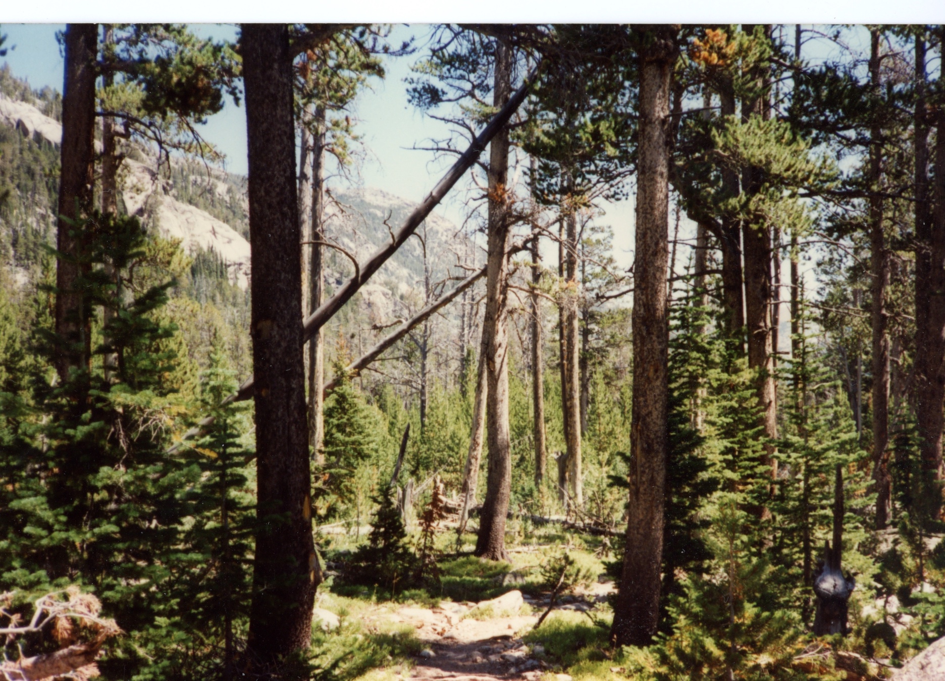
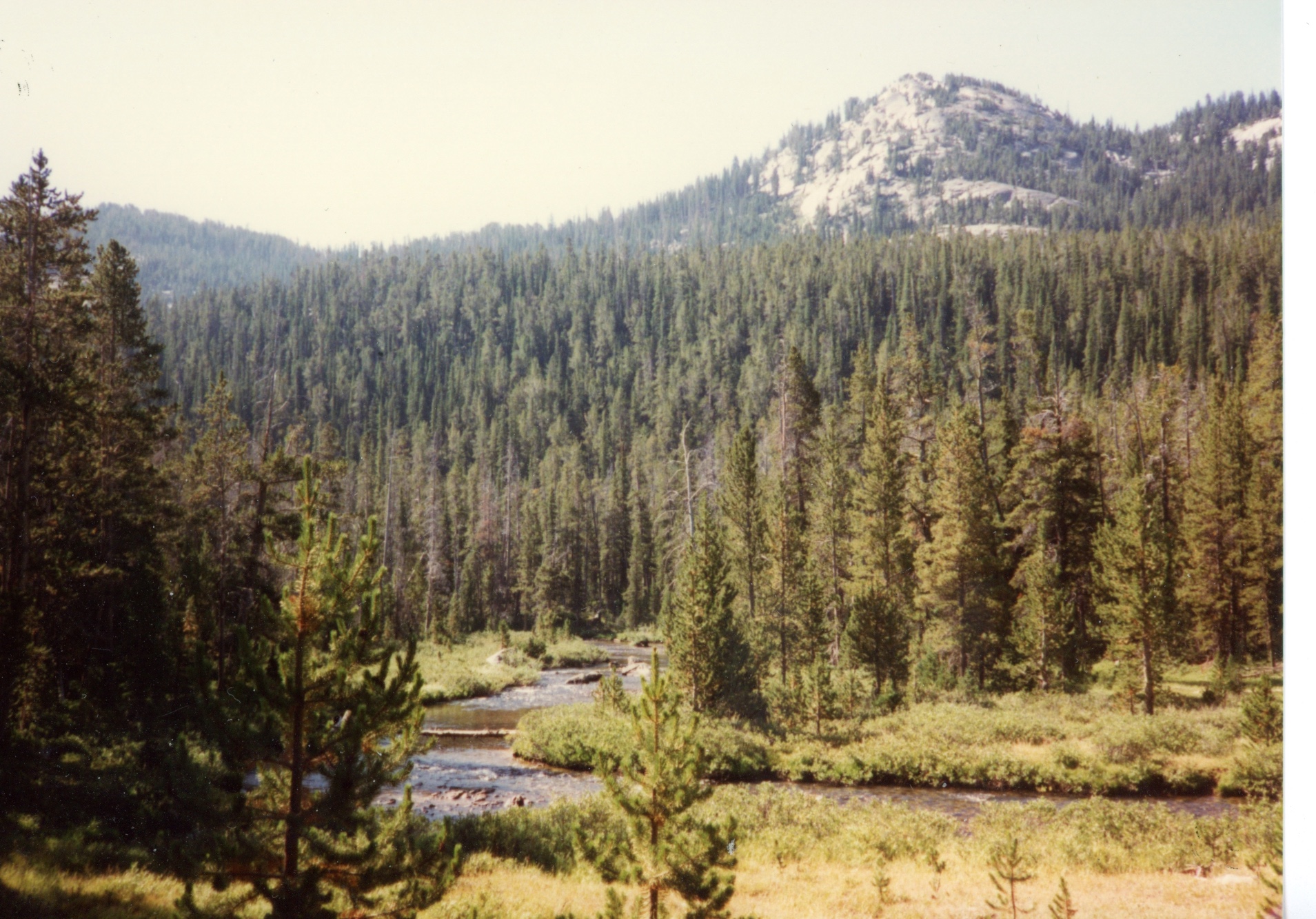
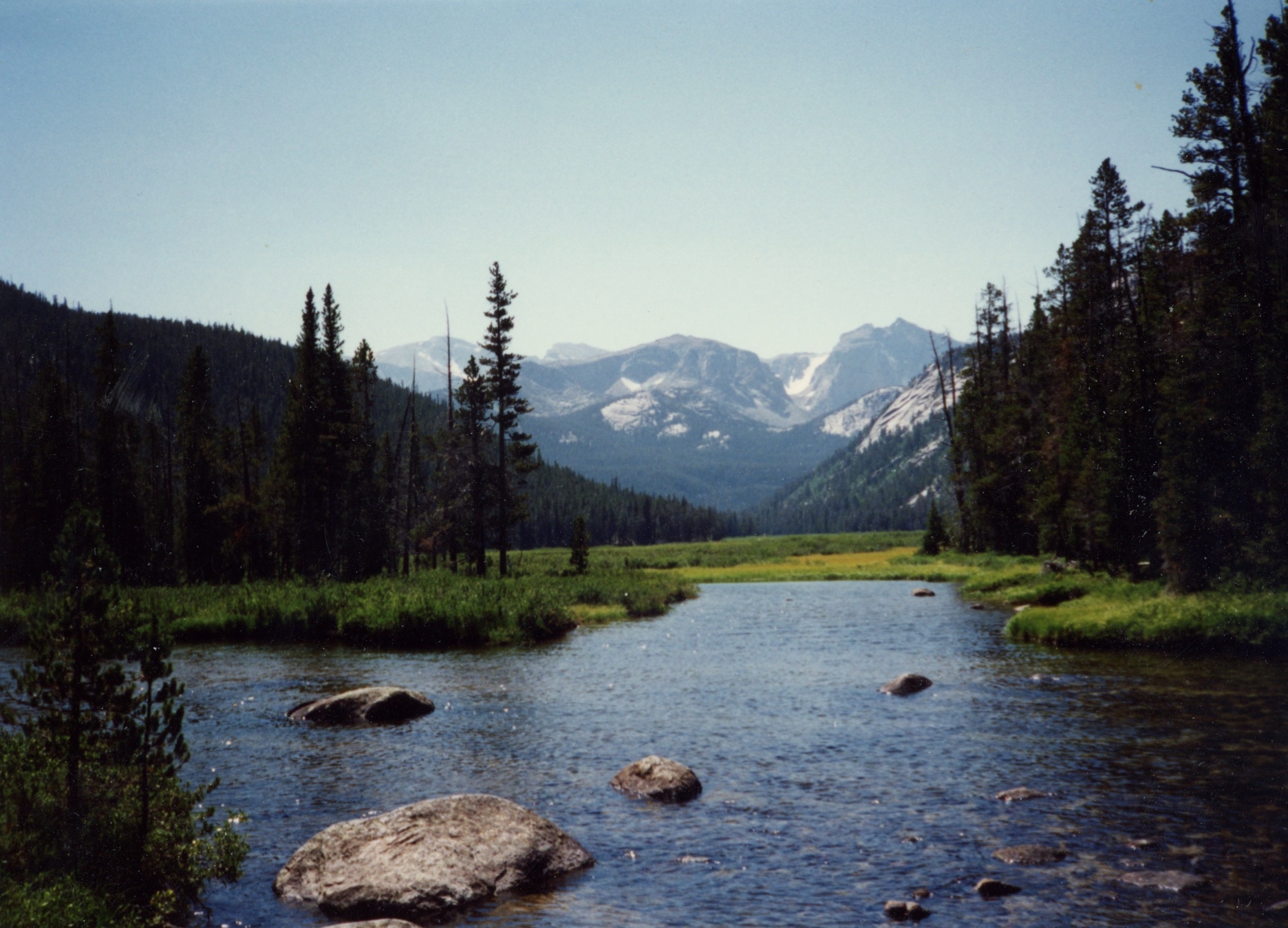
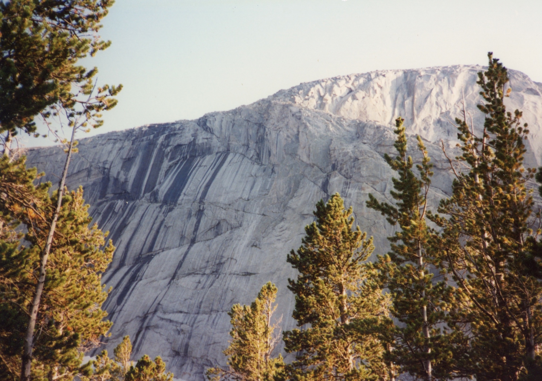
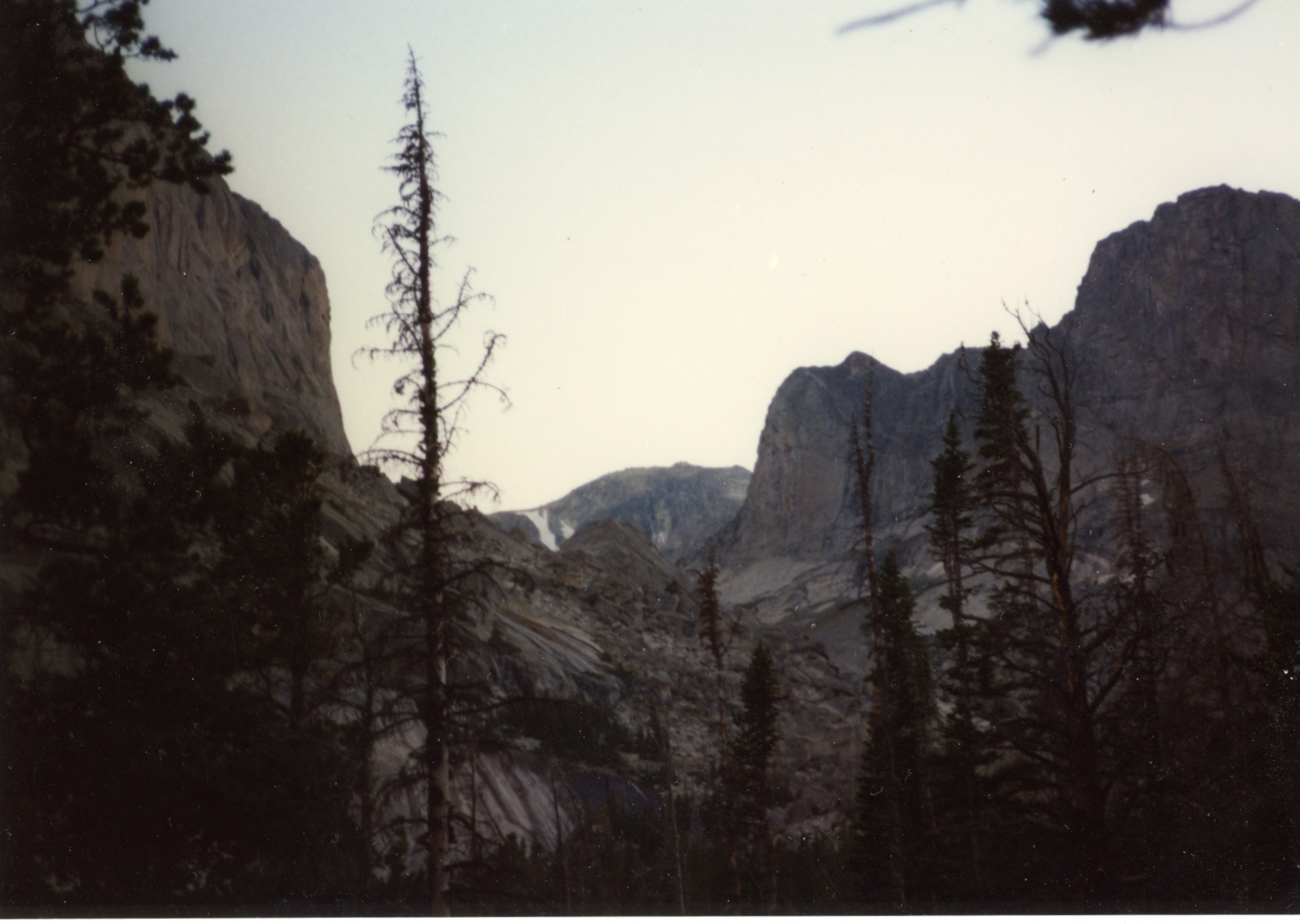
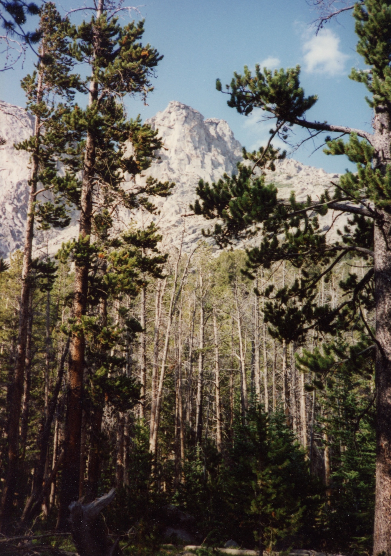
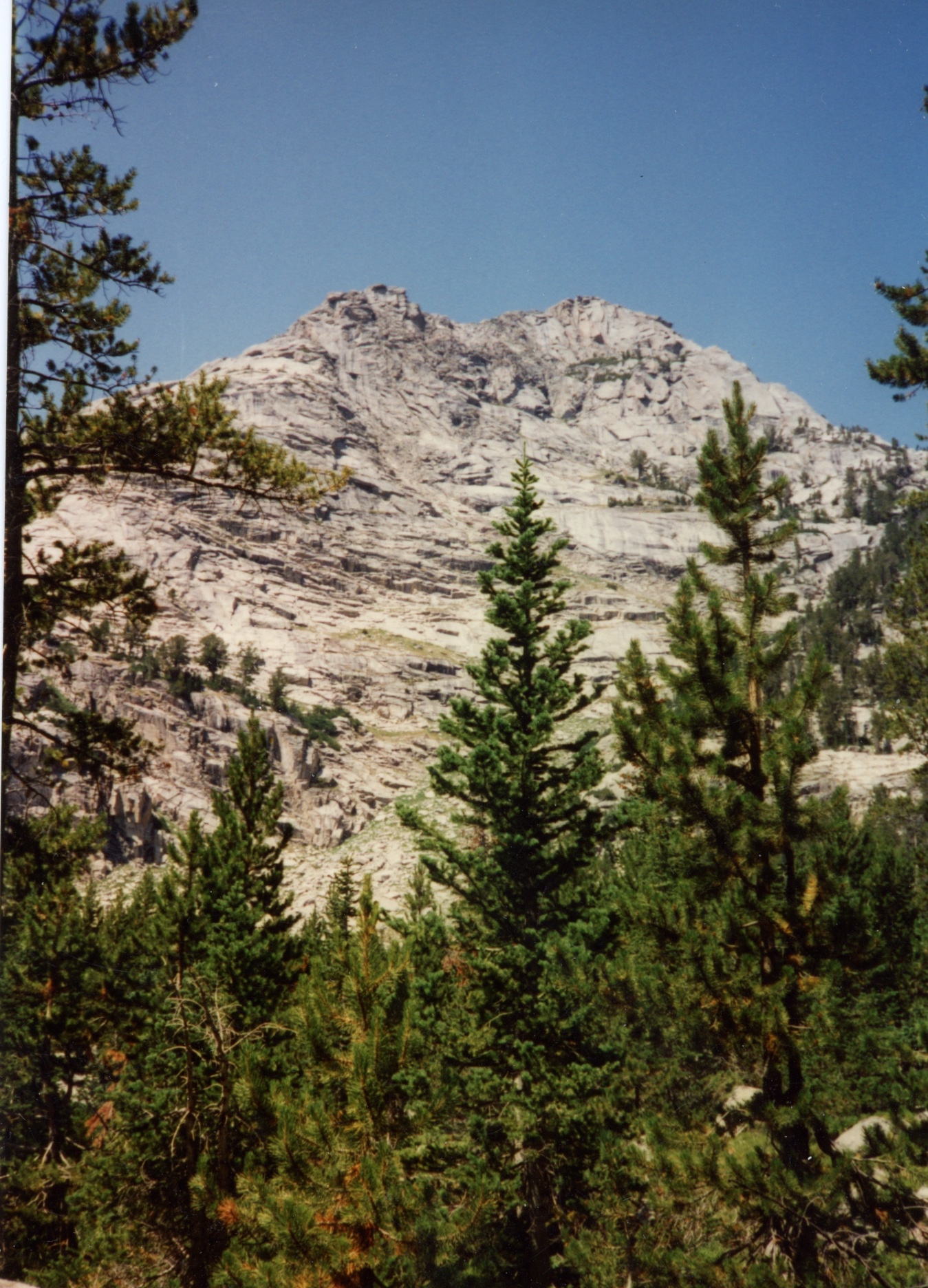
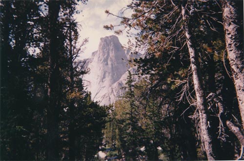
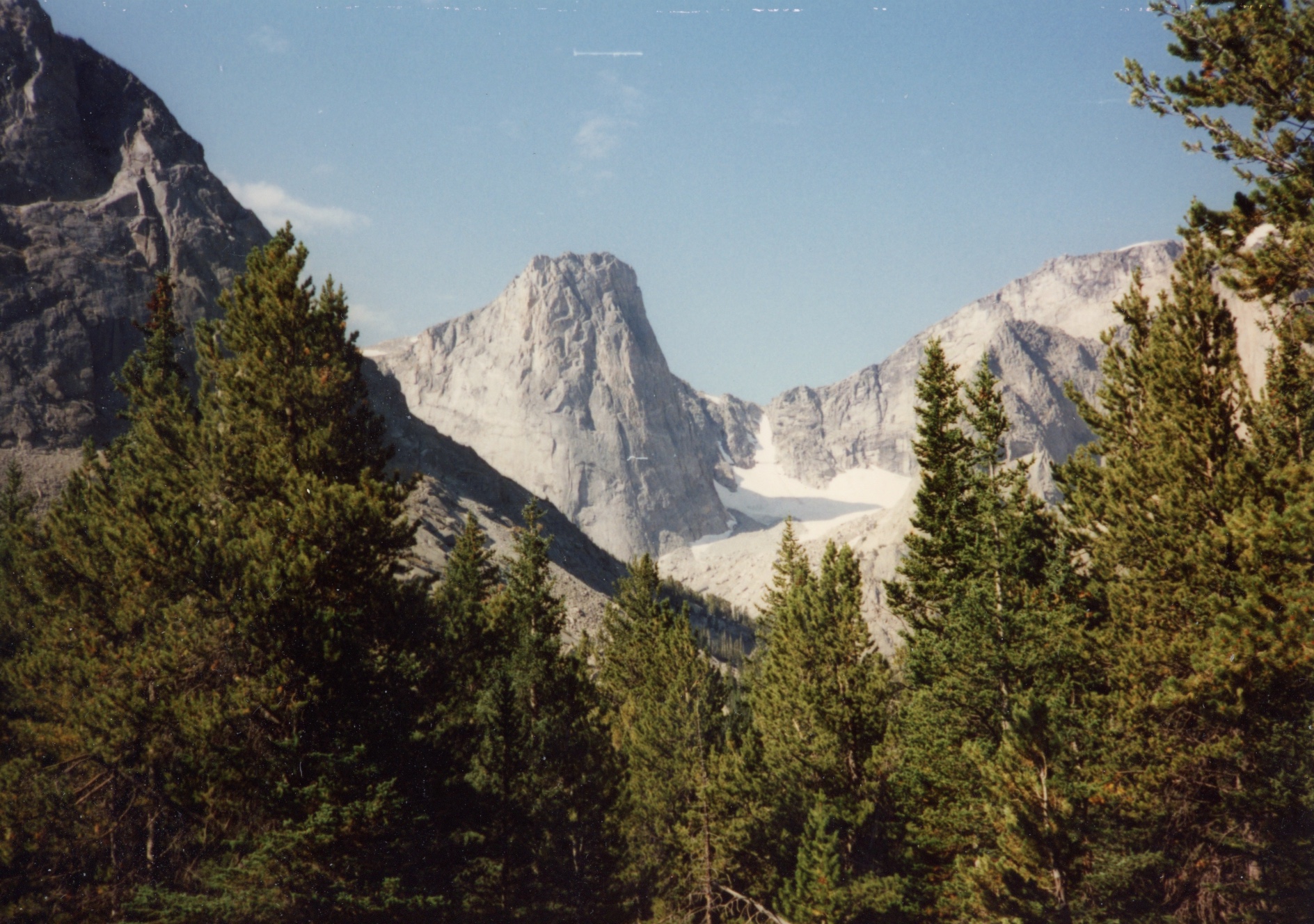
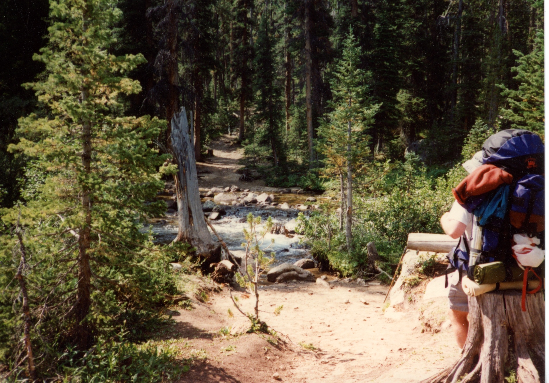
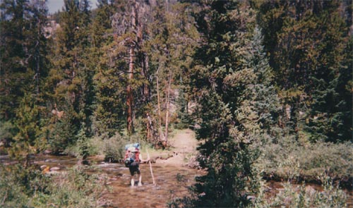
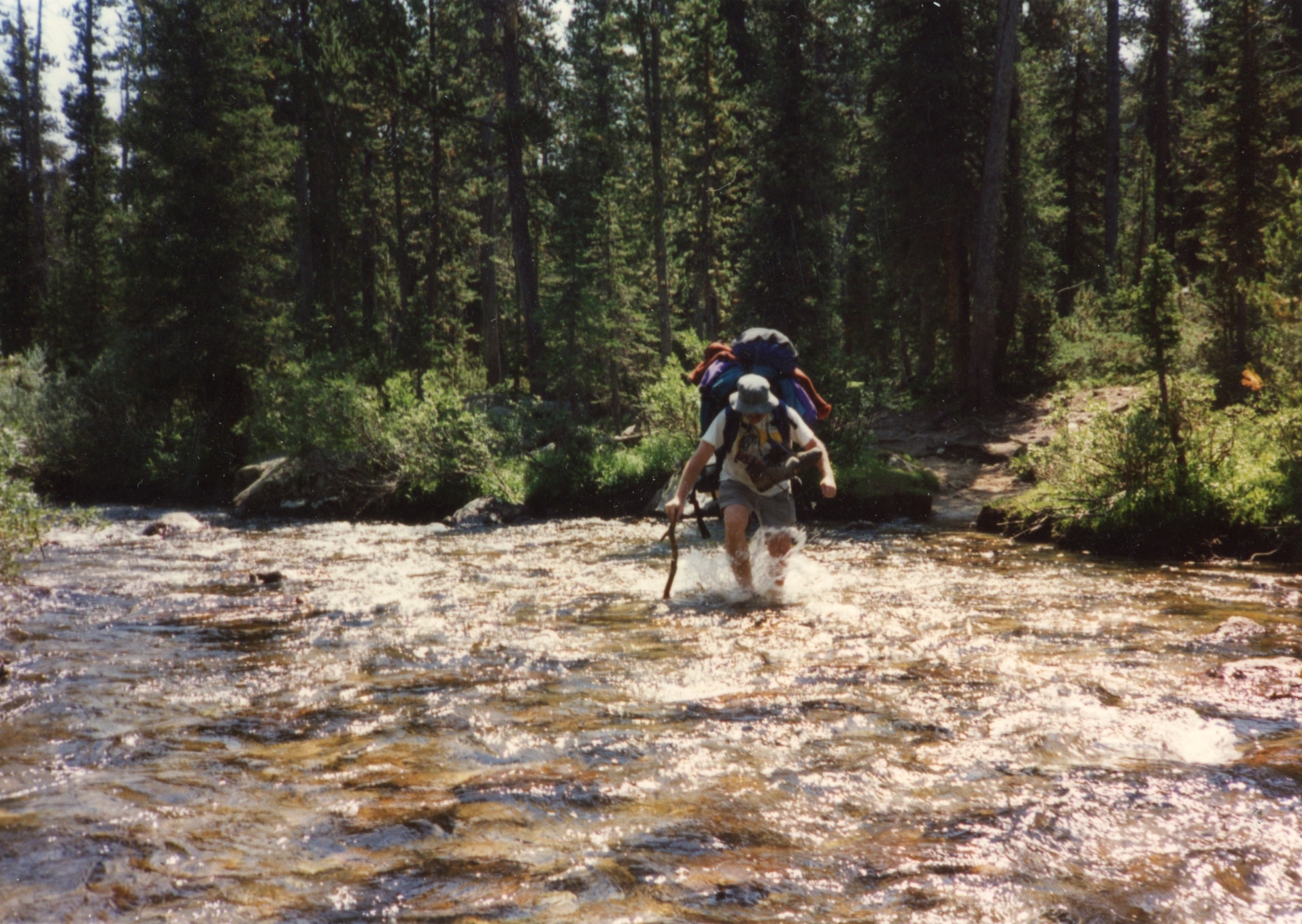
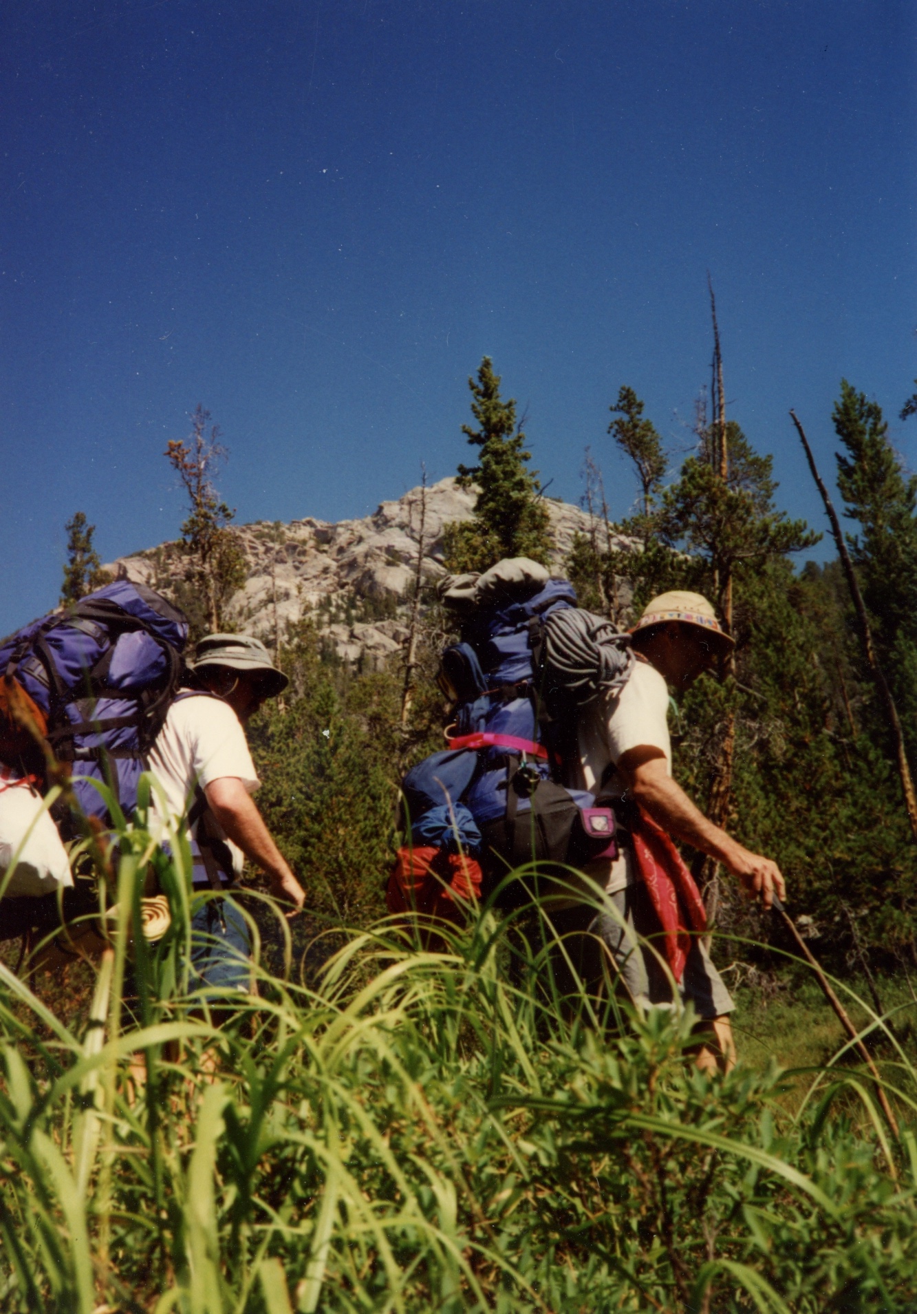
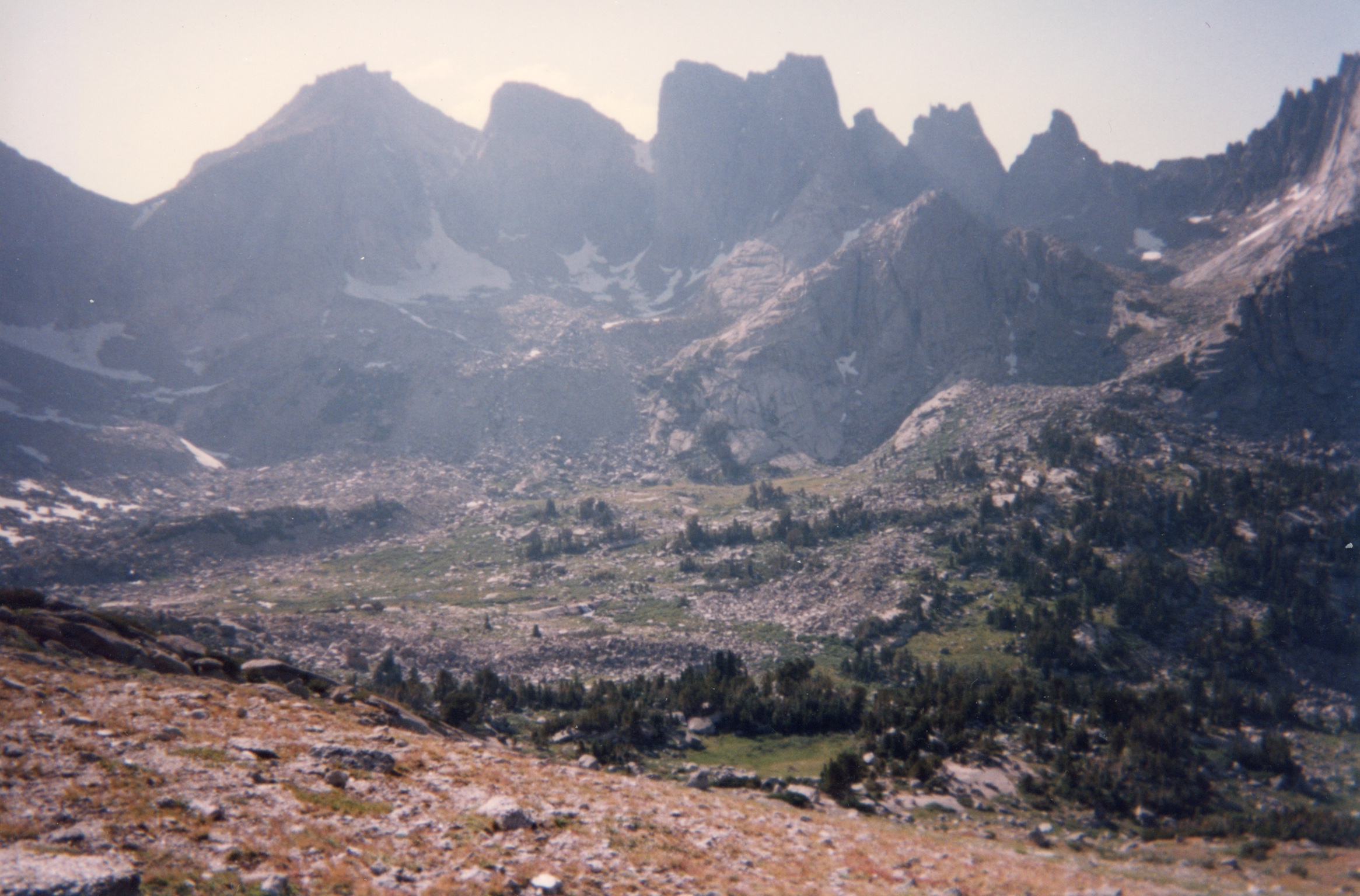
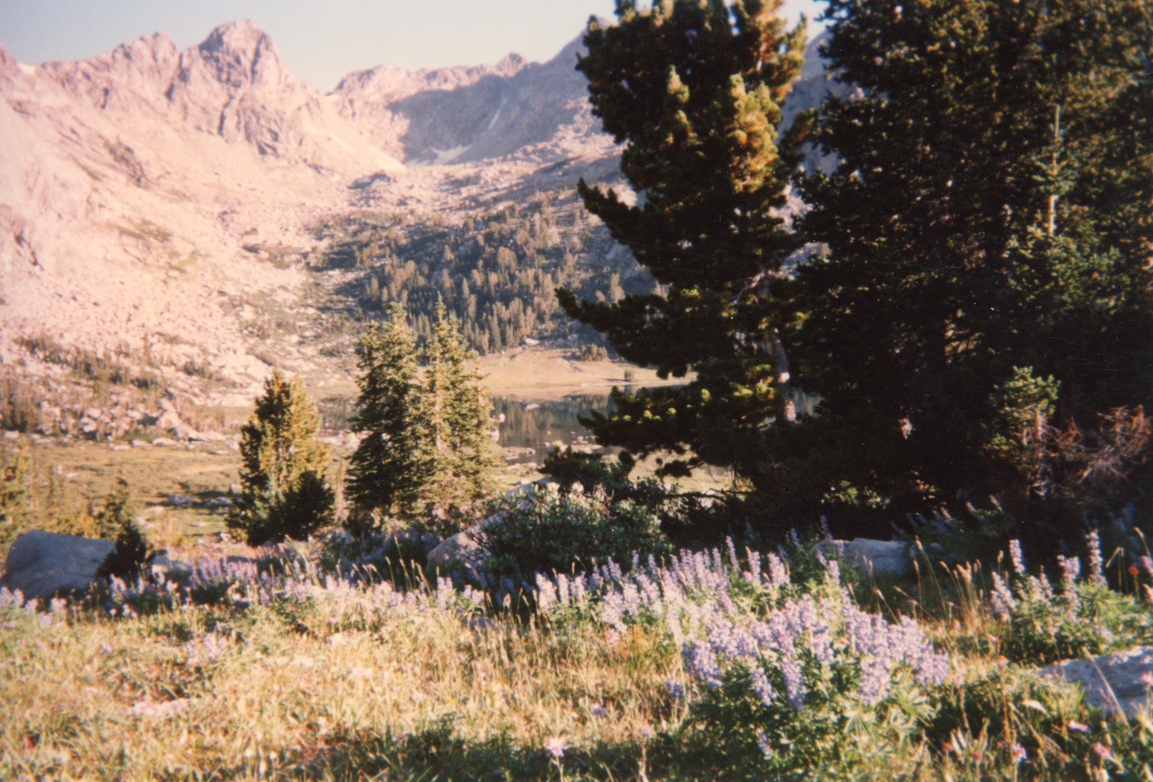
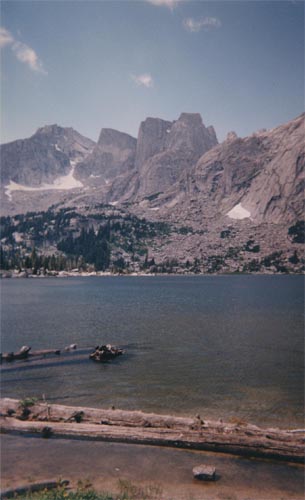
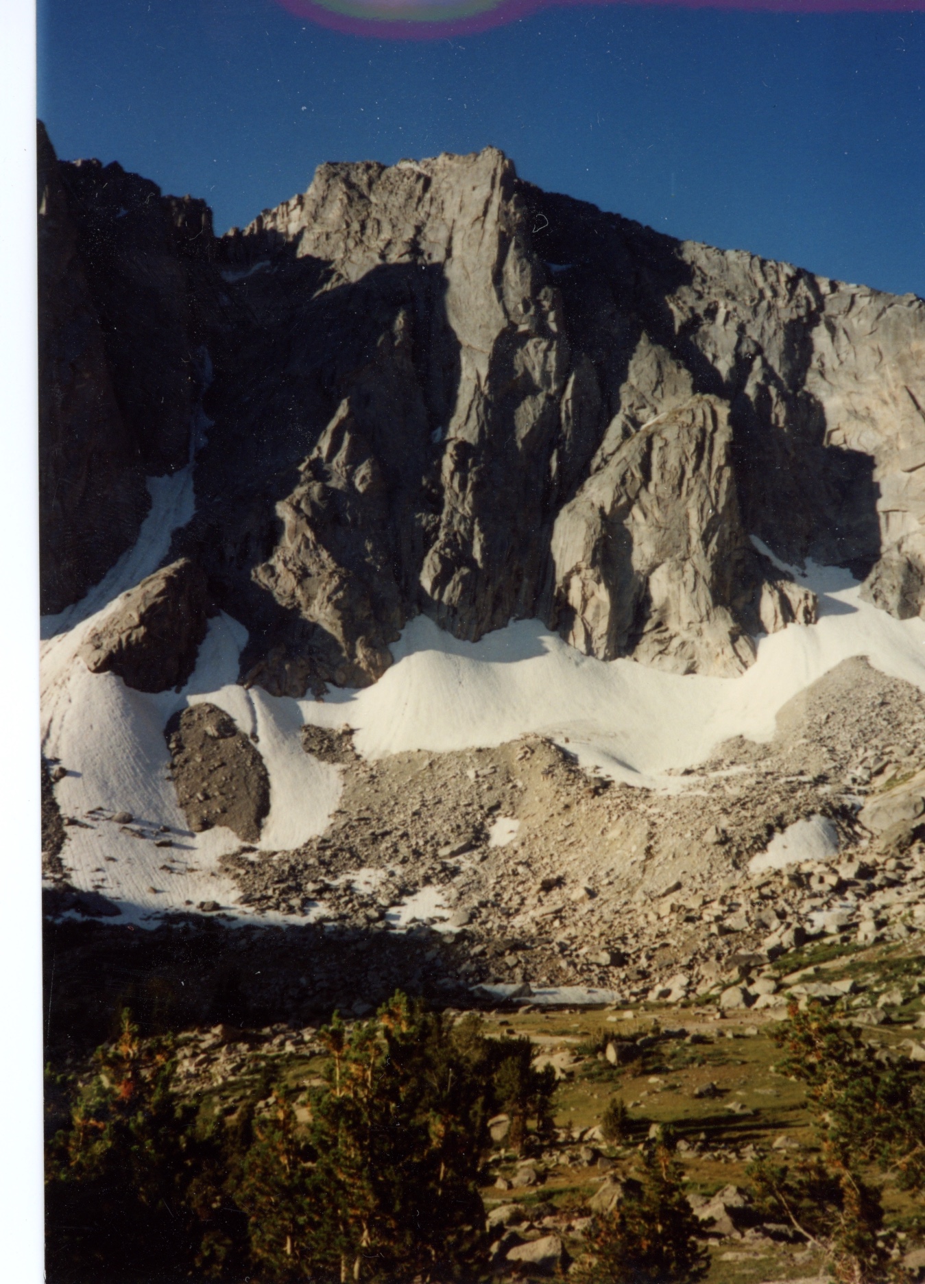
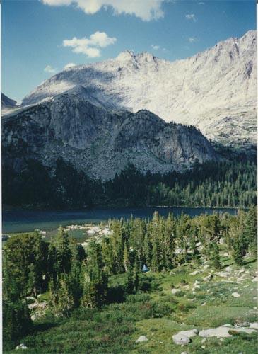
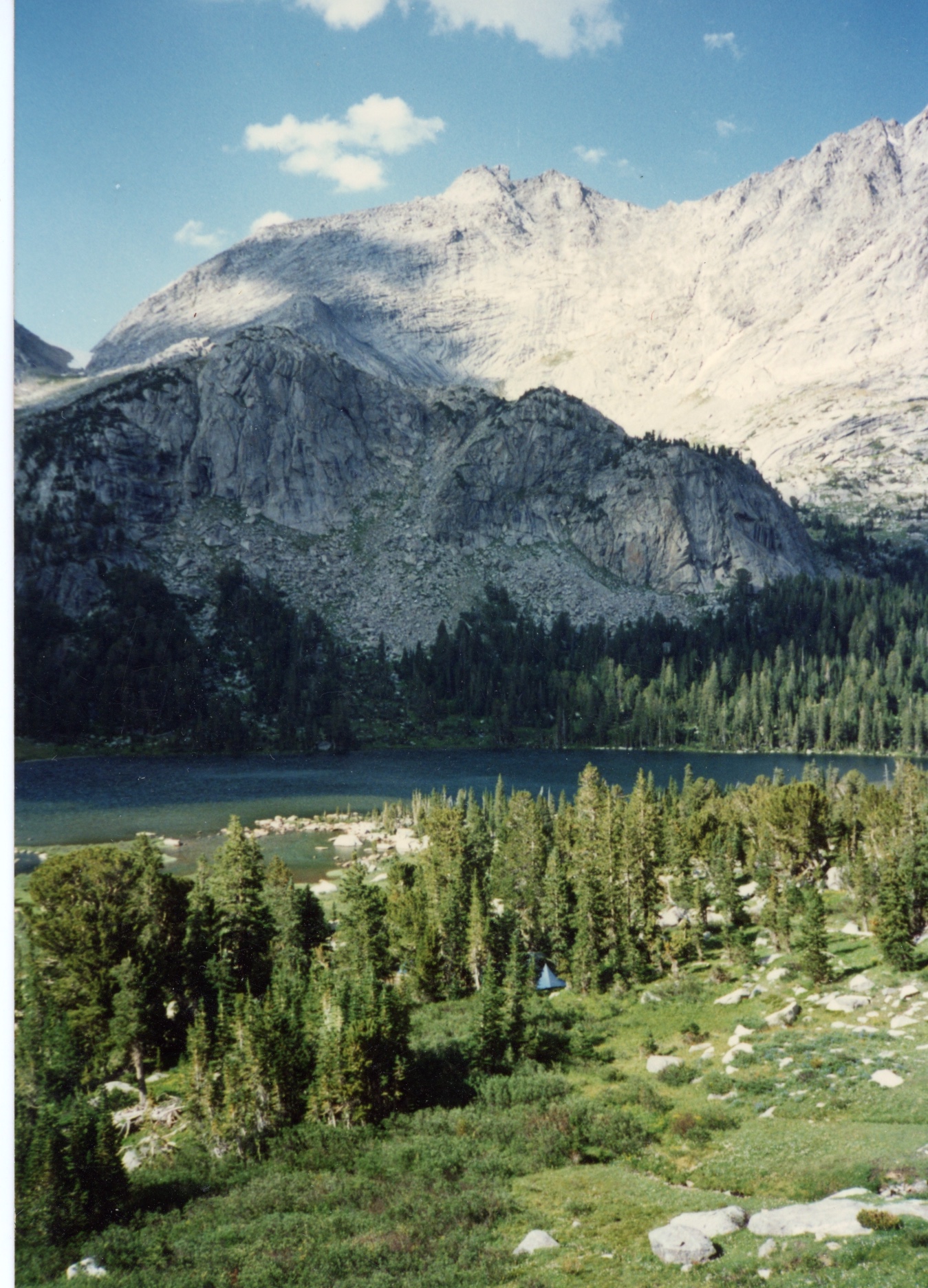
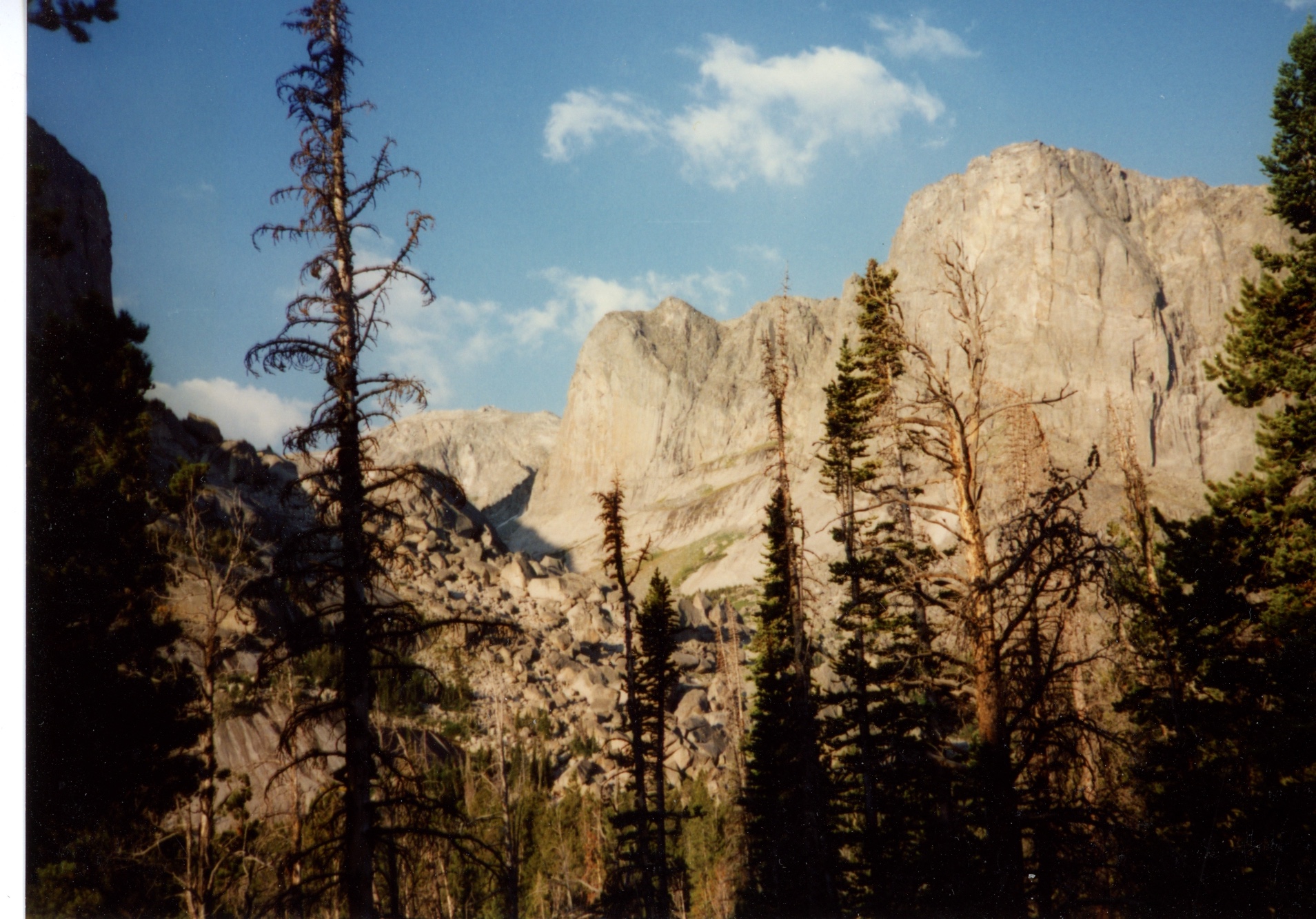
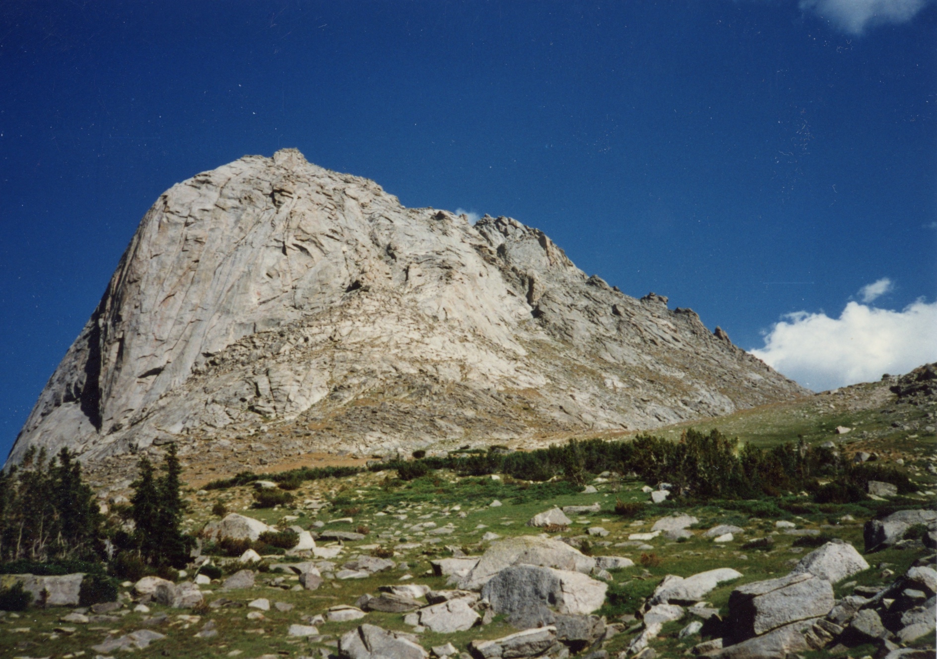
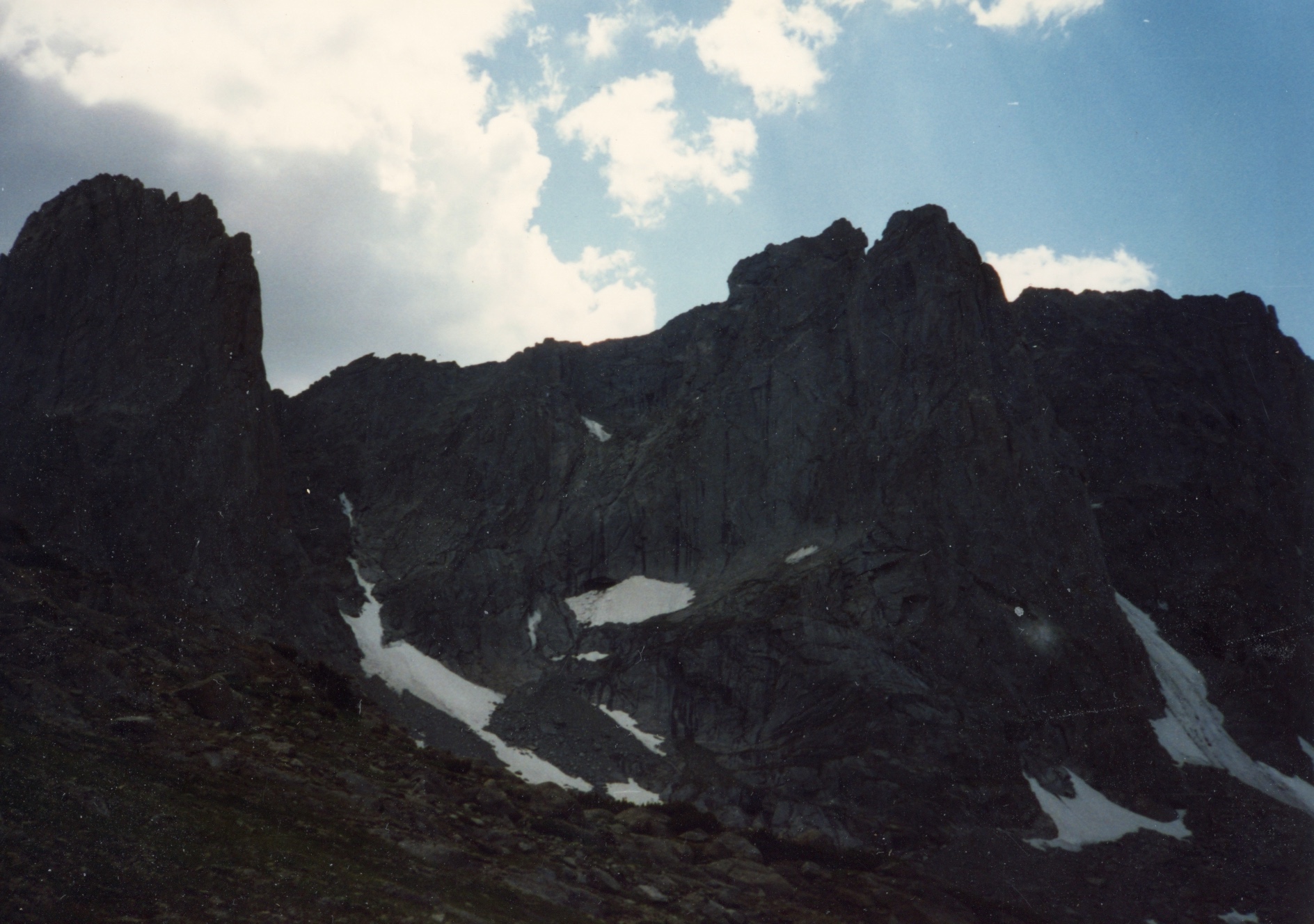
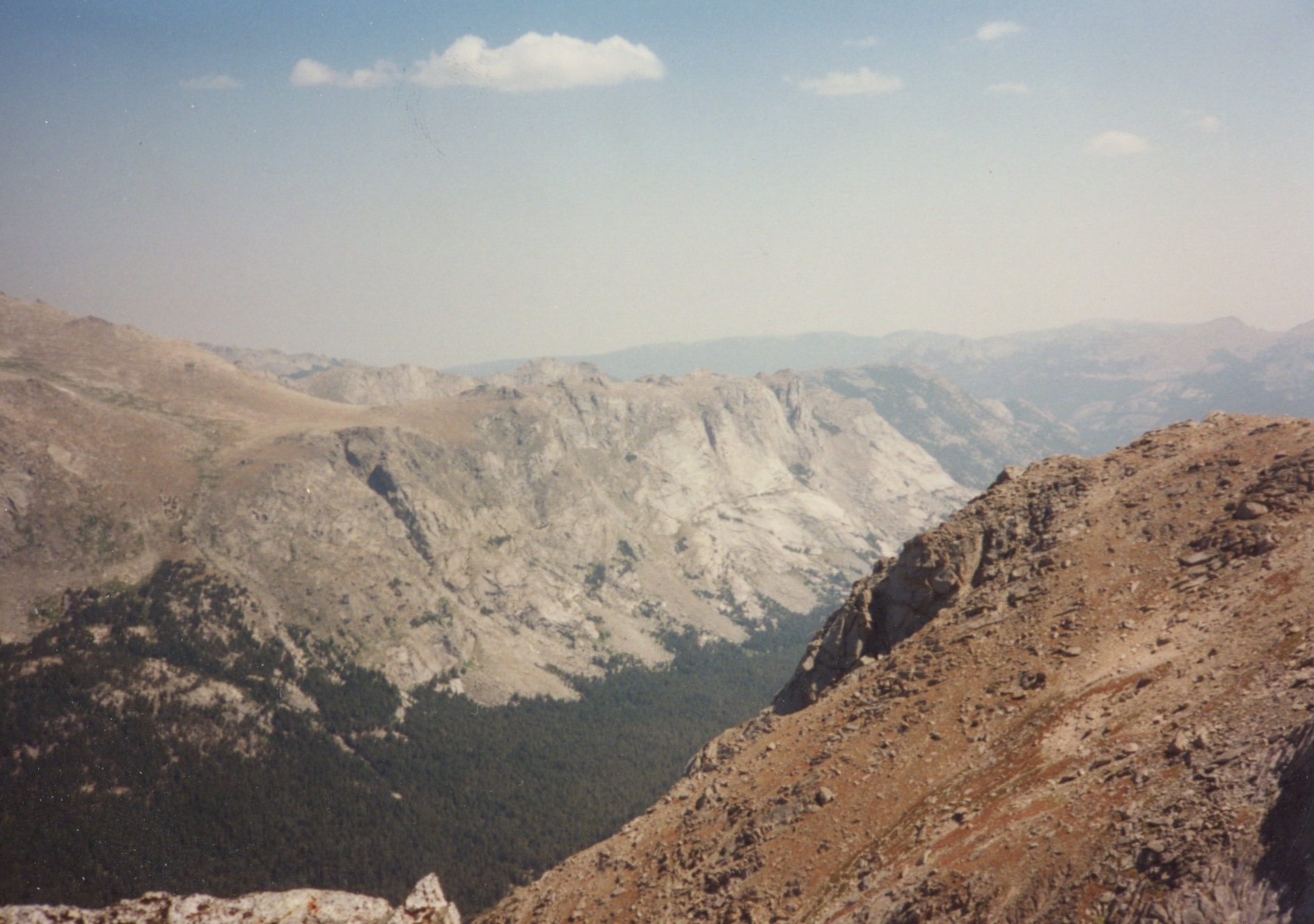
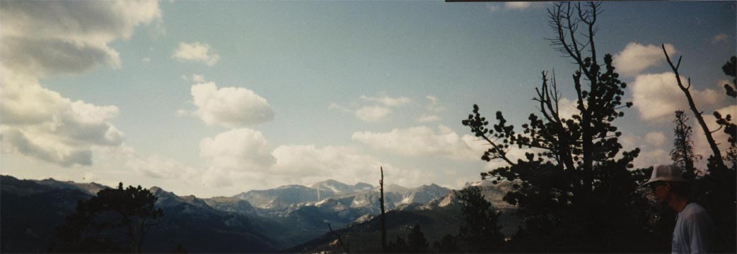
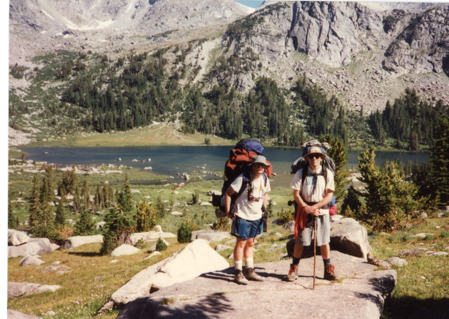
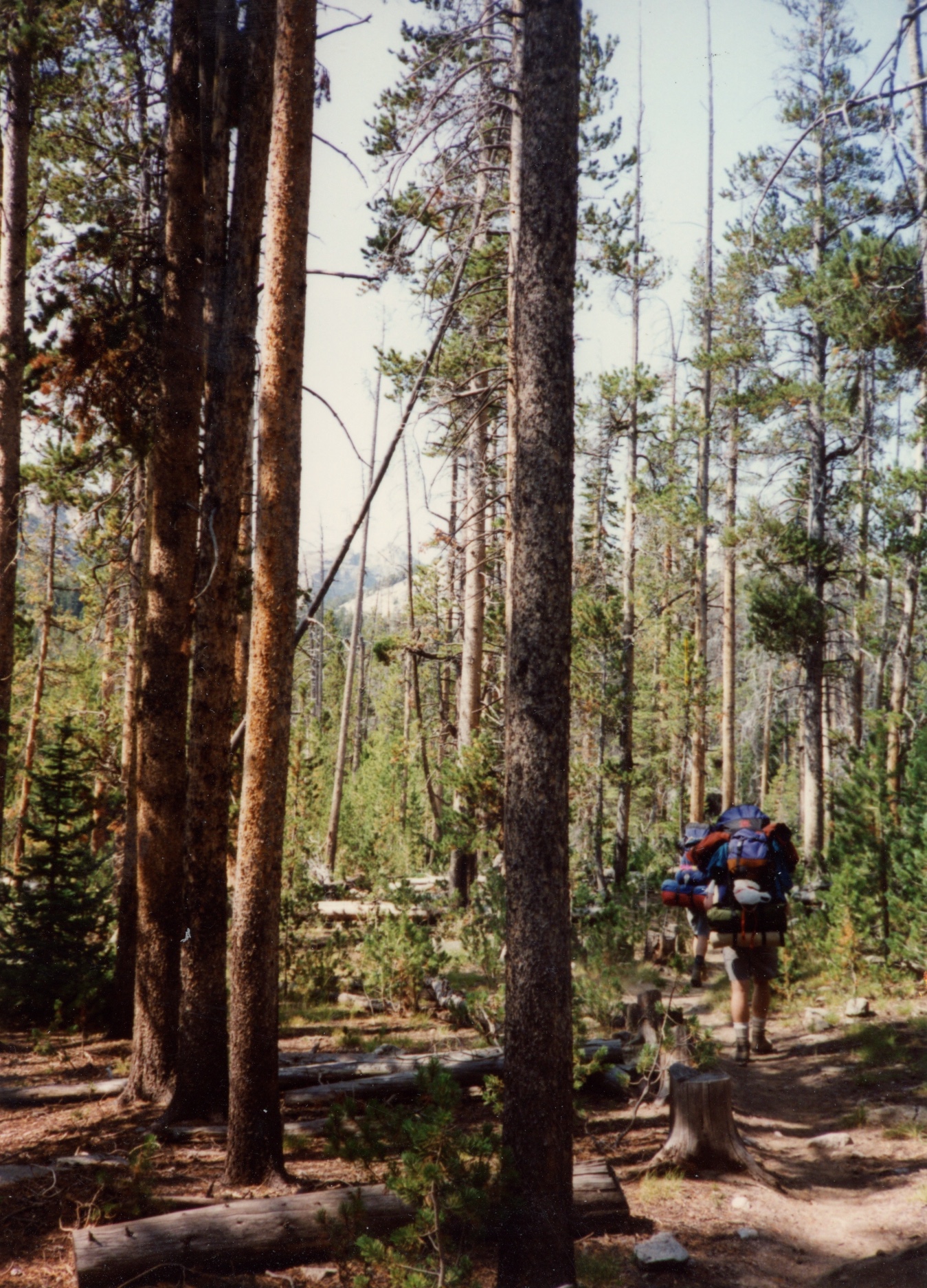
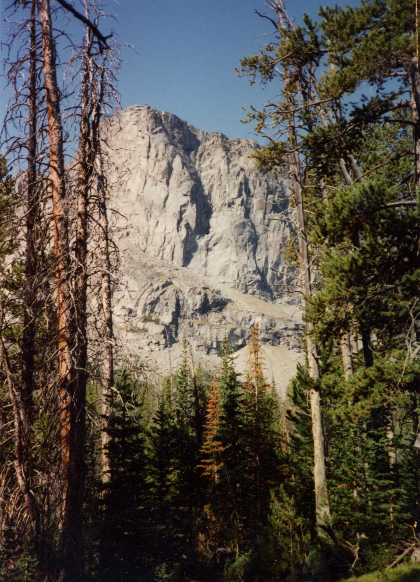
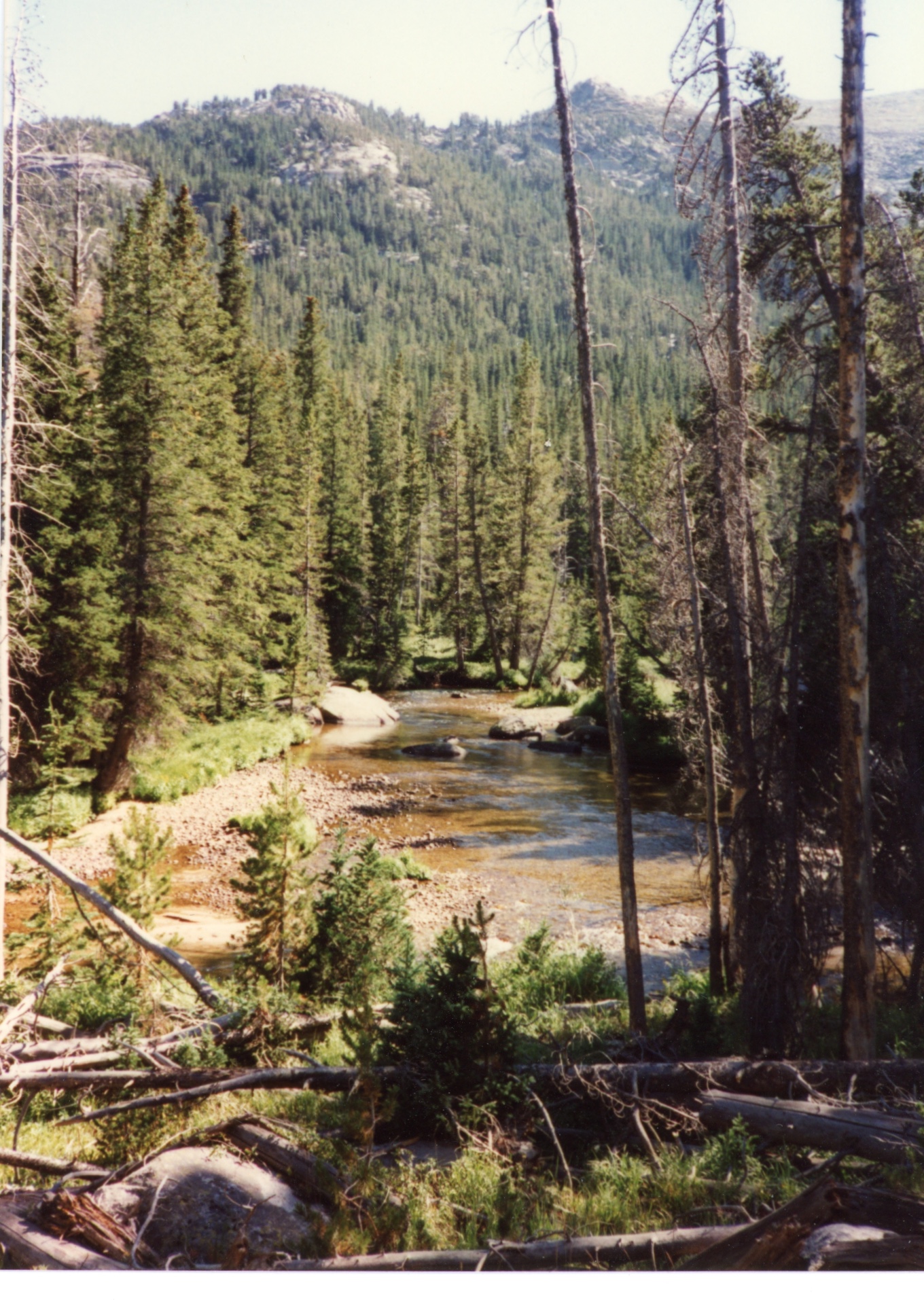
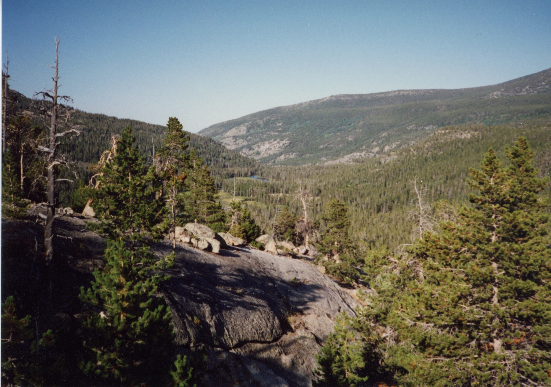
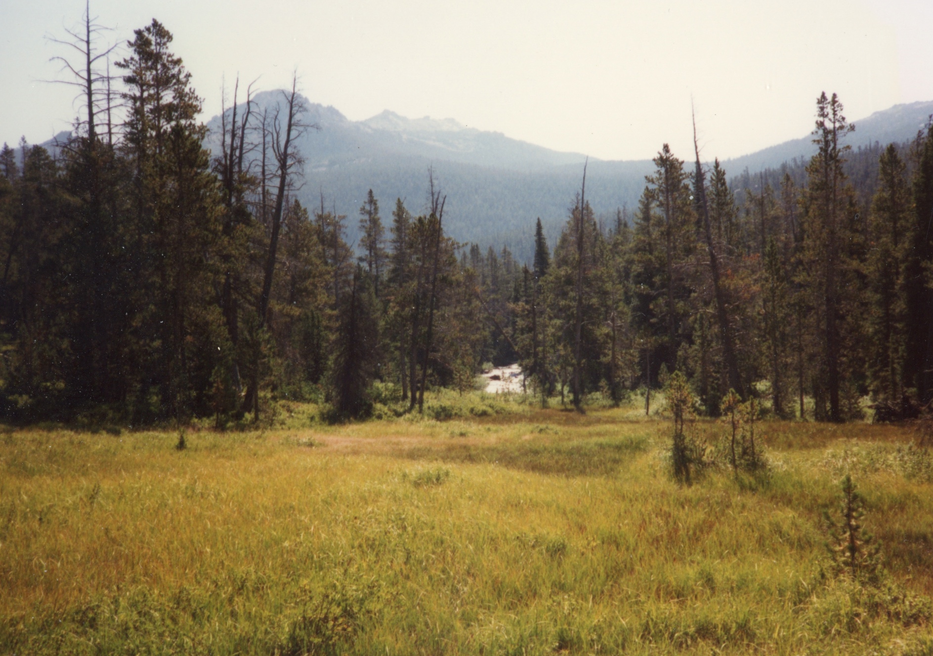
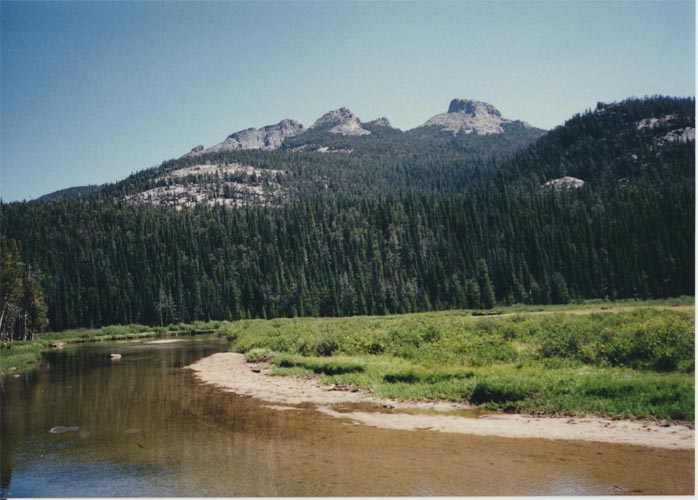
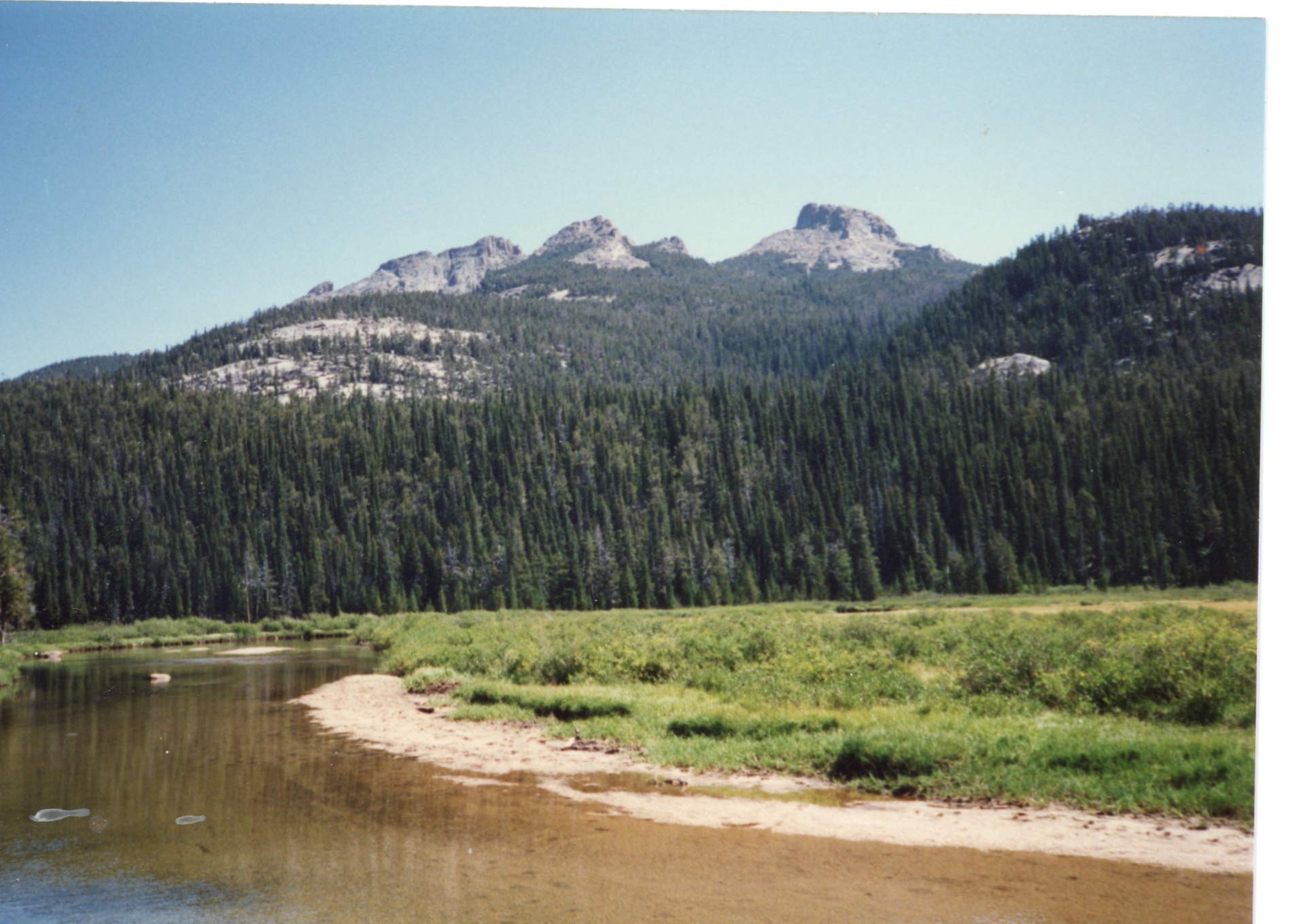
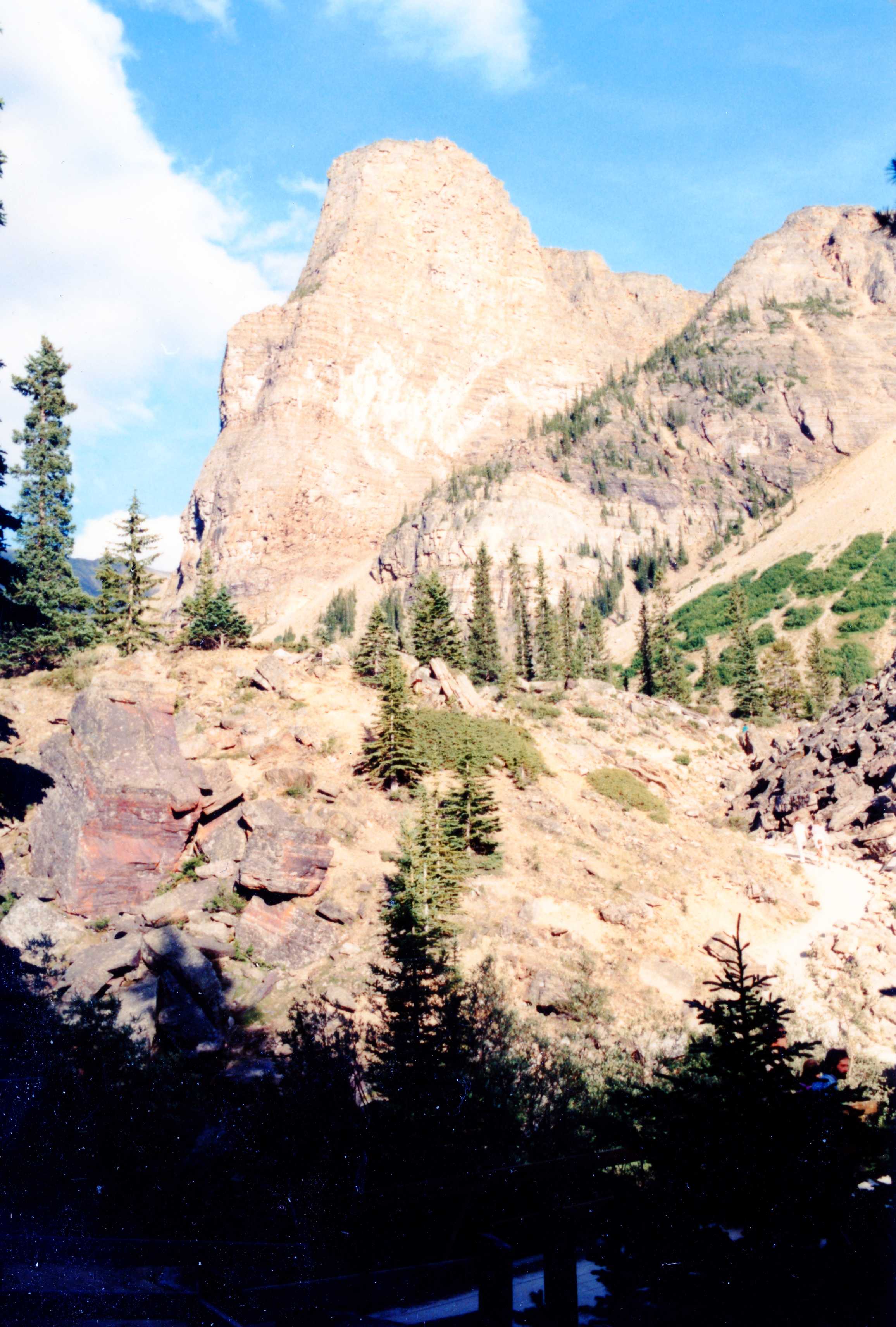
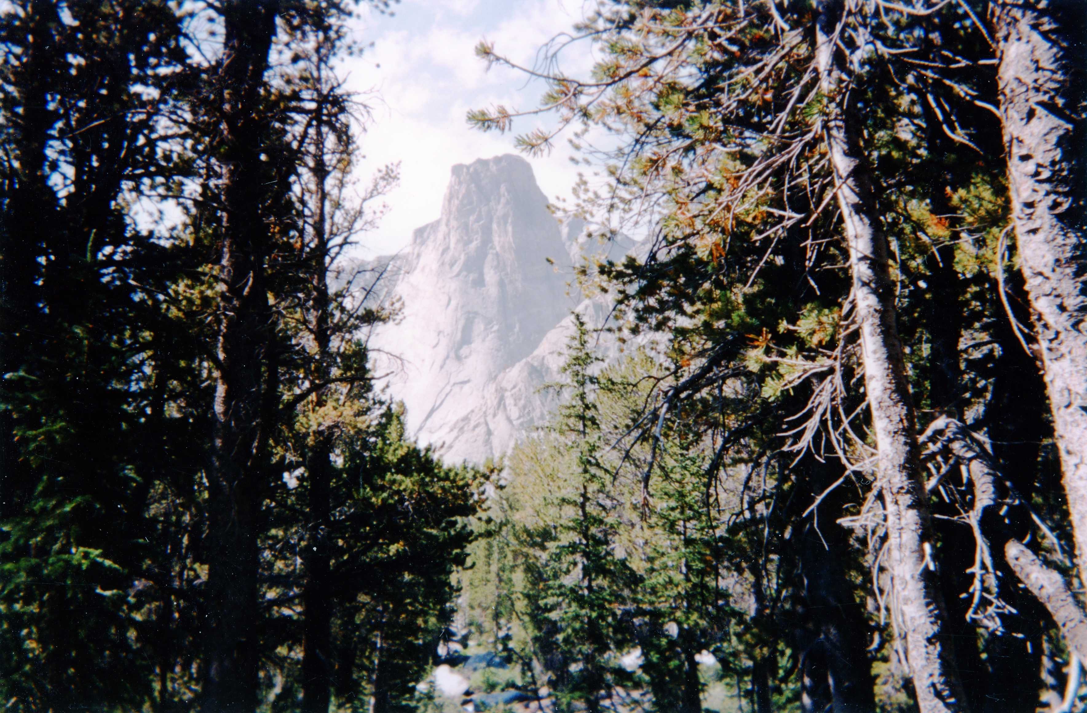
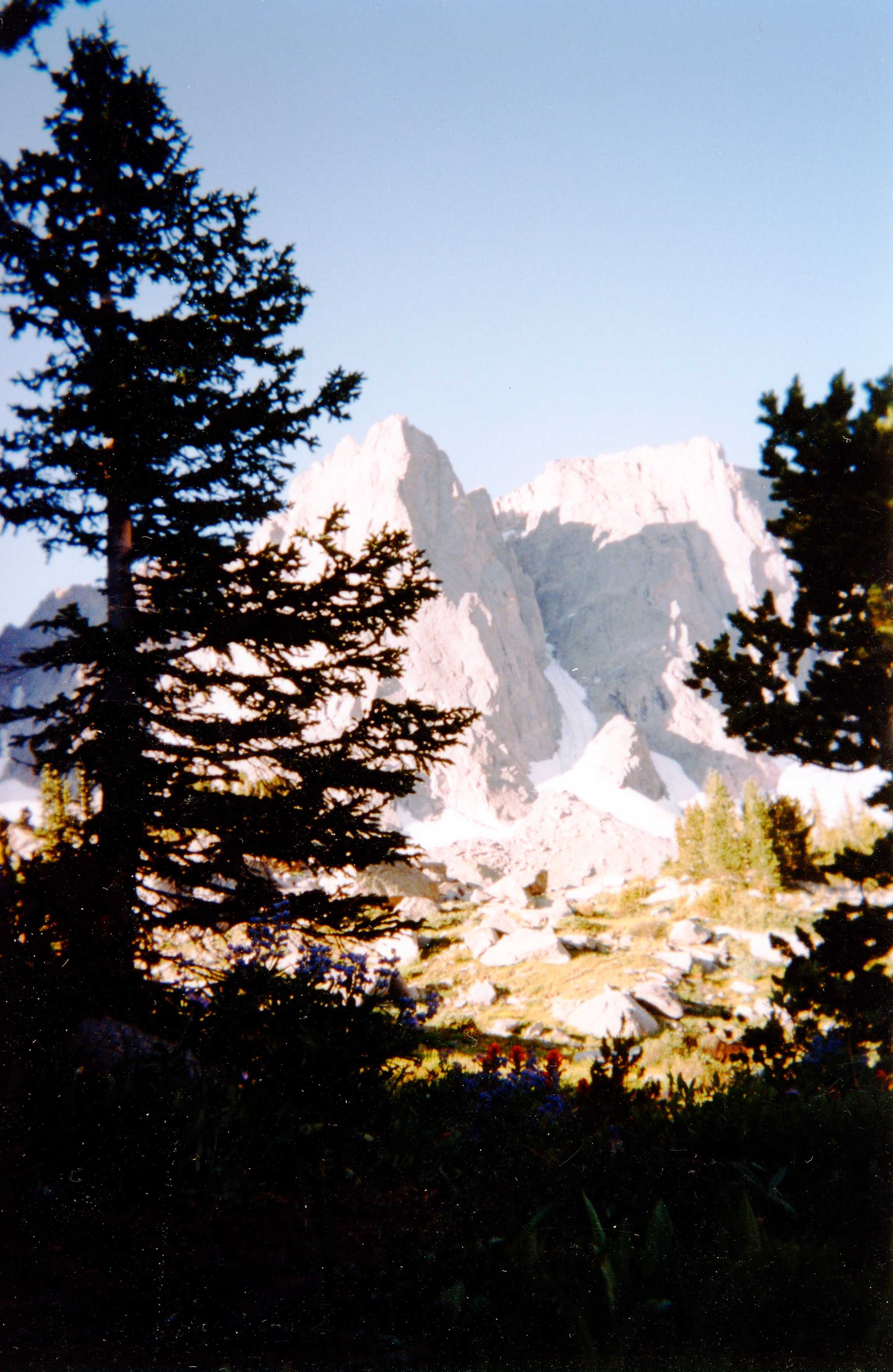
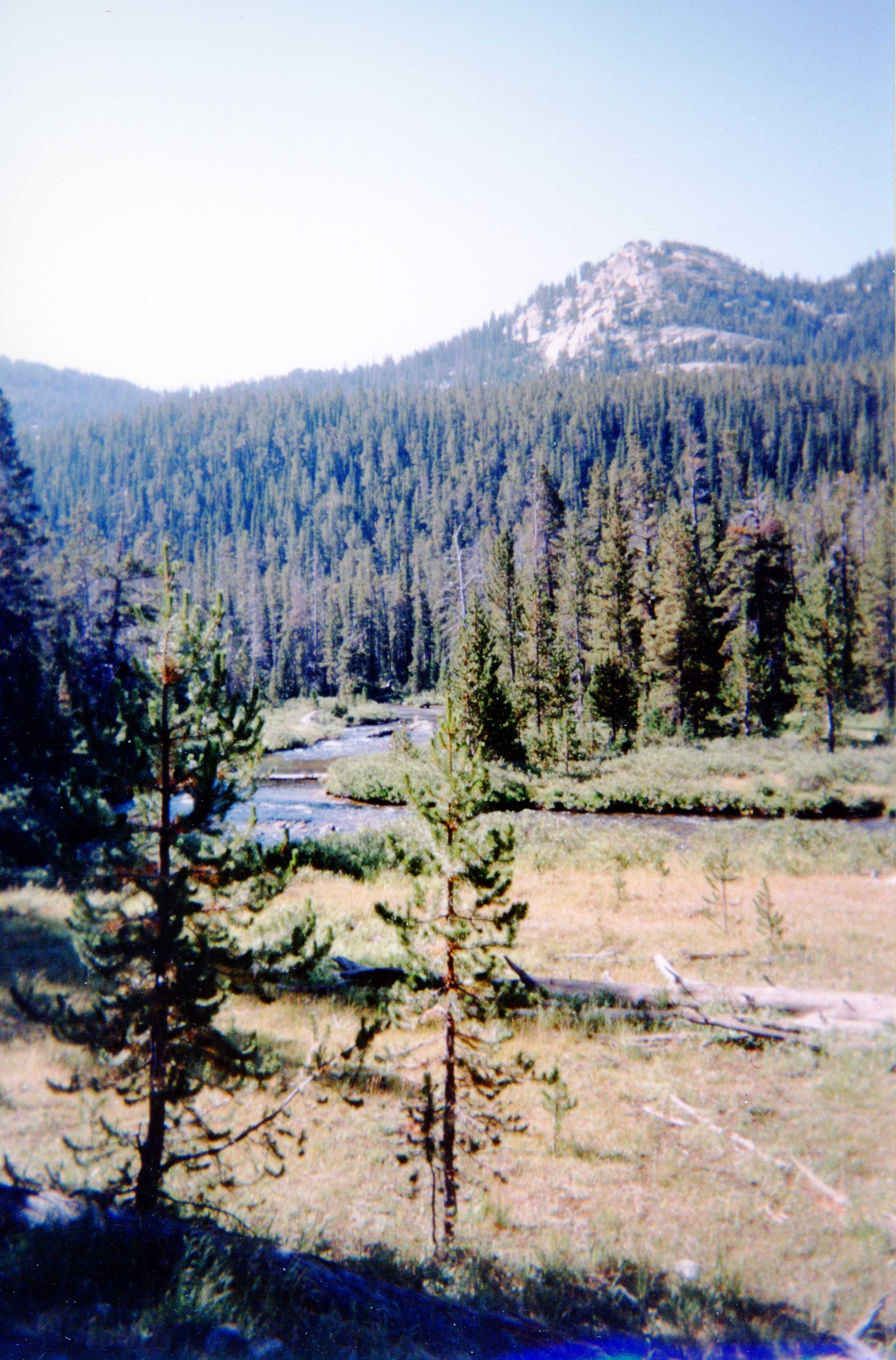
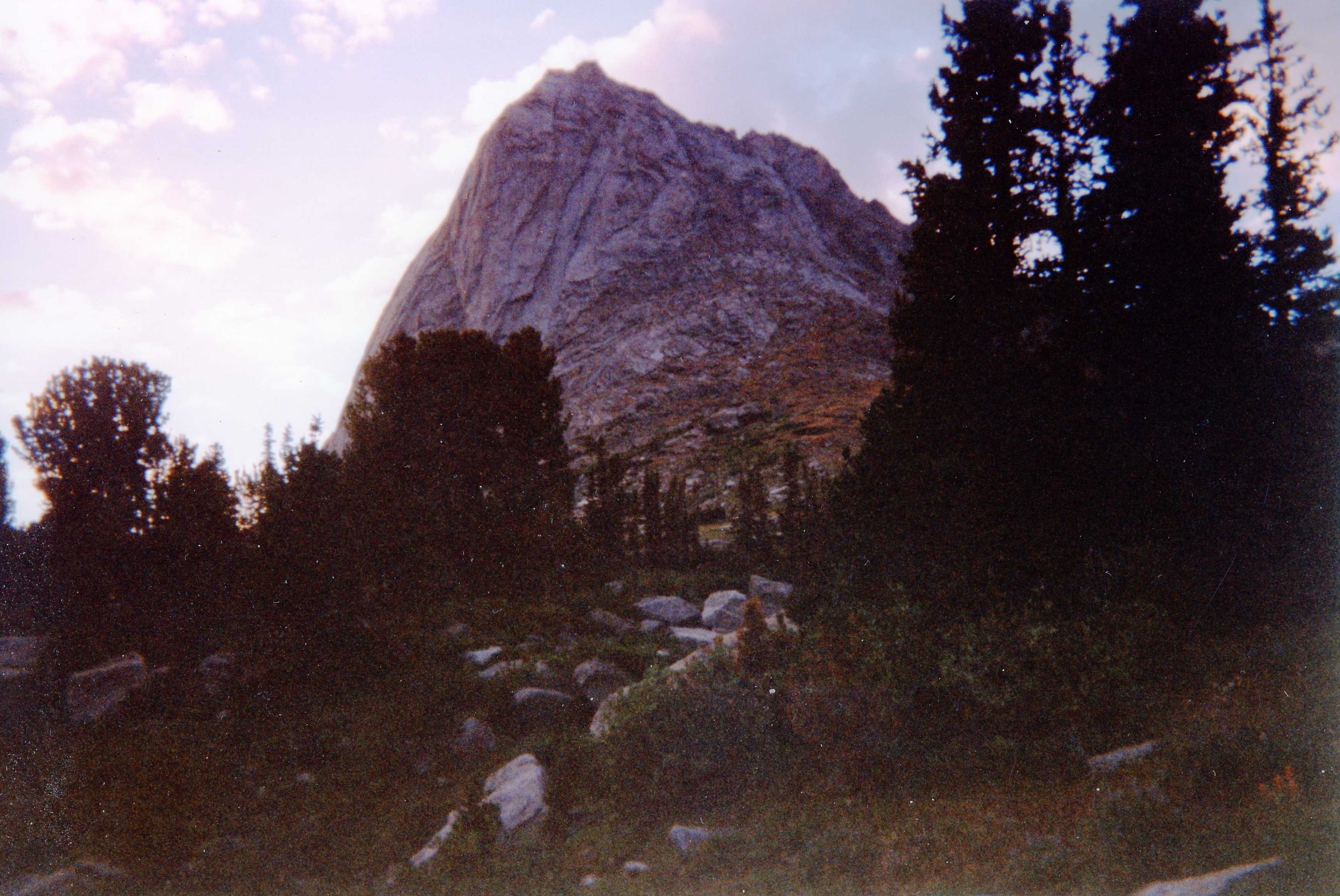
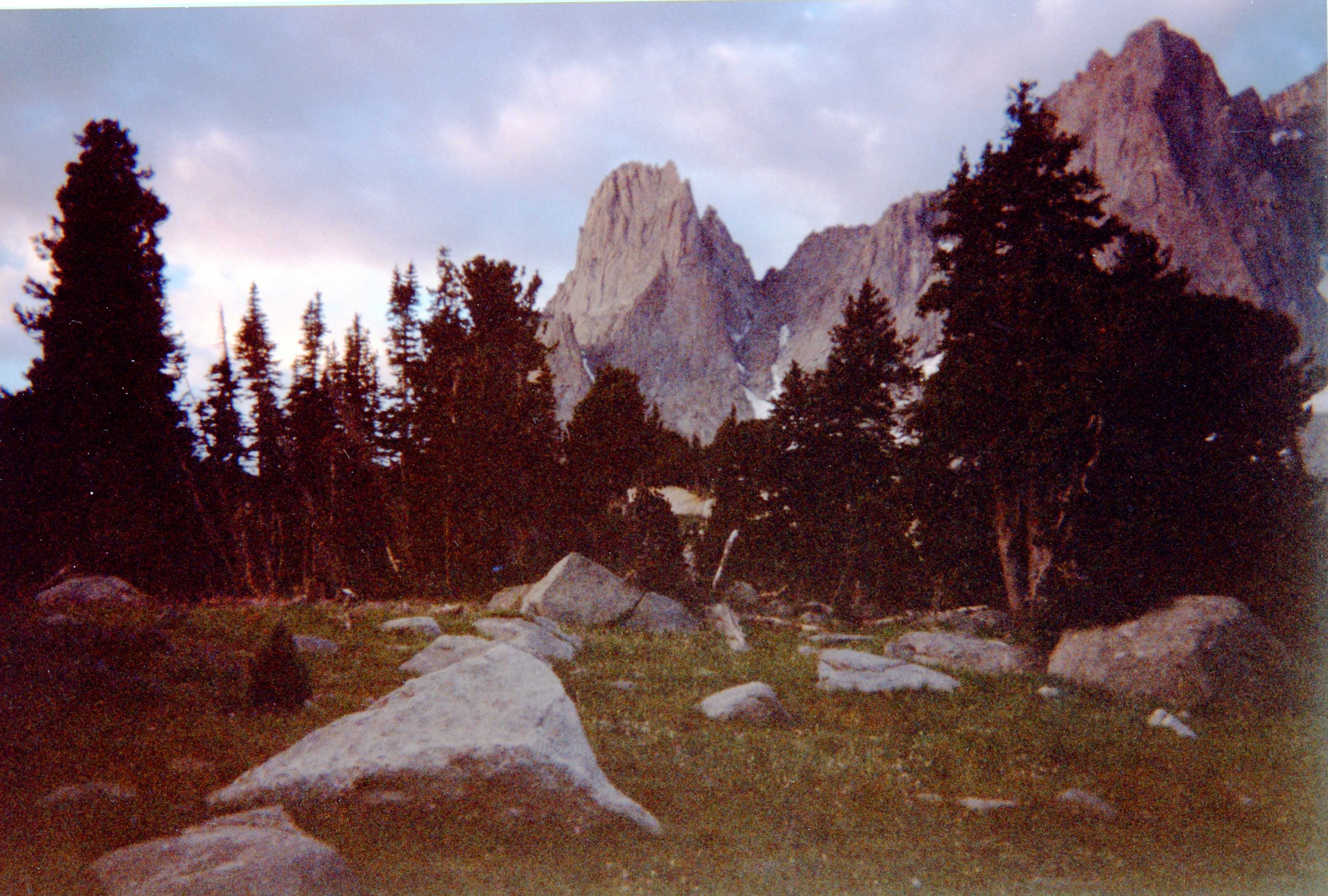
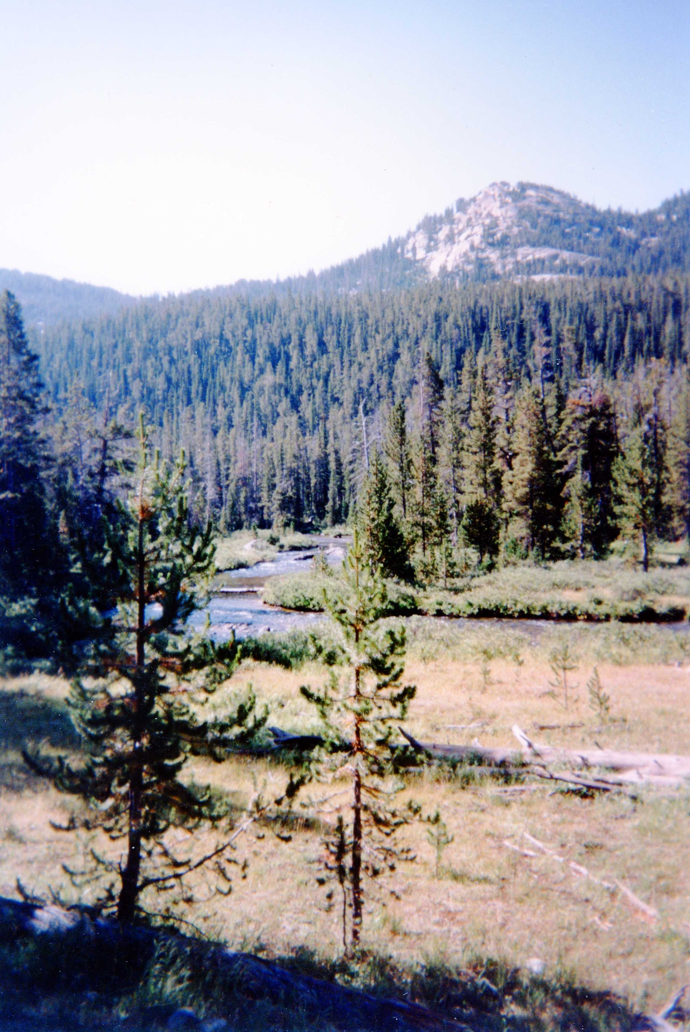
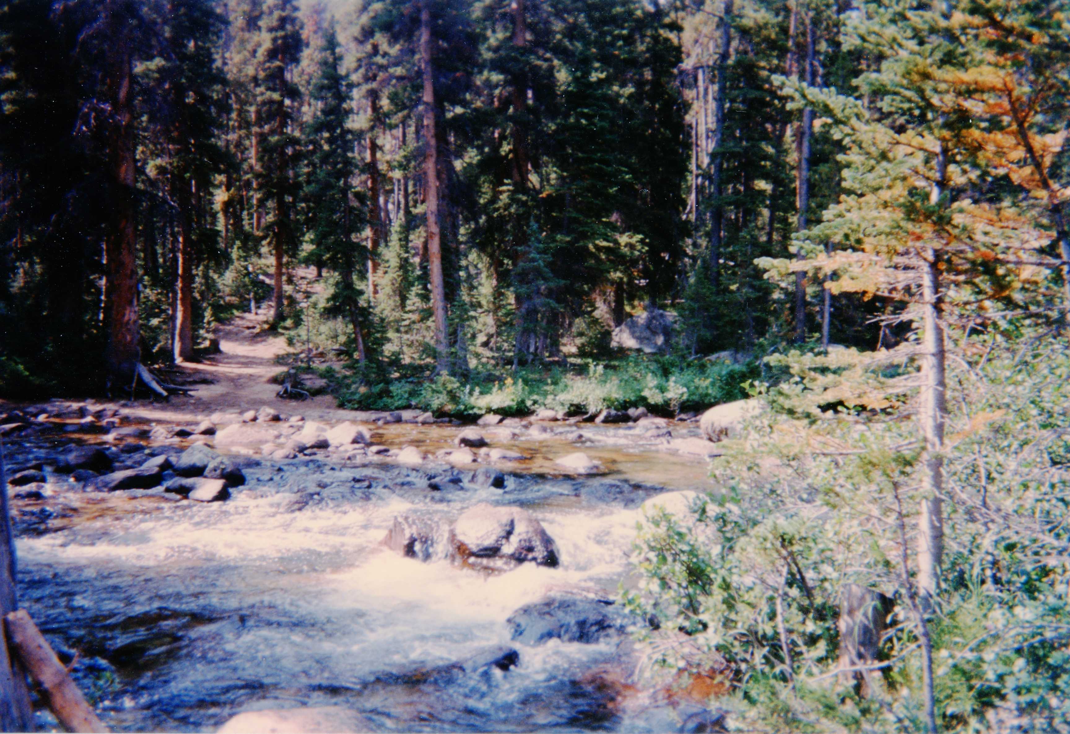
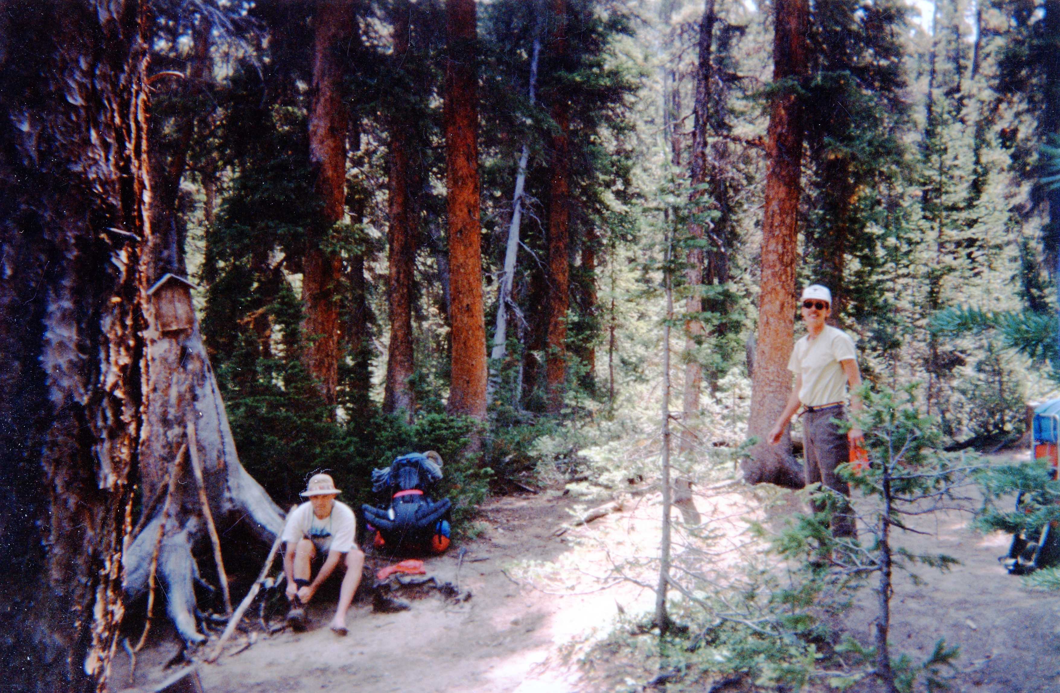
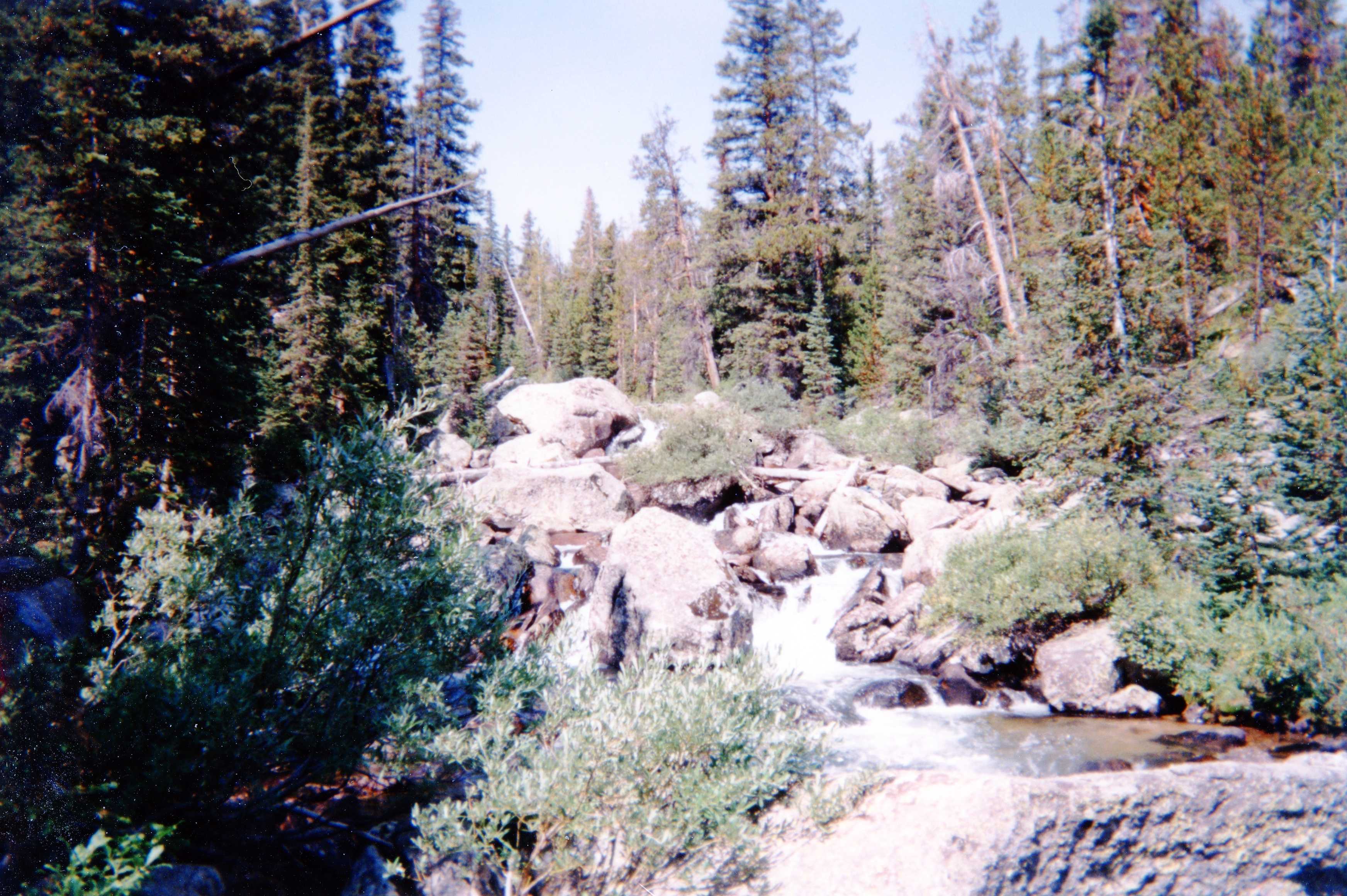
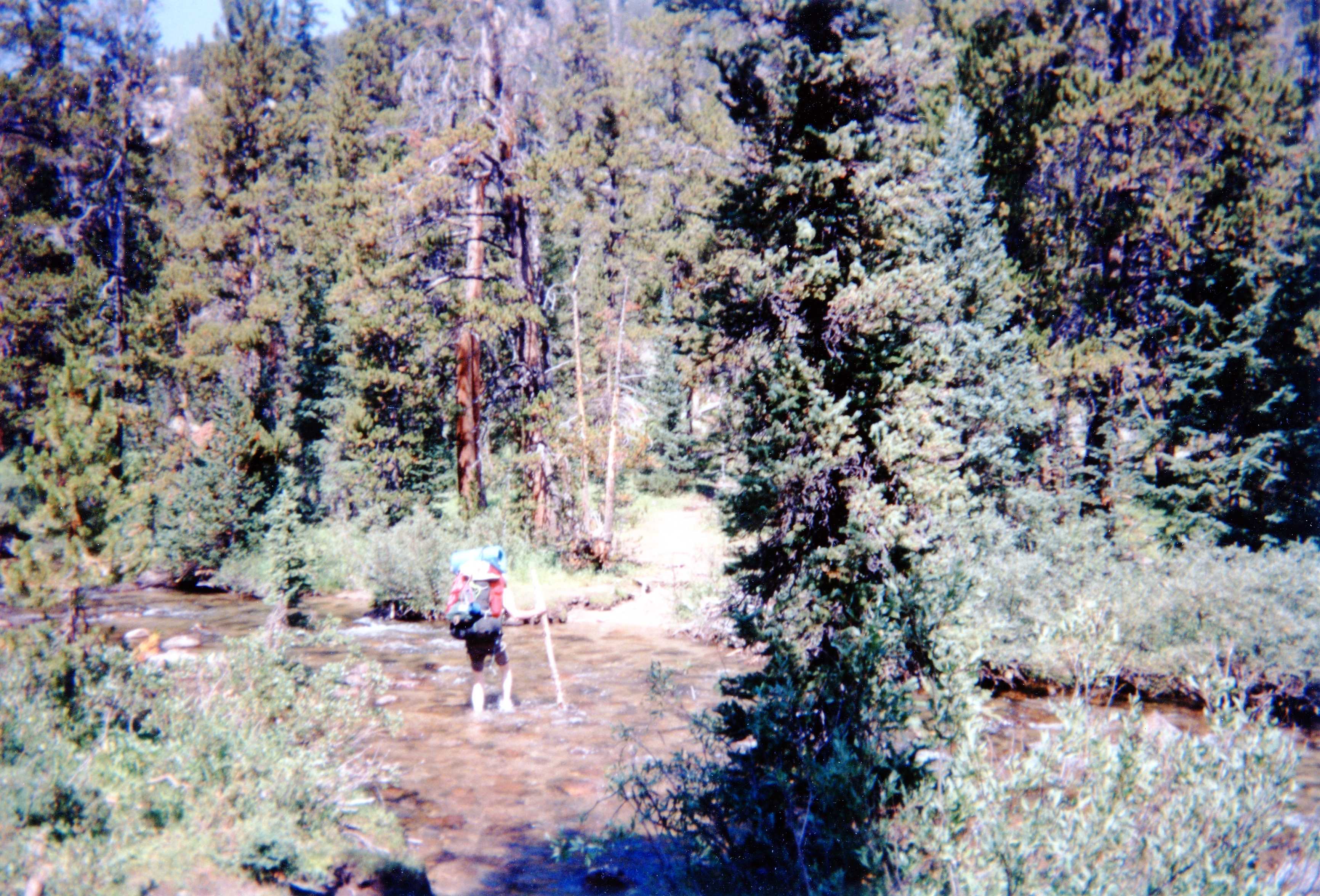
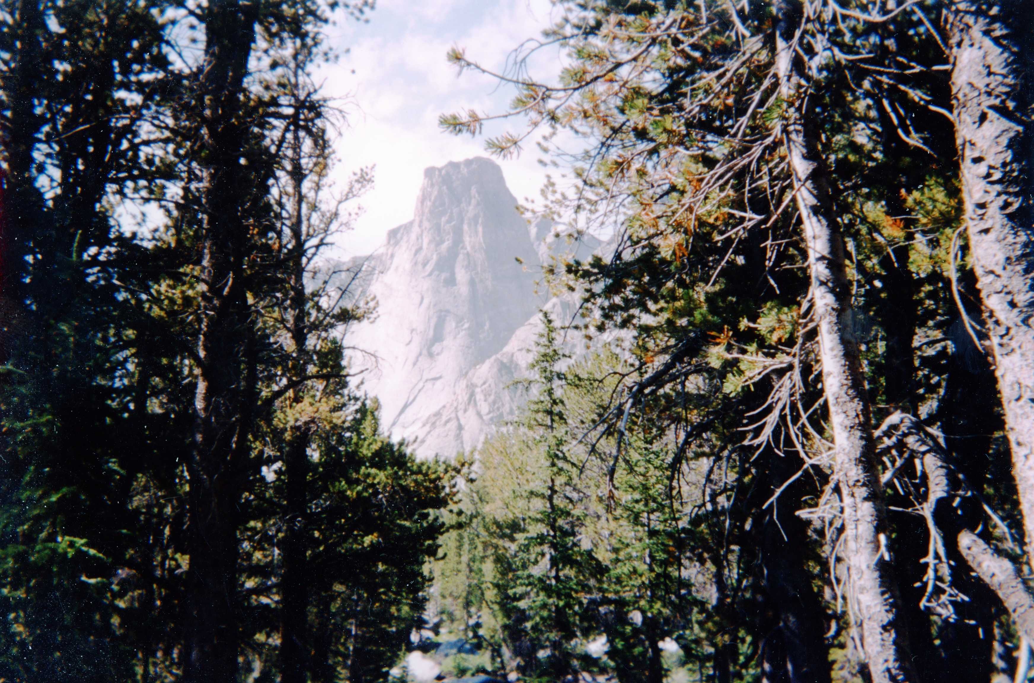
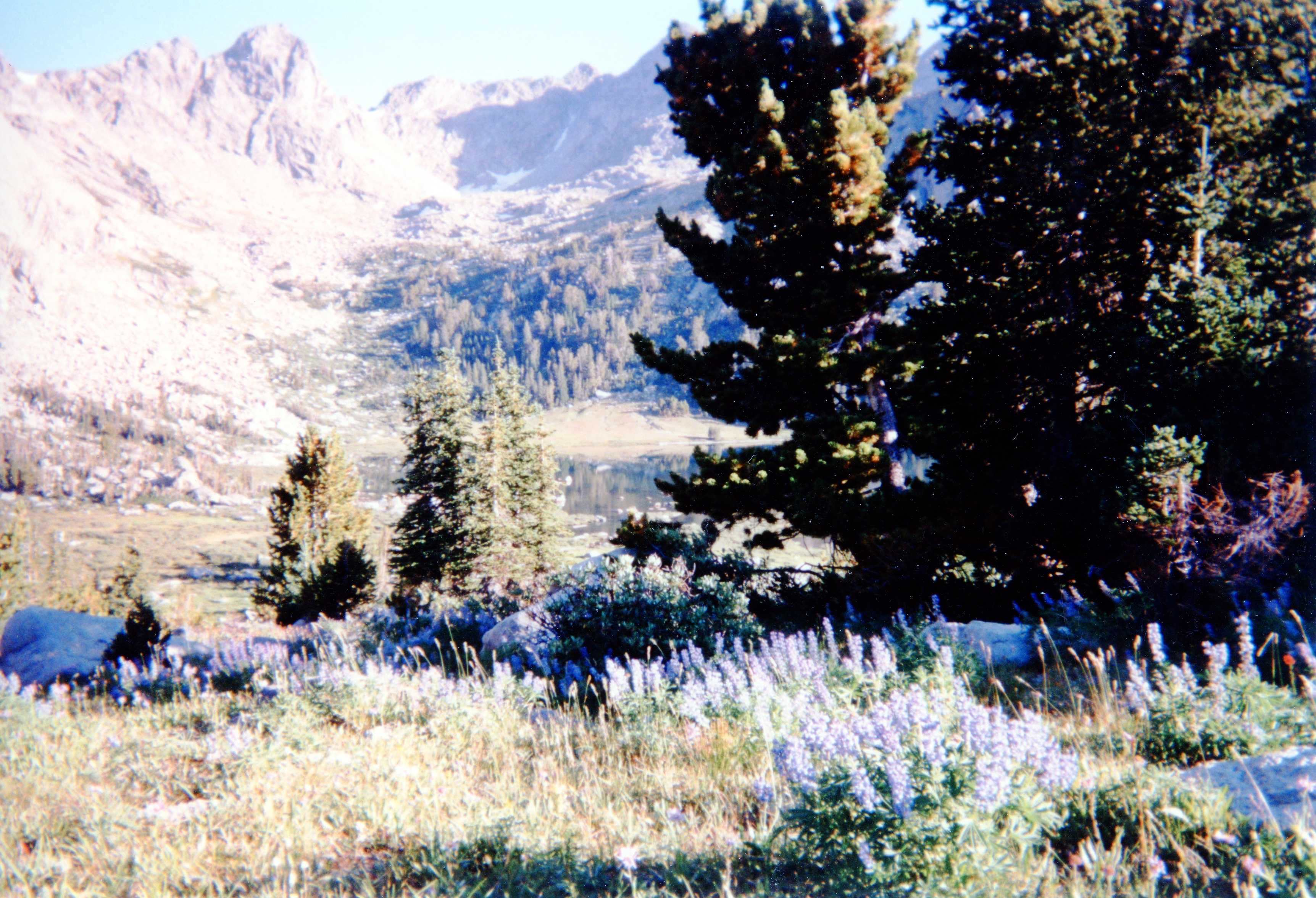
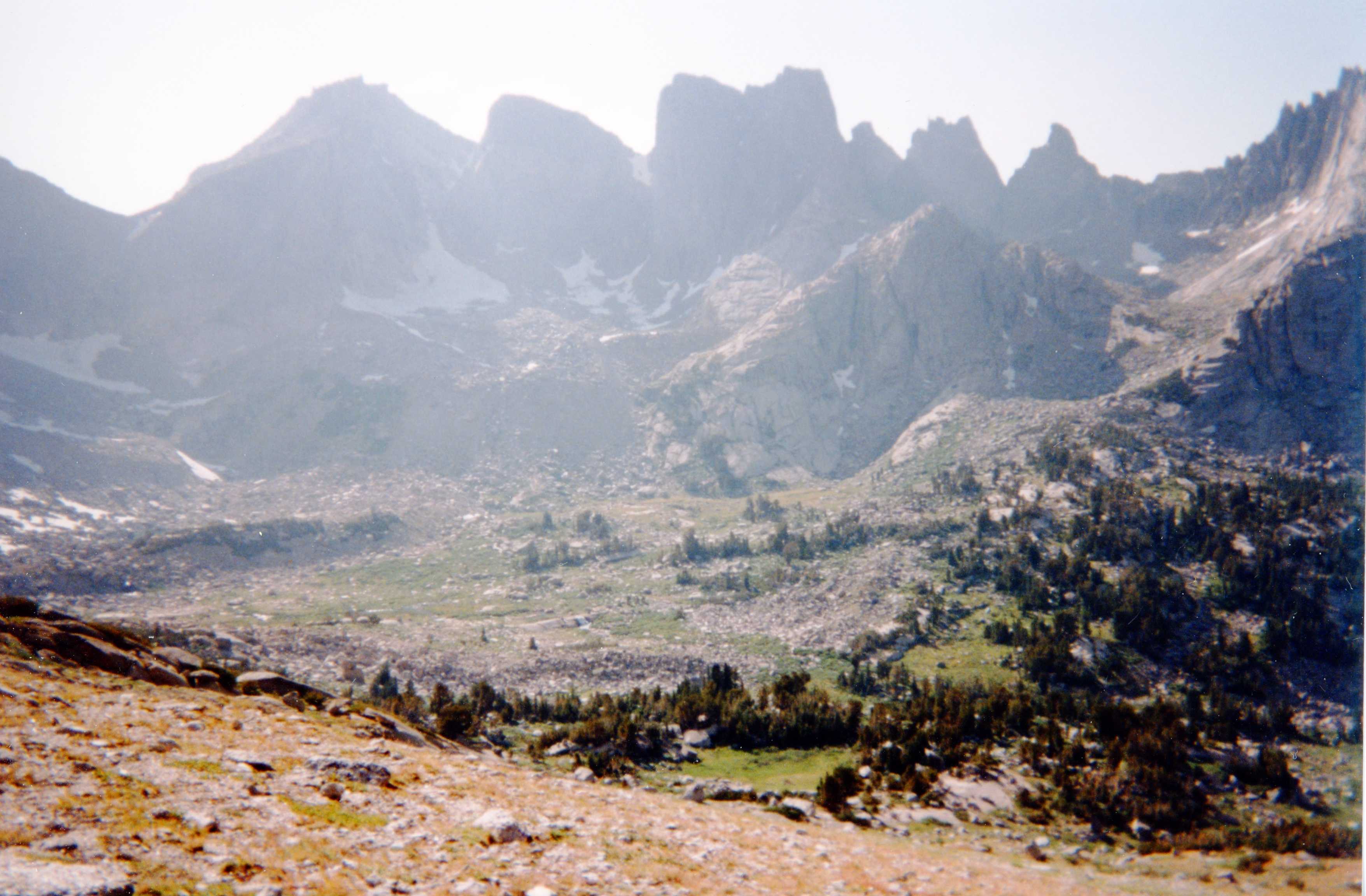
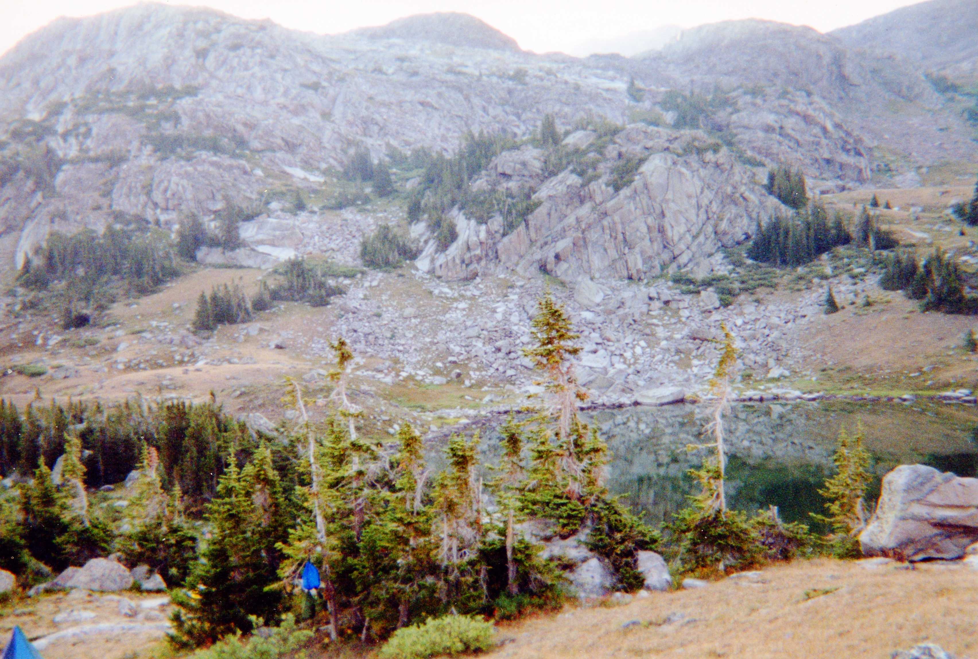
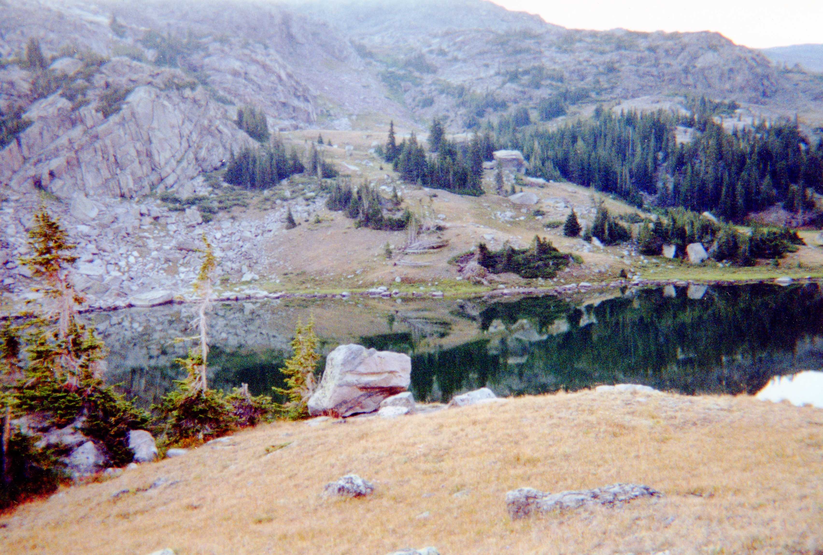
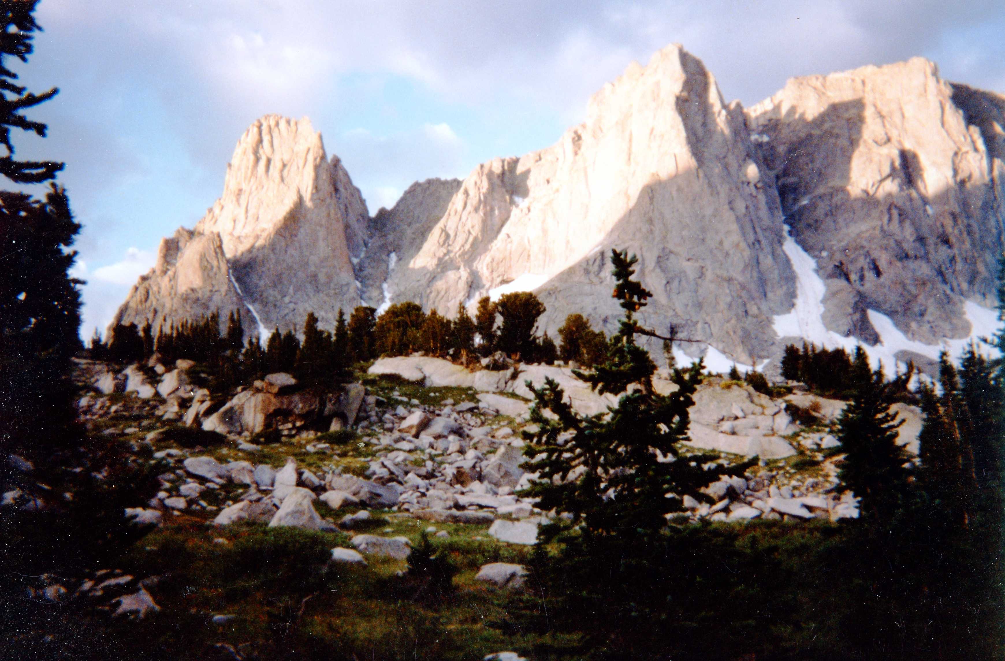
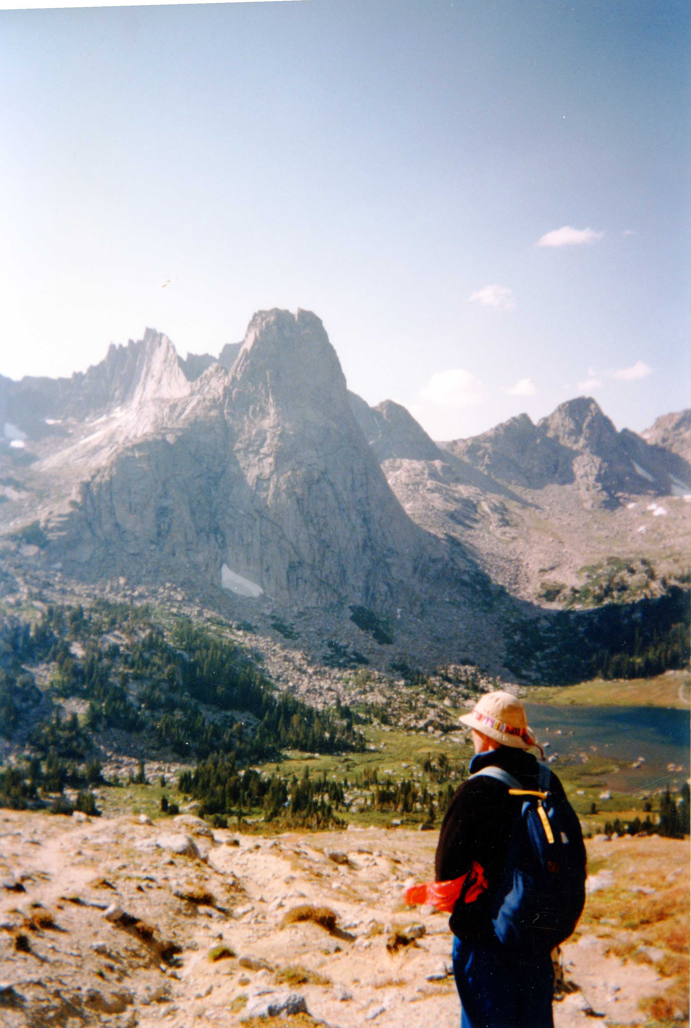
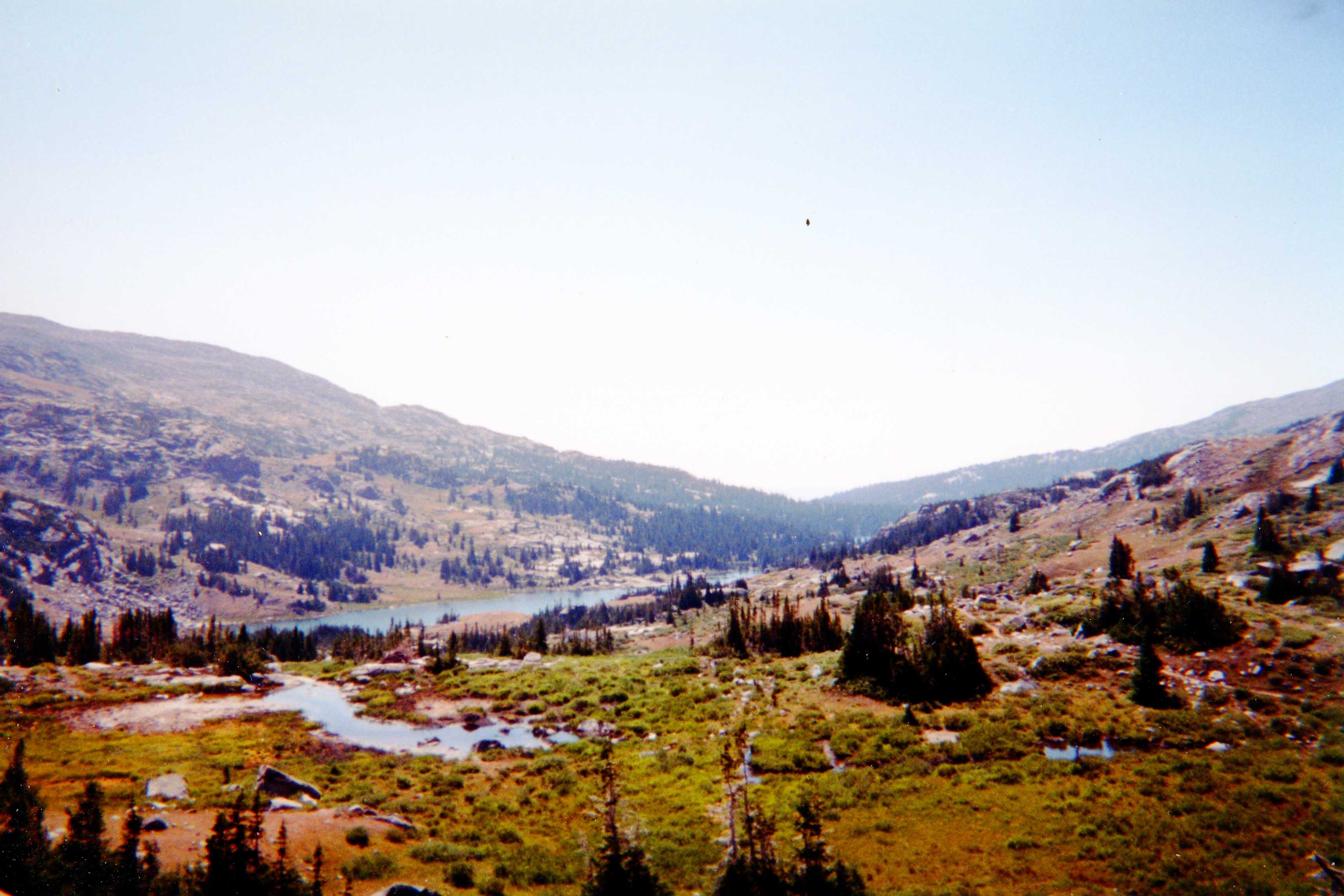
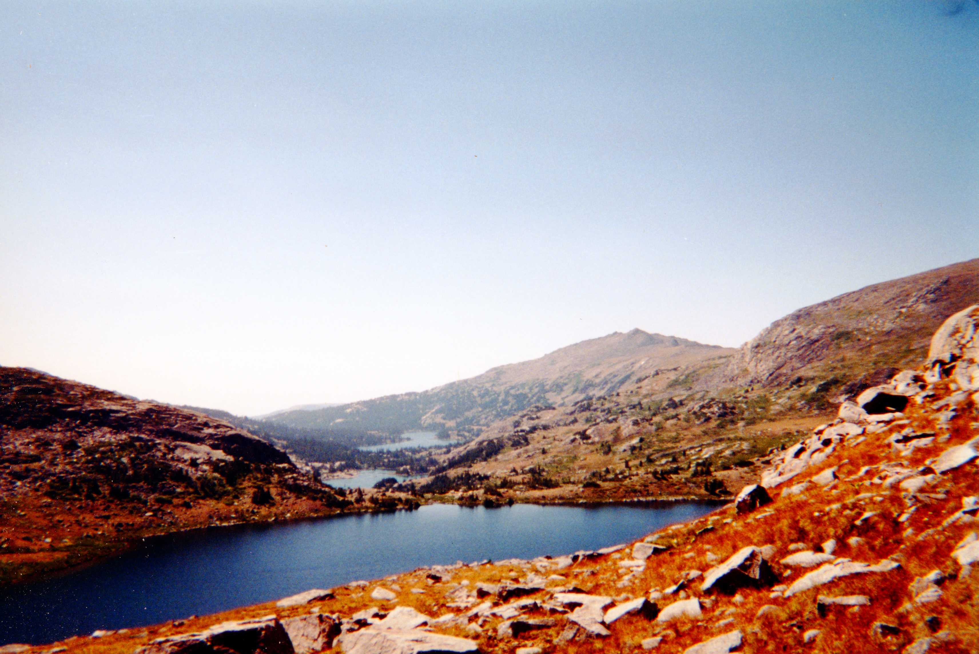
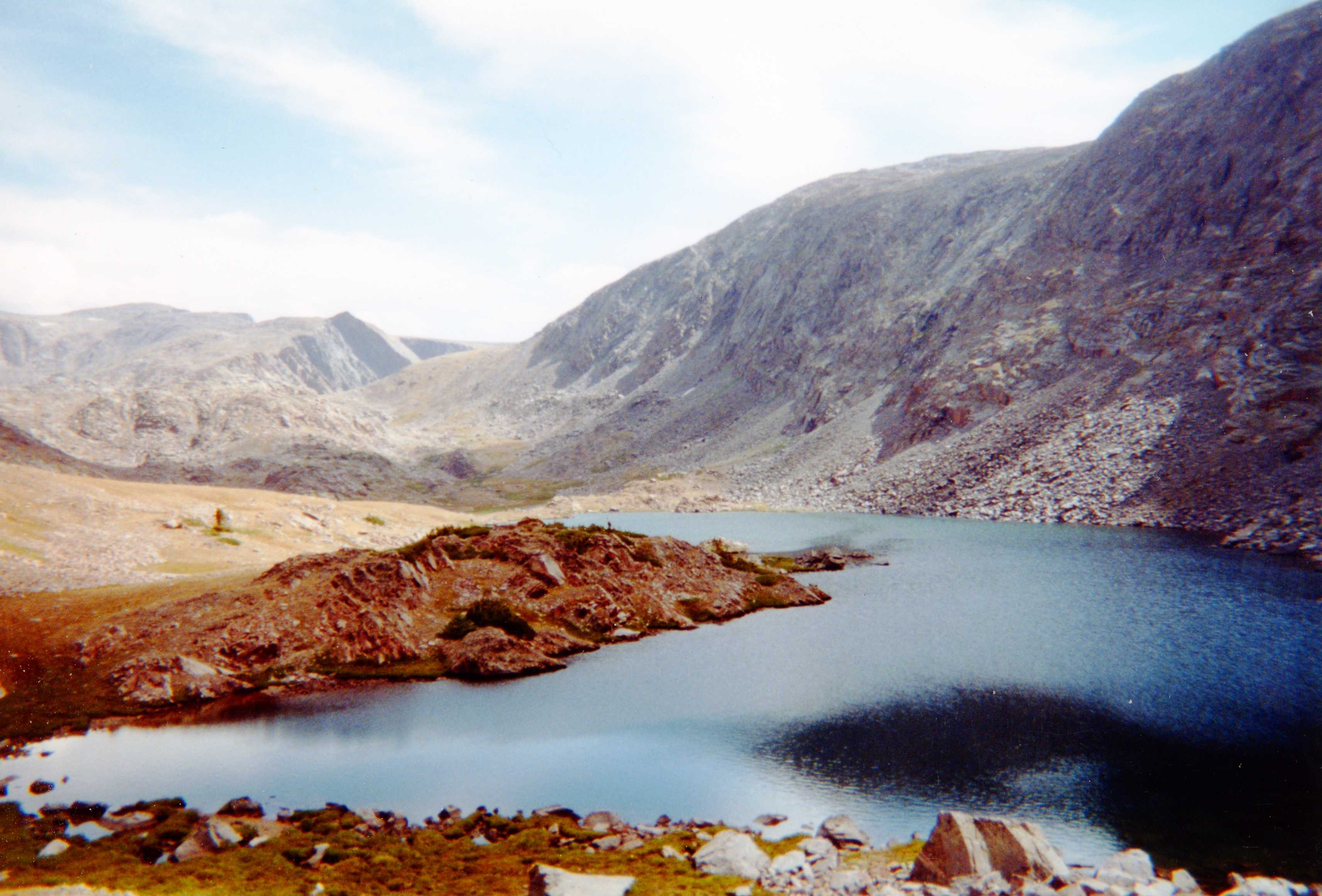
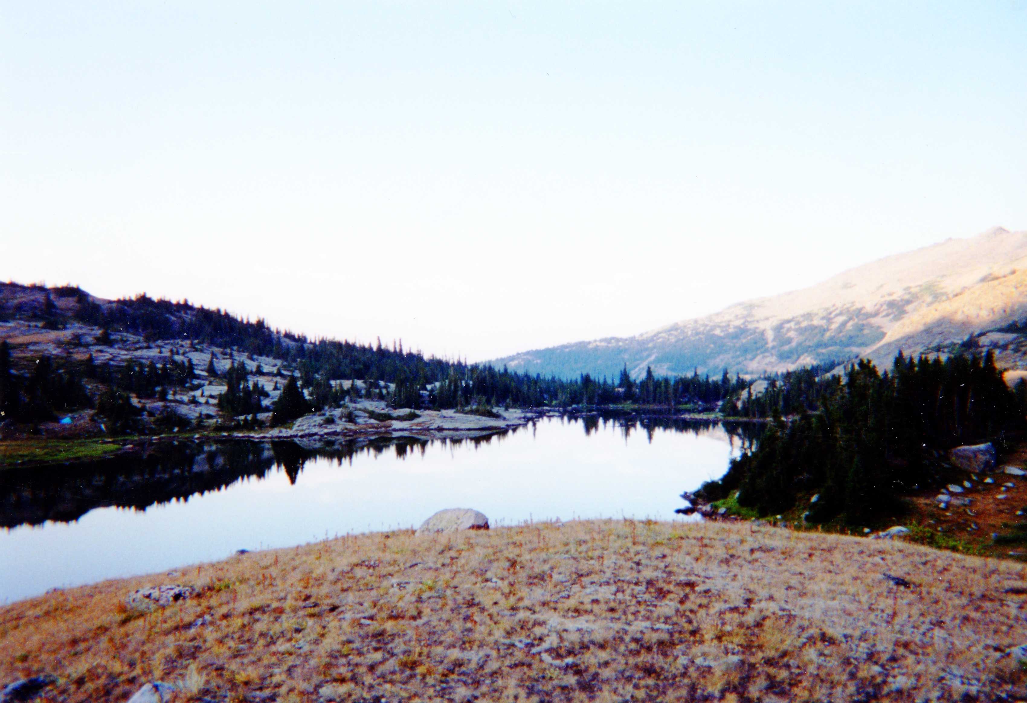
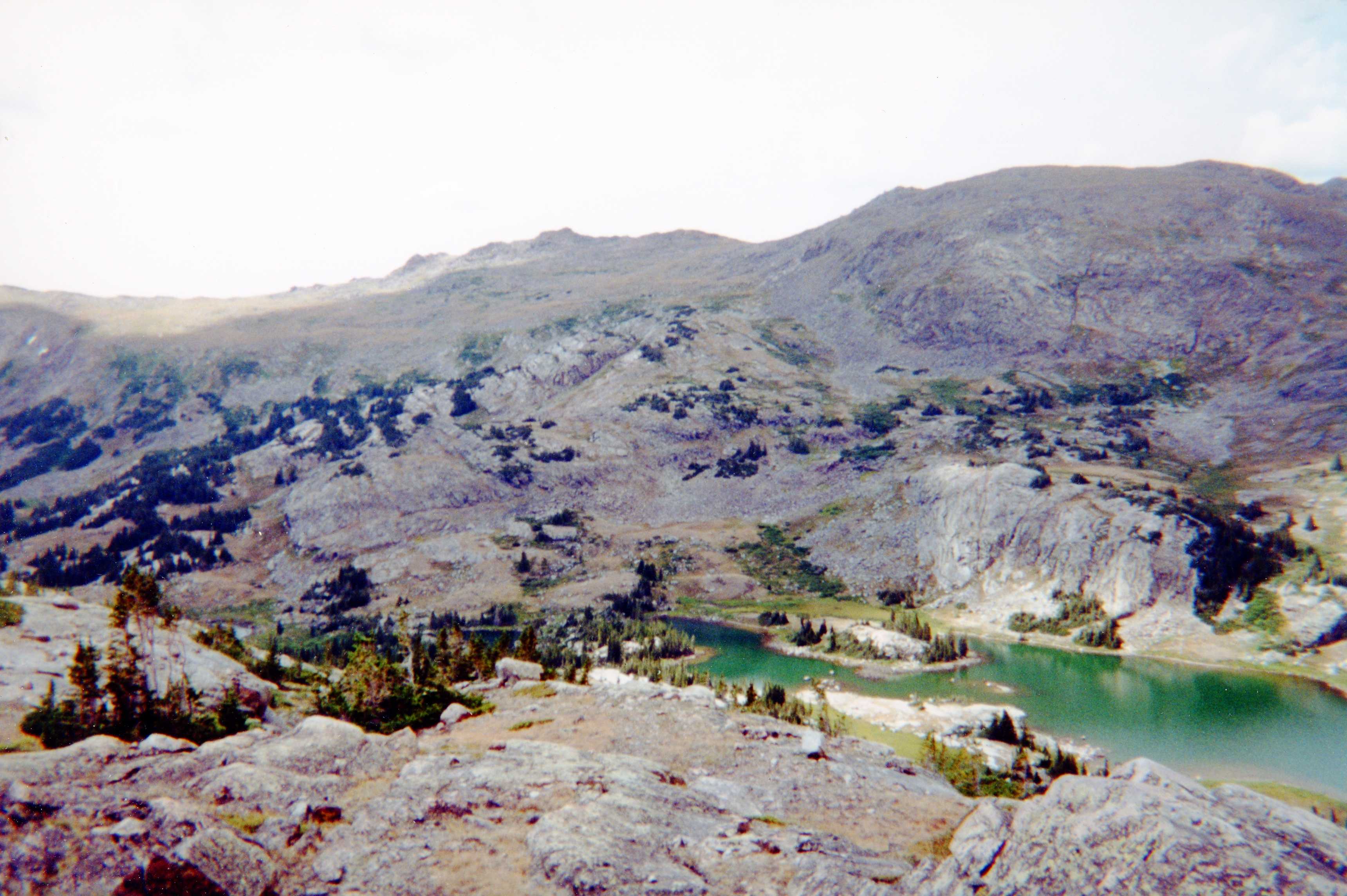
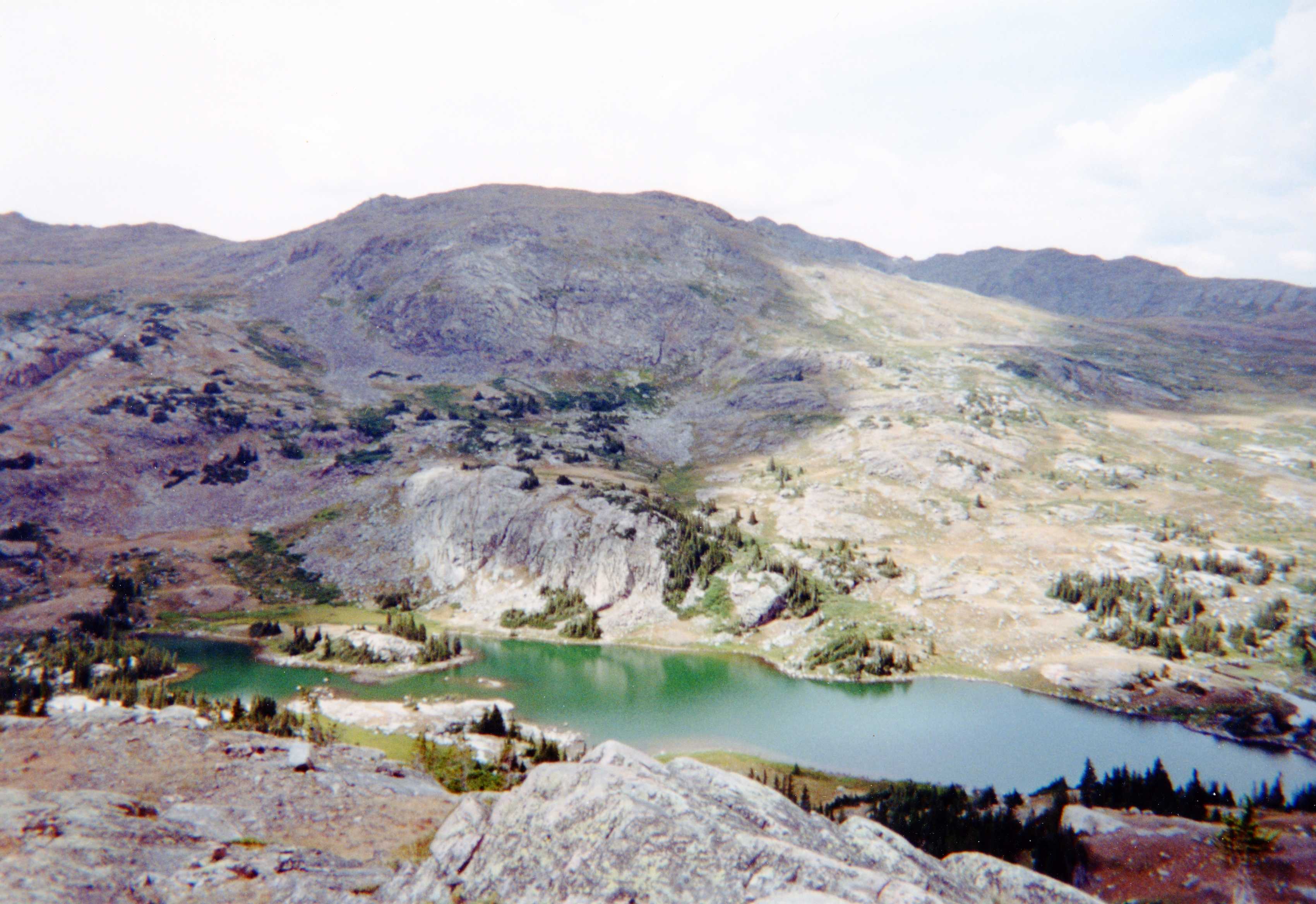
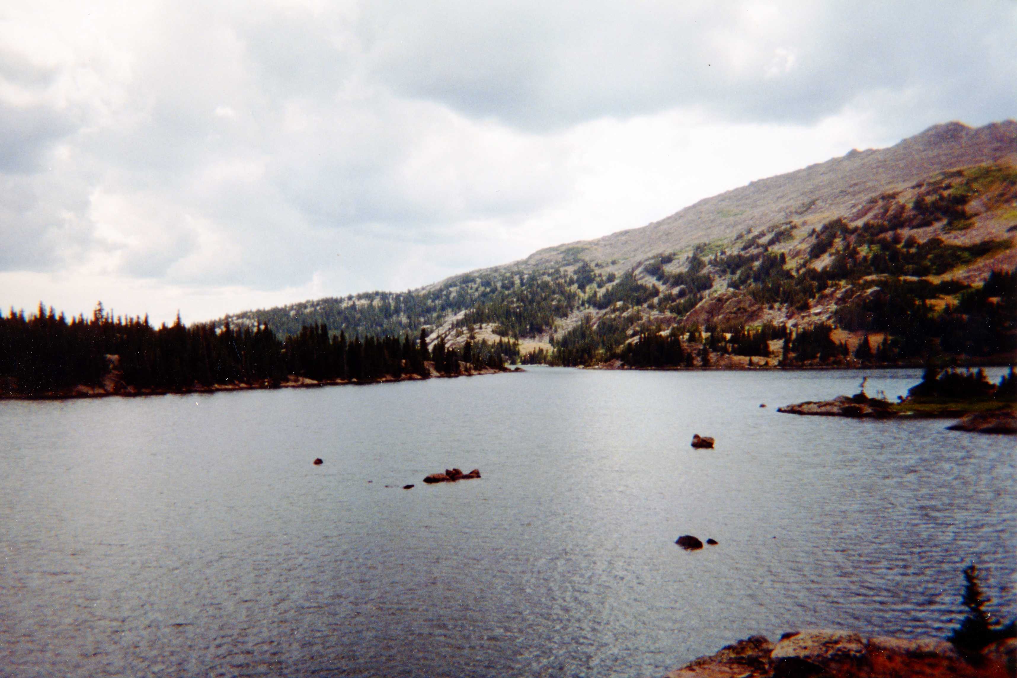
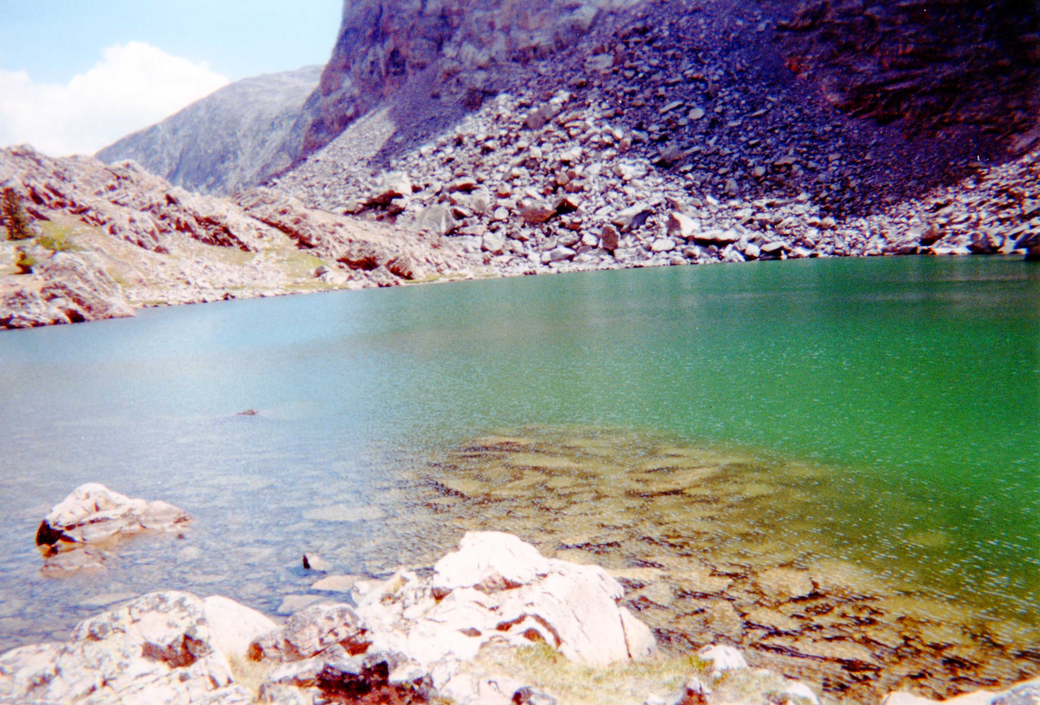
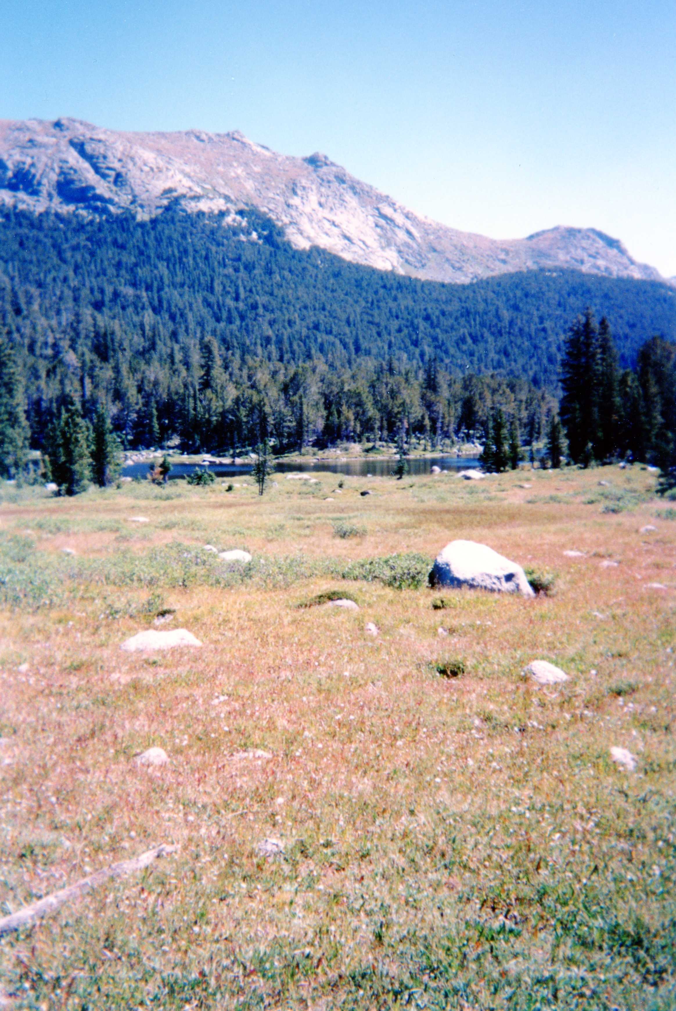
We spent the night at Dickinson park and started along the Smith Lake trail, with the ultimate goal of making it to Cliff and High Meadow Lakes. We made the correct turn at the junction to Smith Lake. However, for some reason at the next junction (marked with a black dot on map below), instead of going up to High Meadow Lake, we started down towards the Popo Agie river. We realized our mistake after dropping elevation. No one wanted to go back up, so we made camp. Because of bears, we took precautions to hang our food. This was a multi-day trip, so food bags were heavy. When we hung the food the first time, a serious accident occurred. Now we know to use little pulleys to assist in lifting the food bags. It was also here that my water pump broke (a First Need, since then I use an MSR). After a couple of bodacious stream crossings, and another campsite, we made it to the Cirque. Ted's friend Keith, and his wonder dog Roo, showed up. We popped popcorn and enjoyed the view, and did a day hike to Mitchell Peak.
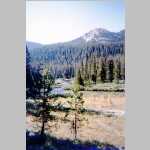
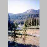
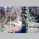
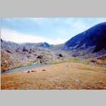
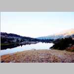
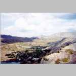
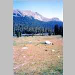
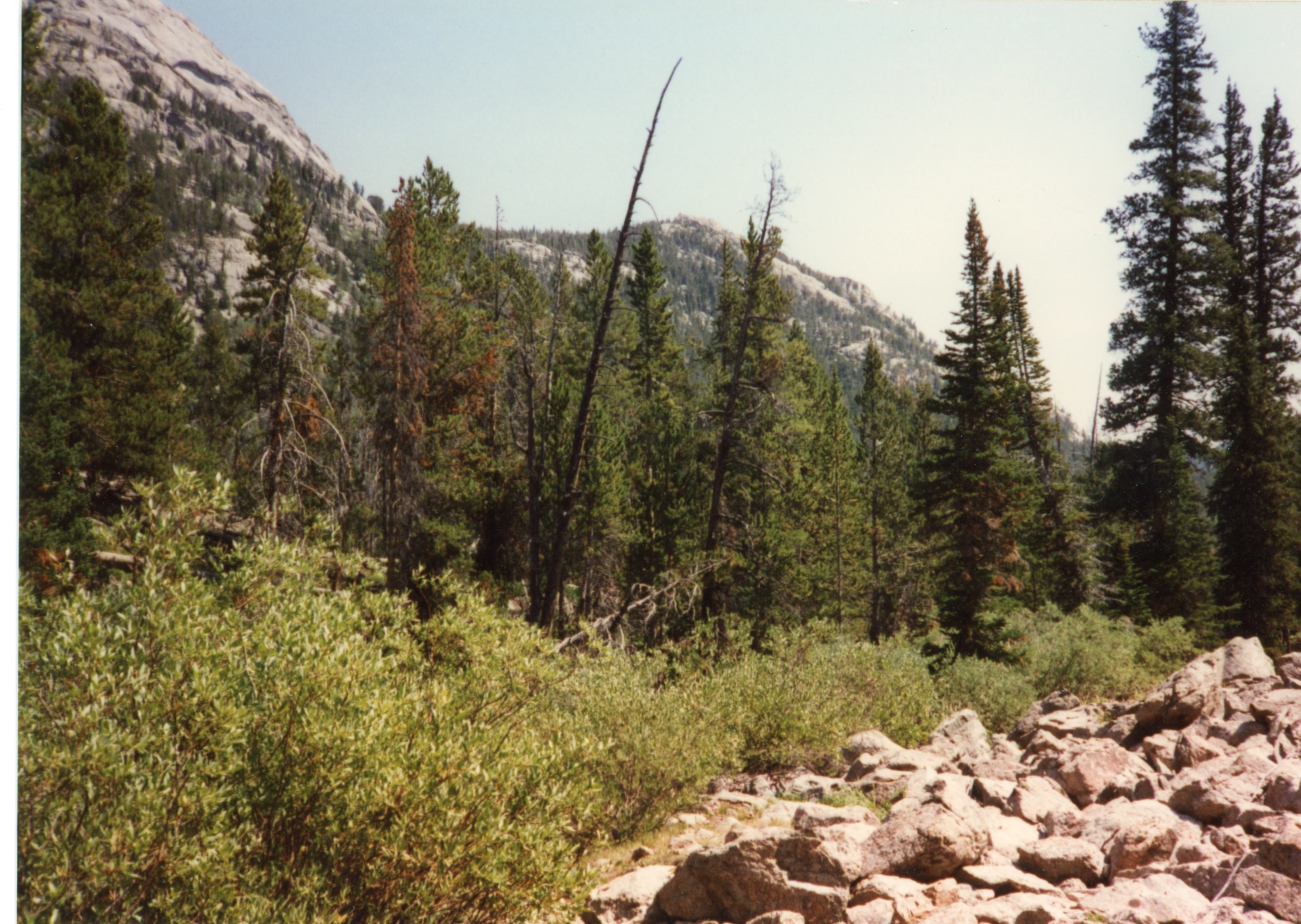
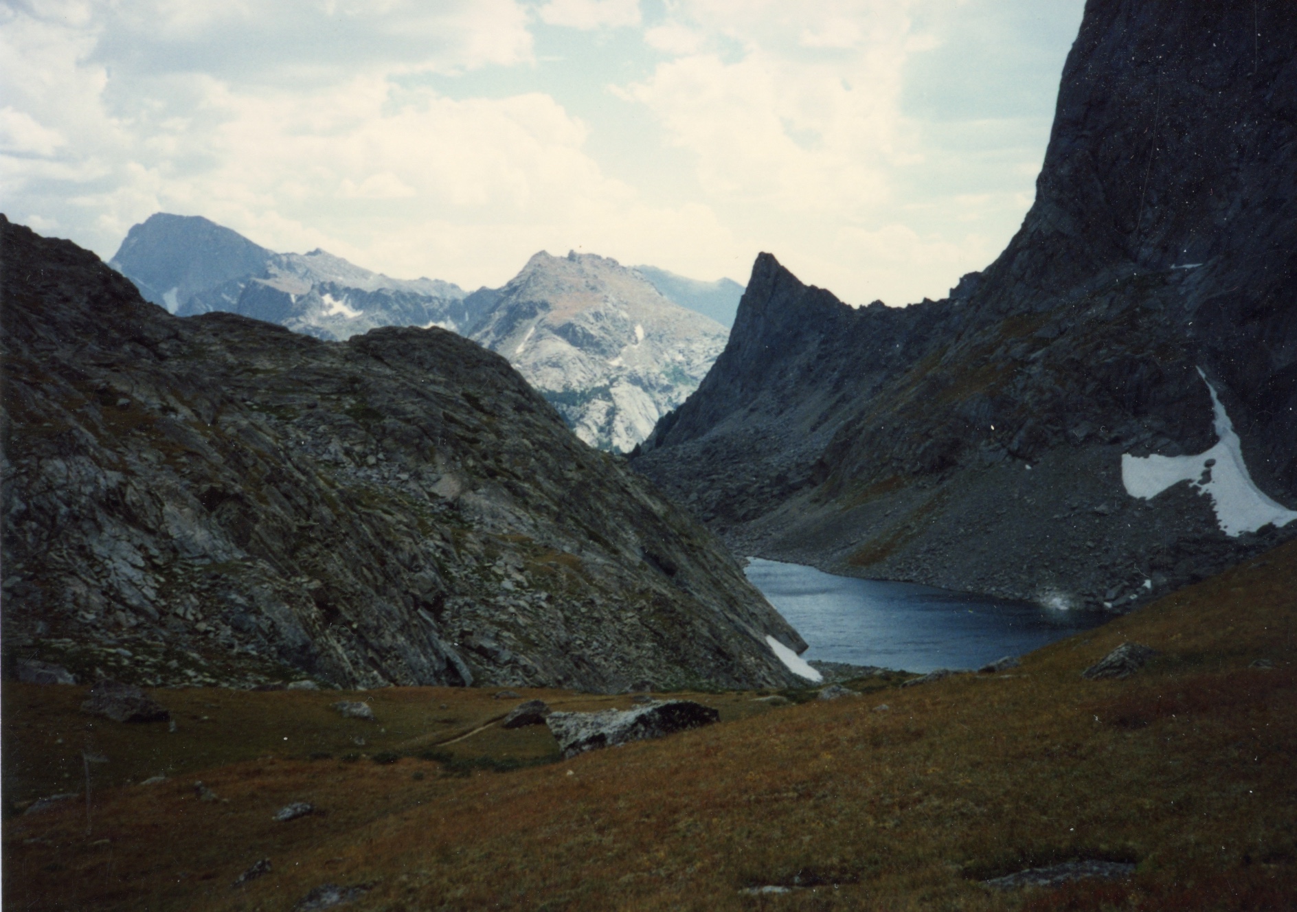
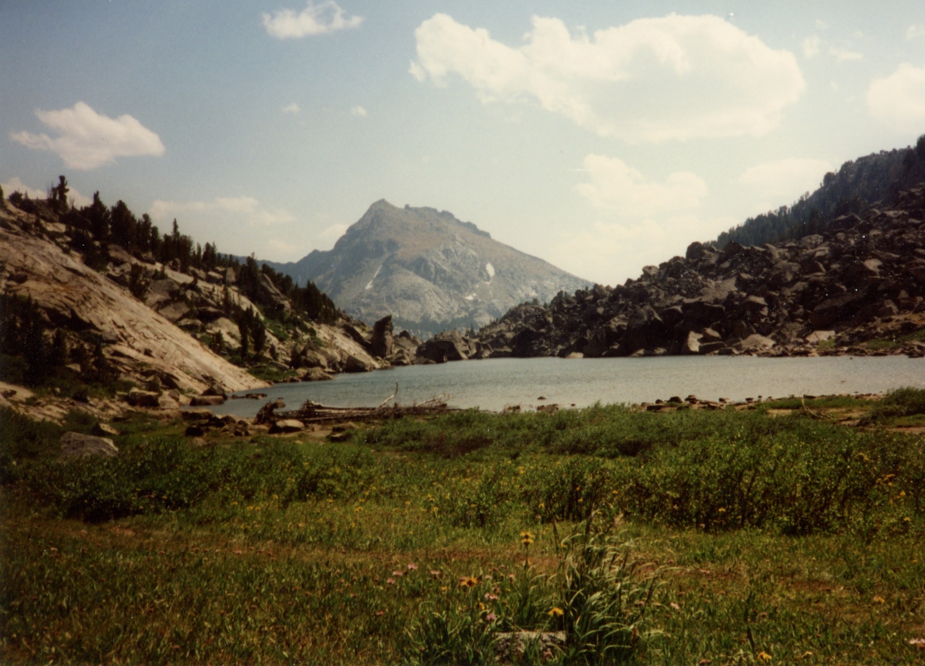
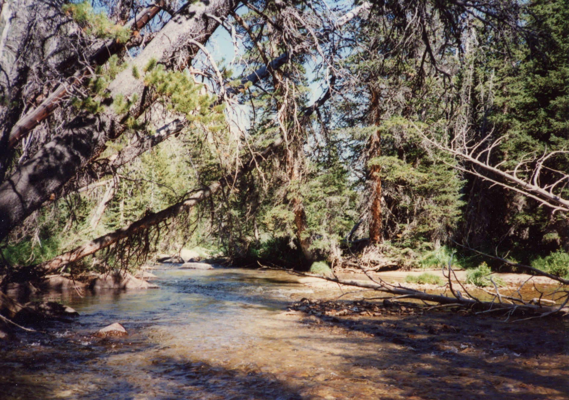
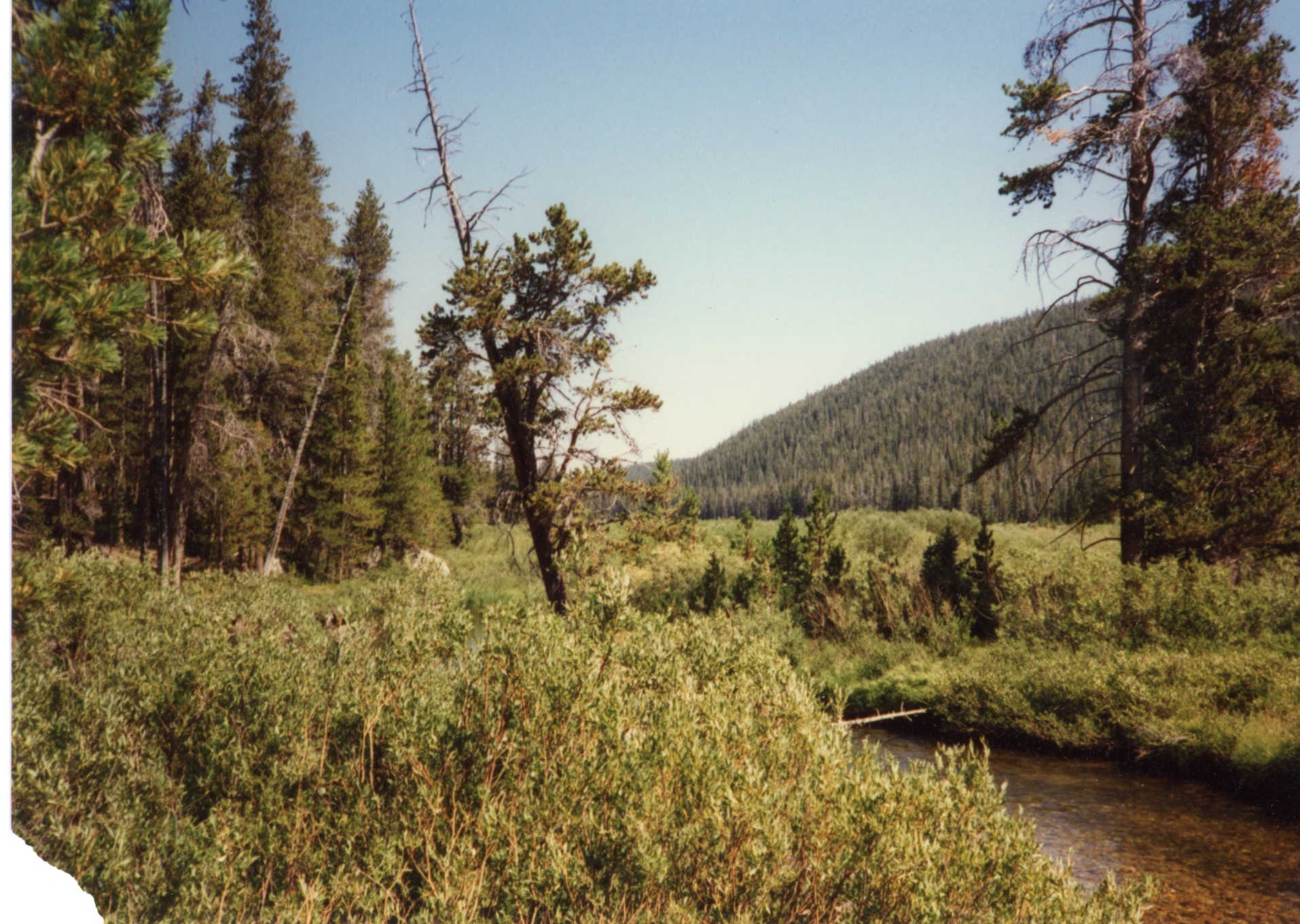
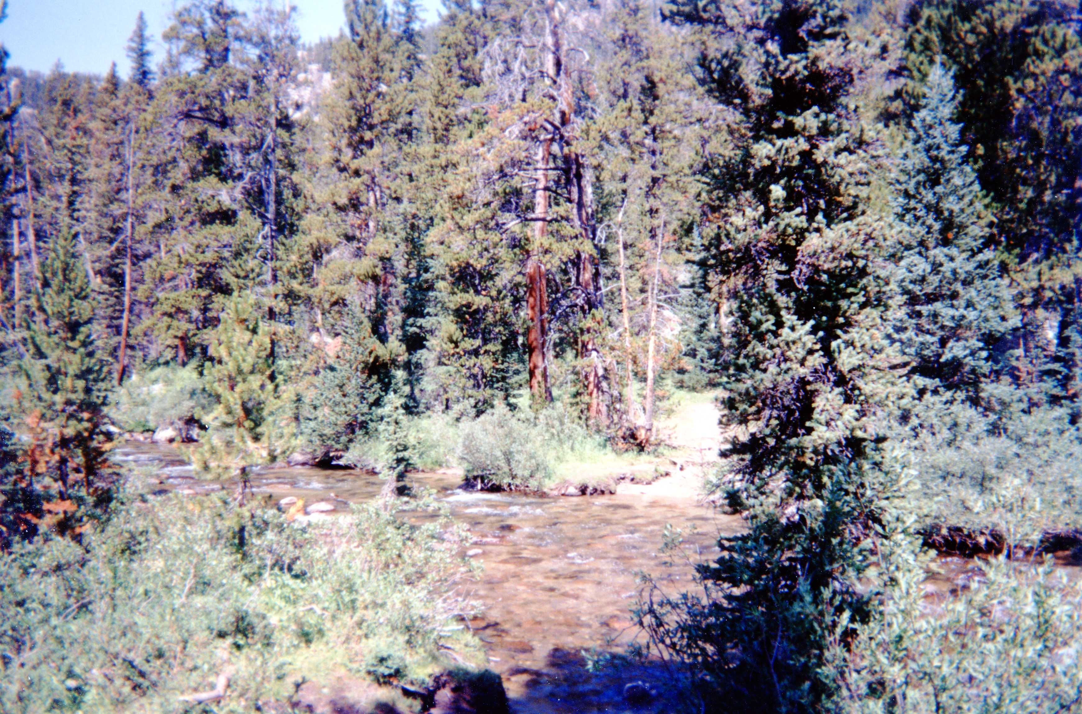
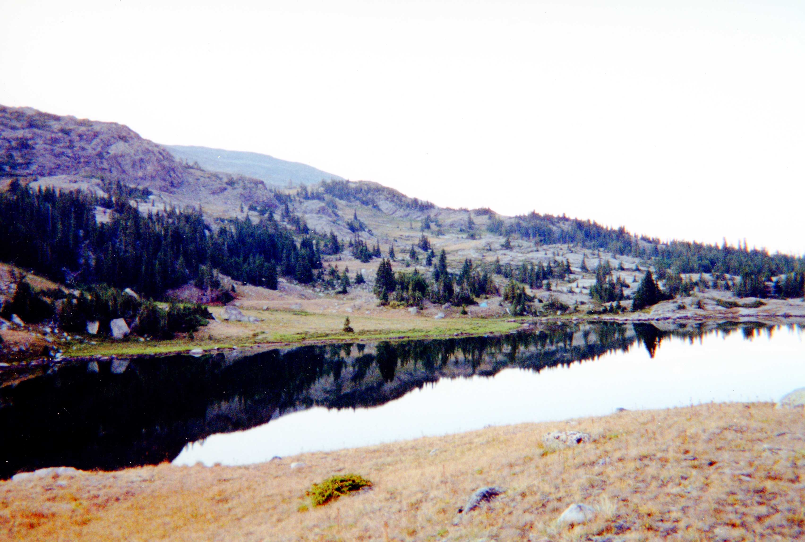
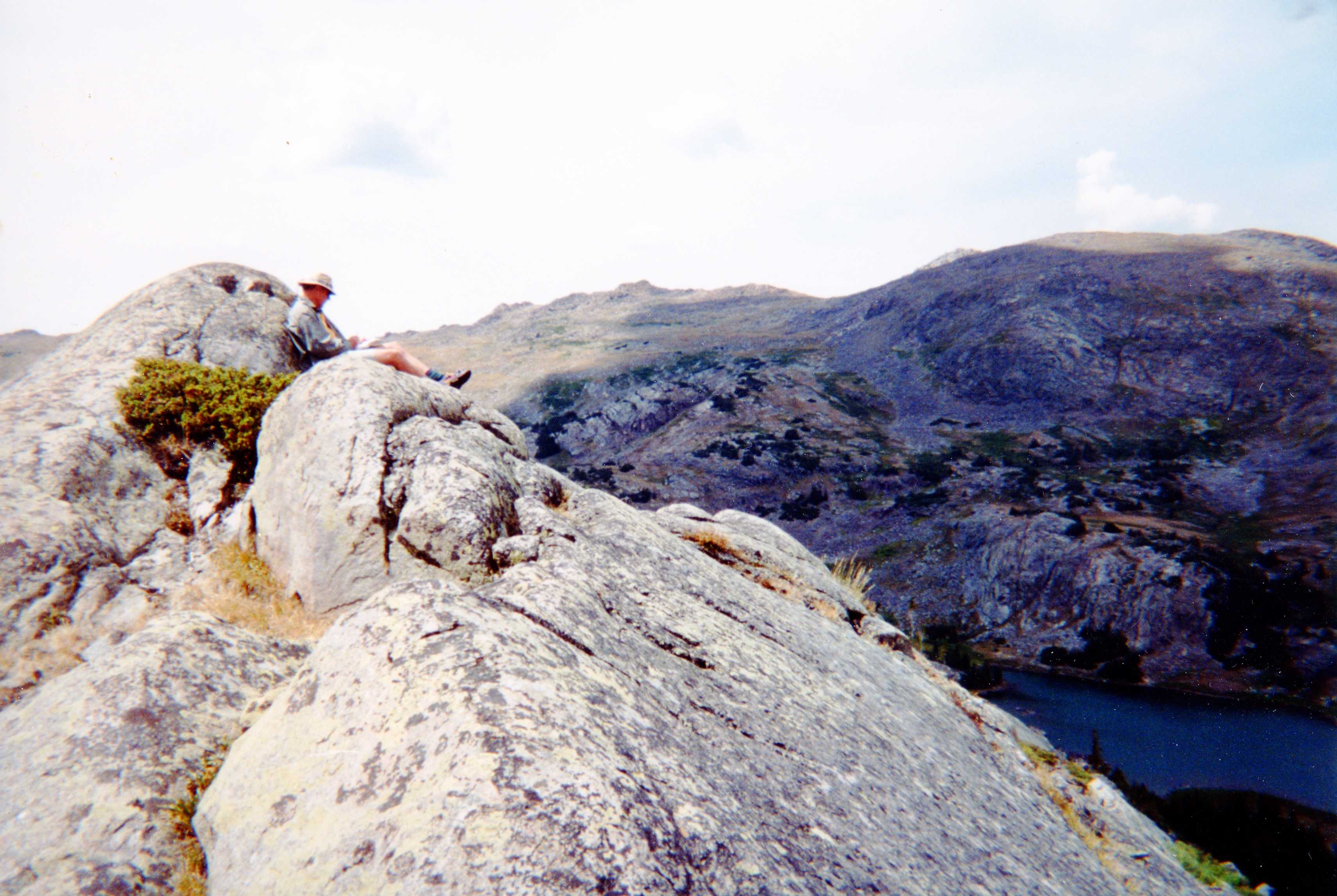
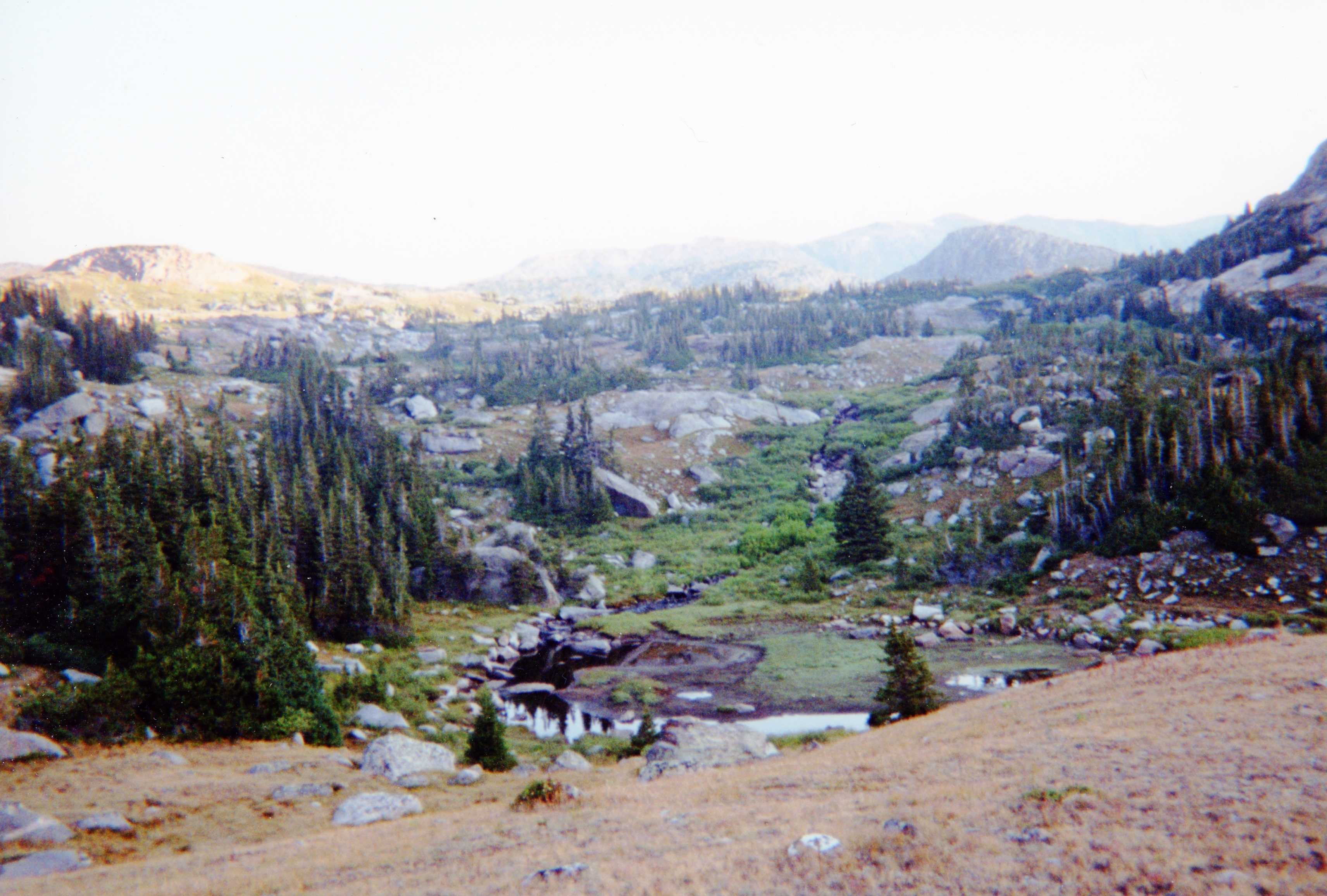
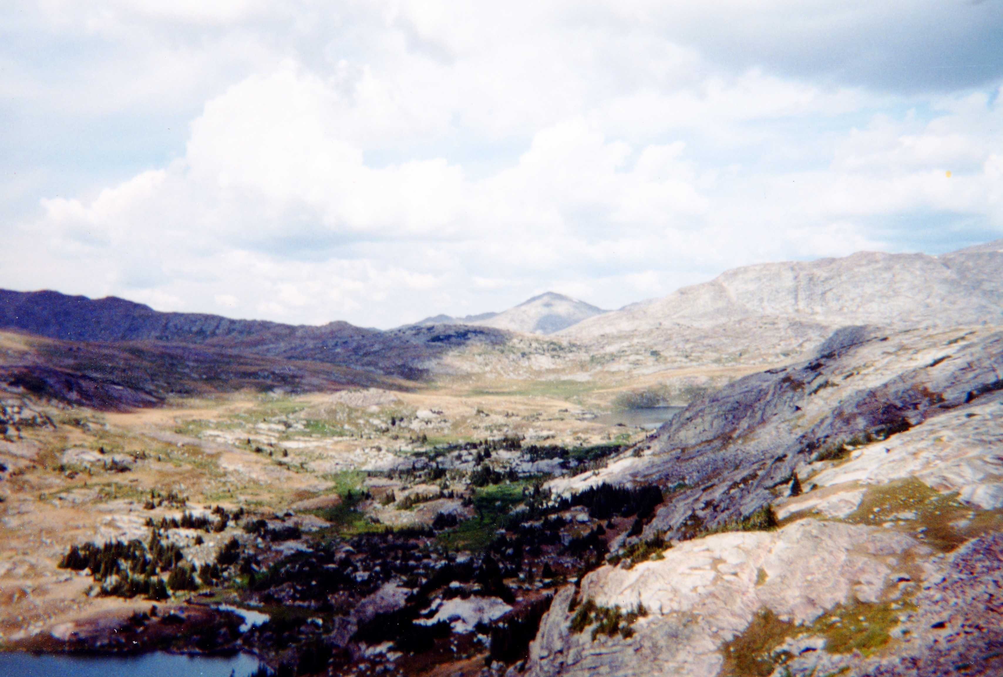
We departed the next day and had a nice leisurely hike to a pack horse camp where there were nice sleeping areas. After consulting the map, we decided to avoid the two worst stream crossings and use fisherman/game trails along the north side of the Popo Agie (marked in red on map). Our reconnoitering skill shown as we came out after bushwhacking about 20 yards off from where we wanted. We made it down to our next campsite where we had a nice dinner and rest, followed by a hike out to Dickinson Park and the car.
A few months later, Ted and Bob received a great gift from Brian. It was complicated to assemble, with about 2 pages of written instructions, but it contained a photographic record of the trip suitable for posting in room or office.
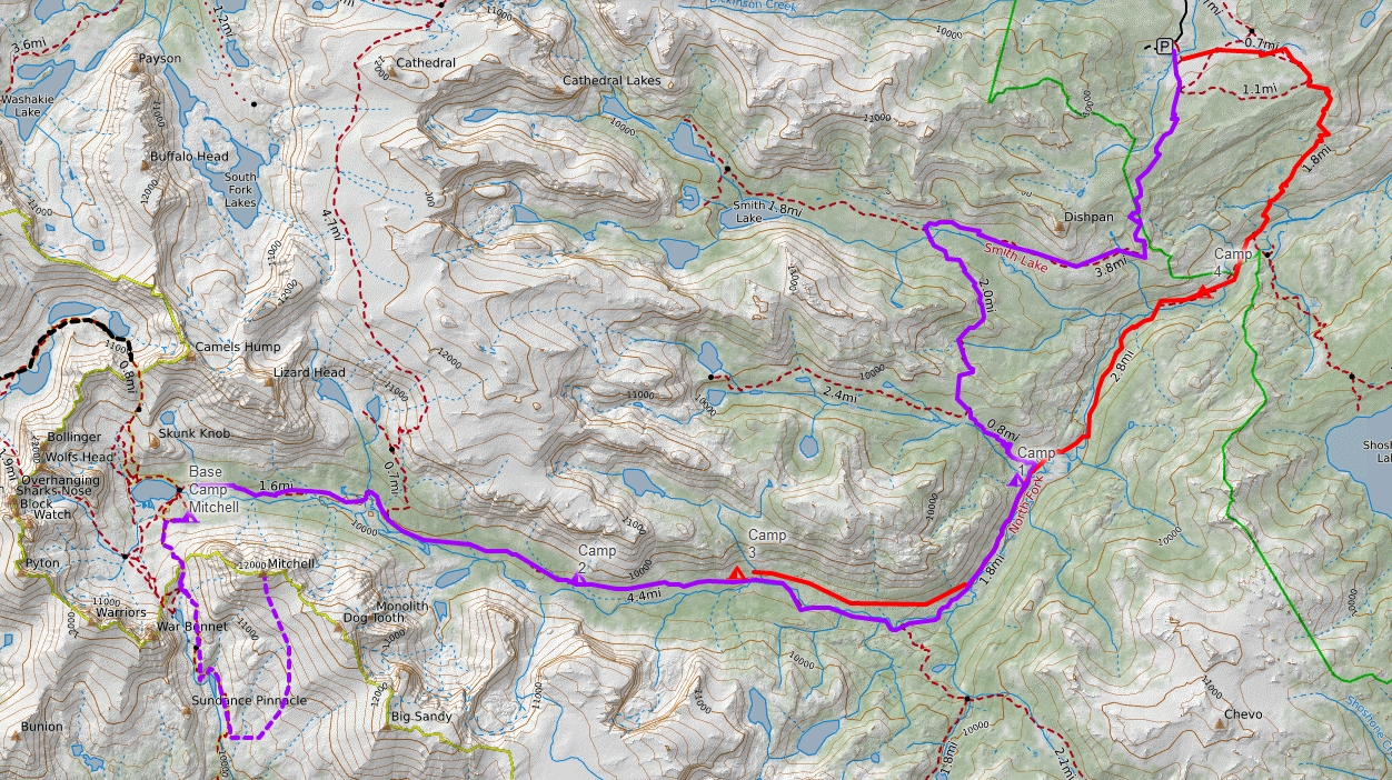
Our hike to the Cirque of the Towers is in purple. The return to the trail head bypassed two river crossings and is shown in red (fisherman trail). Another hike (Washakie Creek, 201) is shown in black.
You cannot mention the the Wind River Range ("the Winds") without recognizing and paying tribute to Finis Mitchell, "The Lord of the Winds". After being laid off by Union Pacific in 1930 during the Great Depression, he and his wife started Mitchell’s Fishing Camp in the Big Sandy Opening on Mud Lake. To increase the number of fish for the success of their camp, Mitchell estimated he stocked lakes in the Wind River Range with over 2.5 million trout. When the Union Pacific rehired Mitchell in 1940, the family moved back to Rock Springs where he worked again as a carman and then car foreman. He continued to promote The Winds in presentations and public events. Over the course of his life, Mitchell climbed all but 20 of the 300 peaks in the range.
In 1975, Mitchell published Wind River Trails: A Hiking and Fishing Guide to the Many Trails and Lakes of the Wind River Range in Wyoming. Containing hand-drawn maps showing many lakes, streams and peaks with detailed directions for hiking at least 50 trails, it also has a nice summary of his life. Buy it.
The Wind River Range is a mountain range of the Rocky Mountains running NW–SE for approximately 100 mi in west-central Wyoming. The Continental Divide runs along the entire crest of the range. The Wind River Range may be the single most dominant range of the hundred or so that make up the Rocky Mountains. Aside from South Pass, which is at the southernmost tip of the range, no roads cross the mountains until Union Pass at the northern terminus of the range. In most places the crest is over twenty miles from the nearest trail head.
Several major rivers have headwaters on either side of the range. The Green and Big Sandy rivers drain southward from the west side of the range, while the Wind River drains eastward through the Shoshone Basin. The Green is the largest fork of the Colorado River while the Wind River, after changing its name to the Bighorn River, is the largest fork of the Yellowstone River.
Indigenous peoples of the Great Basin, such as the Shoshones and Absarokas (Crow) Native Americans, lived in the range beginning 7000 and 9000 years ago. One of the men from the Lewis and Clark expedition, John Colter, is thought to be the first European American person to view the range around 1807.In 1812, a party led by Wilson Price Hunt were the first to cross South Pass.
Much of the Wind River Range received federal protection as National Forest primitive areas during 1931–32. The Wind River Range is now largely protected by three federal wilderness areas. These include the Bridger Wilderness on the western slope, designated in 1964, and the Fitzpatrick Wilderness and Popo Agie Wilderness on the eastern slope, designated in 1976 and 1984 respectively. Part of the eastern slope of the Wind River Range is also under the protection of the Wind River Indian Reservation.
Two large national forests including three wilderness areas encompass most of the mountain range. Shoshone National Forest is on the eastern side of the continental divide while Bridger-Teton National Forest is on the west. Portions of the east side of the range are inside the Wind River Indian Reservation.
The Shoshone National Forest (2.5 million acres) was the first federally protected National Forest in the United States. Originally a part of the Yellowstone Timberland Reserve, the forest was created by an act of Congress and signed into law by President Benjamin Harrison in 1891. The Absaroka and Beartooth Mountains are partly in the northern section of the forest while the Wind River Range is in the southern portion. South of Yellowstone National Park, the Continental Divide separates this forest from its neighbor, Bridger-Teton National Forest, to the west.
The Bridger–Teton National Forest (3.4 million acres) is the third largest National Forest outside the state of Alaska. The forest stretches from Yellowstone National Park, along the western slope of the Continental Divide to the southern end of the Wind River Range.
The Fitzpatrick Wilderness is located in Shoshone National Forest in the U.S. state of Wyoming. The wilderness was originally known as the Glacier Primitive Area, but was redesignated a wilderness in 1976.
The Bridger Wilderness (428,169 acre) is located in Bridger-Teton National Forest. Originally established in 1931 as a primitive area, it was redesignated as a wilderness in 1964 and expanded to the current size in 1984. The wilderness lies on the west side of the Continental Divide in the Wind River Range. The wilderness is named after James Bridger (1804- 1881), an American mountain man, trapper, Army scout, and wilderness guide who explored and trapped in the Western United States in the first half of the 19th century. Bridger was part of the second generation of American mountain men and pathfinders who followed the Lewis and Clark Expedition of 1804–1806, and became well known for participating in numerous early expeditions into the western interior.
The Popo Agie Wilderness (101,870 acre) is located within Shoshone National Forest. Originally set aside as a primitive area in 1932, in 1984 the Wyoming Wilderness Act was passed securing a more permanent protection status for the wilderness.
The Wind River Indian Reservation is shared by two Native American tribes, the Eastern Shoshone and the Northern Arapaho The Indian reservation is located in the Wind River Basin, and includes portions of the Wind River Range, Owl Creek Mountains, and Absaroka Range.
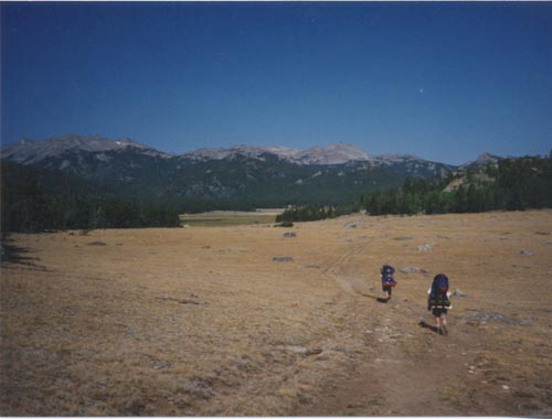


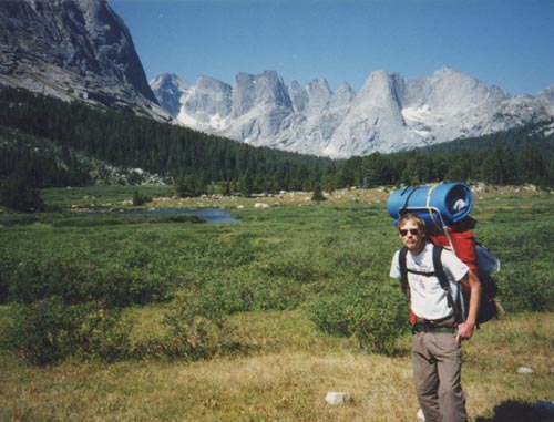

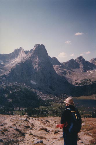

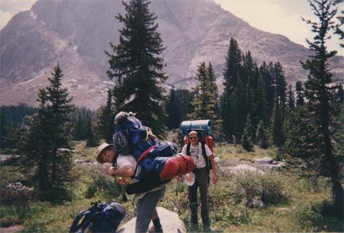

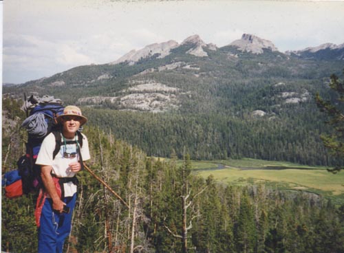


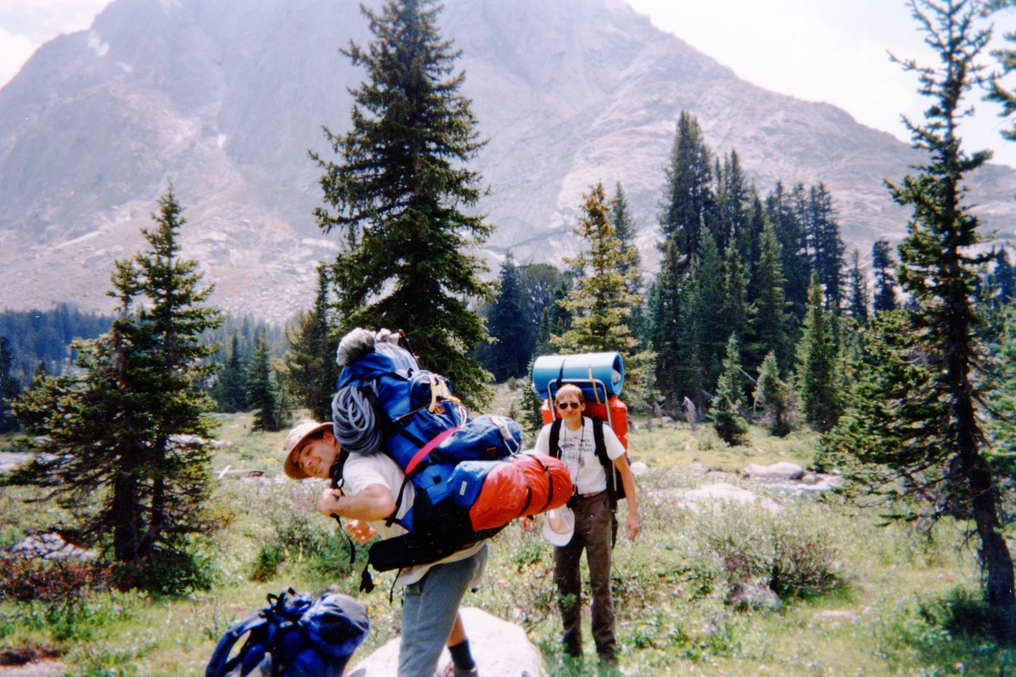


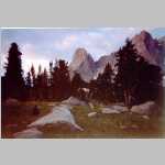
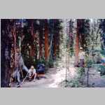
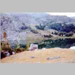
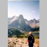
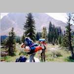
![Bob and Brian ready to hit the trail. [Not-so-] Lonesome Lake in background](Winds96_048_t.jpg)