Granite Lake, Trinity Alps Wilderness, California

August 5 to 8, 2013

"And into the forest I go, to lose my mind and find my soul"

John Muir 1838-1914

"Wilderness is not a luxury, but a necessity of the human spirit."

Edward Abbey 1927-1989

Hike Information

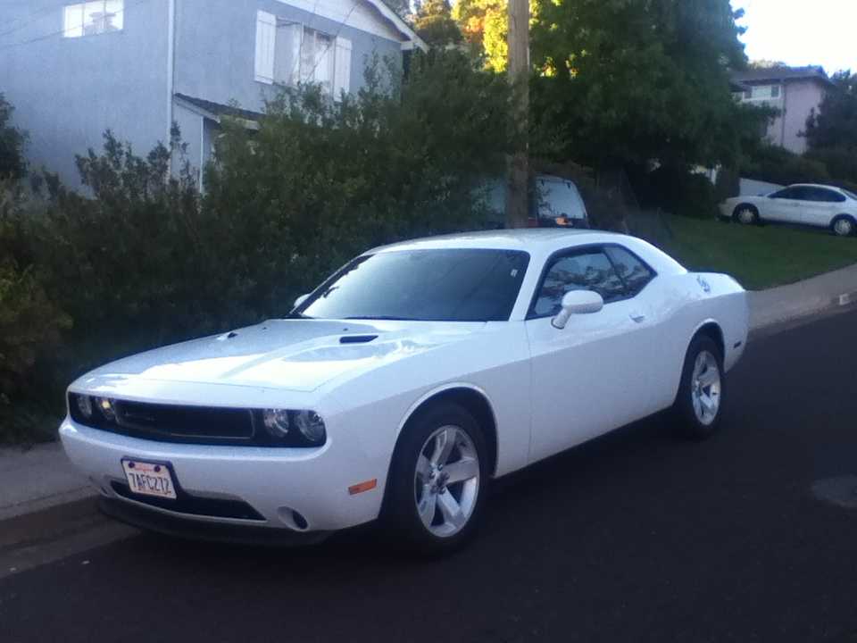
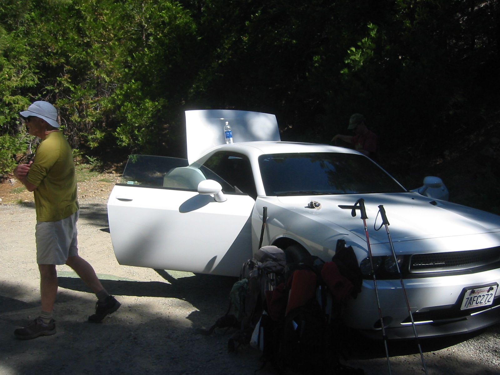
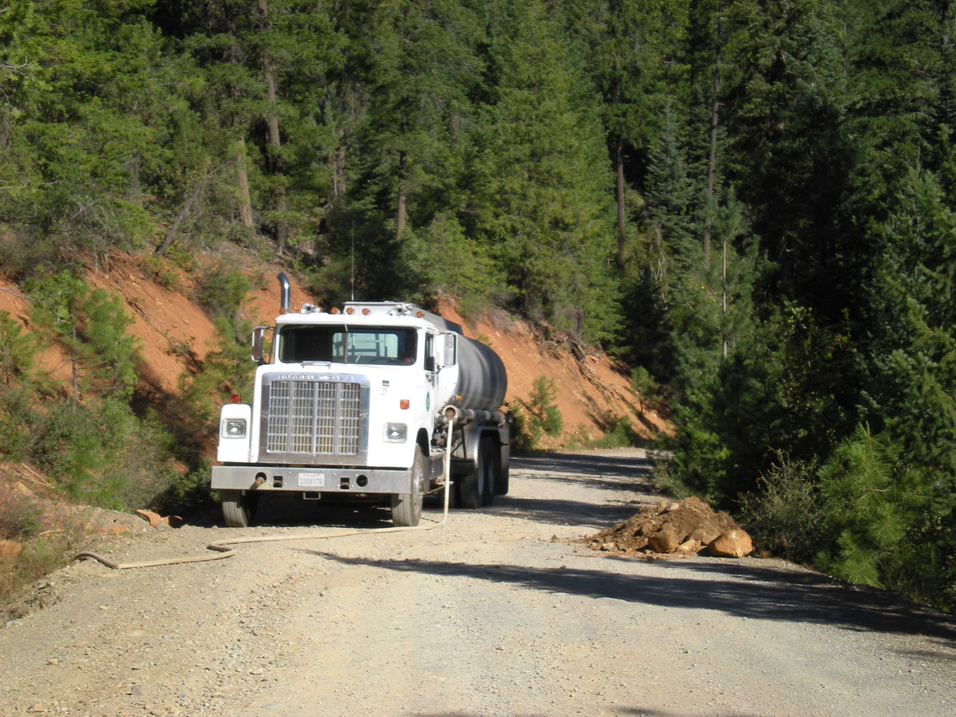
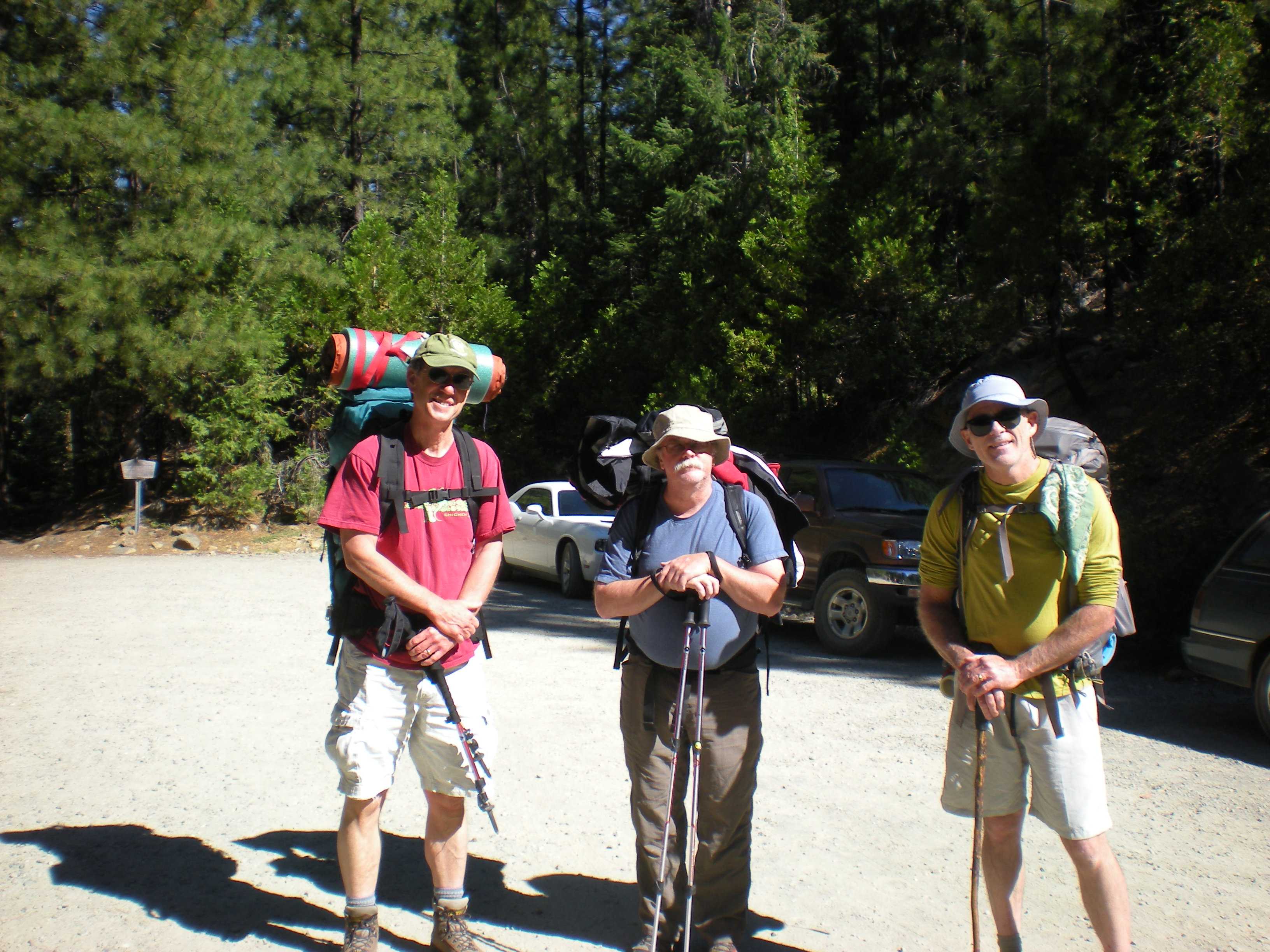
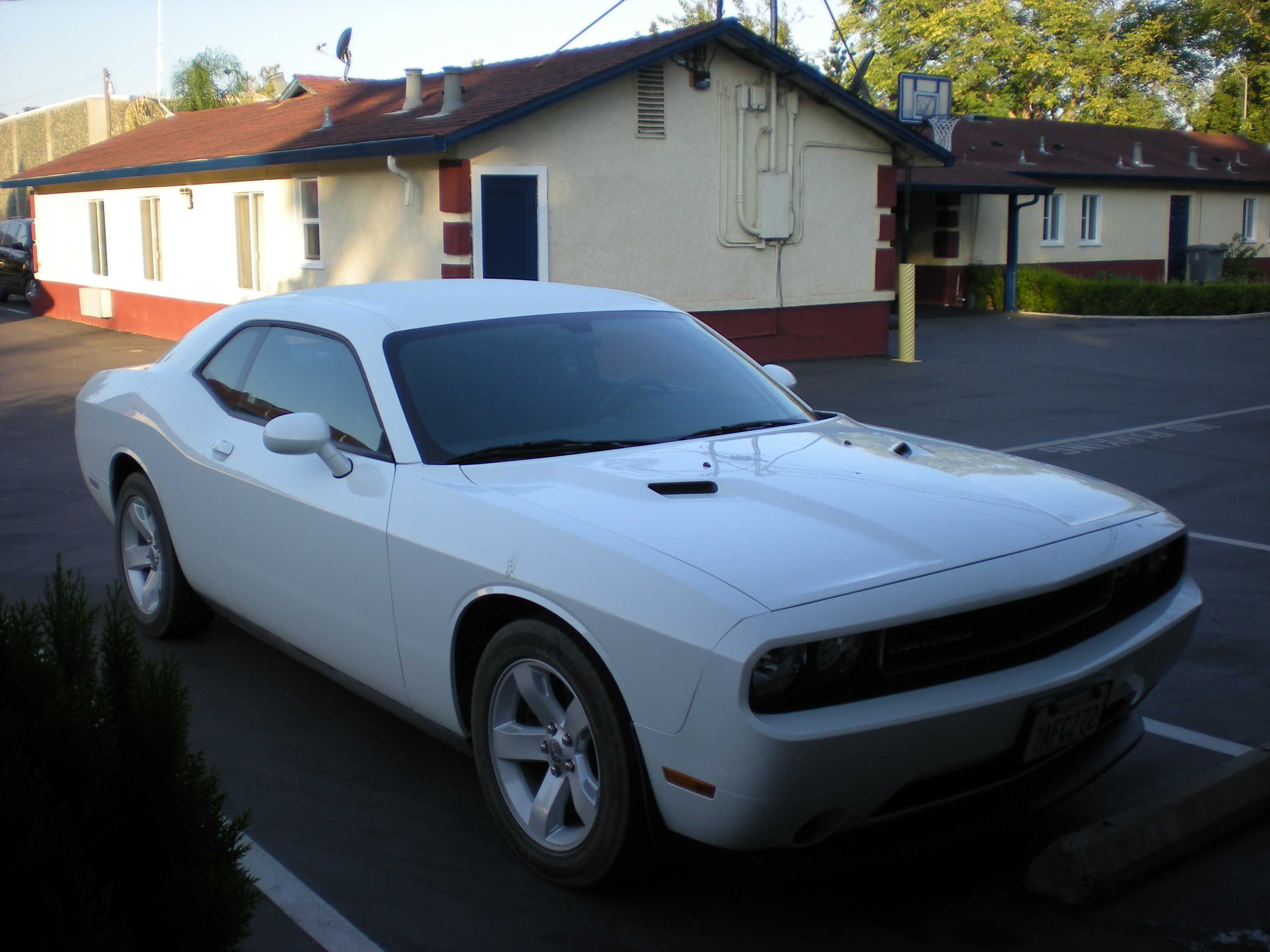
Brian flew into SFO while Jim dropped into Sacramento to visit relatives. He showed up in The General (white) later that day. We got supplies, packed up, and drove off the next day. After dealing with bridge tolls and traffic, we eventually made it to Interstate 5 stopping for lunch at Los Lagos Market, a small grocery store that also sold tasty food in Williams. After lunch we headed north on I5 to Redding. We made a left at Redding onto Highway 299 and then turning right at Highway 3 ending up at Weaverville. After locating our motel, the 49er Gold Country Inn, we hiked down past the Weaverville Joss House (the oldest Chinese temple in California) to find dinner. Nearby was the site of the famous 1854 Tong War between two Chinese gangs/mining companies. We ate at La Grange and walked back to our motel. We later shopped at Tops Super Foods for food as I had forgotten our first nights meal in my refrigerator. That evening, Brian and Jim talked to some other motel guests about the engine in The General.

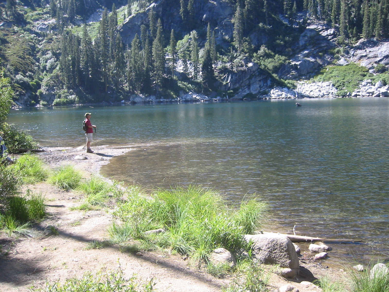
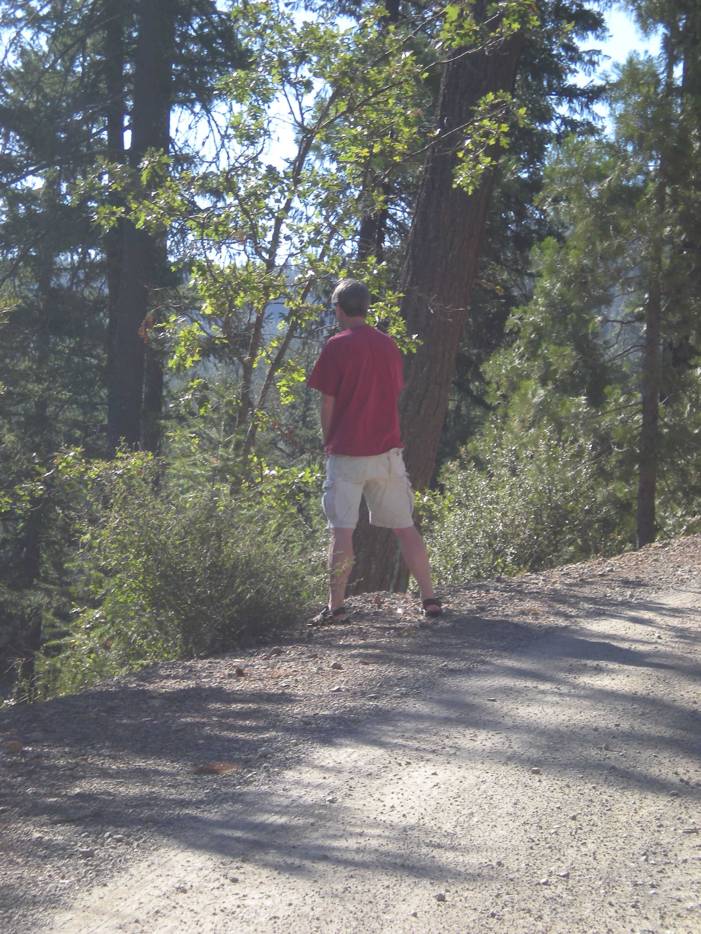
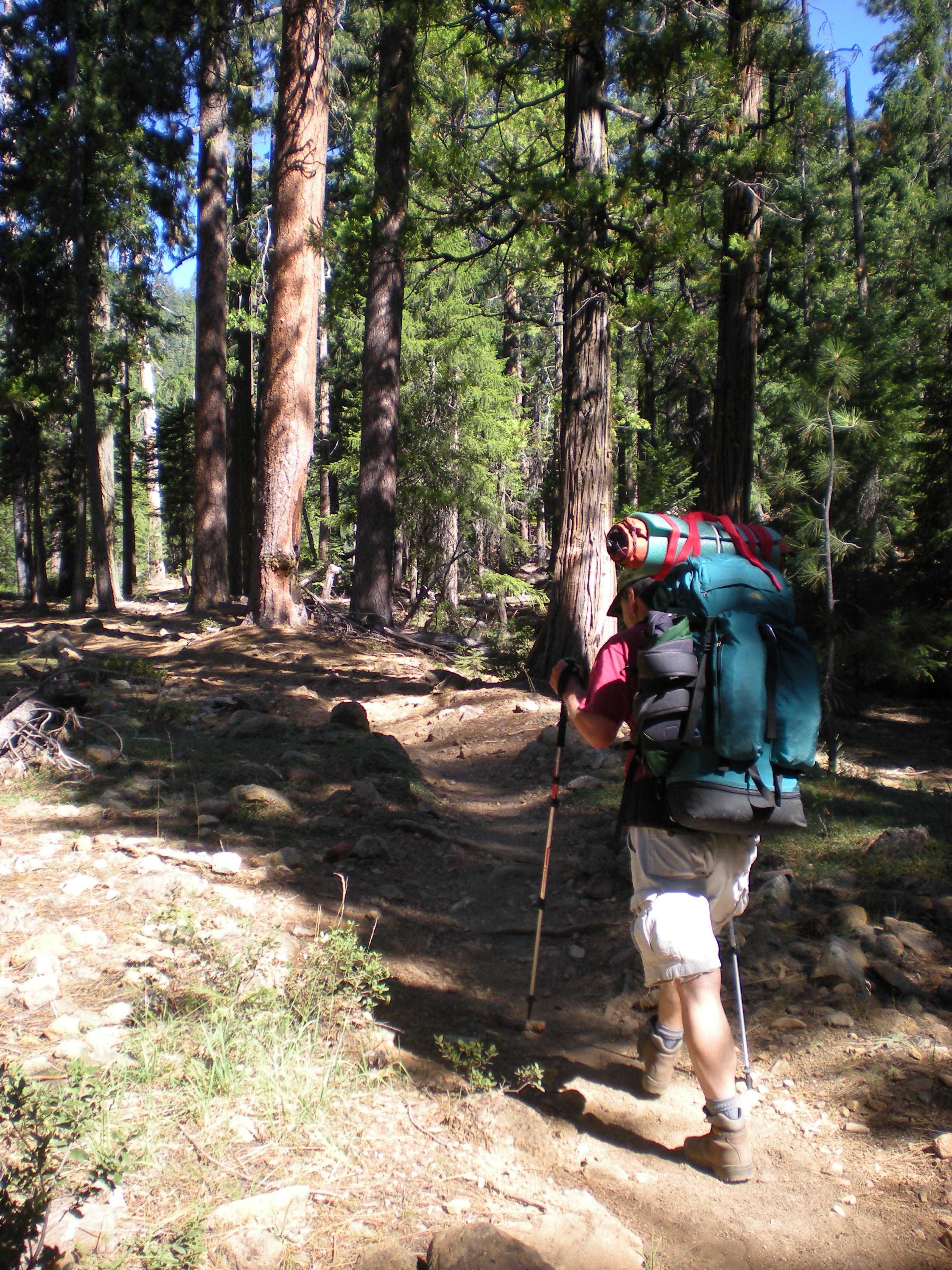
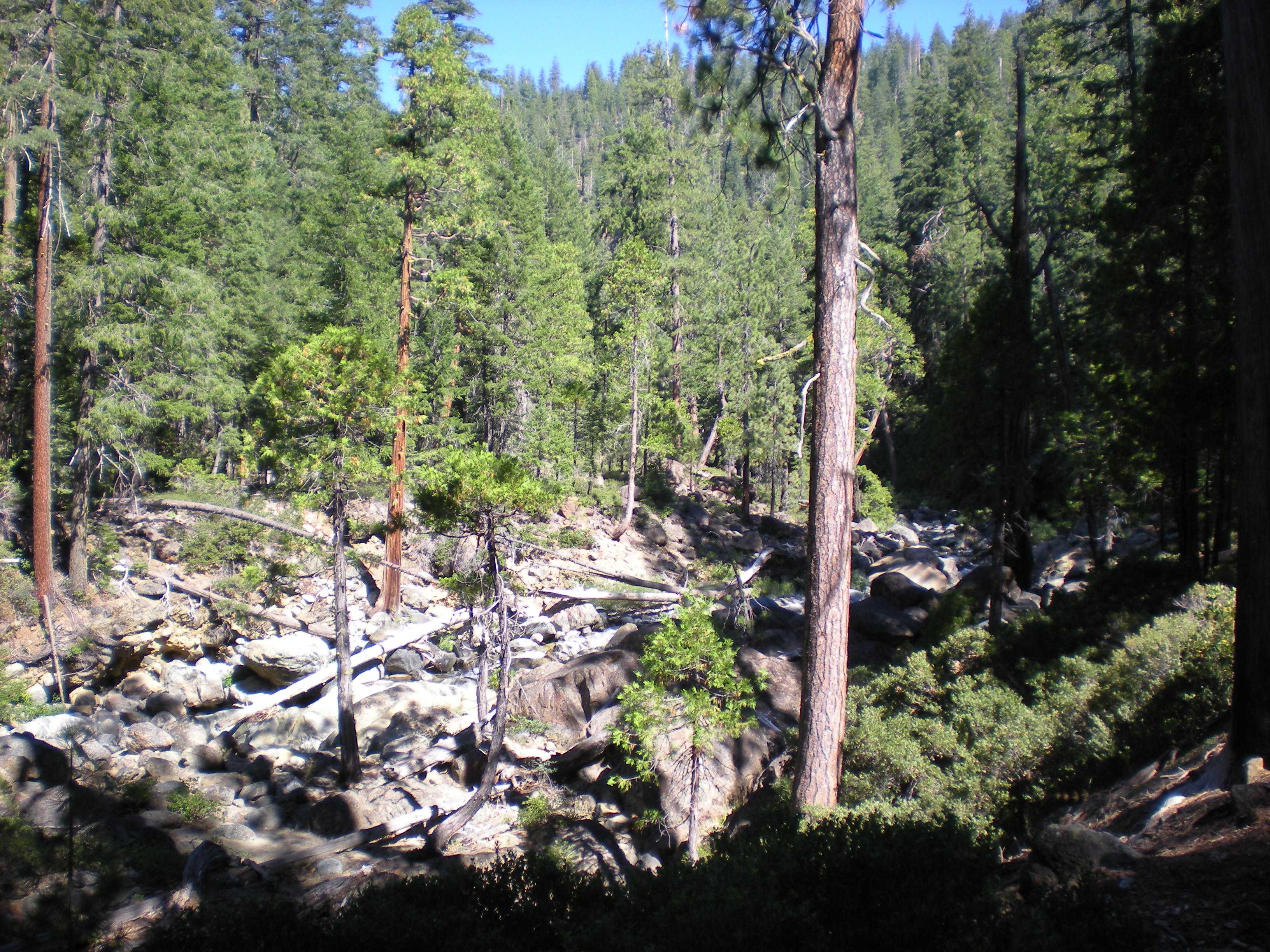
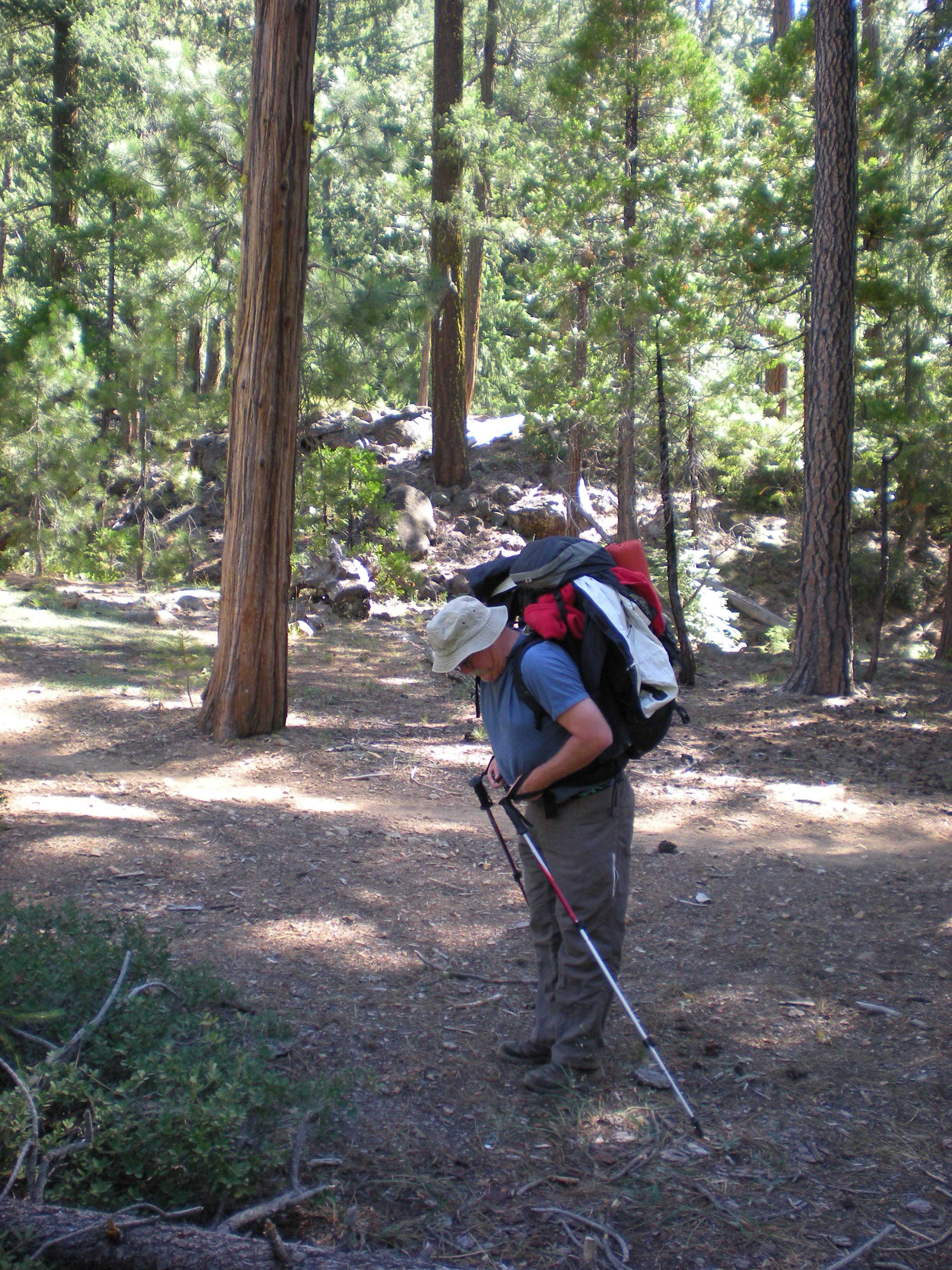
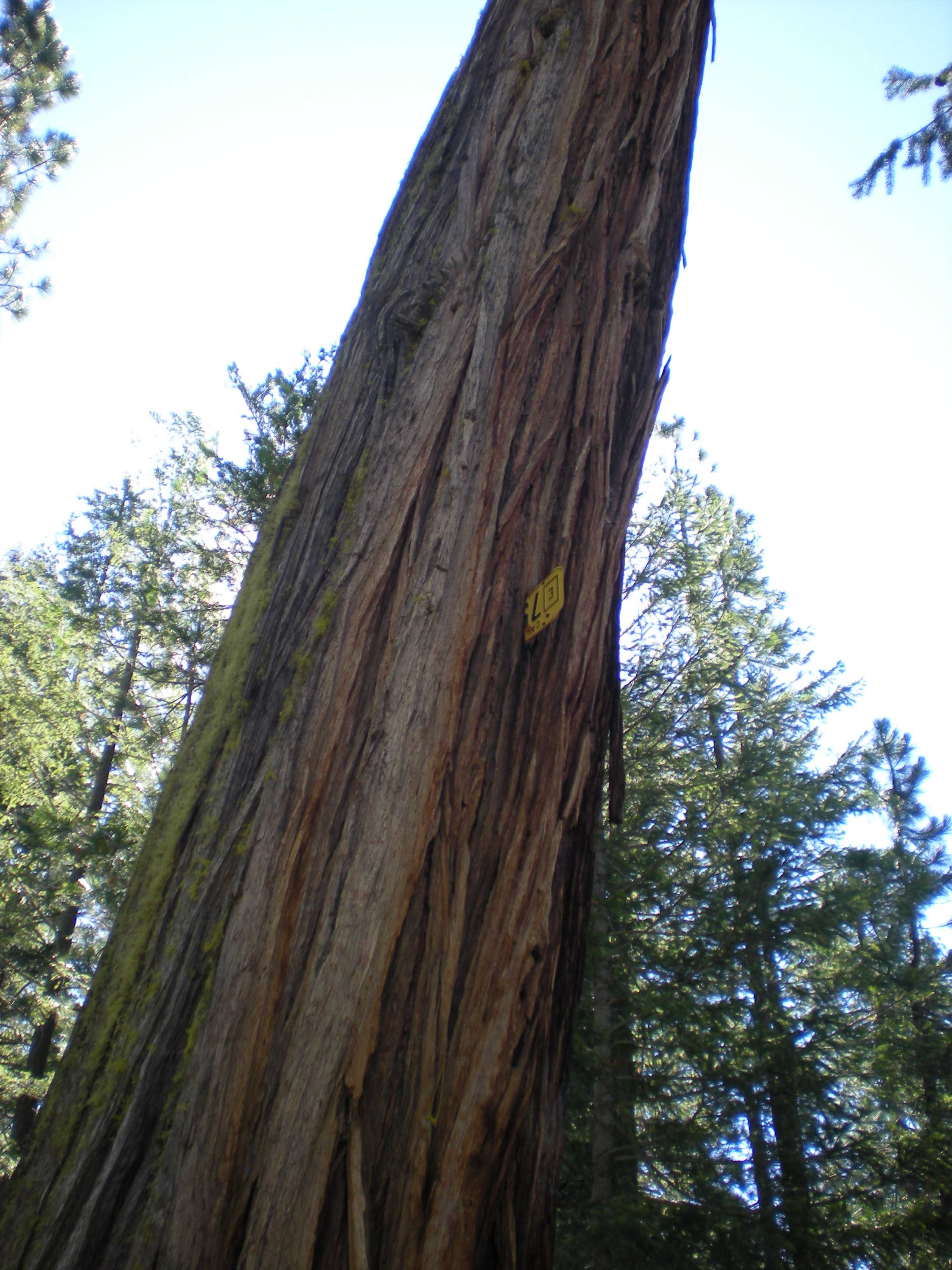
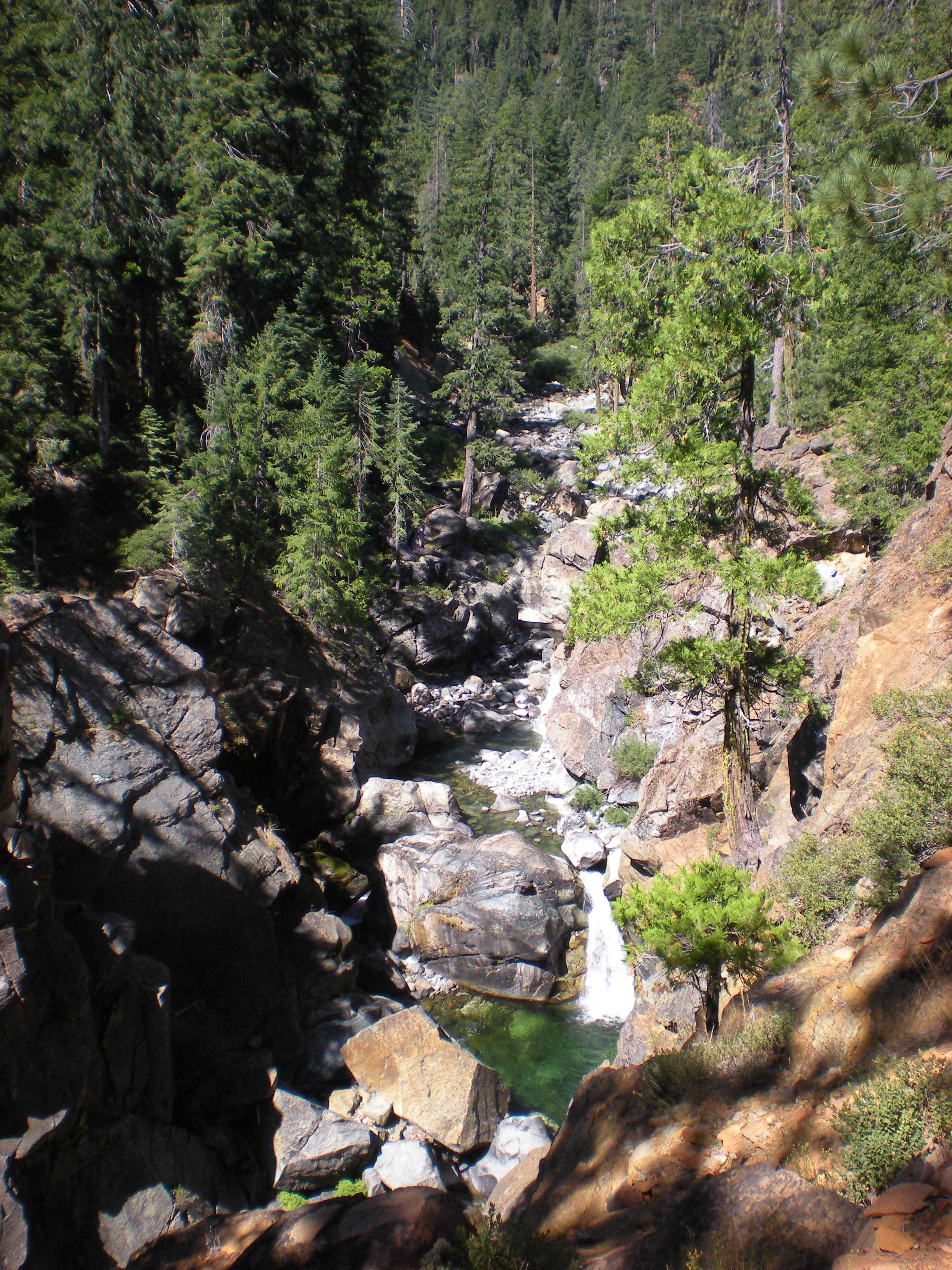
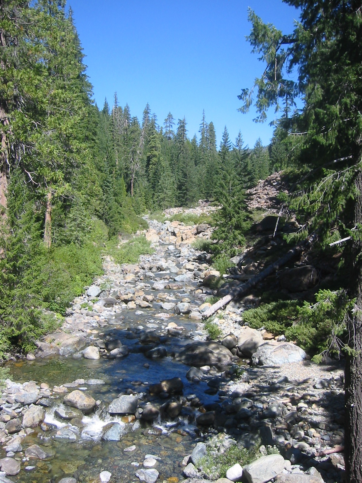
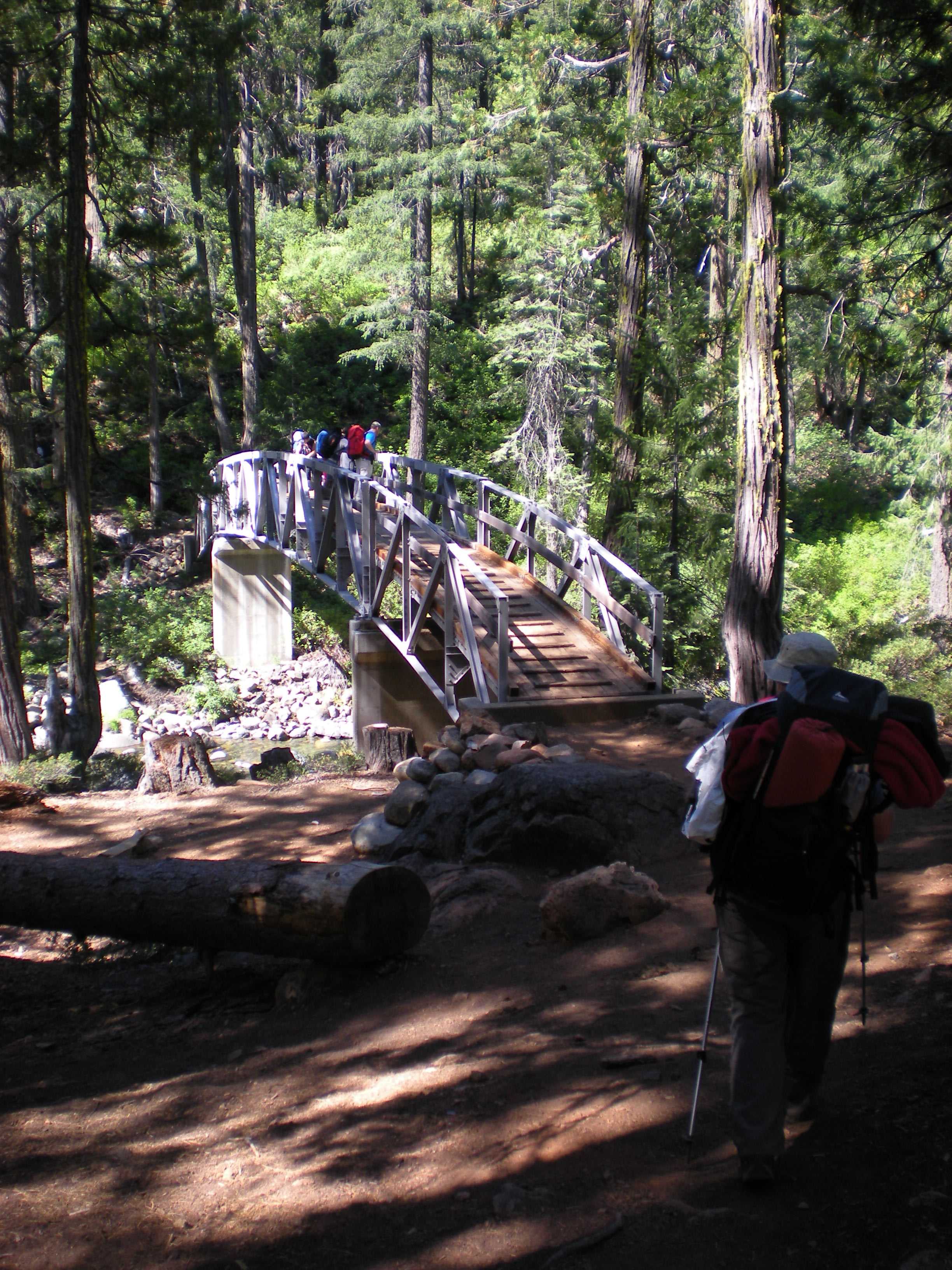
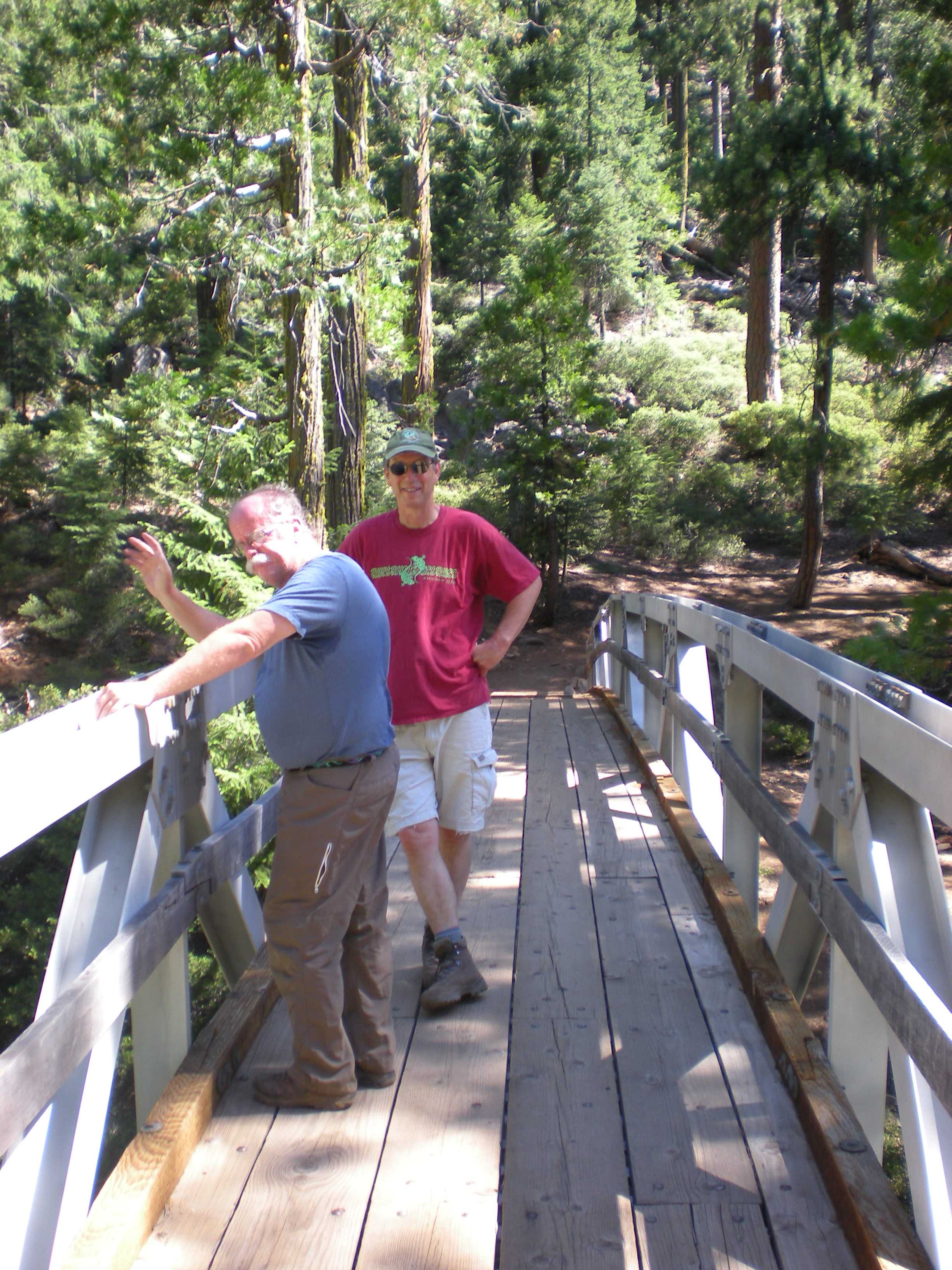
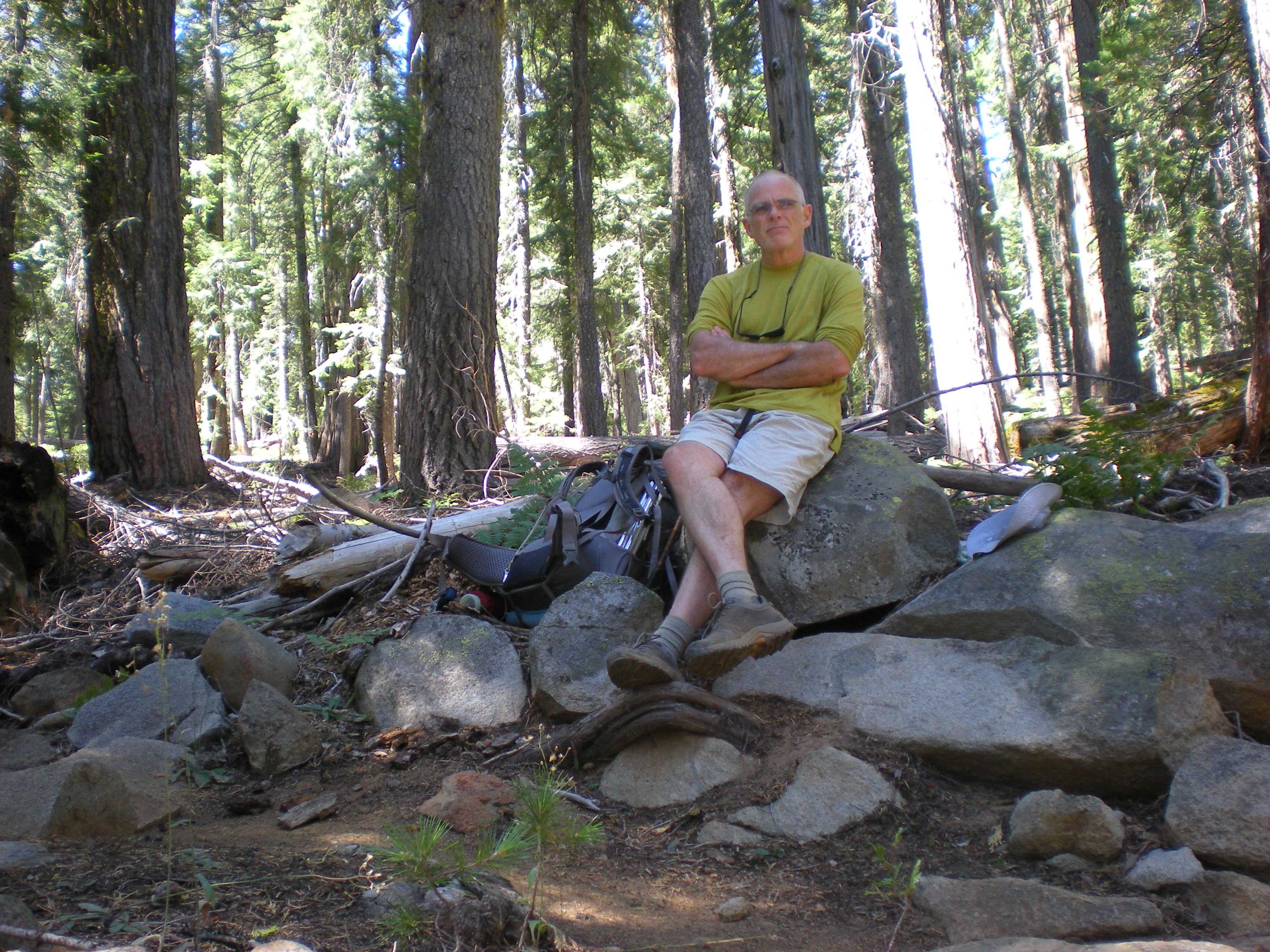
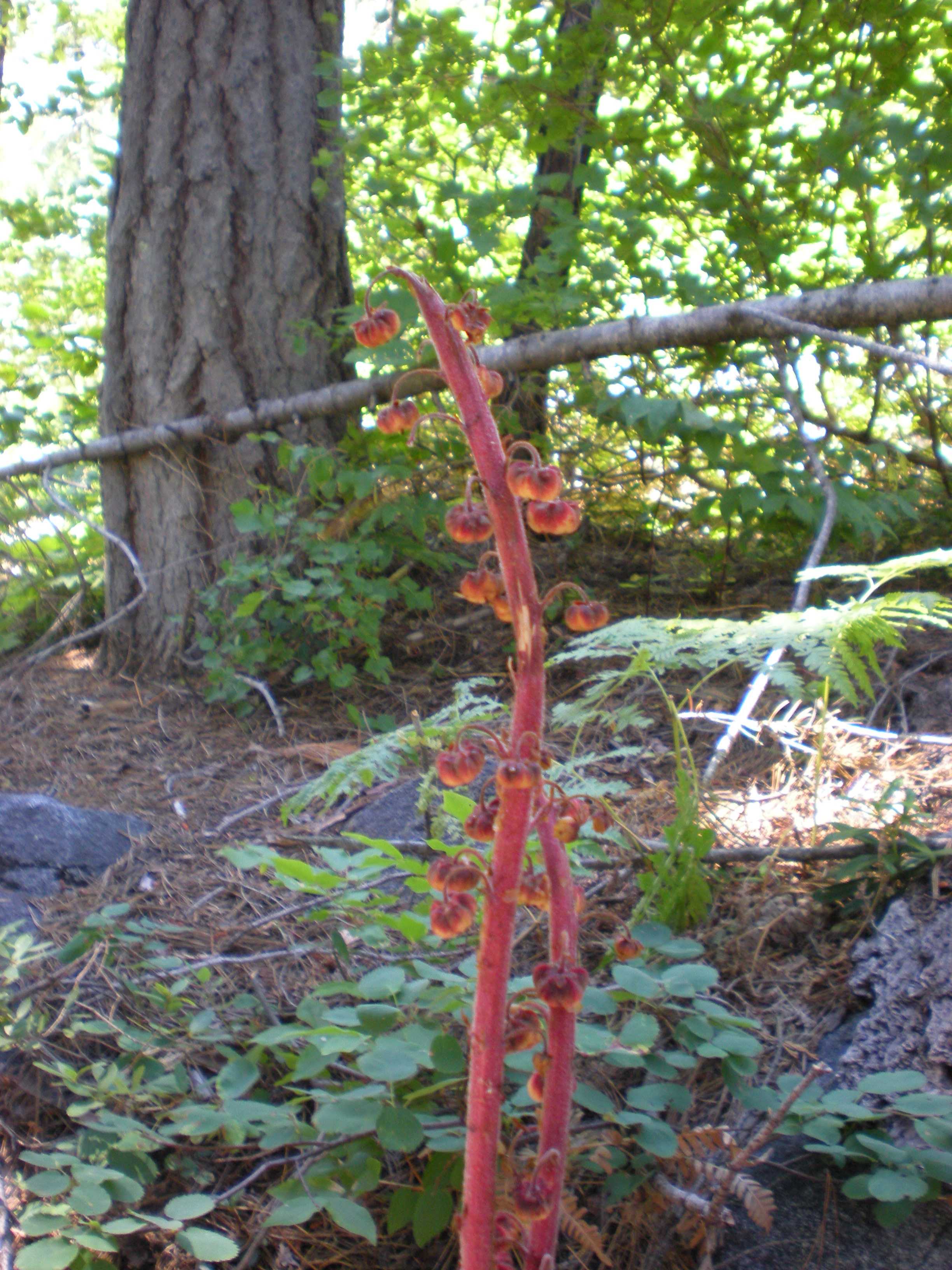
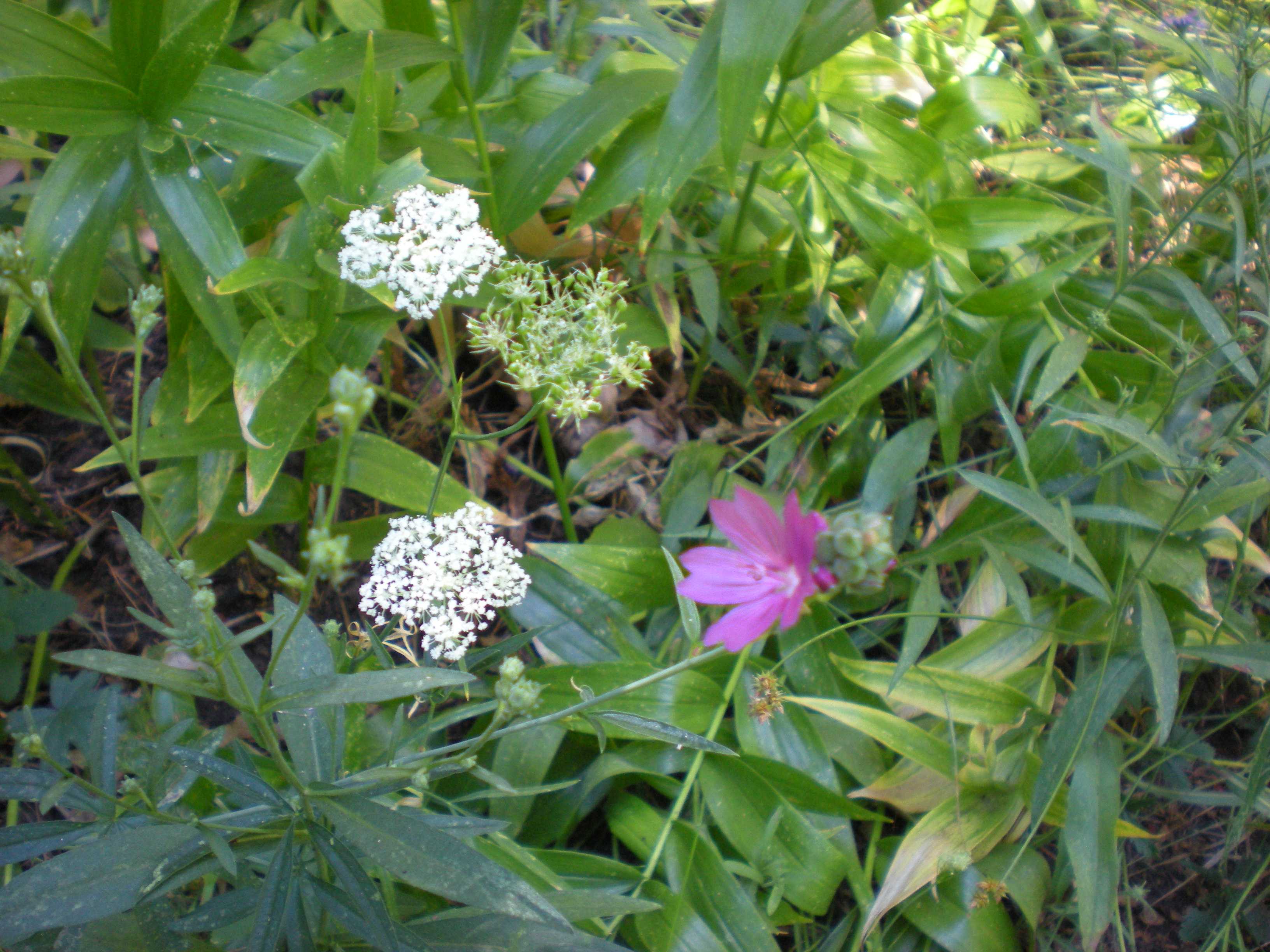
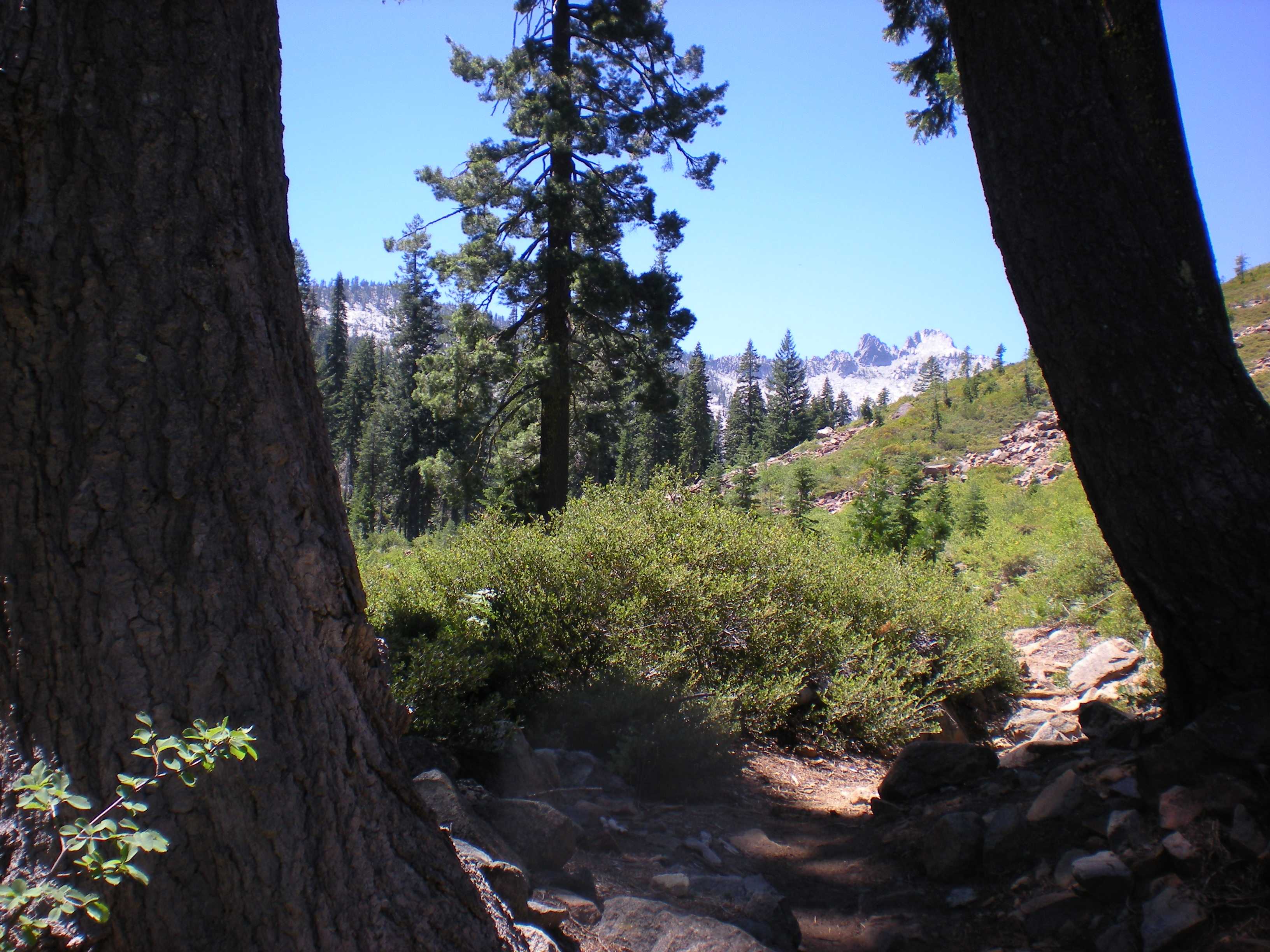
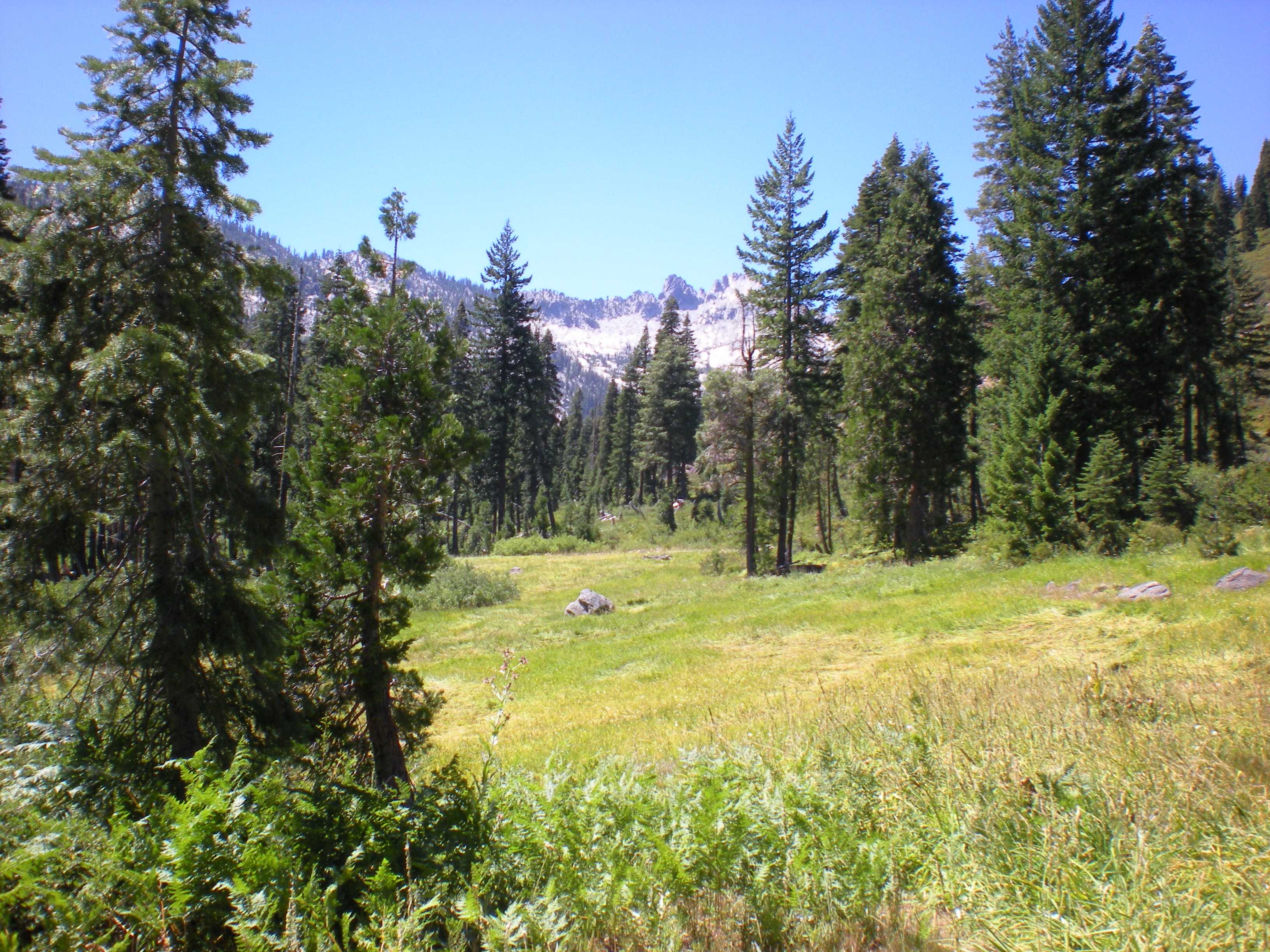
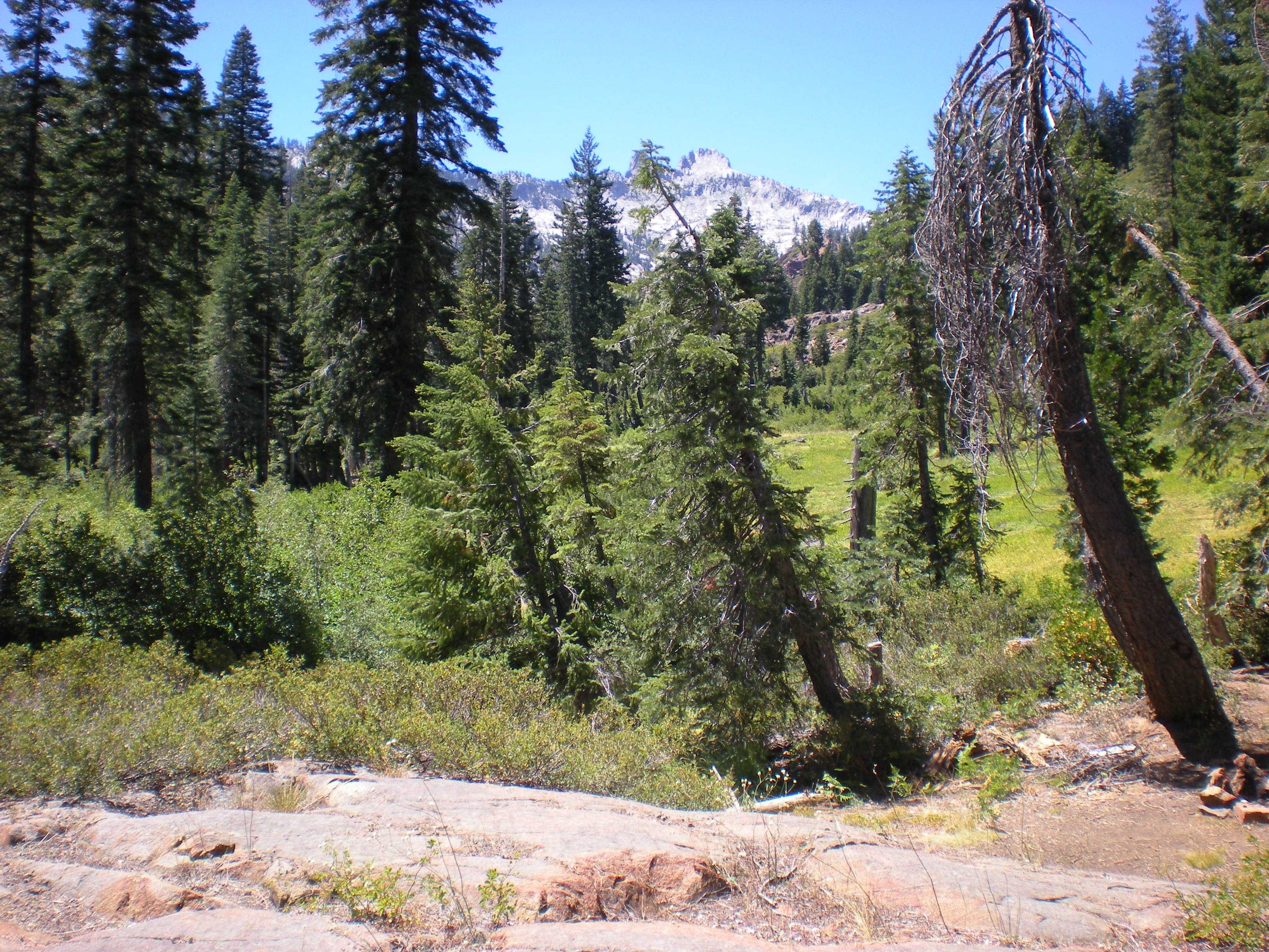
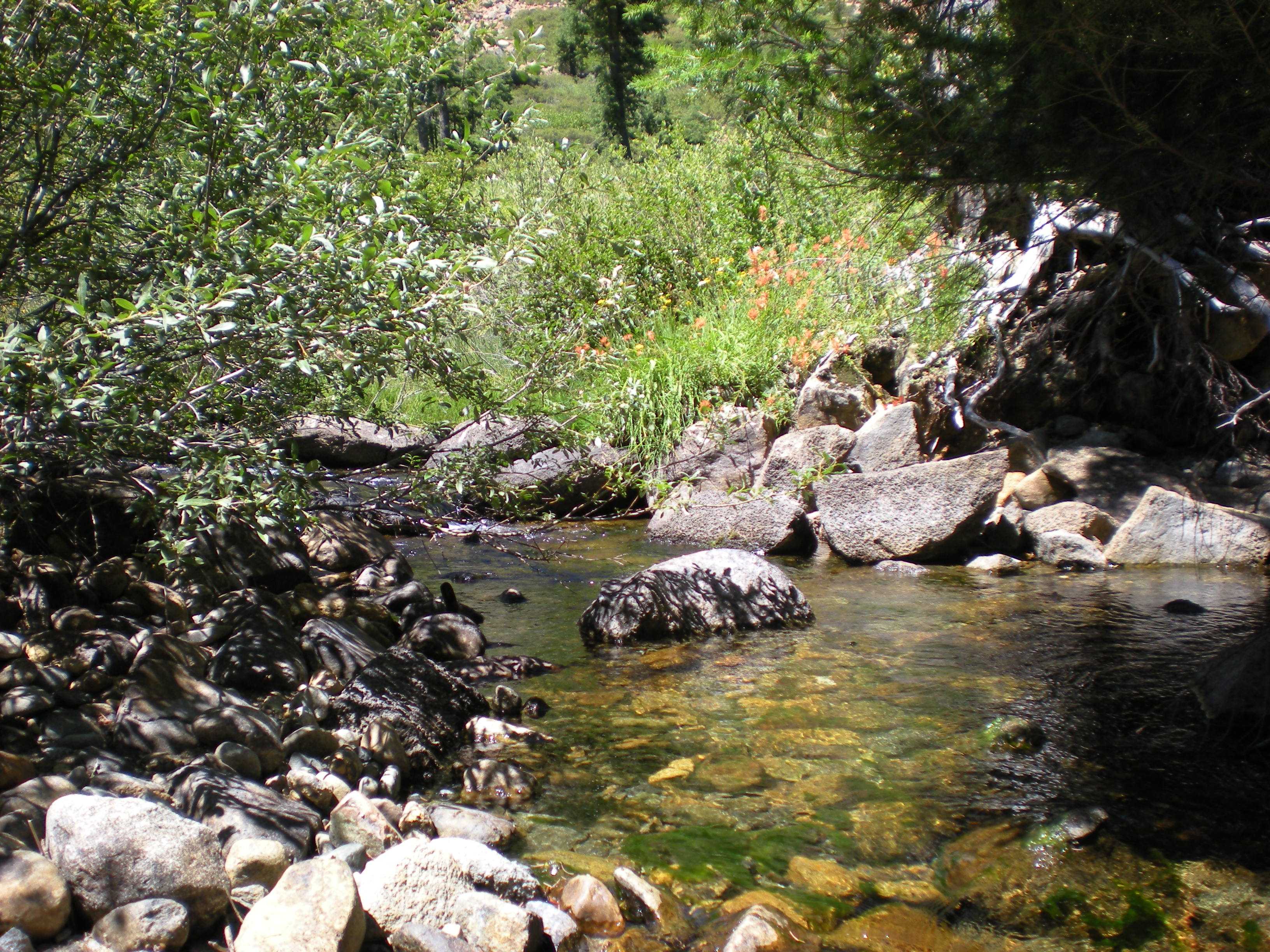
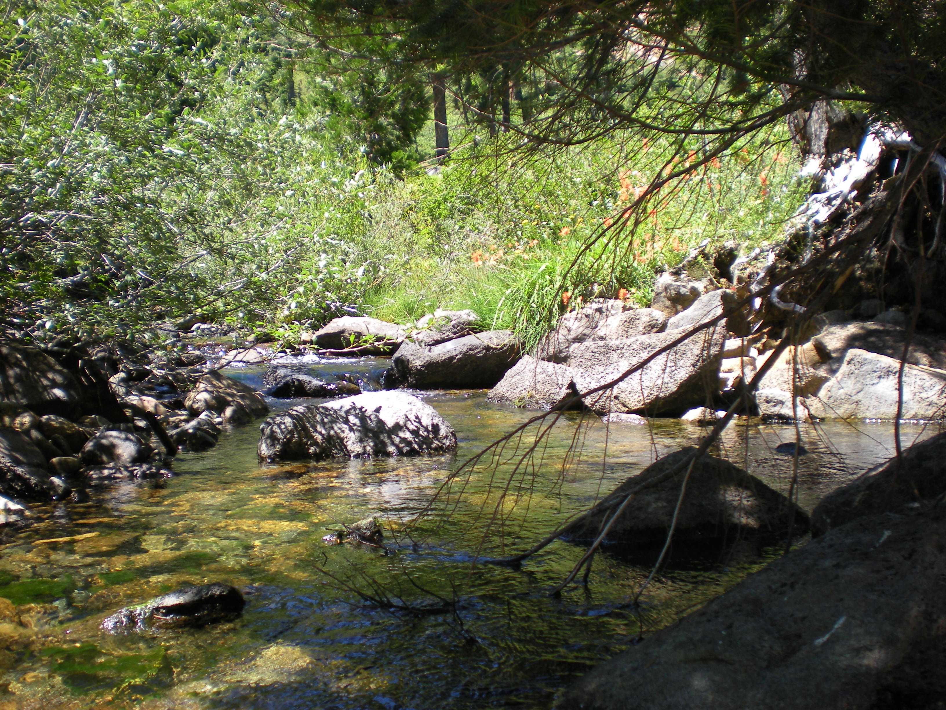
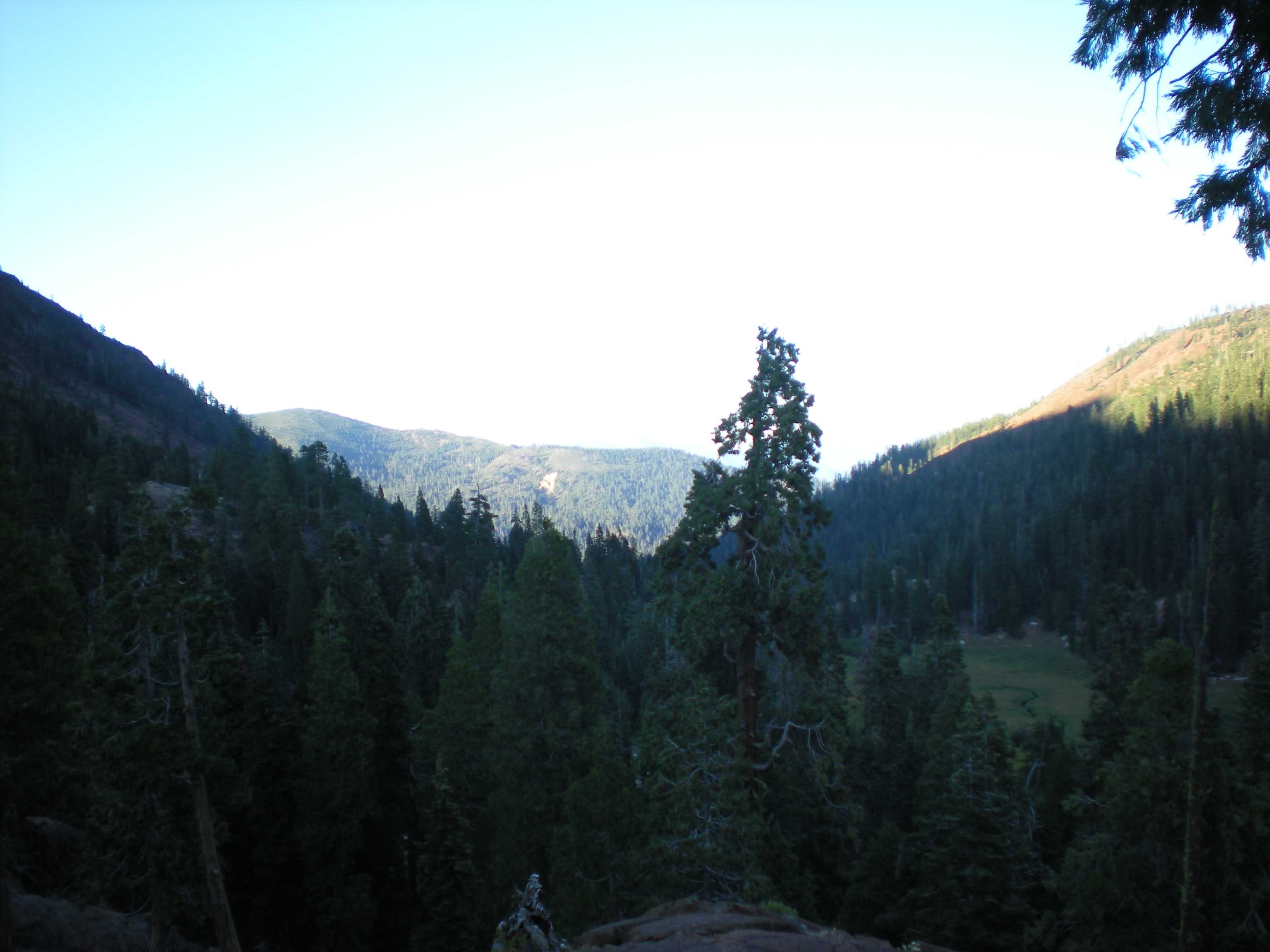
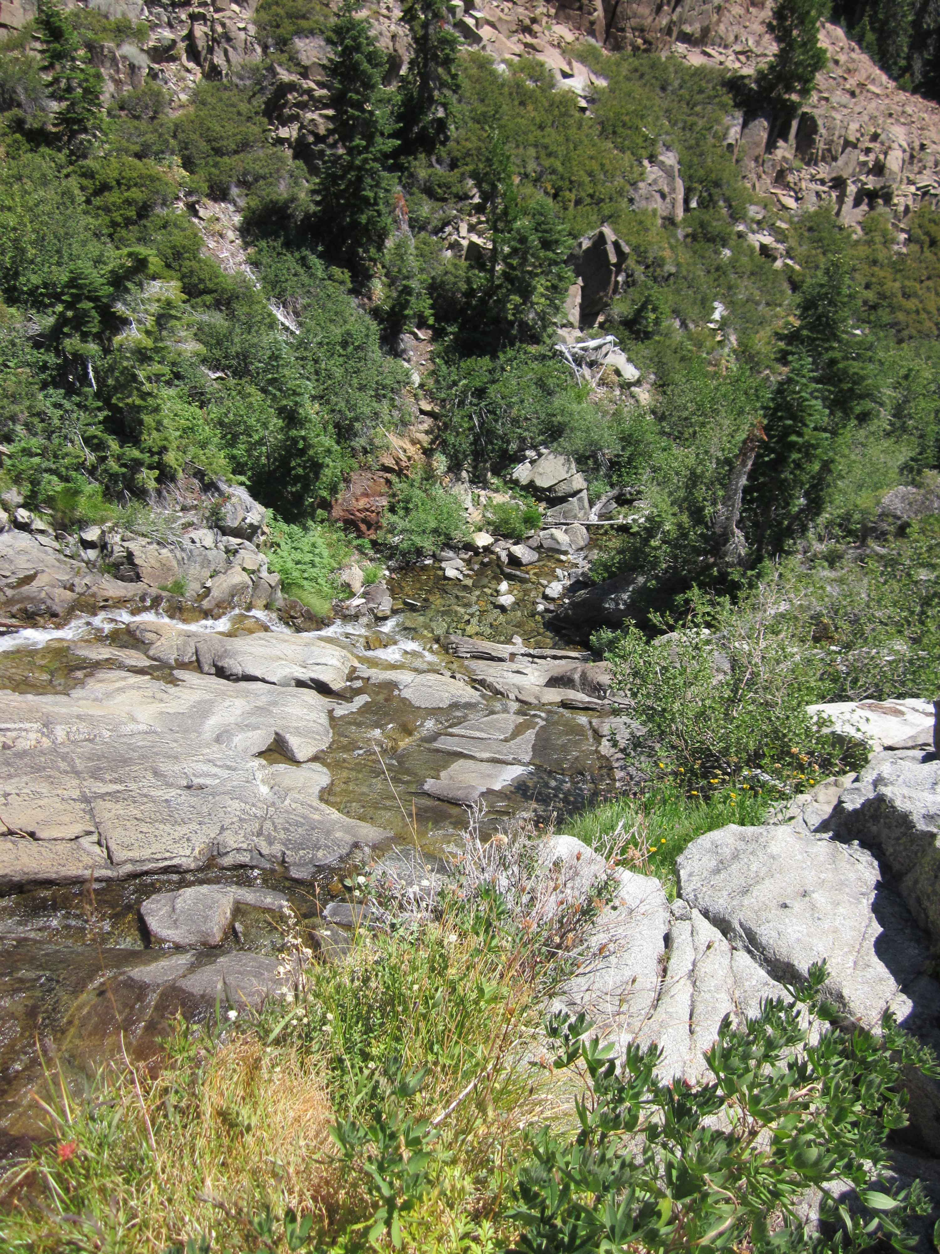
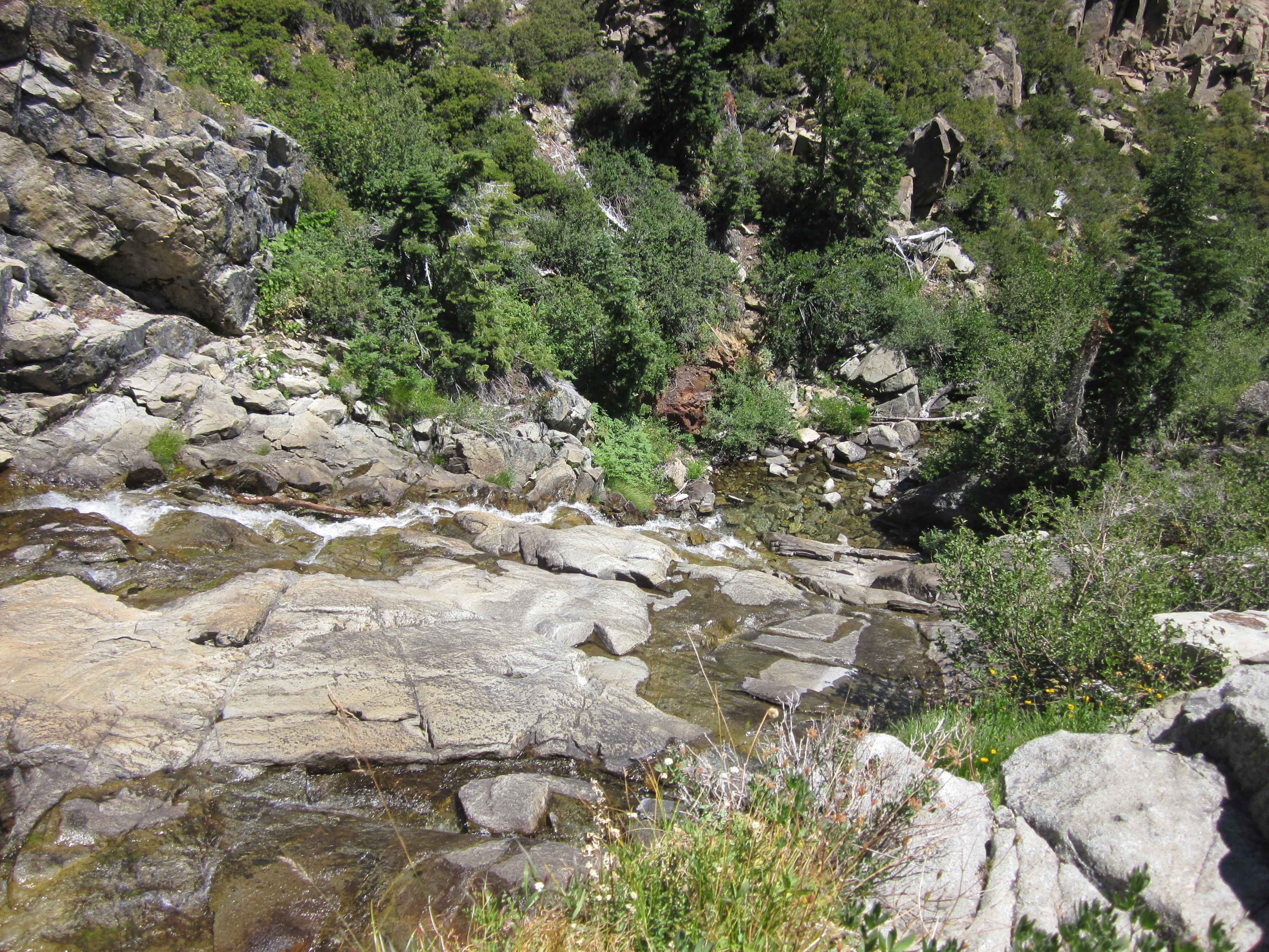
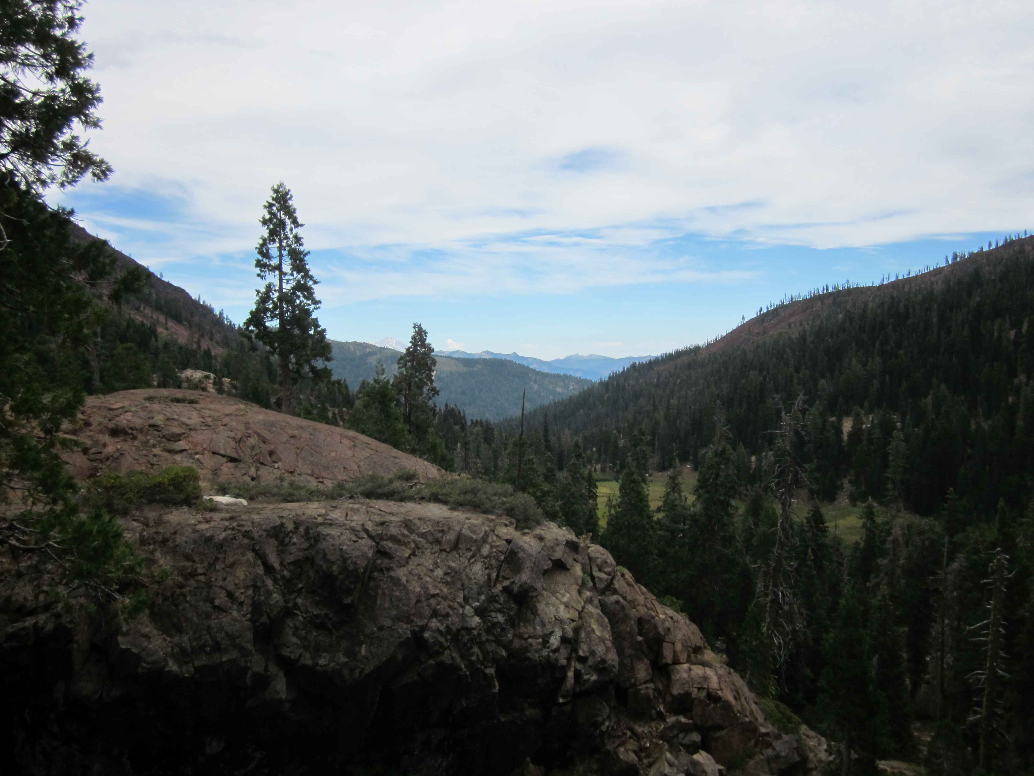
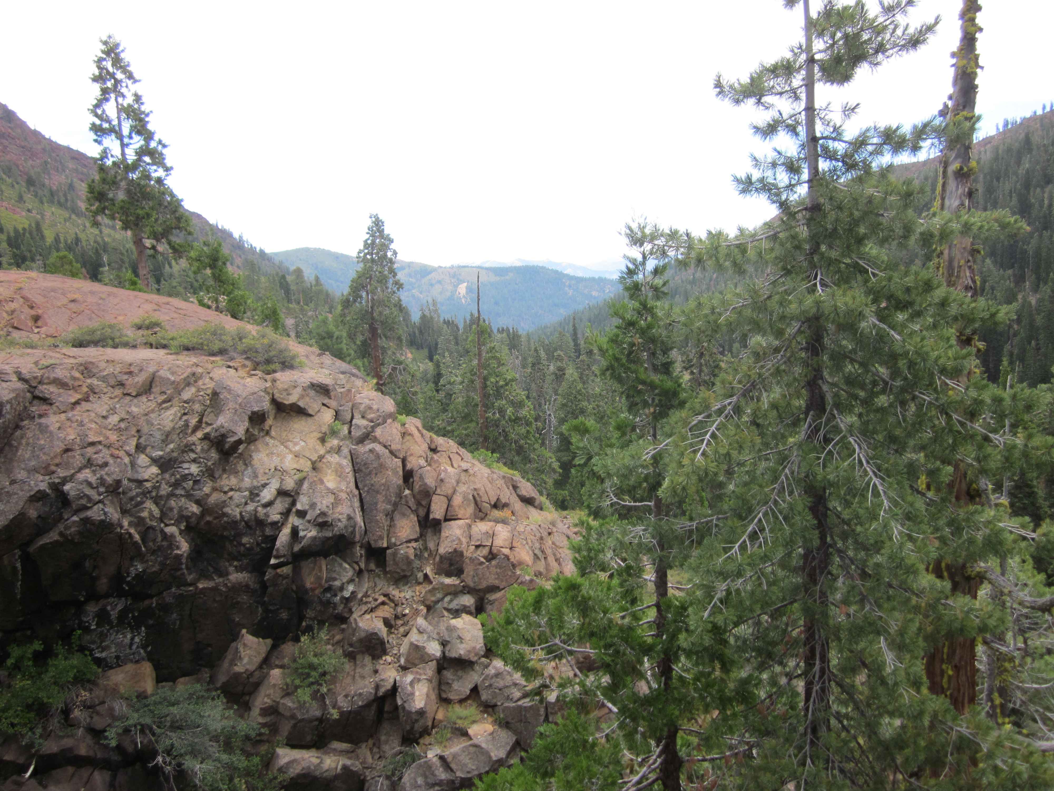
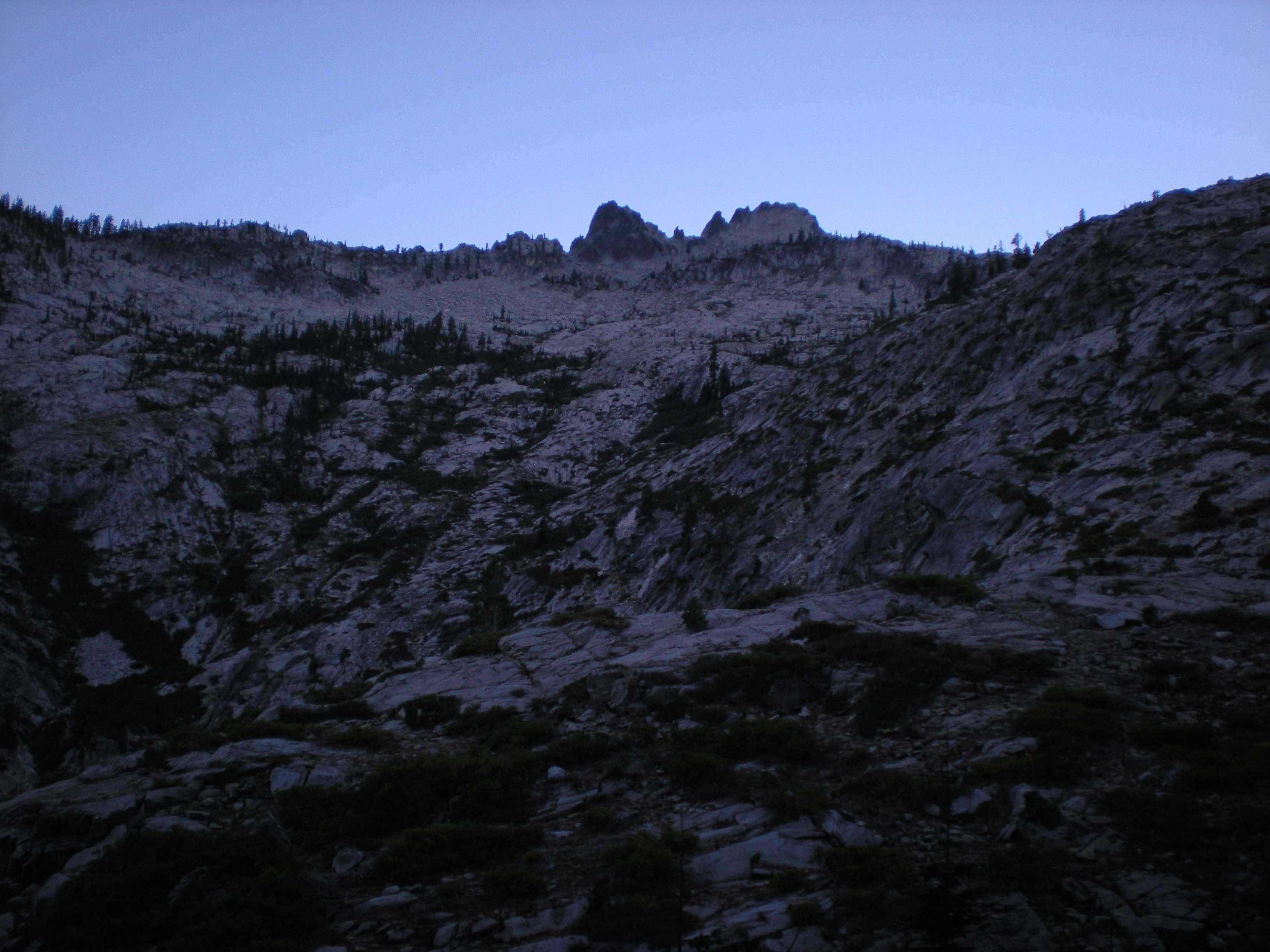
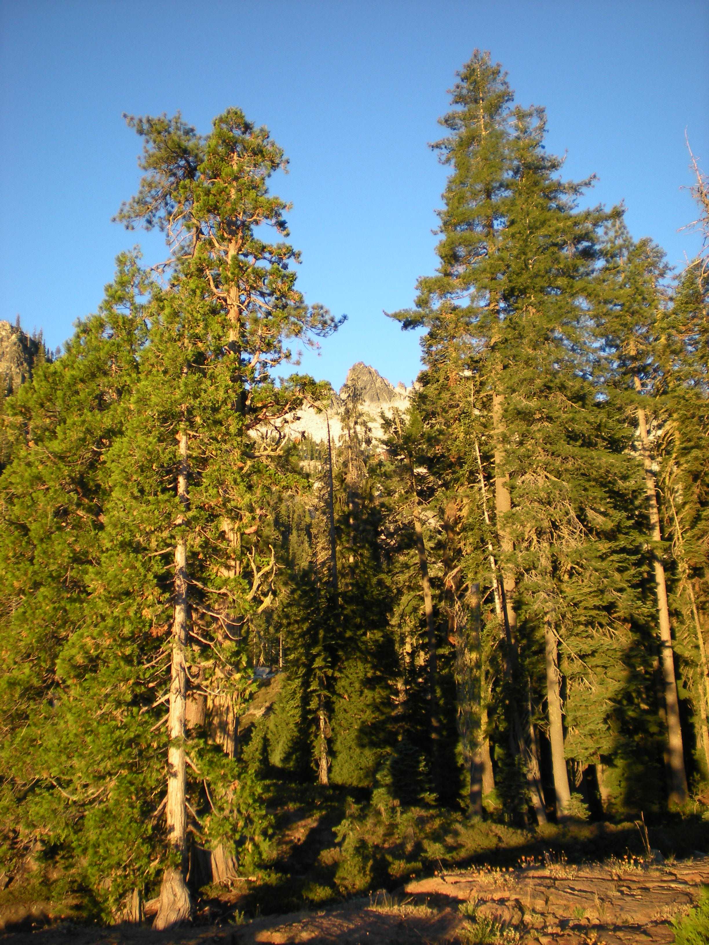
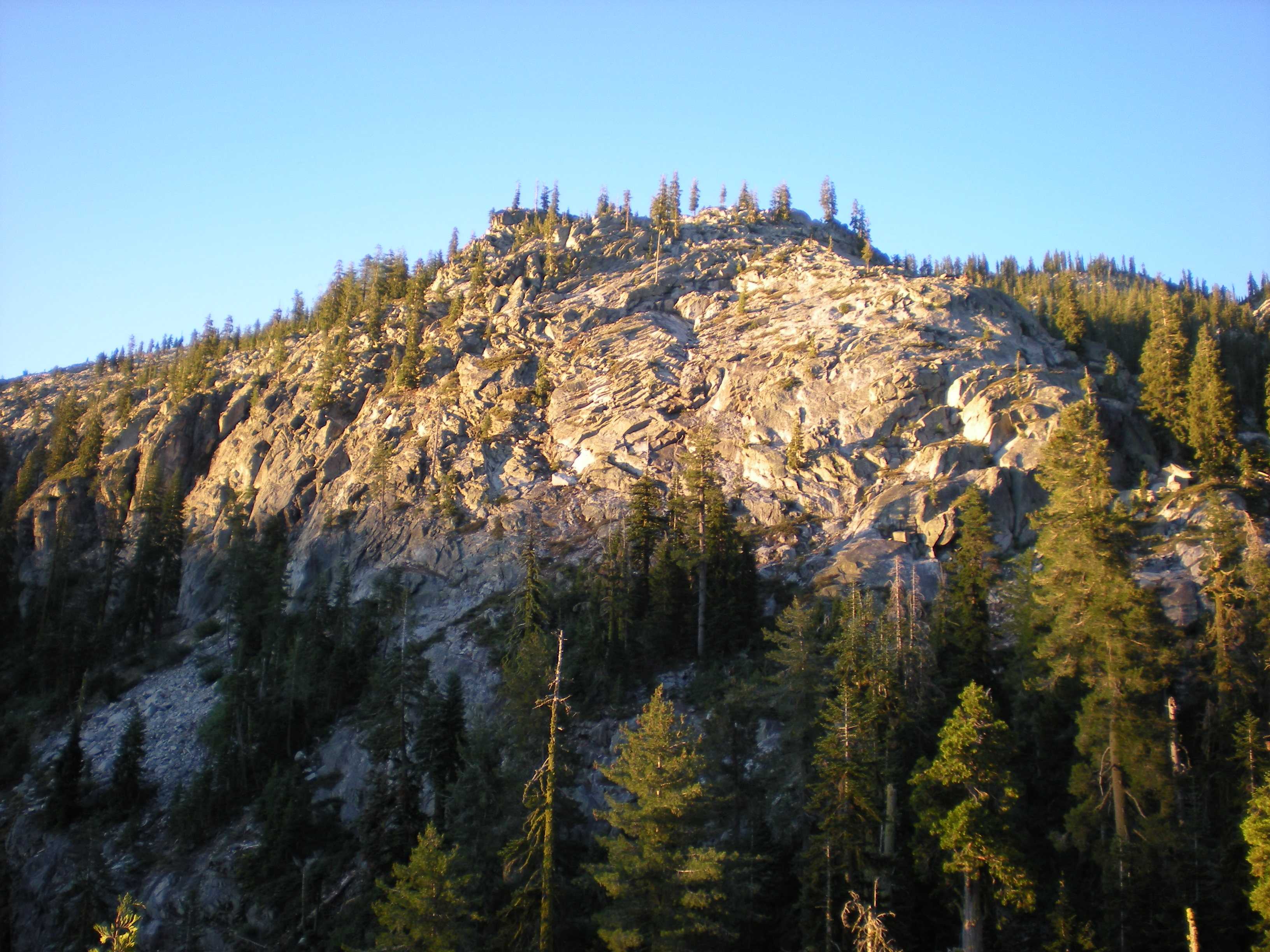
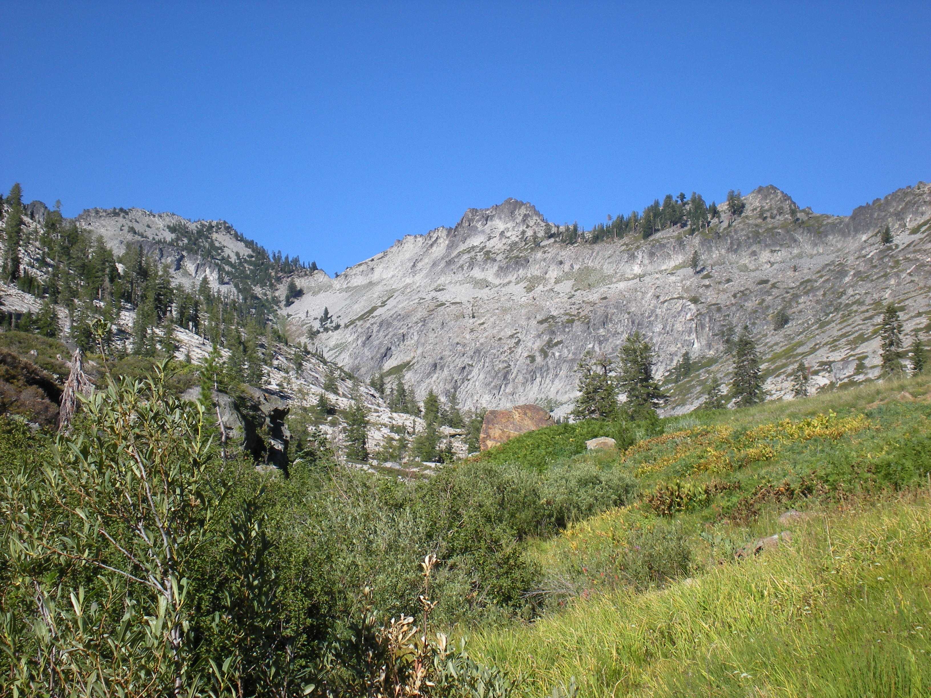
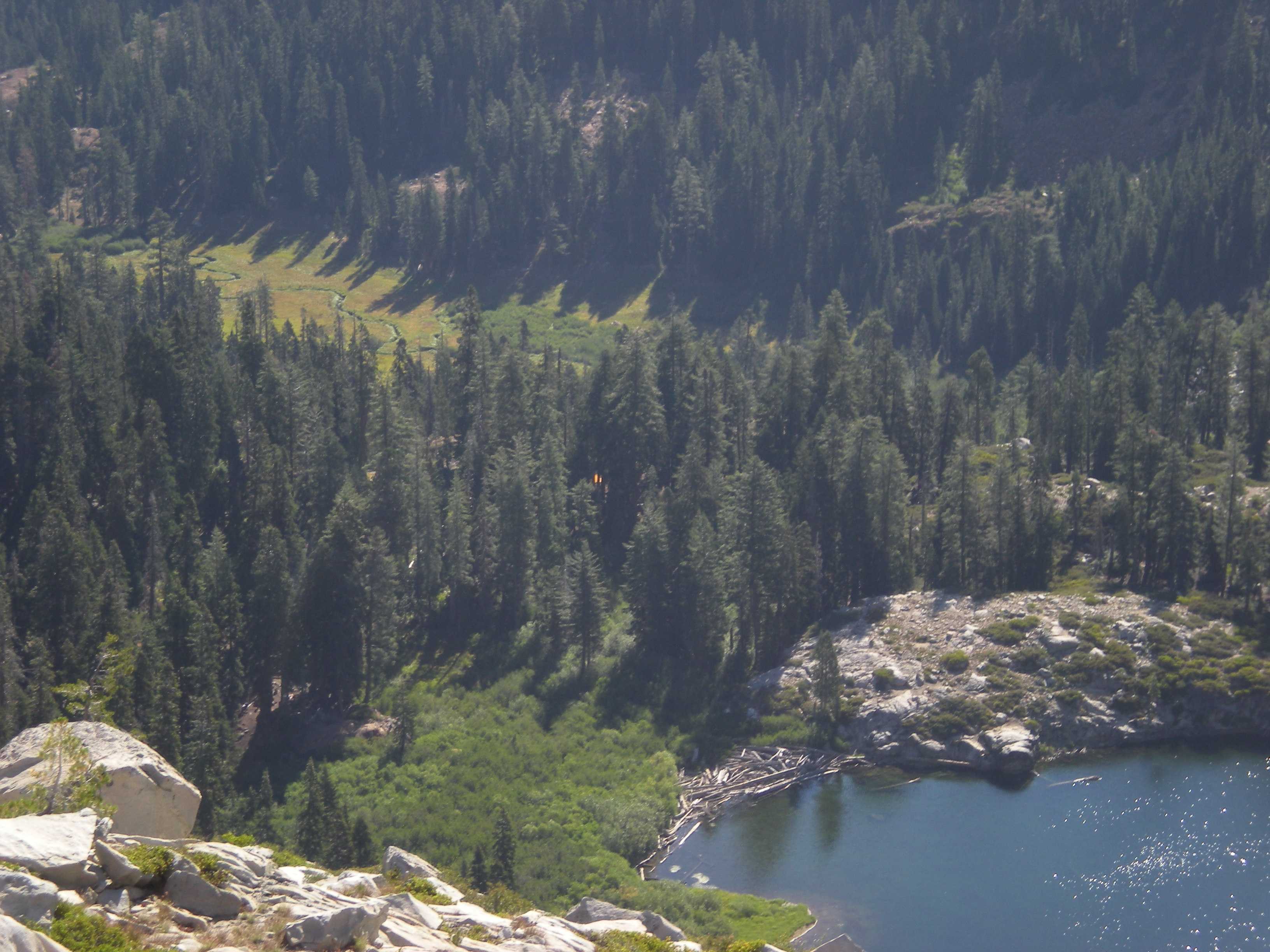
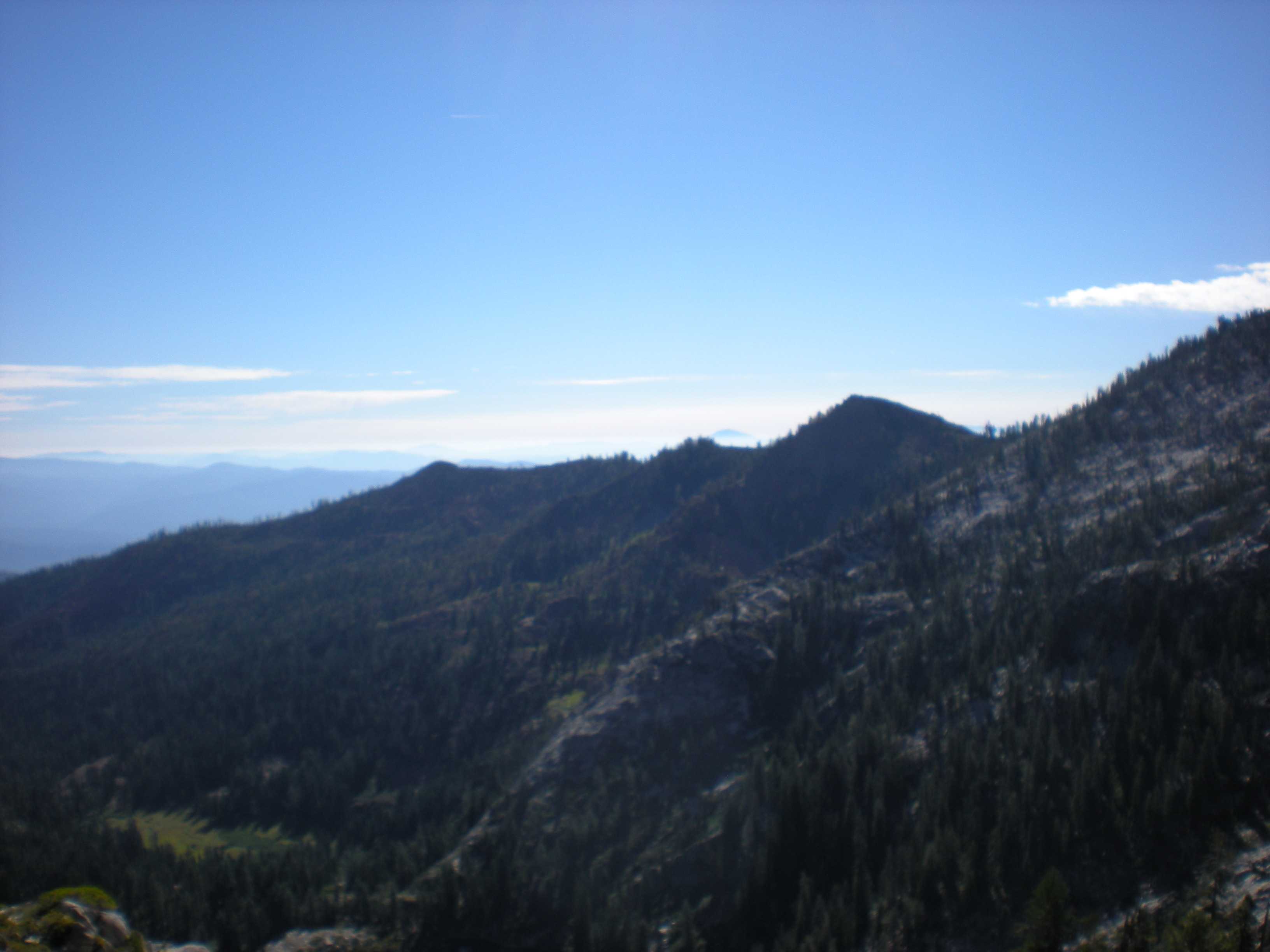
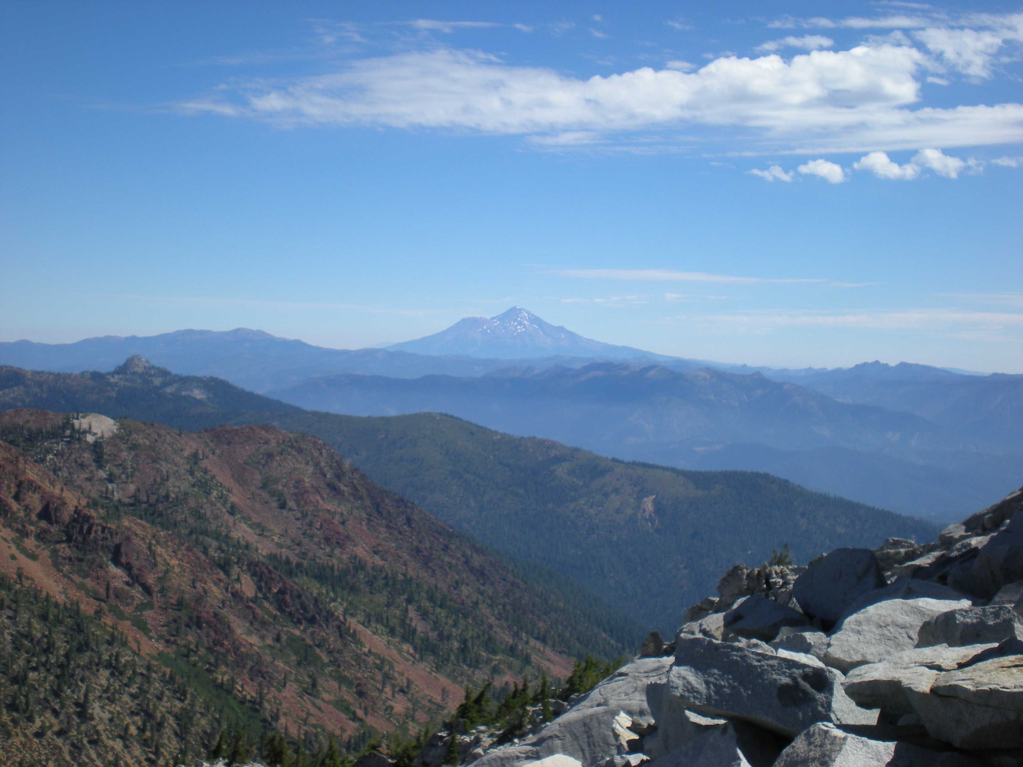
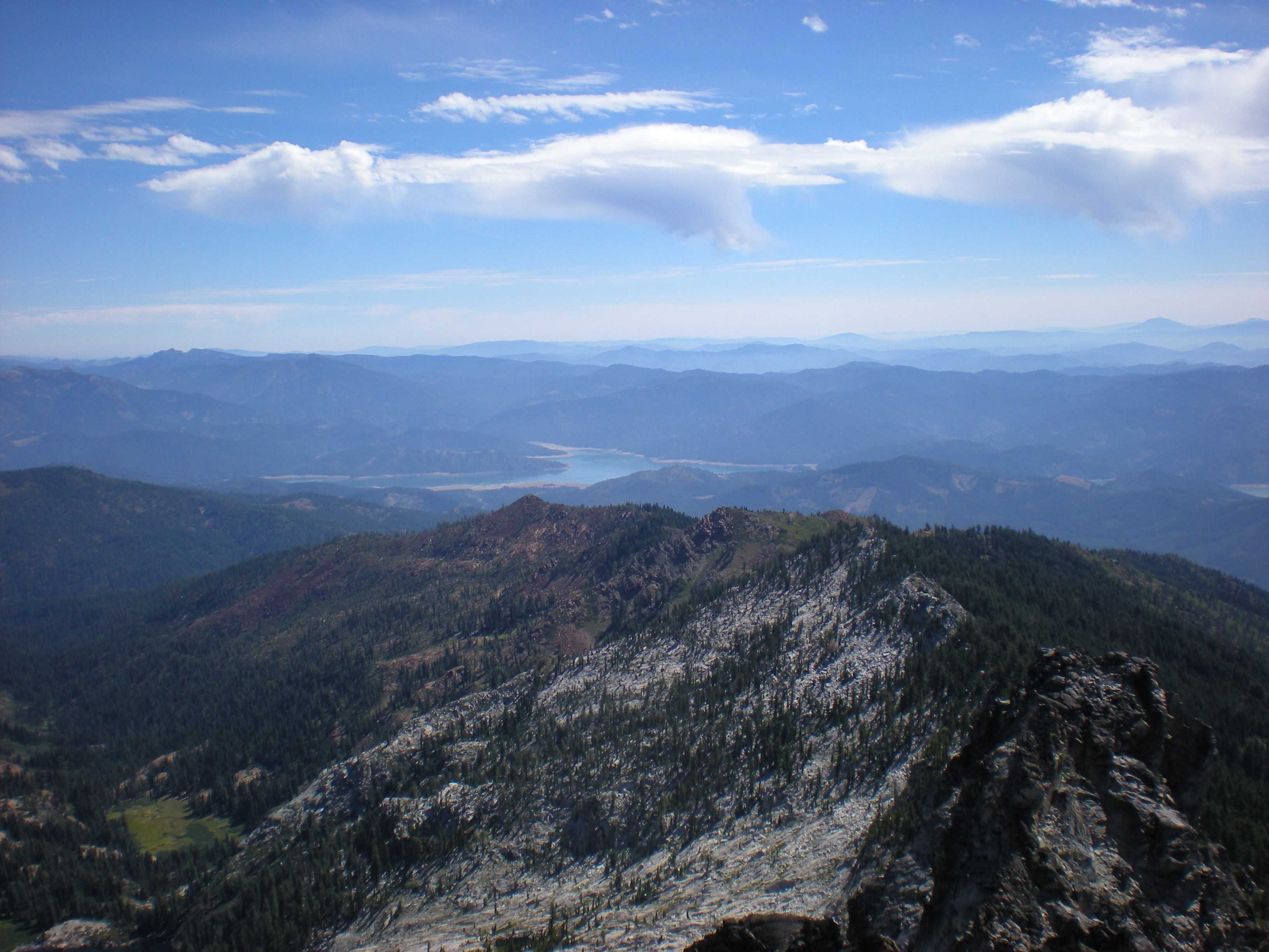
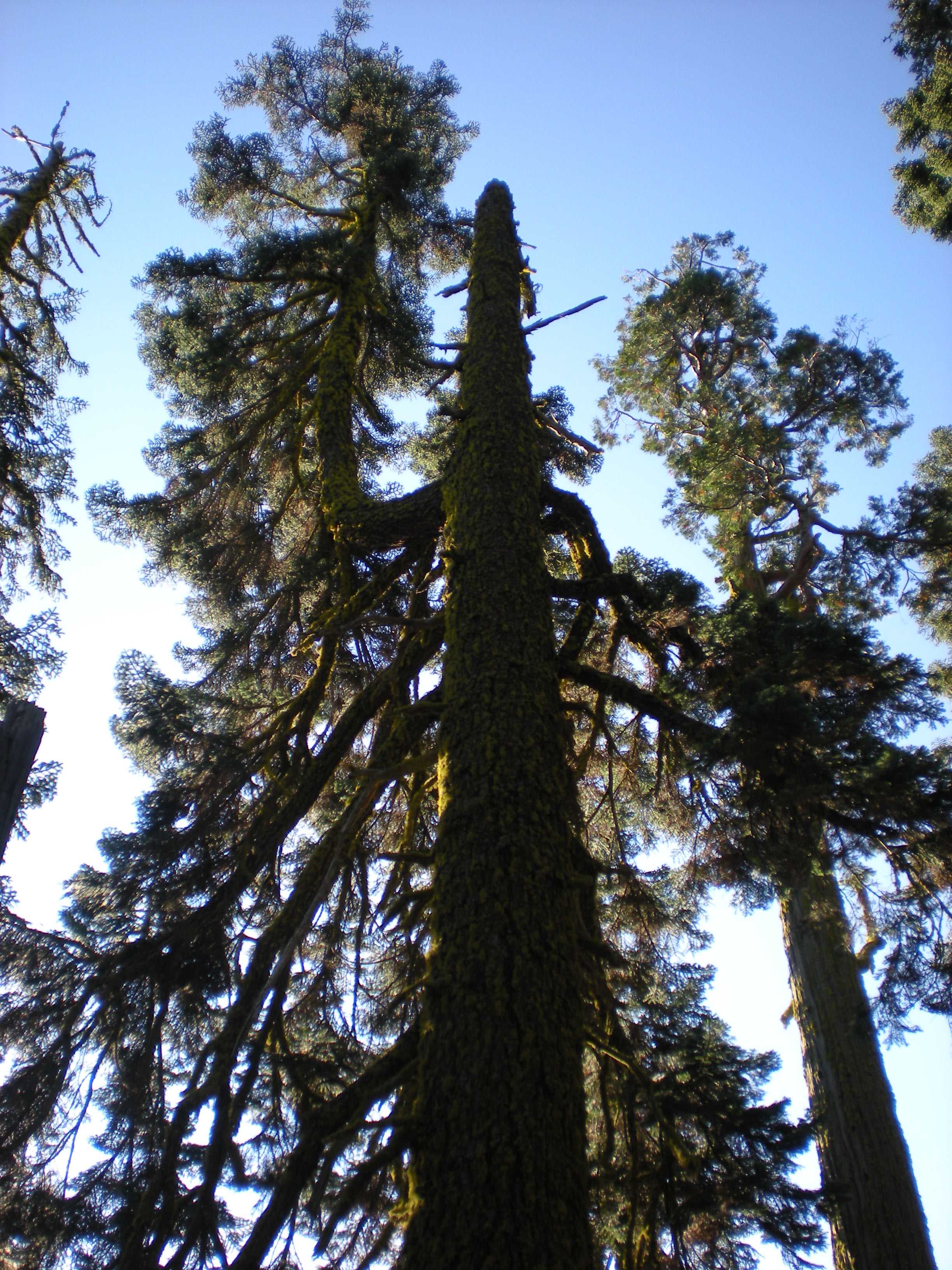
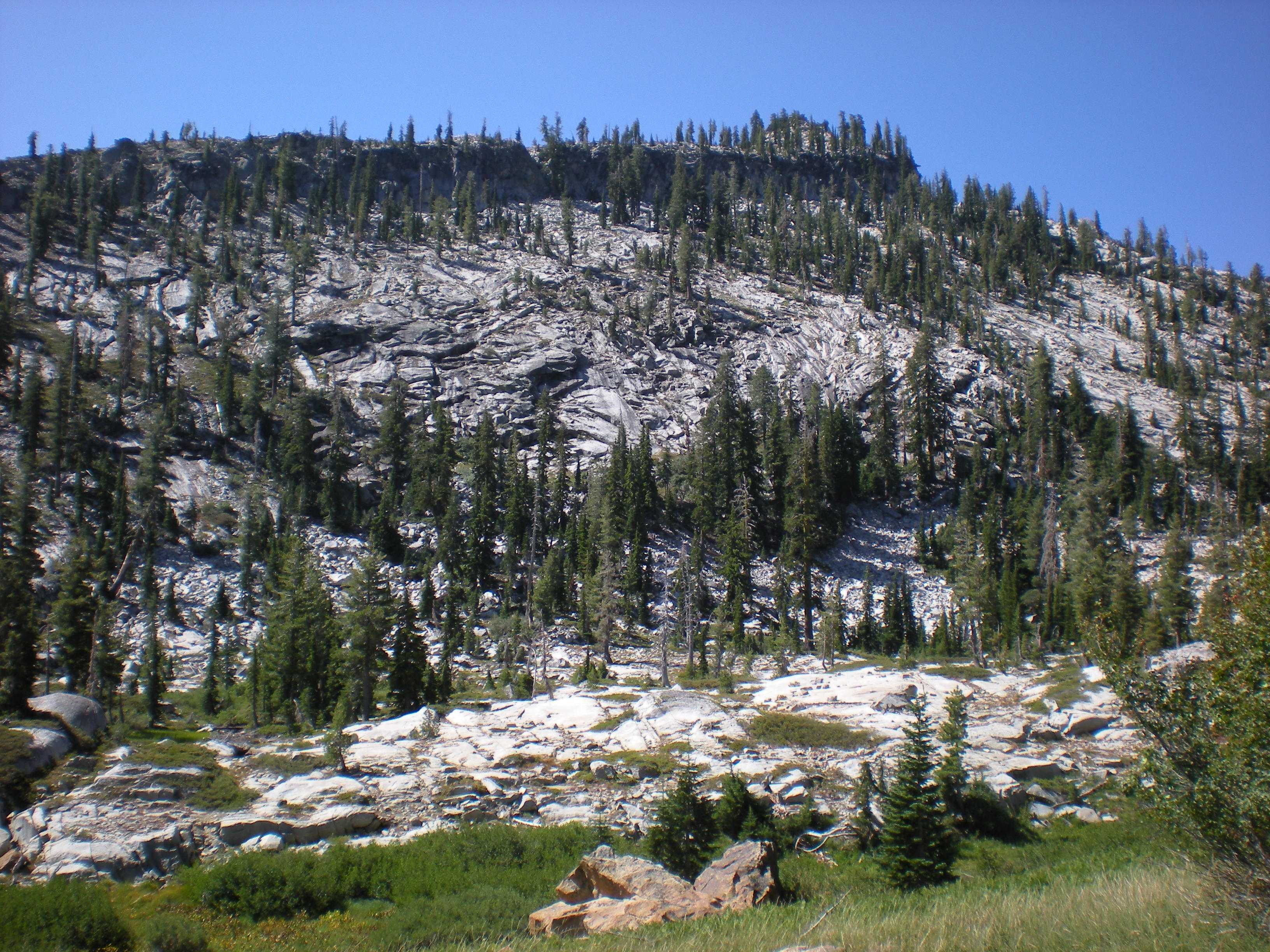
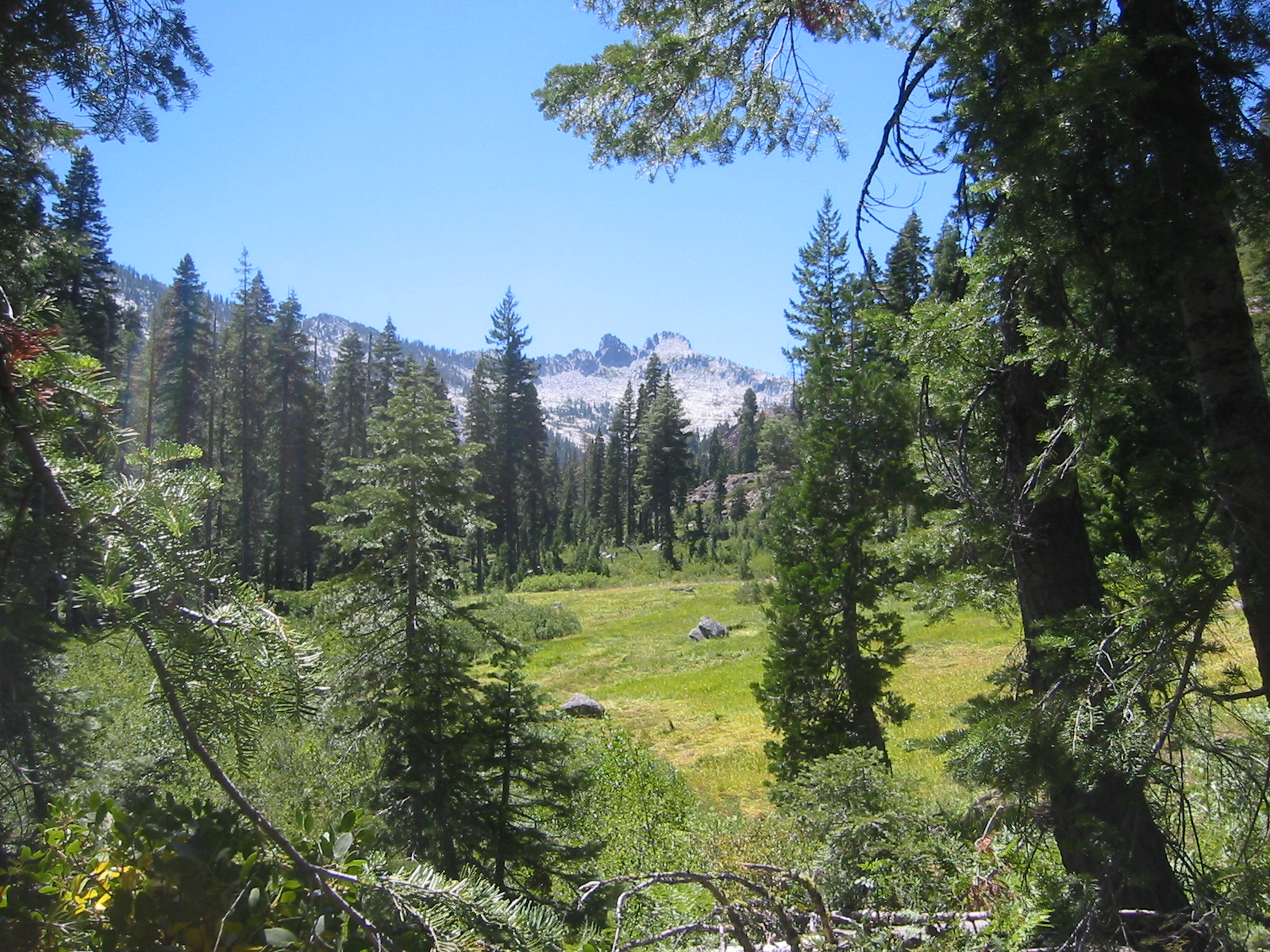
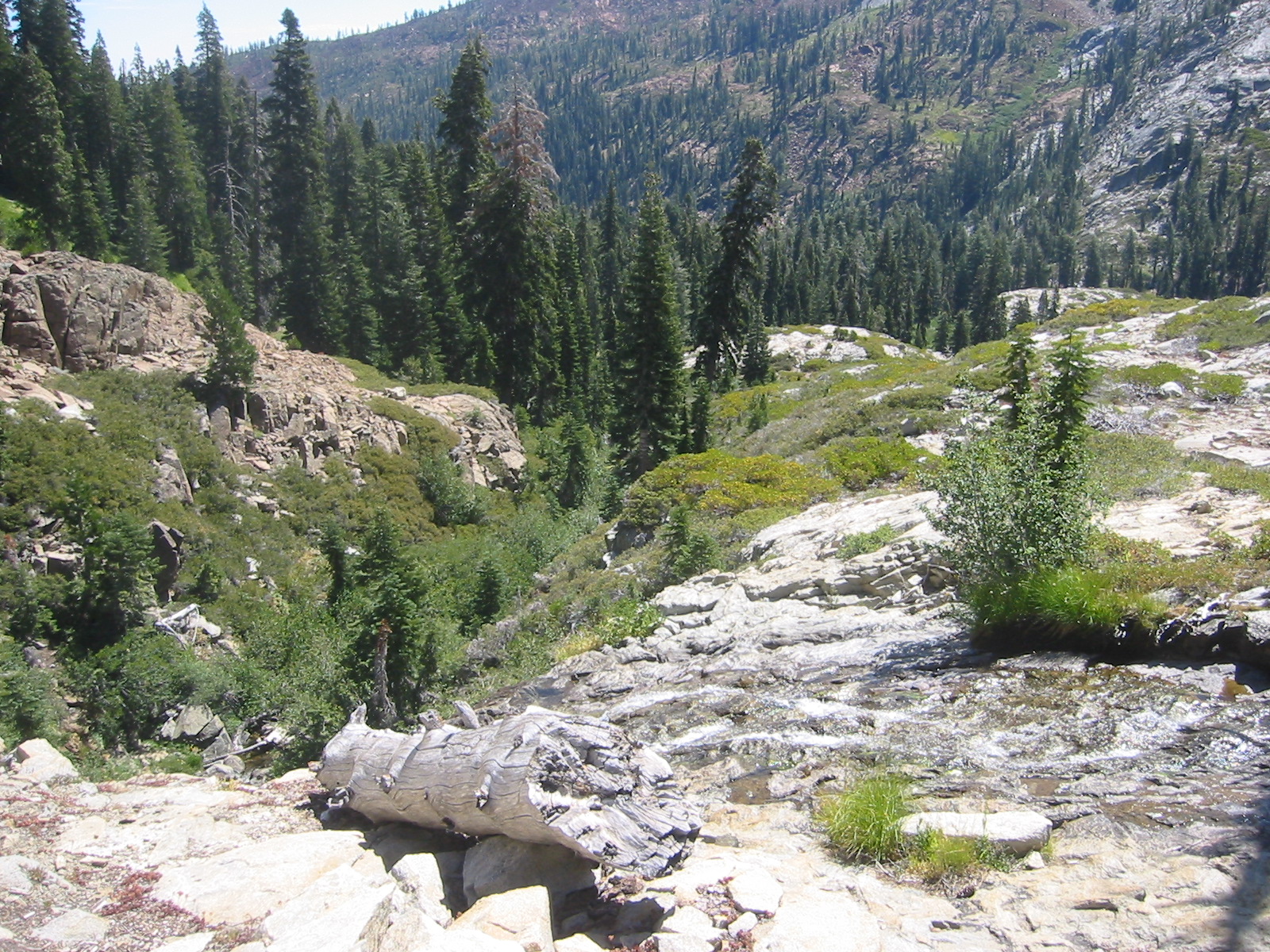
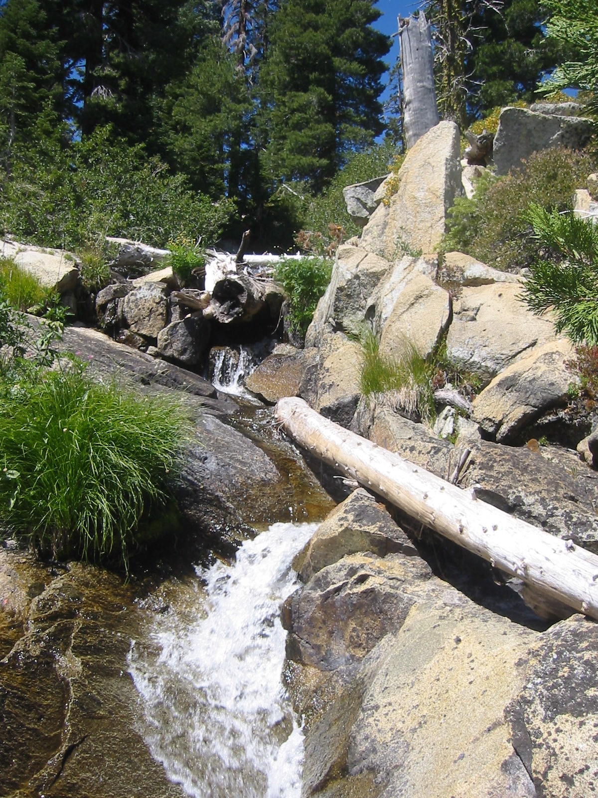
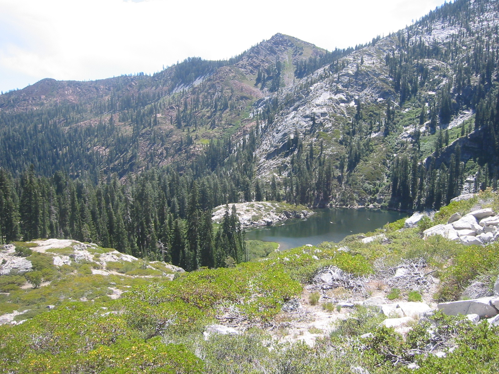
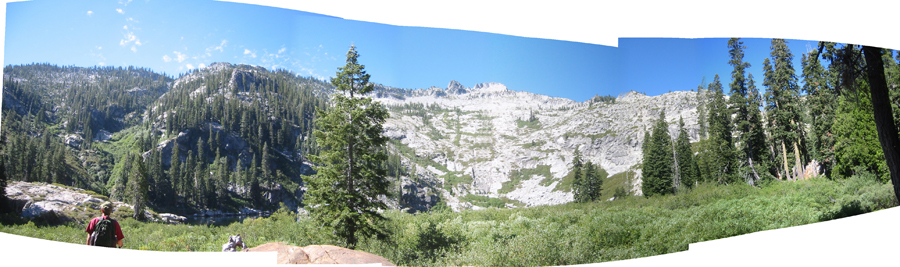
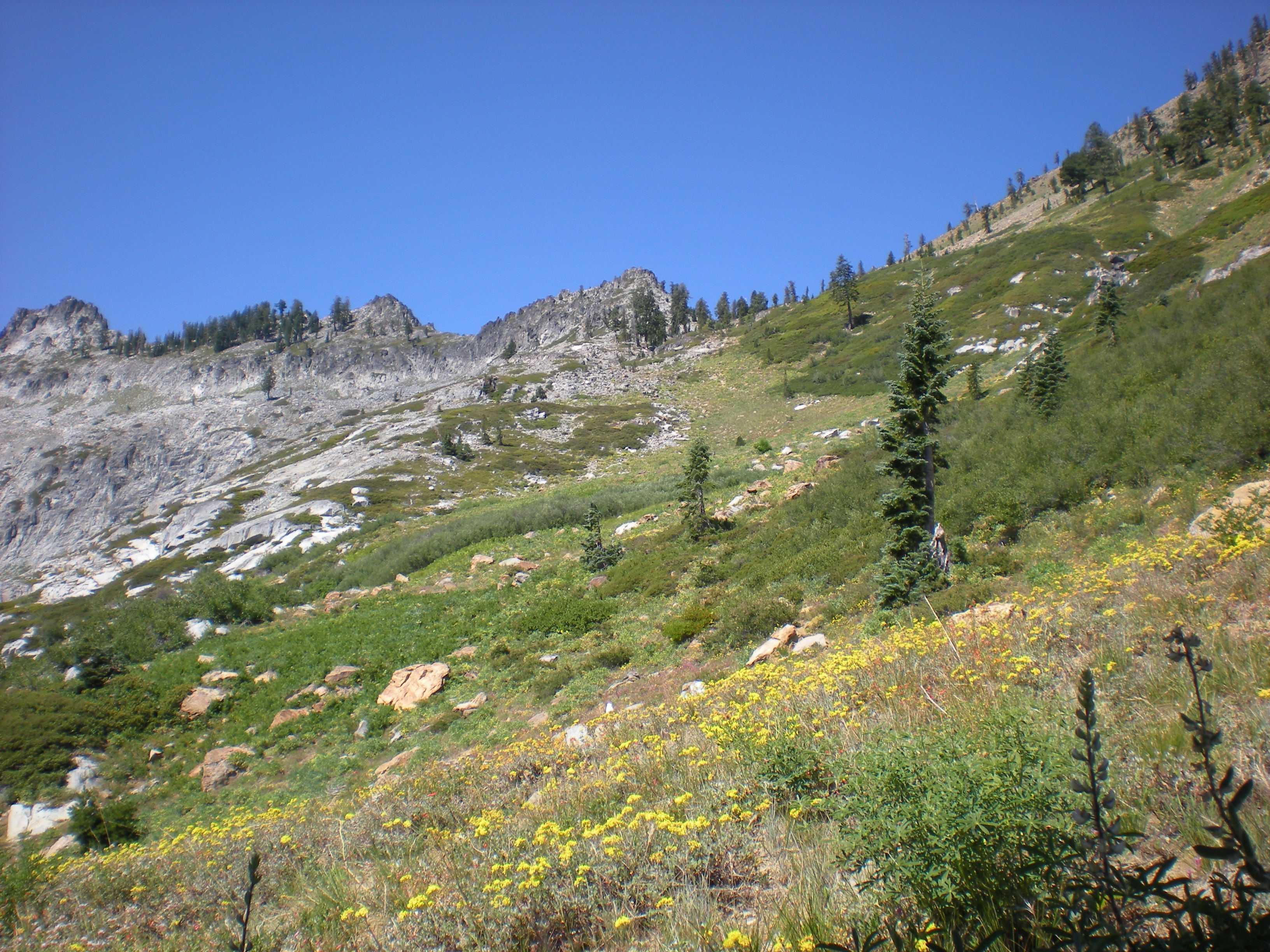
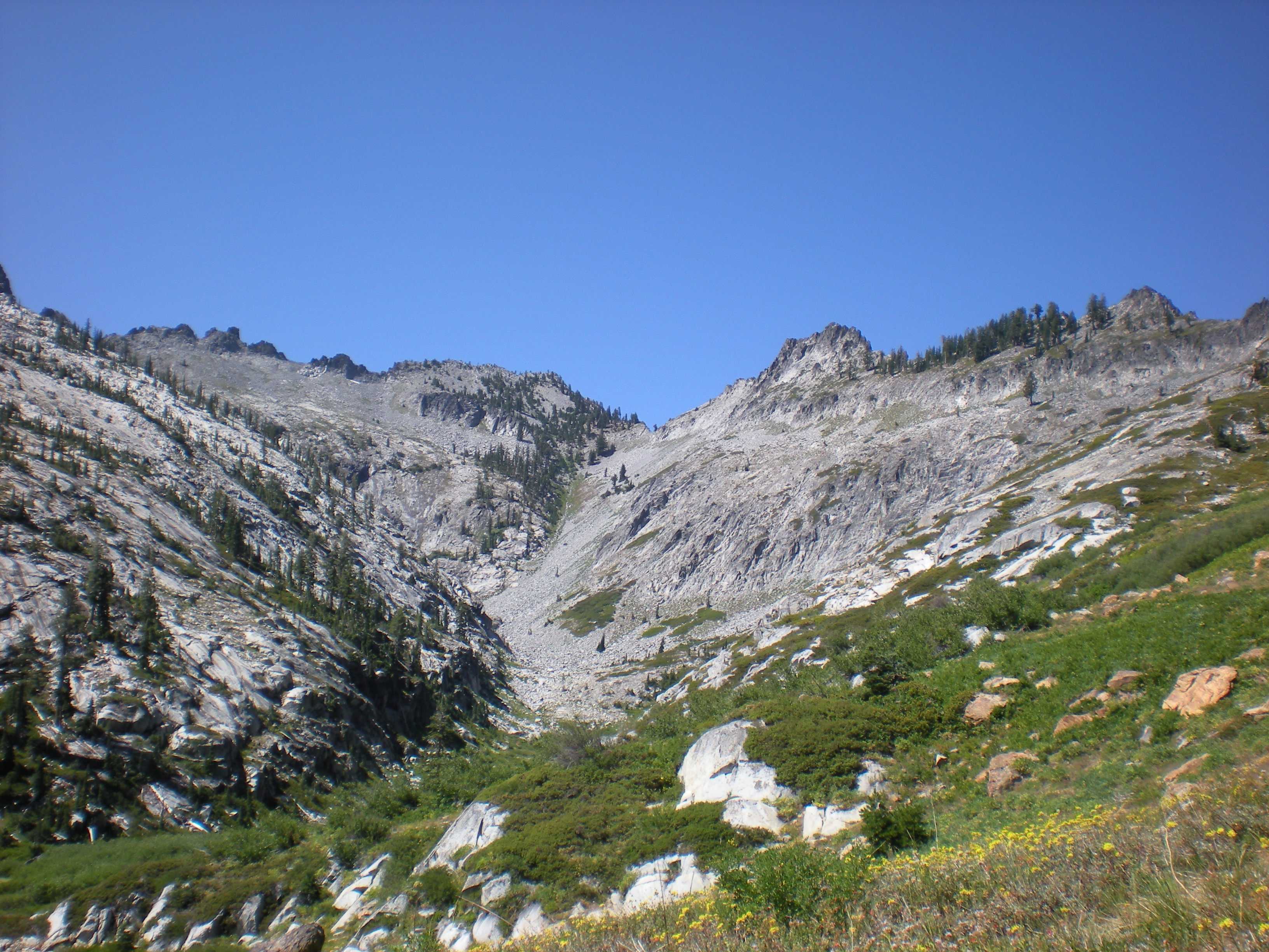
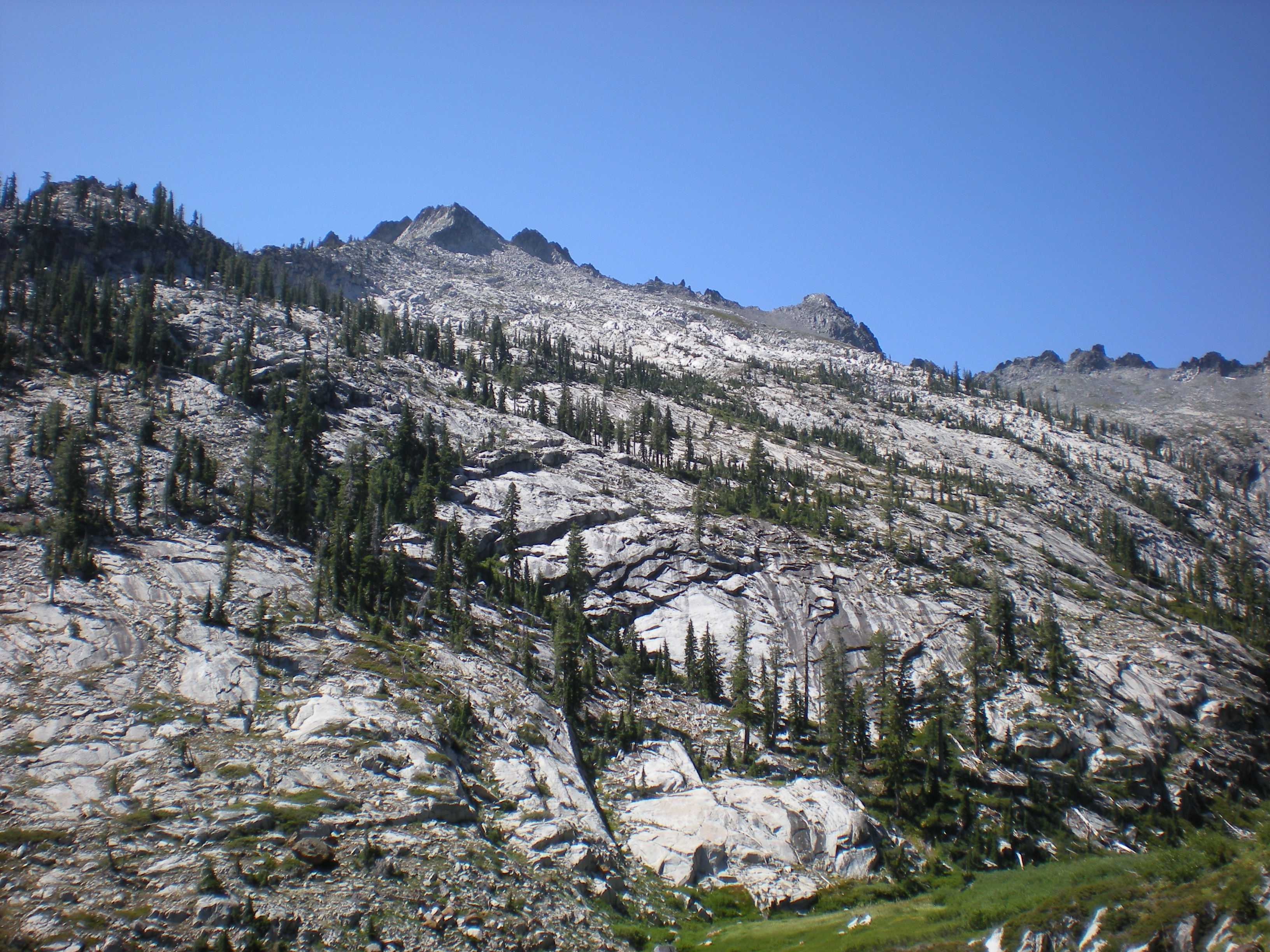
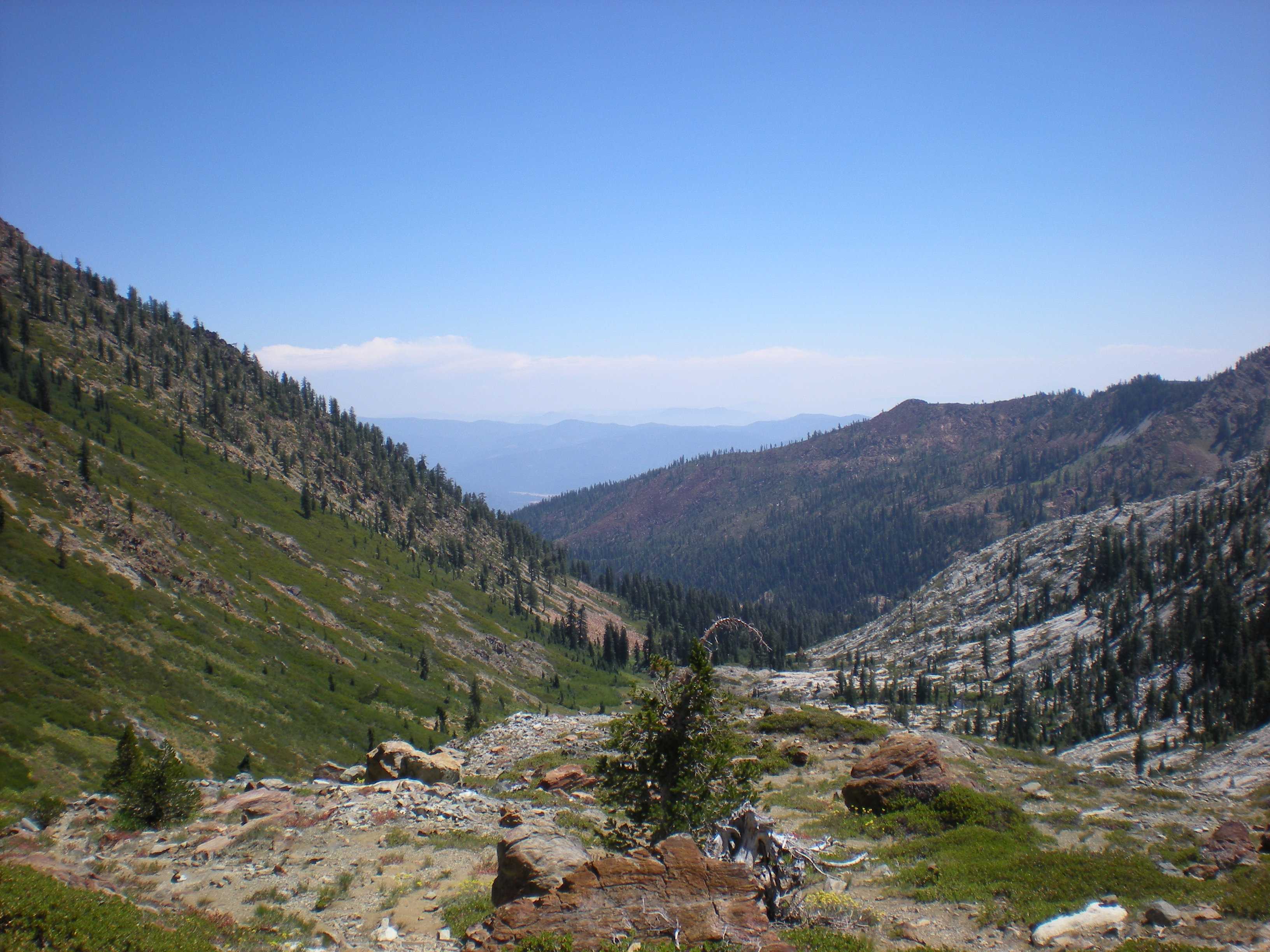
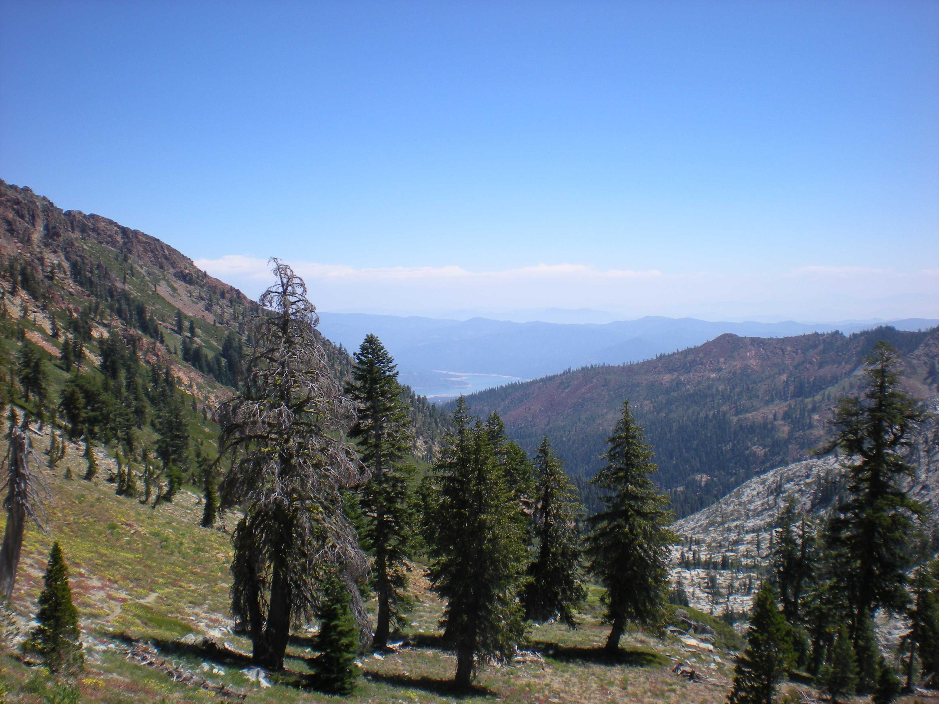
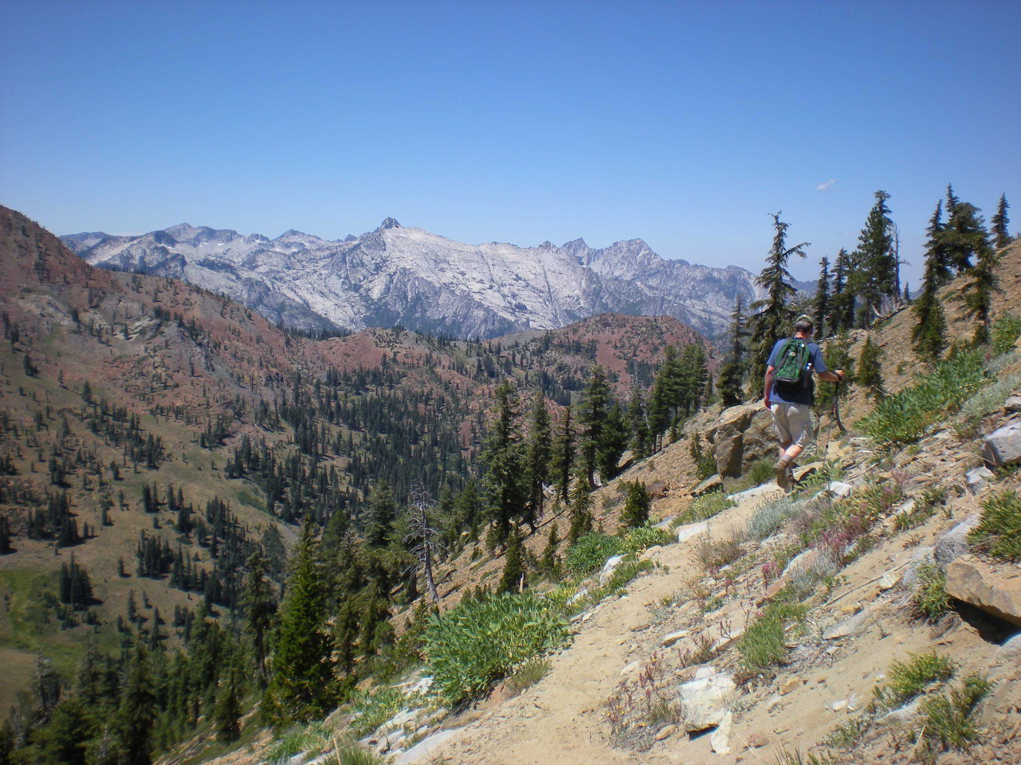
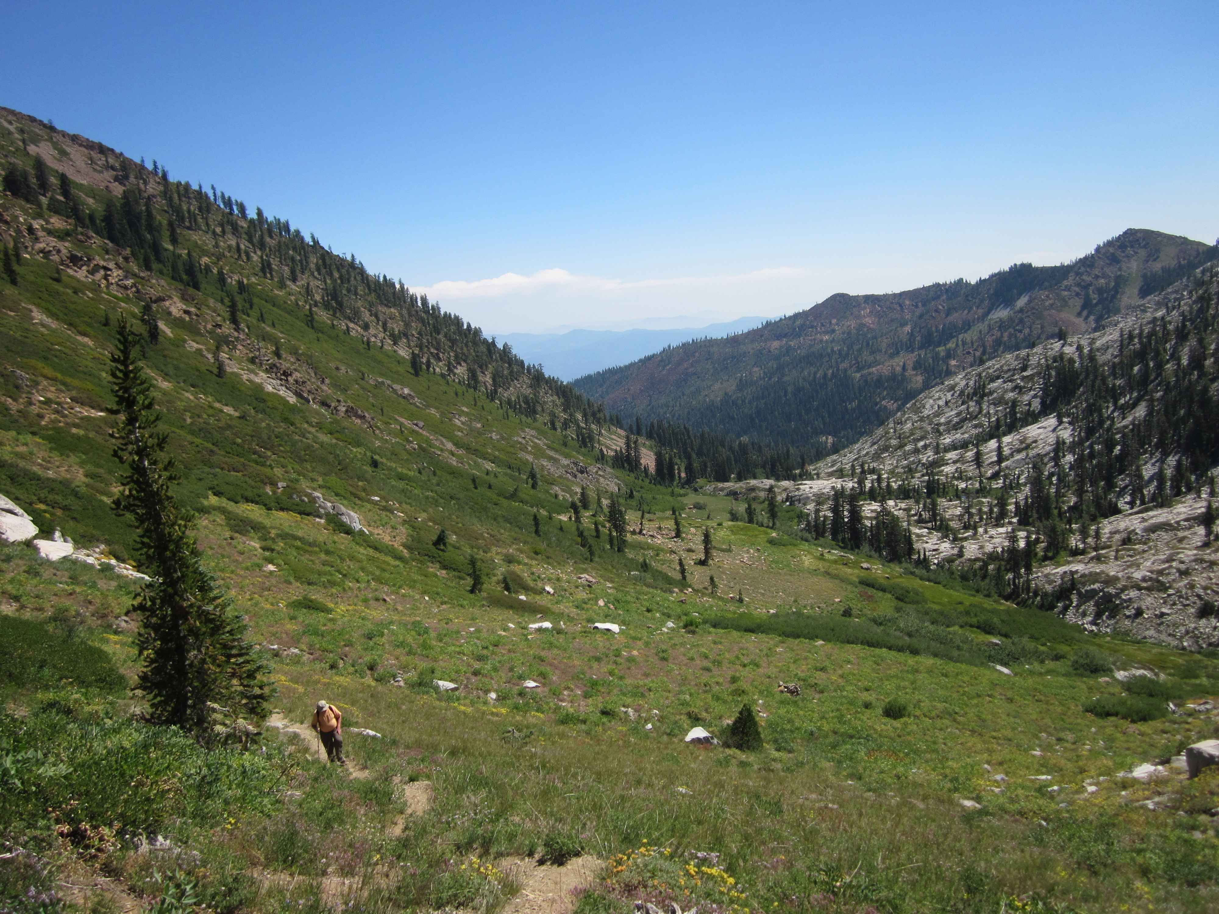
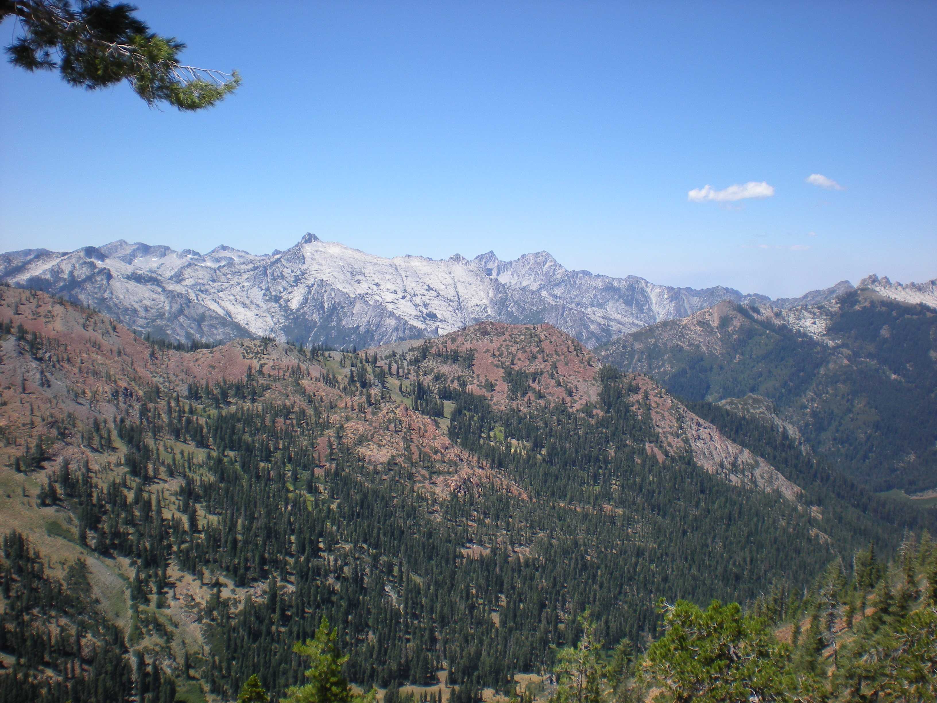
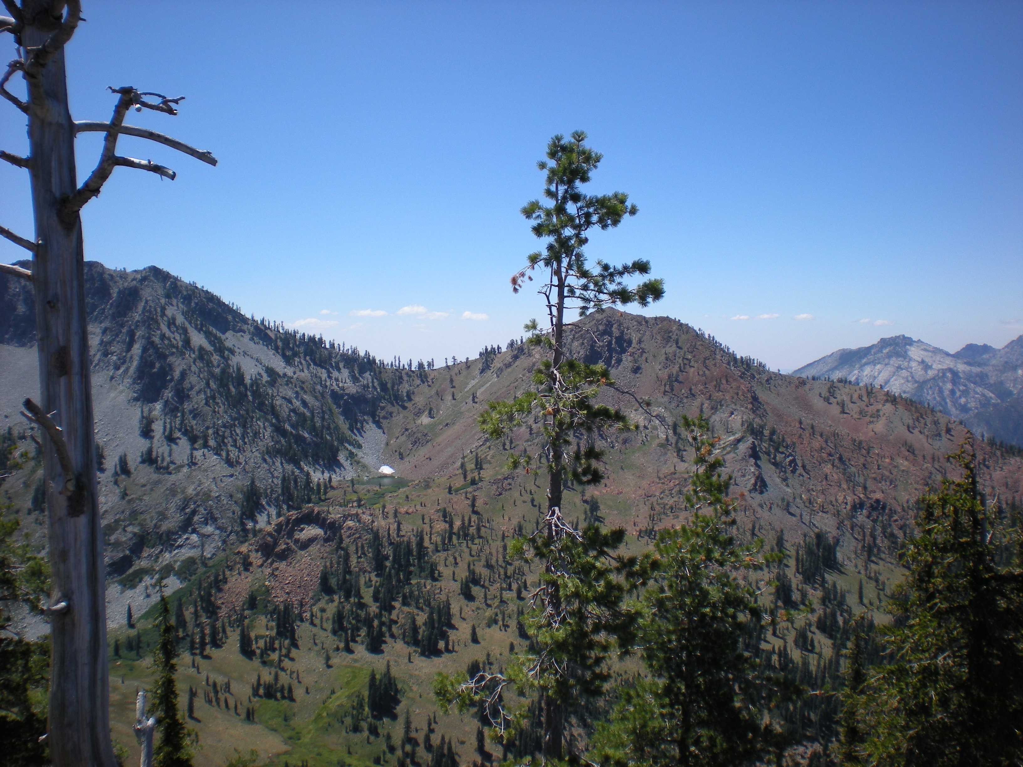
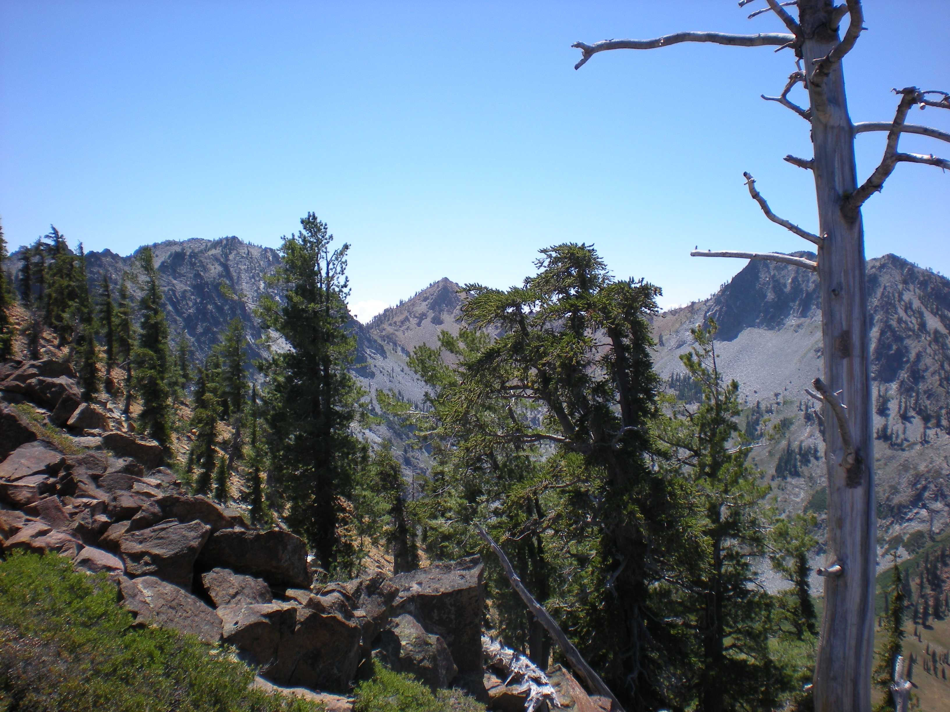
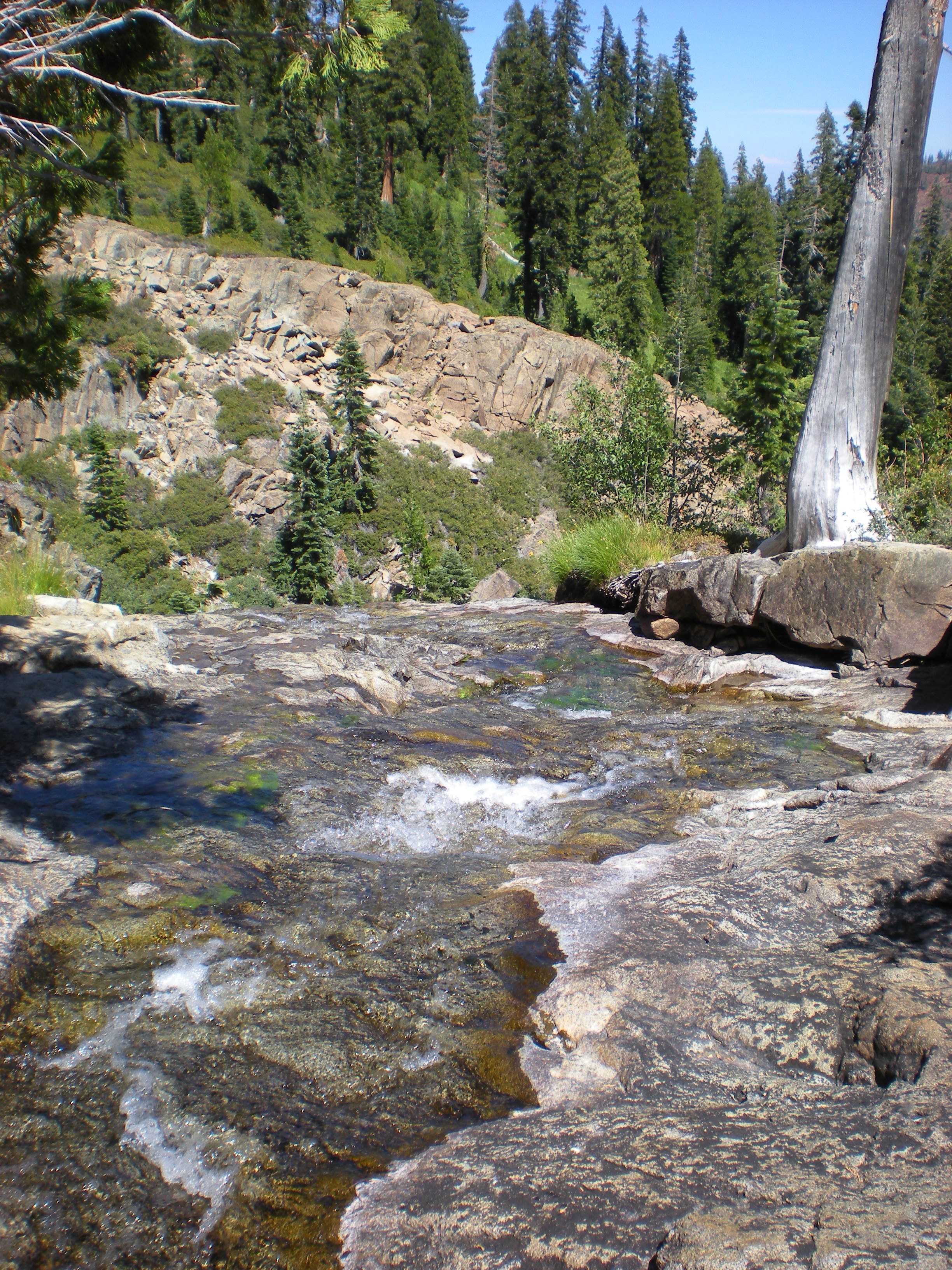
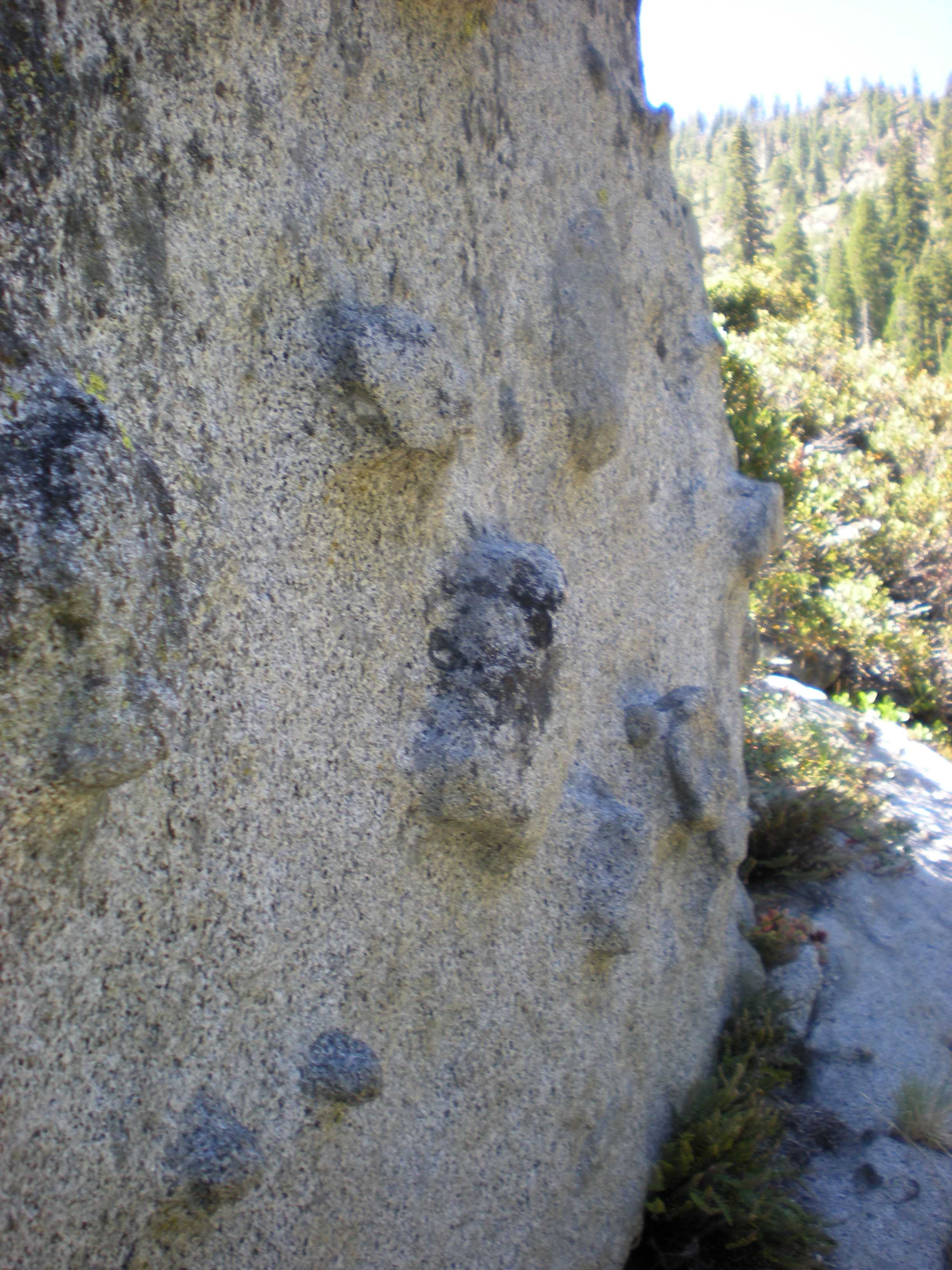
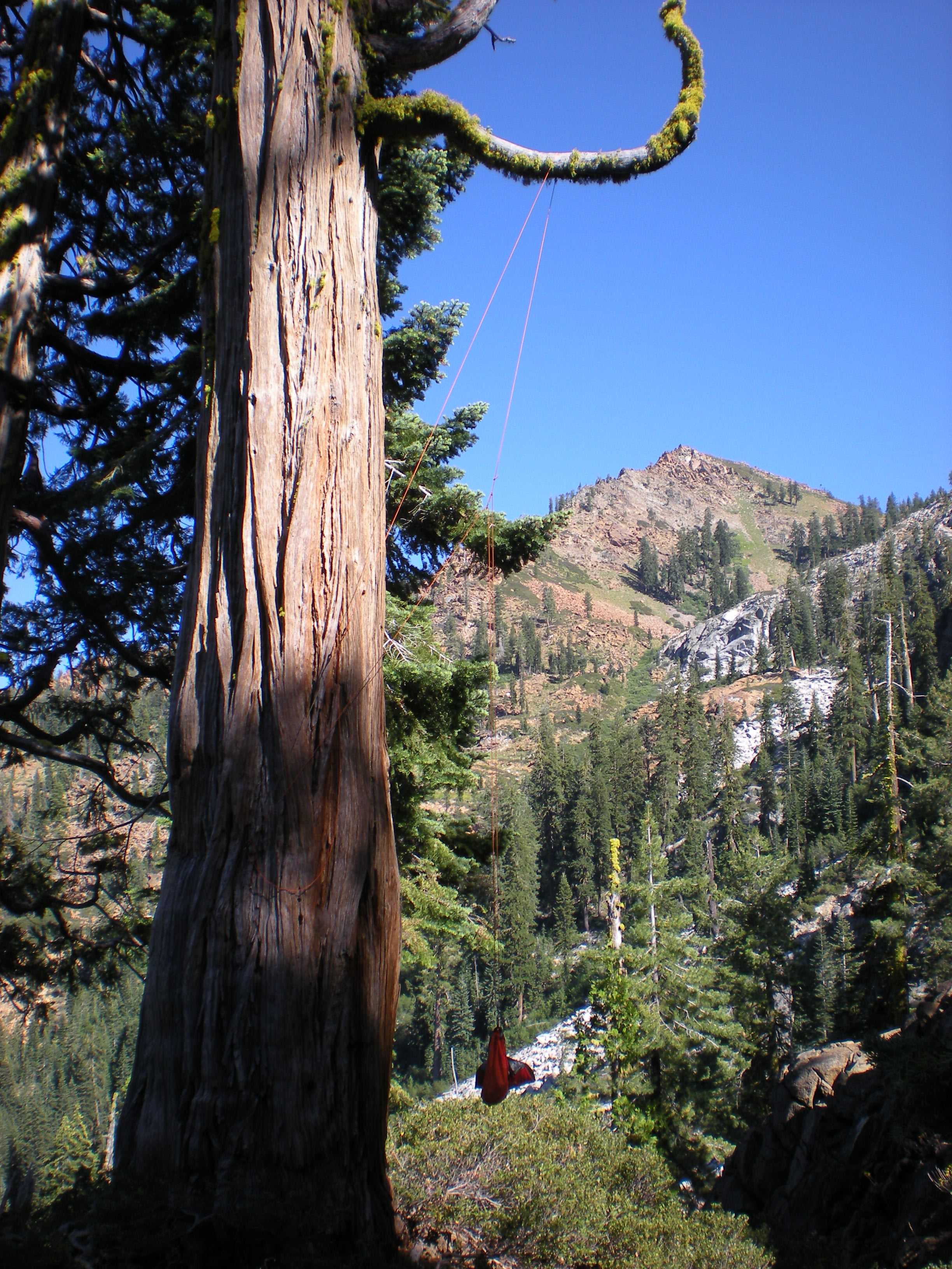
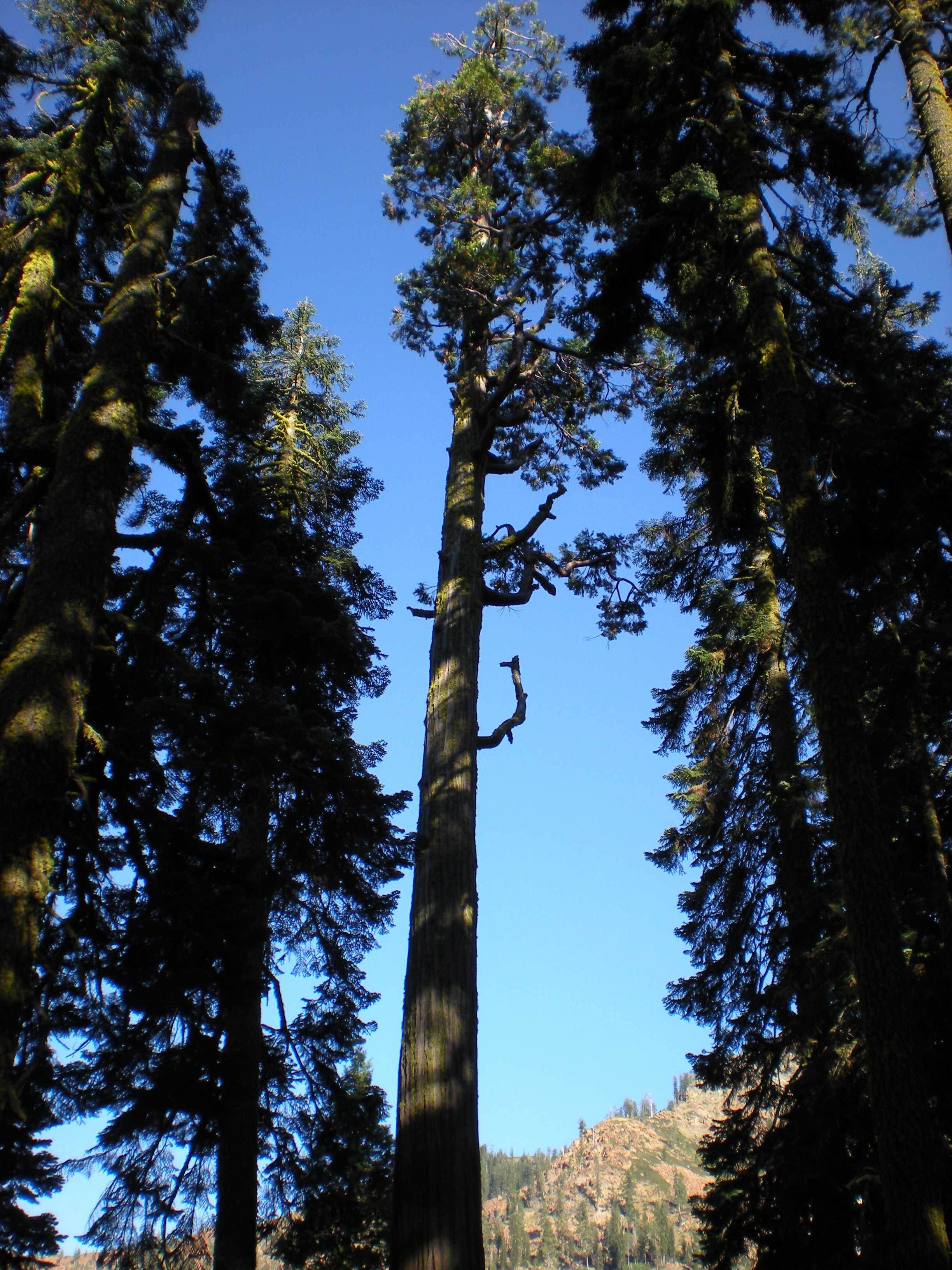
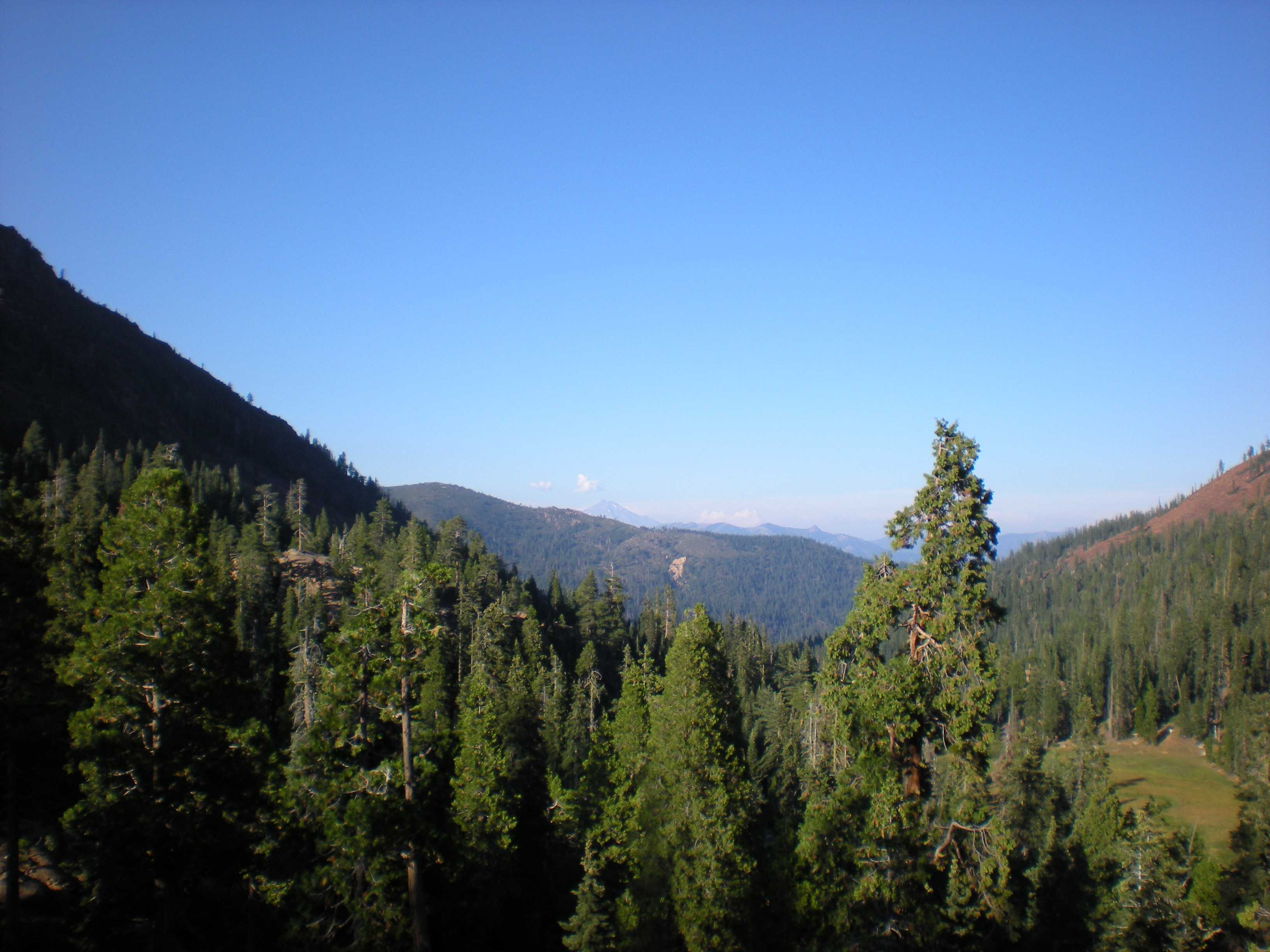
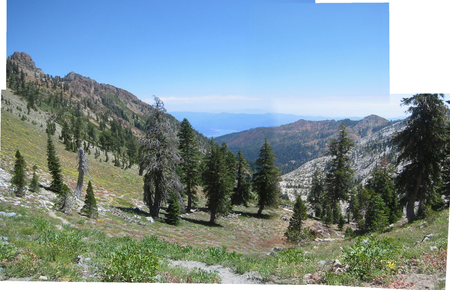
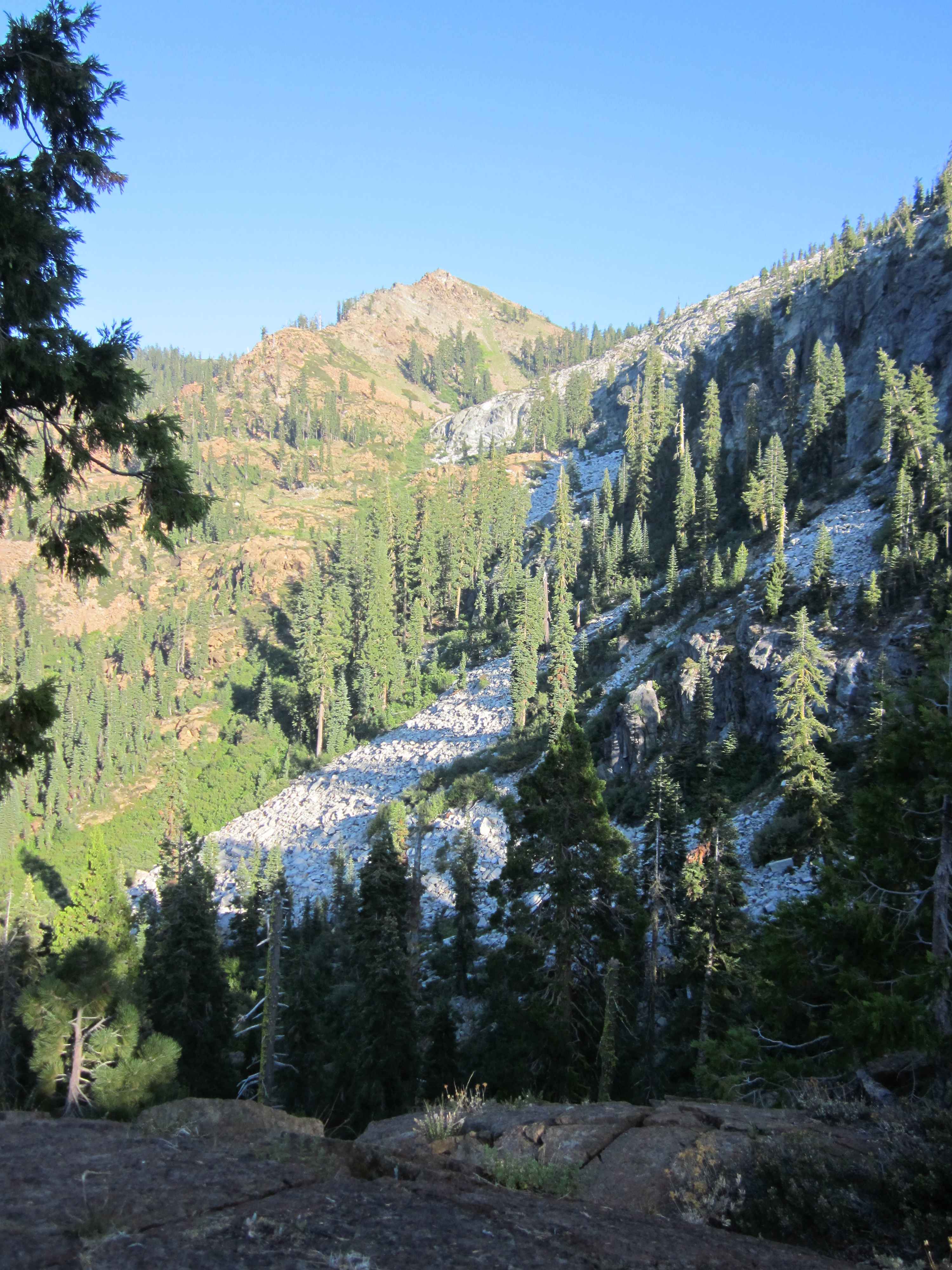
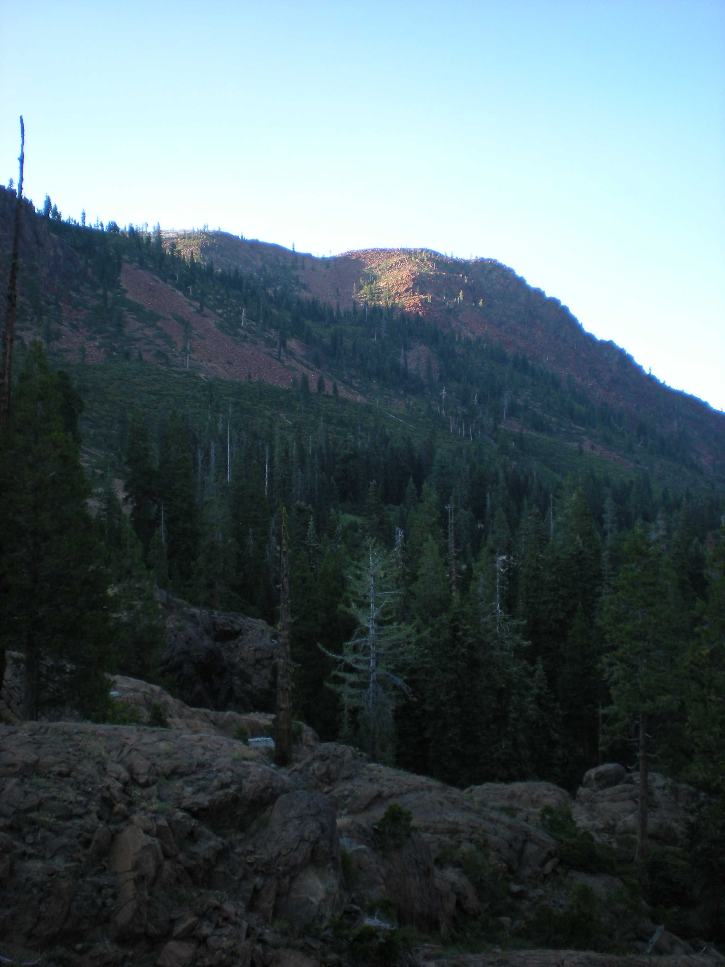
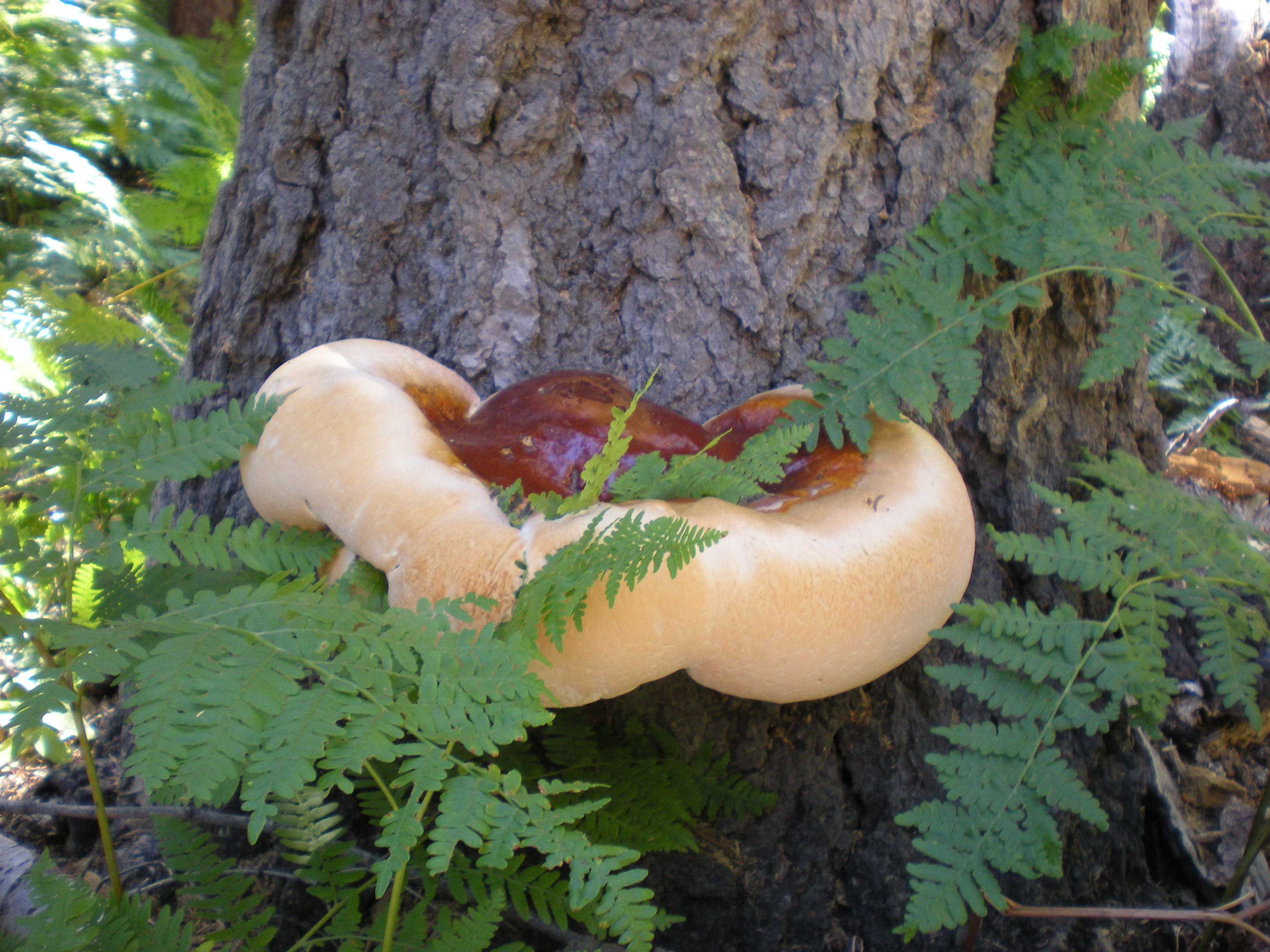
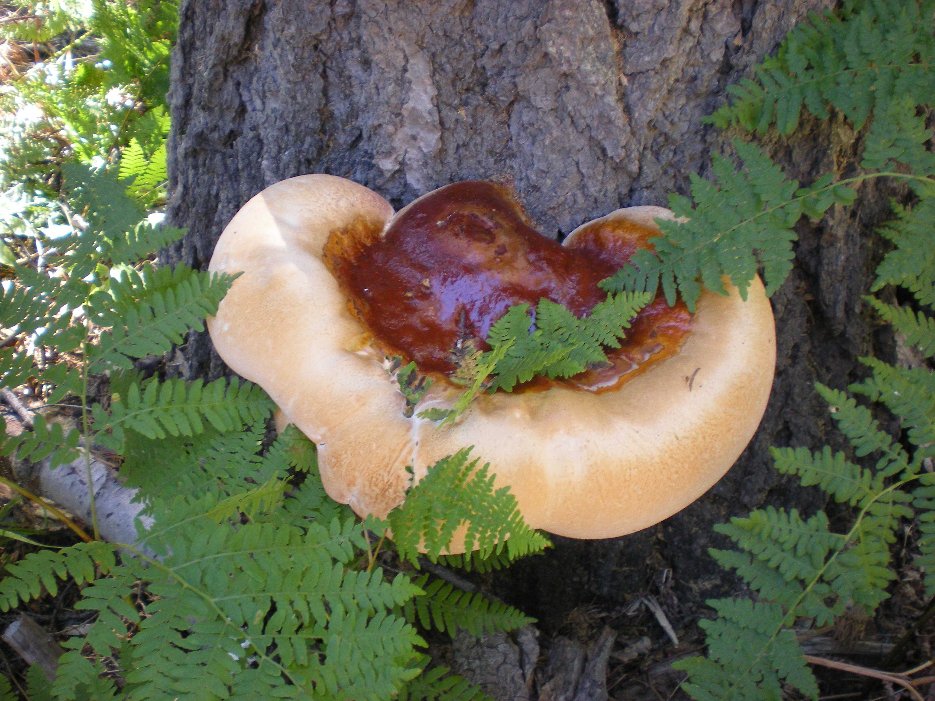
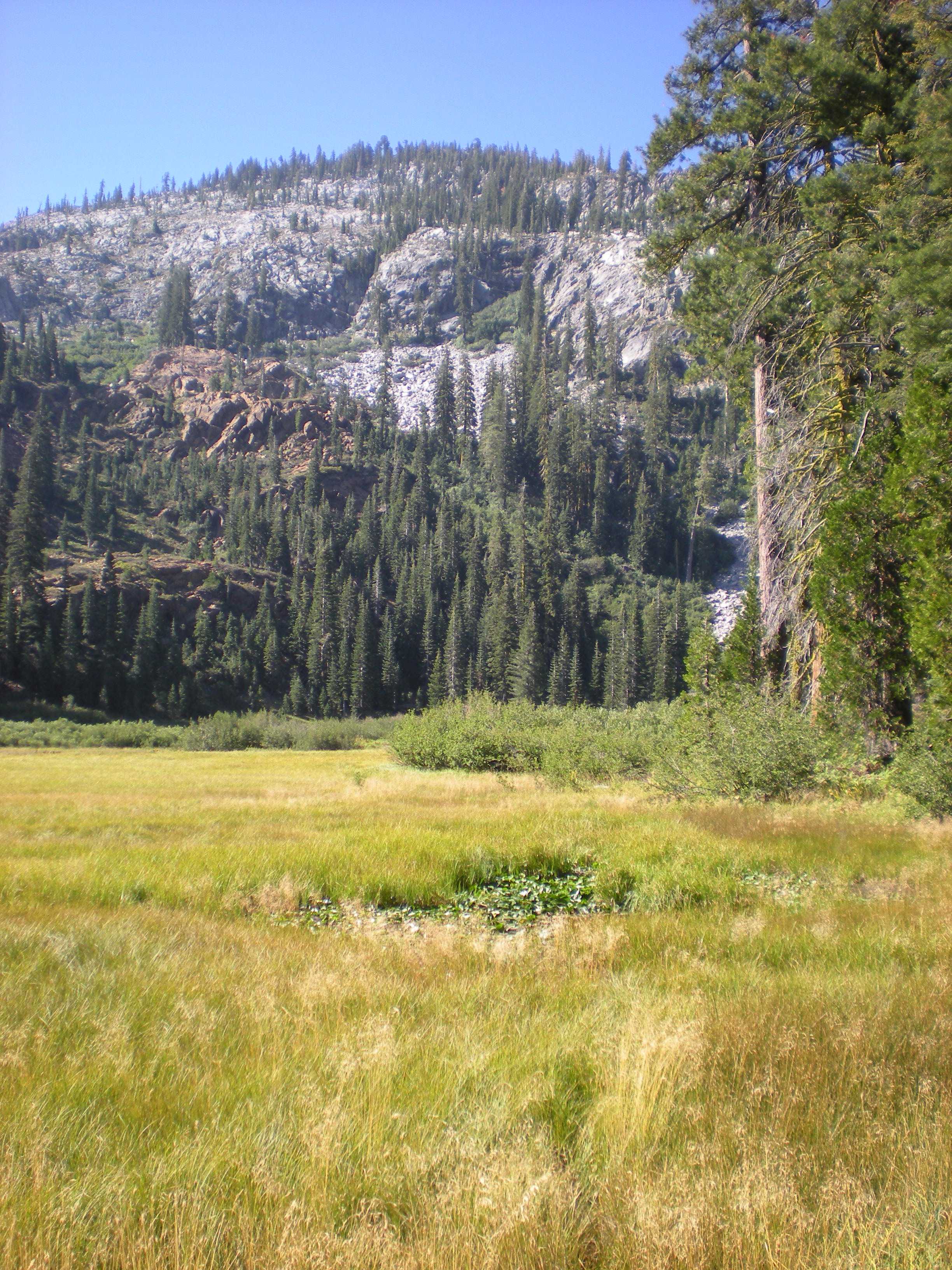
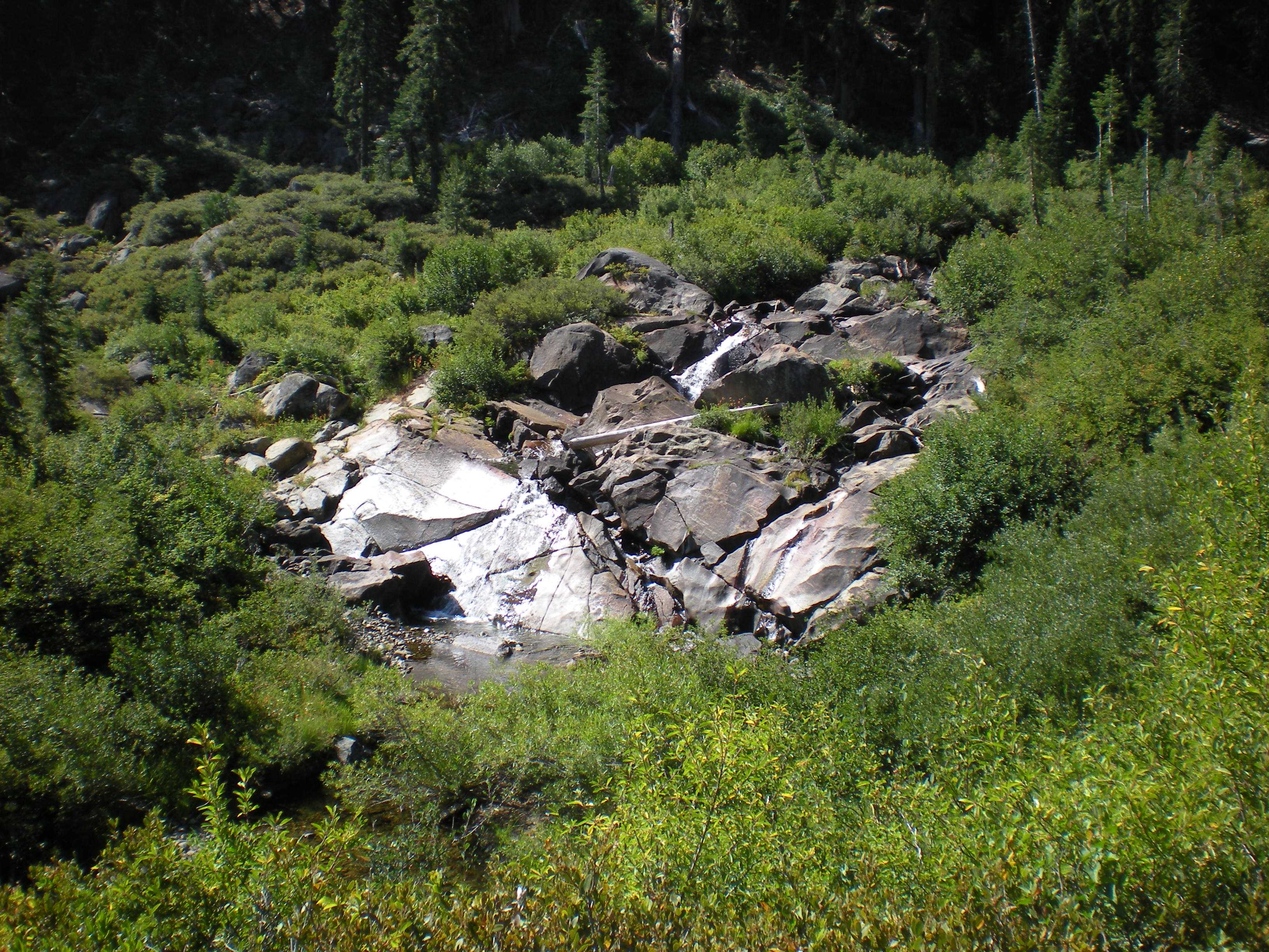
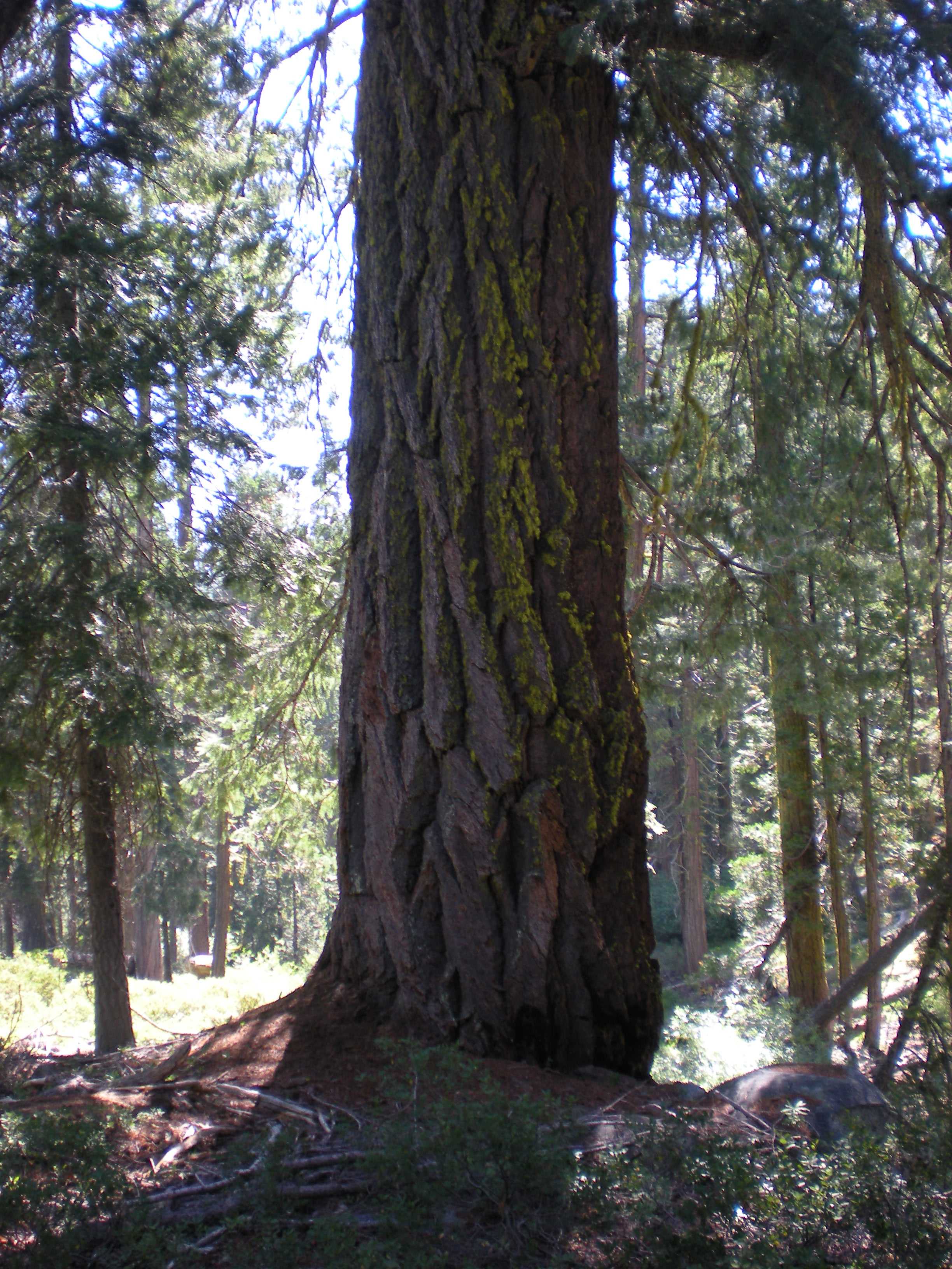
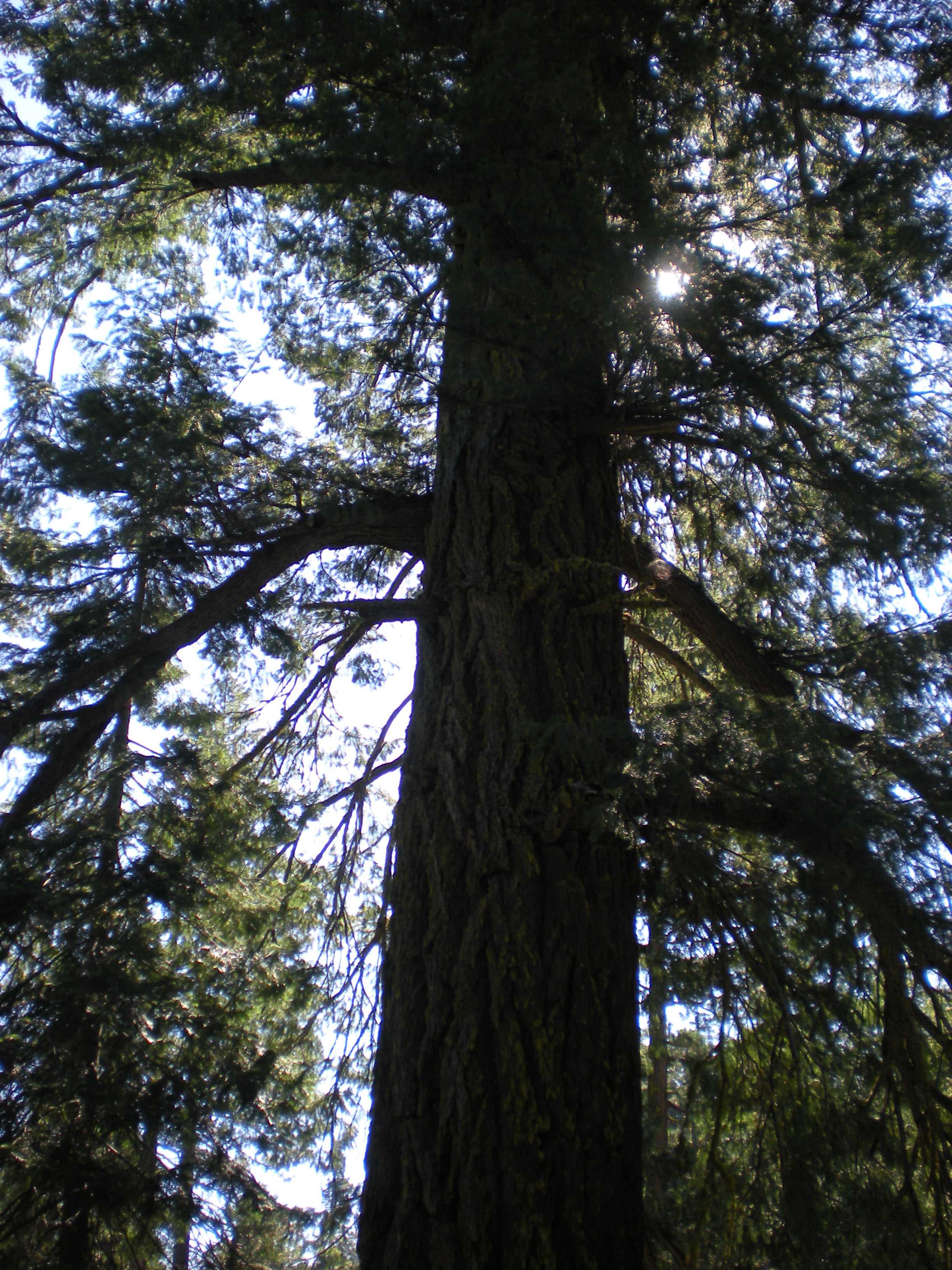
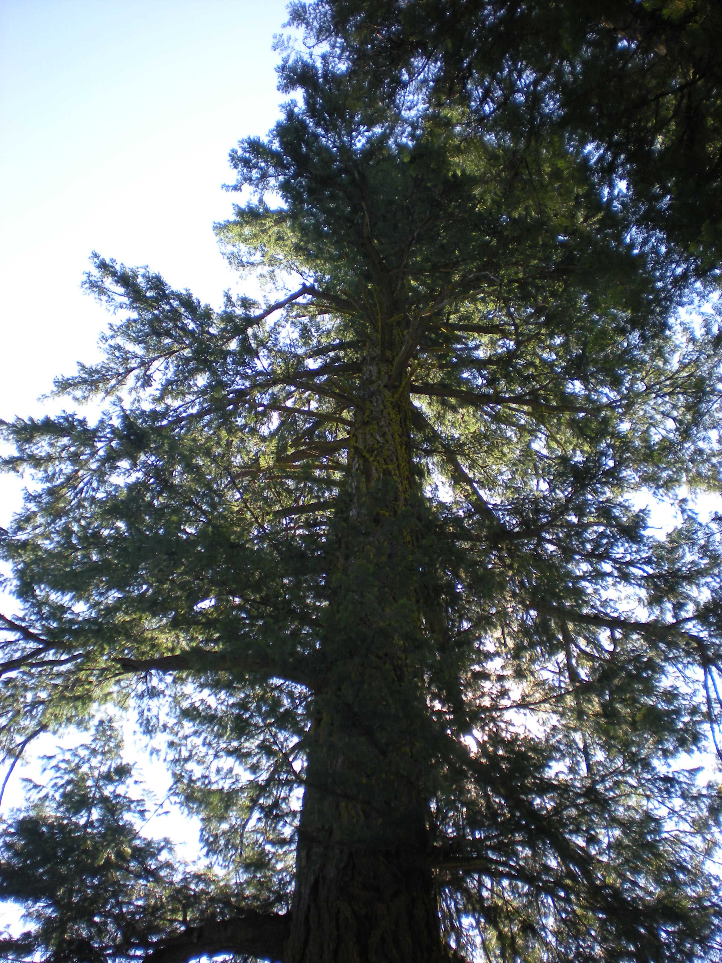
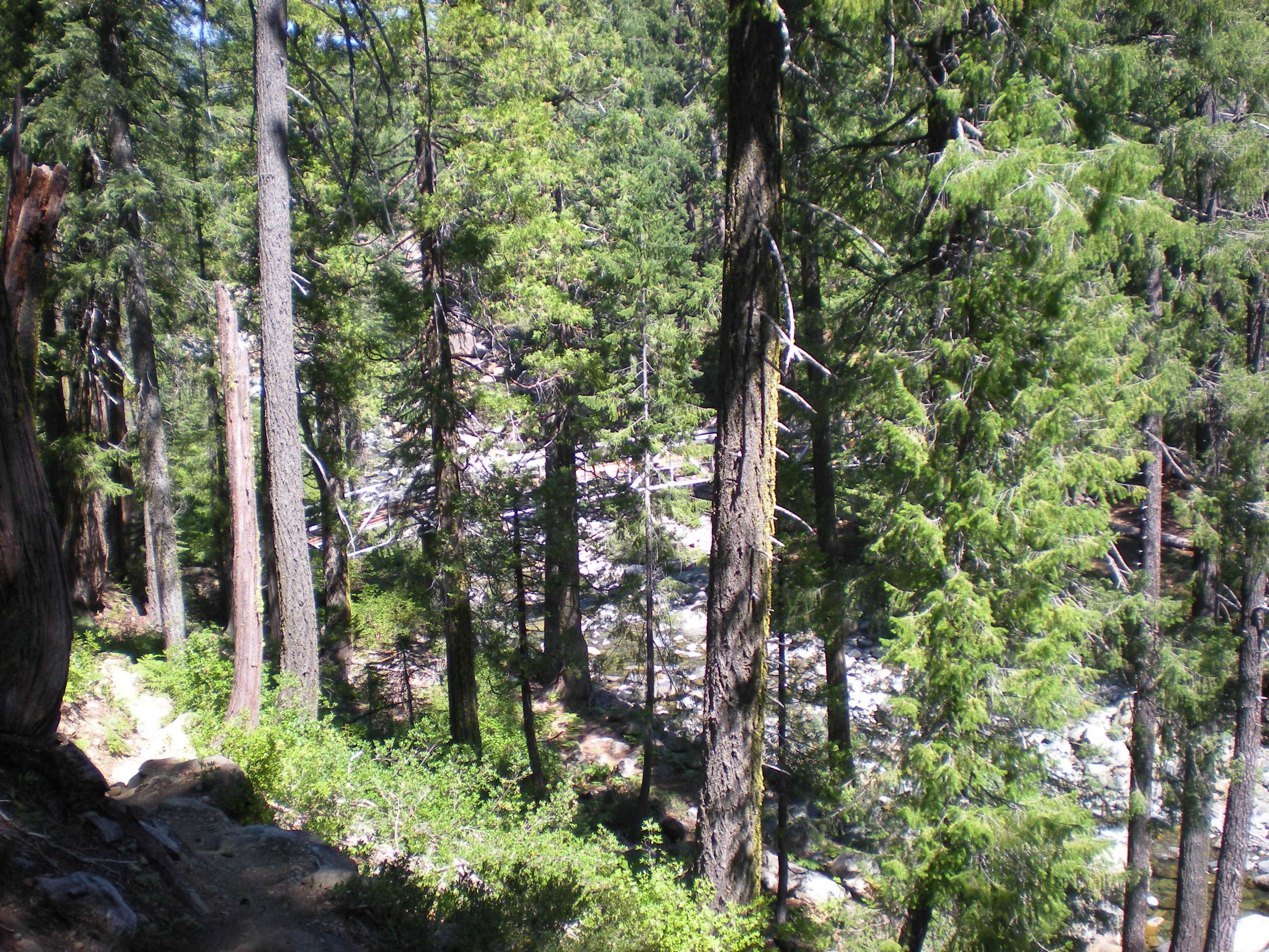
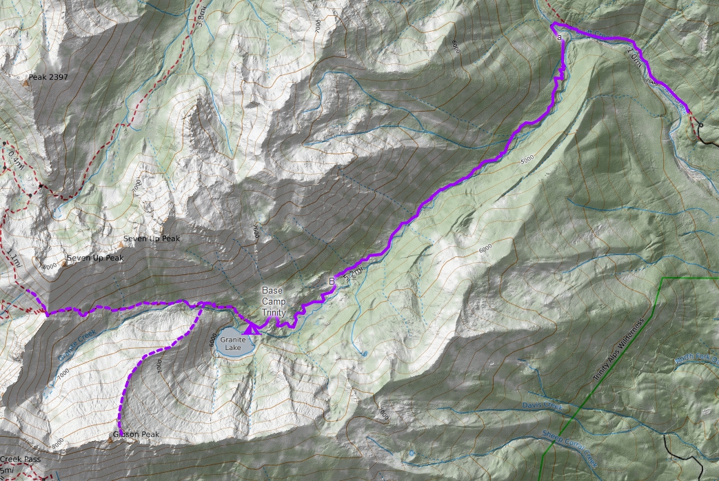
After a light breakfast, we took Highway 3 north about 30 miles to Swift Creek Road near Trinity Center. About 7 miles later, we had arrived at the trail head. We put our gear on and started to hike. Fairly soon we reached Swift Creek Gorge after about a mile, and then rapidly arrived at Swift Creek Bridge. This bridge is adjacent to a nice creek-side beach that makes for a great rest stop, but when we were there it had a few tents in it. We crossed the bridge and moved up onto the Granite Creek trail to hike through Granite Canyon. The 5 mile hike up to Granite Lake varied from old growth forests to open meadows (e.g. Gibson Meadow) with a few small stream crossings. Granite Lake is a beautiful lake surrounded by the white granite of Gibson Peak. I lagged behind eventually reaching base camp with some help from Brian. At this time, I seriously began to re-evaluate my hiking model and also wondered how bad my medicines were affecting my ability to hike.

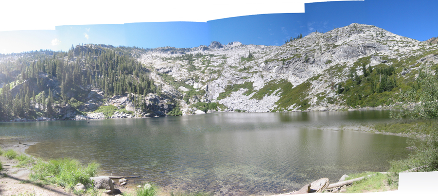
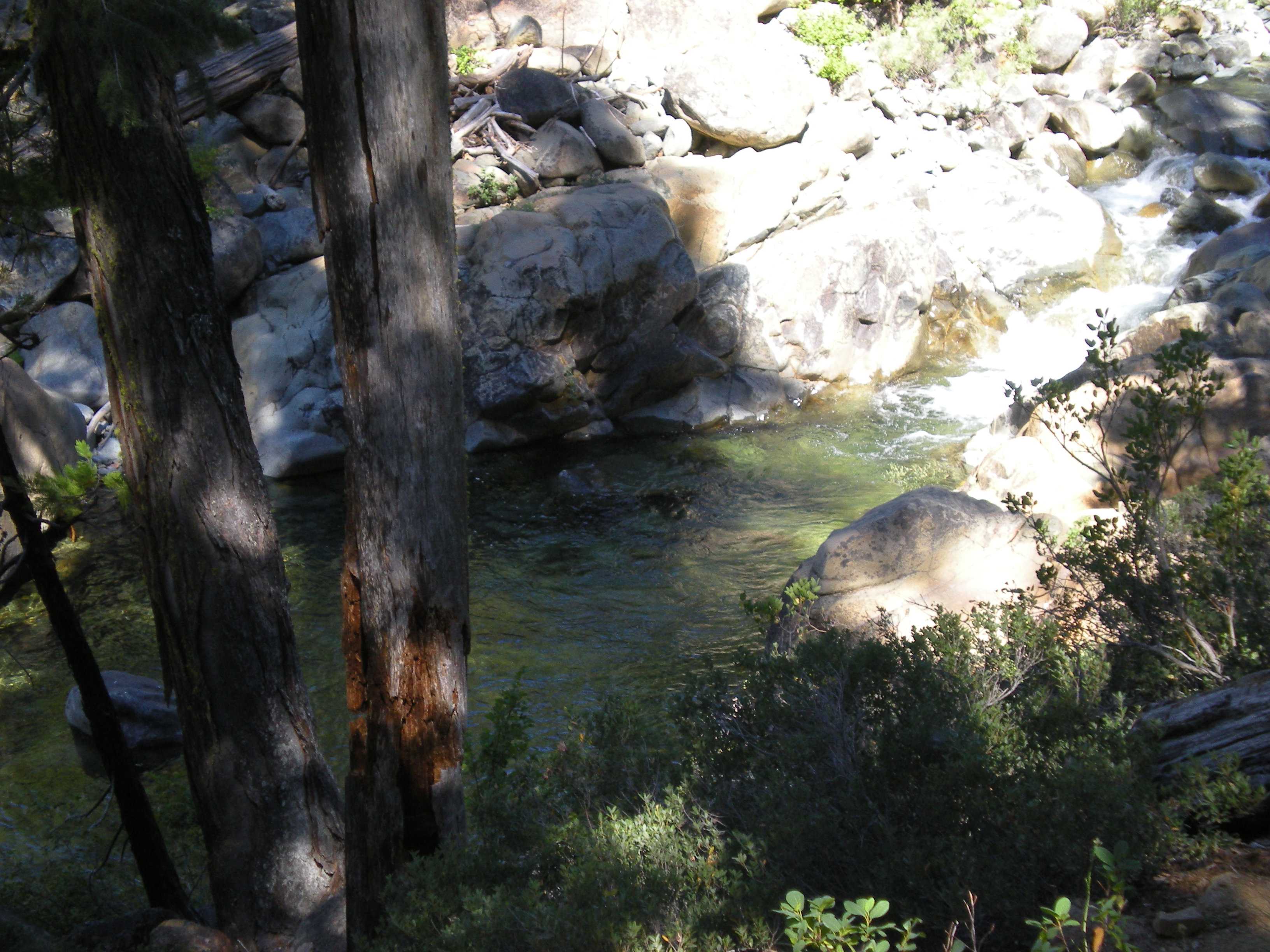
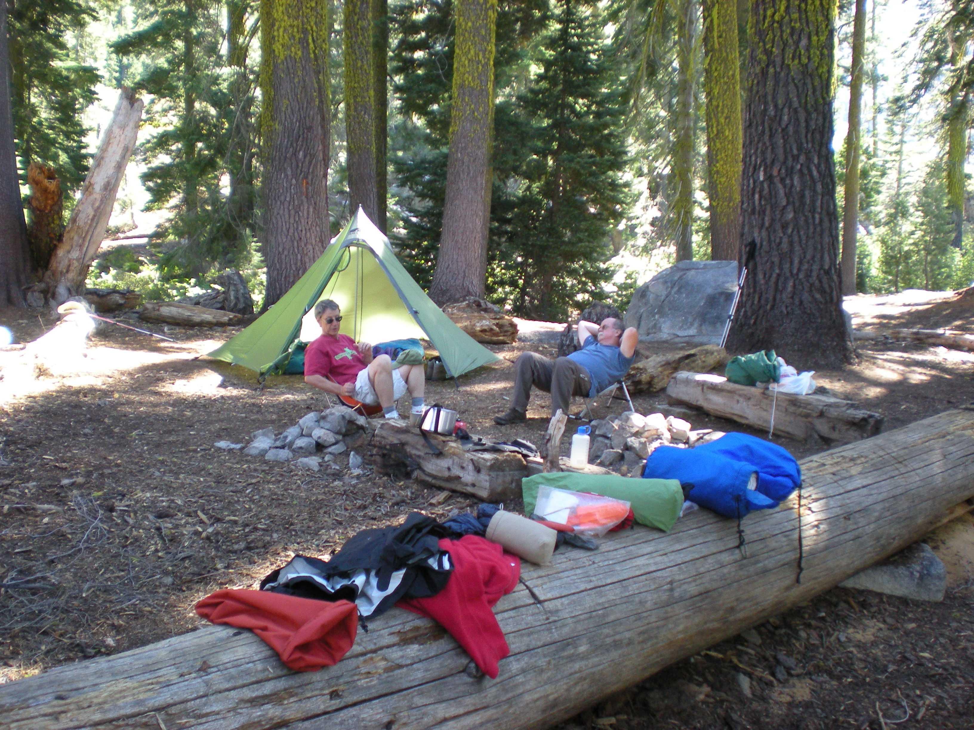
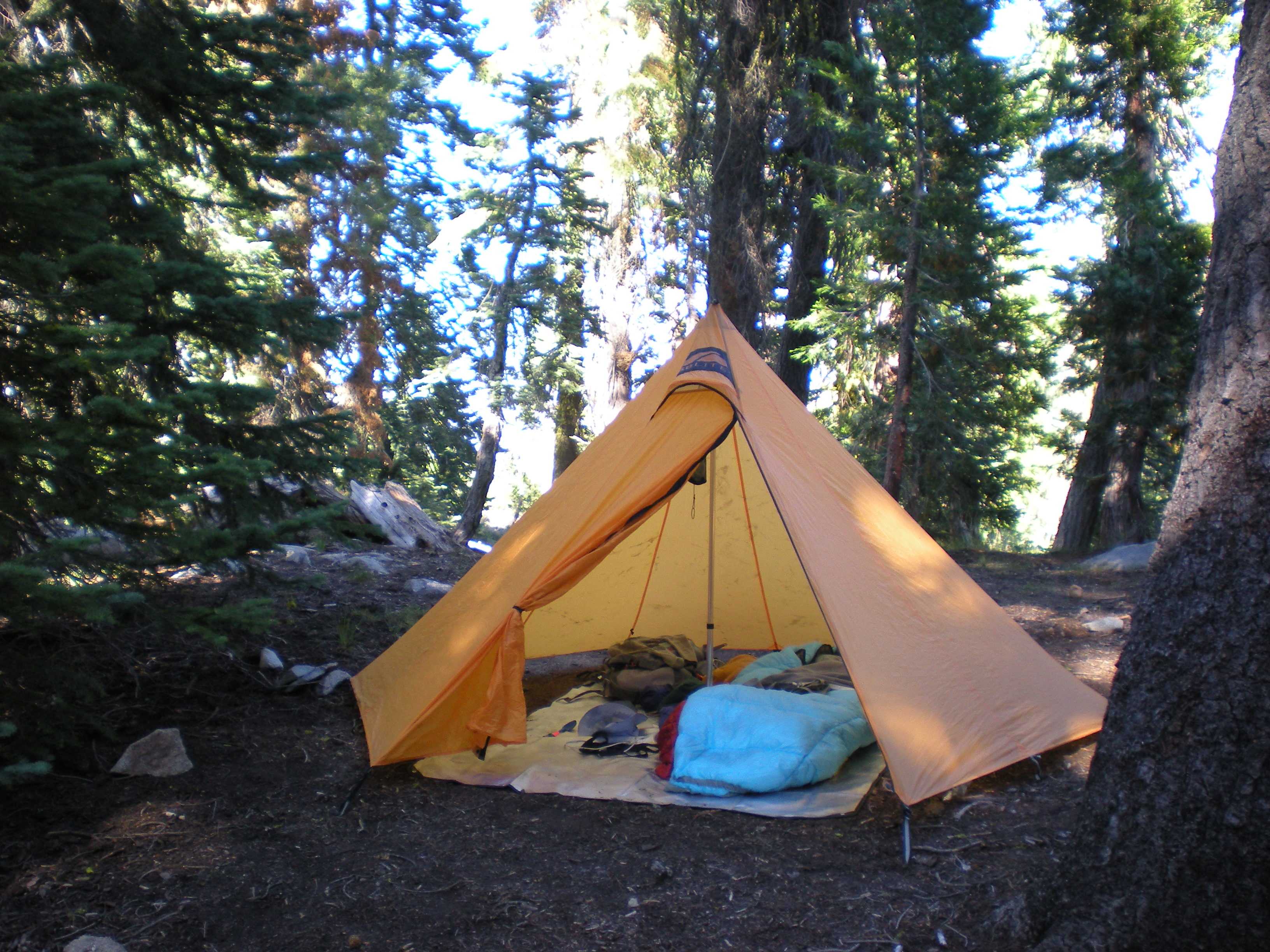
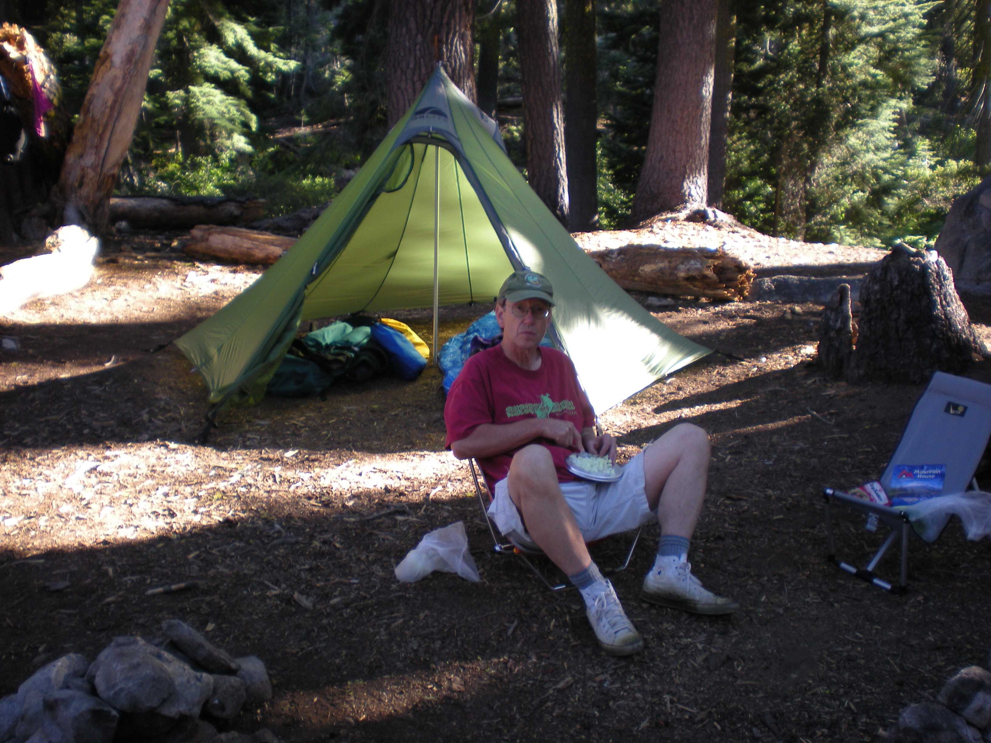
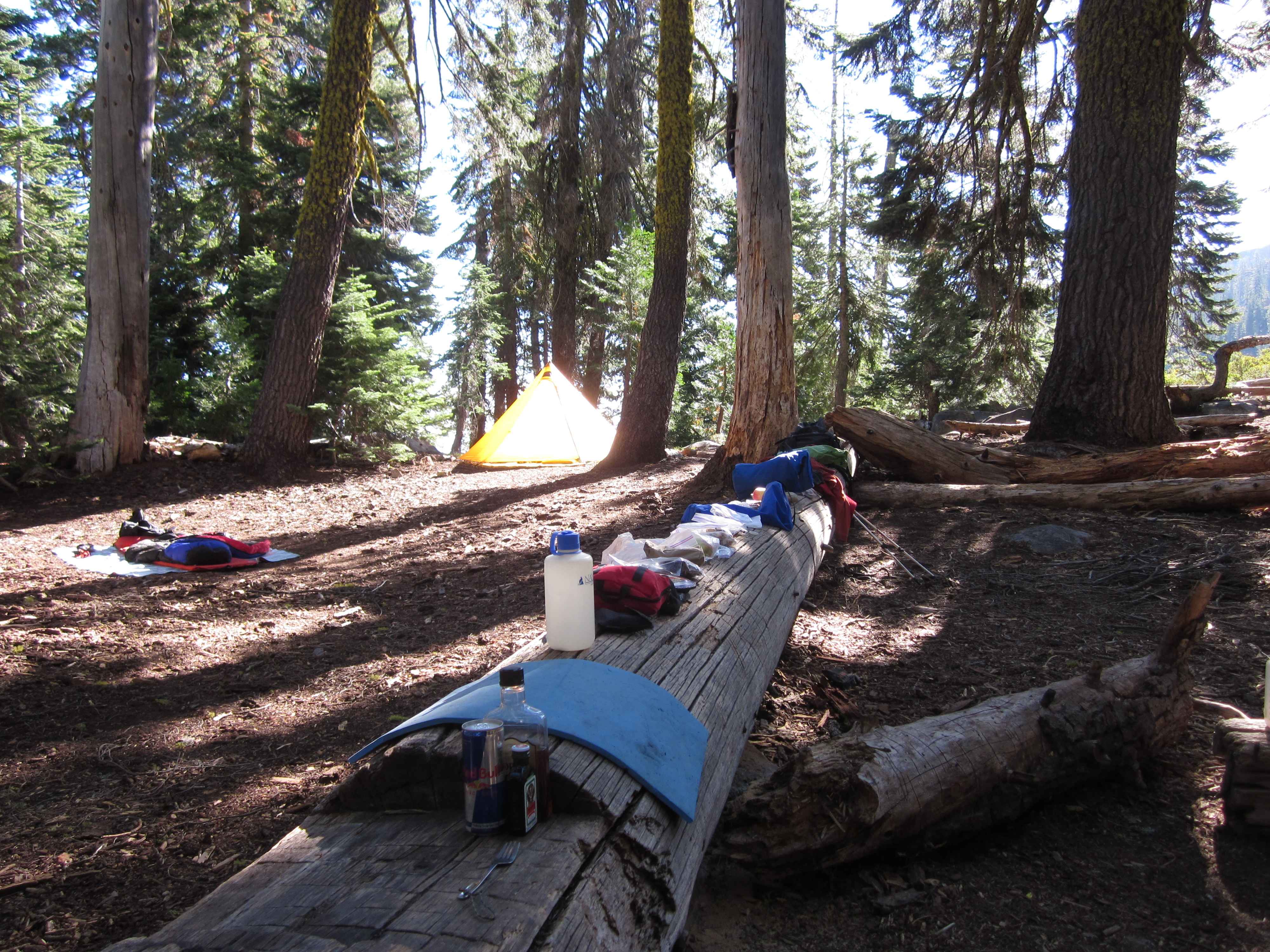
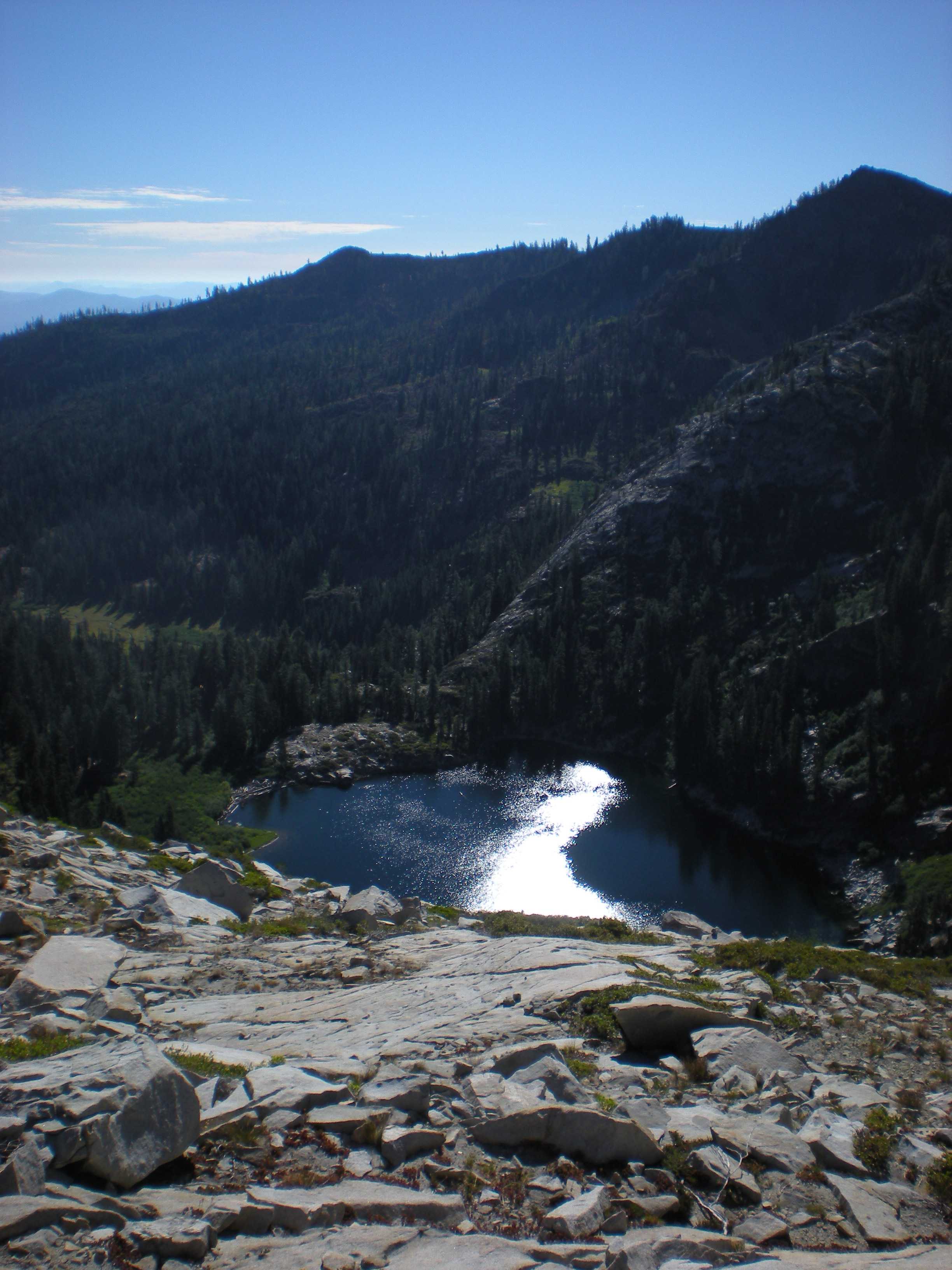
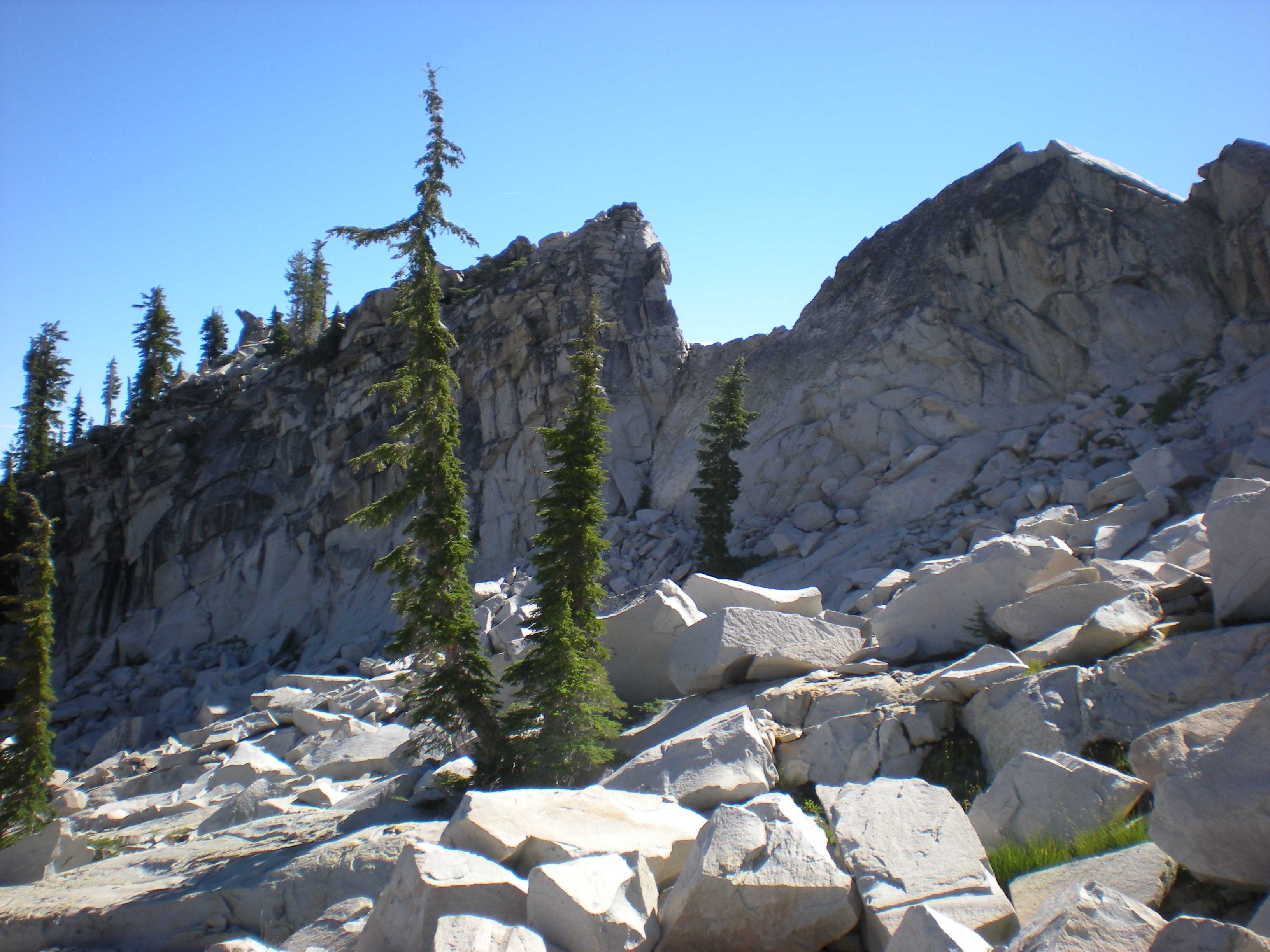
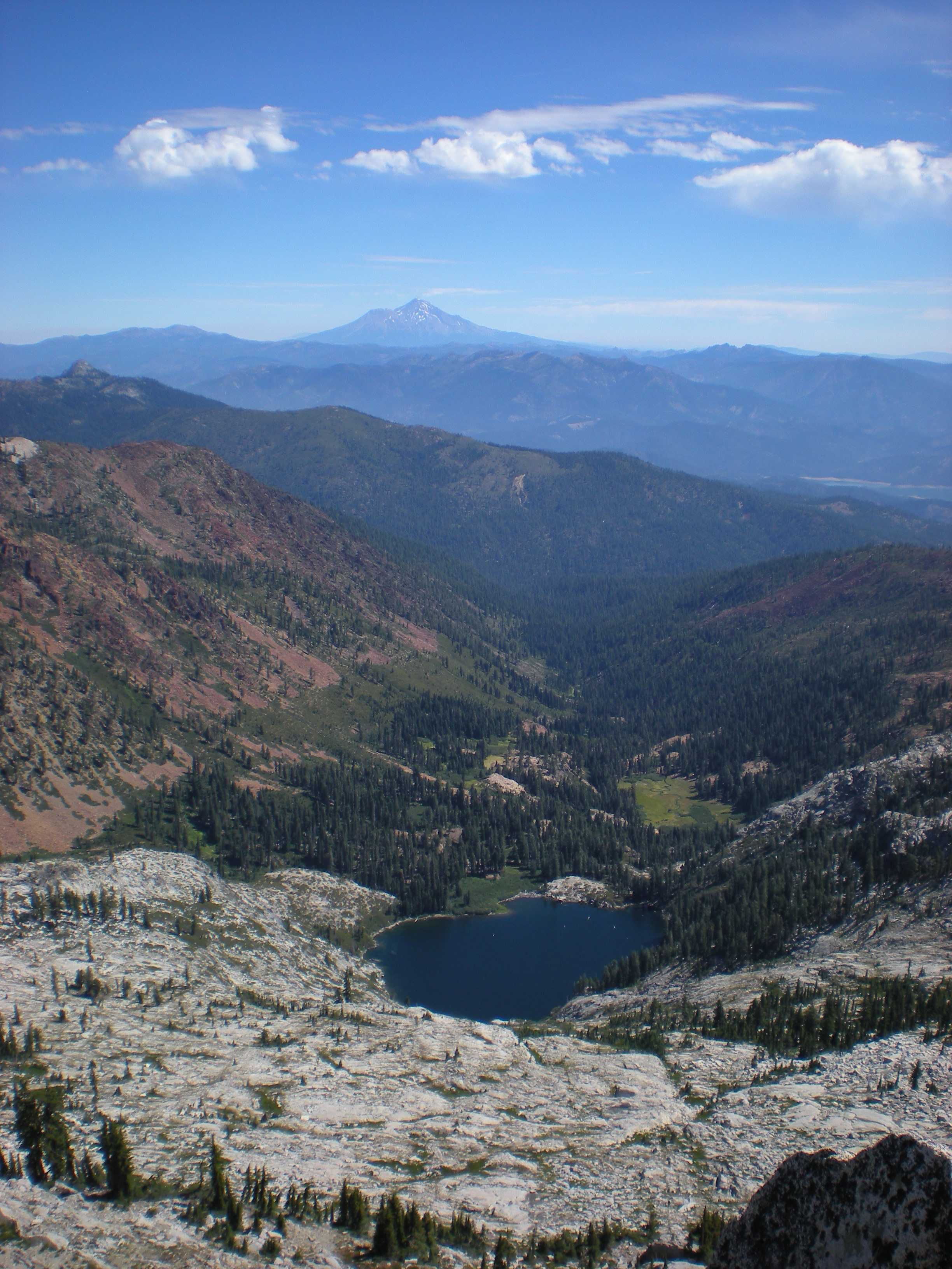
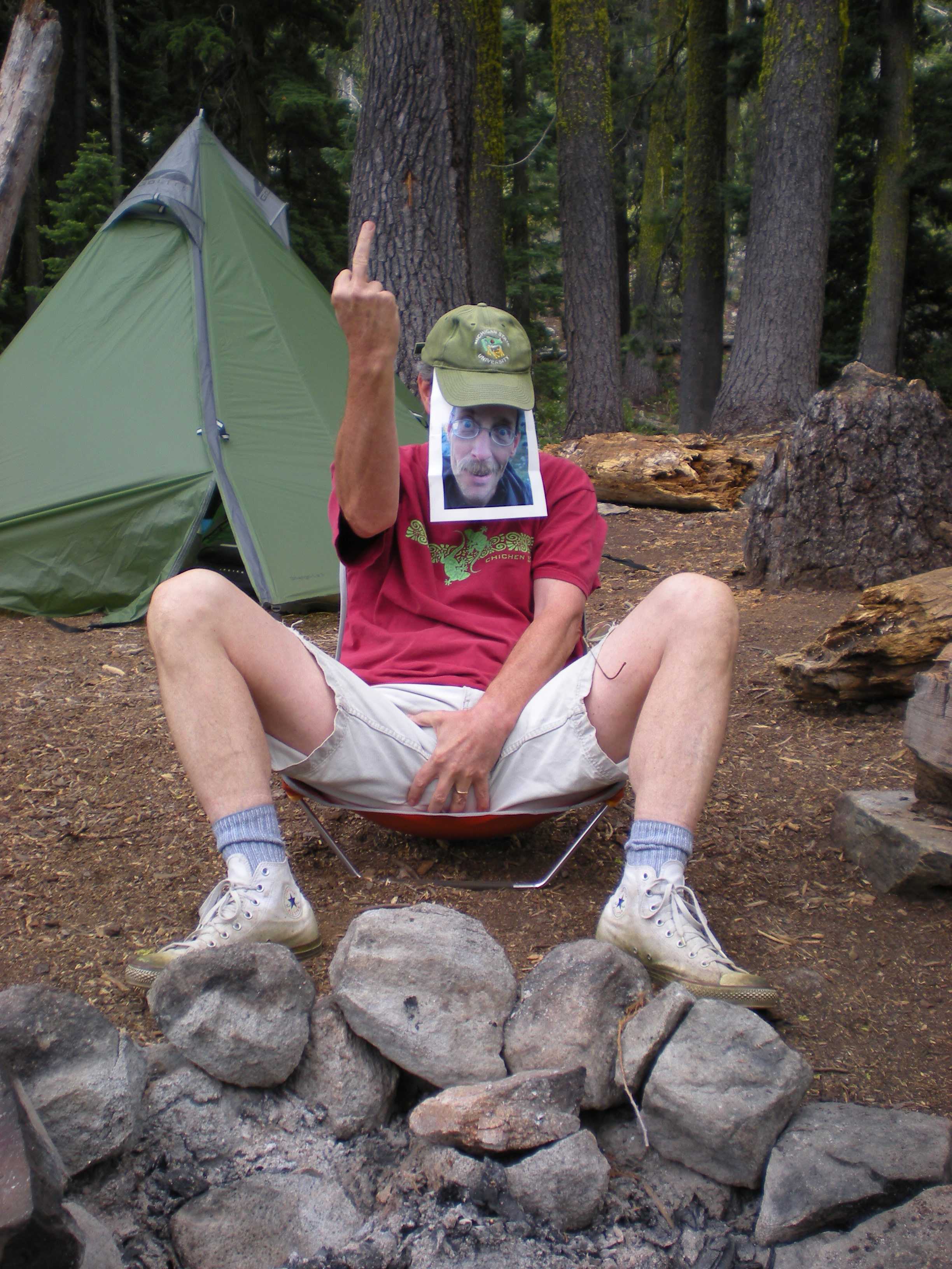
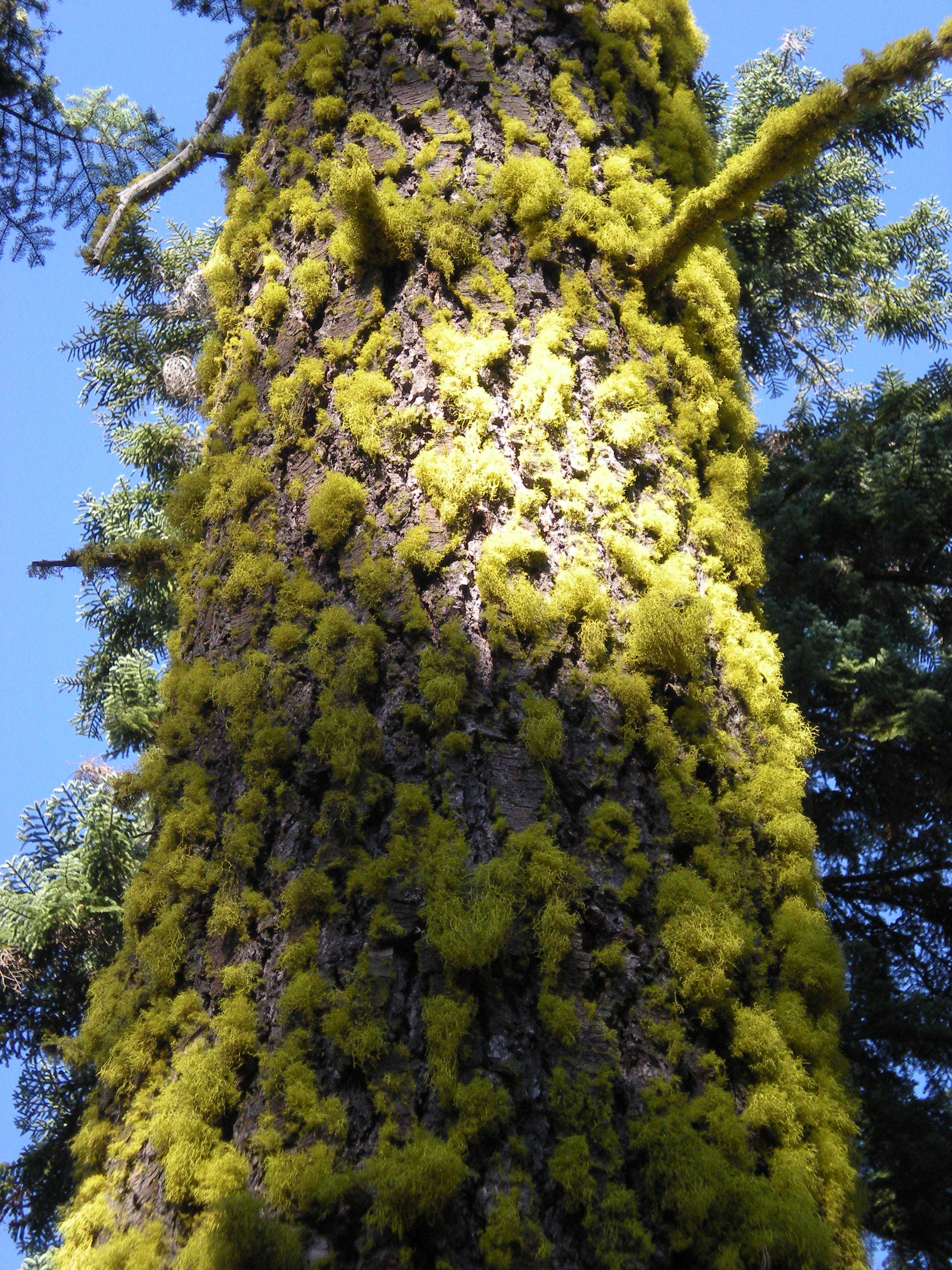
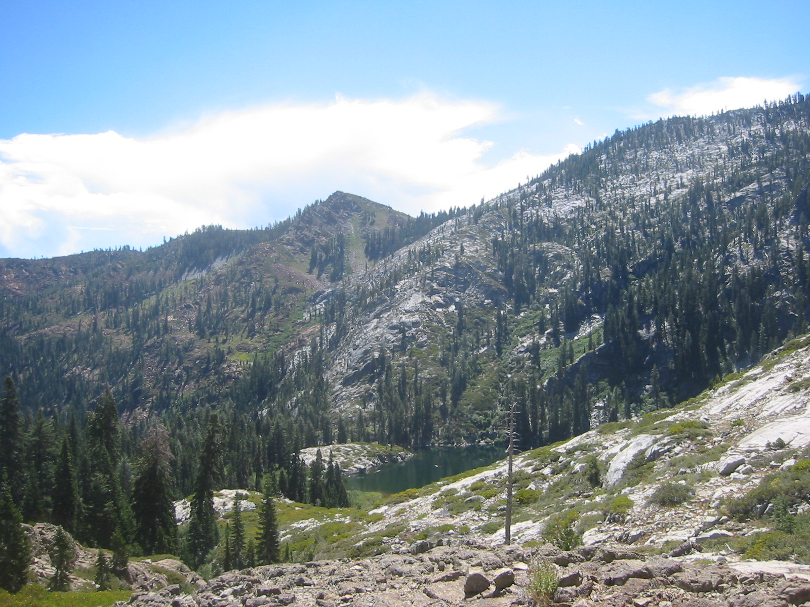
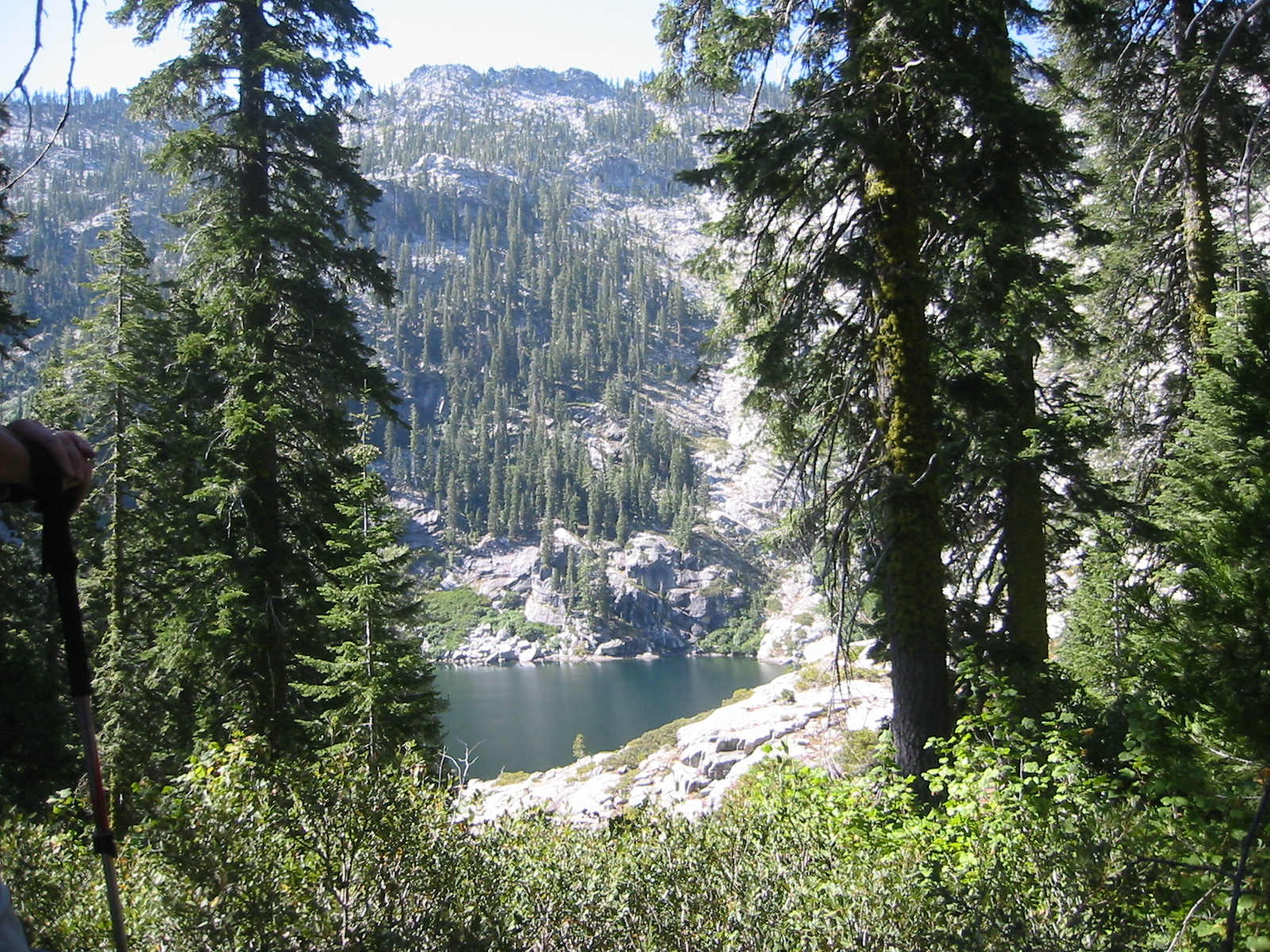
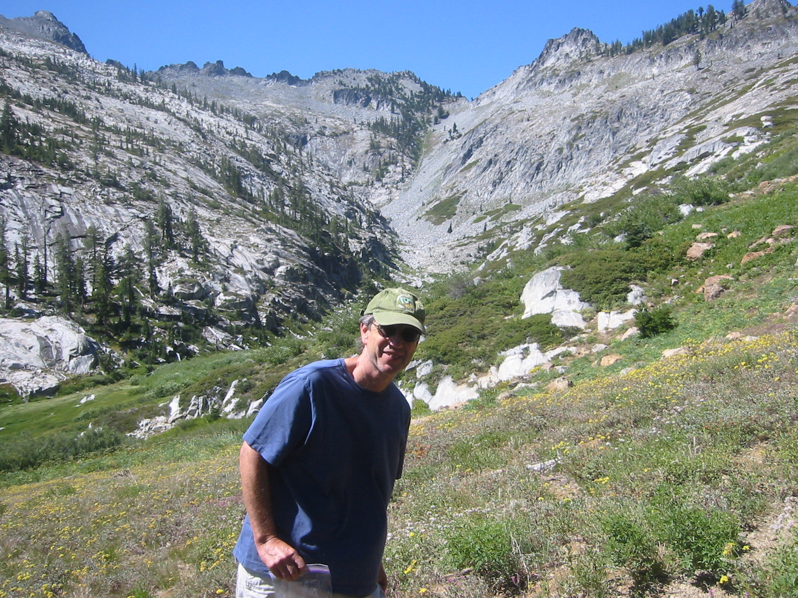
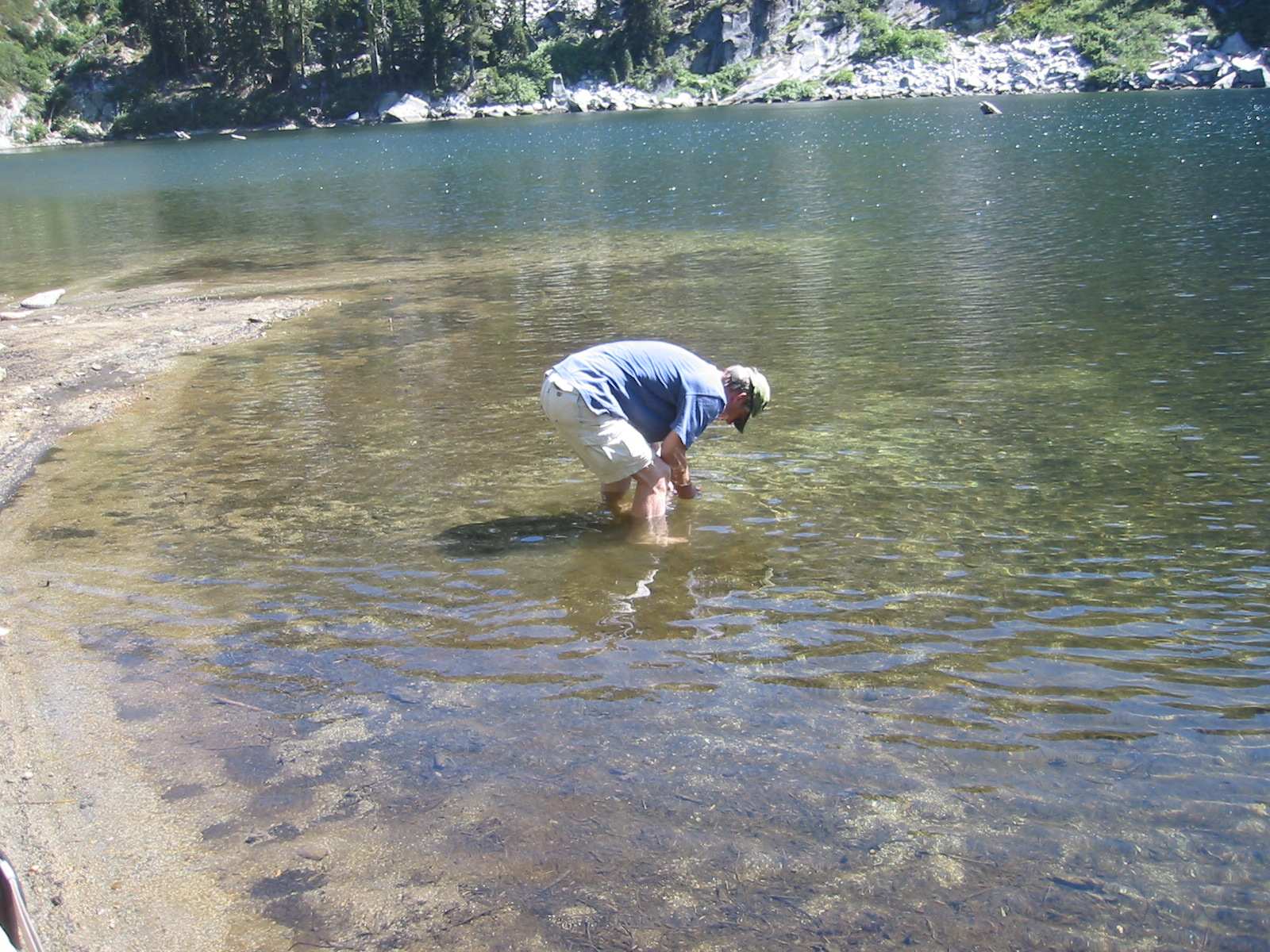
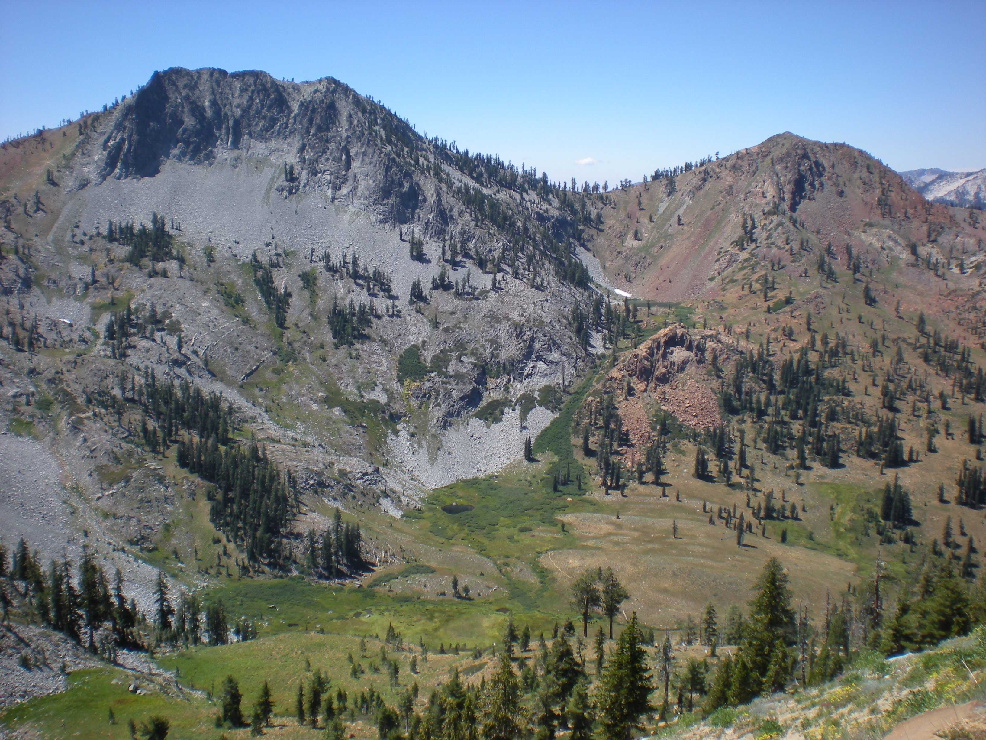
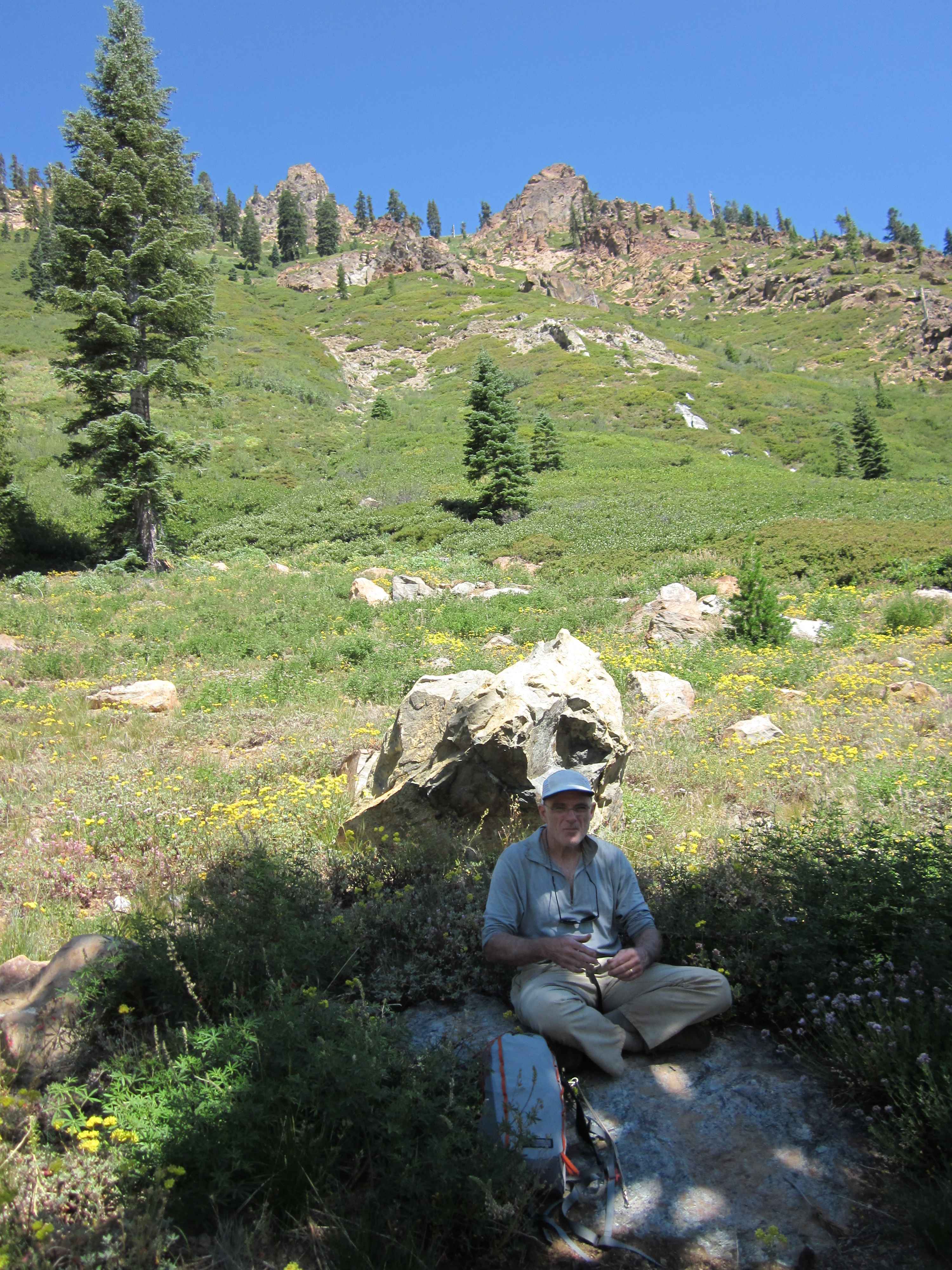
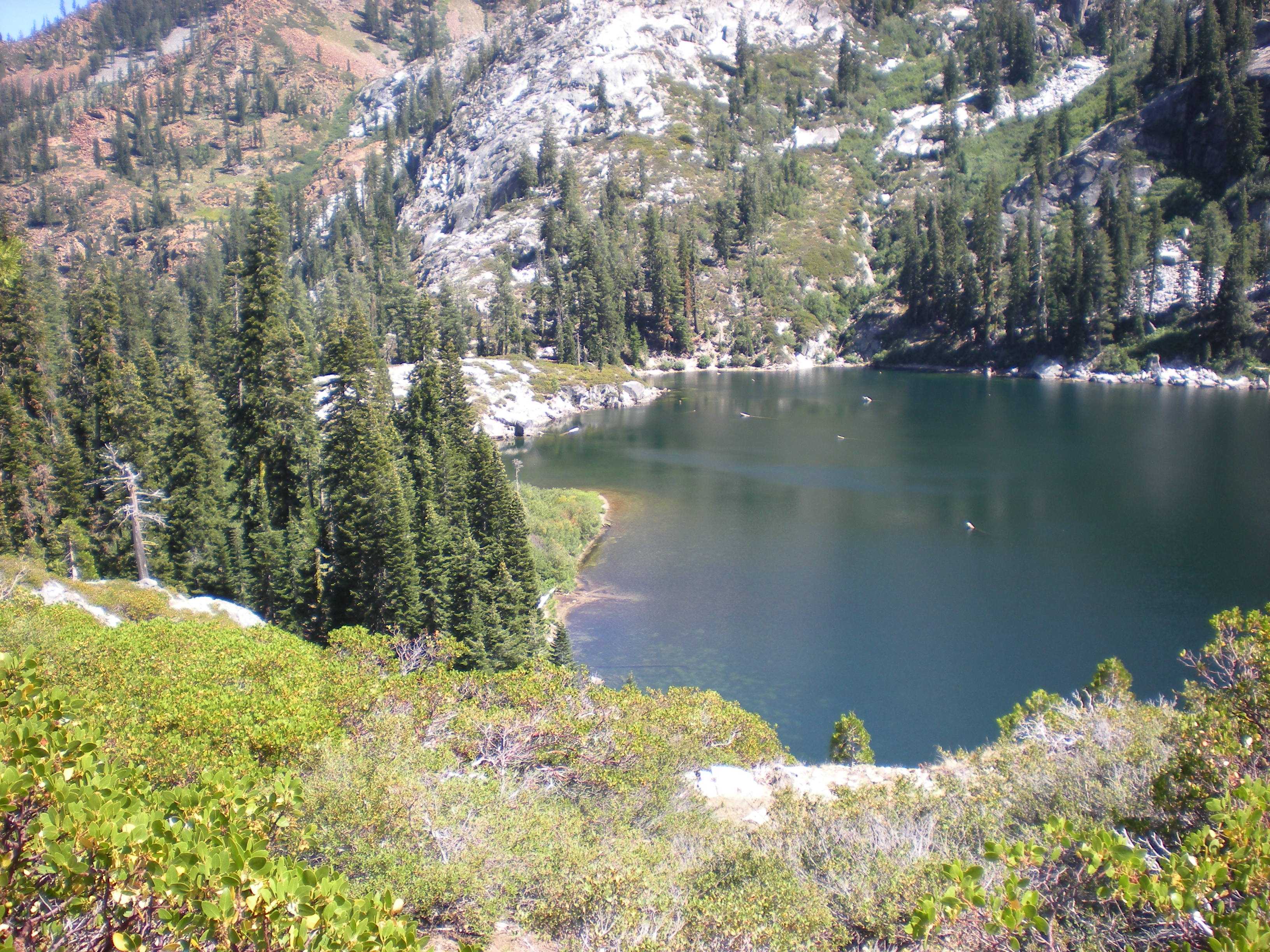
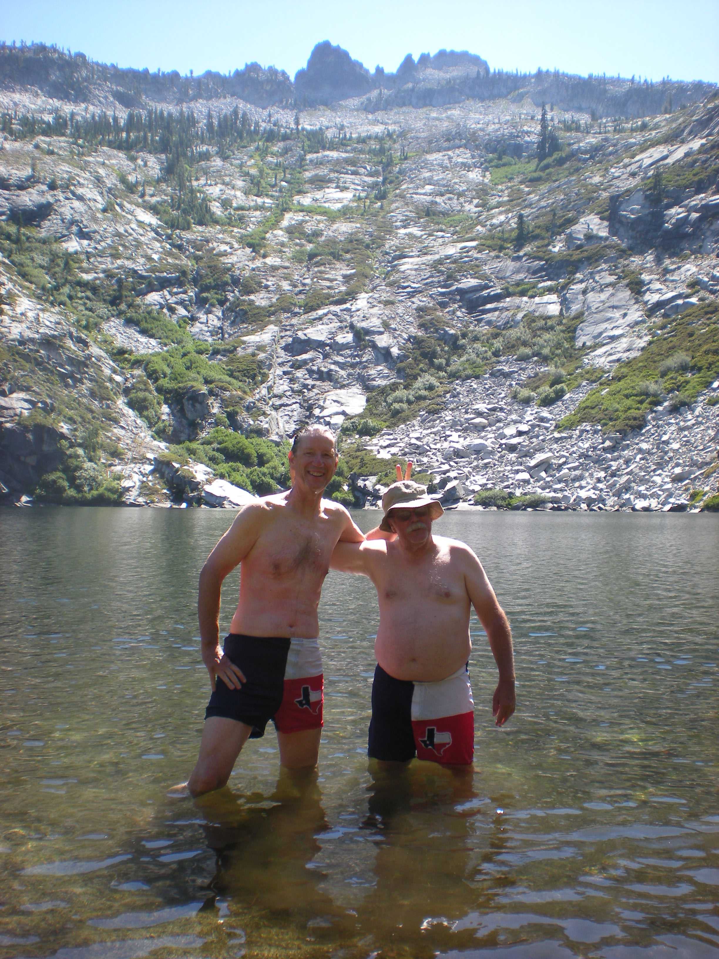
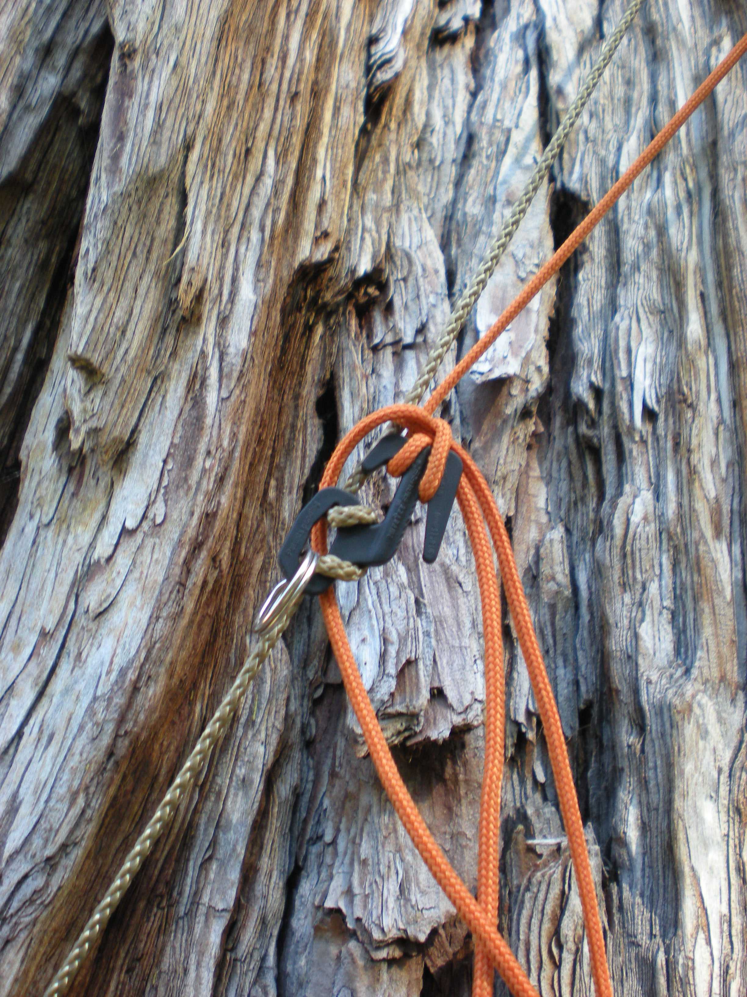
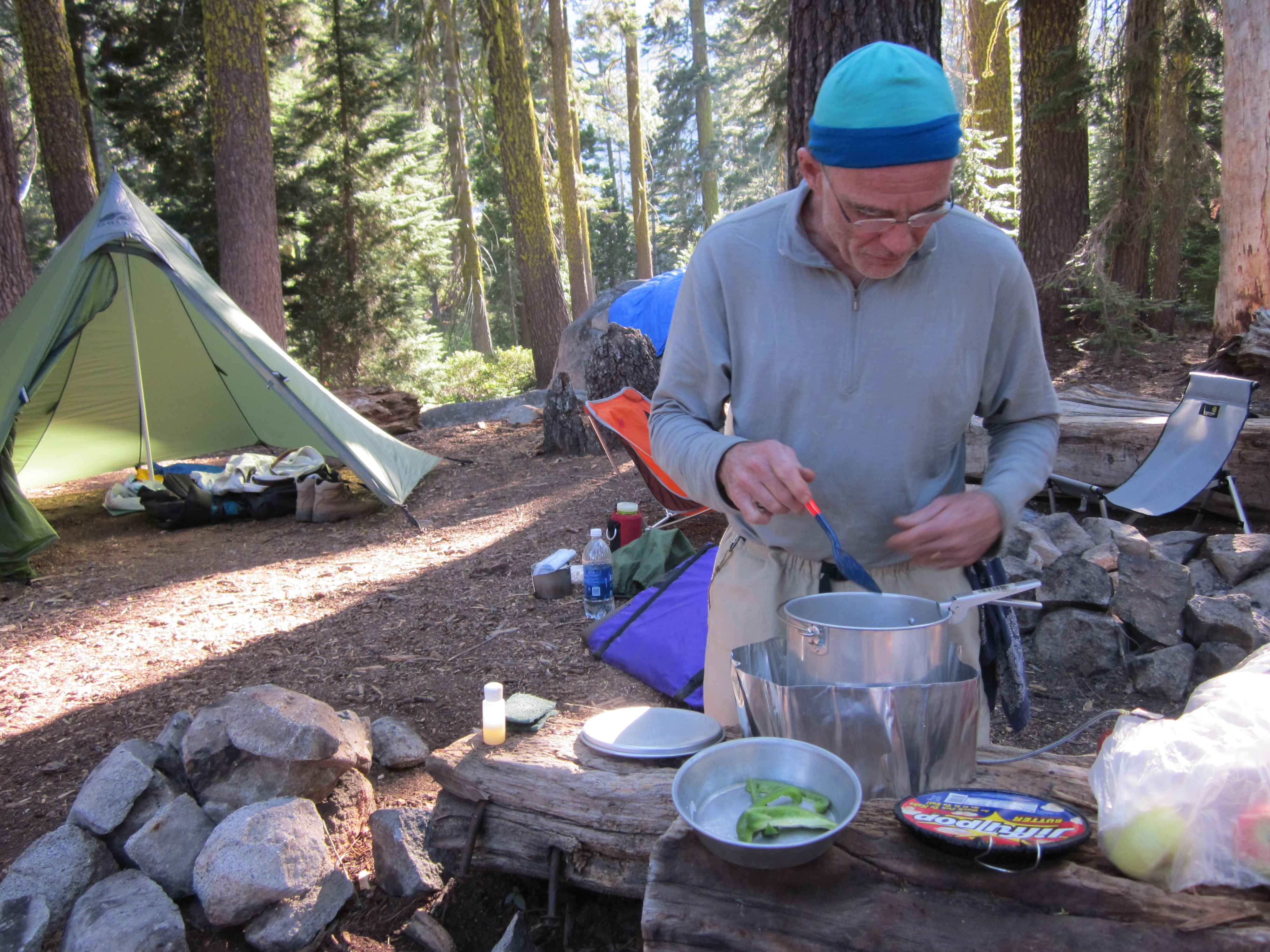
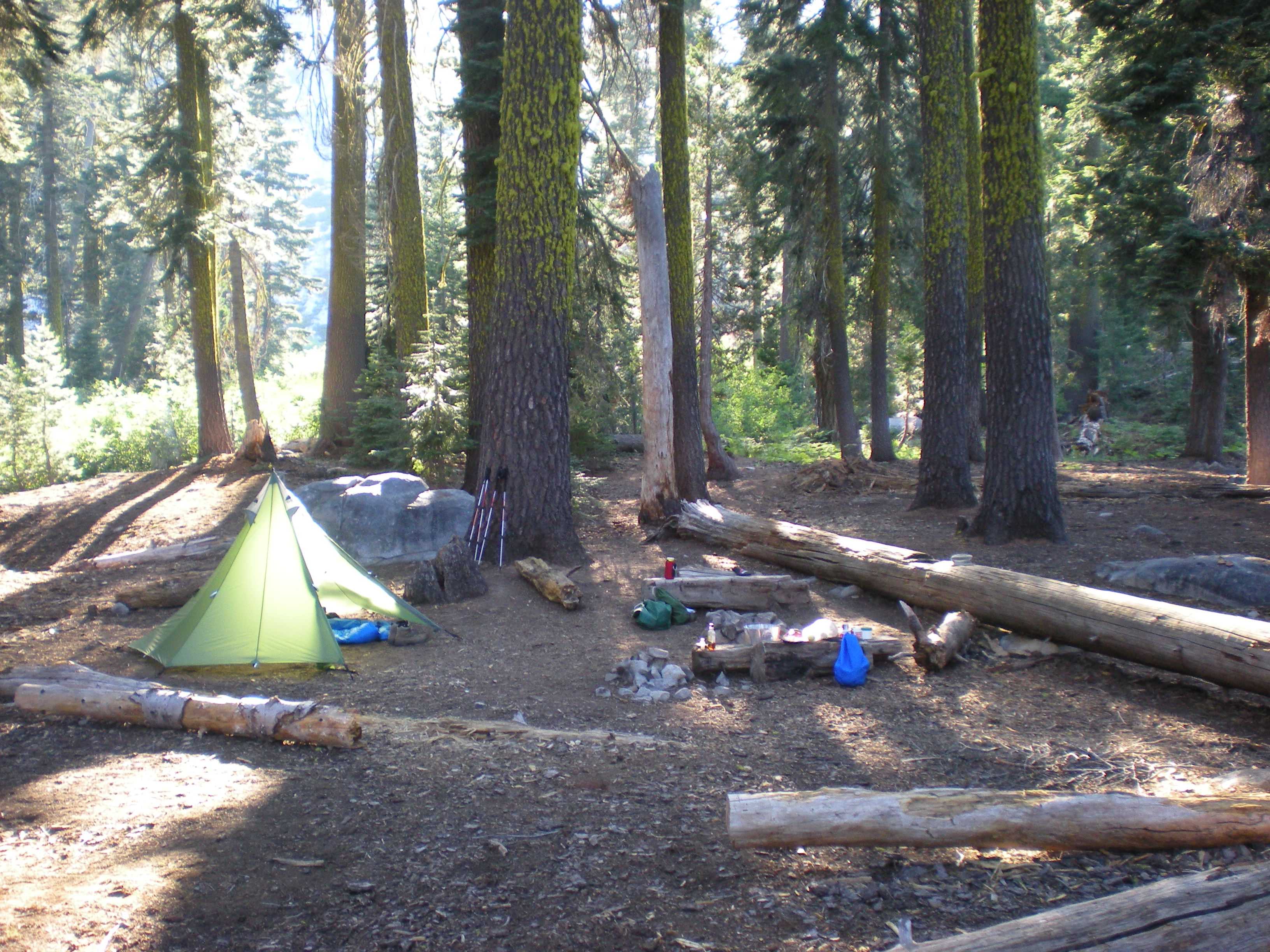
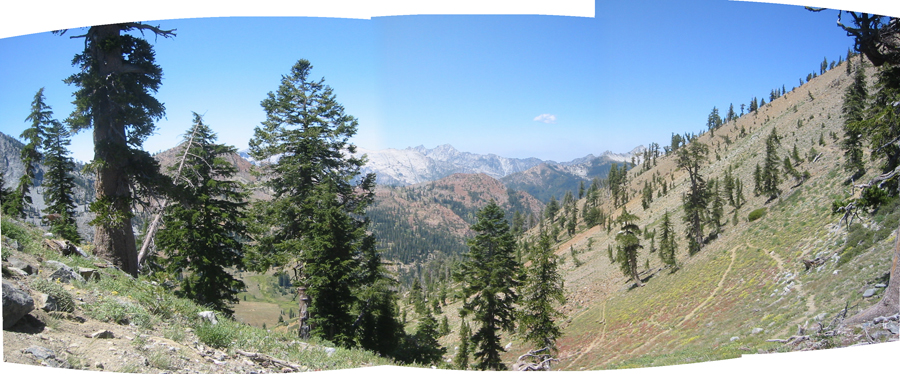
Granite Lake lies in a dramatic graite cirque below Gibson Peak. We found a nice campsite nestled amongst the redwoods near the lake with great views. We dined that evening with burritos made with tenderloin, a quite tasty meal.

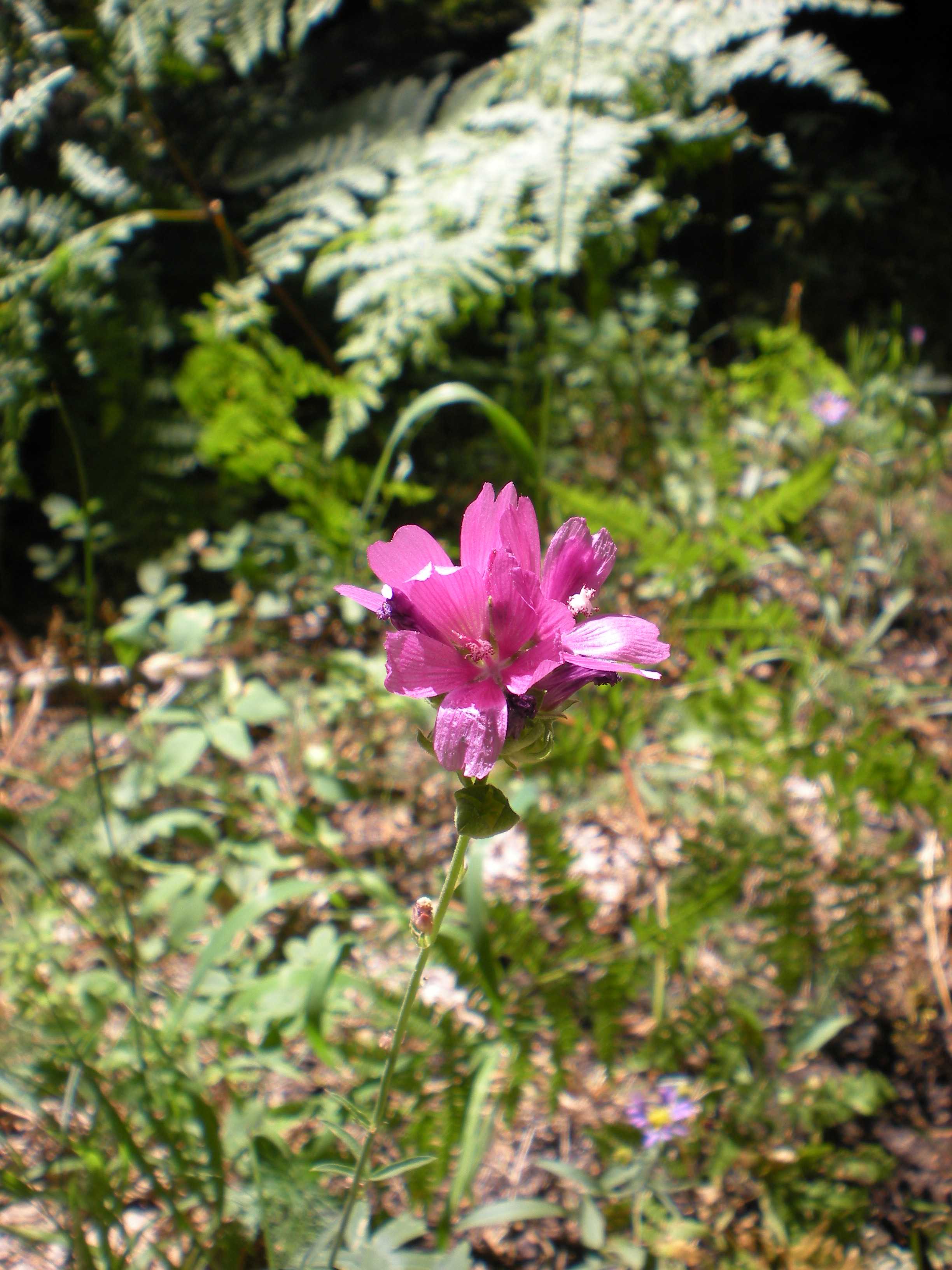
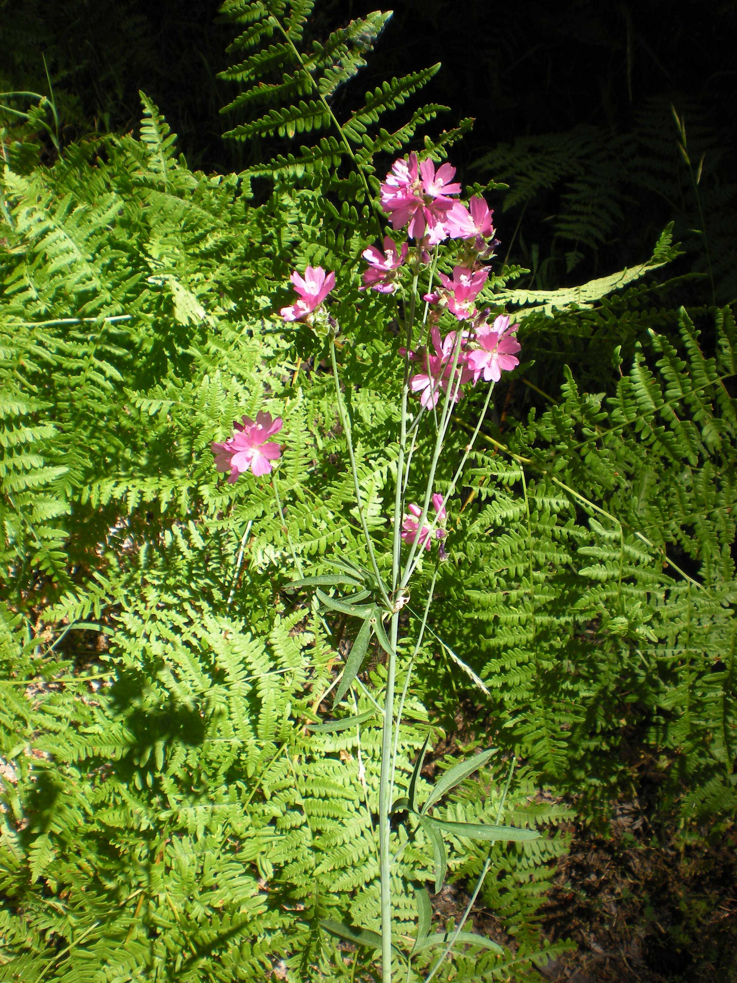
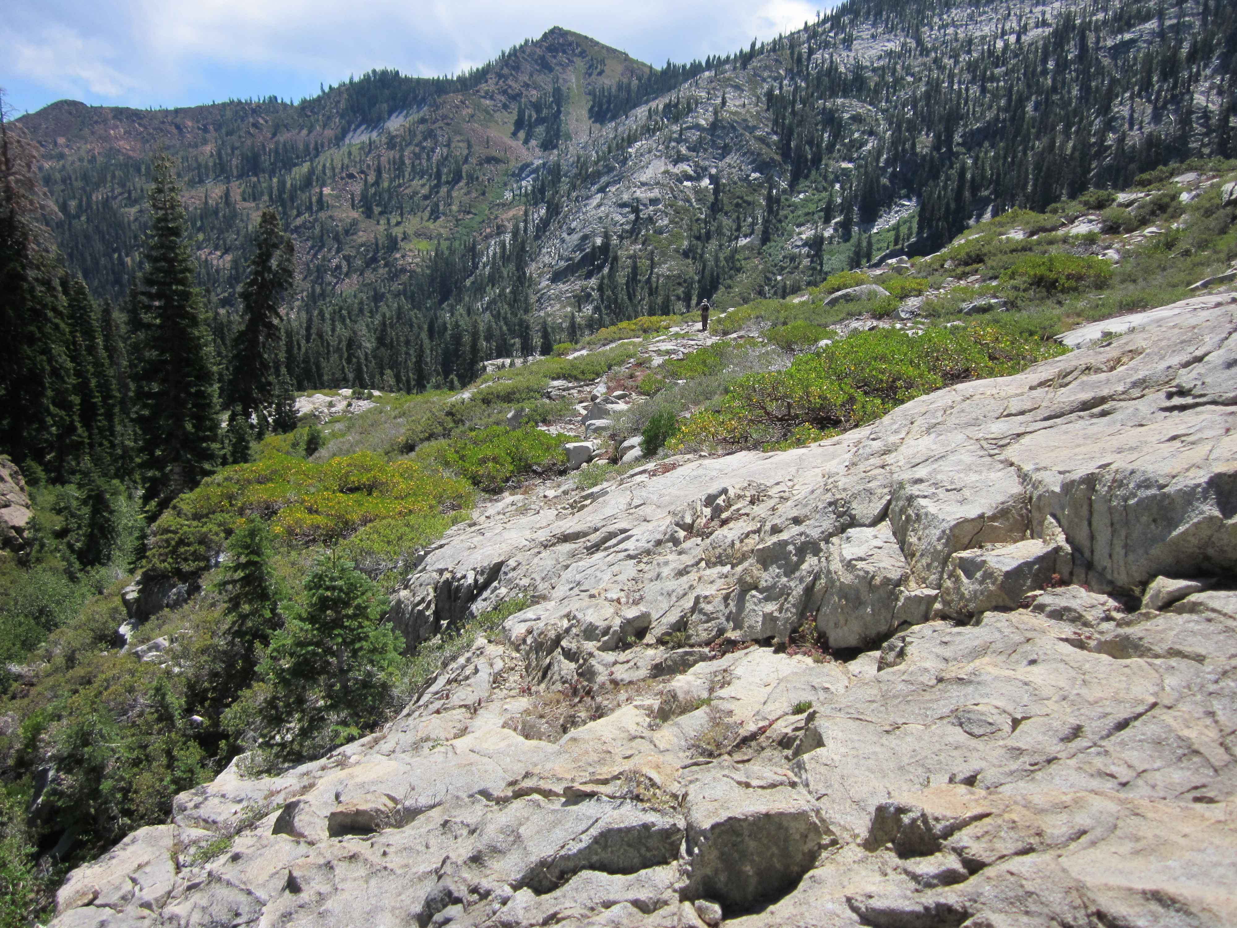
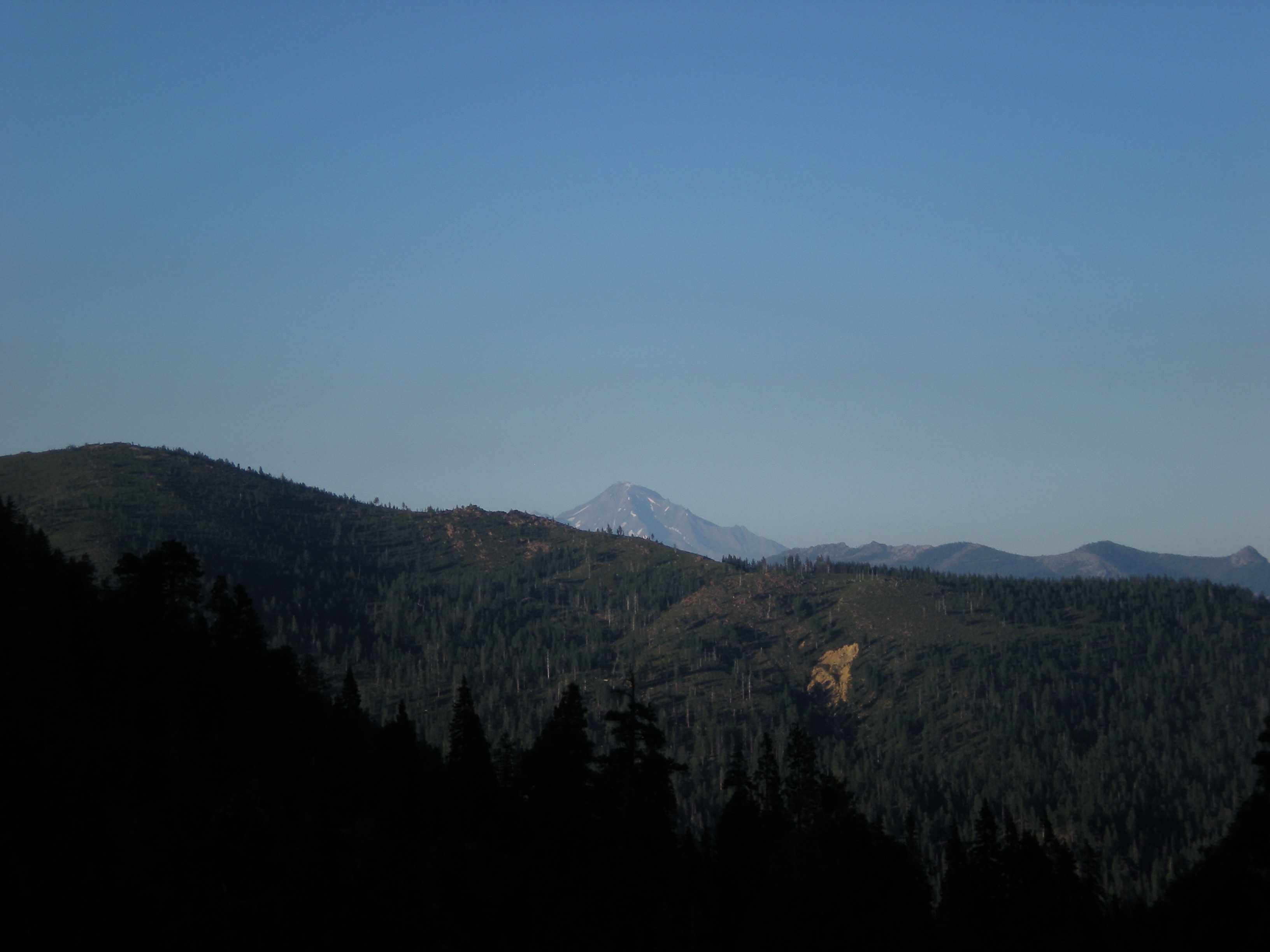
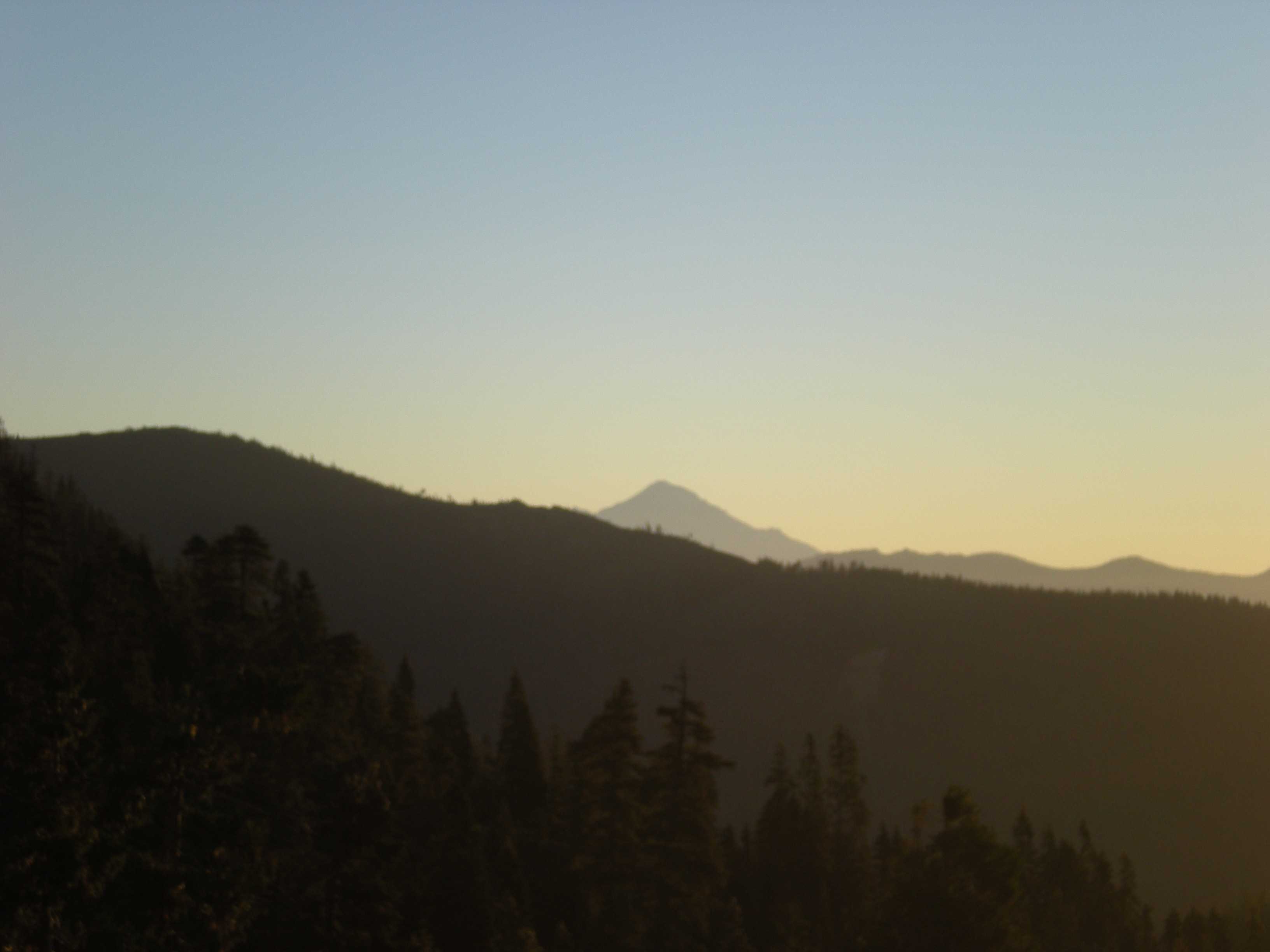
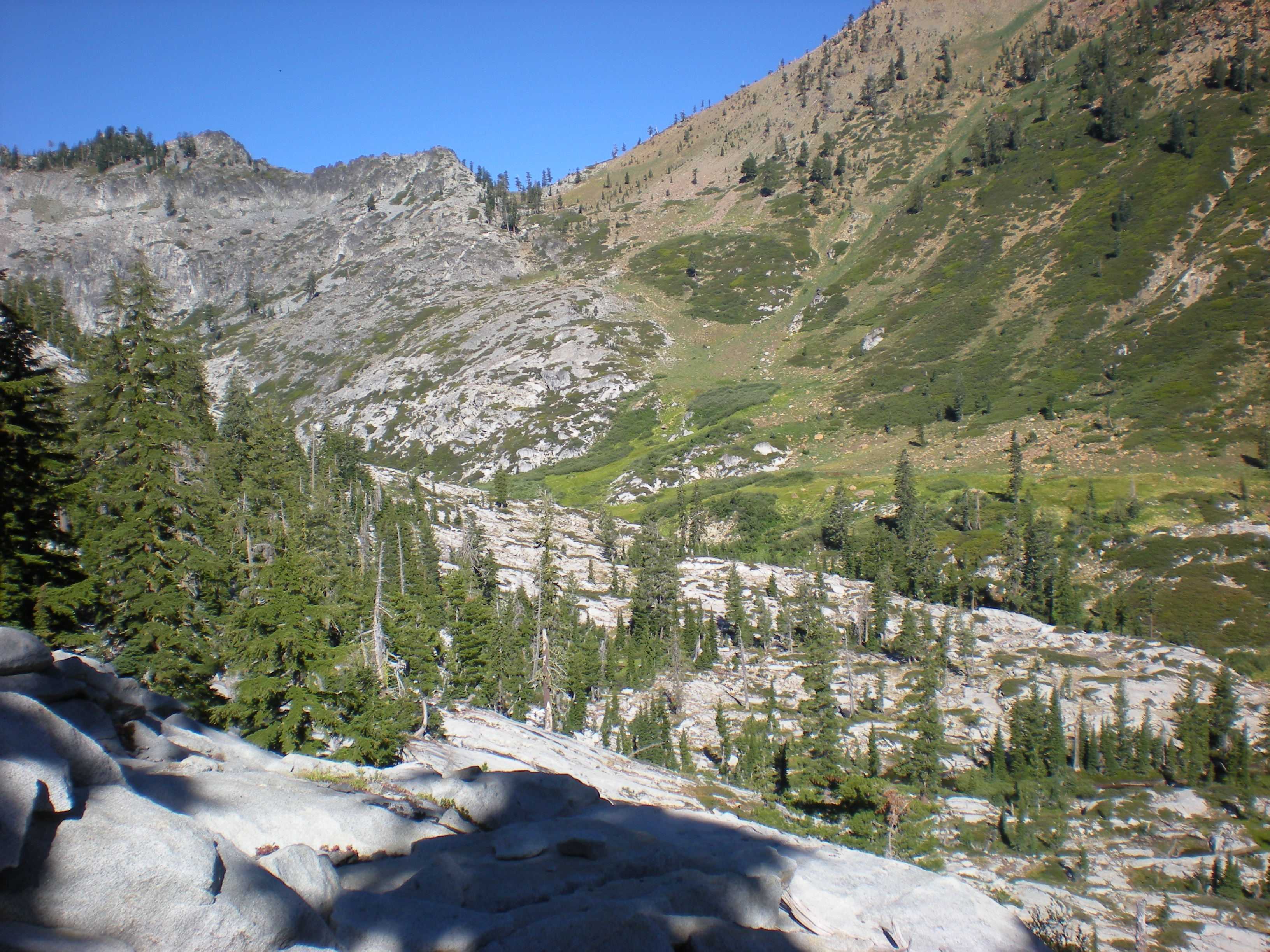
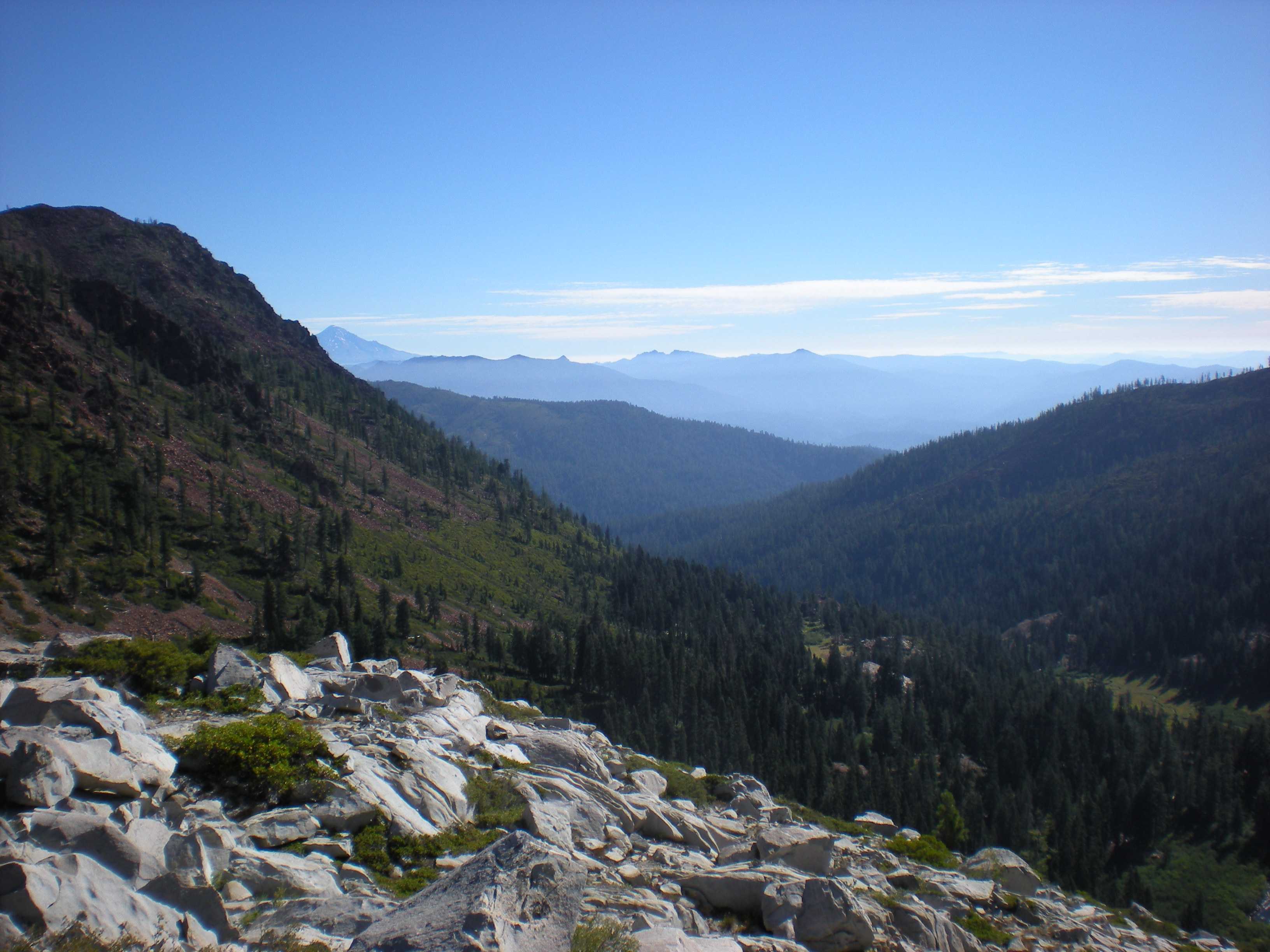
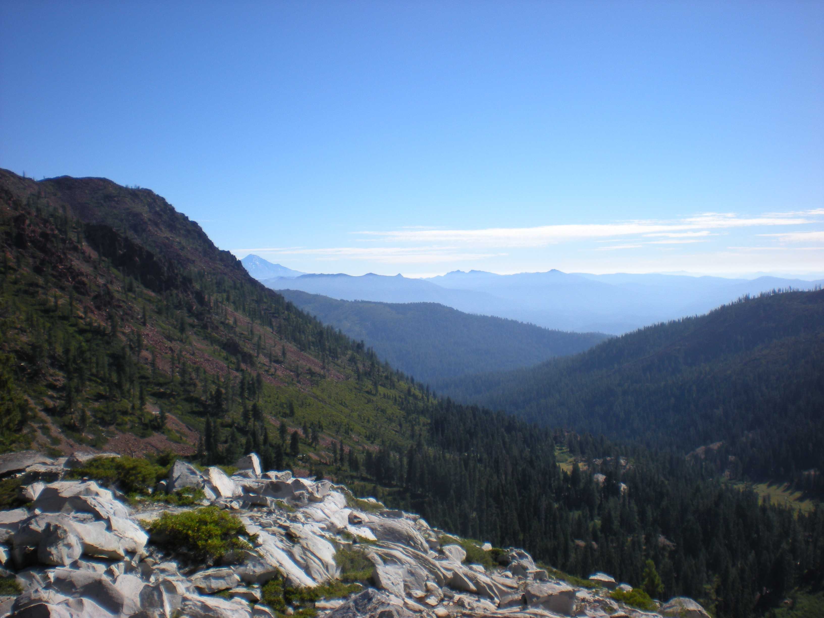
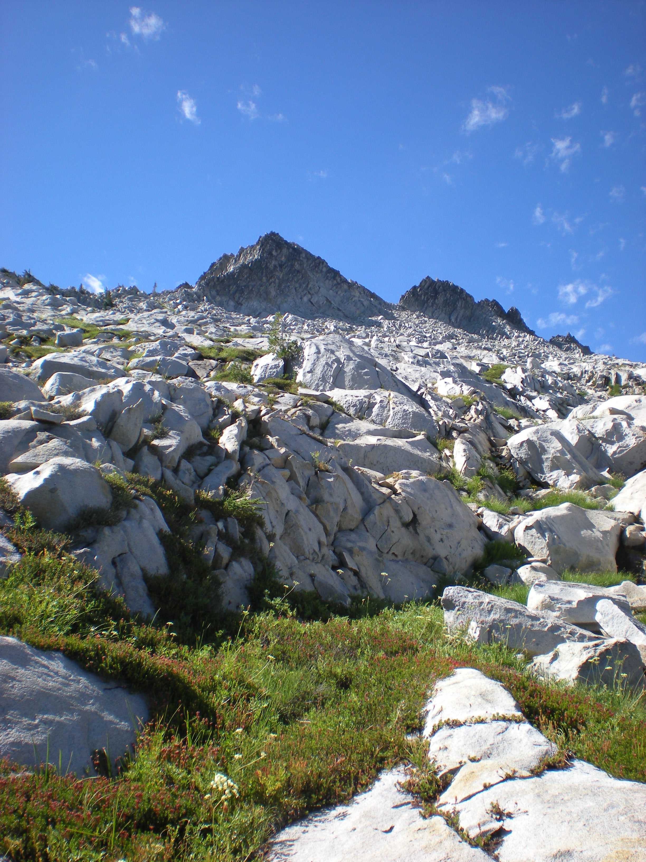
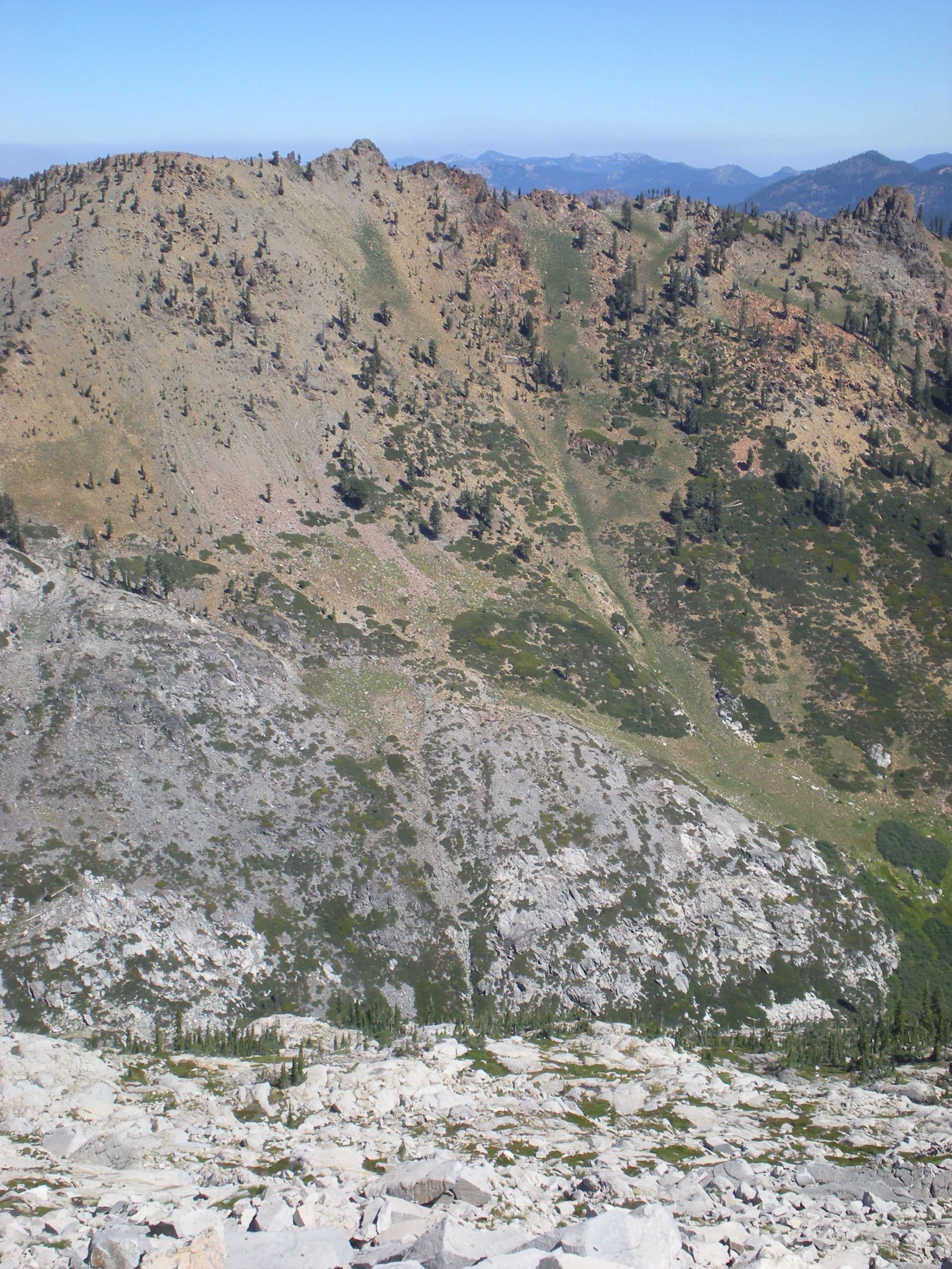
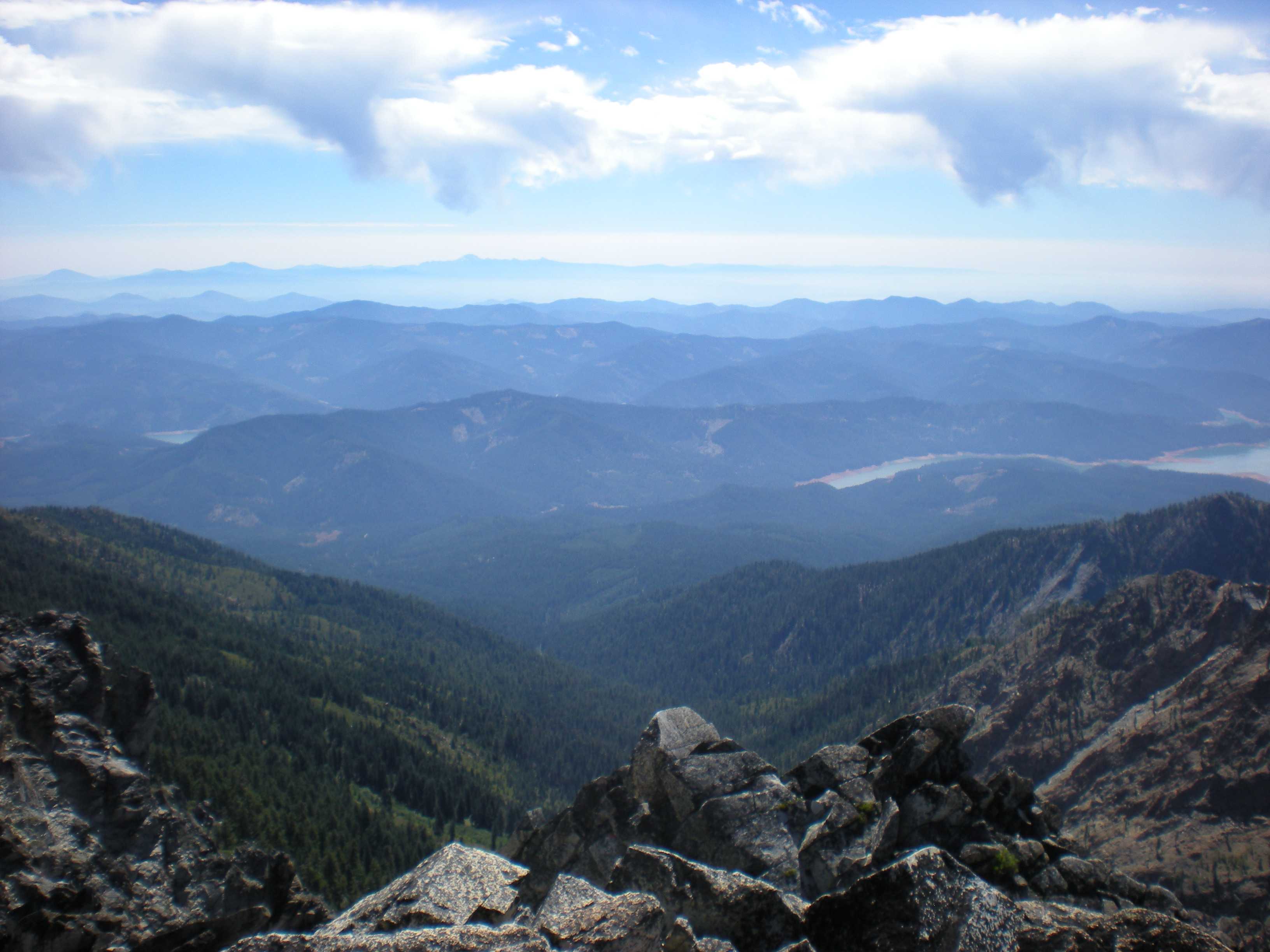
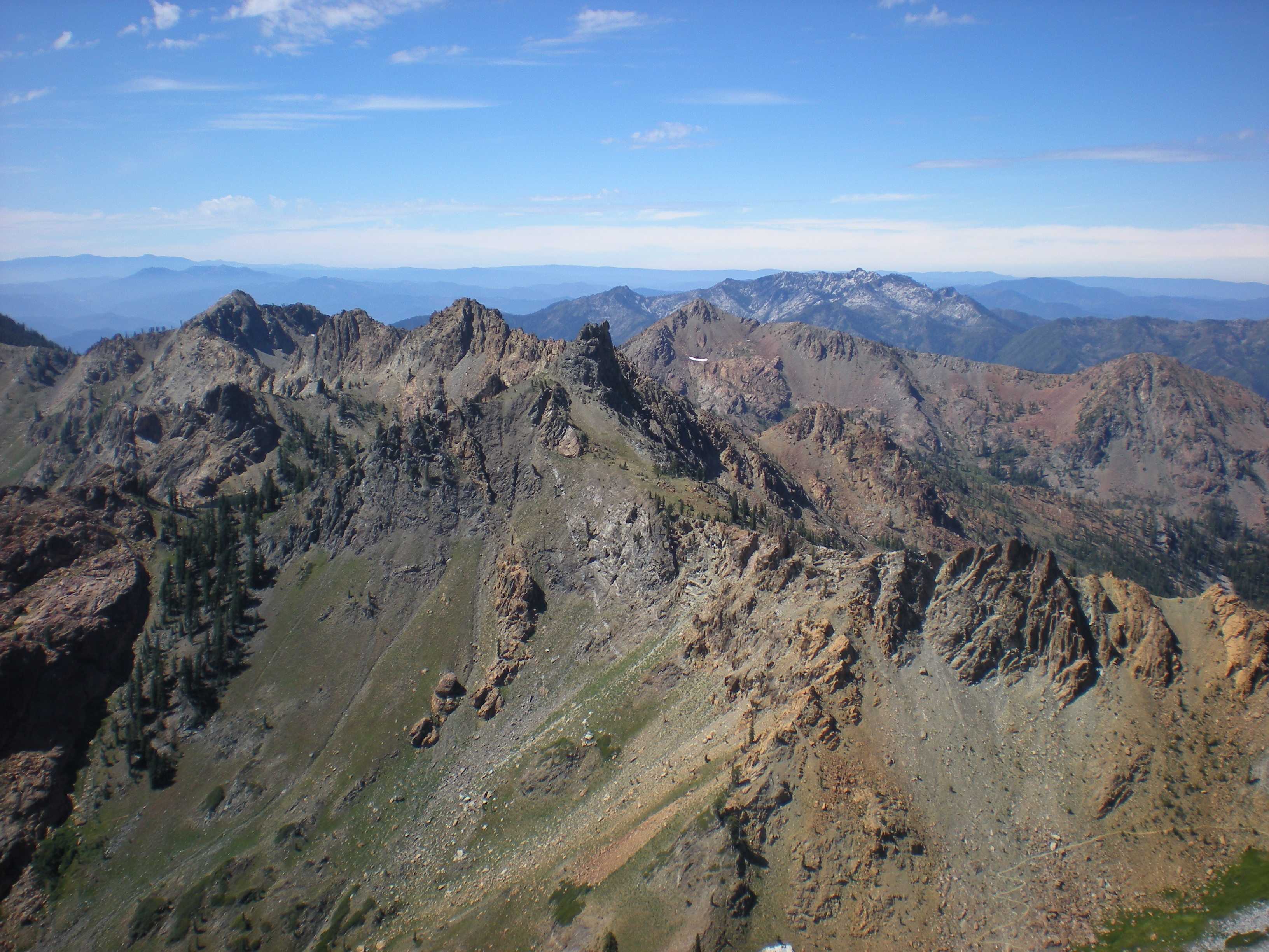
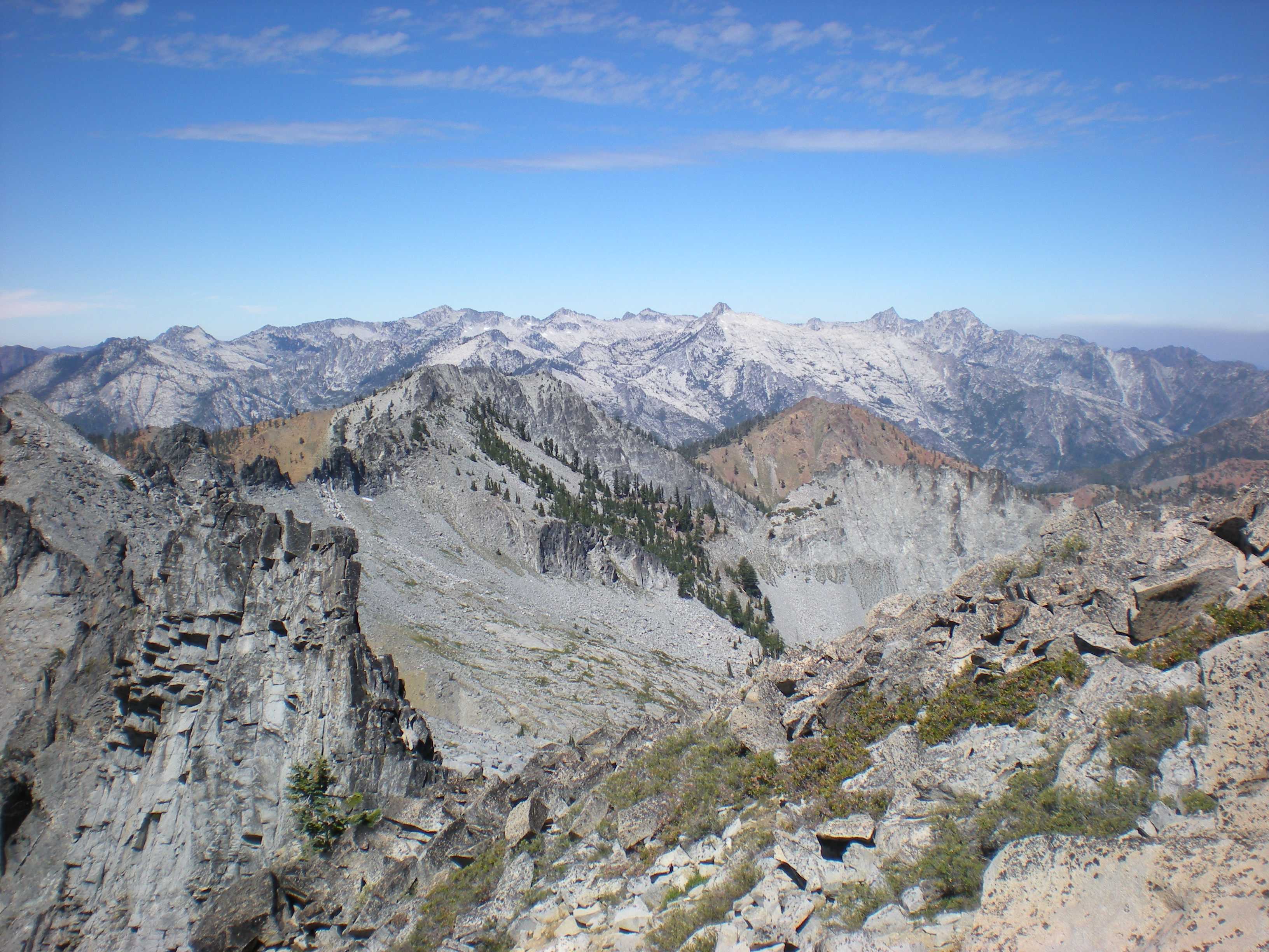
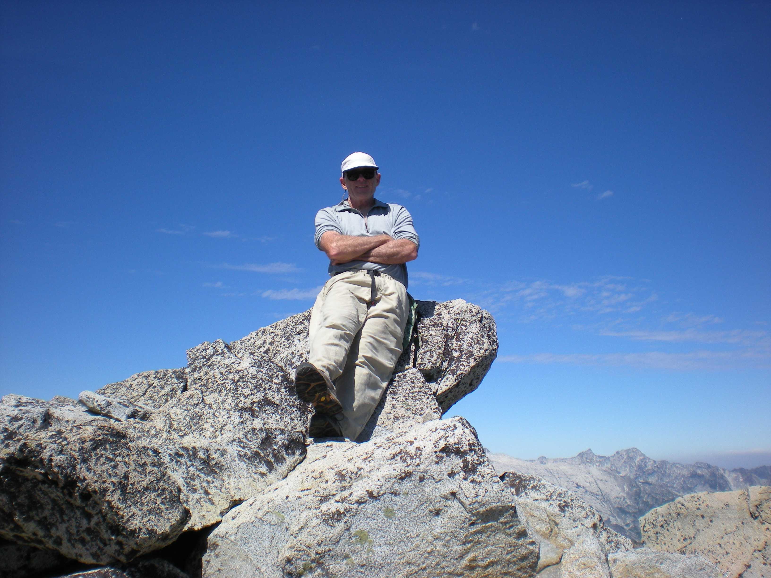
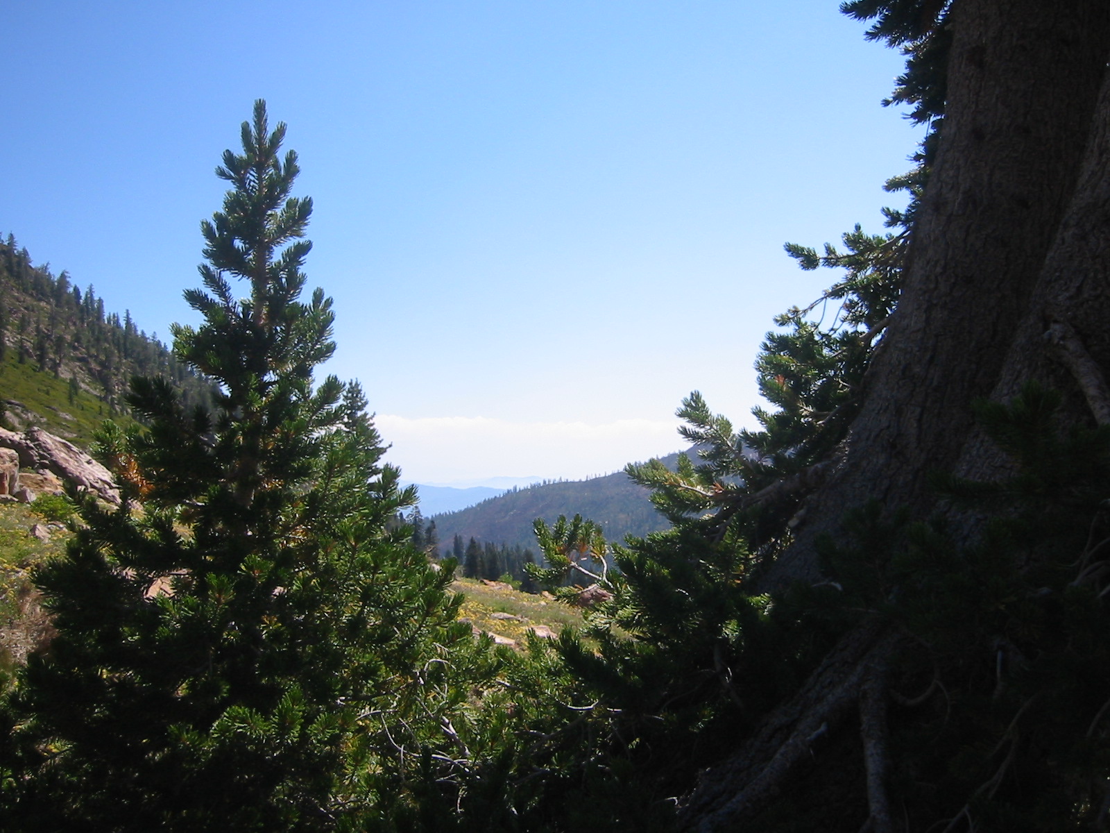
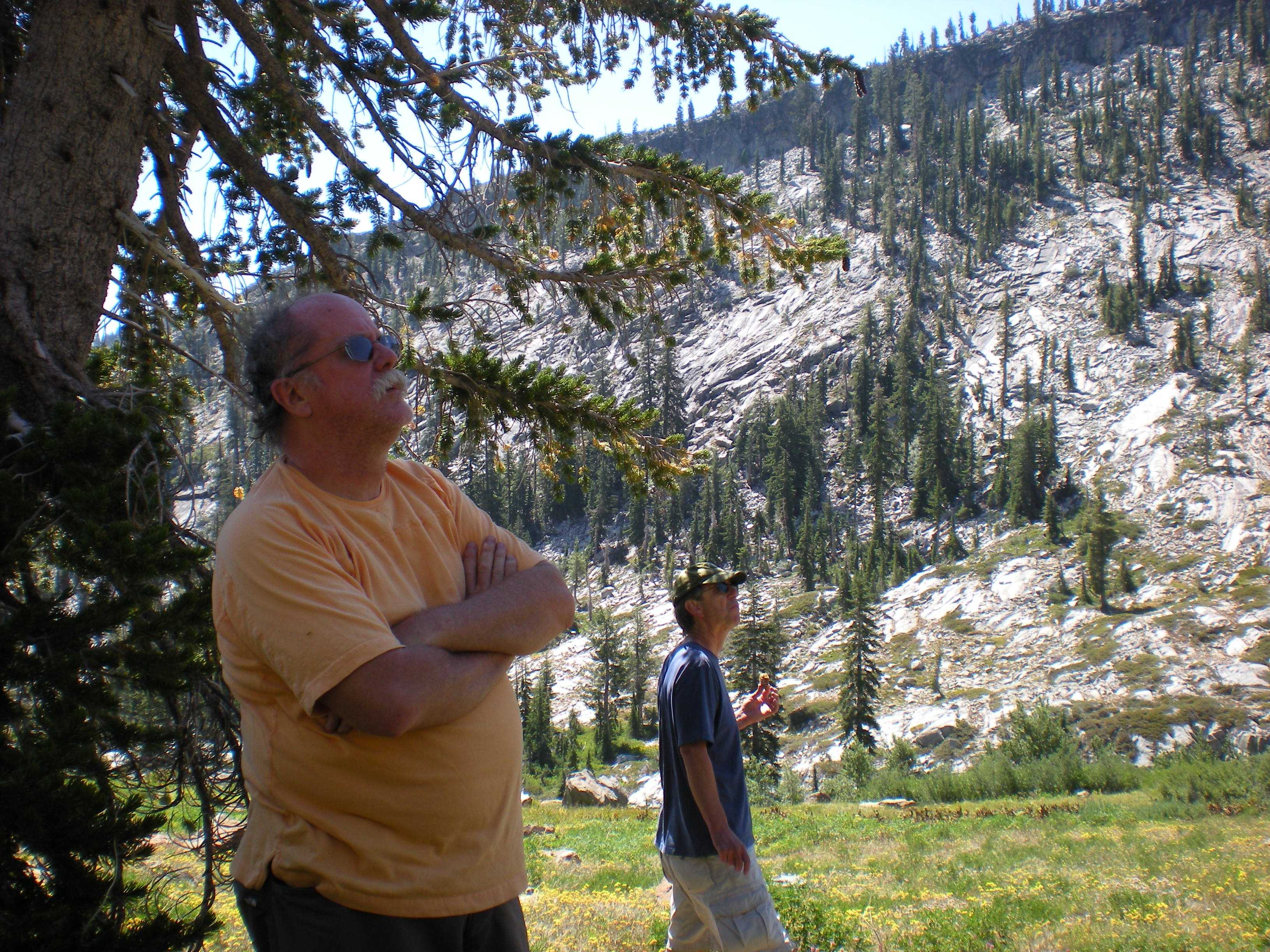
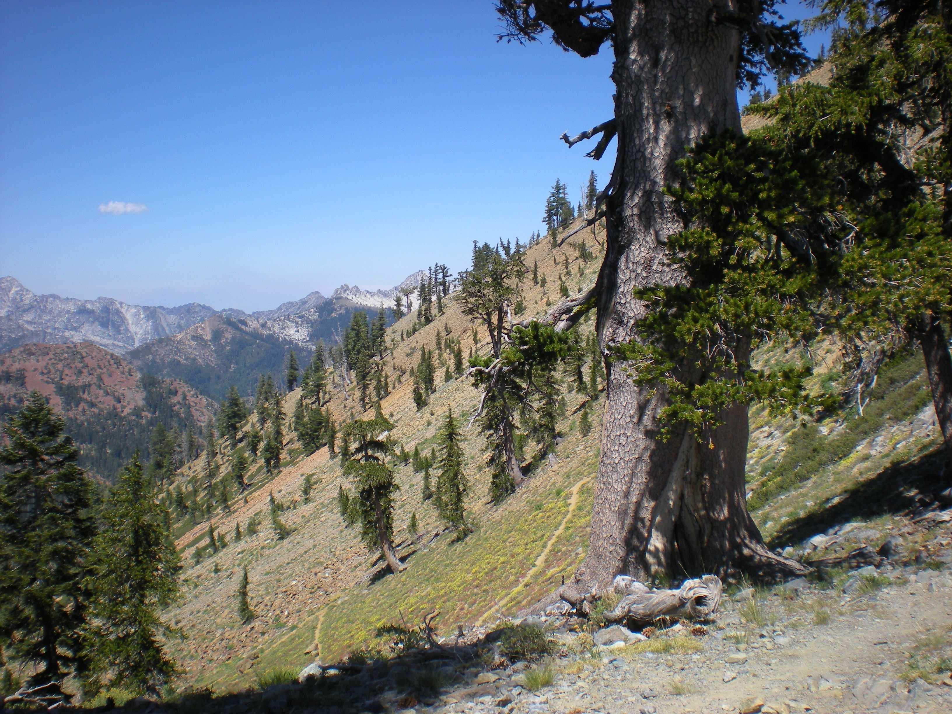
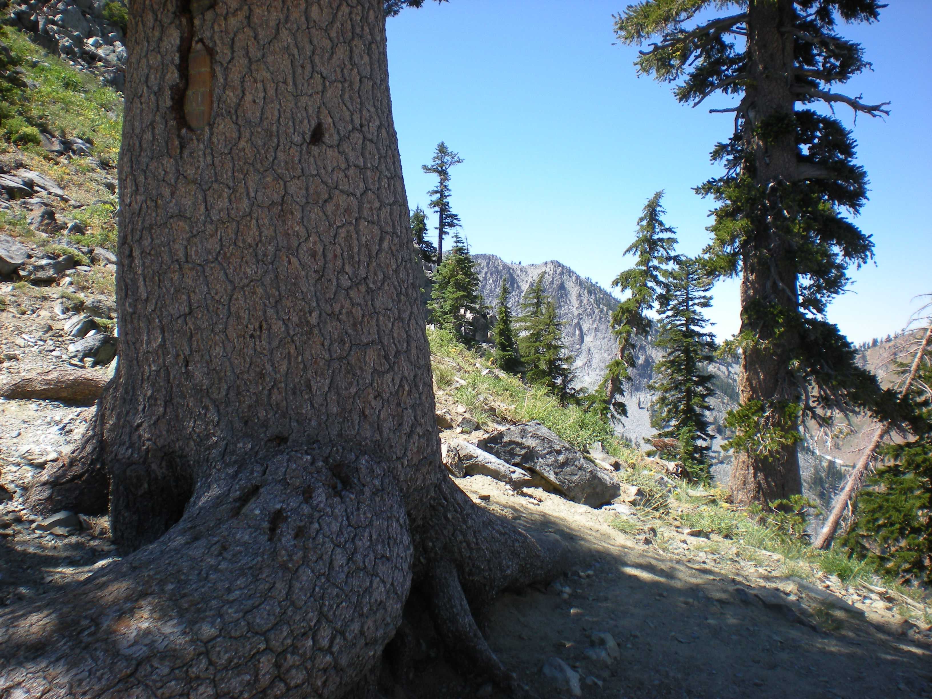
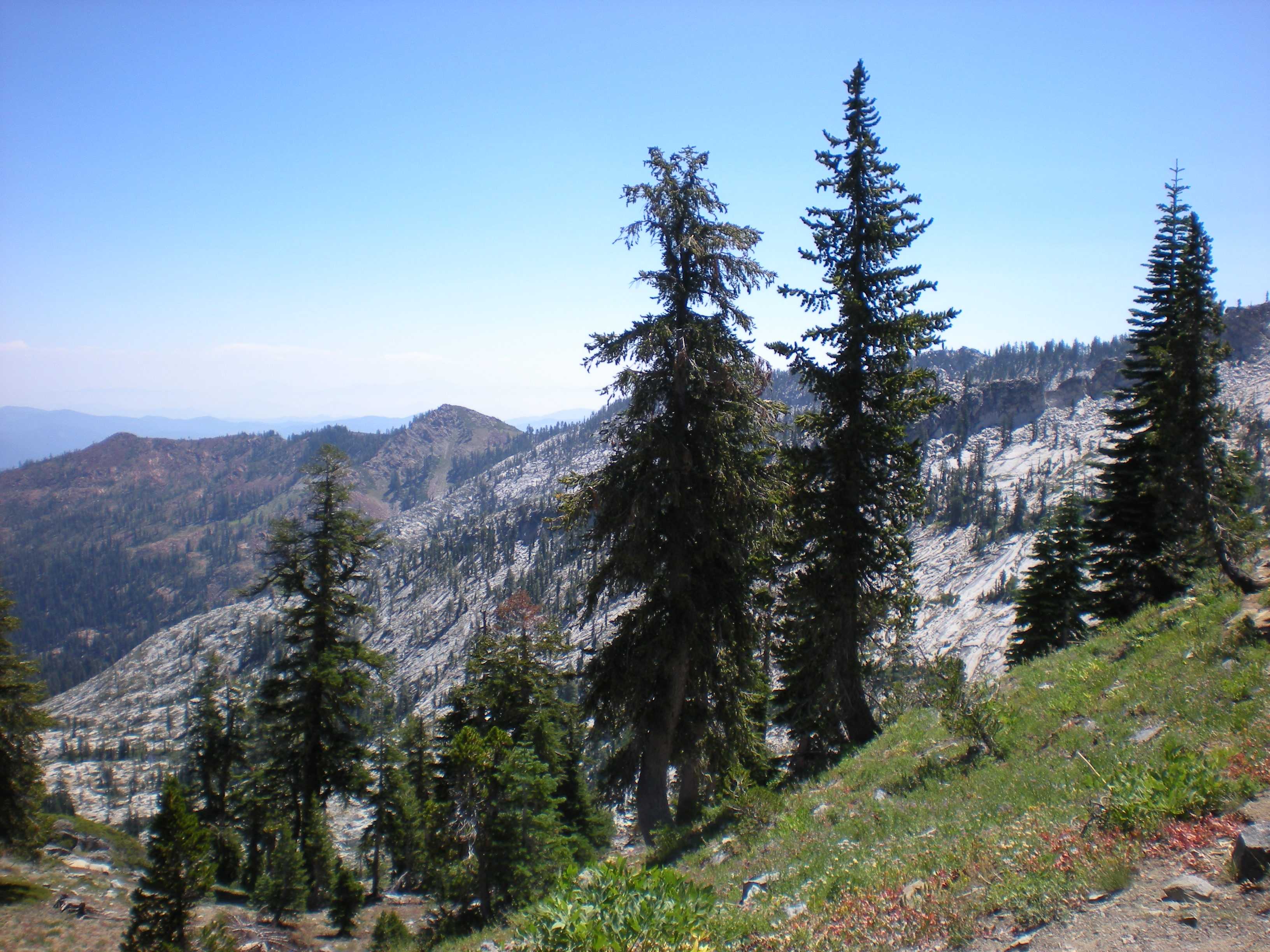
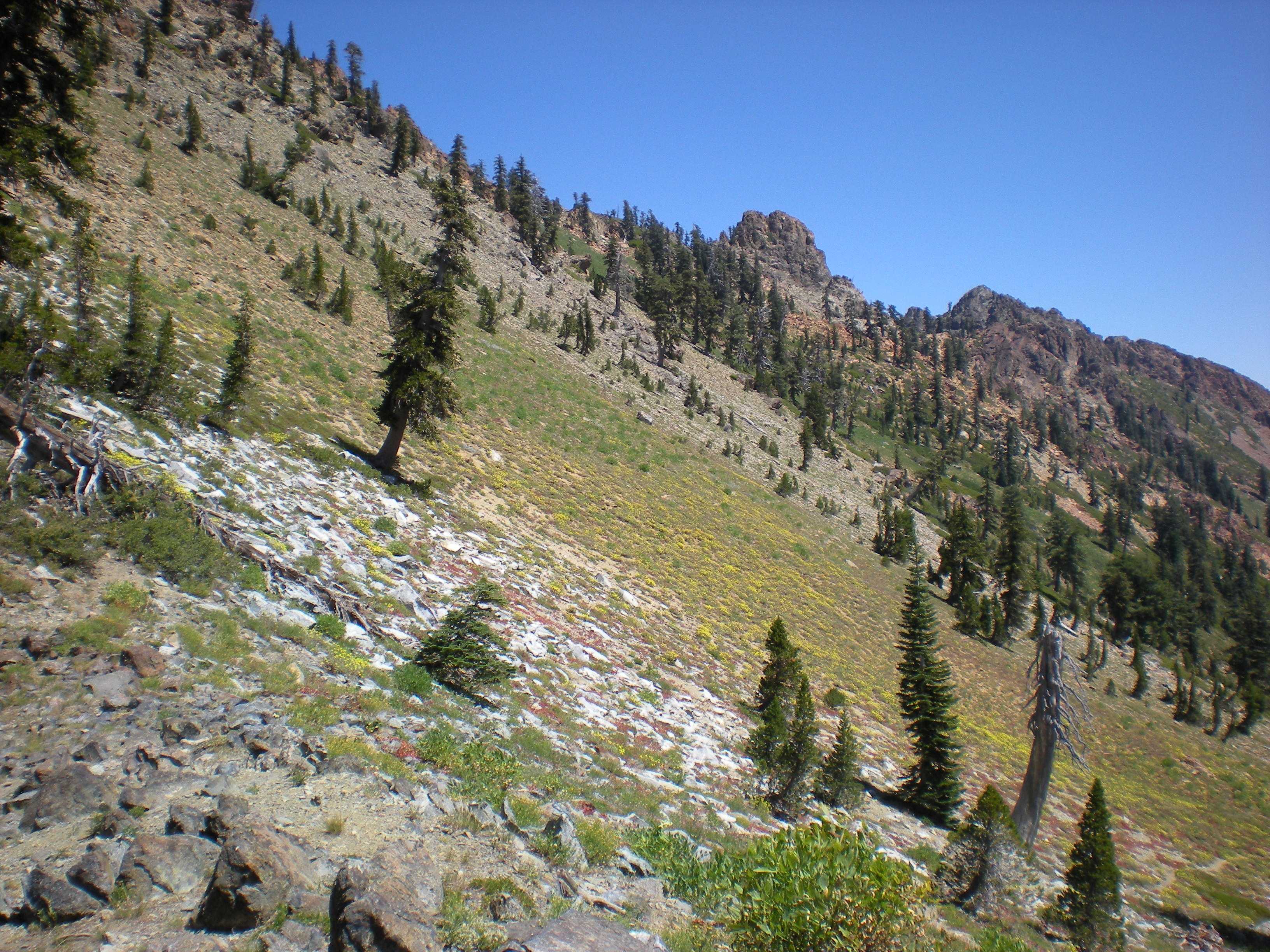
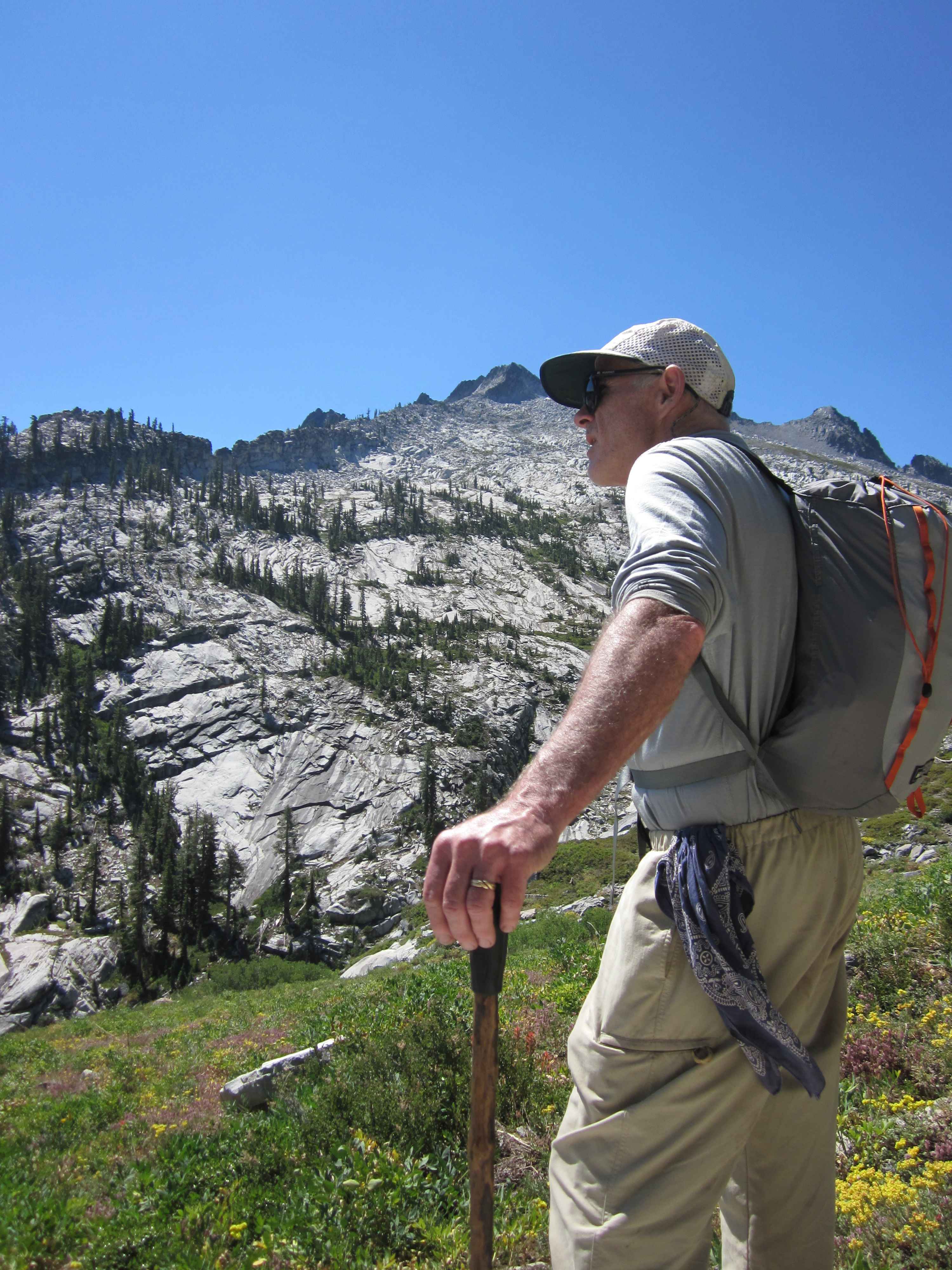
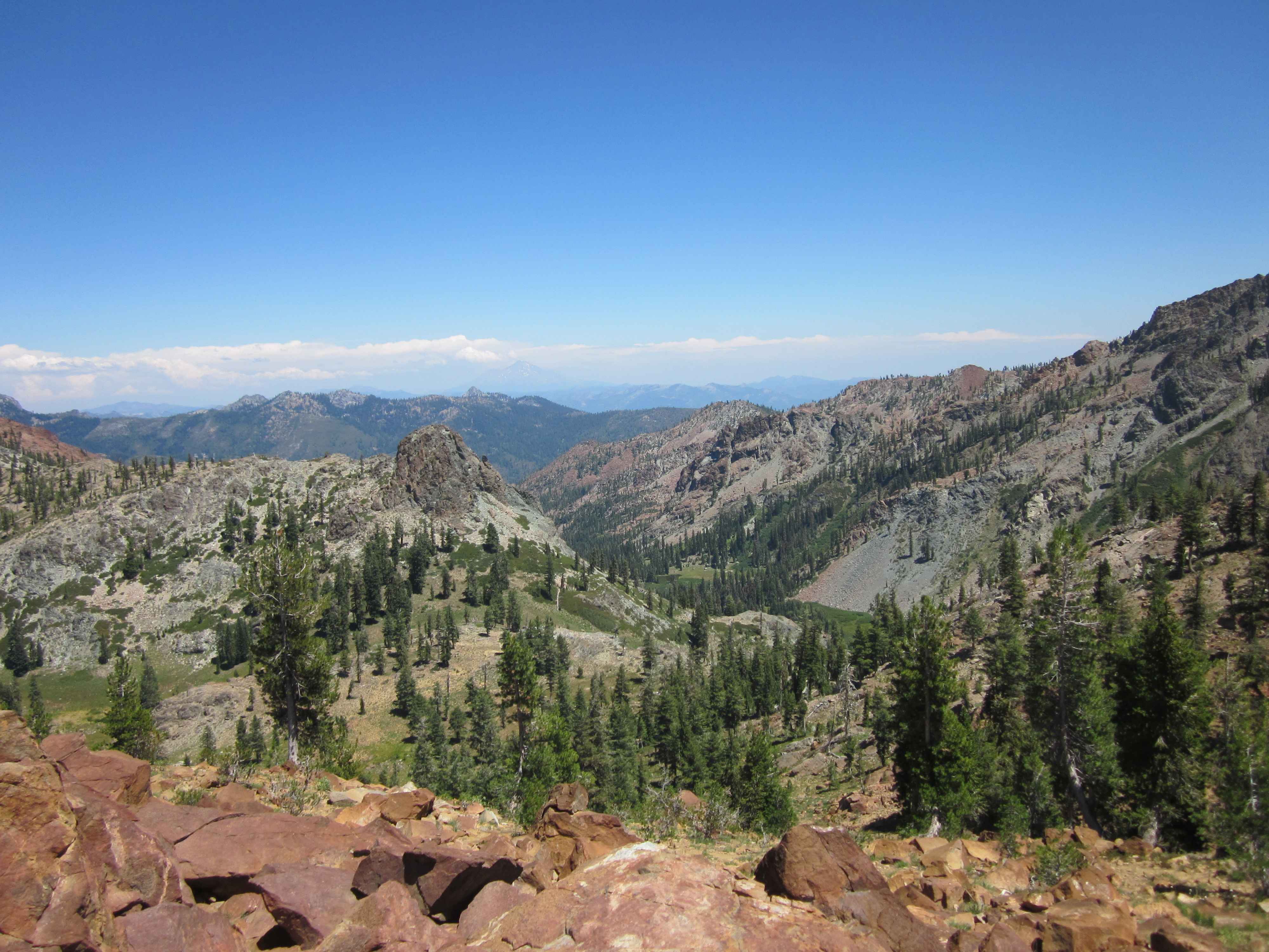
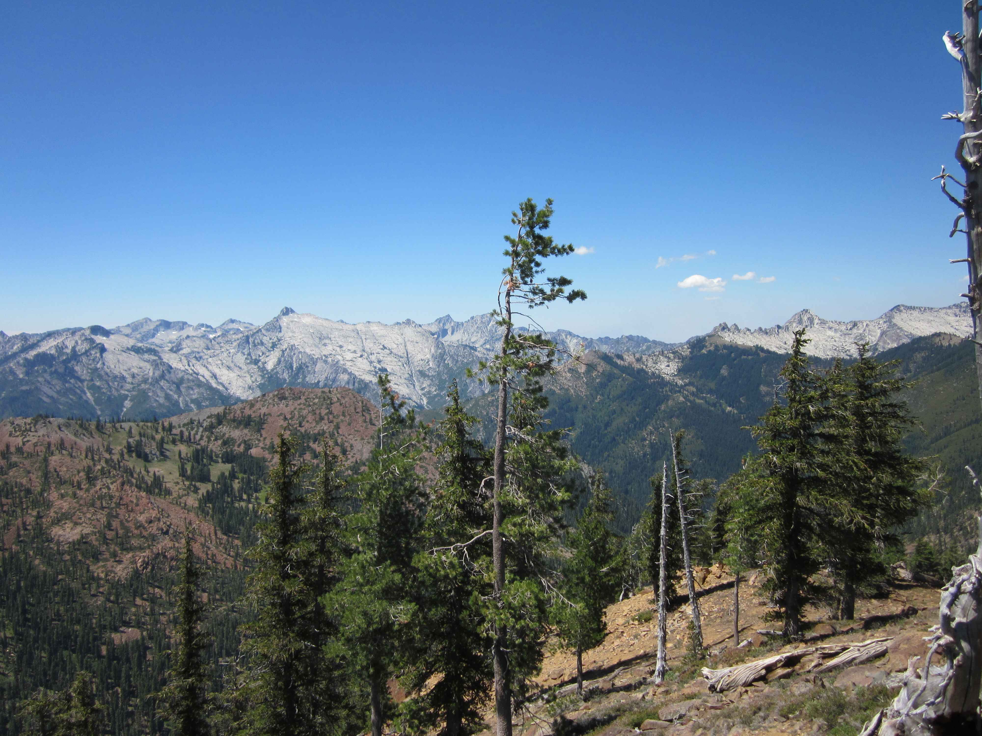
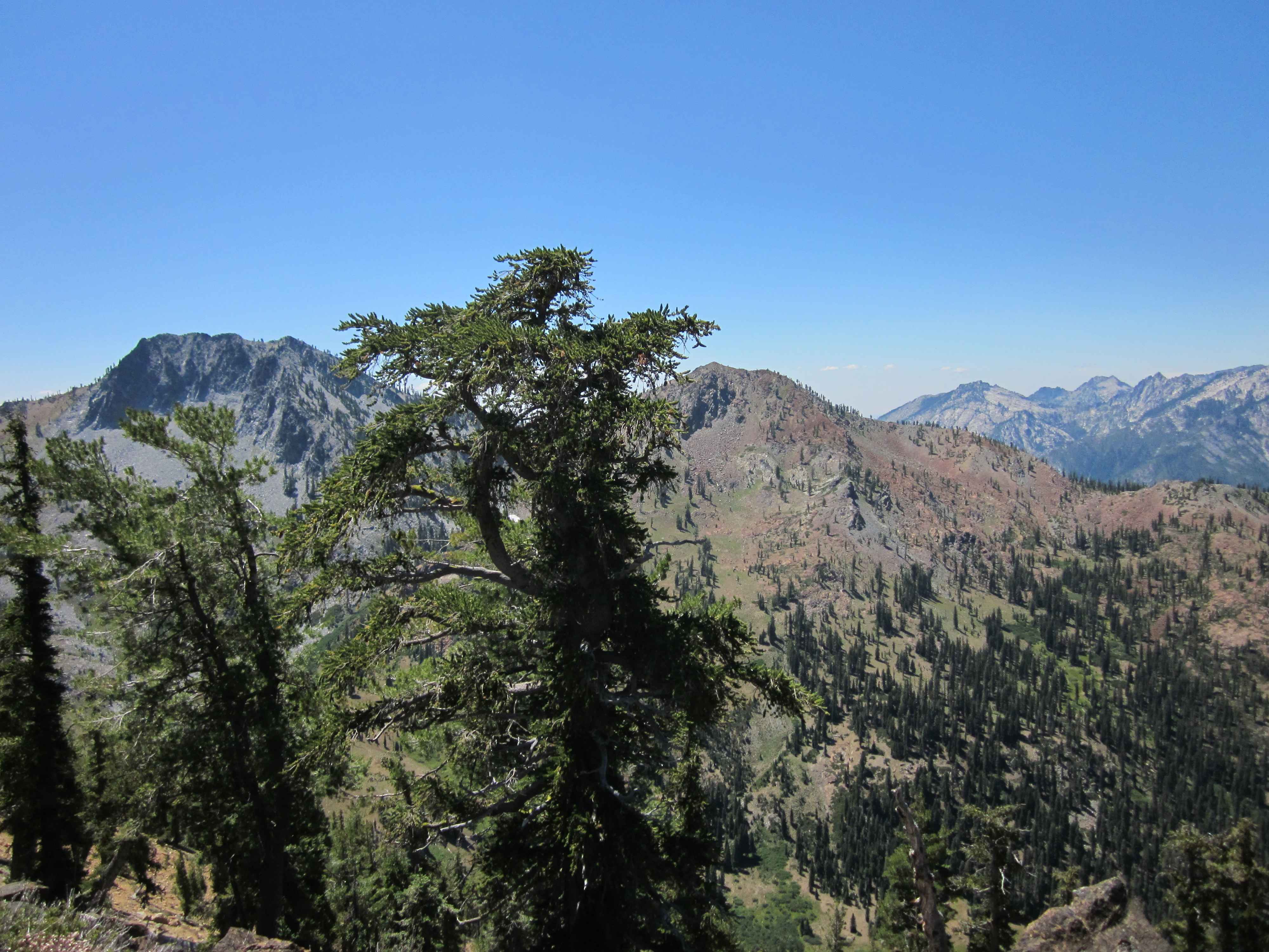
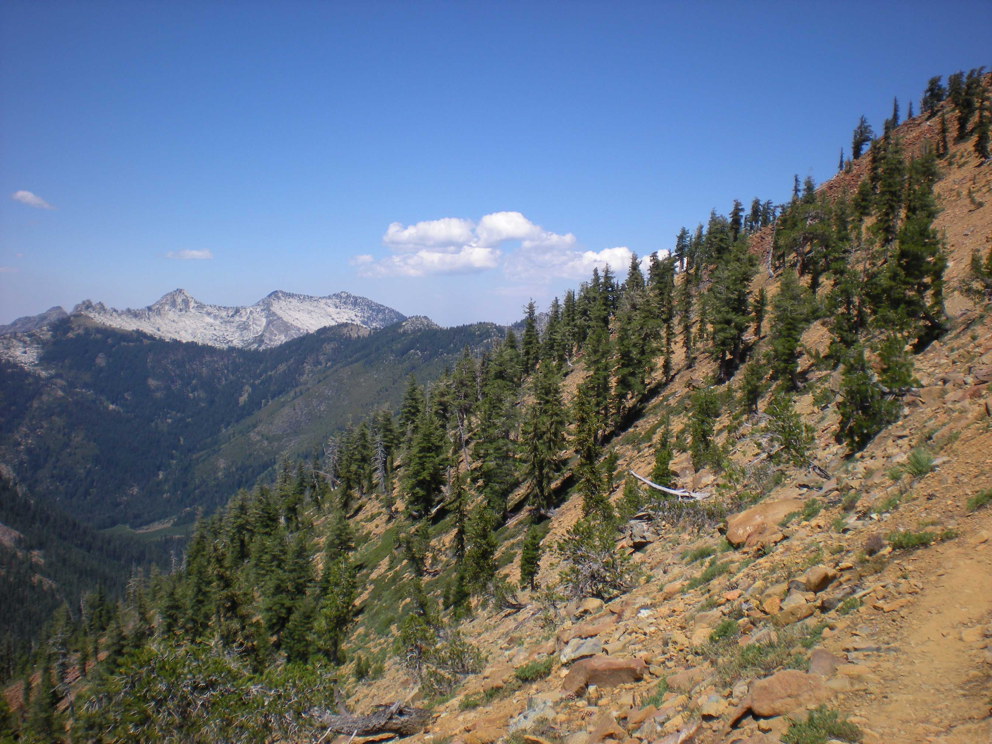
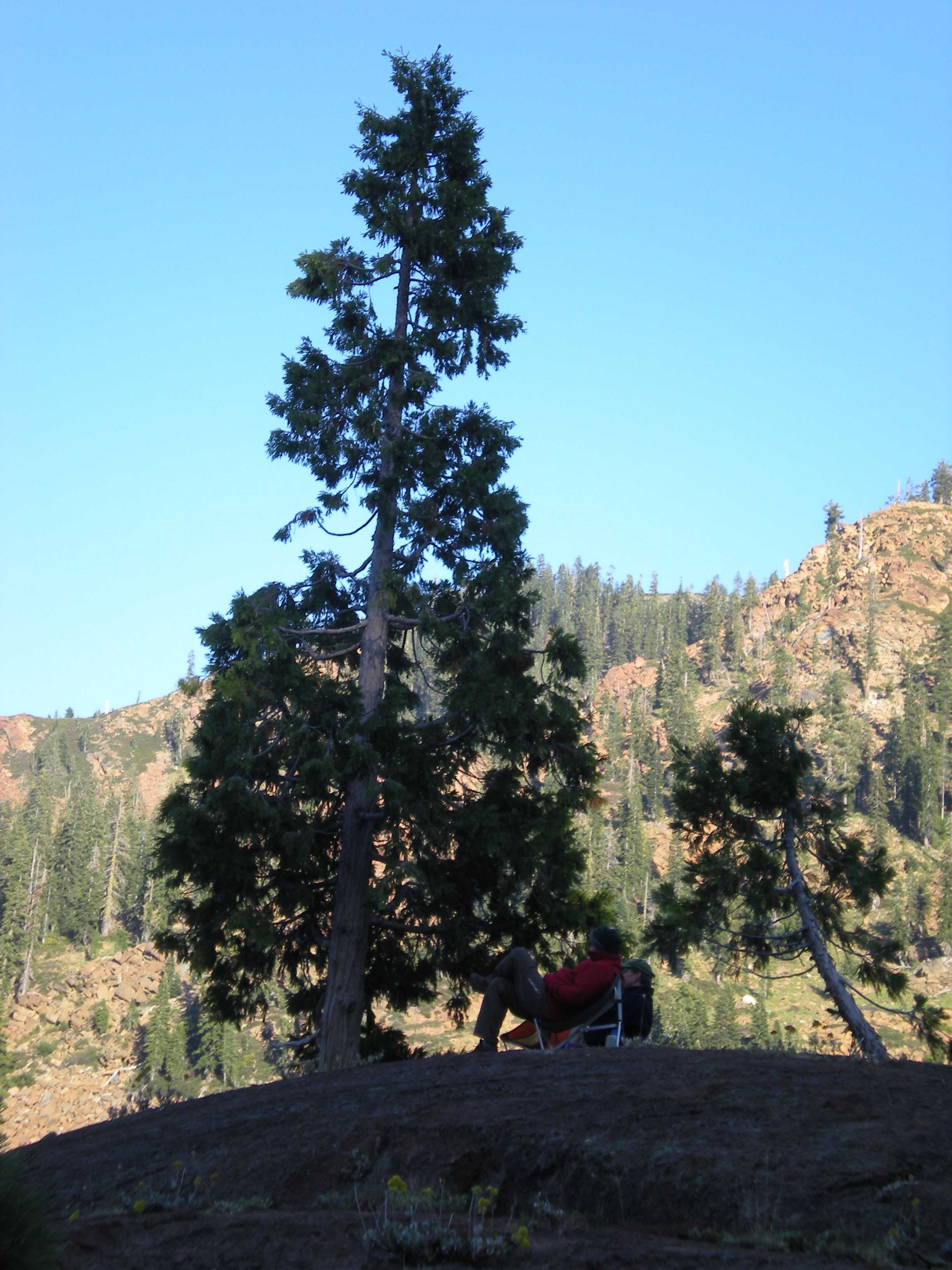
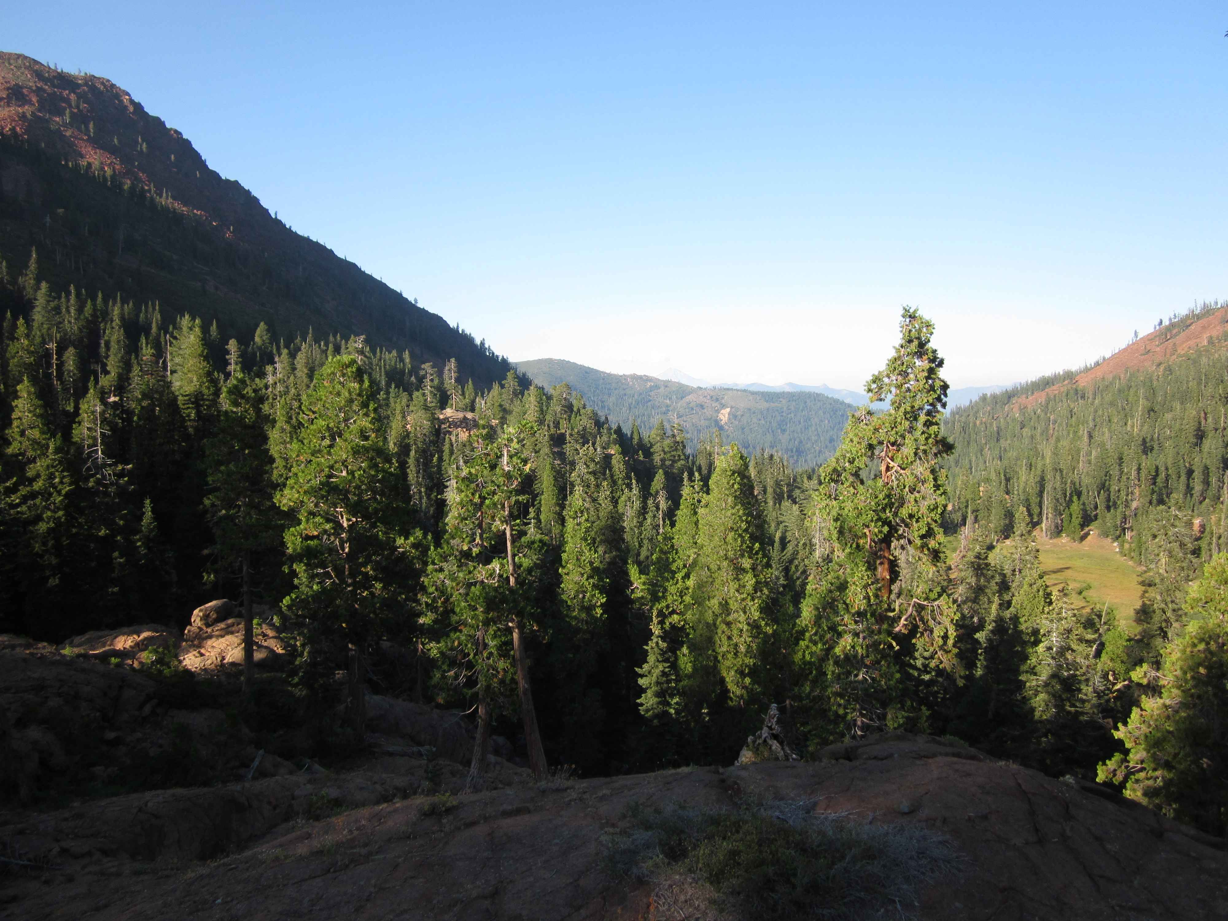
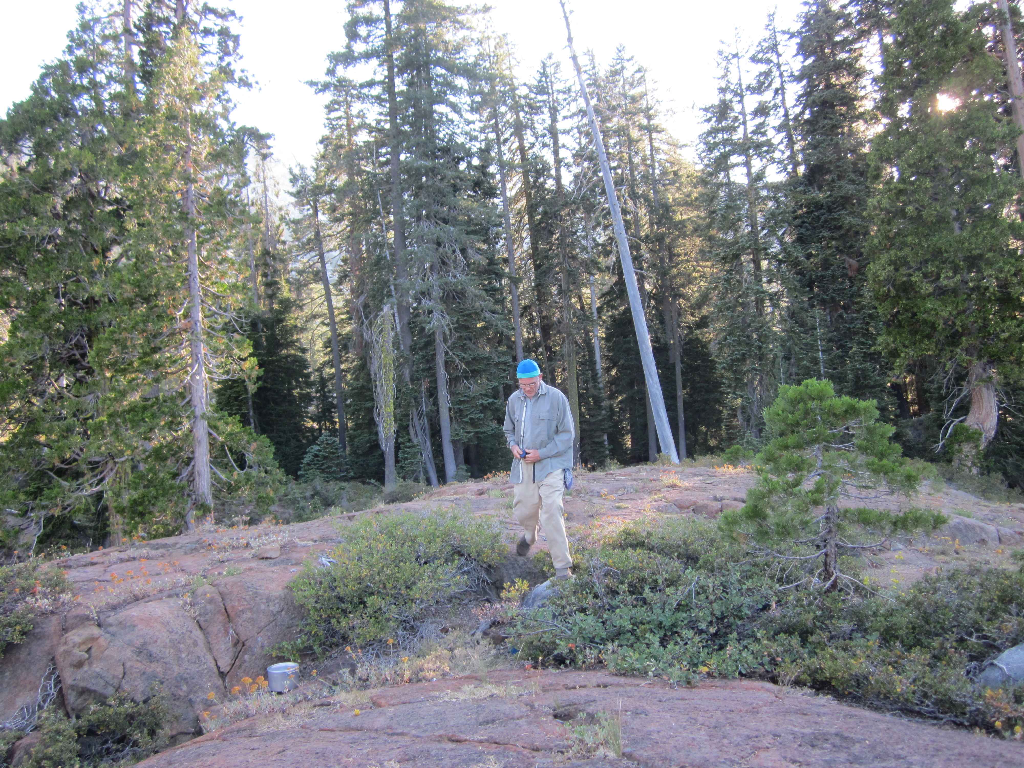
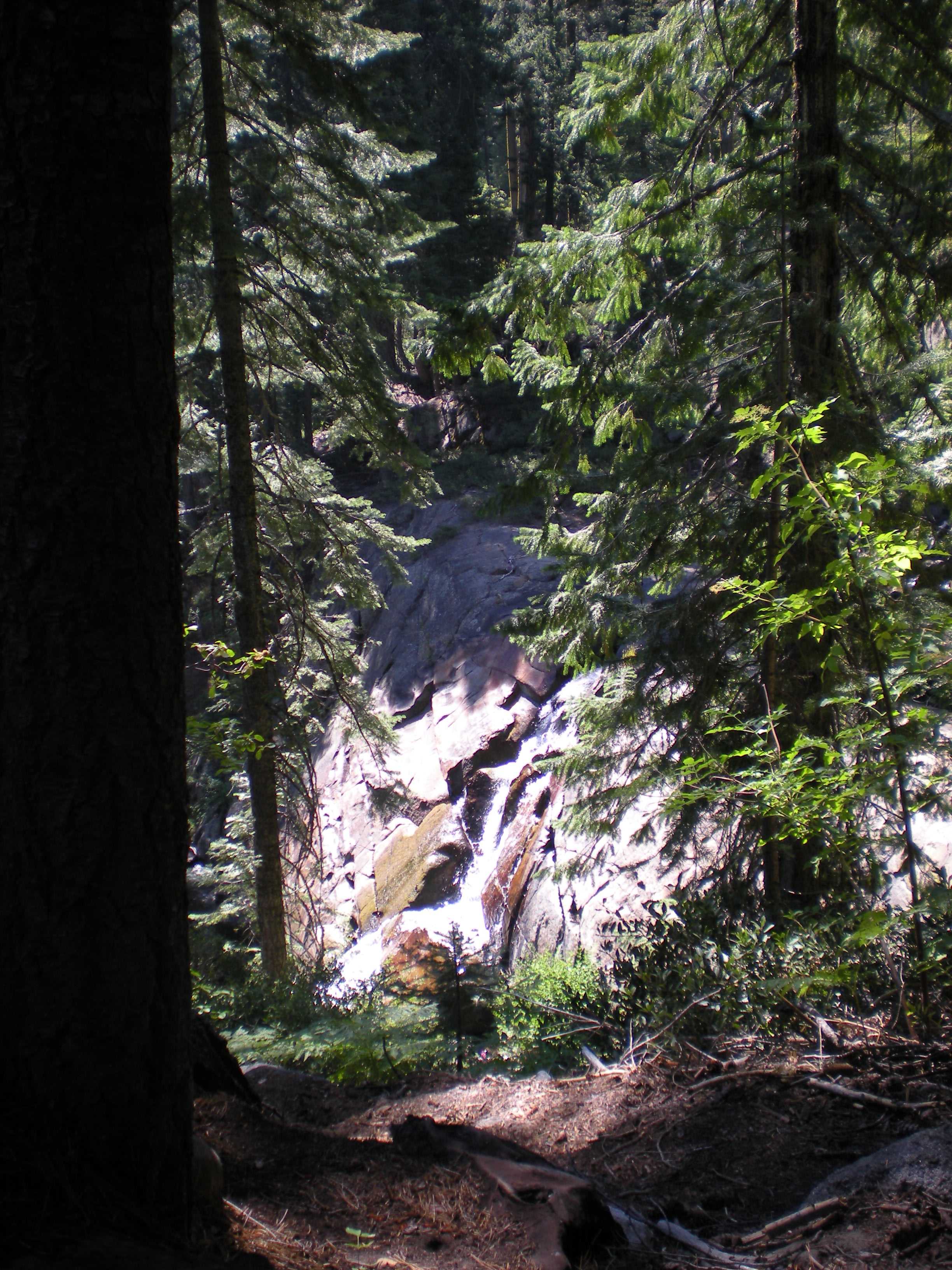
The next day Brian did a climb up Gibson Peak (8400 ft). Jim and I did a small hike up to meet him as he did his descent. We hiked above Granite Lake and explored the surrounding area.

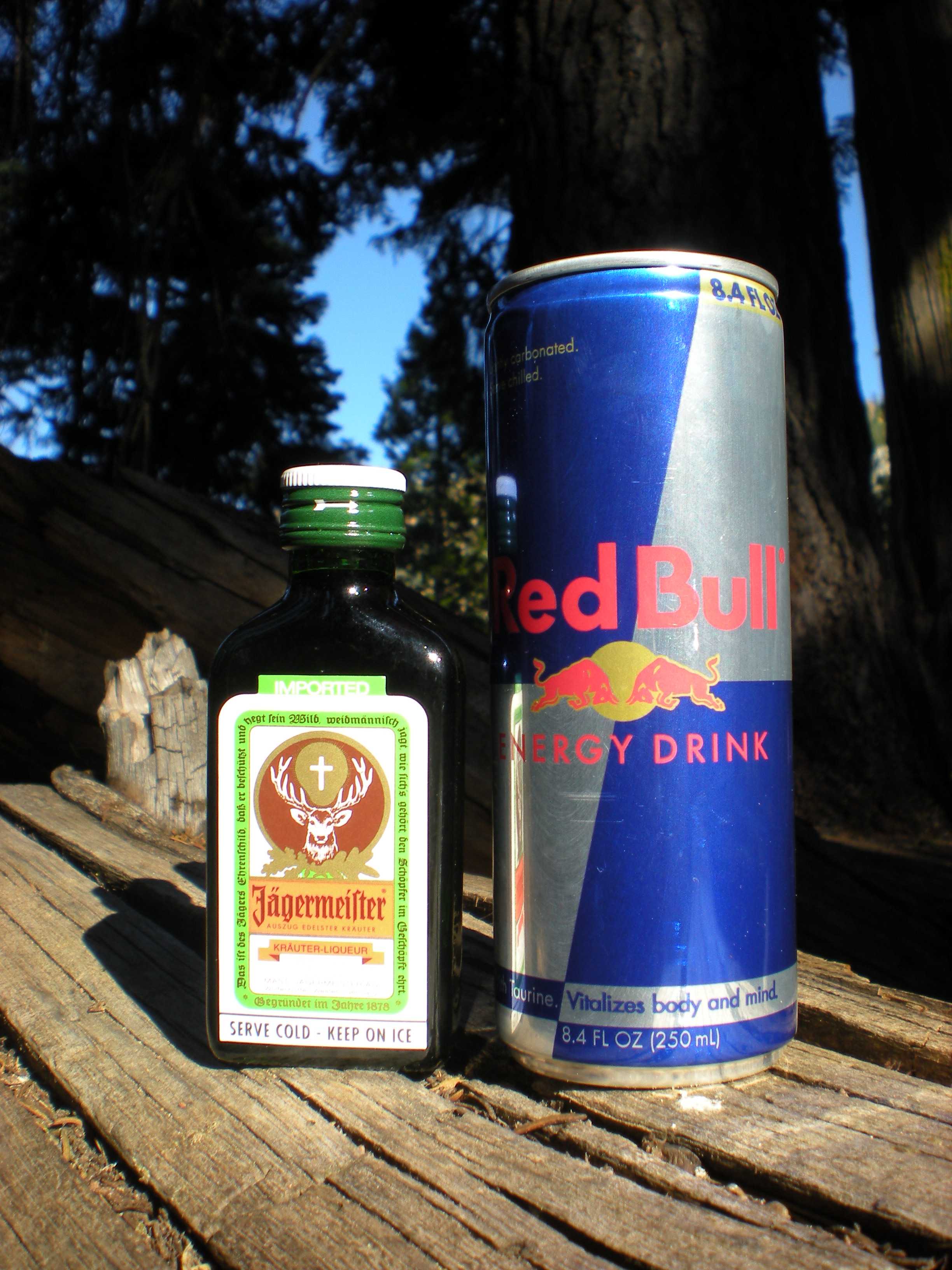
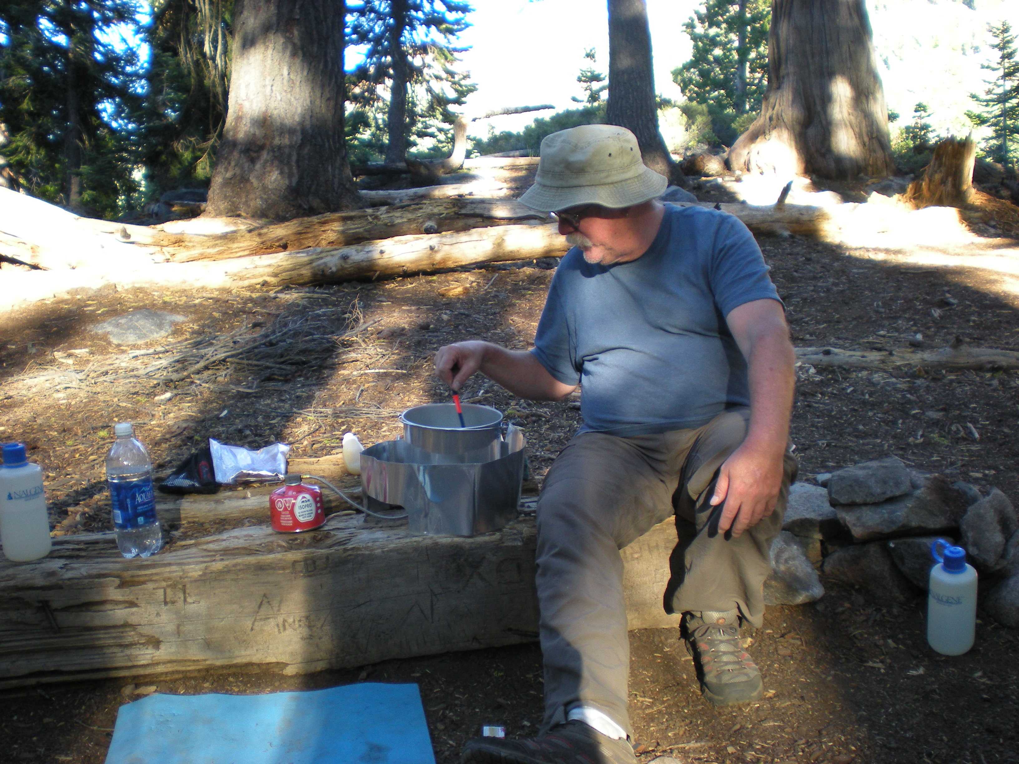
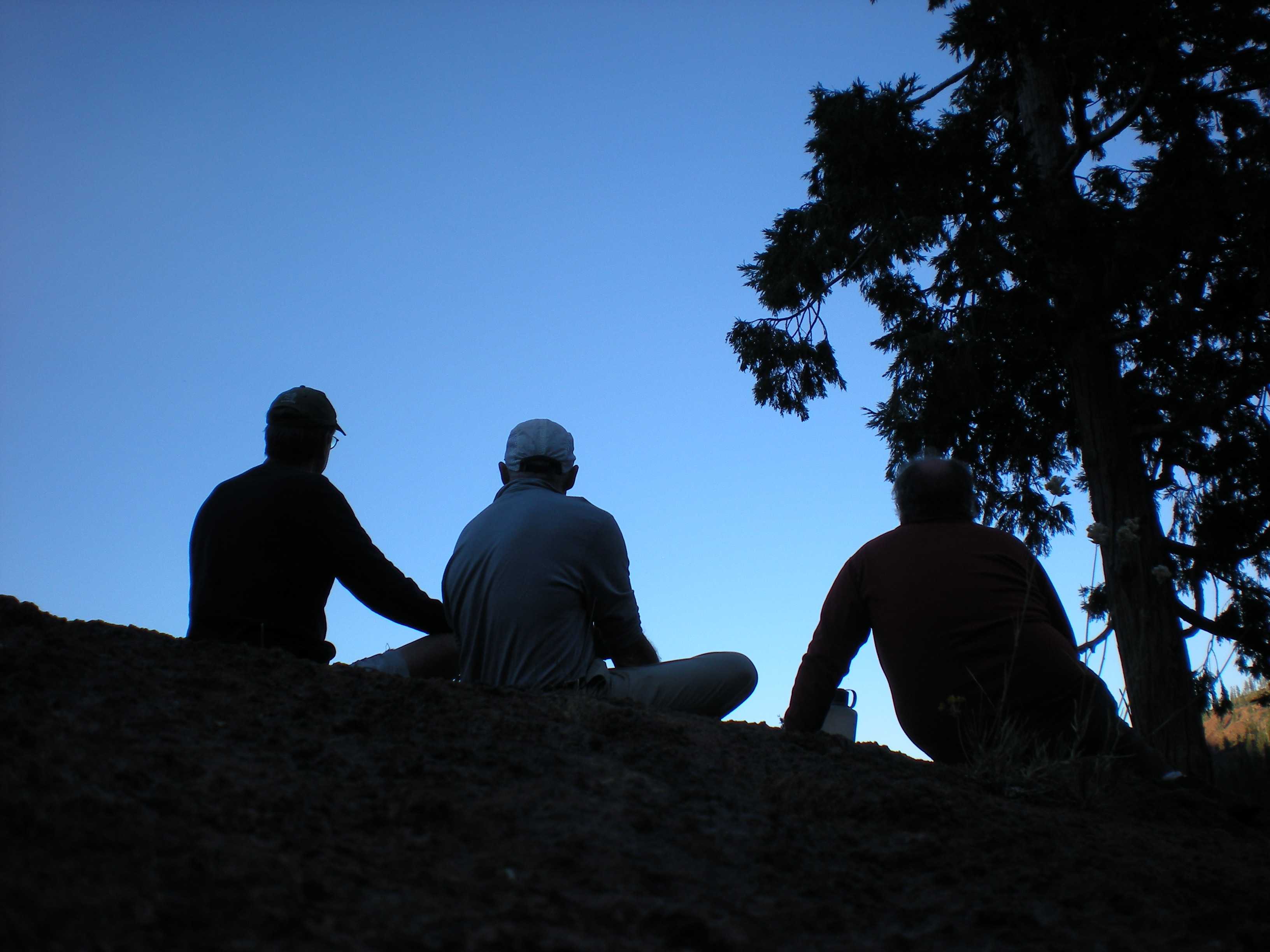
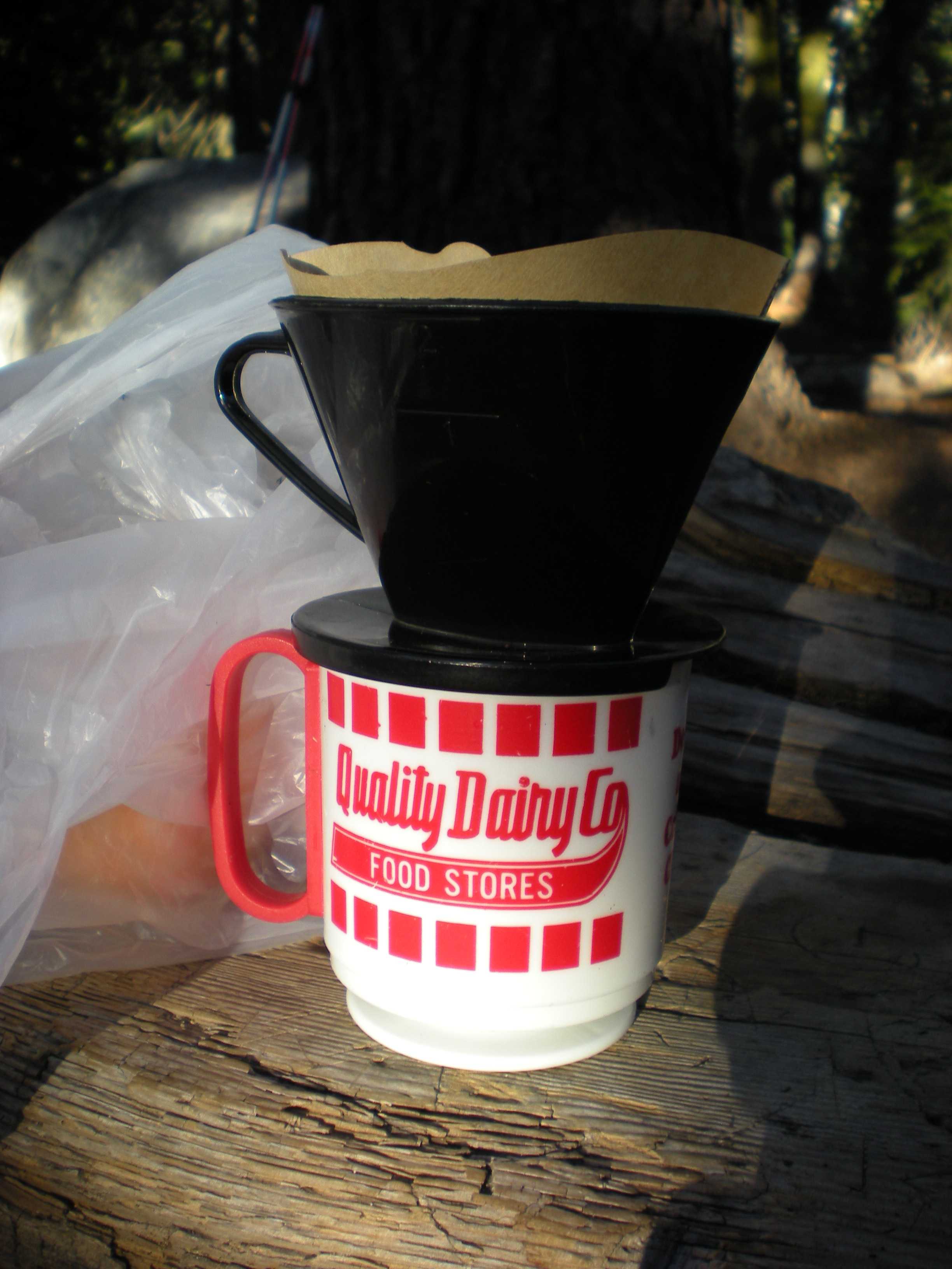
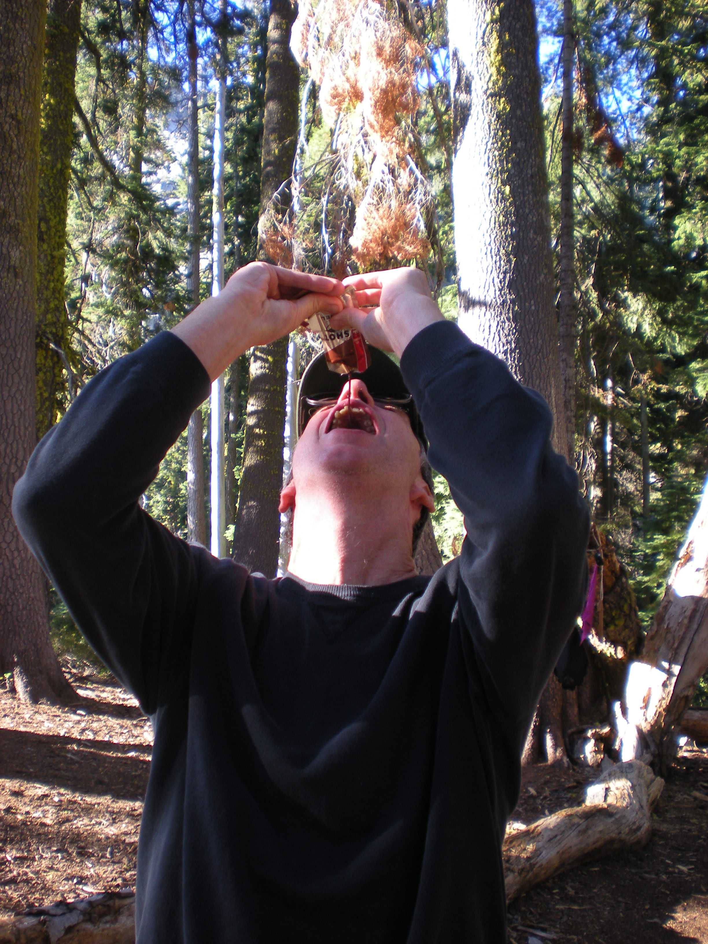
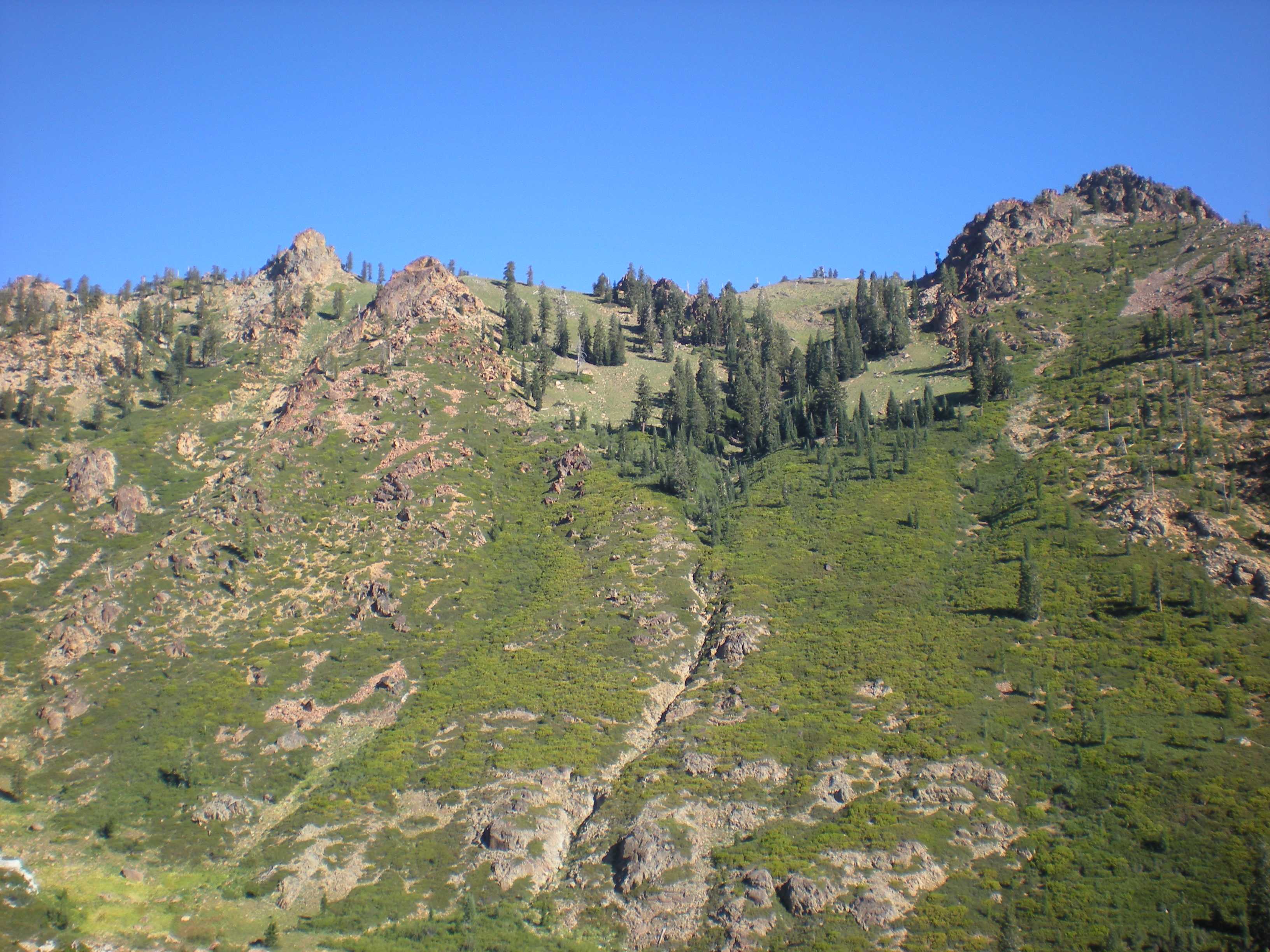
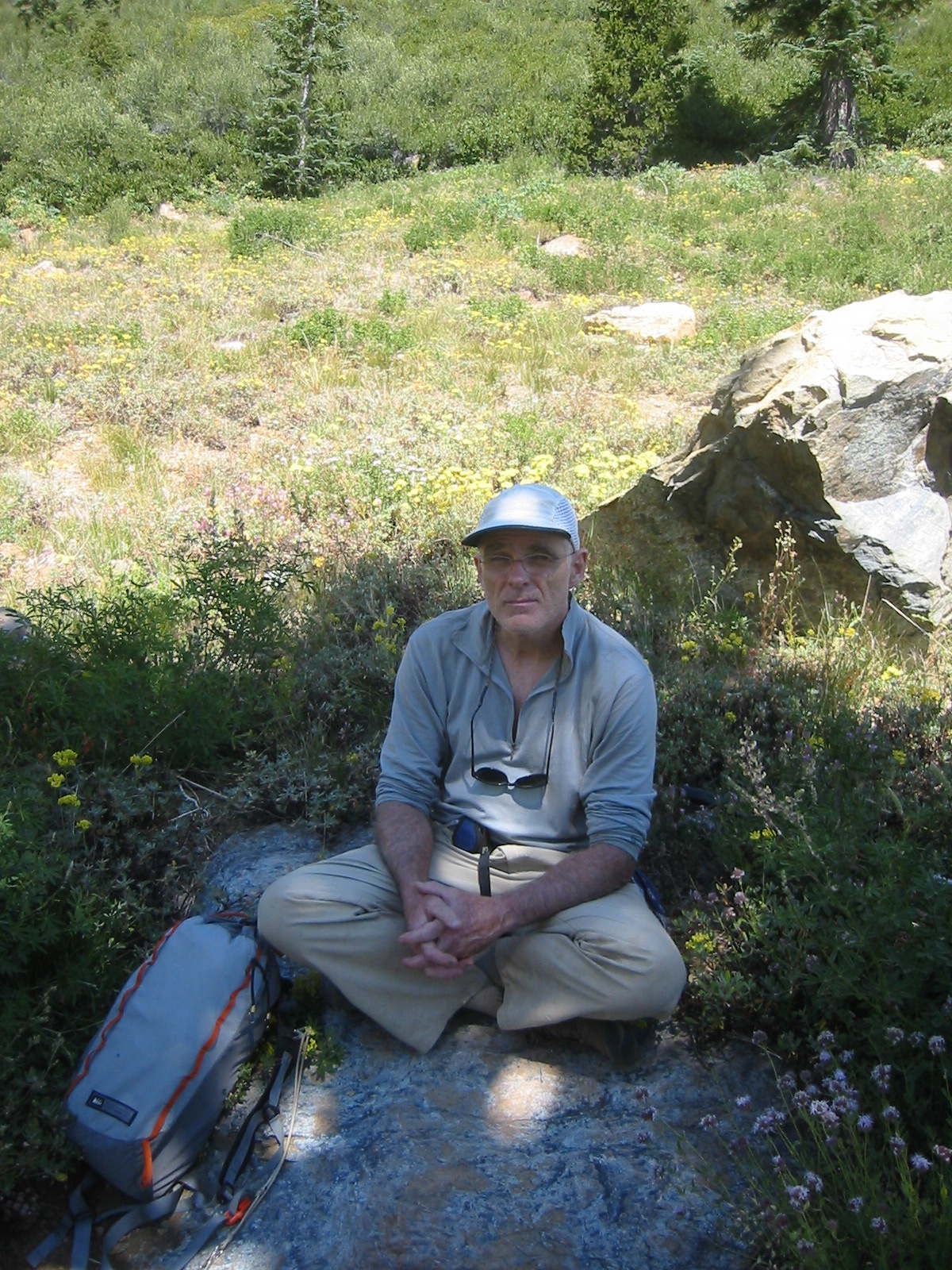
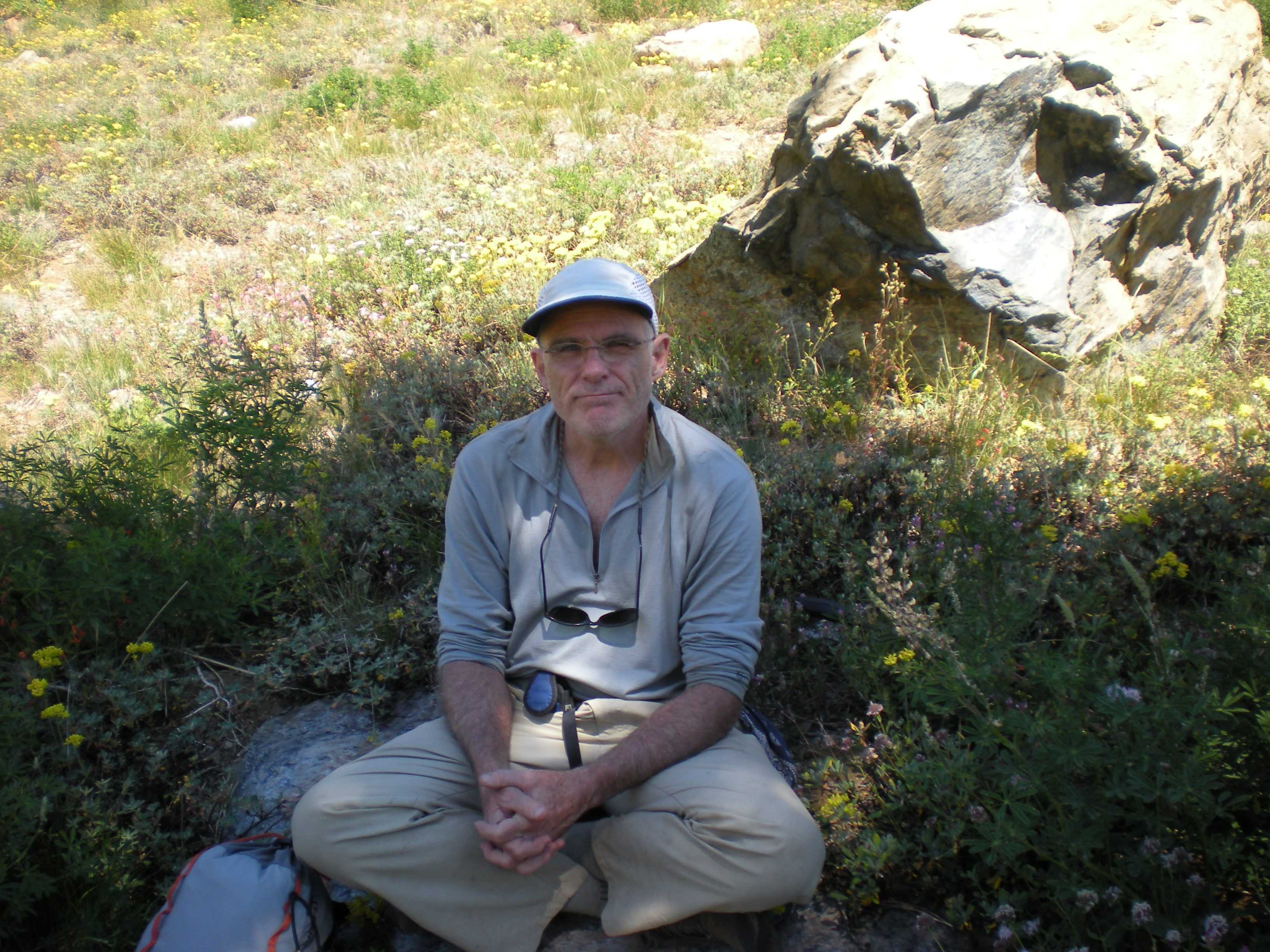
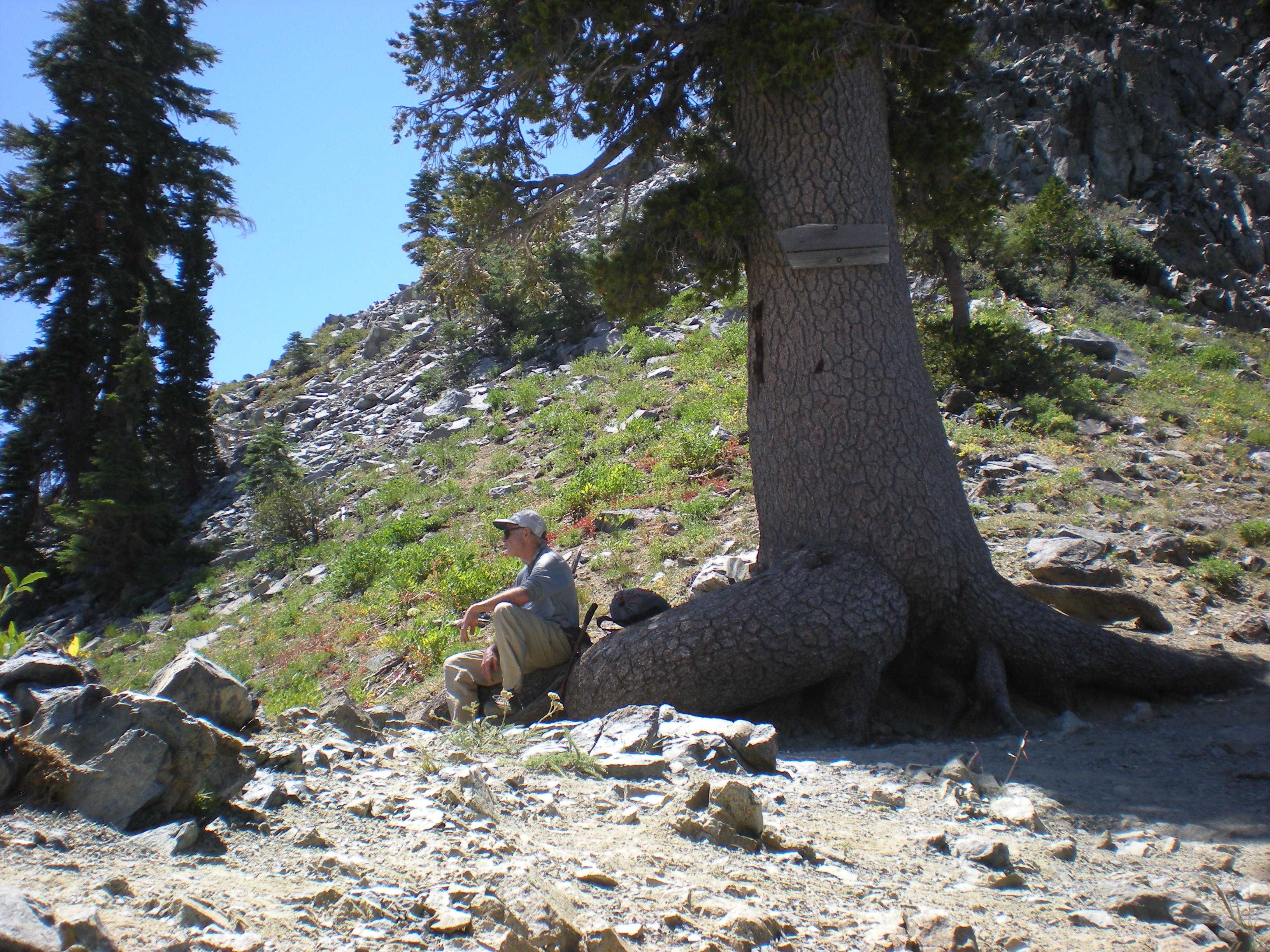
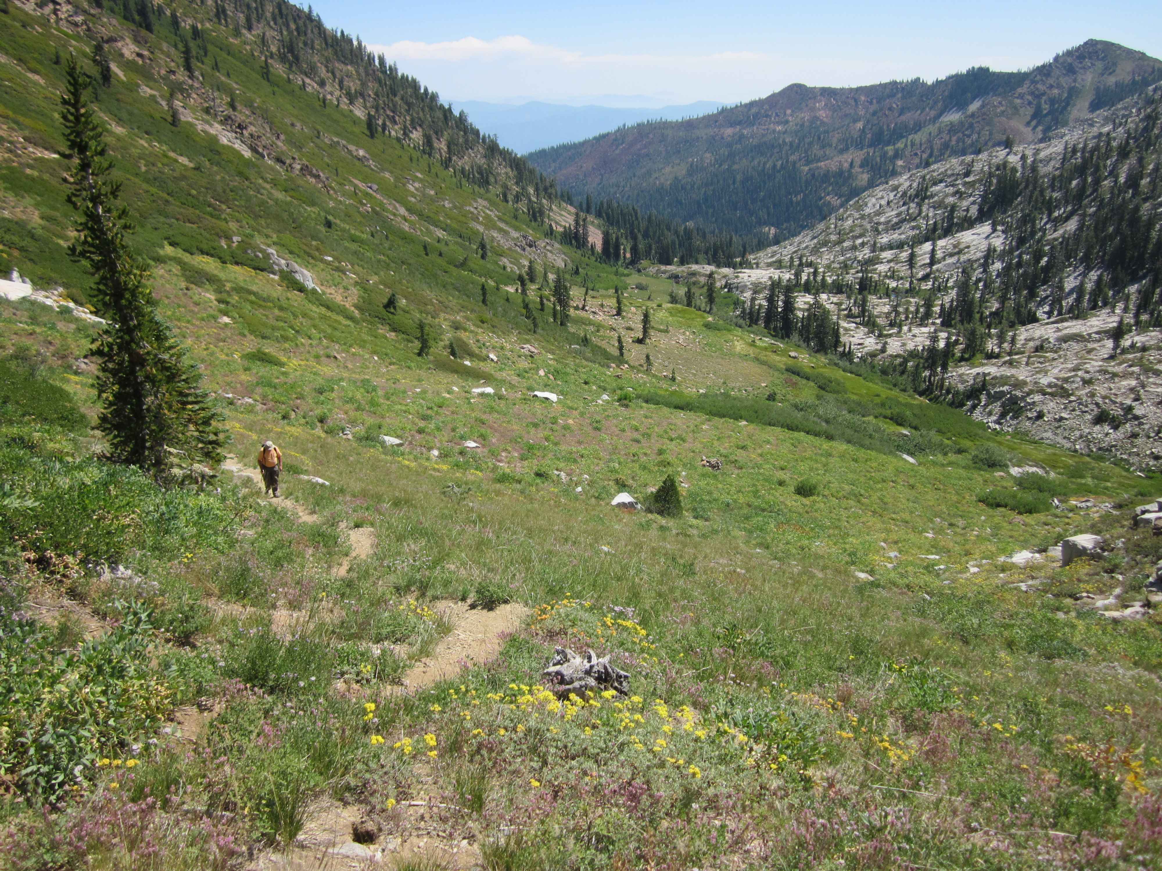
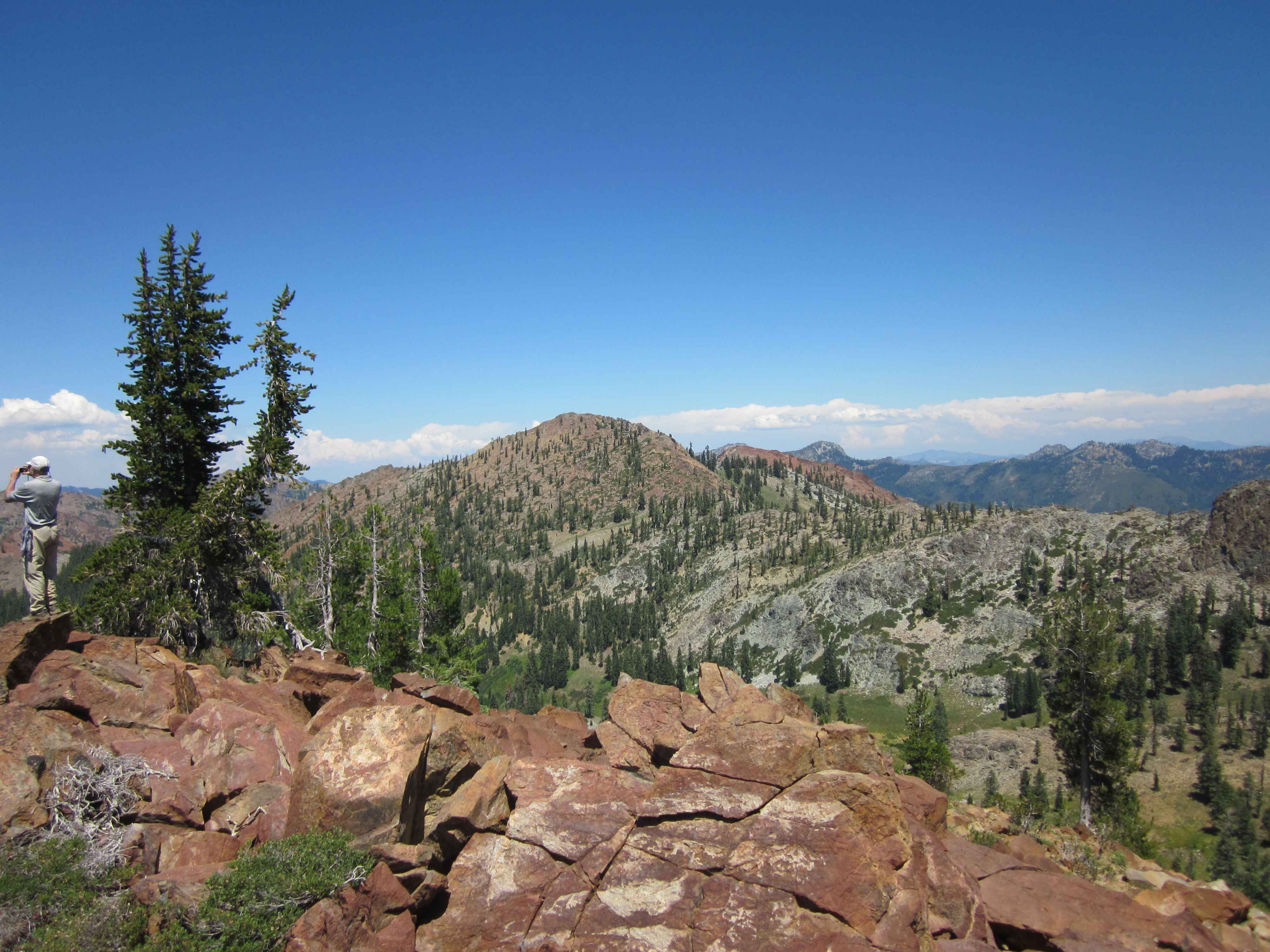
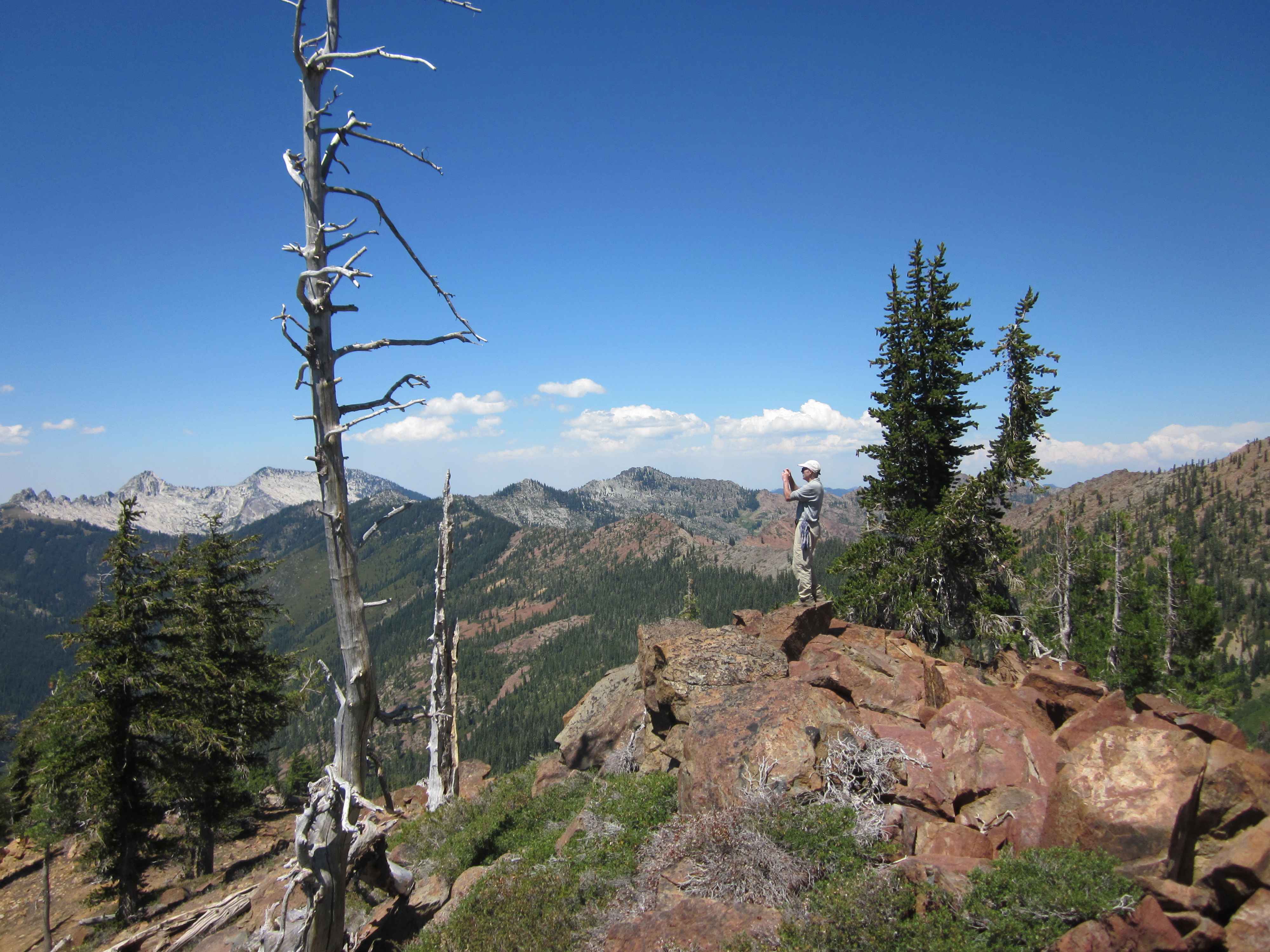
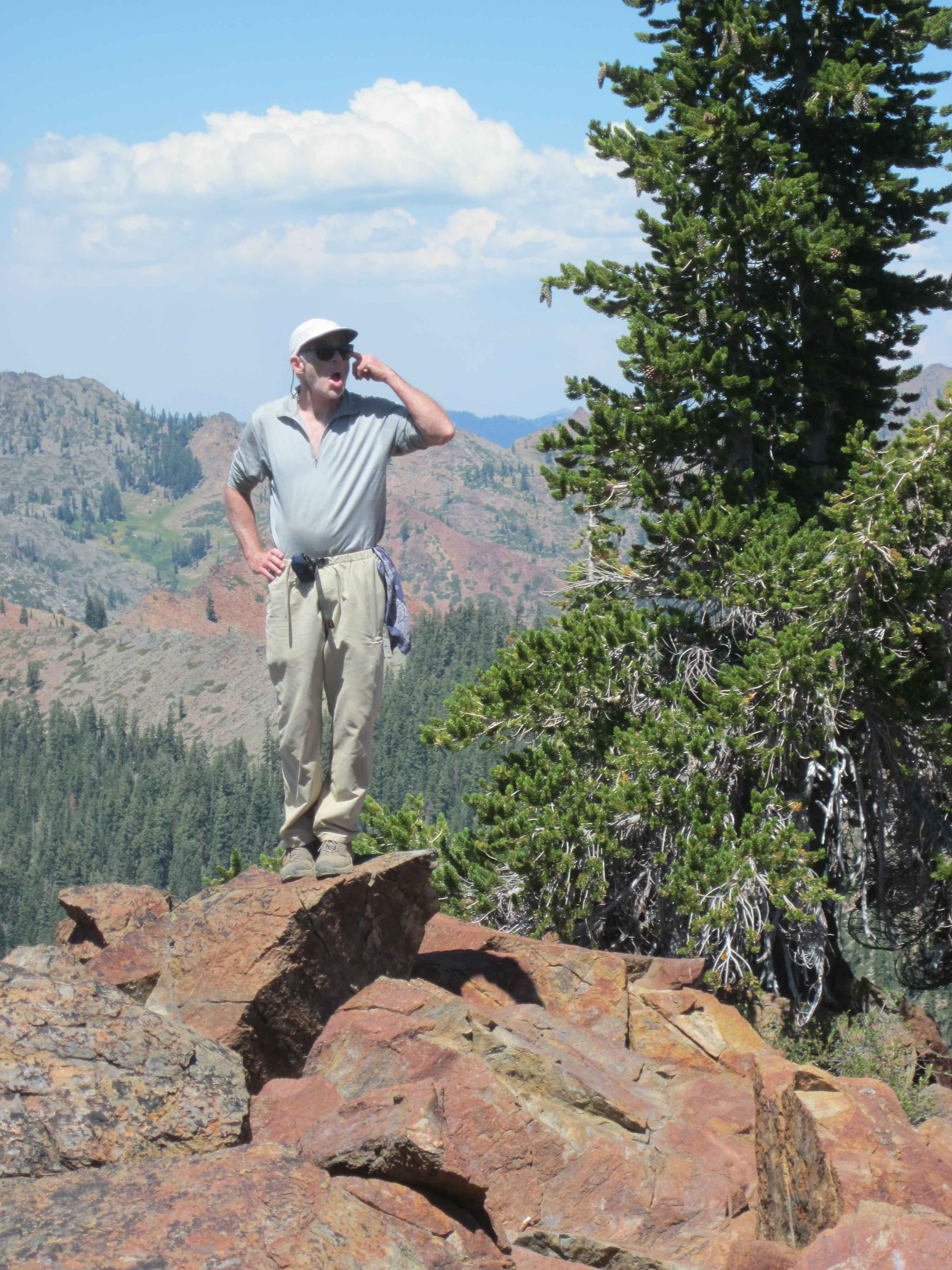
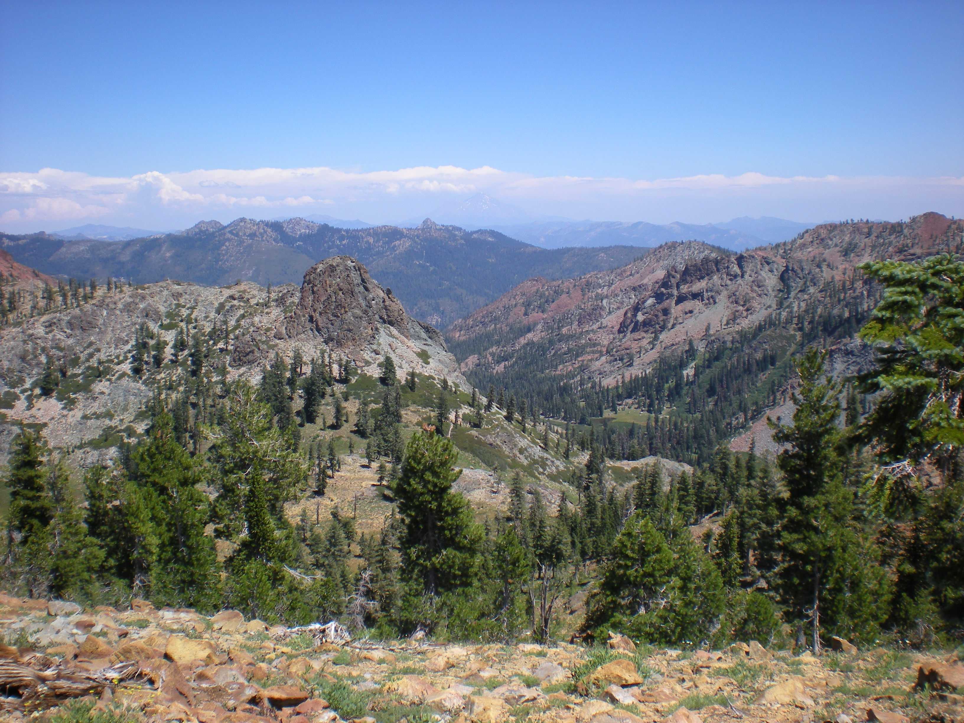
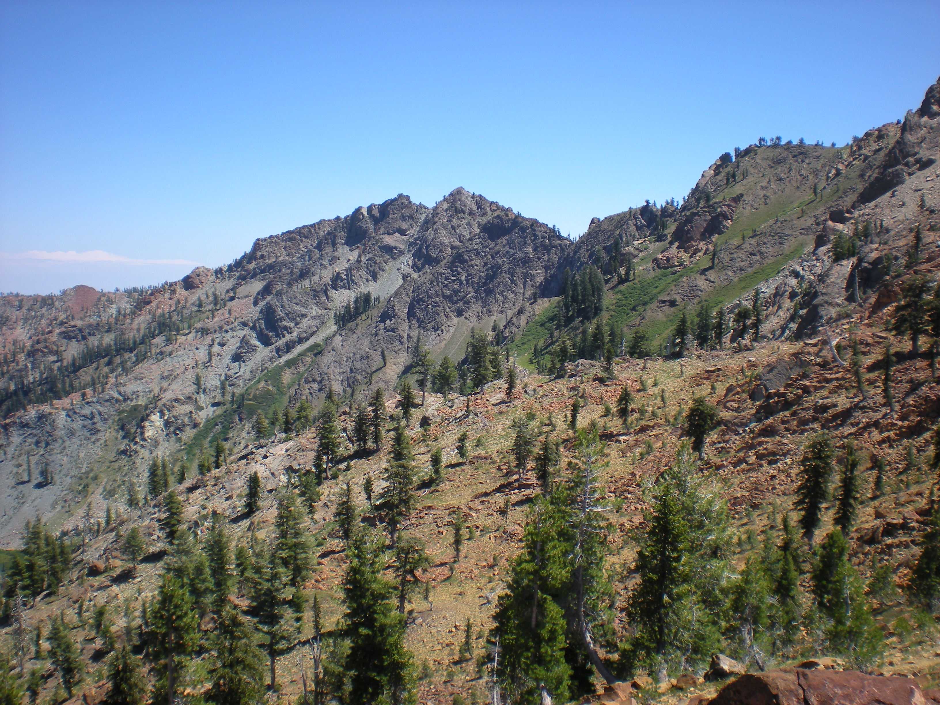
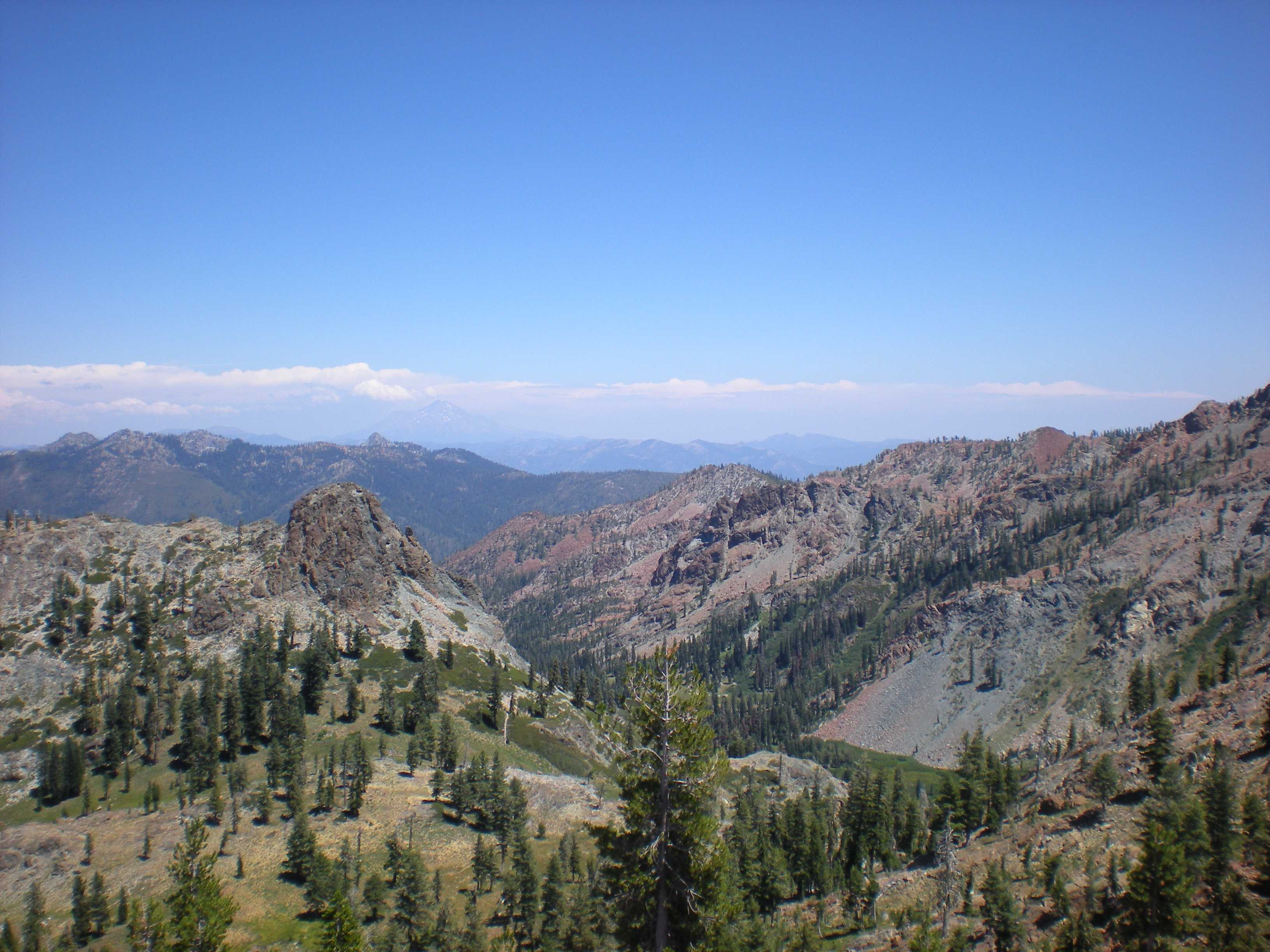
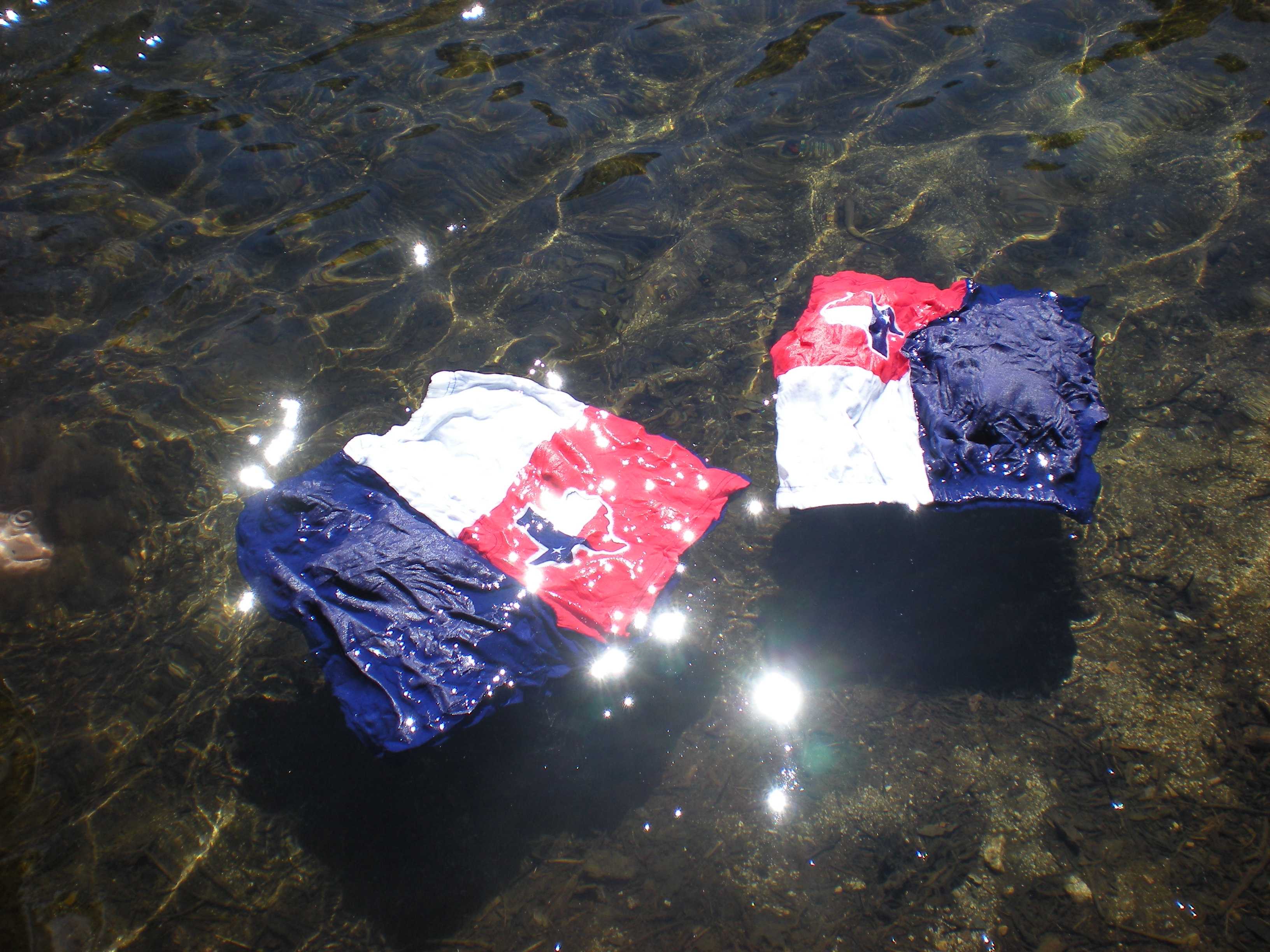
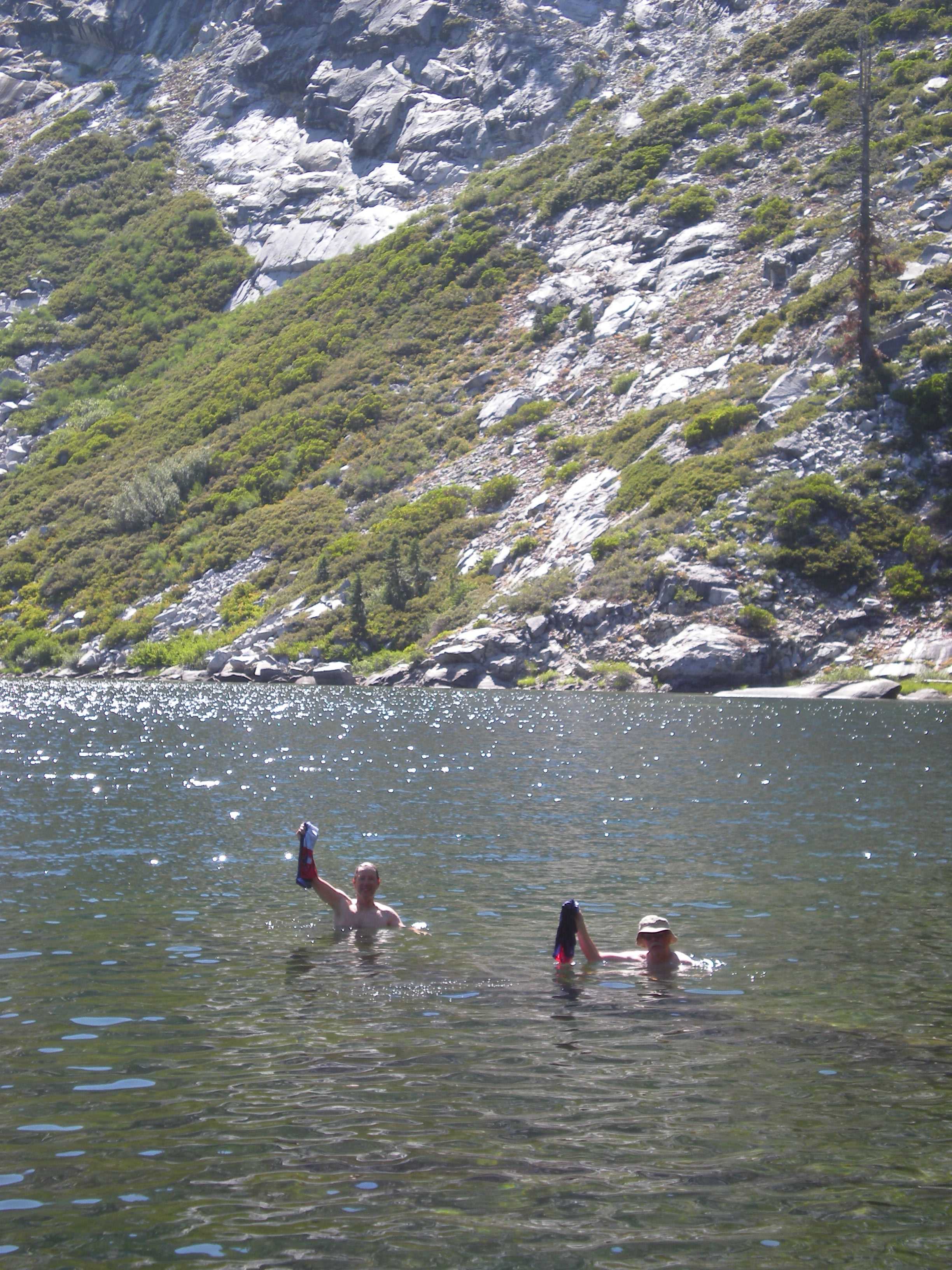
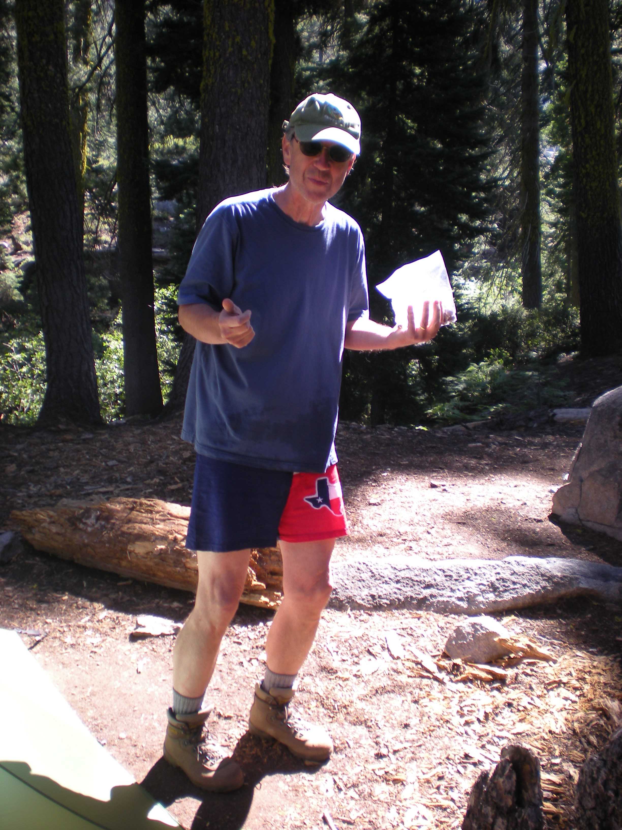
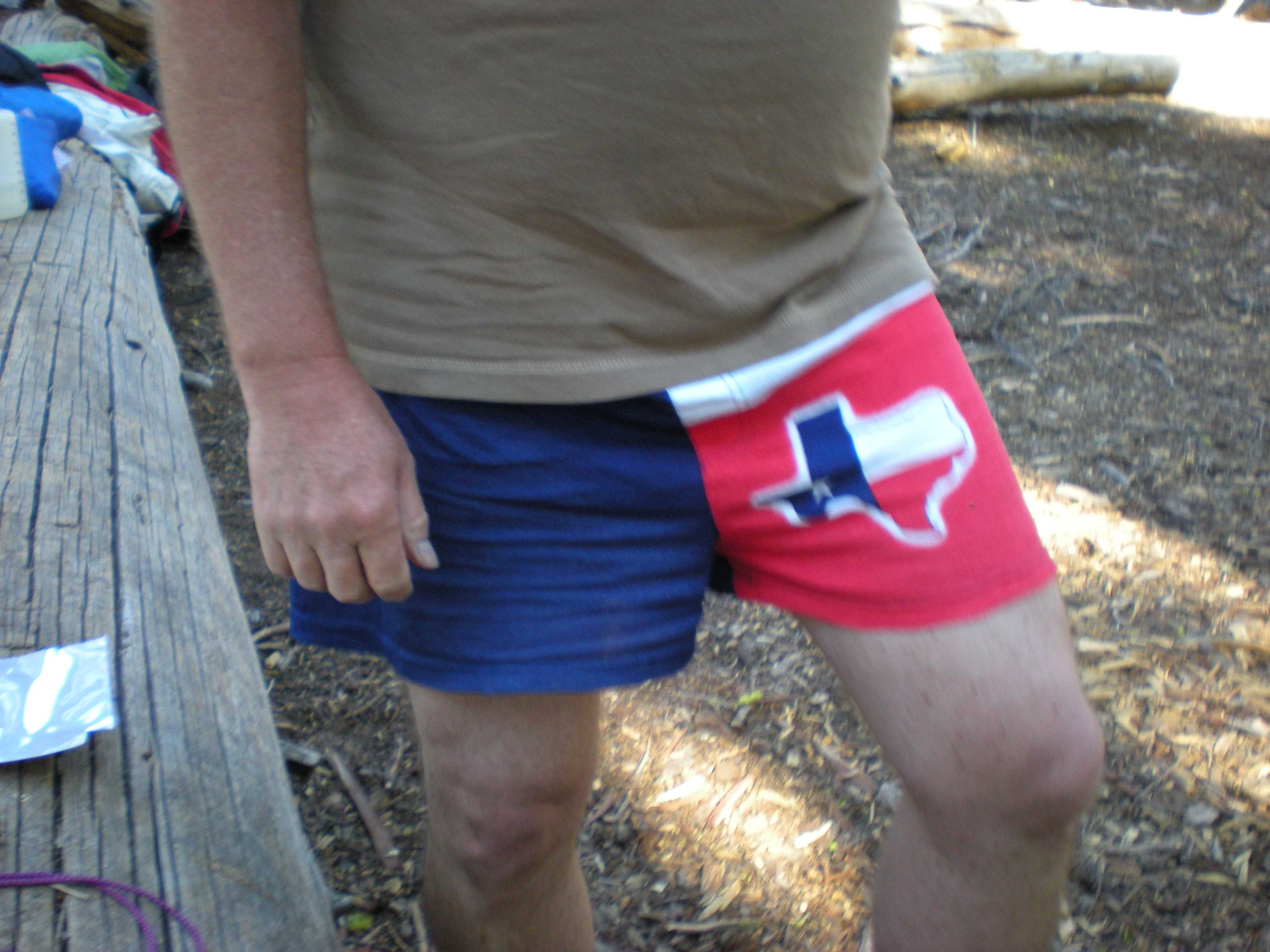
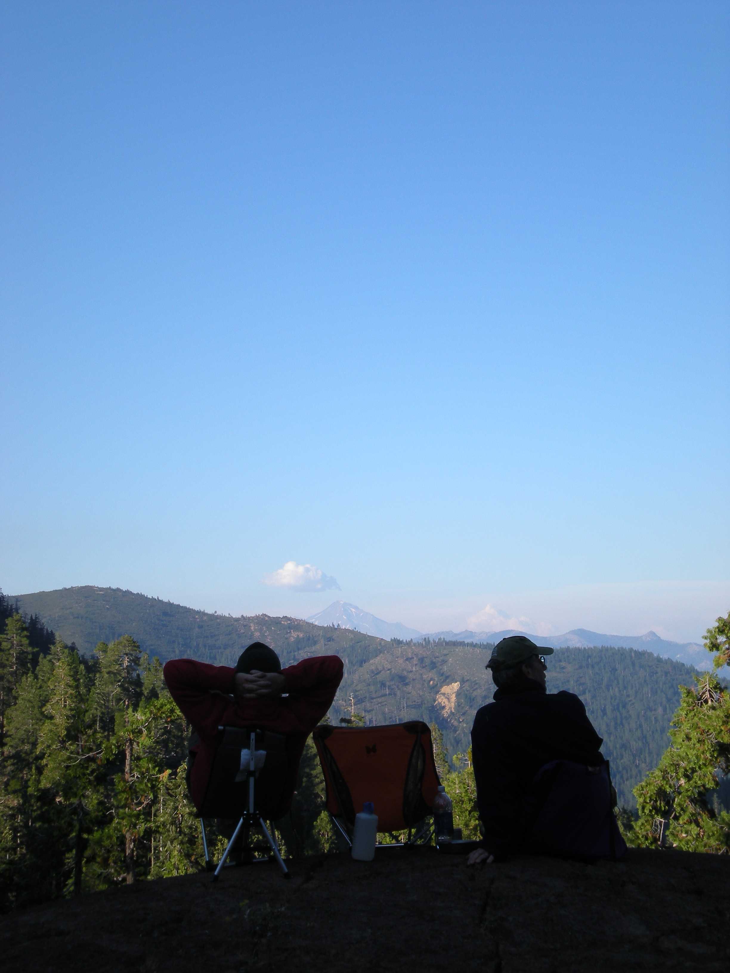
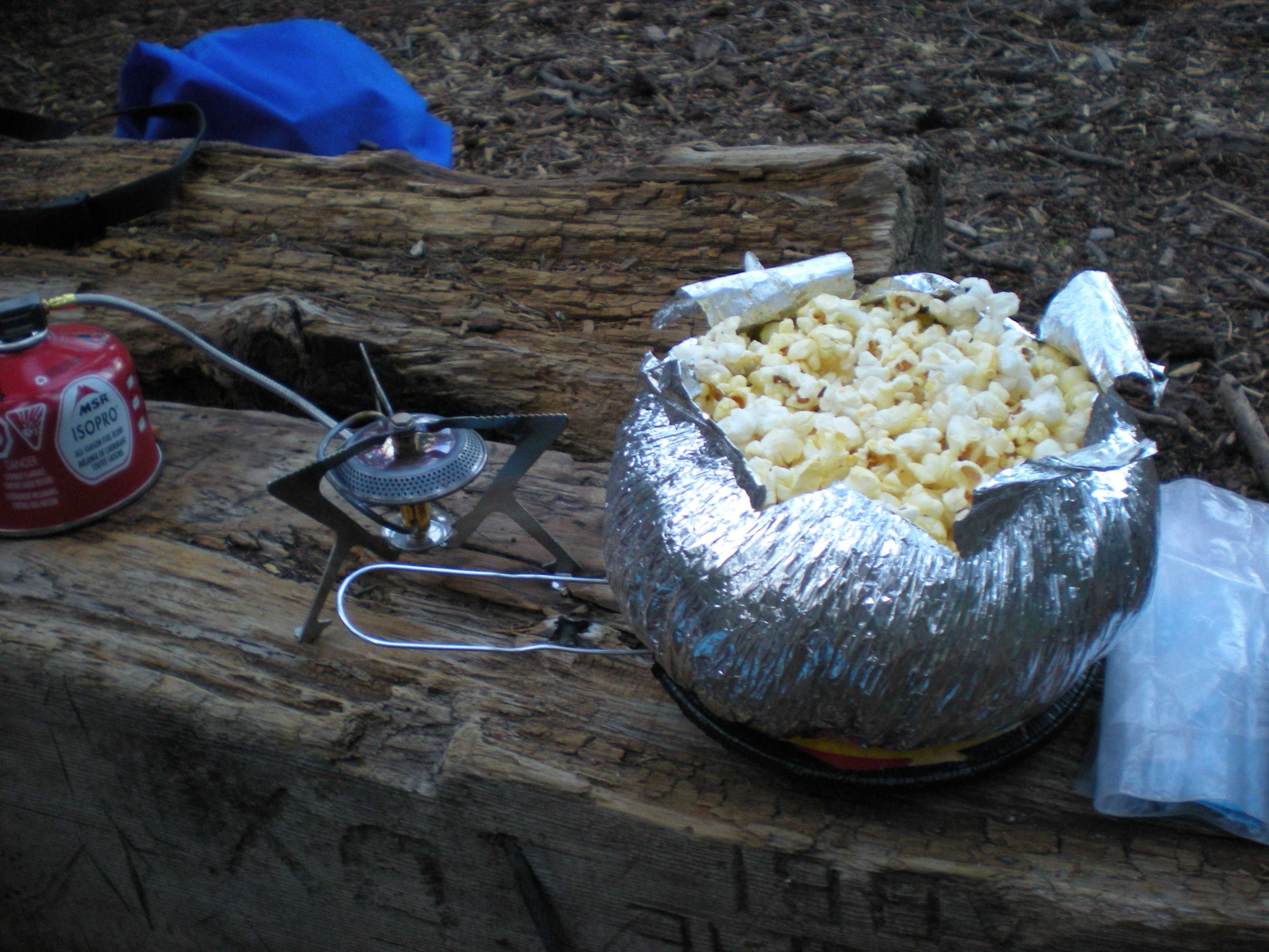
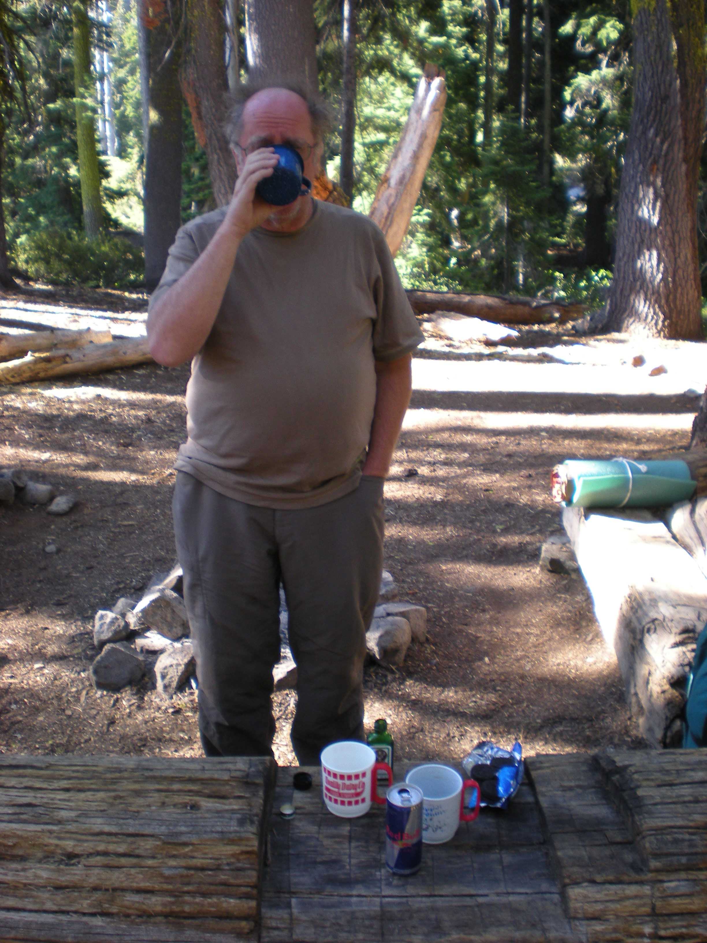
The next day we did a longer day hike to Seven Up Pass. Brian and Jim continued on for a bit along the trail to Seven Up Peak. We met two kind souls, and also Garret the volunteer Ranger. We had to pull a MacGyver, but everyone was happy that night. We also swam in Granite Lake using some nice new Texas trunks from Brian. The next morning we had Jagermeister and Red Bull, plus Hostess cupcakes for breakfast. We then packed up and hiked out. I was burping Red Bull all morning. Jim missed the cut-off to the trail head and was missing for a while, but he was located and we piled into the General for the next part of our Journey.

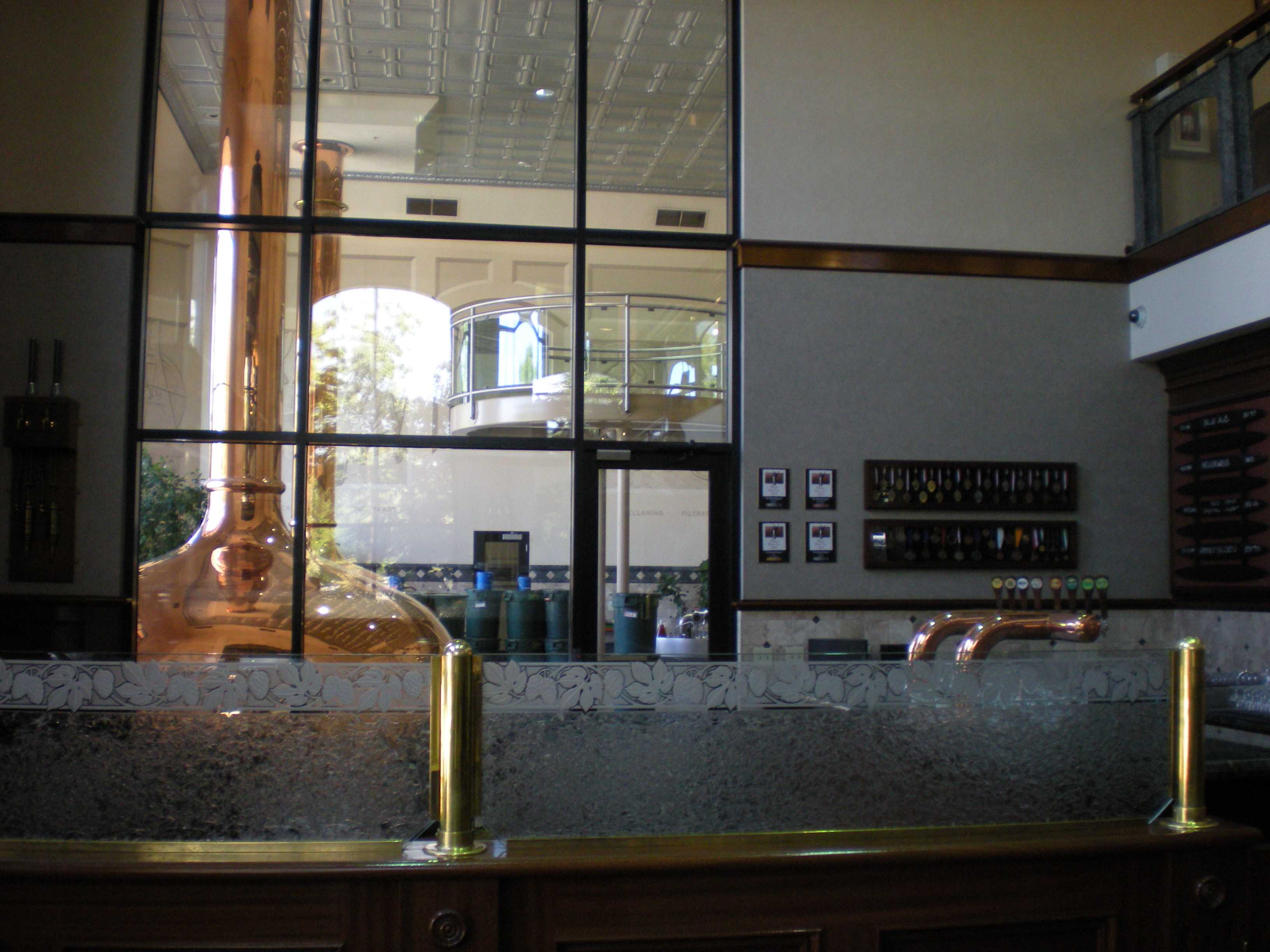
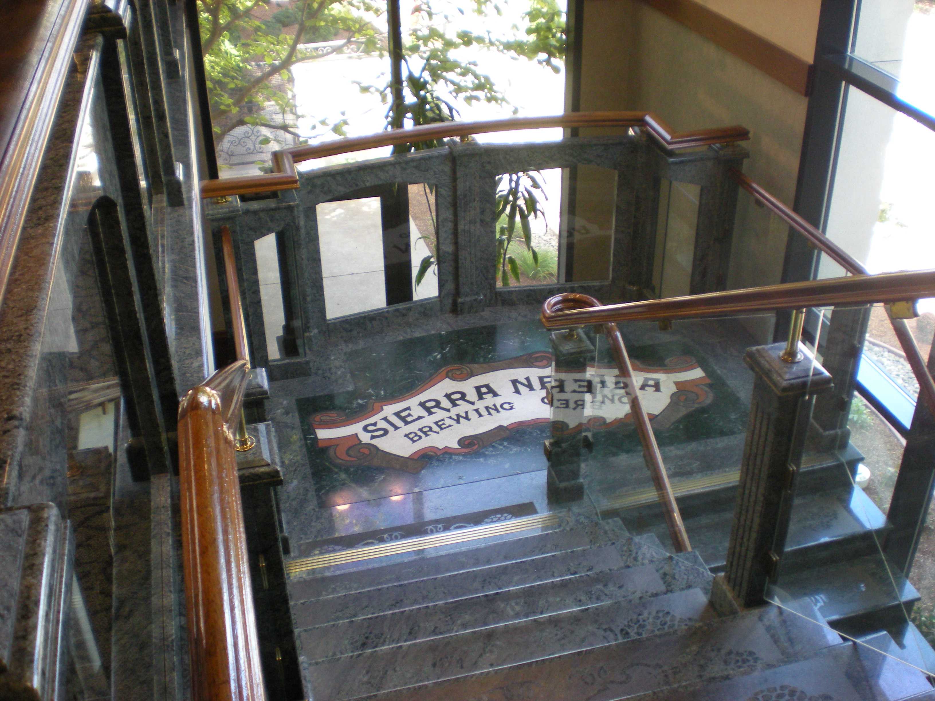
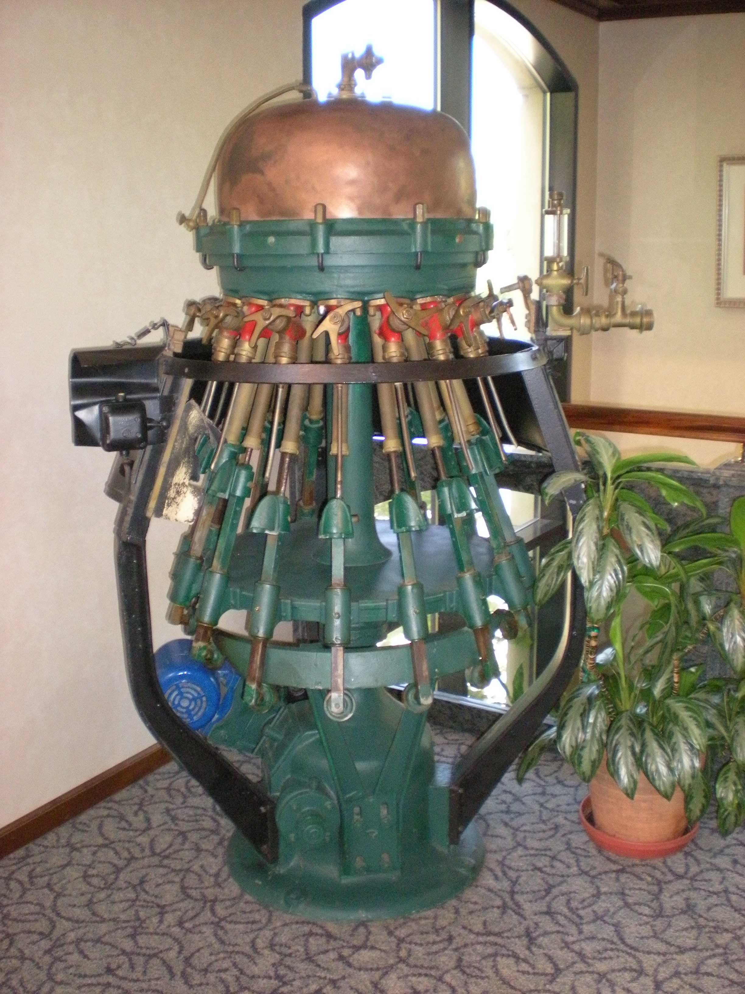
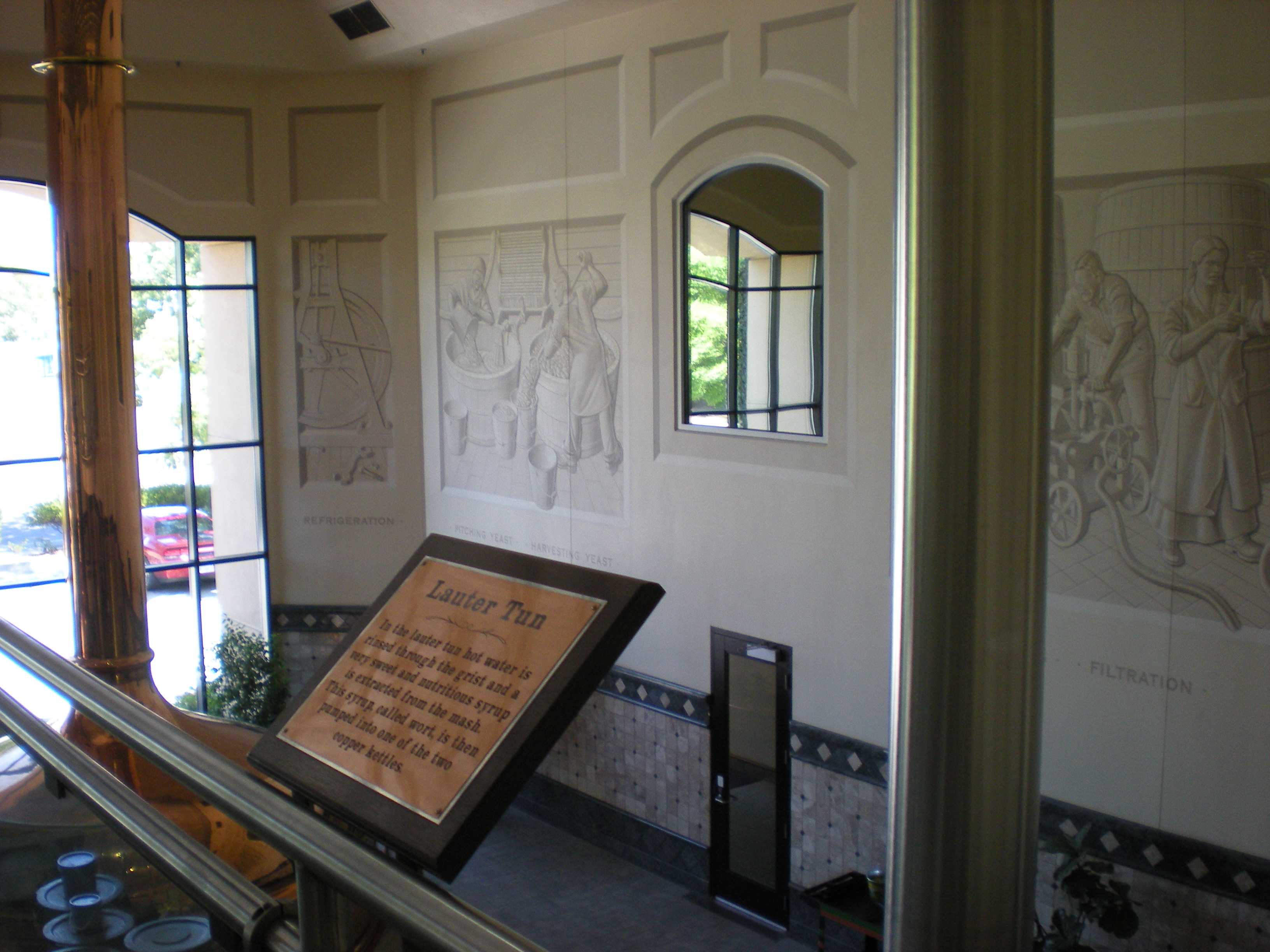
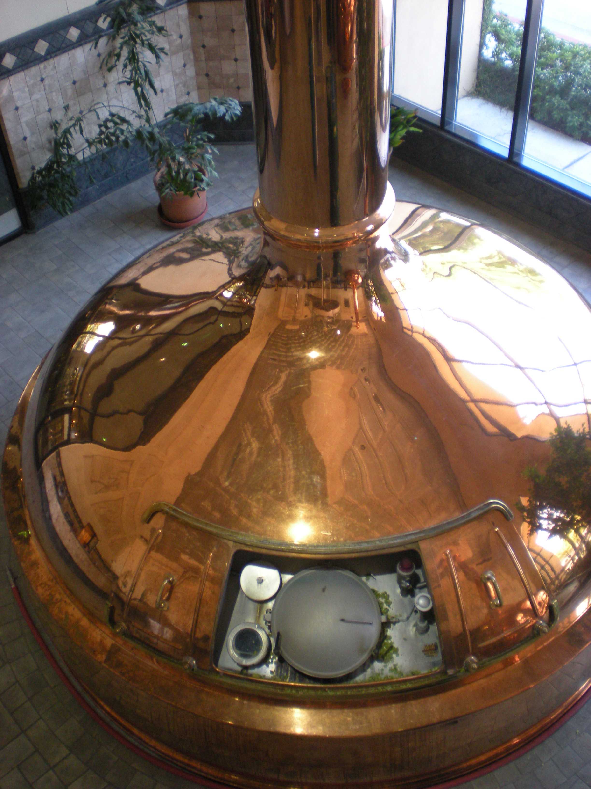
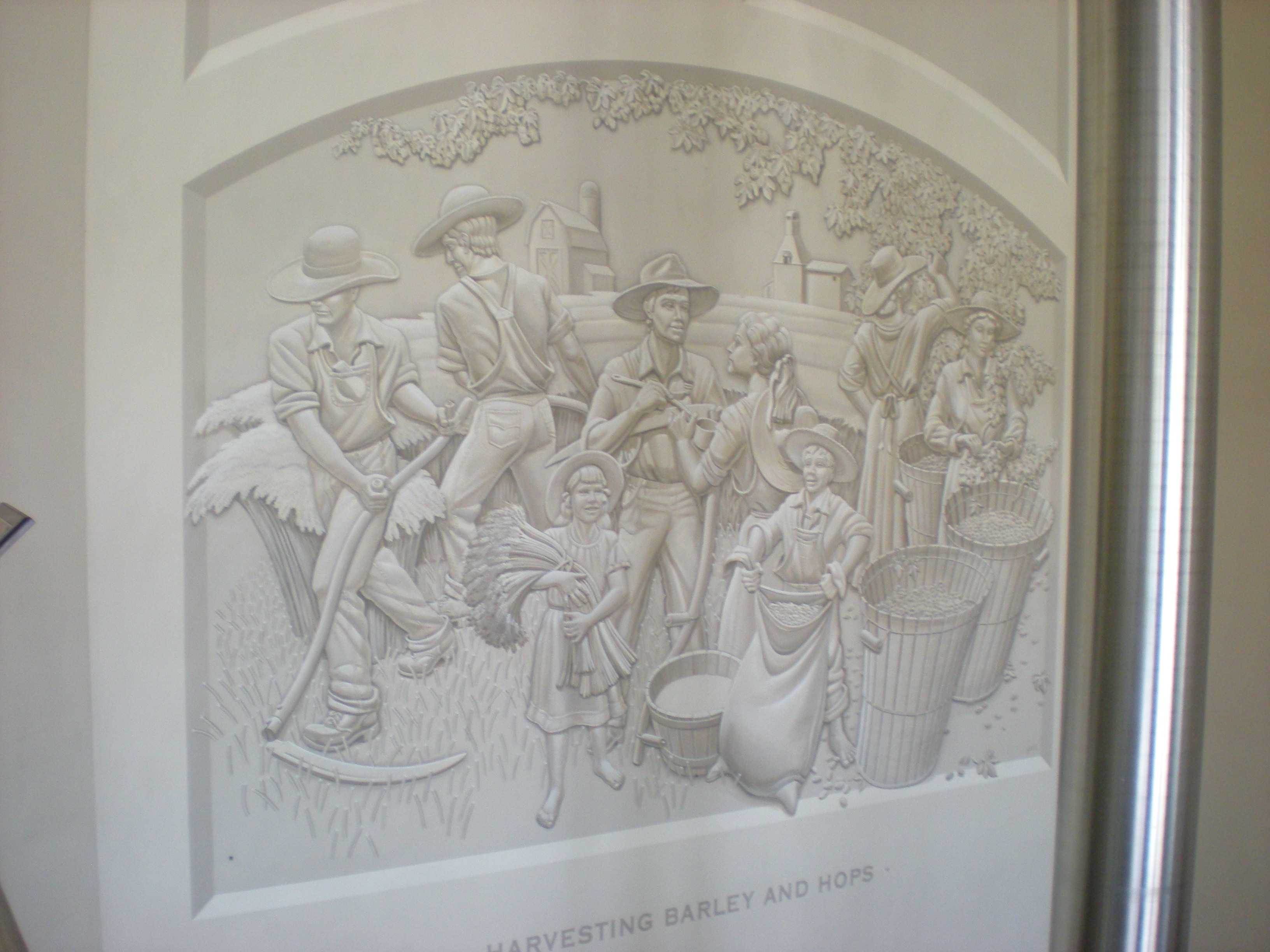
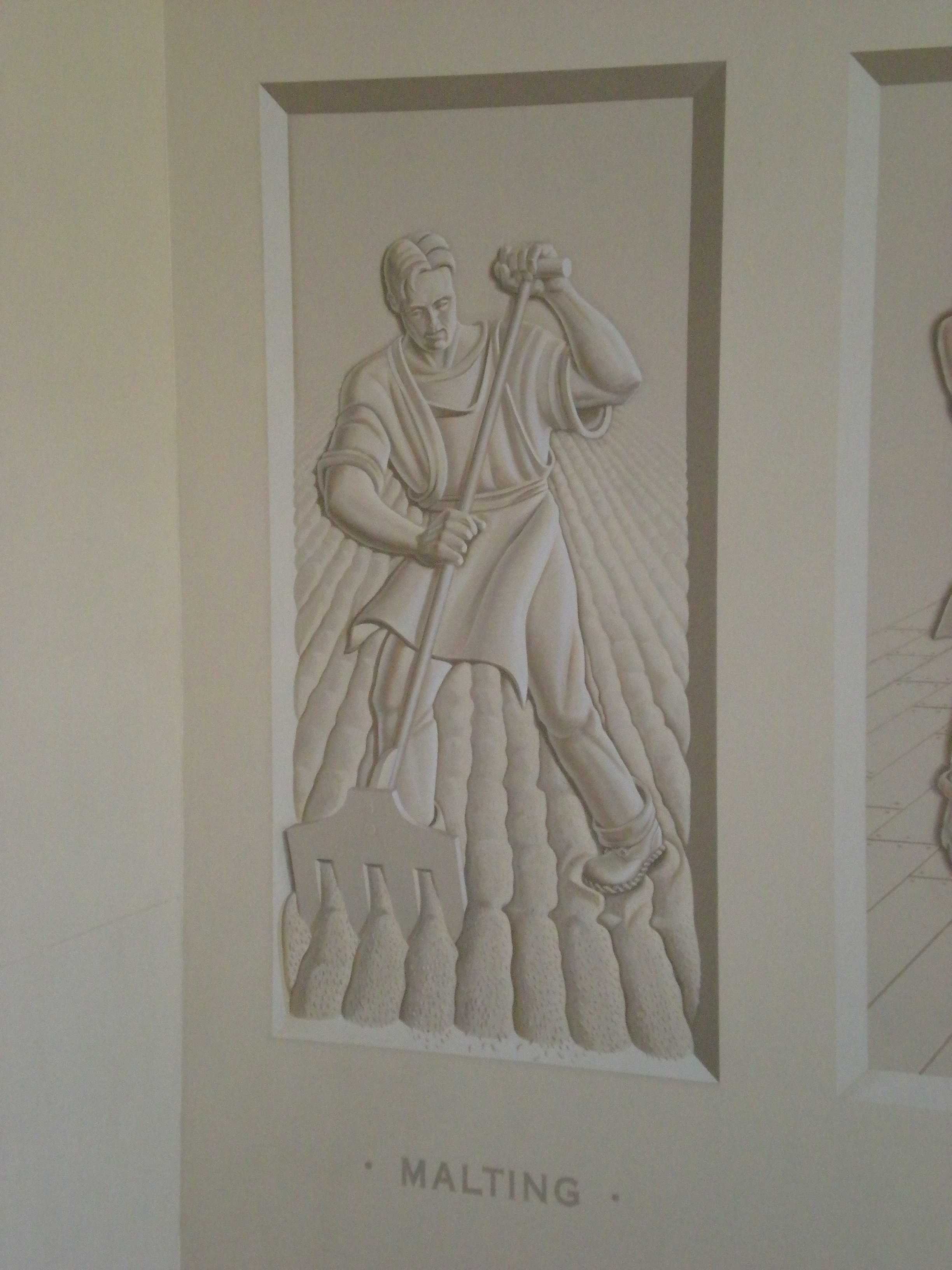
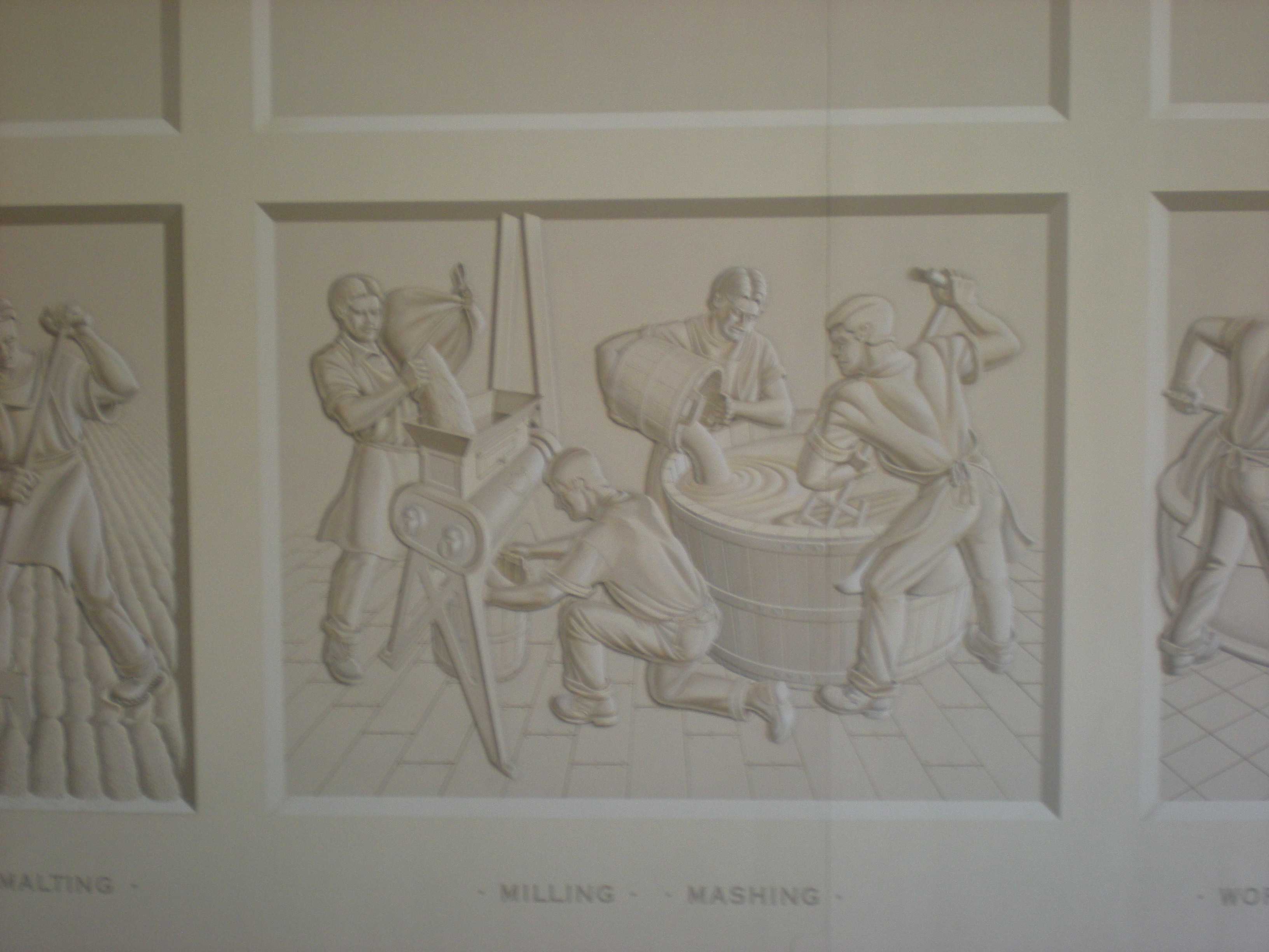
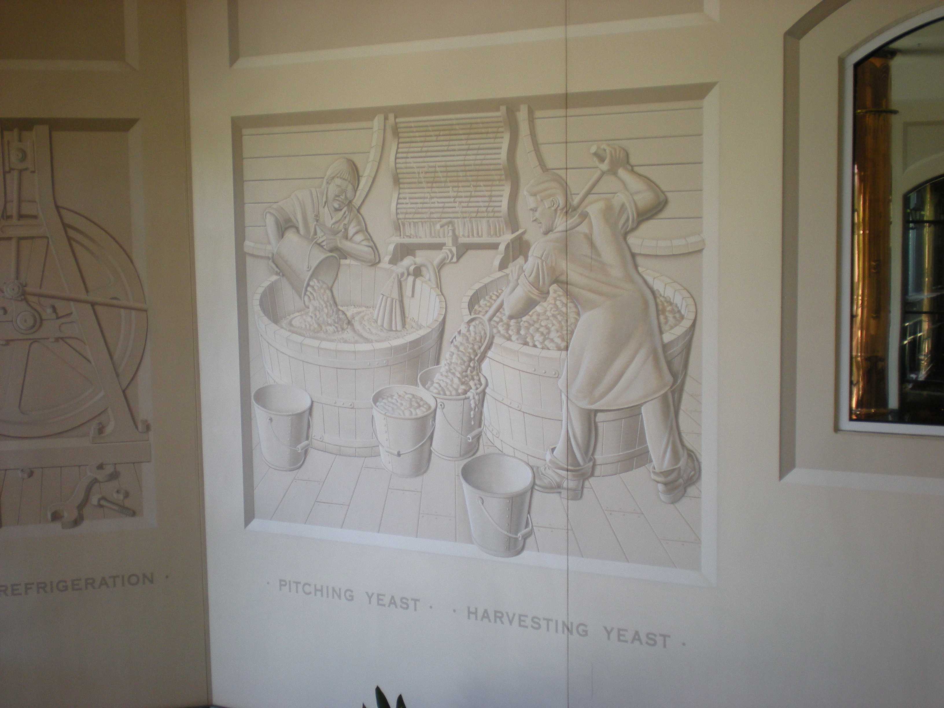
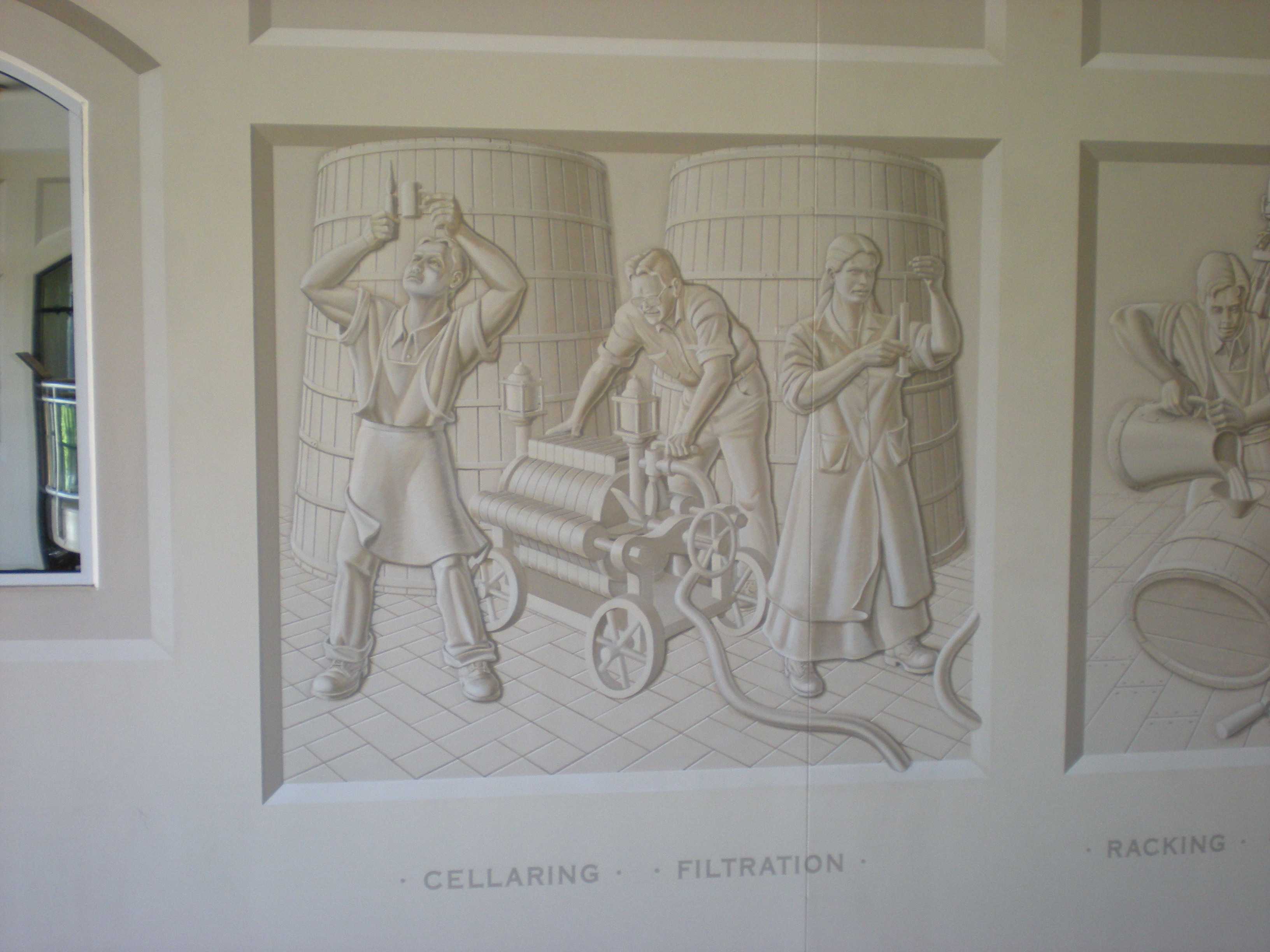
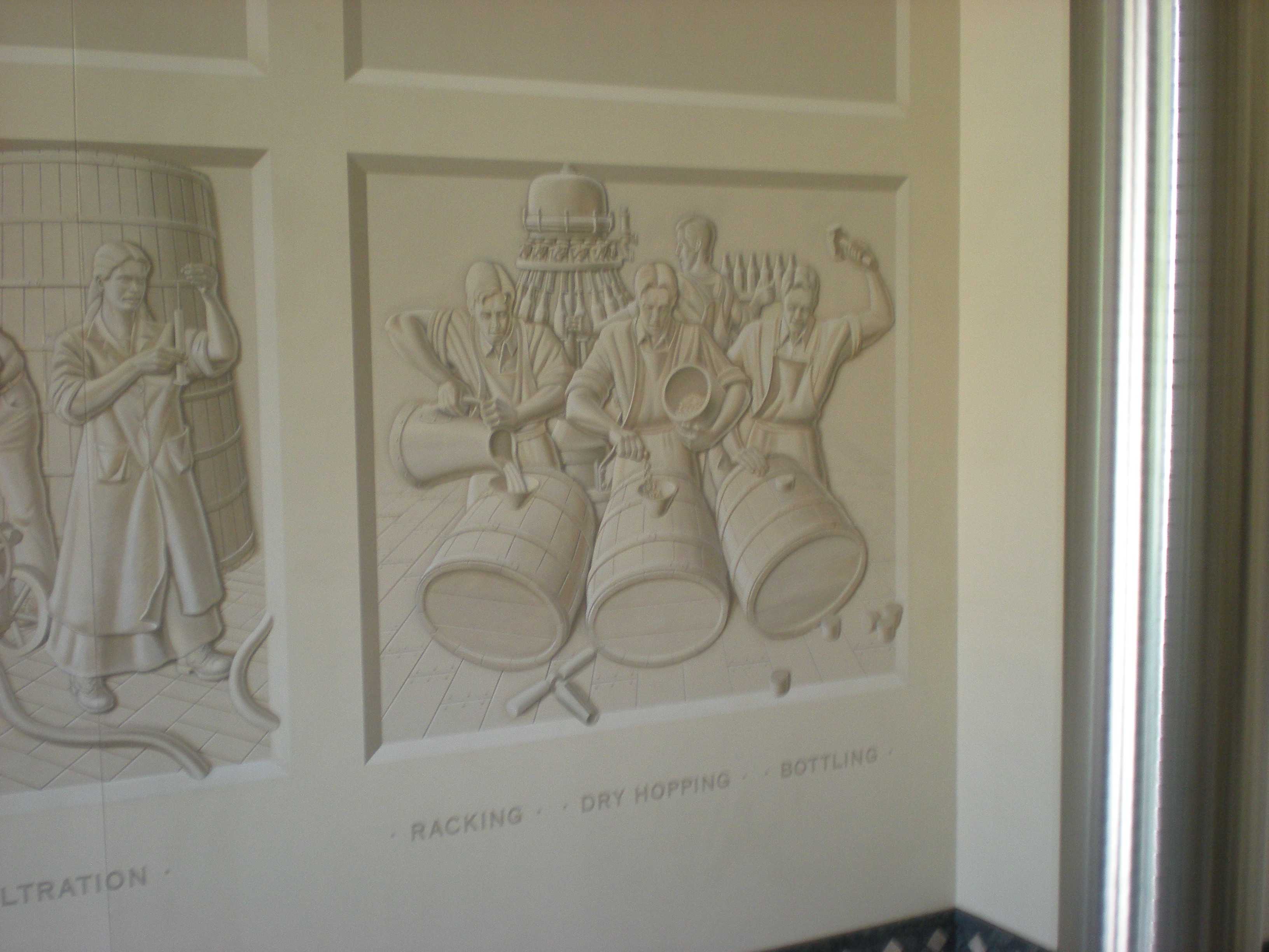
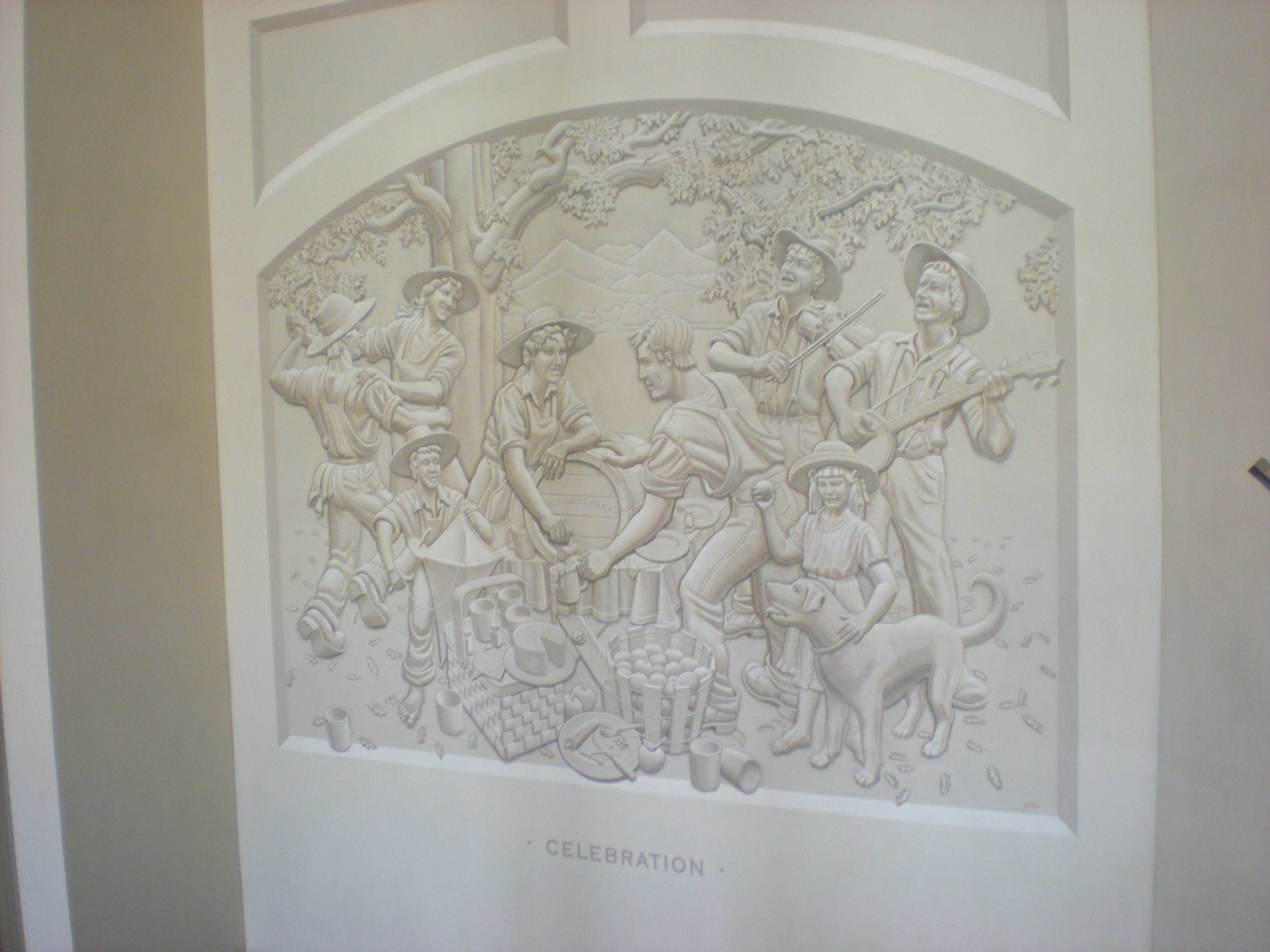
We headed back and got onto Highway 99 at Red Bluff on our way to Chico. We stopped at Julia's roadside fruit stand on the way for some tasty fruit. We eventually reached Chico, but somehow no one remembered where out motel was. We had planned to have it close to the Sierra Nevada Brewing Company, but we had to search through the trunk to find the paper that had our hotel reservation. Tensions rose, especially when we discovered the motel (Rodeway Inn) did not appear to have a functional check-in manager or air conditioning. Eventually our concerns were resolved, and we made it to SNBC for dinner and beer (after a wait). That night, there was a long documentary about The Eagles on TV. The next day, we met one of Jim's cousins for breakfast at Moms (?), and did some shopping for SNBC gear before heading back to the SF Bay Area. The next day, Brian and Jim flew out back home.

Trinity Alps Wilderness

The second largest wilderness area in California, the Trinity Alps Wilderness is a 525,627 acre wilderness designated by the United States Congress in 1984. located in the Siskiyou and Trinity counties roughly between Eureka and Redding.

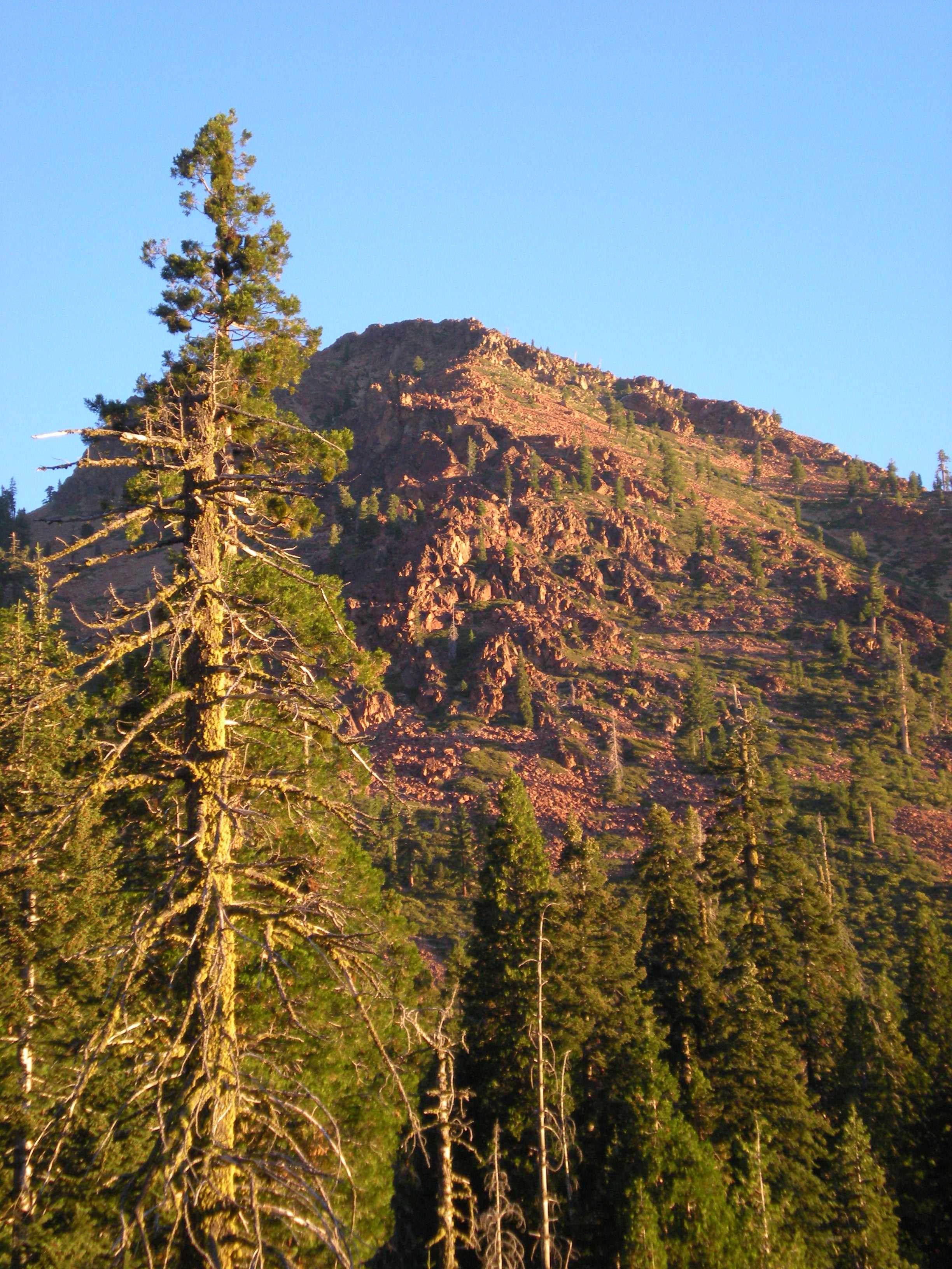
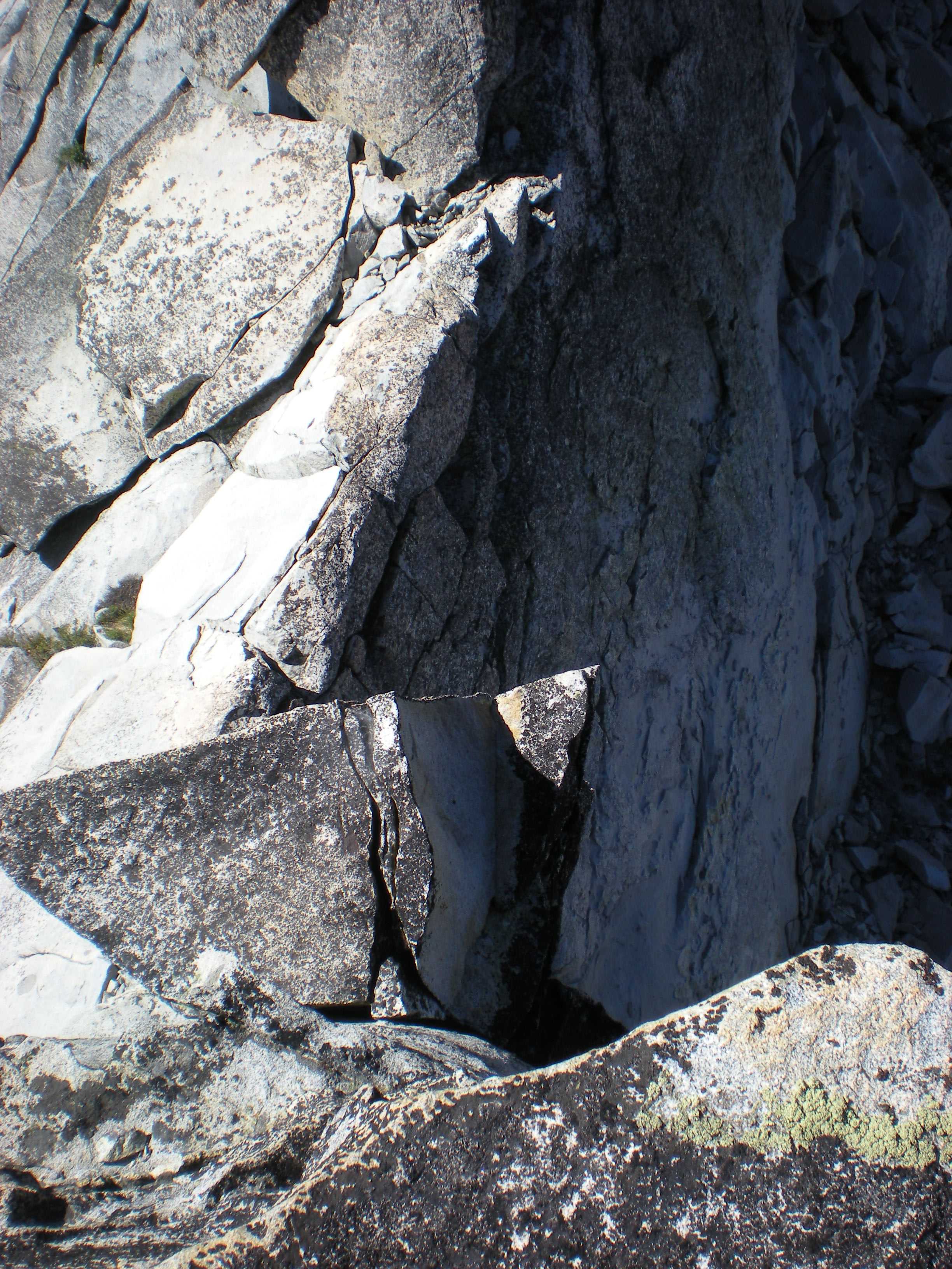
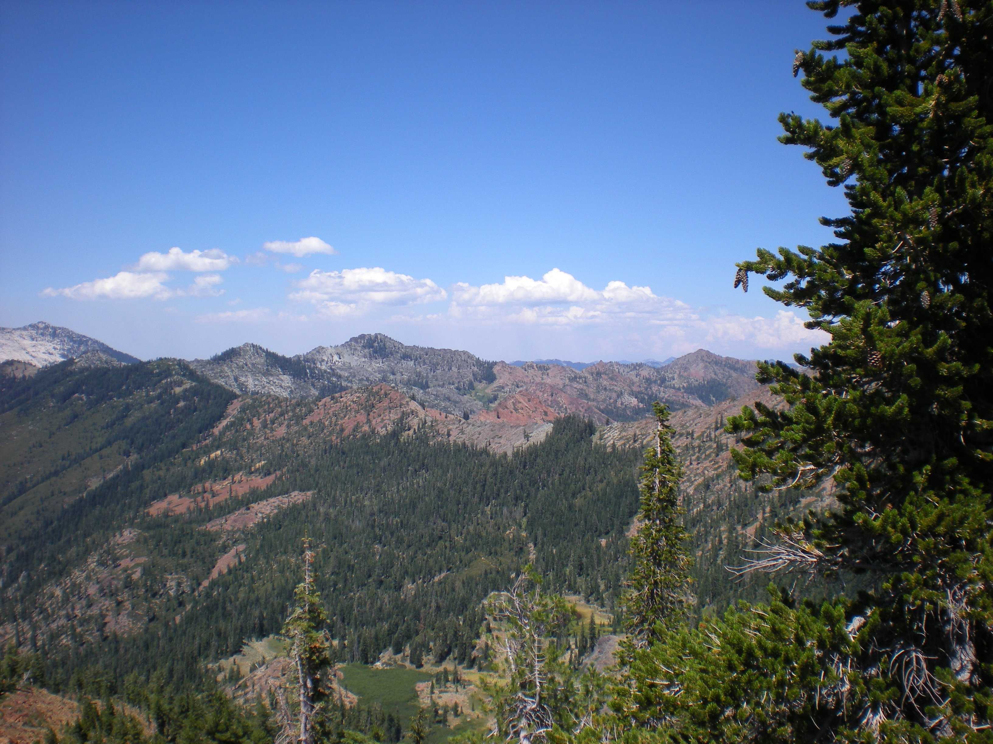
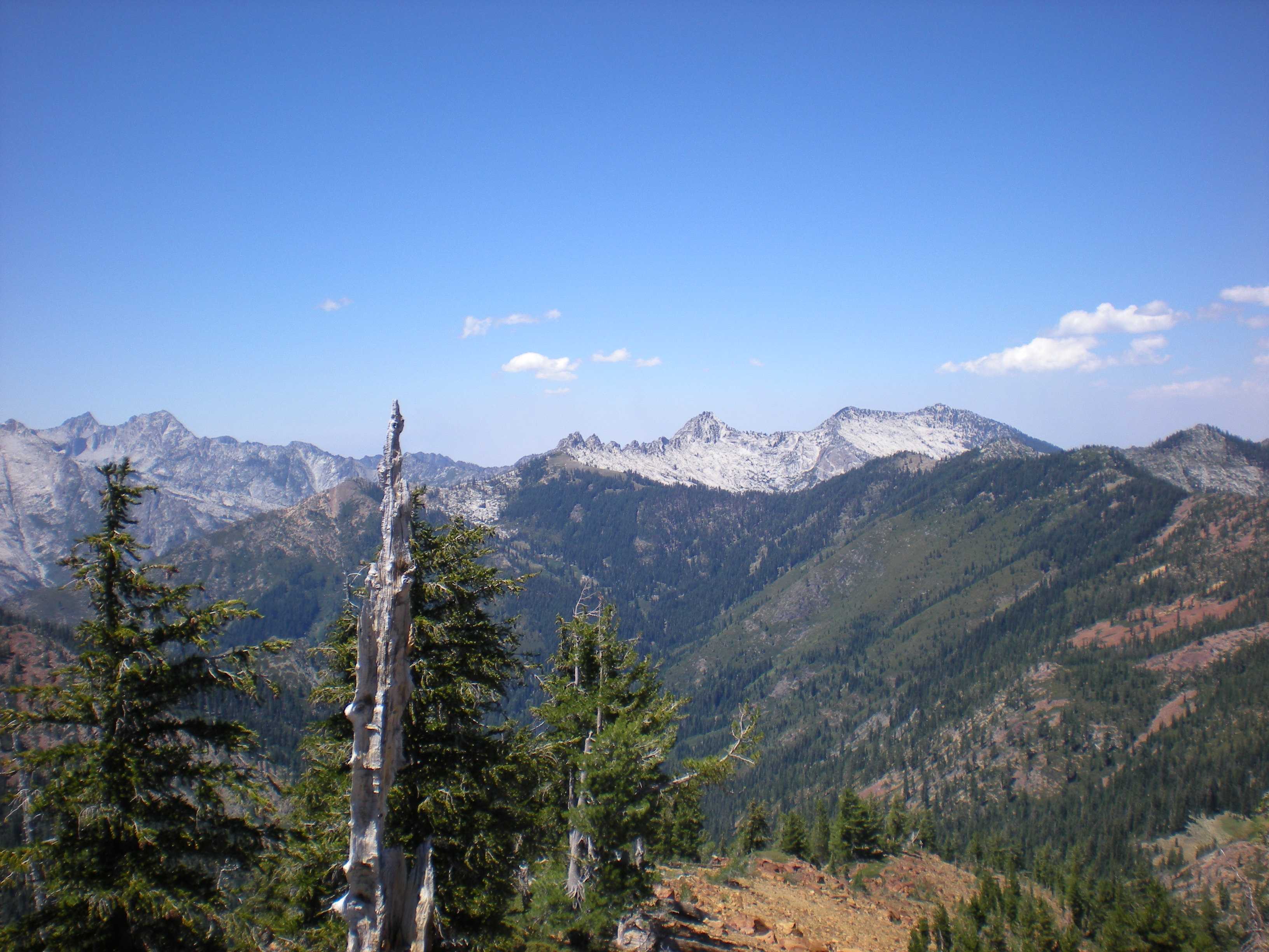
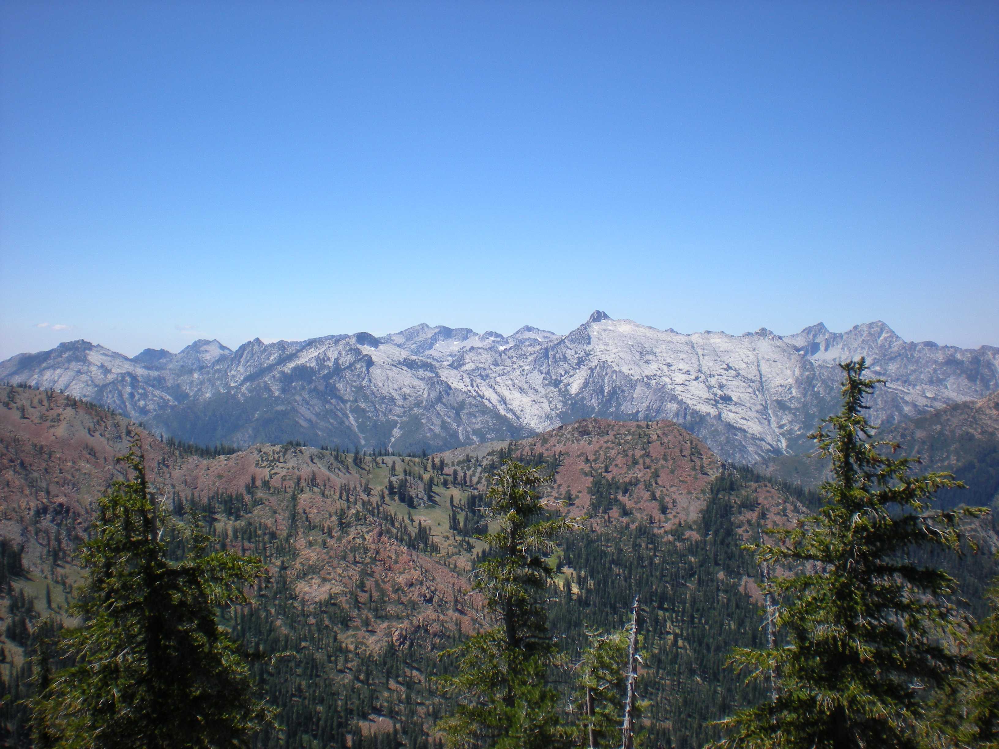
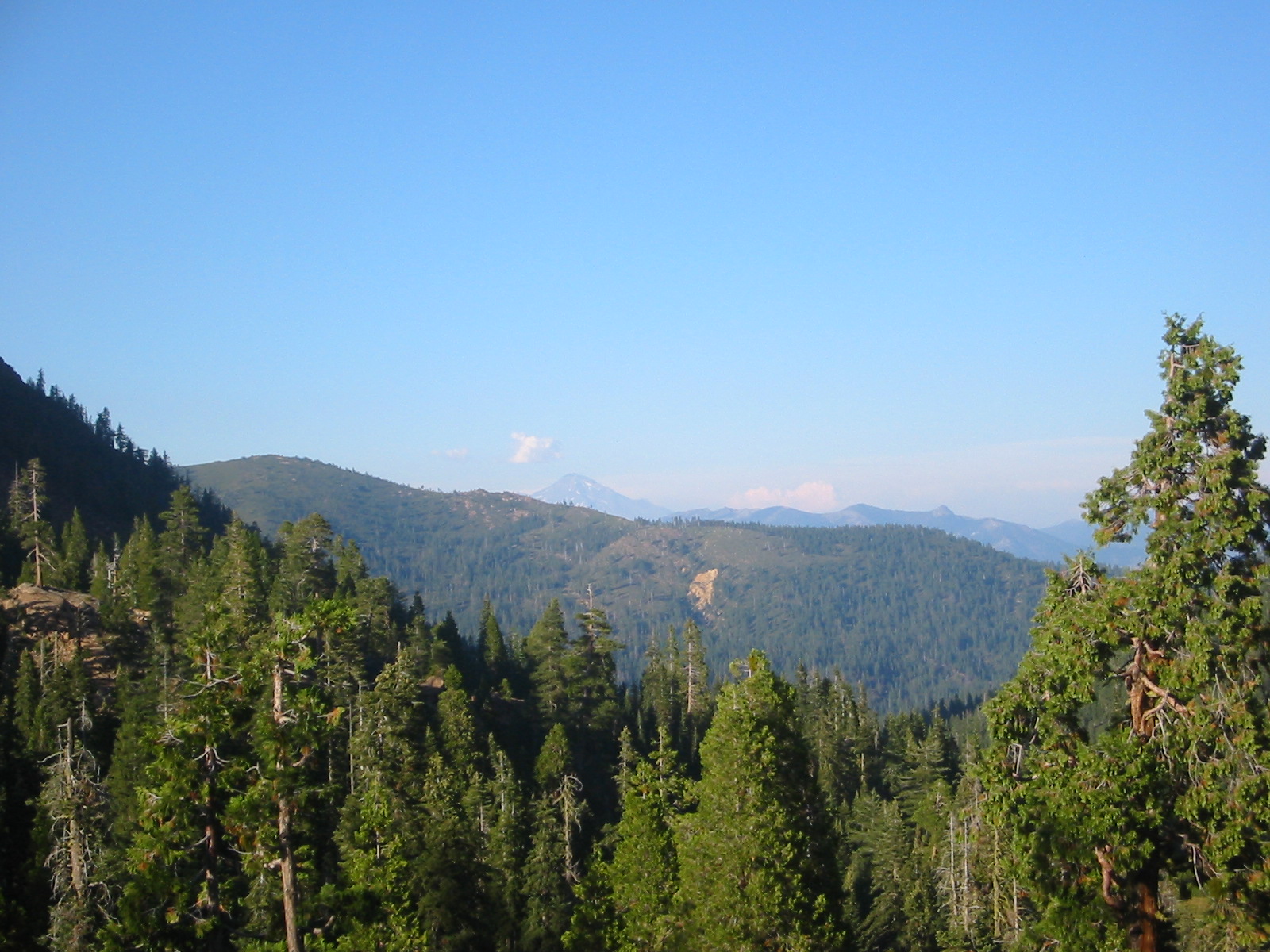
The Trinity Alps Wilderness is located within the Salmon and Scott Mountains, subranges of the Klamath Mountains. The Klamath Mountains are located between the California Coast Ranges to the west and the Cascade Range to the east. The high, granitic and ultramafic peaks of the eastern half of the wilderness area are known as the Trinity Alps. Granite peaks at the core of this area are known as the White Trinities, reddish ultramafic peaks in the southeast are known as the Red Trinities, and the forested mountains in the western half of the wilderness are known as the Green Trinities.

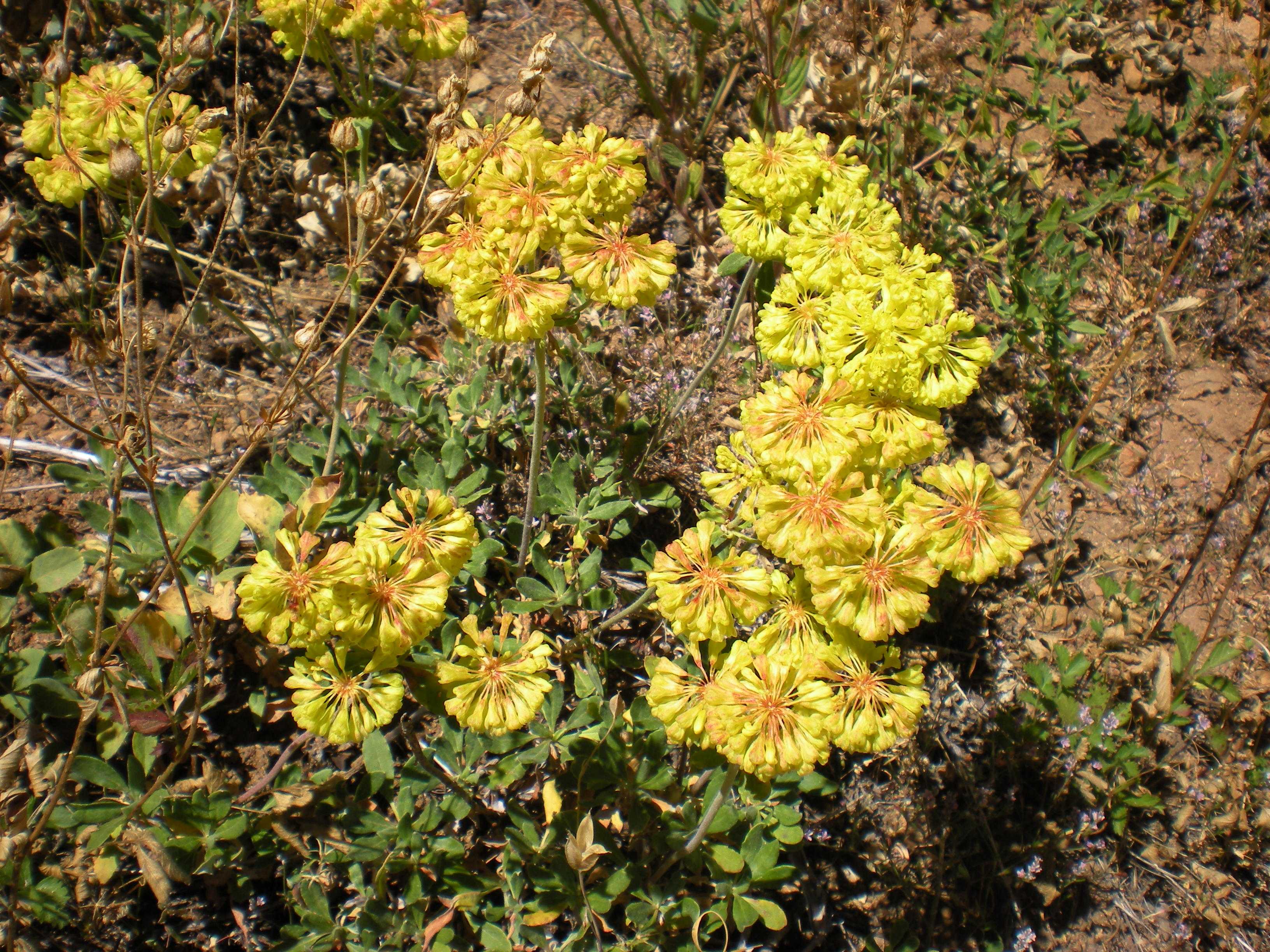
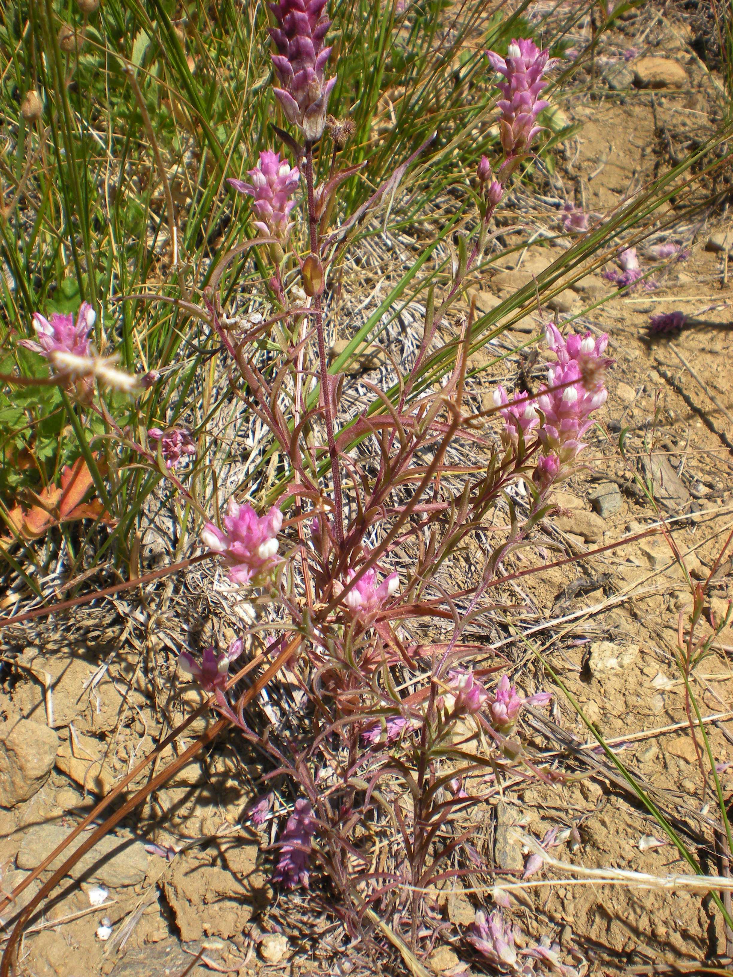
The regions unique flora and natural history is described in "The Klamath Knot", a 1983 work of natural history and memoir written by David Rains Wallace. It is based on Wallace's many backpacking treks through the Klamath Mountains and specifically into the Siskiyou Wilderness. The term "Klamath Knot" is now used synonymously with the Klamath Mountains of northwest California and southern Oregon, which is dissected by the Klamath River.

1 / 208
2 / 208
3 / 208
4 / 208
5 / 208
6 / 208
7 / 208
8 / 208
9 / 208
10 / 208
11 / 208
12 / 208
13 / 208
14 / 208
15 / 208
16 / 208
17 / 208
18 / 208
19 / 208
20 / 208
21 / 208
22 / 208
23 / 208
24 / 208
25 / 208
26 / 208
27 / 208
28 / 208
29 / 208
30 / 208
31 / 208
32 / 208
33 / 208
34 / 208
35 / 208
36 / 208
37 / 208
38 / 208
39 / 208
40 / 208
41 / 208
42 / 208
43 / 208
44 / 208
45 / 208
46 / 208
47 / 208
48 / 208
49 / 208
50 / 208
51 / 208
52 / 208
53 / 208
54 / 208
55 / 208
56 / 208
57 / 208
58 / 208
59 / 208
60 / 208
61 / 208
62 / 208
63 / 208
64 / 208
65 / 208
66 / 208
67 / 208
68 / 208
69 / 208
70 / 208
71 / 208
72 / 208
73 / 208
74 / 208
75 / 208
76 / 208
77 / 208
78 / 208
79 / 208
80 / 208
81 / 208
82 / 208
83 / 208
84 / 208
85 / 208
86 / 208
87 / 208
88 / 208
89 / 208
90 / 208
91 / 208
92 / 208
93 / 208
94 / 208
95 / 208
96 / 208
97 / 208
98 / 208
99 / 208
100 / 208
101 / 208
102 / 208
103 / 208
104 / 208
105 / 208
106 / 208
107 / 208
108 / 208
109 / 208
110 / 208
111 / 208
112 / 208
113 / 208
114 / 208
115 / 208
116 / 208
117 / 208
118 / 208
119 / 208
120 / 208
121 / 208
122 / 208
123 / 208
124 / 208
125 / 208
126 / 208
127 / 208
128 / 208
129 / 208
130 / 208
131 / 208
132 / 208
133 / 208
134 / 208
135 / 208
136 / 208
137 / 208
138 / 208
139 / 208
140 / 208
141 / 208
142 / 208
143 / 208
144 / 208
145 / 208
146 / 208
147 / 208
148 / 208
149 / 208
150 / 208
151 / 208
152 / 208
153 / 208
154 / 208
155 / 208
156 / 208
157 / 208
158 / 208
159 / 208
160 / 208
161 / 208
162 / 208
163 / 208
164 / 208
165 / 208
166 / 208
167 / 208
168 / 208
169 / 208
170 / 208
171 / 208
172 / 208
173 / 208
174 / 208
175 / 208
176 / 208
177 / 208
178 / 208
179 / 208
180 / 208
181 / 208
182 / 208
183 / 208
184 / 208
185 / 208
186 / 208
187 / 208
188 / 208
189 / 208
190 / 208
191 / 208
192 / 208
193 / 208
194 / 208
195 / 208
196 / 208
197 / 208
198 / 208
199 / 208
200 / 208
201 / 208
202 / 208
203 / 208
204 / 208
205 / 208
206 / 208
207 / 208
208 / 208

The General The General and Brian at the trail head Jim at Granite Lake Granite Lake Obstacle on the way to the trailhead - about 4 miles to go Jim assisting those N-deficient plants along the way to the trailhead Dragon fly that hitch-hiked on The General The Boyz ready to head out - The General in the background Holy Shit - We're in Bear country! Just starting out on the trail - about 1/4 mile in Holy Shit - We're in Bear country! Swift Creek along the trail Bob adjusting on the trail Another shot of Swift Creek License plate in tree - There were lots of these in the early part of the trail. They act as trail markers for the winter. More of Swift Creek Bridge up to Granite Lake Bridge crossing for Swift Creek. We departed from this creek drainage and then started heading up Granite creek drainage to our eventual camp site. Jim and Bob on the bridge Ferns along the Granite Creek trail Self-portrait about half-way in (~2.5 miles). Waiting for Jim and Bob Flora along the Granite Creek trail Flora along the Granite Creek trail Flora along the Granite Creek trail Flora along the Granite Creek trail Flora along the Granite Creek trail First view of Gibson Peak (greyish one on the right) heading up Granite Creek trail. Granite Lake (our destination) is at the base of this peak. Not Gibson Meadows yet. These are small meadows just below them Same meadows as previous - Gibson Pk in background Small pool of Granite Creek flowing Small pool of Granite Creek flowing Our camp (Camp Bigfoot) near Granite Lake - There were about eight very nice campsites around this lake. While we were there, there were usually two other parties at the lake. Our camp was such that we did not see them. Brian's tent Refreshments! - We saved the Jagerbomb ingredients until the morning we hiked out of the bc. Jim lounging on Brian's new camp chair - I like it! Chef Bo Garbage bag - You won't forget this one! Go Dodger Blue!! - inscribed on one of our log benches The view from our dining room. Gibson Meadows are below.  Above Bear Meadow Basecamp Bigfoot Base camp Trinity Granite Creek Granite Creek Granite Creek Deer at base camp Bigfoot Views from camp Views from camp Views from camp Telephoto from our dining room - Mt. Shasta - observe how little snow is now on this peak. Yup…global warming is a myth! The Boyz ready to dine at sunset - Our camp was the only one with a view of Mt. Shasta. We had to walk to it a bit….but not far at all. NICE! Gibson Pk (right) at twilight Mt. Shasta - early morning The long shadow of bmp in the morning Early morning light on slopes by our dining room Early morning light on slopes by our dining room Early morning light on slopes by our dining room Egads, it's Bigfoot!! Fuelin' it up with Quality Dairy Jim doin' a Clifshot Mocha double caffiene Brian's solo hike and climb of Gibson Pk (8399'). Low down on Granite creek trail above Granite Lake. I crossed the creek and got onto the ridge in the foreground. Gibson Pk is the grey summit on the right in the background I have crossed the creek and am about to obtain the ridge off camera on the left side of the picture. On the ridge toward Gibson Pk now. Creek (actually called Granite Spring here) is below. In the background, the tree covered notch at the base of the long right-sloping brown ridge line is Seven Up pass (the destination for tomorrow's dayhike with Jim and Bob. Ridge along opposite side of Gibson Pk. Taken from ascent ridge for Gibson Telephoto of Granite creek from ridge. You can see my orange tent! Continuing the ascent of the ridge. Looking down Granite Creek drainage. Mt Shasta in the background Granite Lake from the ridge Continuing the ascent of the ridge. Looking down Granite Creek drainage. Mt Shasta in the background Still ascending. Higher yet. Bad focus telephoto looking east. SHIT!! -- cliffed. When I scouted out the ridge the previous day, I noticed this cleft, but it did not appear too bad from below. Getting to this point (this is looking down the drop-off - about 50 feet or more), I was forced to backtrack, get off the ridge - not easy - and onto the western slope of Gibson Pk. I had to loose about 100+ feet of elevation and add more hiking. Darn it. Oh well. On the northern slope of Gibson now. This is a shot of the cliff that I had to backtrack from. YIKES! You can also see that getting off that ridge was Looking up the northern slope to Gibson summit (on the left). I am aiming for the notch to the right of the summit. Getting high up now. Looking west. You get a good feel for why this is called the Trinity Alps. Looking NE-ish toward Shasta Looking down toward Granite Spring SUMMIT! - Yow baby! Summit photos - this one and the next two are combined for a panorama in the appropriate folder. Looking east and north. Shasta on the left. Mt. Lassen is one of the peaks in the distance on the right side of the panoramic Part of panoramic talked about above Part of panoramic talked about two above View SW from summit View NW from summit View to the NE from summit. Granite Lake below (our camp is down there). Shasta in background I found a summit register! - 3 days since previous entry. YOW! Timed self-photo on the summit OMG! - Camp Bigfoot intruder alert!! Hors d'oeuvre - Tuna and avacado on a cracker with crushed red pepper sprinkled on top. The volunteer ranger (Garret Costello) joined us for dinner this night. Rushing water of Granite creek near our campsite. This is the spot where we got our water. Big-ass moss-covered tree in our camp Bigfoot - We now know that he does a runway walk too! Jim's foot for scale. Big fuckin' hombre! More moss on the trees in our camp - early morning Group dayhike to Seven Up Pass. REAL nice day for a hike. Quite hot. Flowers! Meadow below Granite Lake Day hike, below is Granite Lake Drainage into Granite Lake Looking above in the previous image Closer to Granite Lake On a day hike, above Granite Lake Jim, between base camp and Granite Lake Looking towards Mt Shasta Jim on our day hike, collecting <i>Rhagoletis sp.</i> Brian on our day hike Jim washing up at Granite Lake A shot of the ridge I was on yesterday. That was a good hike! More flowers along the trail to the pass This image and next two are combined for a panoramic of the Granite Spring Drainage. Gibson pk on the left. Seven Up pass - our destination - is the right-most notch. More flowers along the trail to the pass More flowers along the trail to the pass Bo resting on the way to Seven Up pass Brian resting on the way to Seven Up pass Still hiking up to the pass Very near the pass now. Looking back down Granite Spring drainage This image and next two are combined for a panoramic of the view to the west of Seven Up pass (off the other side of the pass) Very near the pass now. Looking back down Granite Spring drainage Very near the pass now. Looking back down Granite Spring drainage This image and next two are combined for a panoramic of the view to the east of Seven Up pass (back down Granite Spring drainage from whence we came) Very near the pass now. Looking back down Granite Spring drainage Self-photo of Brian on the pass. Self-photo of Brian on the pass. Looking west off the pass down the other side to Deer Creek drainage Day hike to pass Day hike to pass Day hike to pass Day hike to pass Day hike to pass At the pass At the pass At the pass At the pass At the pass At the pass Jim traversing along trail from pass toward overlook of Bear Creek drainage to the NE Still traversing along this brown slope. Good trail. Looking down into Deer Creek drainage NE-ish down into Bear Creek drainage This image and next seven are combined for a panoramic of the view taken from the ridge that splits Bear Creek drainage to the east and Deer Creek drainage to the west NE-ish down into Bear Creek drainage NE-ish down into Bear Creek drainage NE-ish down into Bear Creek drainage NE-ish down into Bear Creek drainage NE-ish down into Bear Creek drainage NE-ish down into Bear Creek drainage Almost fully down from Seven Up pass. This is Granite Spring just before it cascades down a waterfall and entry into Granite Lake Granite Lake and bit below drainage Dead tree art A natural climbing wall. Check out the jug holds!! Dead tree art Dead tree art Jim hydrating the swim trunks. They were compressed and dried. Trunks now fully hydrated - Guess where I bought them (hint - go back to image 3996 What sporty fellows. In Granite Lake. Gibson Pk in background Petticoat Junction Jim back at camp modeling his new trunks Our food-hanging system New employment of a Figure 9 device for tying off the hanging food. Works great. I have since modified the hanging system so that it is more simple and easier to use. Uh oh….illicit devices under construction. Jim managed to make a score on Seven Up pass from some friendly fellow hikers from Arcata. Problem is….no pipe packed this trip. Ooops. But where there is a will, there is a way. Bob's sporty dress Brian cooking dinner Dat be some good shit mahn!! This image and the next one combined for a panoramic of a tree in our campsite. Dat be some good shit mahn!! Getting ready for dinner in our dining room. Our campsite. Had to go back to get some stuff Bob and Jim in the dining room Mt Shasta, sans snow. This is shot from a ledge by our base camp that we would go to after dinner. Looking down from the pass, drainage to Granite Lake The other side of the pass, looking towards more Trinity Alps Bob and Jim in the dining room Last night at camp Last night at camp Last night at camp Last night at camp Big-ass tree way in the distance - telephoto. Compare this one with the non-telephoto of the next image (4114) Jiffy pop madness! New treats! - there is a hidden code in the presentation! New treats again…no code this time Getting ready to hike out. Please note the breakfast ingredients below on the log. Jagermeister and ding-dongs!. Those are also Oreo cookies! Cool tree fungus along the trail going out. See above 4124 Gibson meadow looking back toward our dining room up high Granite creek while heading out This and next two images are combined for a panoramic of a big-ass tree along the trail. Granite creek while heading out Granite creek while heading out Granite creek again The General in Chico at our motel The Sierra Nevada Brewery. Things are cooking as you can see! These next shots are of Sierra Nevada brewing on the day that we drove back to the Bay Area. We stopped by again to go to the gift shop and look at other parts of this HUGE facility. NOT a microbrewery! Entrance to the Big Room. Tasting room for folks after they finish the tour Stairway up to self-guided museum Bottler or bottle washer The copper boiling kettles. Panoramic of this is made as well Copper boiling kettle The brewing process from beginning to end. These were painted on the walls of the Lauter tun room The brewing process from beginning to end. These were painted on the walls of the Lauter tun room The brewing process from beginning to end. These were painted on the walls of the Lauter tun room The brewing process from beginning to end. These were painted on the walls of the Lauter tun room The brewing process from beginning to end. These were painted on the walls of the Lauter tun room The brewing process from beginning to end. These were painted on the walls of the Lauter tun room The brewing process from beginning to end. These were painted on the walls of the Lauter tun room The brewing process from beginning to end. These were painted on the walls of the Lauter tun room The brewing process from beginning to end. These were painted on the walls of the Lauter tun room The brewing process from beginning to end. These were painted on the walls of the Lauter tun room The brewing process from beginning to end. These were painted on the walls of the Lauter tun room Grizzly Beer Remember this guy? A wall of old Sierra Nevada beers going way back