San Francisco Bay Area Weather

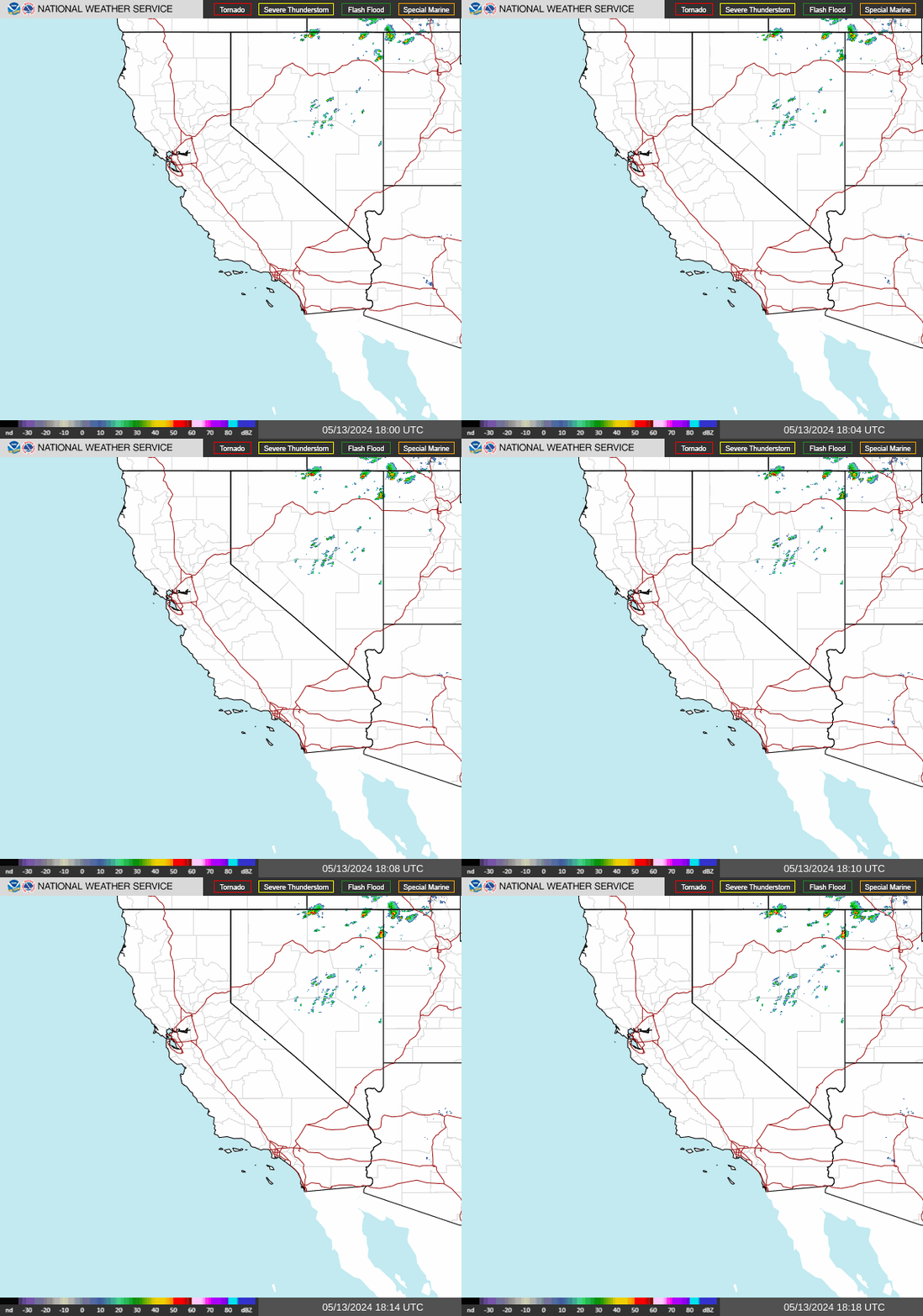
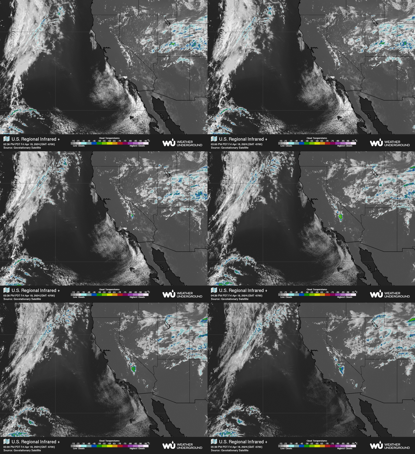
NWS Southwest Regional Radar WU South West Satellite
Radar/Satellite images courtesy of NOAA/NWS and Weather Underground.
Updated: @ 27-Jan-2011 7:56am  
Summary / Temperature Wind Rain Outlook
Partly cloudy Partly cloudy
Currently: 40.8, Max: 45.7, Min: 40.3 40.8°C
Warmer 0.1°C than last hour.

Cool

Feels like: 42.2°C

24-hr difference
-3.5°CColder 3.5°C than yesterday at this time.
  Today Yesterday
High: 45.7°C
12:00am
70.9°C
3:13pm
Low: 40.3°C
6:55am
44.1°C
6:58am
 Calm NW
0
Gust:
0 km/h
0 Bft - Calm
Today: 0 km/h 12:00am
Gust Month: 18 km/h January 1
Rain Today: 0 mm
Rain Rate (/hr): 0 mm
Rain Yesterday: 0 mm
This Month: 0.99 mm
Season Total: 11.63 mm
5288 days since last rain.
Sunday

Sunday: Mostly Sunny
Mostly Sunny
Humidity & Barometer Almanac Moon
Humidity: 88 % Increased 1.4% since last hour.
Dew Point: 37.5°C Increased 0.5°C since last hour.
Barometer: 30.27 mb  
Baro Trend: Steady
Sunrise: 5:57am
Sunset: 8:30pm
Moonset: 7:38am
Moonrise: 10:11pm
Waning Gibbous
Waning Gibbous, Moon at 16 days in cycle
94%
Illuminated
UV Index Forecast UV Index Forecast
13-Jul-2025
10.3     Very High 
14-Jul-2025
9.8     Very High 
 NWS Weather Forecast  - Outlook: Tonight & Sunday
Tonight

Tonight: Mostly Cloudy
Mostly Cloudy

Lo 56 °F
NWS forecast: Mostly cloudy, with a low around 56. West northwest wind 3 to 7 mph.
 
Sunday

Sunday: Mostly Sunny
Mostly Sunny

Hi 80 °F
NWS forecast: Mostly sunny. High near 80, with temperatures falling to around 77 in the afternoon. West wind 3 to 10 mph.

Alerts


No alerts

Please Read!!

This website is neither affiliated with nor endorsed by the National Weather Service (NWS) or any other government agency. The weather data contained herein is offered without any warranties, express or implied, and is meant for entertainment purposes only. It is not meant to supplement or replace official NWS weather forecasts and information.

Weather events can dramatically change rapidly, so plan ahead and check government sources