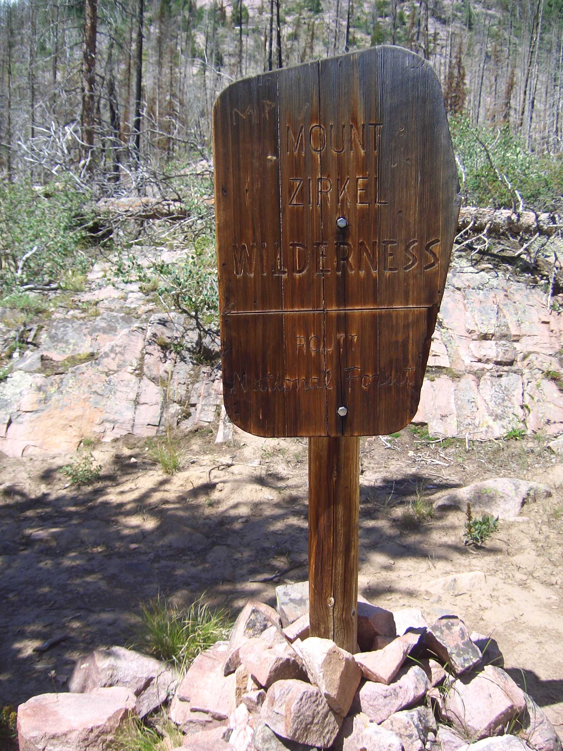
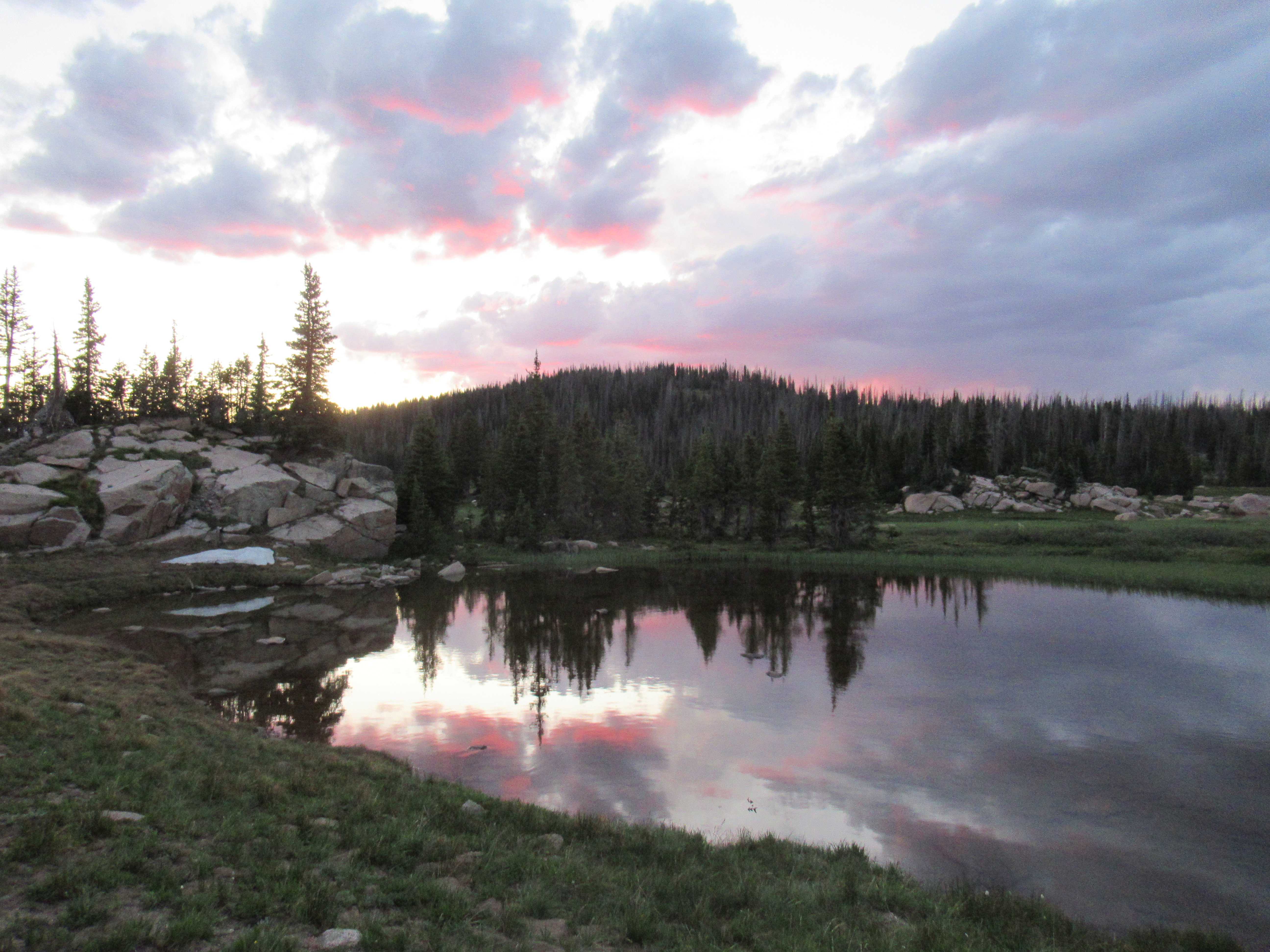
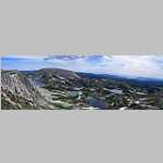
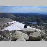
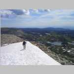
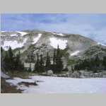
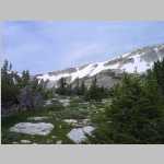
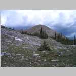
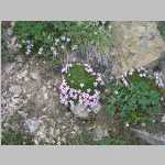
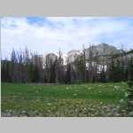
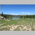
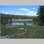
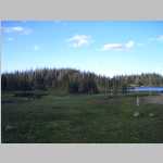
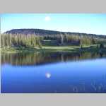
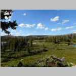
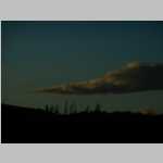
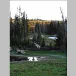
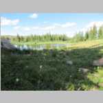
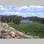
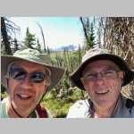
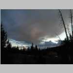
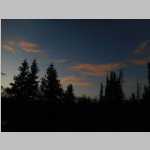
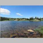
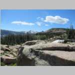
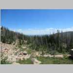
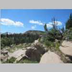
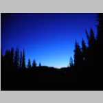
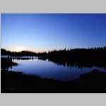
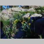
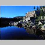
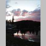
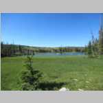
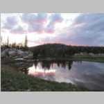
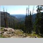
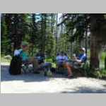
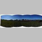
Seven Lakes Basin, Mount Zirkel Wilderness, Colorado
August 12 to 16, 2019
"tbd"
tbd
Hike Information
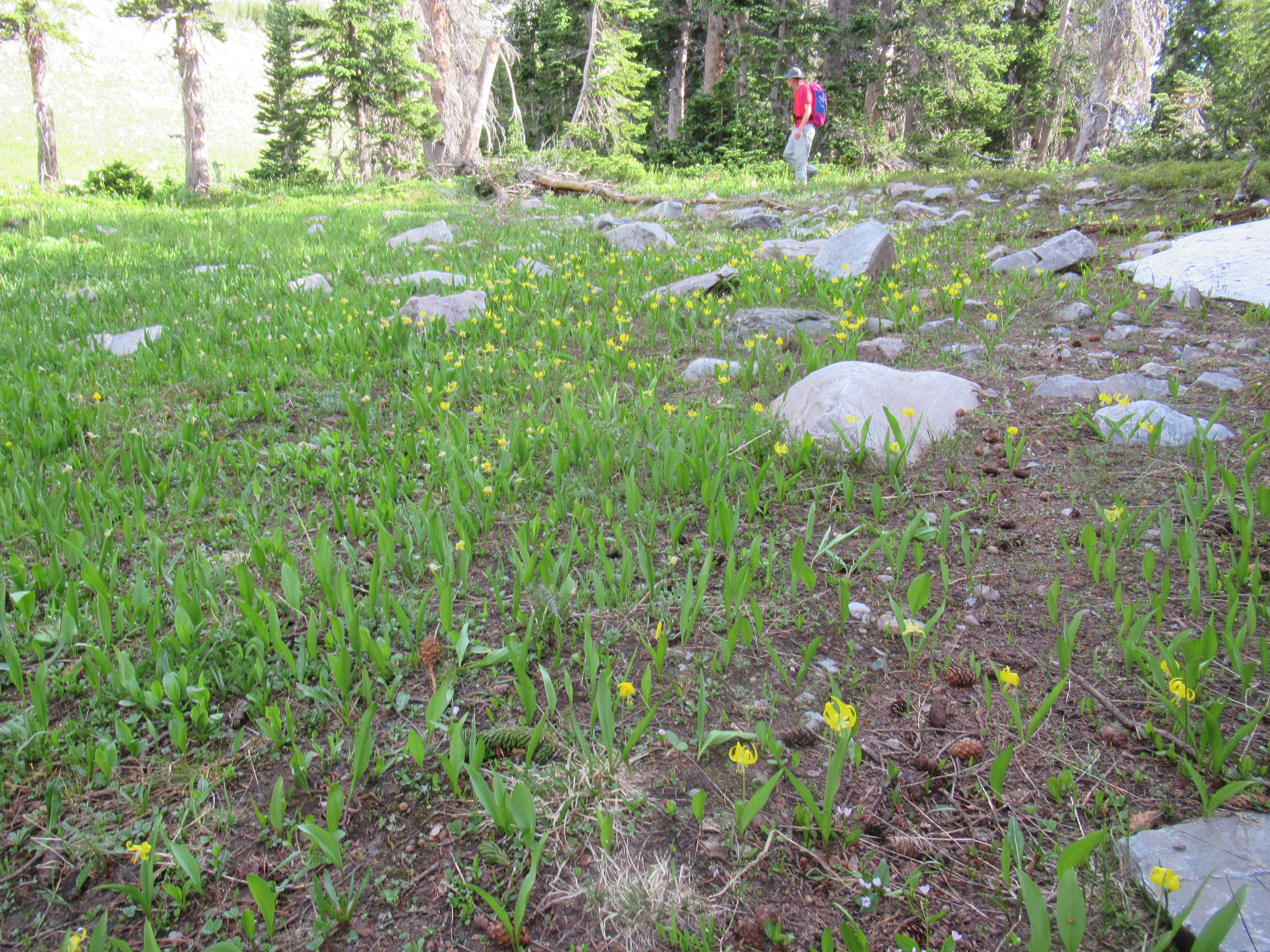
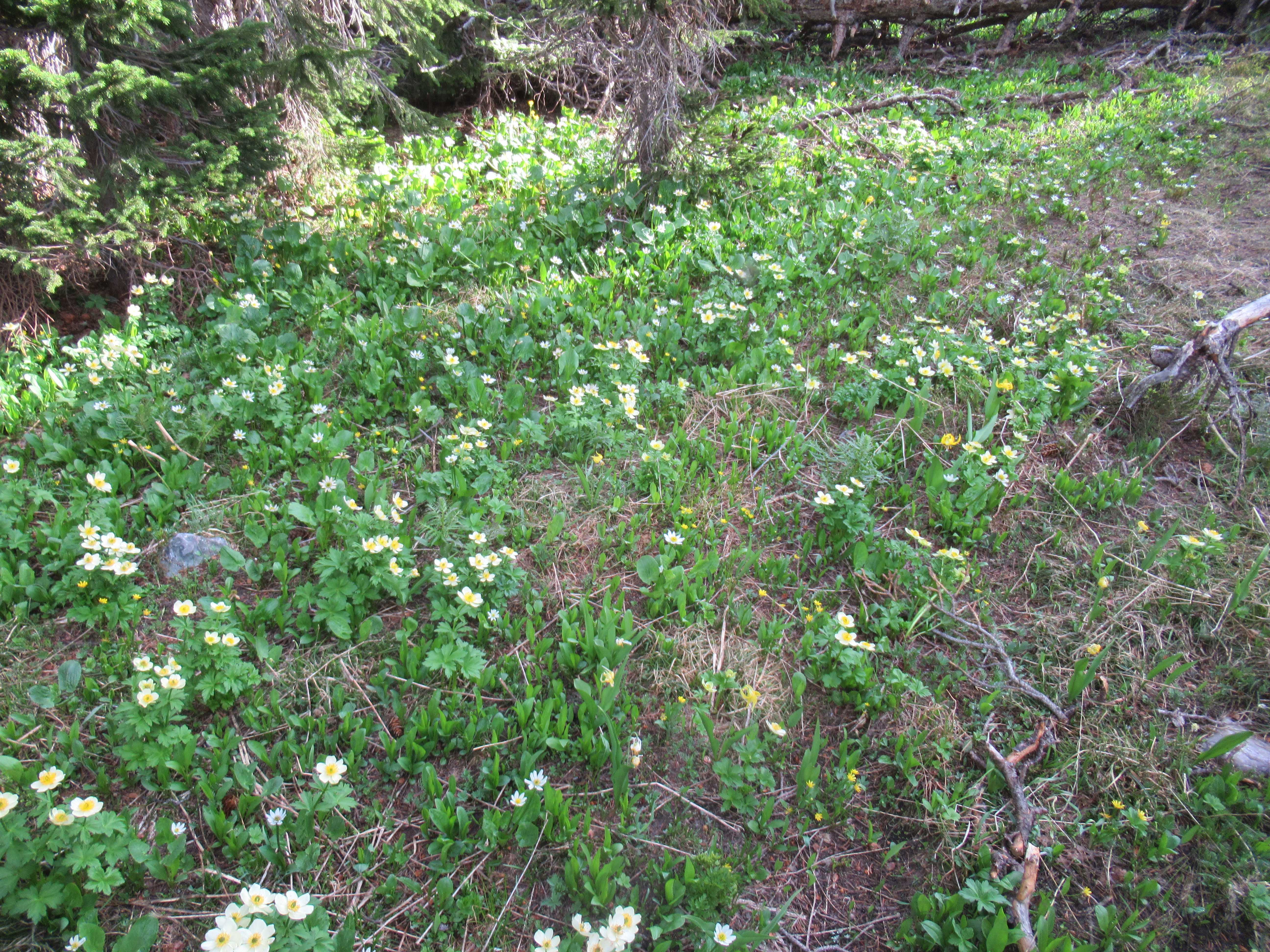
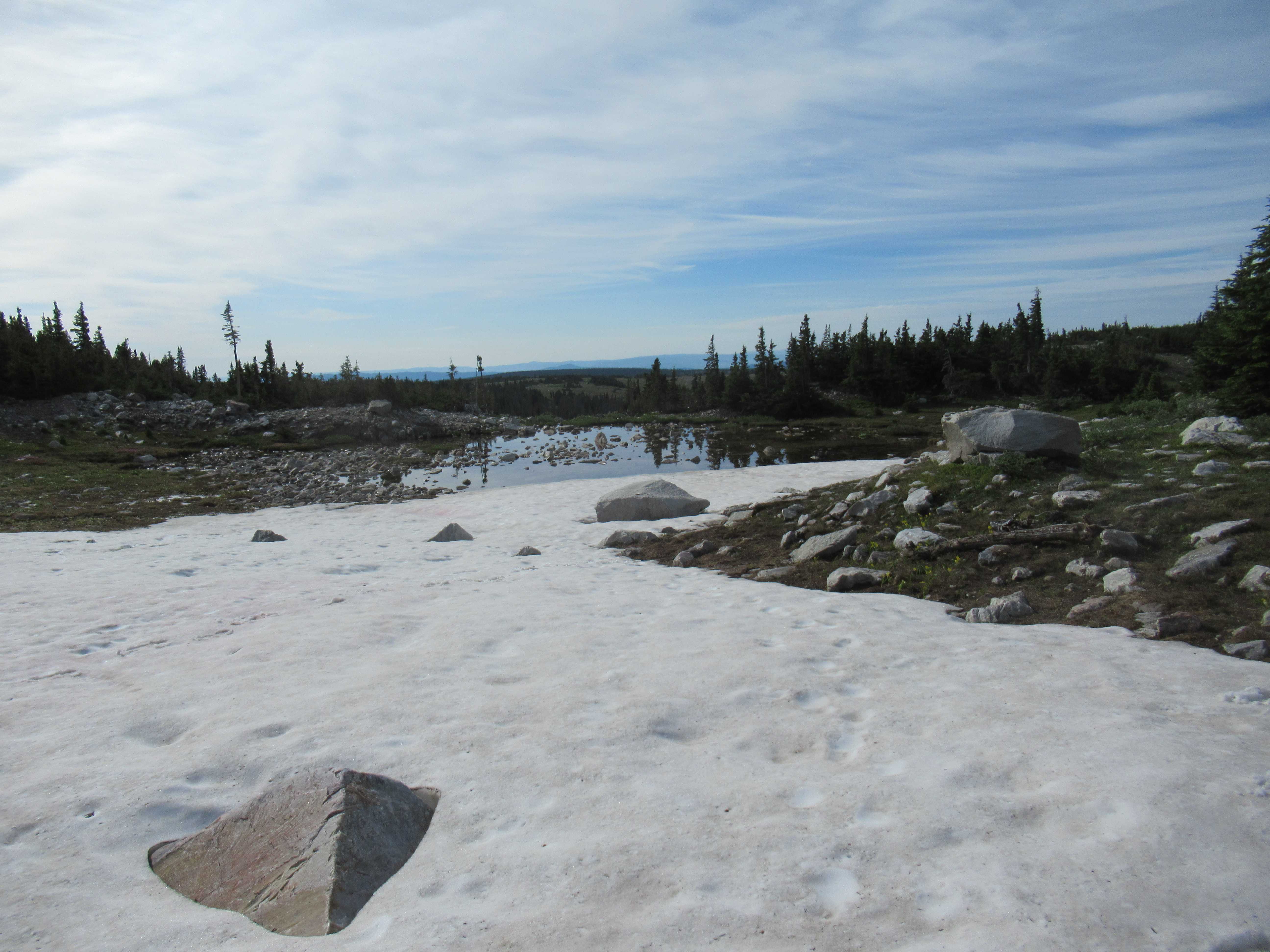
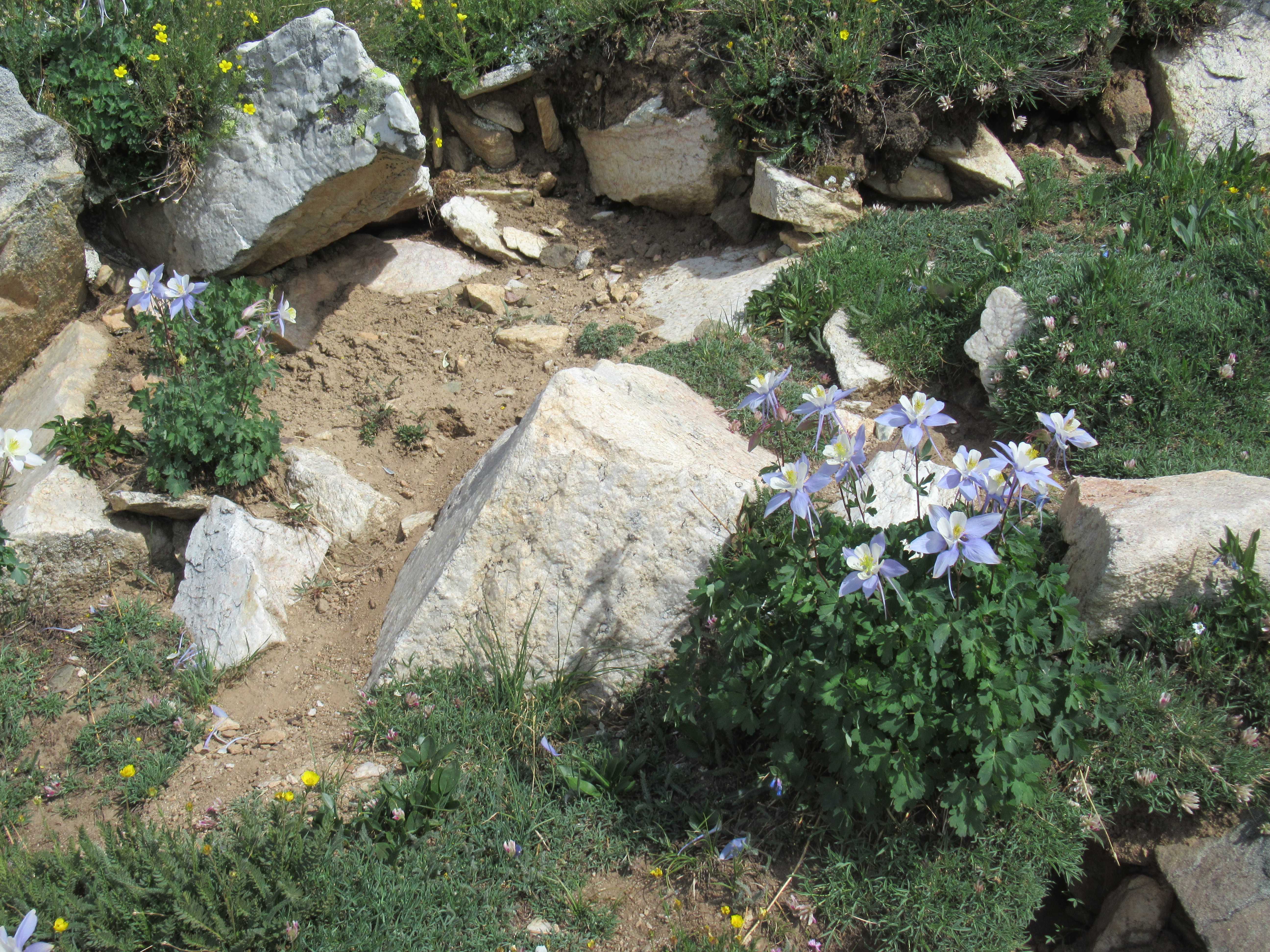
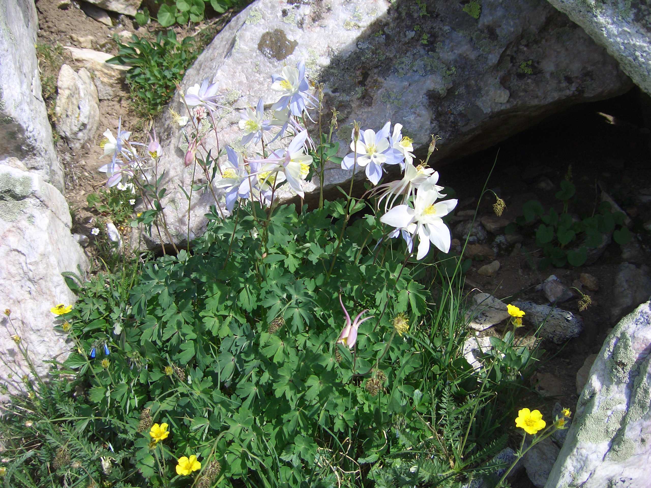
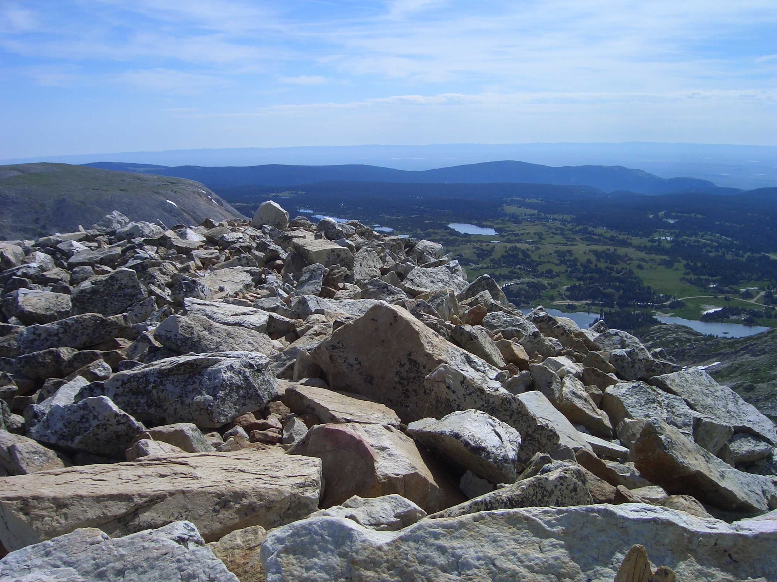
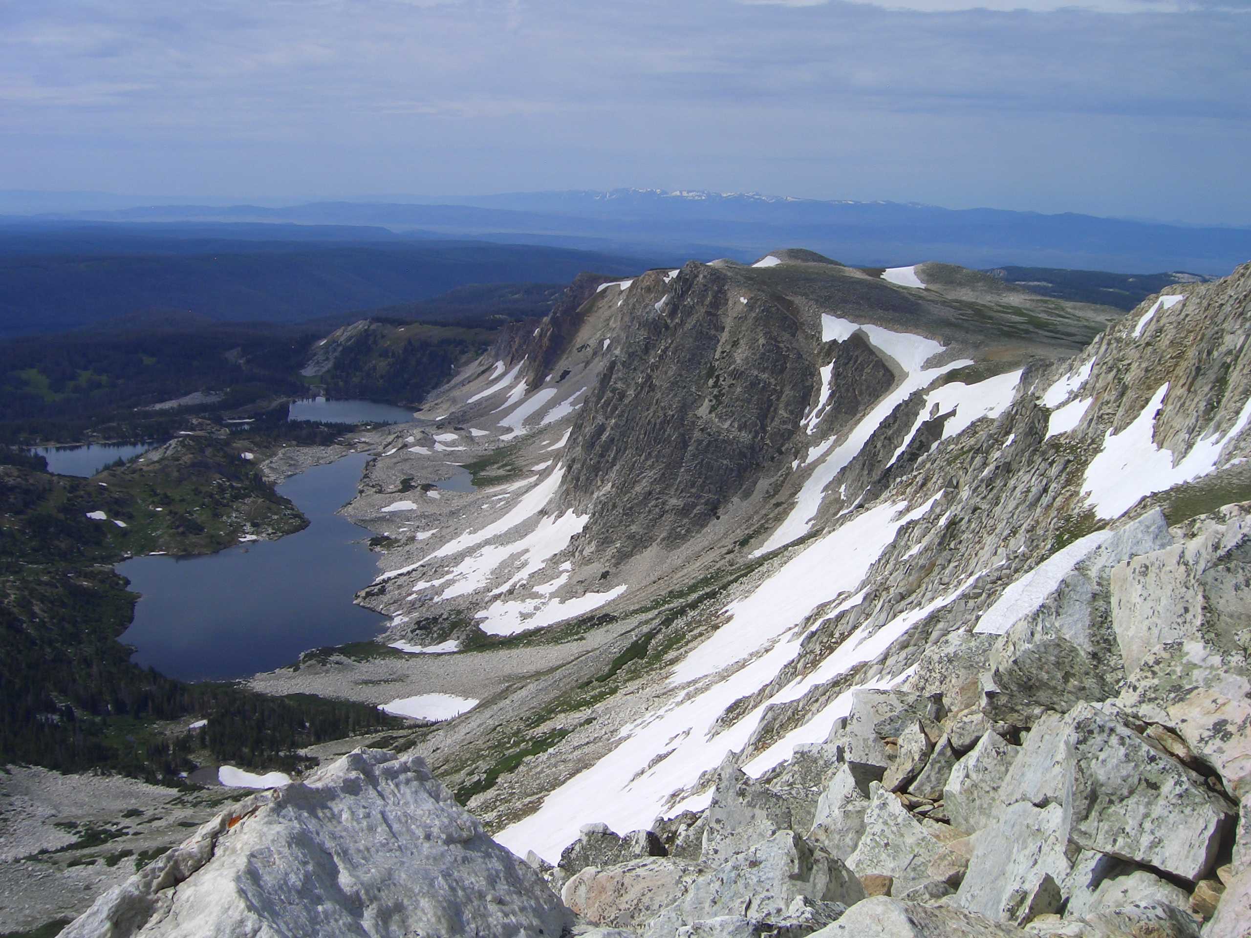
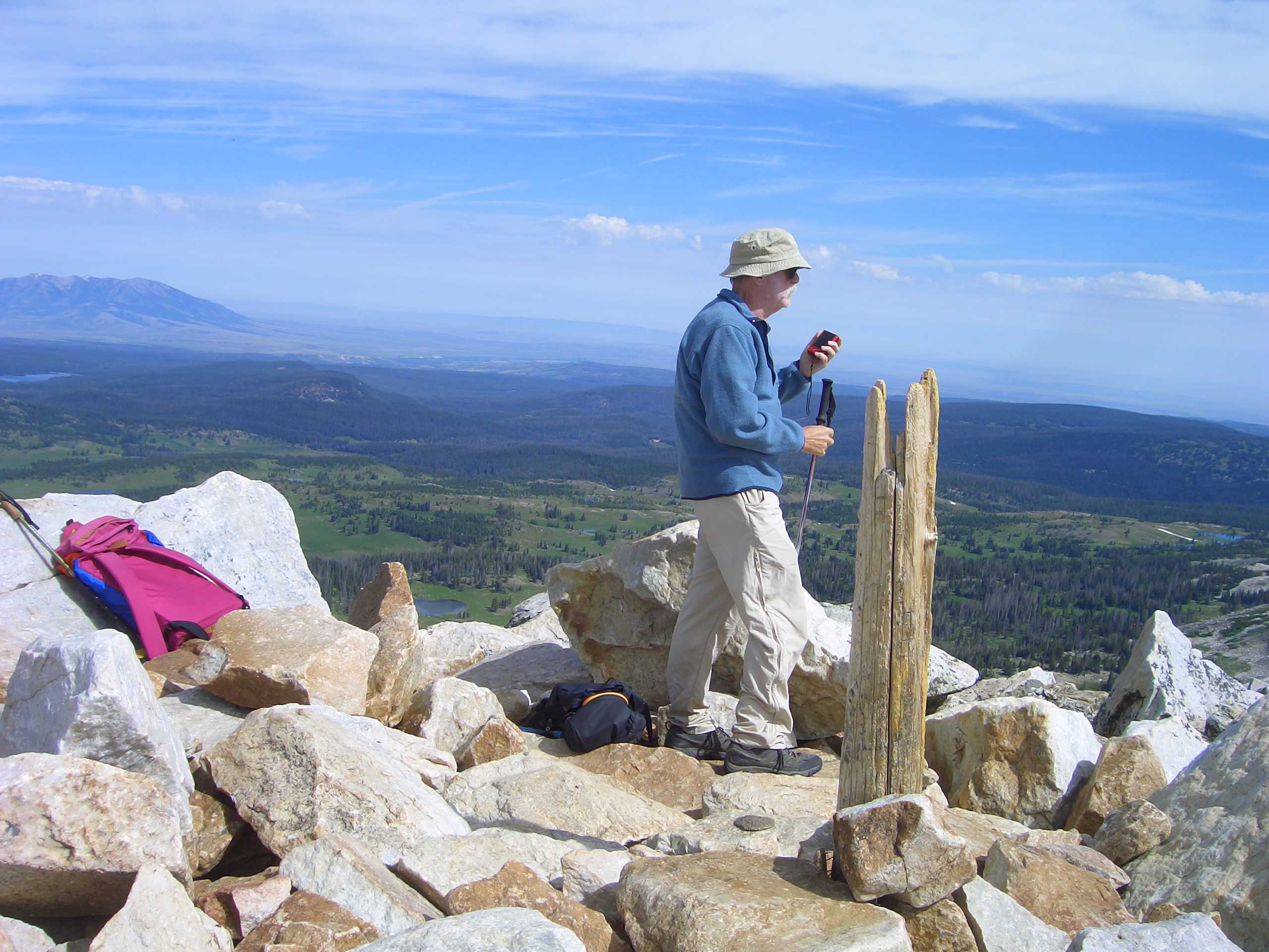
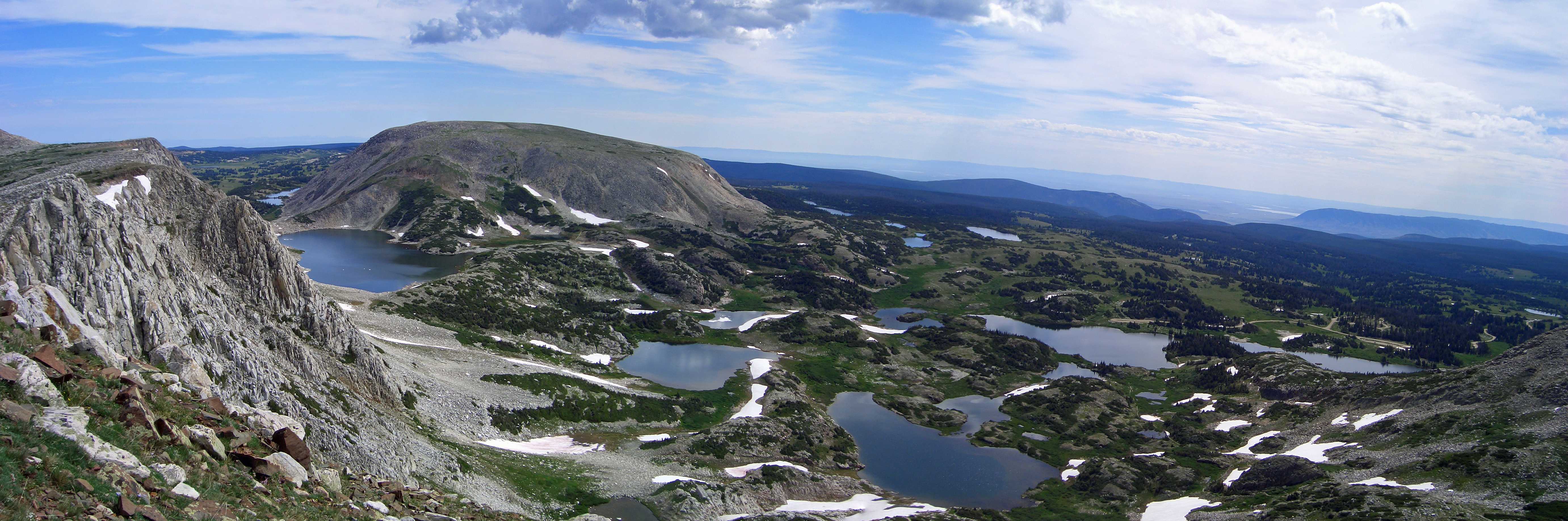
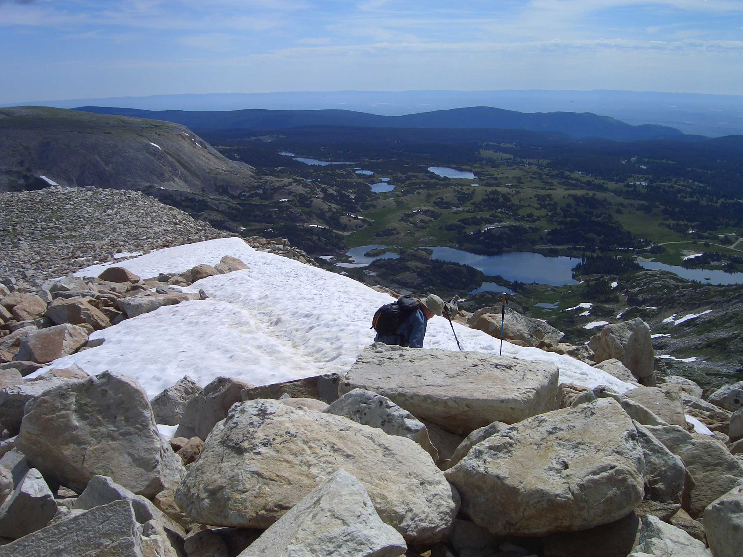
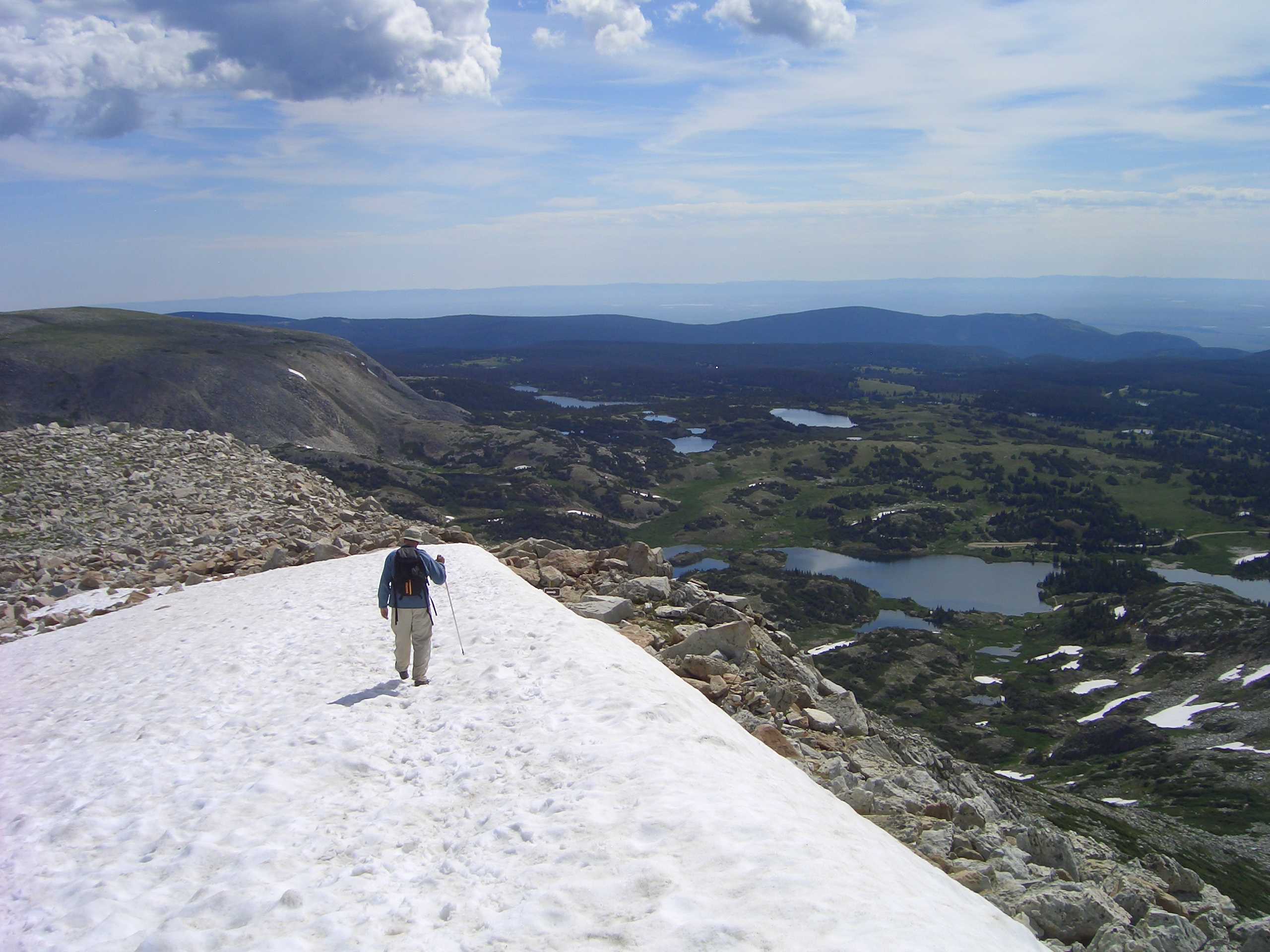
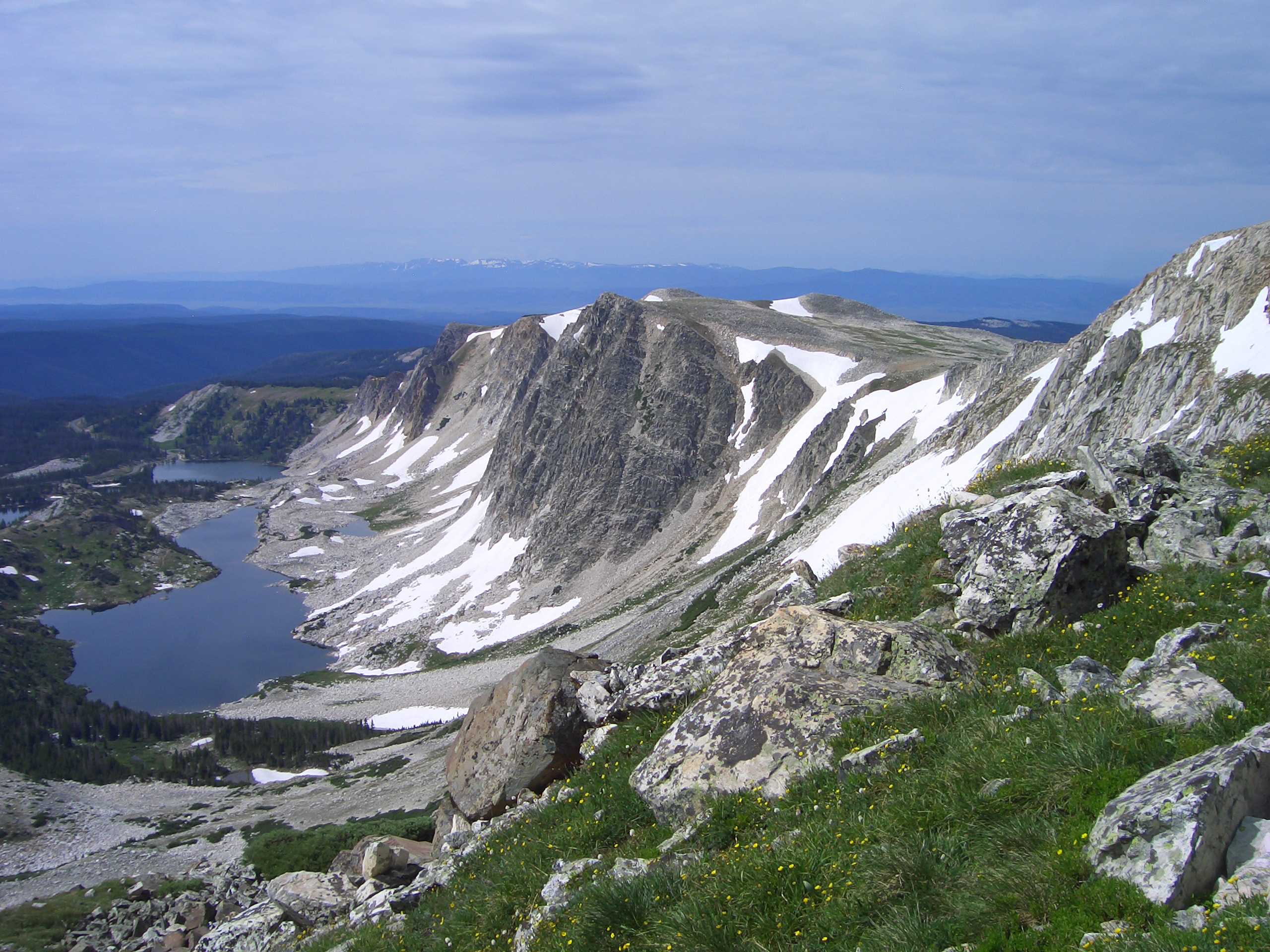
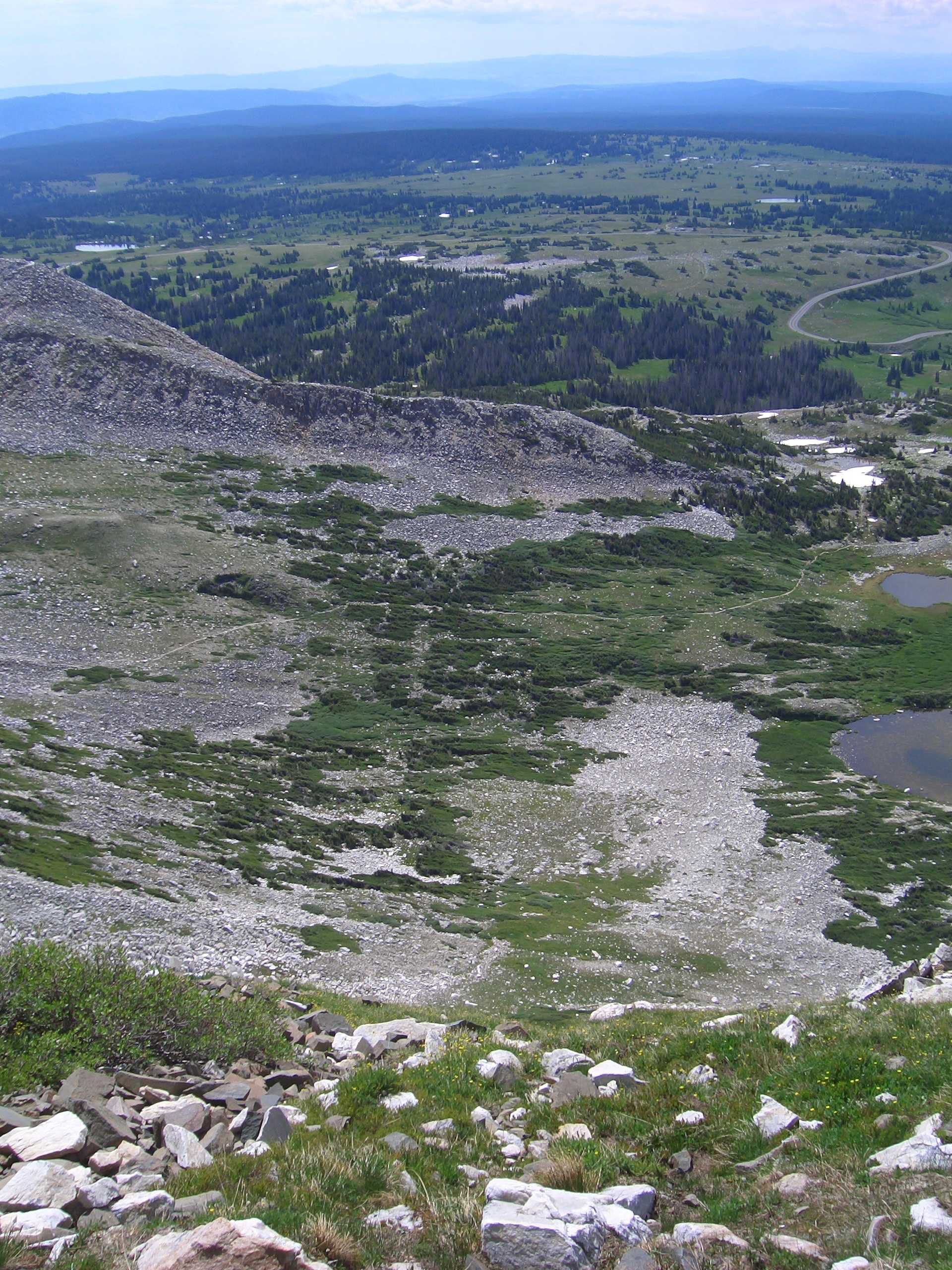
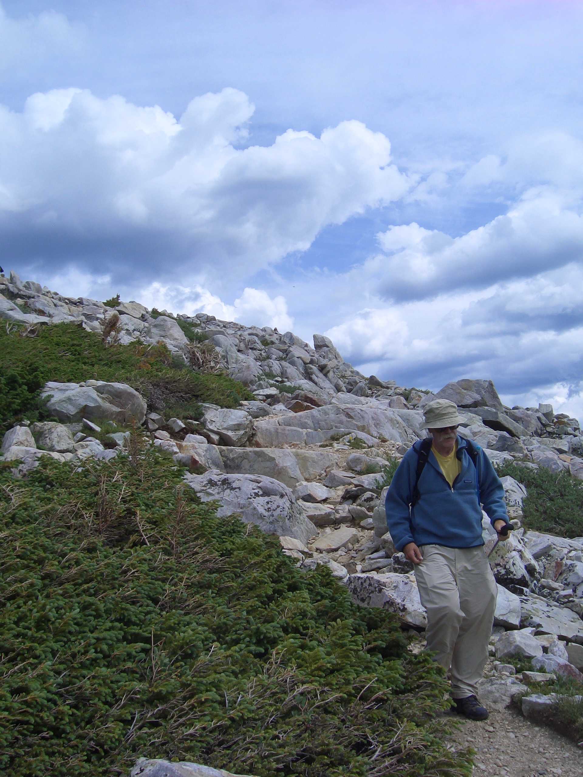
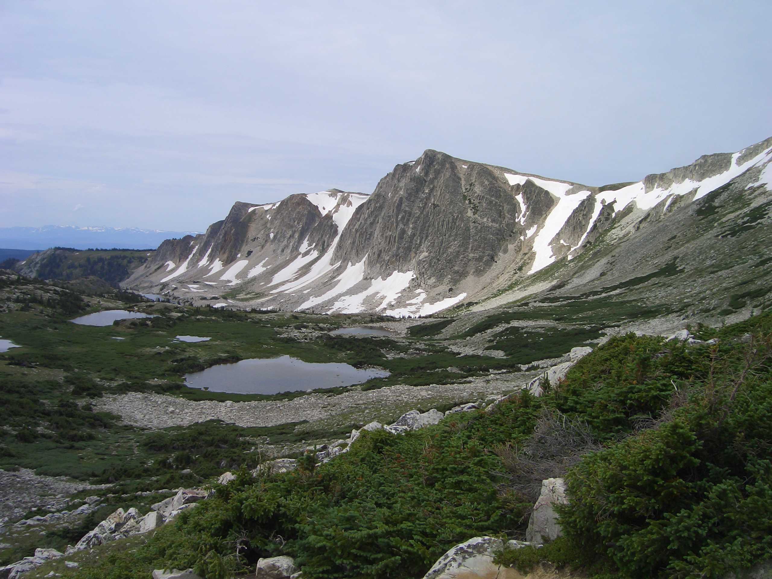
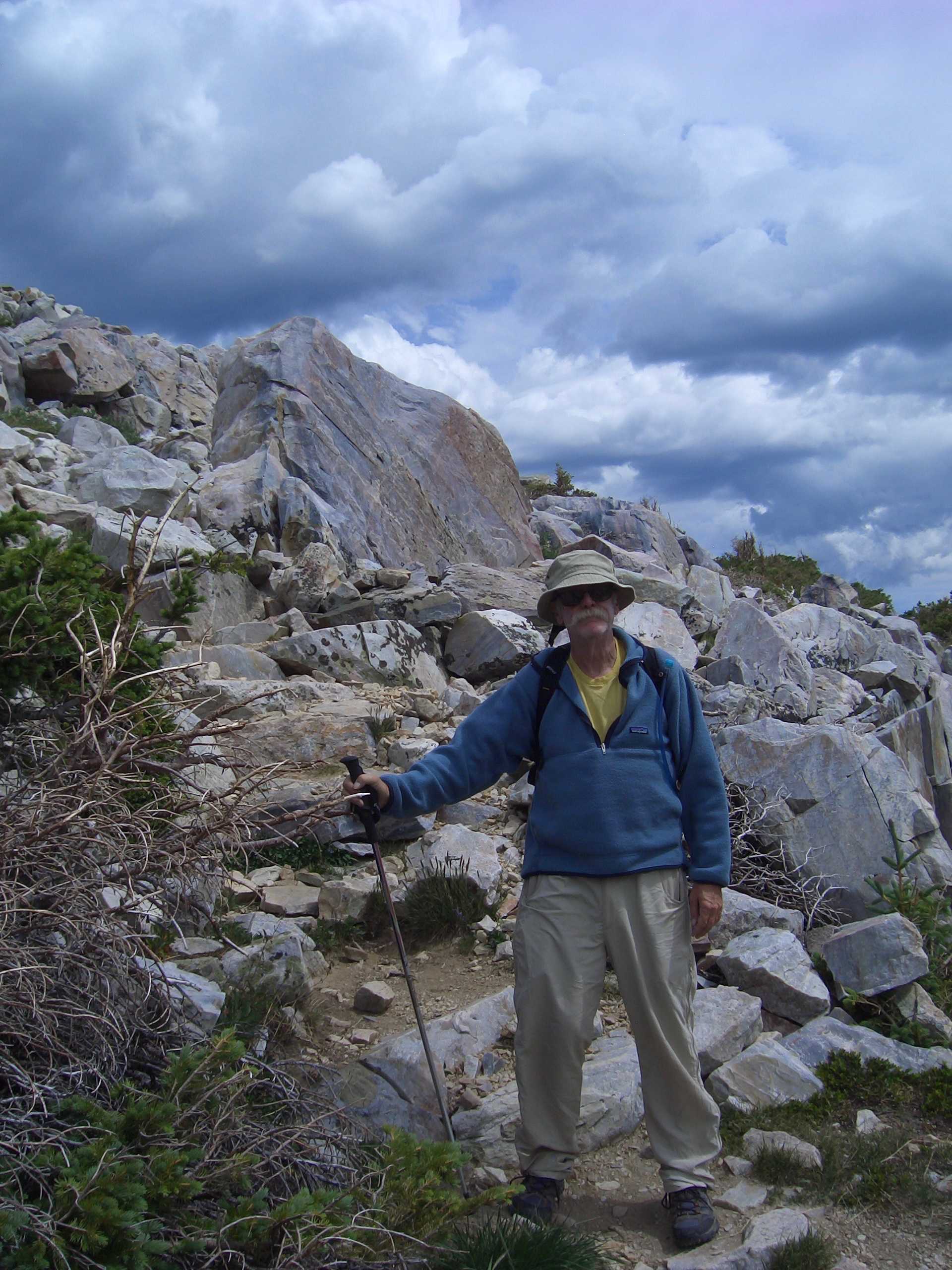
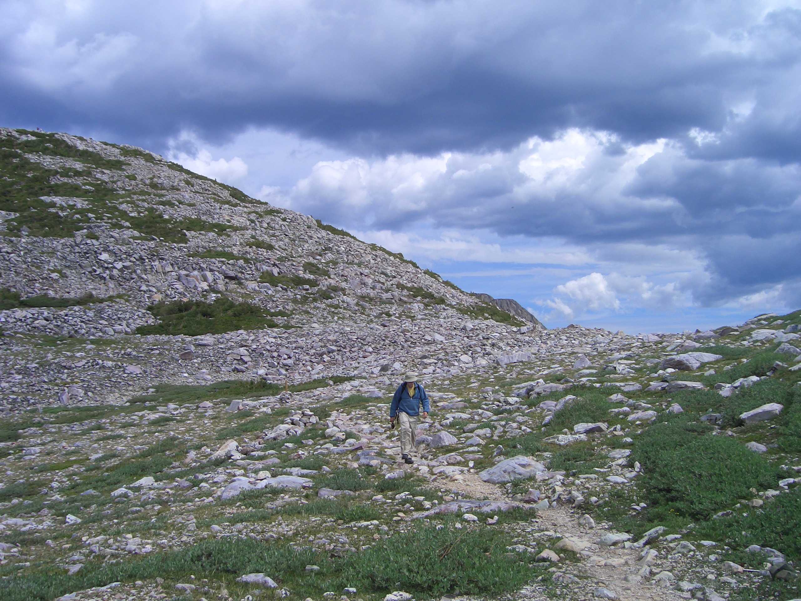
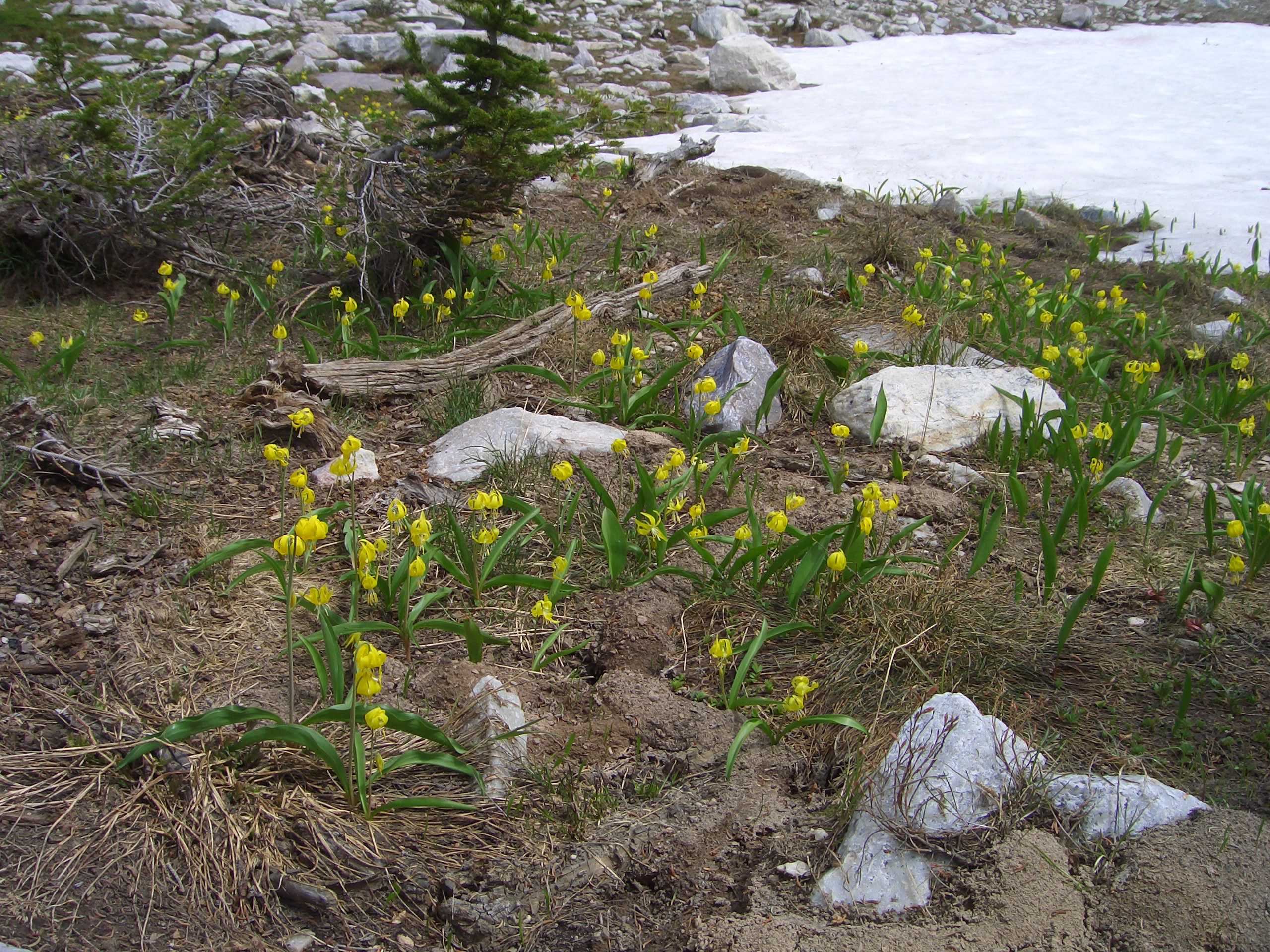
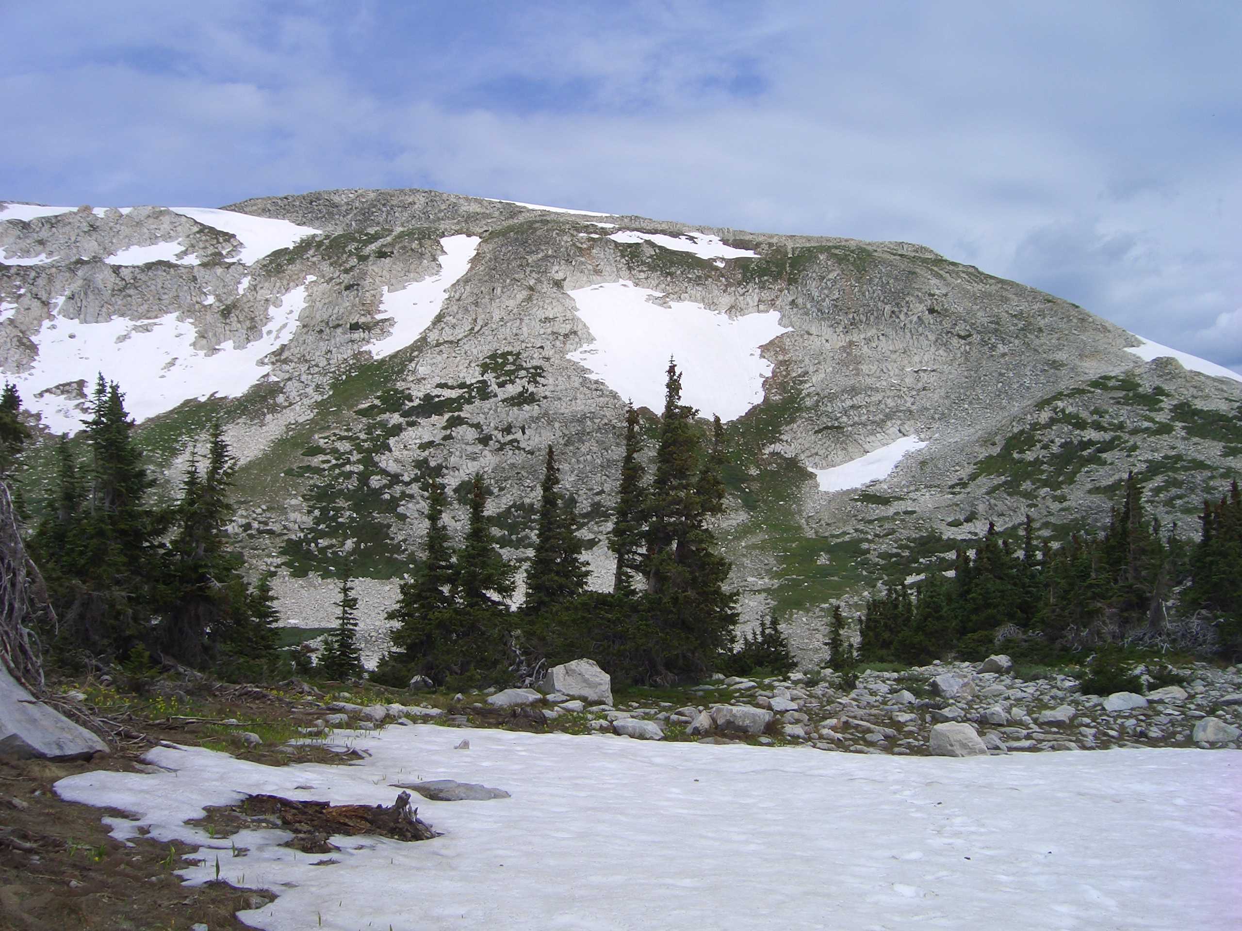
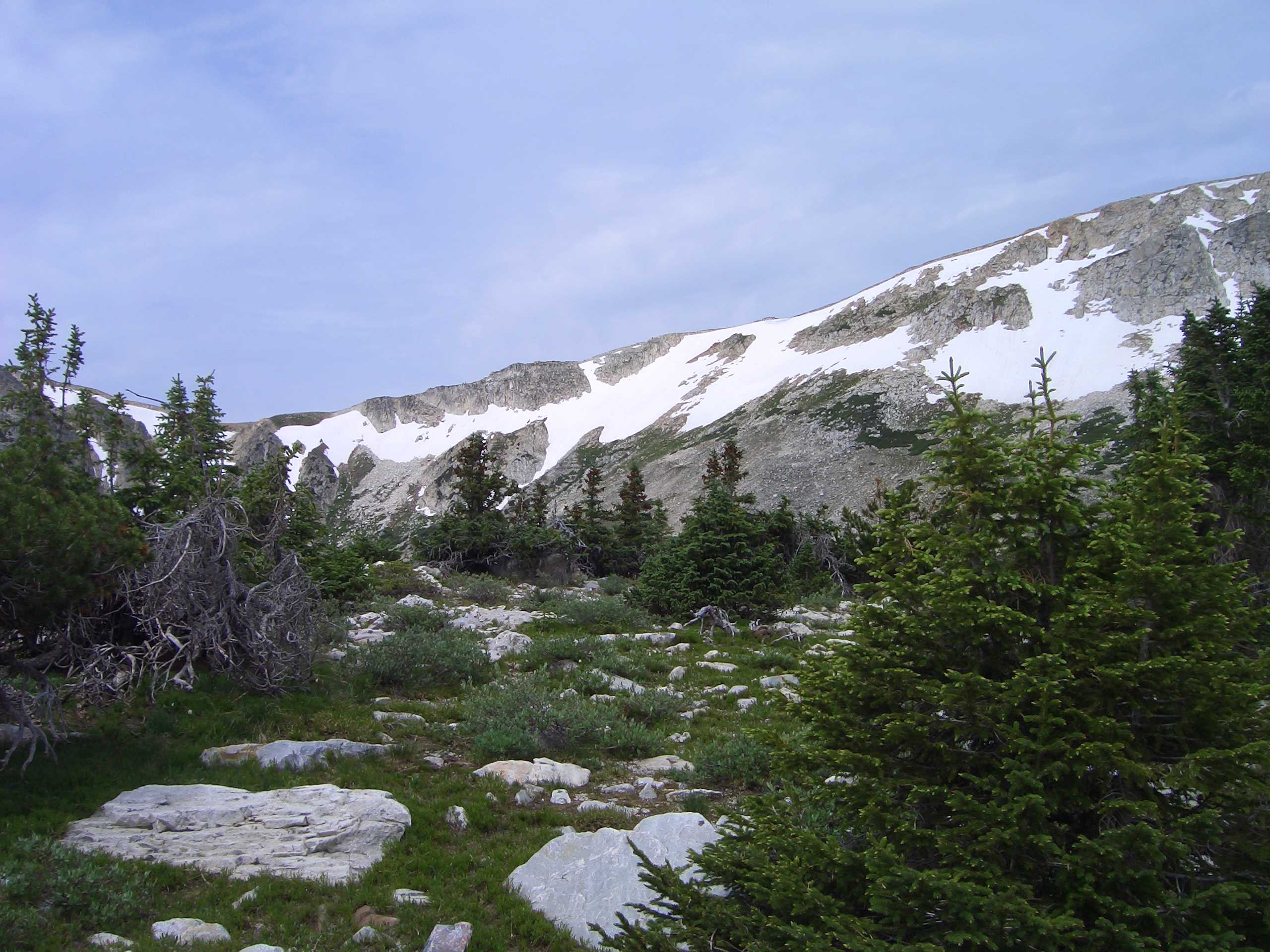
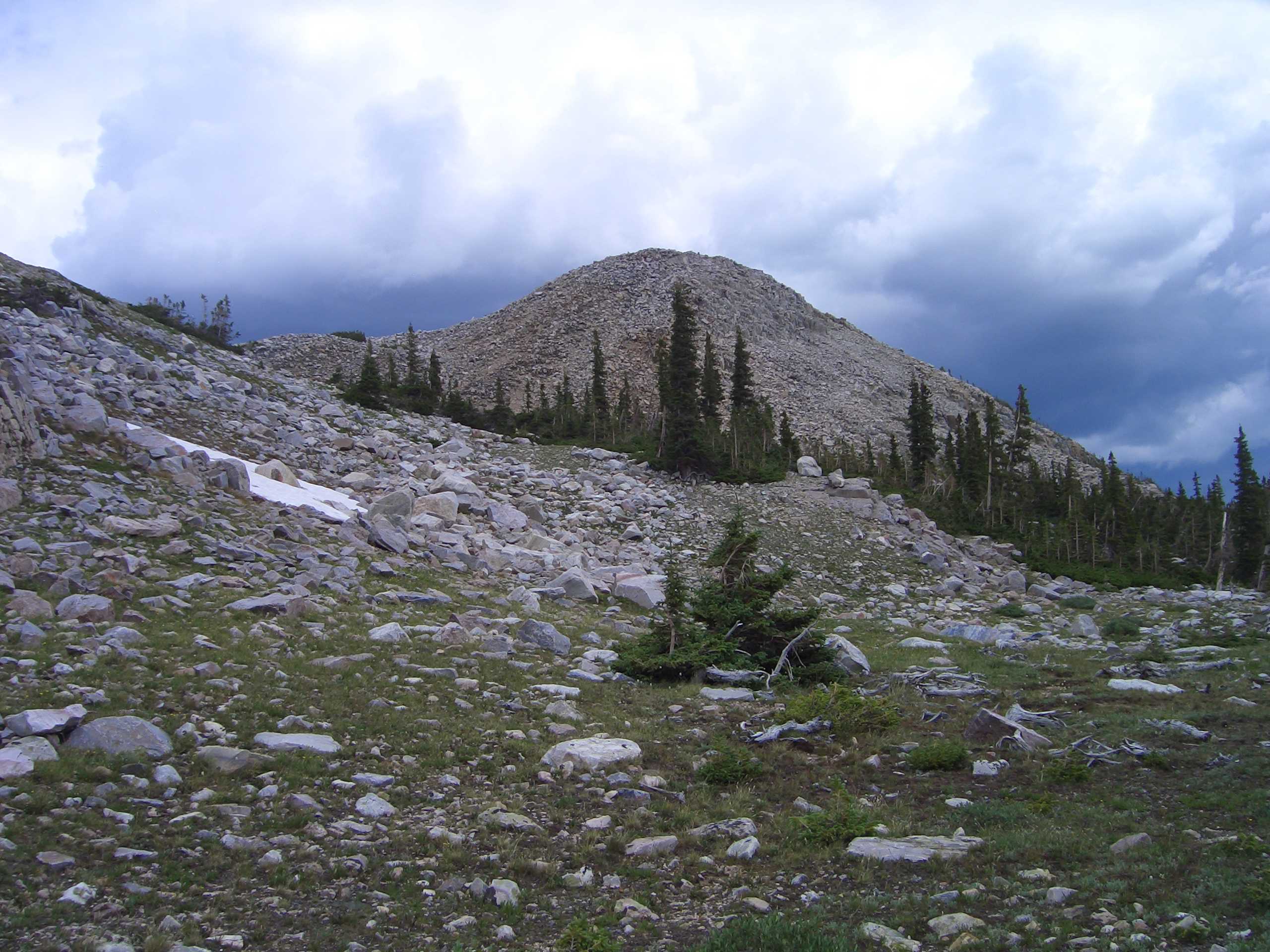
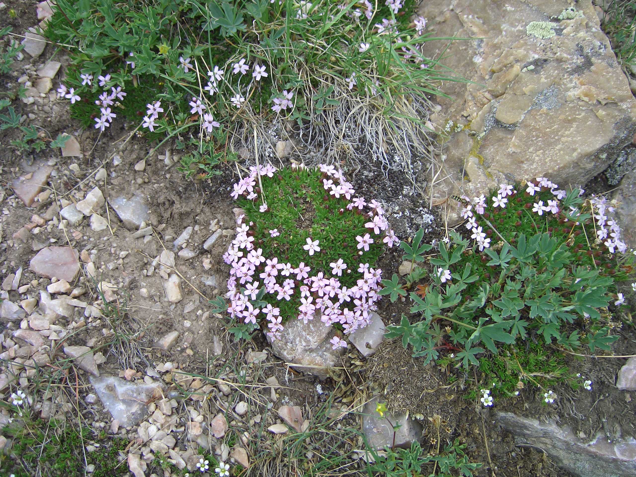
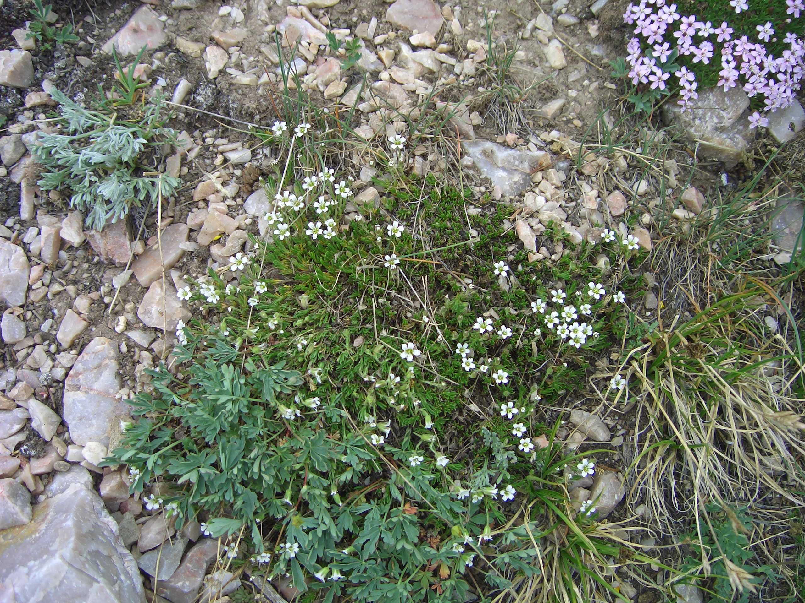
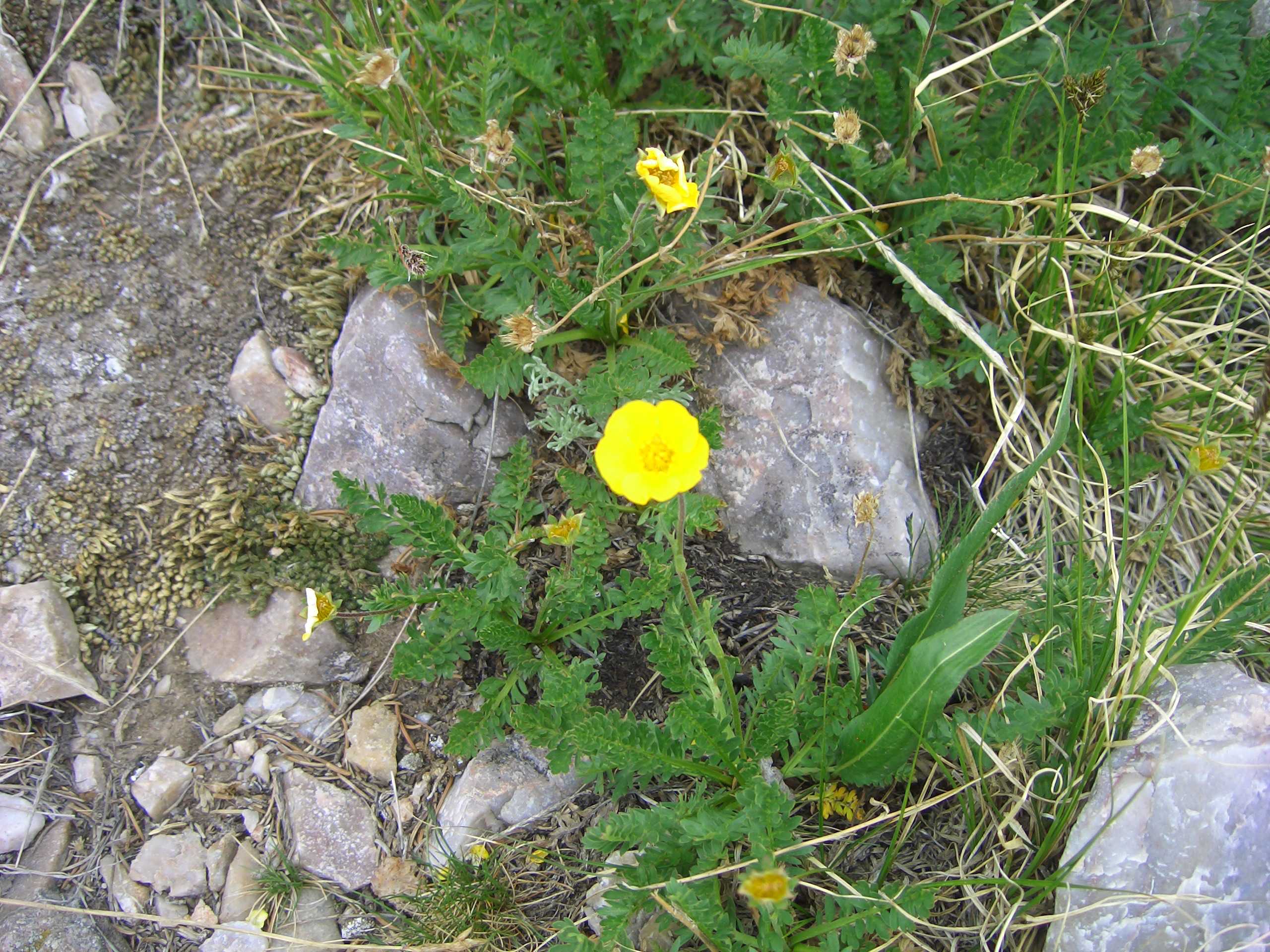
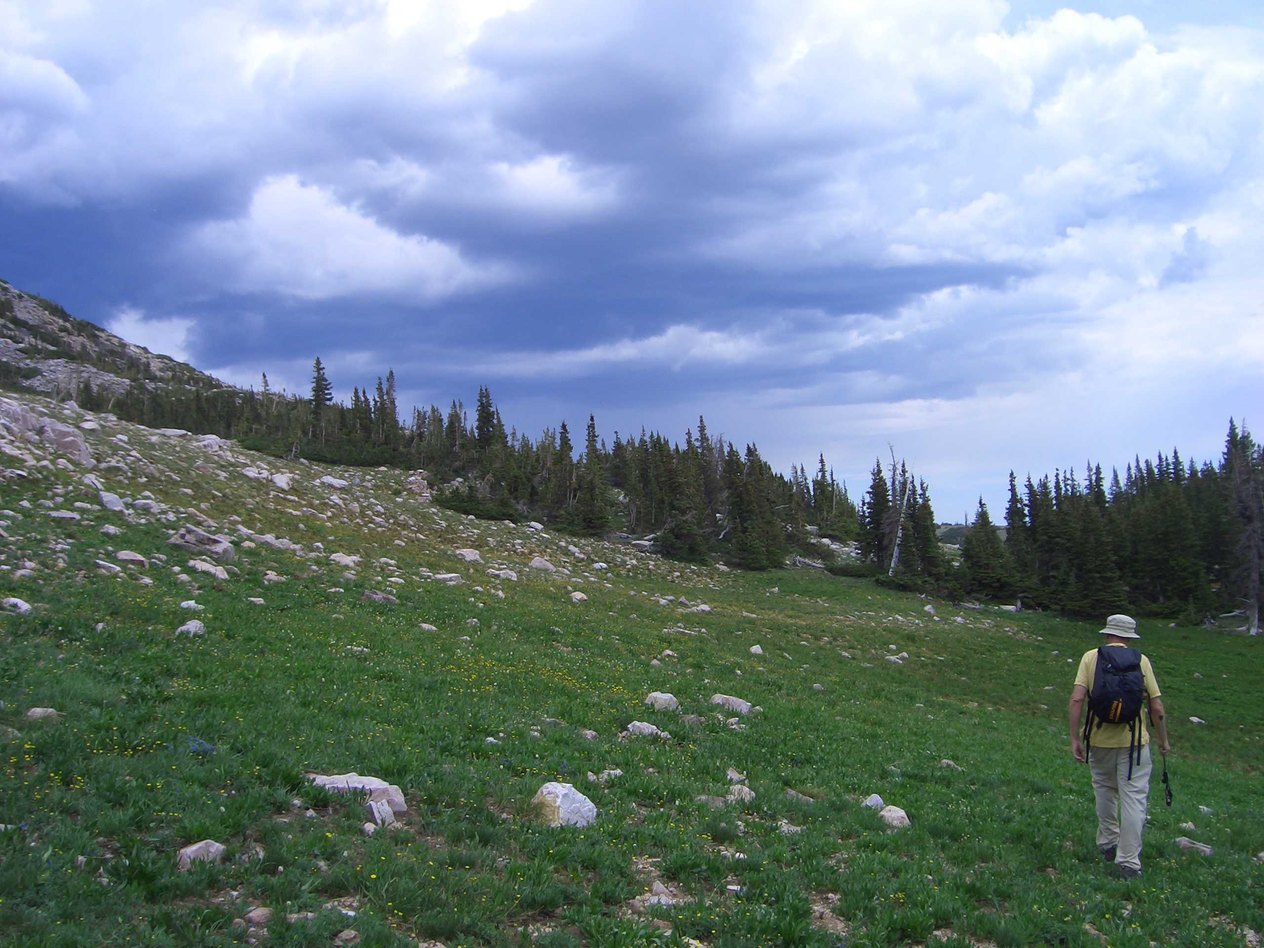
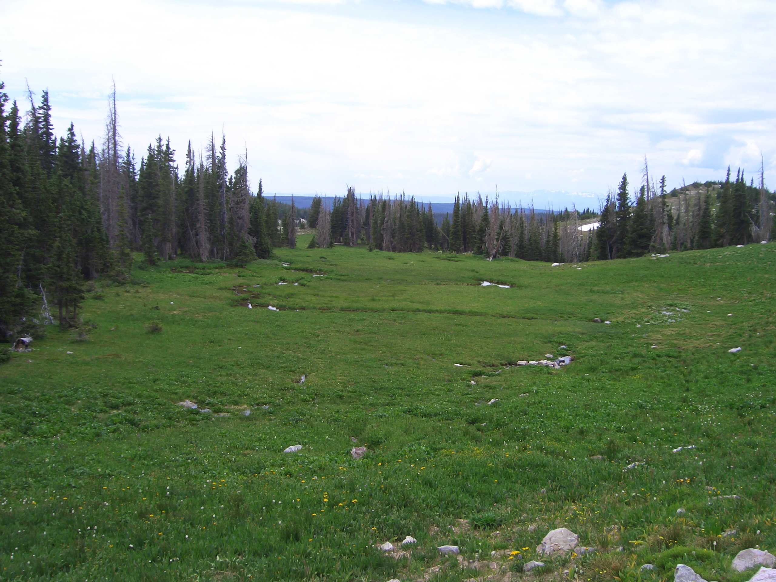
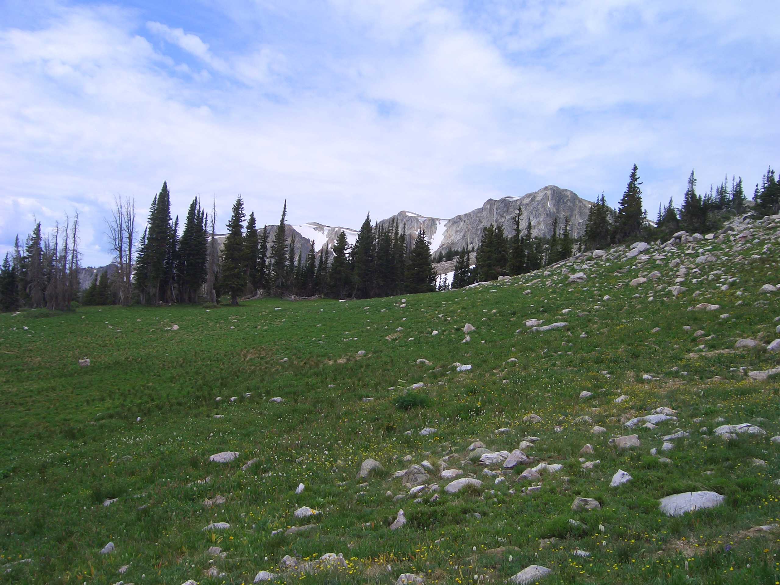
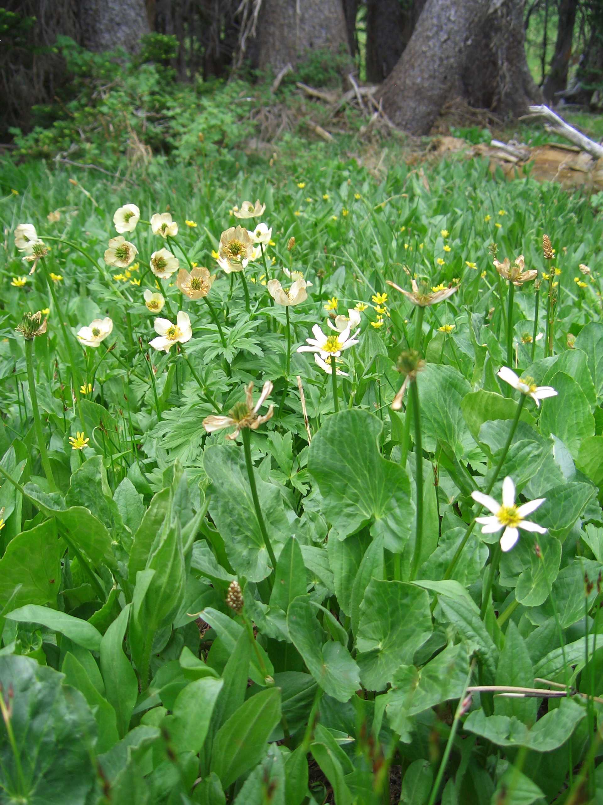
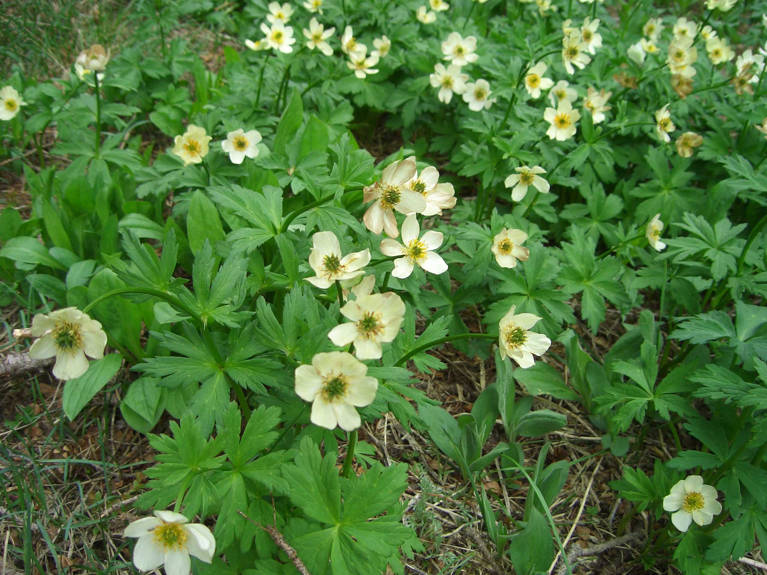
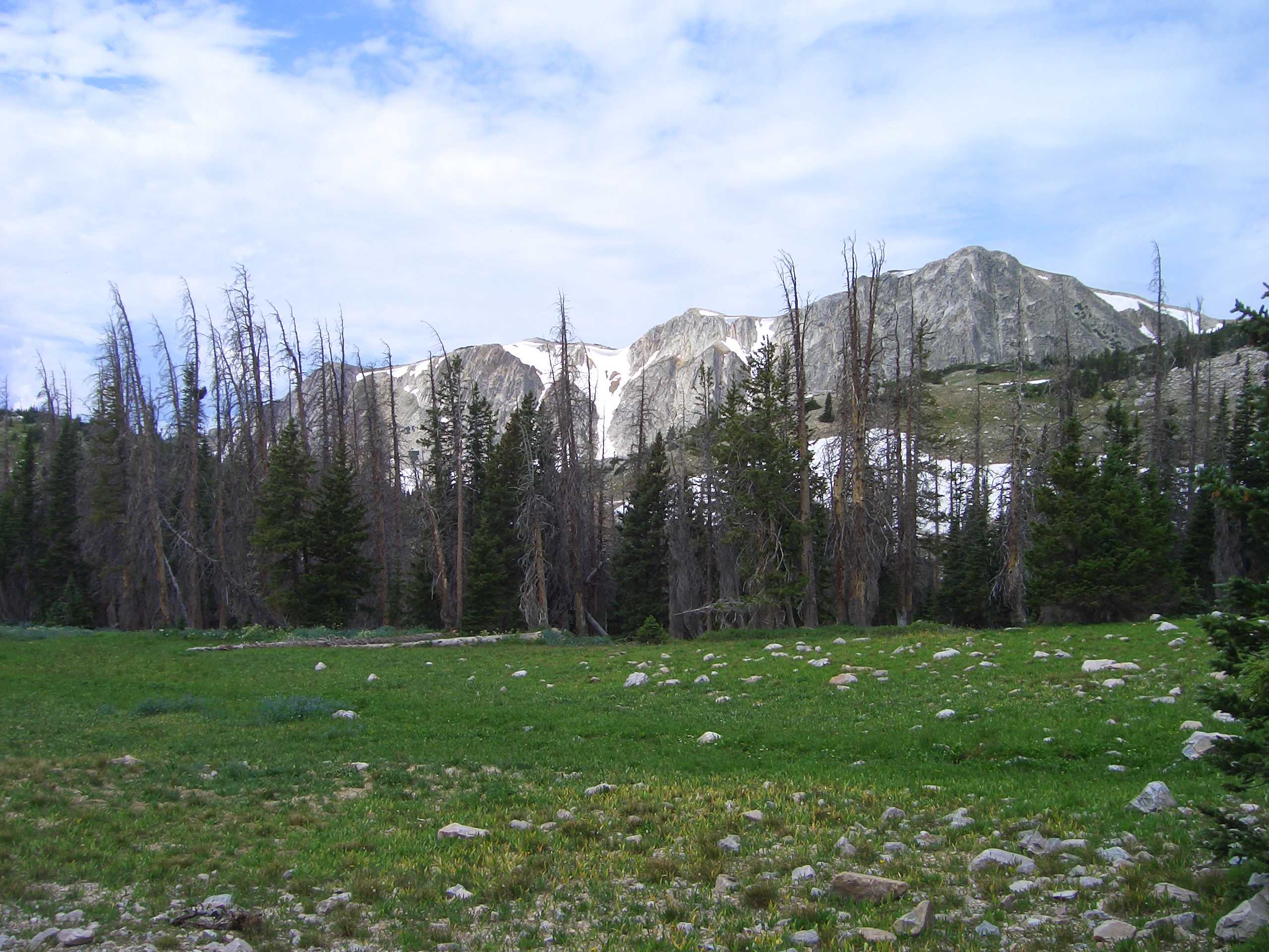
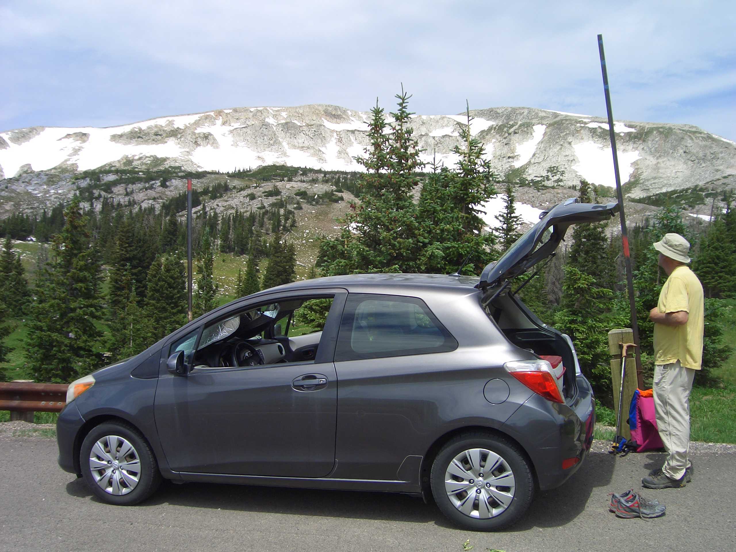
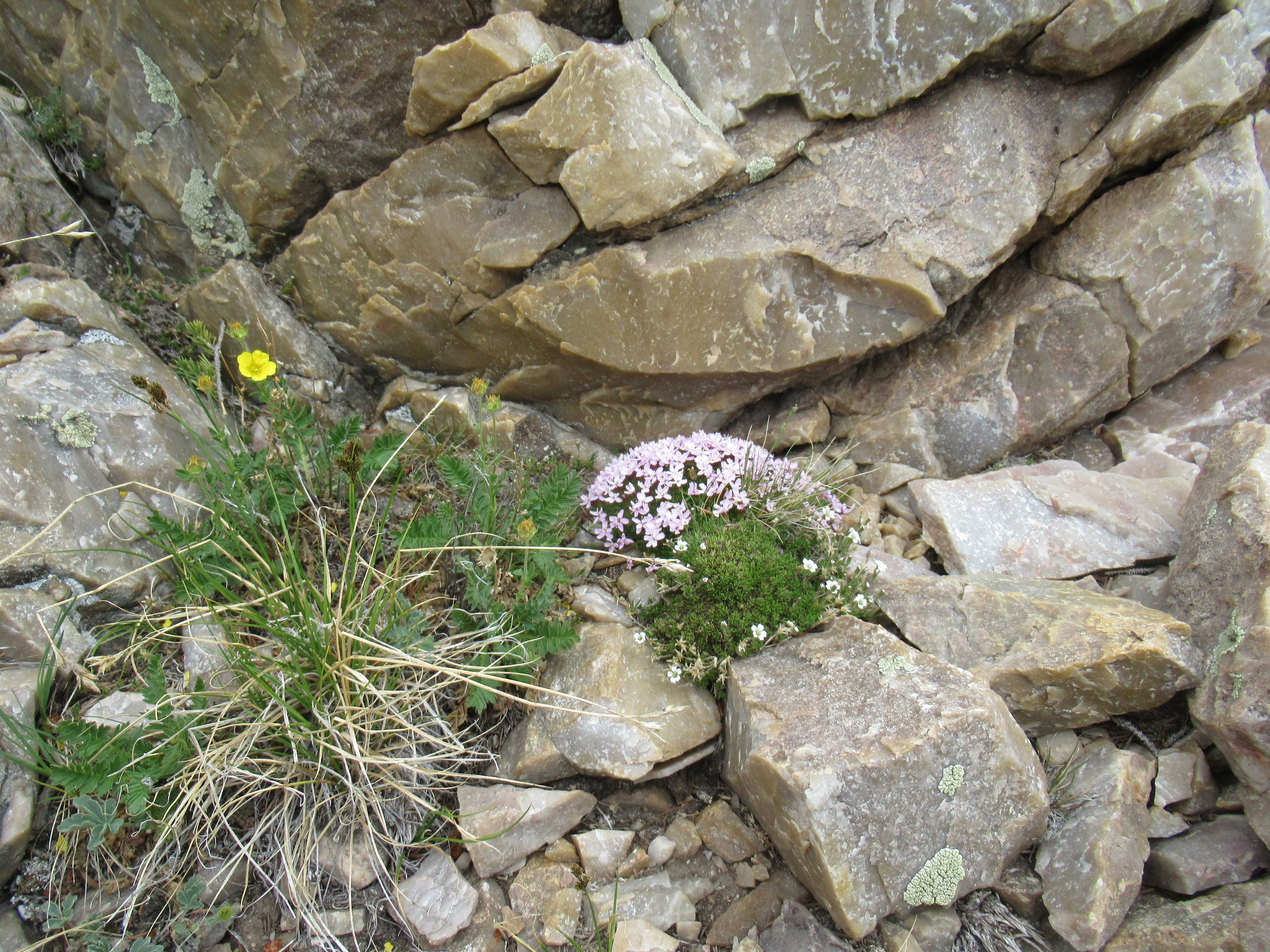
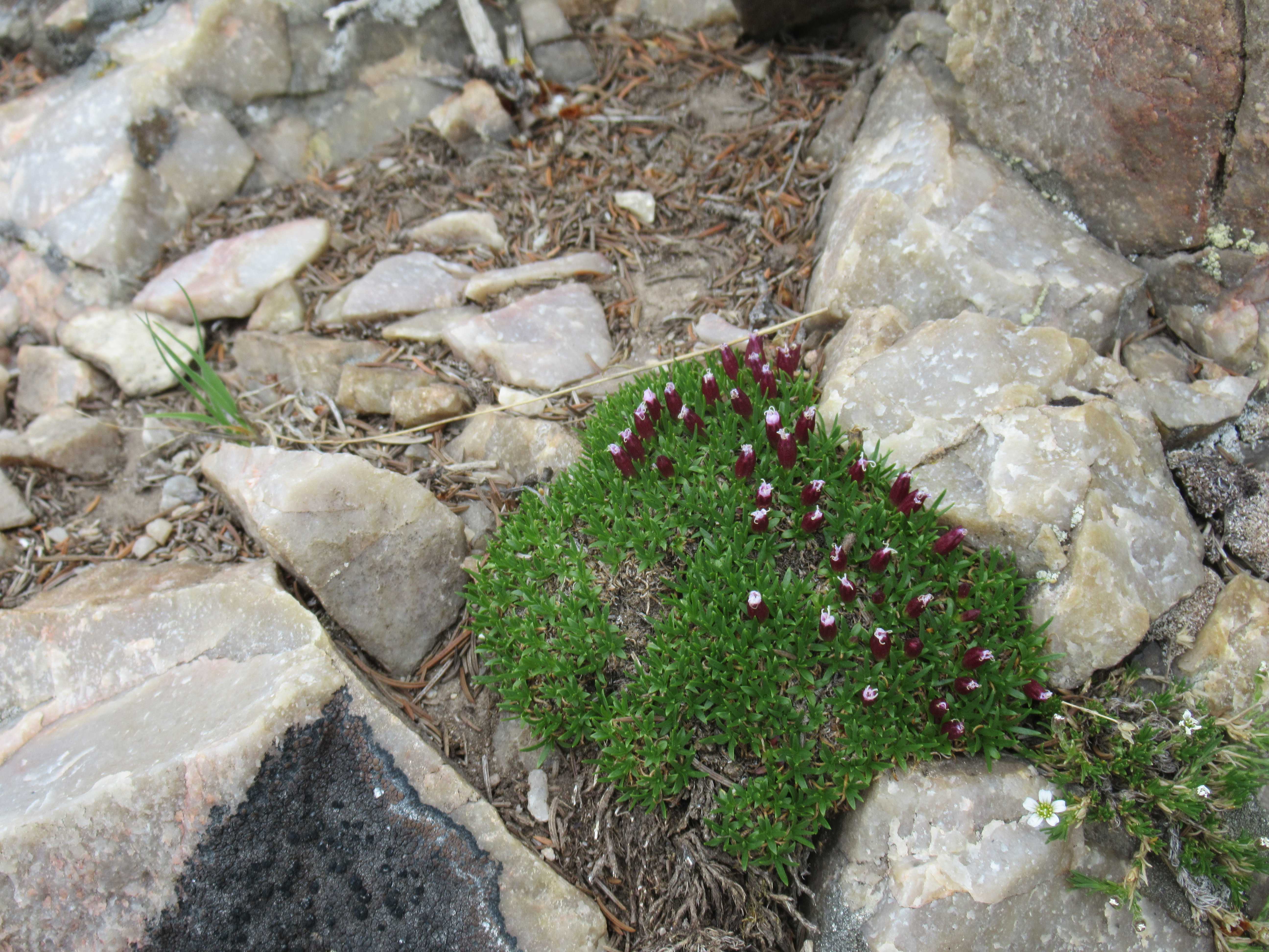
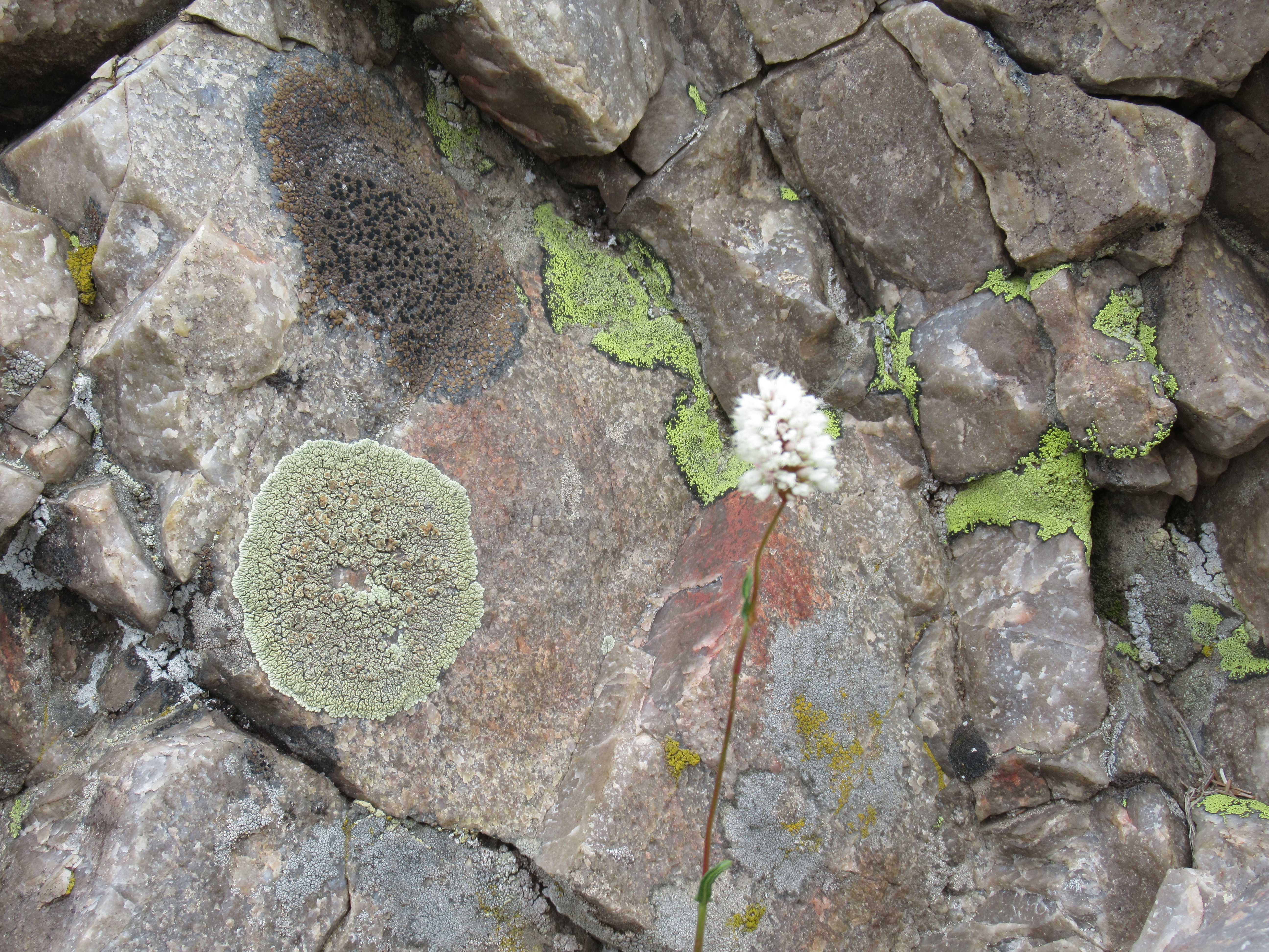
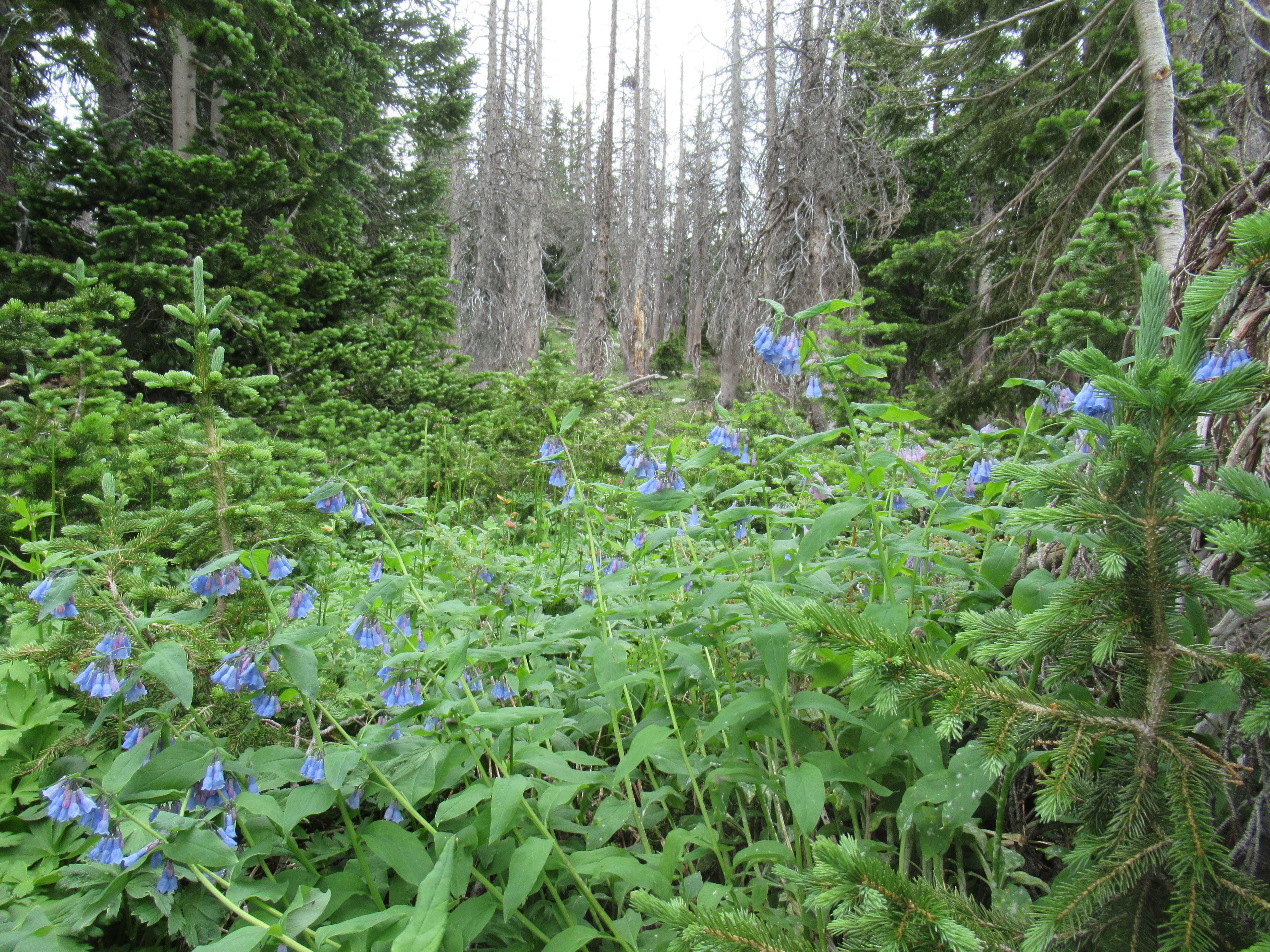
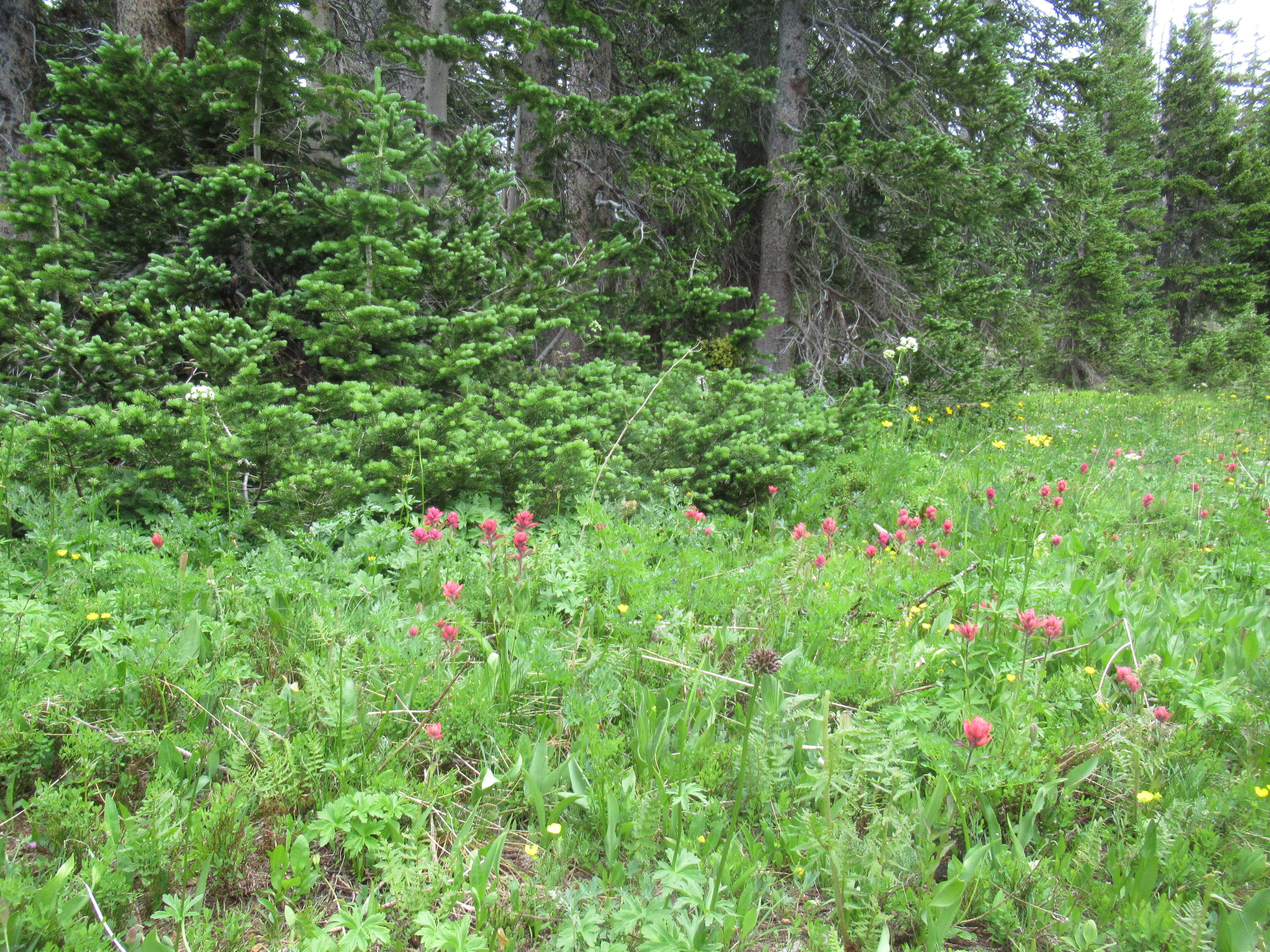
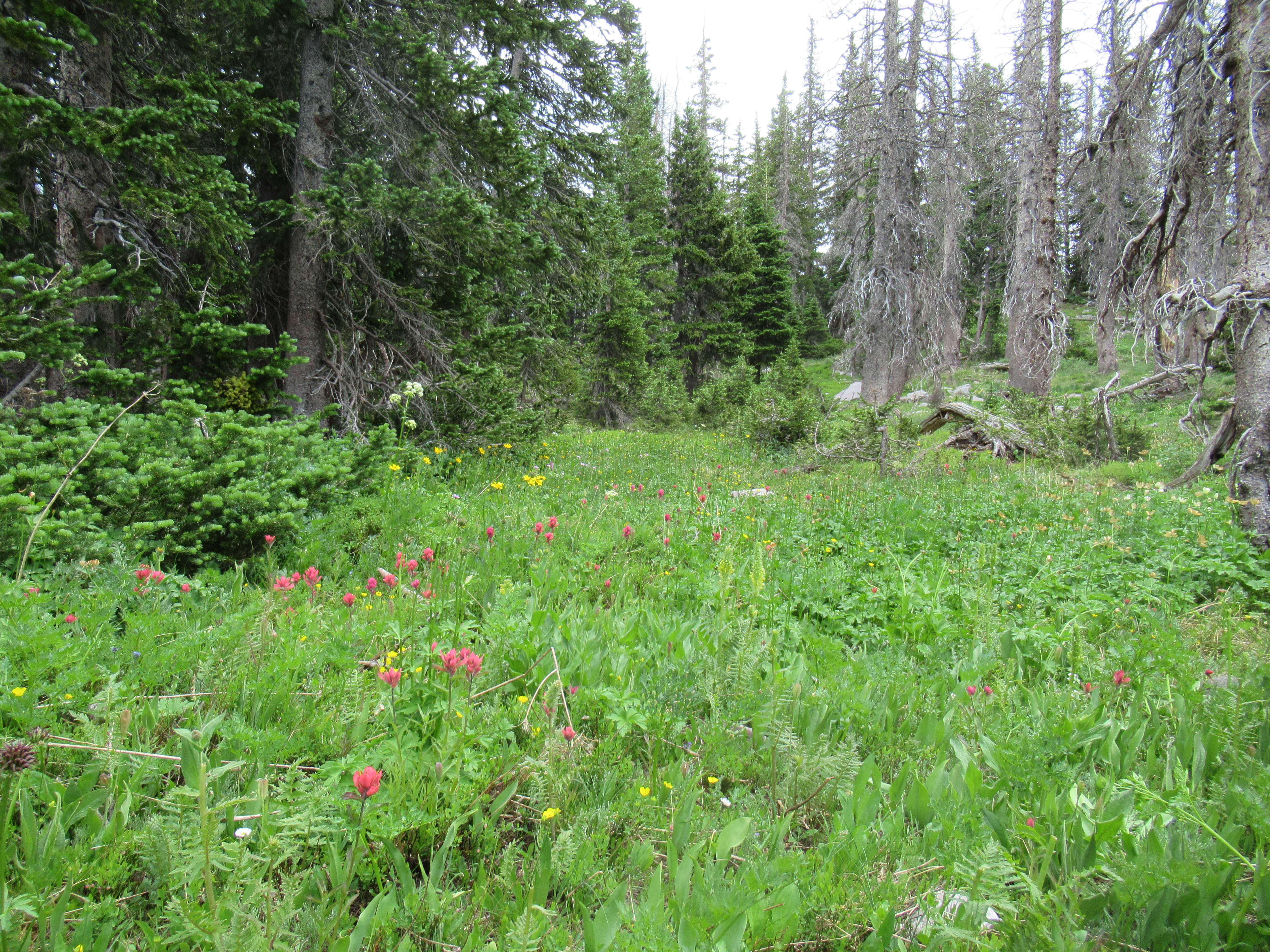
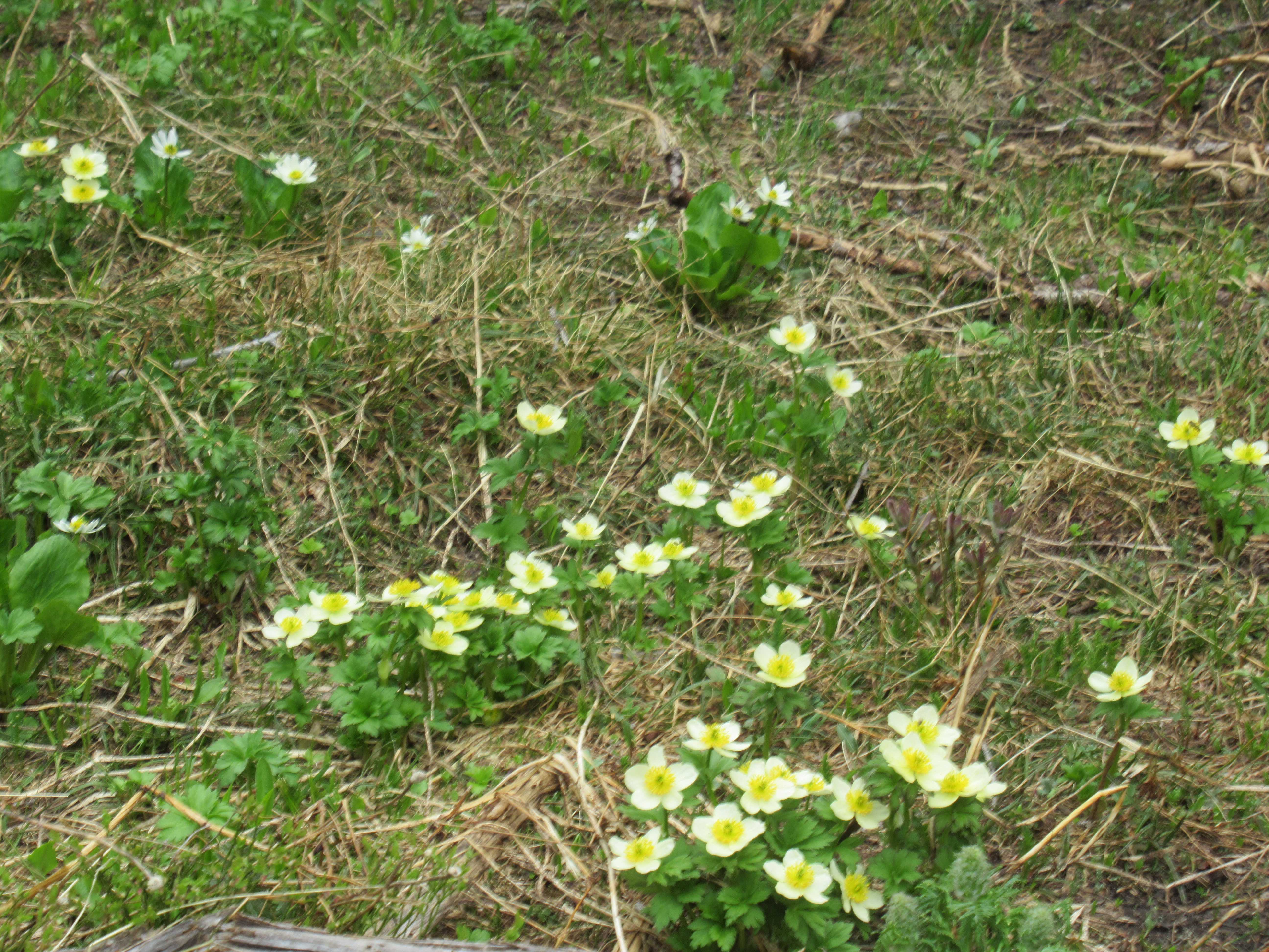
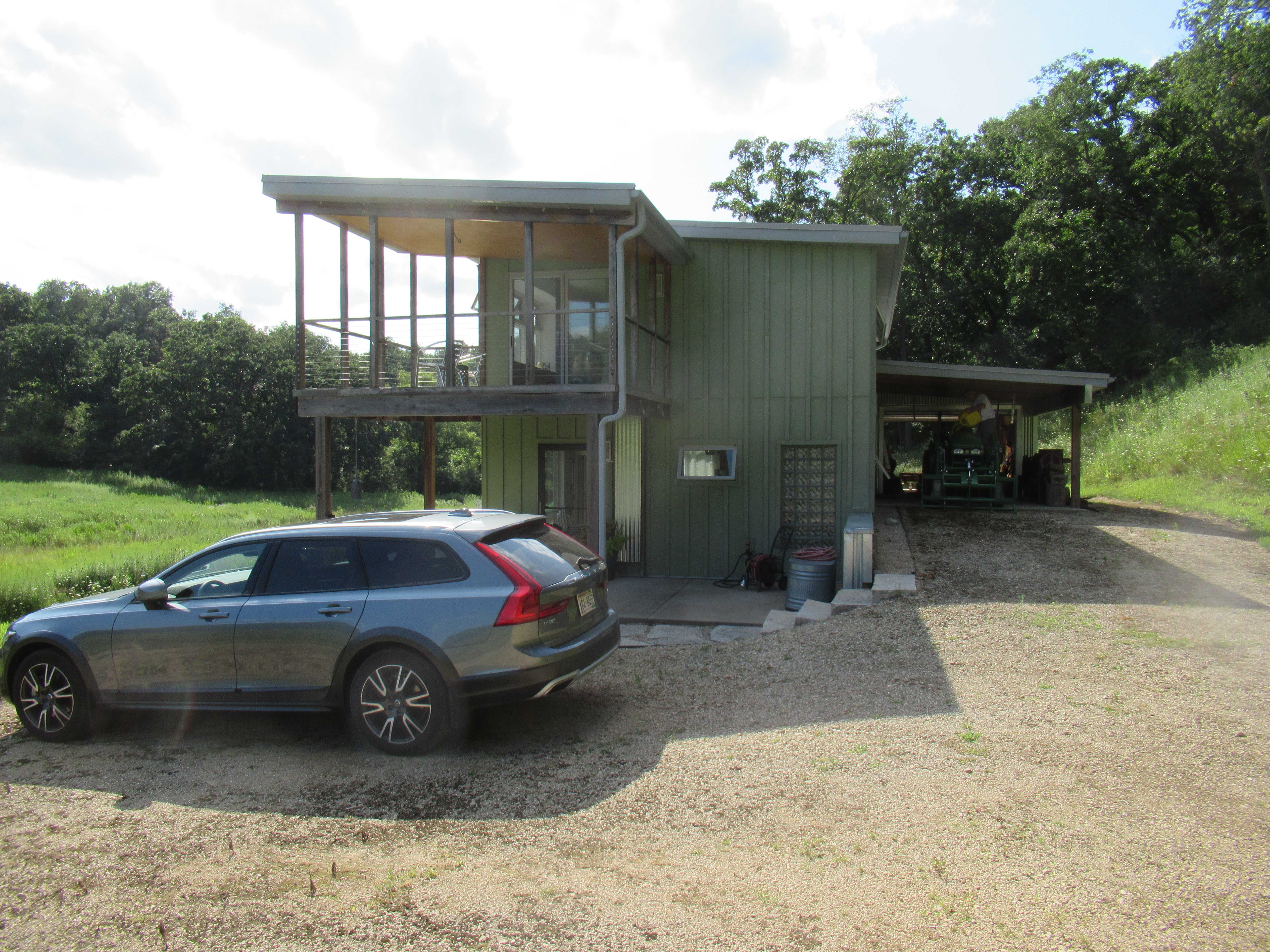
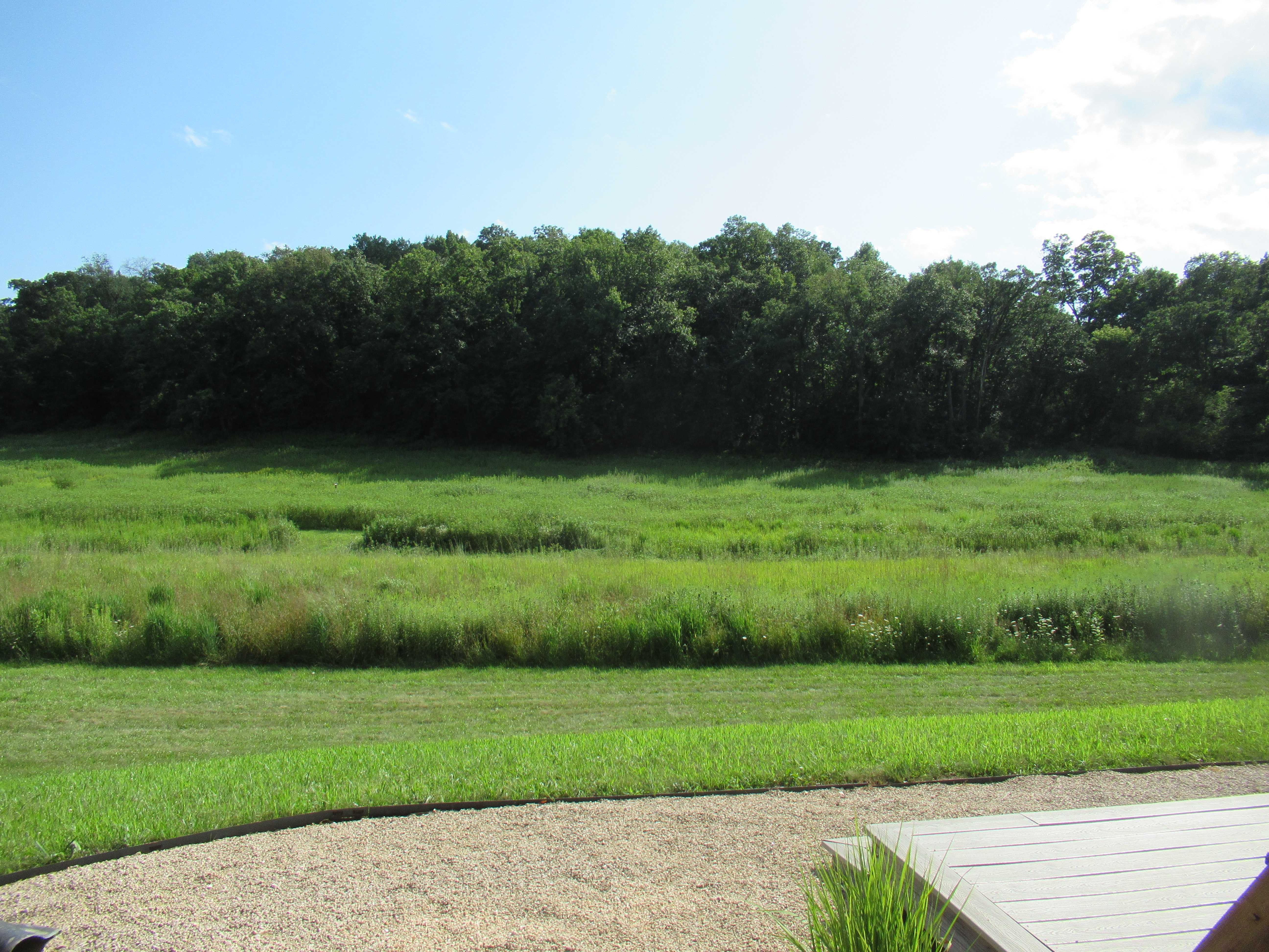
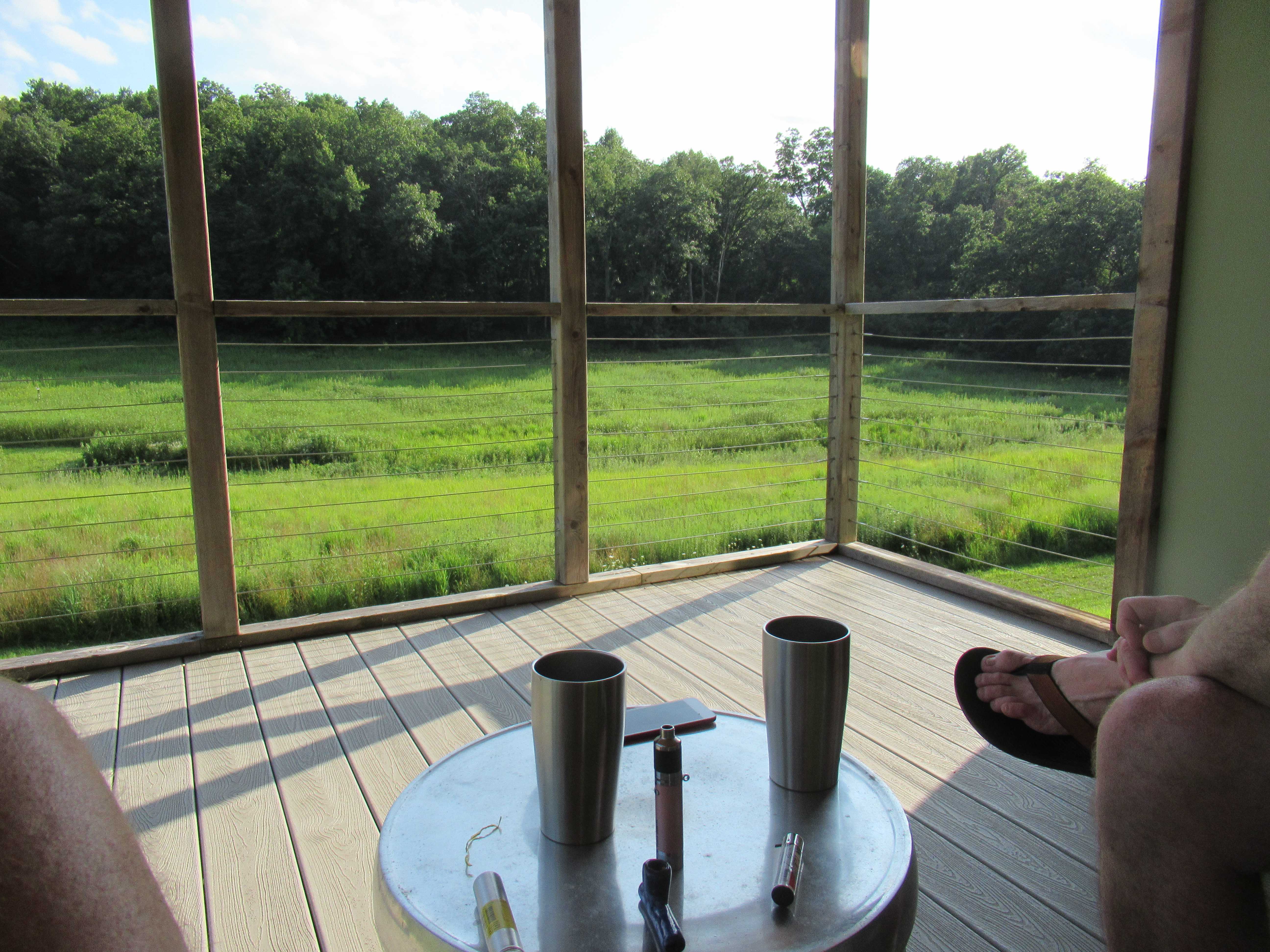
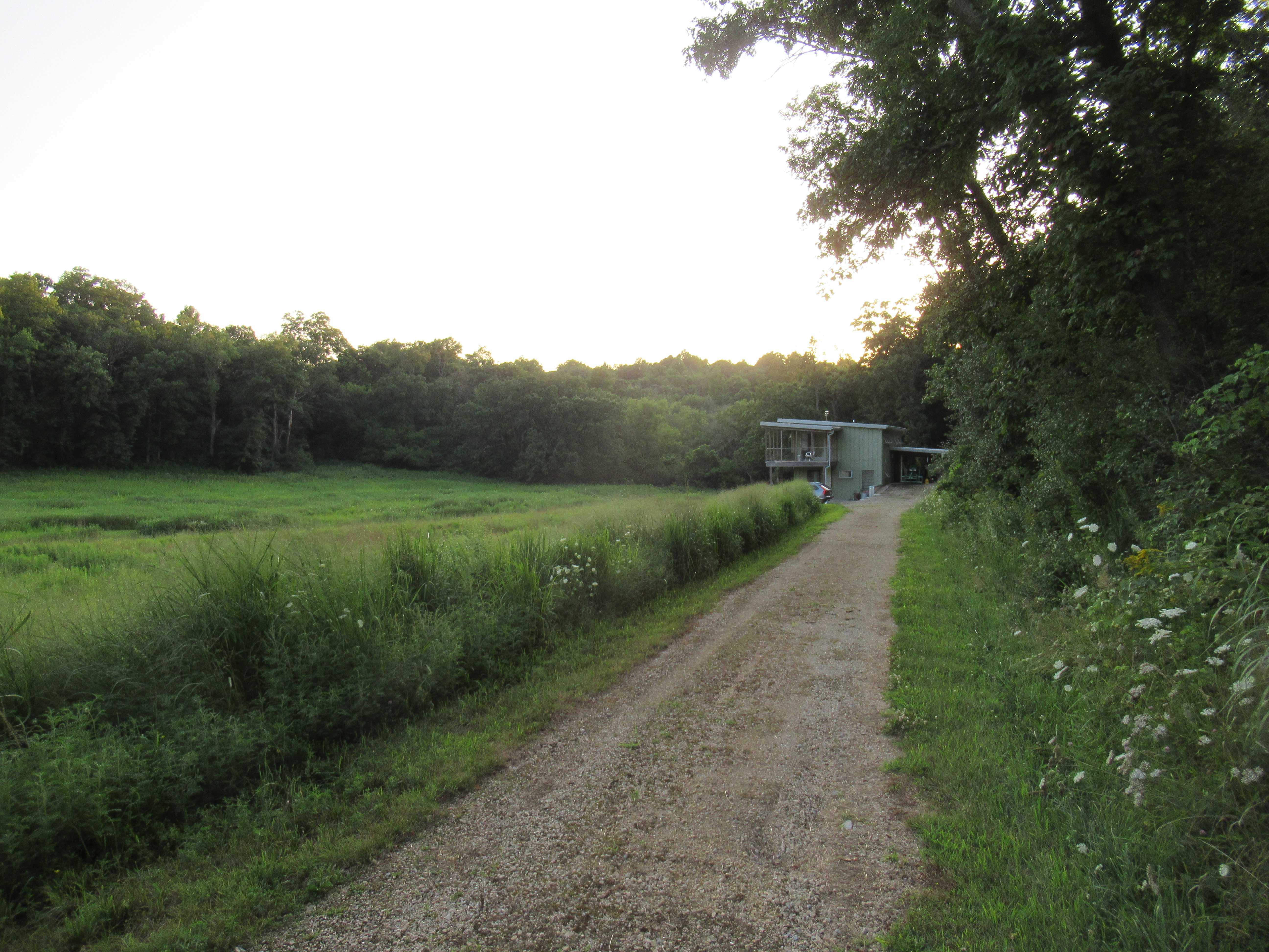
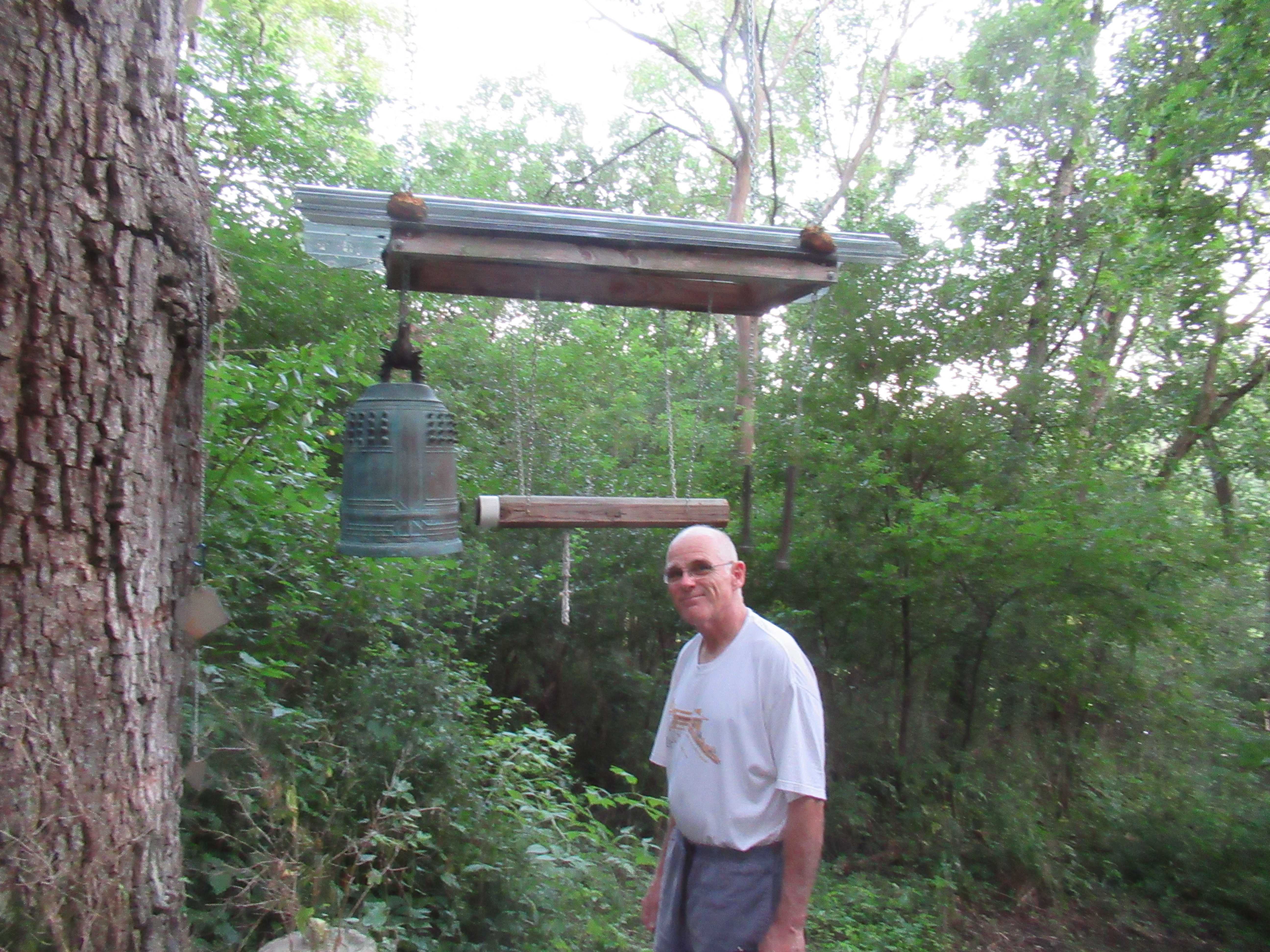
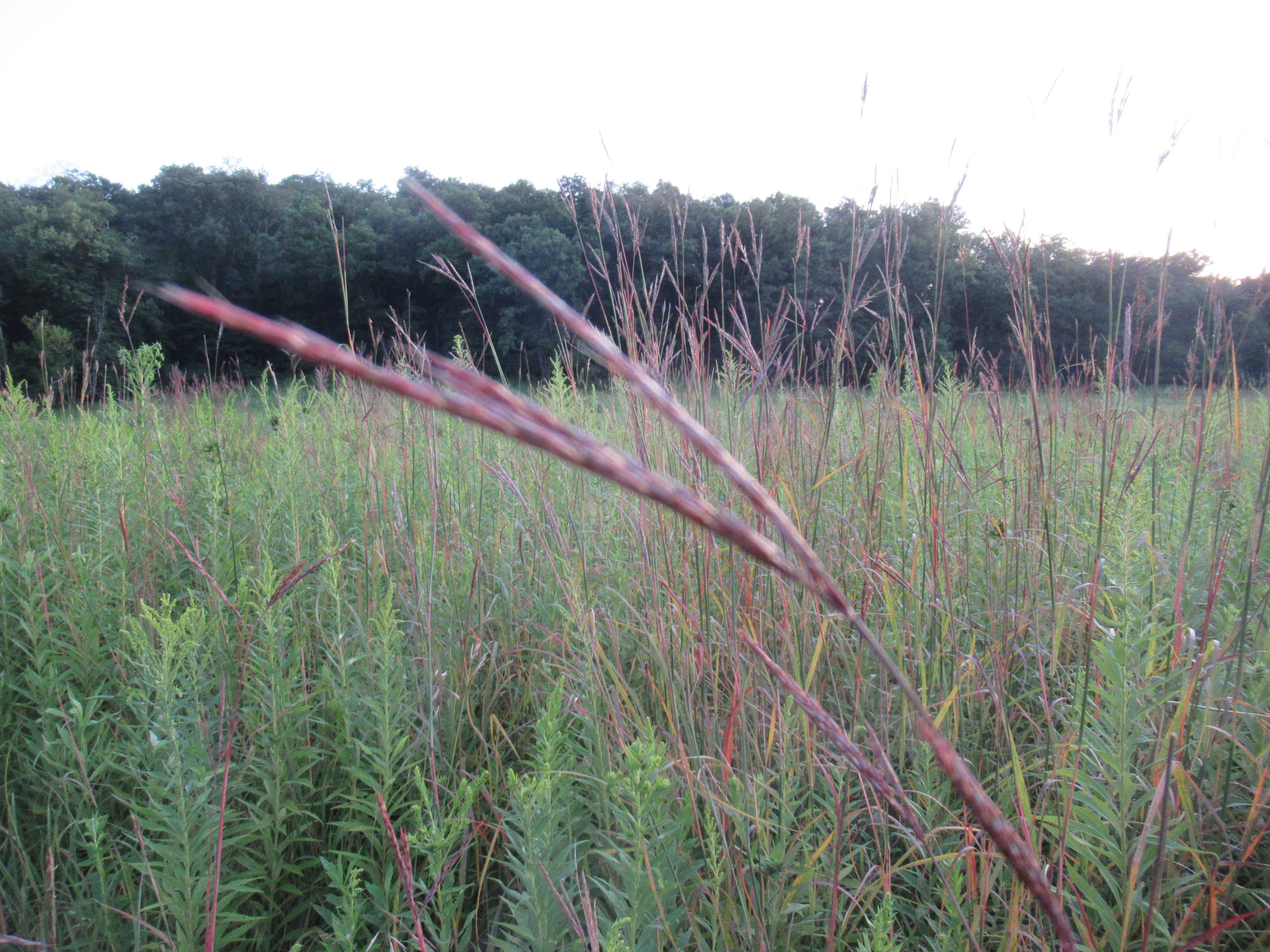
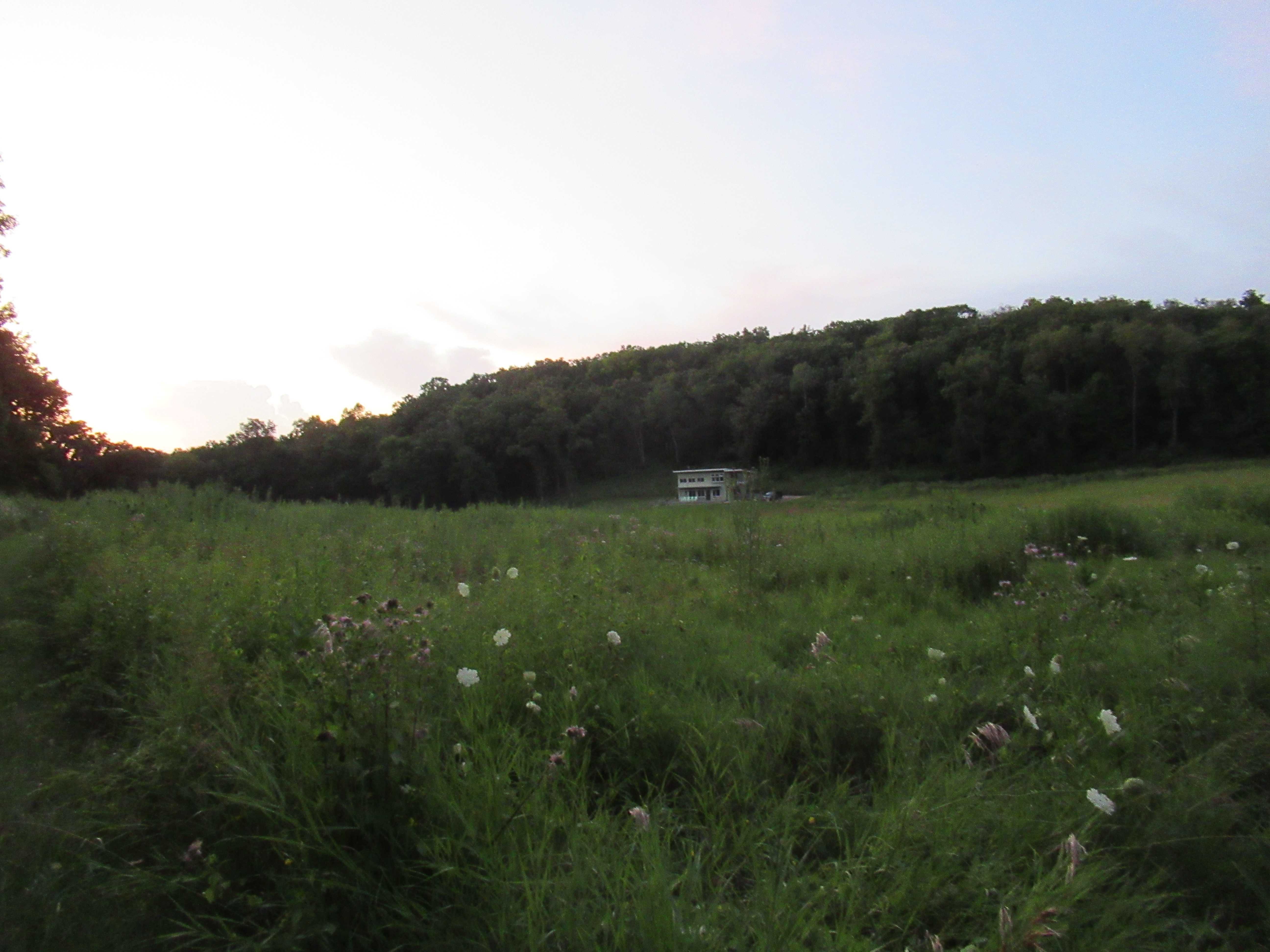
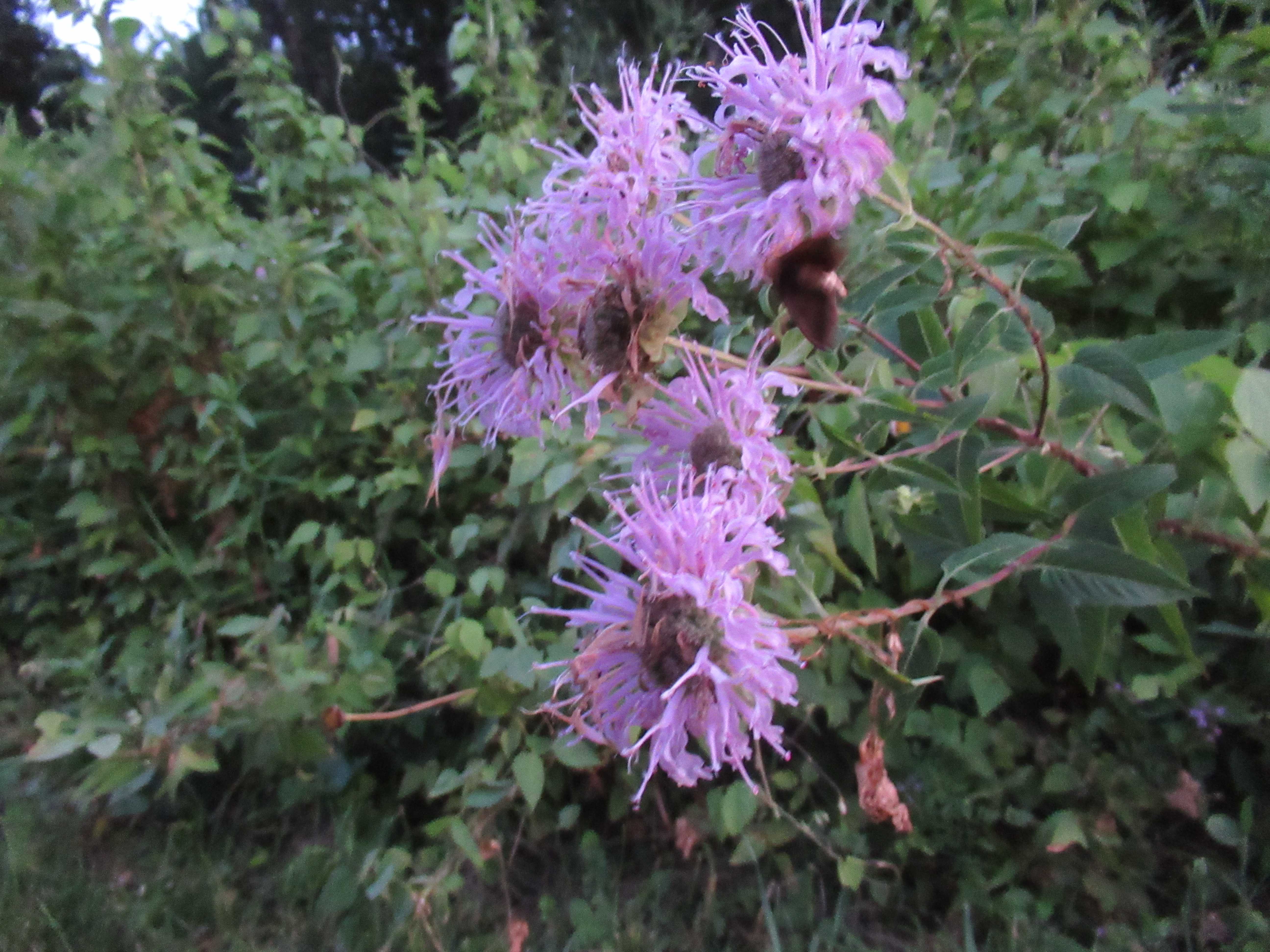
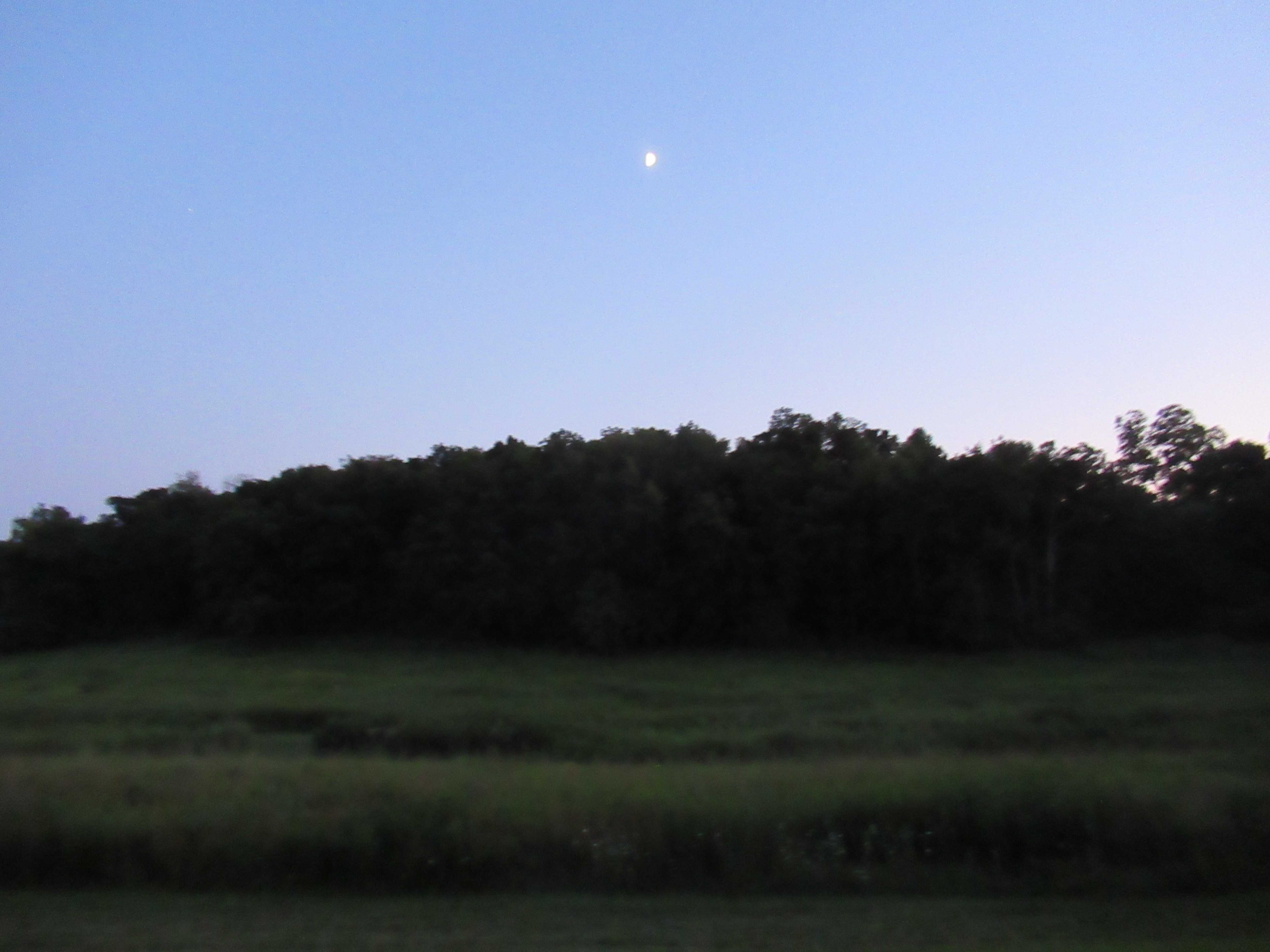
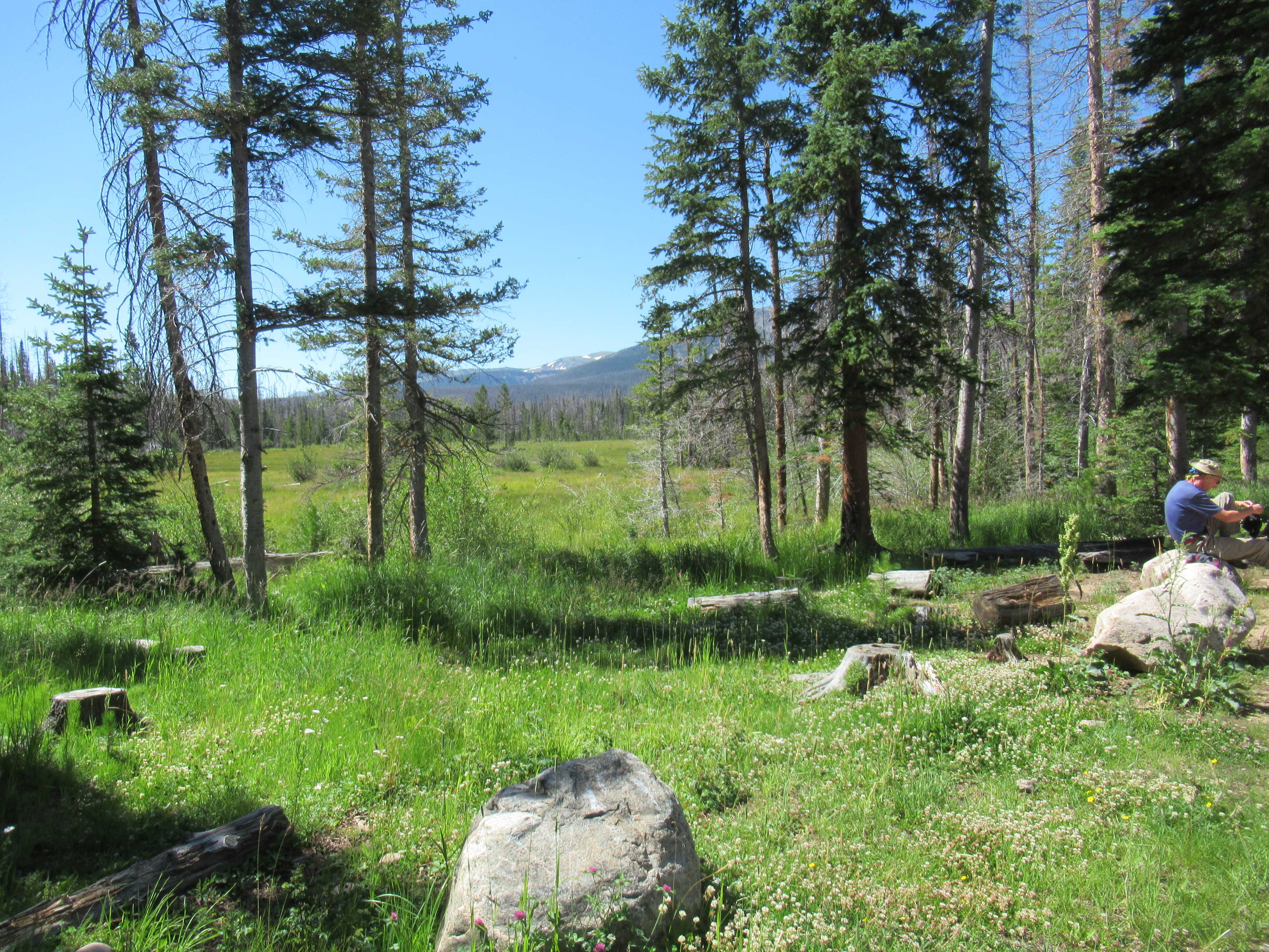
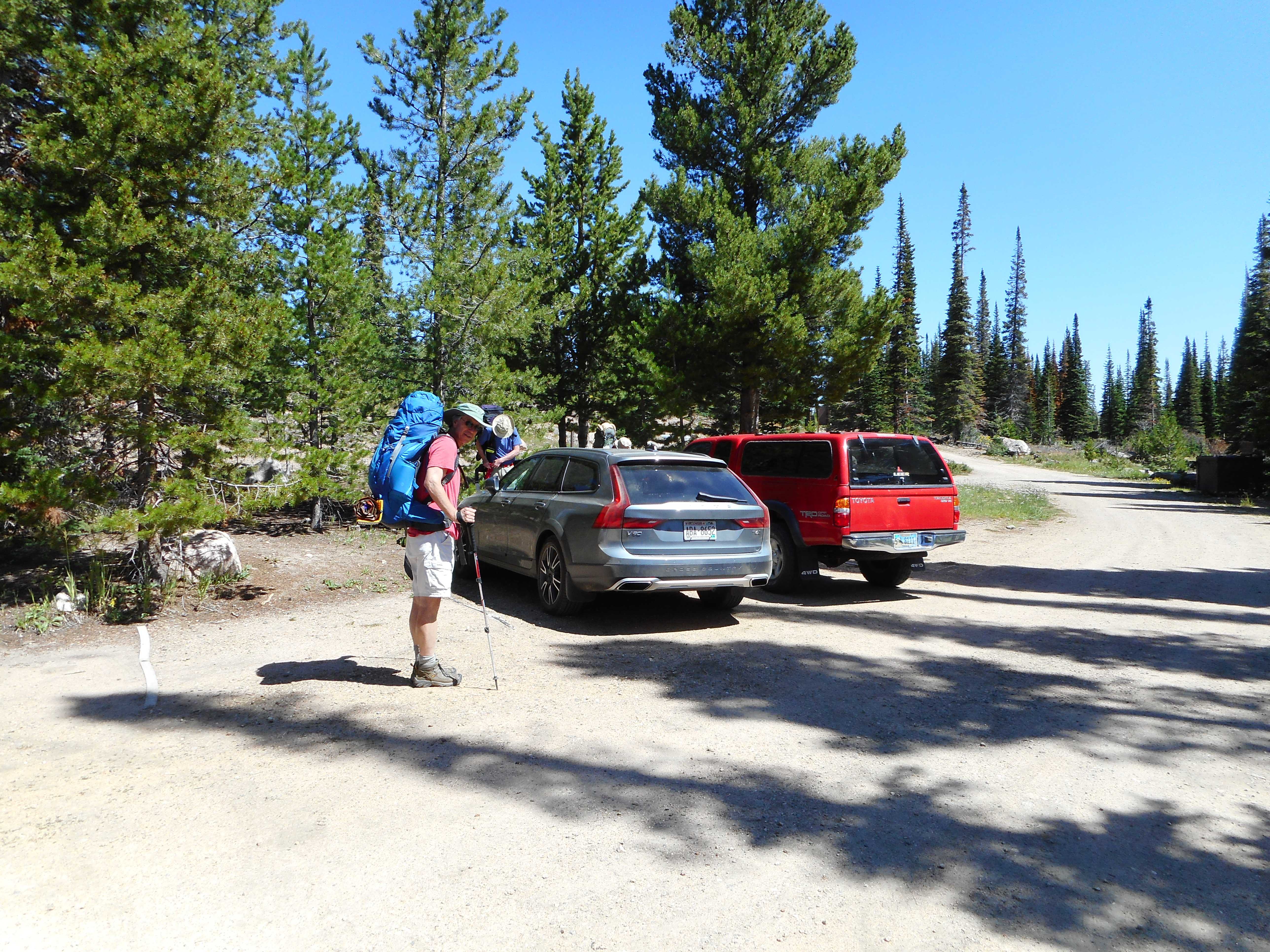
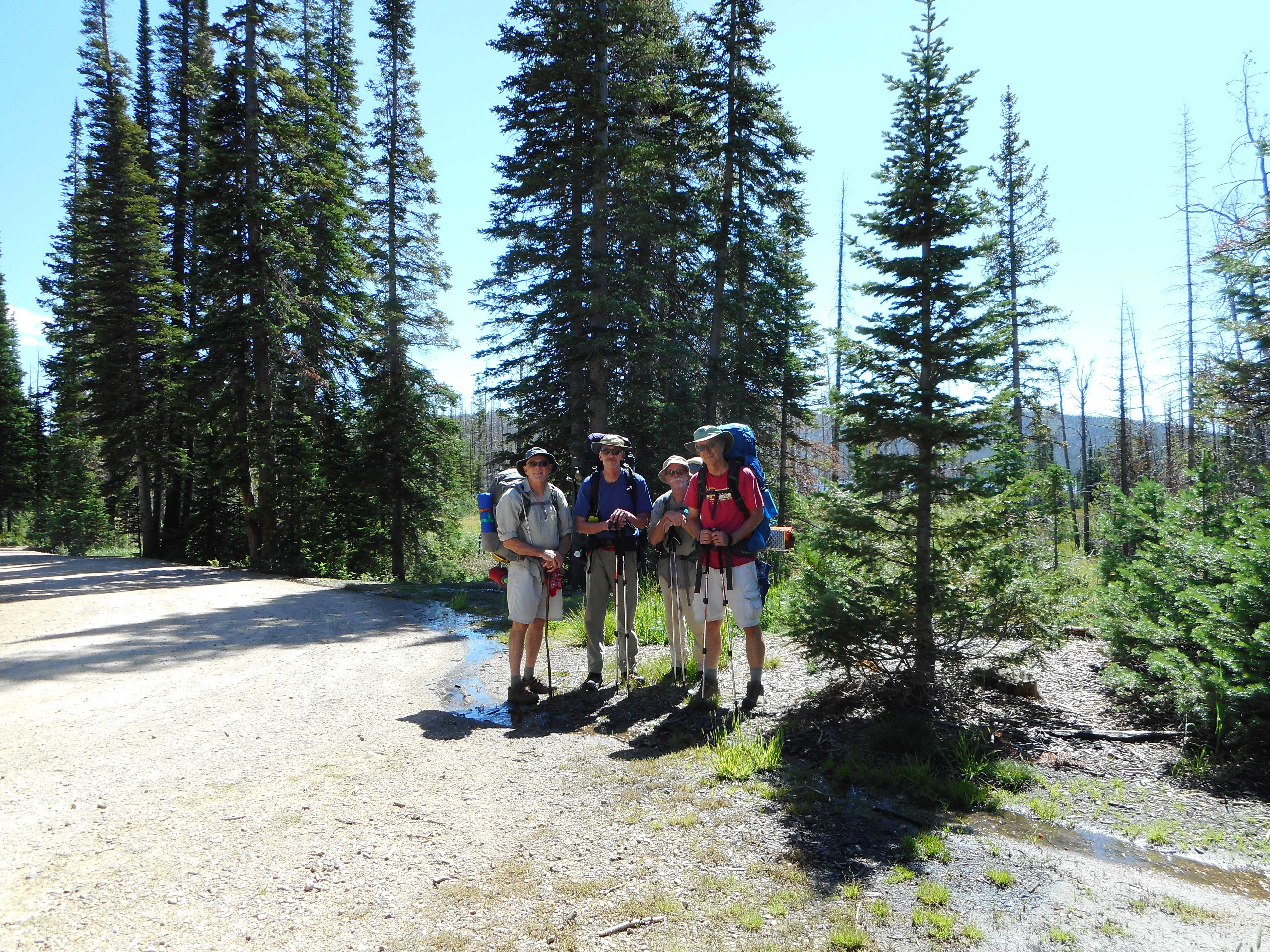
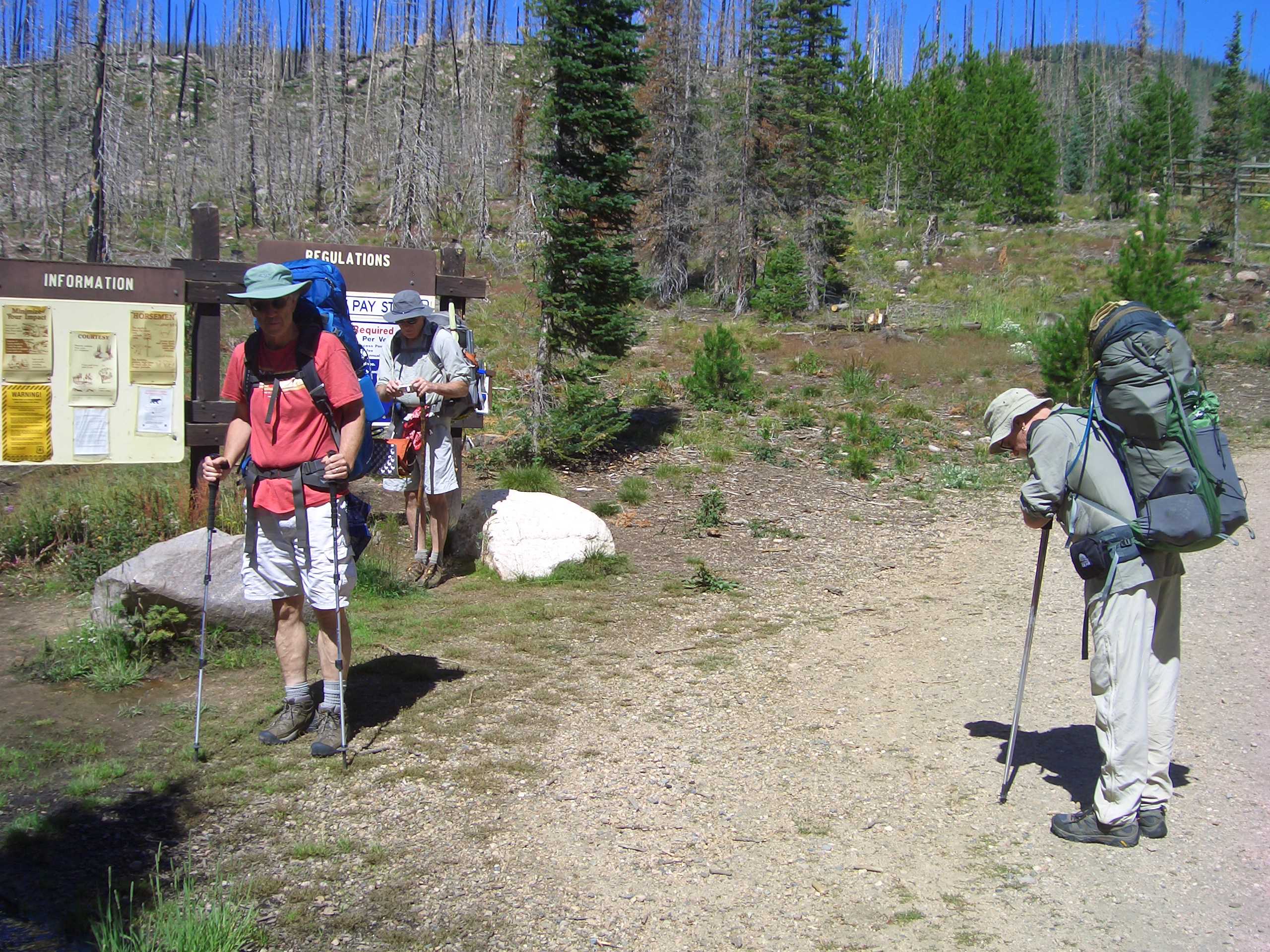
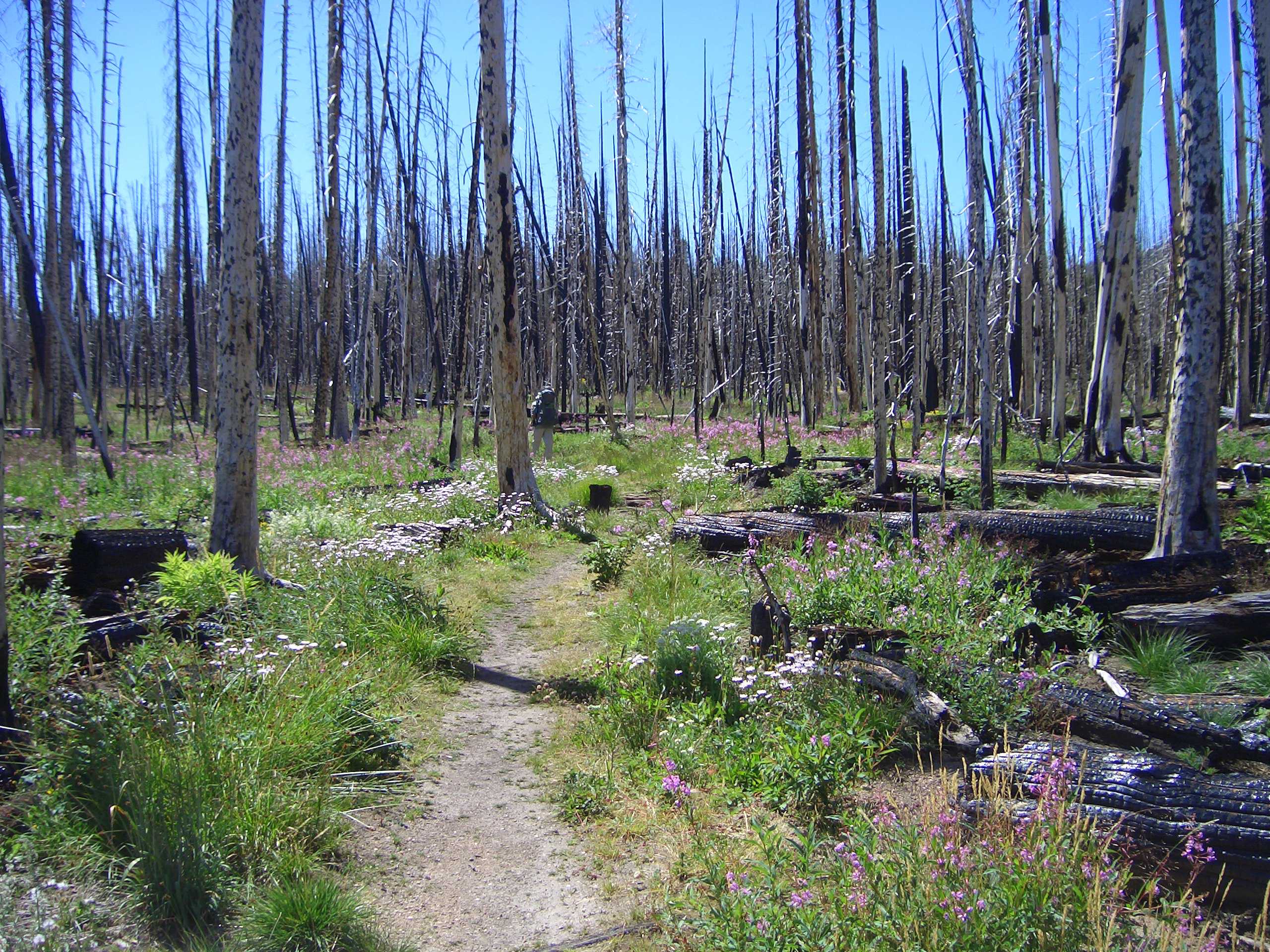
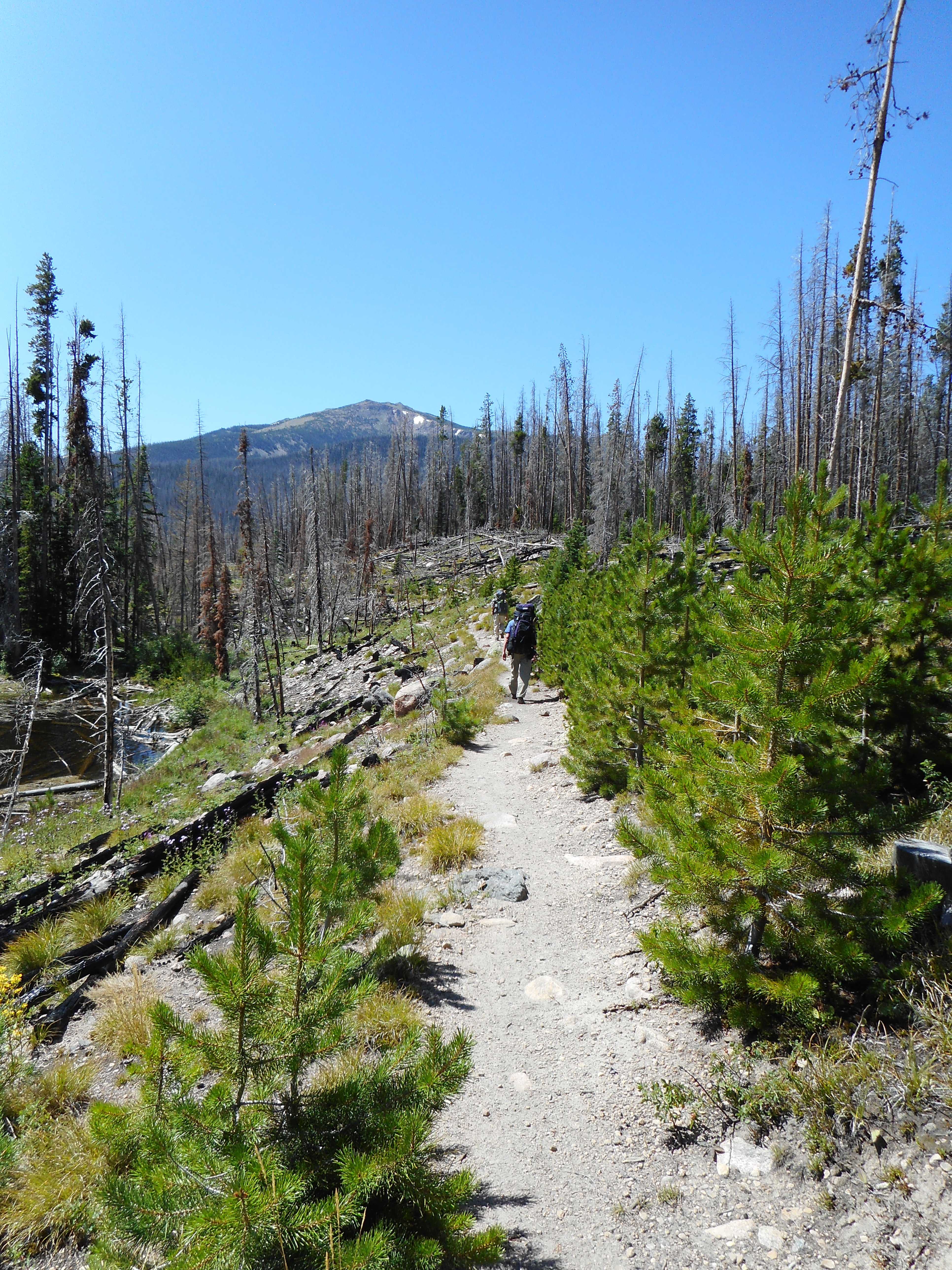
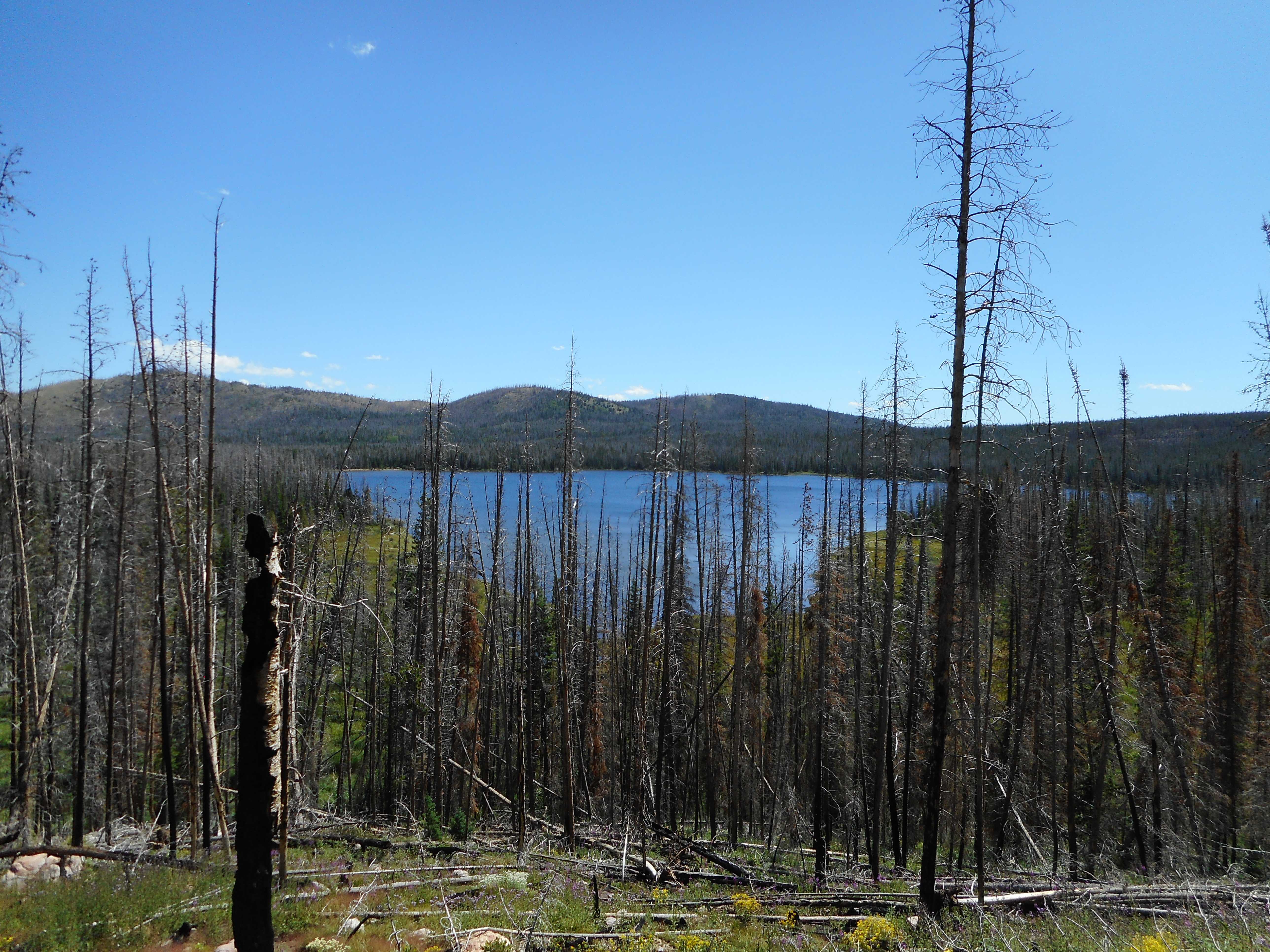
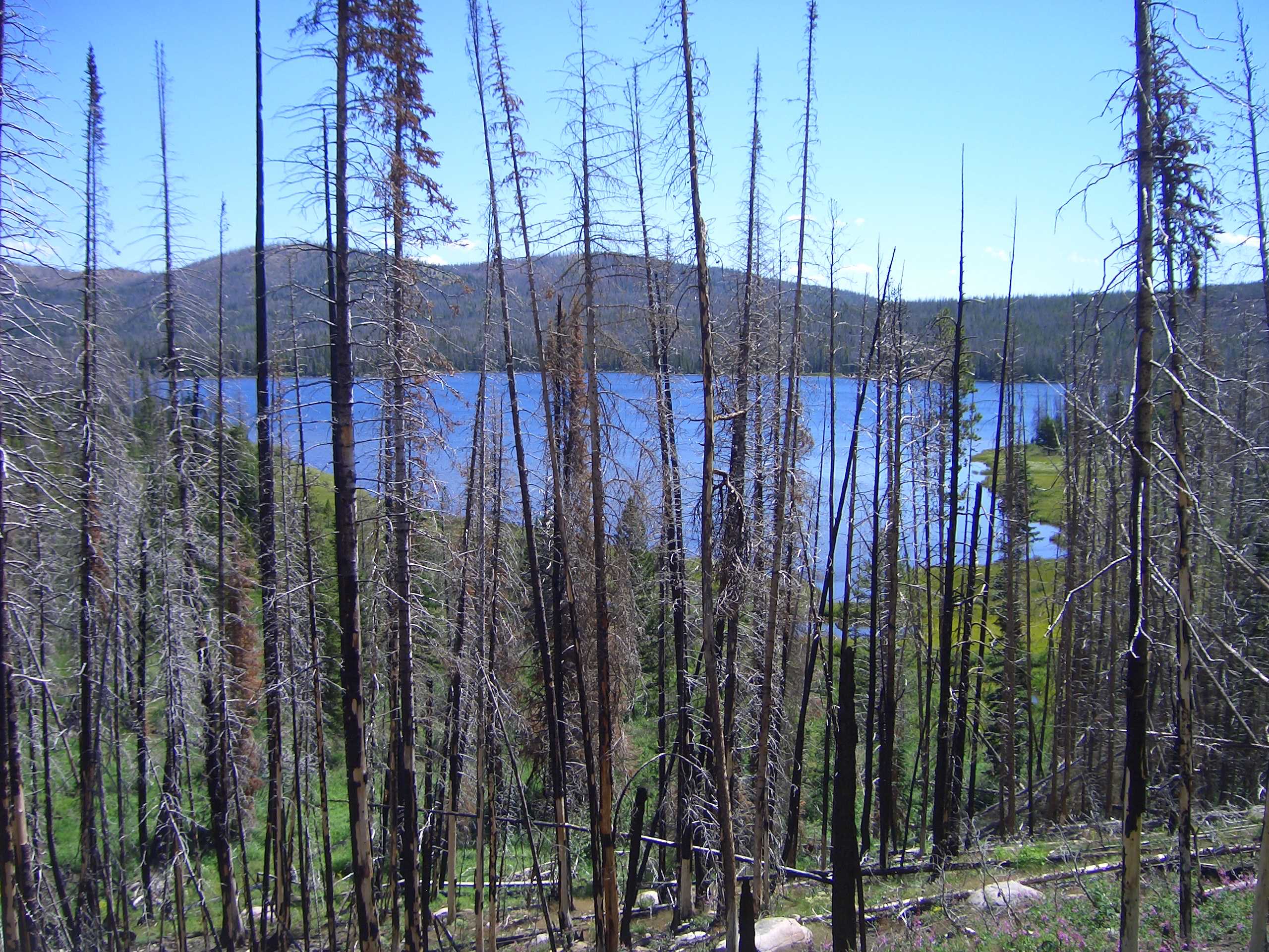
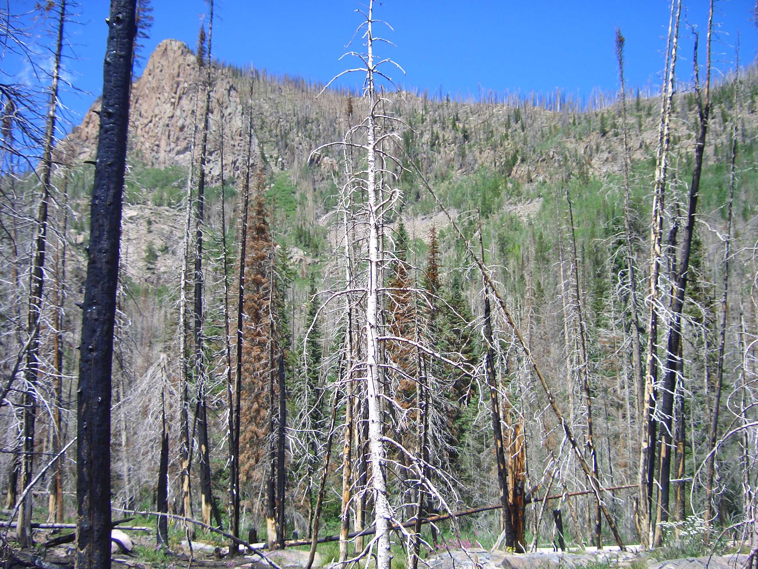
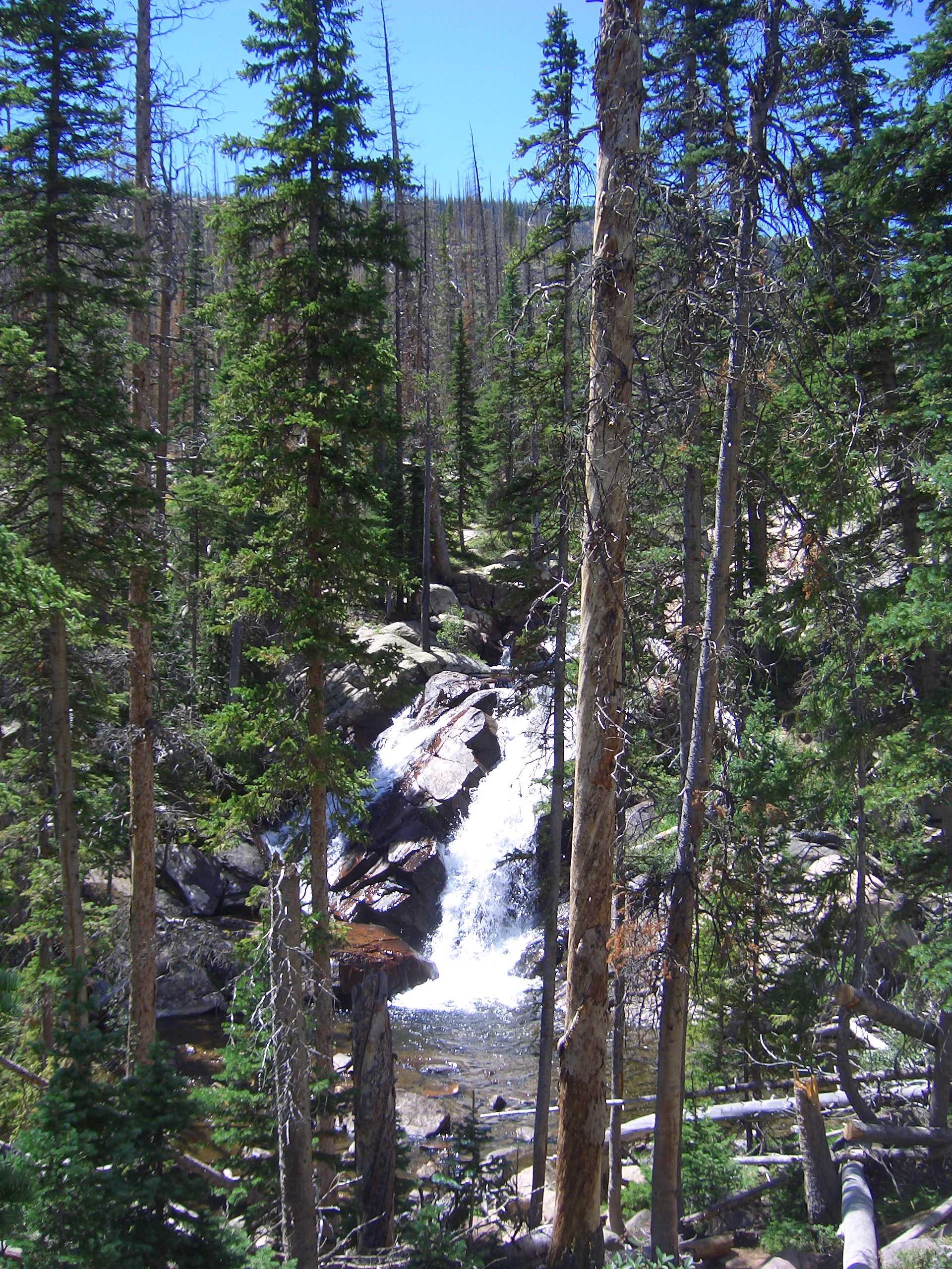
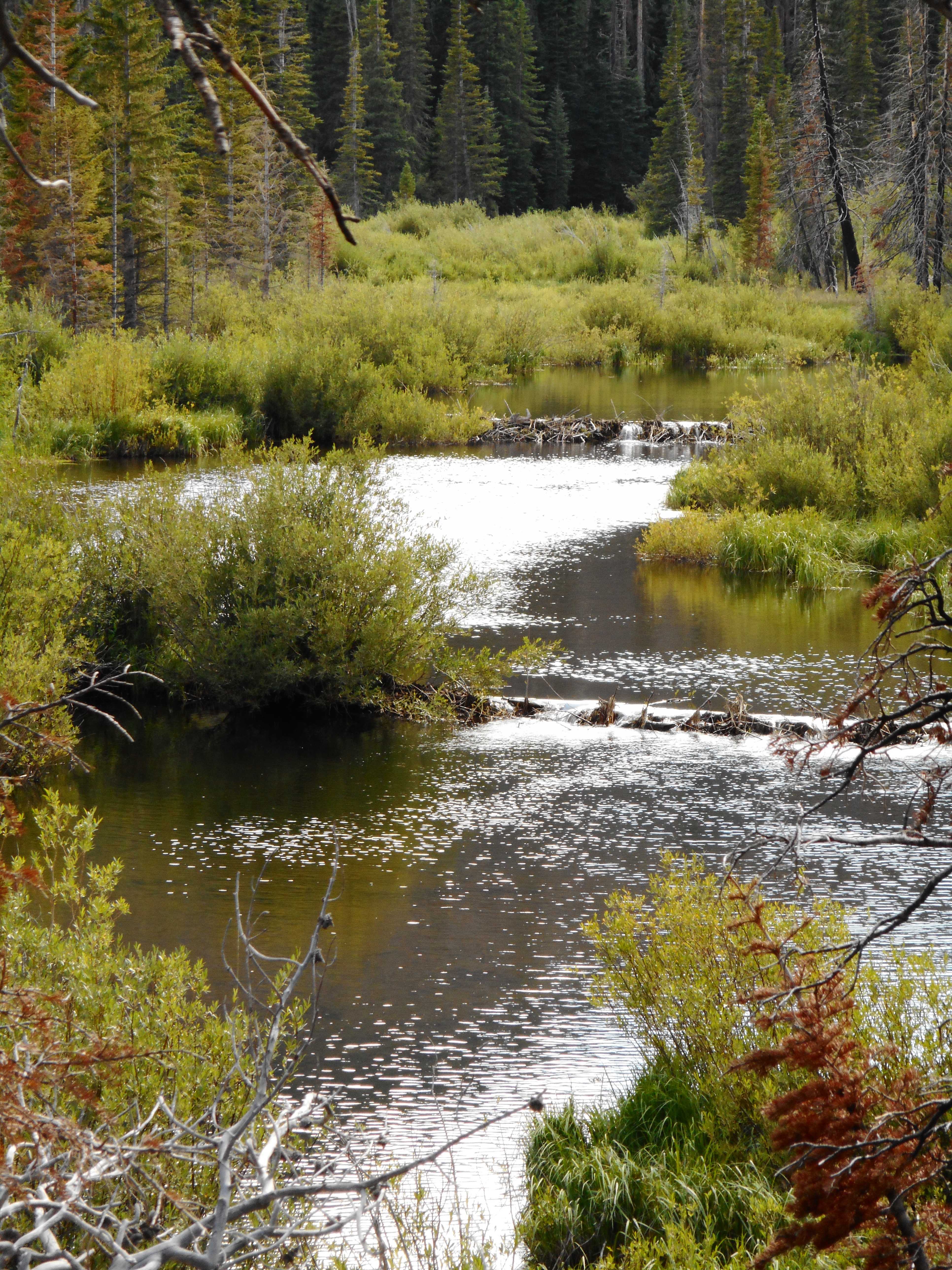
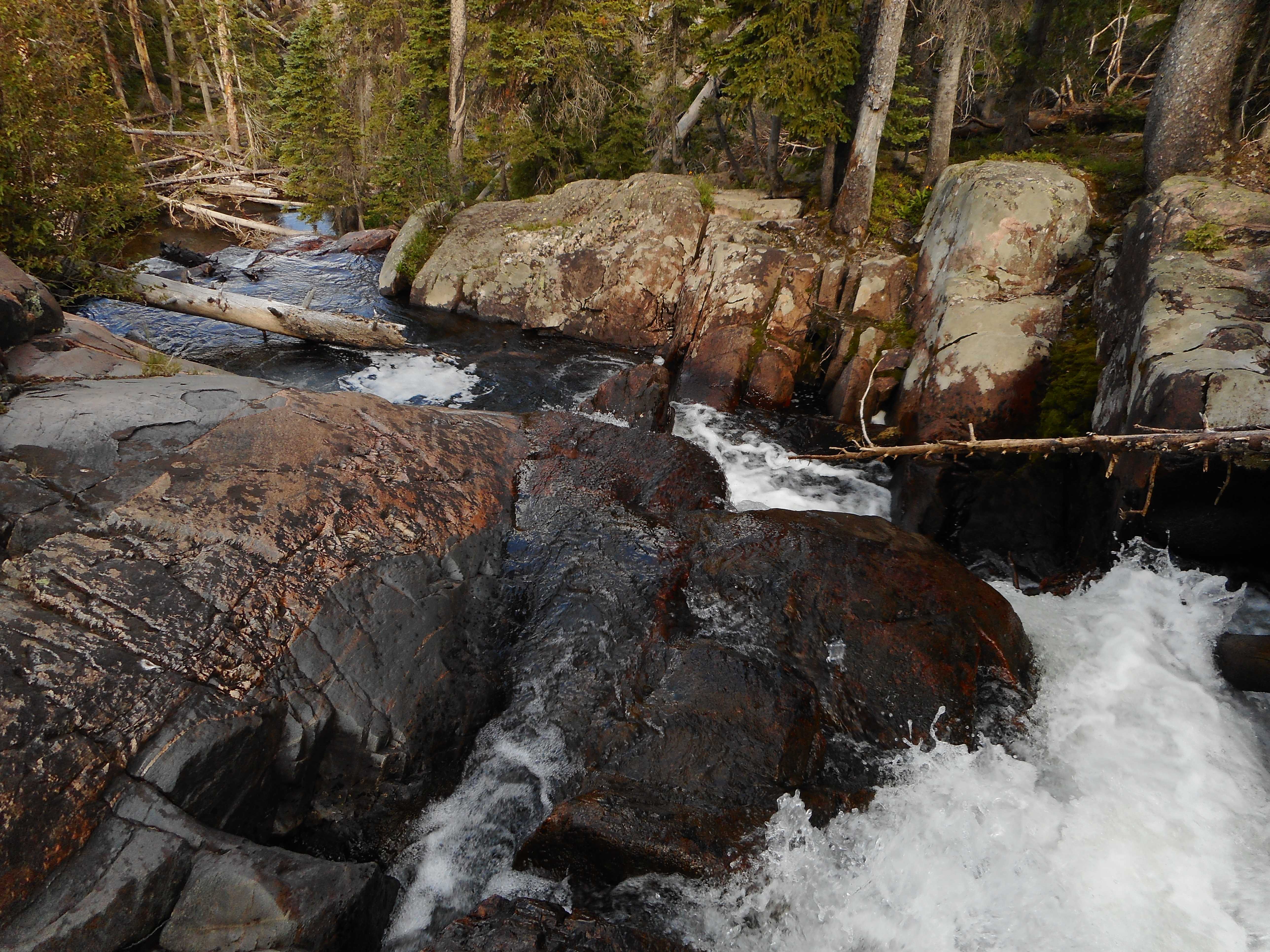
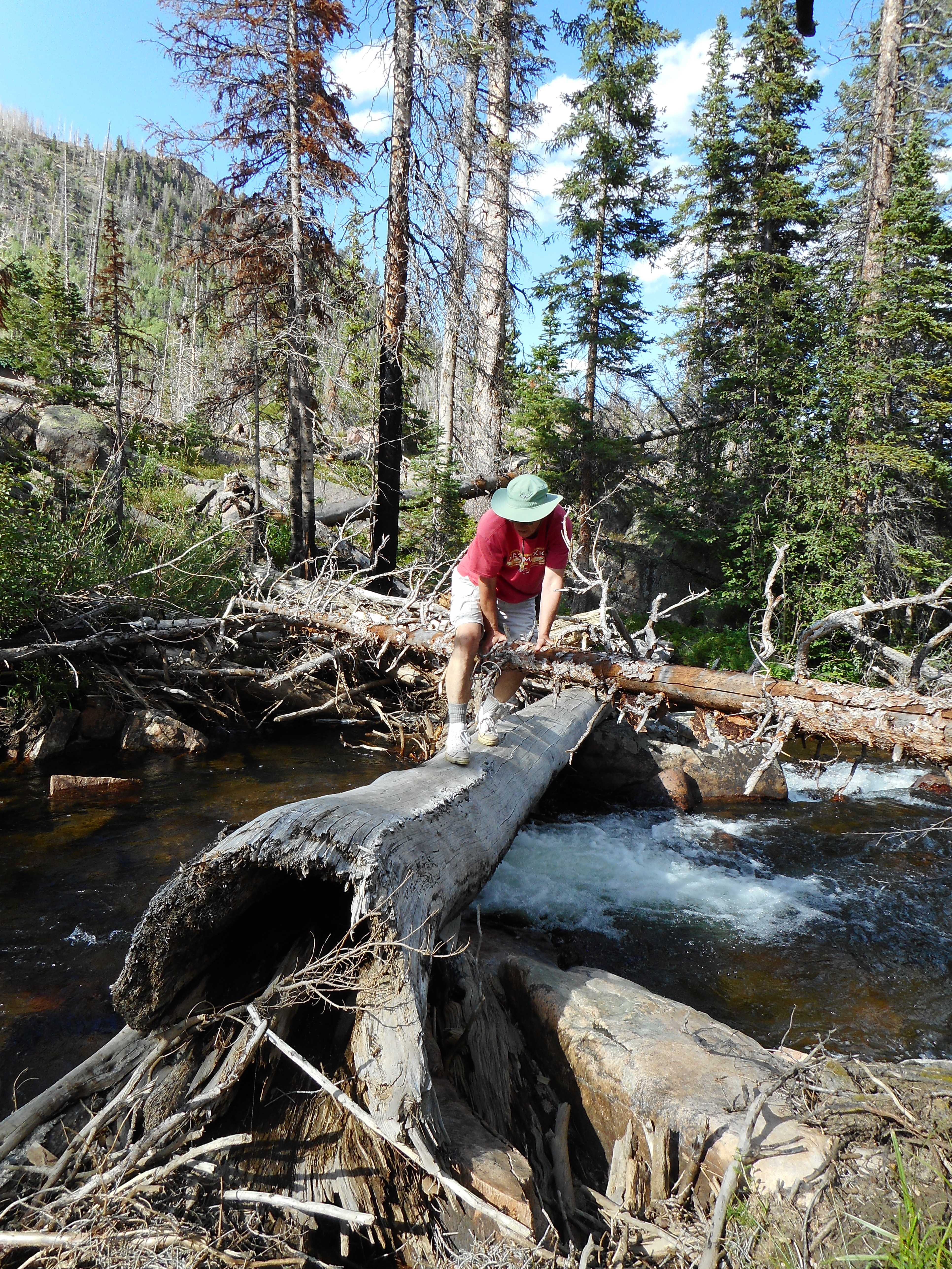
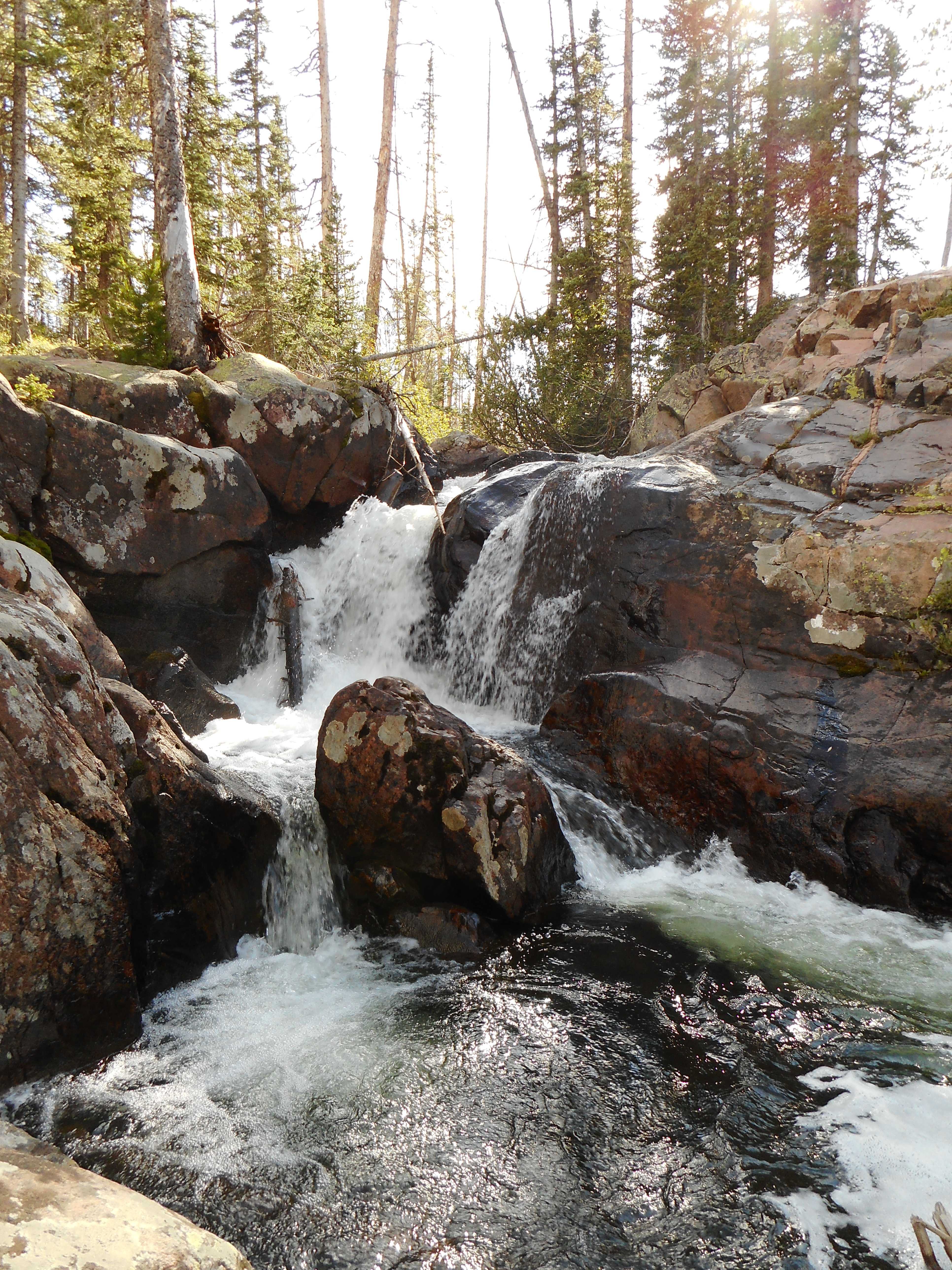
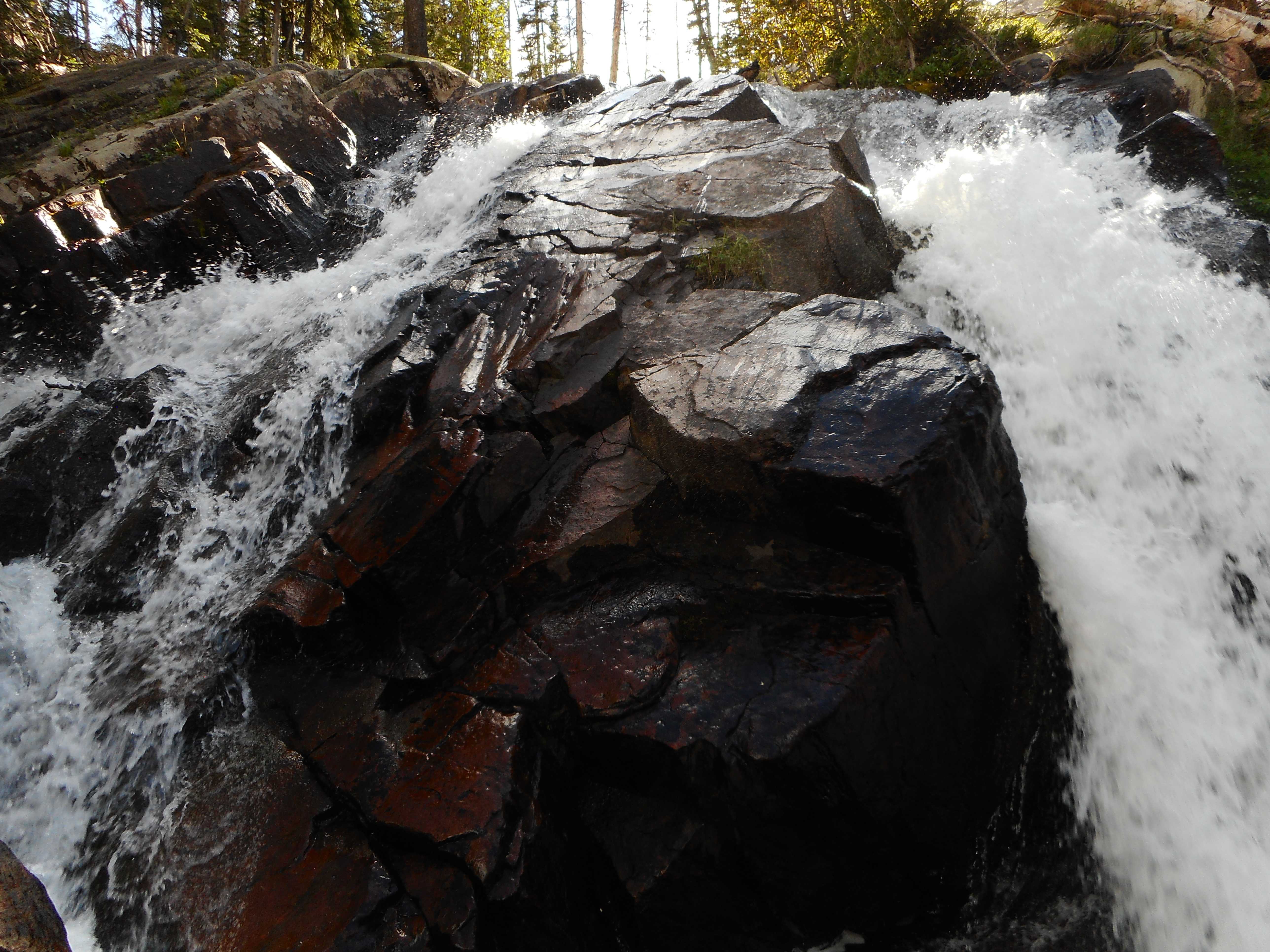
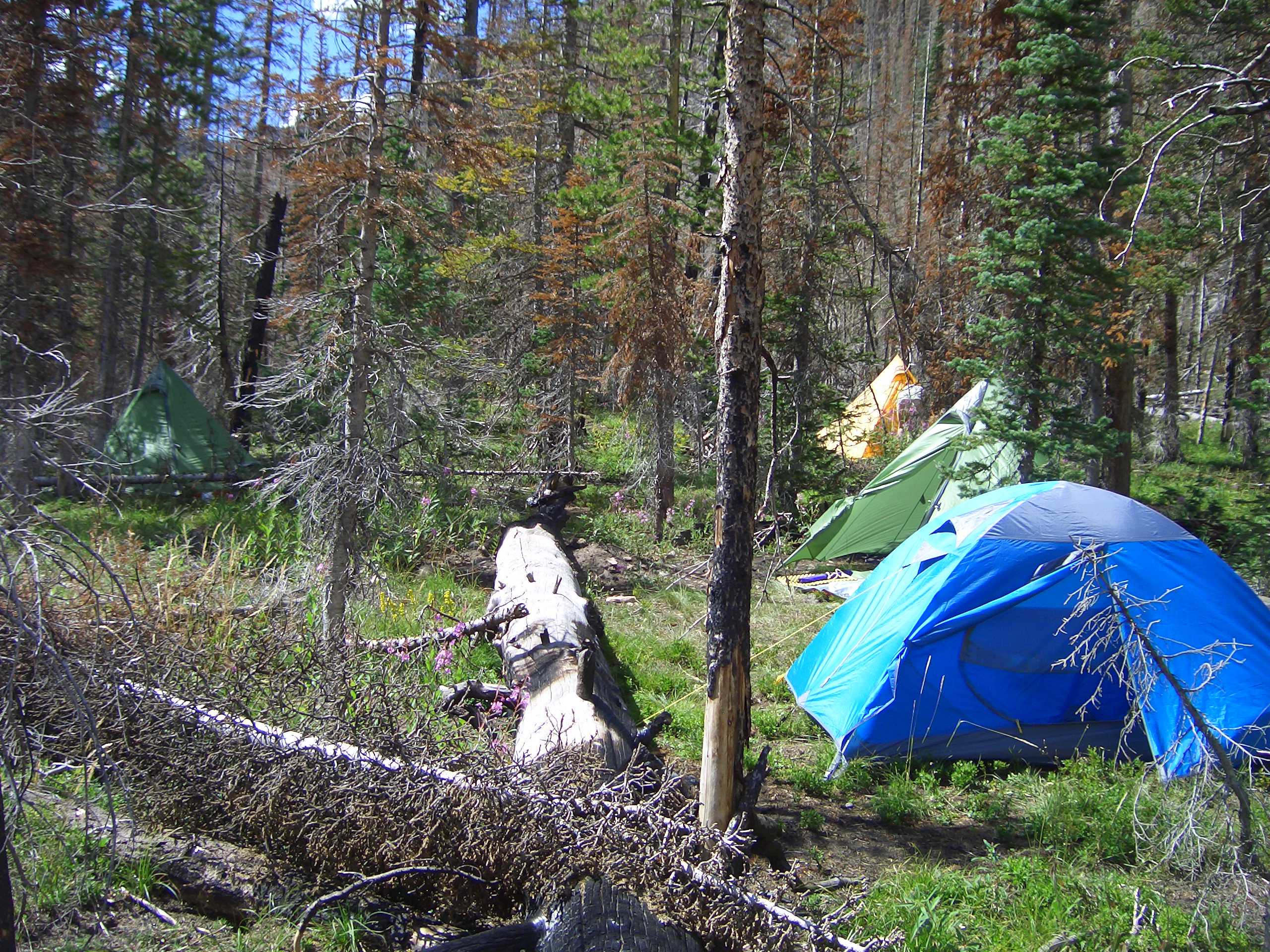
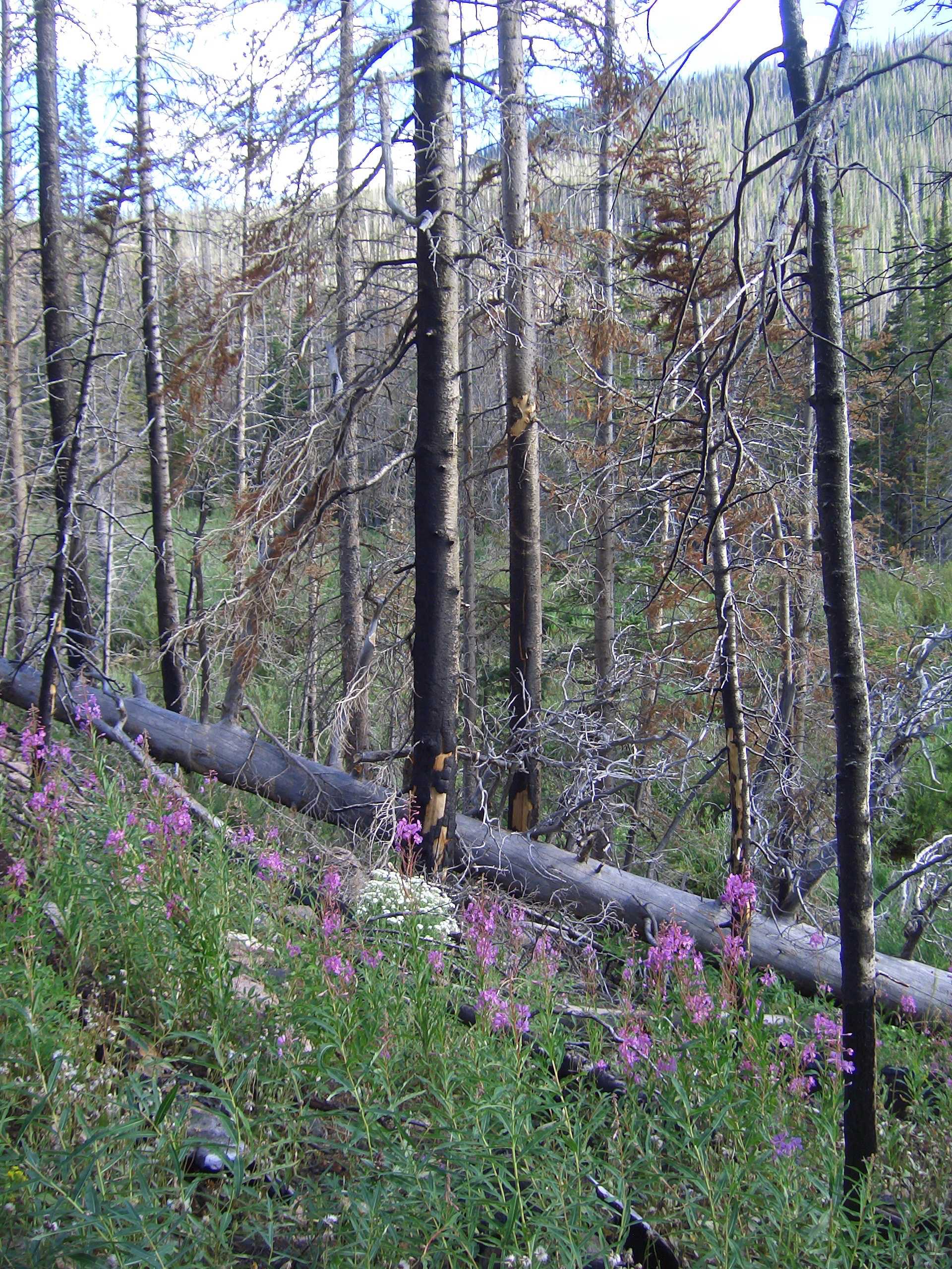
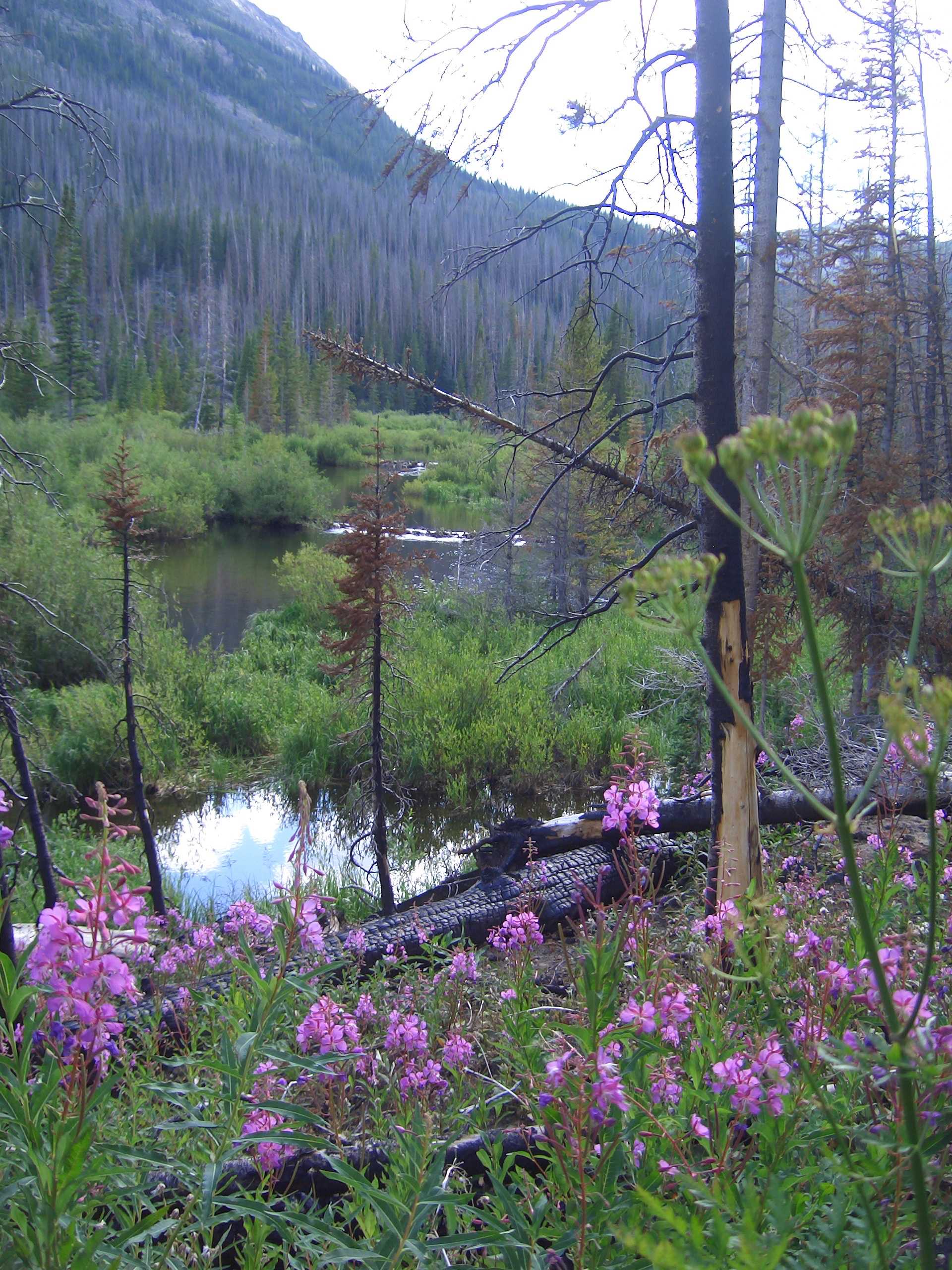
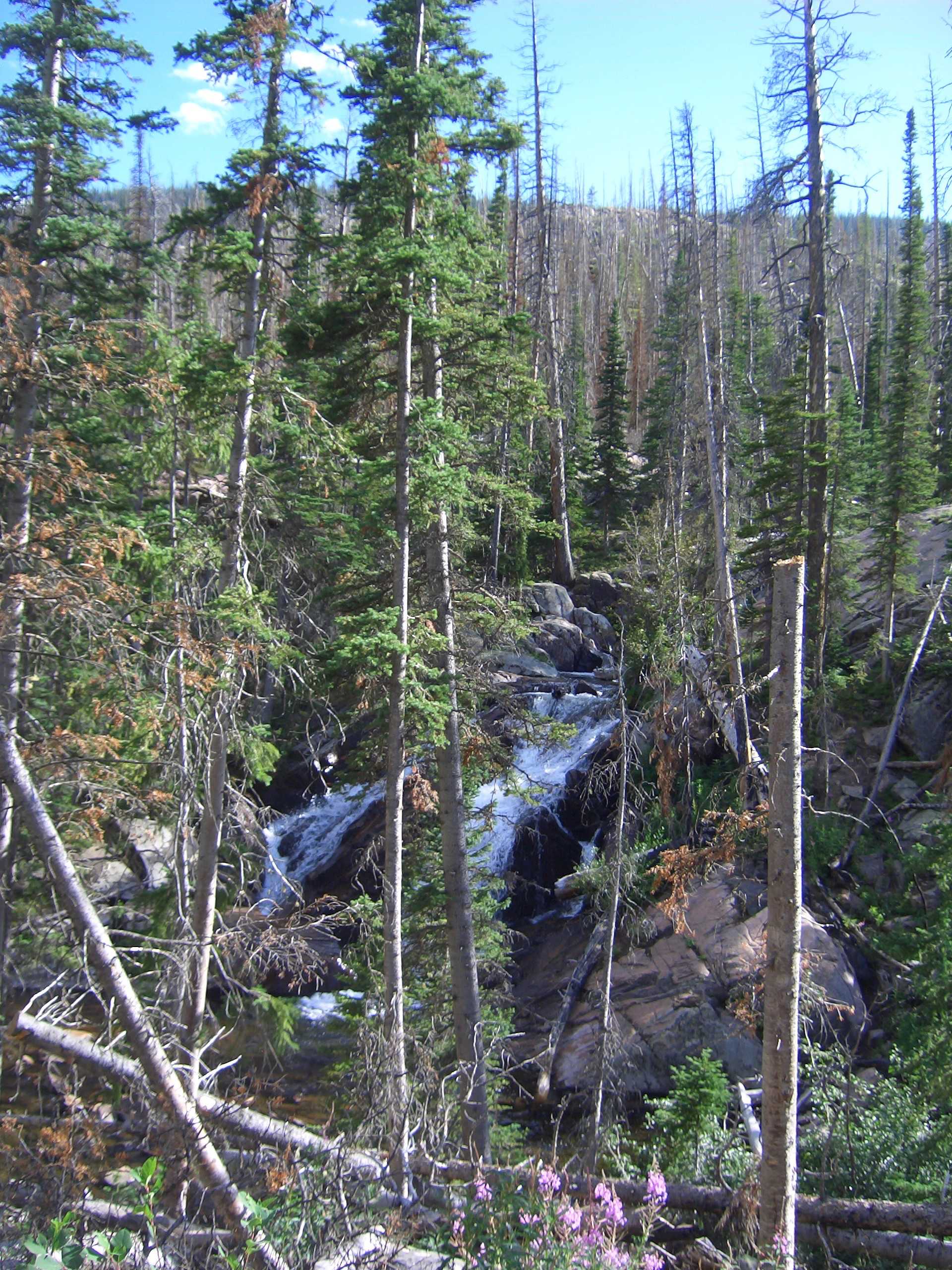
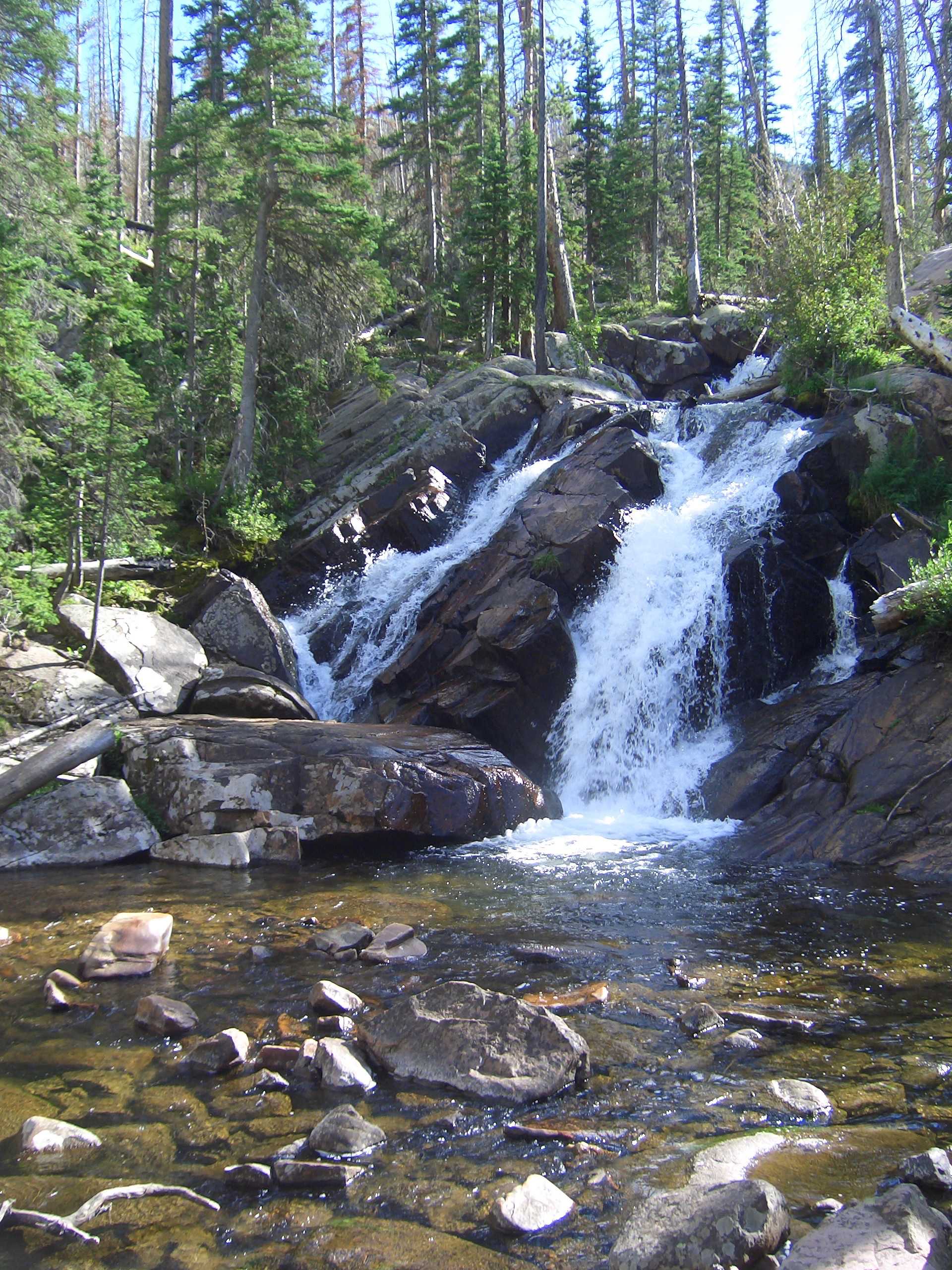
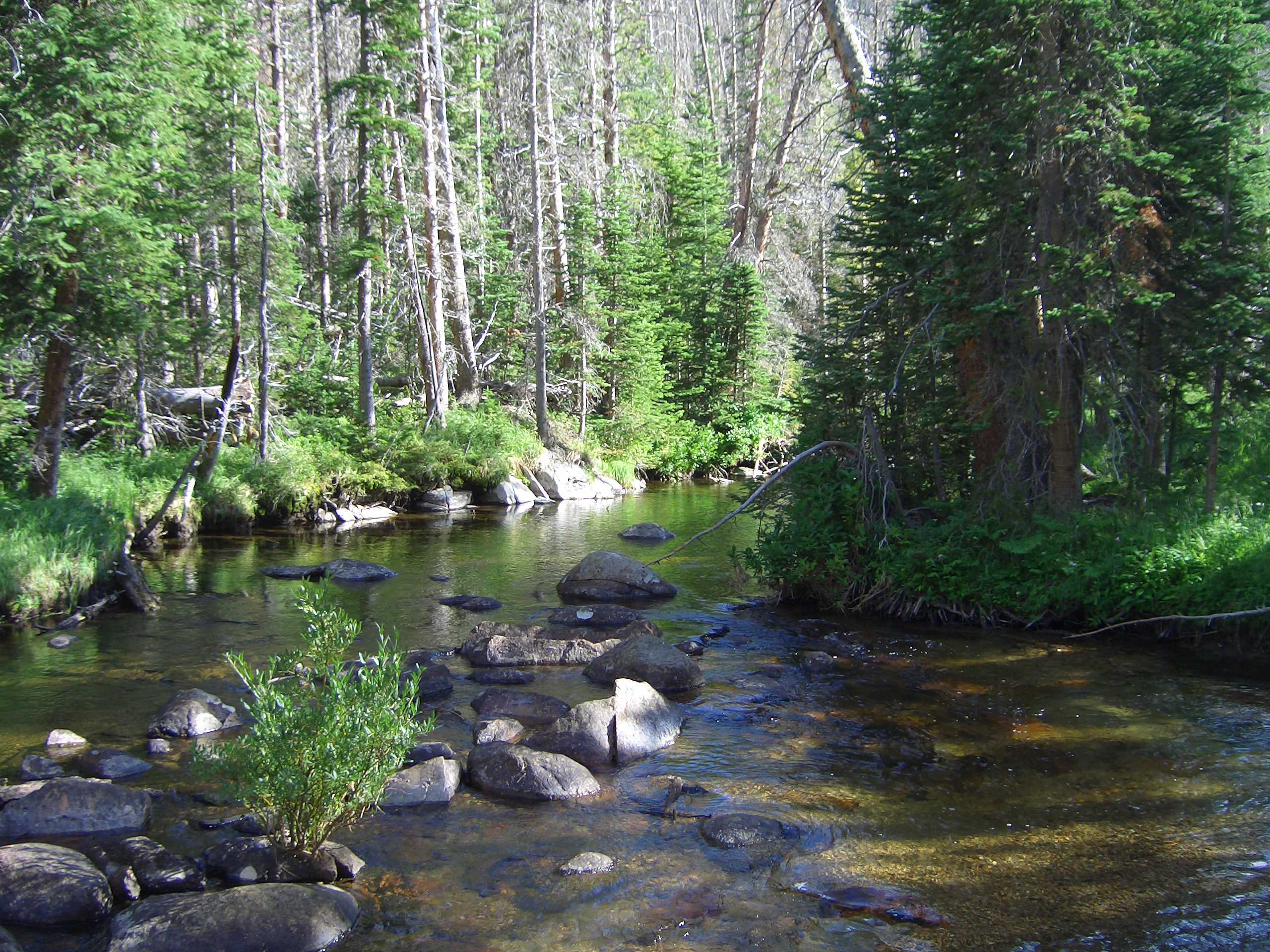
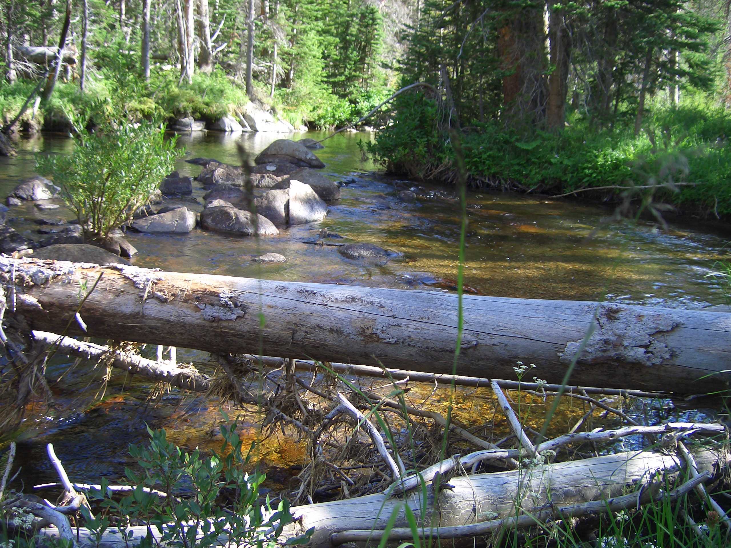
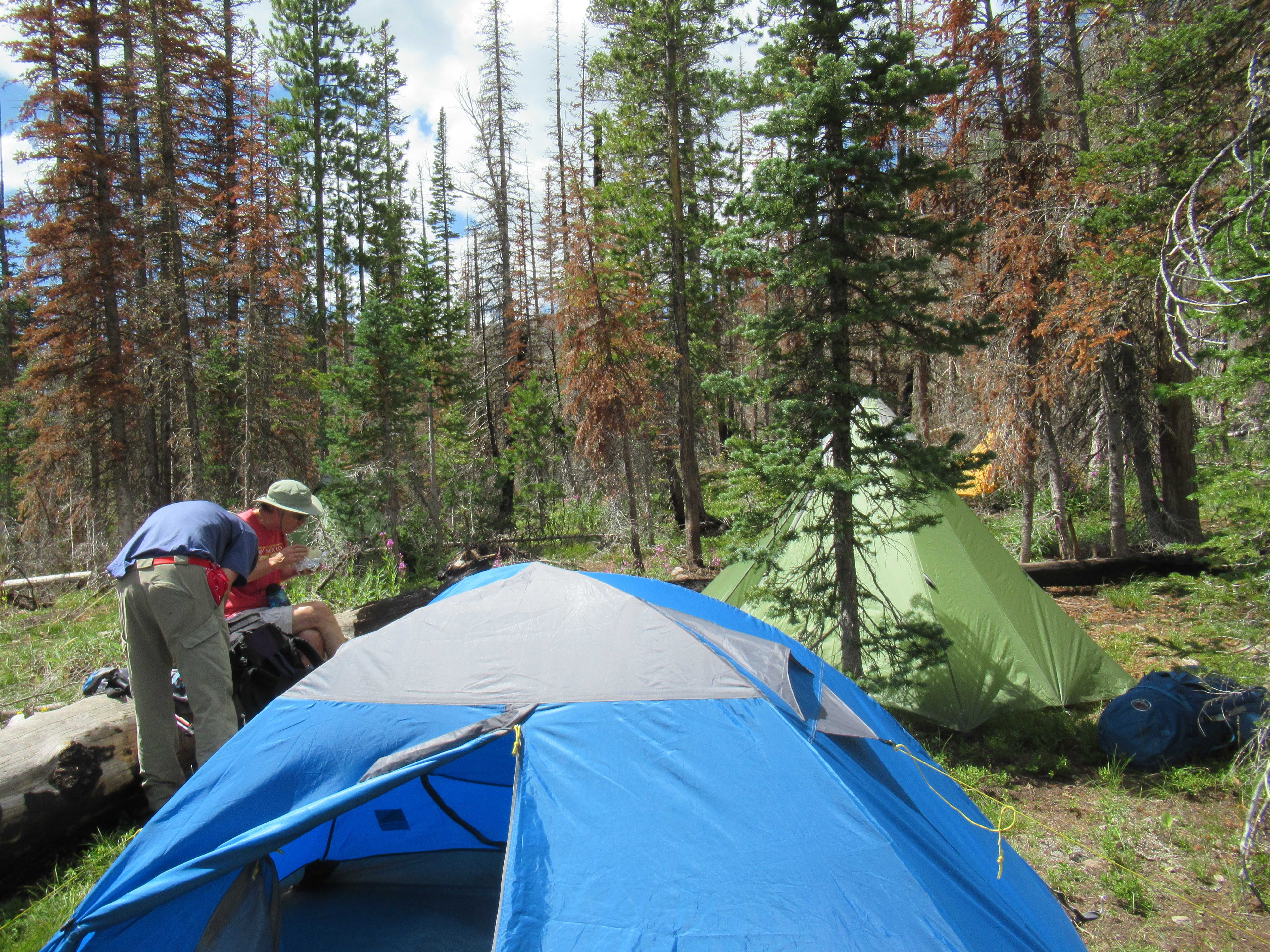
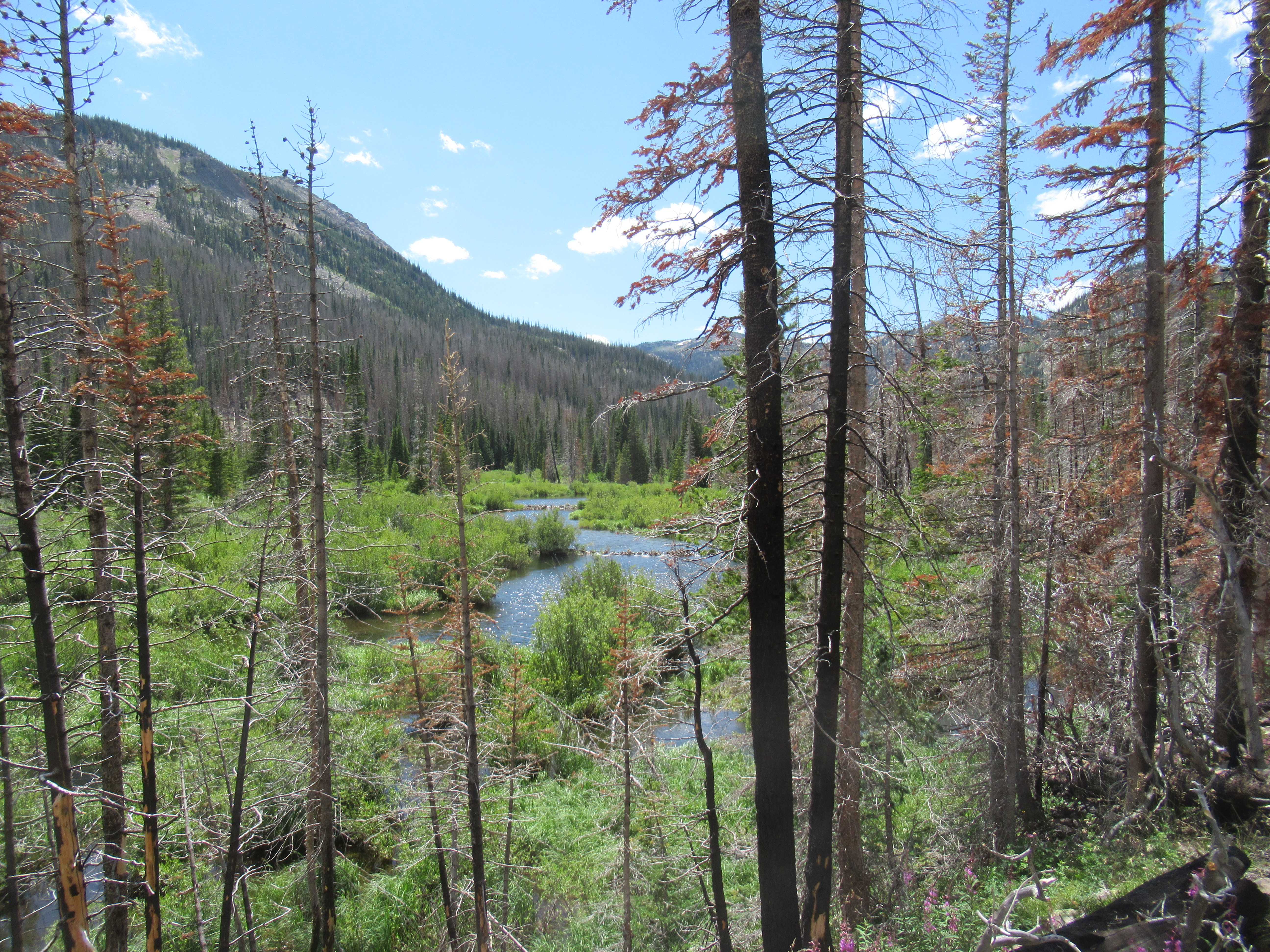
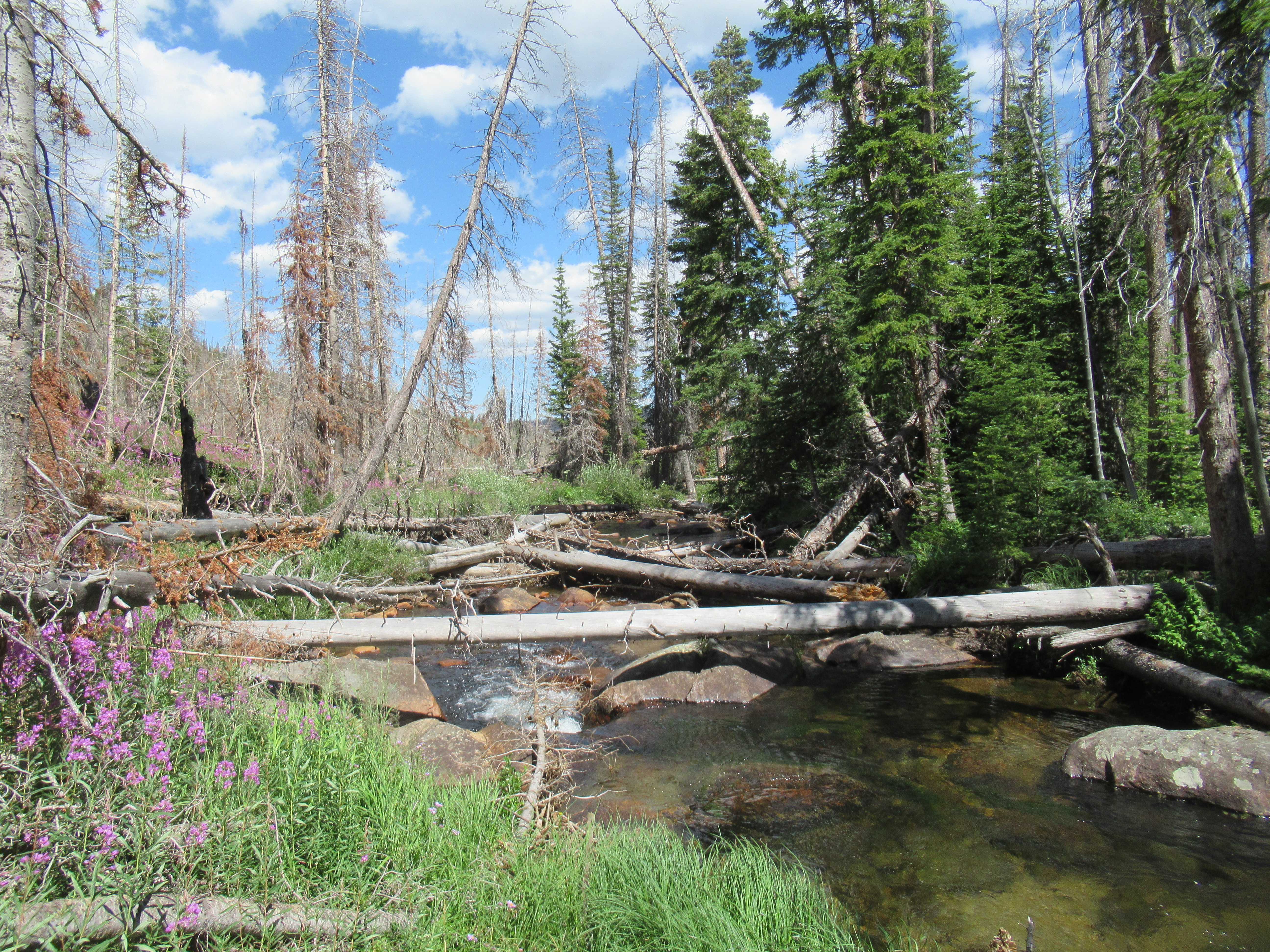
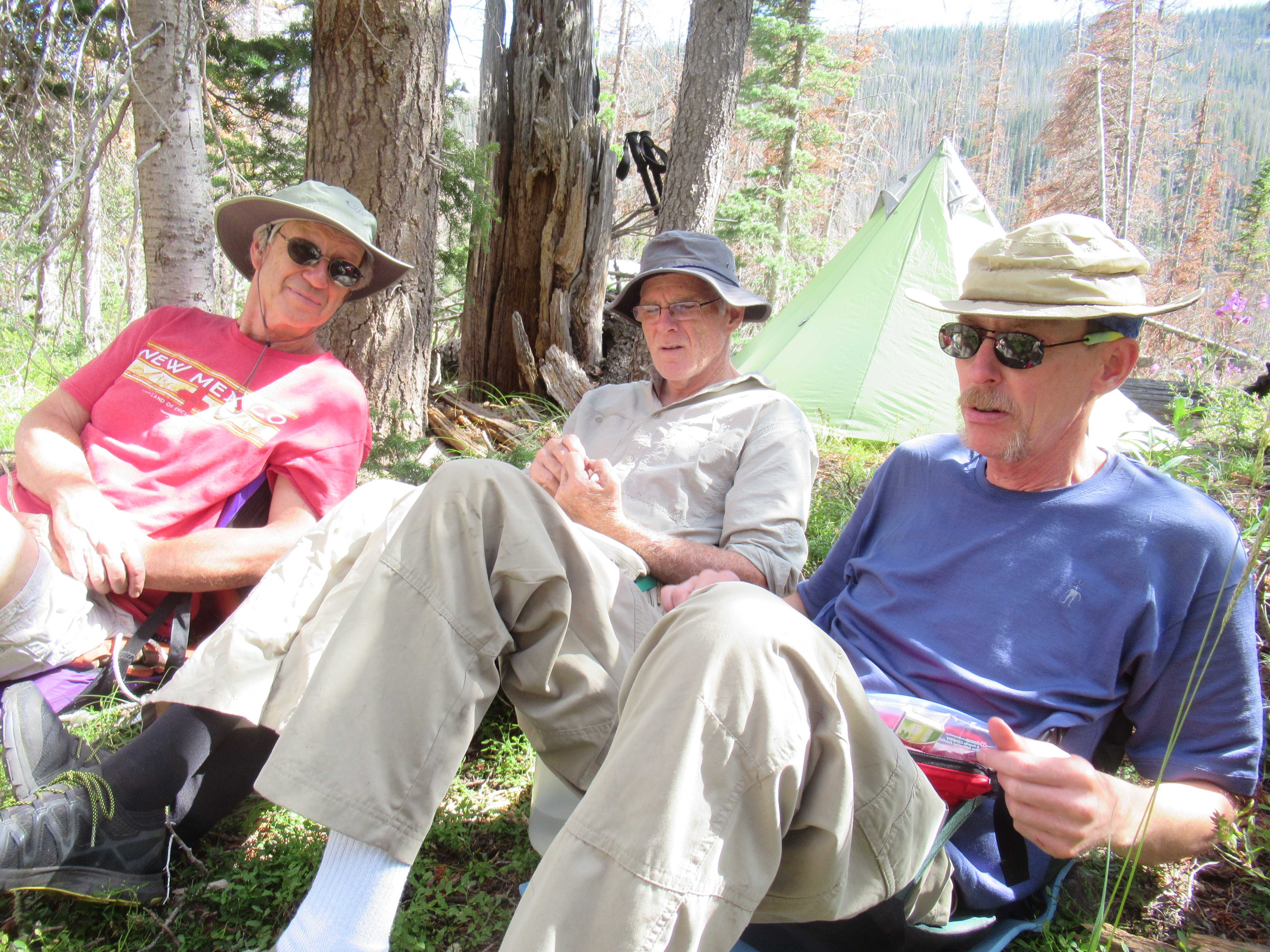
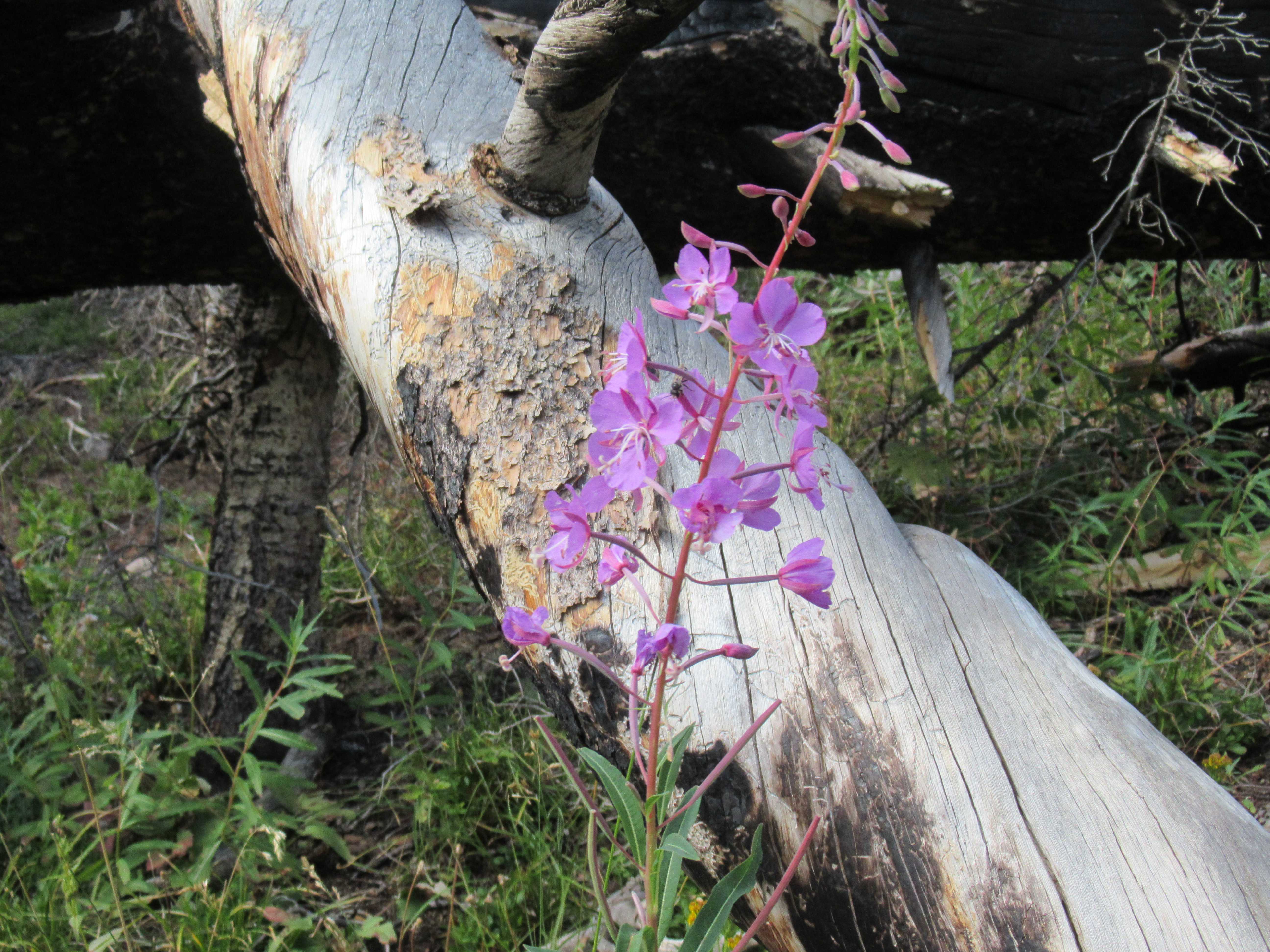
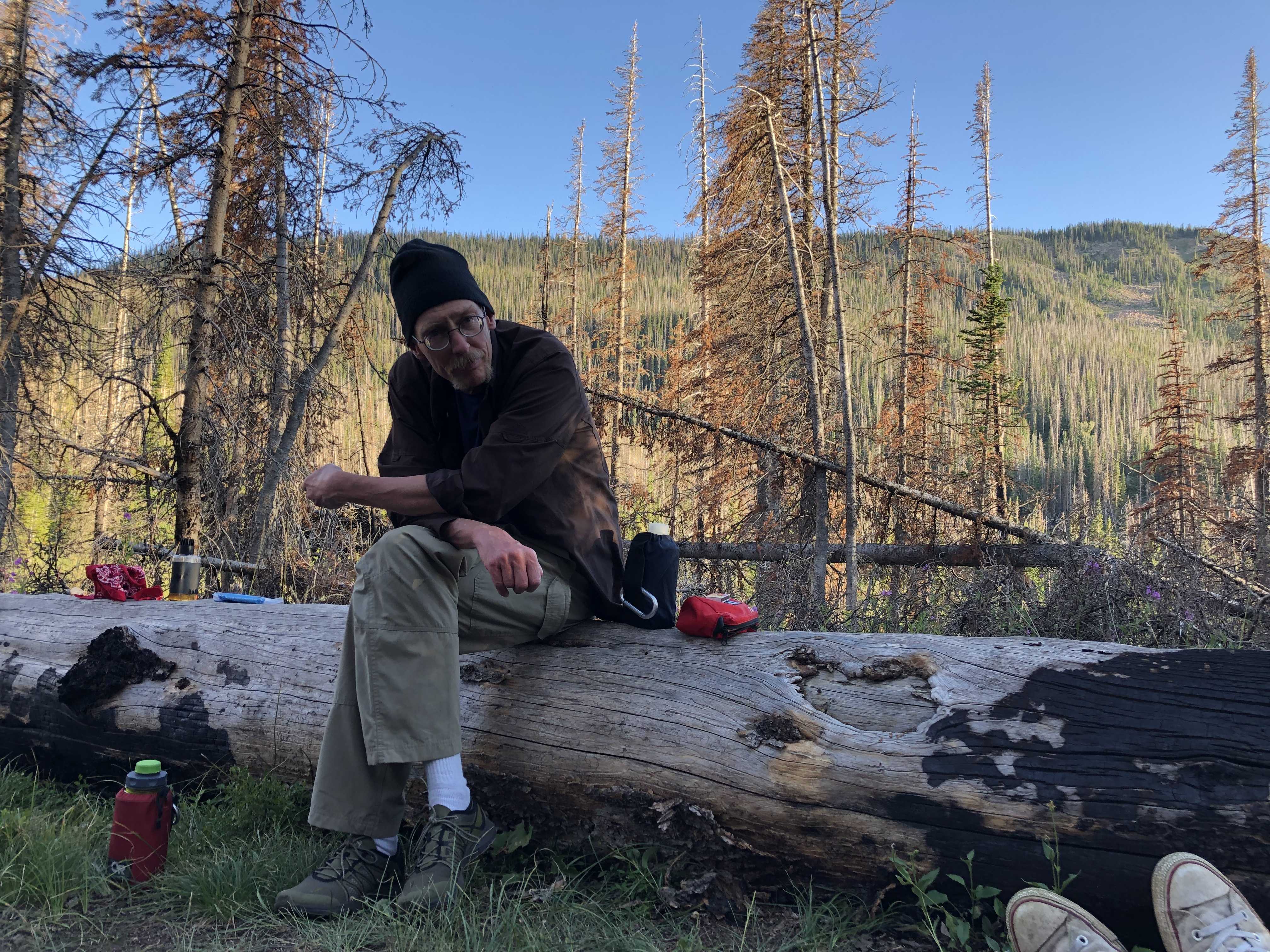
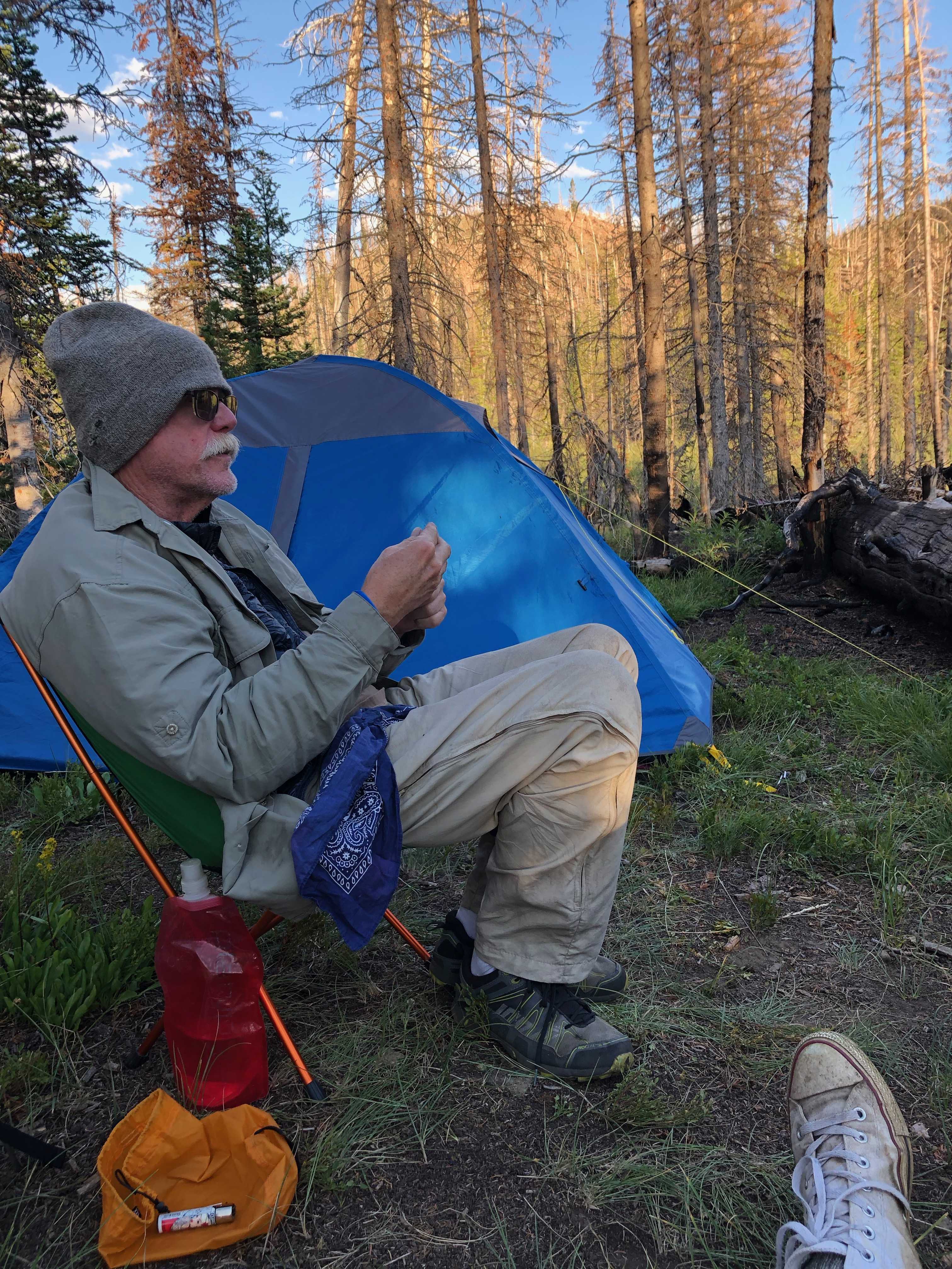
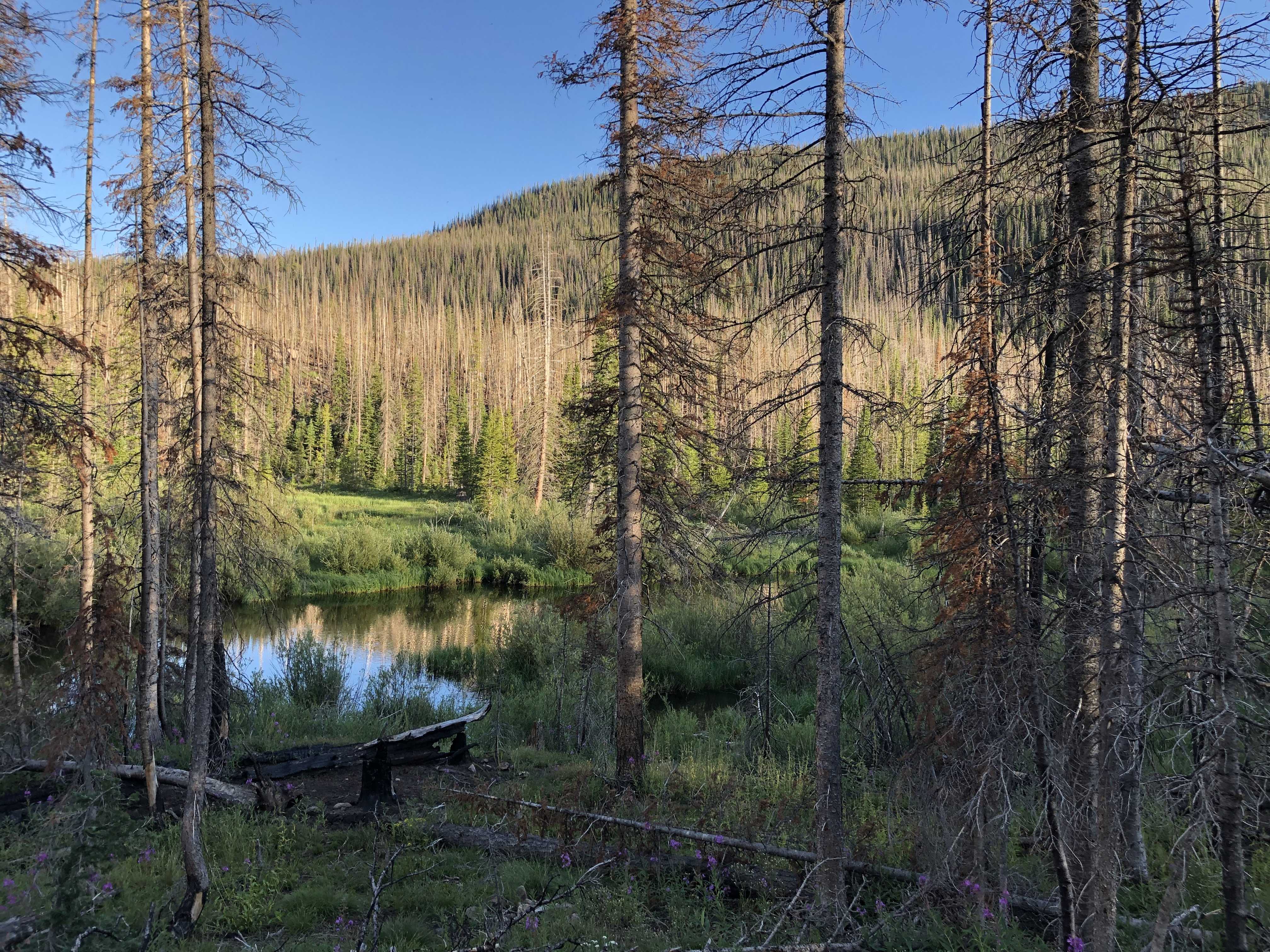
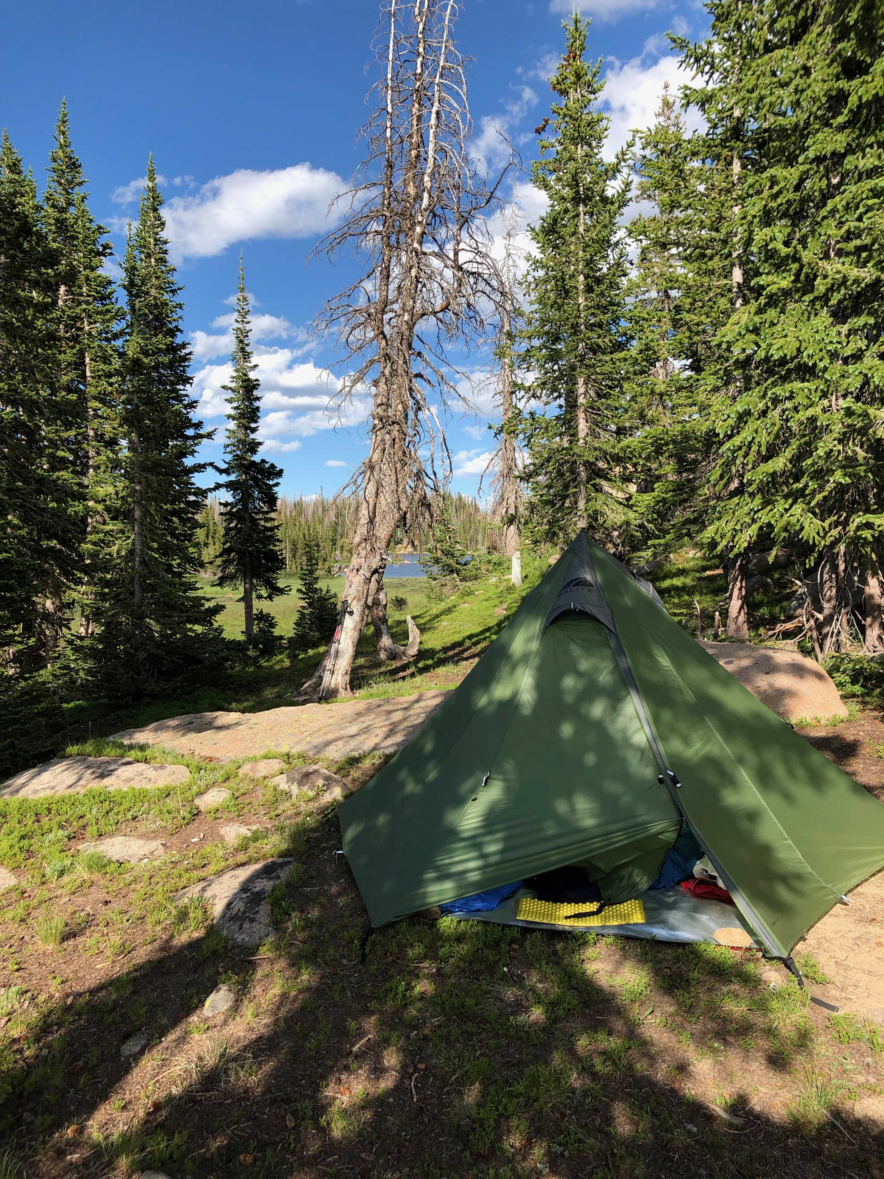
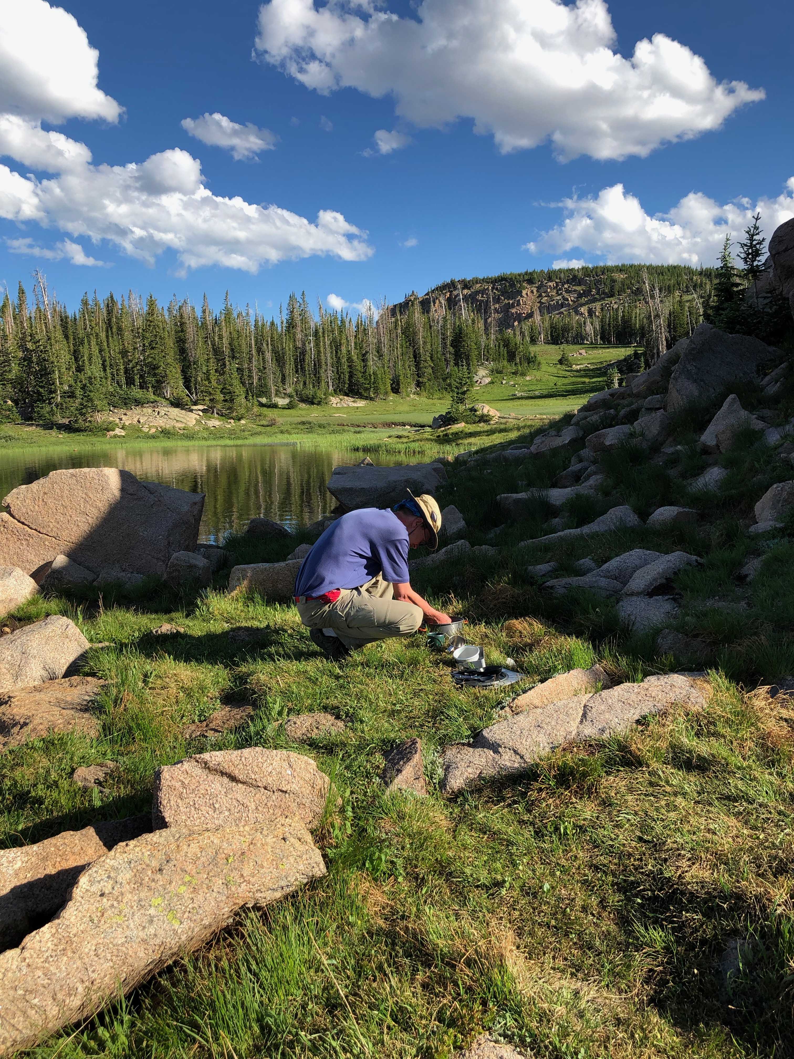
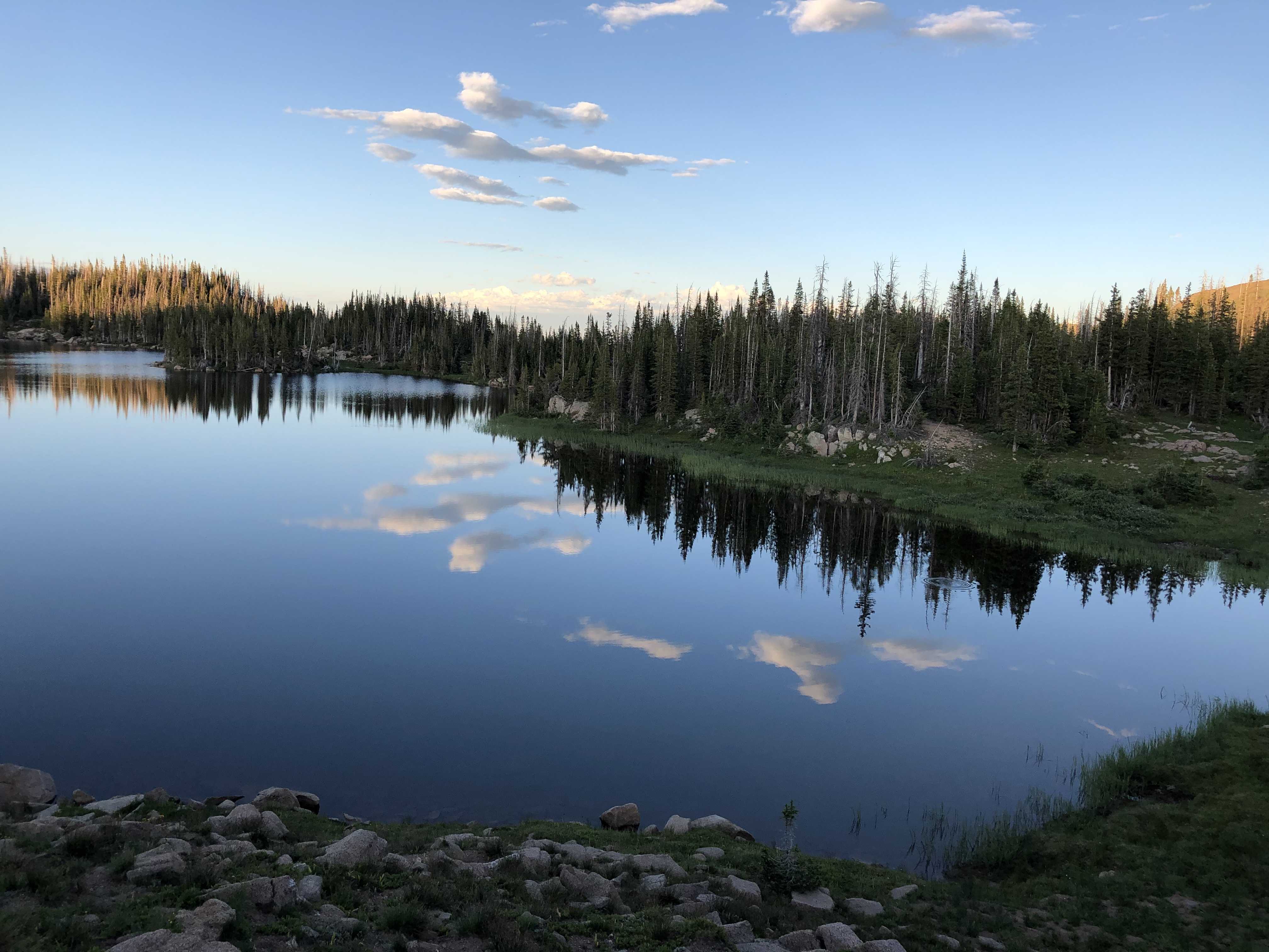
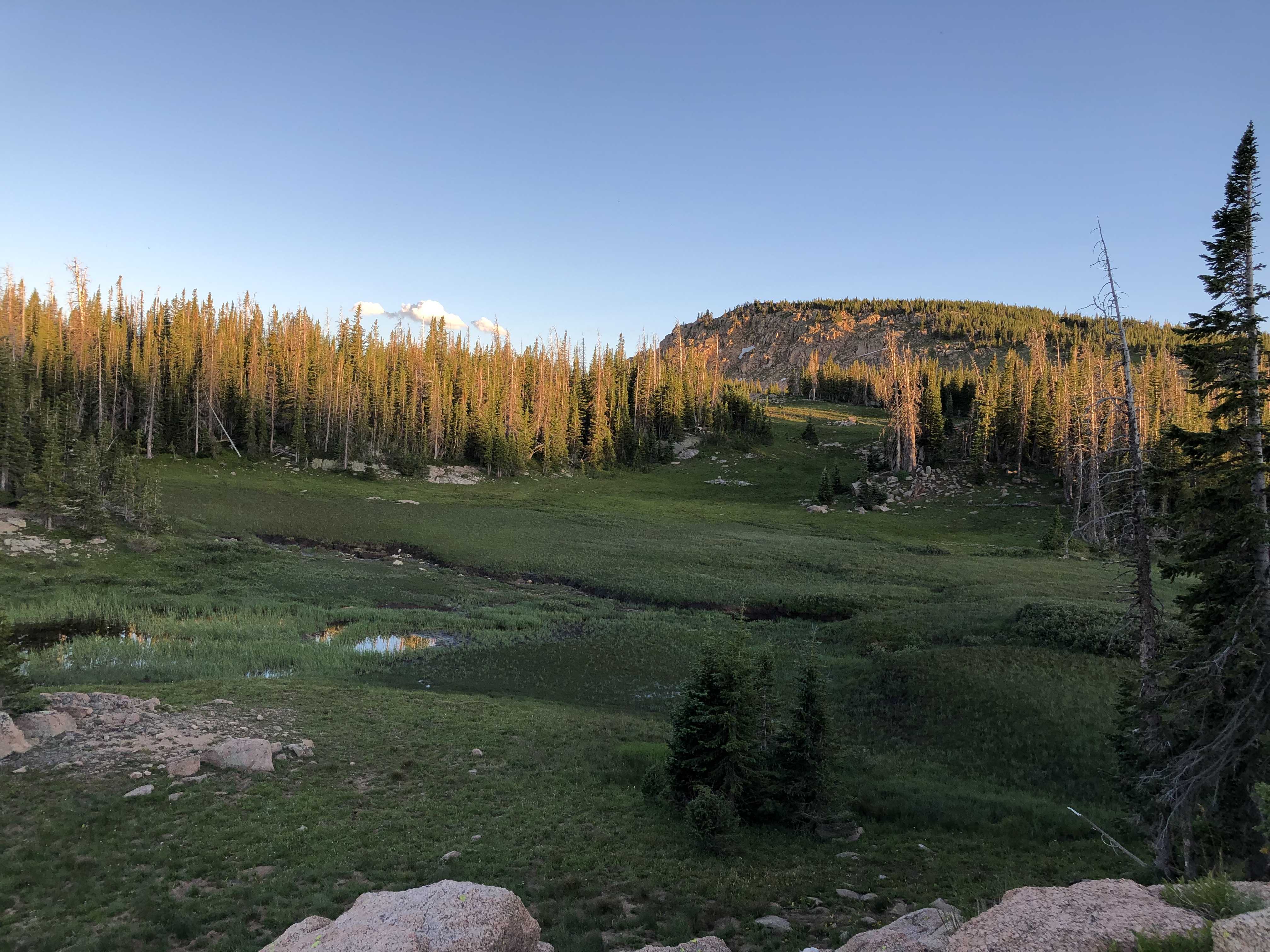
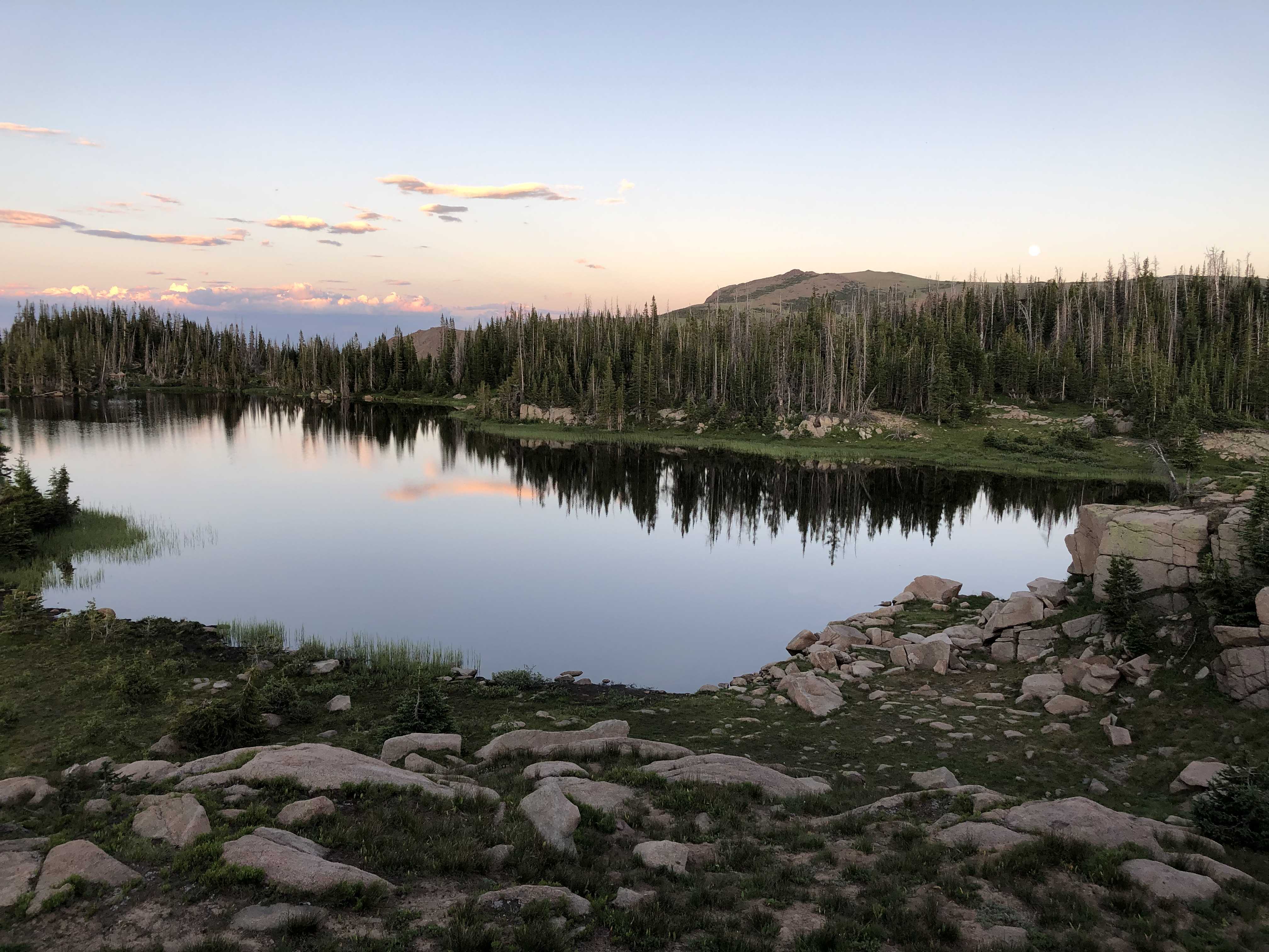
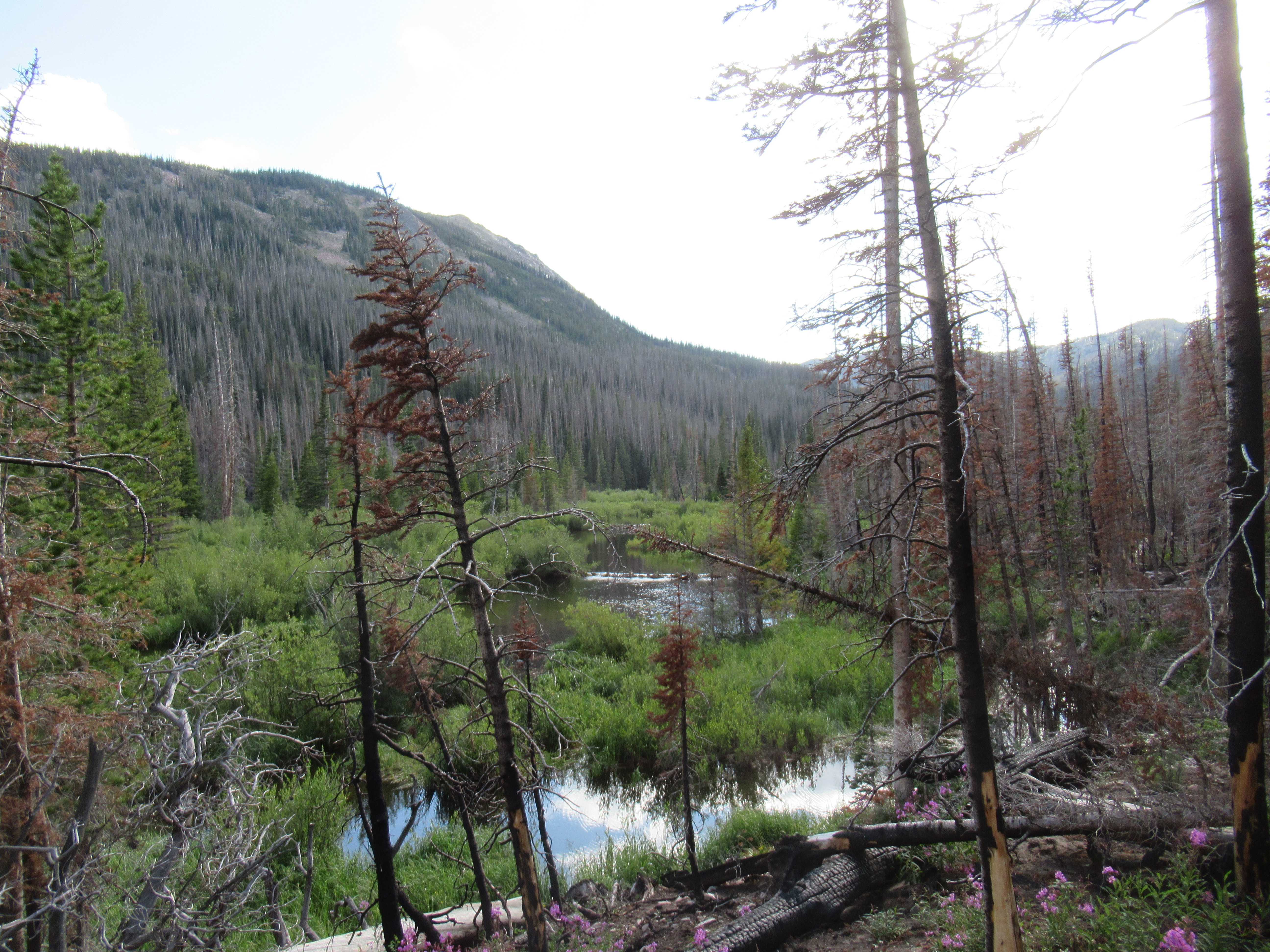
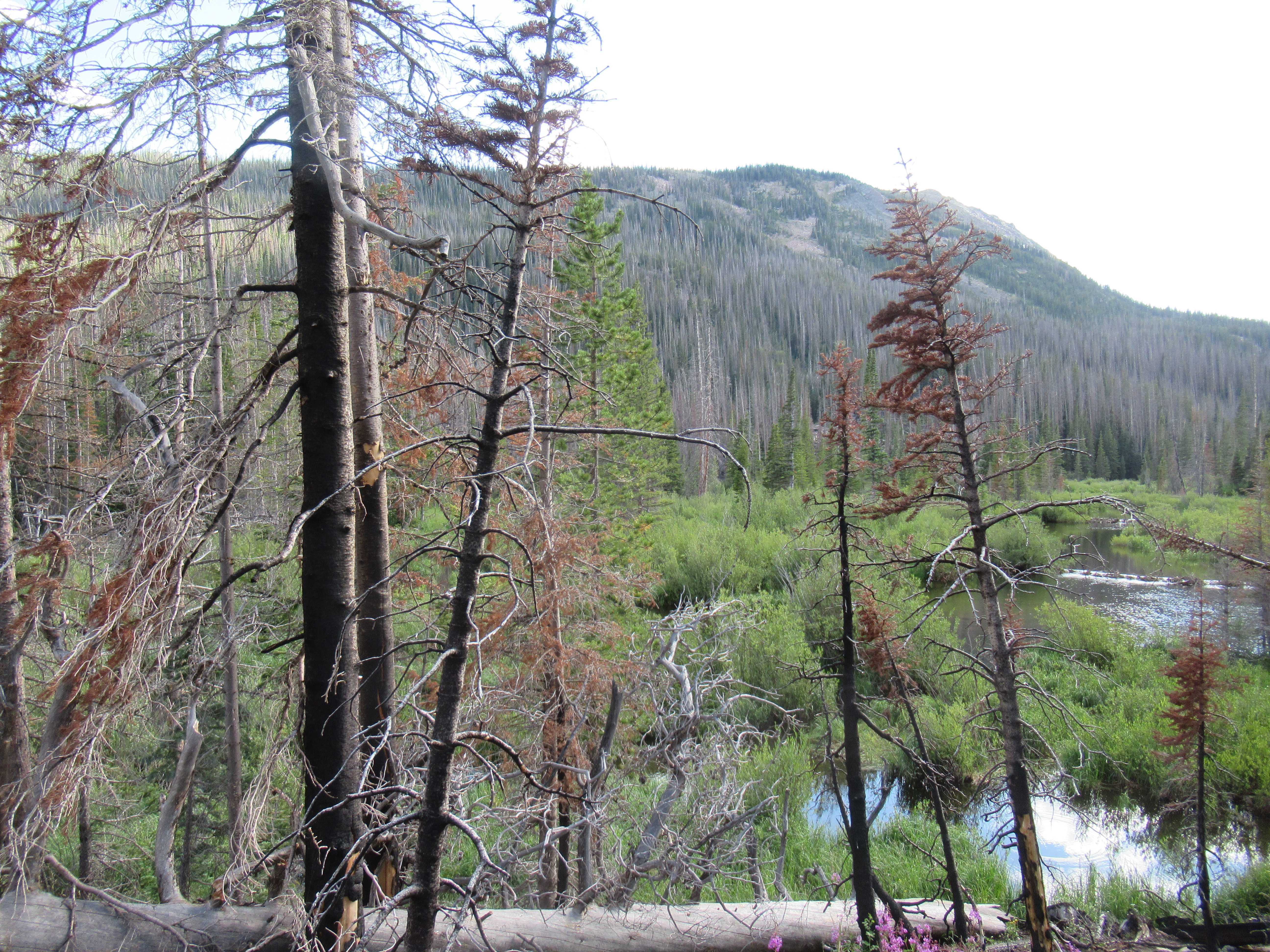
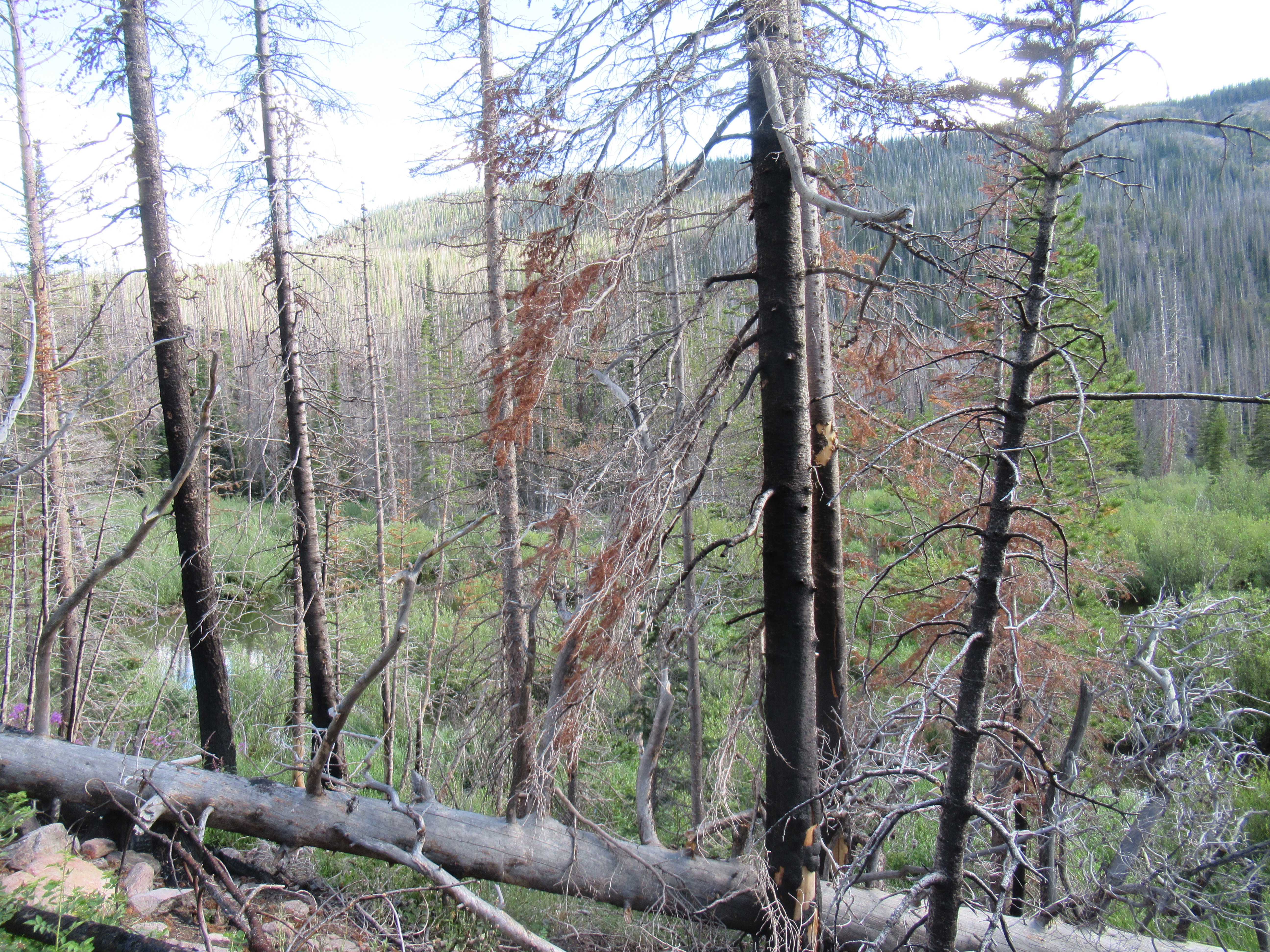
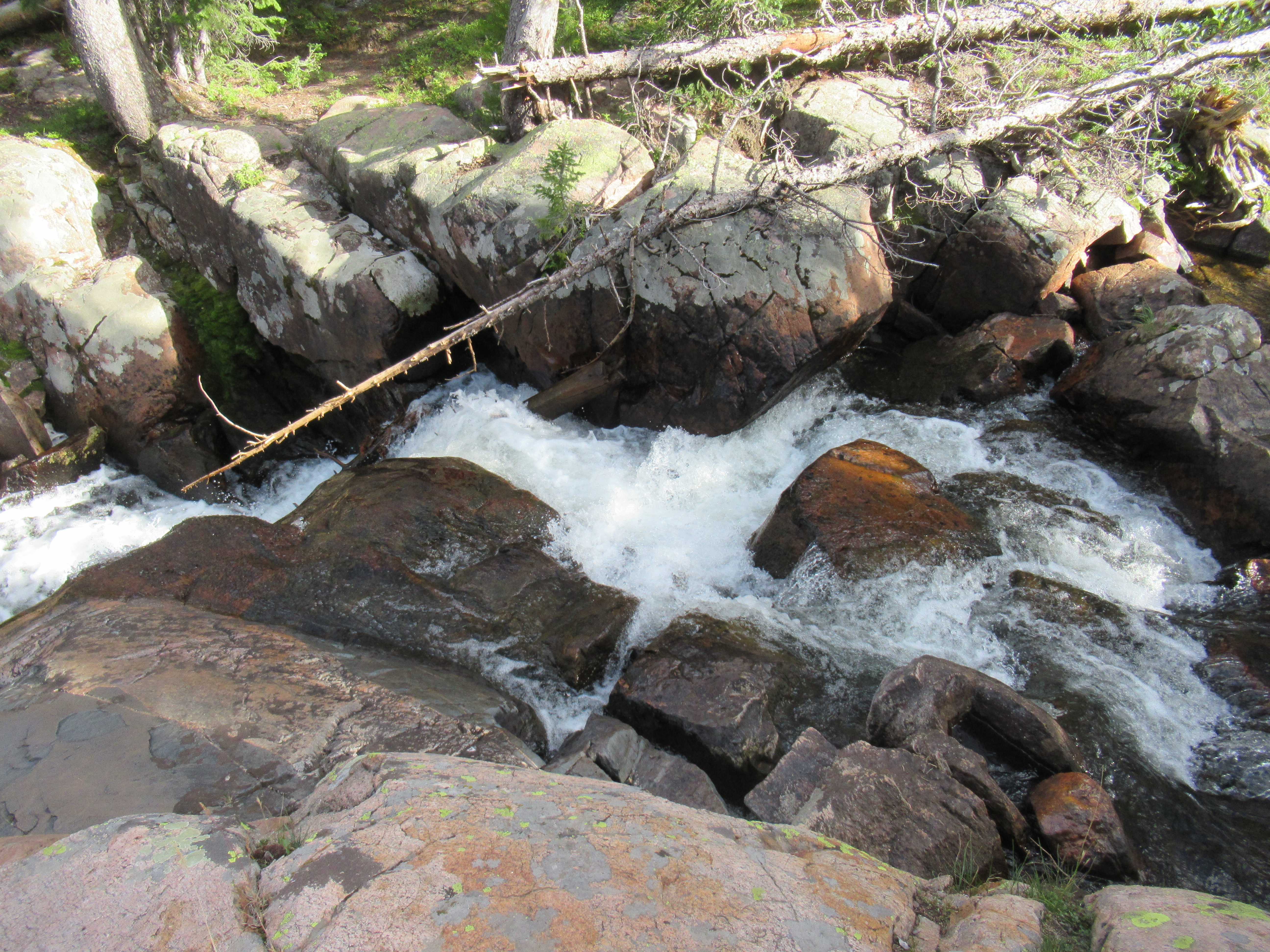
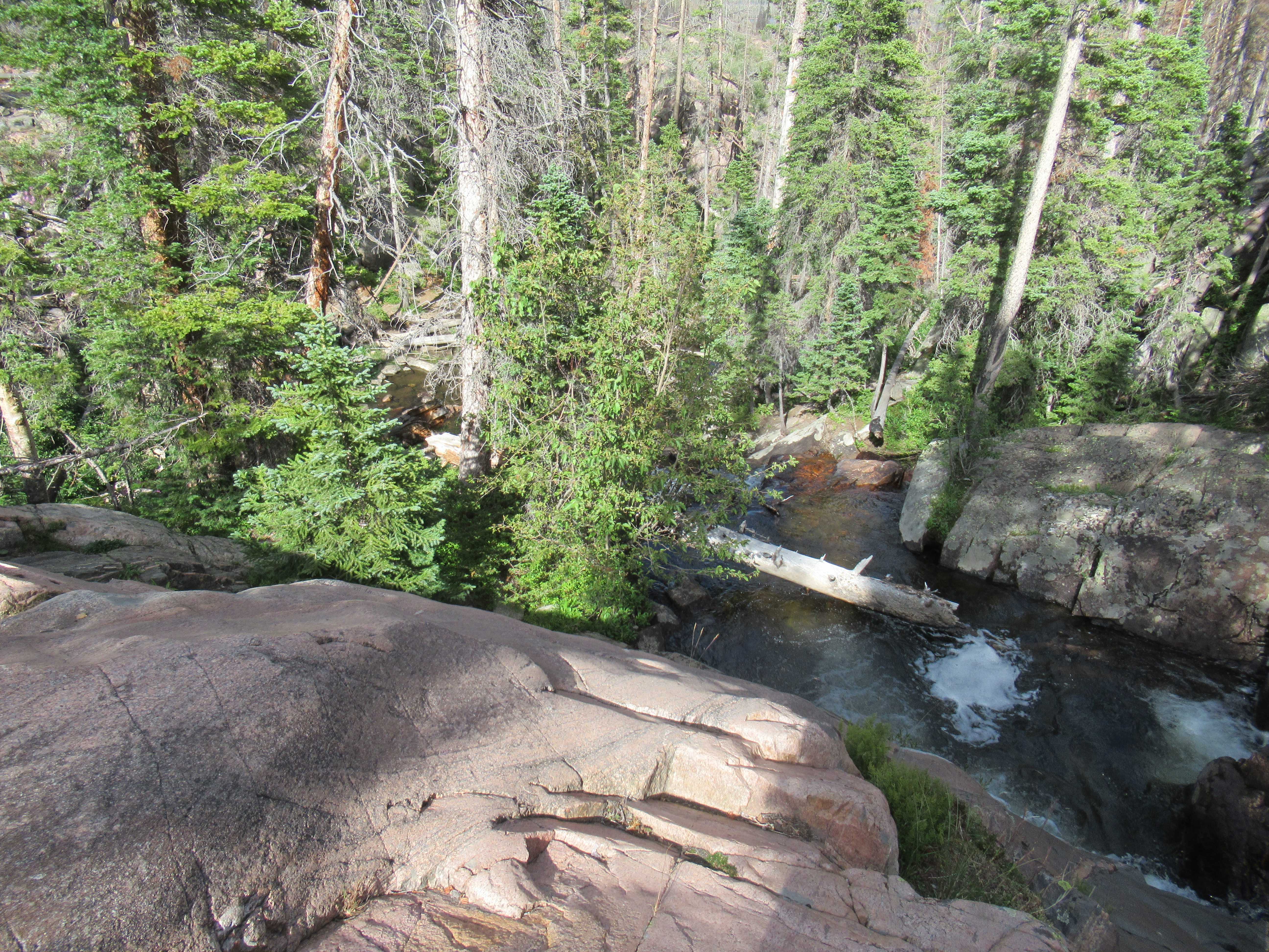
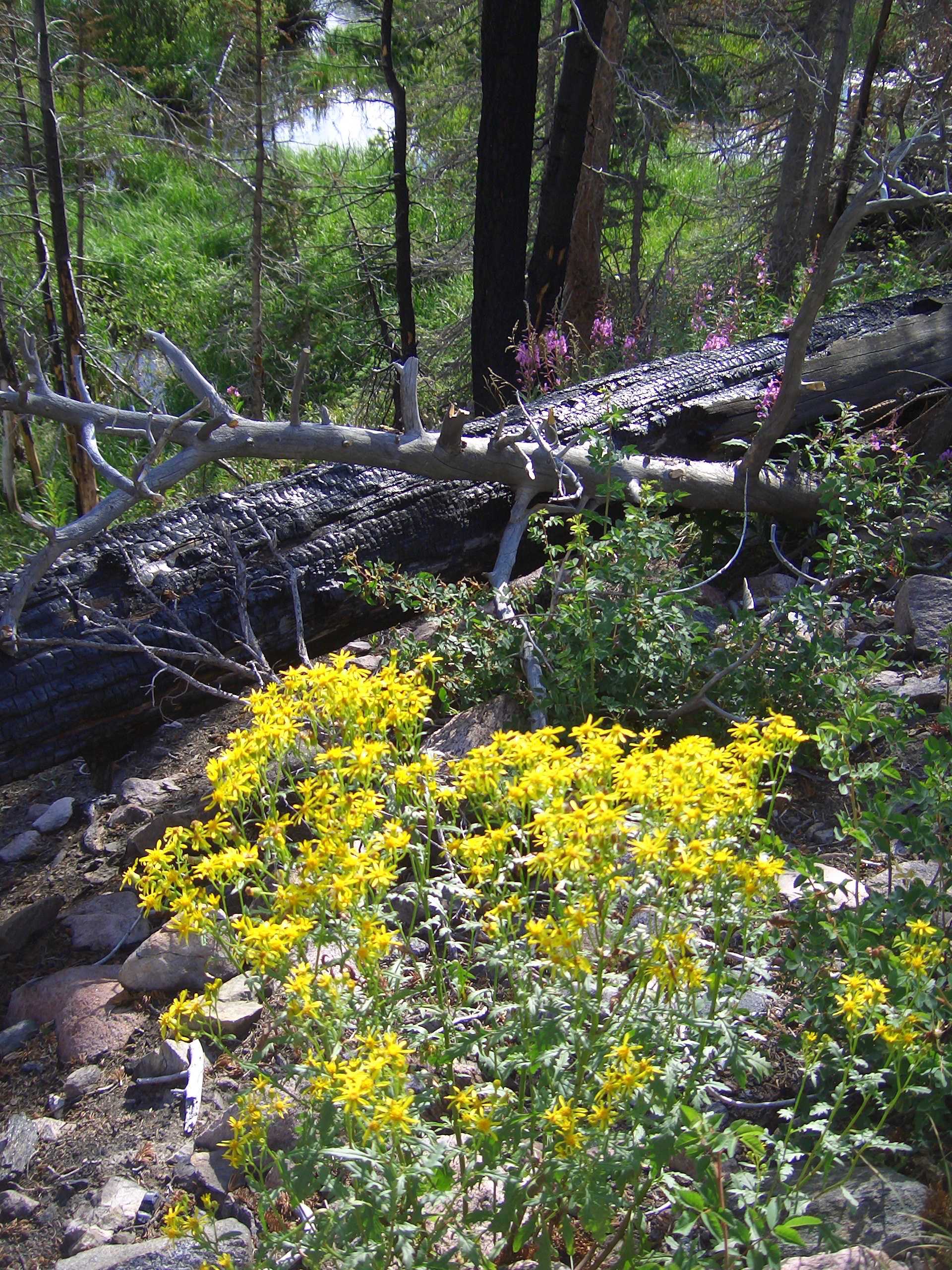
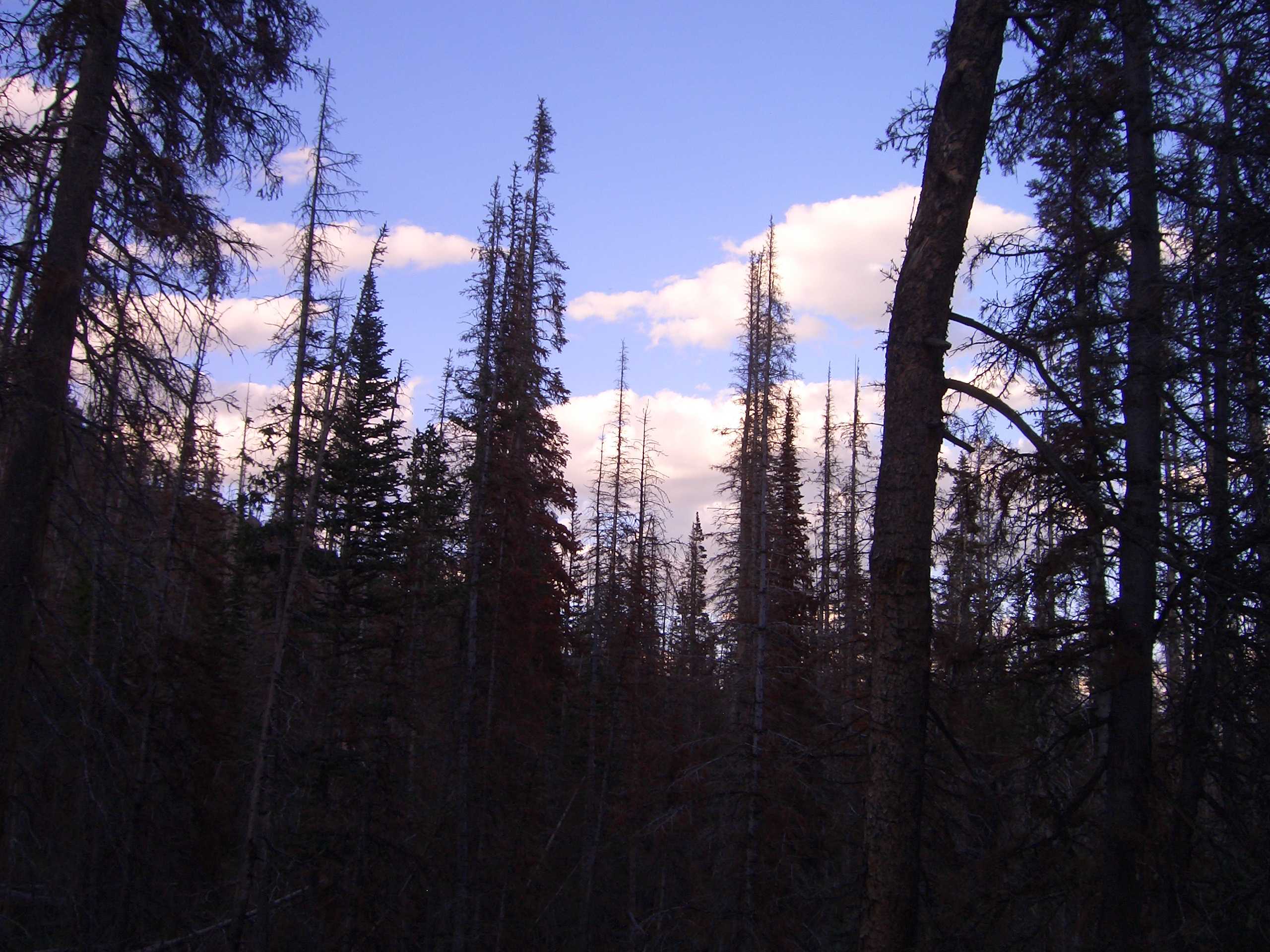
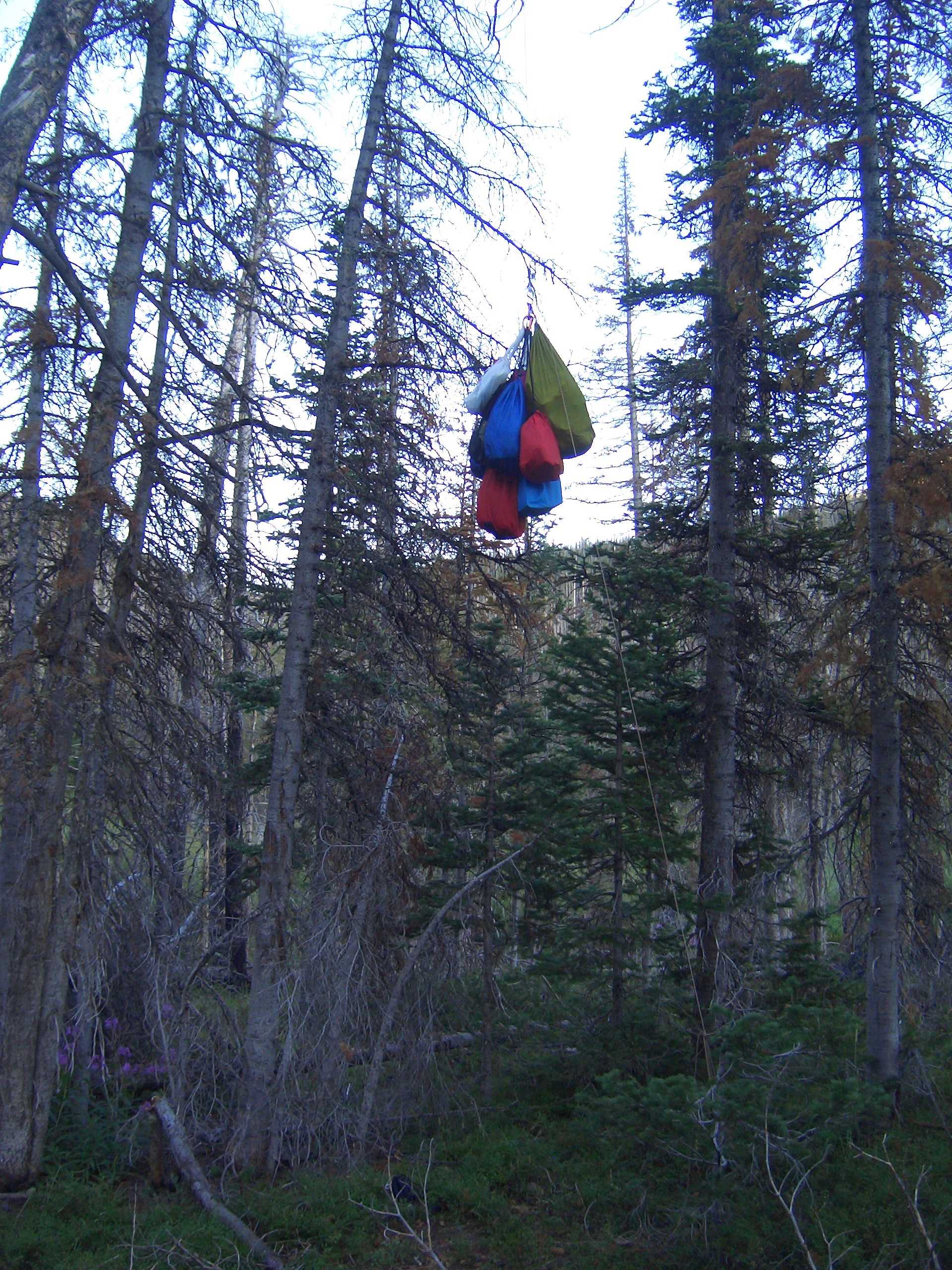
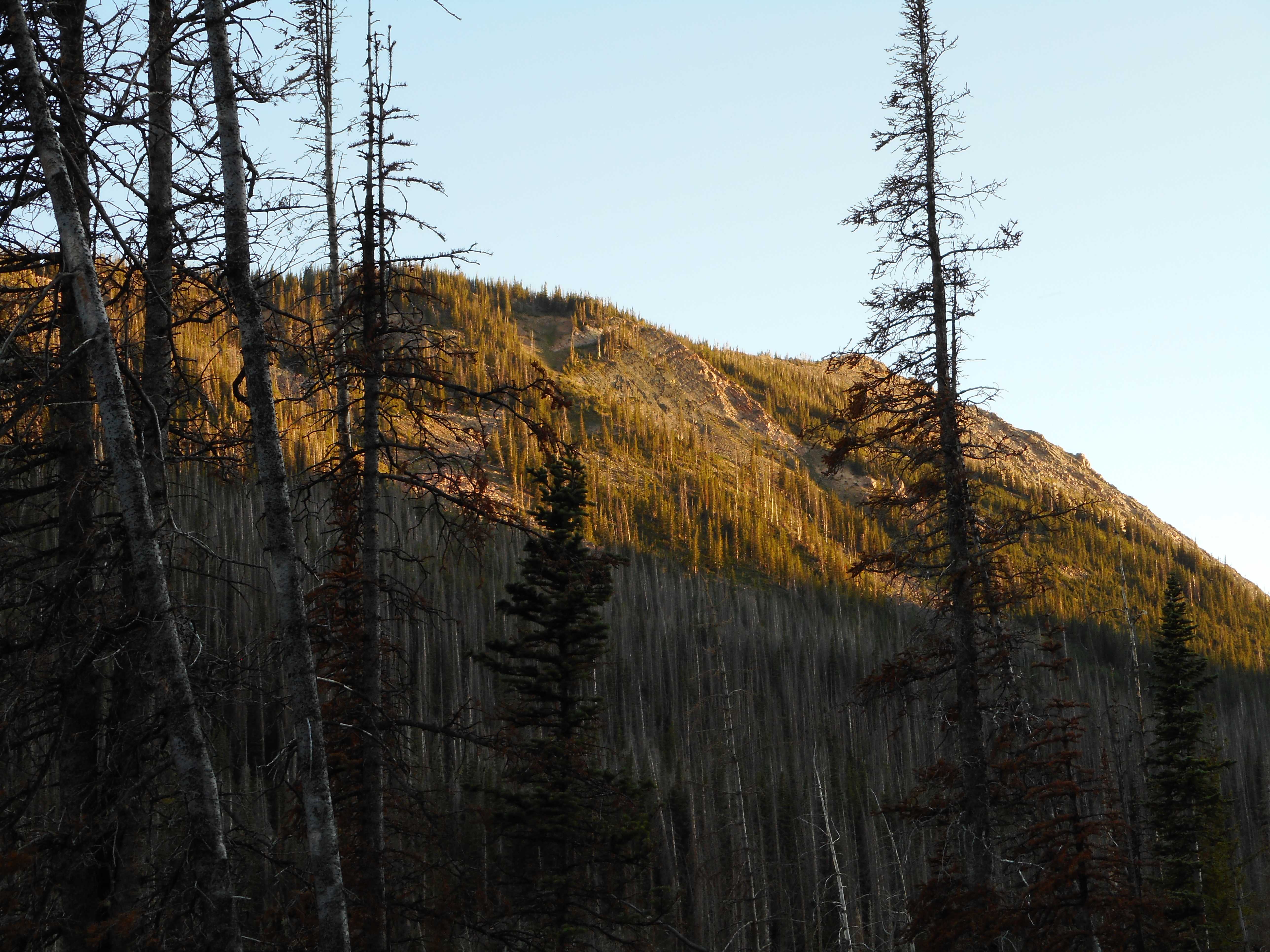
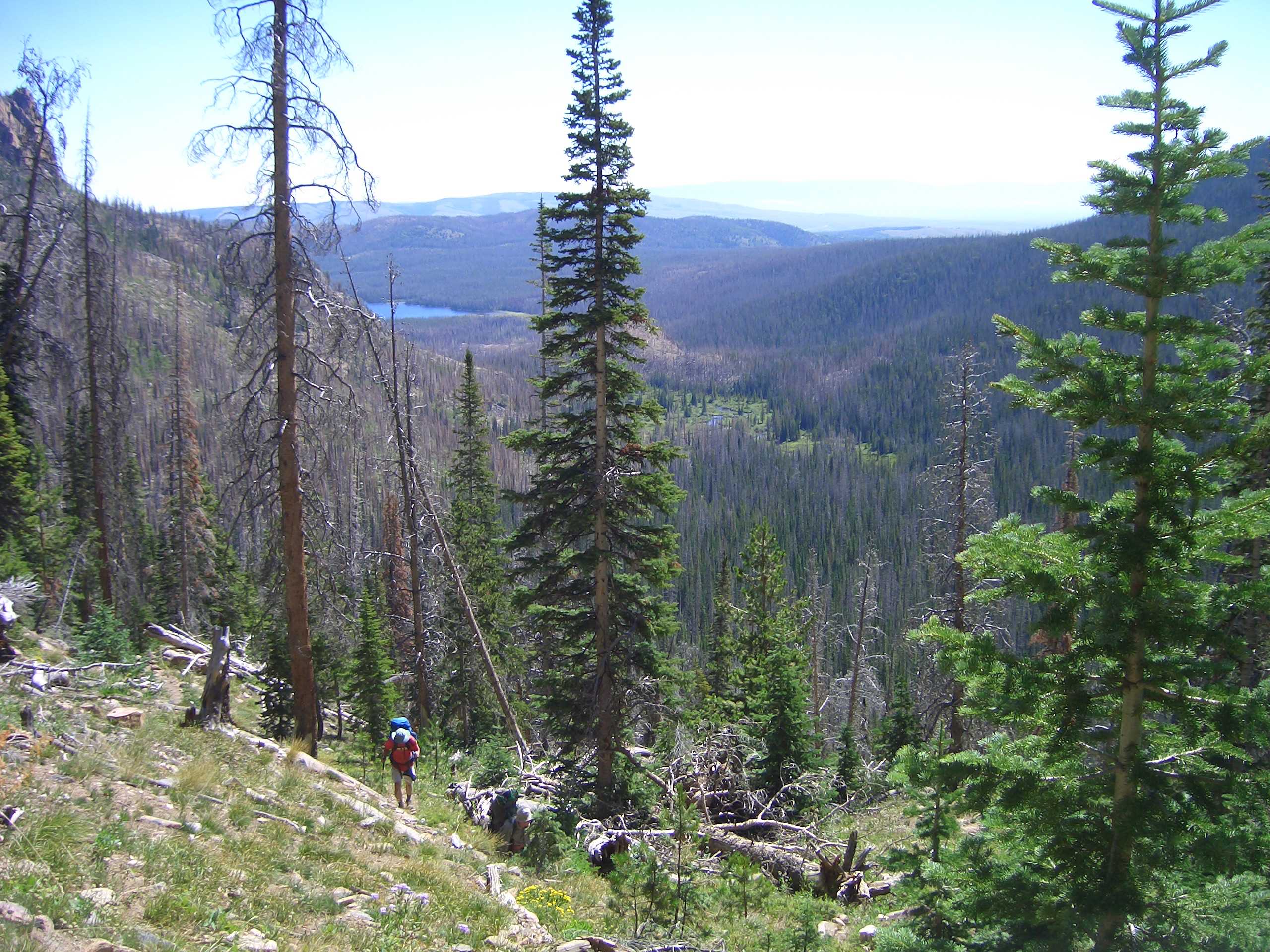
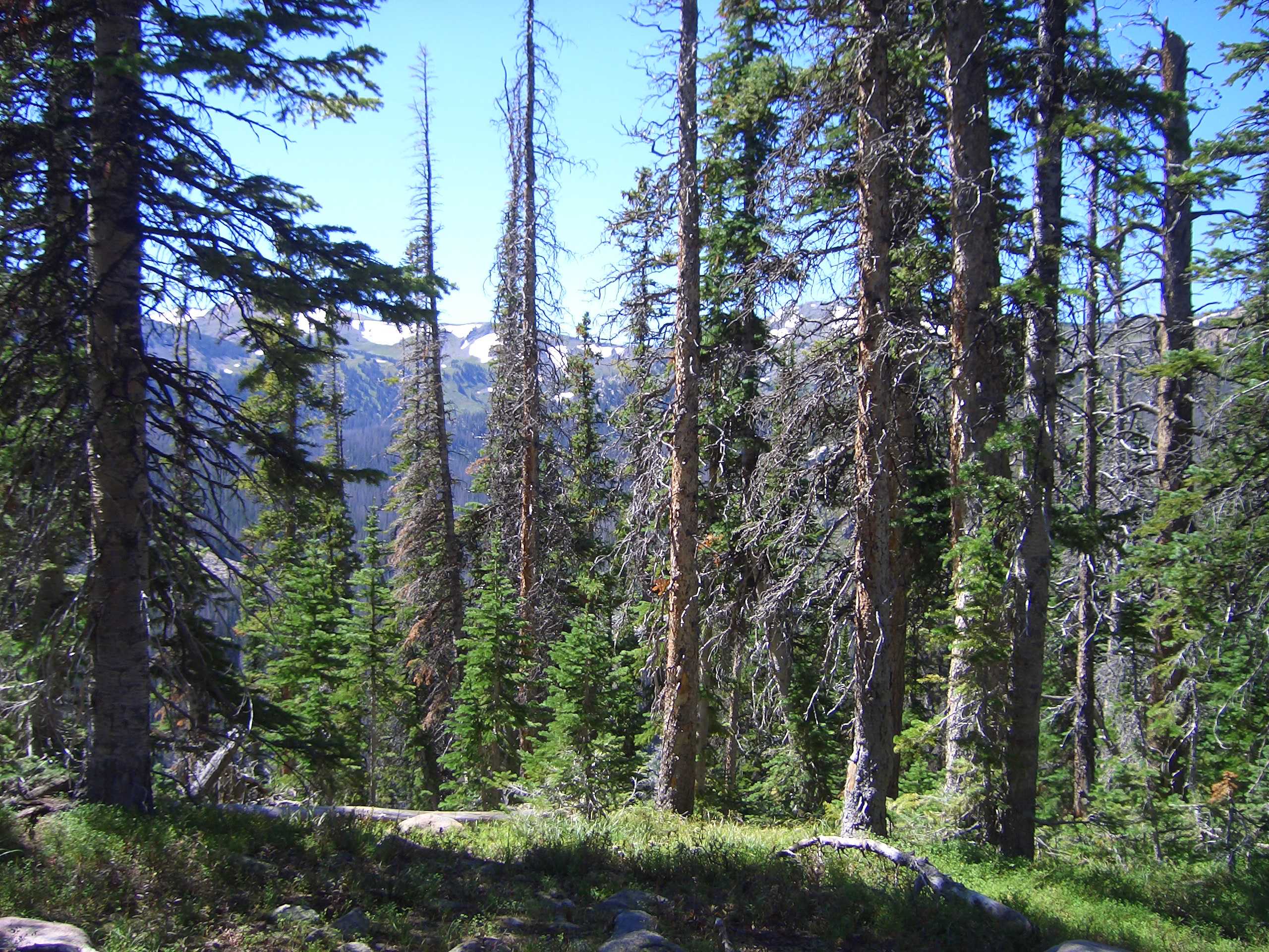
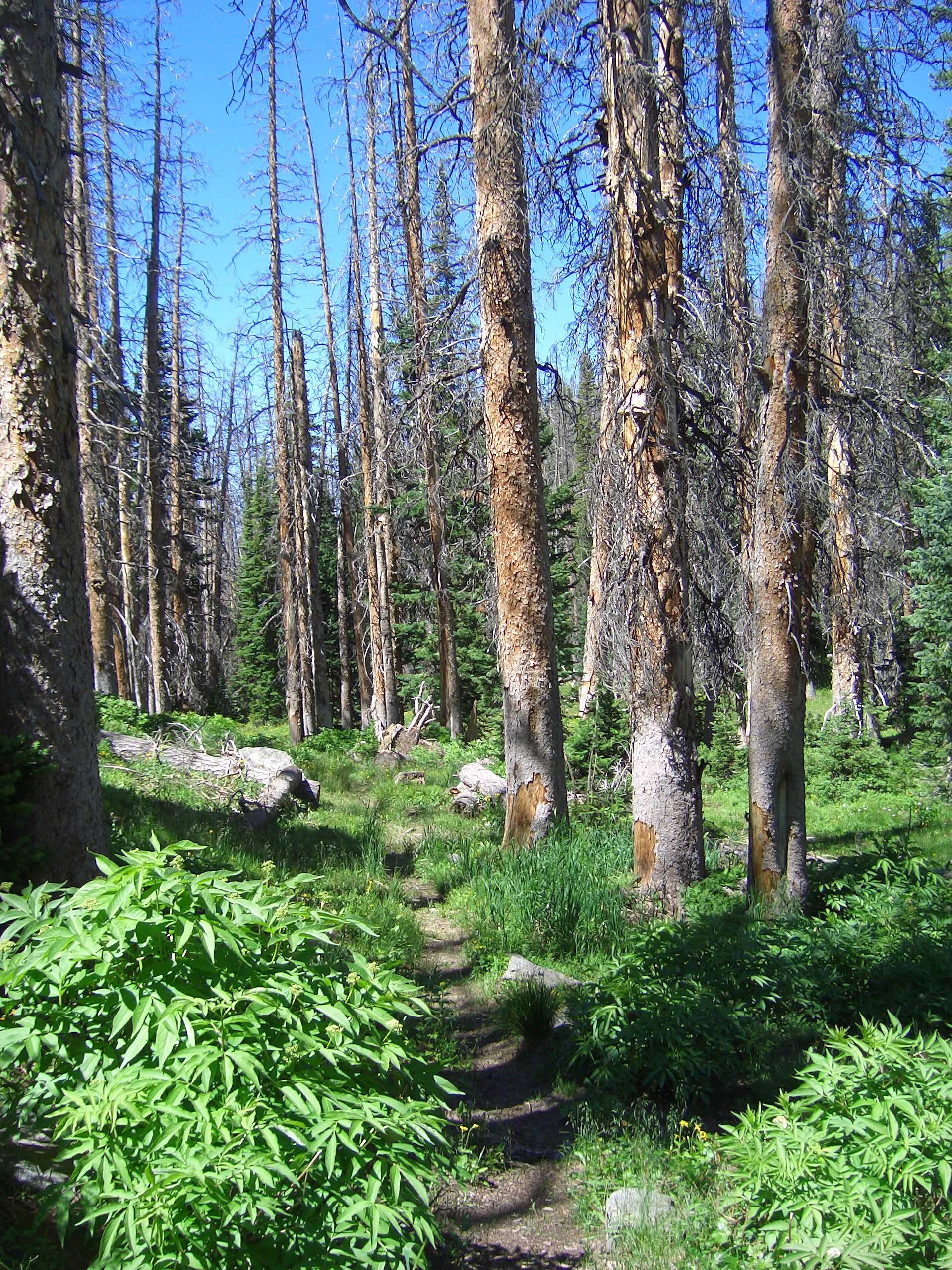
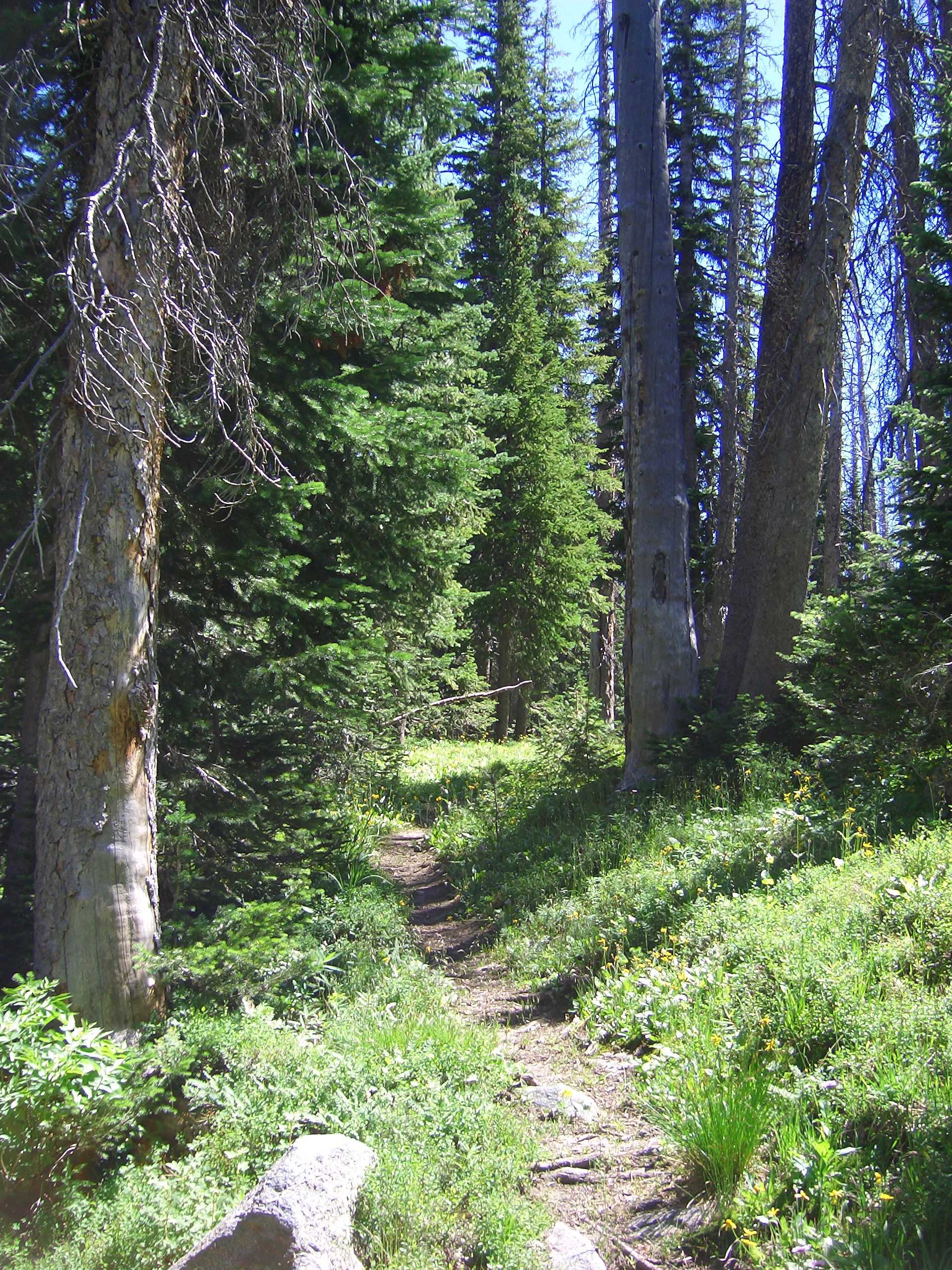
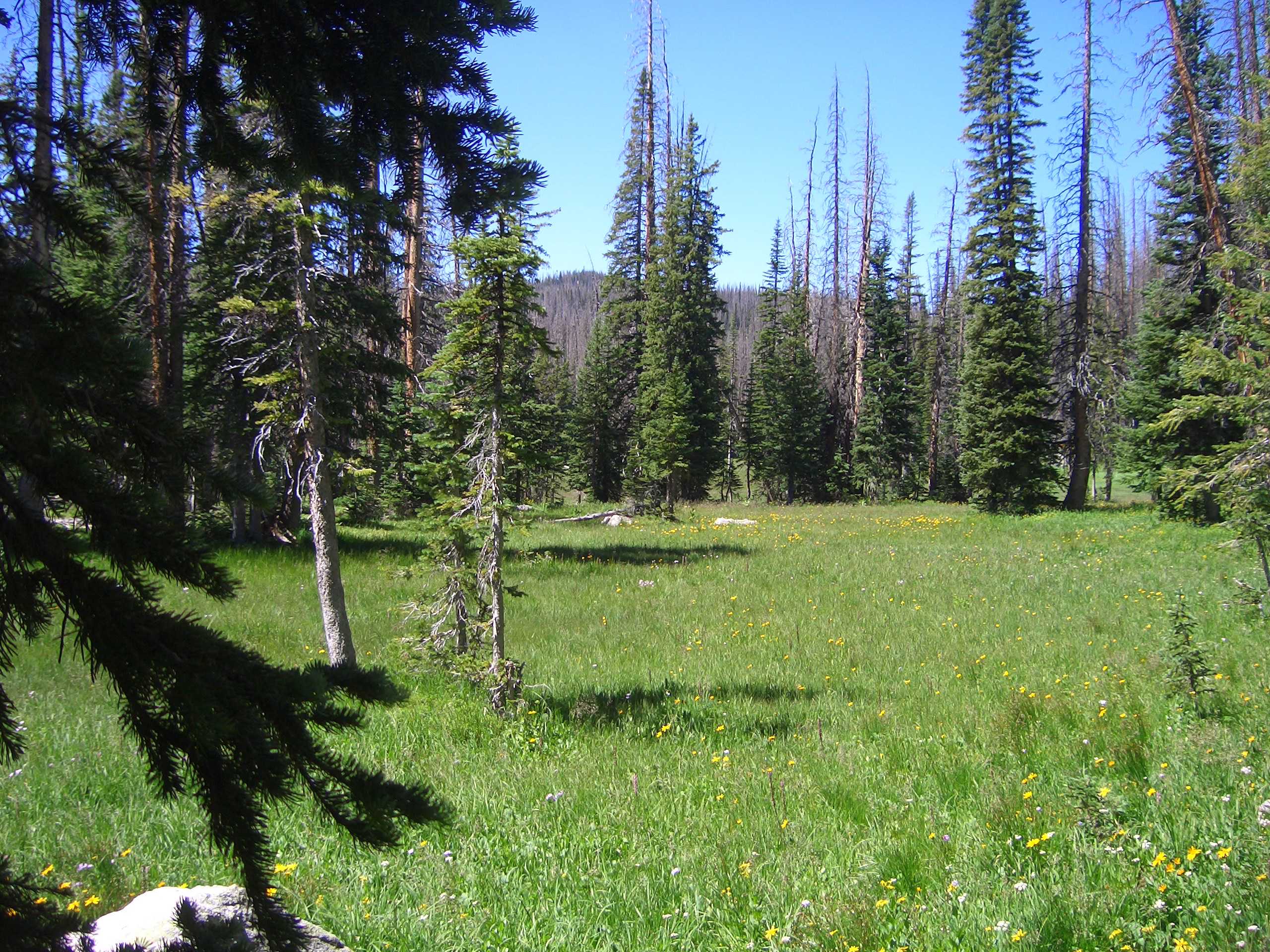
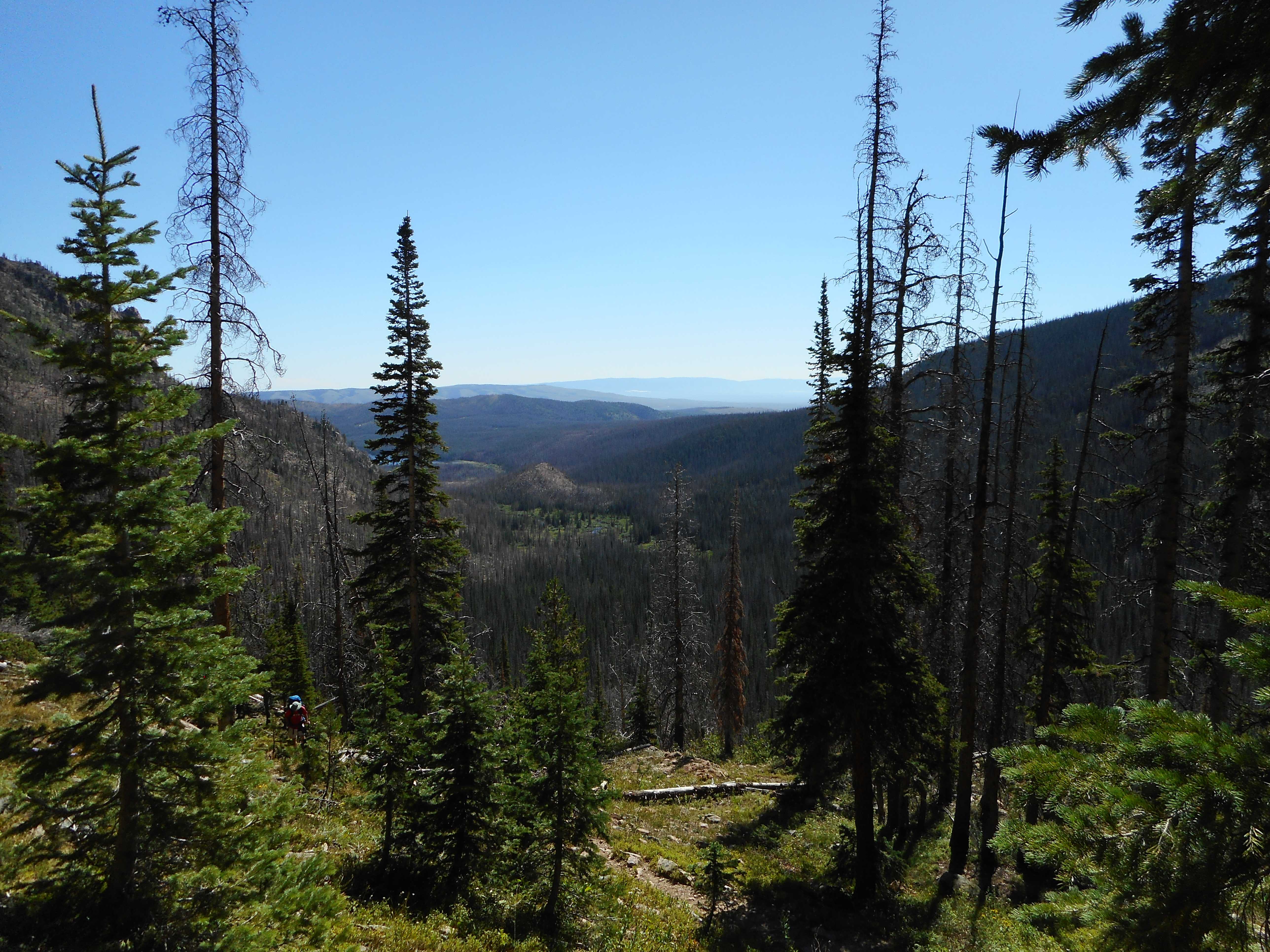
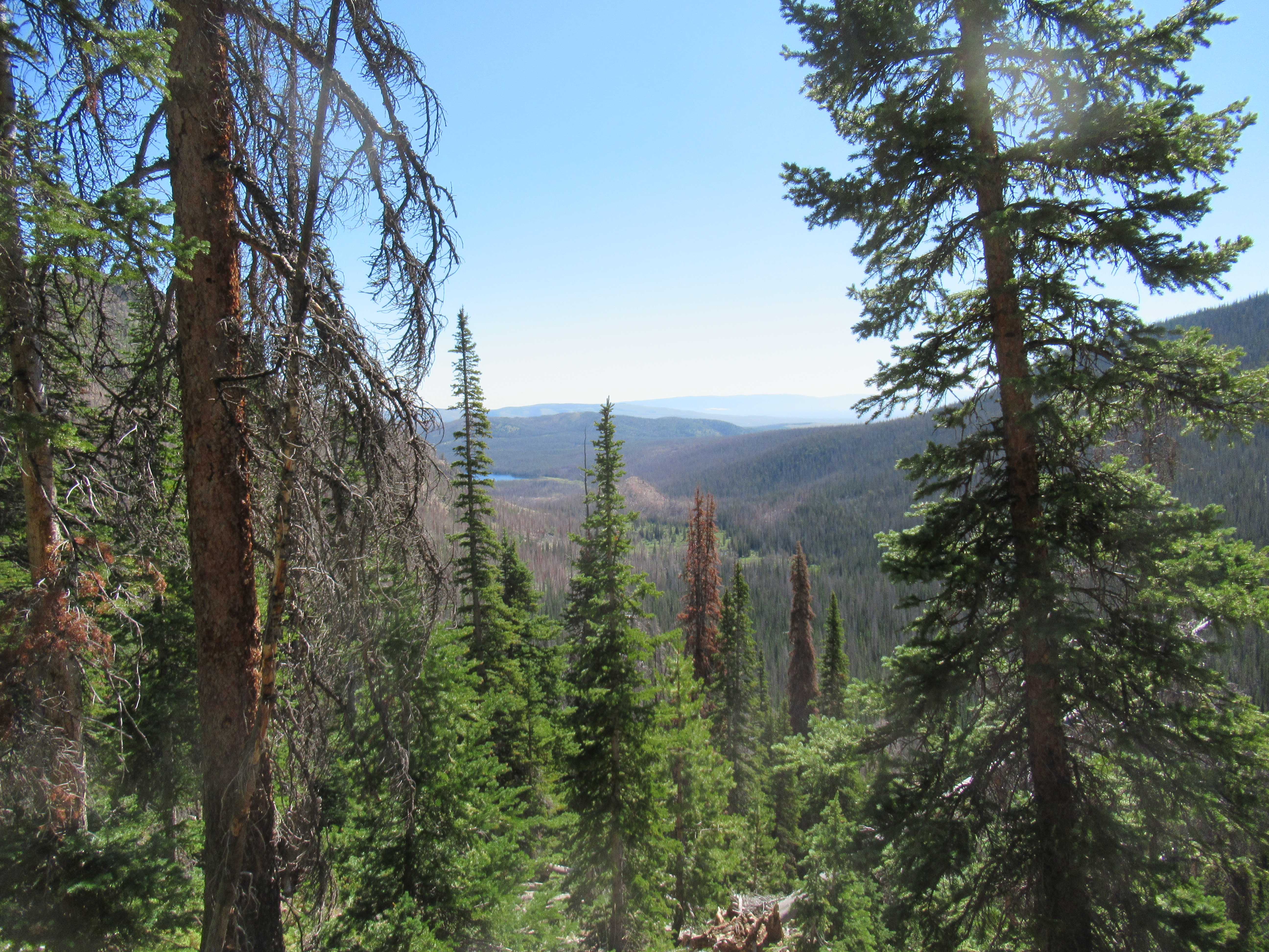
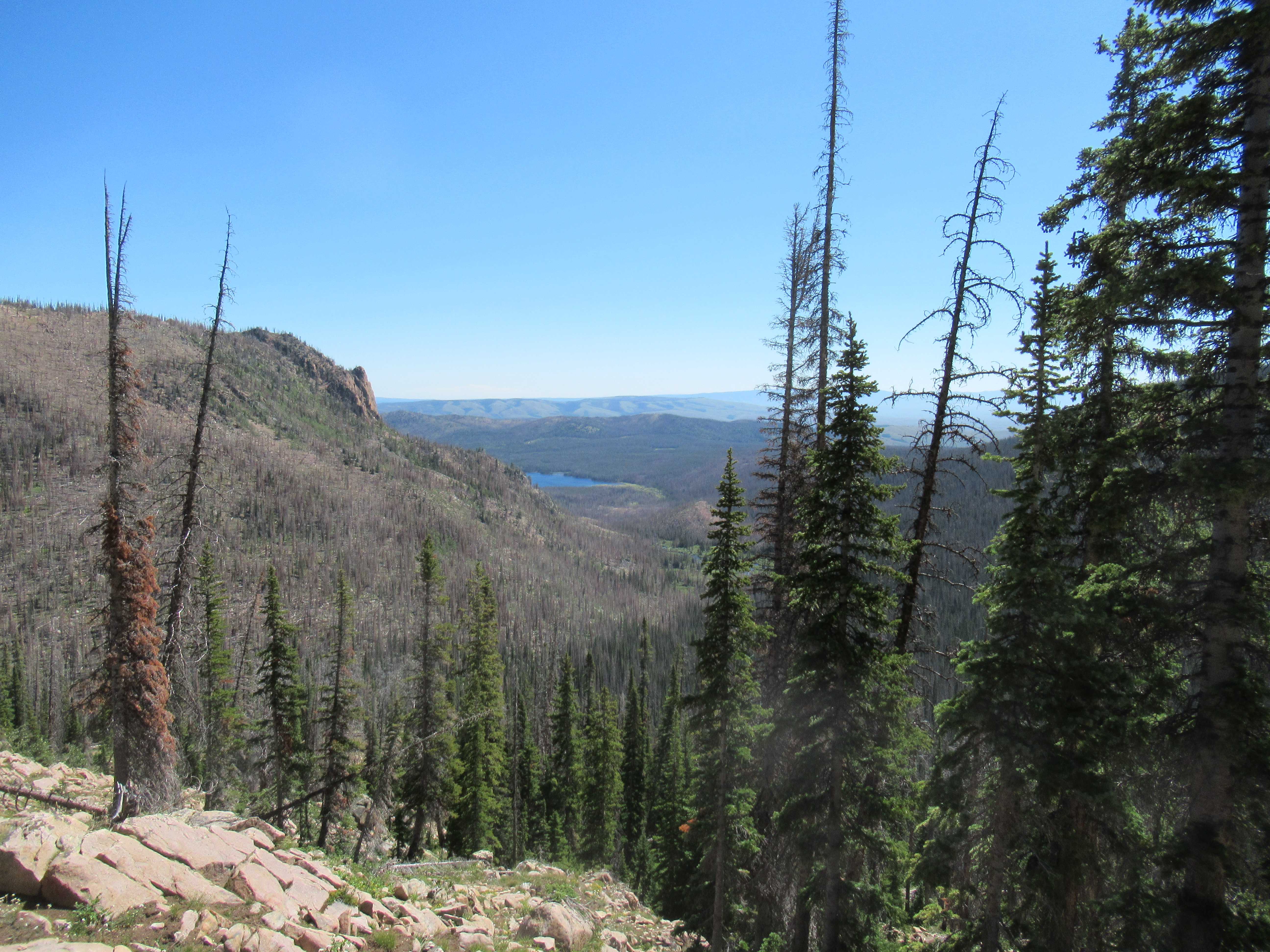
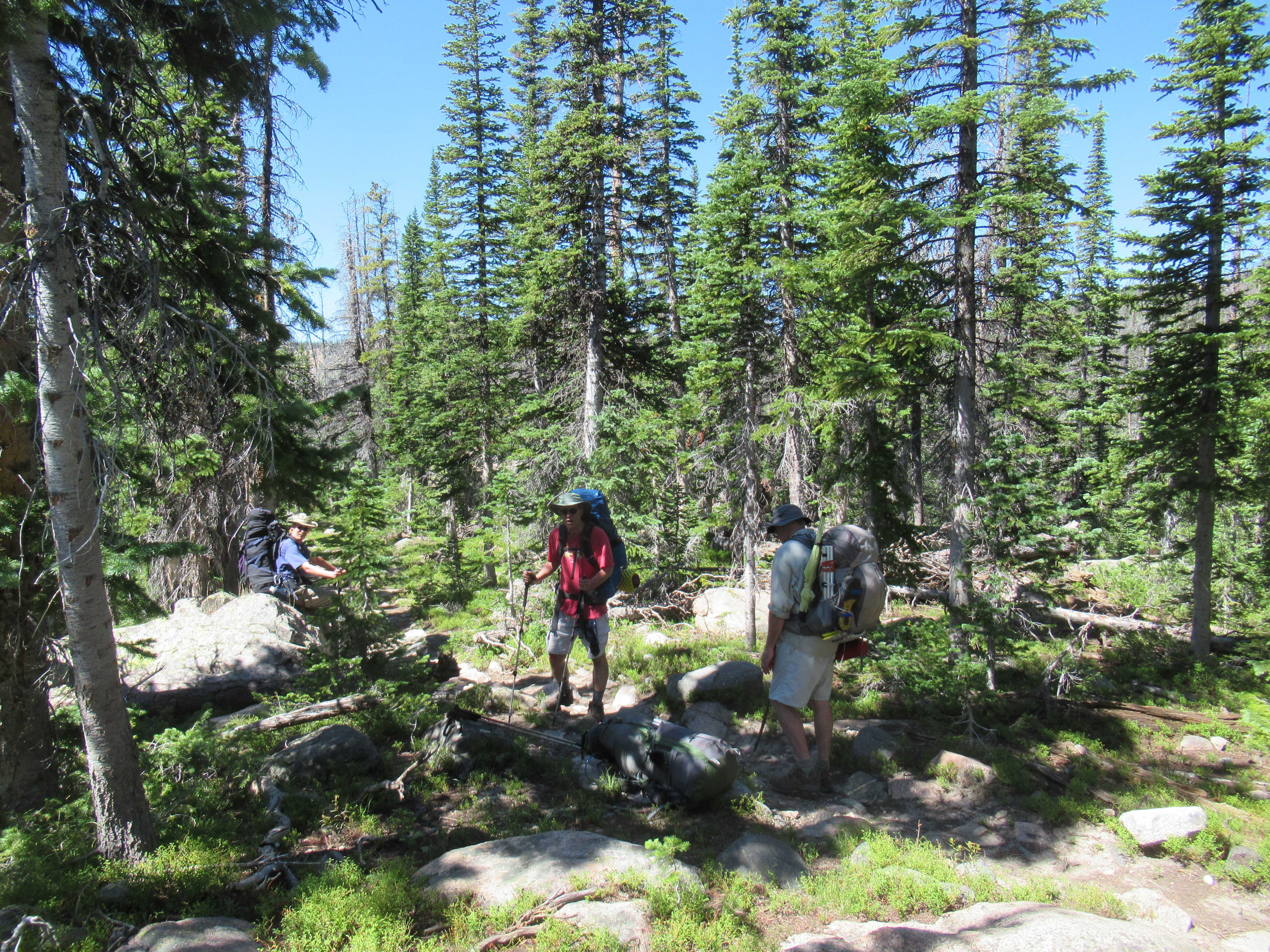
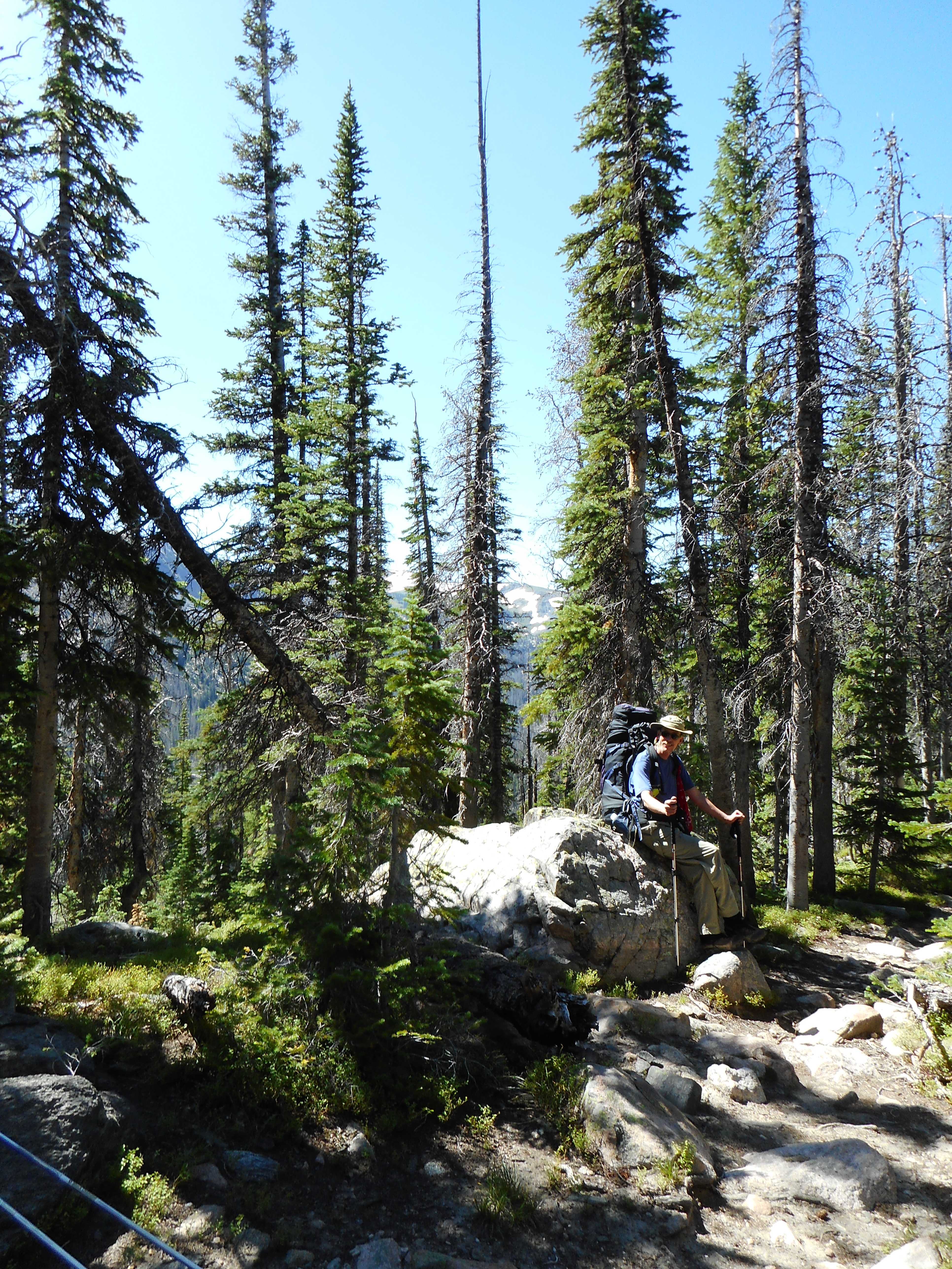
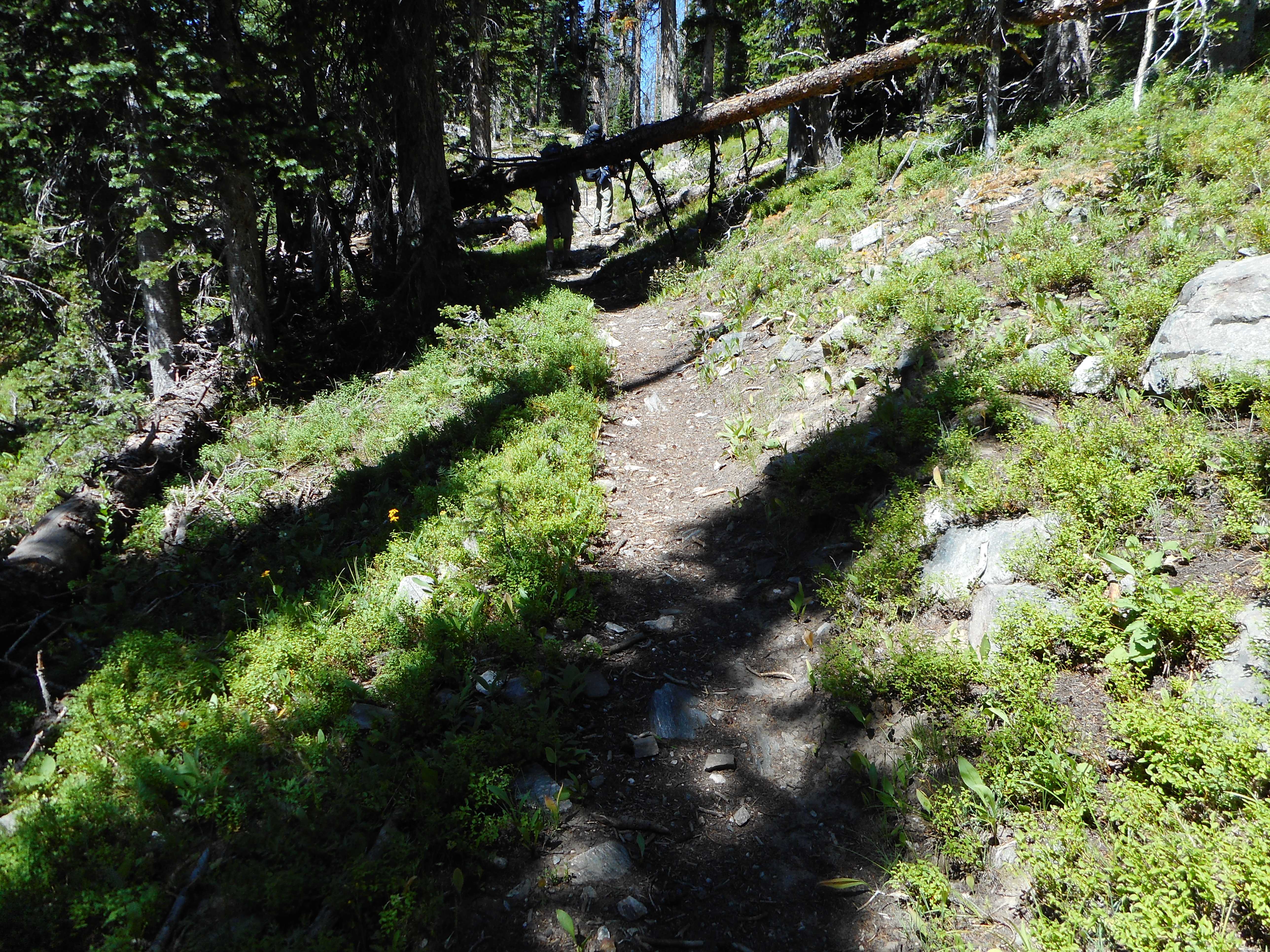
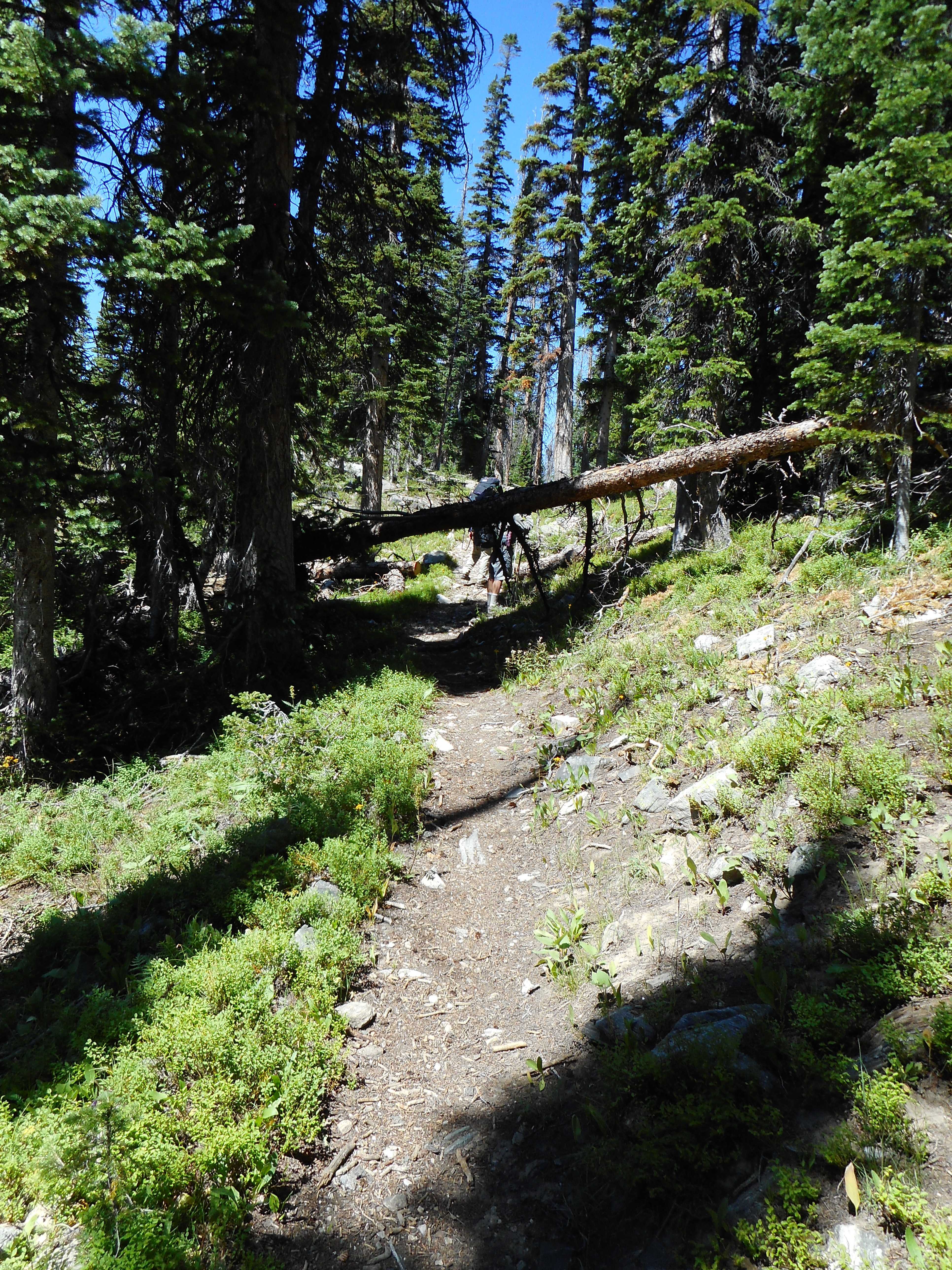
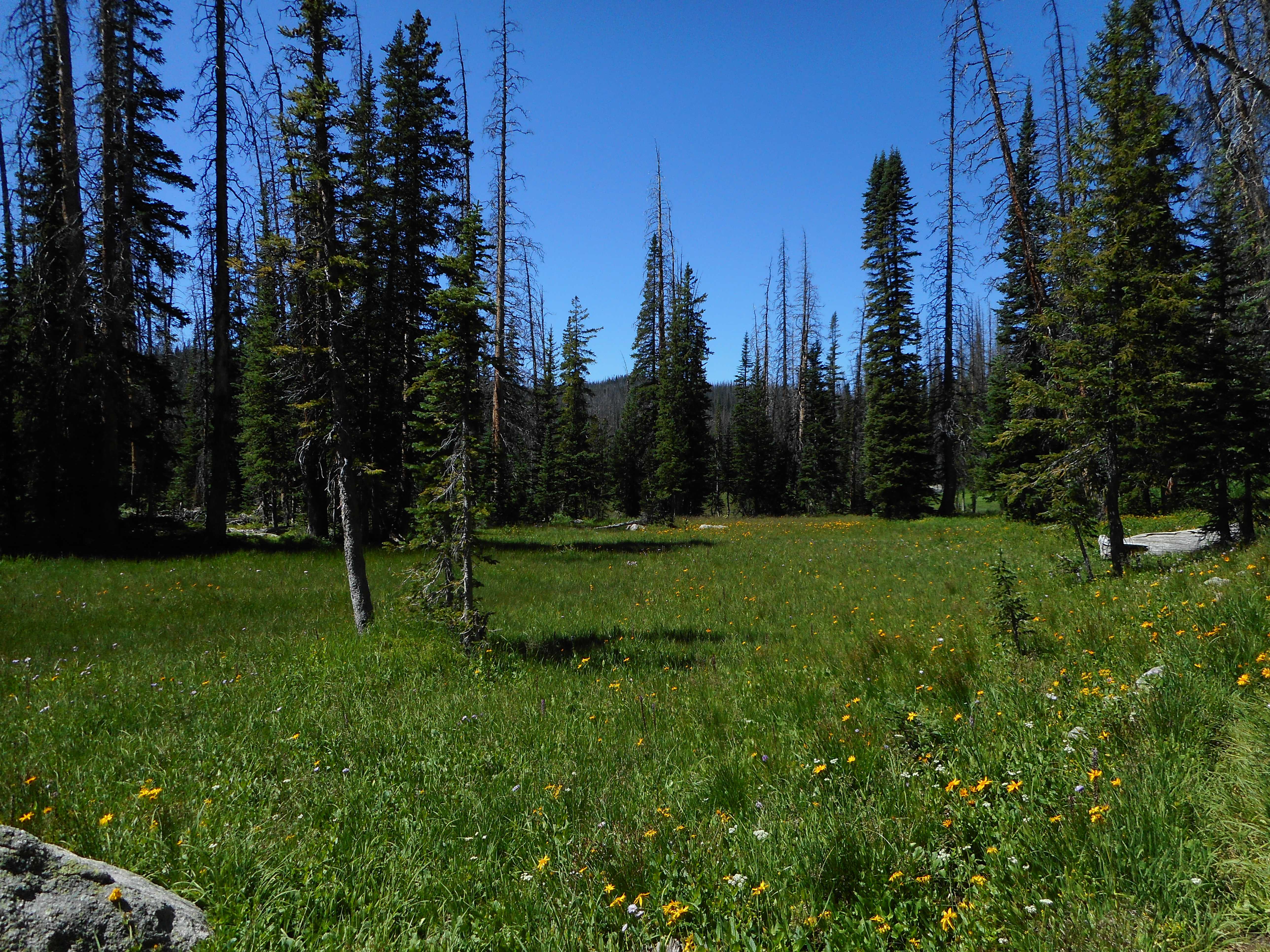
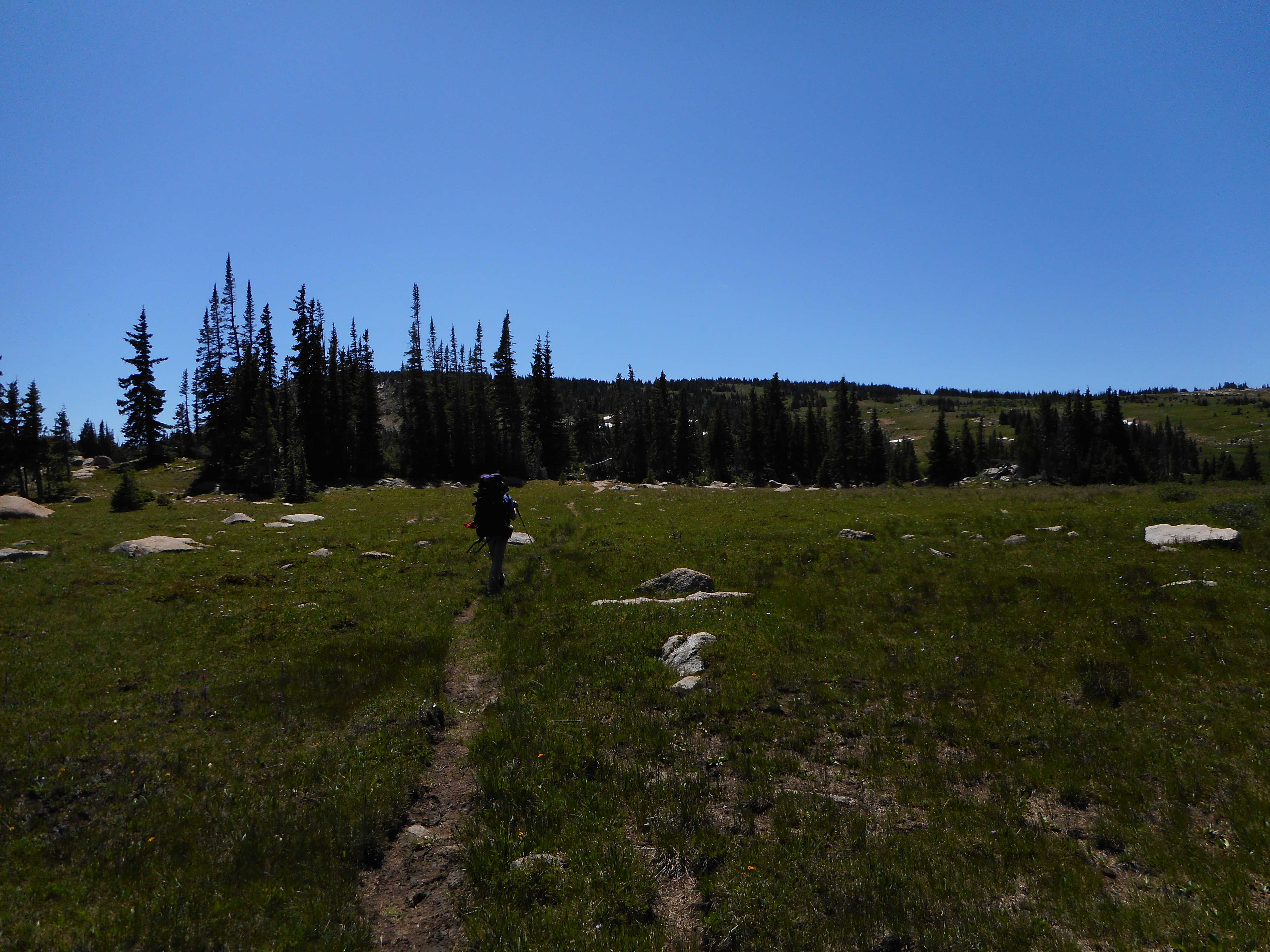
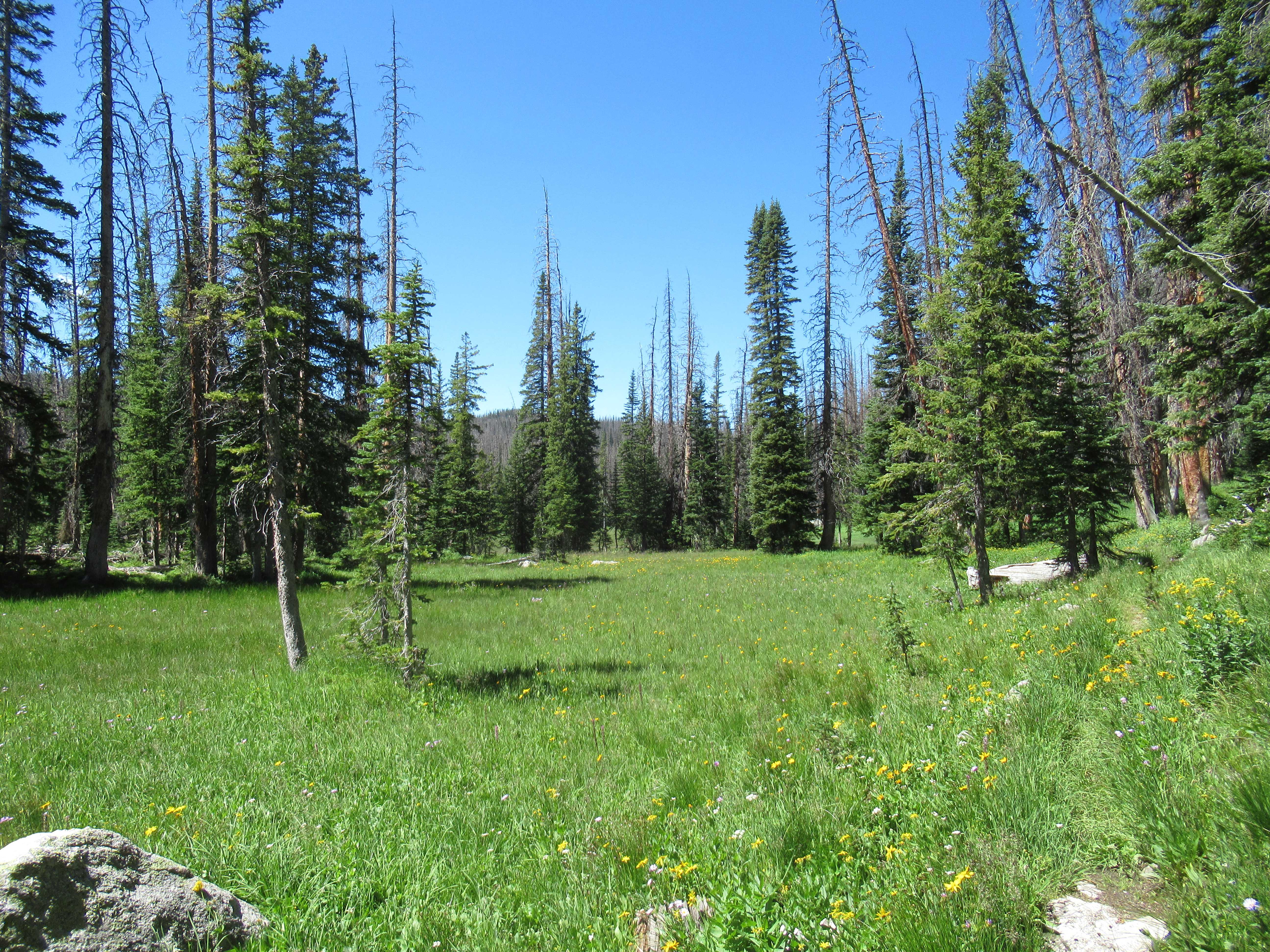
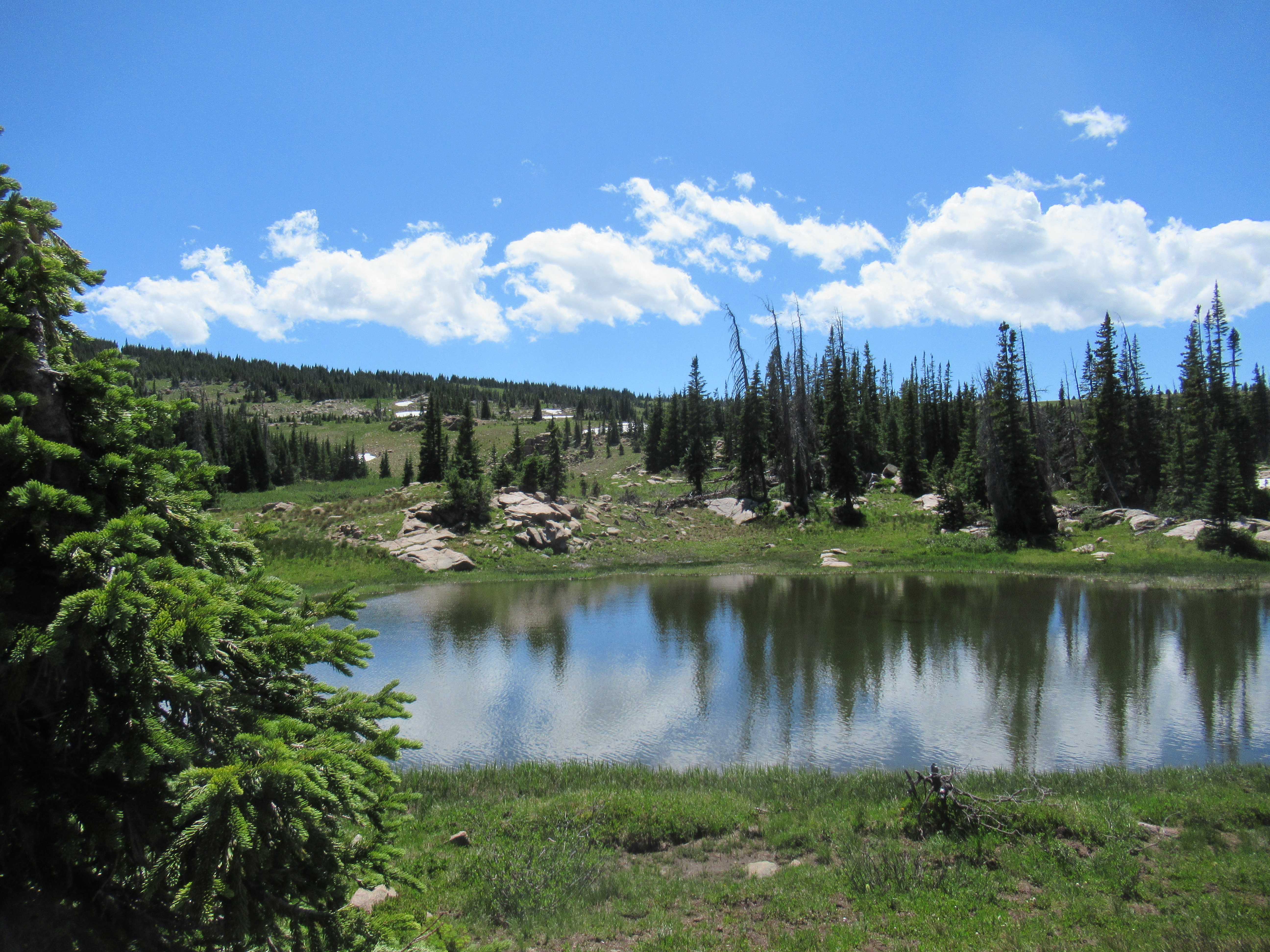
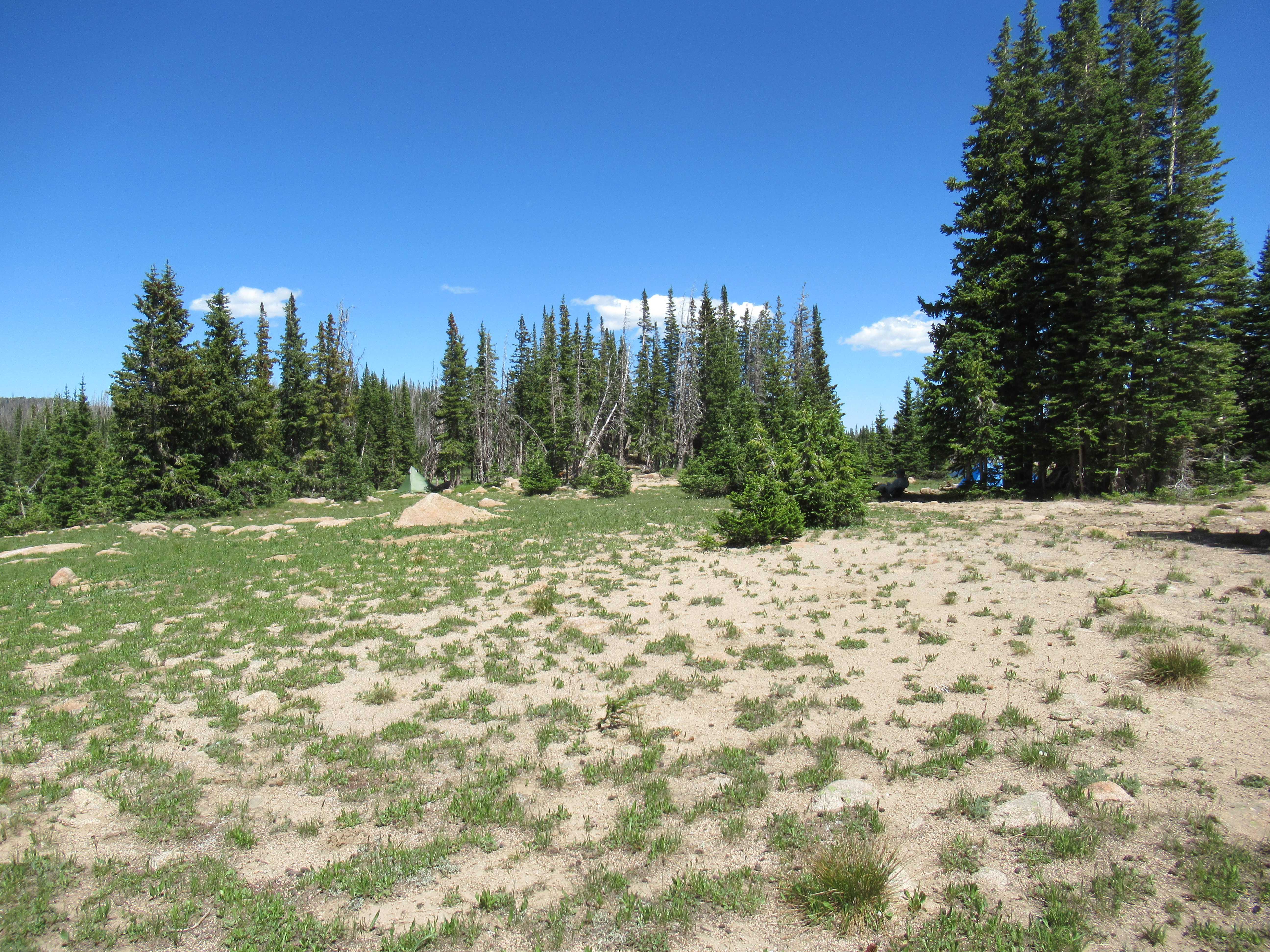
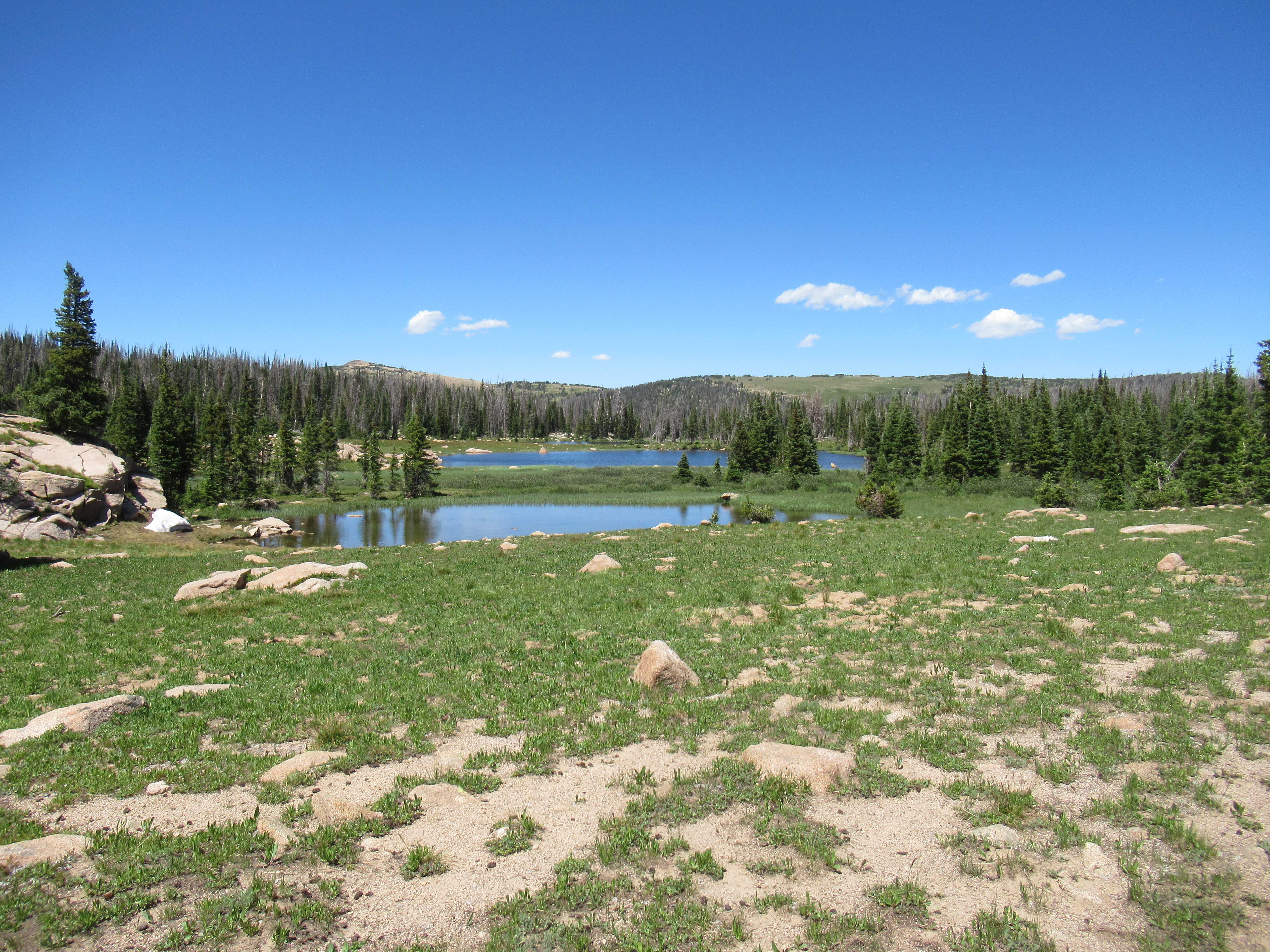
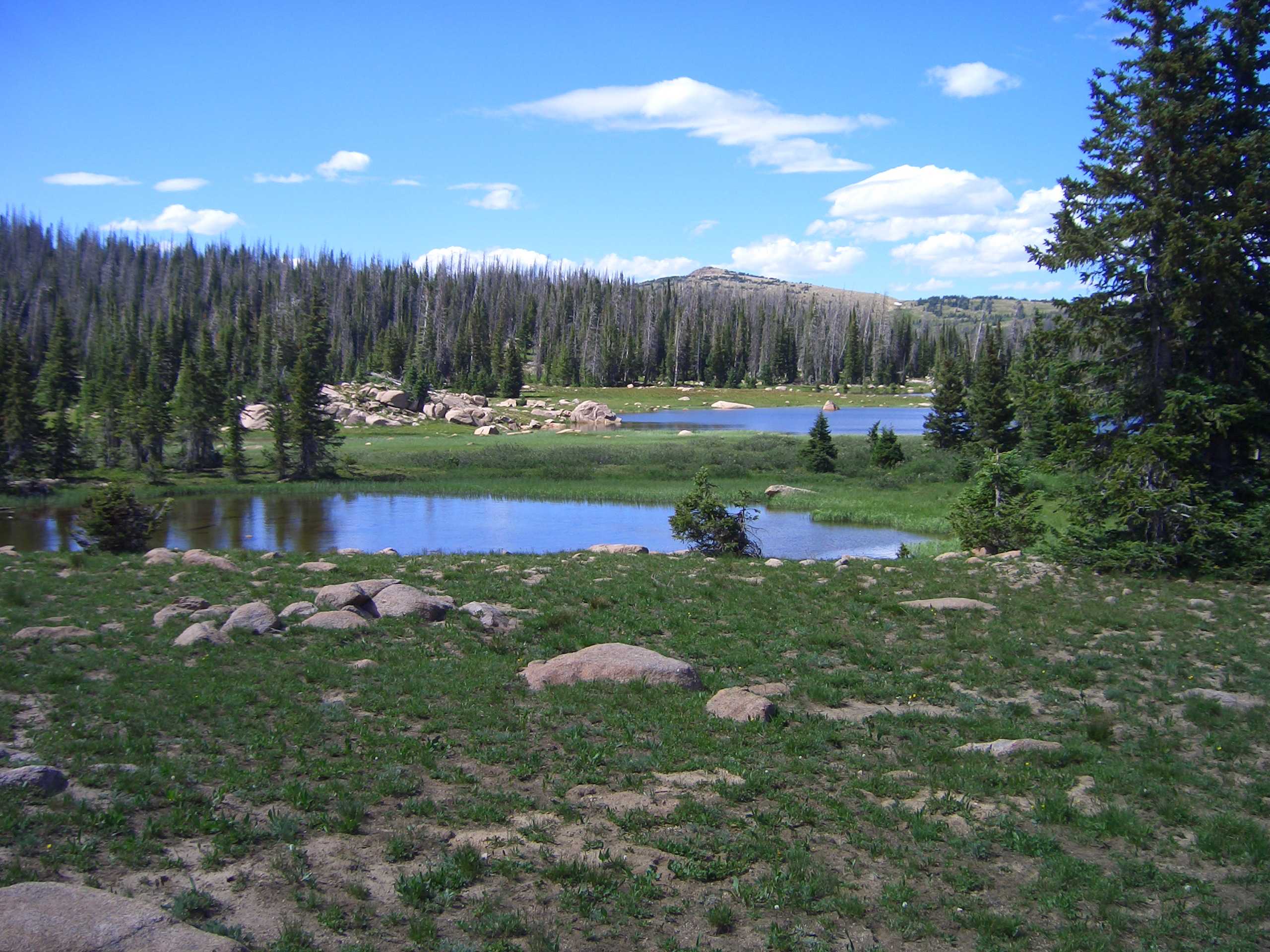
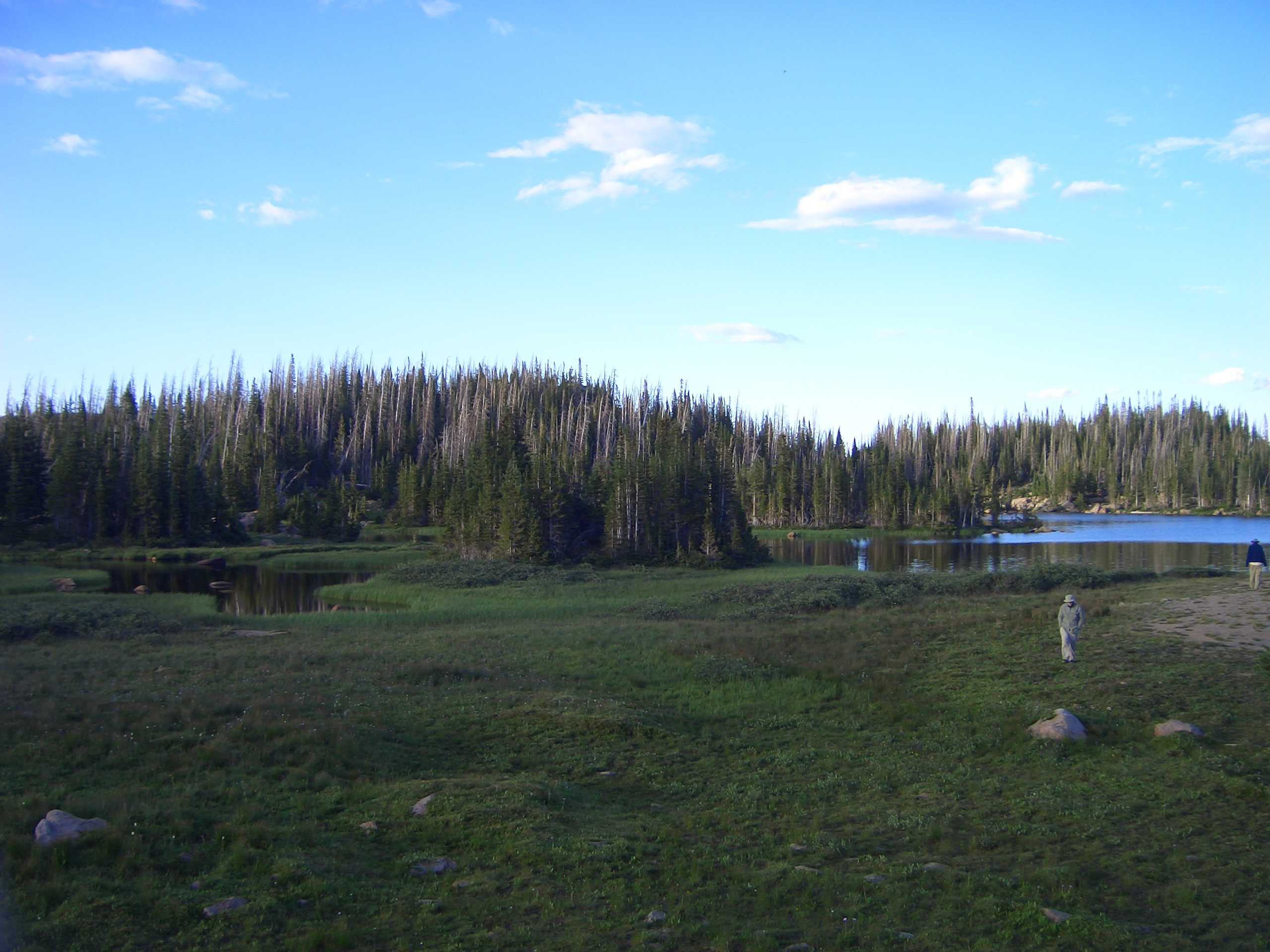
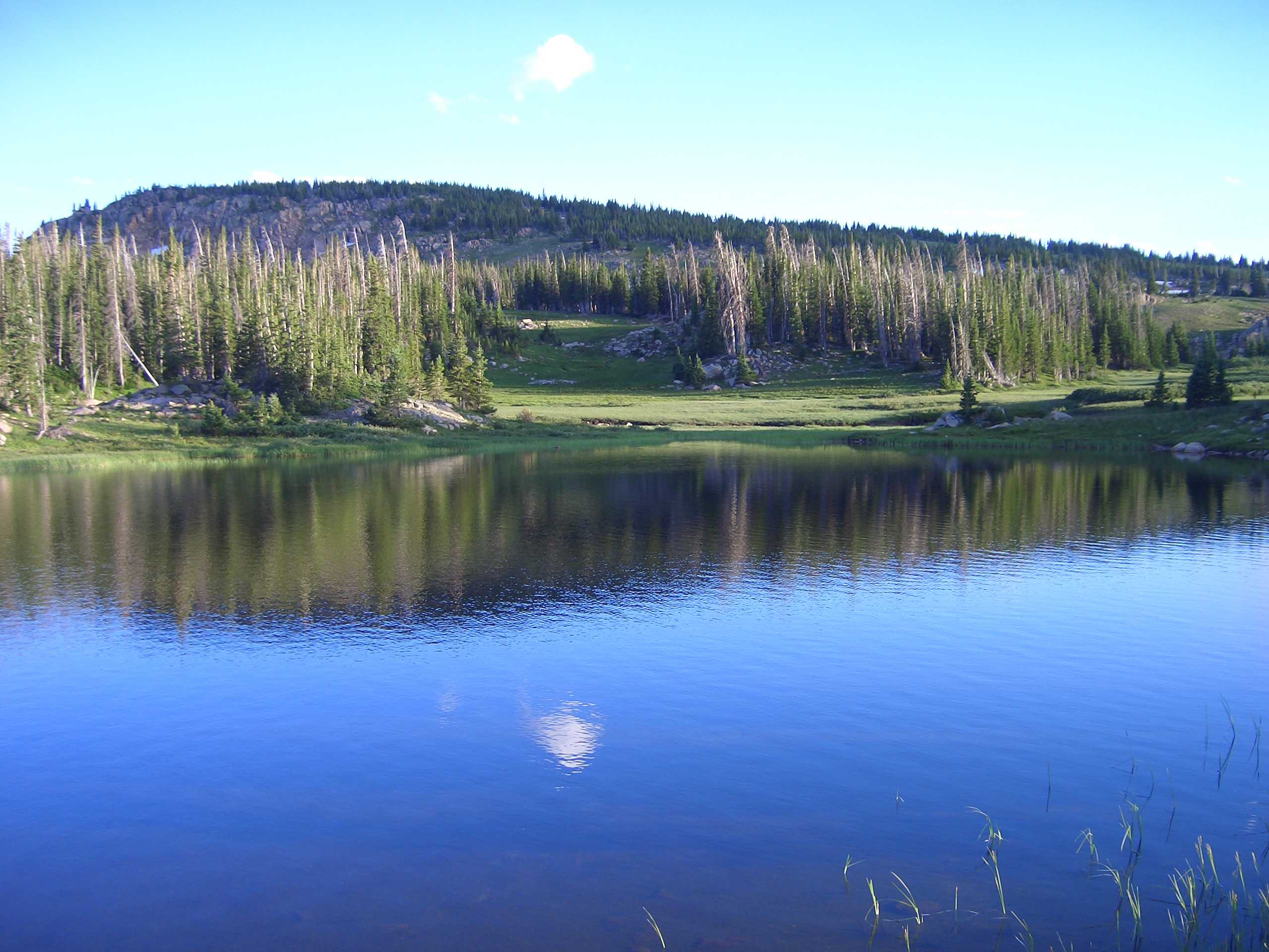
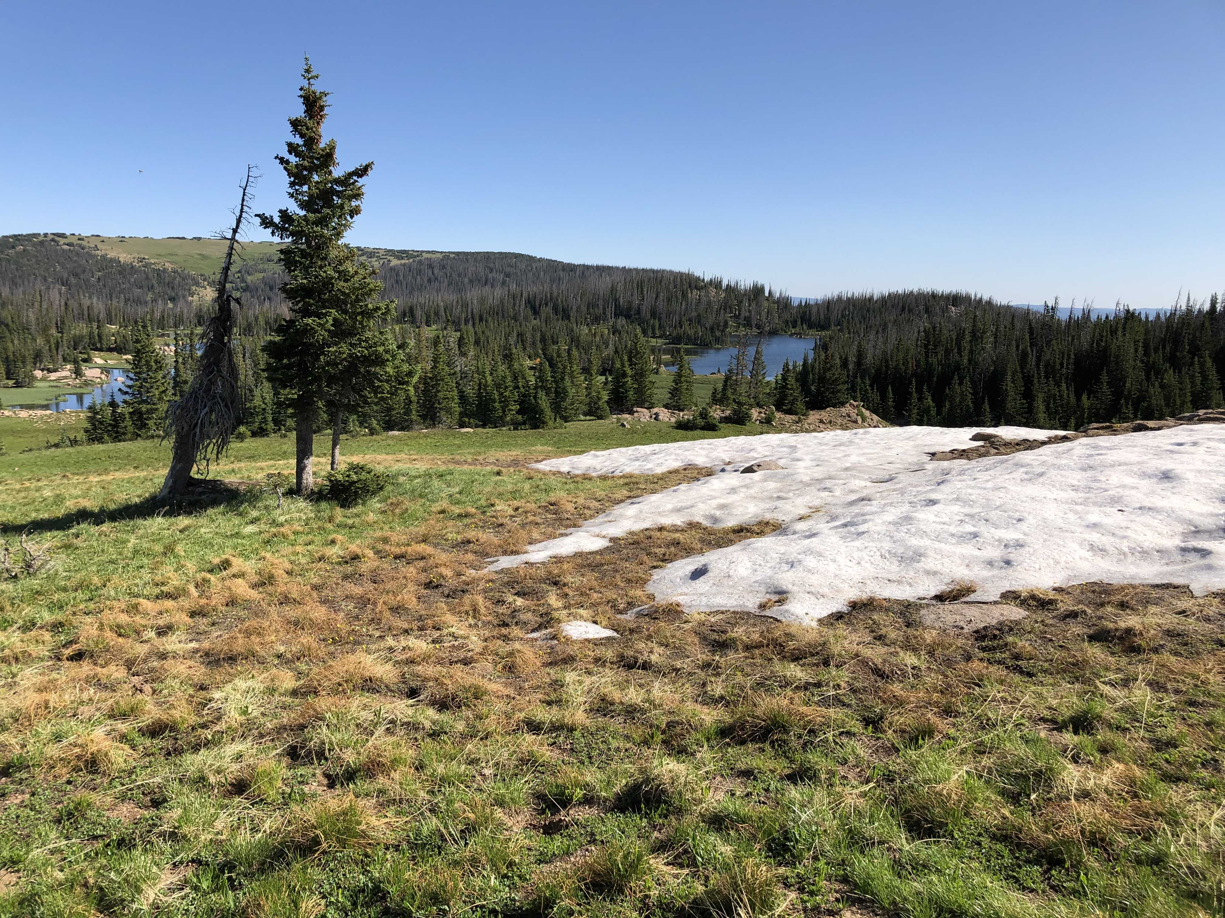
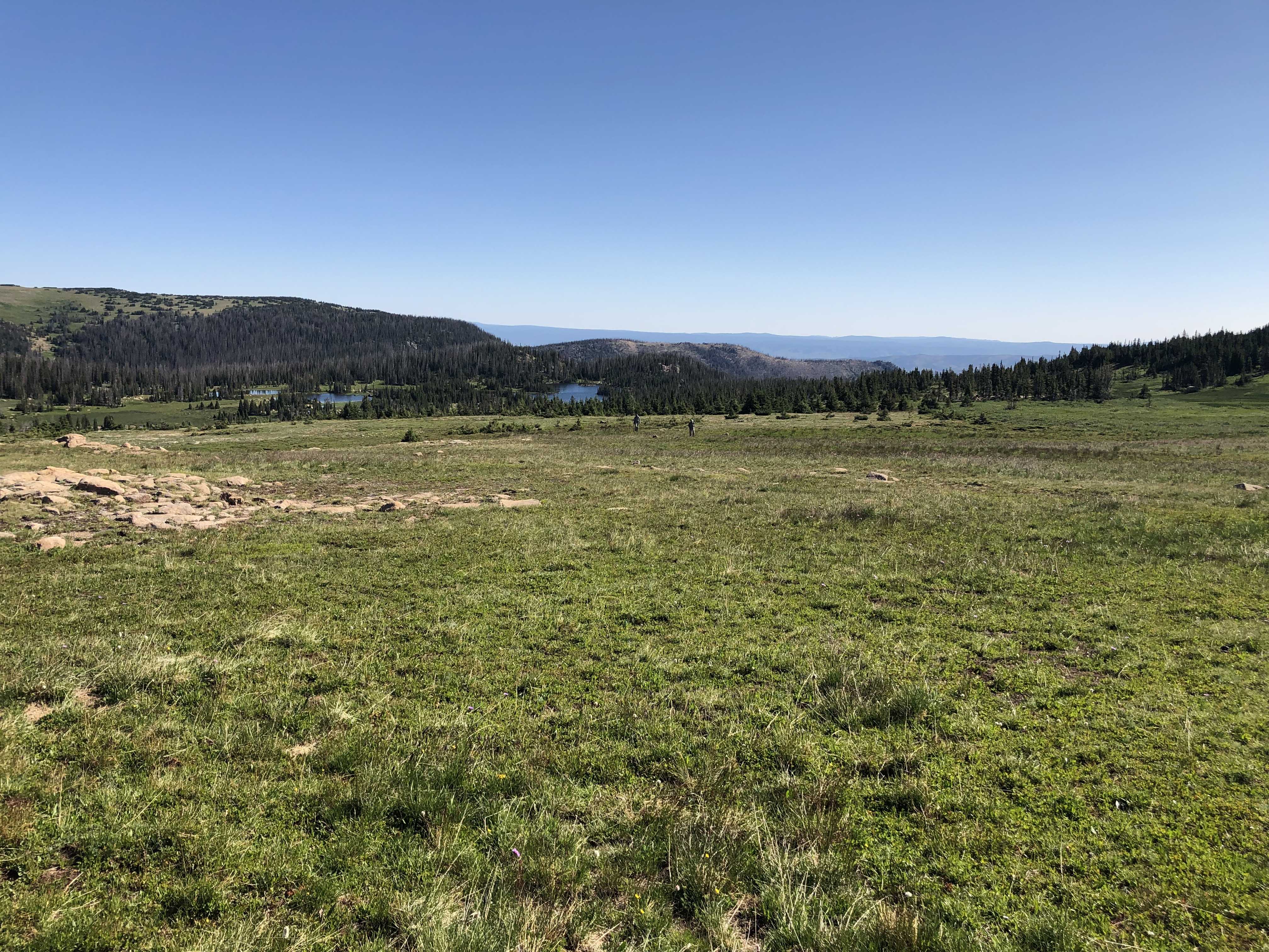
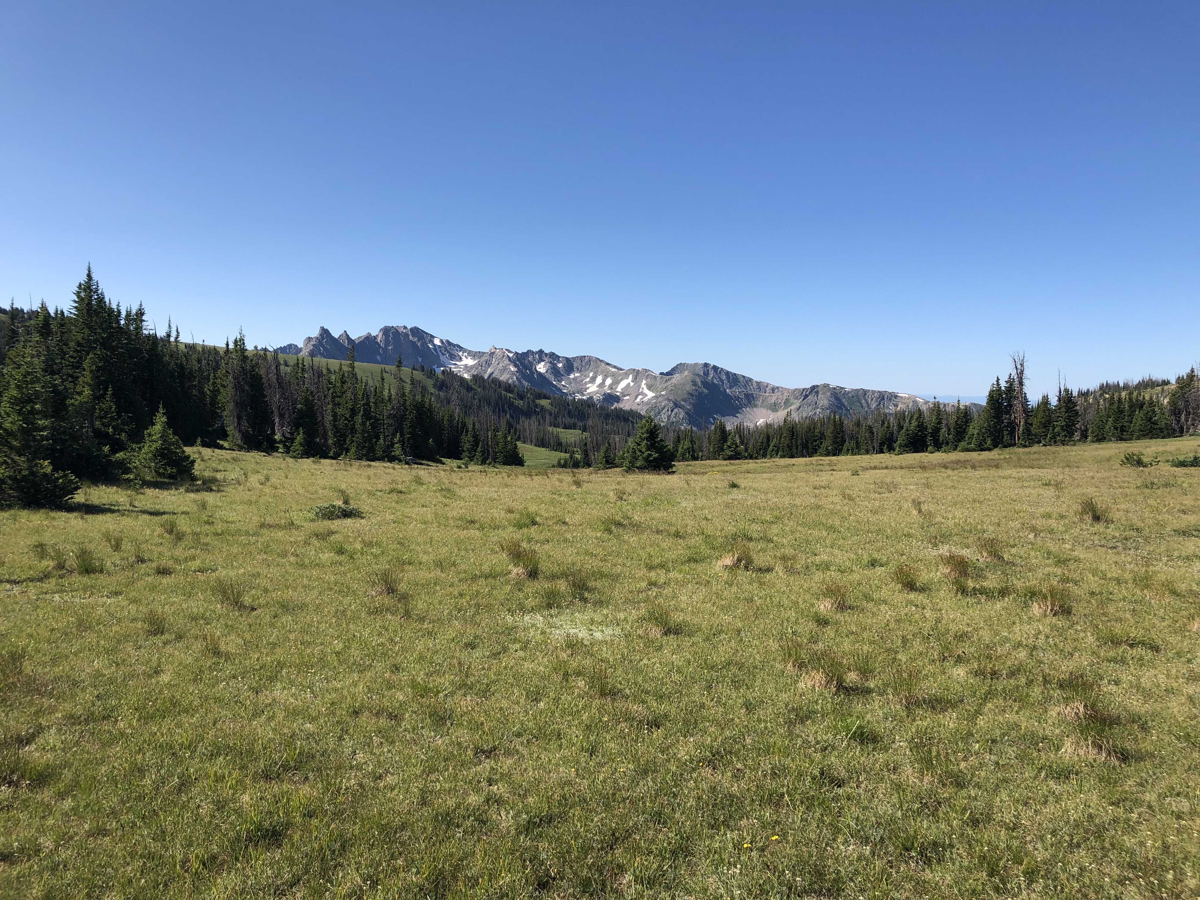
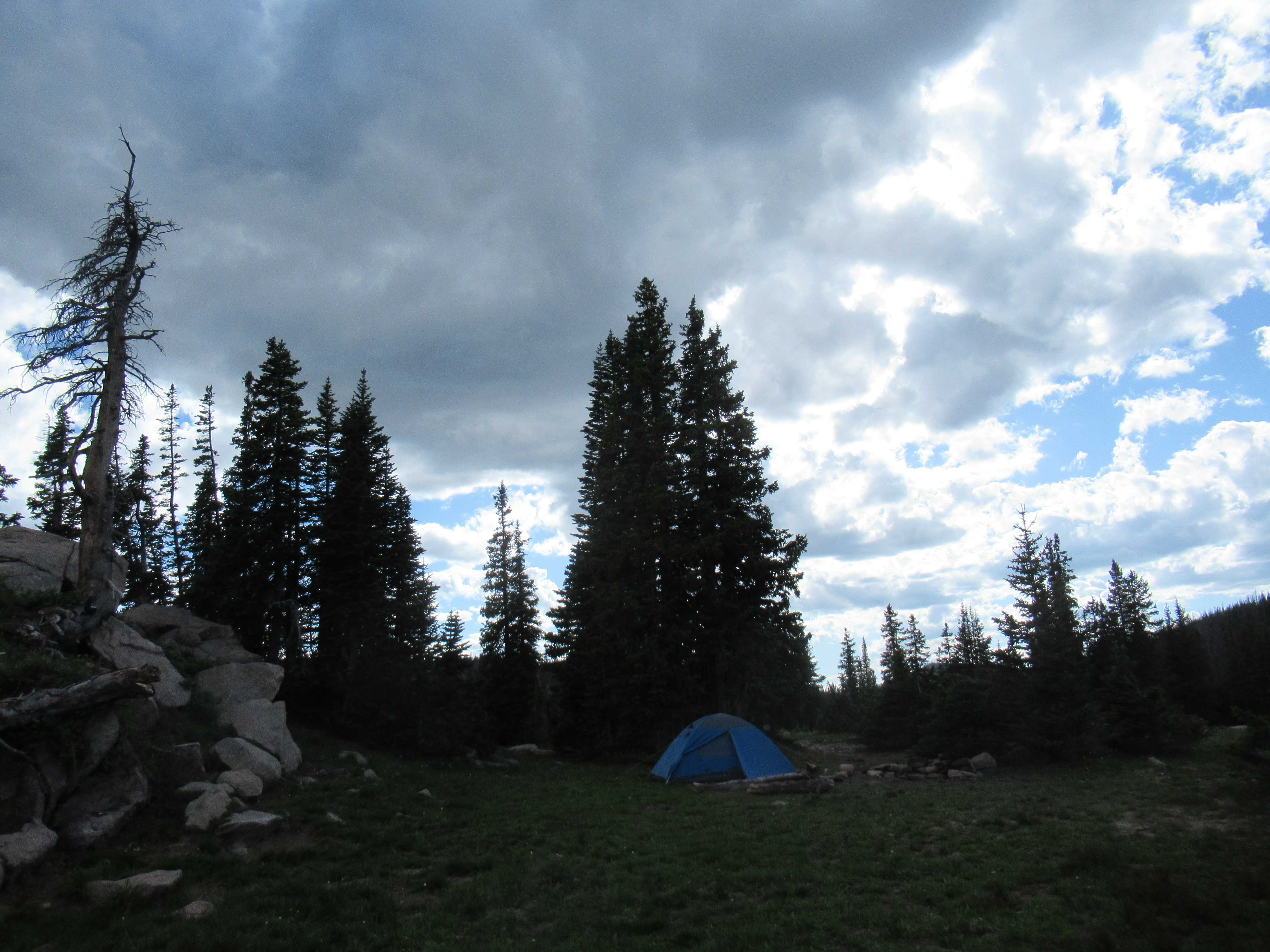
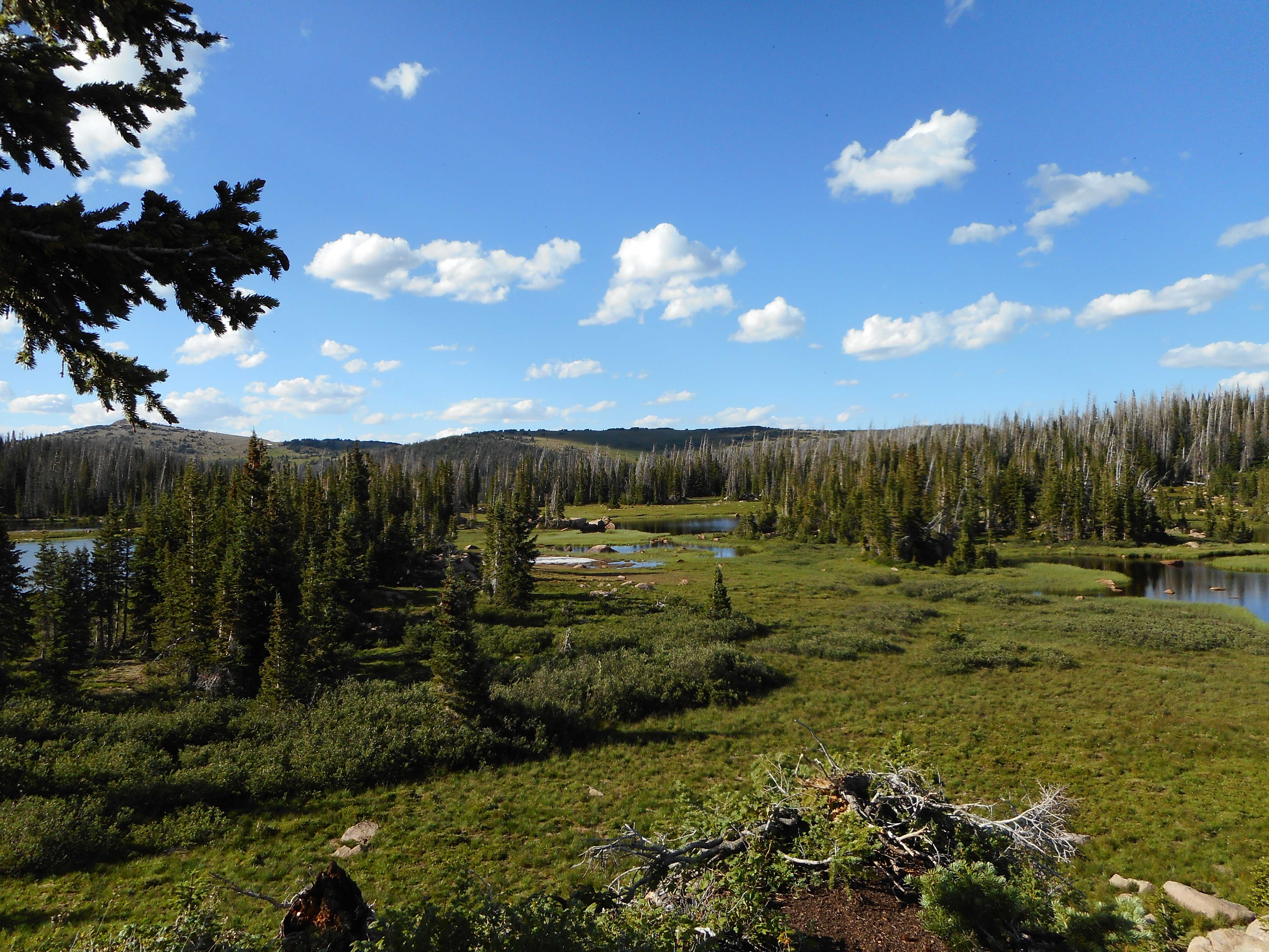
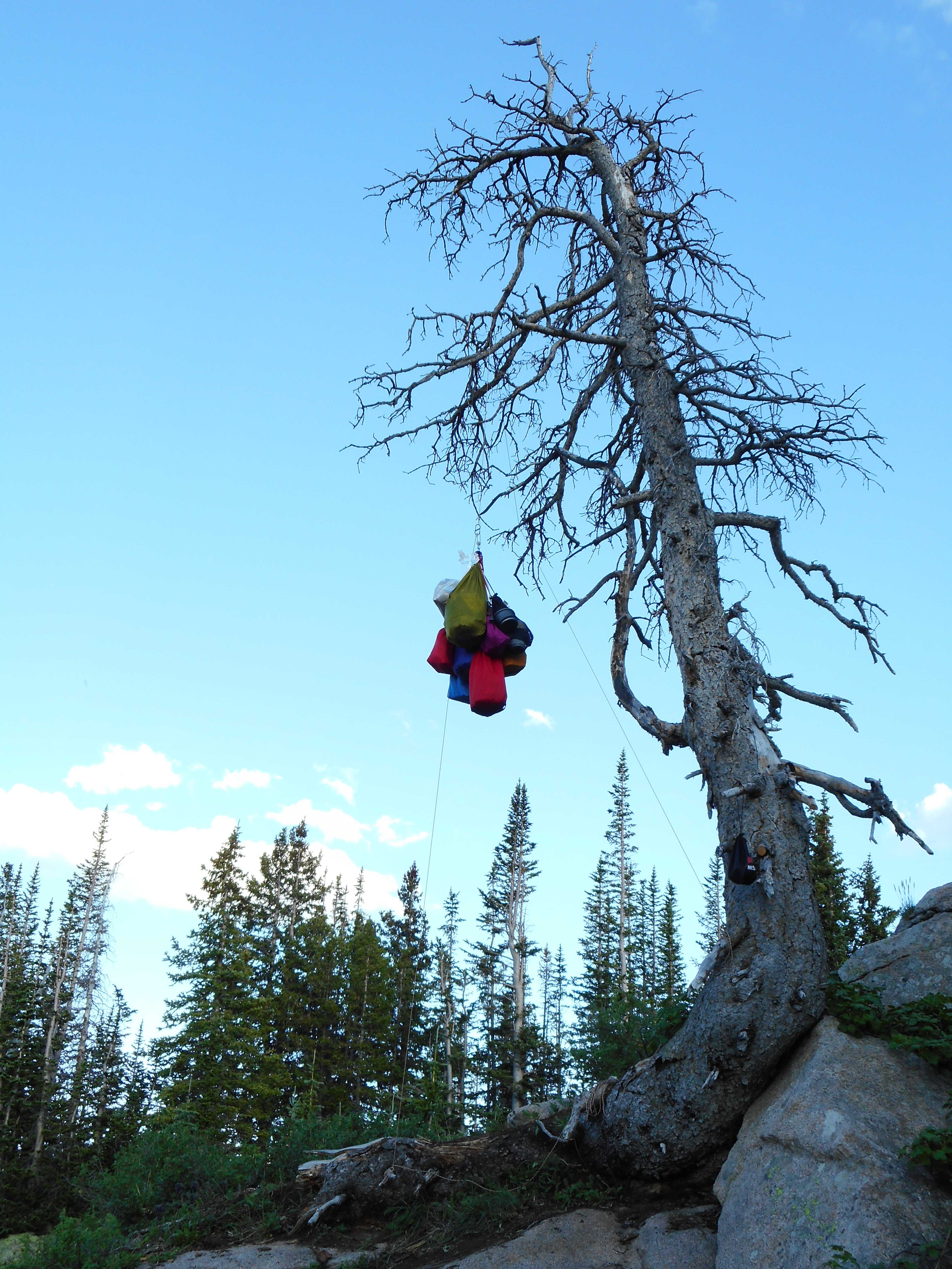
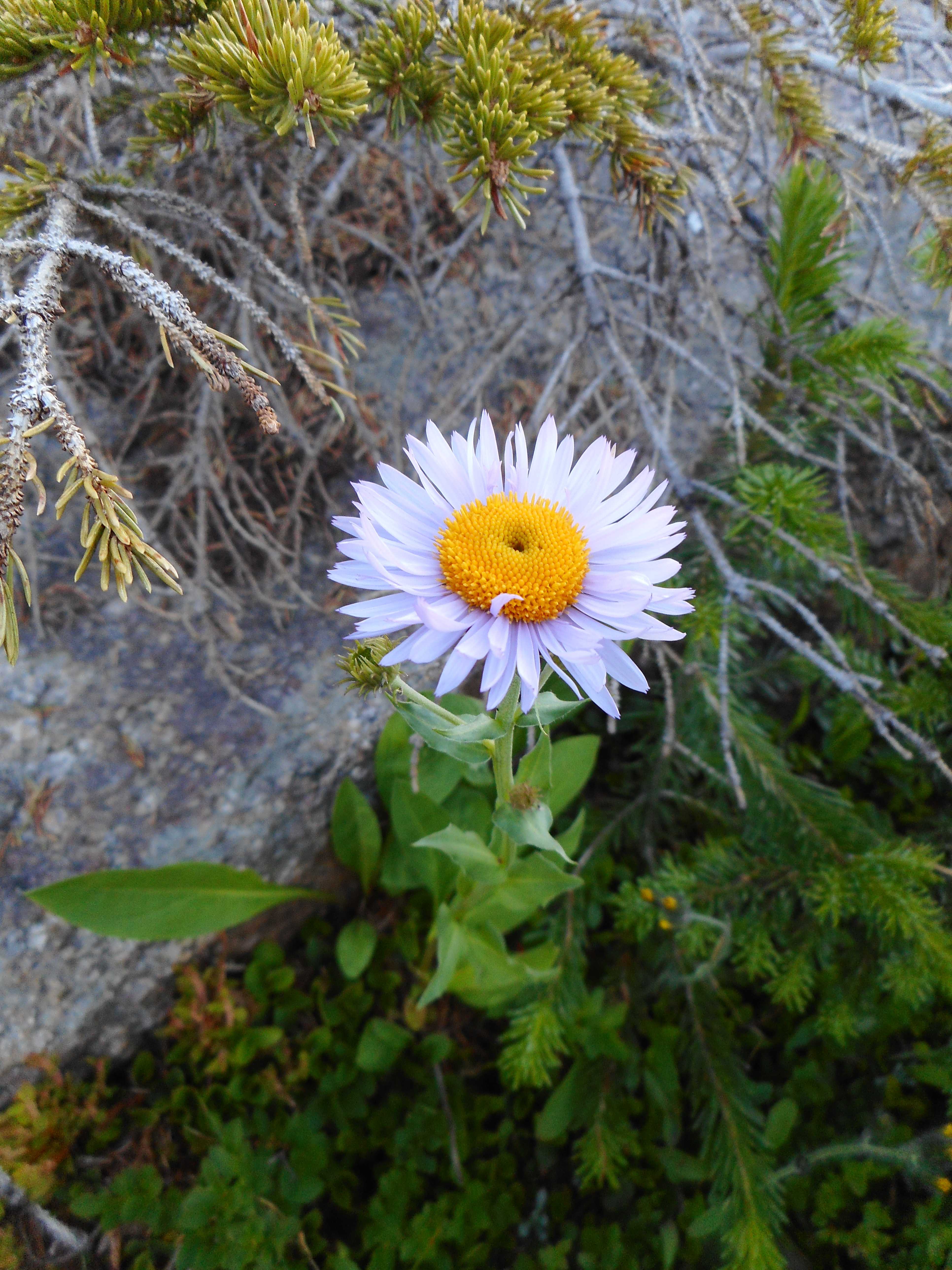
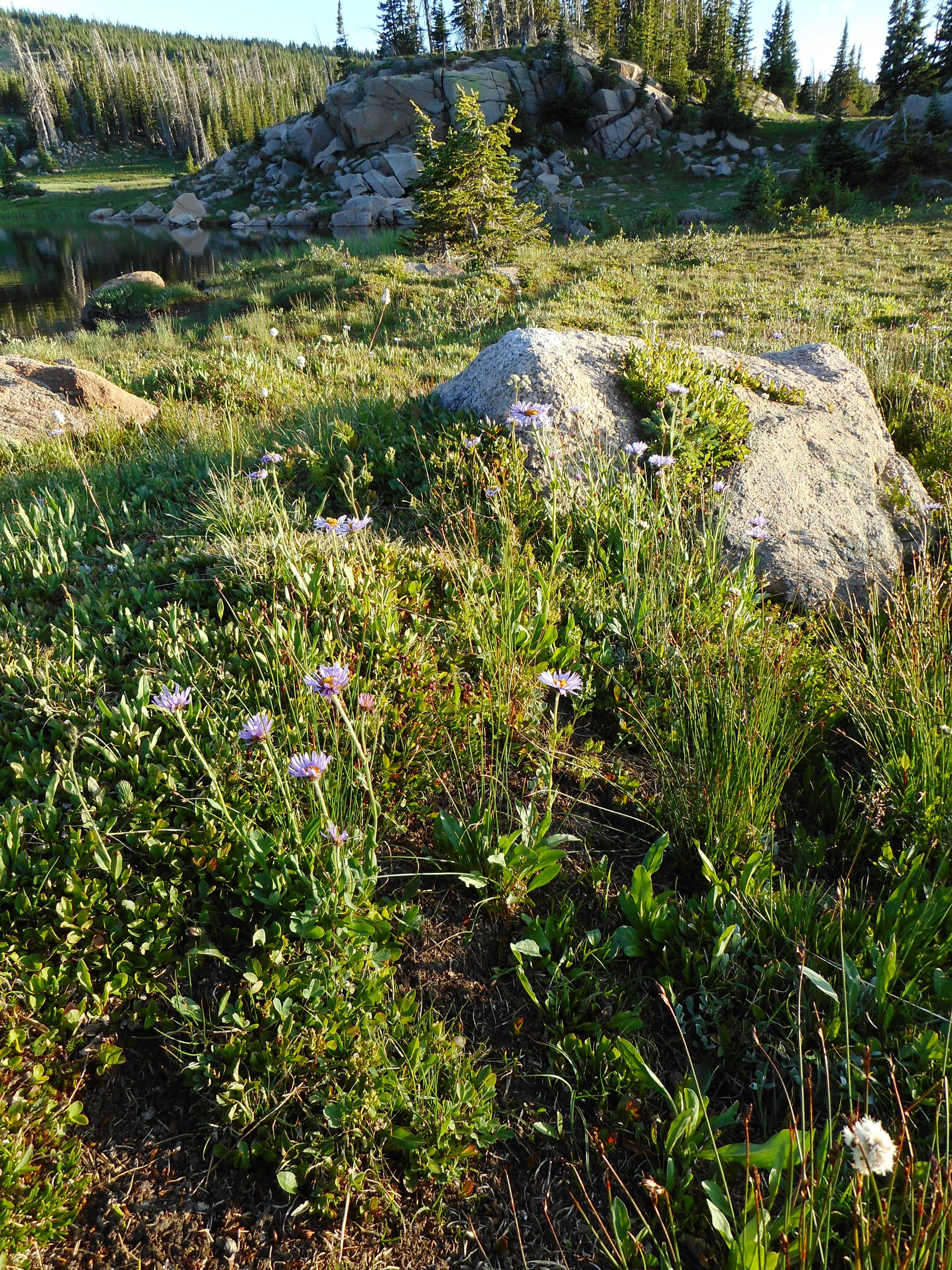
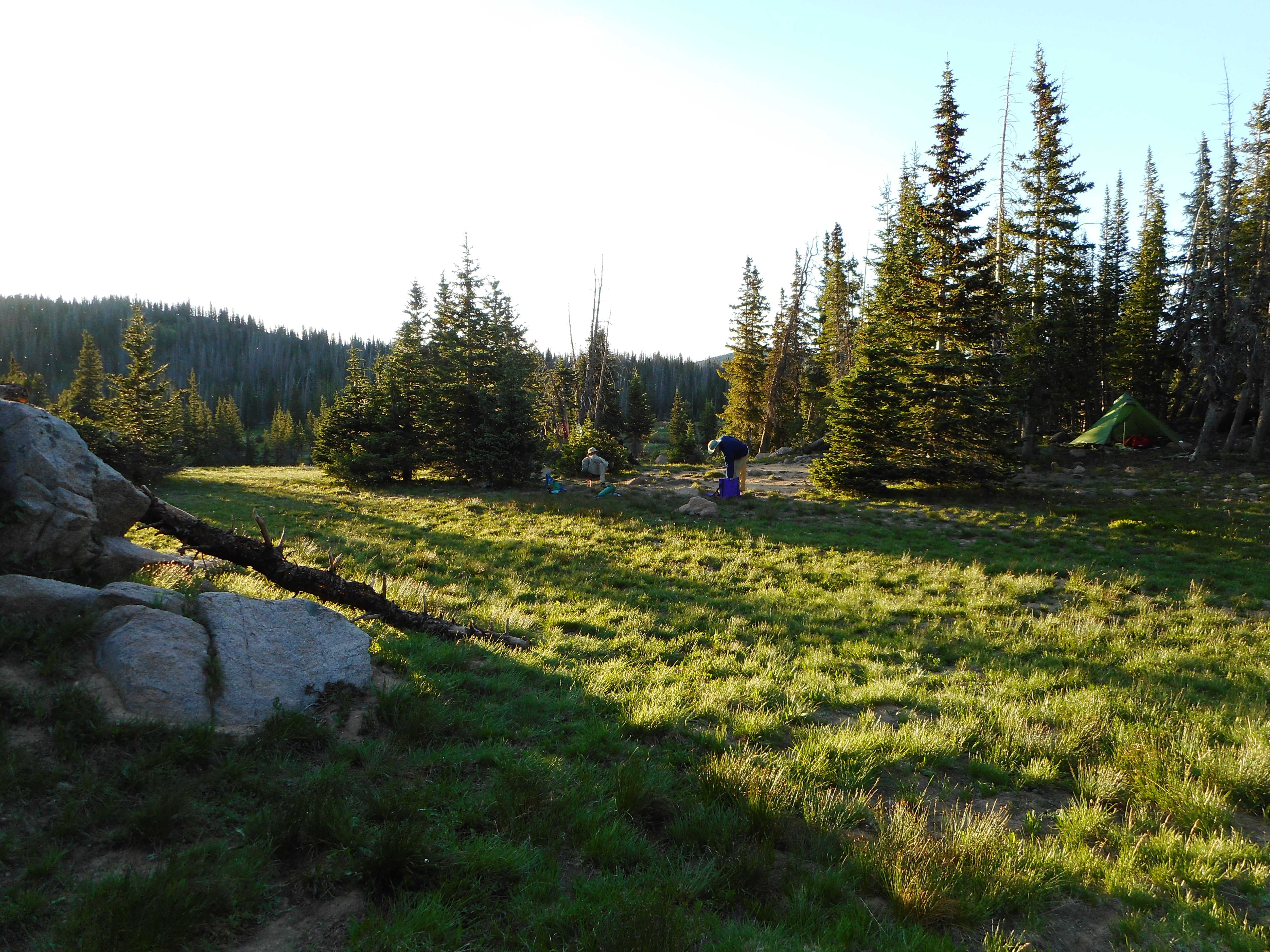
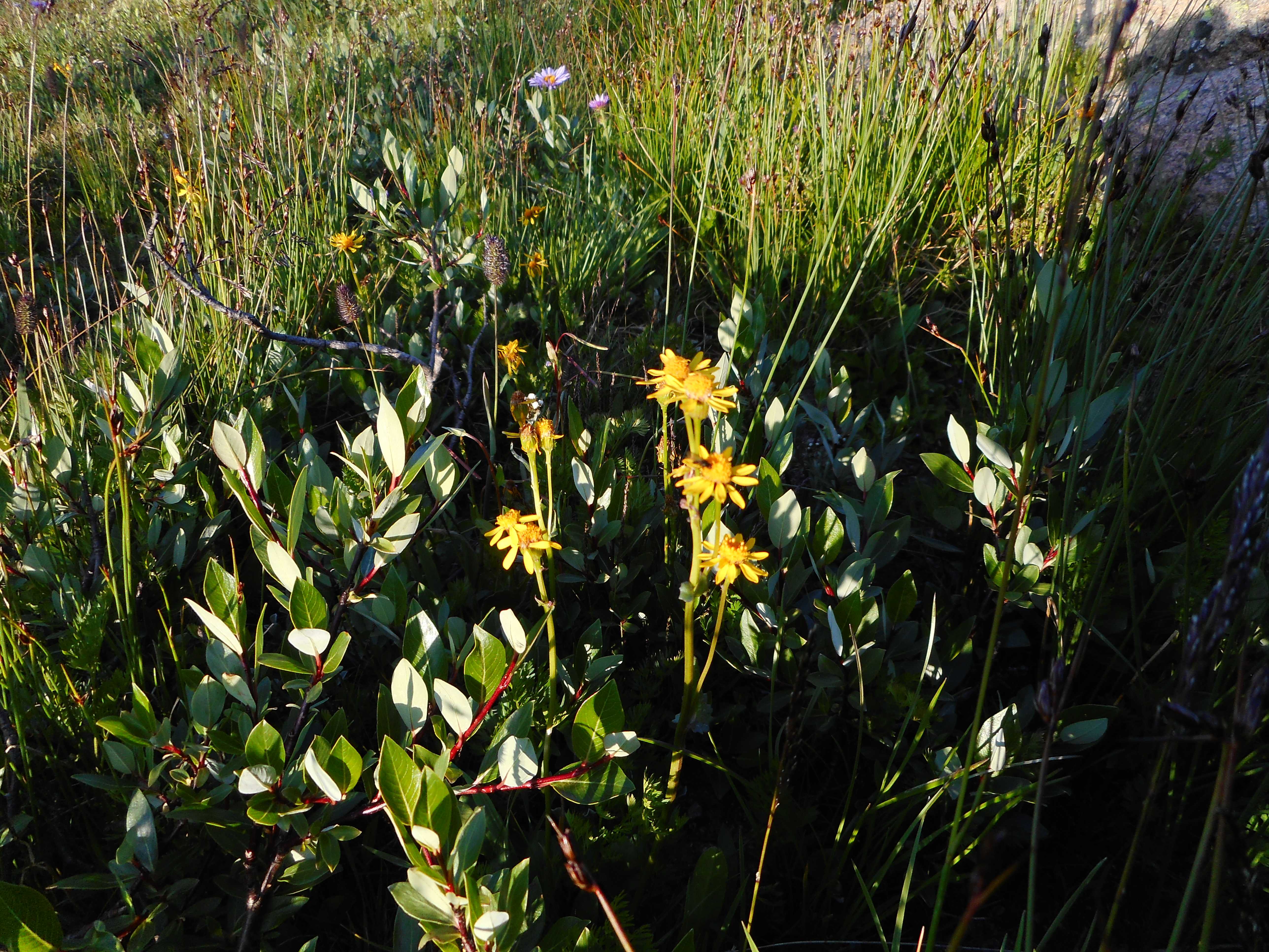
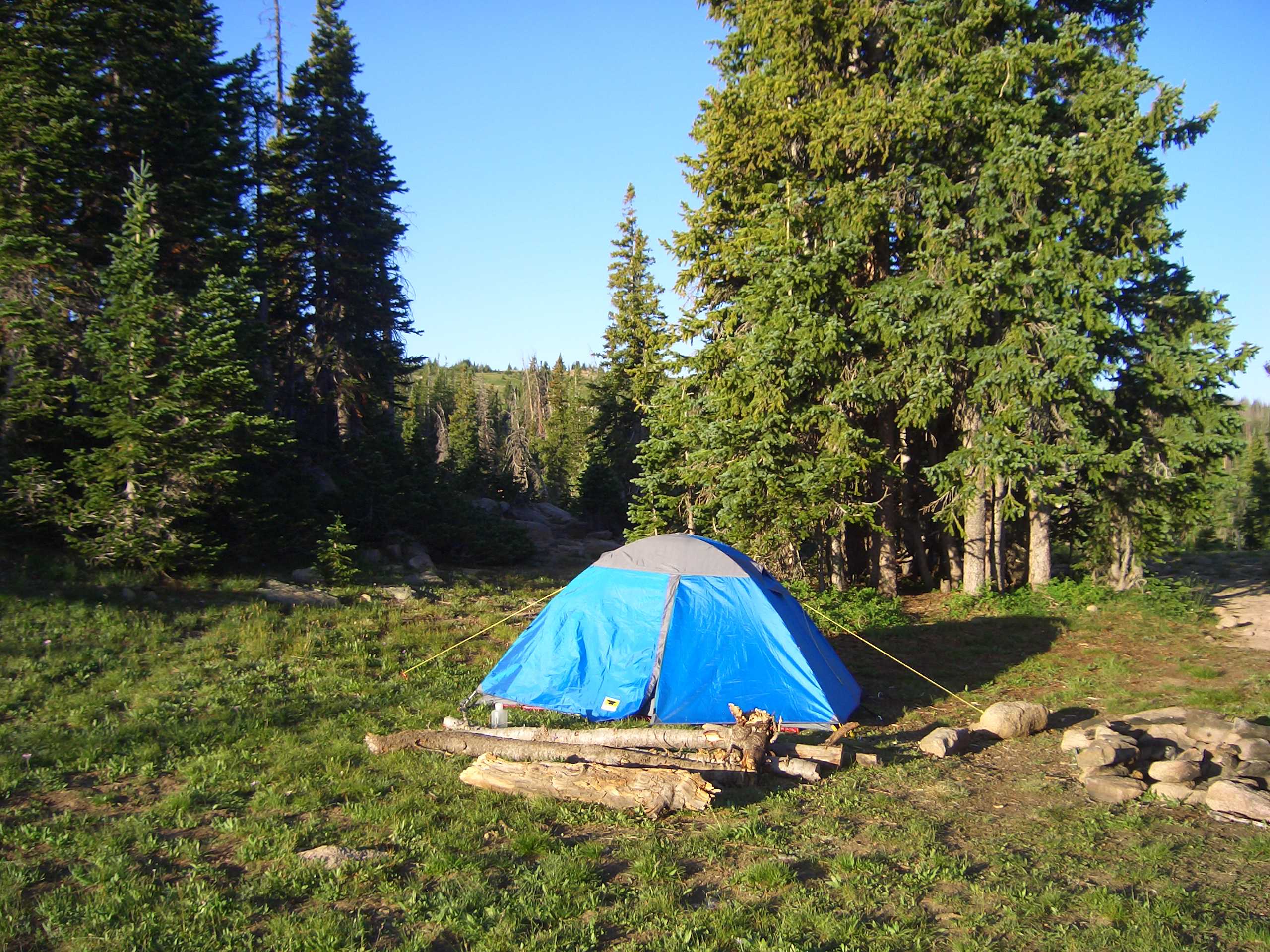
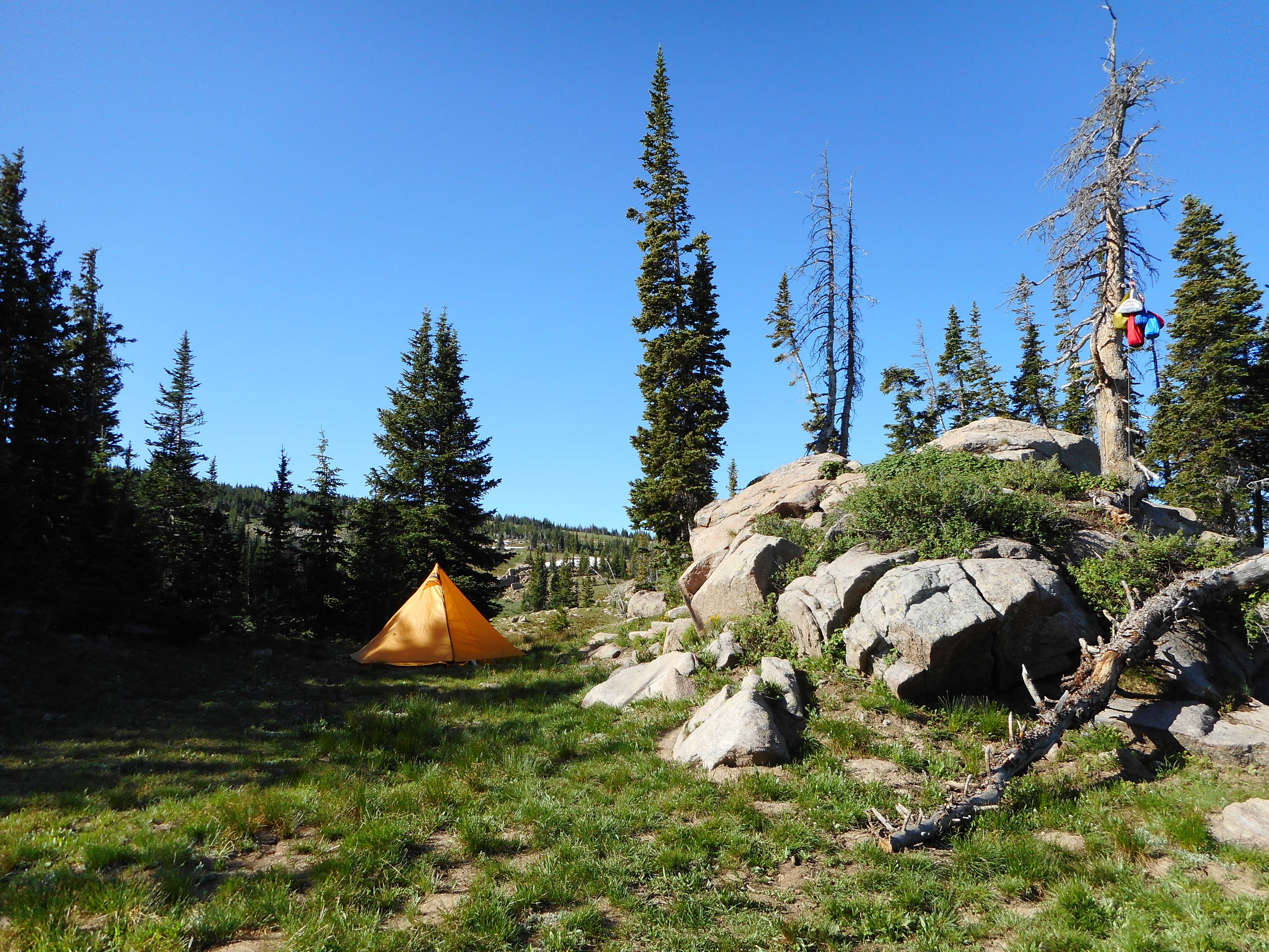
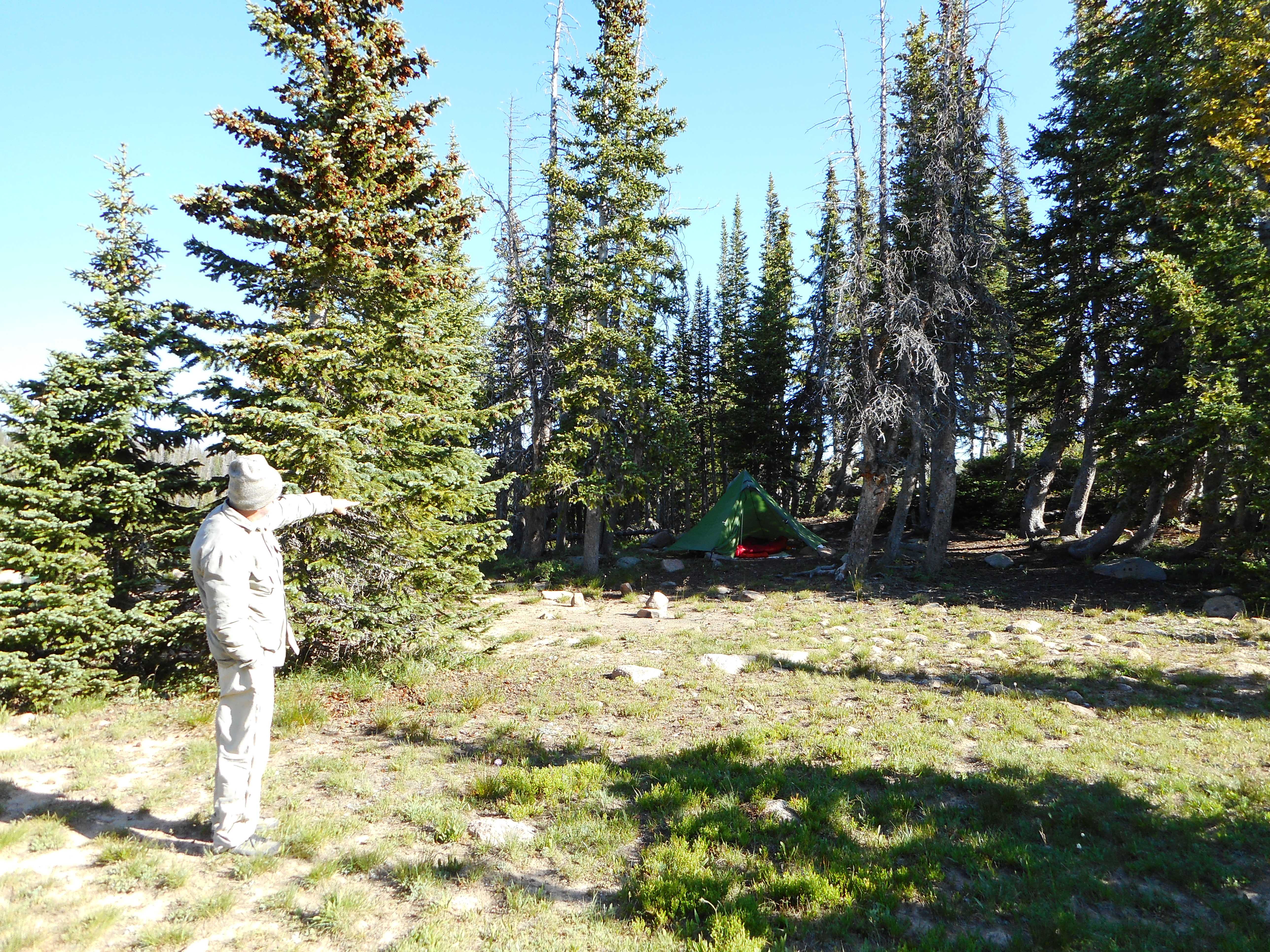
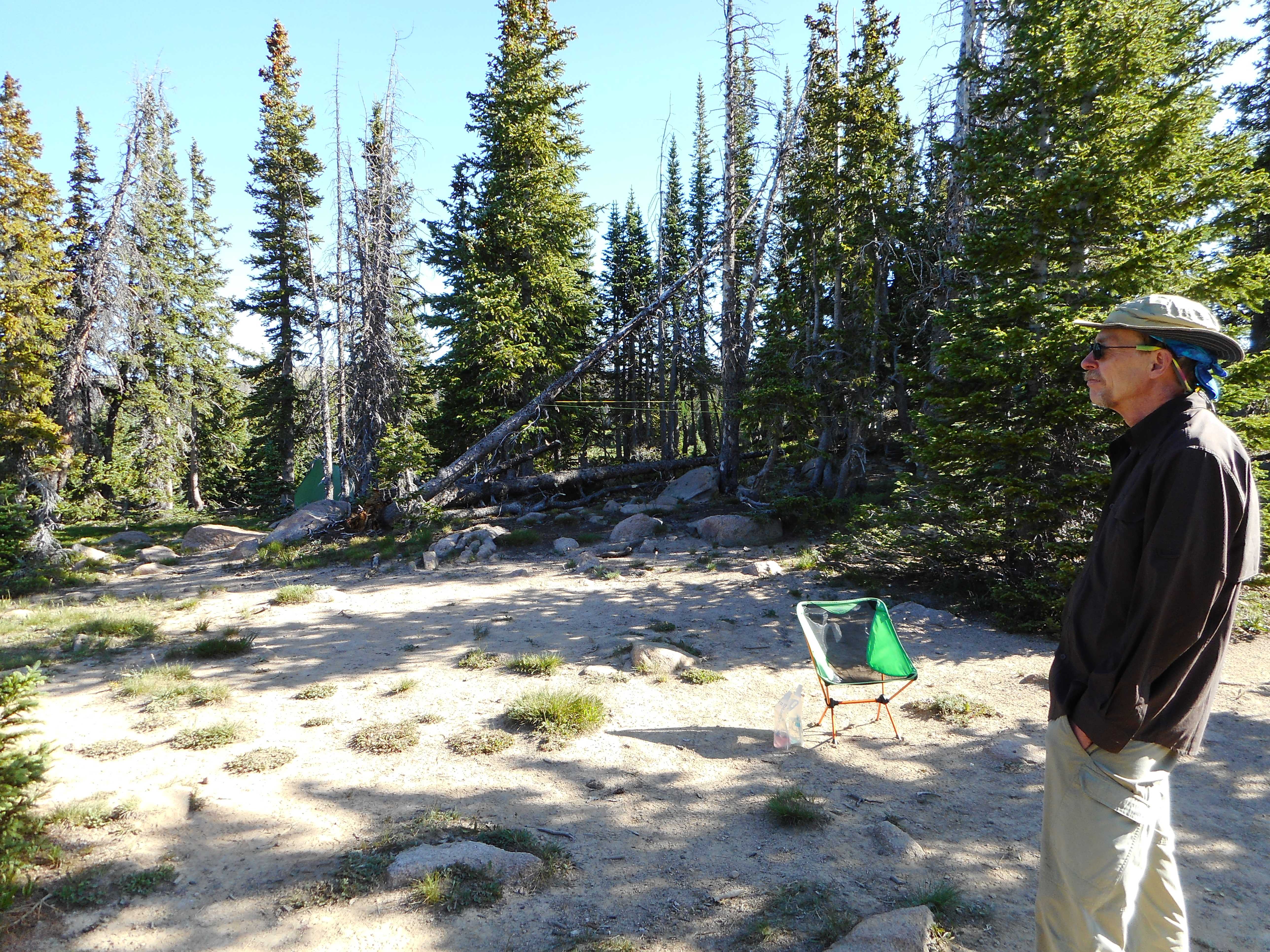
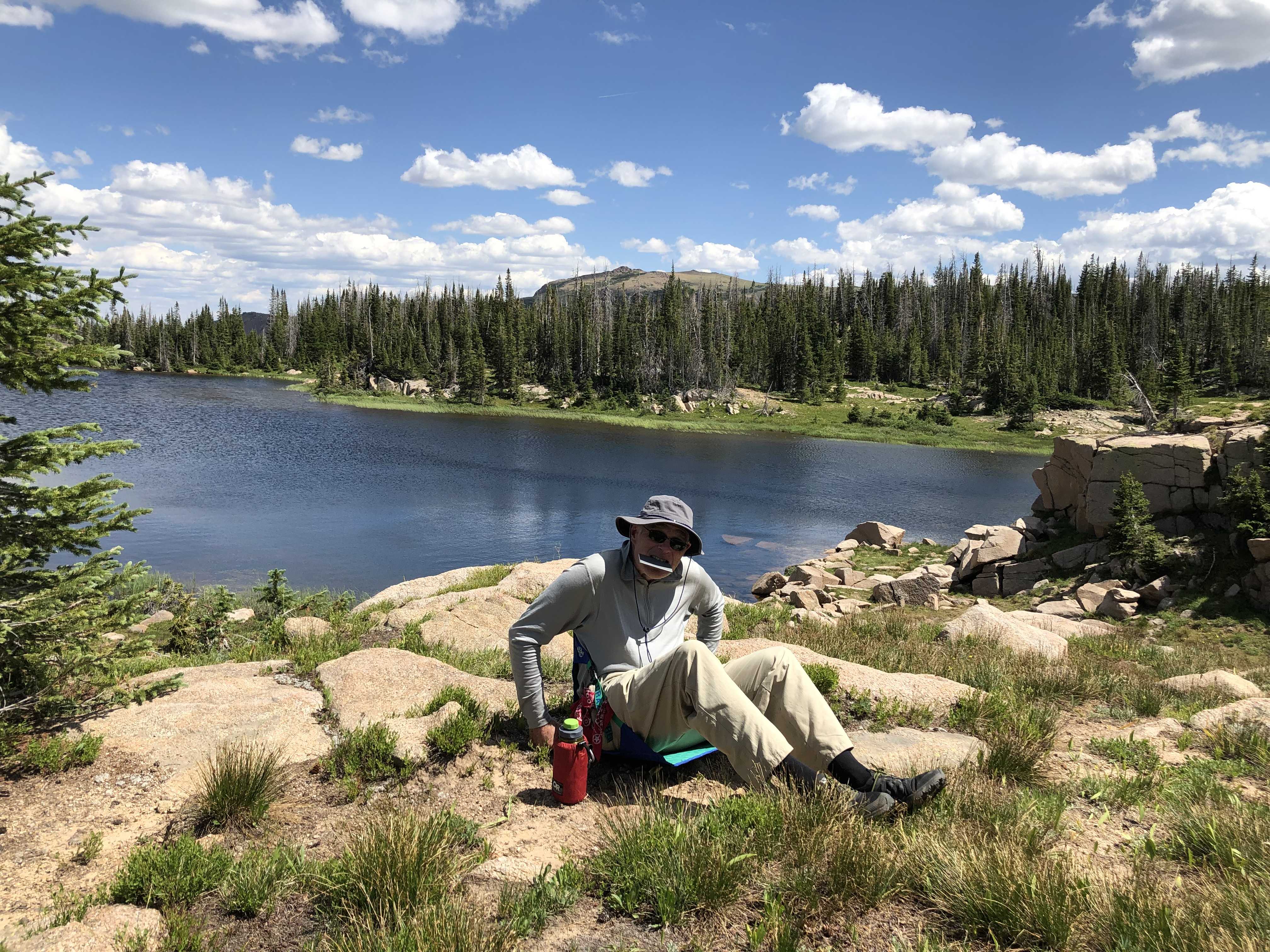
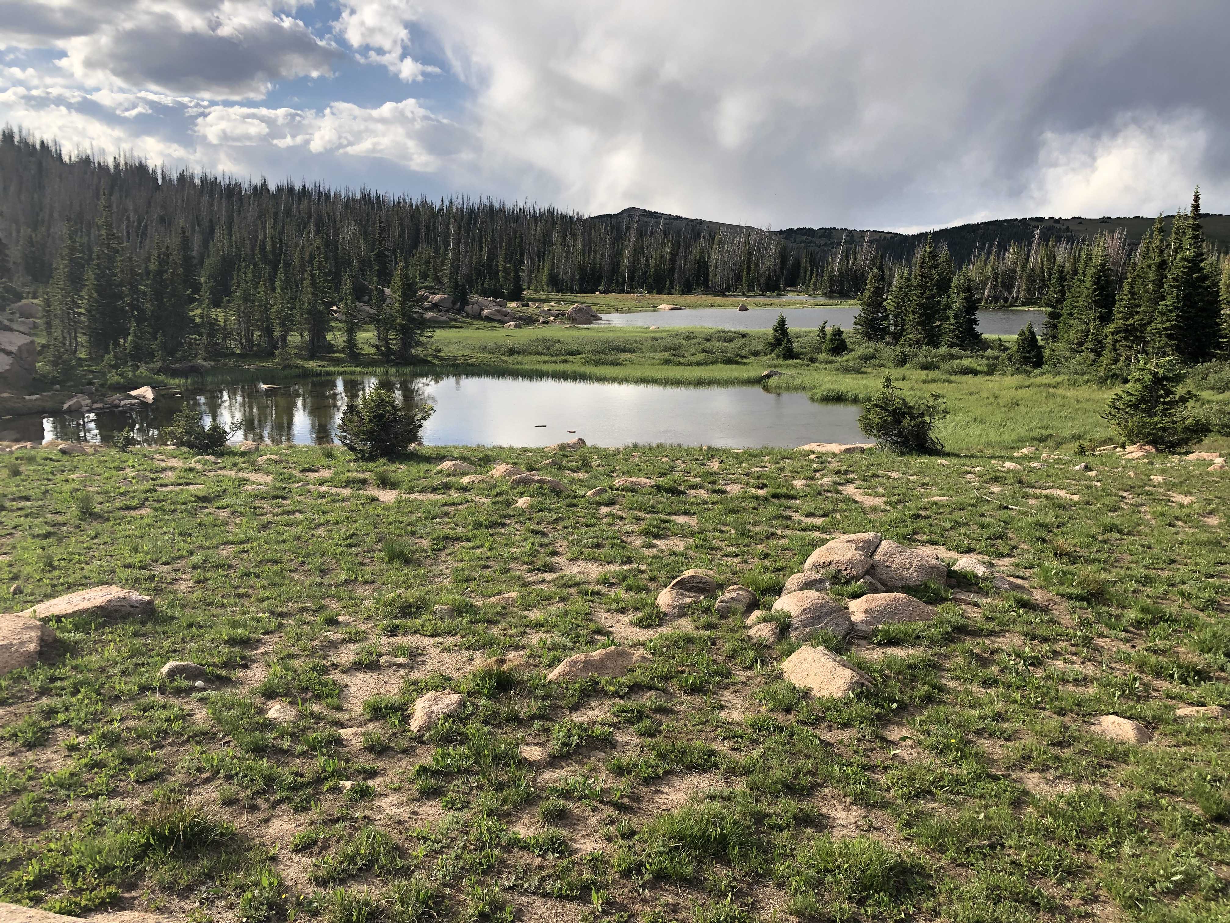
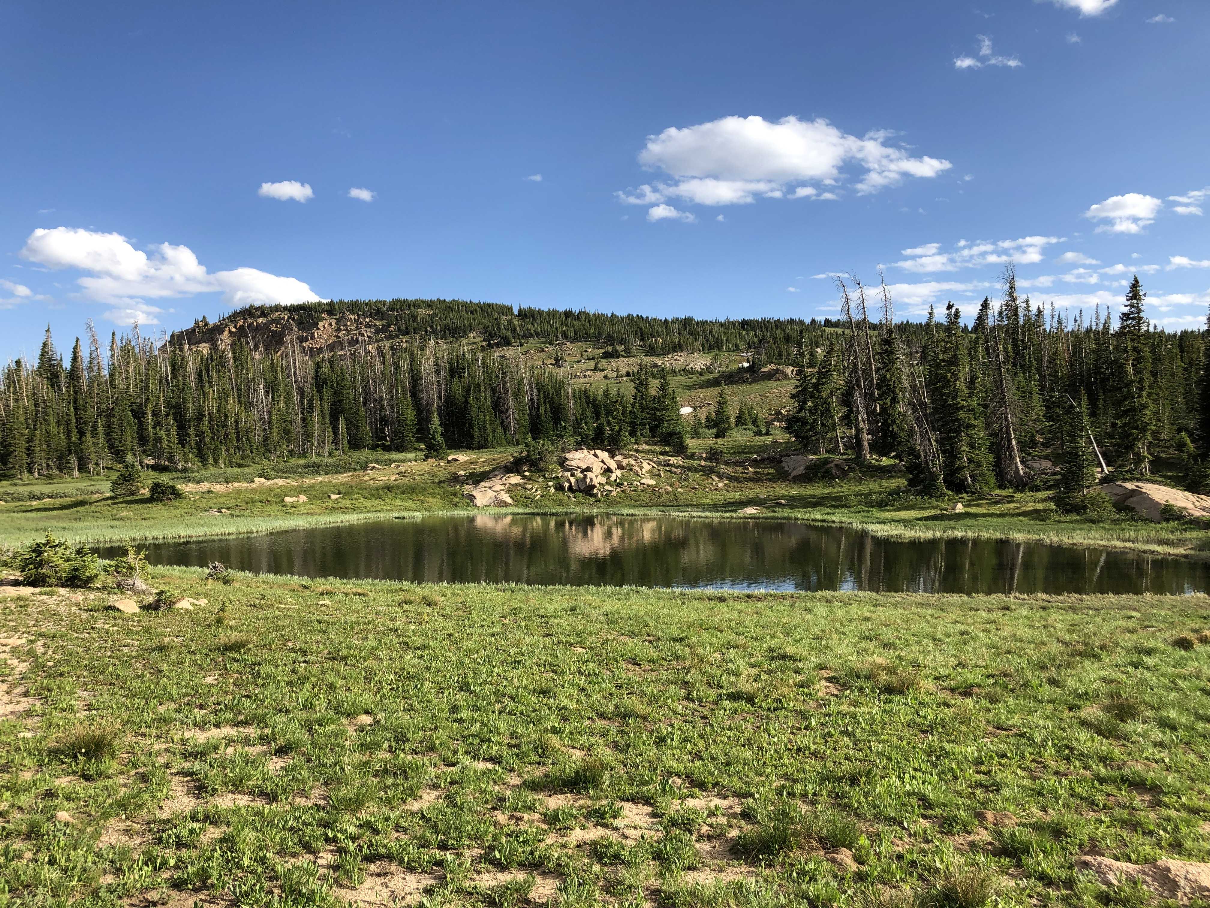
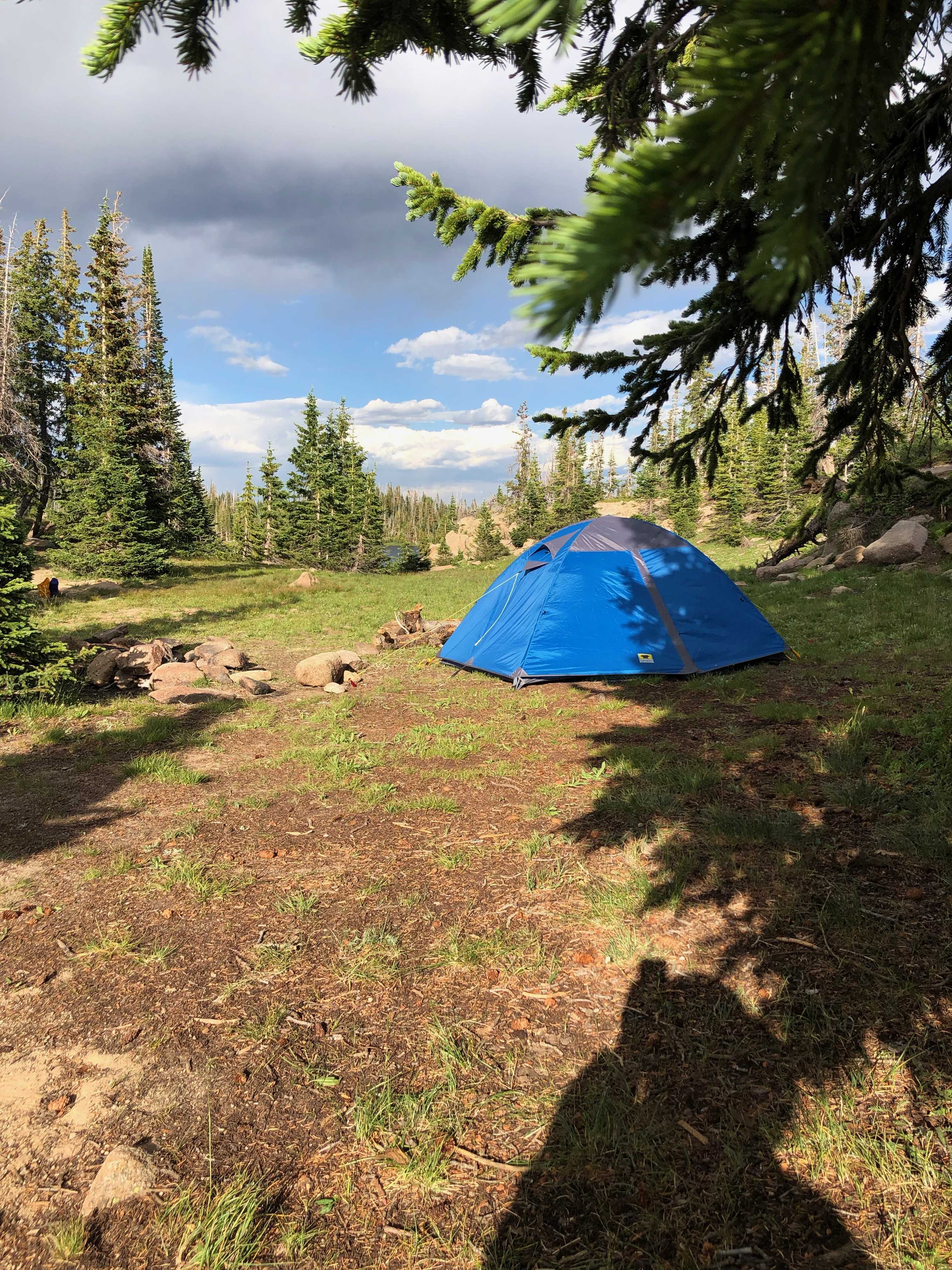
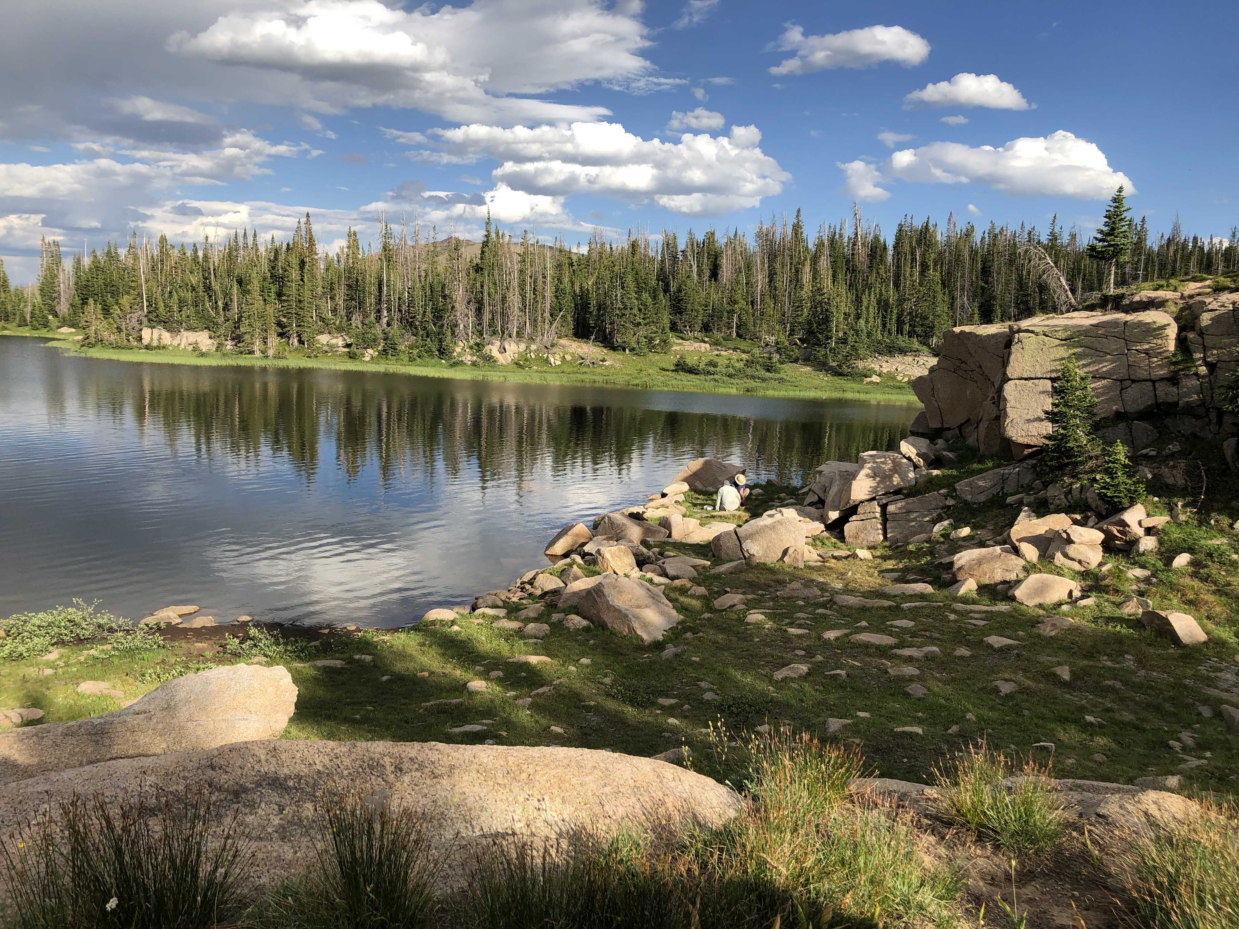
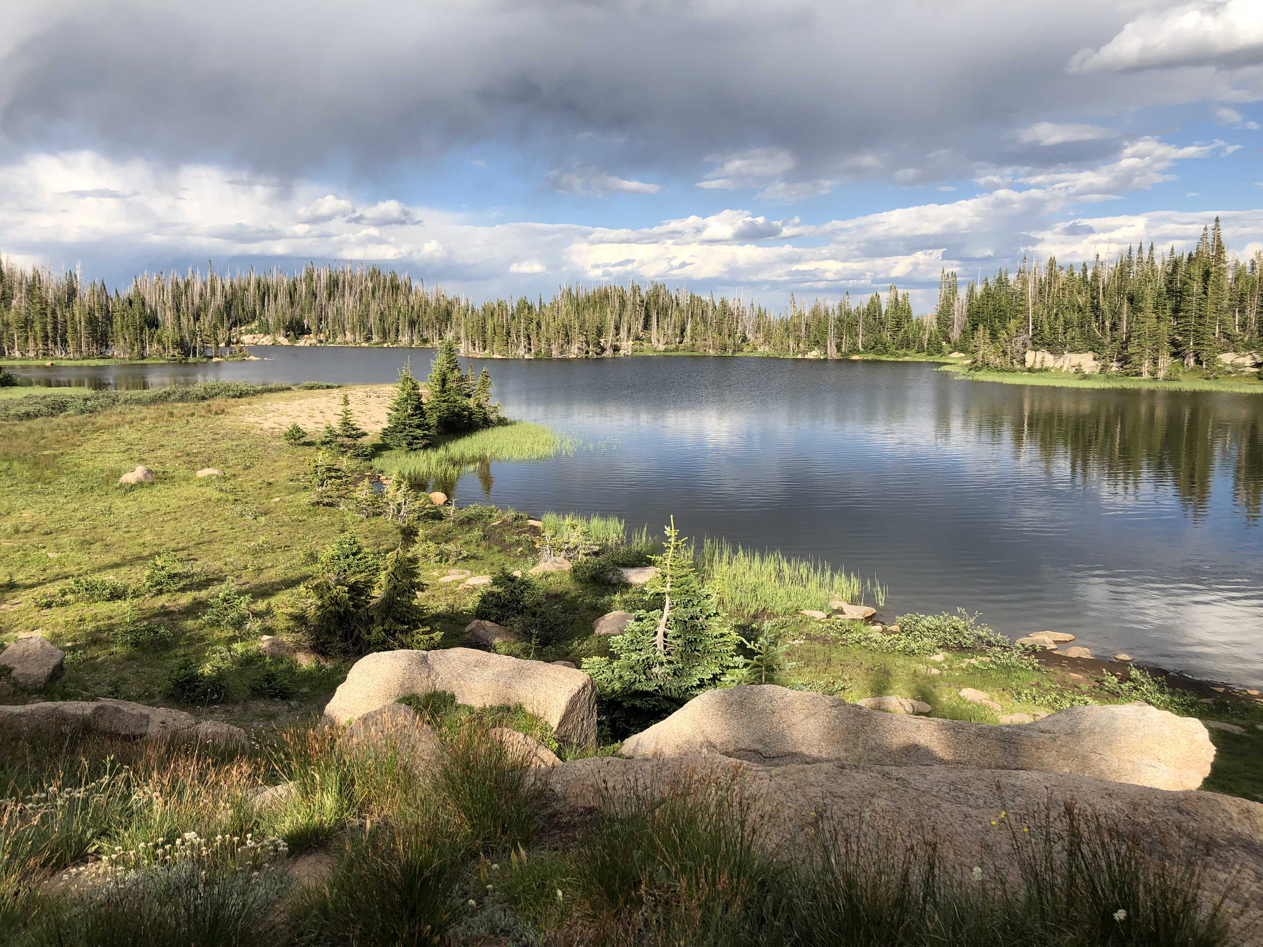
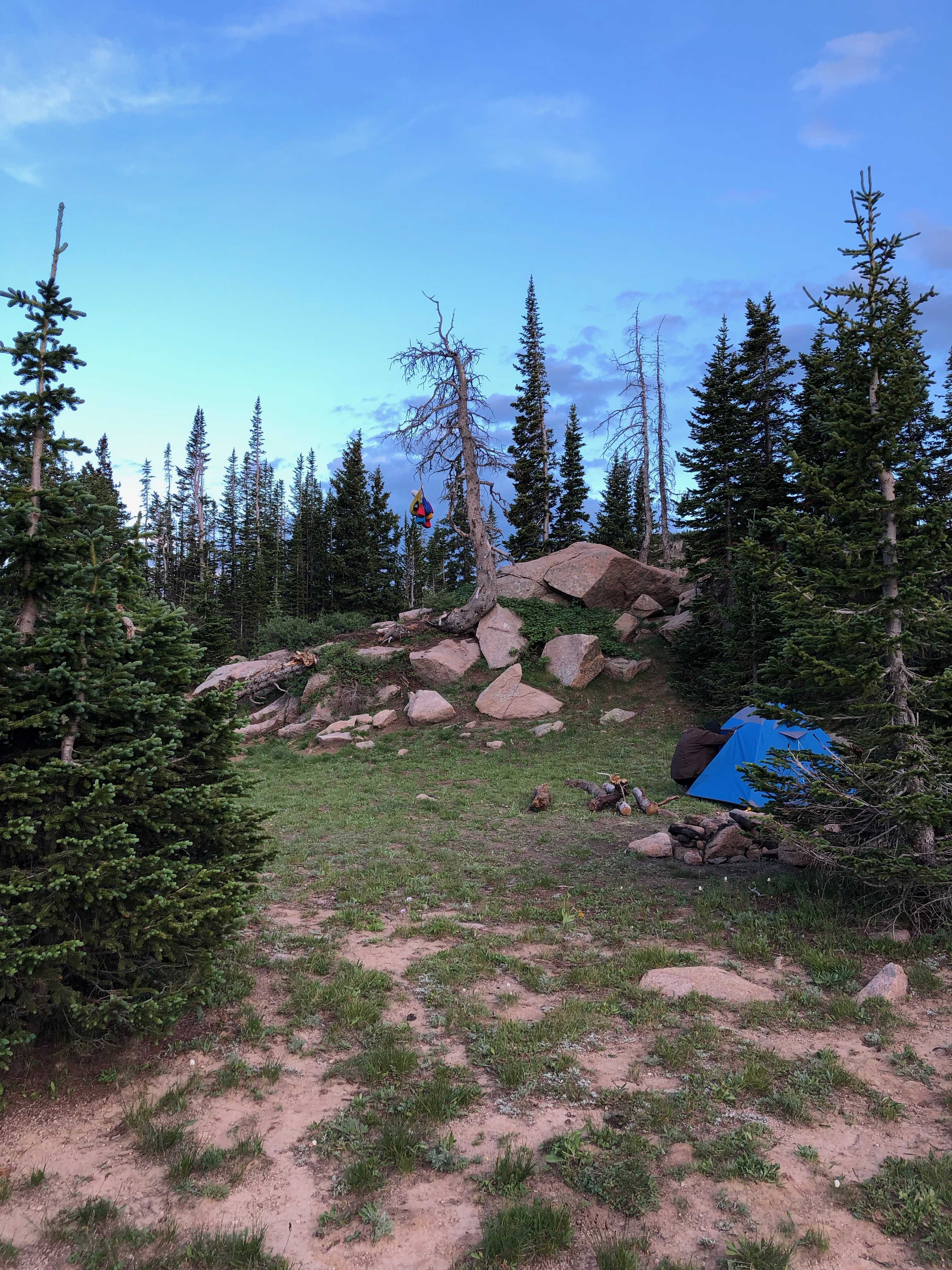
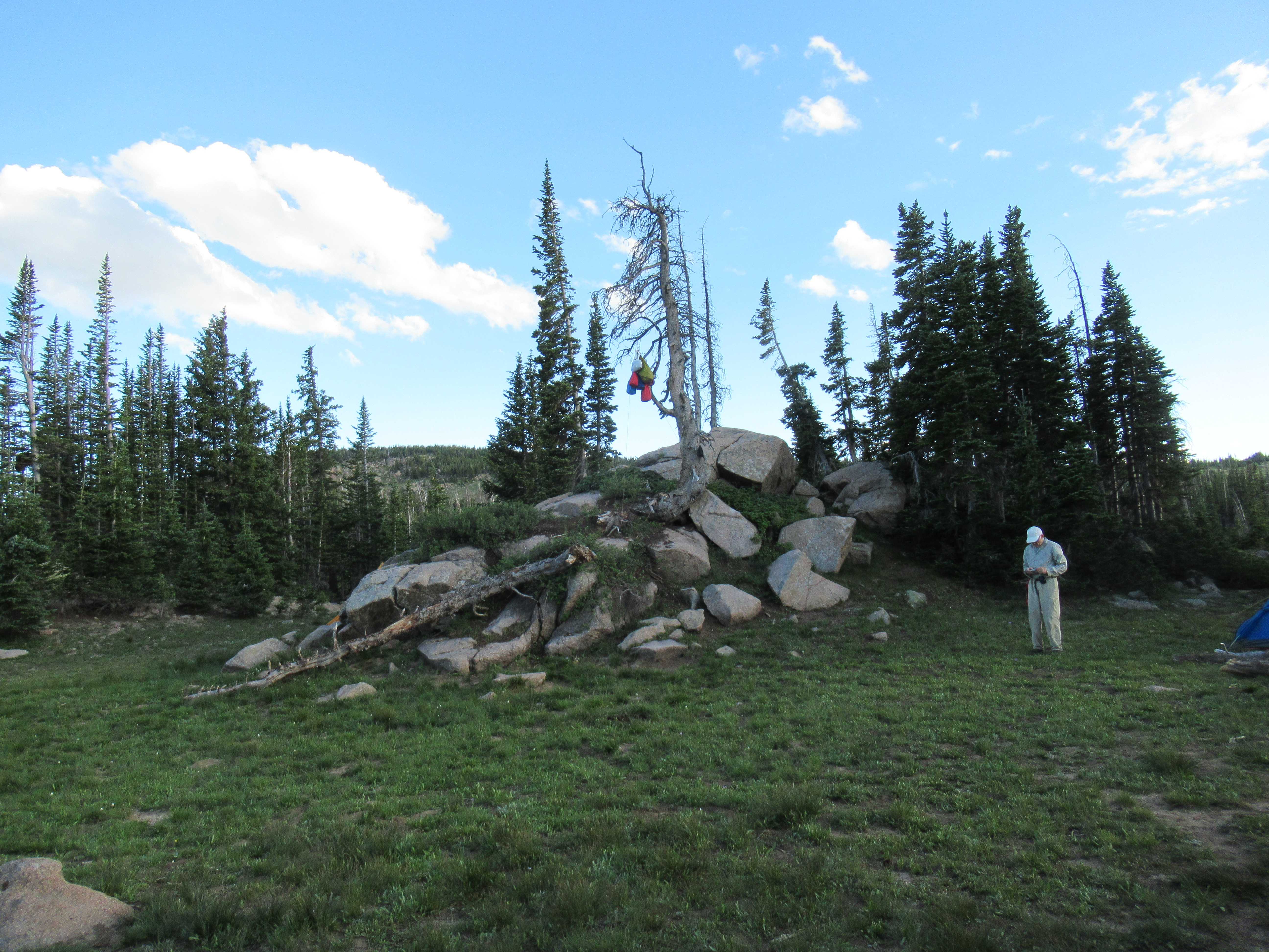
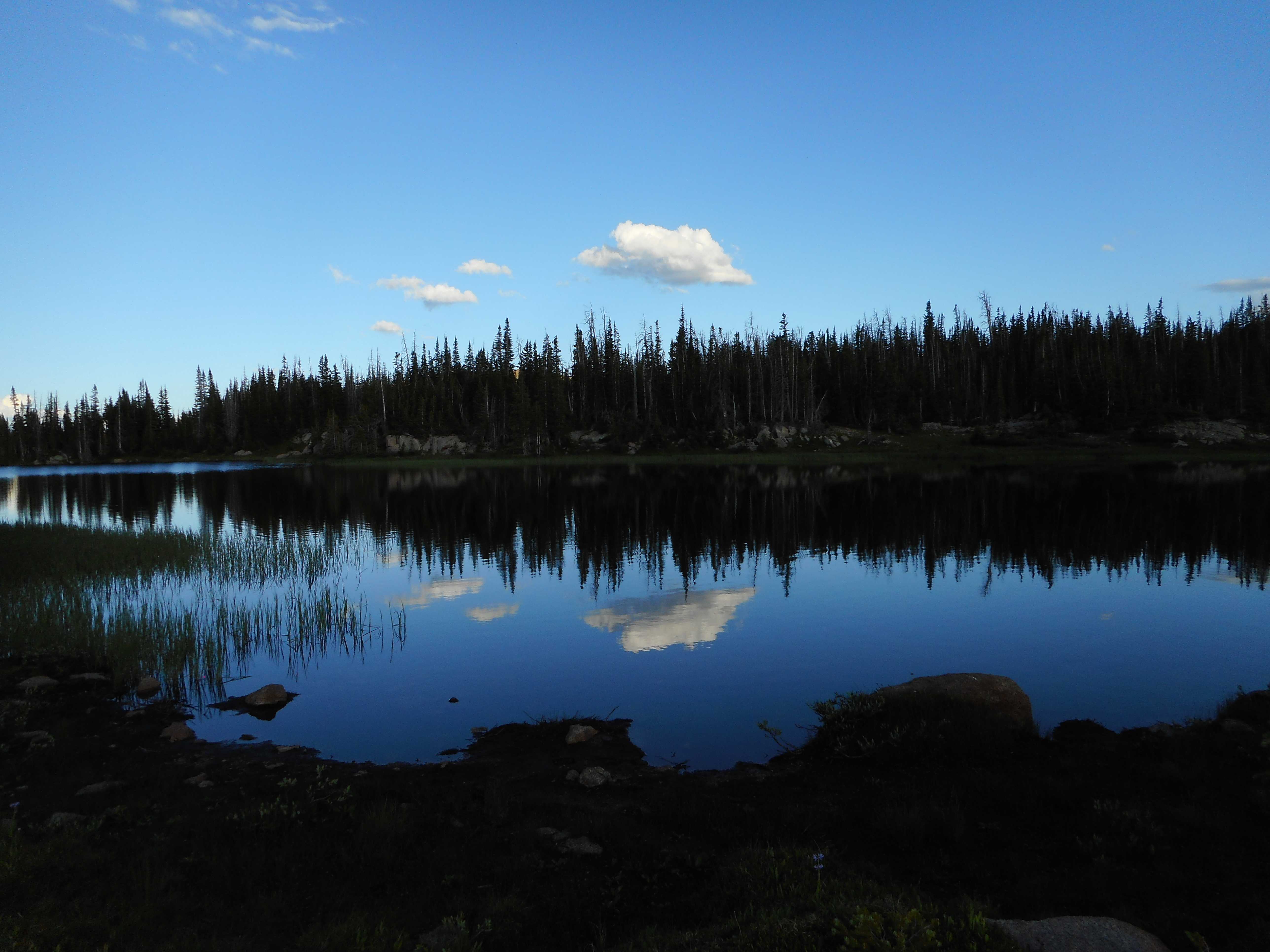
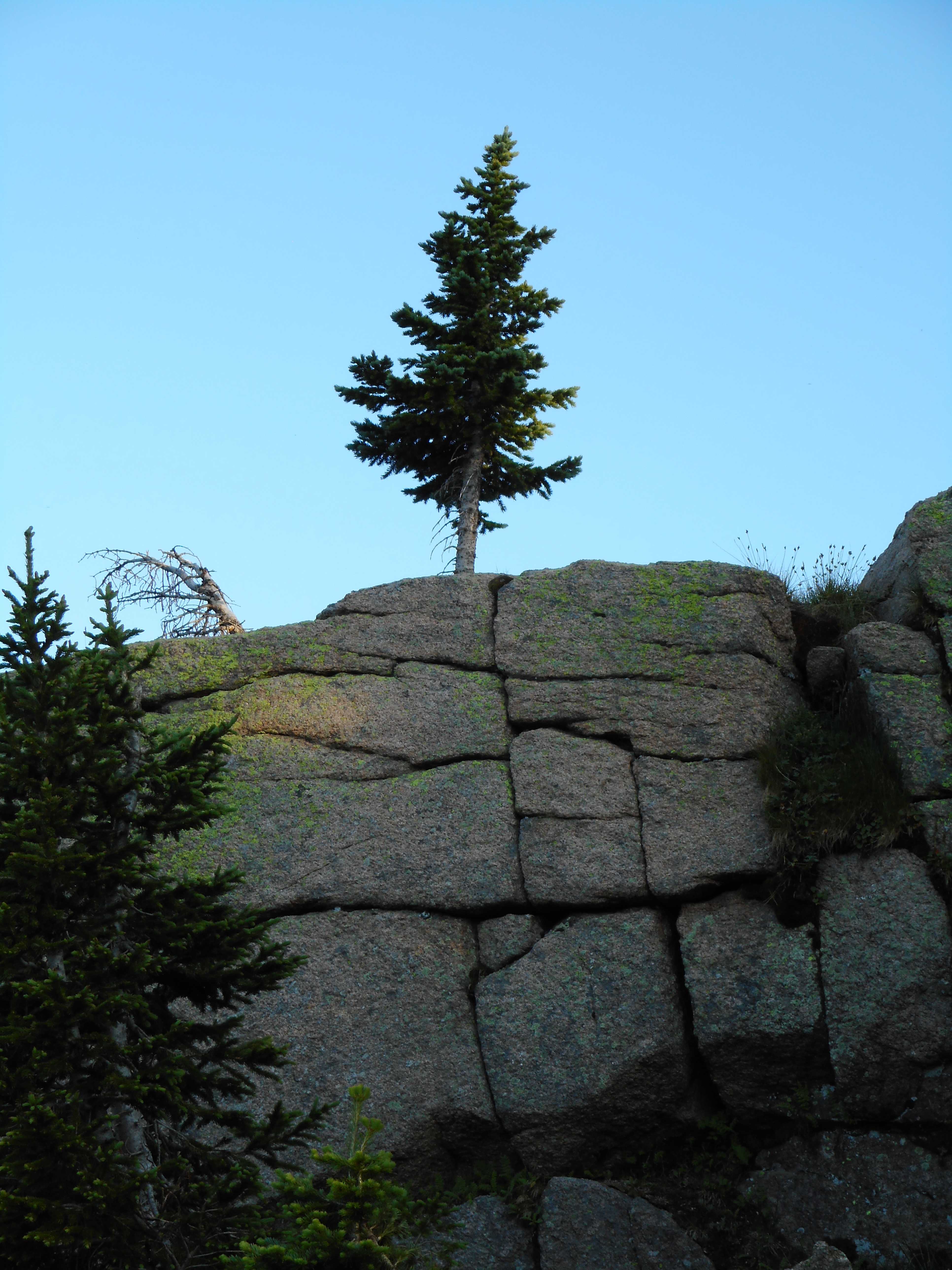
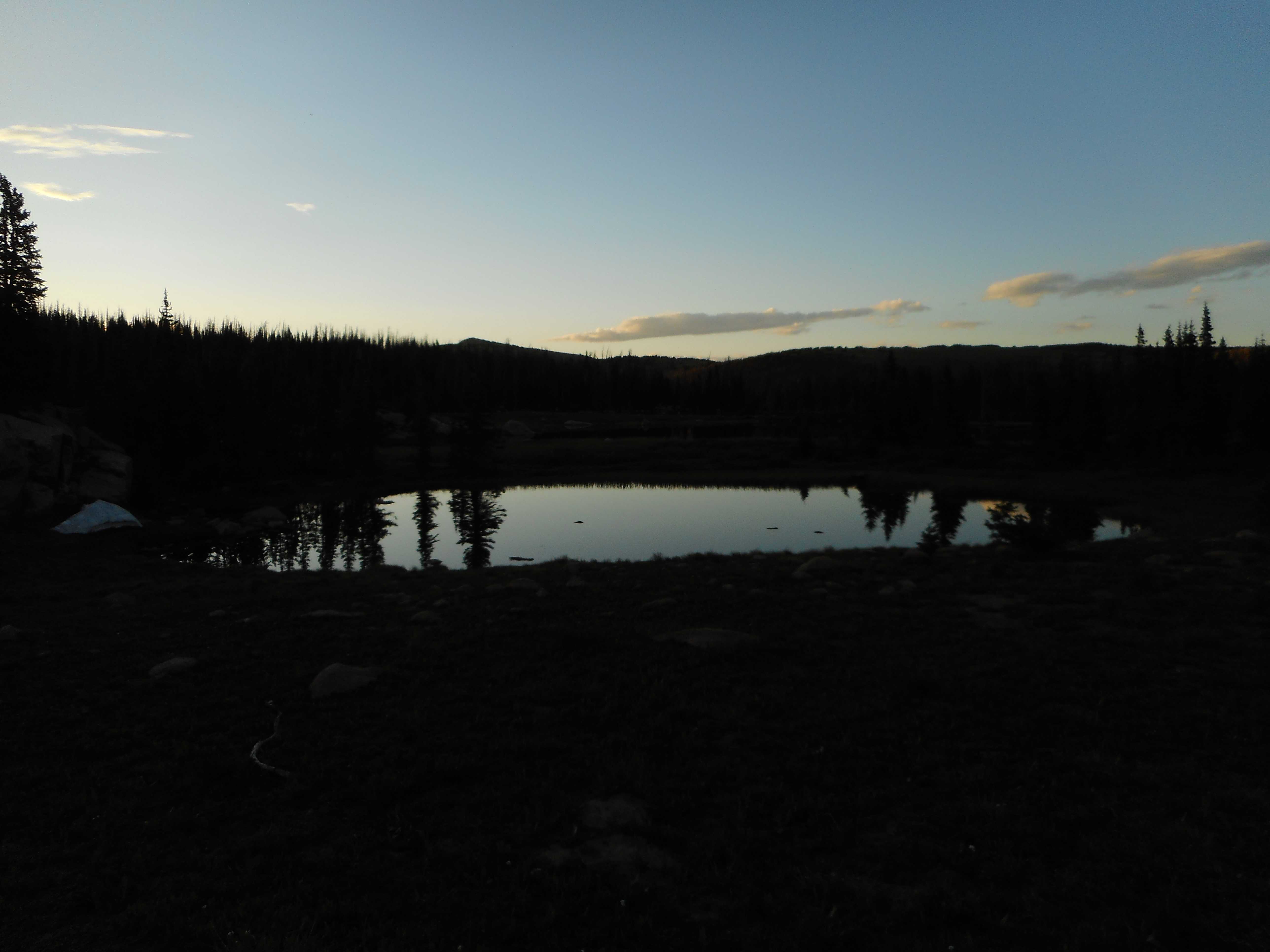
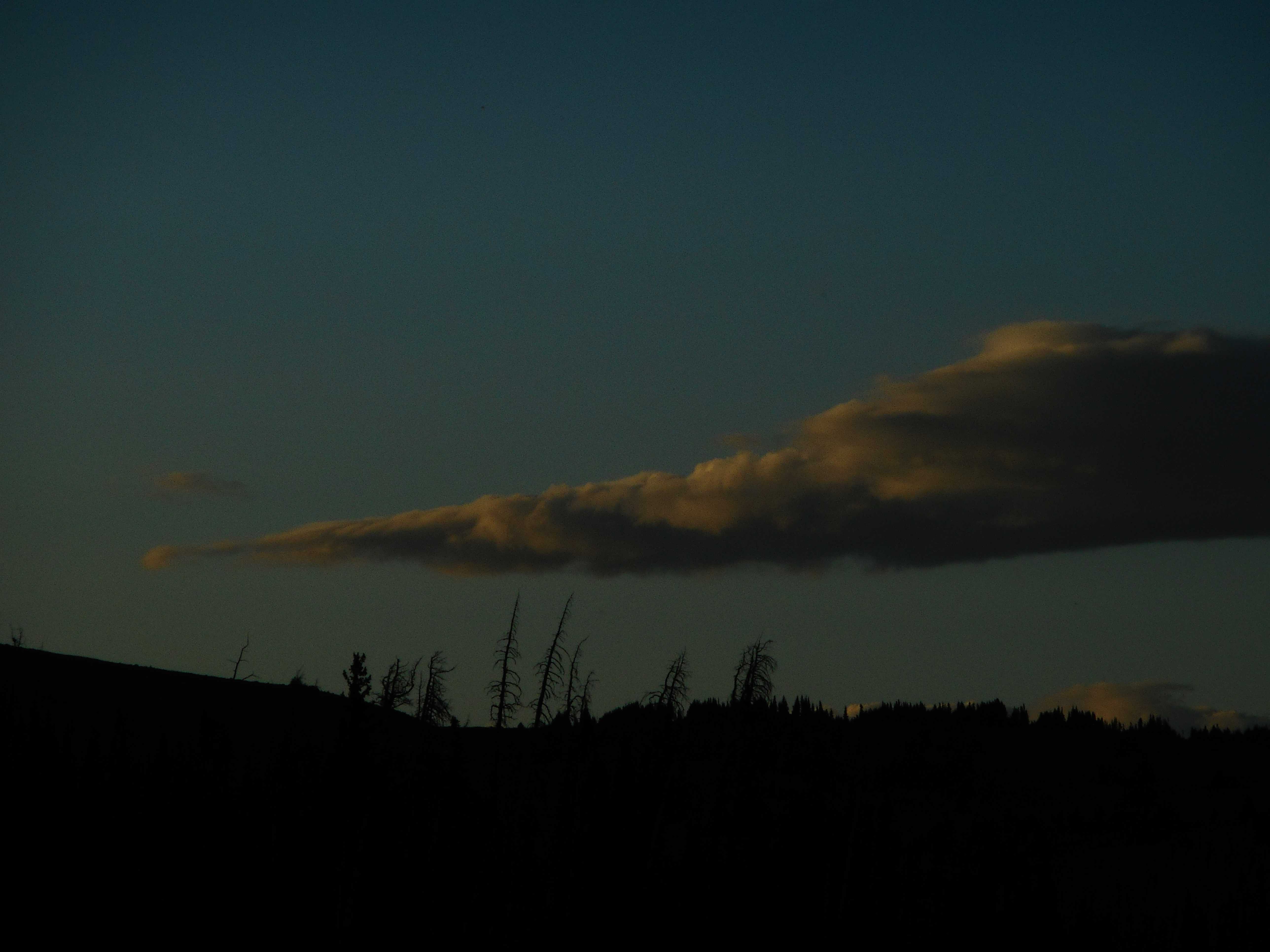
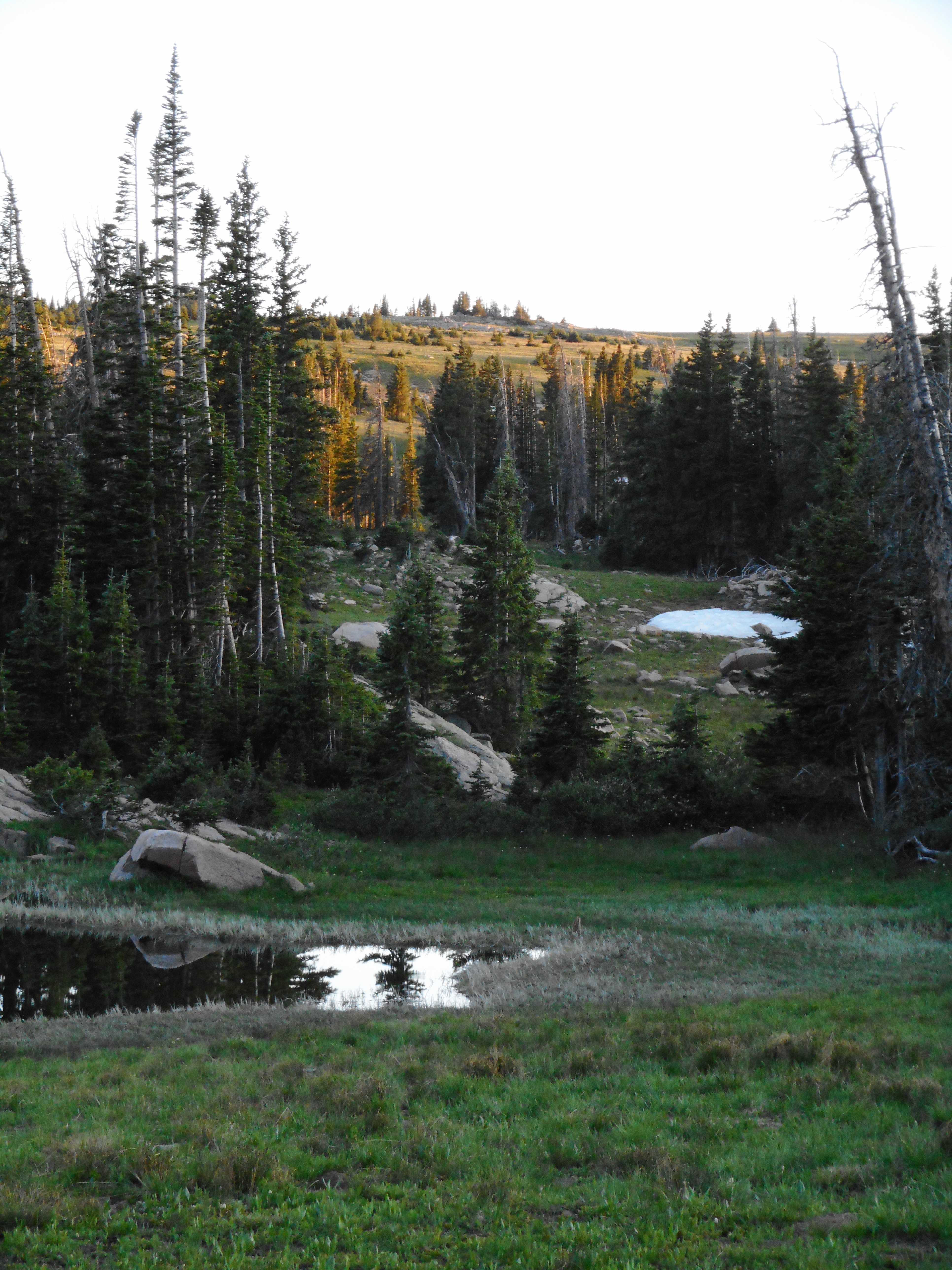
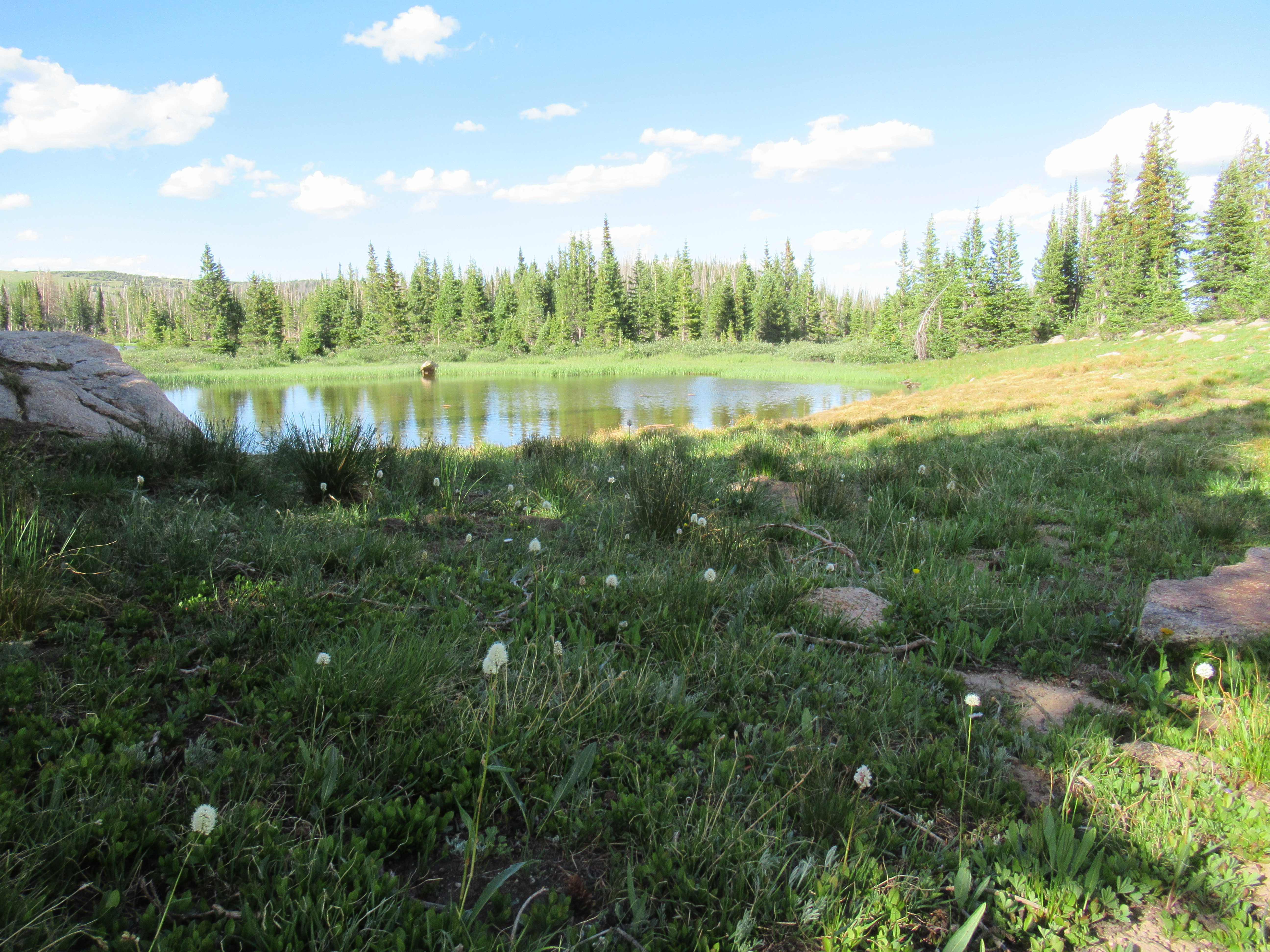
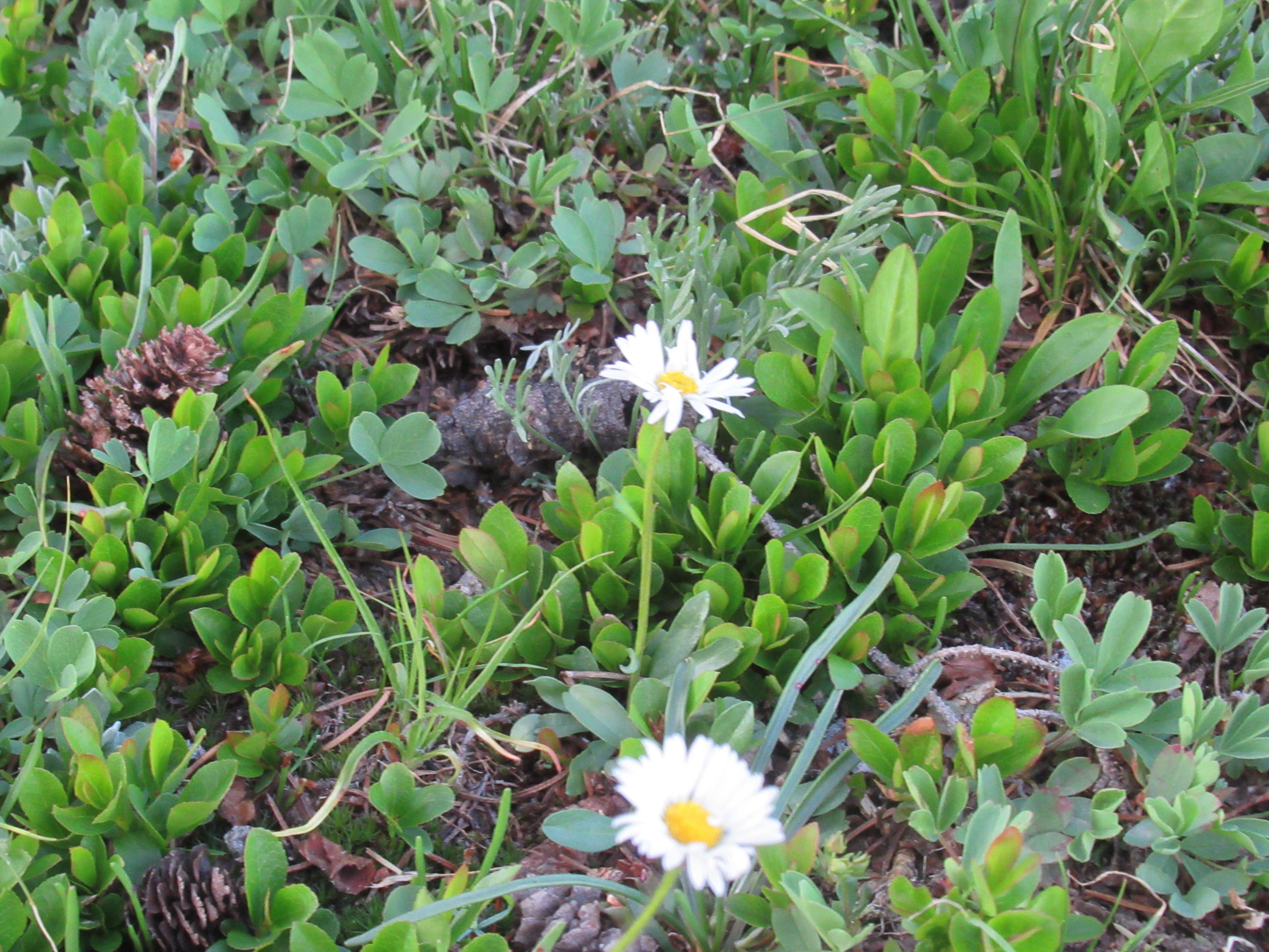
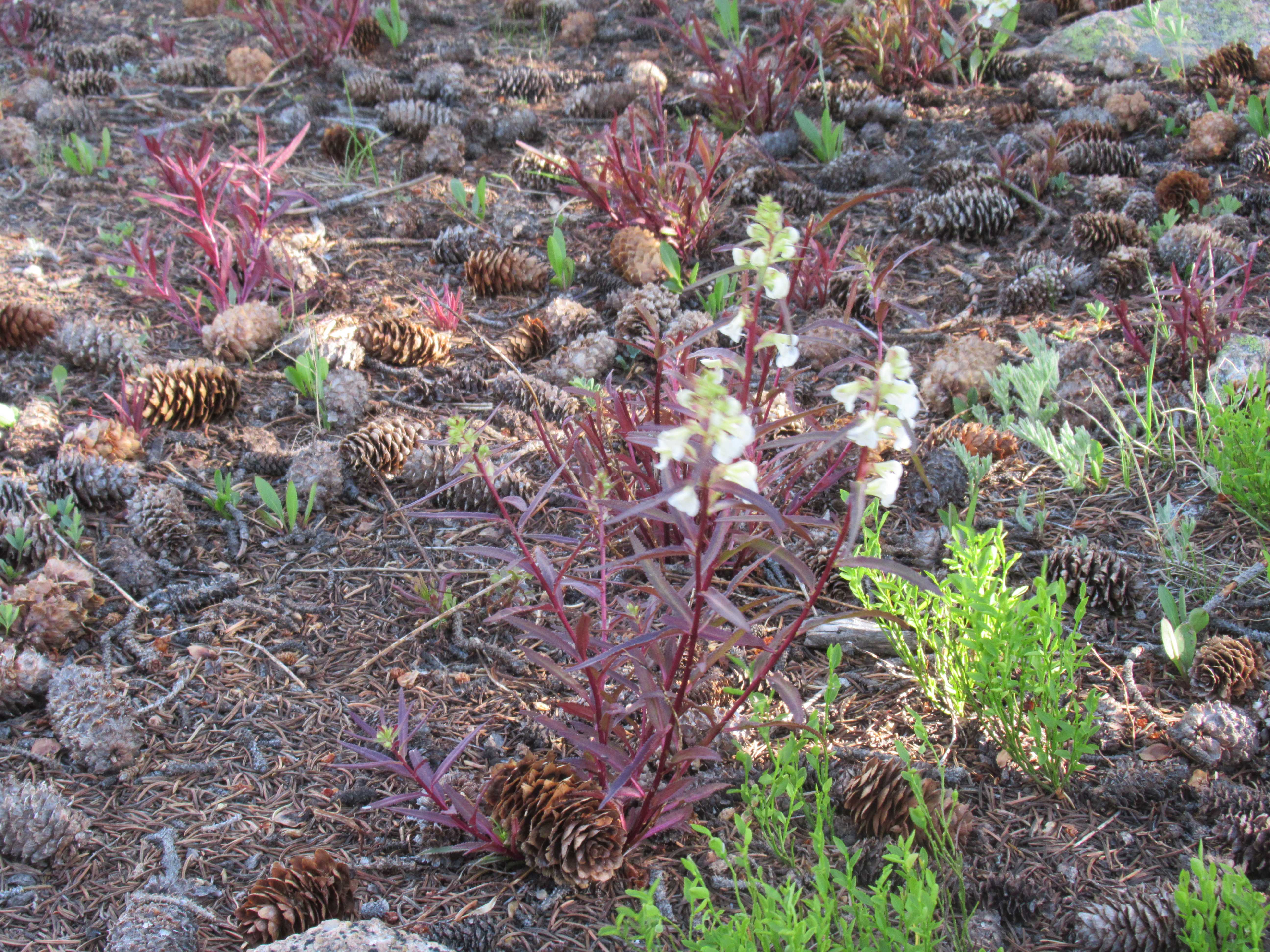
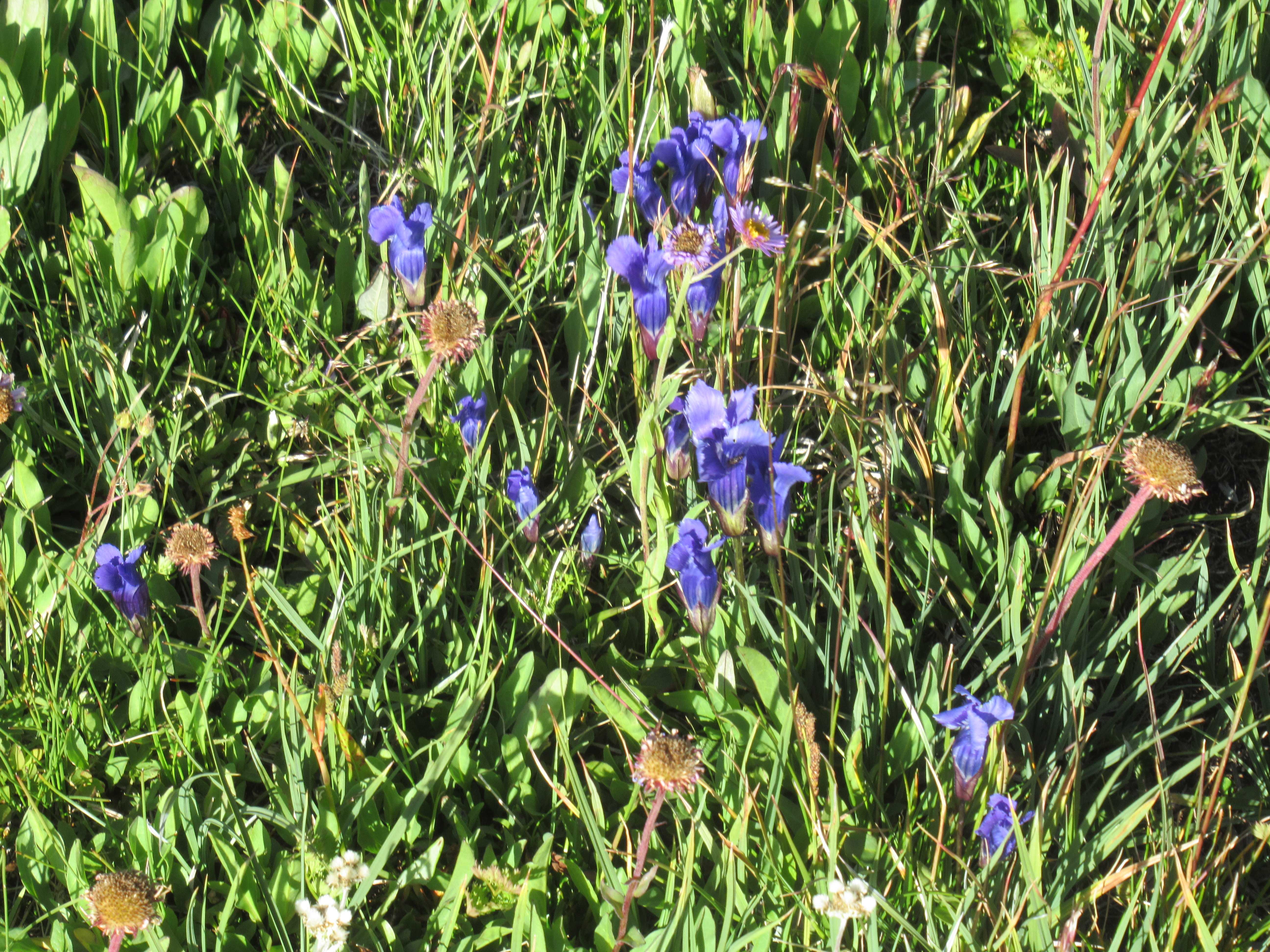
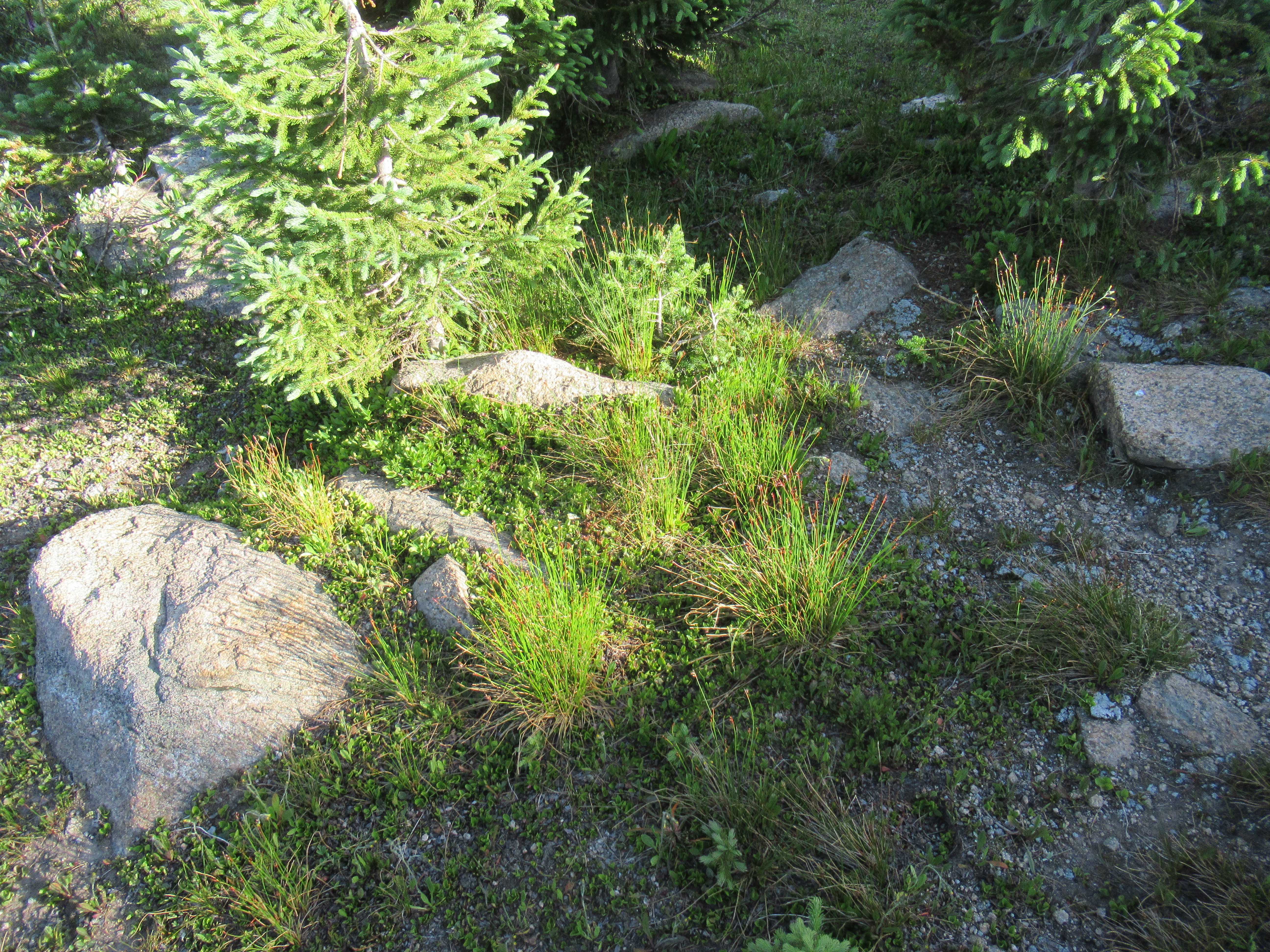
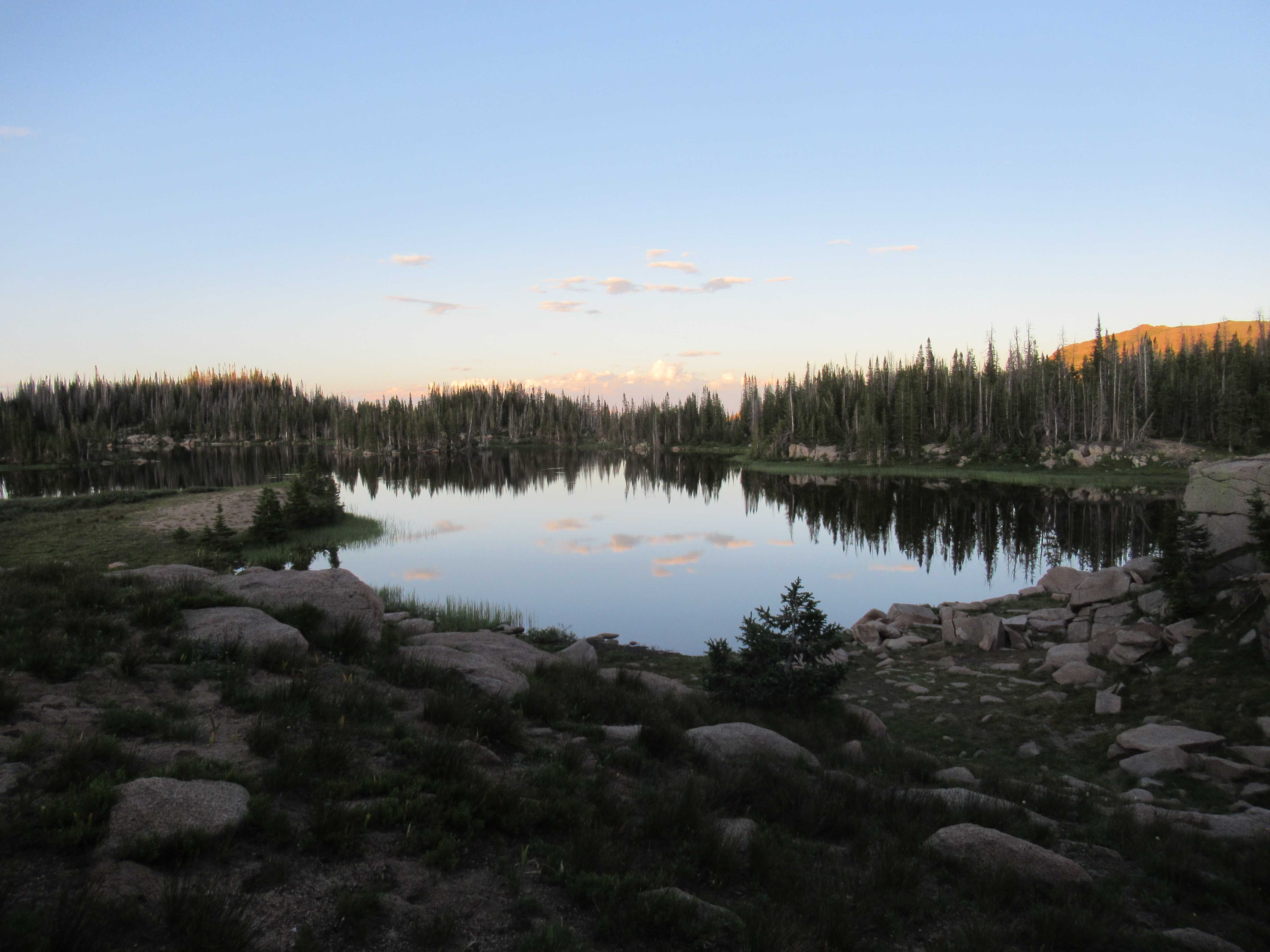
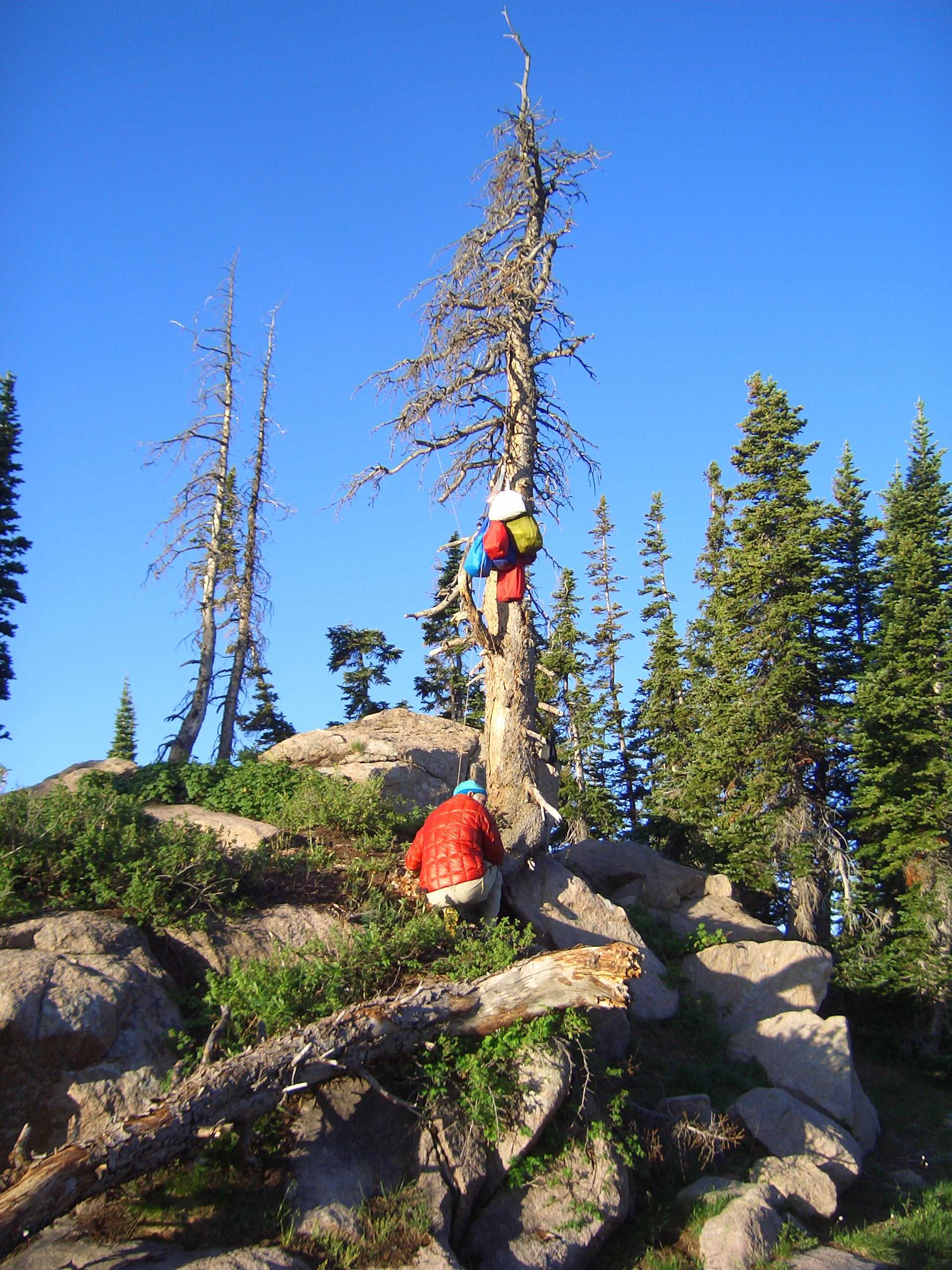
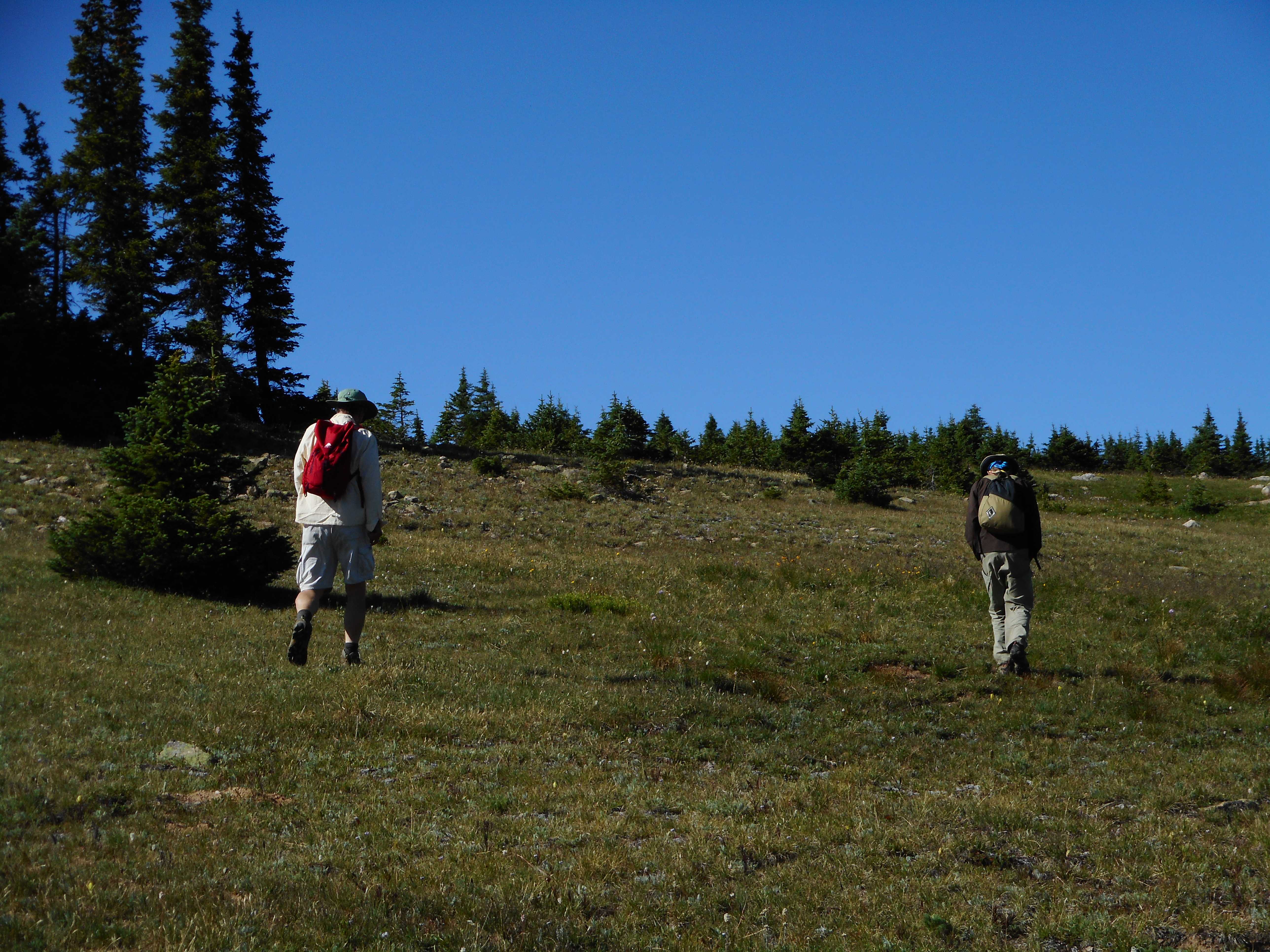
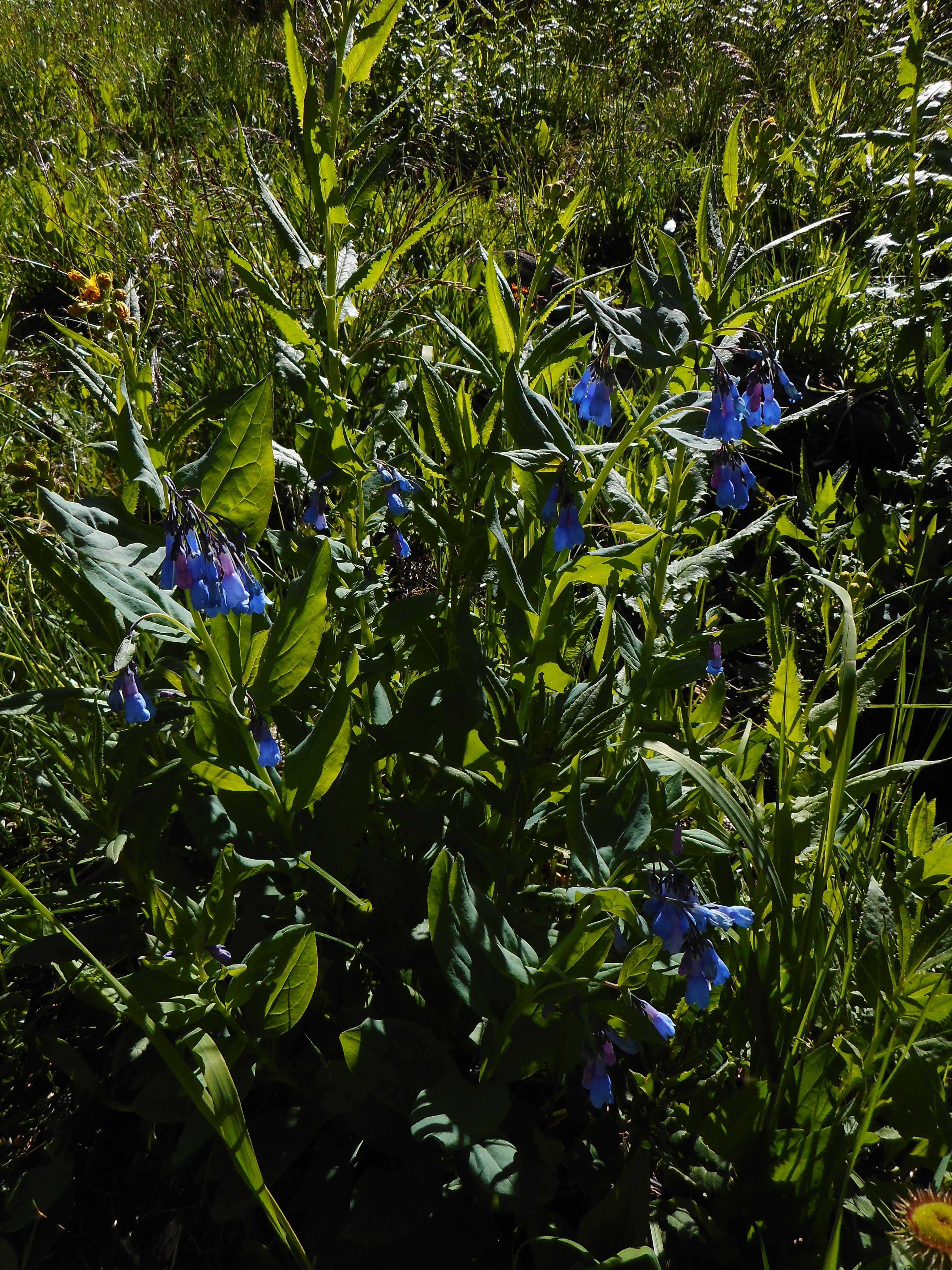
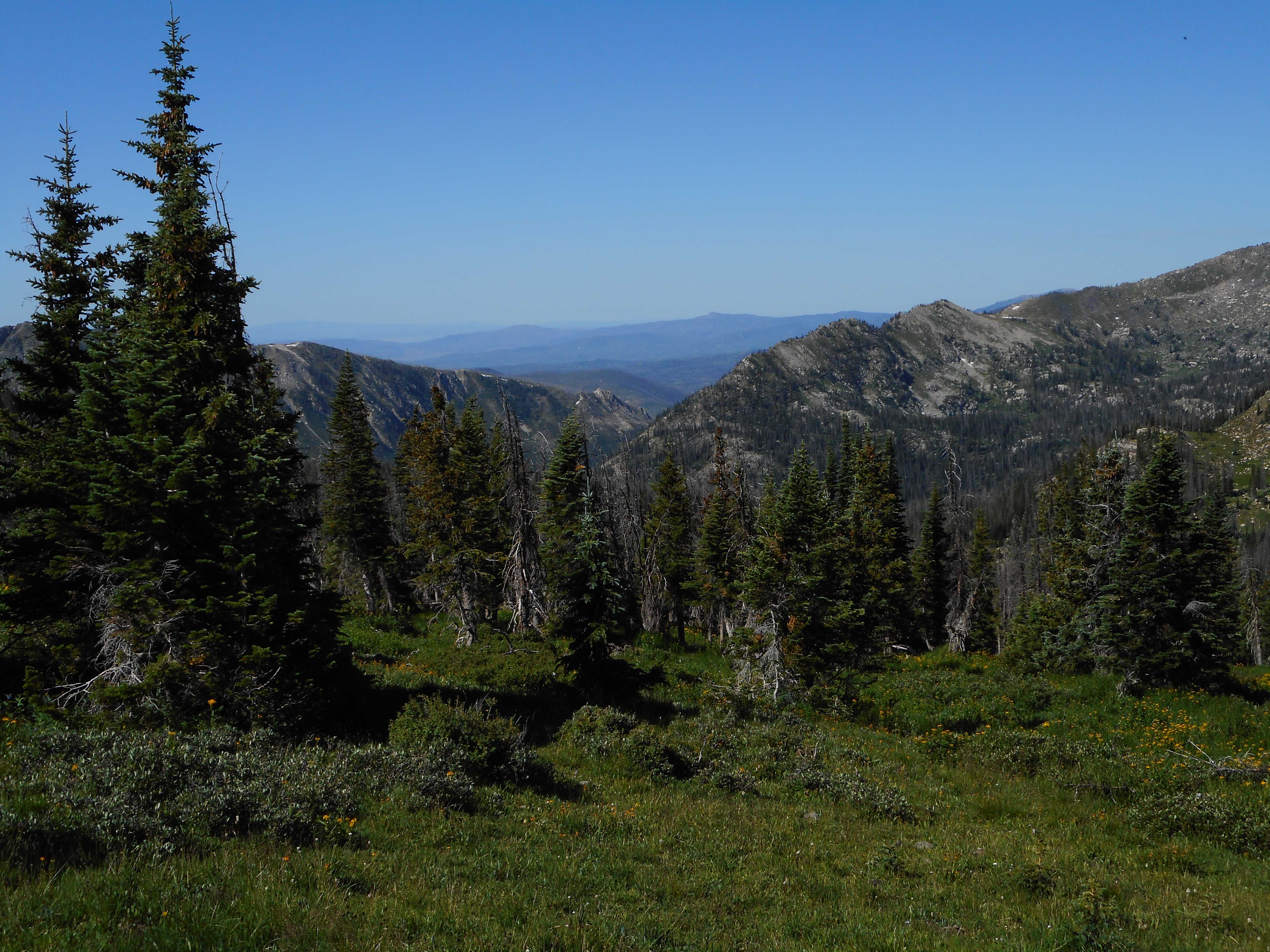
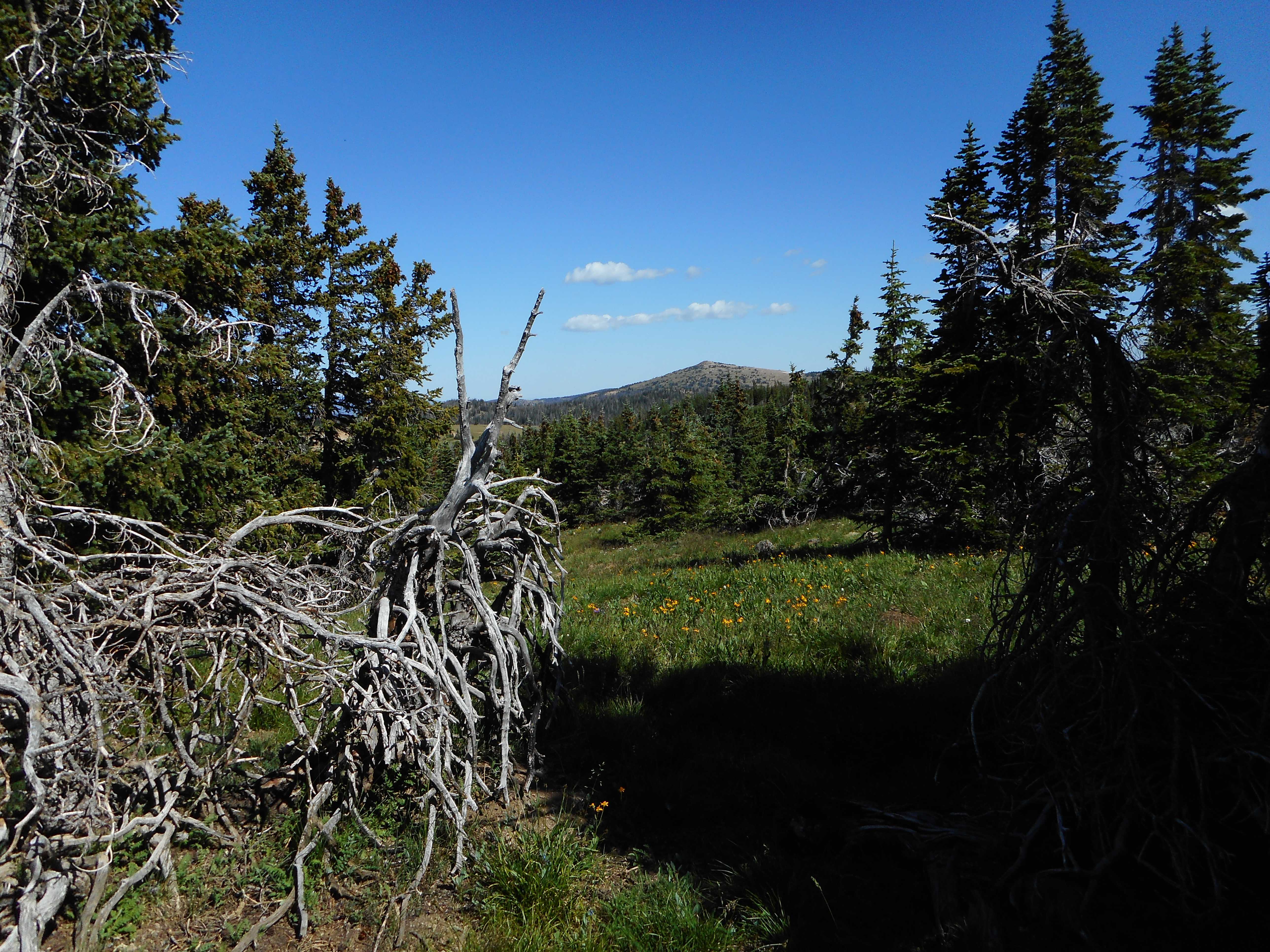
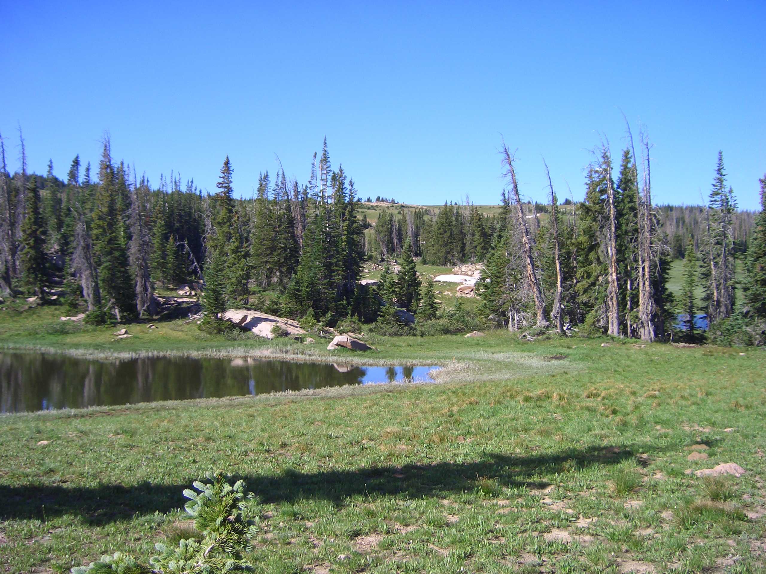
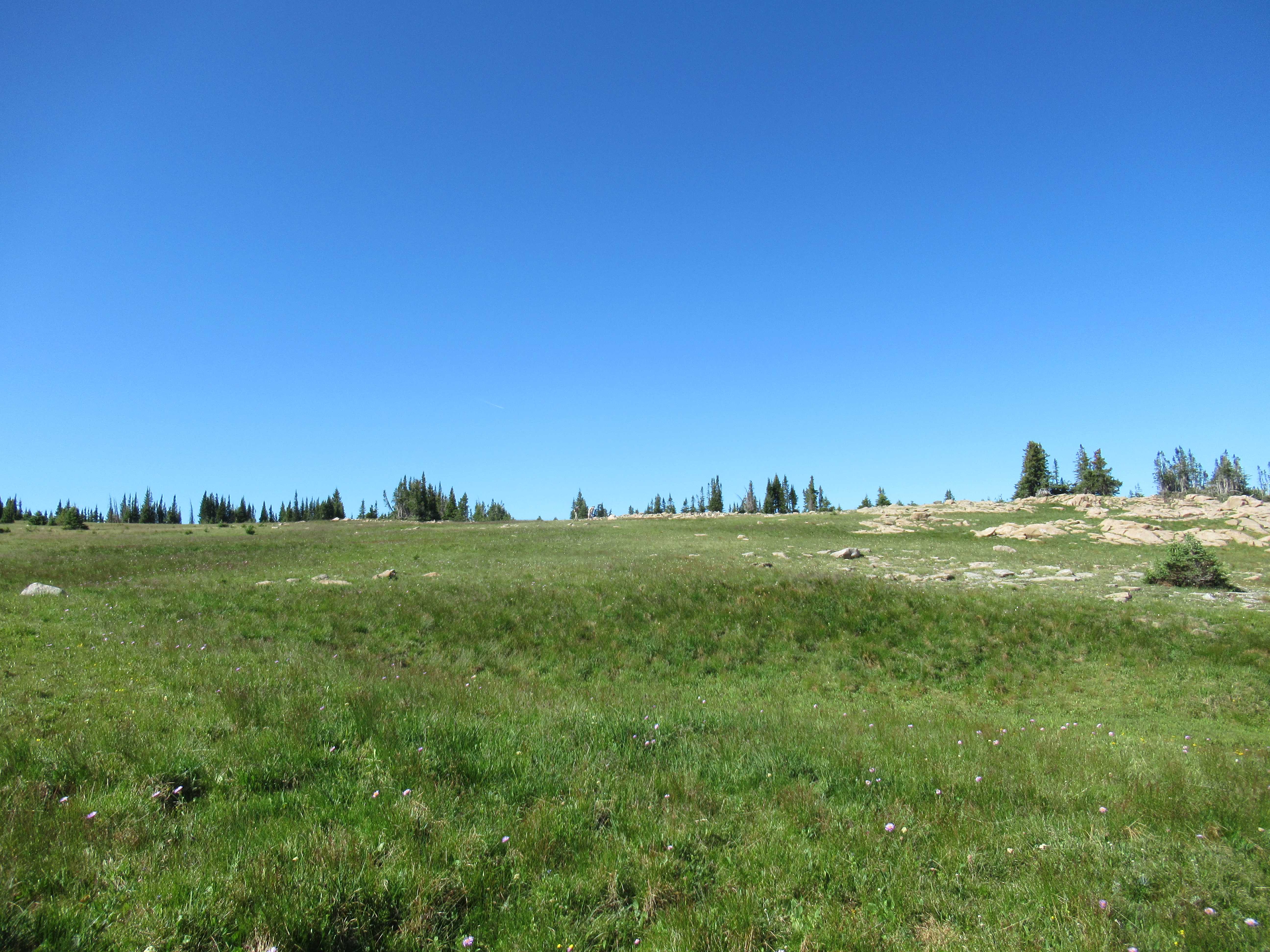
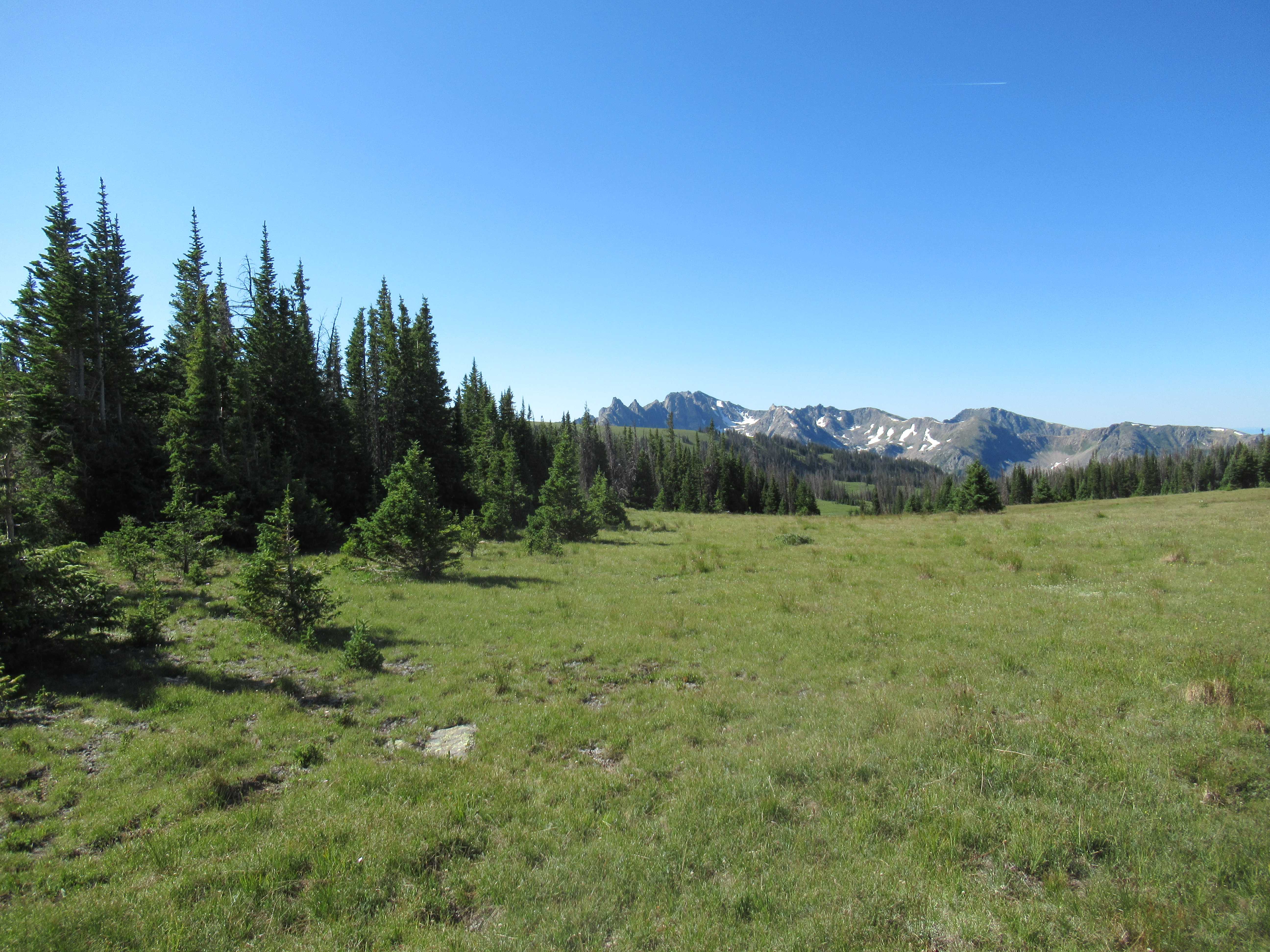
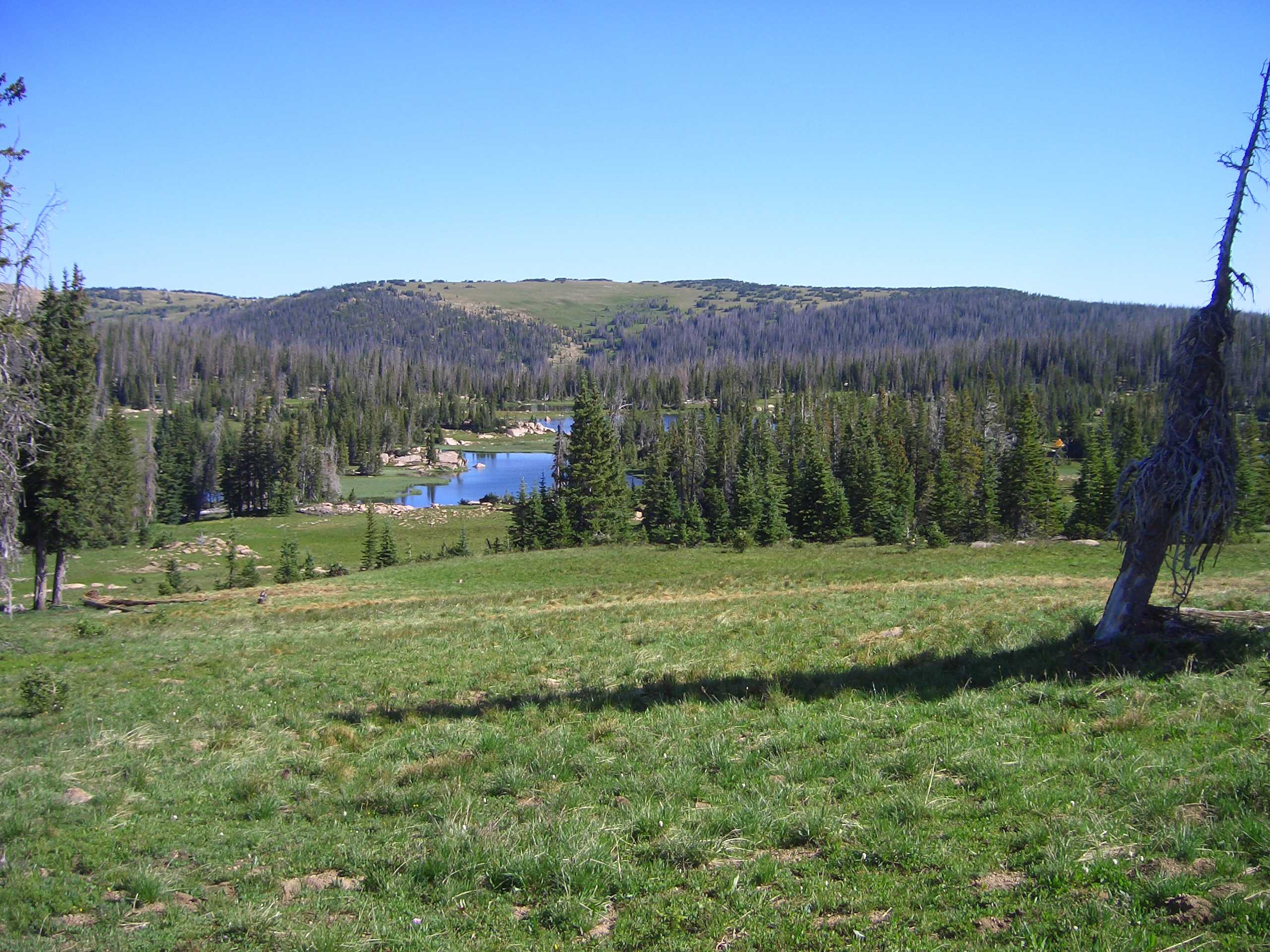
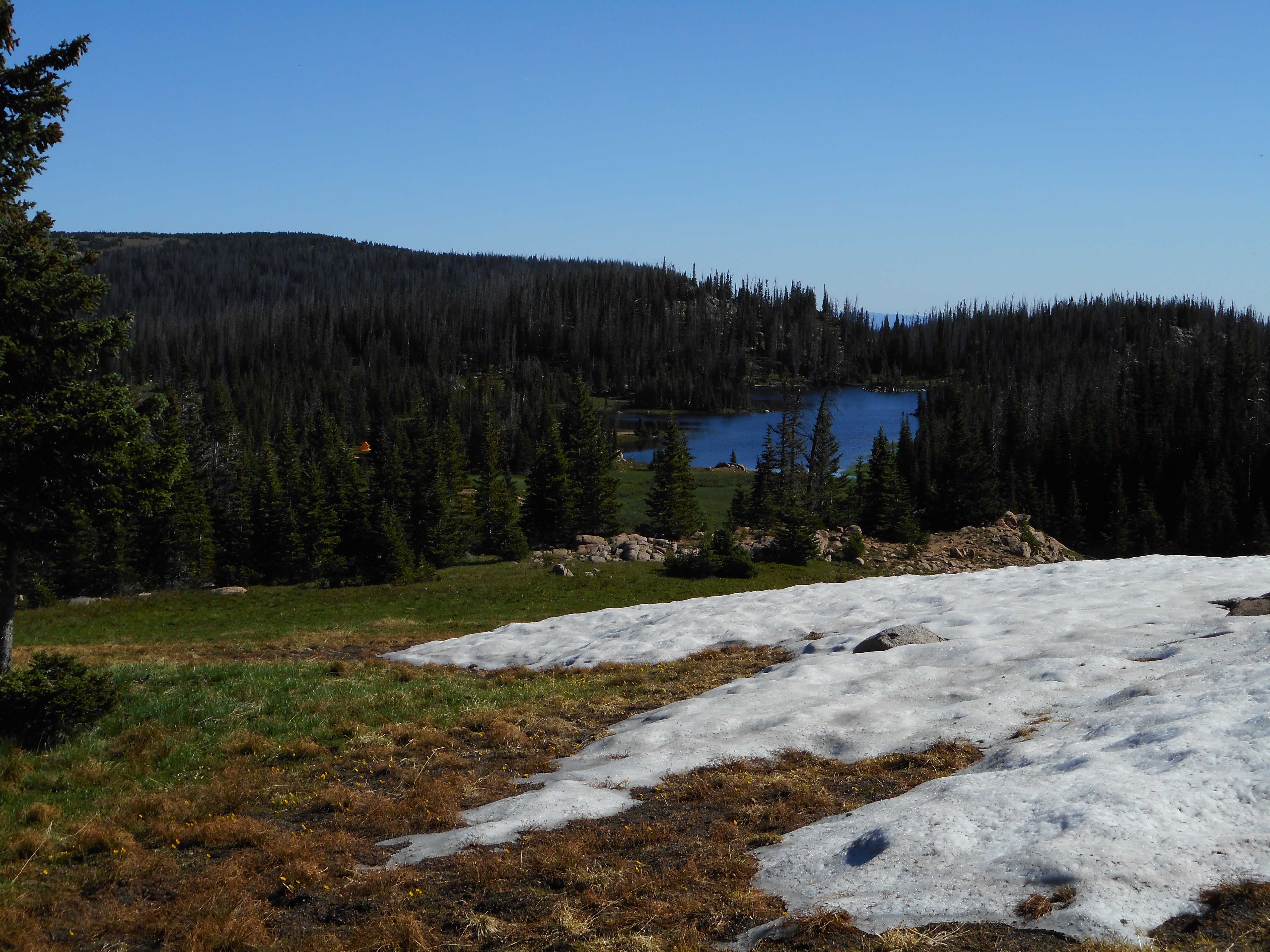
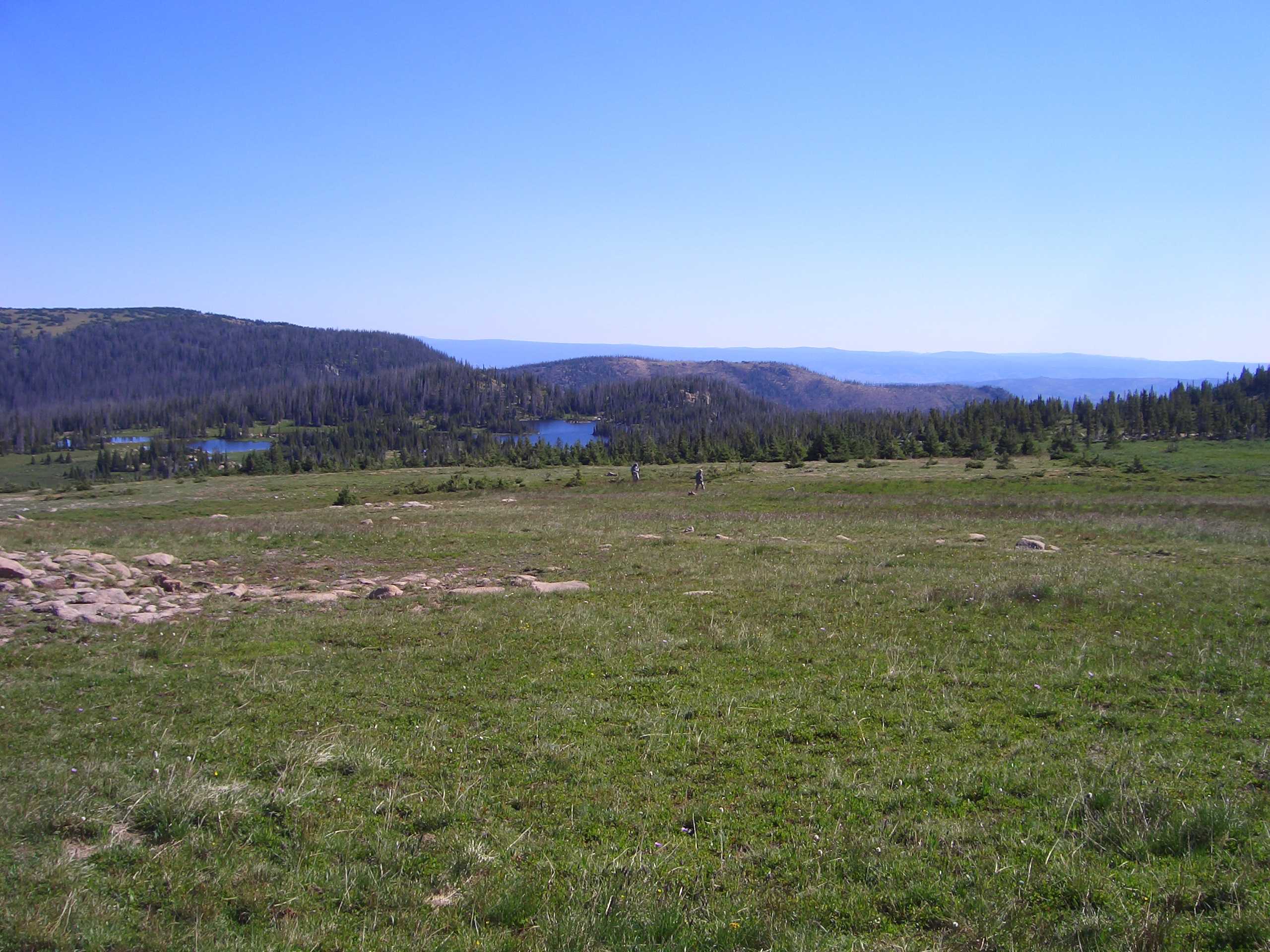
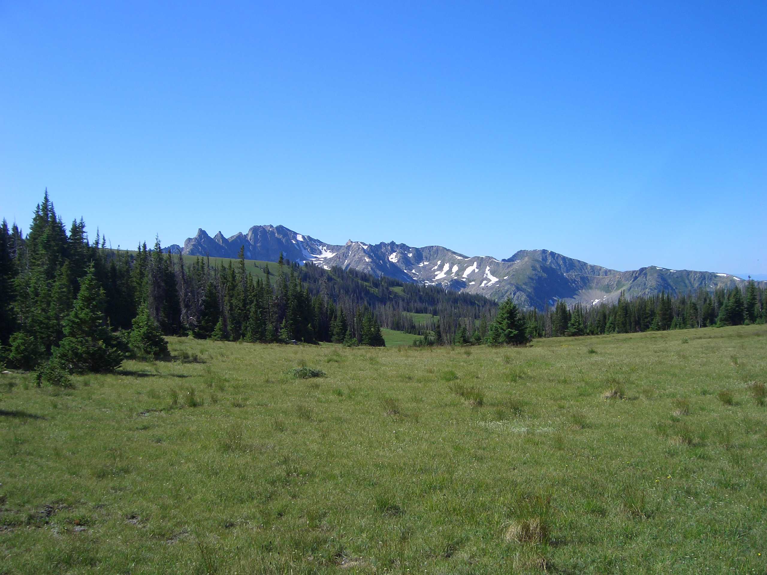
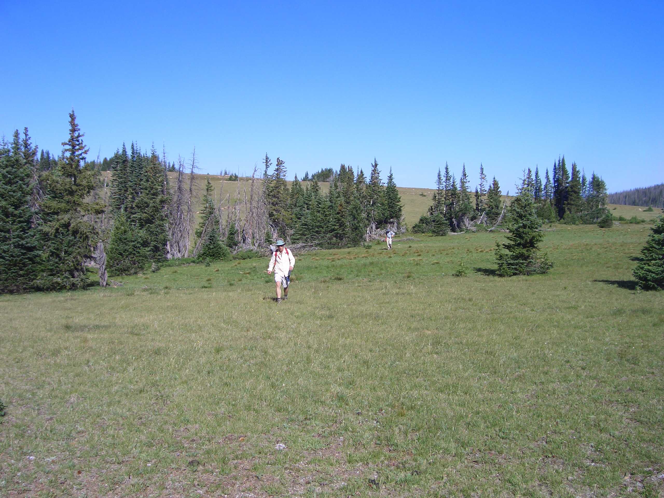
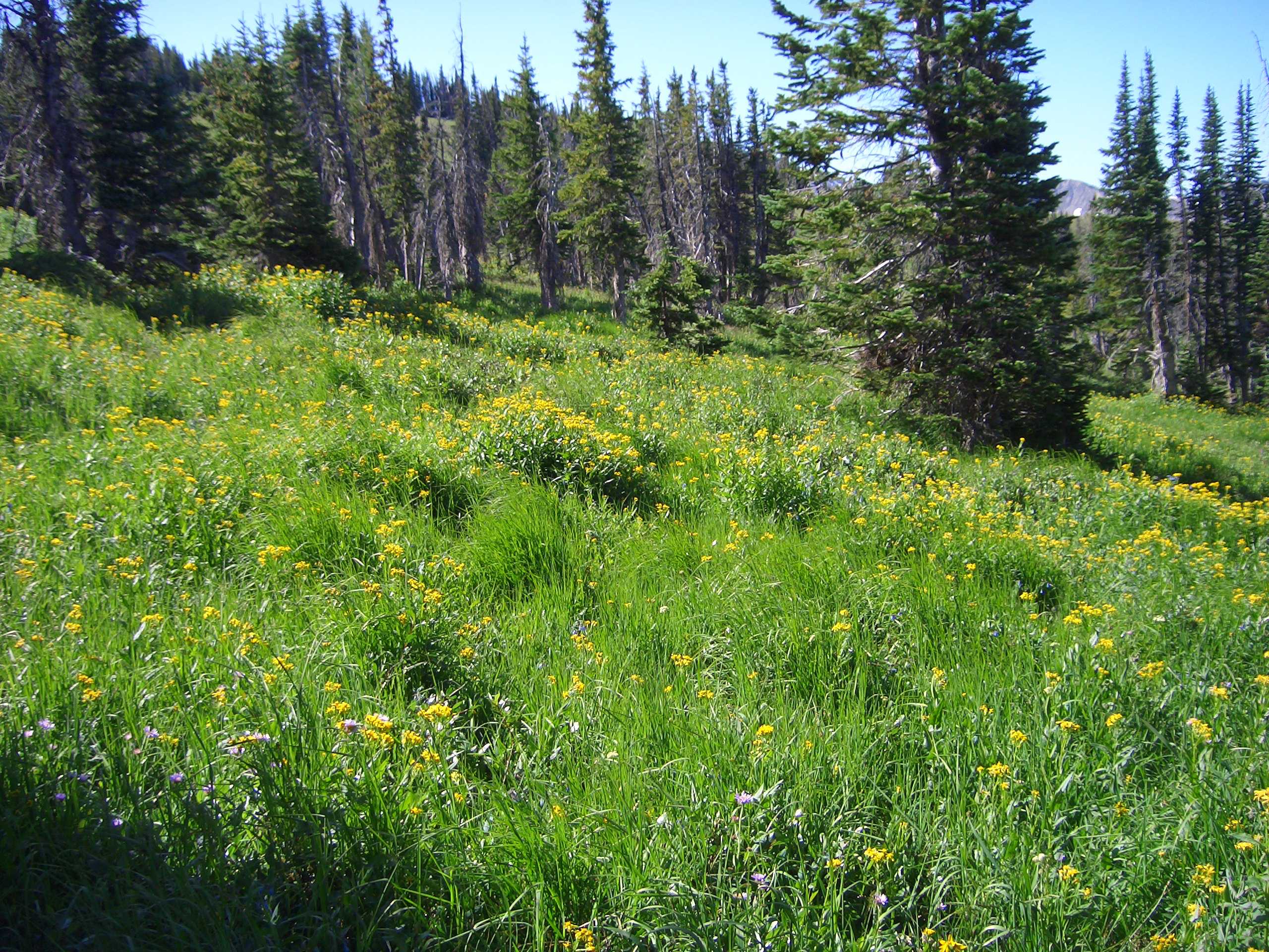
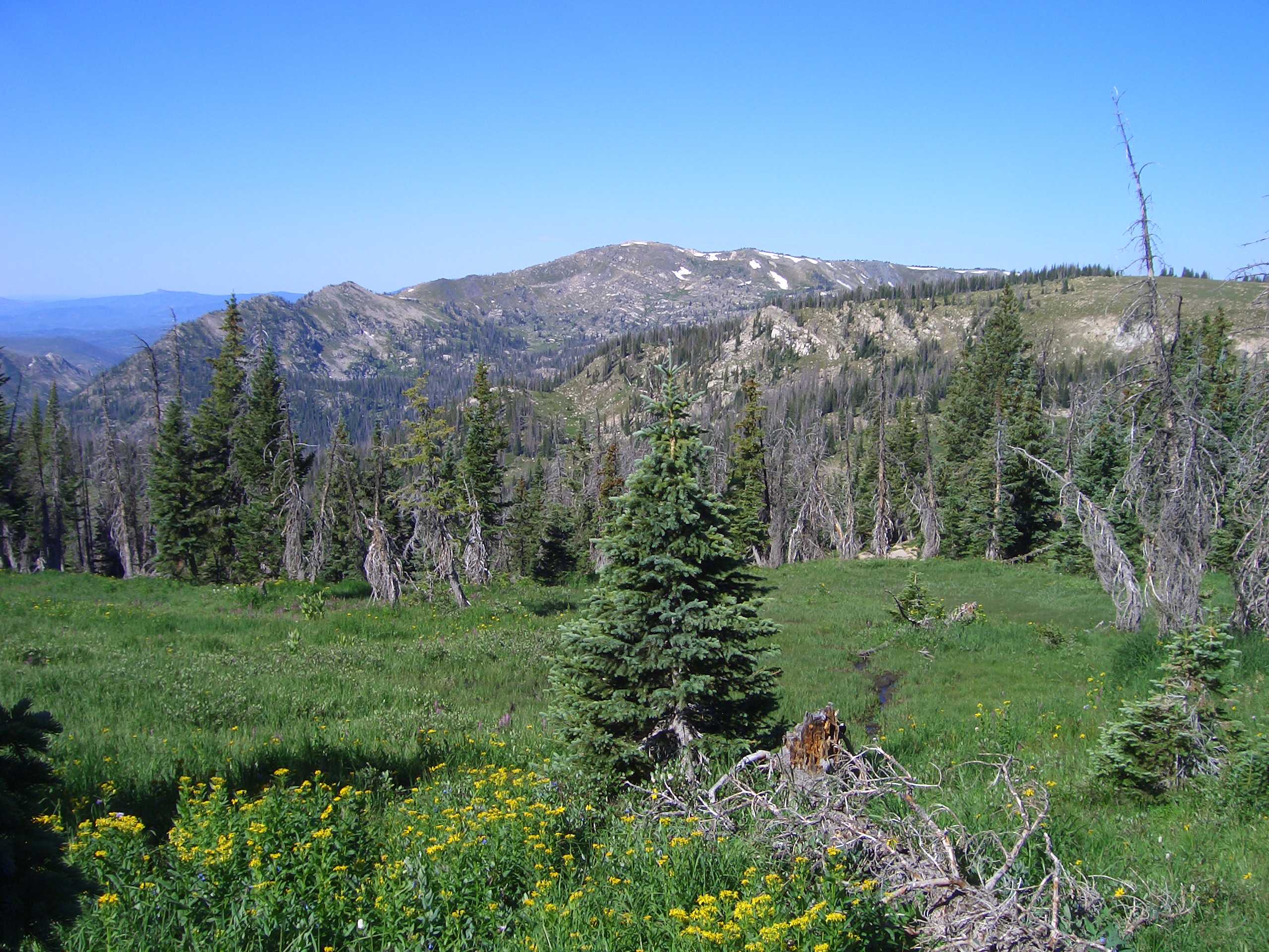
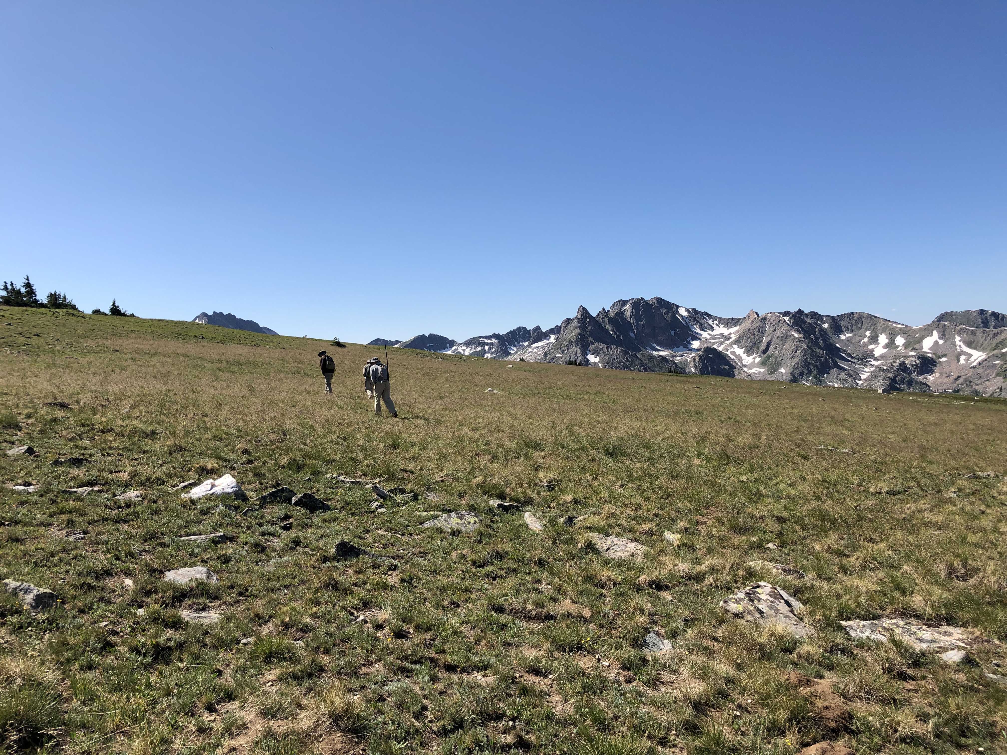
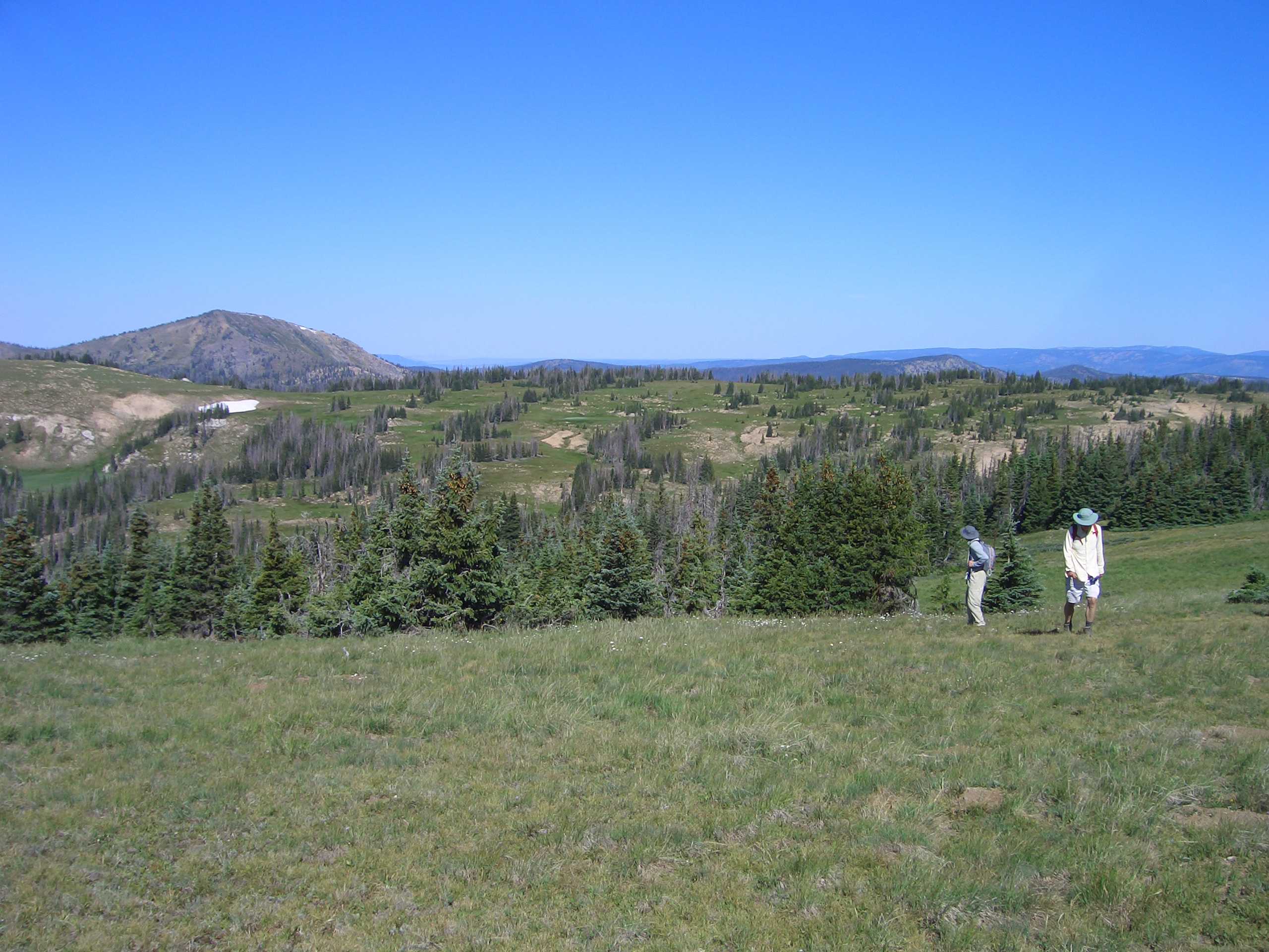
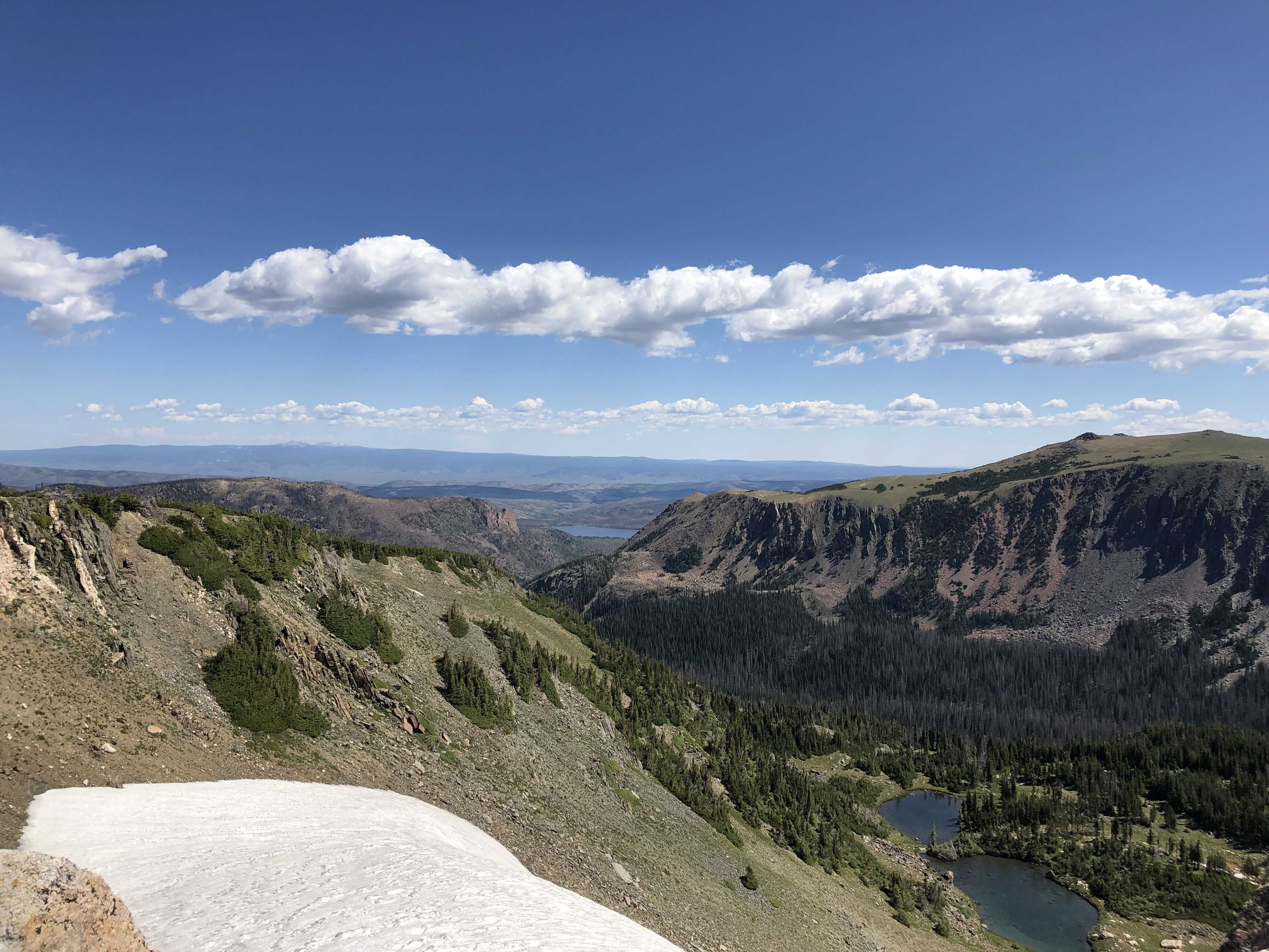
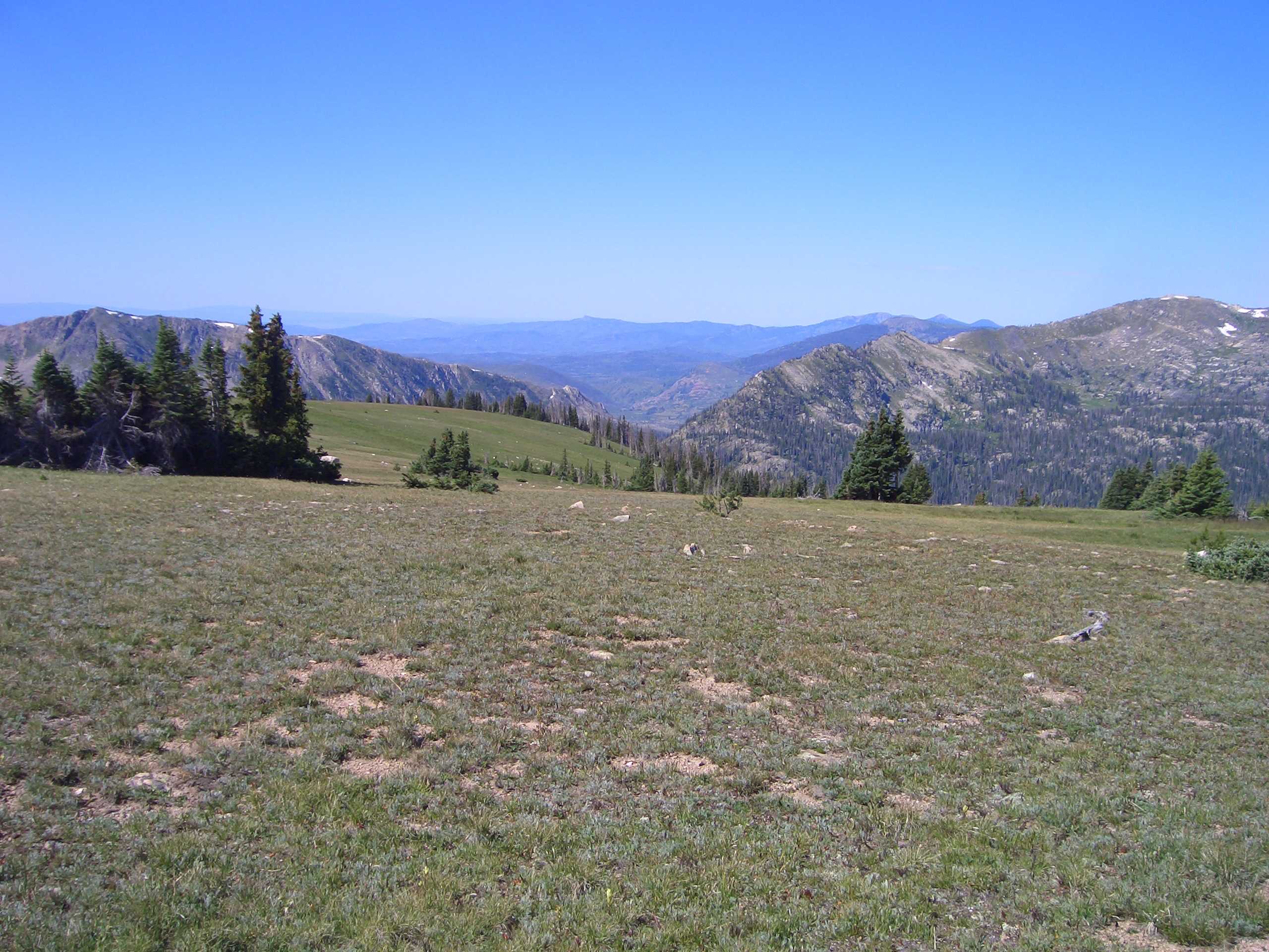
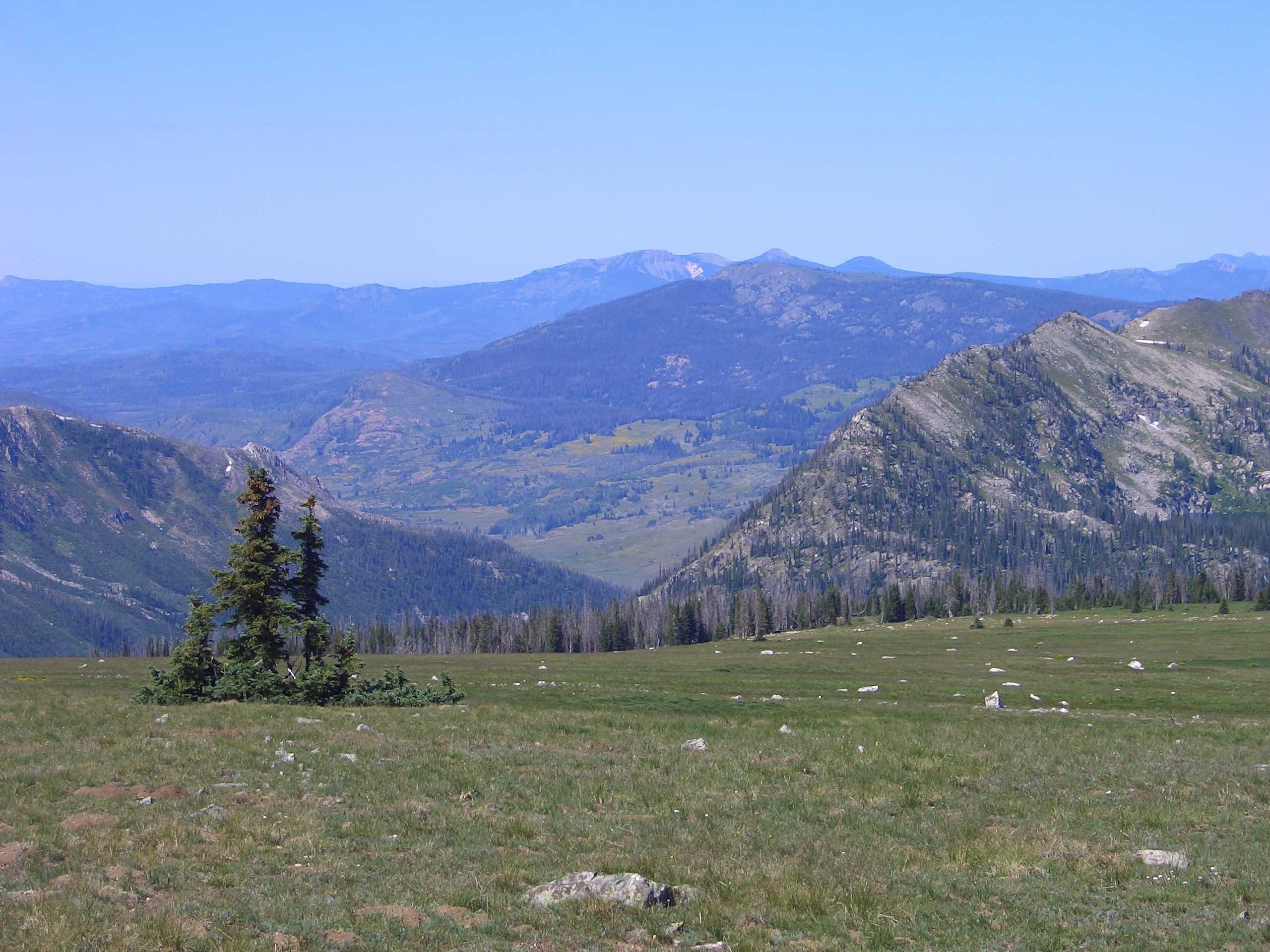
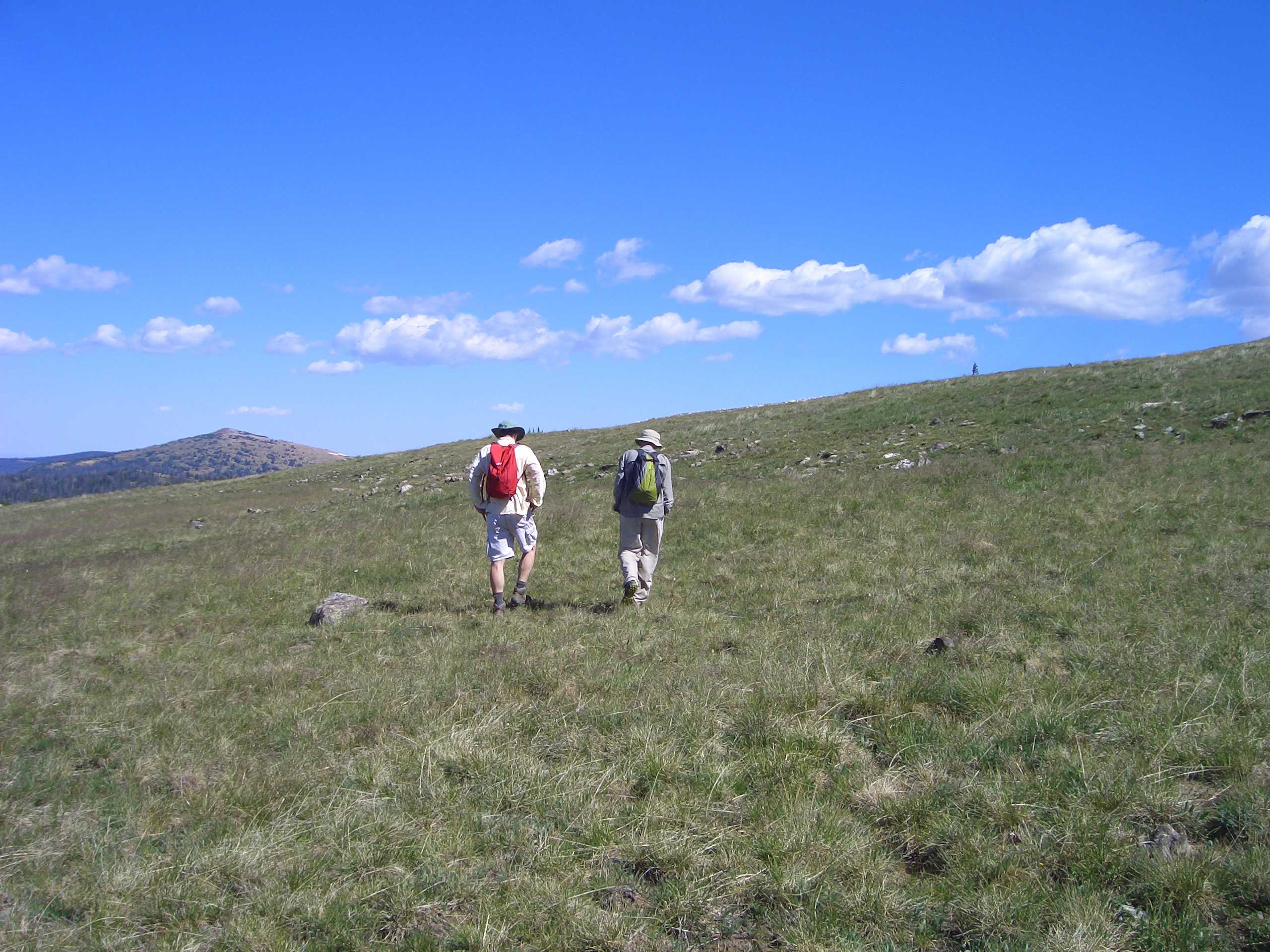
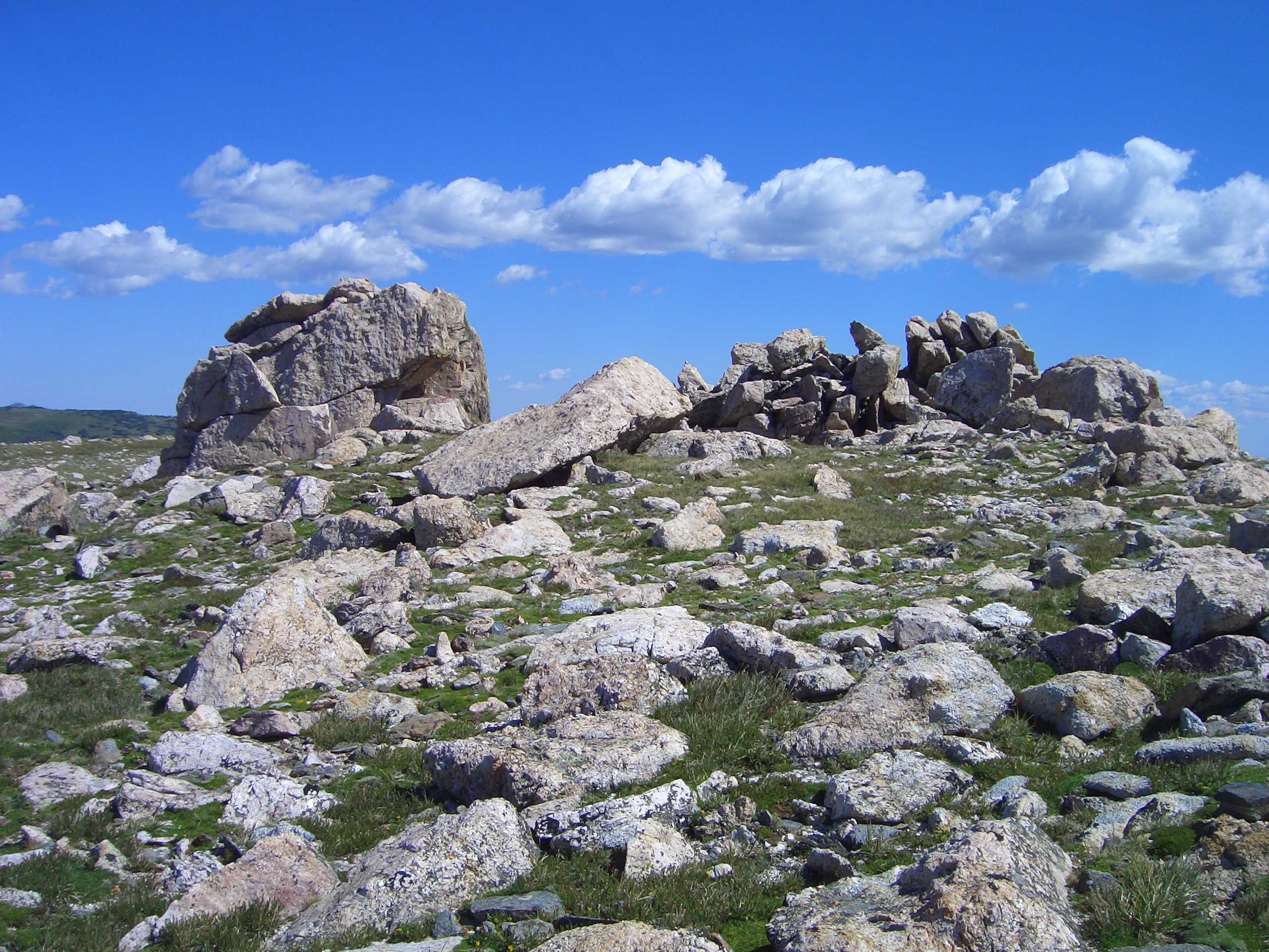
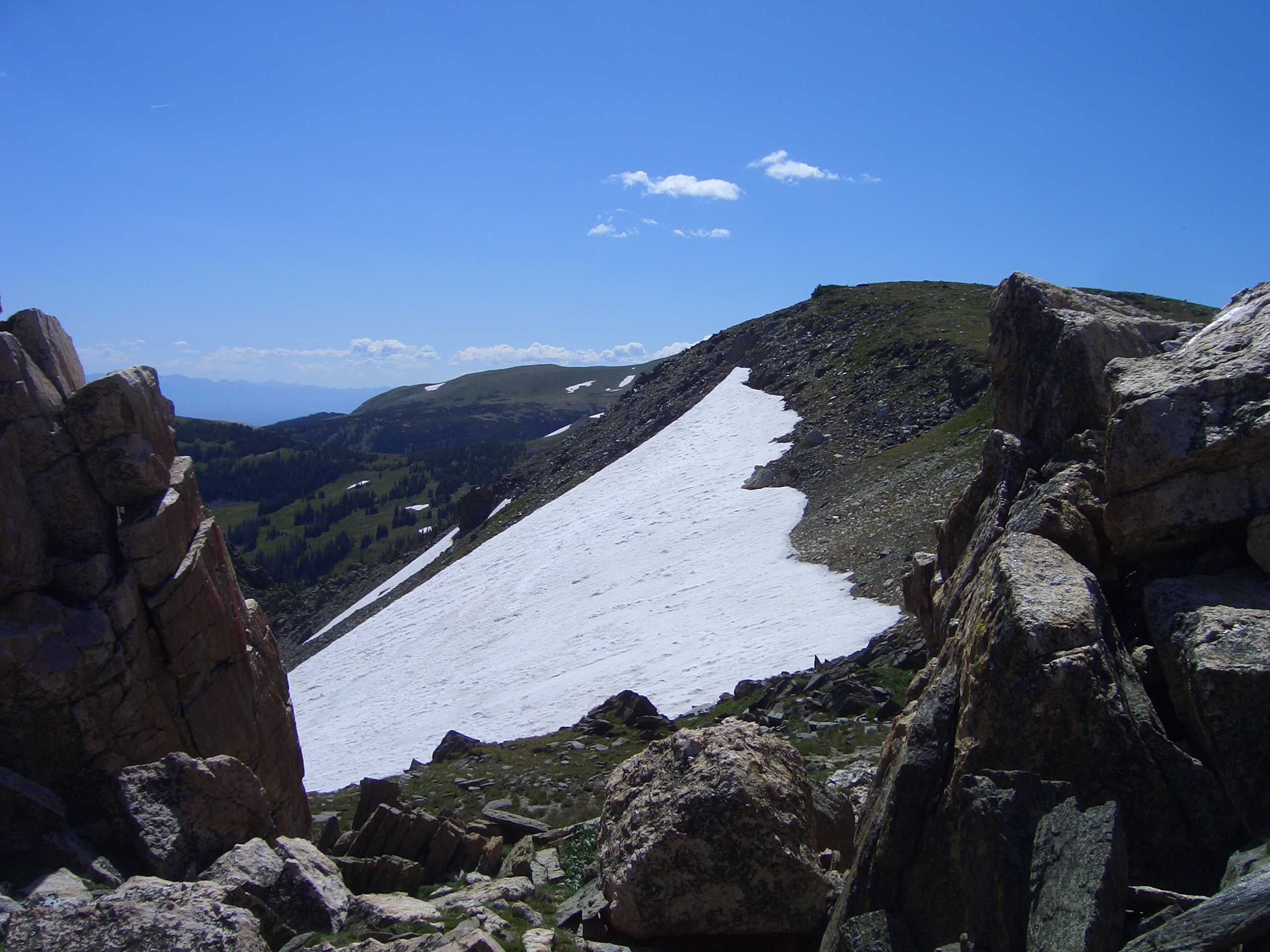
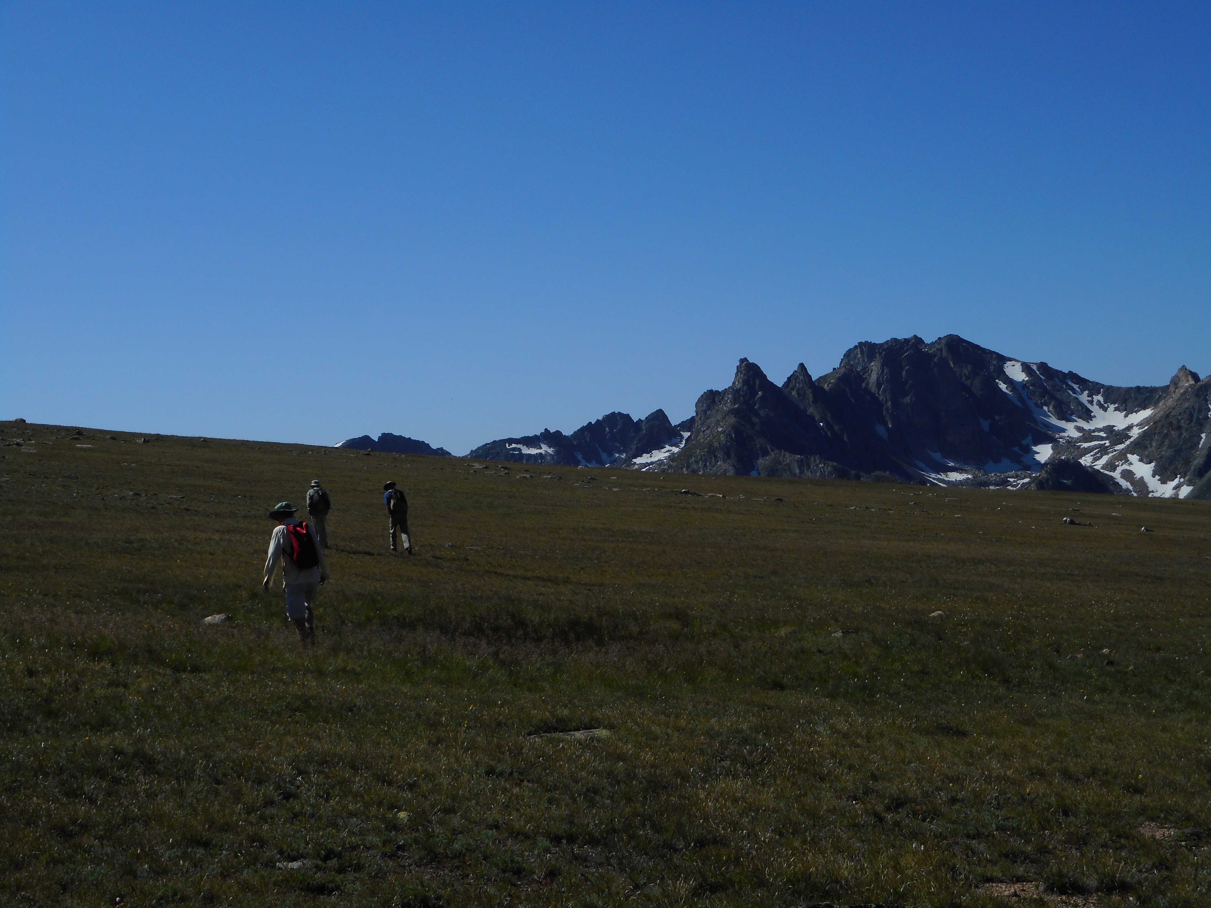
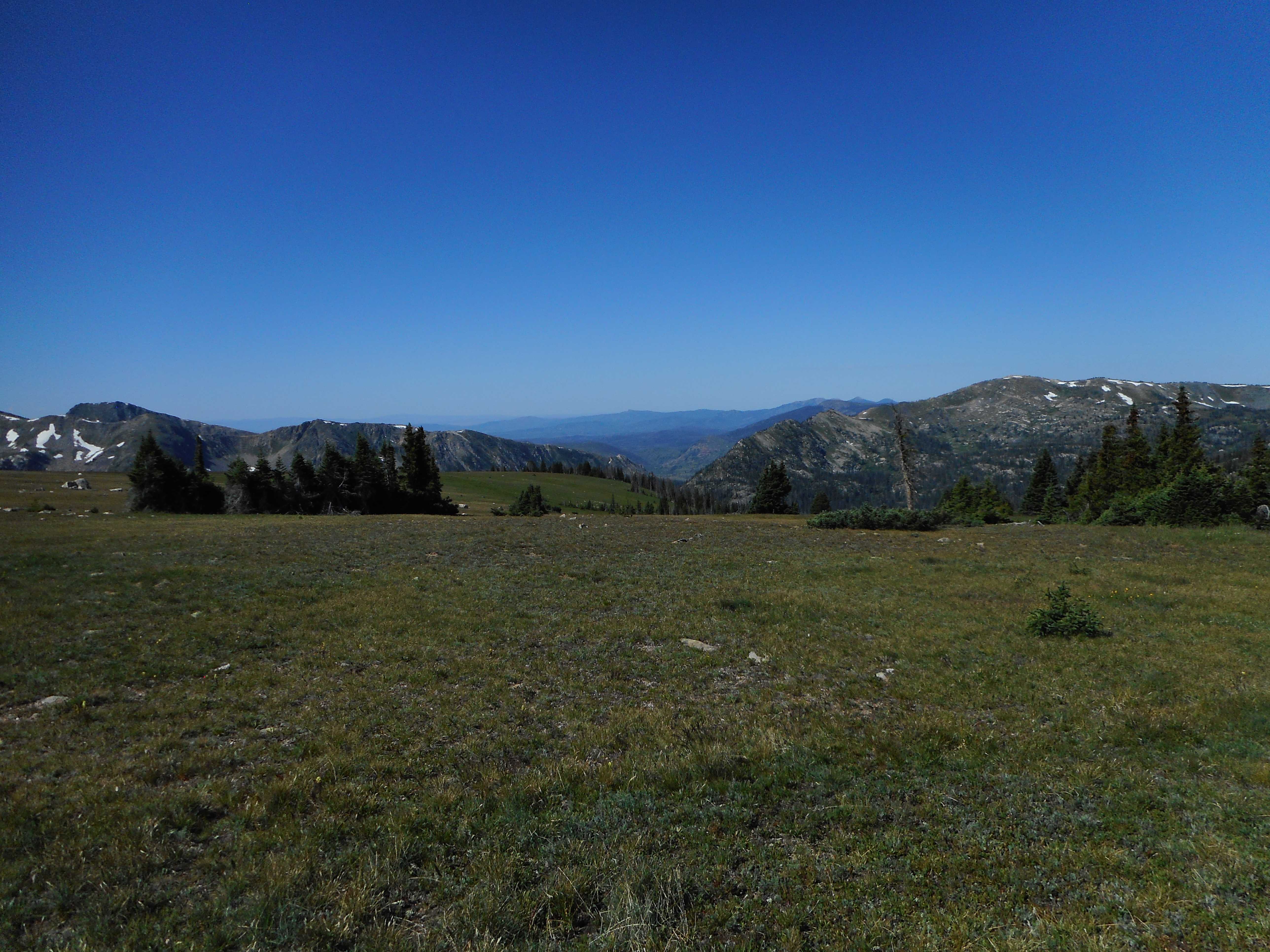
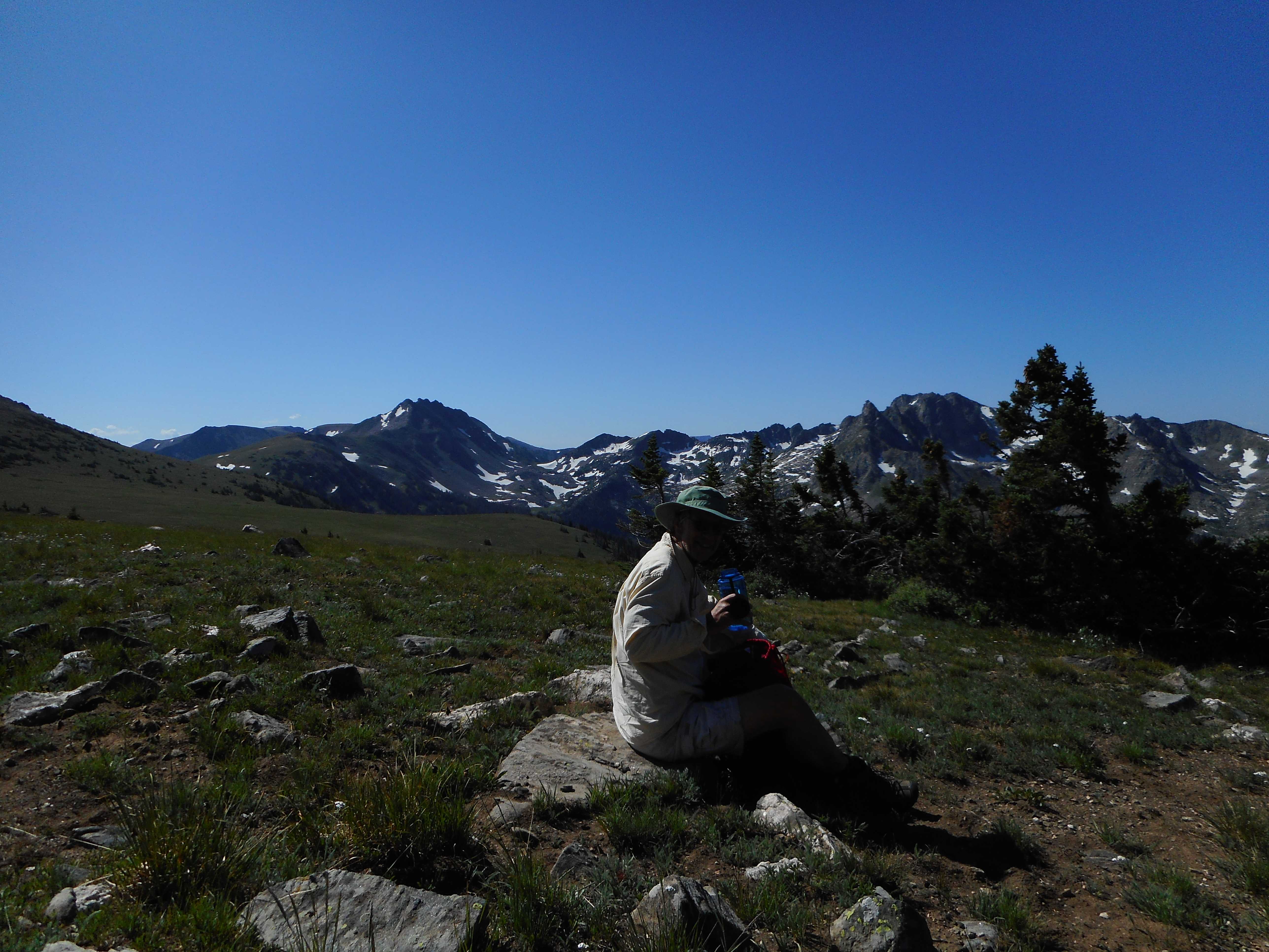
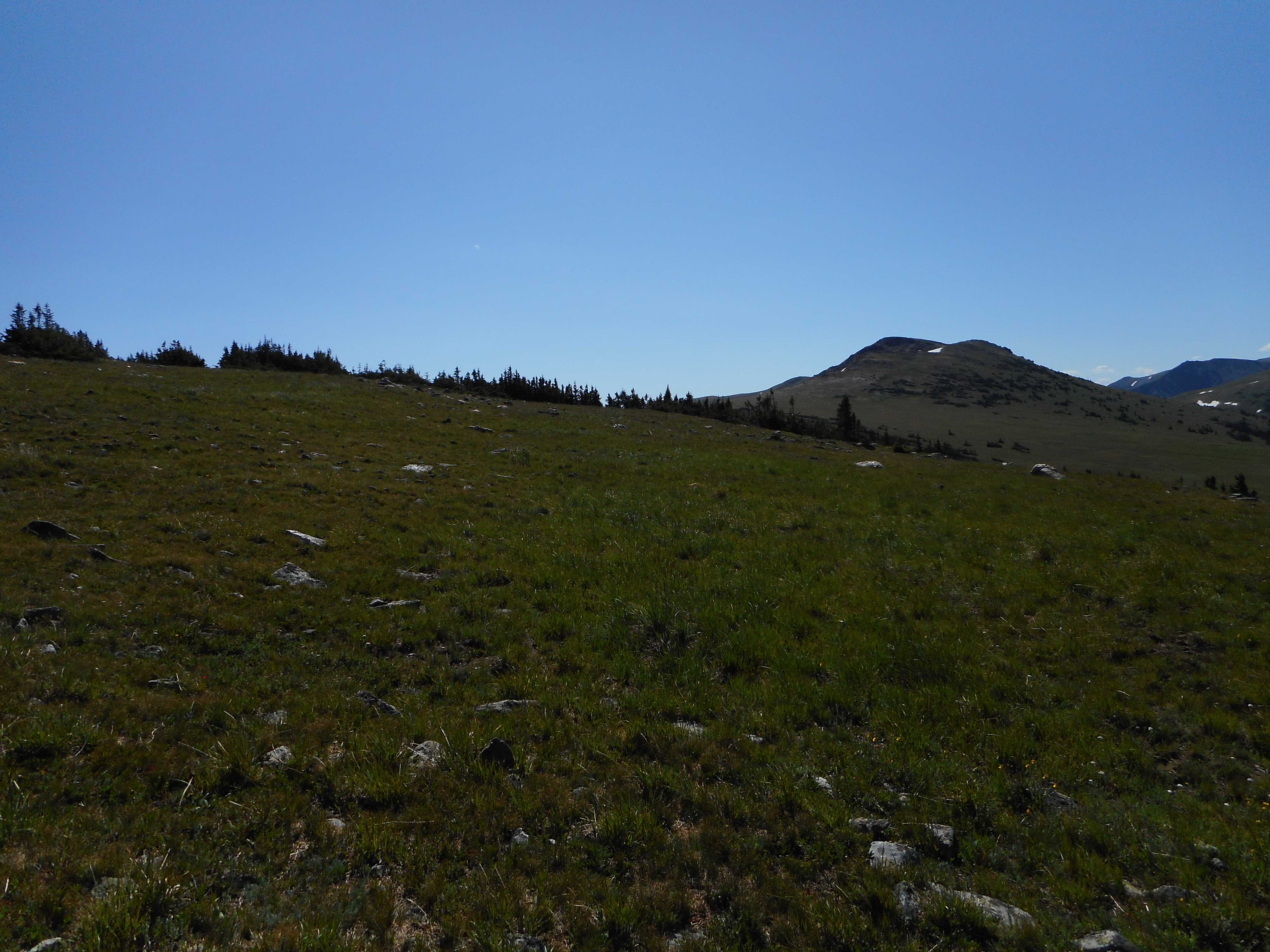
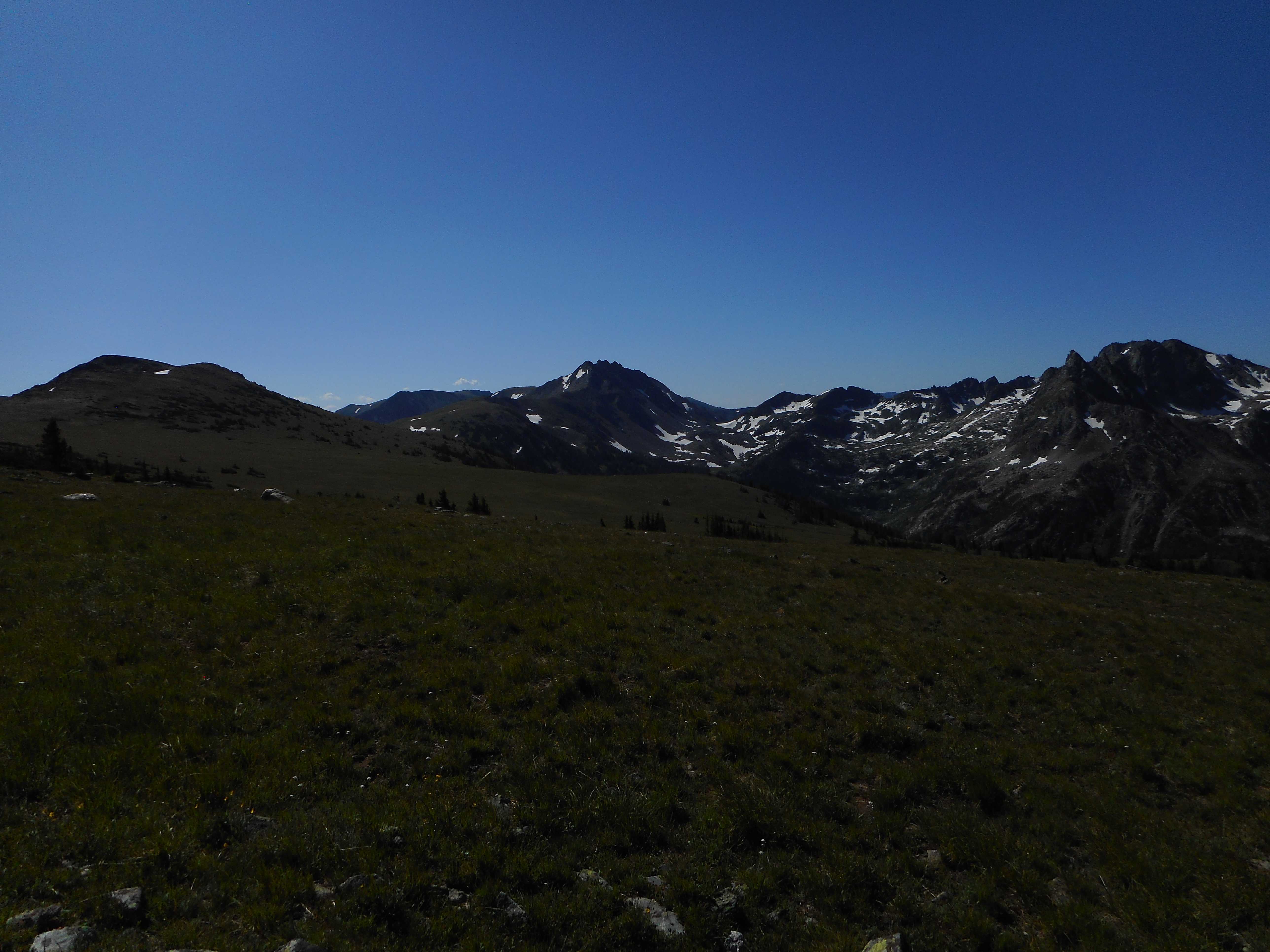
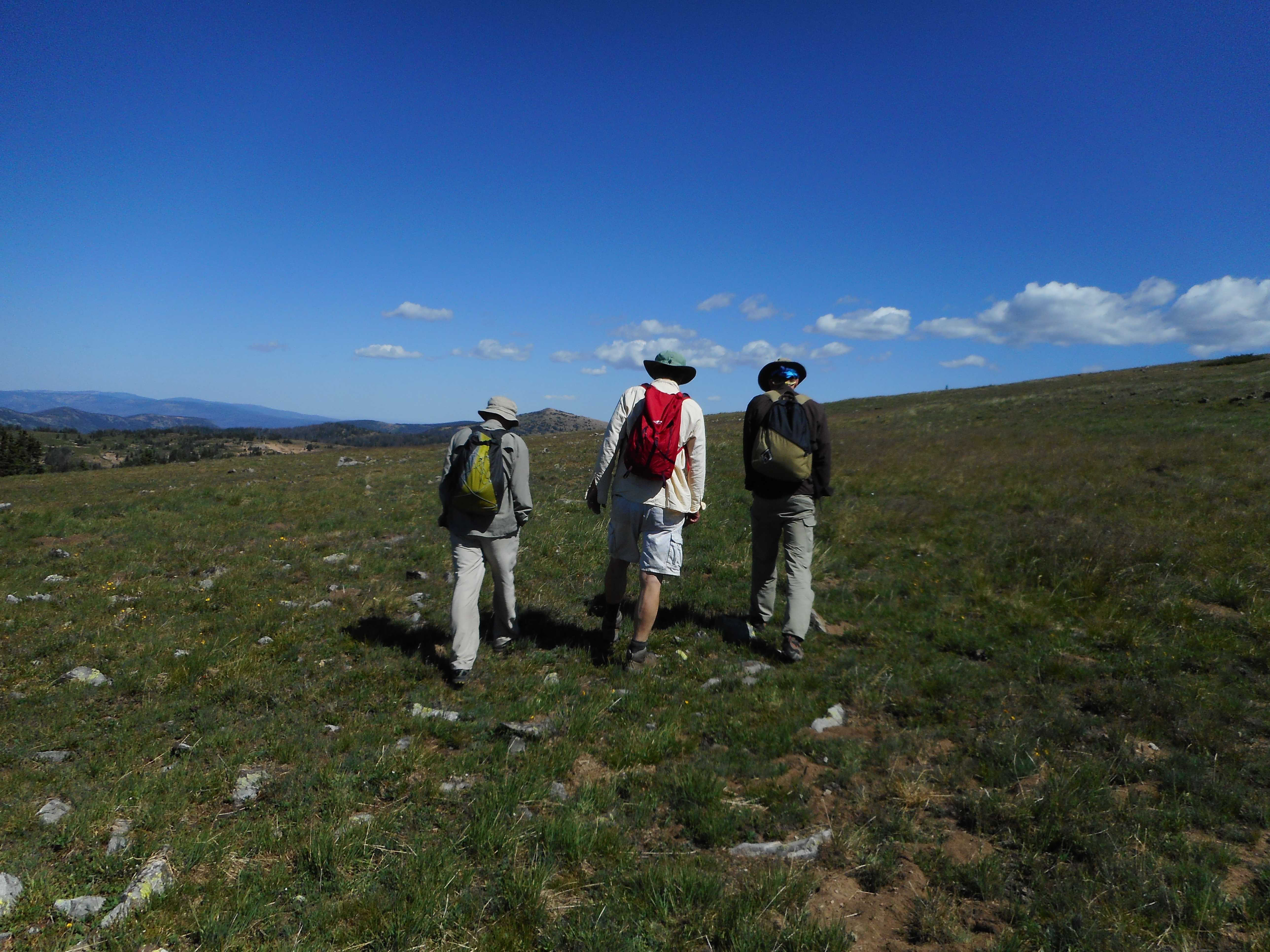
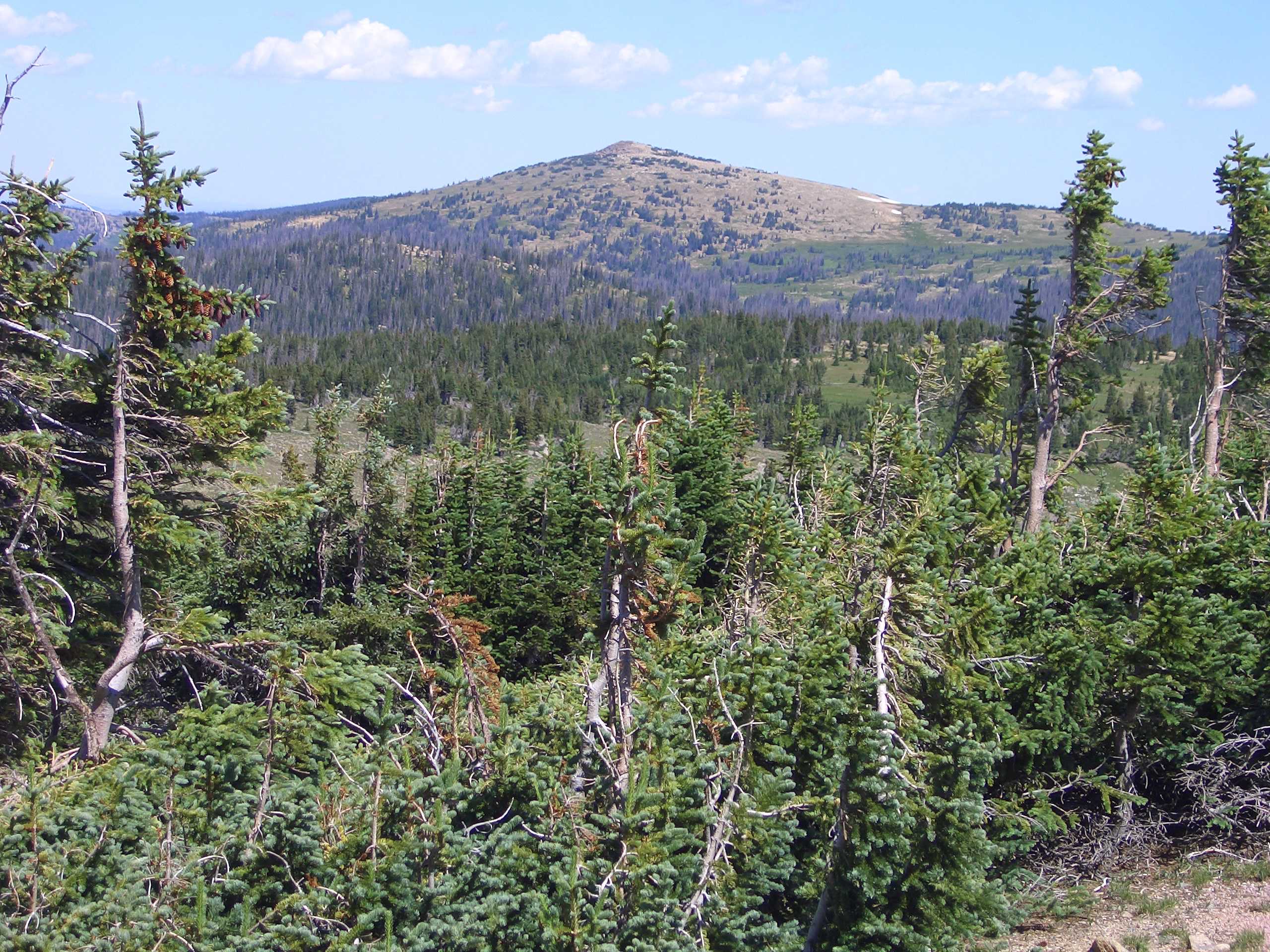
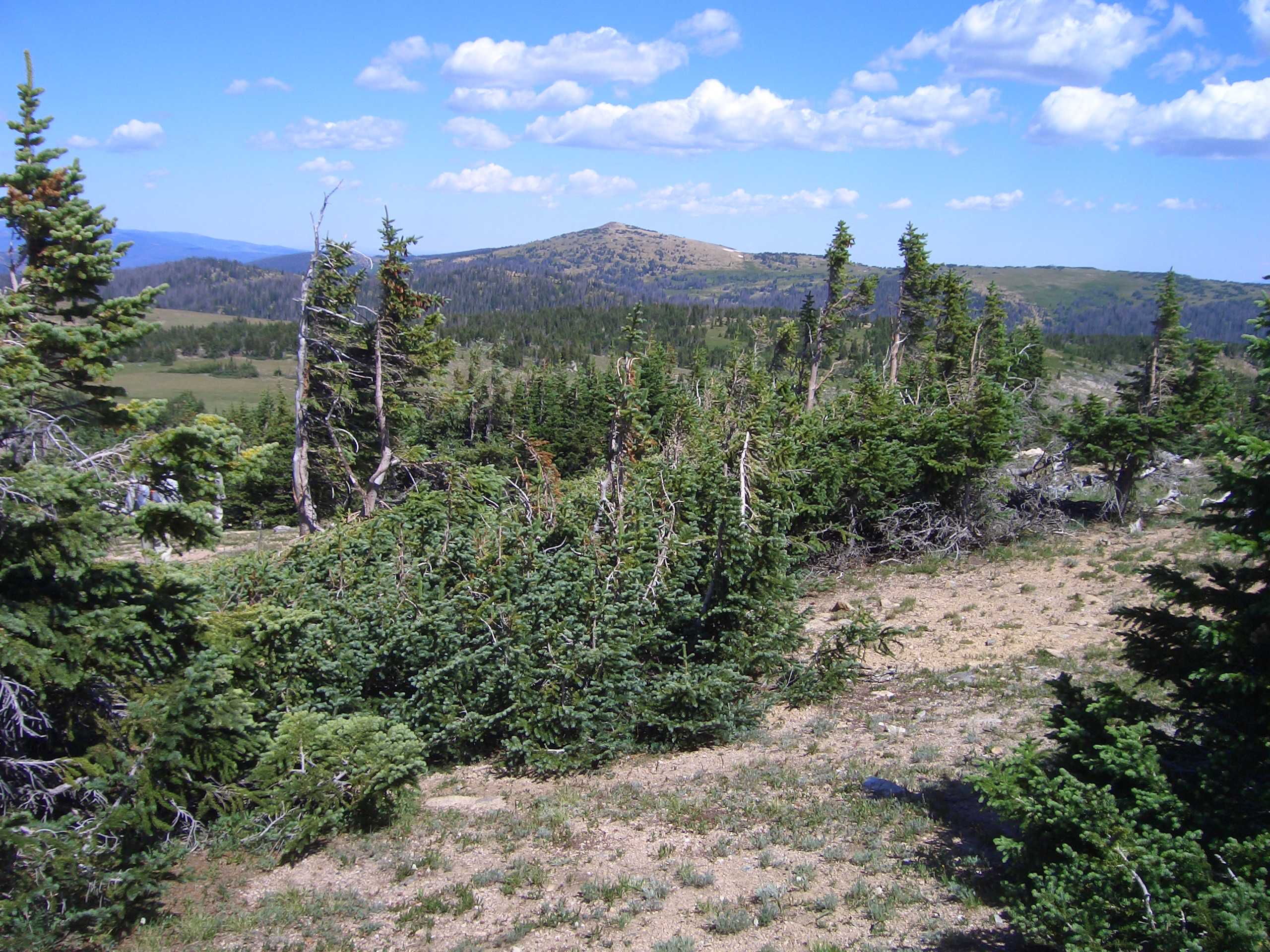
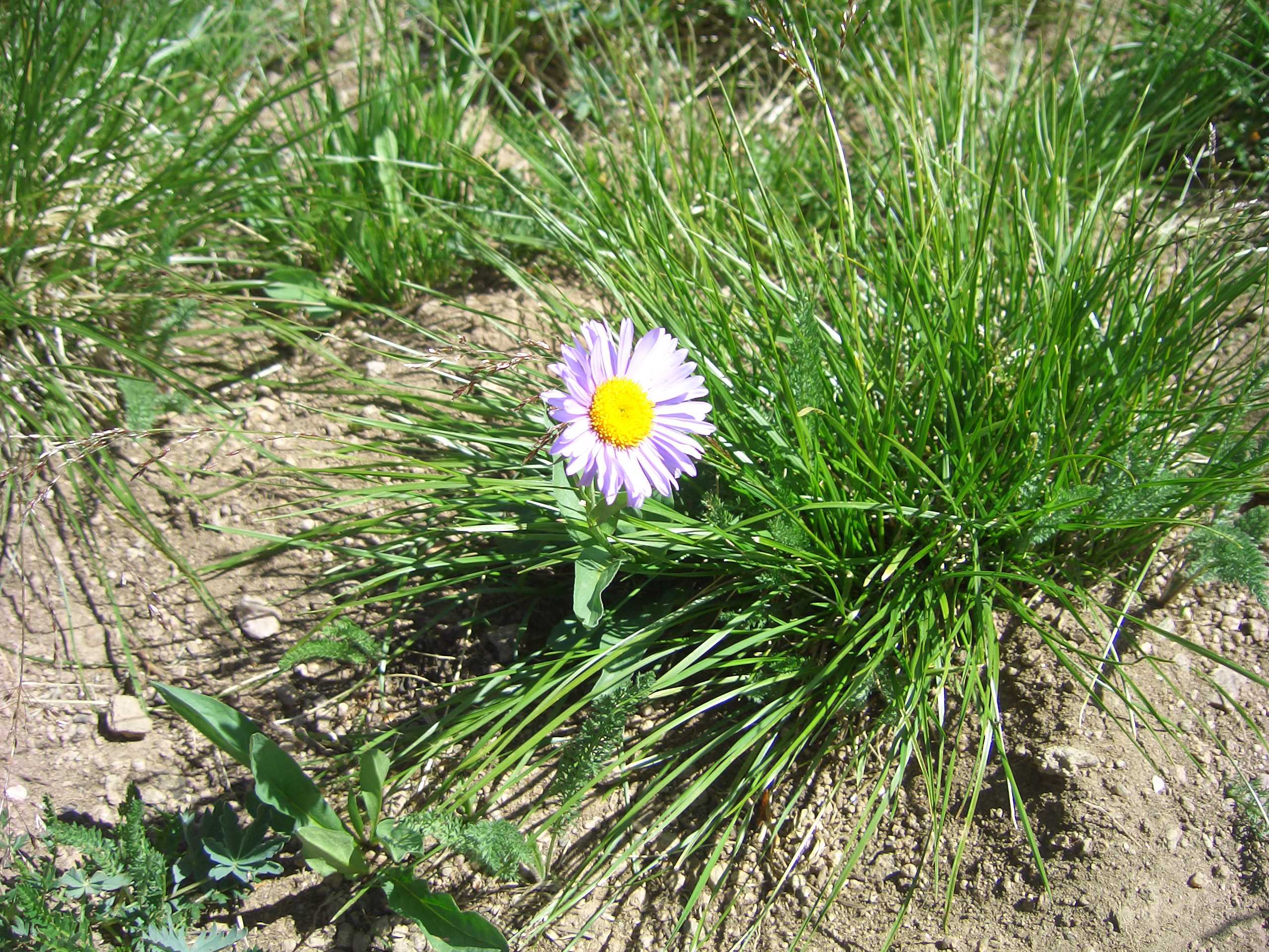
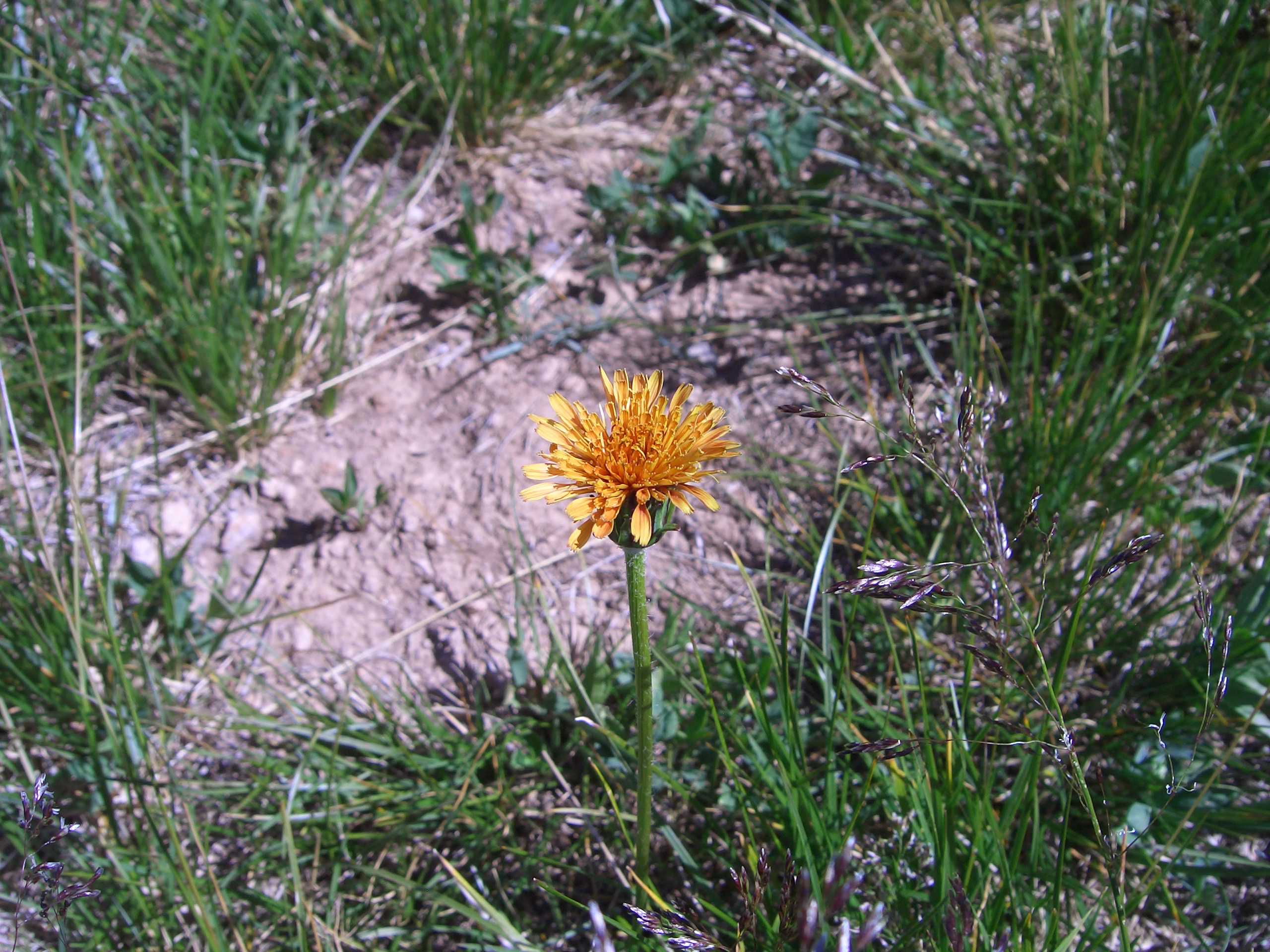
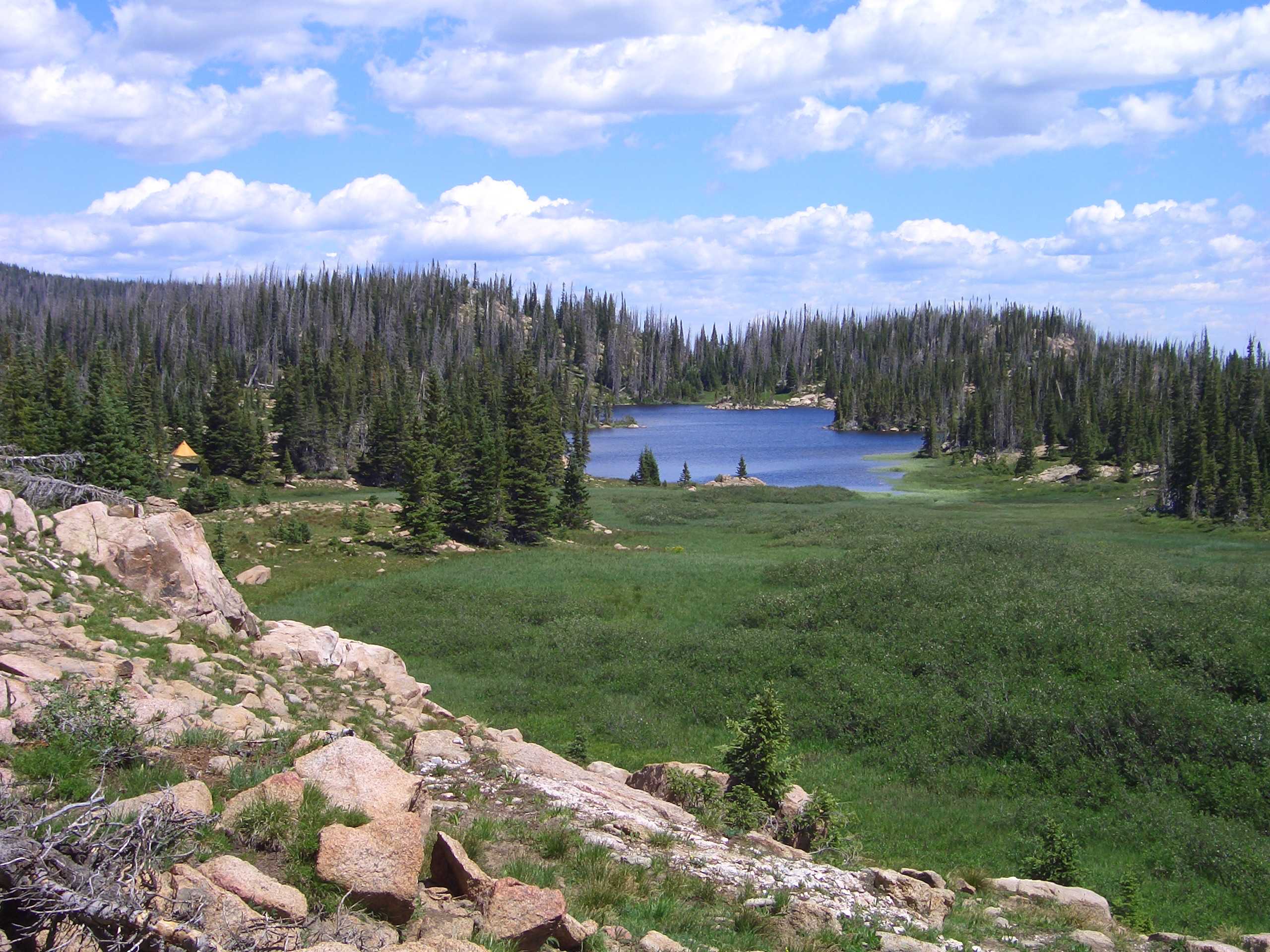
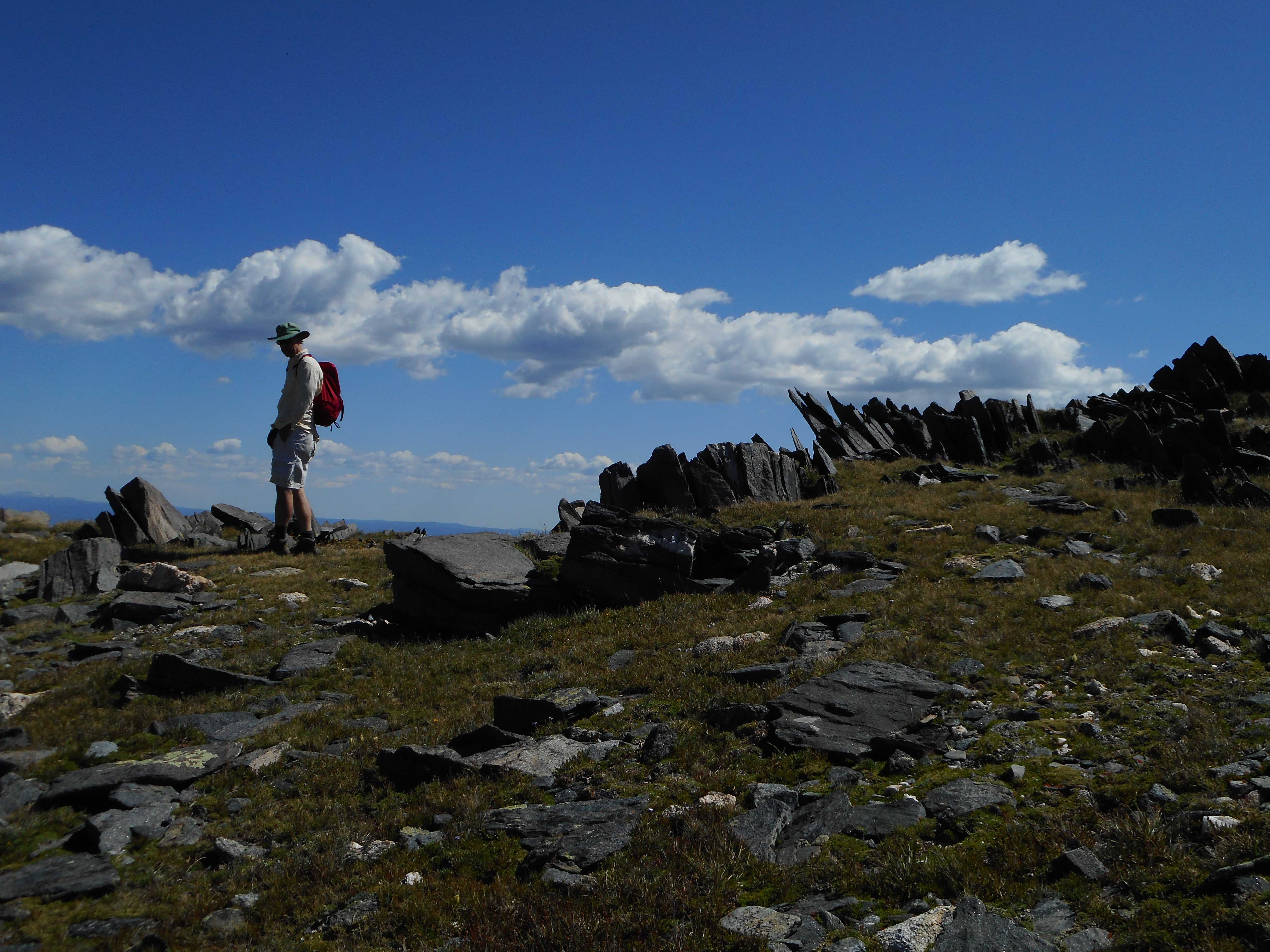
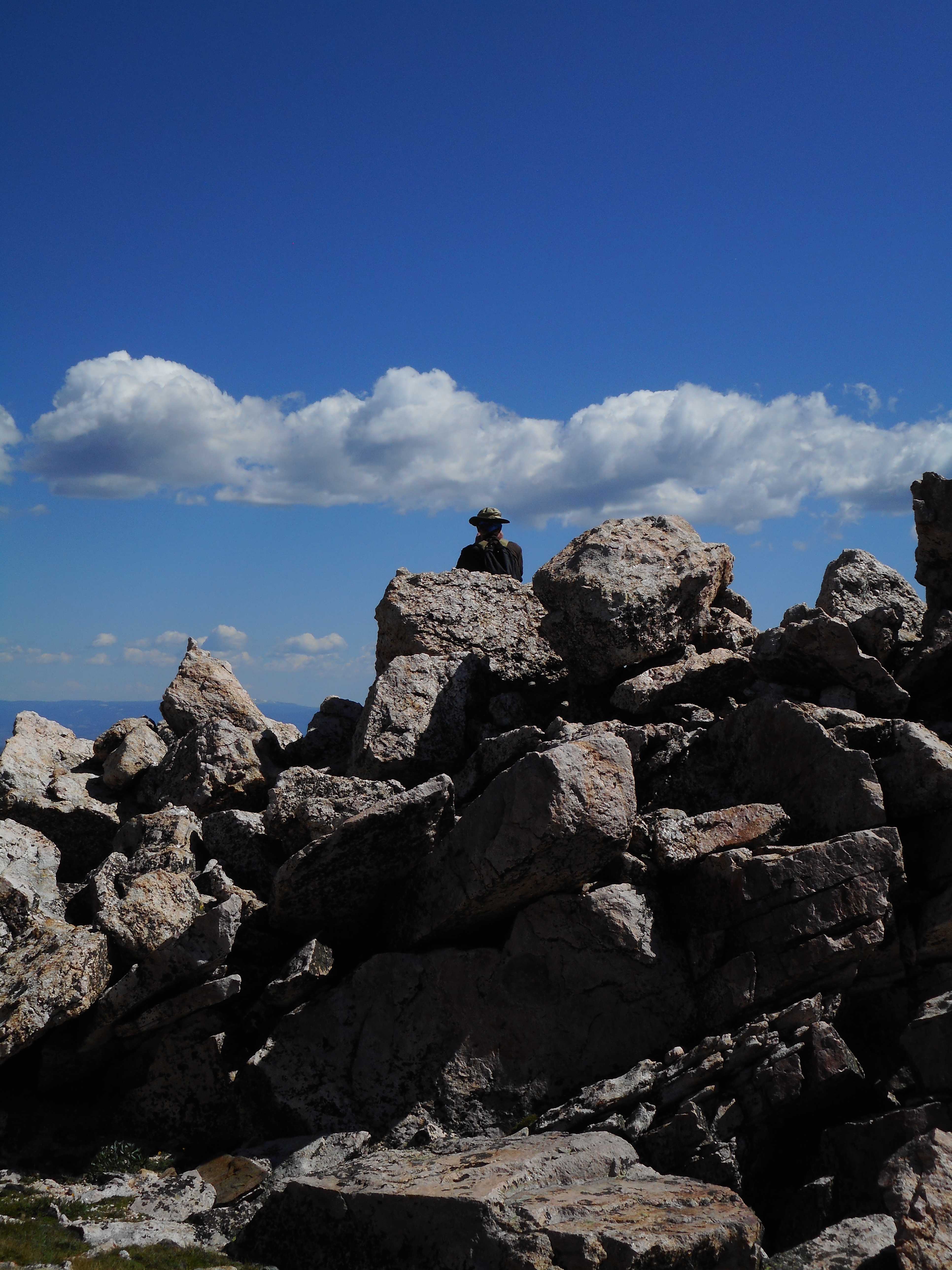
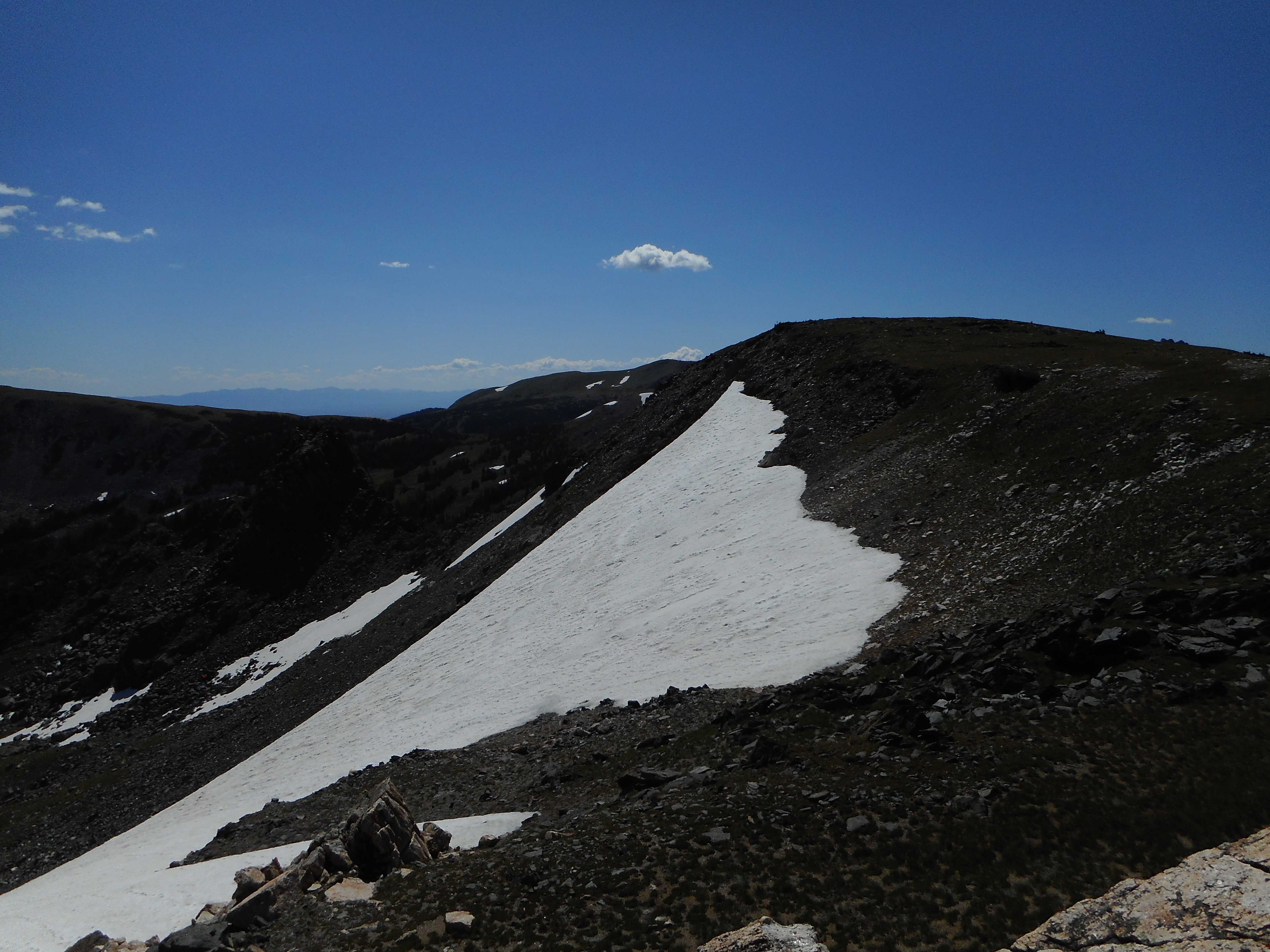
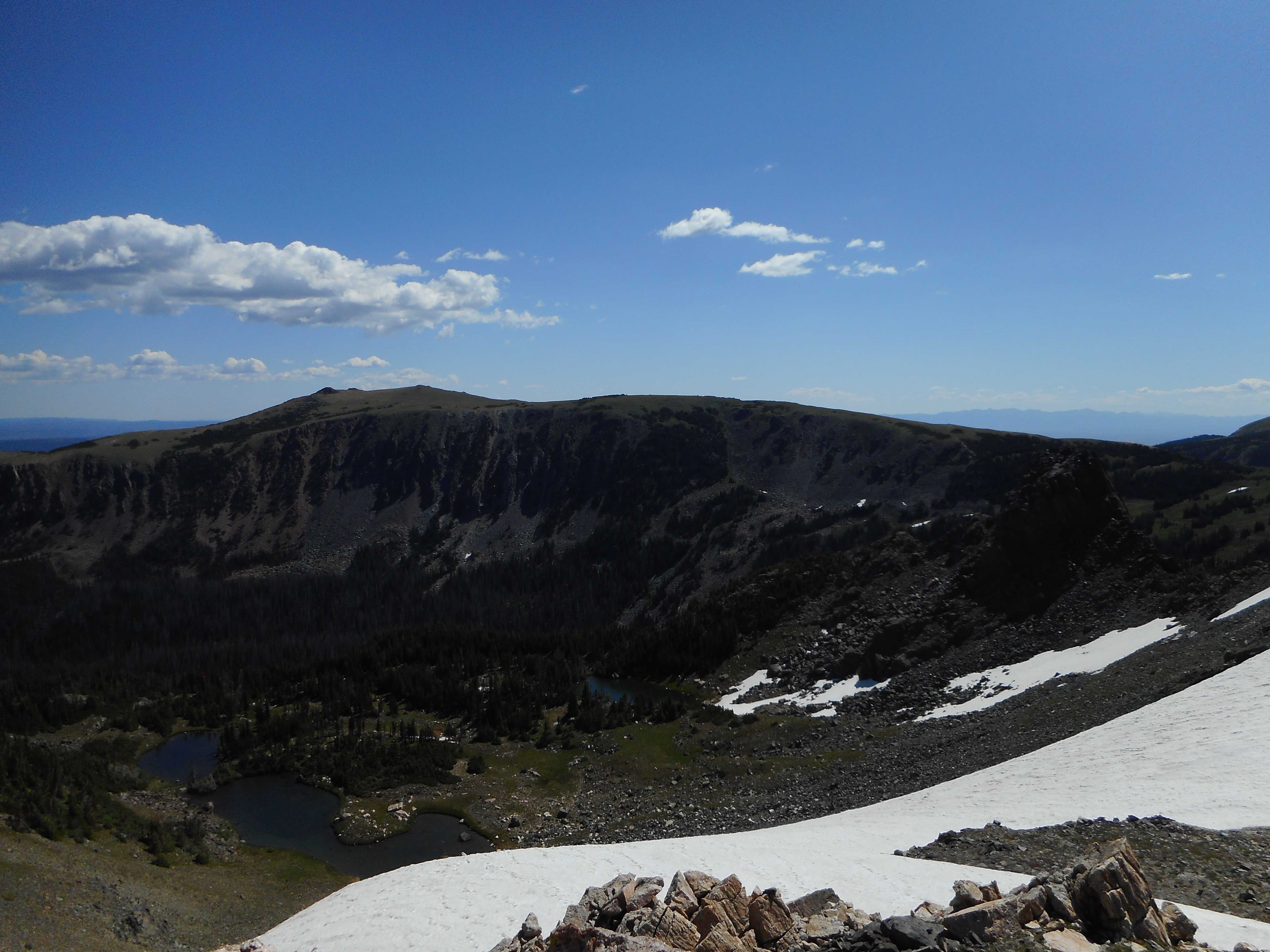
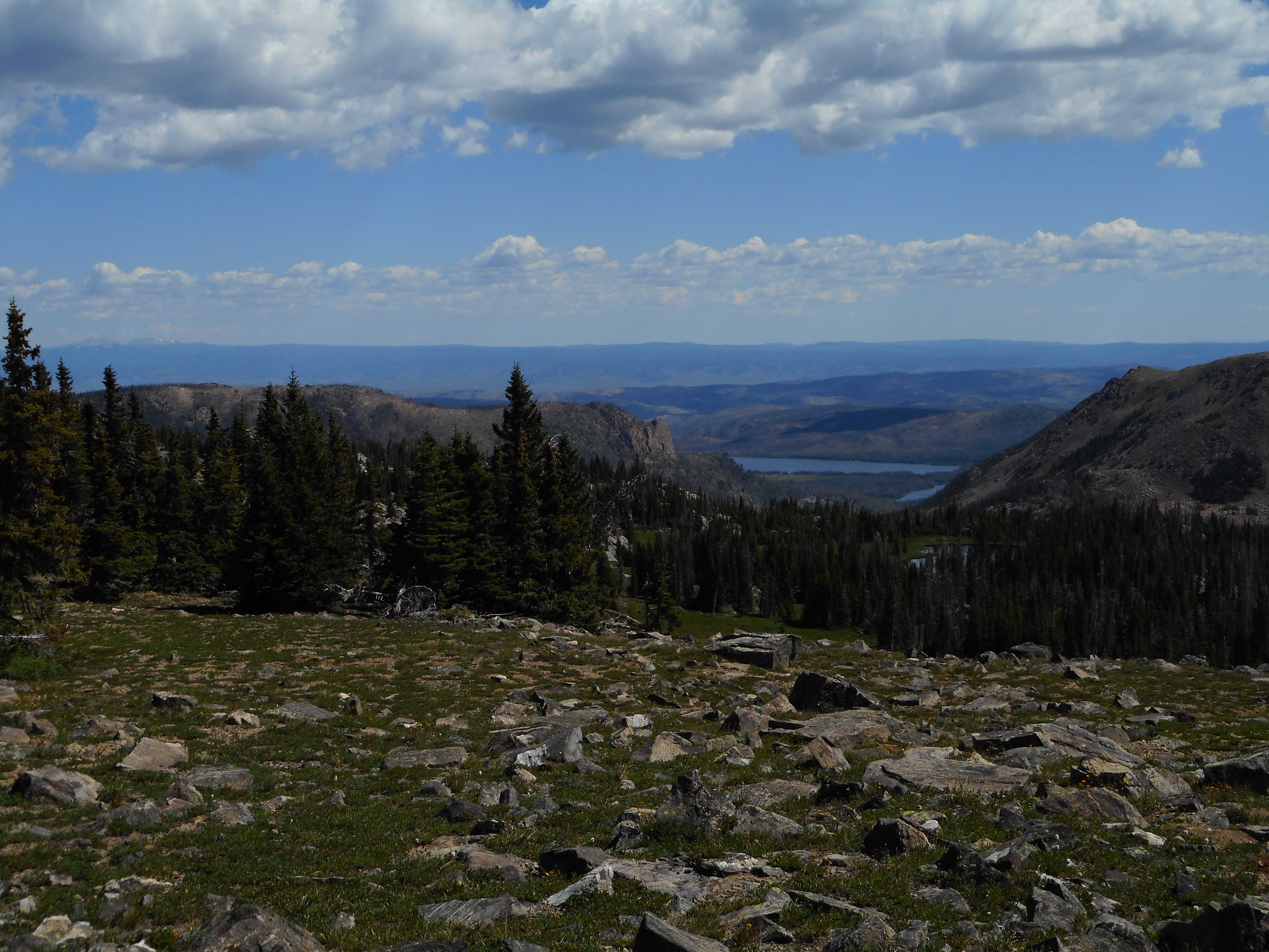
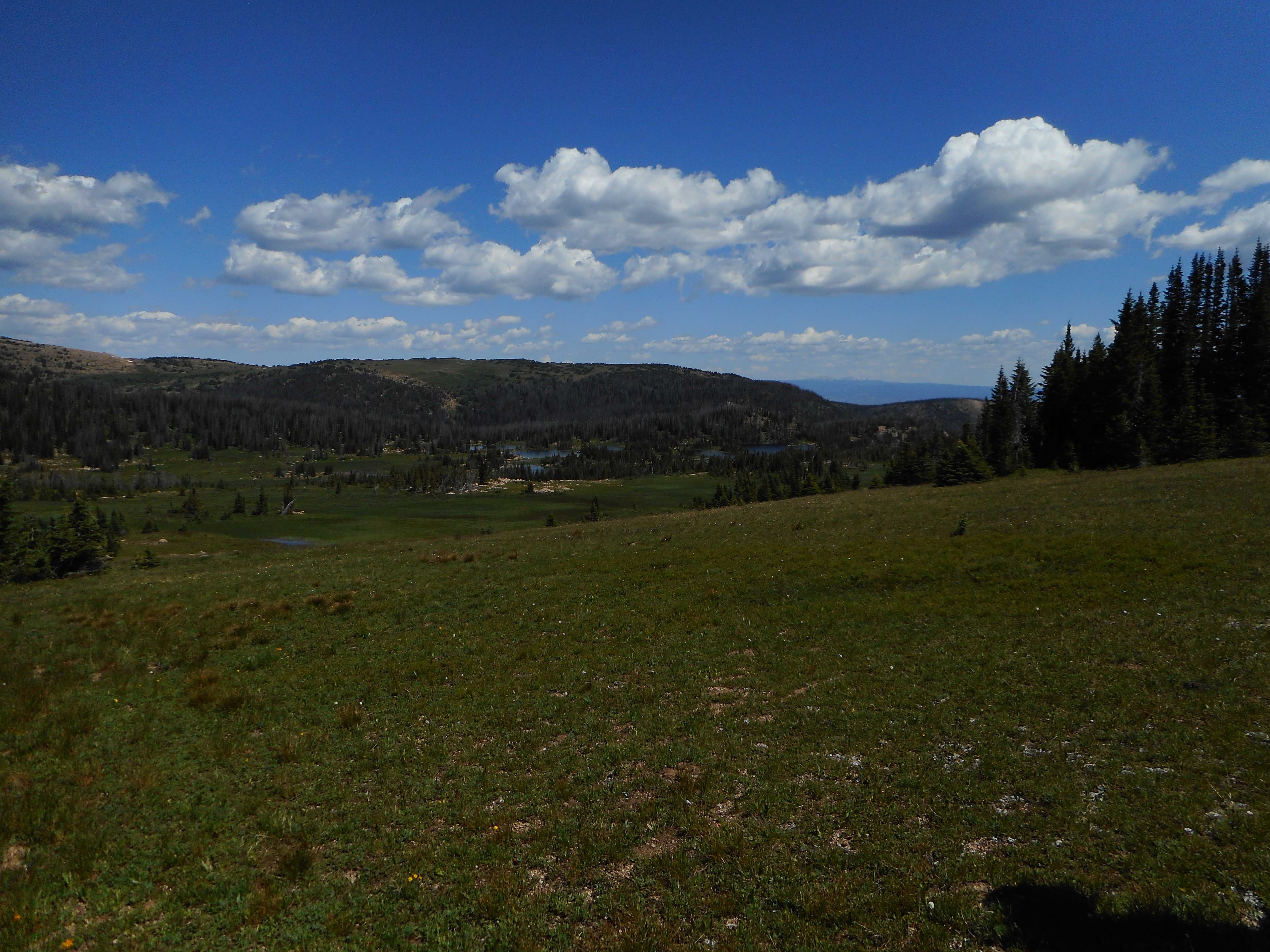
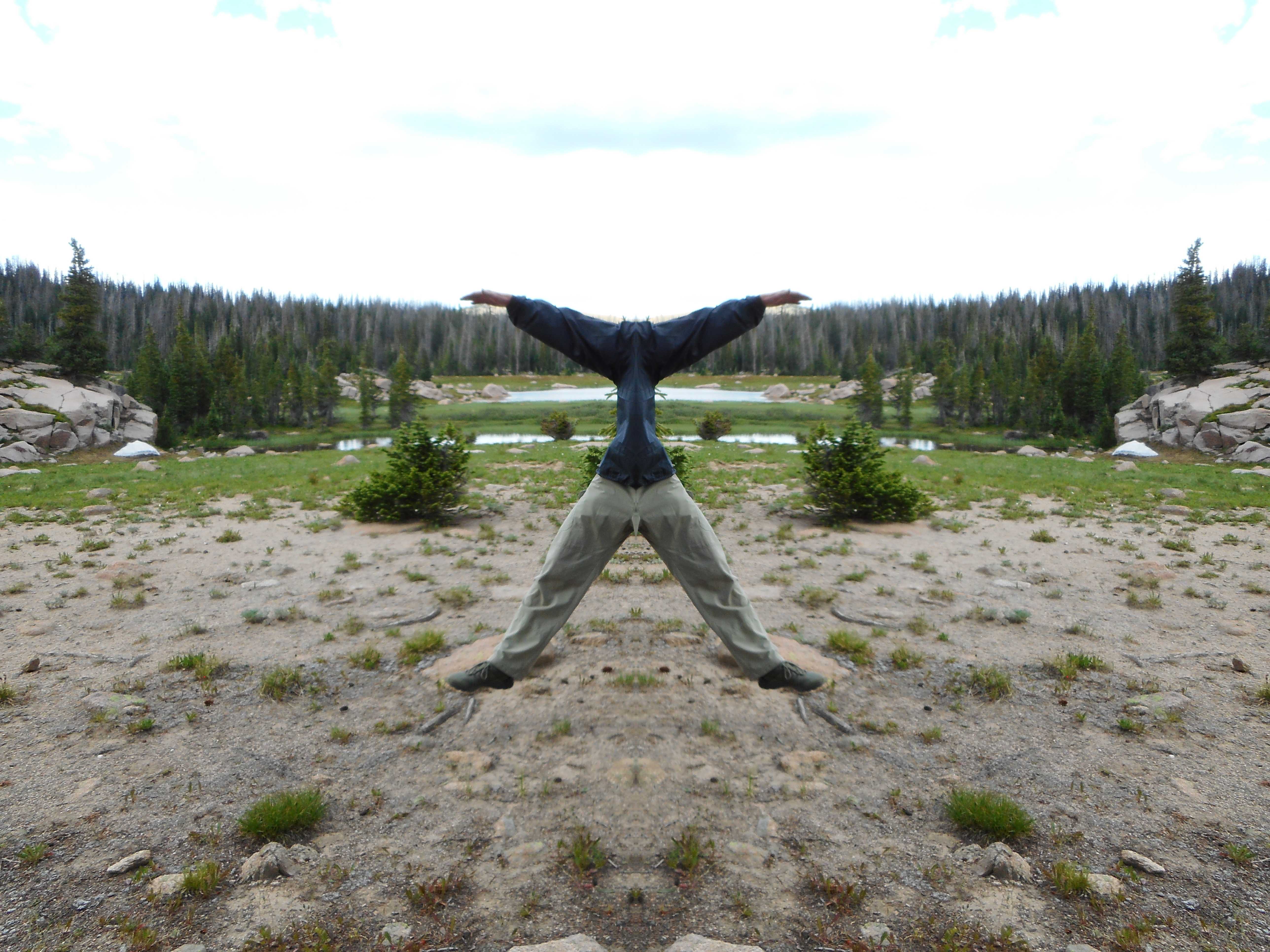
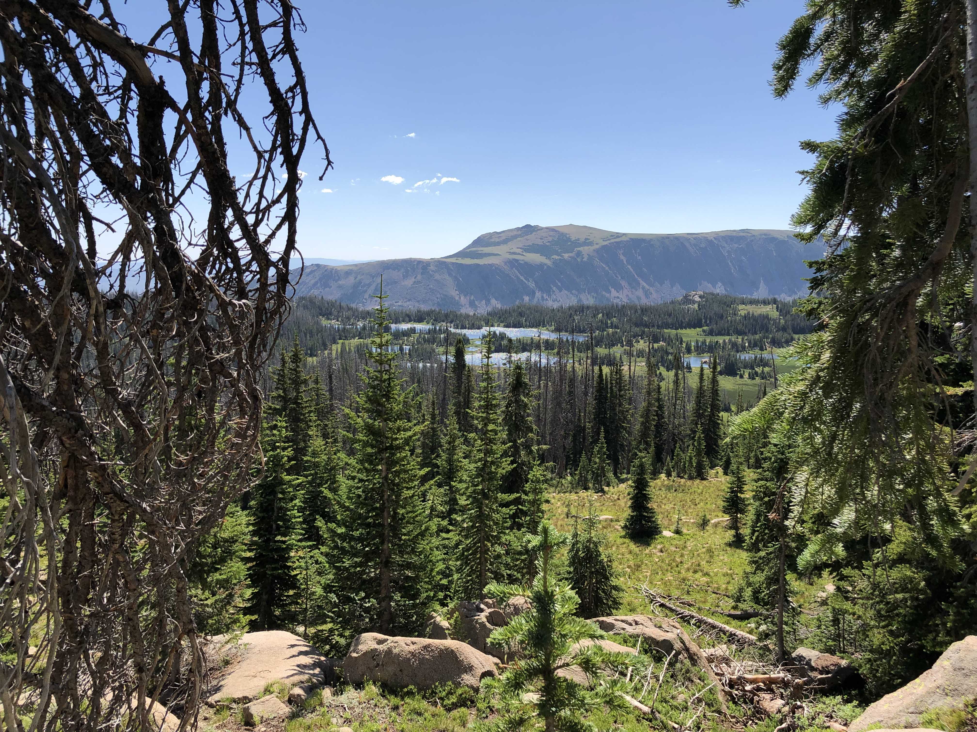
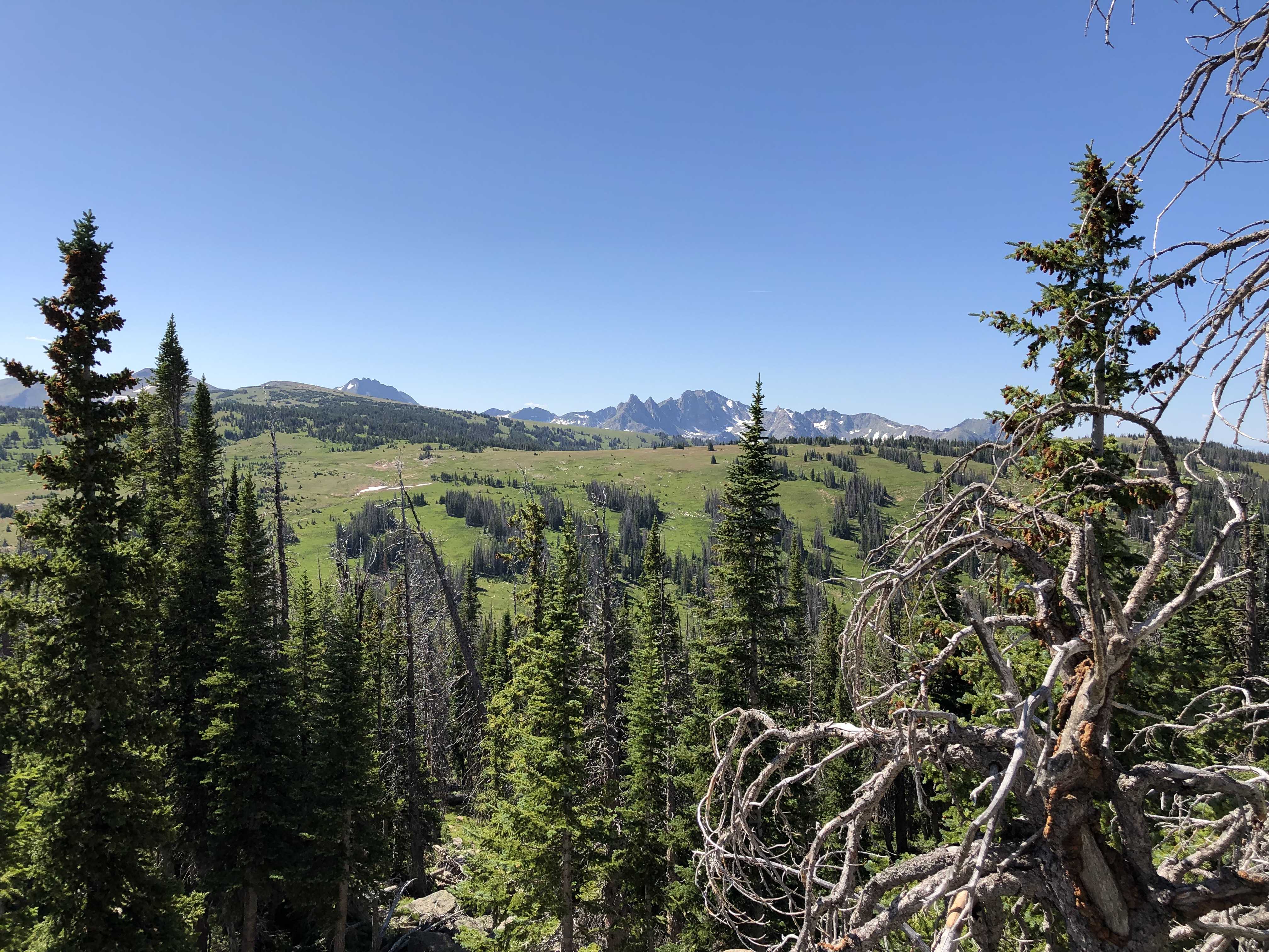
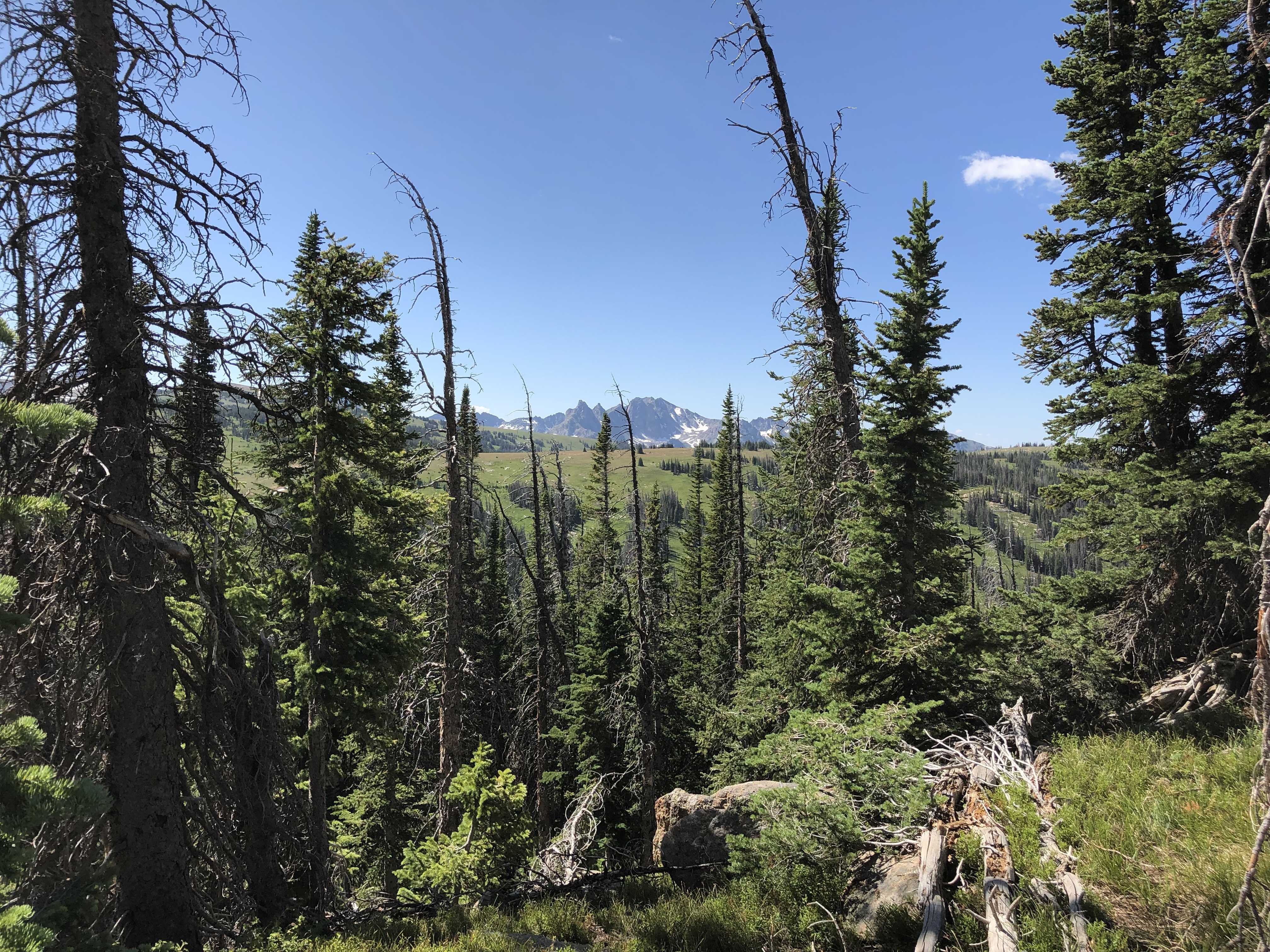
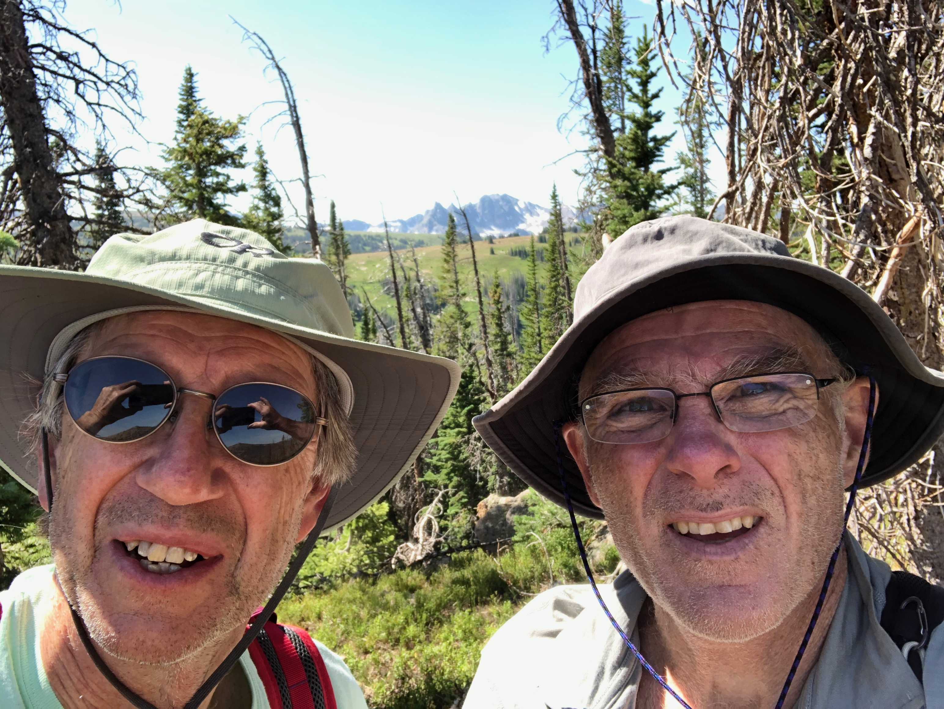
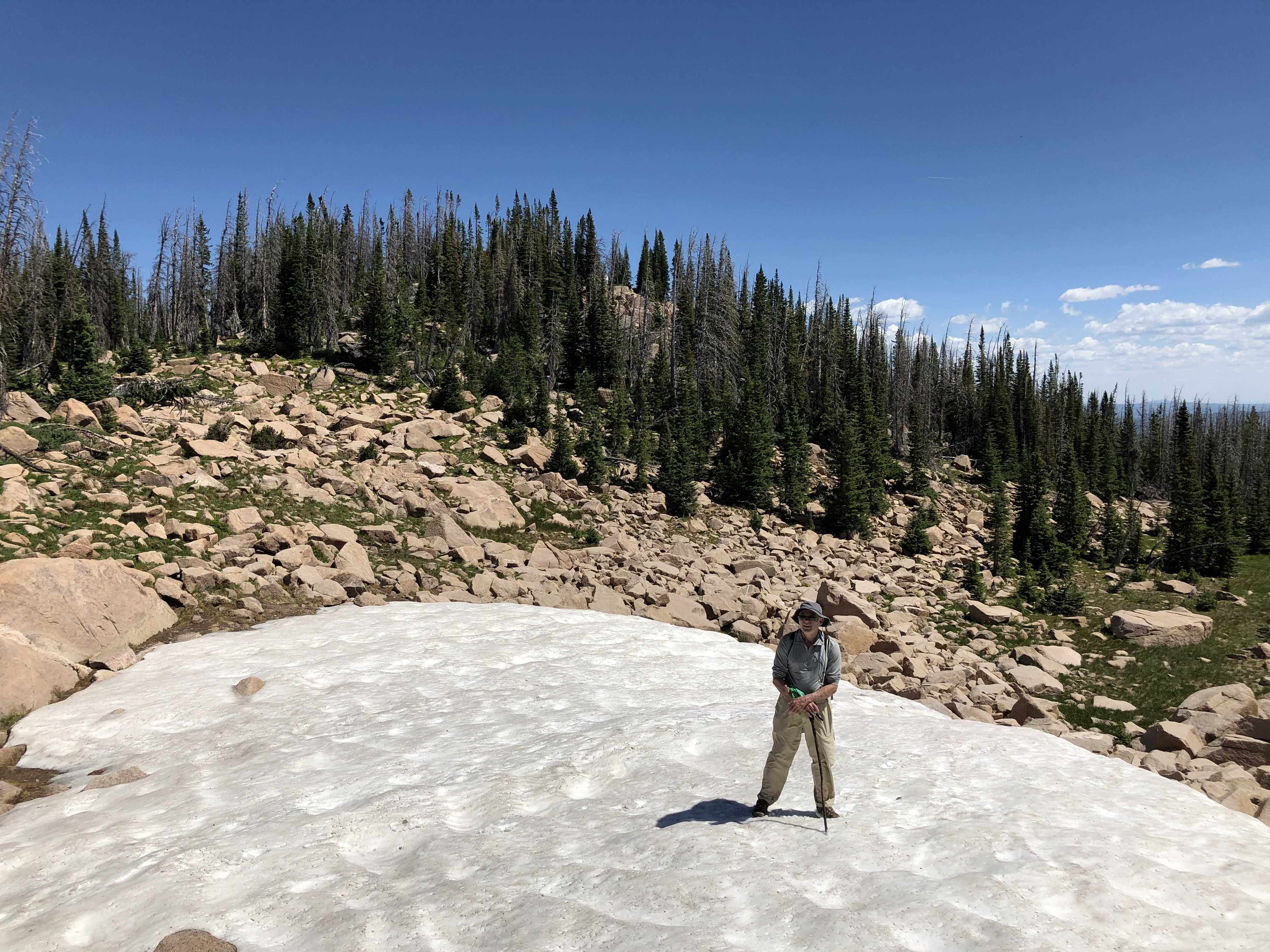
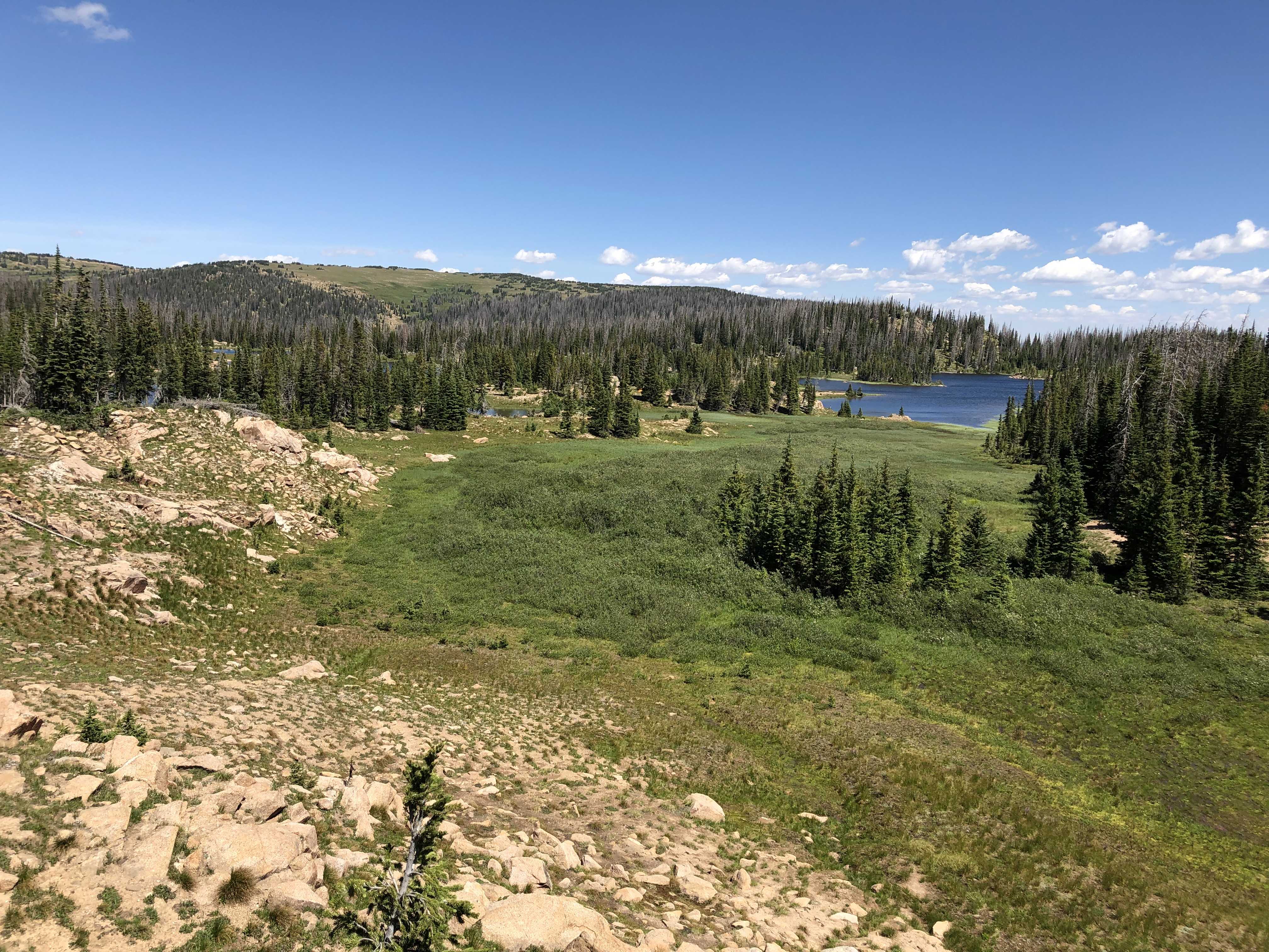
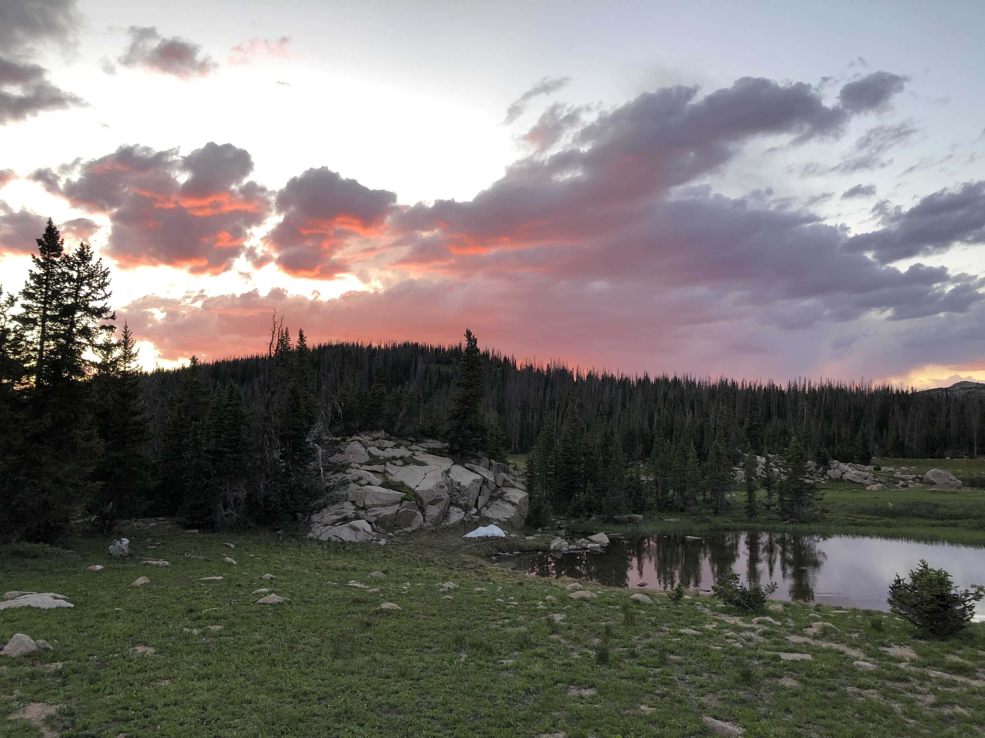
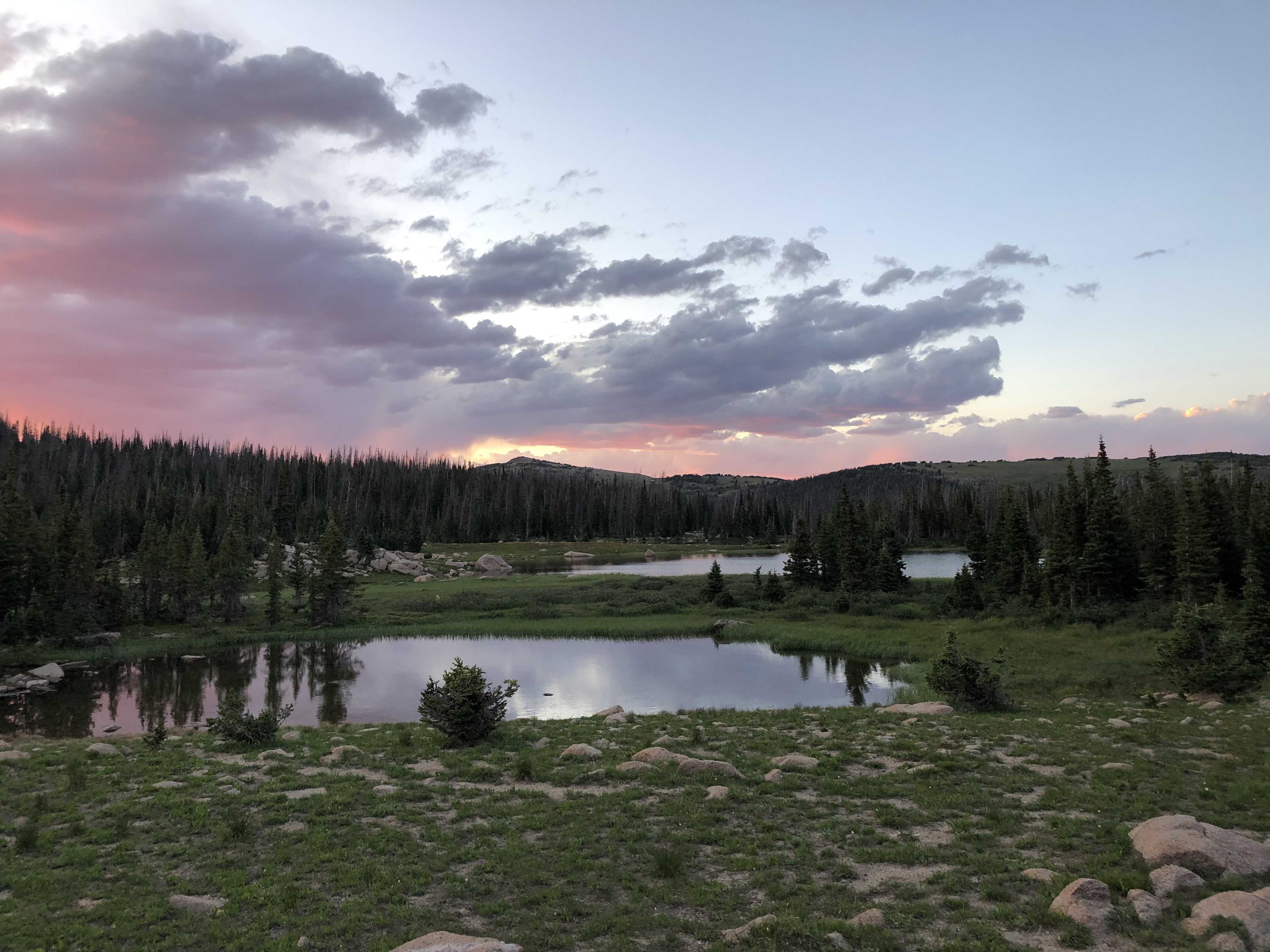
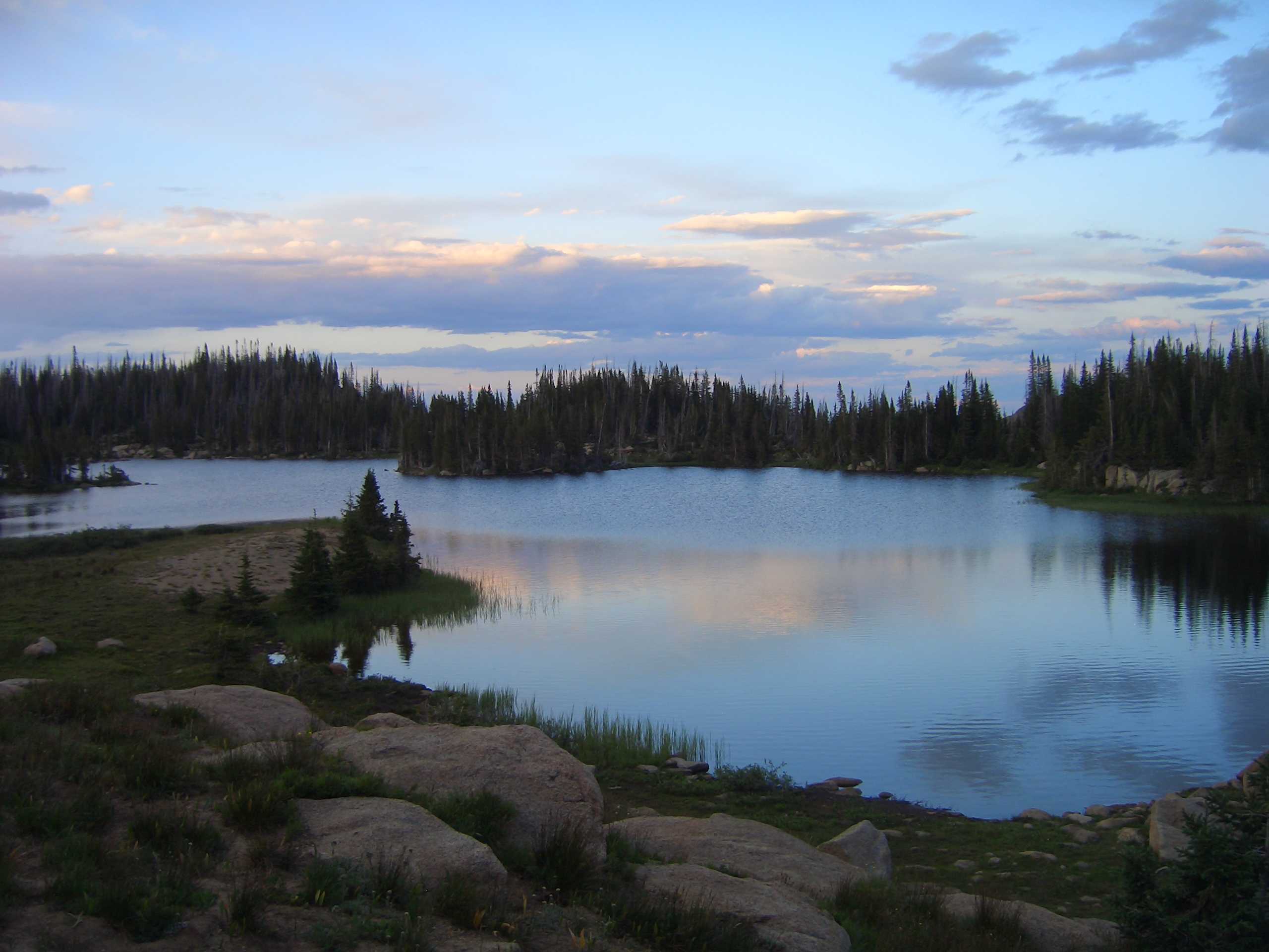
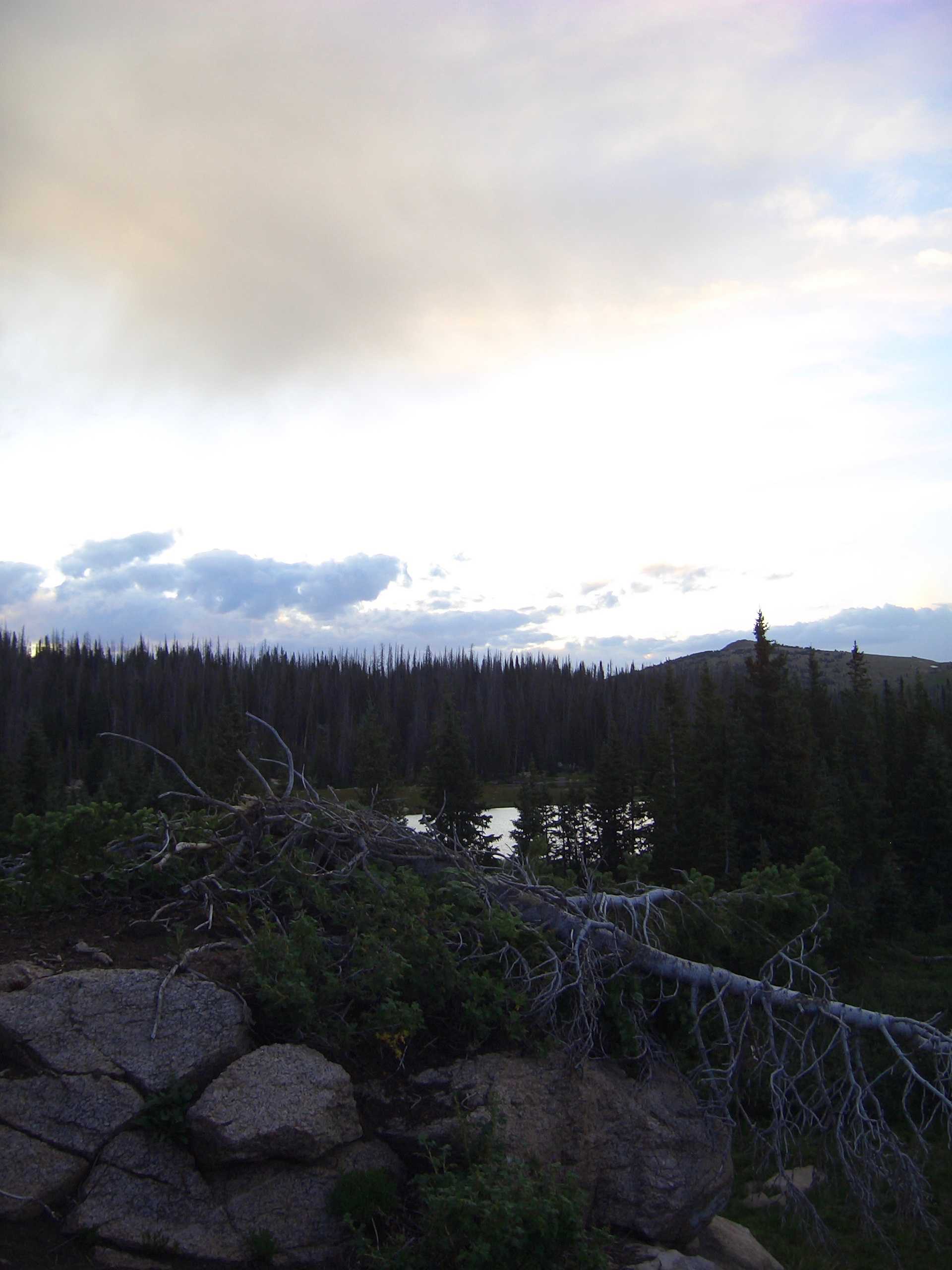
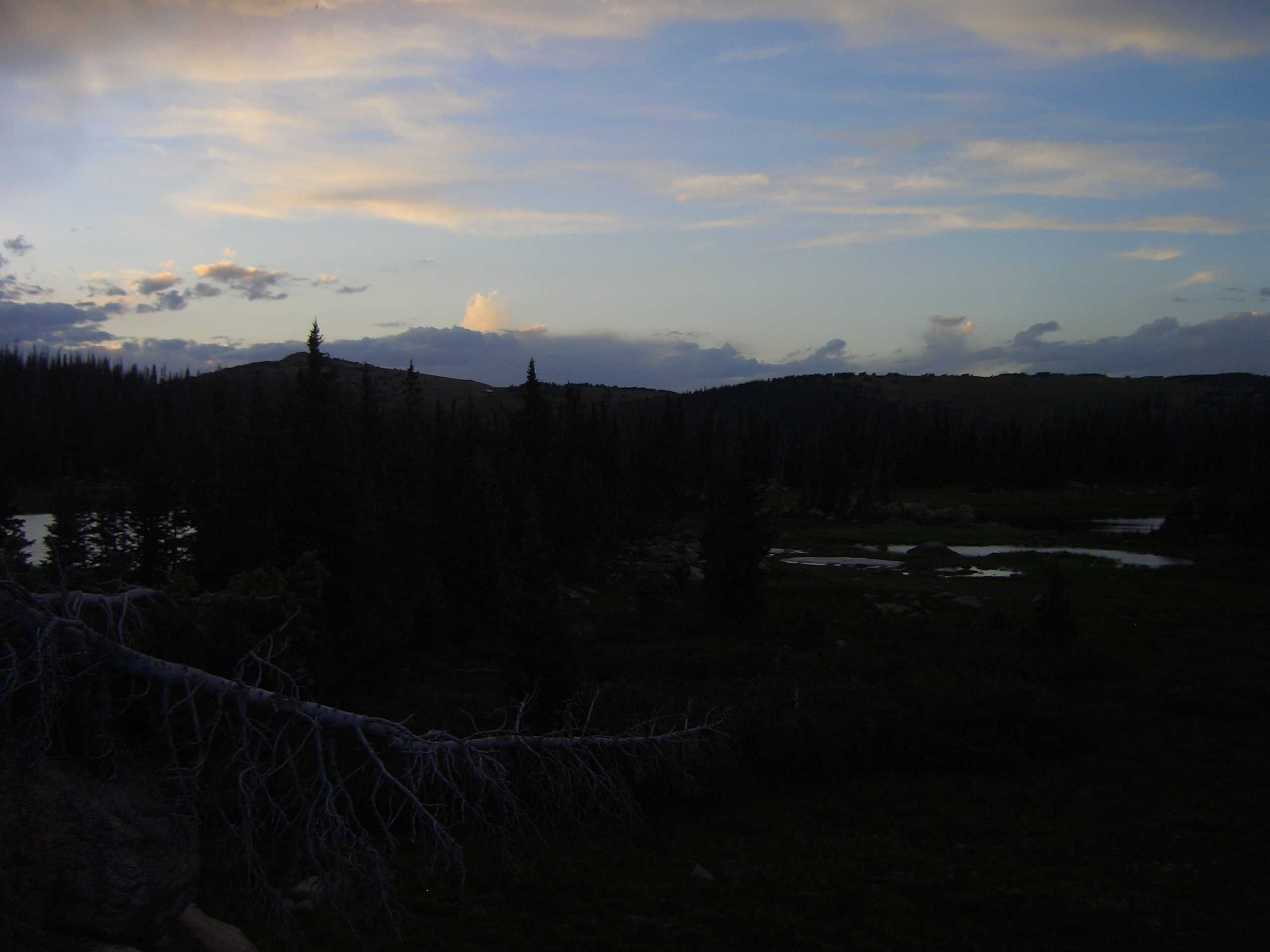
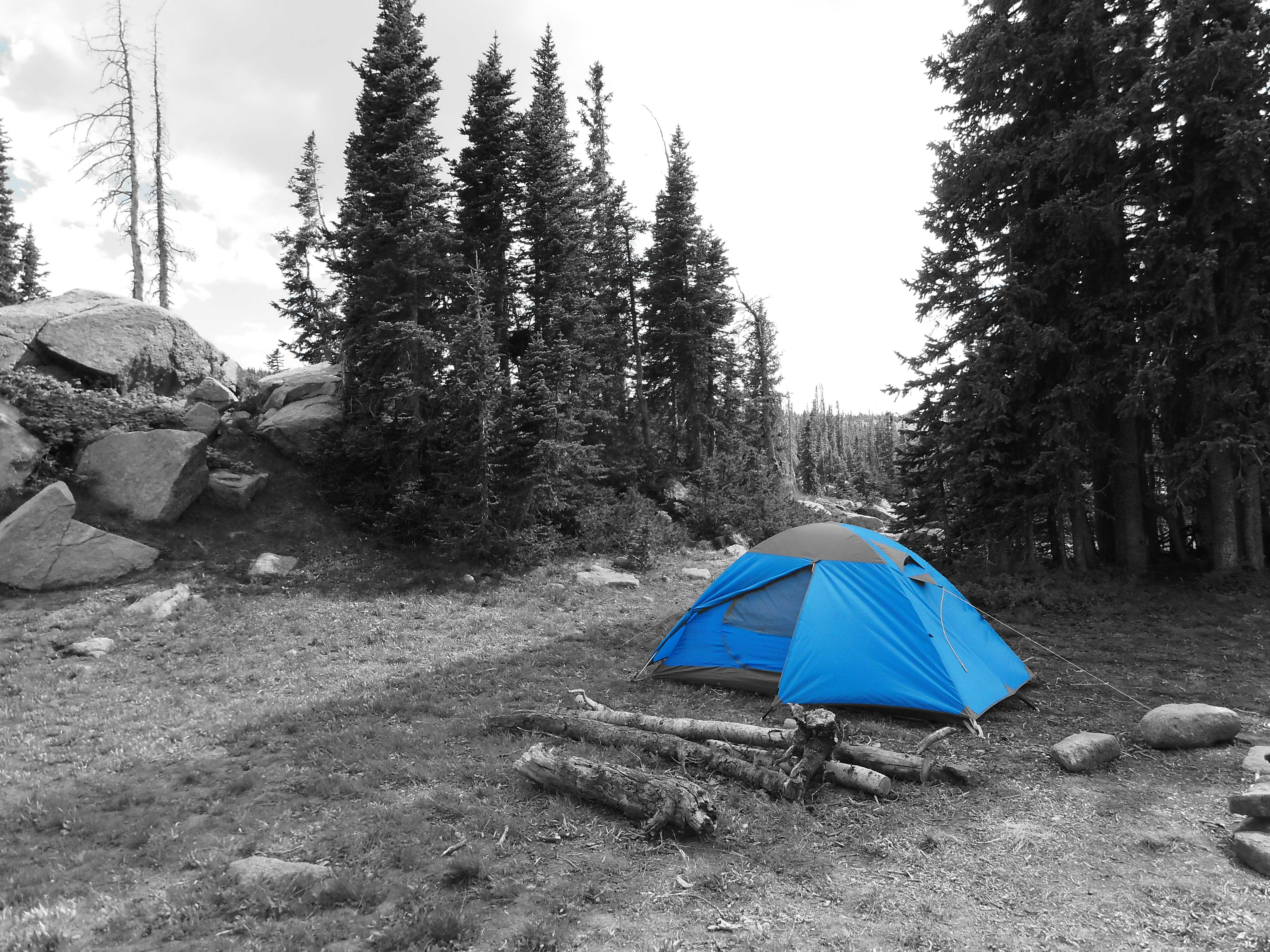
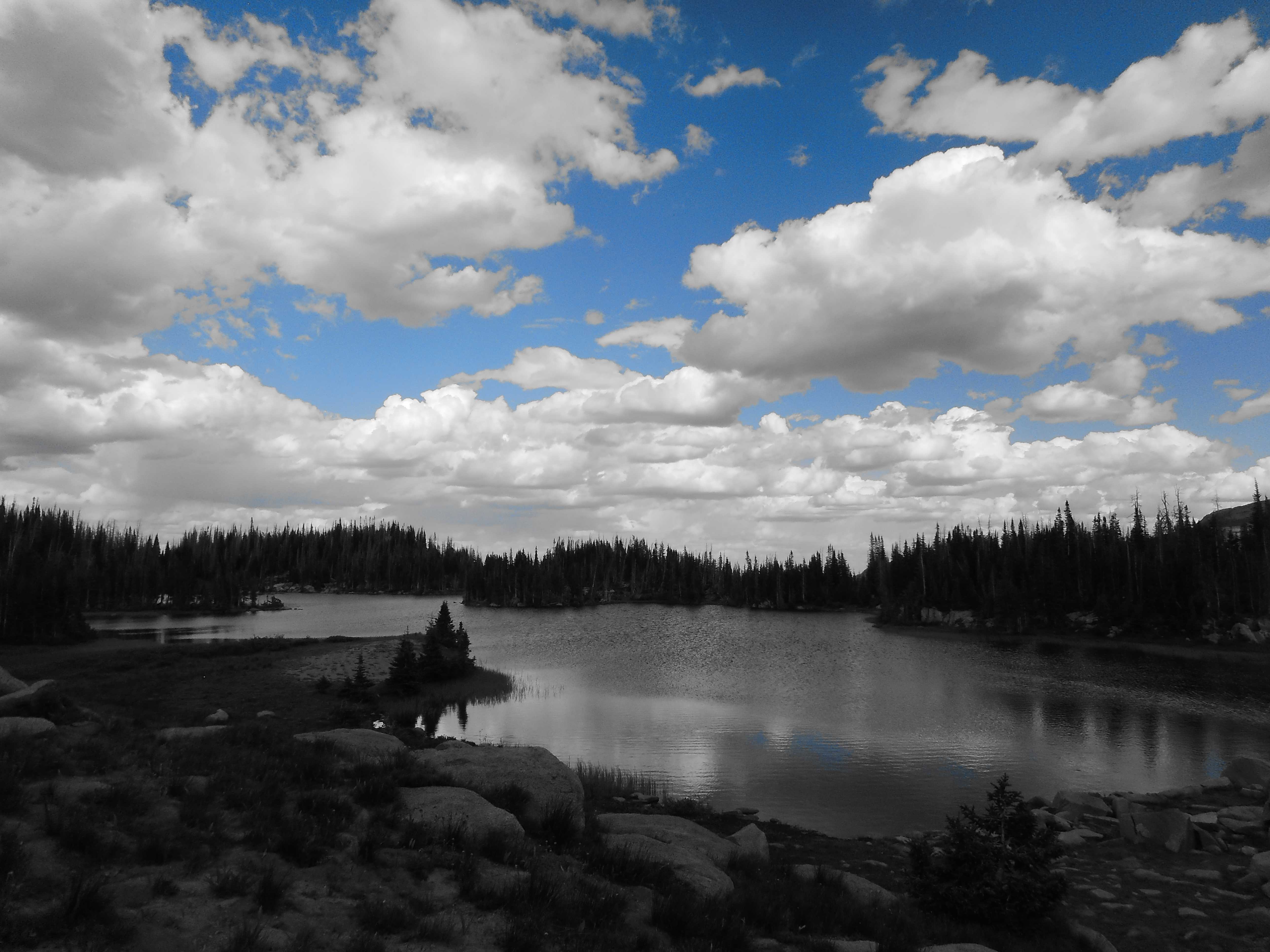
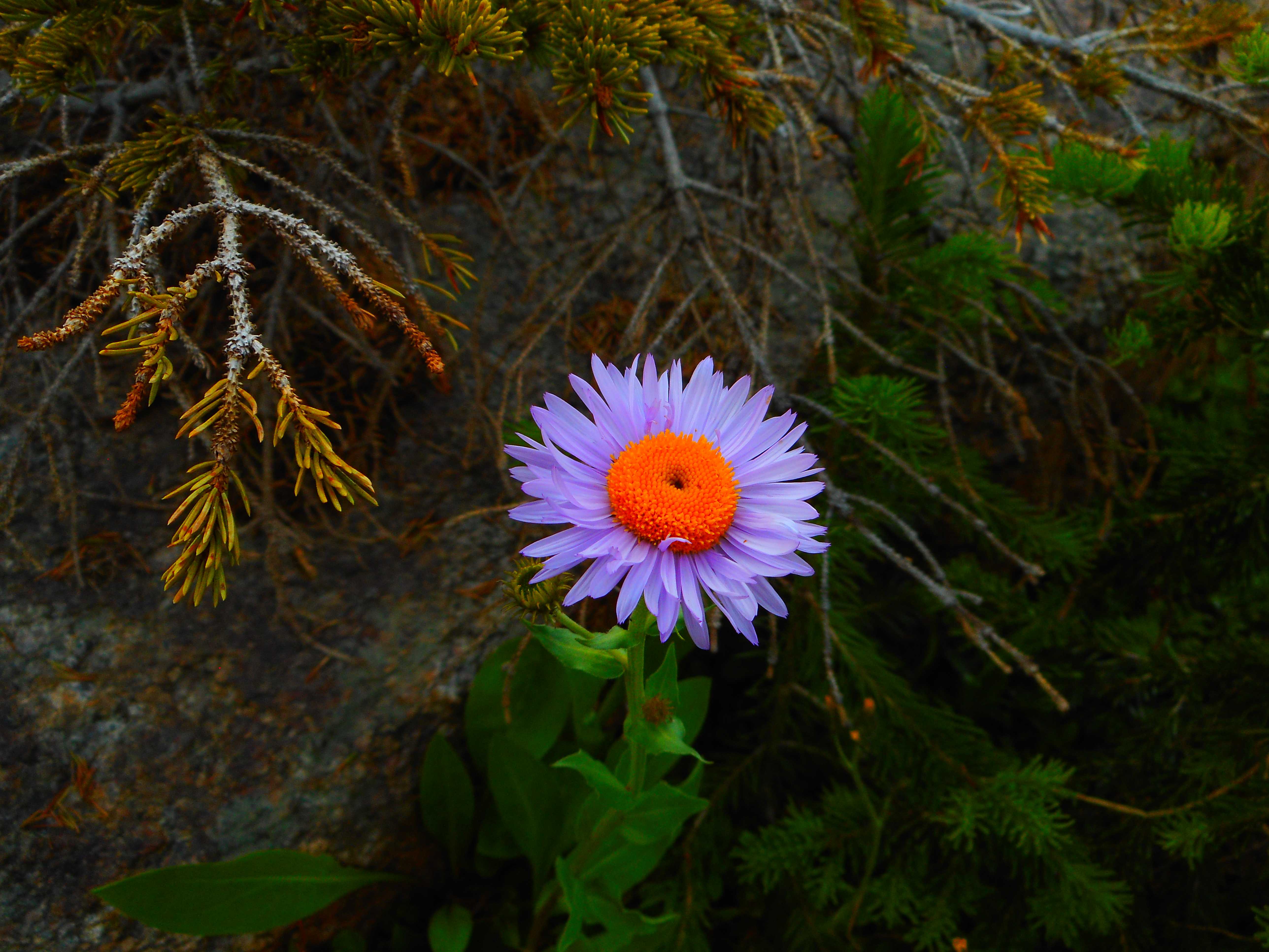
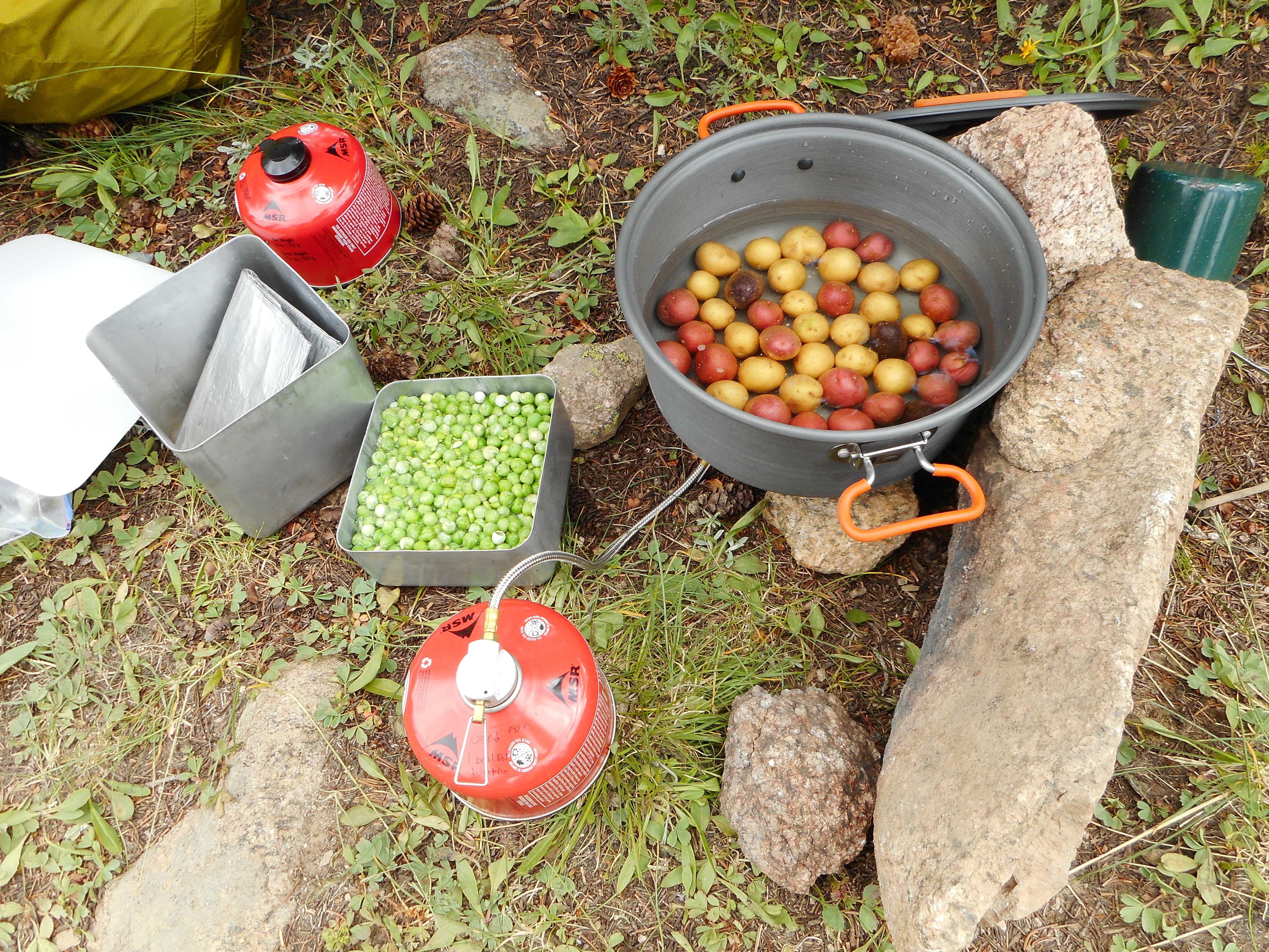
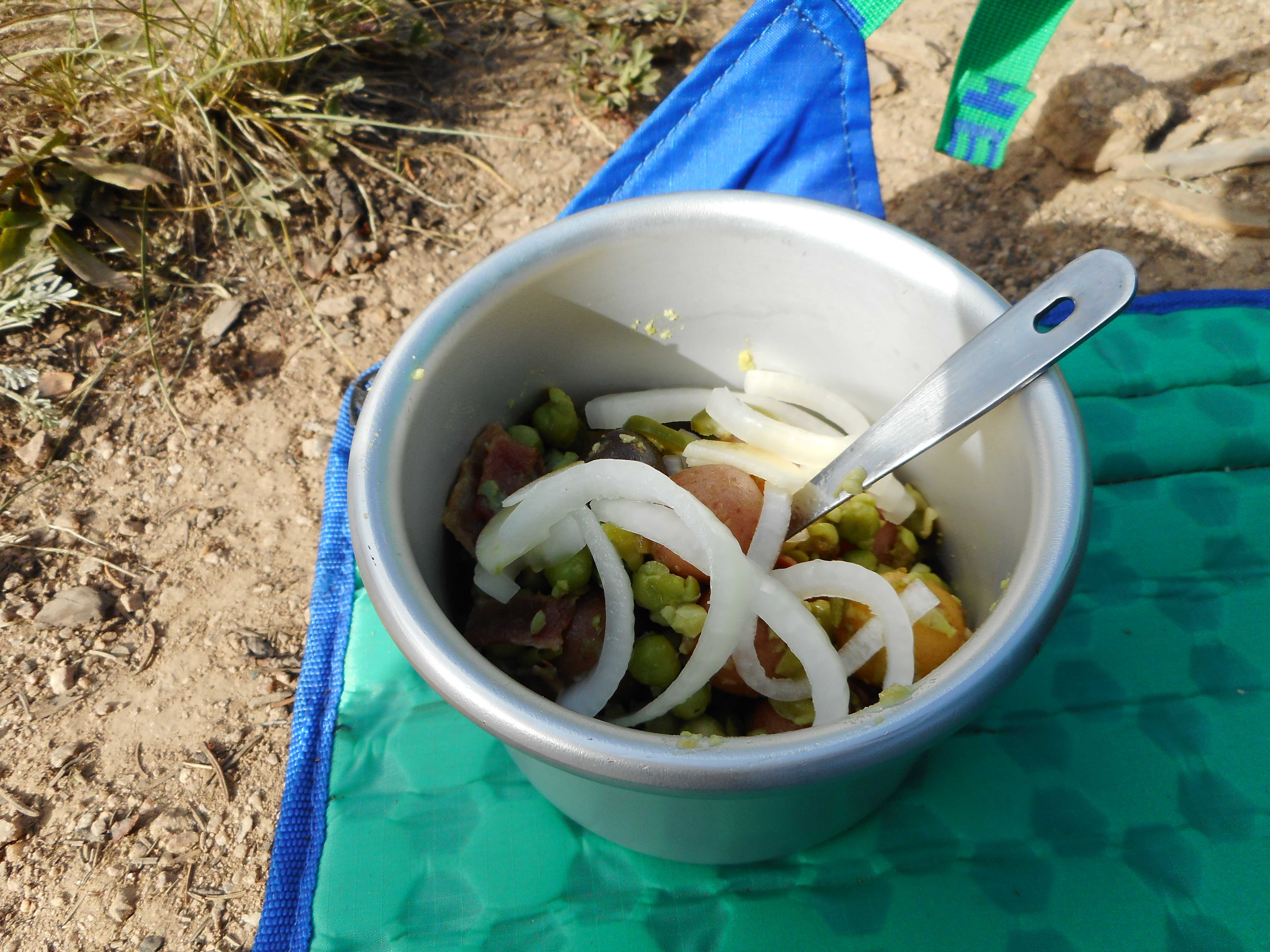
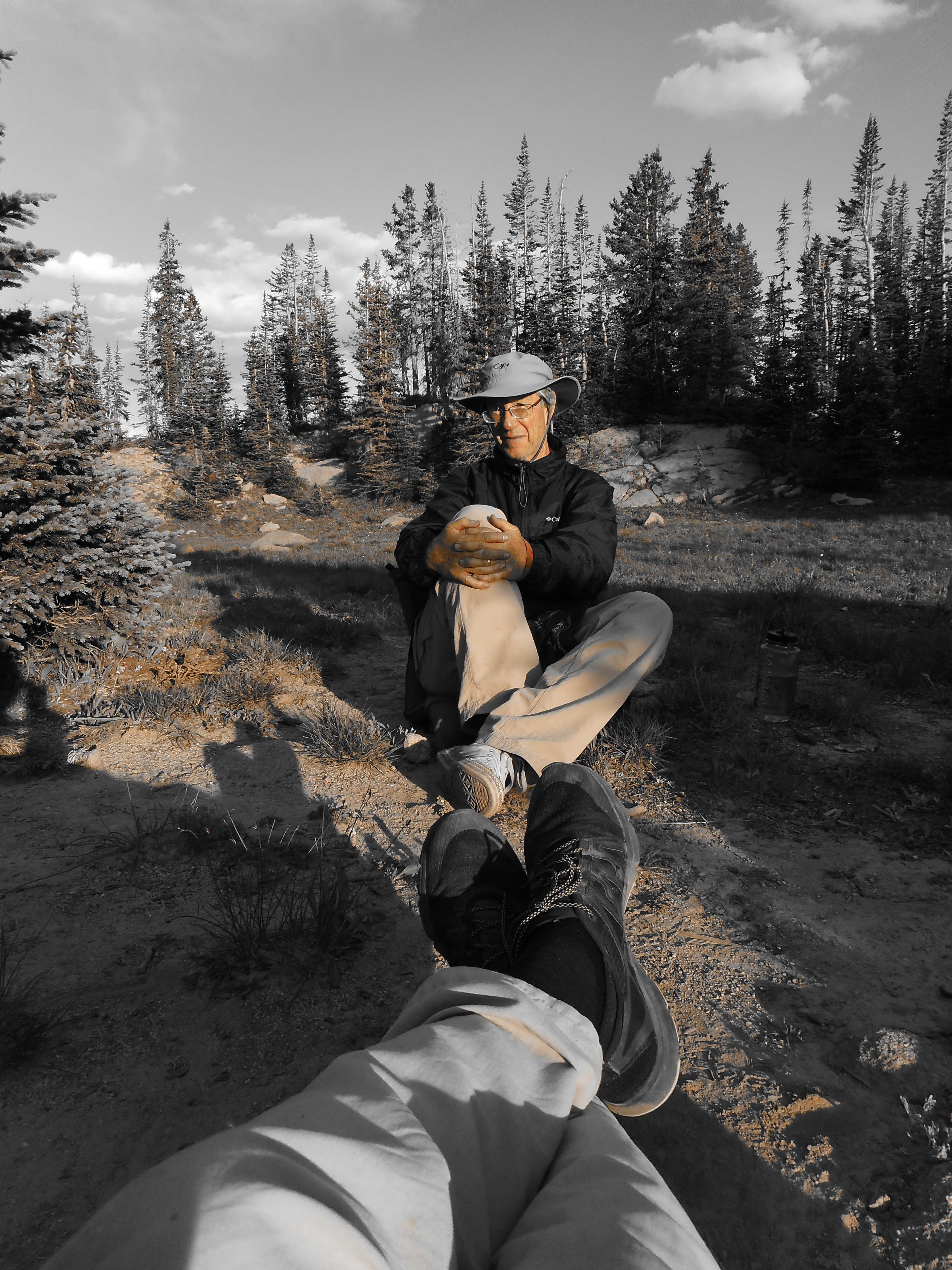
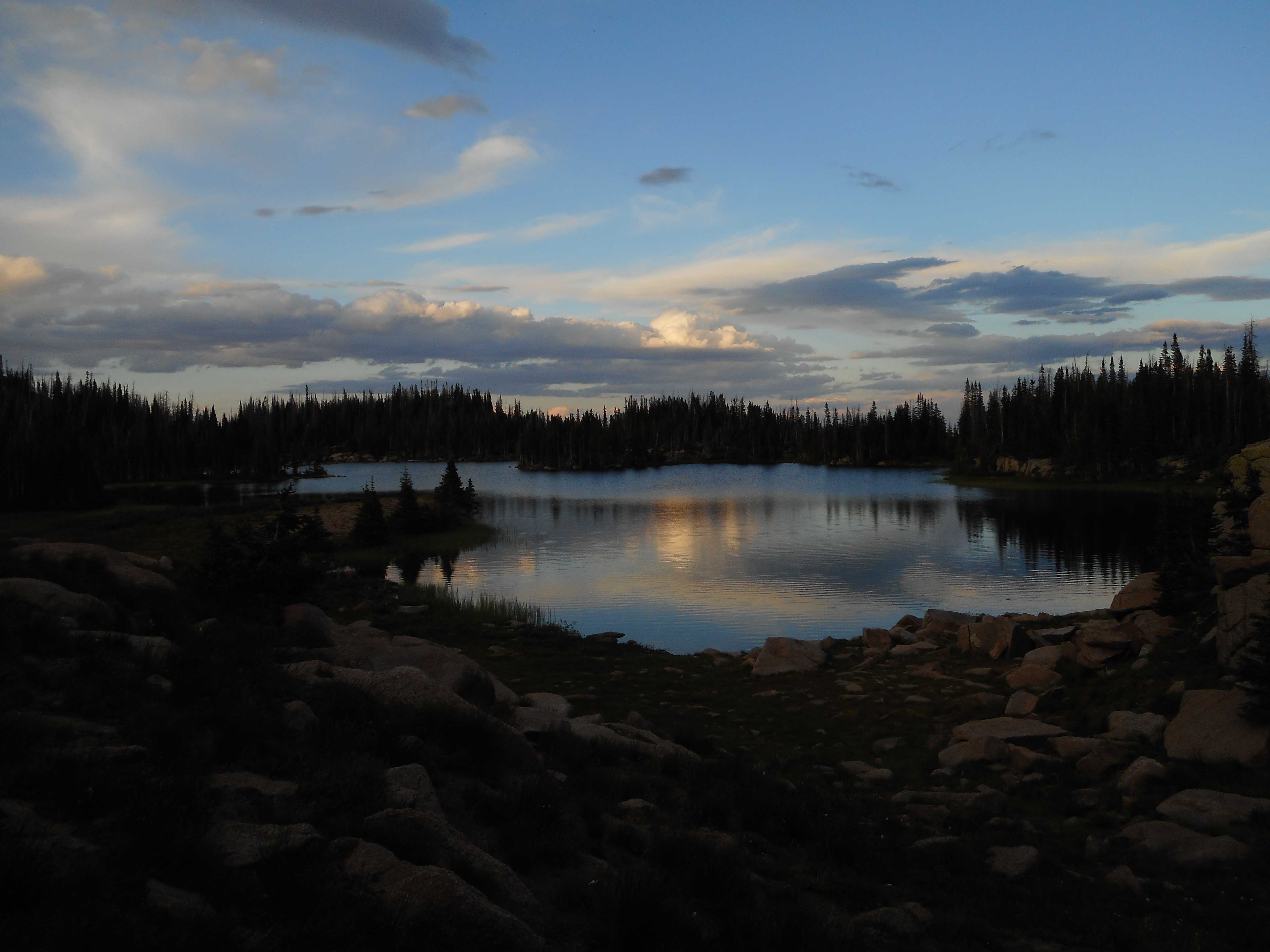
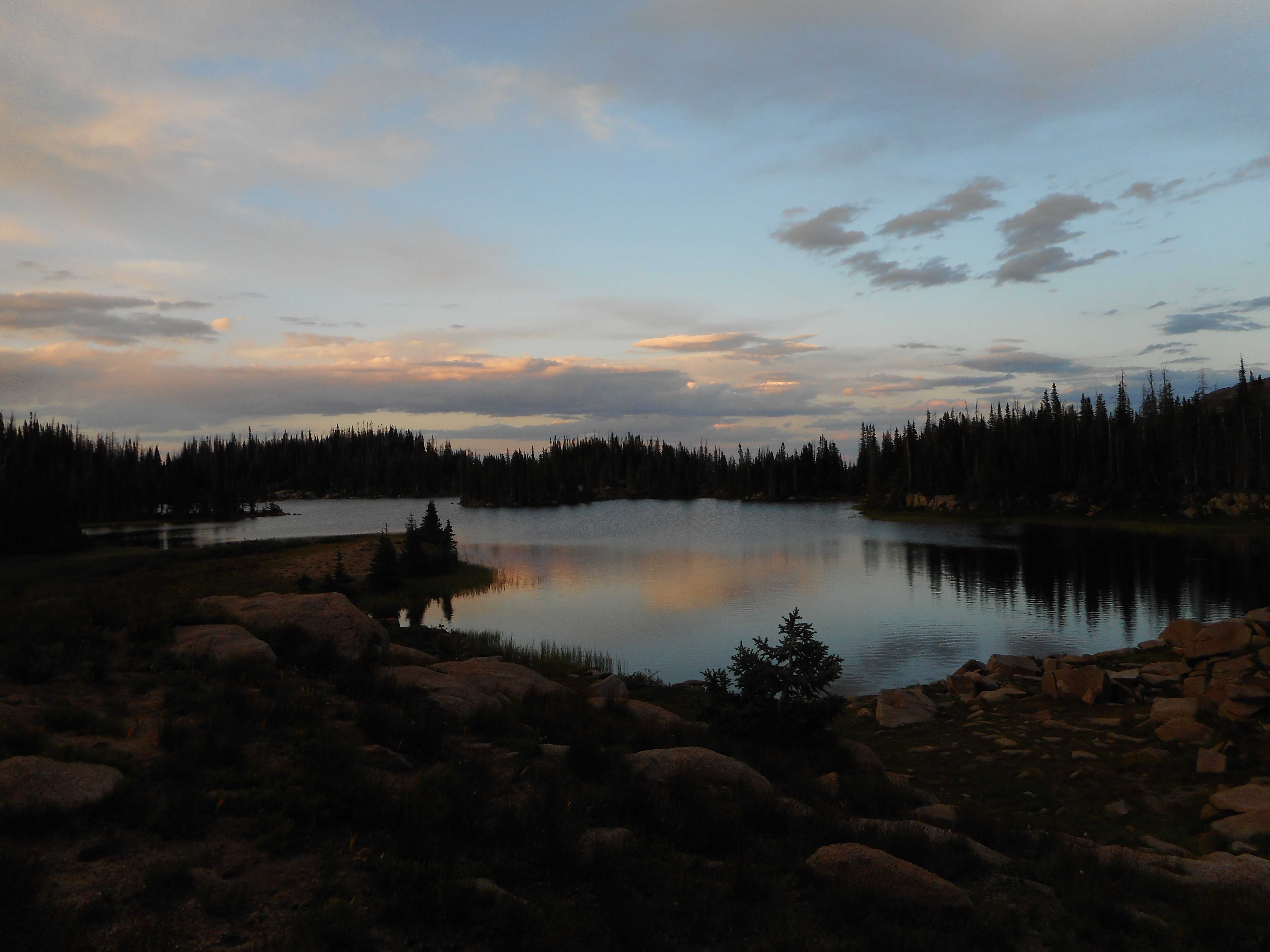
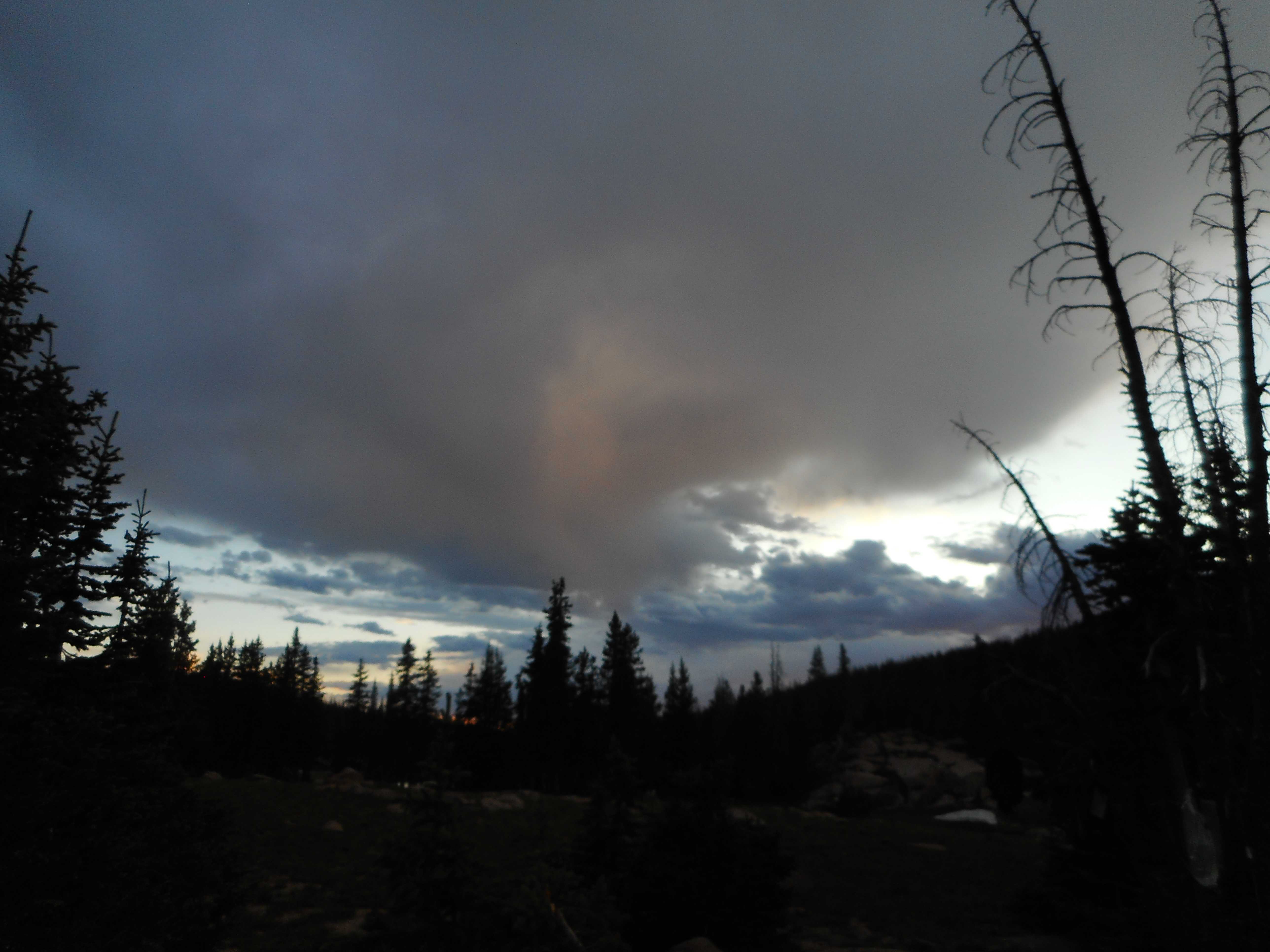
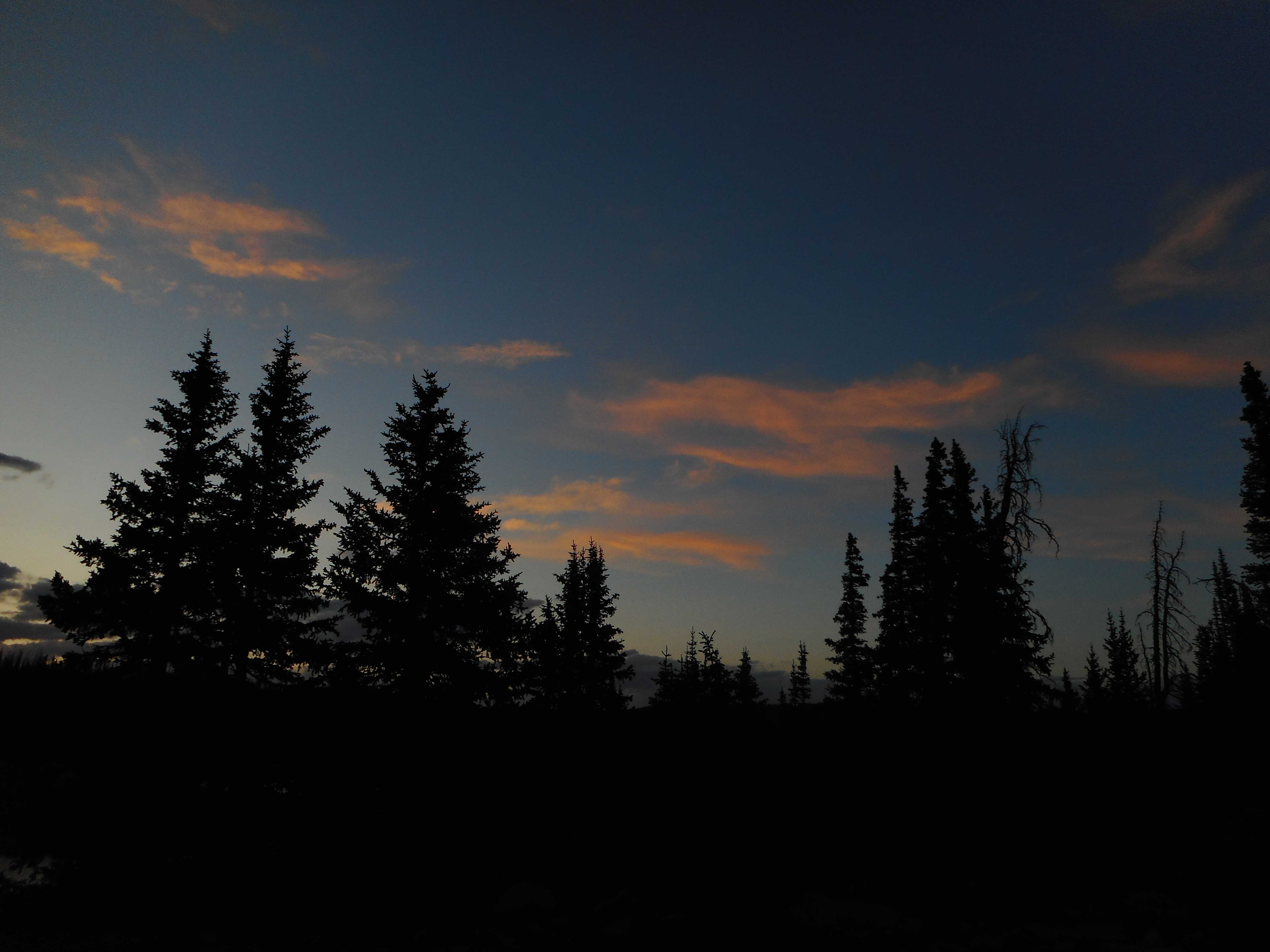
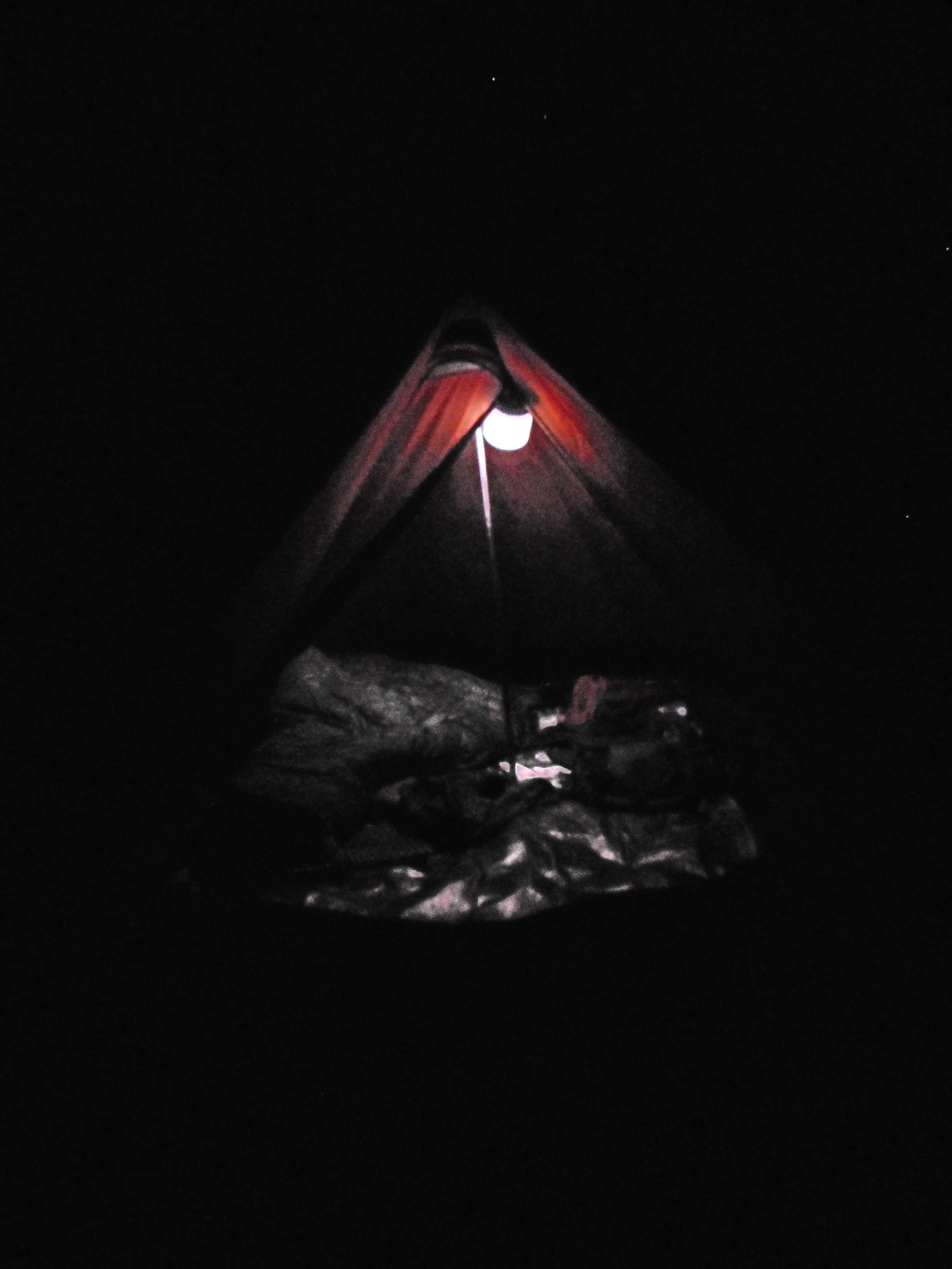
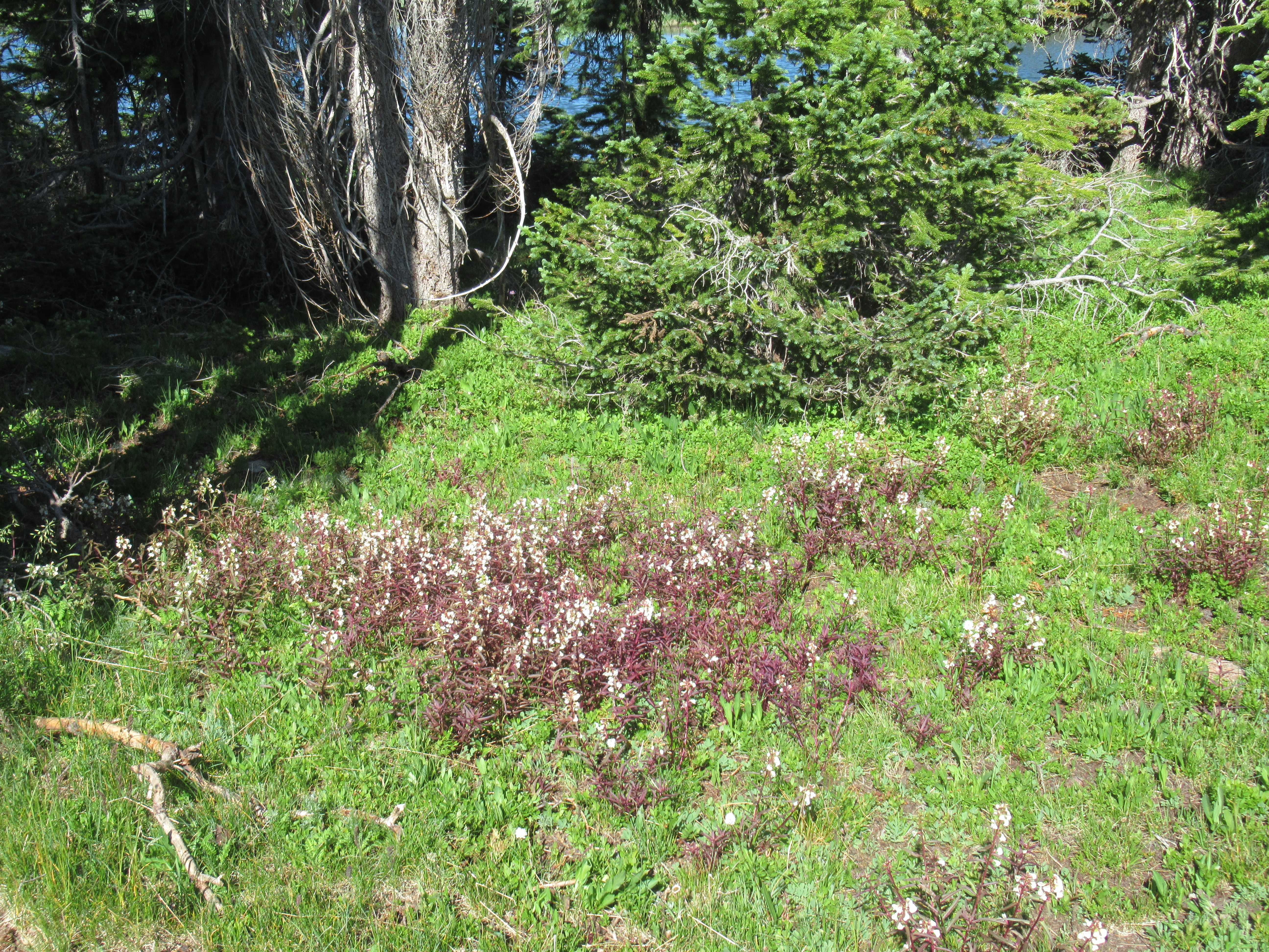
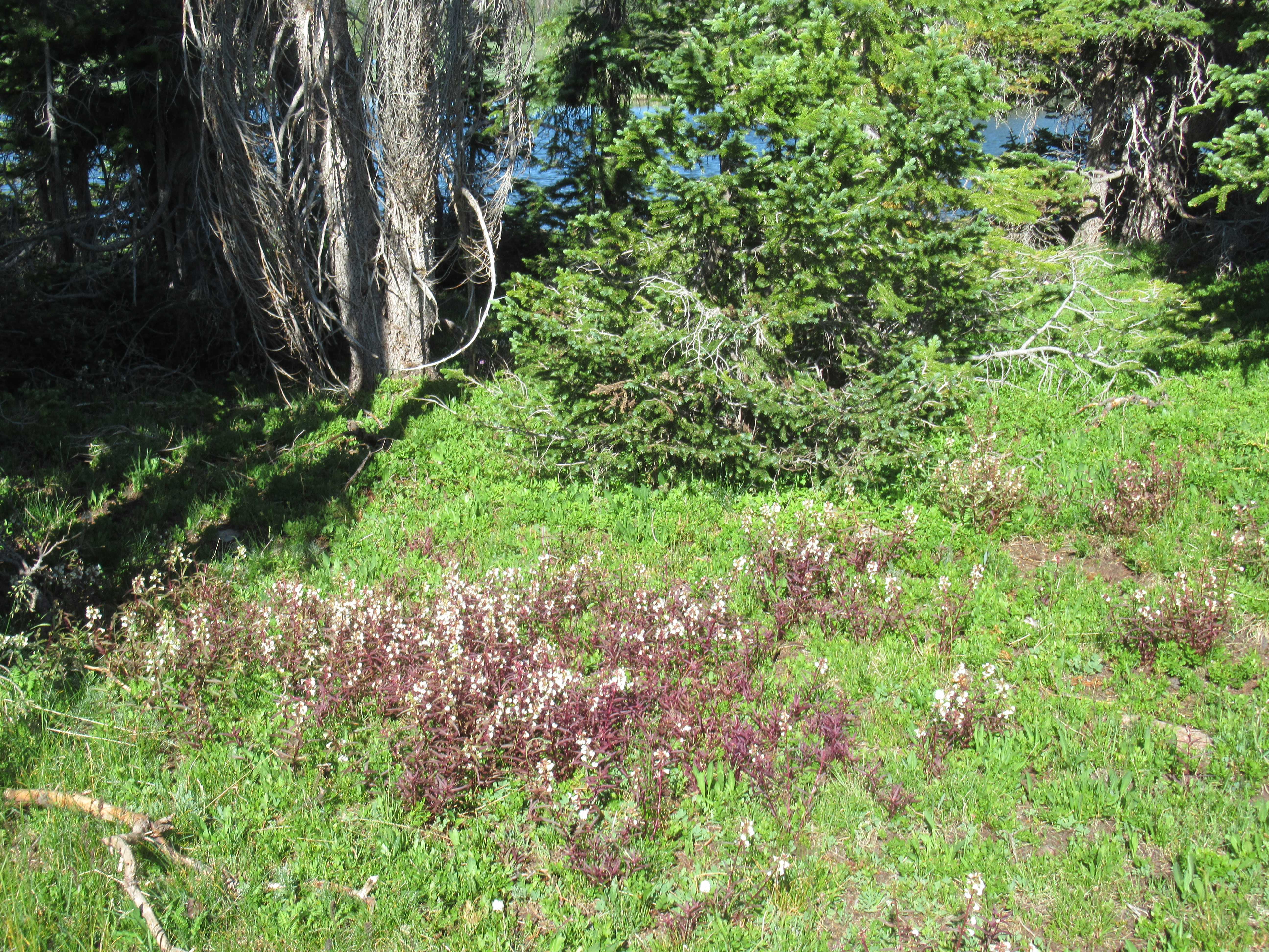
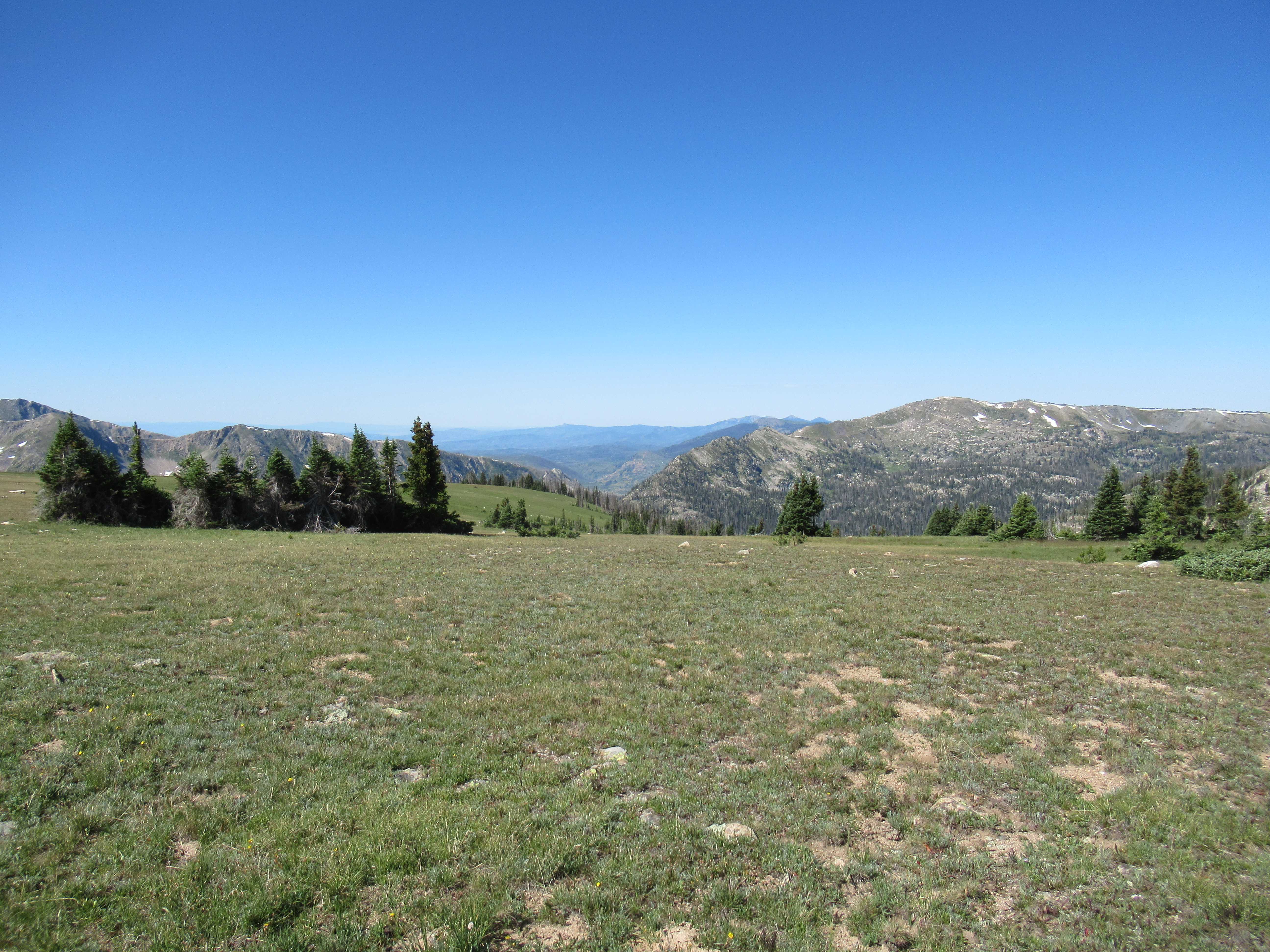
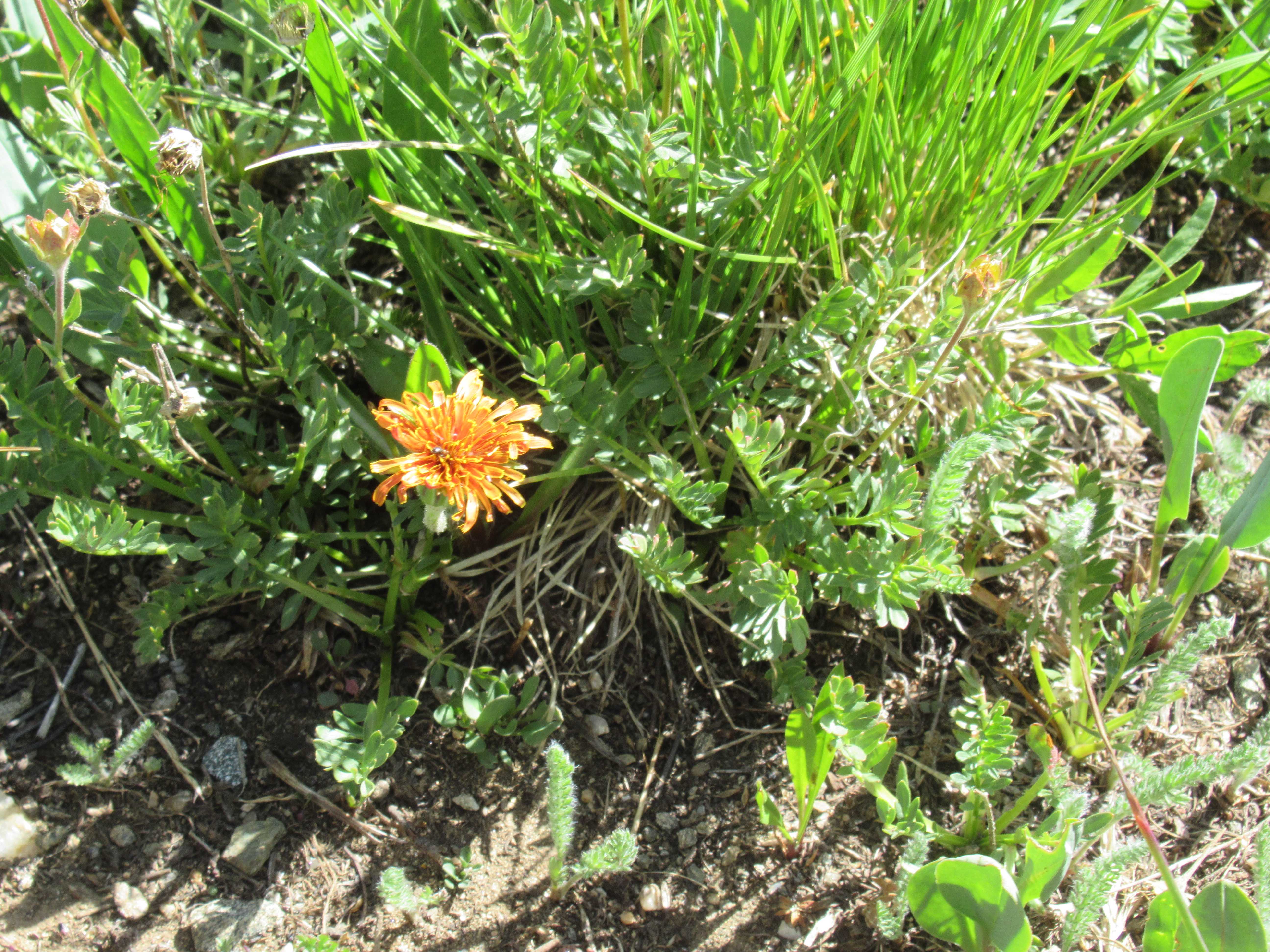
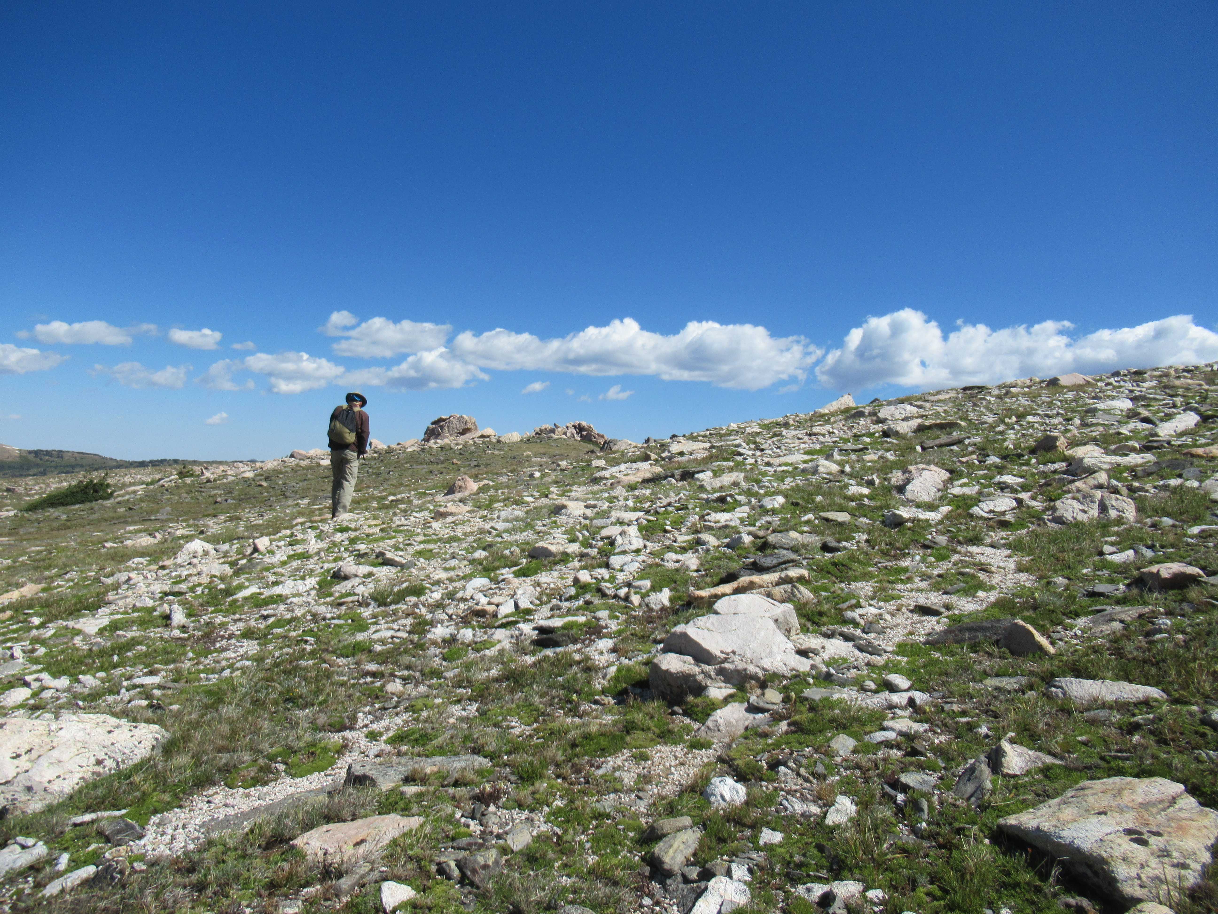
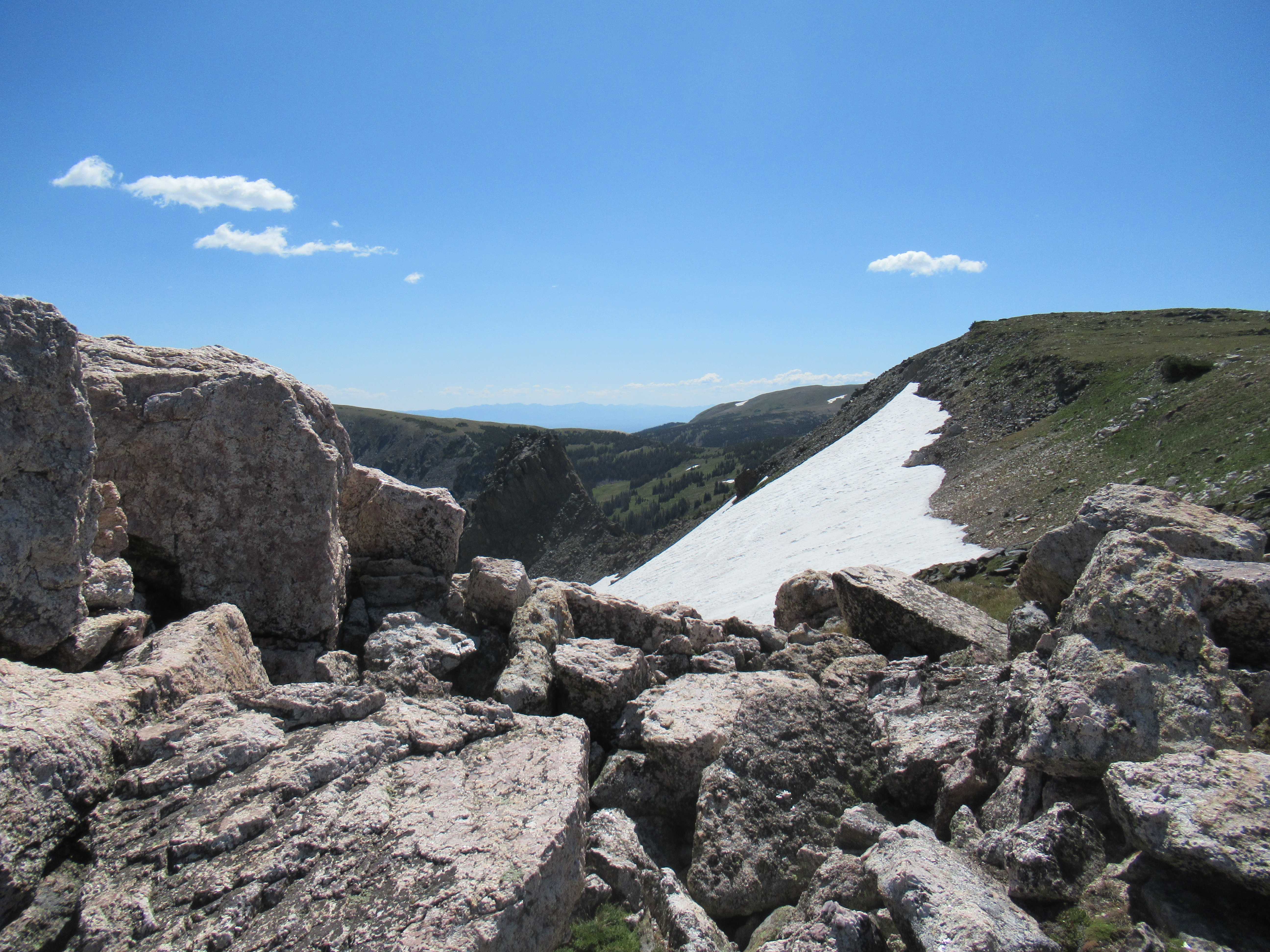
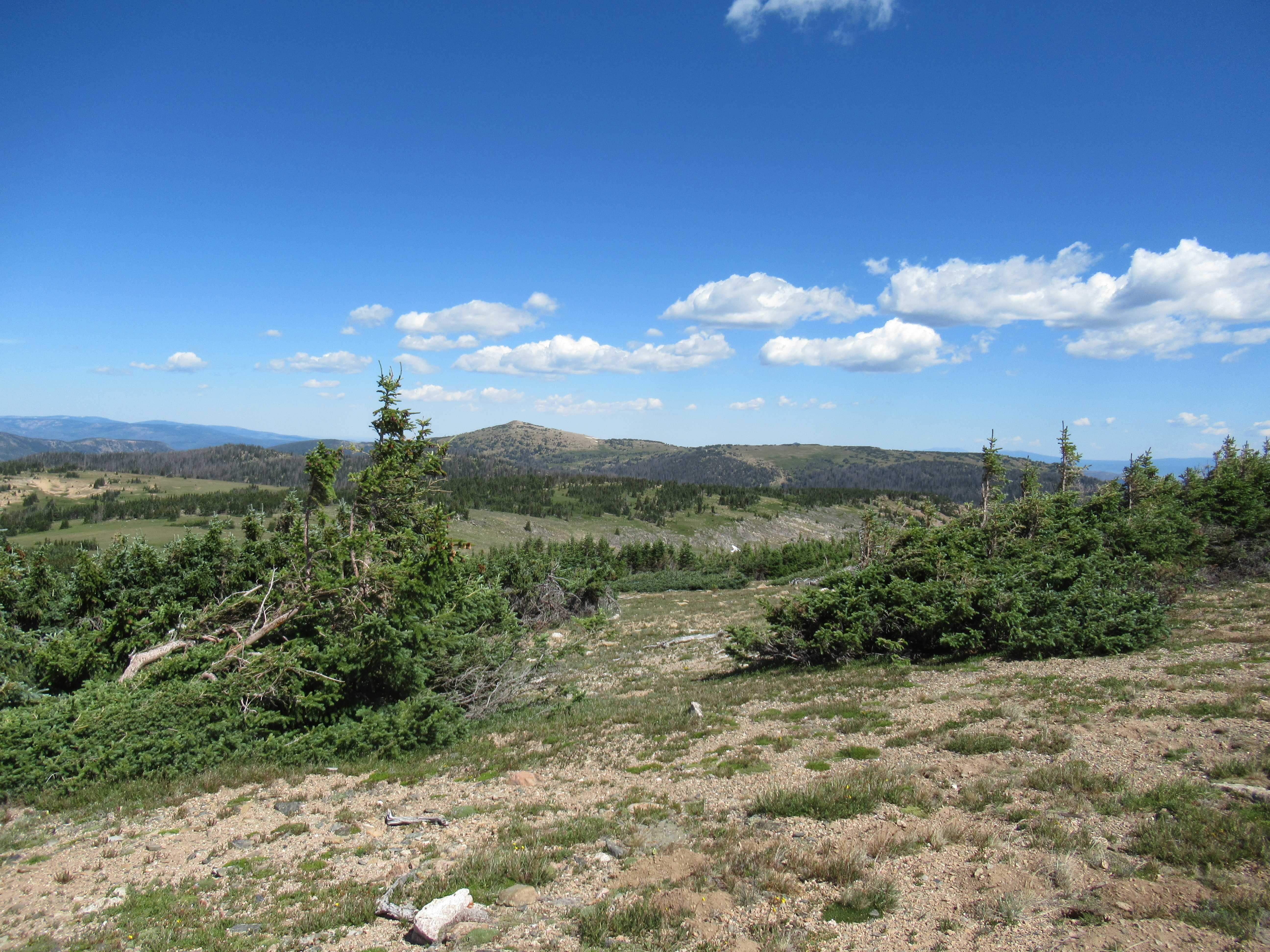
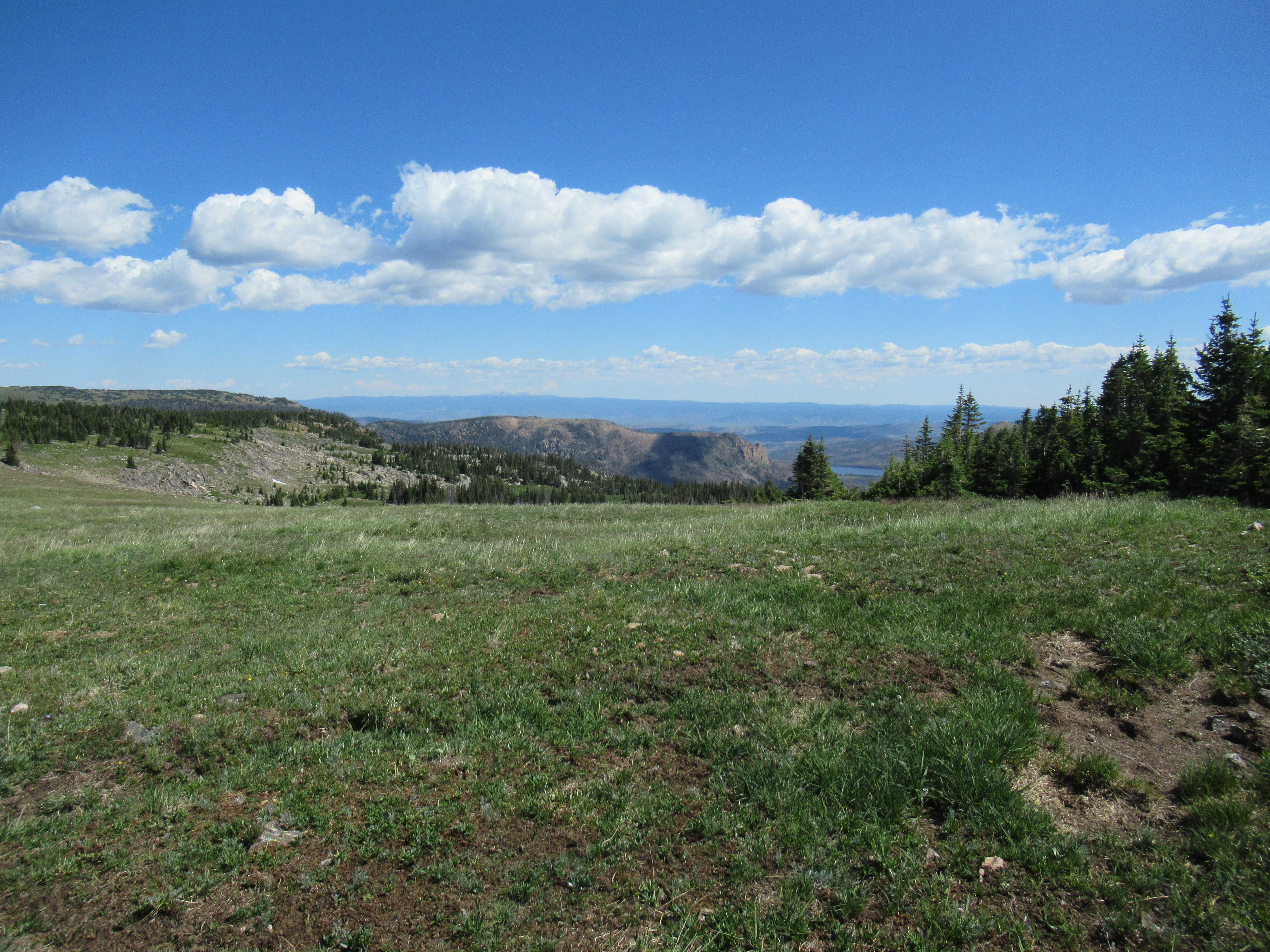
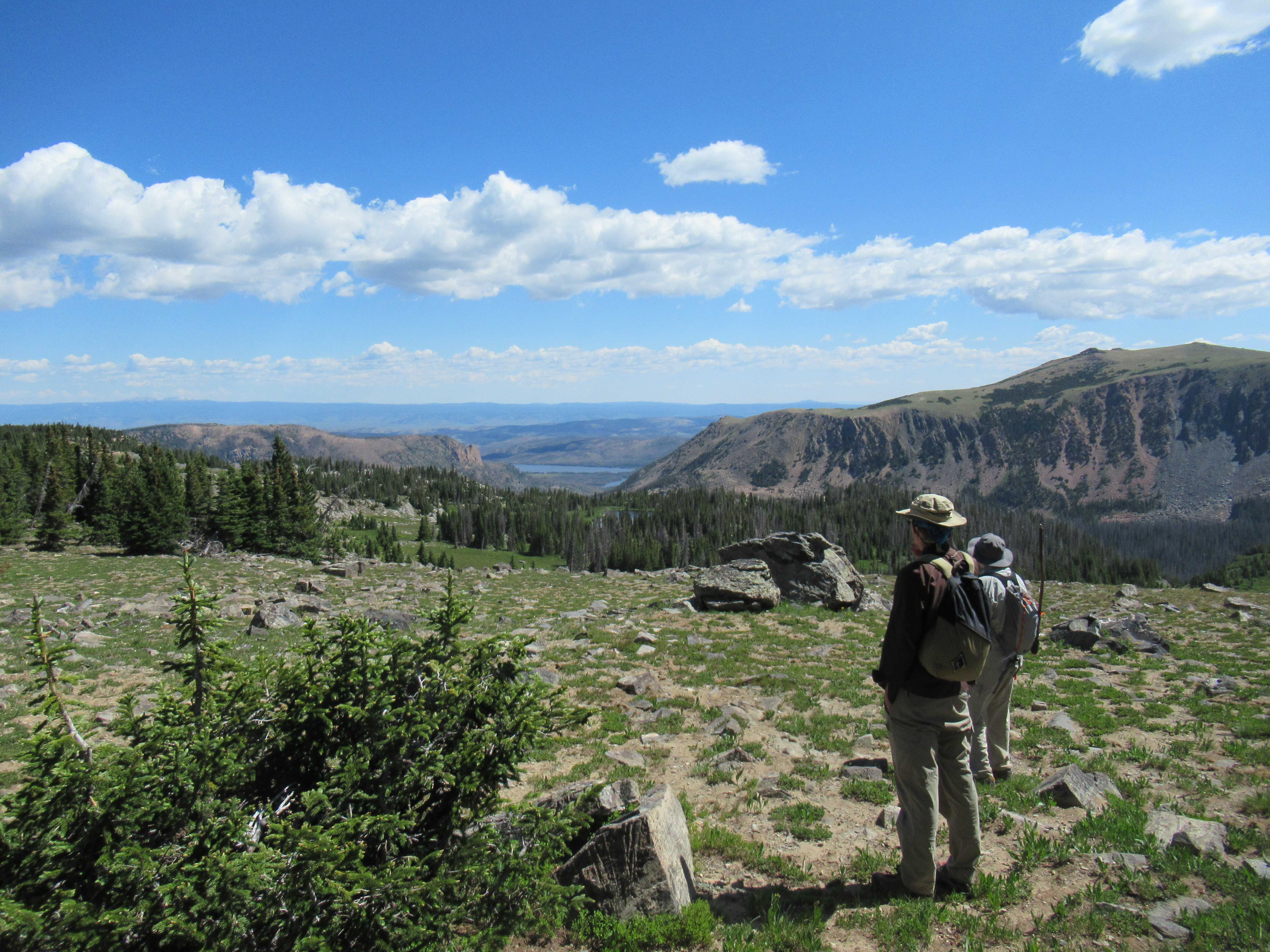
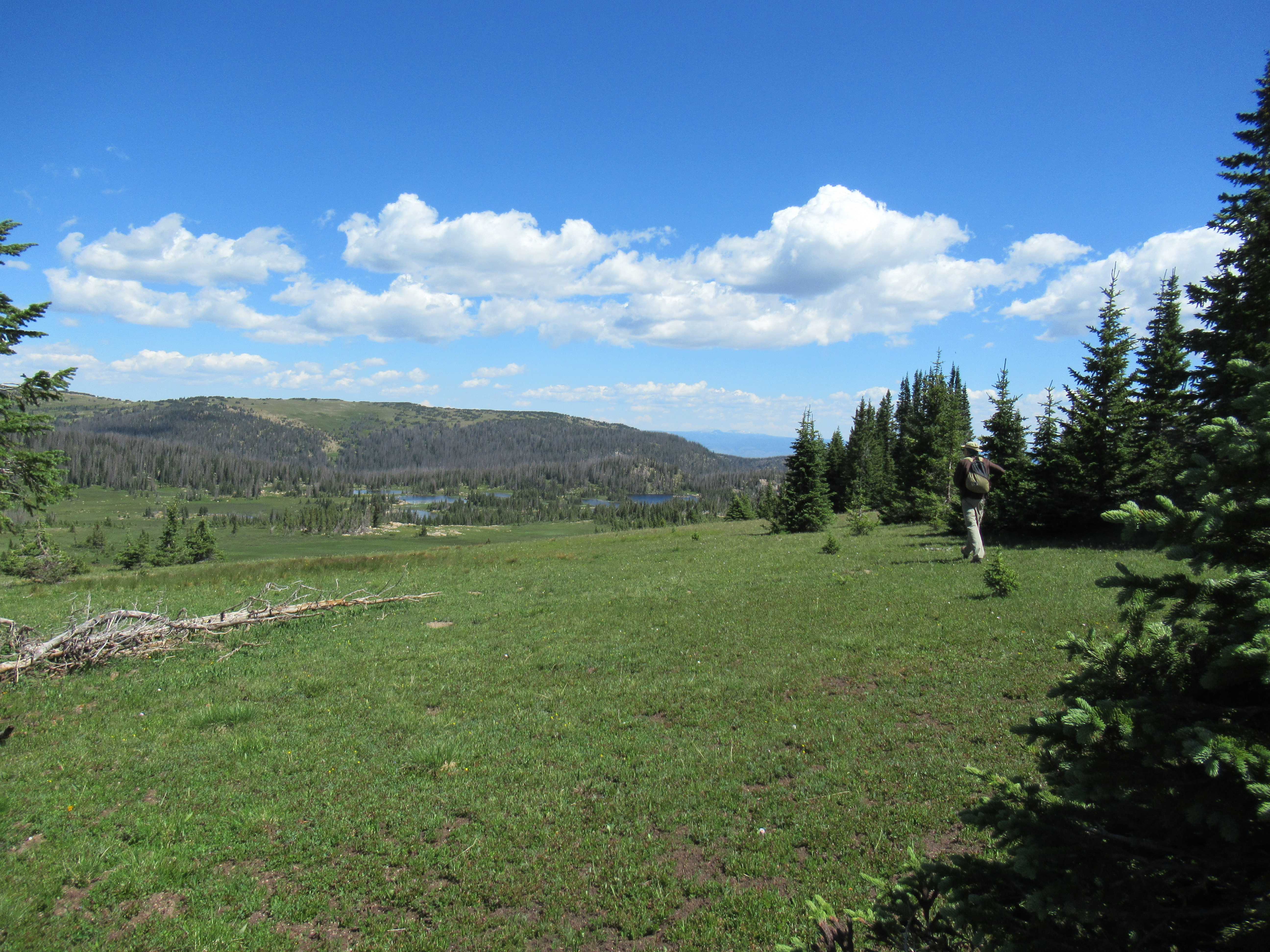
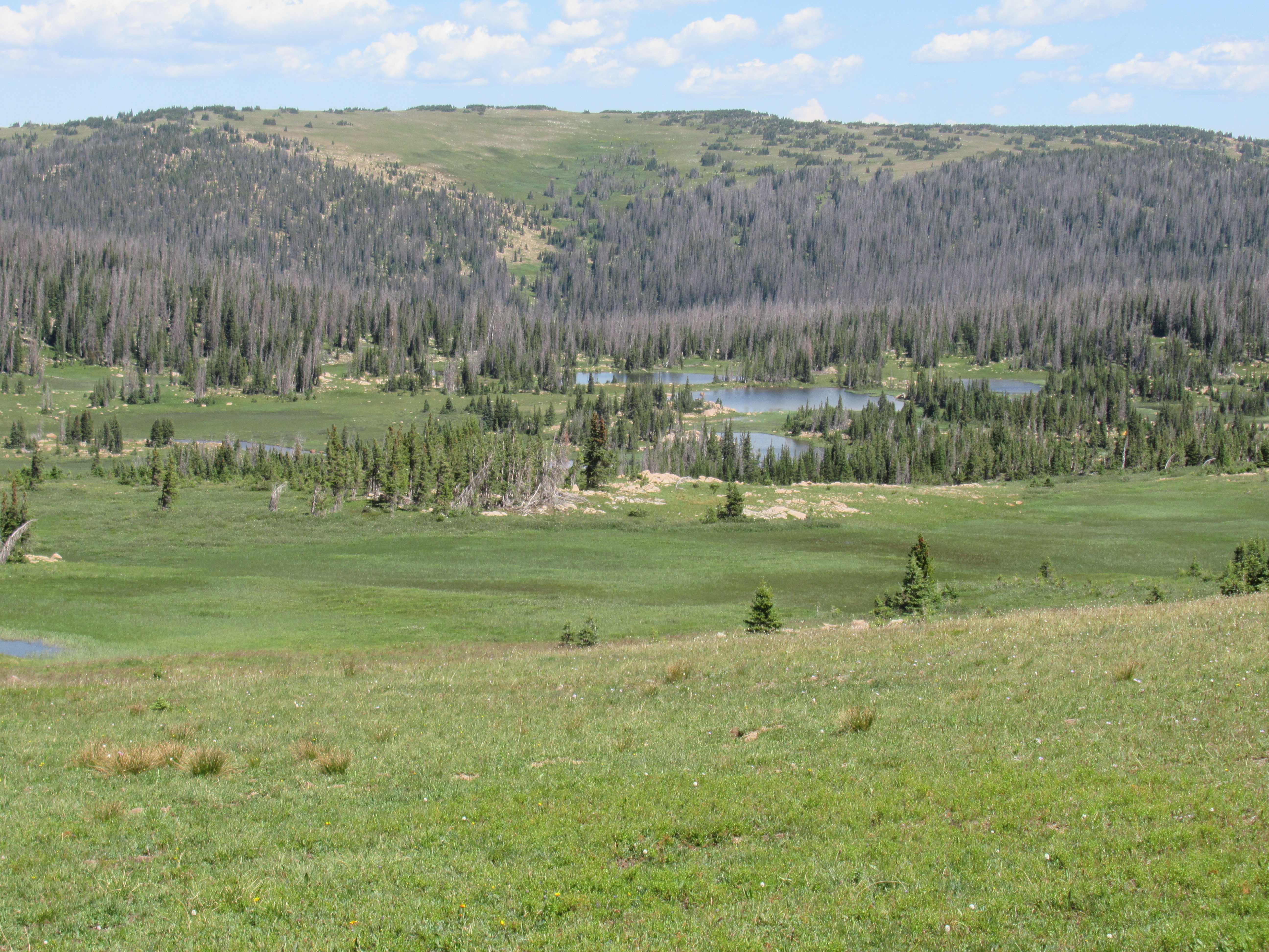
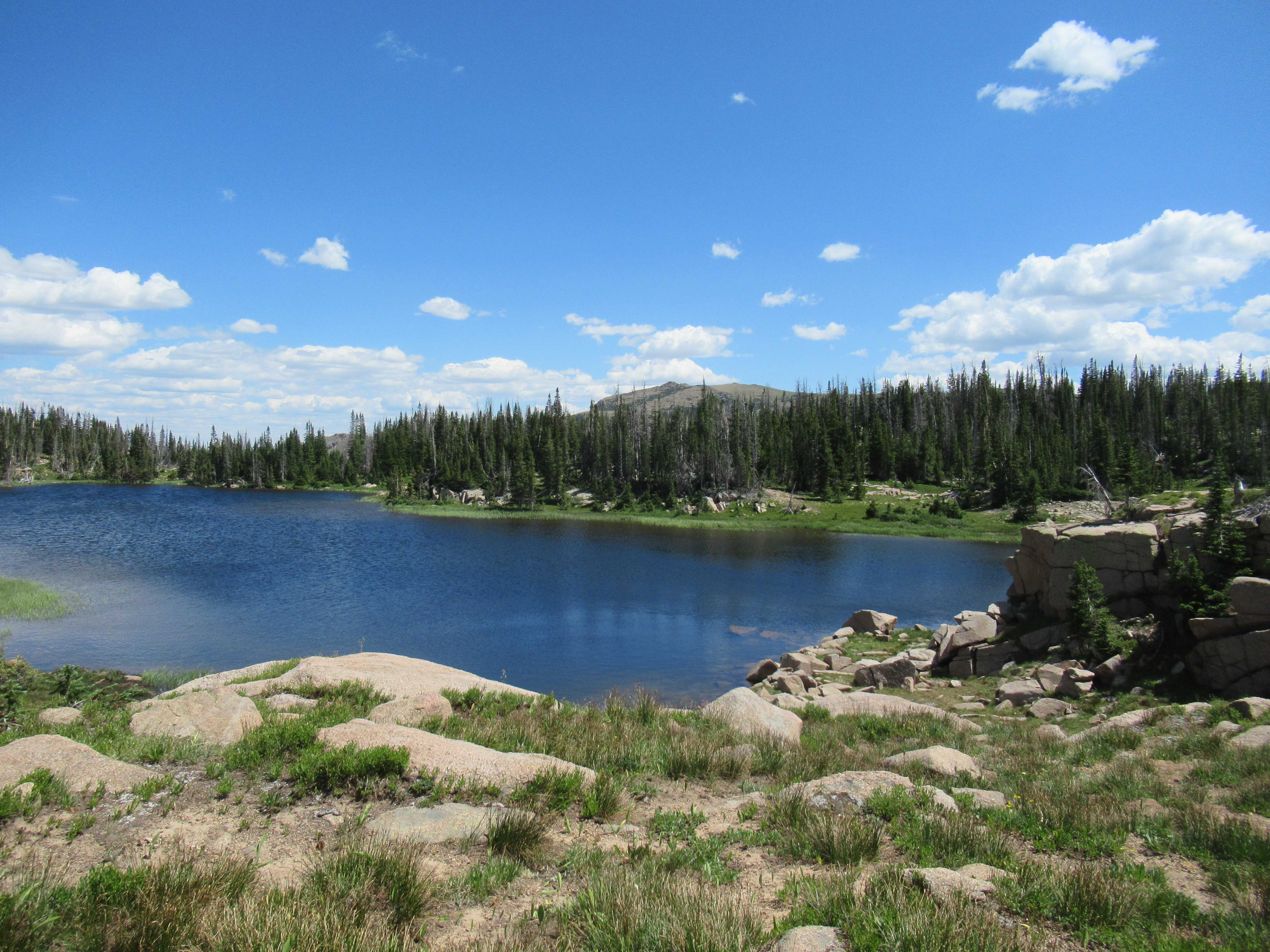
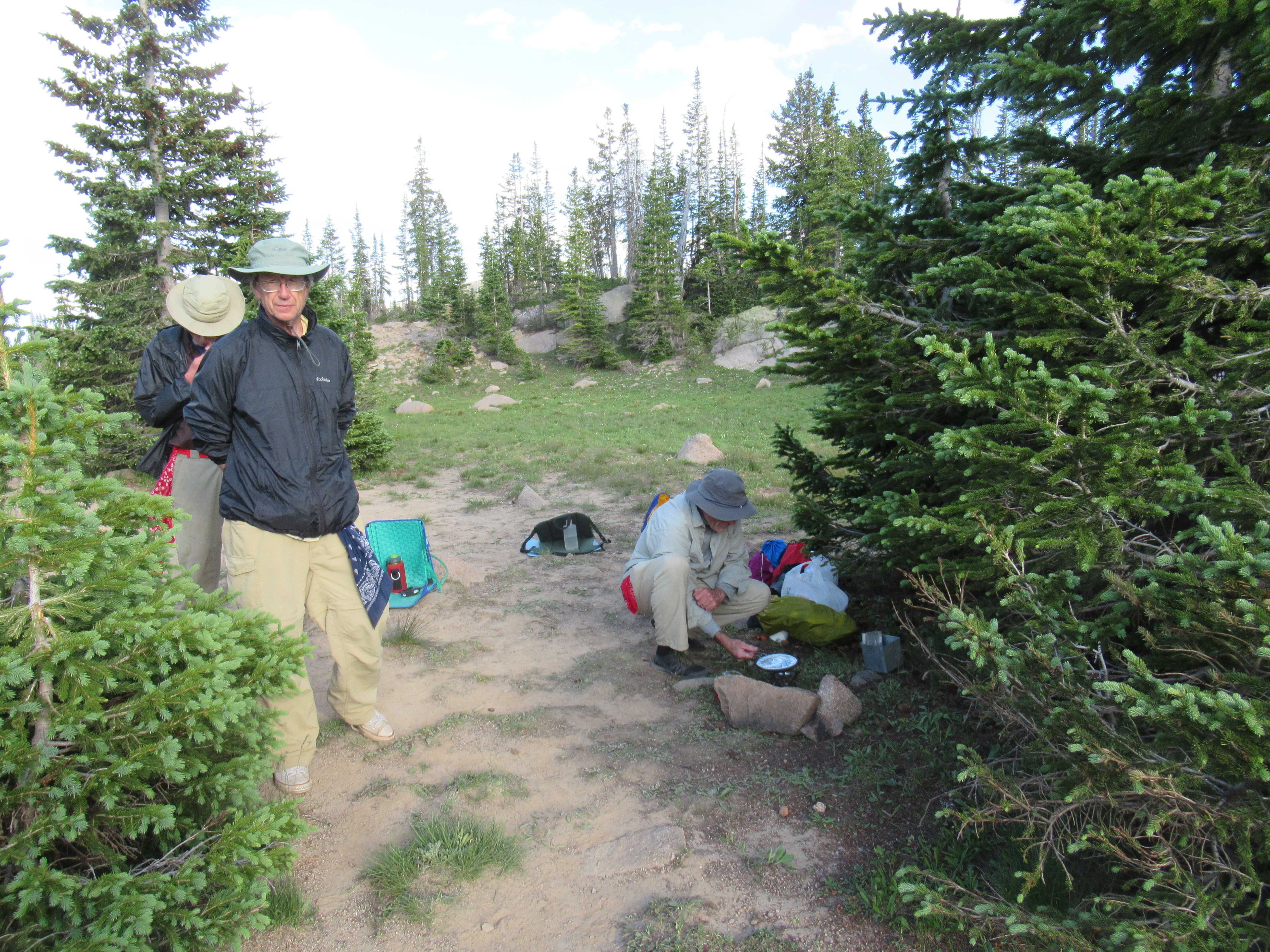
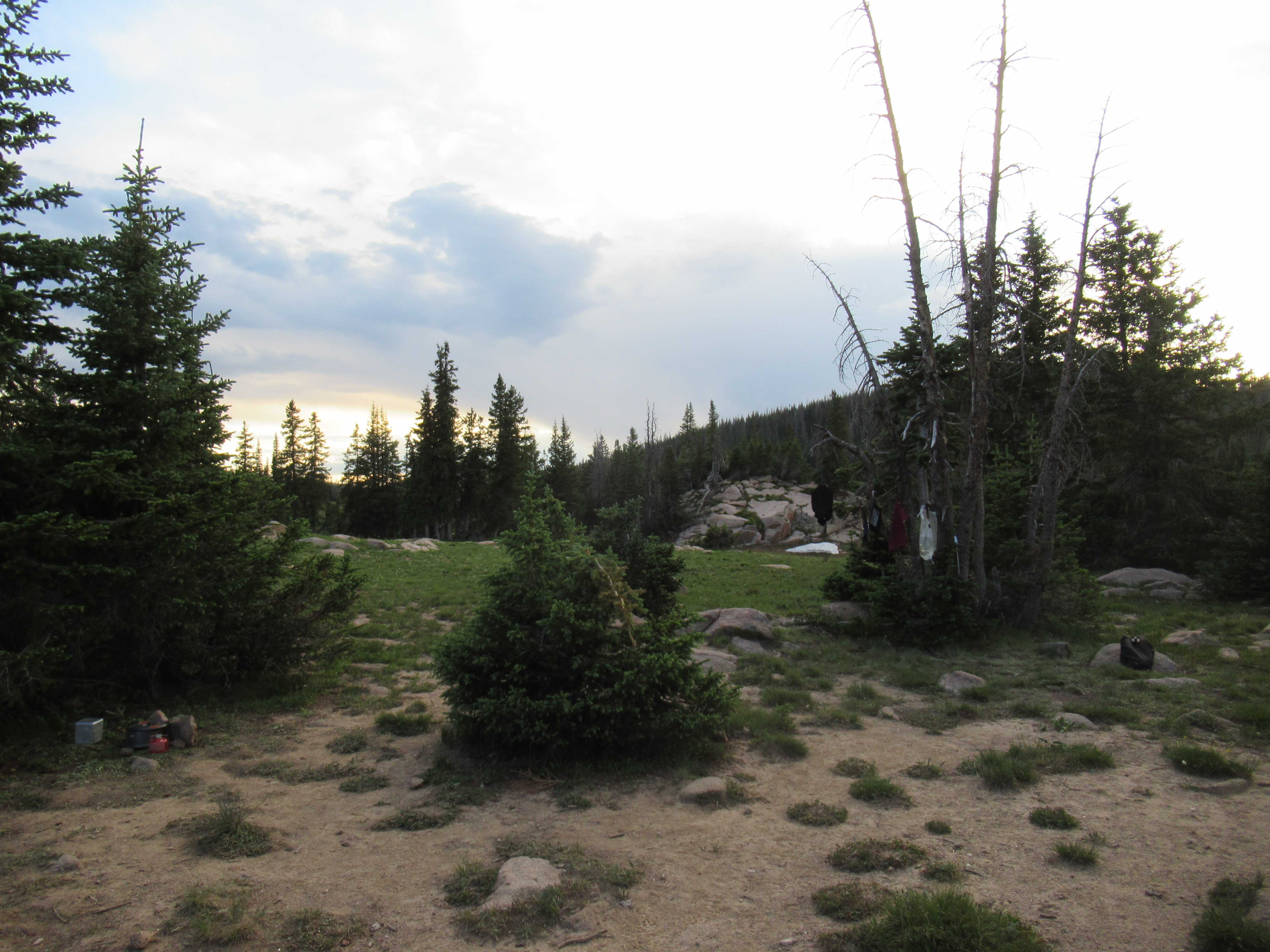
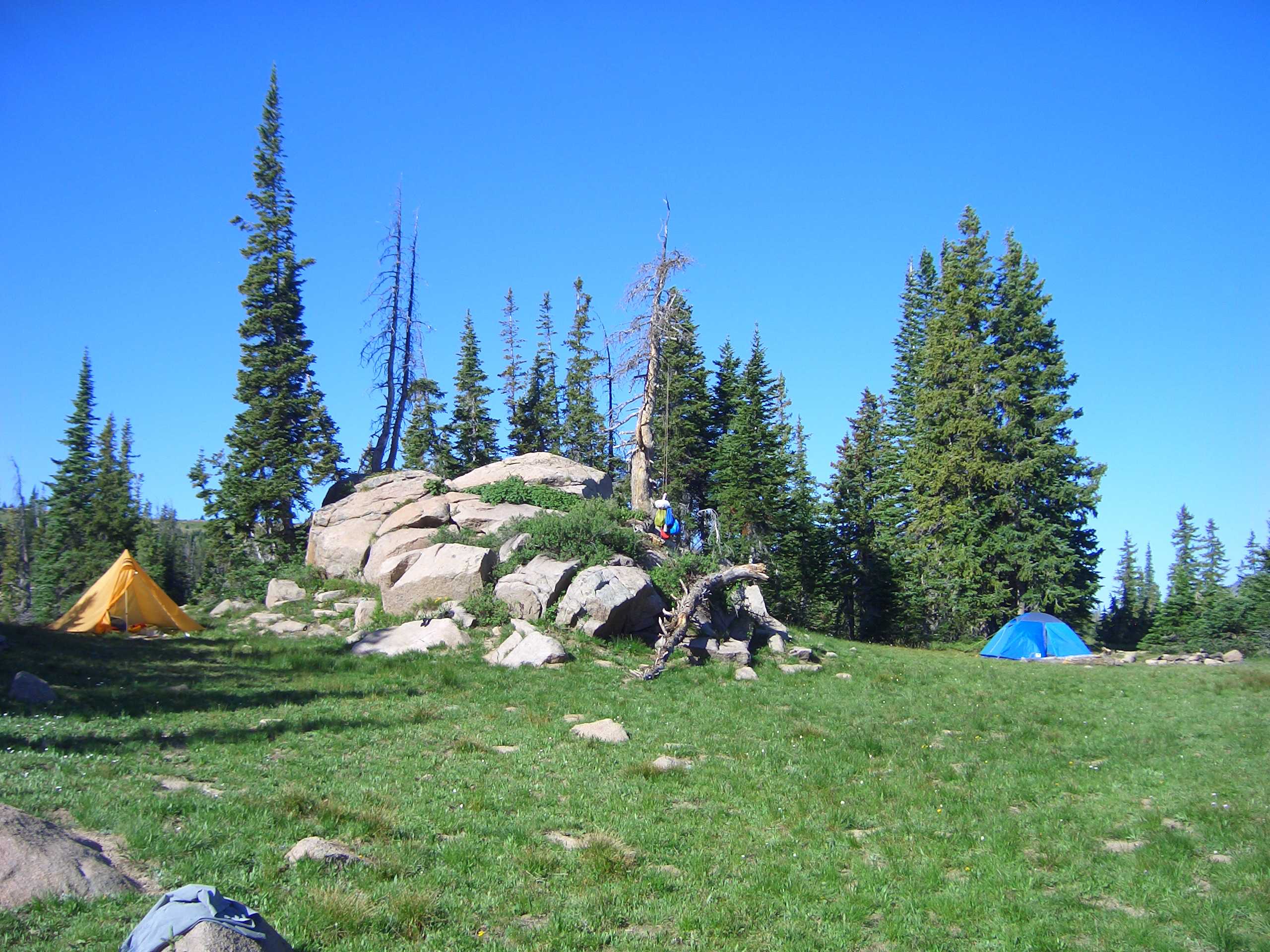
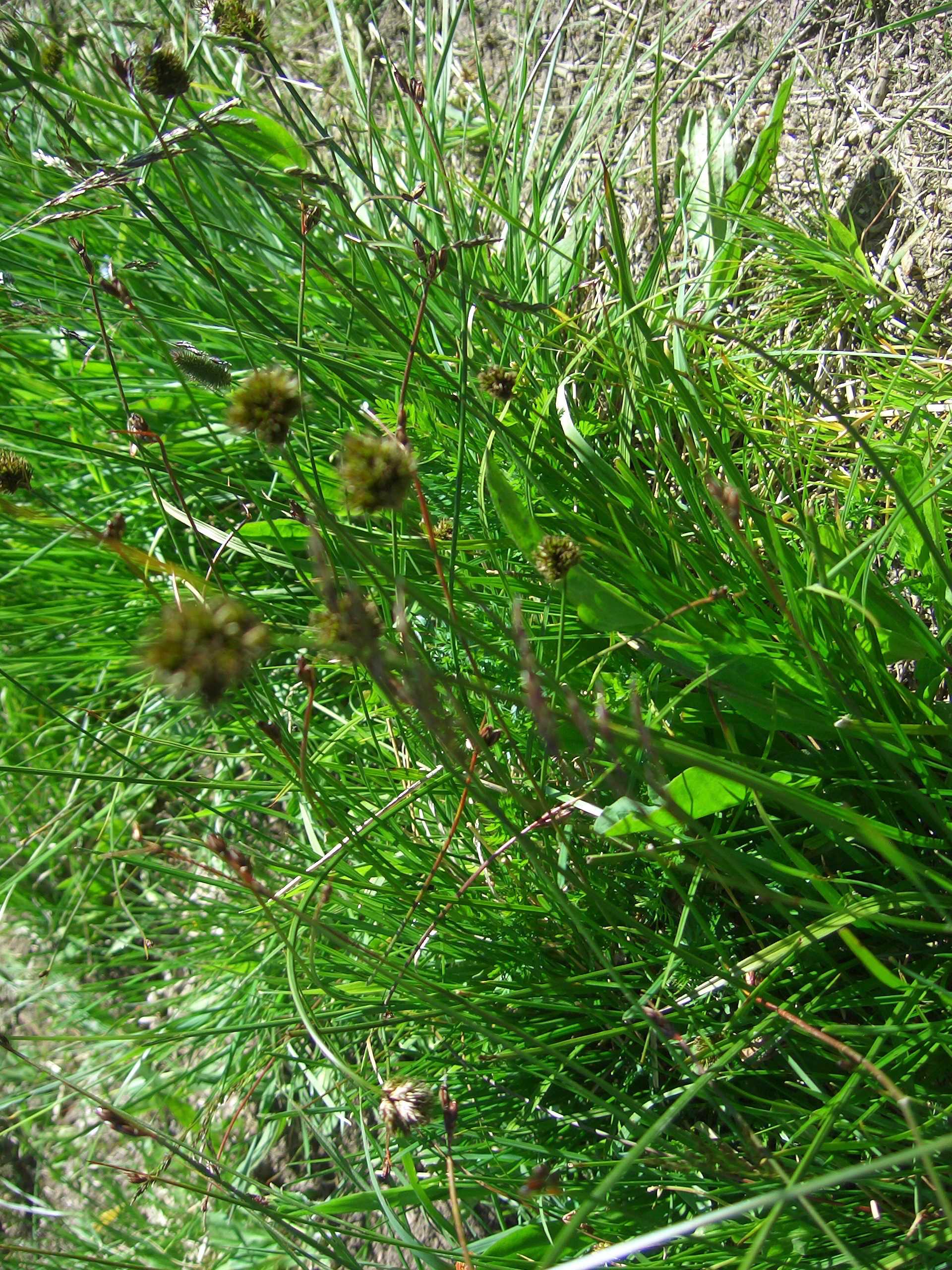
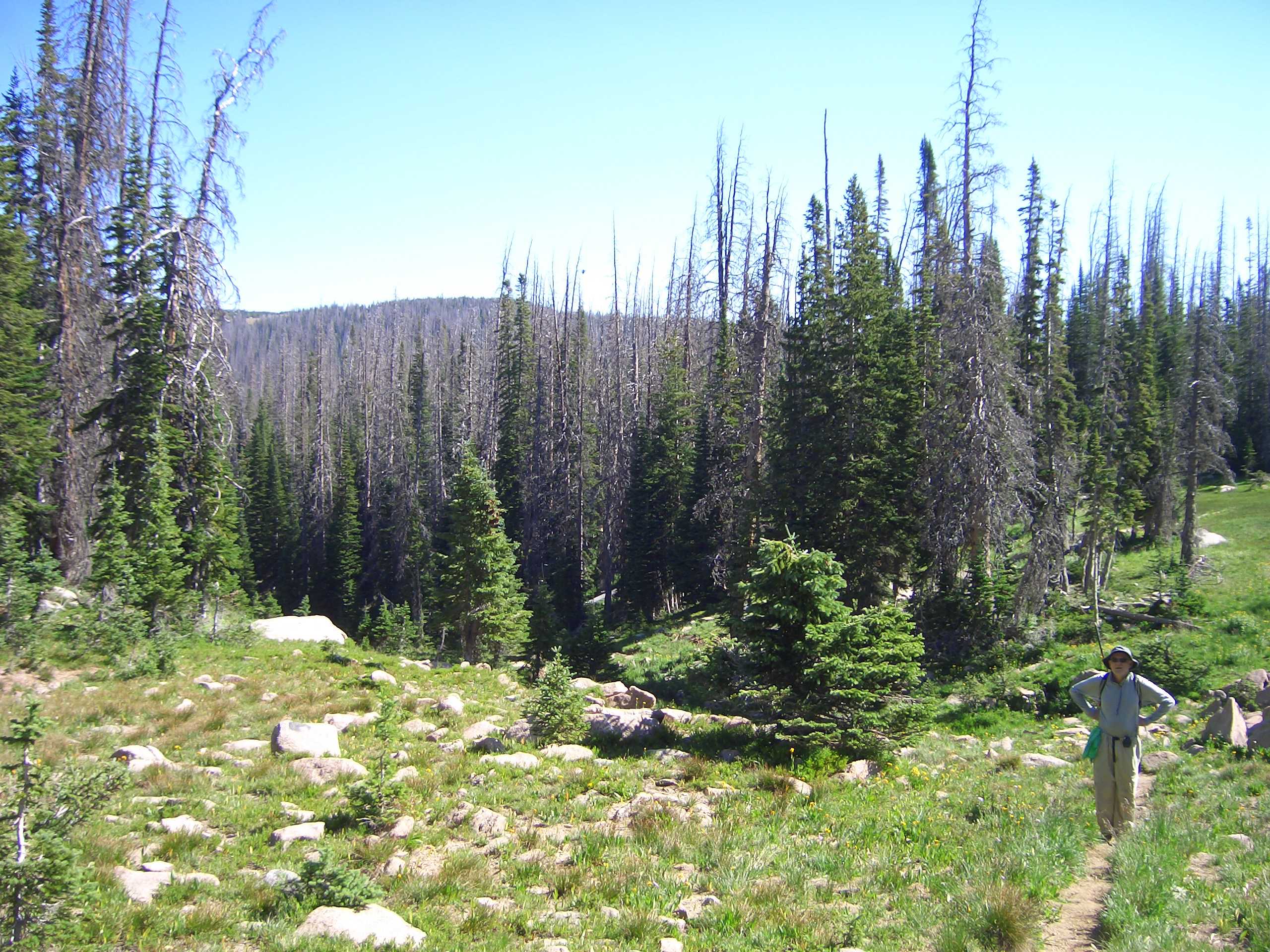
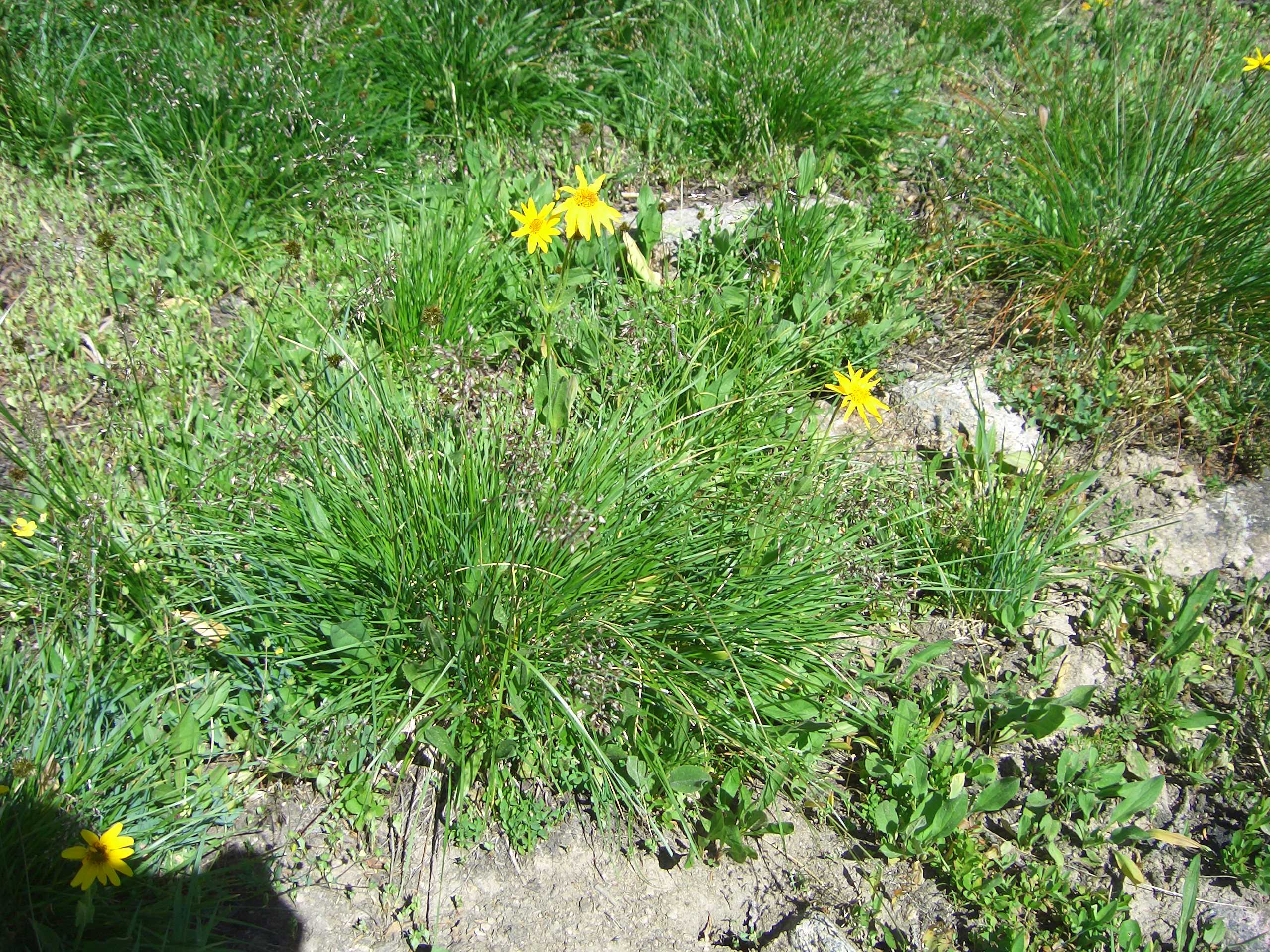
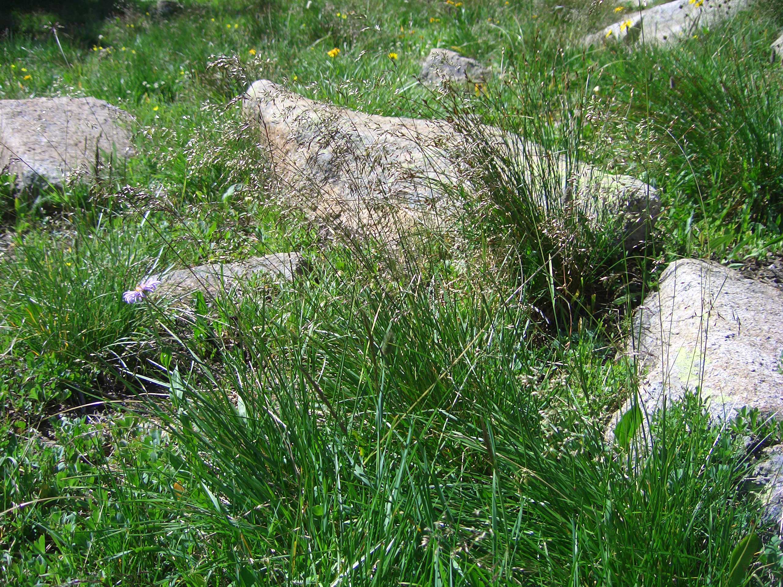
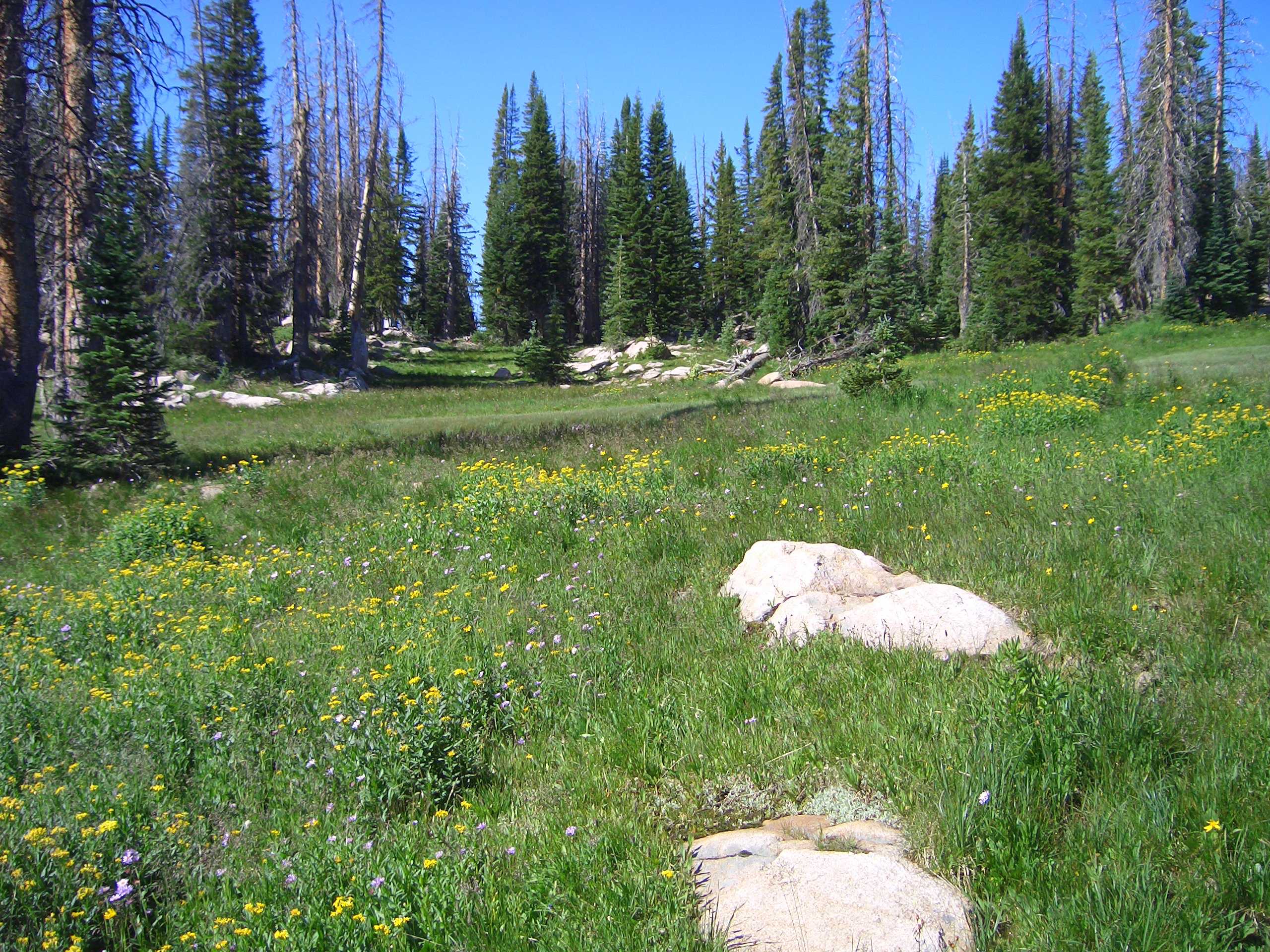
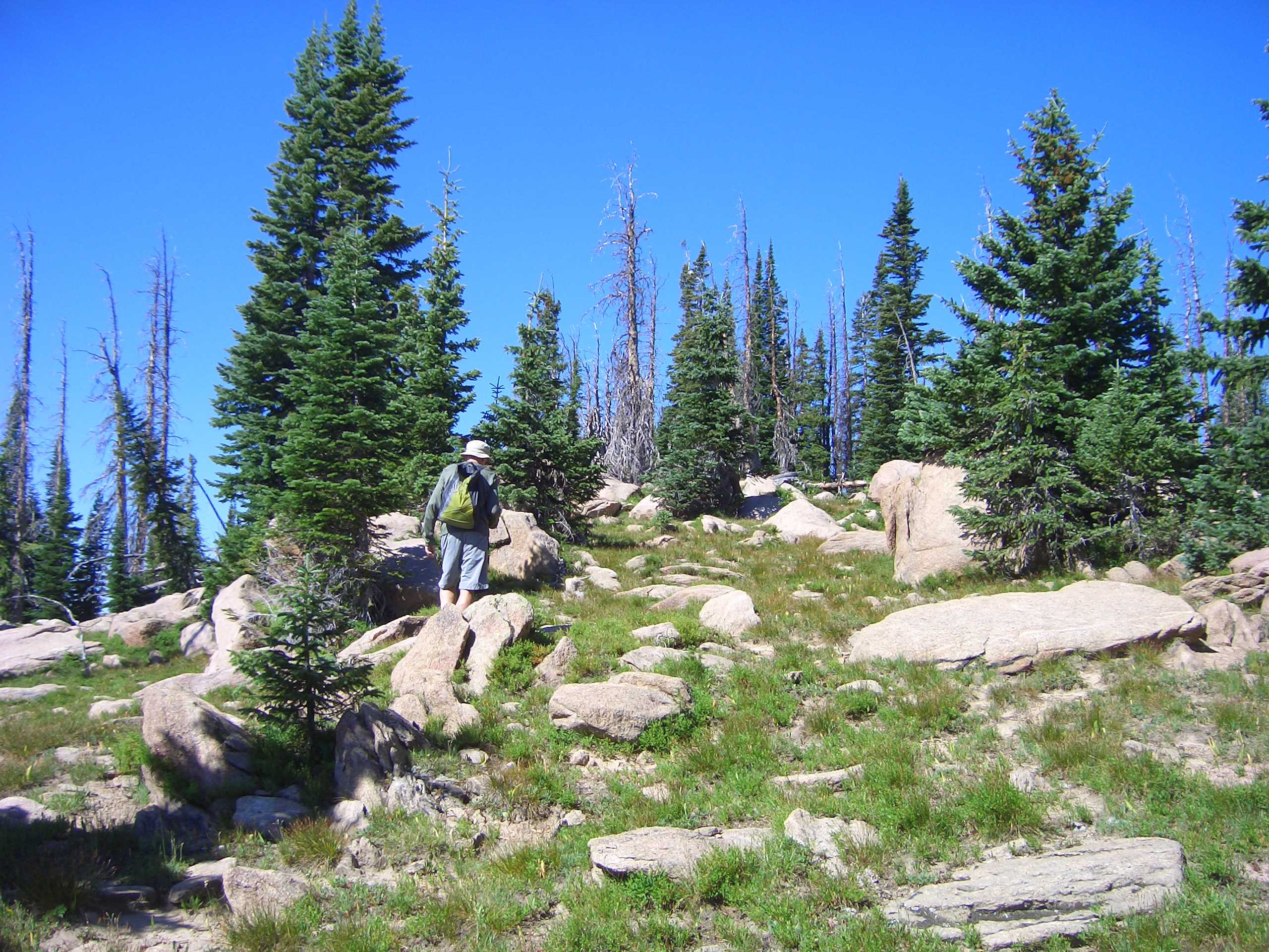
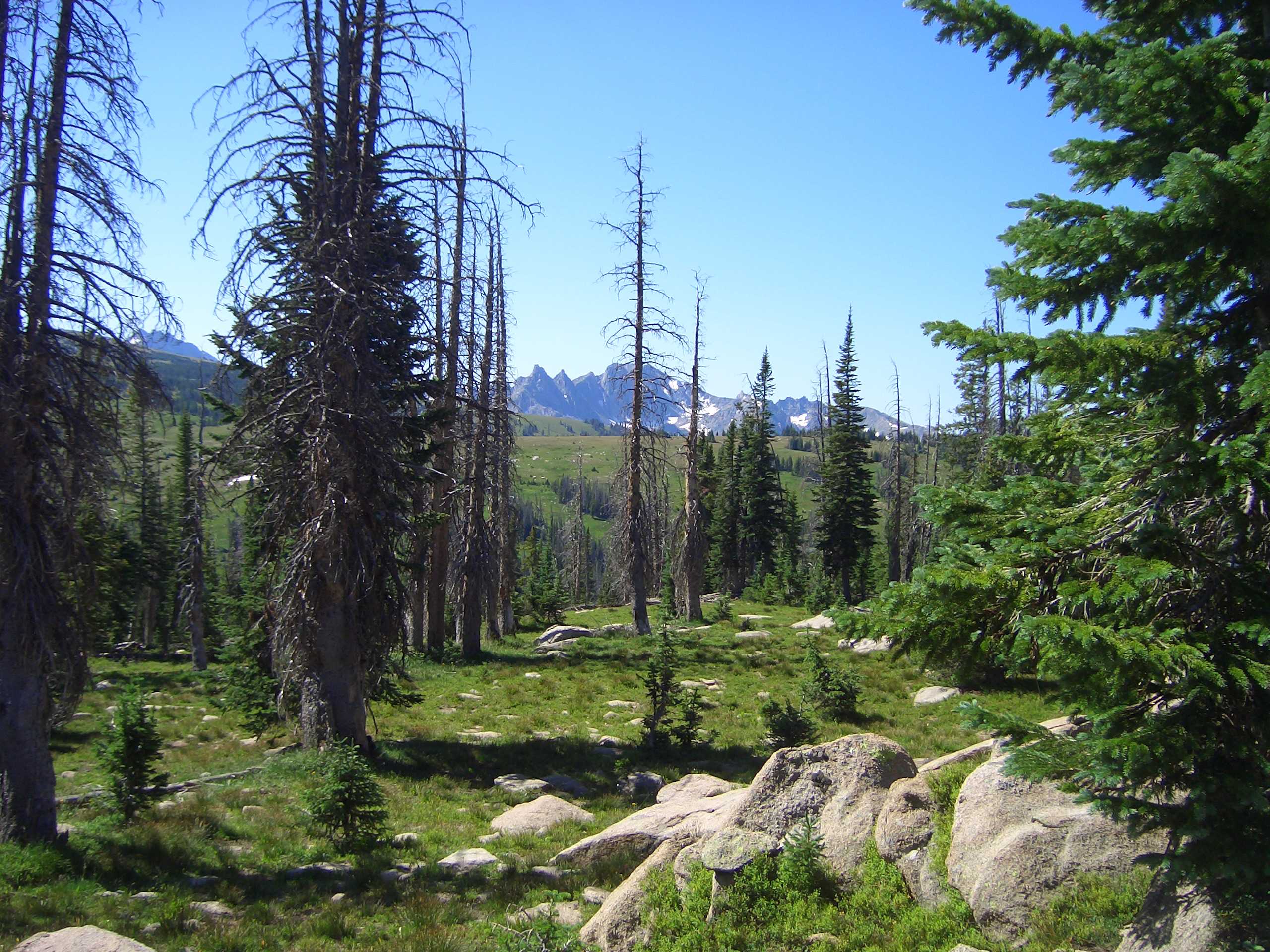
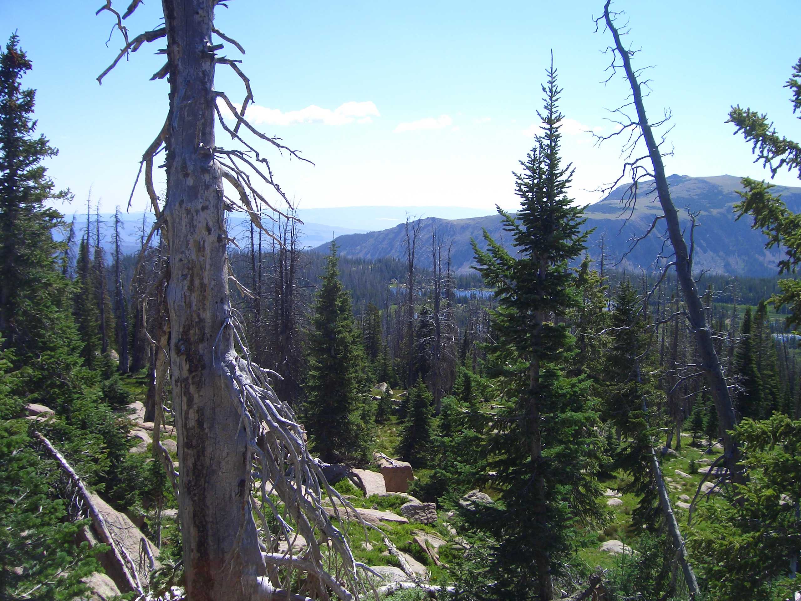
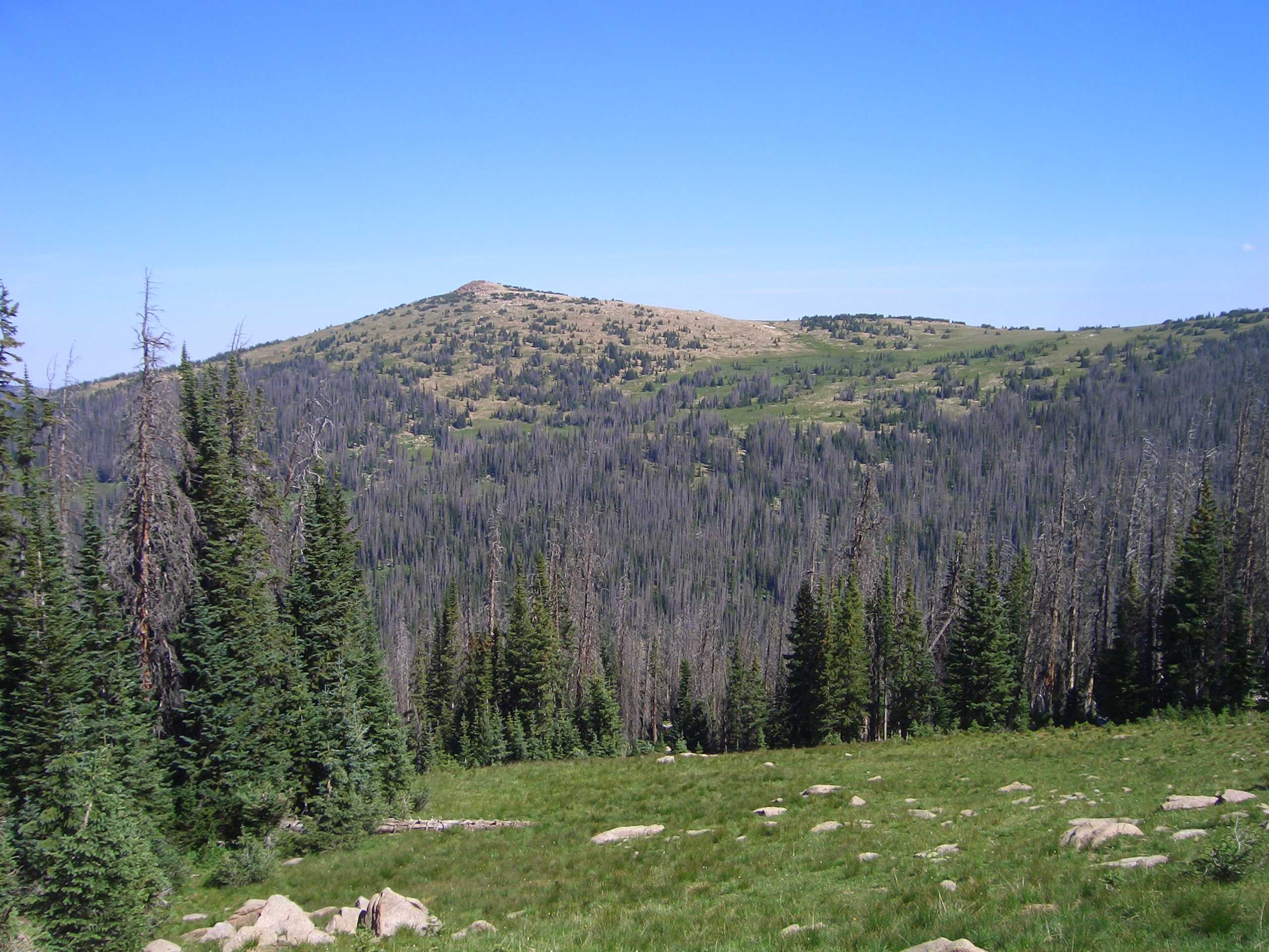
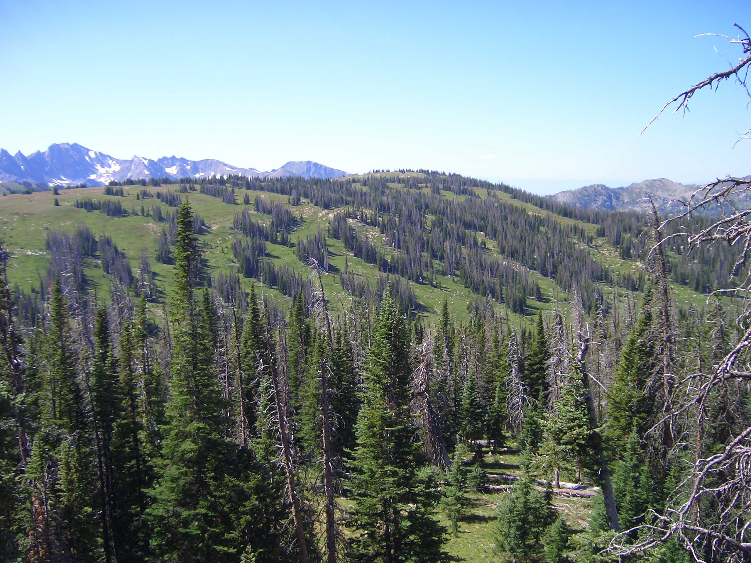
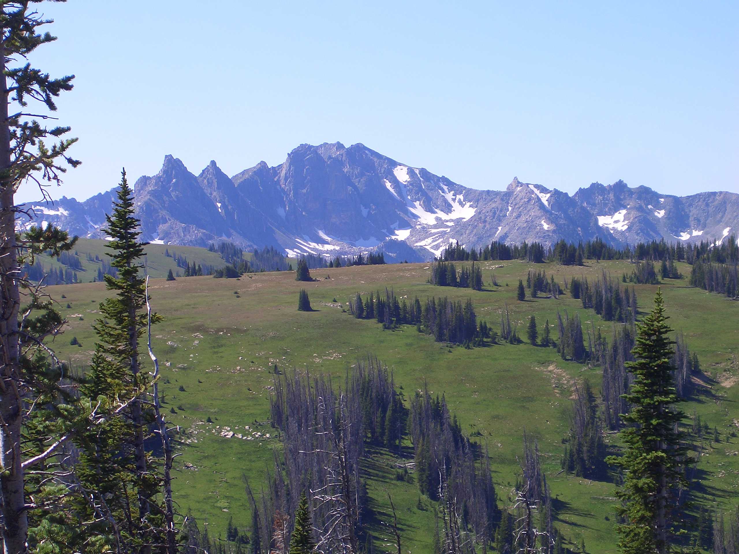
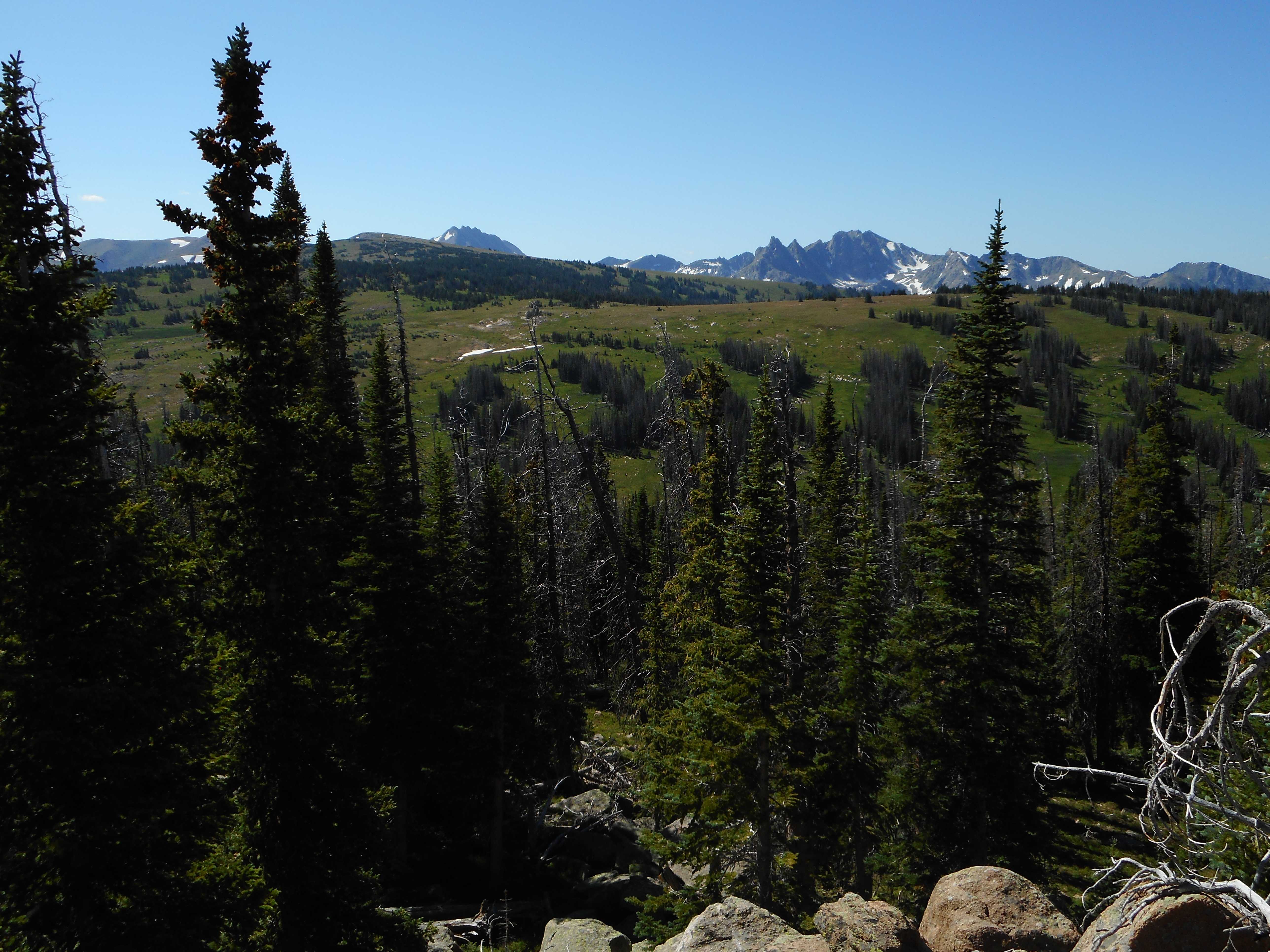
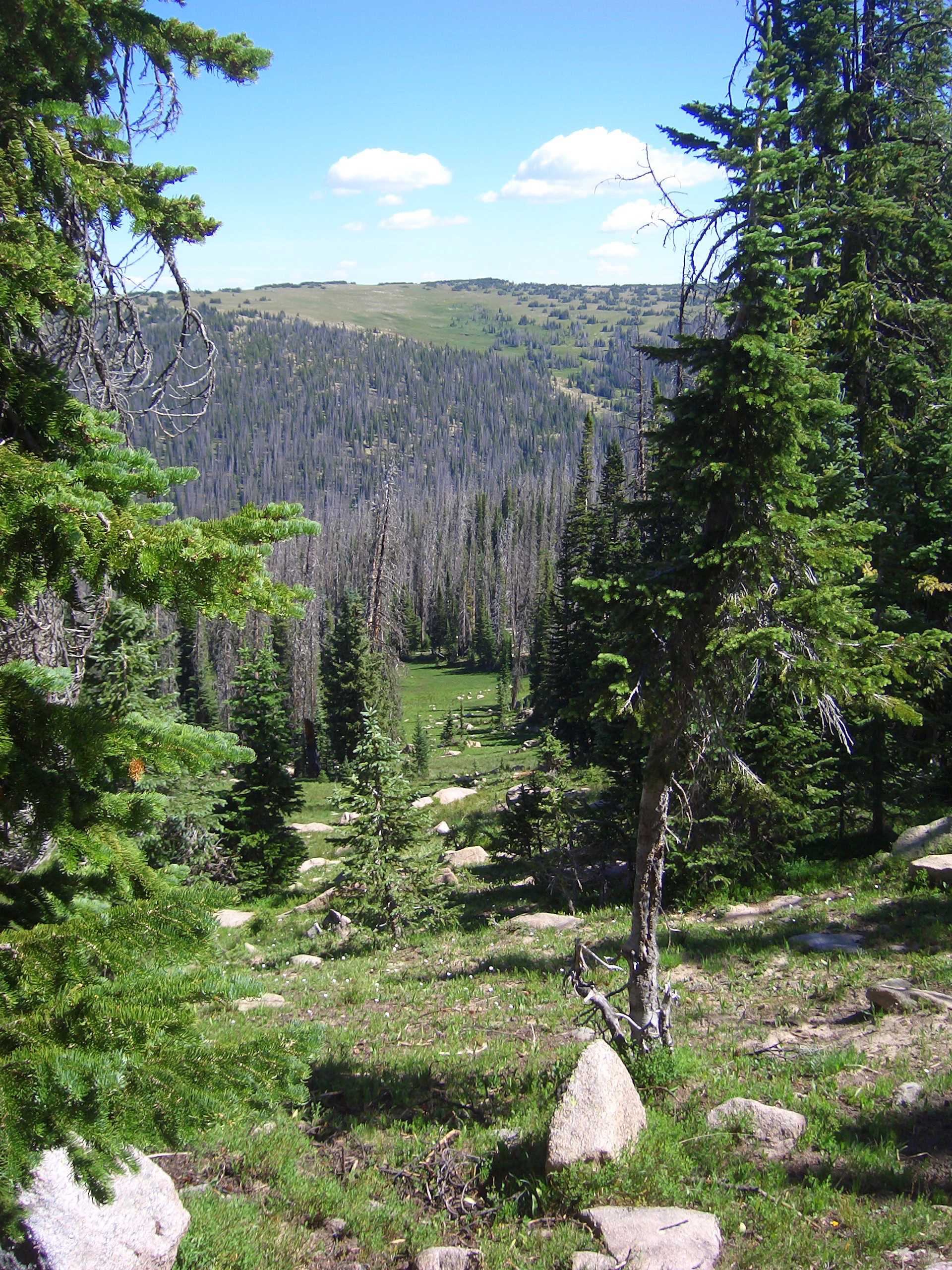
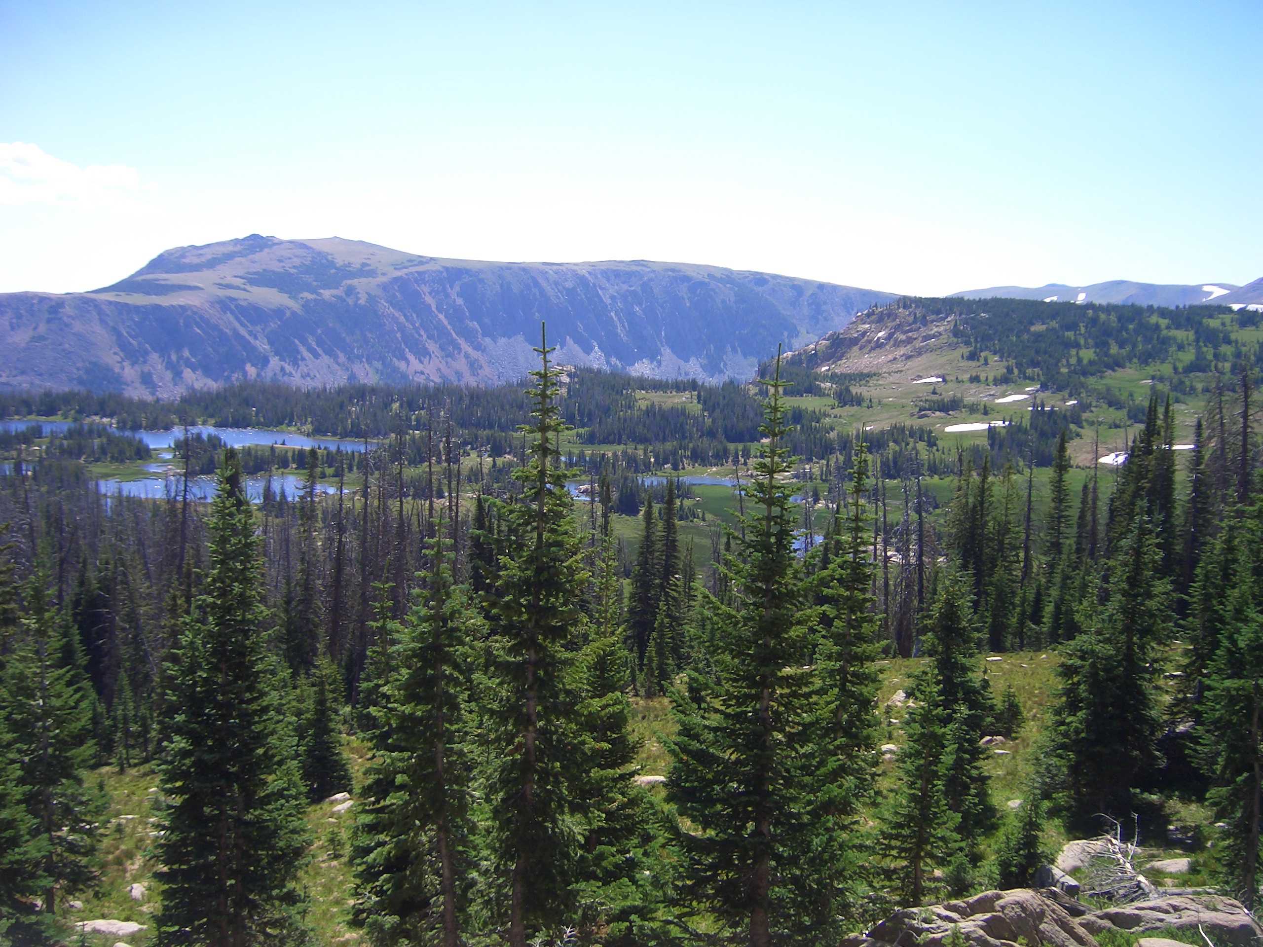
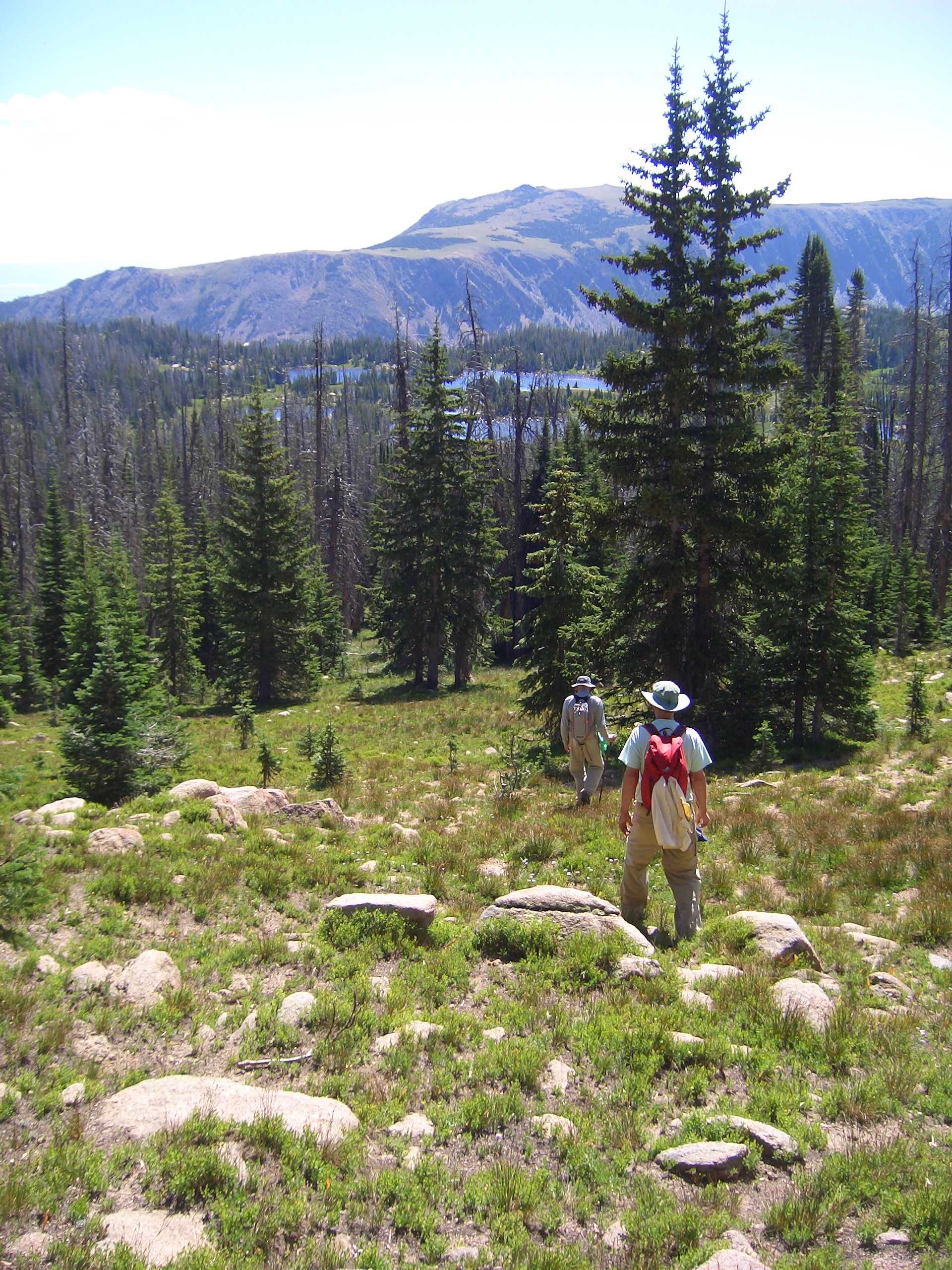
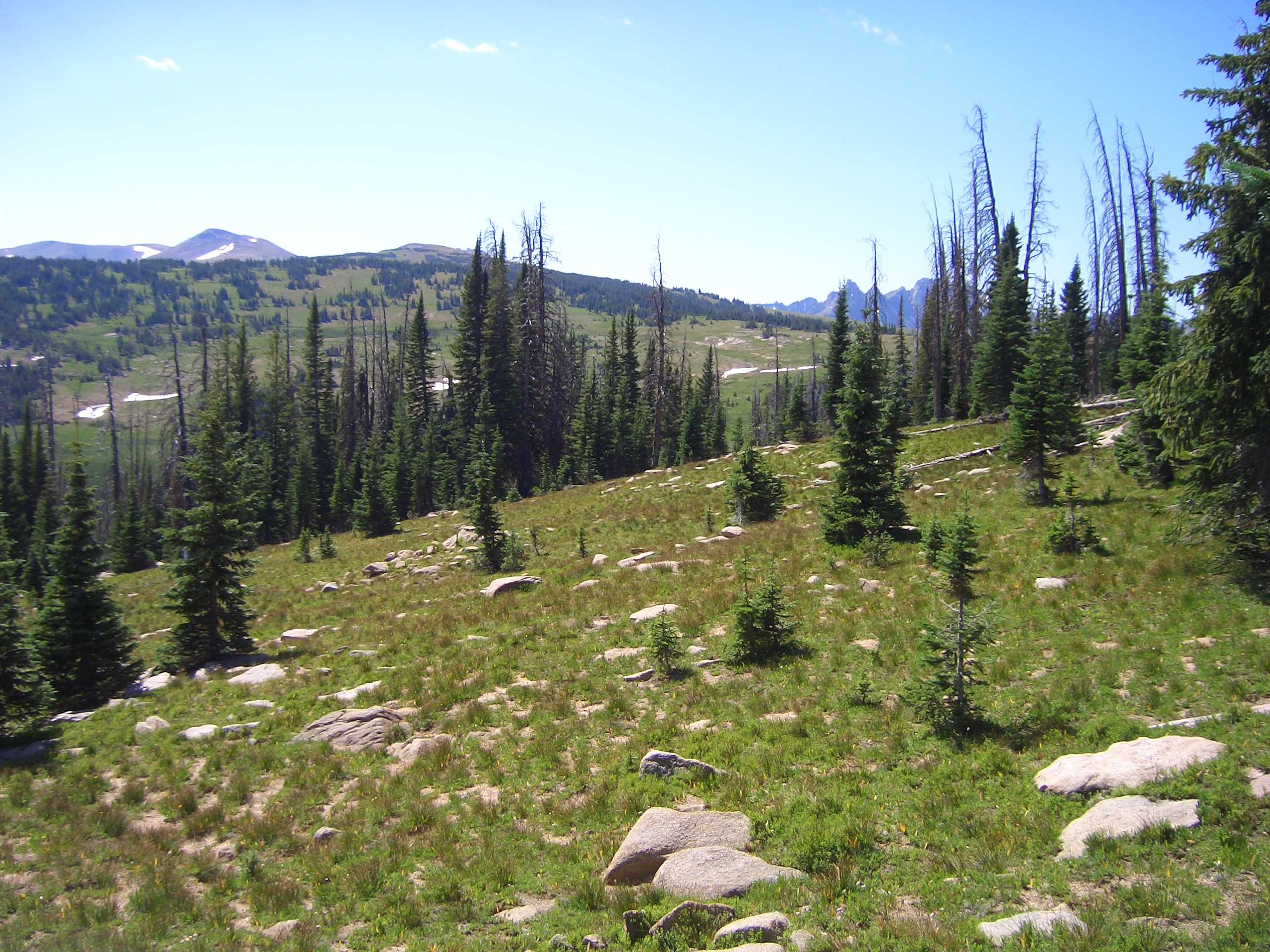
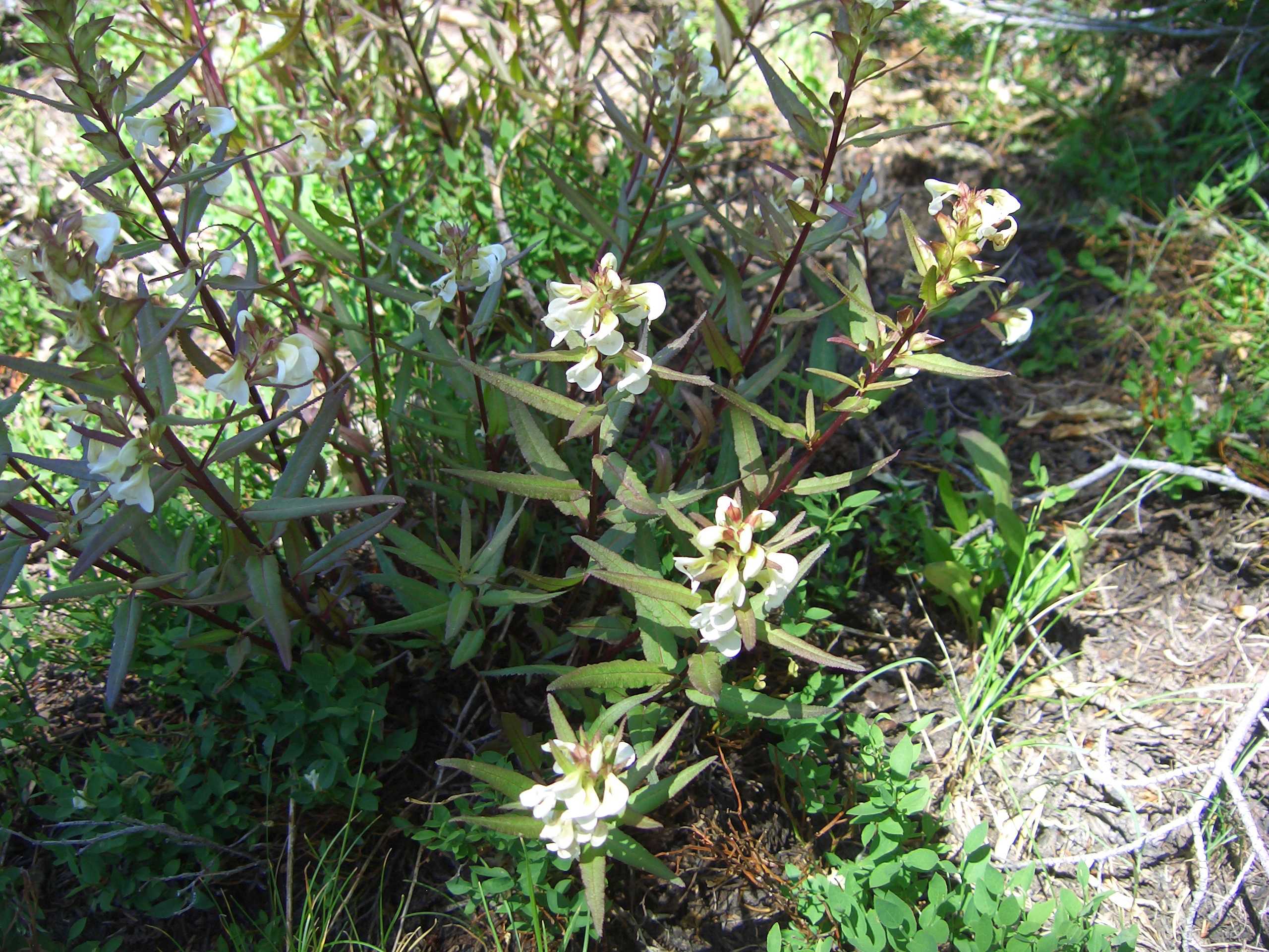
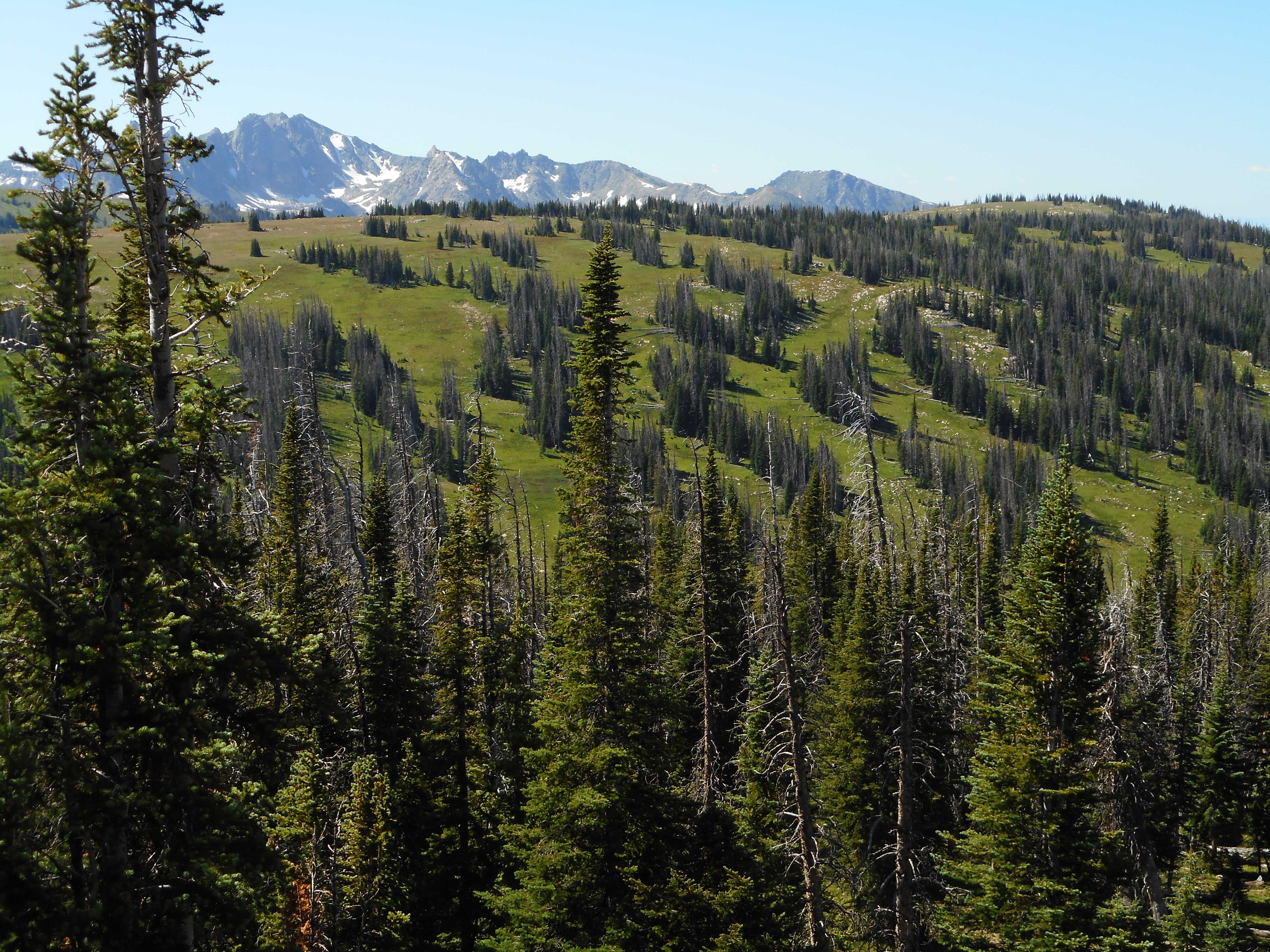
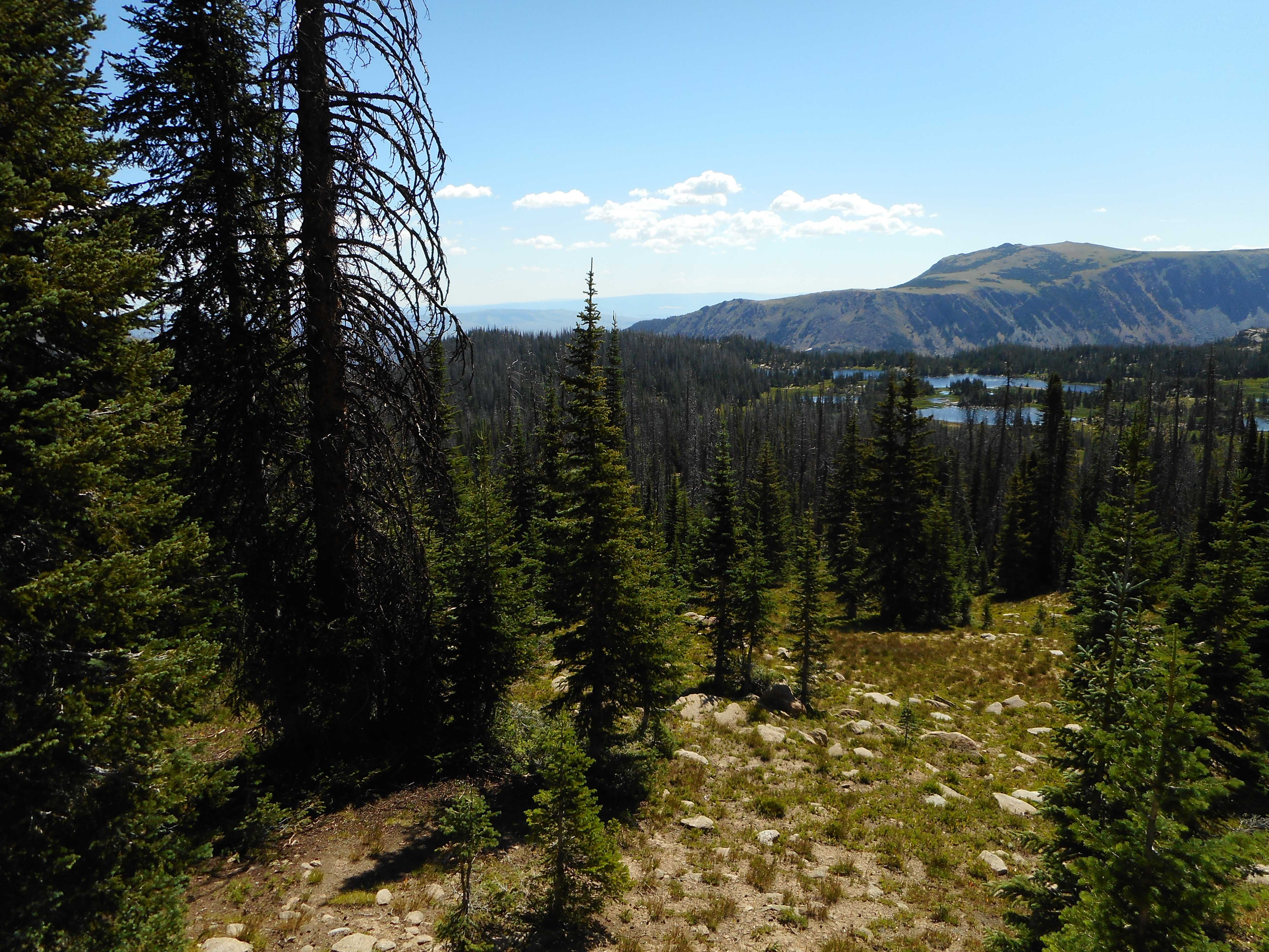
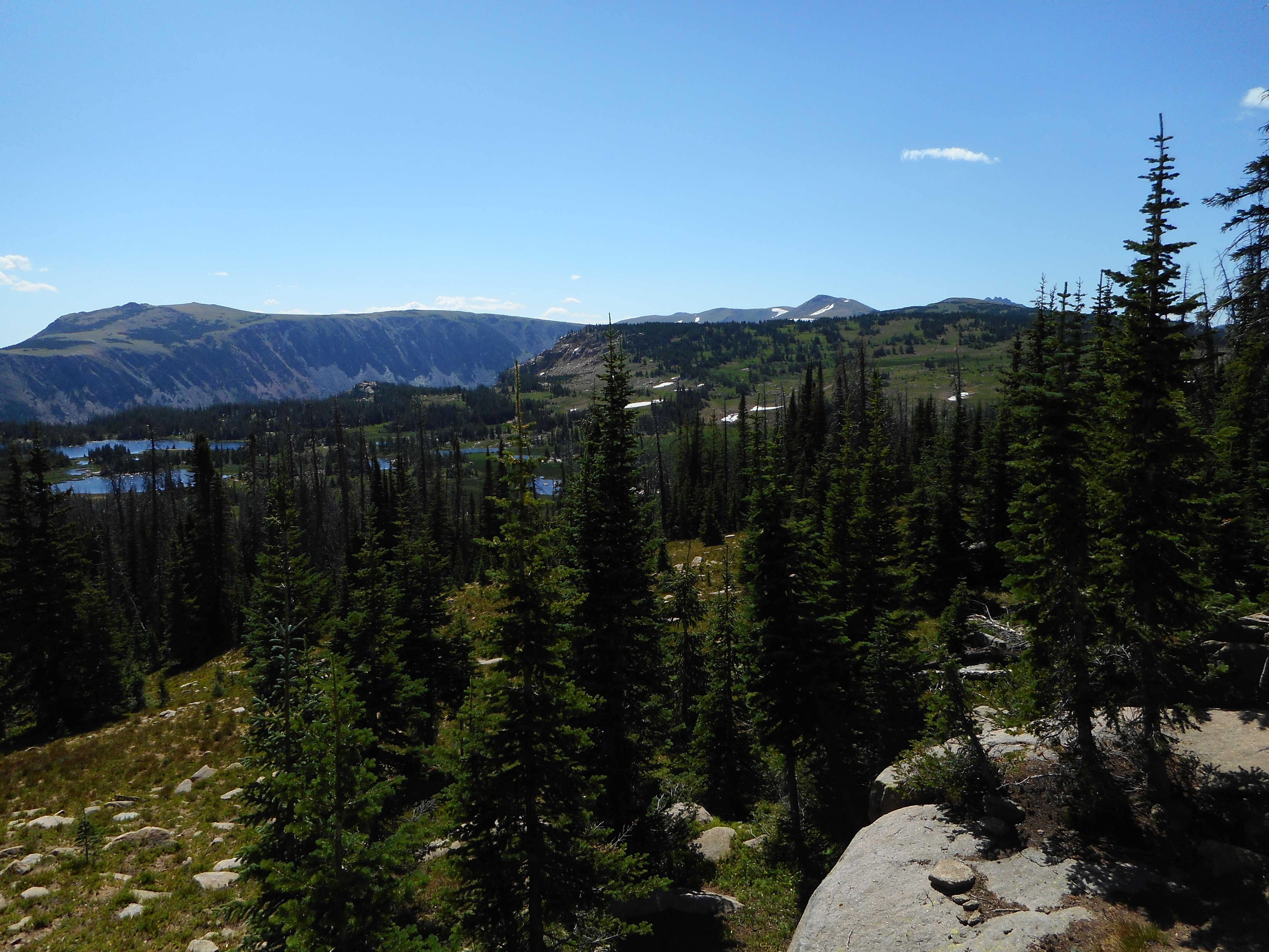
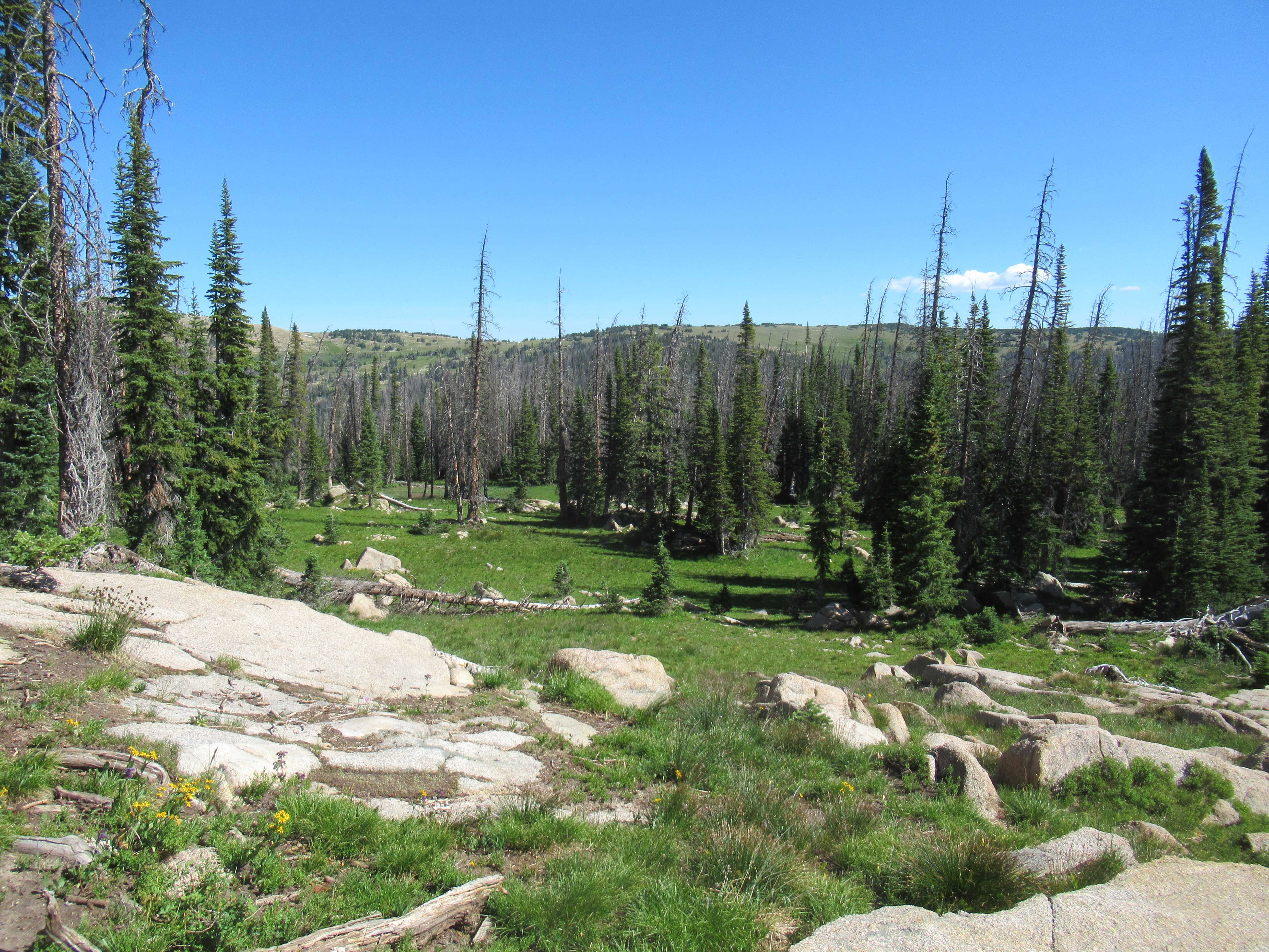
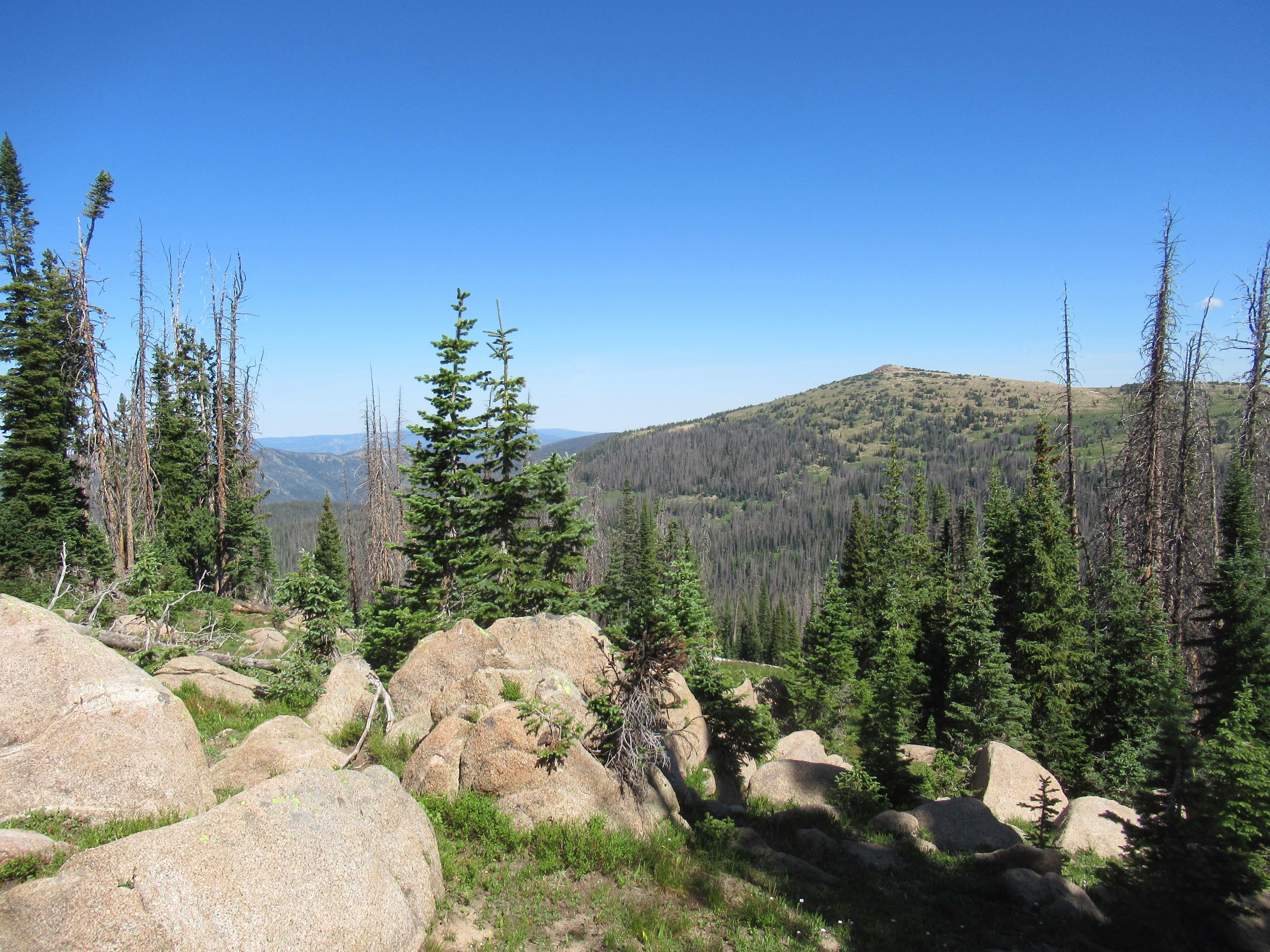
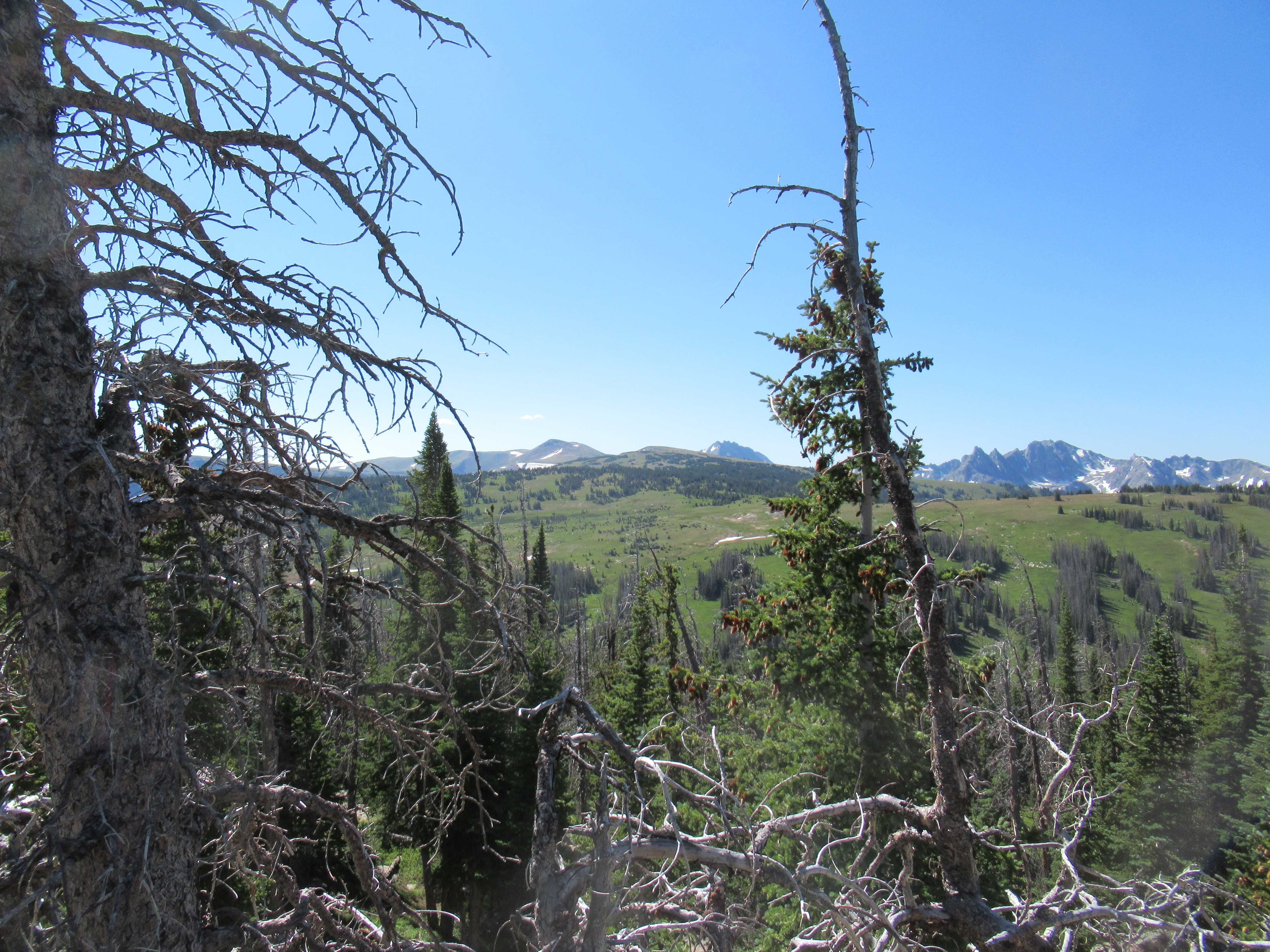
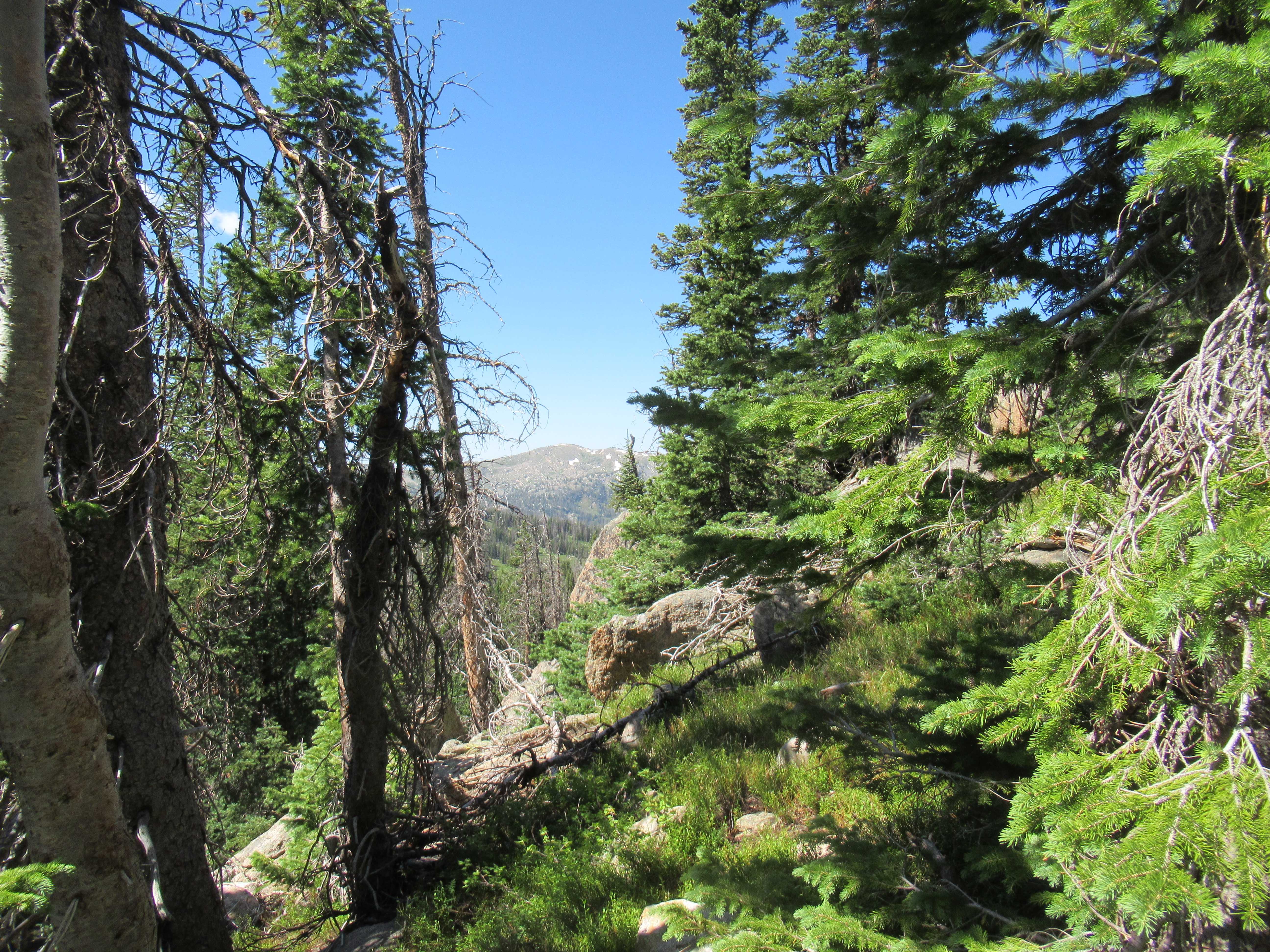
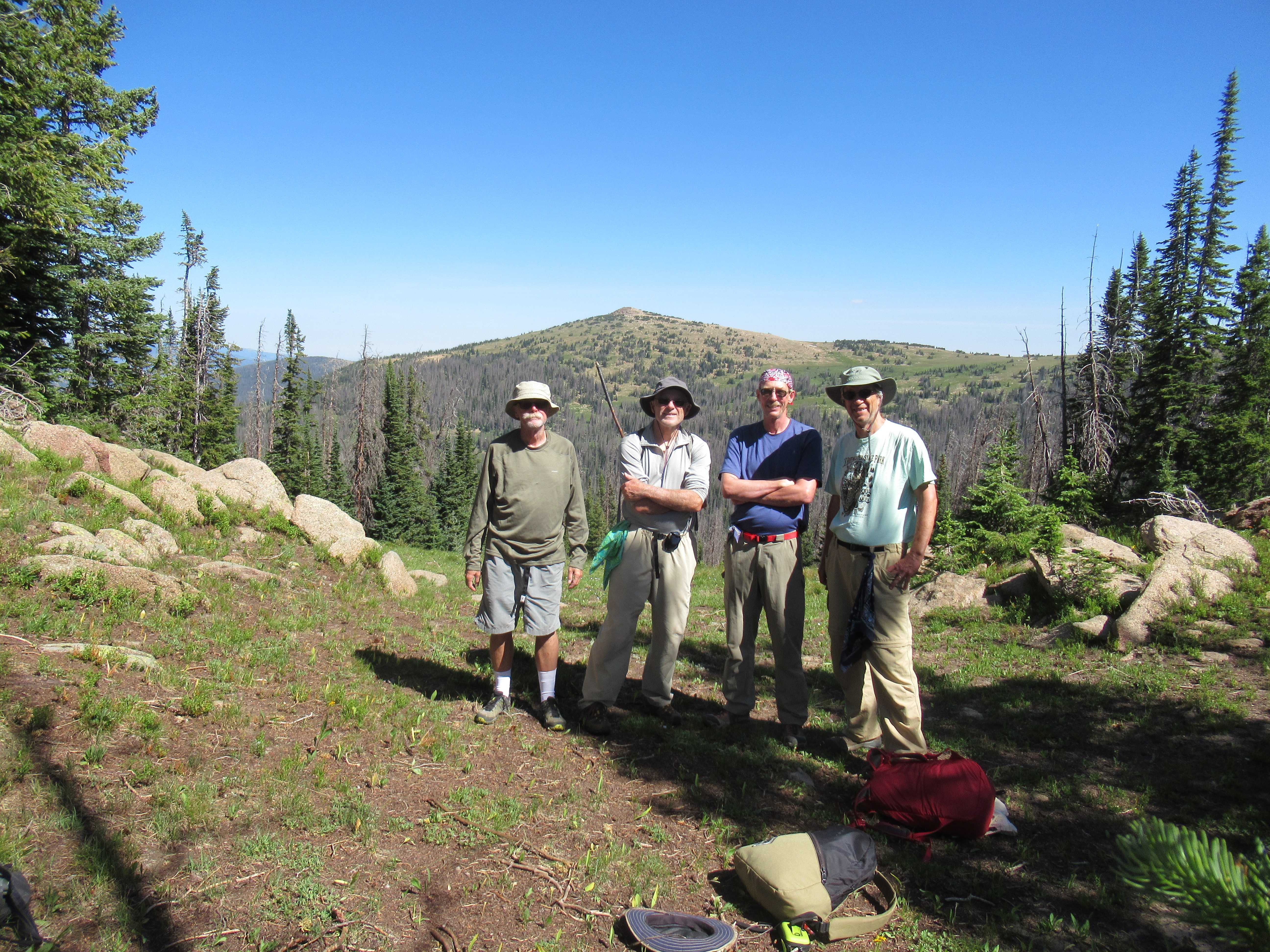
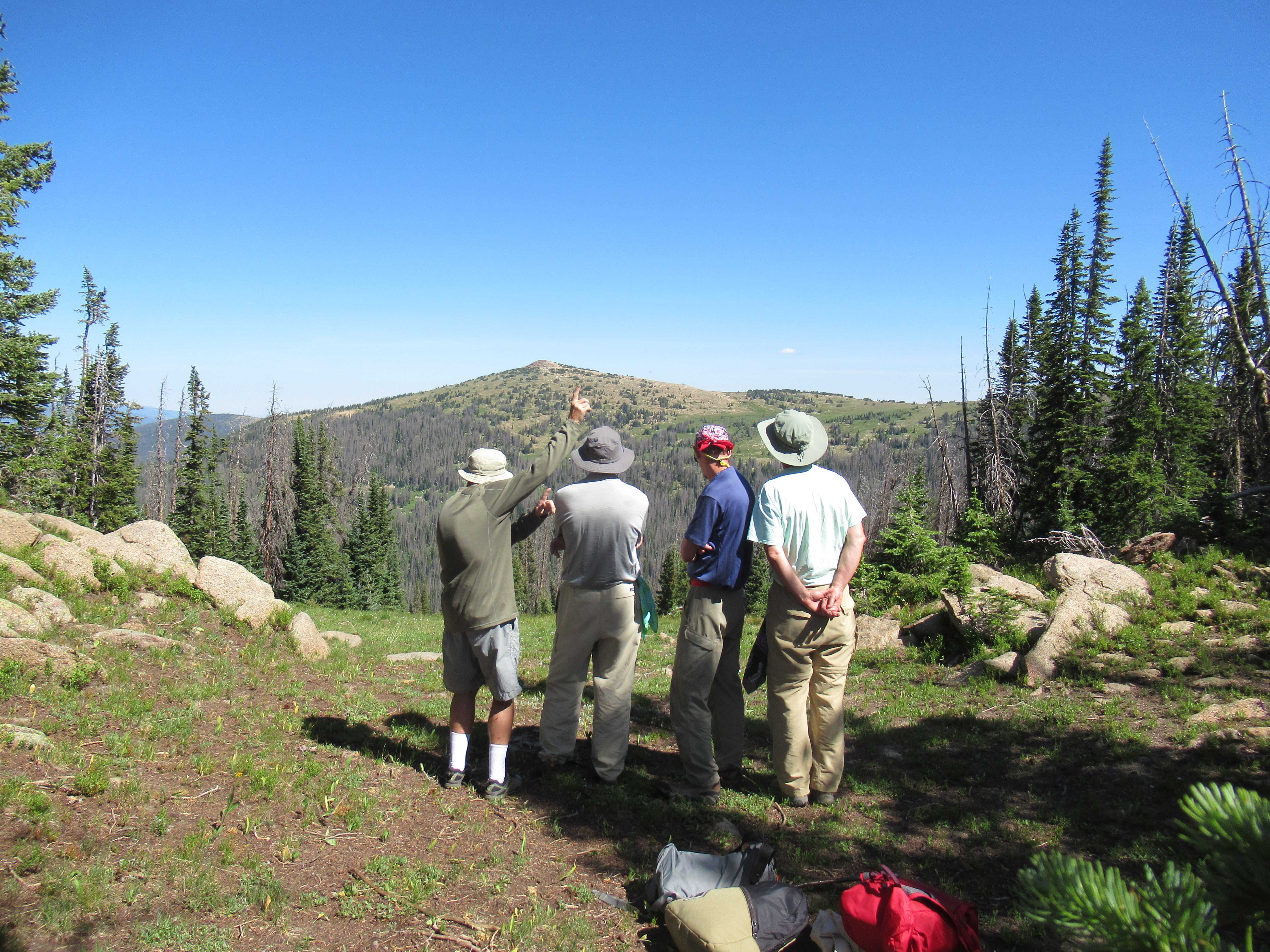
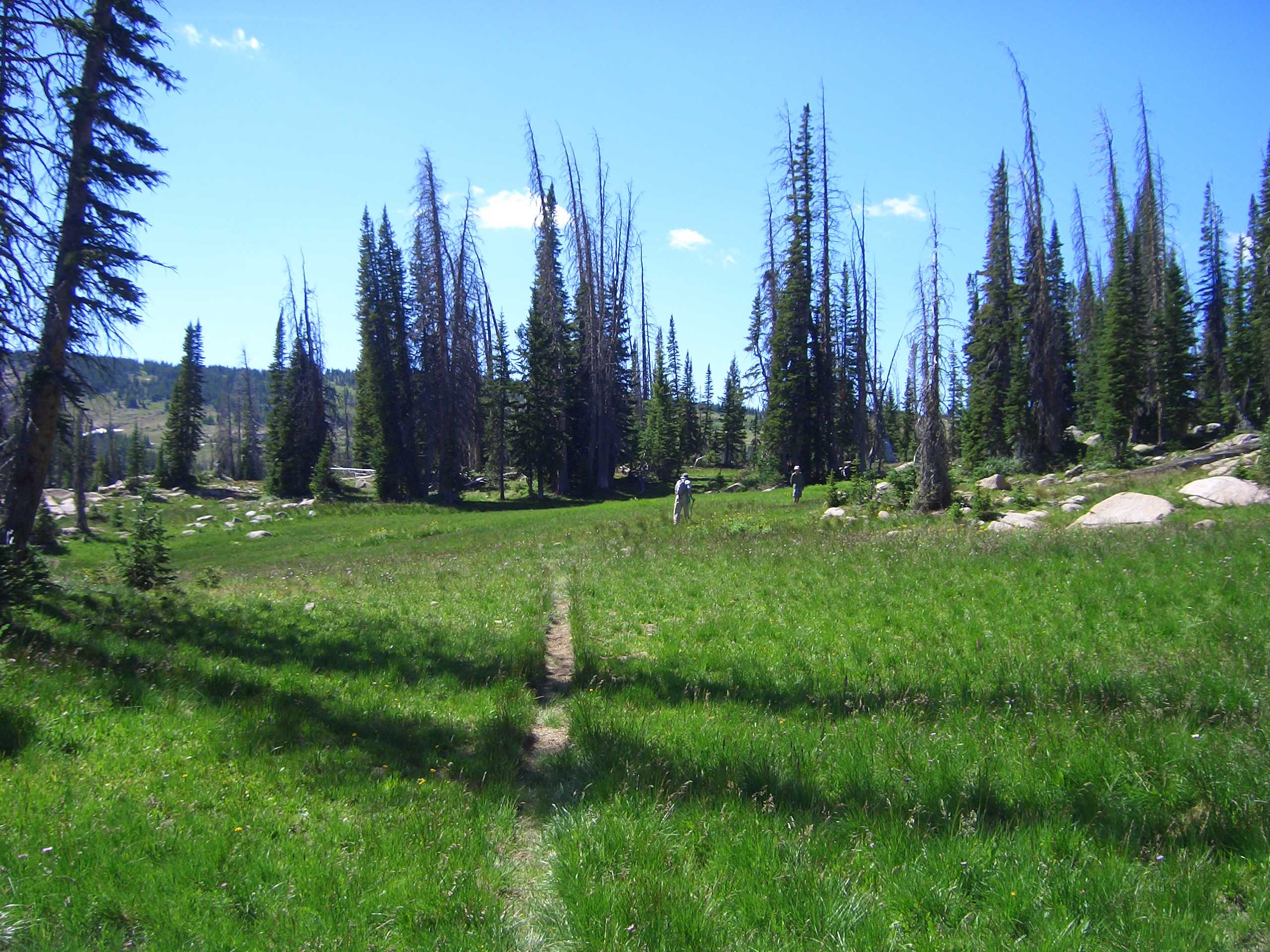
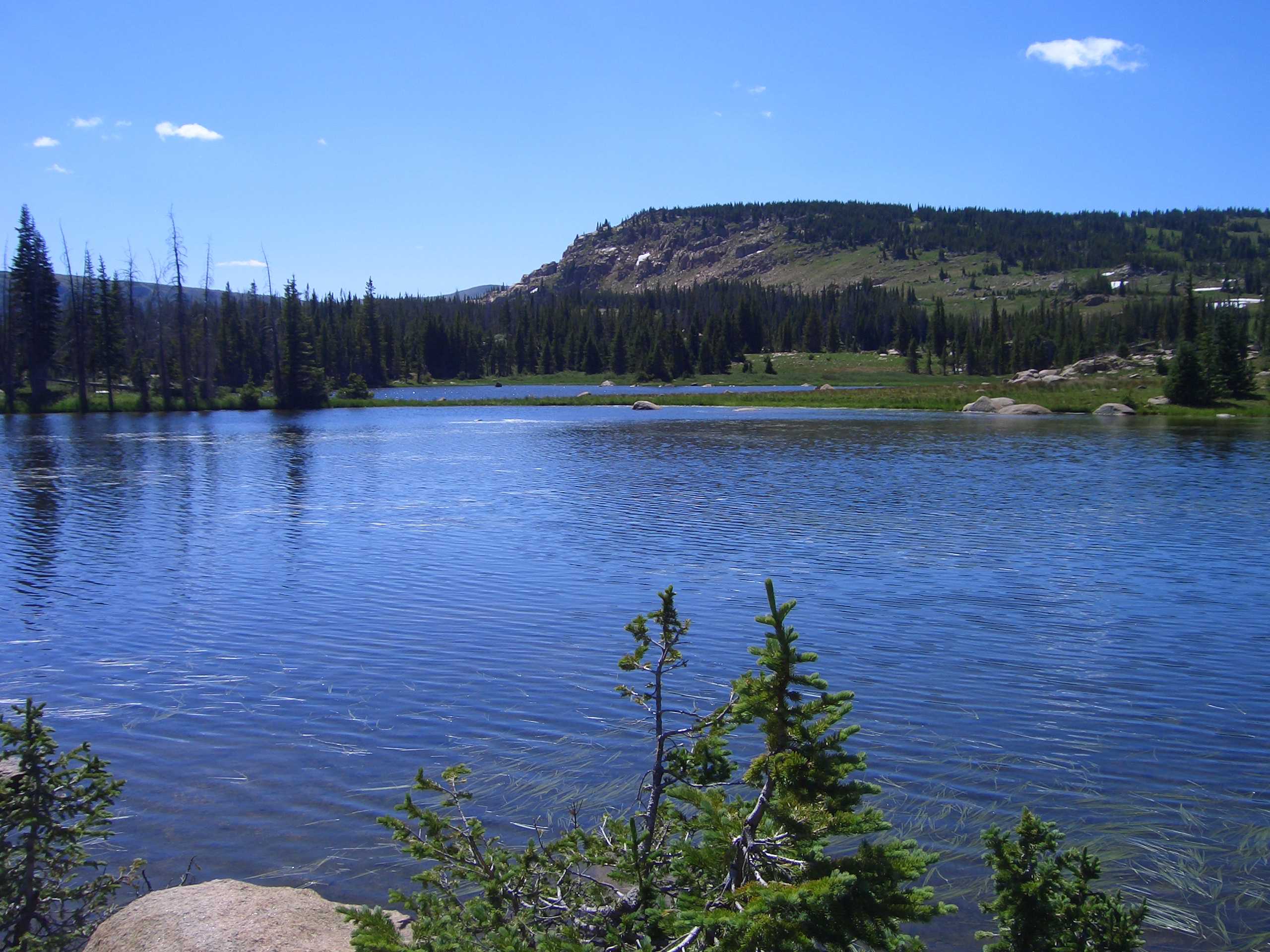
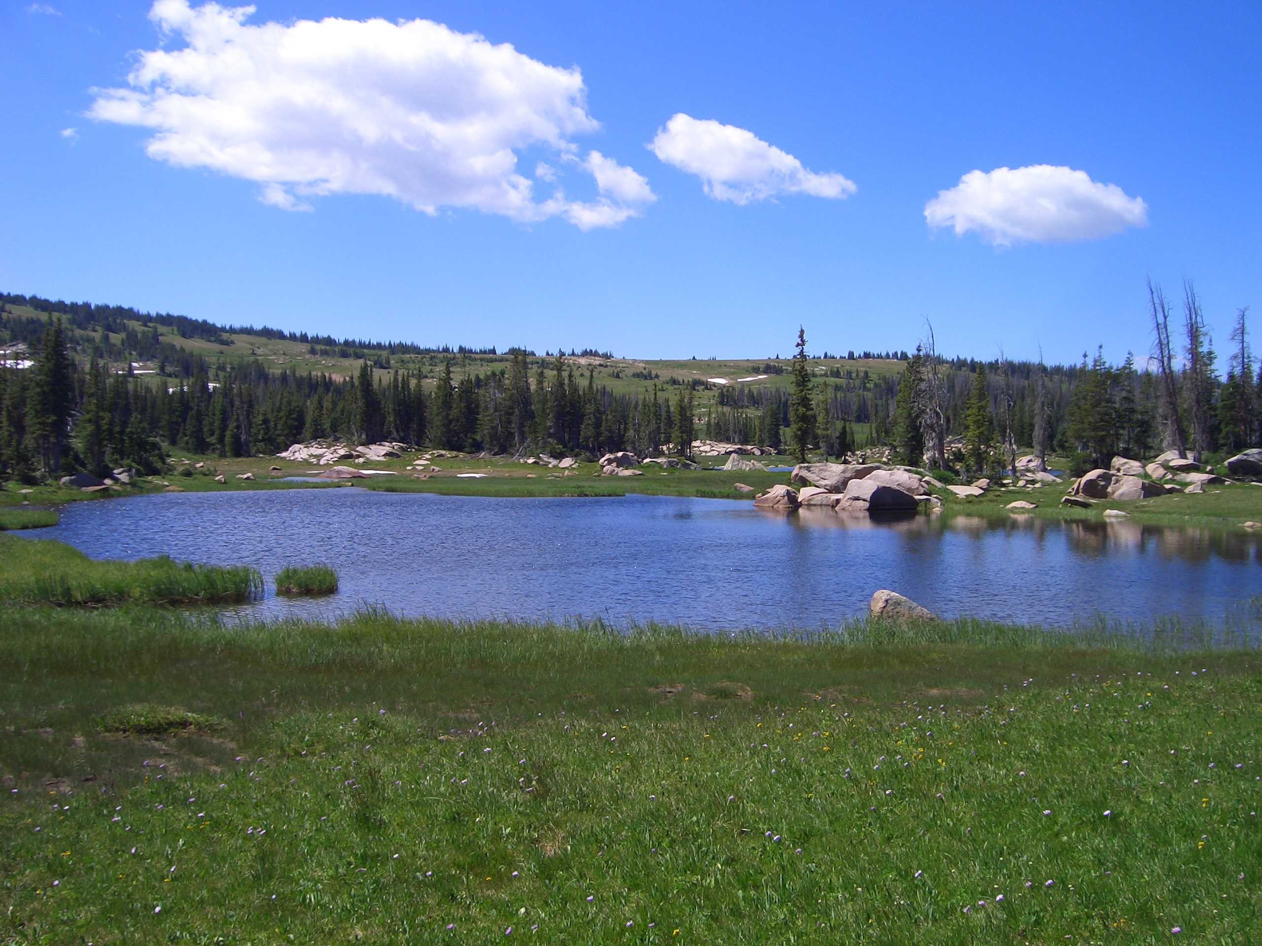
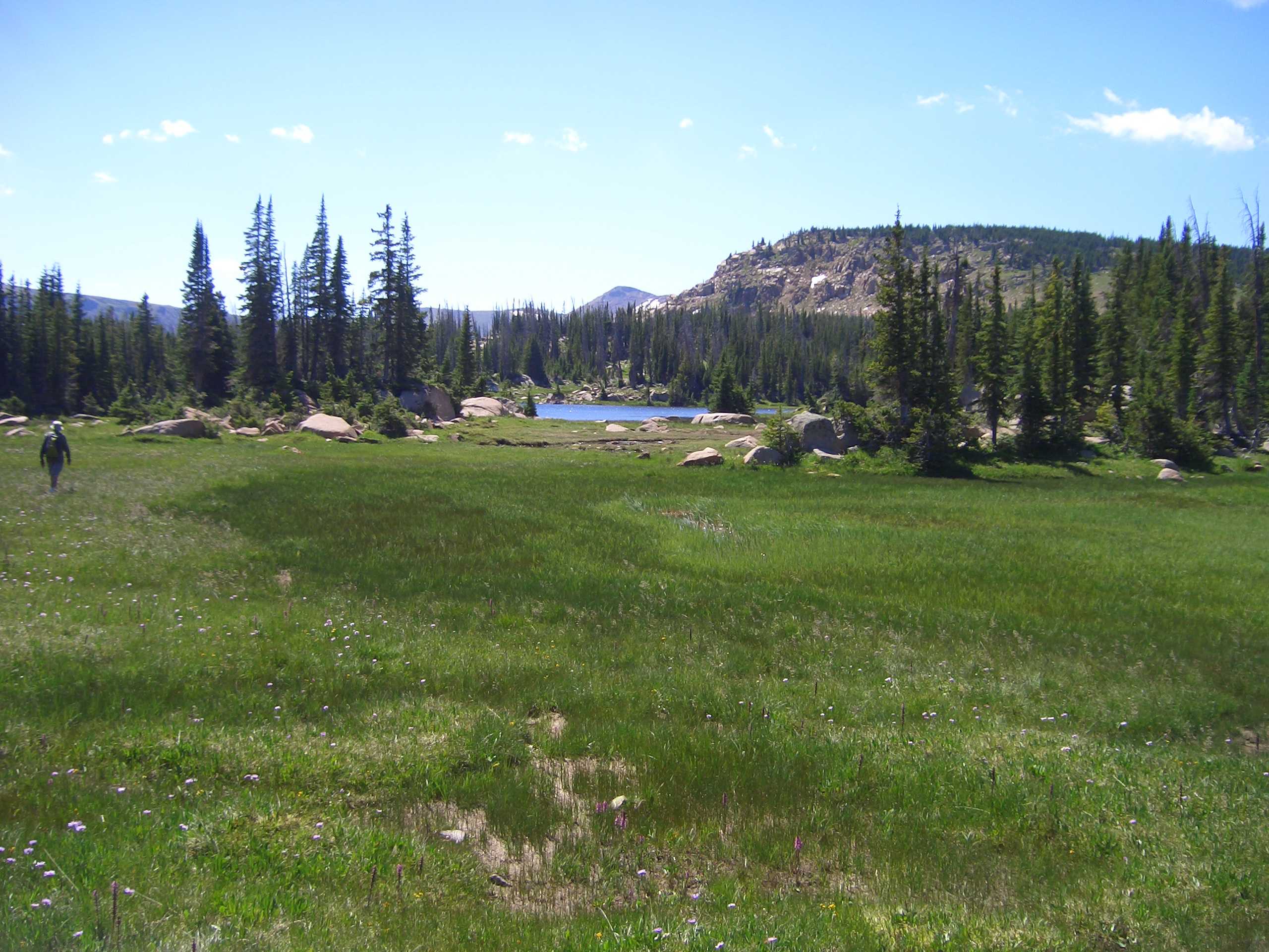
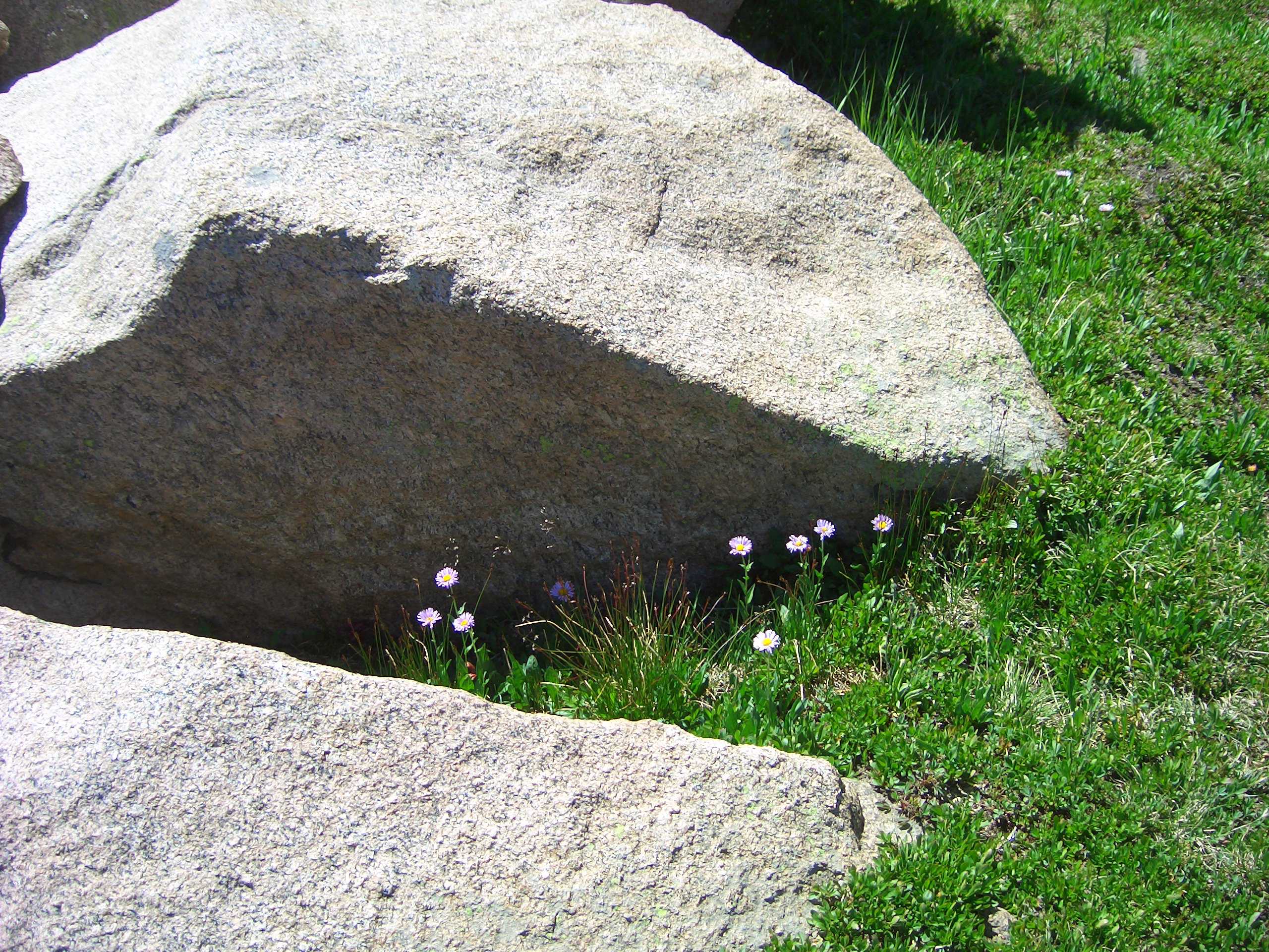
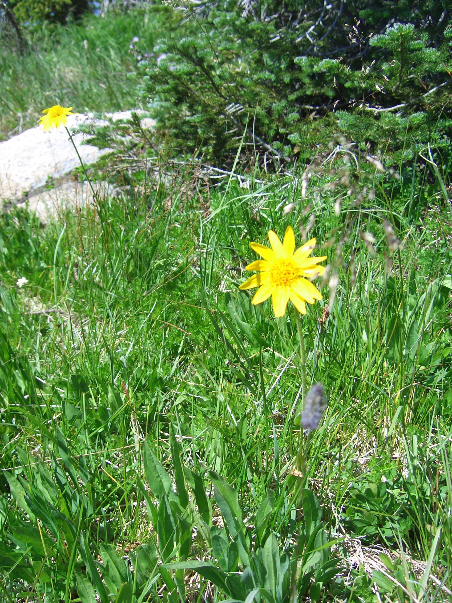
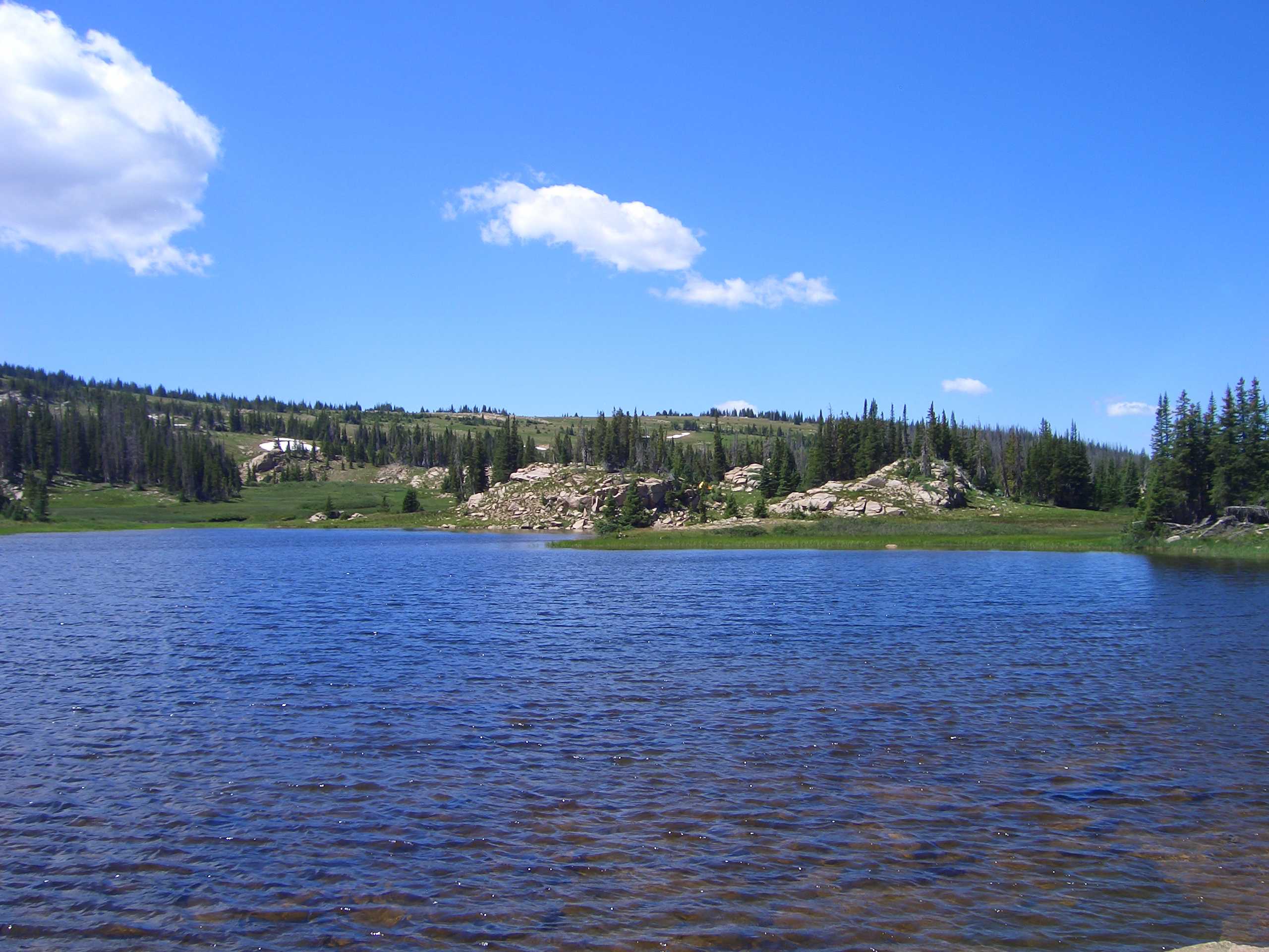
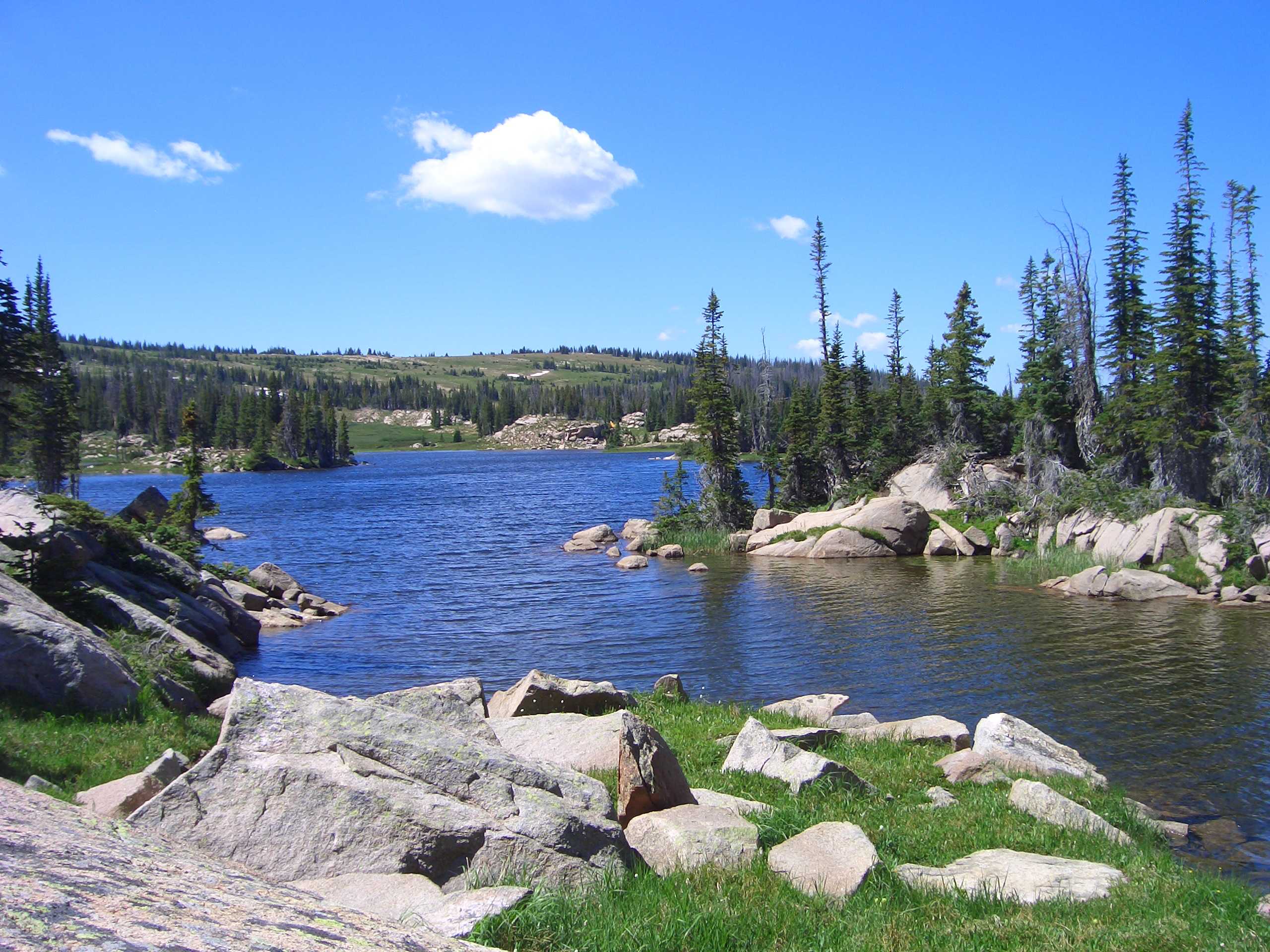
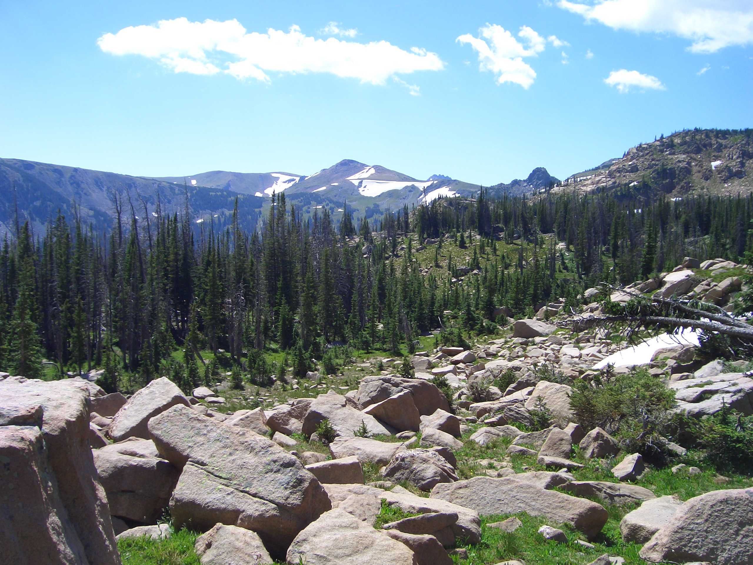
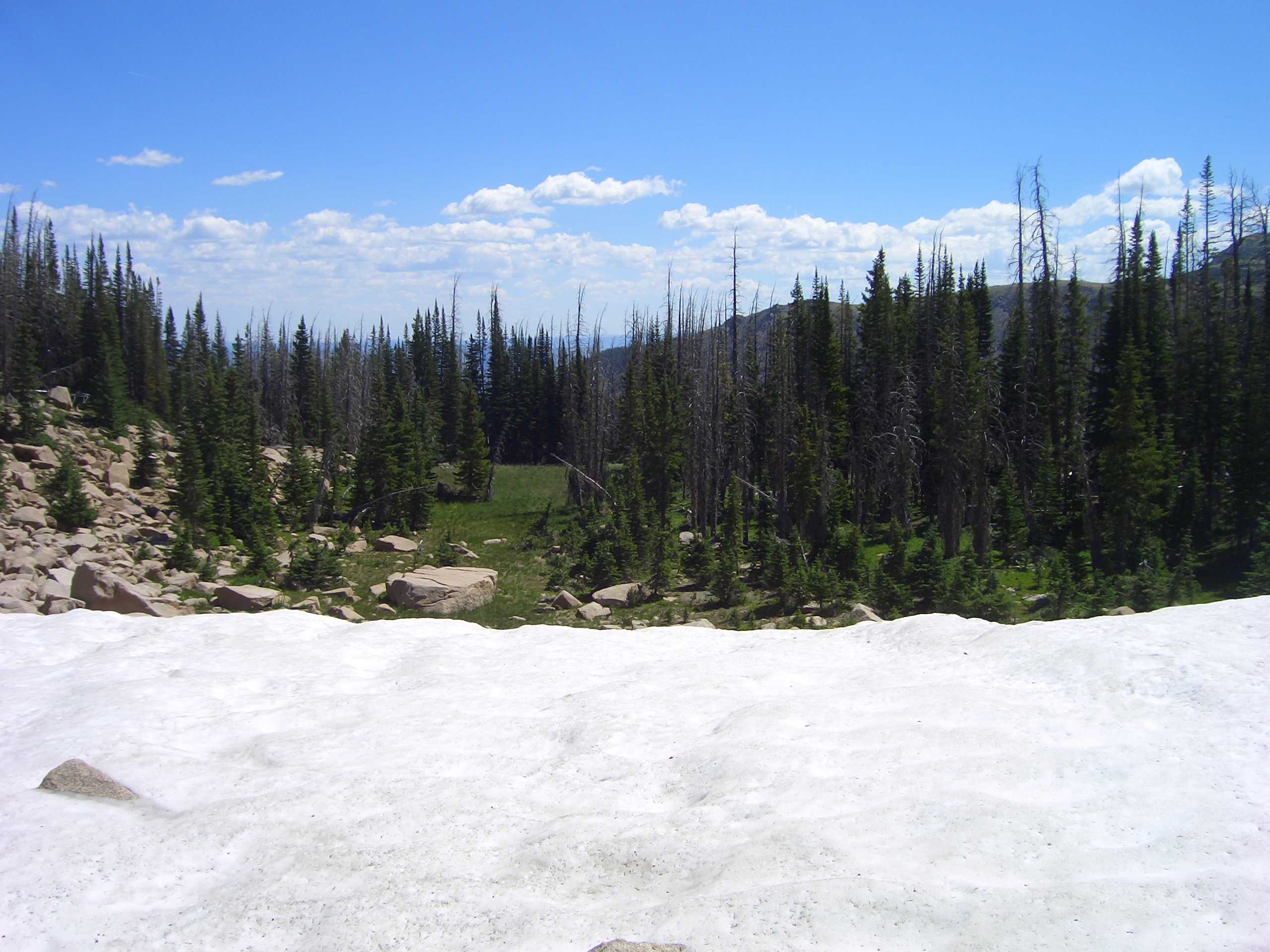
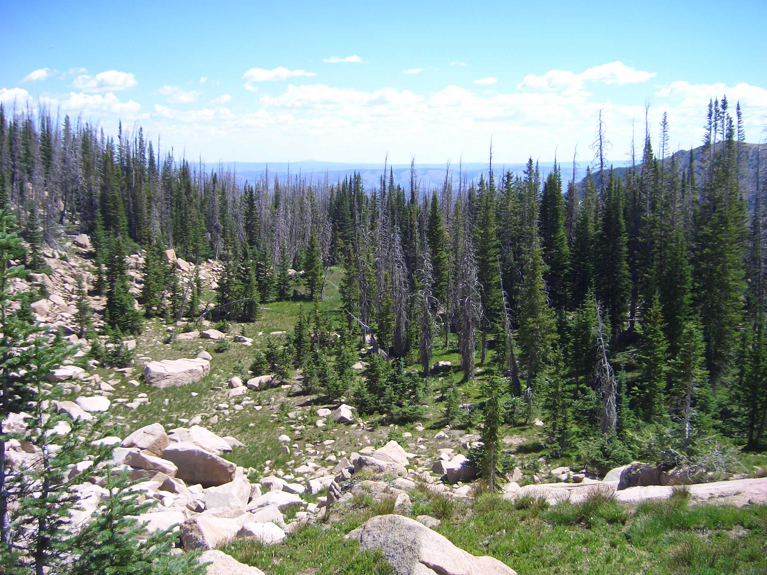
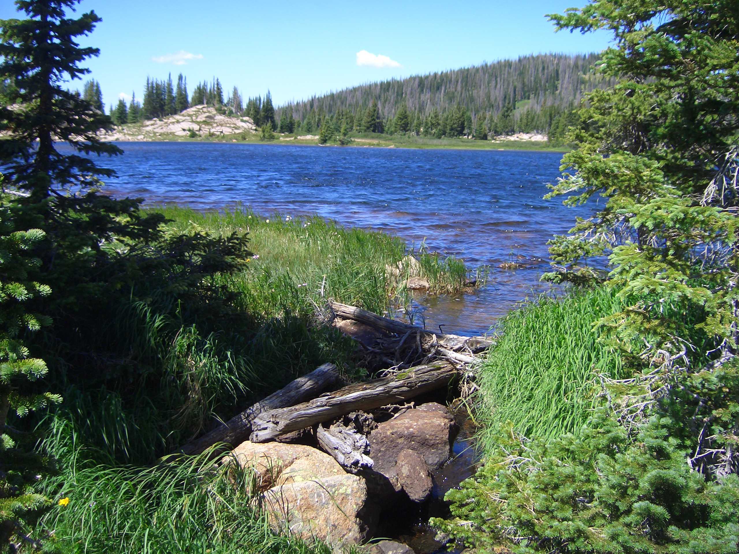
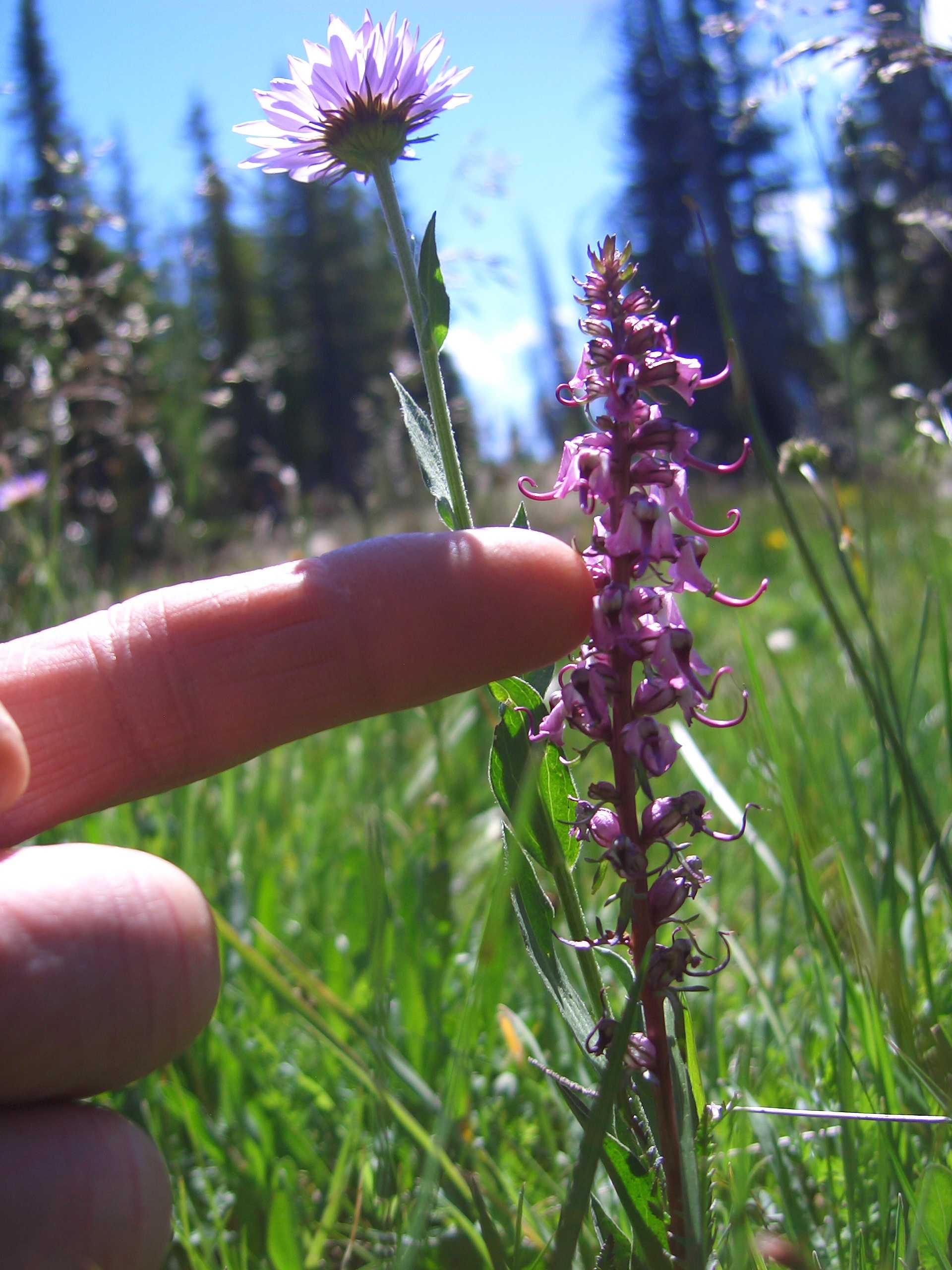
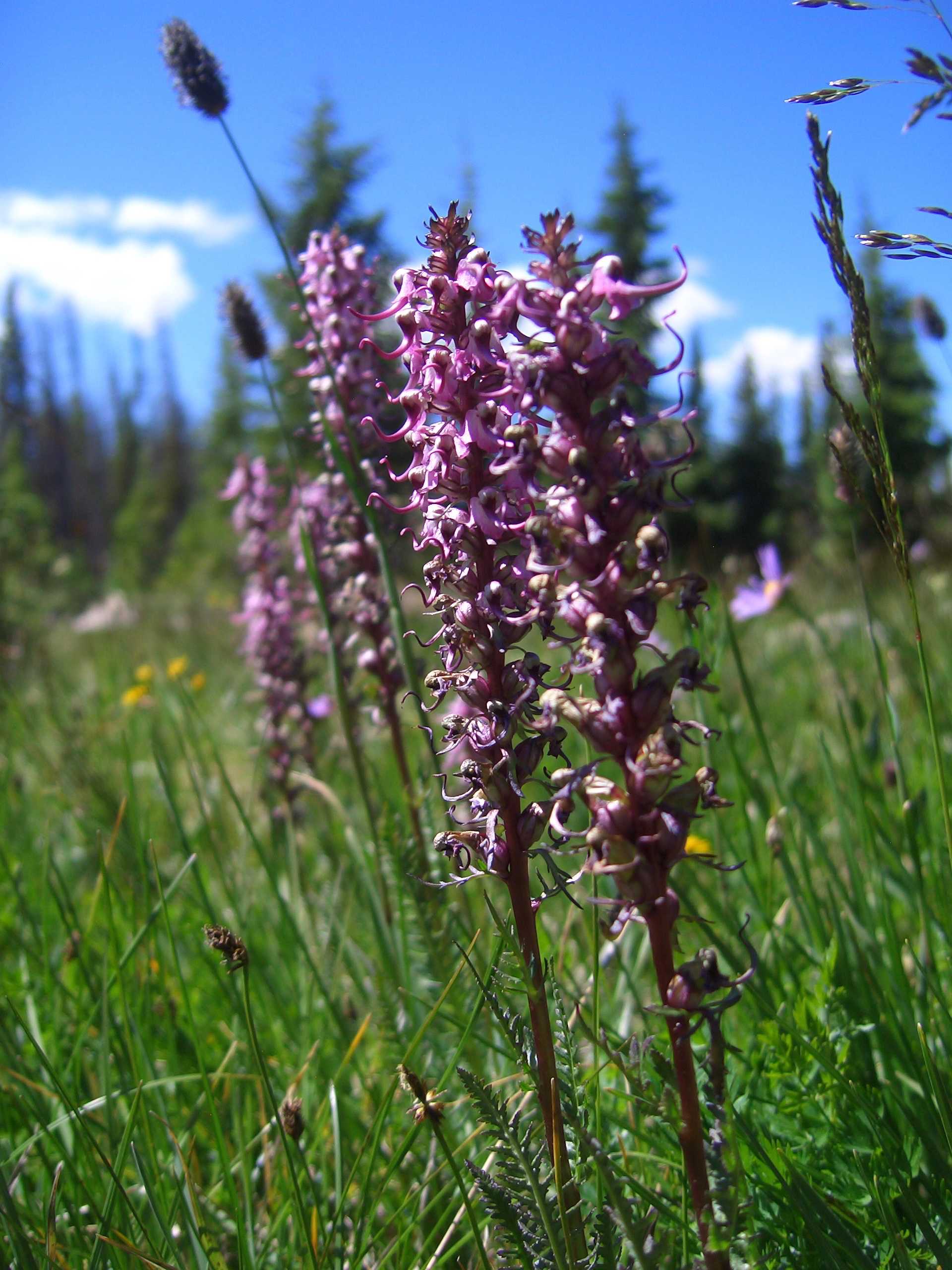
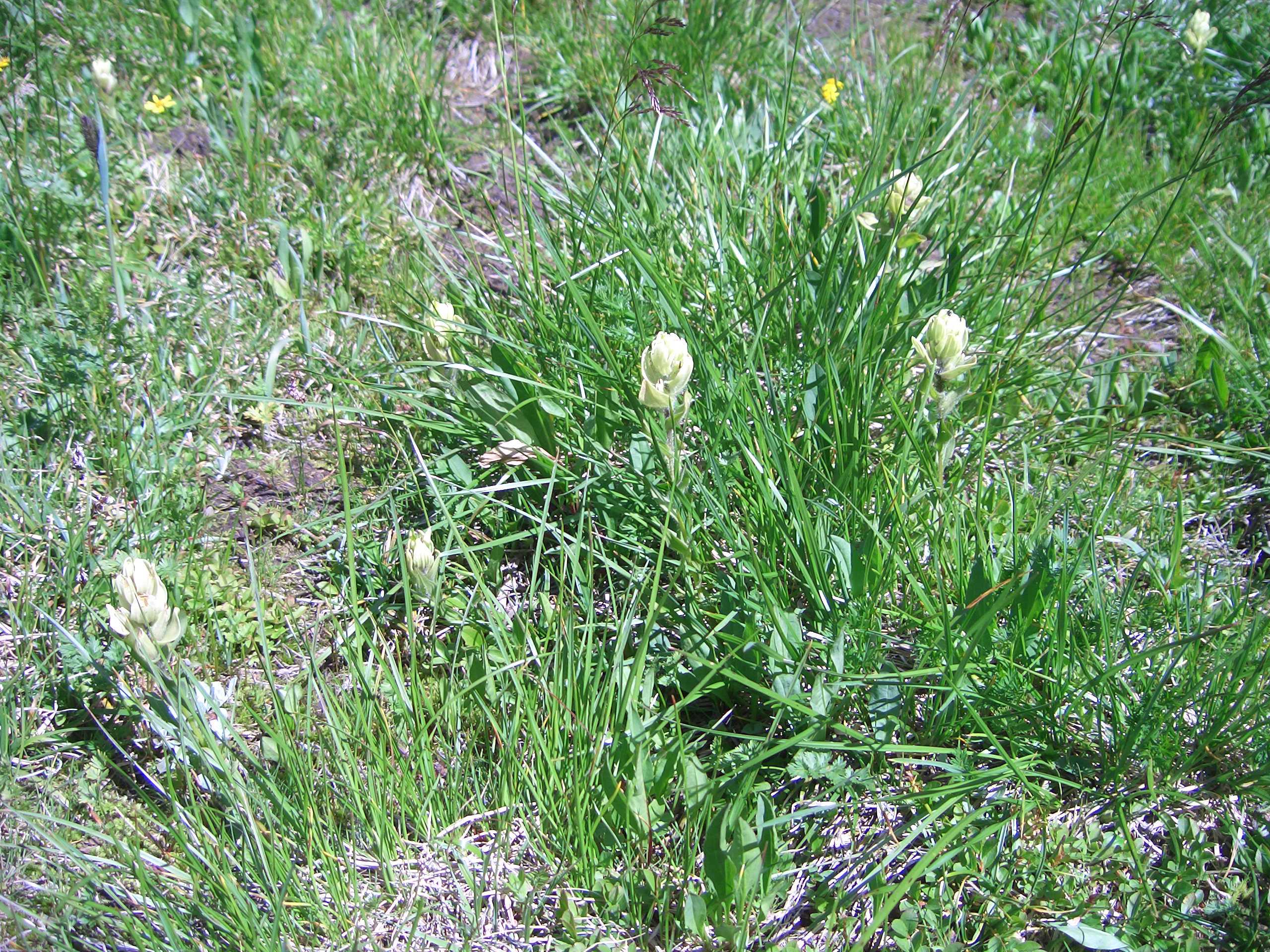
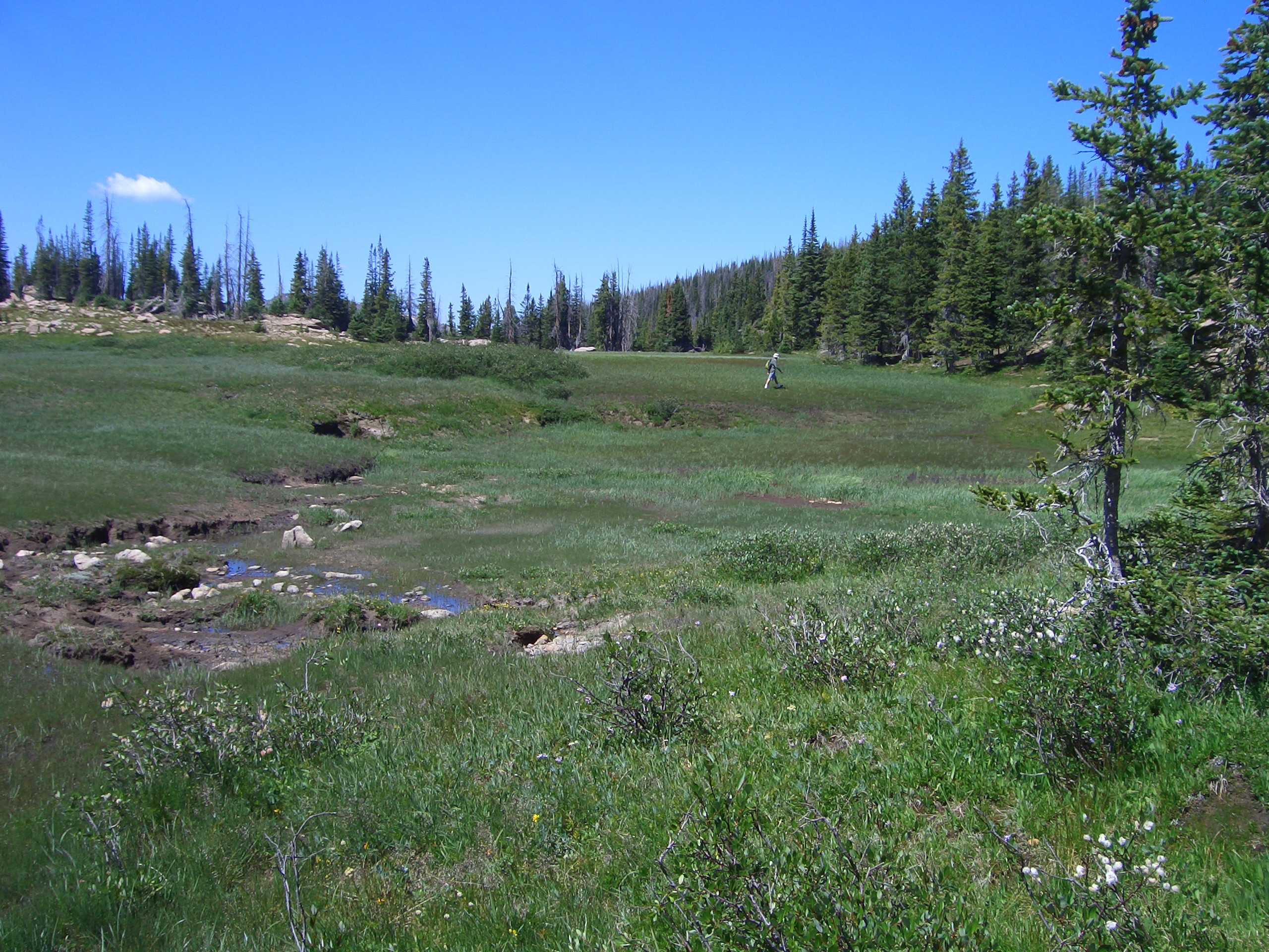
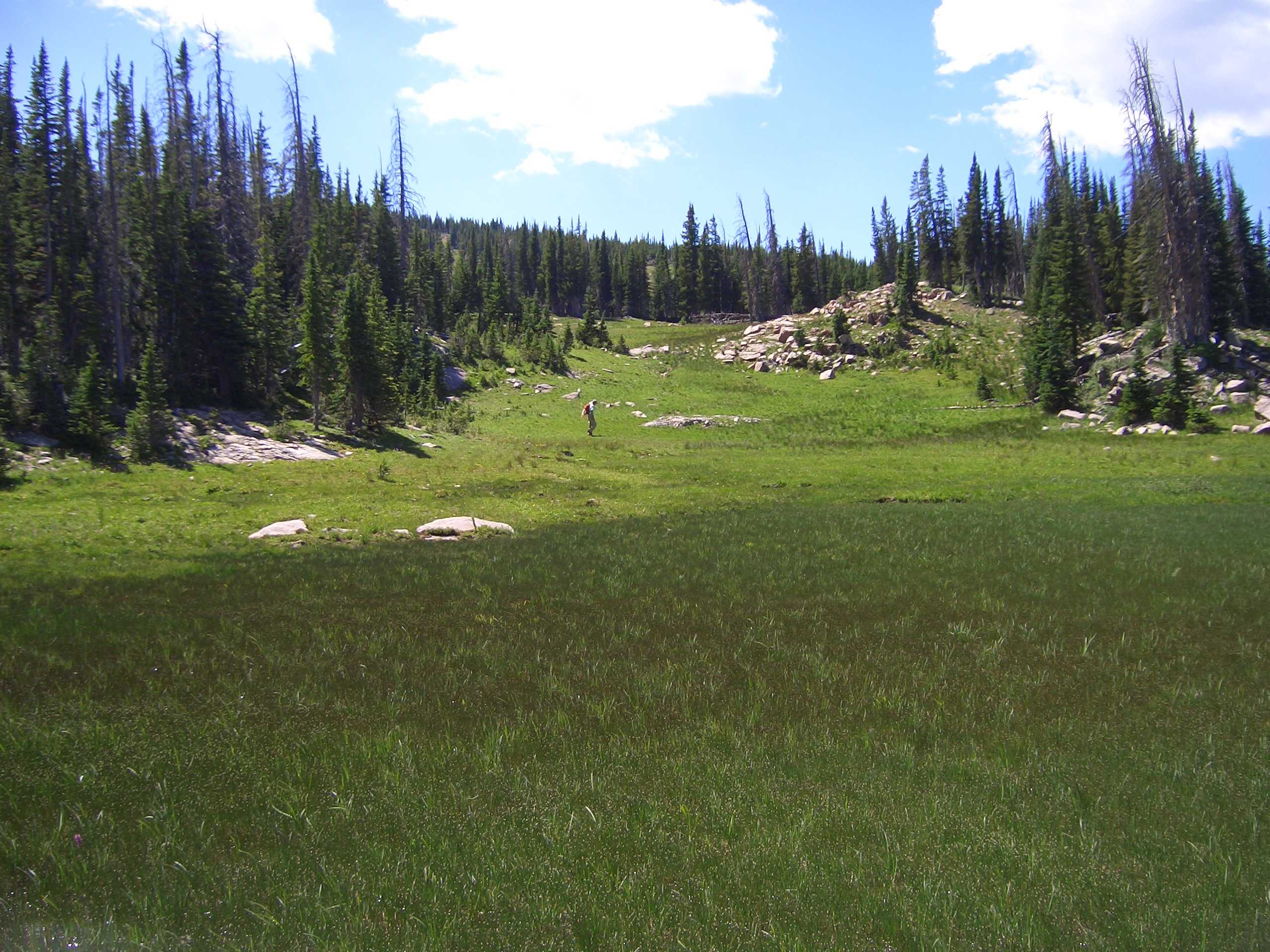
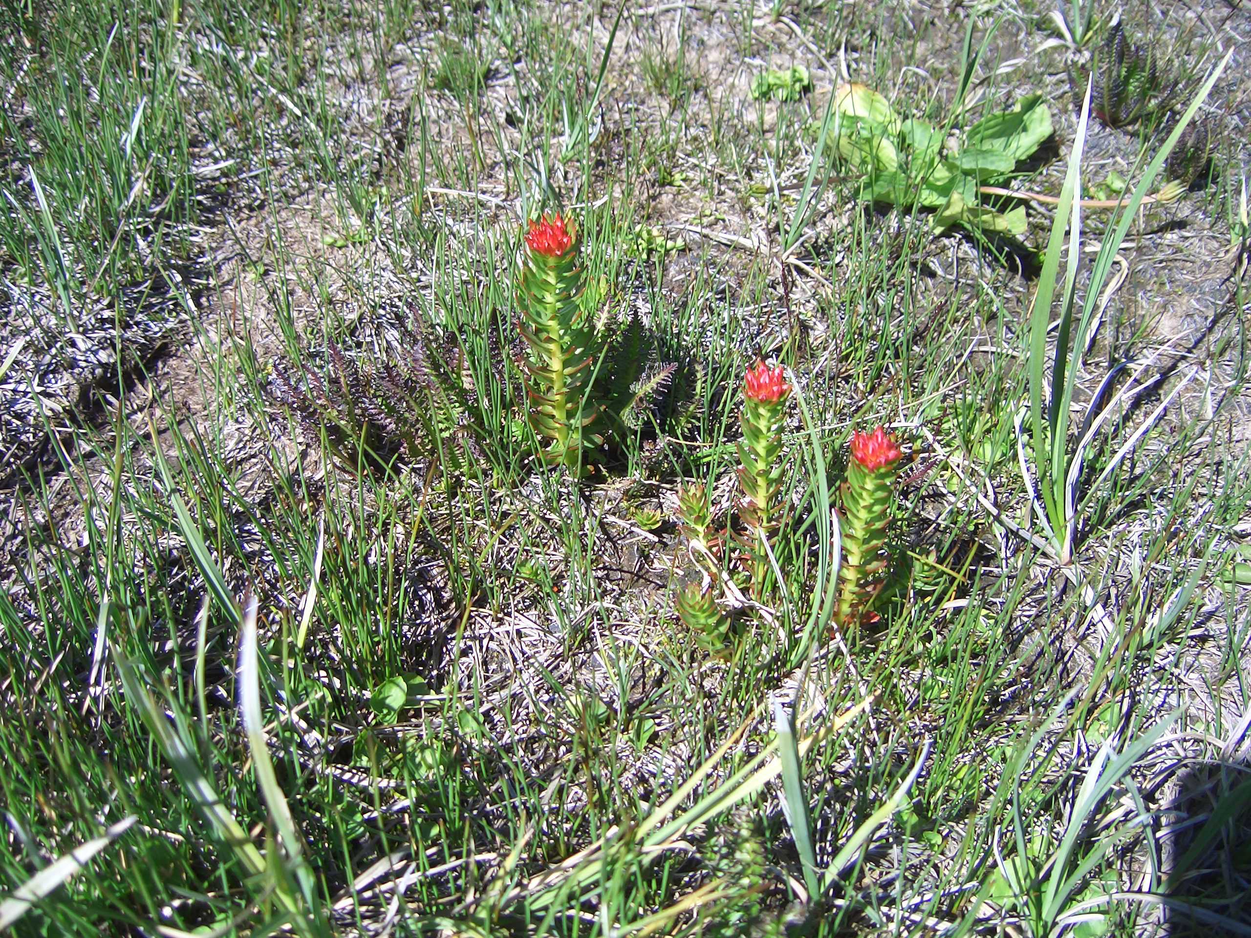
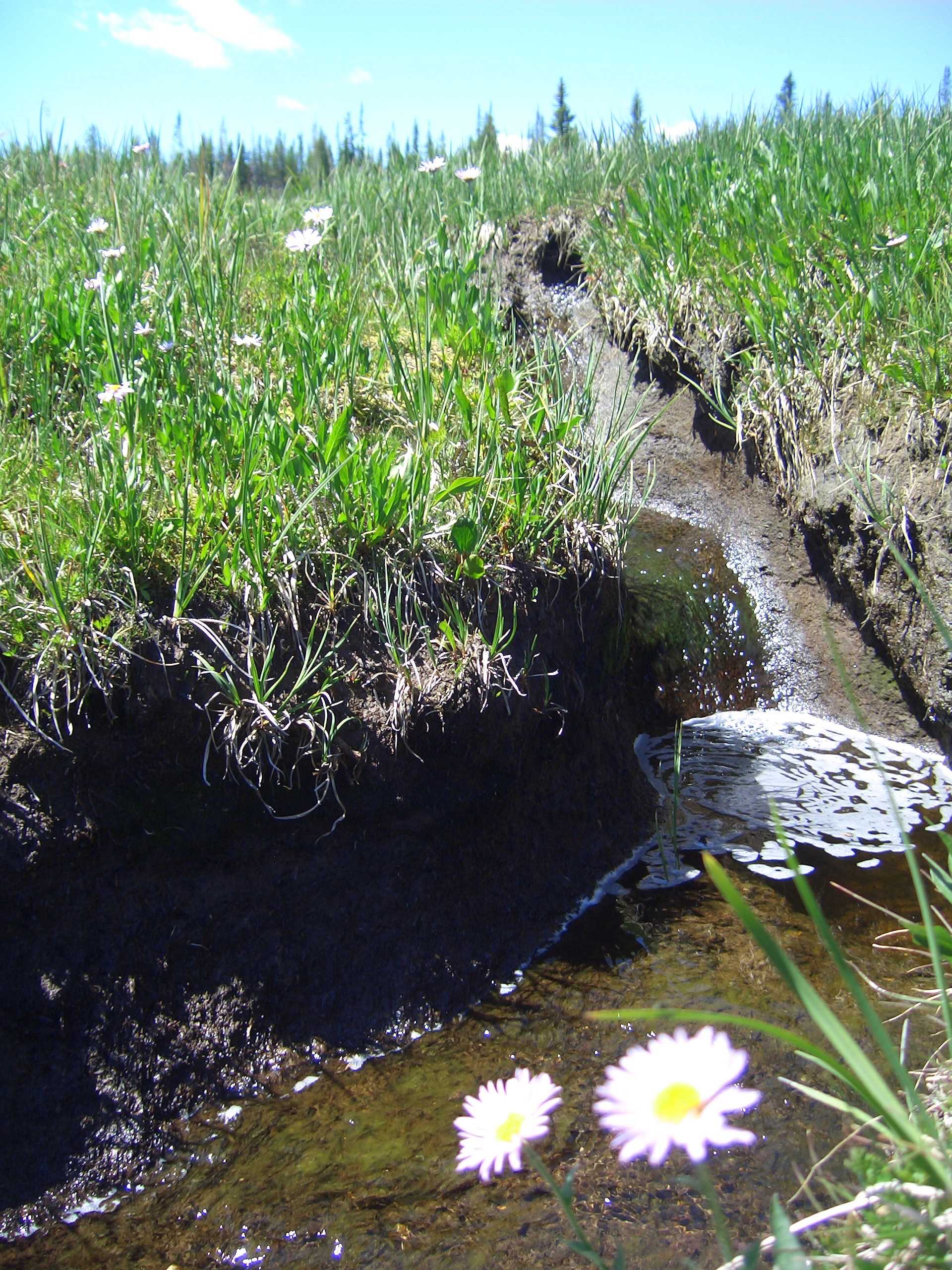
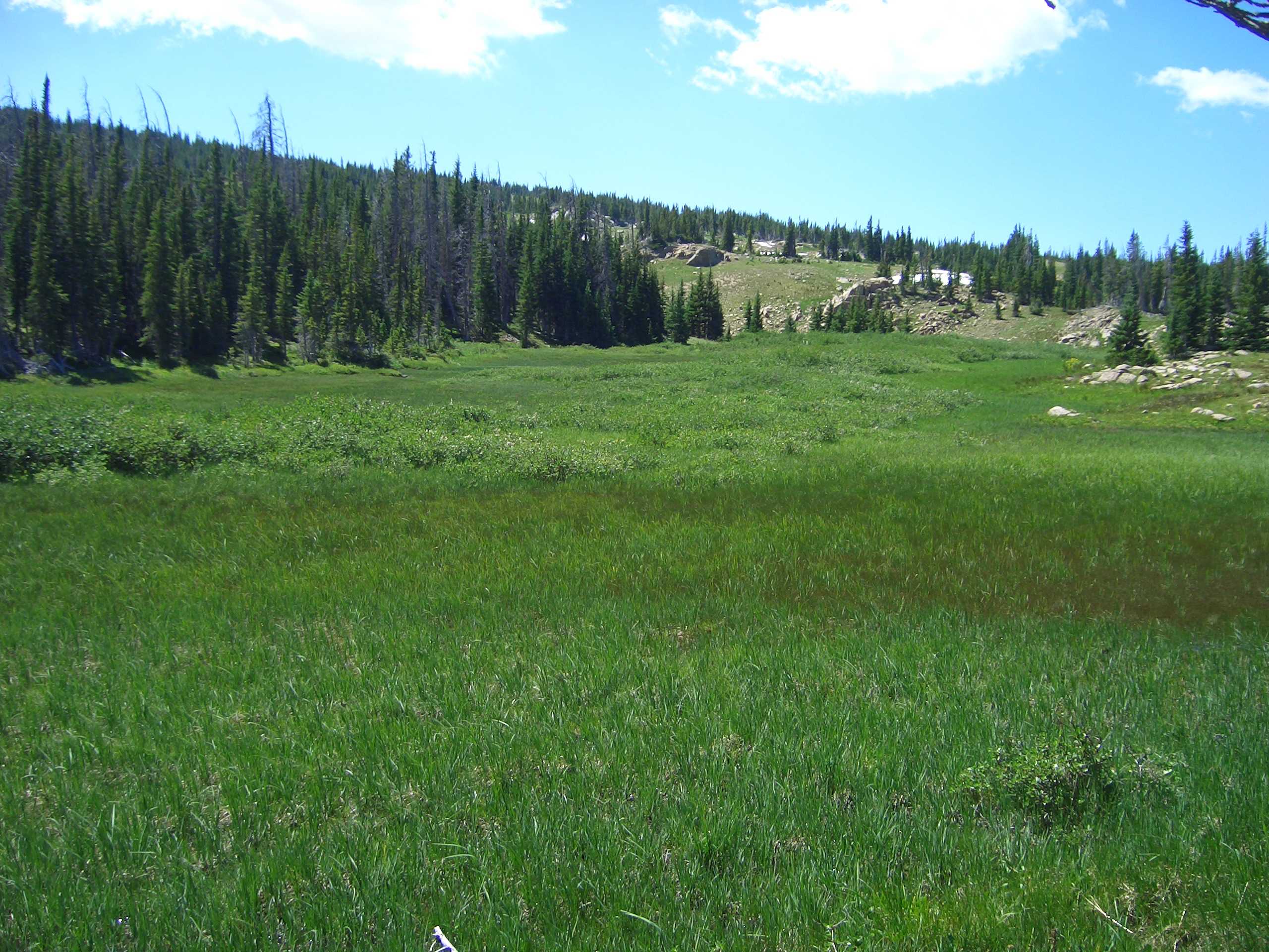
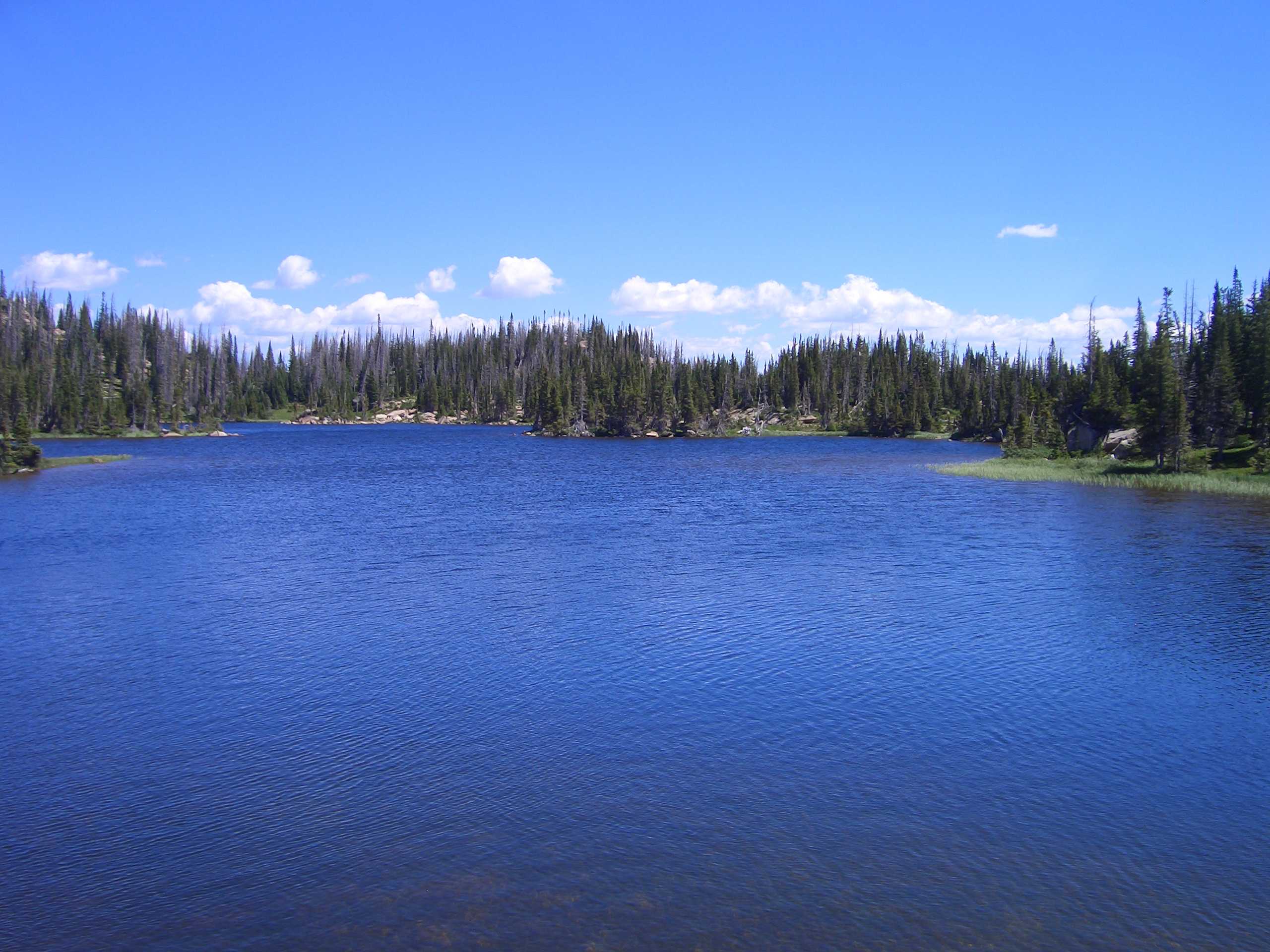
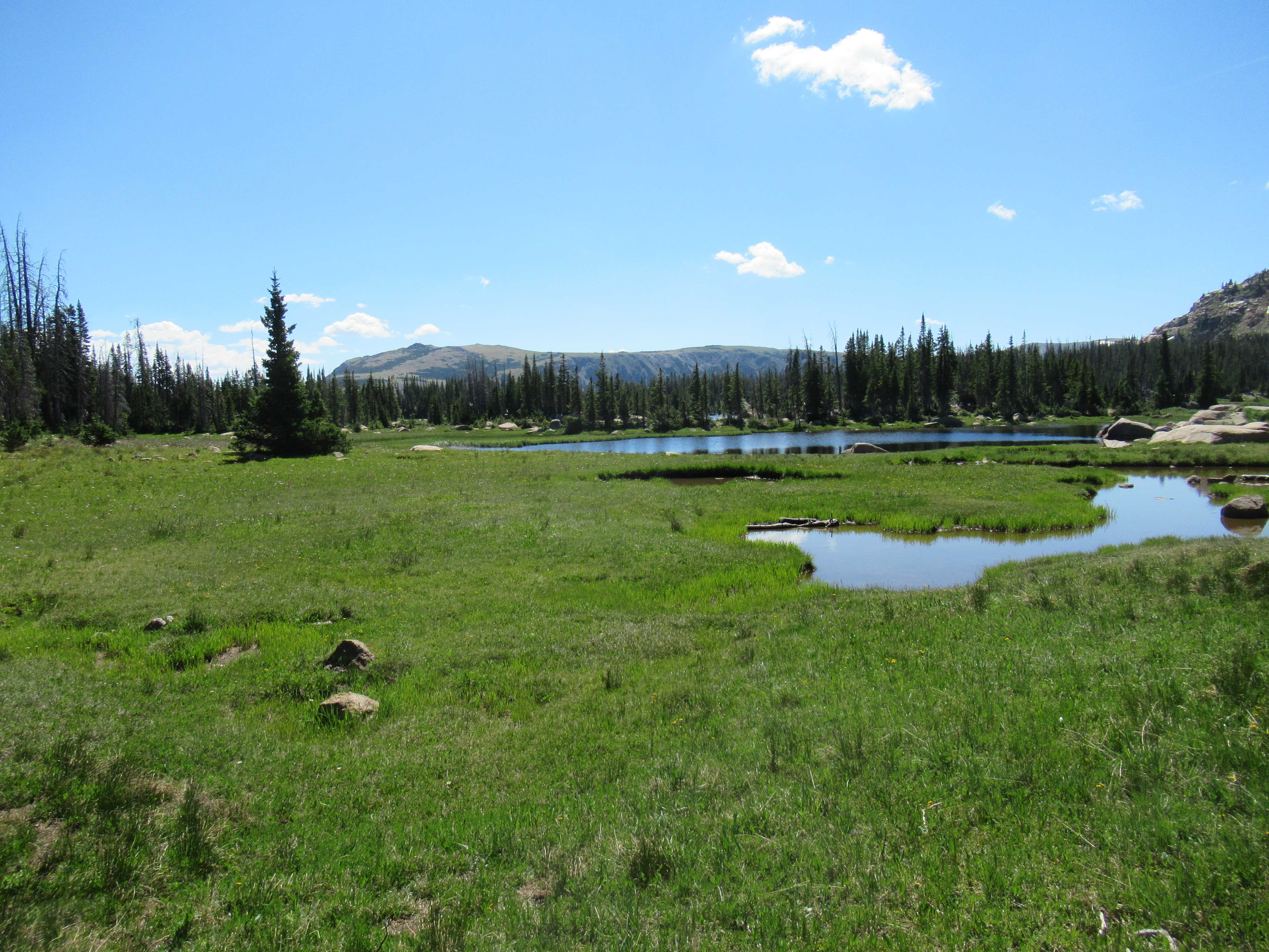
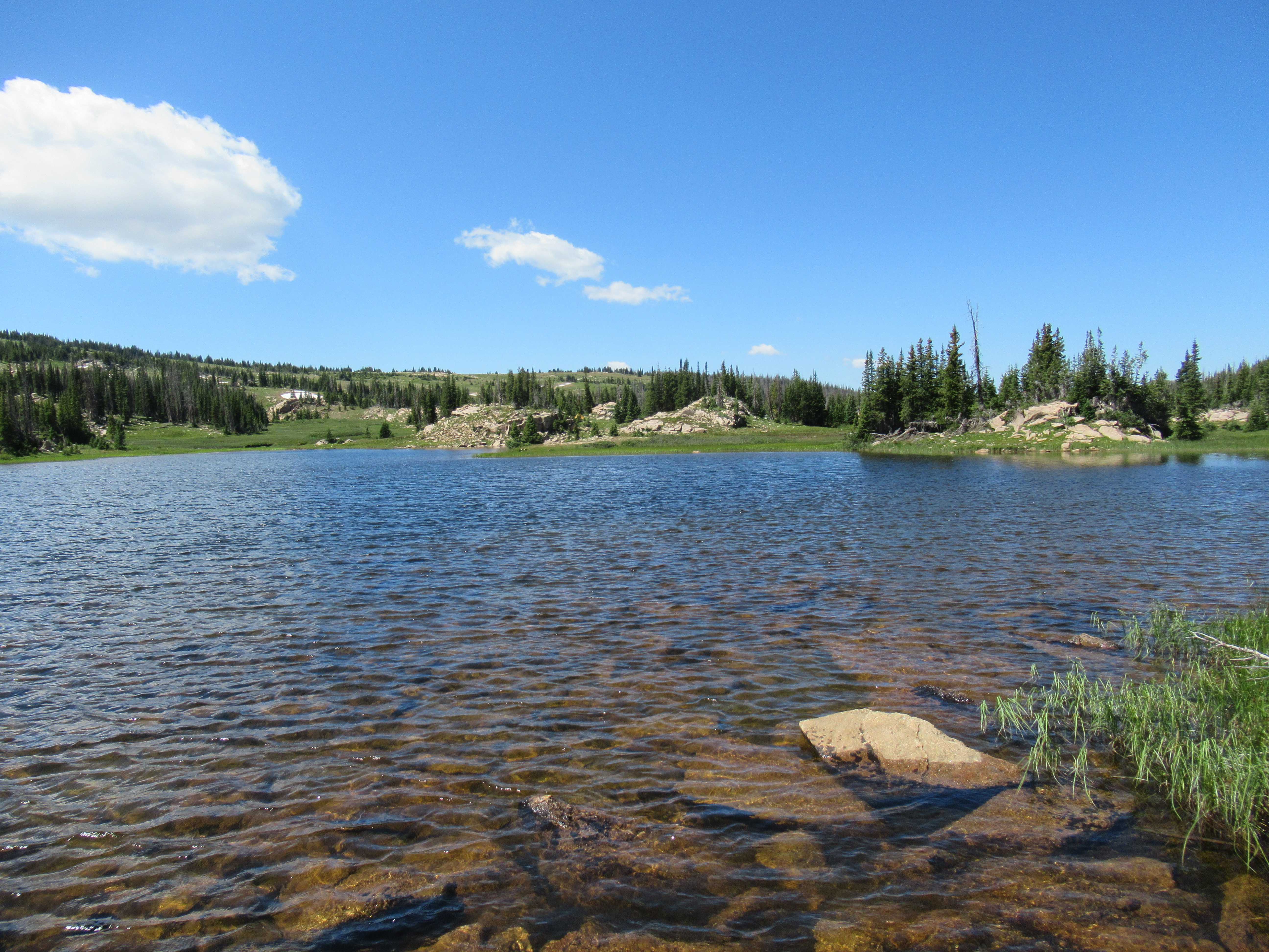
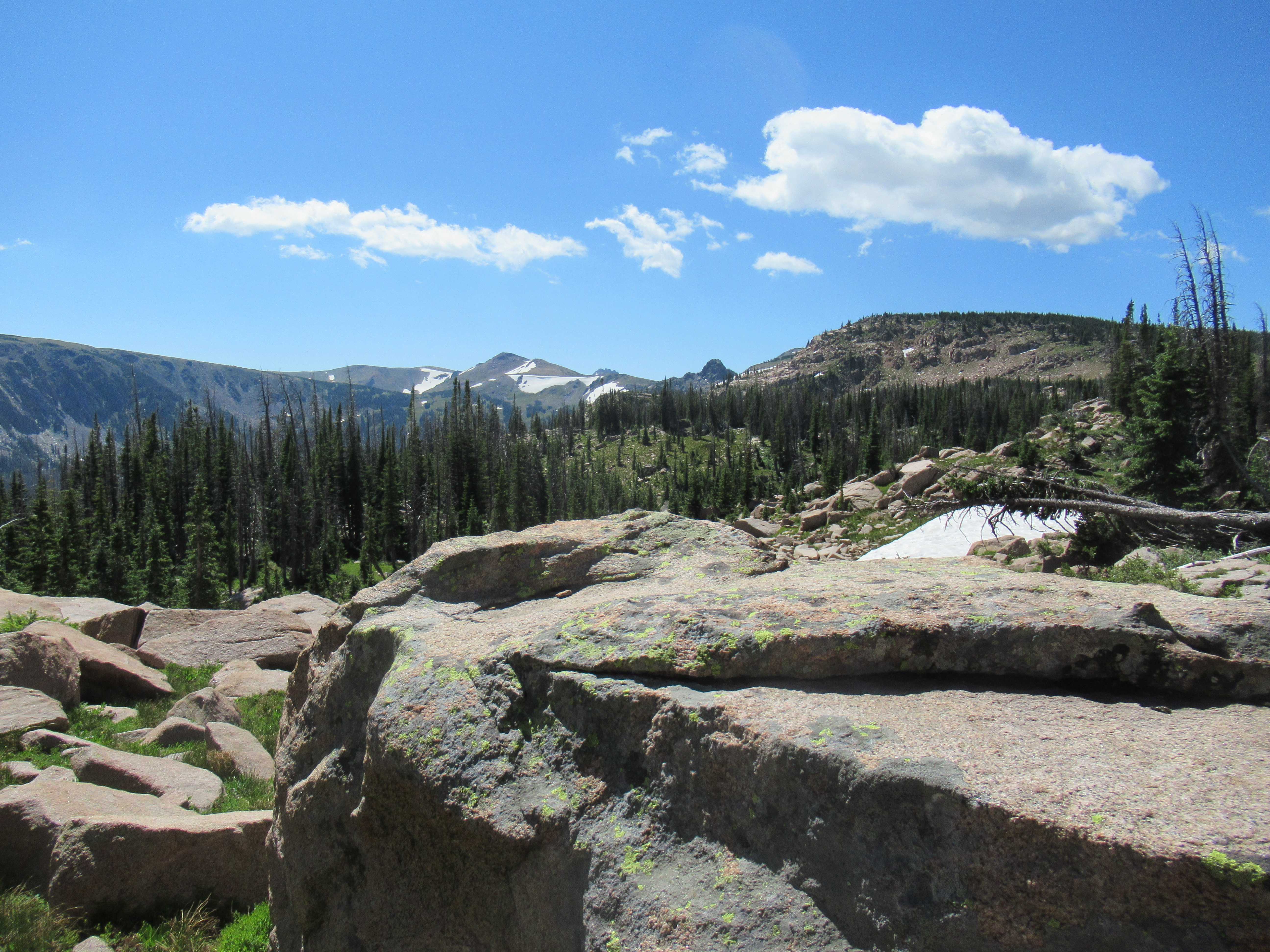
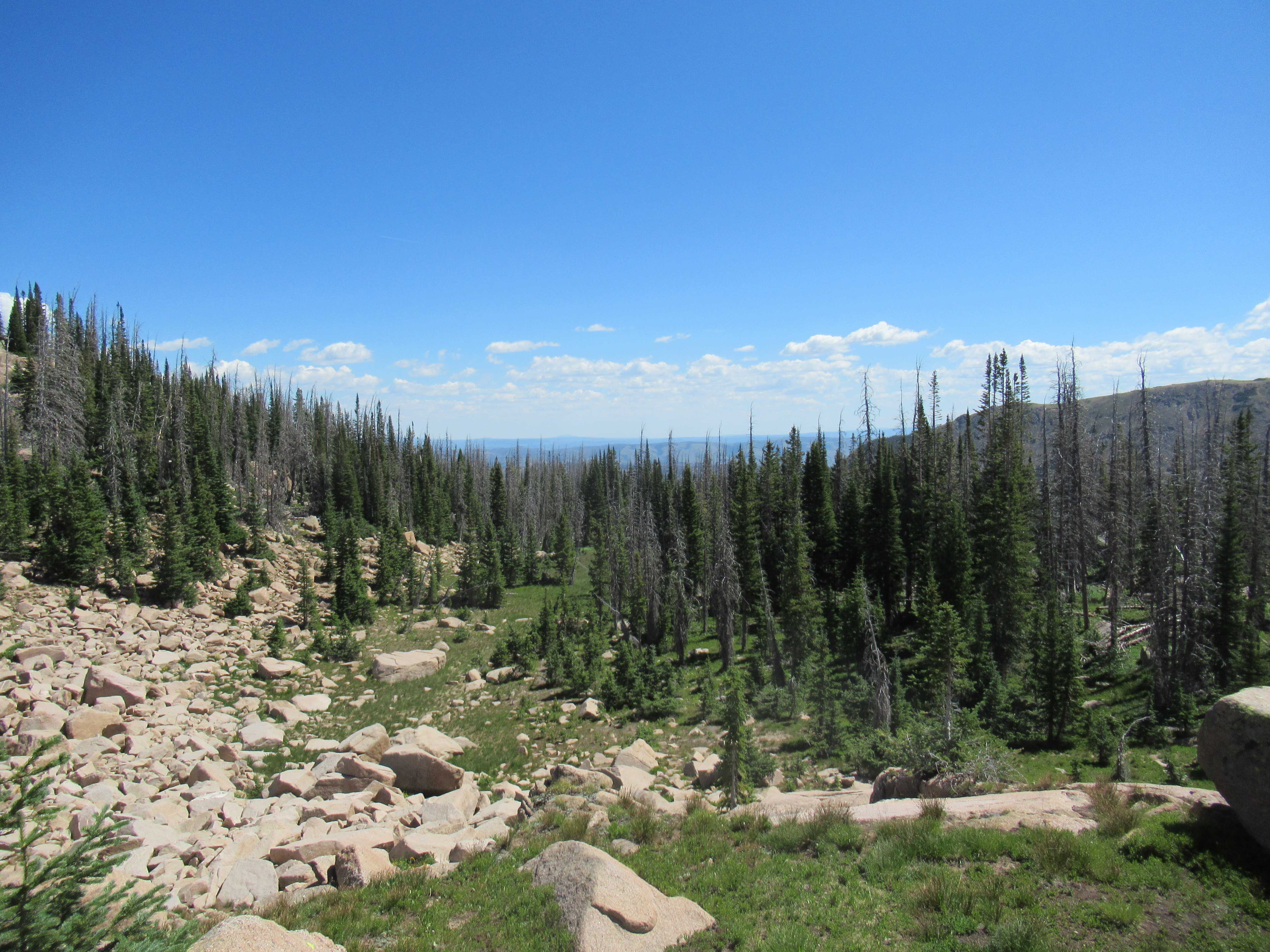
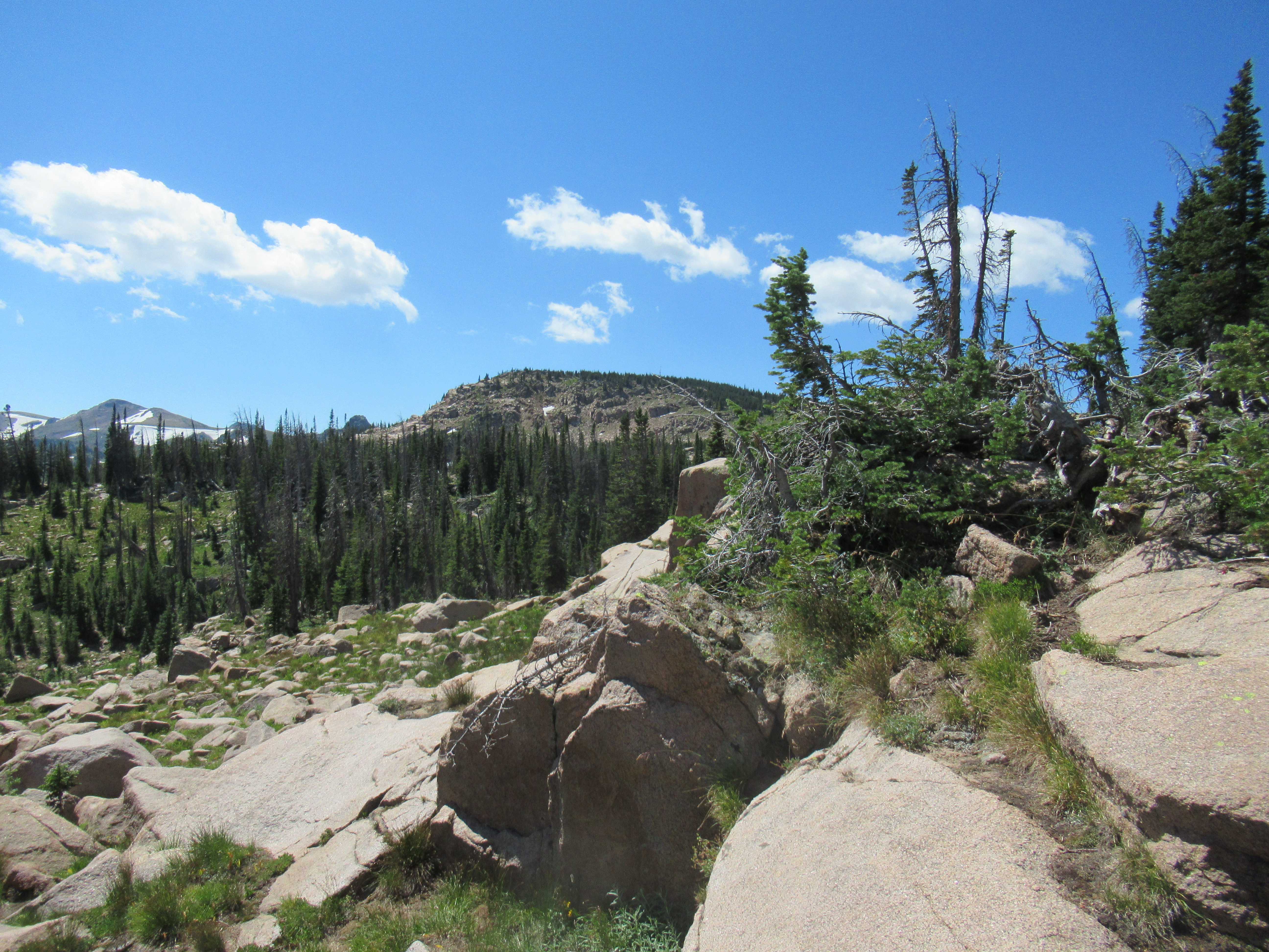
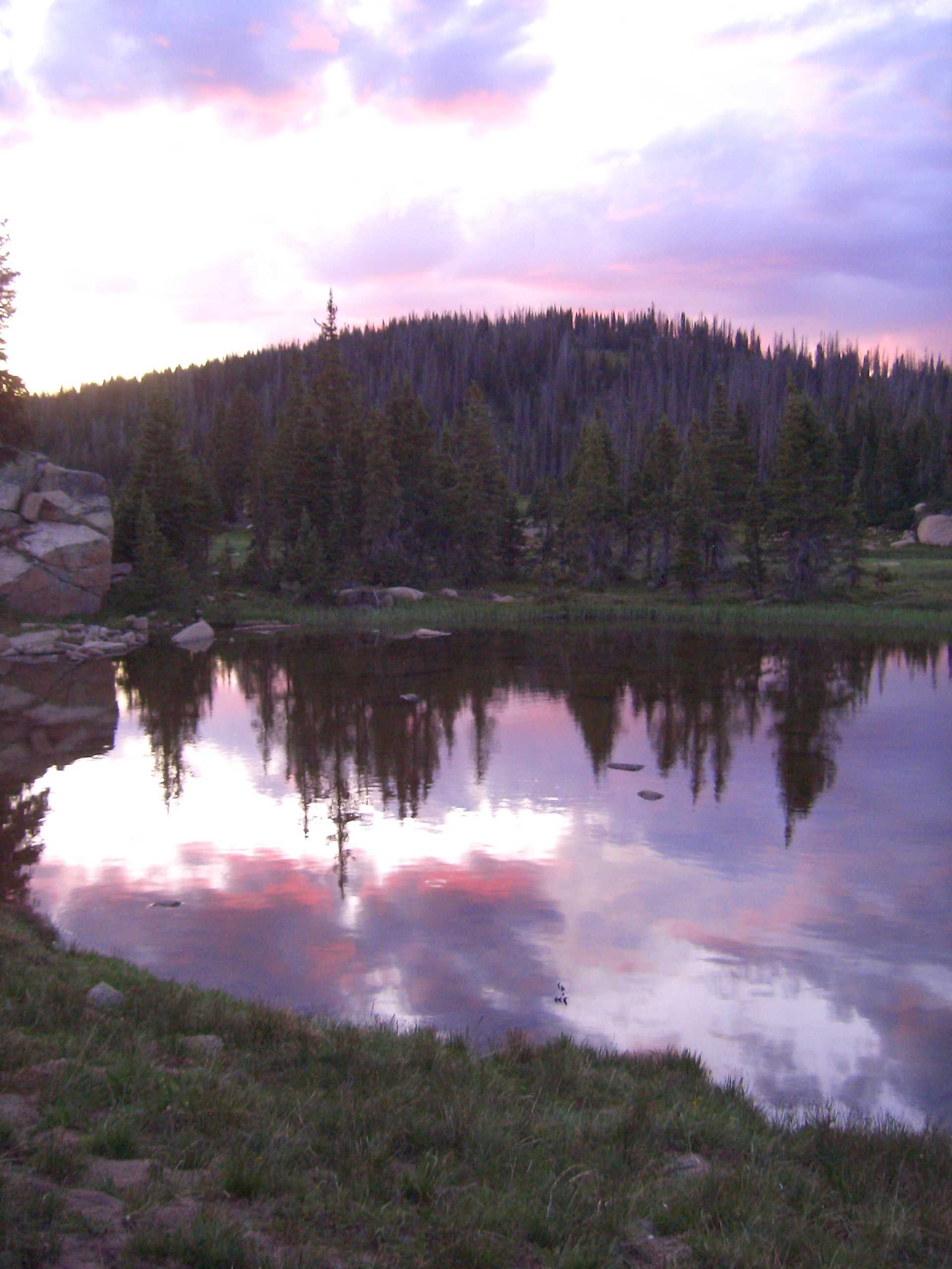
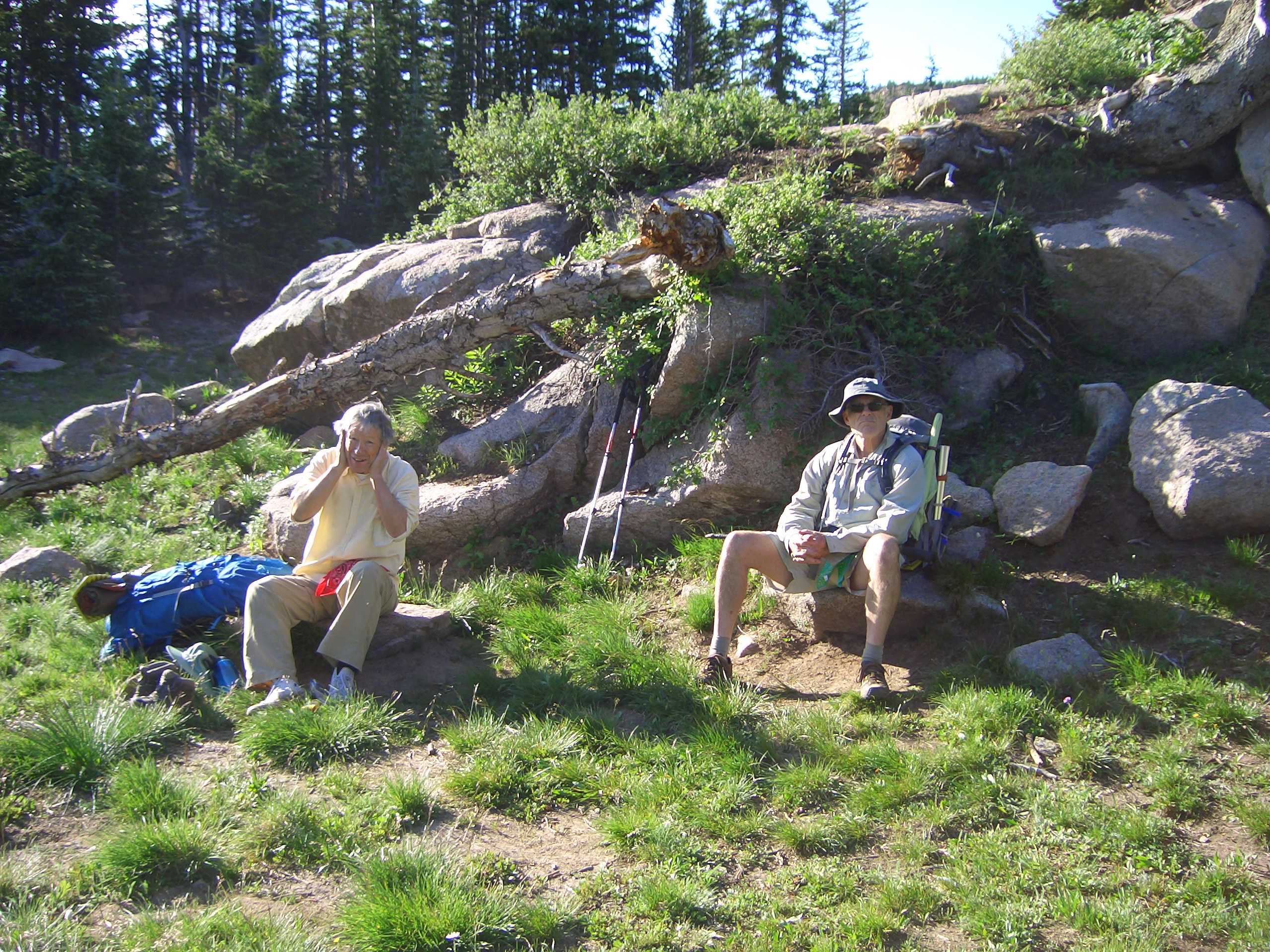
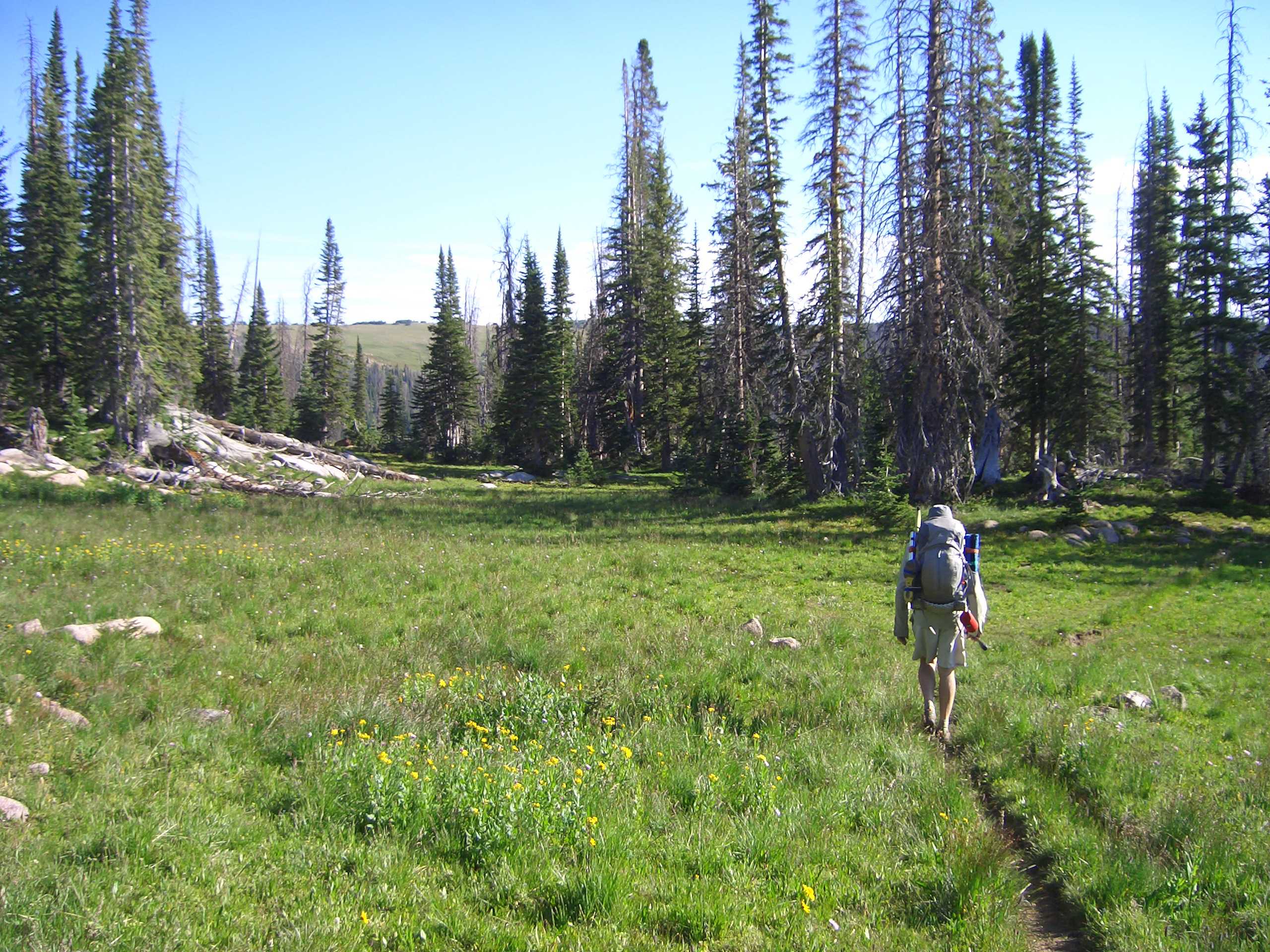
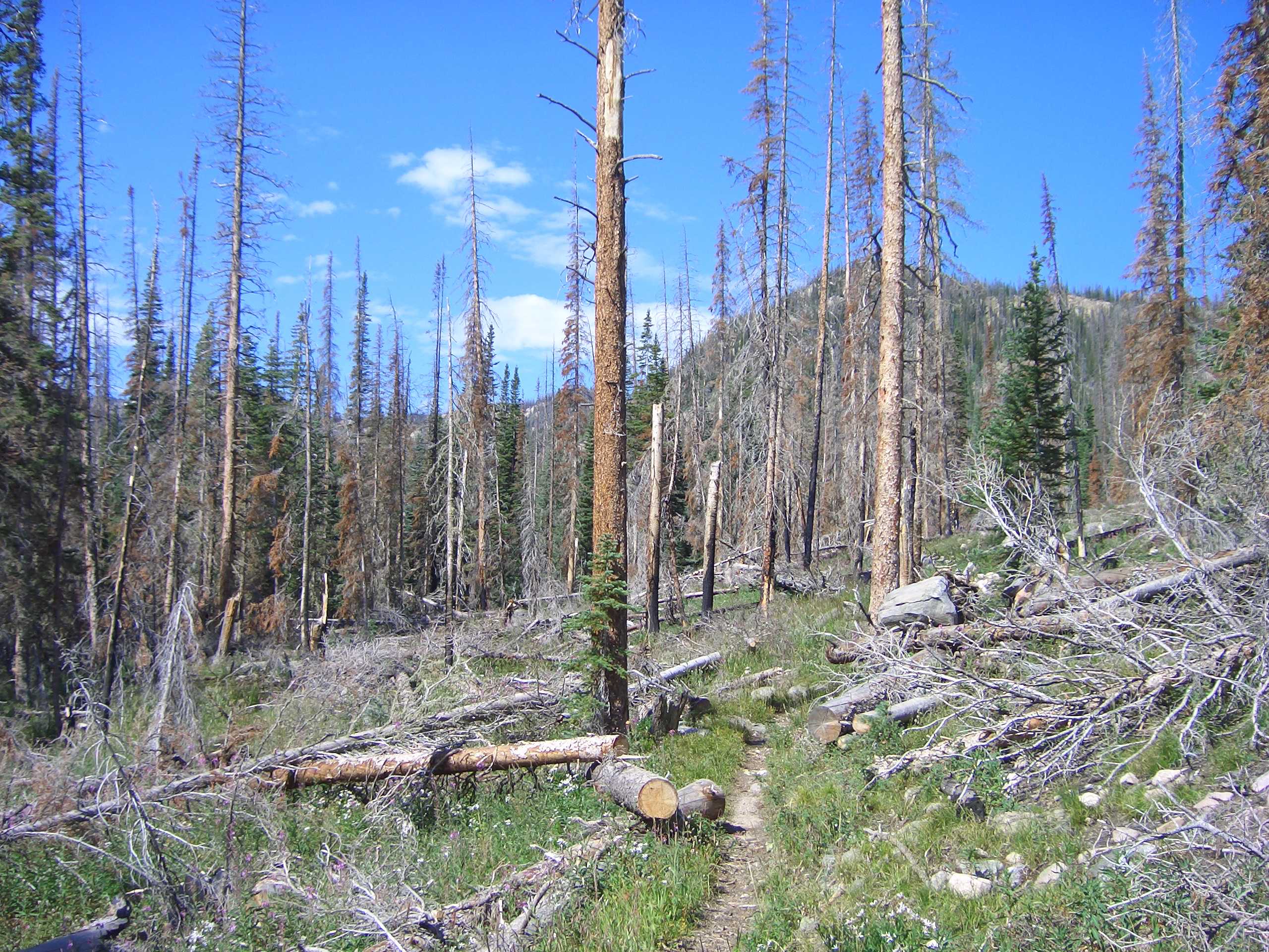
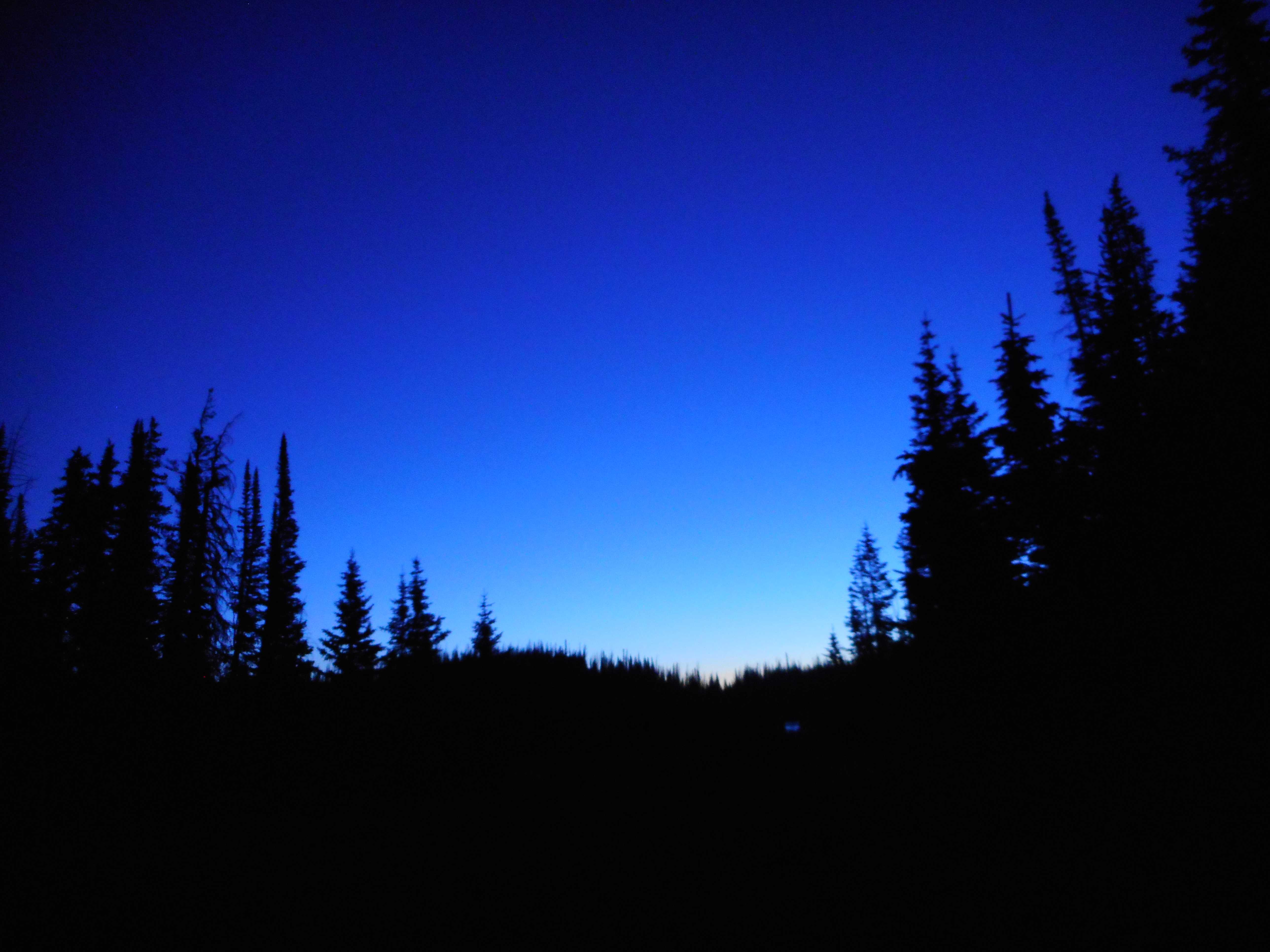
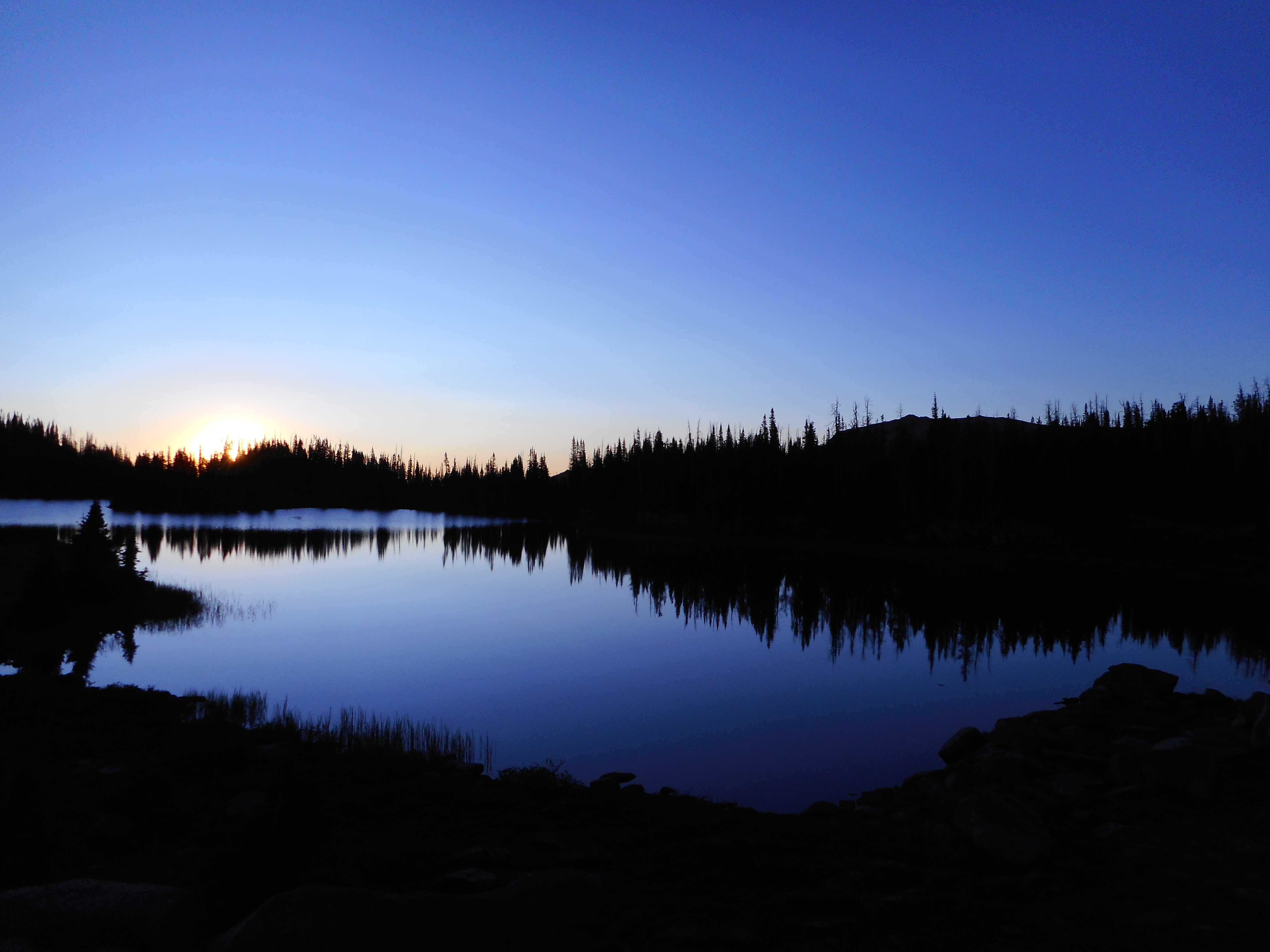
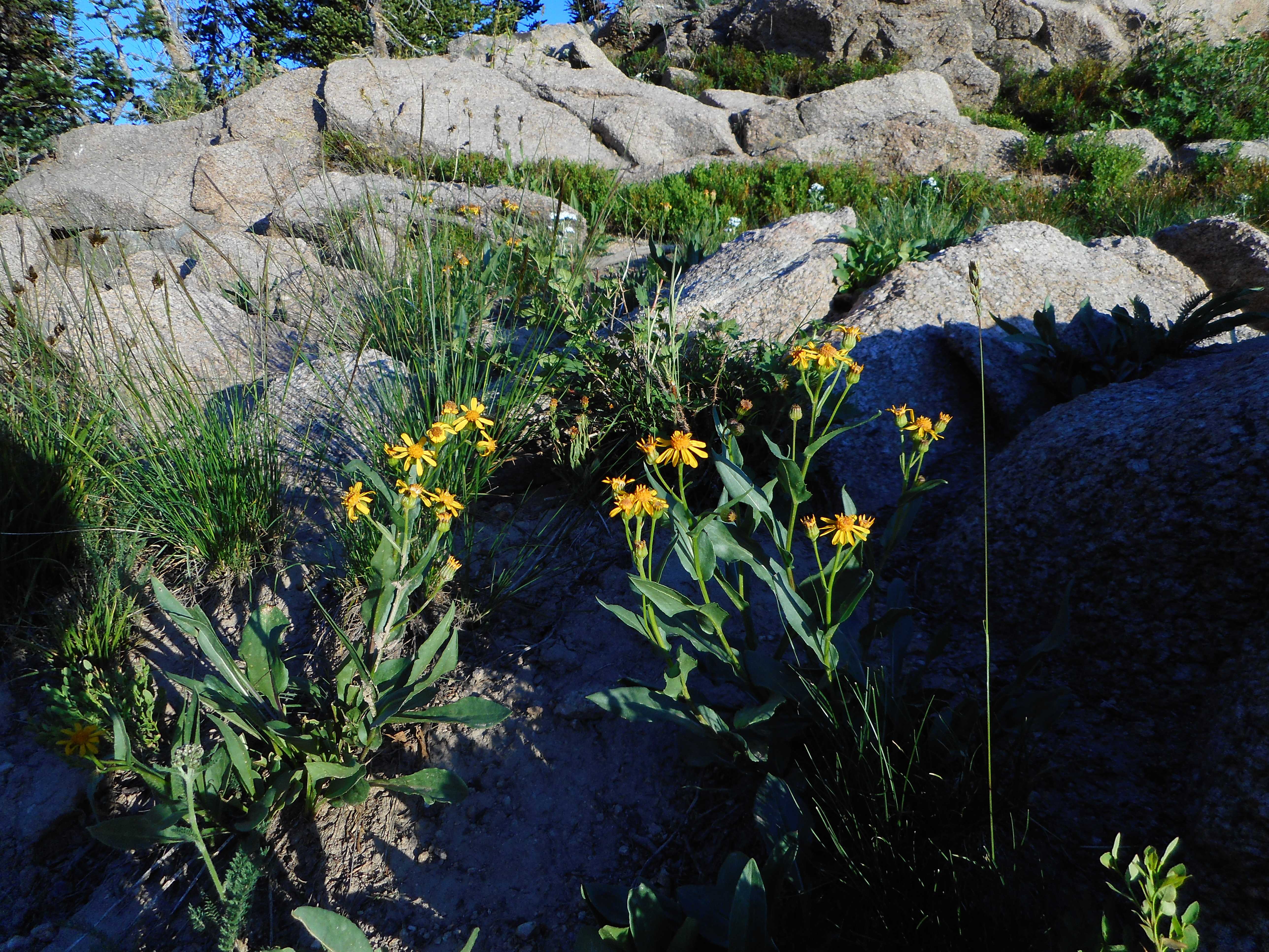
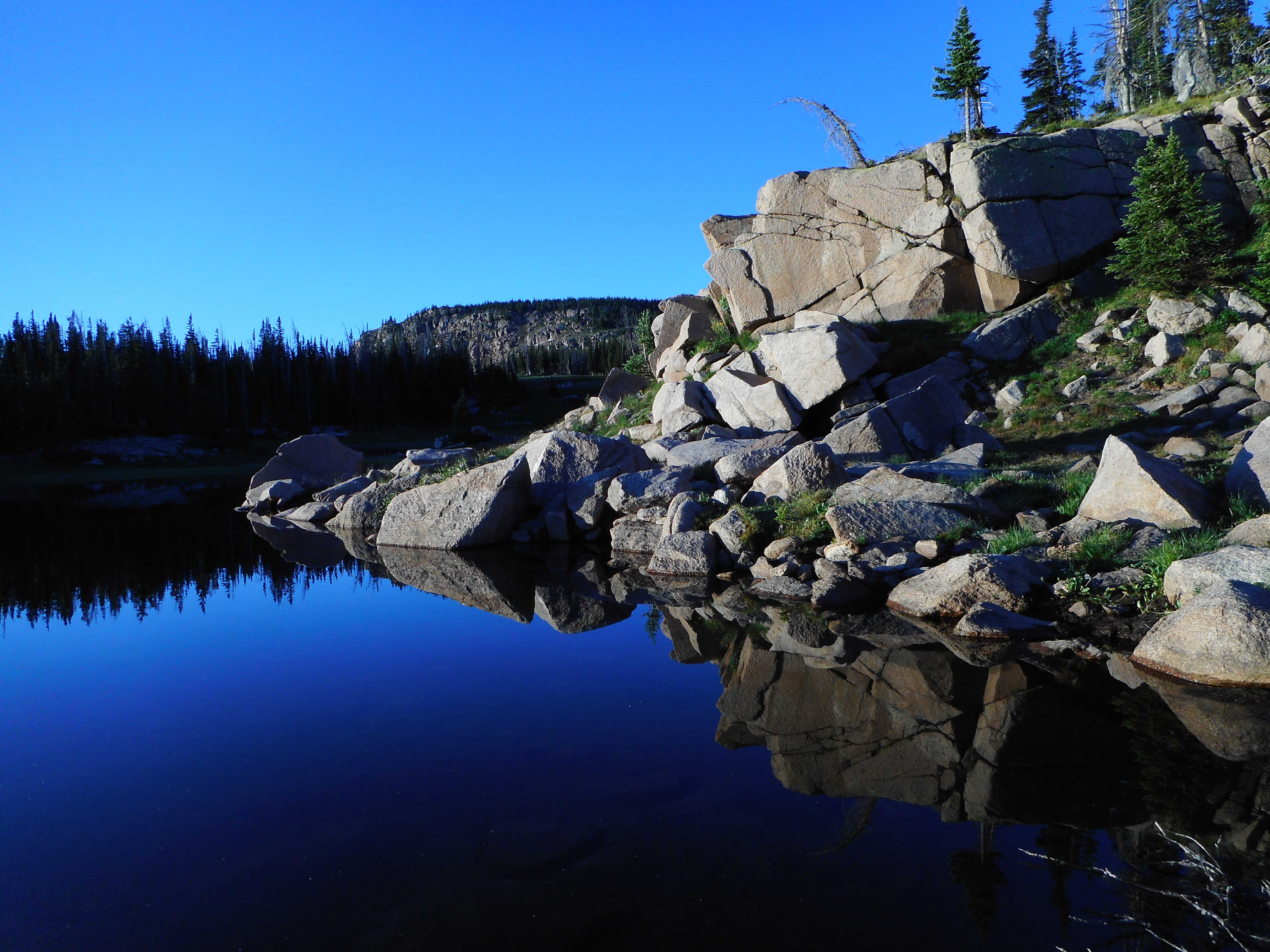
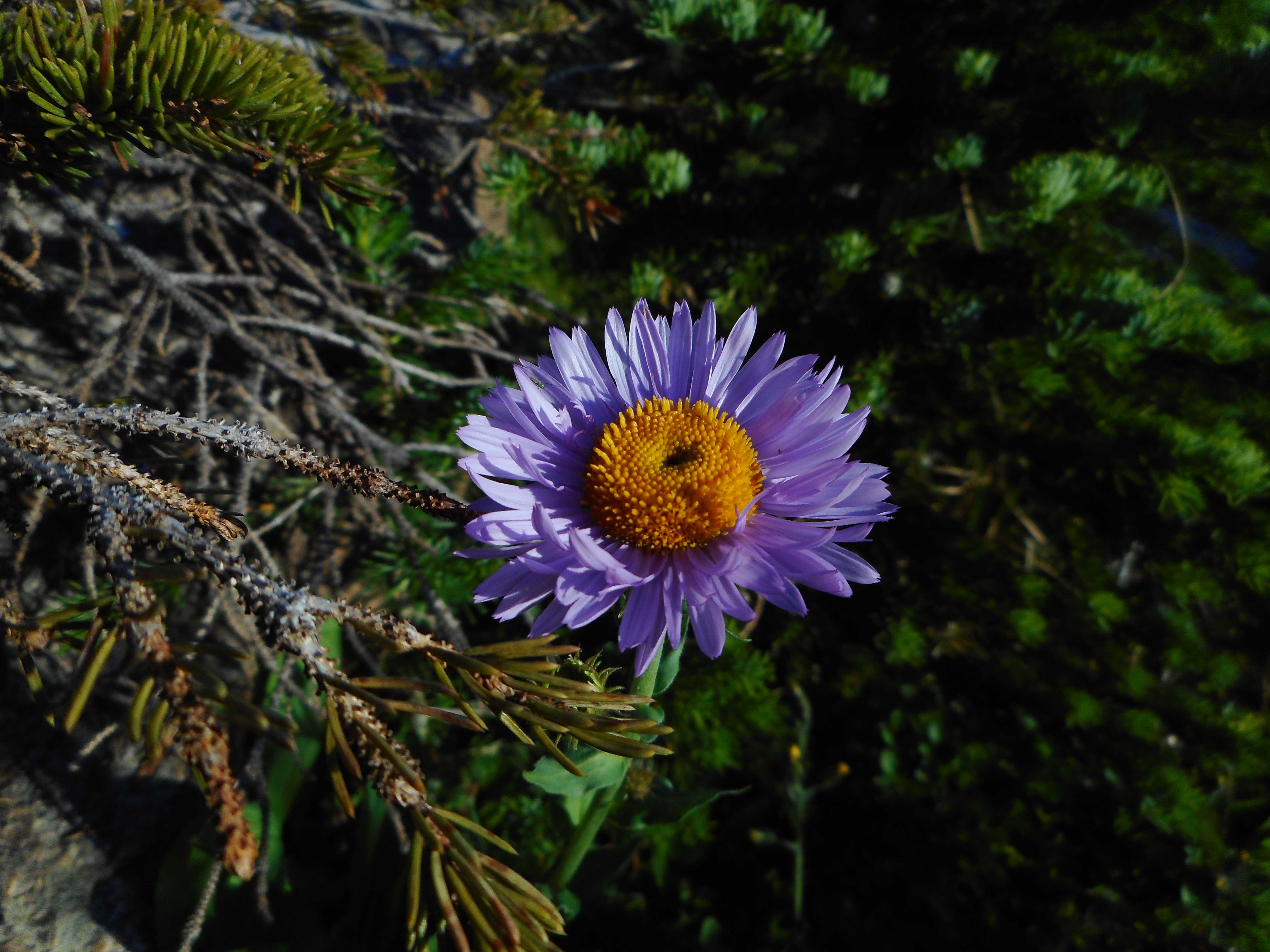
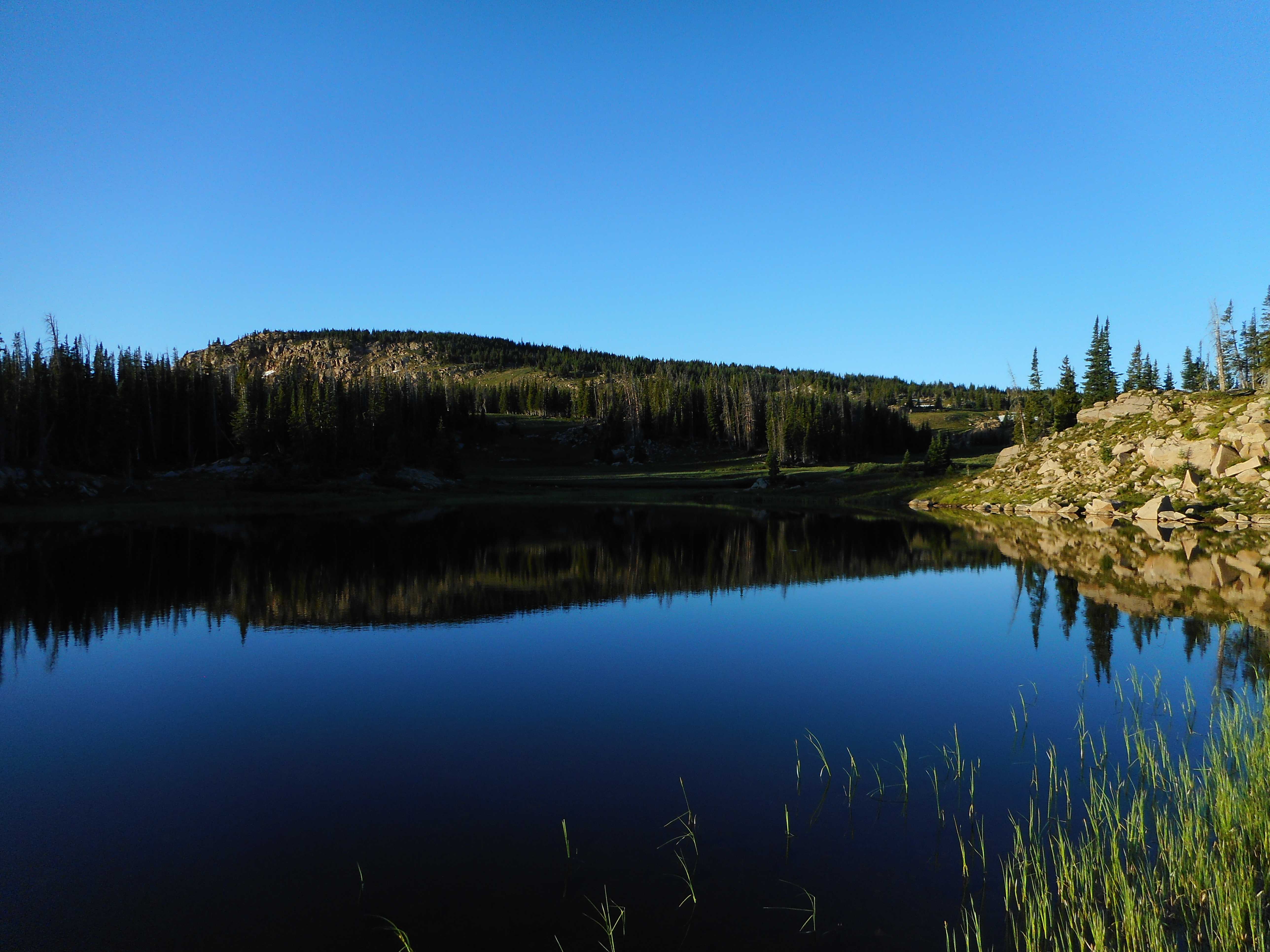
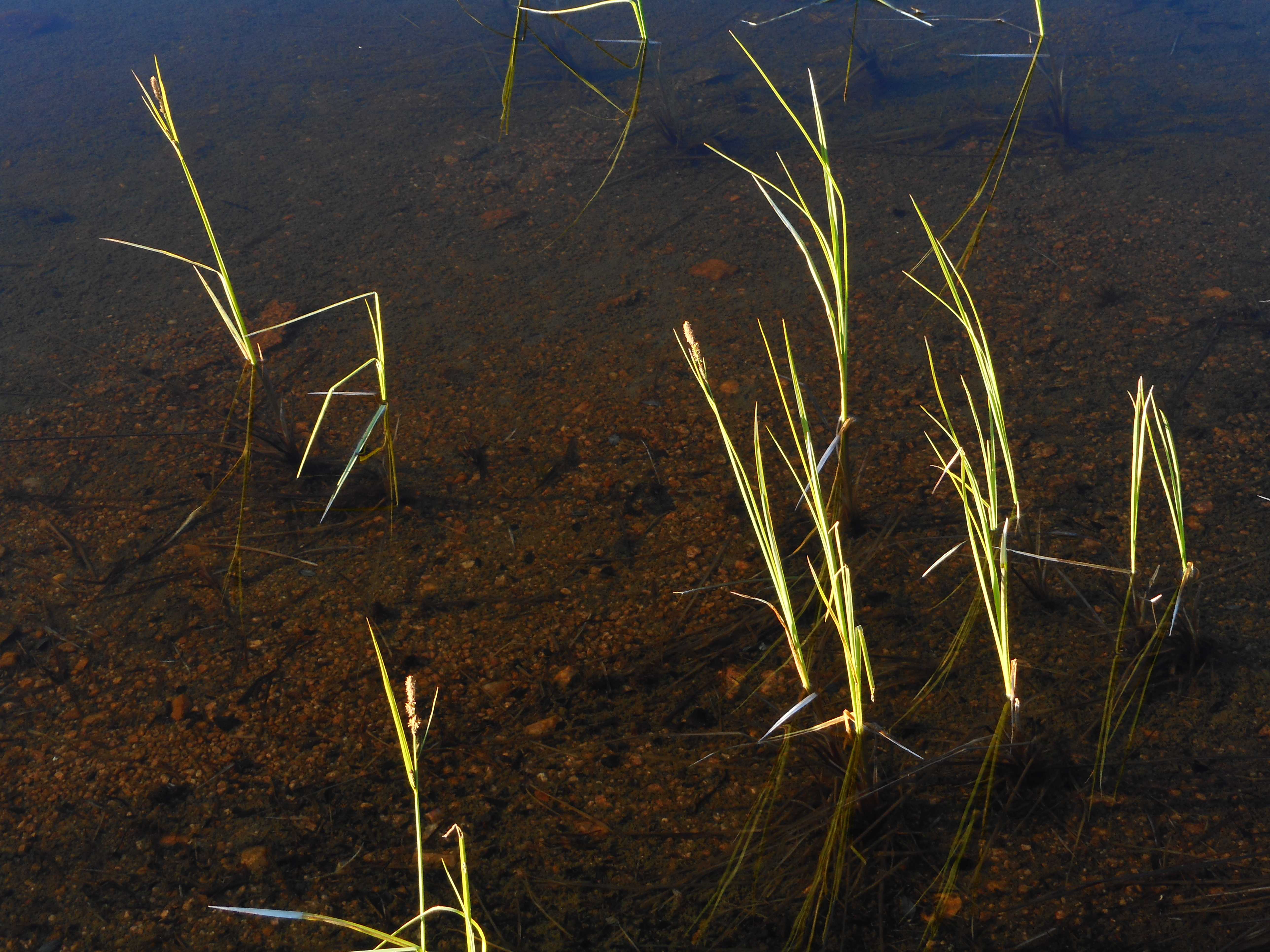
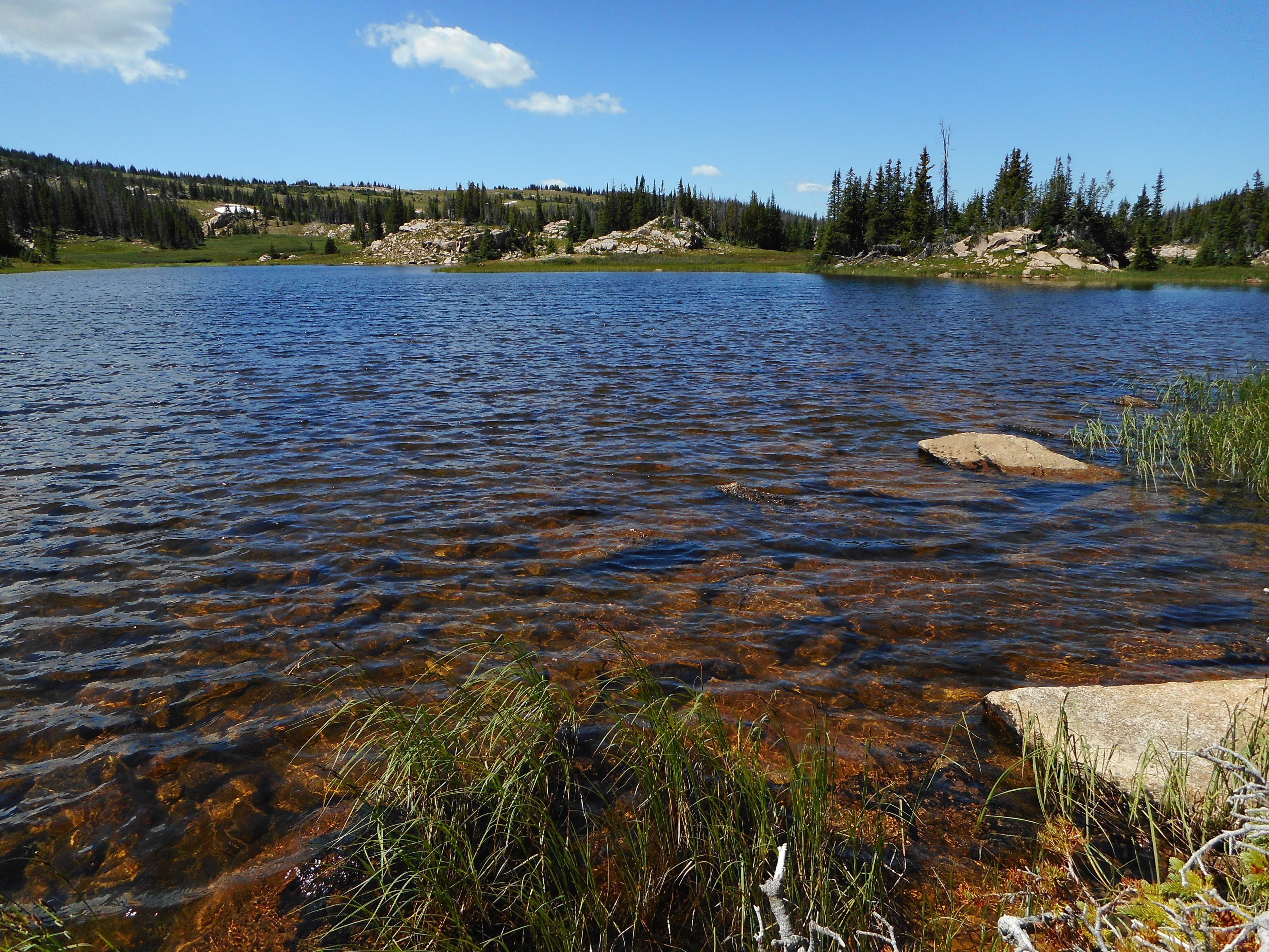
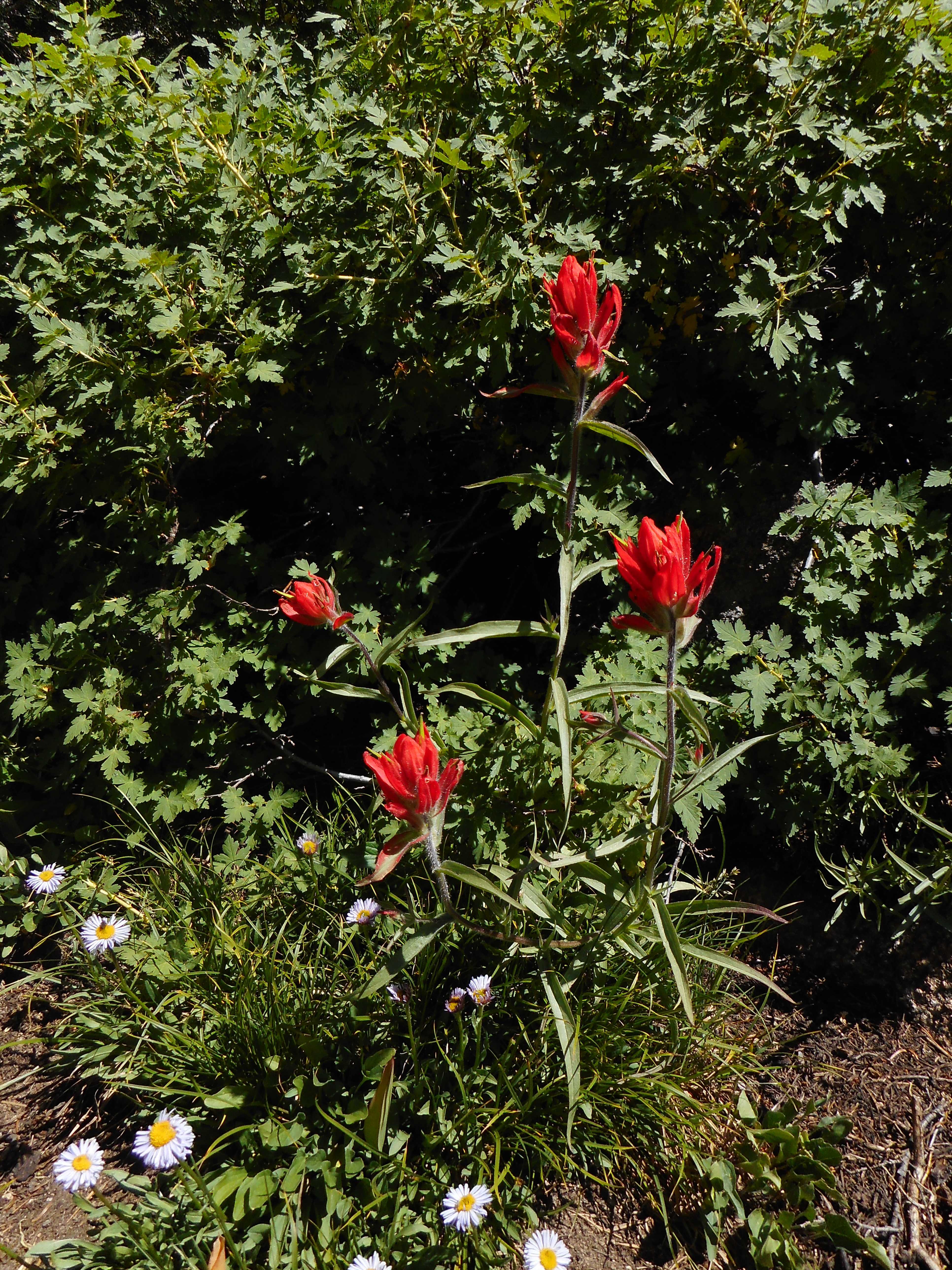
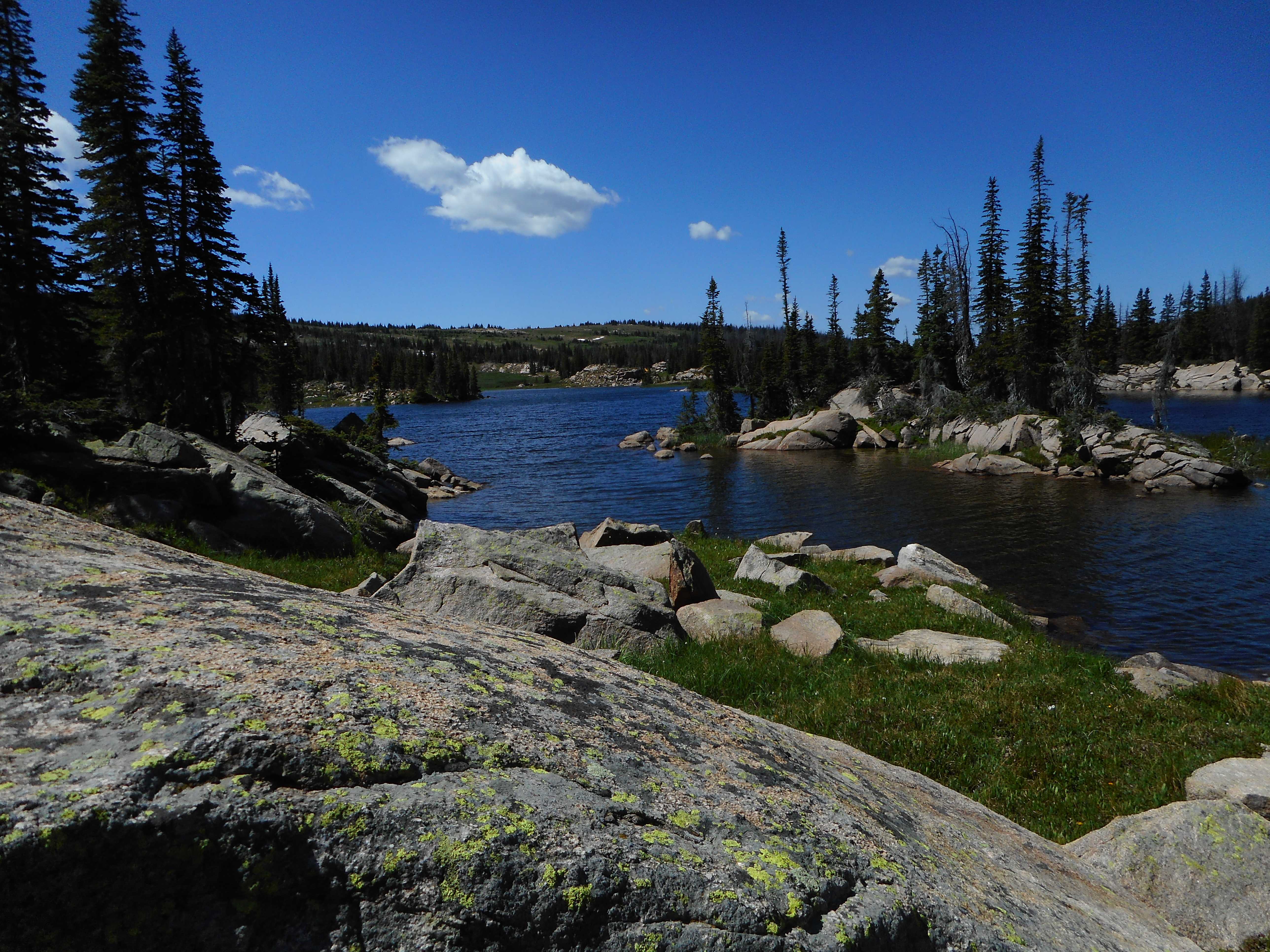
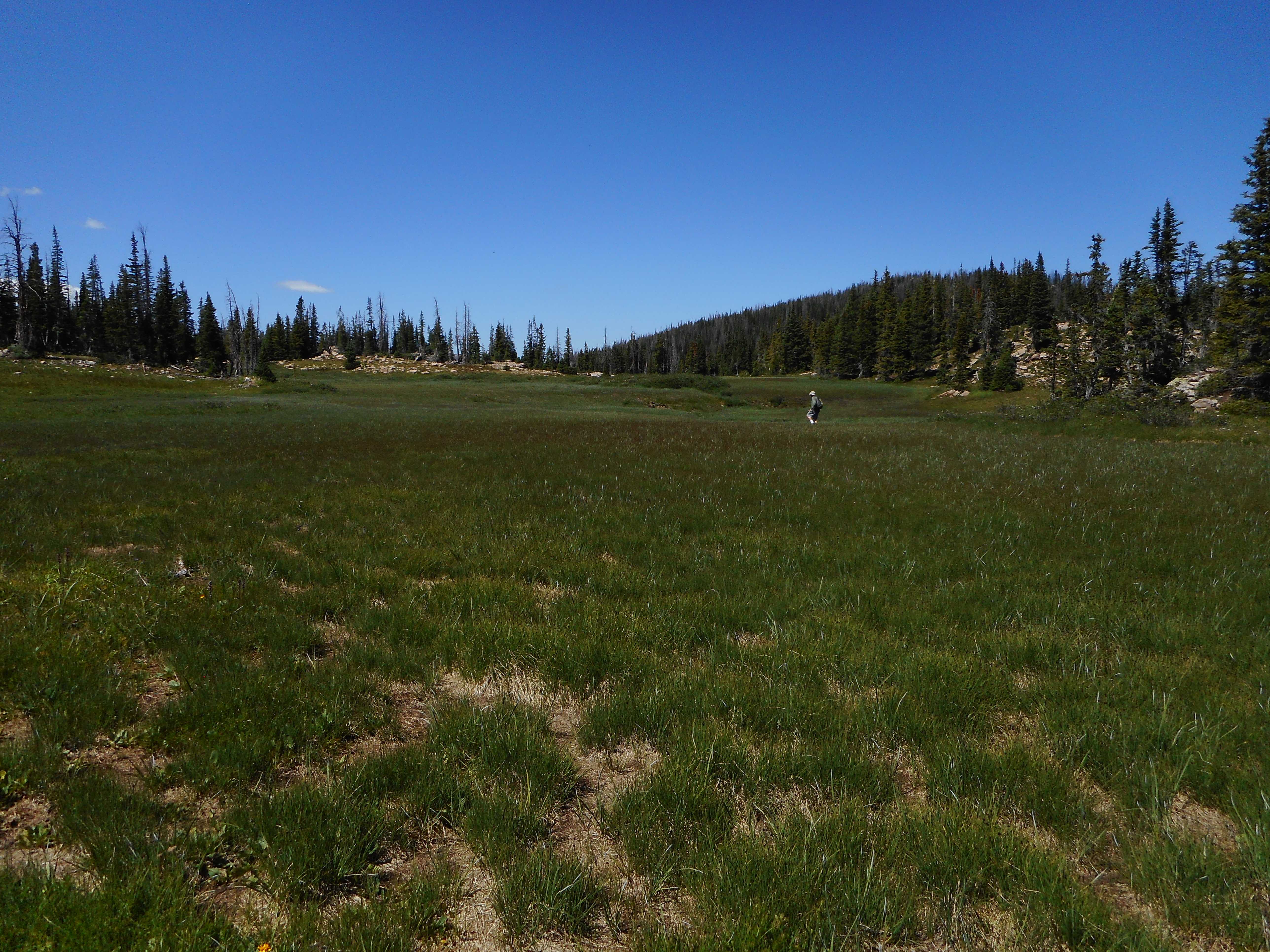
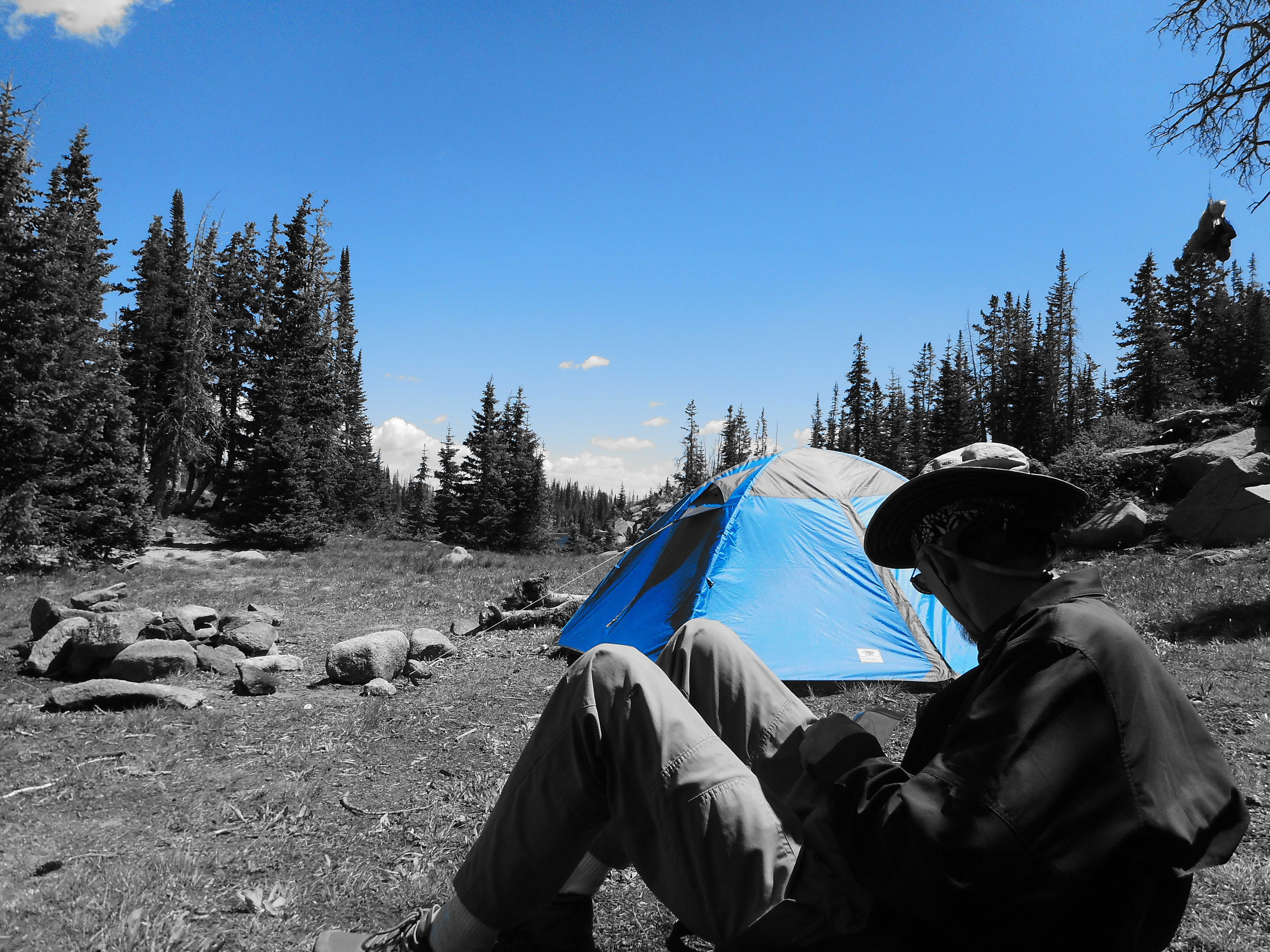
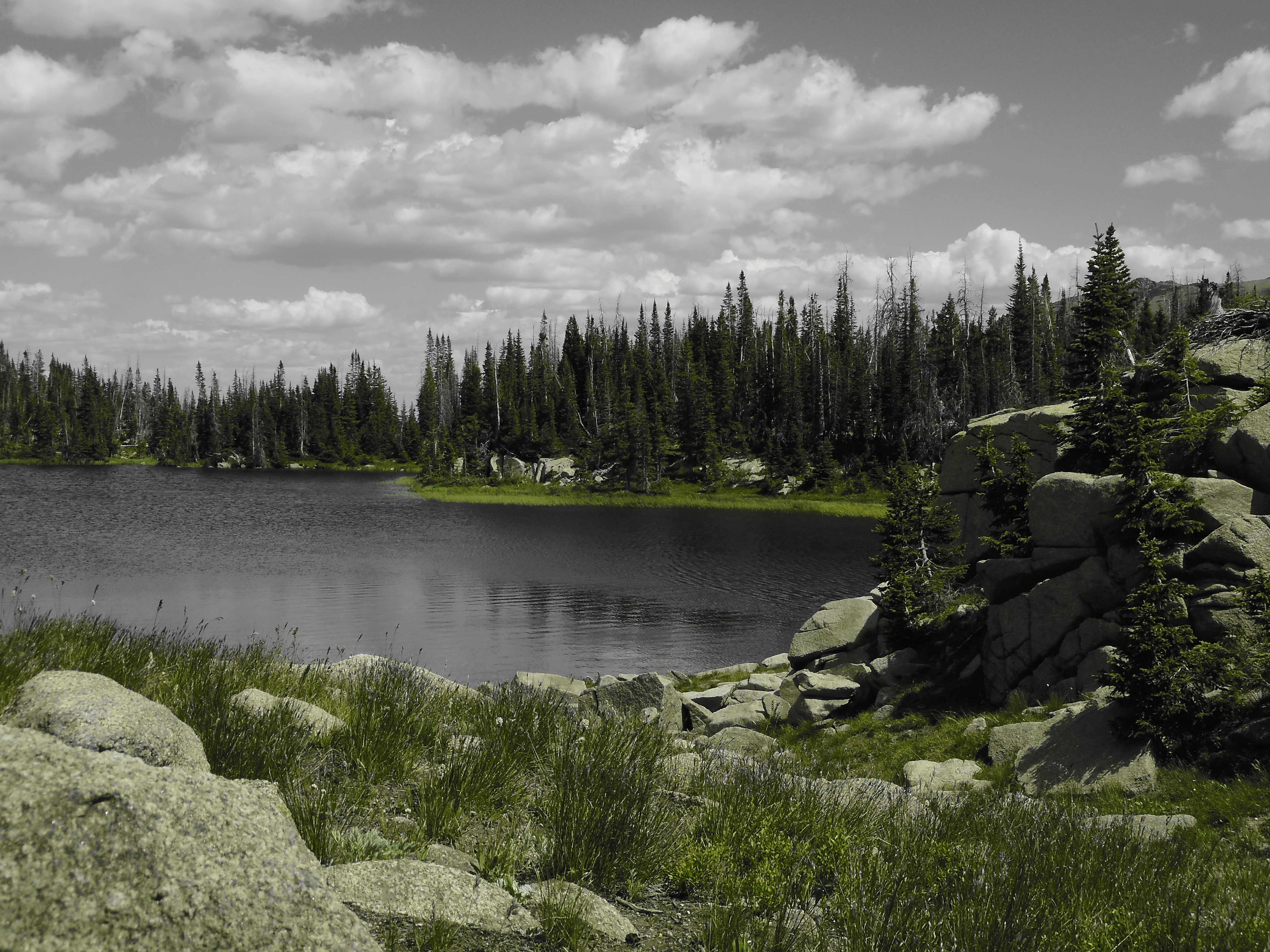
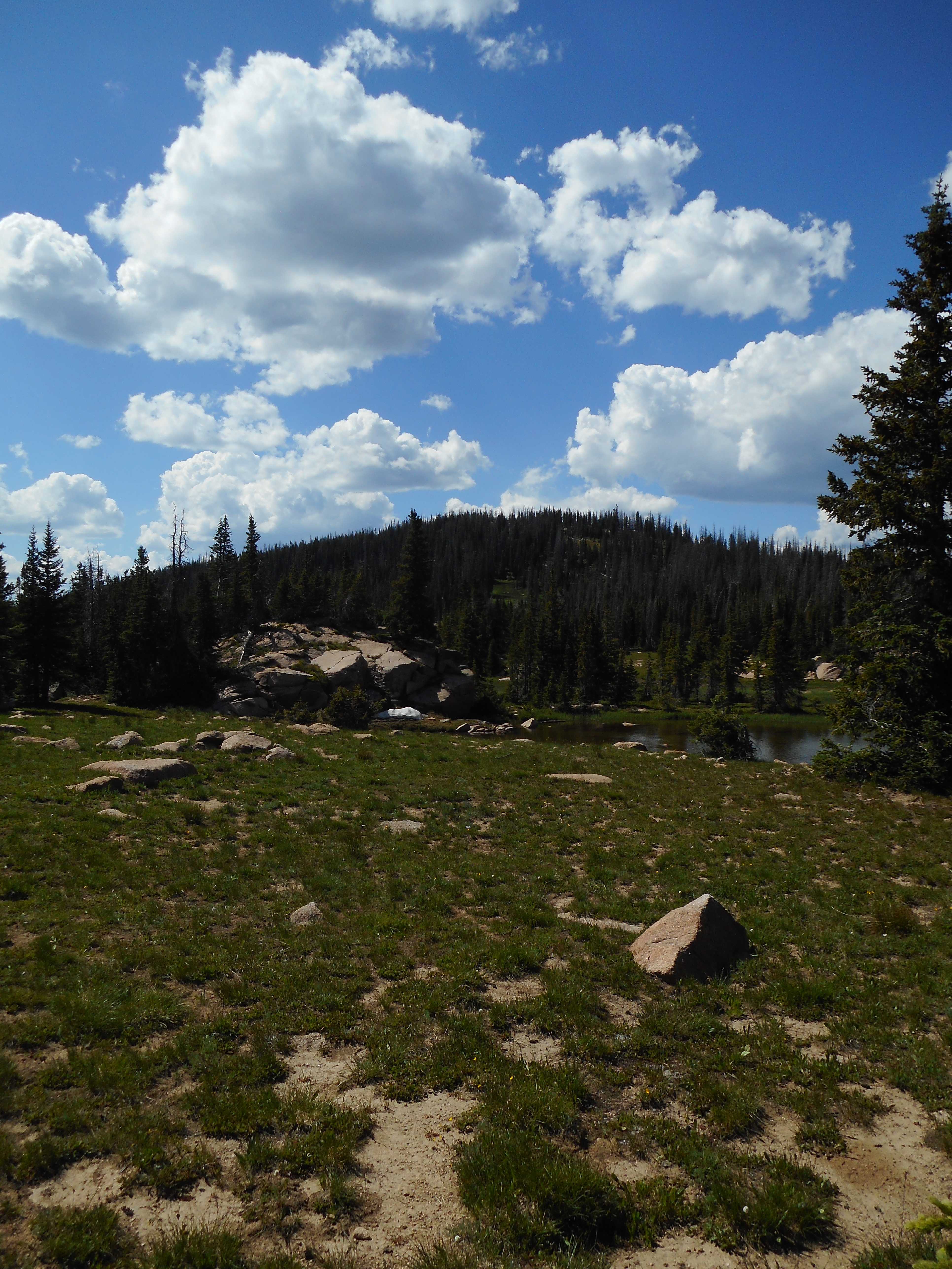
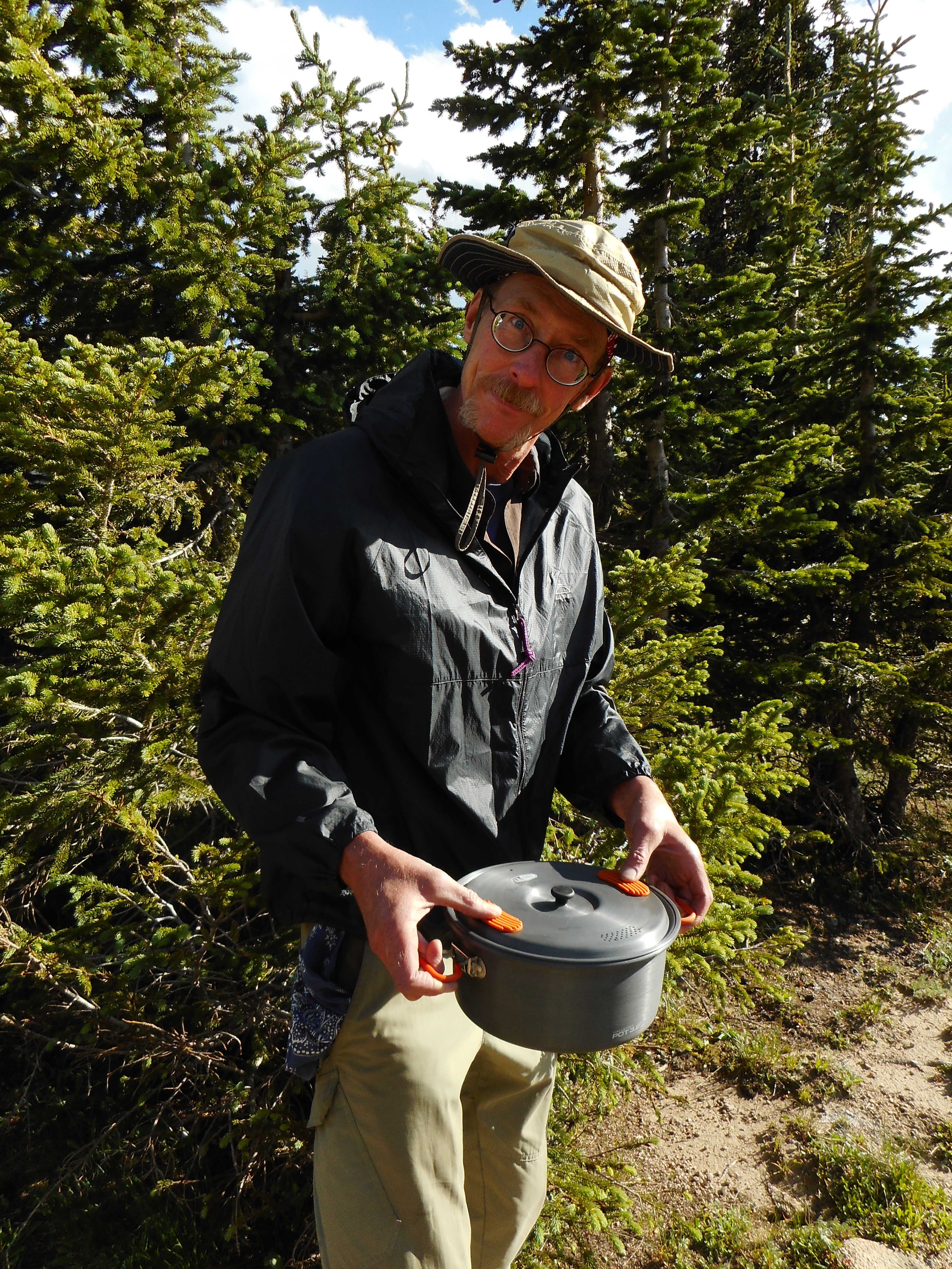
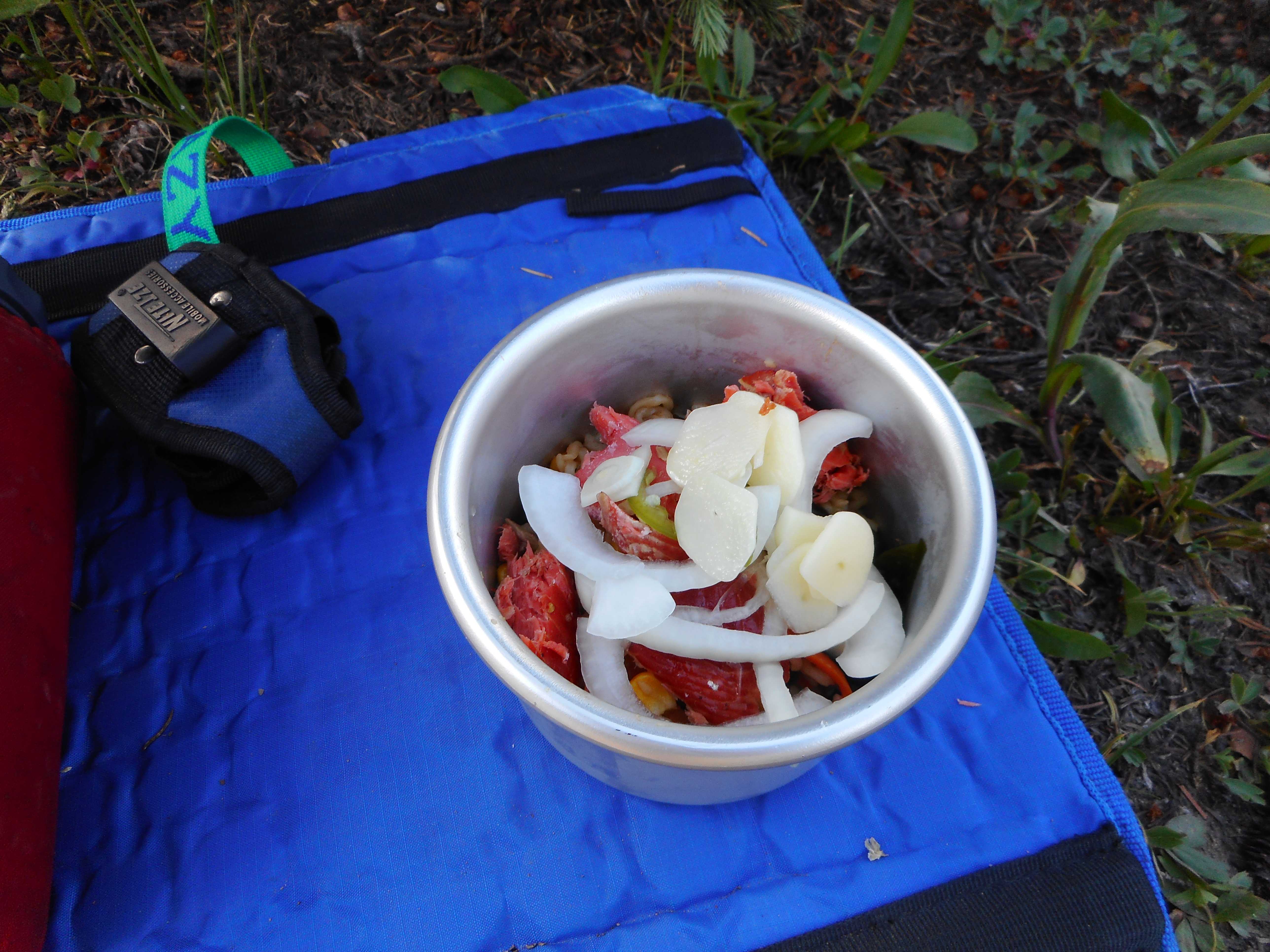
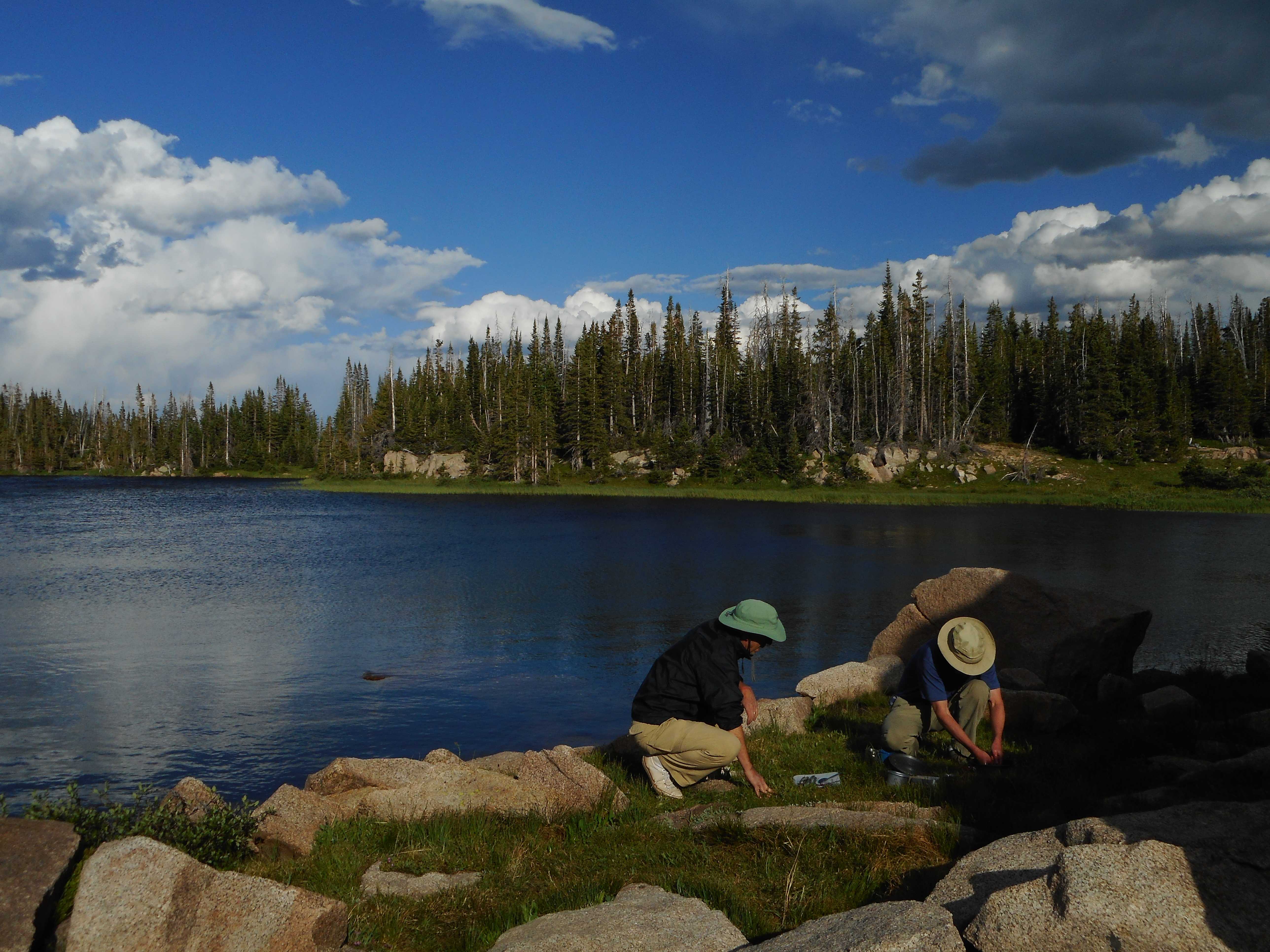
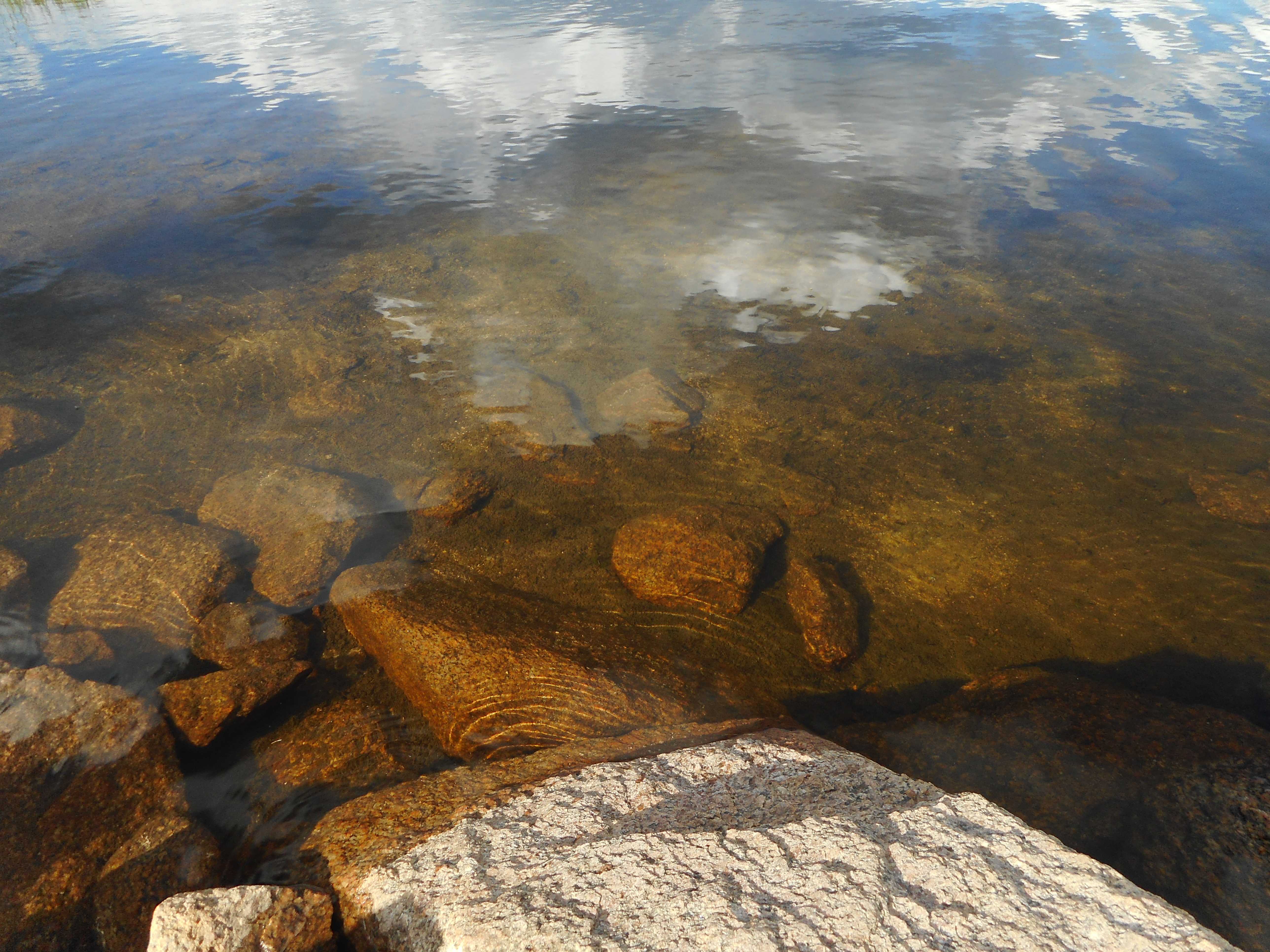
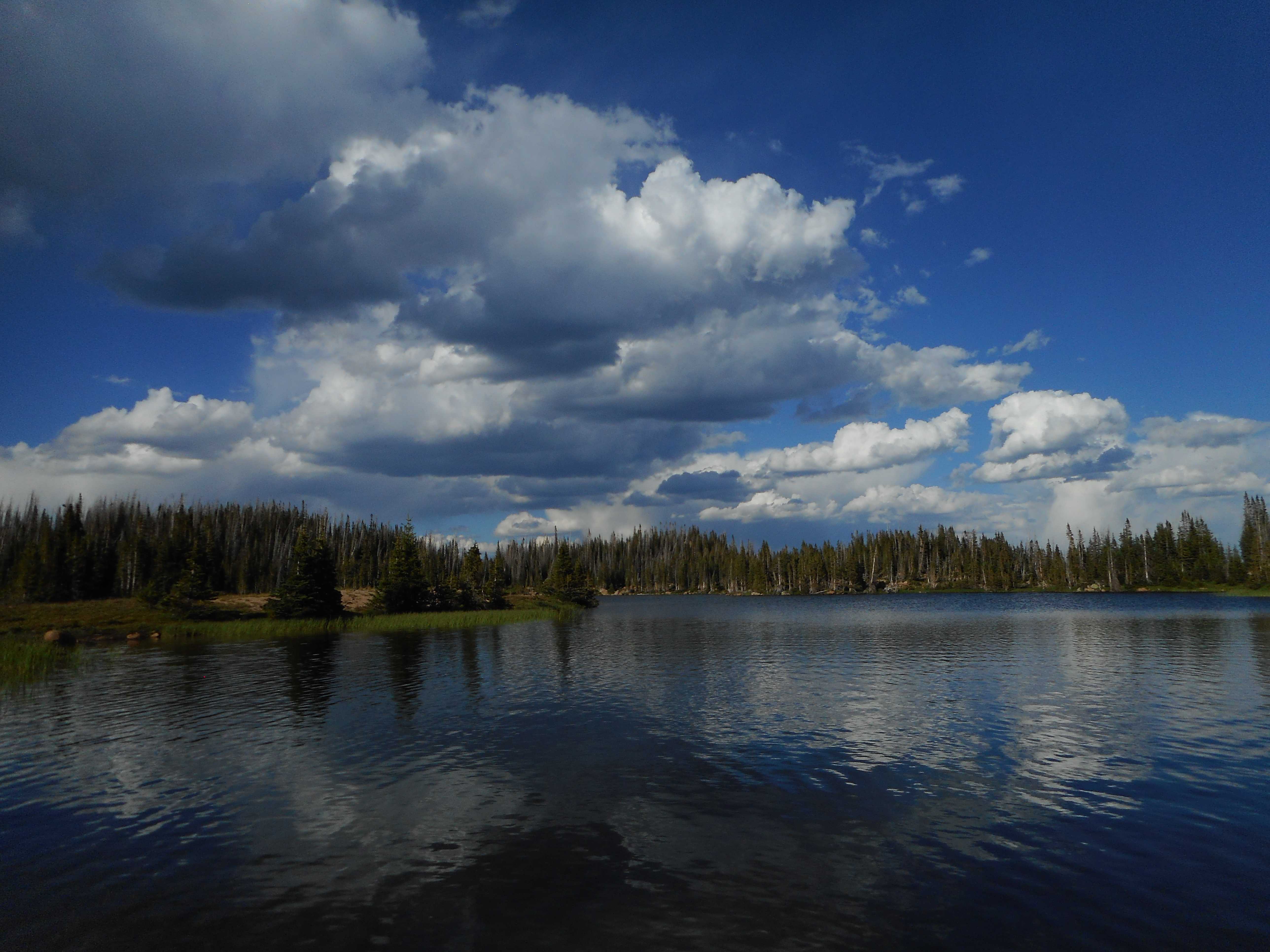
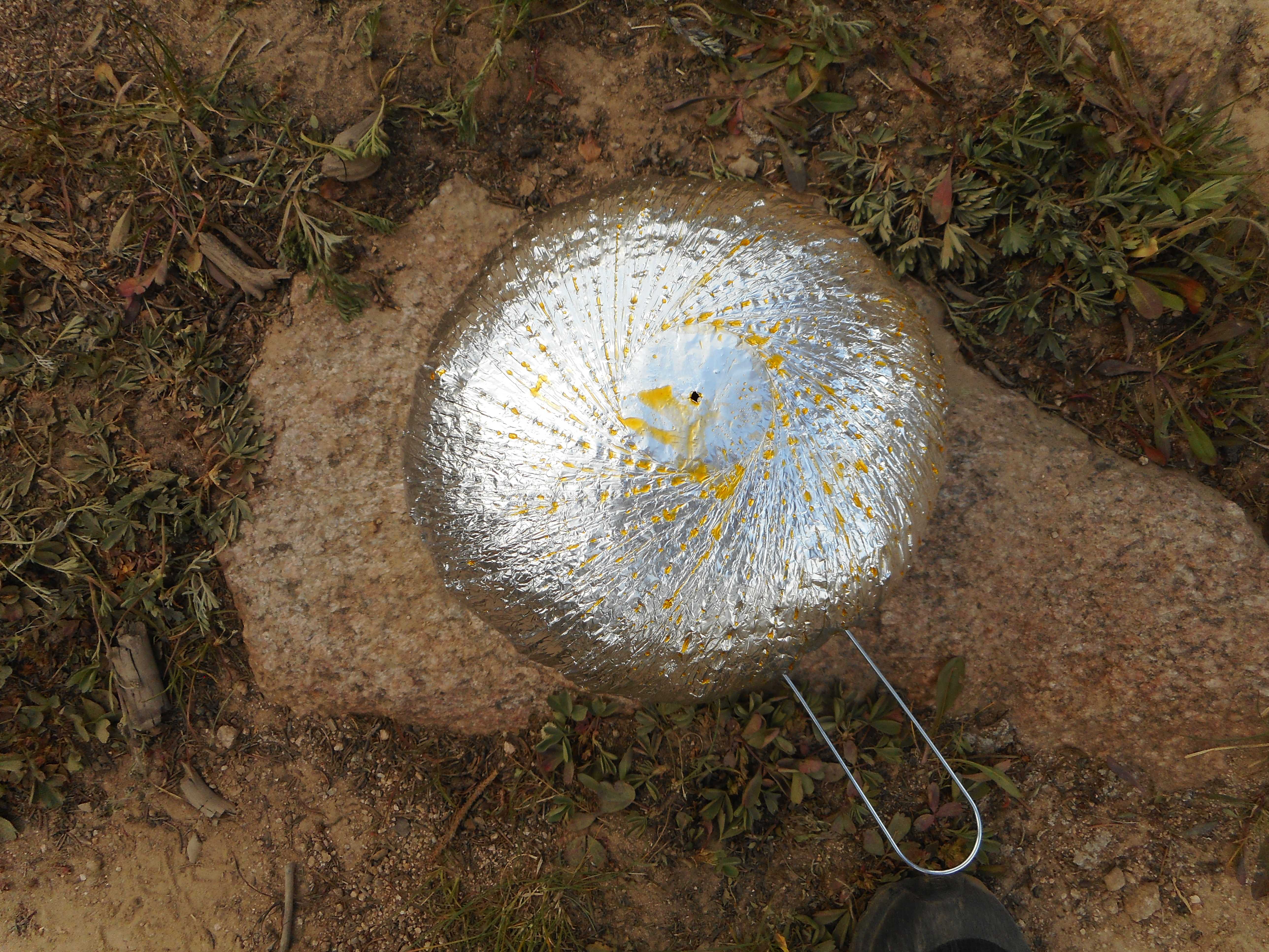
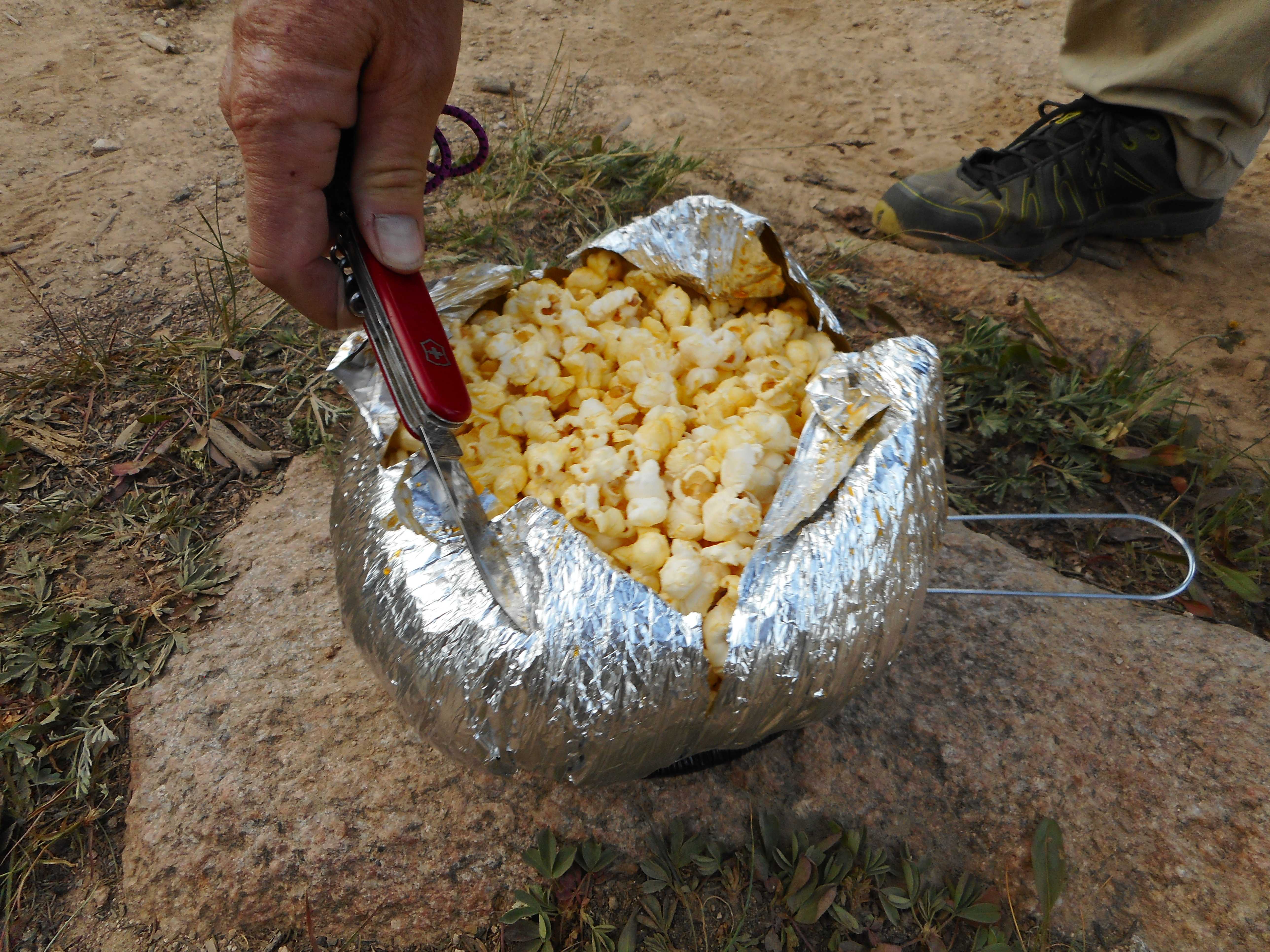
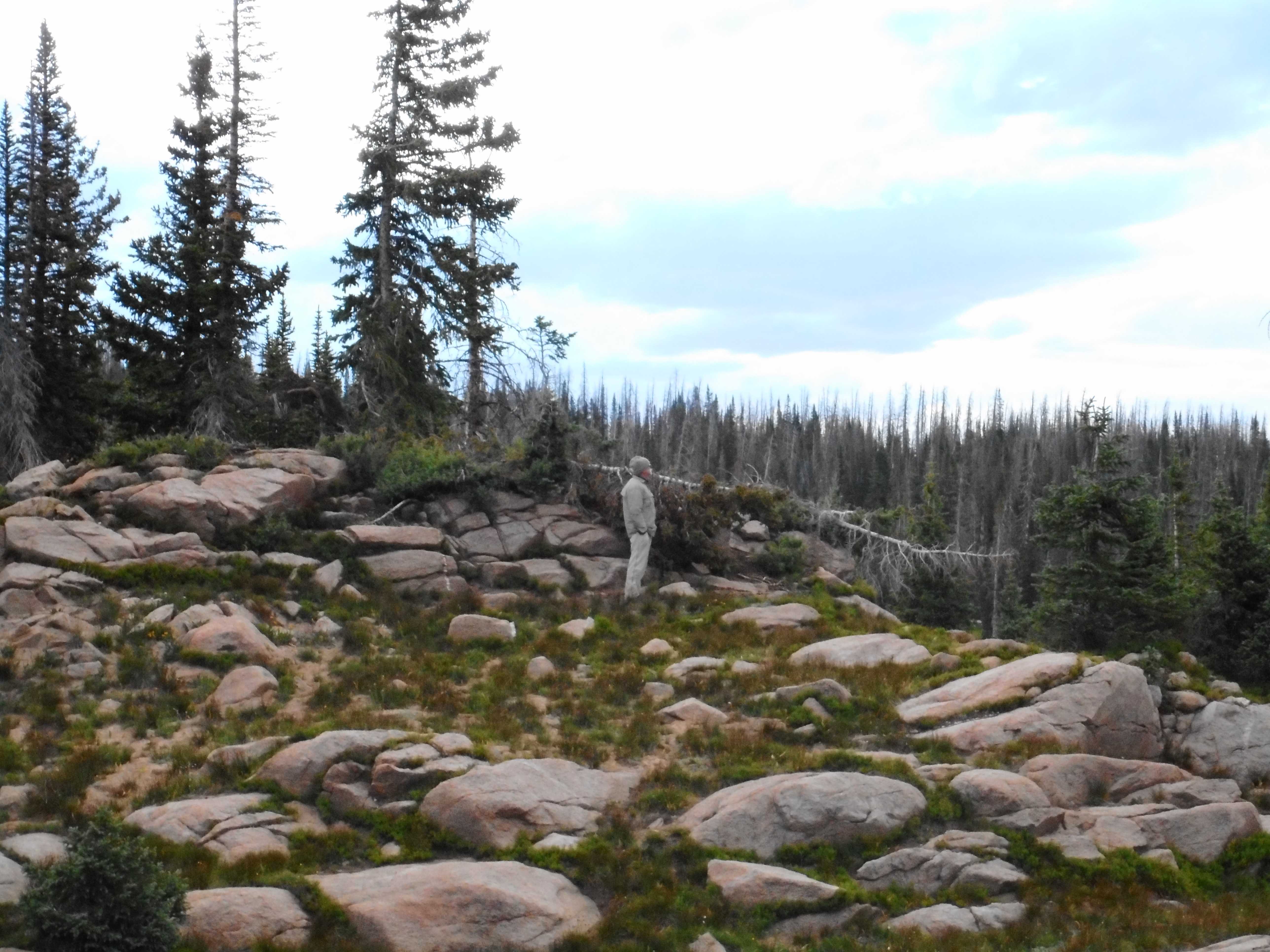
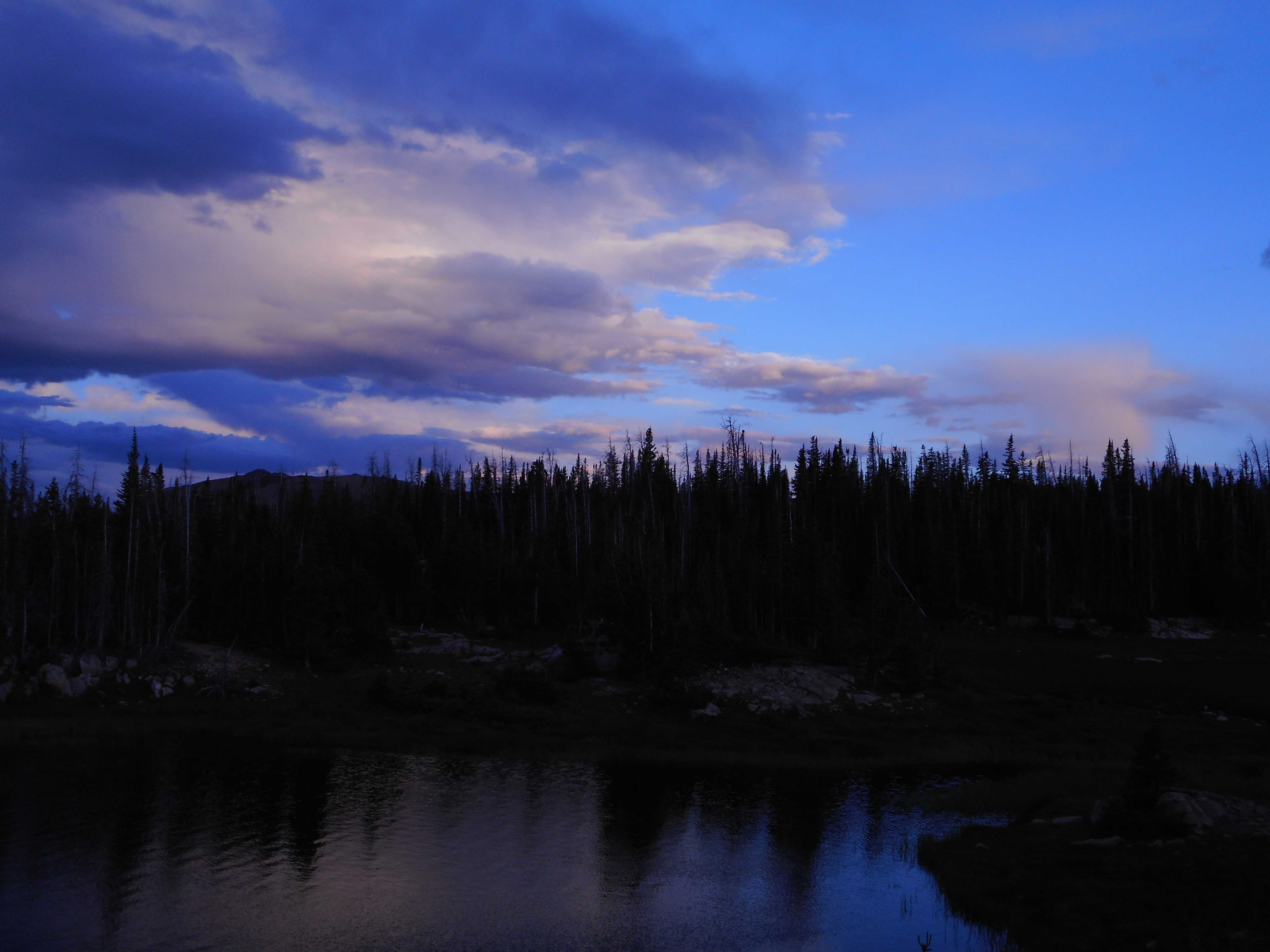
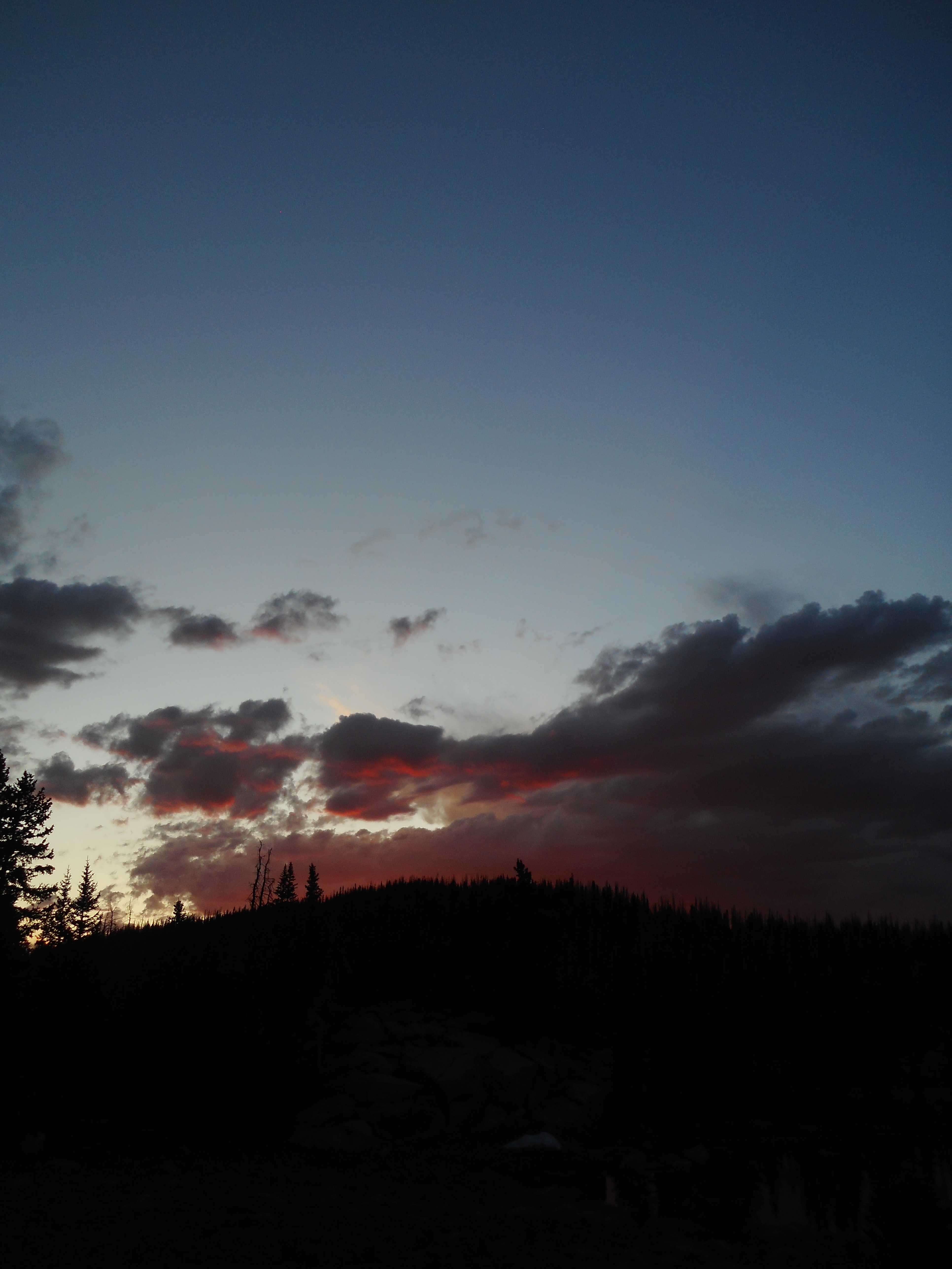
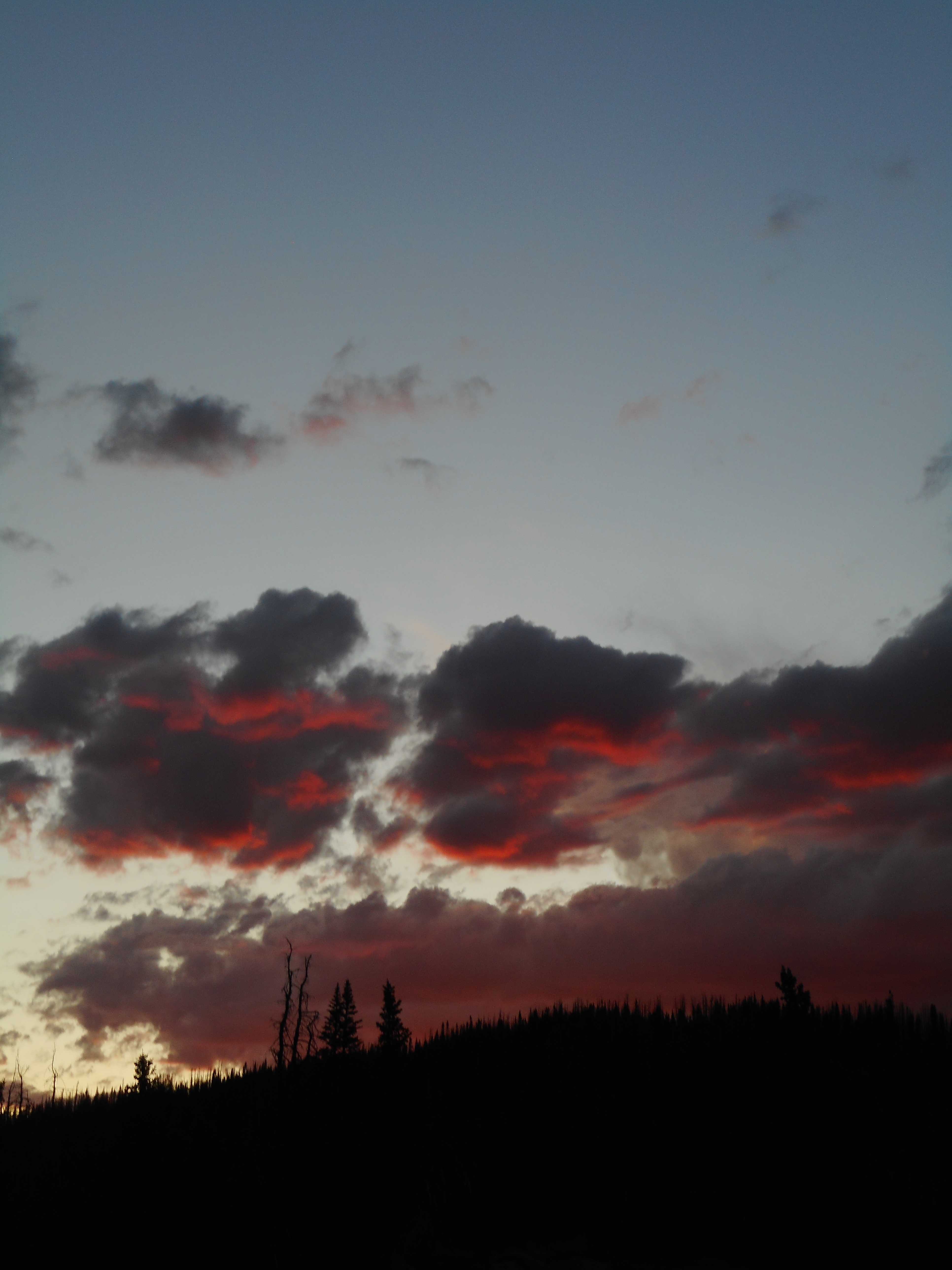
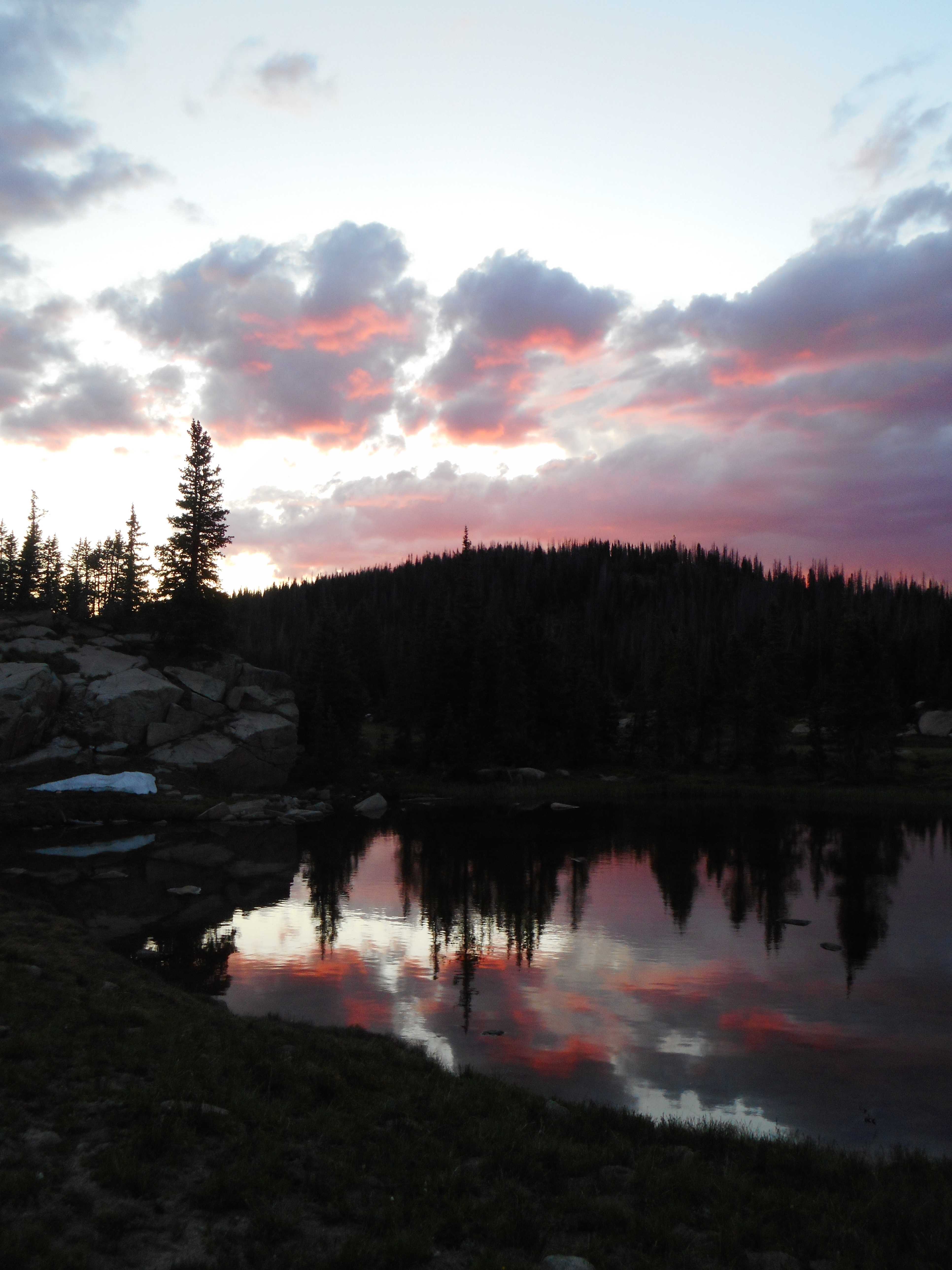
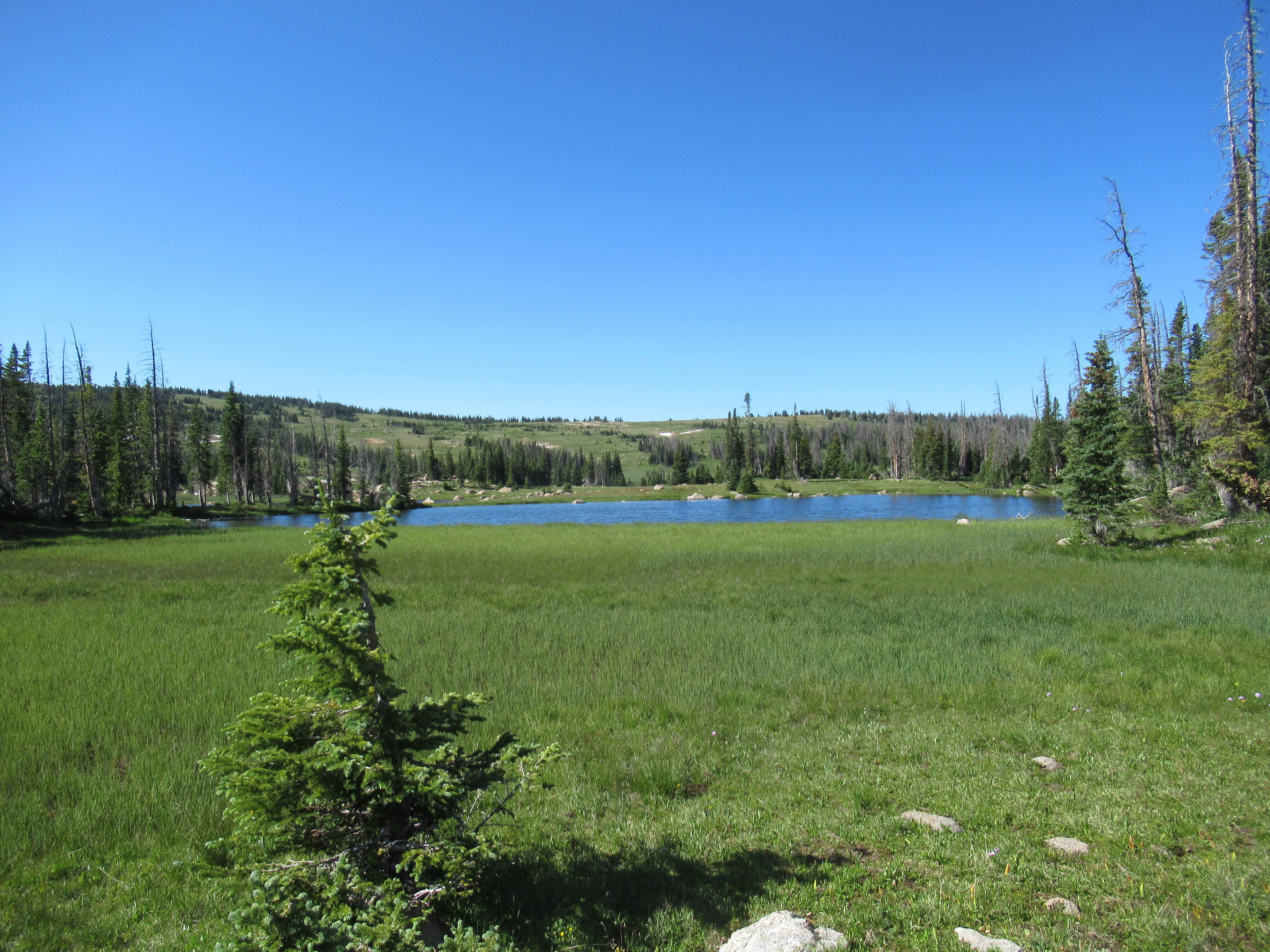
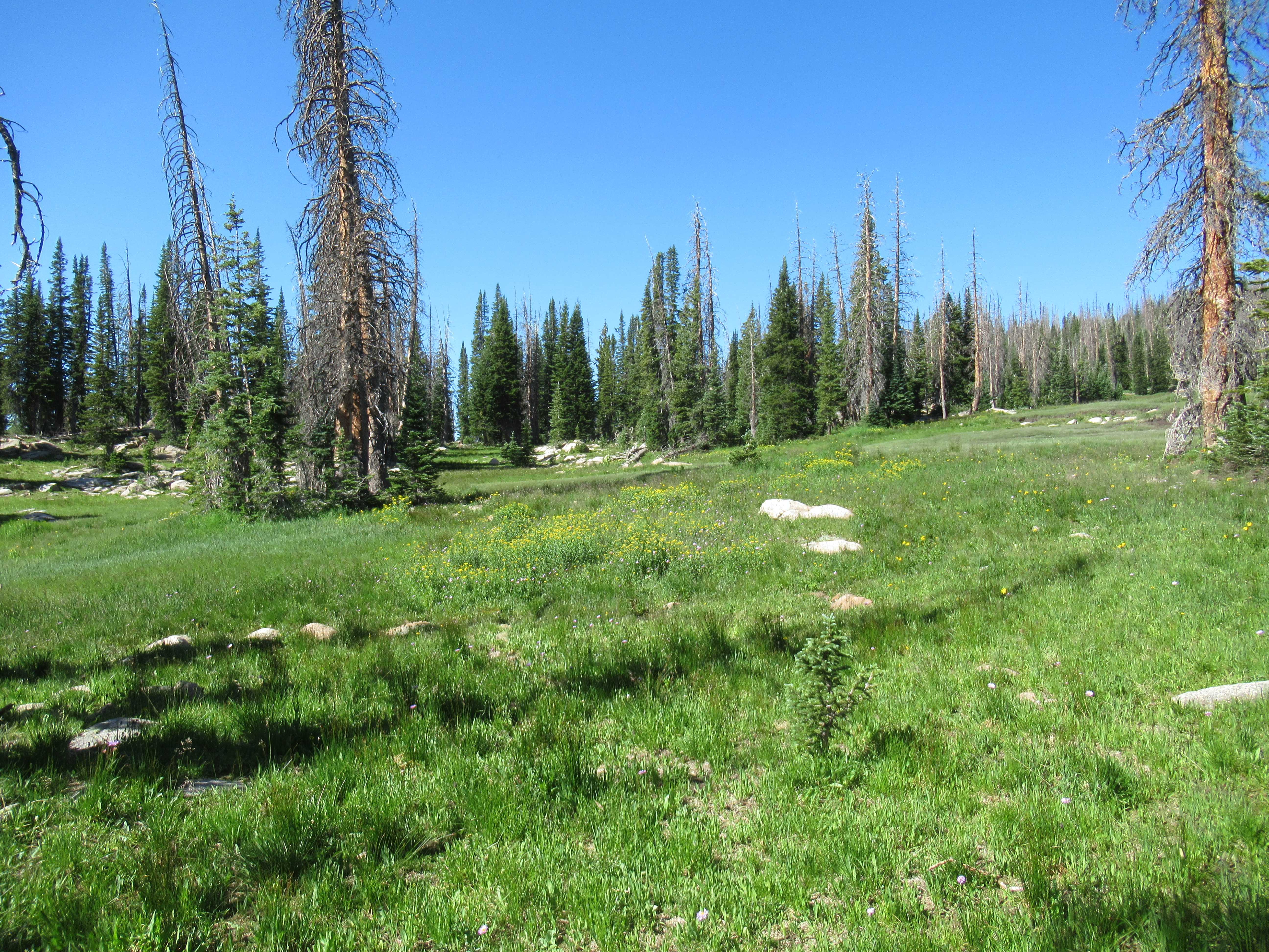
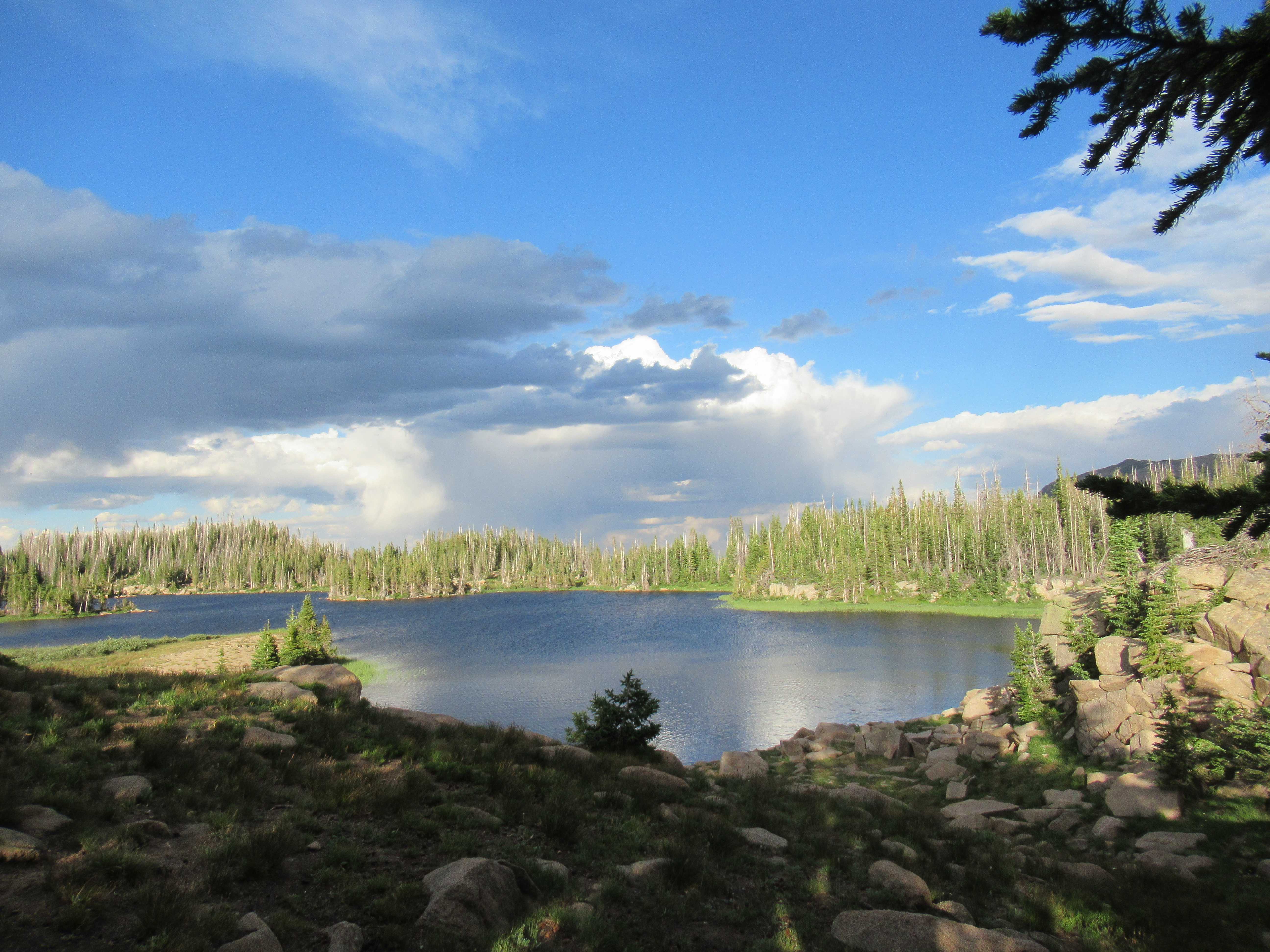
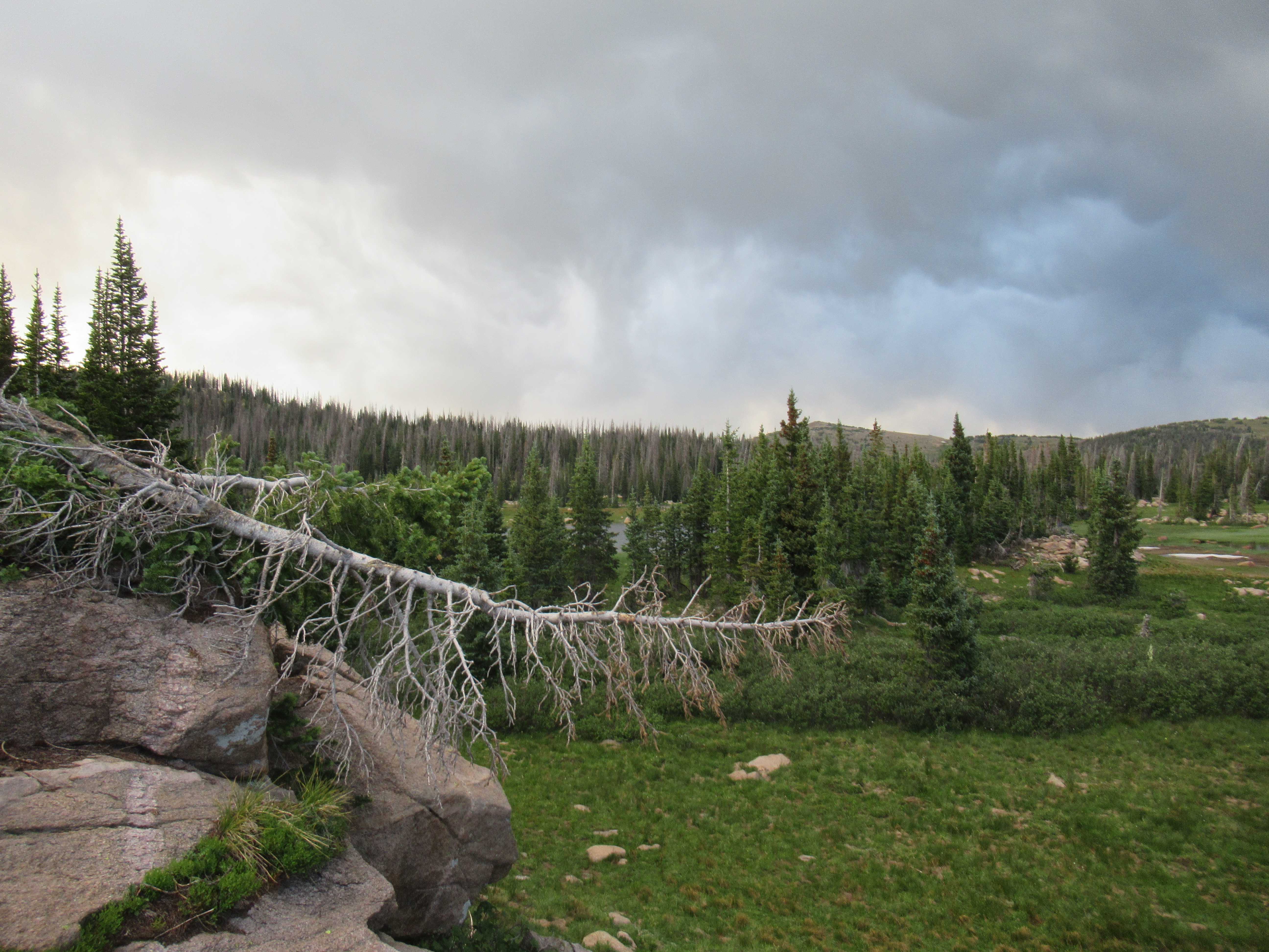
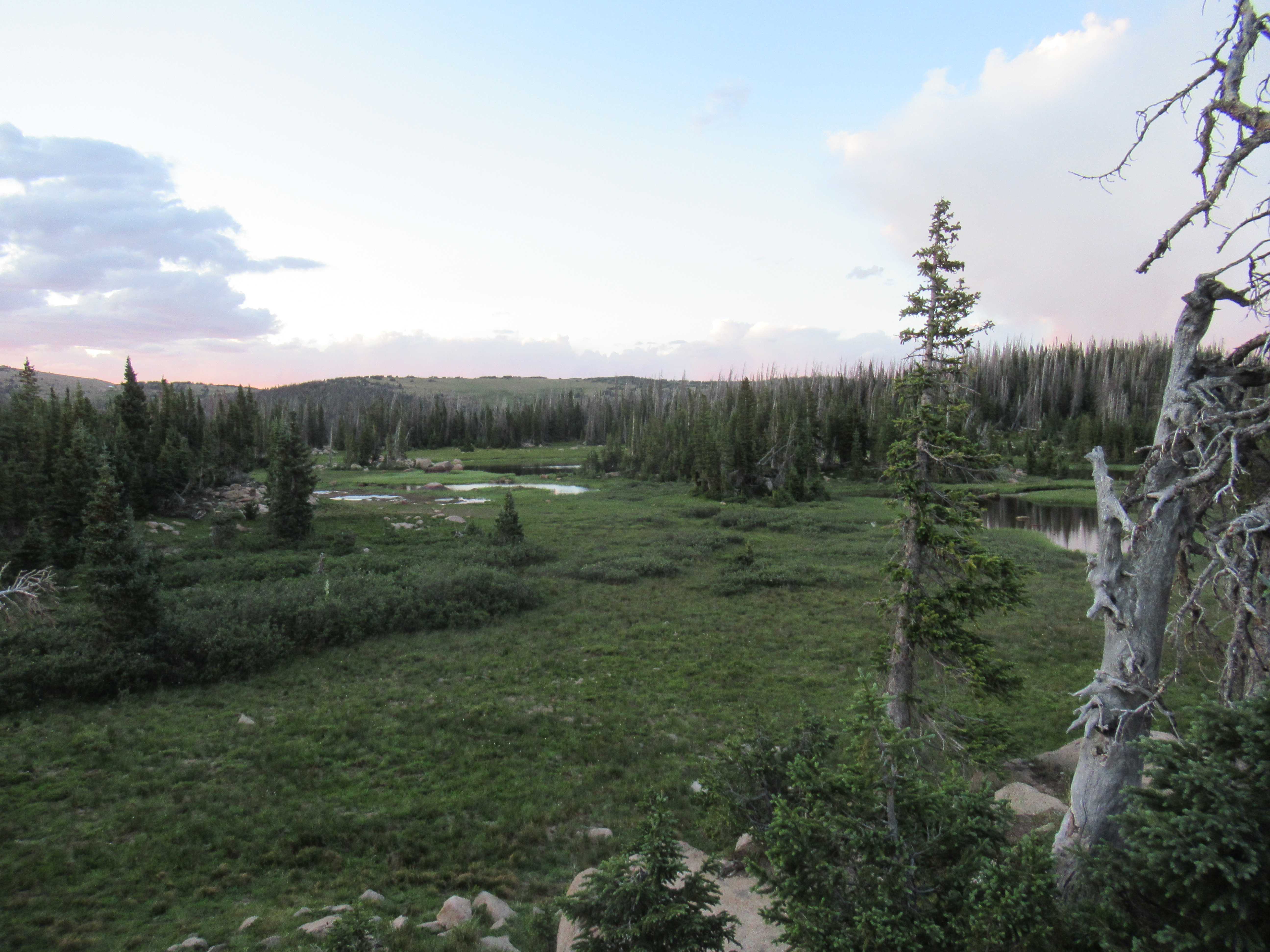
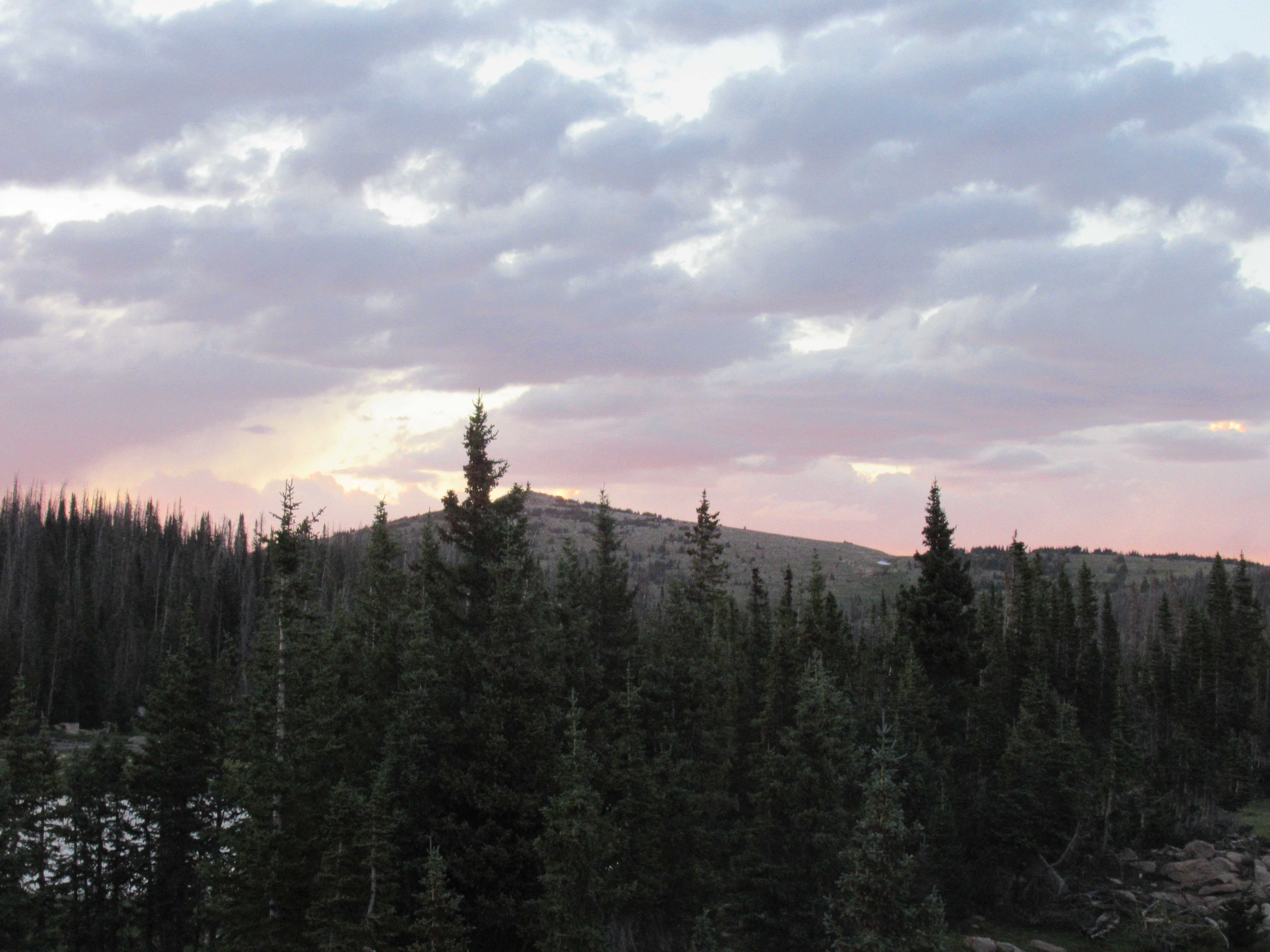
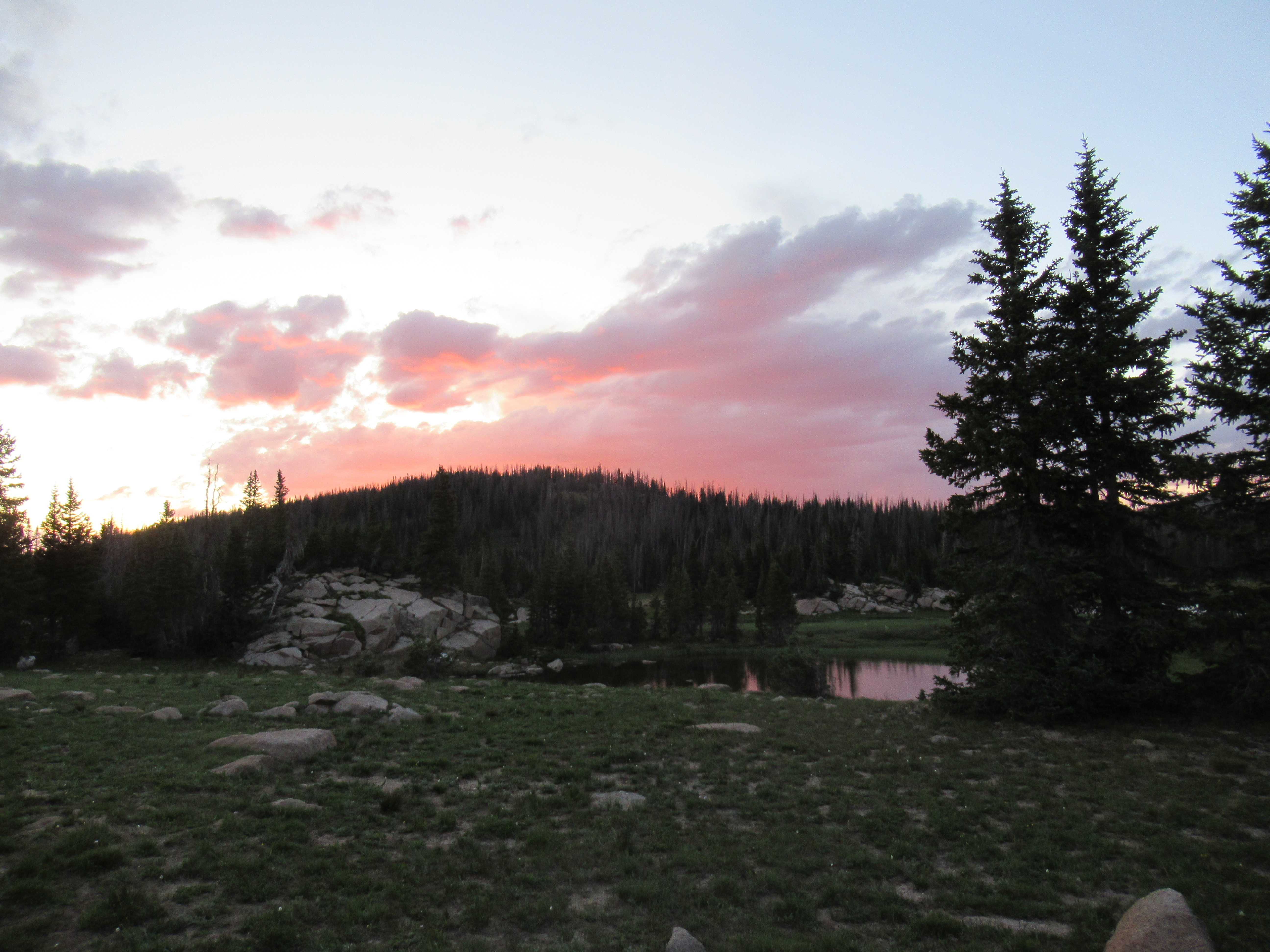
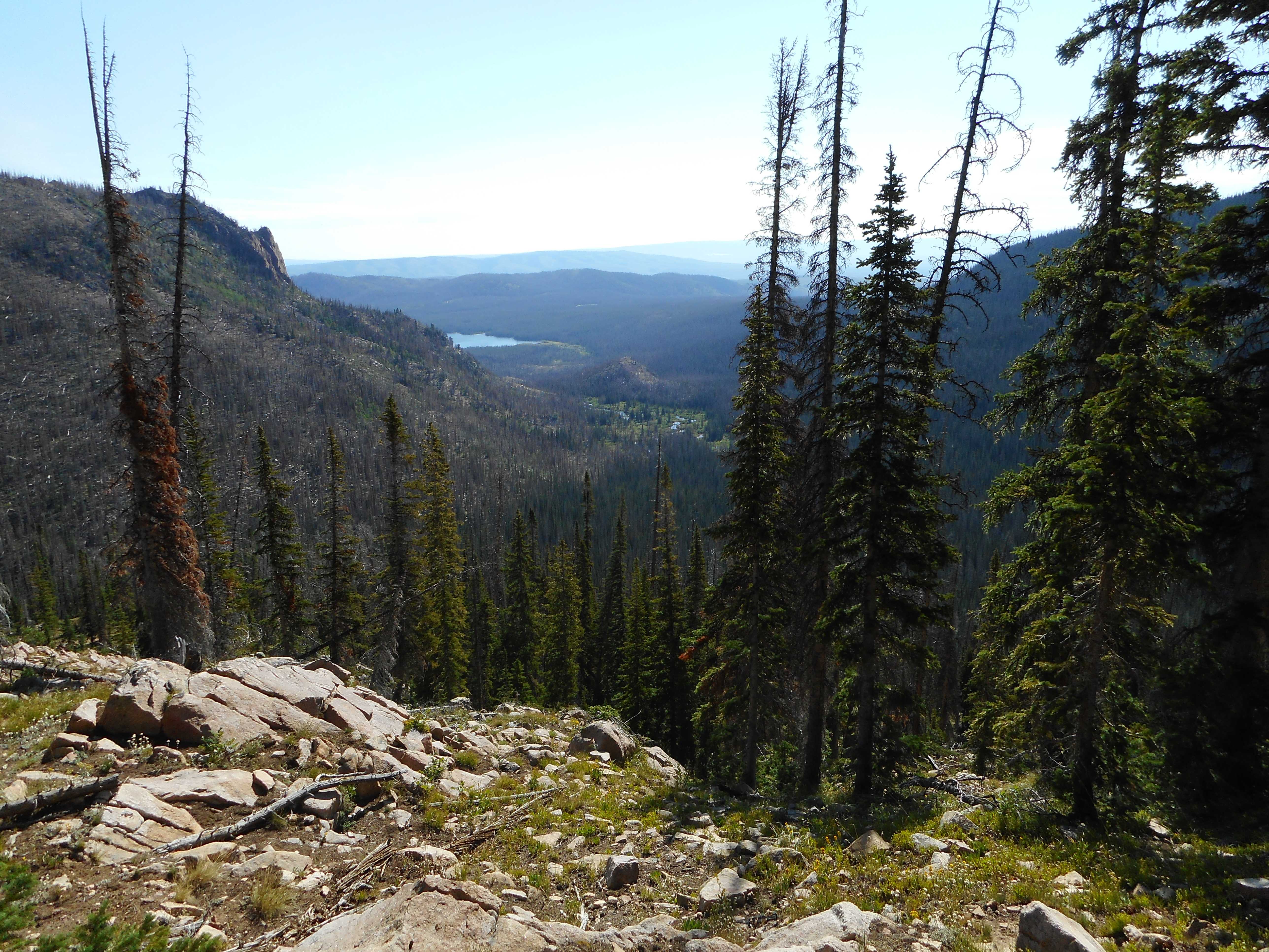
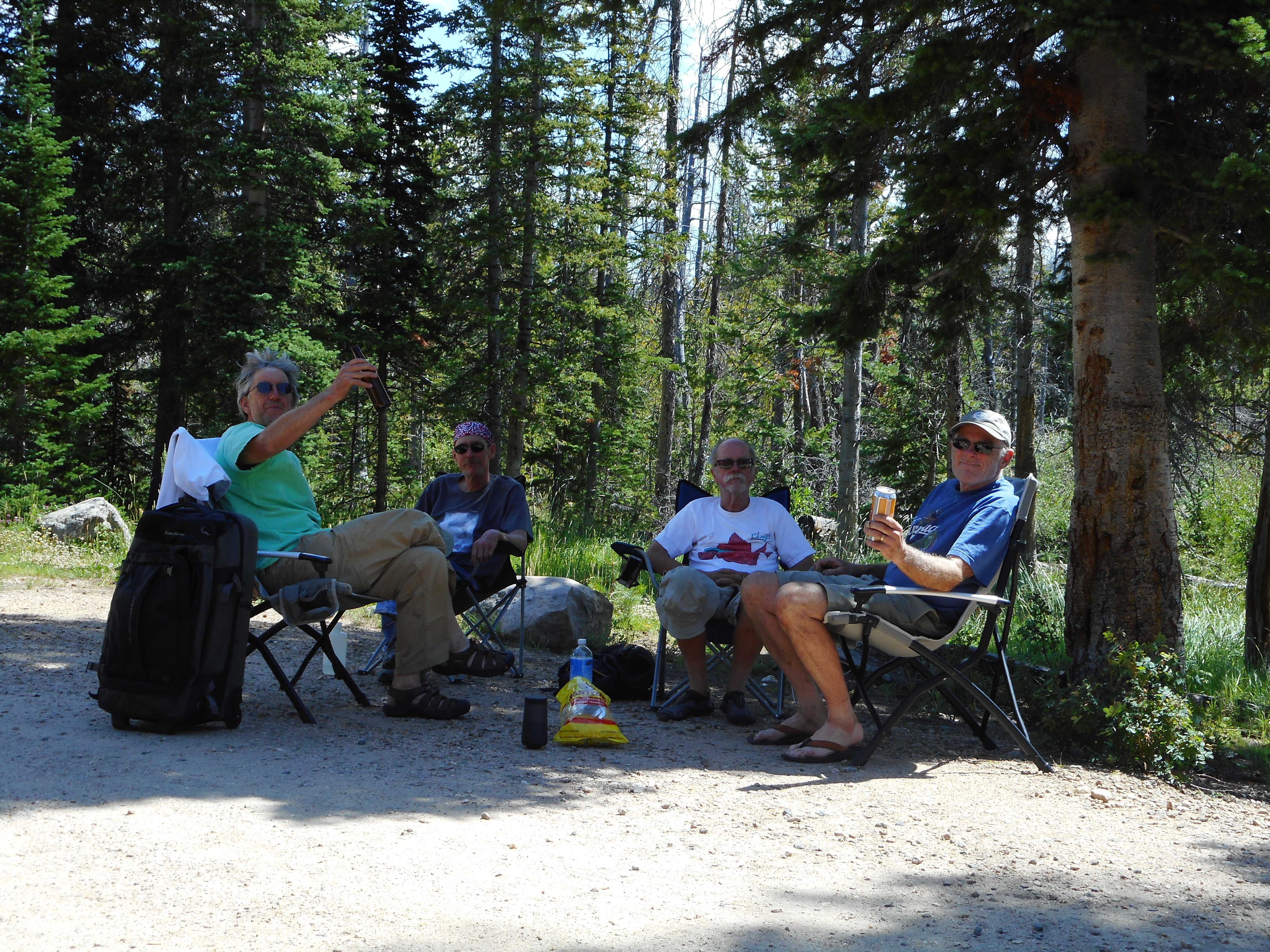
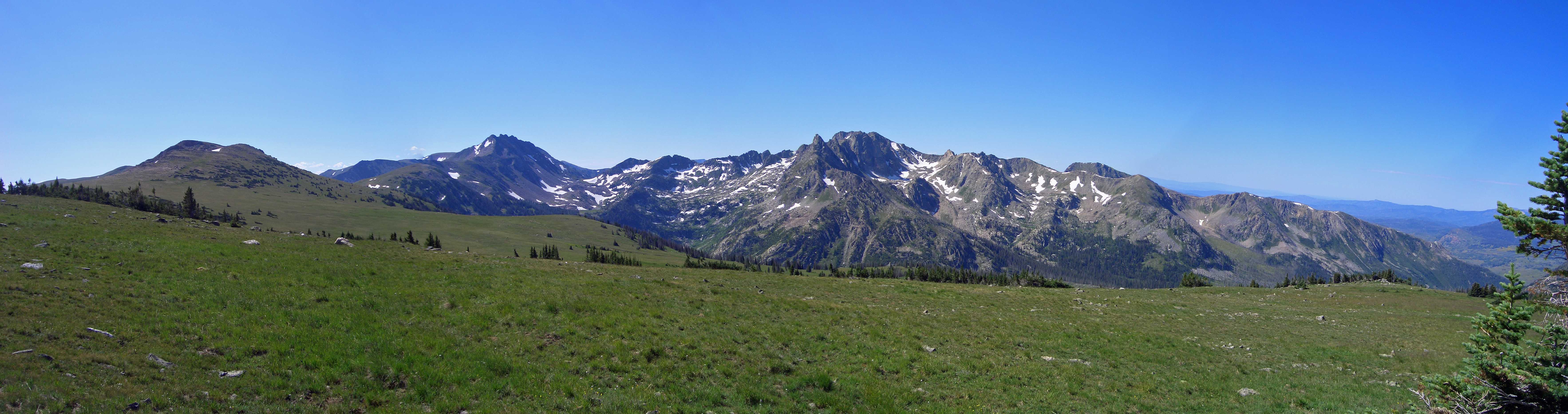
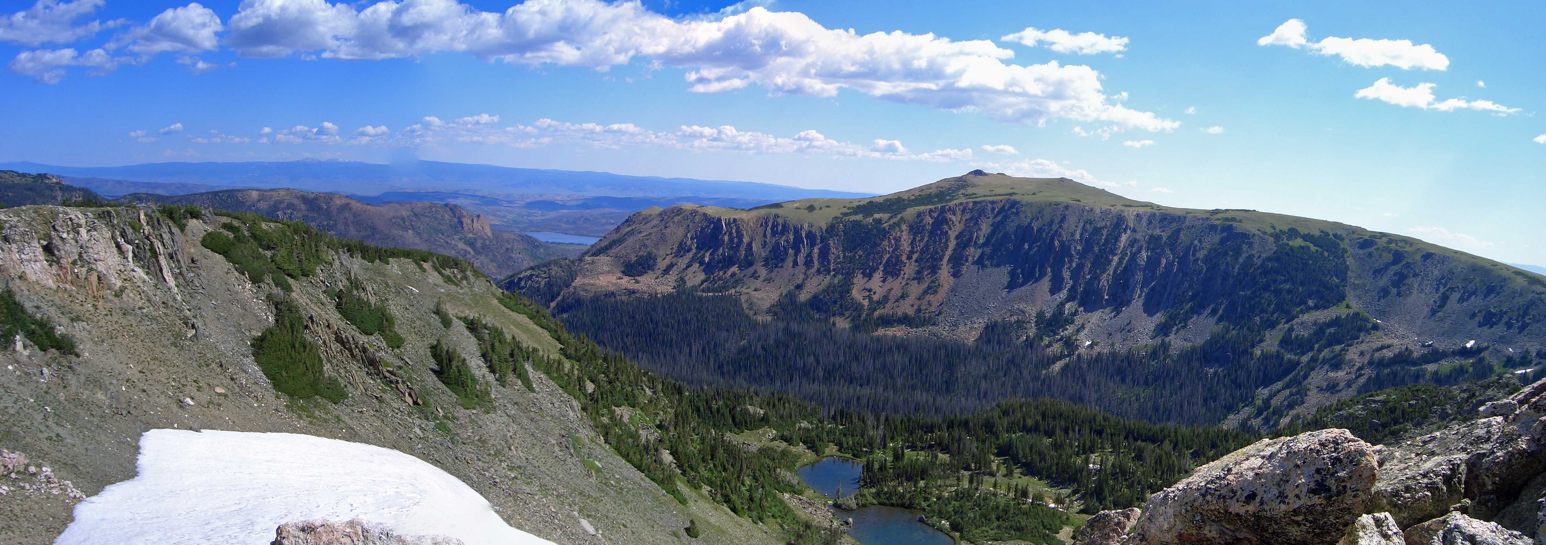
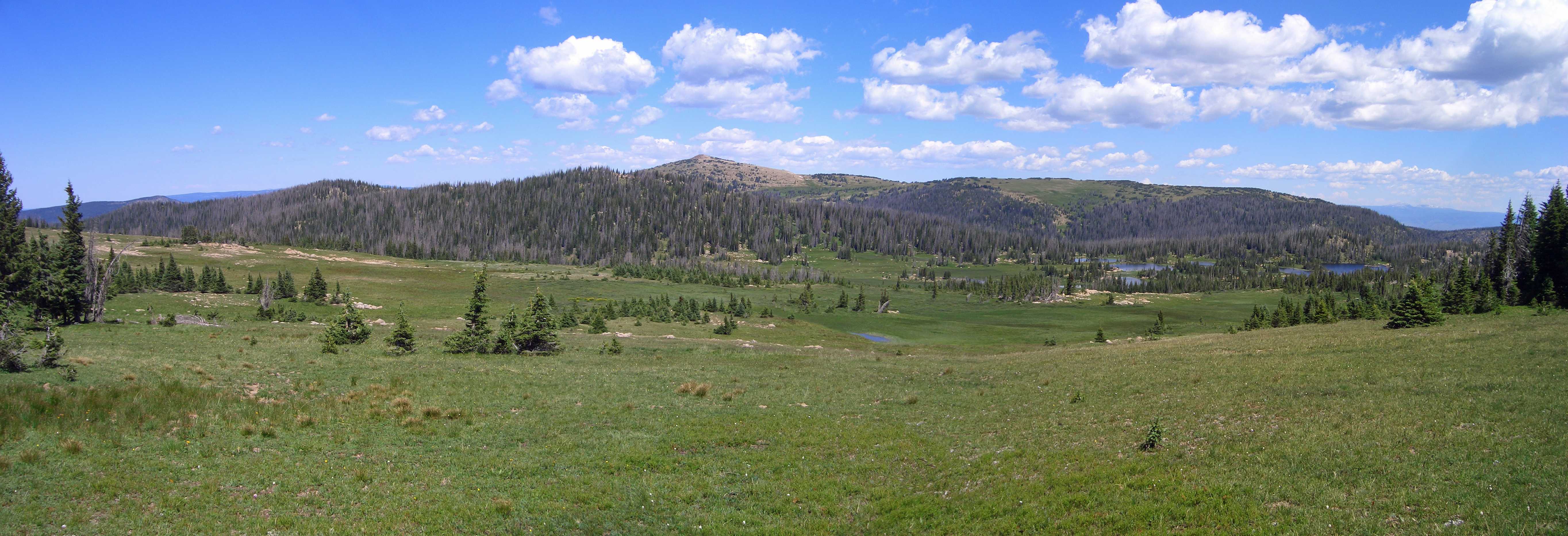
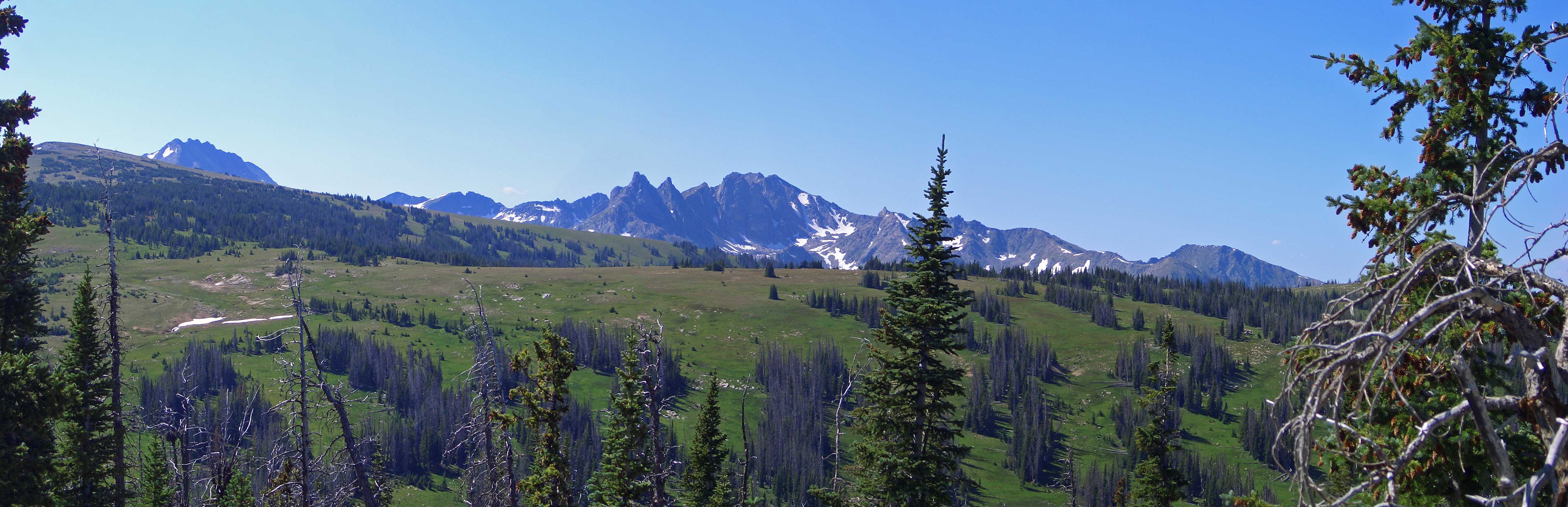
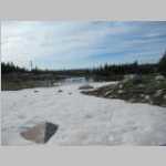
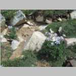
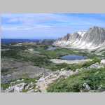
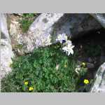
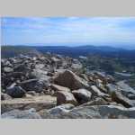
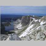
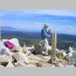
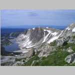
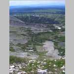
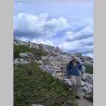
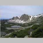
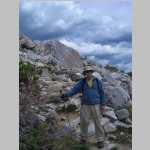
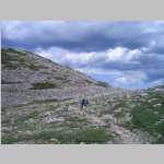
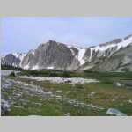
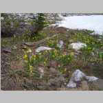
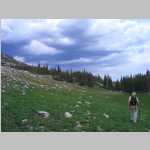
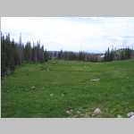
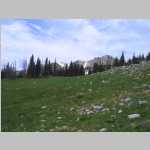
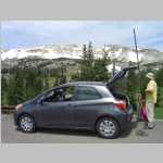
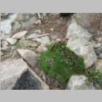
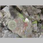
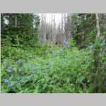
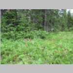
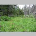
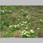
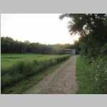
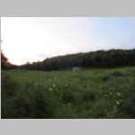
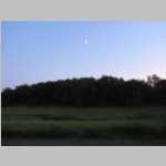
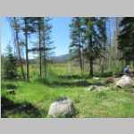
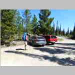
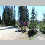
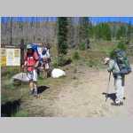
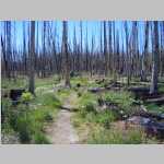
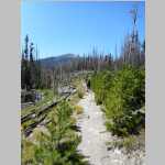
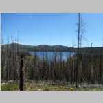
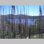
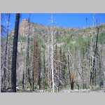
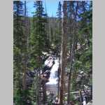
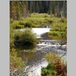
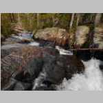
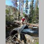
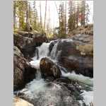
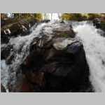
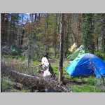
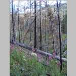
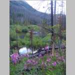
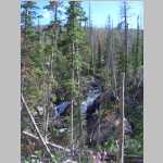
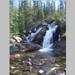
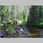
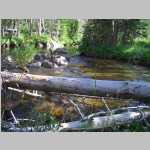
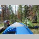
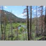
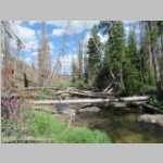
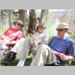
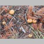
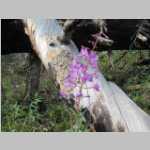
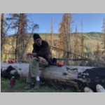
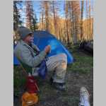
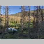
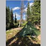
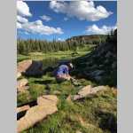
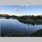
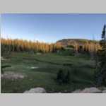
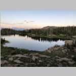
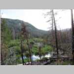
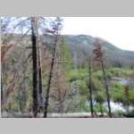
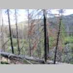
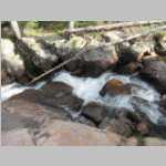
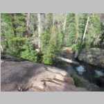
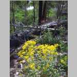
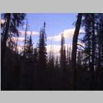
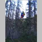
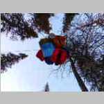
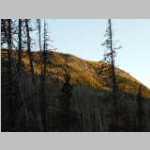
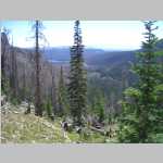
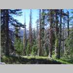
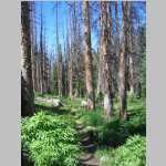
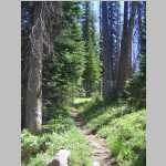
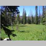
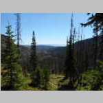
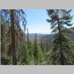
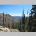
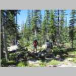
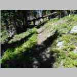
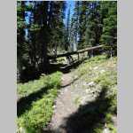
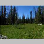
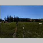
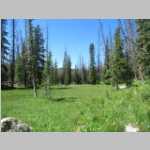
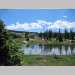
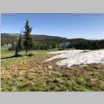
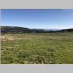
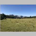
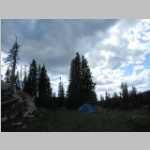
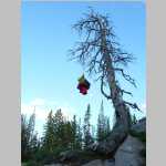
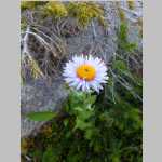
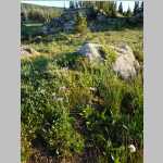
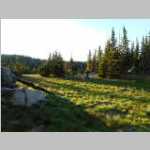
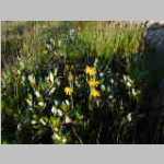
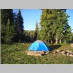
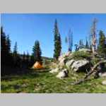
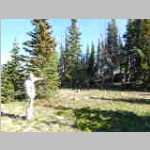
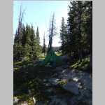
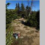
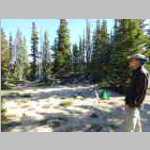
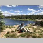
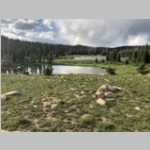
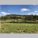
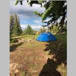
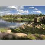
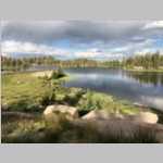
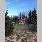
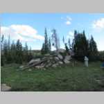
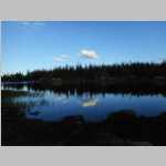
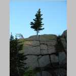
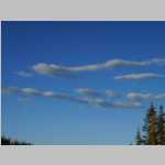
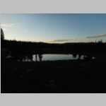
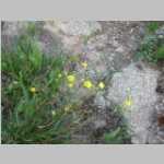
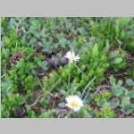
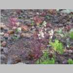
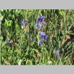
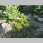
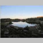
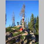
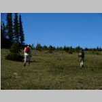
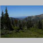
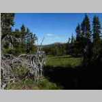
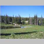
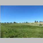
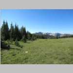
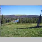
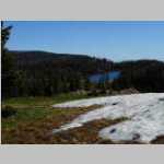
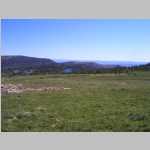
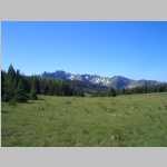
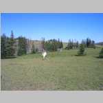
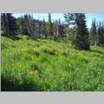
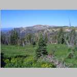
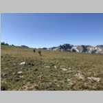
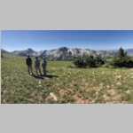
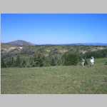
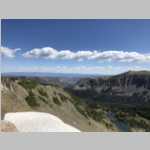
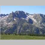
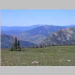
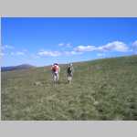
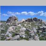
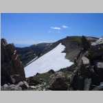
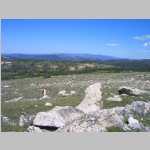
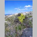
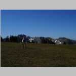
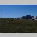
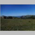
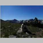
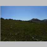
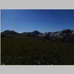
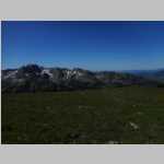
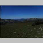
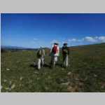
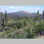
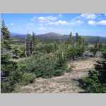
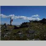
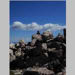
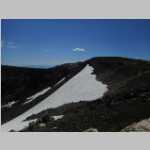
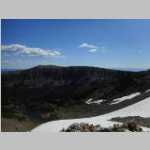
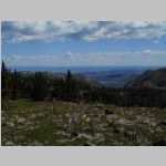
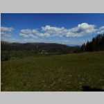
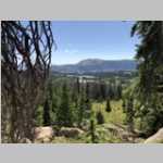
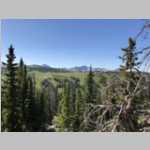
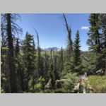
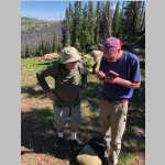
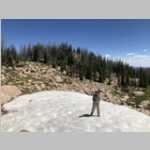
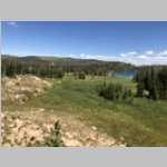
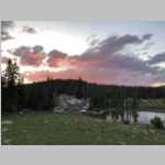
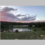
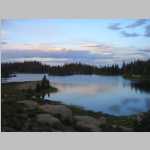
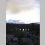
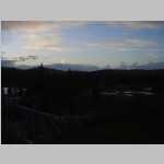
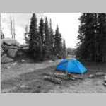
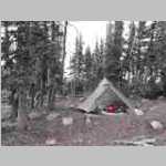
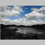
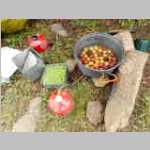
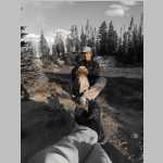
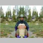
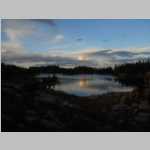
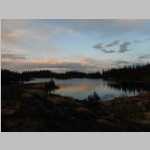
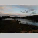
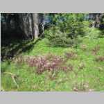
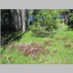
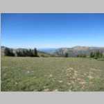
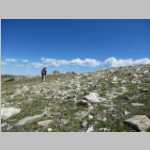
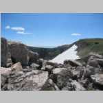
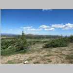
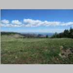
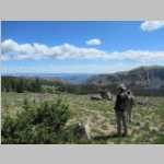
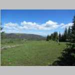
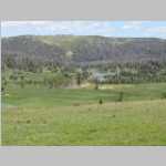
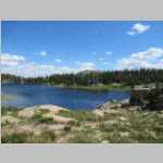
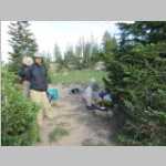
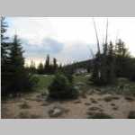
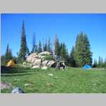
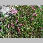
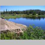
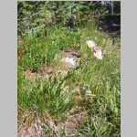
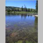
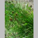
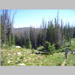
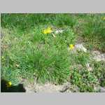
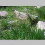
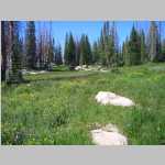
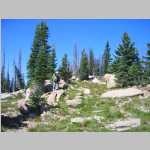
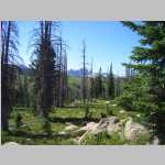
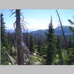
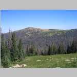
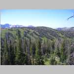
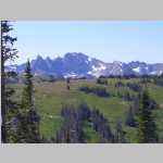
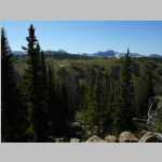
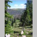
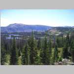
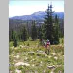
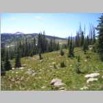
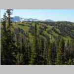
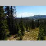
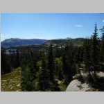
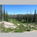
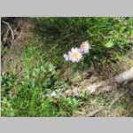
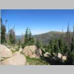
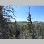
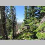
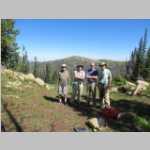
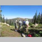
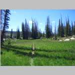
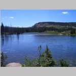
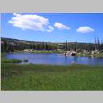
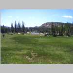
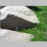
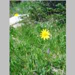
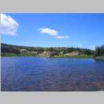
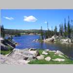
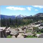
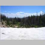
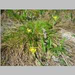
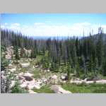
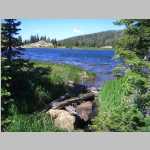
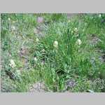
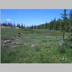
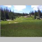
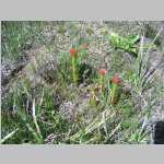
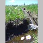
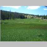
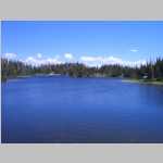
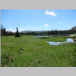
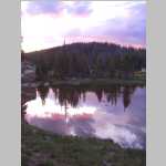
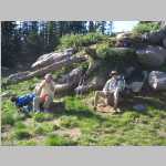
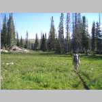
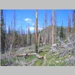
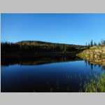
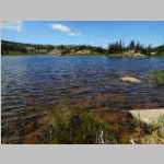
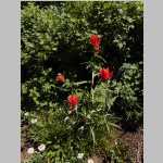
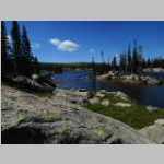
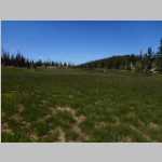
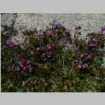
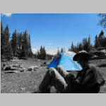
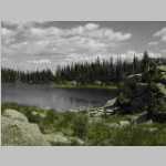
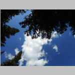
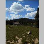
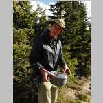
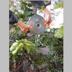
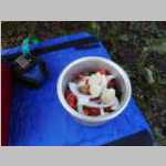
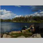
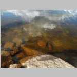
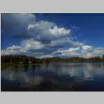
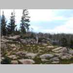
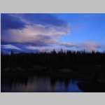
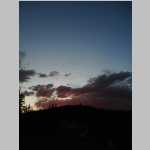
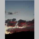
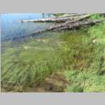
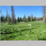
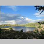
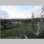
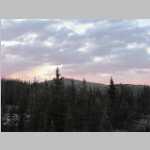
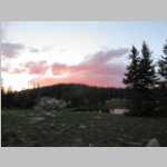
2 day hike, Big Creek waterfall ?, camp 1 in a burned out zone, over a couple hills to camp, passed one group who said they had a n elk herd come through, nice day hike where jim did a short solo hike, wolves howled, great views, next day short hike to rocky knoll, didnt want to dscend further, nice campste by lakes, nice hike out avoided burtn area, played loud music got dirty looks lol
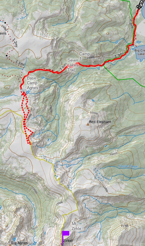
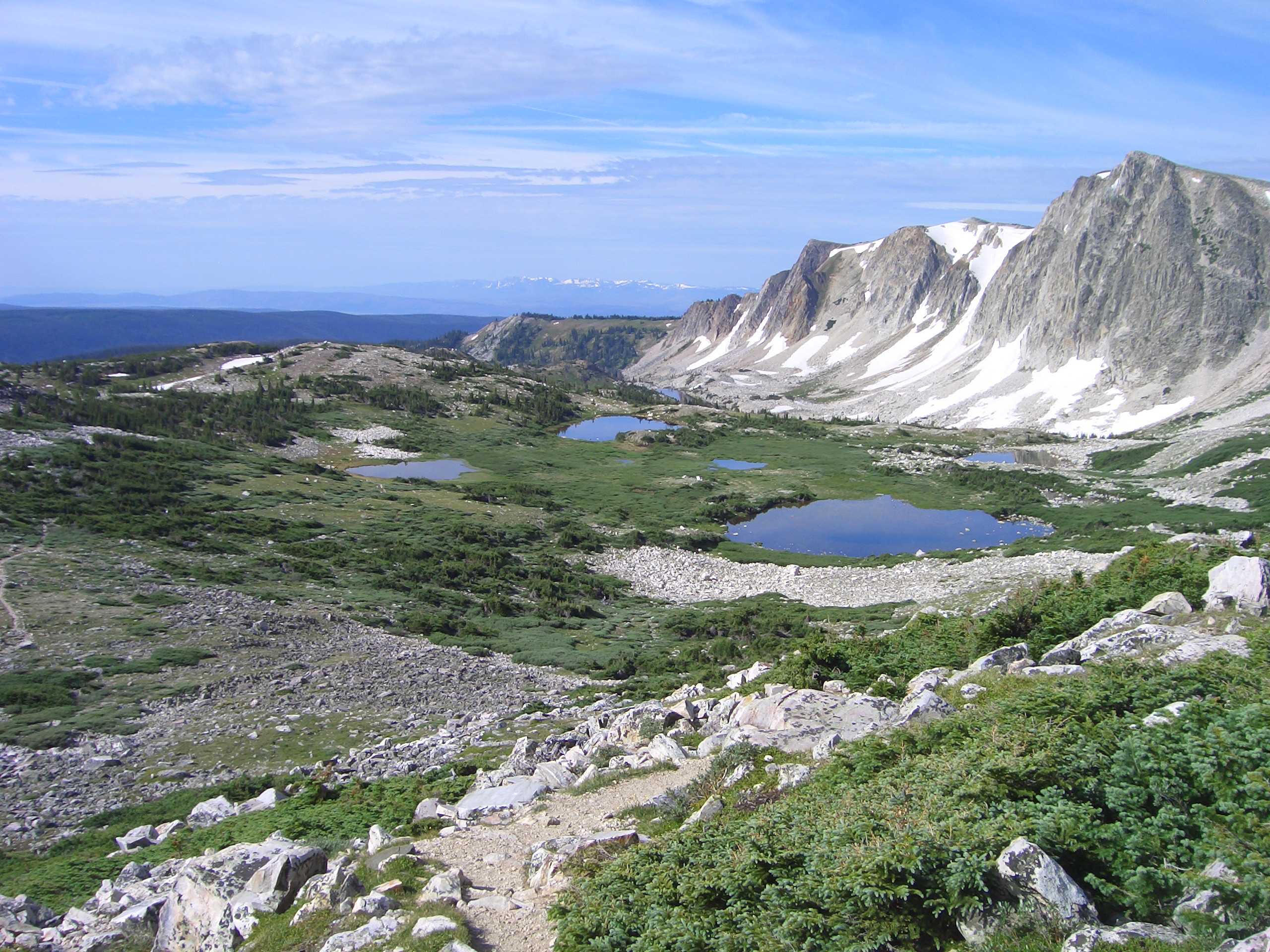
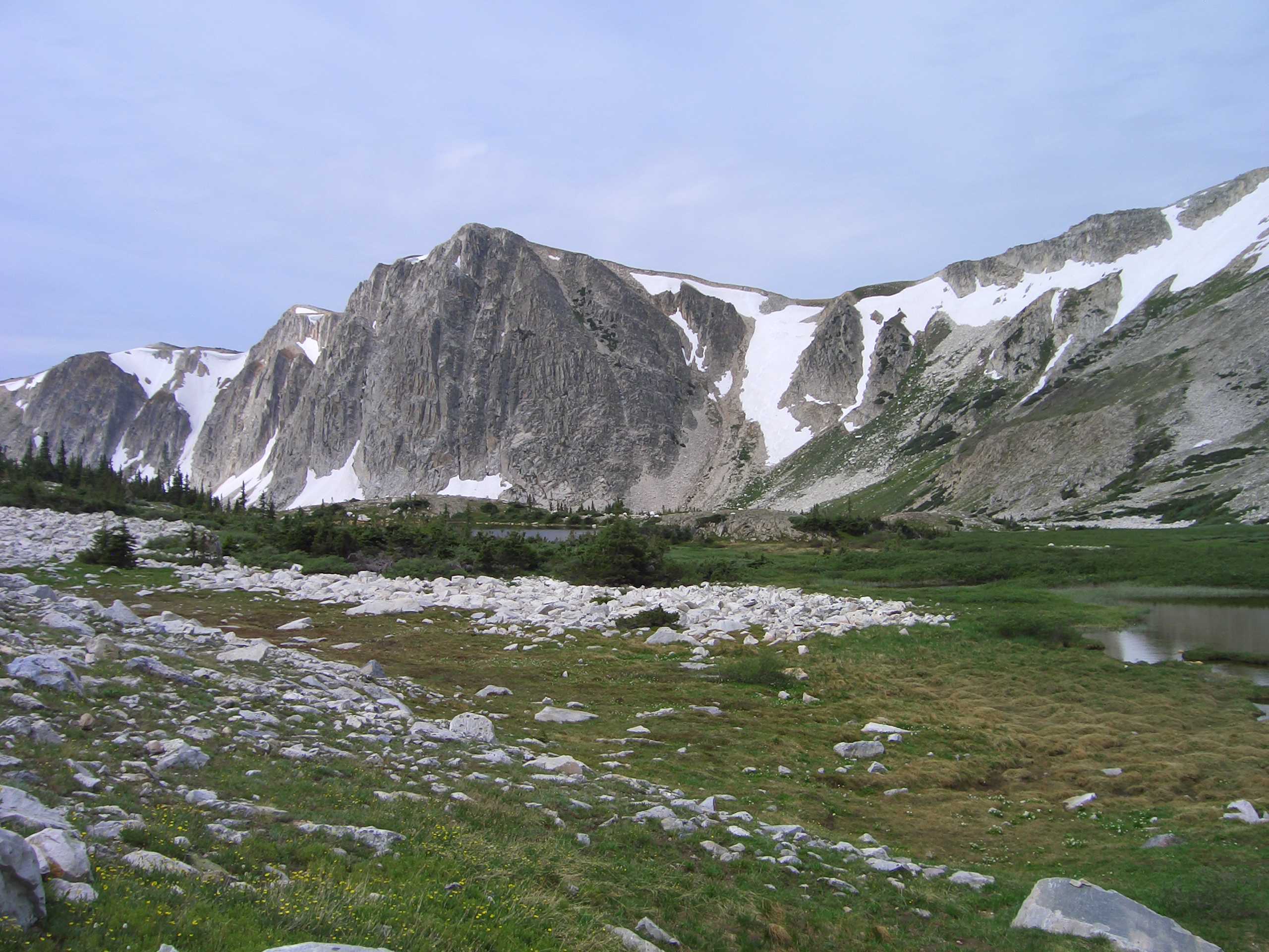
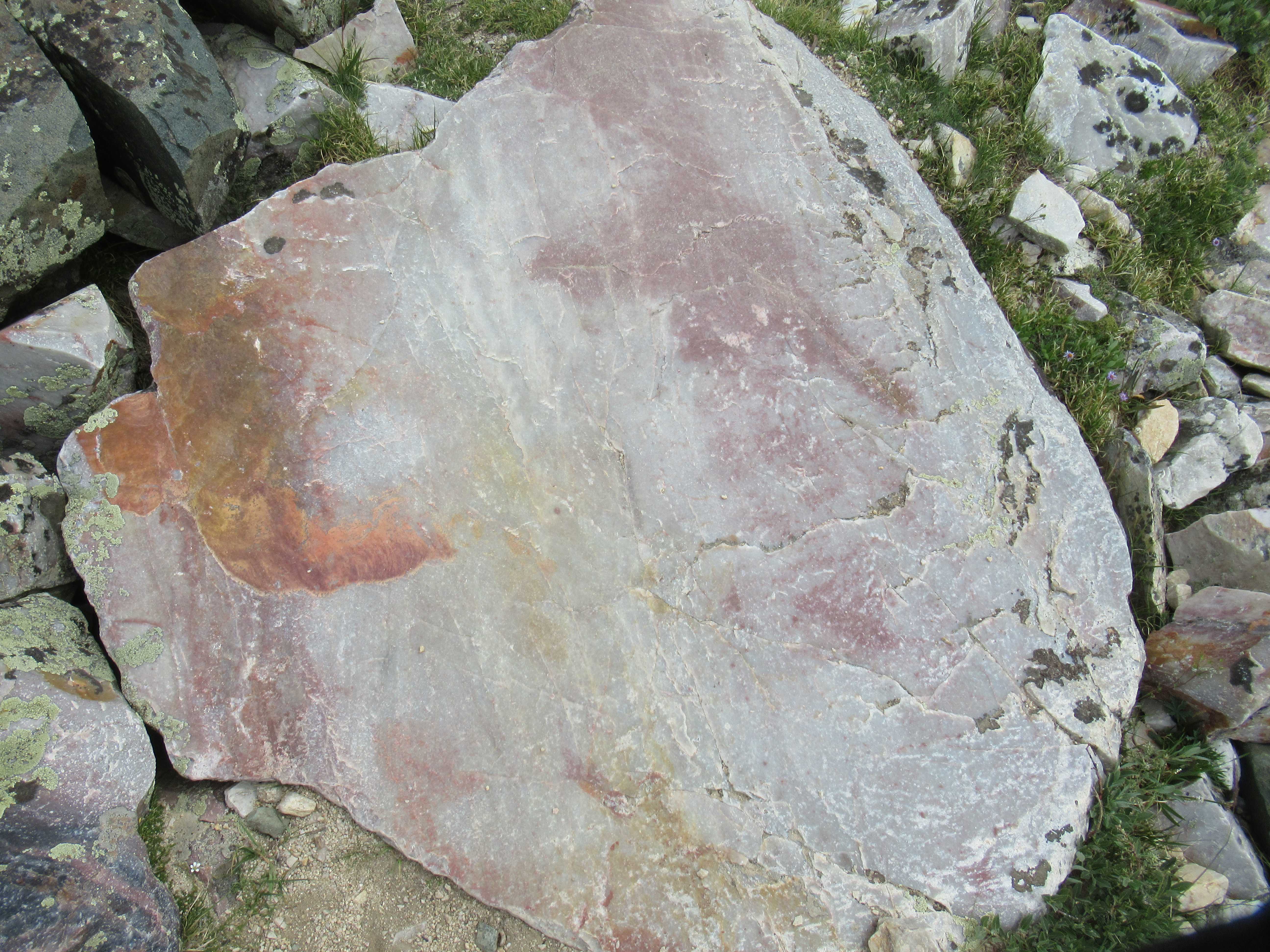
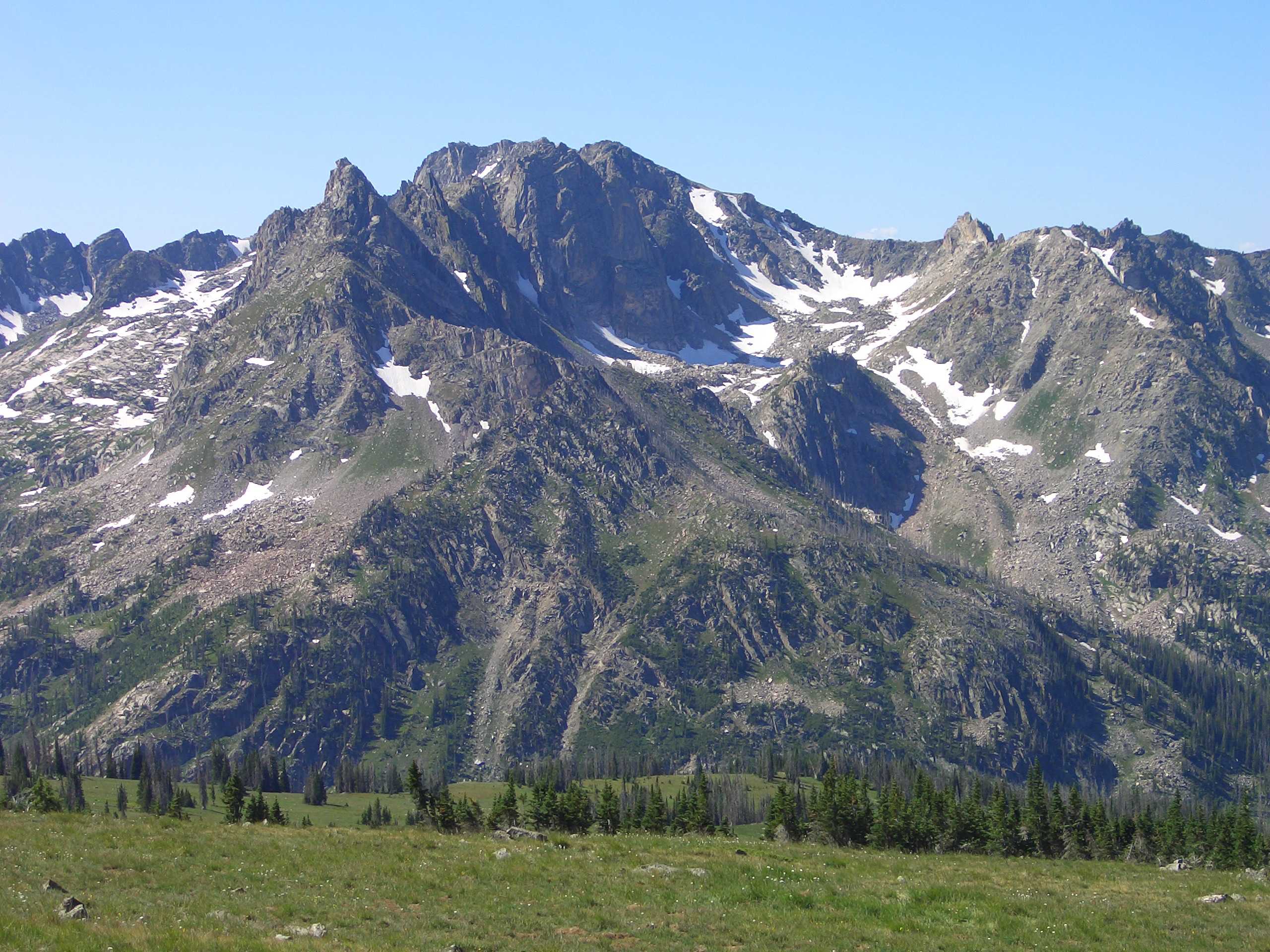
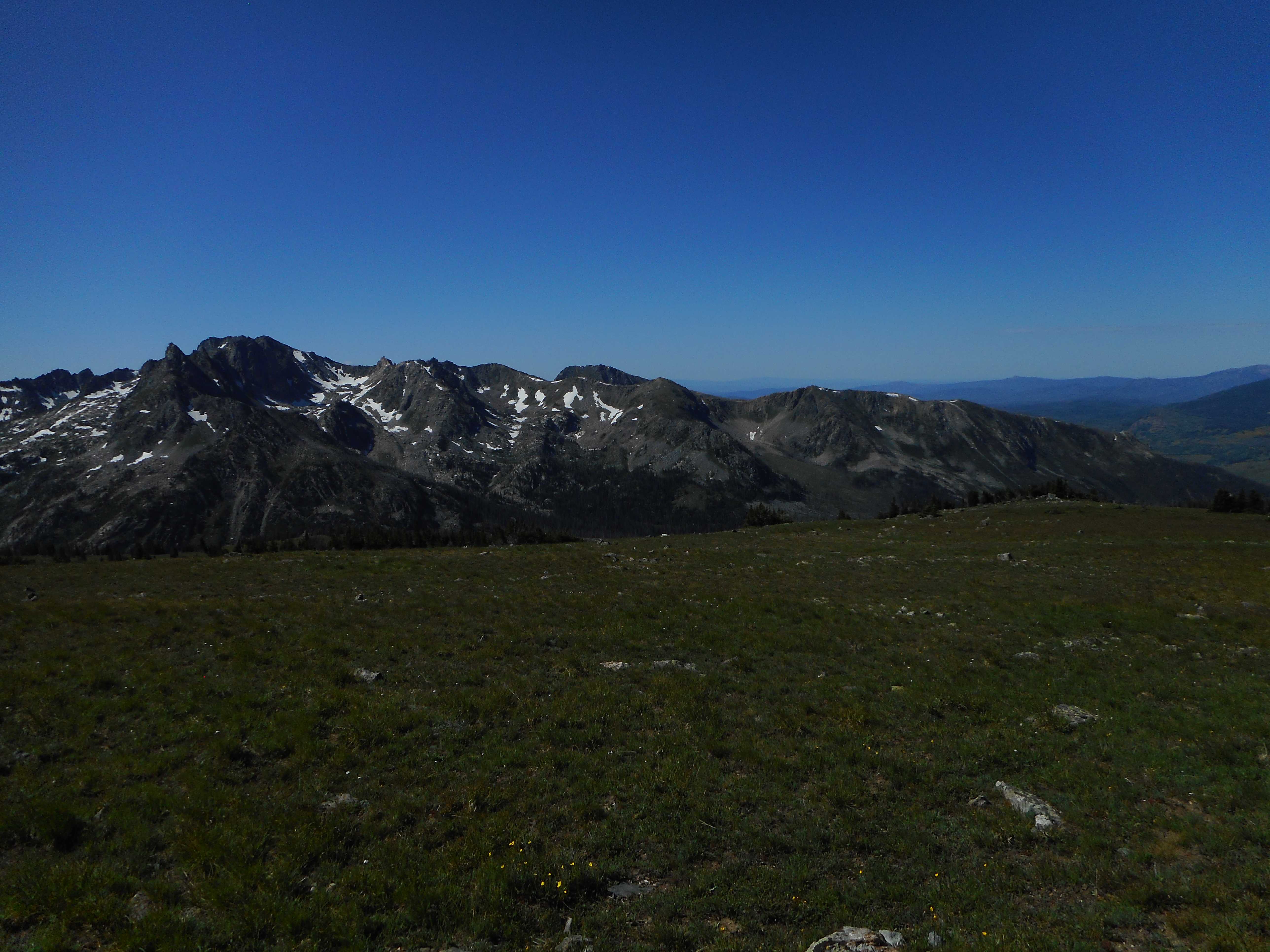
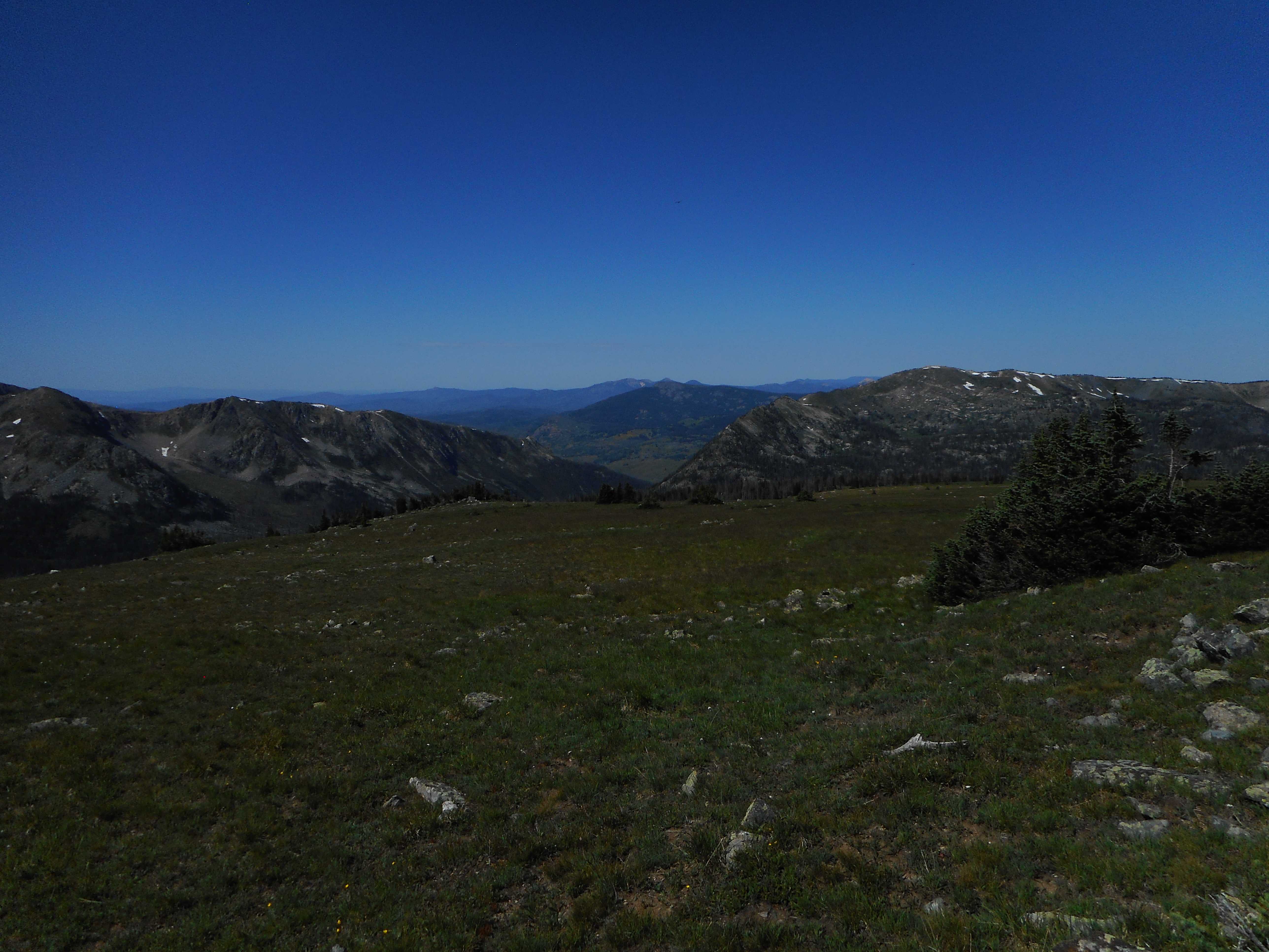
The Mount Zirkel Wilderness lies within the Routt National Forest in northwestern Colorado. It was one of the original areas protected under the 1964 Wilderness Act and has since been expanded twice to its present size of 160,648 acres. This Wilderness area is home to the headwaters of the Elk, Encampment and North Platte Rivers. It straddles the Continental Divide and encompasses the rugged Sawtooth Range, as well as portions of the Park and Sierra Madre ranges.
The Wilderness is named after Mount Zirkel (12180 ft), the highest peak in the Park range. Clarence King, one of the leaders of the Fortieth Parallel Survey named it after German geologist Ferdinand Zirkel (1838-1912), a pioneer in the study of the optical characteristics of thin slices of rock under a microscope (petrography).
The purpose of the Geological Exploration of the Fortieth Parallel (1867 to 1872; "Fortieth Parallel Survey") was to study and describe the natural resources within a 100 mile border around the Union and Central Pacific railroads from northeastern California, through Nevada, to eastern Wyoming. The comprehensive survey, under the direction of A. A. Humphreys (military general) and Clarence King (geologist), mapped the area along 40th parallel (they couldnt name it "whats right next to the railroads that we can mine, harvest, or shoot" could they?), studying the geology, looking for gold deposits, and collecting plants and animals.
![](CIMG0367.jpg)
![](CIMG0368.jpg)
![](CIMG0369.jpg)
![](CIMG0370.jpg)
![](CIMG0371.jpg)
![](CIMG0372.jpg)
![](0380_0382_23.jpg)
![](CIMG0373.jpg)
![](CIMG0375.jpg)
![](CIMG0376.jpg)
![](CIMG0378.jpg)
![](CIMG0379.jpg)
![](CIMG0383.jpg)
![](CIMG0384.jpg)
![](CIMG0385.jpg)
![](CIMG0386.jpg)
![](CIMG0387.jpg)
![](CIMG0388.jpg)
![](CIMG0389.jpg)
![](CIMG0390.jpg)
![](CIMG0391.jpg)
![](CIMG0392.jpg)
![](CIMG0393.jpg)
![](CIMG0394.jpg)
![](CIMG0396.jpg)
![](CIMG0398.jpg)
![](CIMG0399.jpg)
![](CIMG0401.jpg)
![](CIMG0404.jpg)
![](CIMG0405.jpg)
![](CIMG0406.jpg)
![](CIMG0407.jpg)
![](CIMG0544.jpg)
![](CIMG0546.jpg)
![](CIMG0548.jpg)
![](CIMG0549.jpg)
![](CIMG0550.jpg)
![](CIMG0551.jpg)
![](CIMG0552.jpg)
![](CIMG0553.jpg)
![](CIMG0555.jpg)
![](CIMG0557.jpg)
![](CIMG0559.jpg)
![](CIMG0561.jpg)
![](CIMG0562.jpg)
![](CIMG0563.jpg)
![](CIMG0564.jpg)
![](CIMG0566.jpg)
![](CIMG0568.jpg)
![](CIMG0569.jpg)
![](CIMG0570.jpg)
![](CIMG0571.jpg)
![](CIMG0572.jpg)
![](CIMG0573.jpg)
![](CIMG0574.jpg)
![](CIMG0582.jpg)
![](CIMG0585.jpg)
![](CIMG0588.jpg)
![](CIMG0586.jpg)
![](CIMG0592.jpg)
![](CIMG0593.jpg)
![](CIMG0594.jpg)
![](CIMG0595.jpg)
![](CIMG0596.jpg)
![](CIMG0597.jpg)
![](CIMG0598.jpg)
![](CIMG0599.jpg)
![](CIMG0600.jpg)
![](CIMG0605.jpg)
![](CIMG0607.jpg)
![](CIMG0608.jpg)
![](CIMG0609.jpg)
![](CIMG0613.jpg)
![](CIMG0614.jpg)
![](CIMG0616.jpg)
![](CIMG0617.jpg)
![](CIMG0618.jpg)
![](CIMG0619.jpg)
![](CIMG0620.jpg)
![](CIMG0625.jpg)
![](CIMG0629.jpg)
![](CIMG0630.jpg)
![](CIMG0632.jpg)
![](CIMG0634.jpg)
![](CIMG0635.jpg)
![](CIMG0636.jpg)
![](CIMG0638.jpg)
![](CIMG0639.jpg)
![](CIMG0641.jpg)
![](CIMG0644.jpg)
![](CIMG0645.jpg)
![](CIMG0646.jpg)
![](CIMG0647.jpg)
![](CIMG0648.jpg)
![](CIMG0649.jpg)
![](CIMG0653.jpg)
![](CIMG0654.jpg)
![](CIMG0655.jpg)
![](CIMG0656.jpg)
![](CIMG0657.jpg)
![](CIMG0659.jpg)
![](CIMG0660.jpg)
![](CIMG0661.jpg)
![](CIMG0666.jpg)
![](CIMG0667.jpg)
![](CIMG0668.jpg)
![](CIMG0669.jpg)
![](CIMG0670.jpg)
![](CIMG0671.jpg)
![](CIMG0676.jpg)
![](CIMG0677.jpg)
![](CIMG0678.jpg)
![](CIMG0679.jpg)
![](CIMG0680.jpg)
![](CIMG0682.jpg)
![](CIMG0683.jpg)
![](CIMG0684.jpg)
![](CIMG0686.jpg)
![](CIMG0689.jpg)
![](CIMG0690.jpg)
![](CIMG0693.jpg)
![](CIMG0694.jpg)
![](CIMG0695.jpg)
![](CIMG0696.jpg)
![](CIMG0698.jpg)
![](CIMG0699.jpg)
![](CIMG0701.jpg)
![](CIMG0707.jpg)
![](CIMG0709.jpg)
![](CIMG0710.jpg)
![](CIMG0712.jpg)
![](tedpan0001.jpg)
![](tedpan0002.jpg)
![](tedpan0003.jpg)
![](tedpan0004.jpg)
![](tedpan0005.jpg)
![](tedpan0006.jpg)
![](tedpan0007.jpg)
![](TheContinentalDivide.jpg)
![on the trail up Medicine Bow Peak](CIMG0367_t.jpg)
![on the trail up Medicine Bow Peak, nice Columbine picture](CIMG0368_t.jpg)
![on Medicine Bow summit with Bob](CIMG0369_t.jpg)
![on Medicine Bow summit with Bob](CIMG0370_t.jpg)
![on Medicine Bow summit with Bob](CIMG0371_t.jpg)
![on Medicine Bow summit with Bob, note the bee in the summit benchmark picture!](CIMG0372_t.jpg)
![Looking from NE (Browns Peak, 11,722') to SE (Sheep Mountain in the distance).](0380_0382_23_t.jpg)
![unidentified plant, at first I though it might be the grass <i>Phippsia</i>, but it is probably <i>Carex</i> sp](CIMG0373_t.jpg)
![descending the summit ridge](CIMG0375_t.jpg)
![descending the summit ridge](CIMG0376_t.jpg)
![descending the rocky trail to the Med Bow-Sugarloaf col](CIMG0378_t.jpg)
![descending the rocky trail to the Med Bow-Sugarloaf col](CIMG0379_t.jpg)
![descending the rocky trail to the Med Bow-Sugarloaf col](CIMG0383_t.jpg)
![descending the rocky trail to the Med Bow-Sugarloaf col](CIMG0384_t.jpg)
![descending the rocky trail to the Med Bow-Sugarloaf col](CIMG0385_t.jpg)
![from the col to our trailhead many of the flowers are unidentified by me except for Snow Lilies, Marsh Marigold, and White Globeflower](CIMG0386_t.jpg)
![from the col to our trailhead many of the flowers are unidentified by me except for Snow Lilies, Marsh Marigold, and White Globeflower](CIMG0387_t.jpg)
![from the col to our trailhead many of the flowers are unidentified by me except for Snow Lilies, Marsh Marigold, and White Globeflower](CIMG0388_t.jpg)
![from the col to our trailhead many of the flowers are unidentified by me except for Snow Lilies, Marsh Marigold, and White Globeflower](CIMG0389_t.jpg)
![from the col to our trailhead many of the flowers are unidentified by me except for Snow Lilies, Marsh Marigold, and White Globeflower](CIMG0390_t.jpg)
![from the col to our trailhead many of the flowers are unidentified by me except for Snow Lilies, Marsh Marigold, and White Globeflower](CIMG0391_t.jpg)
![from the col to our trailhead many of the flowers are unidentified by me except for Snow Lilies, Marsh Marigold, and White Globeflower](CIMG0392_t.jpg)
![from the col to our trailhead many of the flowers are unidentified by me except for Snow Lilies, Marsh Marigold, and White Globeflower](CIMG0393_t.jpg)
![from the col to our trailhead many of the flowers are unidentified by me except for Snow Lilies, Marsh Marigold, and White Globeflower](CIMG0394_t.jpg)
![from the col to our trailhead many of the flowers are unidentified by me except for Snow Lilies, Marsh Marigold, and White Globeflower](CIMG0396_t.jpg)
![from the col to our trailhead many of the flowers are unidentified by me except for Snow Lilies, Marsh Marigold, and White Globeflower](CIMG0398_t.jpg)
![from the col to our trailhead many of the flowers are unidentified by me except for Snow Lilies, Marsh Marigold, and White Globeflower](CIMG0399_t.jpg)
![from the col to our trailhead many of the flowers are unidentified by me except for Snow Lilies, Marsh Marigold, and White Globeflower](CIMG0401_t.jpg)
![from the col to our trailhead many of the flowers are unidentified by me except for Snow Lilies, Marsh Marigold, and White Globeflower](CIMG0404_t.jpg)
![from the col to our trailhead many of the flowers are unidentified by me except for Snow Lilies, Marsh Marigold, and White Globeflower](CIMG0405_t.jpg)
![from the col to our trailhead many of the flowers are unidentified by me except for Snow Lilies, Marsh Marigold, and White Globeflower](CIMG0406_t.jpg)
![from the col to our trailhead many of the flowers are unidentified by me except for Snow Lilies, Marsh Marigold, and White Globeflower](CIMG0407_t.jpg)
![from trailhead to Big Creek Falls](CIMG0544_t.jpg)
![from trailhead to Big Creek Falls, <i>Chamerion angustifolium</i> (L.) Golub (Onagraceae)](CIMG0546_t.jpg)
![from trailhead to Big Creek Falls](CIMG0548_t.jpg)
![from trailhead to Big Creek Falls, Upper Big Creek Lake](CIMG0549_t.jpg)
![from trailhead to Big Creek Falls](CIMG0550_t.jpg)
![Wilderness!!](CIMG0551_t.jpg)
![Big Creek Falls](CIMG0552_t.jpg)
![view of our 1st night's camp along Big Creek](CIMG0553_t.jpg)
![late afternoon hike back to Big Creek Falls](CIMG0555_t.jpg)
![late afternoon hike back to Big Creek Falls](CIMG0557_t.jpg)
![late afternoon hike back to Big Creek Falls](CIMG0559_t.jpg)
![late afternoon hike back to Big Creek Falls](CIMG0561_t.jpg)
![late afternoon hike back to Big Creek Falls](CIMG0562_t.jpg)
![late afternoon hike back to Big Creek Falls](CIMG0563_t.jpg)
![Flowers at Big Creek Falls](CIMG0564_t.jpg)
![Sun is setting.](CIMG0566_t.jpg)
![evening pictures of our food bags.](CIMG0568_t.jpg)
![Jim hammering up the trail (Upper Big Creek Lake is in the background)](CIMG0569_t.jpg)
![looking south from near Pt. 10,350'](CIMG0570_t.jpg)
![mellow hiking near "The Apex"](CIMG0571_t.jpg)
![mellow hiking near "The Apex"](CIMG0572_t.jpg)
![meadow at 10,500'](CIMG0573_t.jpg)
![some views around our Seven Lakes camp (Davis Peak 11,422' in background)](CIMG0574_t.jpg)
![Bob and Jim near Seven Lake](CIMG0582_t.jpg)
![evening view across The Seven Lake.](CIMG0585_t.jpg)
![Ted's tent next to the fire pit](CIMG0588_t.jpg)
![morning pictures at Camp Seven Lakes - Brian Parks looks good handling the food bags](CIMG0586_t.jpg)
![hiking up to the Continental Divide](CIMG0592_t.jpg)
![hiking up to the Continental Divide](CIMG0593_t.jpg)
![hiking up to the Continental Divide, Brian and Bob](CIMG0594_t.jpg)
![hiking up to the Continental Divide , looking south to the Sawtooth Range](CIMG0595_t.jpg)
![hiking along the Continental Divide, Jim and Brian](CIMG0596_t.jpg)
![hiking along the Continental Divide](CIMG0597_t.jpg)
![hiking along the Continental Divide,must be Buck Mountain (south end, 11,396')](CIMG0598_t.jpg)
![hiking along the Continental Divide - Jim and Brian, - must be Buck Mountain (north end, 11,377')](CIMG0599_t.jpg)
![hiking along the Continental Divide](CIMG0600_t.jpg)
![looking south to the spectacular Sawtooth Range, Big Agnes Mountain (12059');](CIMG0605_t.jpg)
![looking south to the spectacular Sawtooth Range, Big Agnes Mountain (12059');](CIMG0607_t.jpg)
![more walking along the Continental Divide - Davis Peak (11,422'), Jim, and Bob](CIMG0608_t.jpg)
![more walking along the Continental Divide](CIMG0609_t.jpg)
![more walking along the Continental Divide - Davis Peak (11,422'), Jim, and Bob in 0608 - the panorama 0610-0612 is found in Zirkels 2019 Seven Lakes -> Pictures -> Ted John photos -> panoramas -> 04.East from Continental Divide 14 Aug 2019 (note the Snowy Range to the NE) - Jim, Bob, and Brian in 0614 and 0615 (with a portion of the northern Buck Mountain on left edge of image - these images look ~WNW to the Encampment River drainage);](CIMG0613_t.jpg)
![more walking along the Continental Divide, Jim, Bob, and Brian, with a portion of the northern Buck Mountain on left edge of image WNW to the Encampment River](CIMG0614_t.jpg)
![more walking along the Continental Divide](CIMG0616_t.jpg)
![return to Camp Seven Lakes, Davis Peak (11,422')](CIMG0617_t.jpg)
![return to Camp Seven Lakes, Davis Peak (11,422')](CIMG0618_t.jpg)
![return to Camp Seven Lakes](CIMG0619_t.jpg)
![return to Camp Seven Lakes](CIMG0620_t.jpg)
![return to Camp Seven Lakes](CIMG0625_t.jpg)
![evening pictures around Camp Seven Lakes.](CIMG0629_t.jpg)
![evening pictures around Camp Seven Lakes.](CIMG0630_t.jpg)
![evening pictures around Camp Seven Lakes.](CIMG0632_t.jpg)
![pictures around Camp Seven Lakes](CIMG0634_t.jpg)
![pictures around Camp Seven Lakes](CIMG0635_t.jpg)
![pictures around Camp Seven Lakes](CIMG0636_t.jpg)
![hike up to Point 11,071'](CIMG0638_t.jpg)
![hike up to Point 11,071'](CIMG0639_t.jpg)
![hike up to Point 11,071', attempts to photograph some <i>Carex</i> species](CIMG0641_t.jpg)
![hike up to Point 11,071', Brian on the trail](CIMG0644_t.jpg)
![hike up to Point 11,071'](CIMG0645_t.jpg)
![hike up to Point 11,071', may be <i>Poa compressa</i> L. (Poaceae) "Canada Bluegrass"](CIMG0646_t.jpg)
![hike up to Point 11,071'](CIMG0647_t.jpg)
![hike up to Point 11,071', Bob climbing up to 11,071'](CIMG0648_t.jpg)
![hike up to Point 11,071'](CIMG0649_t.jpg)
![hike up to Point 11,071'](CIMG0653_t.jpg)
![hike up to Point 11,071'](CIMG0654_t.jpg)
![hike up to Point 11,071'](CIMG0655_t.jpg)
![hike up to Point 11,071'](CIMG0656_t.jpg)
![hike up to Point 11,071'](CIMG0657_t.jpg)
![hike up to Point 11,071', nice views of Seven Lakes (and Jim and Brian) from somewhere on 11,071'](CIMG0659_t.jpg)
![hike up to Point 11,071', nice views of Seven Lakes (and Jim and Brian) from somewhere on 11,071'](CIMG0660_t.jpg)
![hike up to Point 11,071'](CIMG0661_t.jpg)
![hike up to Point 11,071', <i>Pedicularis racemosa</i> Douglas ex Benth. var. <i>alba</i> Pennell (Orobanchaceae) "Sickletop Lousewort"](CIMG0666_t.jpg)
![hike around the Seven Lakes area](CIMG0667_t.jpg)
![hike around the Seven Lakes area](CIMG0668_t.jpg)
![hike around the Seven Lakes area](CIMG0669_t.jpg)
![hike around the Seven Lakes area](CIMG0670_t.jpg)
![hike around the Seven Lakes area](CIMG0671_t.jpg)
![hike around the Seven Lakes area](CIMG0676_t.jpg)
![hike around the Seven Lakes area](CIMG0677_t.jpg)
![hike around the Seven Lakes area](CIMG0678_t.jpg)
![hike around the Seven Lakes area](CIMG0679_t.jpg)
![hike around the Seven Lakes area](CIMG0680_t.jpg)
![hike around the Seven Lakes area, <i> Erythronium grandiflorum</i> Pursh ssp. <i> grandiflorum</i> (Liliaceae) "Avalanche Lily", "Elephant's Head"](CIMG0682_t.jpg)
![hike around the Seven Lakes area](CIMG0683_t.jpg)
![hike around the Seven Lakes area](CIMG0684_t.jpg)
![hike around the Seven Lakes area, the outlet for The Seven Lake](CIMG0686_t.jpg)
![hike around the Seven Lakes area, <i>Peducularis groenlandica</i> Retz. (Orobanchaceae)](CIMG0689_t.jpg)
![hike around the Seven Lakes area, <i>Peducularis groenlandica</i> Retz. (Orobanchaceae)](CIMG0690_t.jpg)
![hike around the Seven Lakes area](CIMG0693_t.jpg)
![hike around the Seven Lakes area, Bob going one way and Jim going another way](CIMG0694_t.jpg)
![hike around the Seven Lakes area, Bob going one way and Jim going another way](CIMG0695_t.jpg)
![hike around the Seven Lakes area](CIMG0696_t.jpg)
![hike around the Seven Lakes area](CIMG0698_t.jpg)
![hike around the Seven Lakes area](CIMG0699_t.jpg)
![hike around the Seven Lakes area](CIMG0701_t.jpg)
![evening pictures at Camp Seven Lakes.](CIMG0707_t.jpg)
![Jim and Brian ready for the hike out](CIMG0709_t.jpg)
![Brian on the trail](CIMG0710_t.jpg)
![within the beetle-kill and burn zone (near Big Creek Falls)](CIMG0712_t.jpg)
![An evening view if The Seven Lake. Bob and Jim can be seen toward the left of the image and our tents are out of view at the right end.](tedpan0001_t.jpg)
![Point 11,071' is on the left and Davis Peak (11,411') is in the distance at the center of the image.](tedpan0002_t.jpg)
![Looking south to Mt. Zirkel (12,180') and Big Agnes Mountain (12,049'). Flattop Mountain (12,118') is to the left and further south of Mt. Zirkel. Little Agnes Mountain (11,497') is peeking over the ridge toward the right. Images taken from ~11,200' on the Continental Divide.](tedpan0003_t.jpg)
![Snowy Range, Wyo is in the far distance, Upper Big Creek Lake is close to the center, and Red Elephant Mountain (11,569') is at the right end of the image.](tedpan0004_t.jpg)
![From left to right: Point 11,071', Davis Peak (11,411'), Seven Lakes, and Snowy Range in far distance.](tedpan0005_t.jpg)
![Looking south from Point 11,071' across the Continental Divide to Mt. Zirkel (12,180'), Big Agnes Mountain (12,049'), and Little Agnes Mountain (11,497').](tedpan0006_t.jpg)
![Looking south across The Seven Lake to the Continental Divide.](tedpan0007_t.jpg)
![Continental Divide](TheContinentalDivide_t.jpg)