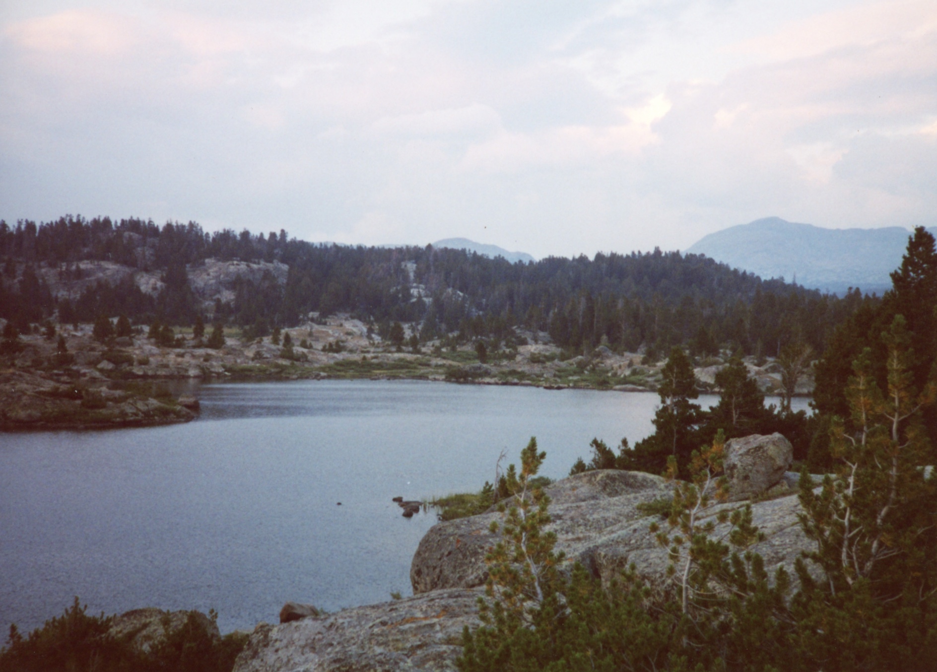
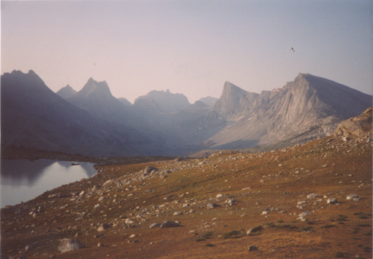
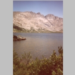
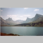
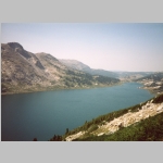
Middle Fork Lake, Bridger Wilderness, Wyoming
August 16 to 23, 2003
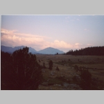
"A mountain is the best medicine for a troubled mind. Seldom does man ponder his own insignificance. He thinks he is master of all things. He thinks his world is without bonds. Nothing could be farther from the truth. Only when he tramps the mountains alone, communing with nature, observing other insignificant creatures about him, to come and go as he will, does he awaken to his own short-lived presence on earth"
Finis Mitchell (1901-1995)
Hike Information
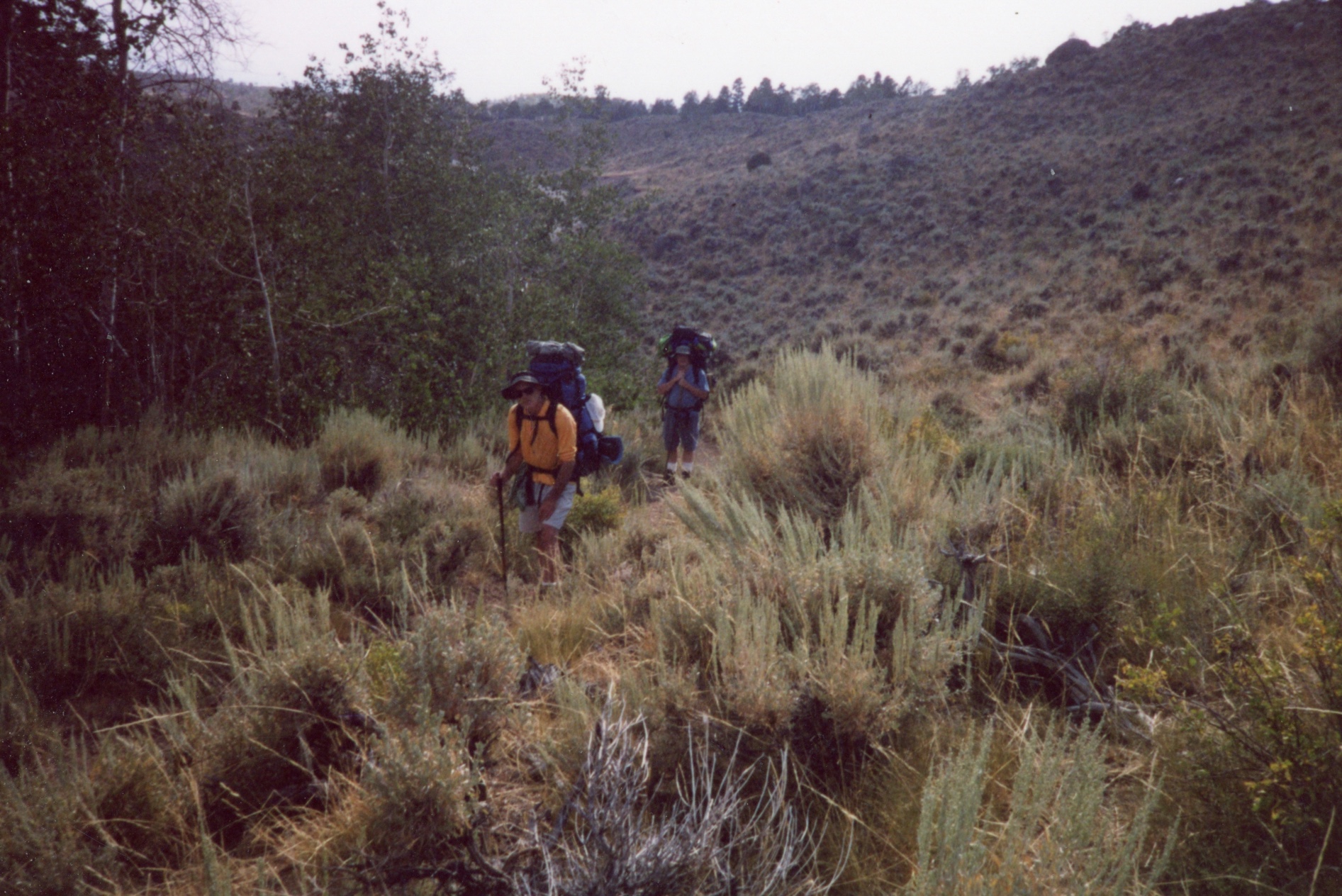
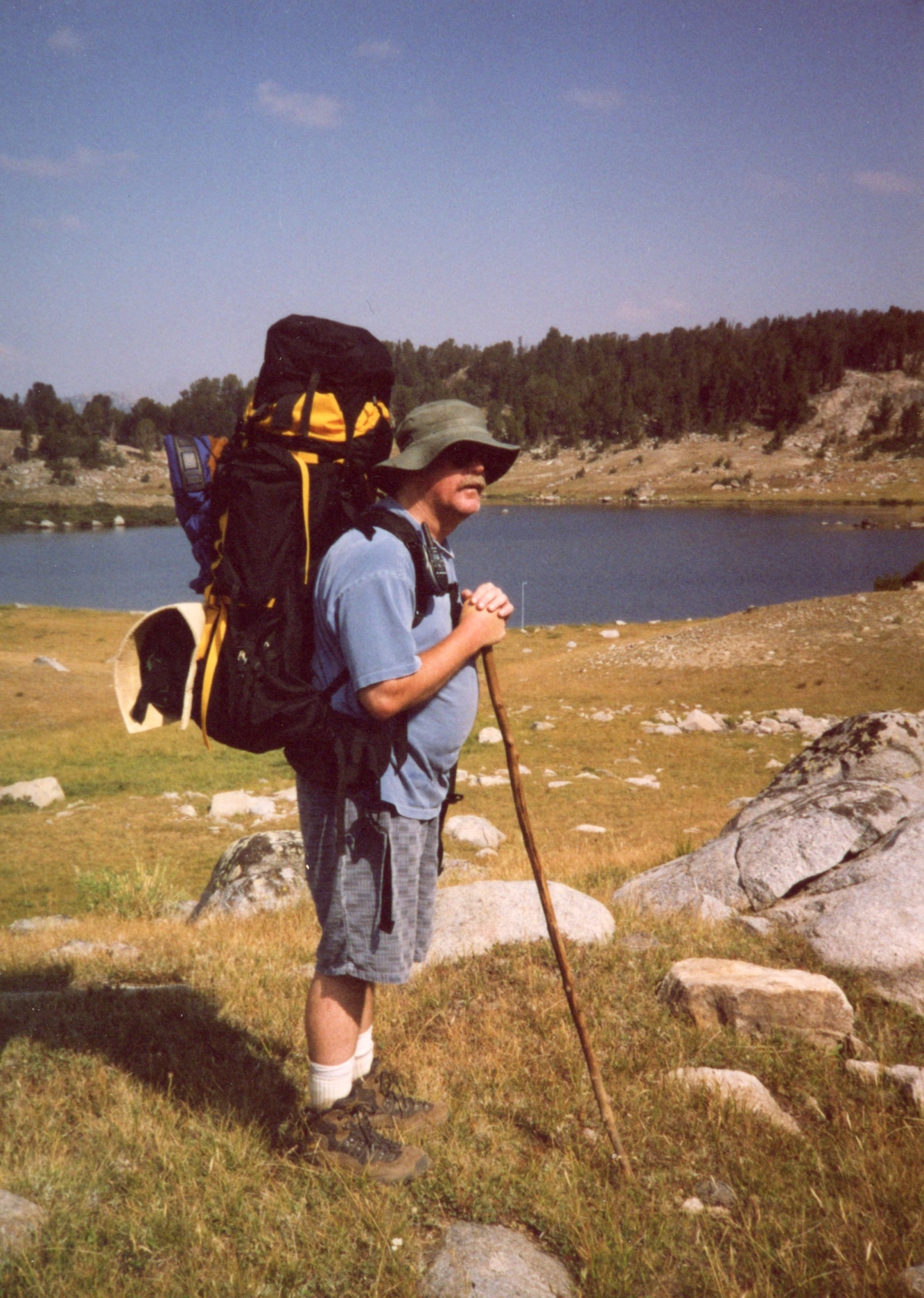
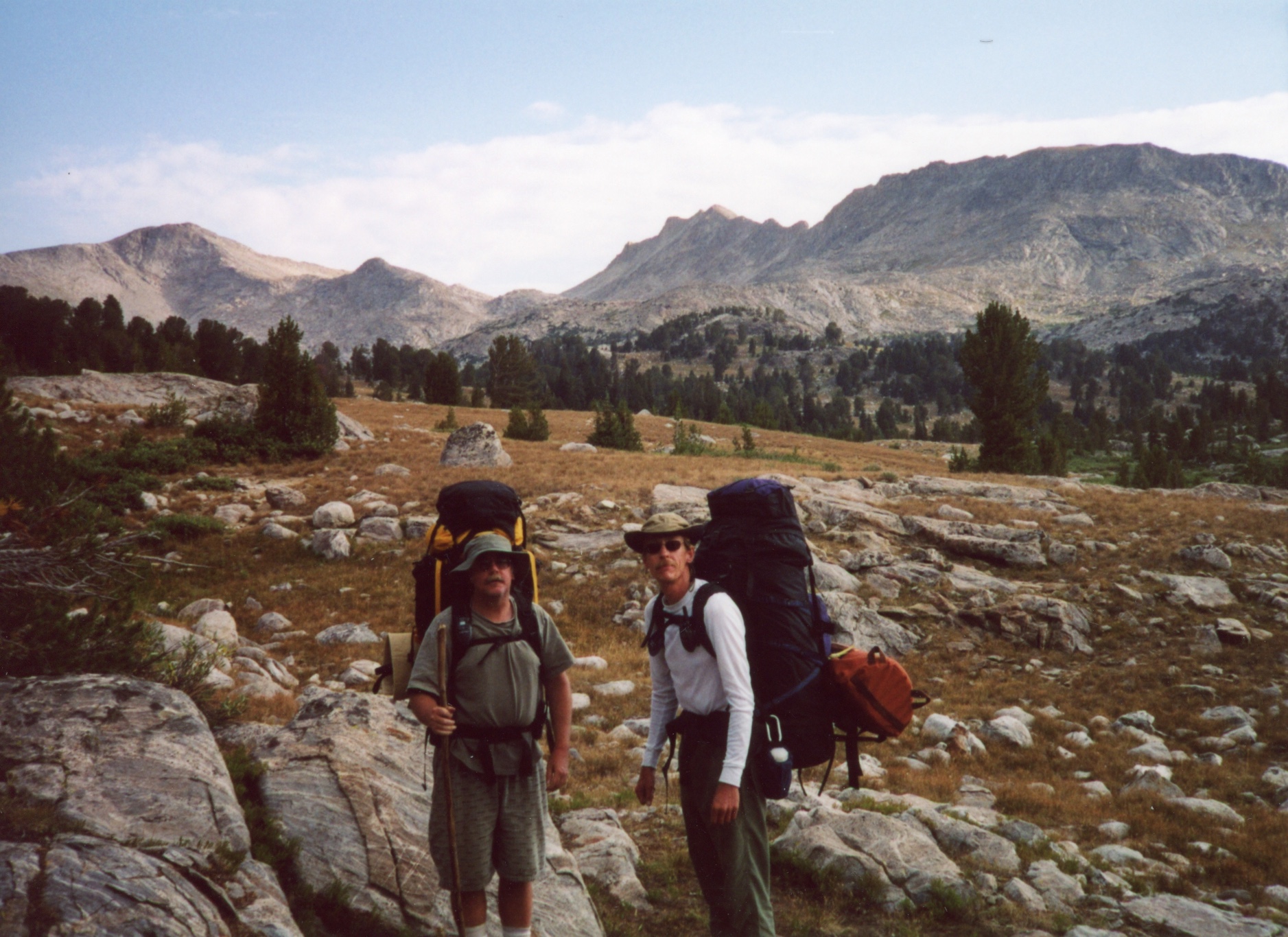
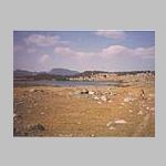
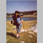
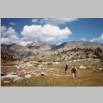
For our second trip to the Wind River Range, we did a five day, four night hike to Middle Fork Lake from the Scab Creek trailhead. Brian, Bob, and Ted left Laramie early for the five hour drive to the trailhead. We stopped in Rock Springs to purchase food at Subway for our first meal on the trail.
After leaving the trailhead, we stopped and dined after short inital steep hike on the Scab Creek trail (depending on your map, this portion of the trail may be identified as Lowline or Scab Creek). WE make a quick camp there that night not pitching tents.
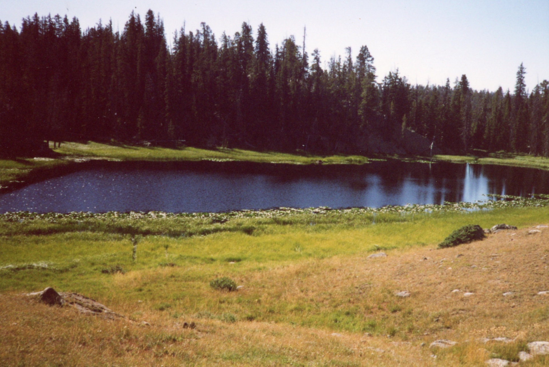
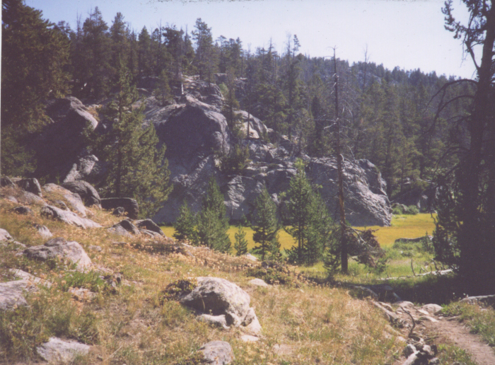
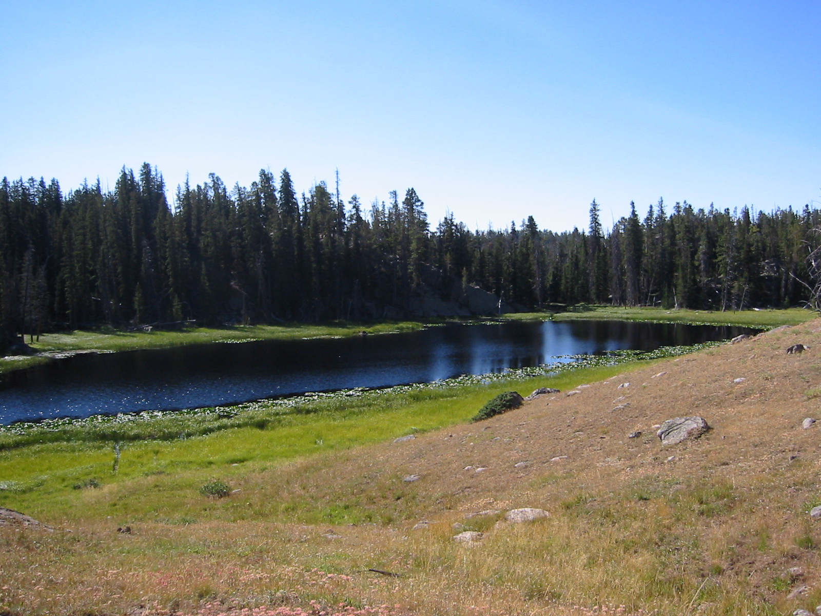
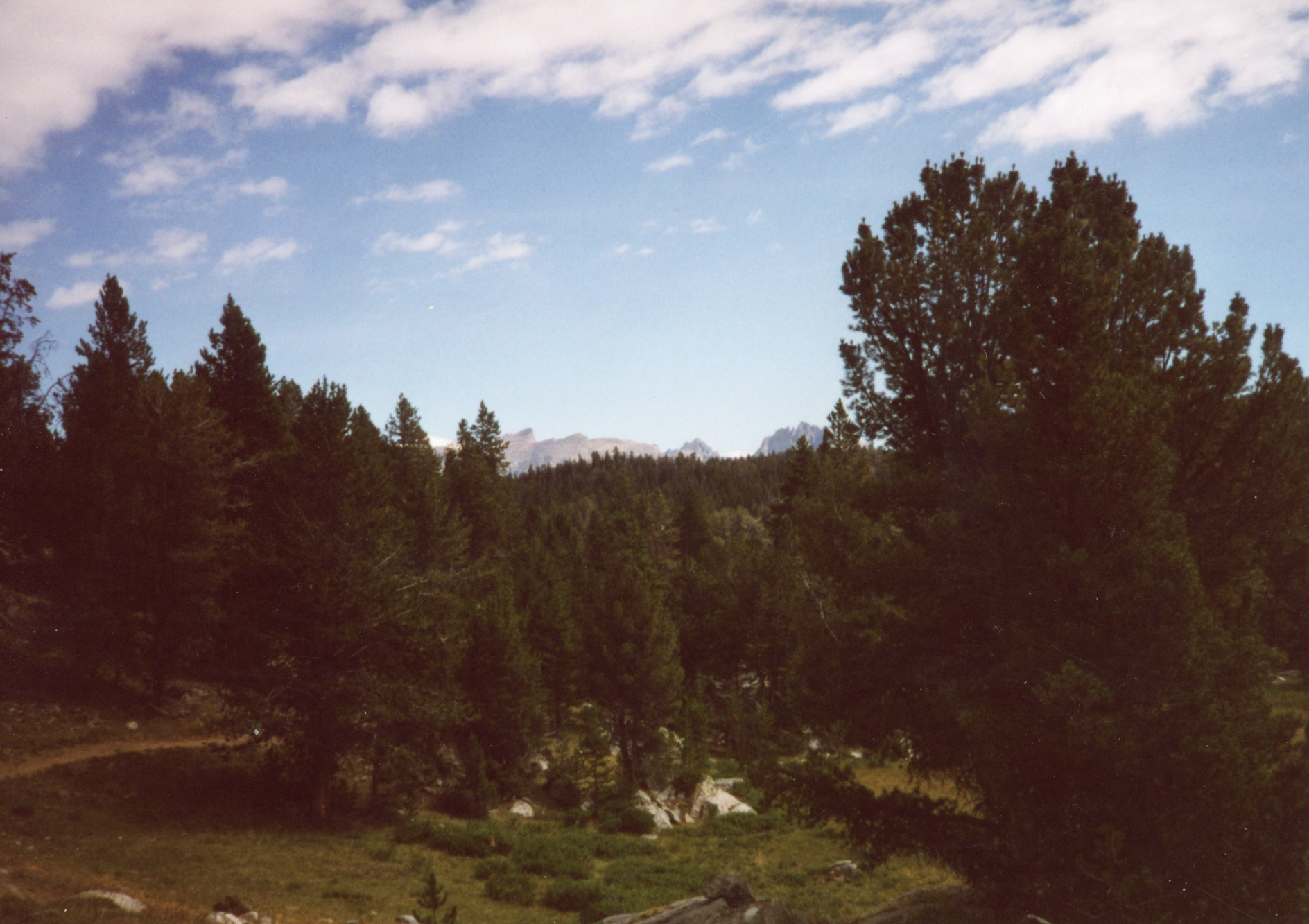
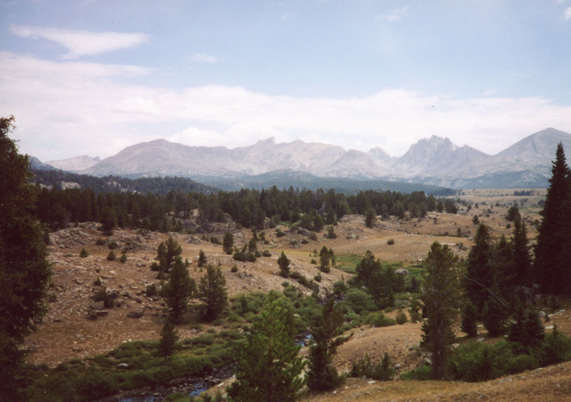
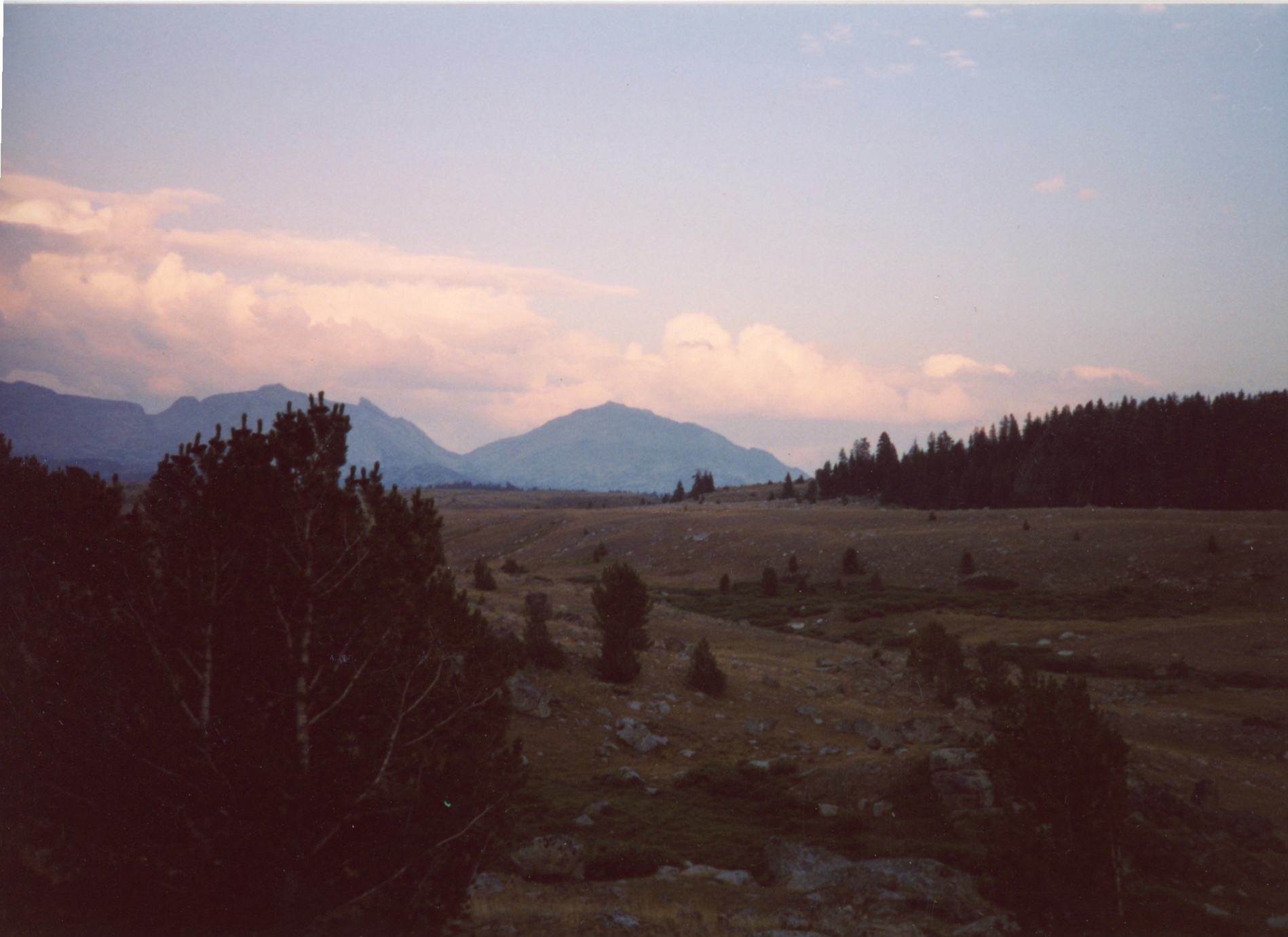
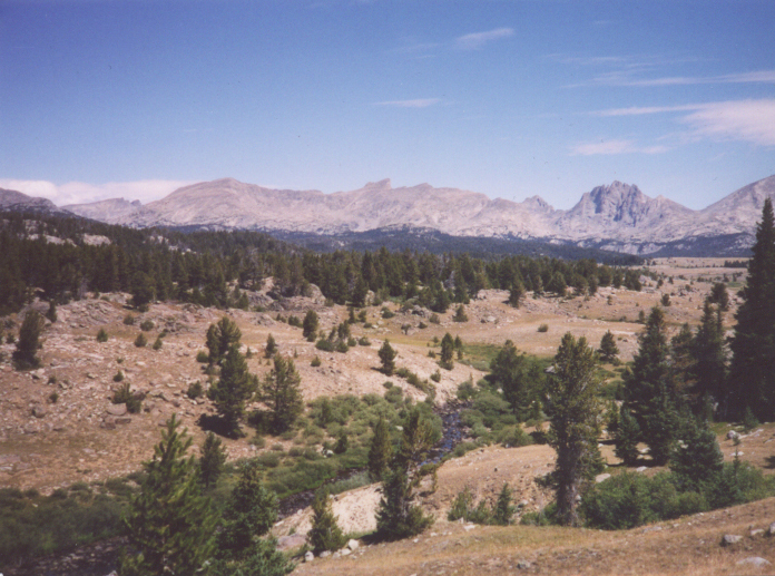
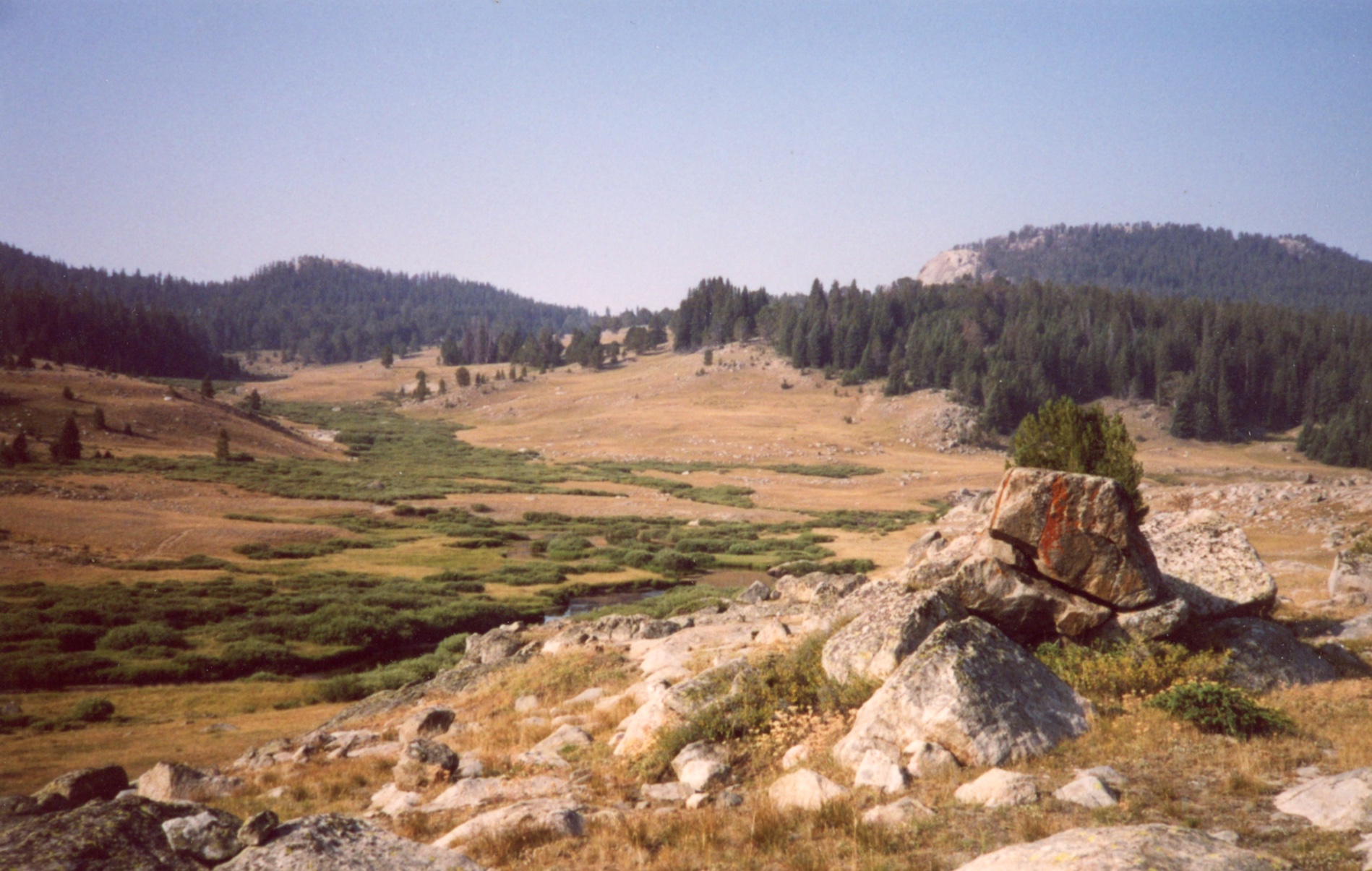
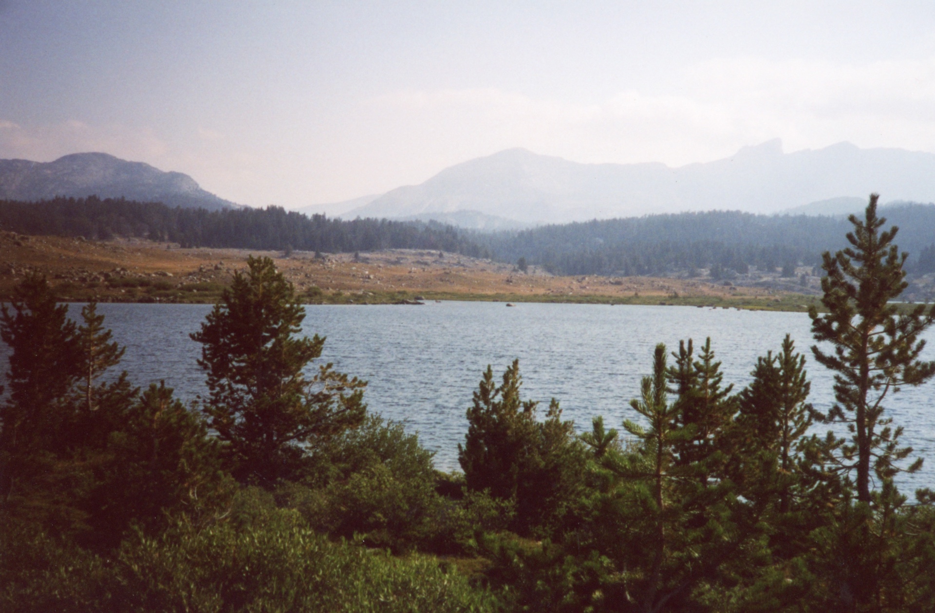
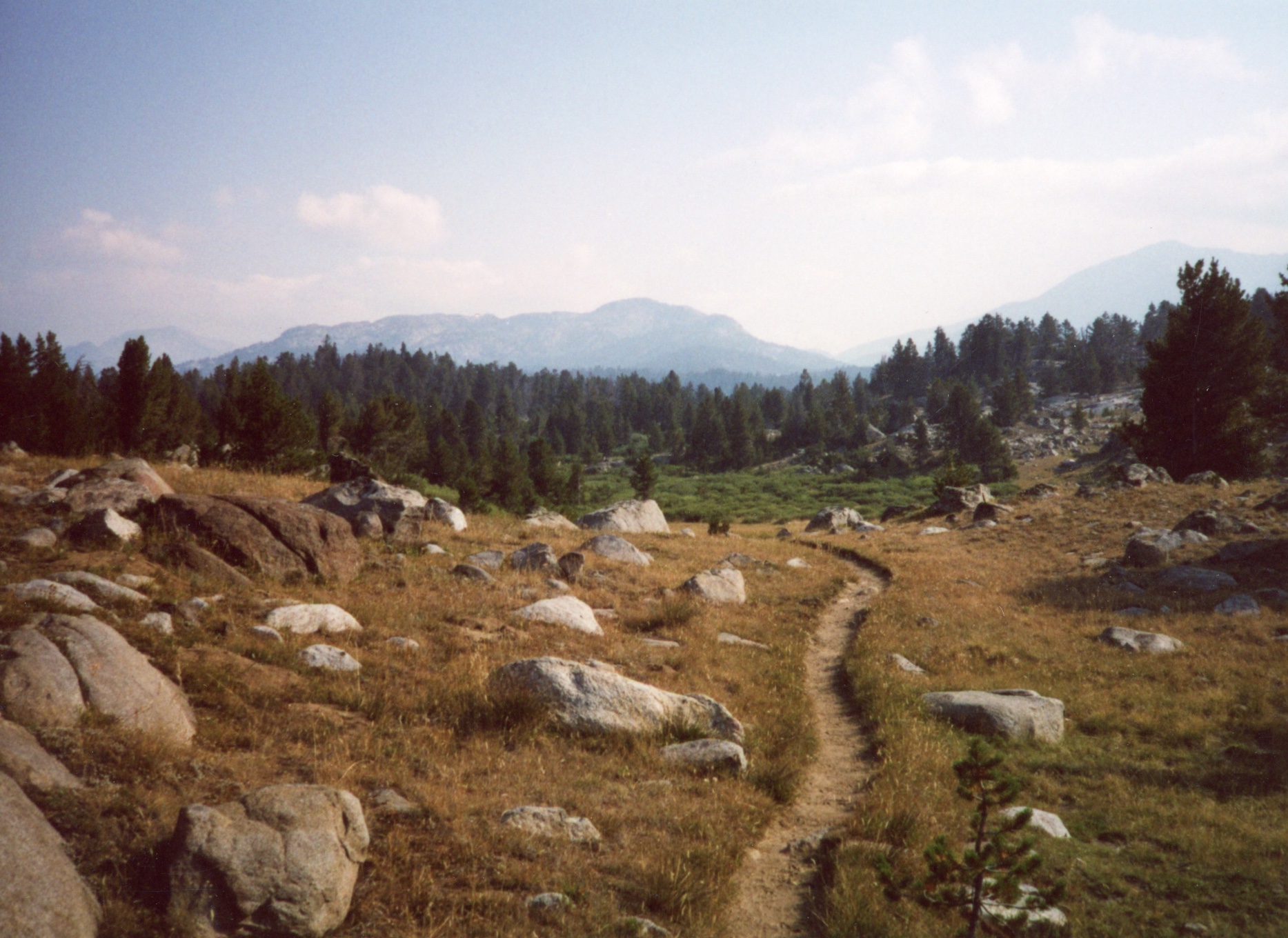
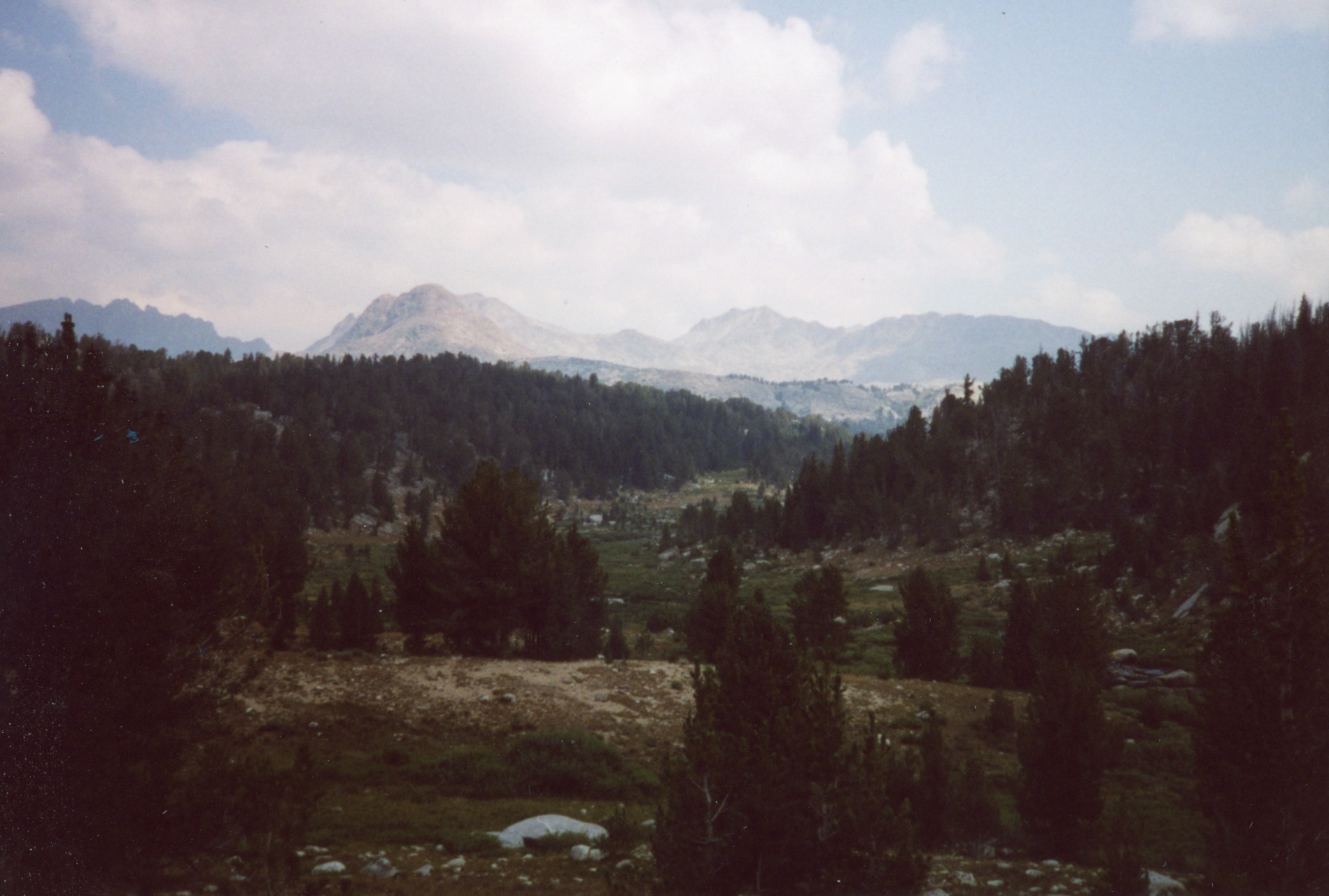
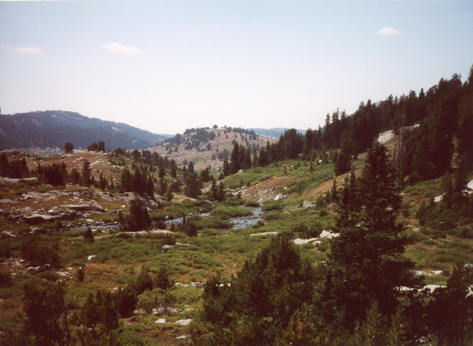
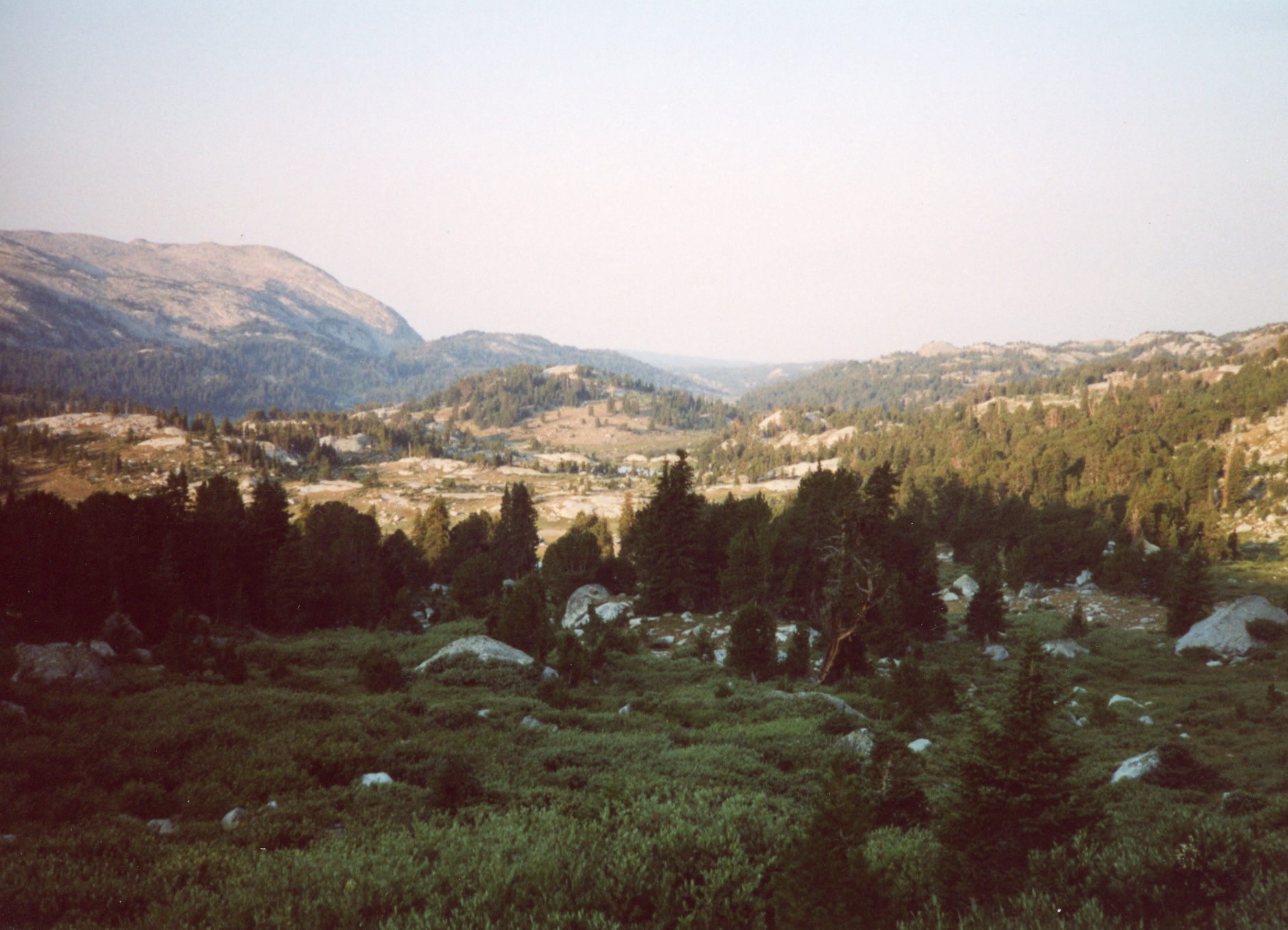
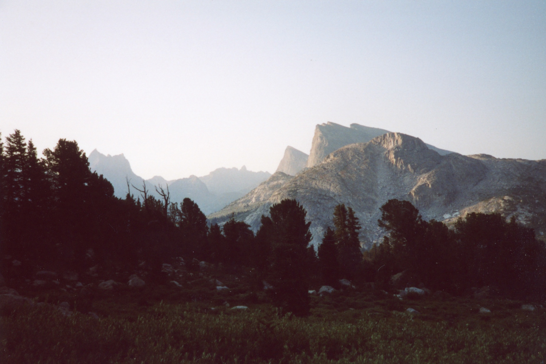
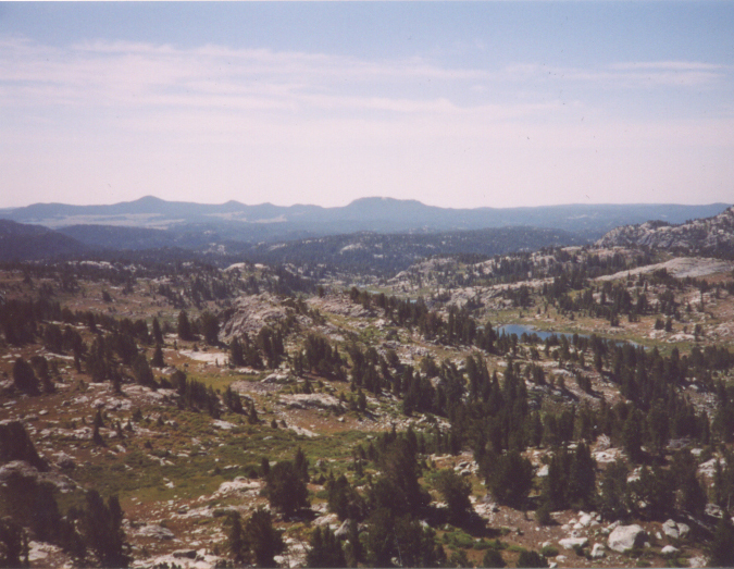
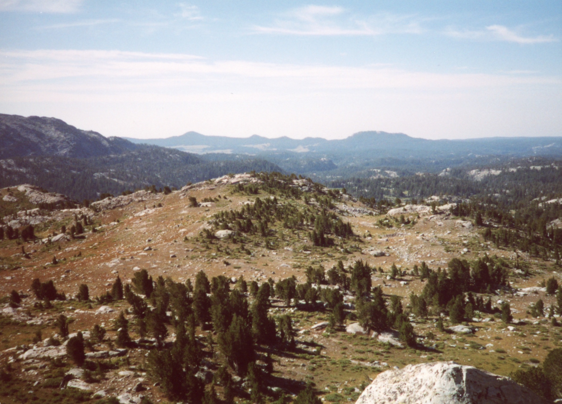
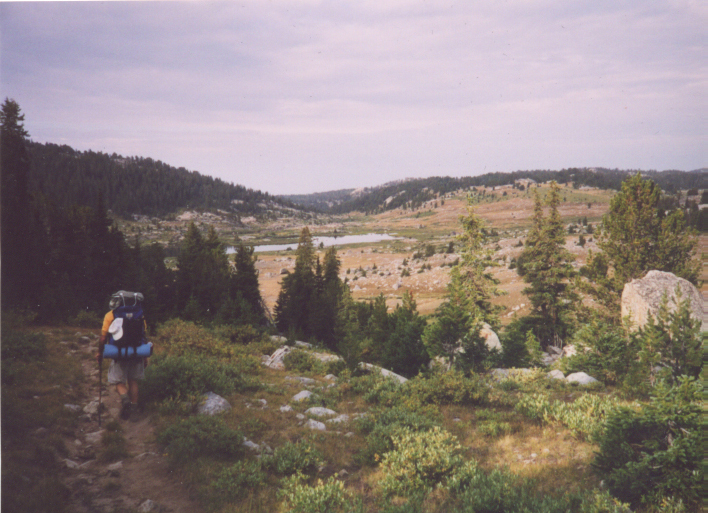
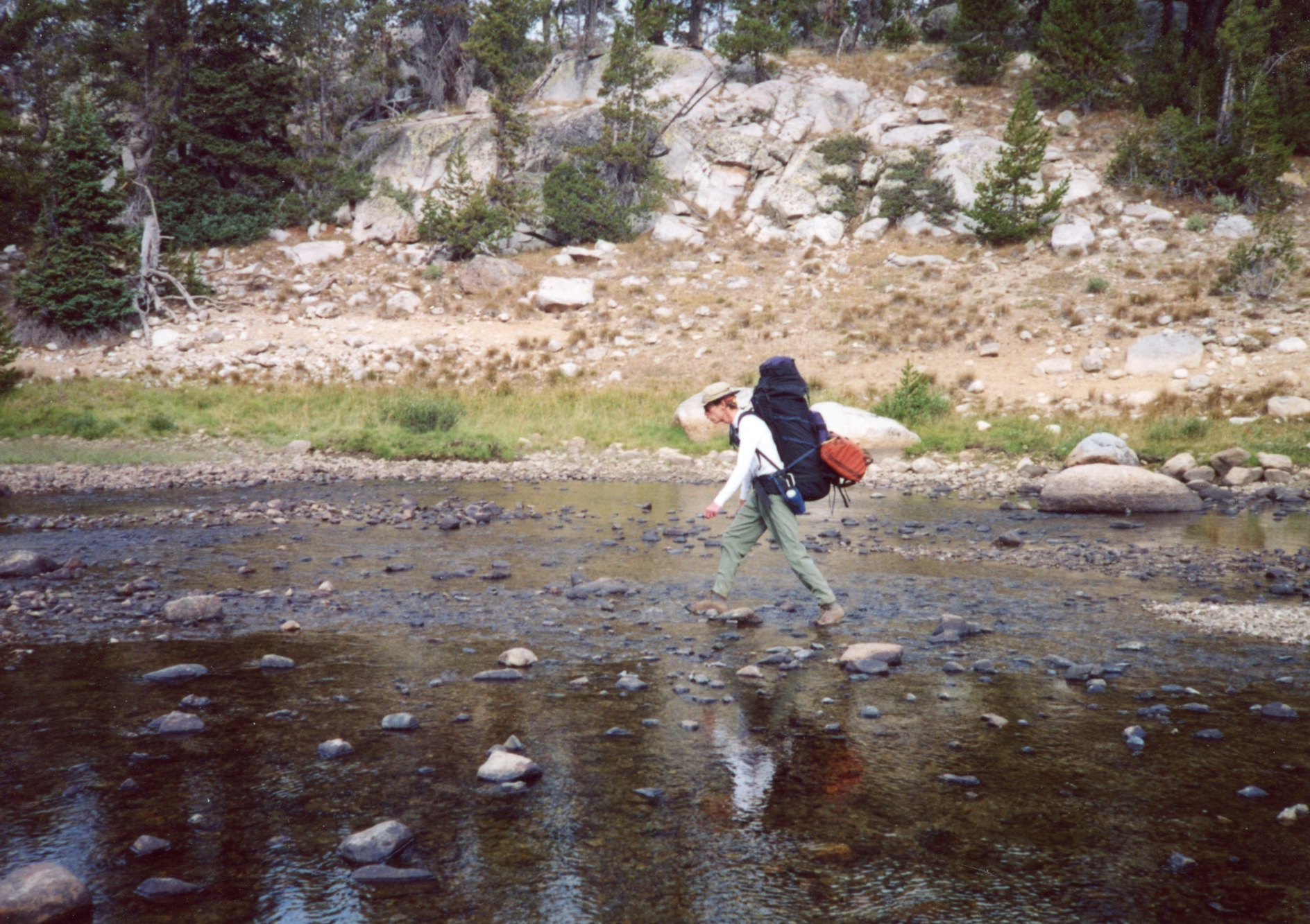
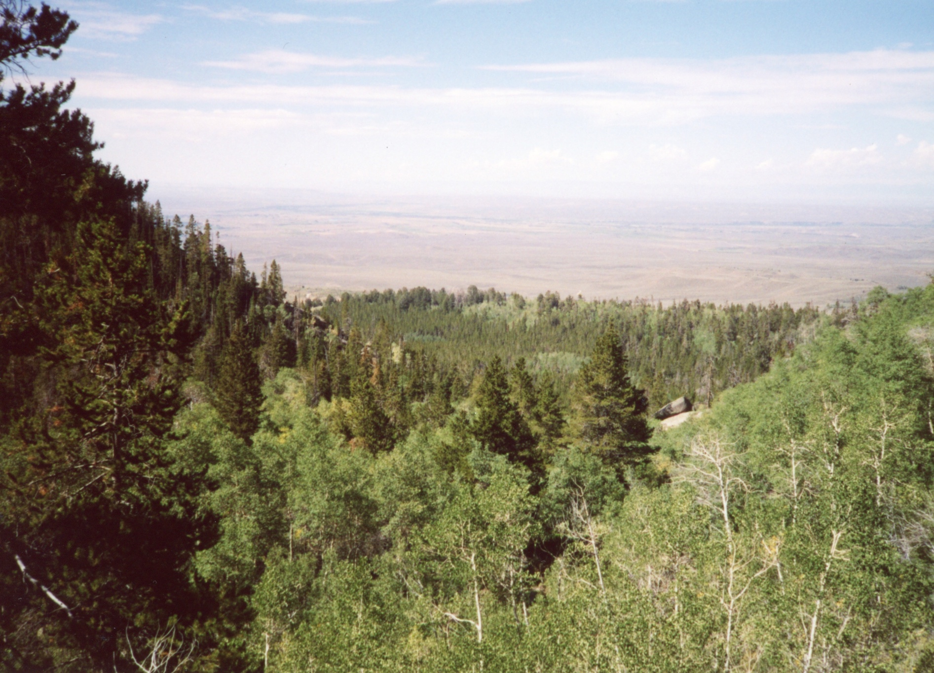
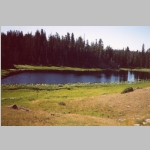
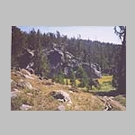
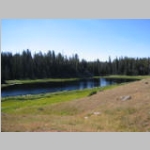
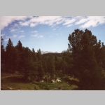
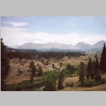
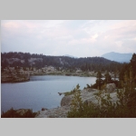
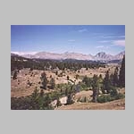
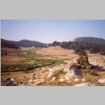
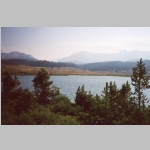
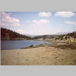
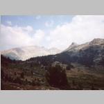
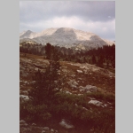
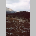
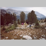
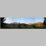
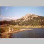
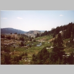
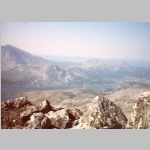
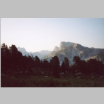
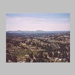
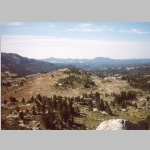
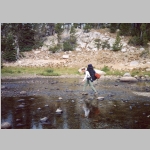
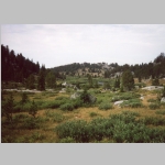
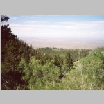
The next day we then continued our hike with a 1500 ft climb to the Wilderness Boundary to reach Tobaggan Lakes area where we hiked up and down and around various small lily pad covered lakes in a forest. At Little Divide Lake, we saw some interesting irrigation works and we reached a junction with the Low Line Trail. Continuing to gain altitude on the Scab Creek Trail, we hiked past Lightning Lake and then the views showed up as we neared the South Fork Creek crossing. We started to get glimpses of peaks over the trees. Eventually, we broke out of the trees with a view to the north and east into the Basin, crossed South Fork Creek onto the Dream Lake trail to find a campsite at Crescent Lake. This was a lovely camp in a meadow above the lake with lots of nice views. We stashed some beers here for our return hike out.
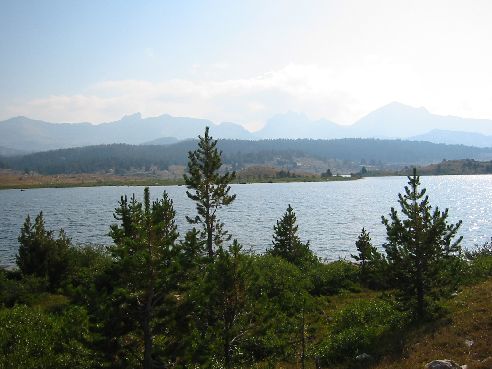
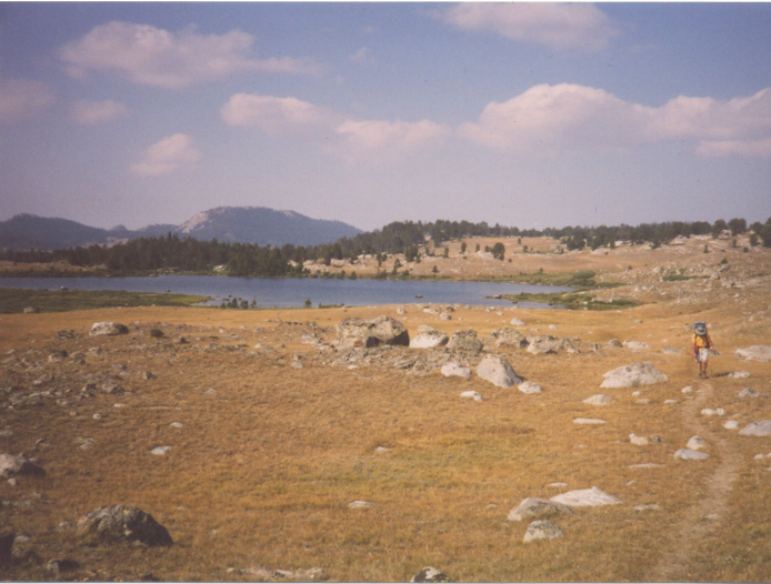
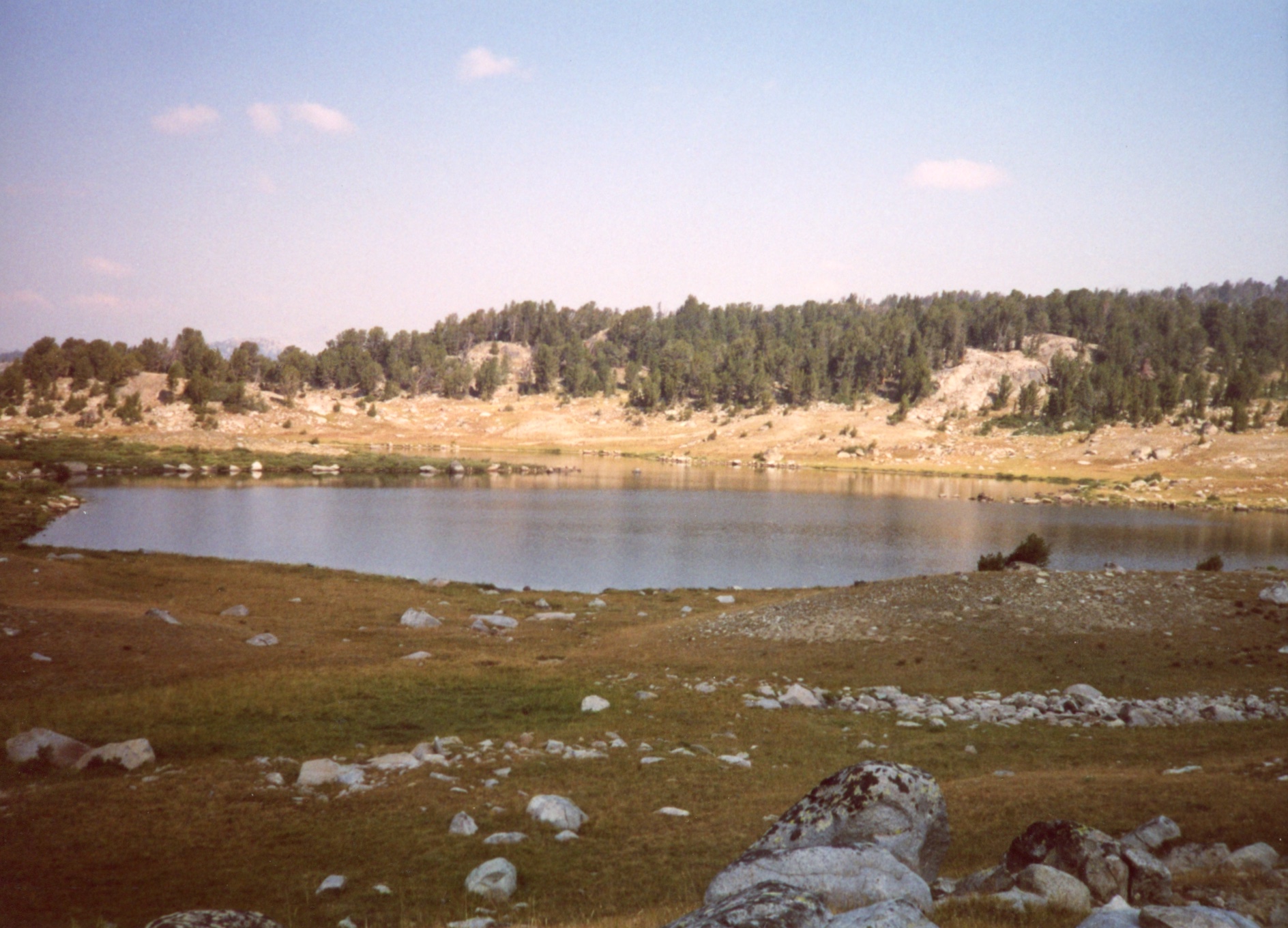
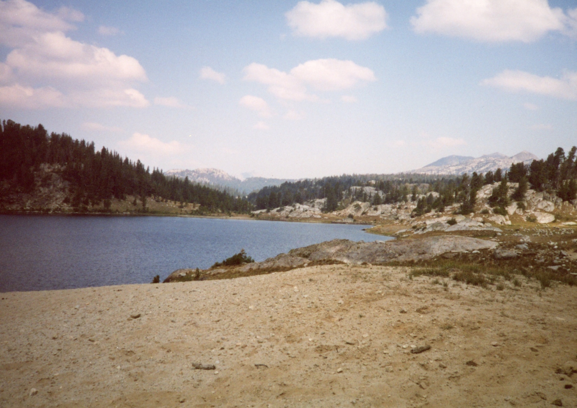
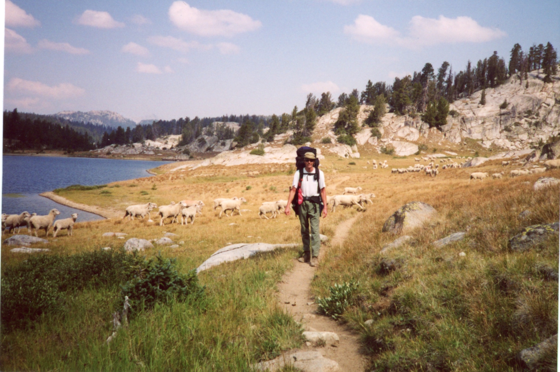
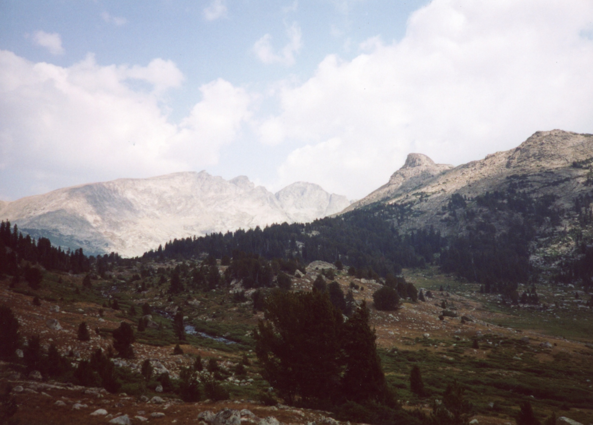
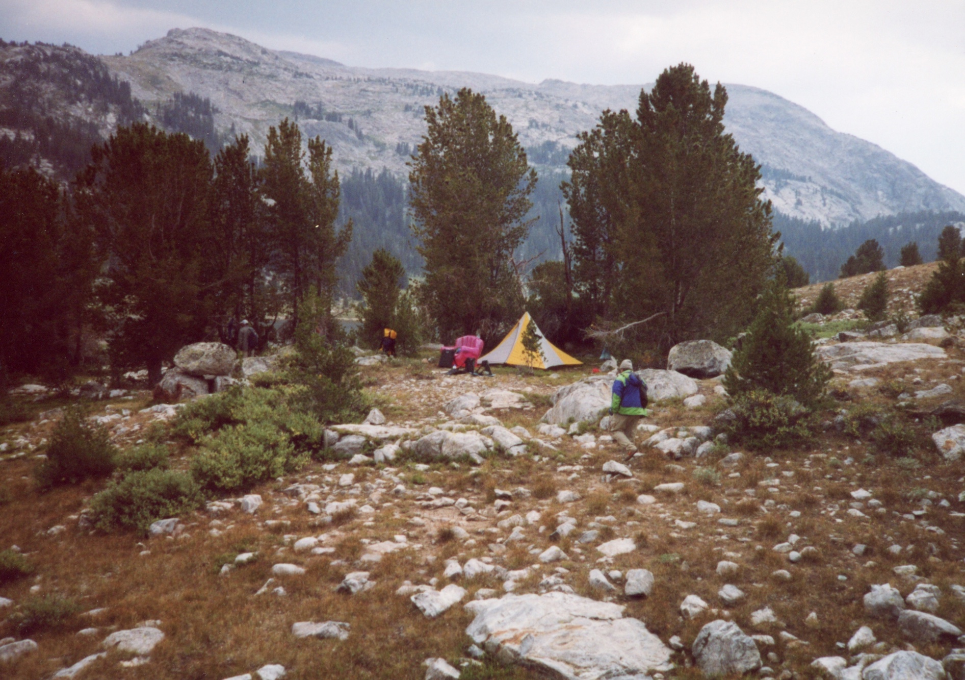
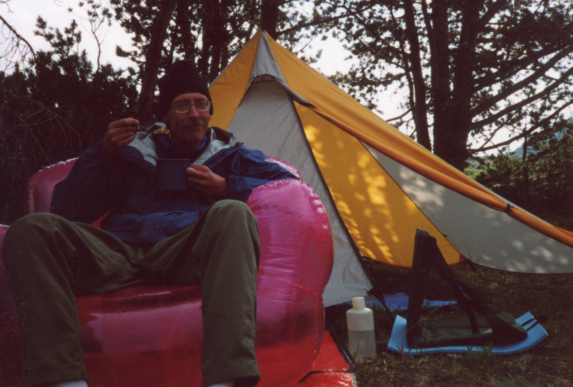
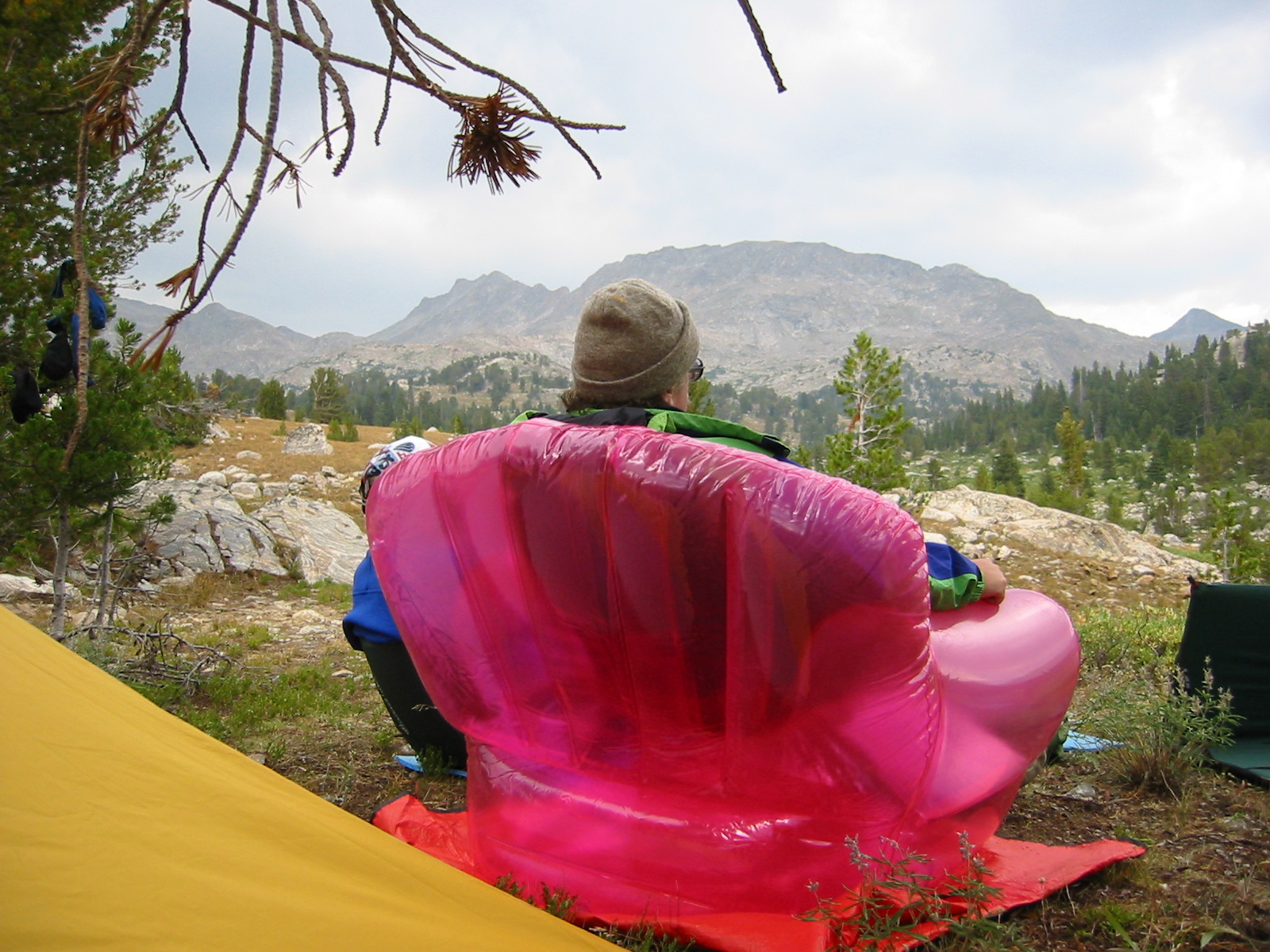
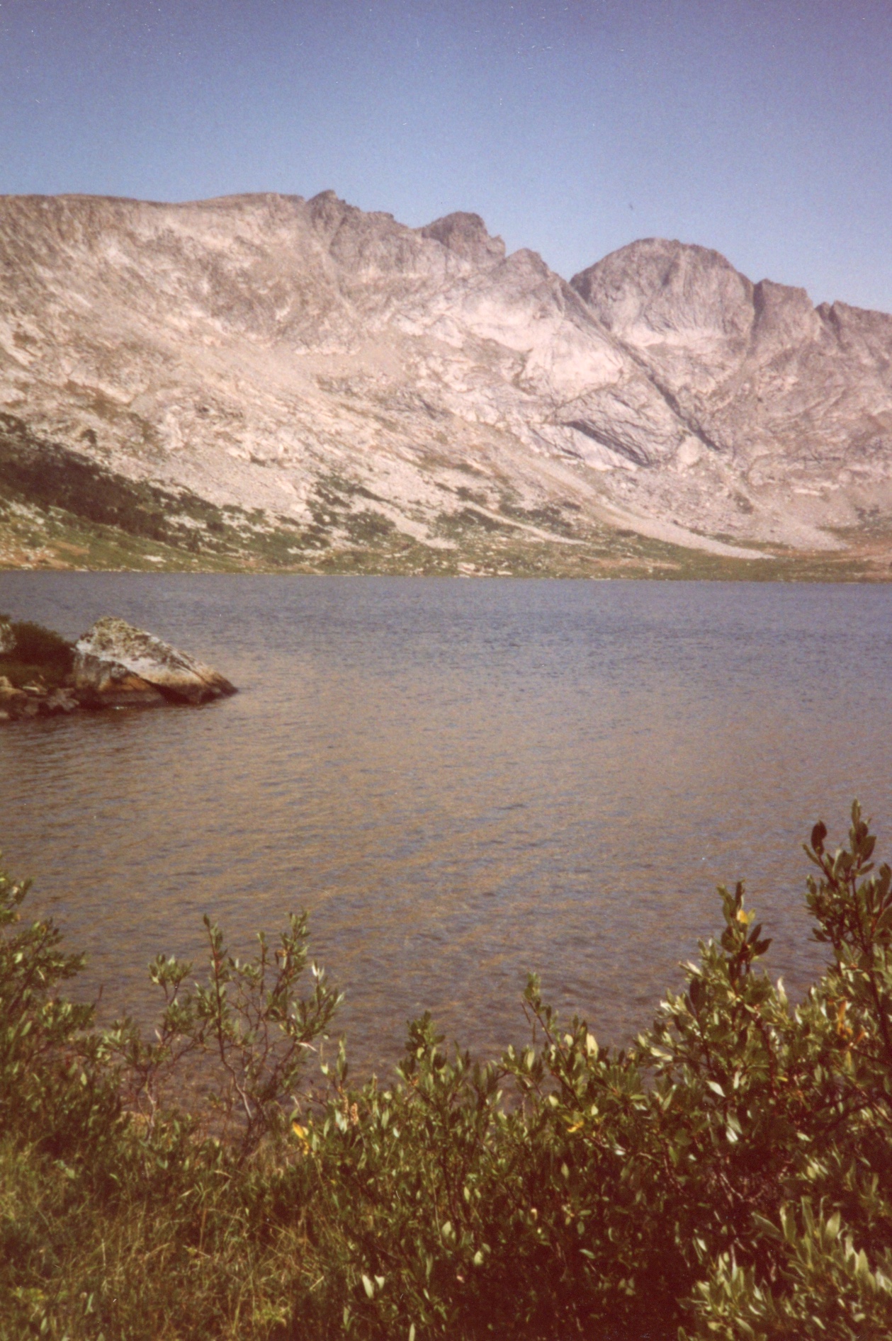
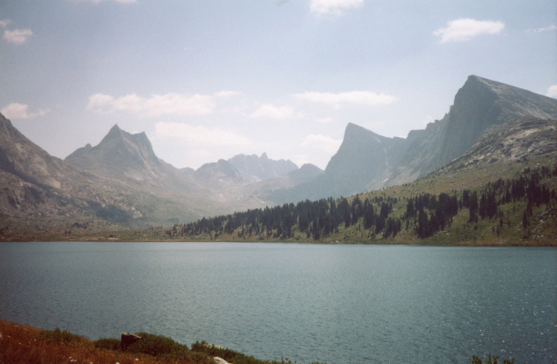
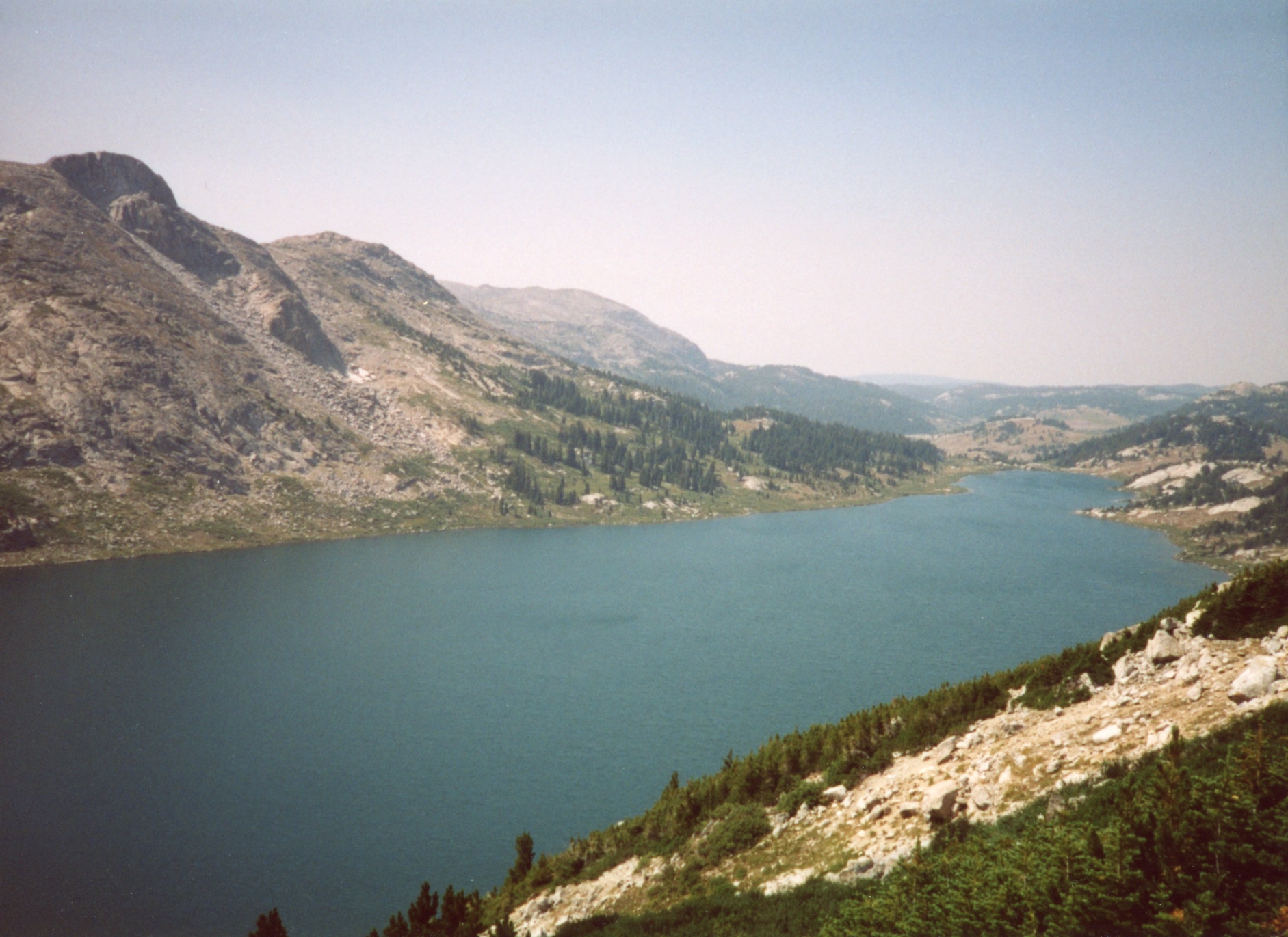
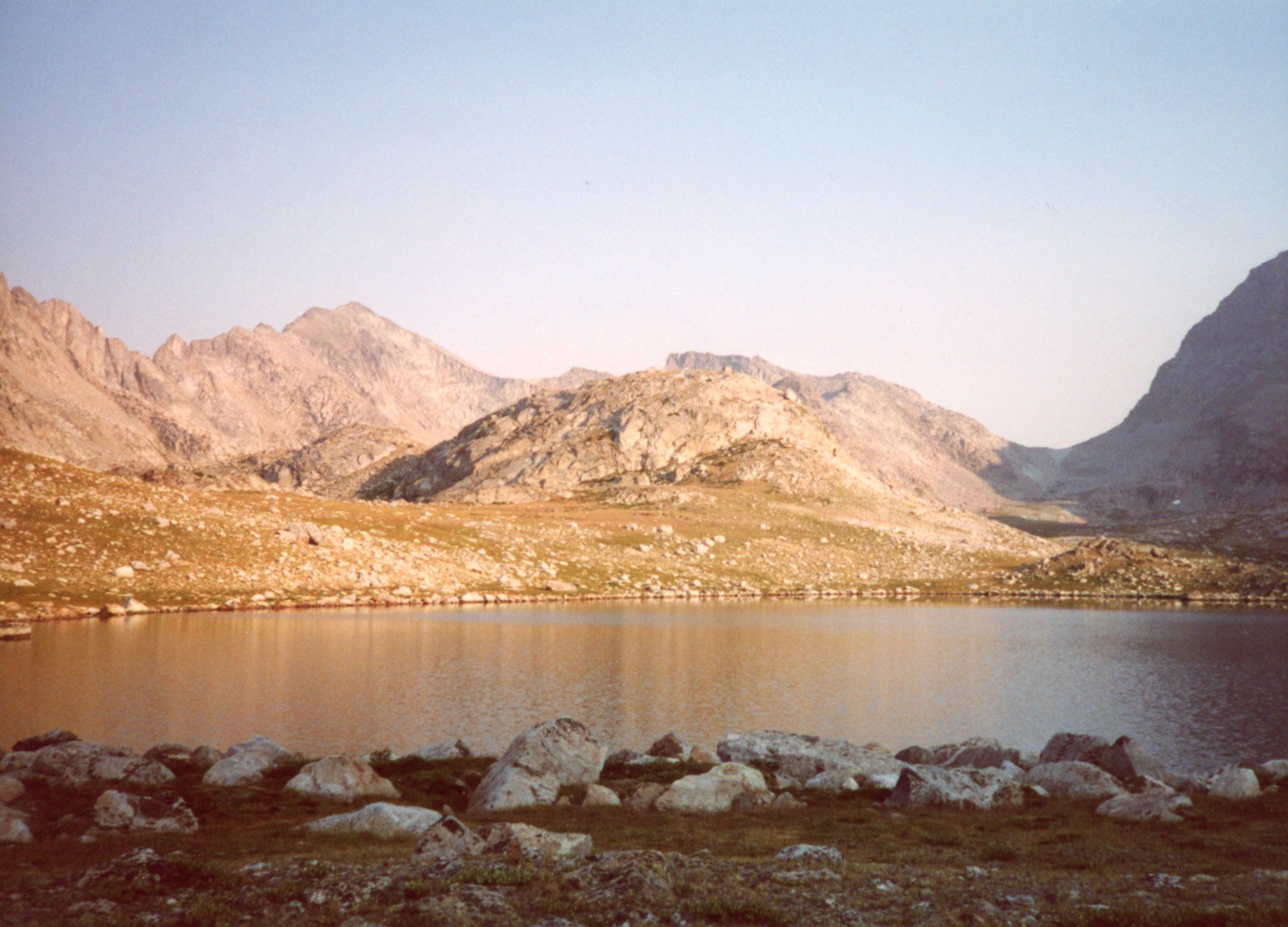
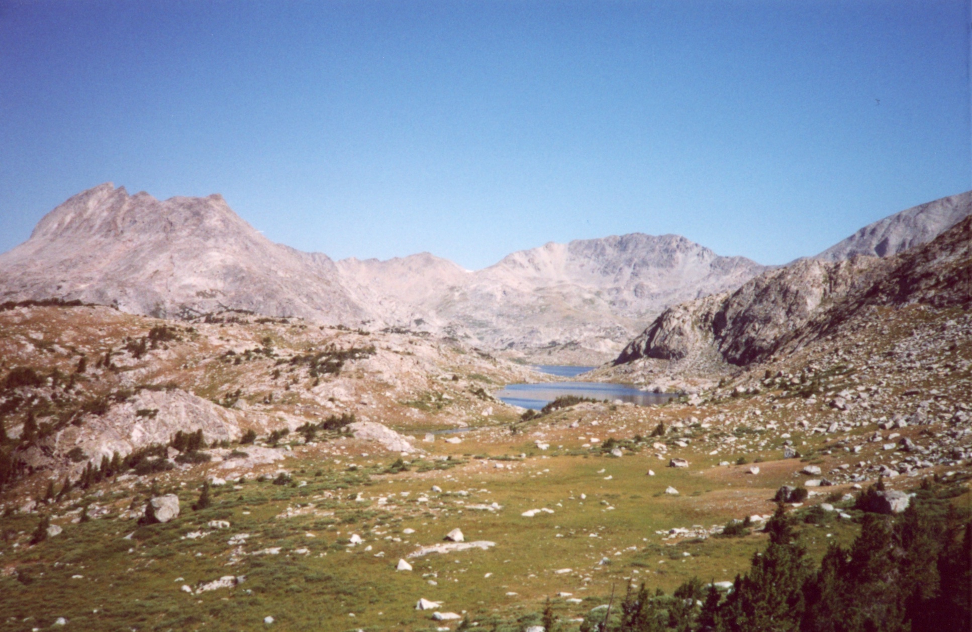
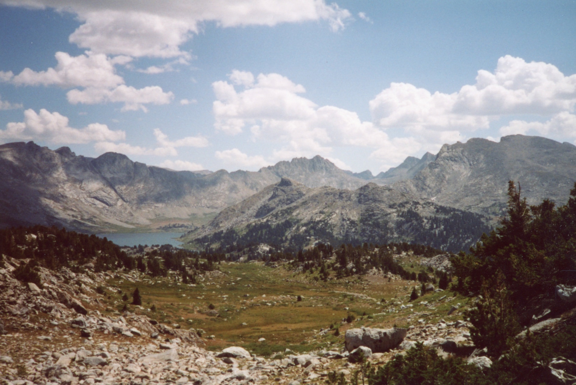
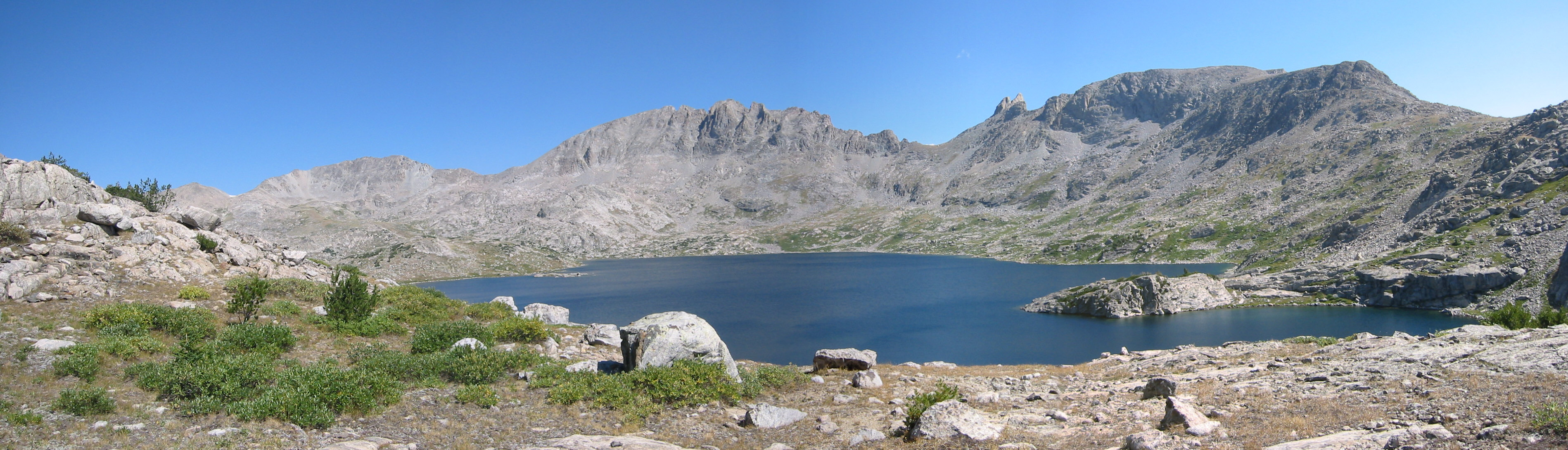
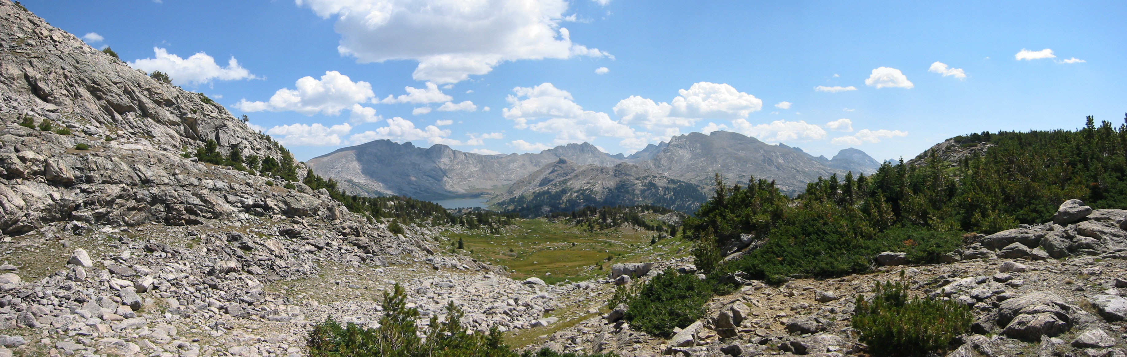
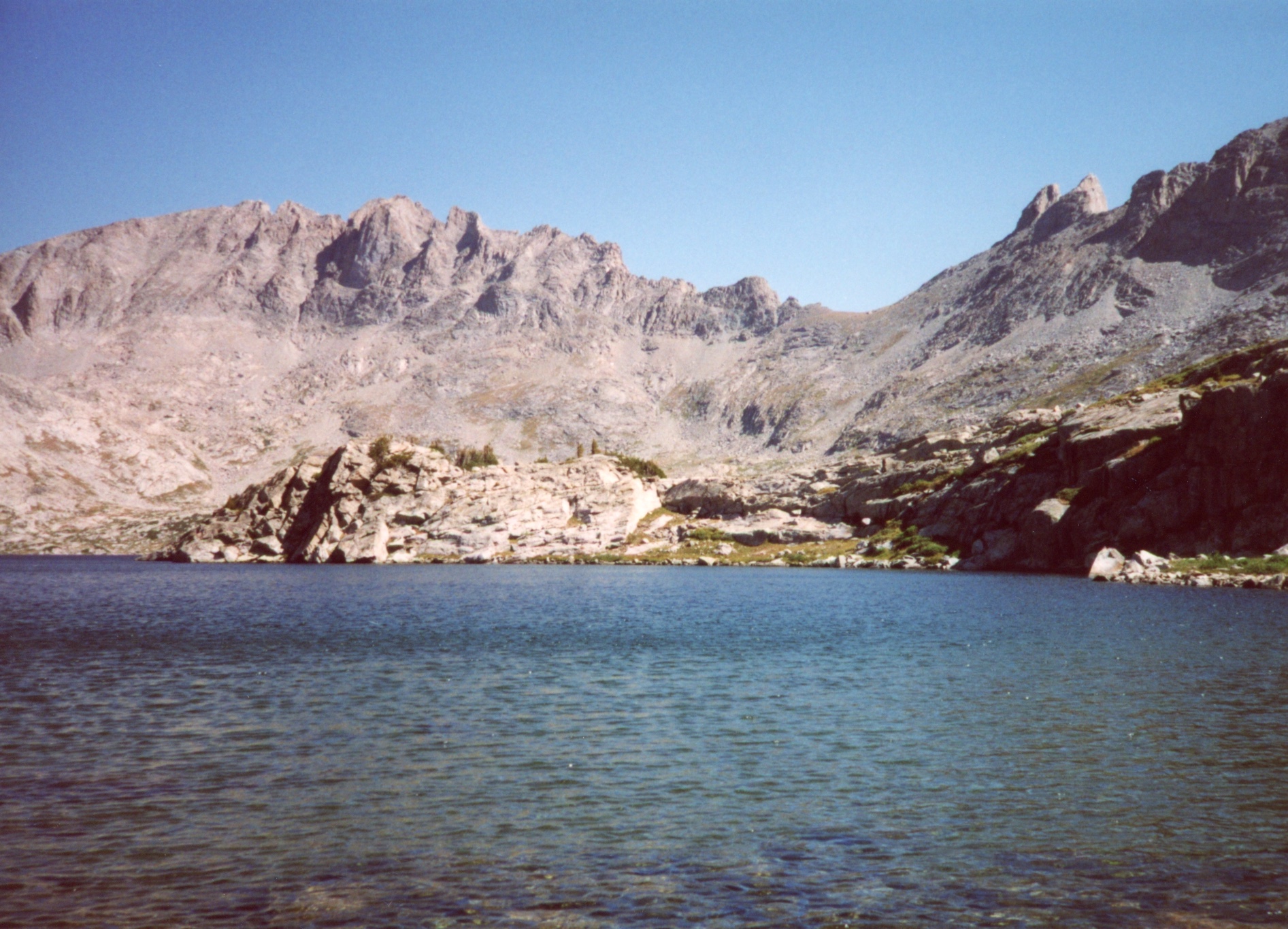
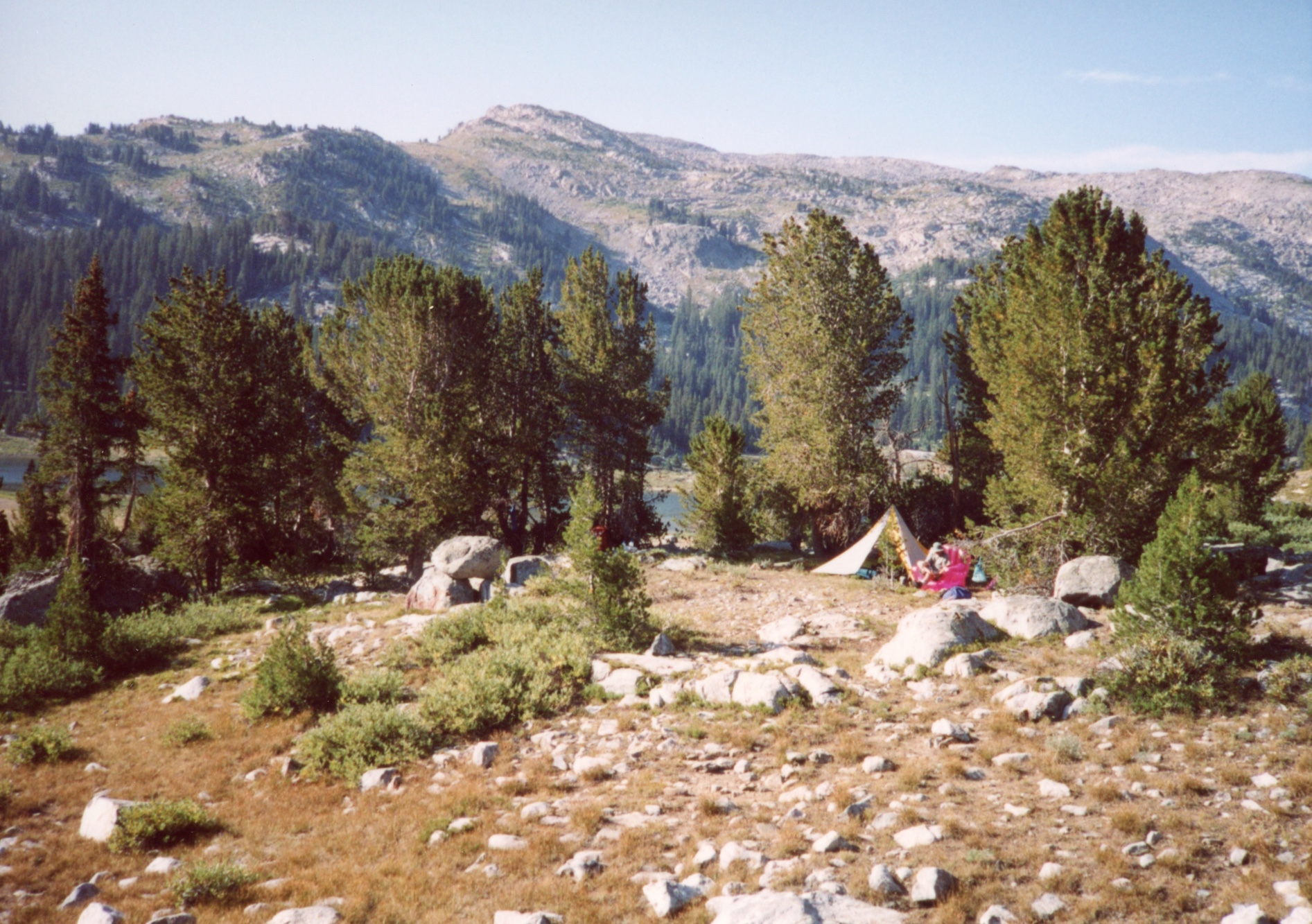
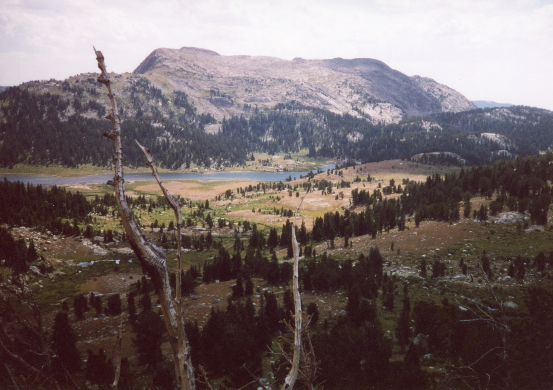
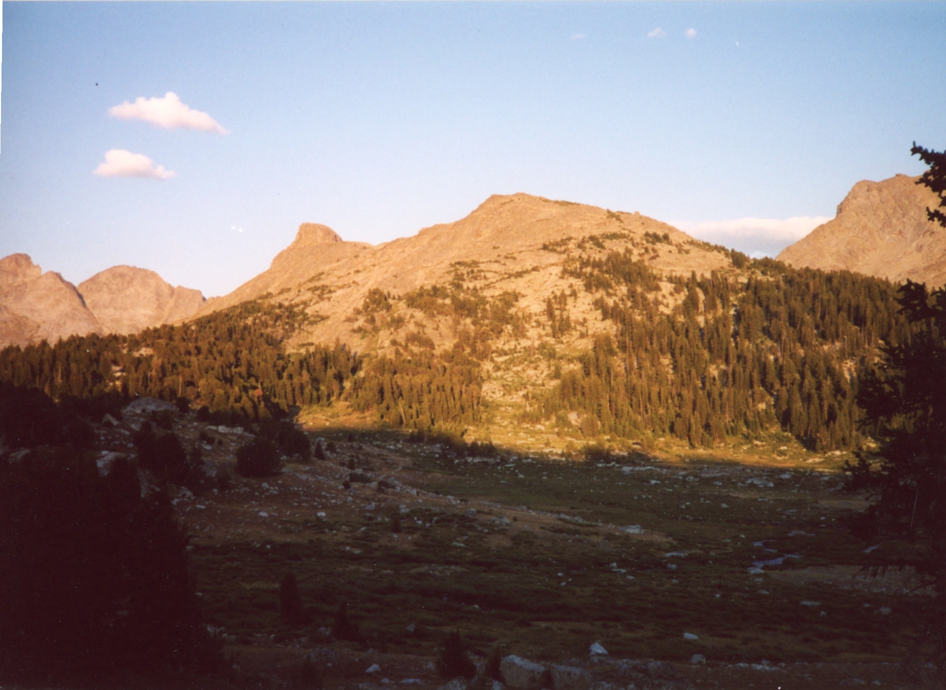
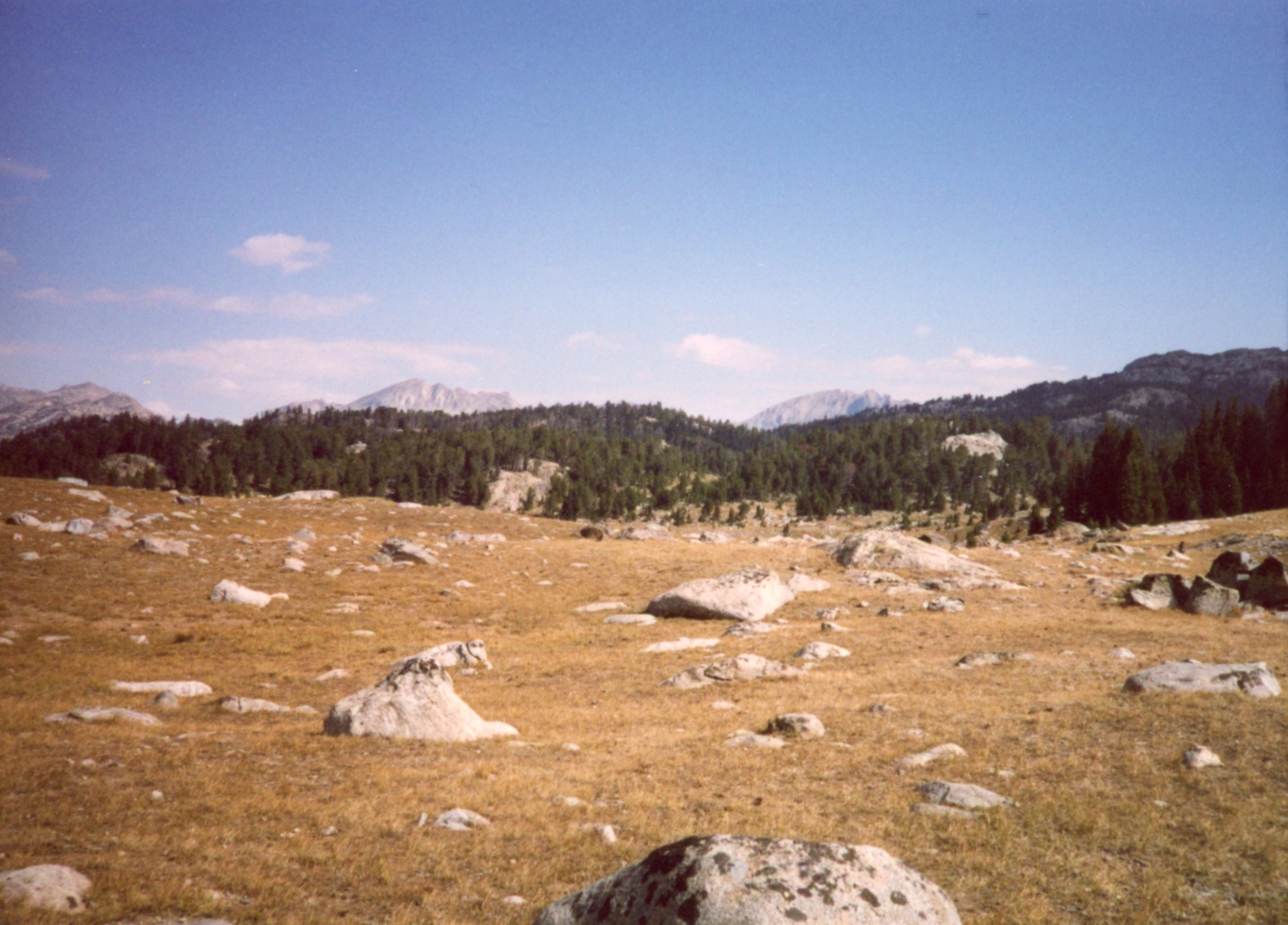
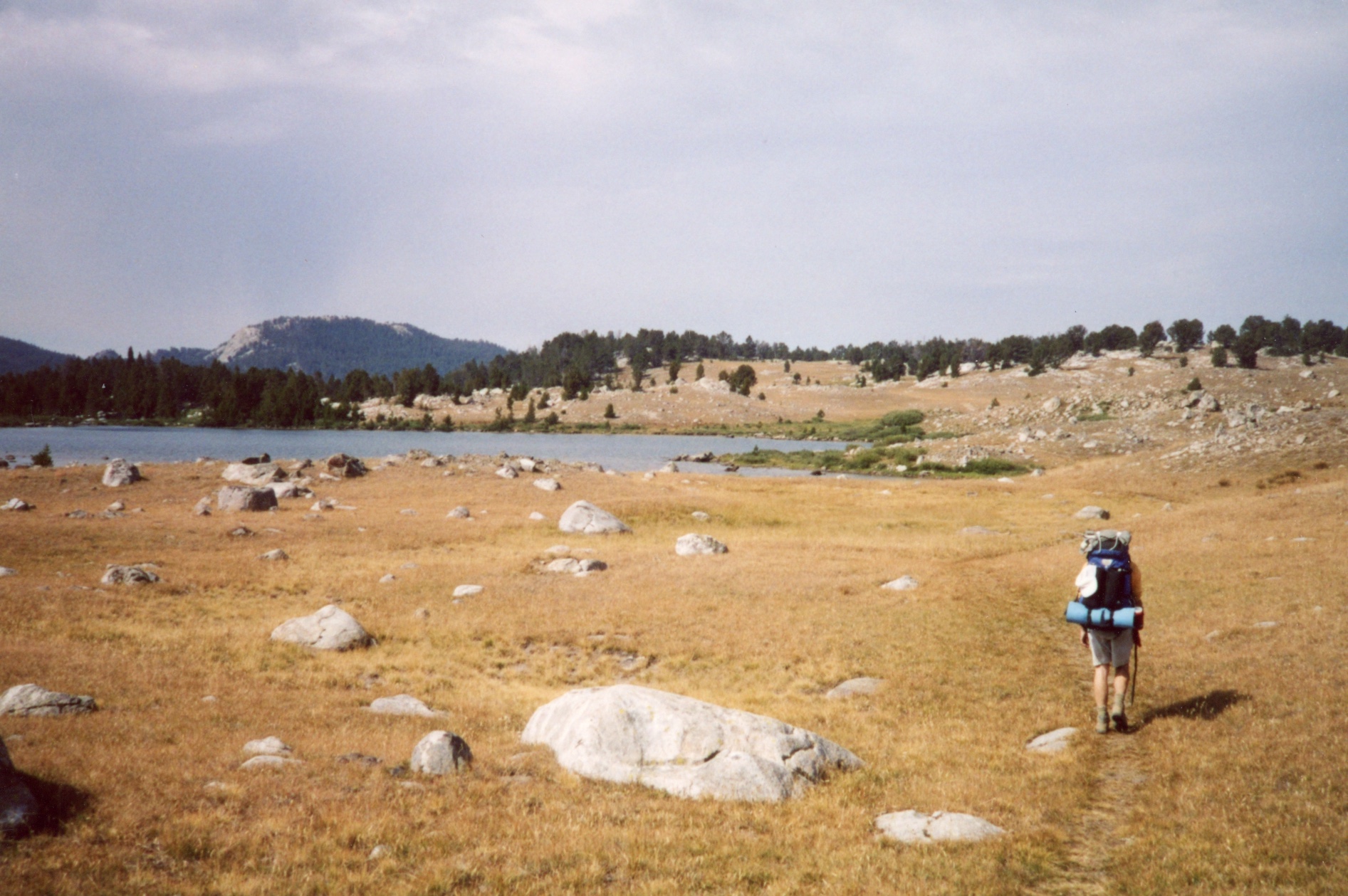
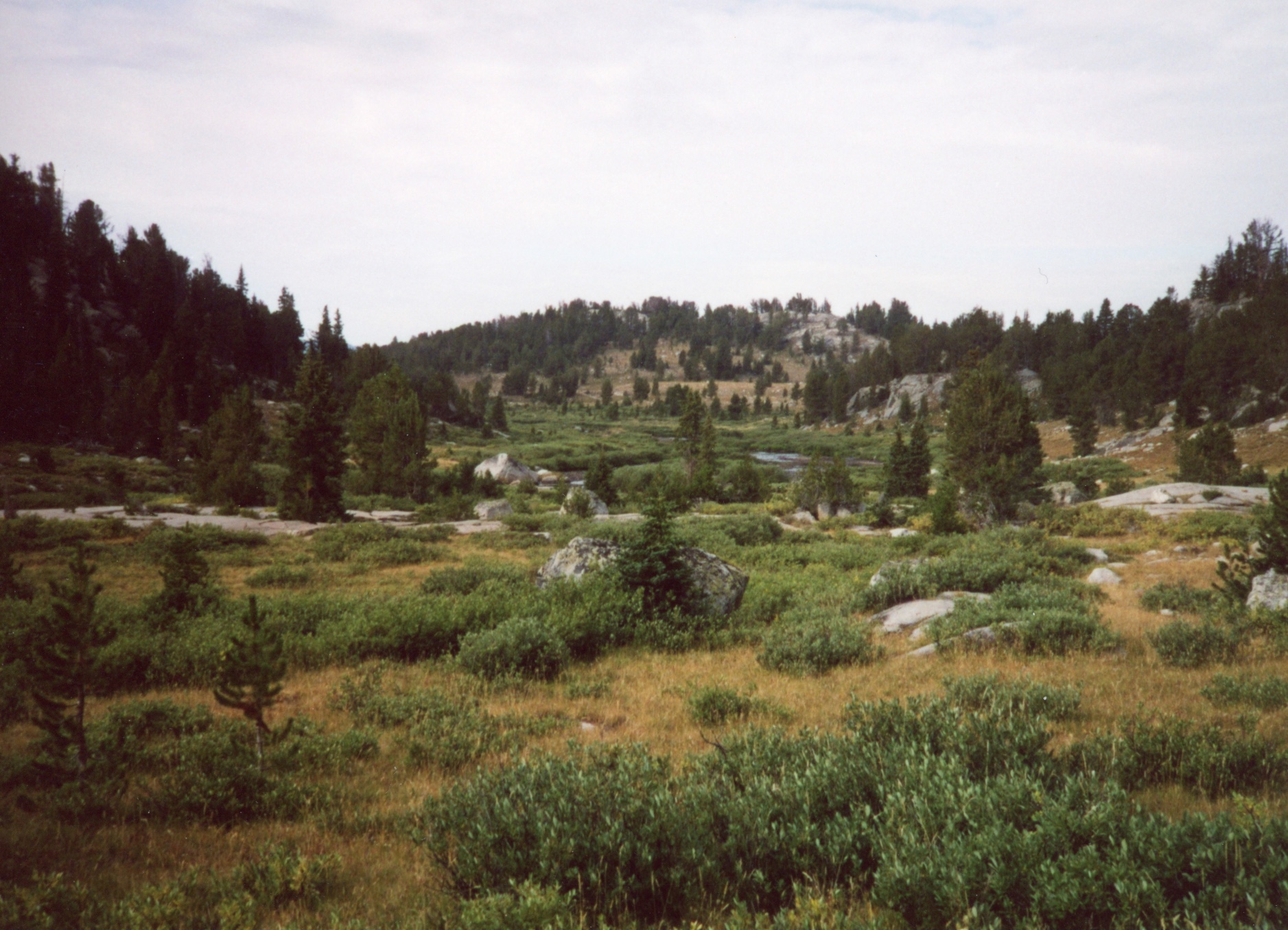
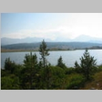
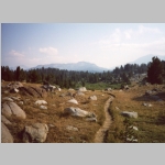
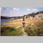
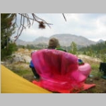
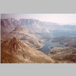
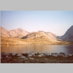
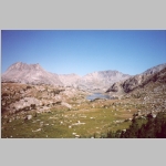
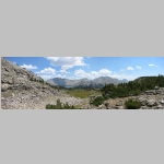
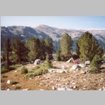
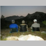
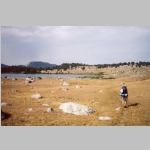
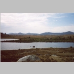
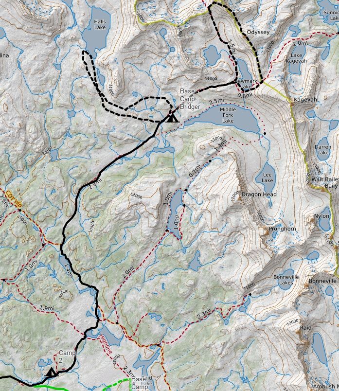
The next morning we made our way to Dream Lake where we were greeted with a confusing maze of intersecting trails and the beginning of the Great Sheep Desert. We caught the Fremont Trail (on some maps as the Old Highline Trail) north past Bob's and Sandpoint lakes and then northeast up the the Middle Fork Creek Trail. After a couple miles, we turned off the trail and found a level, sheltered campsite with excellent views of Middle Fork Lake. Brian always amazes us with new things, and this time it was an inflatable (!!!!) pink chair. Very heavy and bulky, but nice to sit in. So far we had seen only a sheep herder and one other hiker.
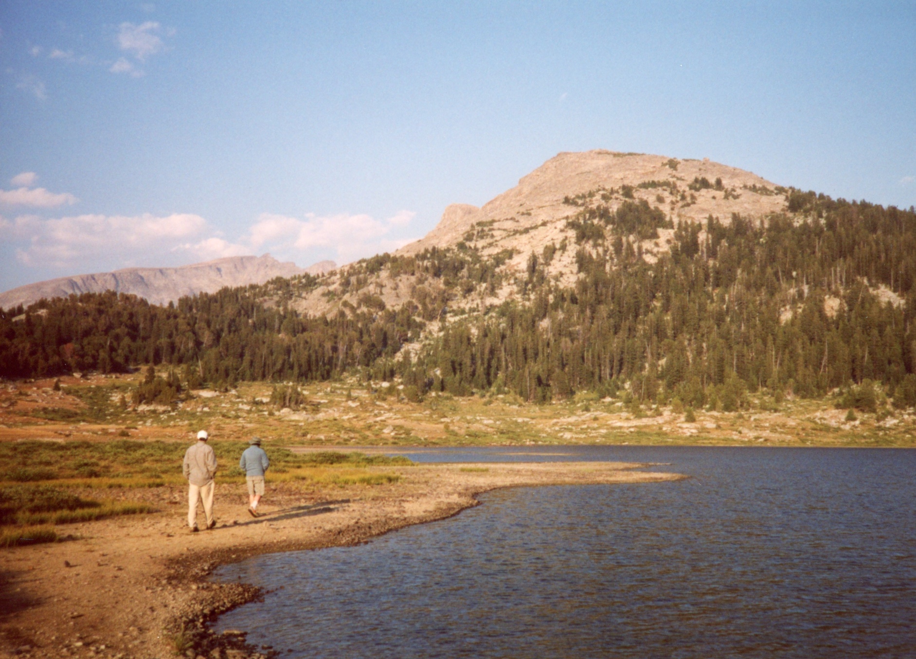
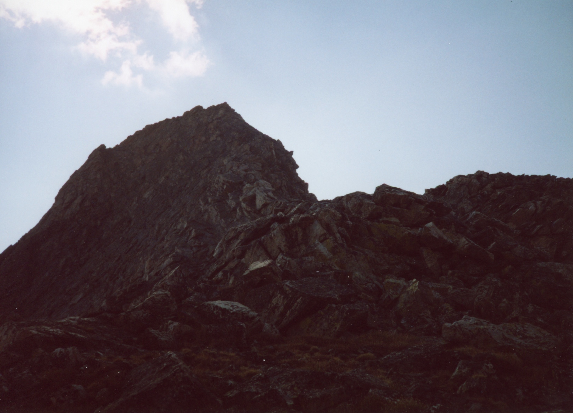
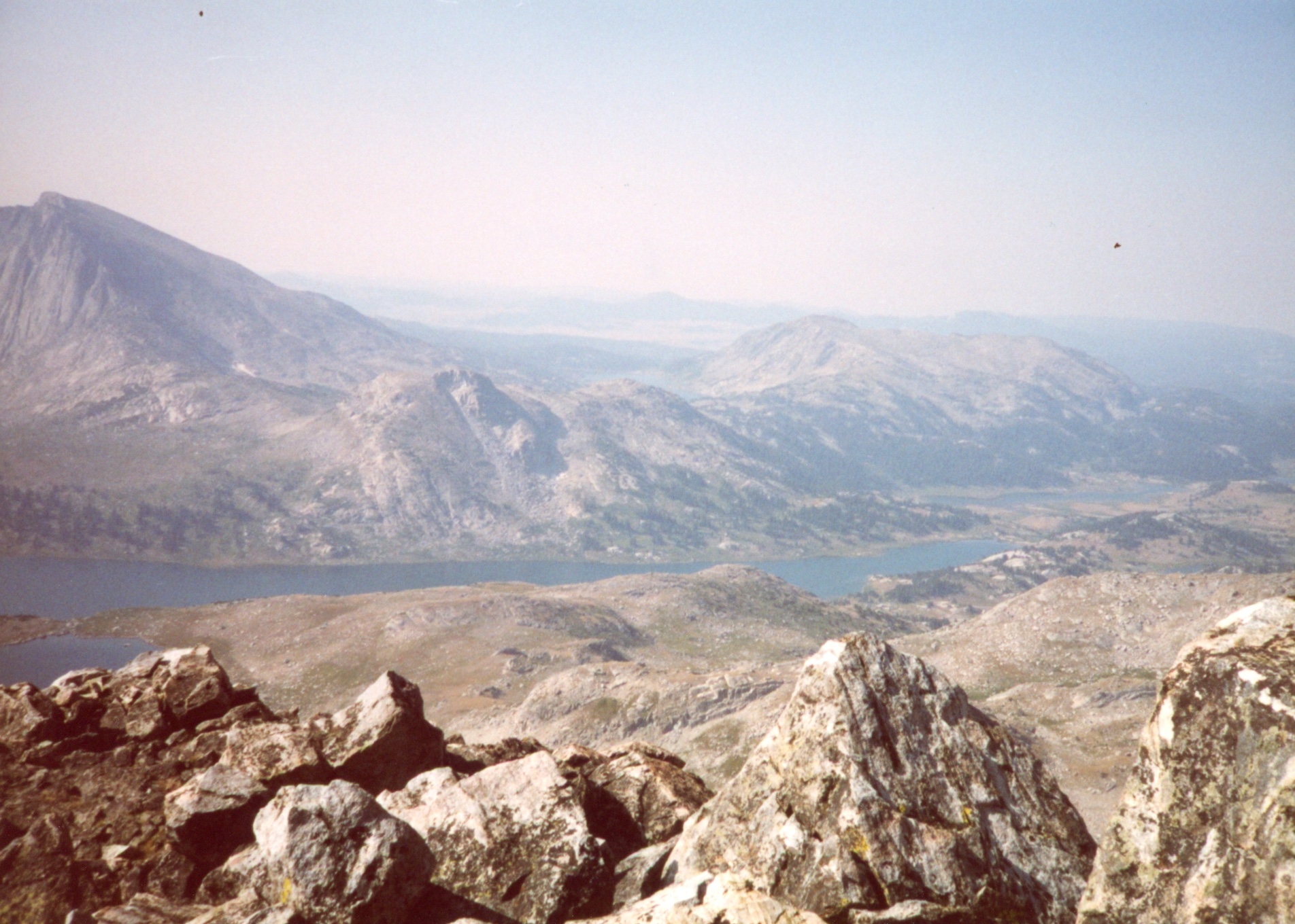
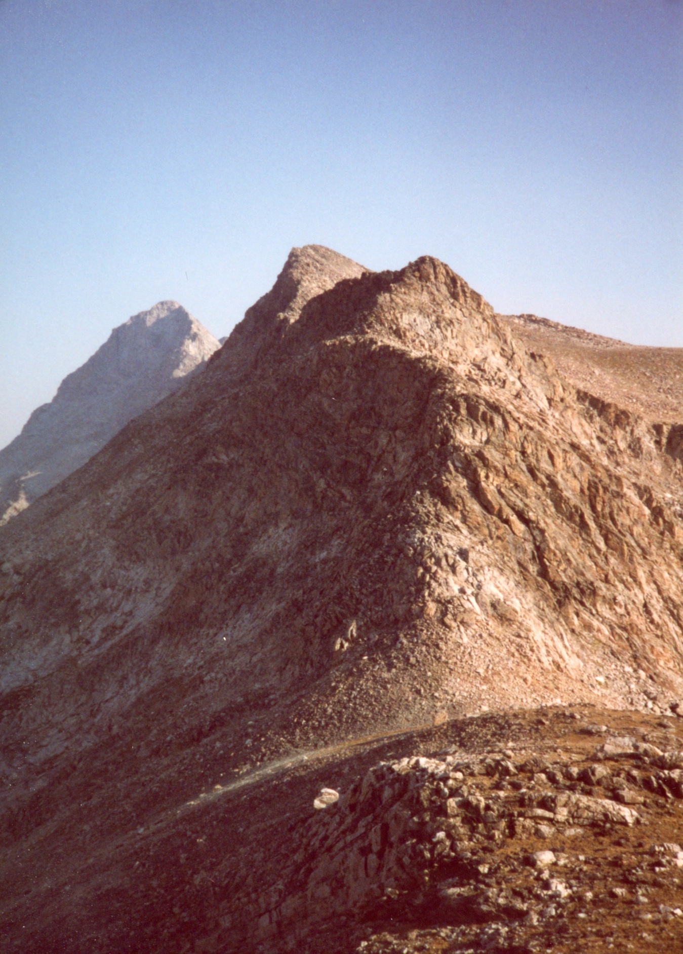
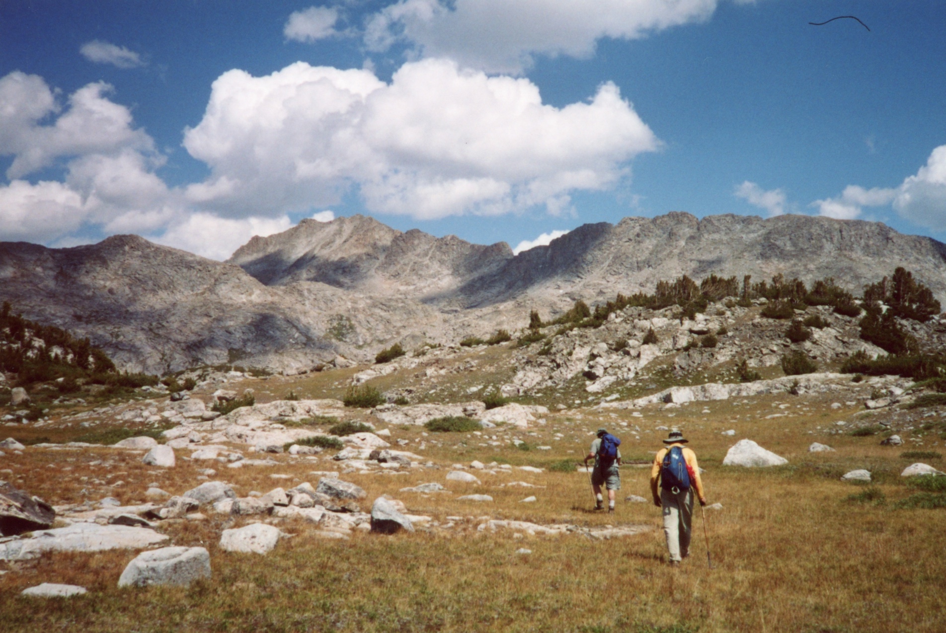
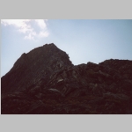
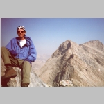
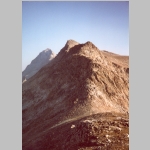
After breakfast the next day, Brian and Ted assaulted Odyssey Peak. Their route took them south of Bewmark Lake then climbing to reach Kagevah Pass with its many views. Carefull avoiding Wind River Reservation land, they crossed over to Odyssey Peak and descending to Photo Pass. Descending from Photo Pass on the west side of Bewmark Lake then hiked down to base camp. I checked out the Middle Fork Lake and relaxed.
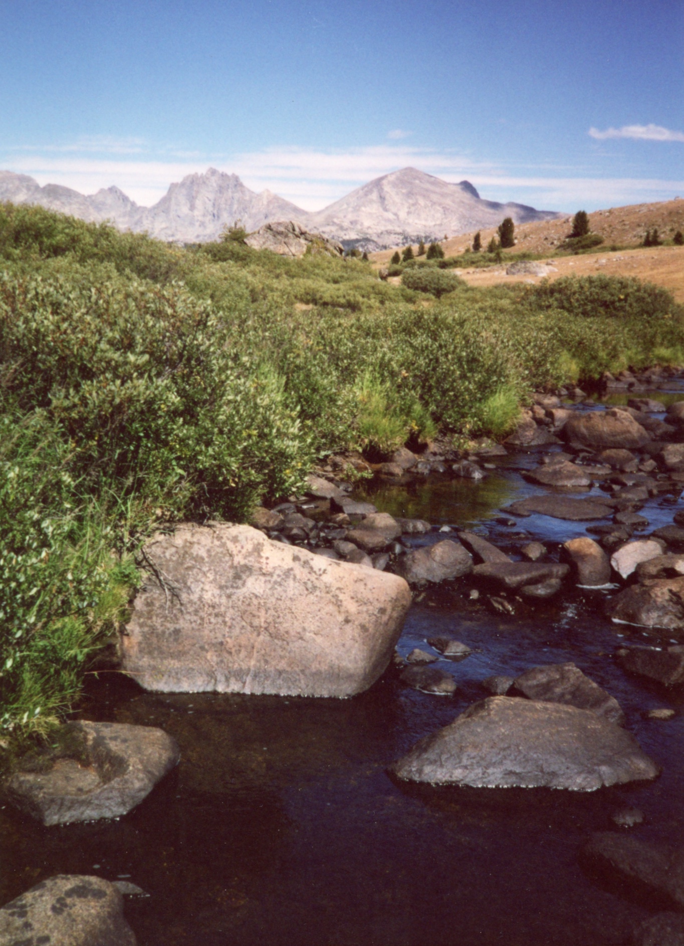
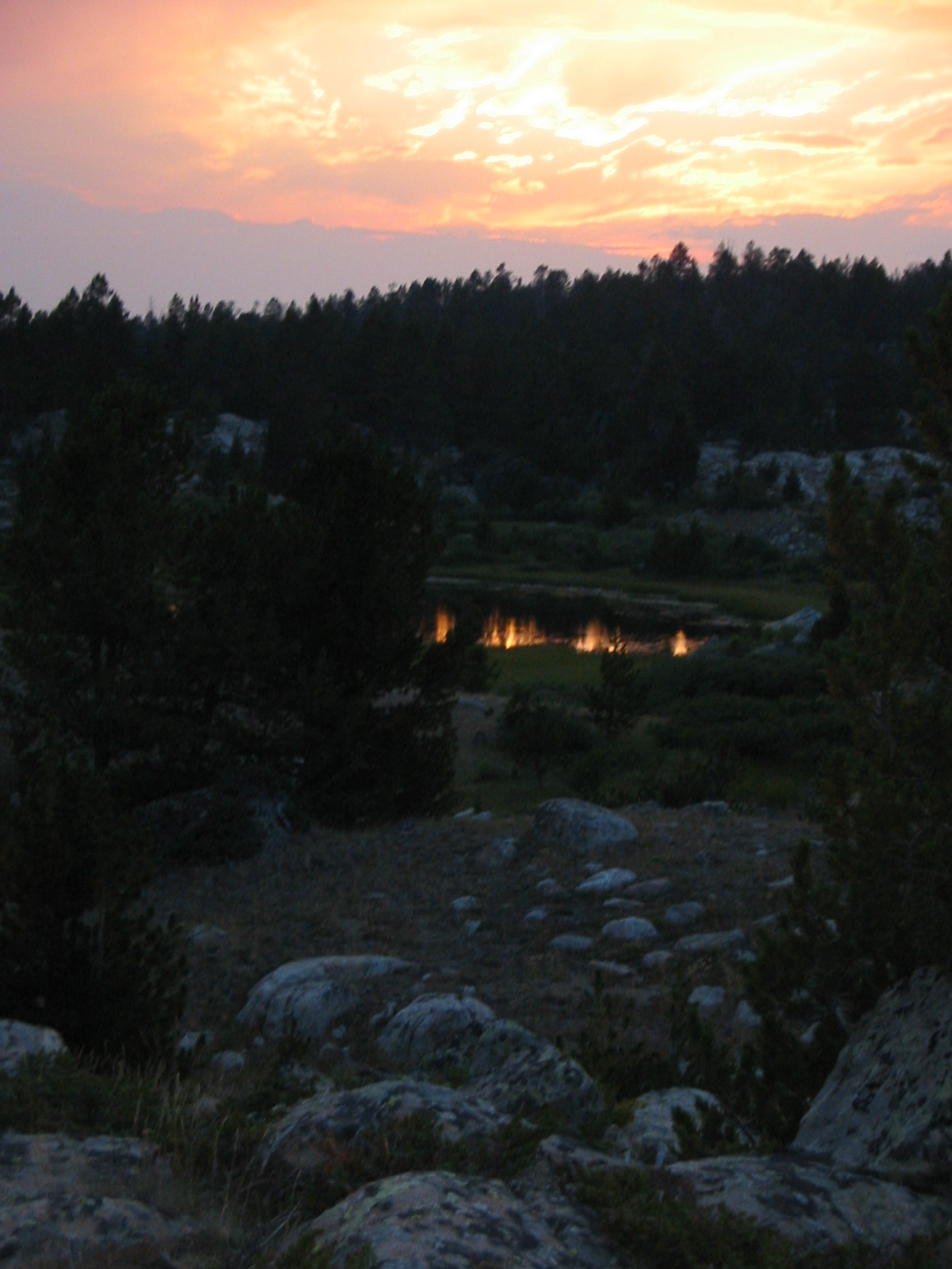
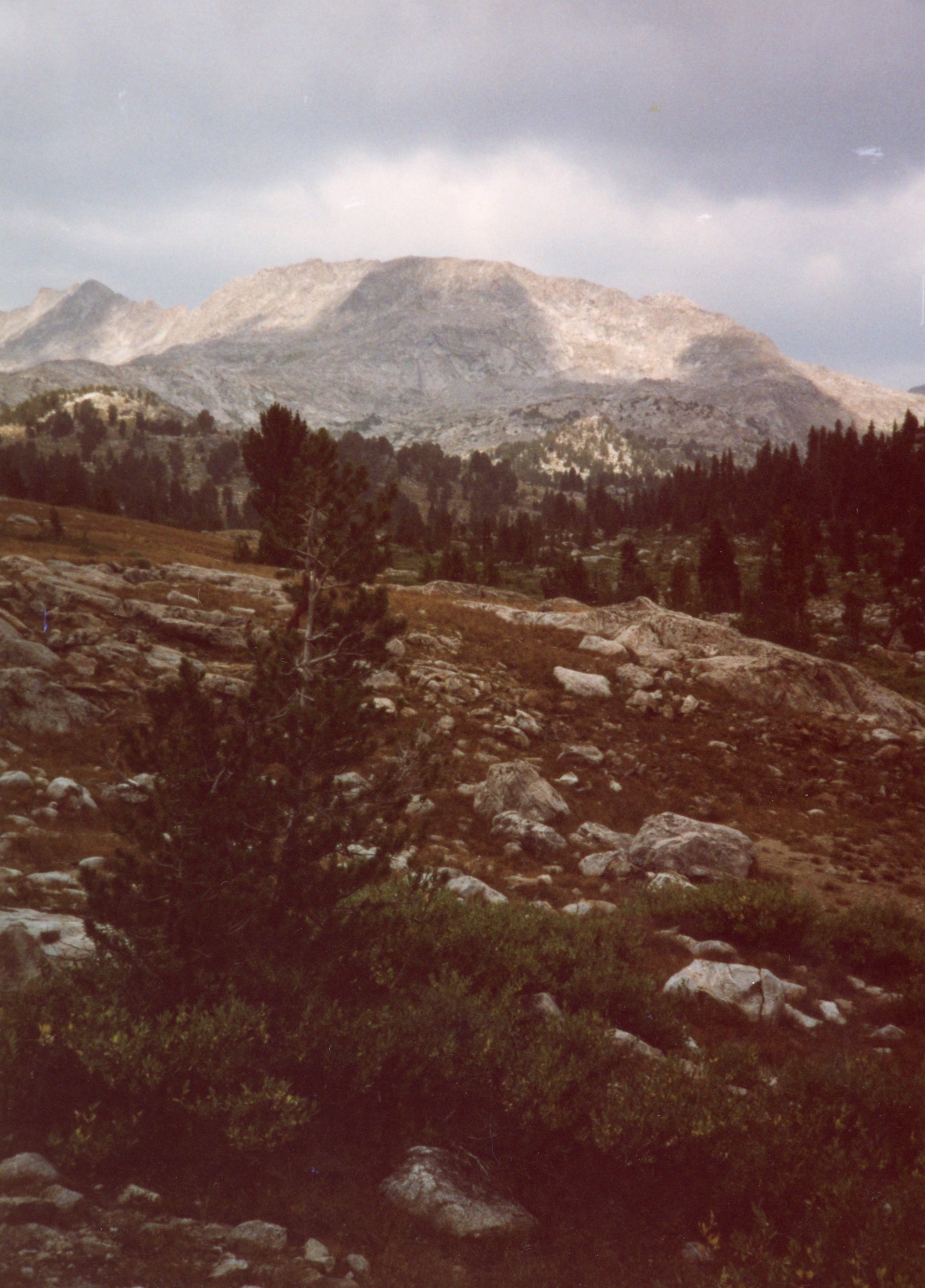
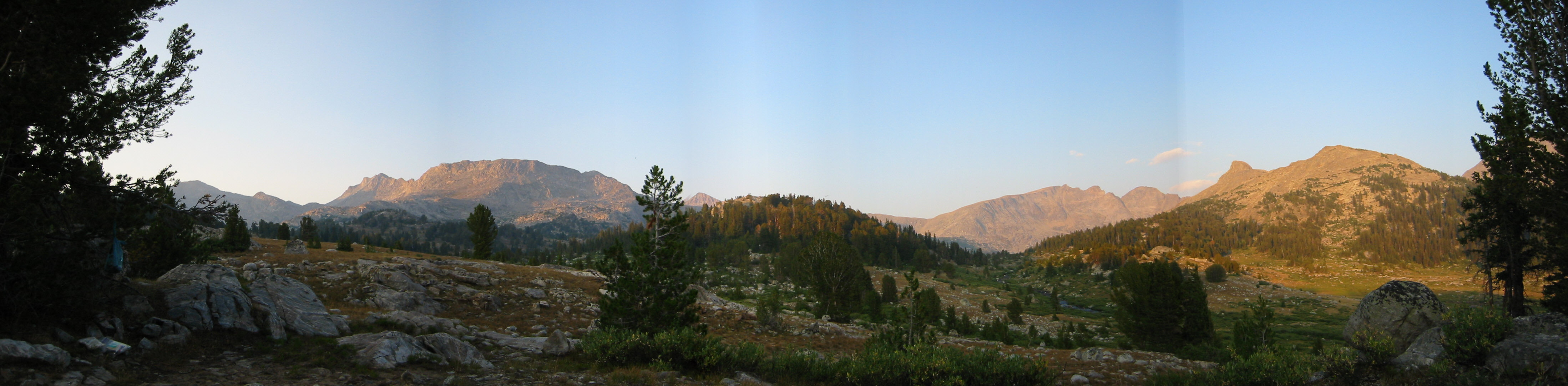
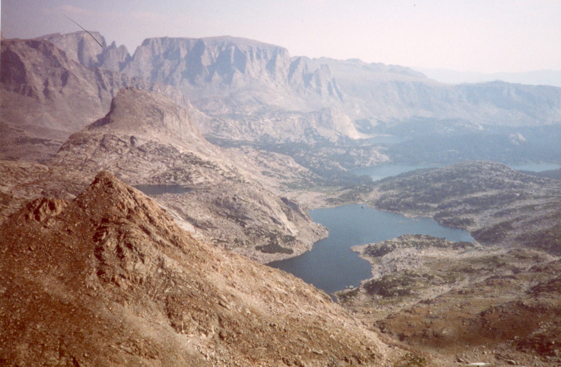
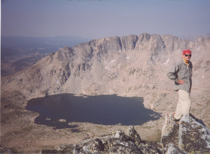
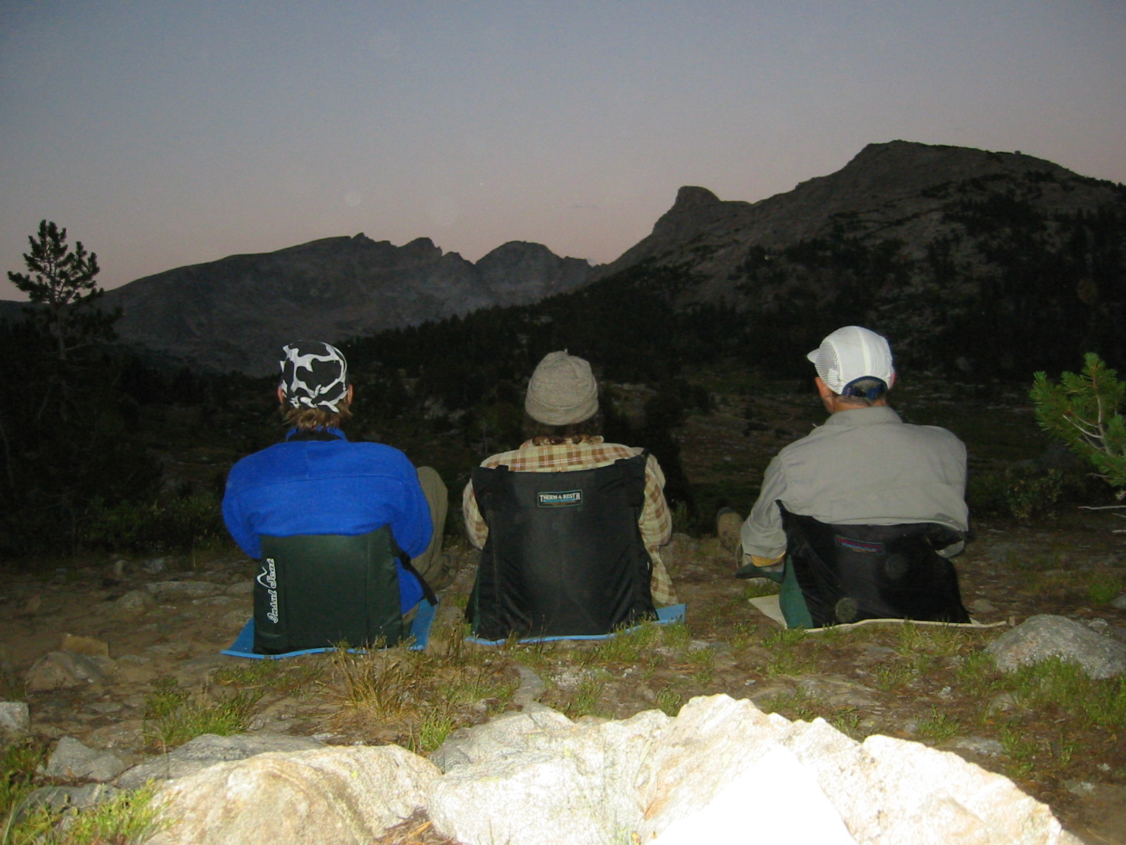
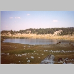
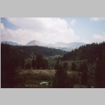
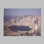
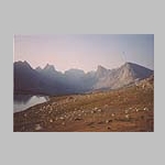
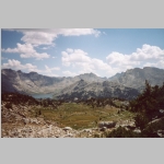
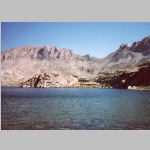
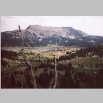
After a relaxing evening and tasty breakfast the next day, we followed a boot path to the Hall's Lake basin with a nice view of Hall's Mountain (12475 ft) straight across the lake and the Pipe Organ further on the right. We returned to base camp, gathered up our dinner supplies, prepared the meal, and found a spot overlooking Middle Fork Lake soaking in the view while dining.
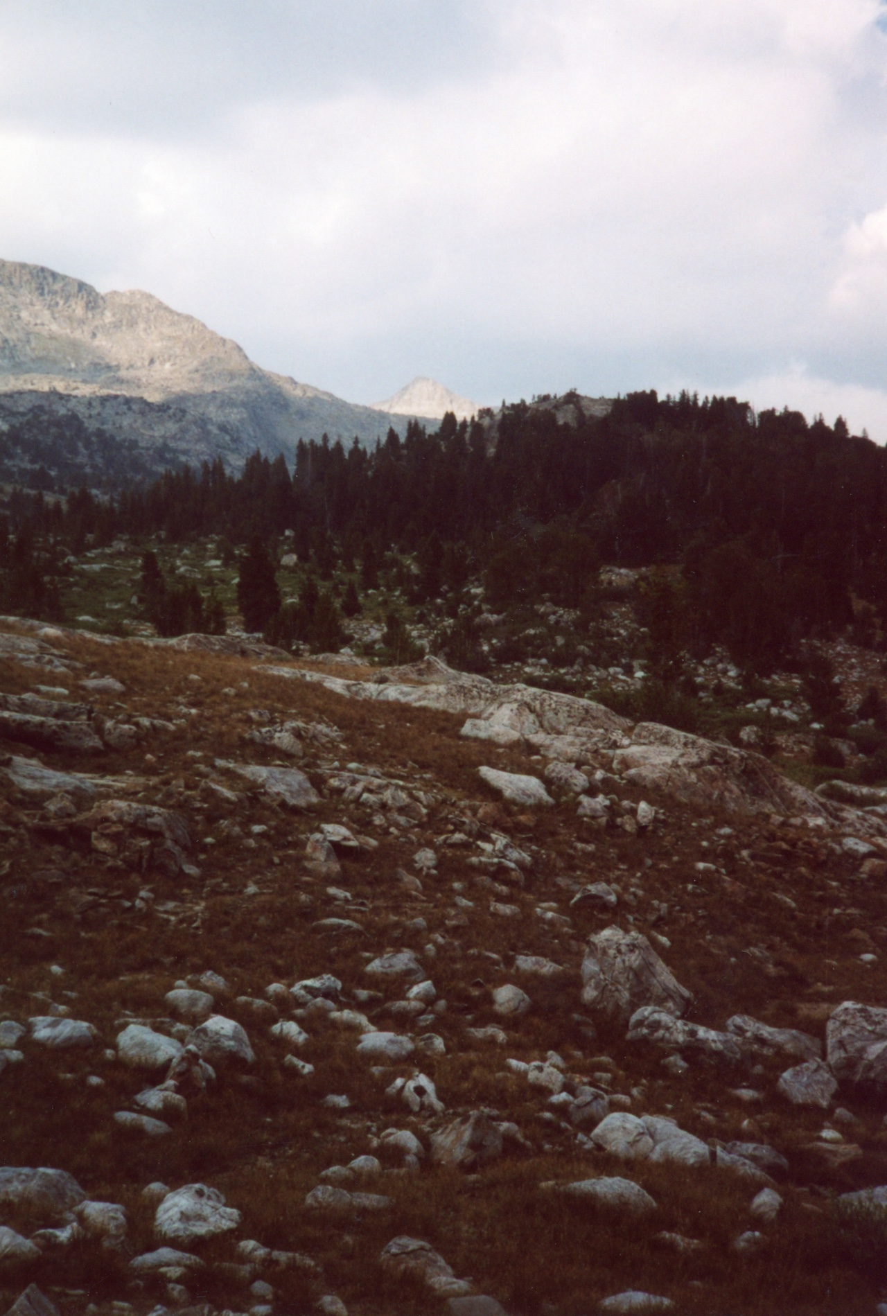
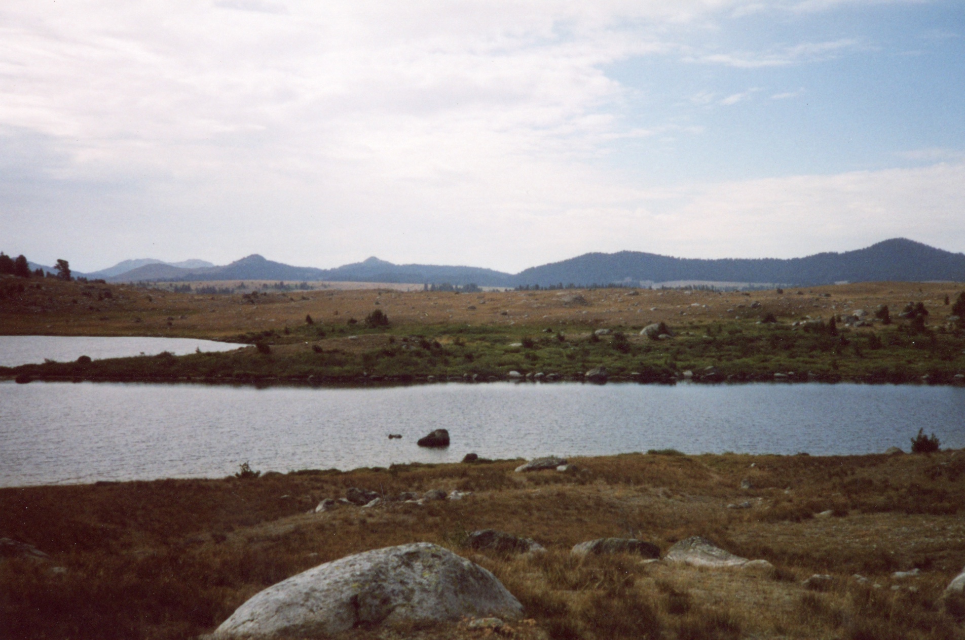
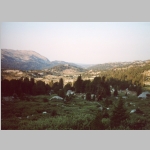
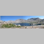
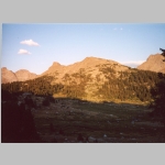
After breakfast and looking at the stunning expanse of the Middle Fork Lake and surrounding peaks, we packed up camp and had a straightforward walk back following similar territory we had hiked. On reaching Dream Lake, we took a break to enjoy the views back to the mountains. We decided not to stay at Crescent Land continued on. Heading past Lightning Lakes, we reached Little Divide Lake/Divide Lake and set up camp on the hill above Divide Lake. Those stashed beers were tasty.
The next day we made good time to the car at the trailhead. We stopped in Farson for ice cream before heading bck to Laramie and departing for home the next day.
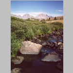
Overall, I remembered this hike as being dry and warm with streams running low with warm water. That meant our stowed beer was tepid, not cold. Regardless, it was still a tasty treat!We saw more sheeps than people.
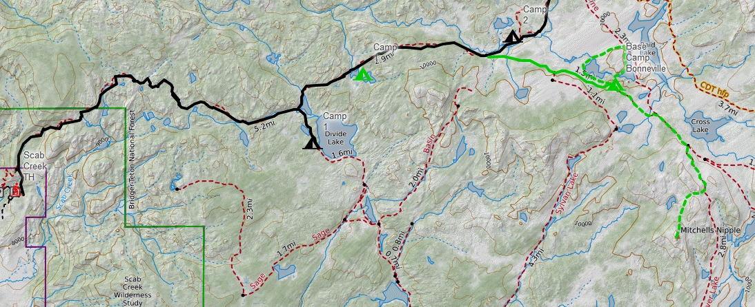
This map shows two hikes in this area of the Bridger Wilderness - Middle Fork Lake (2003), South Fork Lake (2021), .
You cannot mention the the Wind River Range ("the Winds") without recognizing and paying tribute to Finis Mitchell, "The Lord of the Winds". After being laid off by Union Pacific in 1930 during the Great Depression, he and his wife started Mitchell’s Fishing Camp in the Big Sandy Opening on Mud Lake. To increase the number of fish for the success of their camp, Mitchell estimated he stocked lakes in the Wind River Range with over 2.5 million trout. When the Union Pacific rehired Mitchell in 1940, the family moved back to Rock Springs where he worked again as a carman and then car foreman. He continued to promote The Winds in presentations and public events. Over the course of his life, Mitchell climbed all but 20 of the 300 peaks in the range.
In 1975, Mitchell published Wind River Trails: A Hiking and Fishing Guide to the Many Trails and Lakes of the Wind River Range in Wyoming. Containing hand-drawn maps showing many lakes, streams and peaks with detailed directions for hiking at least 50 trails, it also has a nice summary of his life. Buy it.
The Wind River Range is a mountain range of the Rocky Mountains running NW–SE for approximately 100 mi in west-central Wyoming. The Continental Divide runs along the entire crest of the range. The Wind River Range may be the single most dominant range of the hundred or so that make up the Rocky Mountains. Aside from South Pass, which is at the southernmost tip of the range, no roads cross the mountains until Union Pass at the northern terminus of the range. In most places the crest is over twenty miles from the nearest trailhead.
Several major rivers have headwaters on either side of the range. The Green and Big Sandy rivers drain southward from the west side of the range, while the Wind River drains eastward through the Shoshone Basin. The Green is the largest fork of the Colorado River while the Wind River, after changing its name to the Bighorn River, is the largest fork of the Yellowstone River.
Indigenous peoples of the Great Basin, such as the Shoshones and Absarokas (Crow) Native Americans, lived in the range beginning 7000 and 9000 years ago. One of the men from the Lewis and Clark expedition, John Colter, is thought to be the first European American person to view the range around 1807.In 1812, a party led by Wilson Price Hunt were the first to cross South Pass.
Much of the Wind River Range received federal protection as National Forest primitive areas during 1931–32. The Wind River Range is now largely protected by three federal wilderness areas. These include the Bridger Wilderness on the western slope, designated in 1964, and the Fitzpatrick Wilderness and Popo Agie Wilderness on the eastern slope, designated in 1976 and 1984 respectively. Part of the eastern slope of the Wind River Range is also under the protection of the Wind River Indian Reservation.
Two large national forests including three wilderness areas encompass most of the mountain range. Shoshone National Forest is on the eastern side of the continental divide while Bridger-Teton National Forest is on the west. Portions of the east side of the range are inside the Wind River Indian Reservation.
The Shoshone National Forest (2.5 million acres) was the first federally protected National Forest in the United States. Originally a part of the Yellowstone Timberland Reserve, the forest was created by an act of Congress and signed into law by President Benjamin Harrison in 1891. The Absaroka and Beartooth Mountains are partly in the northern section of the forest while the Wind River Range is in the southern portion. South of Yellowstone National Park, the Continental Divide separates this forest from its neighbor, Bridger-Teton National Forest, to the west.
The Bridger–Teton National Forest (3.4 million acres) is the third largest National Forest outside the state of Alaska. The forest stretches from Yellowstone National Park, along the western slope of the Continental Divide to the southern end of the Wind River Range.
The Fitzpatrick Wilderness is located in Shoshone National Forest in the U.S. state of Wyoming. The wilderness was originally known as the Glacier Primitive Area, but was redesignated a wilderness in 1976.
The Bridger Wilderness (428,169 acre) is located in Bridger-Teton National Forest. Originally established in 1931 as a primitive area, it was redesignated as a wilderness in 1964 and expanded to the current size in 1984. The wilderness lies on the west side of the Continental Divide in the Wind River Range. The wildnerness is named after James Bridger (1804- 1881), an American mountain man, trapper, Army scout, and wilderness guide who explored and trapped in the Western United States in the first half of the 19th century. Bridger was part of the second generation of American mountain men and pathfinders who followed the Lewis and Clark Expedition of 1804–1806, and became well known for participating in numerous early expeditions into the western interior.
The Popo Agie Wilderness (101,870 acre) is located within Shoshone National Forest. Originally set aside as a primitive area in 1932, in 1984 the Wyoming Wilderness Act was passed securing a more permanent protection status for the wilderness.
The Wind River Indian Reservation is shared by two Native American tribes, the Eastern Shoshone and the Northern Arapaho The Indian reservation is located in the Wind River Basin, and includes portions of the Wind River Range, Owl Creek Mountains, and Absaroka Range.