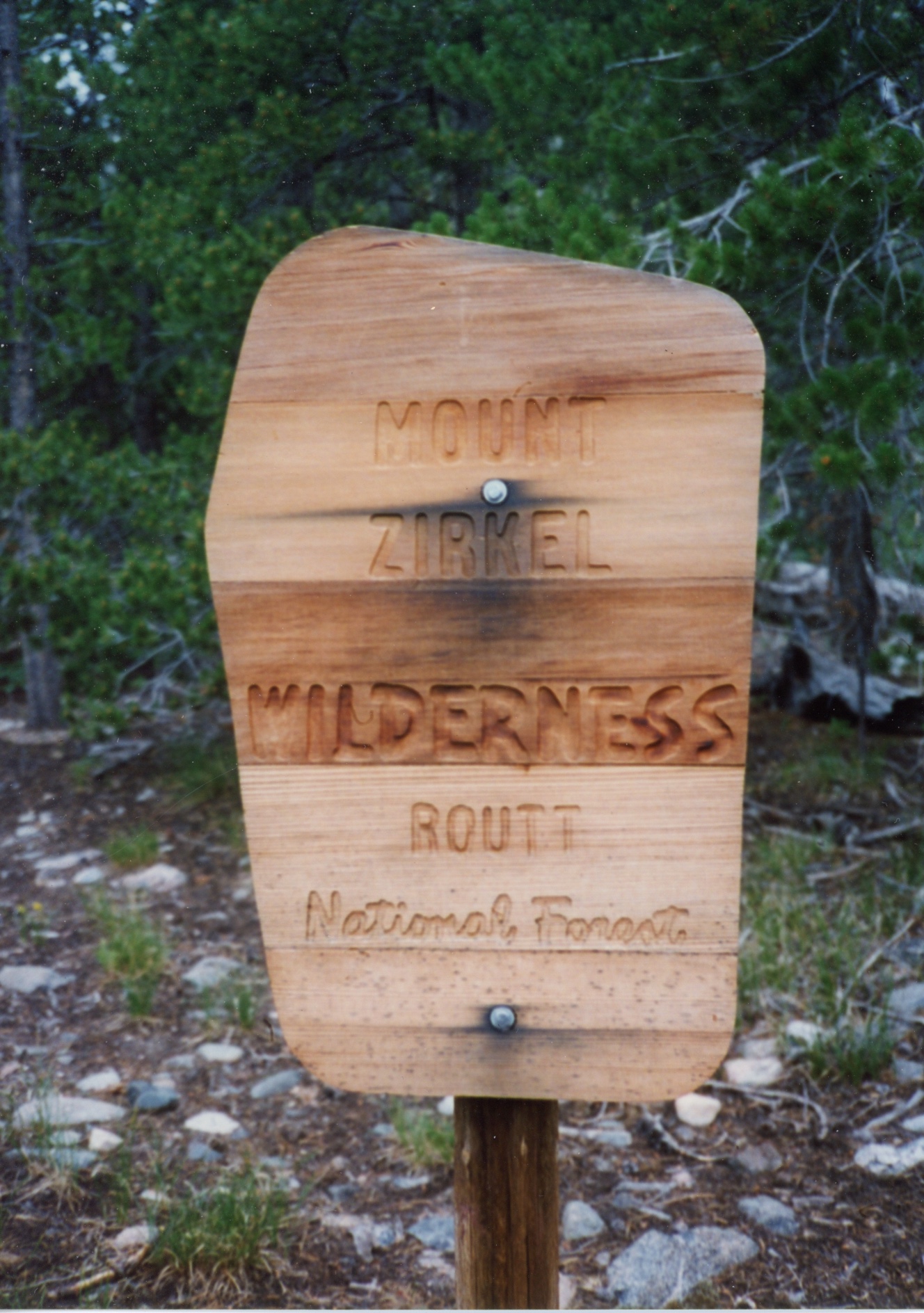
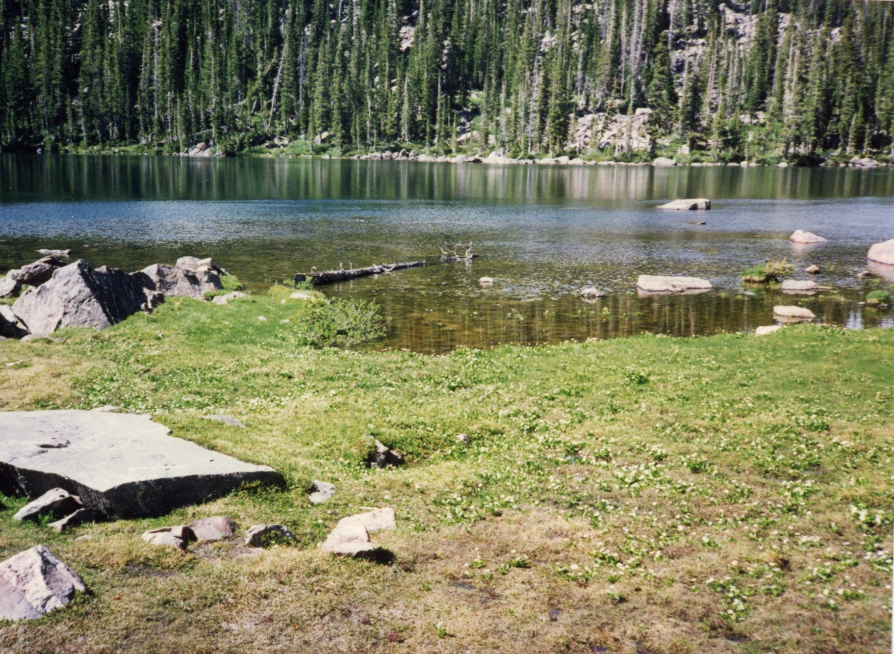
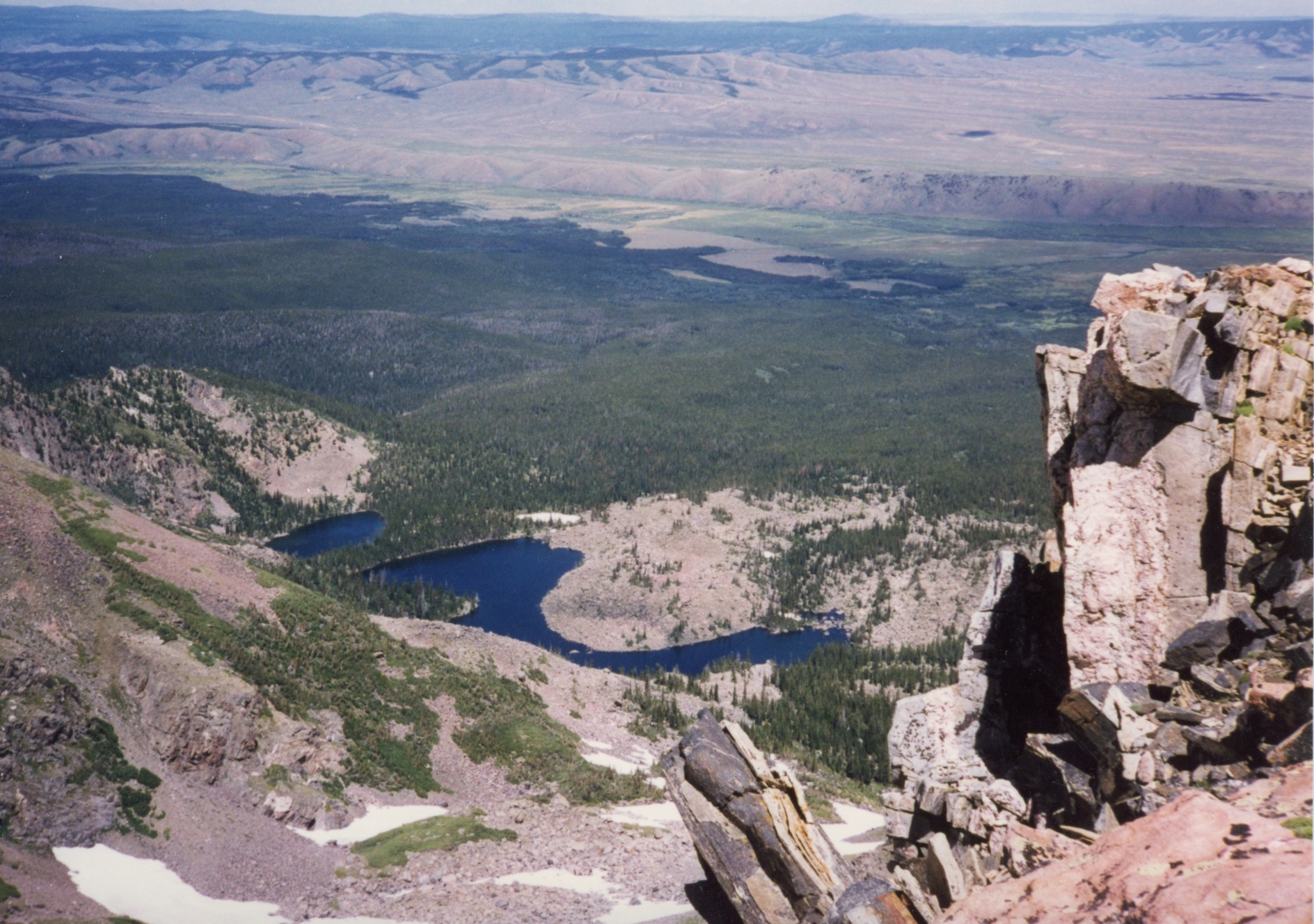
Bear Lakes, Mt Zirkel Wilderness, Colorado

July 23 to 26 1997

"These fucking mosquitos suck"

Anonymous

Hike Information

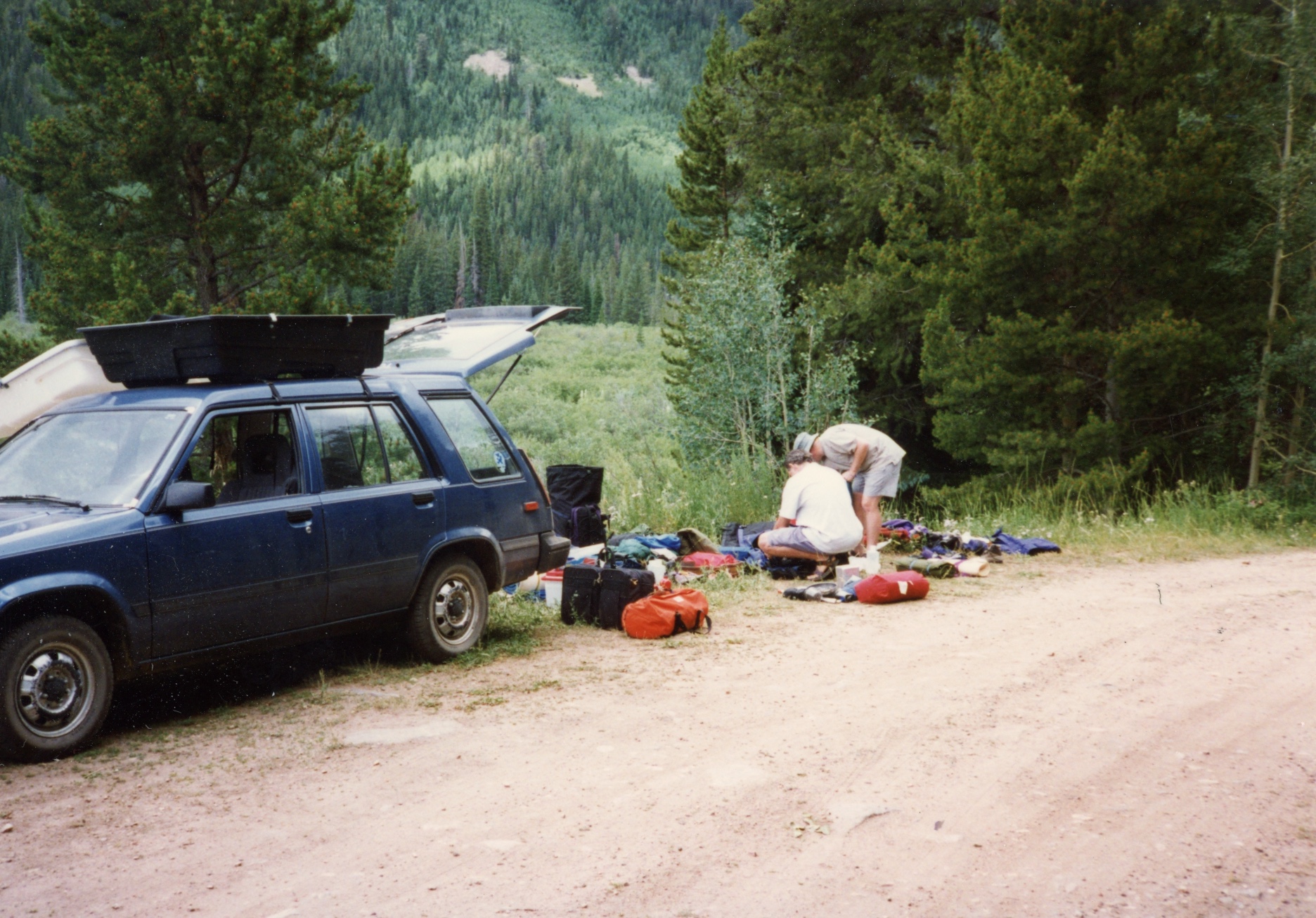
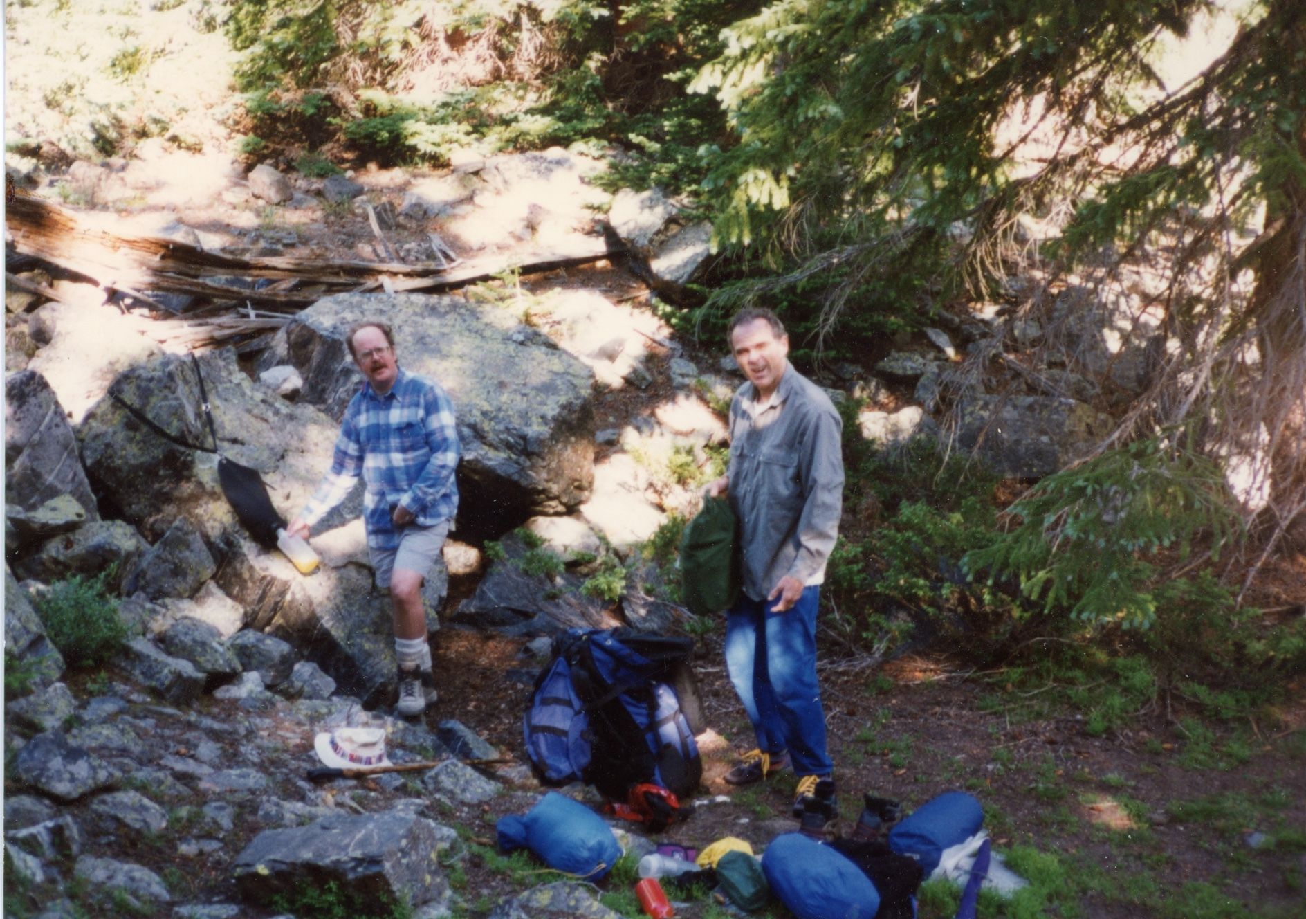
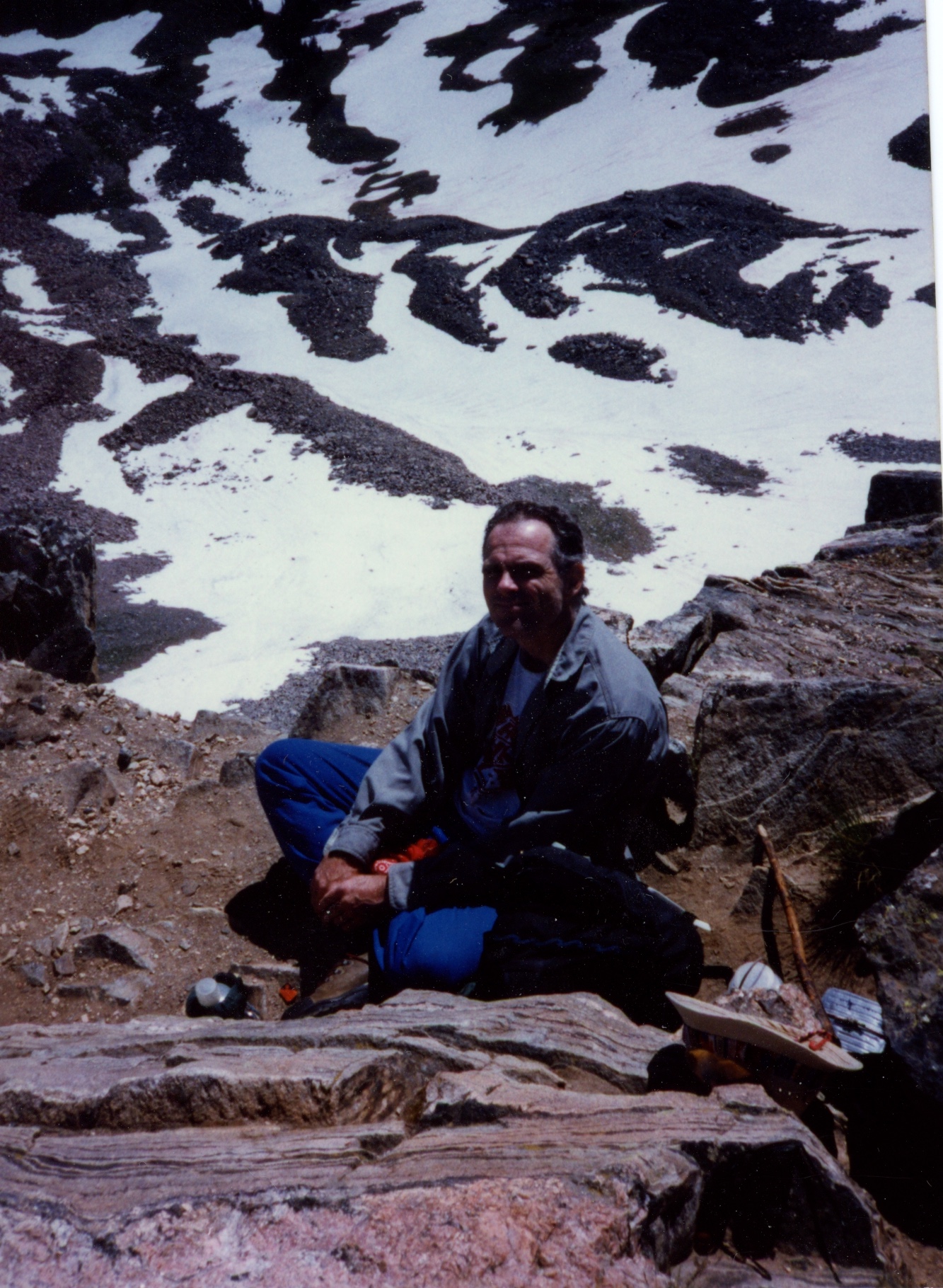
Ted, Brian, and Bob made another trip to the Mt Zirkel Wilderness in 1997. Brian and Bob flew into Denver International and took a limo (!) to a motel near Westminster, CO where Ted picked us up the next day. Bob had been feeling poorly the entire morning.

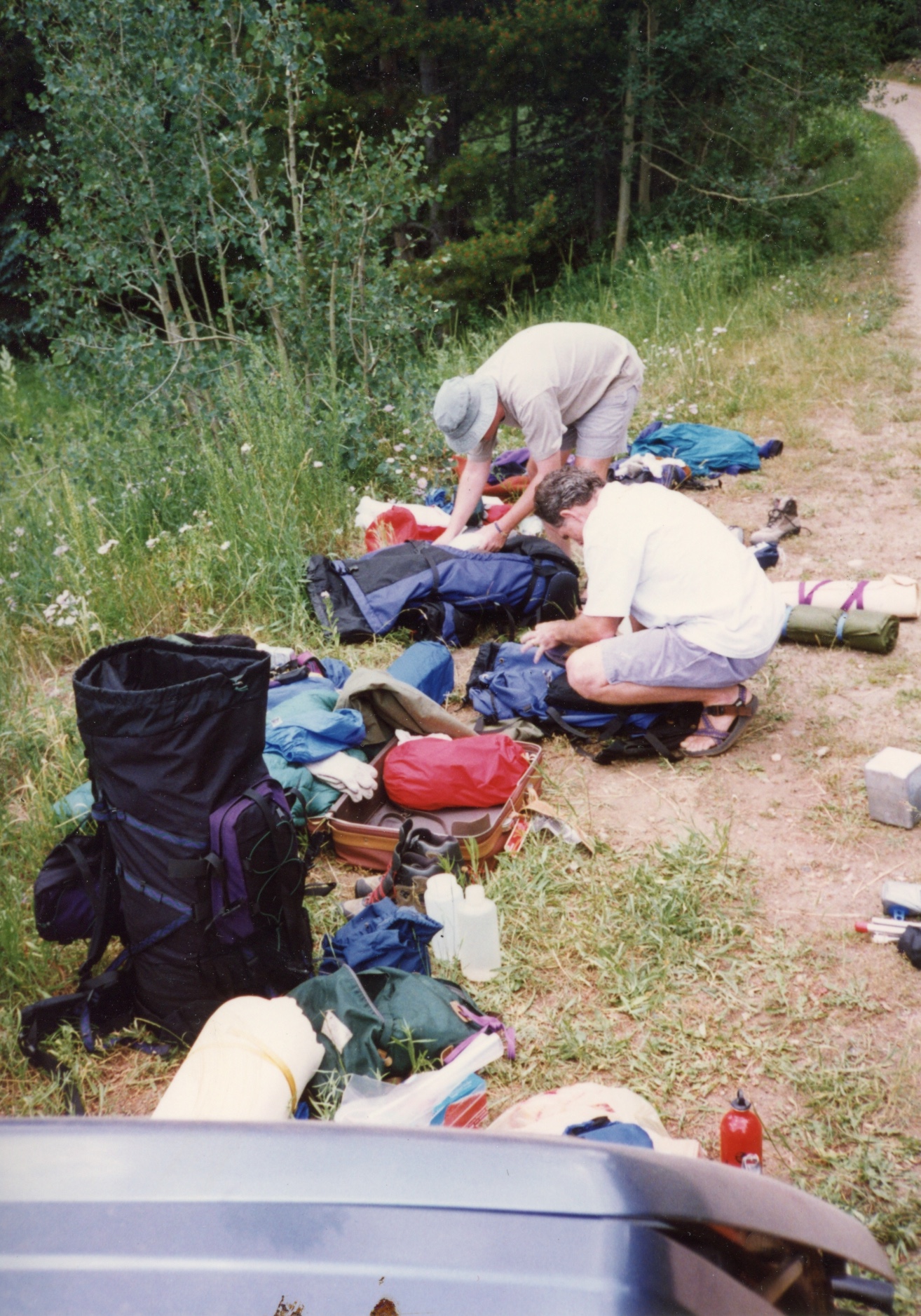
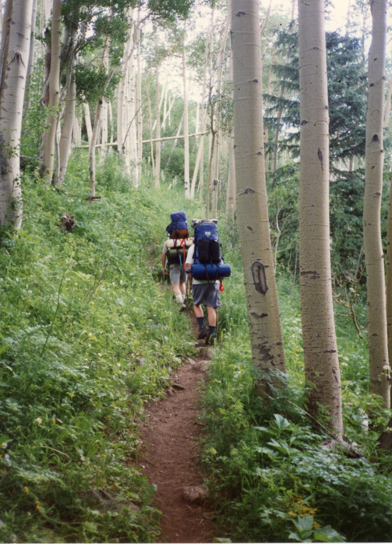
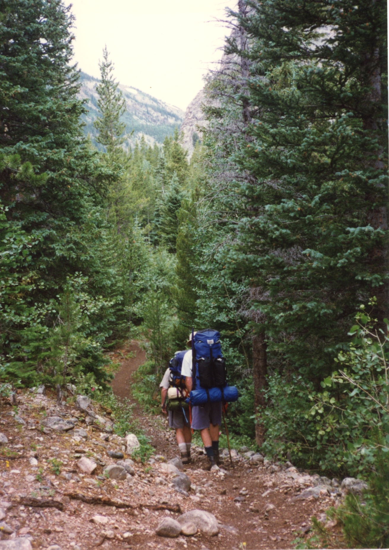
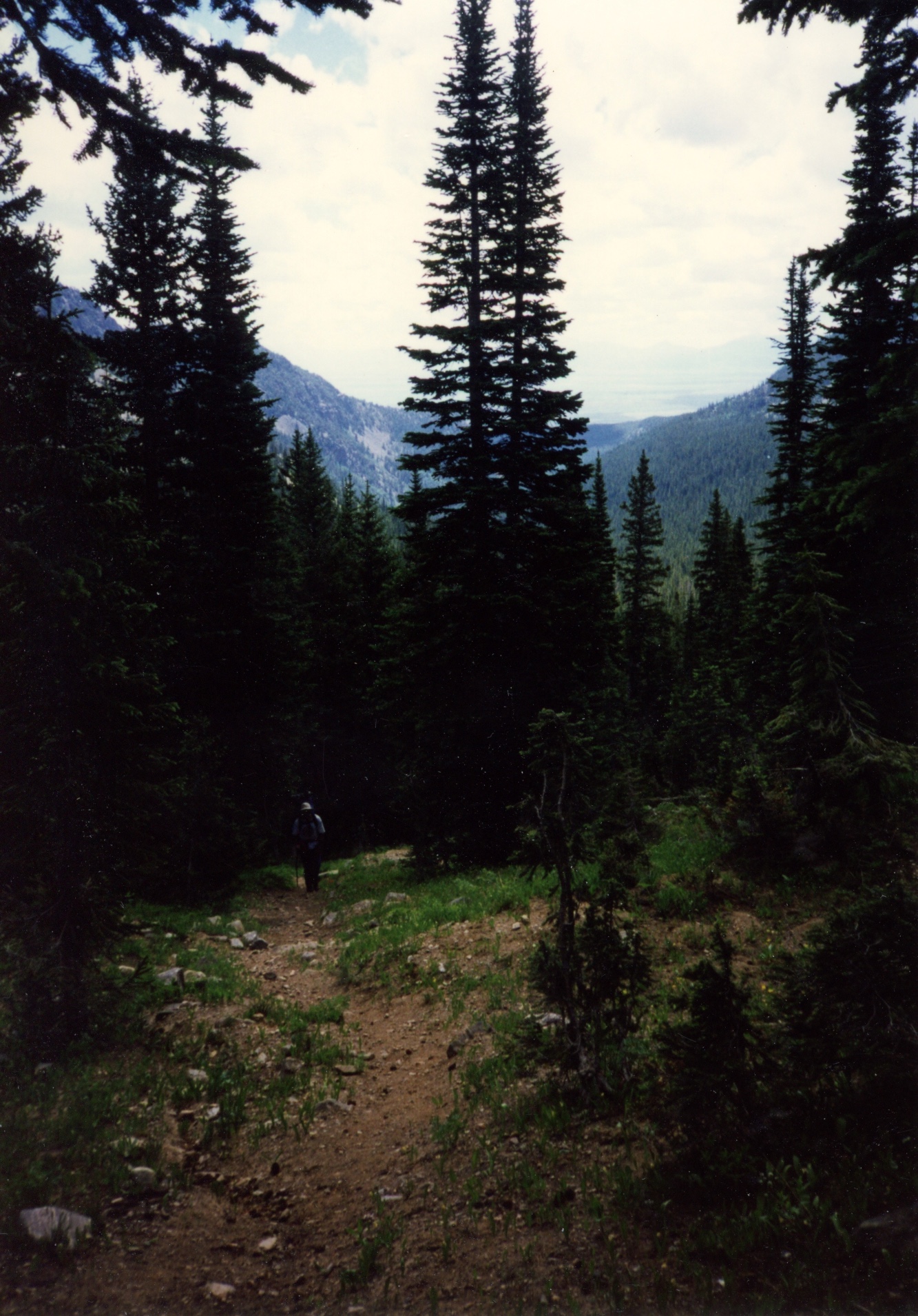
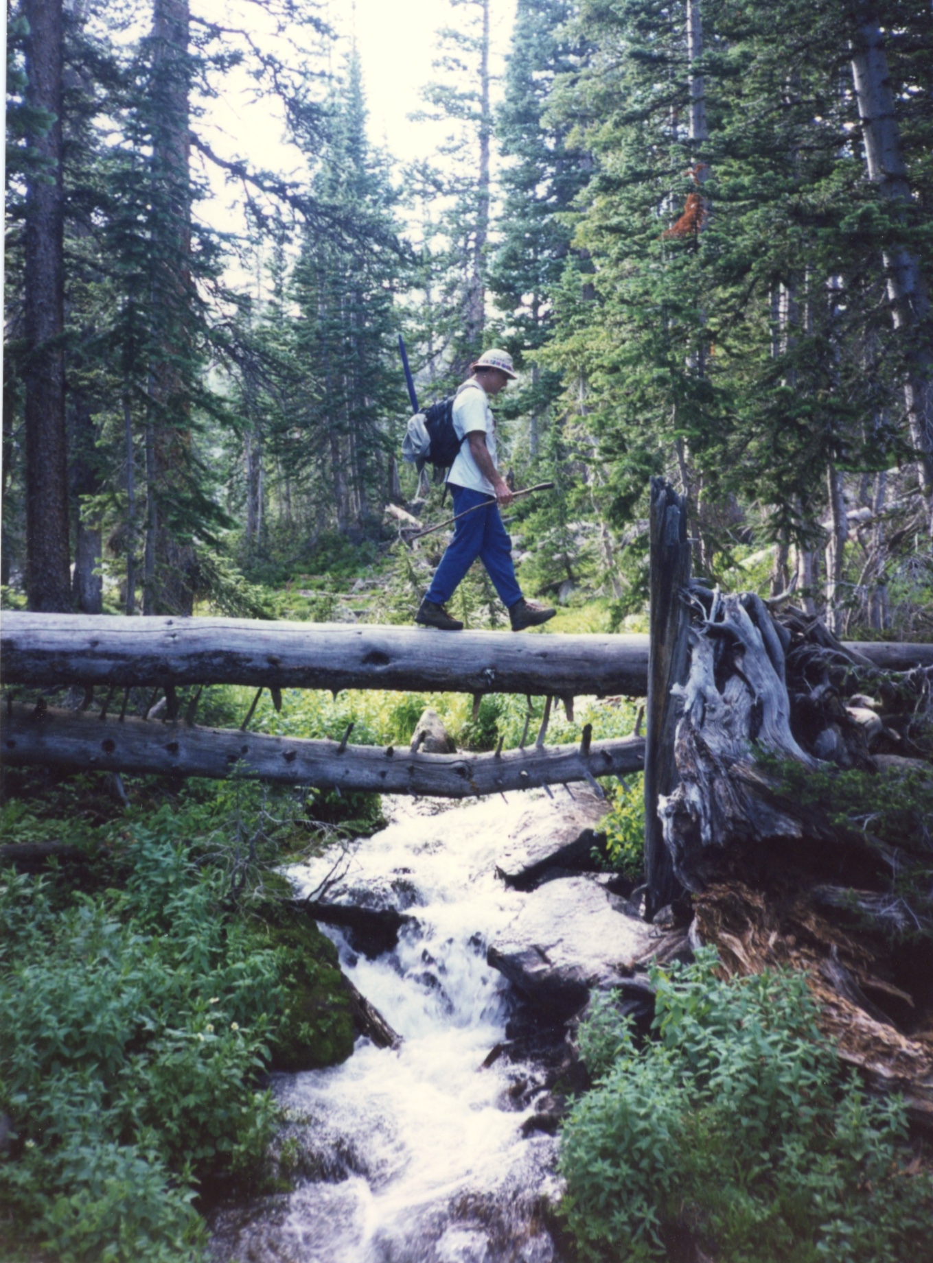
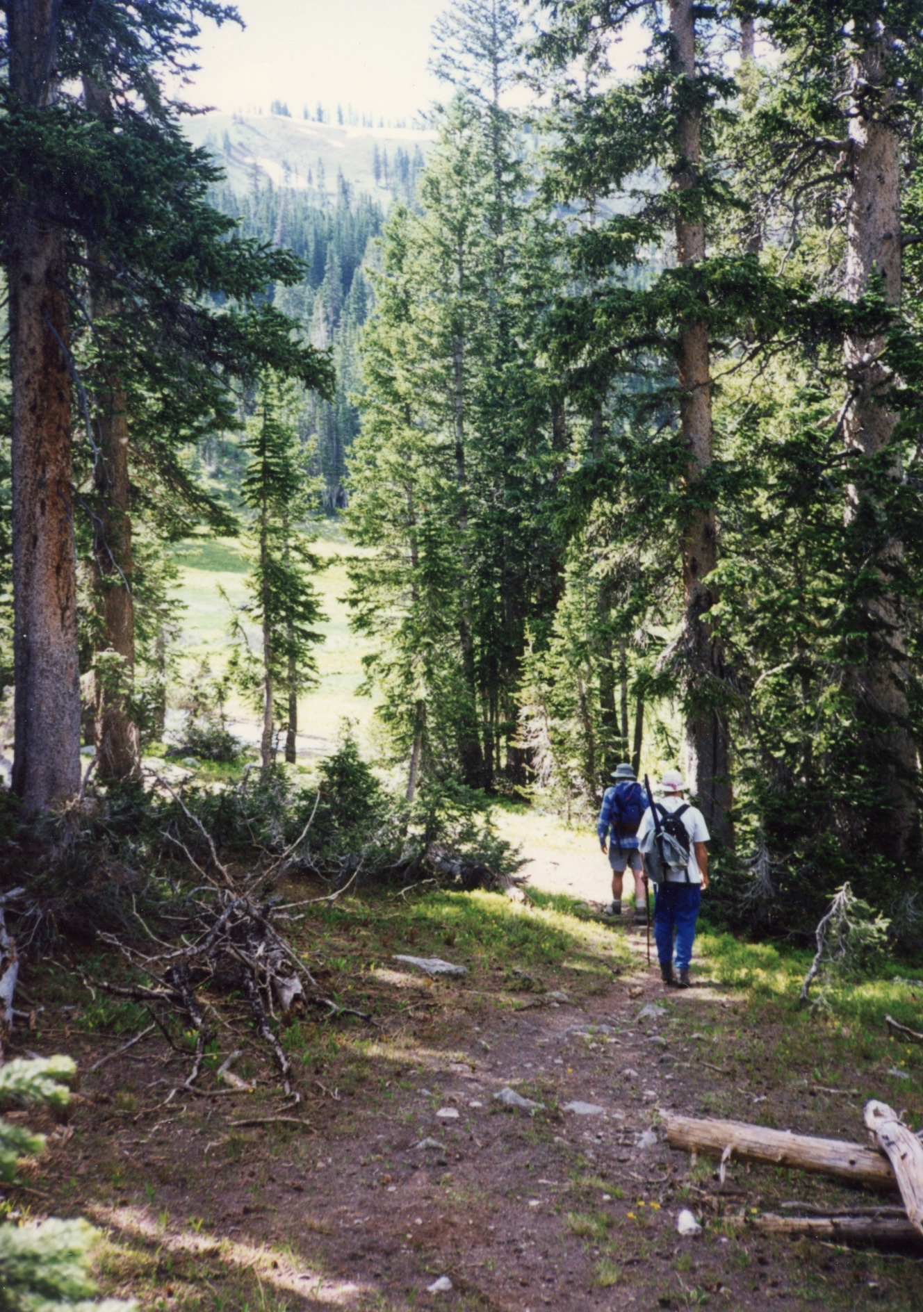
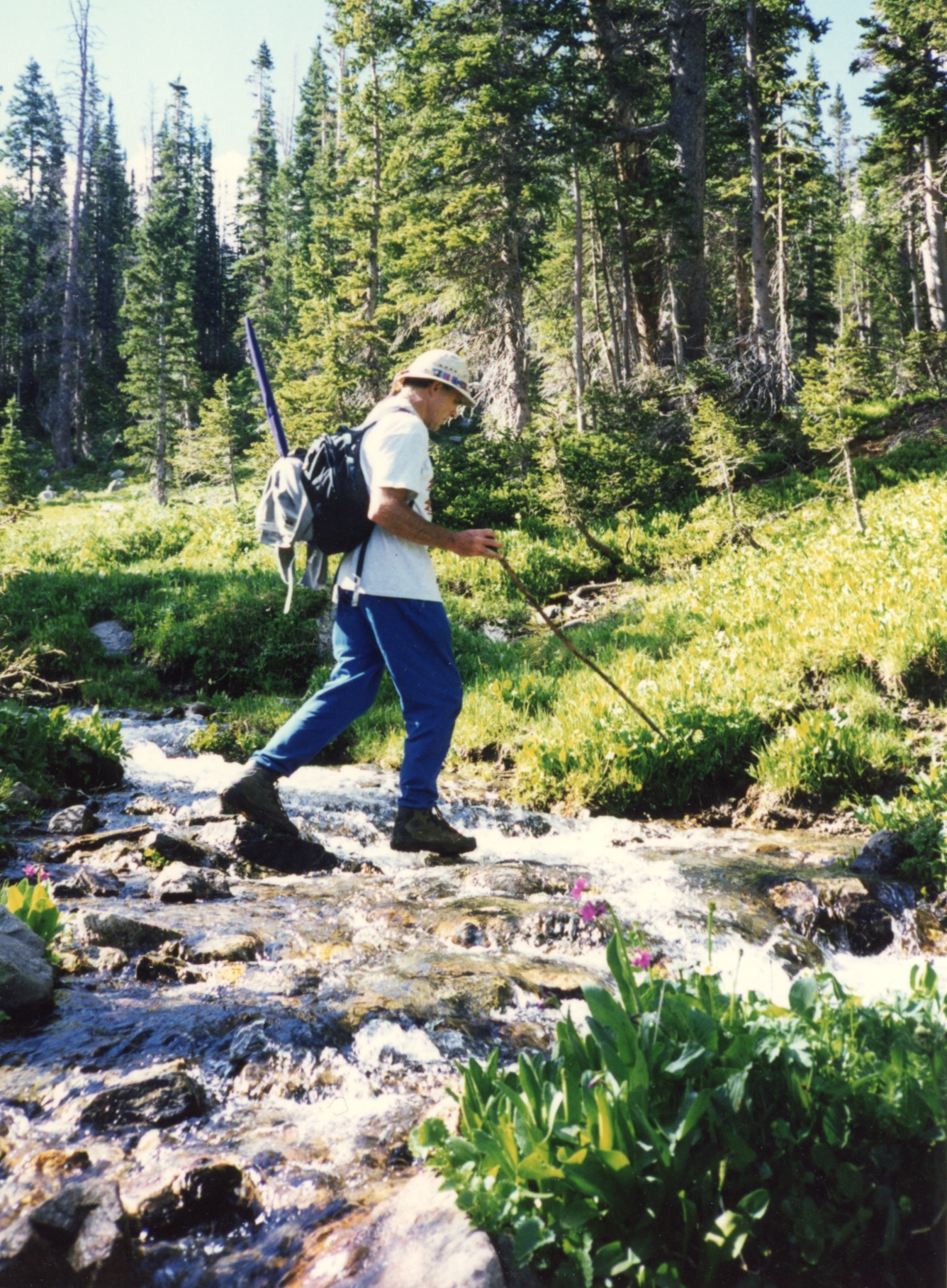
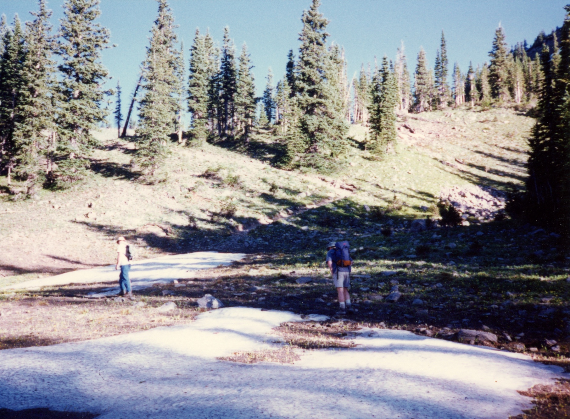
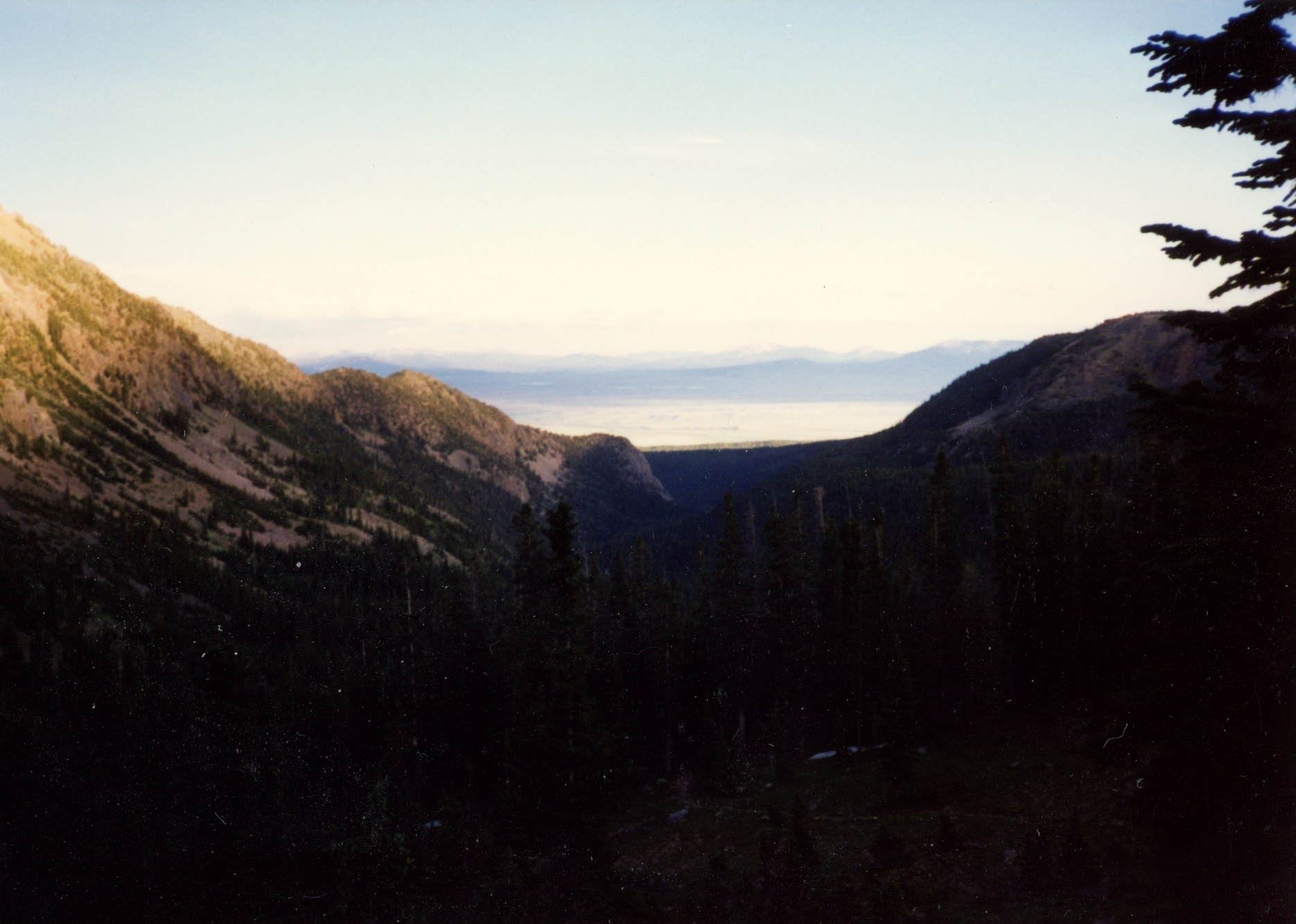
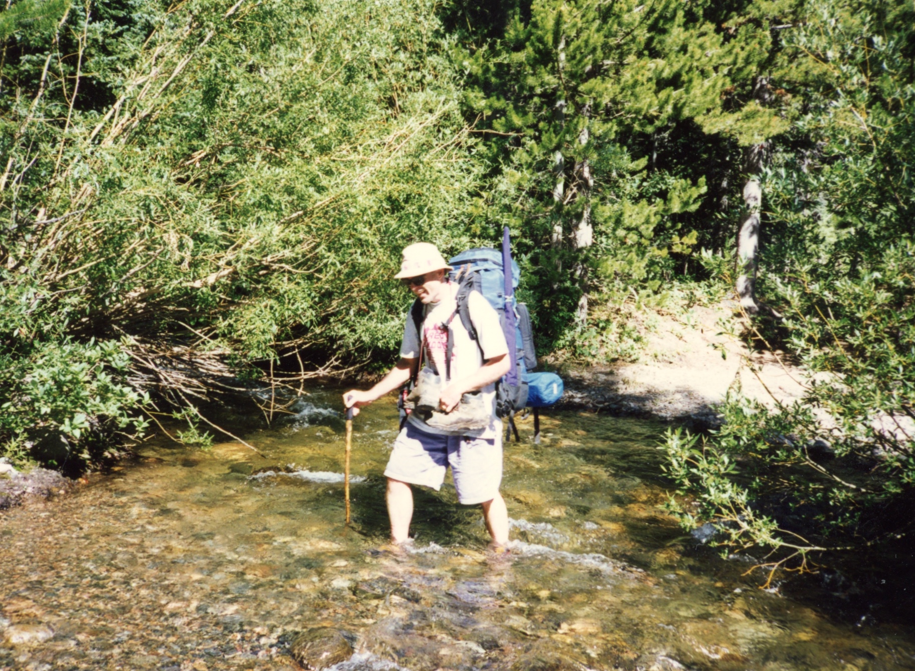
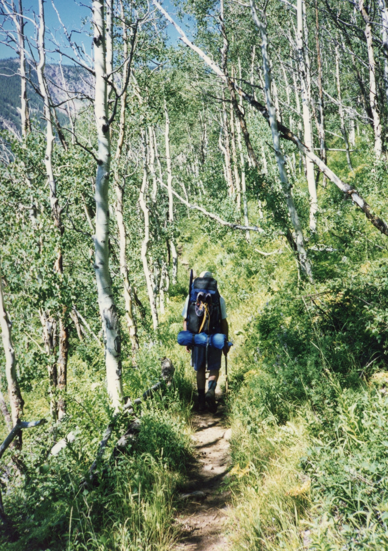
We hit the trail head (which was extremely close to where we hiked in 1995 (Lake Katherine trail head)) and within a few miles Bob began to feel worse. Suddenly, it was a case of vomito negro. Brian and Ted set up a camp just off trail where we spent the night. Bob felt better the next day and we hiked up to our base camp.

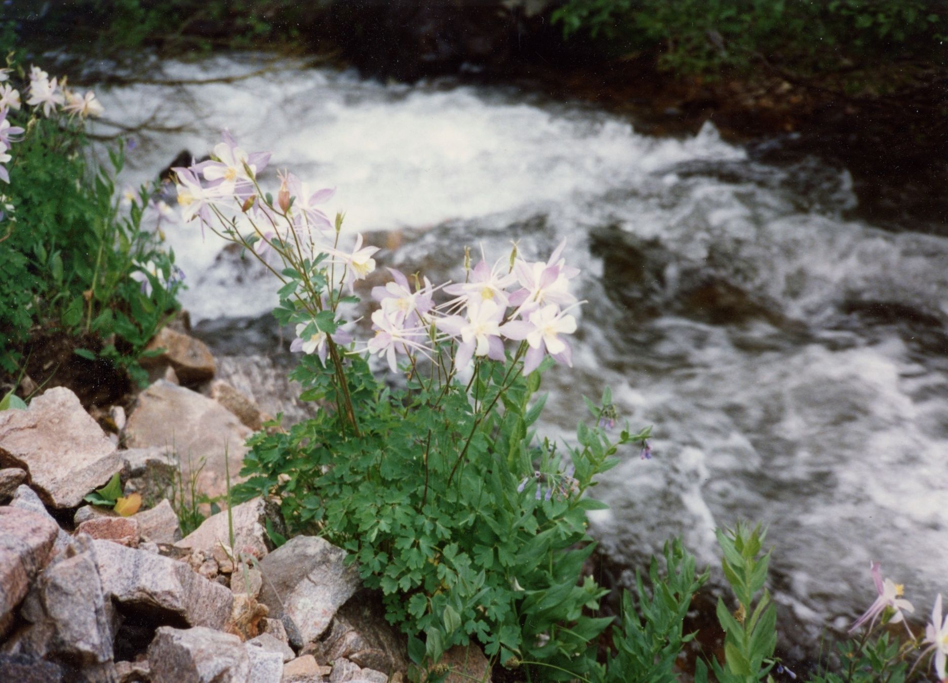
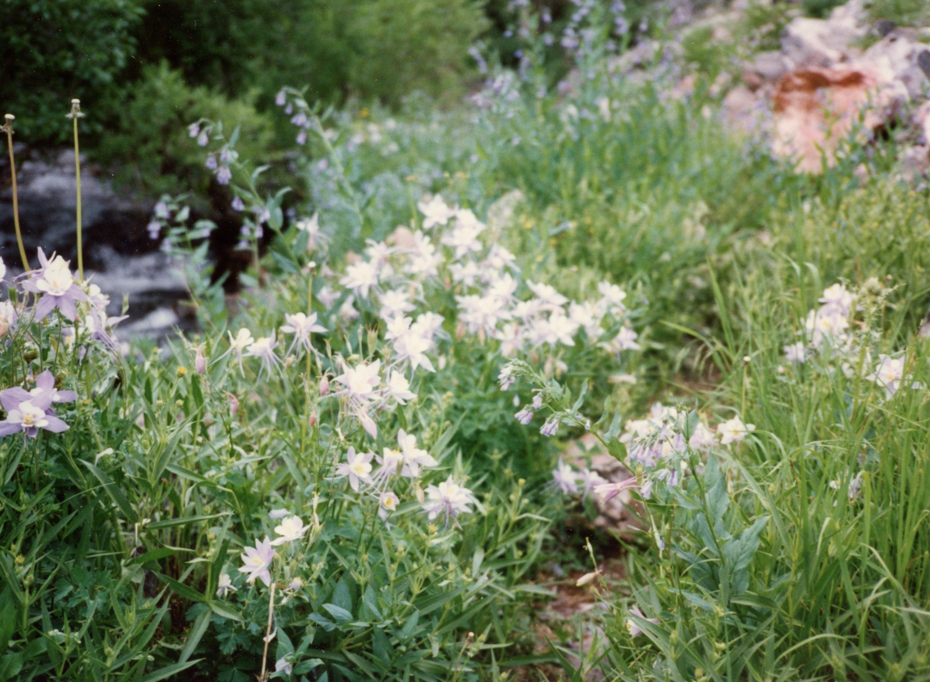
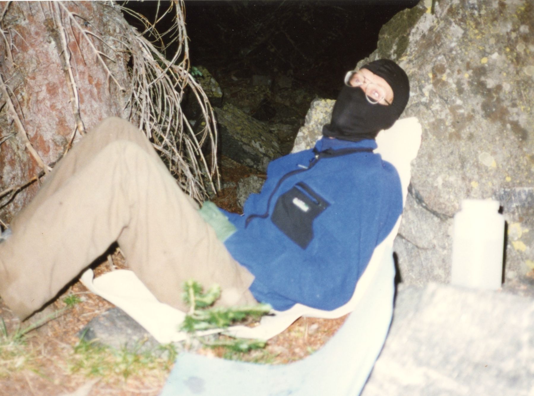
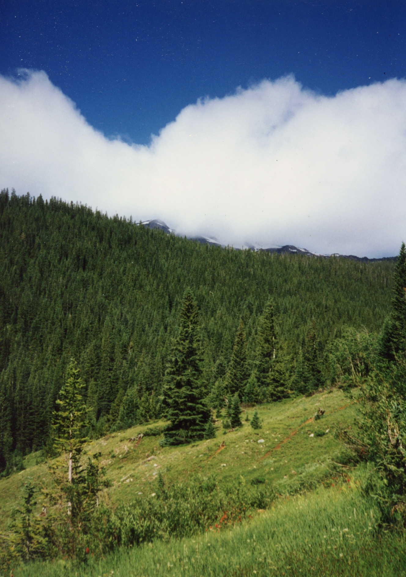
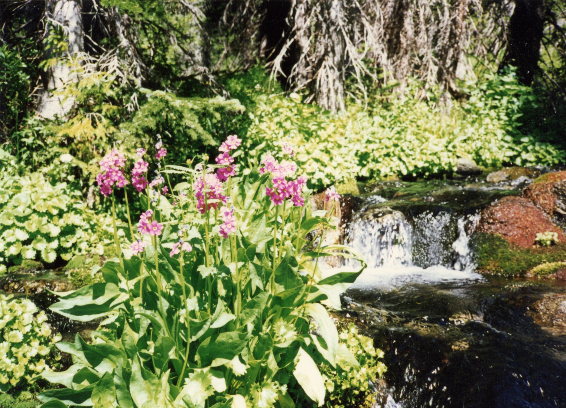
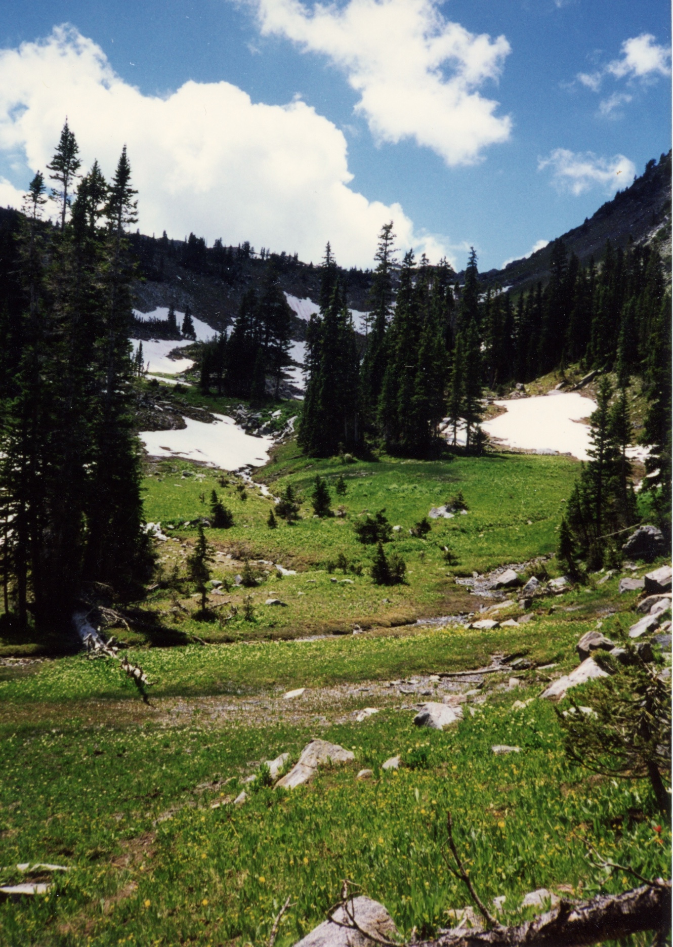
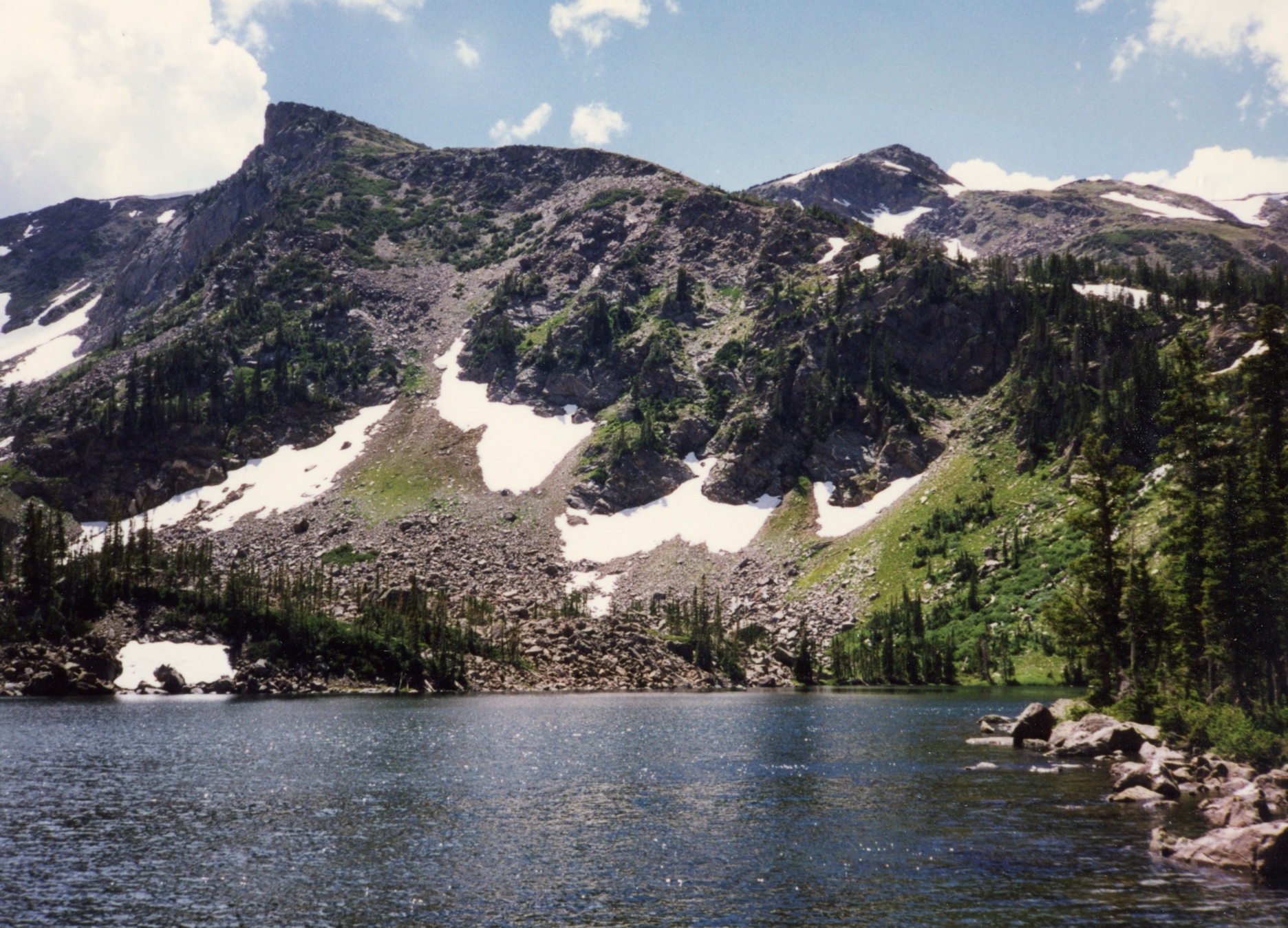
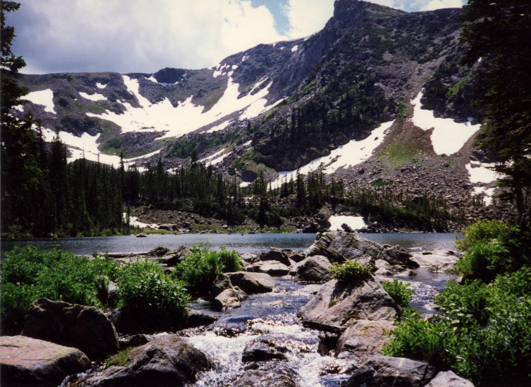
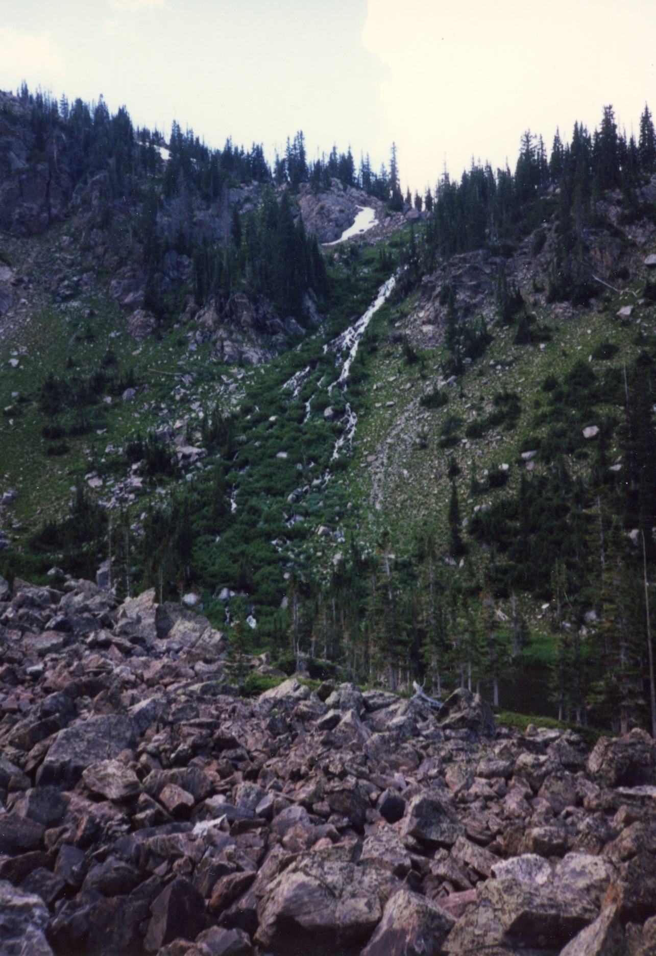
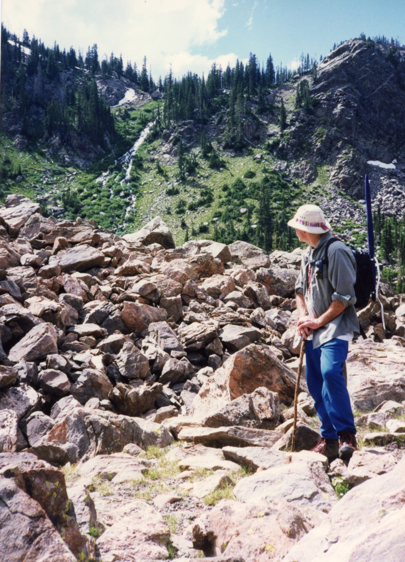
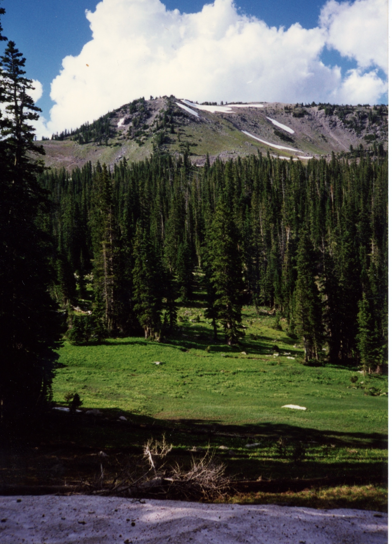
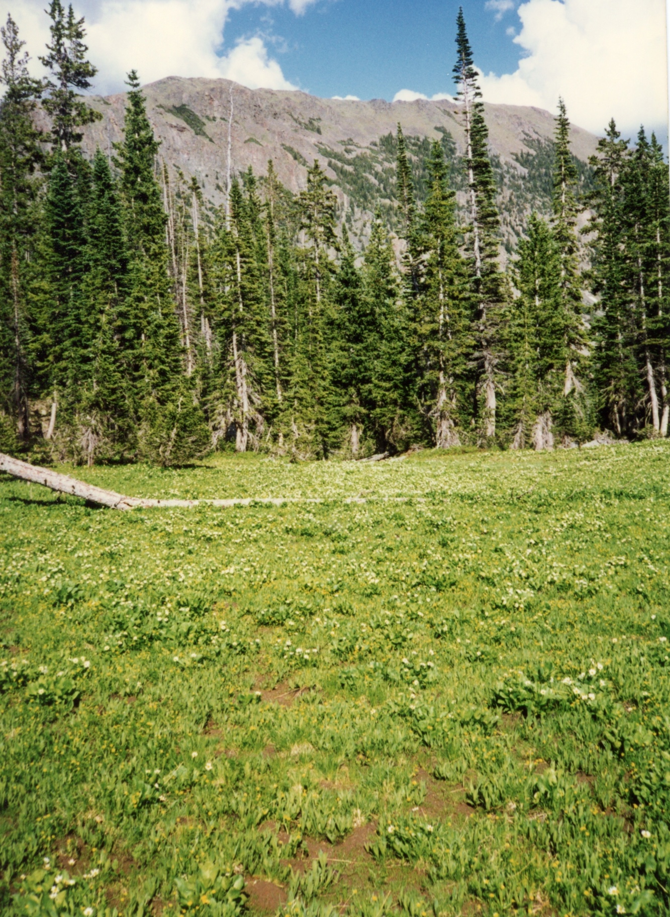
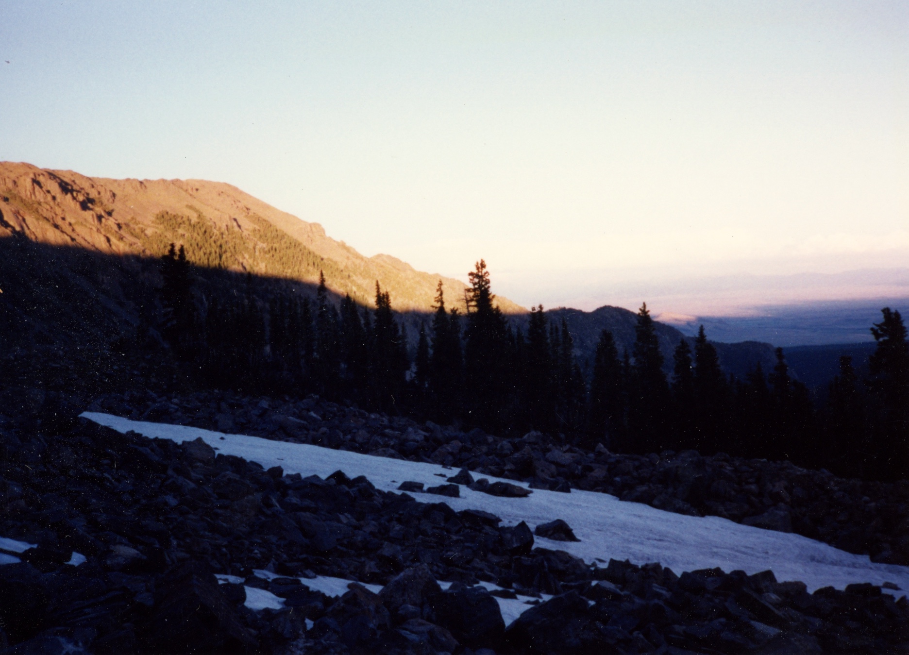
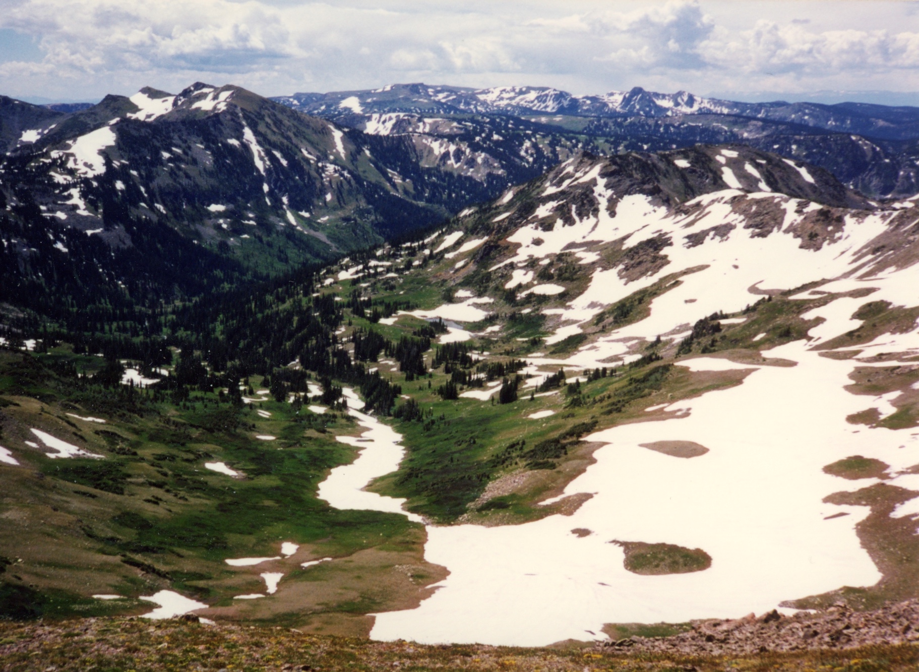
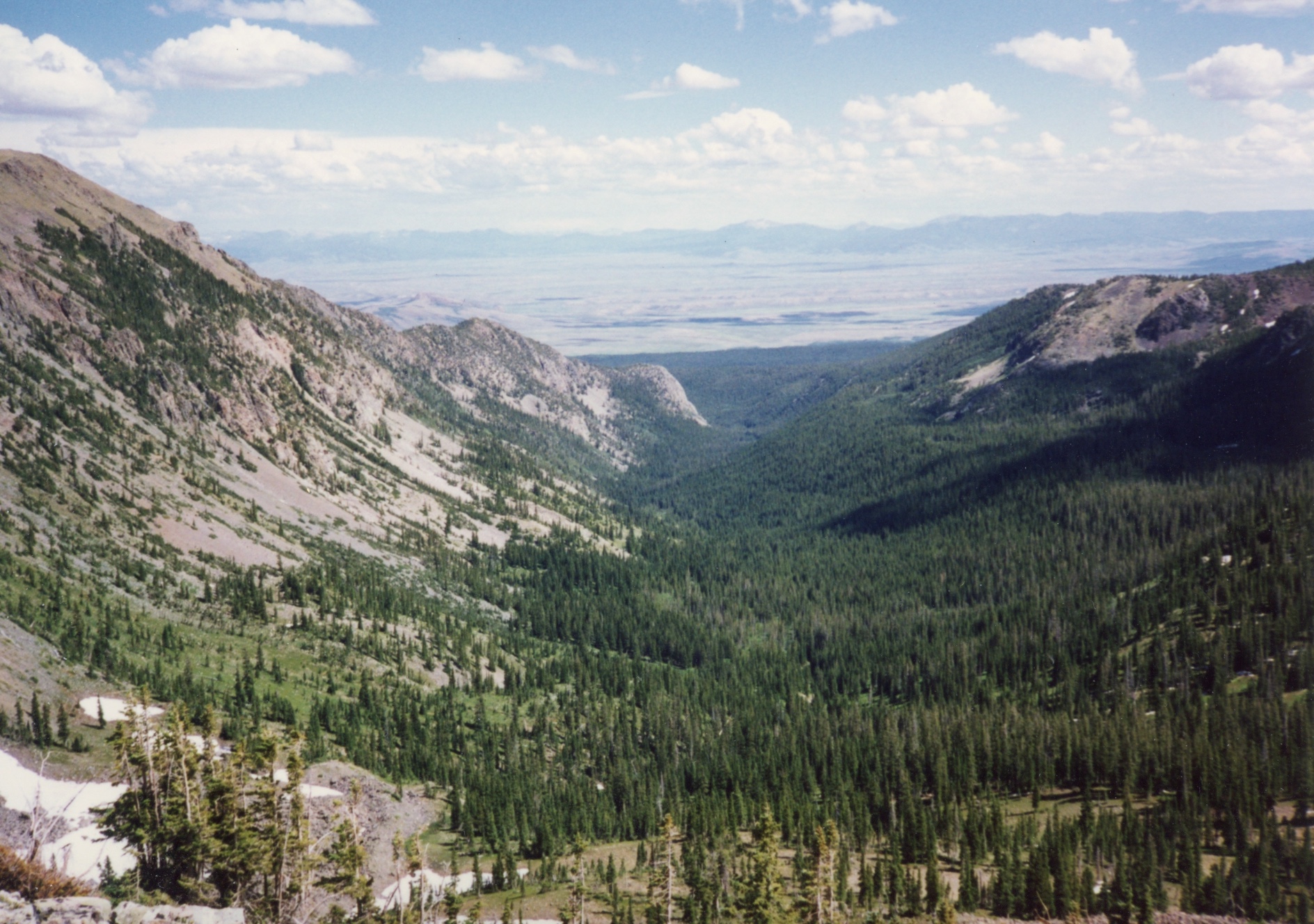
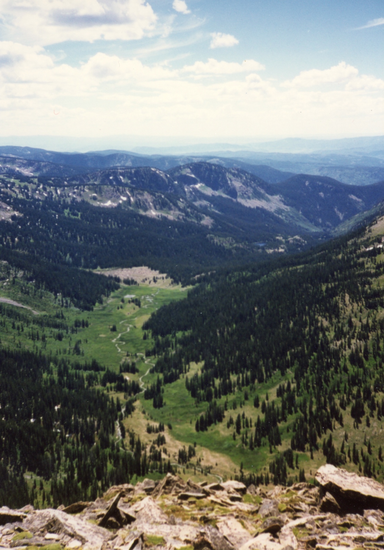
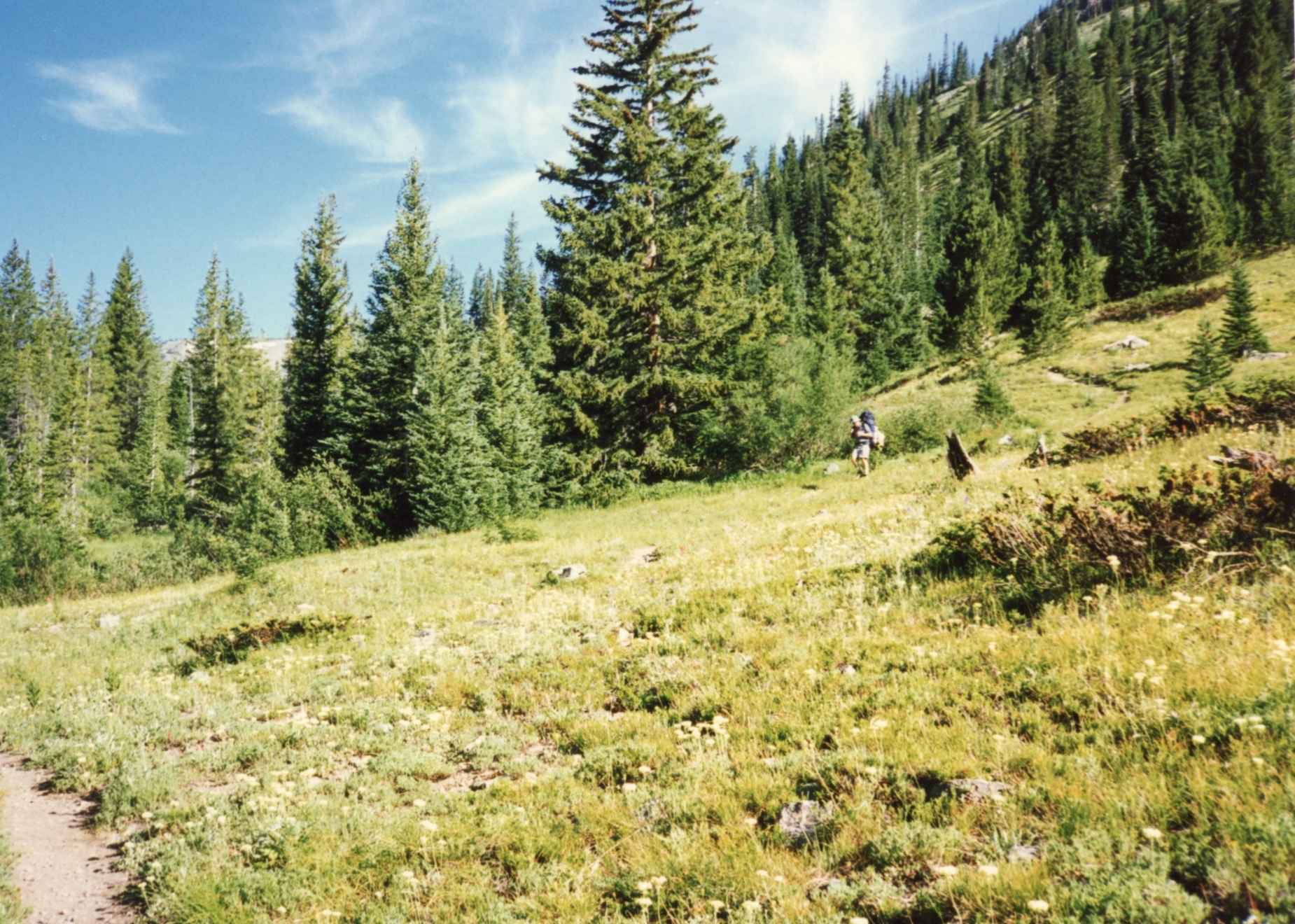
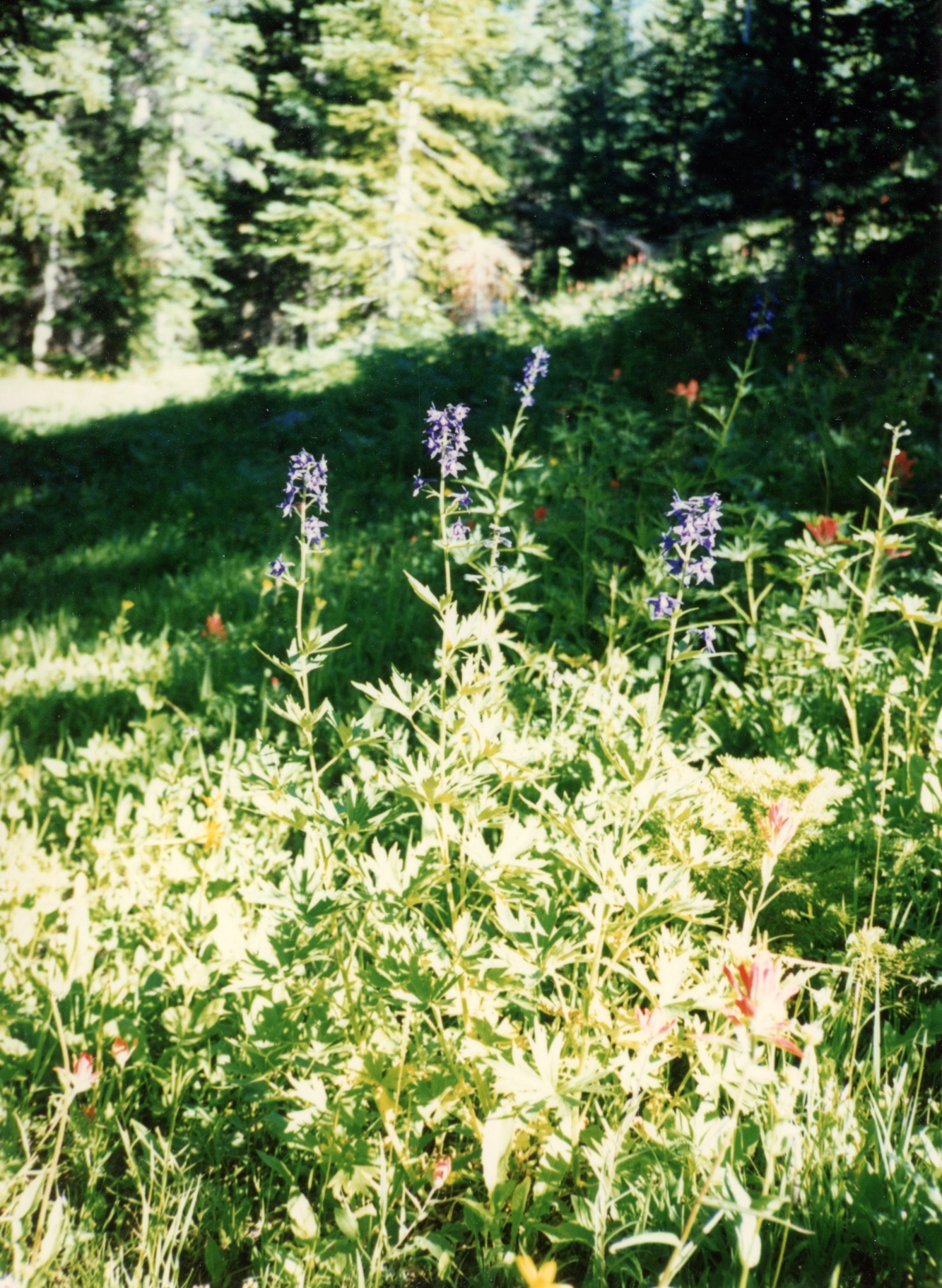
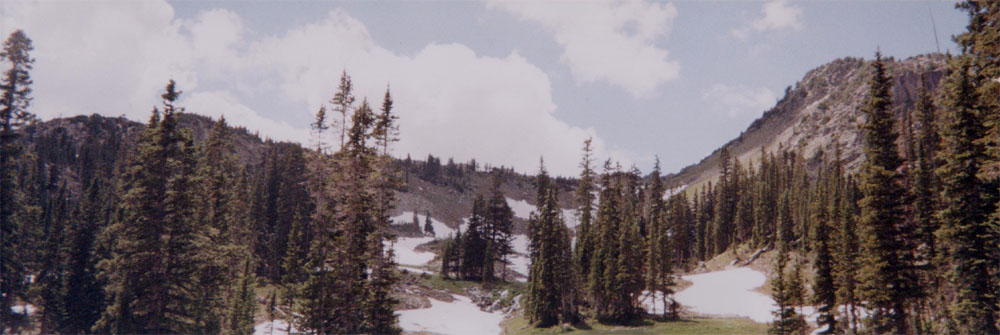
There were tons of mosquitoes, it being July. This makes sense, since the last time we were in the Zirkels in July there was still tons of snow on the ground. One couldn't stop for a minute without a horde of mosquito's sucking precious bodily fluids out of your body,

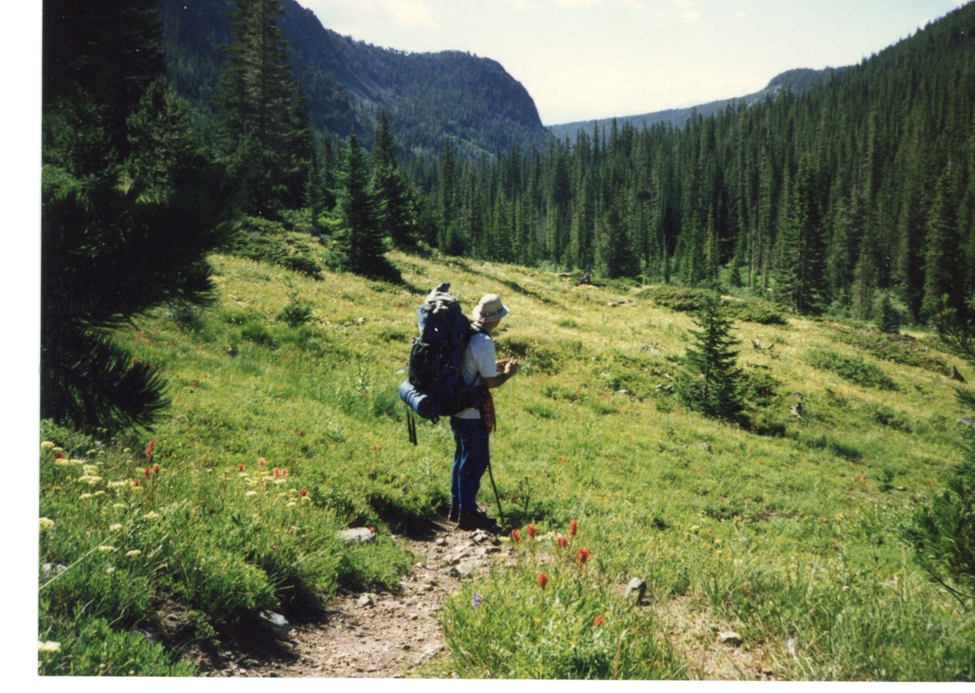
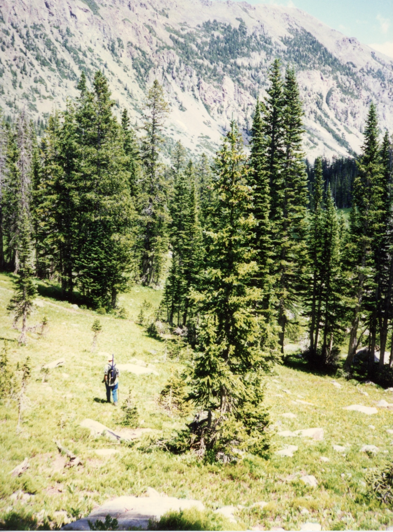
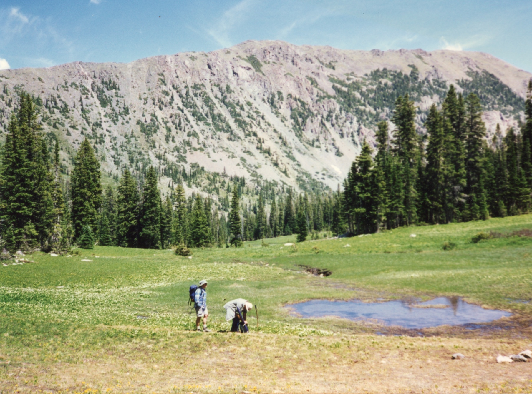
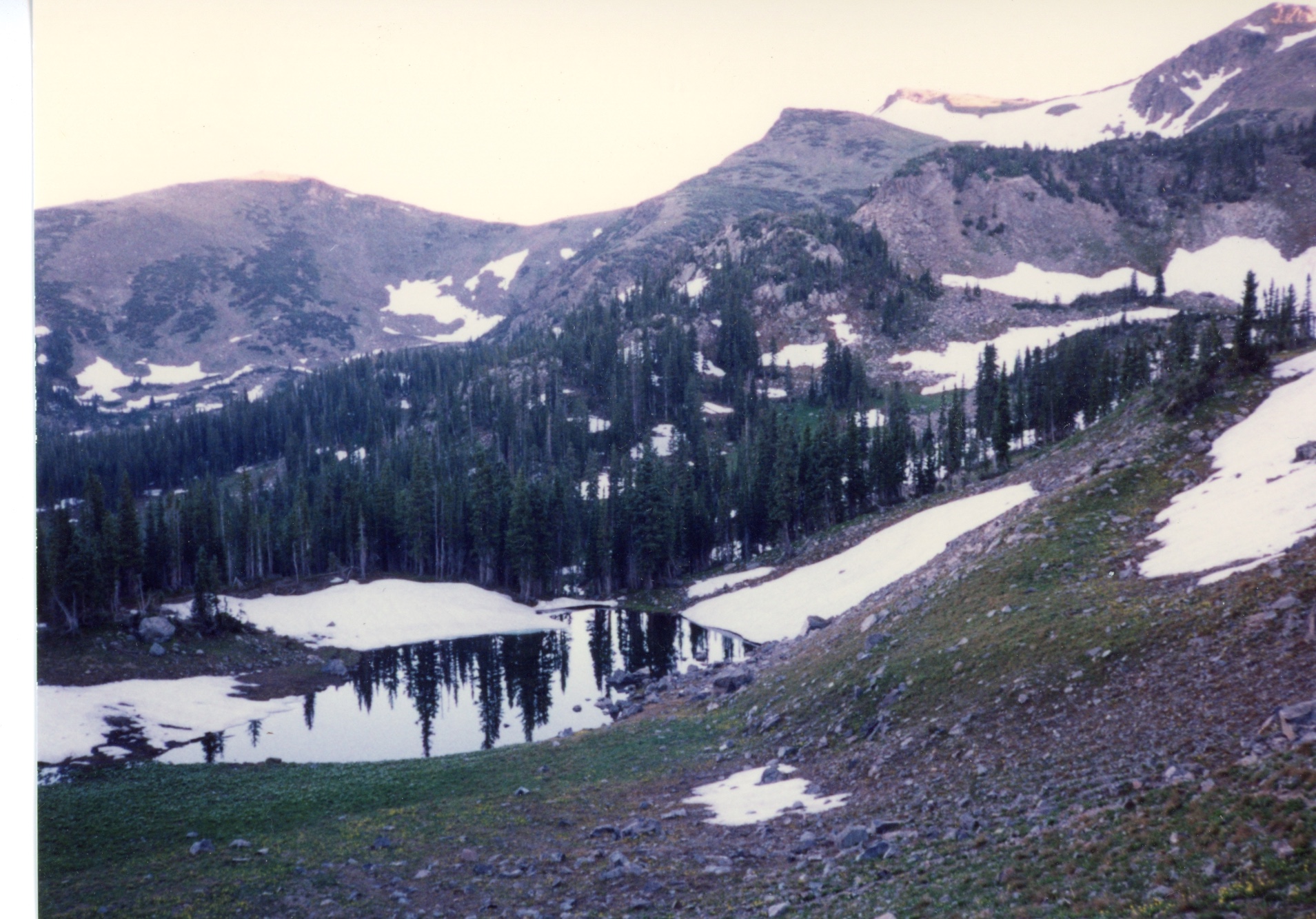
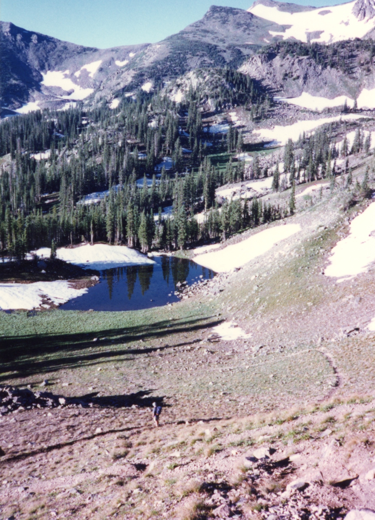
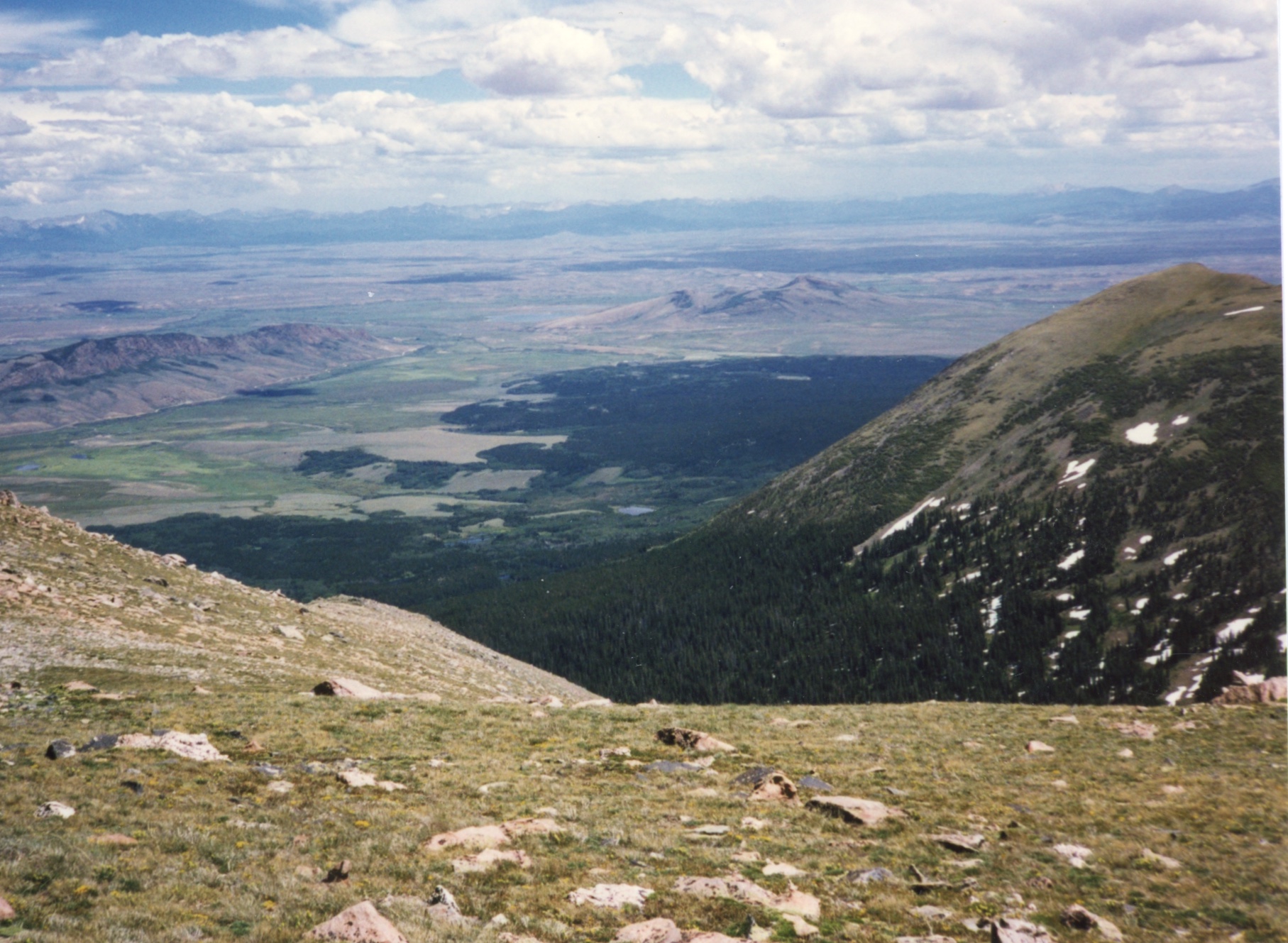
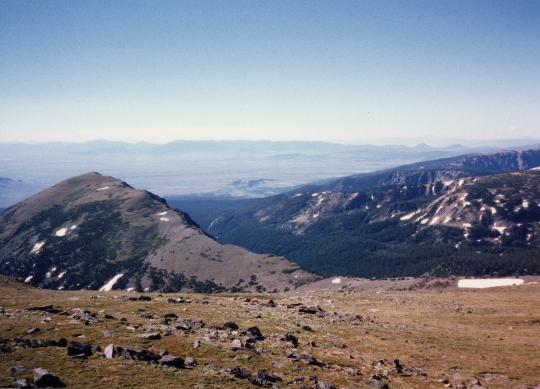
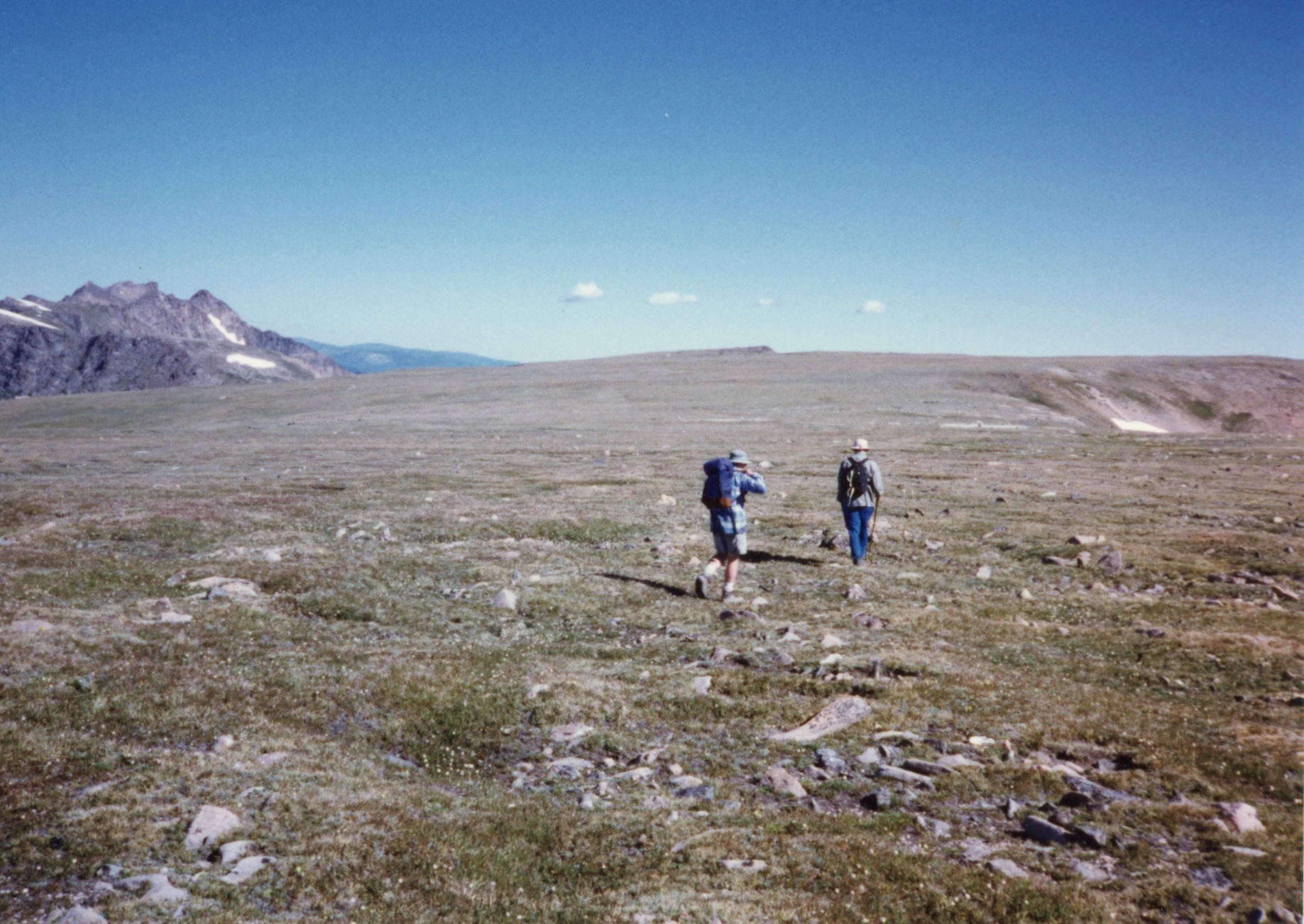
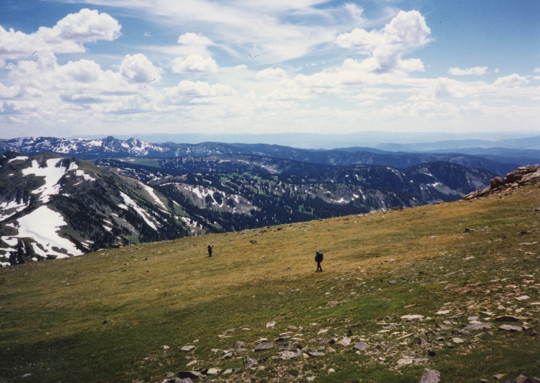
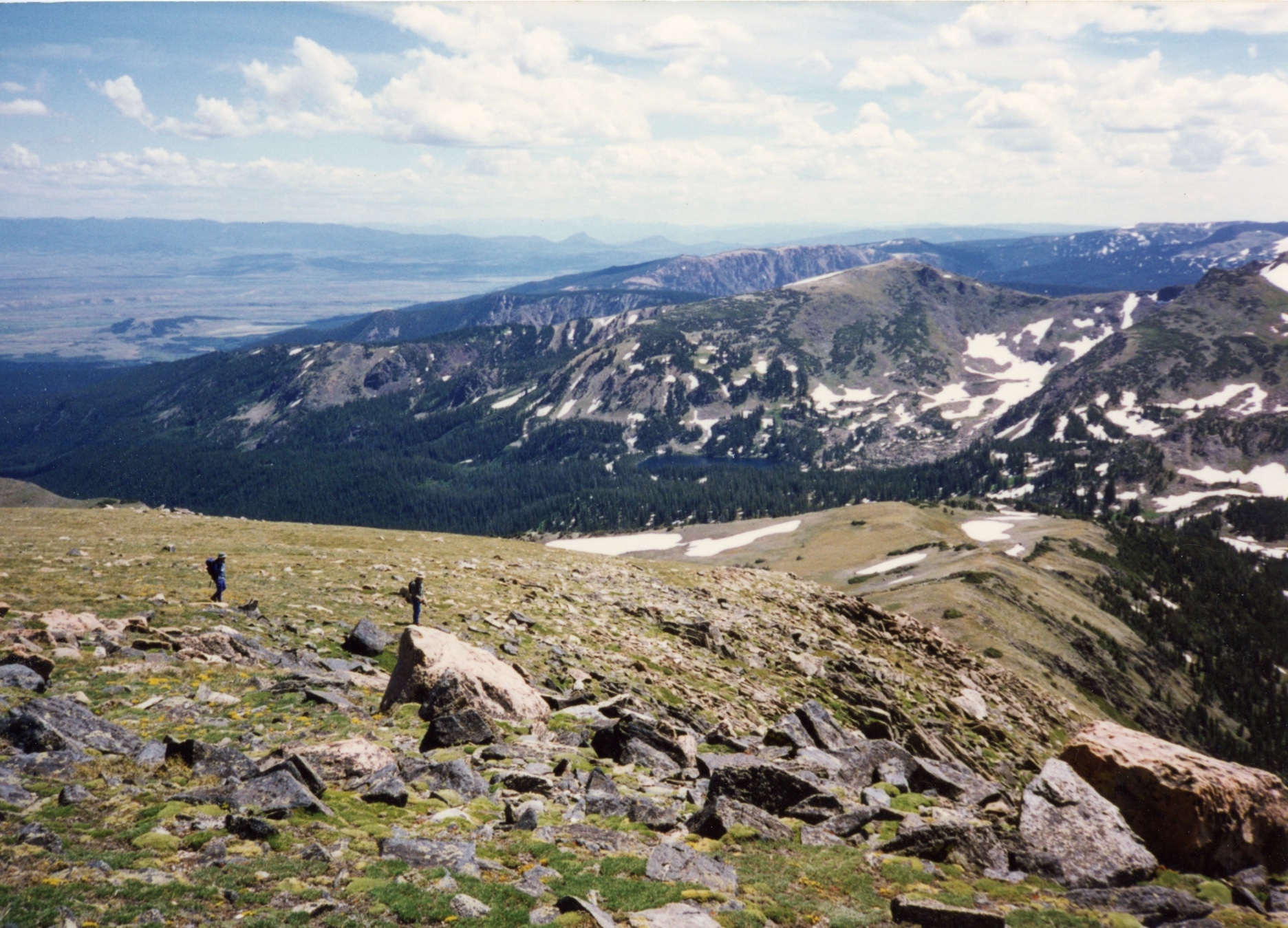
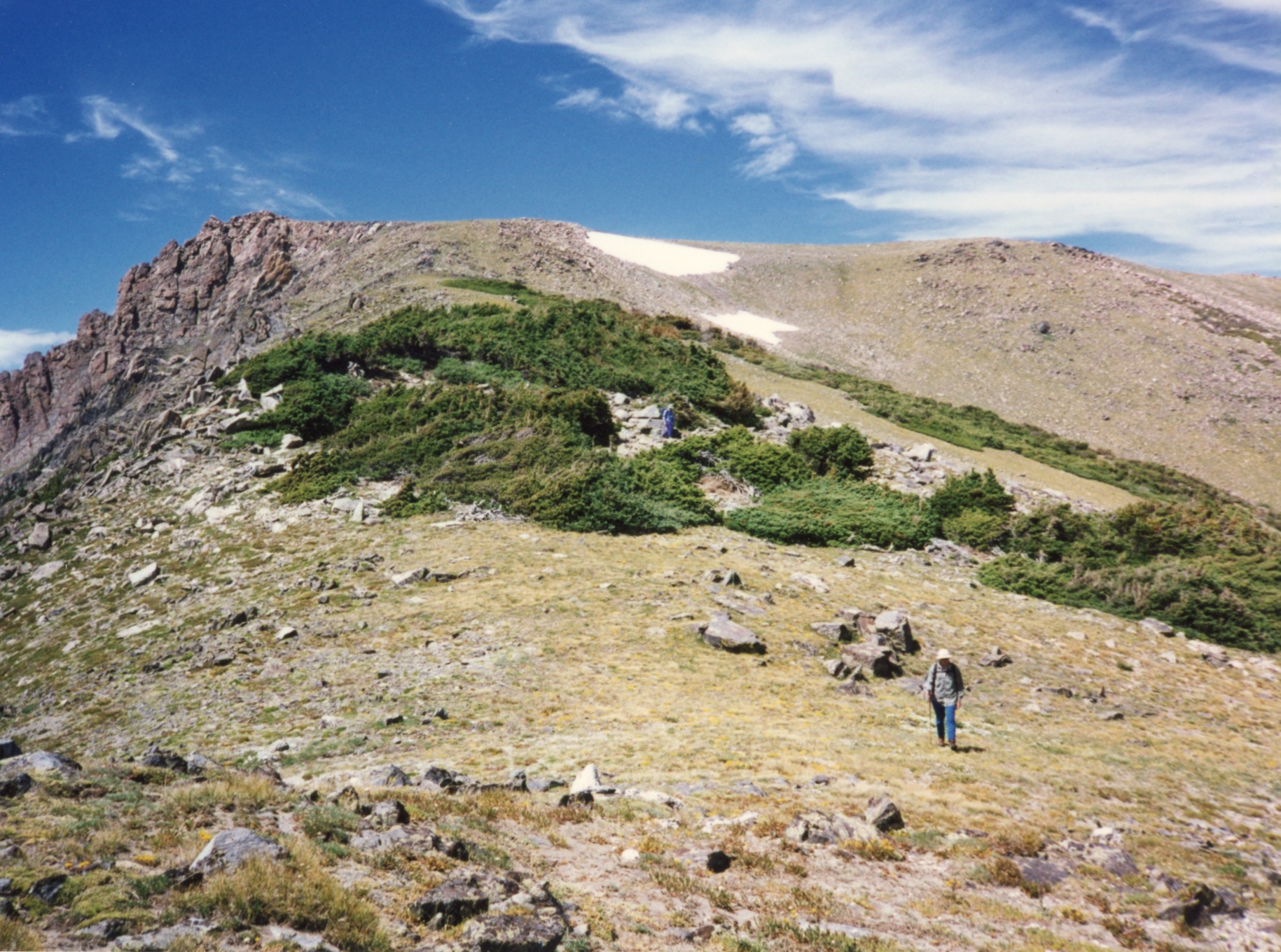
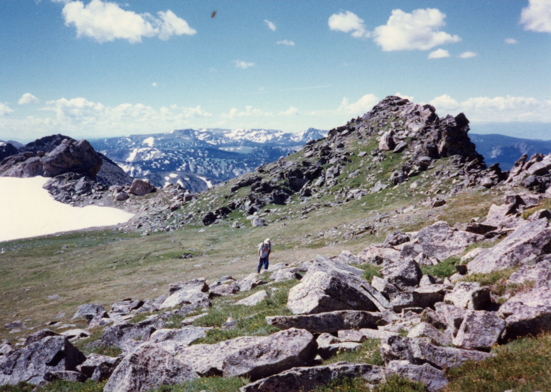
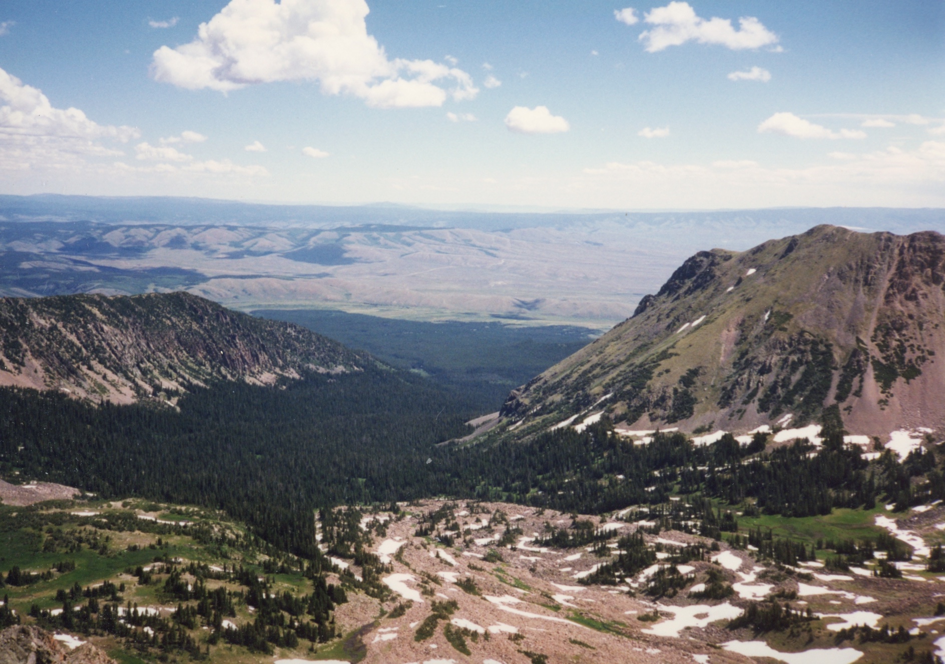
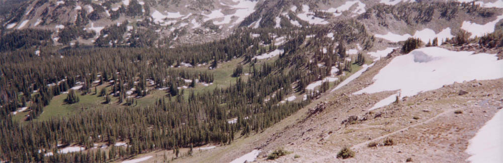
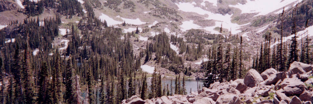
And if having tons of mosquitoes was not bad enough, to make matters worse, our MSR water purifier clogged from silt in the stream we used as our water source. If only we had read the manual, as it was relatively easy to clean out in retrospect. Brian tried fishing again, once again no monkeys were seen. Our day hikes were nice and relaxing, being above the timberline and mosquito line.

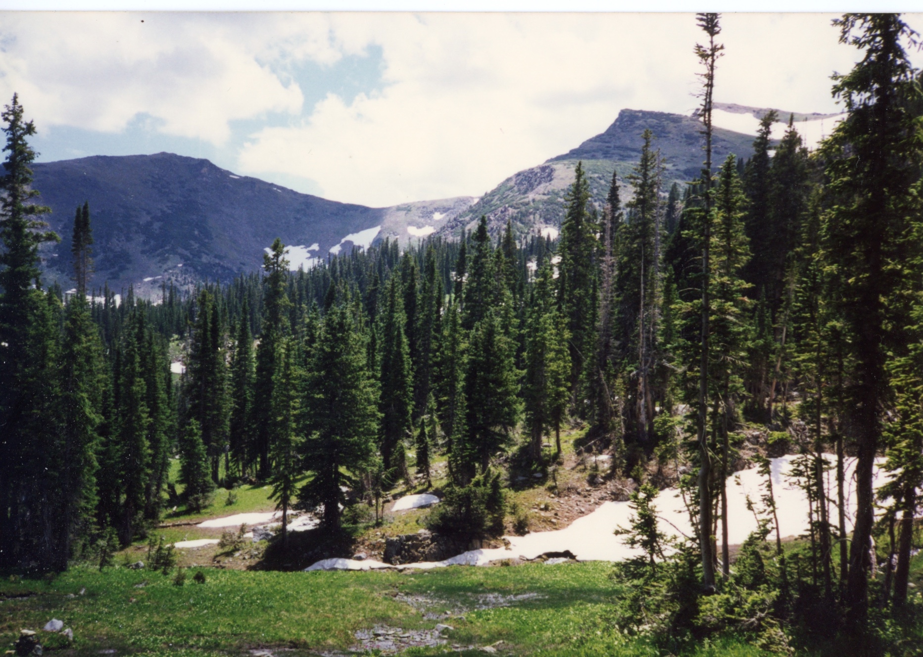
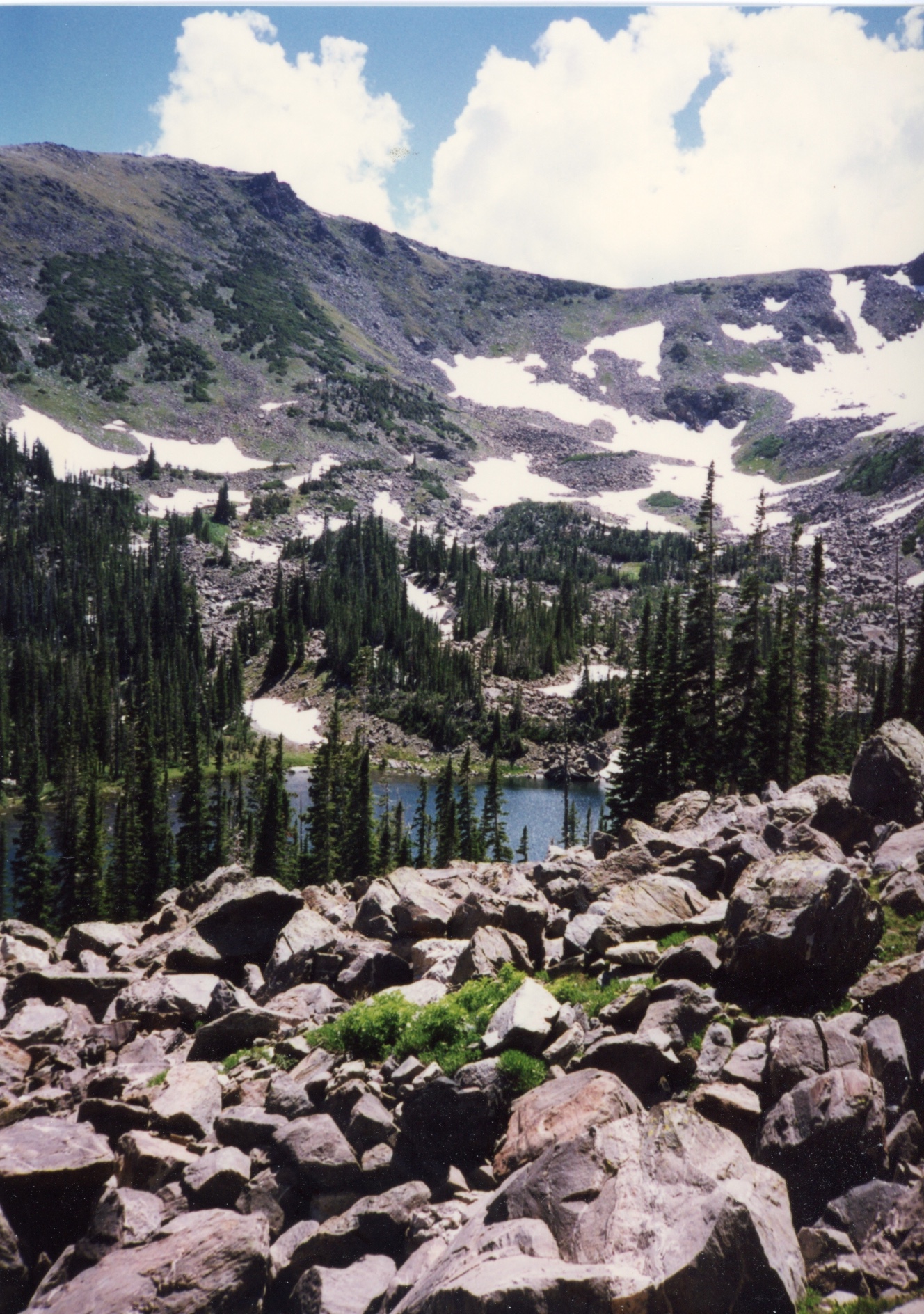
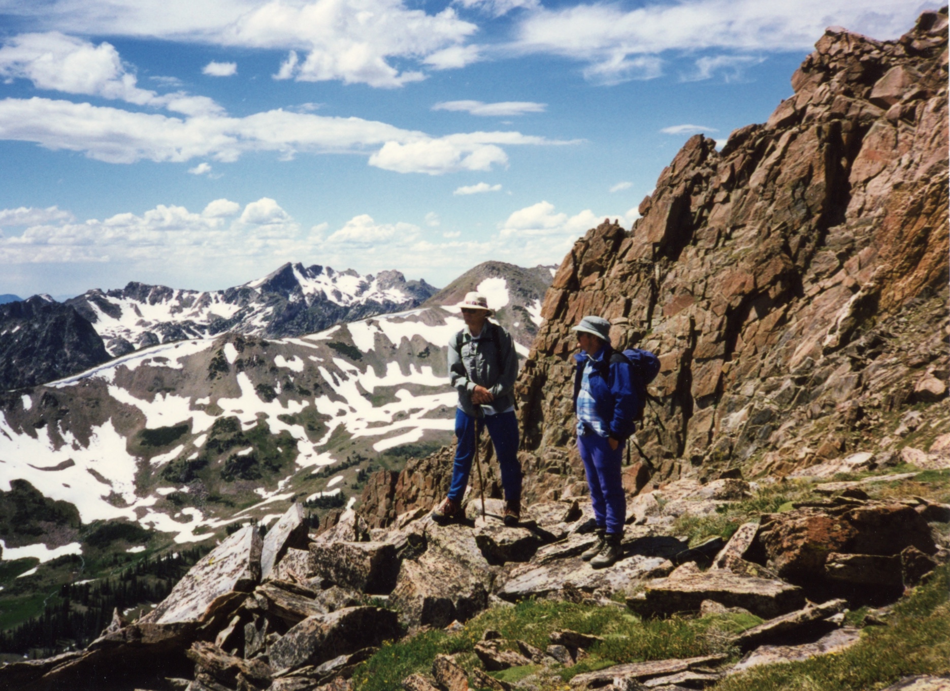
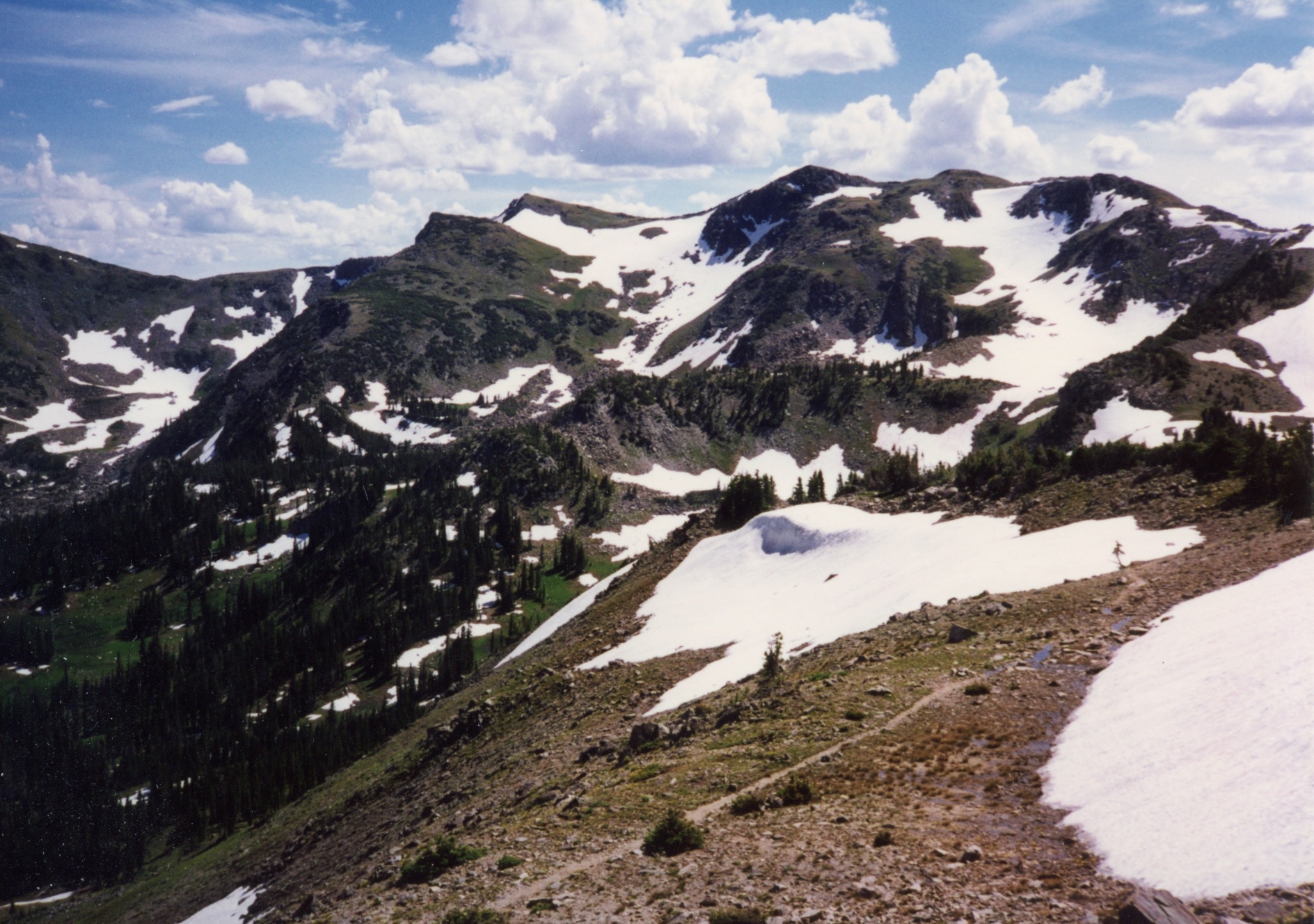
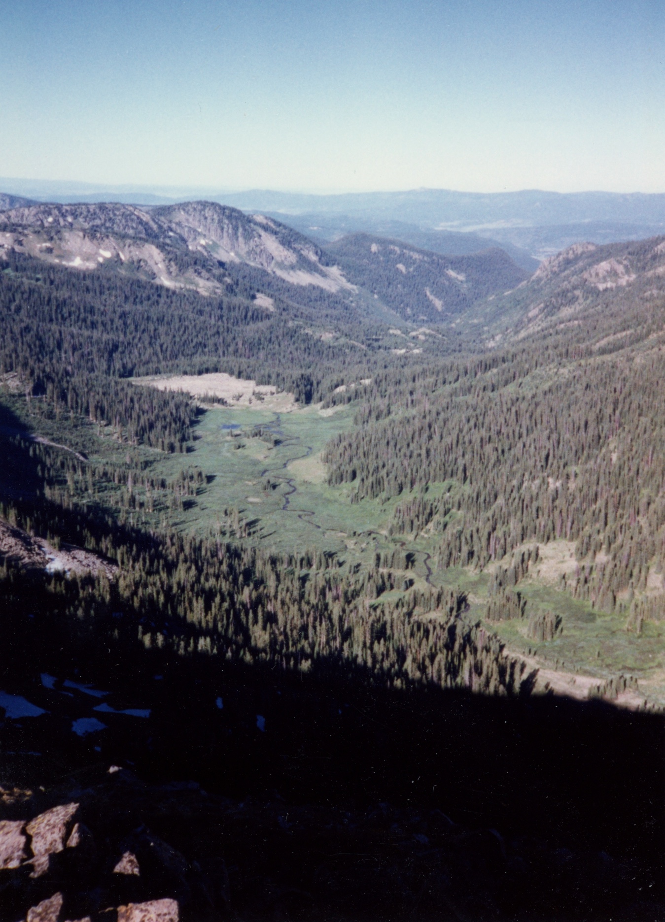
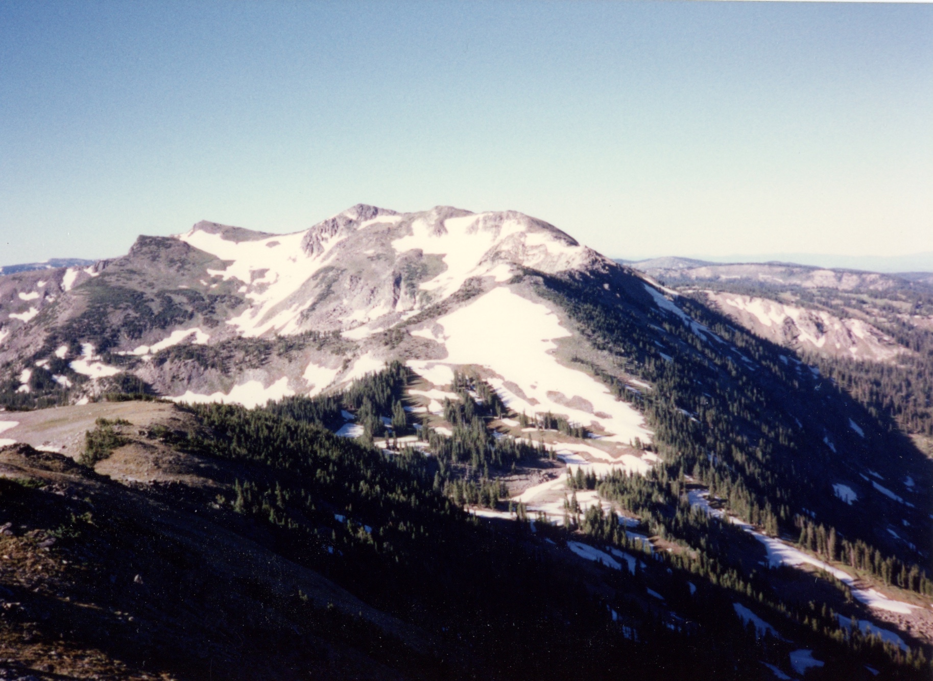
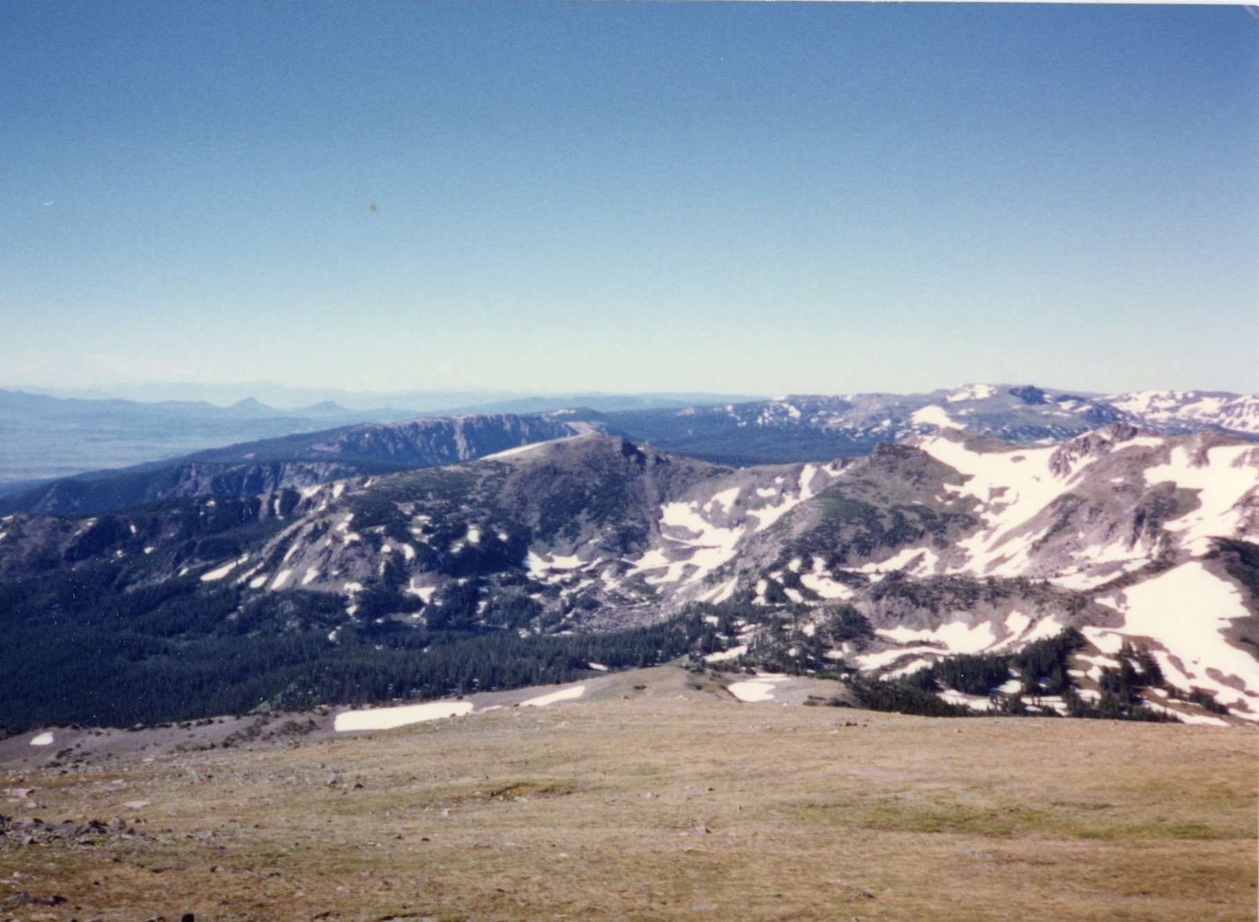
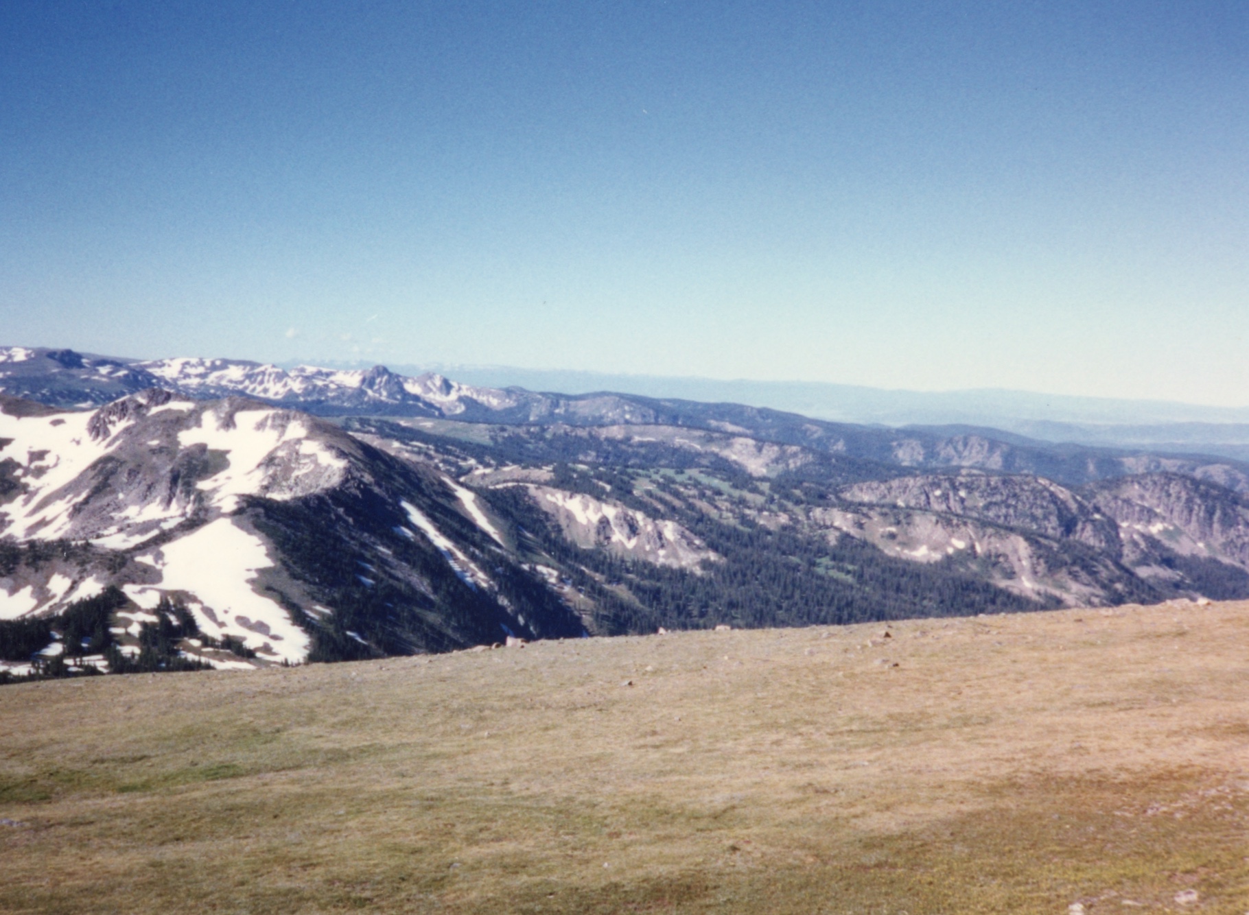
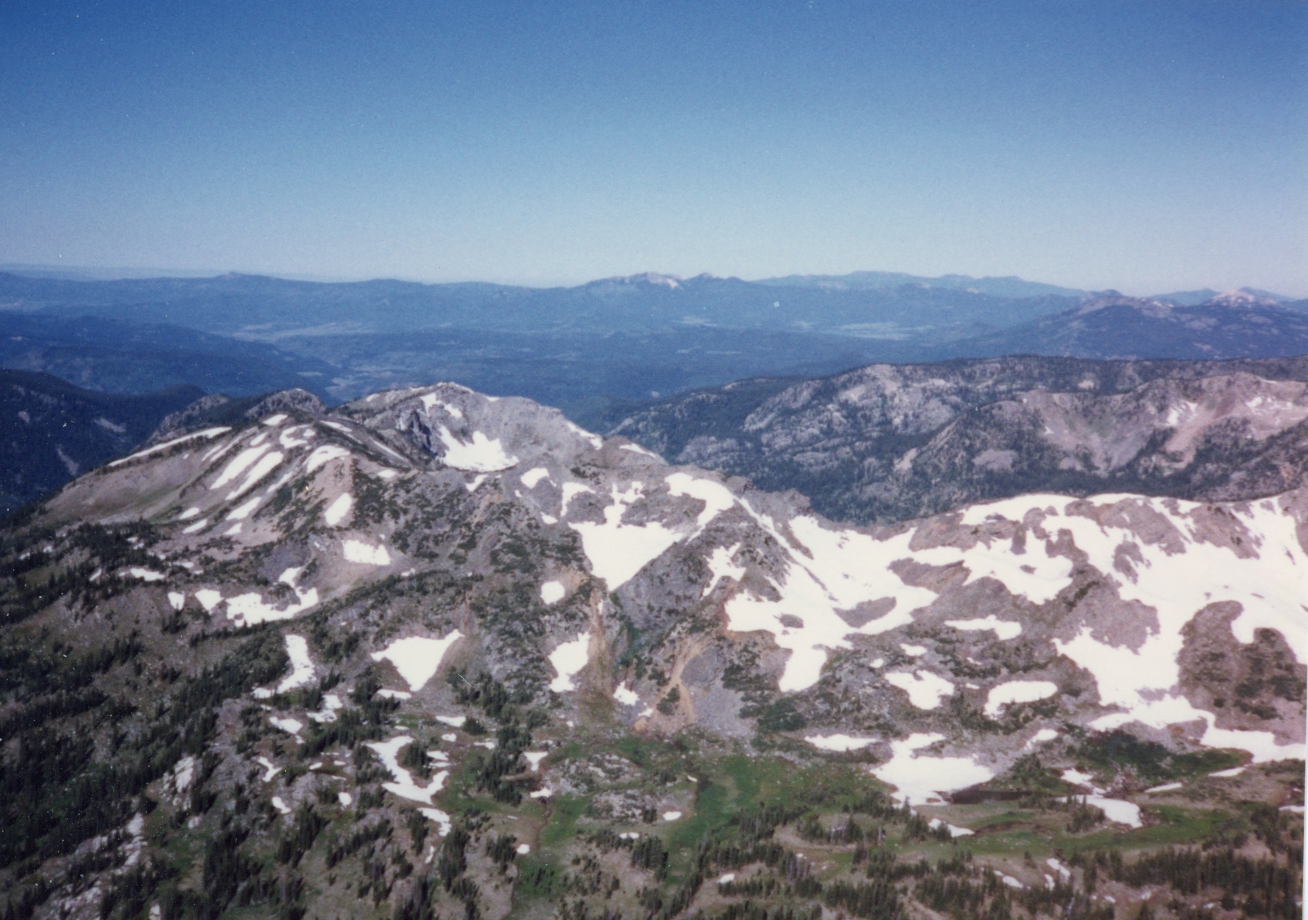
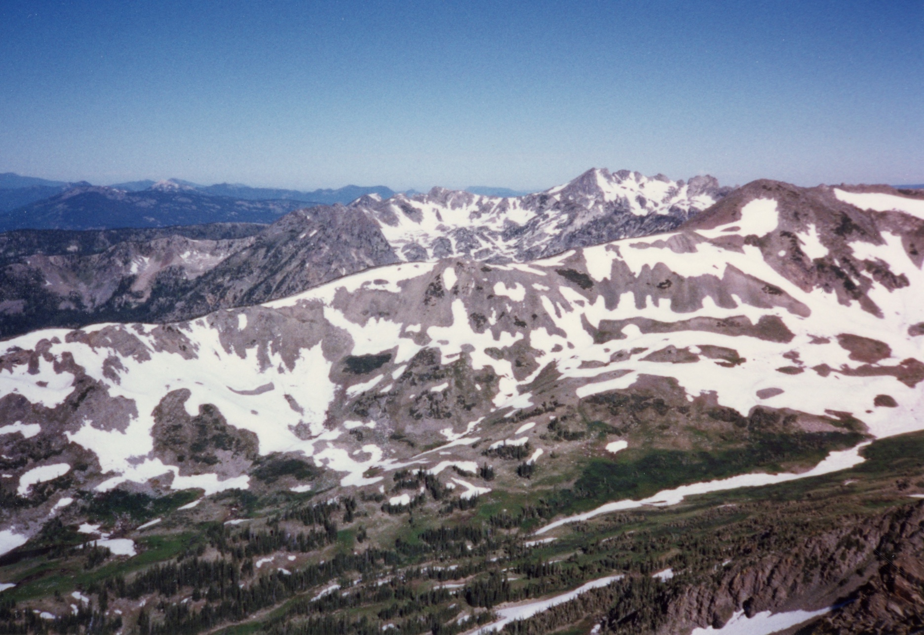
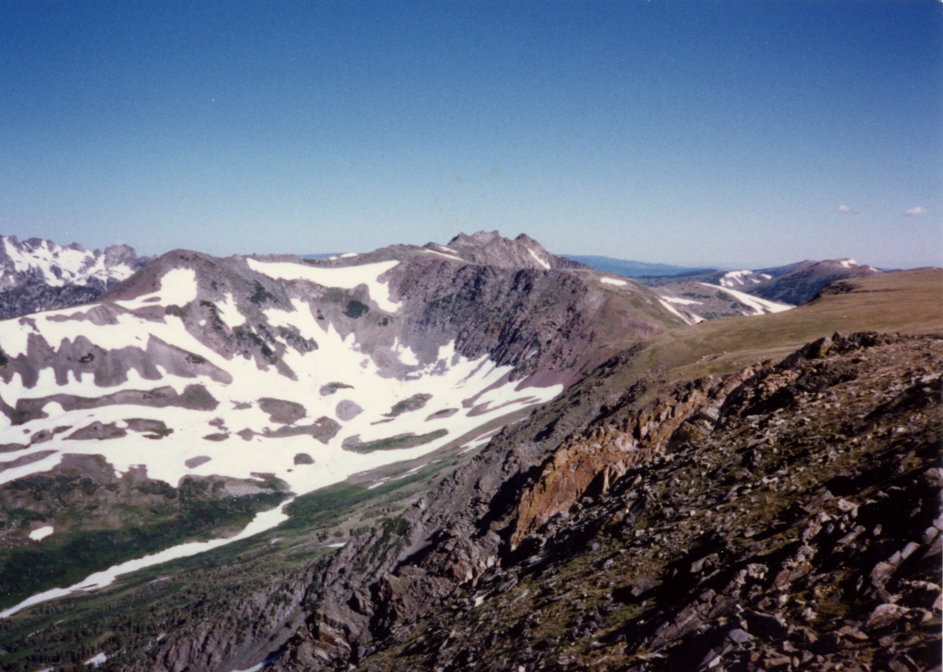
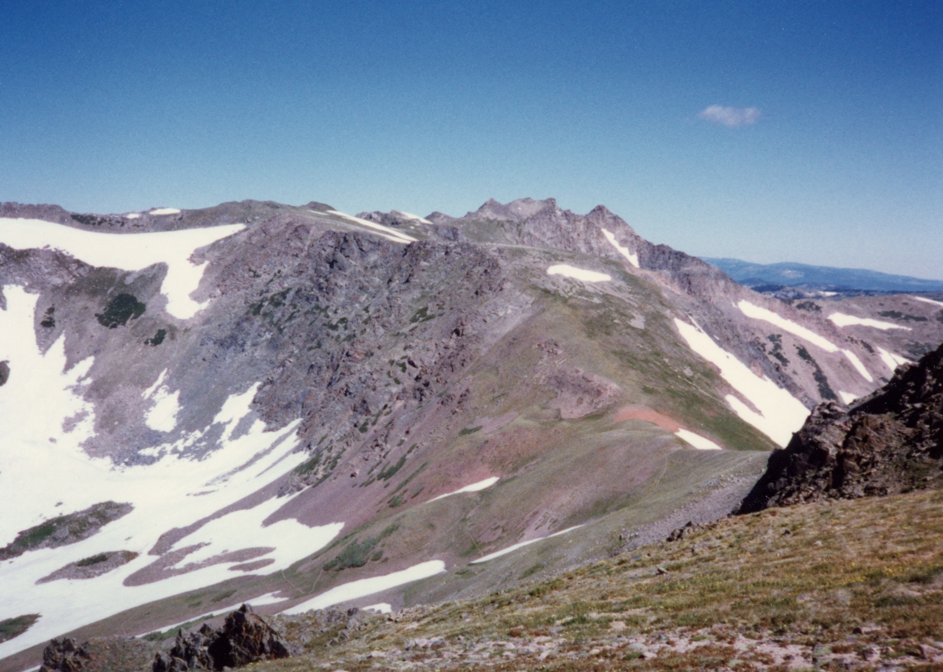
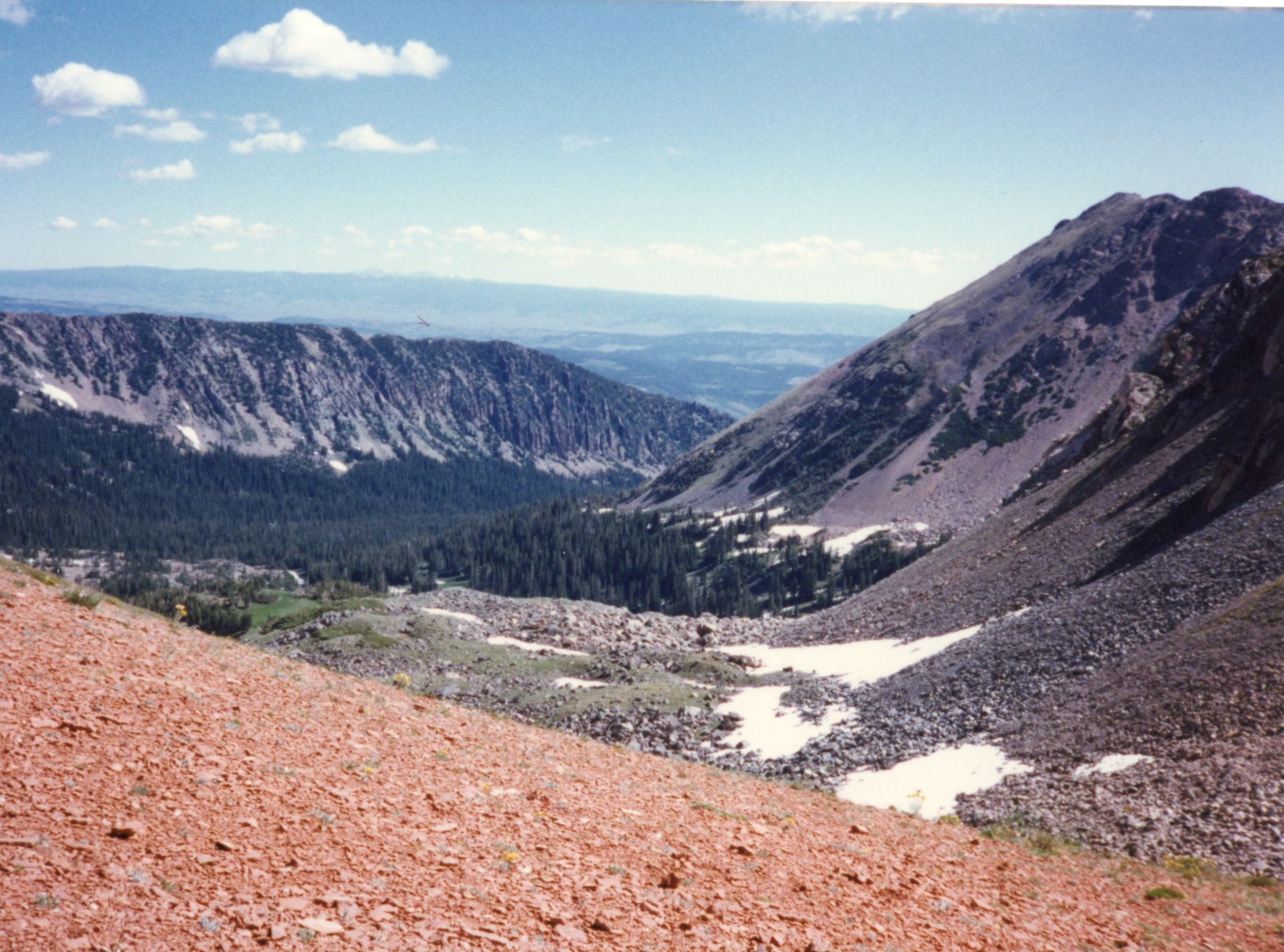
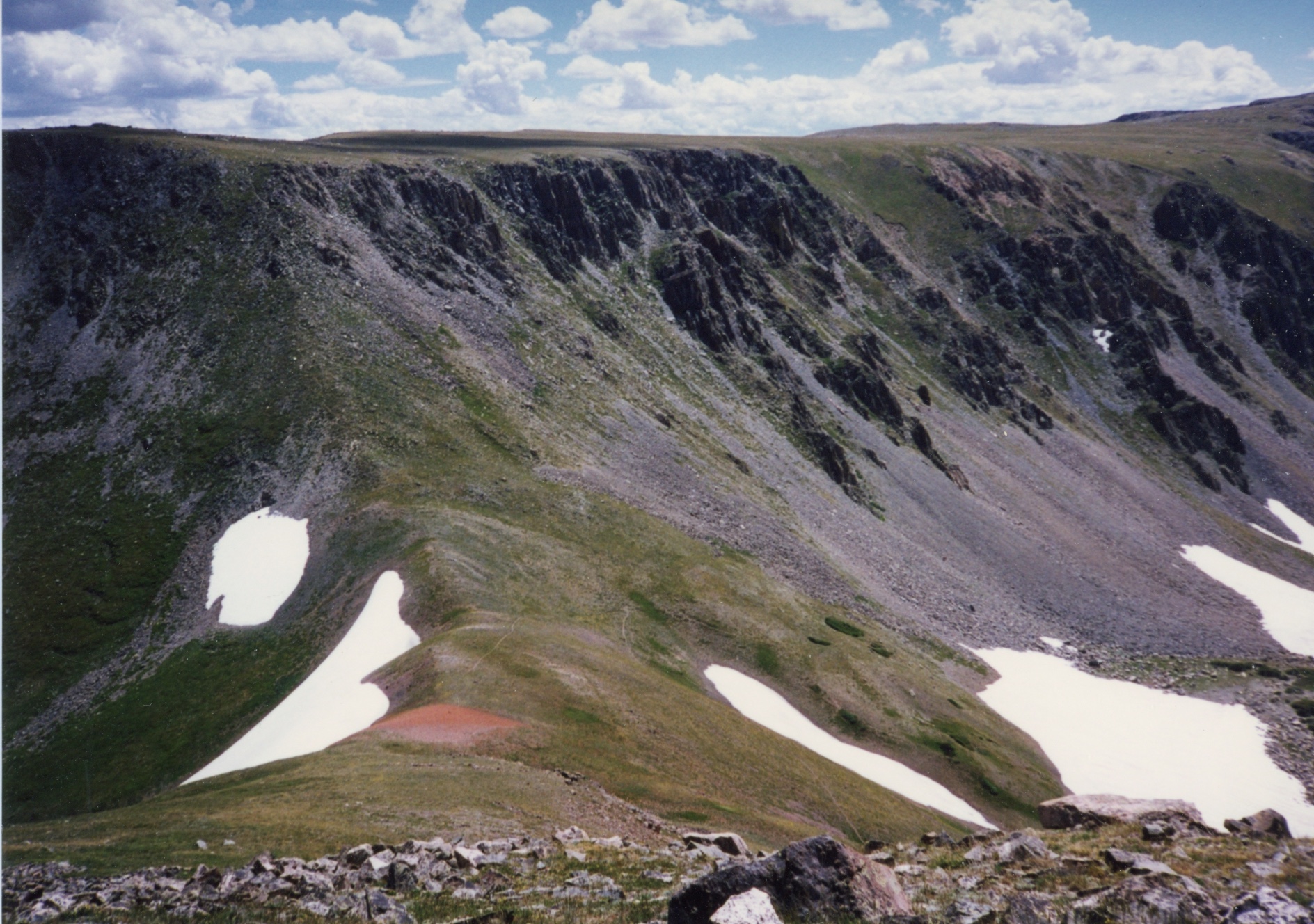
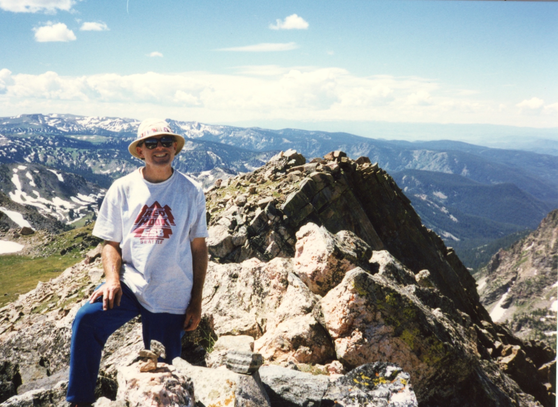
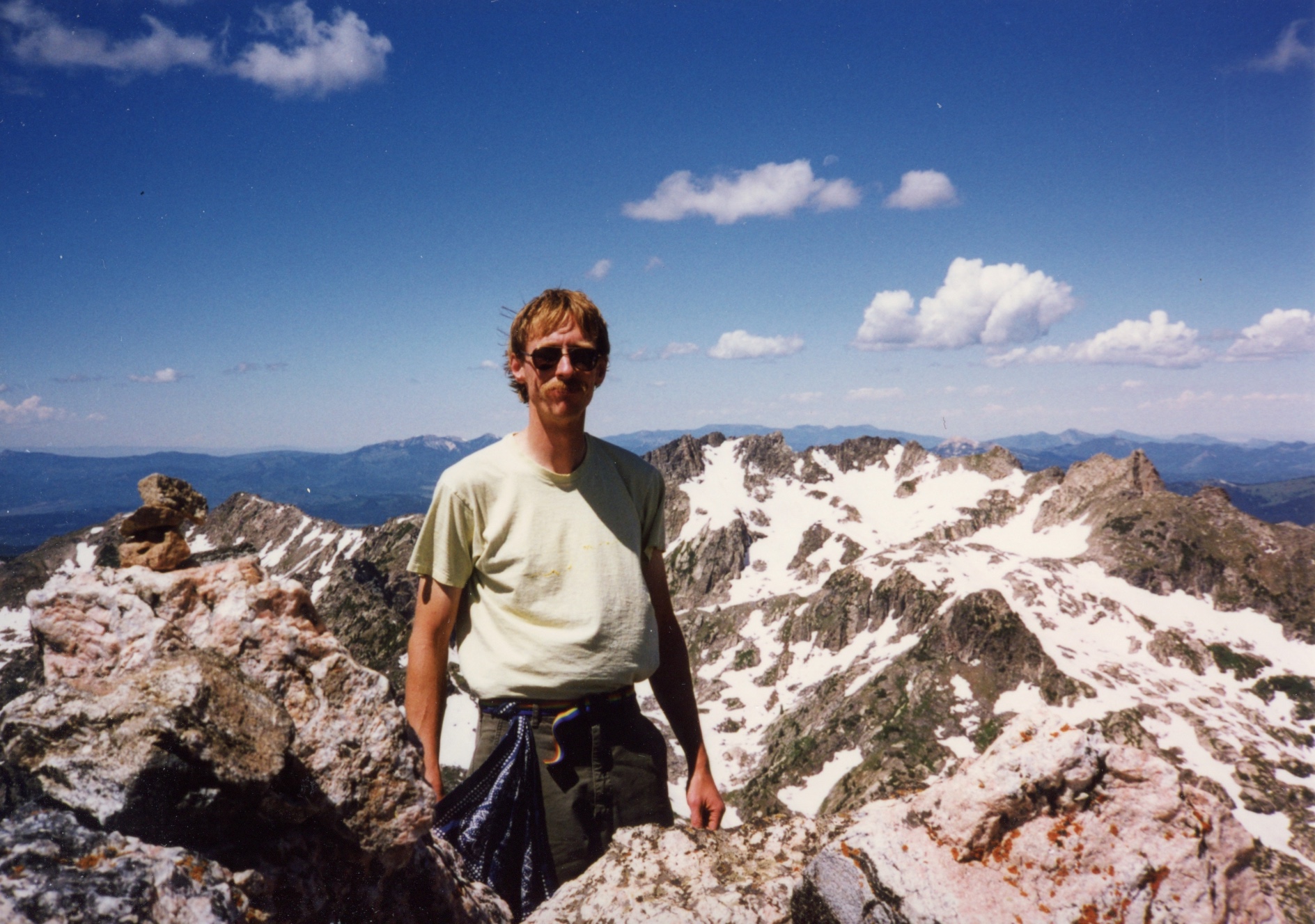
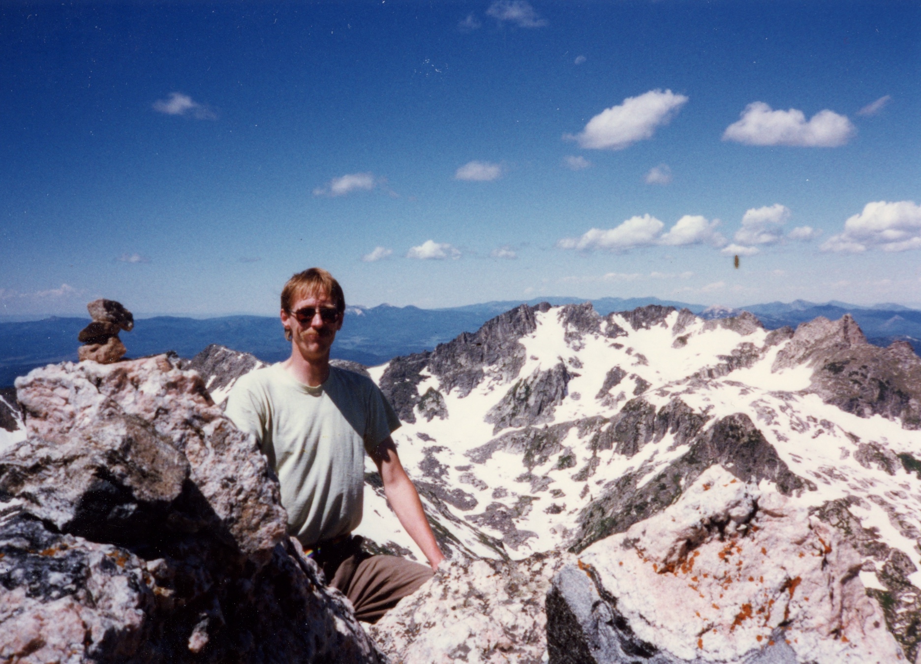
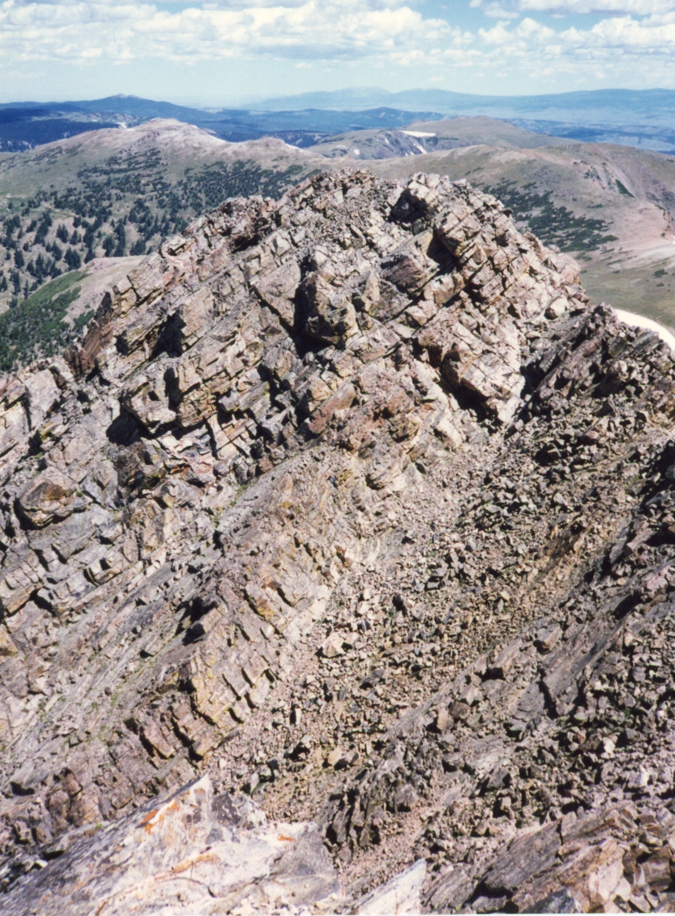
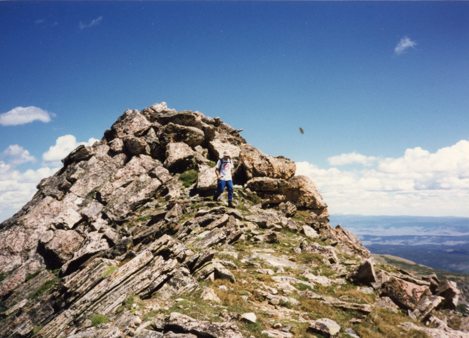
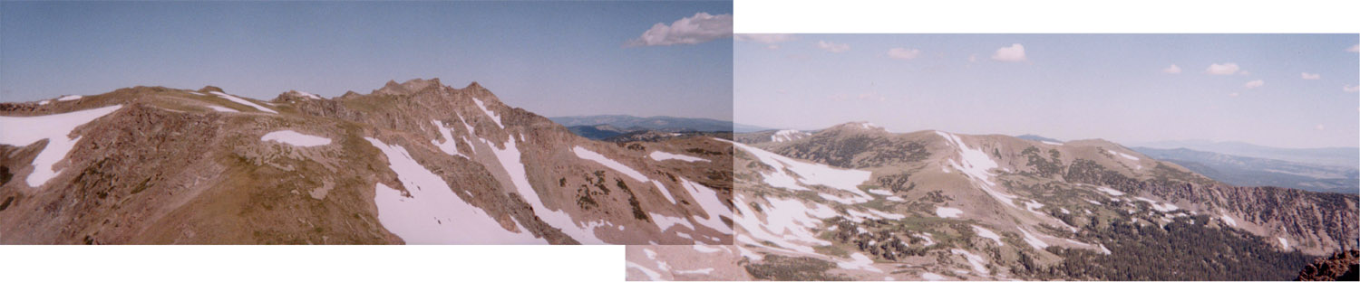
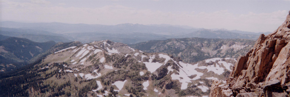
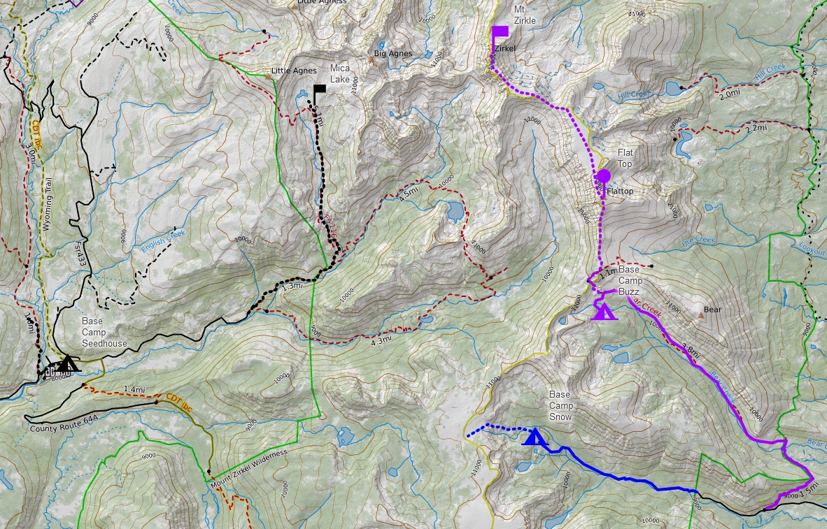
We did a nice hike to the top of Flattop Mountain (12118), and Brian and Ted continued on the Red Dirt Pass and climbed Mt Zirkel (12180 ft).

This map shows three hikes in this area of the Mount Zirkel Wilderness. The hike described here is to Bear Lakes (1997). Other hikes have been done to Bighorn Lake (1995) and Mica Basin (2022).

The Mount Zirkel Wilderness lies within the Routt National Forest in northwestern Colorado. It was one of the original areas protected under the 1964 Wilderness Act and has since been expanded twice to its present size of 160,648 acres. This Wilderness area is home to the headwaters of the Elk, Encampment and North Platte Rivers. It straddles the Continental Divide and encompasses the rugged Sawtooth Range, as well as portions of the Park and Sierra Madre ranges.

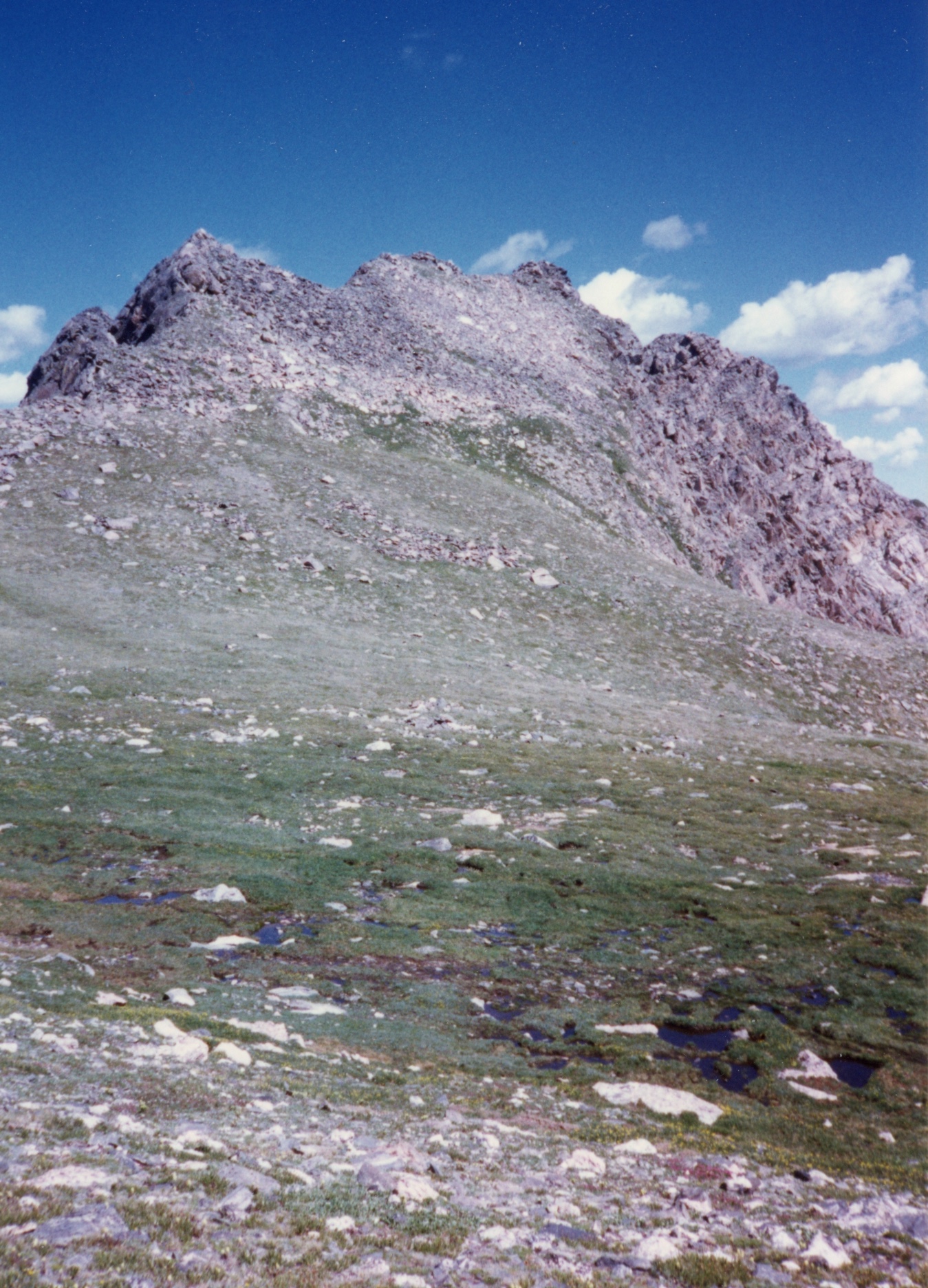
The Wilderness is named after Mount Zirkel (12180 ft), the highest peak in the Park range. Clarence King, one of the leaders of the Fortieth Parallel Survey named it after German geologist Ferdinand Zirkel (1838-1912), a pioneer in the study of the optical characteristics of thin slices of rock under a microscope (petrography).

The purpose of the Geological Exploration of the Fortieth Parallel (1867 to 1872; "Fortieth Parallel Survey") was to study and describe the natural resources within a 100 mile border around the Union and Central Pacific railroads from northeastern California, through Nevada, to eastern Wyoming. The comprehensive survey, under the direction of A. A. Humphreys (military general) and Clarence King (geologist), mapped the area along 40th parallel (they couldn't name it "What is right next to the railroads that we can mine, harvest, or shoot" could they?), studying the geology, looking for gold deposits, and collecting plants and animals.

1 / 86
2 / 86
3 / 86
4 / 86
5 / 86
6 / 86
7 / 86
8 / 86
9 / 86
10 / 86
11 / 86
12 / 86
13 / 86
14 / 86
15 / 86
16 / 86
17 / 86
18 / 86
19 / 86
20 / 86
21 / 86
22 / 86
23 / 86
24 / 86
25 / 86
26 / 86
27 / 86
28 / 86
29 / 86
30 / 86
31 / 86
32 / 86
33 / 86
34 / 86
35 / 86
36 / 86
37 / 86
38 / 86
39 / 86
40 / 86
41 / 86
42 / 86
43 / 86
44 / 86
45 / 86
46 / 86
47 / 86
48 / 86
49 / 86
50 / 86
51 / 86
52 / 86
53 / 86
54 / 86
55 / 86
56 / 86
57 / 86
58 / 86
59 / 86
60 / 86
61 / 86
62 / 86
63 / 86
64 / 86
65 / 86
66 / 86
67 / 86
68 / 86
69 / 86
70 / 86
71 / 86
72 / 86
73 / 86
74 / 86
75 / 86
76 / 86
77 / 86
78 / 86
79 / 86
80 / 86
81 / 86
82 / 86
83 / 86
84 / 86
85 / 86
86 / 86

Brian and Bob doing the trailhead packing thing More trailhead packing On the Grizzly-Helena trail through Aspen Looking up Bear Creek canyon from the Grizzly-Helena trail approaching Bear Creek crossing Wilderness! Columbine along Bear Creek More Columbine Ted wearing anti-mosquito garb Brian and Bob packing up after first night Campsite boulder Brian posing for GQ Brian looking southeast down bear creek valley Clouds over peaks above Bear Lakes Creekside flowers Brian grunting up Bear Creek Trail Our campsite just below Ute Pass (~10,400) Day hike to Bear Lake. Meadow near Base Camp Buzz. Alpine meadows Brian finding our way to Bear Lake, Bear Lake to right, Bear Mountain above Brian and Bob en route to Bear Lake North Bear Lake North Bear Lake looking west Looking west across North Bear Lake Looking east North Bear Lake Looking east across South Bear Lake Cascade above North Bear Lake Flowers on edge North Bear Lake Looking east north east, Bear Lake and Bear Mountain Bear Lake Columbine Brian at Bear Lake North Bear Lake Brian crossing below North Bear Lake Returning to camp from Beak Lake dayhike Another meadow Looking northeast to Bear Mountain (11601 ft) Brian crossing creek Sunset looking southeast down Bear Creek valley Sunset looking east southeast across Bear Mountain into North Park Sunset south from below Ute Pass Brian and Bob on south slope of Flattop Mountain, Big Agnes (12059 ft) in distance Campside flowers Our camp at 10400 ft On the trail to Ute Pass Just below Ute Pass looking south Looking south to Ute Creek trail Southwest down Gold Creek from about 11000 ft on south slopes of Flattop Mountain Southwest view from south slopes of Flattop Mountain, Ute Pass (11000 ft) East southeast from Flattop Mountain, Ute creek drainage, Bear Mountain (11601 ft) on right Ute Pass (11000 ft) The view northeast to Twin Lakes from Flattop Mtn Flattop Mountain panorama I (1/3) , Bear Mountain, Bear Creek drainage, North Park, Bear Lake, Red Canyon Flattop Mountain panorama I (2/3), Bear Lake, Red Canyon, Lost Ranger Peak Flattop Mountain panorama I (3/3), southwest from Summit Flattop Mountain panorama II (1/3), looking west Flattop Mountain panorama II (2/3), looking northwest Big Agnes Mountain (12059 ft) Flattop Mountain panorama II (3/3), north to Mount Zirkel (21180) Brian and Bob hike on Flattop Mountain (12000 ft) Brian and Bob descending Flattop Mountain Brian and Bob descending Flattop Mountain, Red Canyon and Bear Lakes Upper Gold Creek Basin from the north end of Flattop Mountain Descending Flattop Mountain The view down Bear Creek Canyon Gold Creek drainage The view from the north end of Flattop Mountain, Red Dirt Pass (11500 ft) and Mount Zirkel (12180) Shafer Creek drainage from Red Dirt Pass Red Dirt Pass and Flattop Mountain Mount Zirkel from Red Dirt Pass Brian approaching Mount Zirkel summit Brian on the summit of Mount Zirkel Ted on the summit of Mount Zirkel, Big Agnes in background Ted on the summit of Mount Zirkel Resting on the summit of Mount Zirkel Northeast view from summit East northeast looking down Frying Pan Basin and Shafer creek Brian descending from summit, Snowy Range, Wyoming on right Sunset over Bear Creek Bob hiking down Bear Creek trail Meadow flowers More flowers Another flower picture Whats a backpacking trip without a stream crossing. Brian crossing Bear Creek. Trails end… Brian Approaching Lone Pine Trailhead