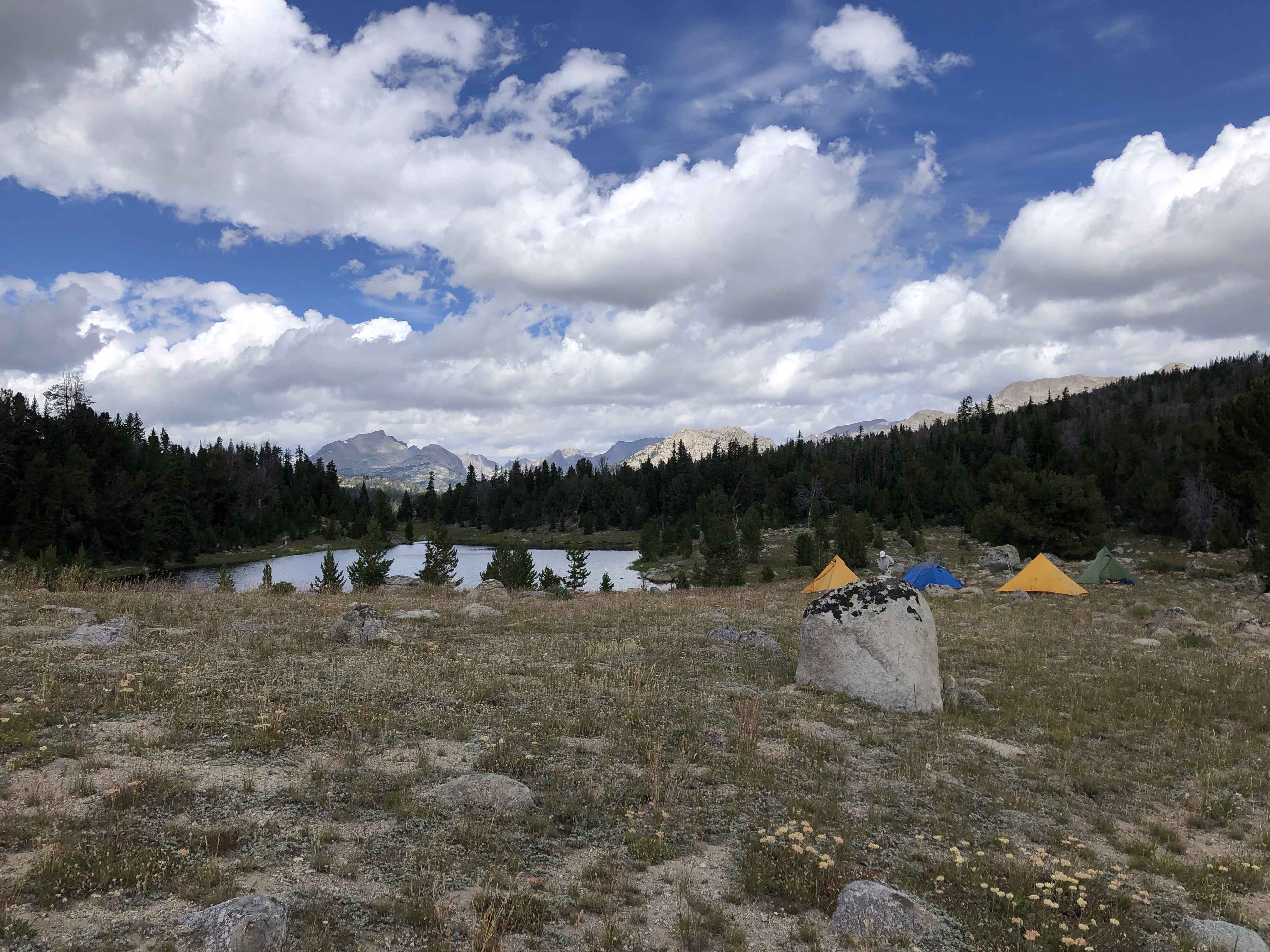
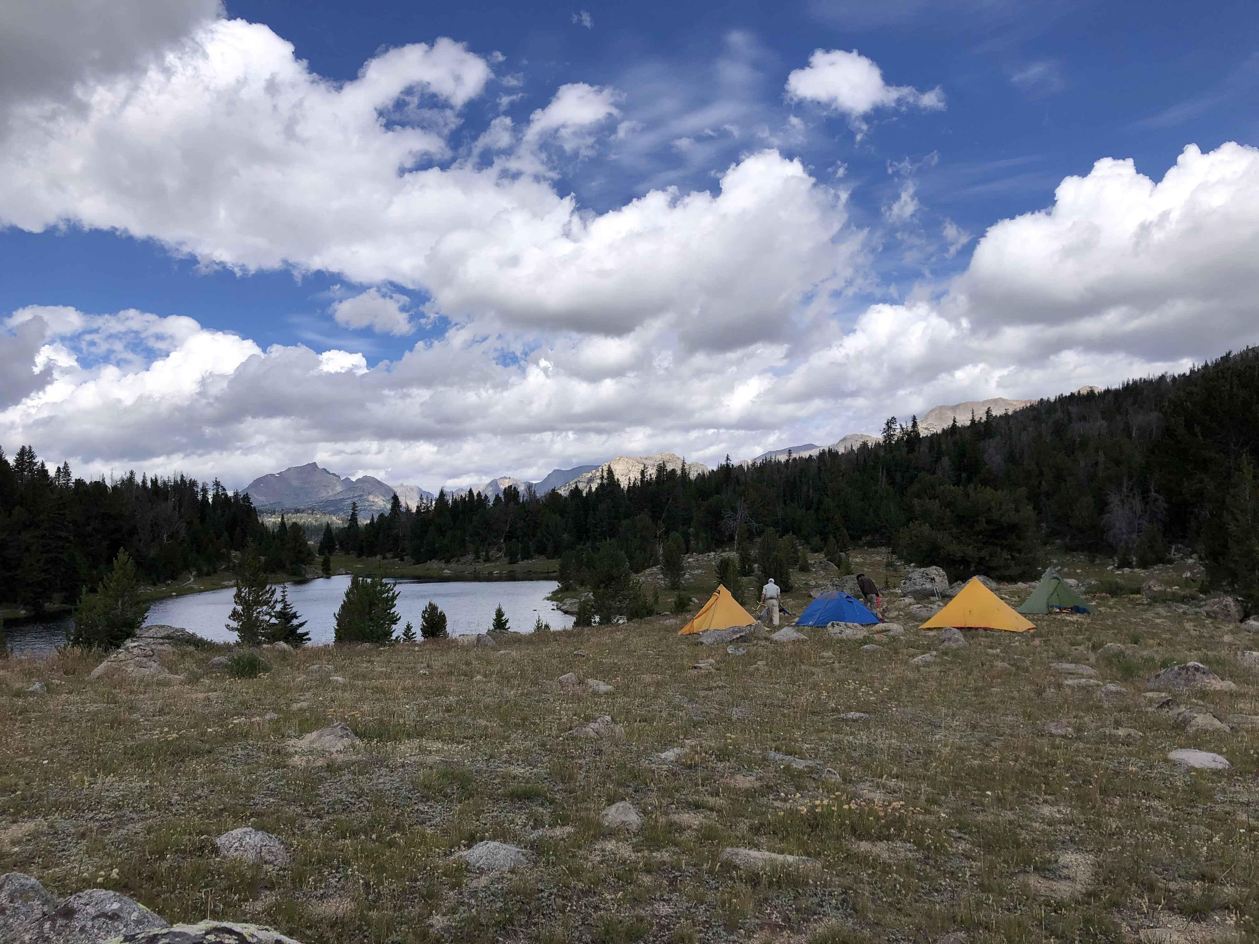
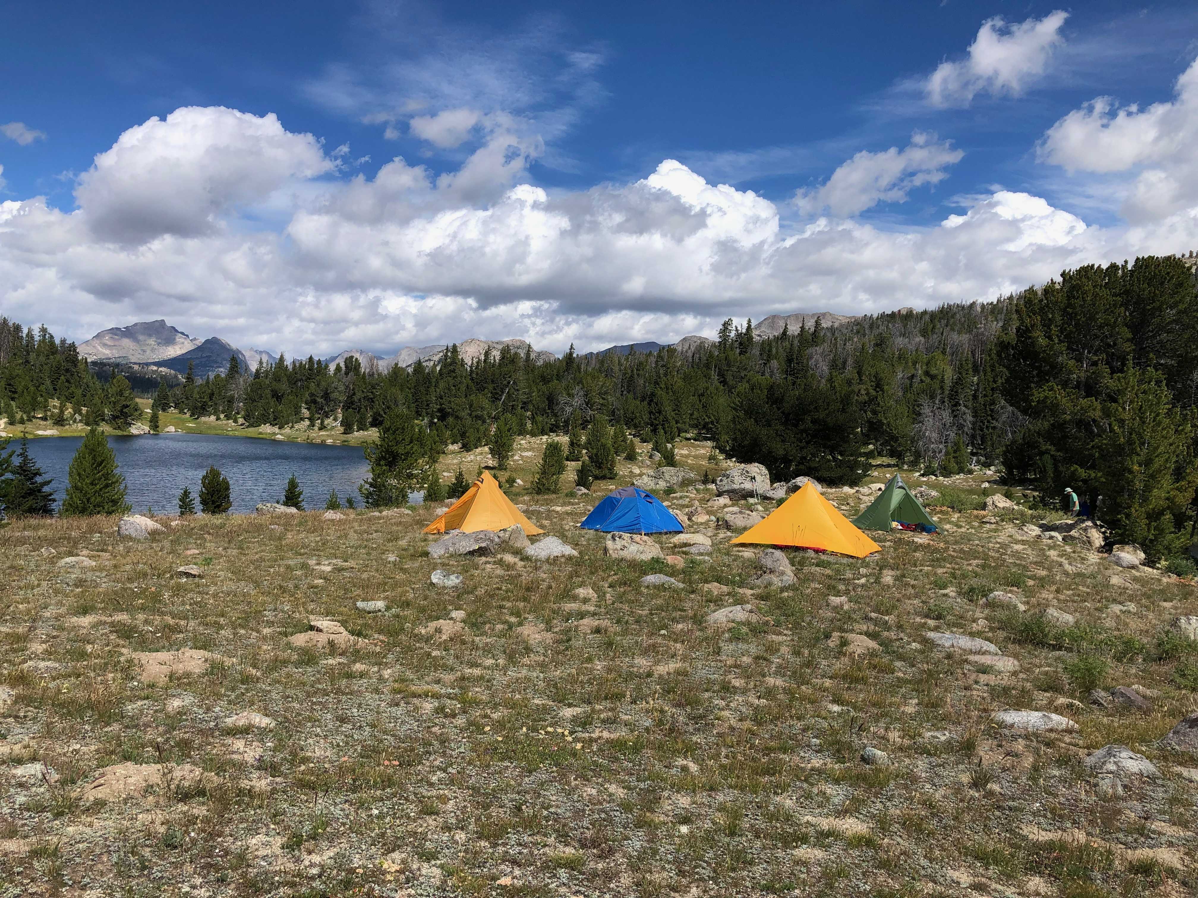
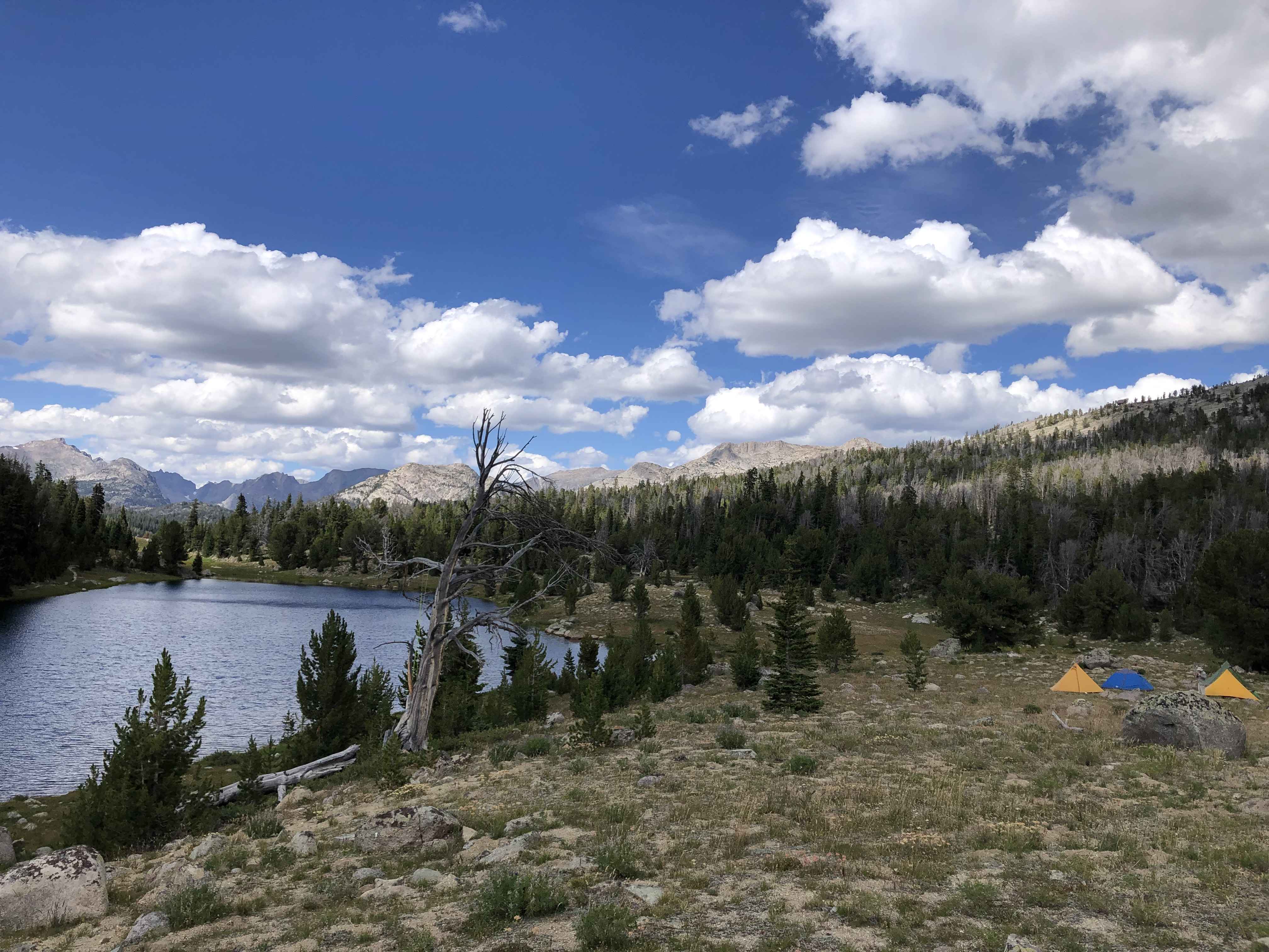
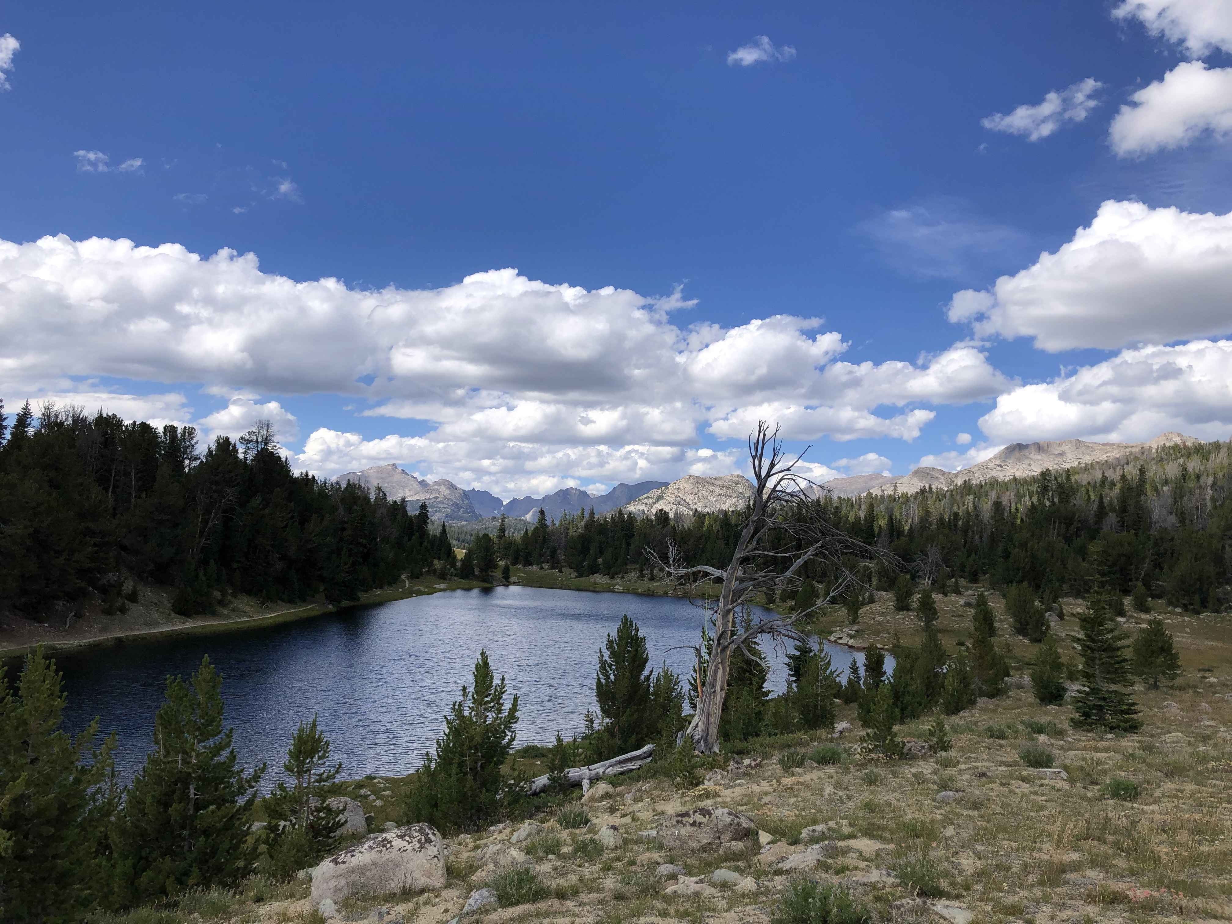
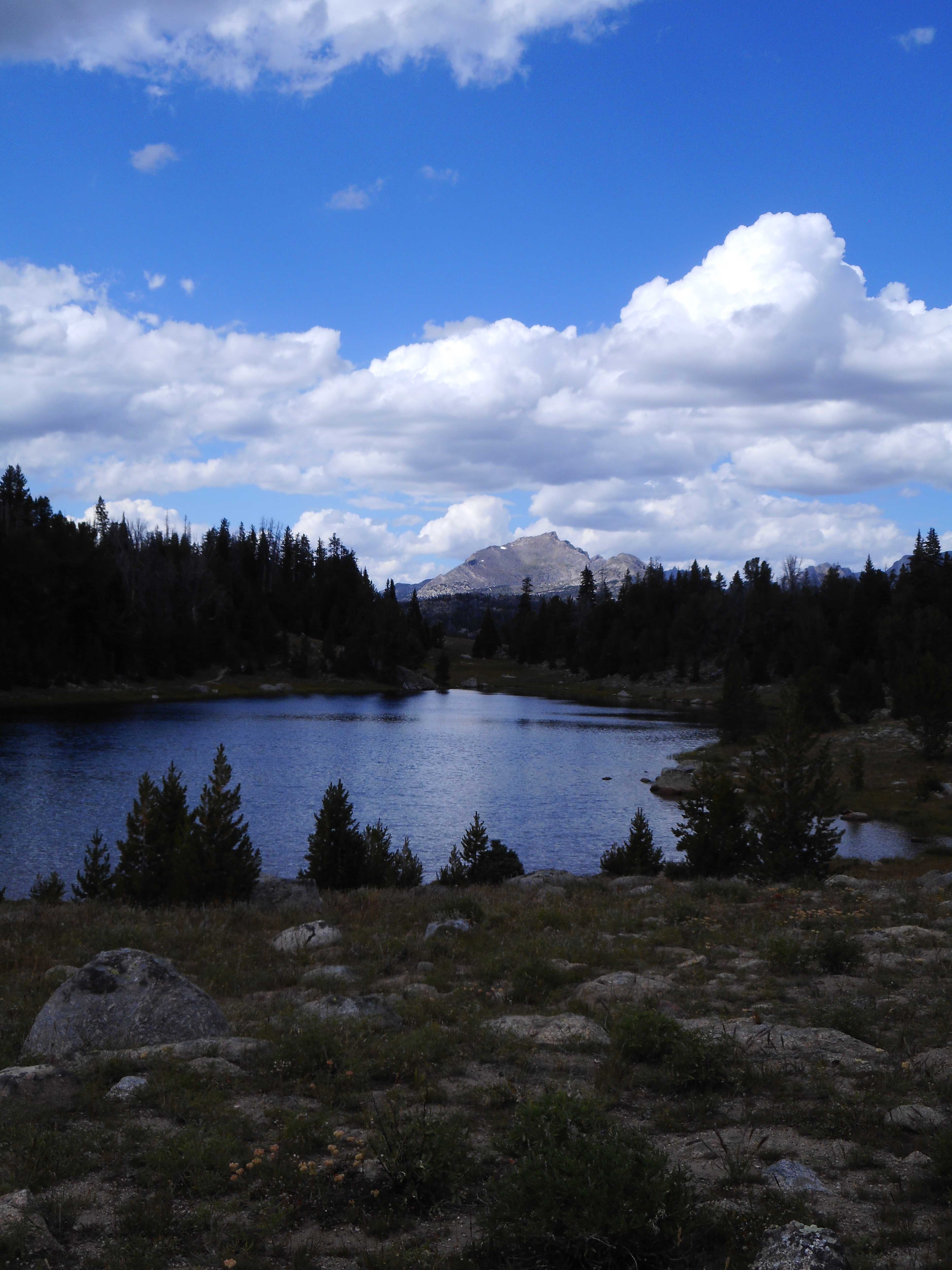
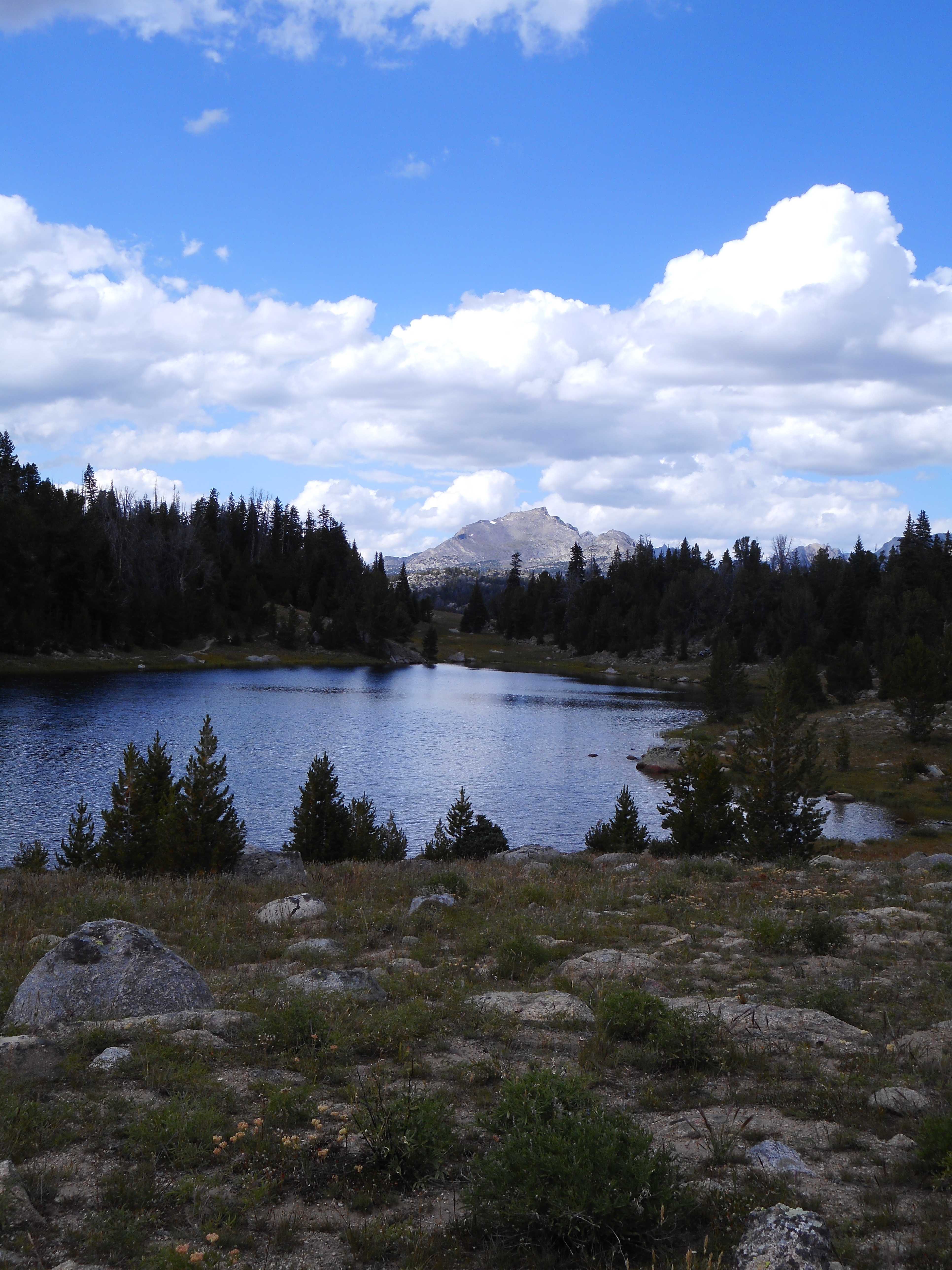
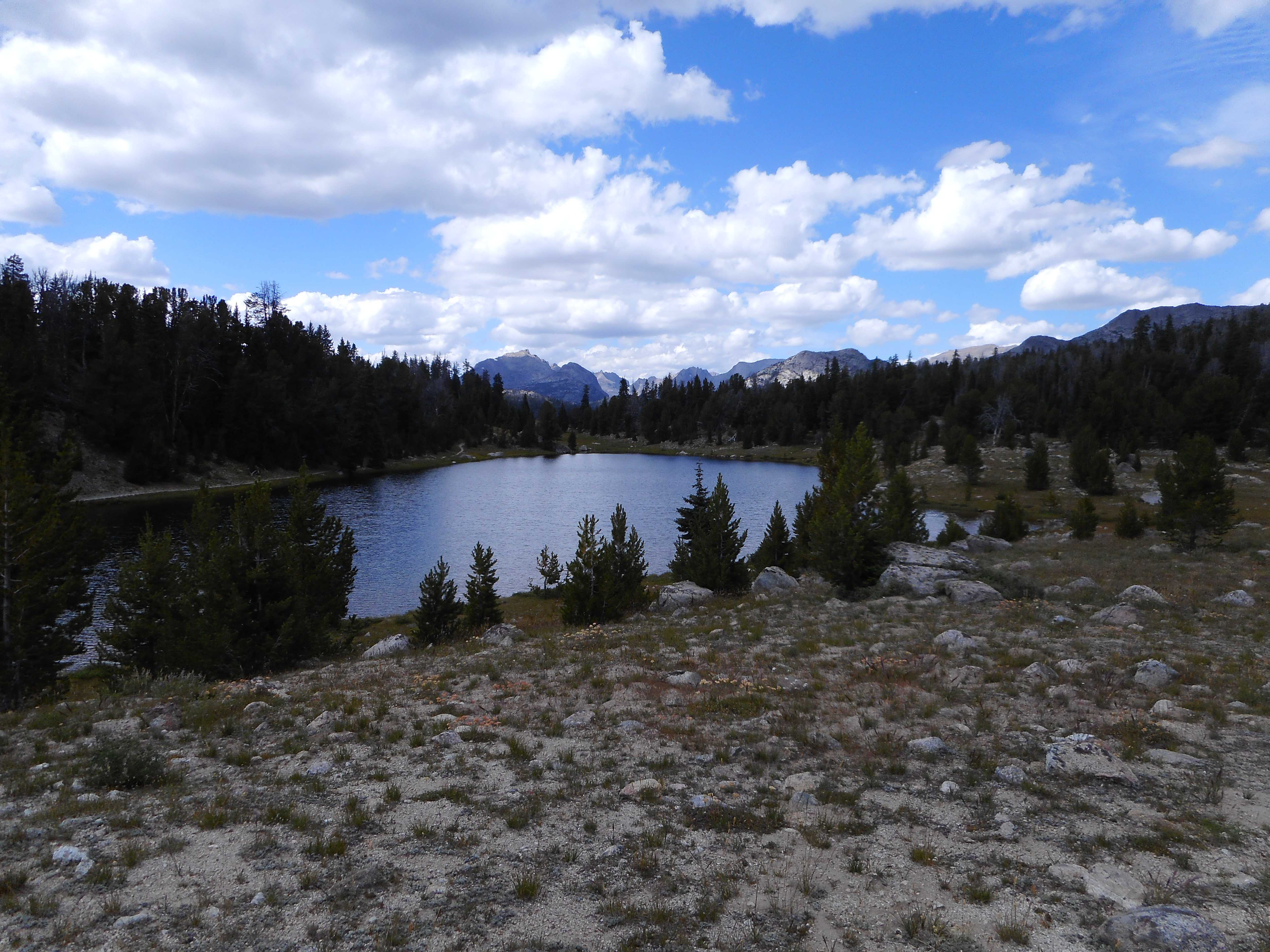
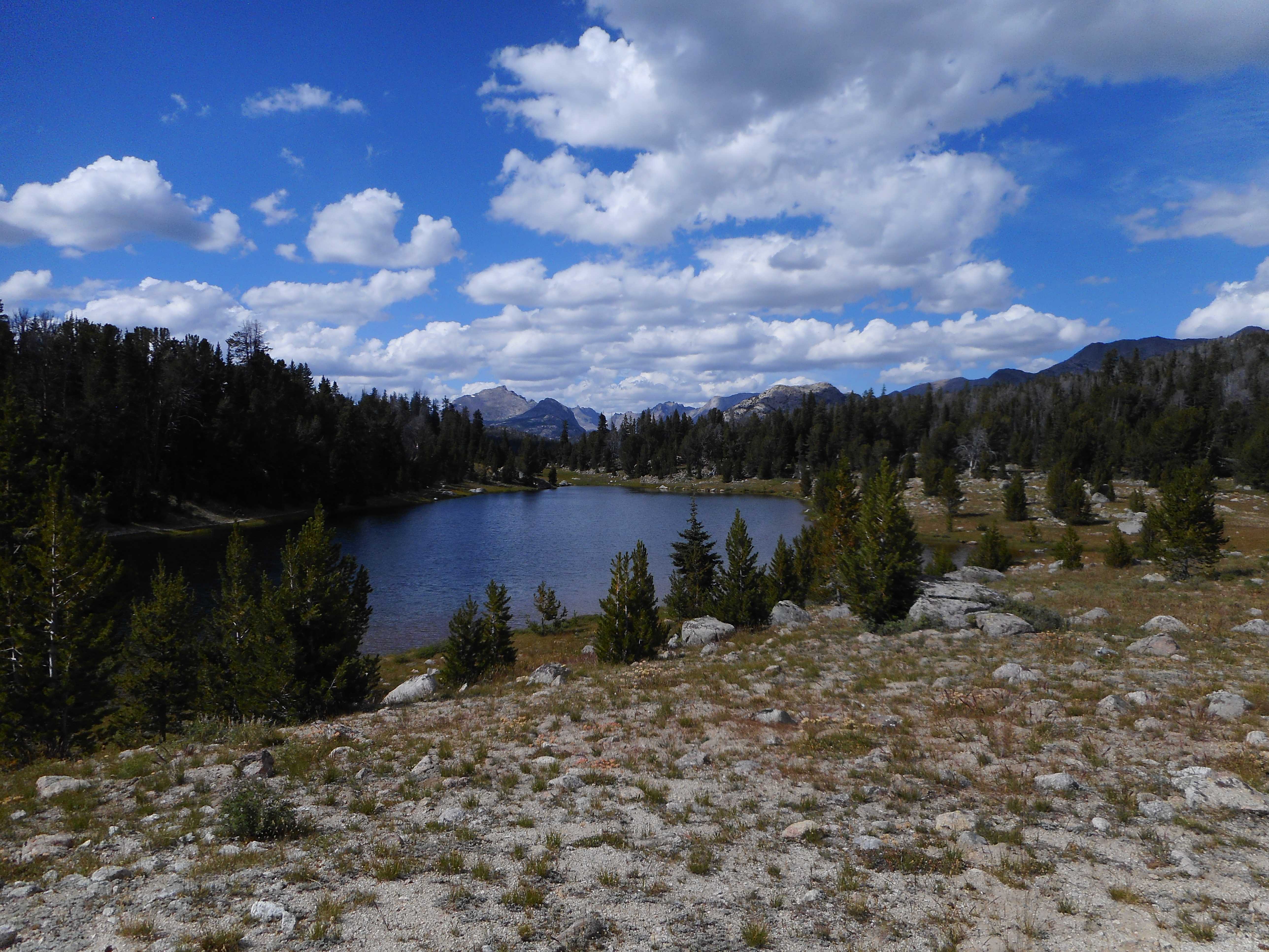
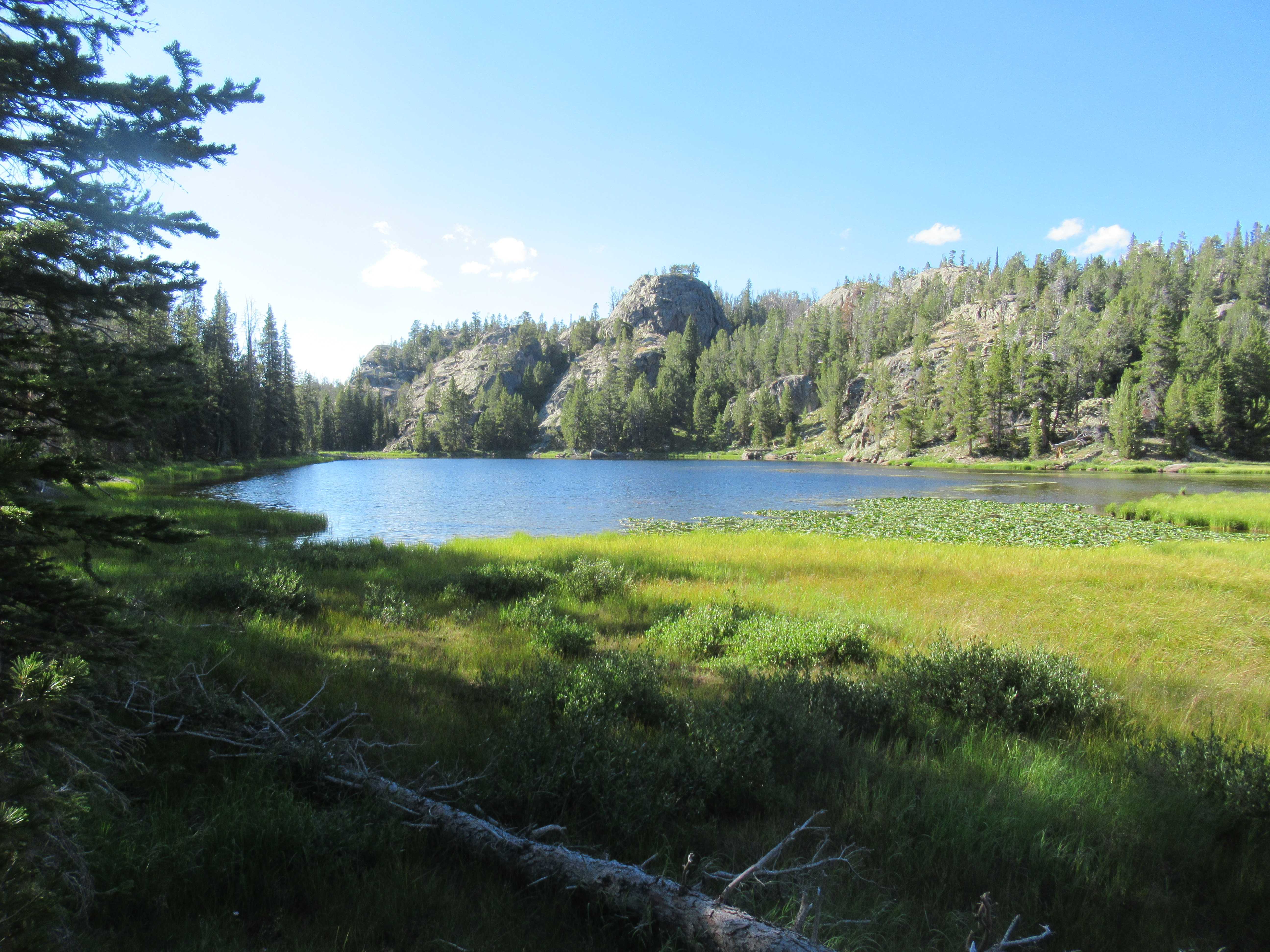
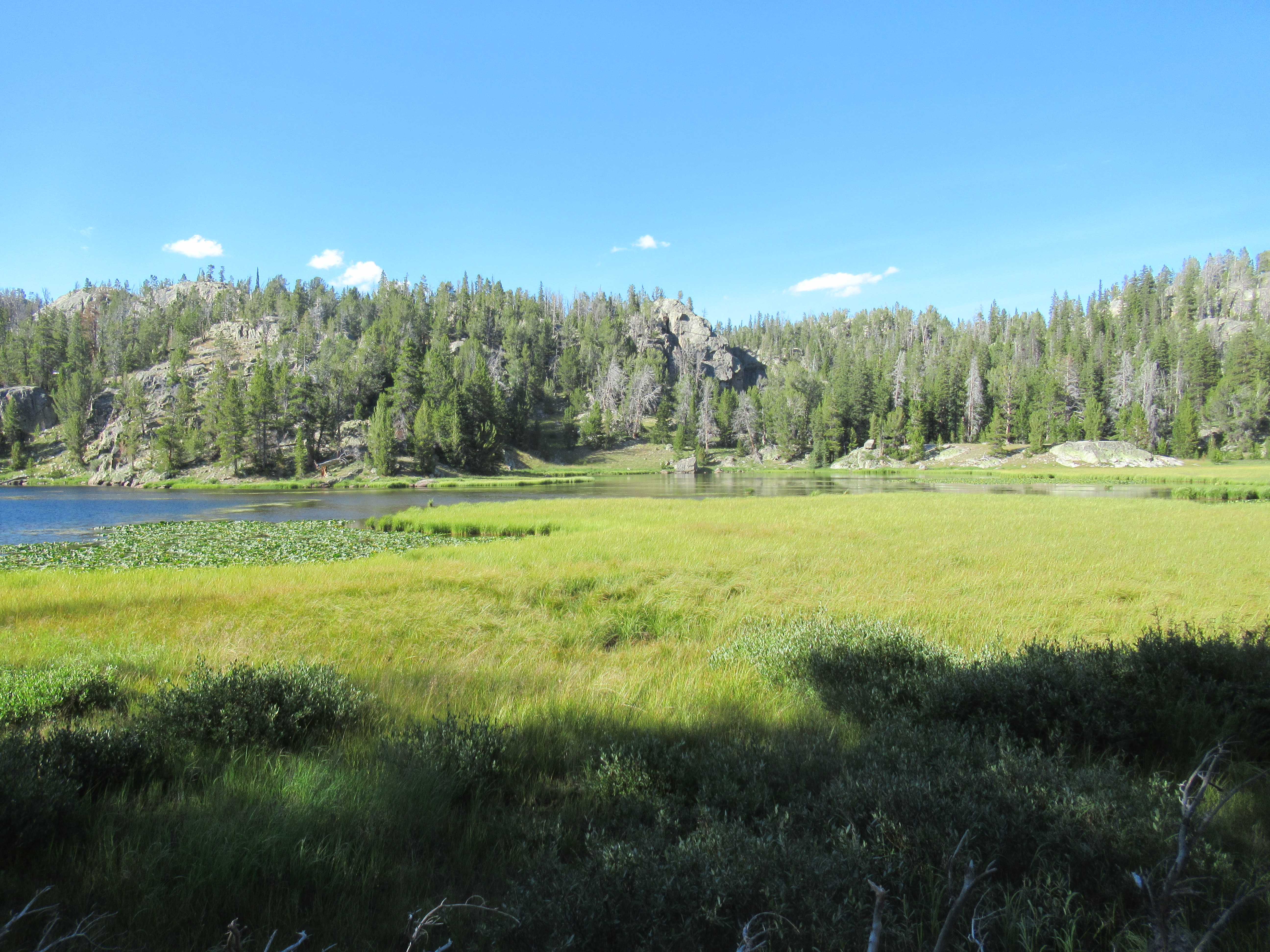
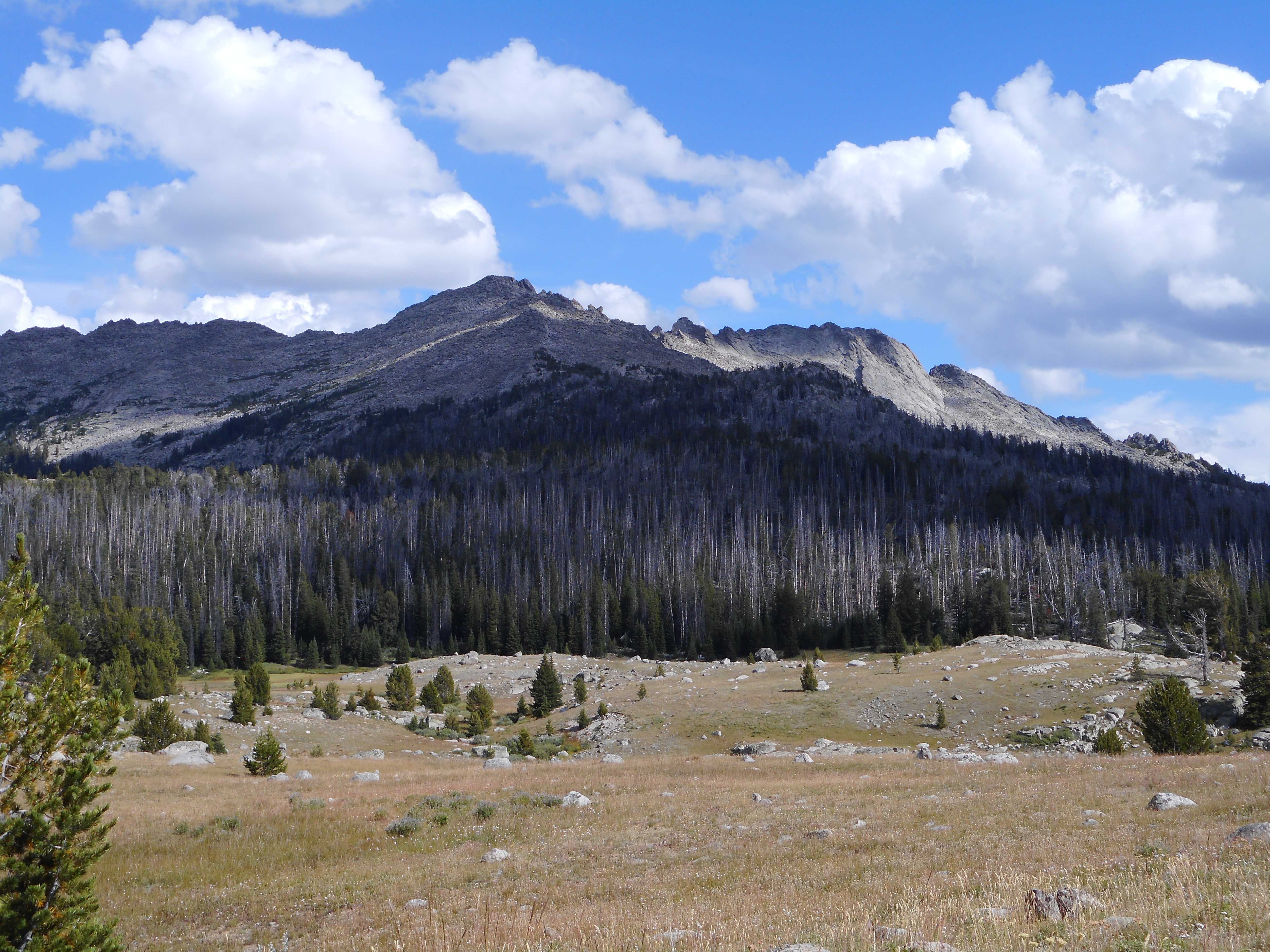
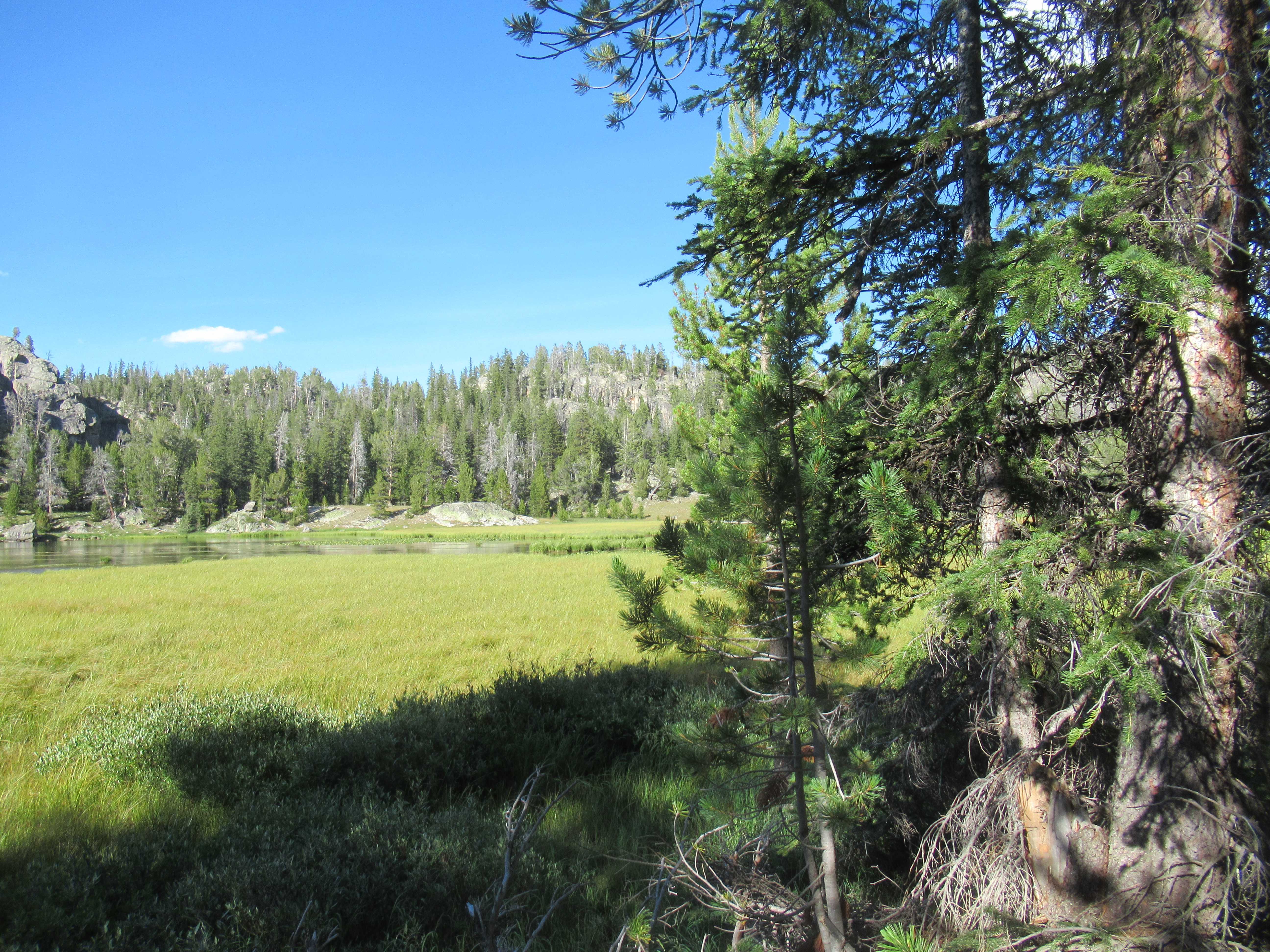
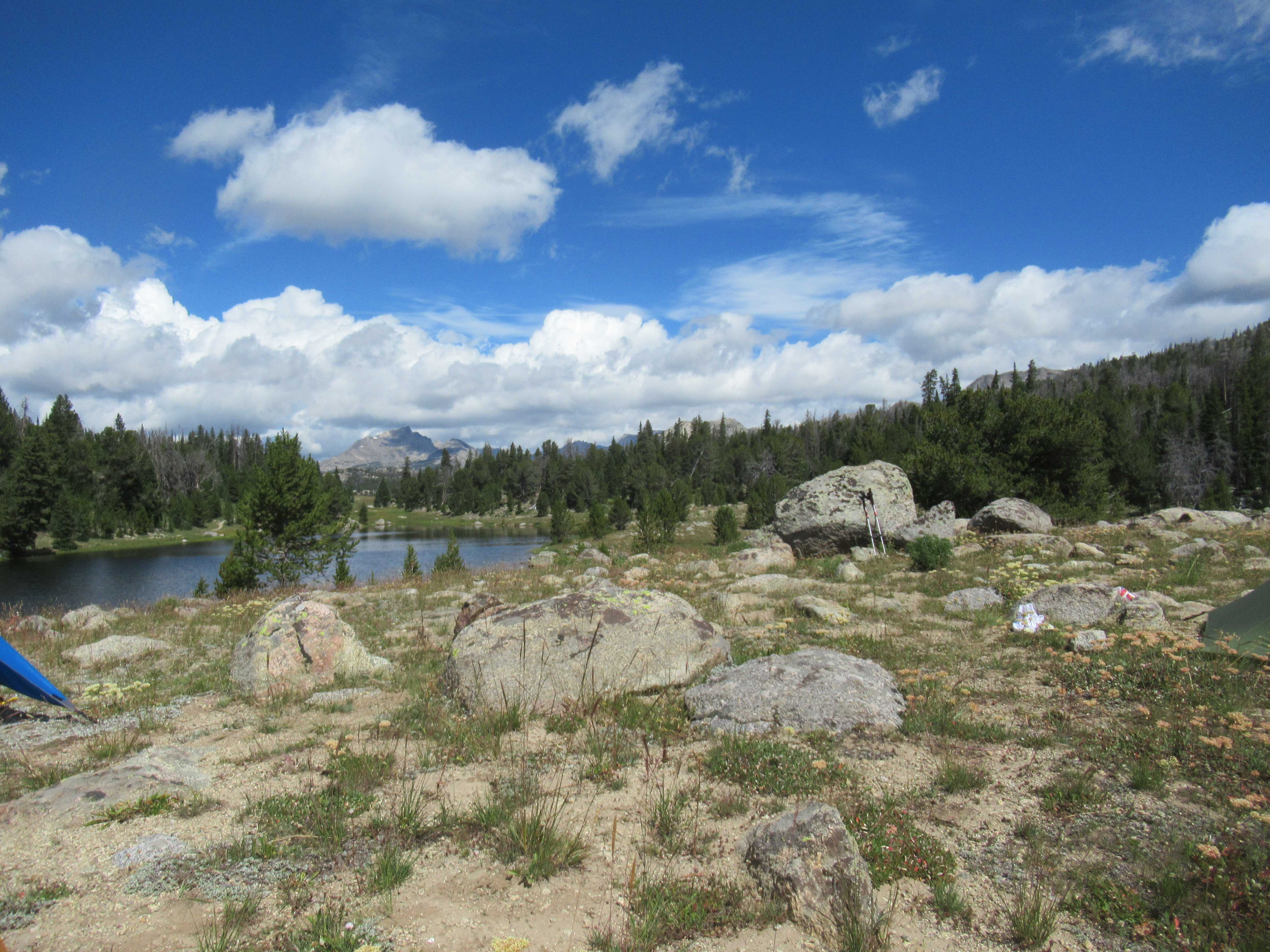
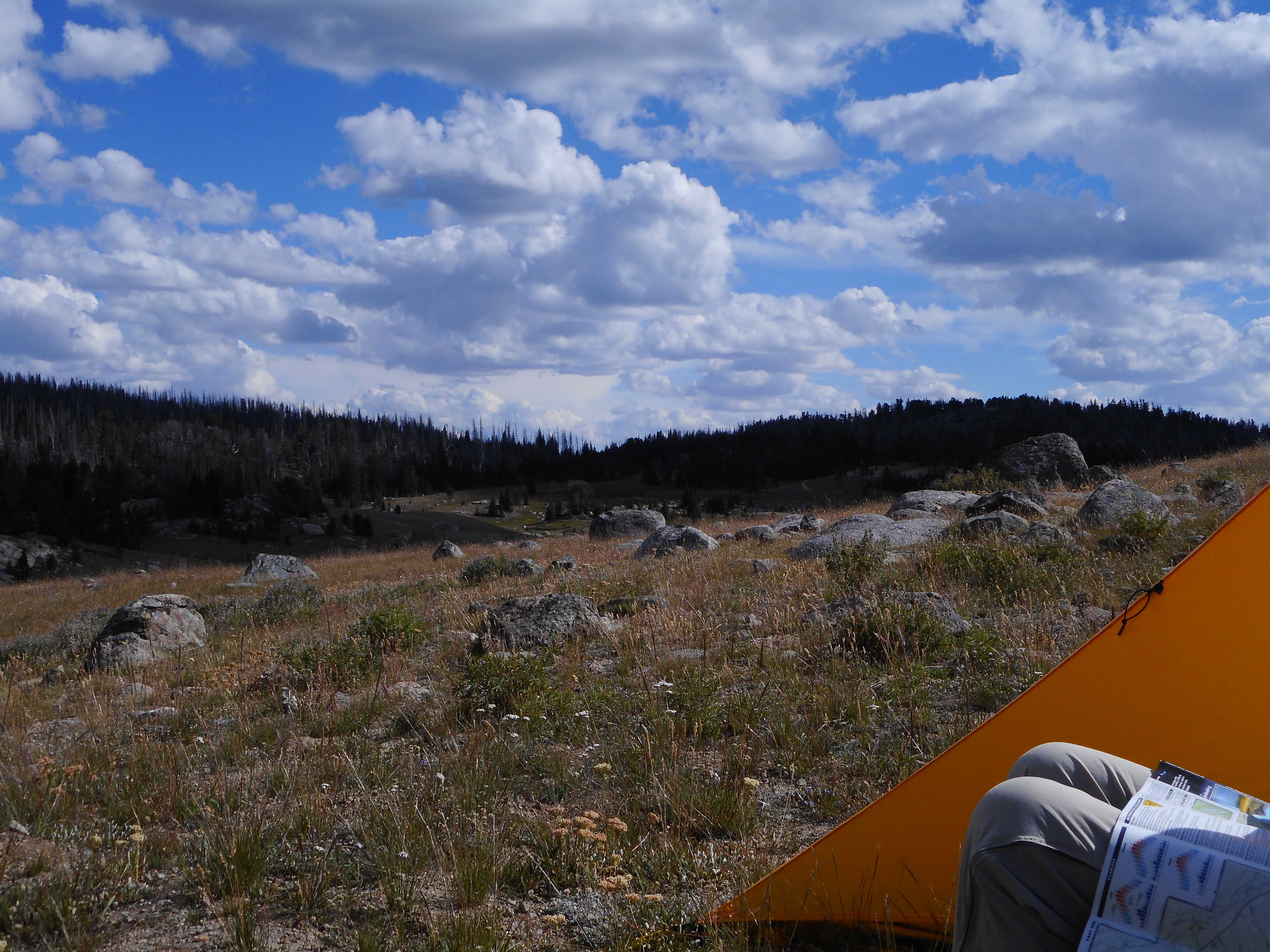
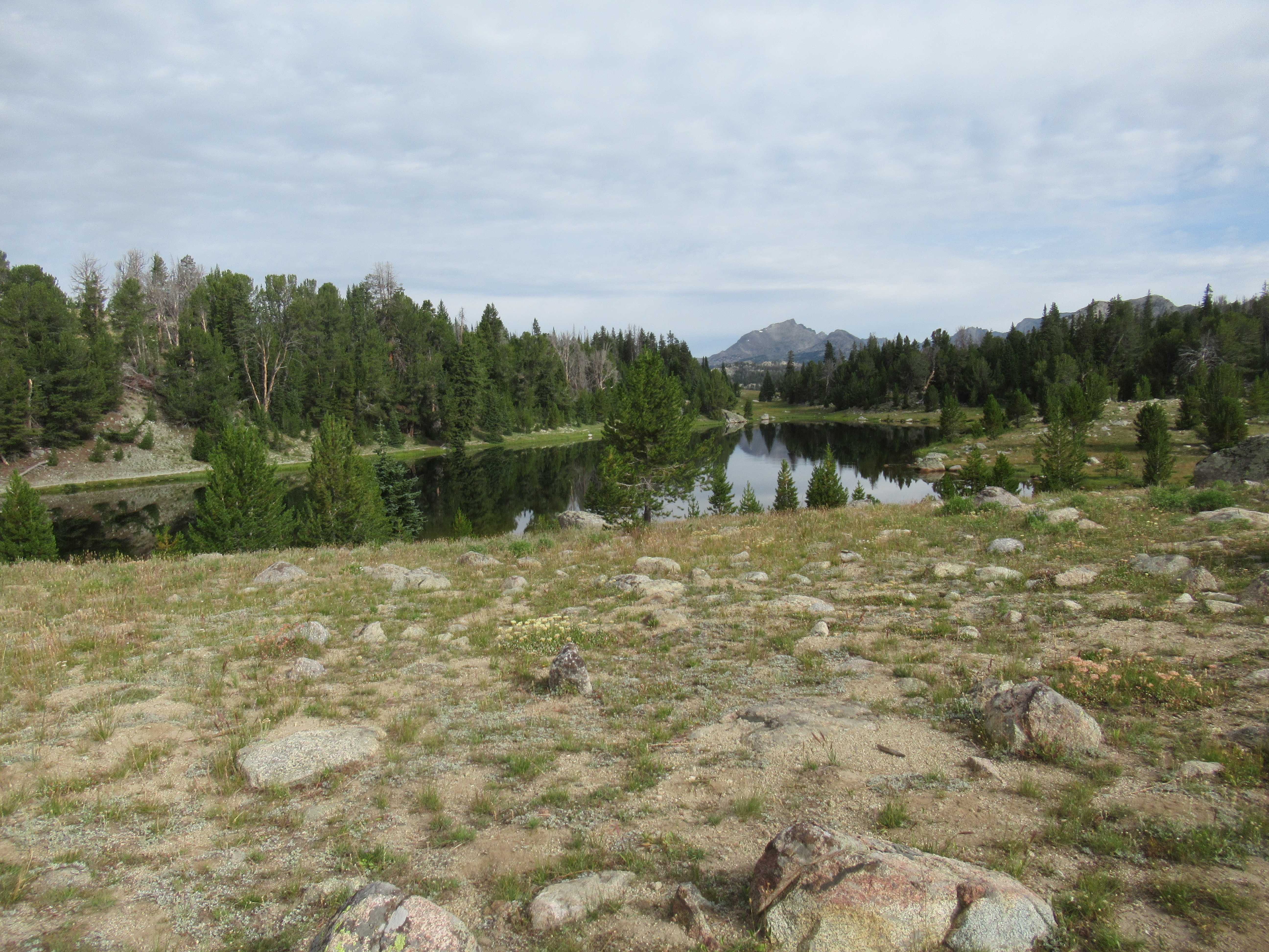
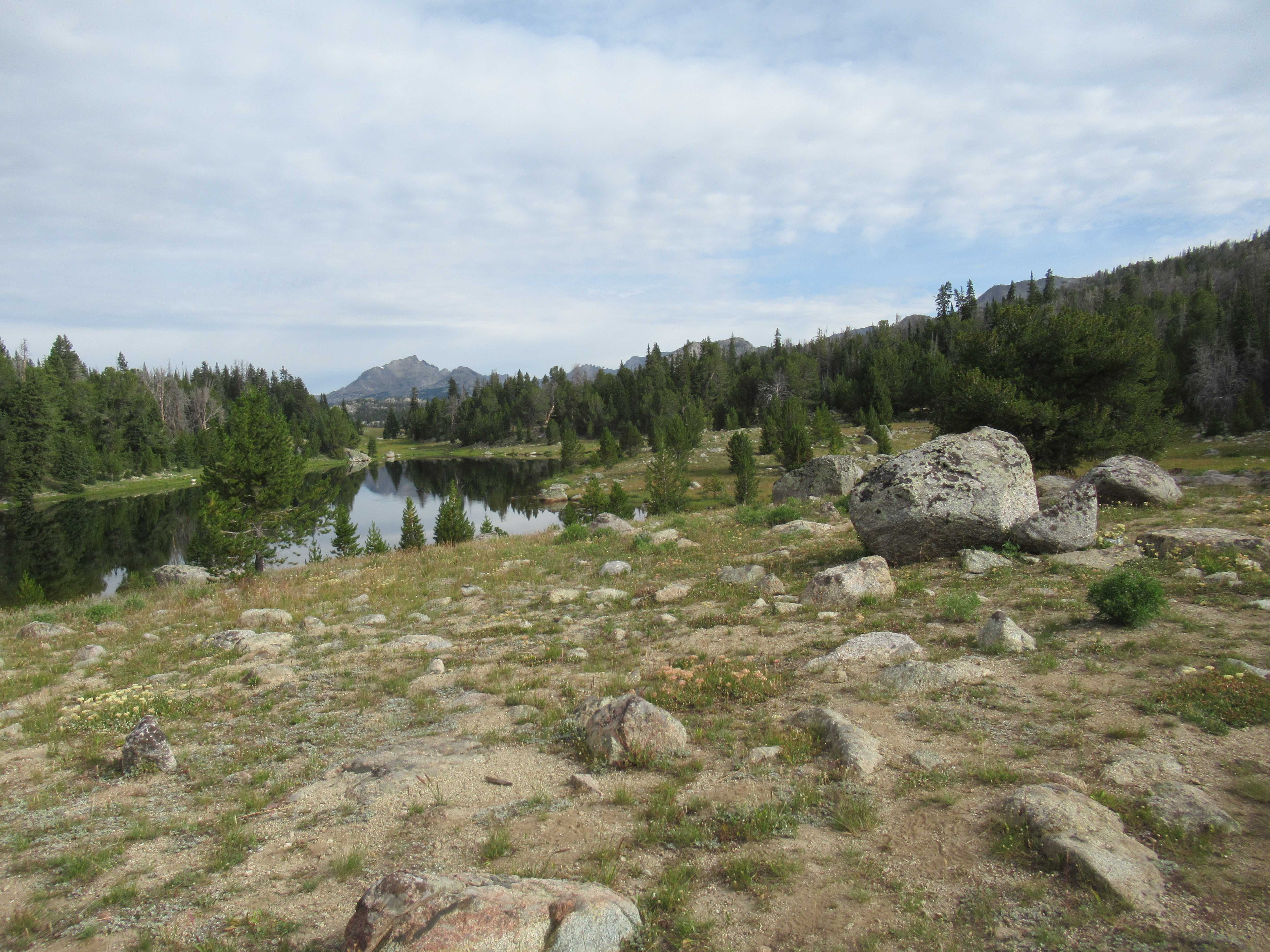
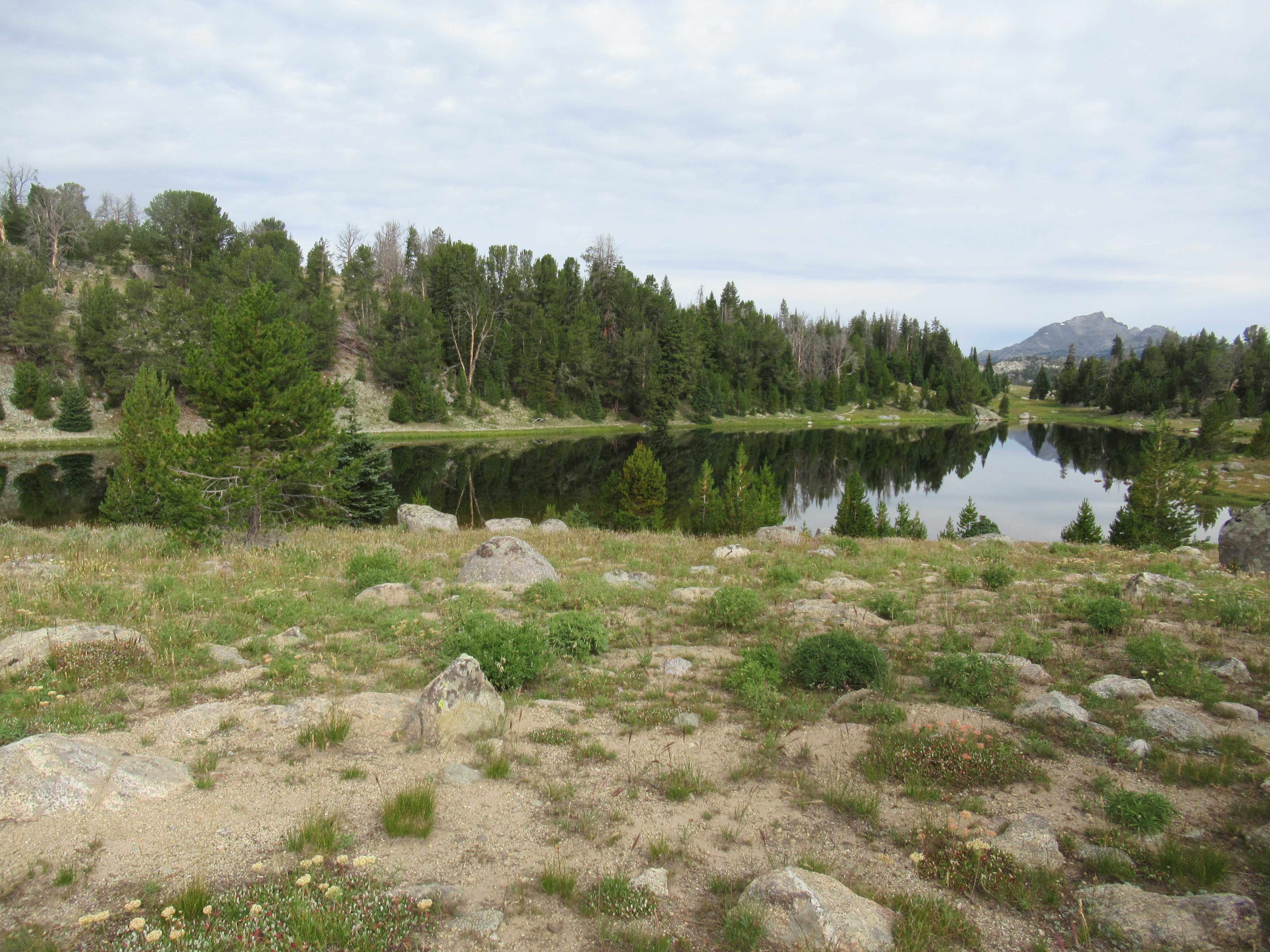
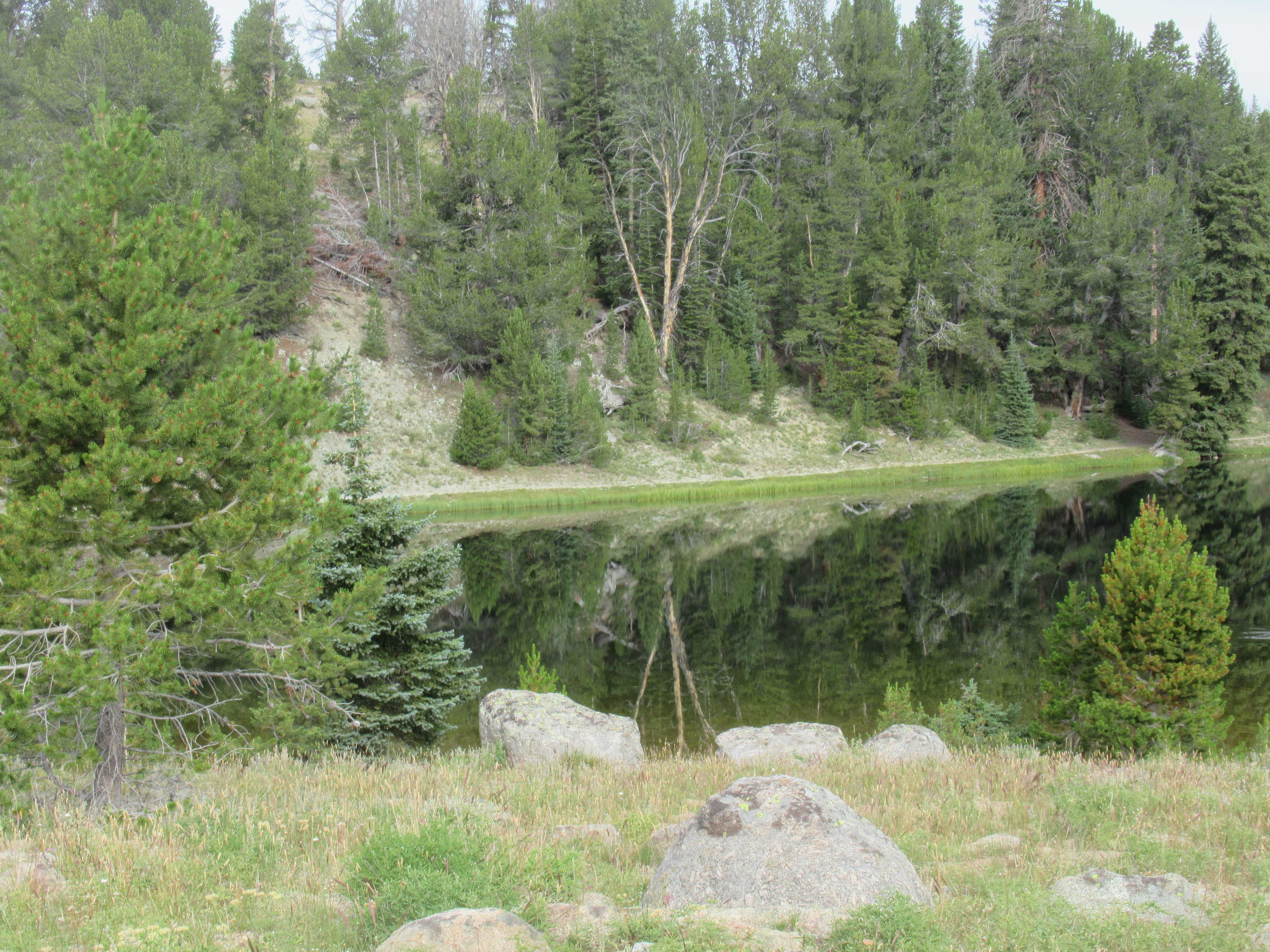
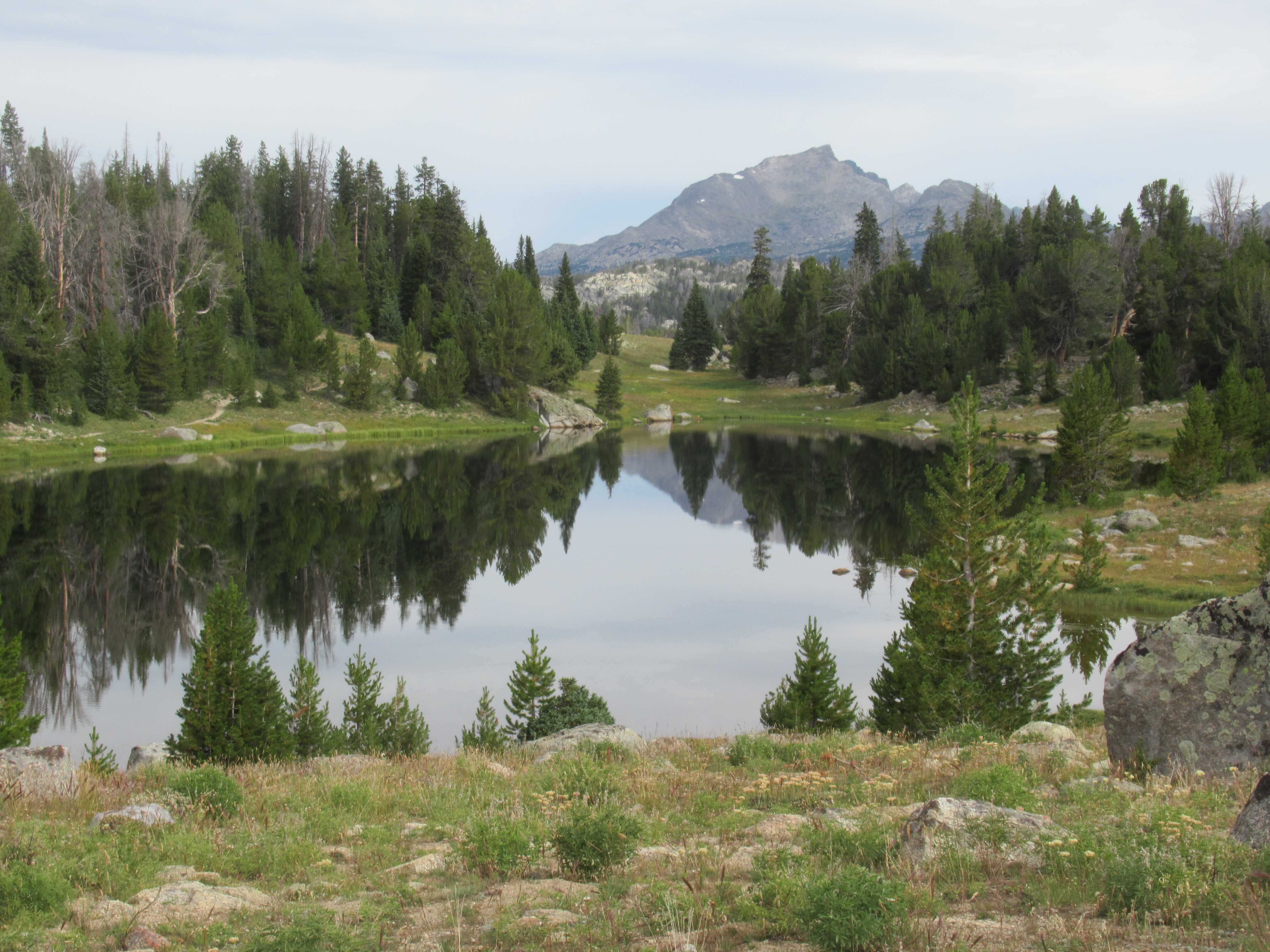
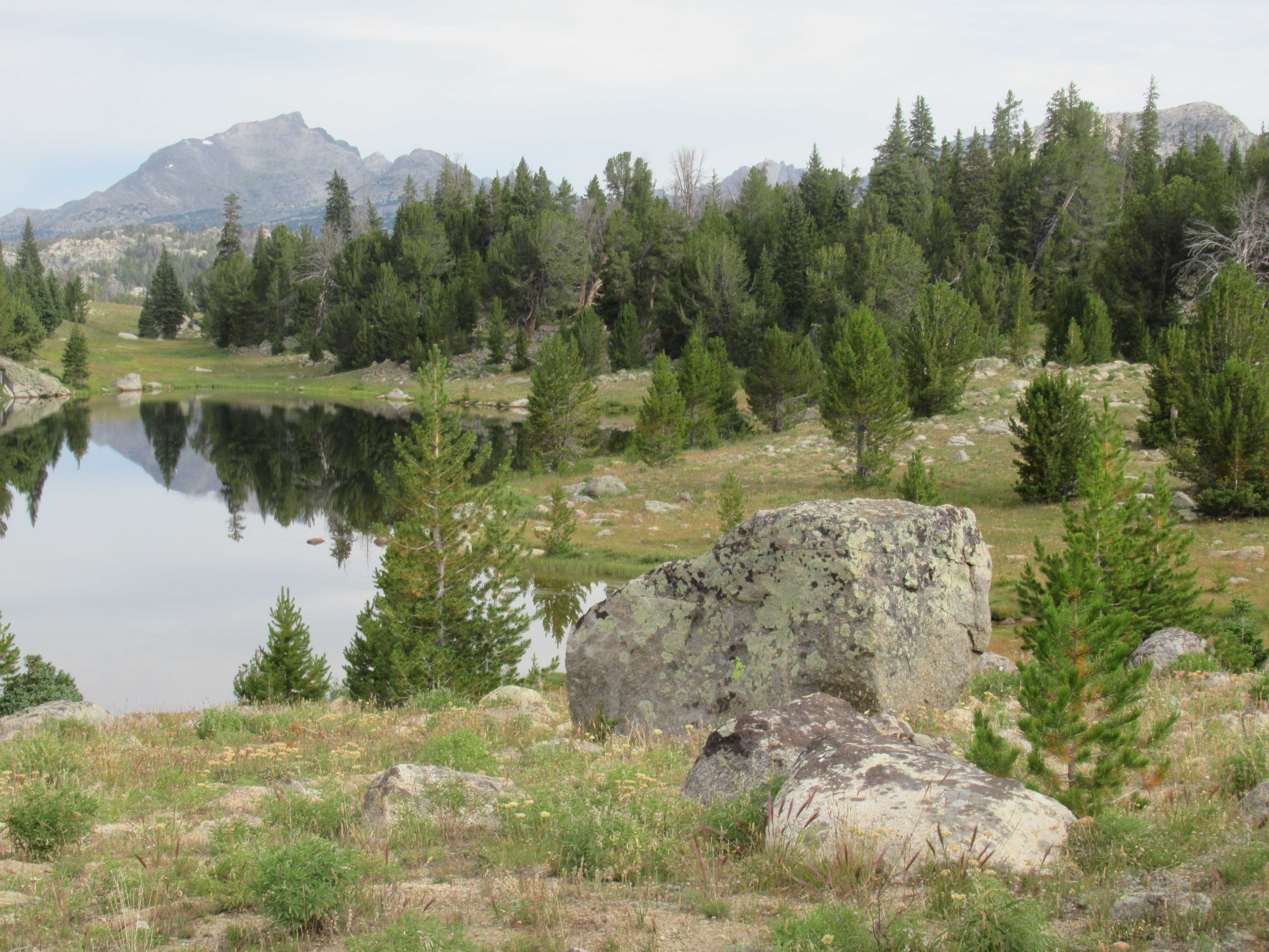
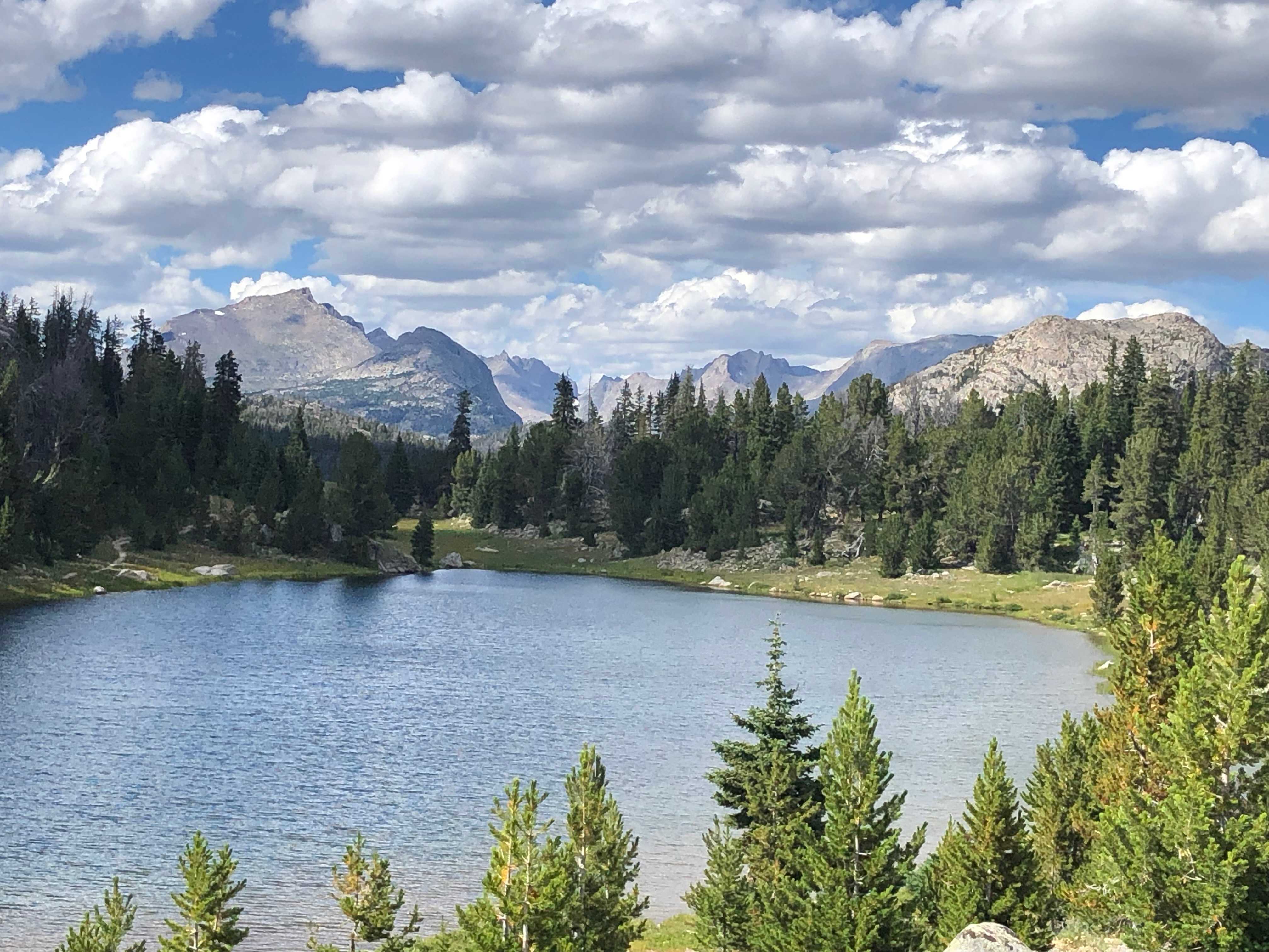
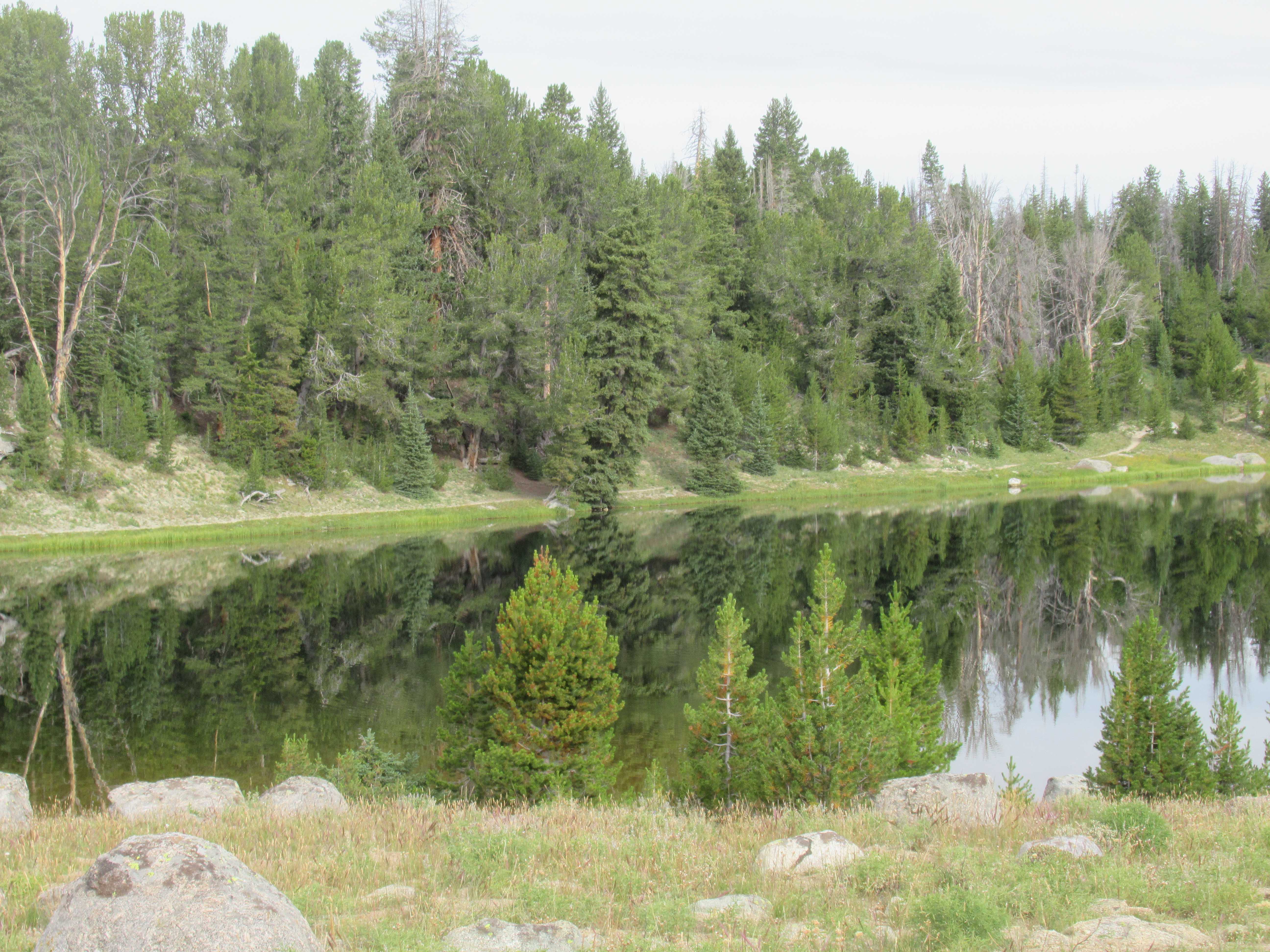
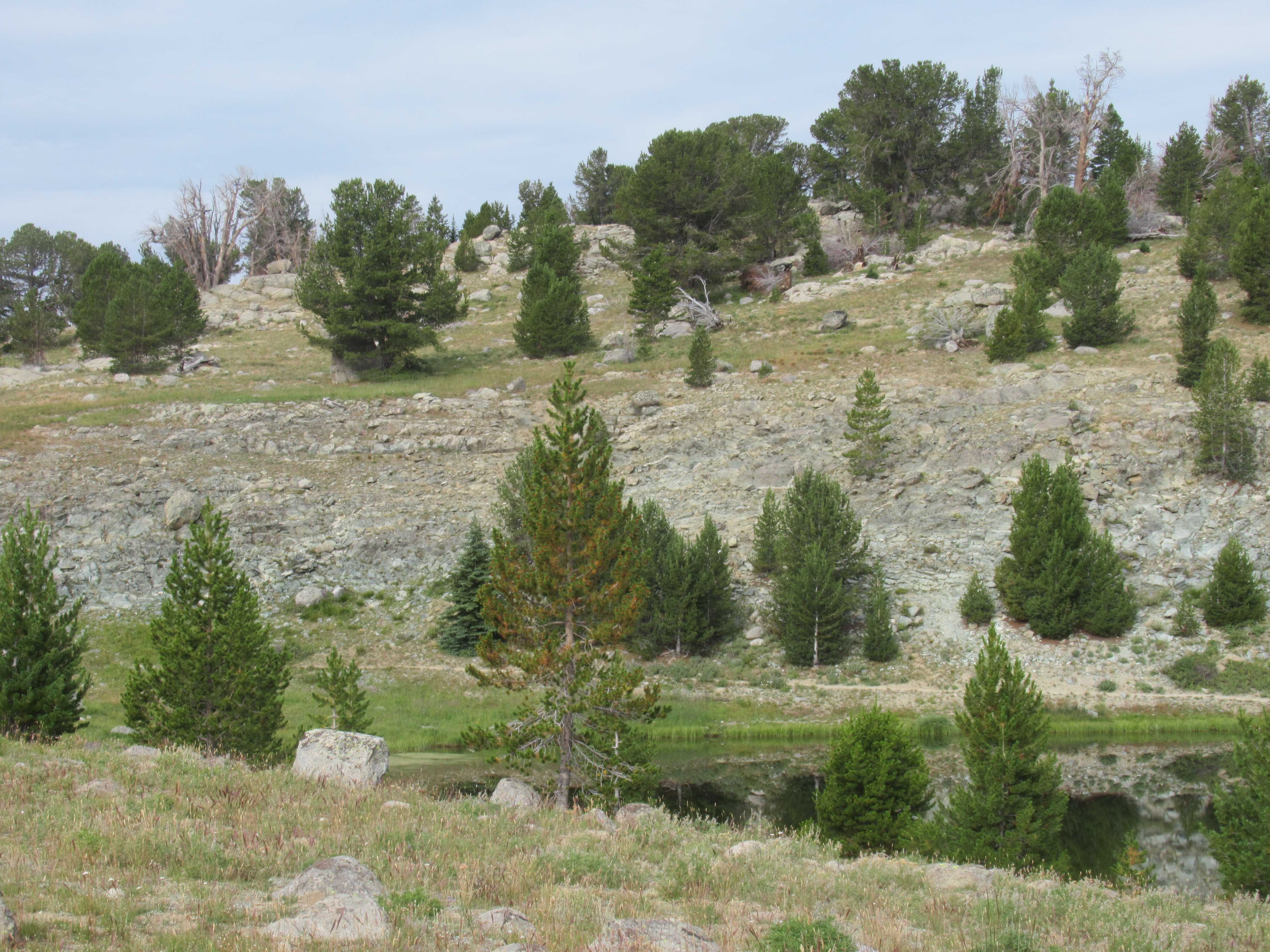
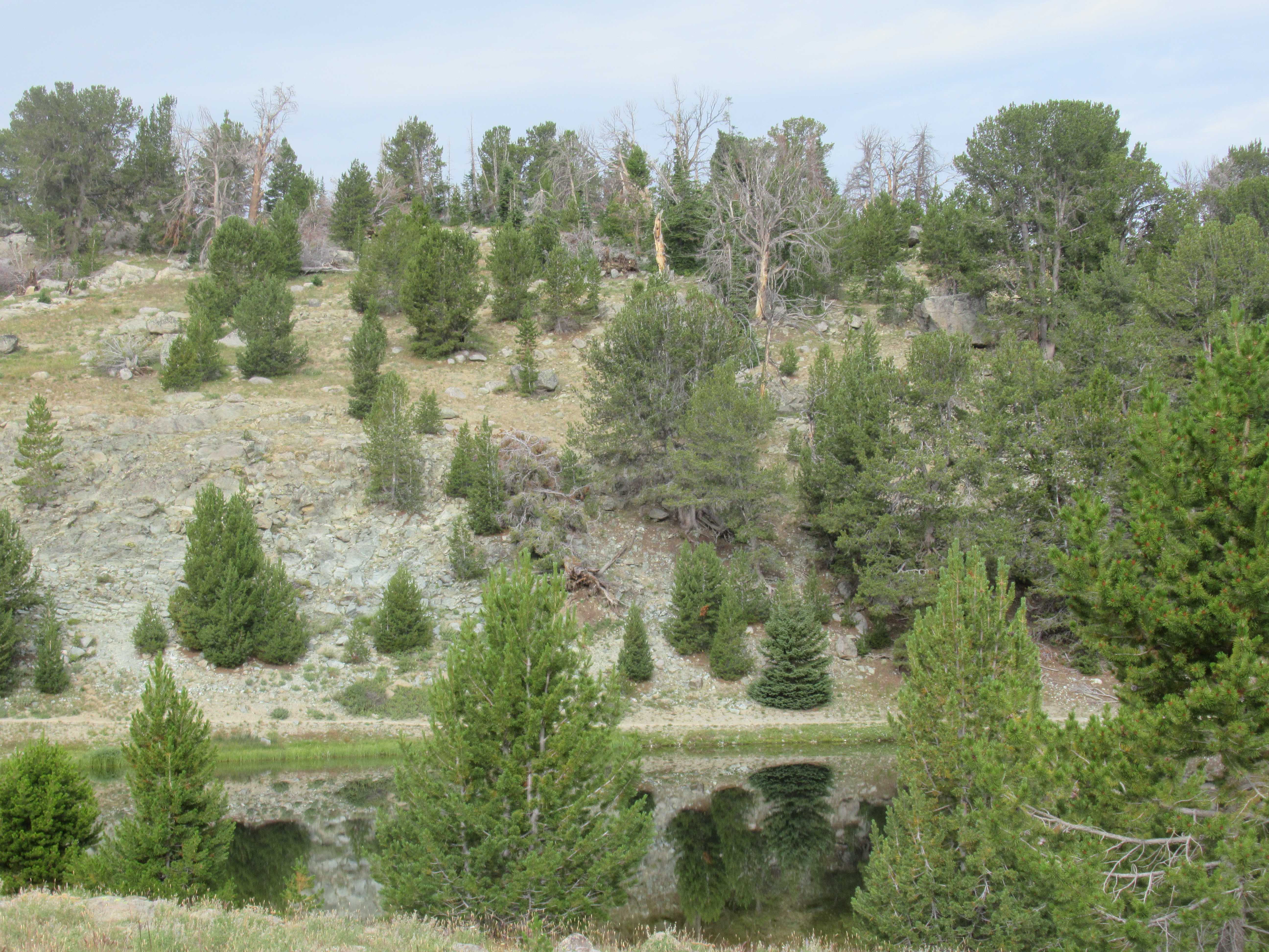
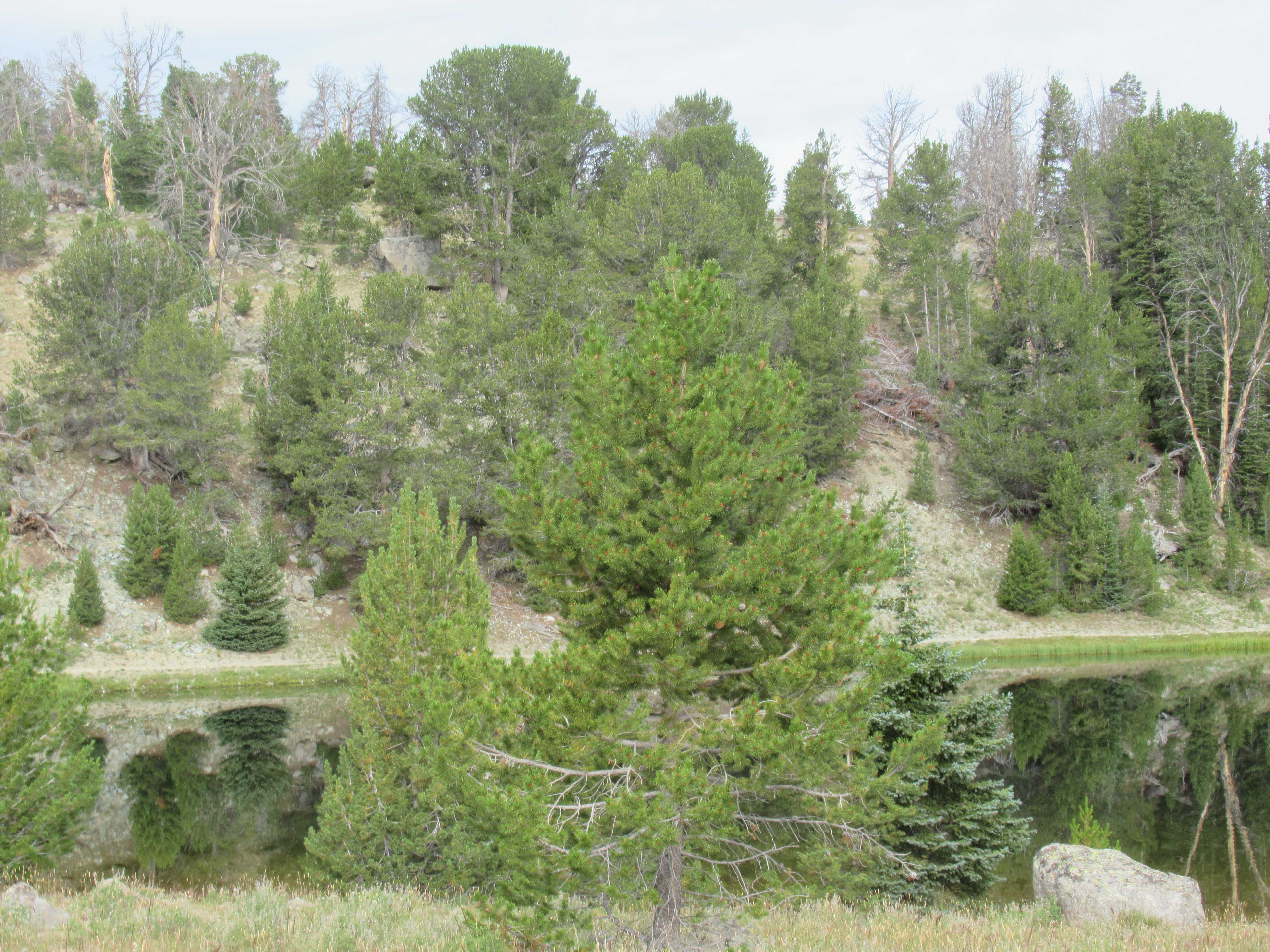
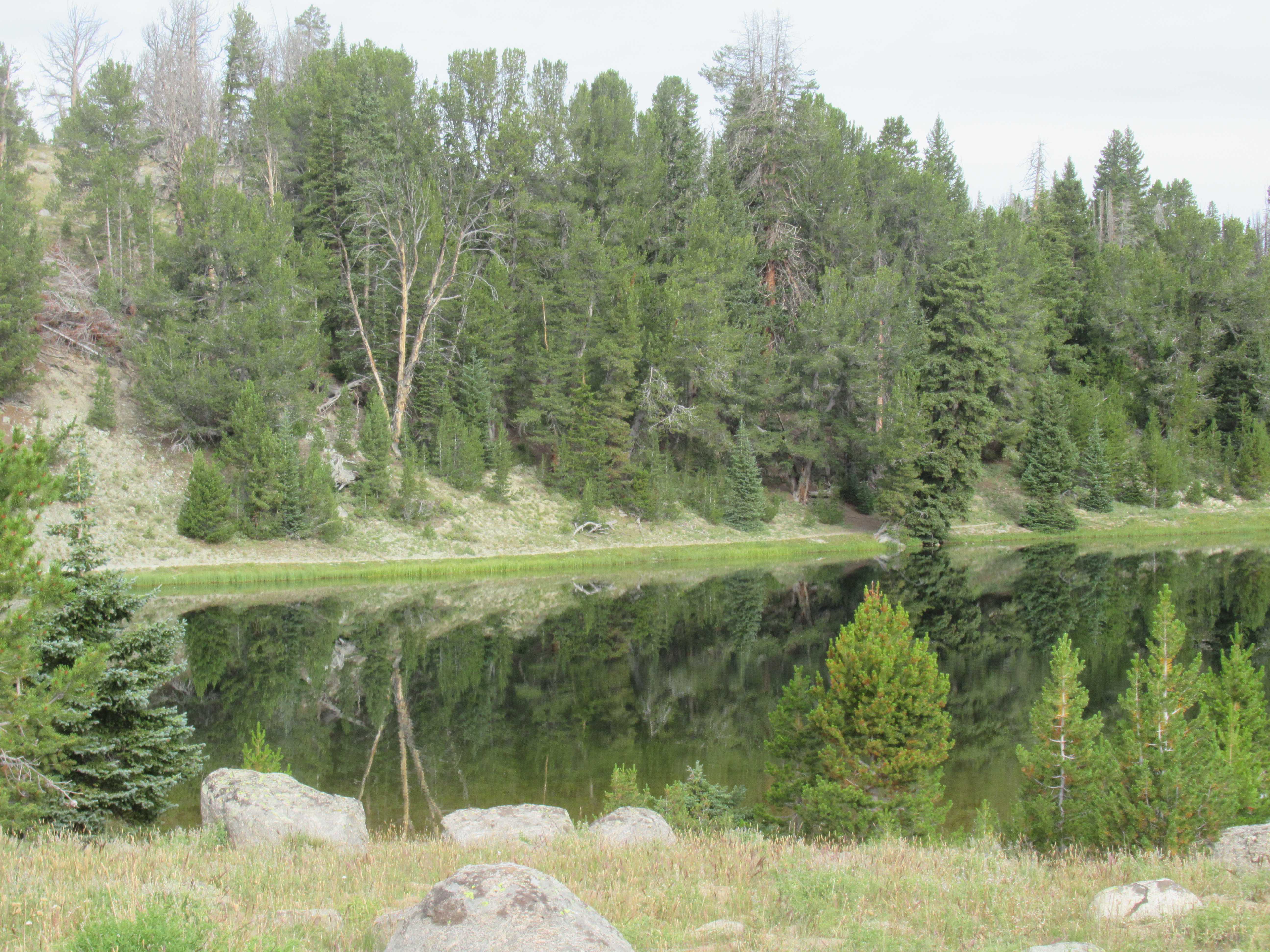
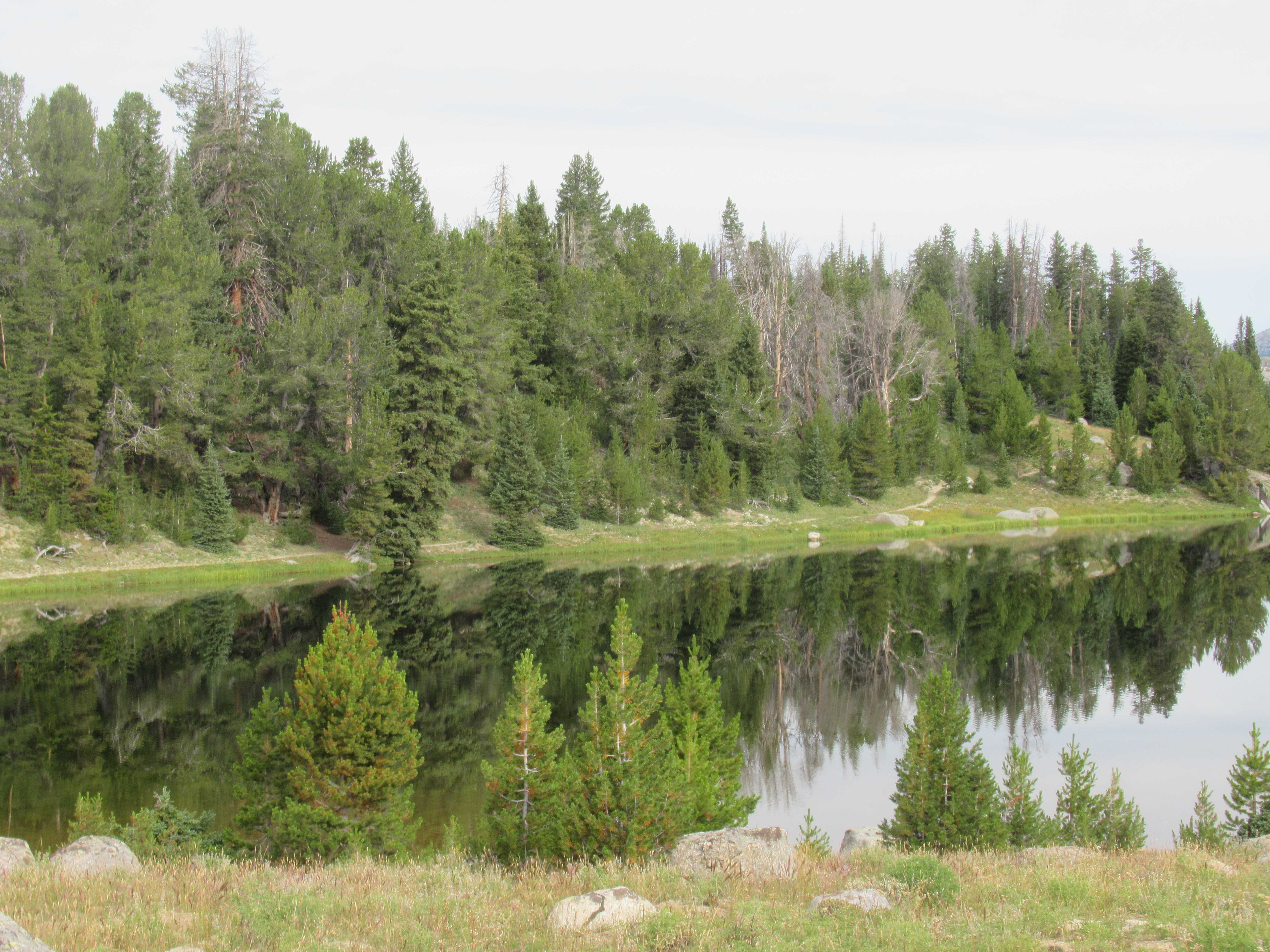
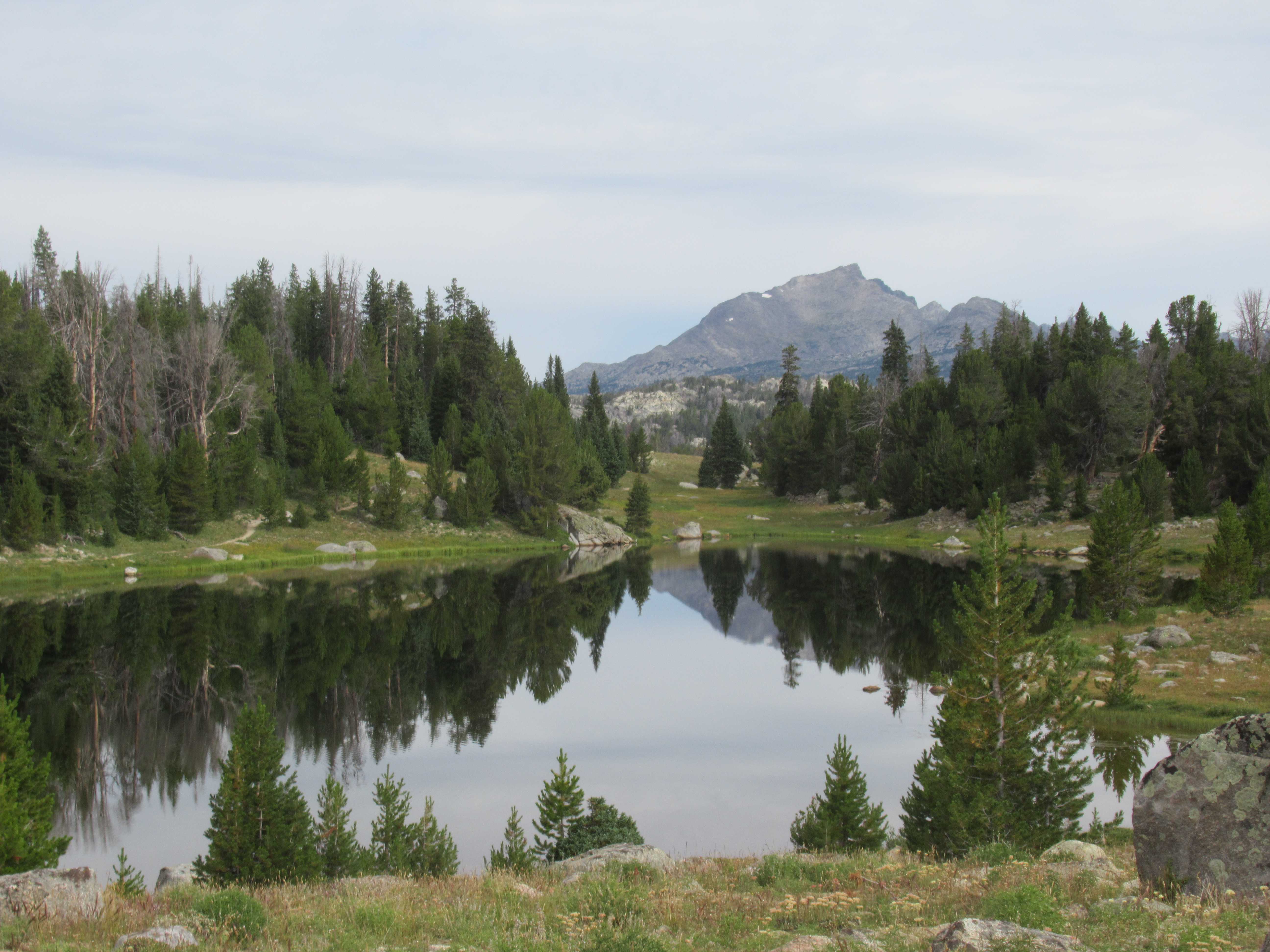
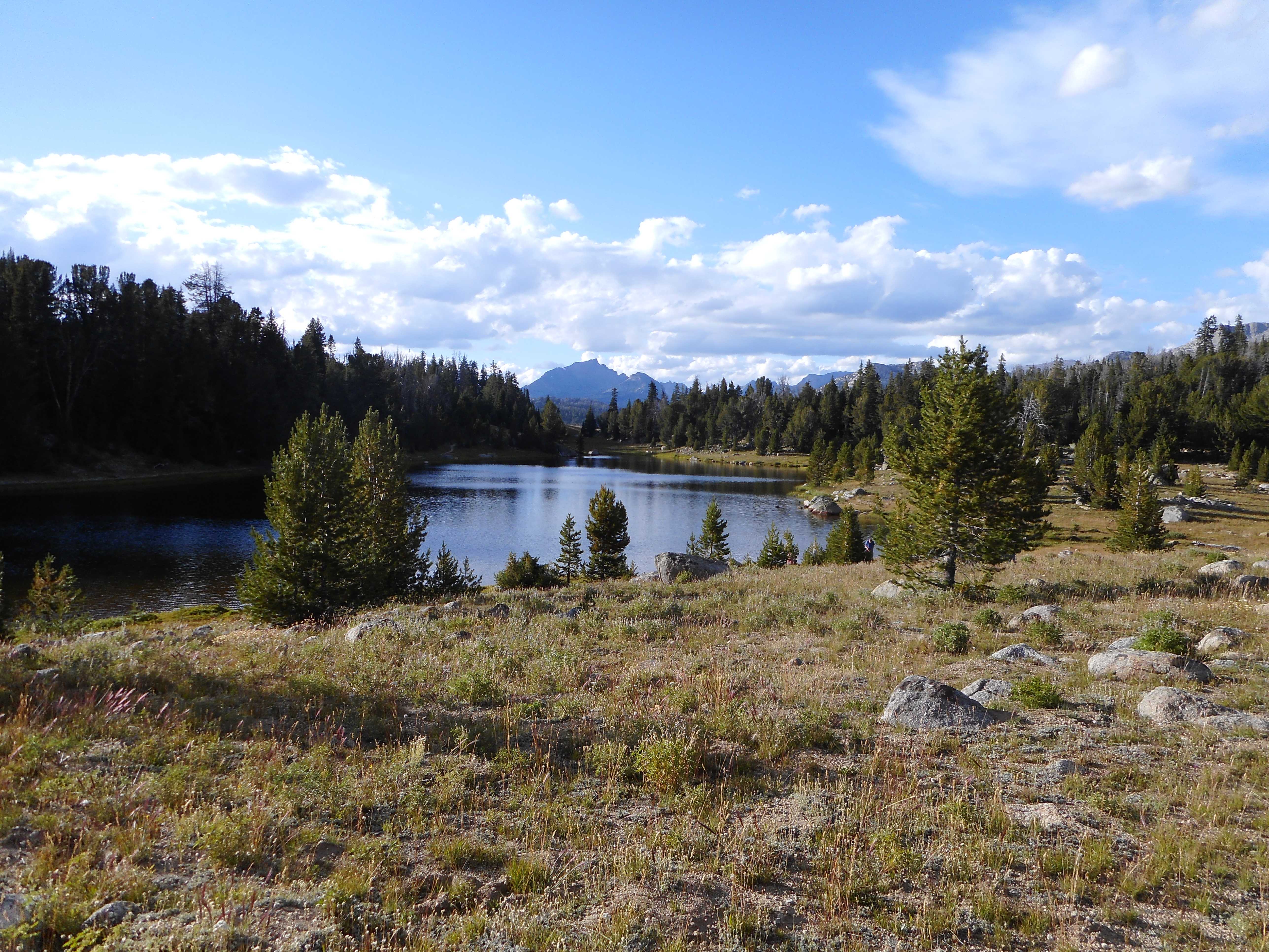
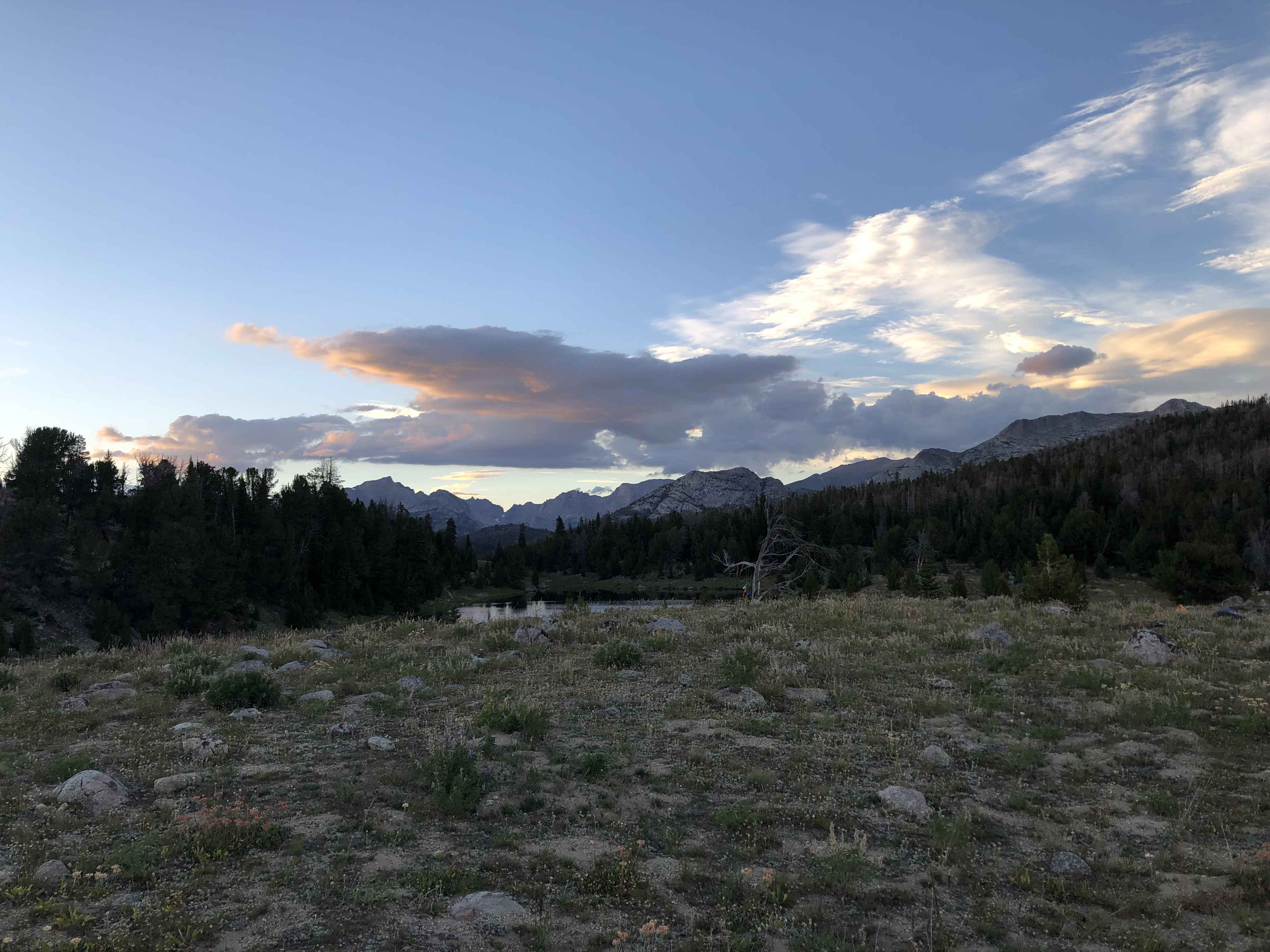
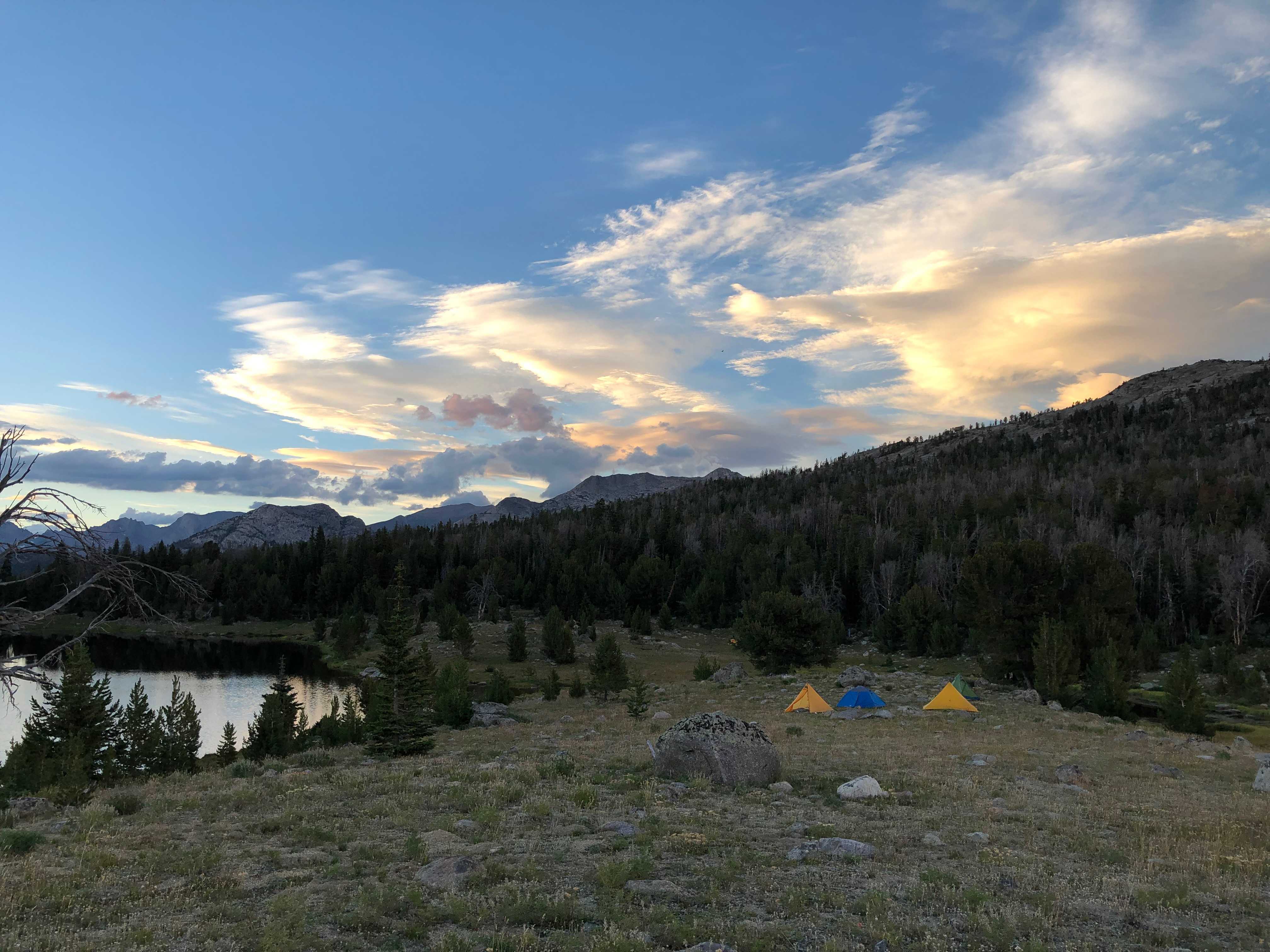
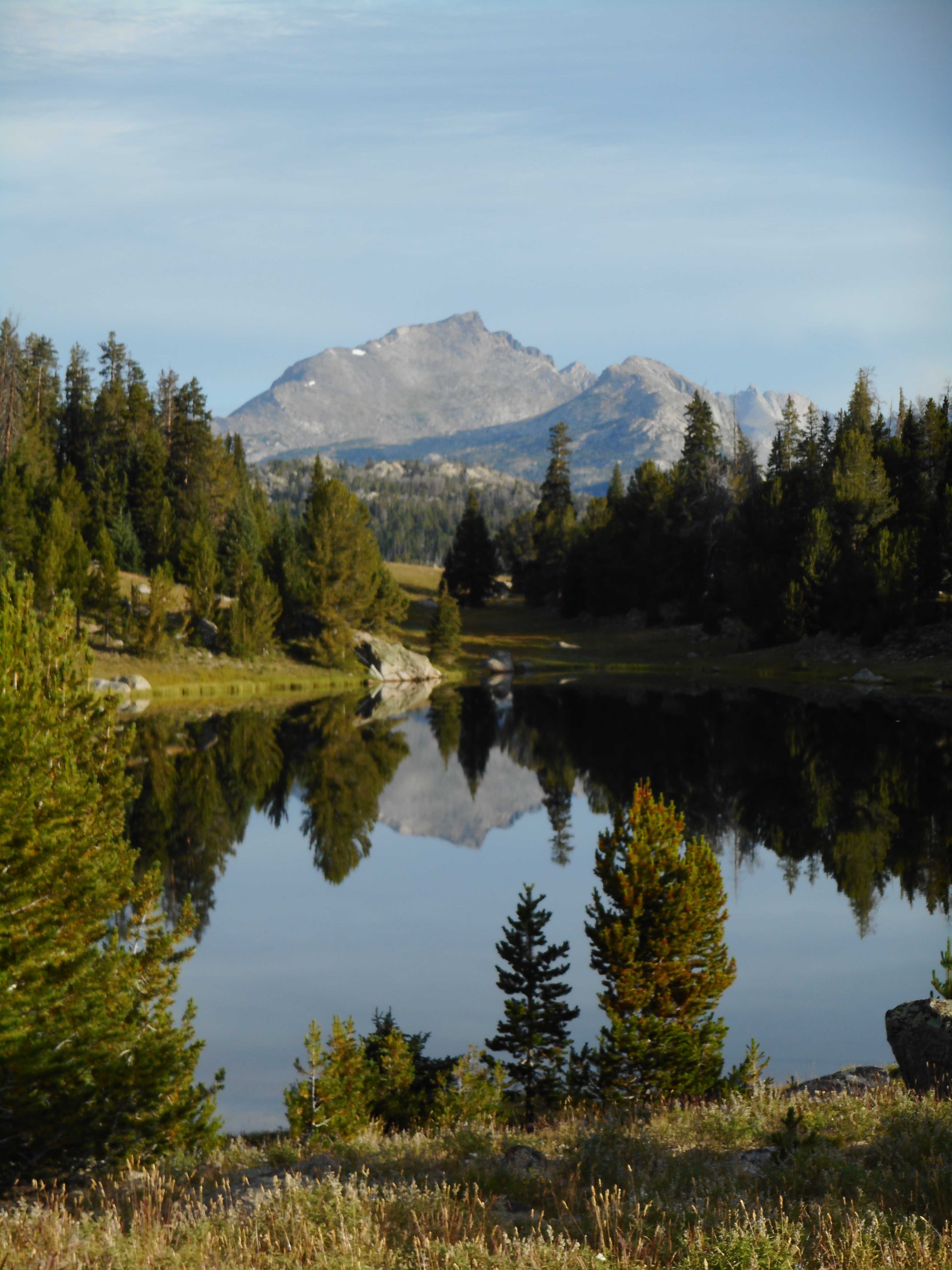
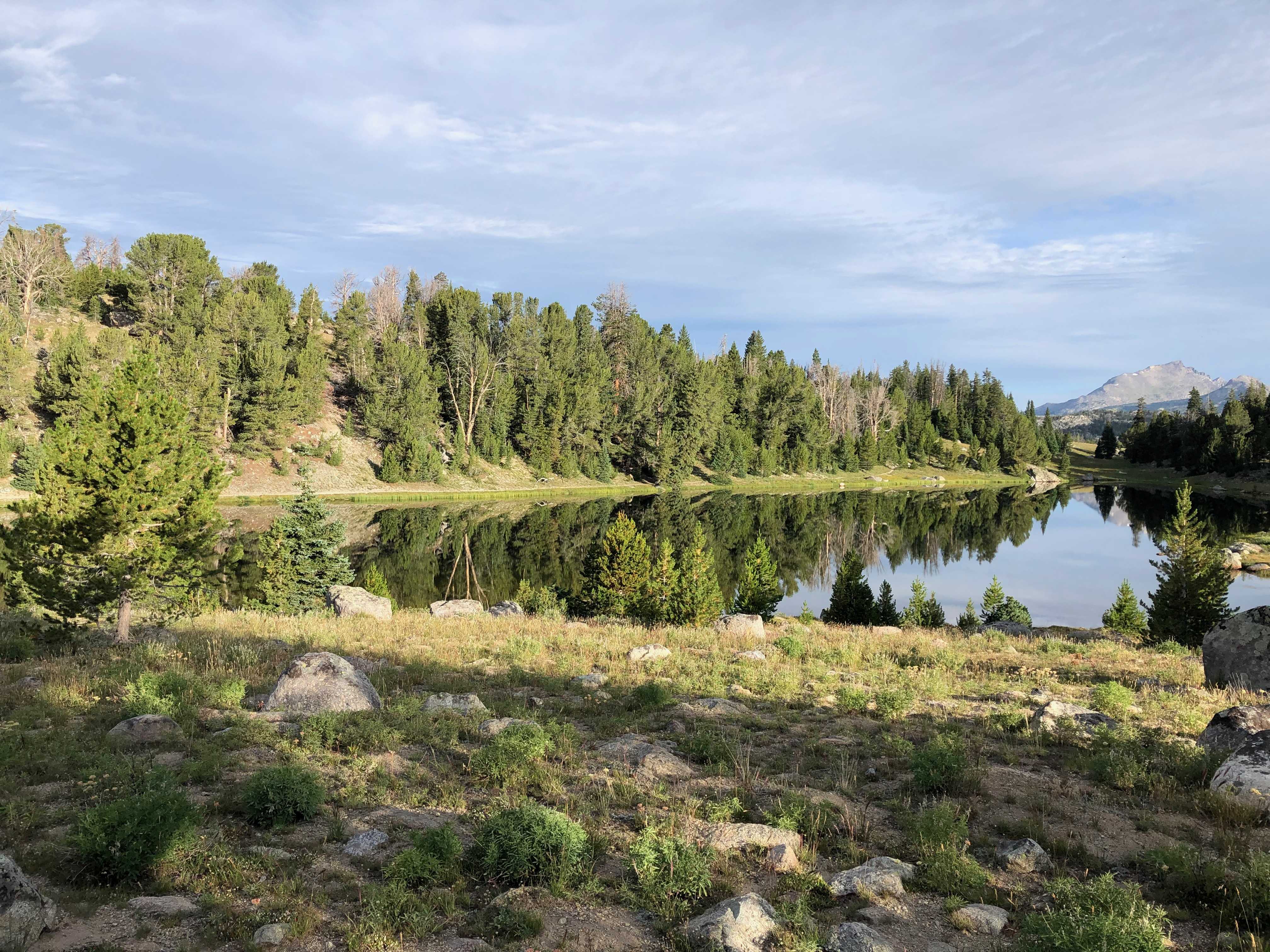
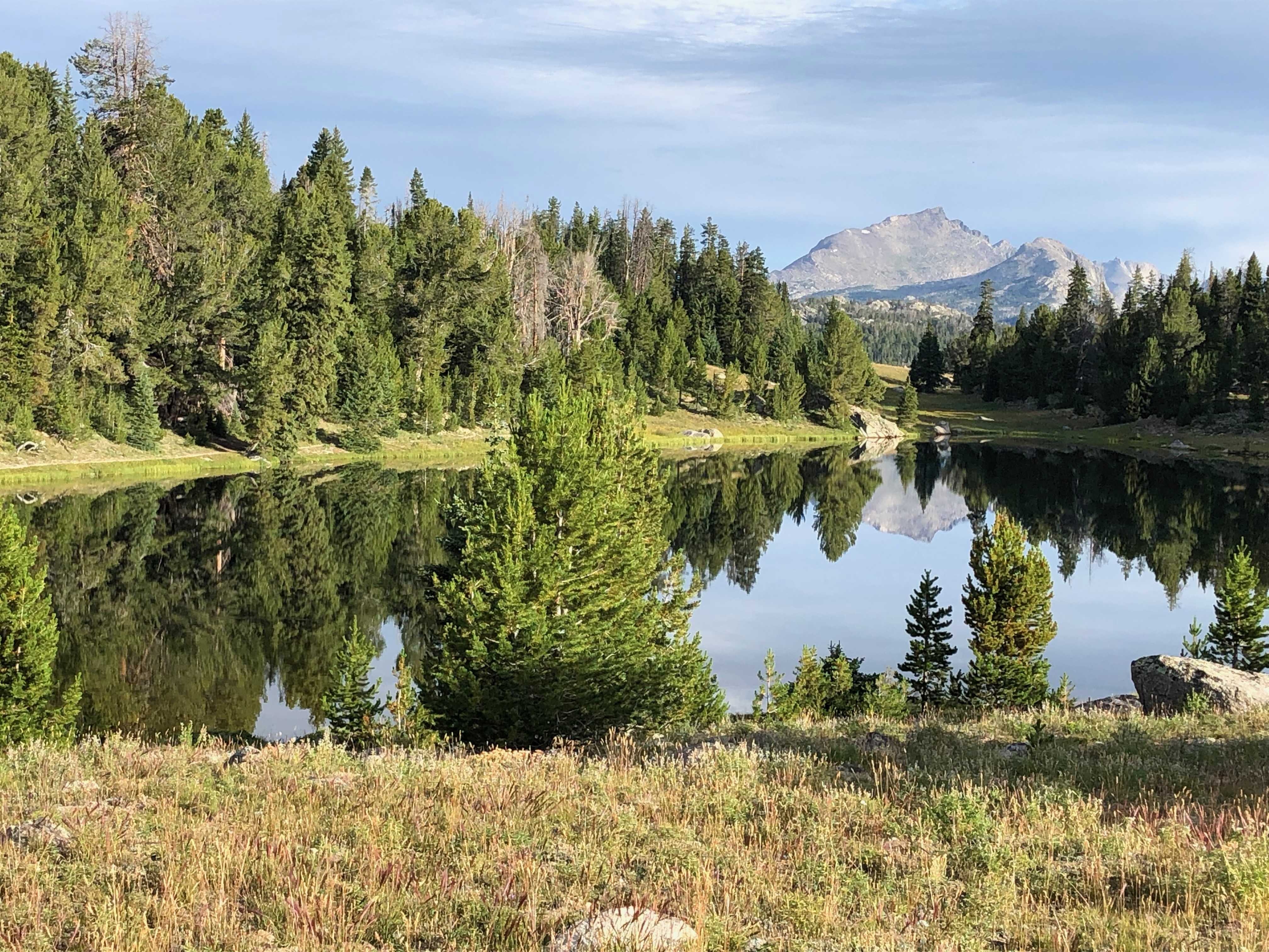
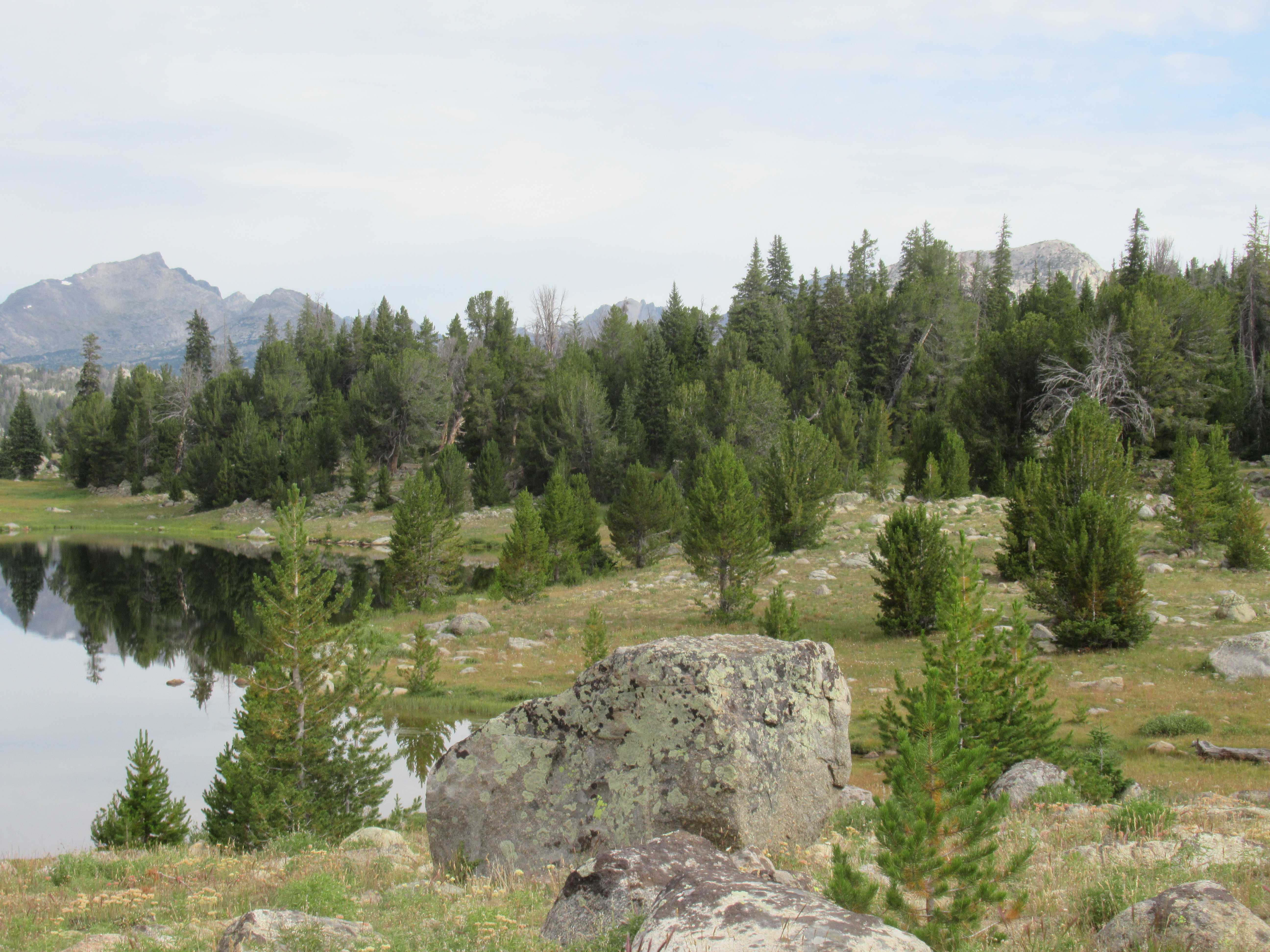
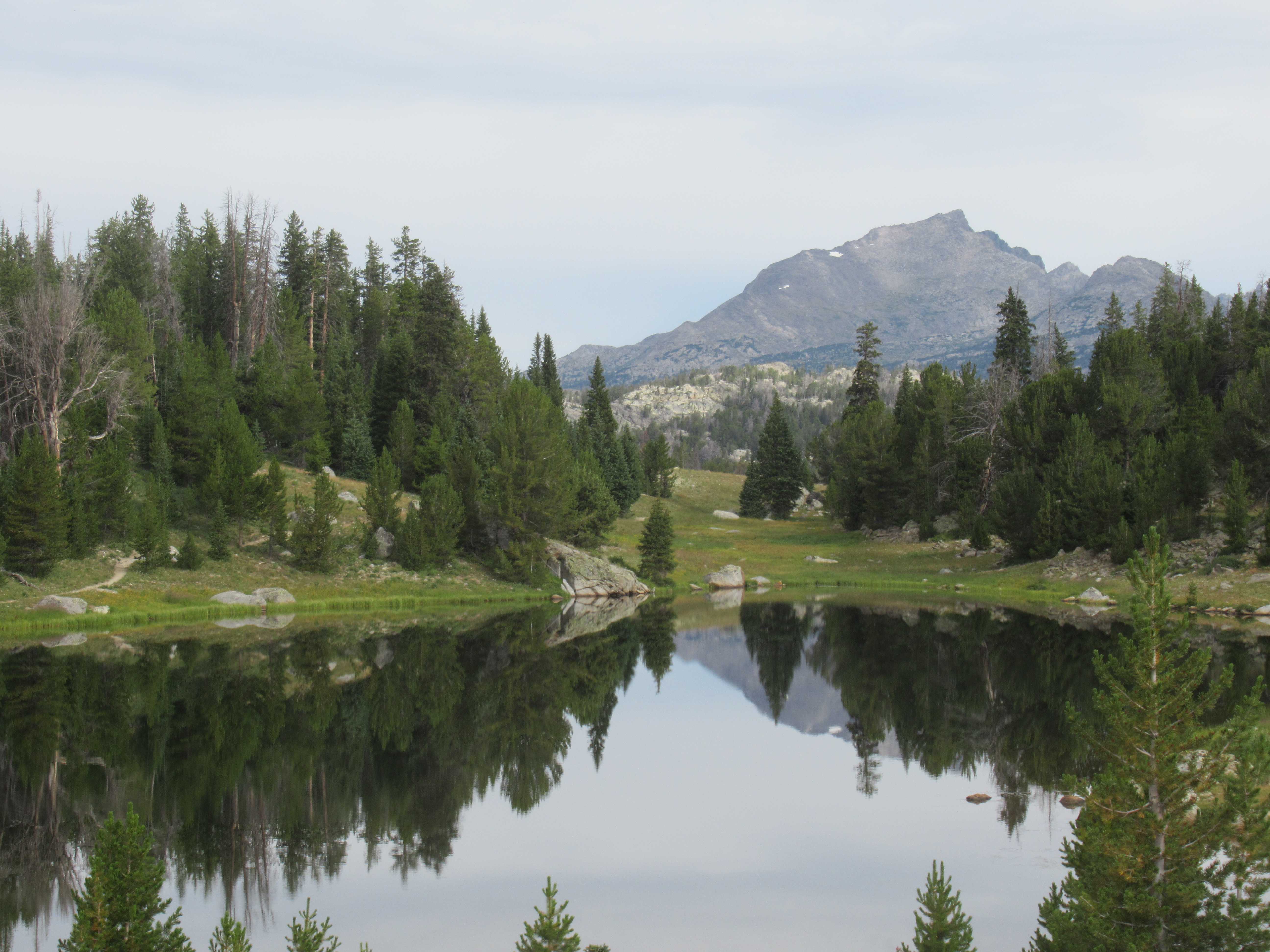
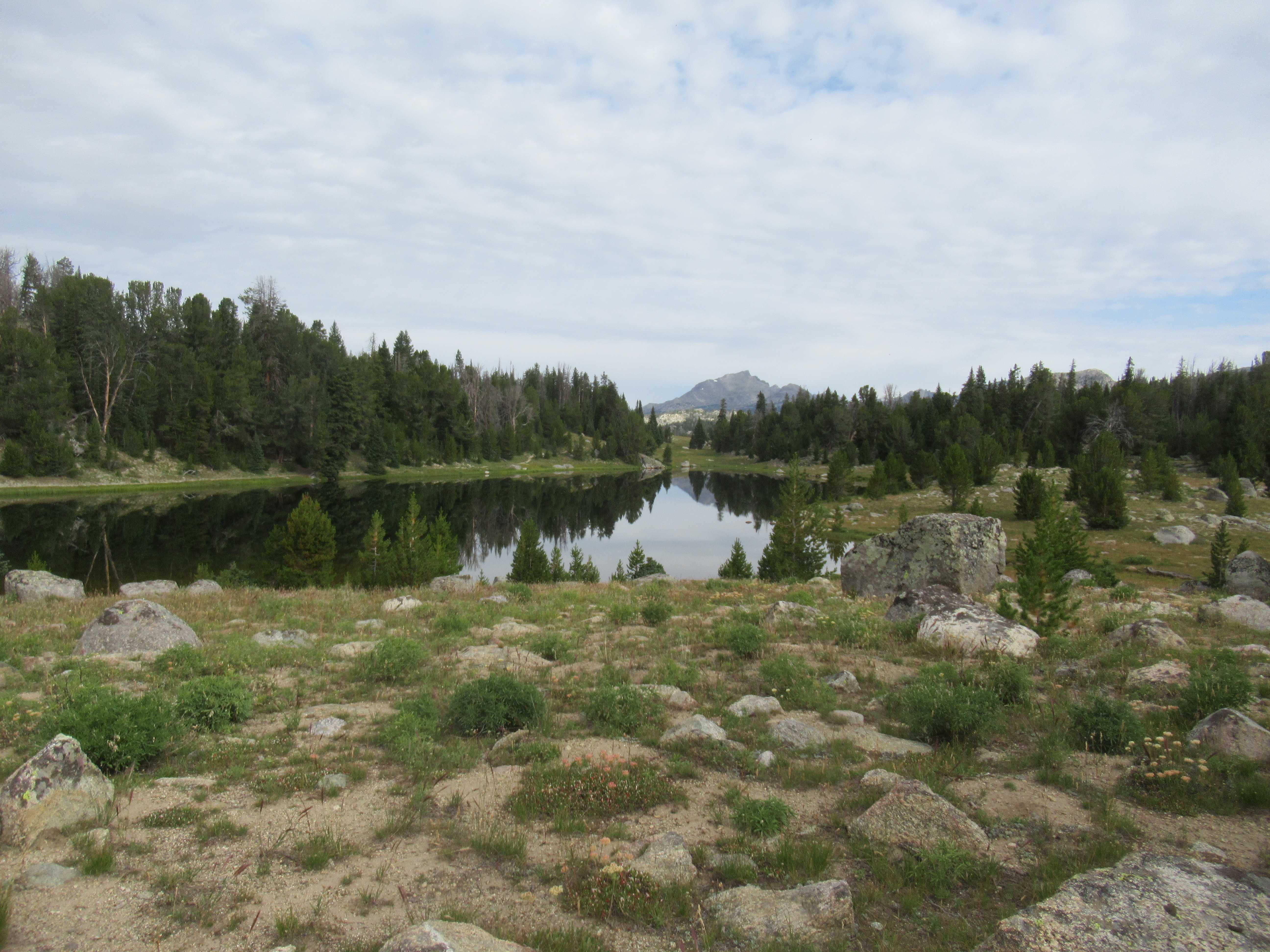
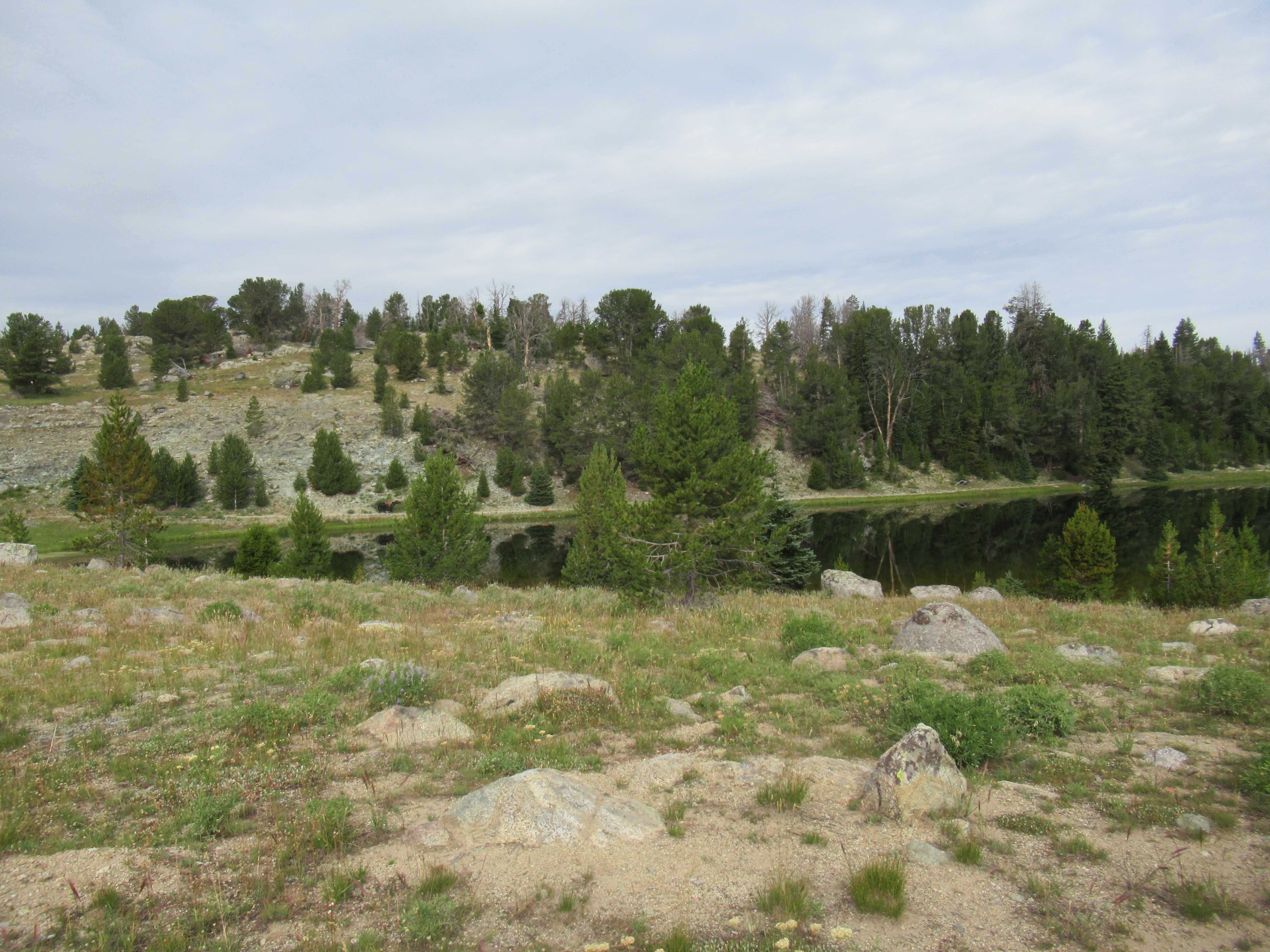
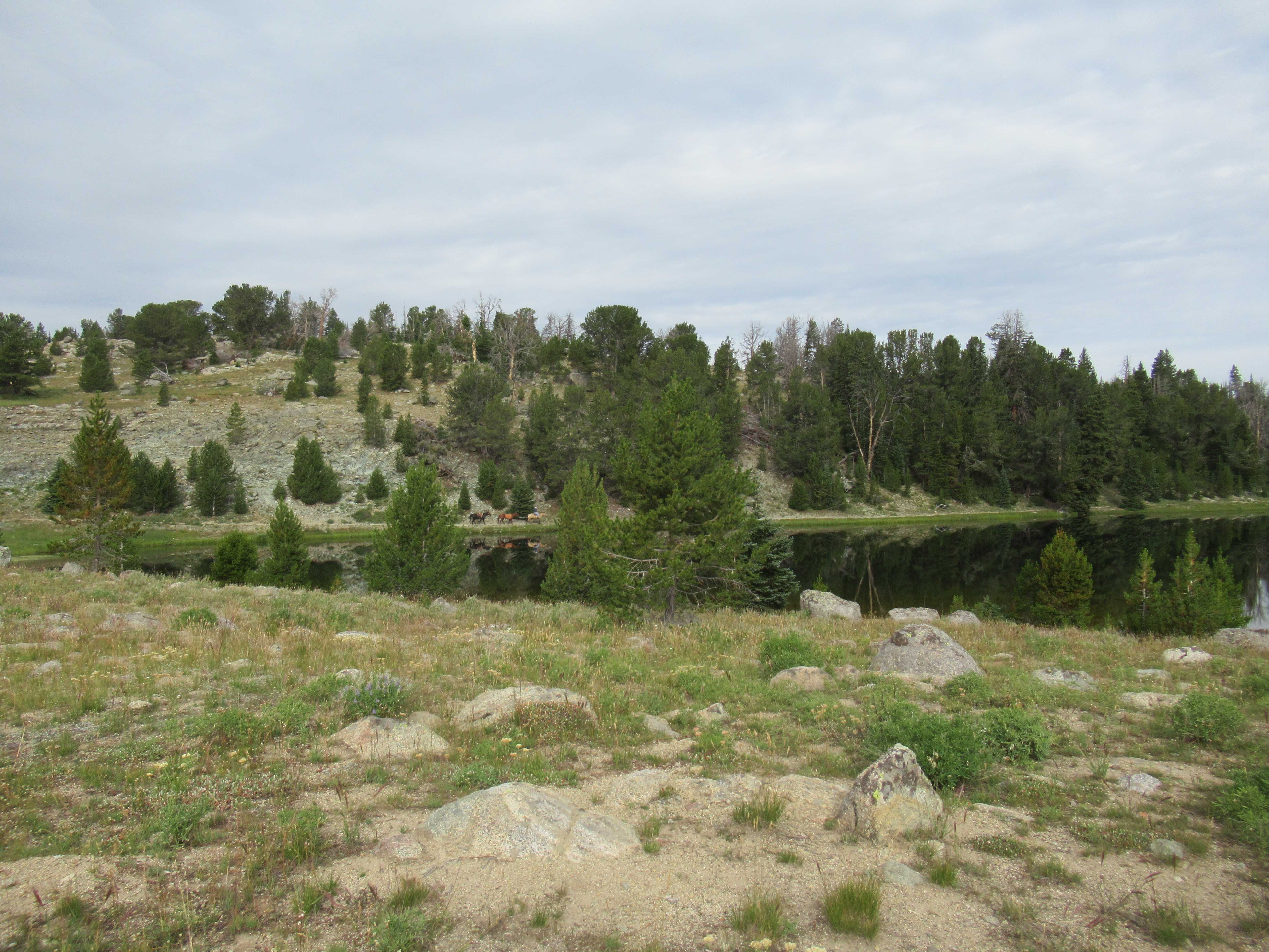
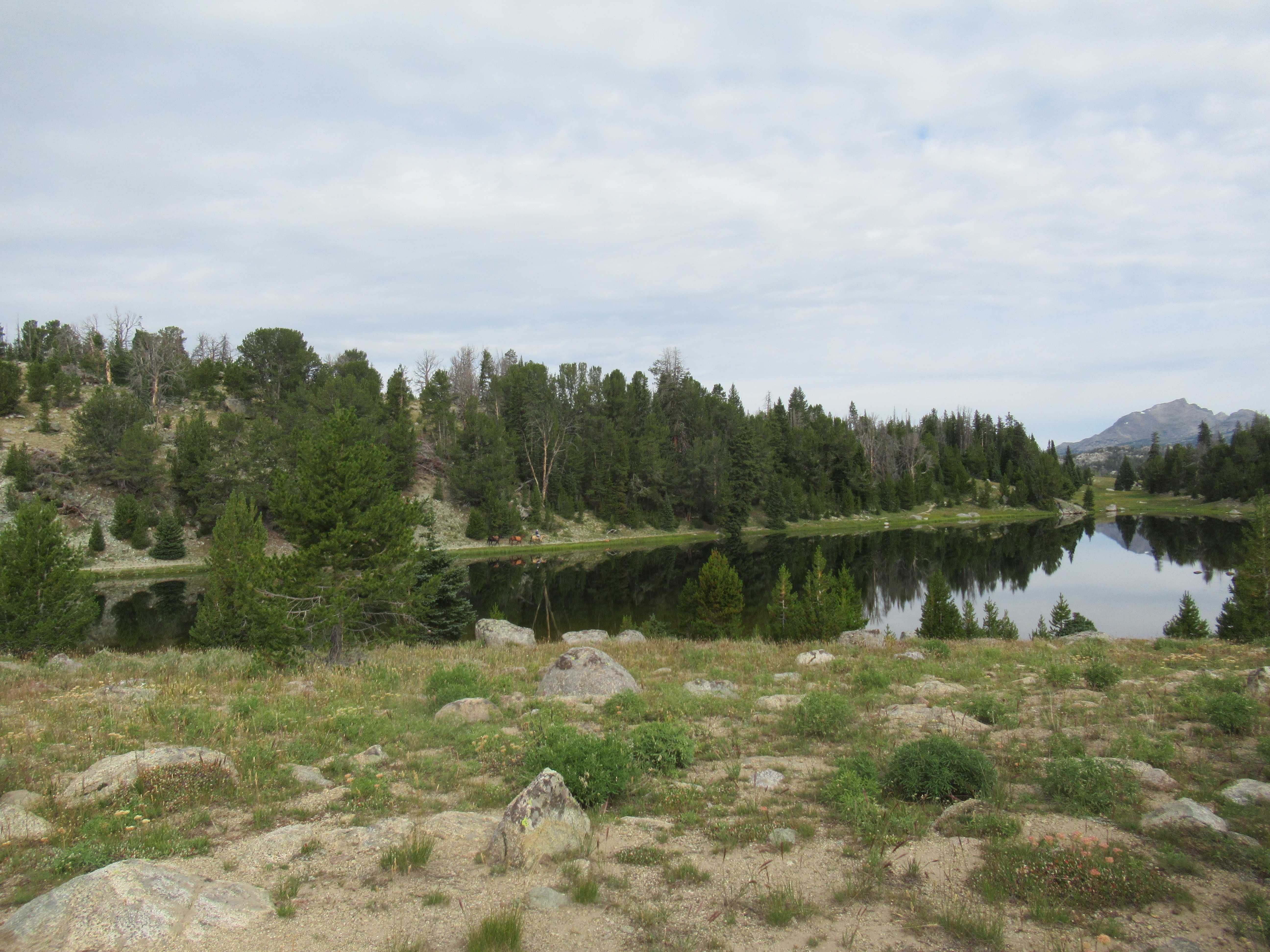
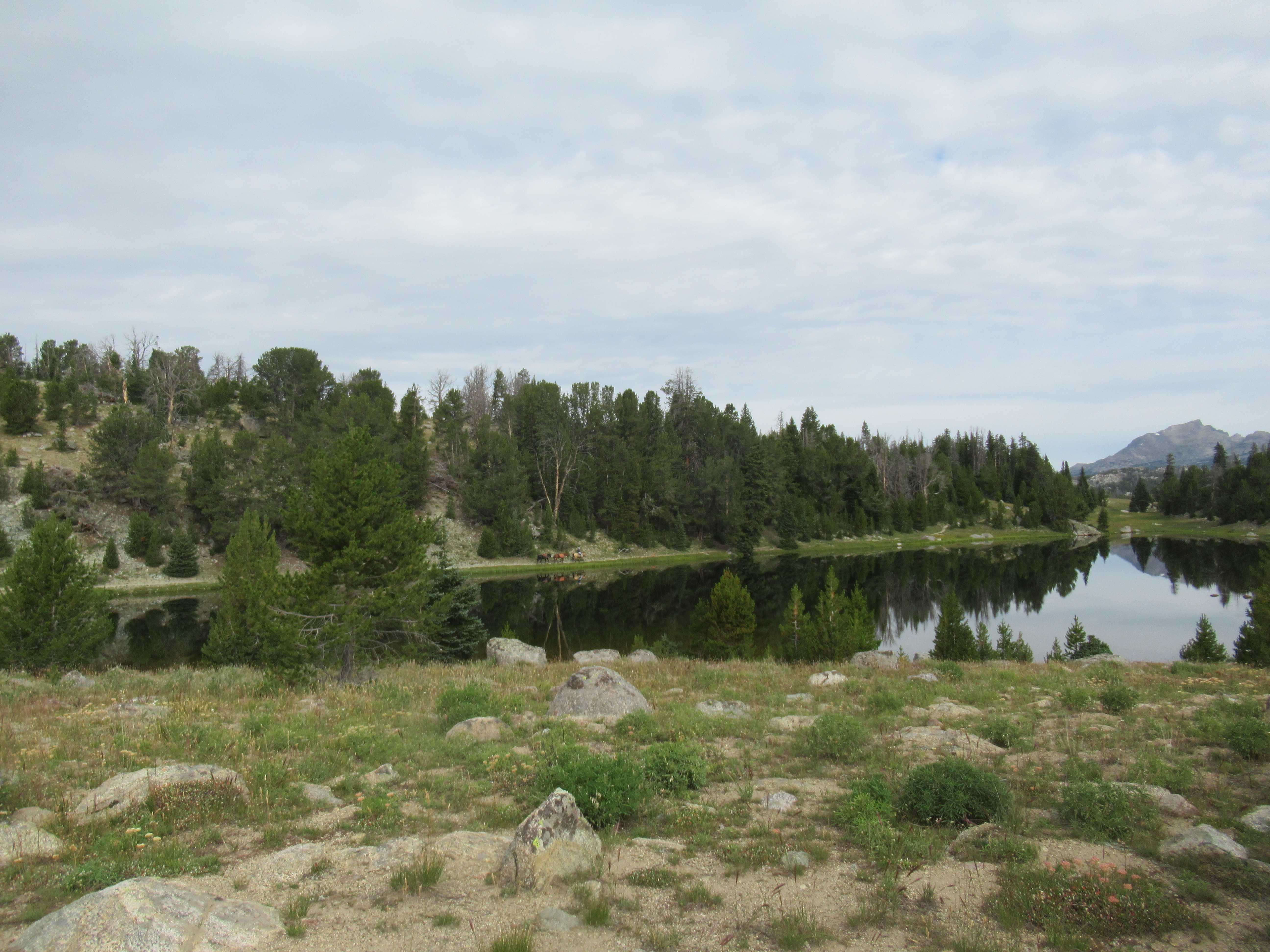
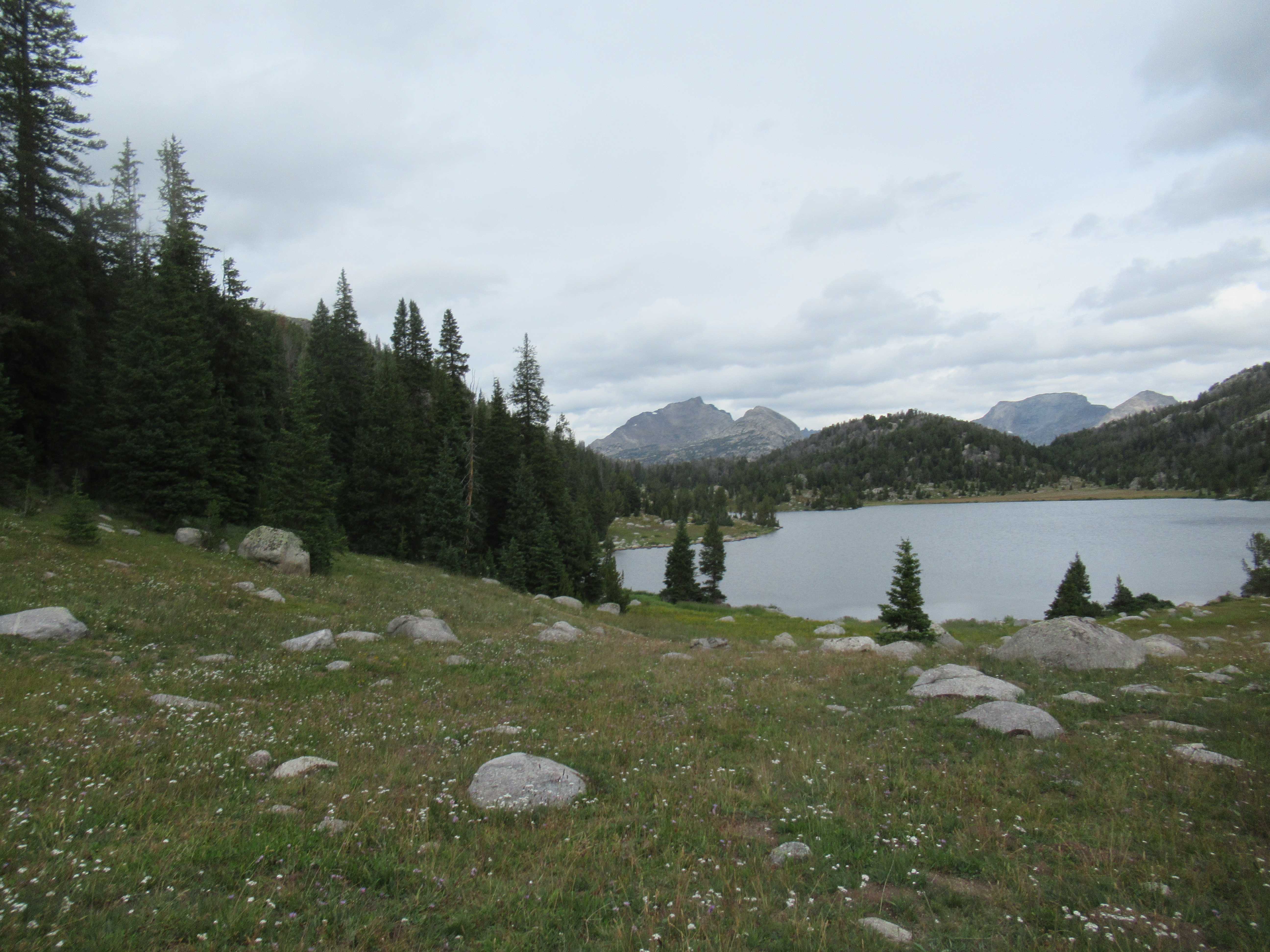
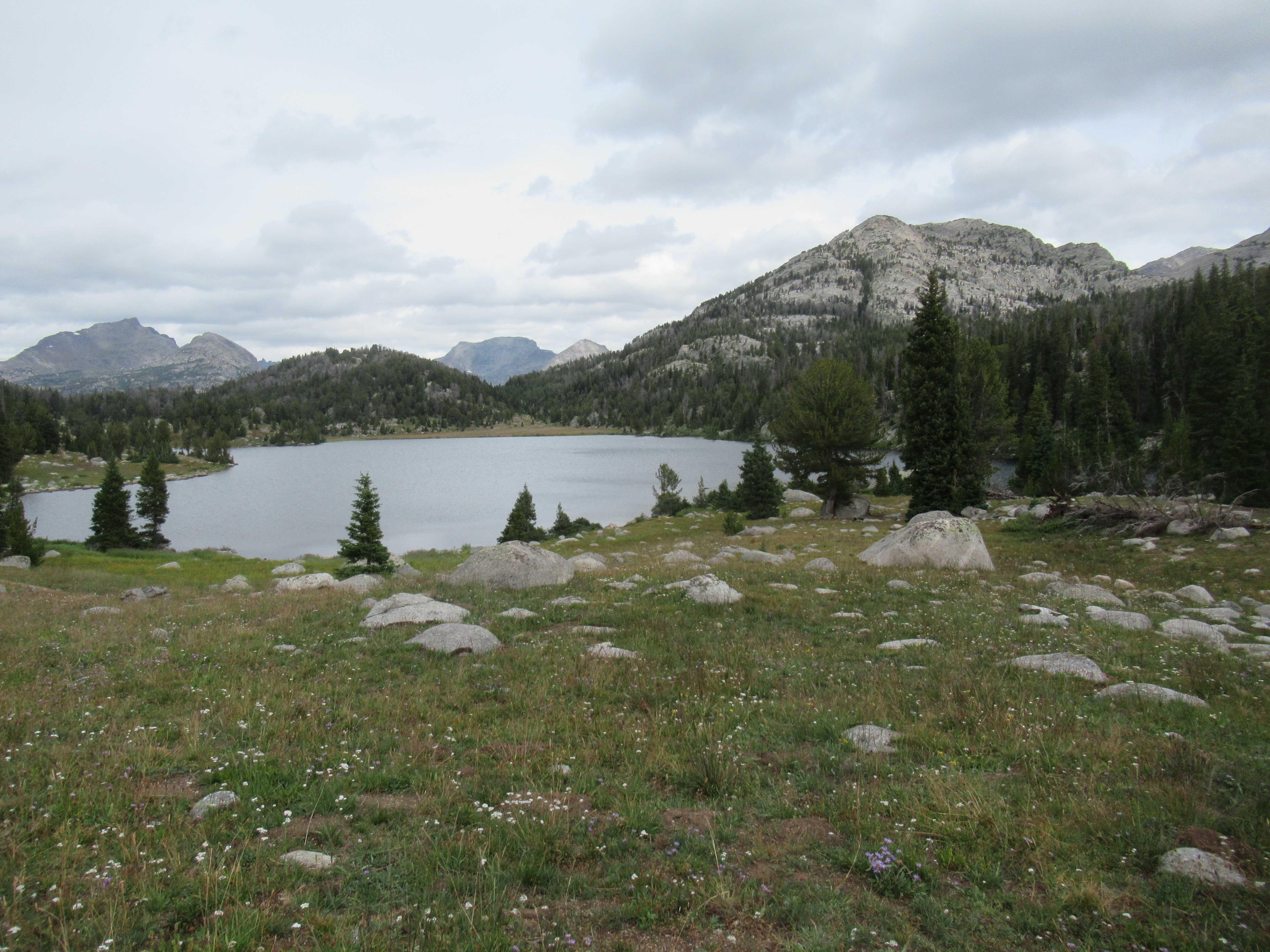
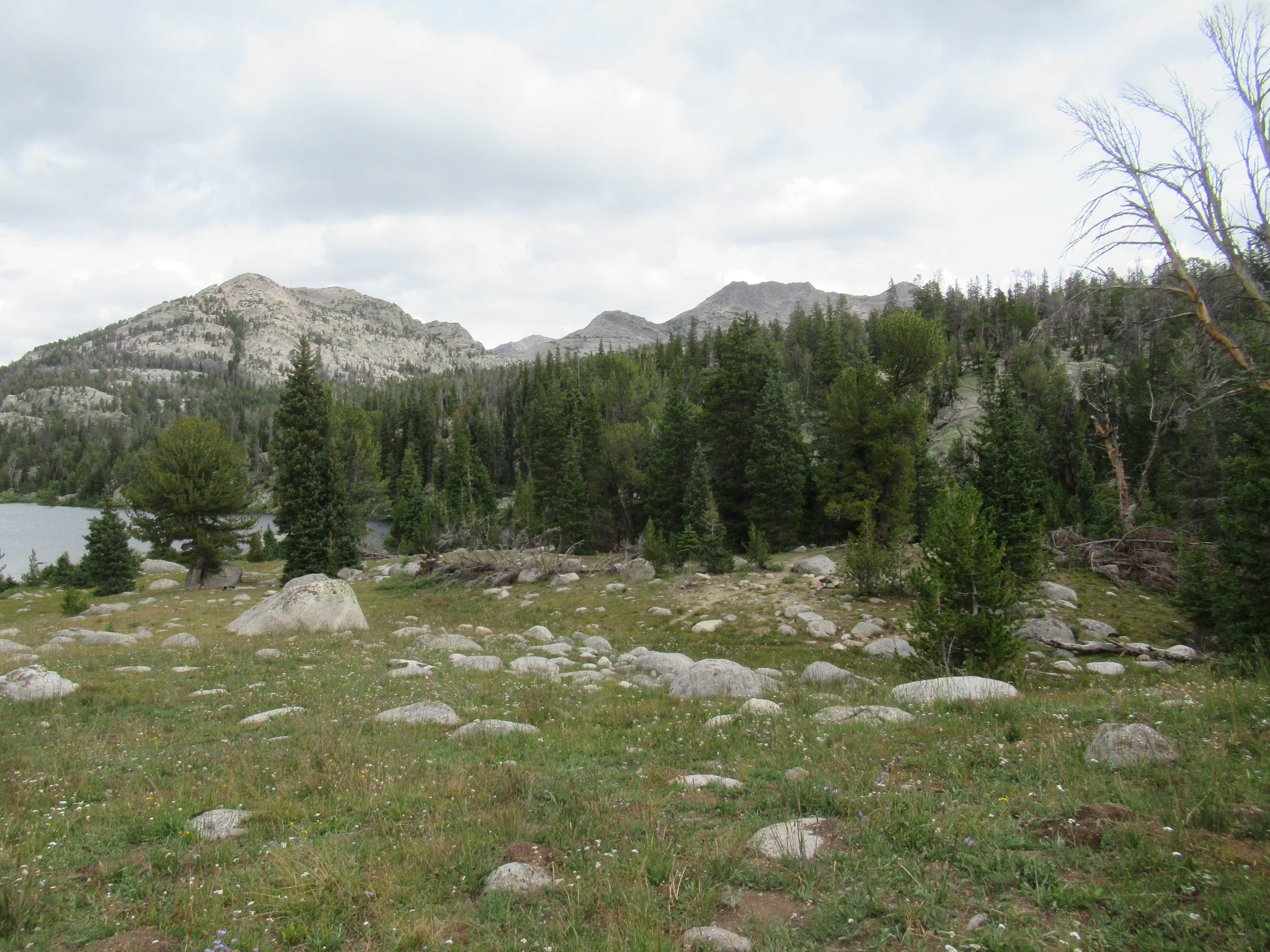
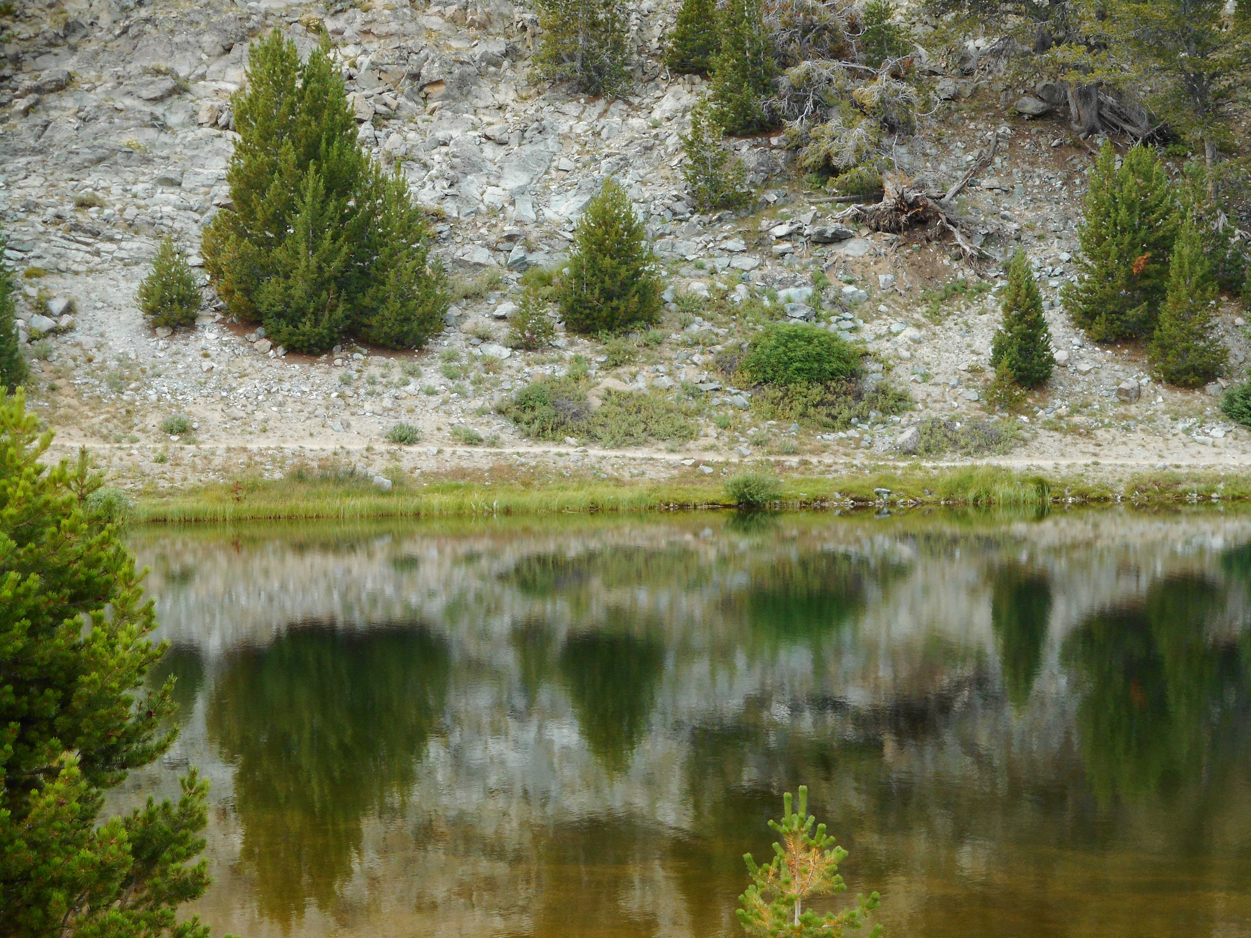
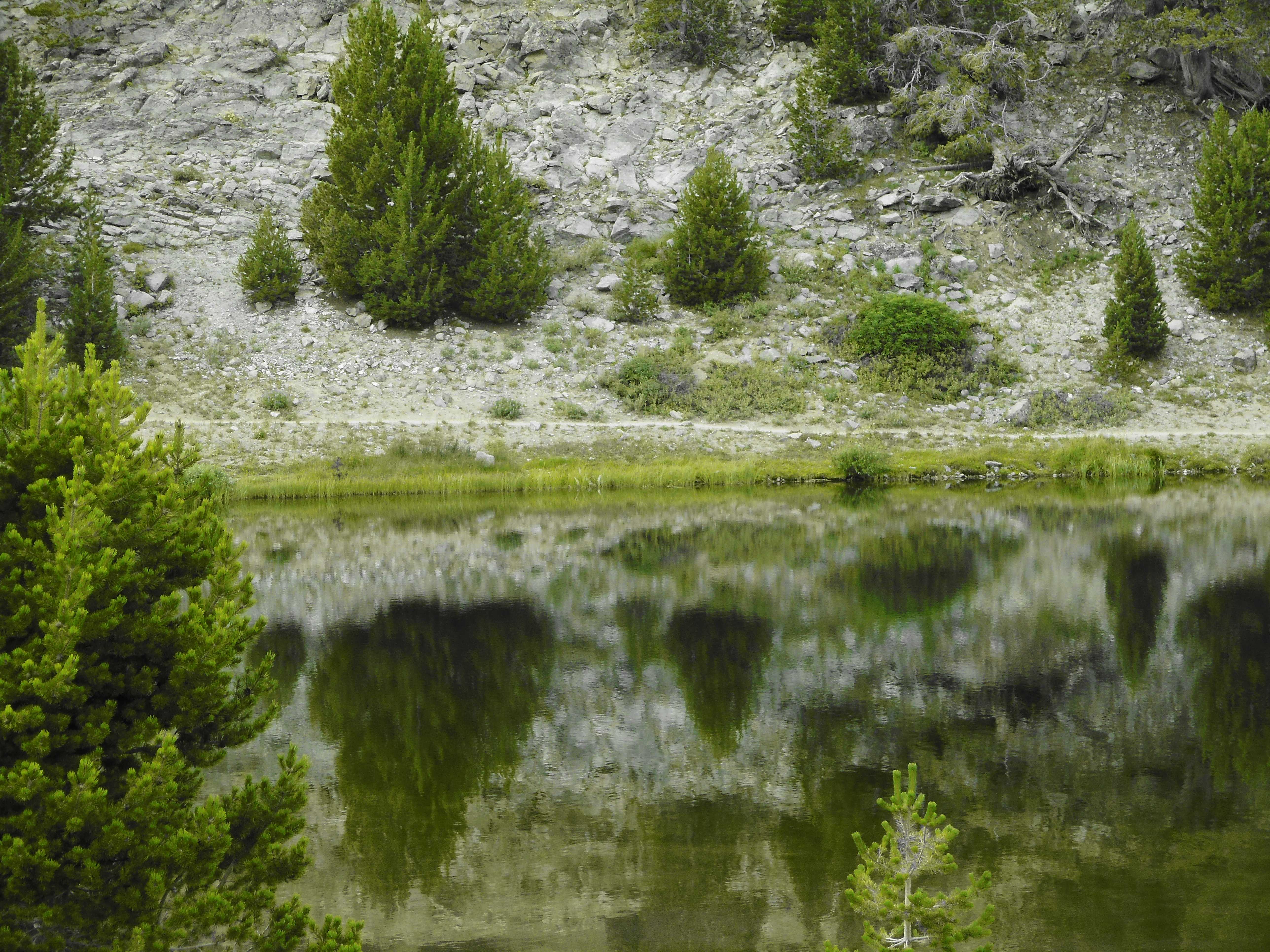
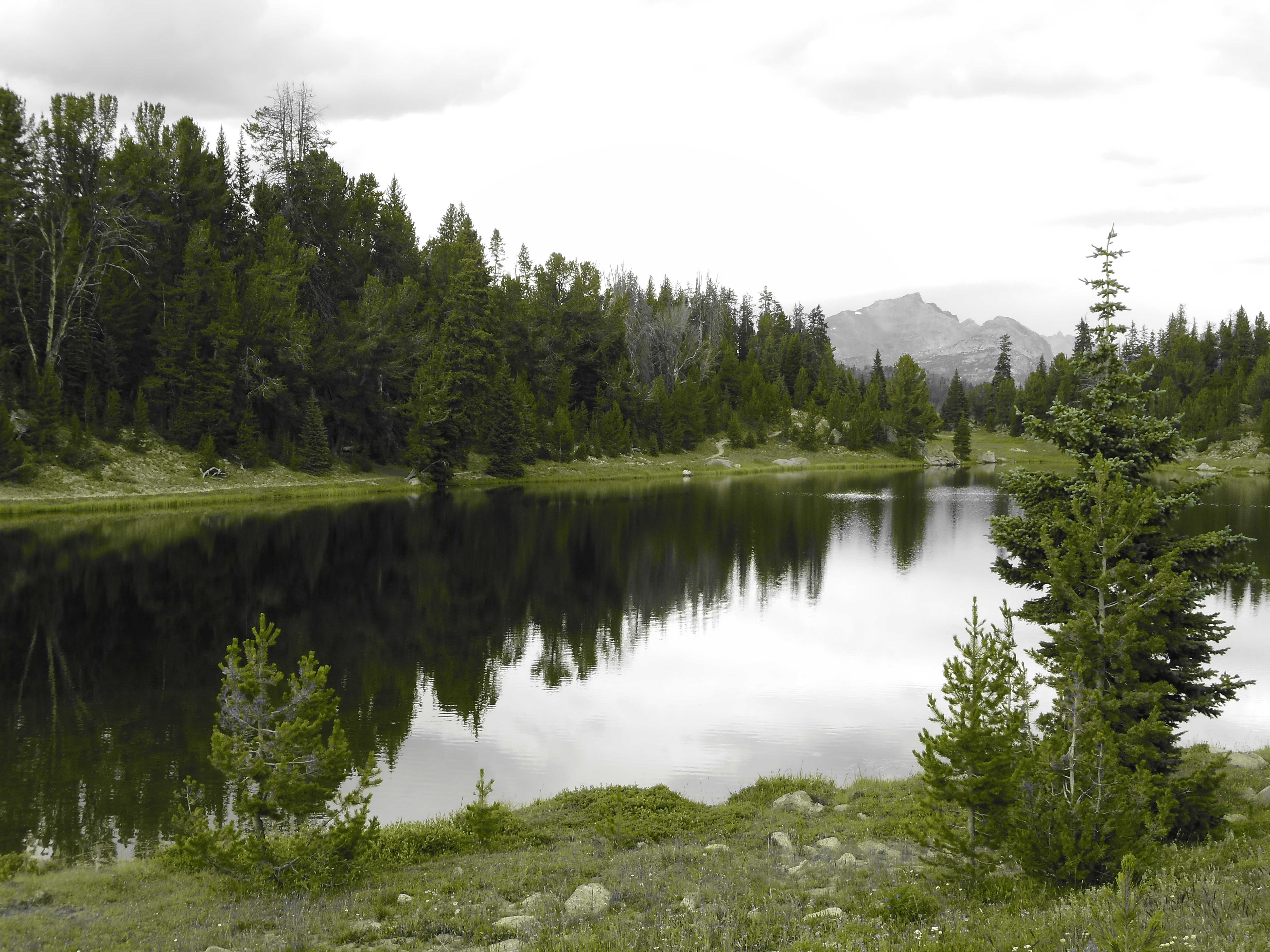
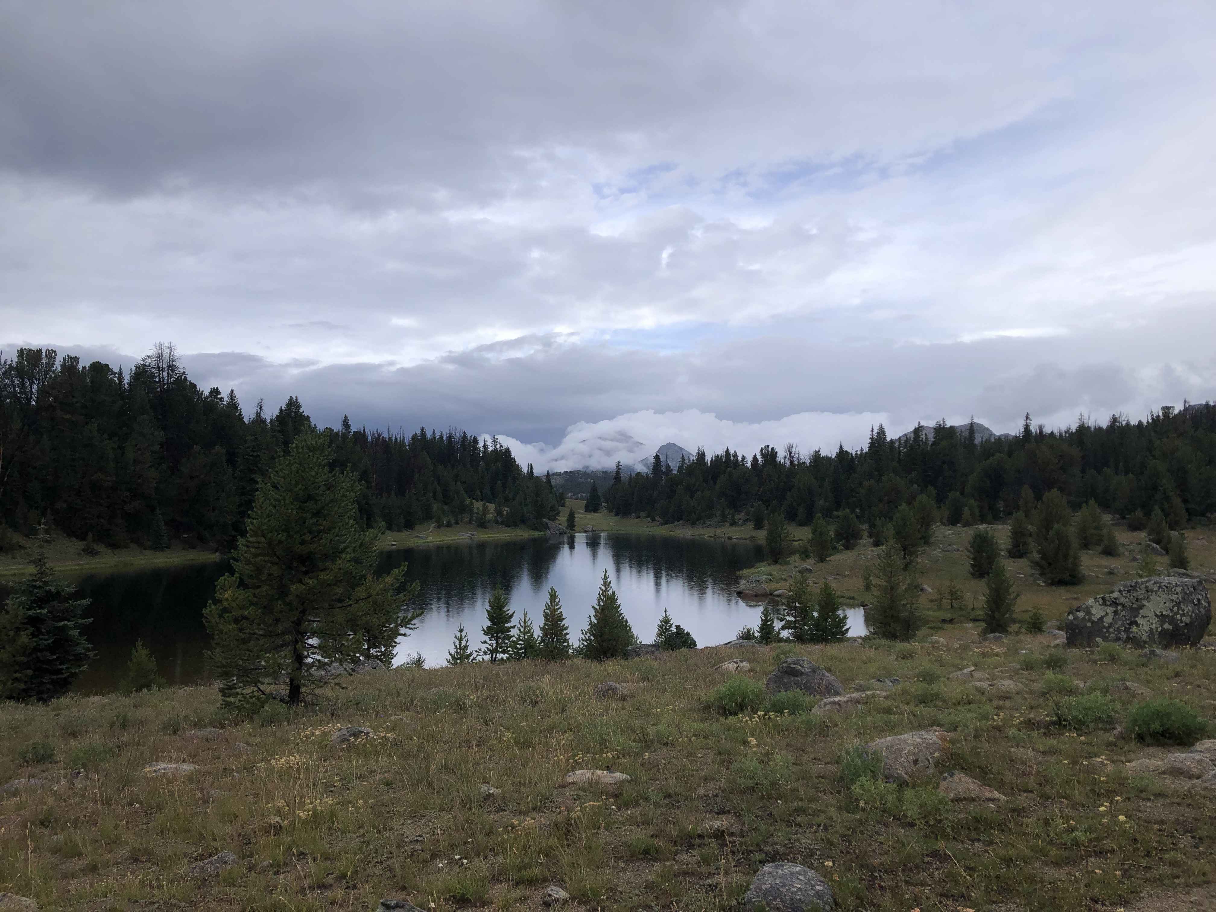
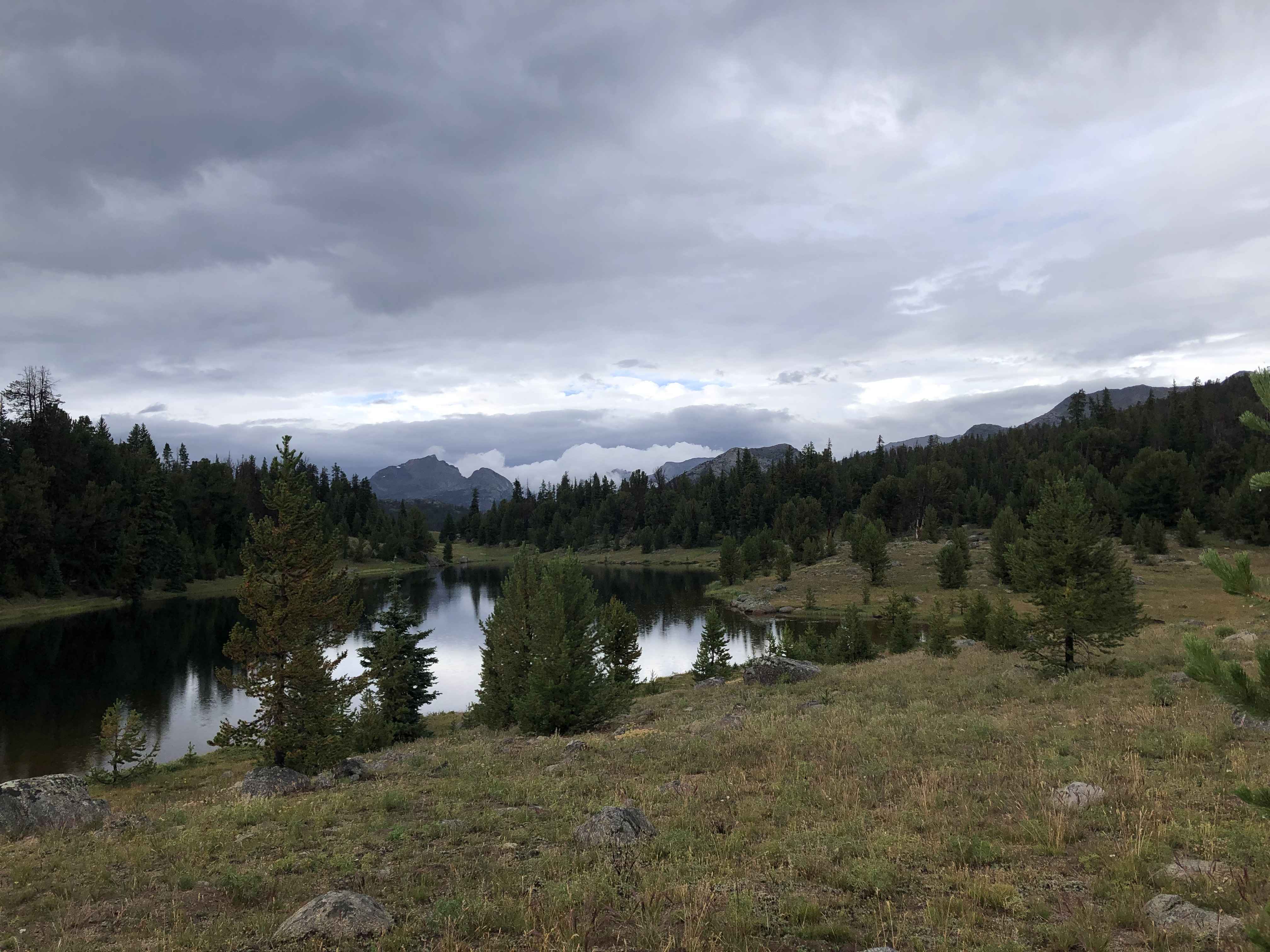
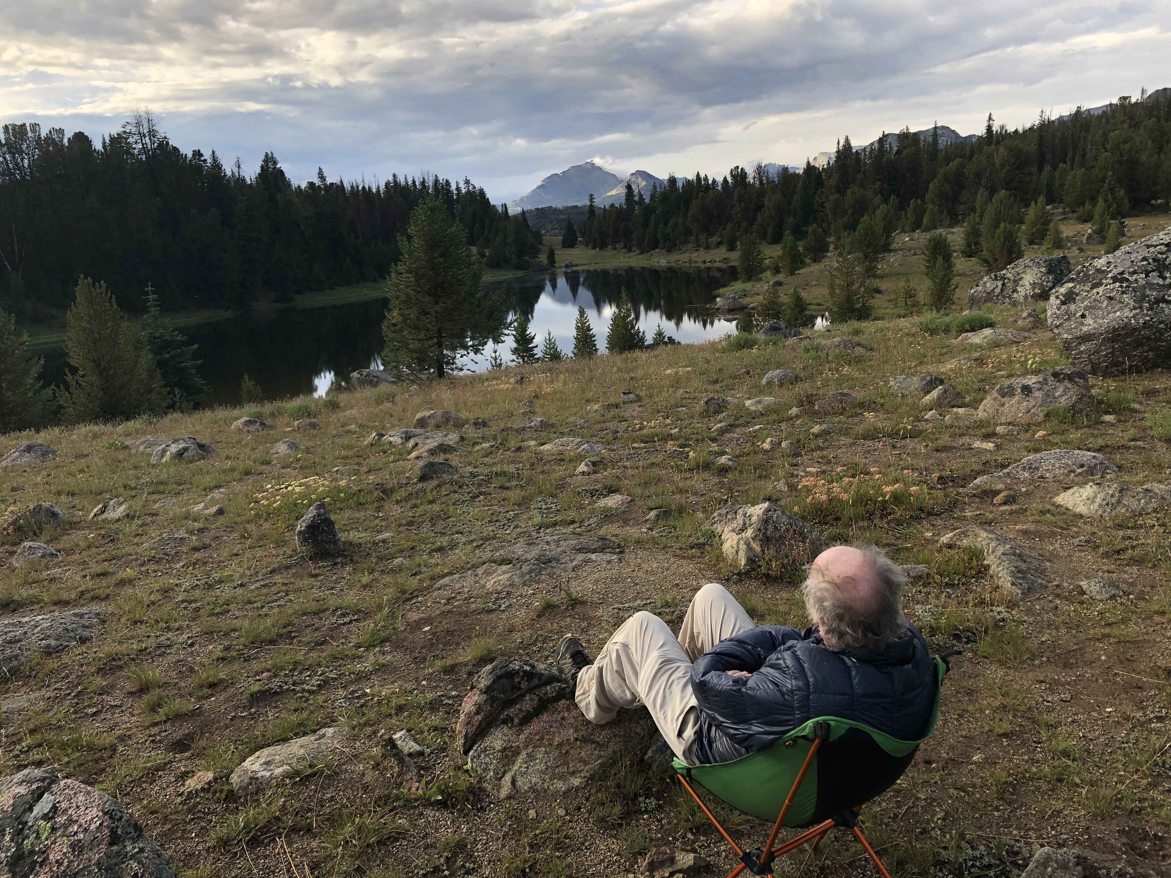
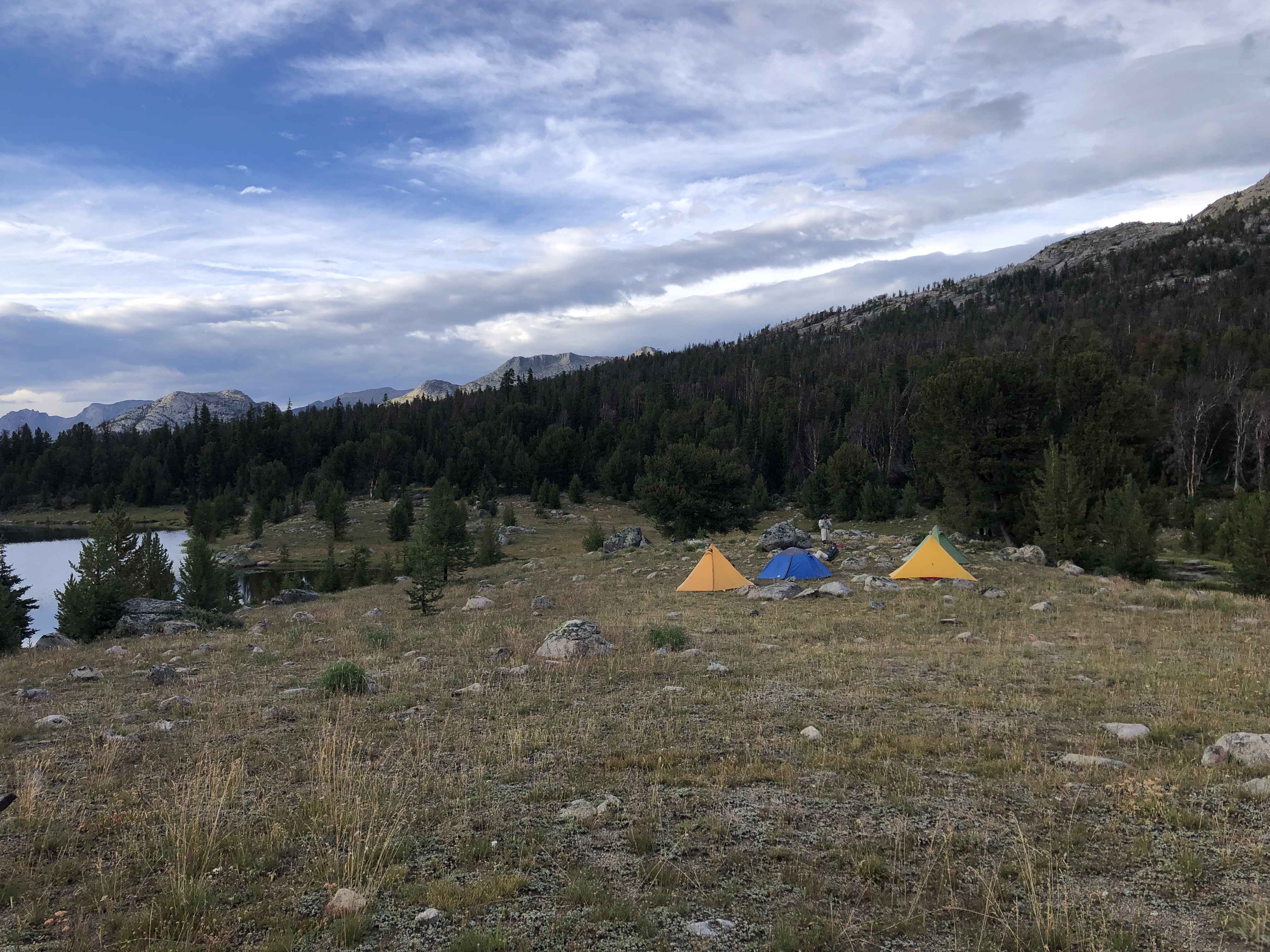
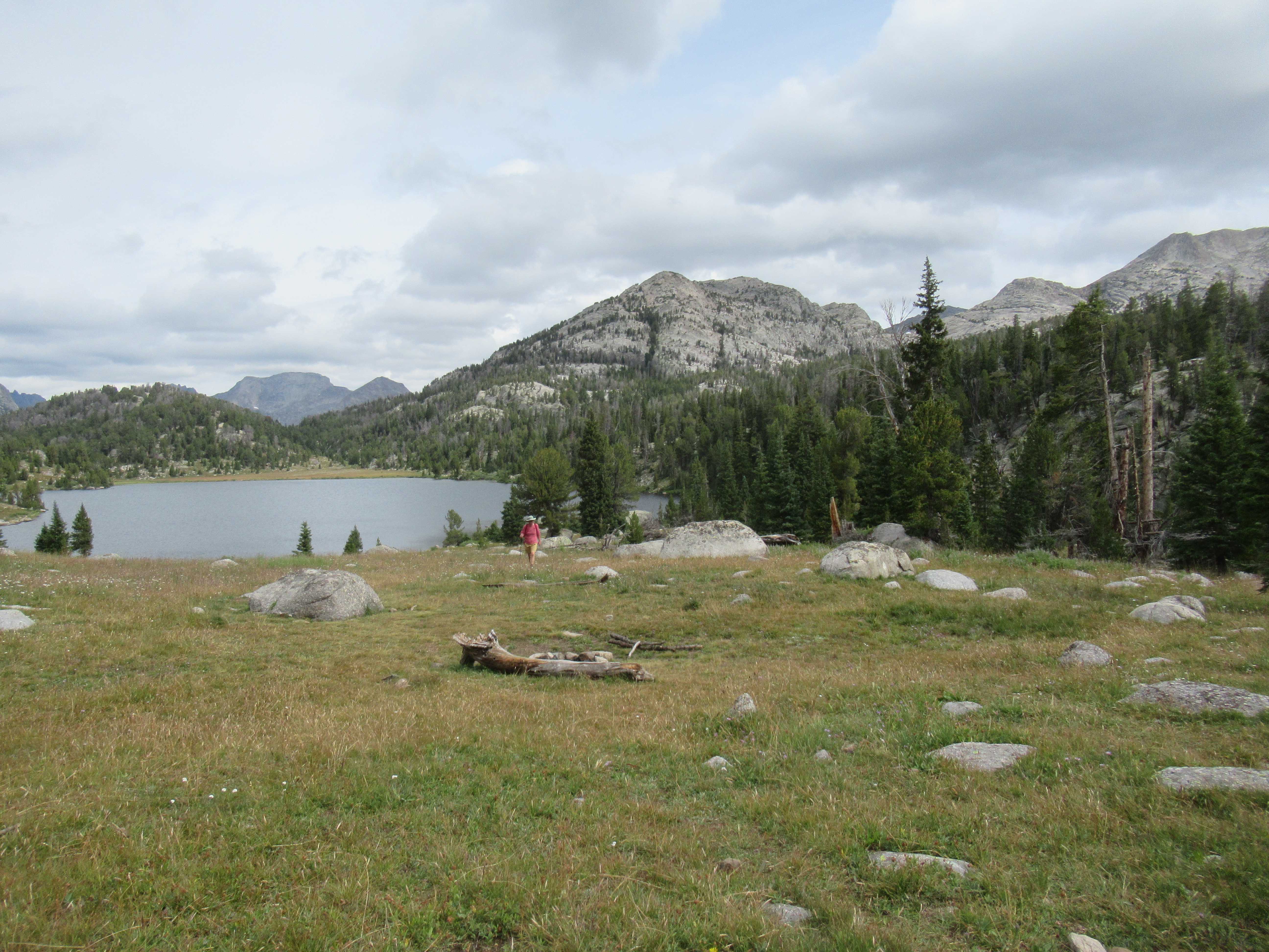
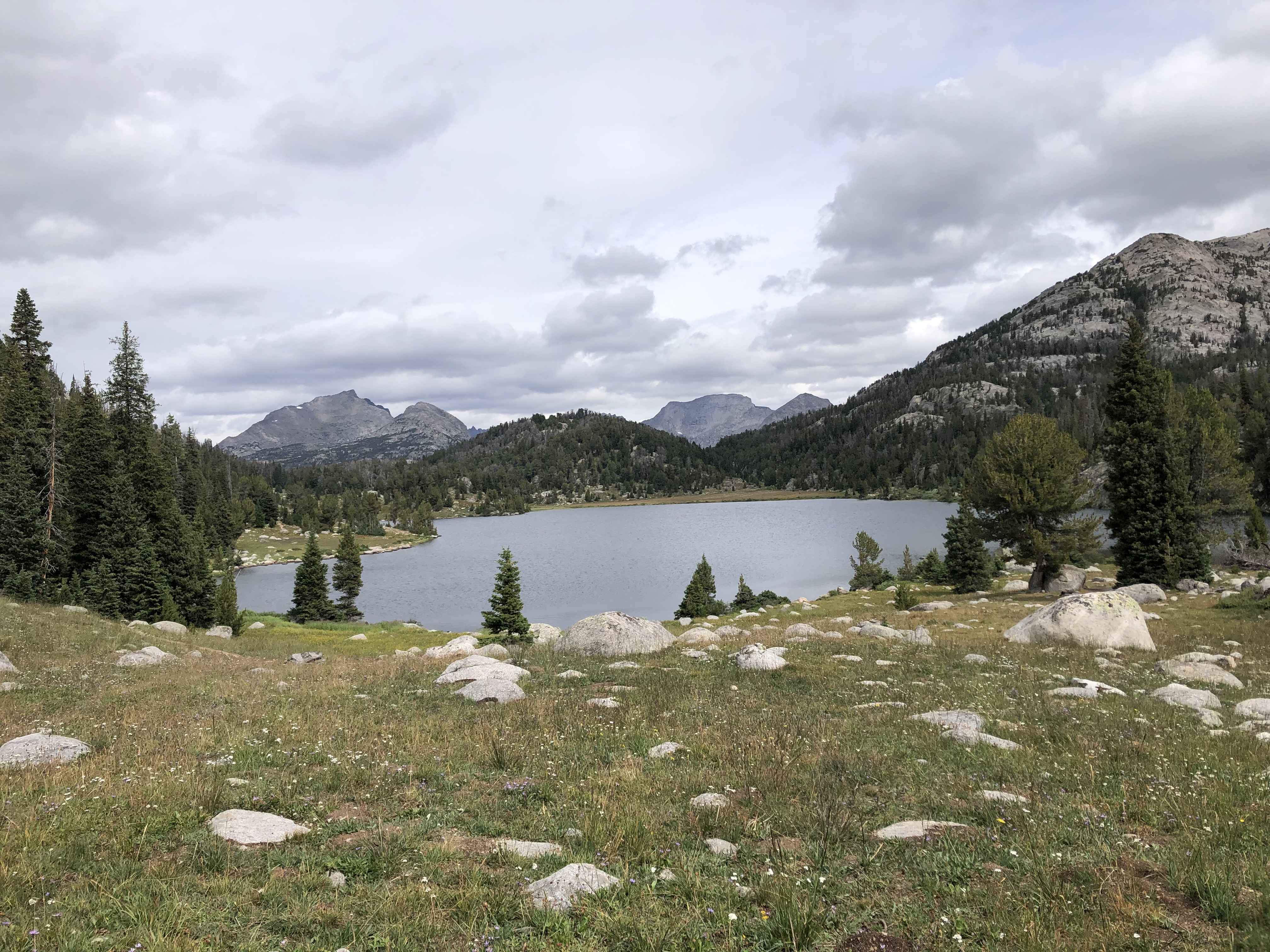
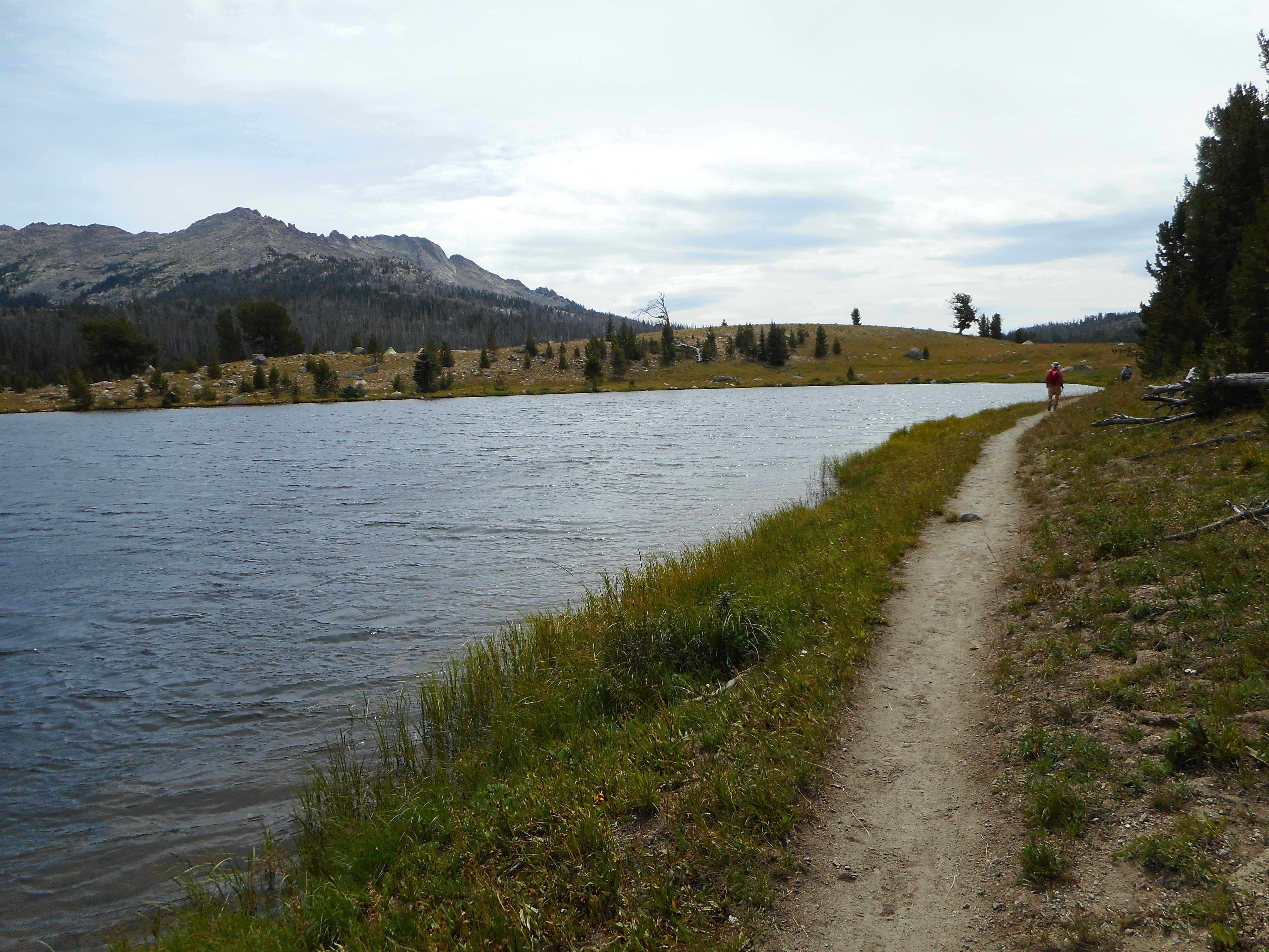
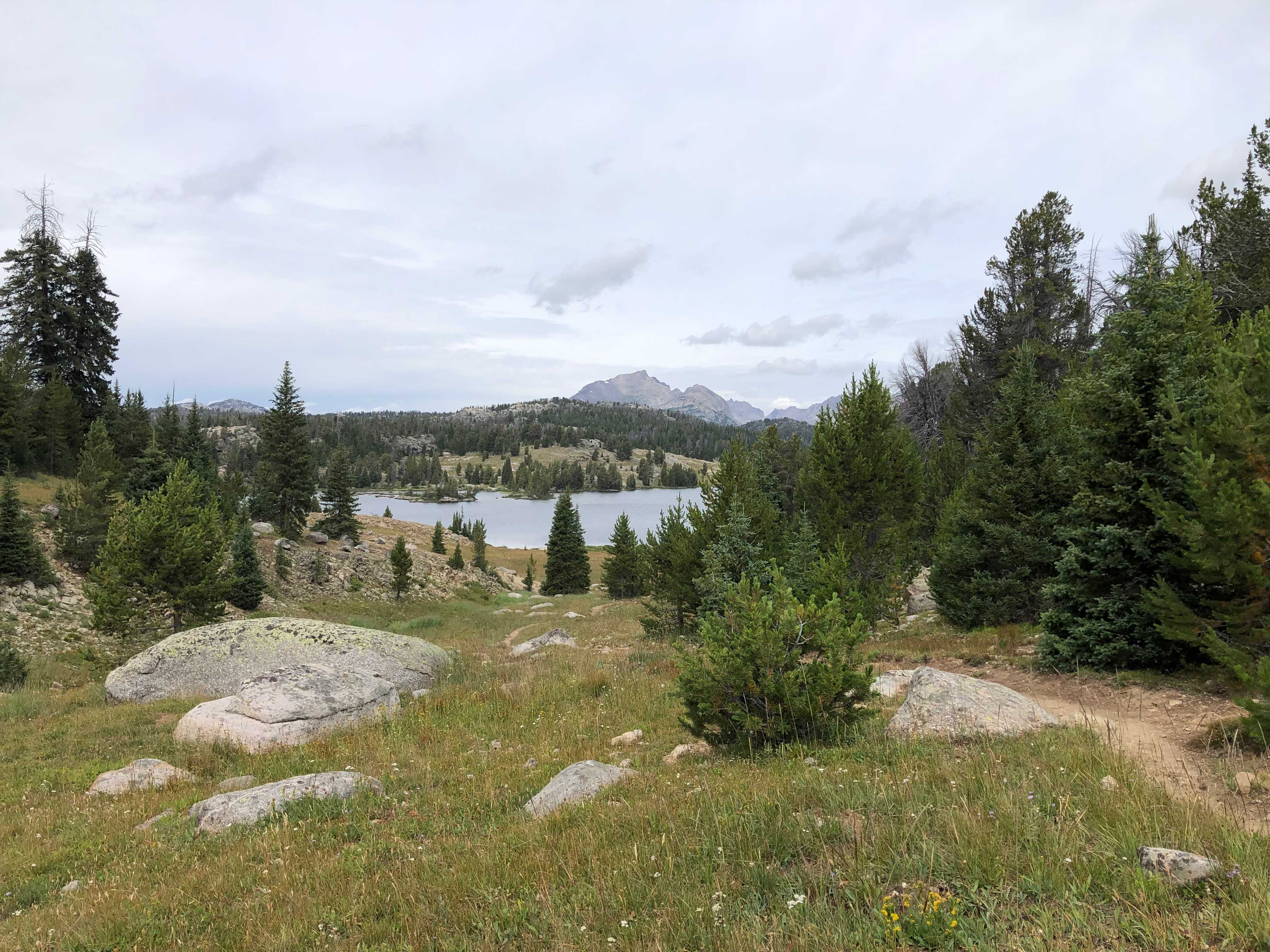
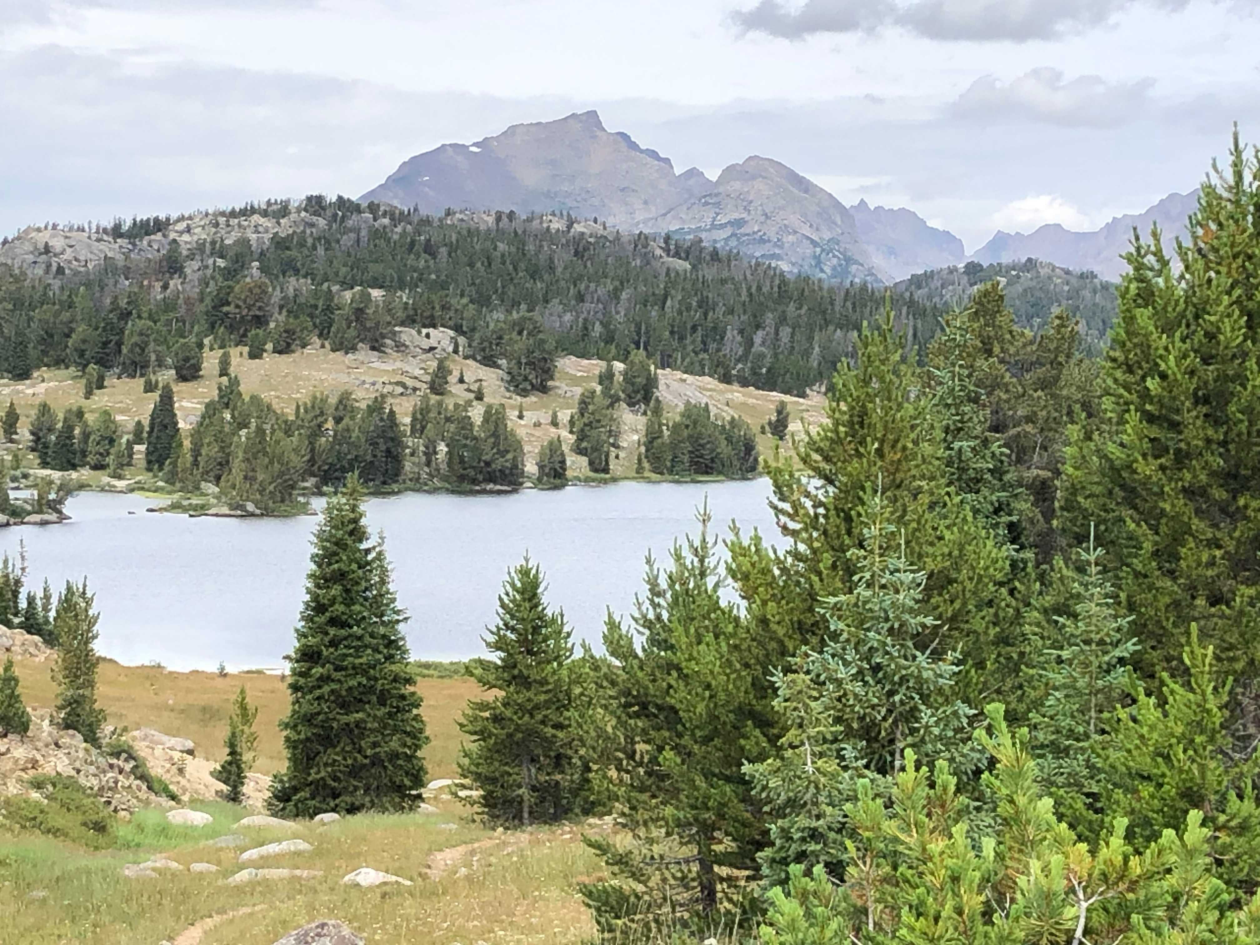
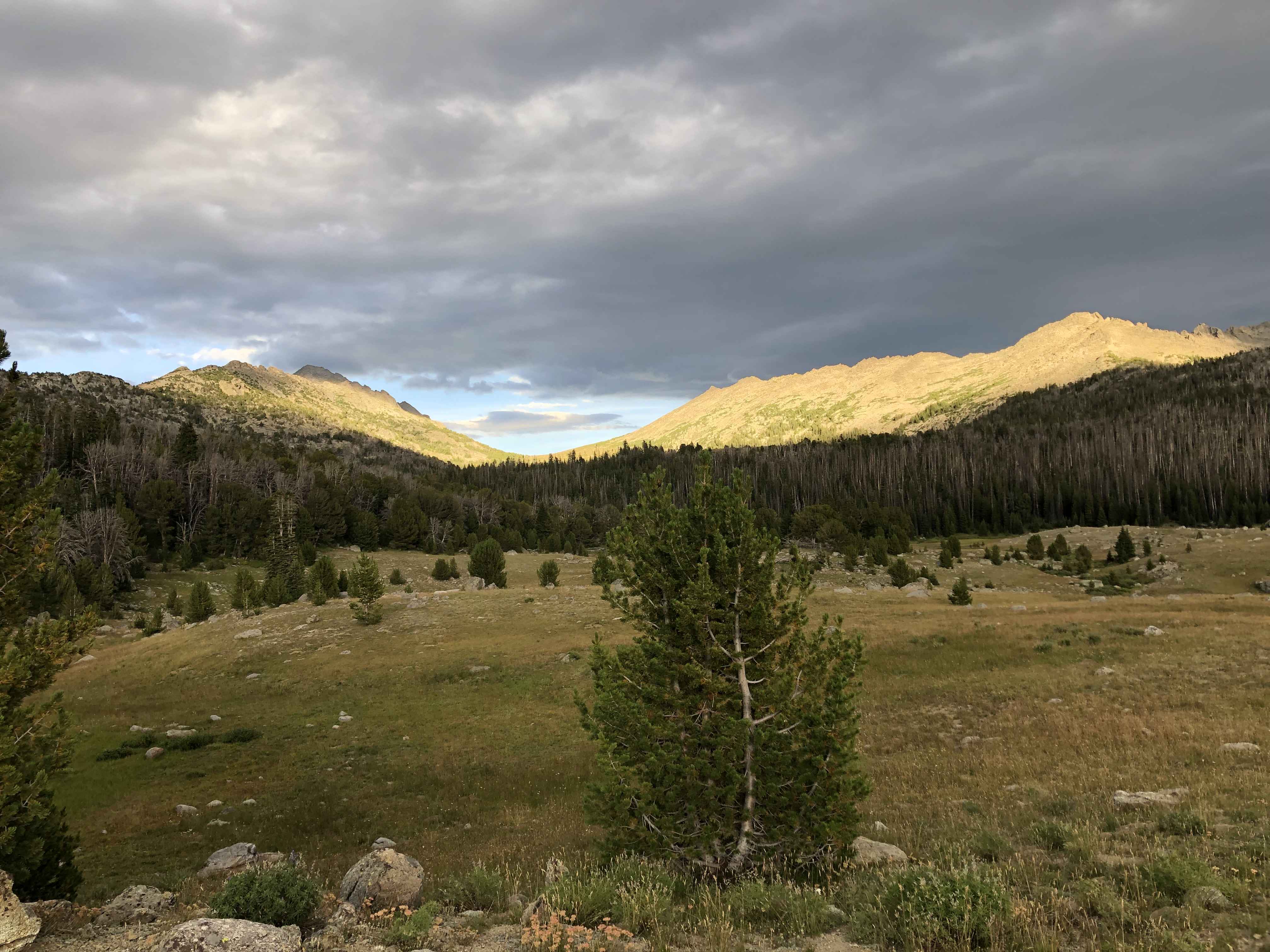
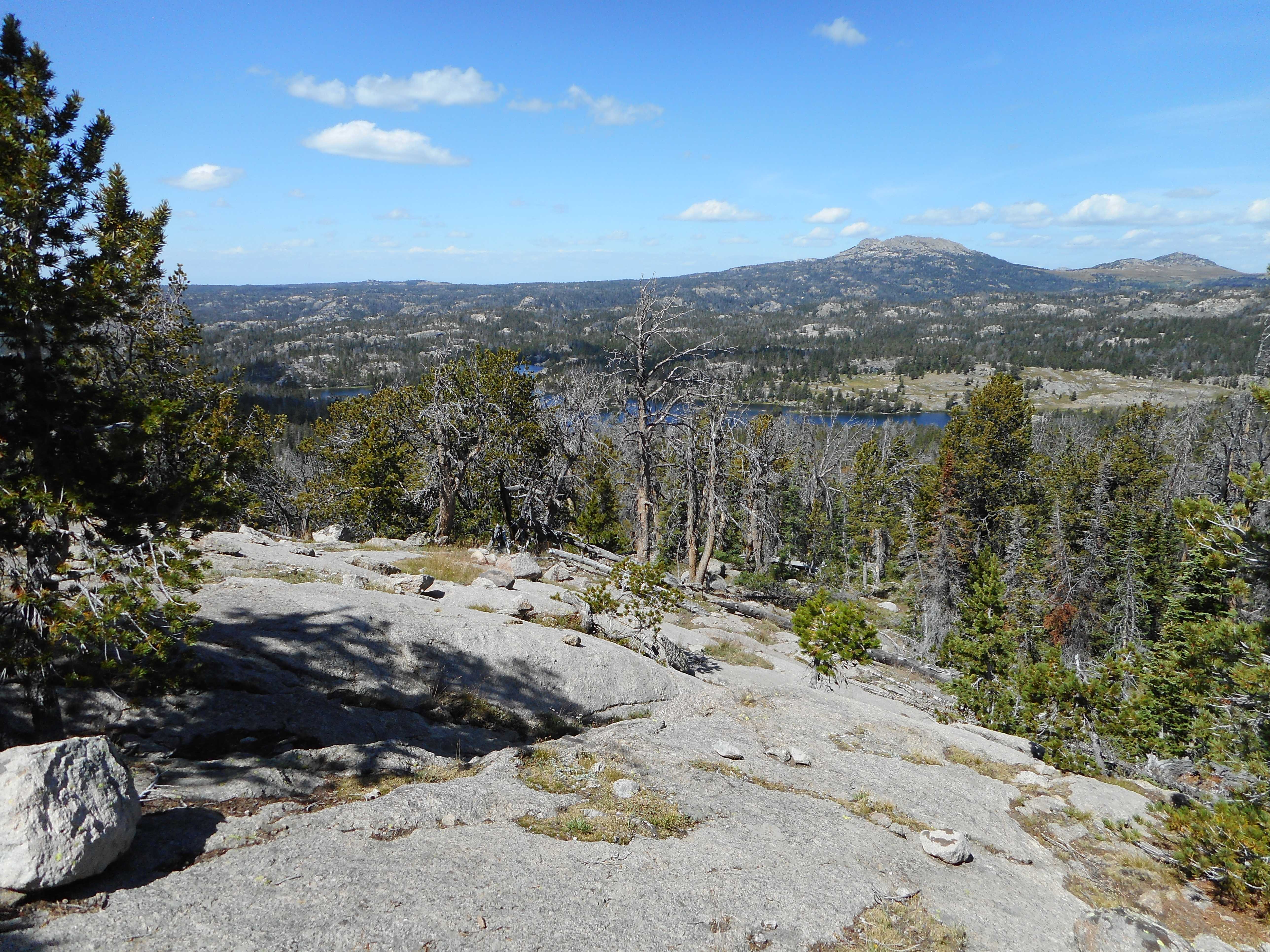
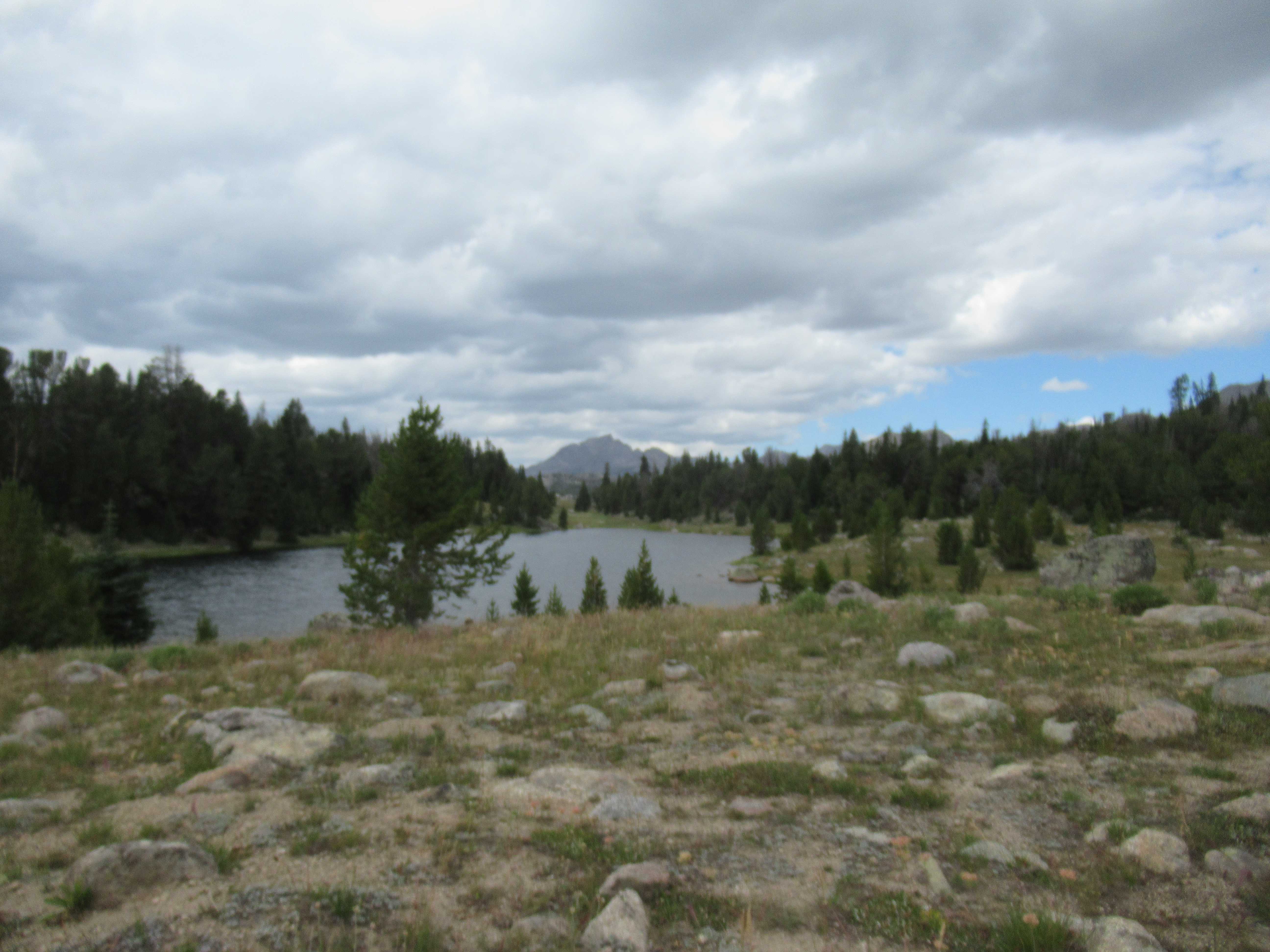
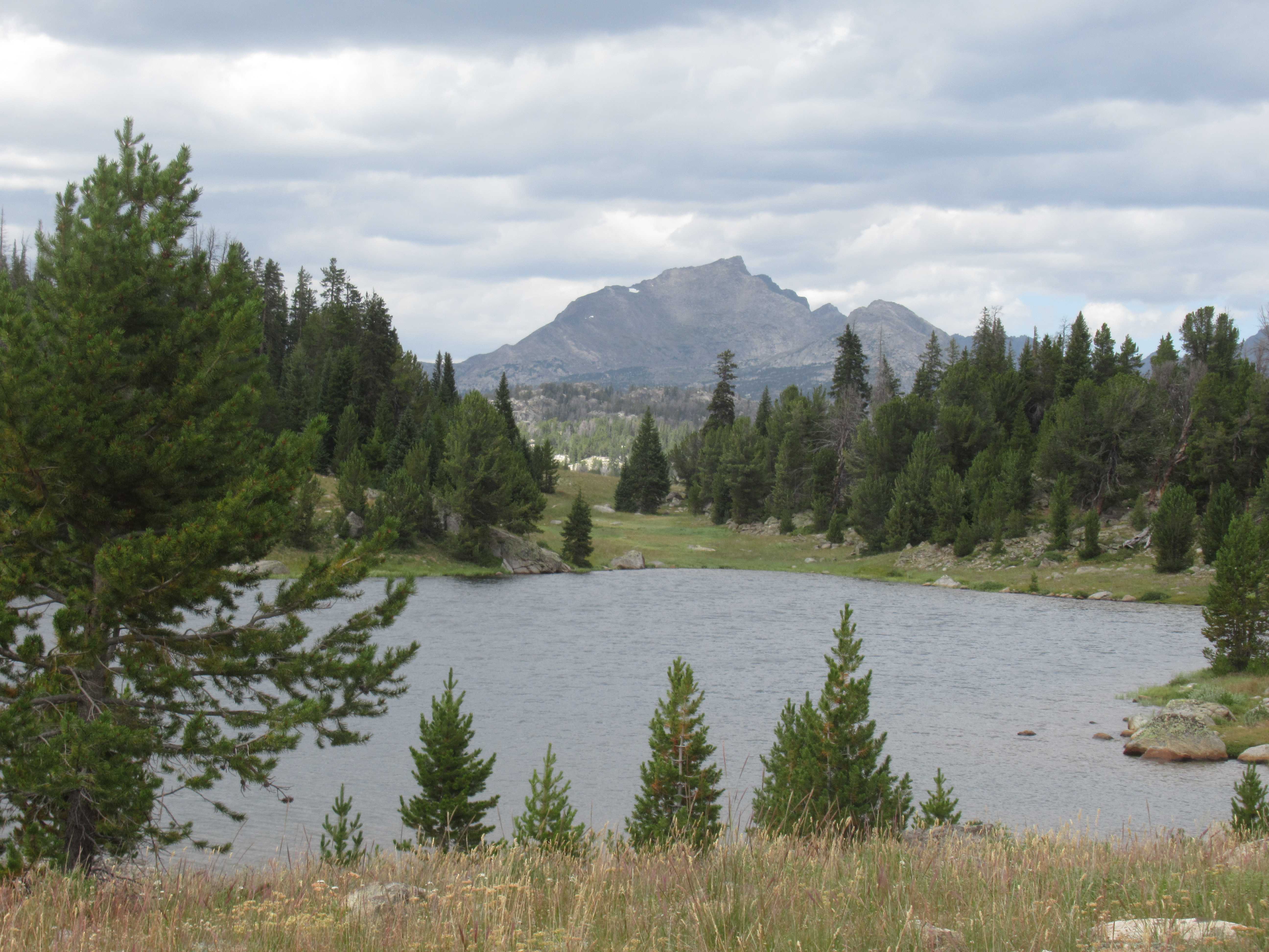
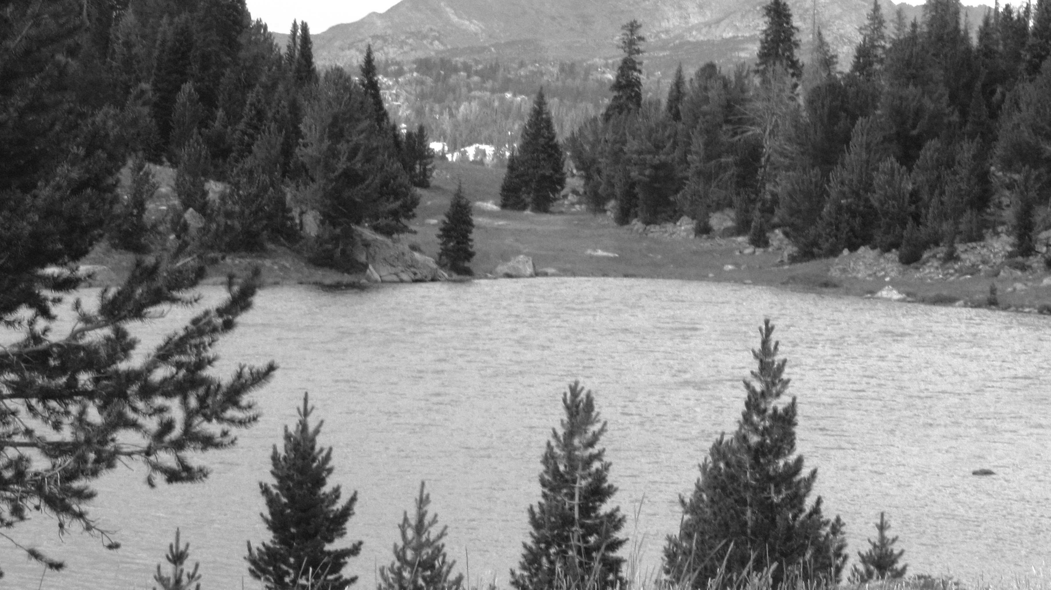
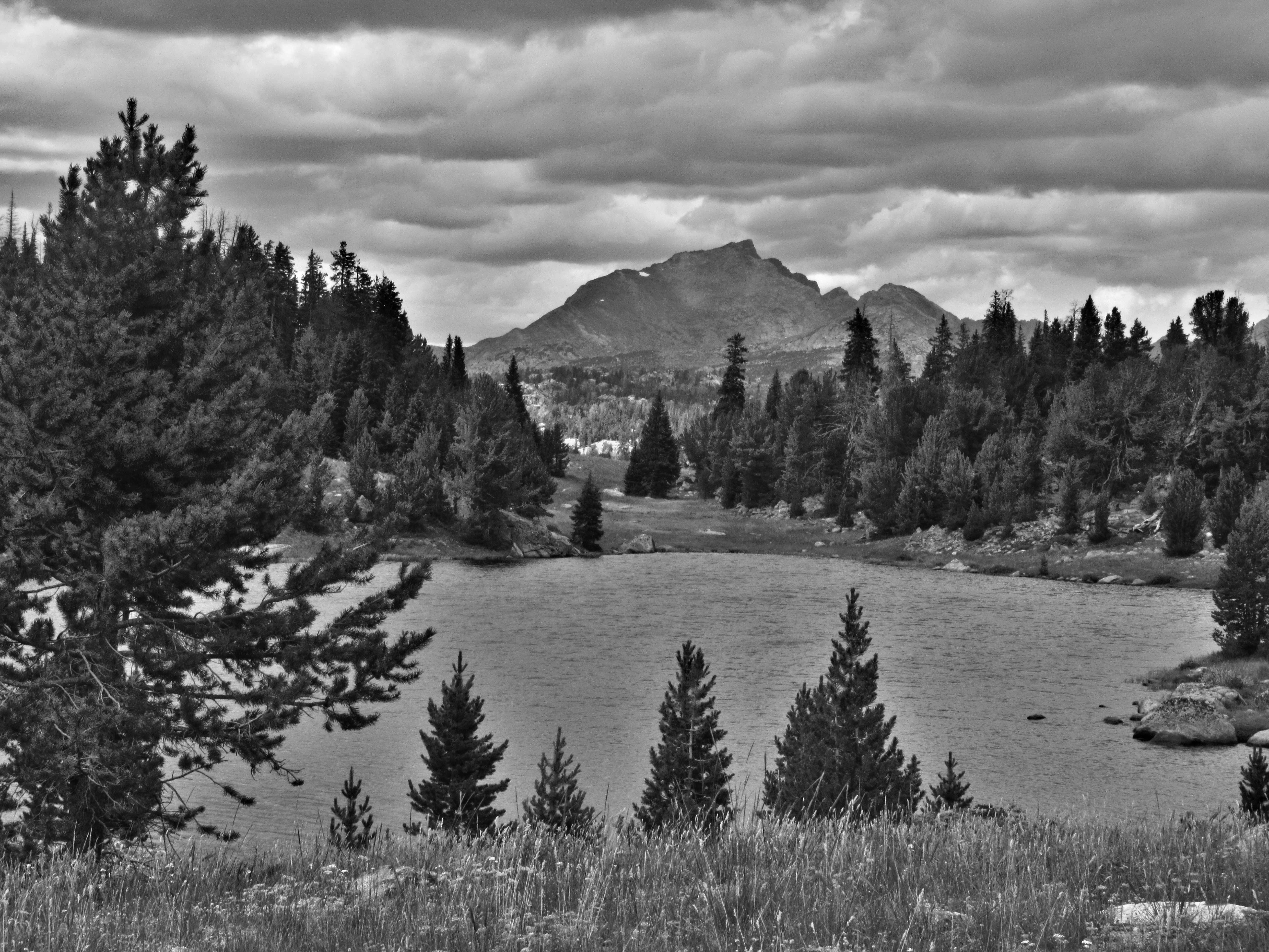
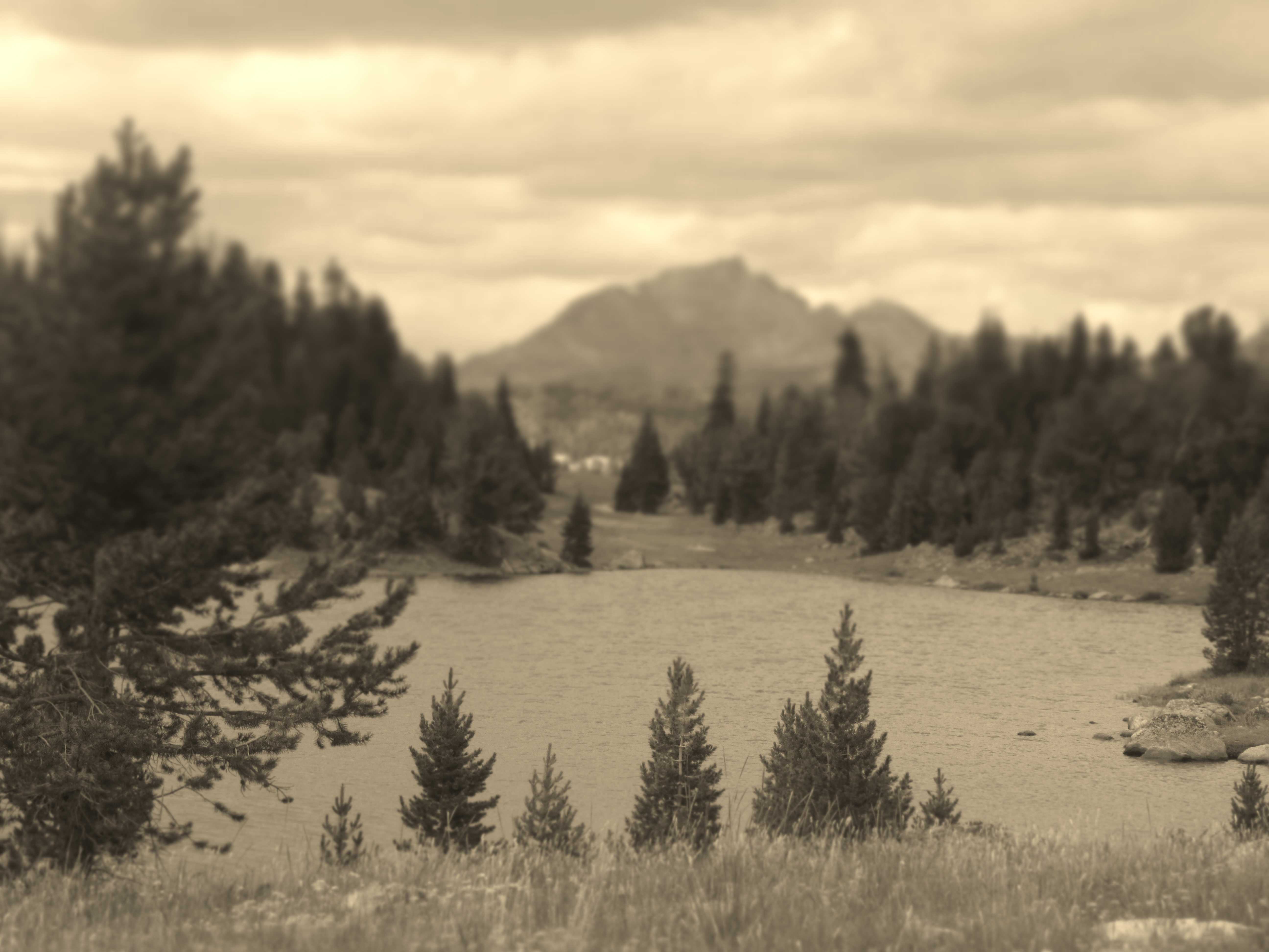
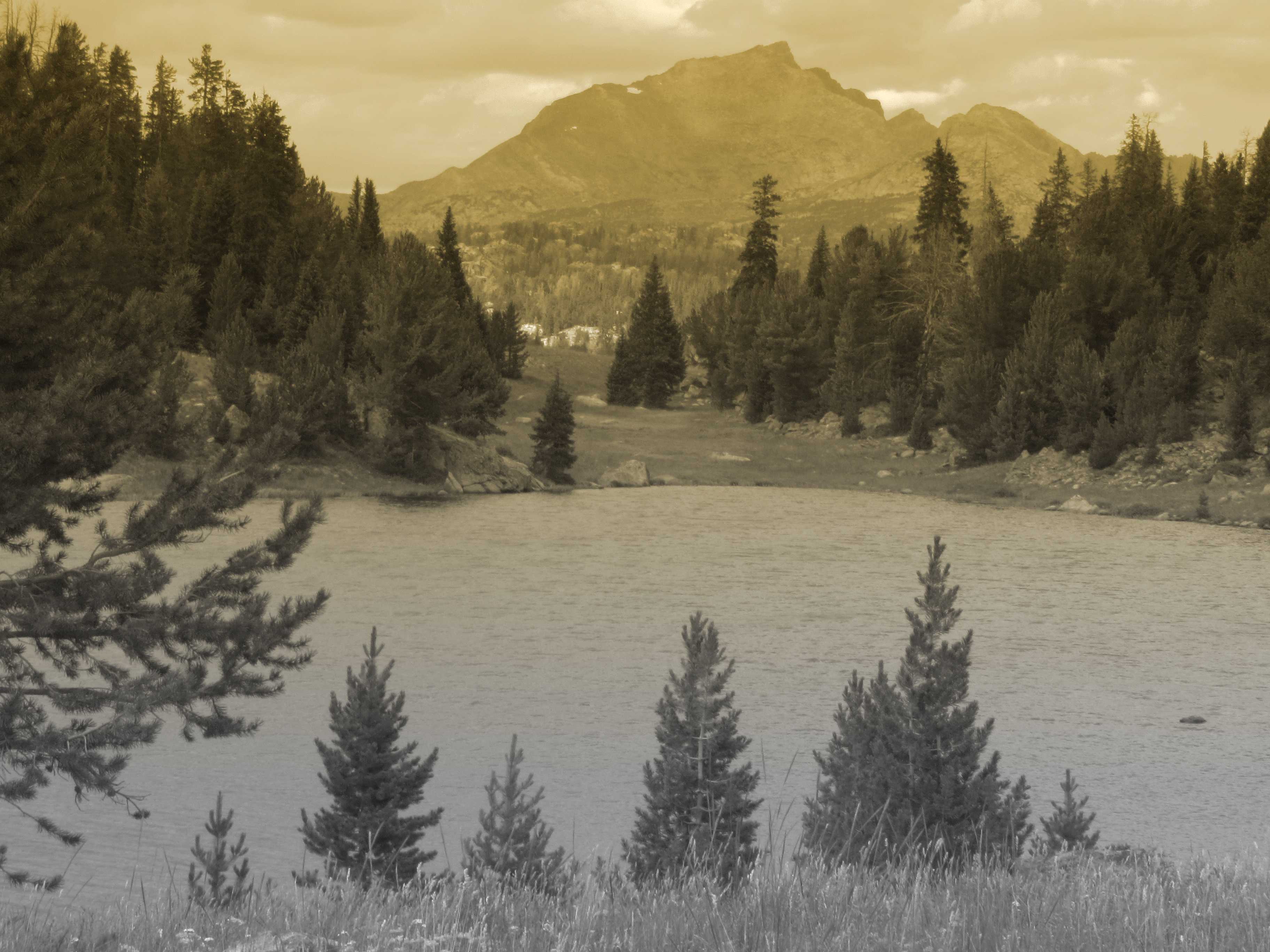
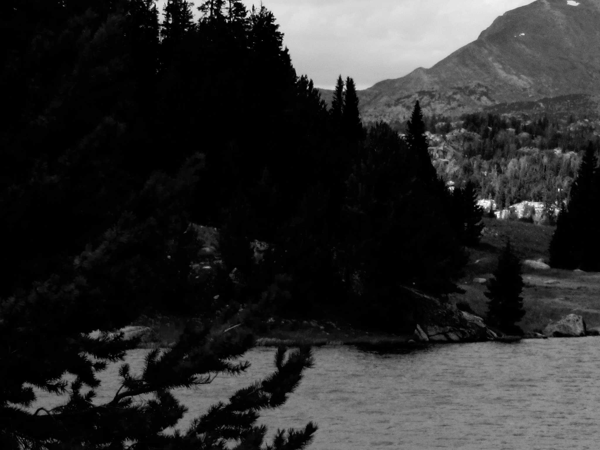
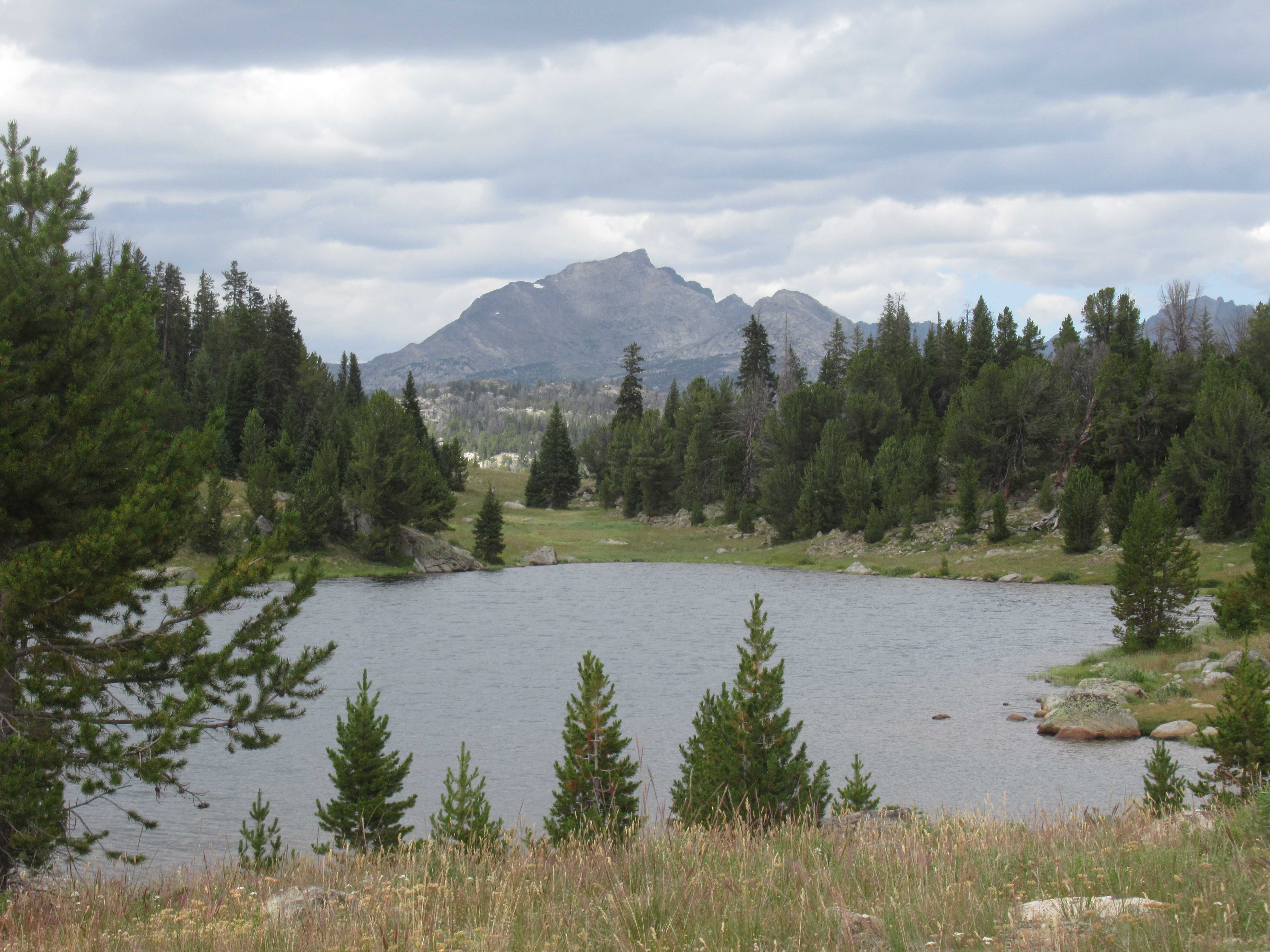
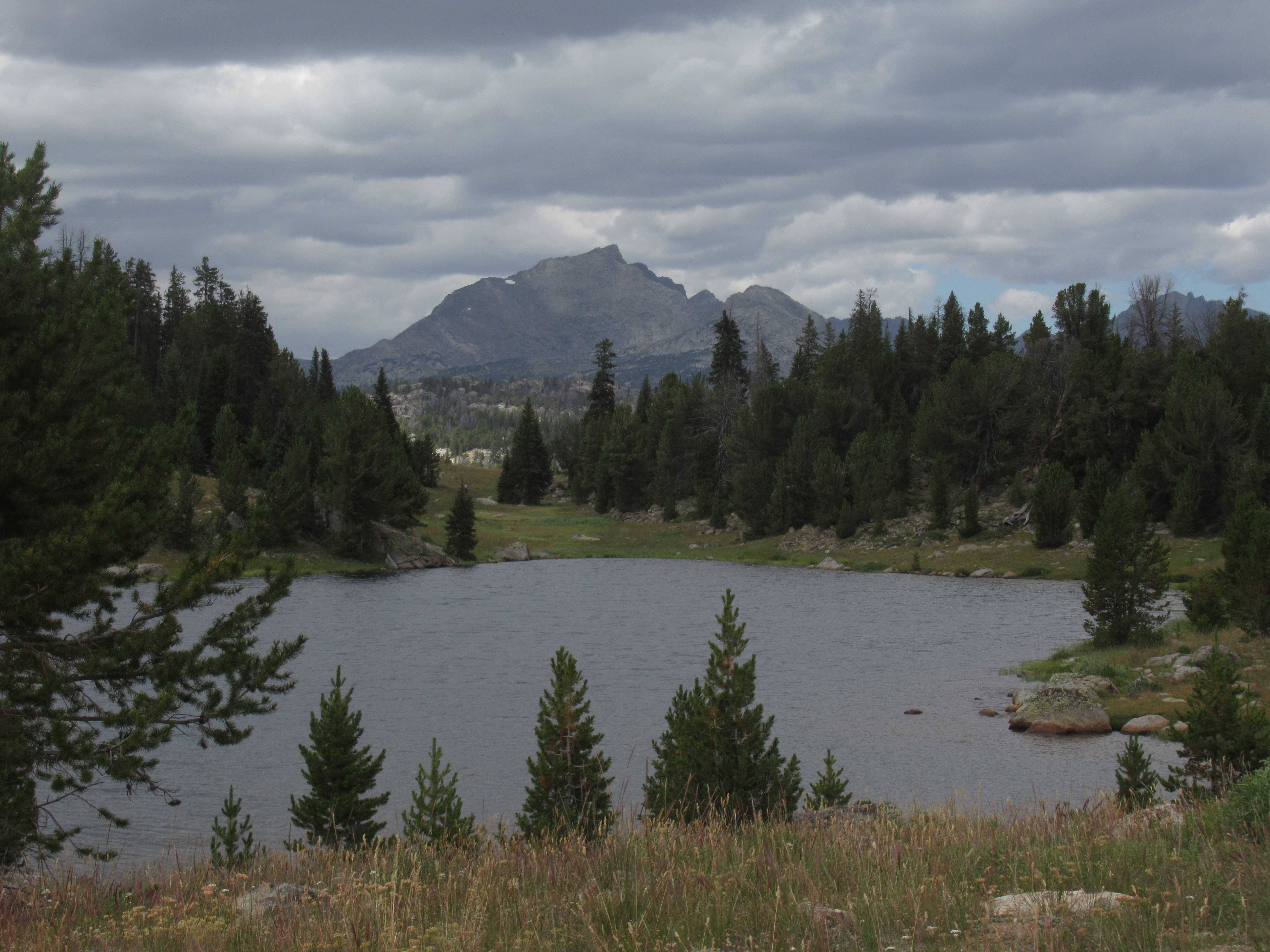
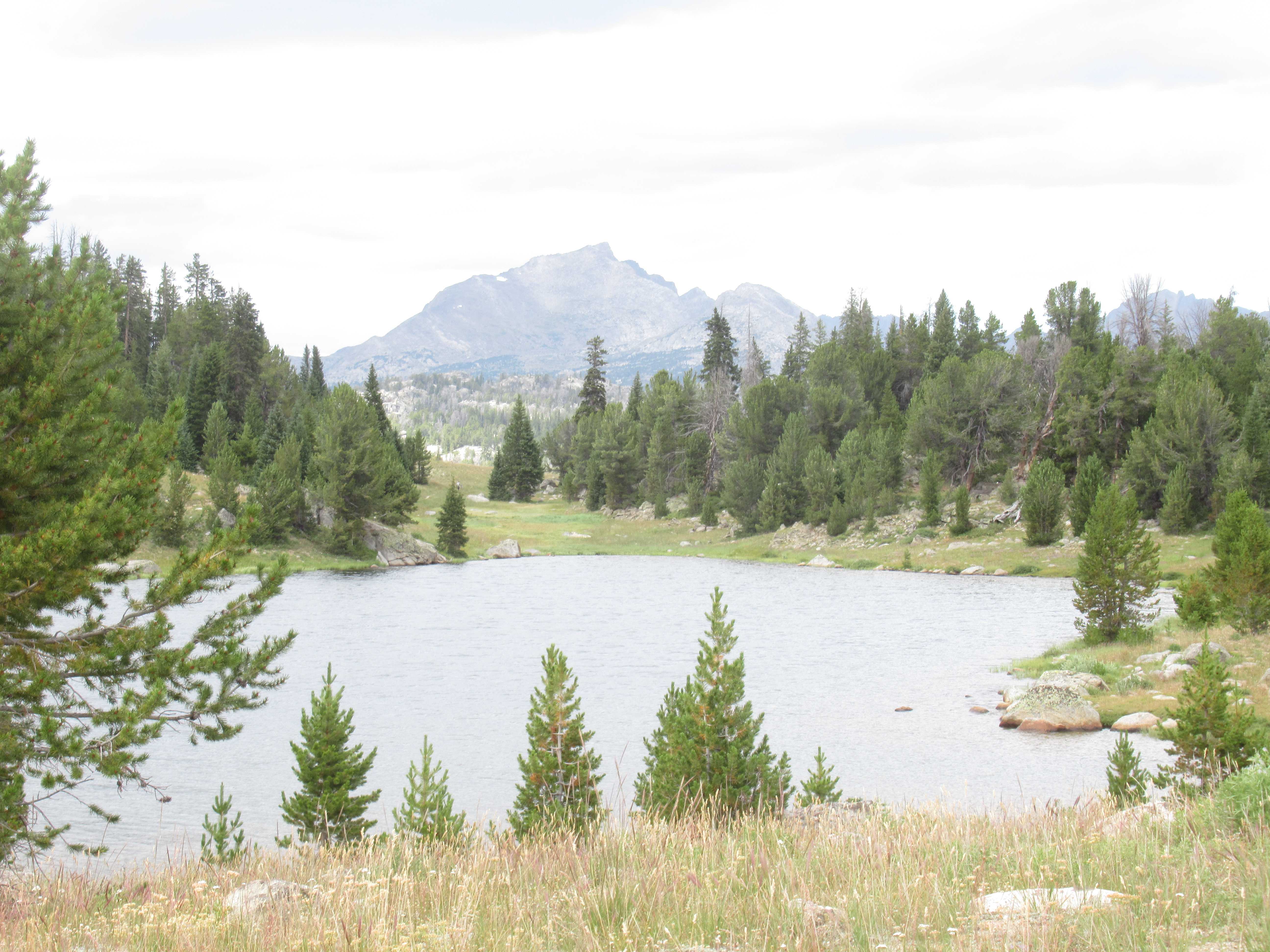
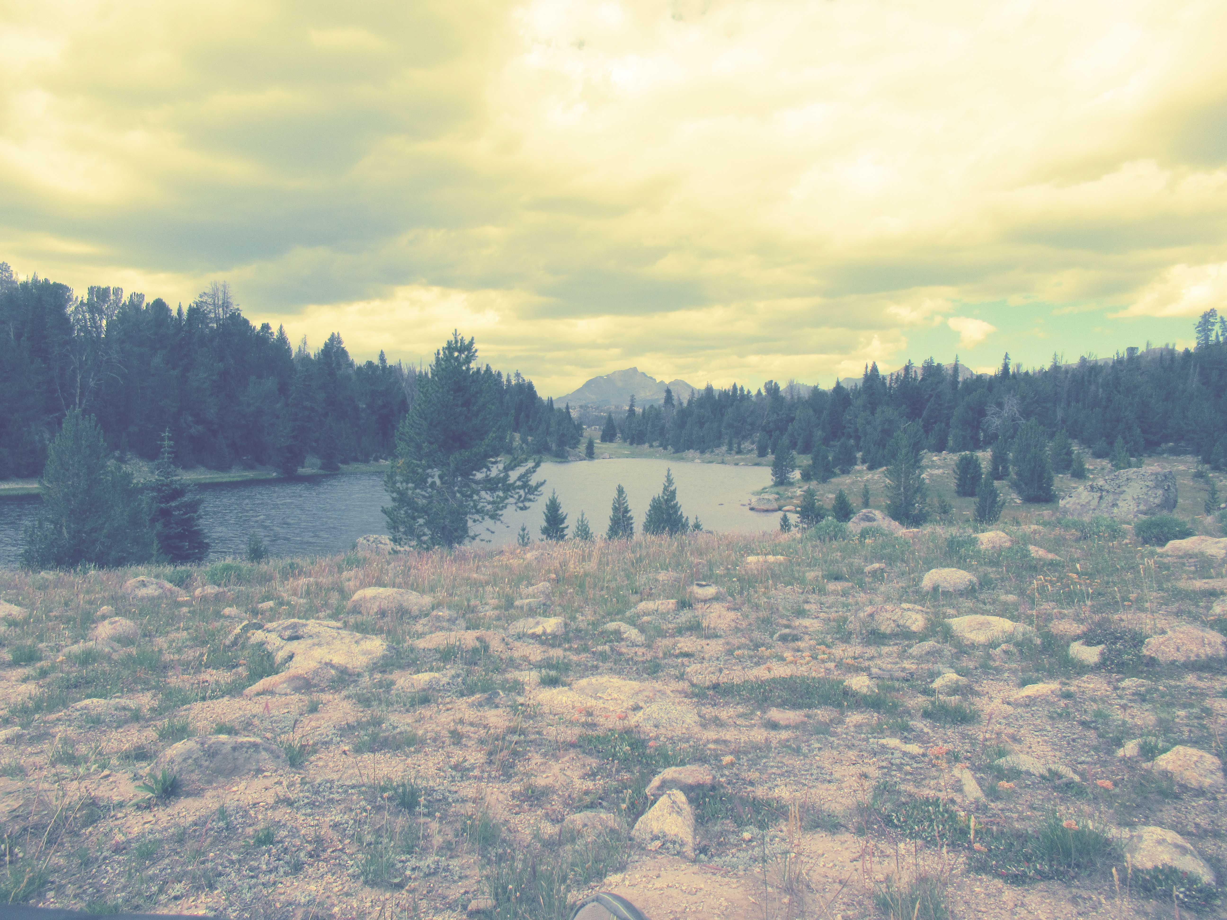
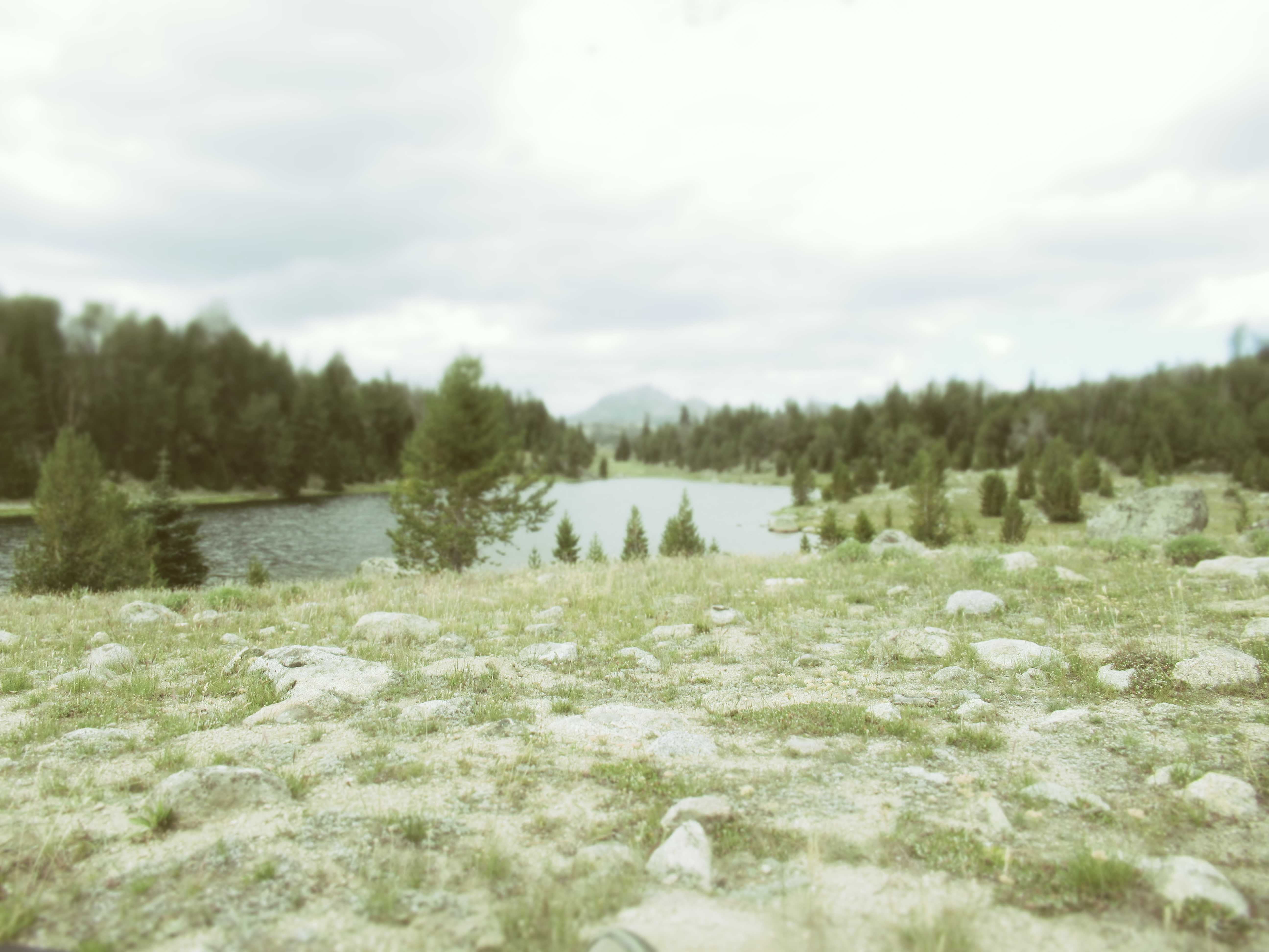
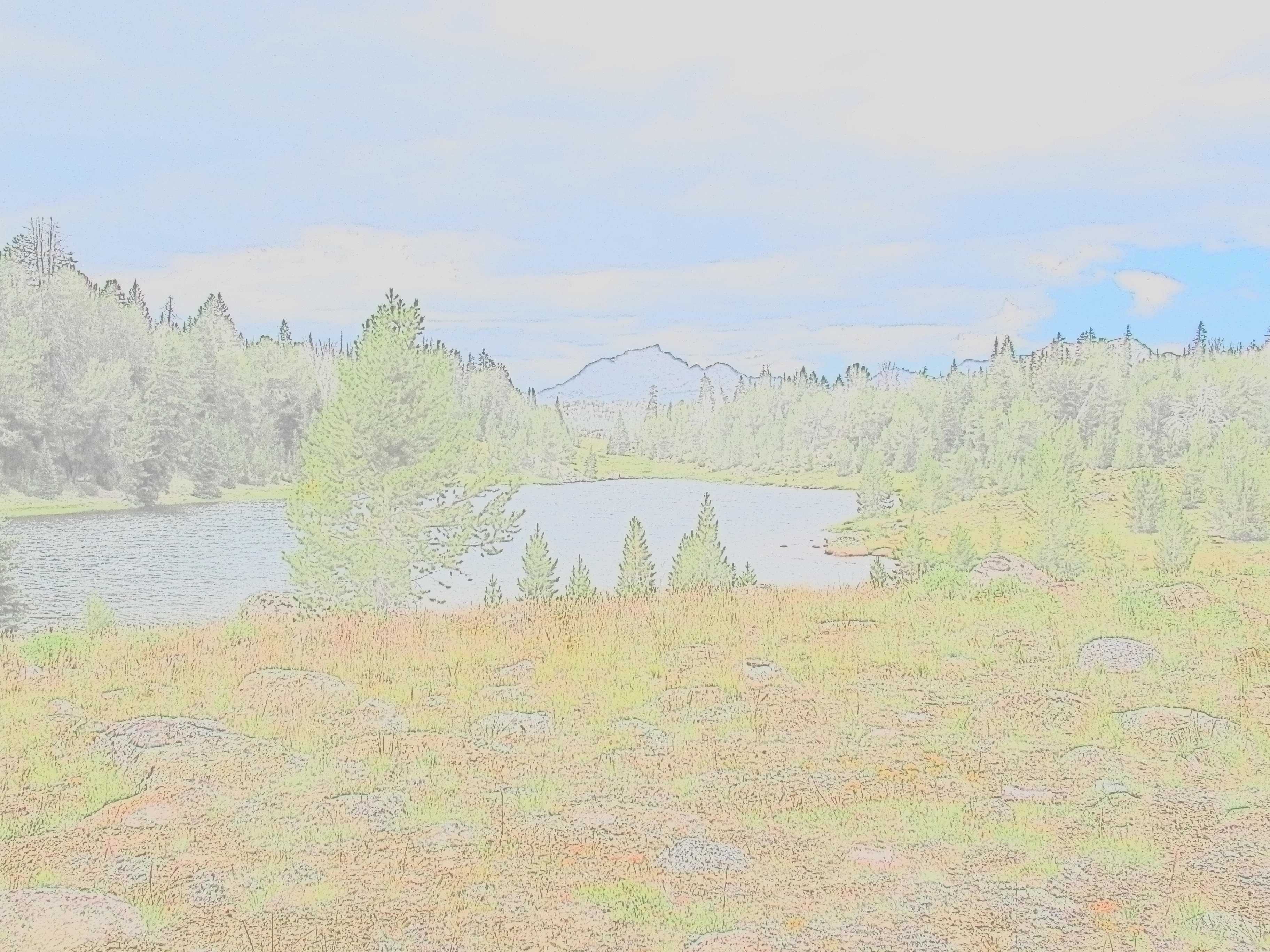
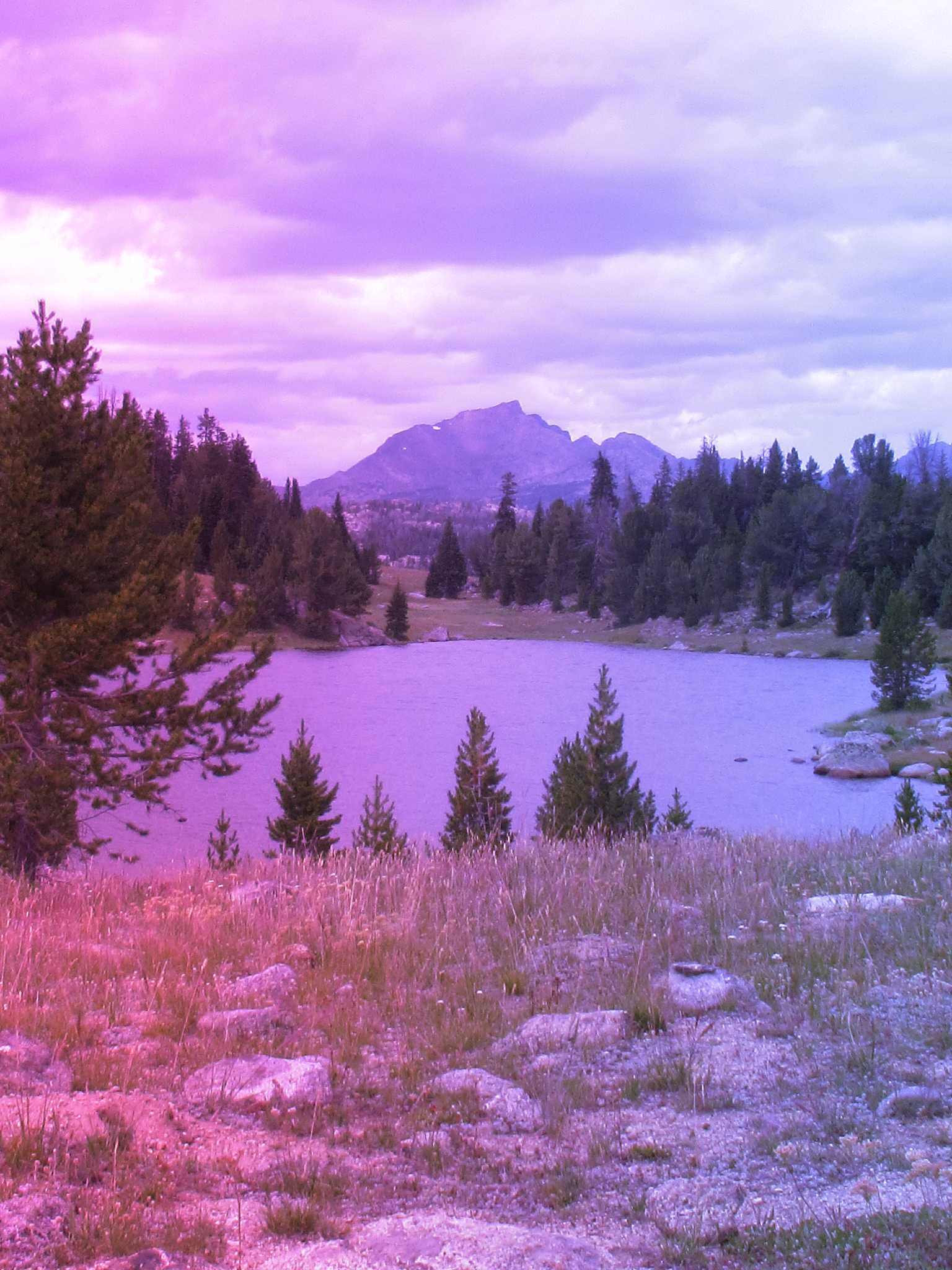
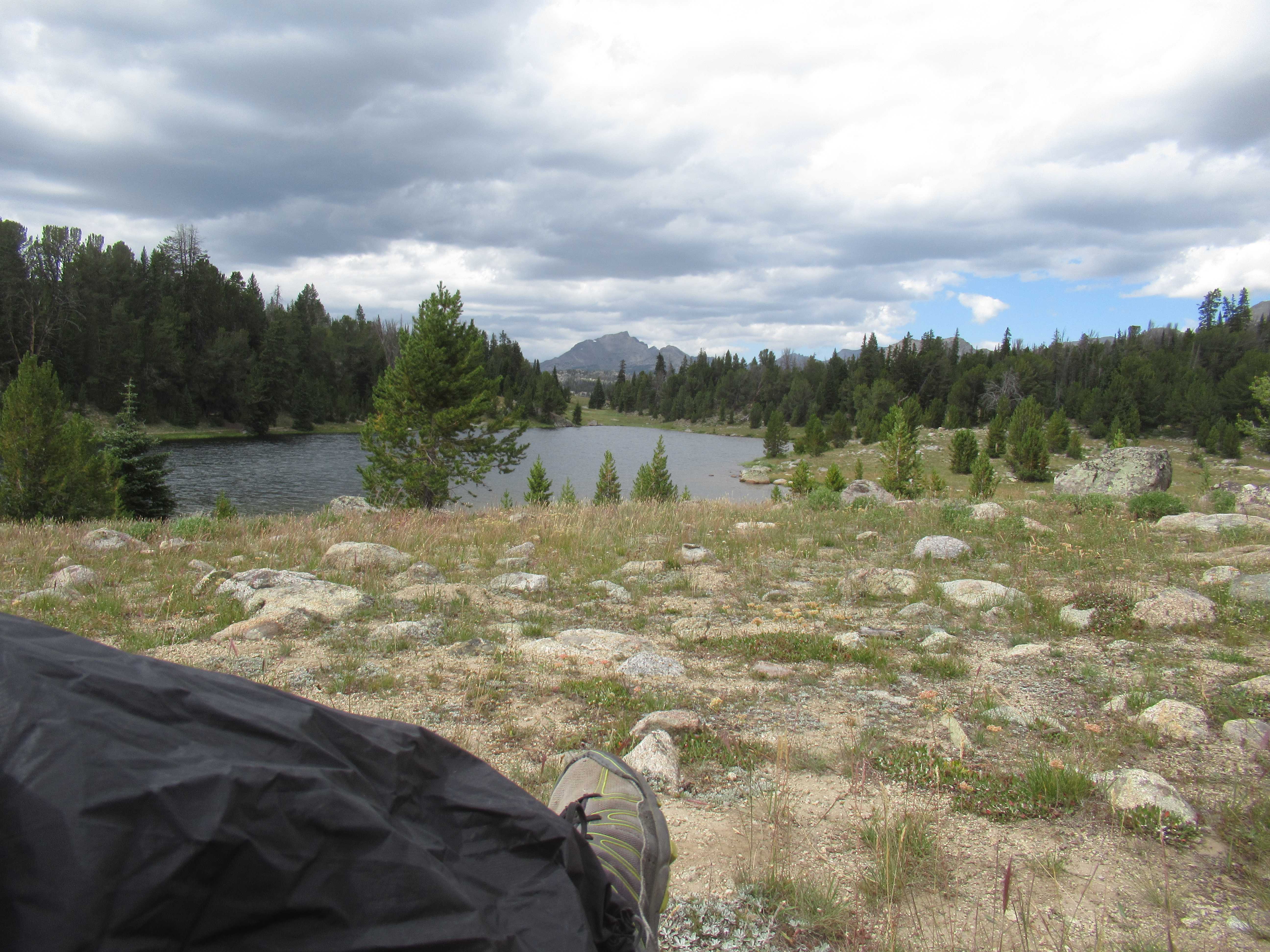
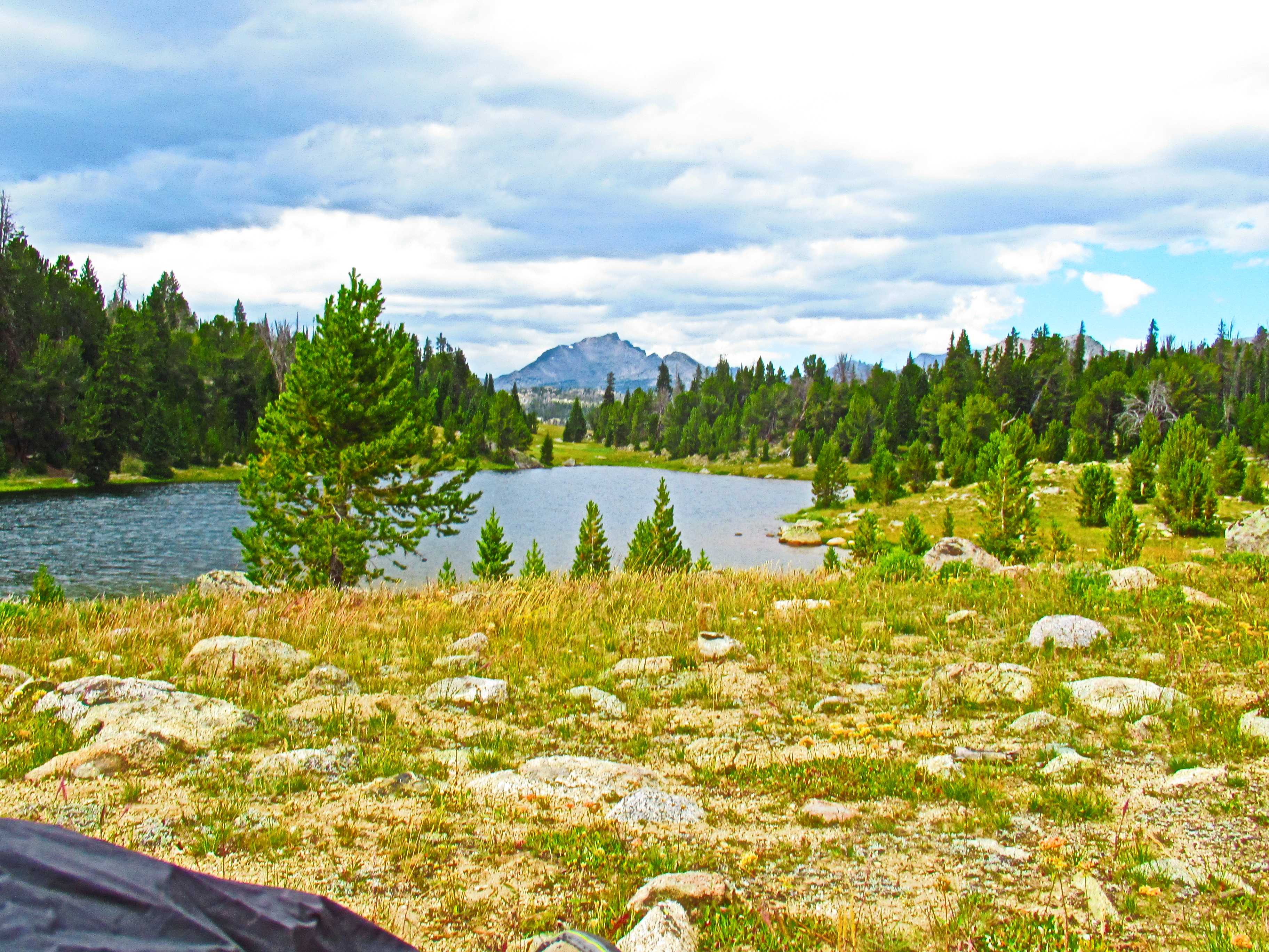
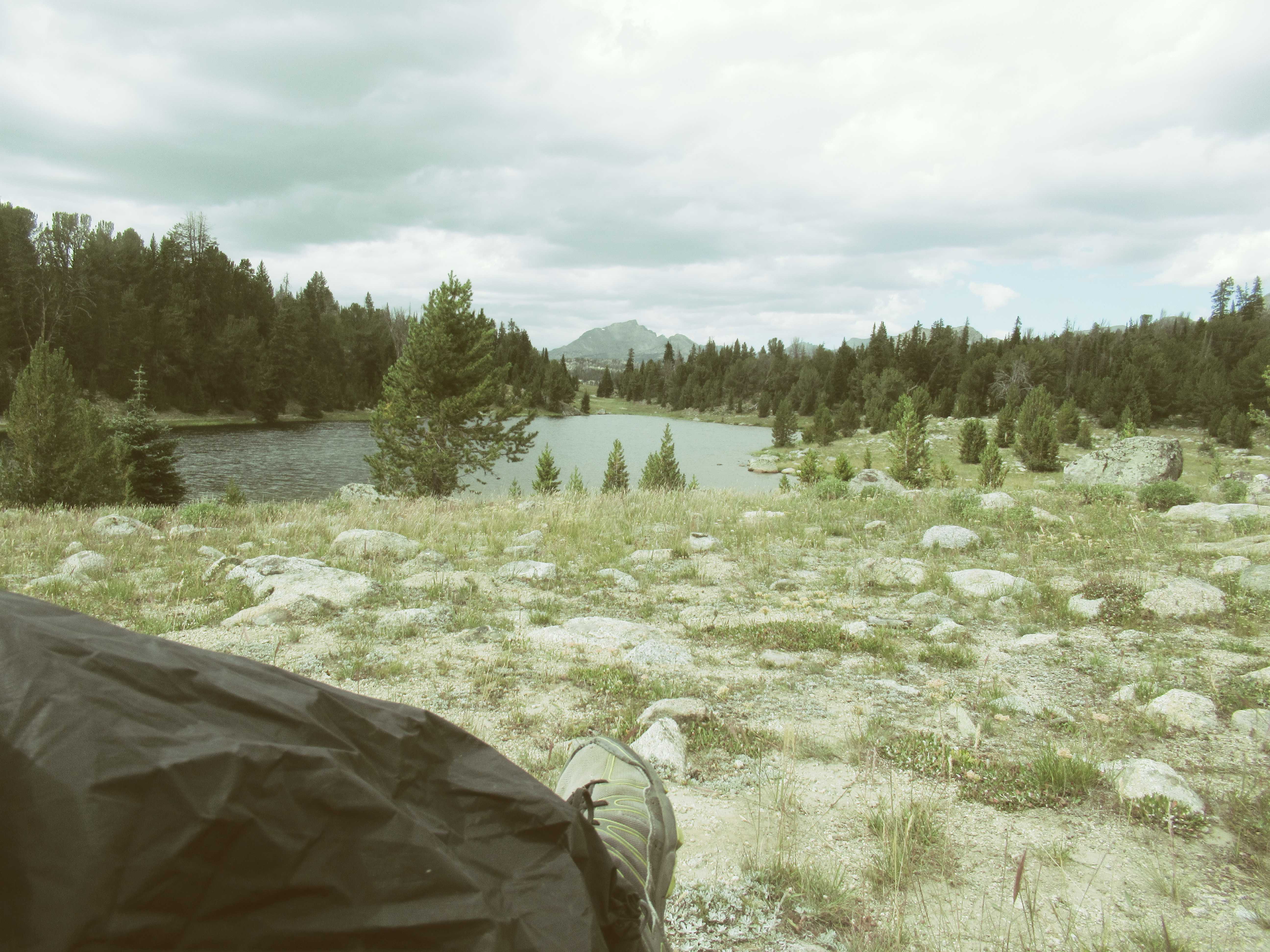
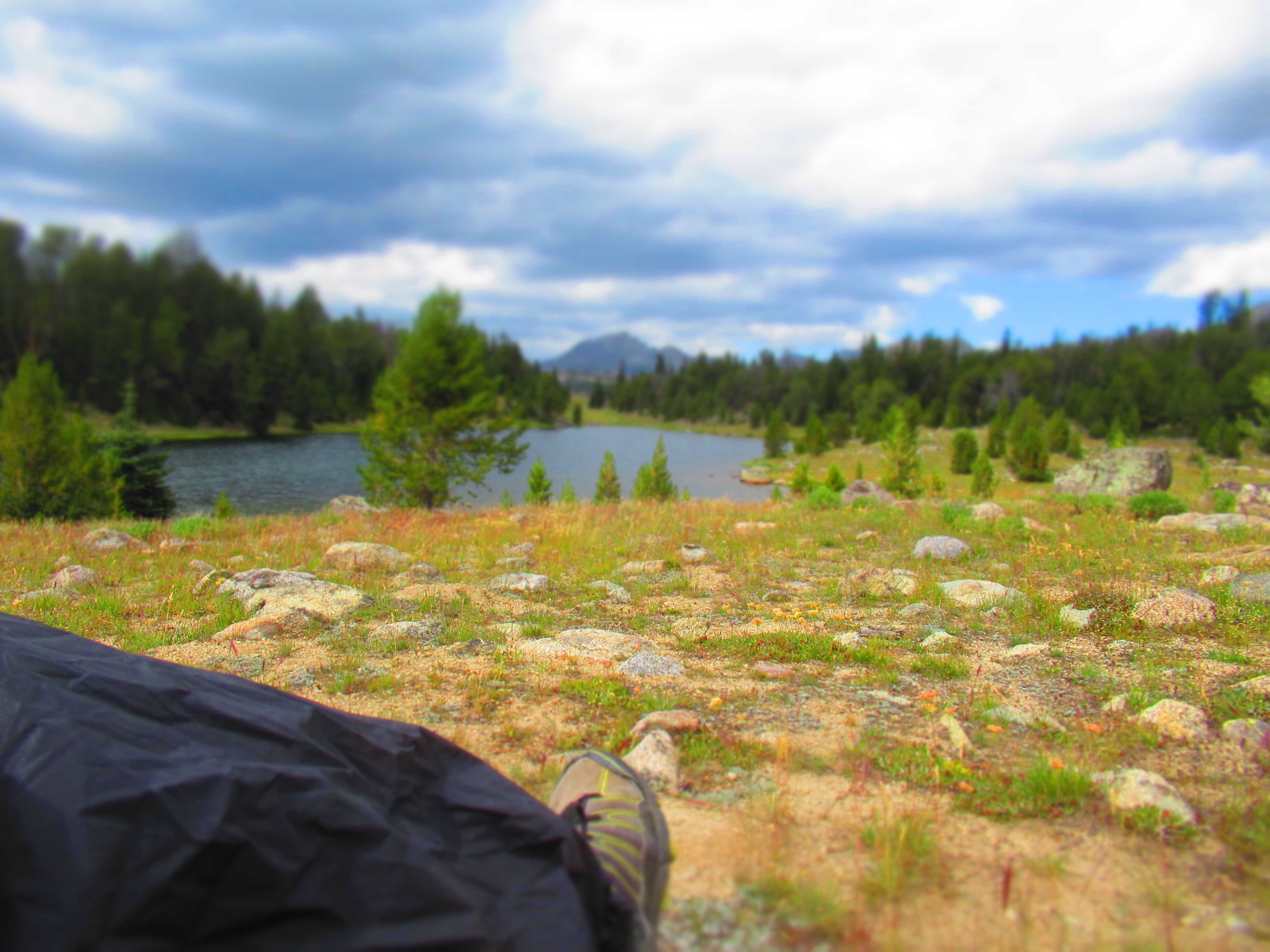
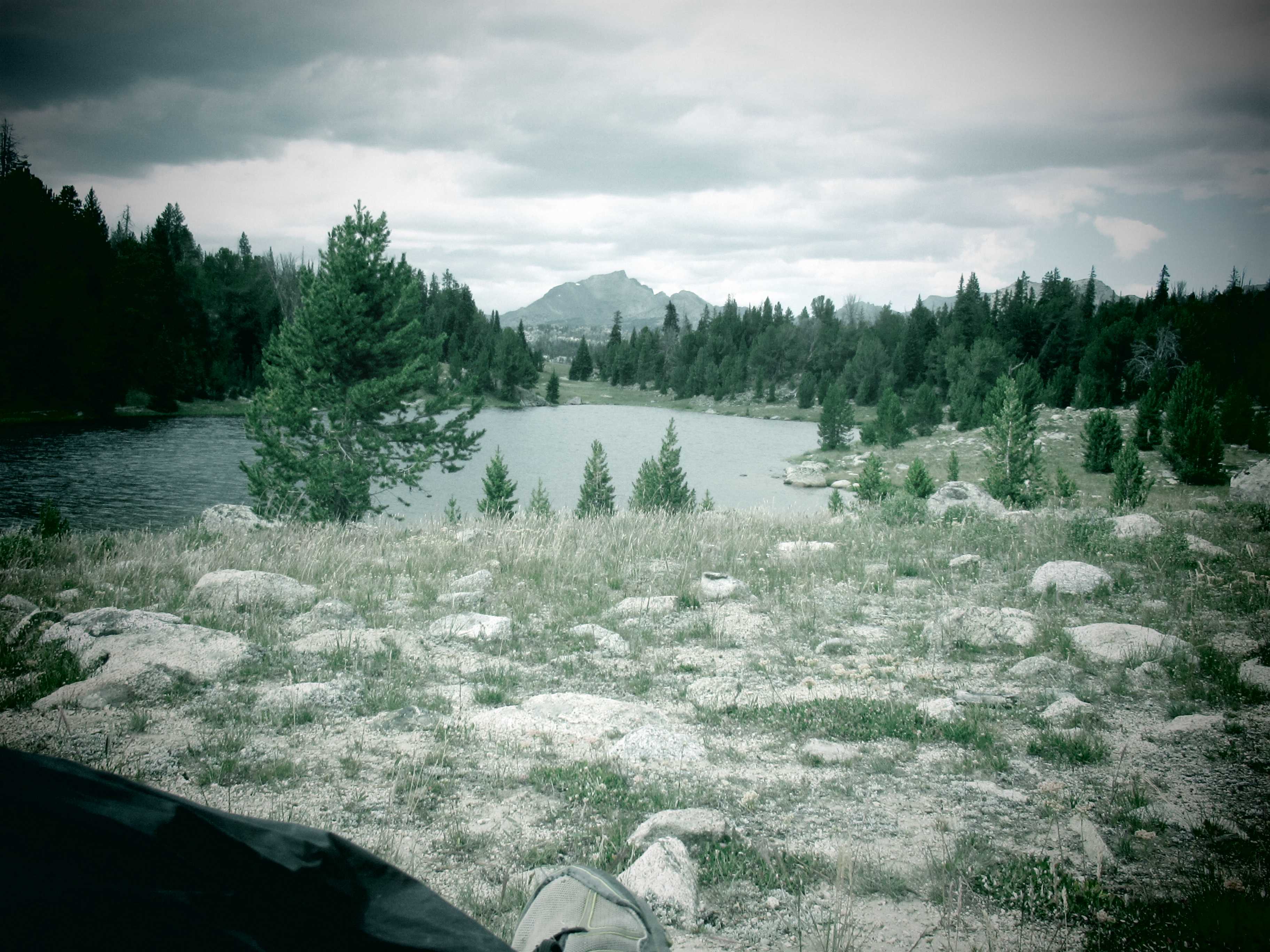
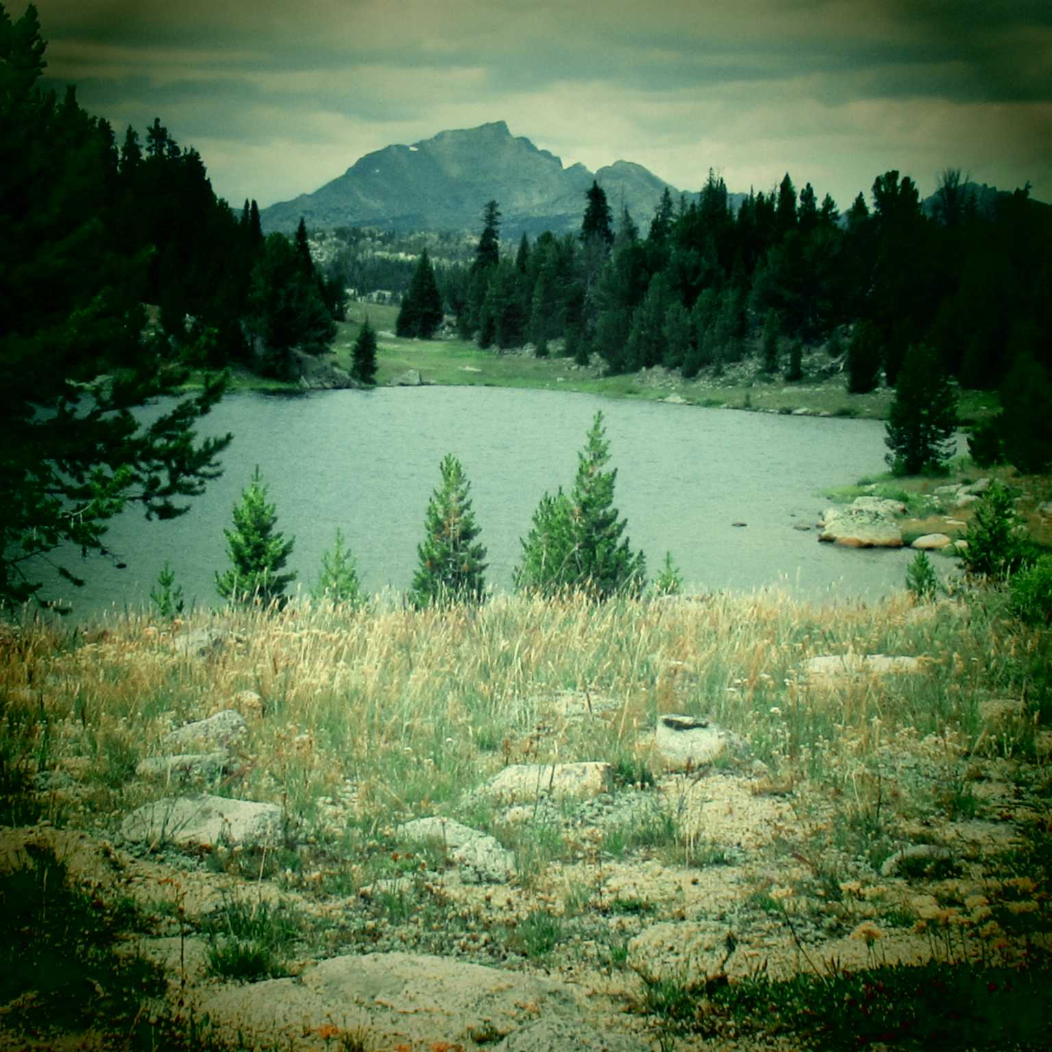
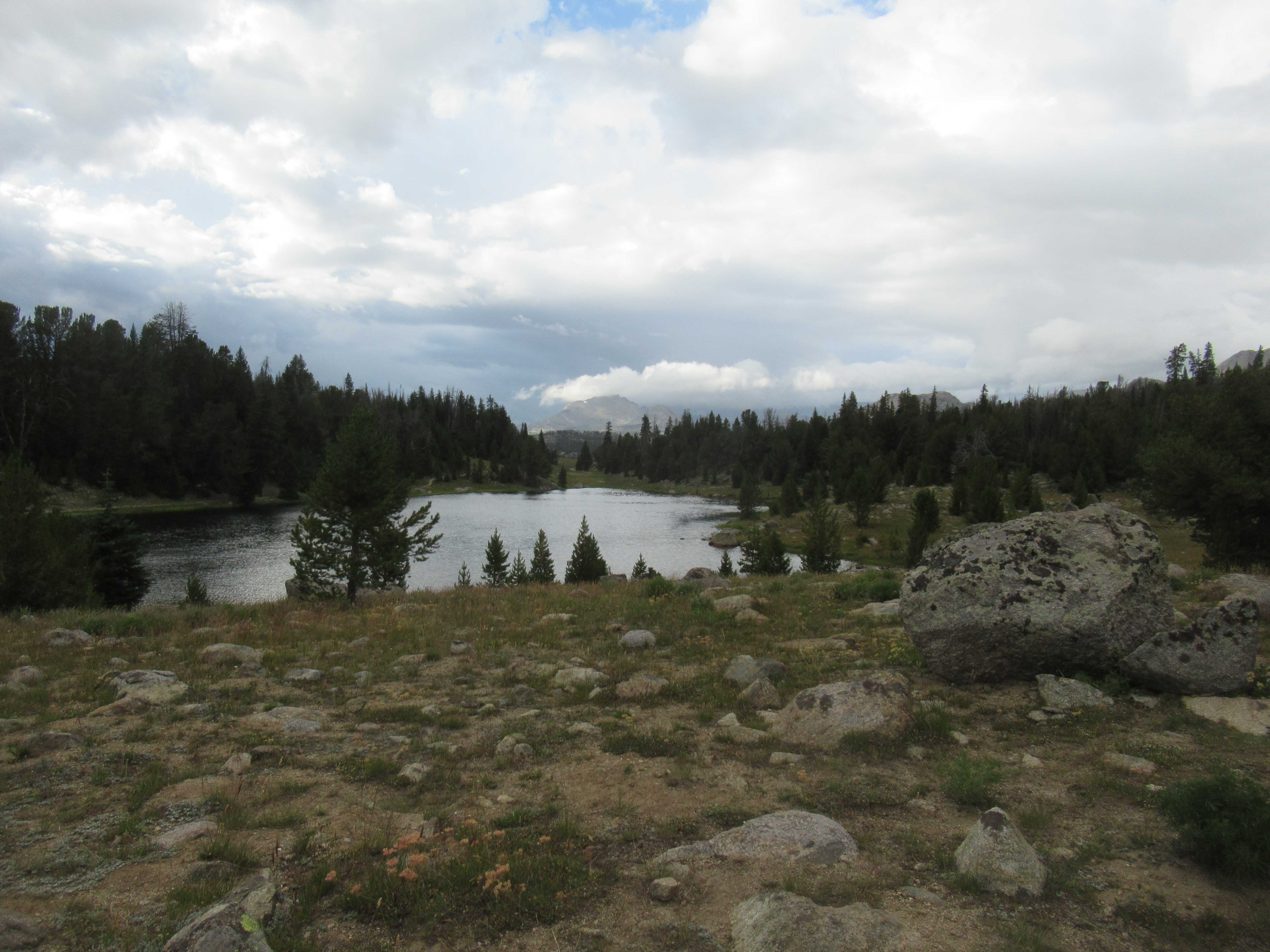
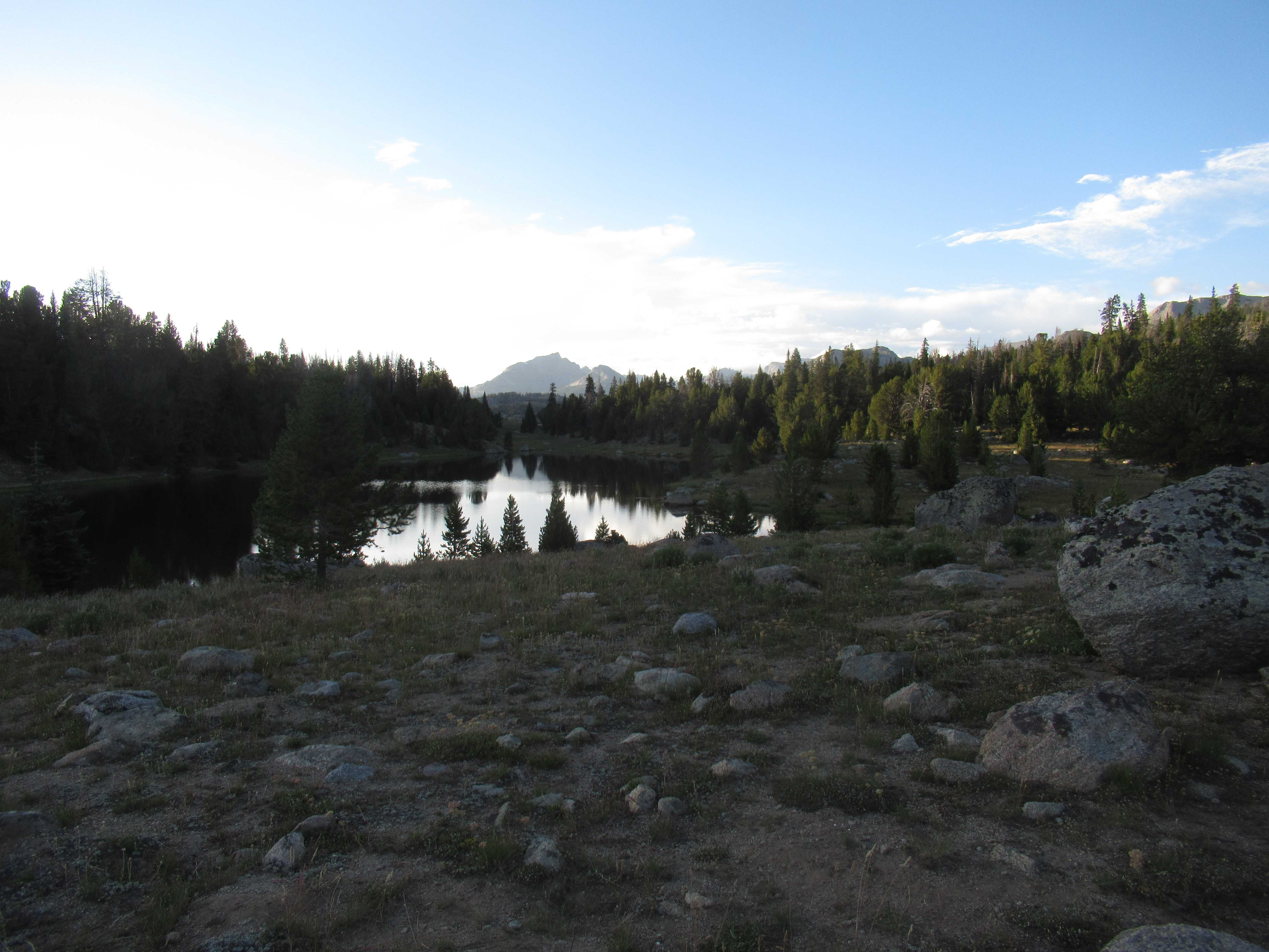
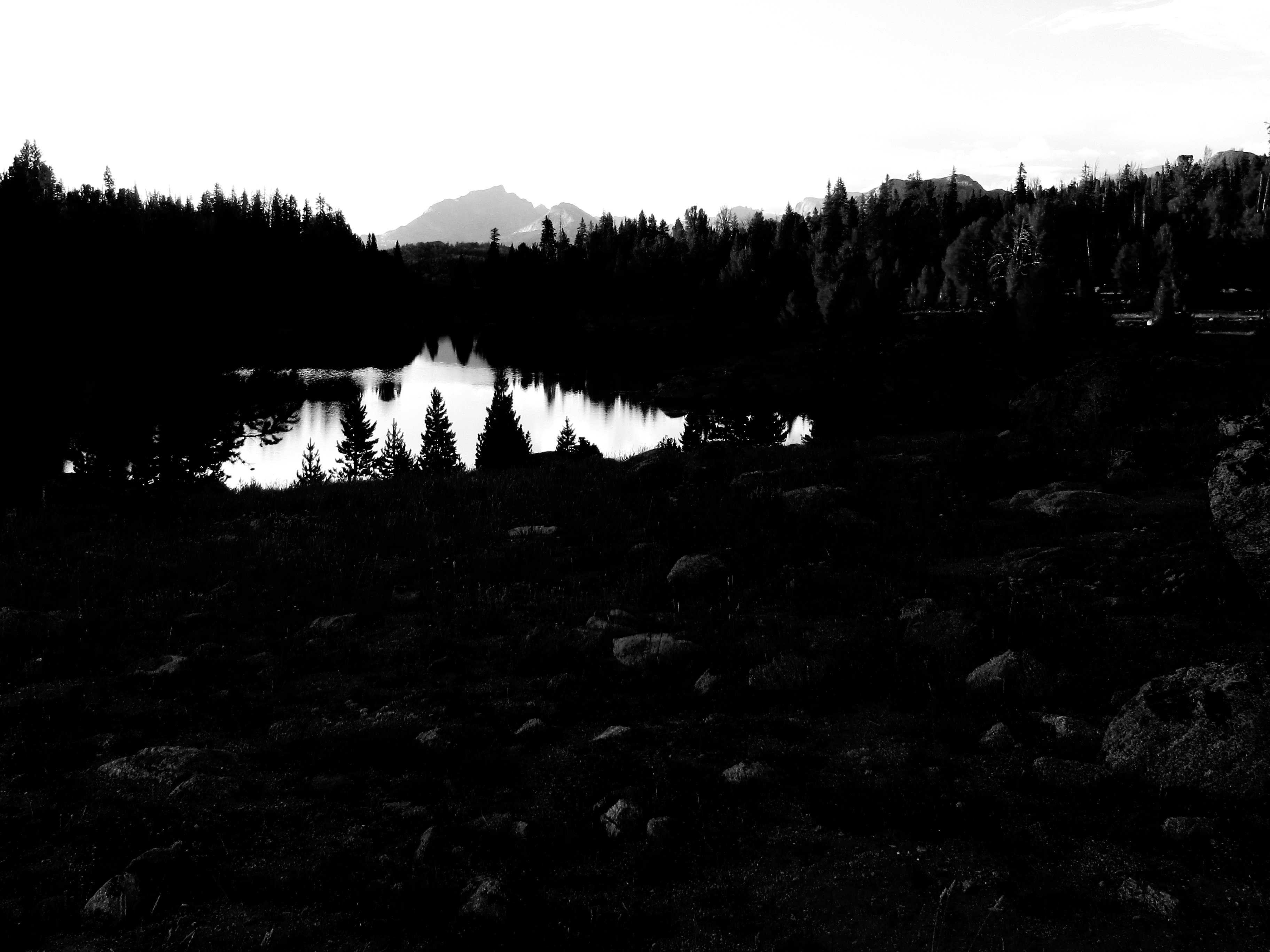
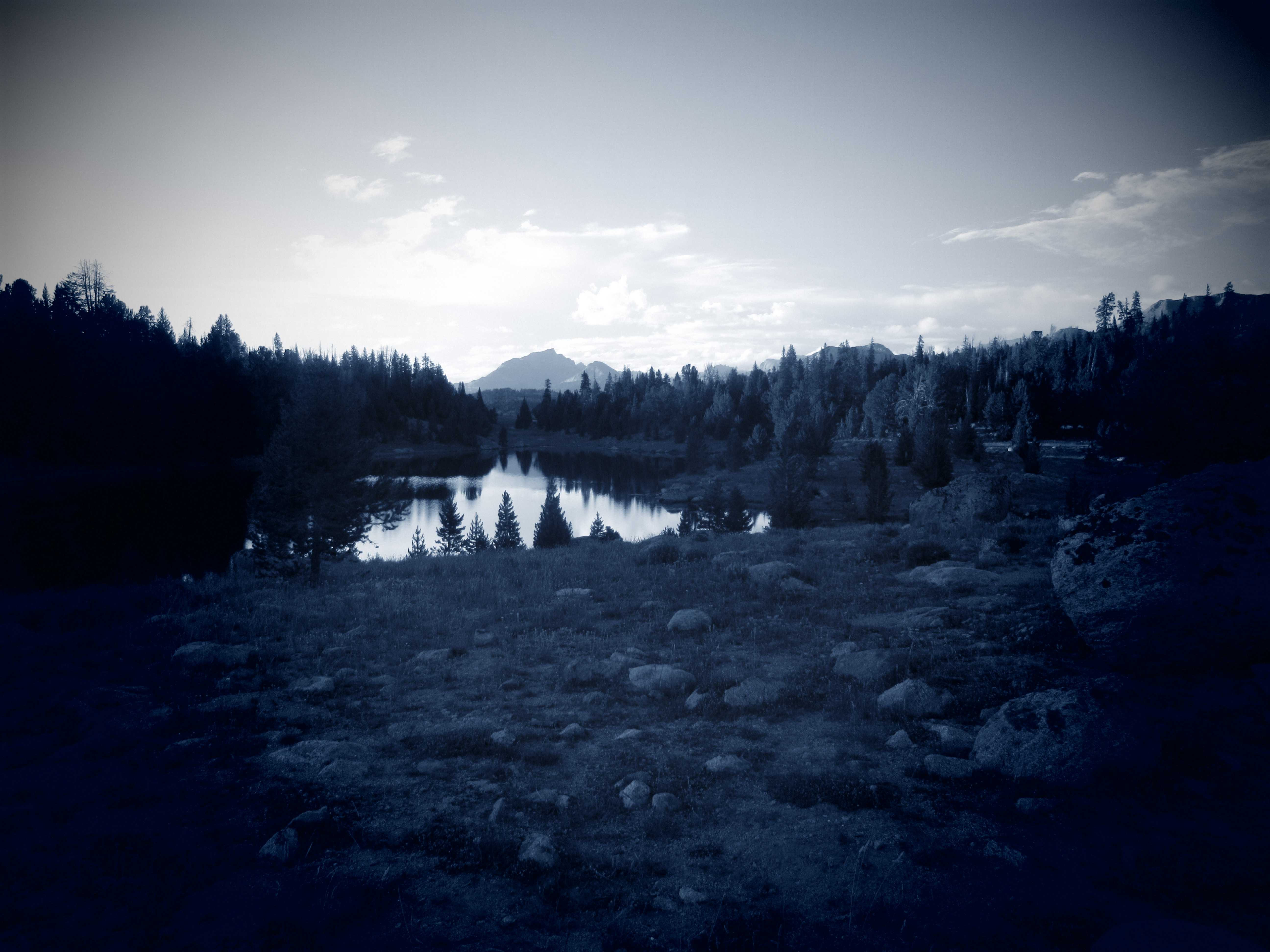
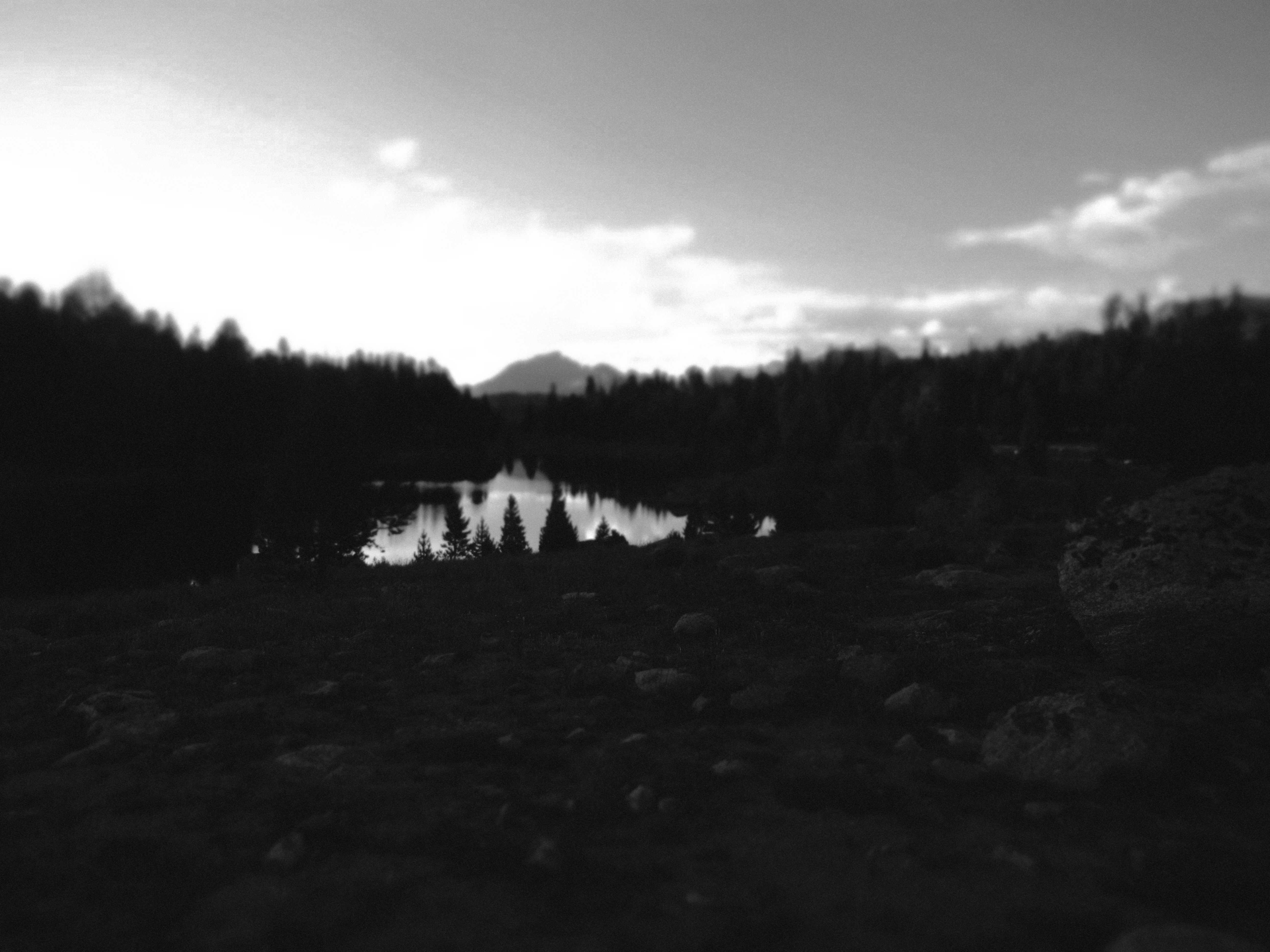
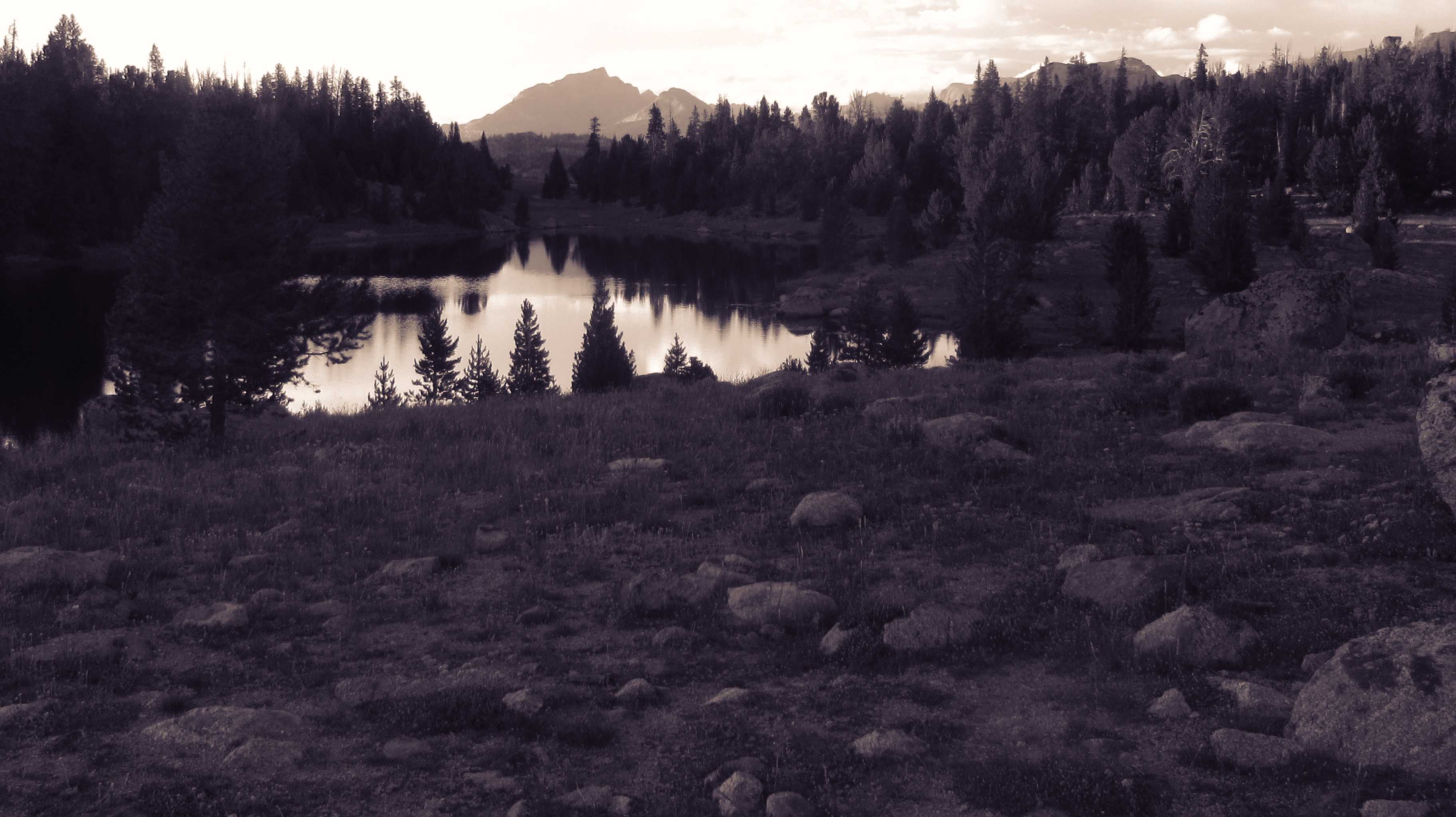
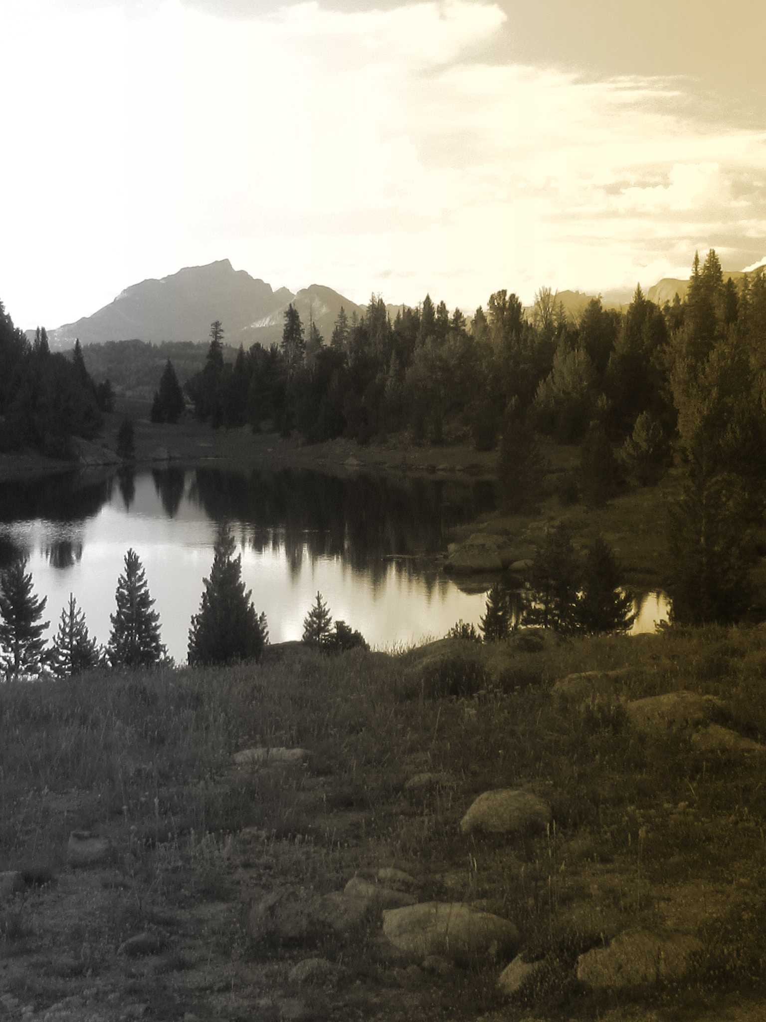
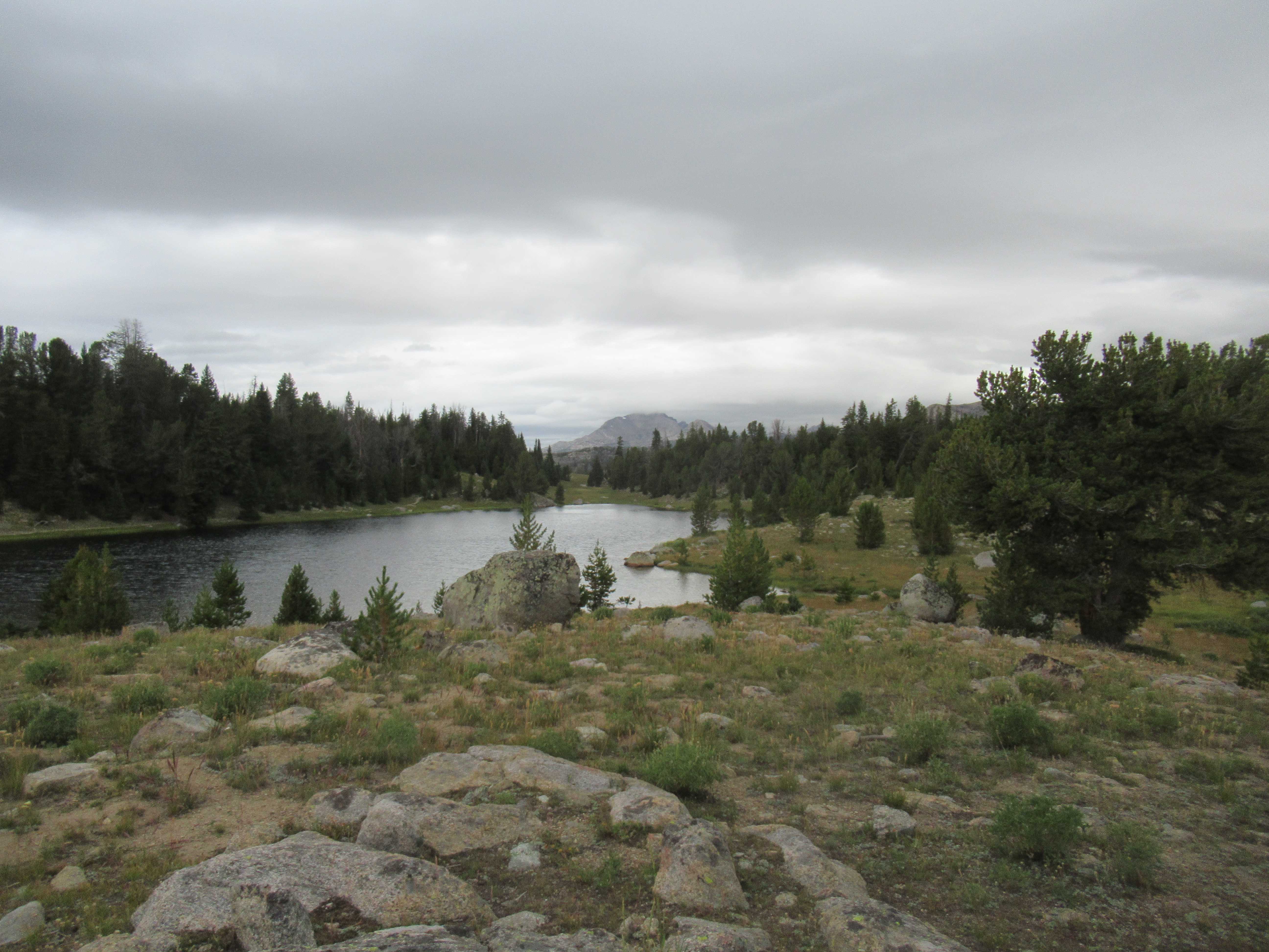
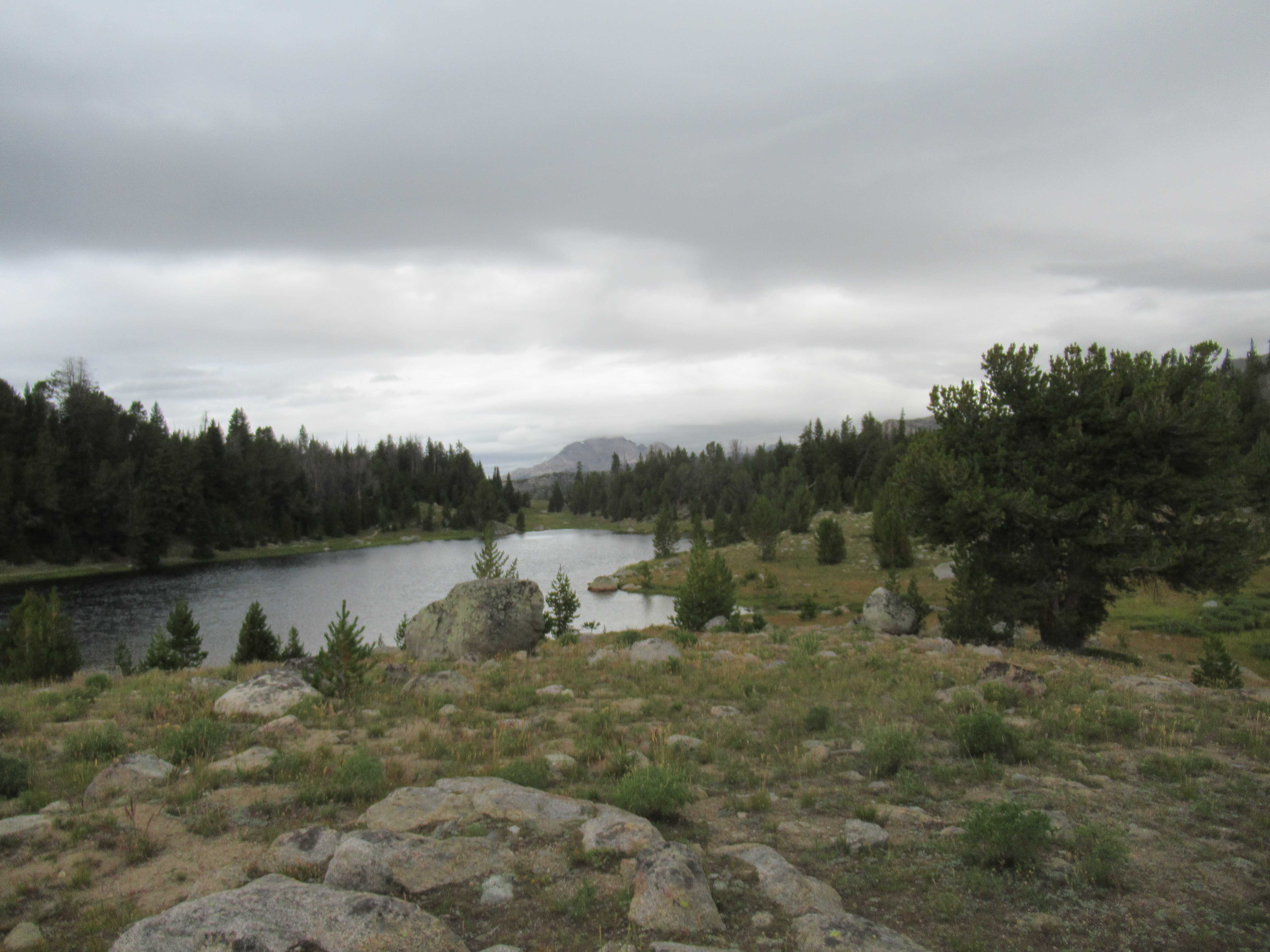
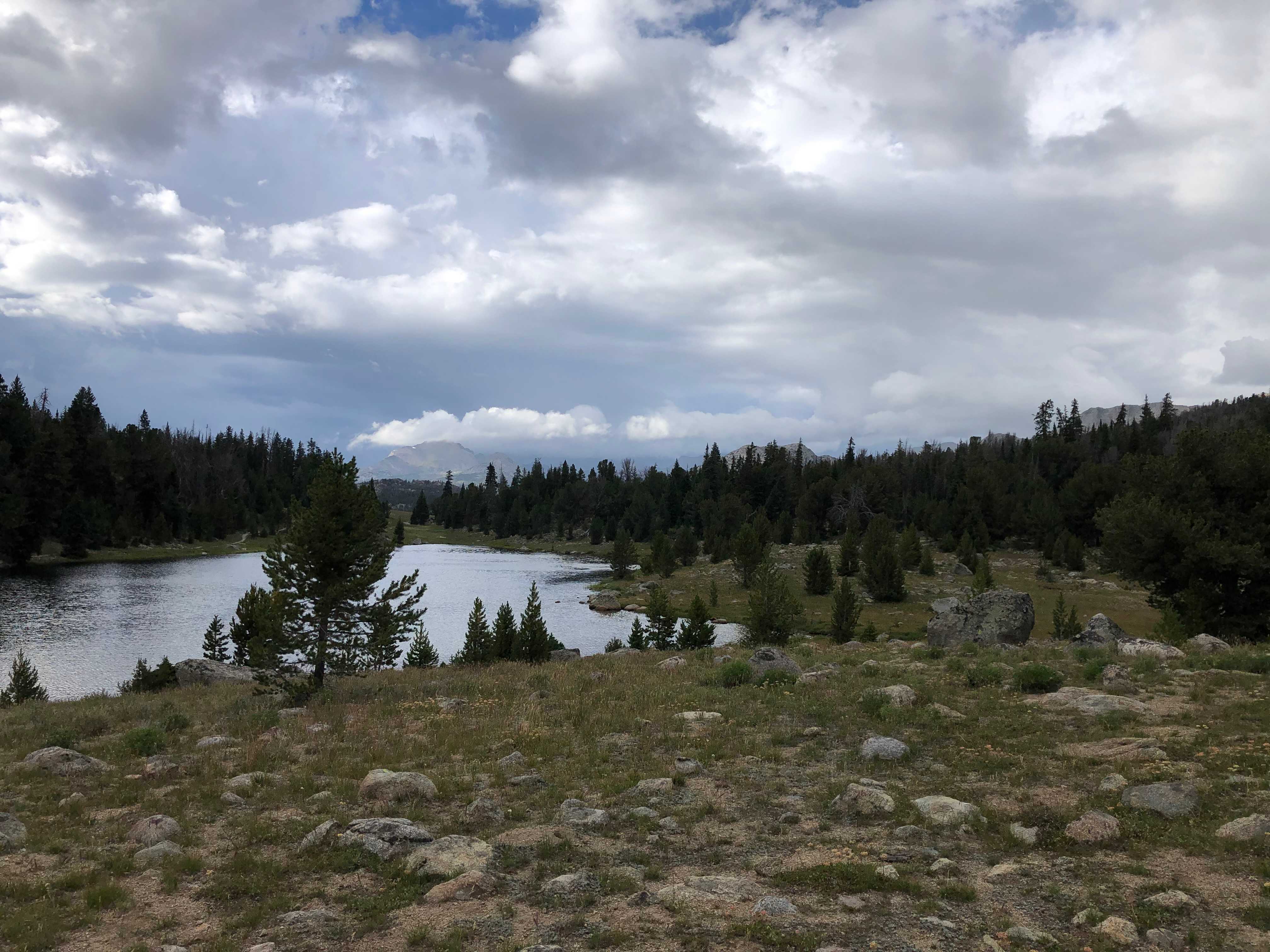
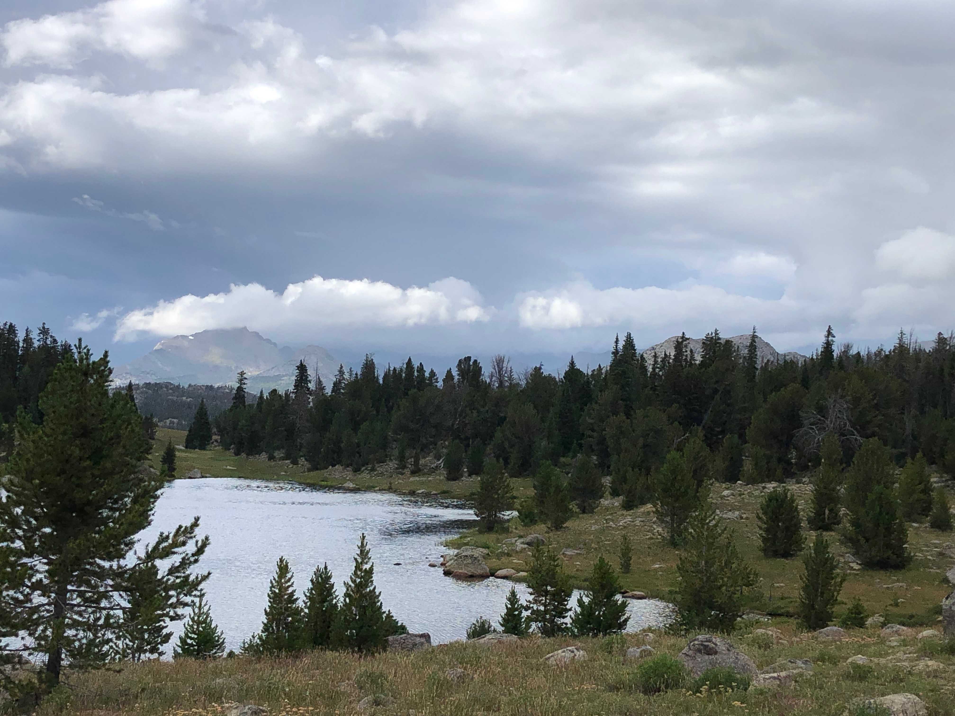
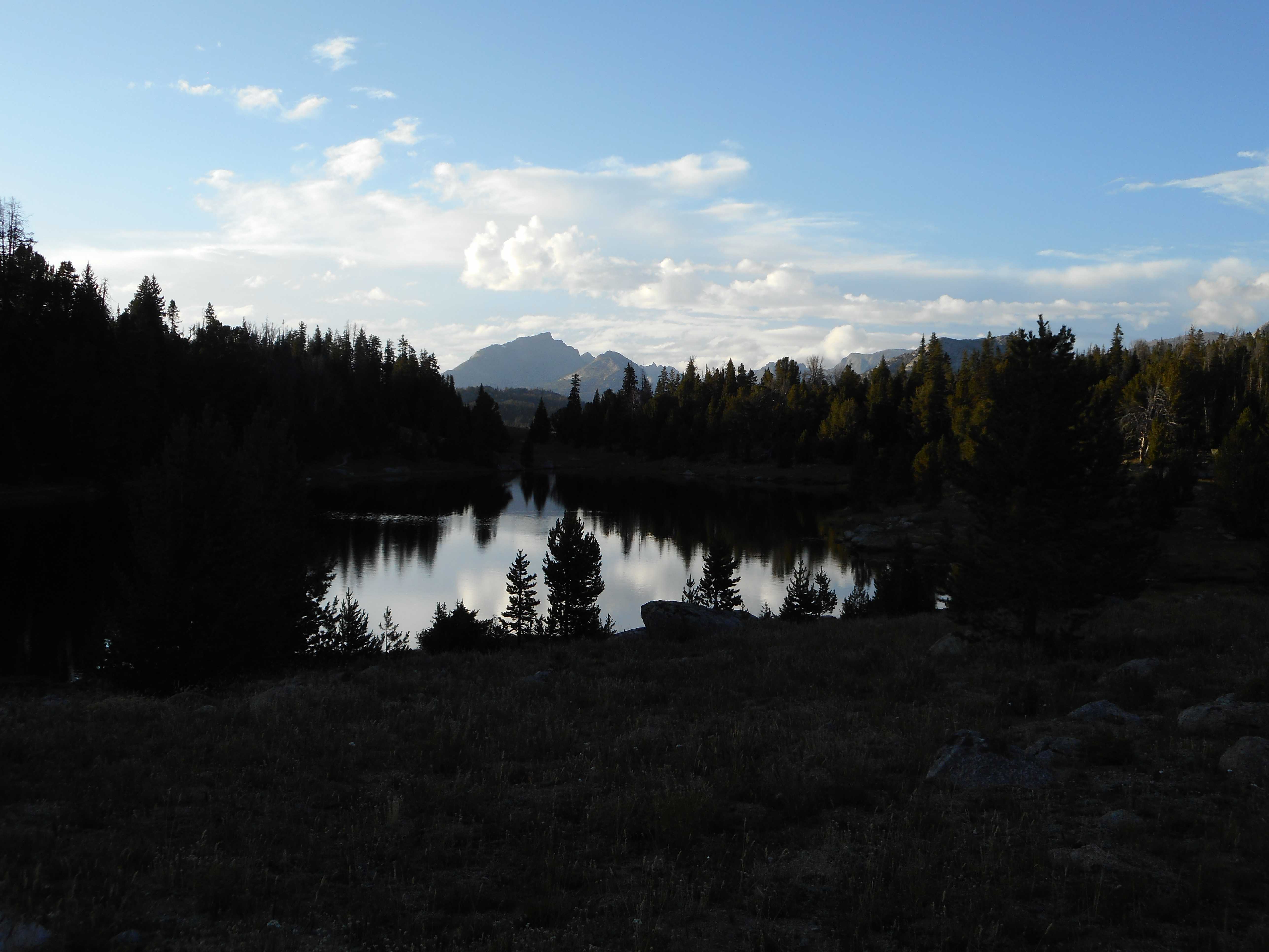
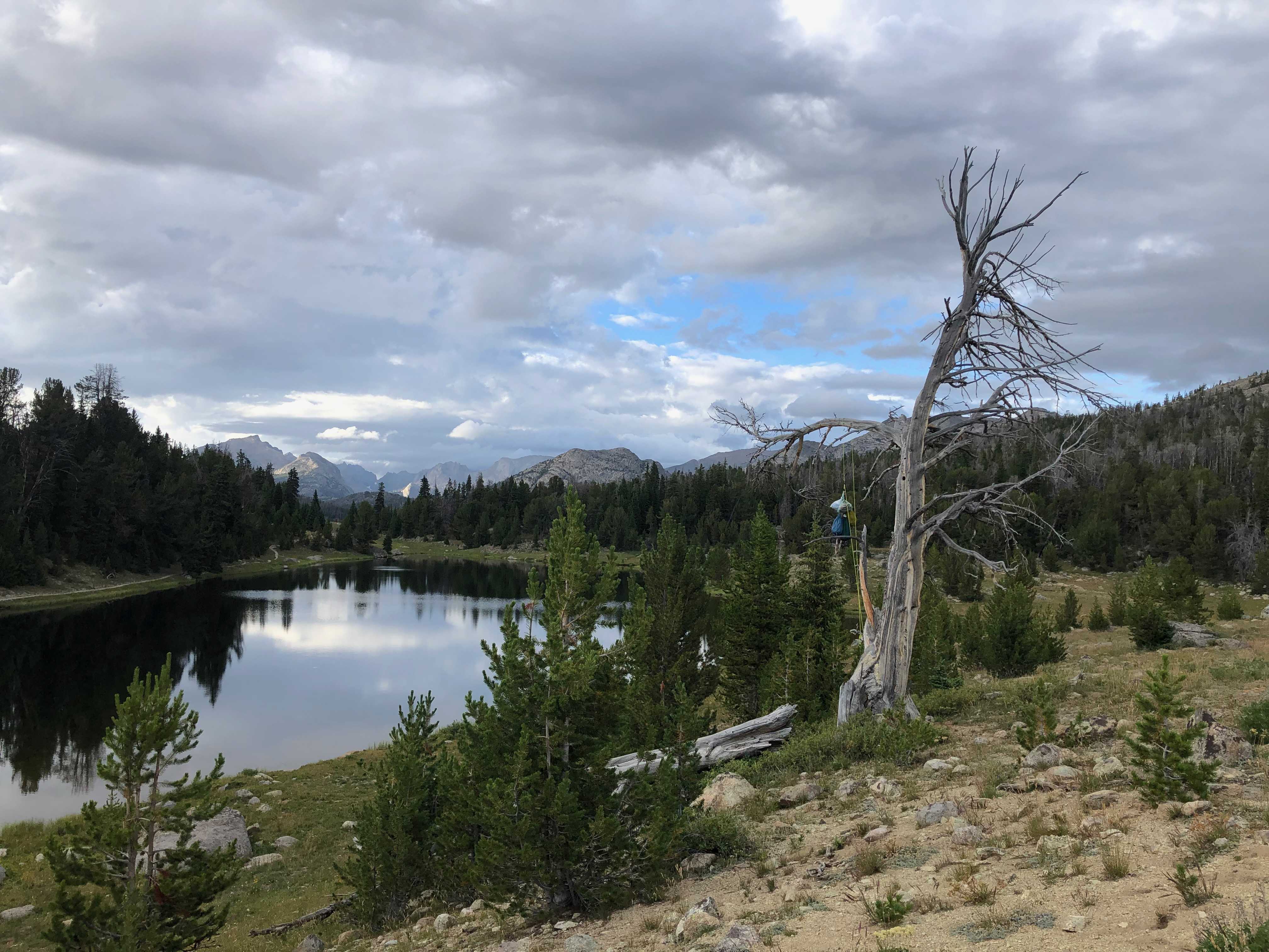
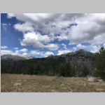
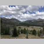
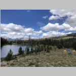
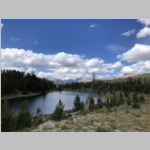
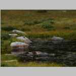
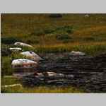
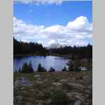
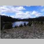
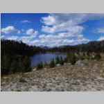
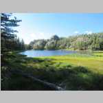
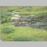
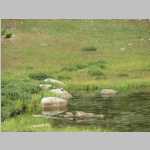
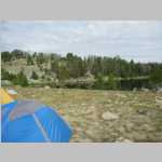
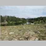
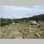
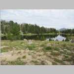
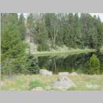
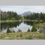
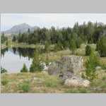
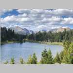
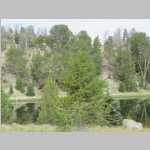
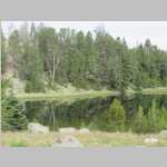
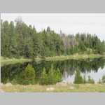
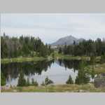
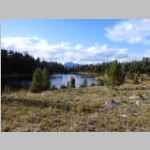
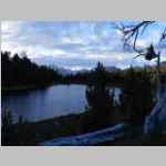
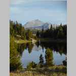
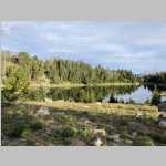
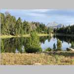
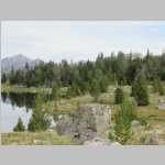
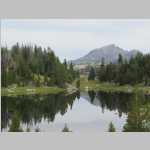
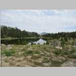
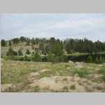
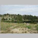
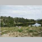
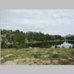
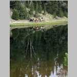
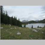
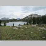
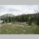
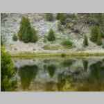
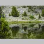
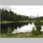
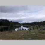
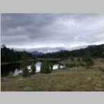
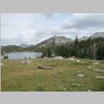
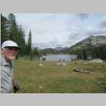
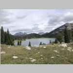
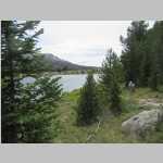
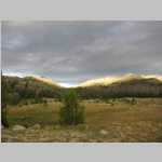
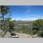
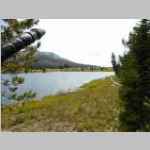
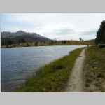
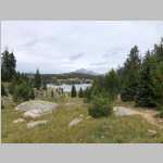
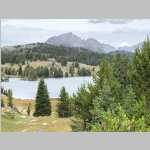
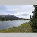
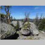
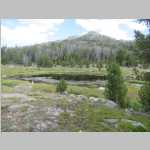
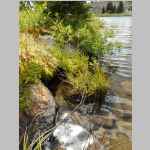
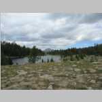
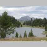
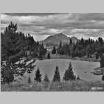
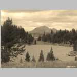
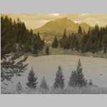
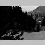
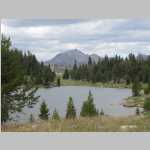
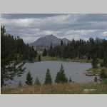
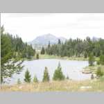
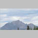
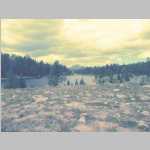
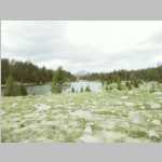
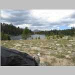
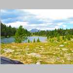
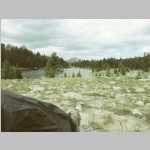
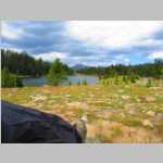
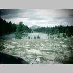
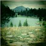
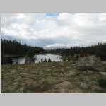
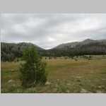
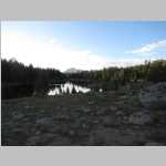
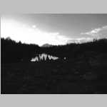
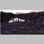
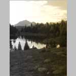
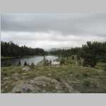
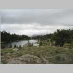
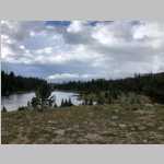
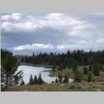
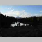
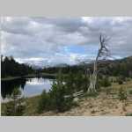
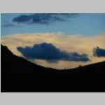
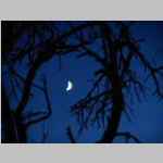
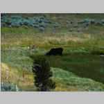
Mirror Lake, Bridger Wilderness, Wyoming
August 17 to 22, 2023
"tbd"
tbd
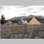
Hike Information
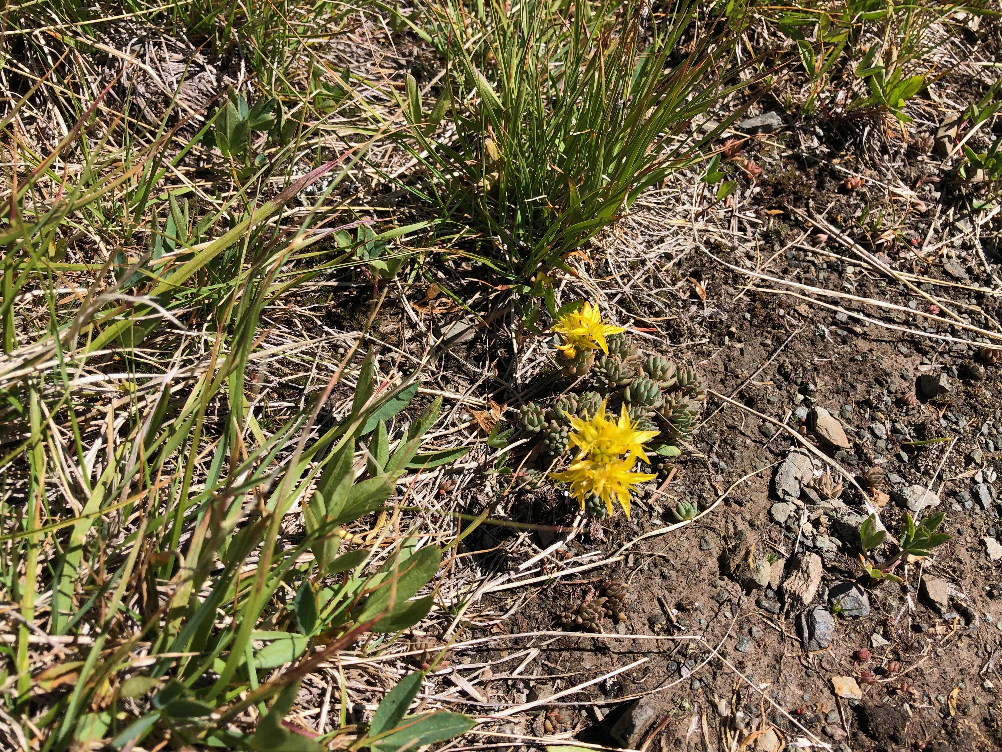
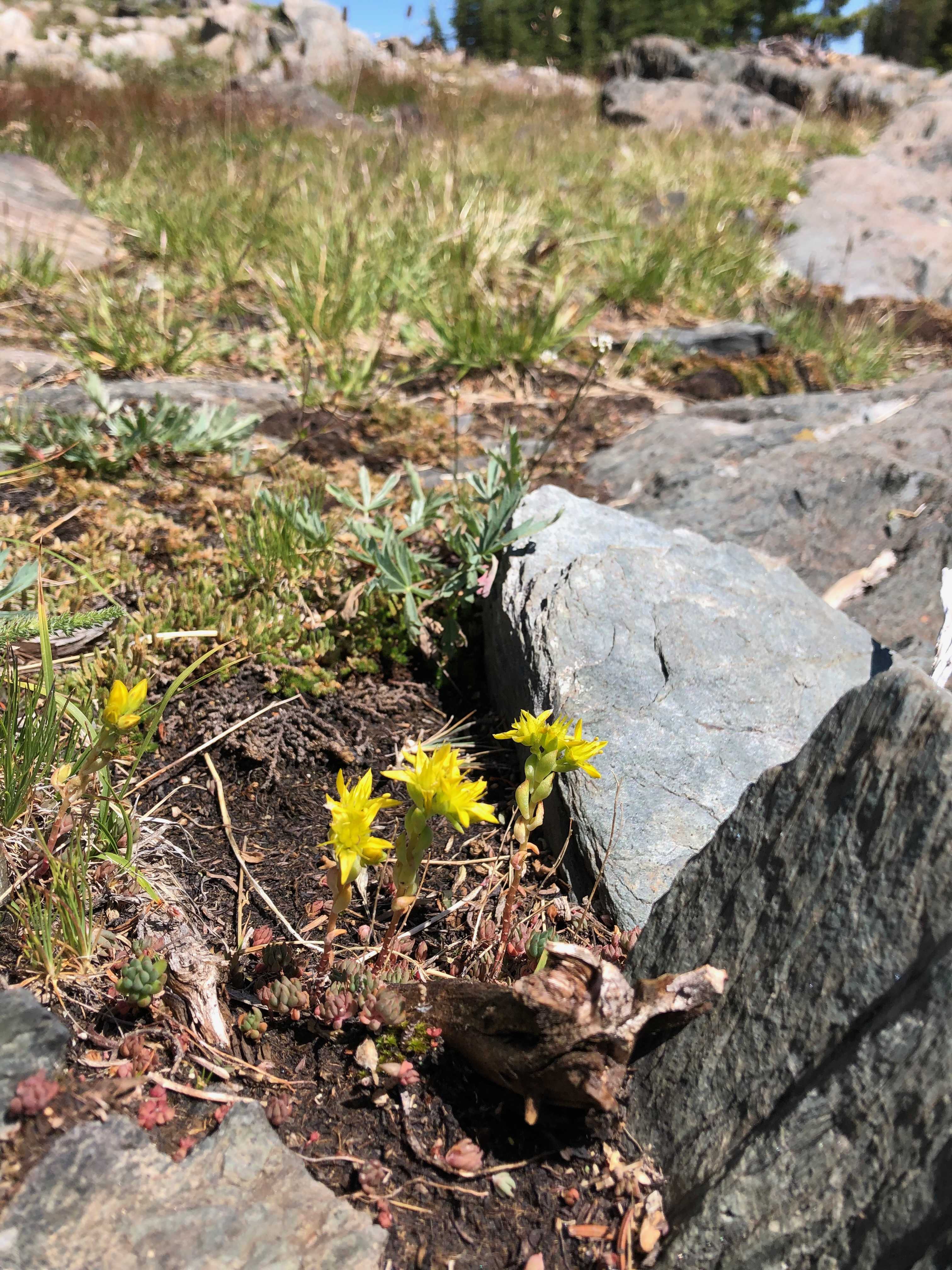
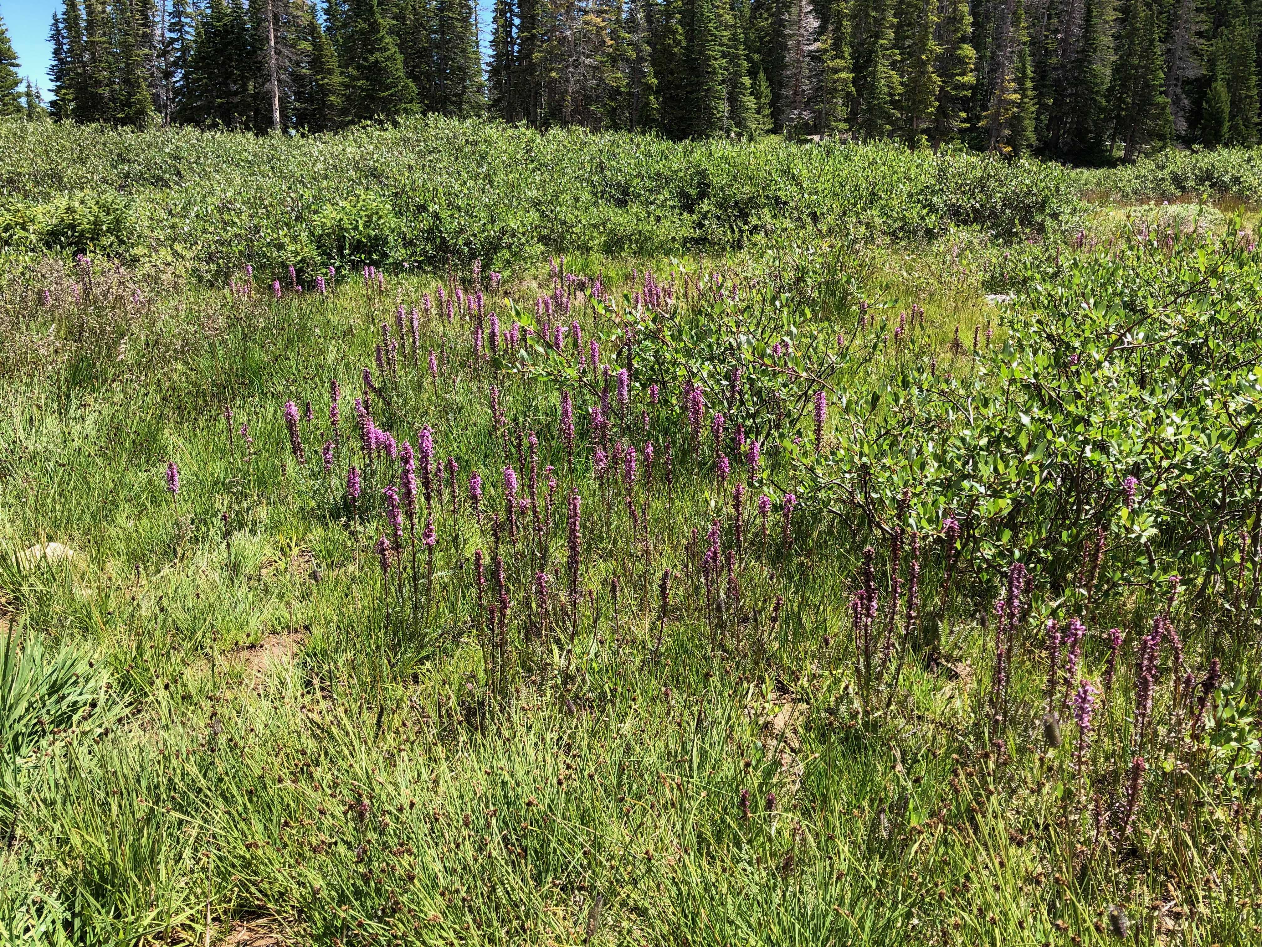
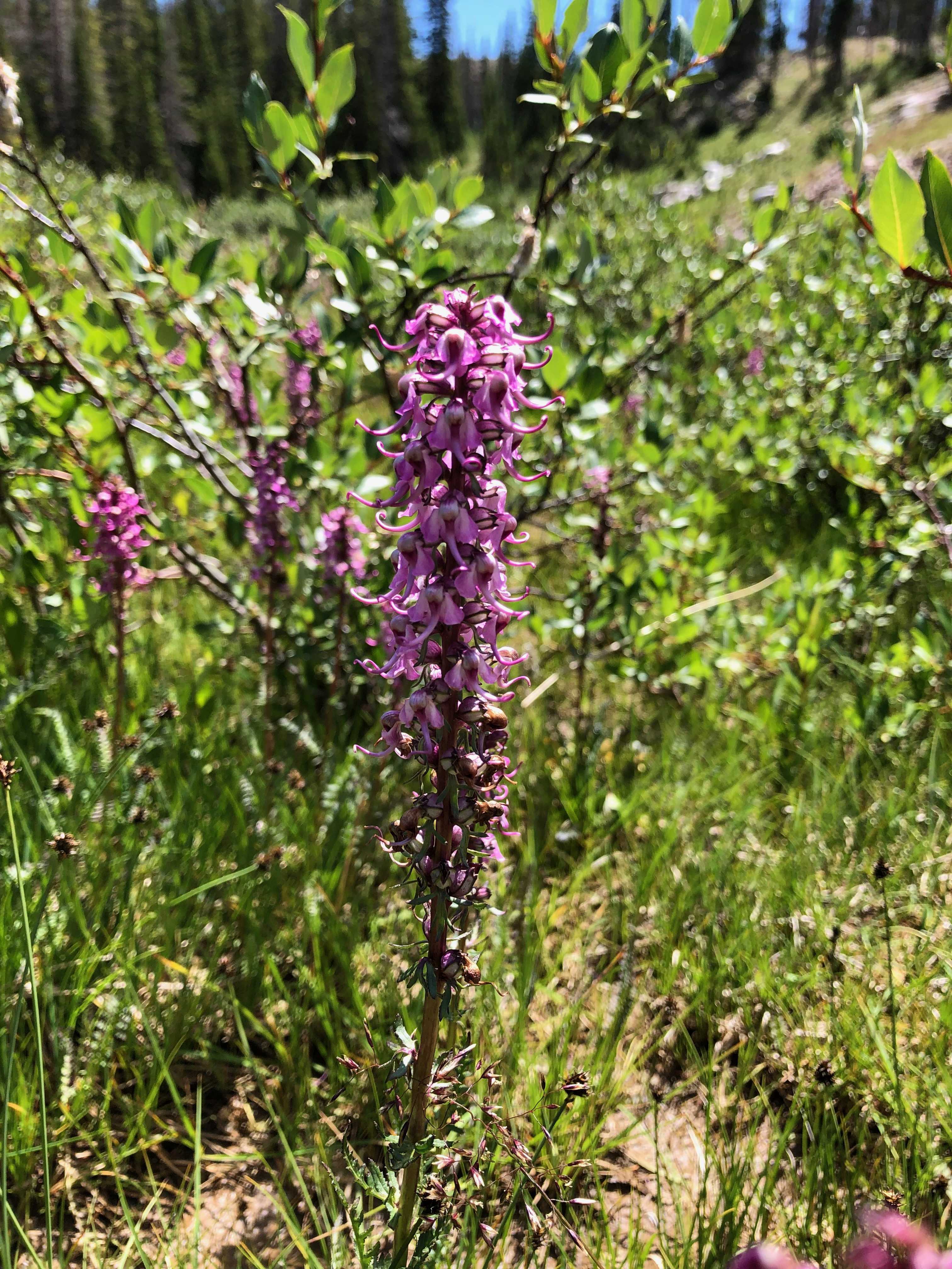
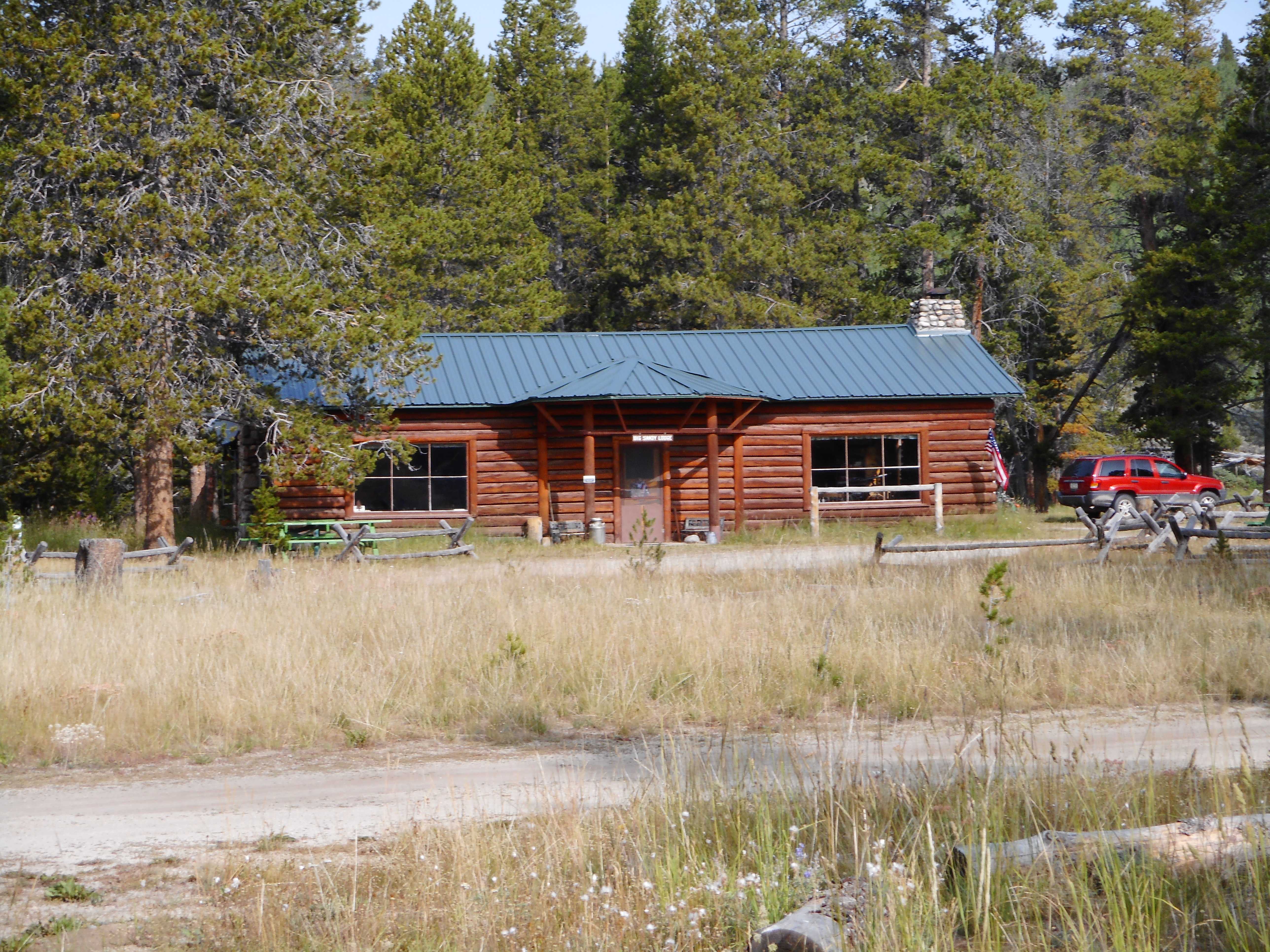
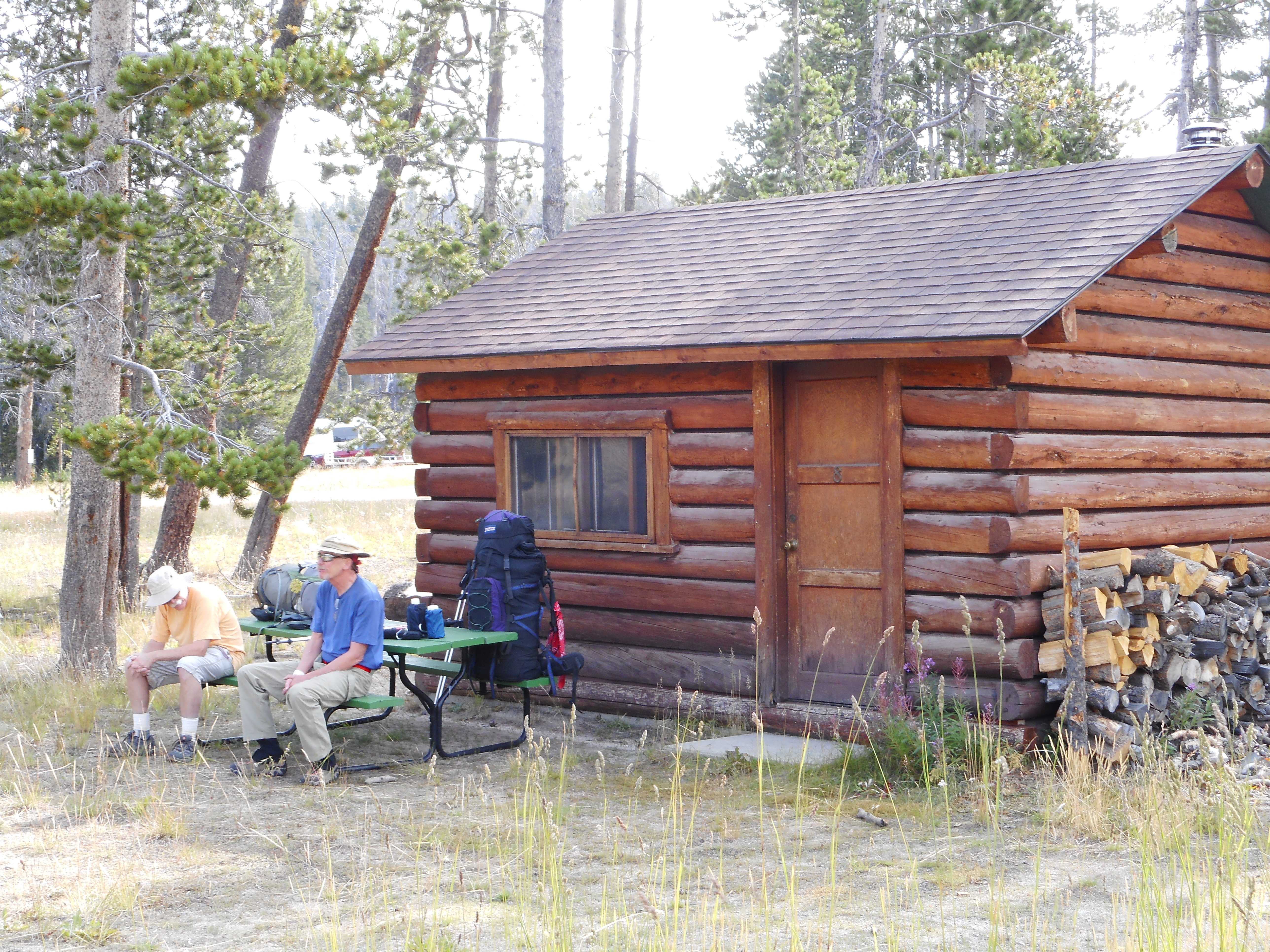
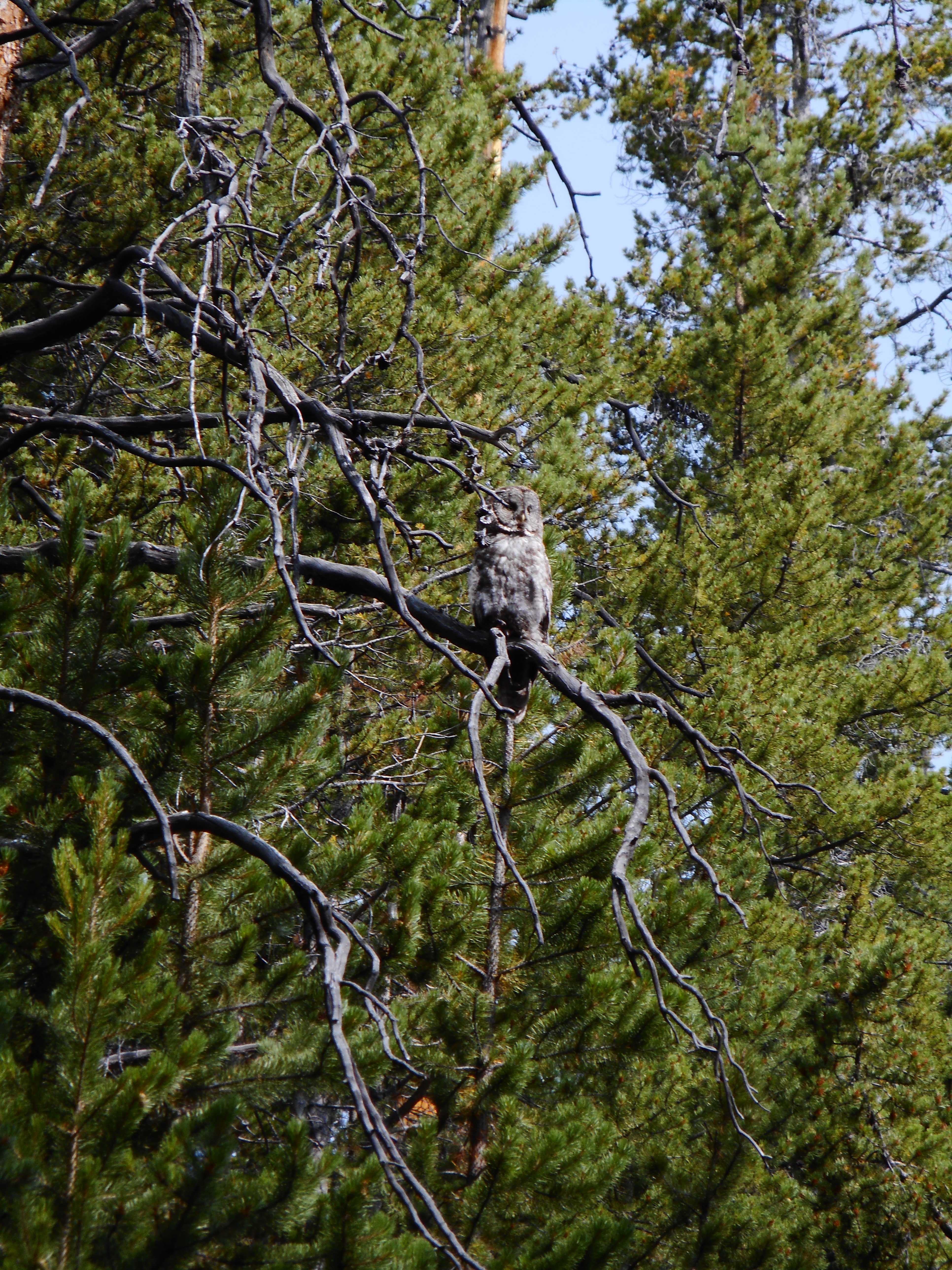
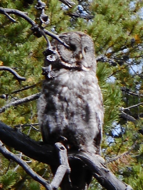
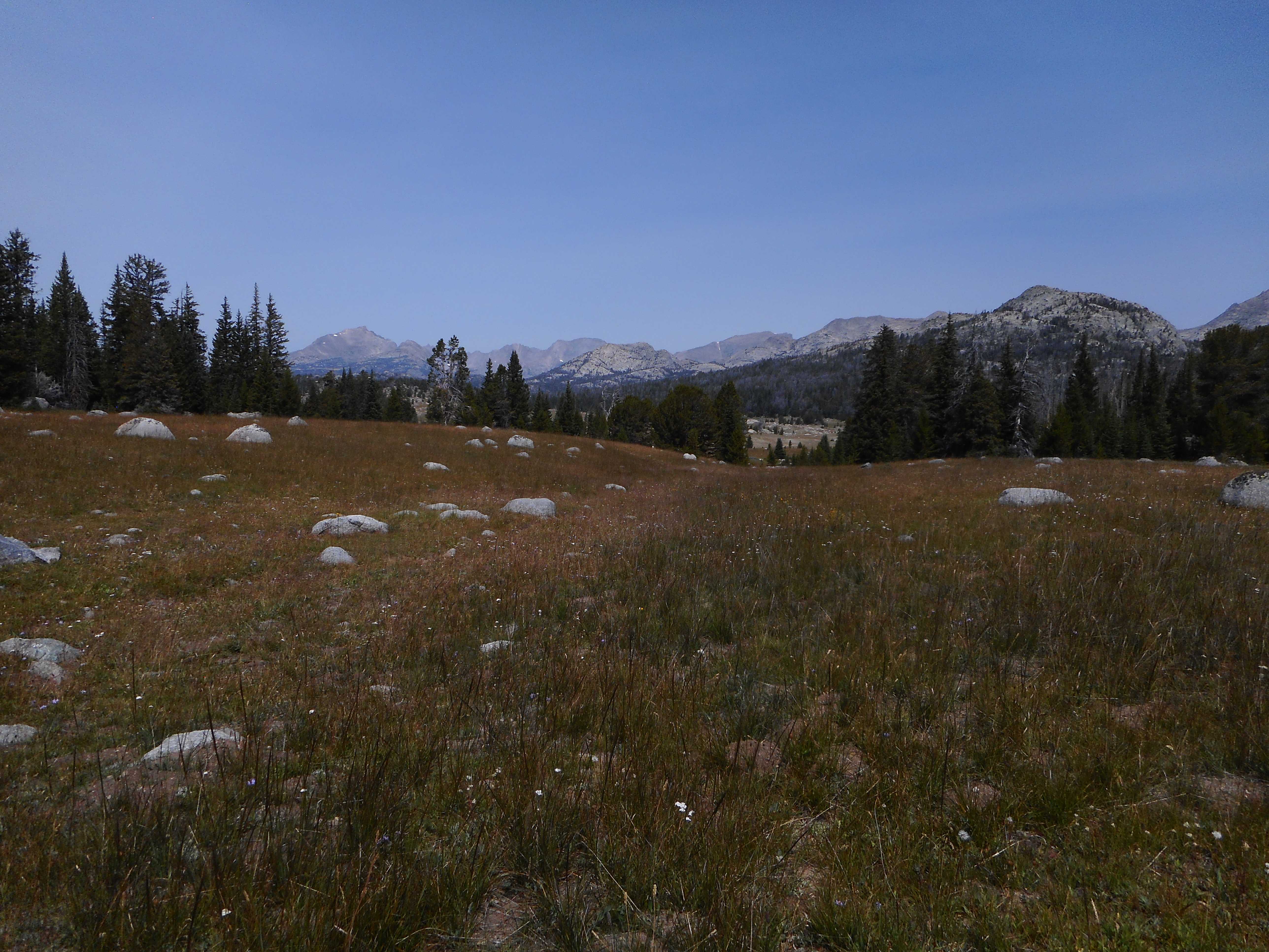
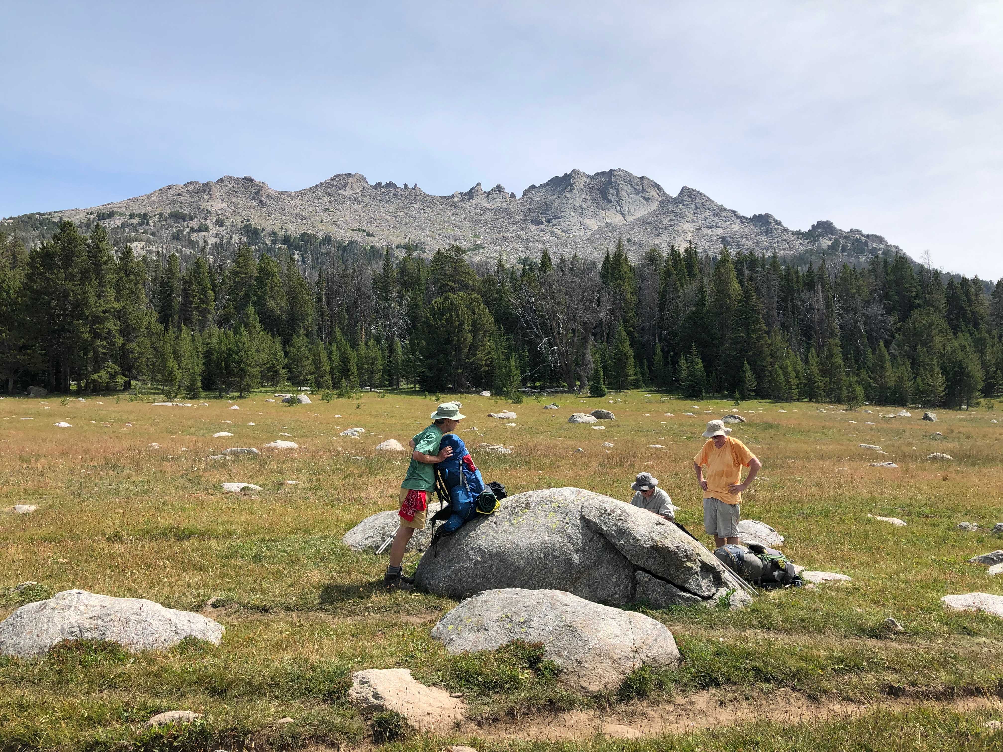
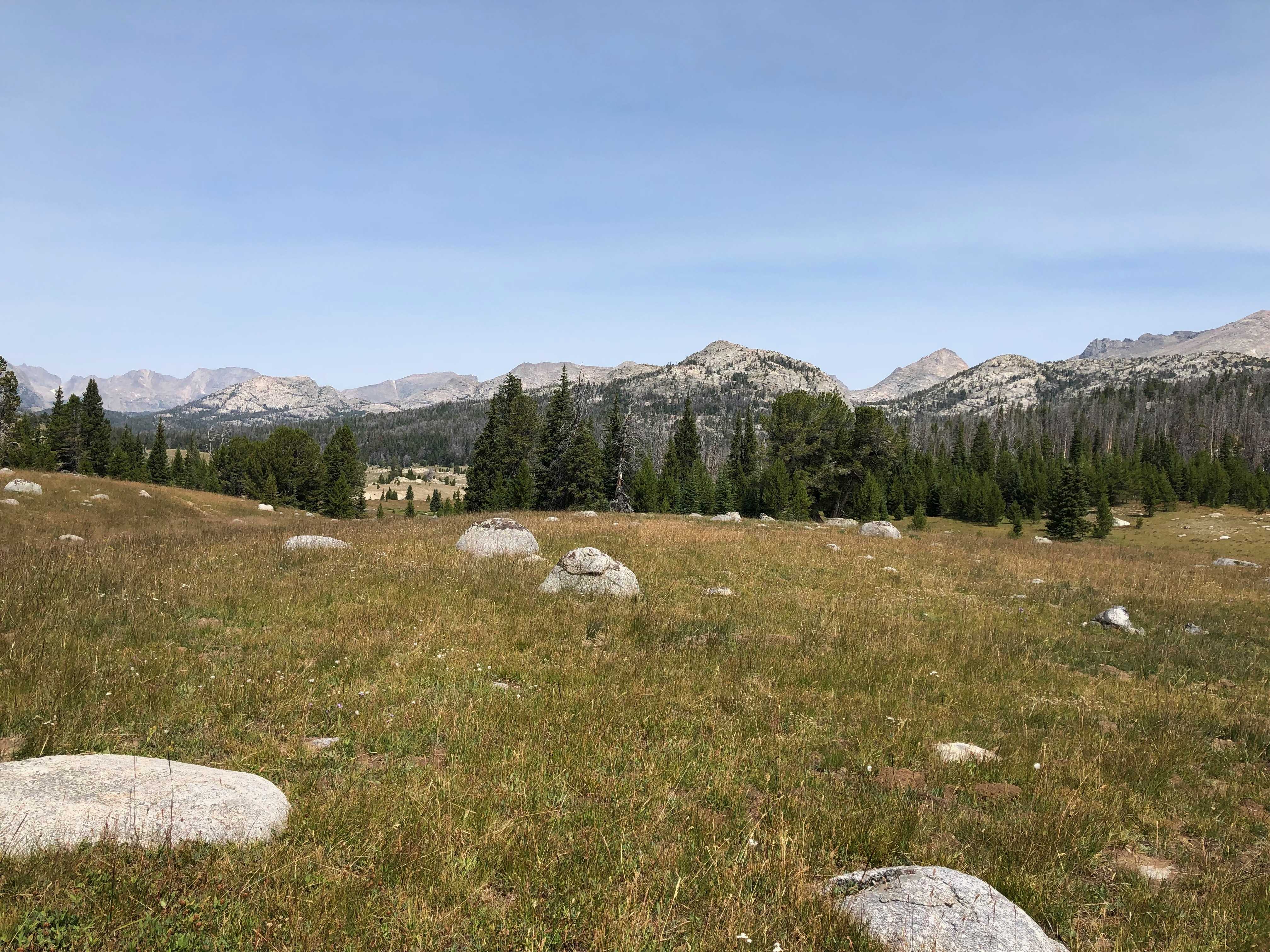
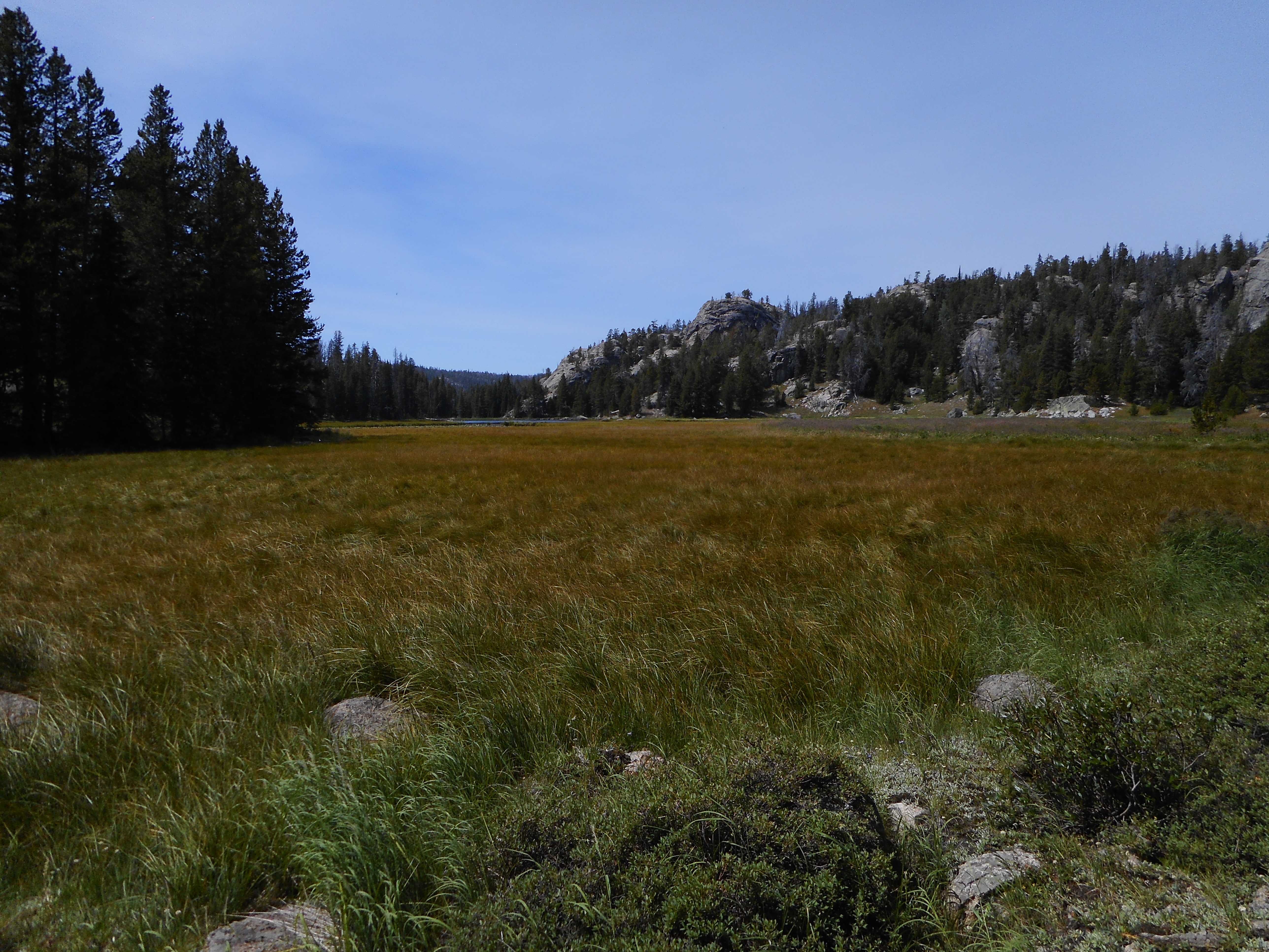
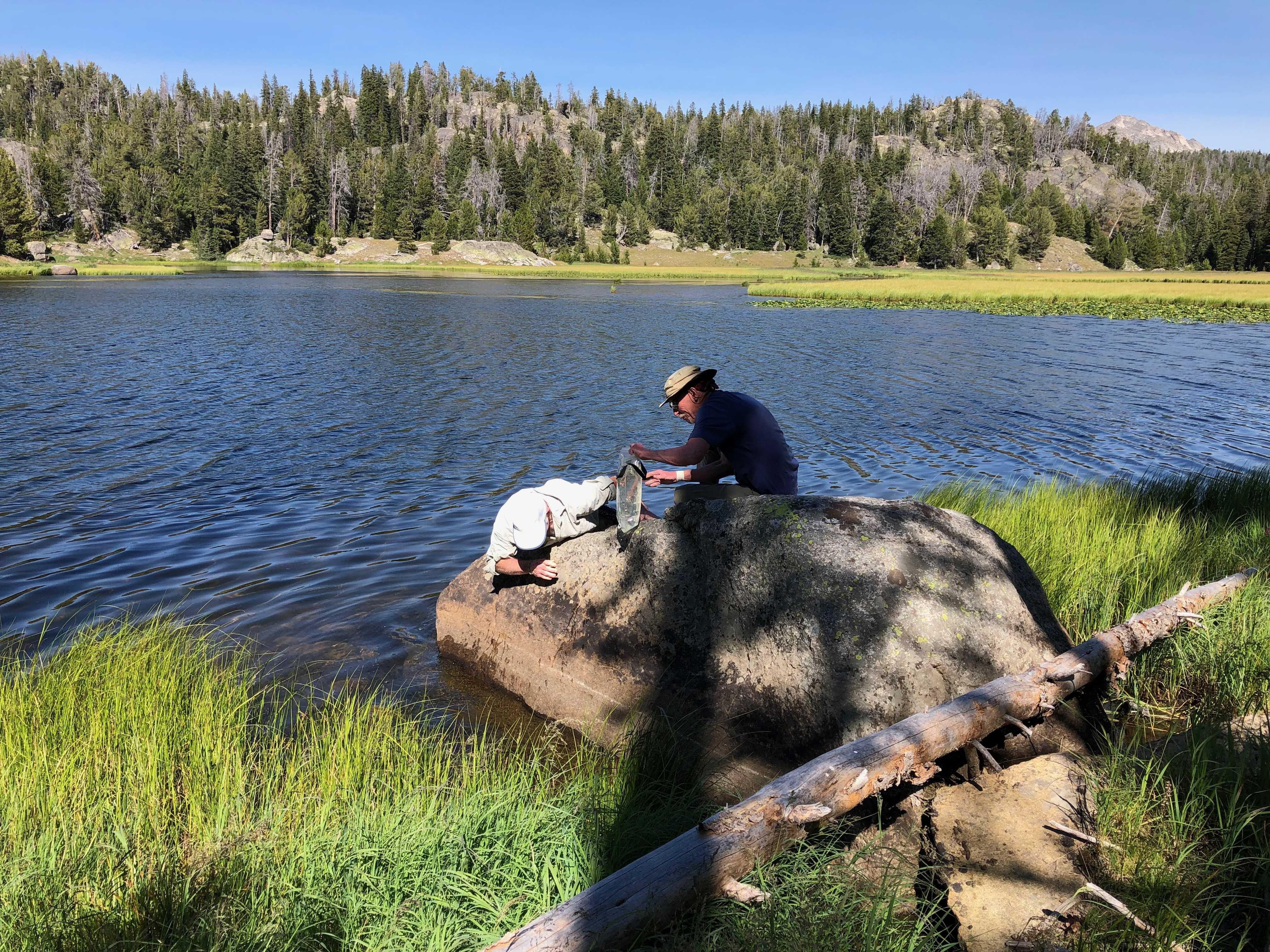
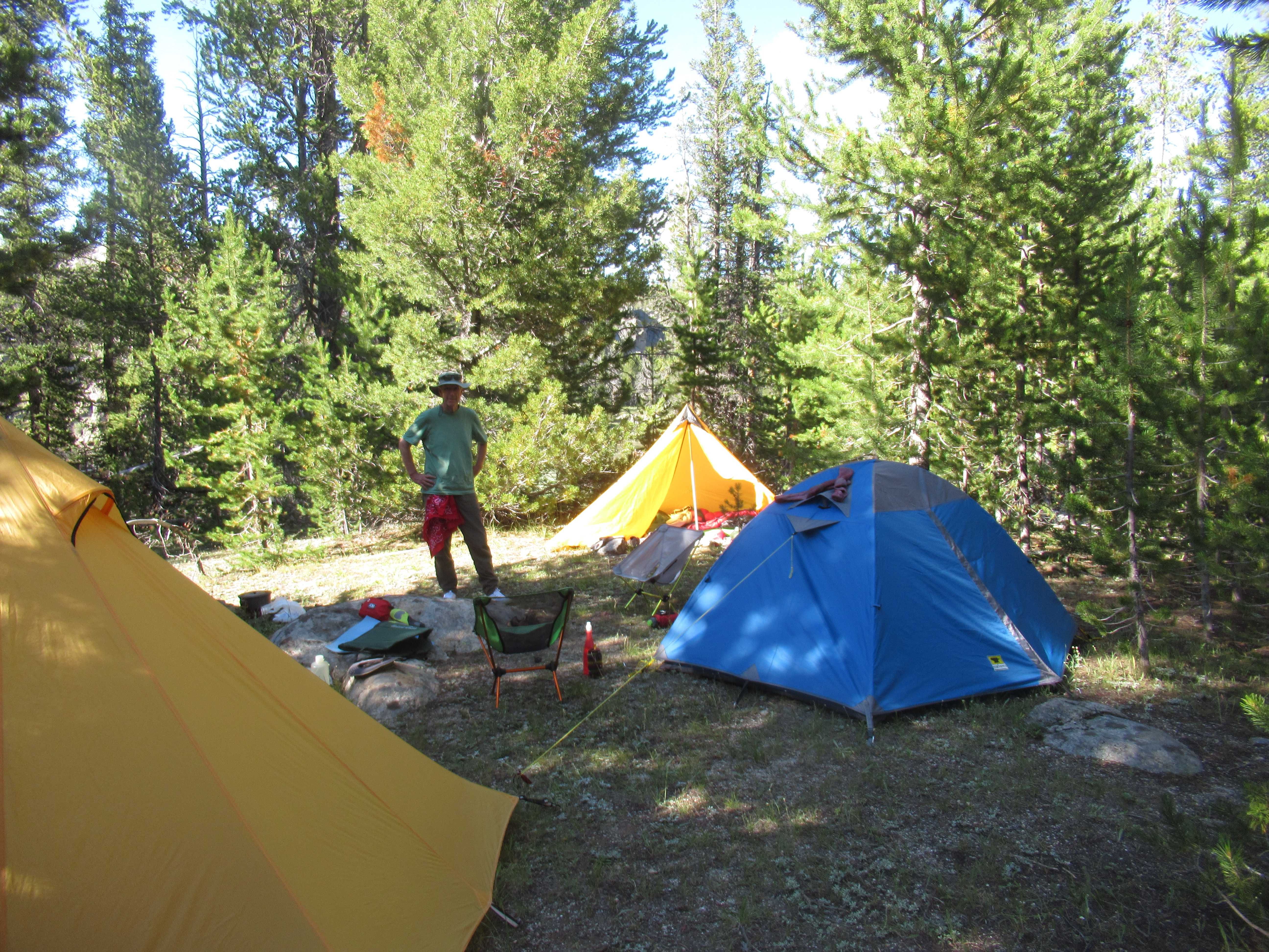
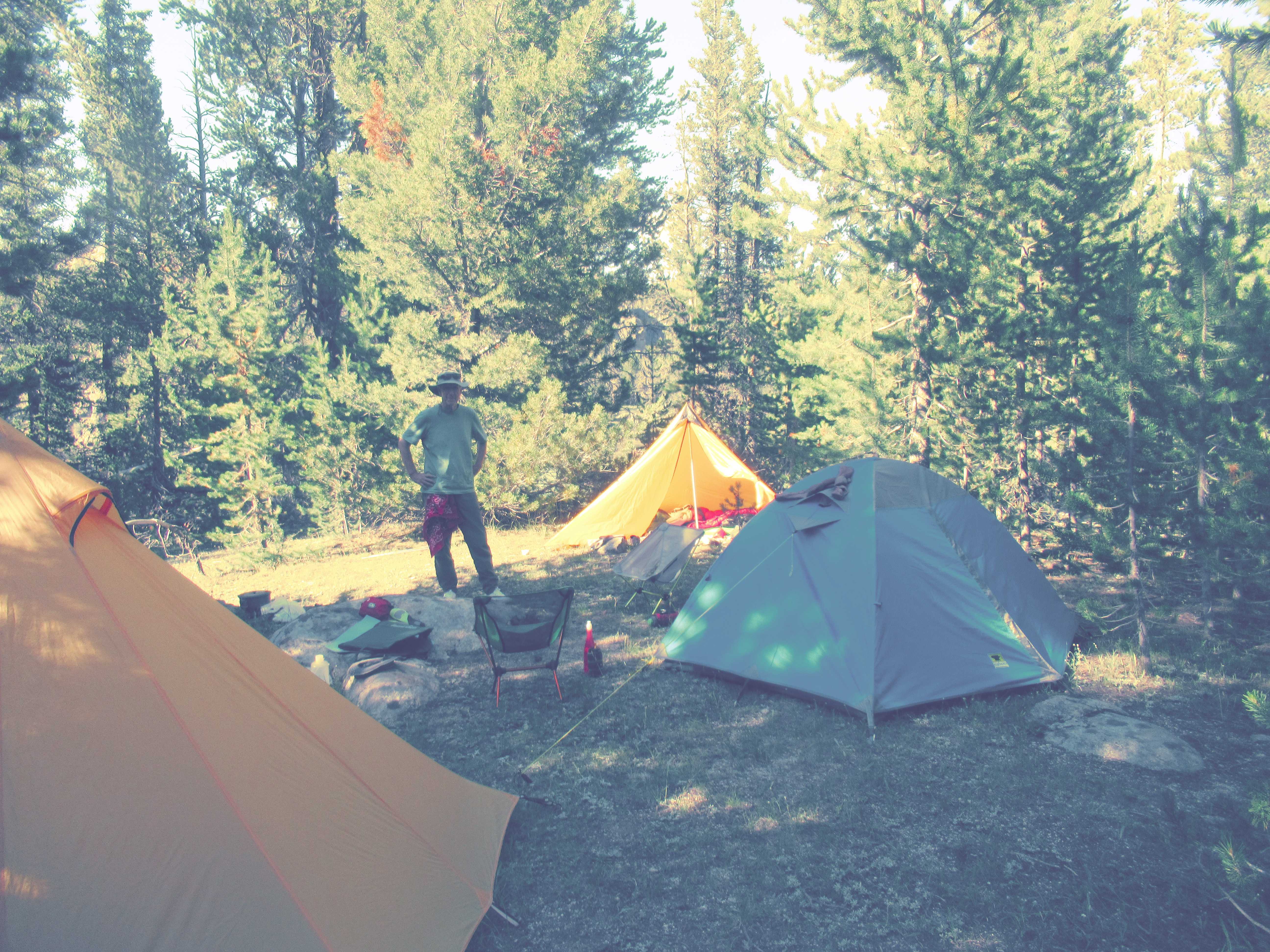
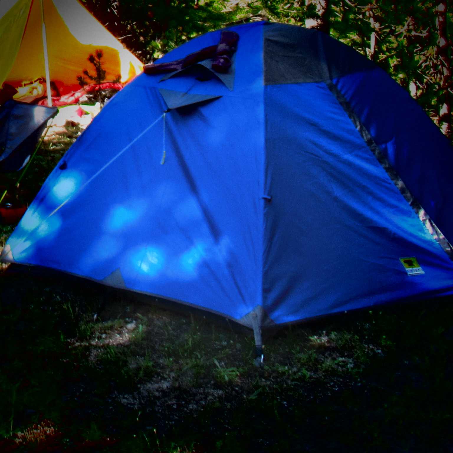
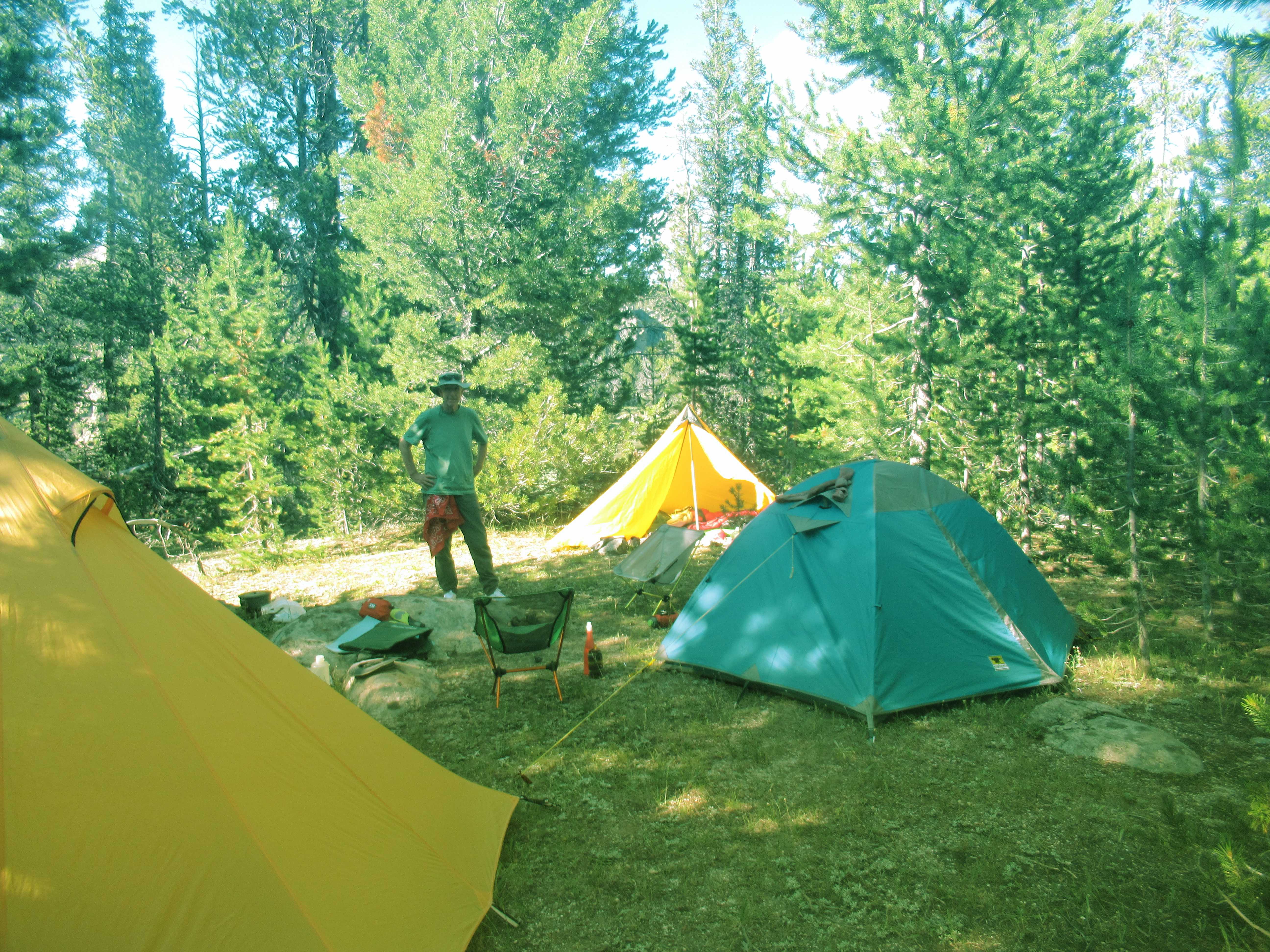
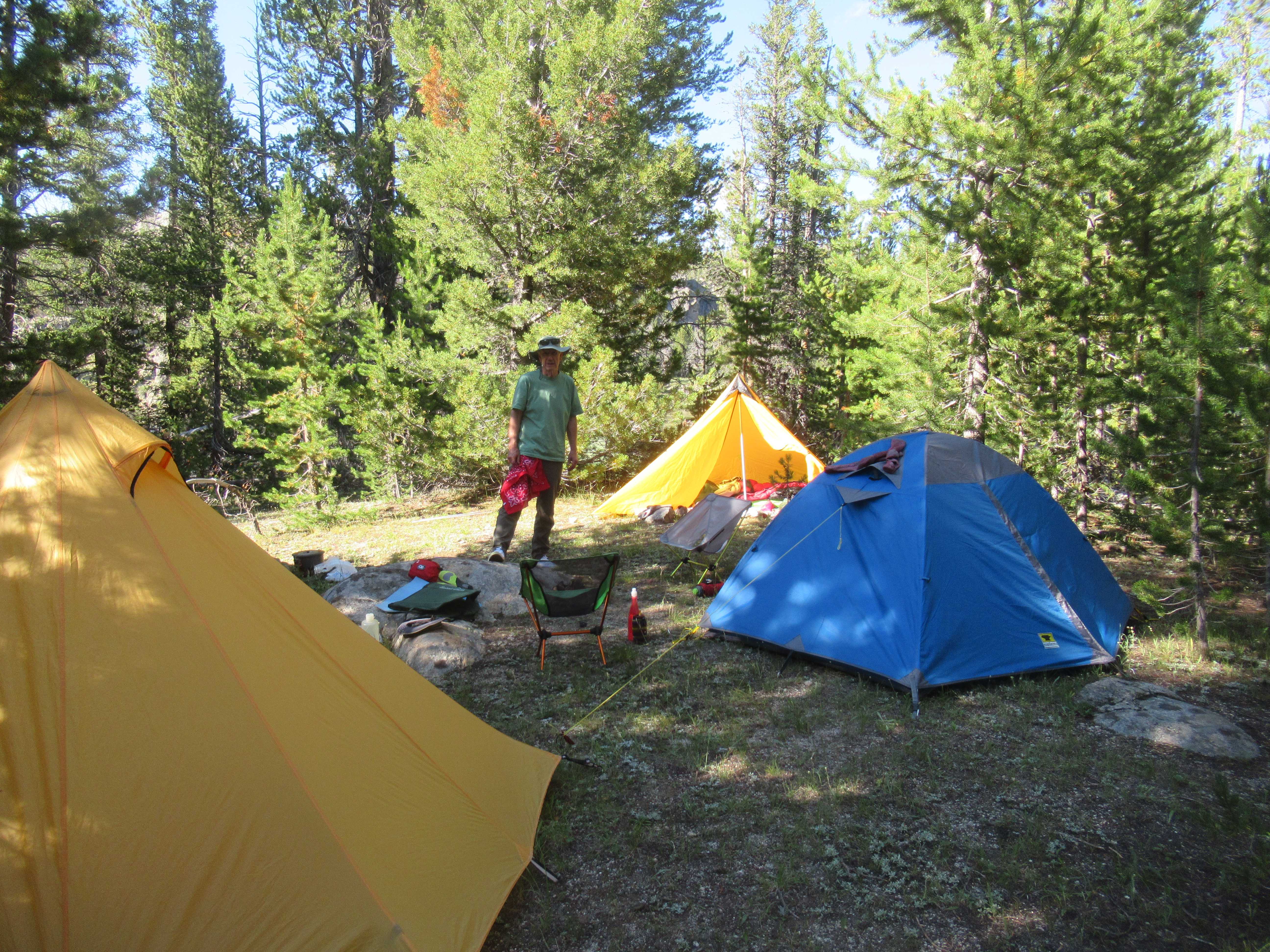
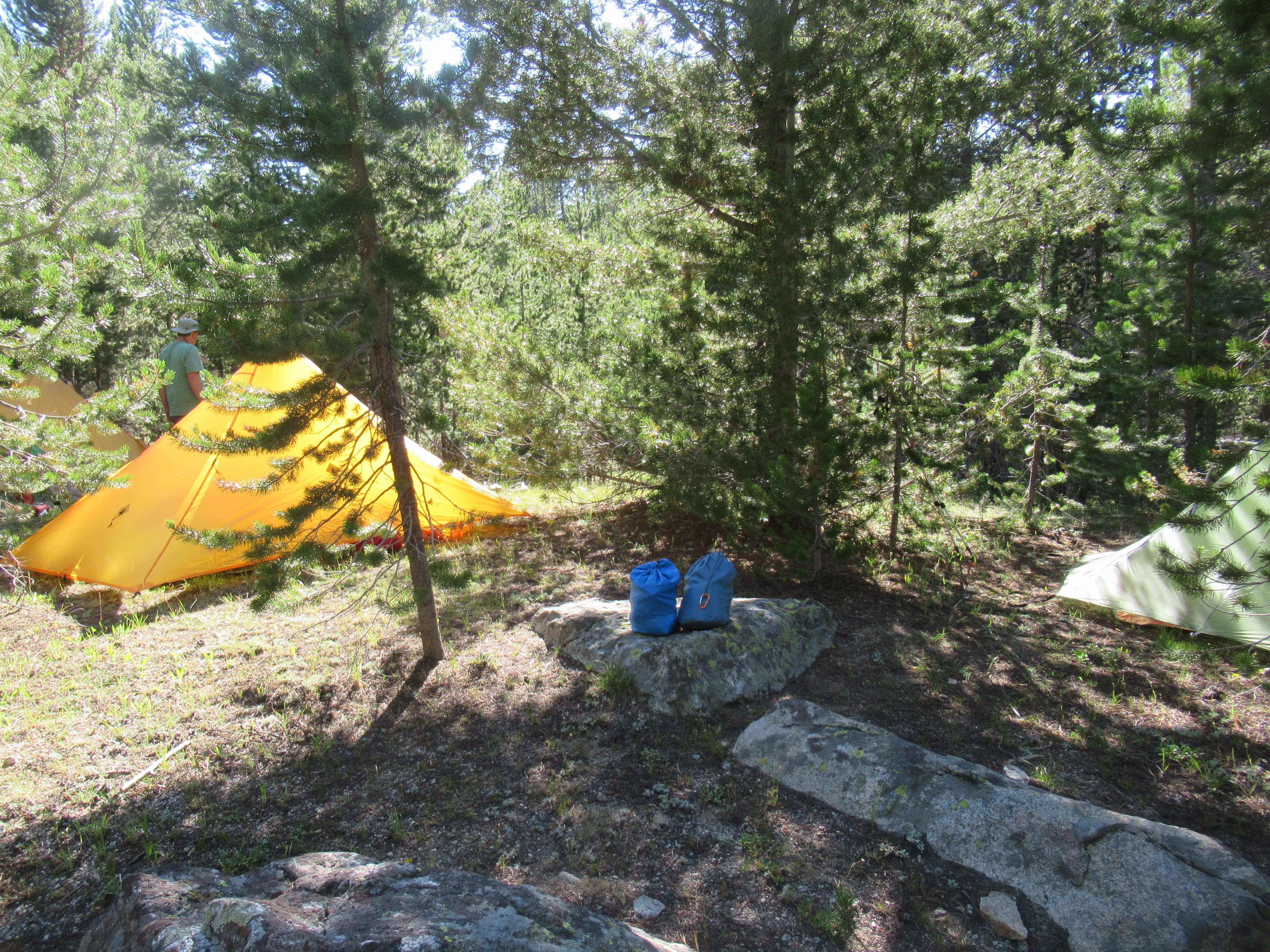
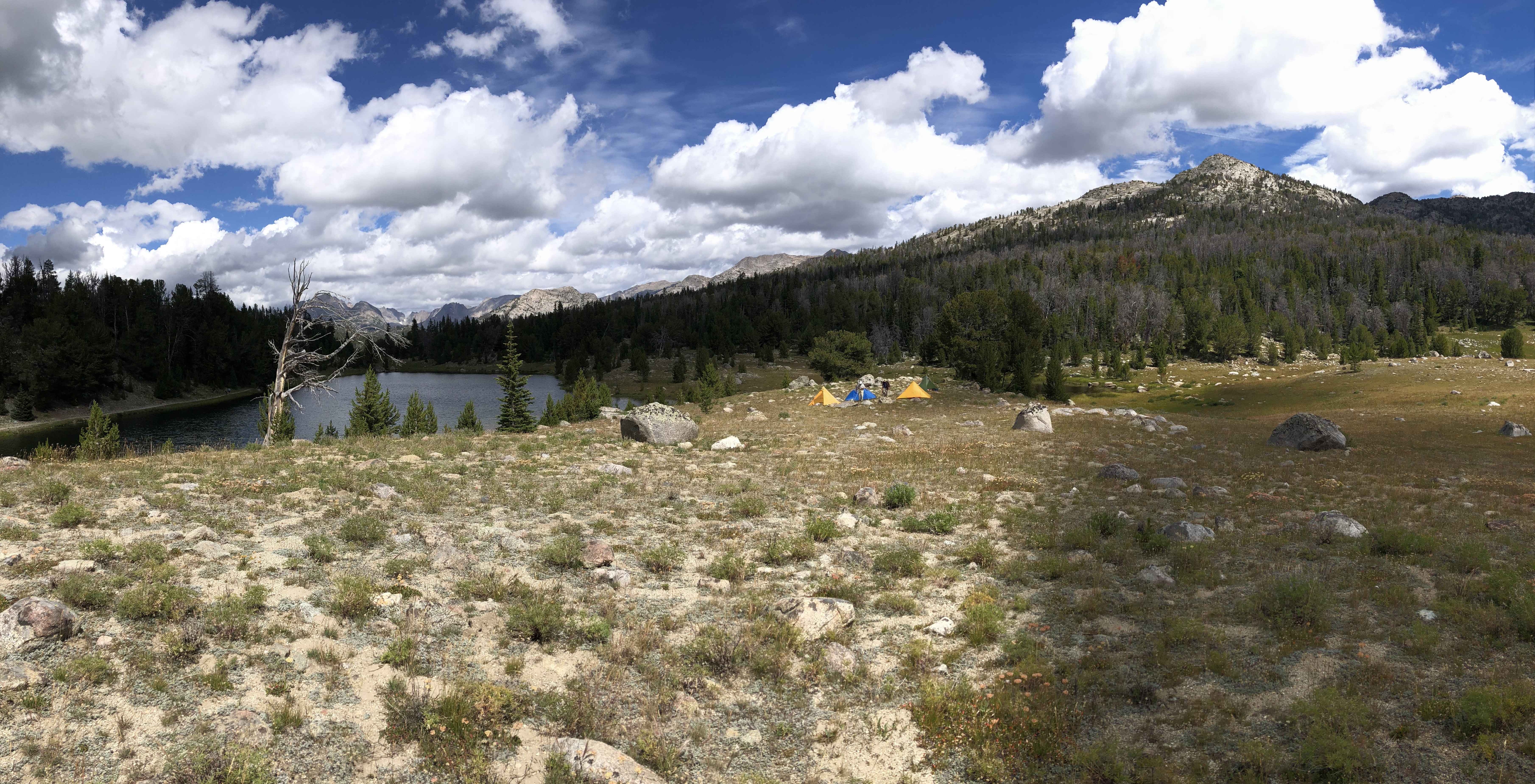
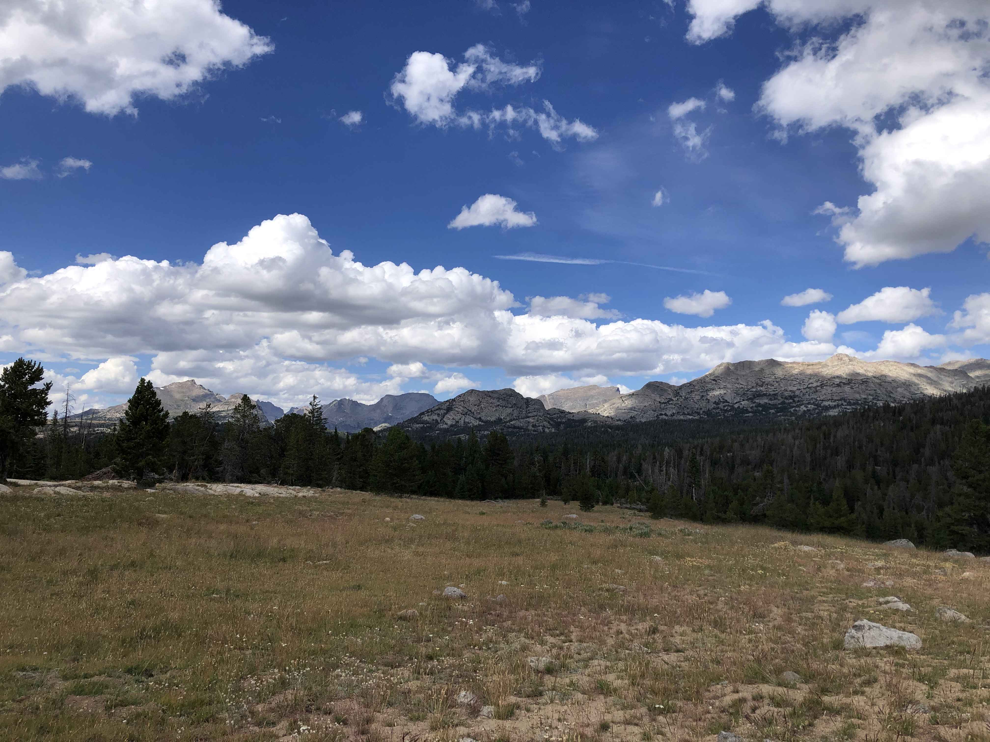
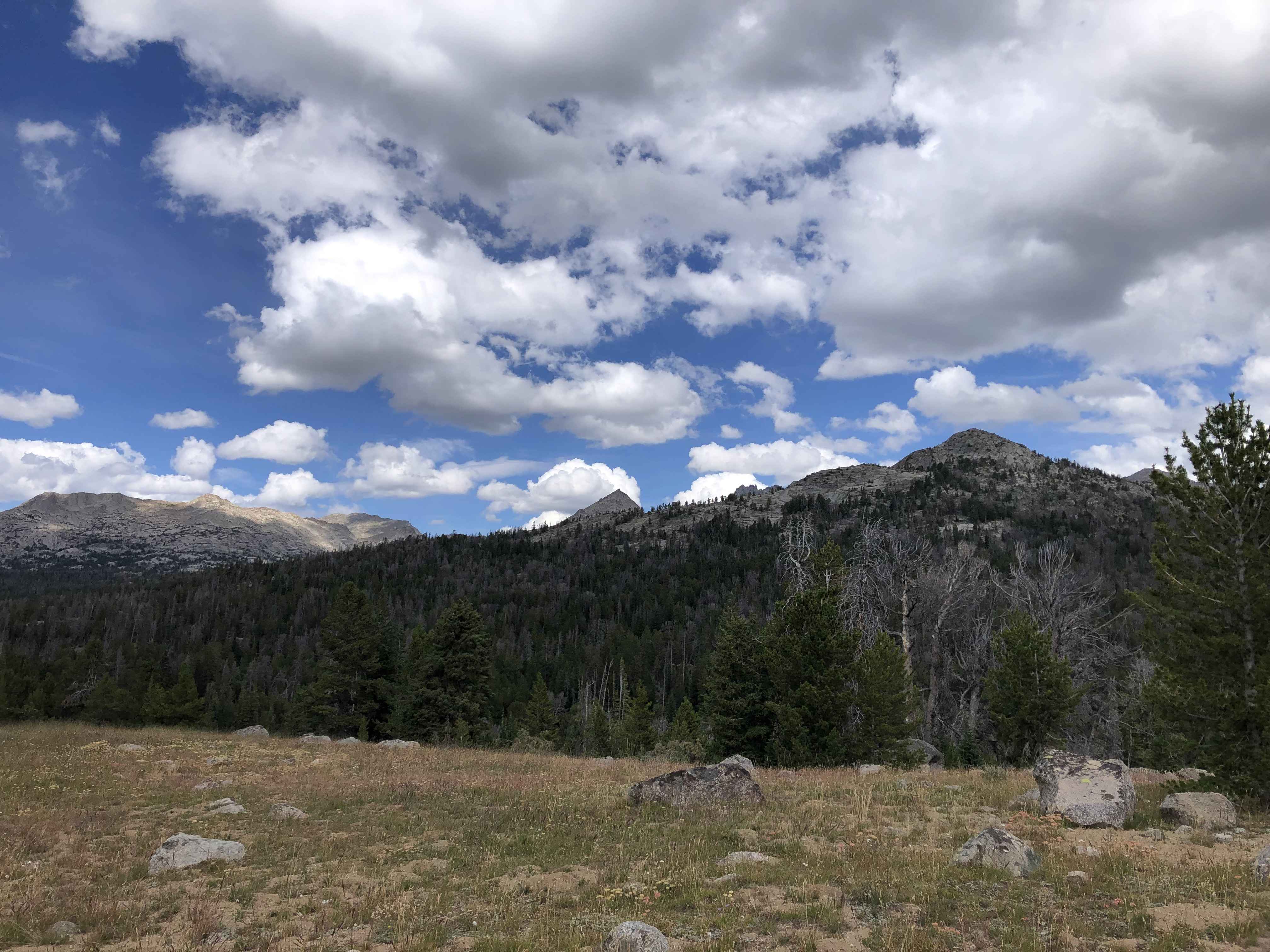
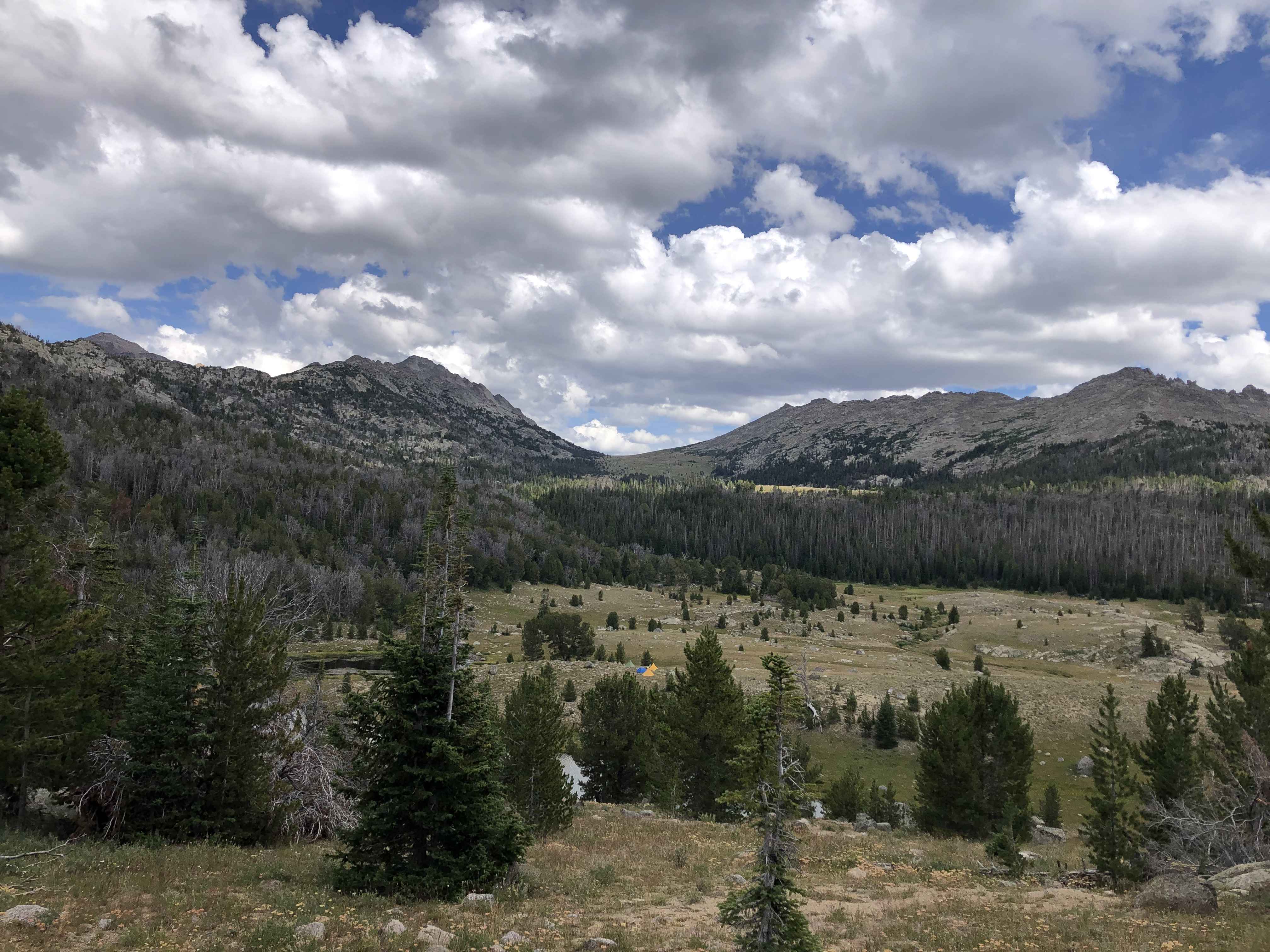
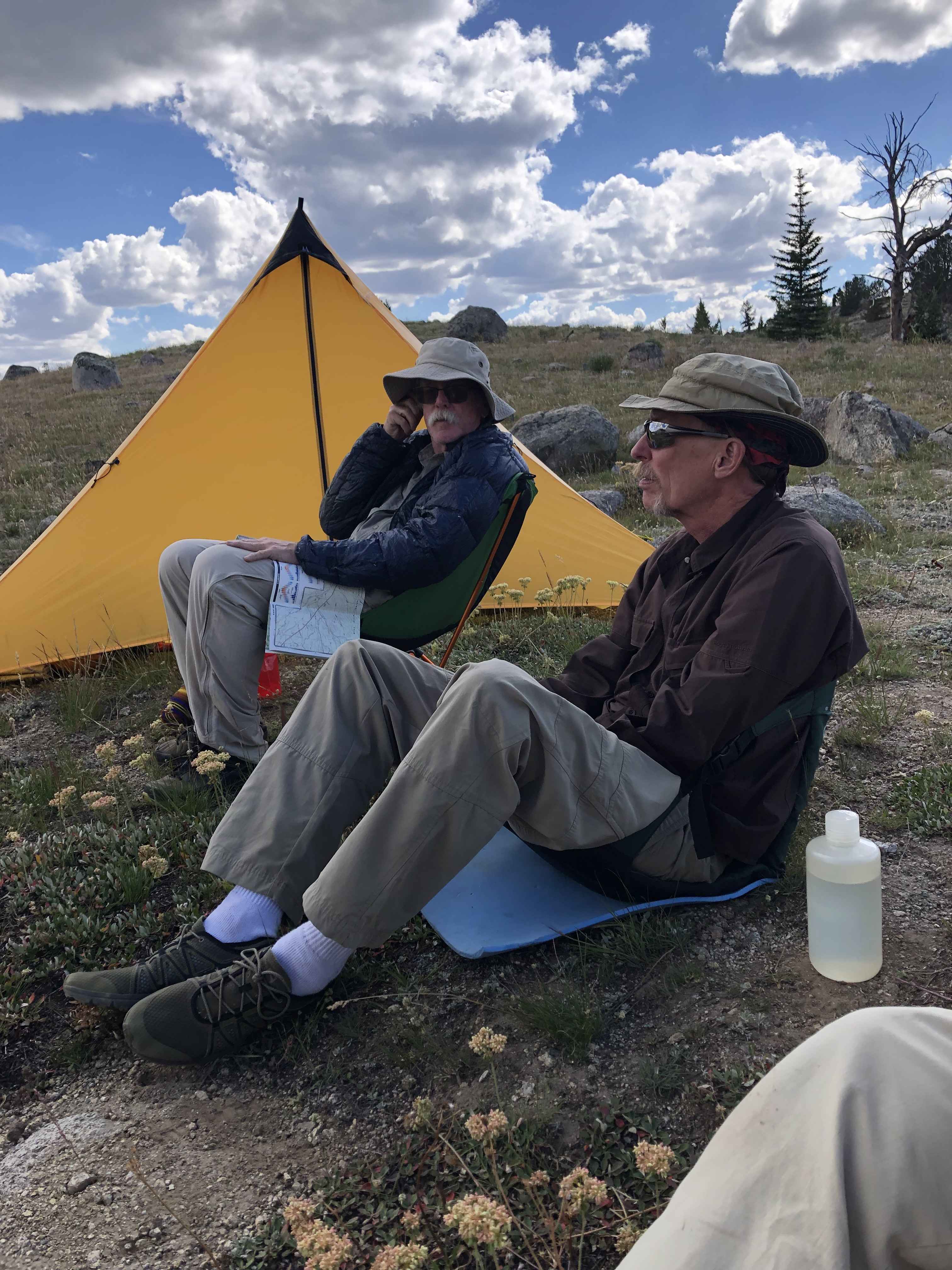
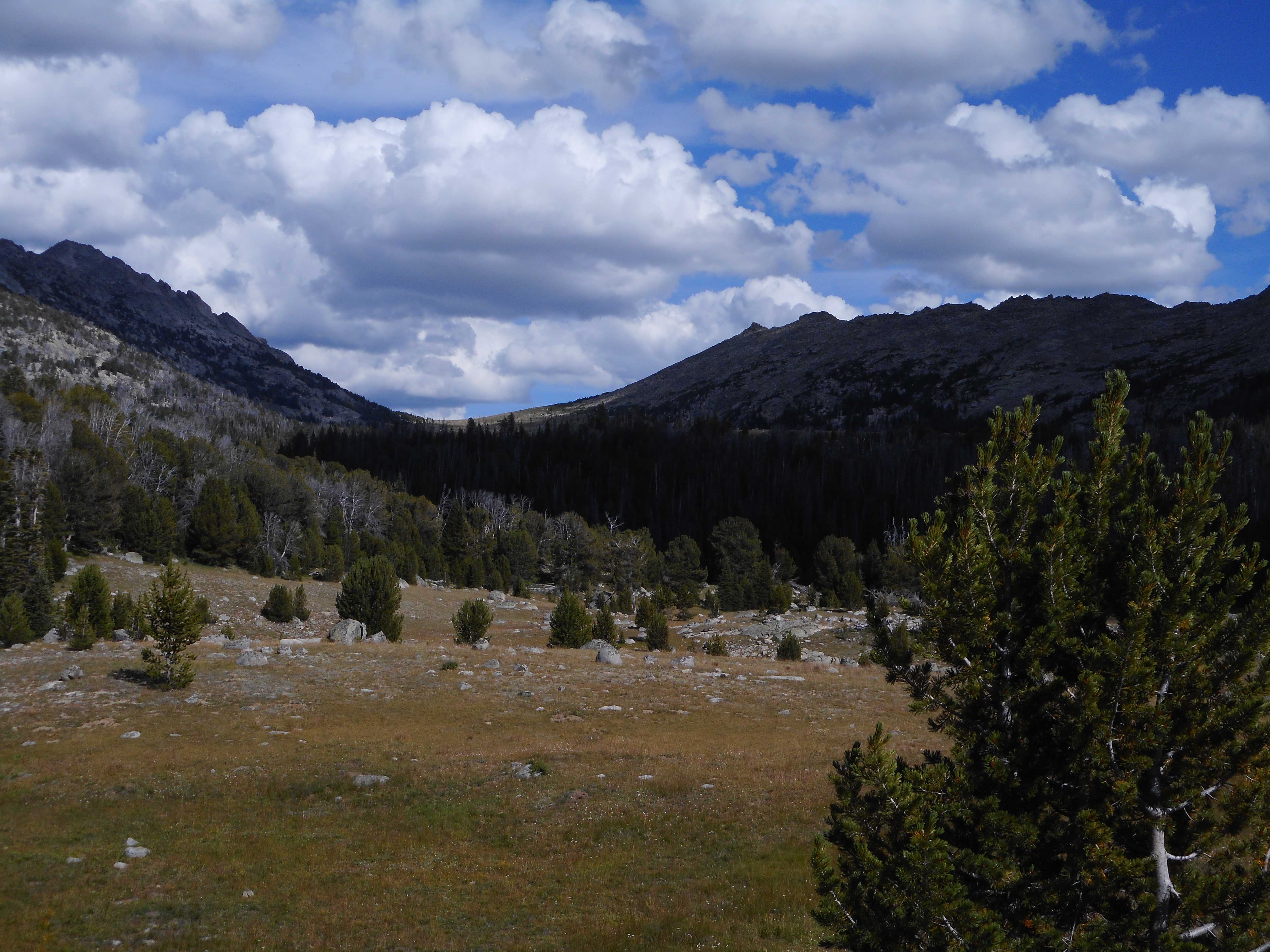
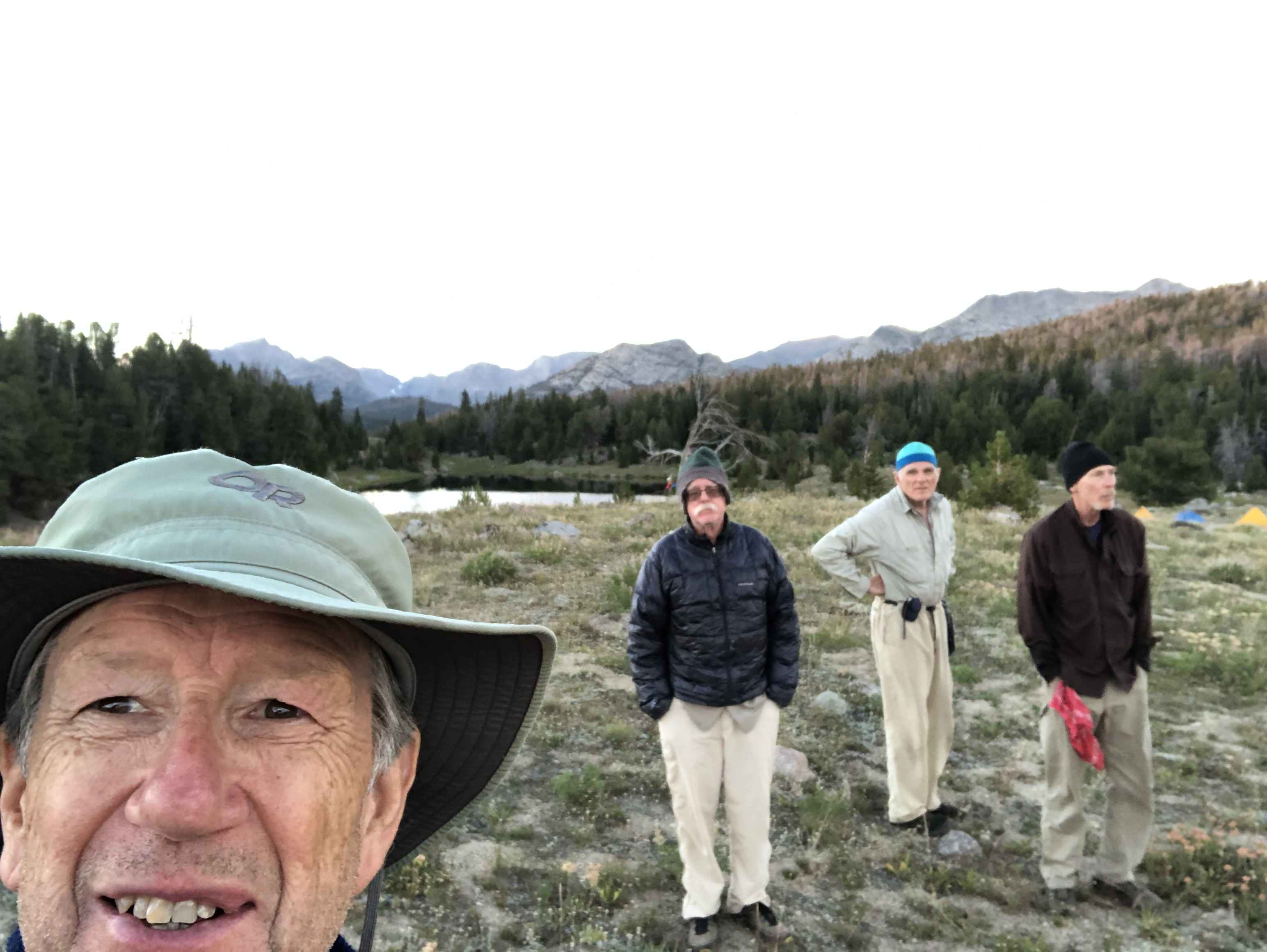
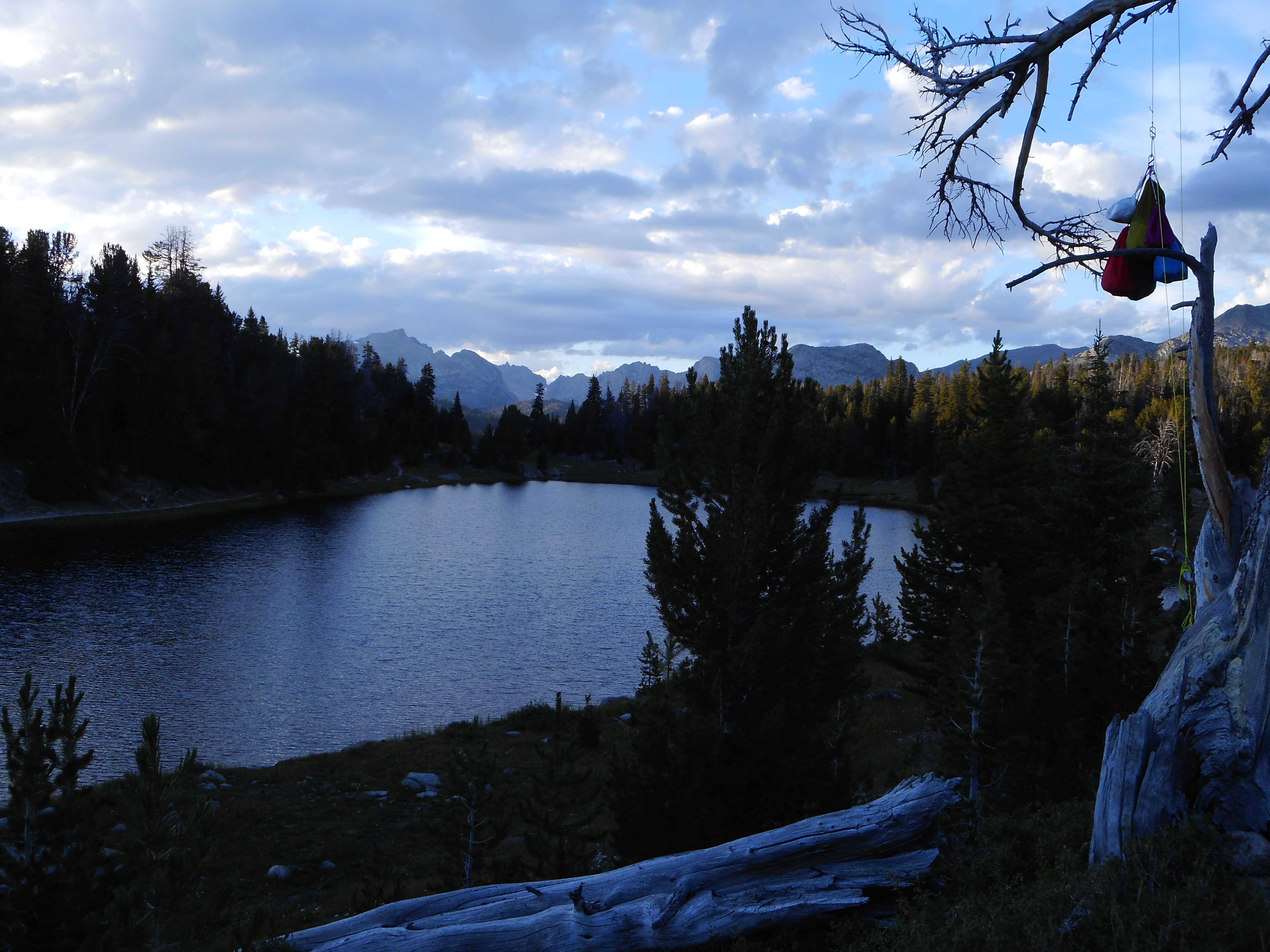
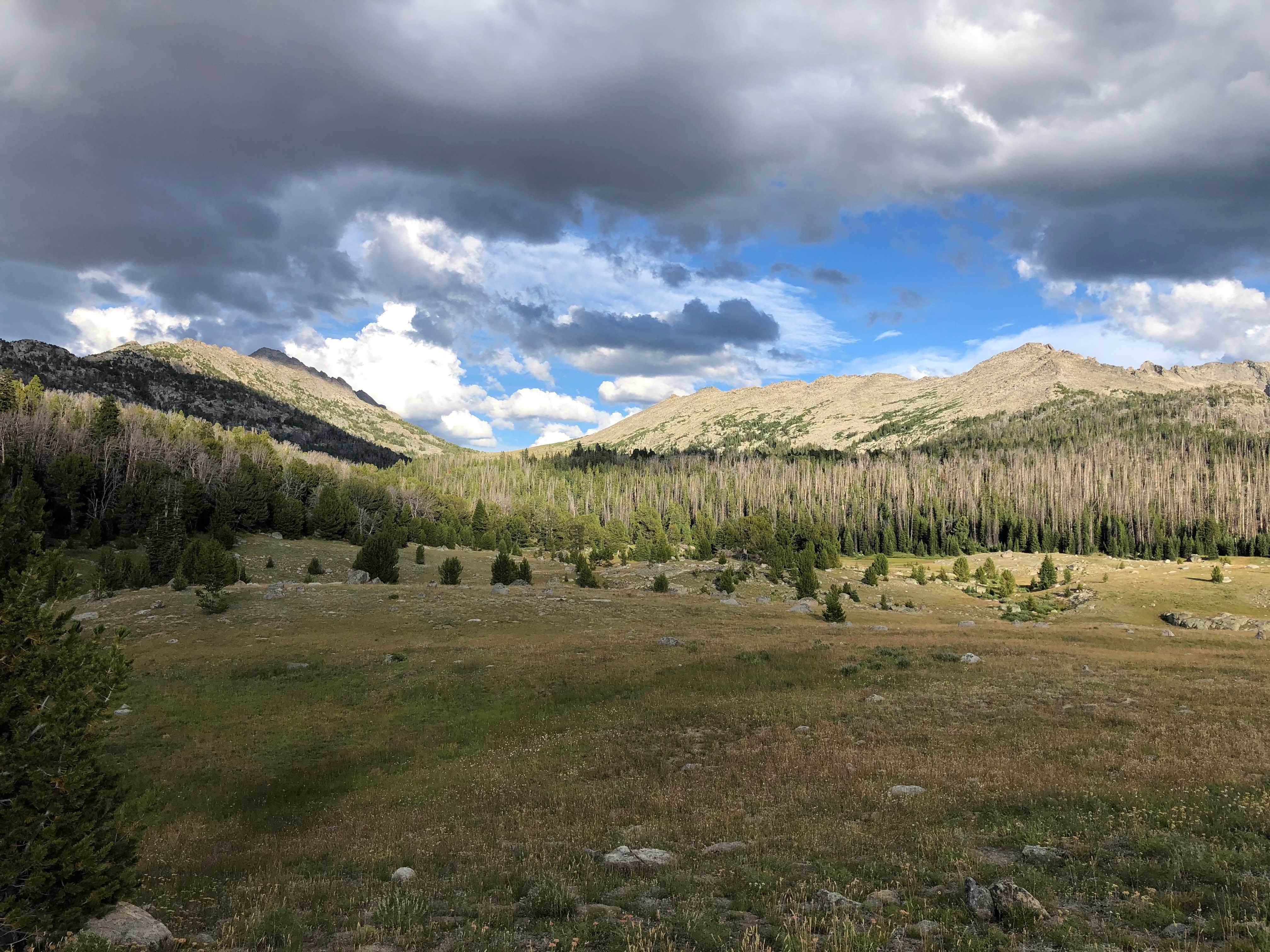
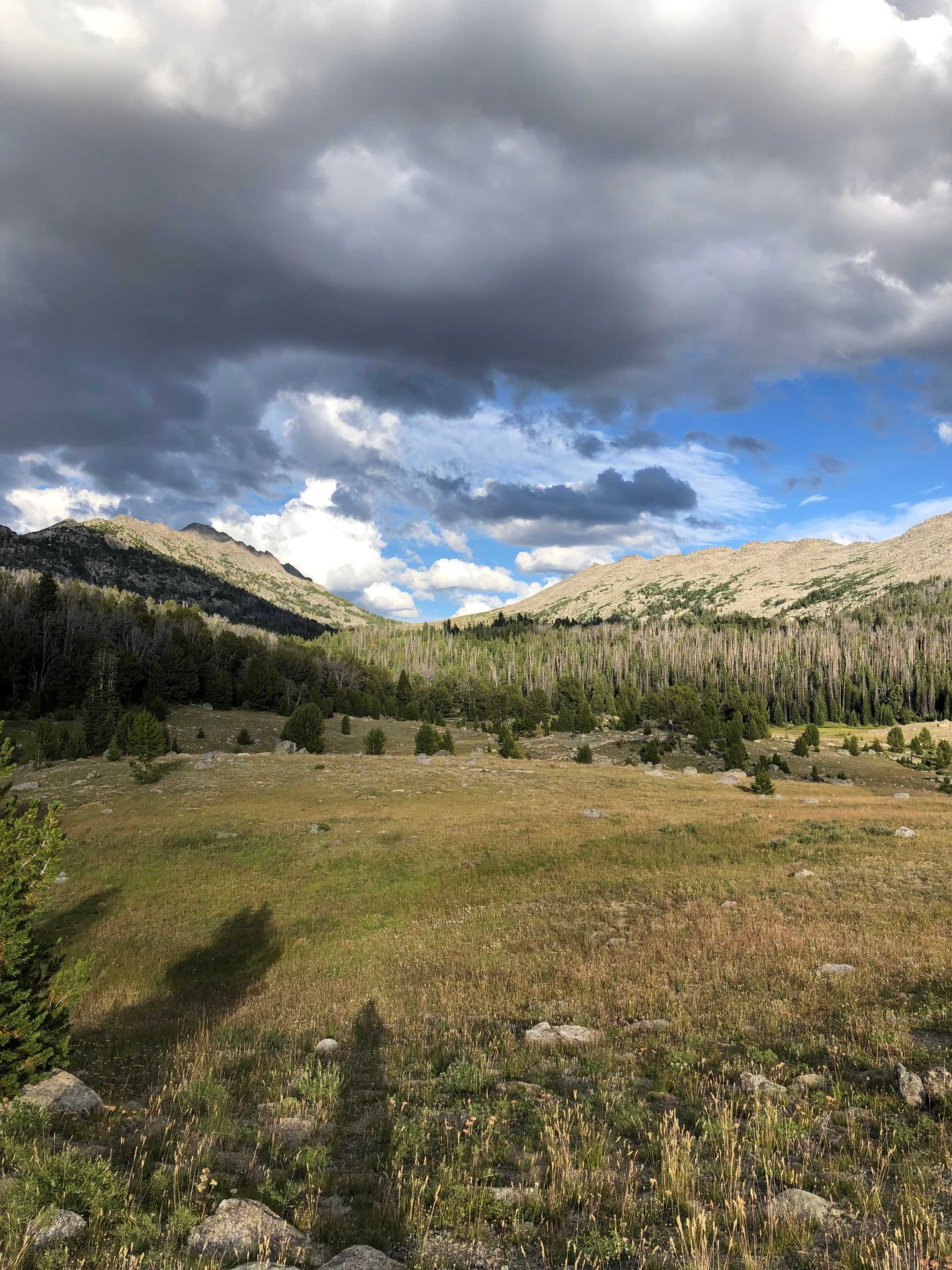
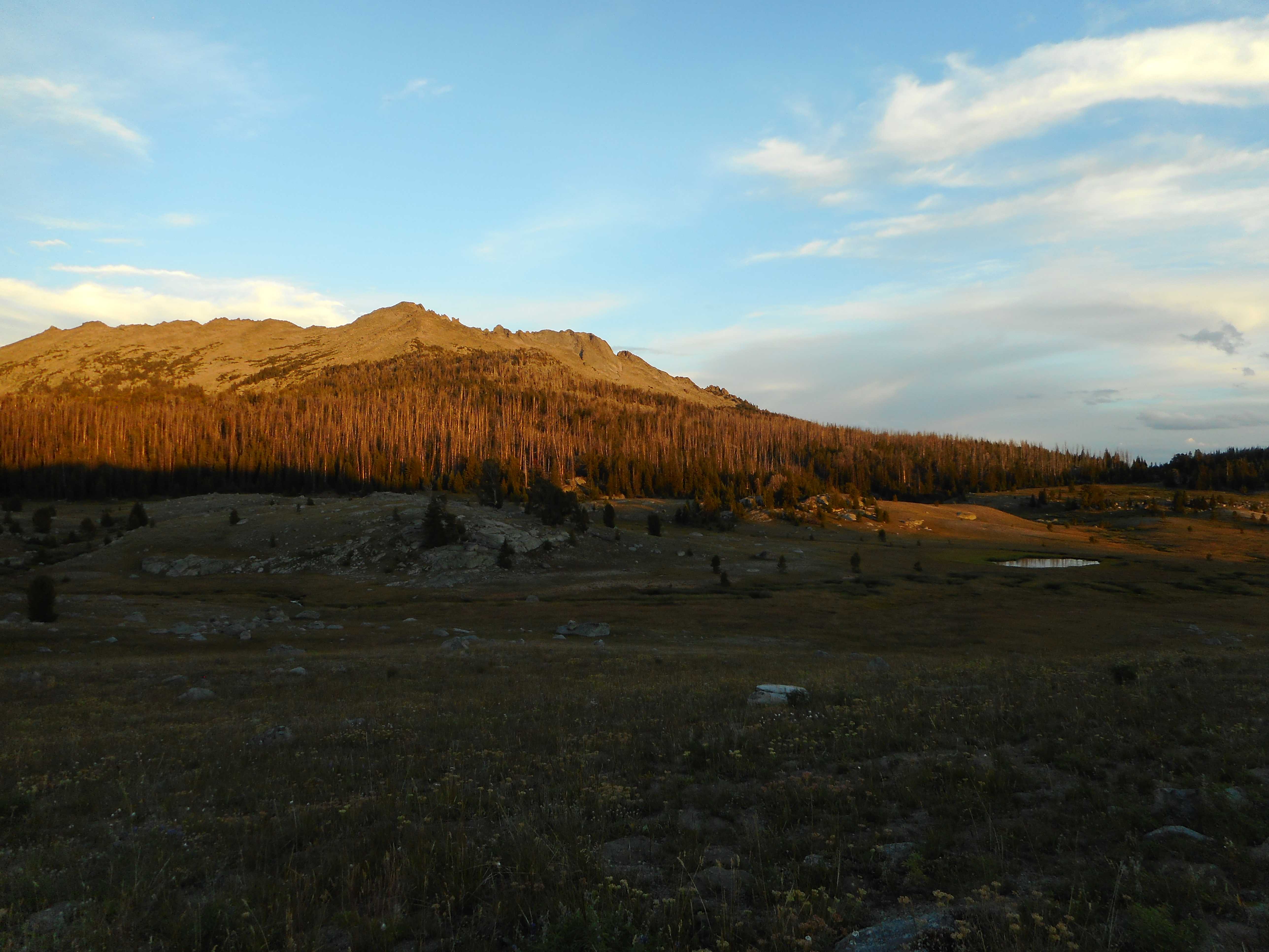
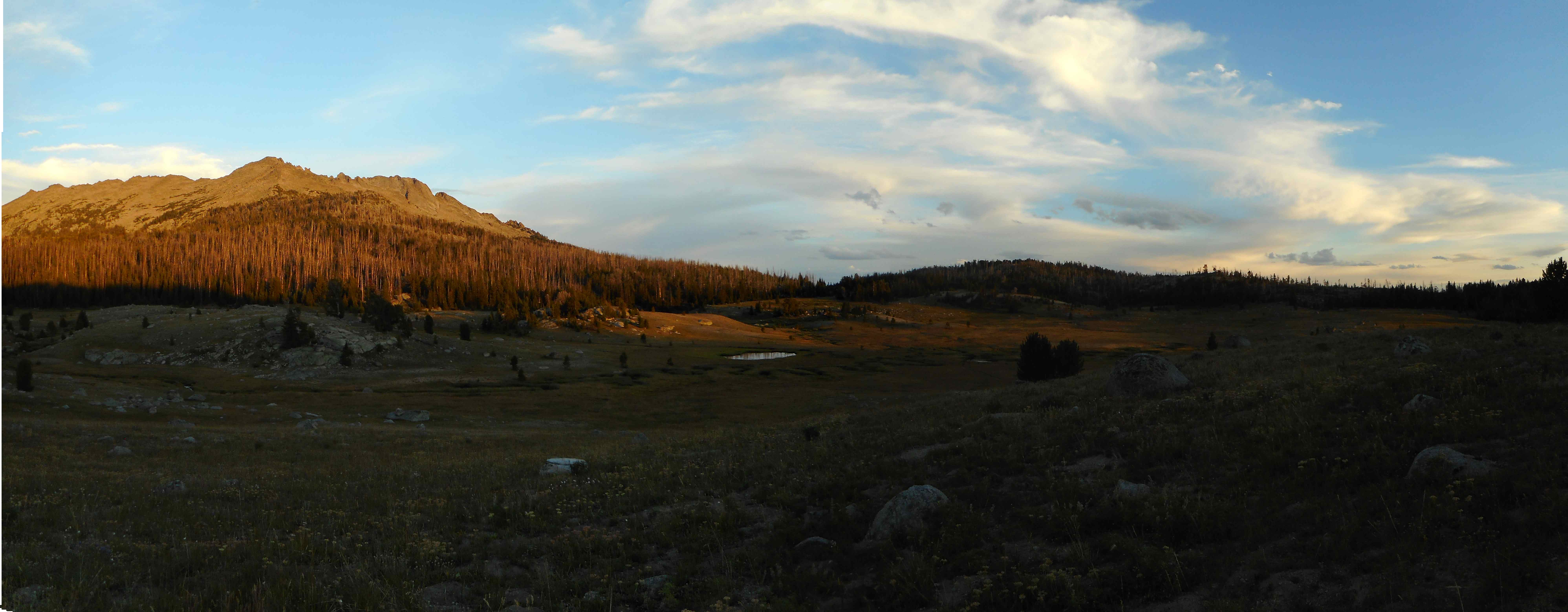
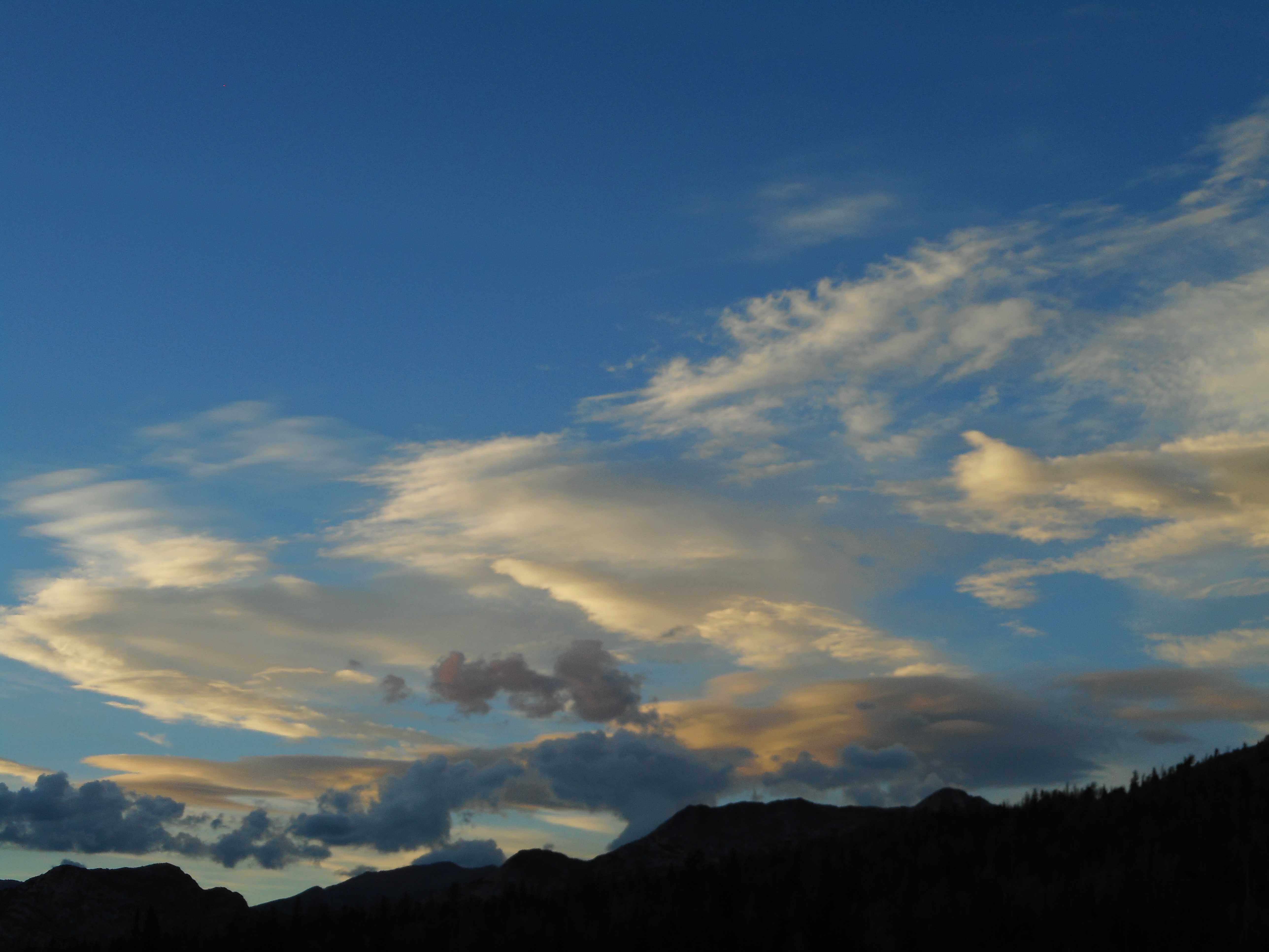
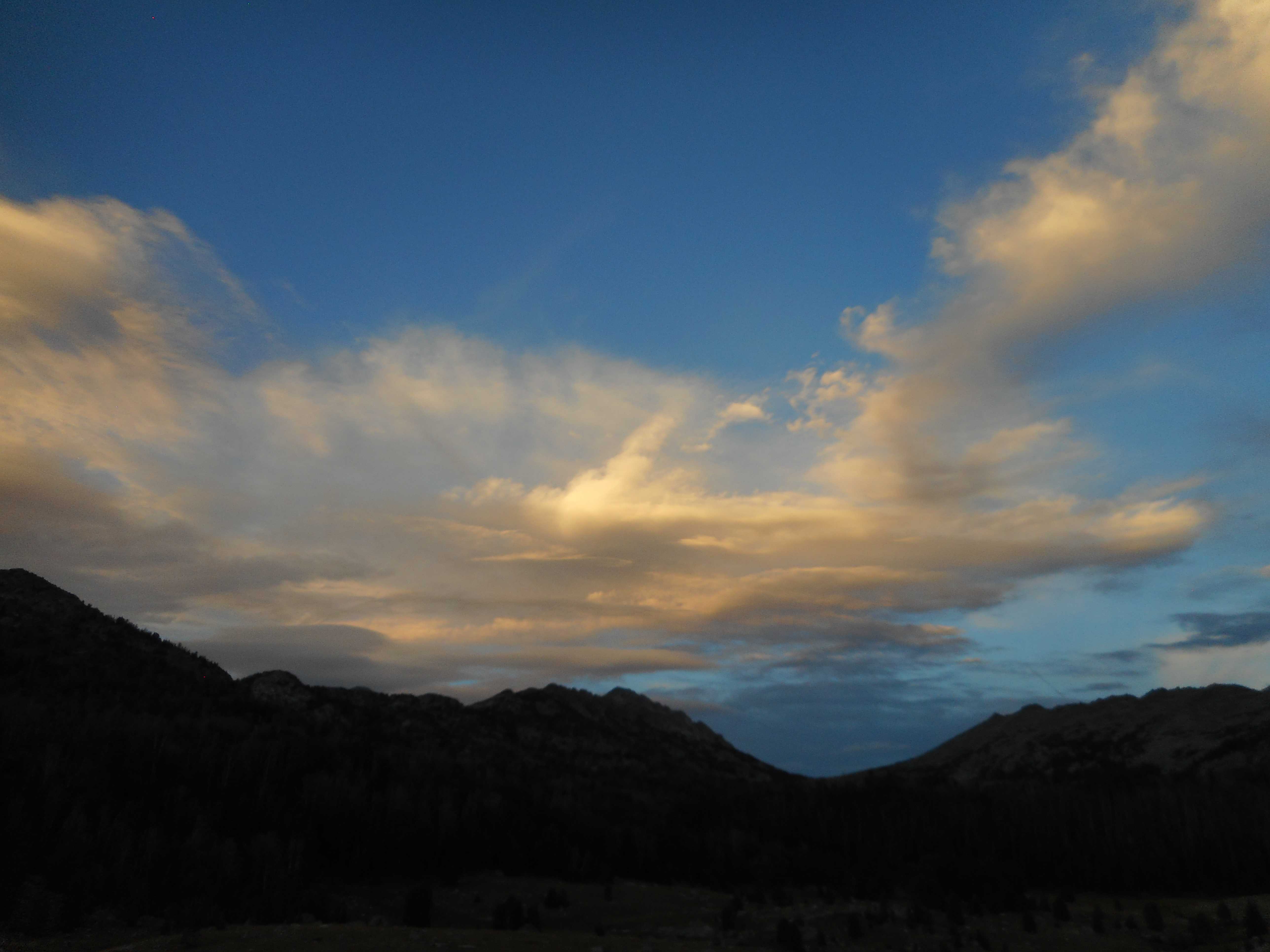
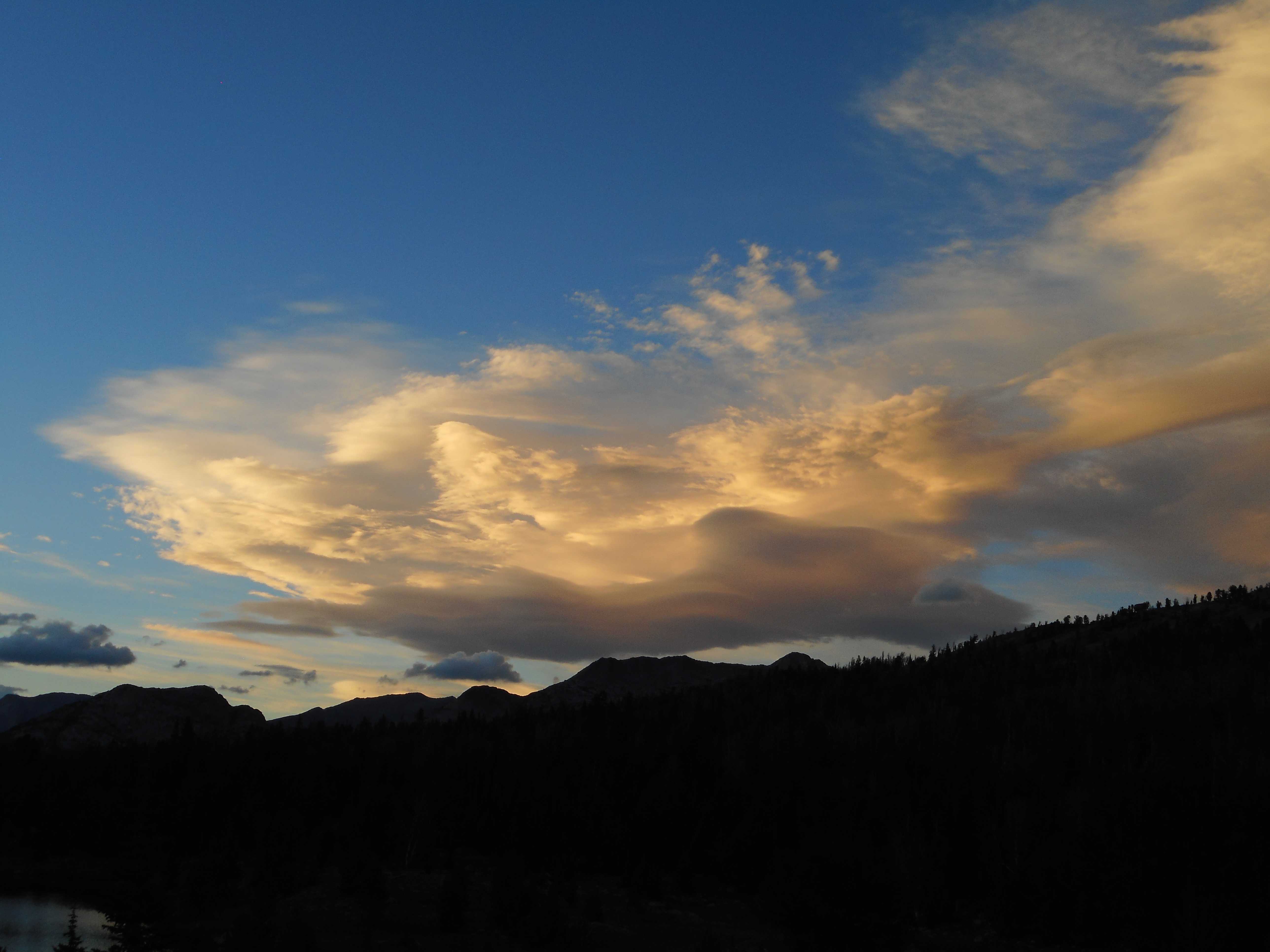
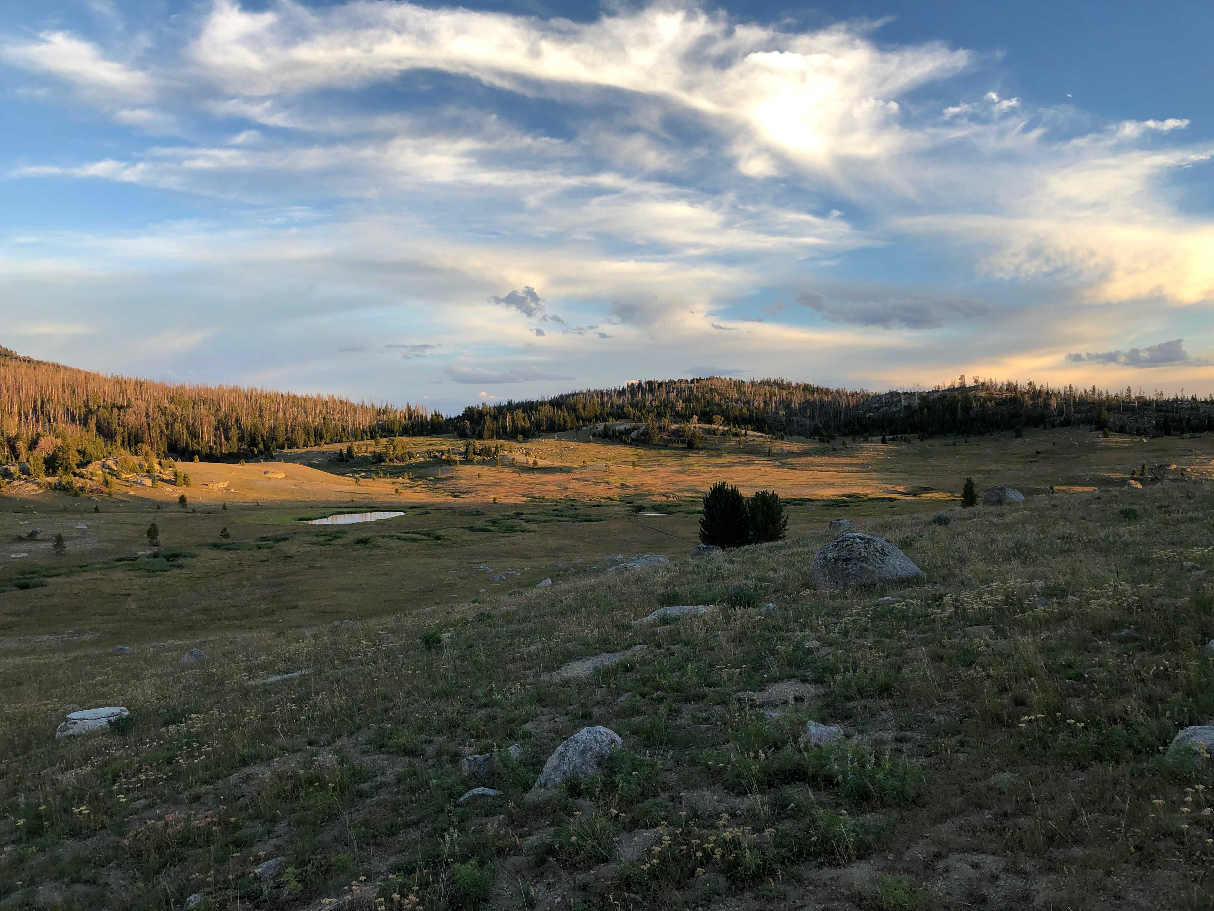
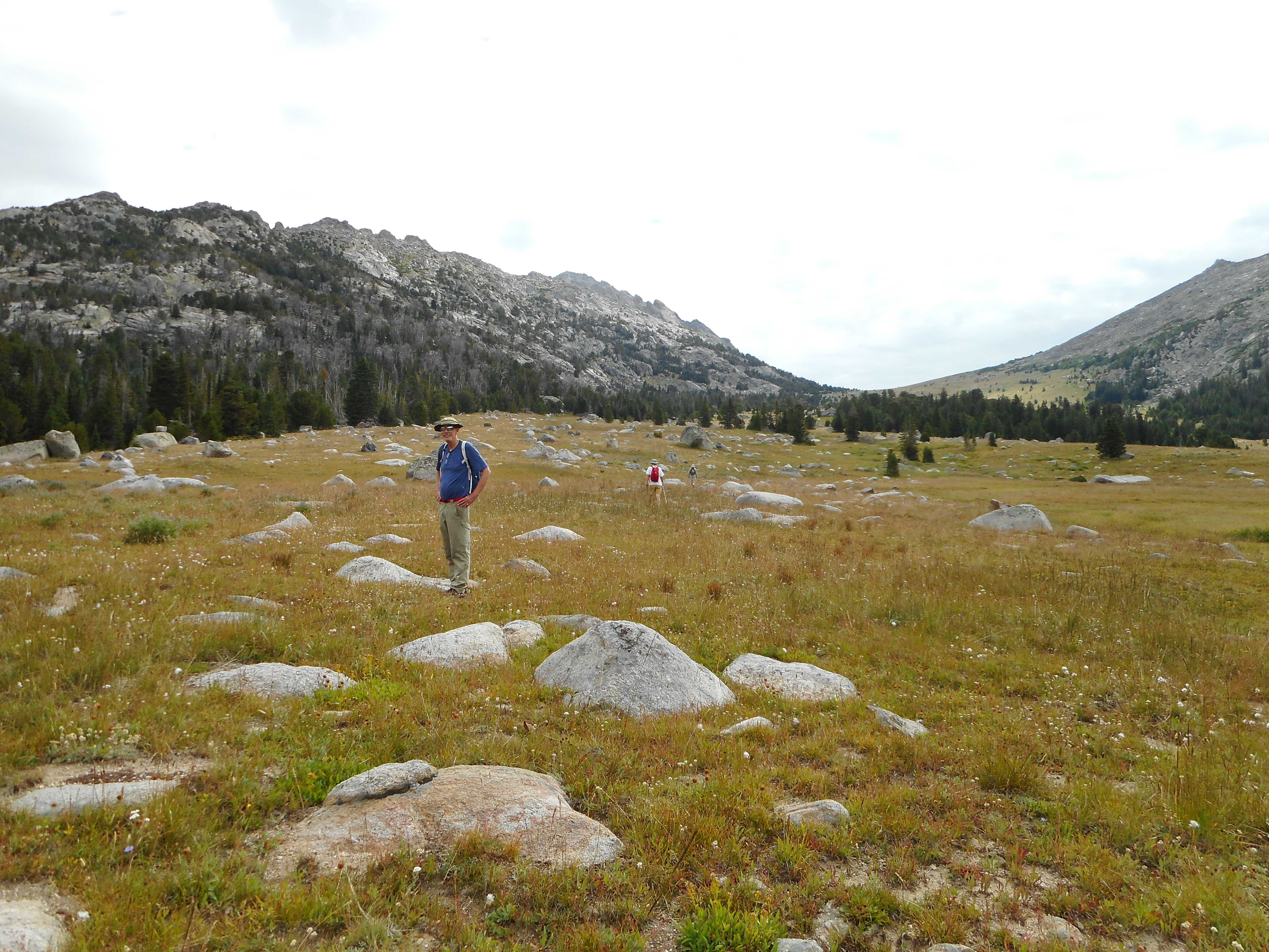
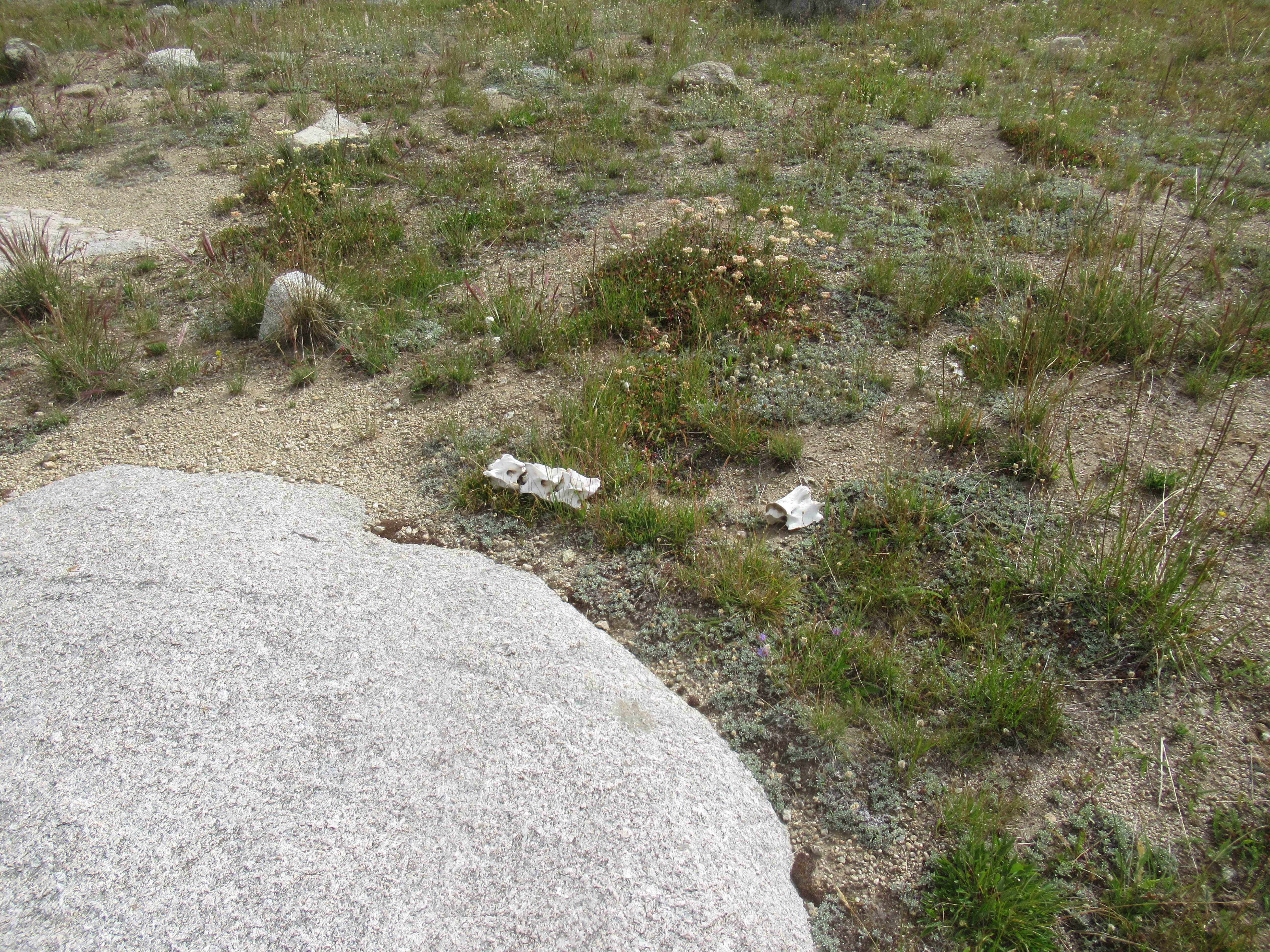
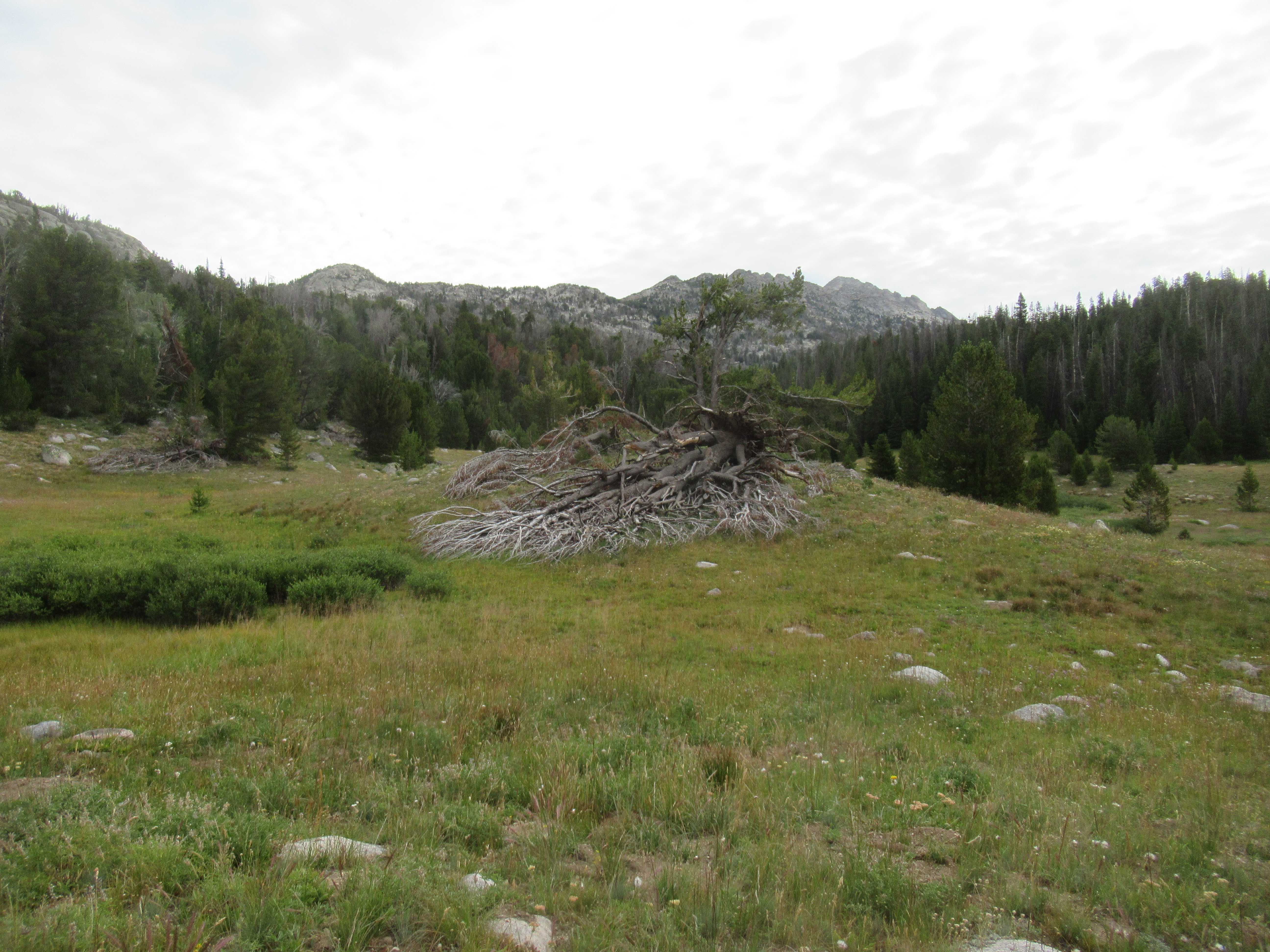
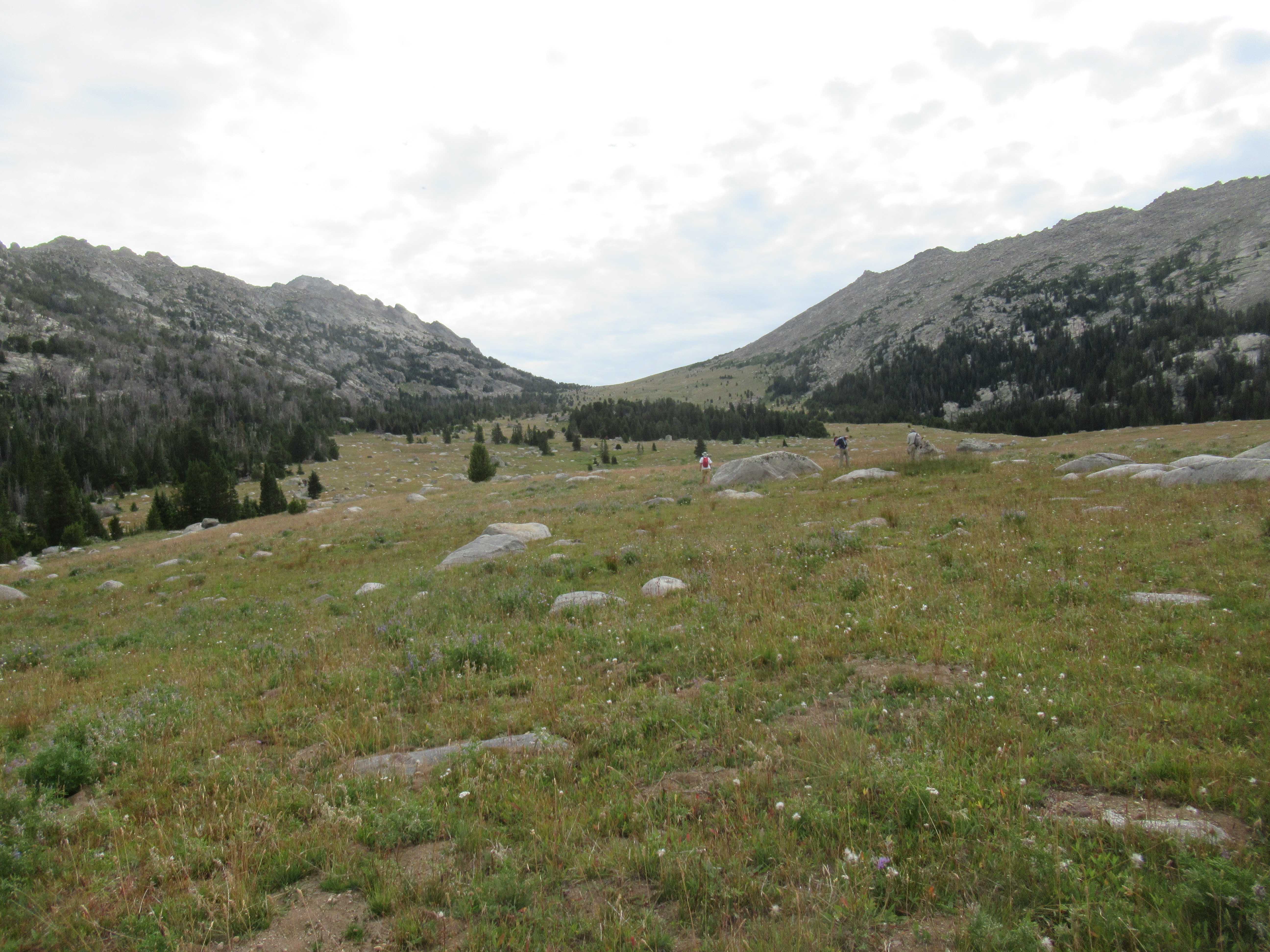
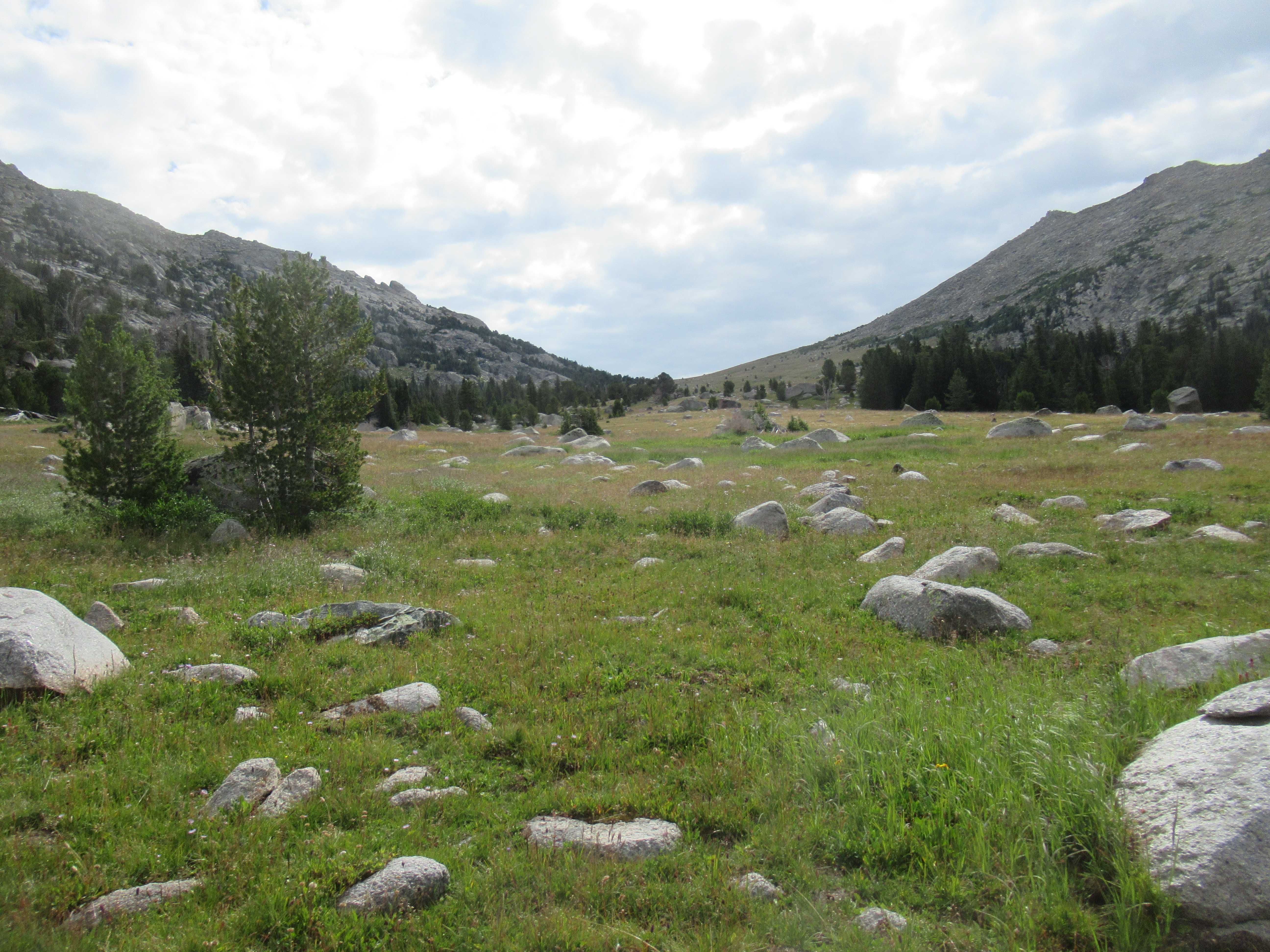
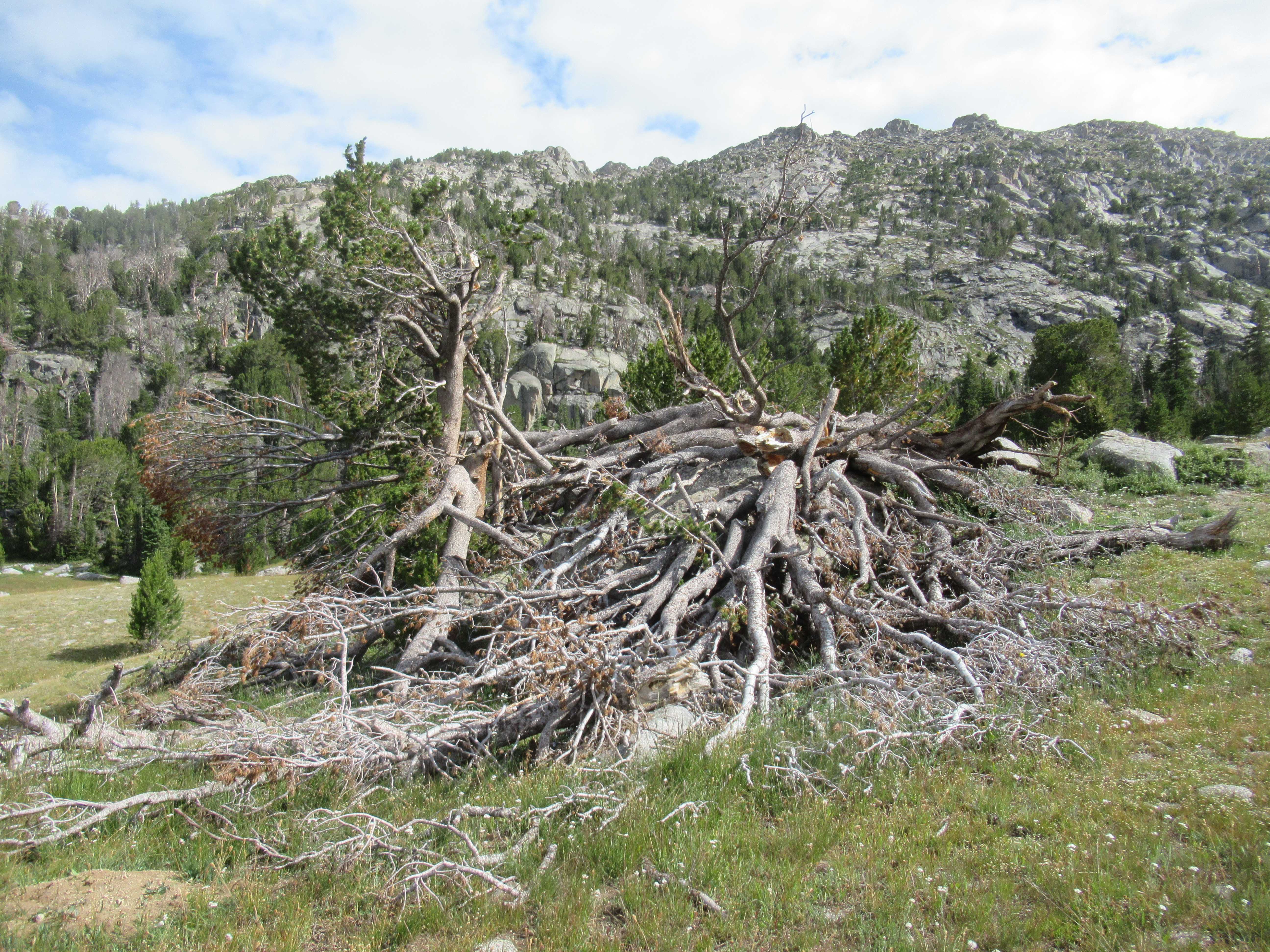
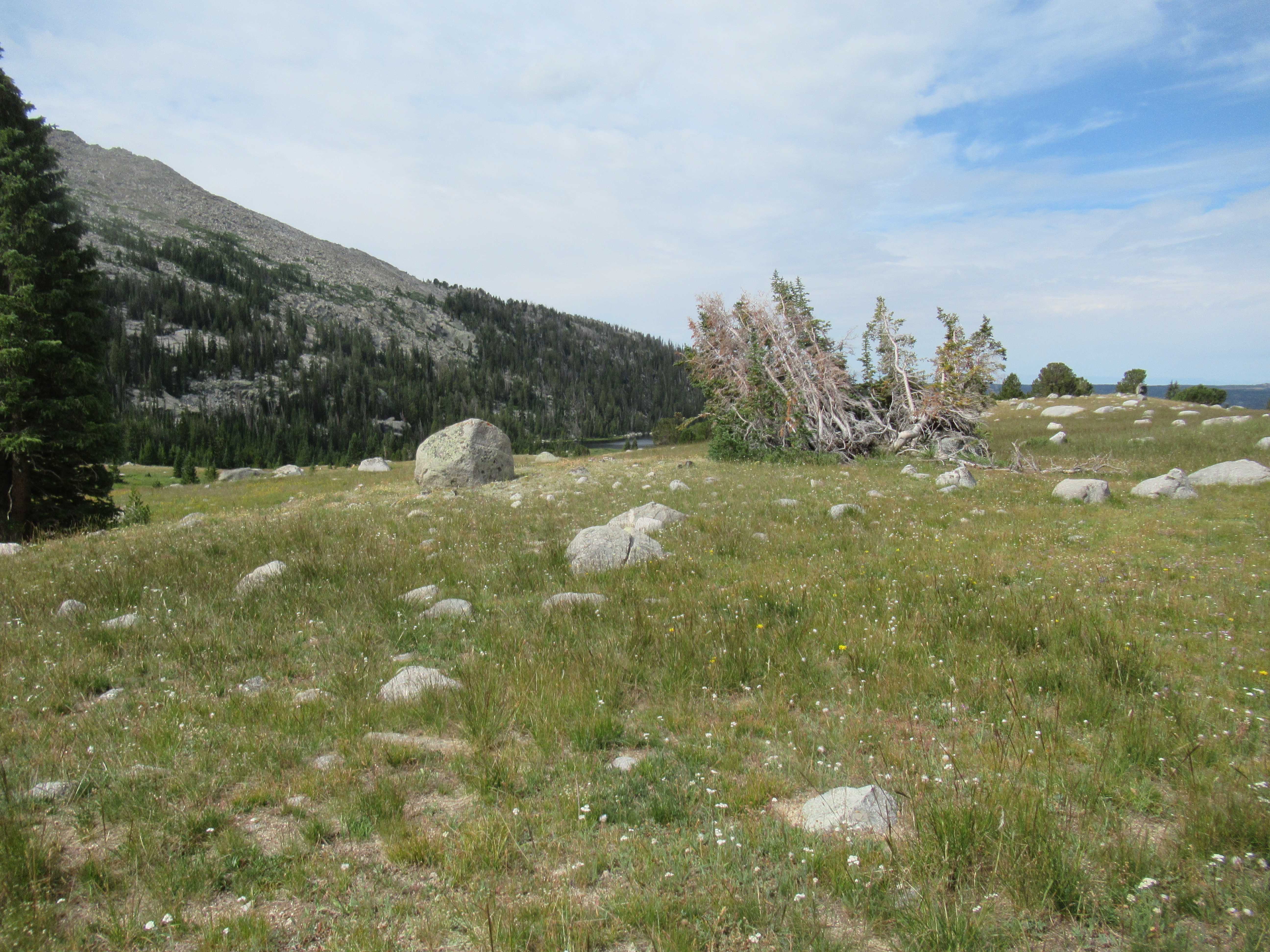
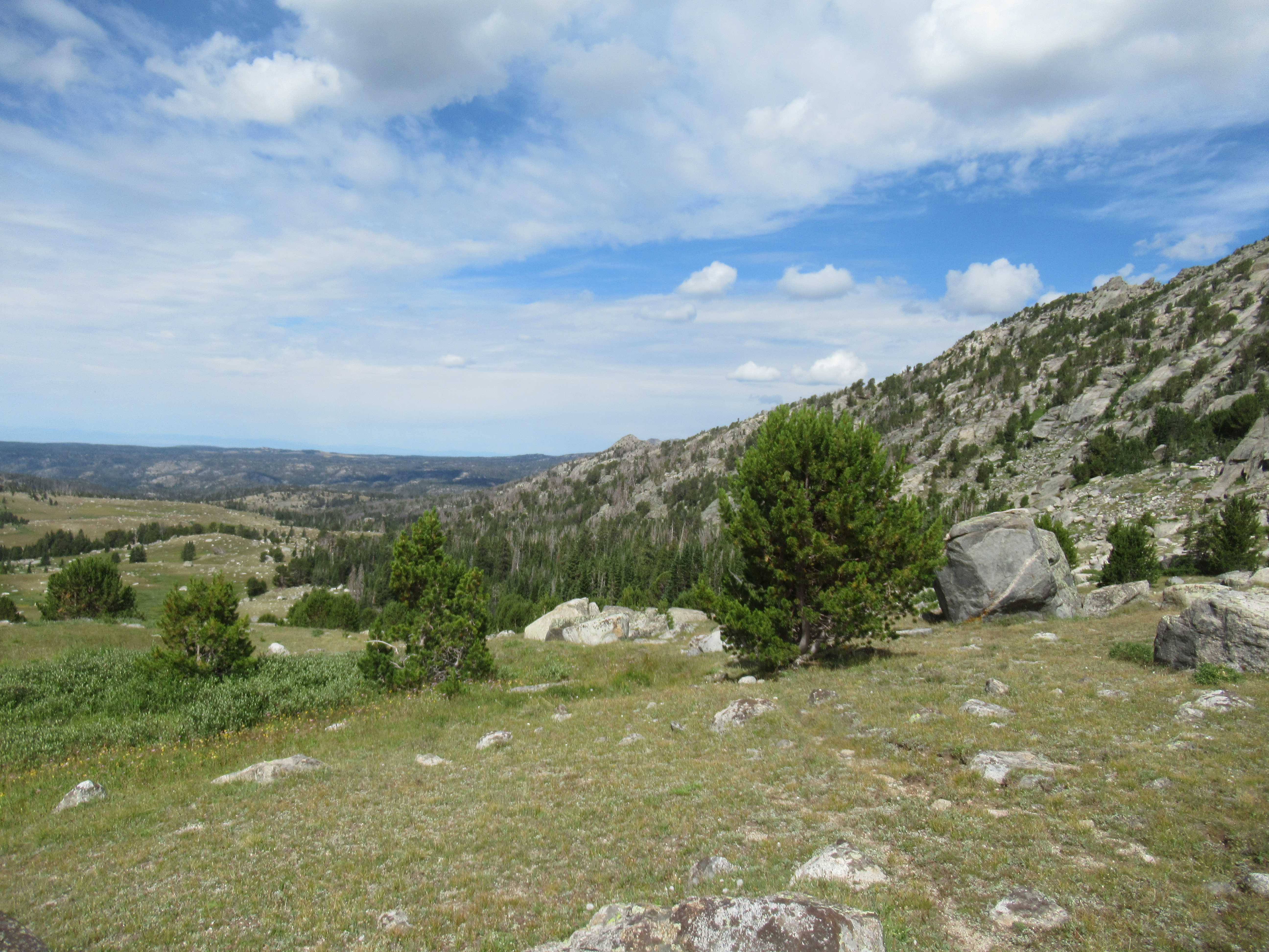
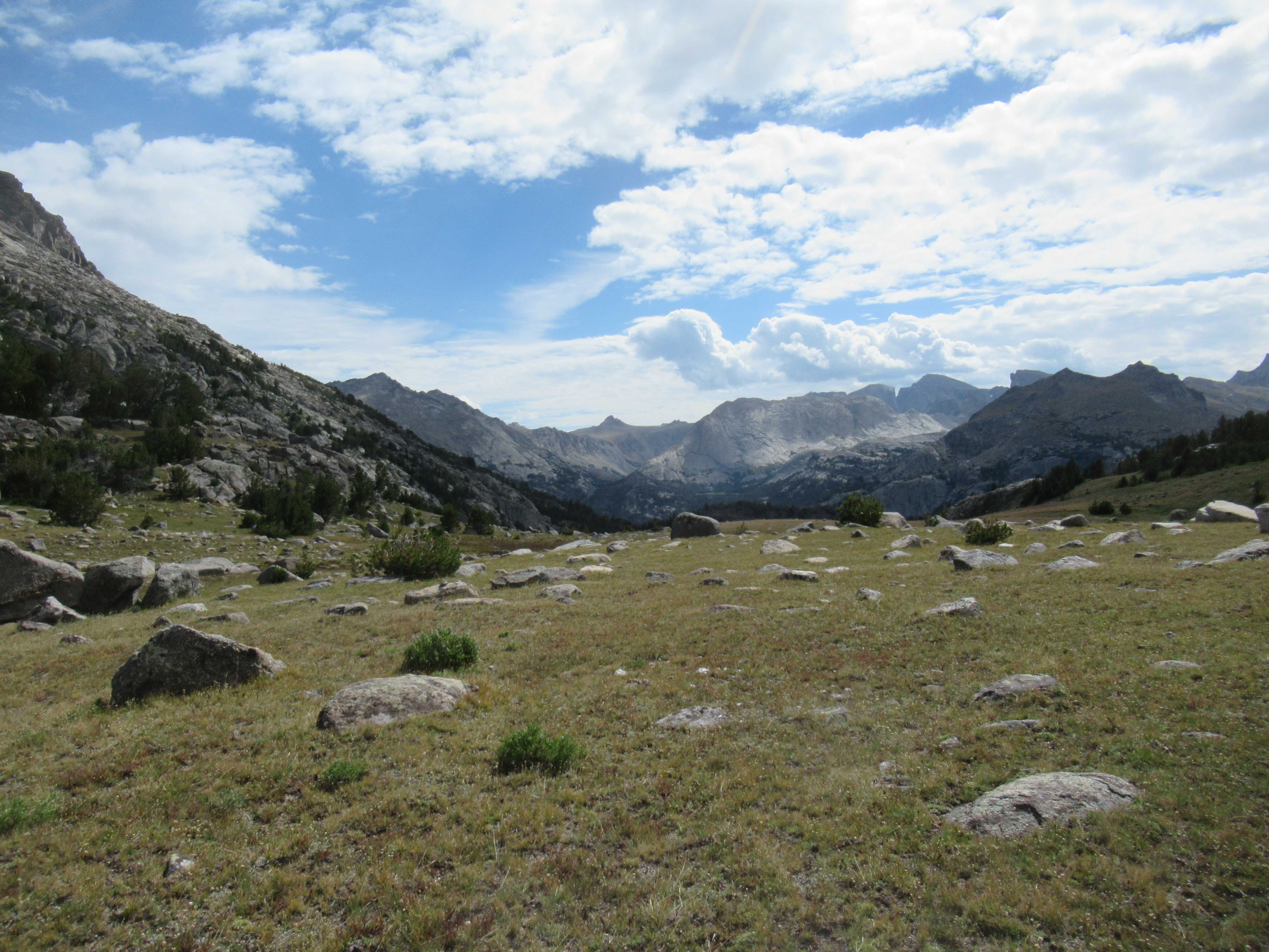
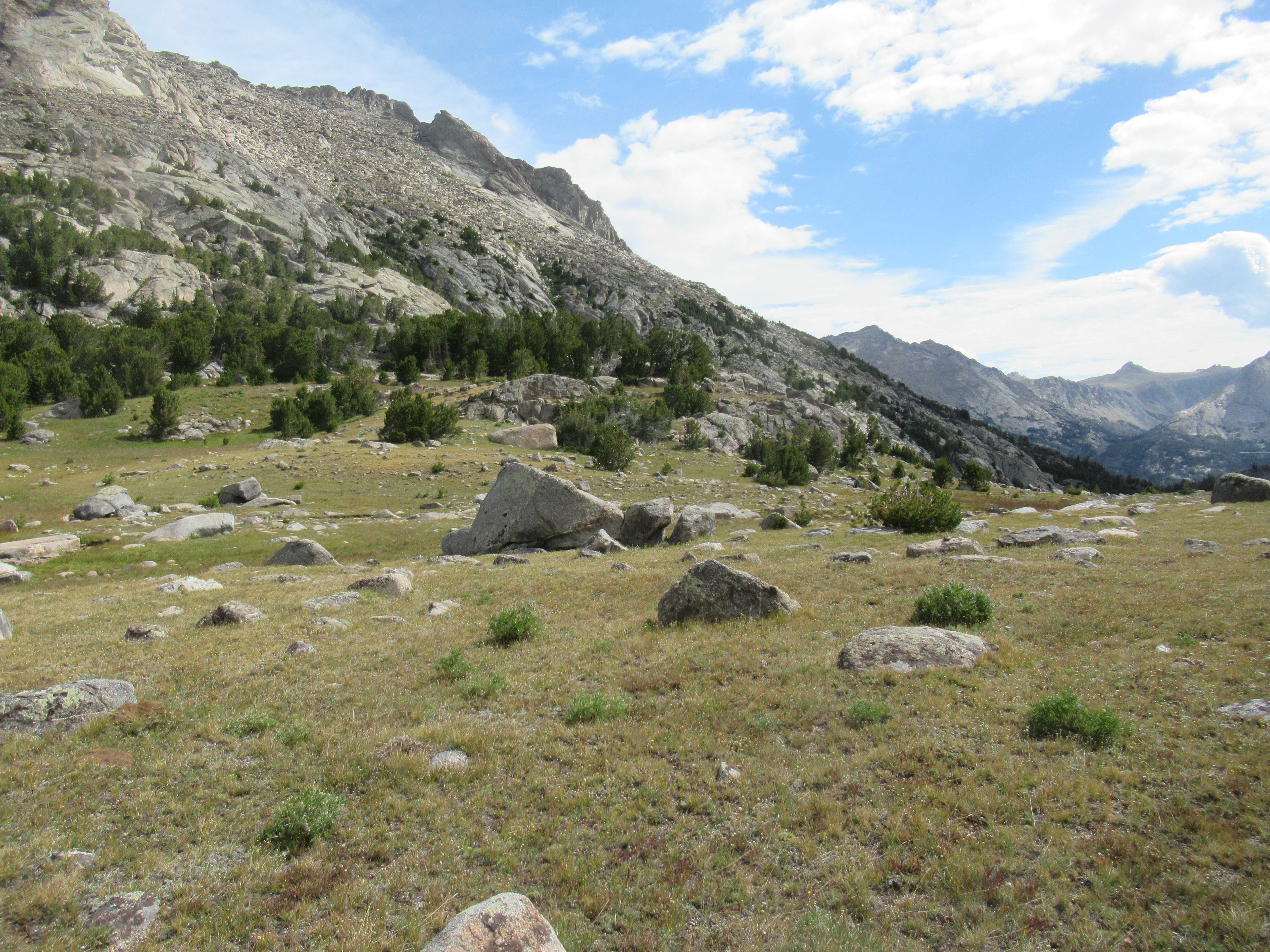
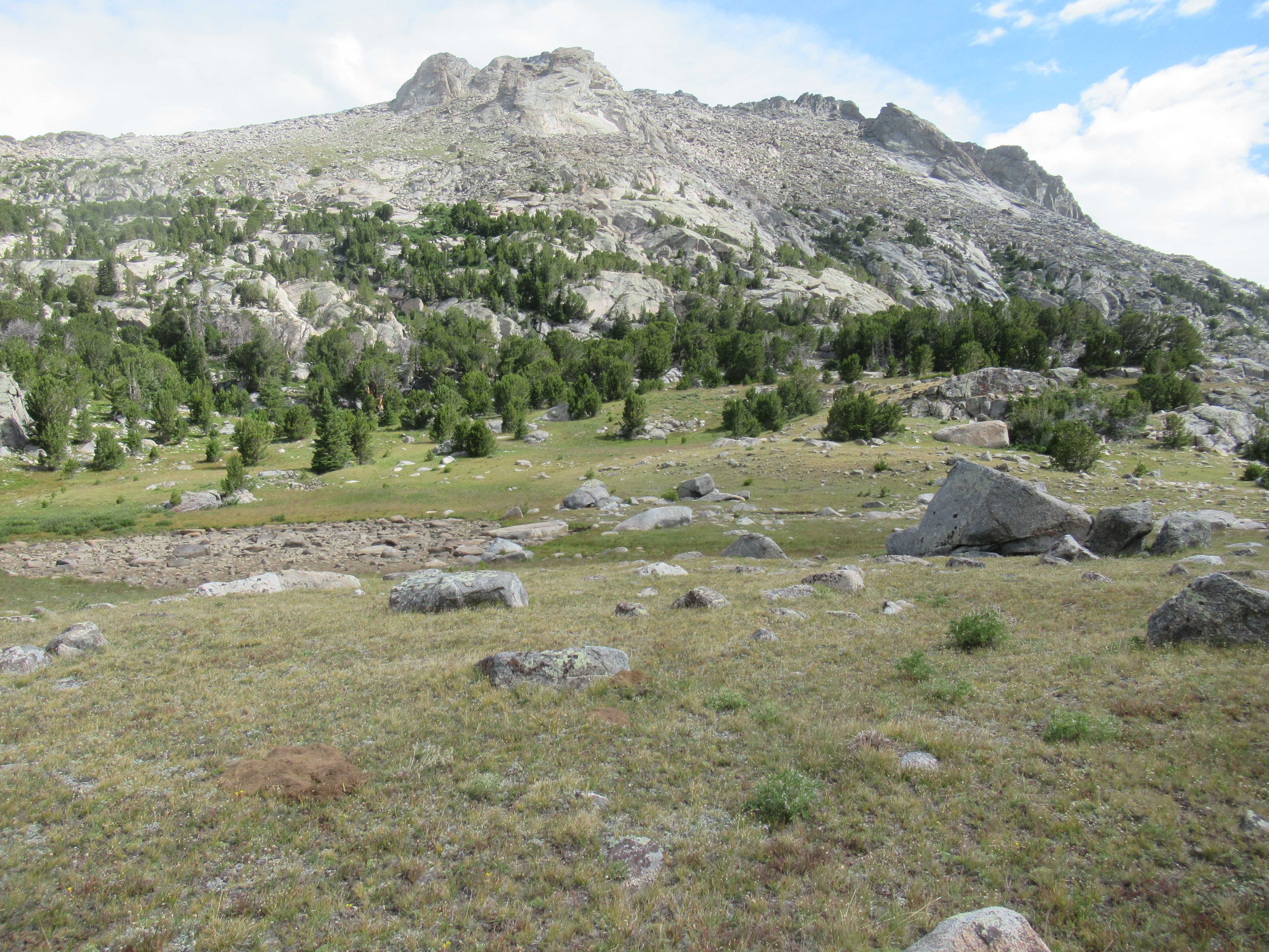
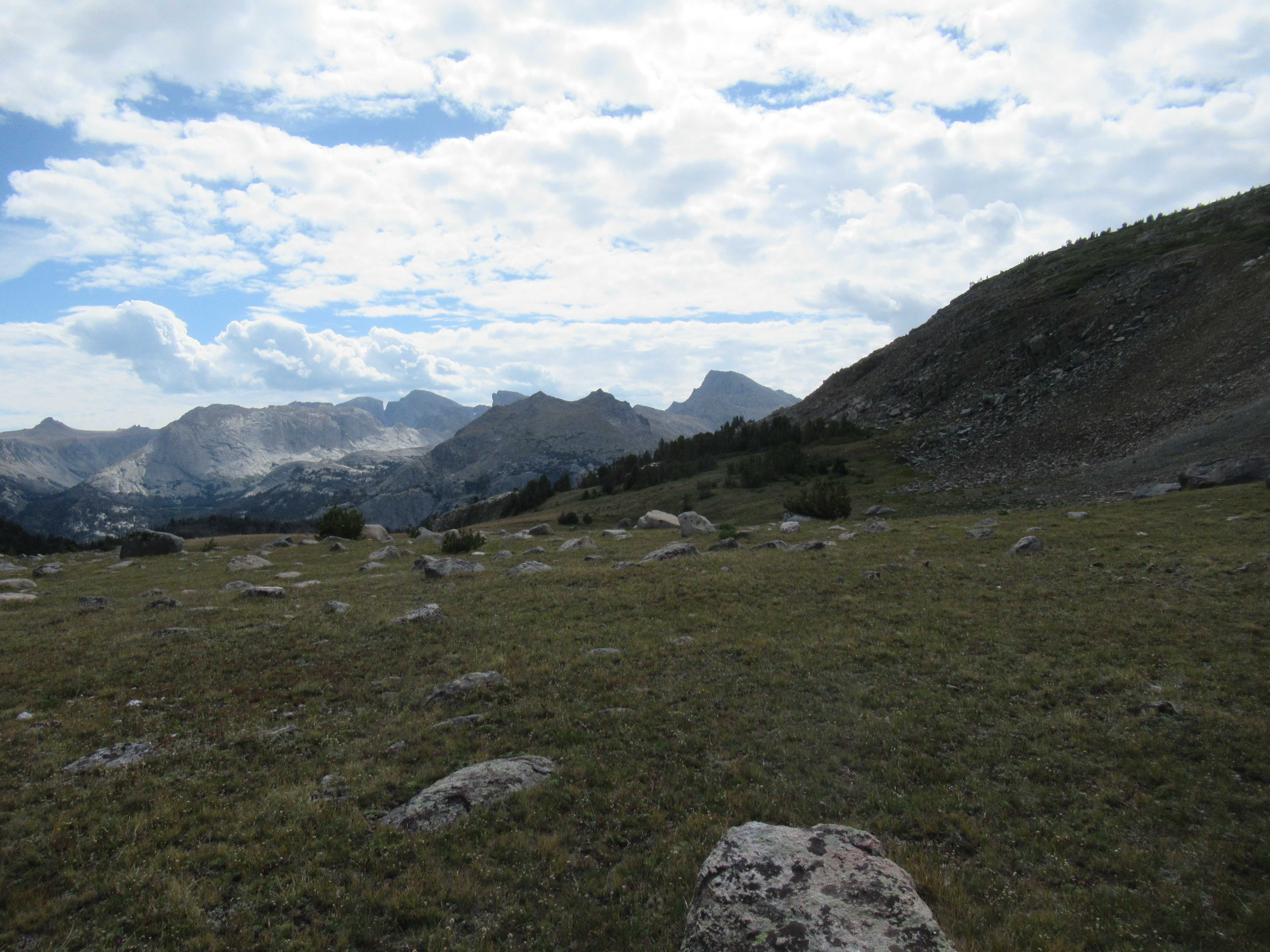
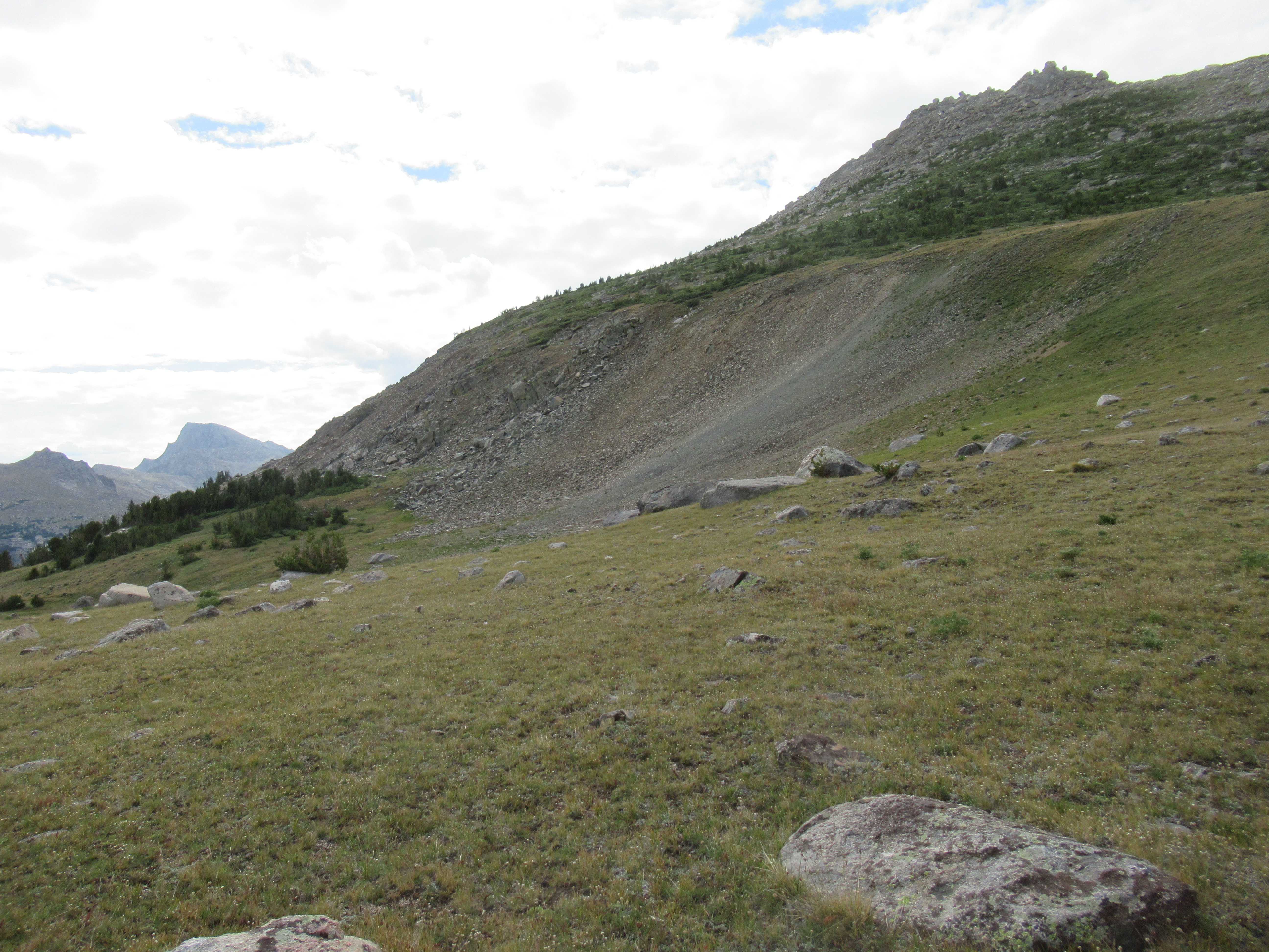
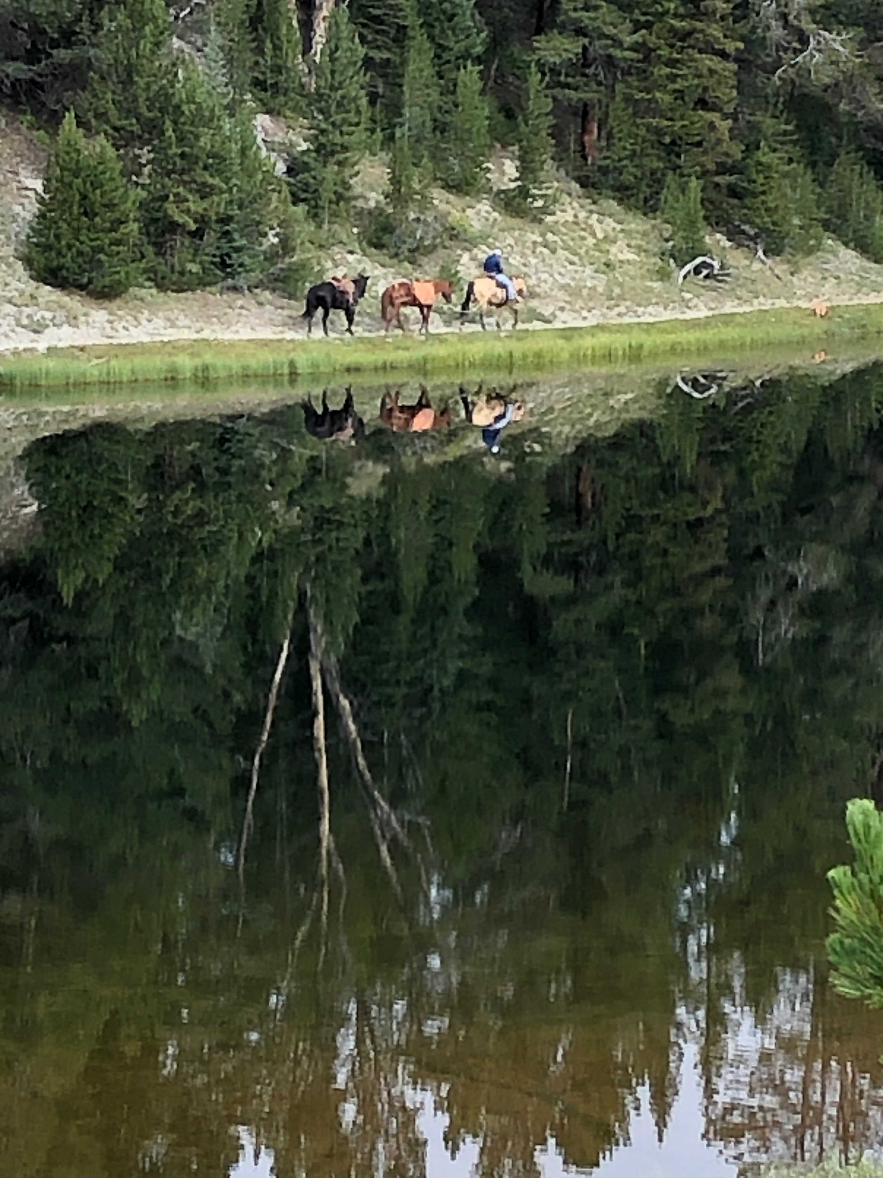
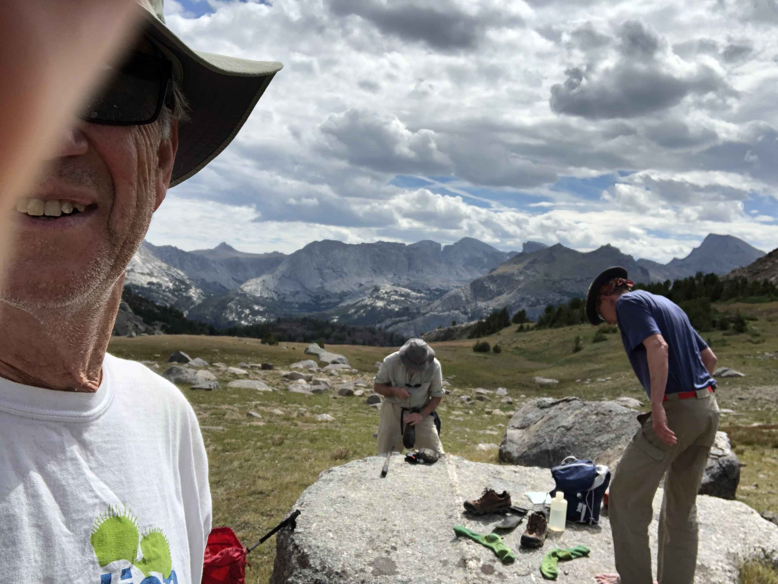
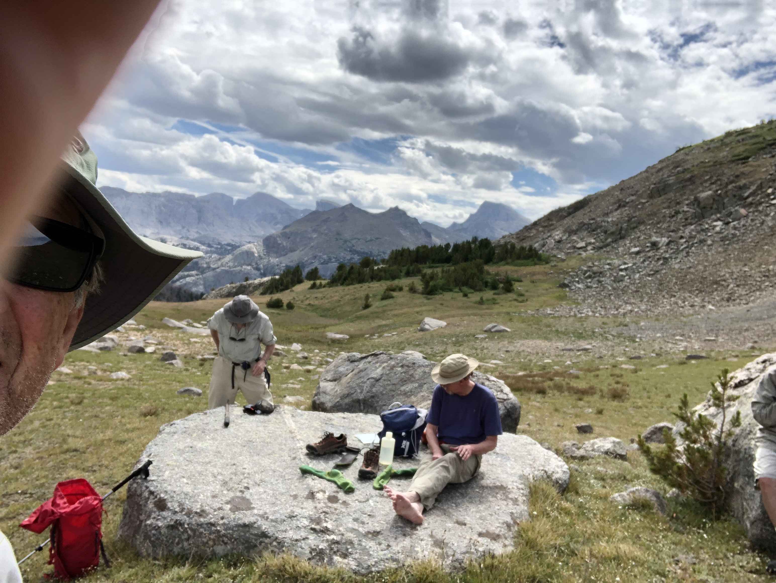
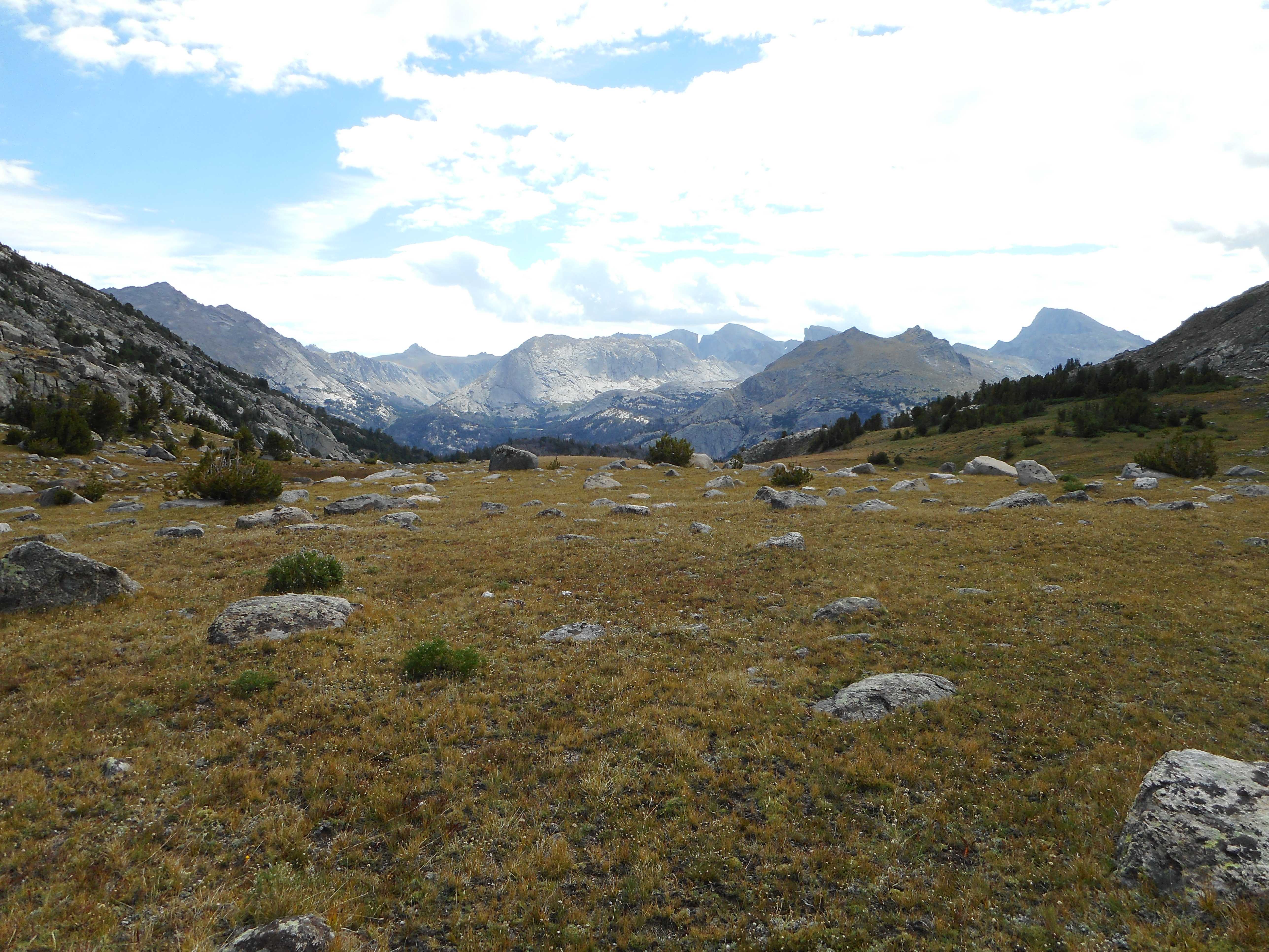
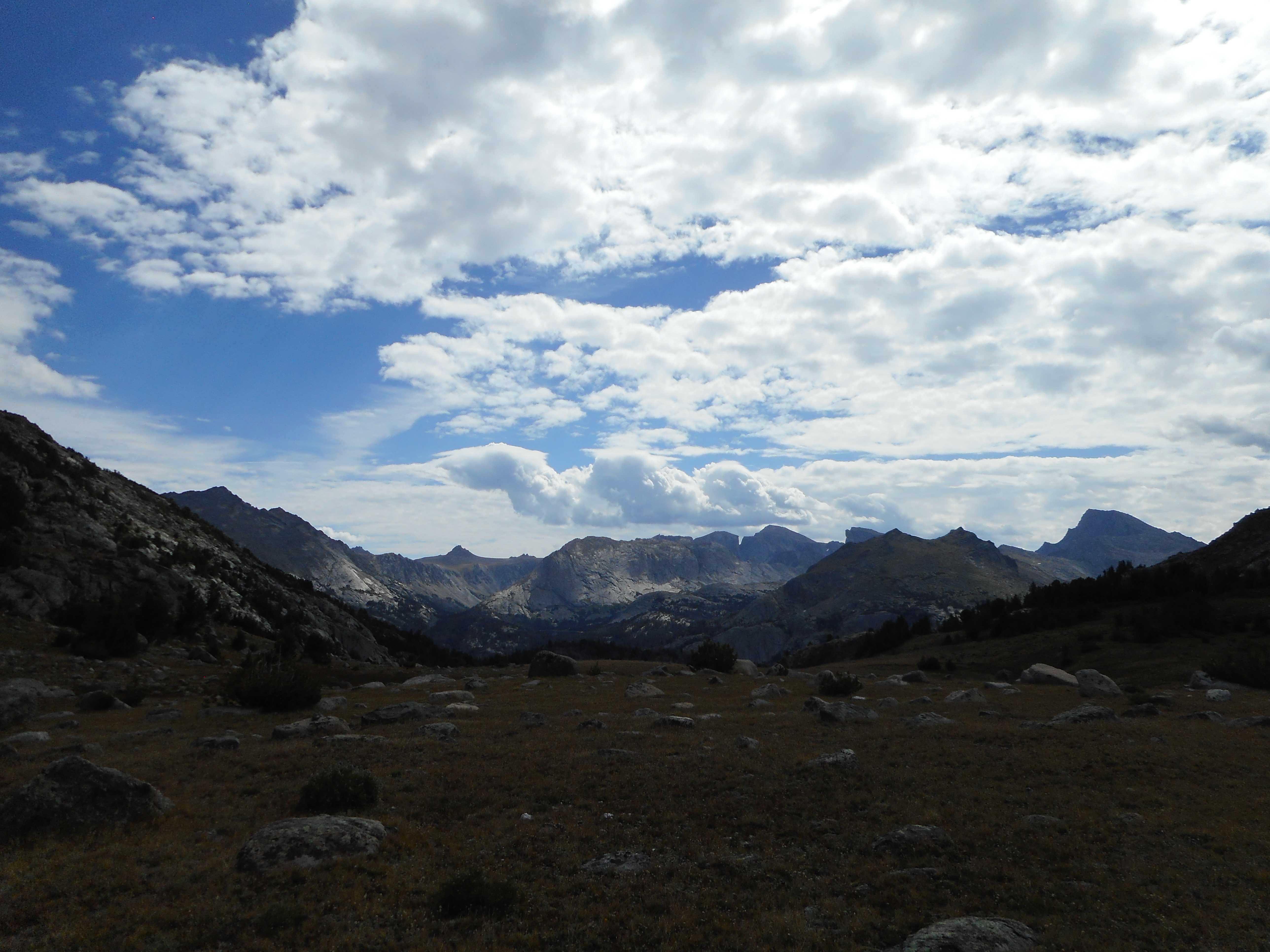
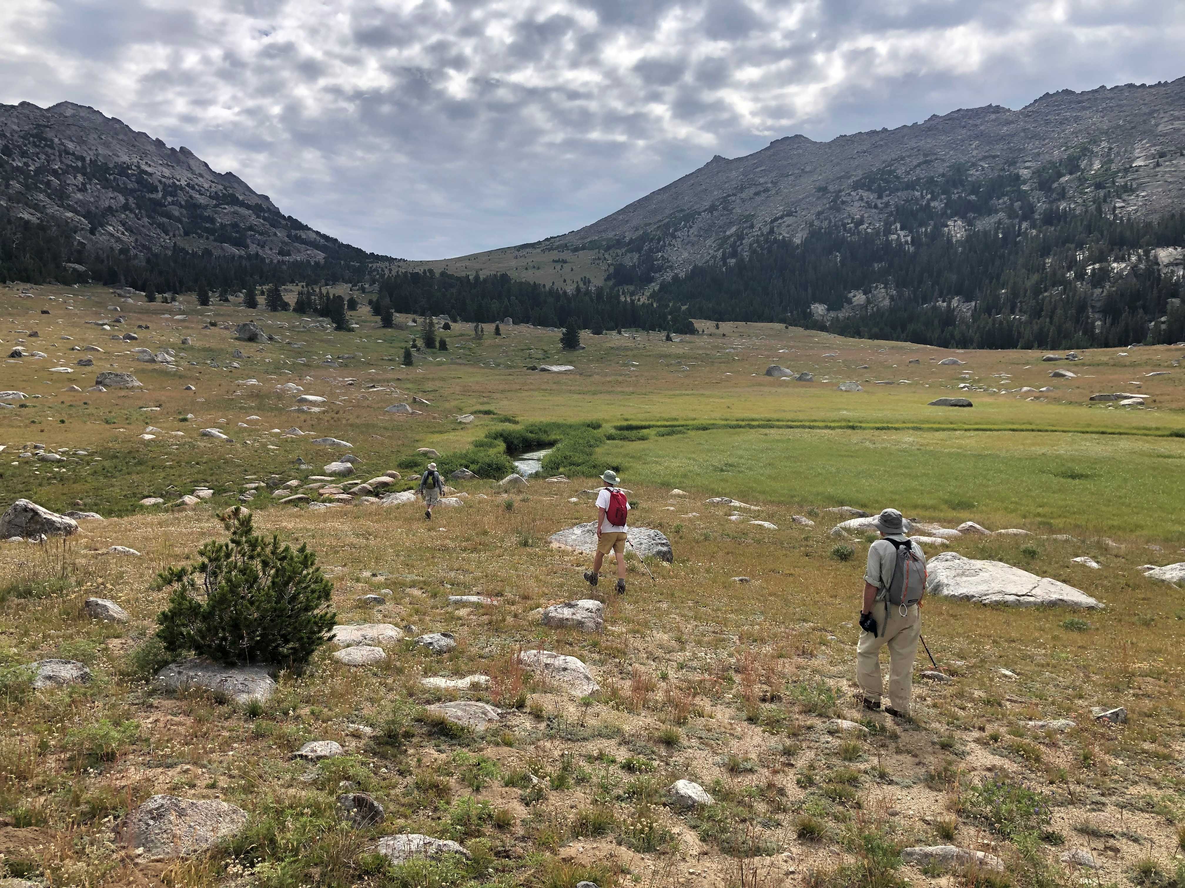
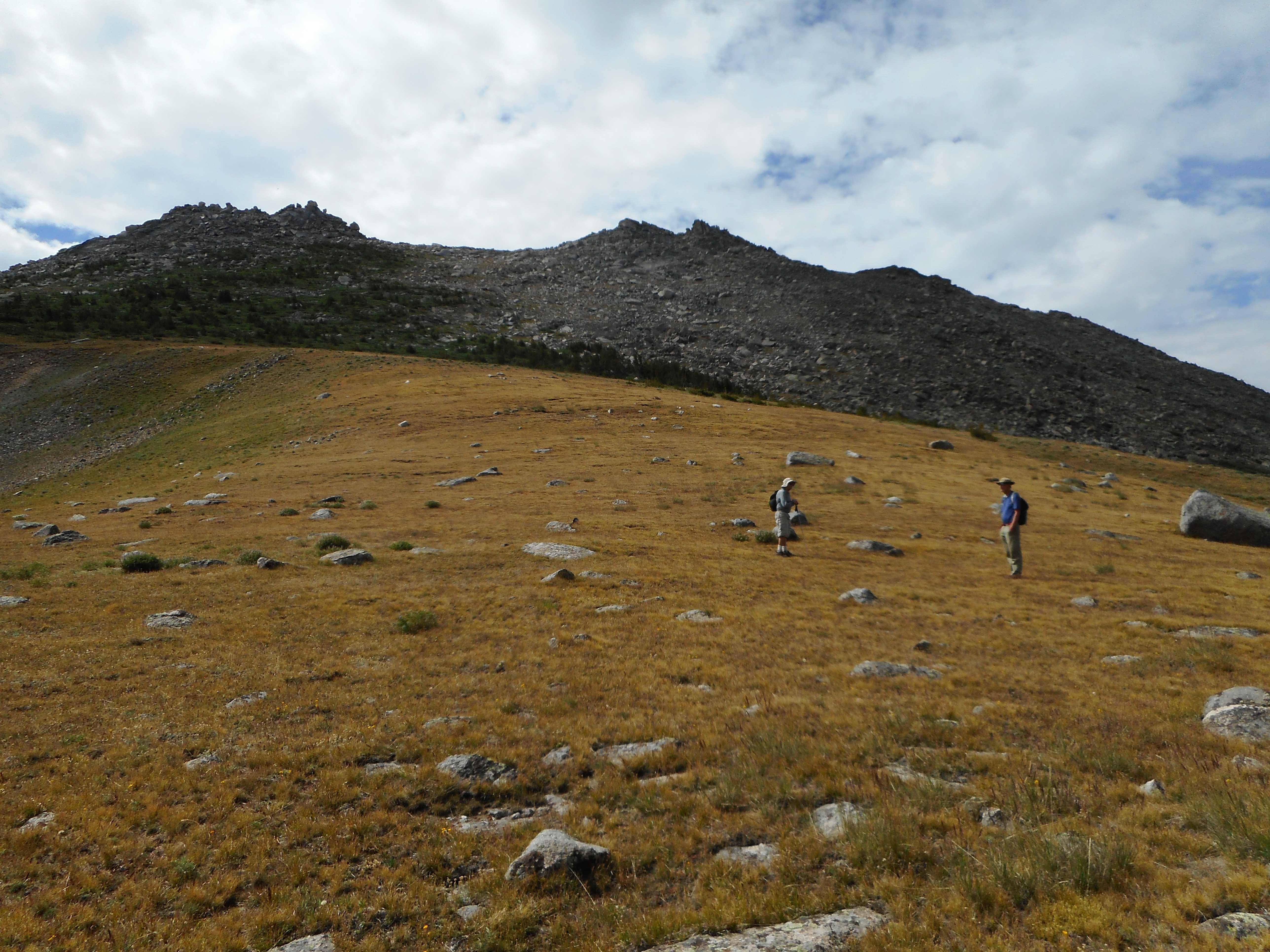
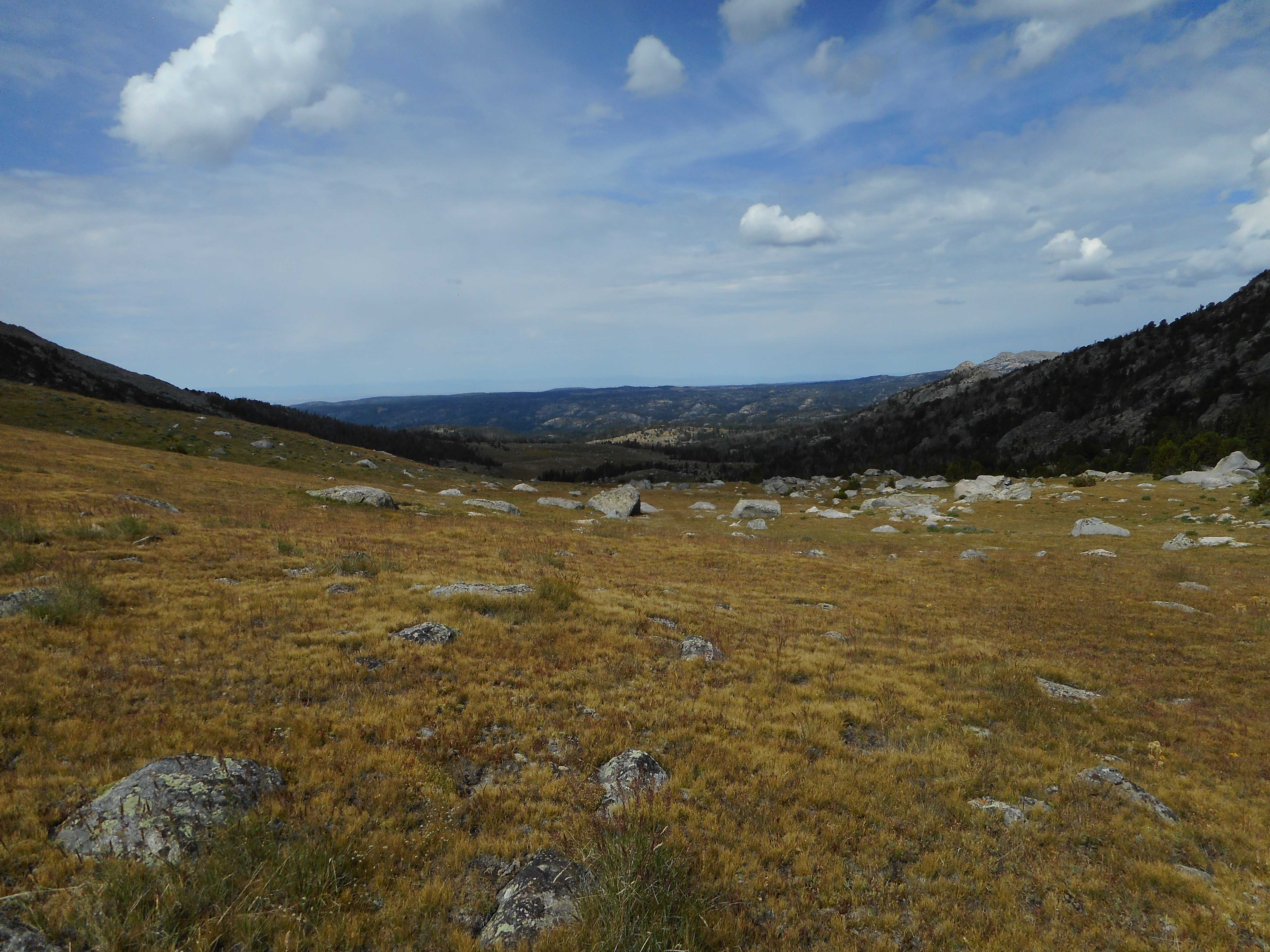
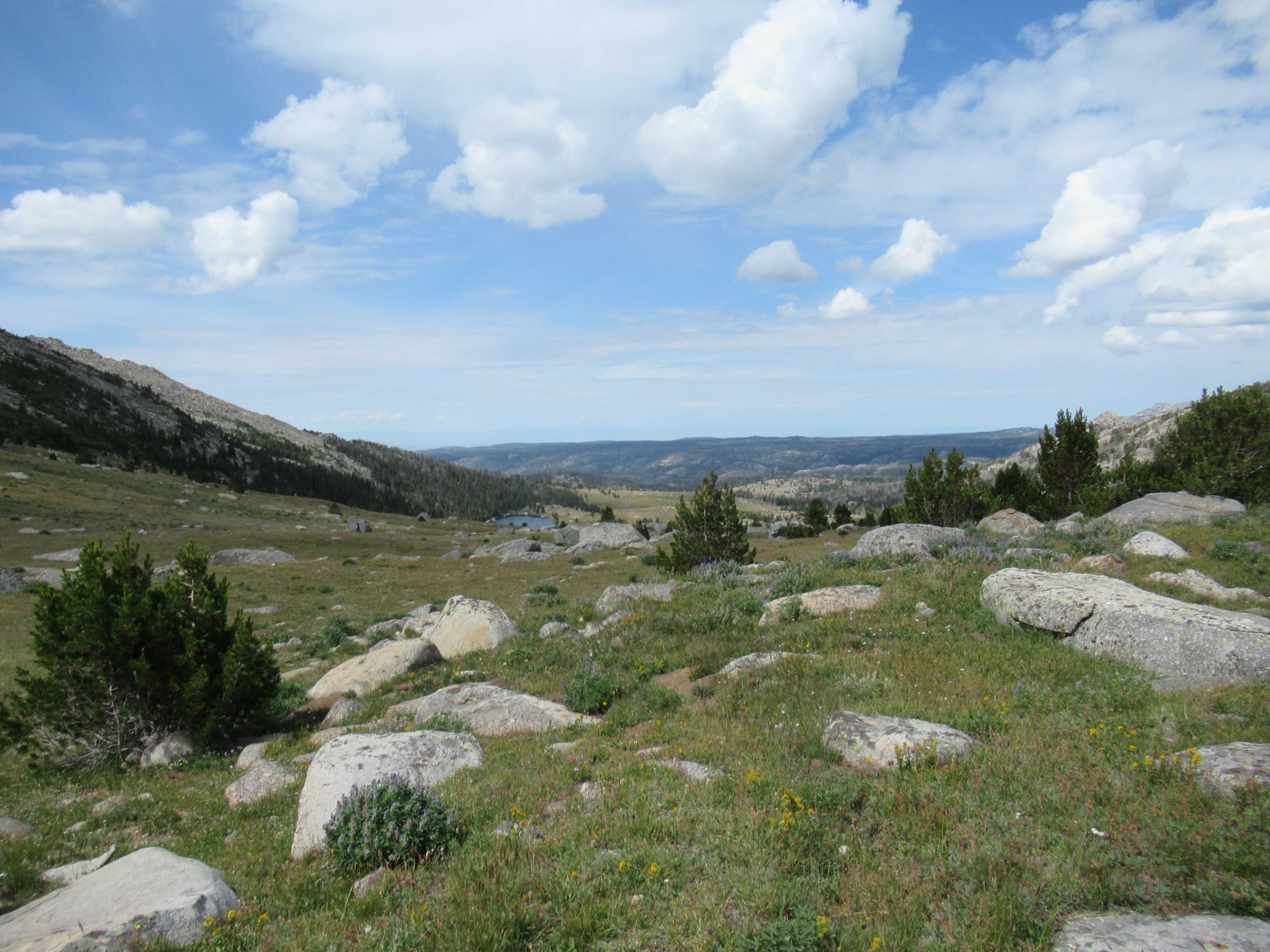
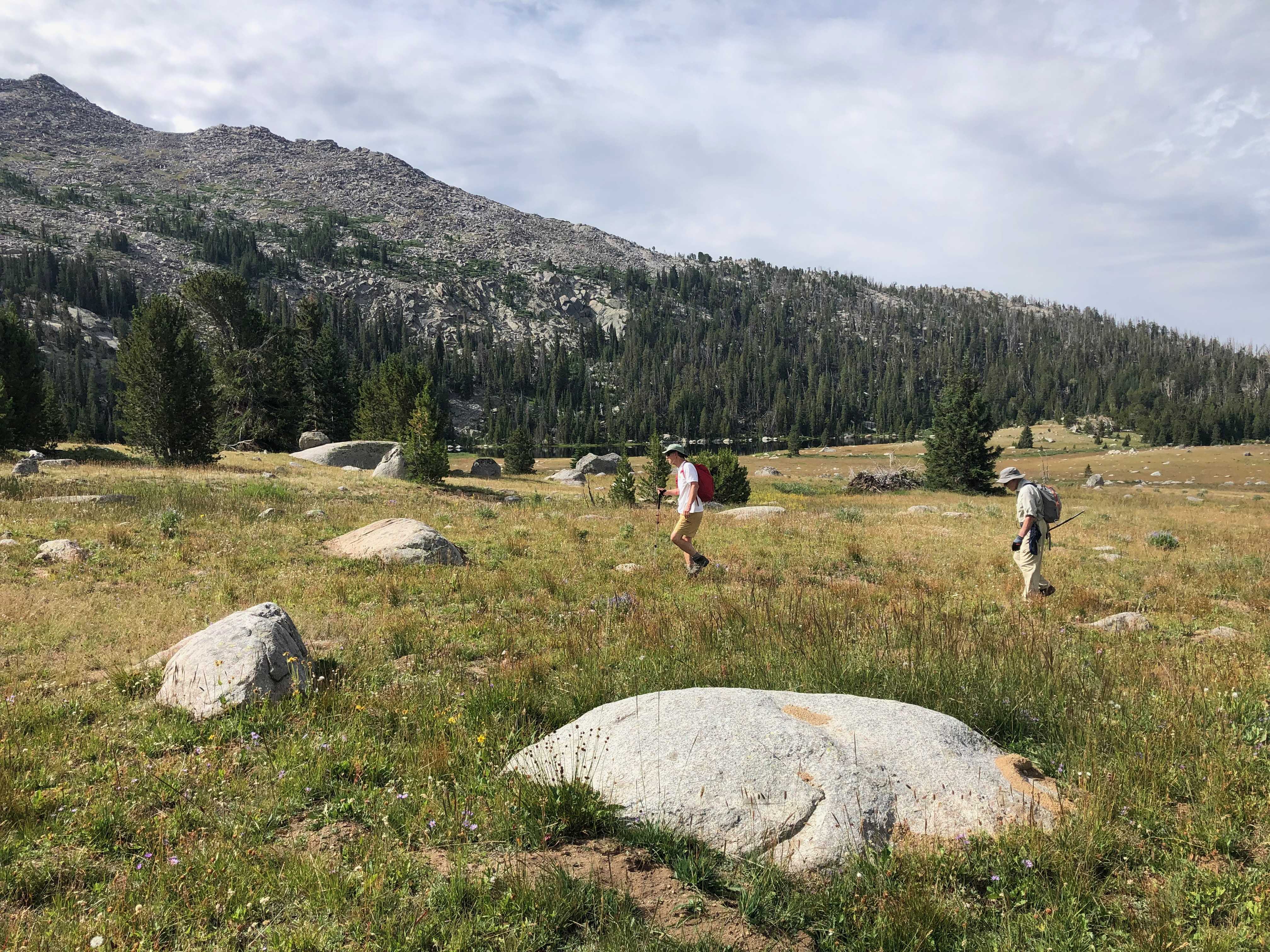
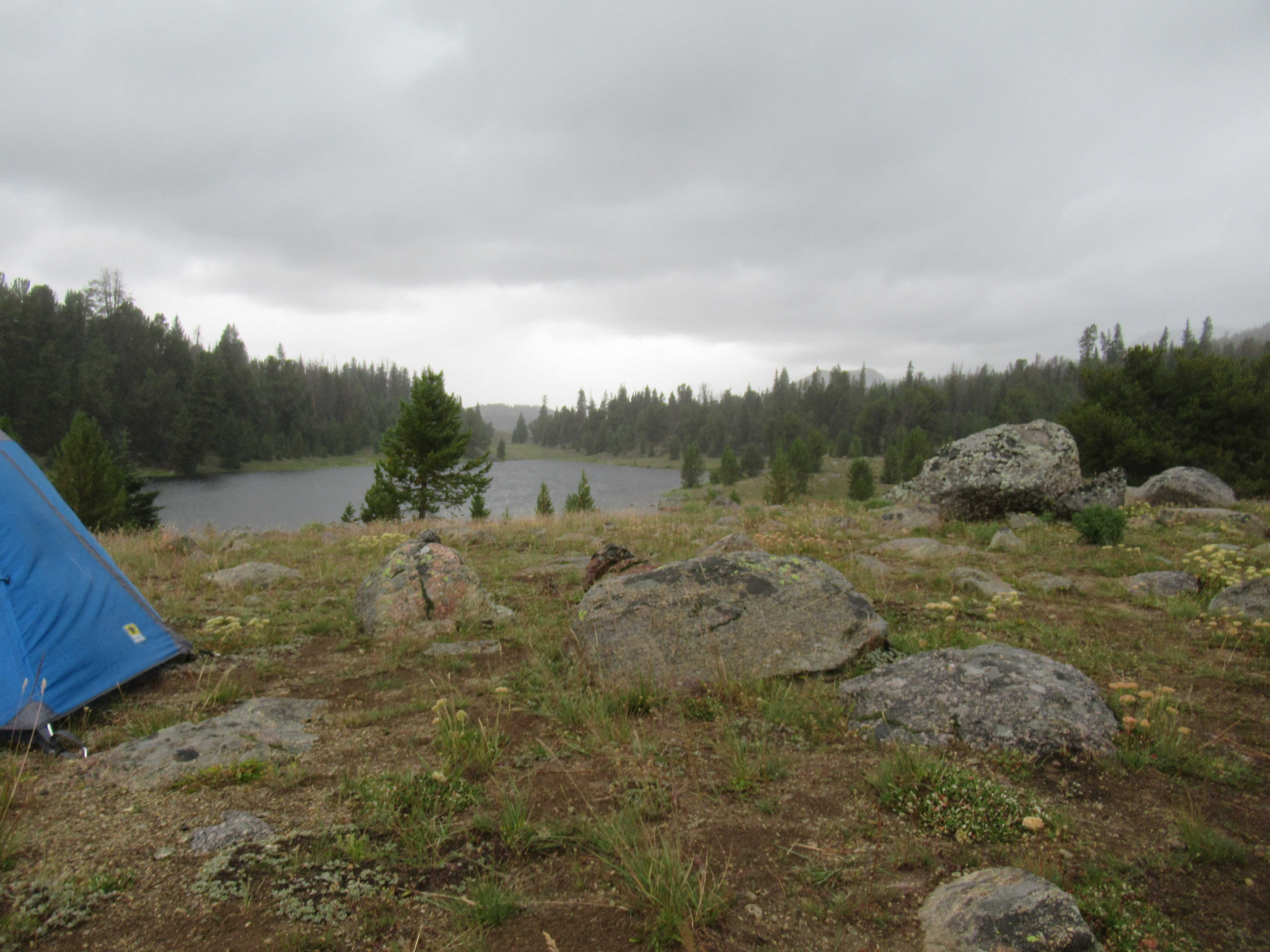
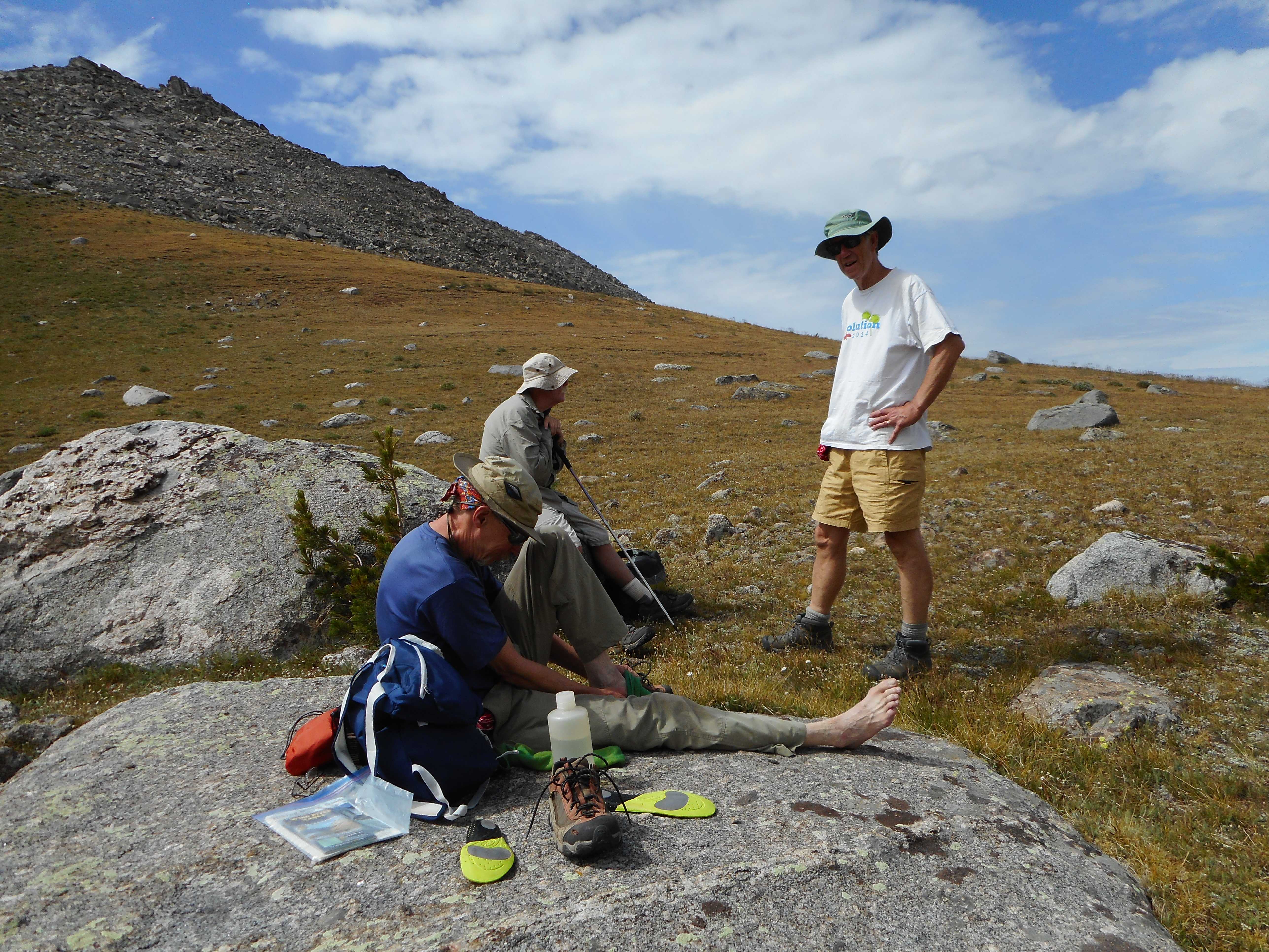
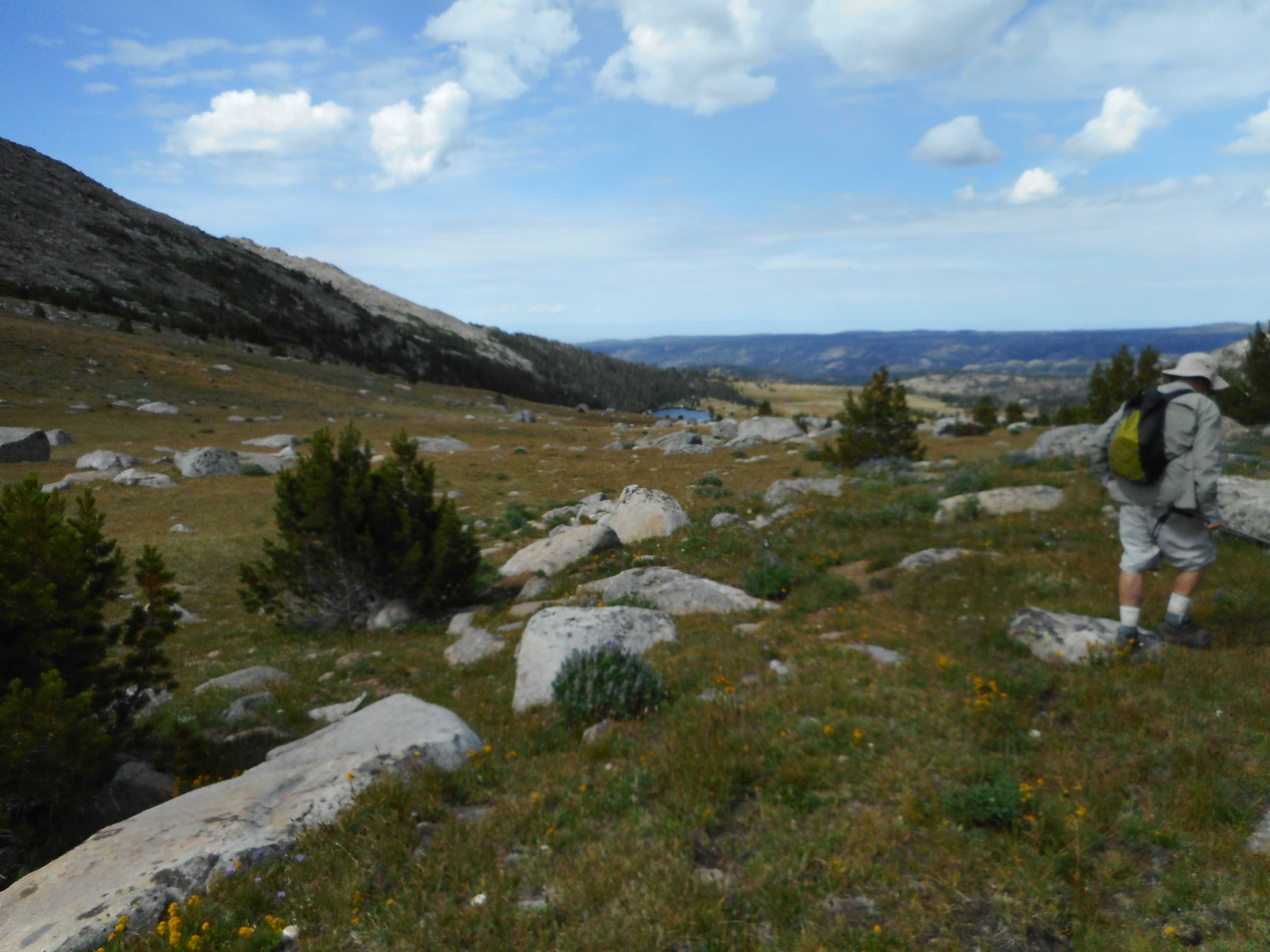
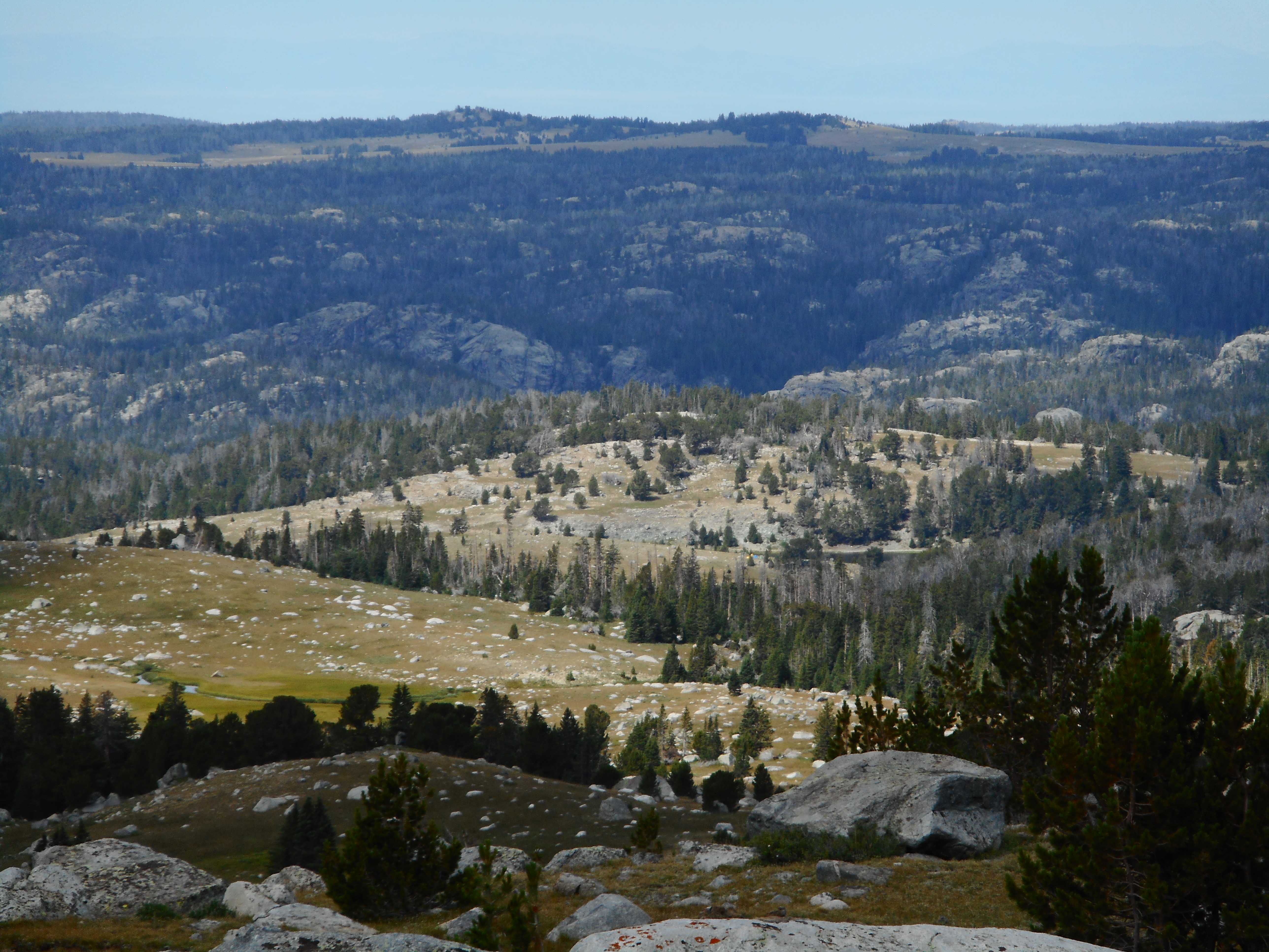
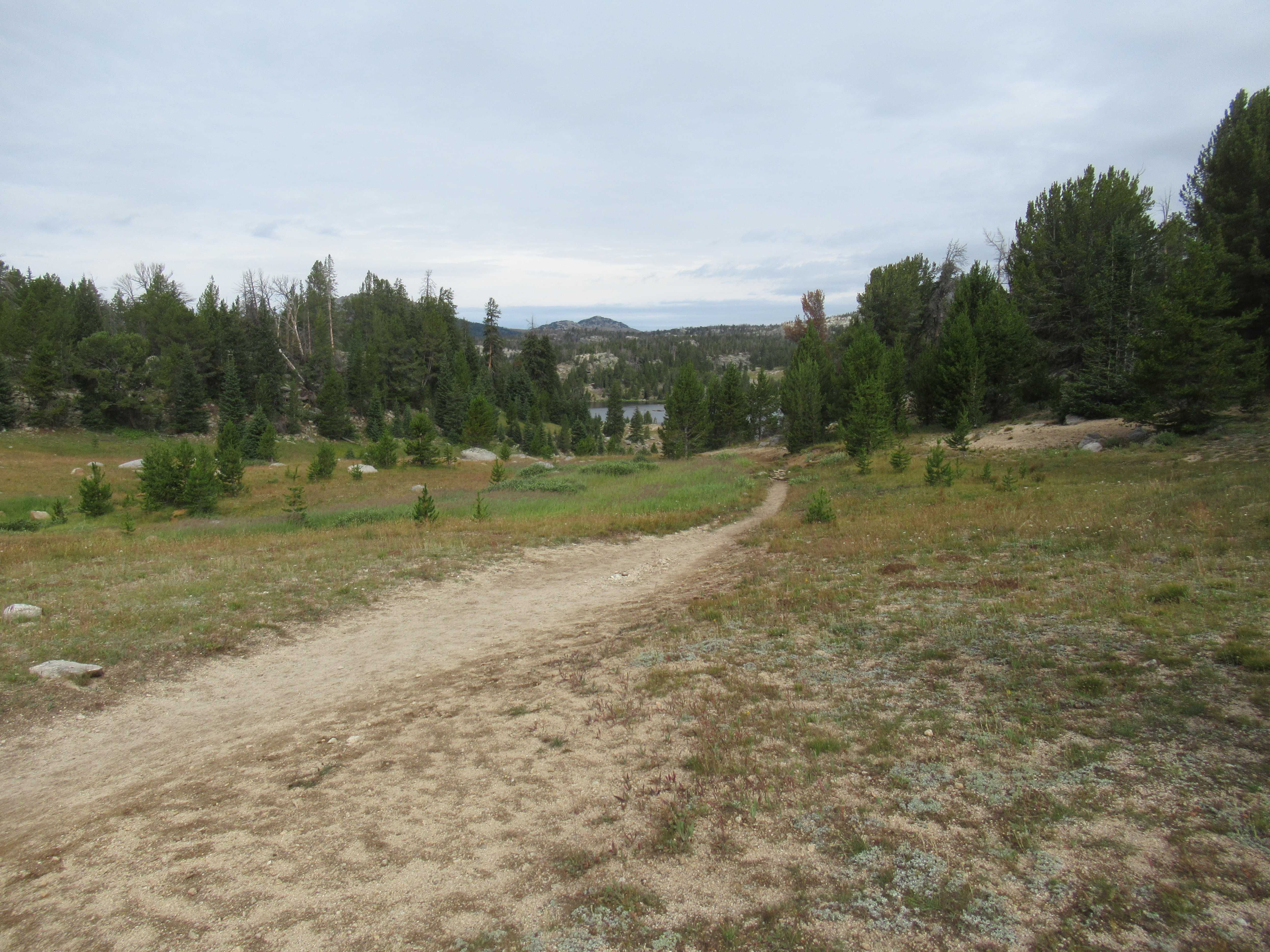
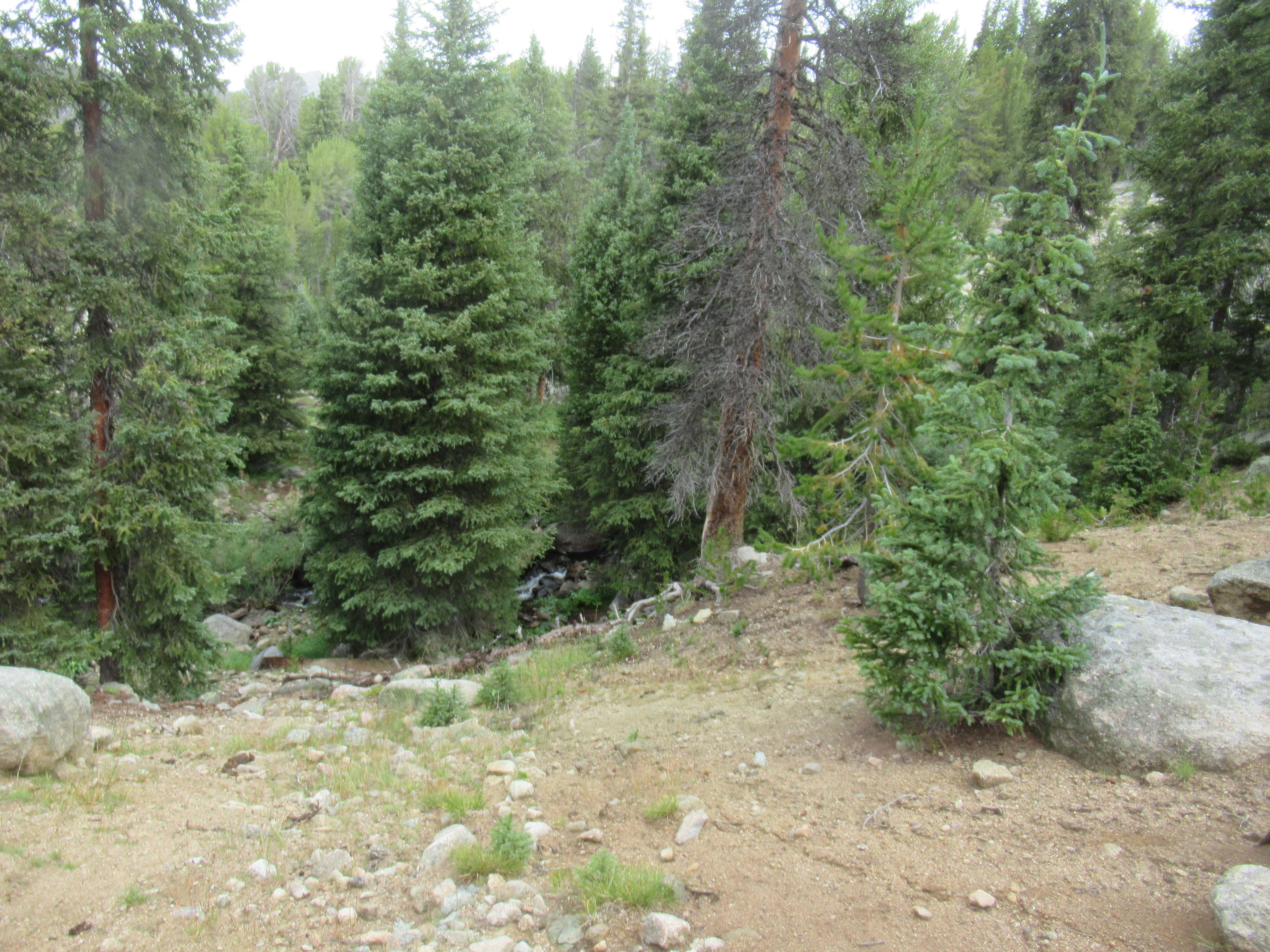
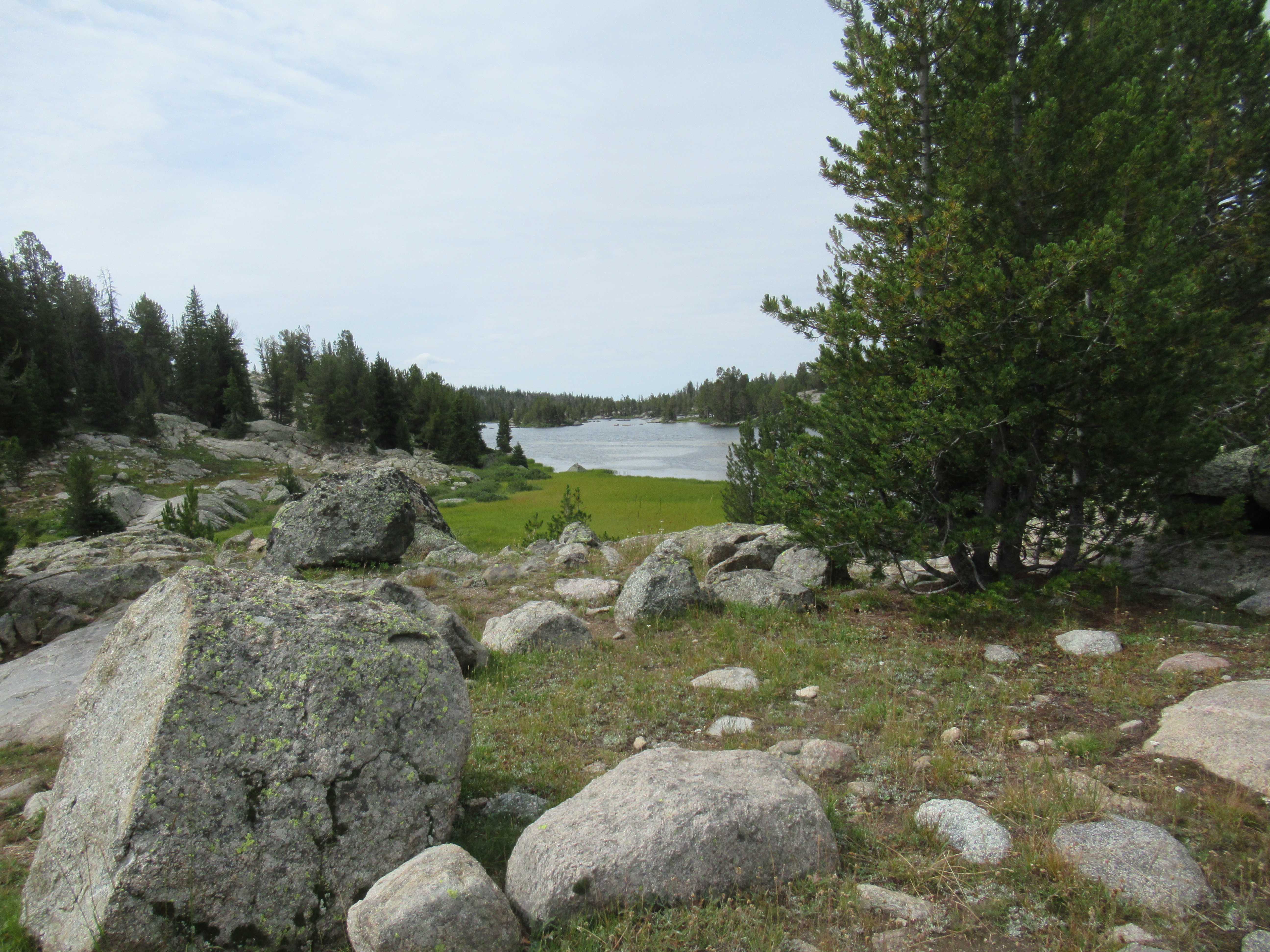
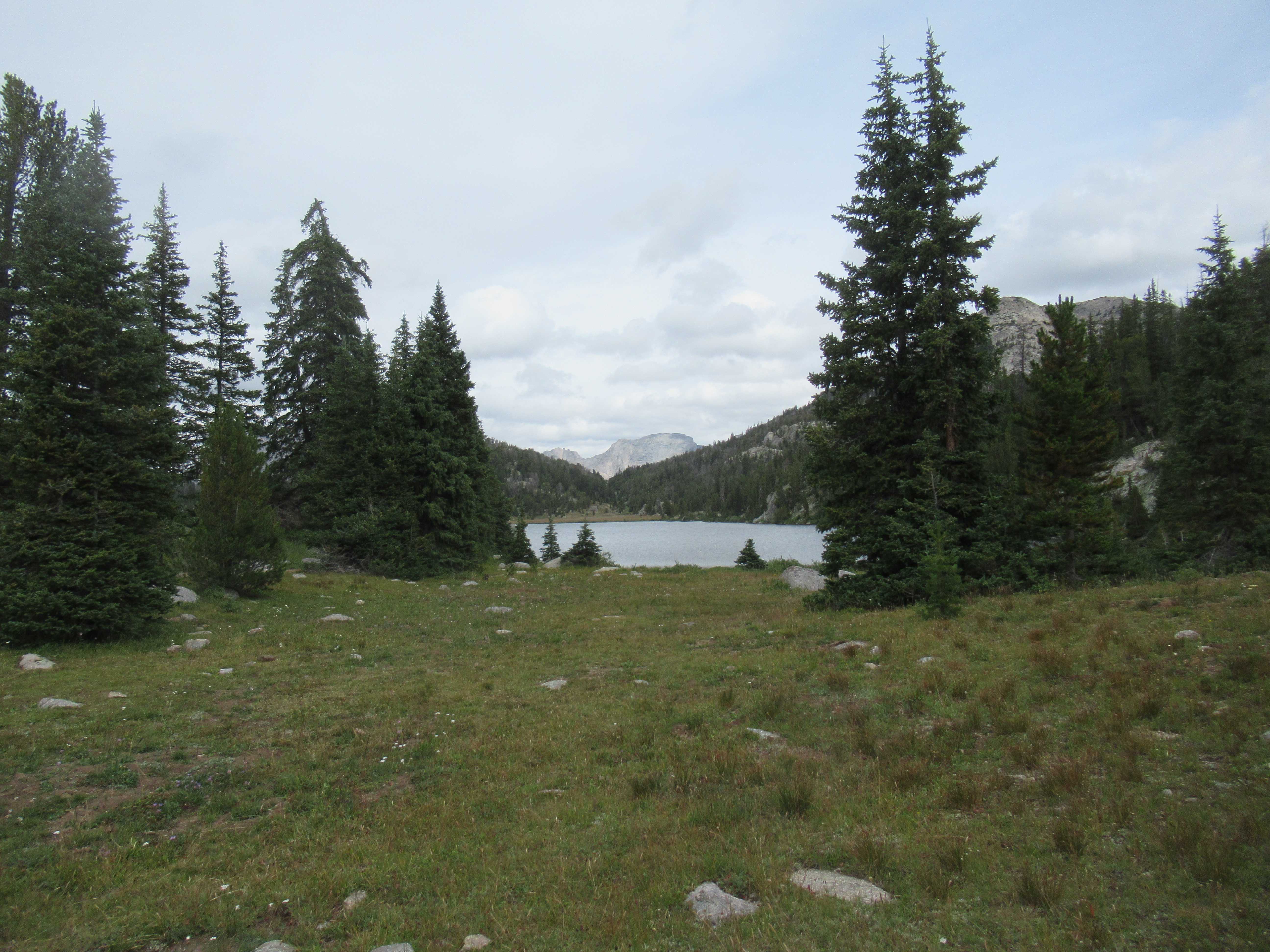
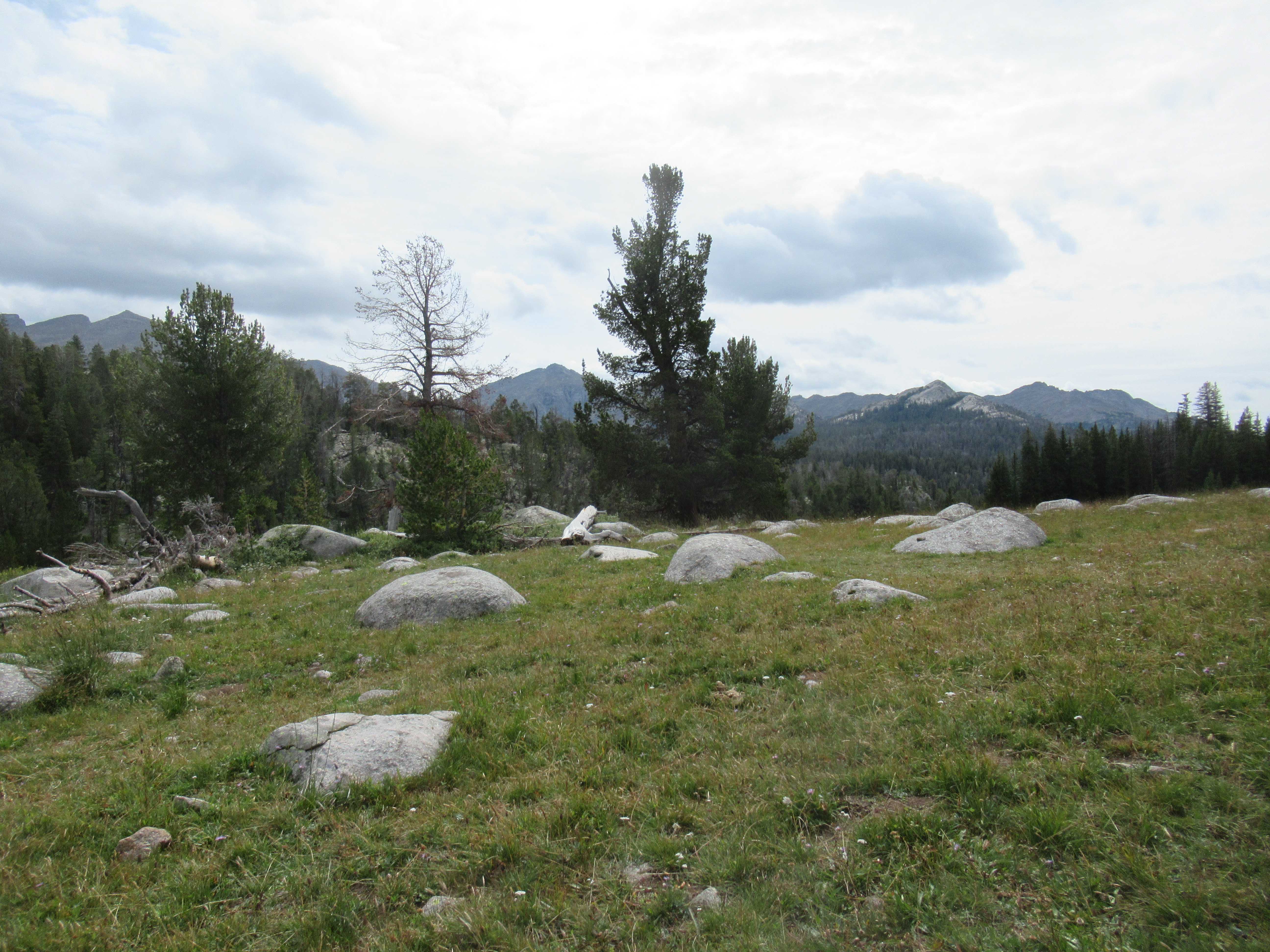
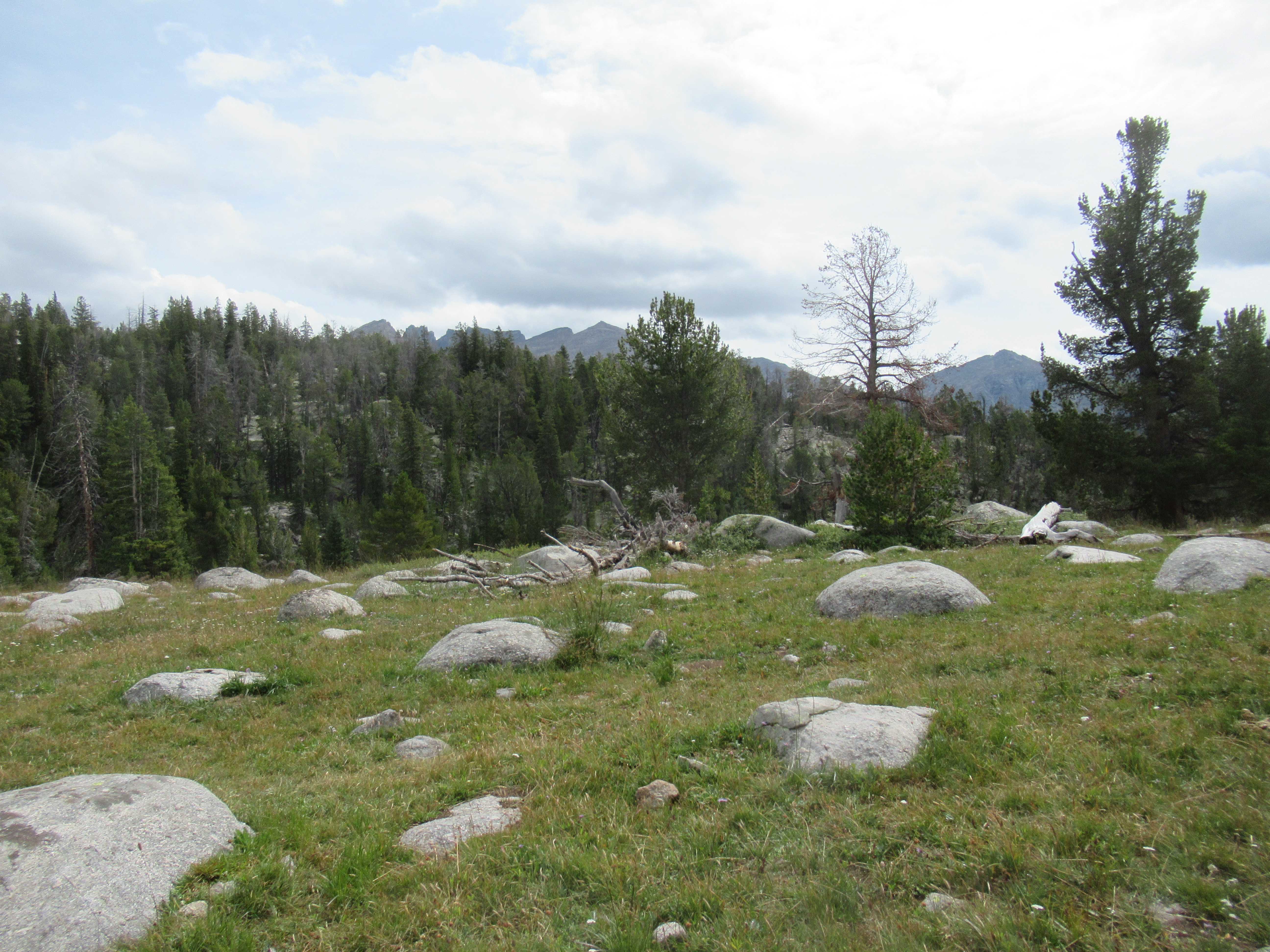
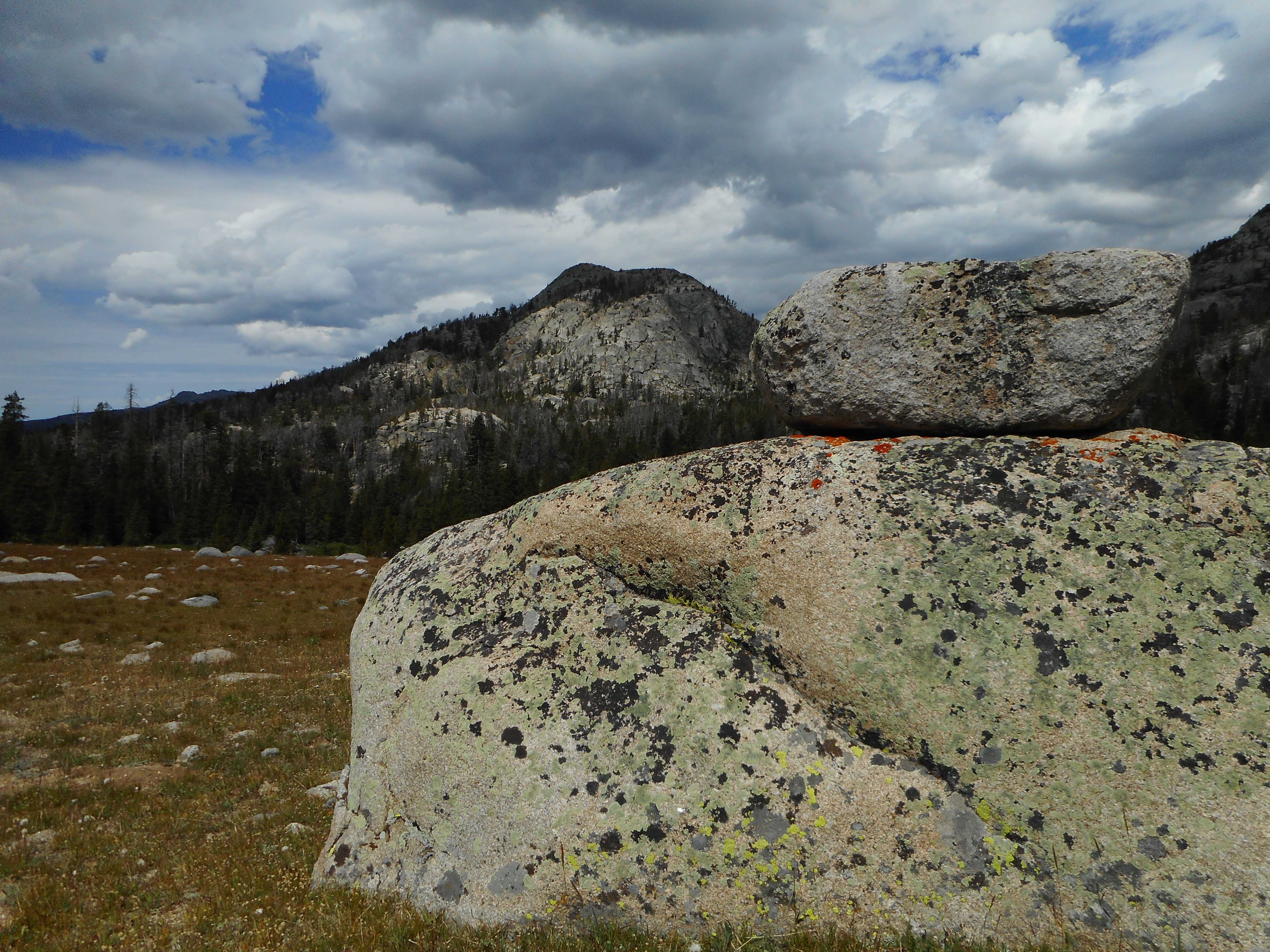
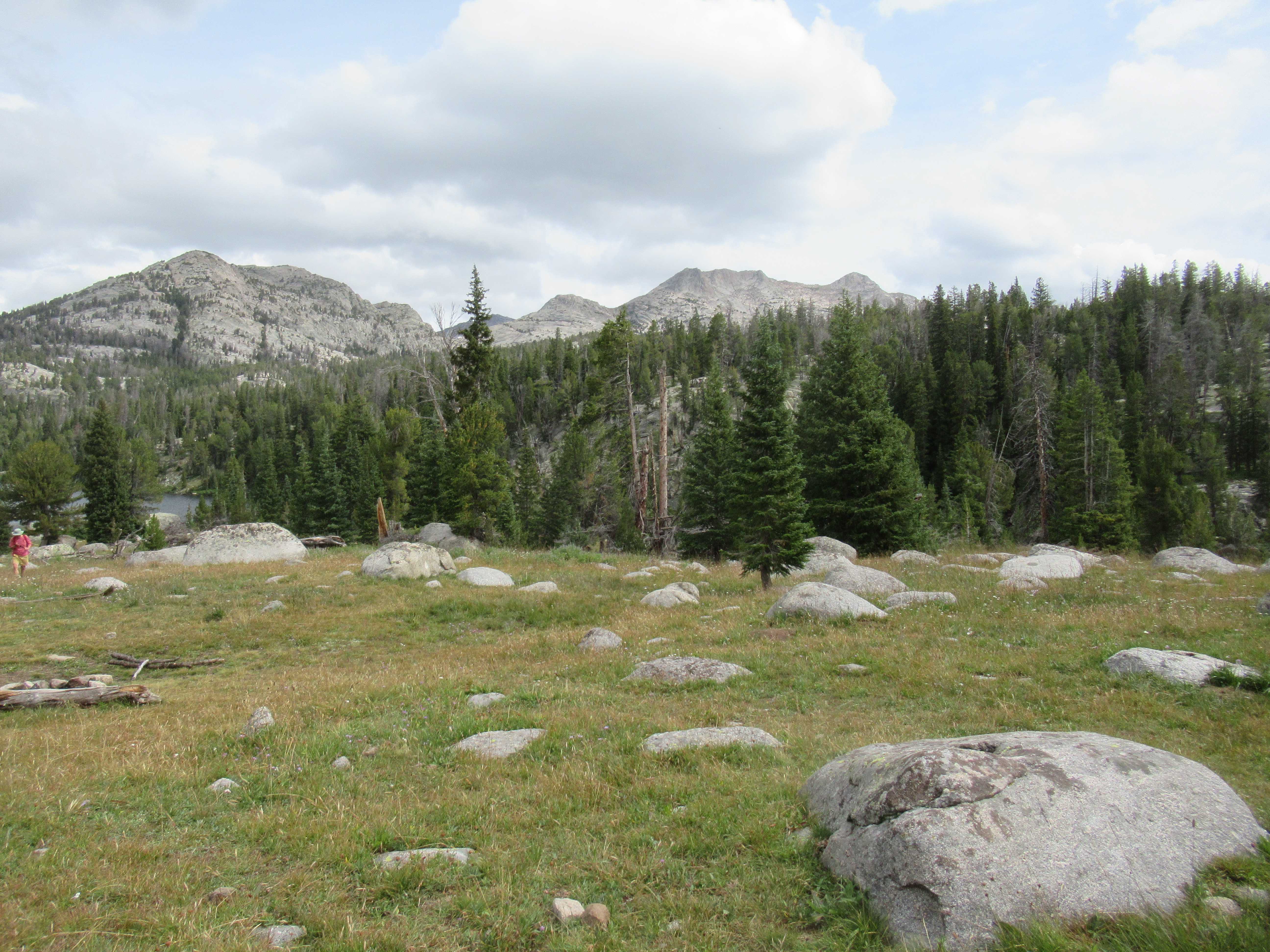
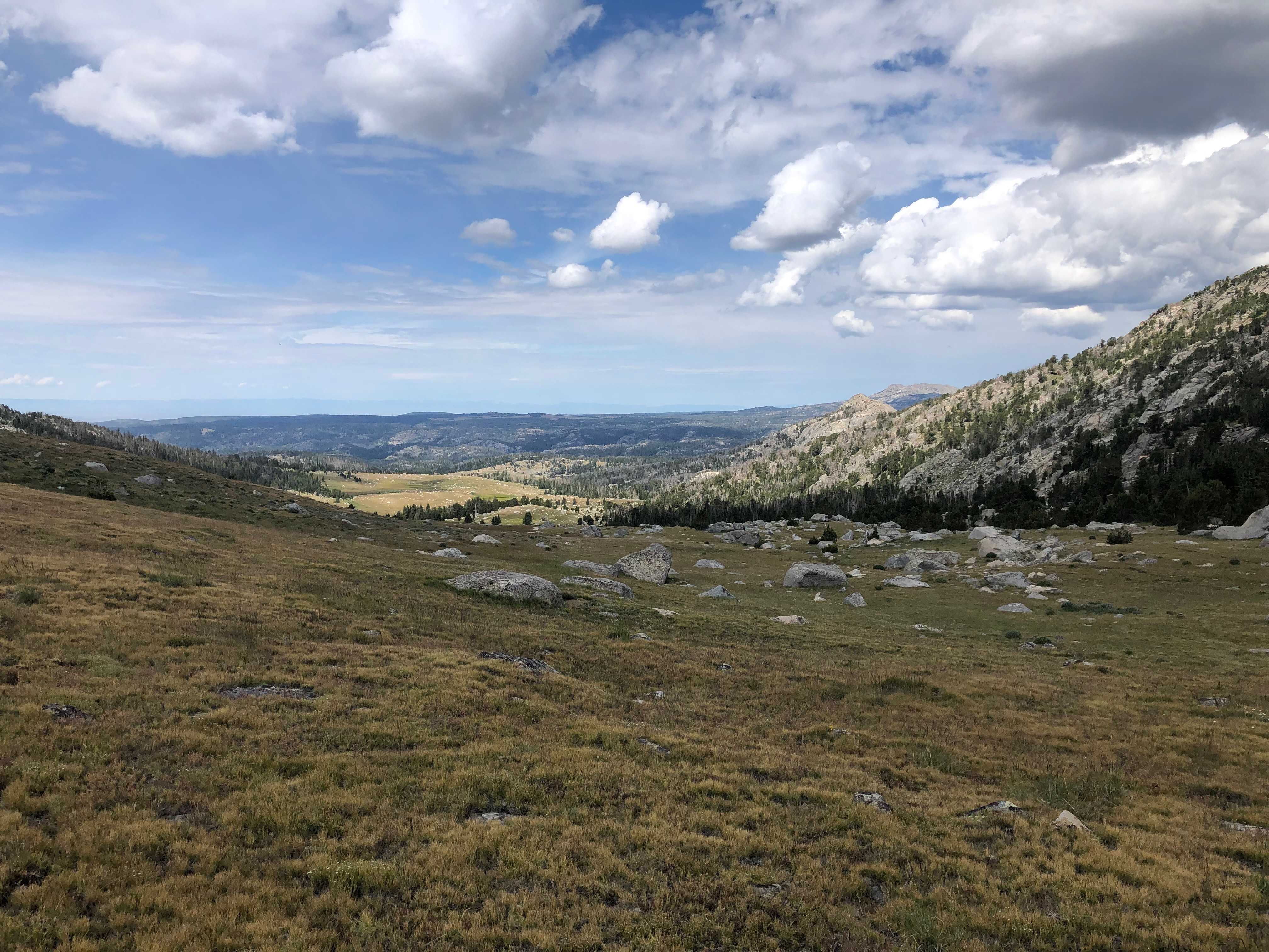
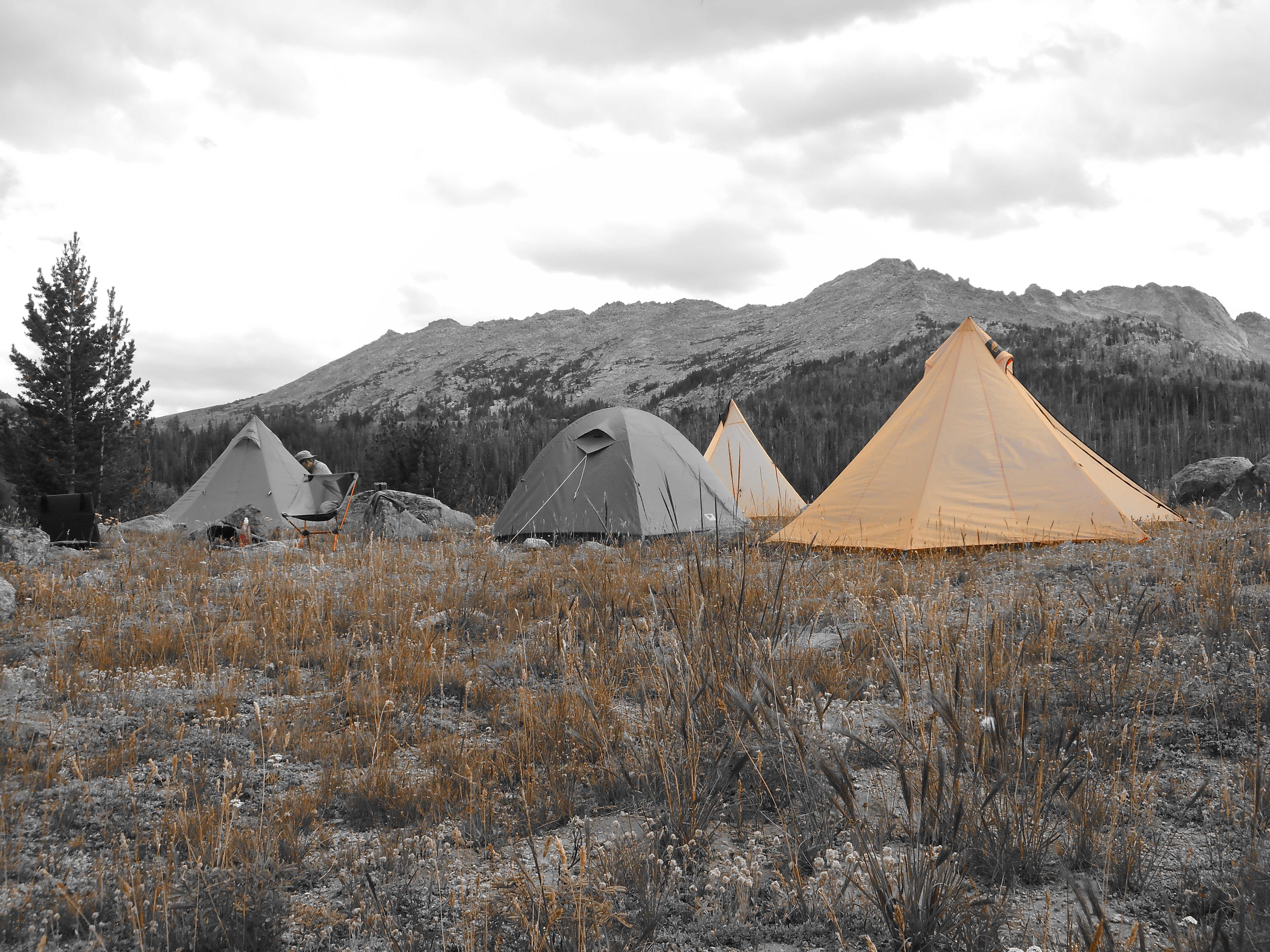
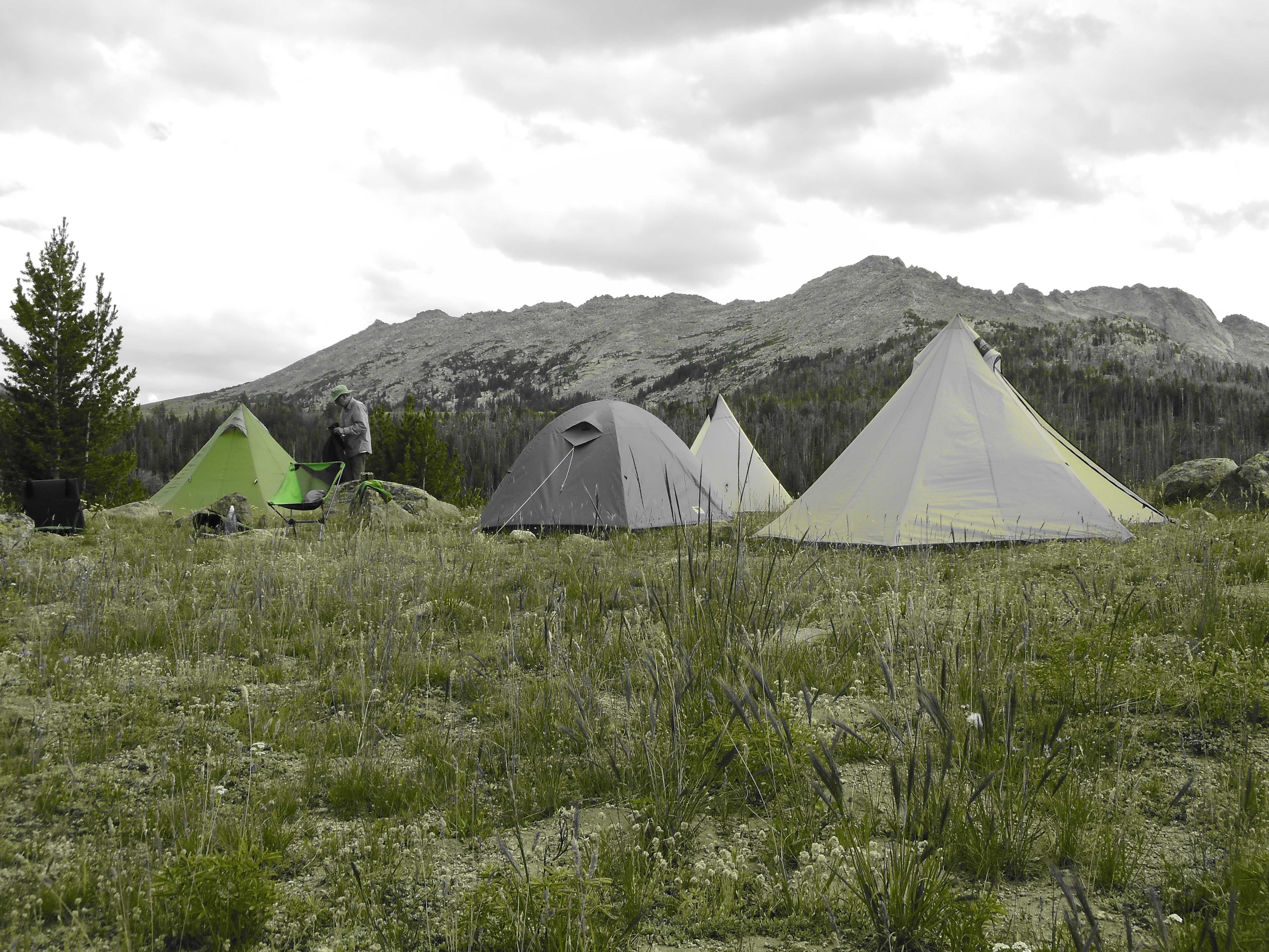
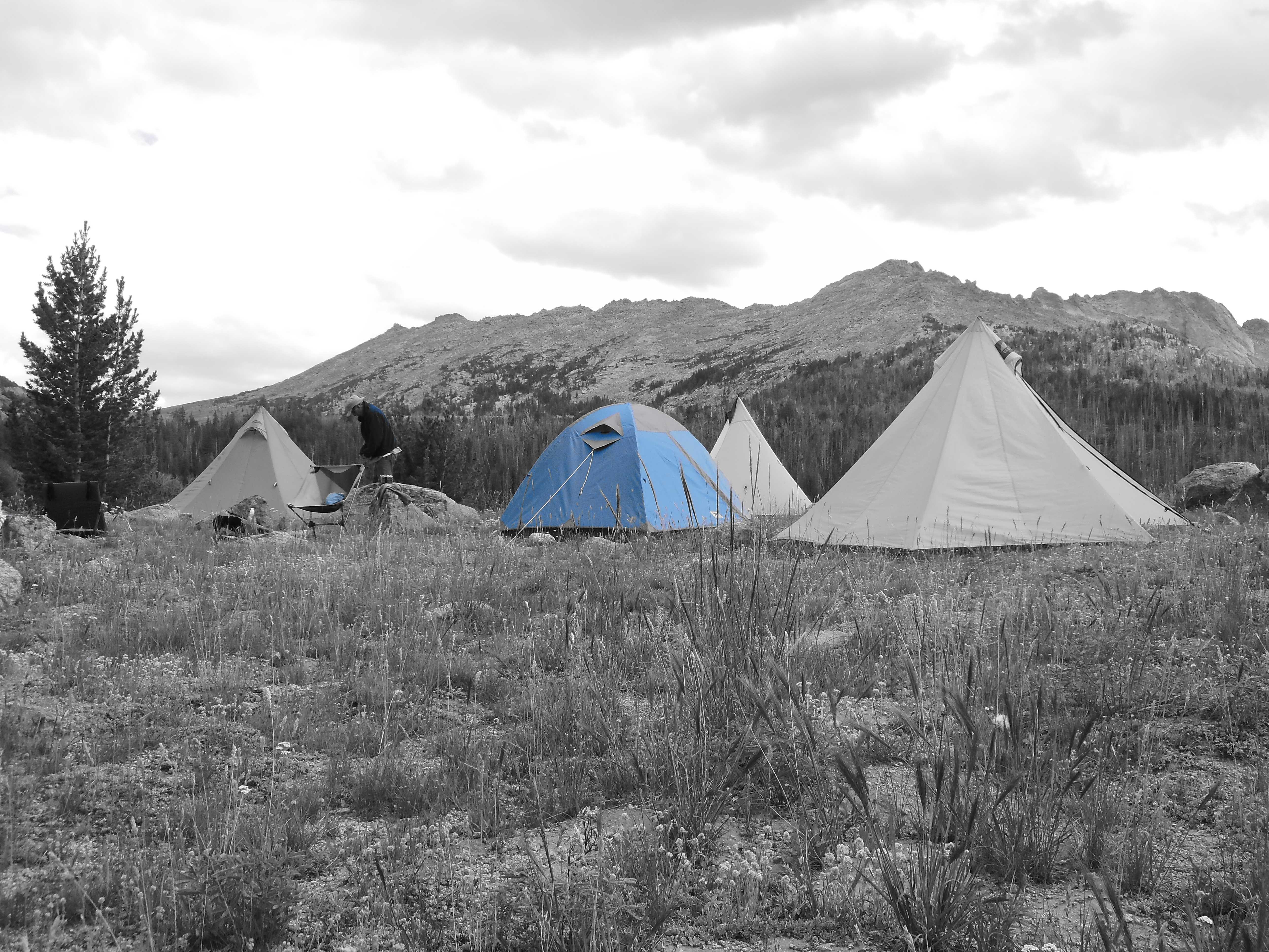
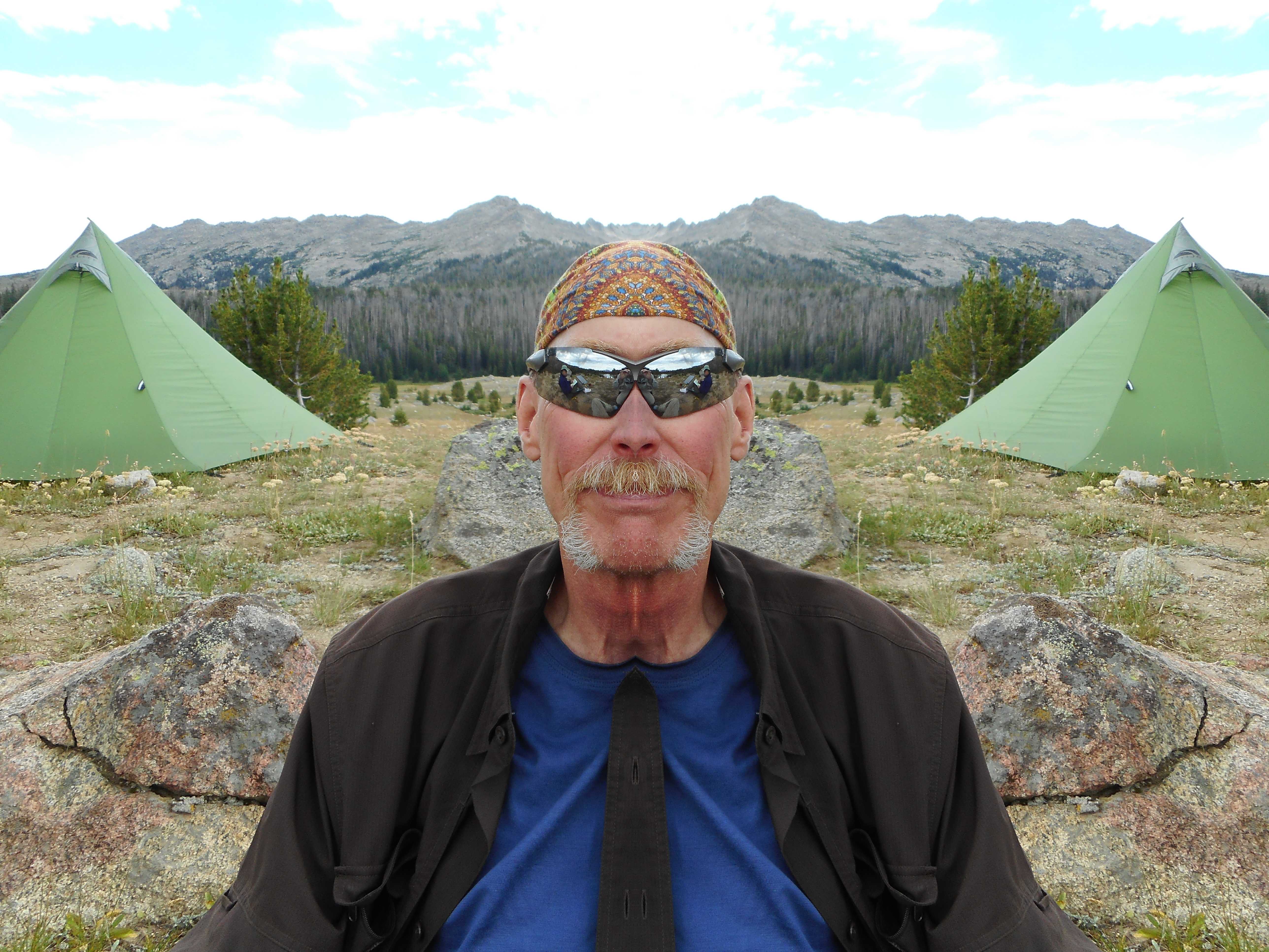
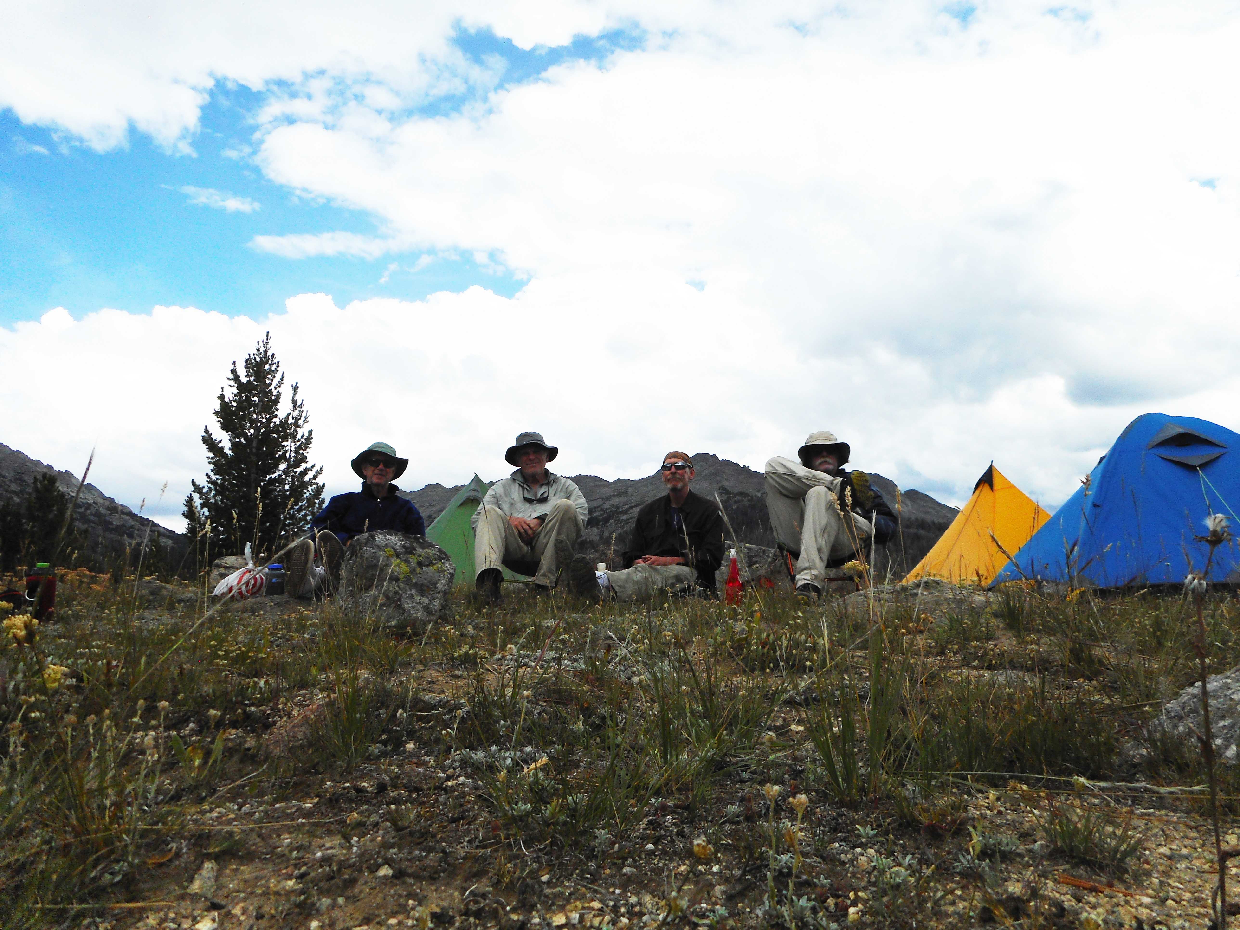
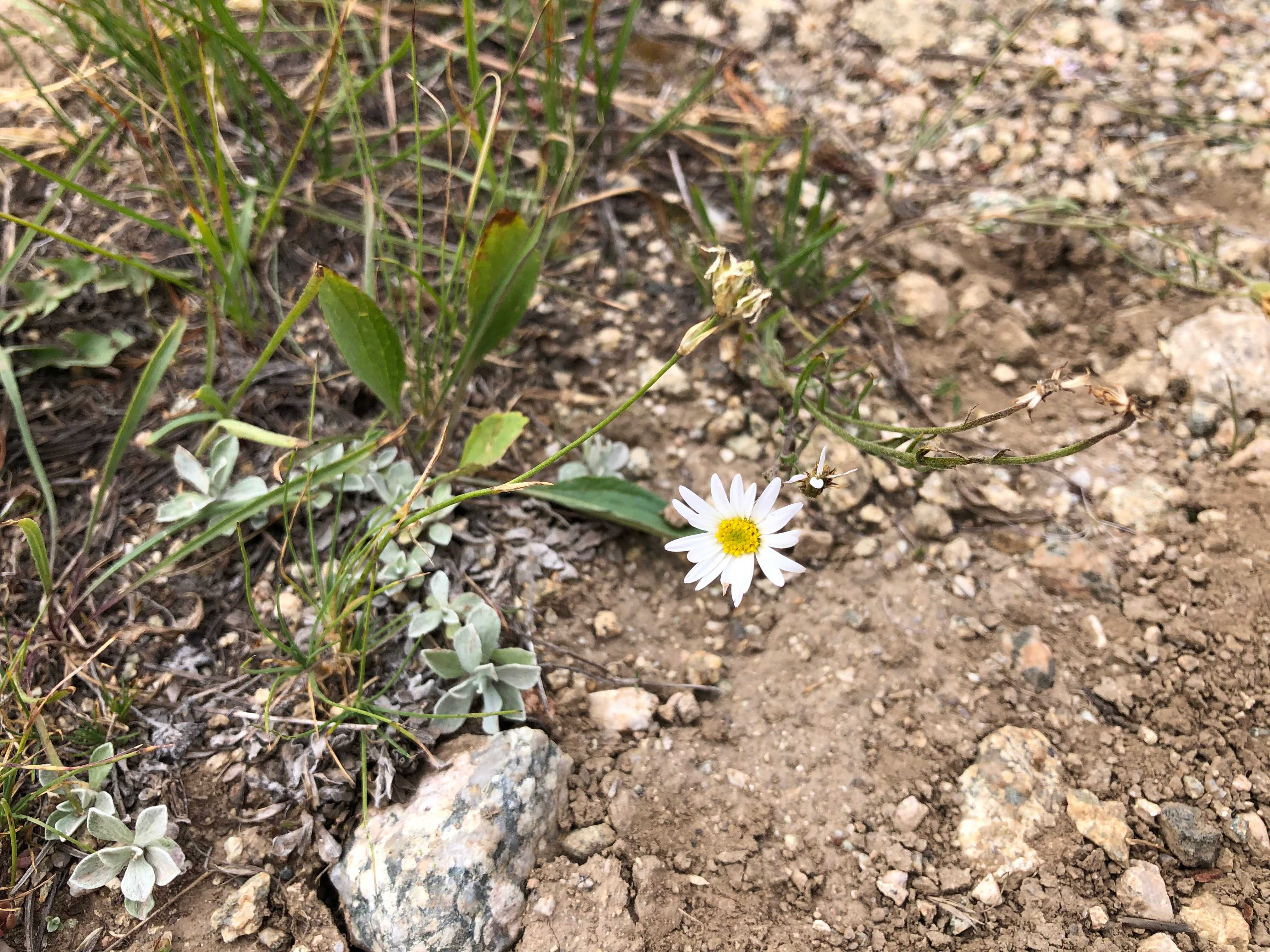
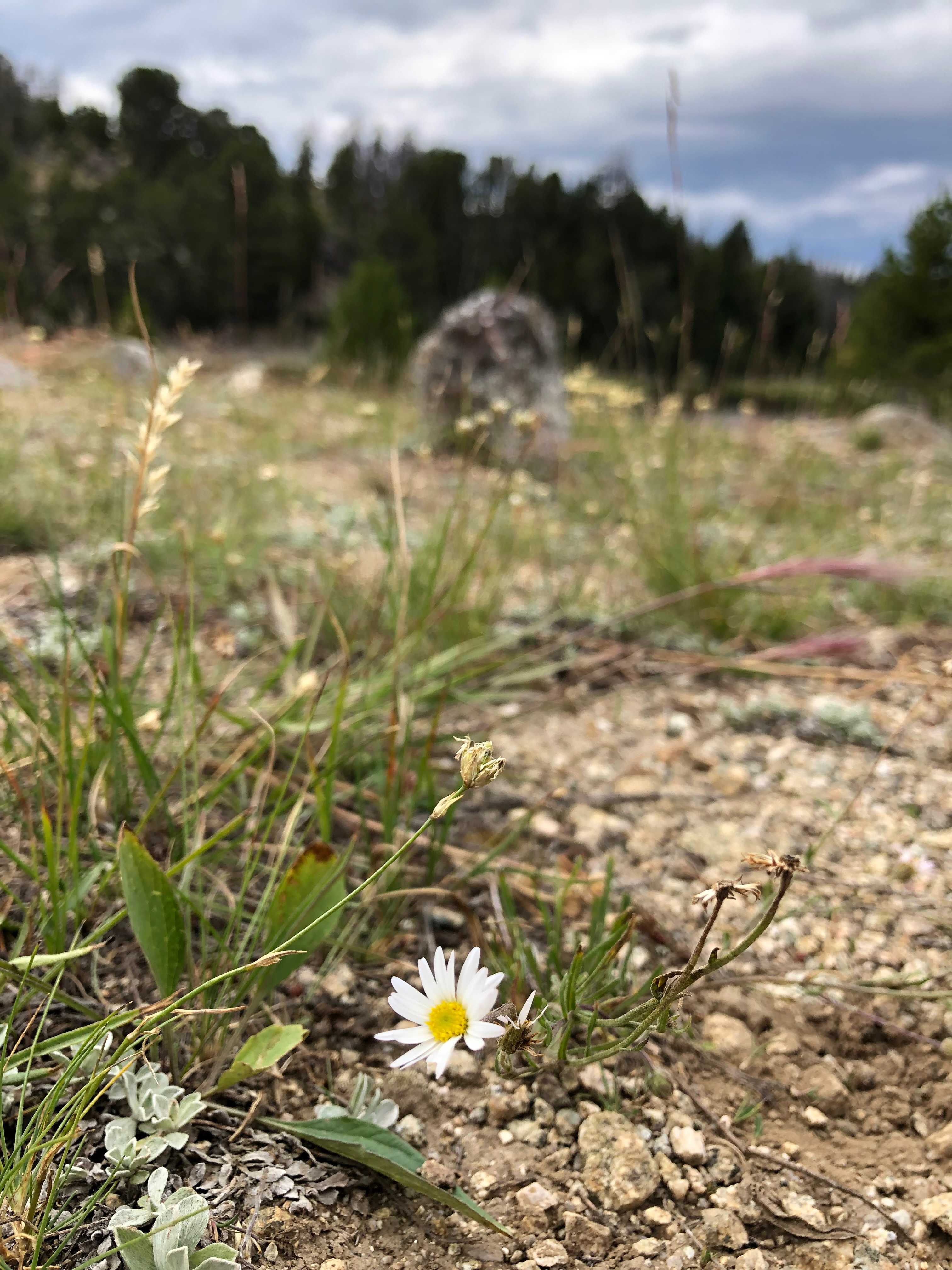
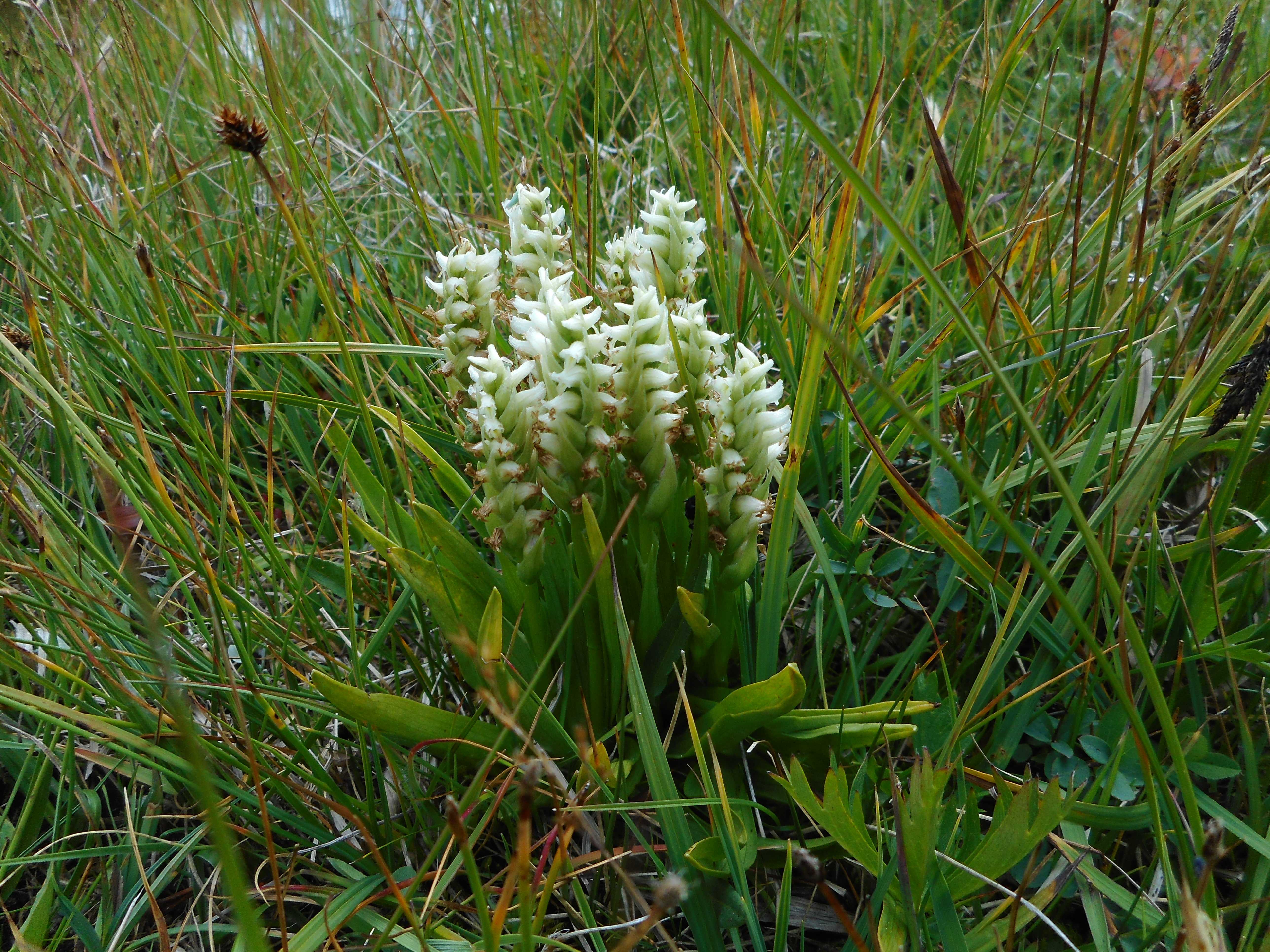
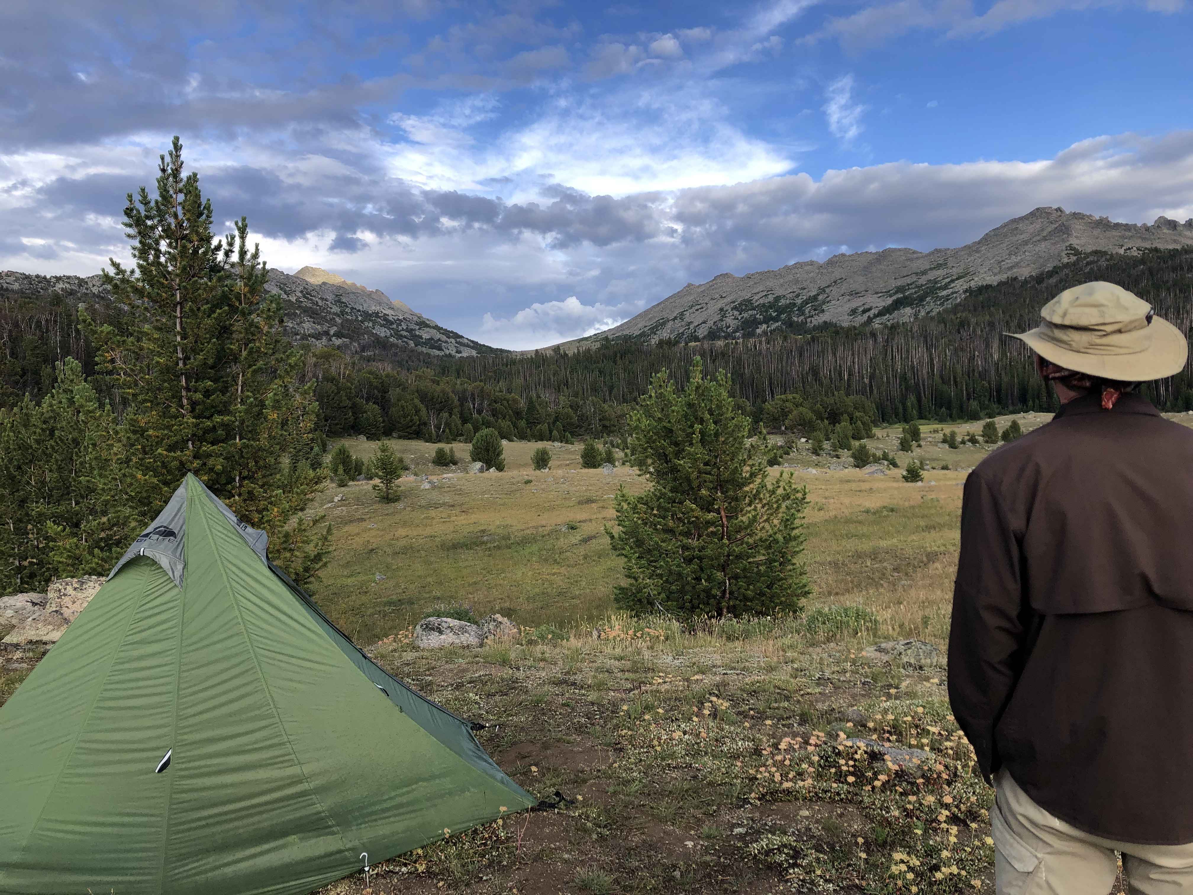
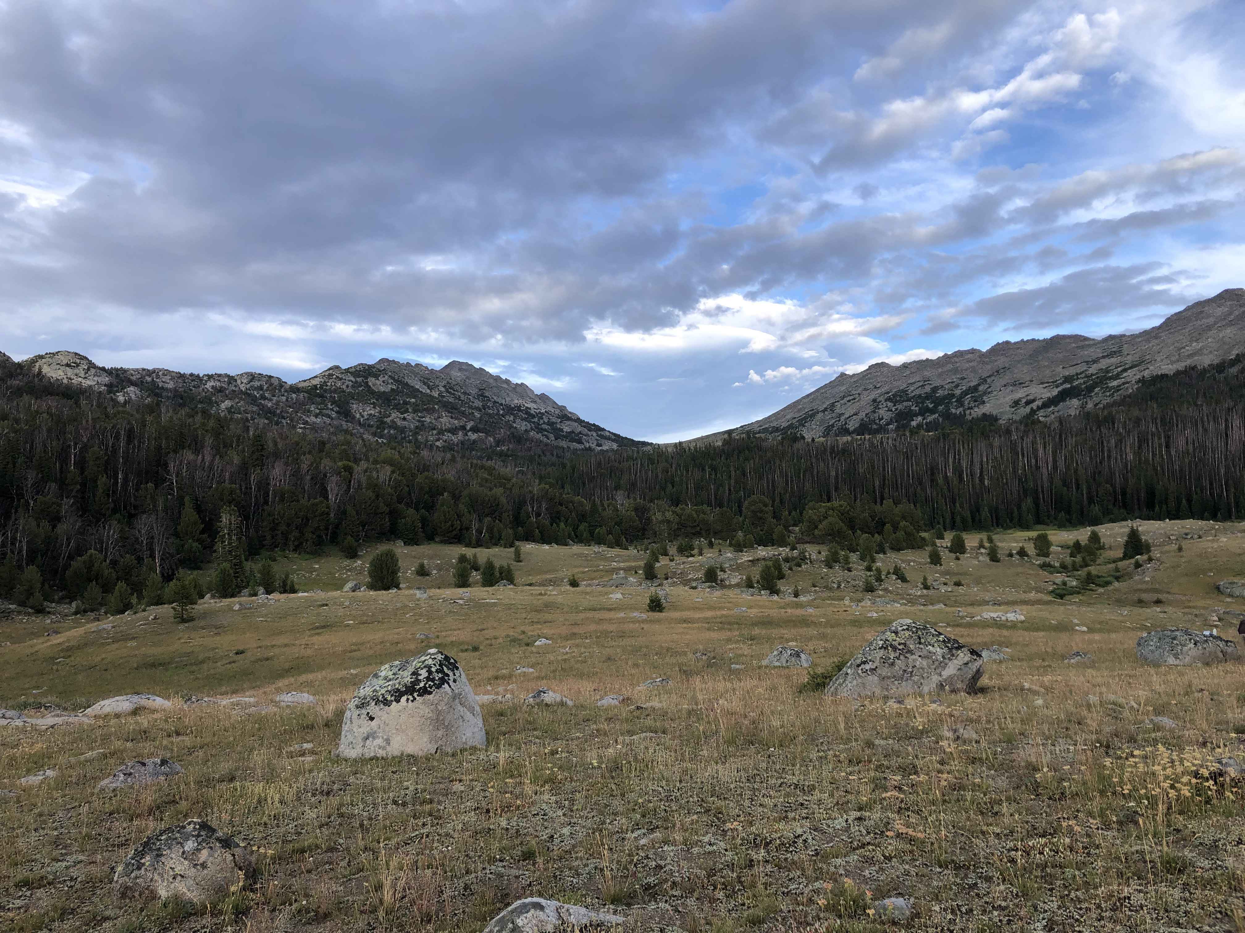
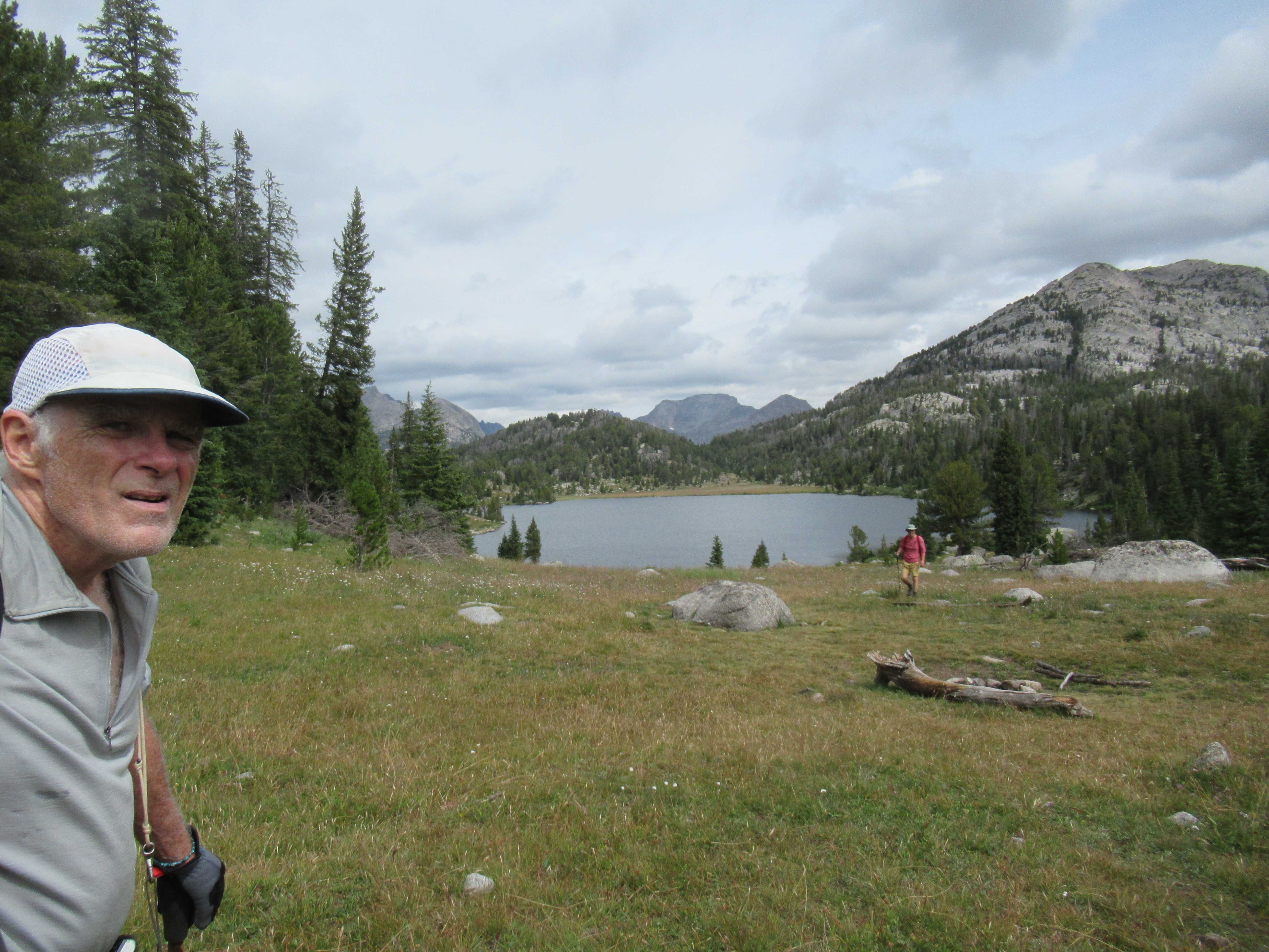
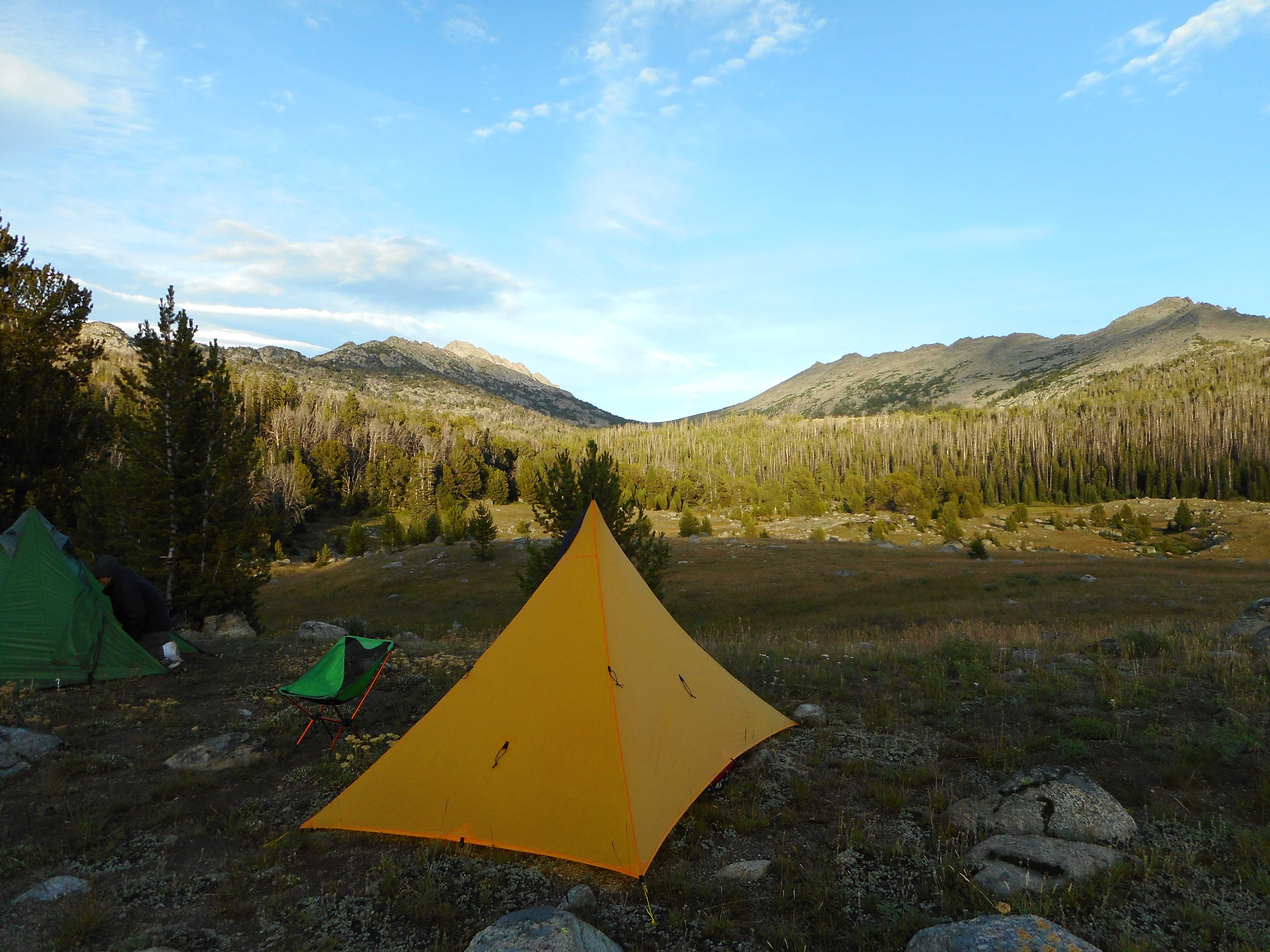
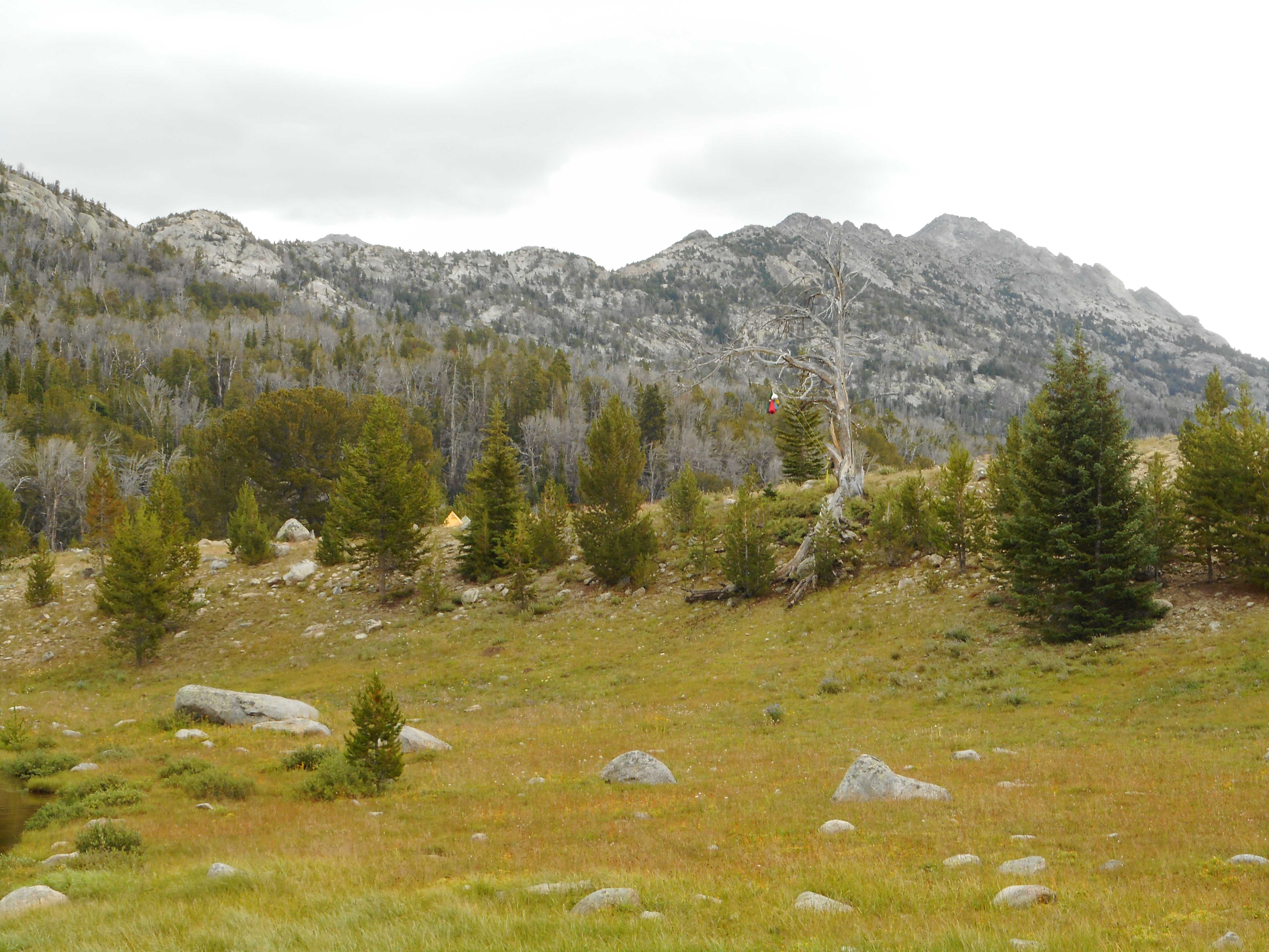
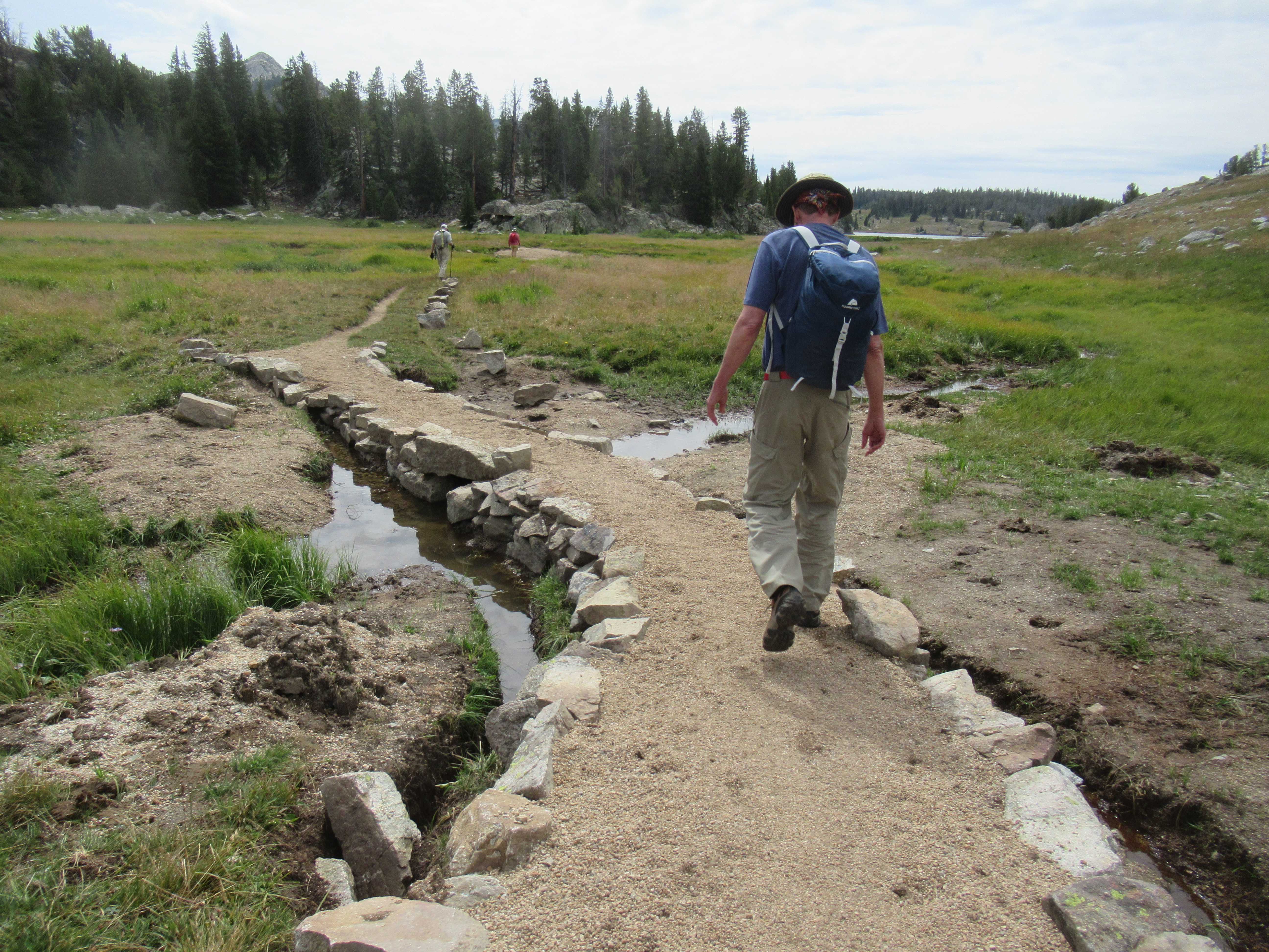
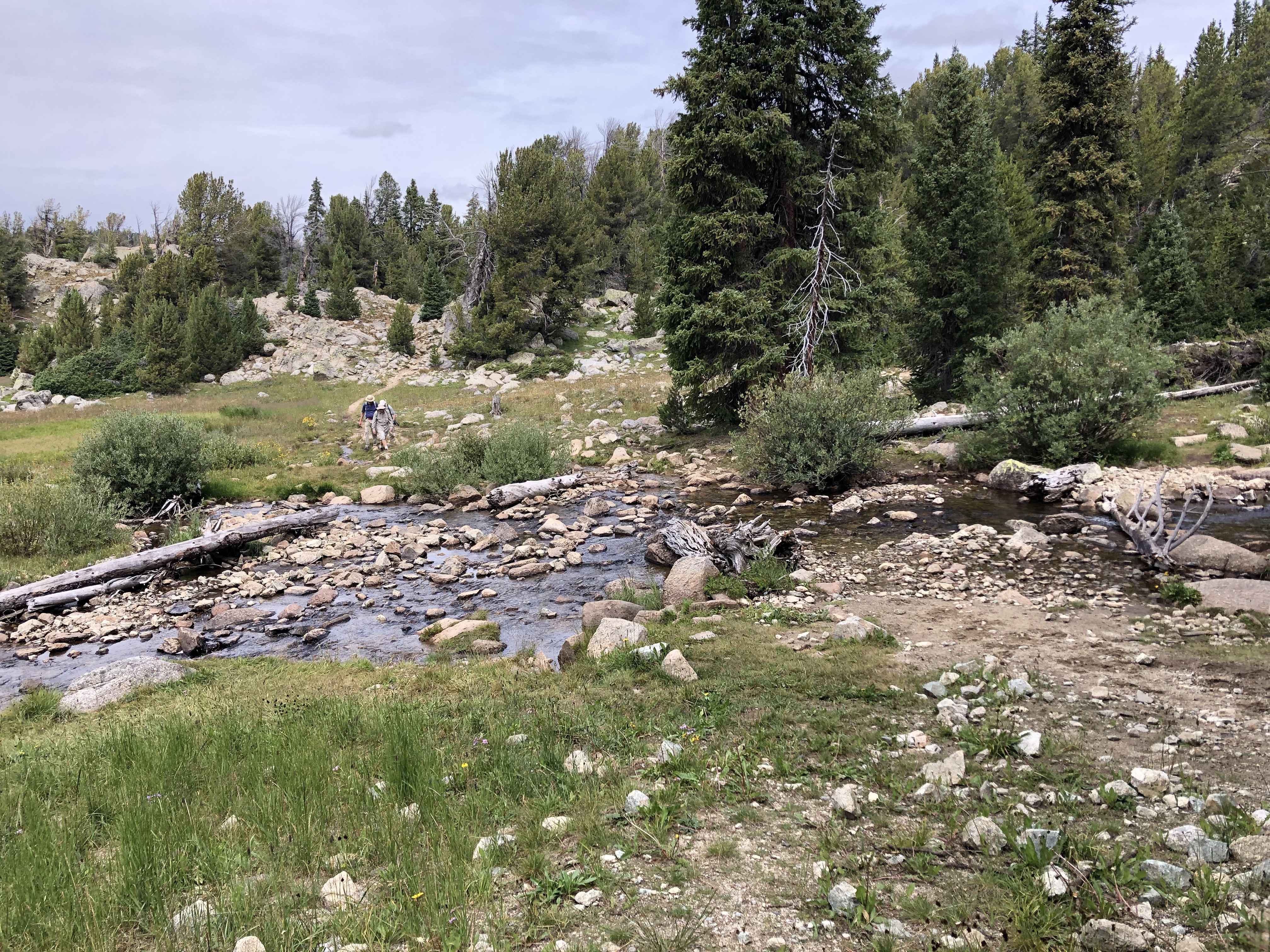
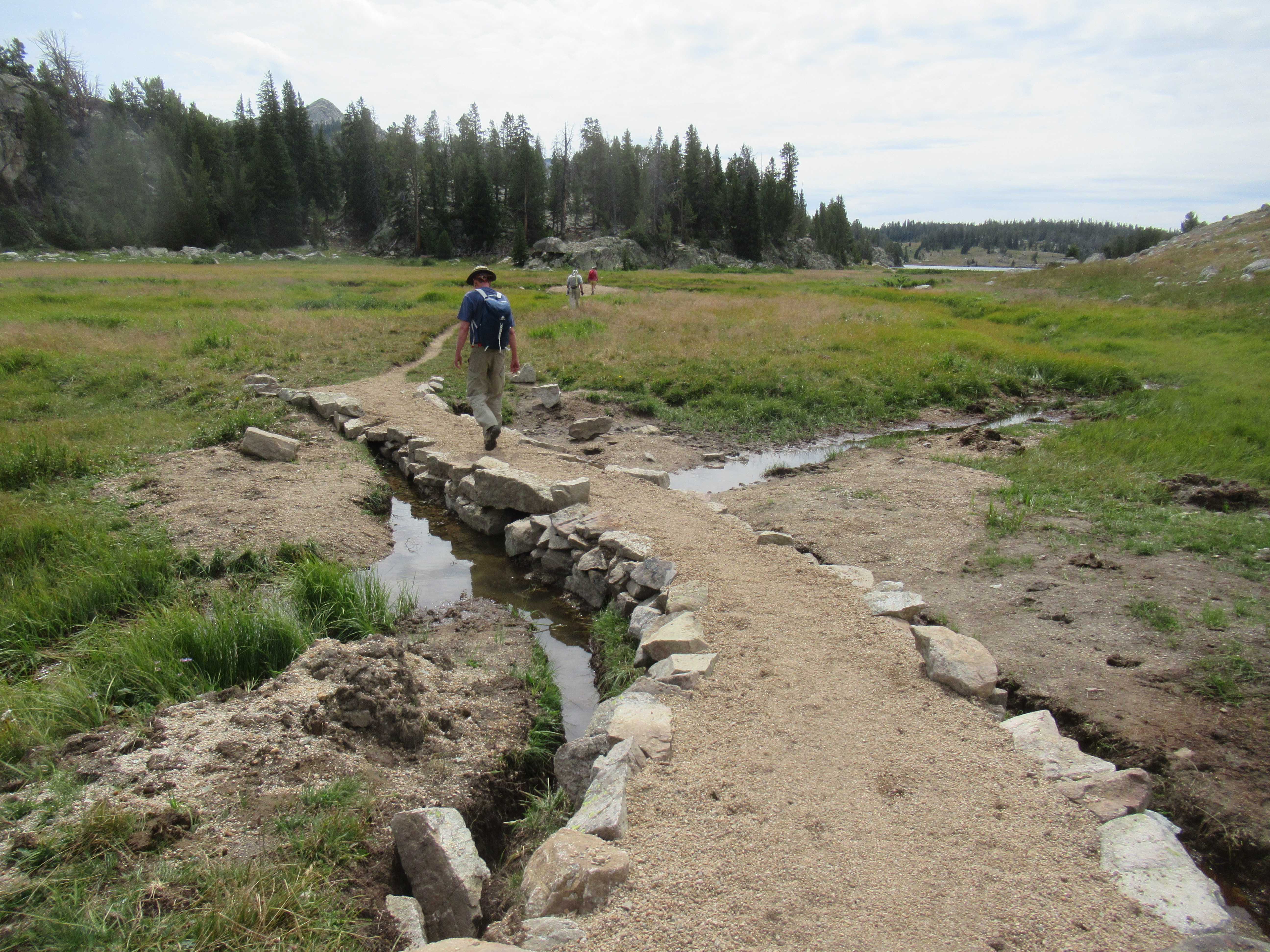
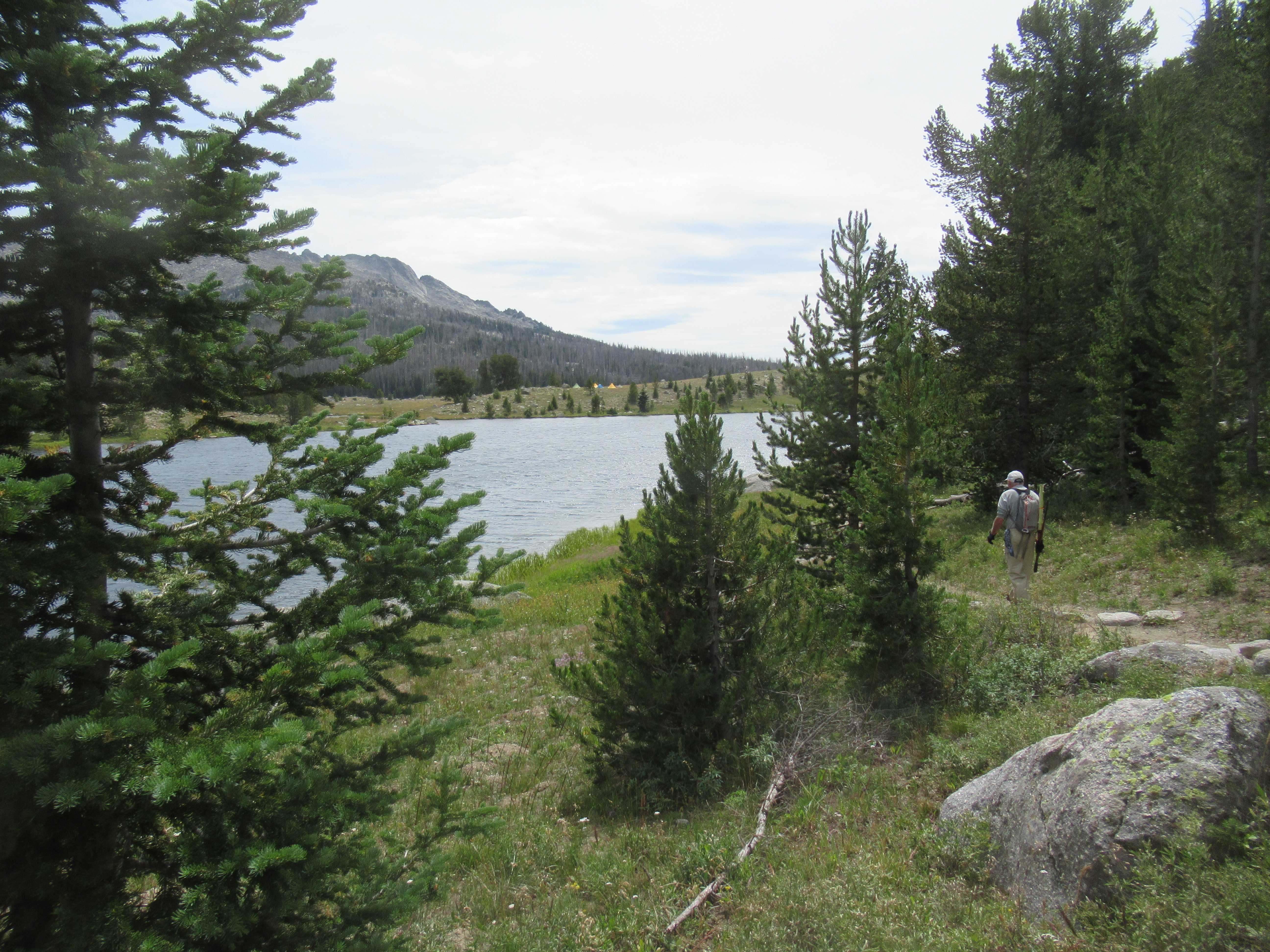
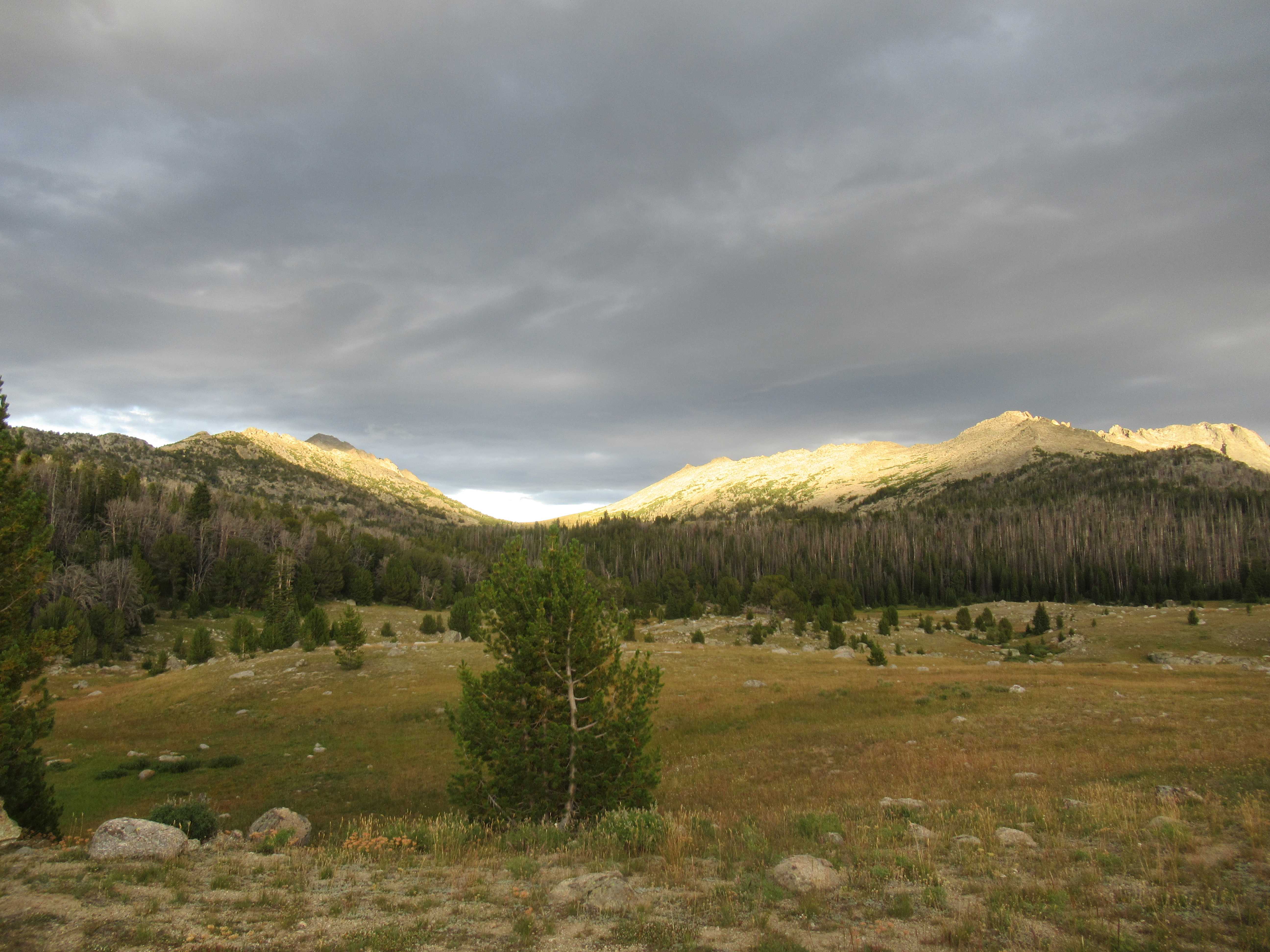
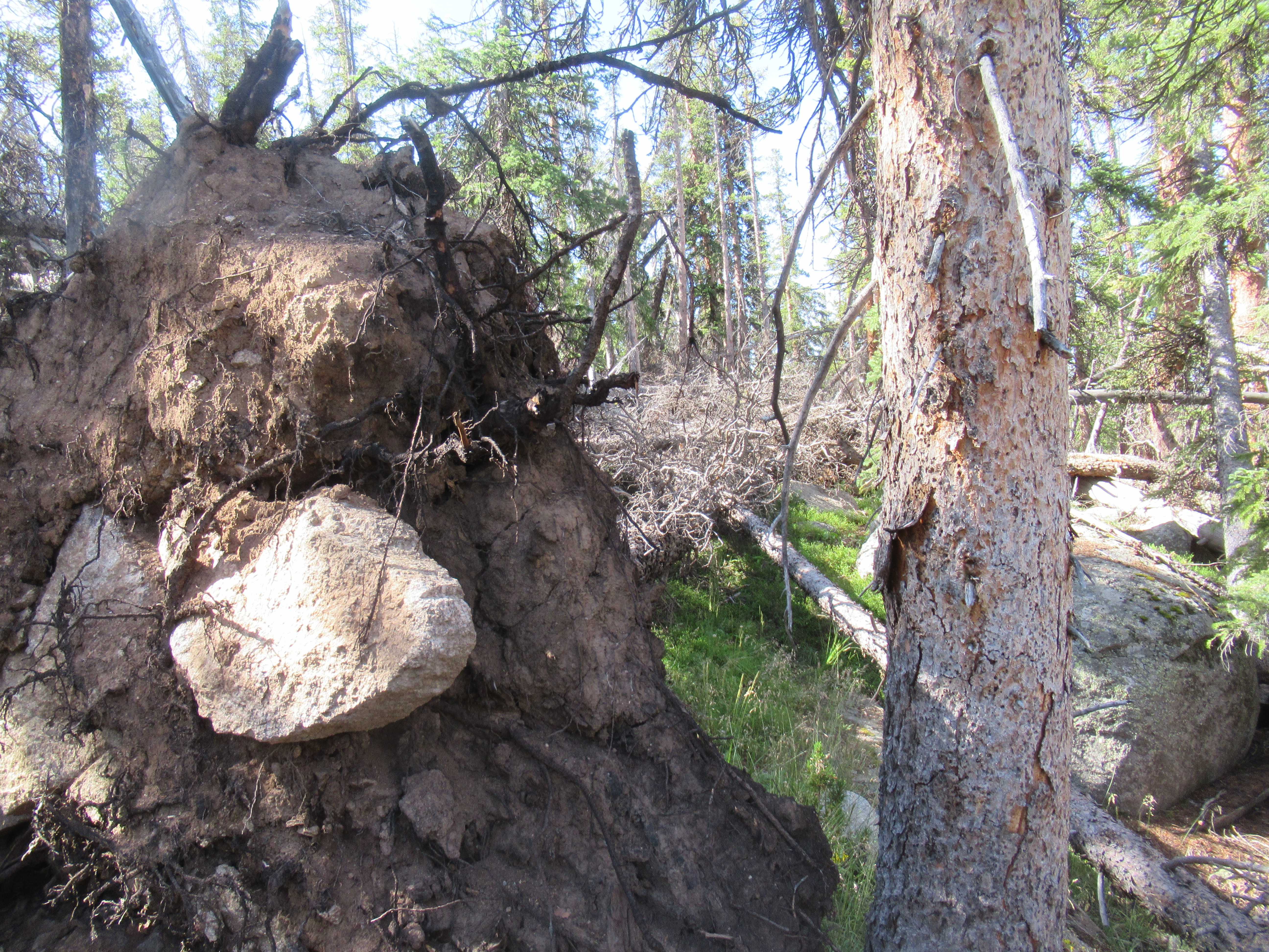
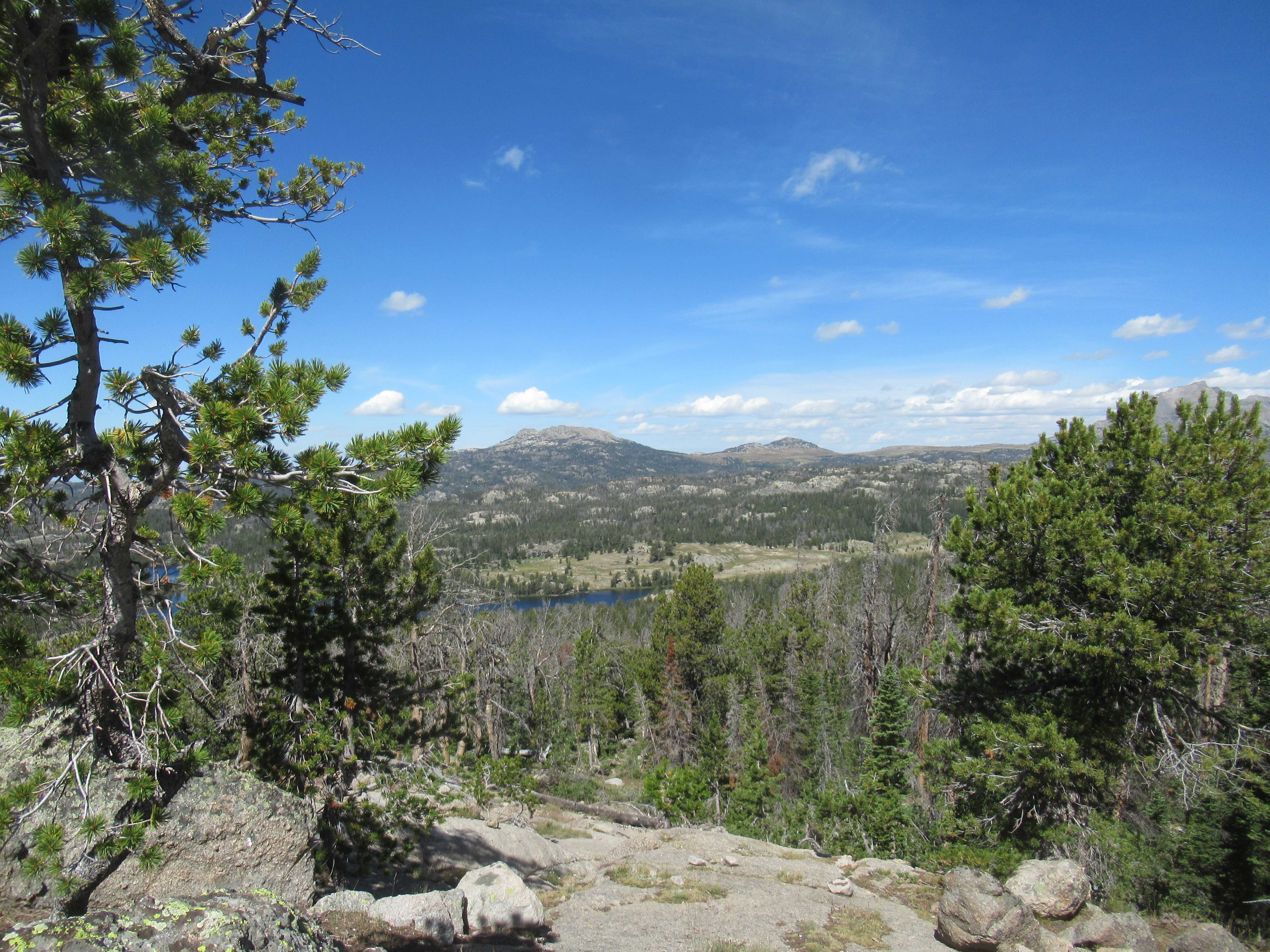
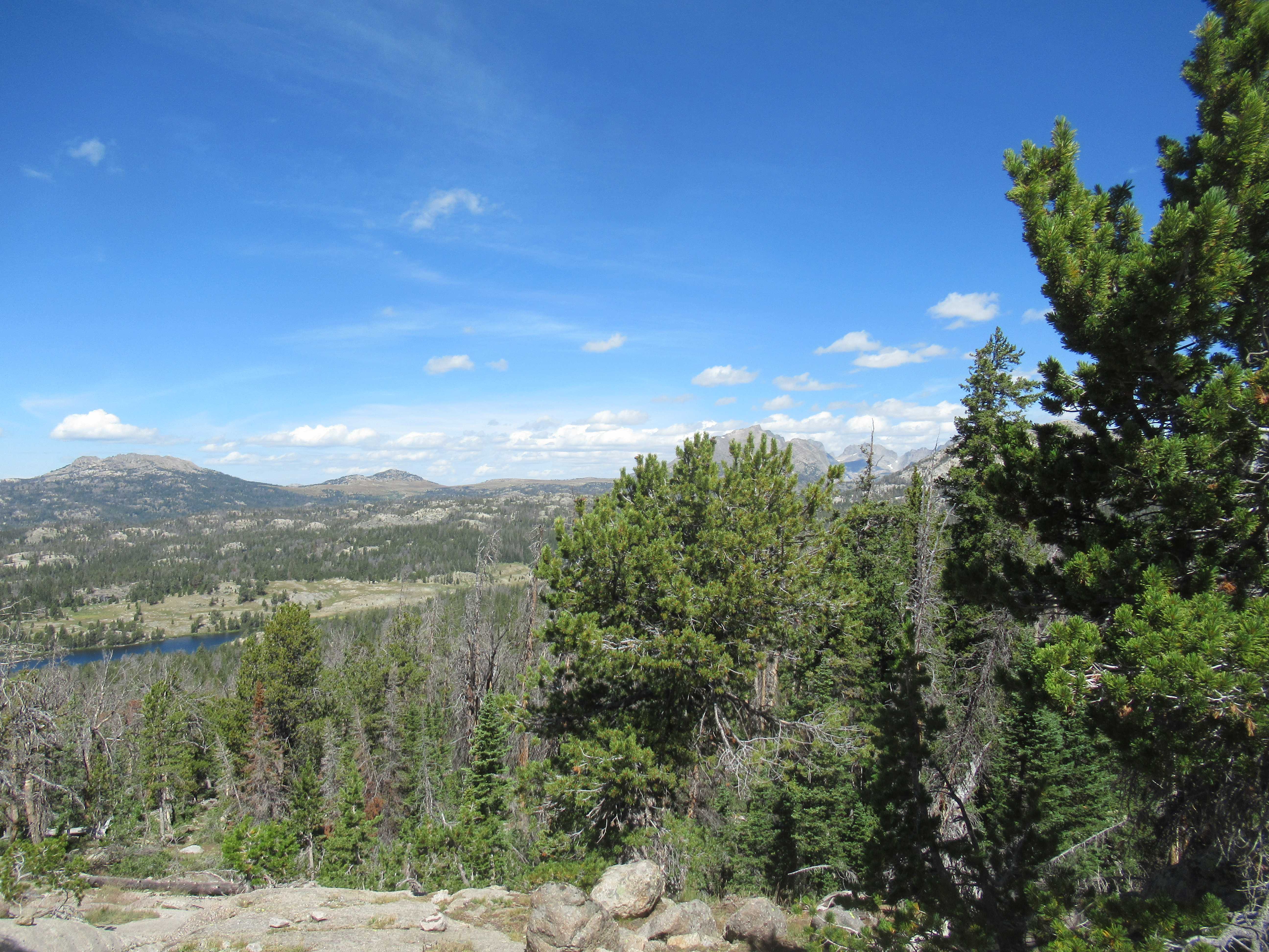
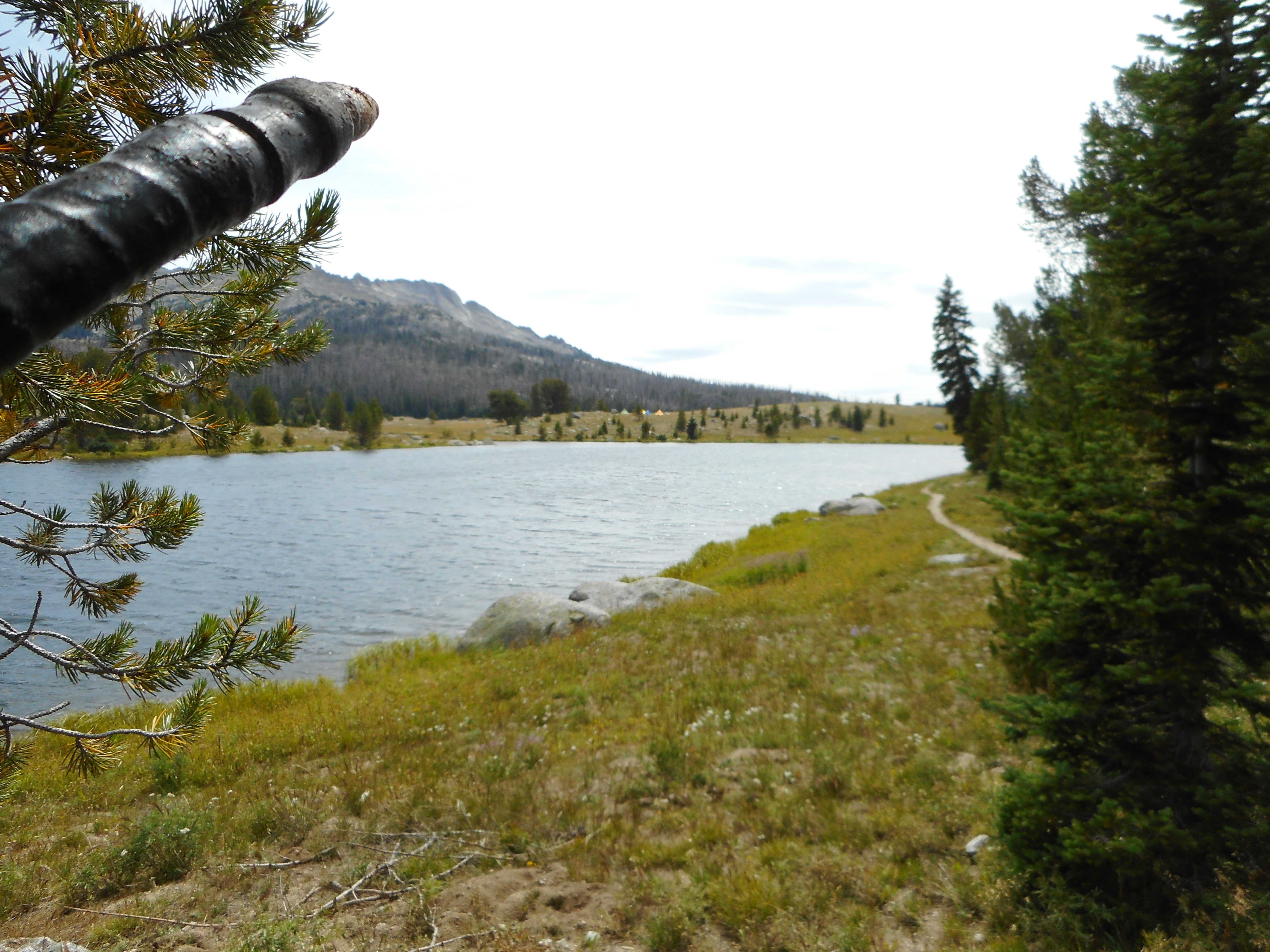
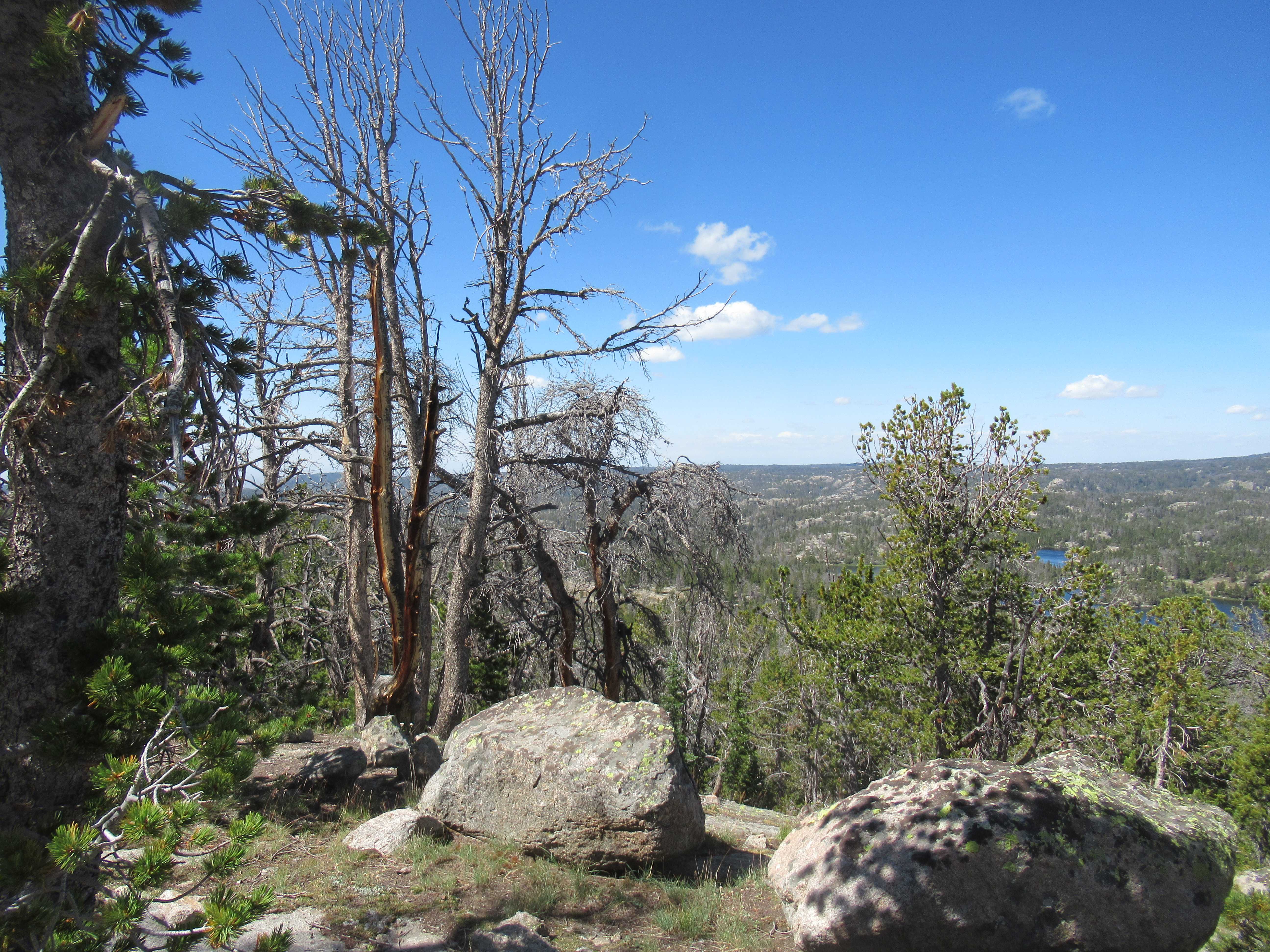
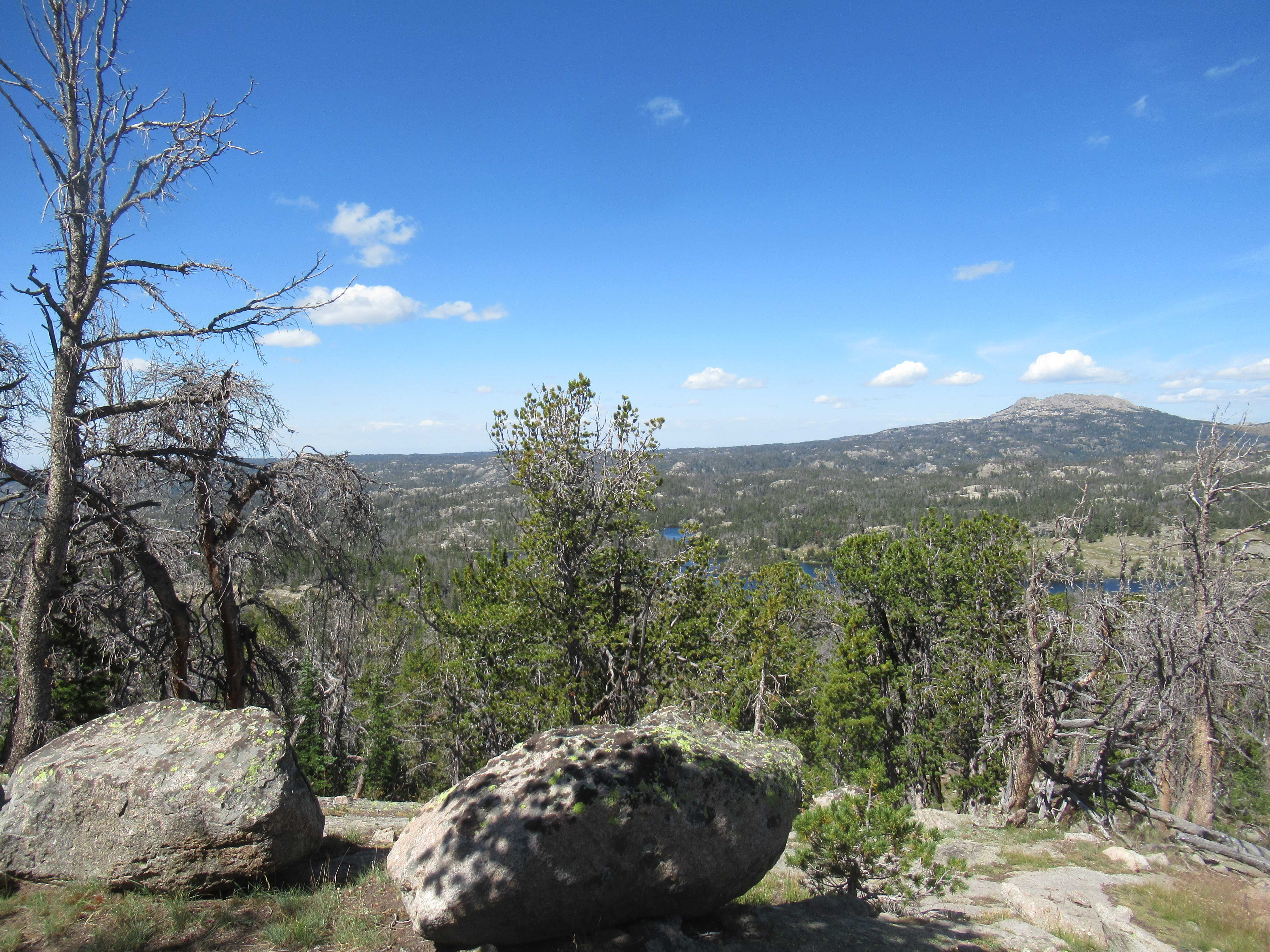
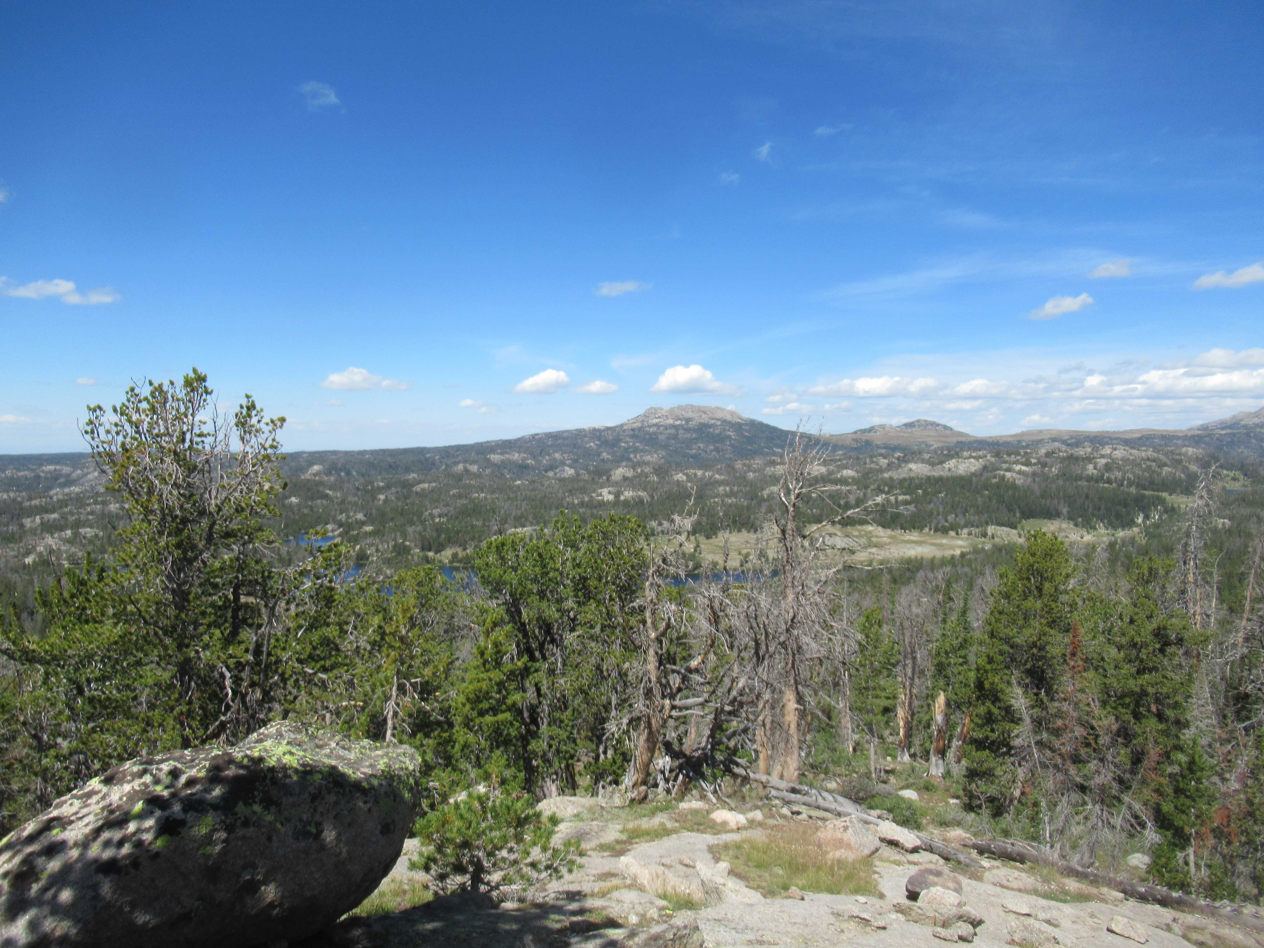
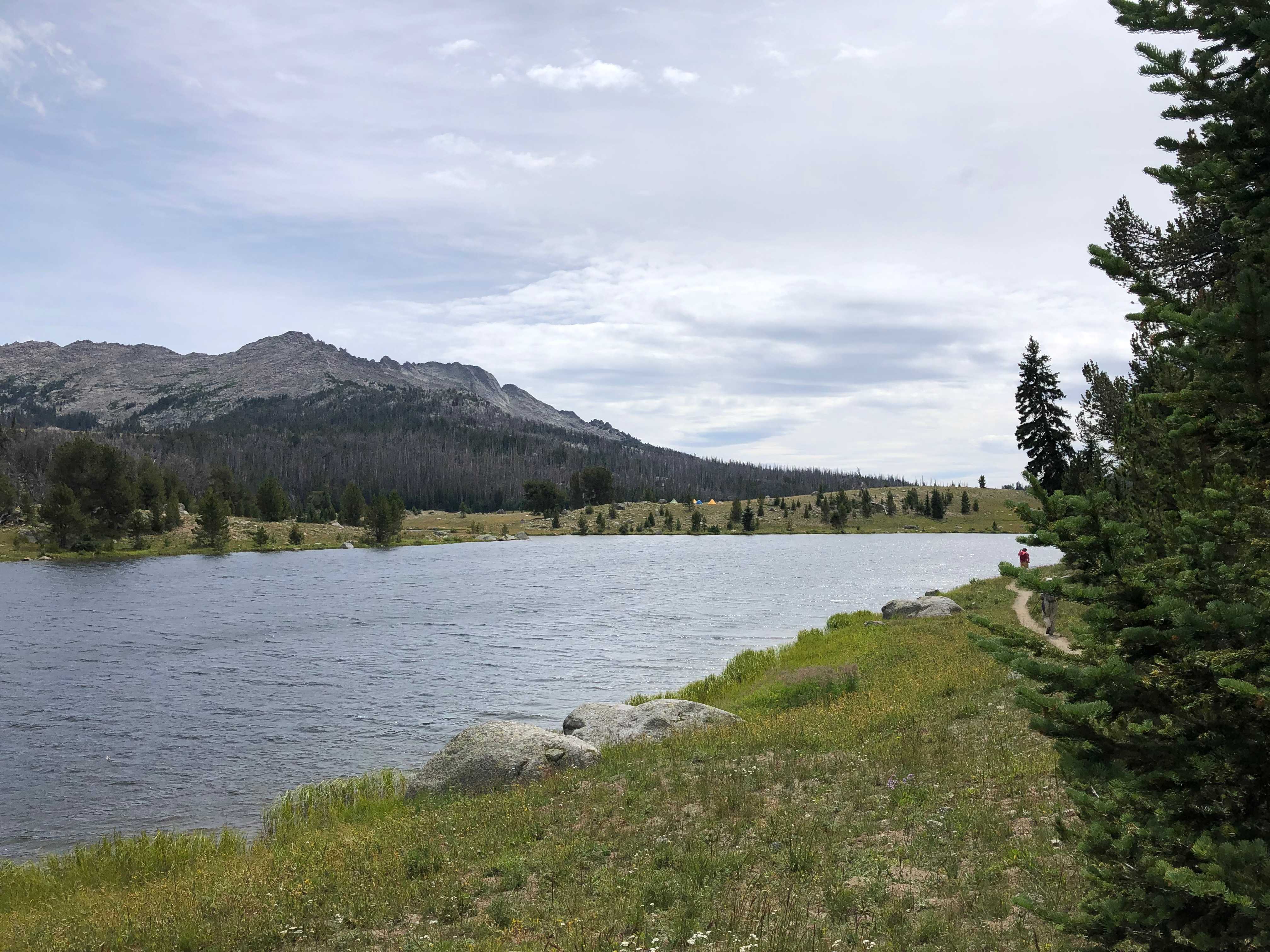
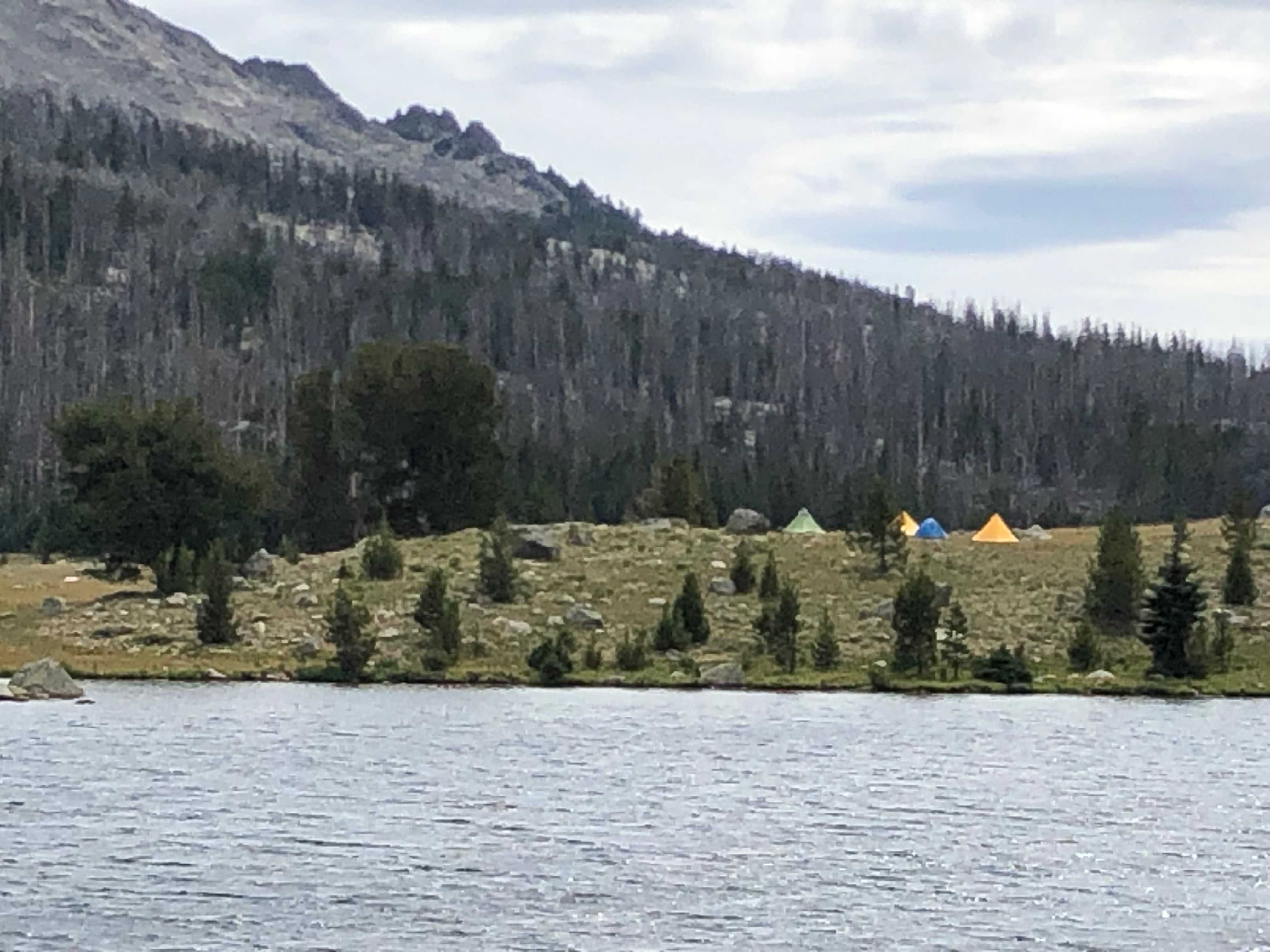
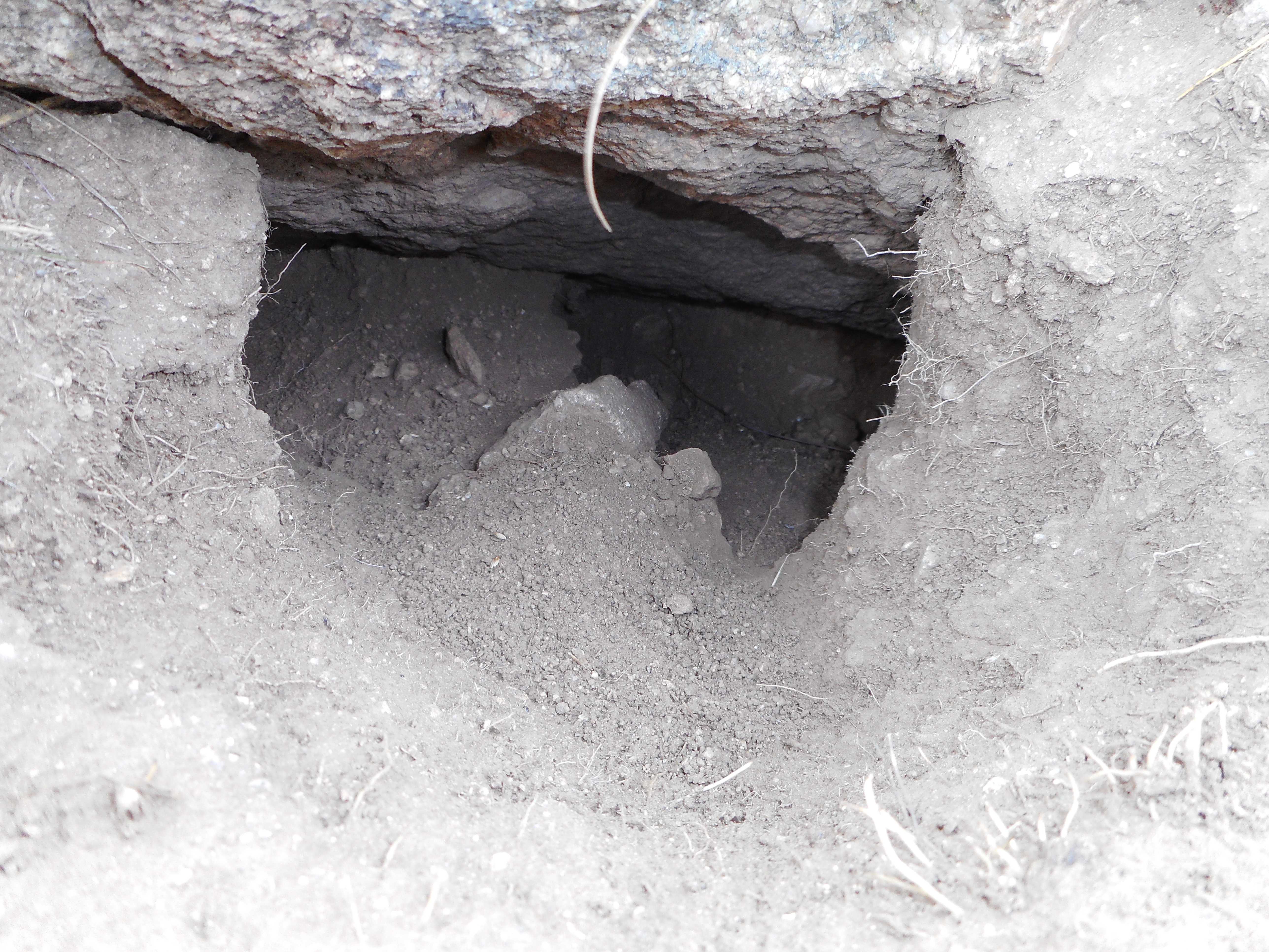
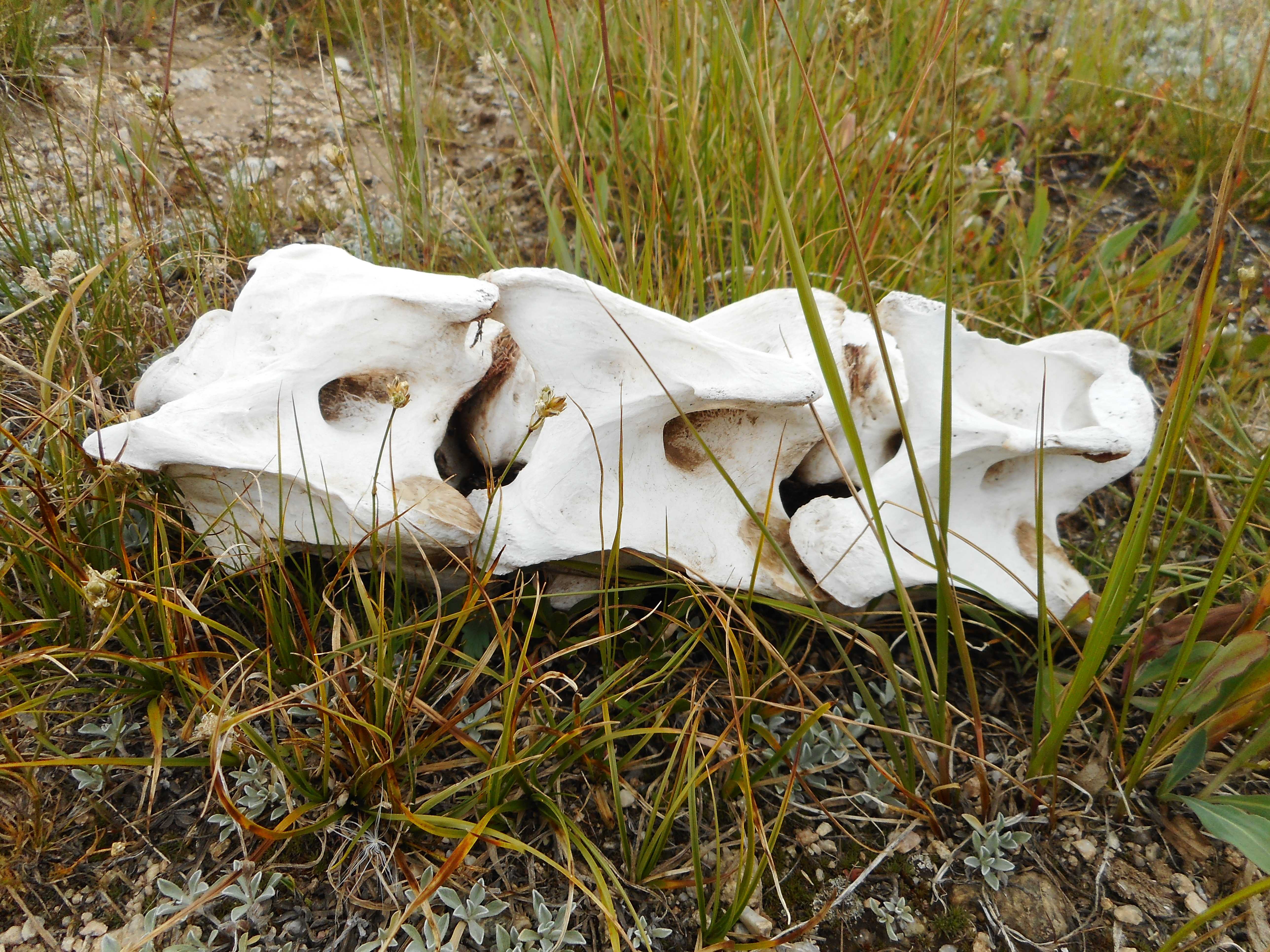
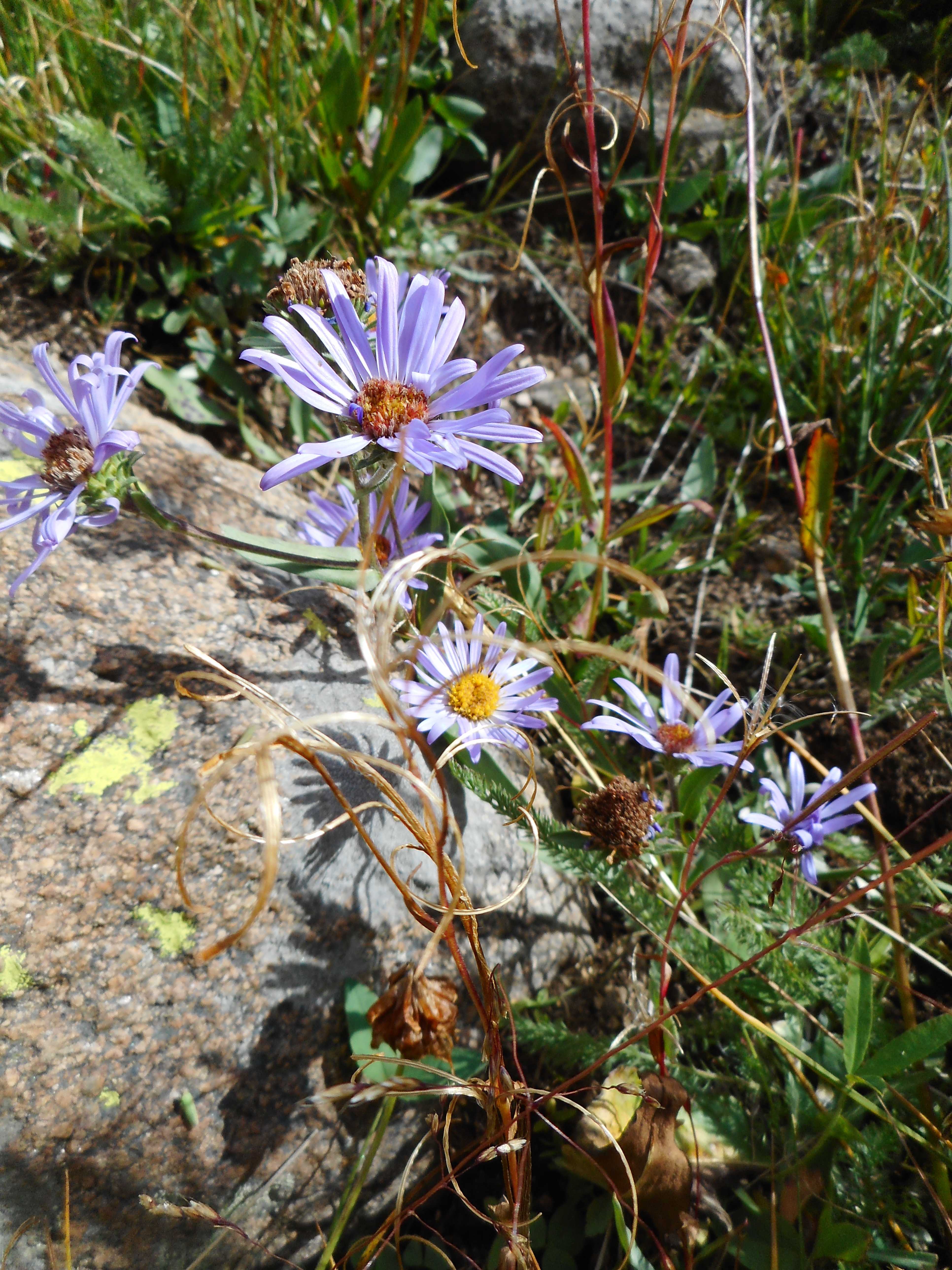
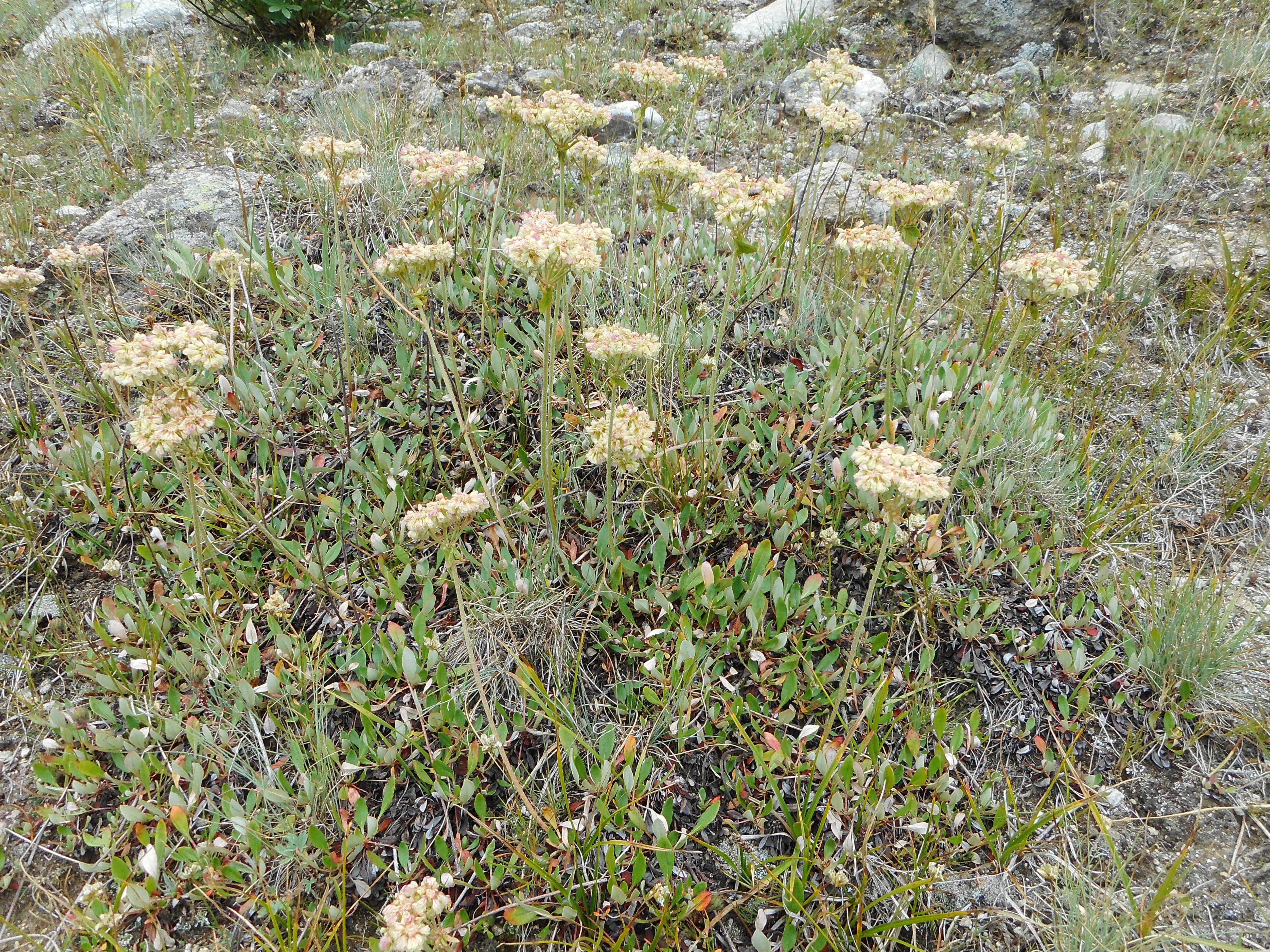
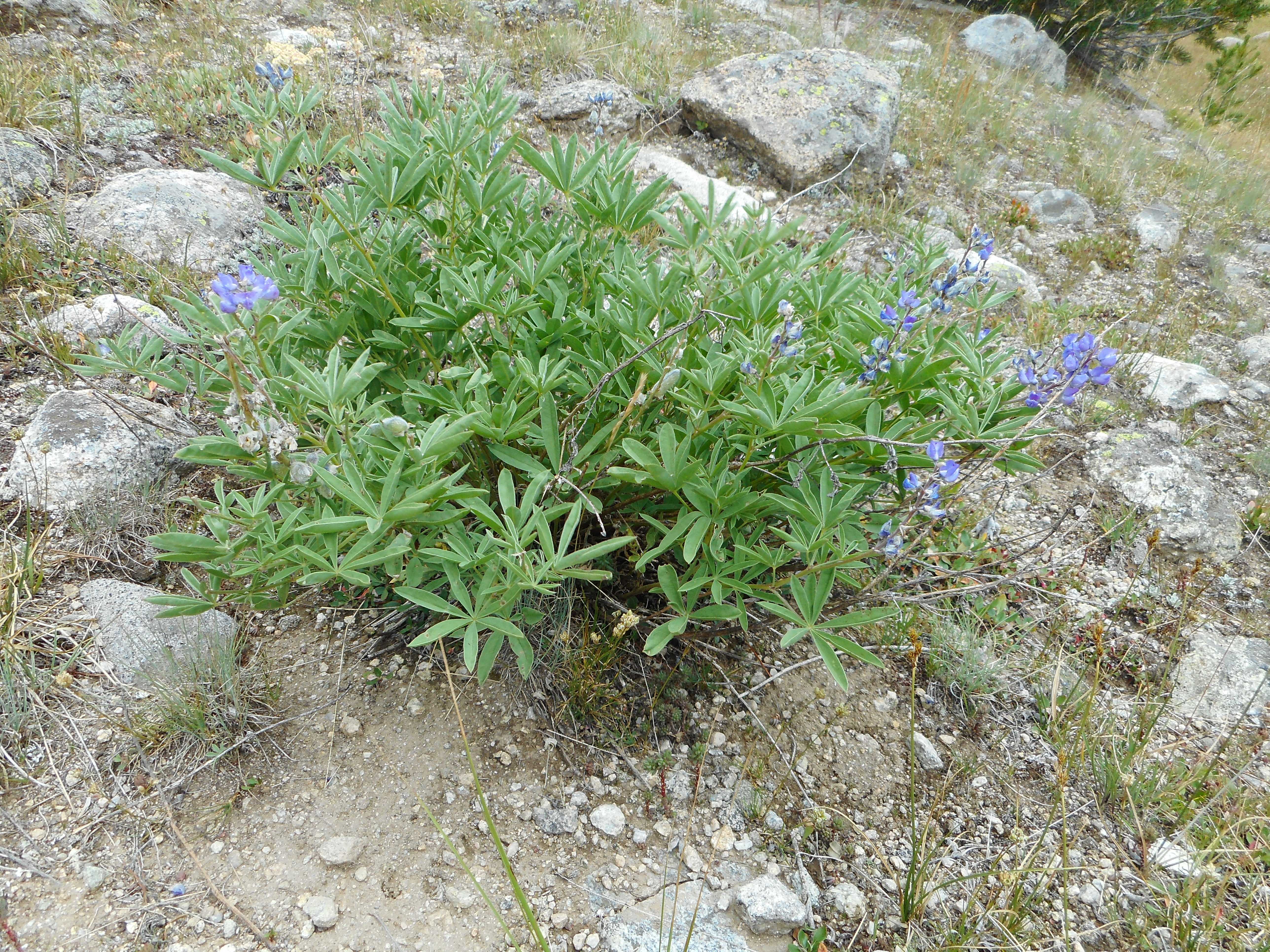
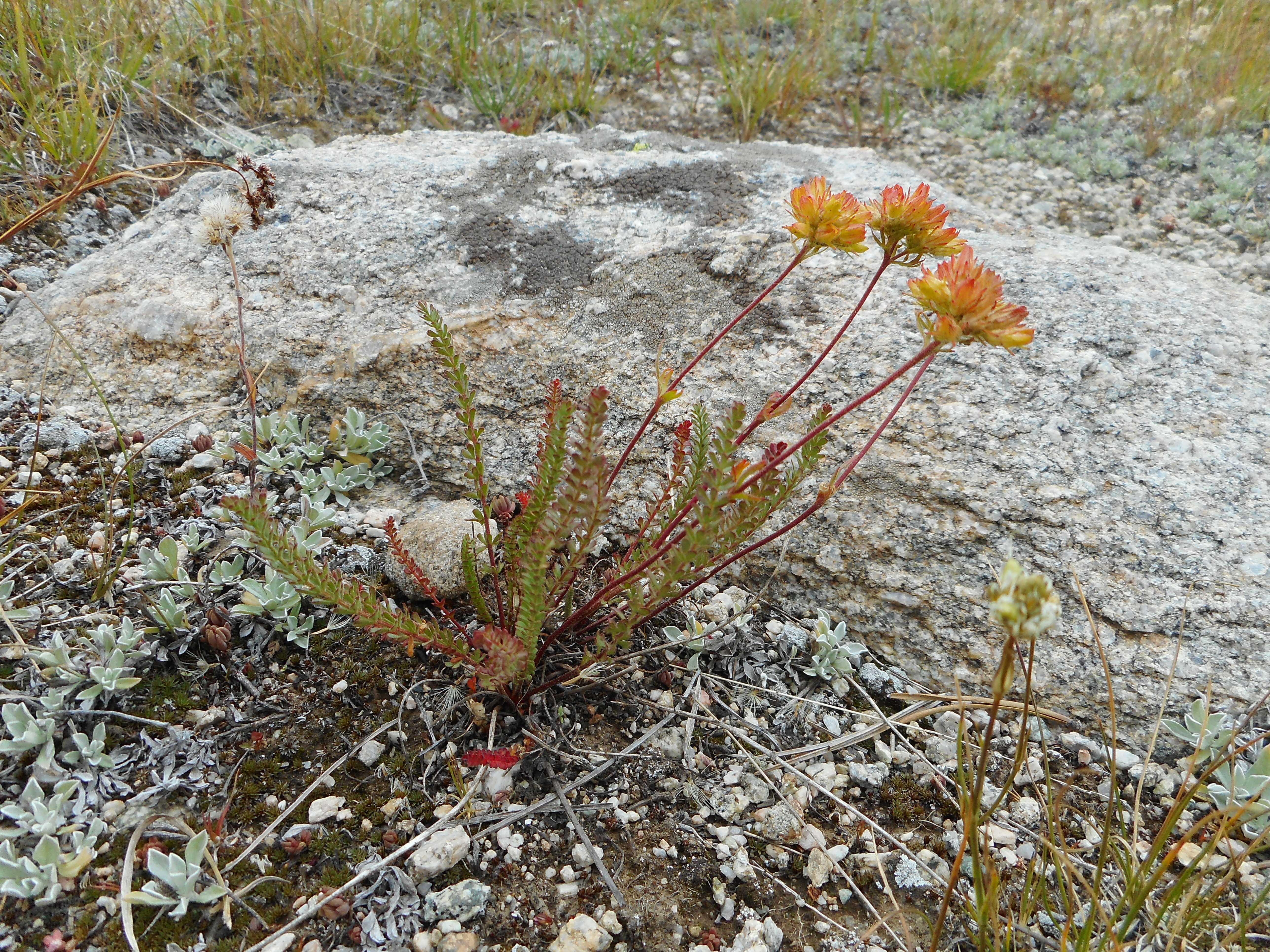
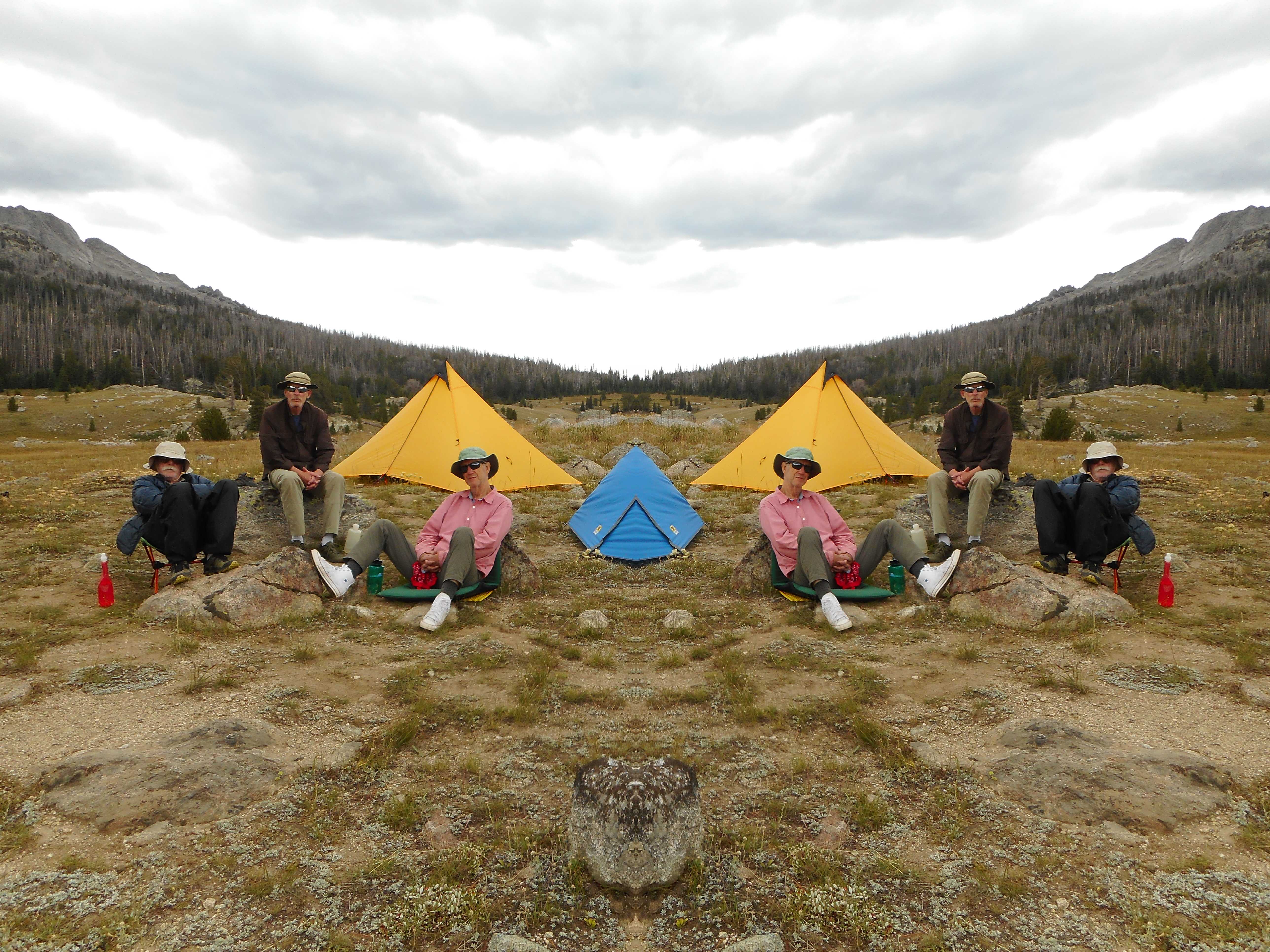
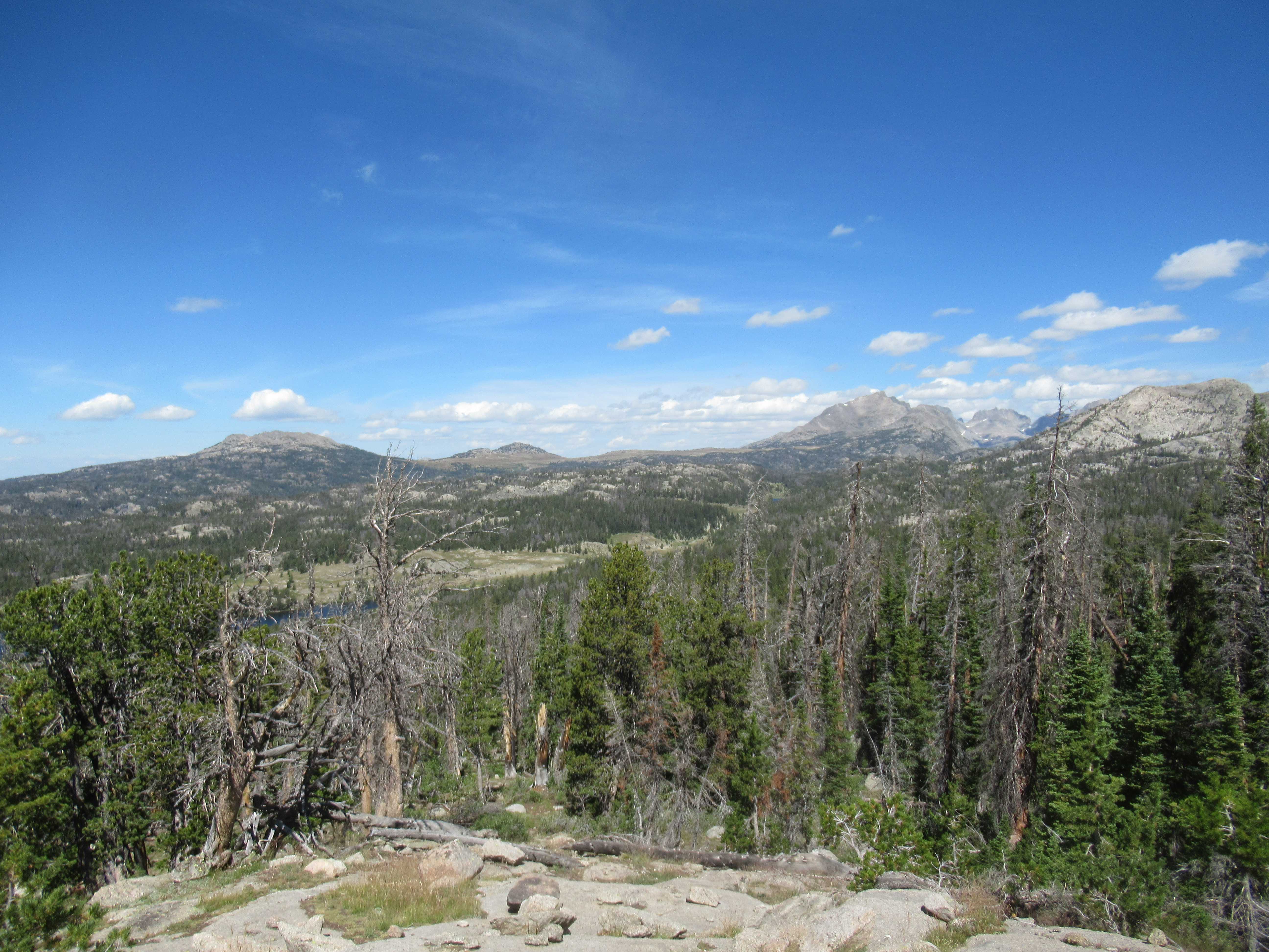
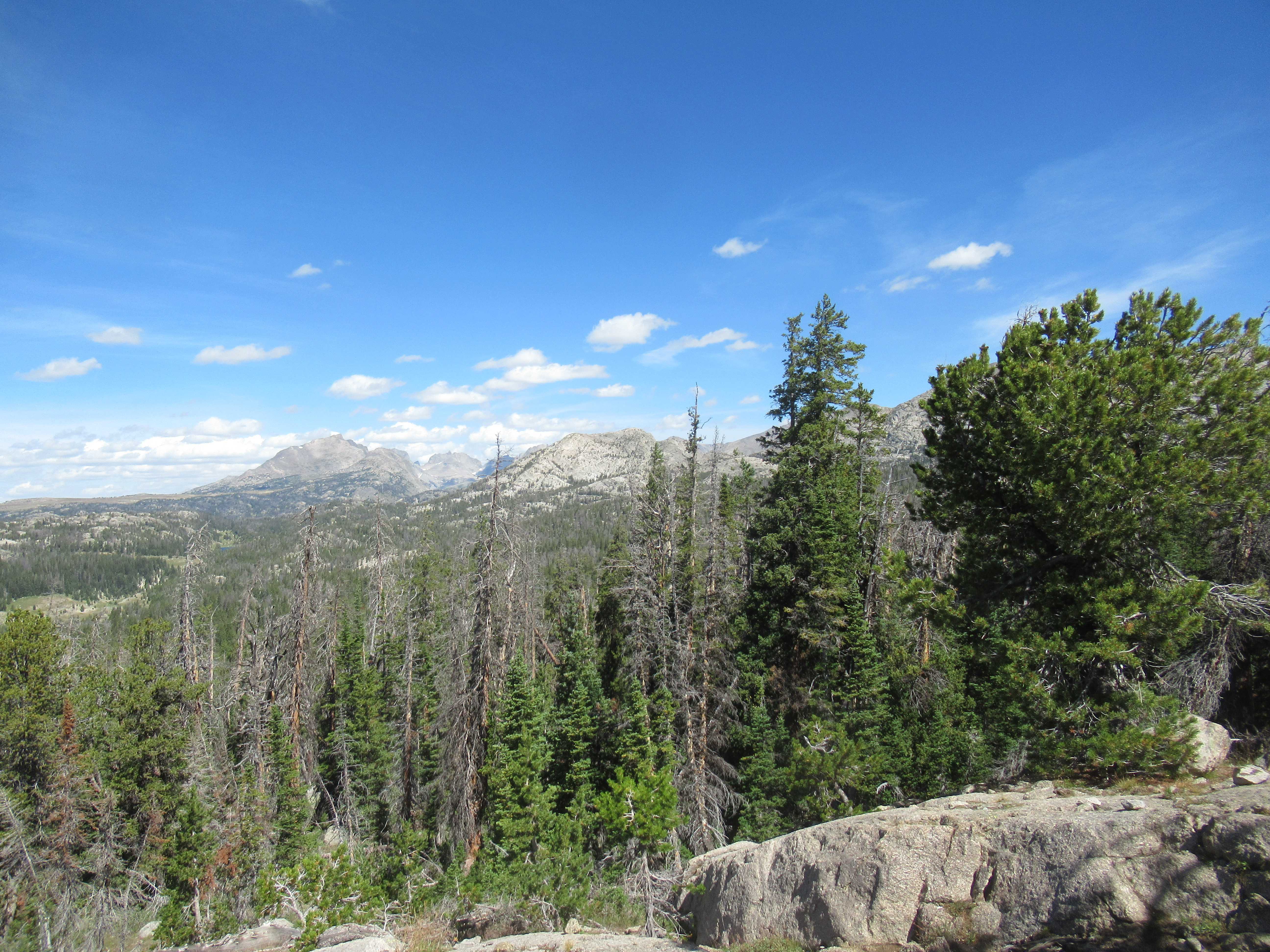
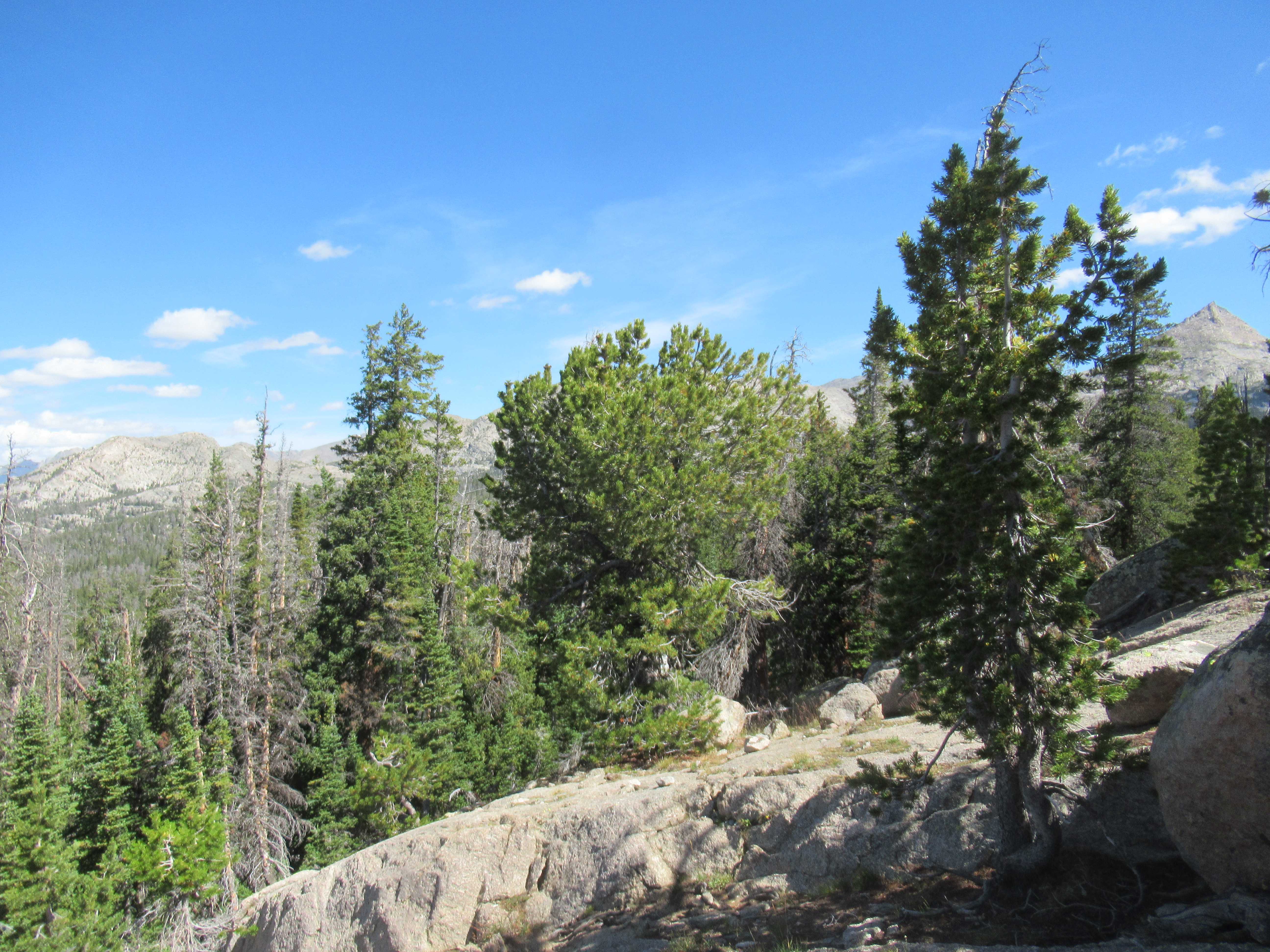
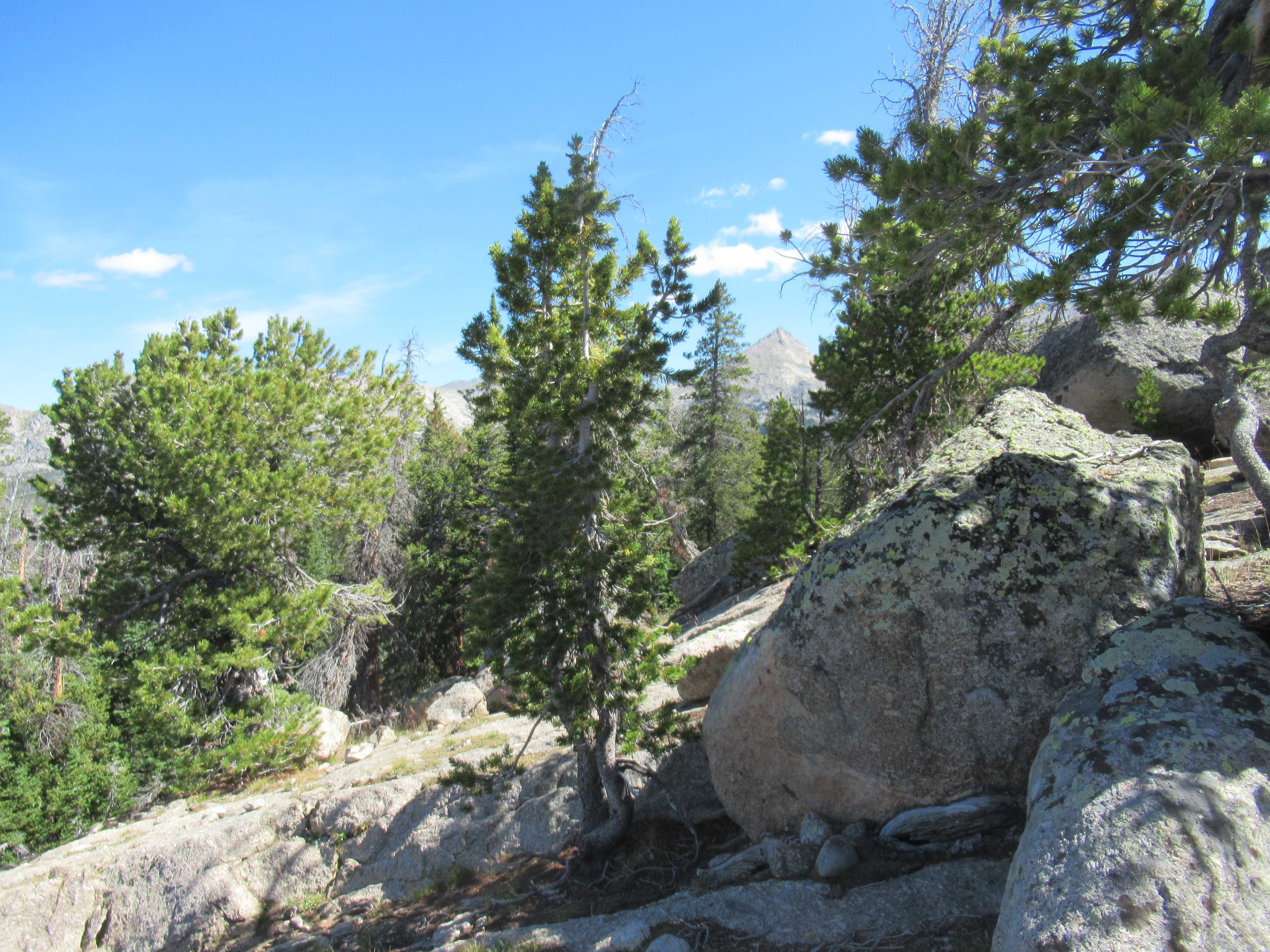
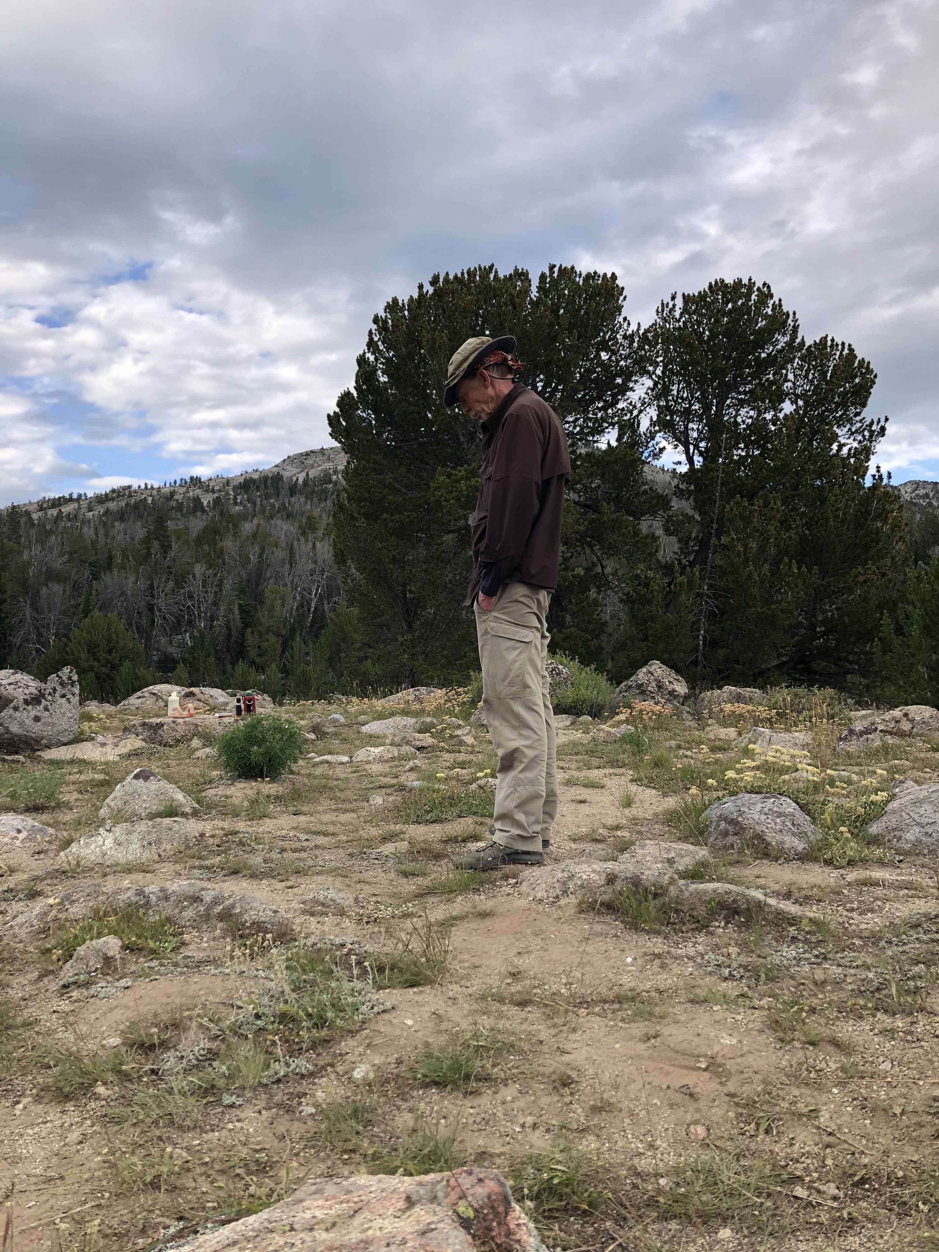
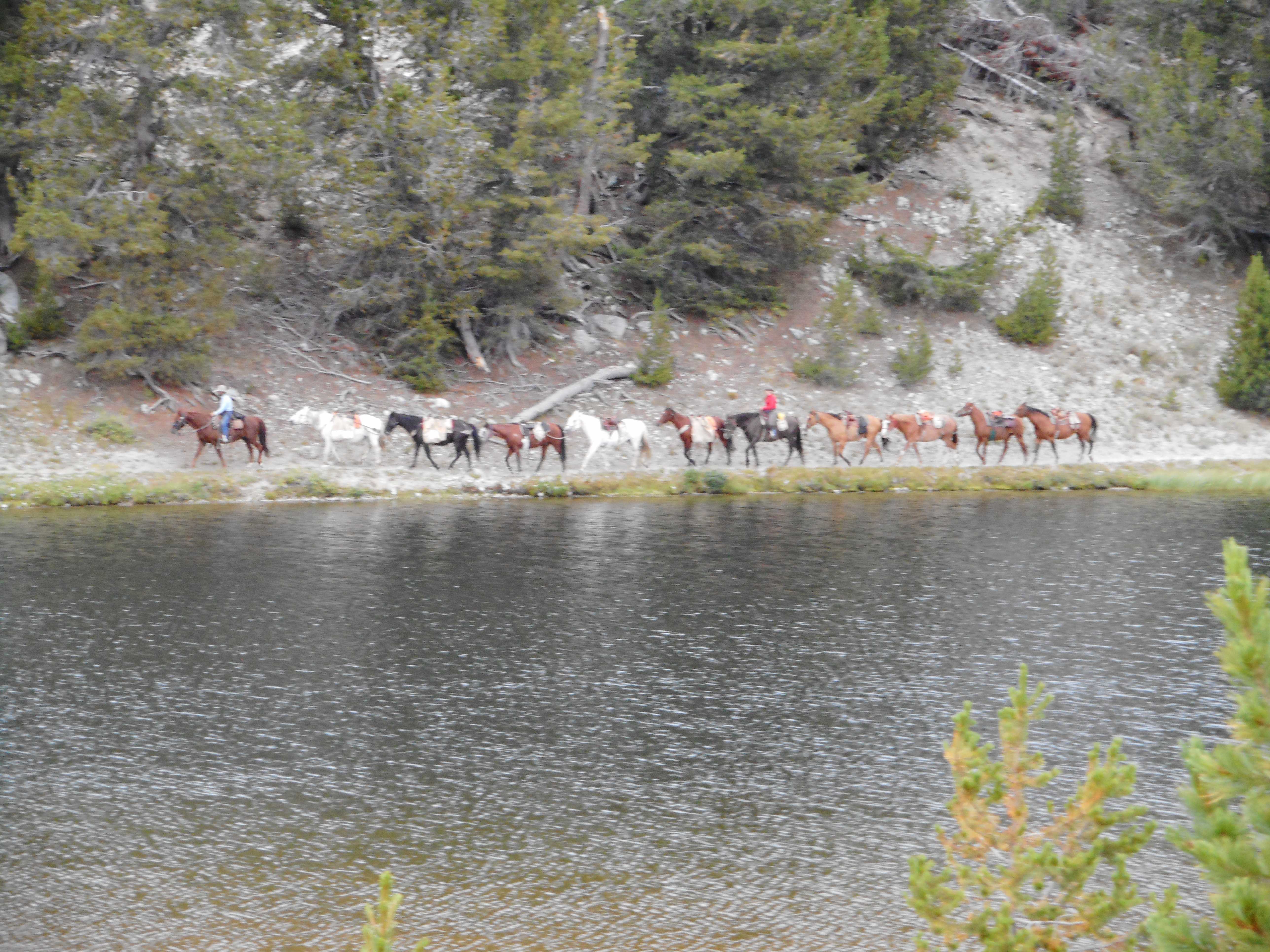
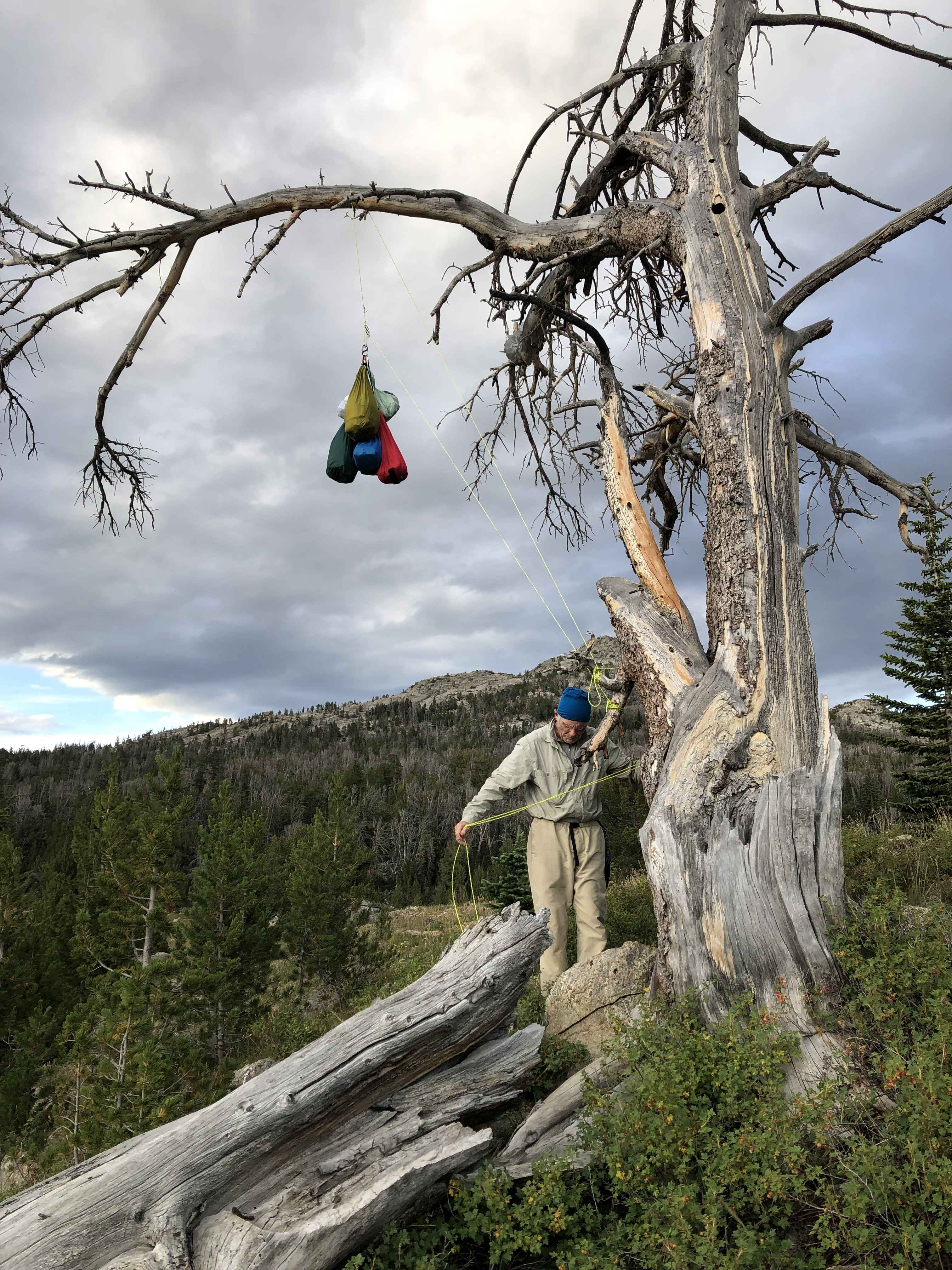
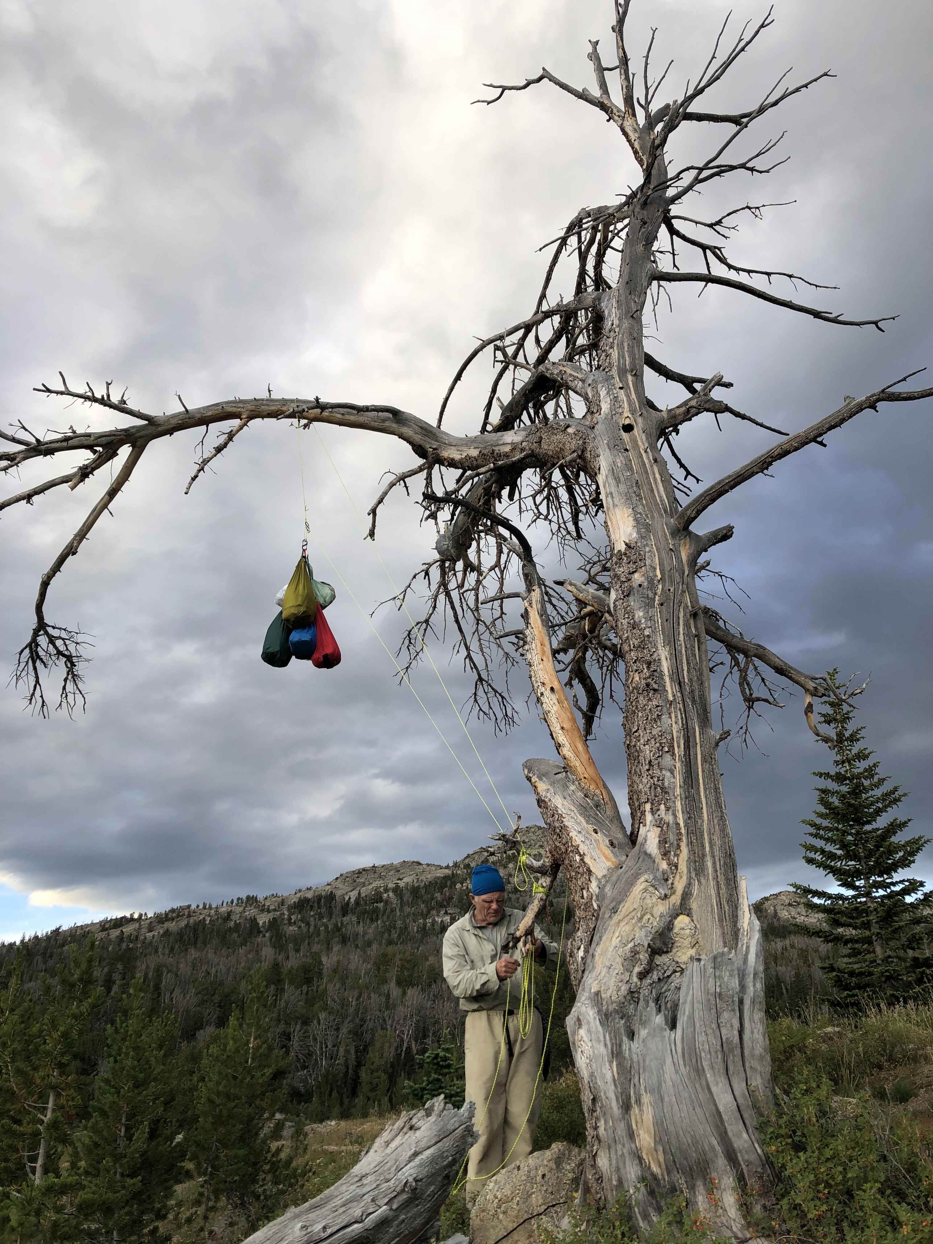
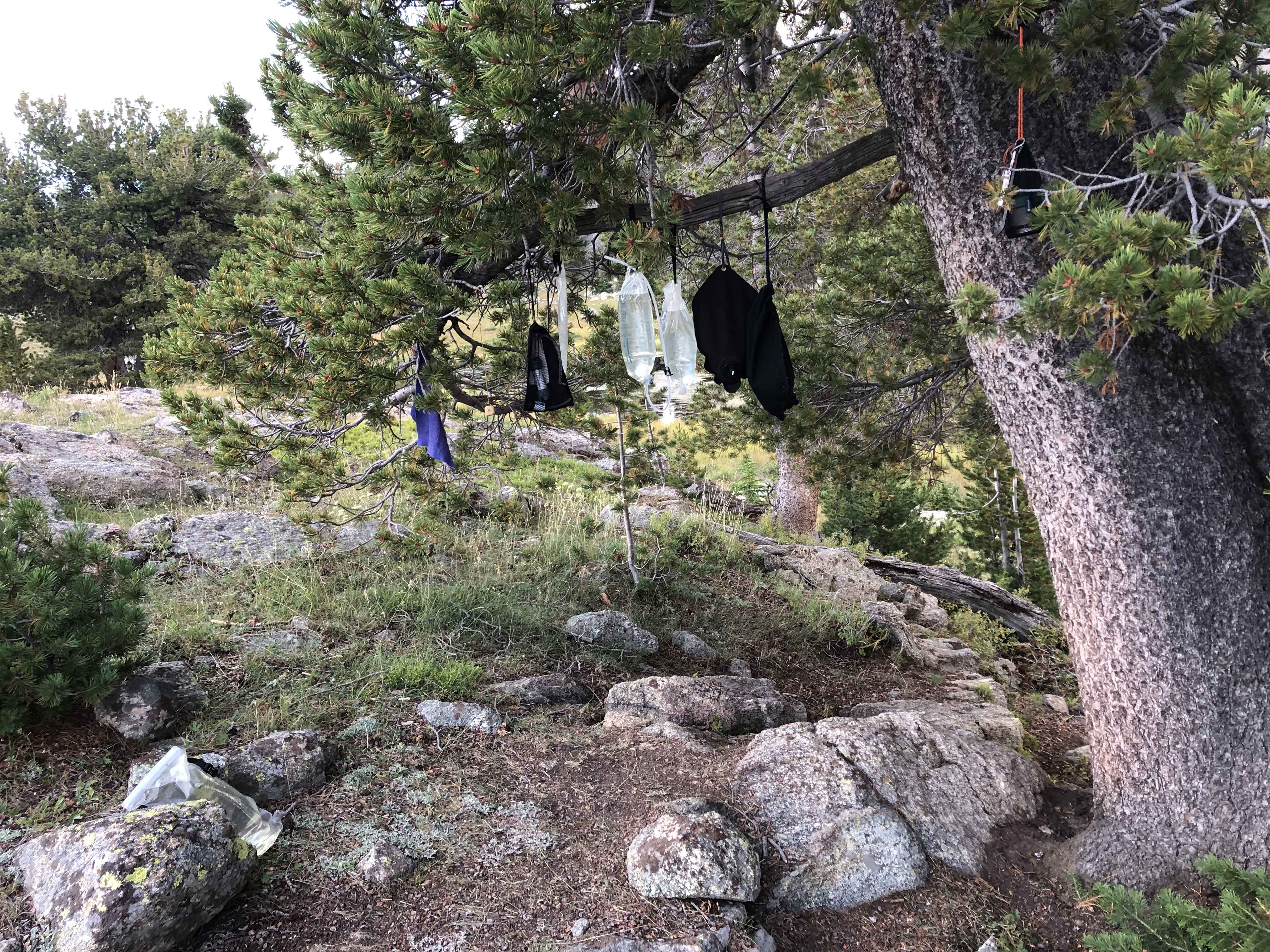
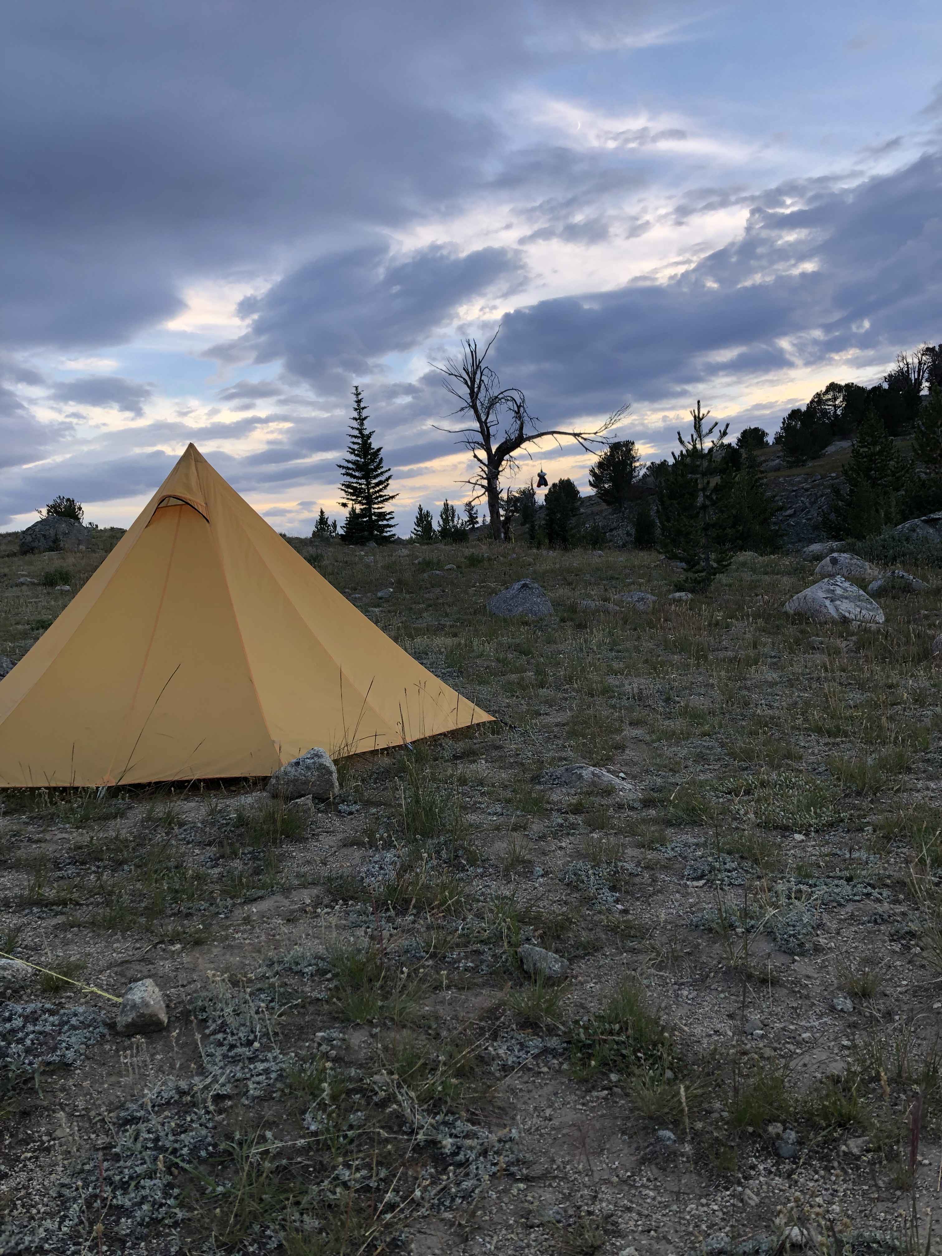
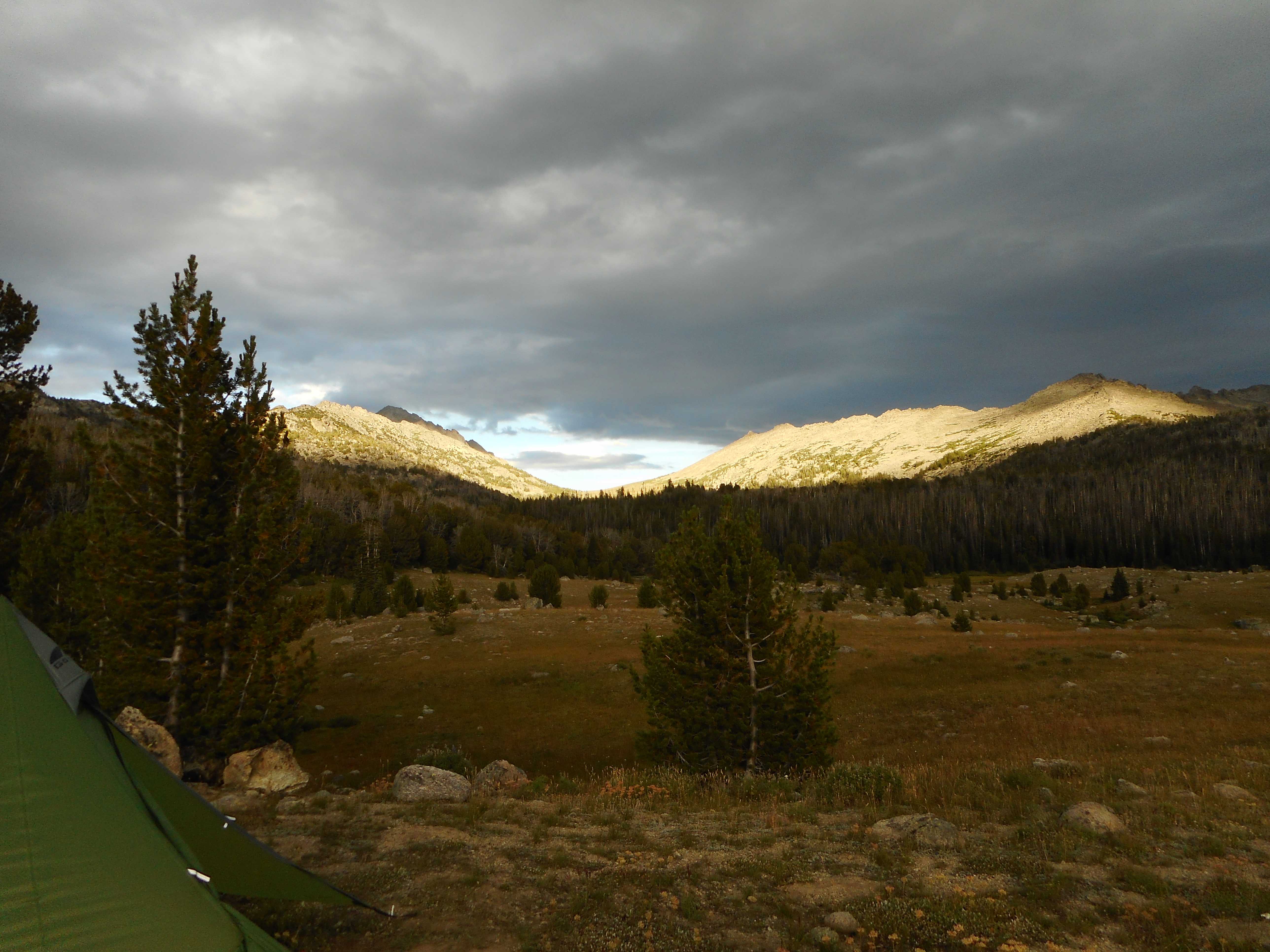
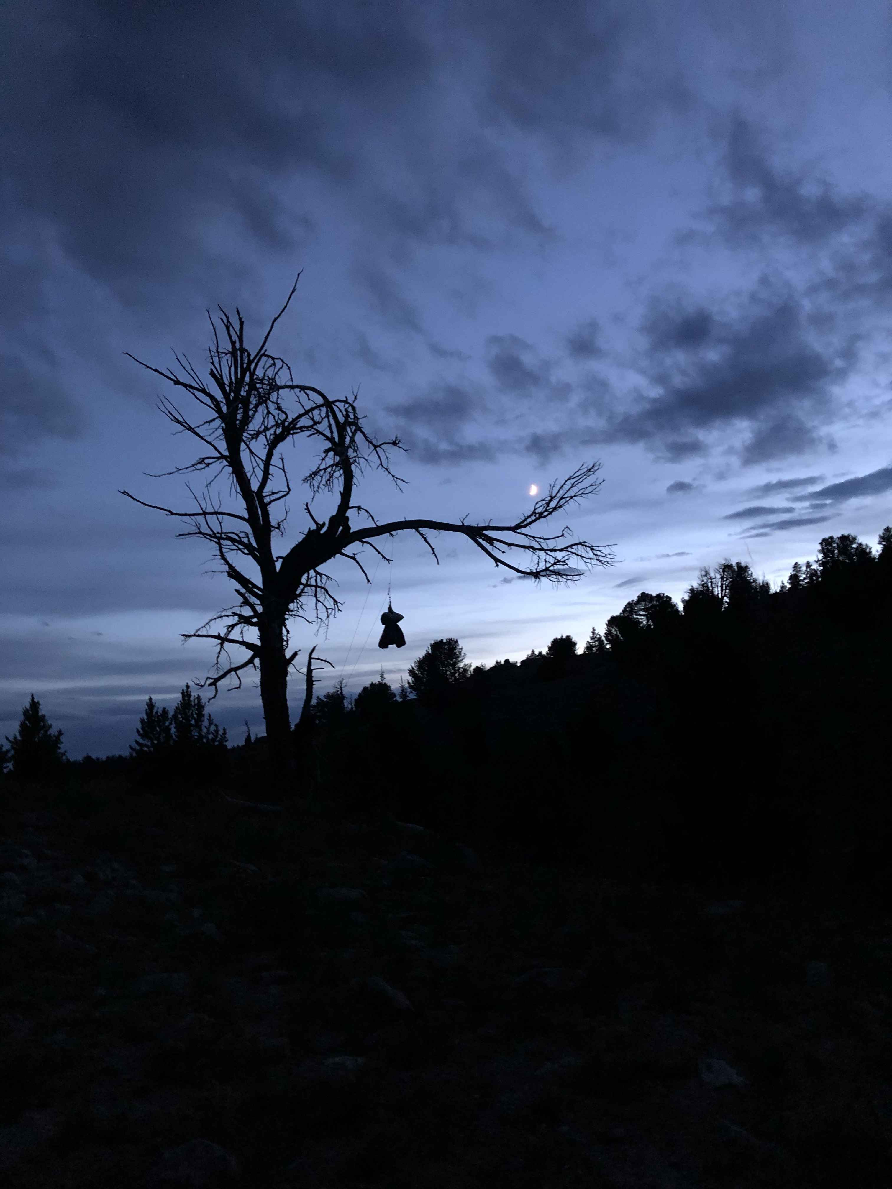
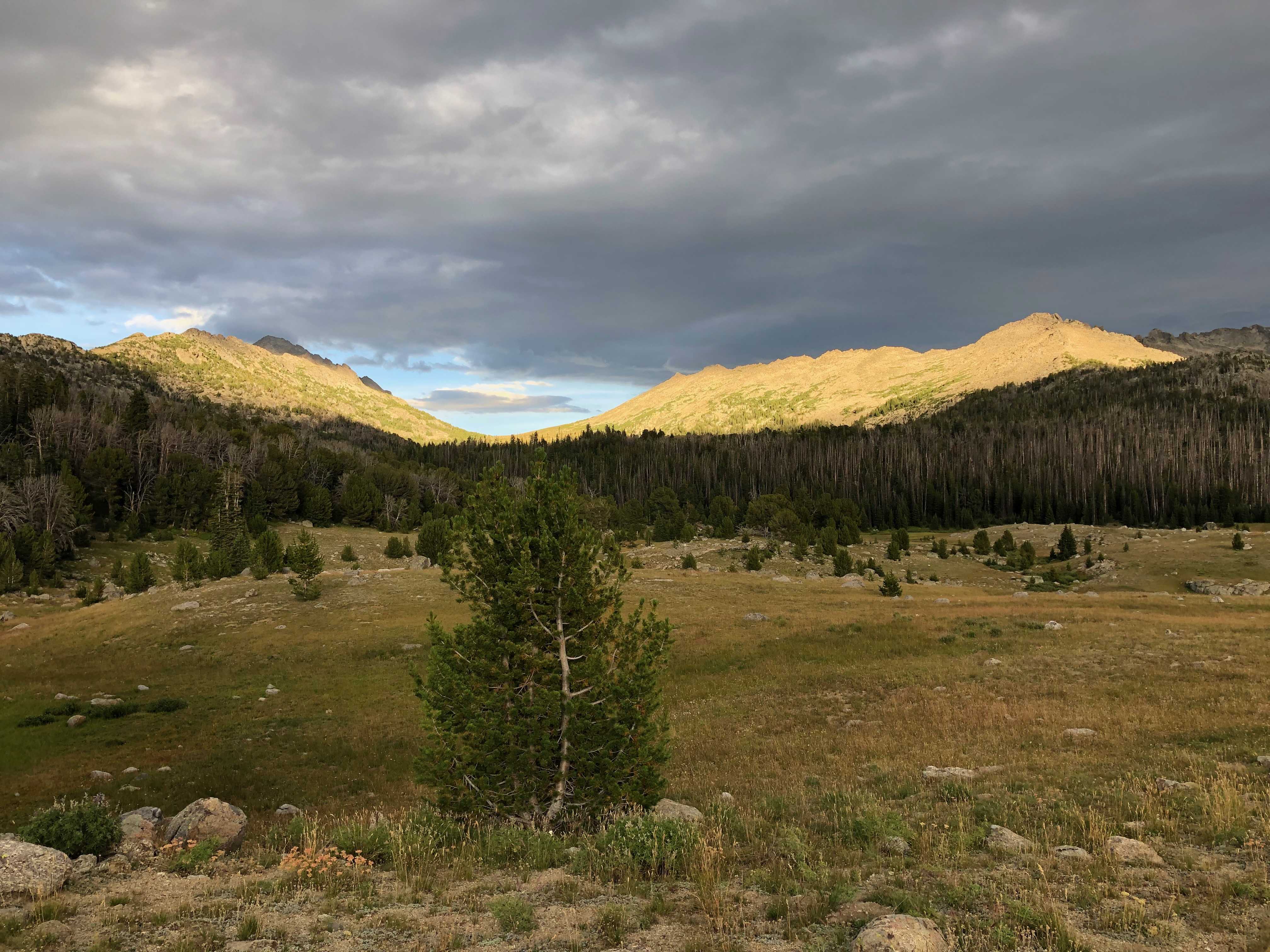
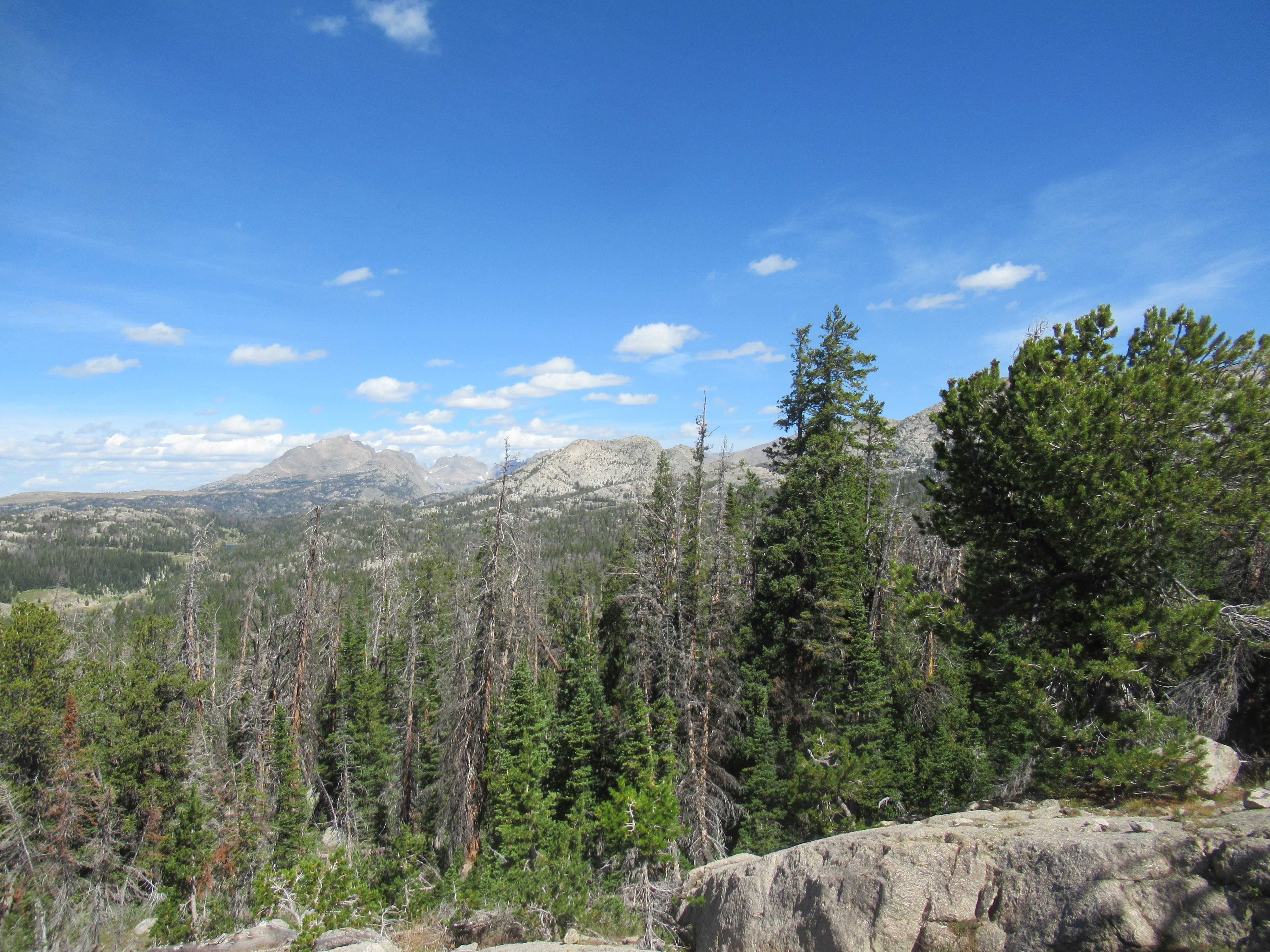
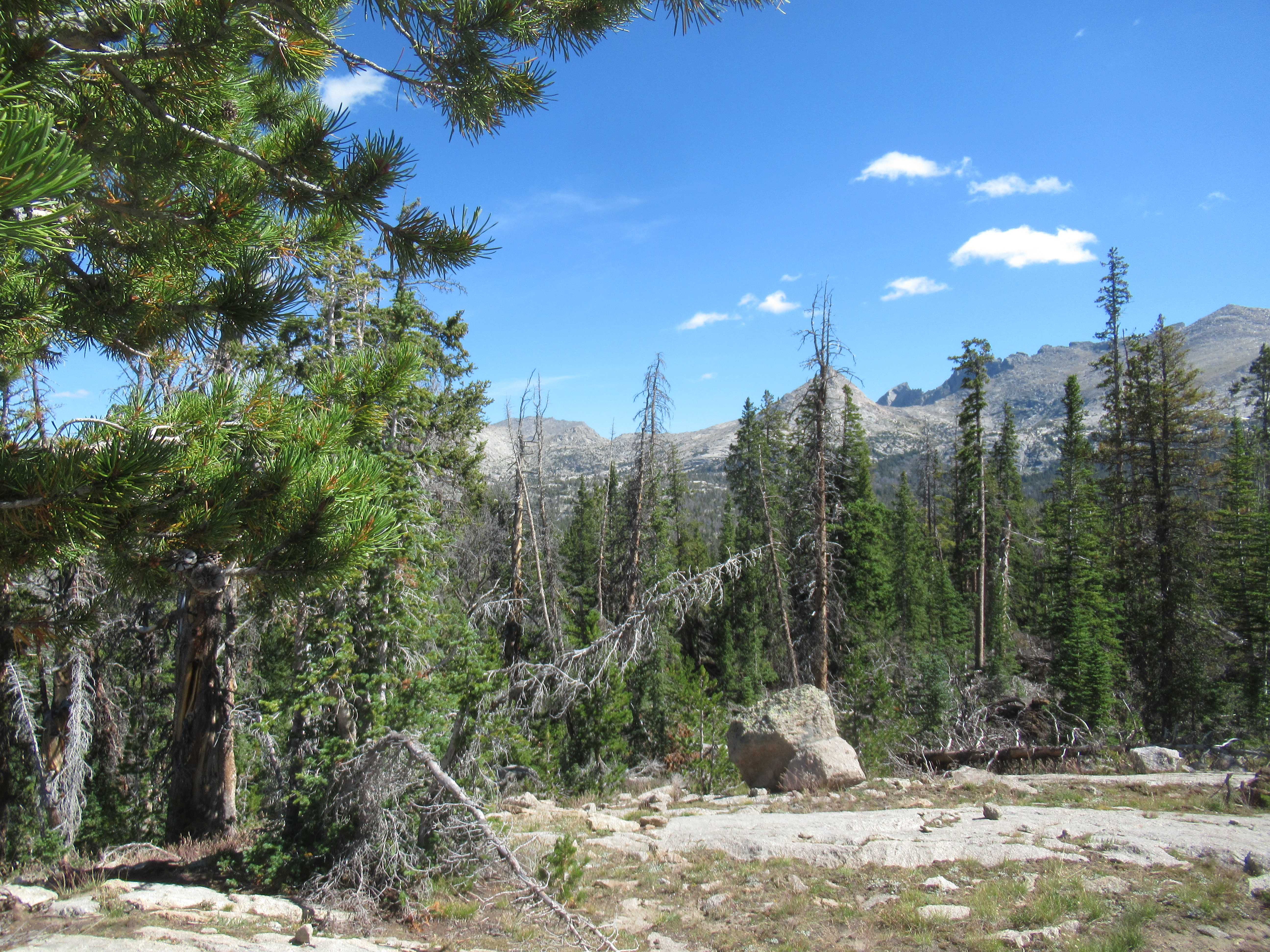
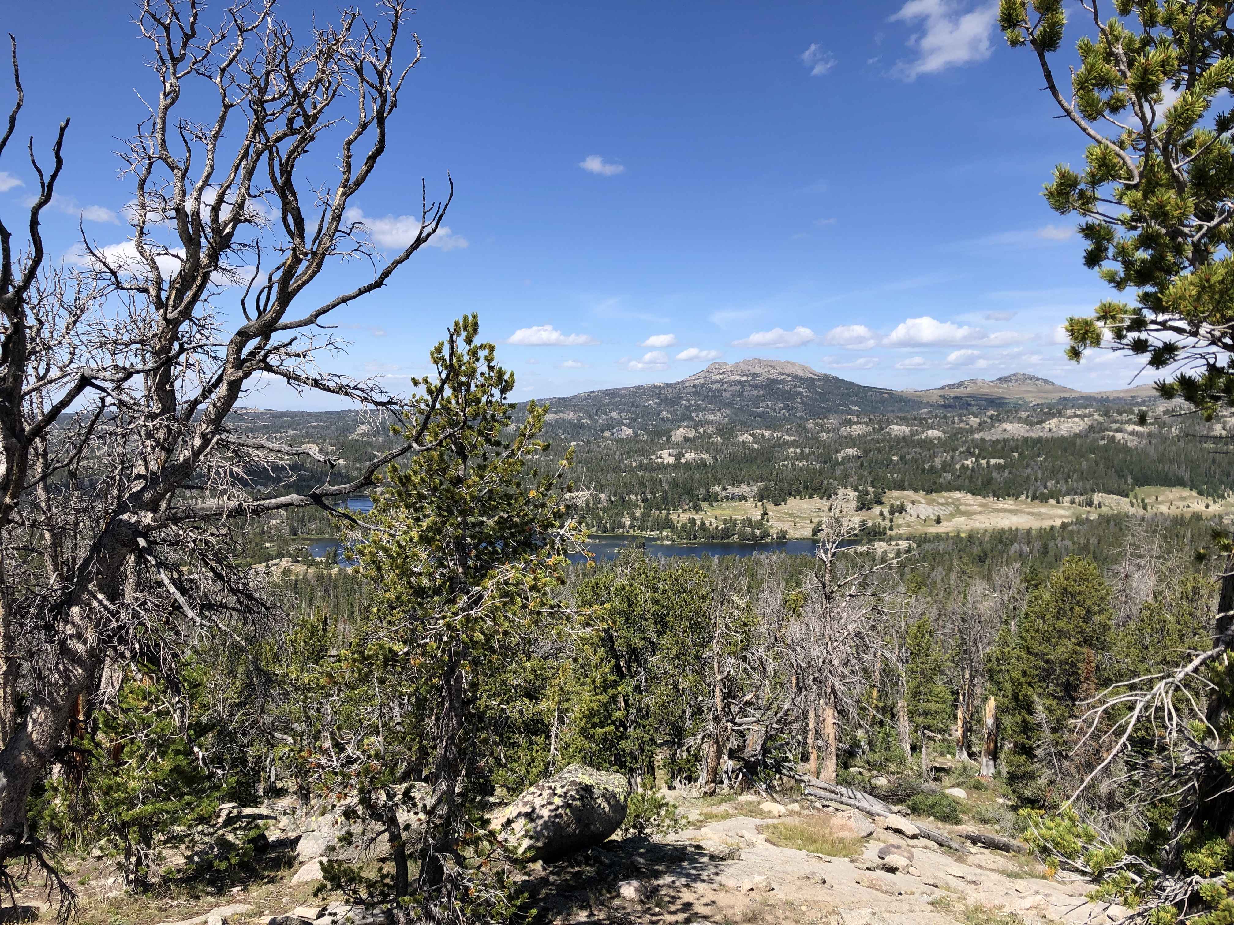
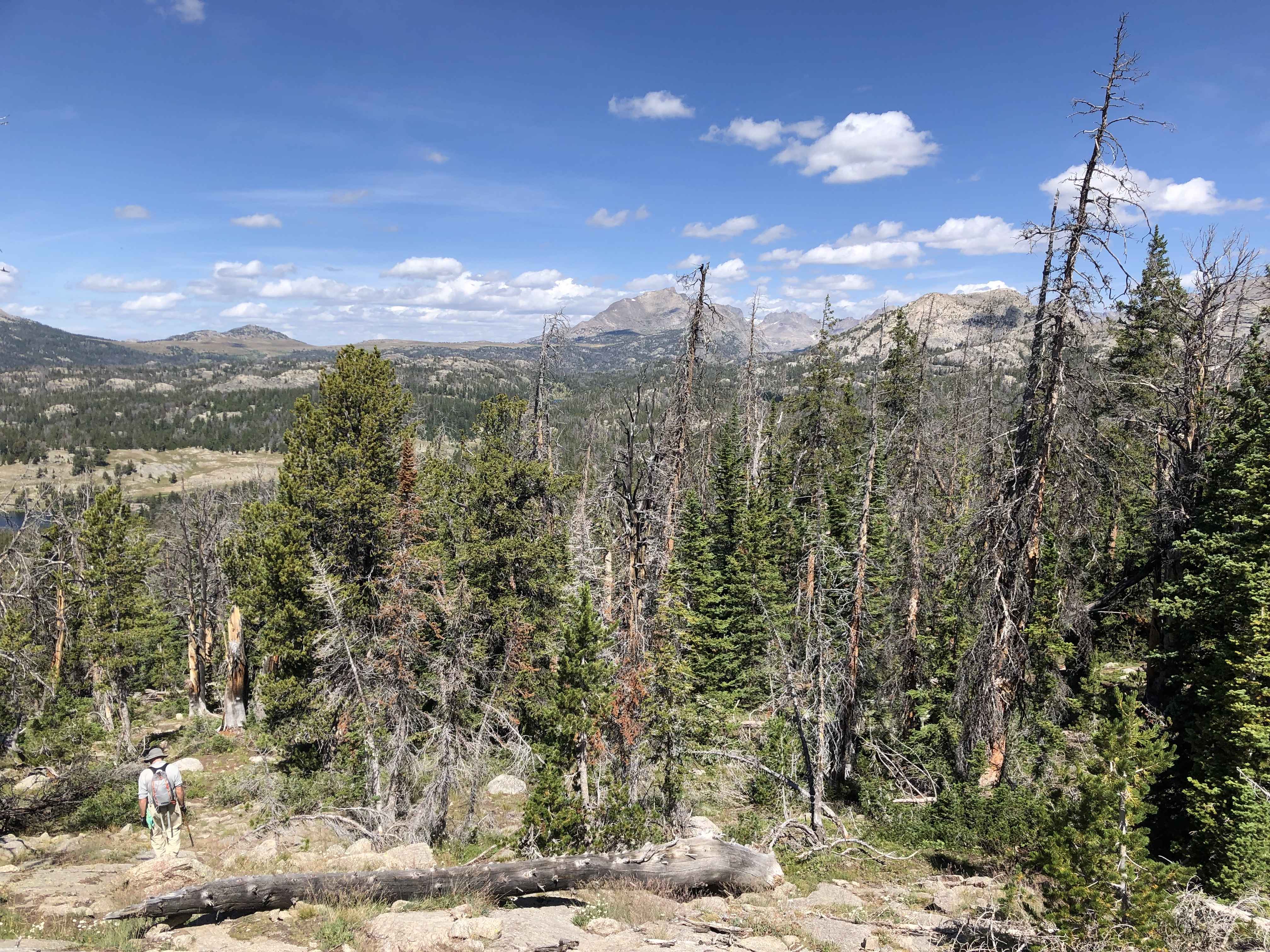
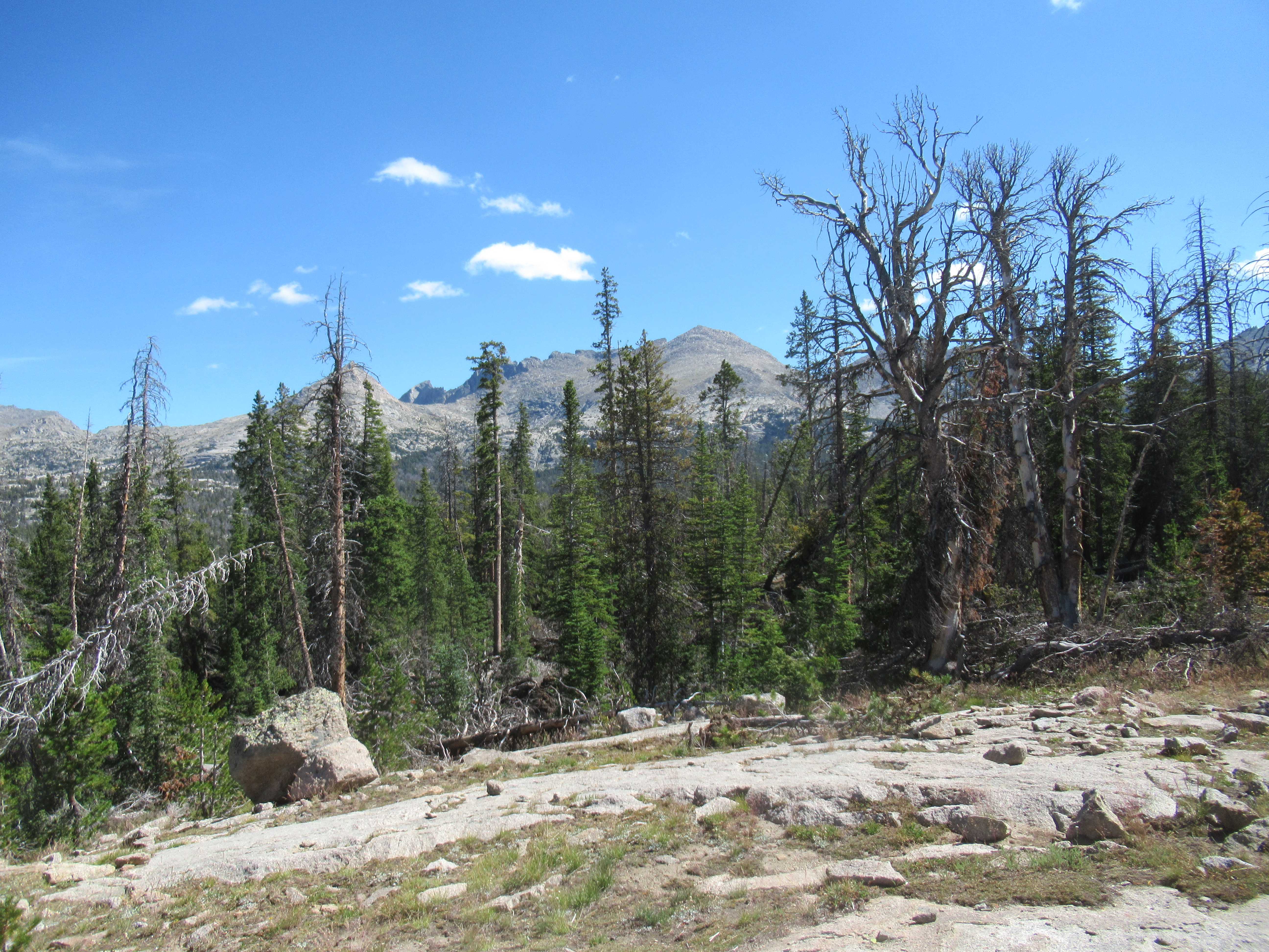
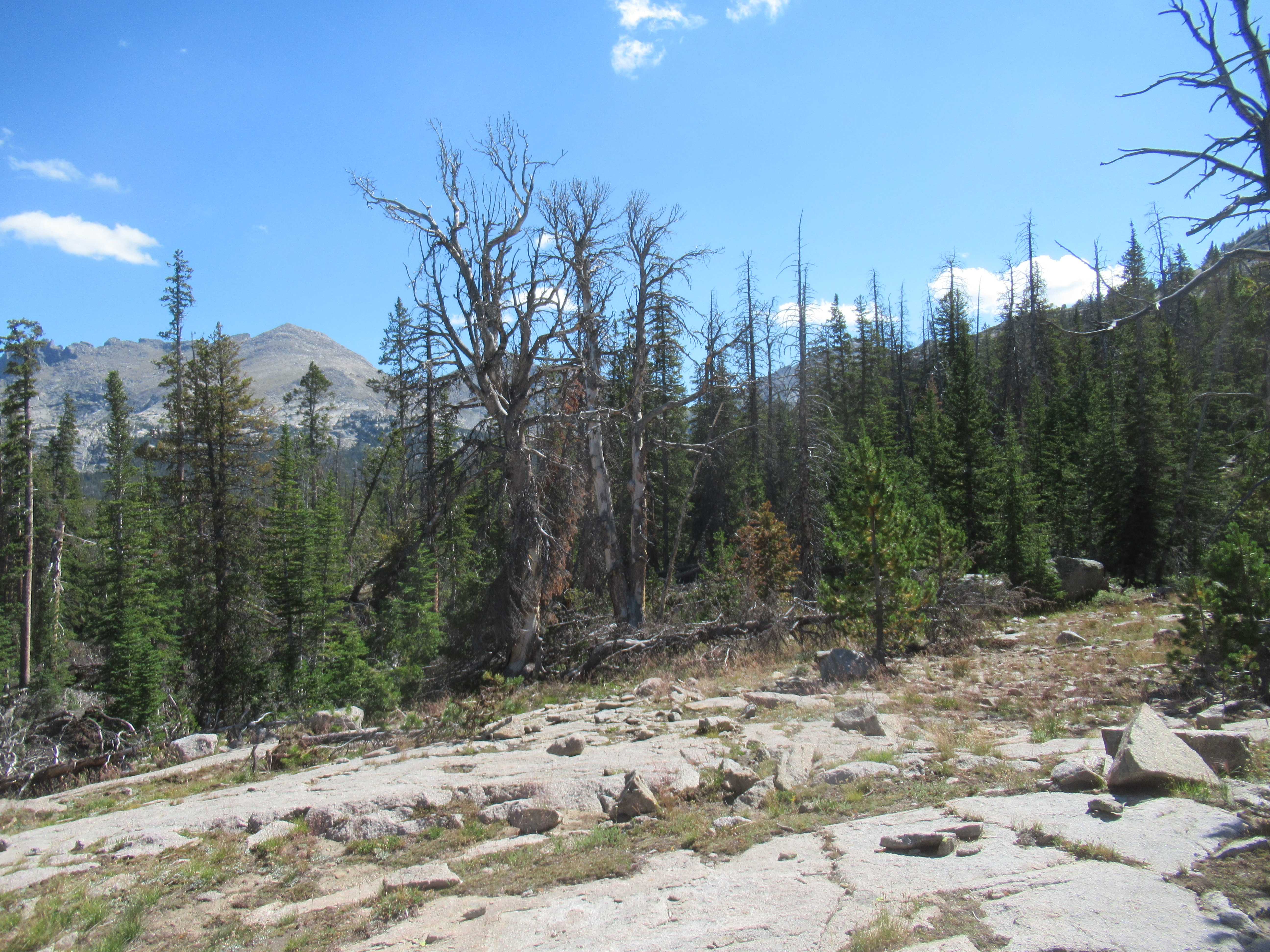
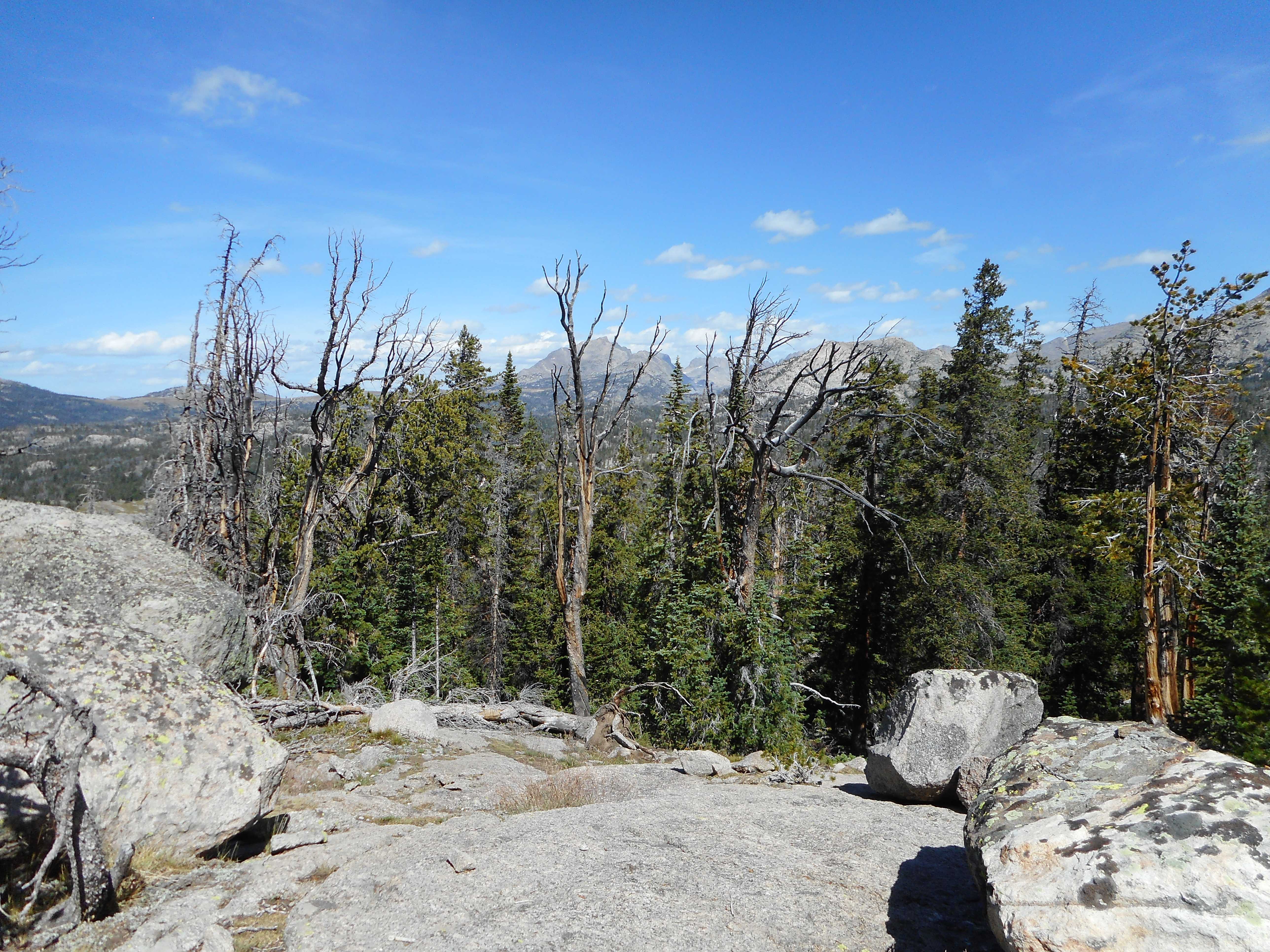
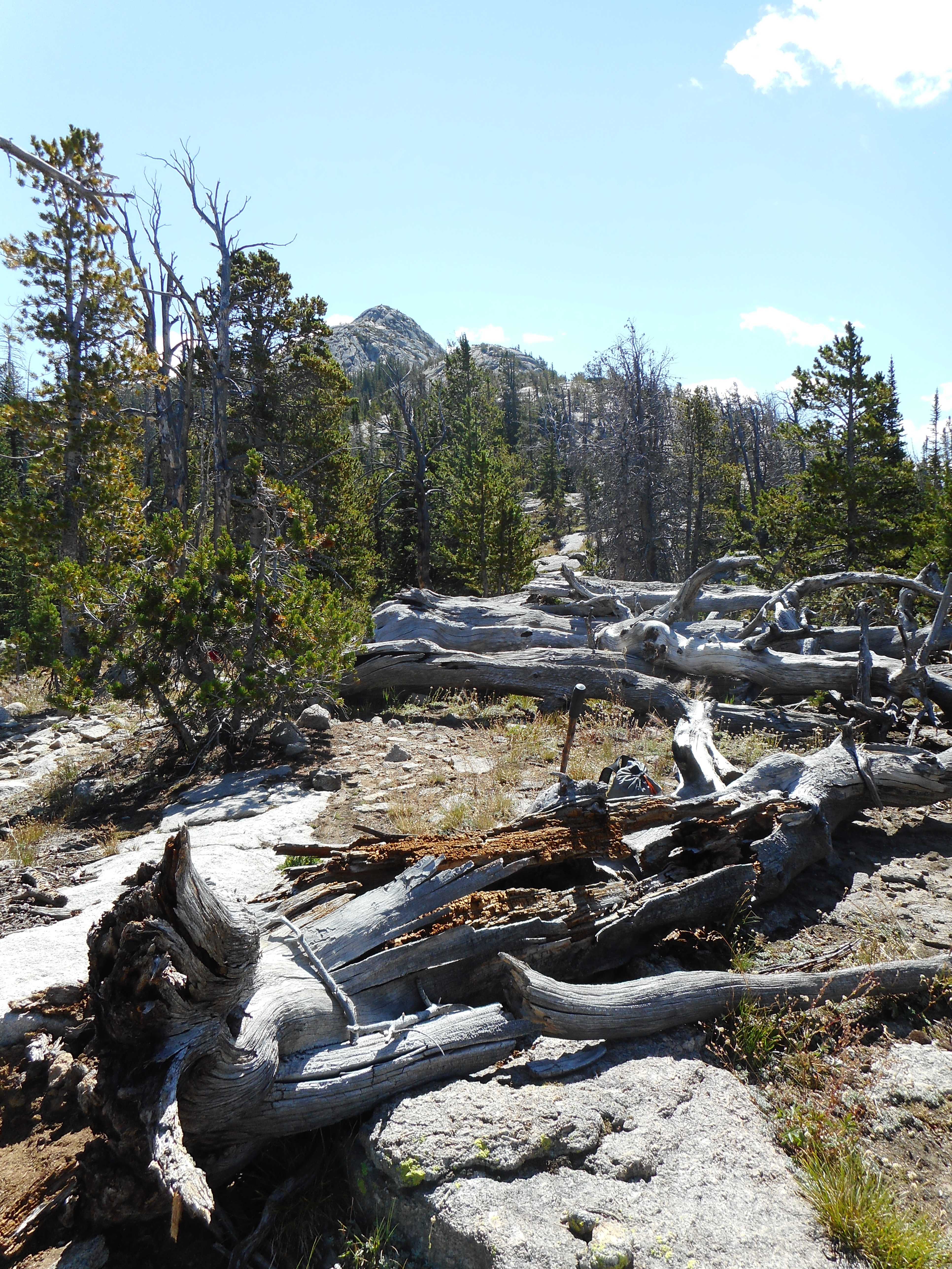
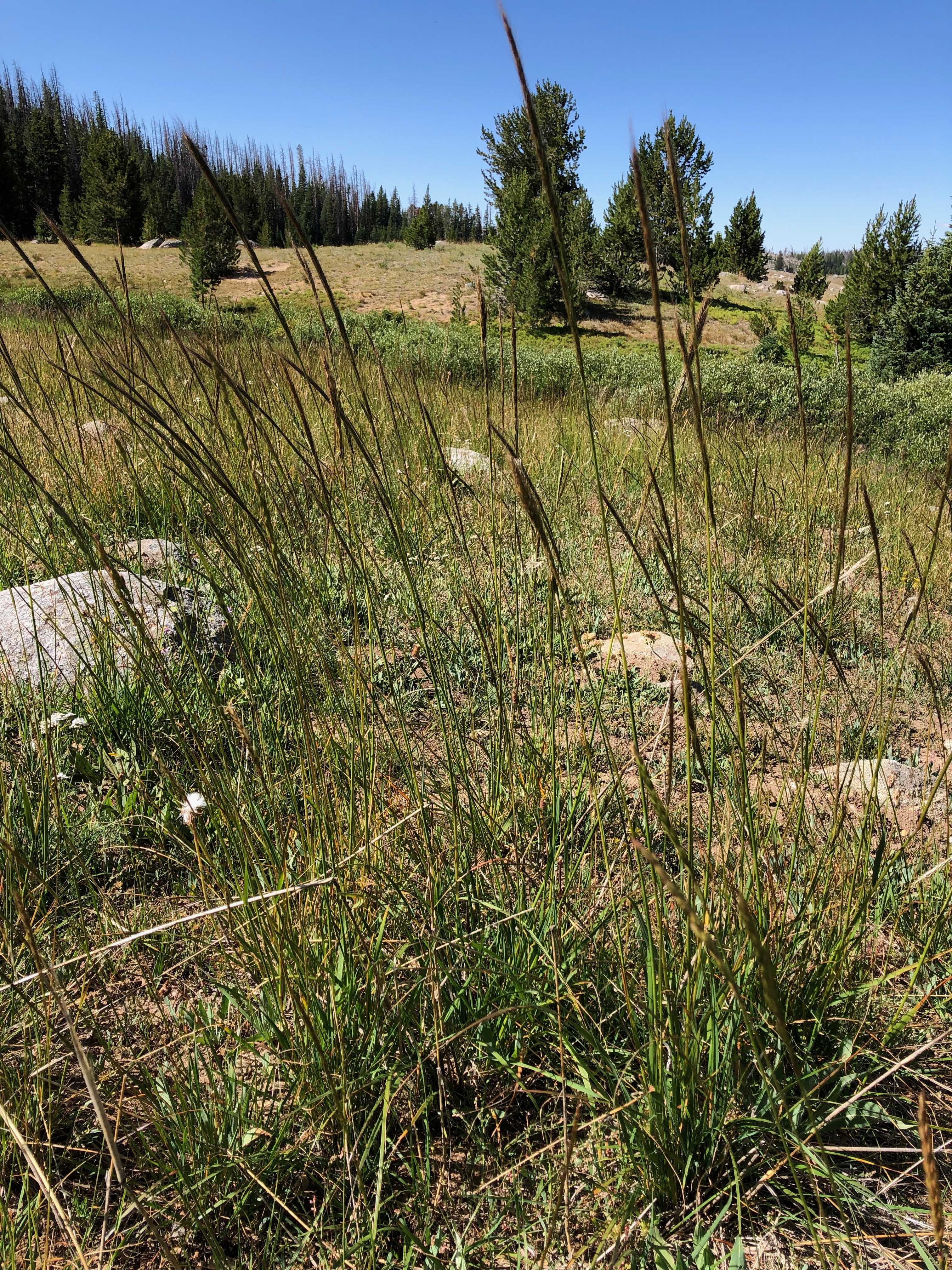
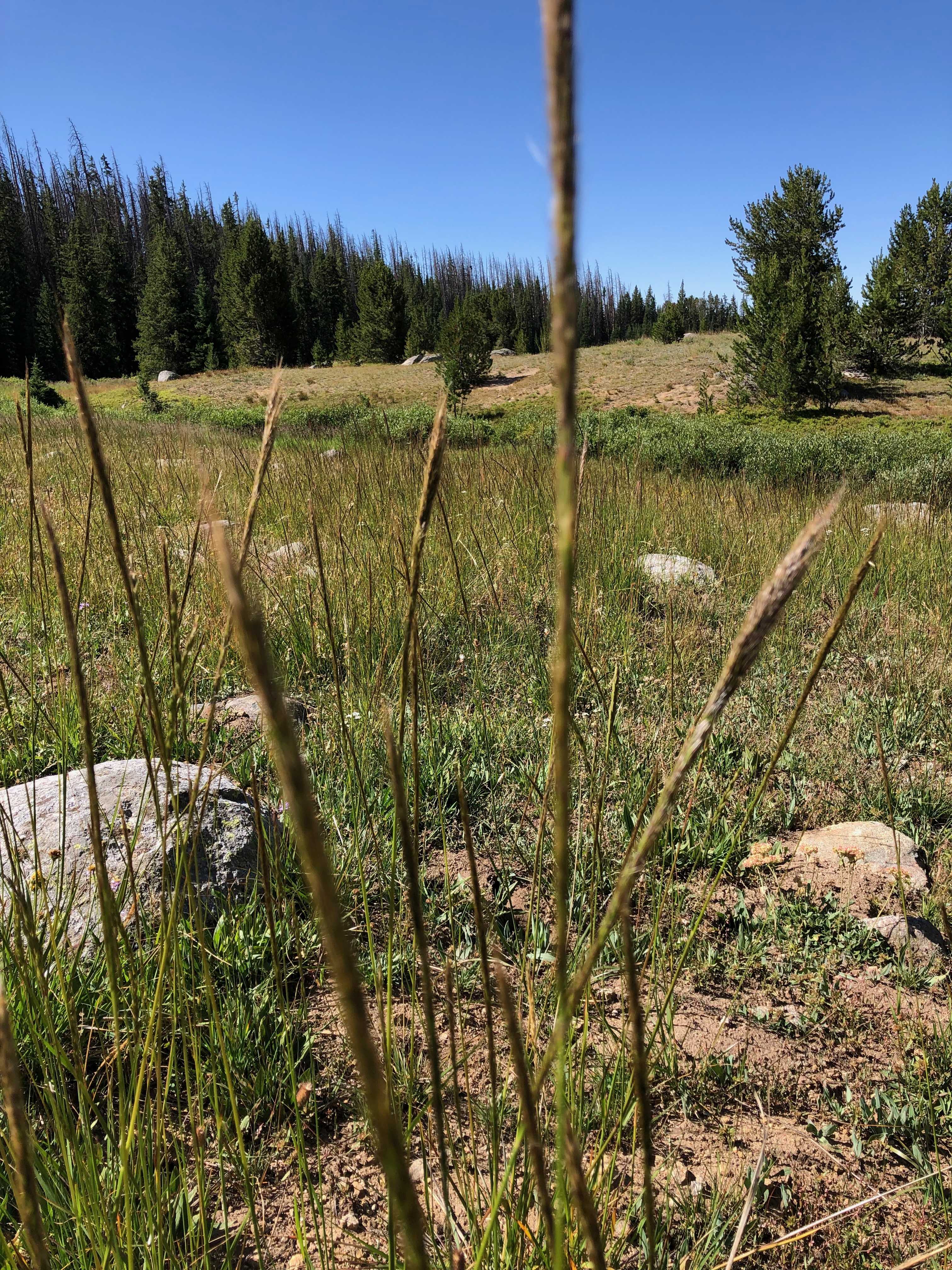
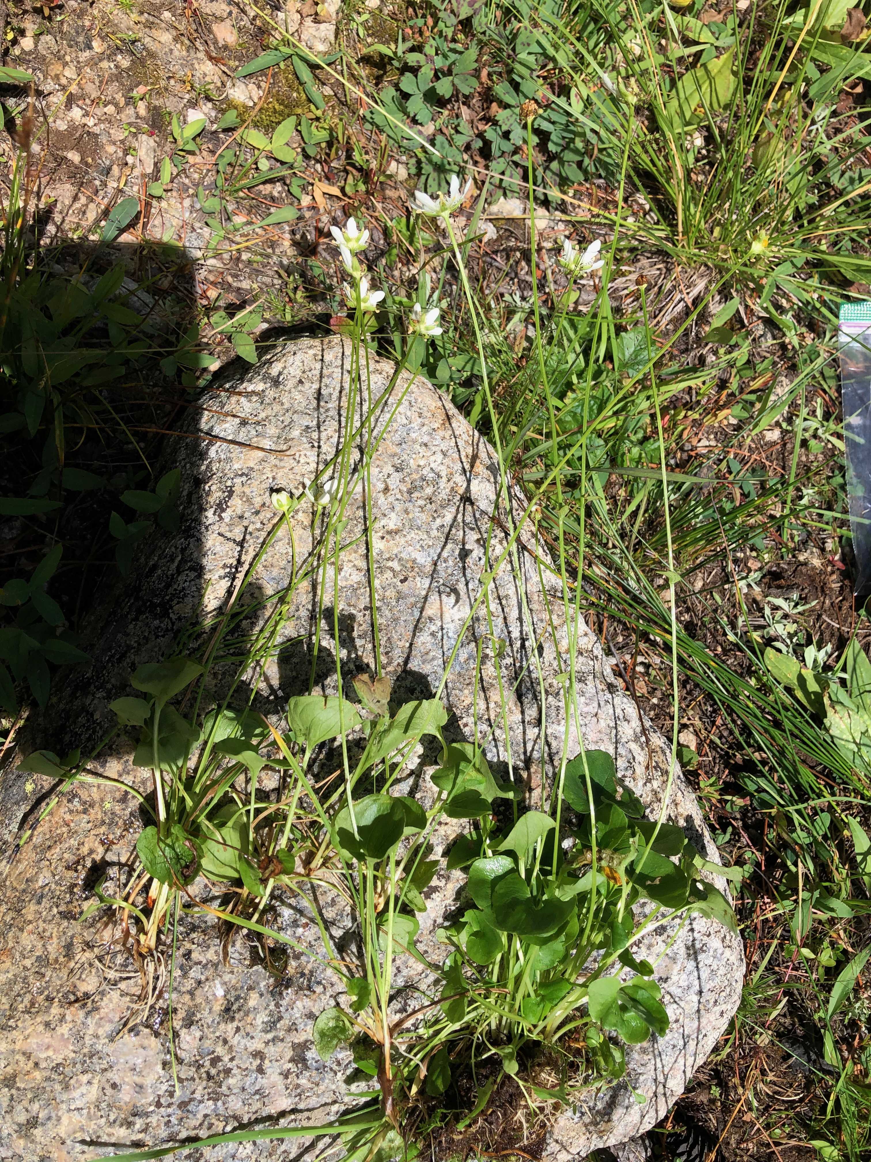
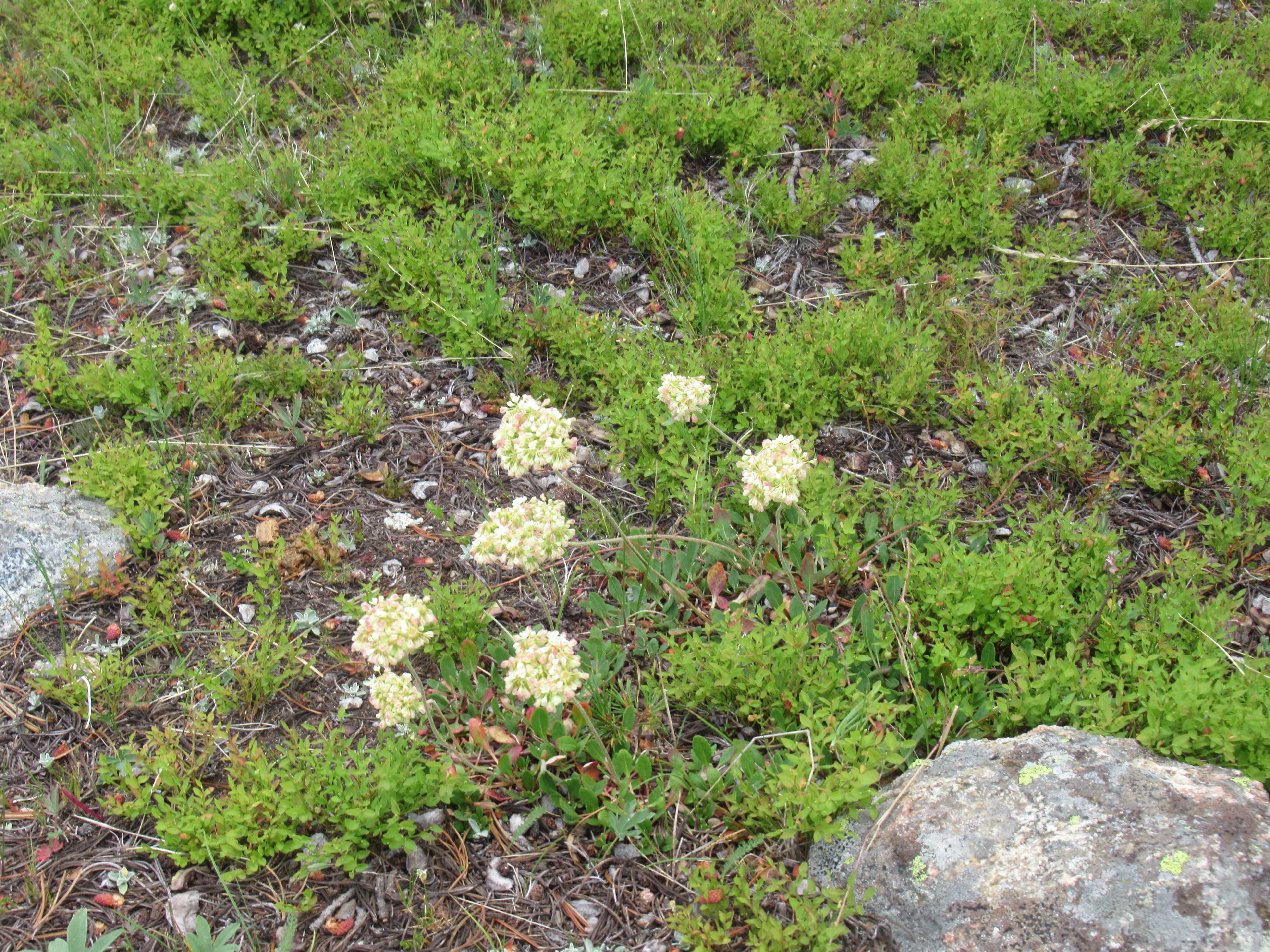
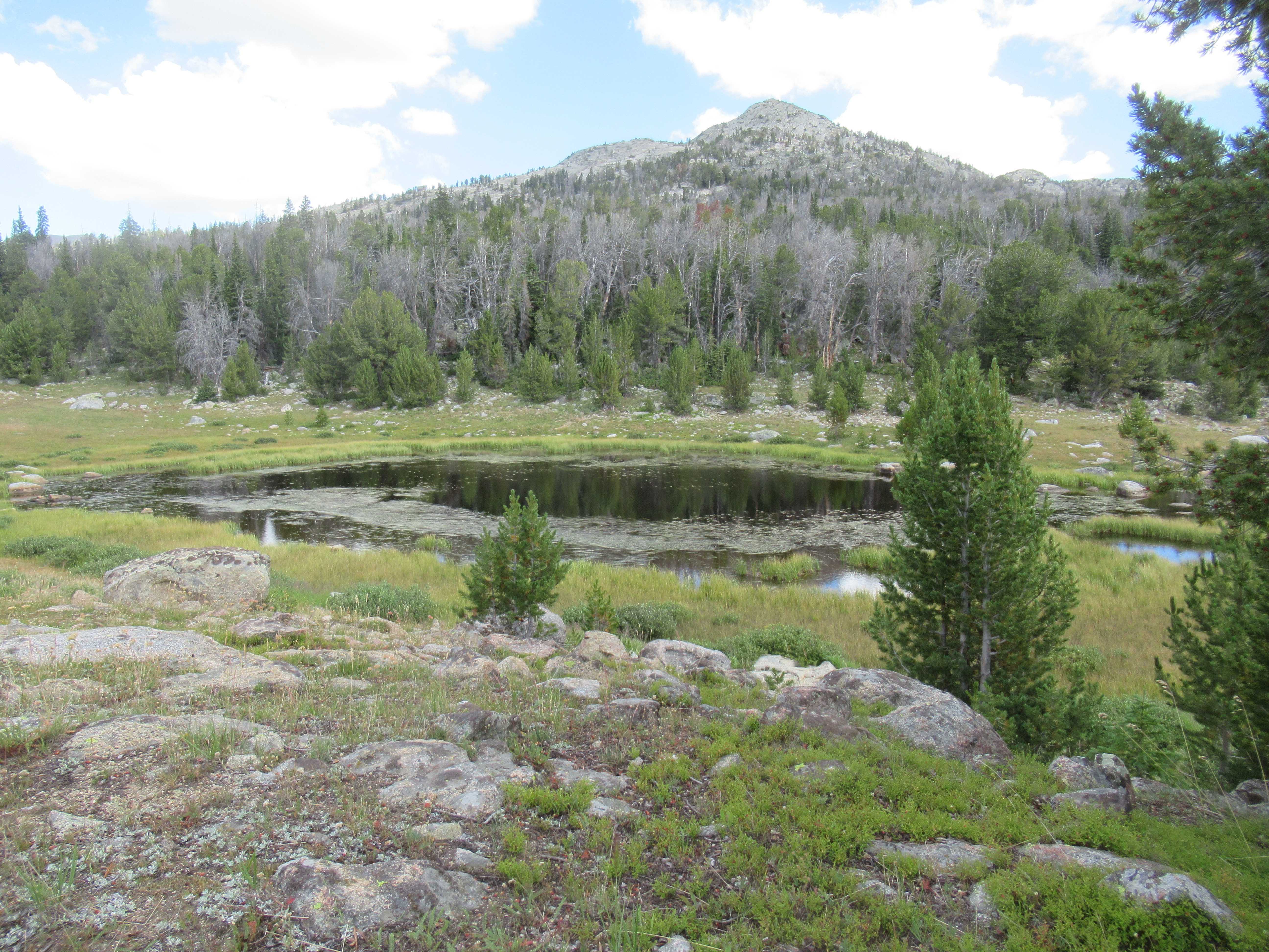
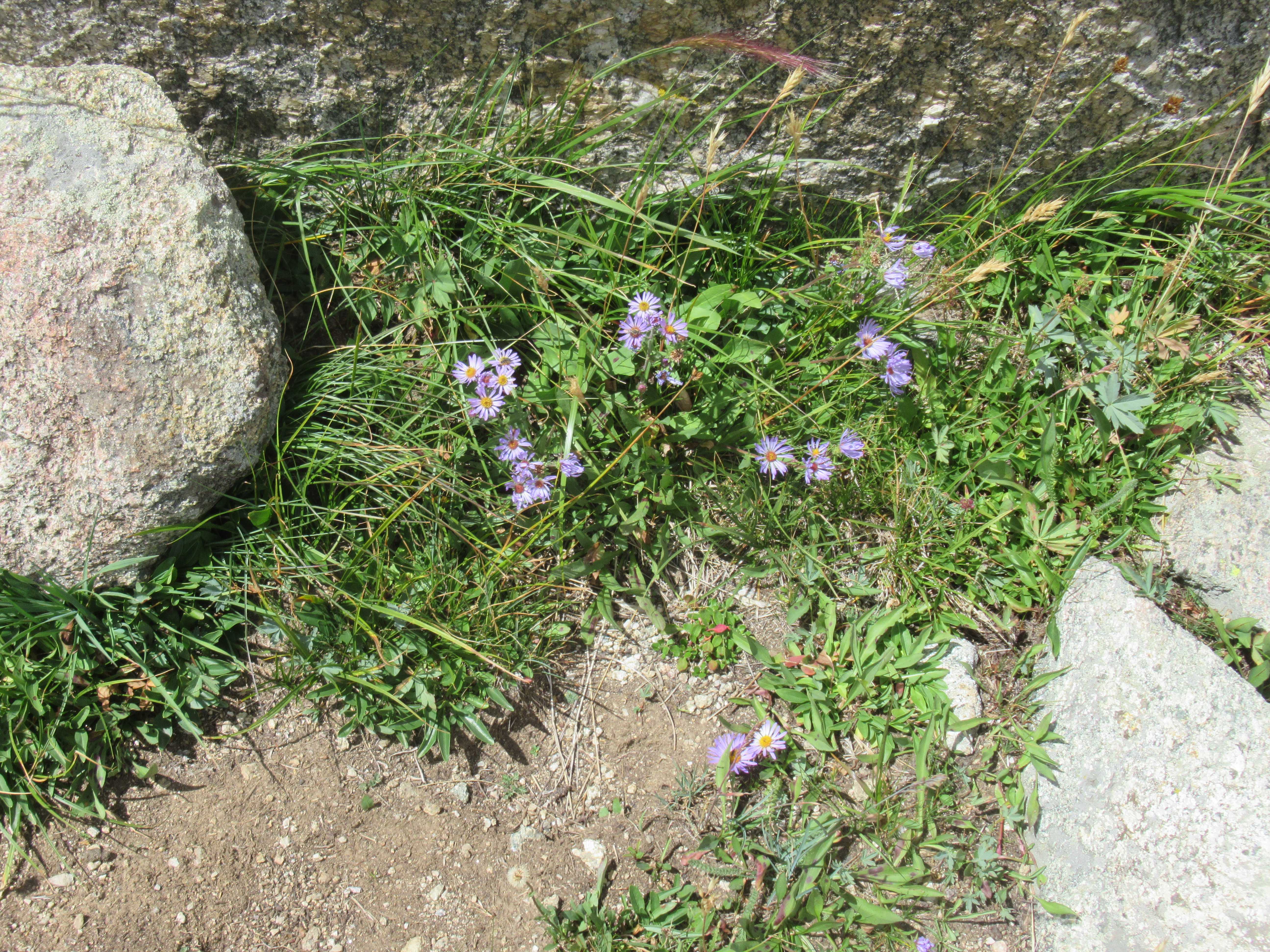
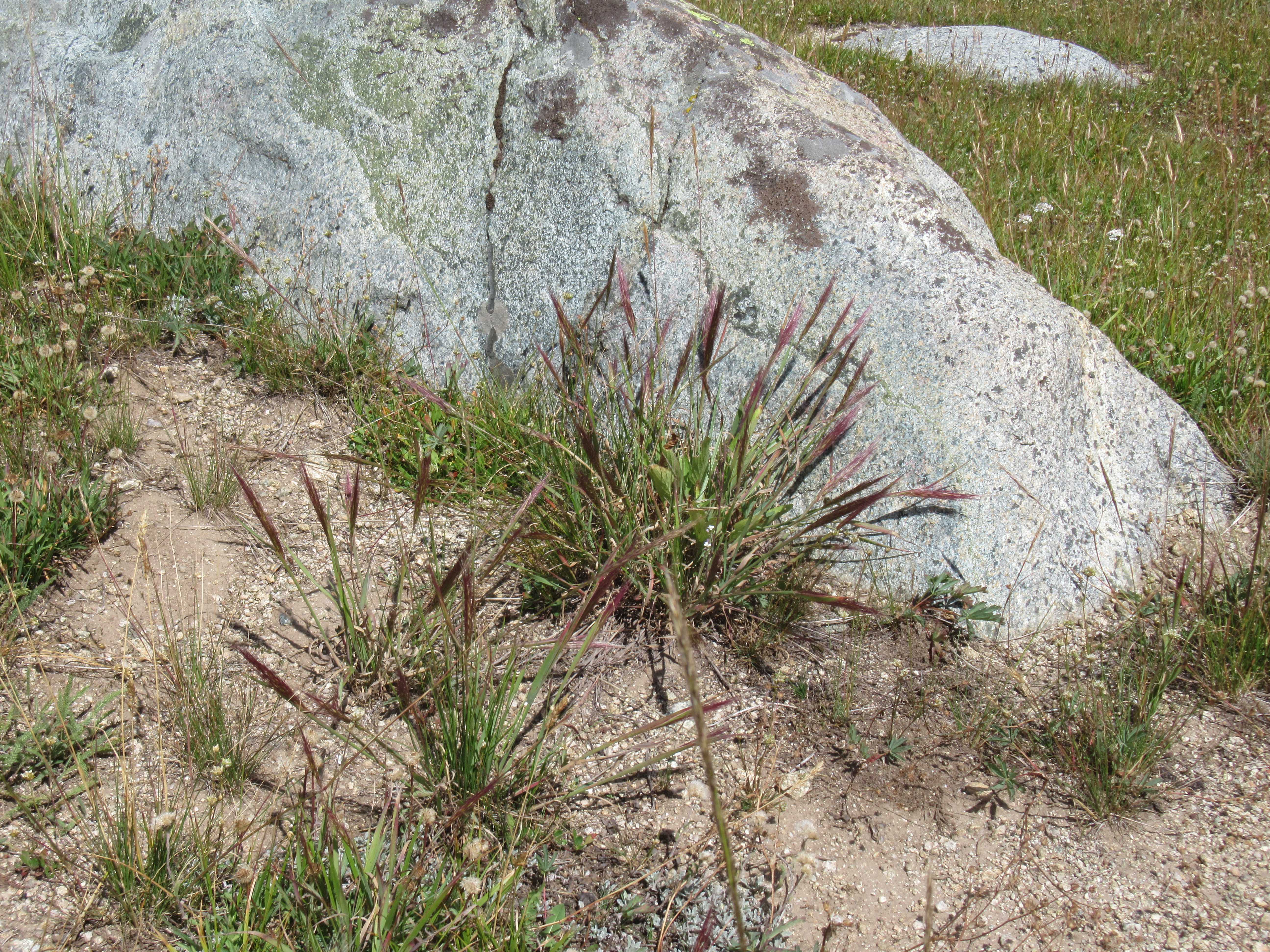
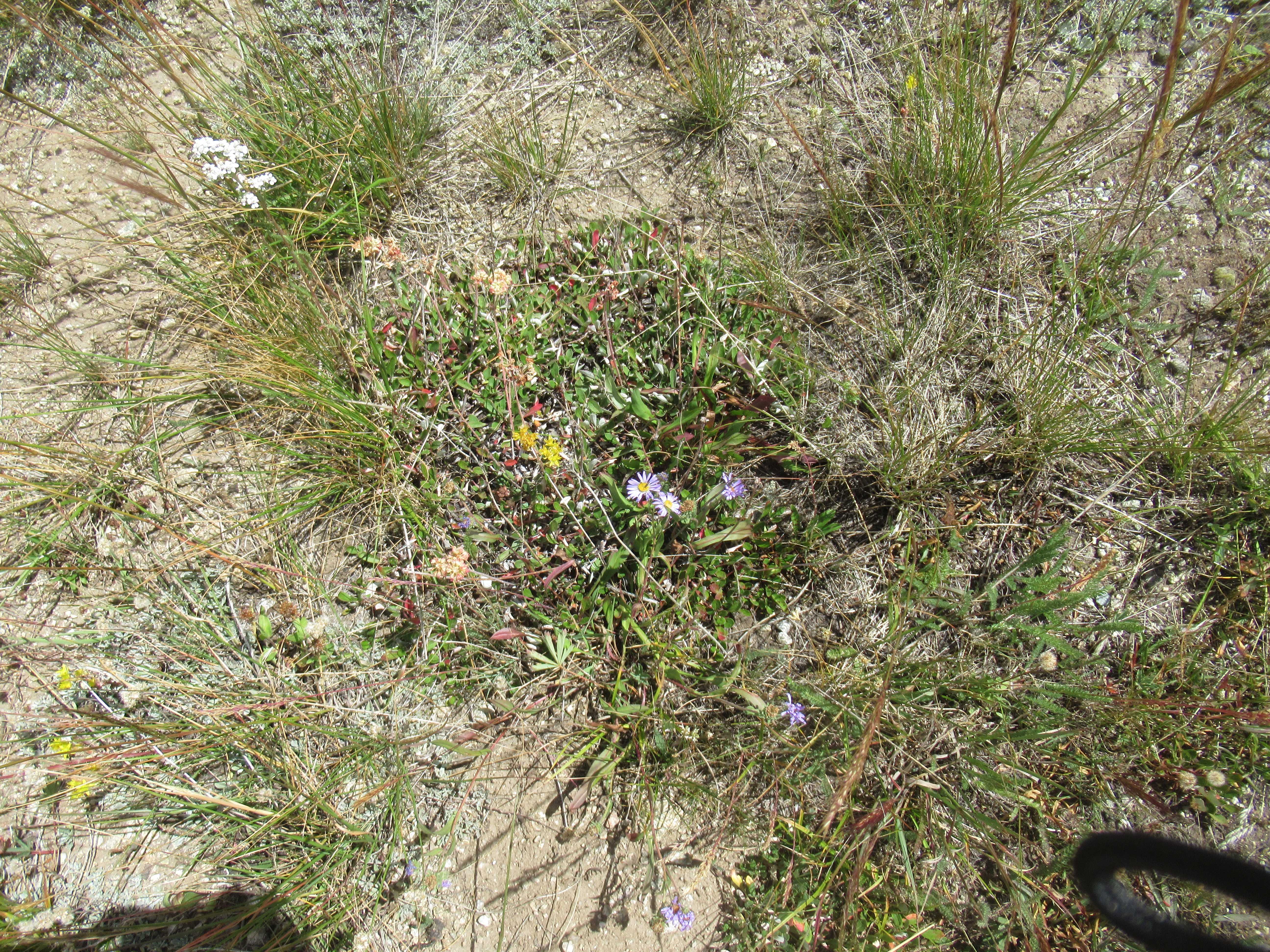
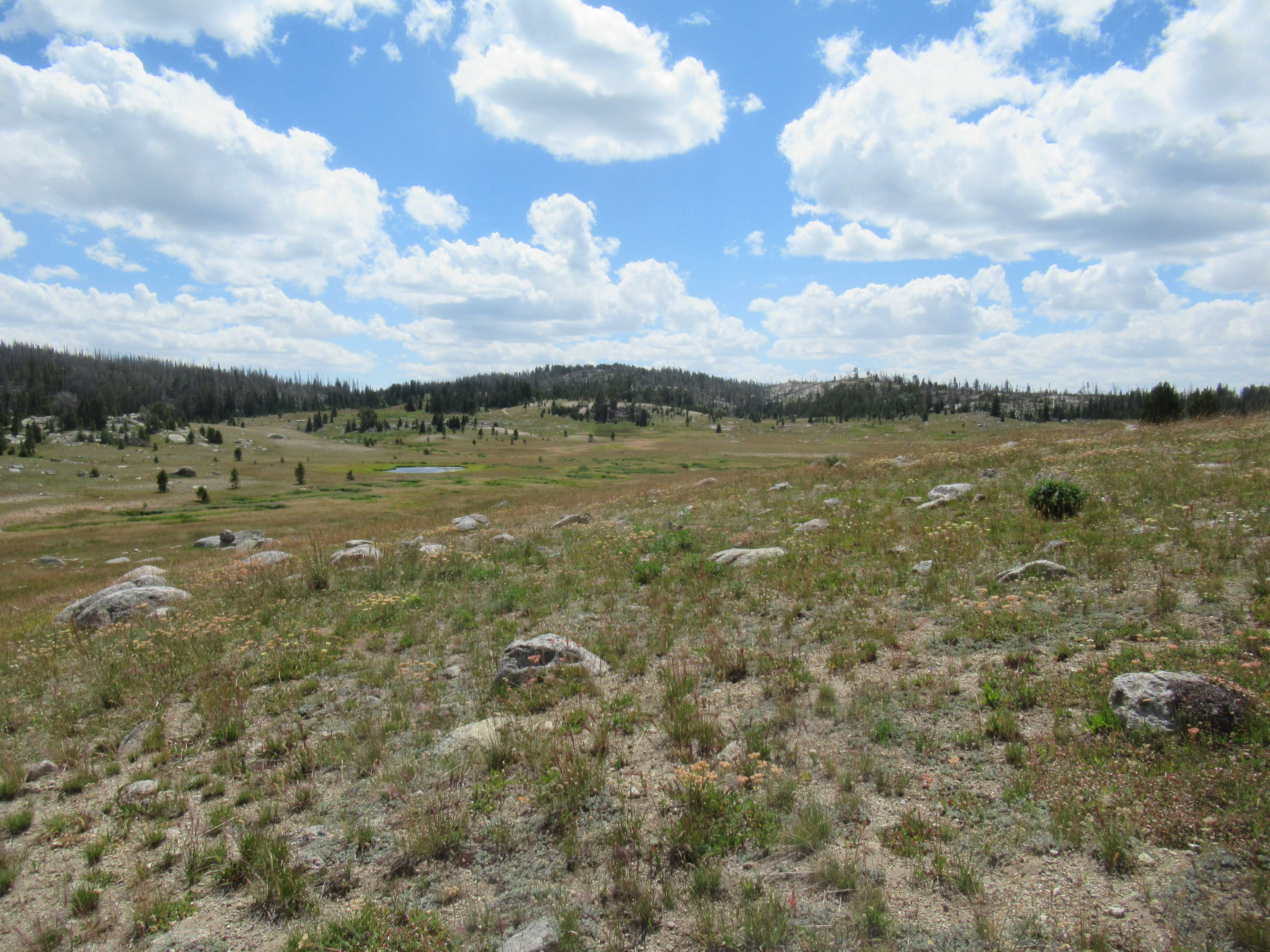
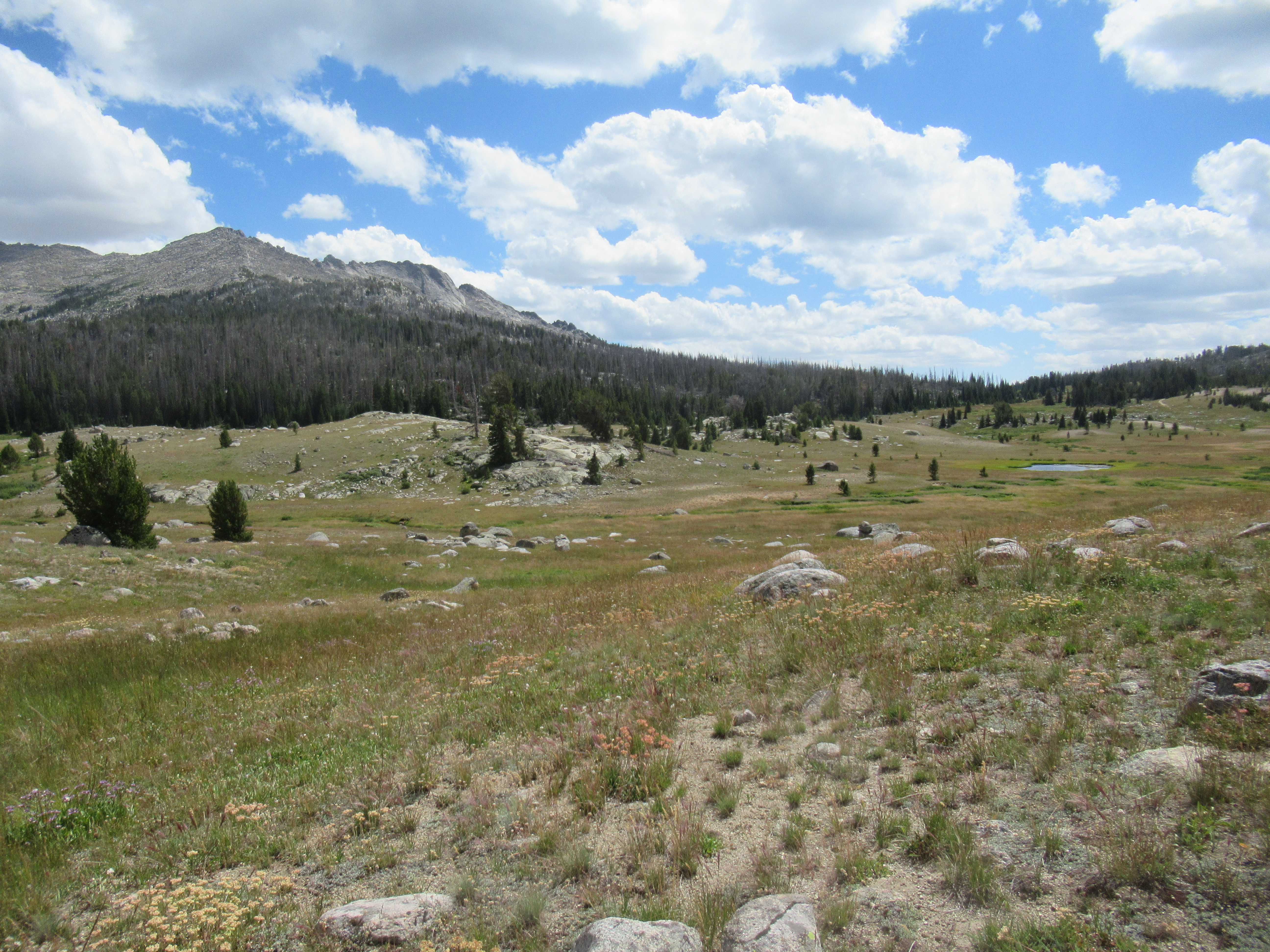
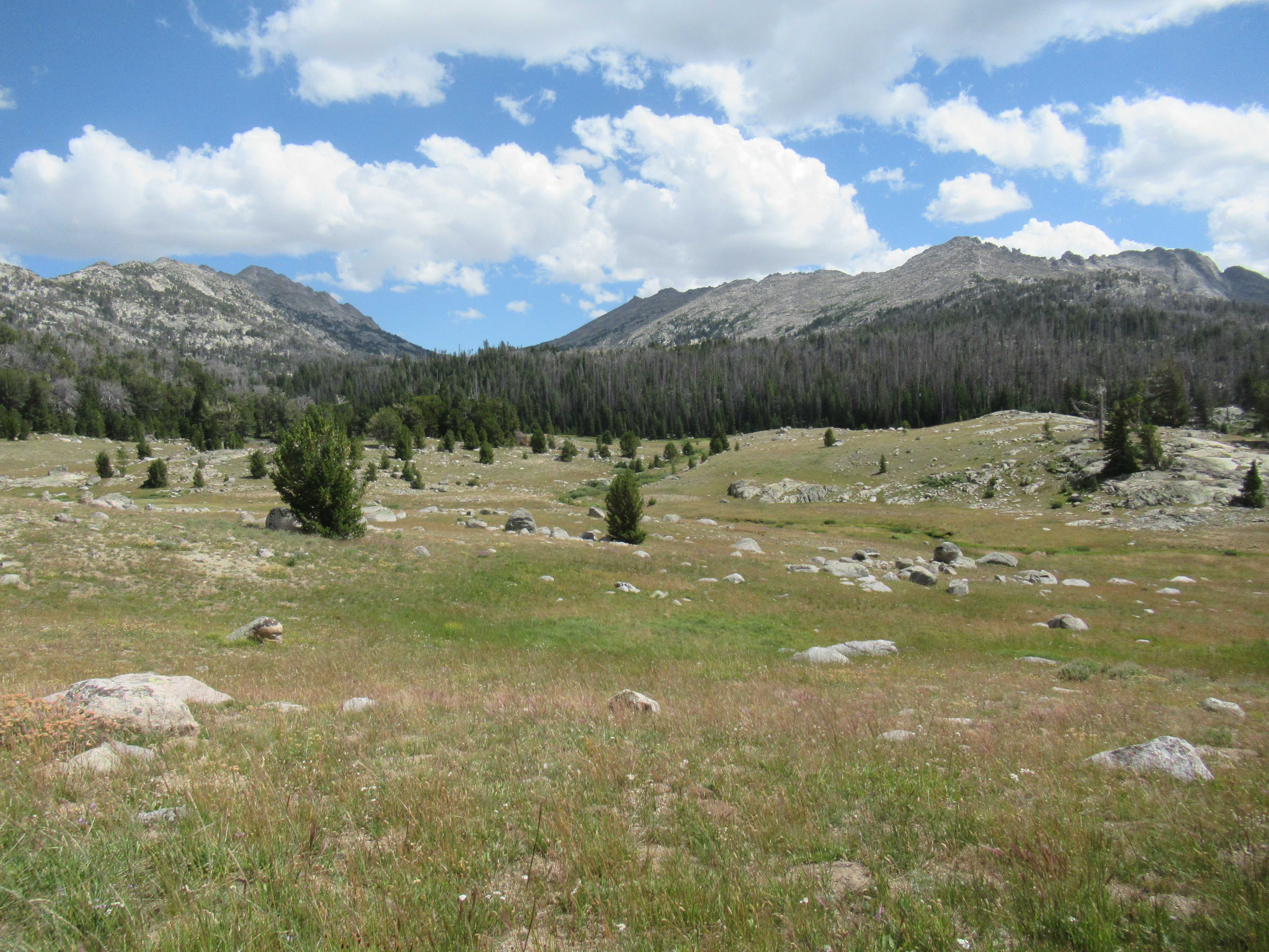
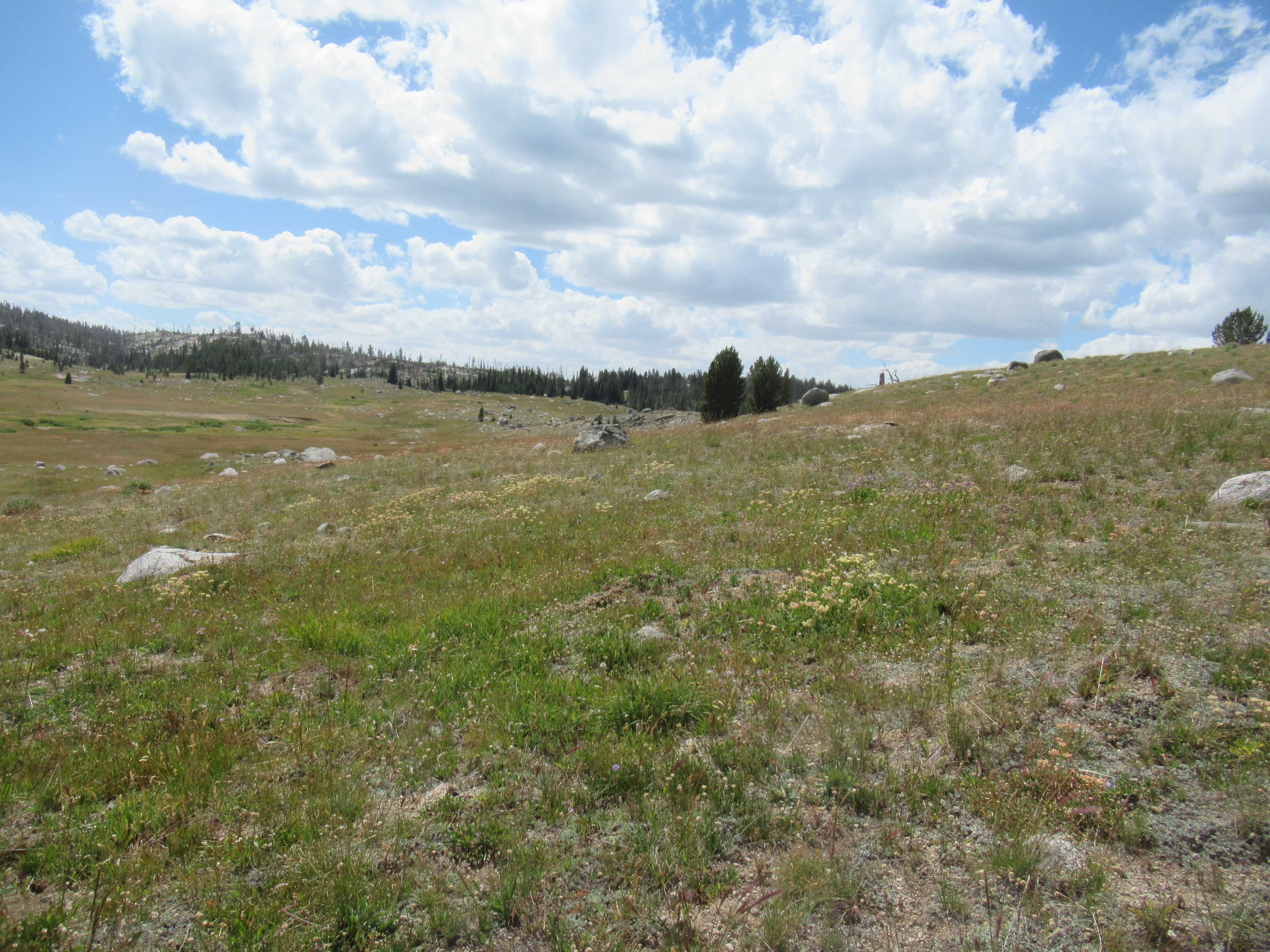
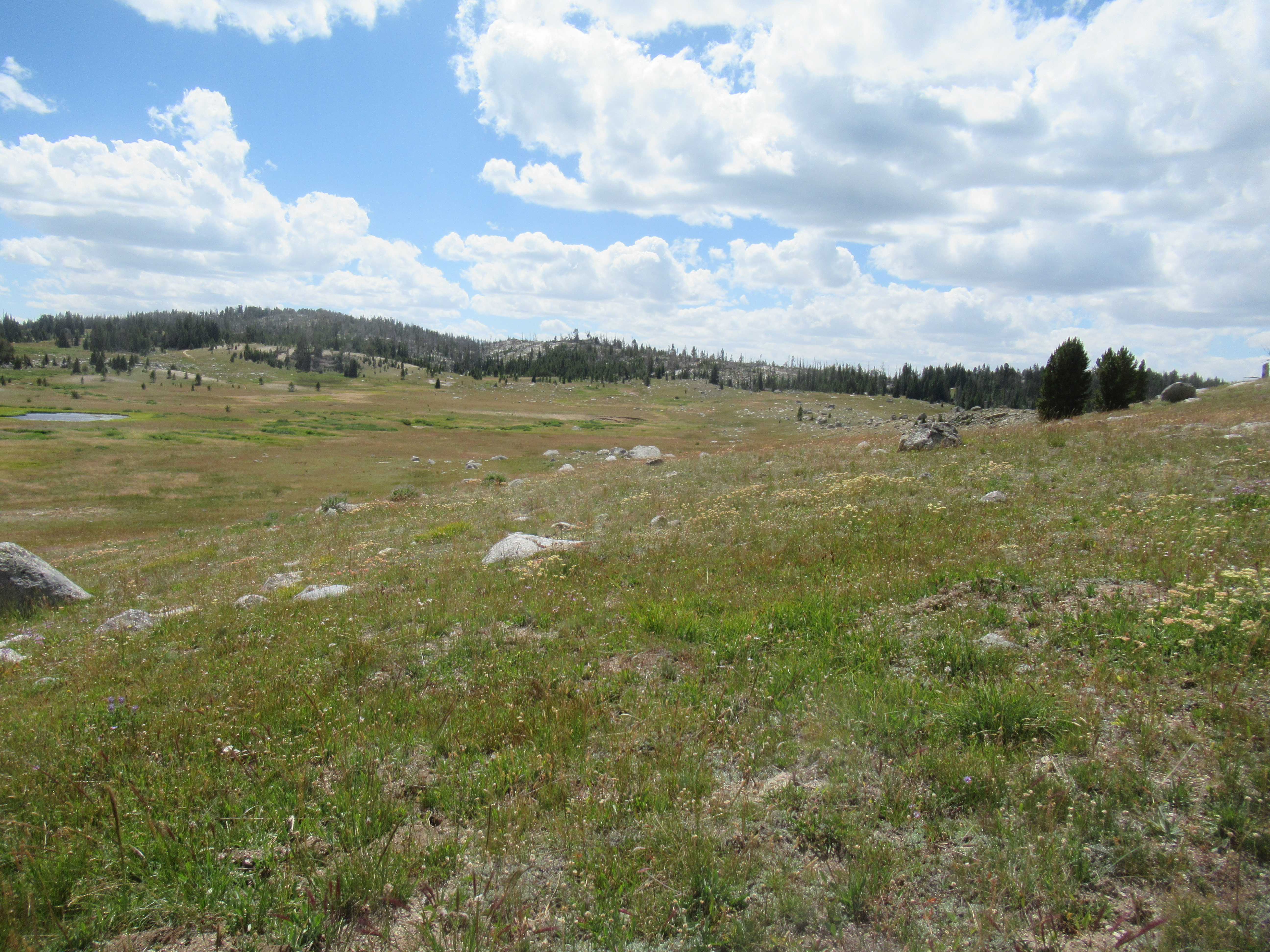
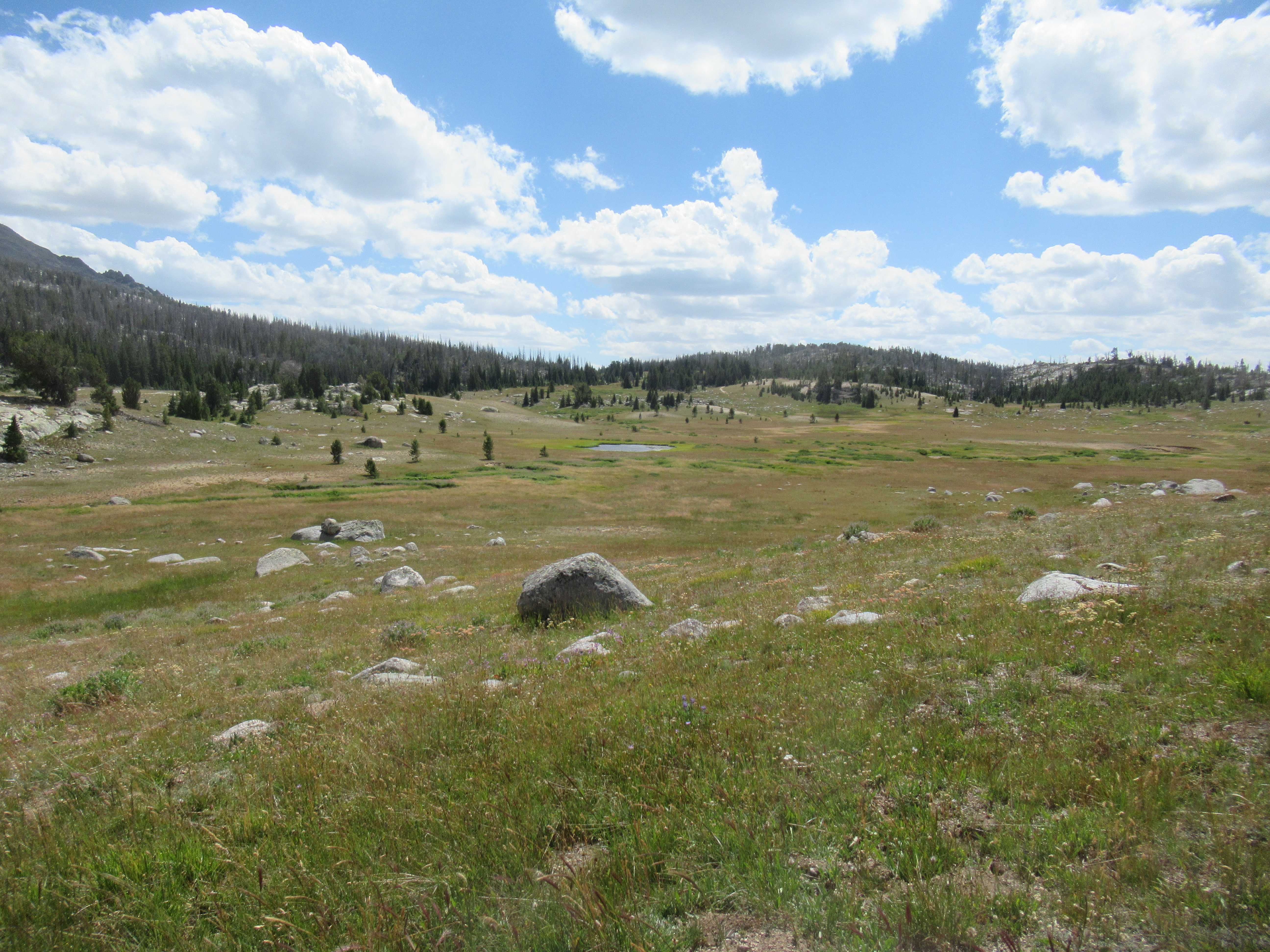
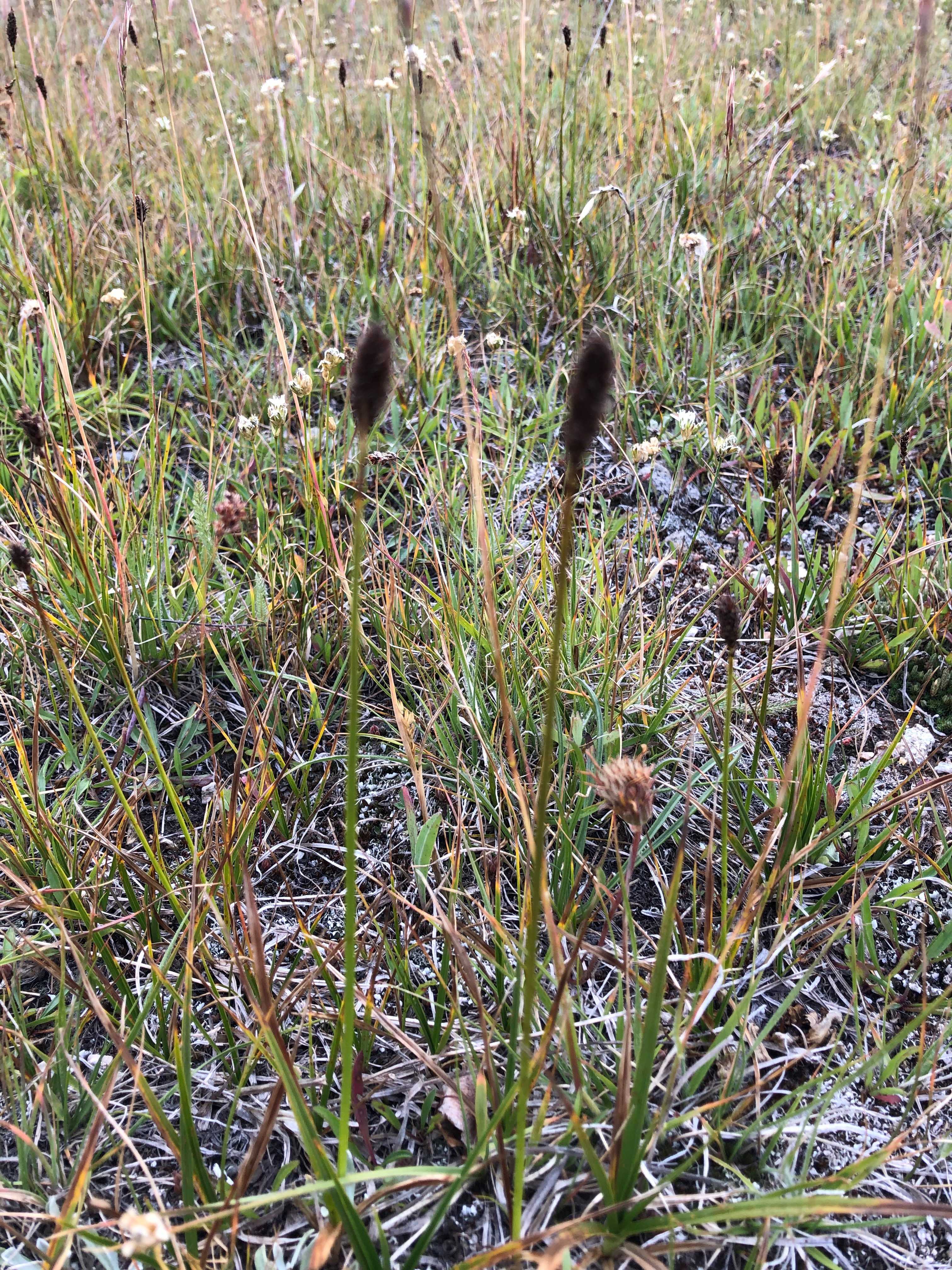
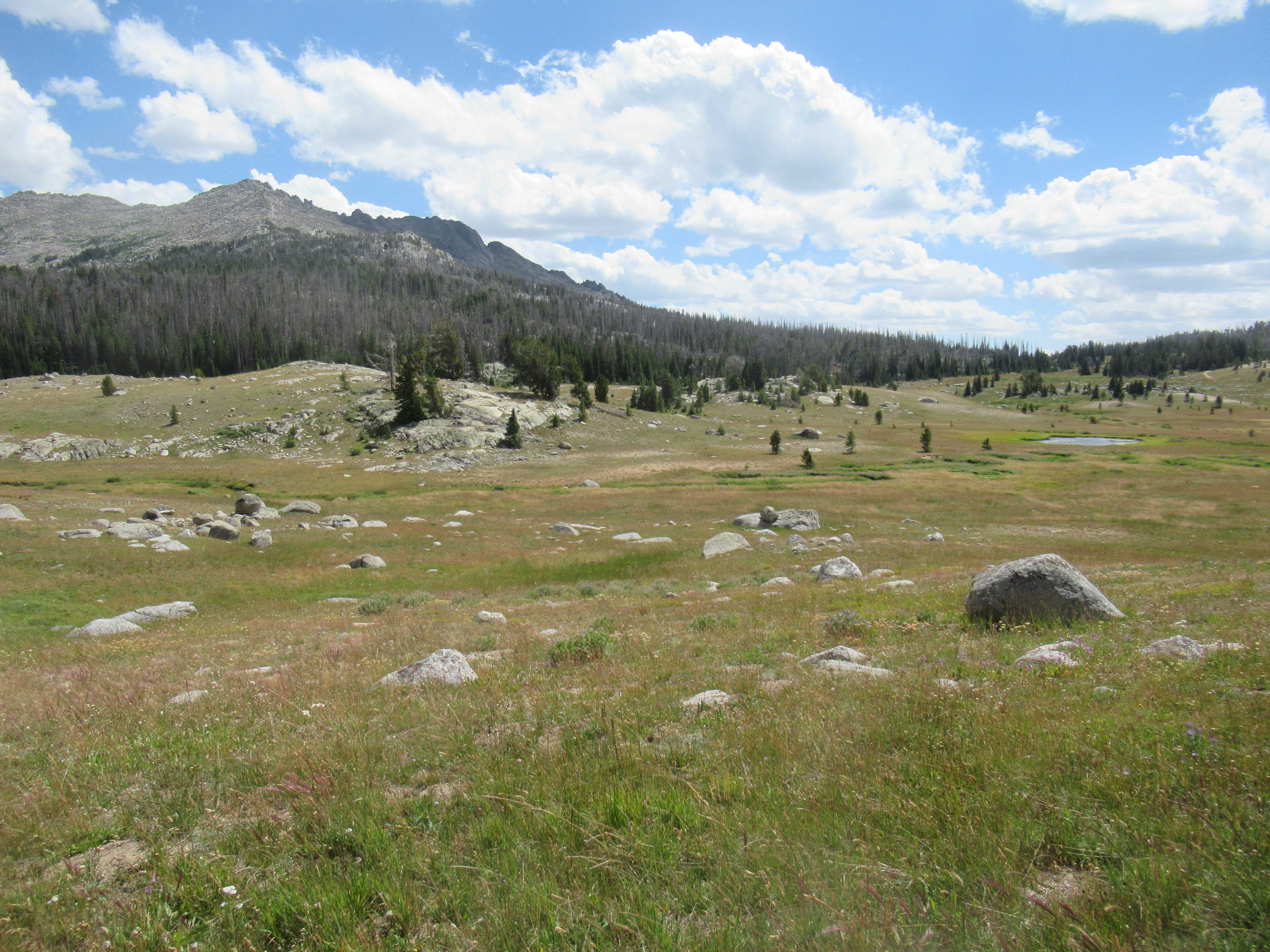
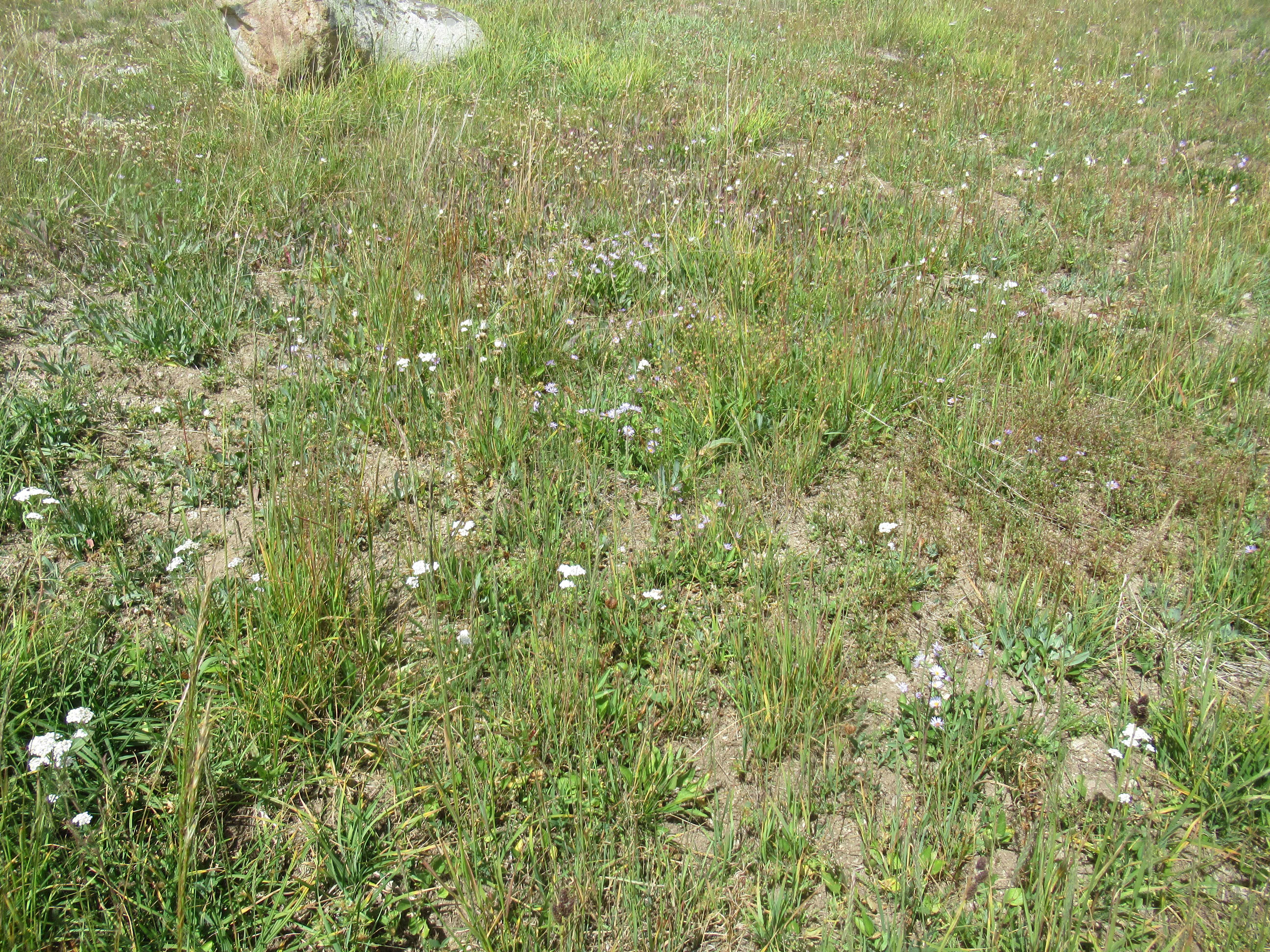
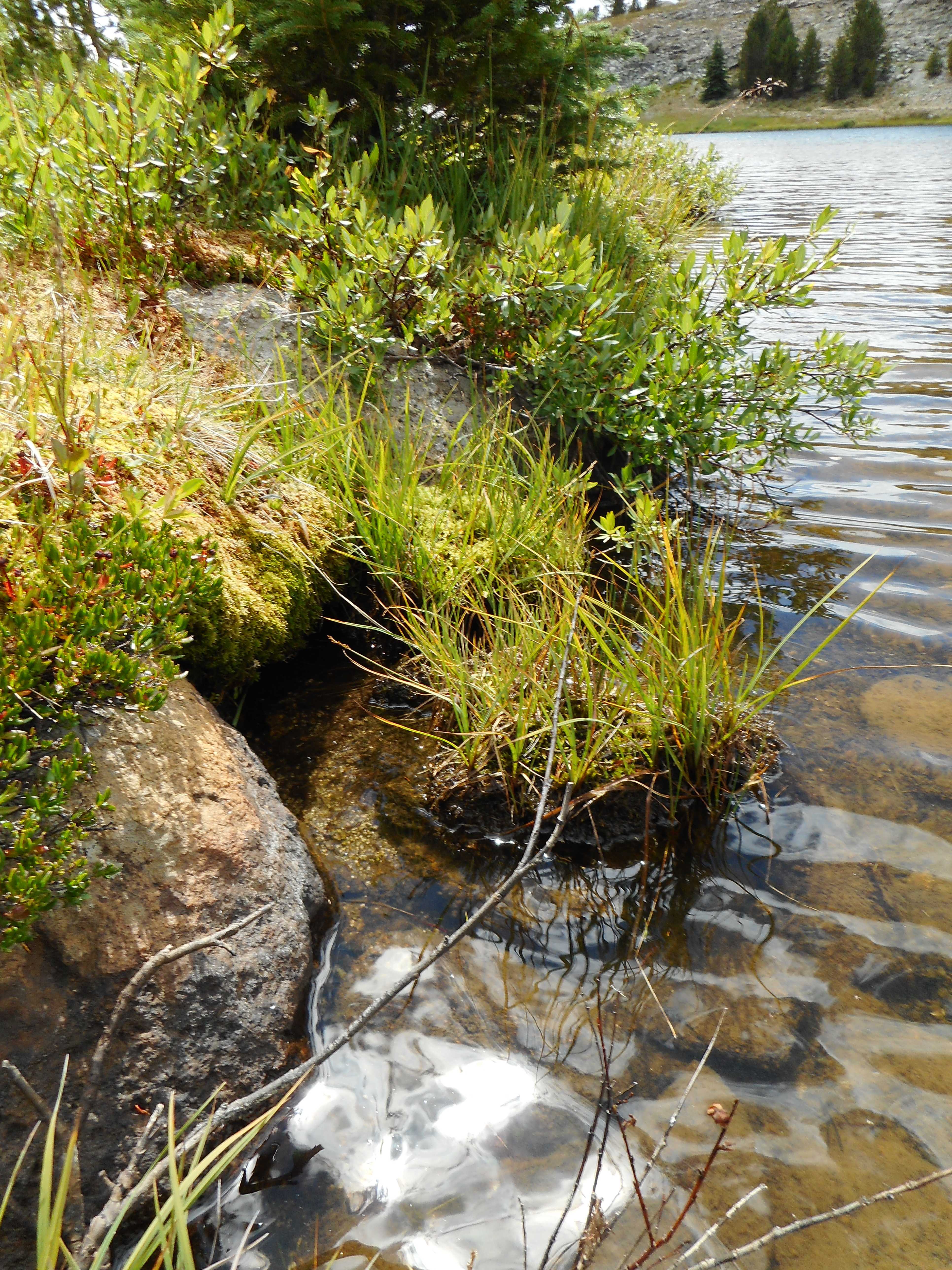
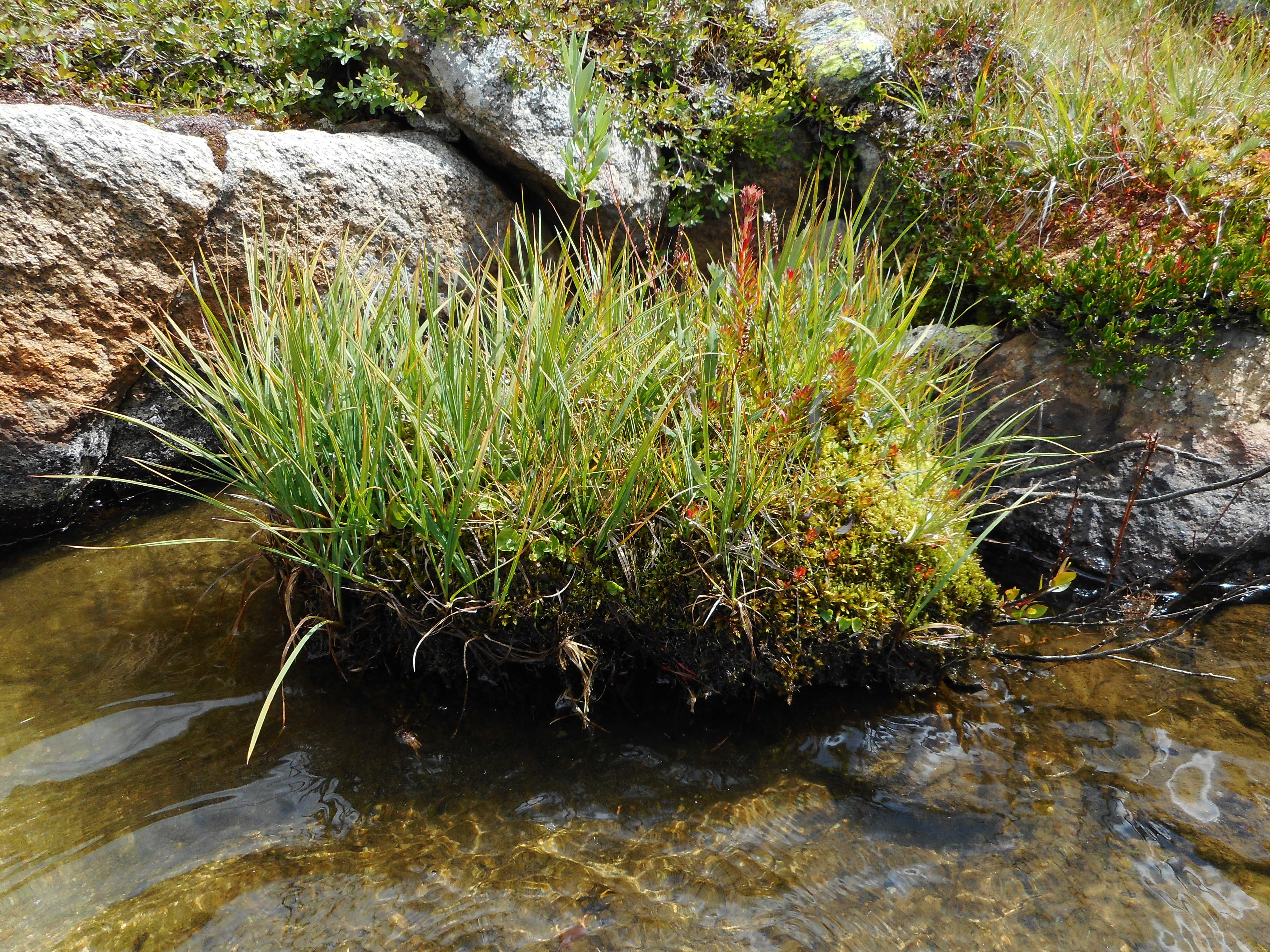
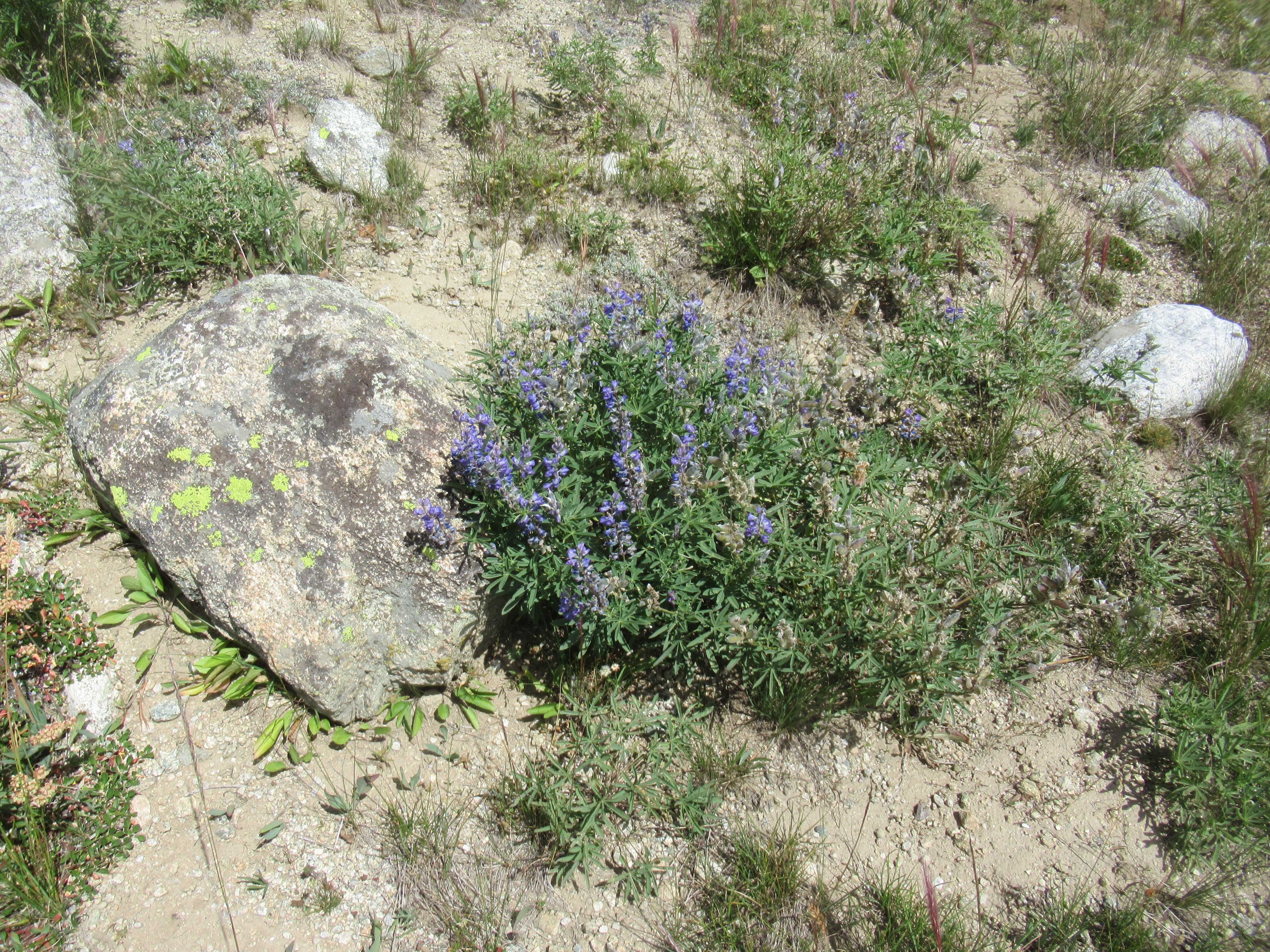
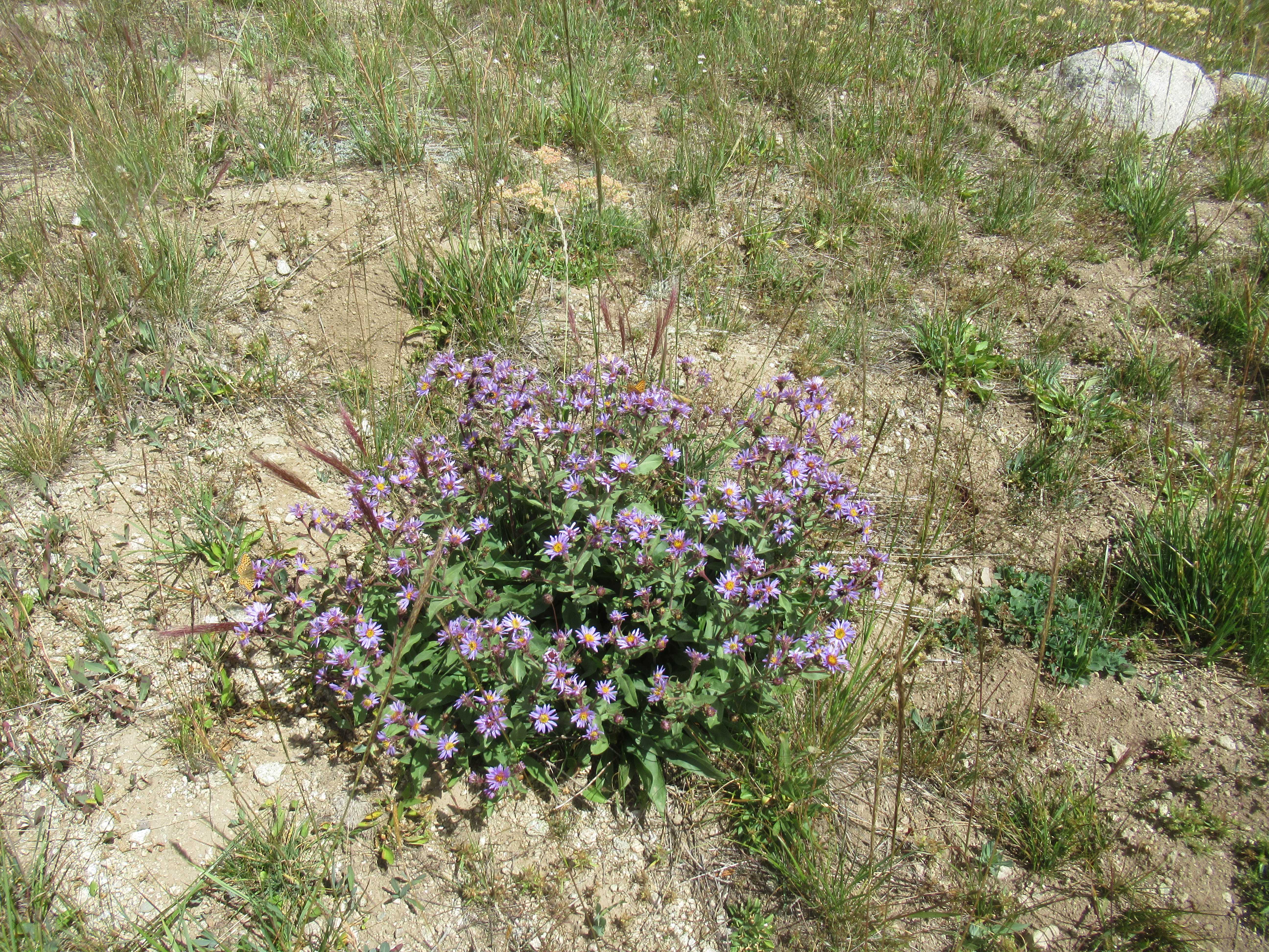
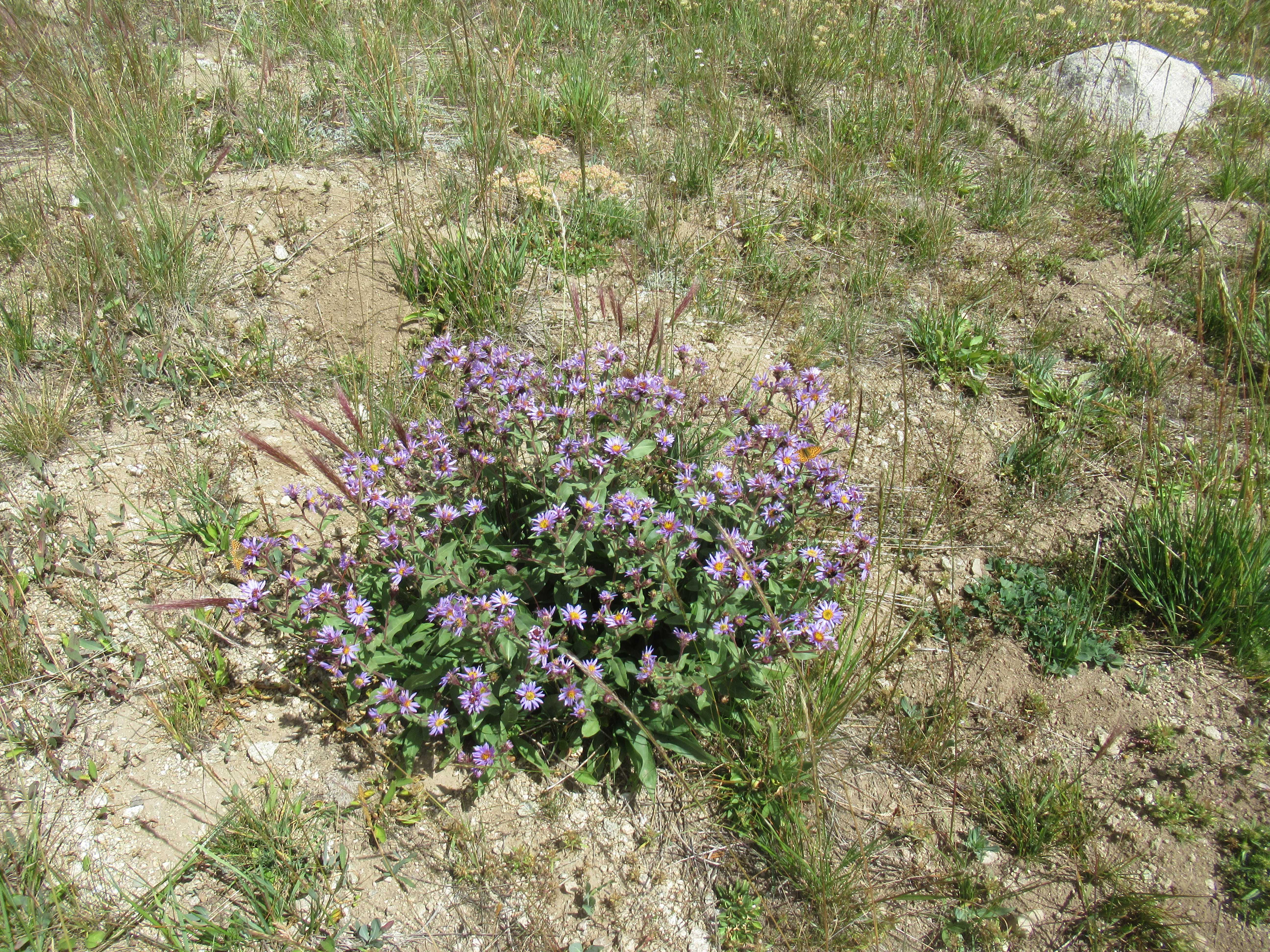
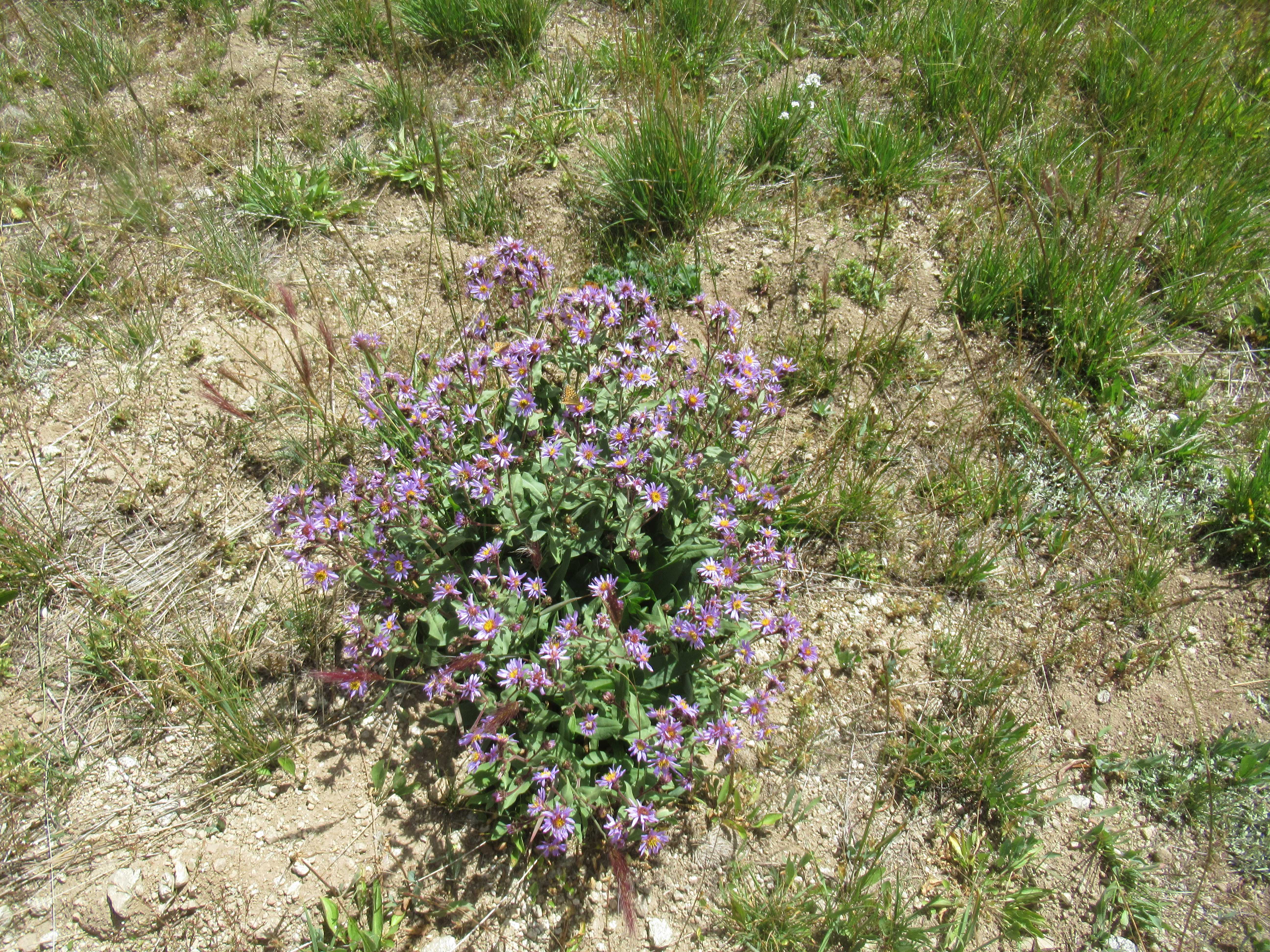
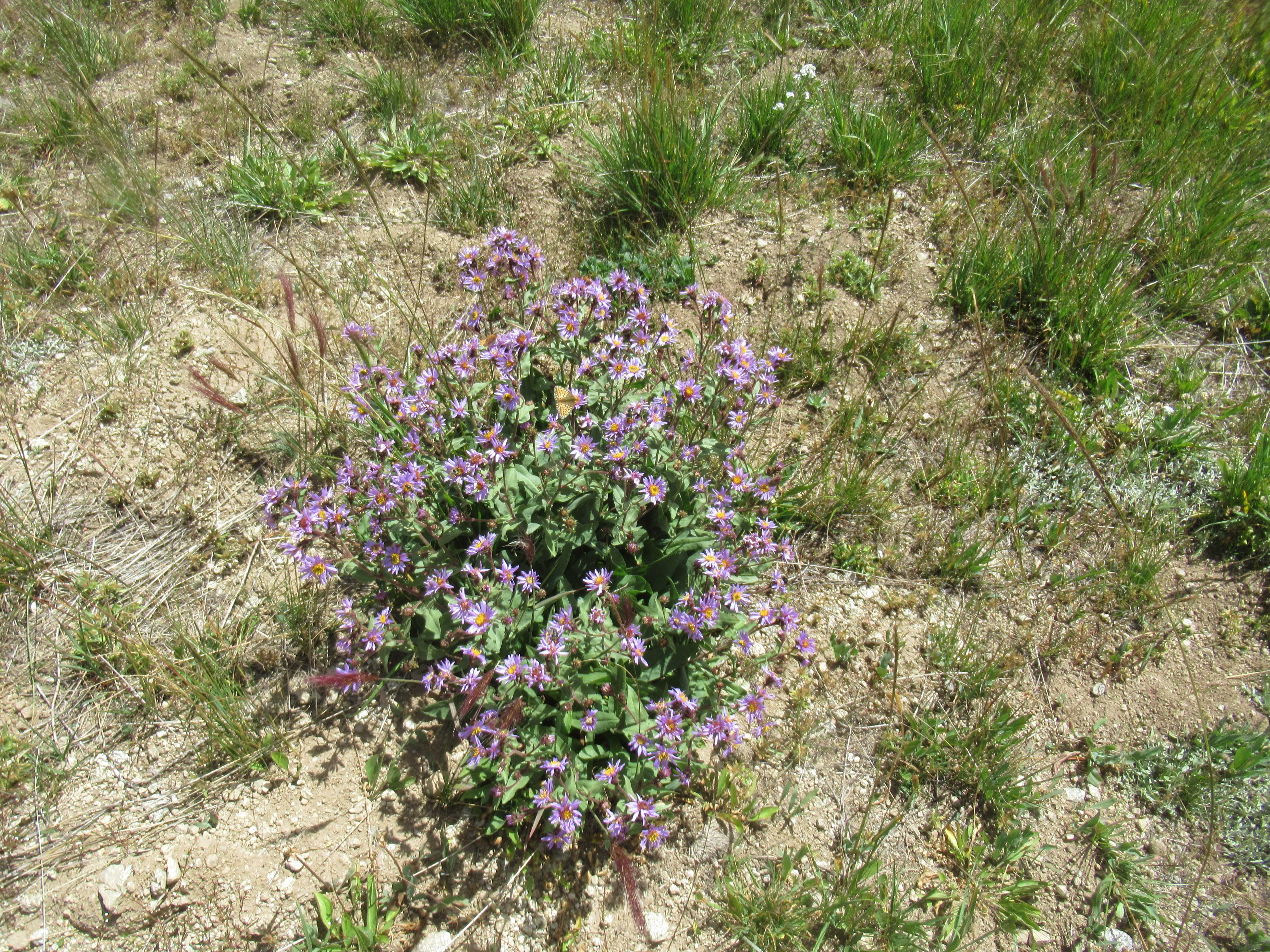
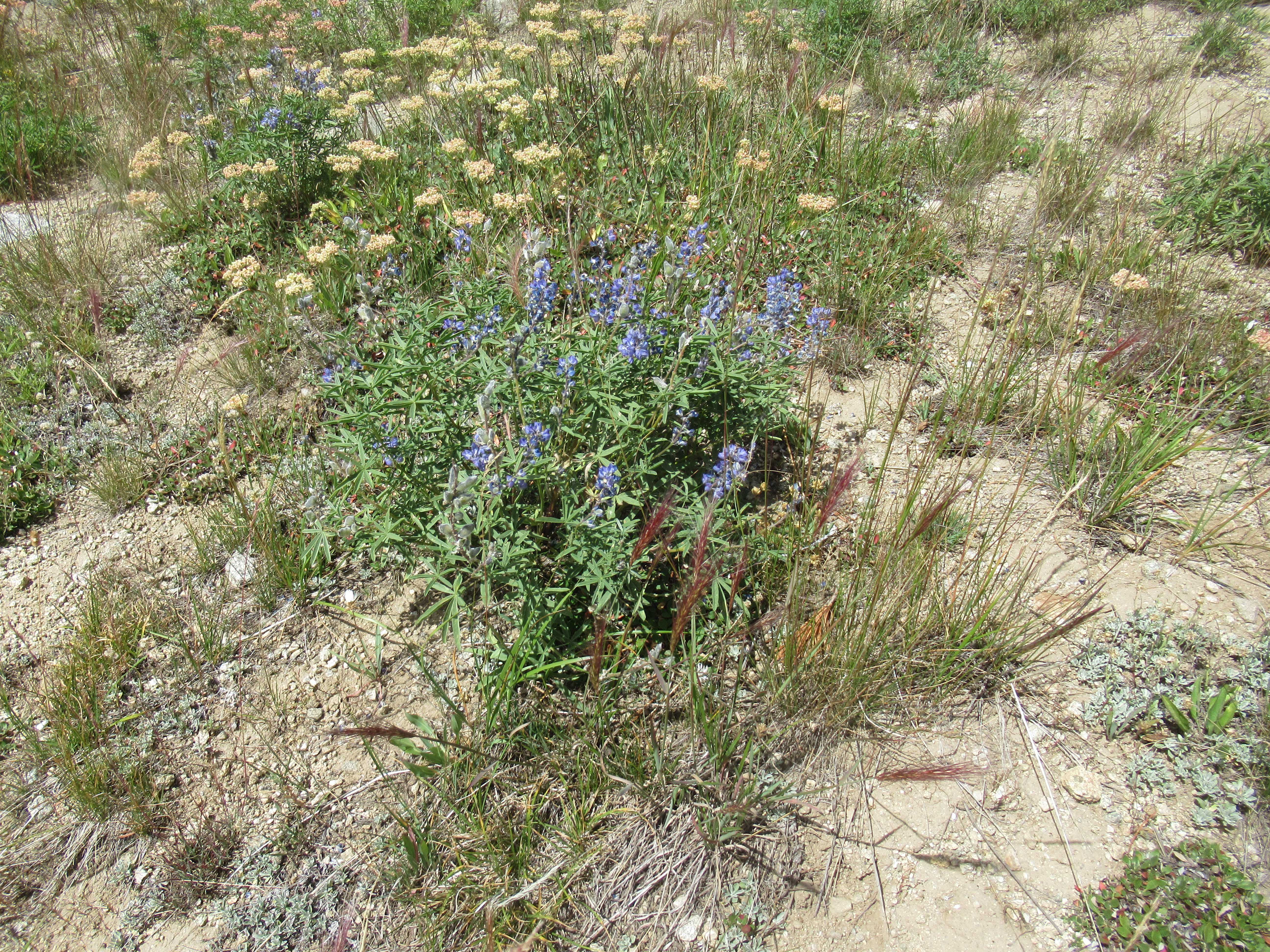
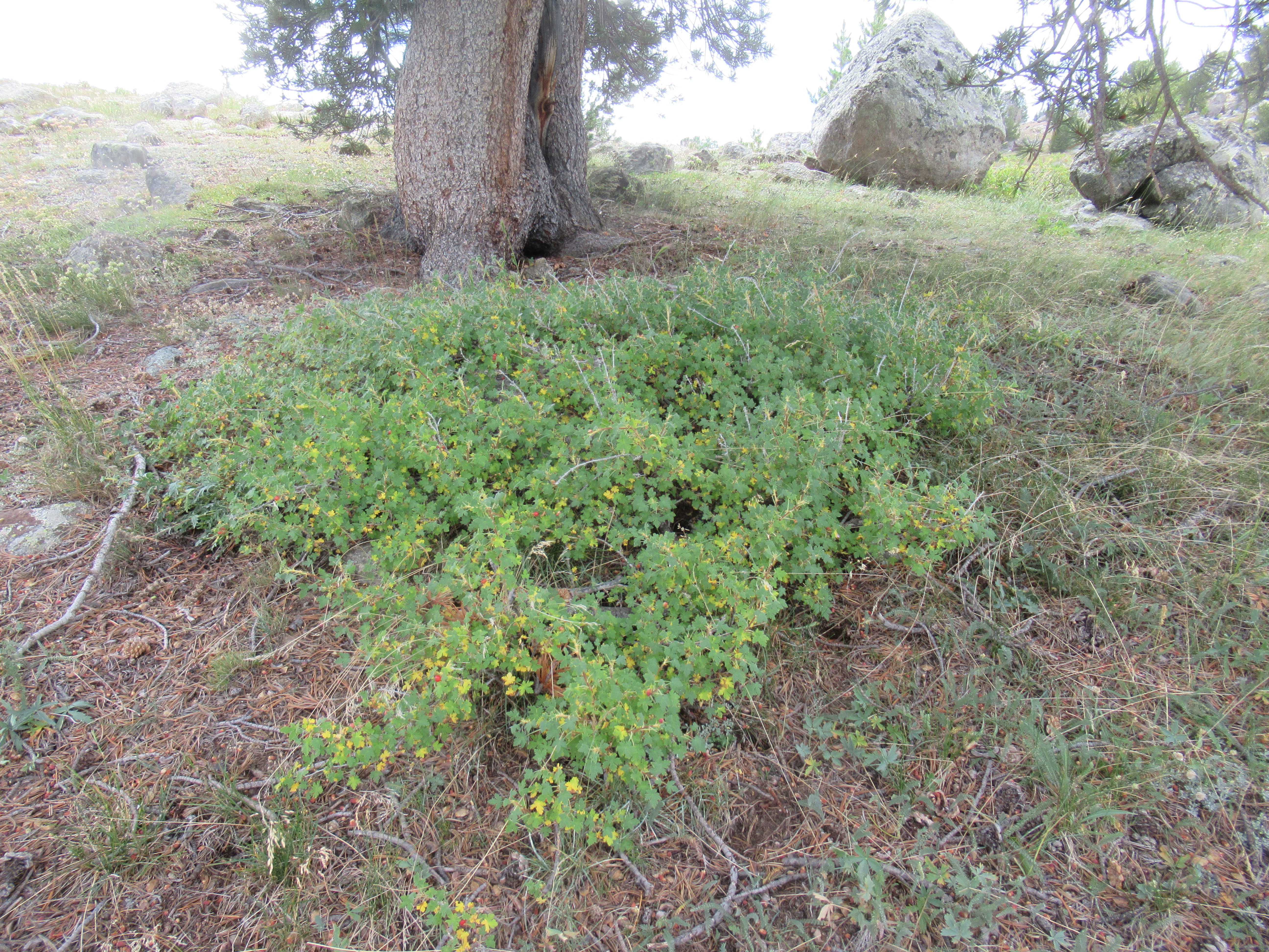
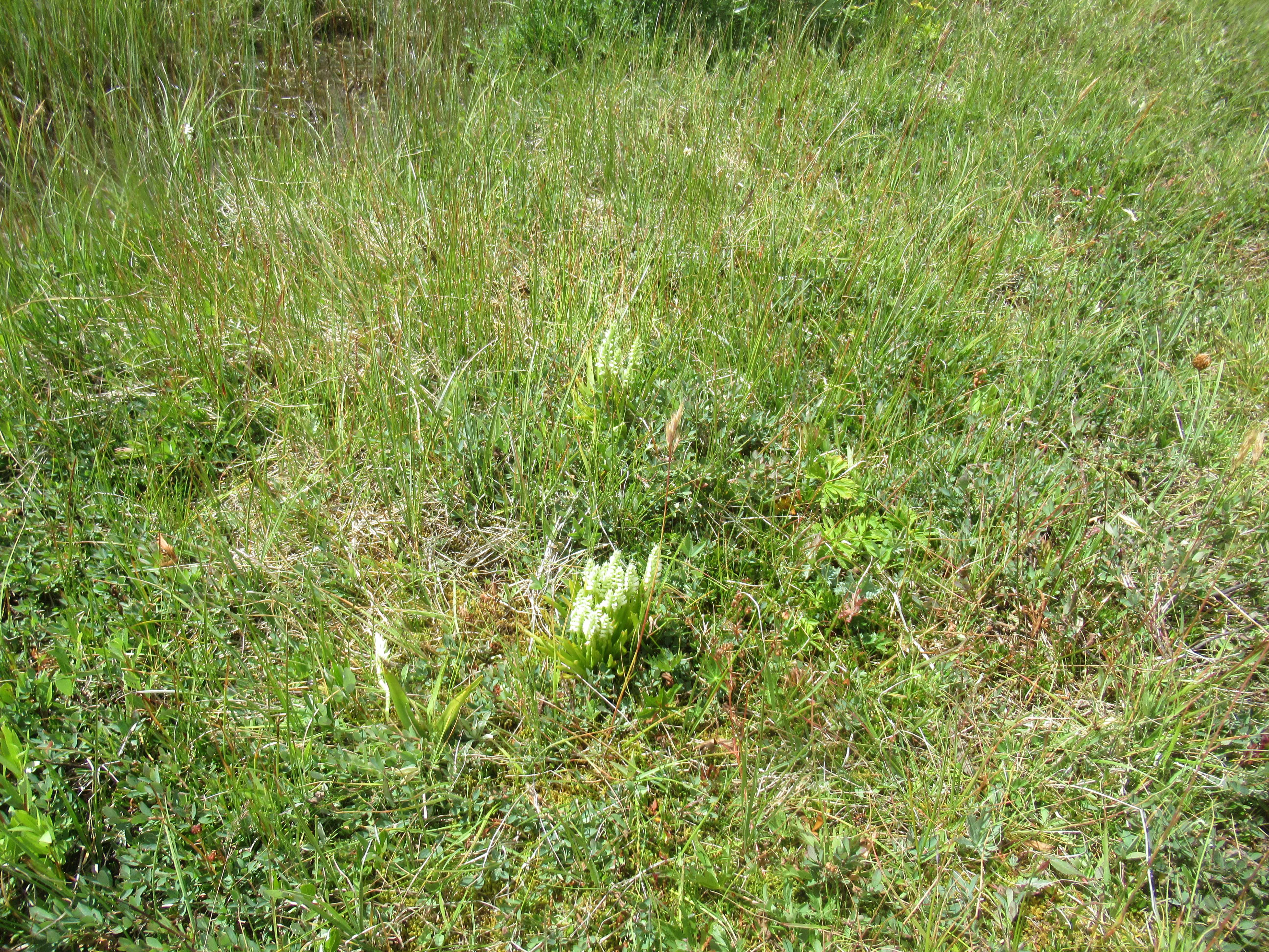
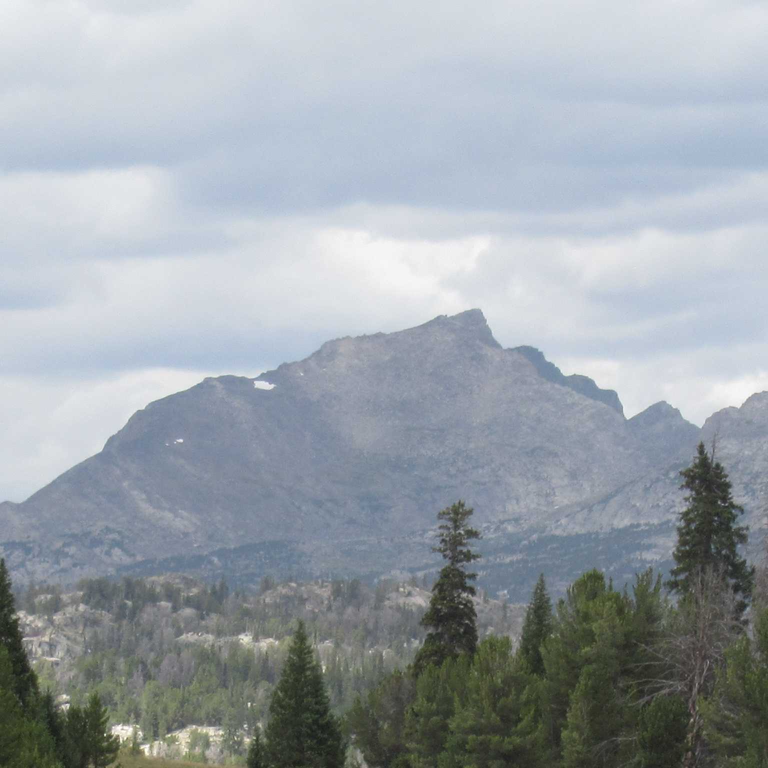
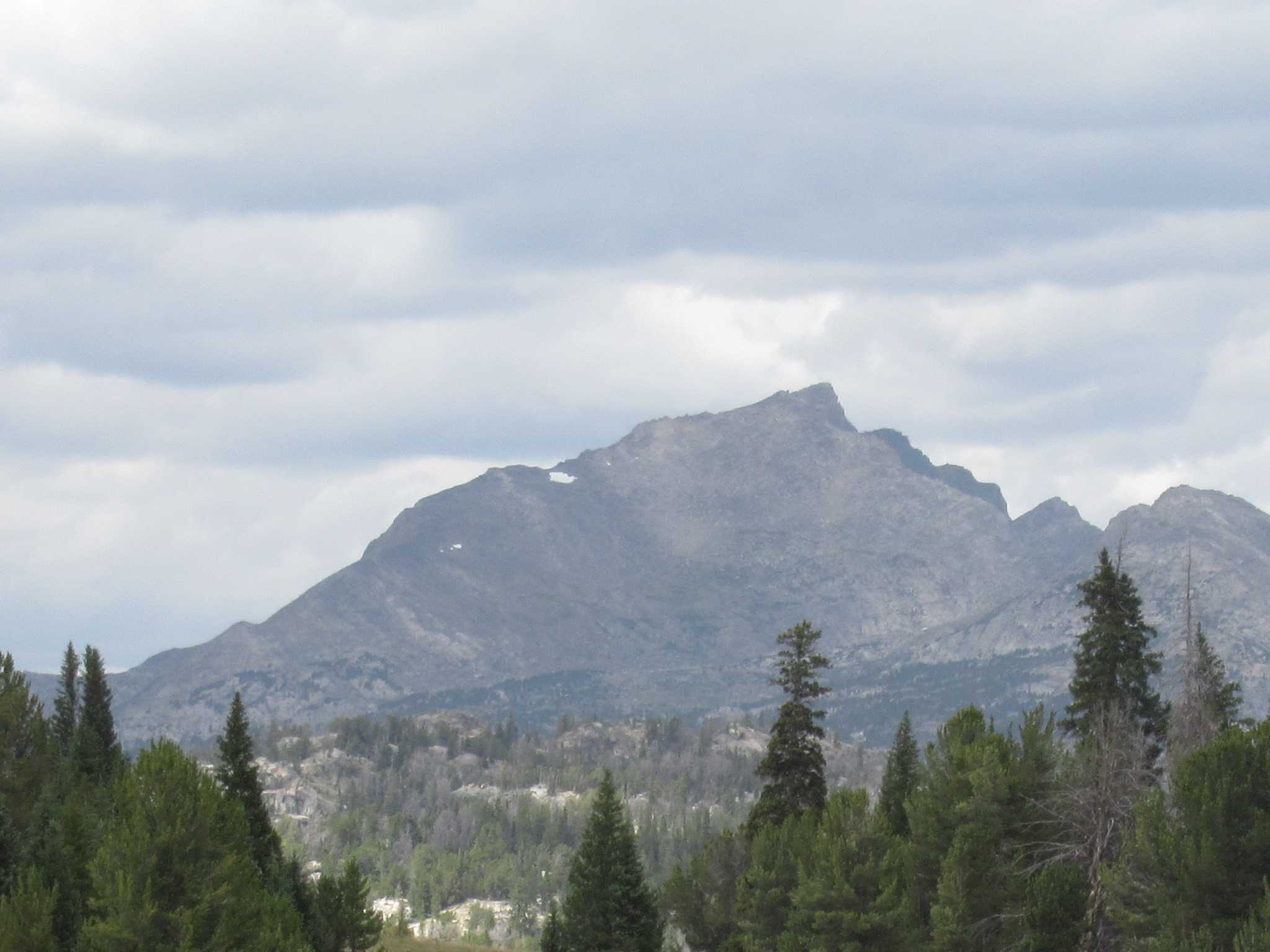
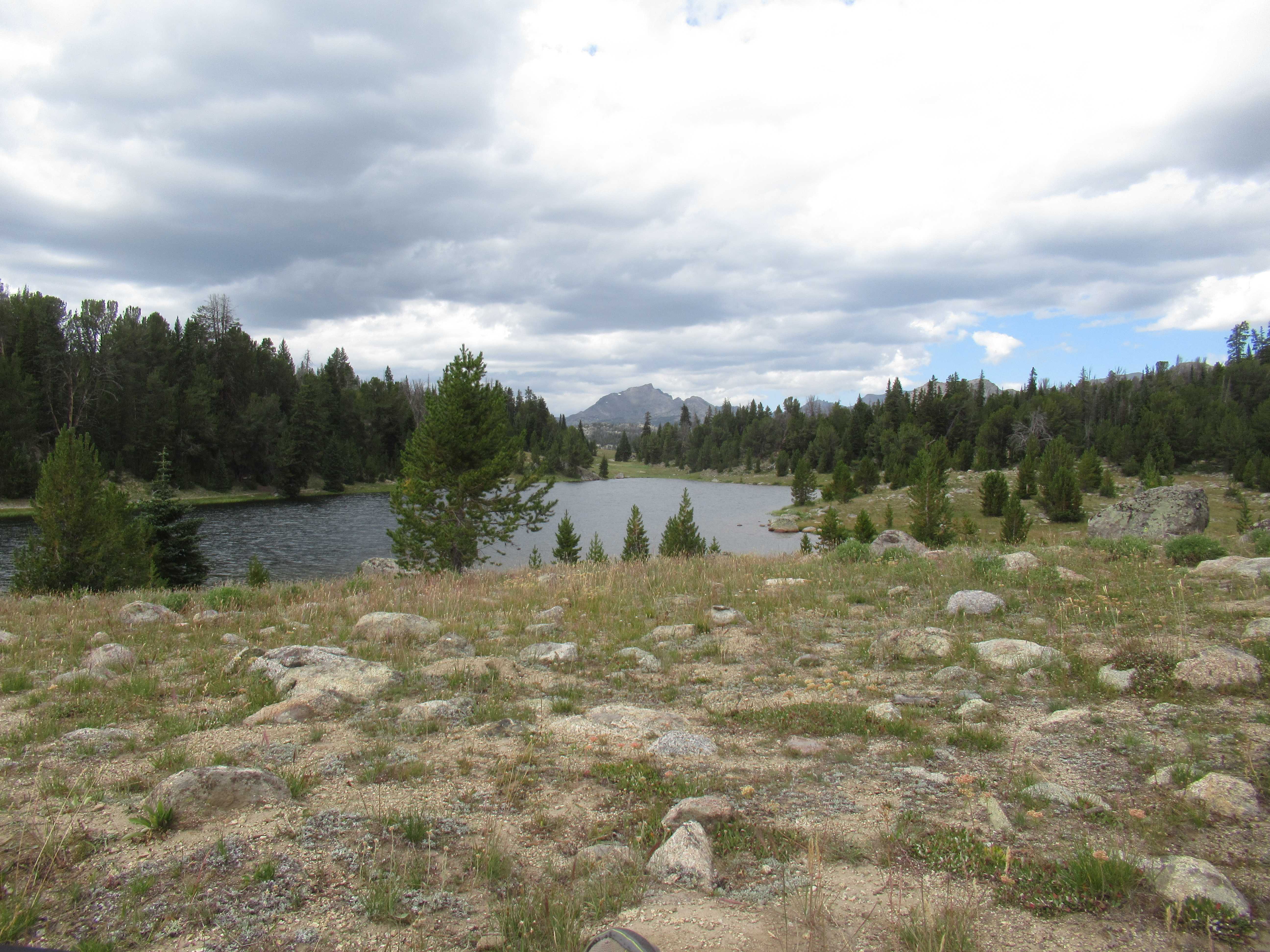
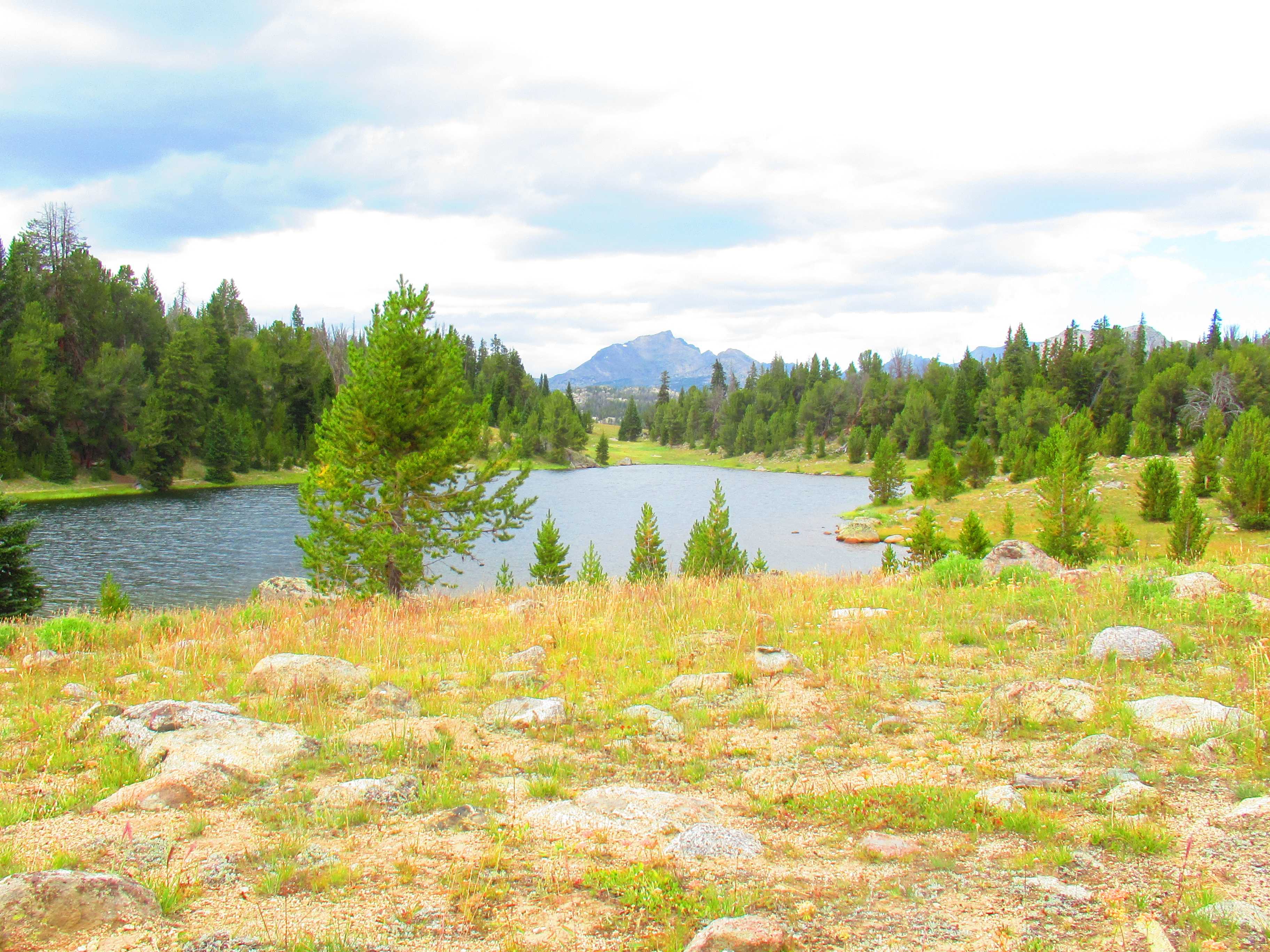
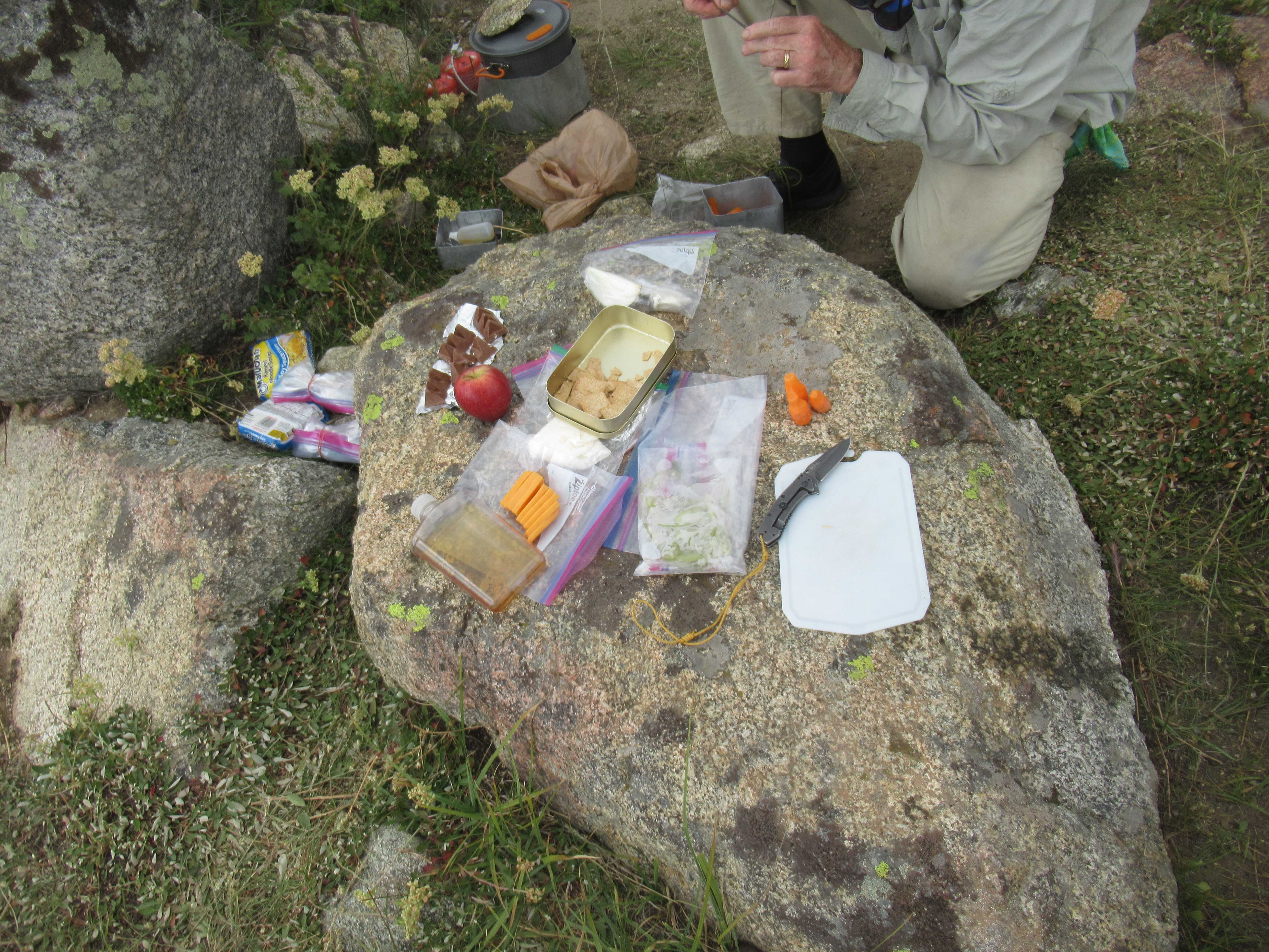
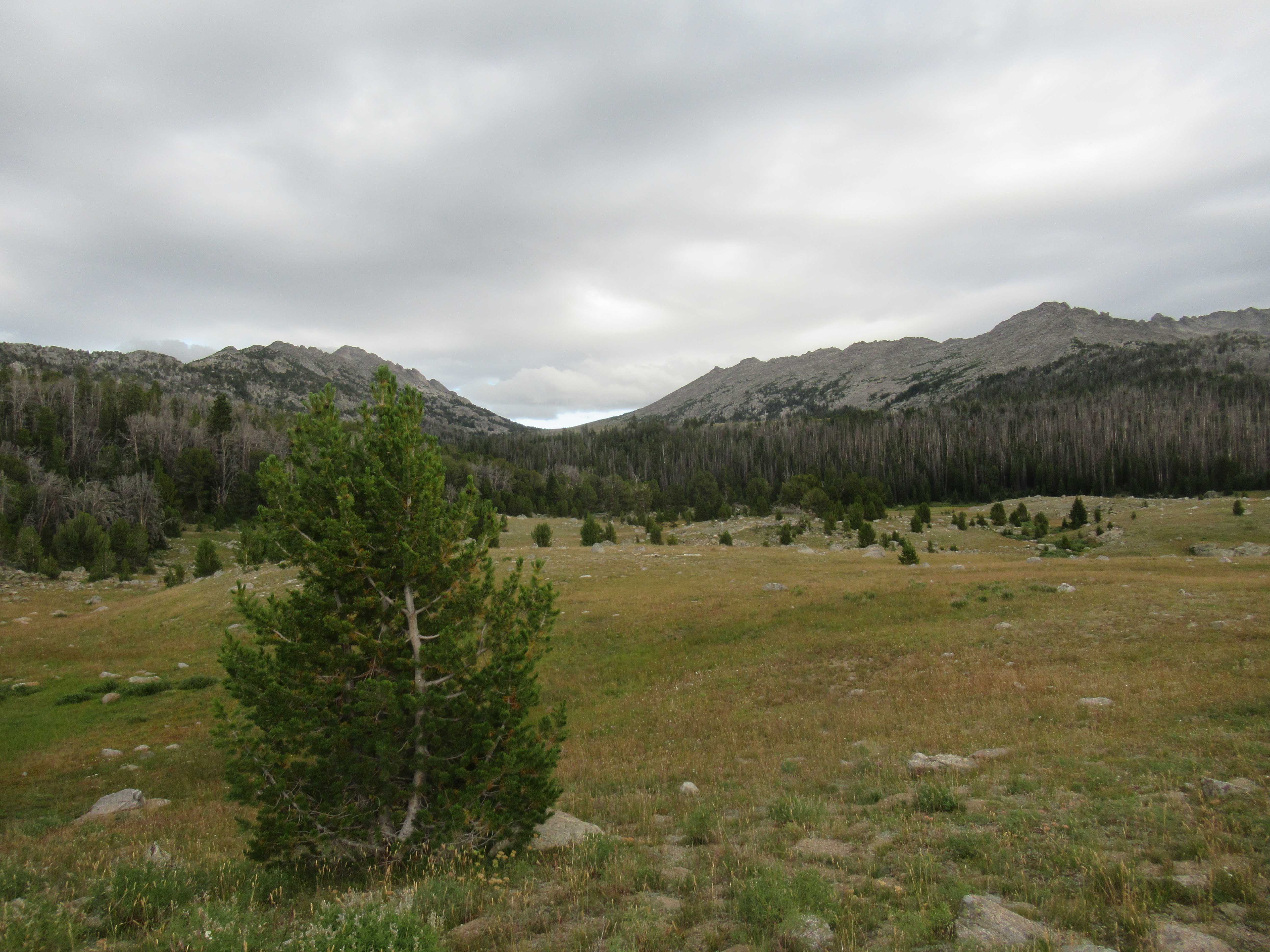
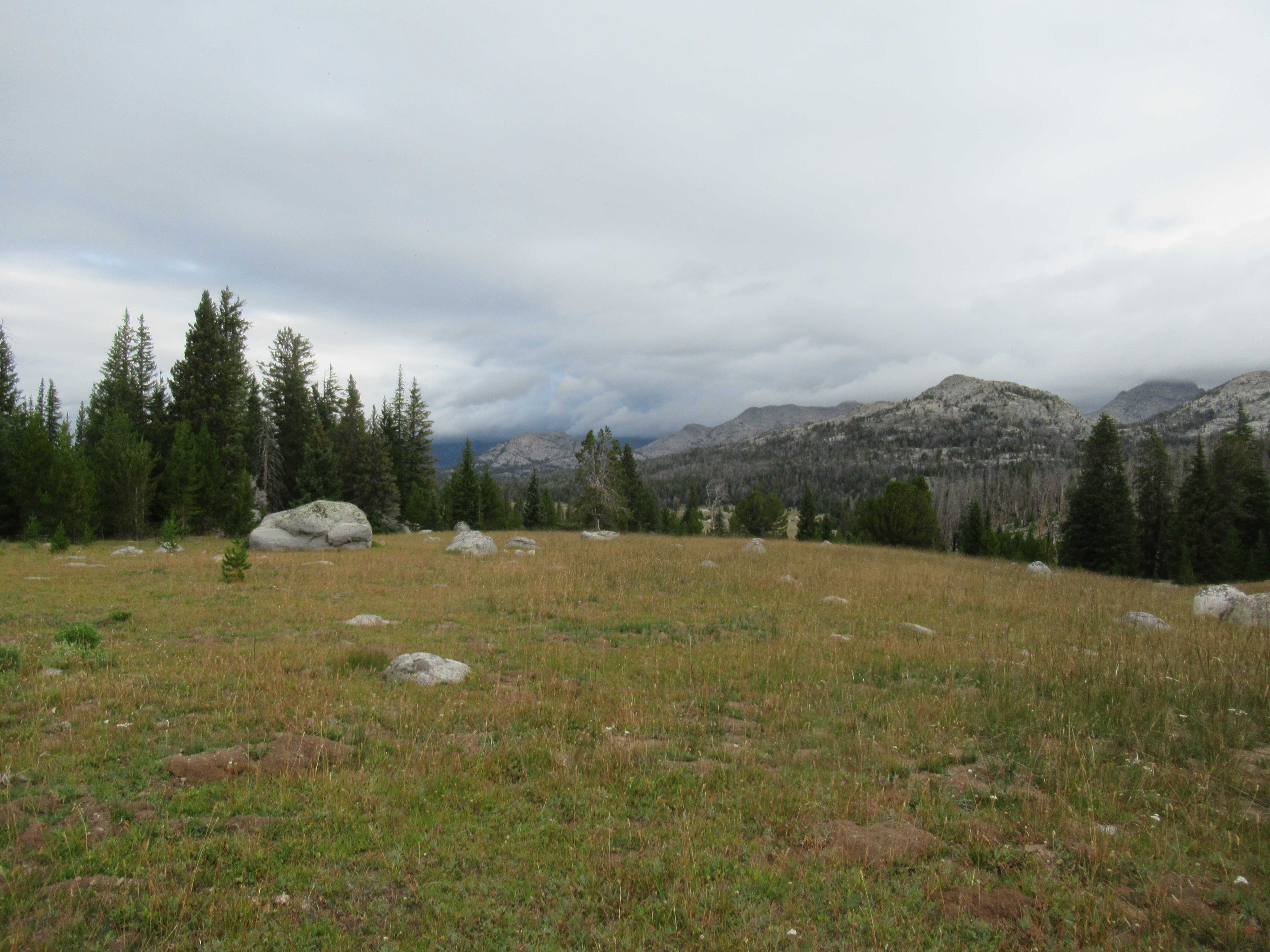
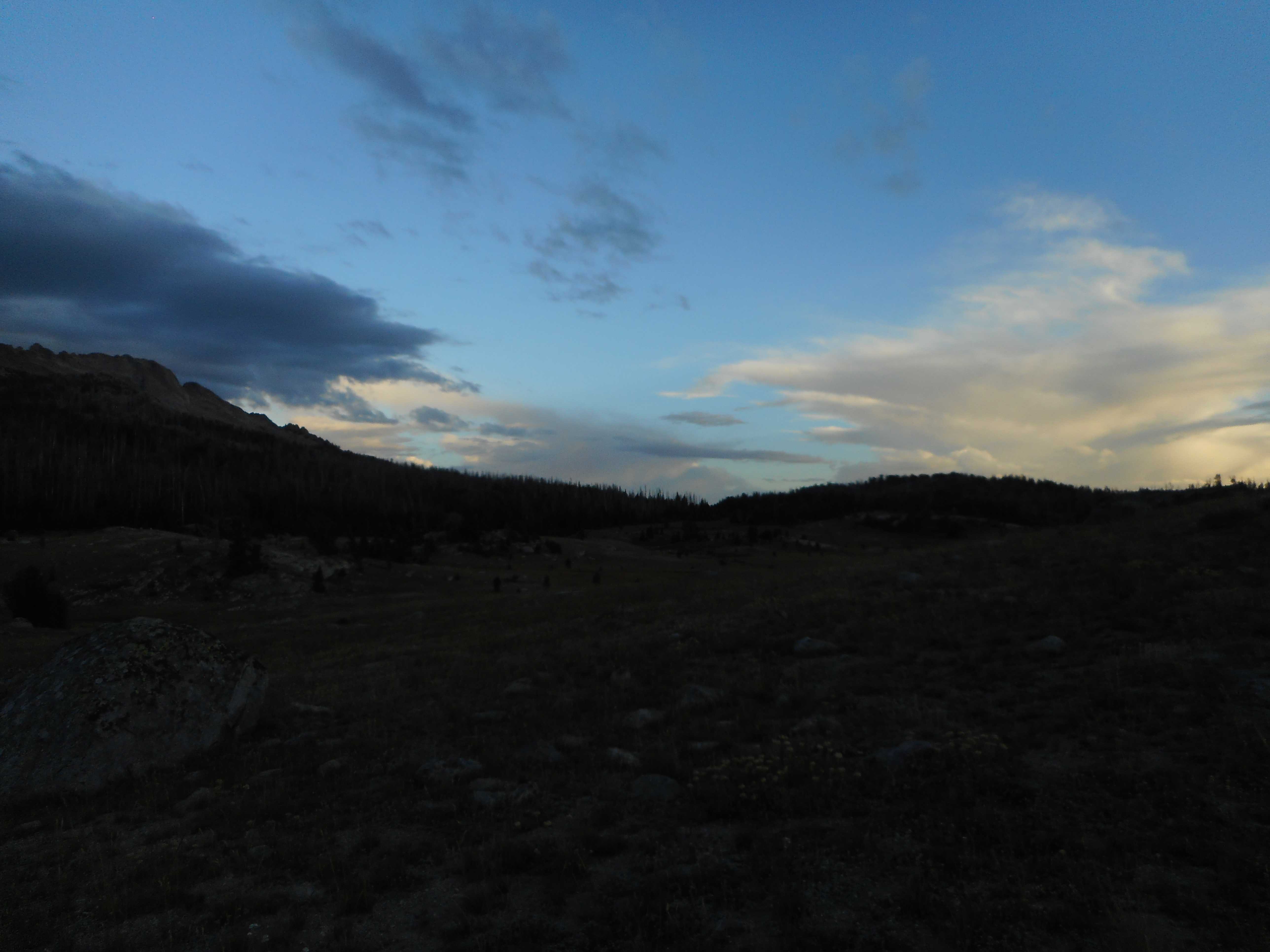
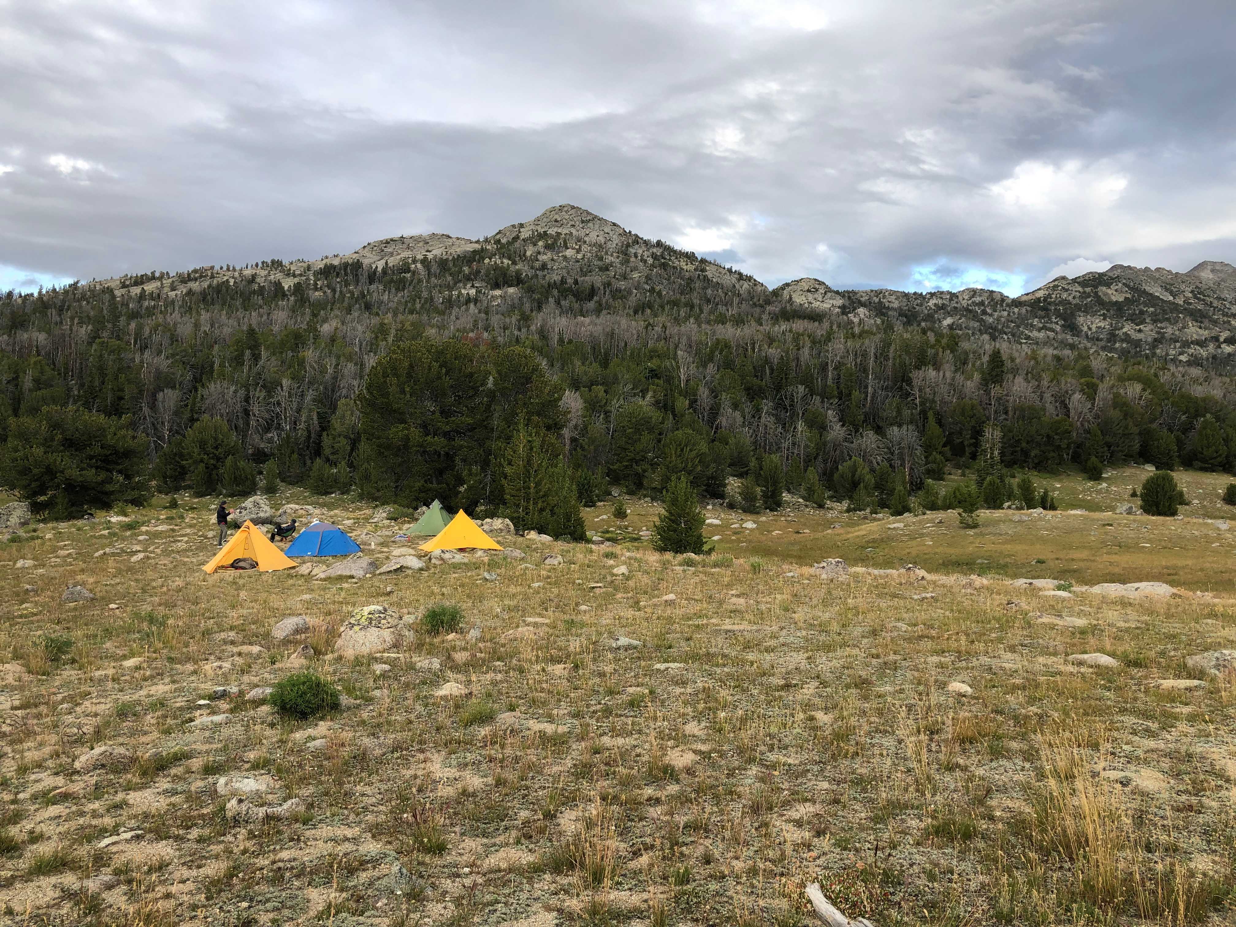
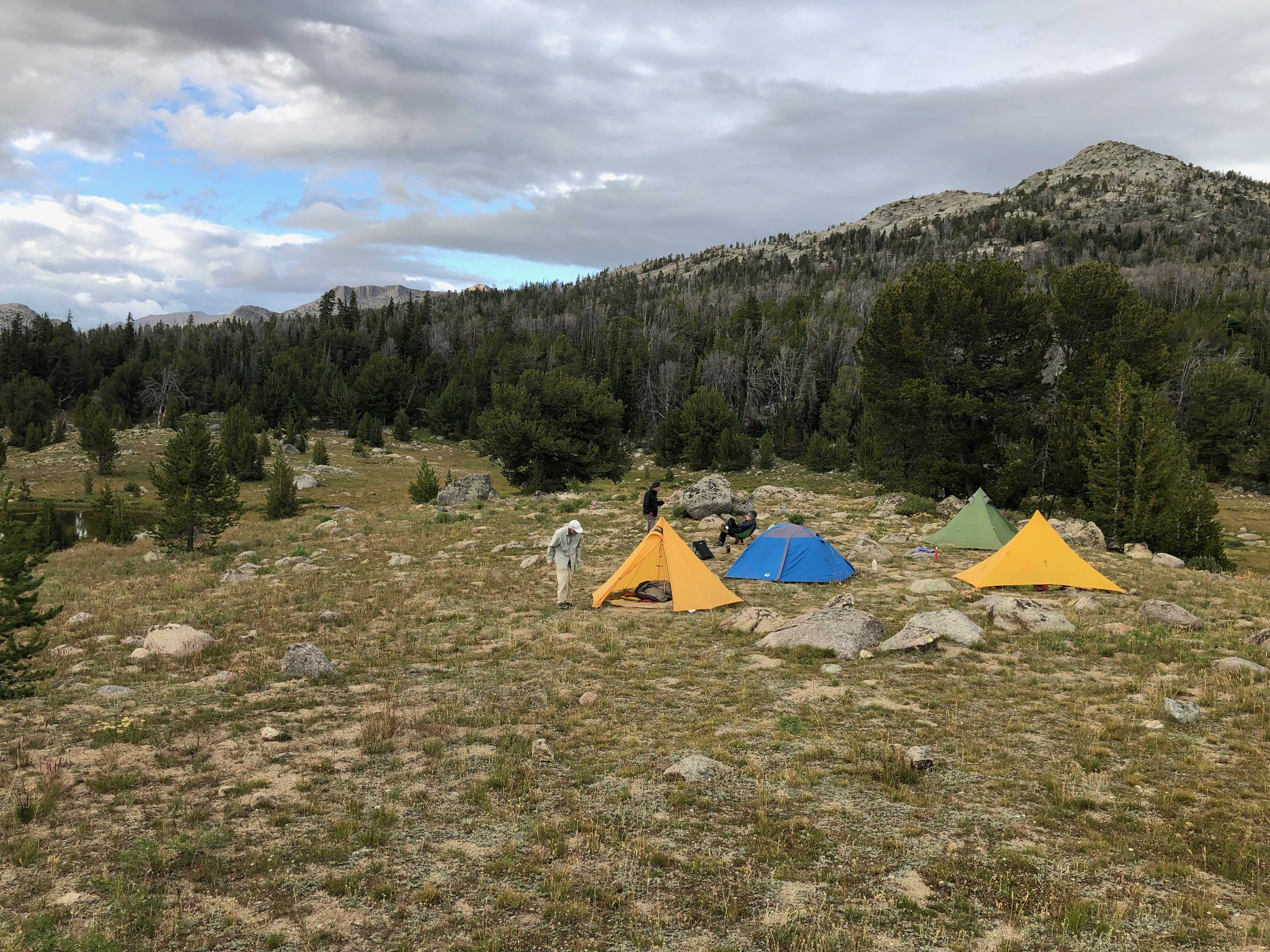
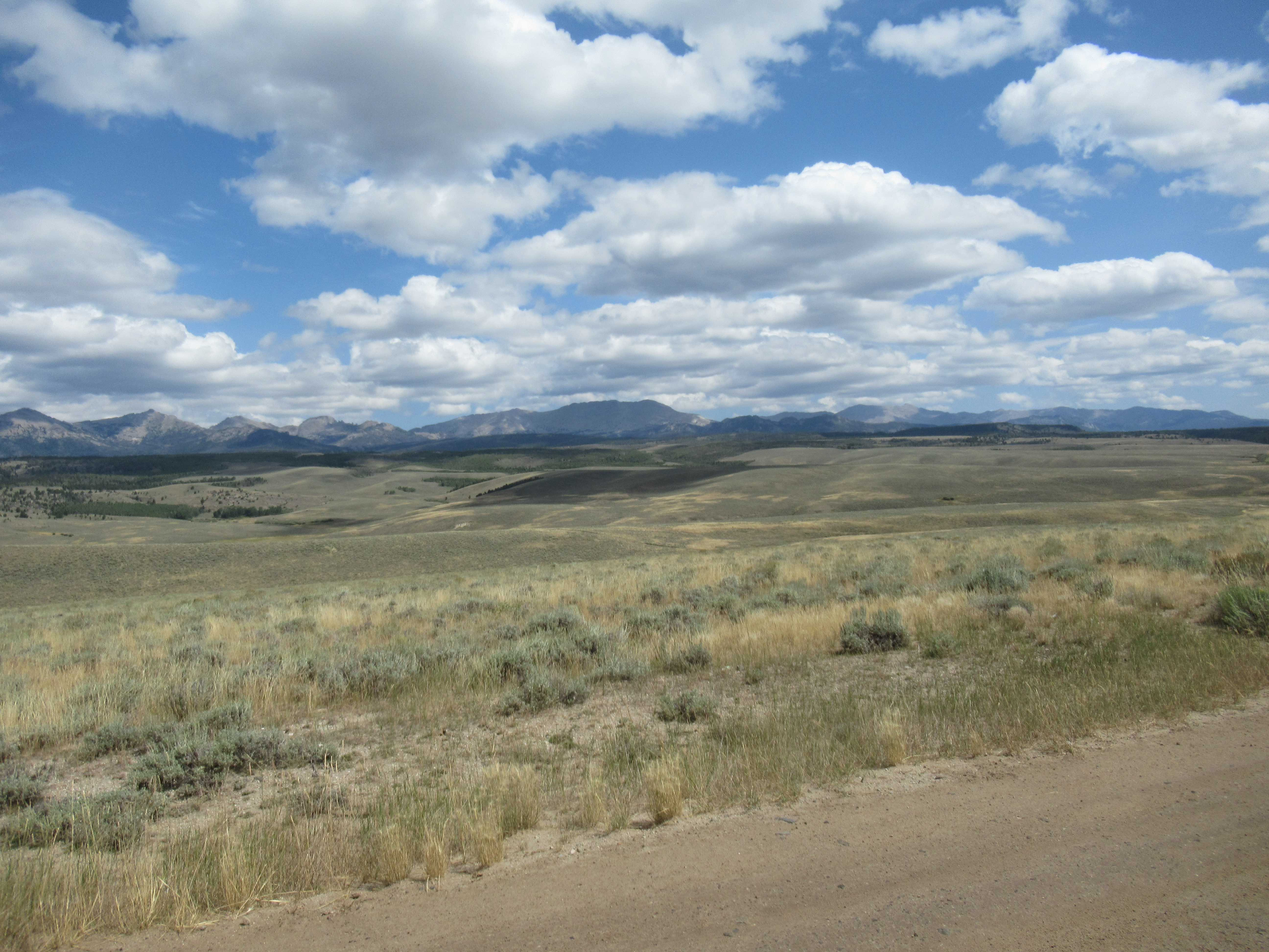
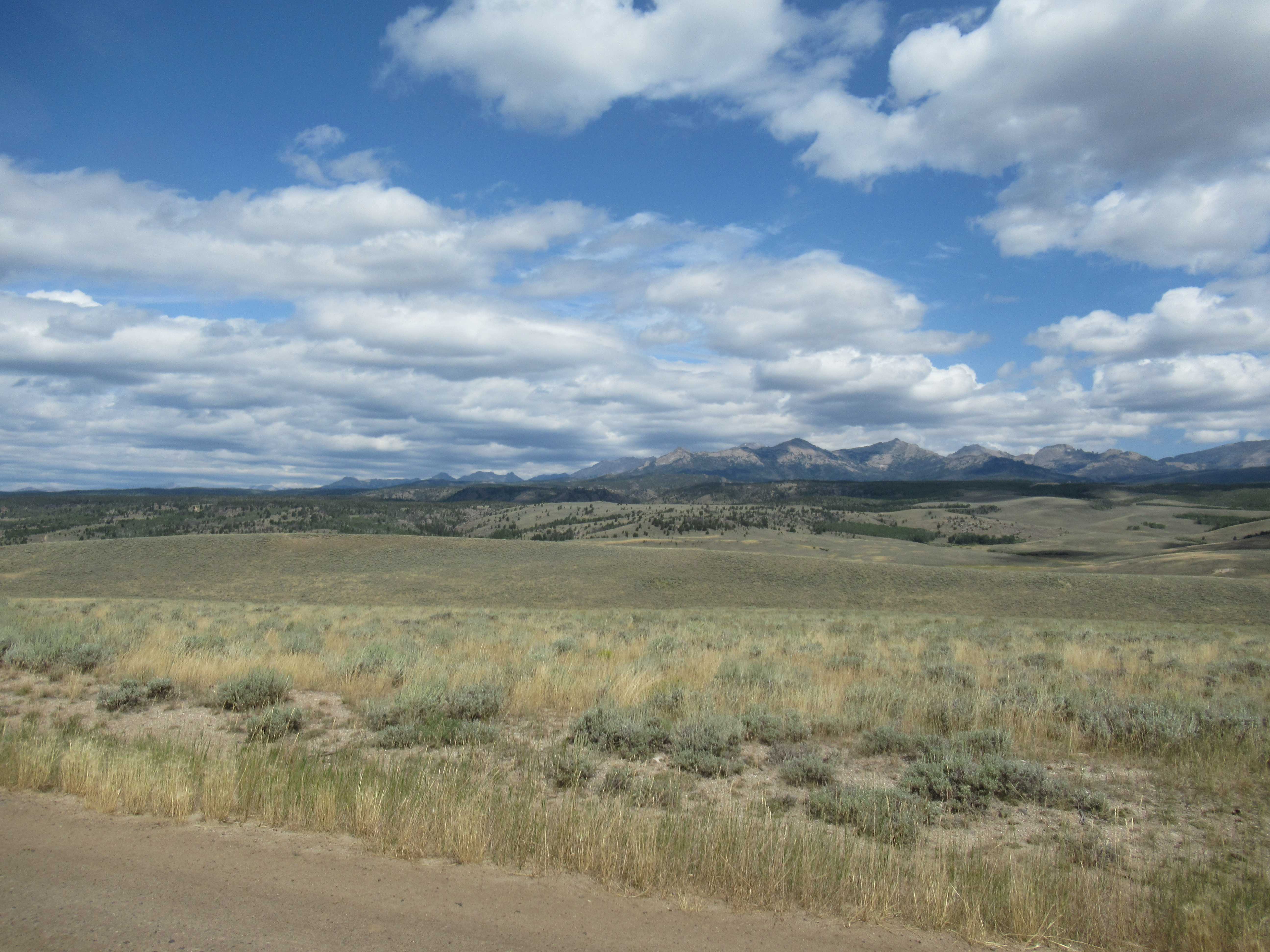
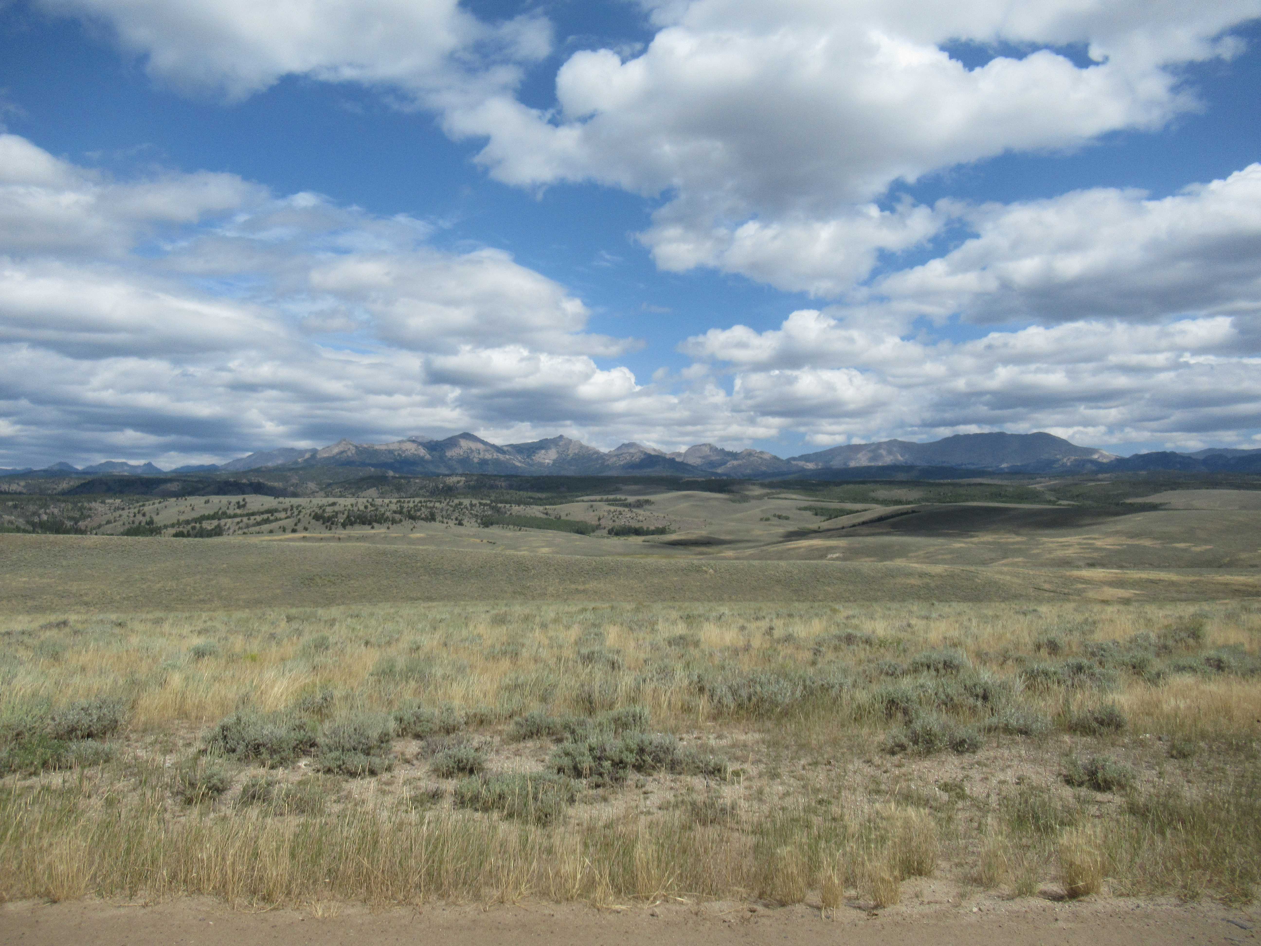
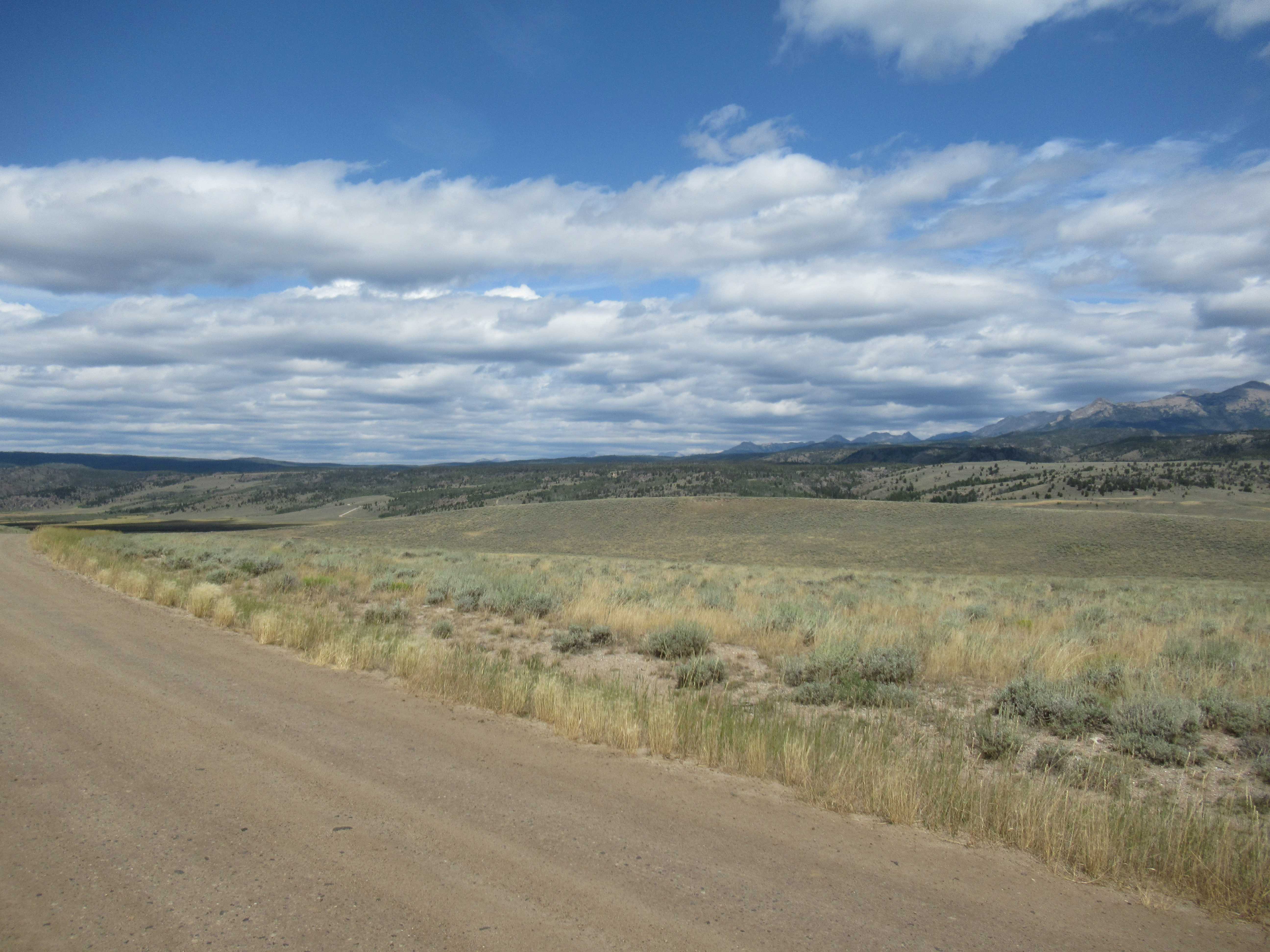
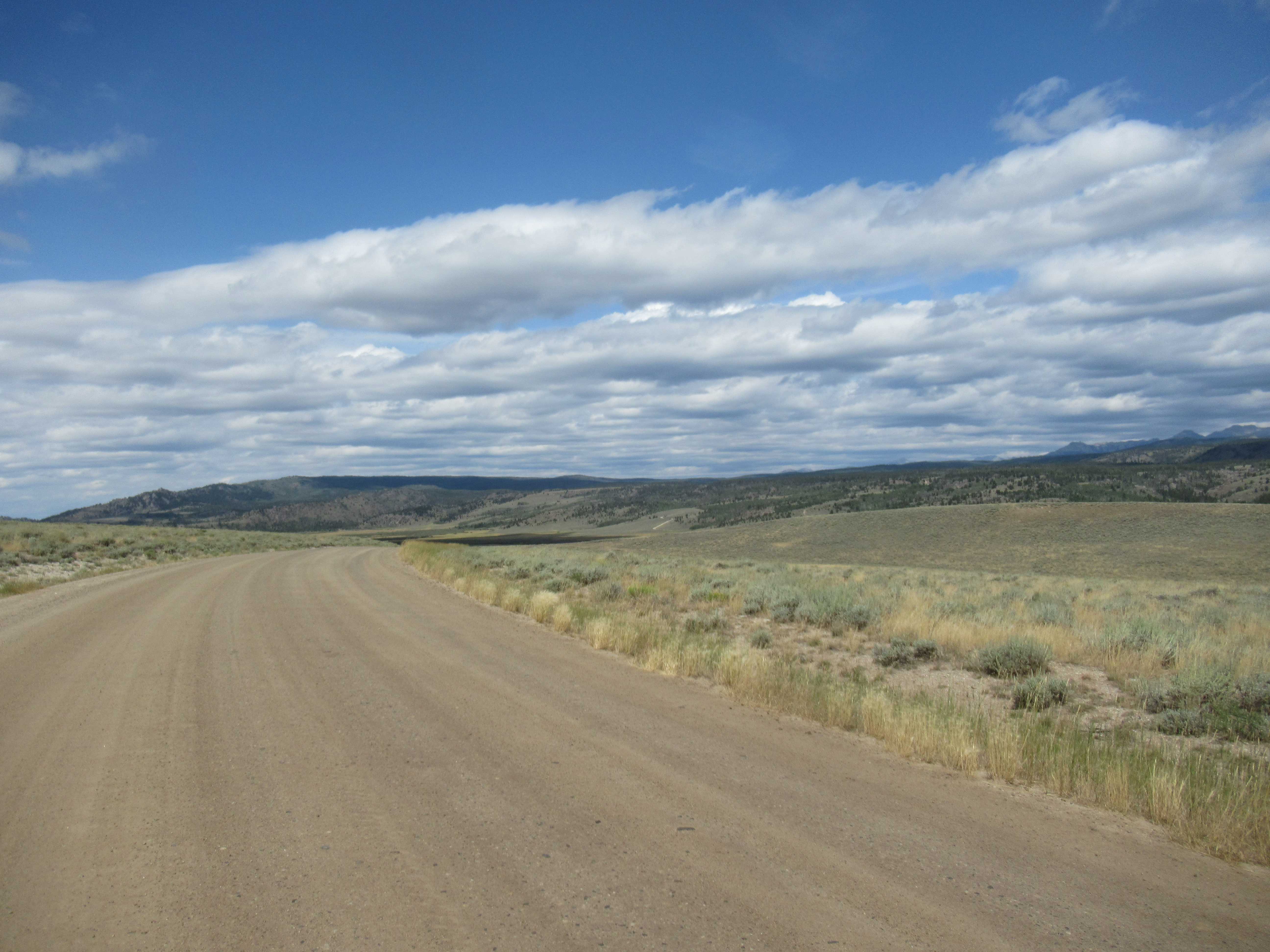
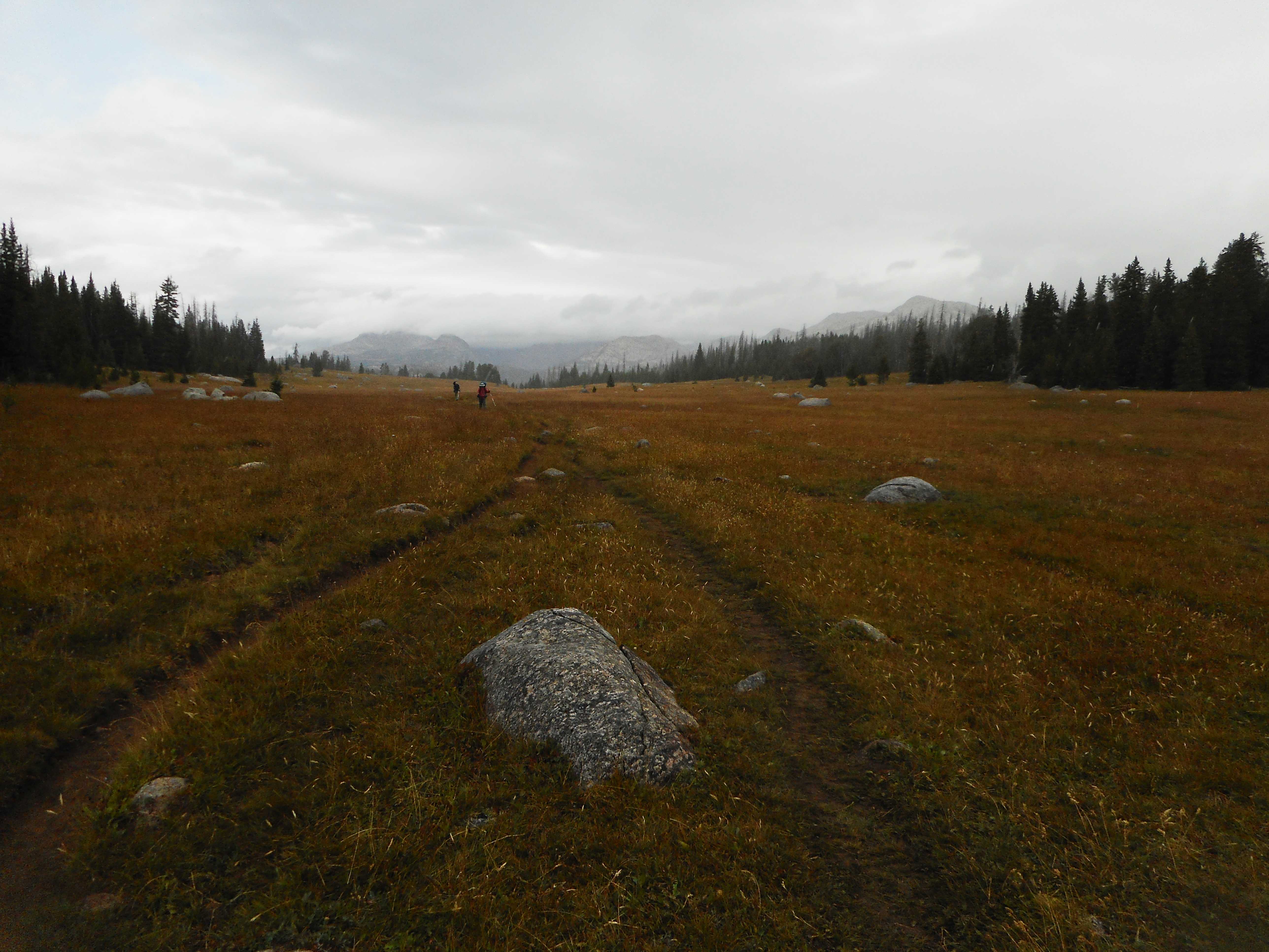
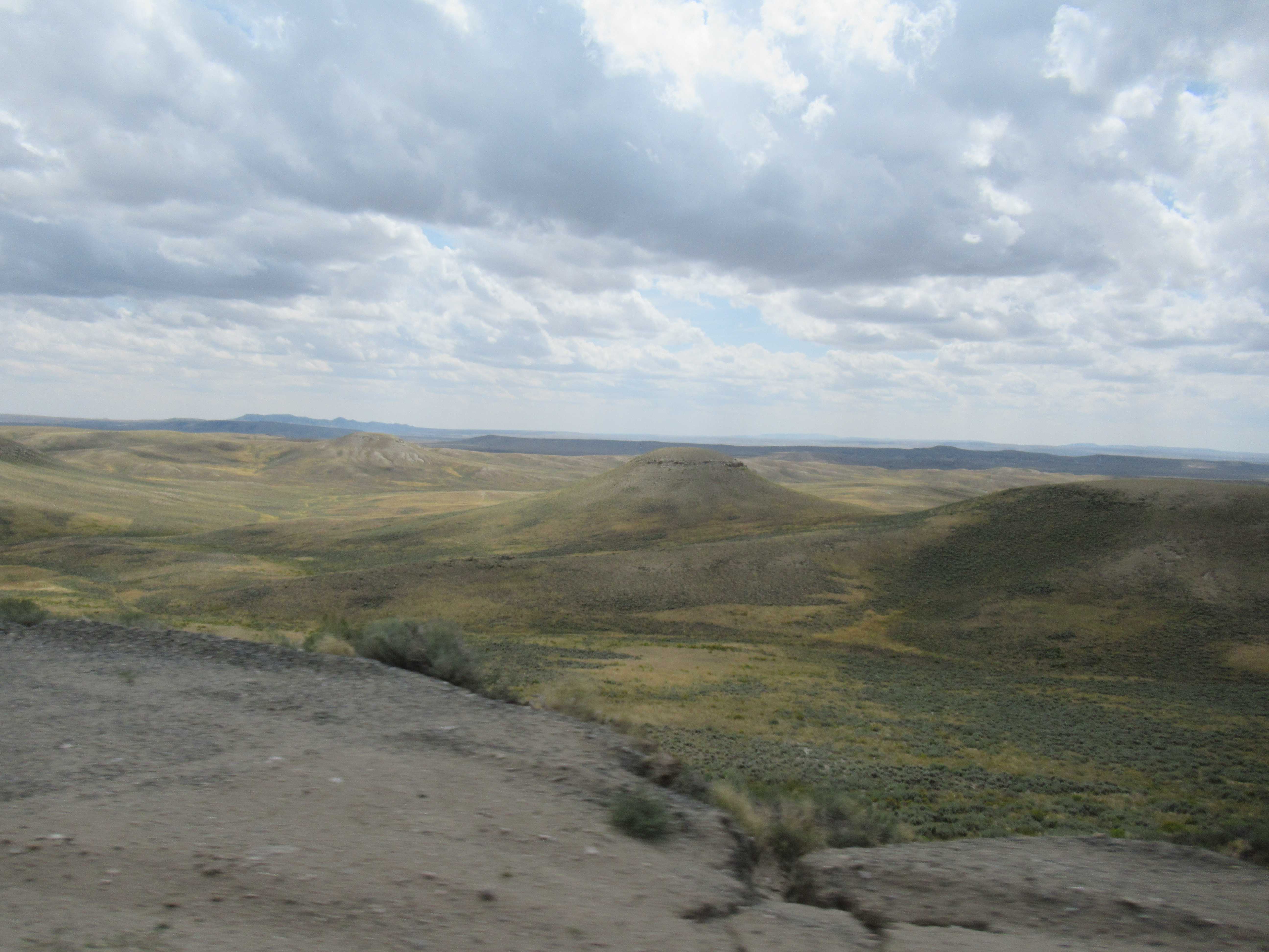
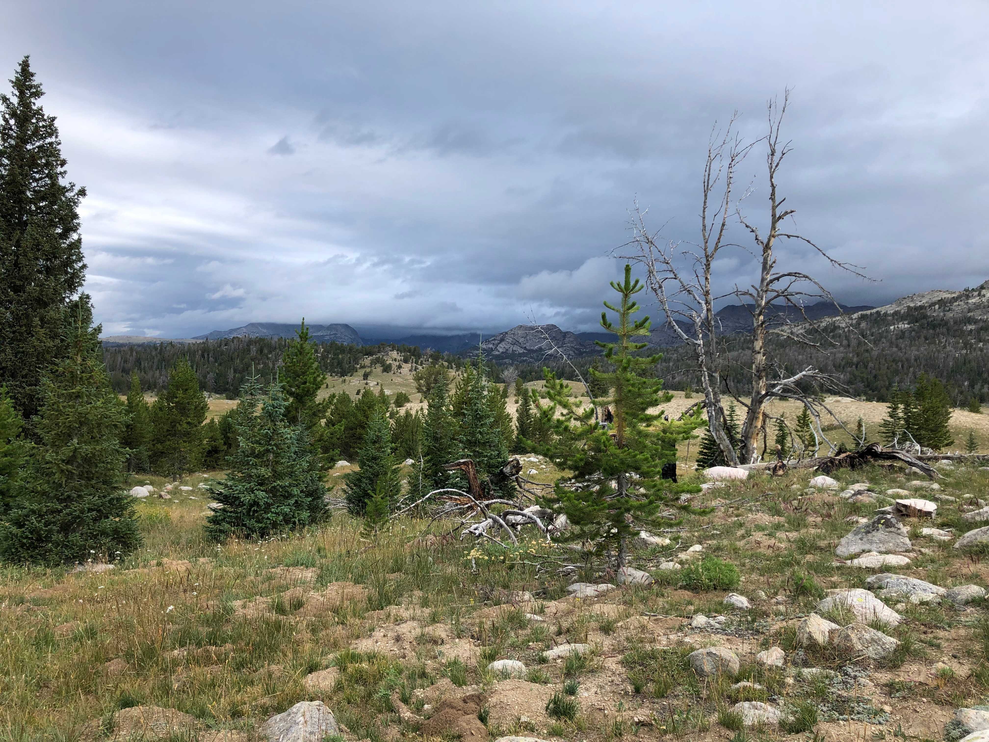
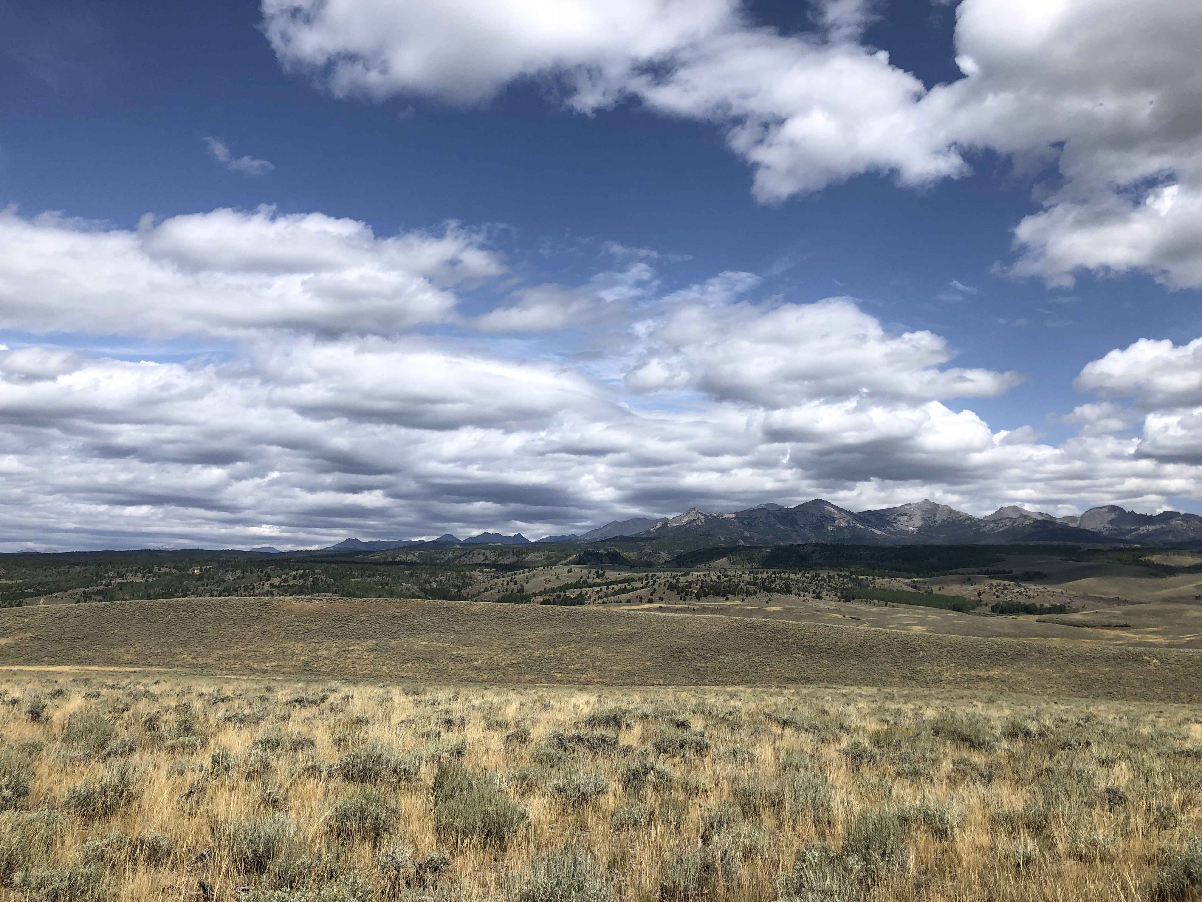
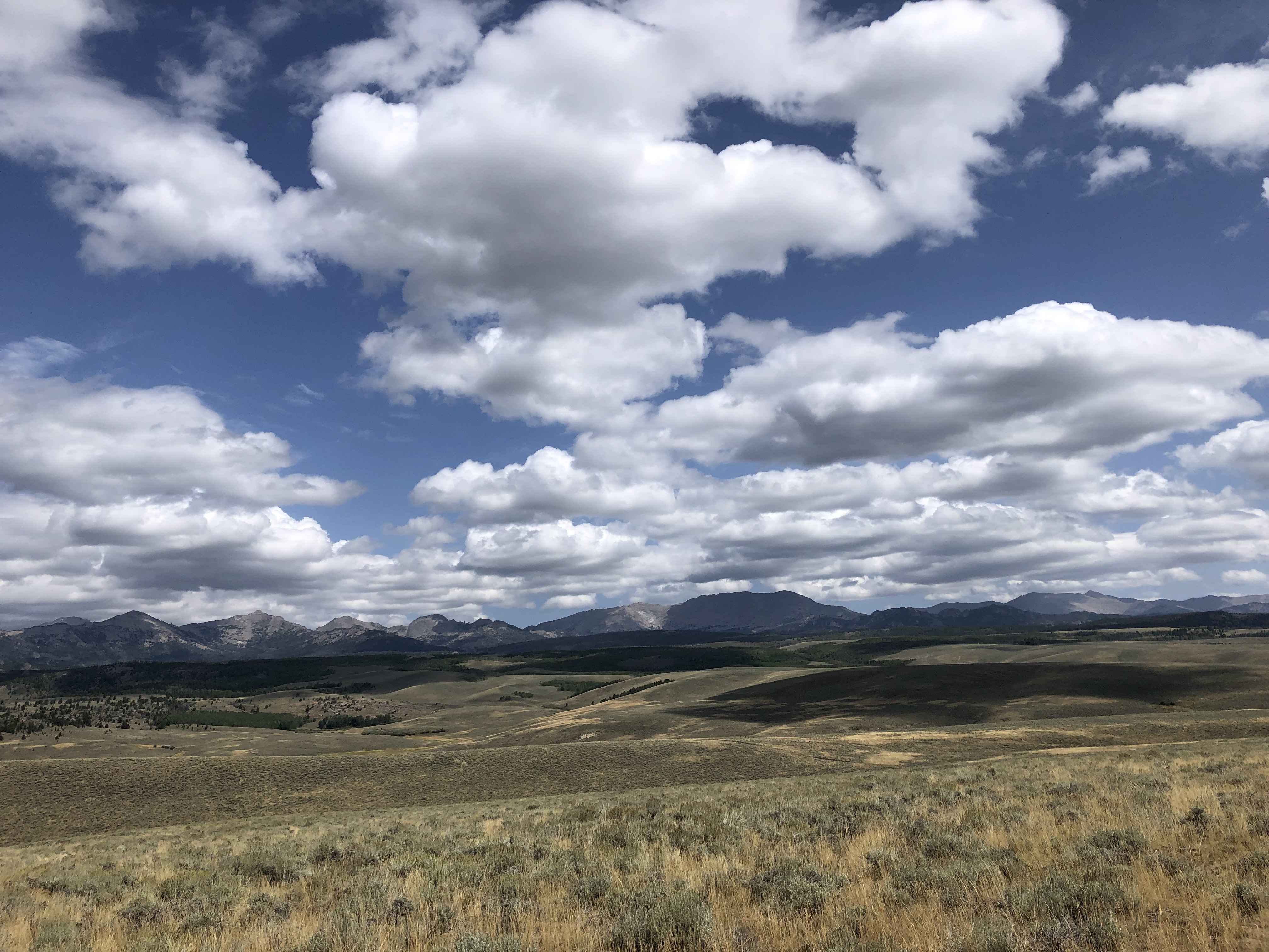
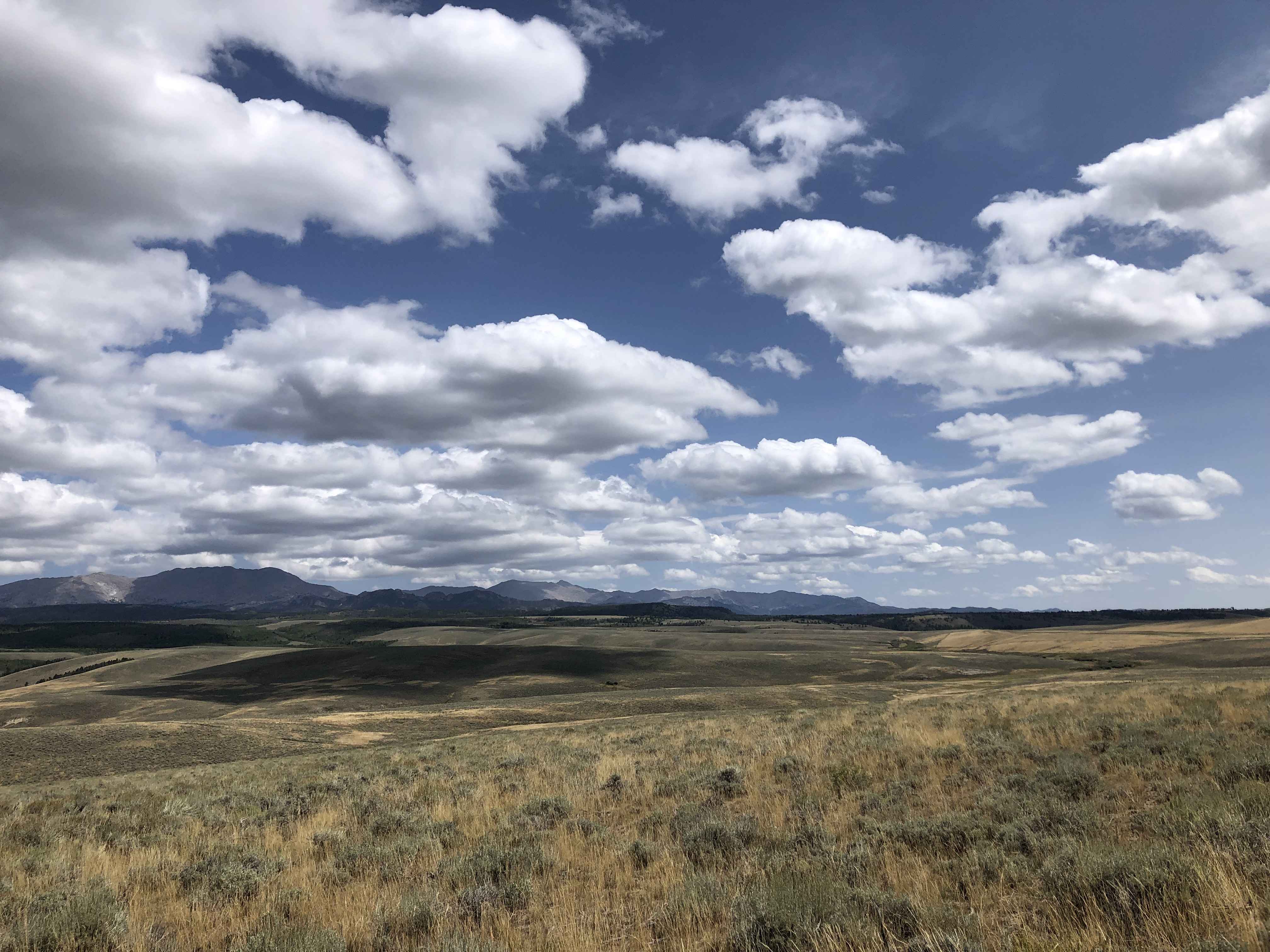
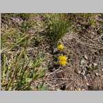
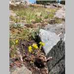
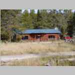
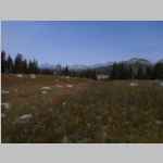
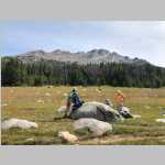
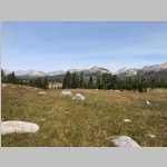
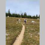
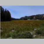
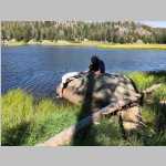
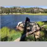
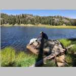
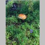
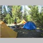
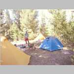
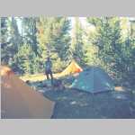
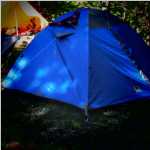
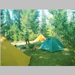
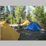
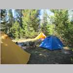
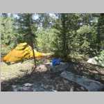
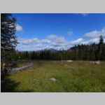
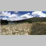
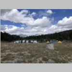
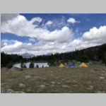
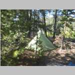
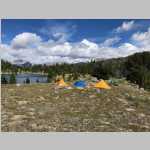
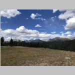
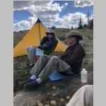
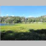
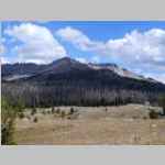
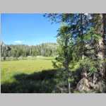
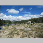
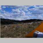
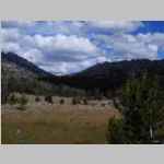
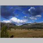
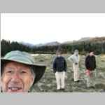
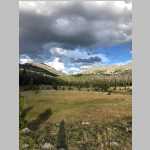
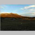
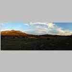
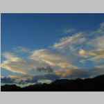
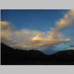
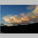
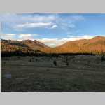
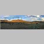
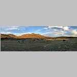
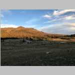
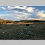
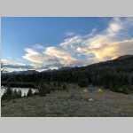
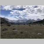
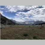
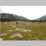
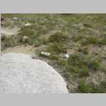
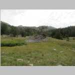
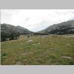
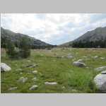
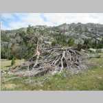
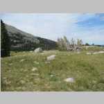
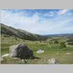
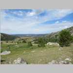
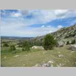
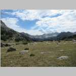
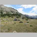
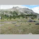
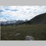
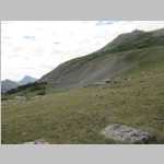
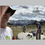
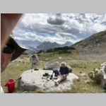
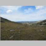
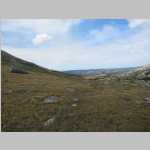
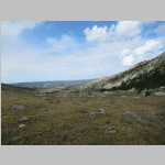
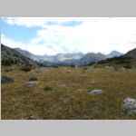
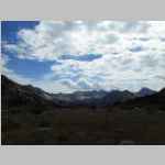
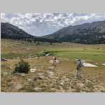
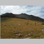
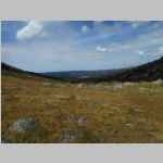
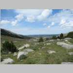
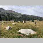
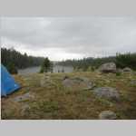
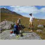
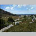
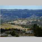
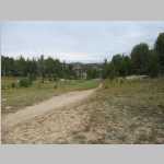
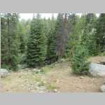
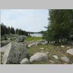
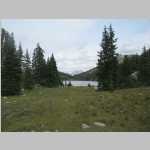
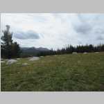
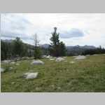
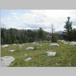
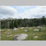
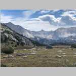
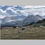
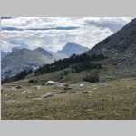
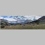
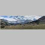
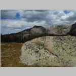
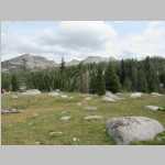
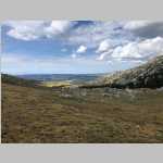
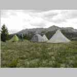
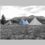
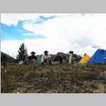
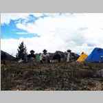
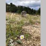
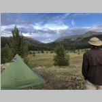
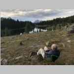
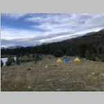
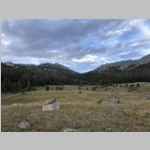
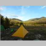
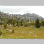
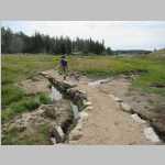
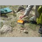
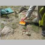
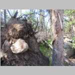
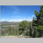
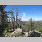
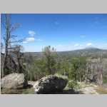
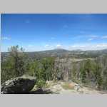
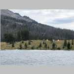
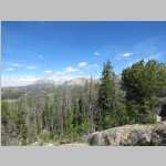
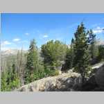
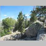
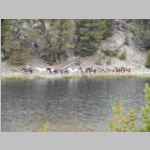
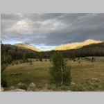
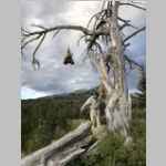
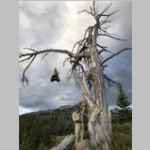
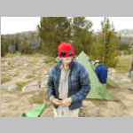
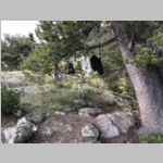
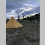
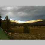
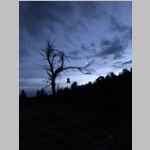
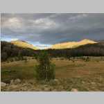
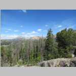
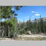
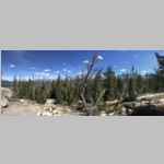
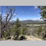
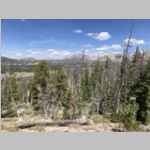
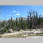
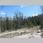
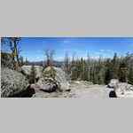
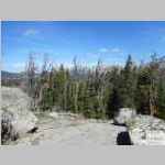
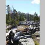
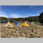
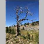
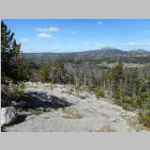
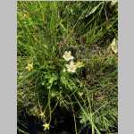
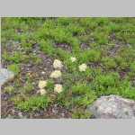
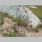
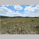
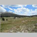
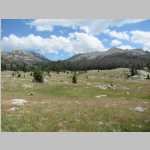
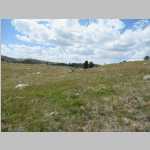
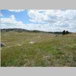
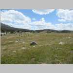
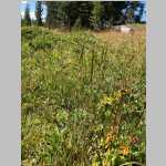
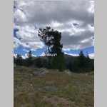
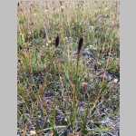
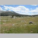
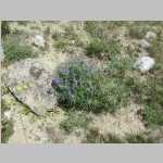
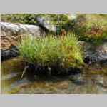
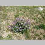
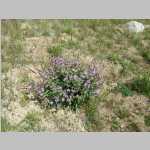
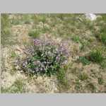
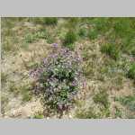
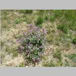
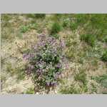
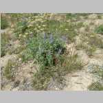
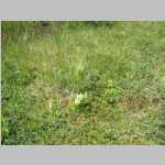
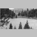
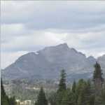
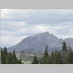
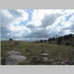
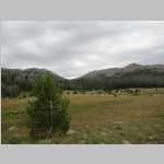
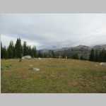
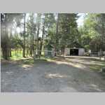
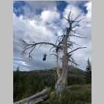
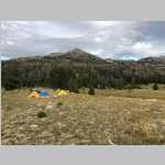
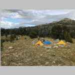
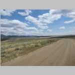
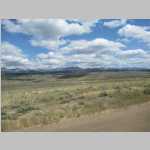
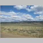
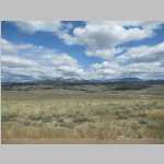
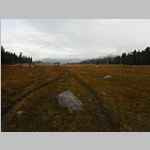
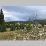
planned hike to upper silver lake gave us a chance for a 2nd stay big sandy lodge, great food, great hosts, first day went well till we ran into tree fall near francis lake, backed up to mirrow kae and decided not to hike on, lots of people maybe 50-100 doing the same route up to texas pass and over to the cirque cuz they read it online. nice day hikes except had to deal with fallen trees. made me realize i dont want to scramble over or under fallen tress anymore.
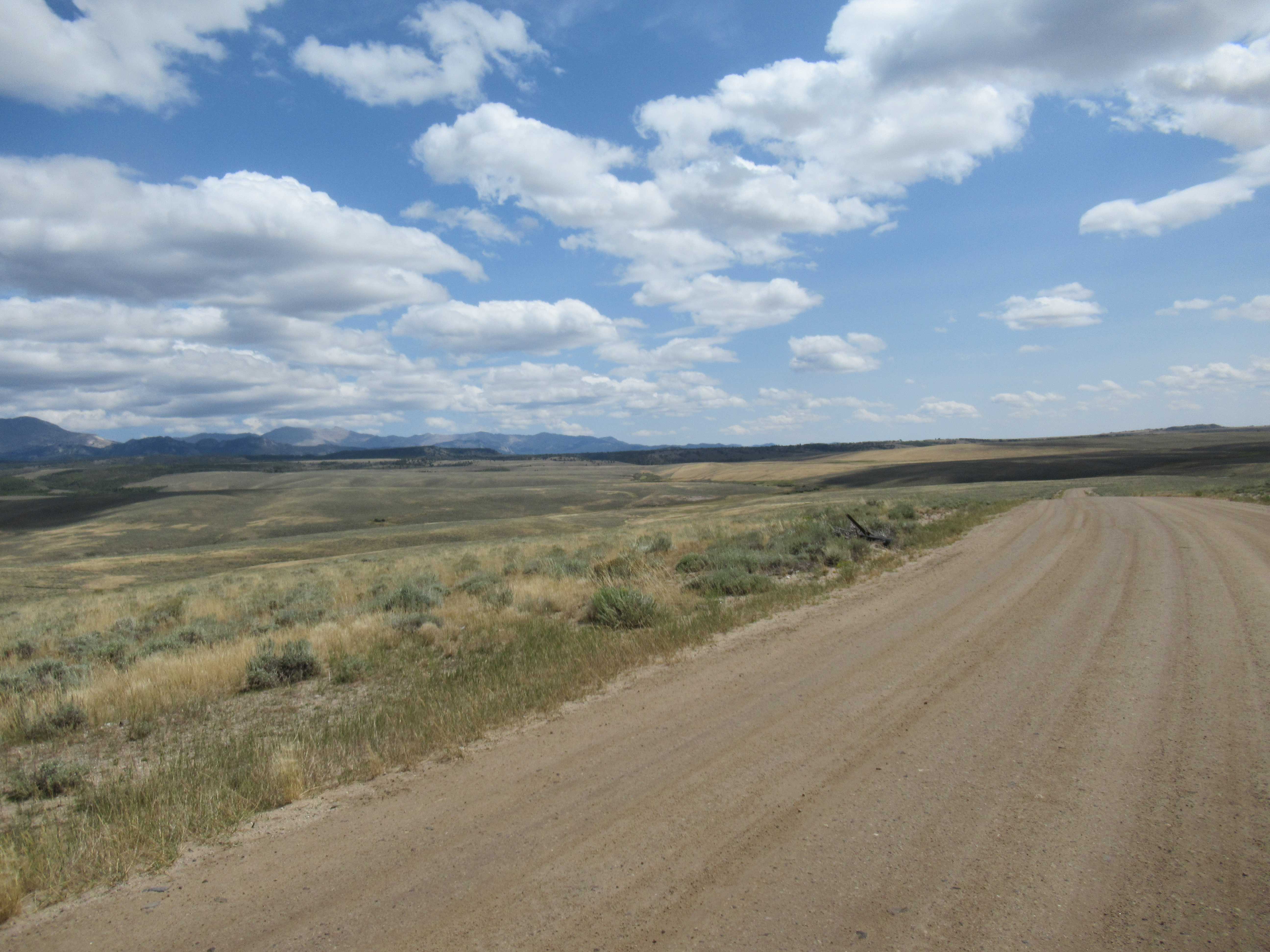
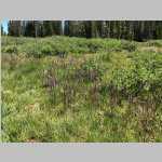
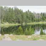
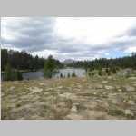
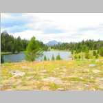
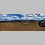
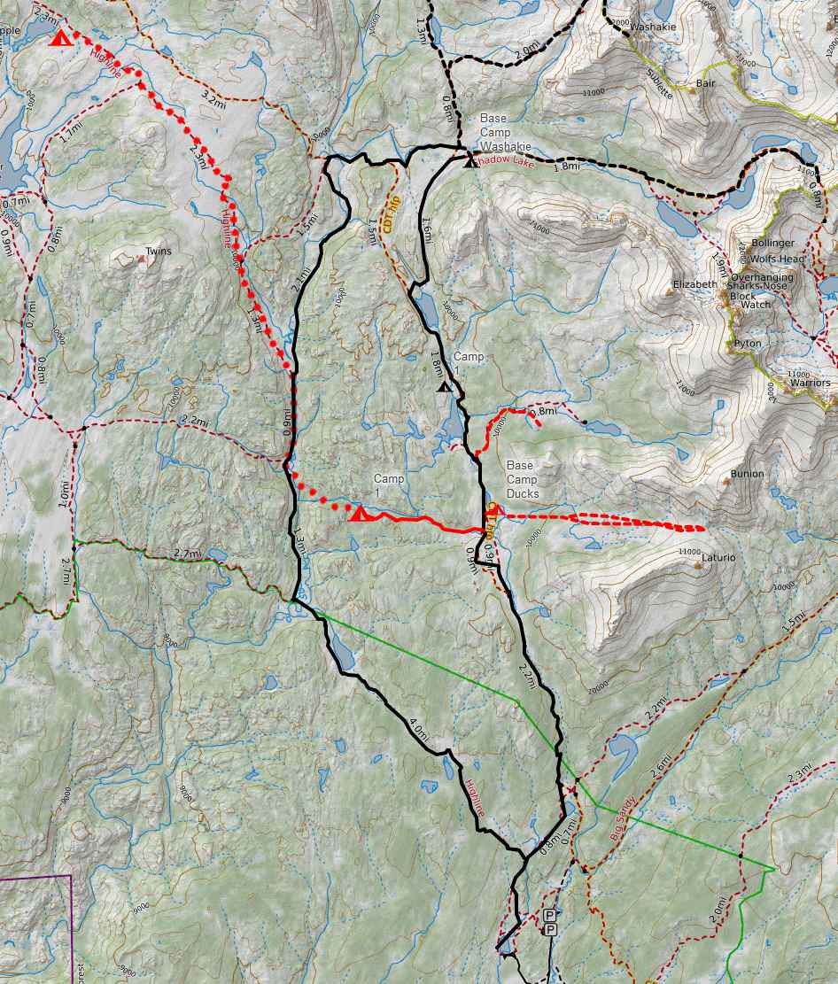
in blue is Mirror Lake hike. Black is 2015 Washakie Creek. Need to expand map to show original destination (upper silver lakes).
You cannot mention the the Wind River Range ("the Winds") without recognizing and paying tribute to Finis Mitchell, "The Lord of the Winds". After being laid off by Union Pacific in 1930 during the Great Depression, he and his wife started Mitchell’s Fishing Camp in the Big Sandy Opening on Mud Lake. To increase the number of fish for the success of their camp, Mitchell estimated he stocked lakes in the Wind River Range with over 2.5 million trout. When the Union Pacific rehired Mitchell in 1940, the family moved back to Rock Springs where he worked again as a carman and then car foreman. He continued to promote The Winds in presentations and public events. Over the course of his life, Mitchell climbed all but 20 of the 300 peaks in the range.
In 1975, Mitchell published Wind River Trails: A Hiking and Fishing Guide to the Many Trails and Lakes of the Wind River Range in Wyoming. Containing hand-drawn maps showing many lakes, streams and peaks with detailed directions for hiking at least 50 trails, it also has a nice summary of his life. Buy it.
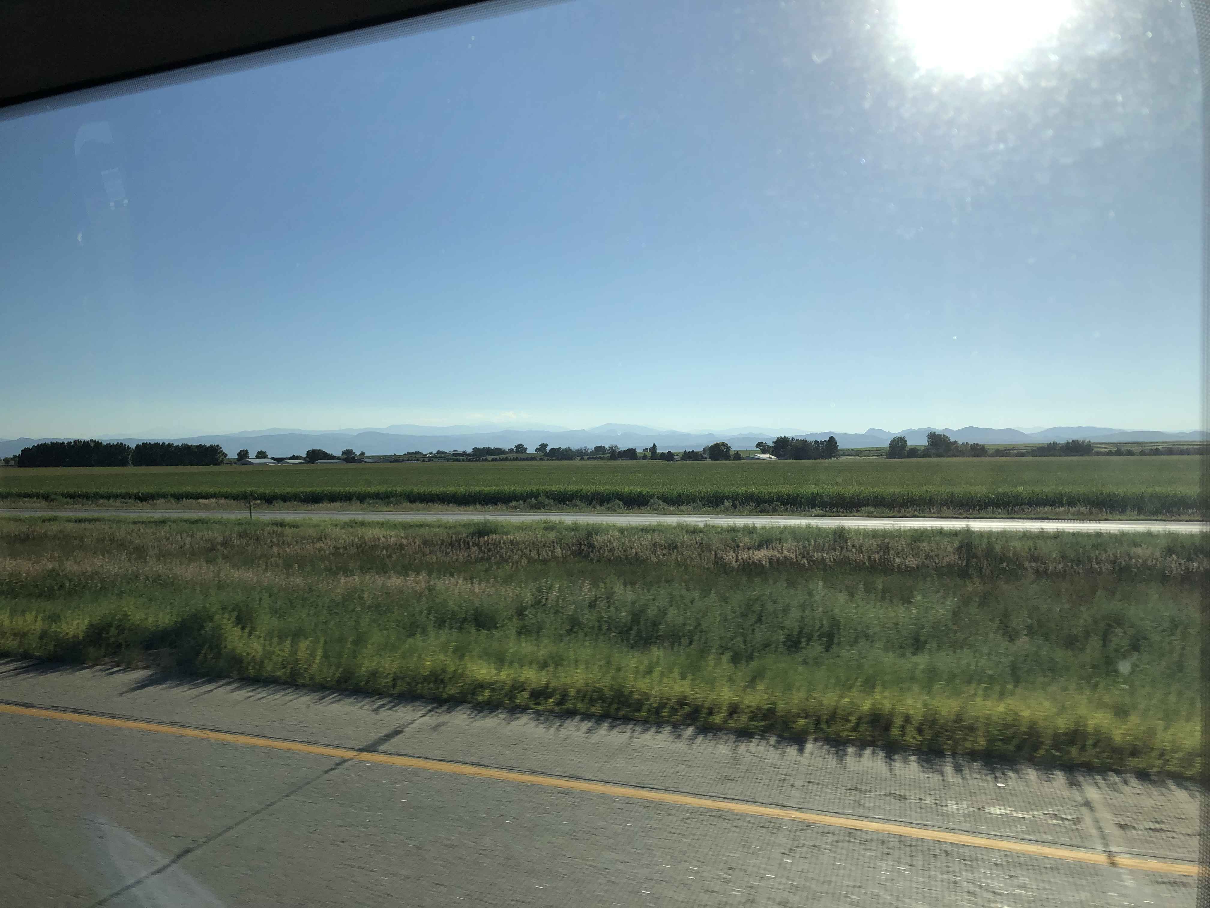
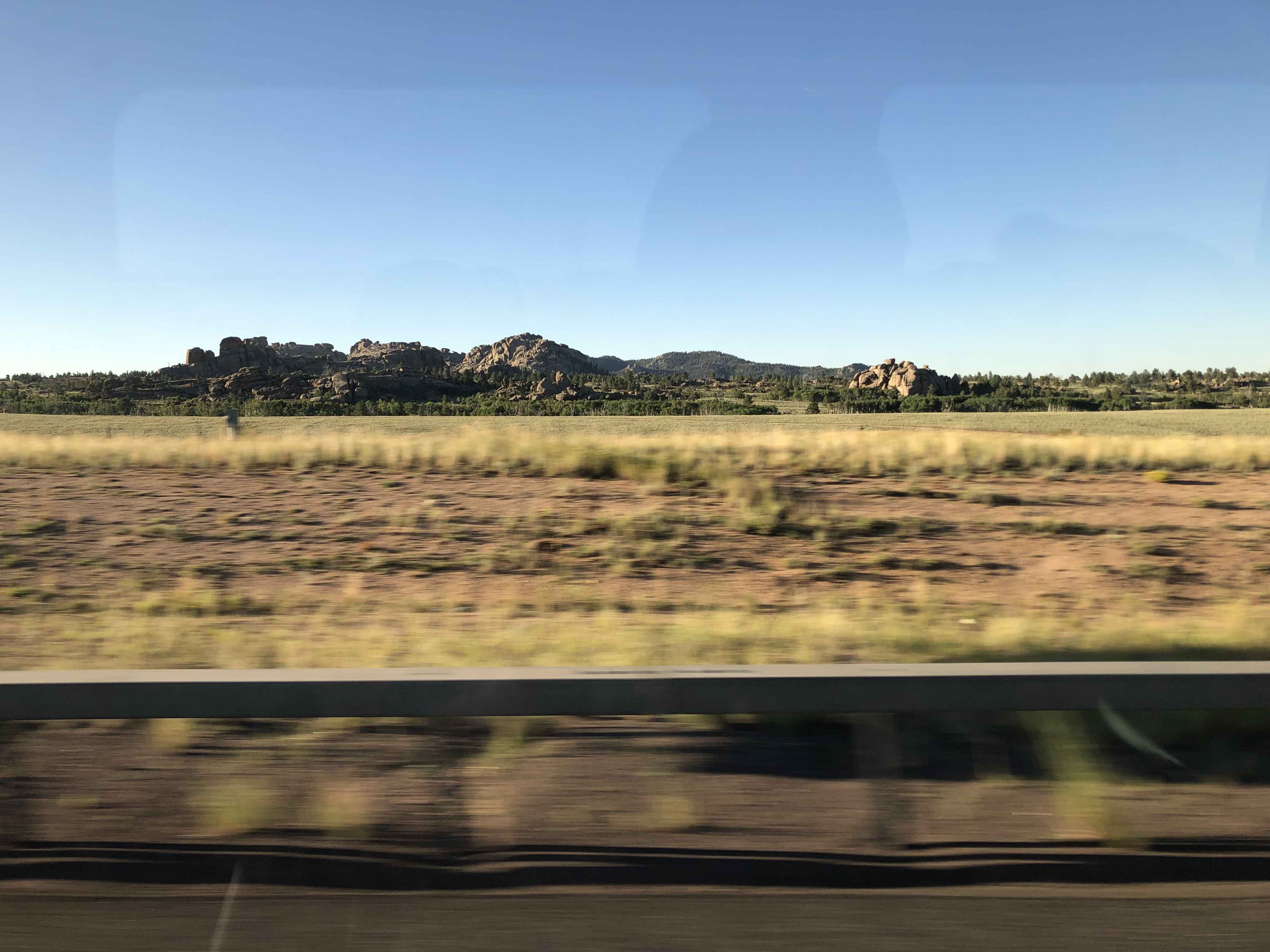
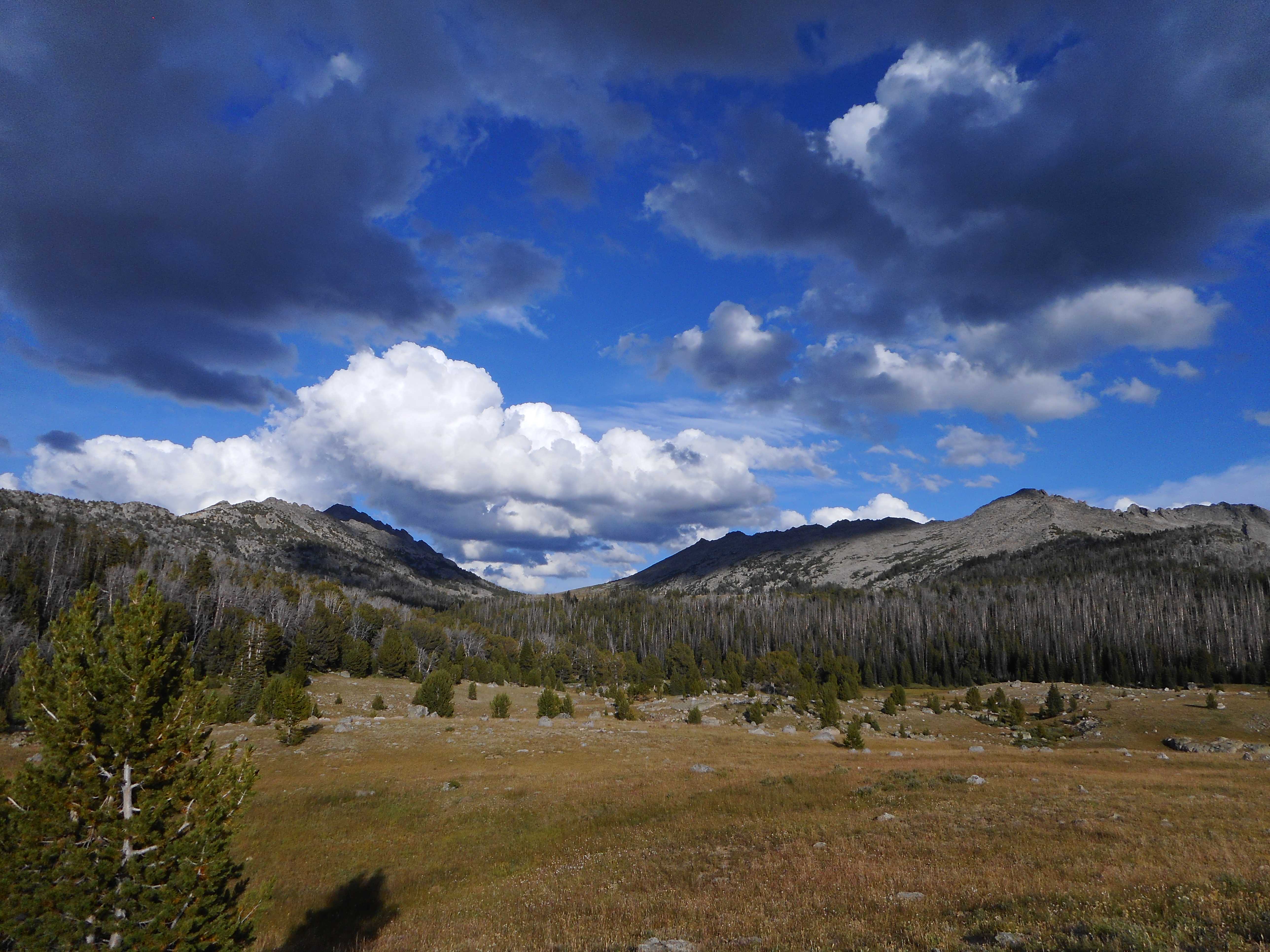
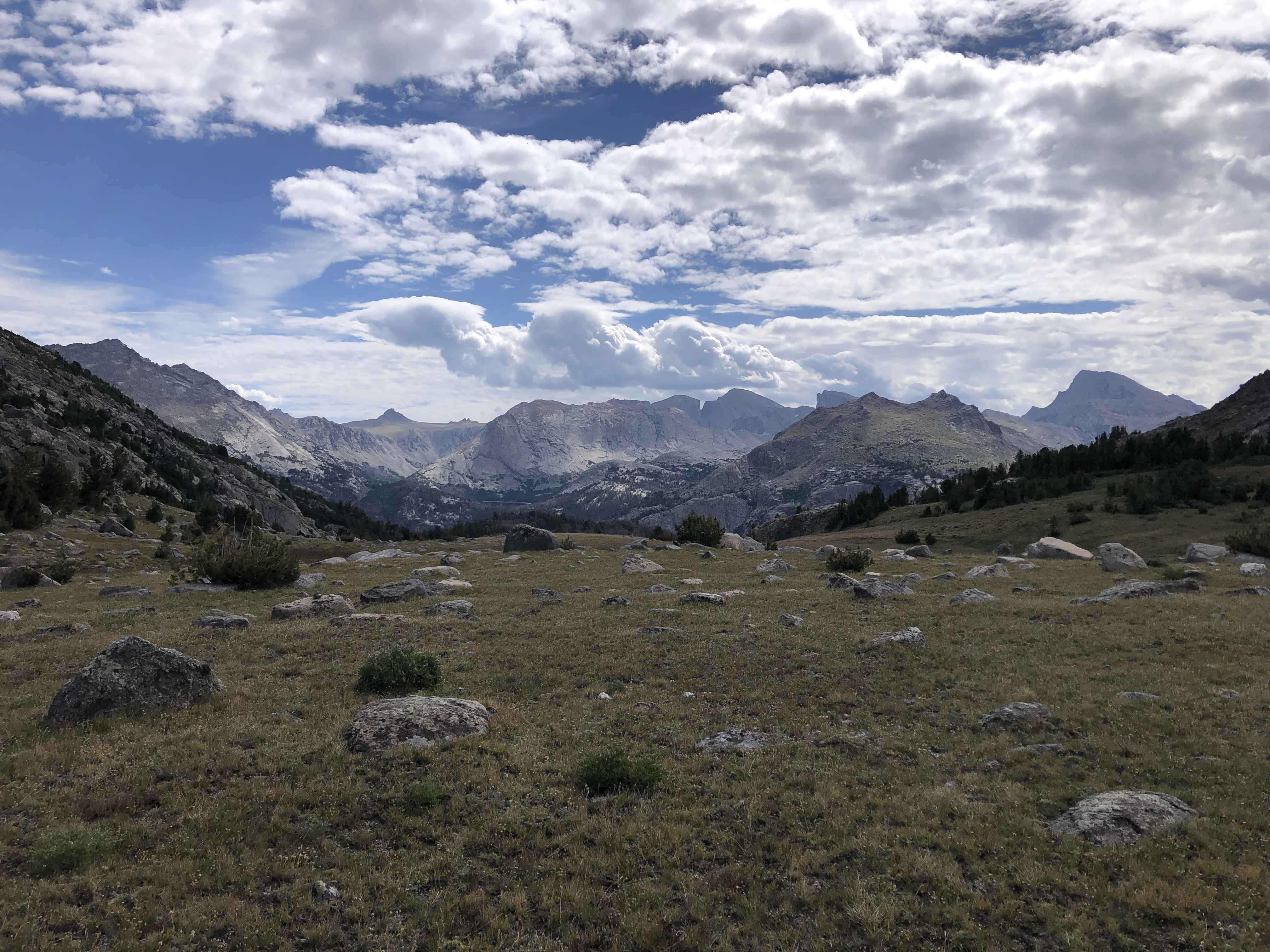
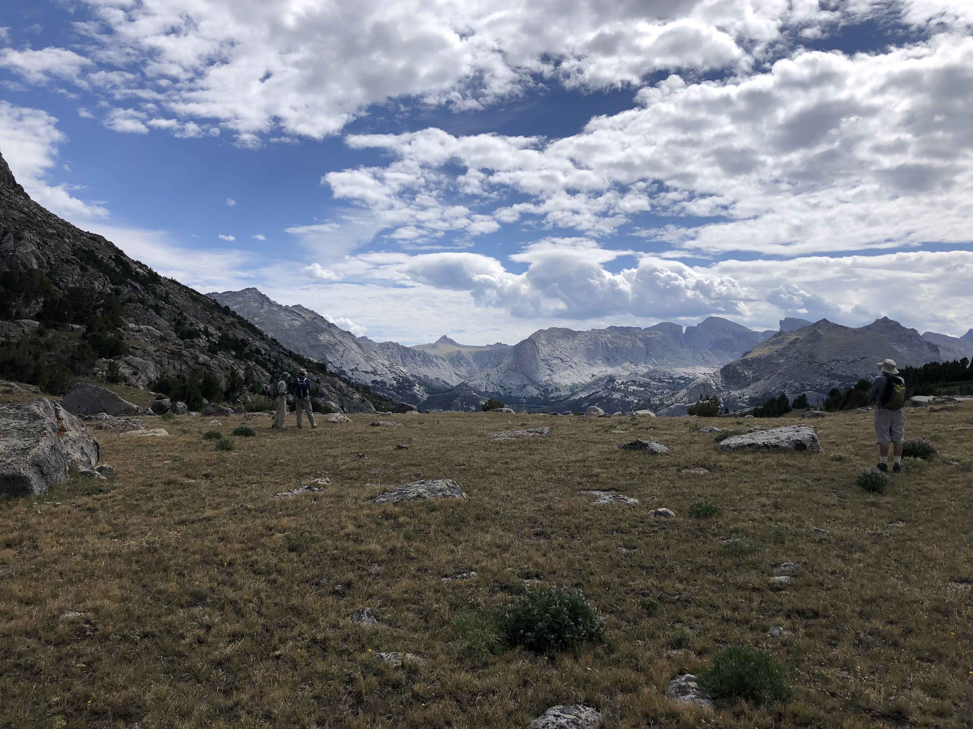
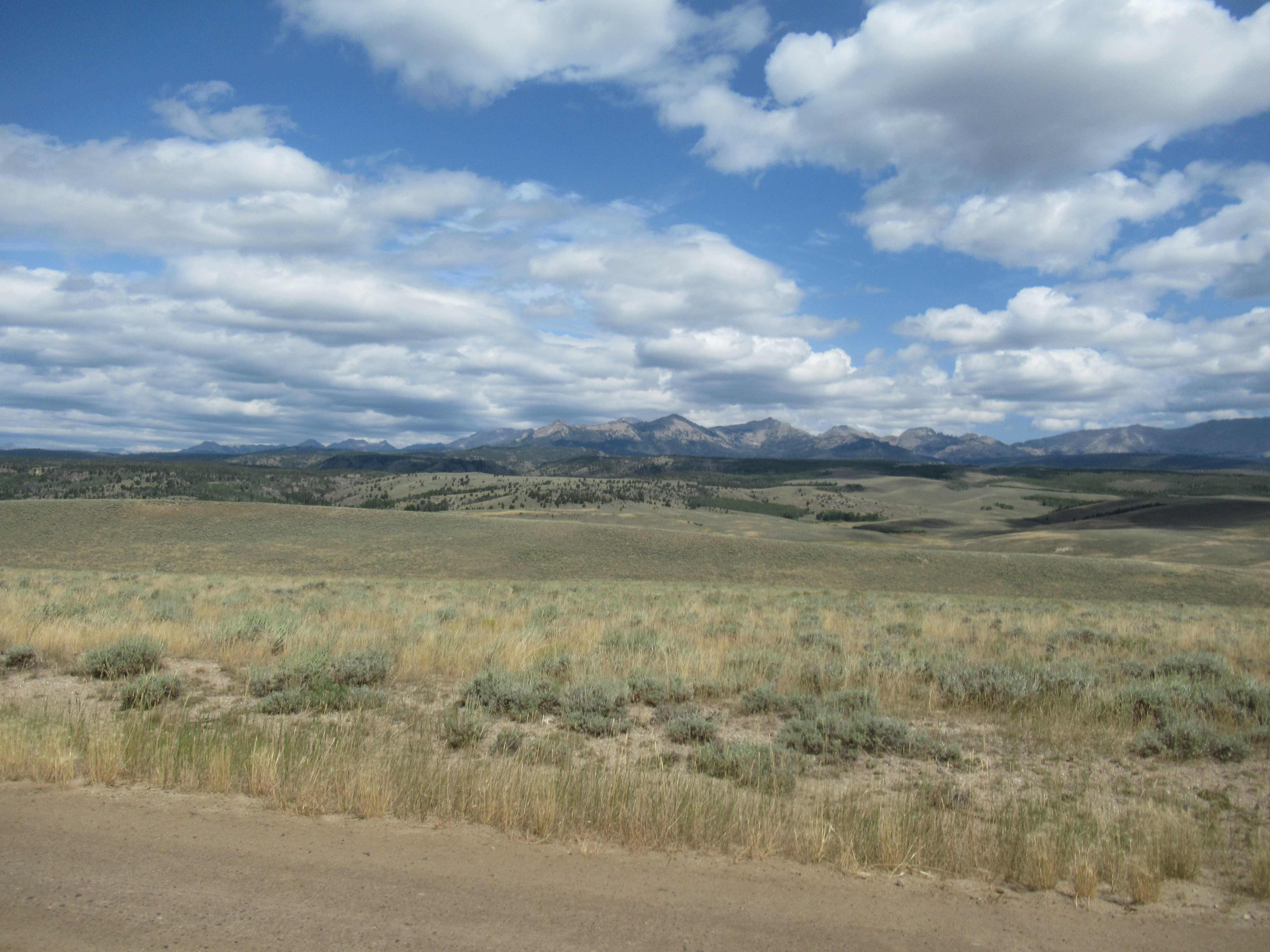
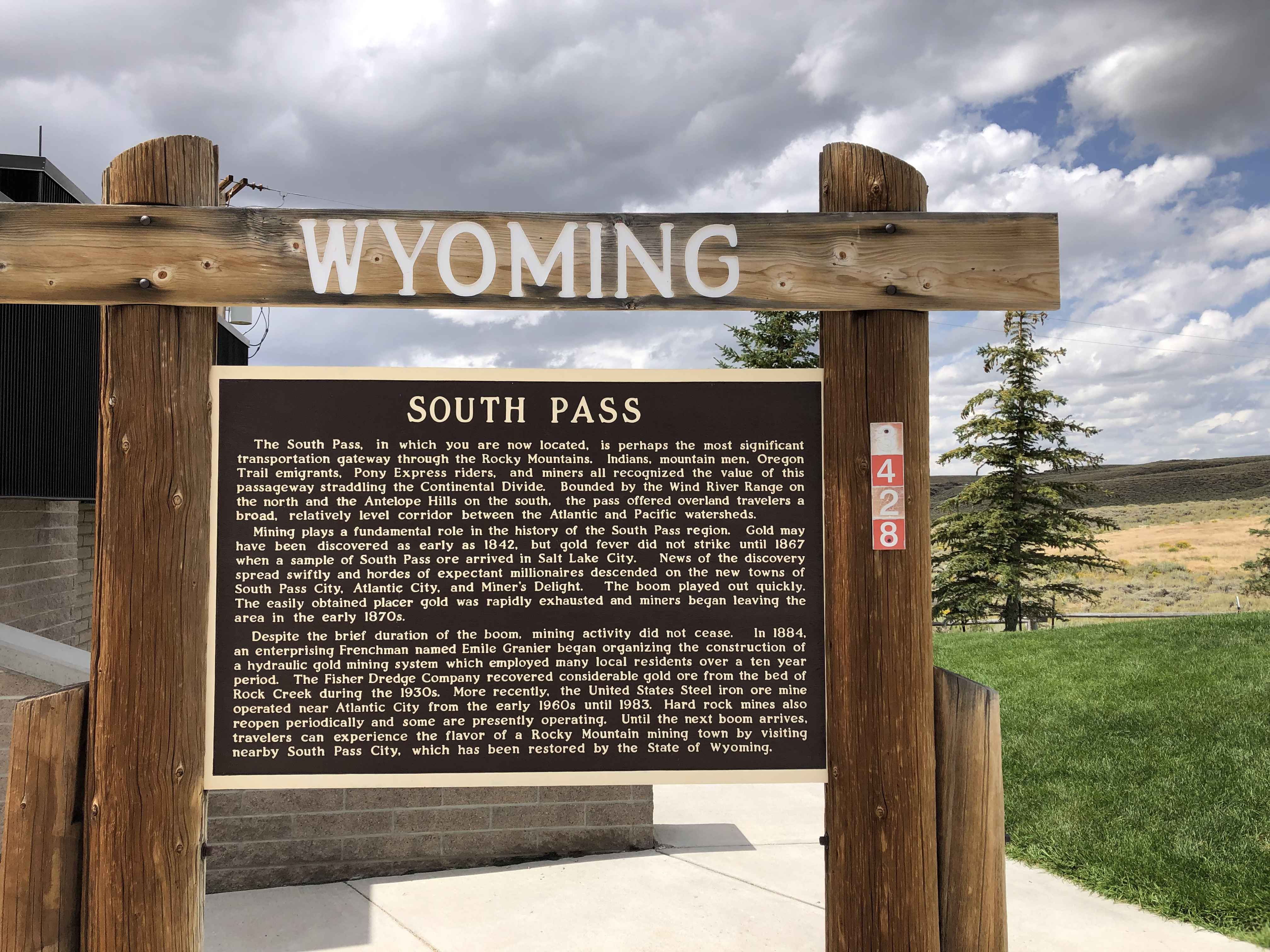
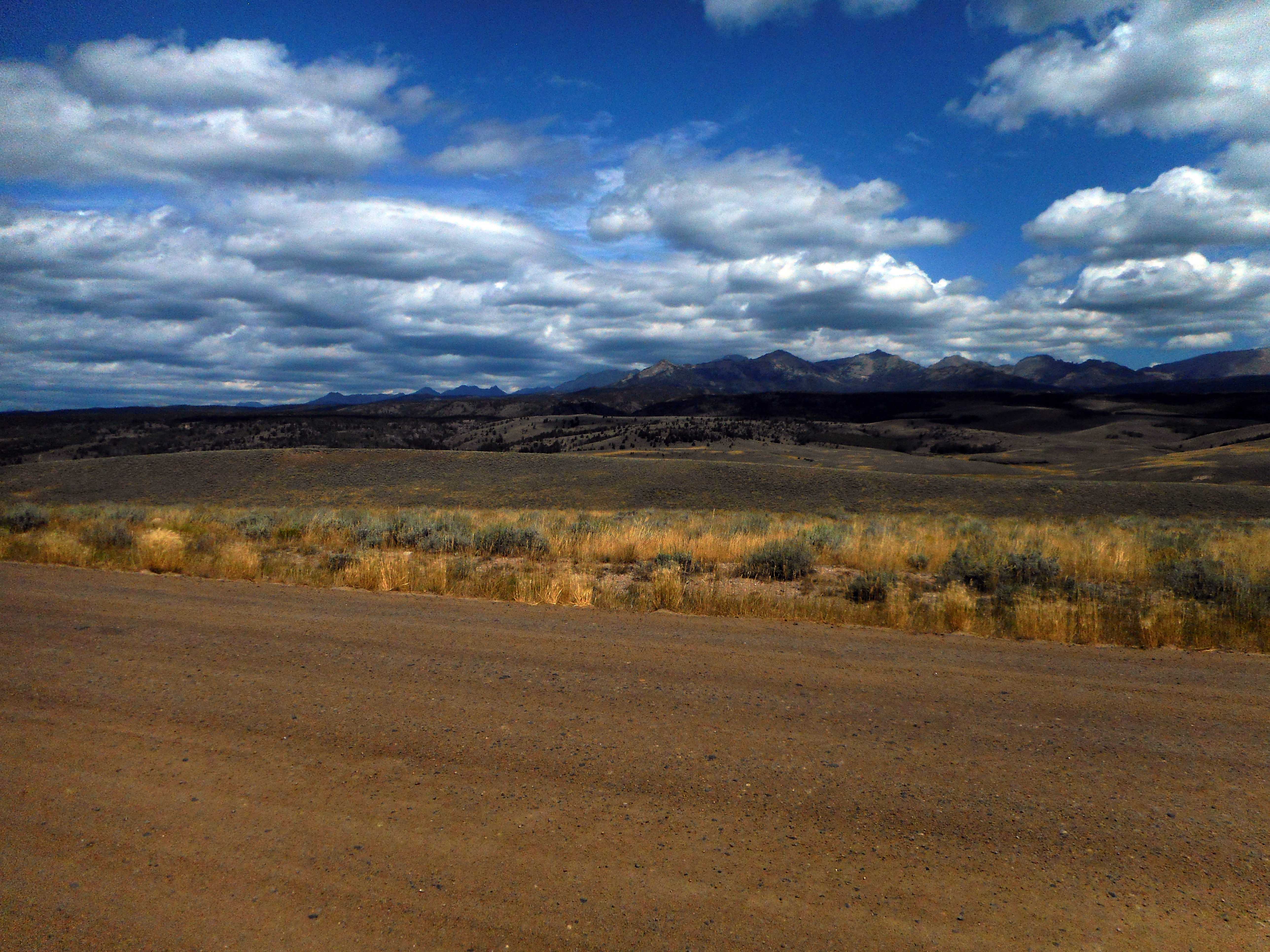
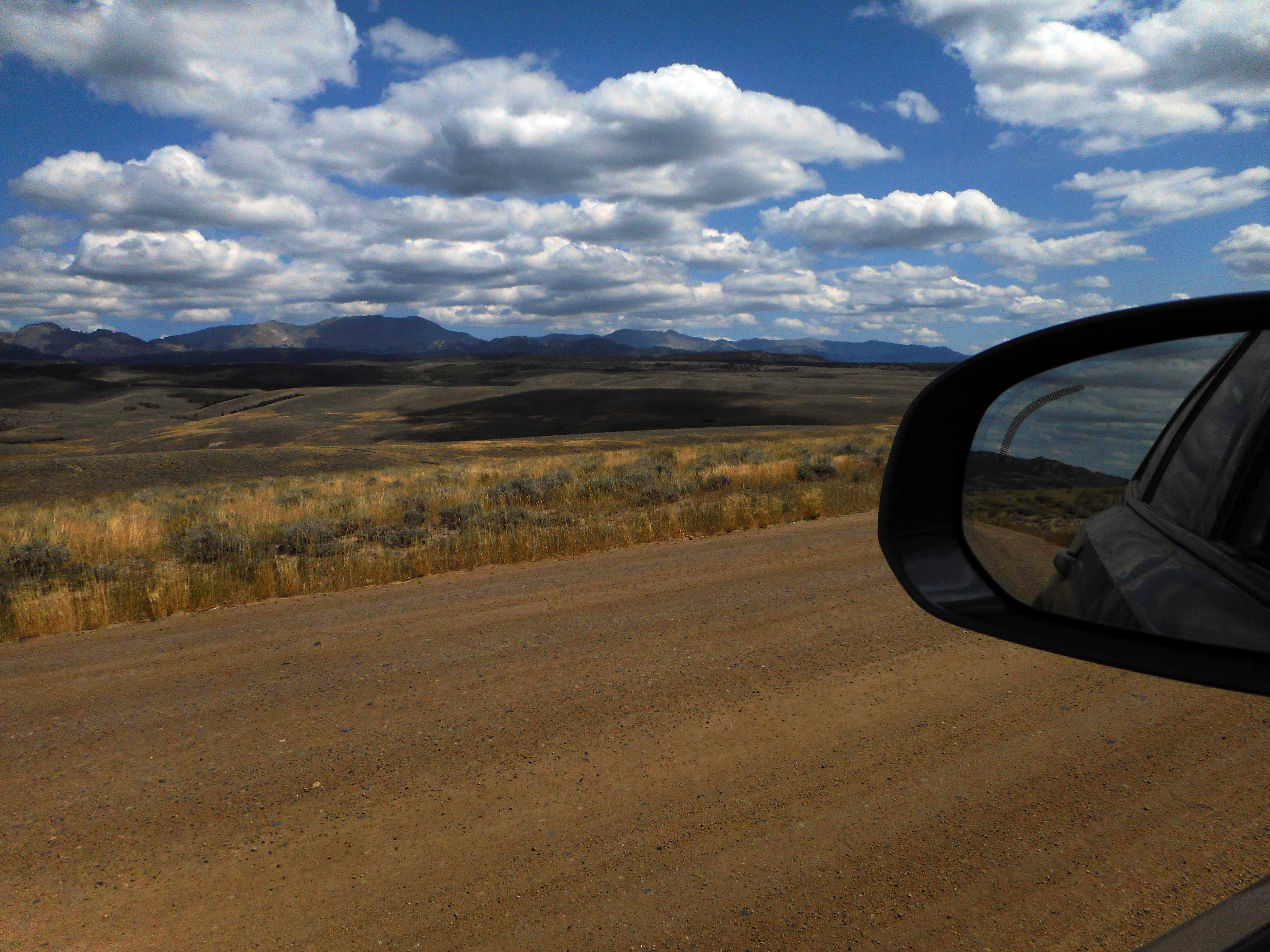
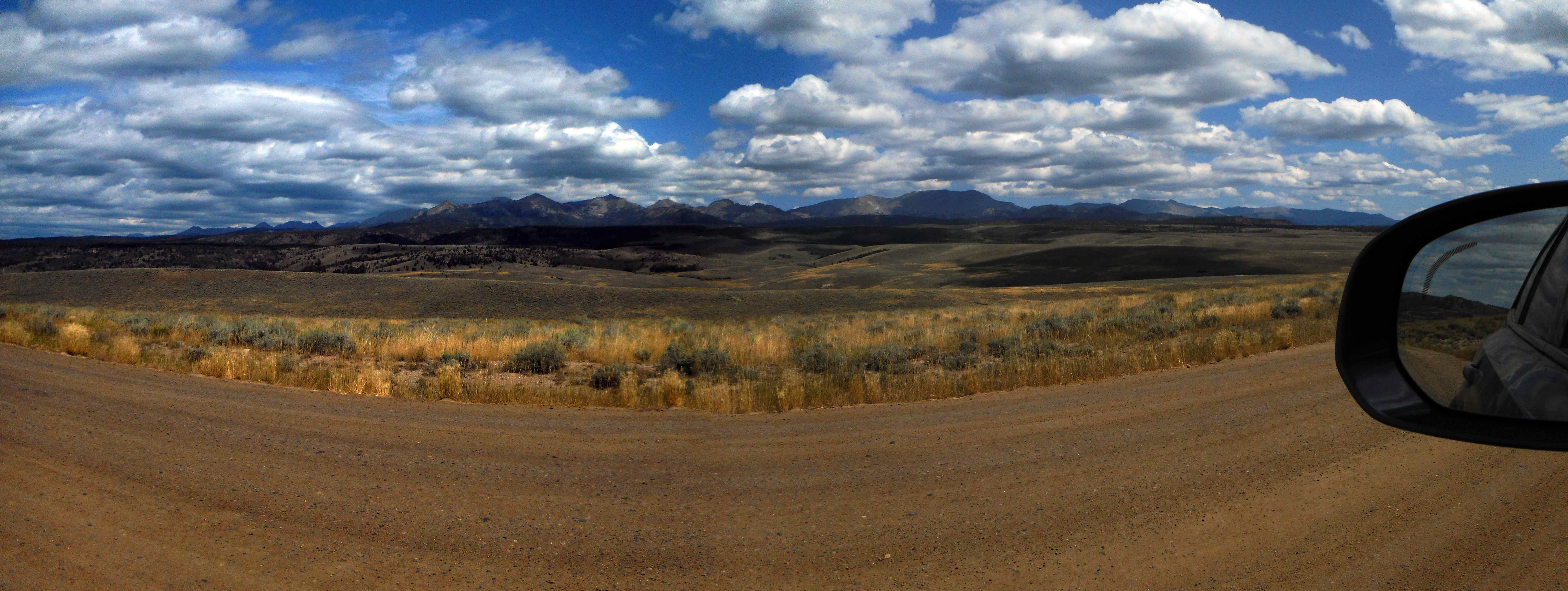
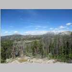
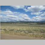
The Wind River Range is a mountain range of the Rocky Mountains running NW–SE for approximately 100 mi in west-central Wyoming. The Continental Divide runs along the entire crest of the range. The Wind River Range may be the single most dominant range of the hundred or so that make up the Rocky Mountains. Aside from South Pass, which is at the southernmost tip of the range, no roads cross the mountains until Union Pass at the northern terminus of the range. In most places the crest is over twenty miles from the nearest trailhead.
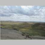
Several major rivers have headwaters on either side of the range. The Green and Big Sandy rivers drain southward from the west side of the range, while the Wind River drains eastward through the Shoshone Basin. The Green is the largest fork of the Colorado River while the Wind River, after changing its name to the Bighorn River, is the largest fork of the Yellowstone River.
Indigenous peoples of the Great Basin, such as the Shoshones and Absarokas (Crow) Native Americans, lived in the range beginning 7000 and 9000 years ago. One of the men from the Lewis and Clark expedition, John Colter, is thought to be the first European American person to view the range around 1807.In 1812, a party led by Wilson Price Hunt were the first to cross South Pass.
Much of the Wind River Range received federal protection as National Forest primitive areas during 1931–32. The Wind River Range is now largely protected by three federal wilderness areas. These include the Bridger Wilderness on the western slope, designated in 1964, and the Fitzpatrick Wilderness and Popo Agie Wilderness on the eastern slope, designated in 1976 and 1984 respectively. Part of the eastern slope of the Wind River Range is also under the protection of the Wind River Indian Reservation.
Two large national forests including three wilderness areas encompass most of the mountain range. Shoshone National Forest is on the eastern side of the continental divide while Bridger-Teton National Forest is on the west. Portions of the east side of the range are inside the Wind River Indian Reservation.
The Shoshone National Forest (2.5 million acres) was the first federally protected National Forest in the United States. Originally a part of the Yellowstone Timberland Reserve, the forest was created by an act of Congress and signed into law by President Benjamin Harrison in 1891. The Absaroka and Beartooth Mountains are partly in the northern section of the forest while the Wind River Range is in the southern portion. South of Yellowstone National Park, the Continental Divide separates this forest from its neighbor, Bridger-Teton National Forest, to the west.
The Bridger–Teton National Forest (3.4 million acres) is the third largest National Forest outside the state of Alaska. The forest stretches from Yellowstone National Park, along the western slope of the Continental Divide to the southern end of the Wind River Range.
The Fitzpatrick Wilderness is located in Shoshone National Forest in the U.S. state of Wyoming. The wilderness was originally known as the Glacier Primitive Area, but was redesignated a wilderness in 1976.
The Bridger Wilderness (428,169 acre) is located in Bridger-Teton National Forest. Originally established in 1931 as a primitive area, it was redesignated as a wilderness in 1964 and expanded to the current size in 1984. The wilderness lies on the west side of the Continental Divide in the Wind River Range. The wildnerness is named after James Bridger (1804- 1881), an American mountain man, trapper, Army scout, and wilderness guide who explored and trapped in the Western United States in the first half of the 19th century. Bridger was part of the second generation of American mountain men and pathfinders who followed the Lewis and Clark Expedition of 1804–1806, and became well known for participating in numerous early expeditions into the western interior.
The Popo Agie Wilderness (101,870 acre) is located within Shoshone National Forest. Originally set aside as a primitive area in 1932, in 1984 the Wyoming Wilderness Act was passed securing a more permanent protection status for the wilderness.
The Wind River Indian Reservation is shared by two Native American tribes, the Eastern Shoshone and the Northern Arapaho The Indian reservation is located in the Wind River Basin, and includes portions of the Wind River Range, Owl Creek Mountains, and Absaroka Range.