Bighorn Lake, Mount Zirkel Wilderness, Colorado
July 21 to 24, 1995
"People have a right to an enduring resource of Wilderness. If we are a democracy then the rights of those untold number of future persons outweigh our own."
Ed Zahniser, son of The Wilderness Act's author Howard Zahniser
Hike Information
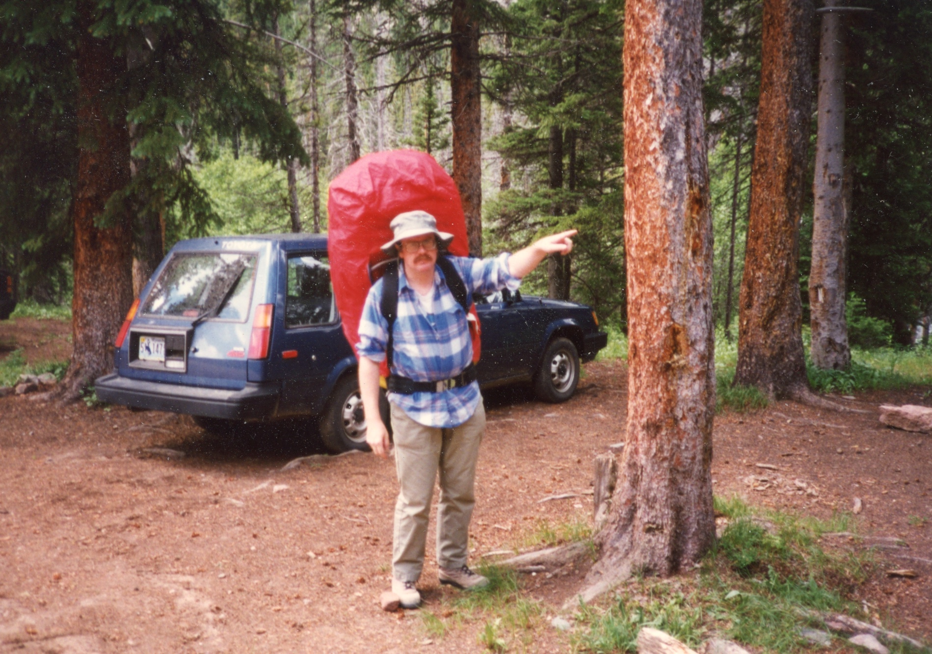
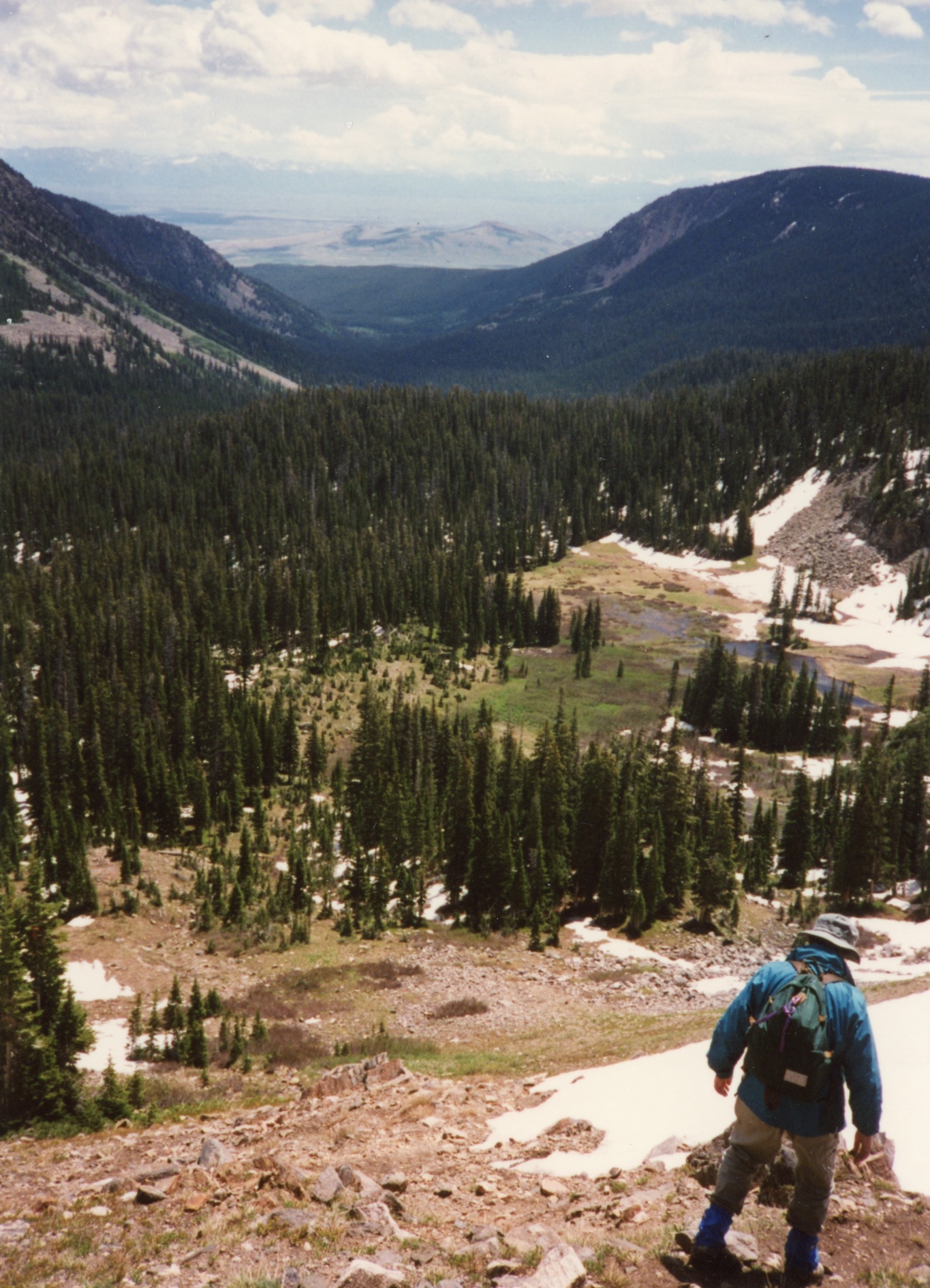
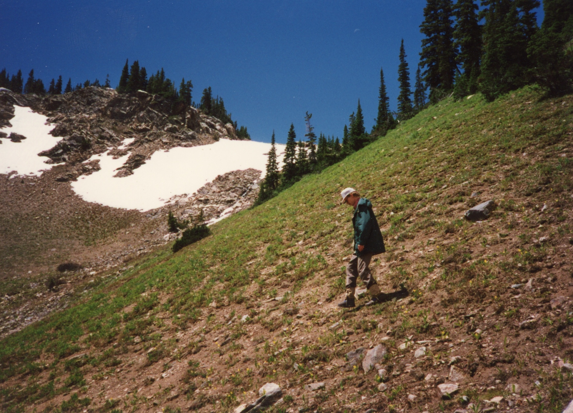
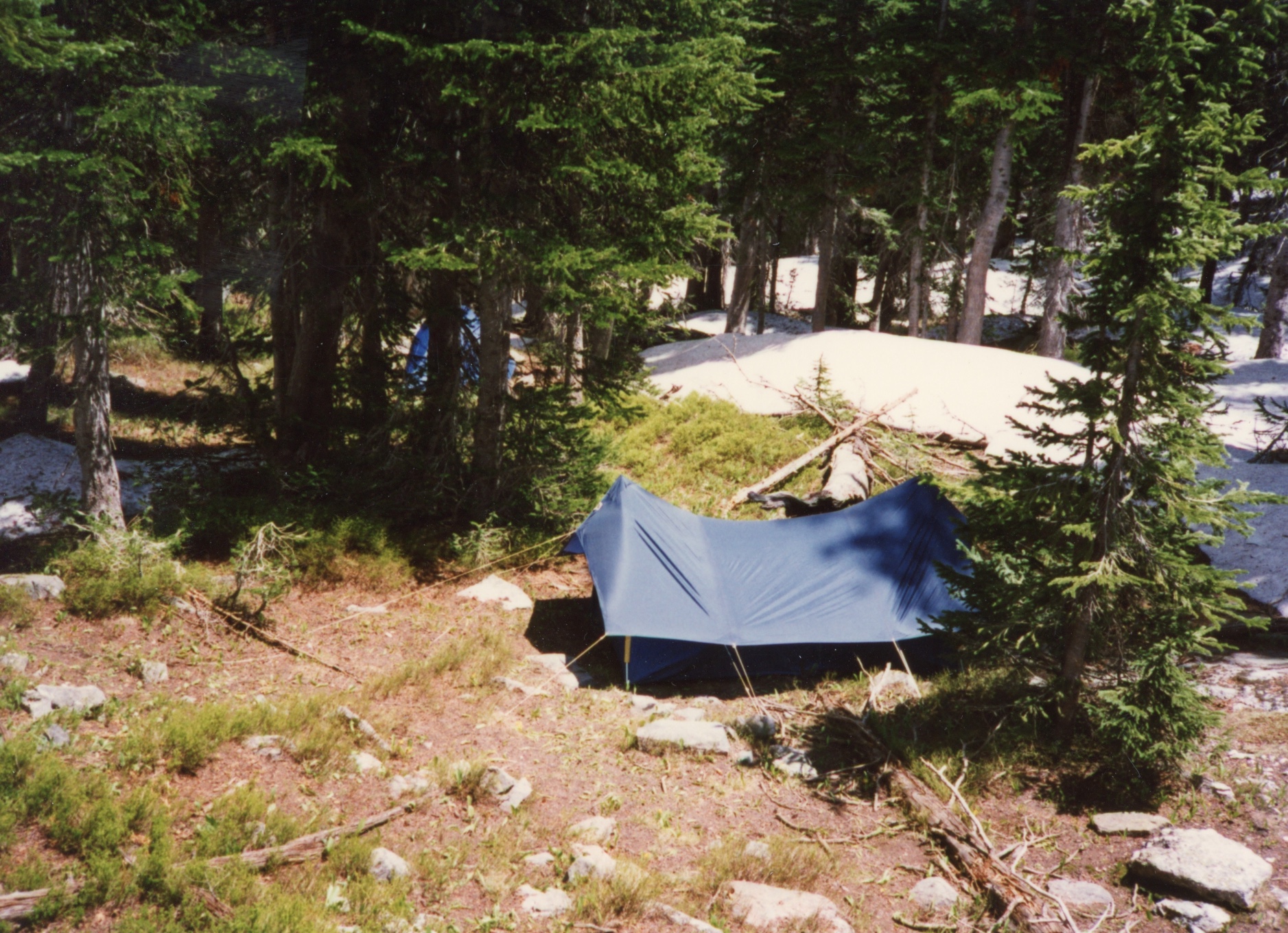
Ted and I did a short hike in 1995 to the Mount Zirkel Wilderness. During our hike in we met some individuals who mentioned they were going to shoot fireworks over Lake Katherine, which seemed odd. Later on during the hike to our campsite we met a ranger and we mentioned the fireworks. She said she would pass this information on to her husband, another ranger, who is camping in the area.
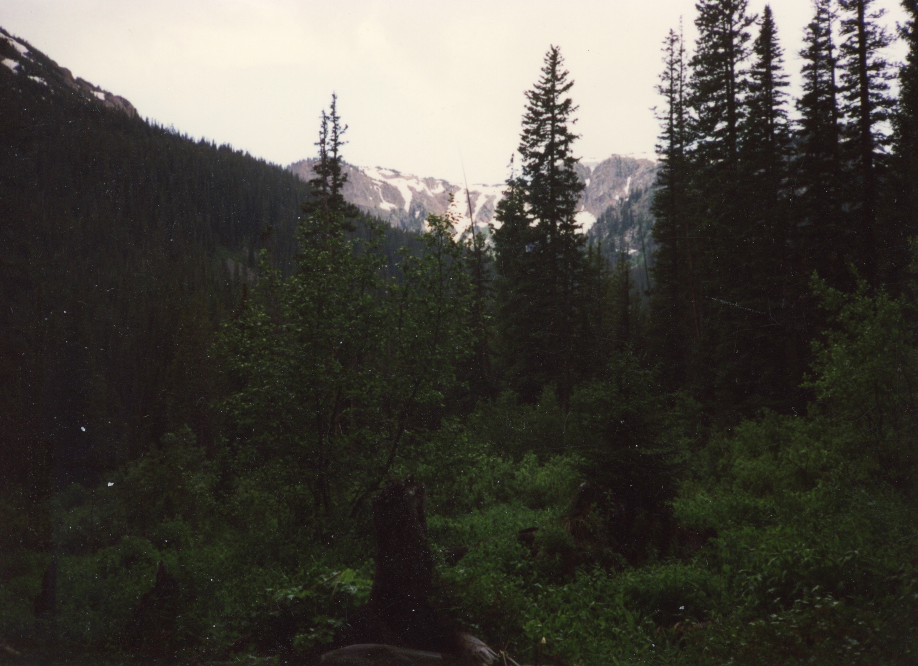
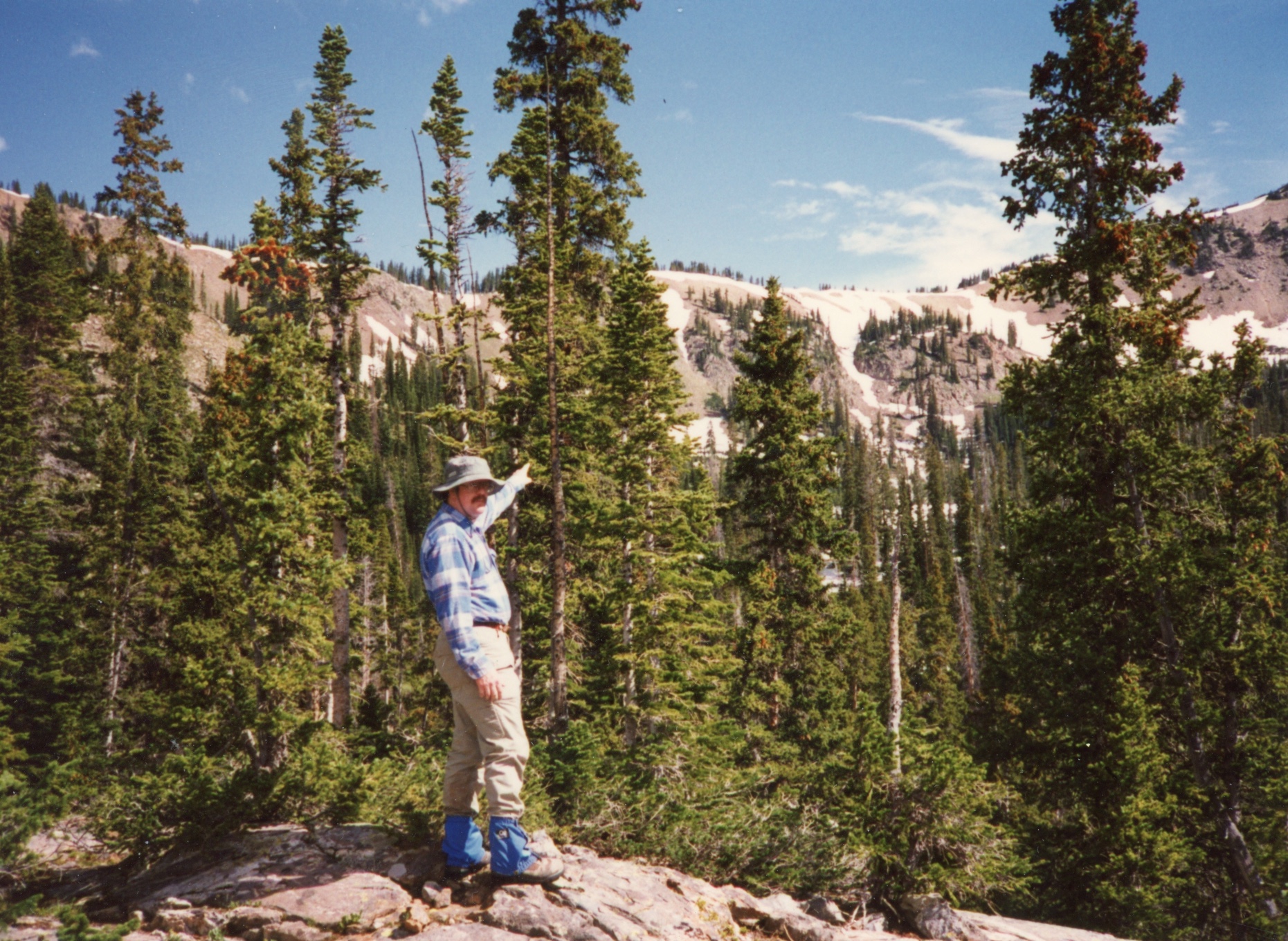
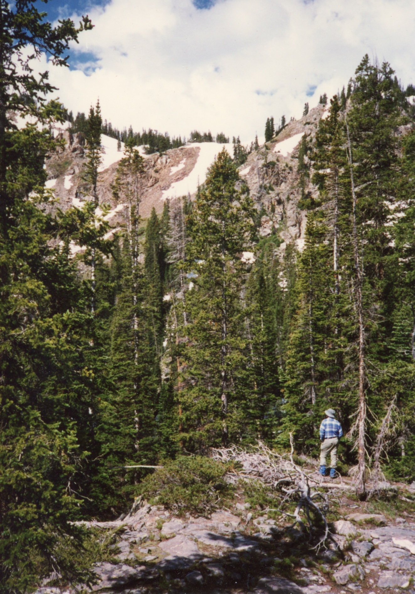
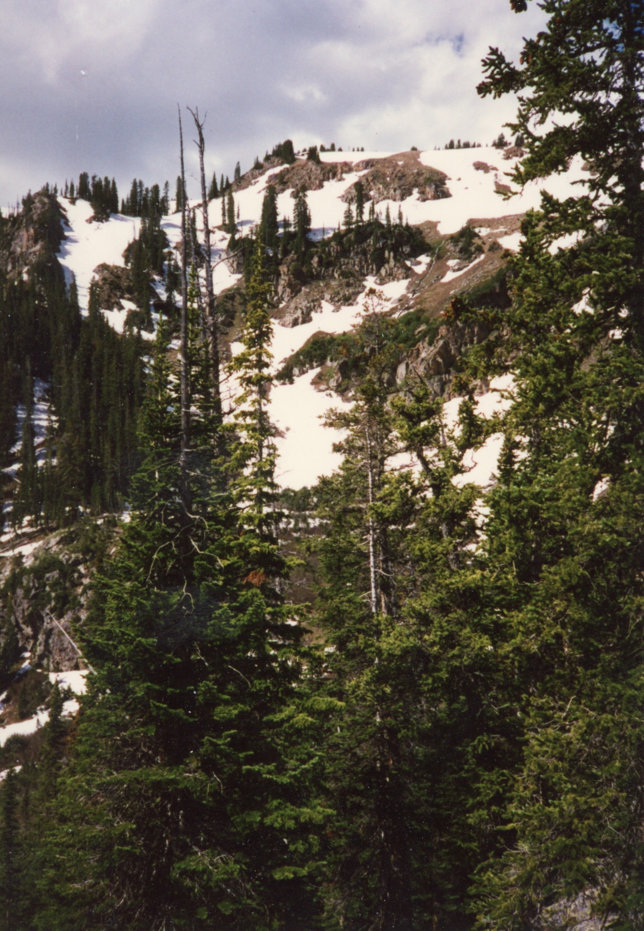
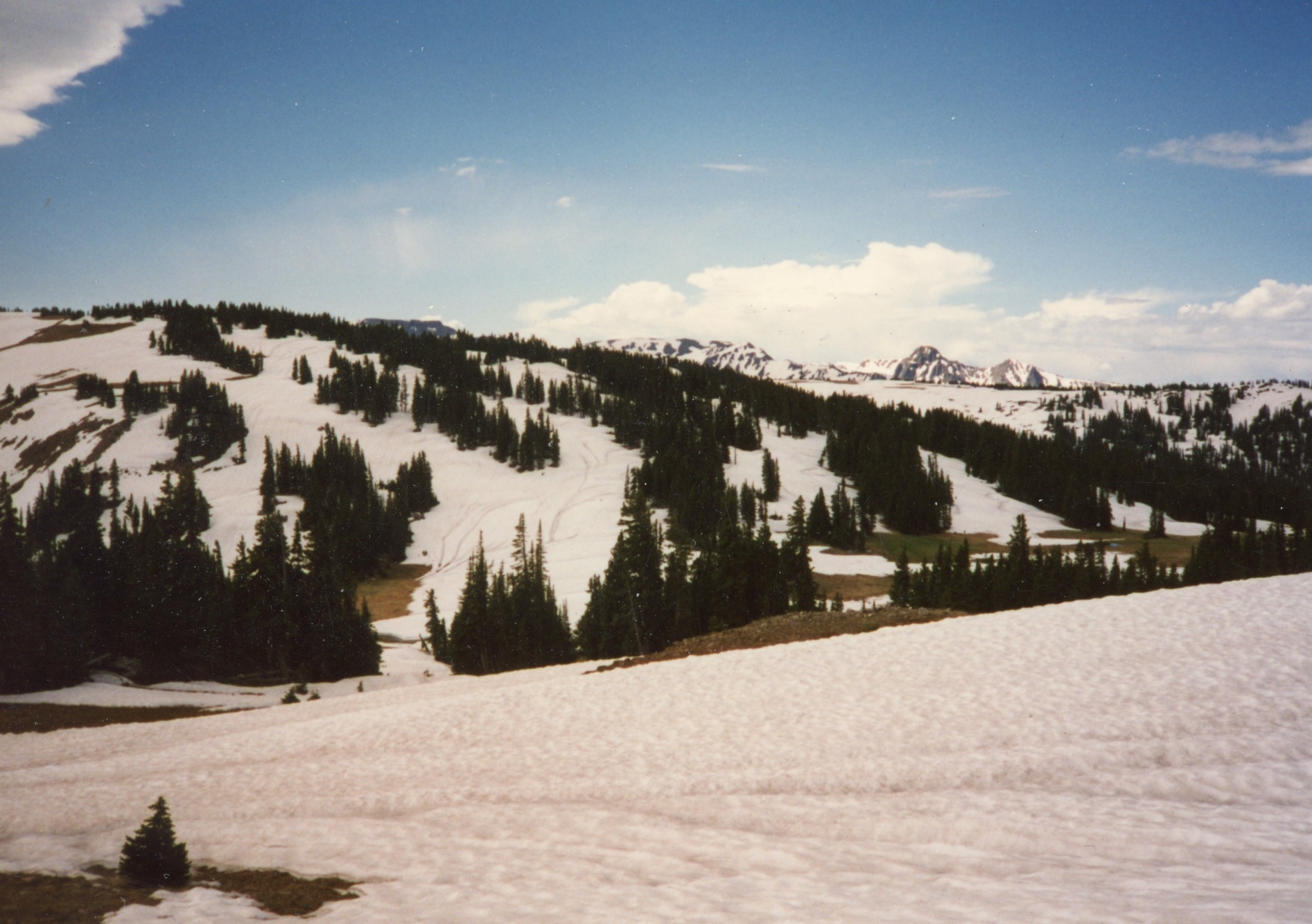
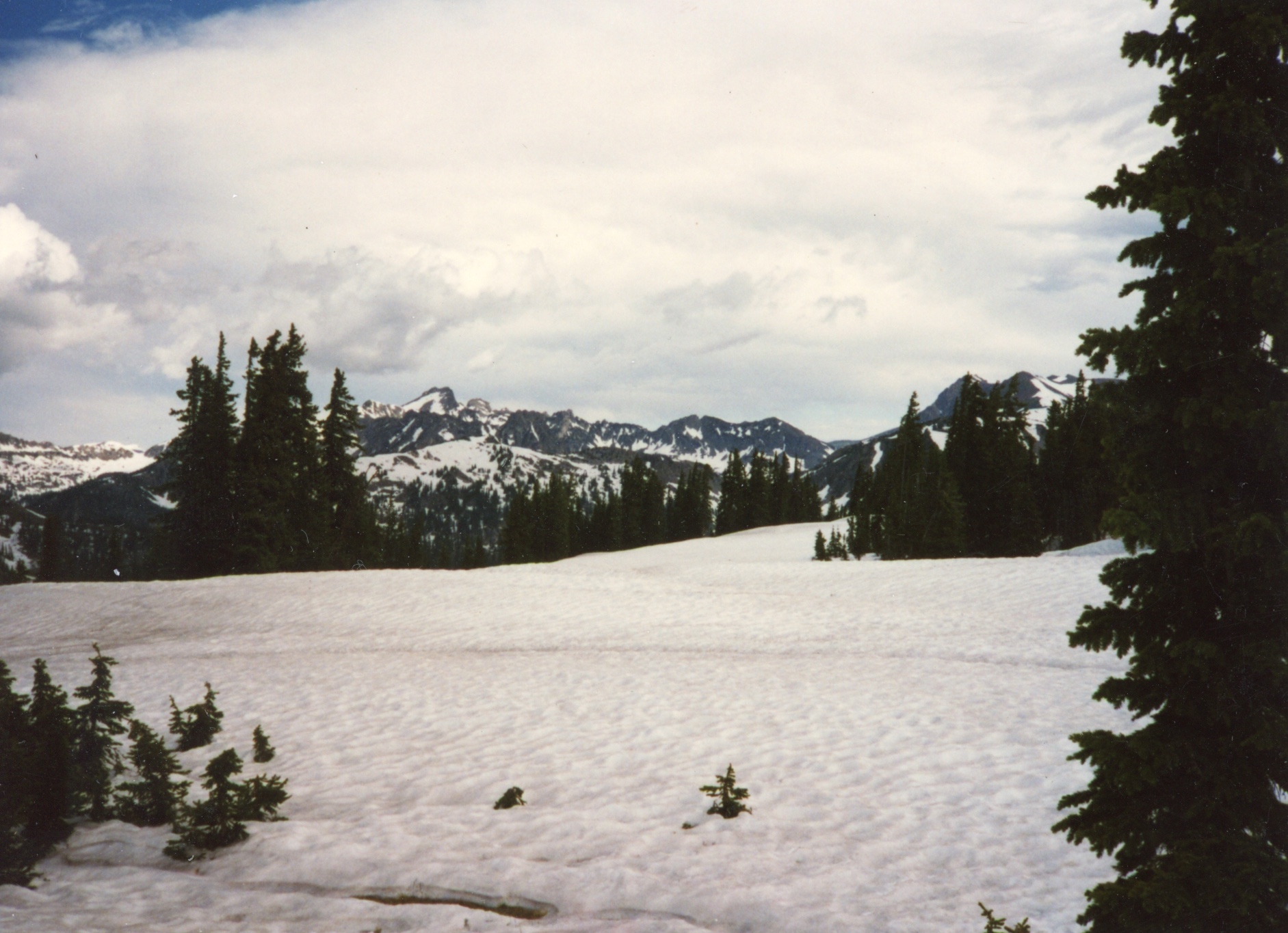
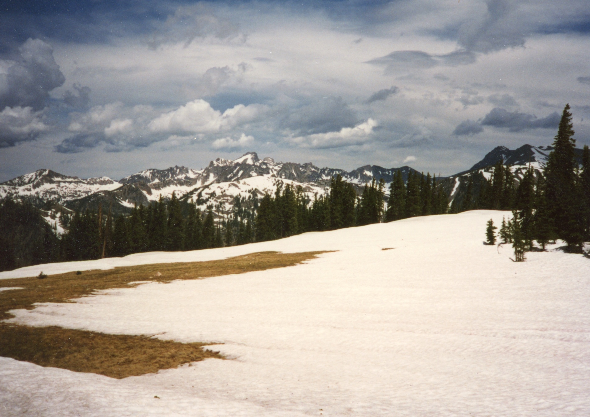
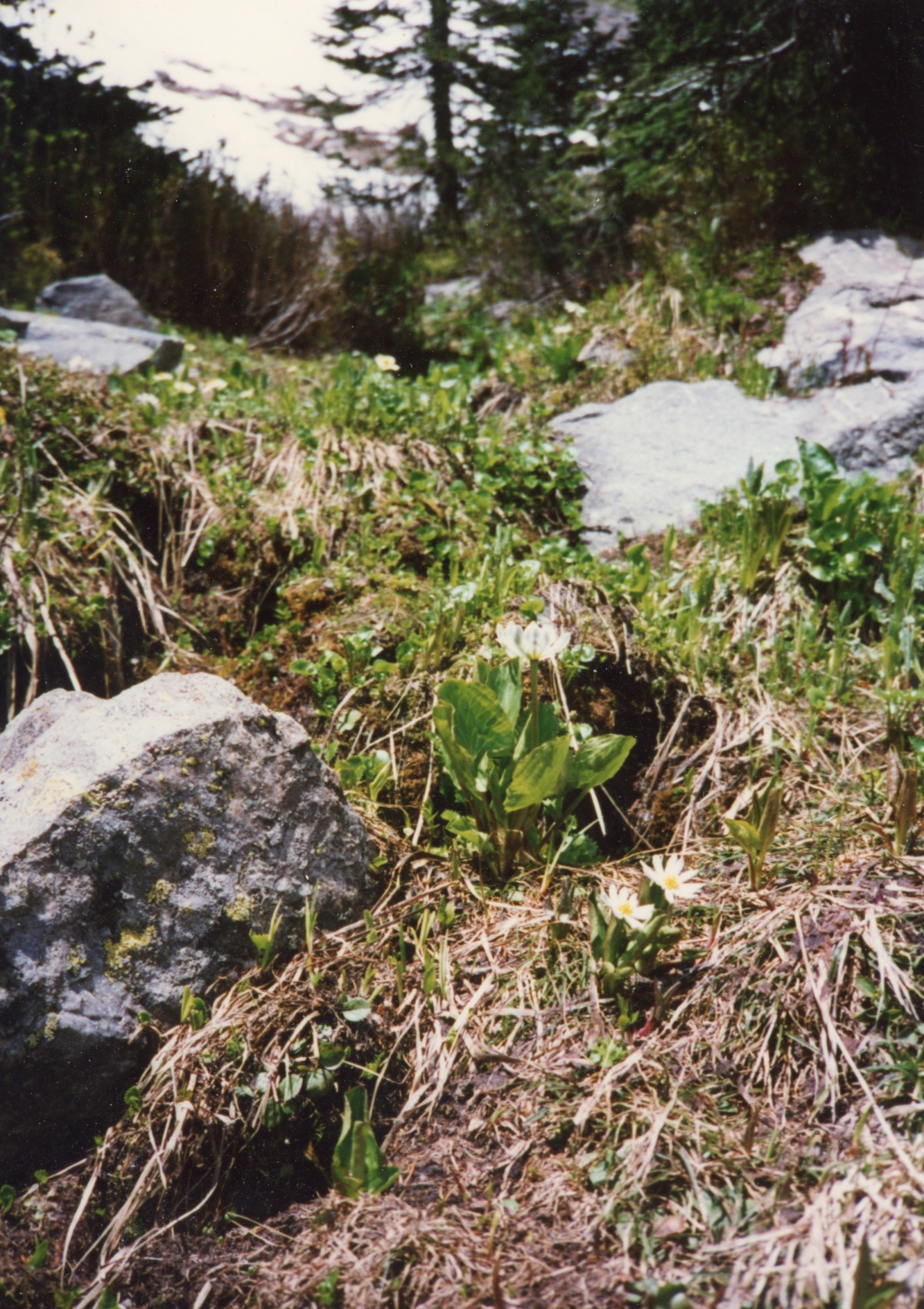
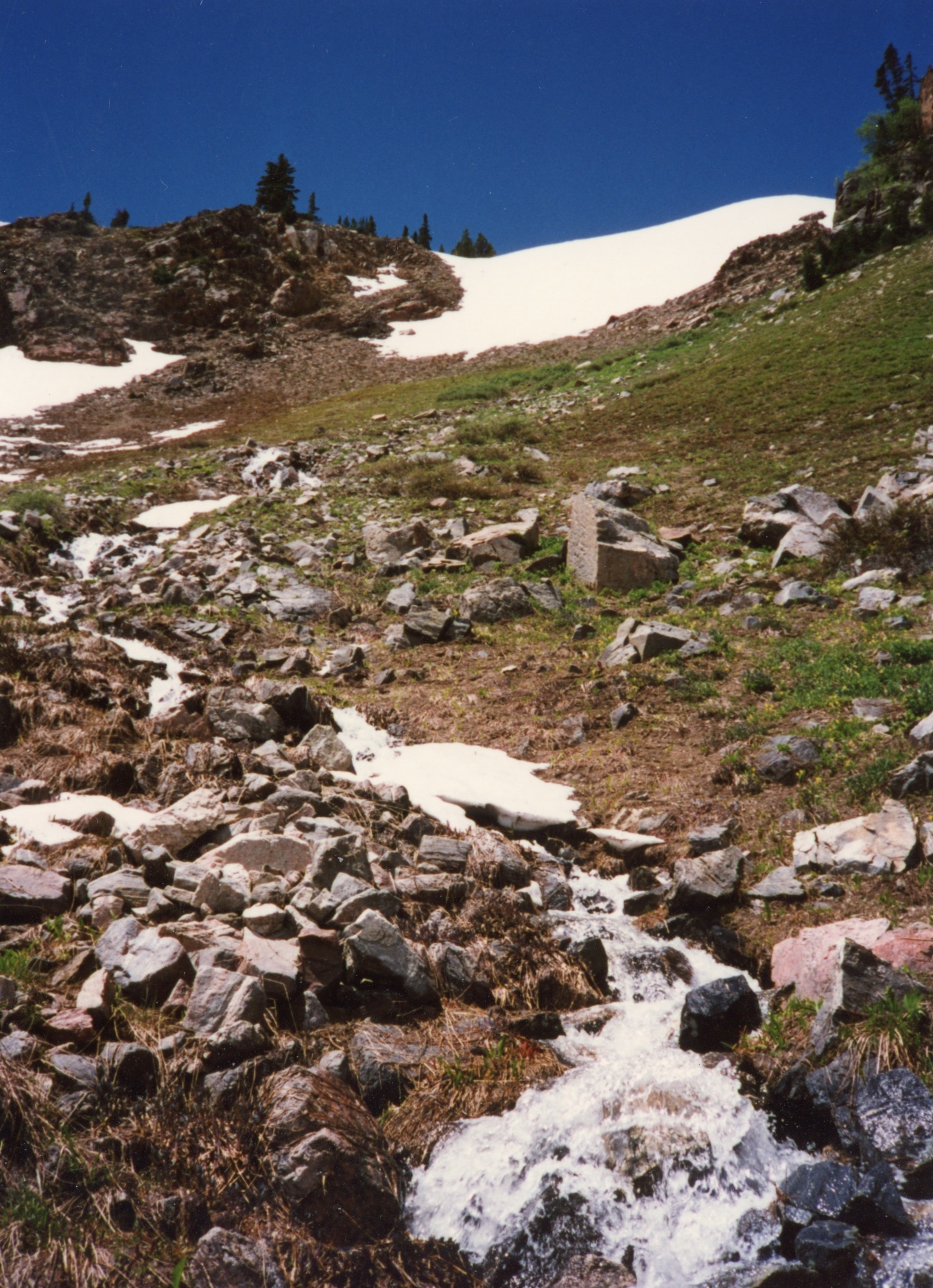
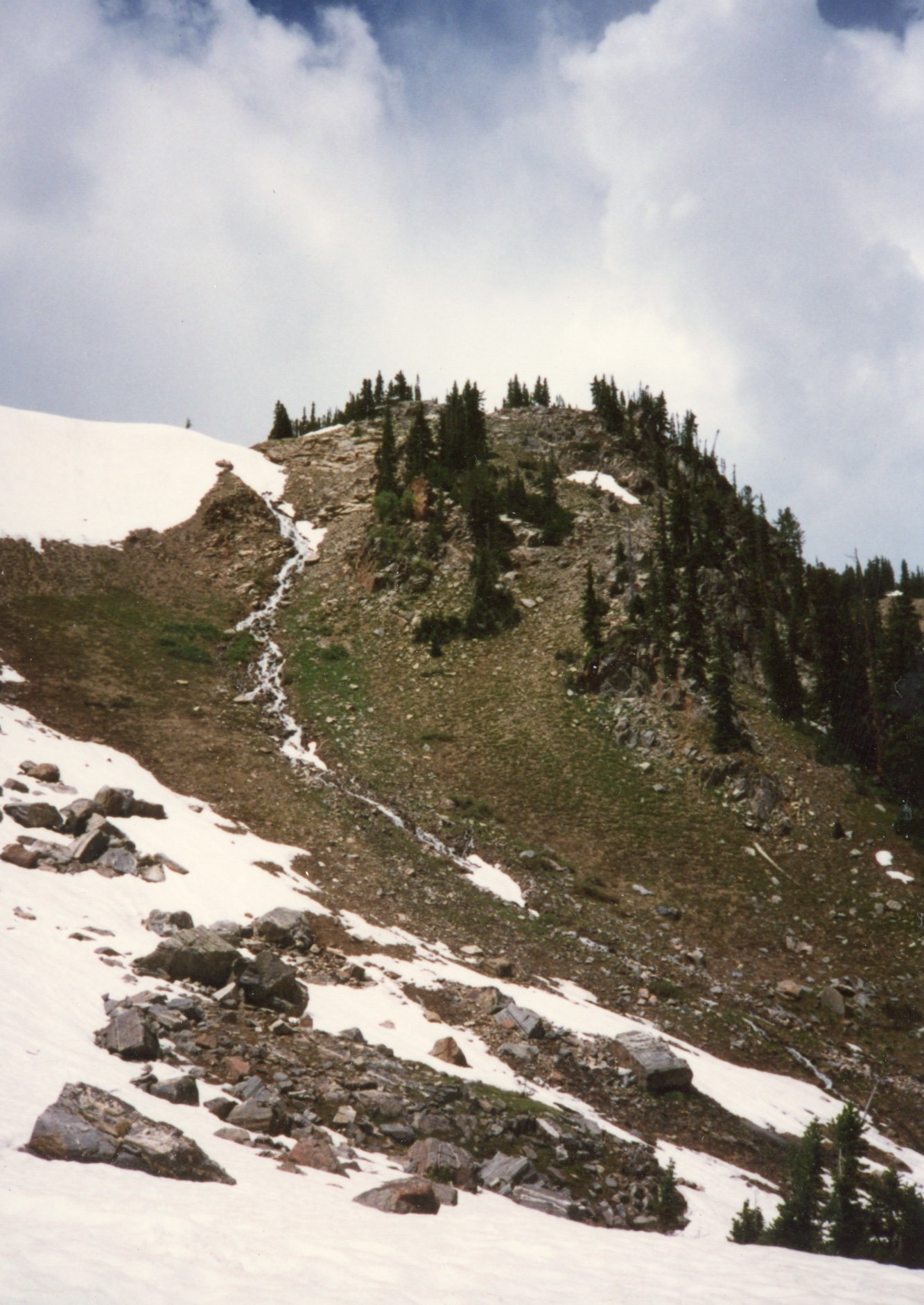
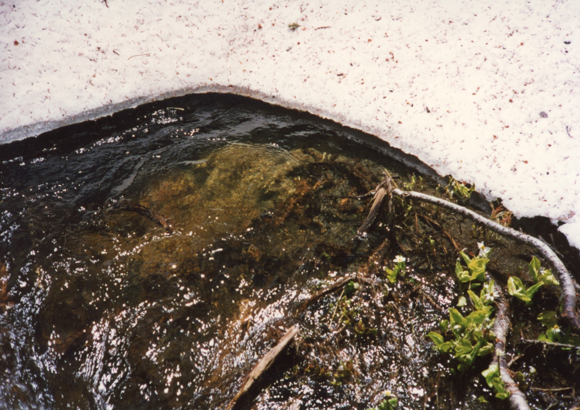
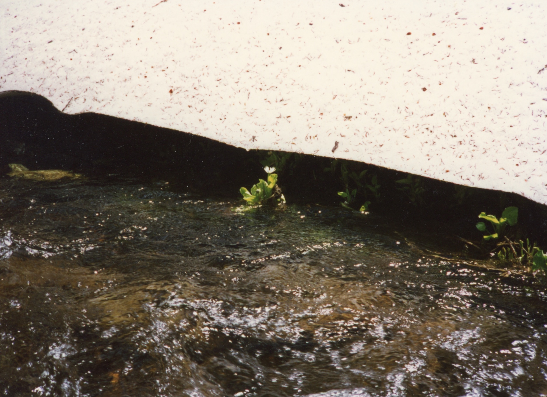
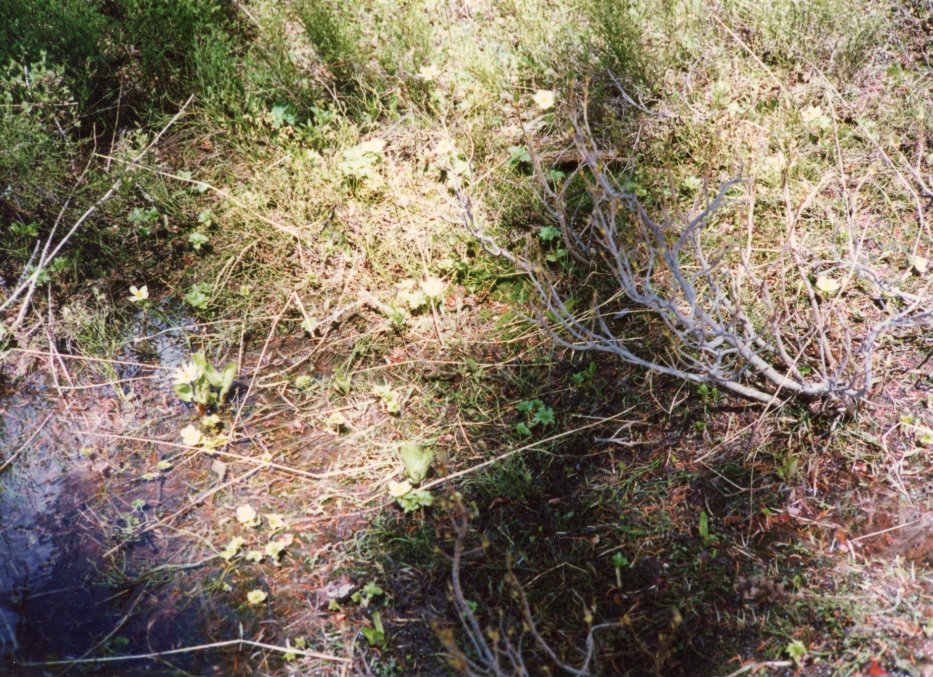
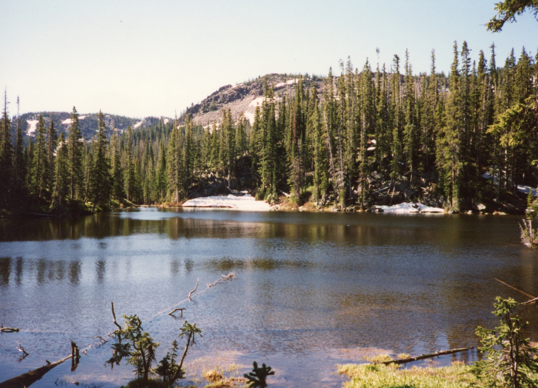
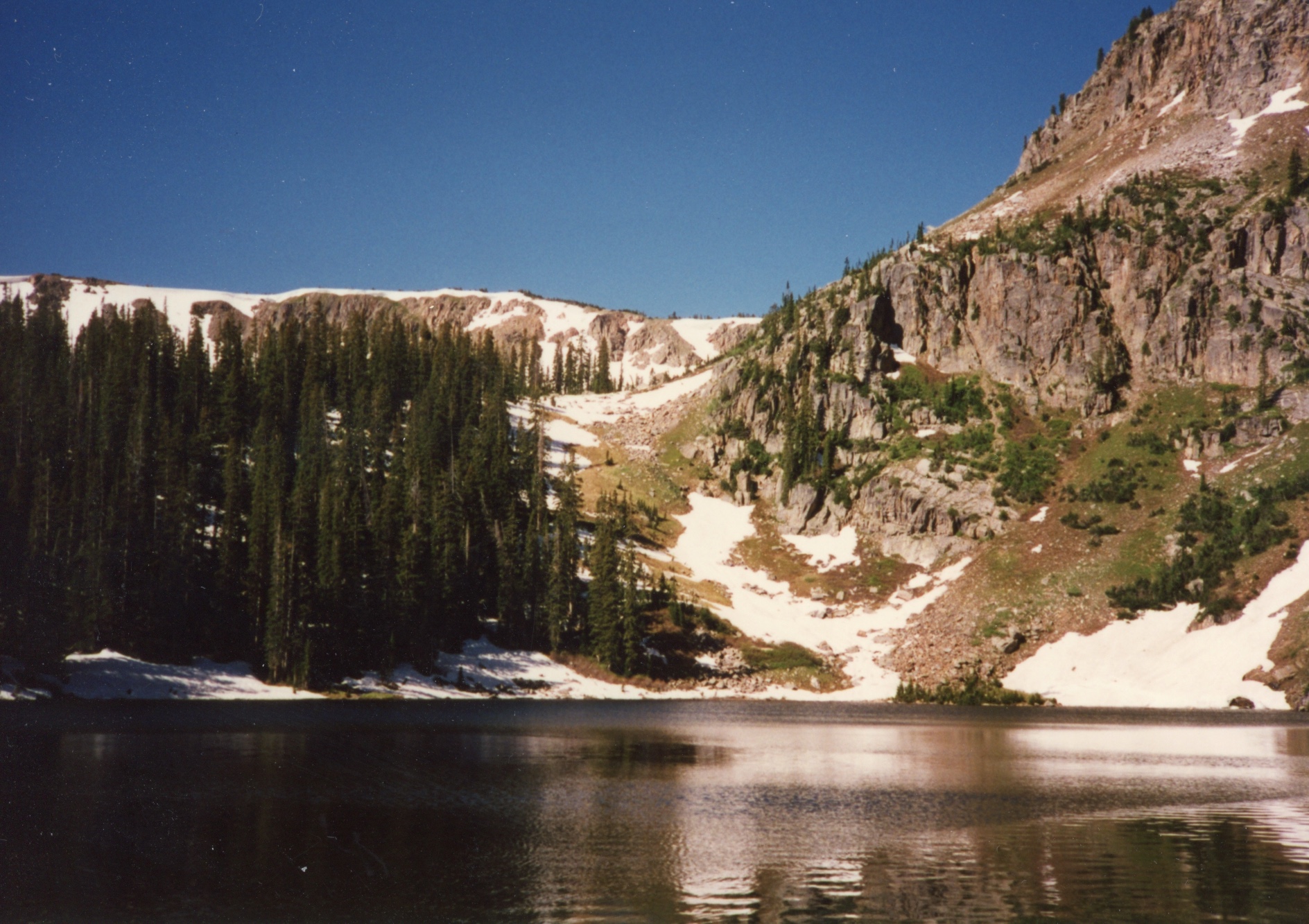
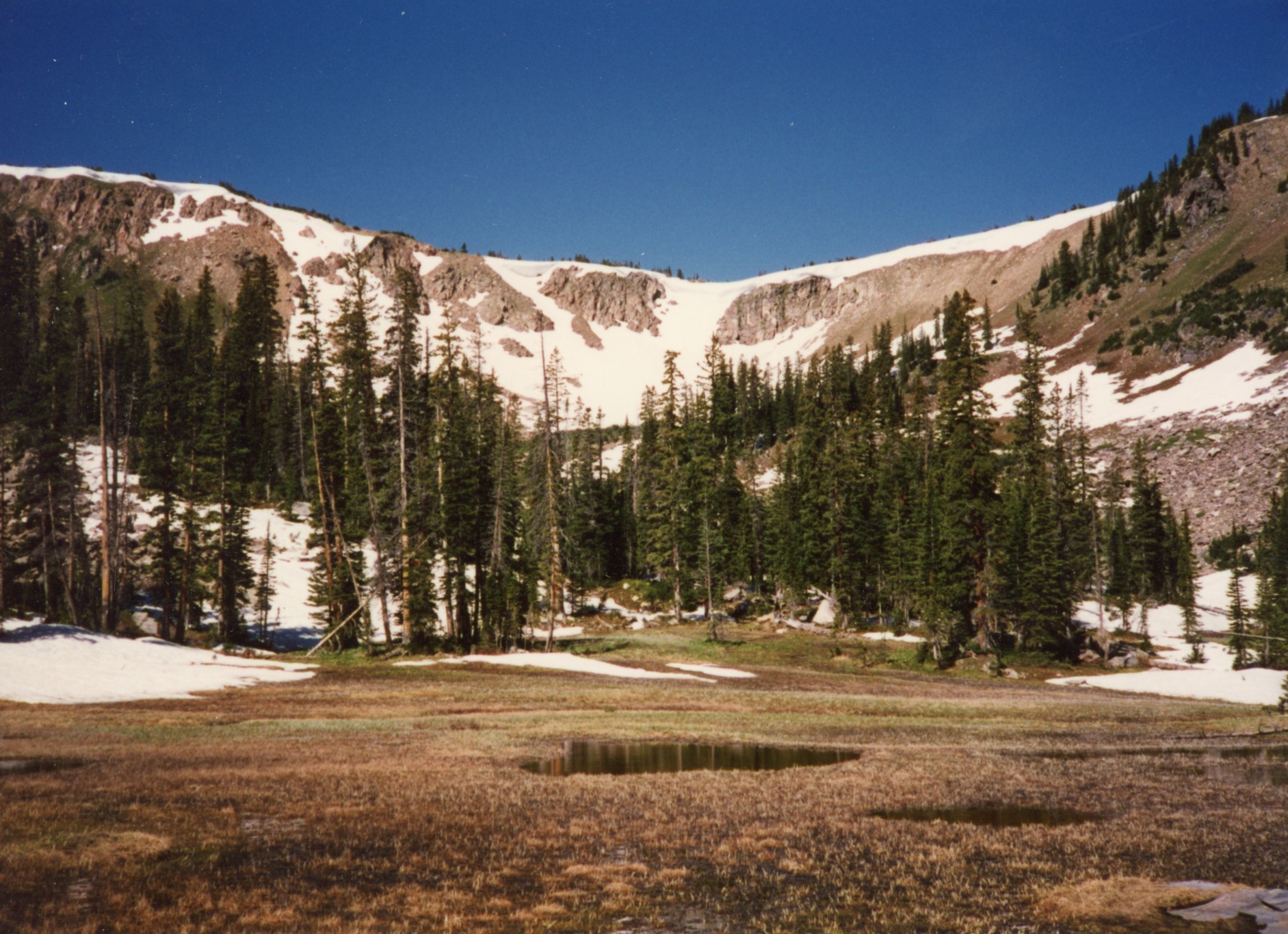
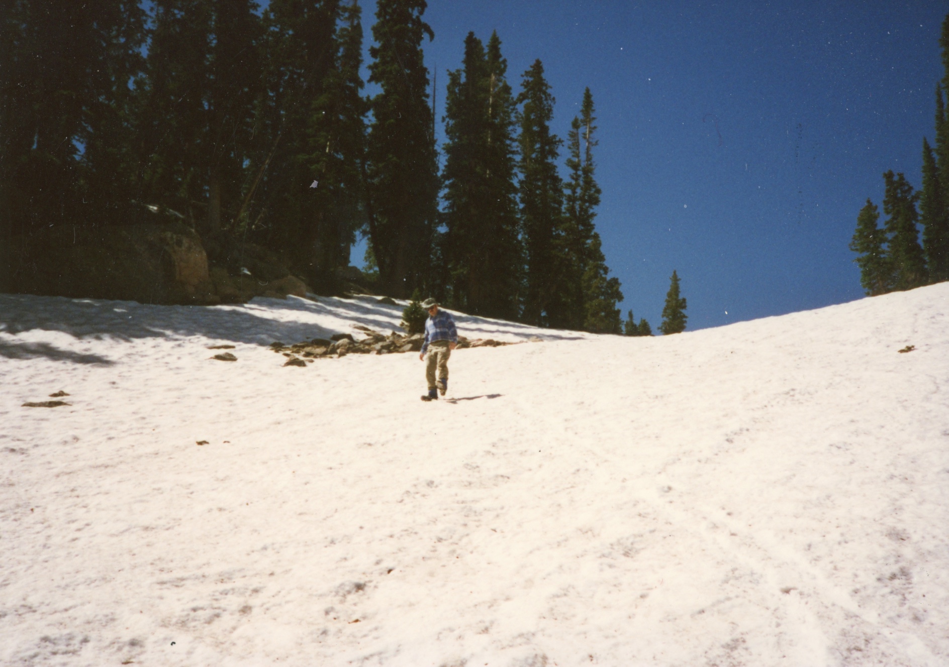
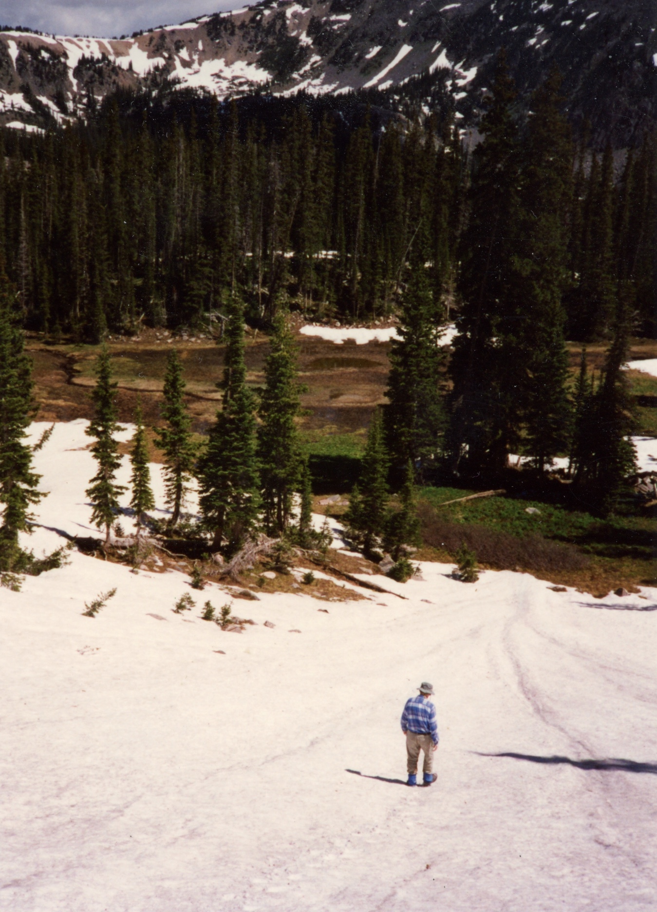
This hike is notable for the amount of snow we encountered on this hike. We couldn't get anywhere past the snow at the Divide. To avoid snow, we started our future hikes about a month later in August.
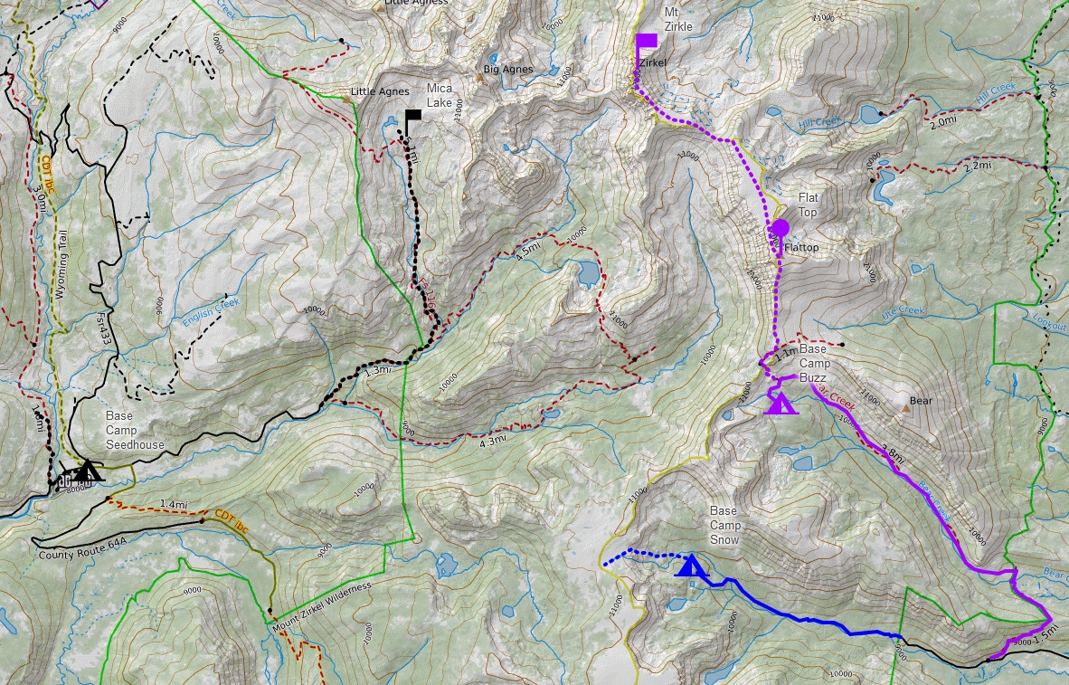
This map shows three hikes in this area of the Mount Zirkel Wilderness - in blue Bighorn Lake (1995) is the hike described here. Other hikes have been to Bear Lakes (1997) or Mica Basin (2022).
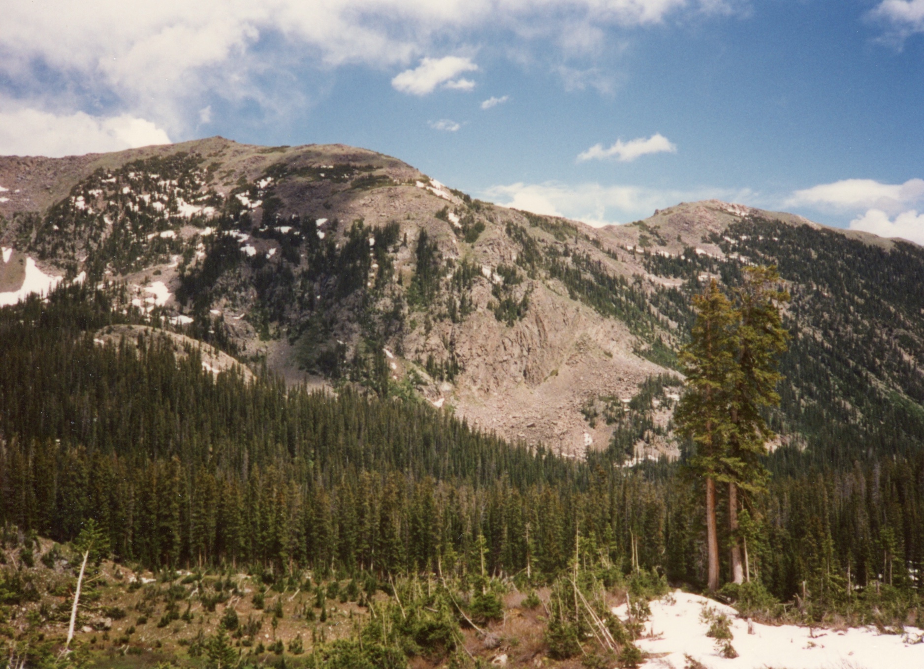
The Mount Zirkel Wilderness lies within the Routt National Forest in northwestern Colorado. It was one of the original areas protected under the 1964 Wilderness Act and has since been expanded twice to its present size of 160,648 acres. This Wilderness area is home to the headwaters of the Elk, Encampment and North Platte Rivers. It straddles the Continental Divide and encompasses the rugged Sawtooth Range, as well as portions of the Park and Sierra Madre ranges.
The Wilderness is named after Mount Zirkel (12180 ft), the highest peak in the Park range. Clarence King, one of the leaders of the Fortieth Parallel Survey named it after German geologist Ferdinand Zirkel (1838-1912), a pioneer in the study of the optical characteristics of thin slices of rock under a microscope (petrography).
The purpose of the Geological Exploration of the Fortieth Parallel (1867 to 1872; "Fortieth Parallel Survey") was to study and describe the natural resources within a 100 mile border around the Union and Central Pacific railroads from northeastern California, through Nevada, to eastern Wyoming. The comprehensive survey, under the direction of A. A. Humphreys (military general) and Clarence King (geologist), mapped the area along 40th parallel (they couldn't name it "What is right next to the railroads that we can mine, harvest, or shoot" could they?), examined the geology, looked for gold deposits and collected plants and animals.
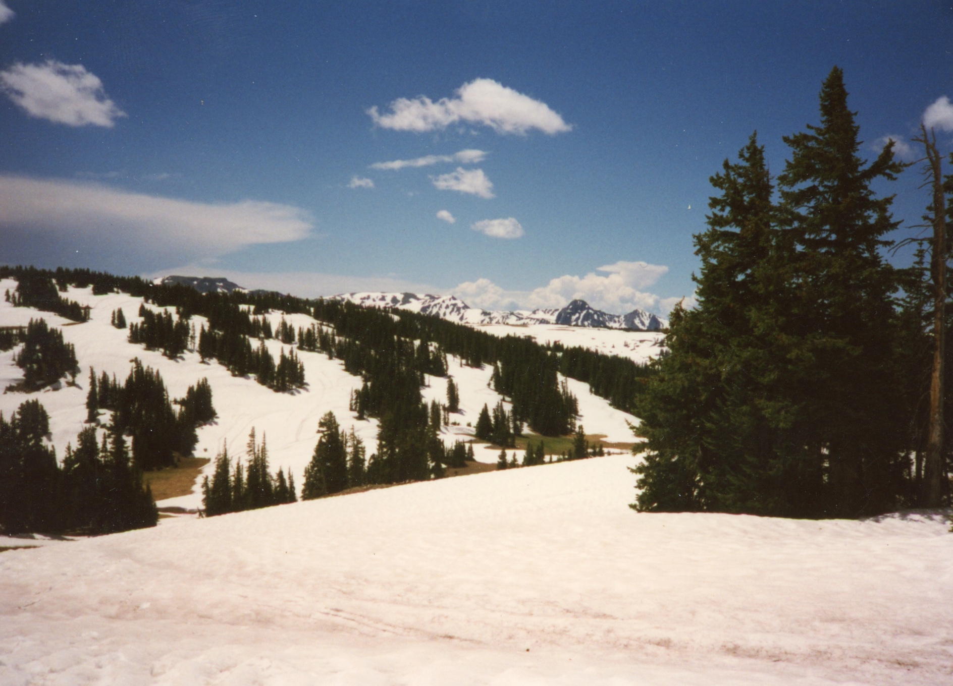

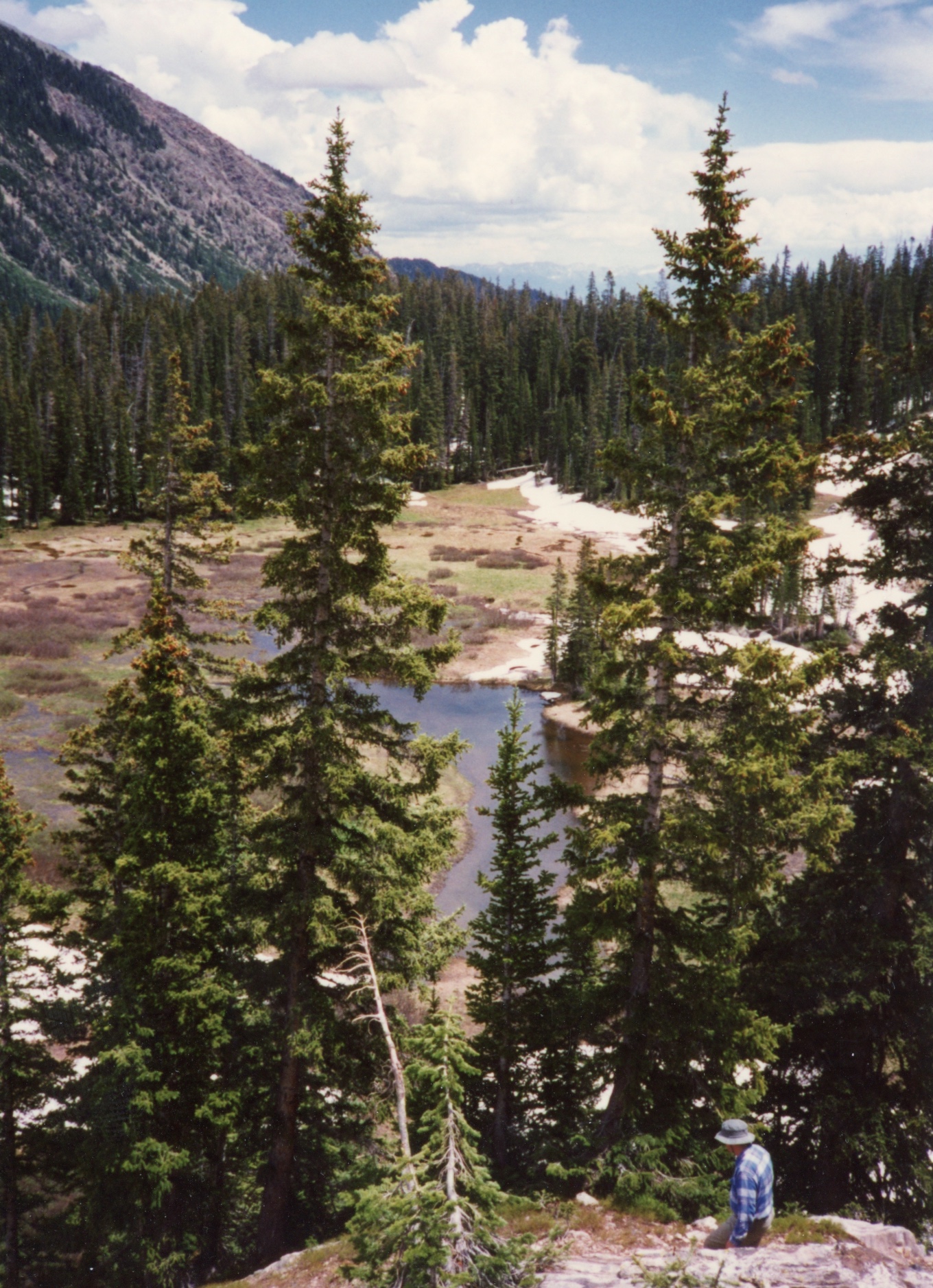
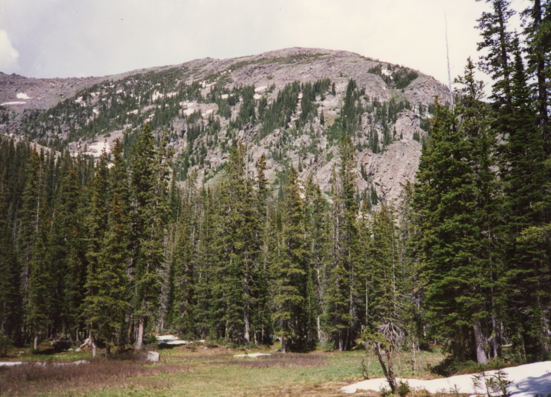
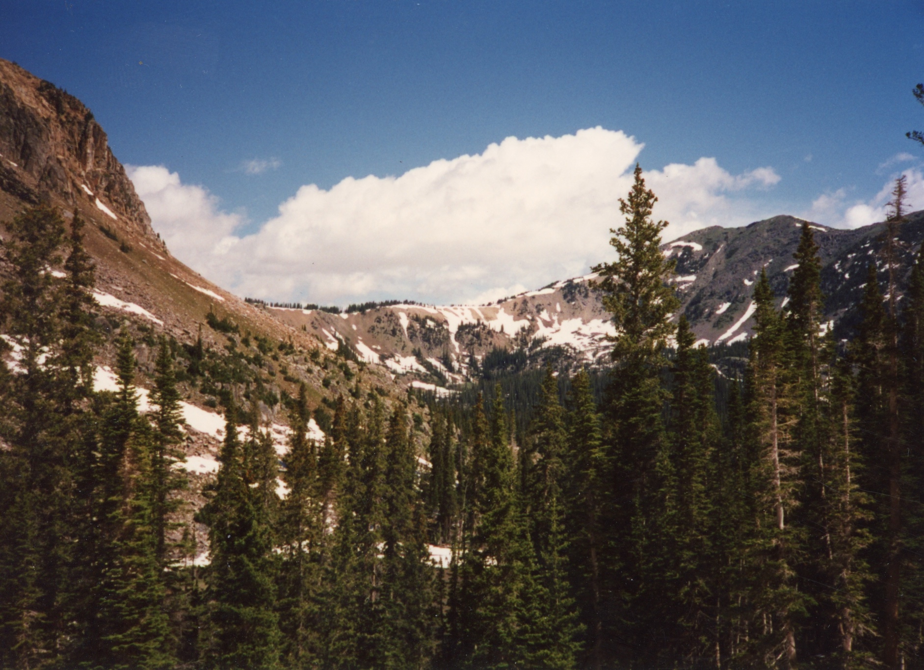
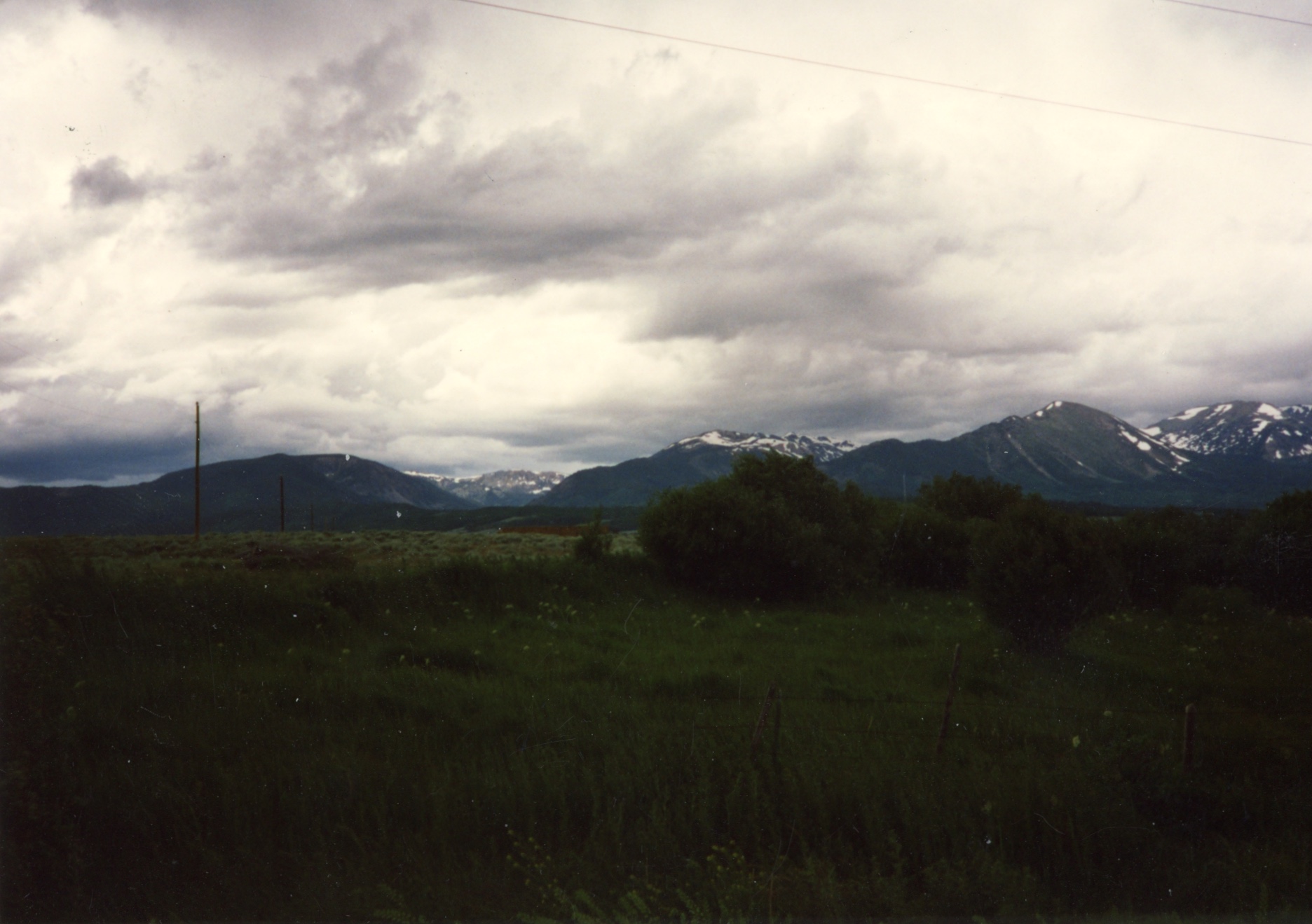


![Looking south (The Dome [11739 ft] right, Lost Ranger Peak [11932 left barely visible])](Zirkle95_0006_t.jpg)

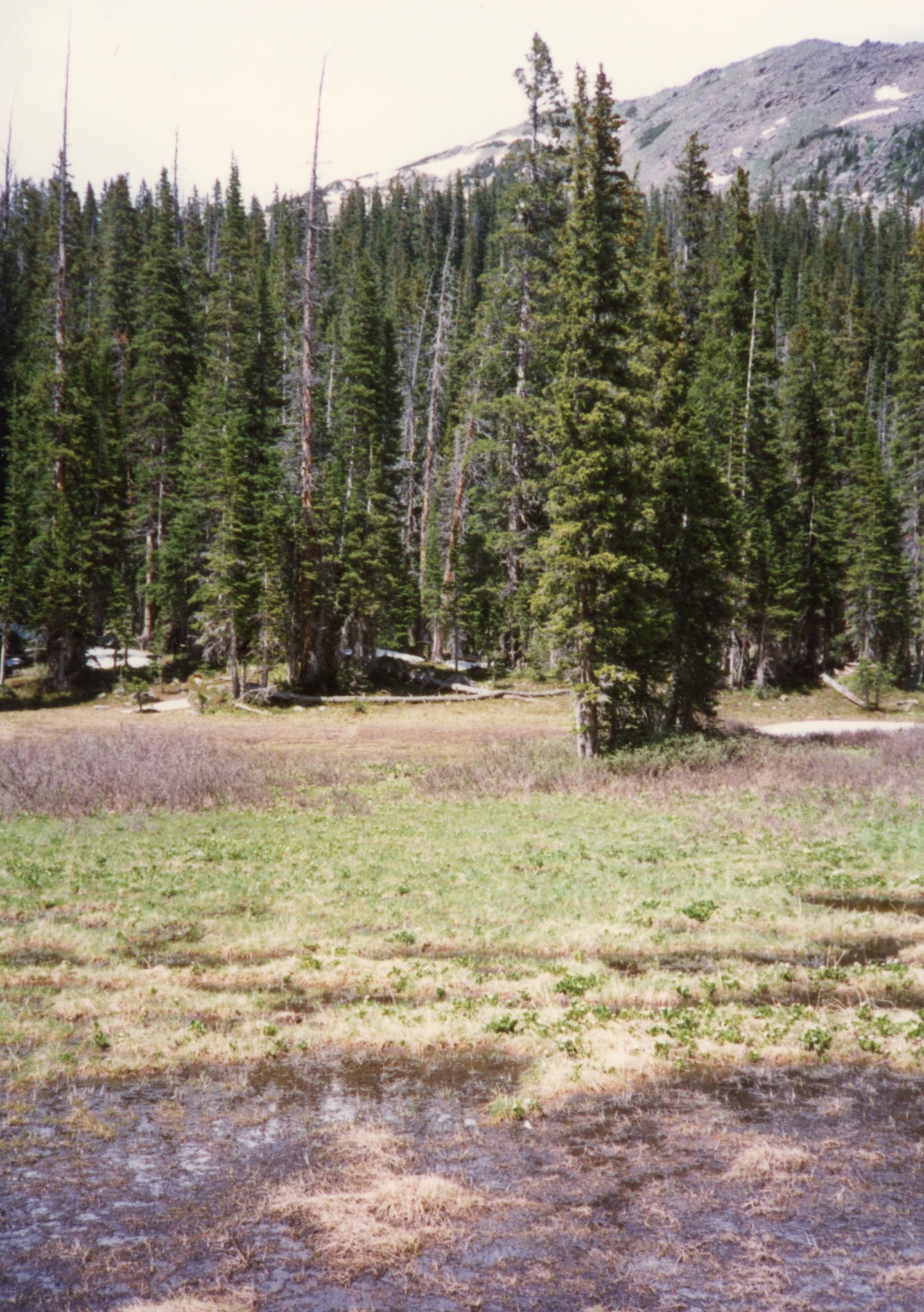
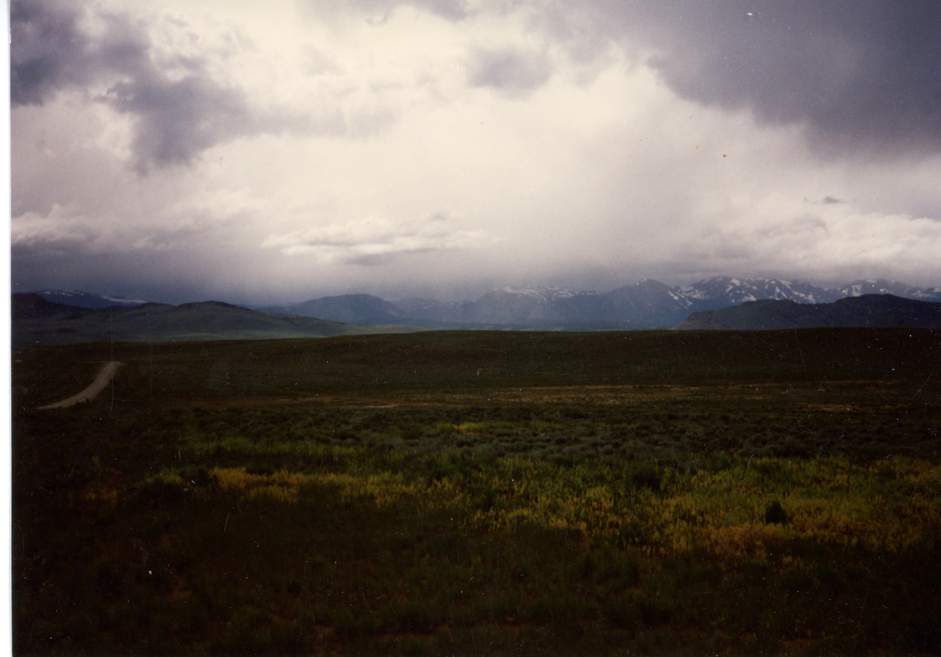
![Looking south (The Dome [11739 ft] right, Lost Ranger Peak [11932 left barely visible])](Zirkle95_0008_t.jpg)


