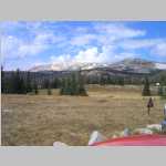
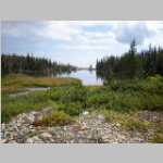
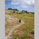
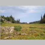
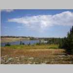
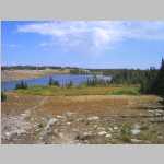
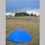
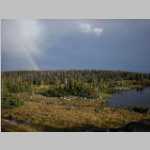
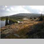
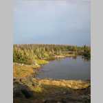
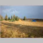
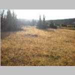
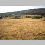
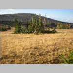
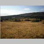
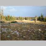
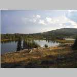
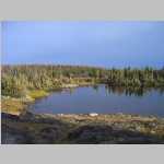
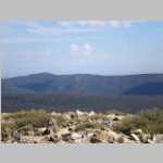
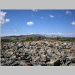
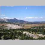
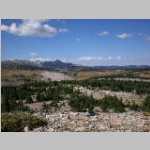
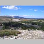
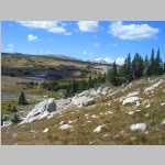
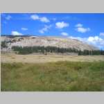
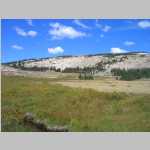
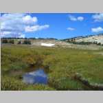
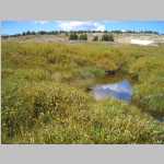
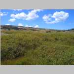
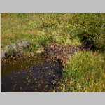
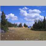
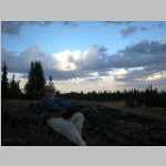
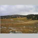
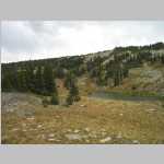
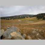
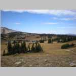
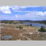
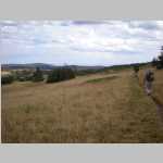
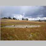
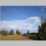
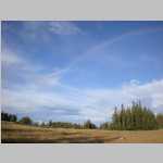
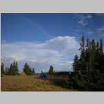
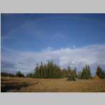
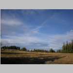
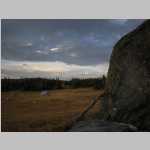
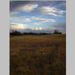
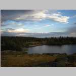
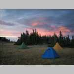
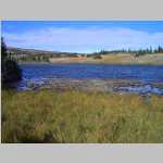
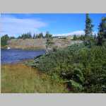
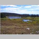
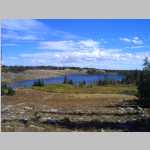
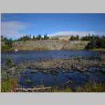
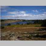
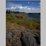
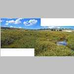
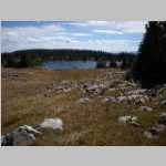
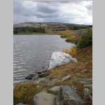
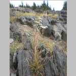
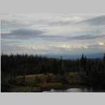
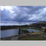
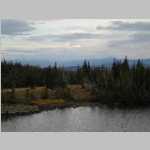
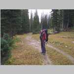
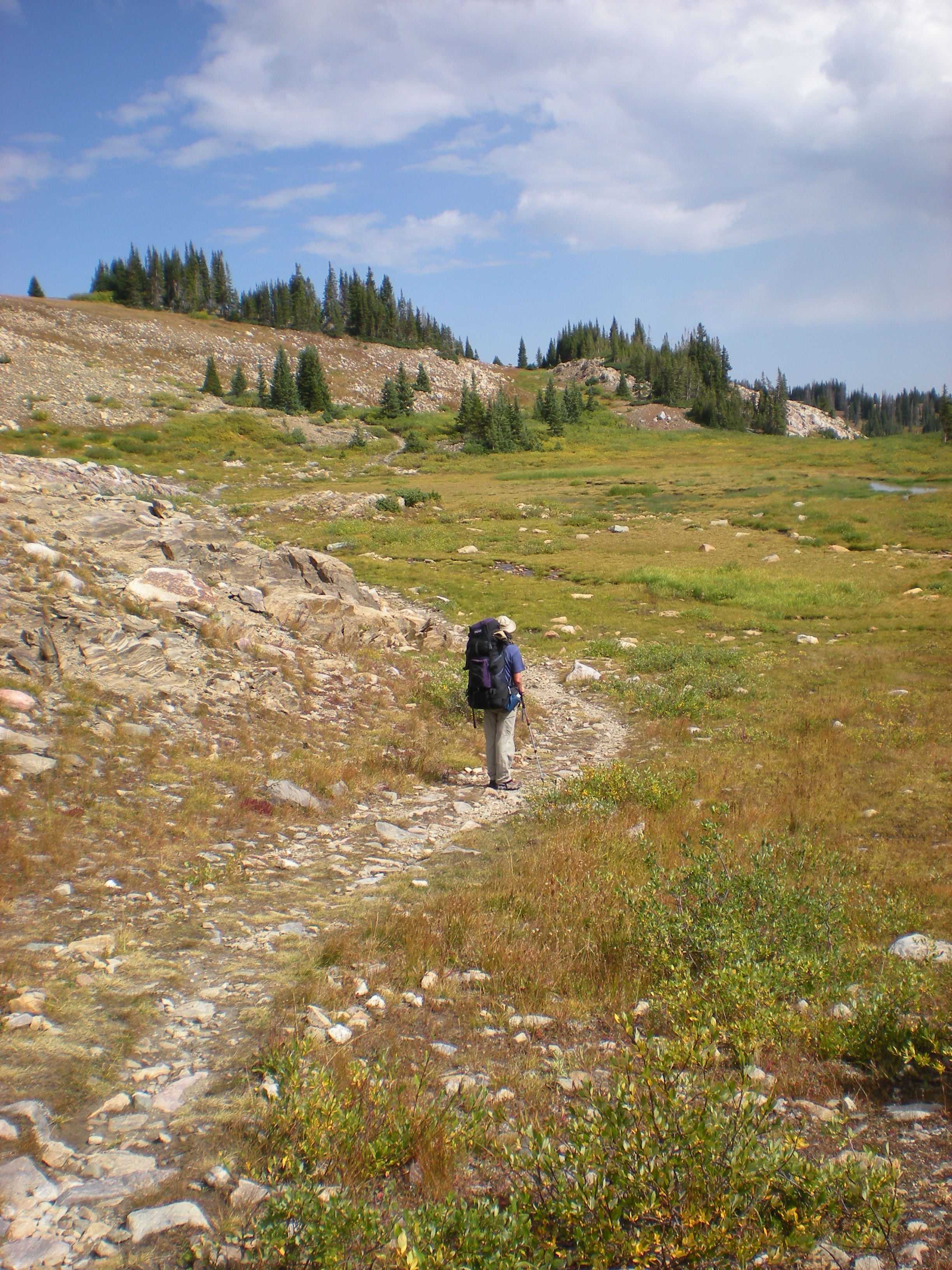
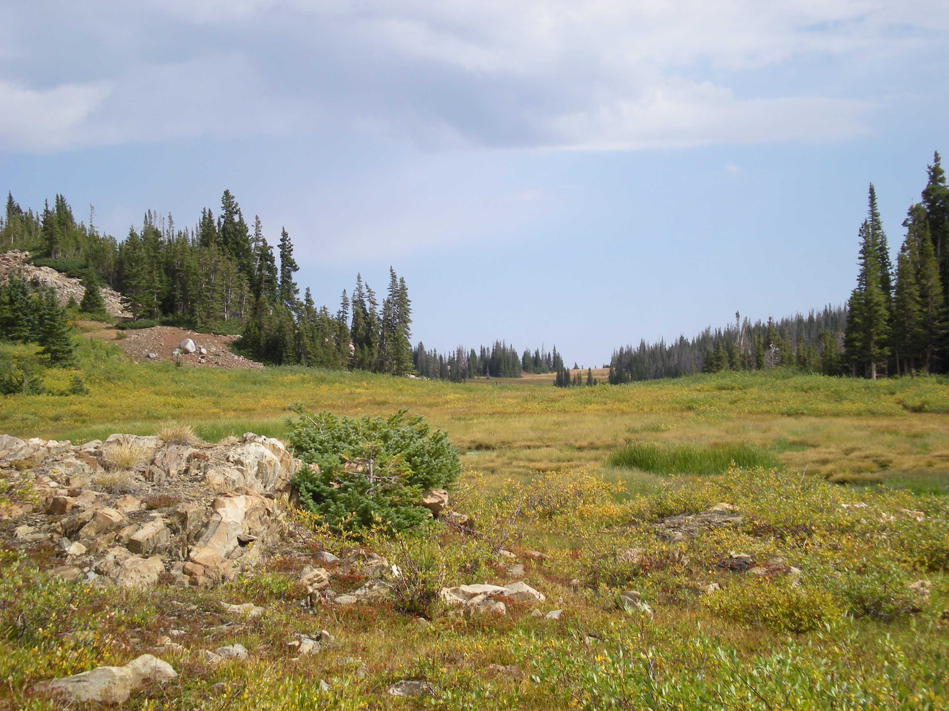
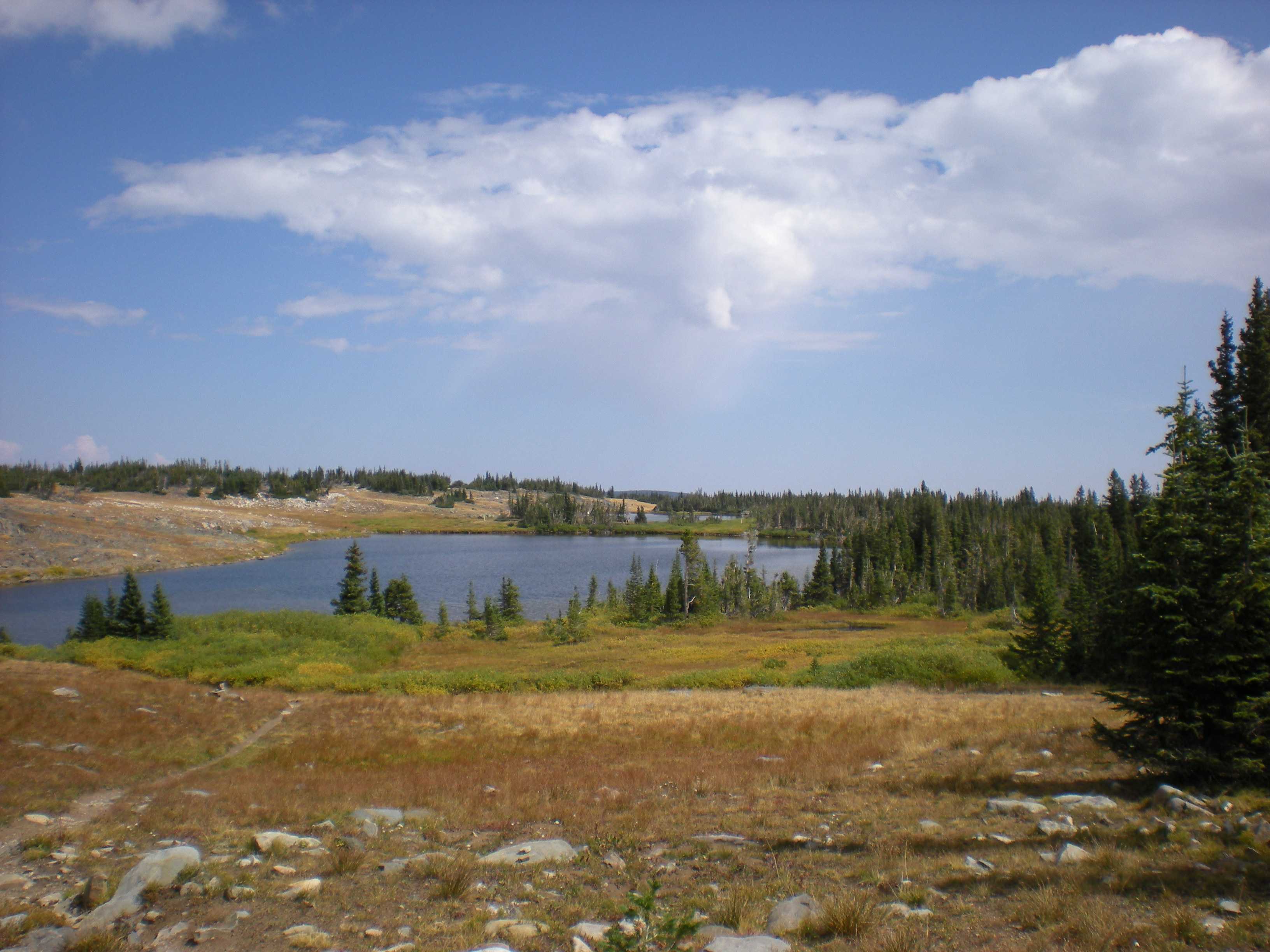
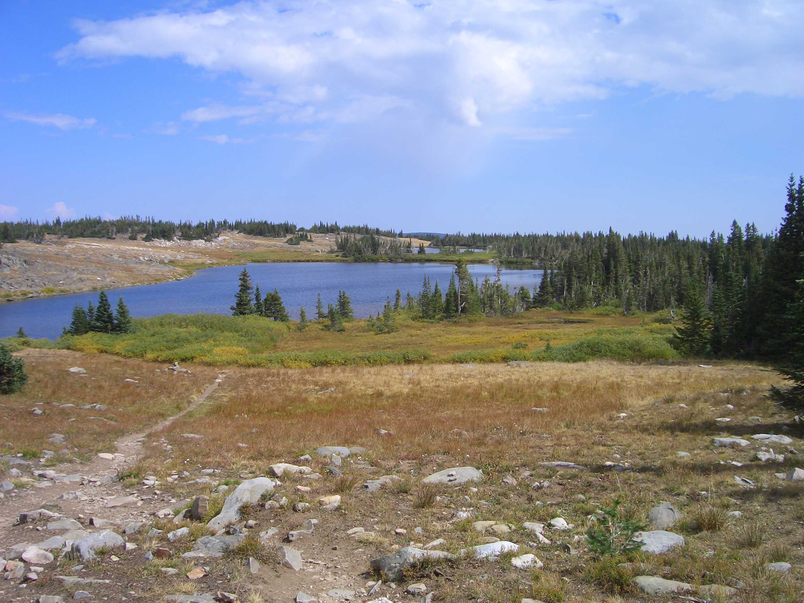
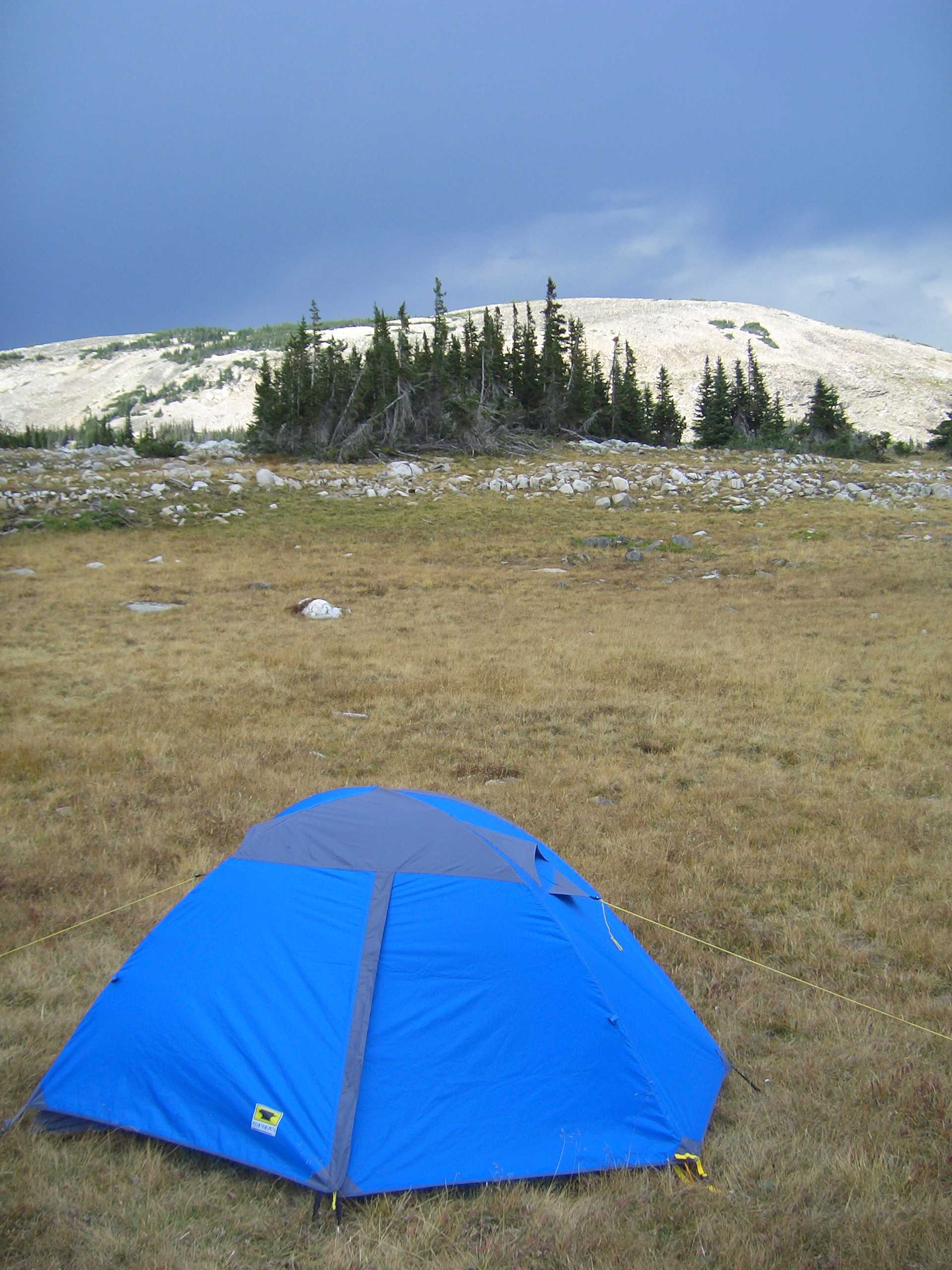
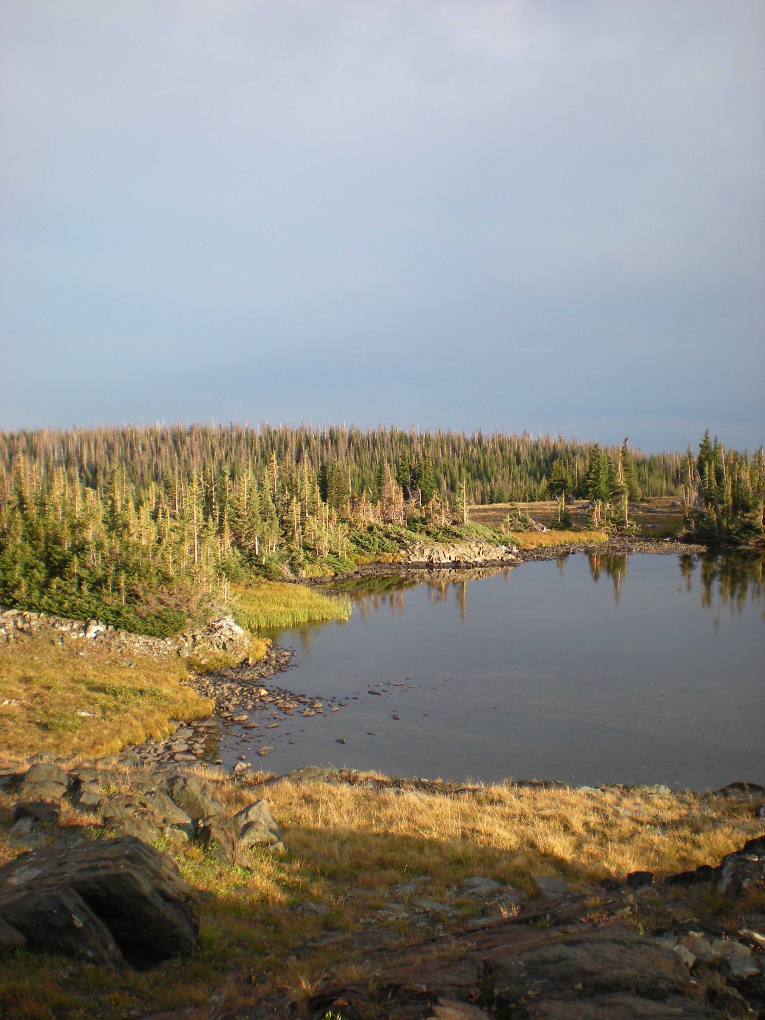
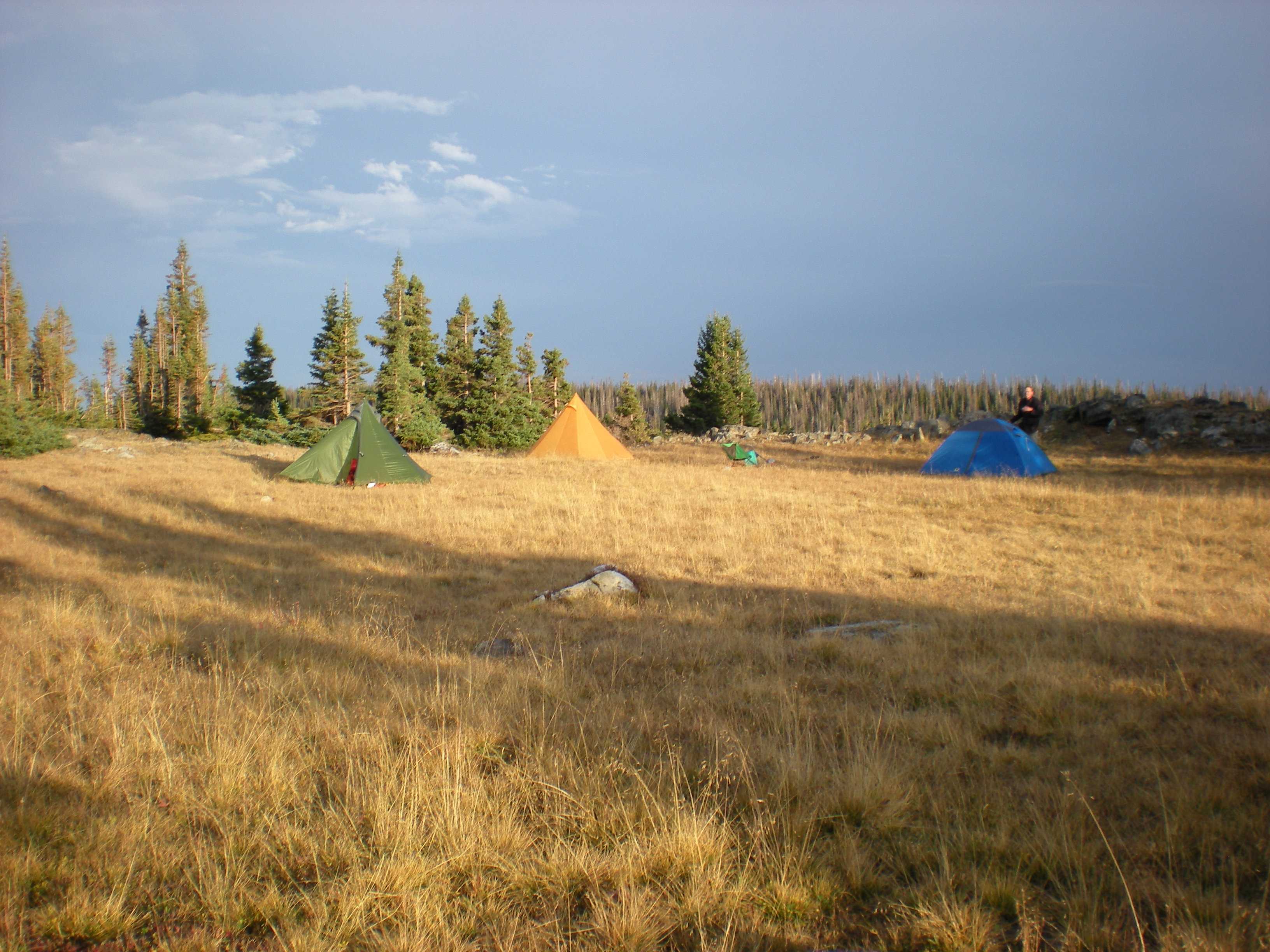
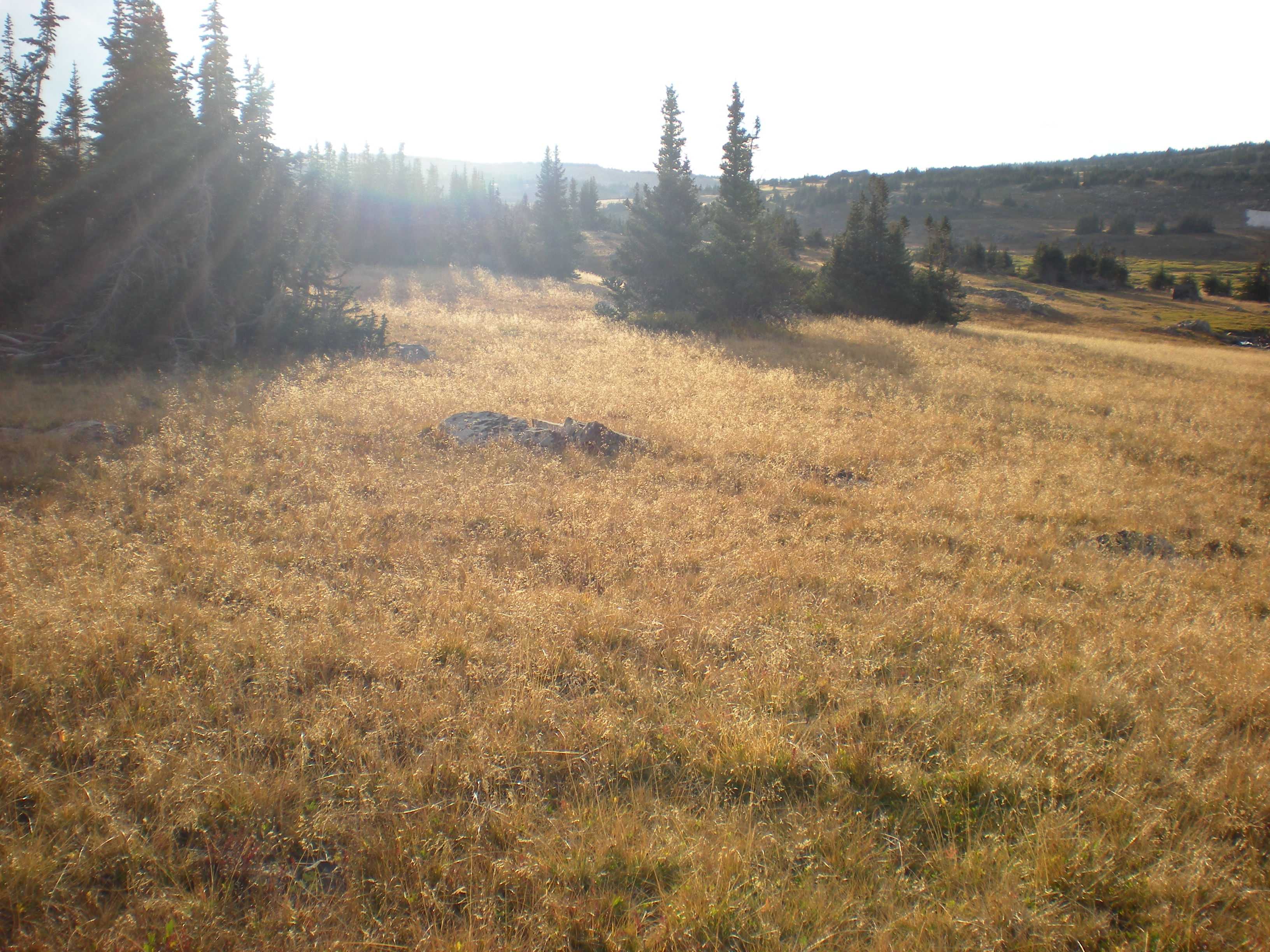
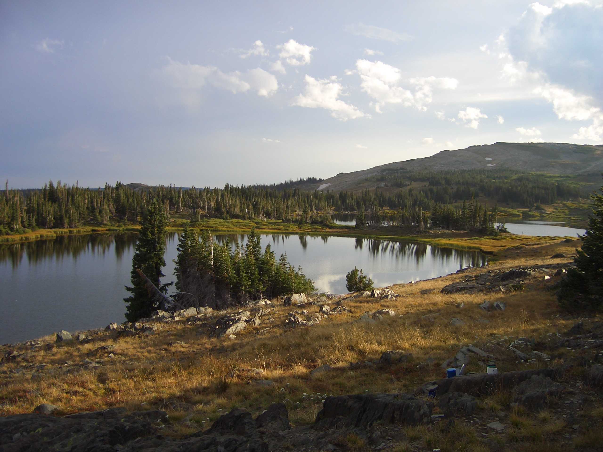
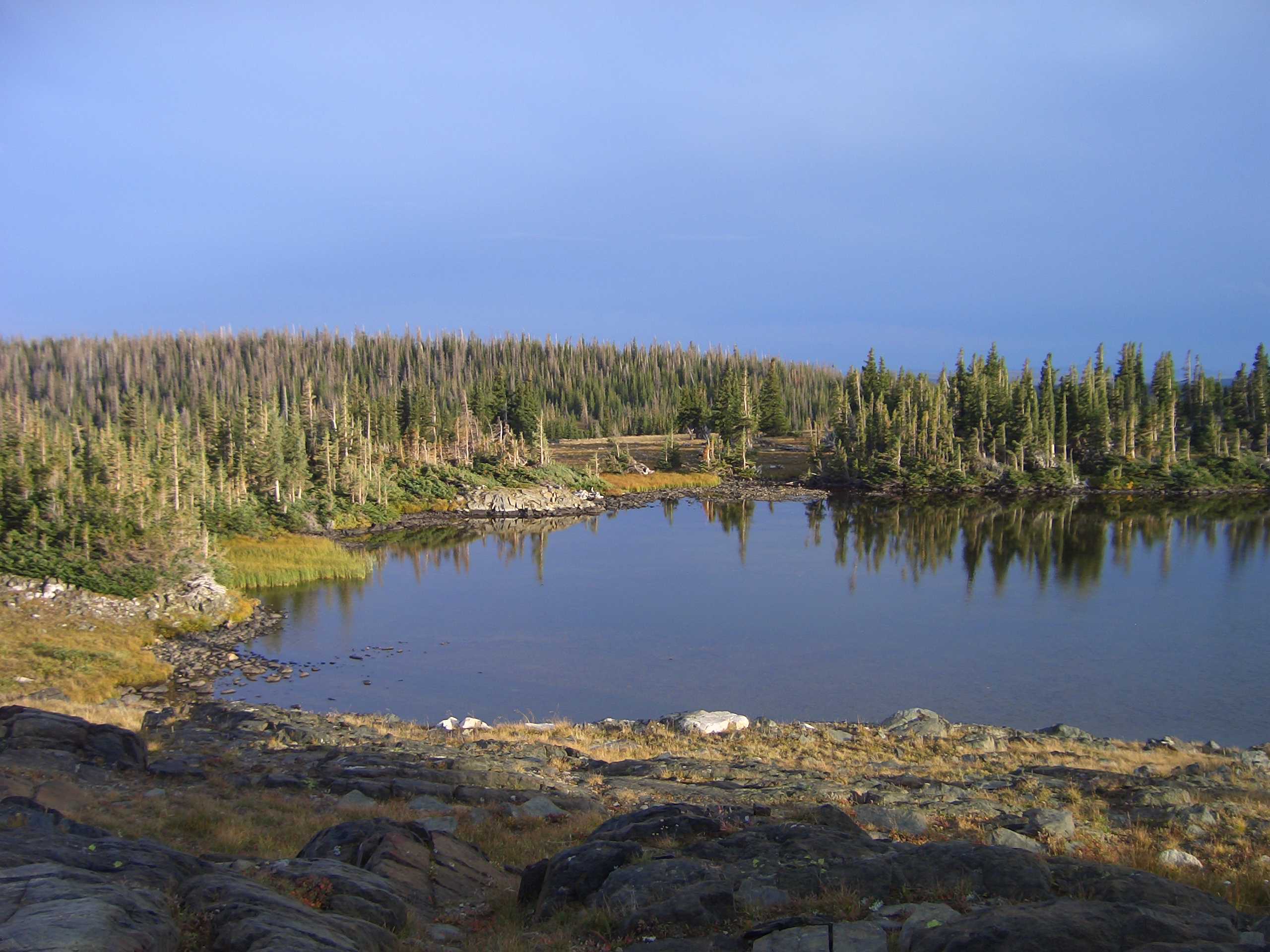
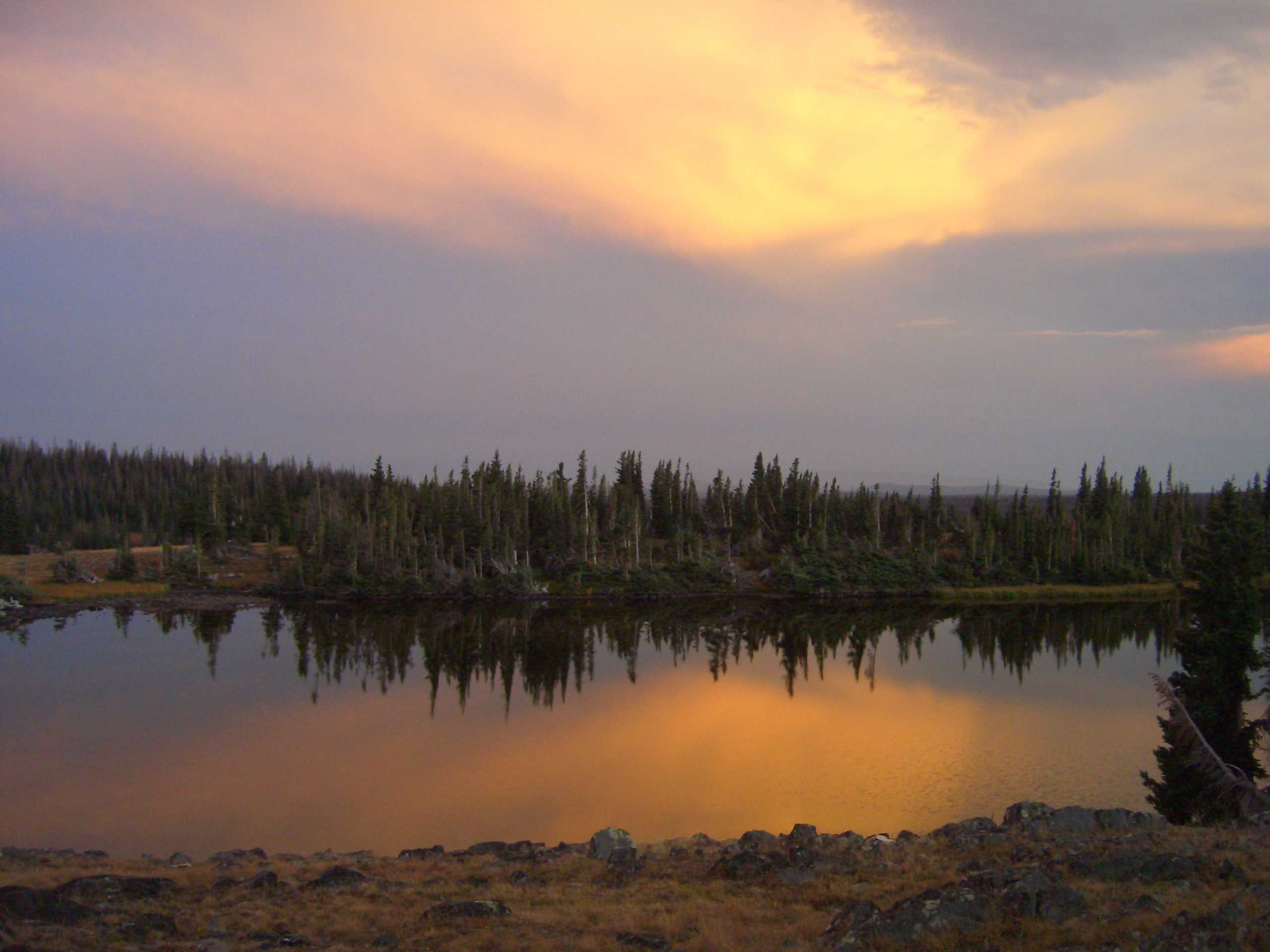
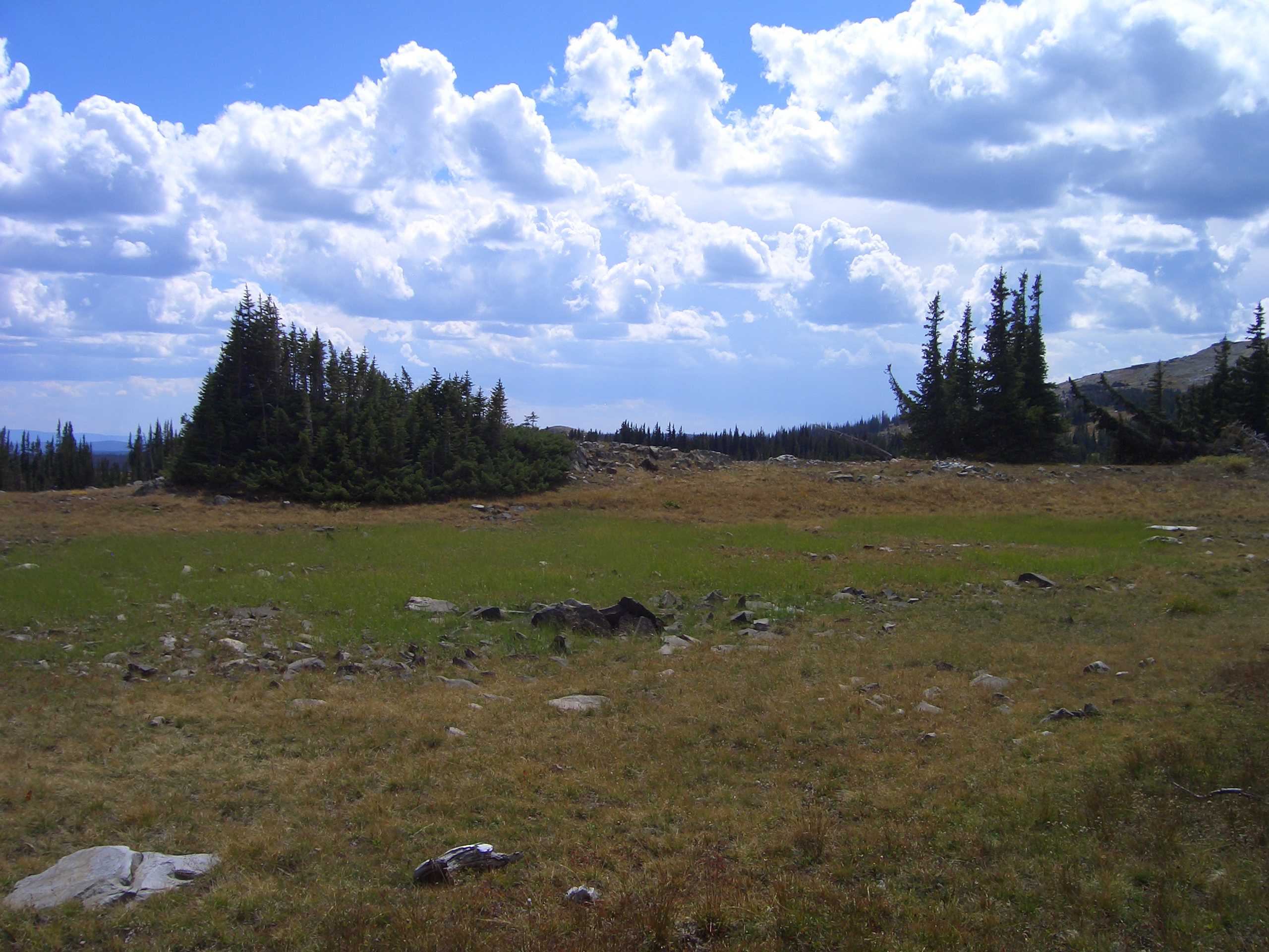
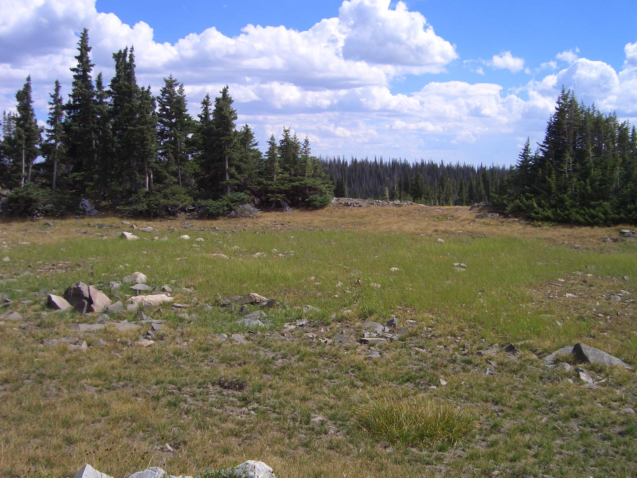
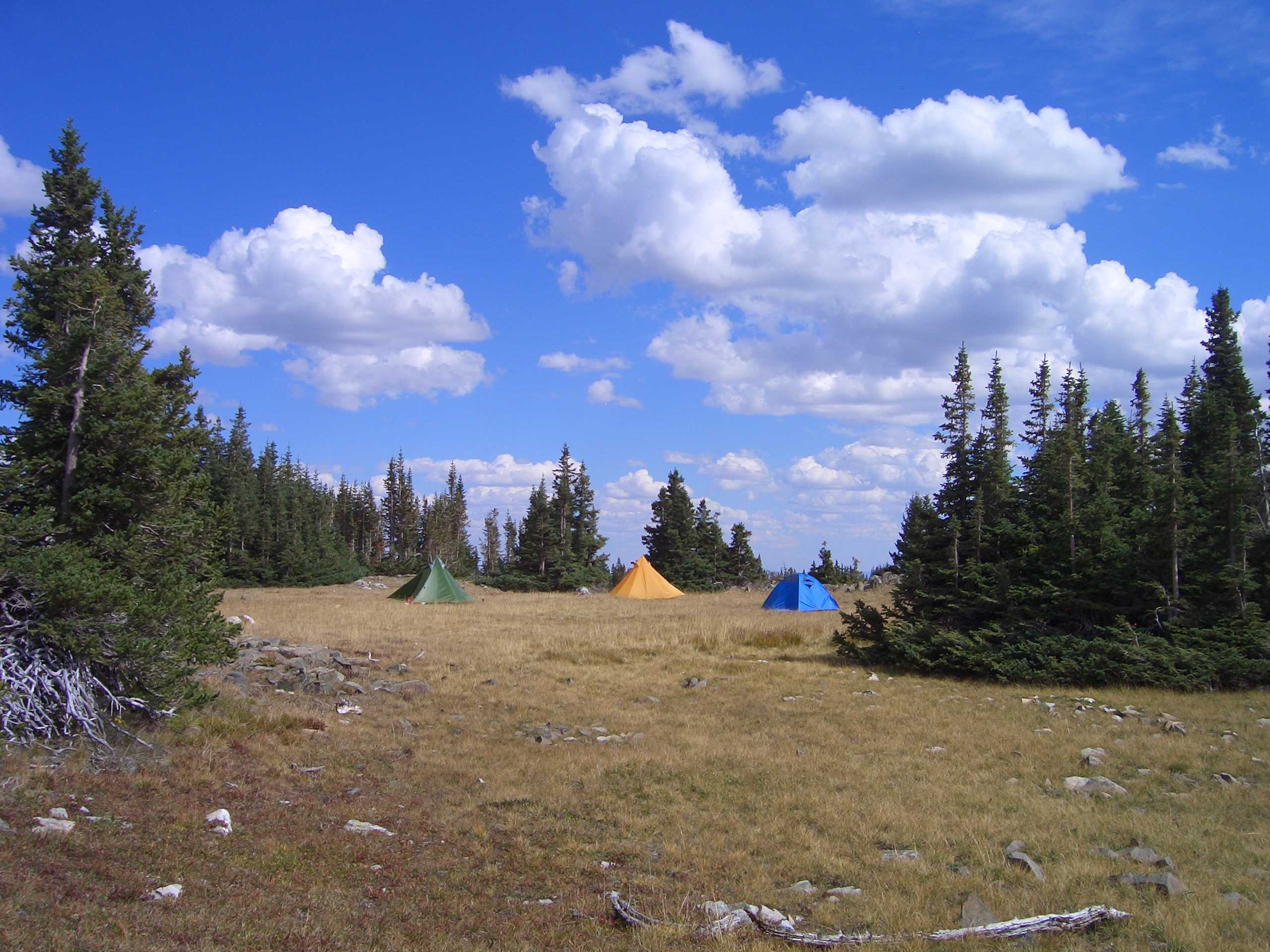
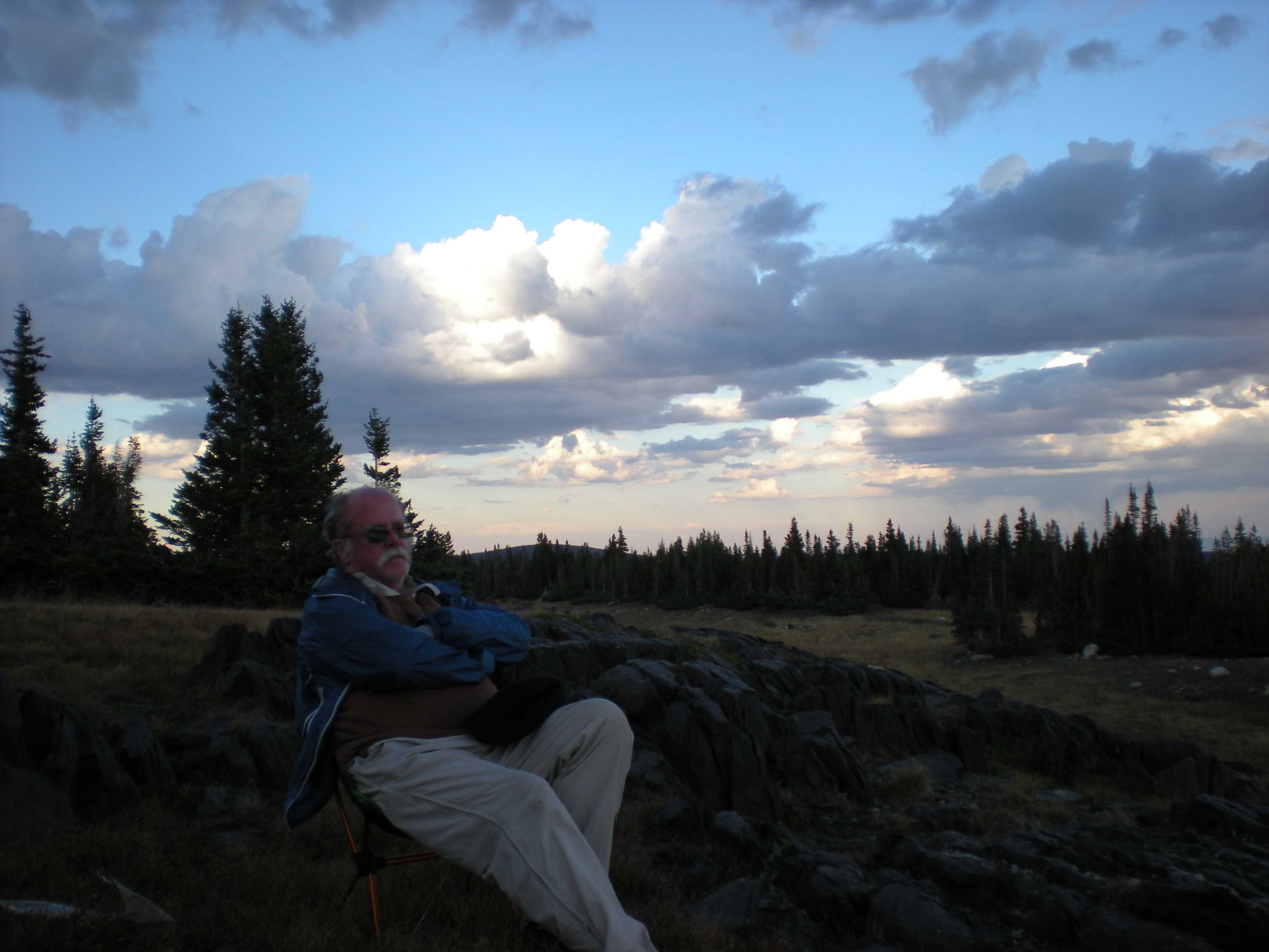
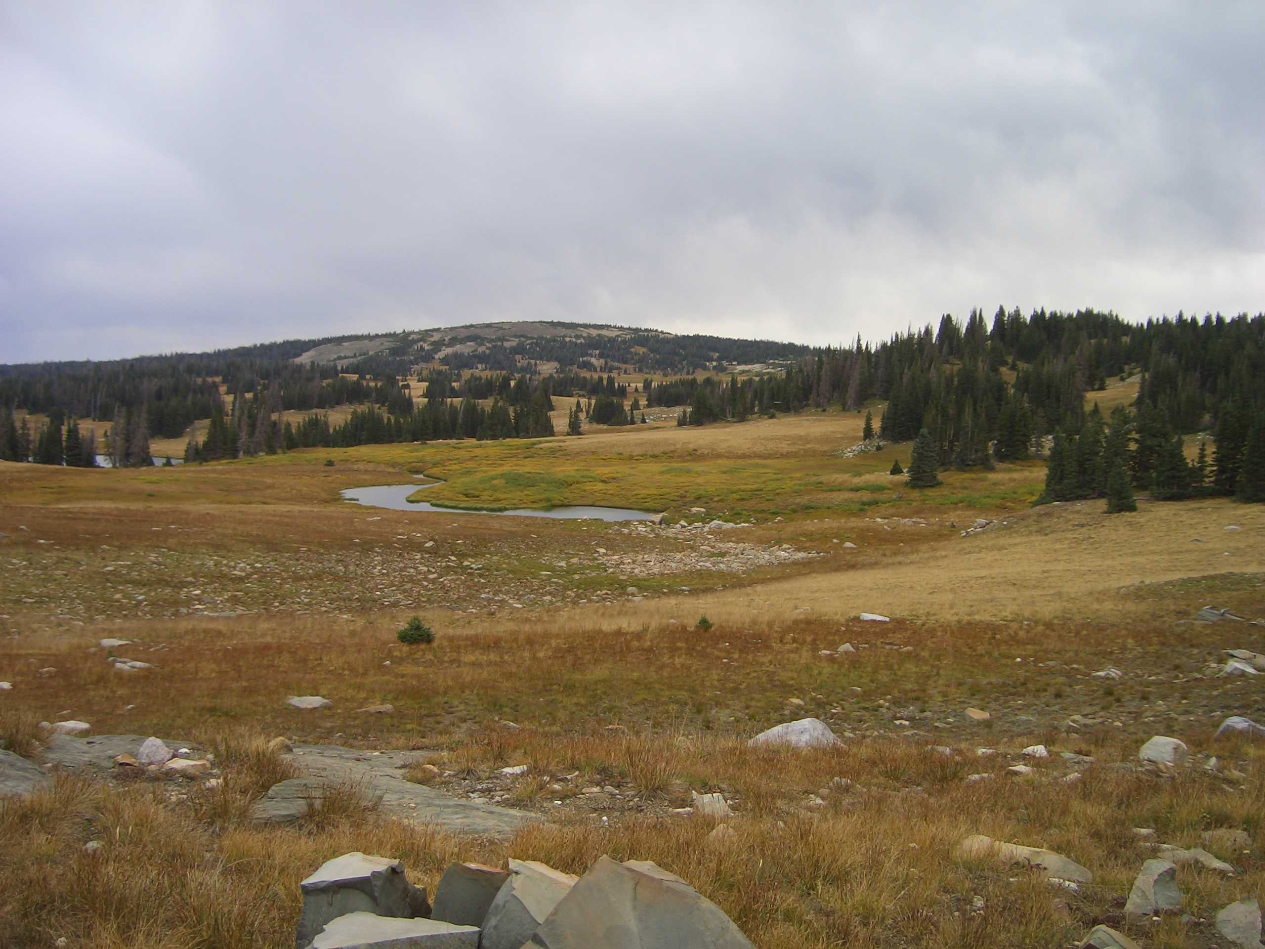
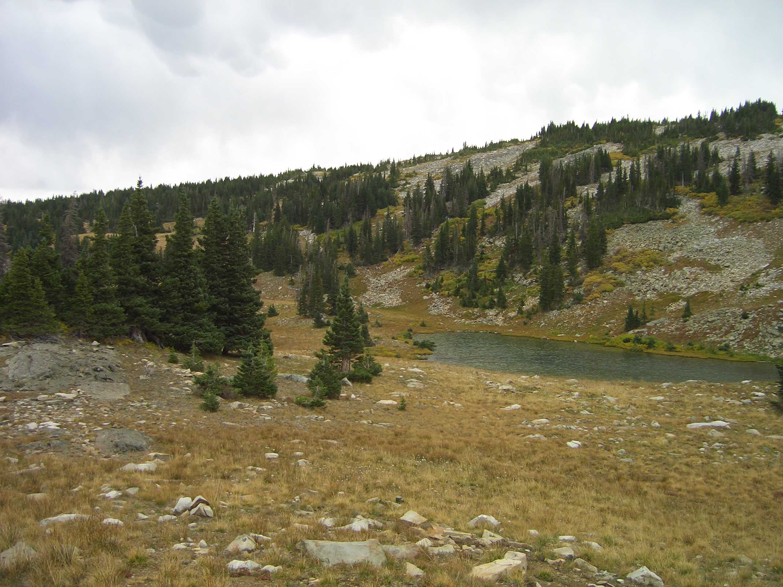
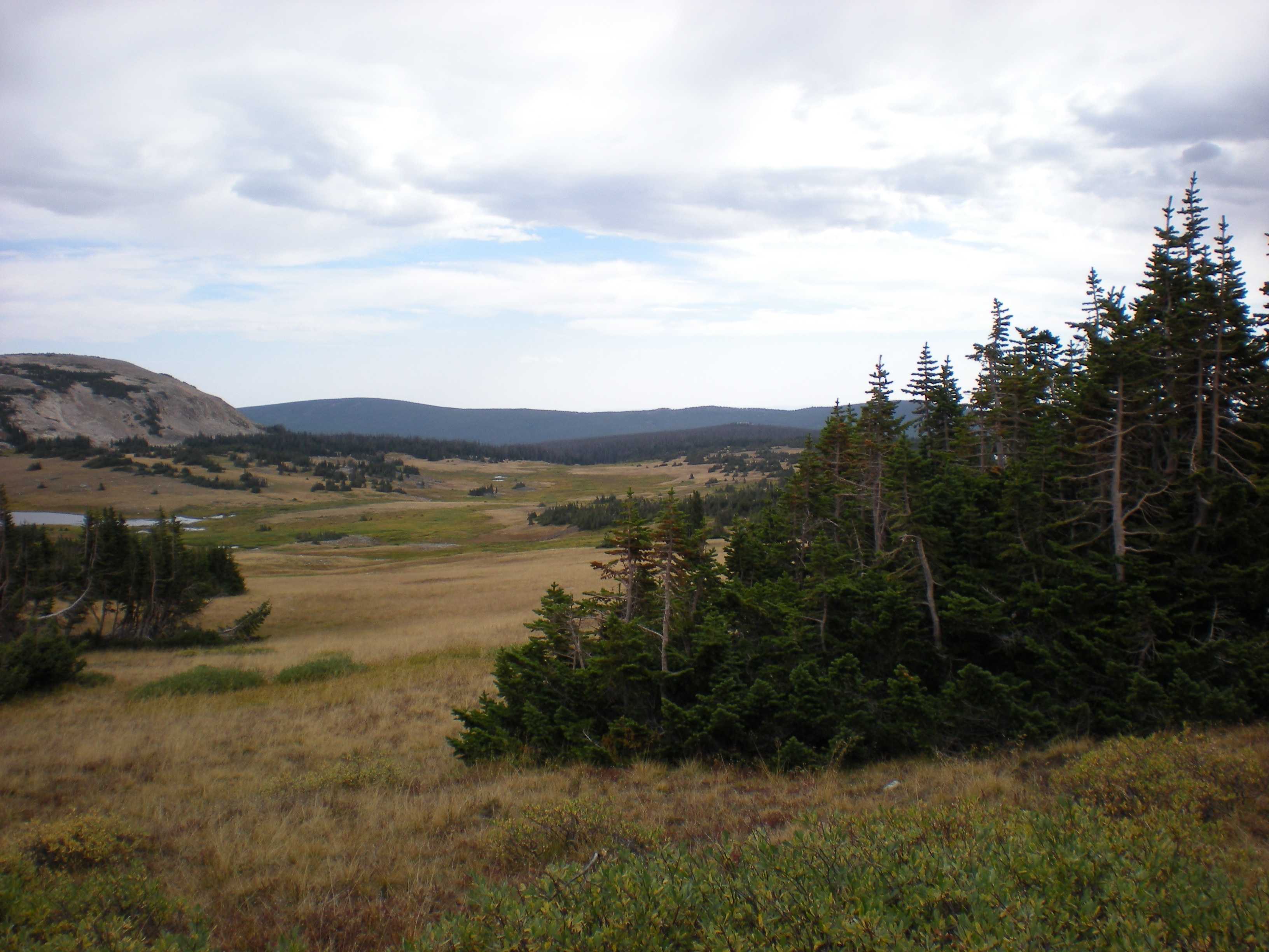
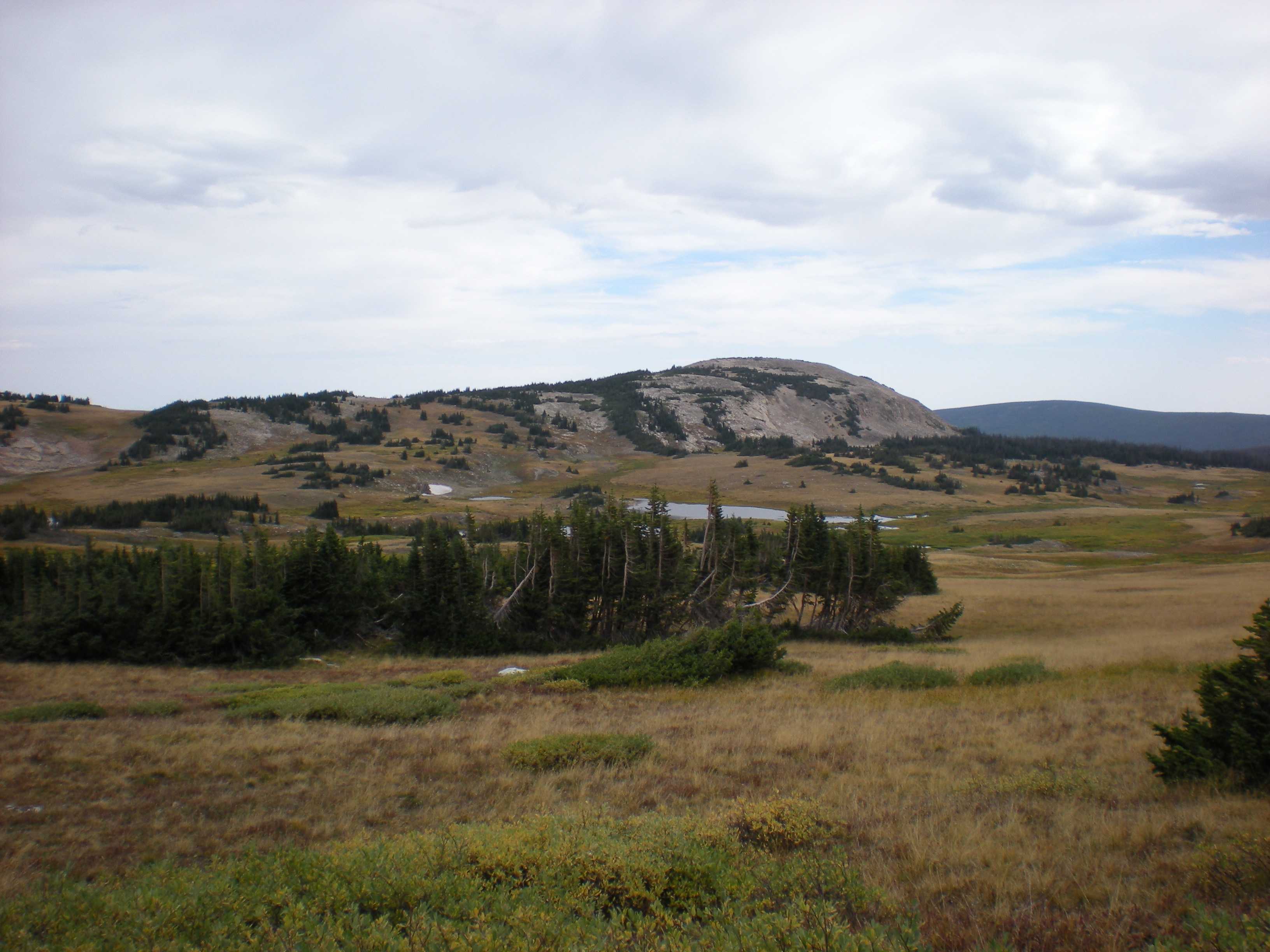
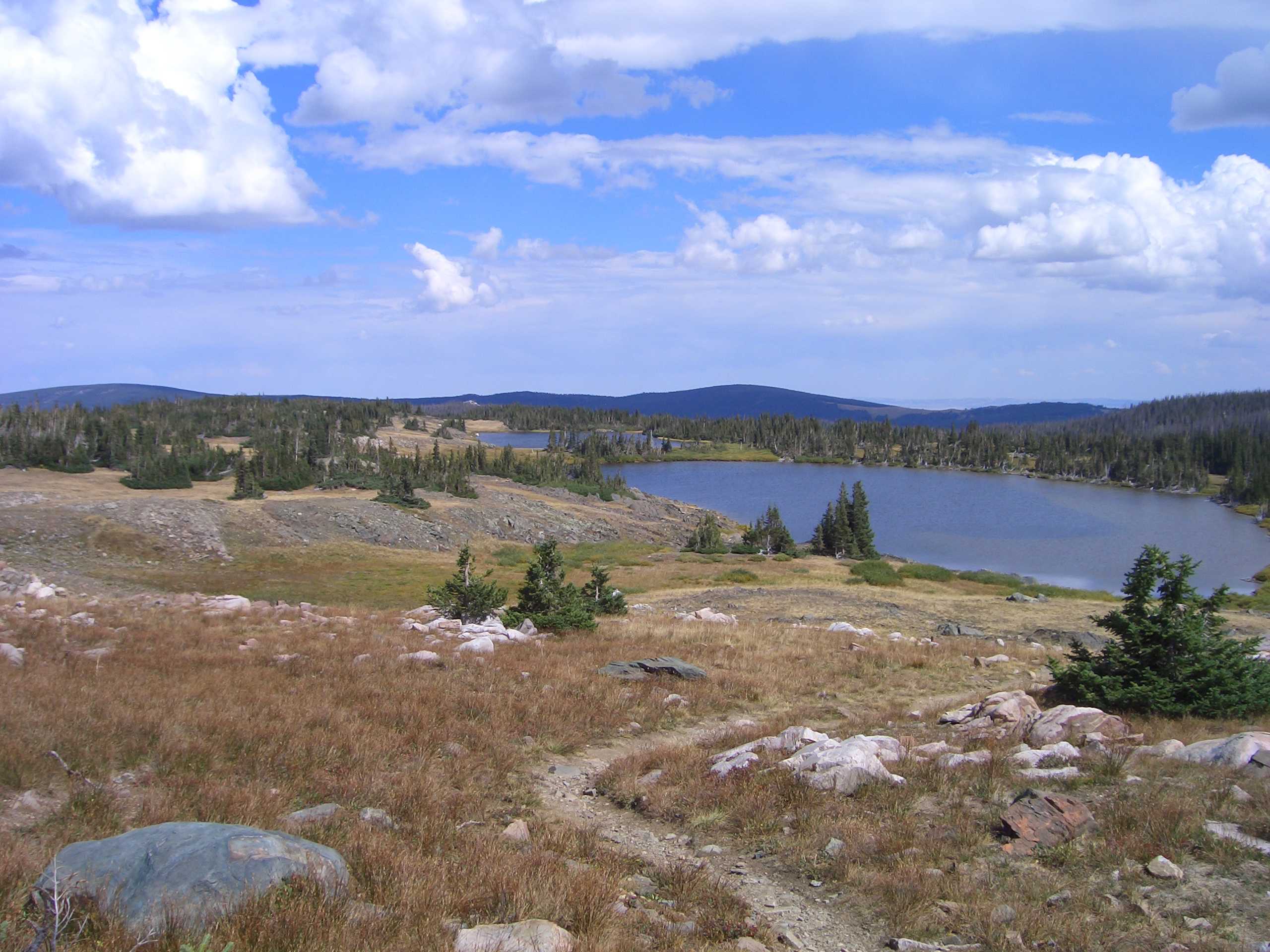
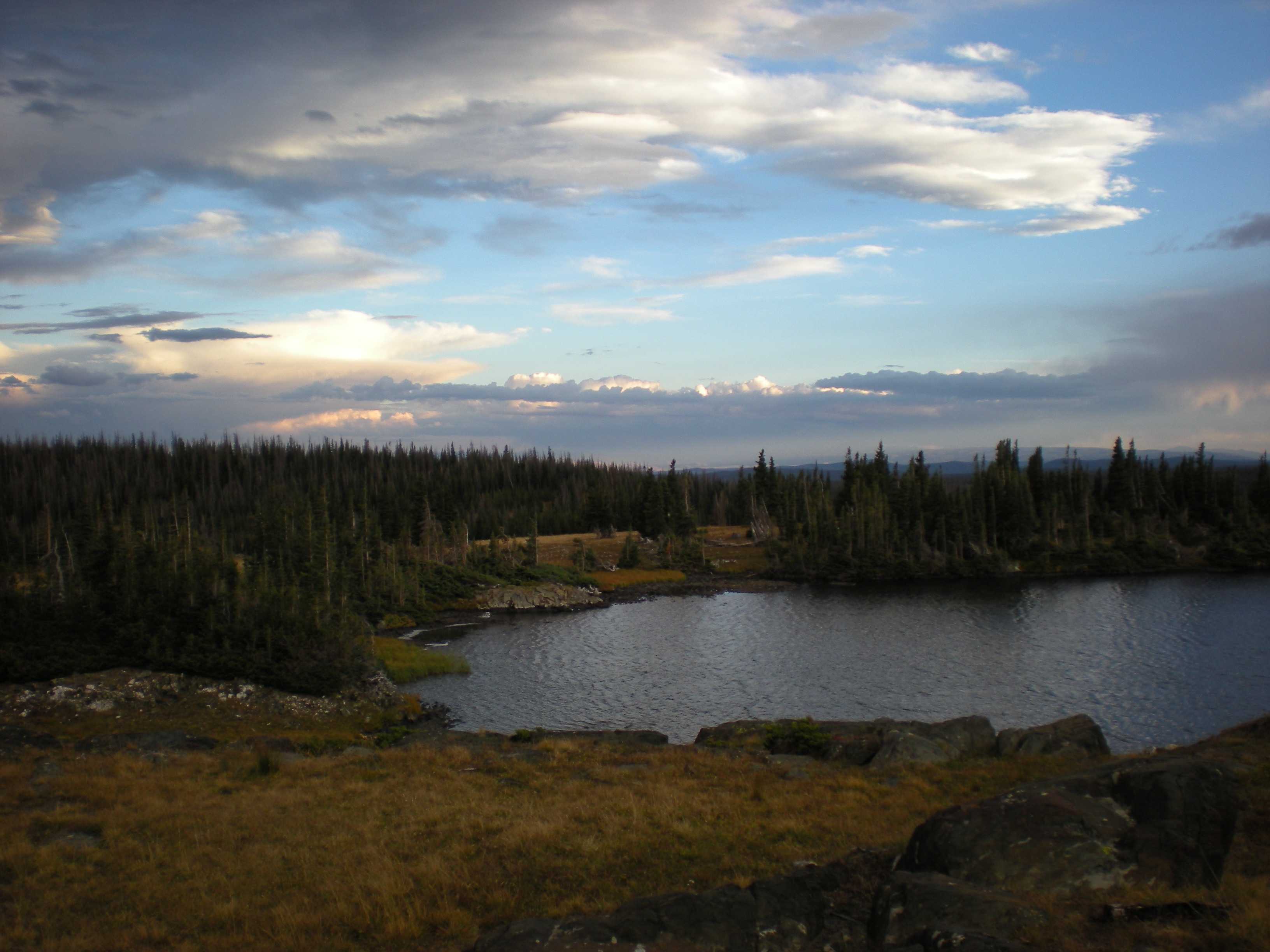
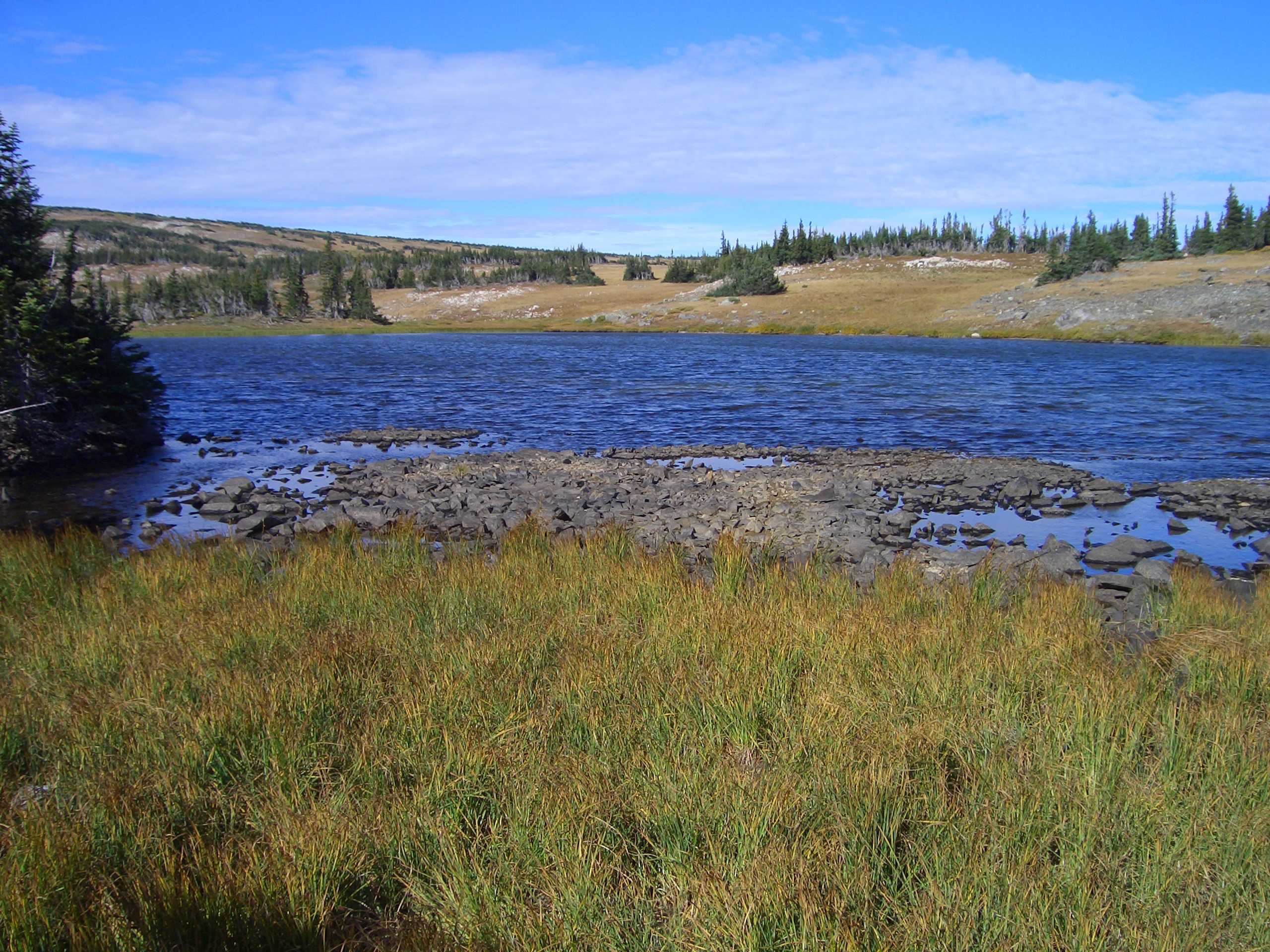
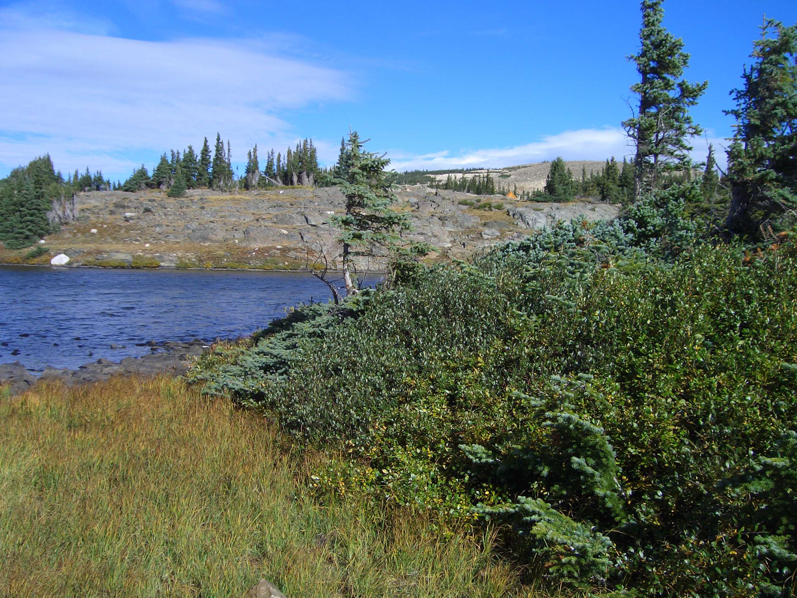
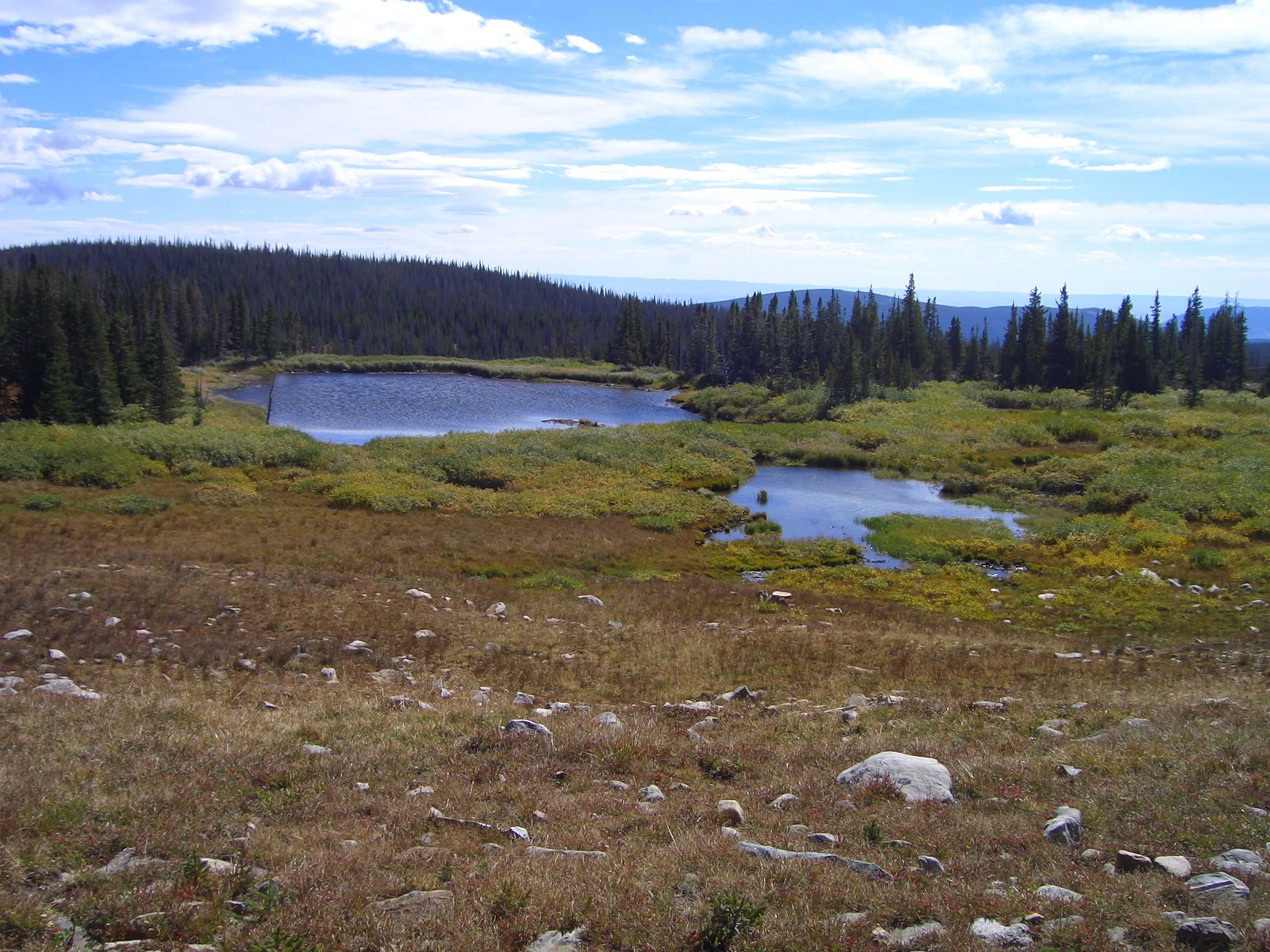
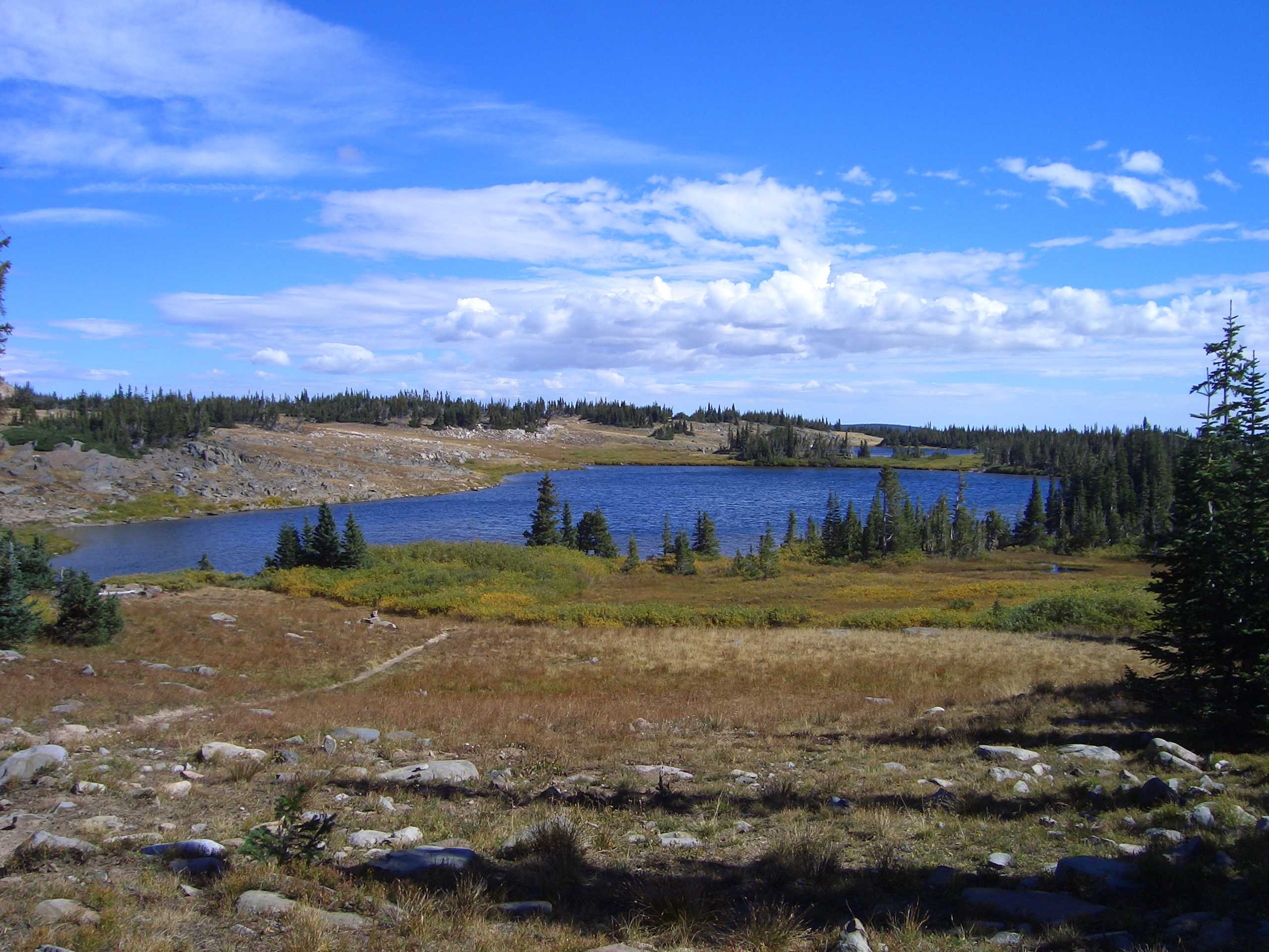
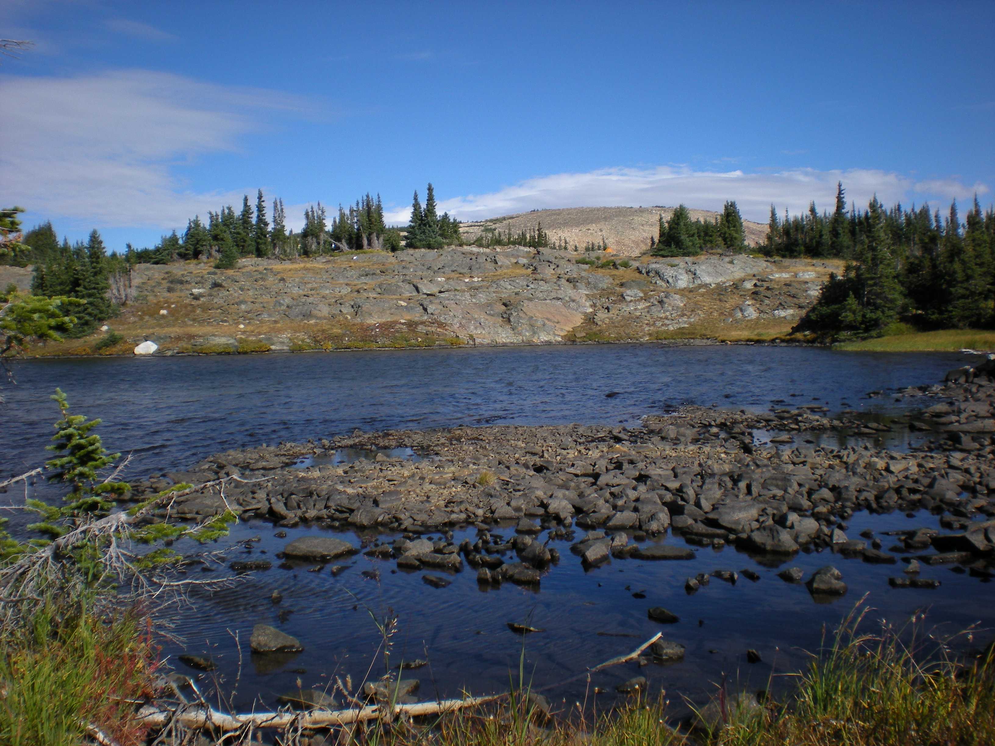
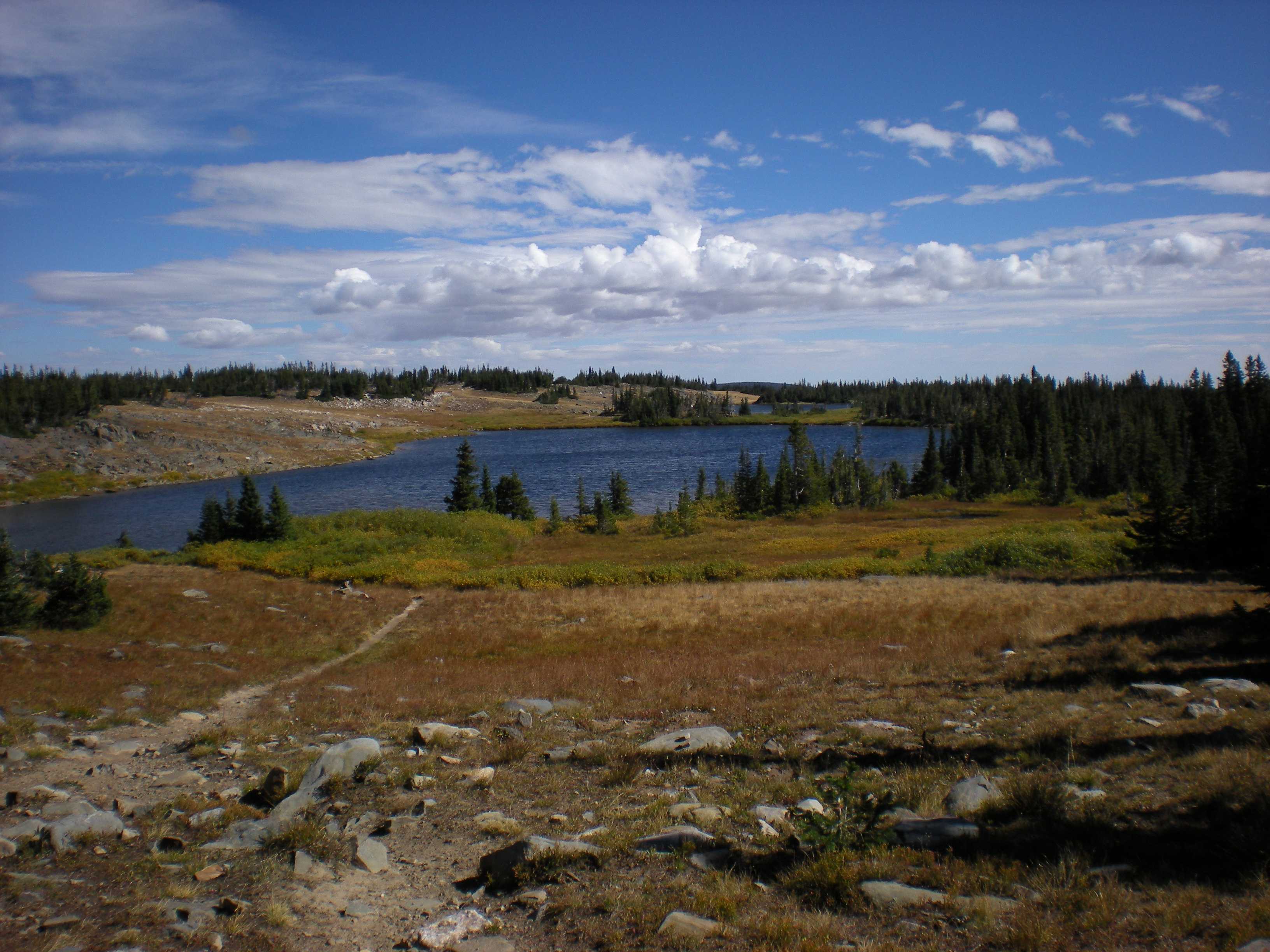
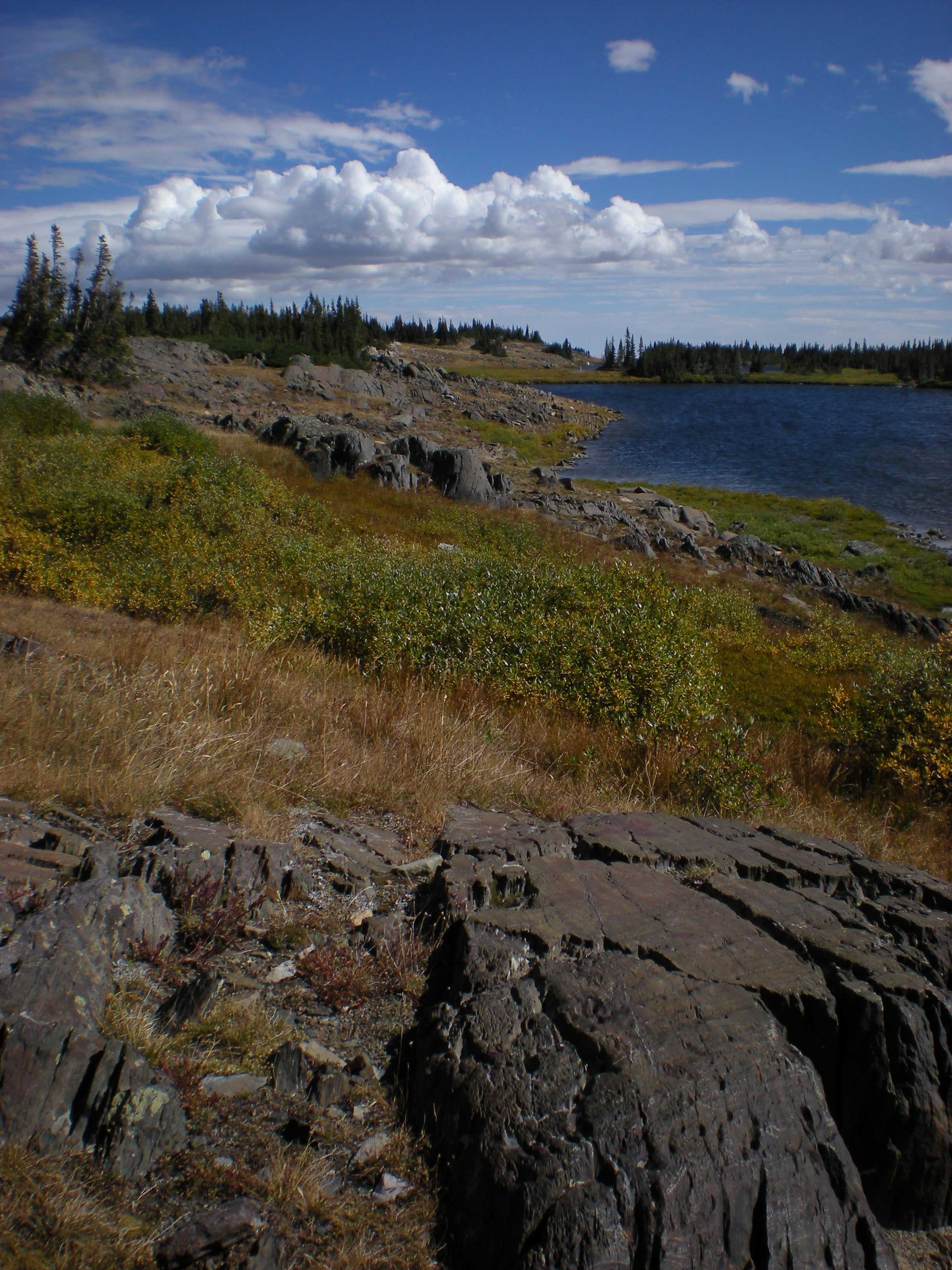
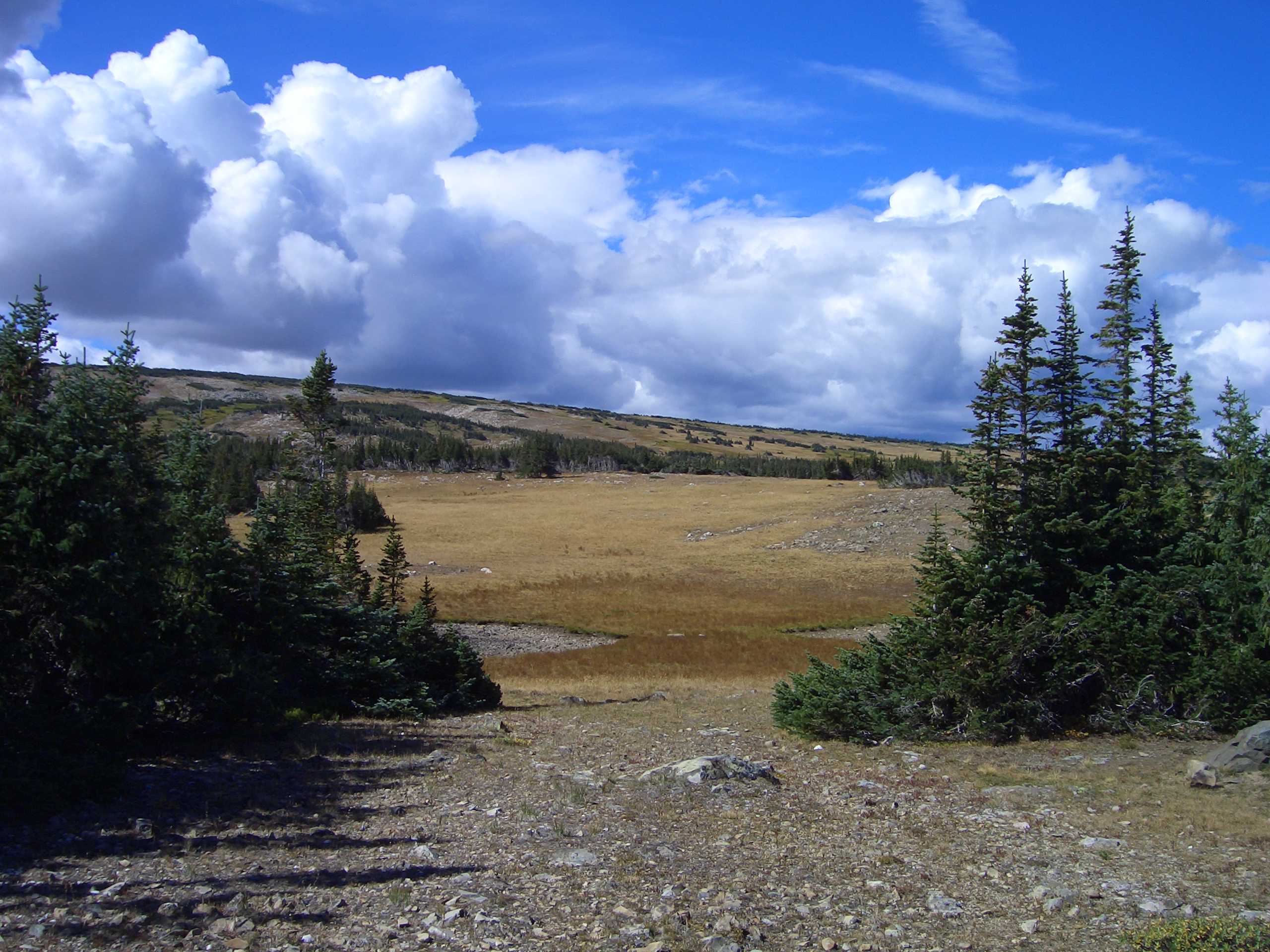
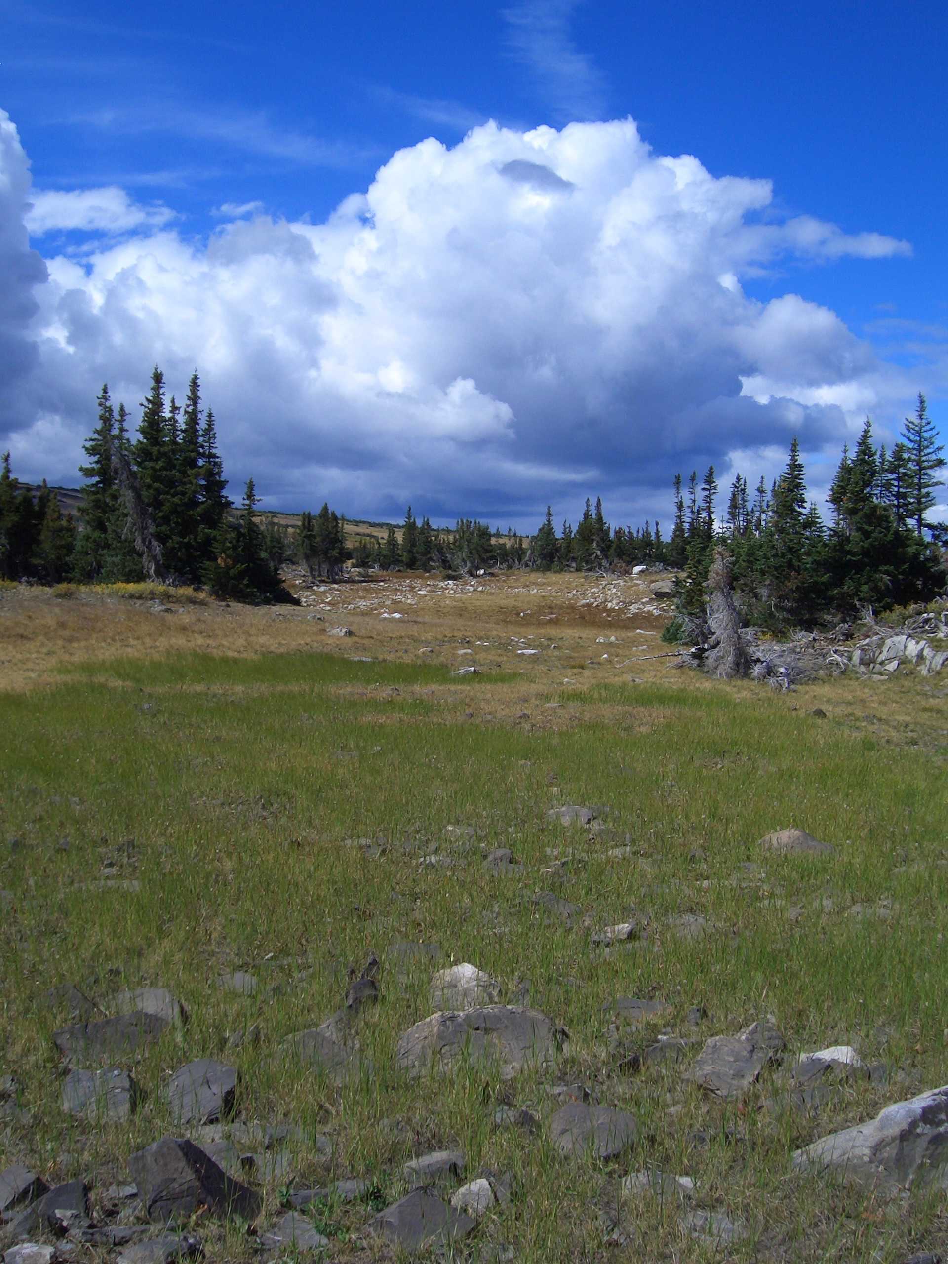
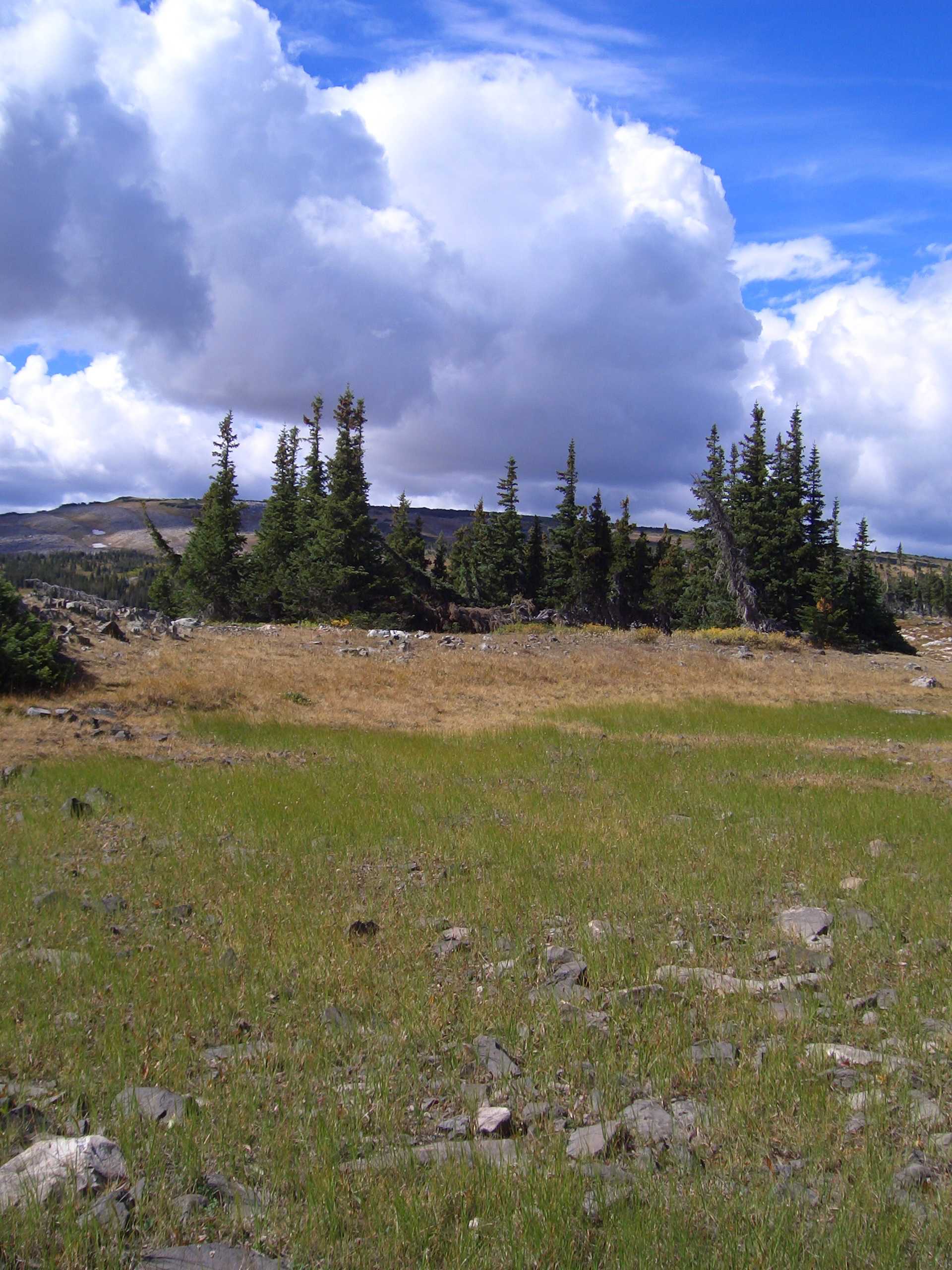
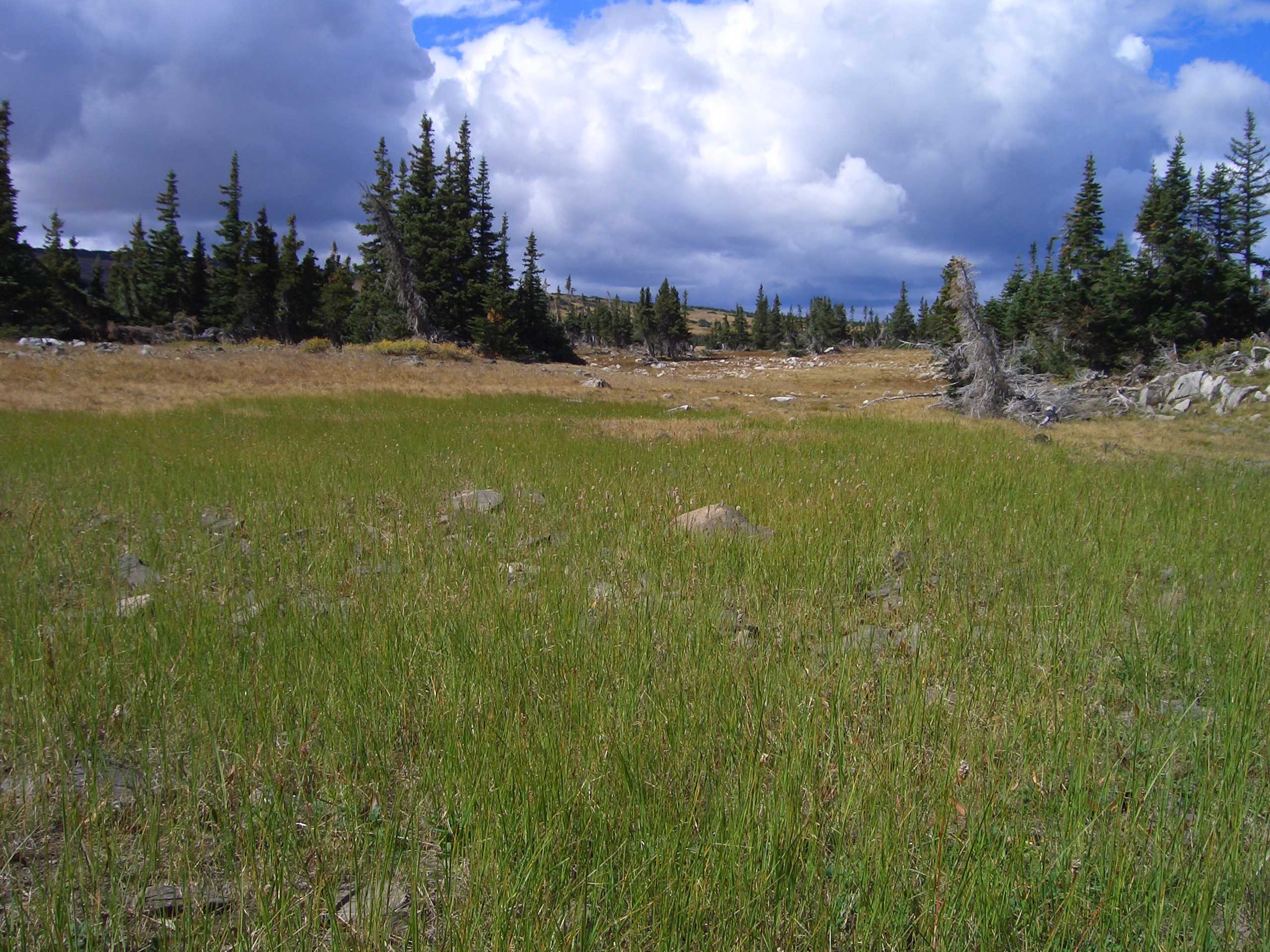
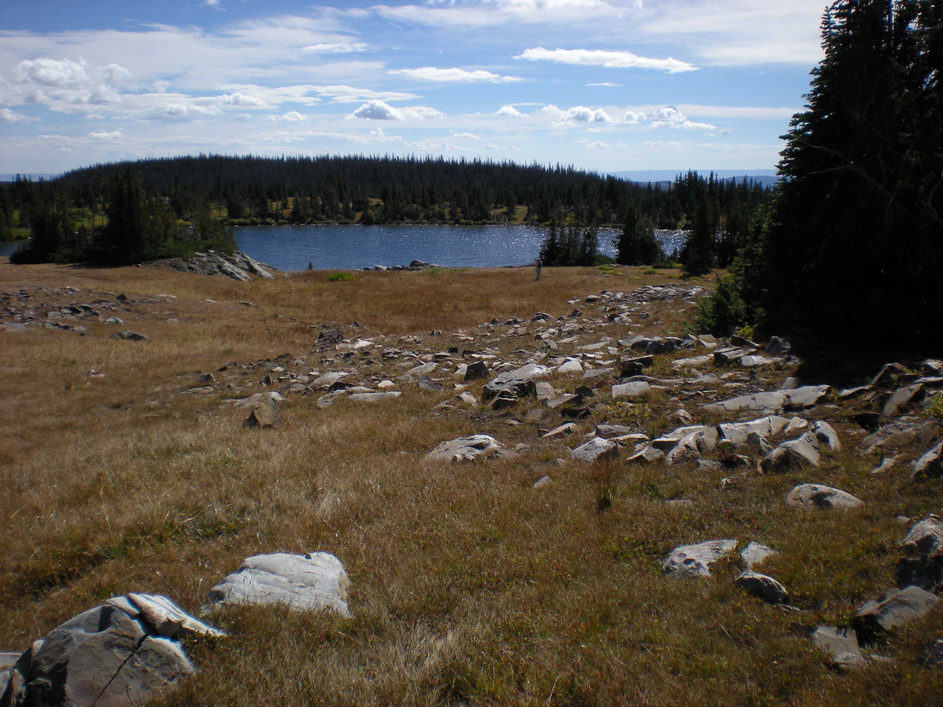
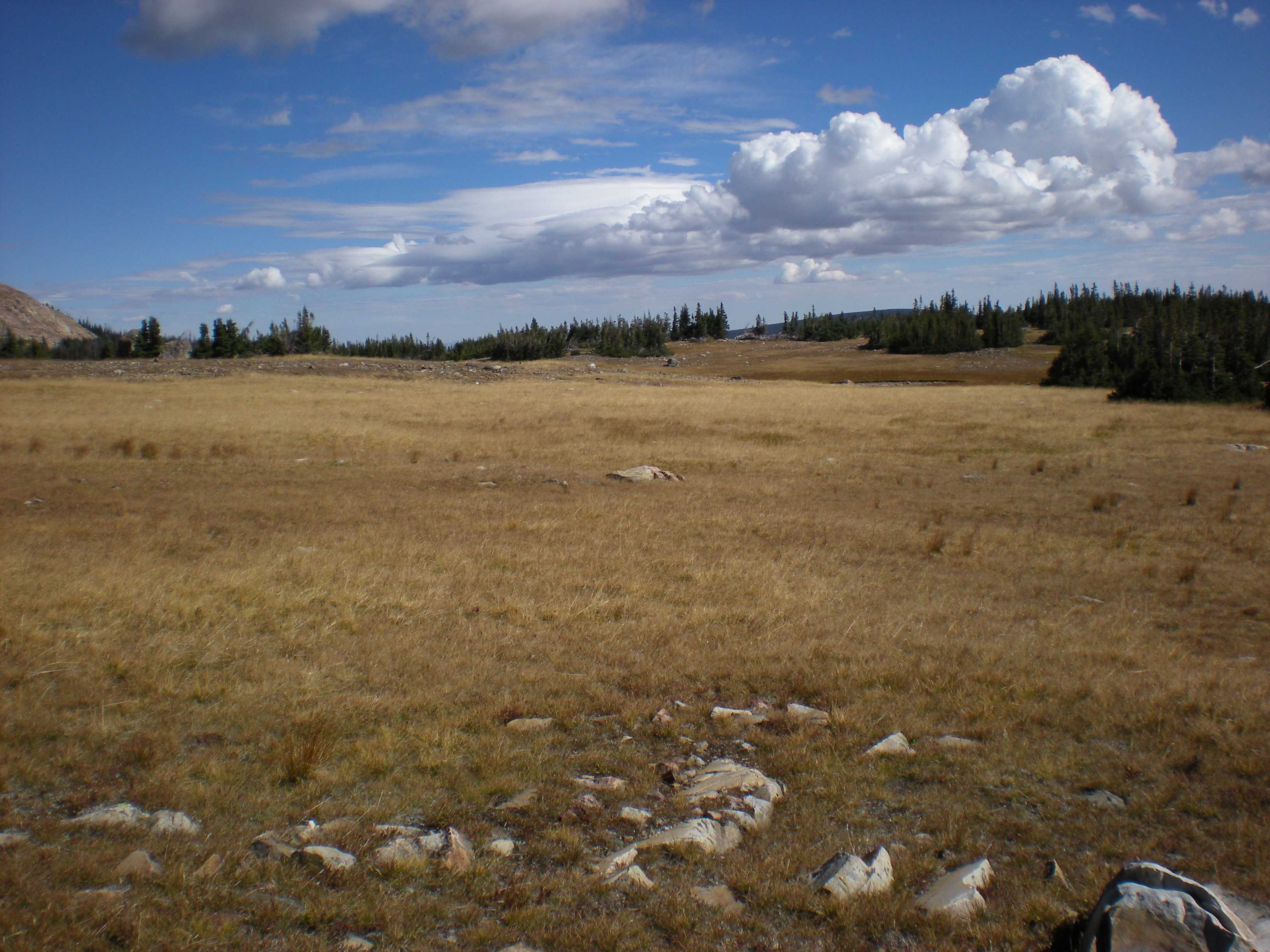
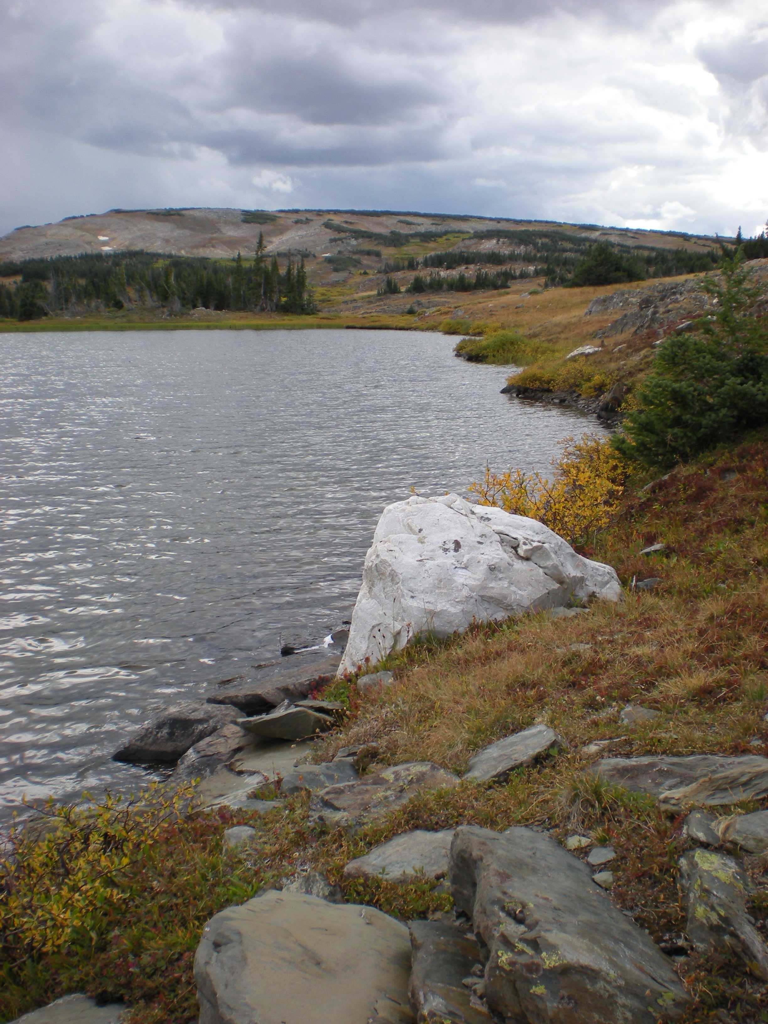
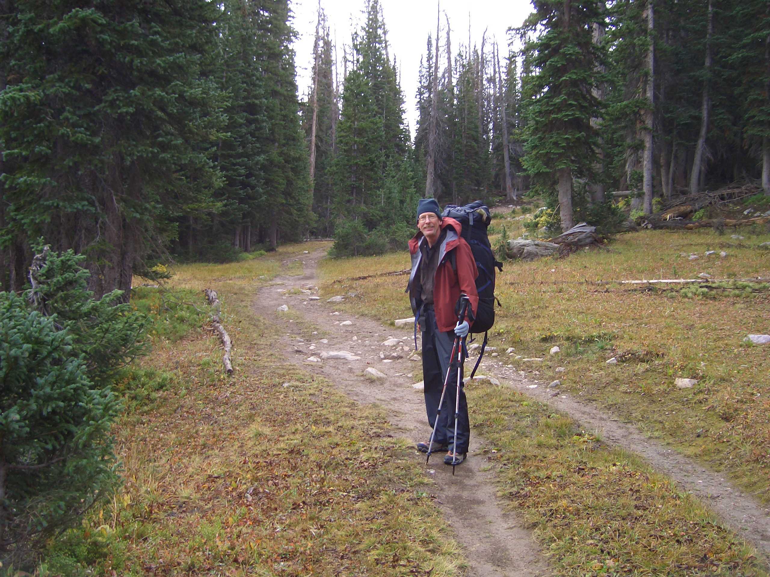
North Twin Lakes, Medicine Bow-Routt National Forest, Wyoming

September 11 to 15, 2017

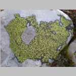
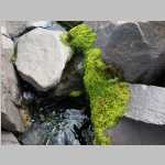
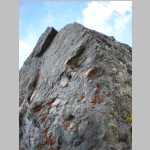
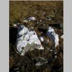
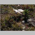
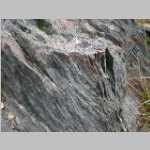
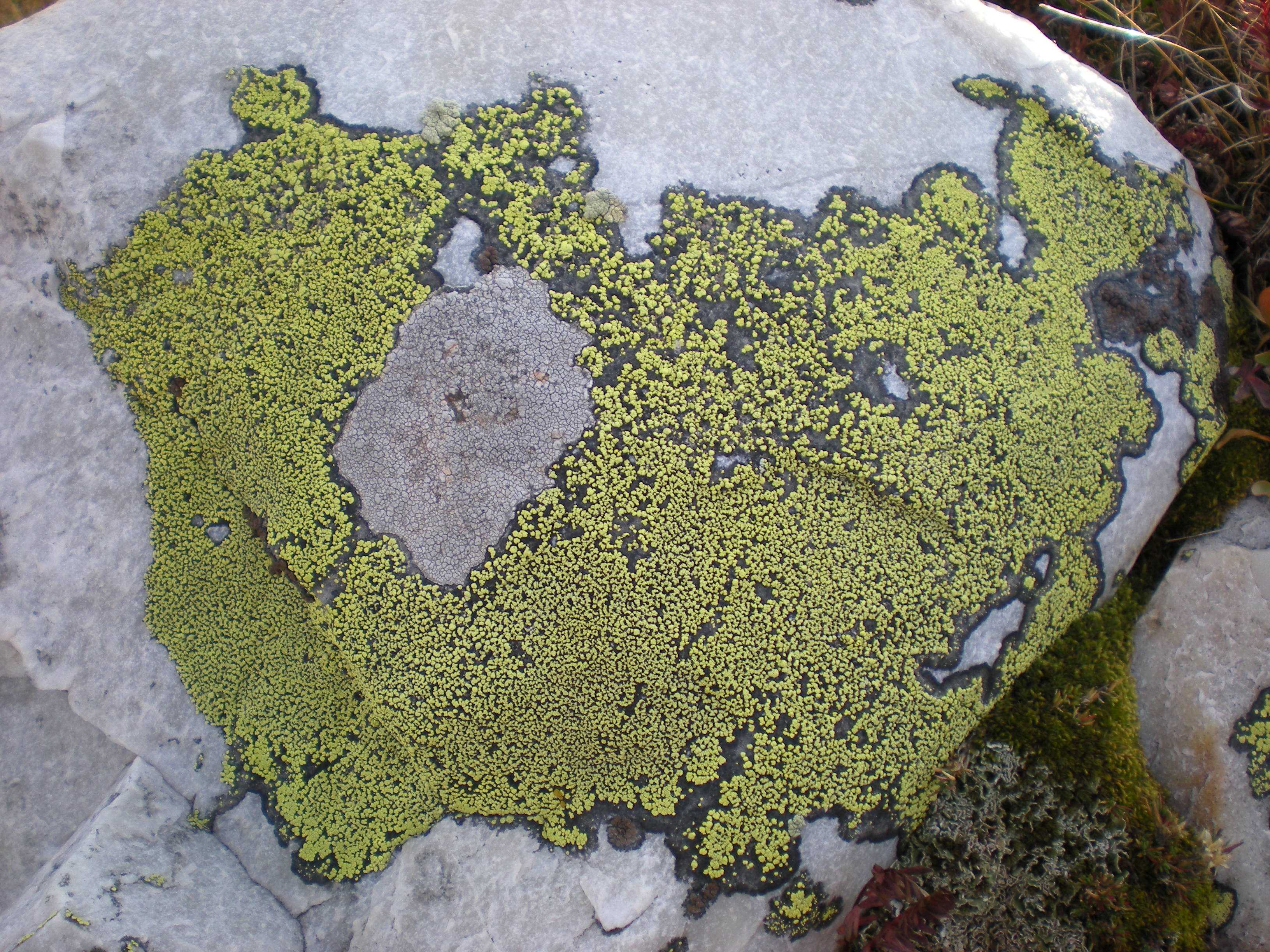
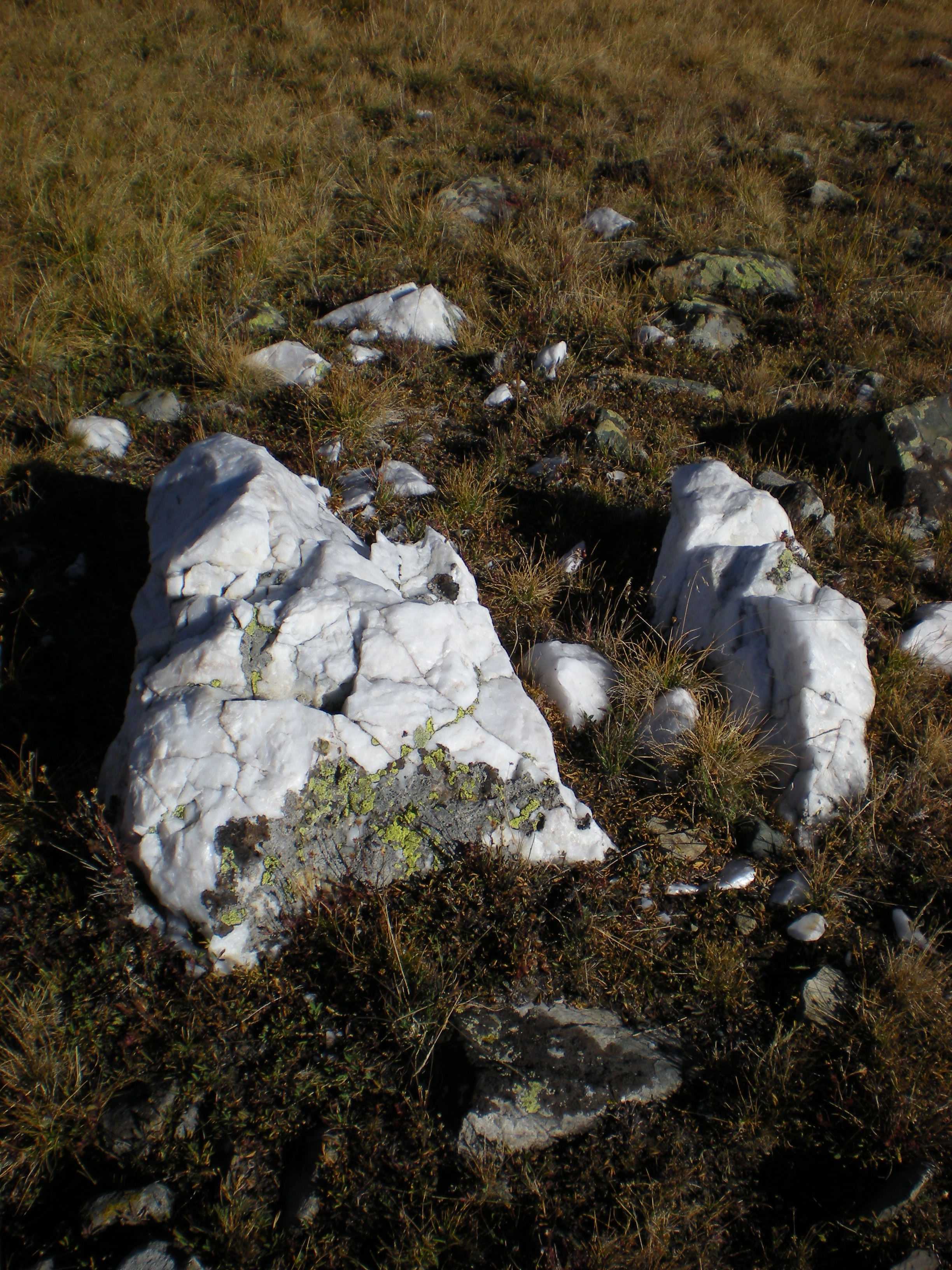
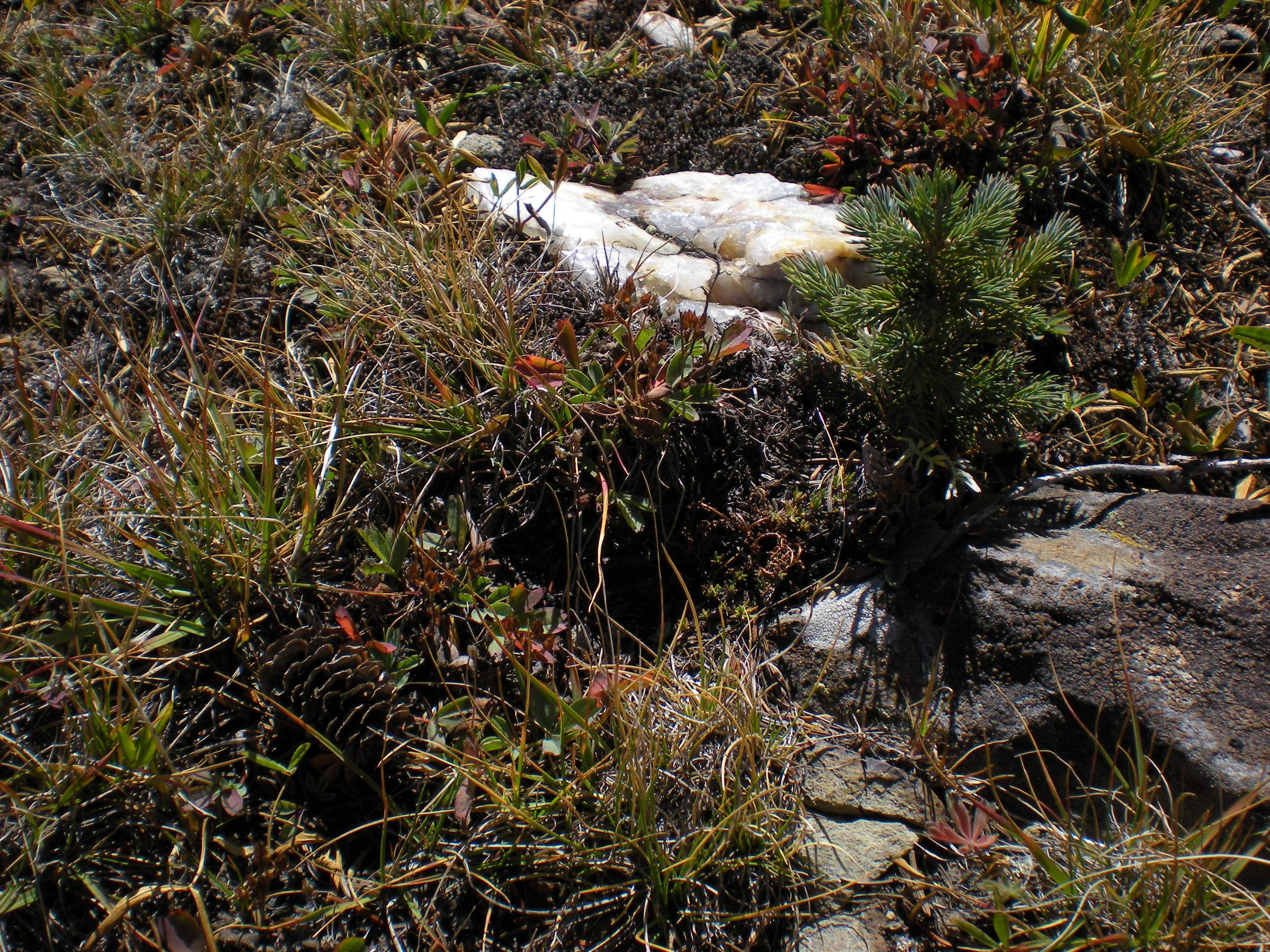
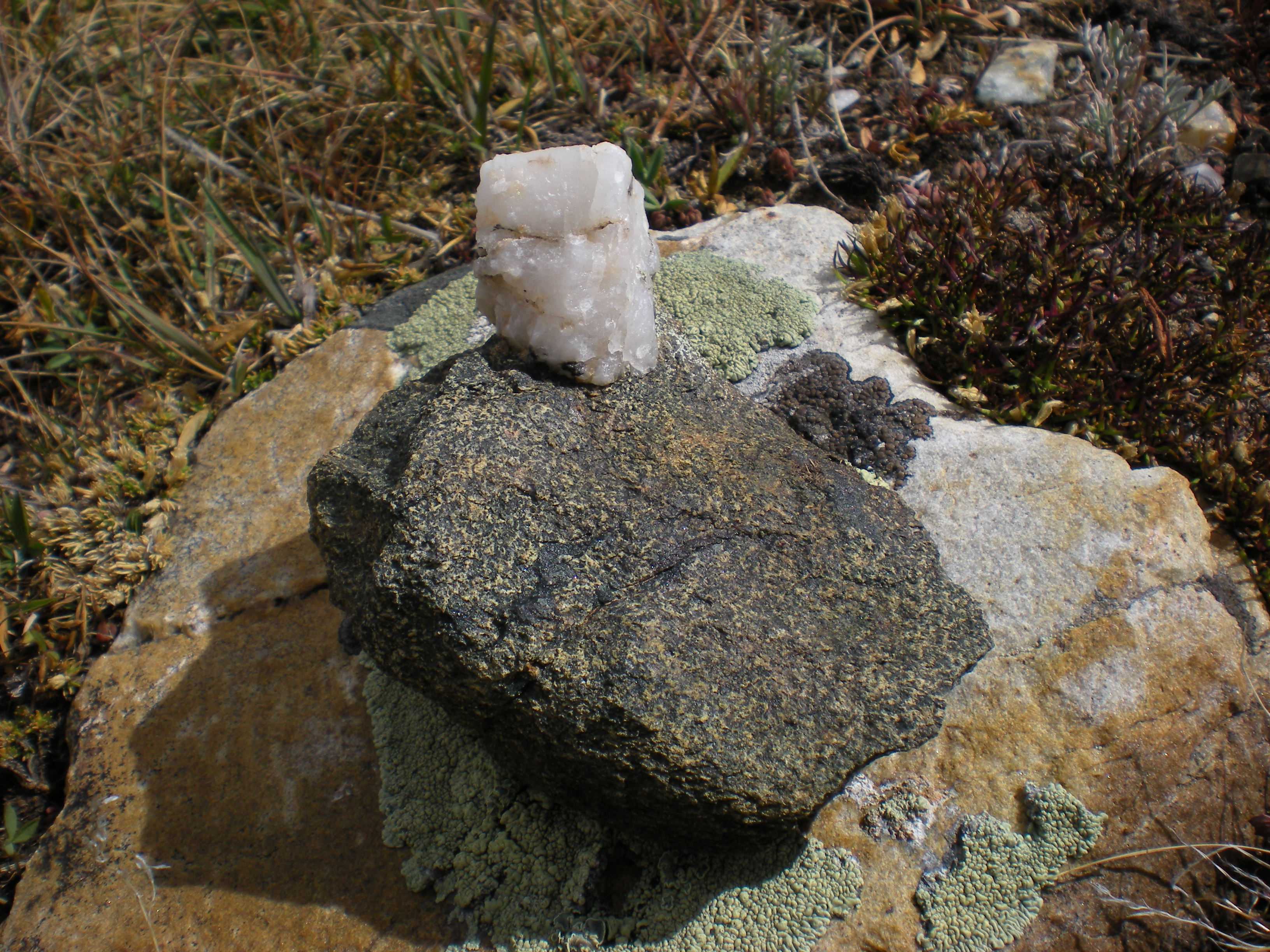
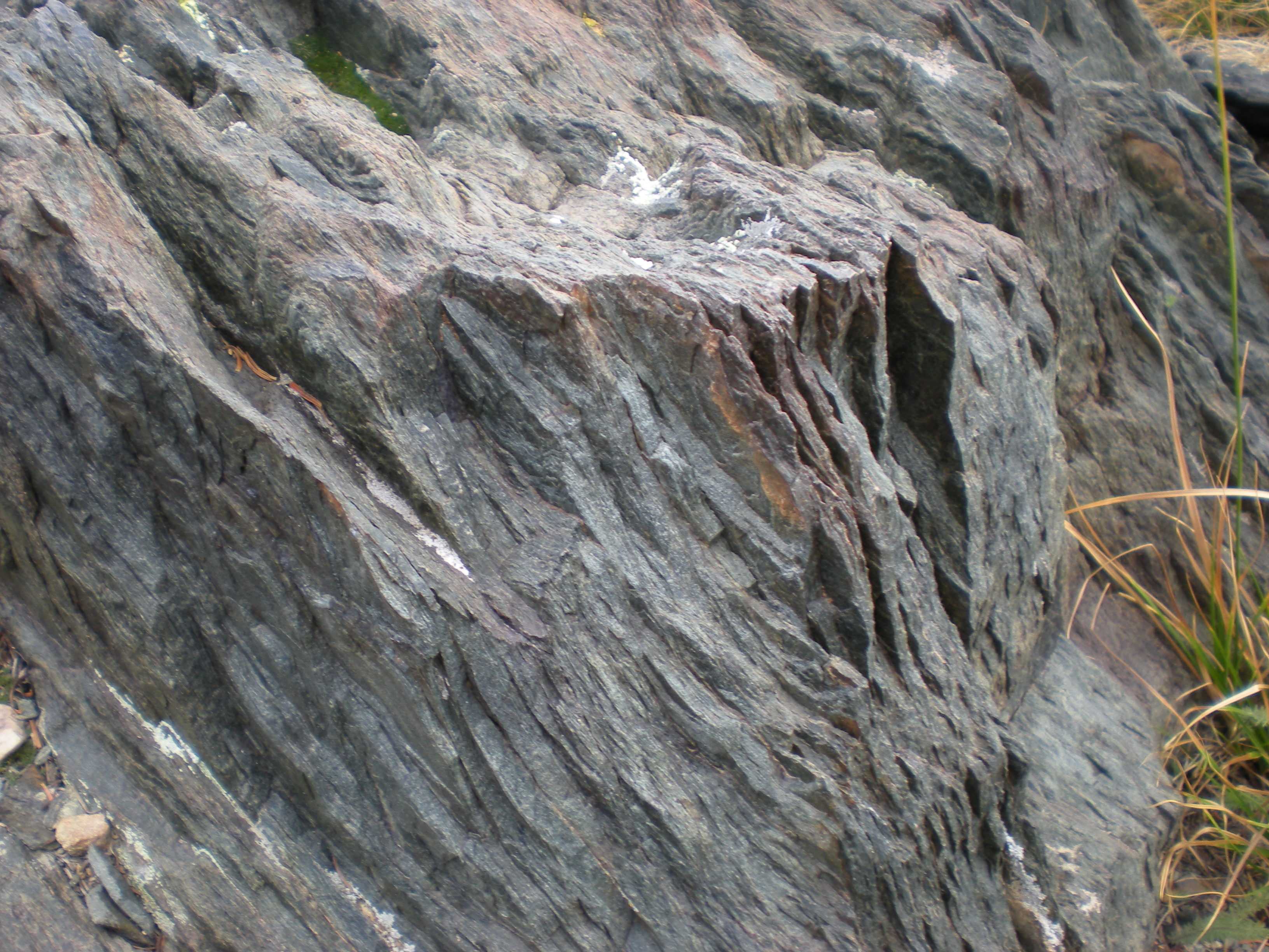
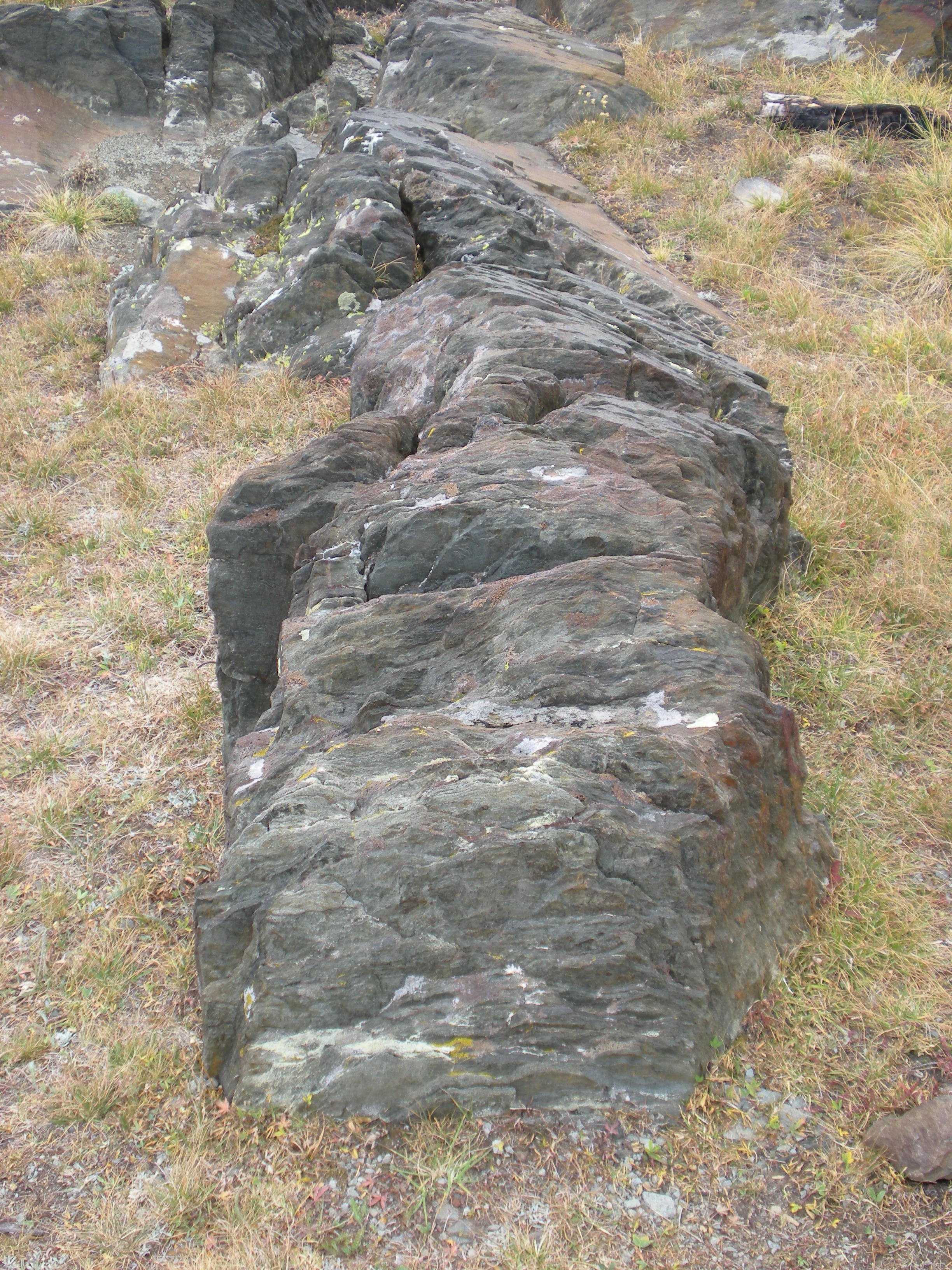
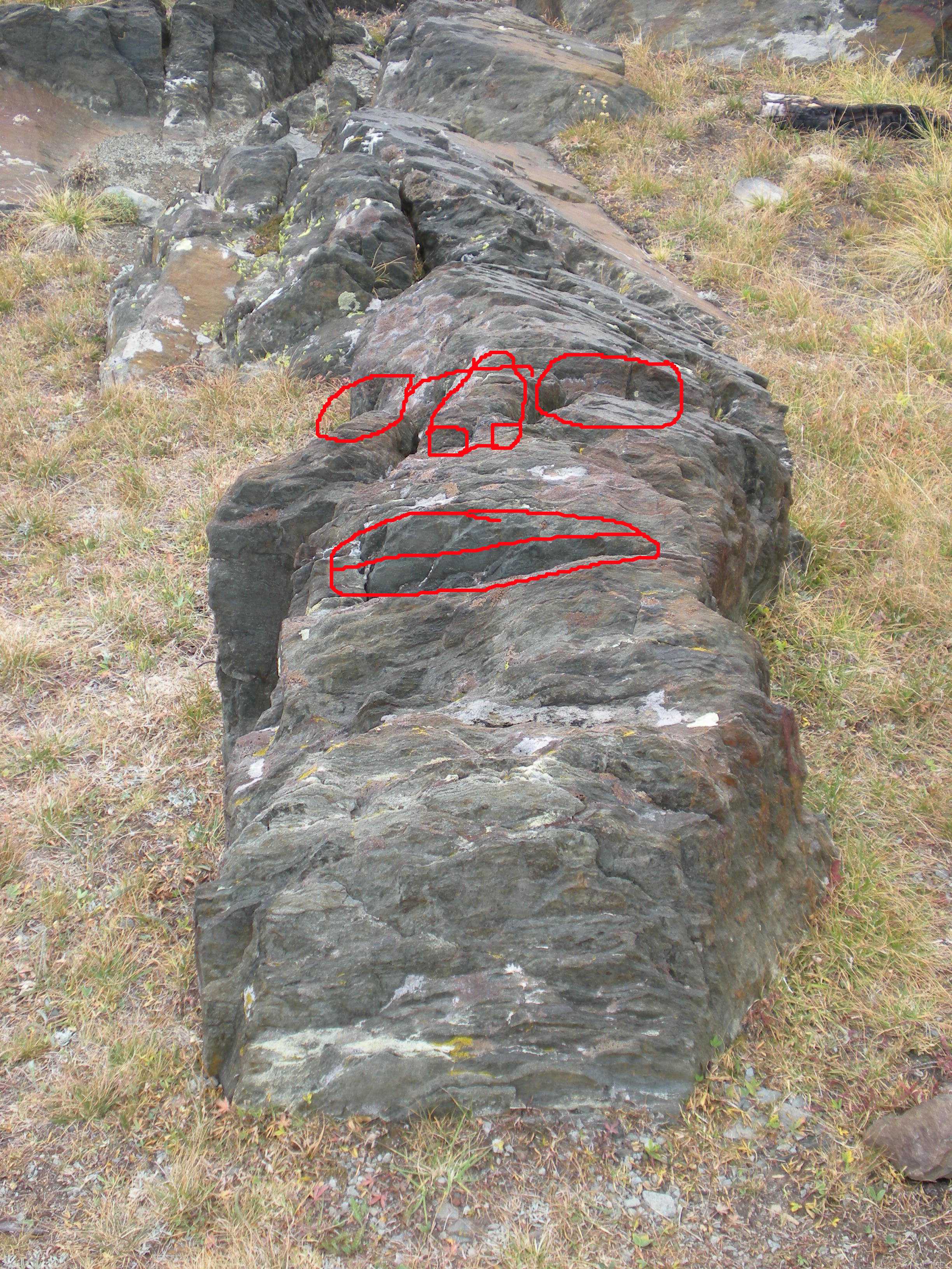
"There is one bed of a bright emerald green, about 60 feet thick ... "

Eliot Blackwelder, 1926

Hike Information

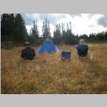
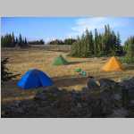
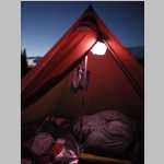
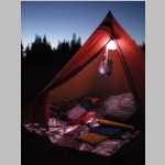
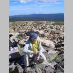
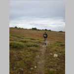
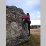
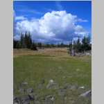
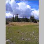
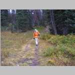
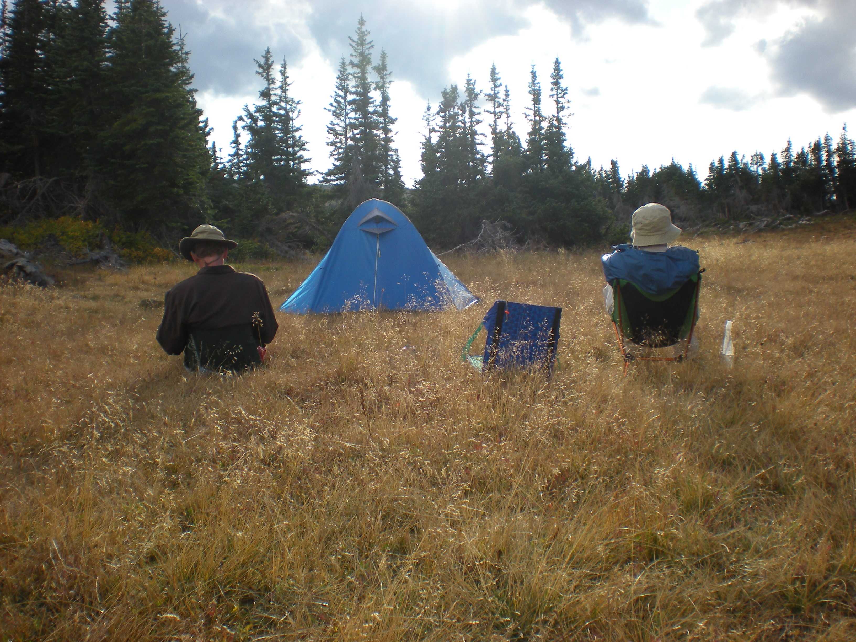
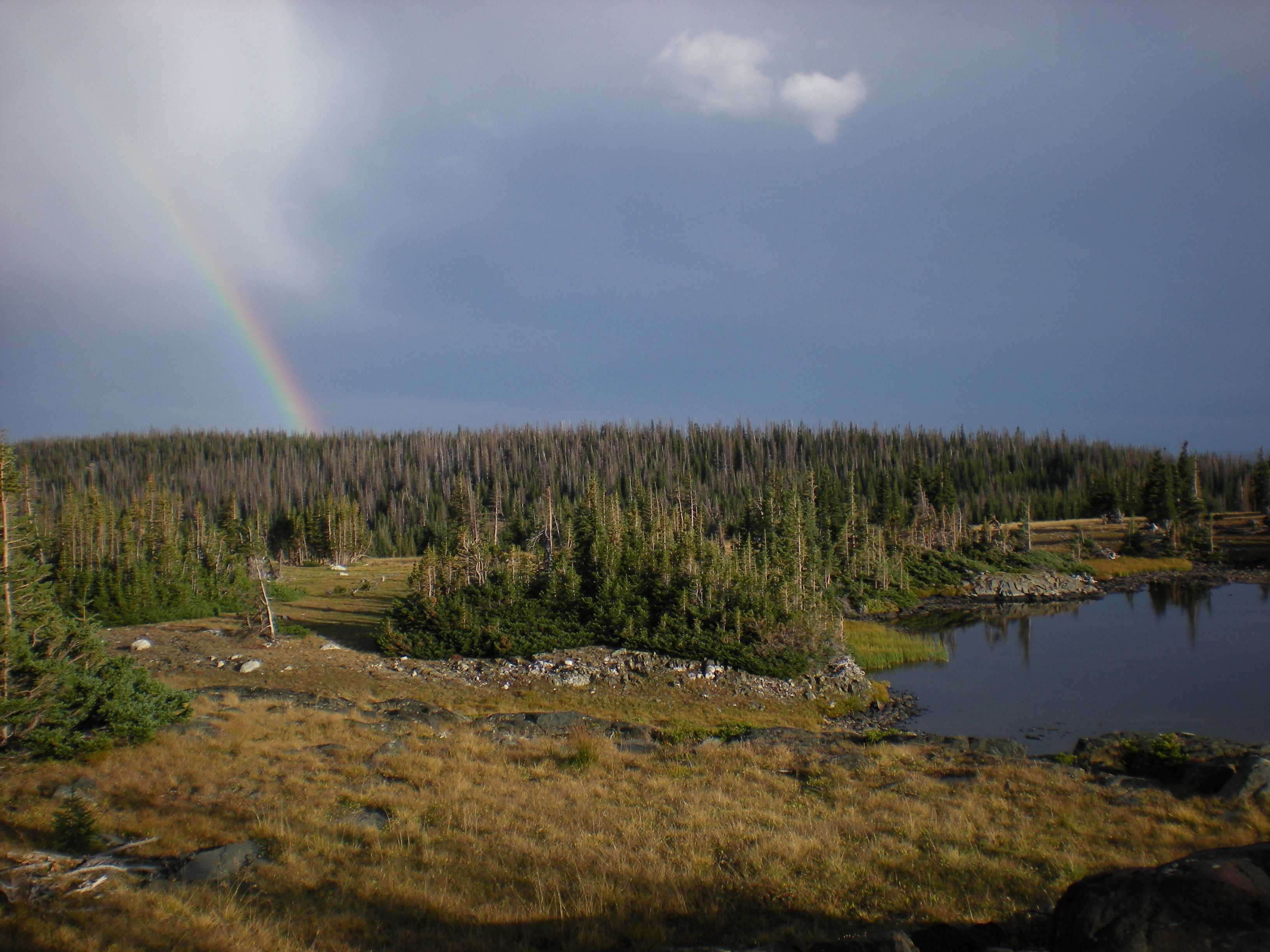
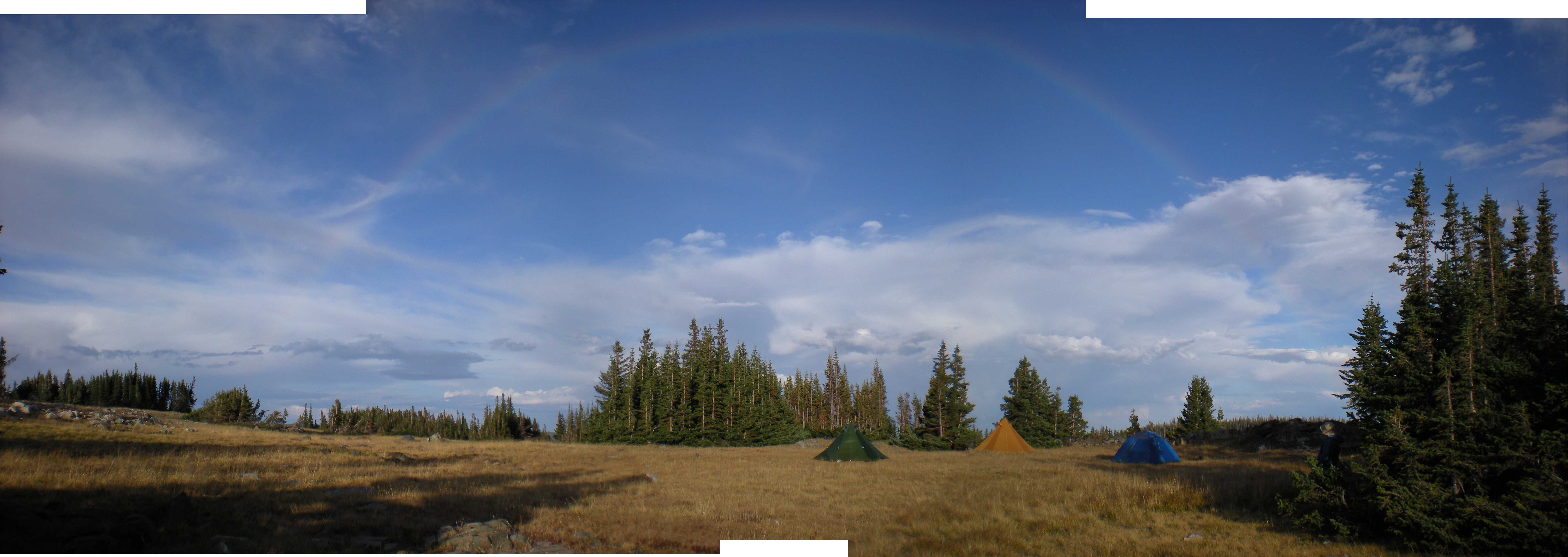
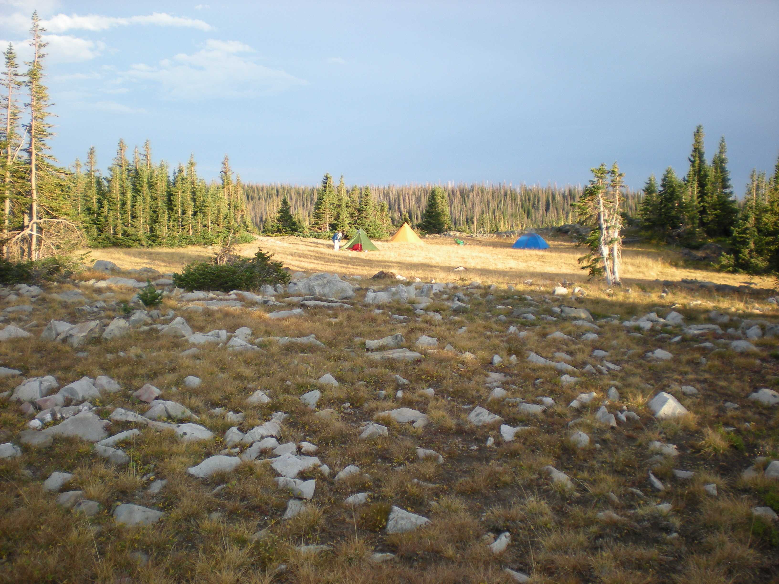
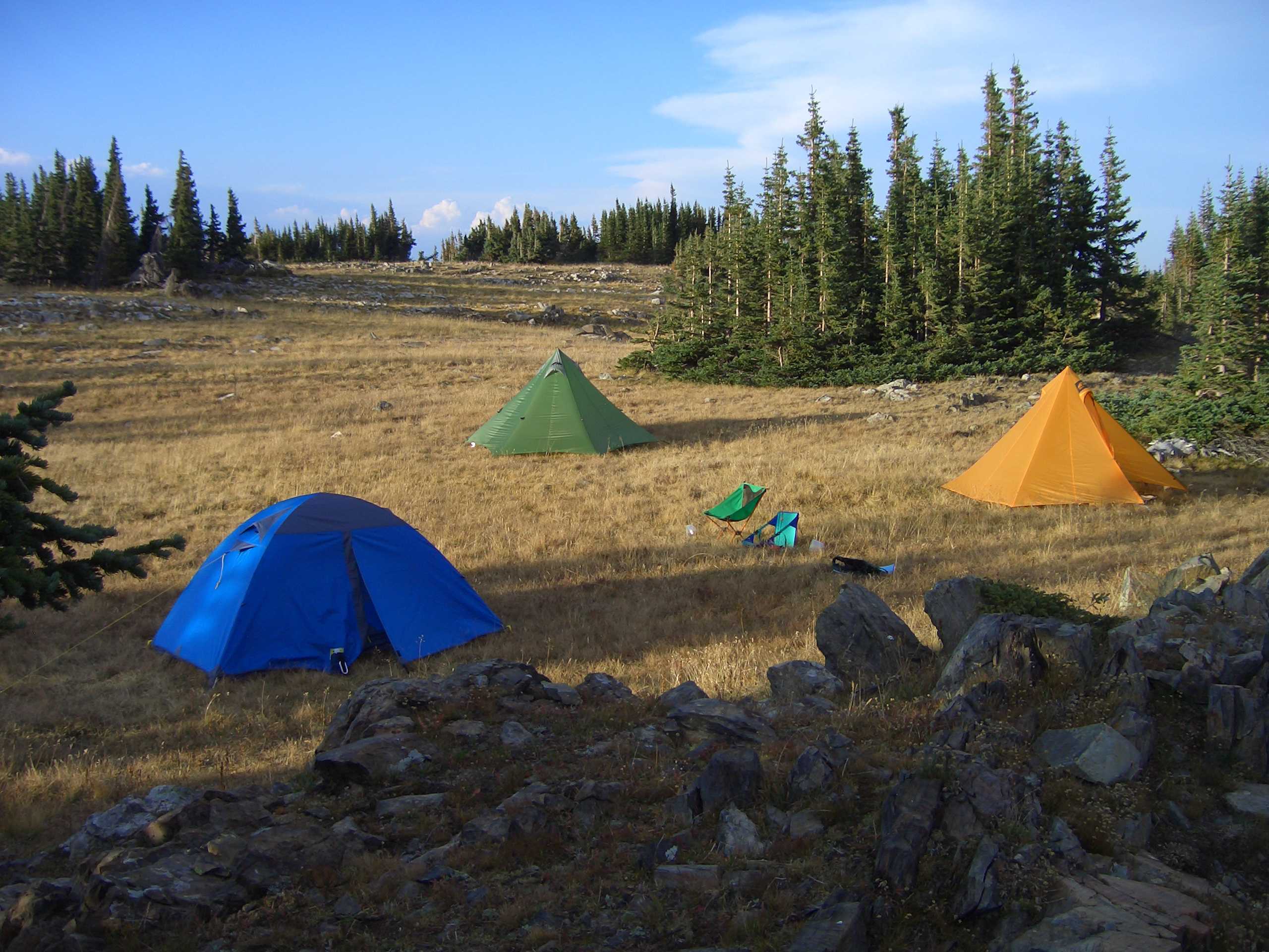
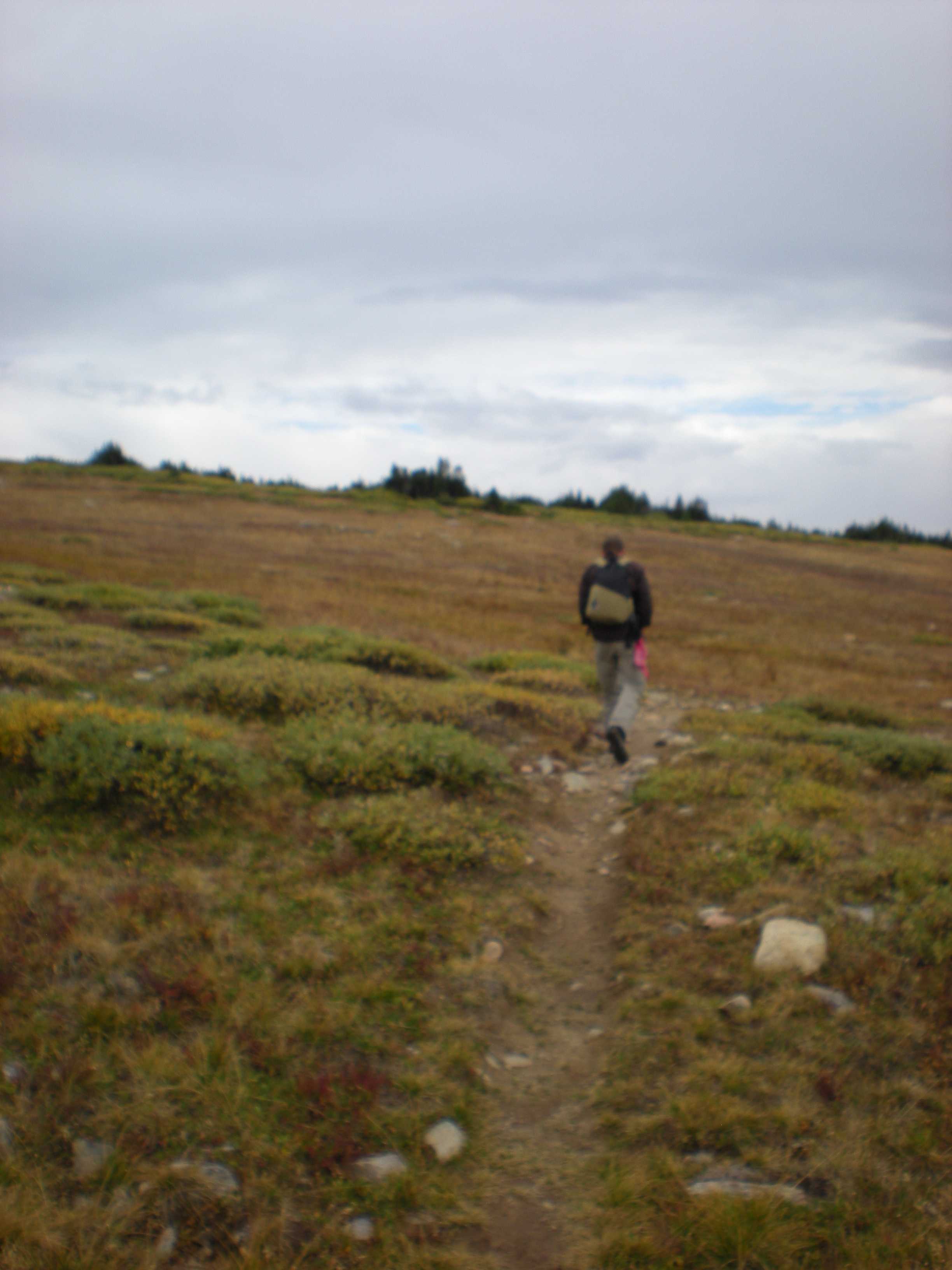
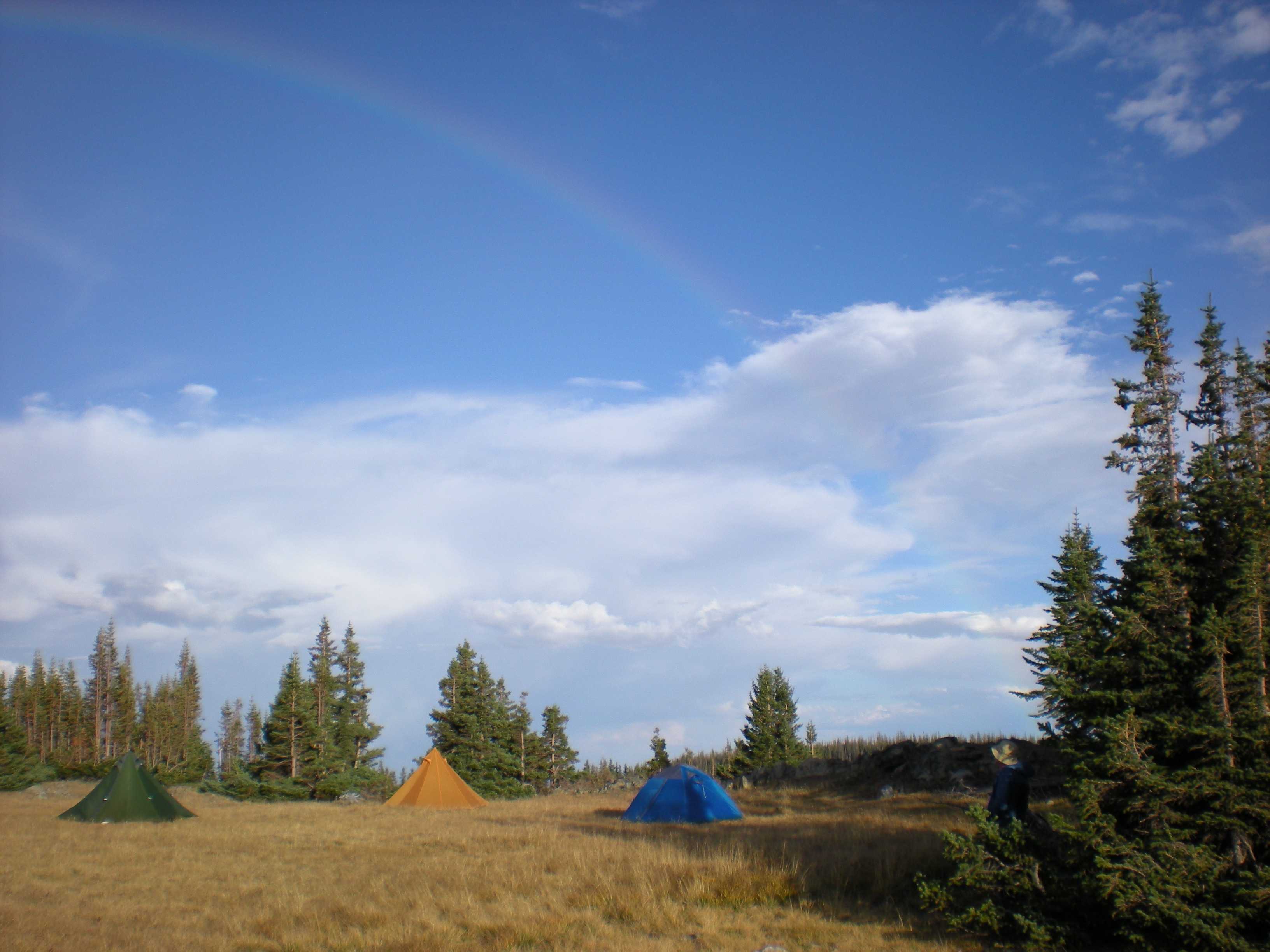
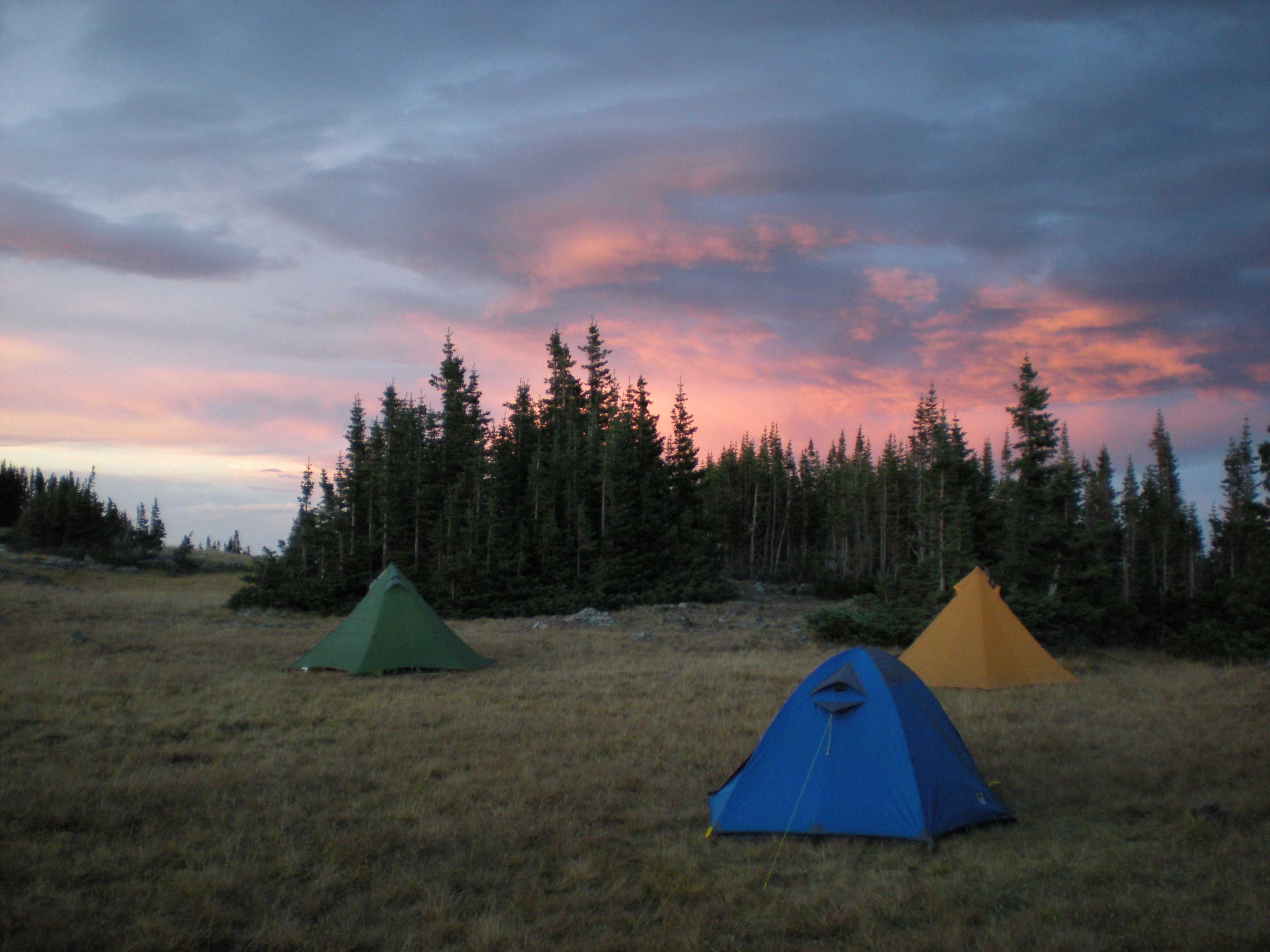
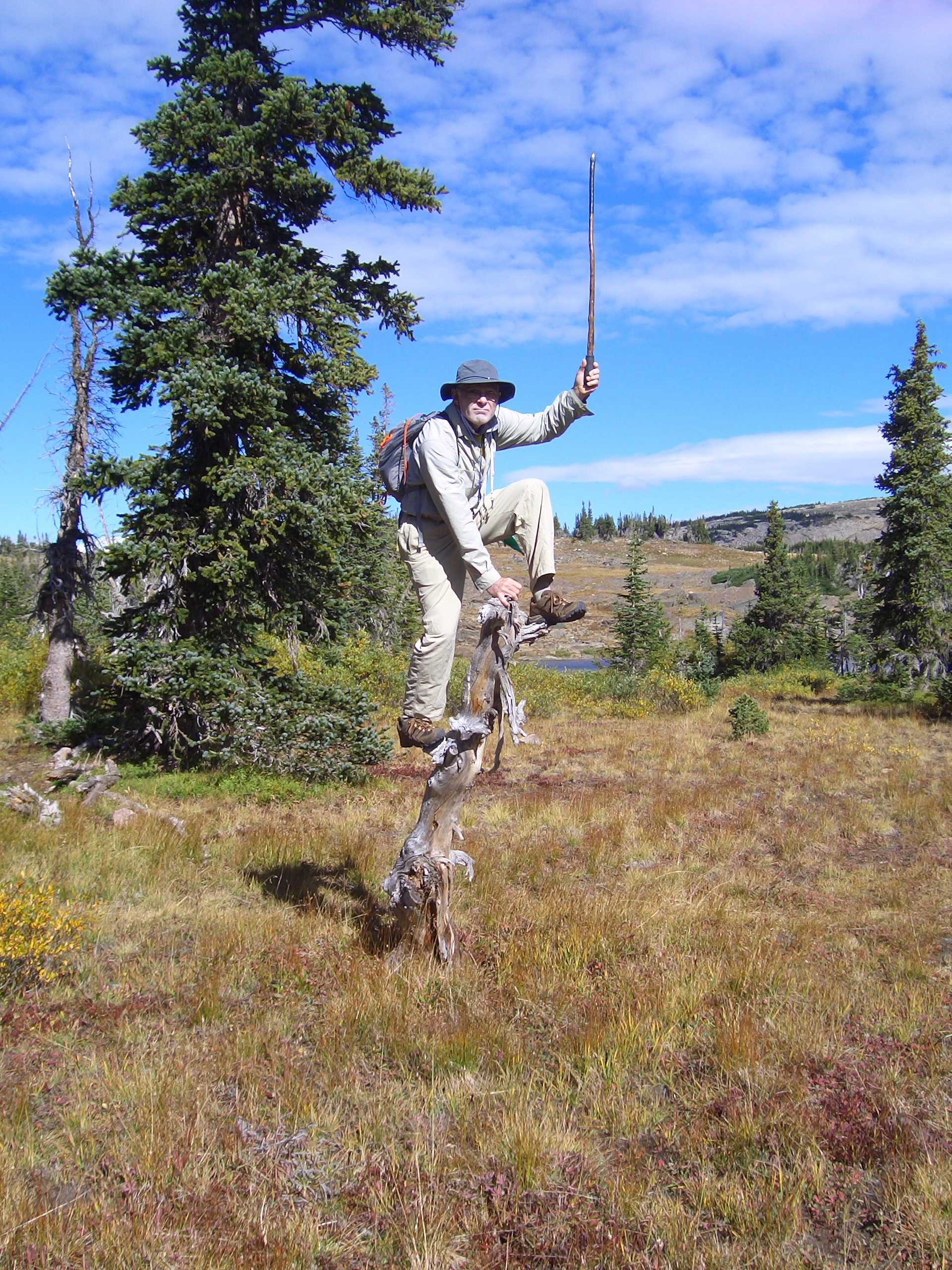
Need to finish, hike in, left spoon, nice climb to knoll, dayhikes and roaming, headed out early cuz of storm

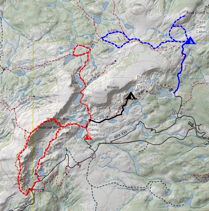
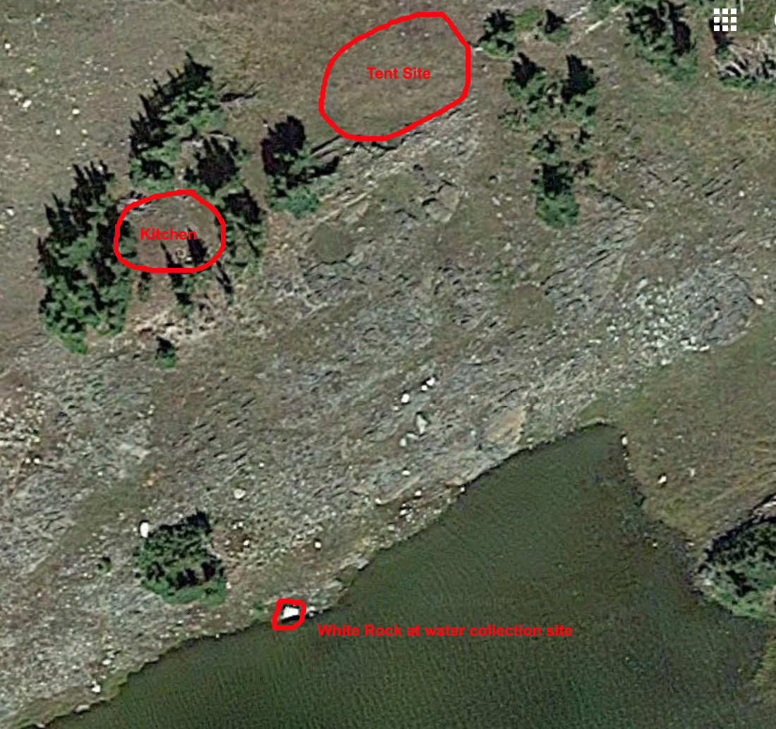
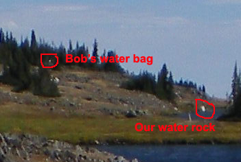
This map shows three hikes in this area of the Snowy Range - North Twin Lakes (2017), in black Lost Lake 2008, Sugarloaf Campground (2006).

Sugerloaf

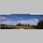
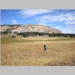
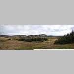
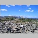
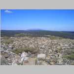
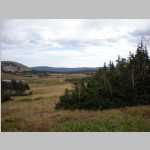
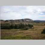
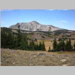
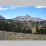
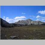
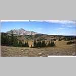
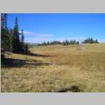
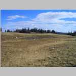
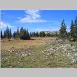
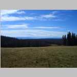
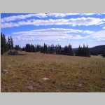
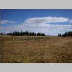
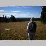
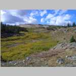
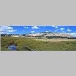
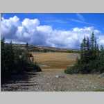
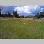
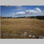
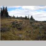
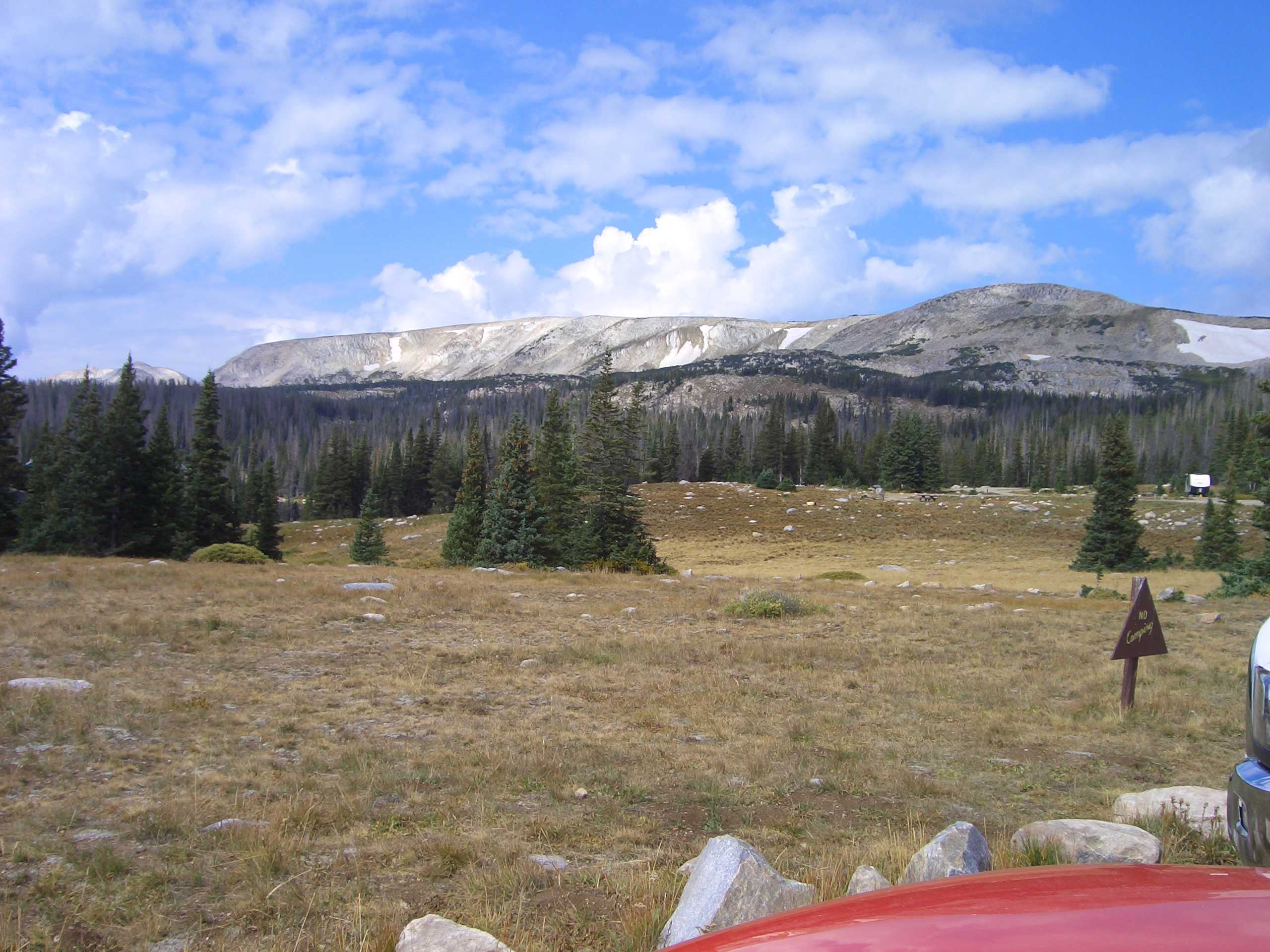
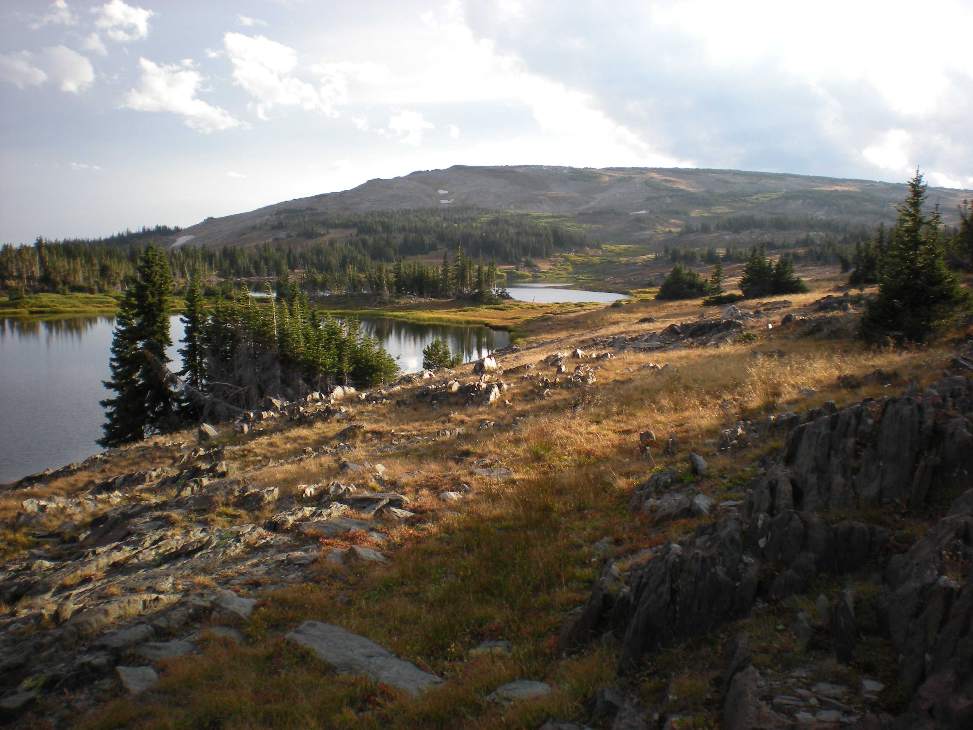
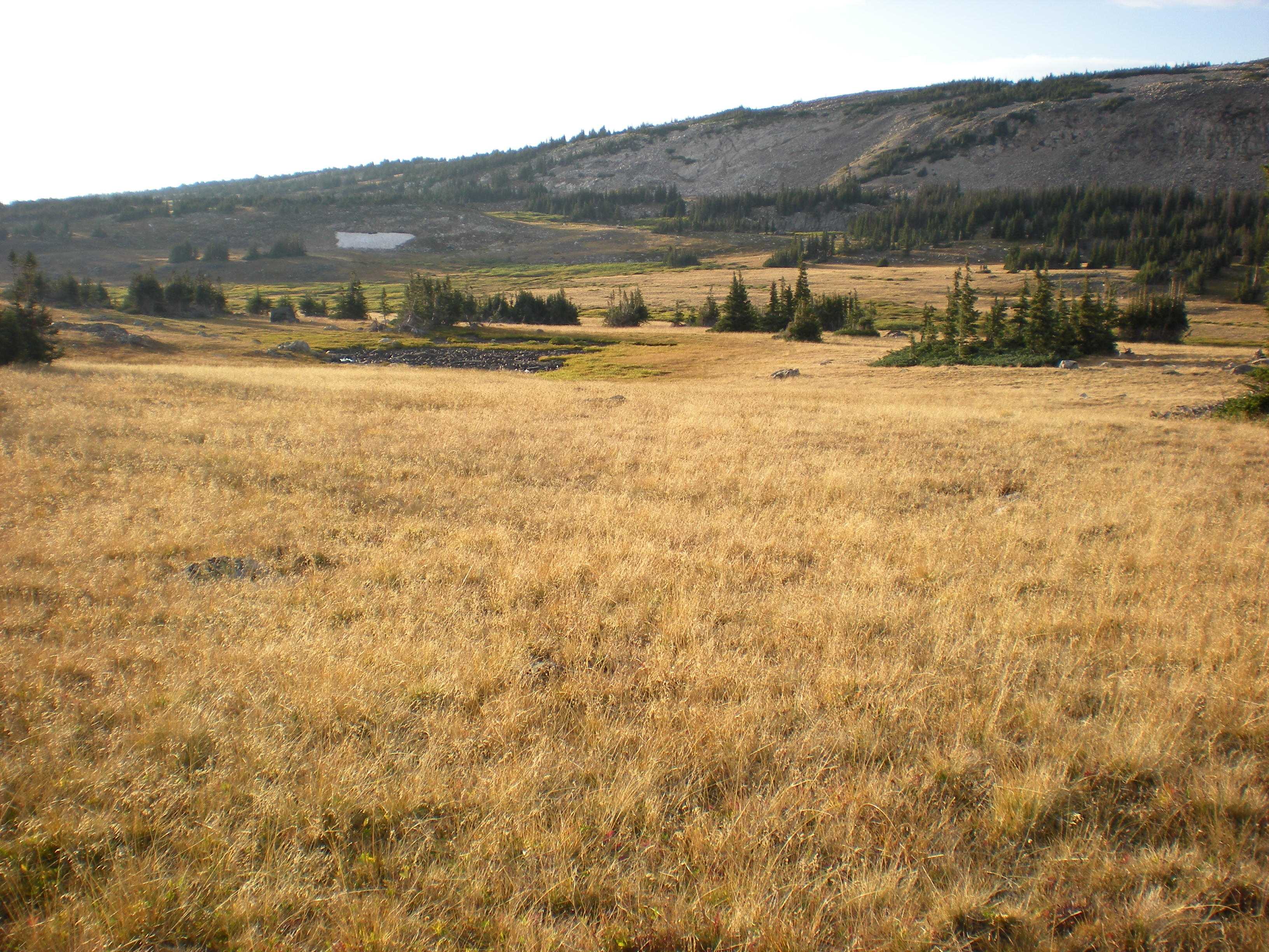
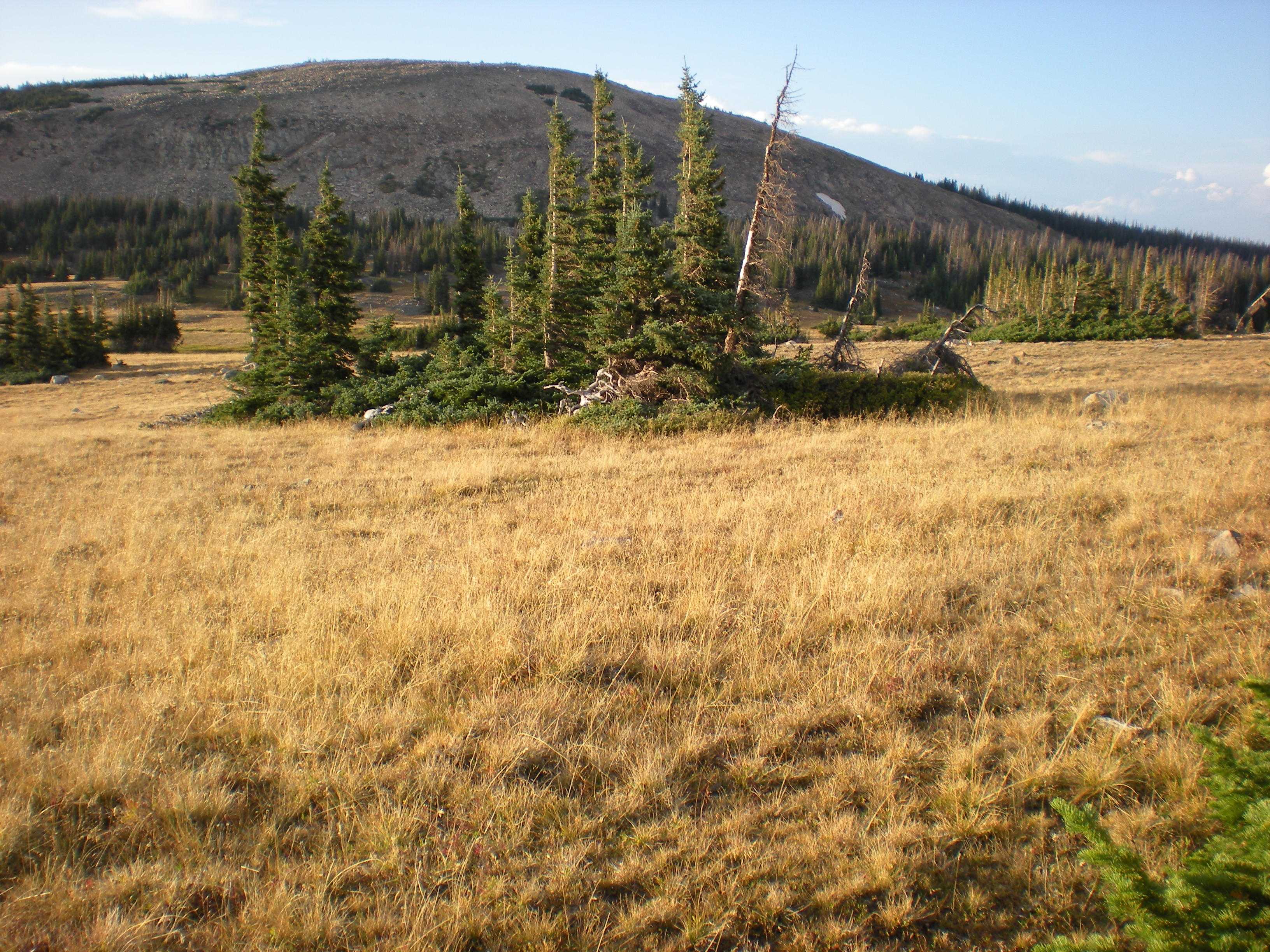
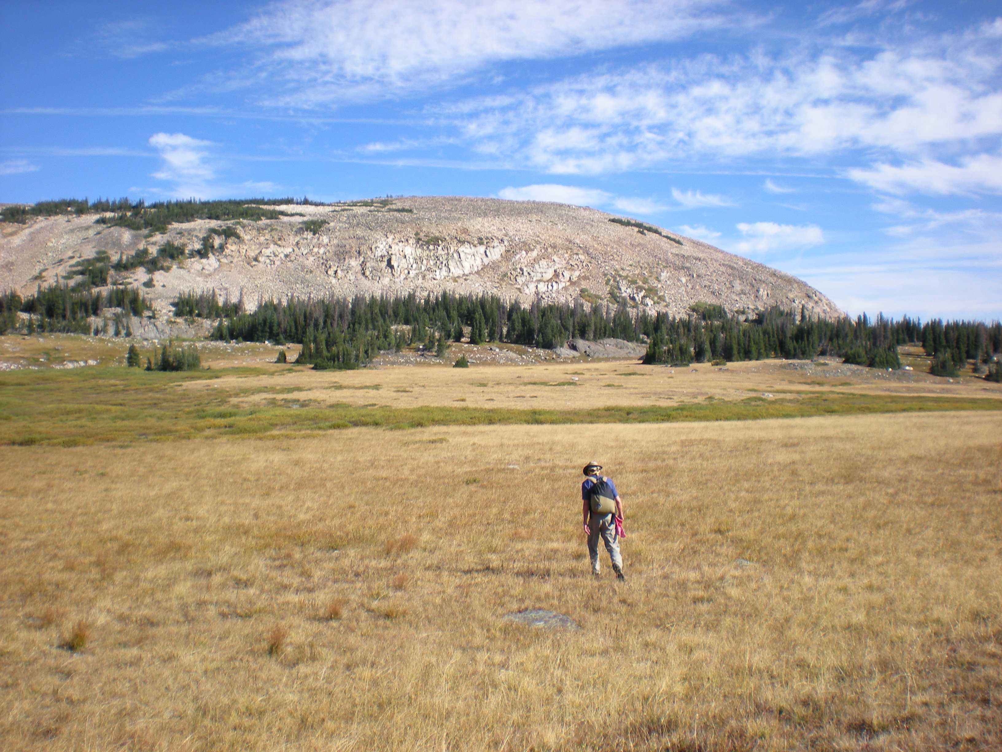
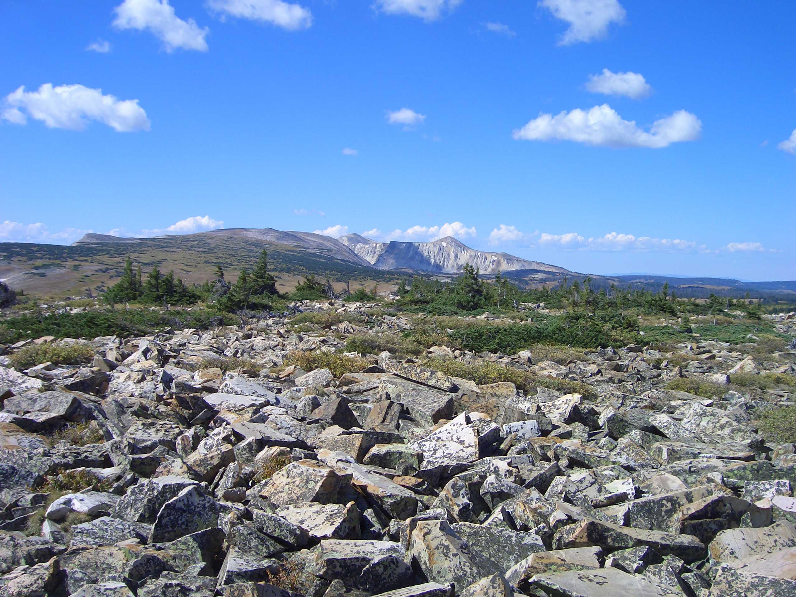
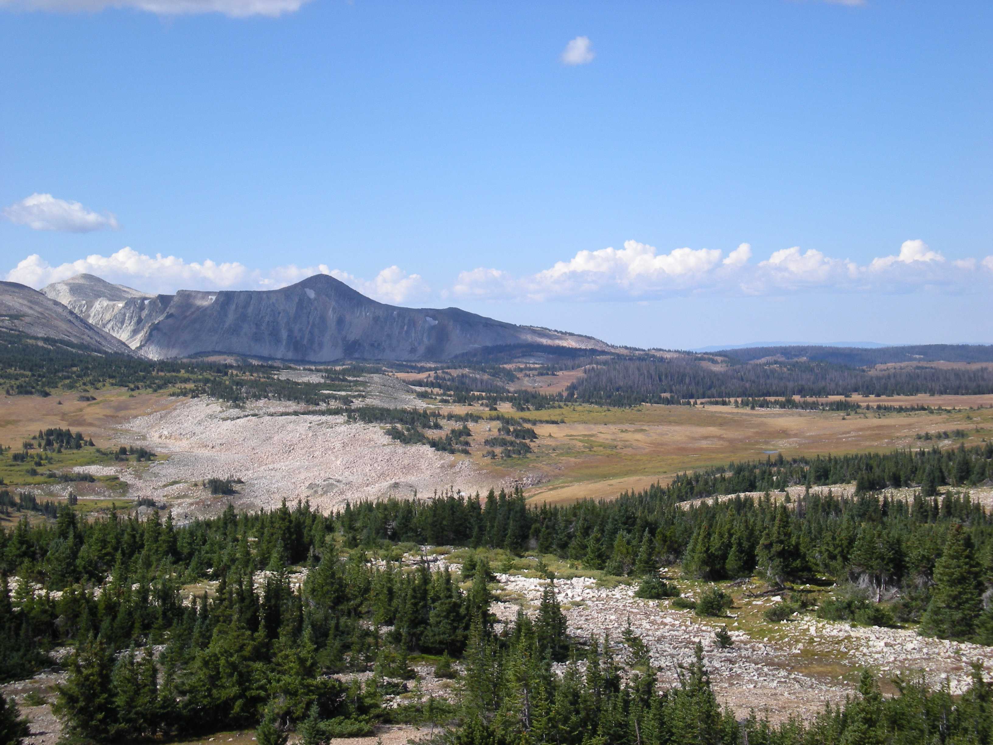
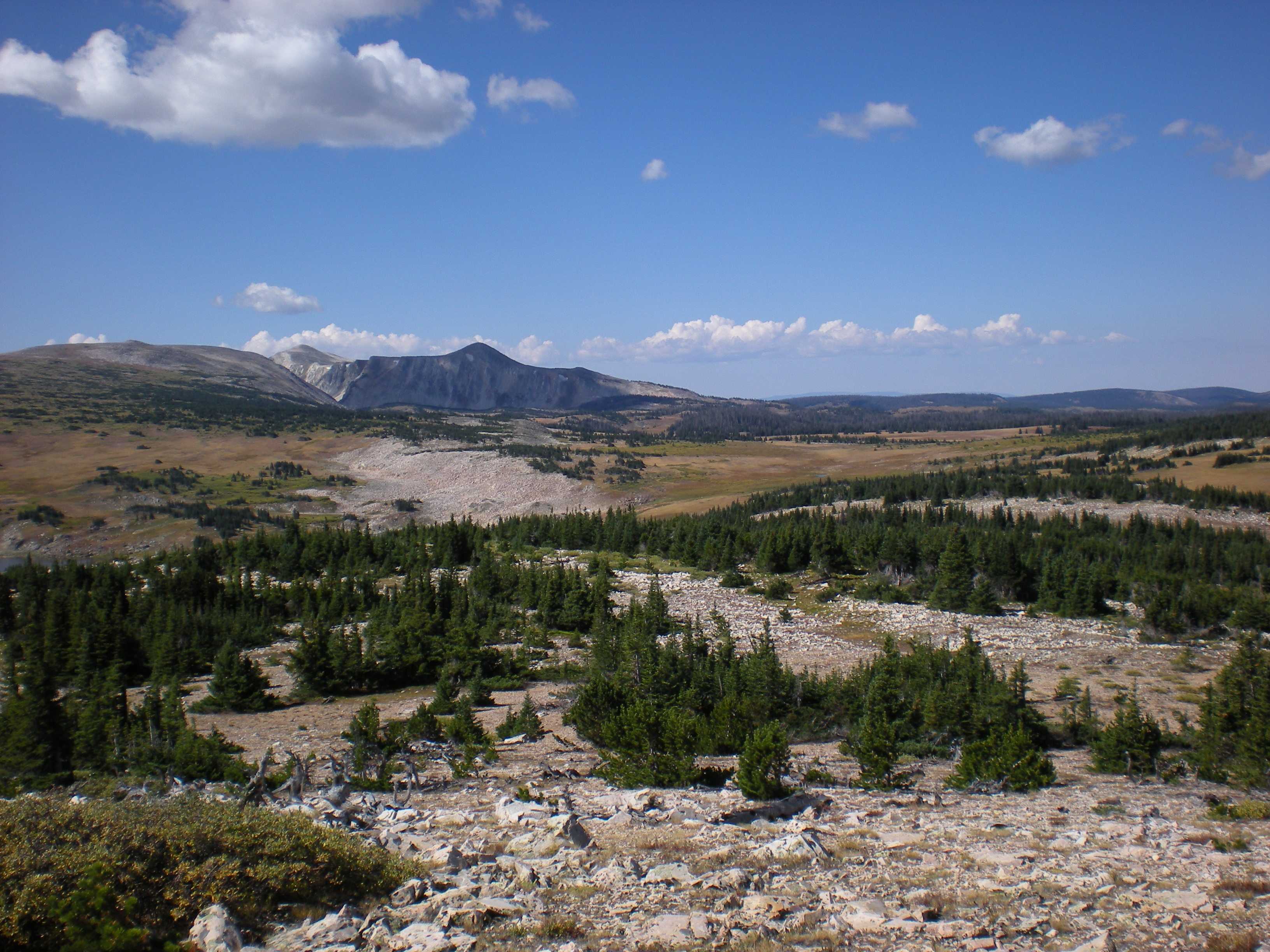
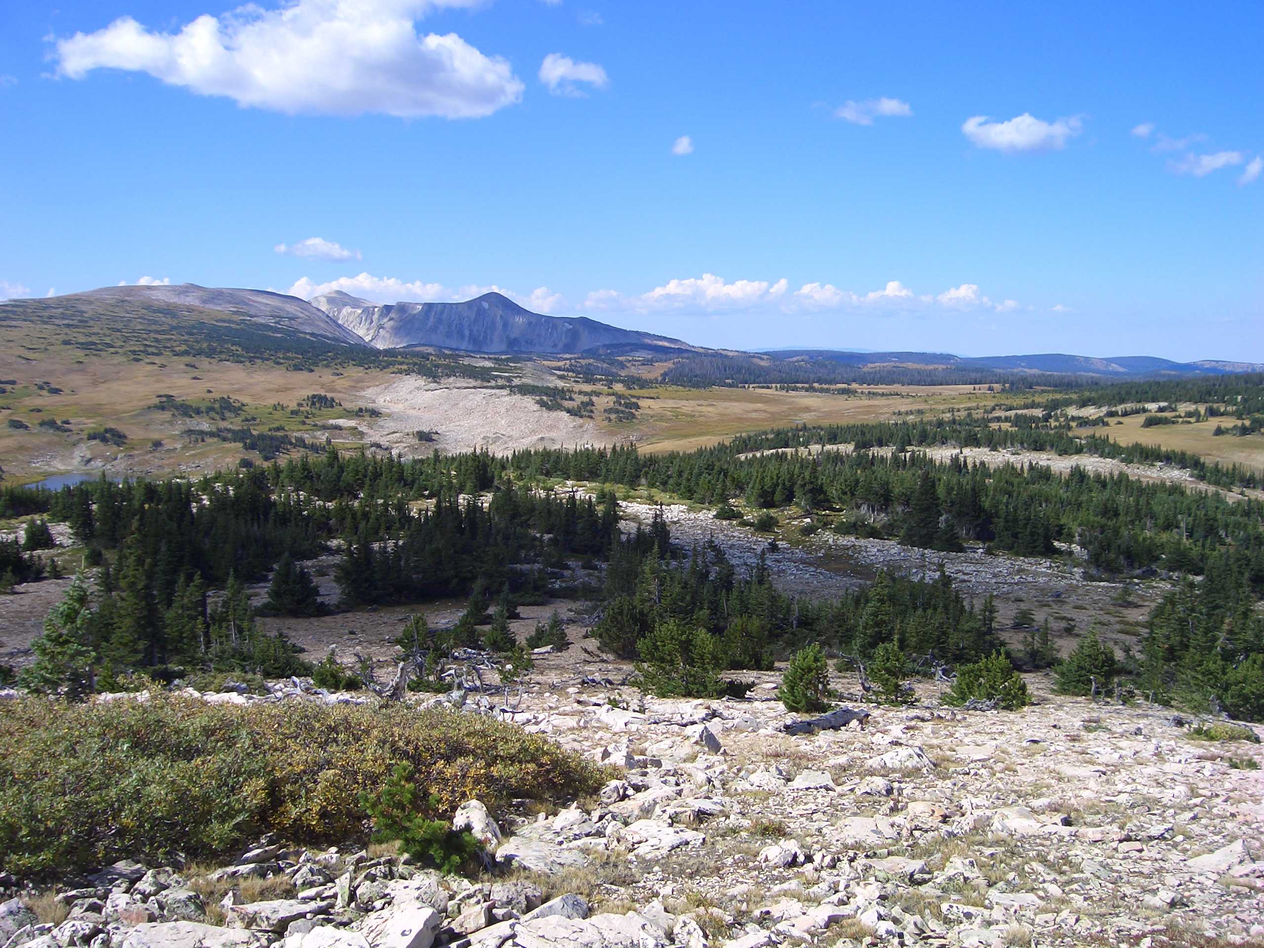
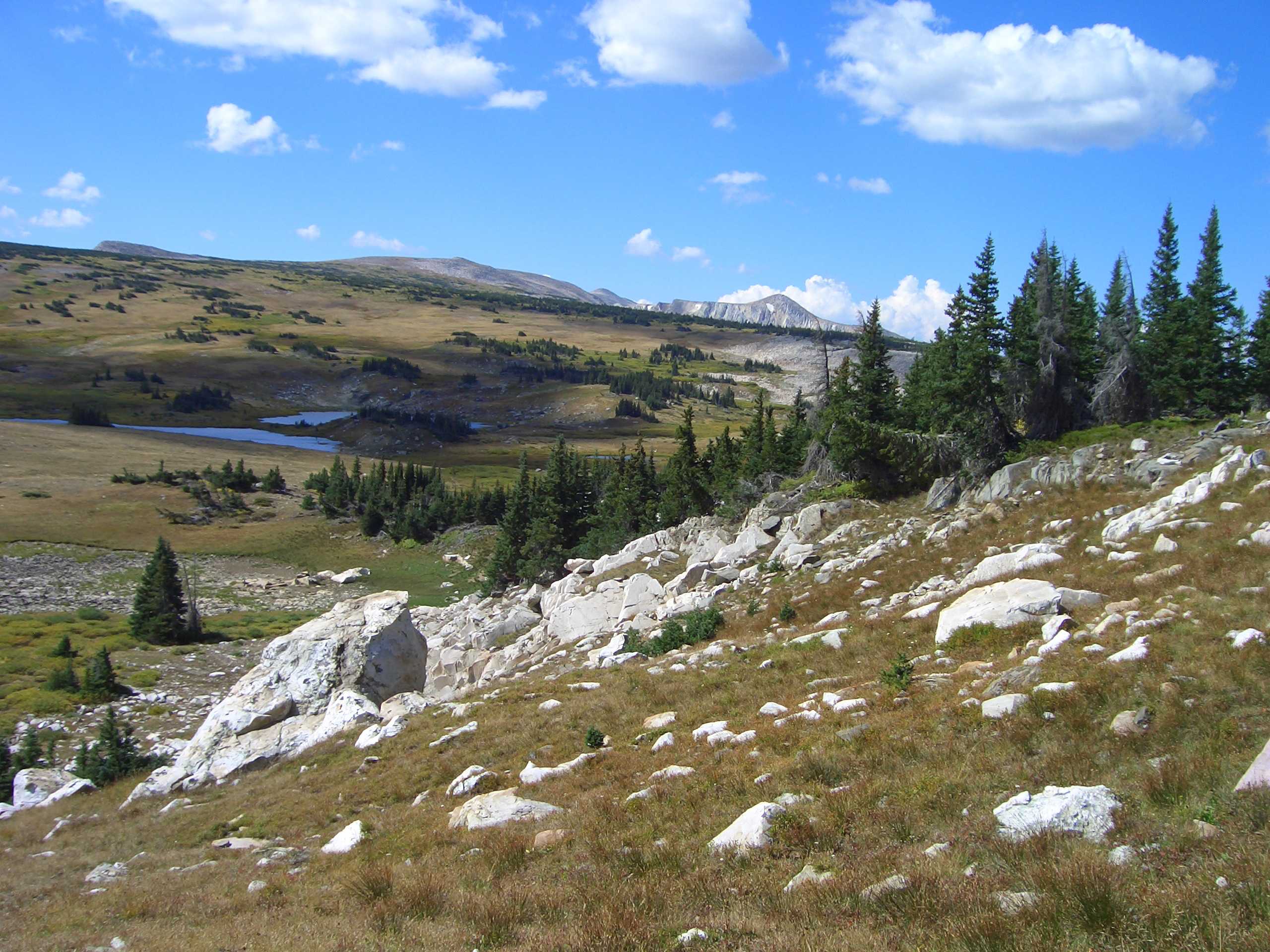
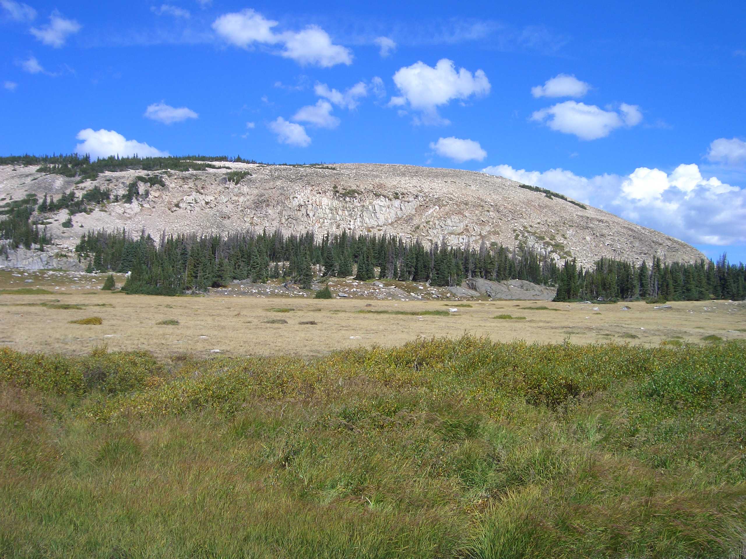
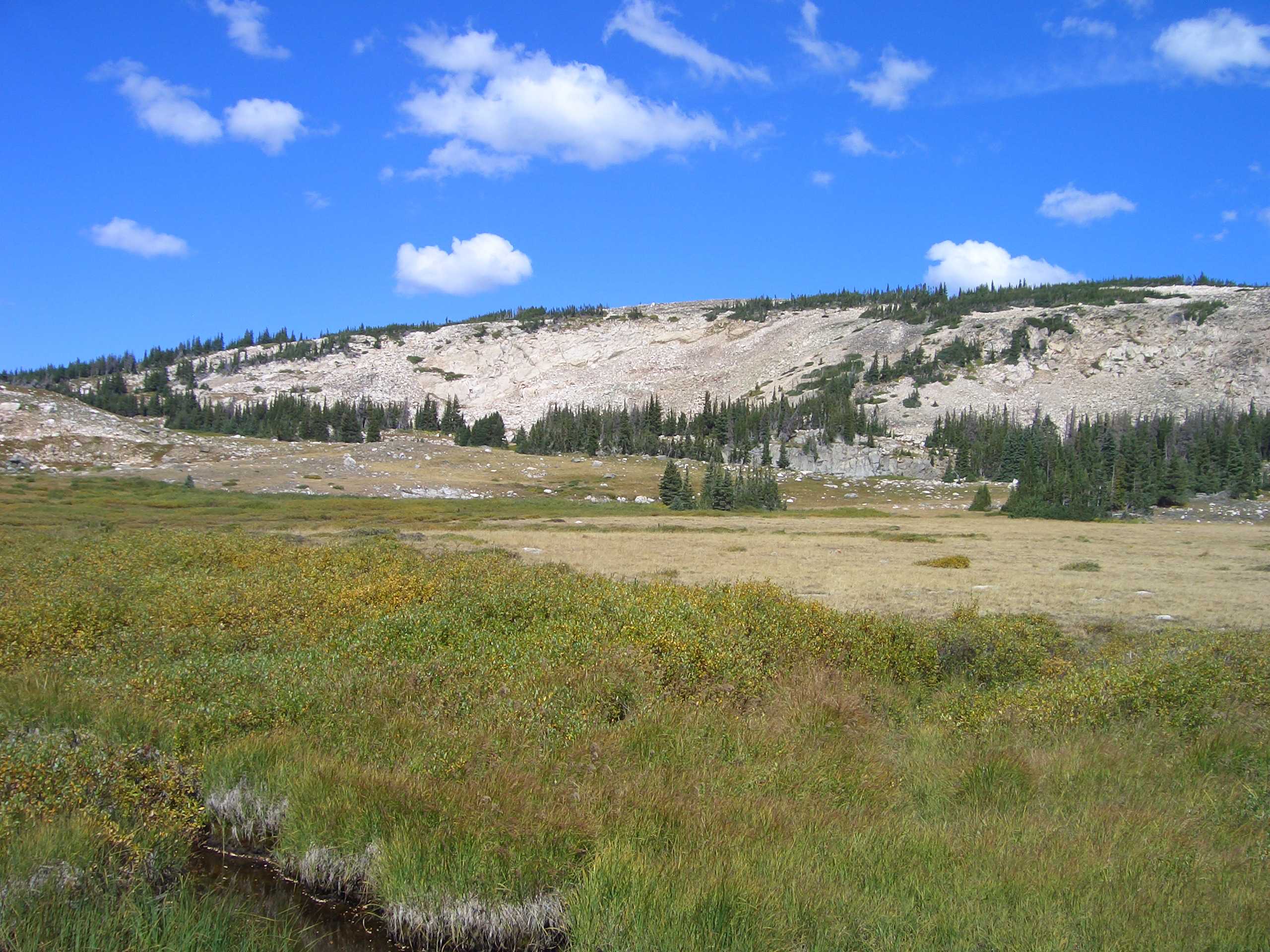
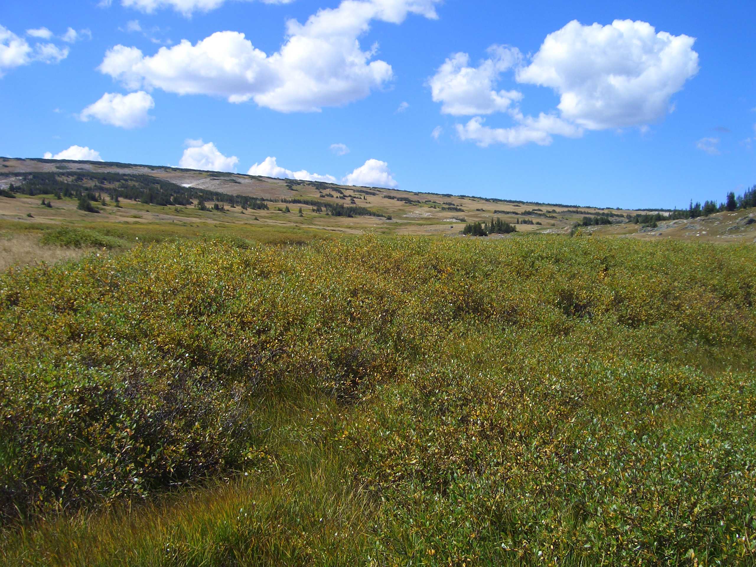
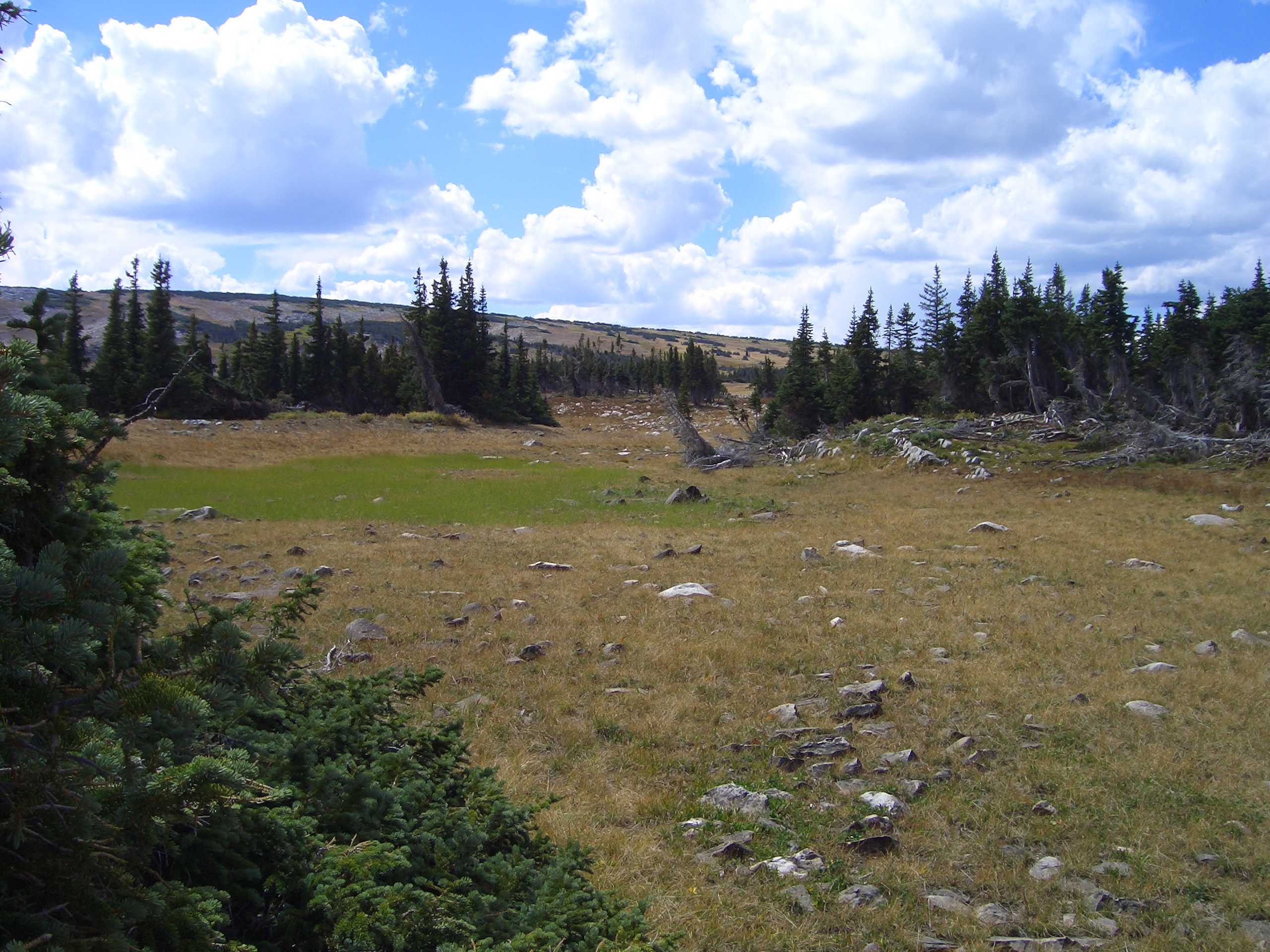
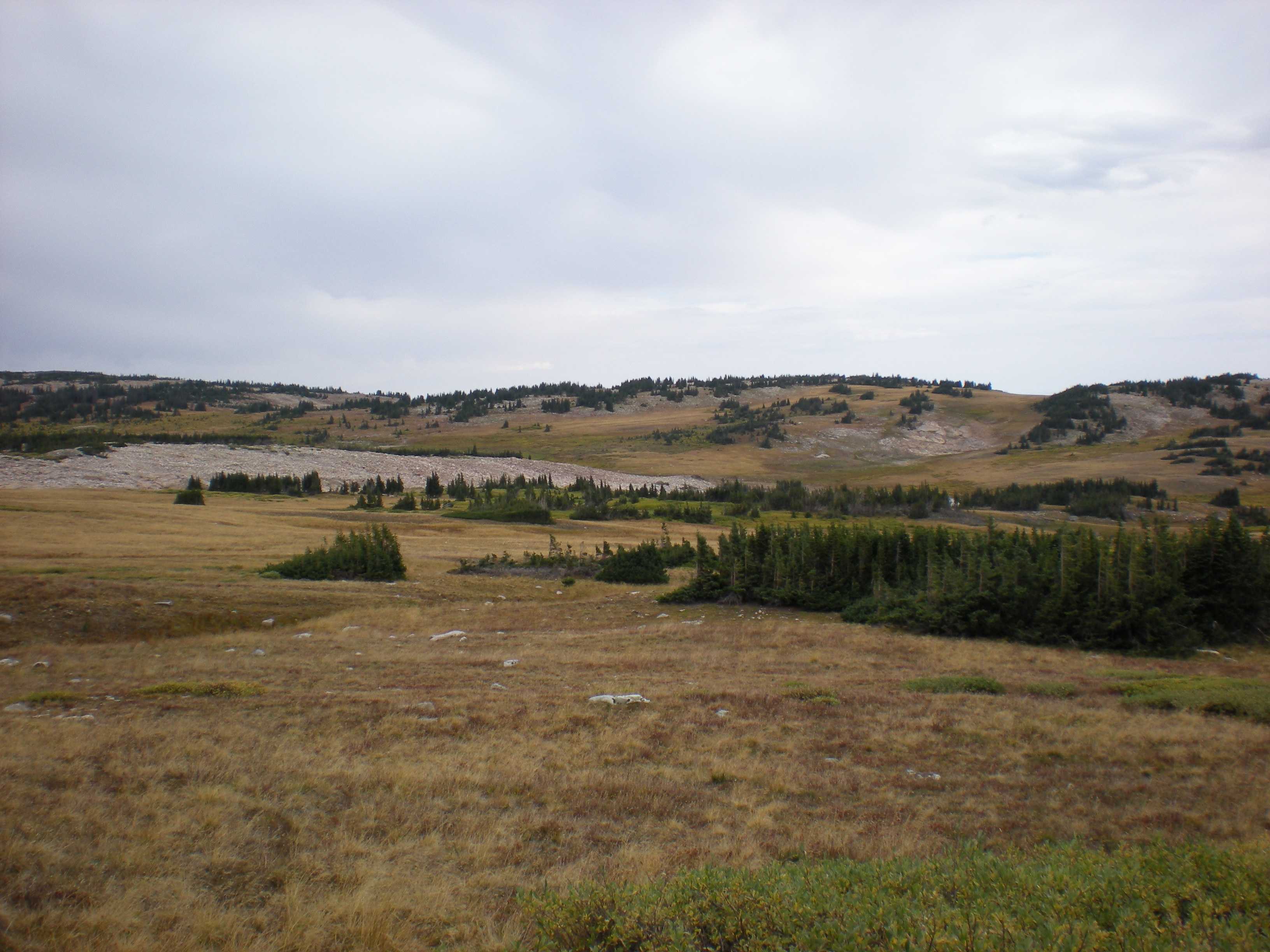
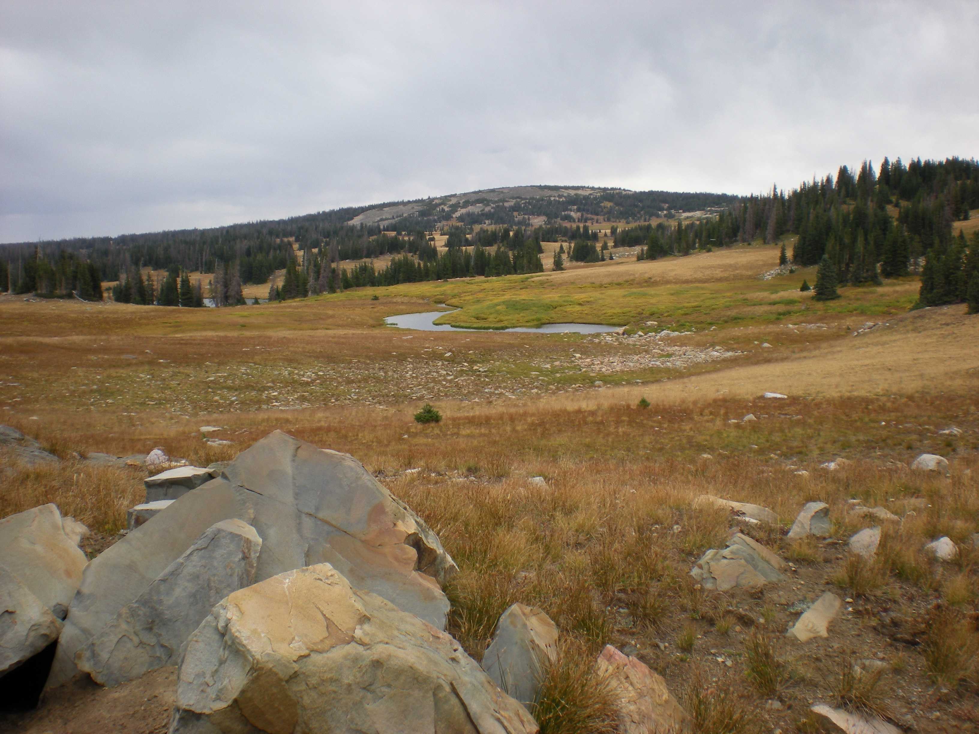
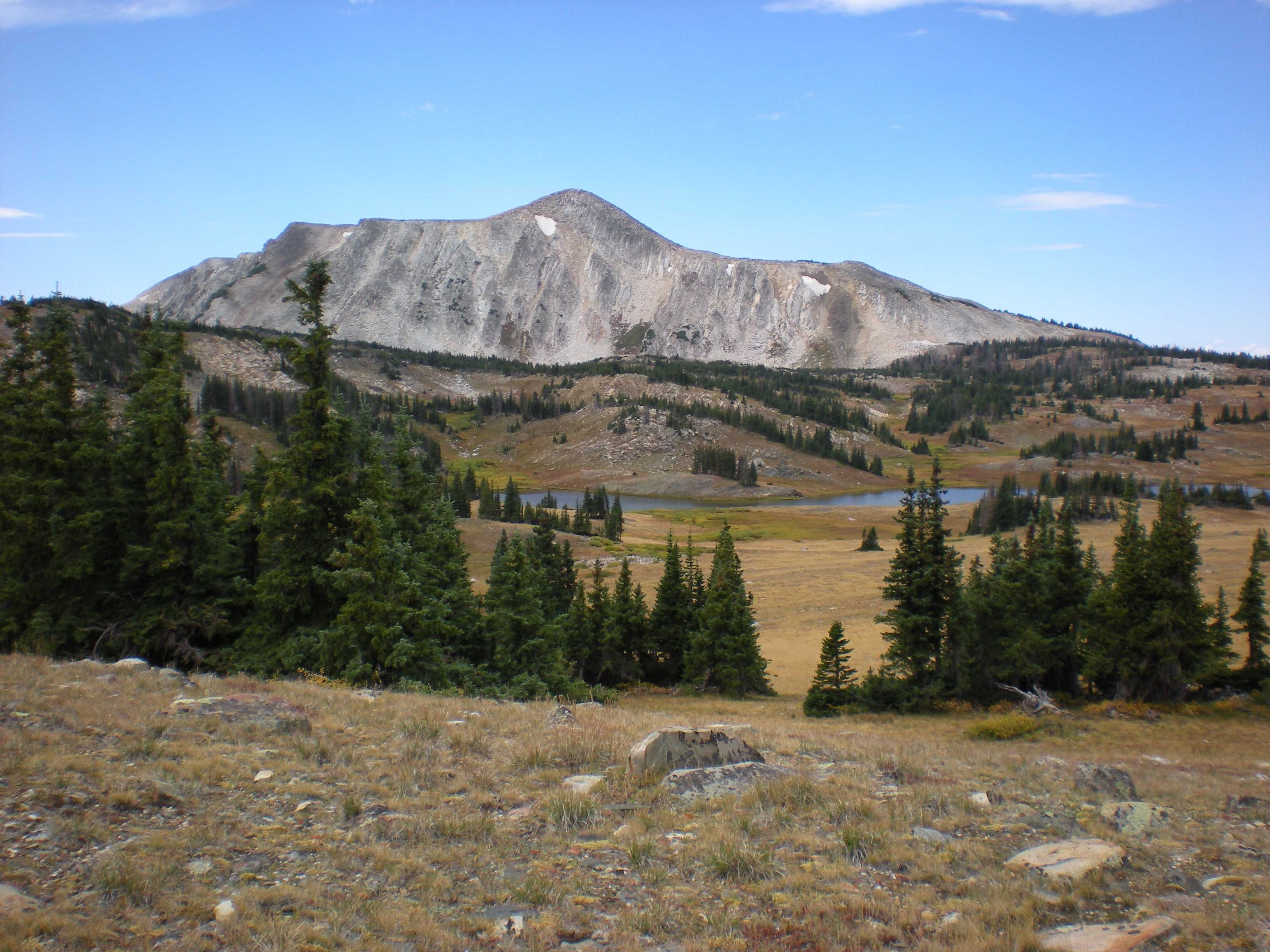
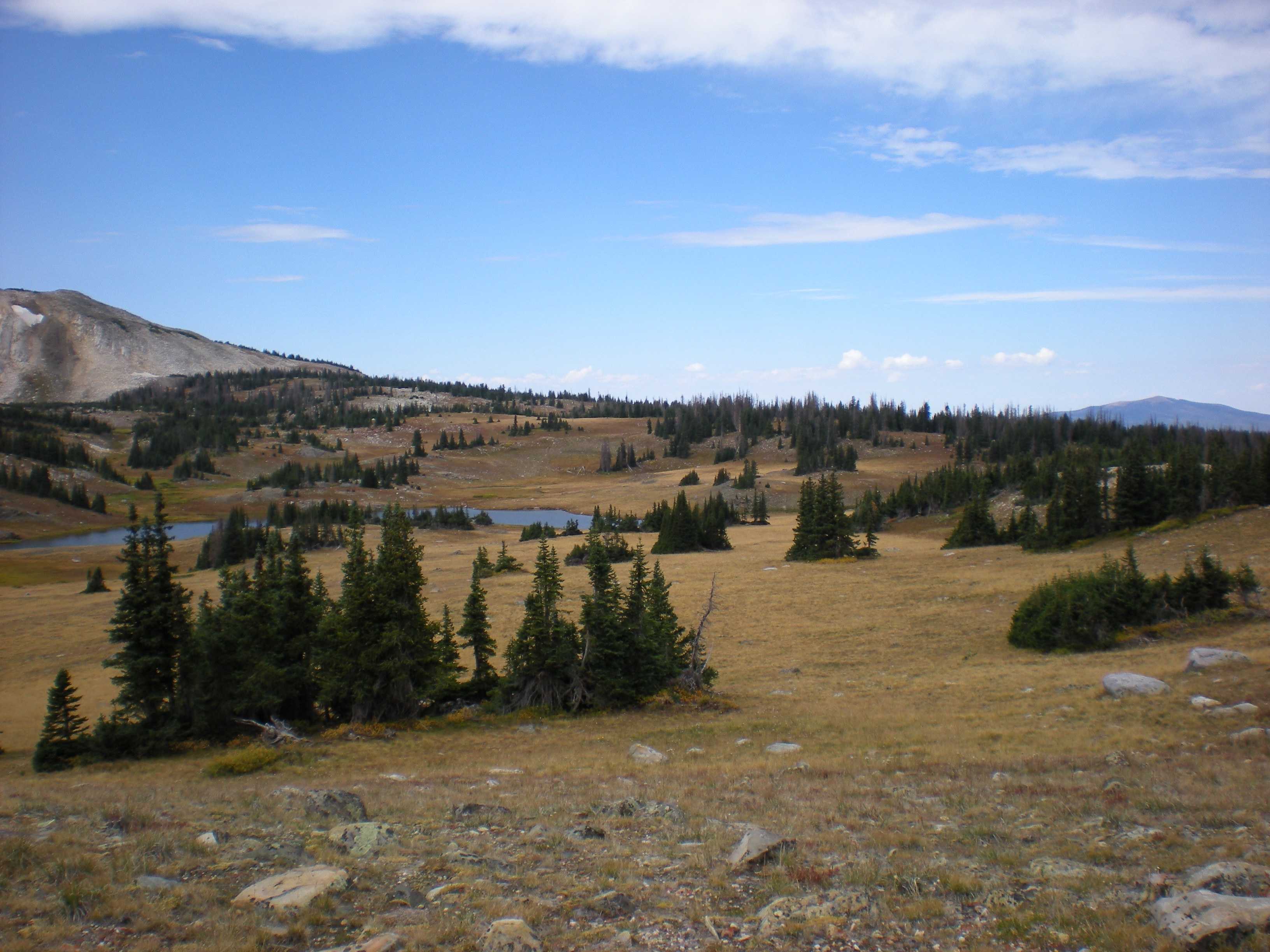
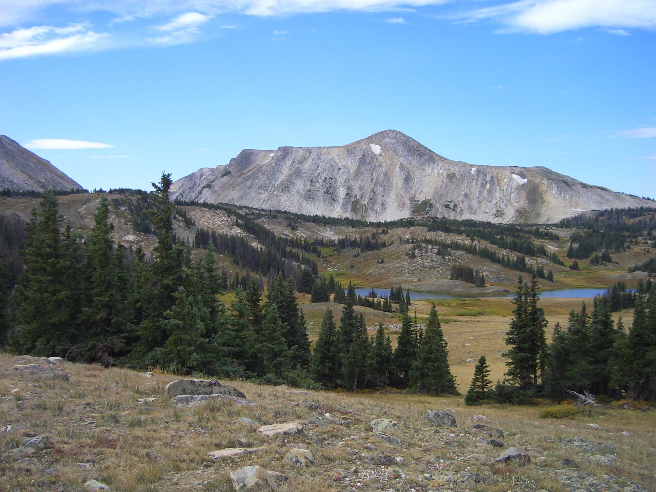
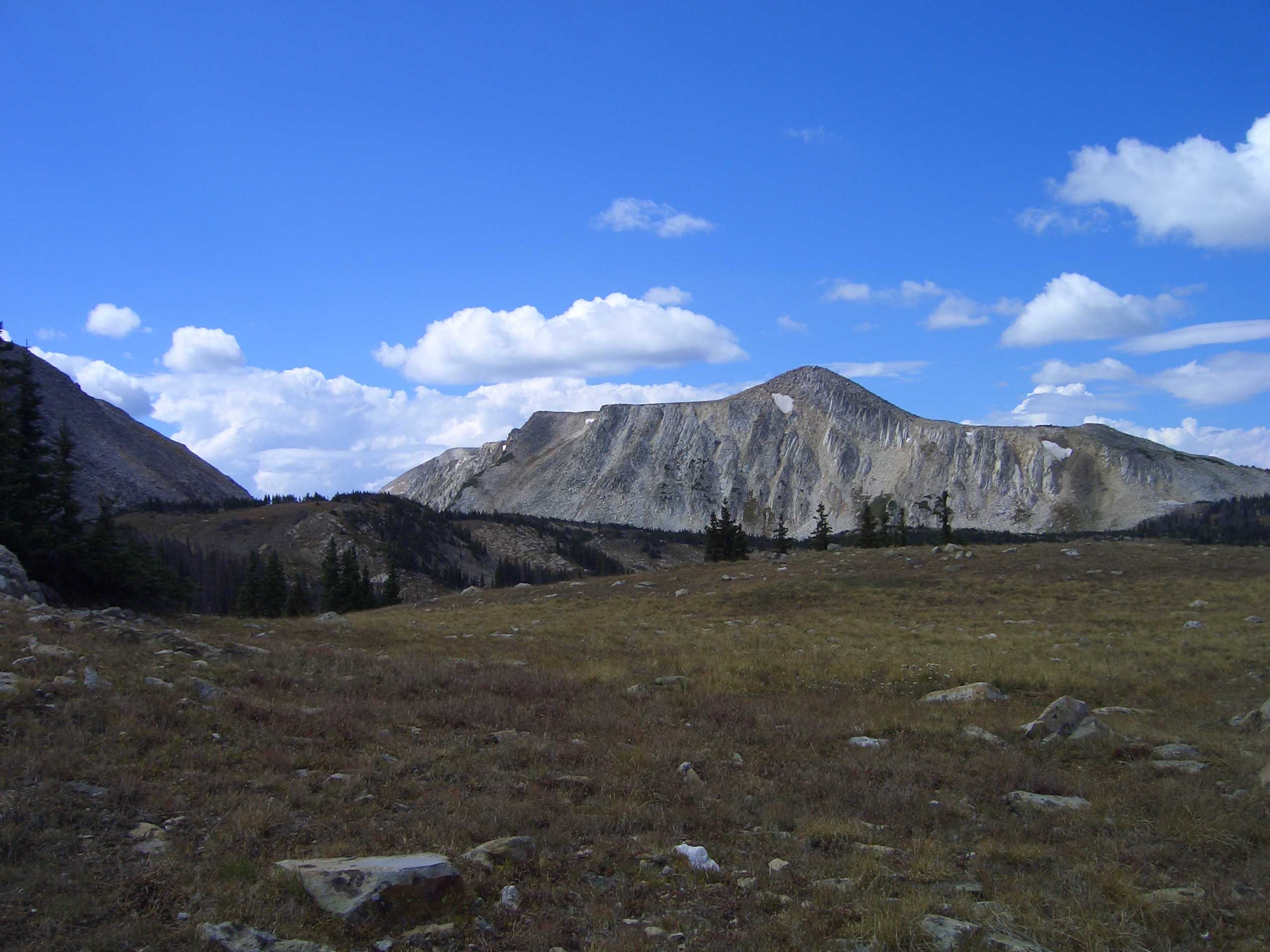
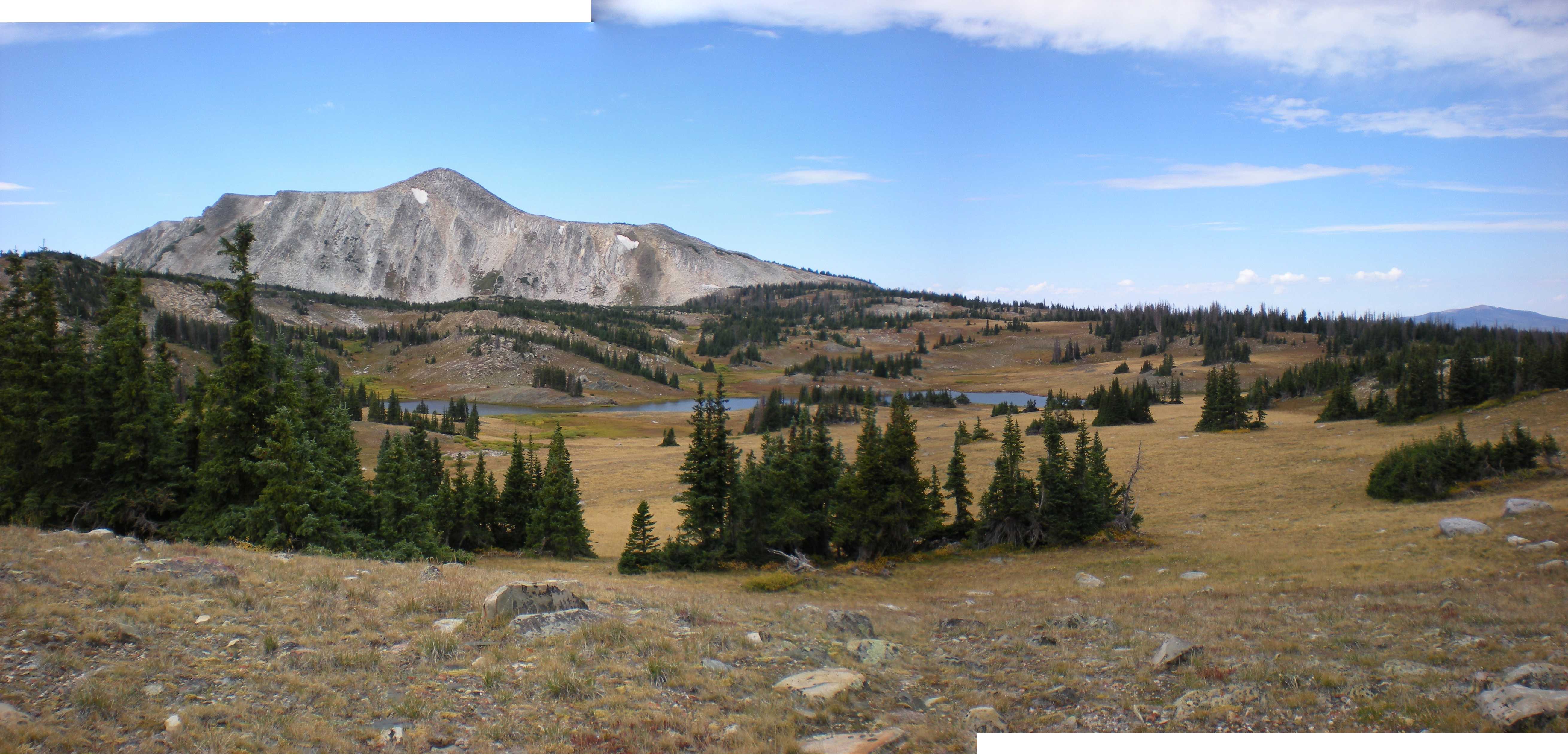
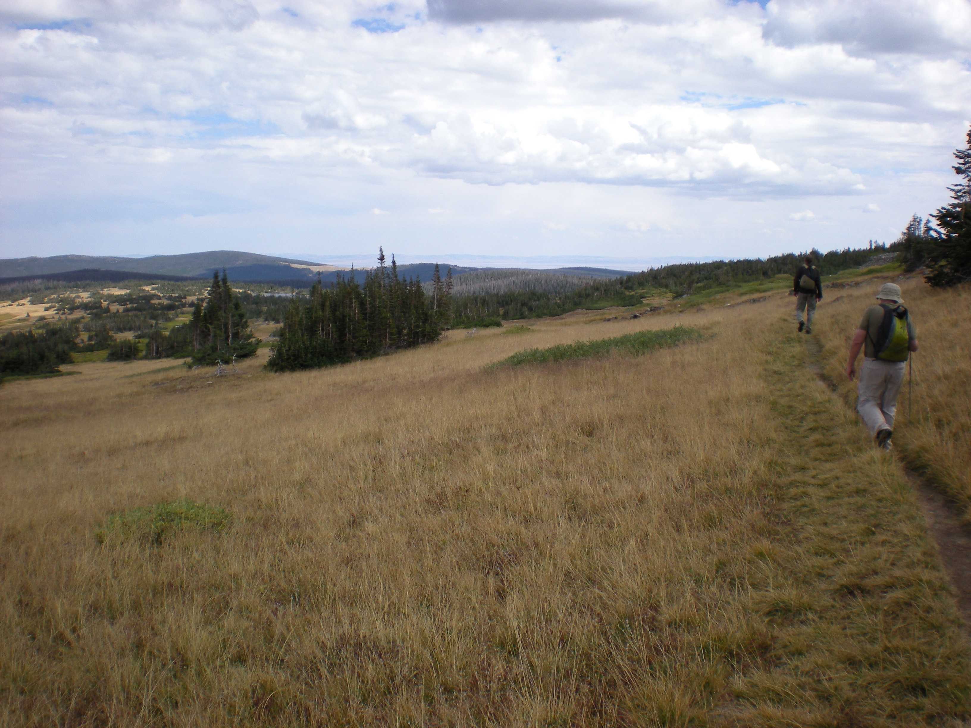
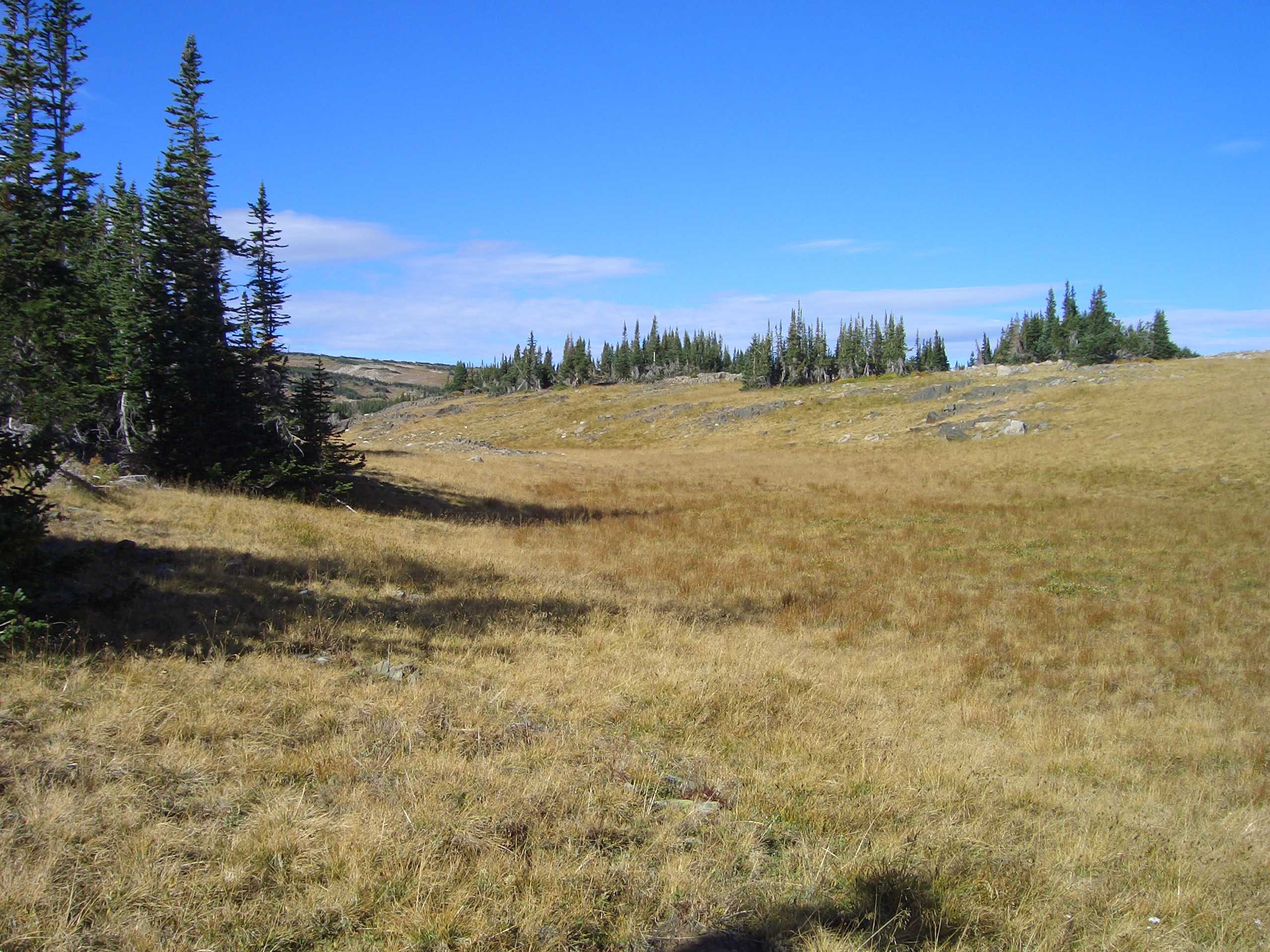
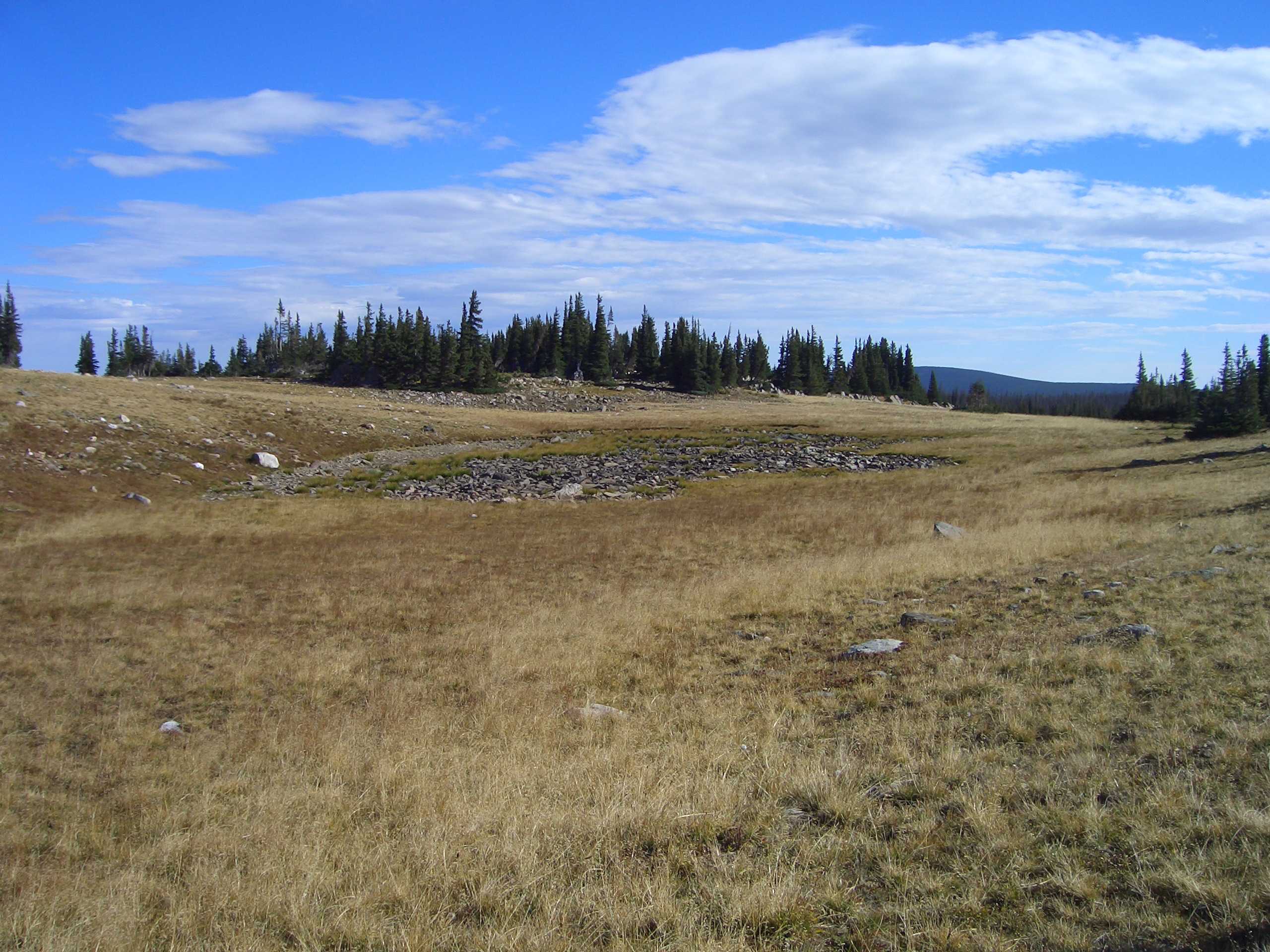
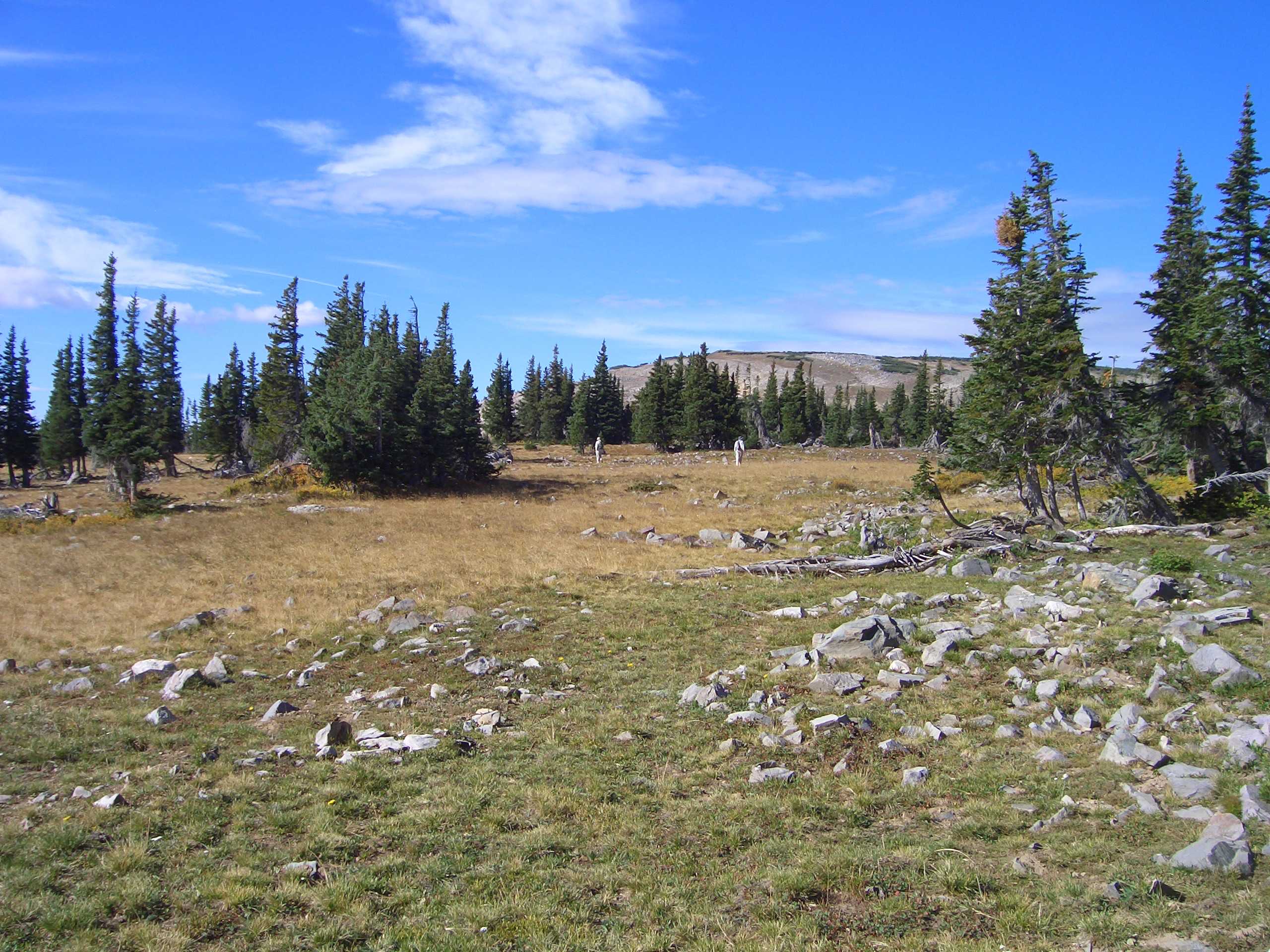
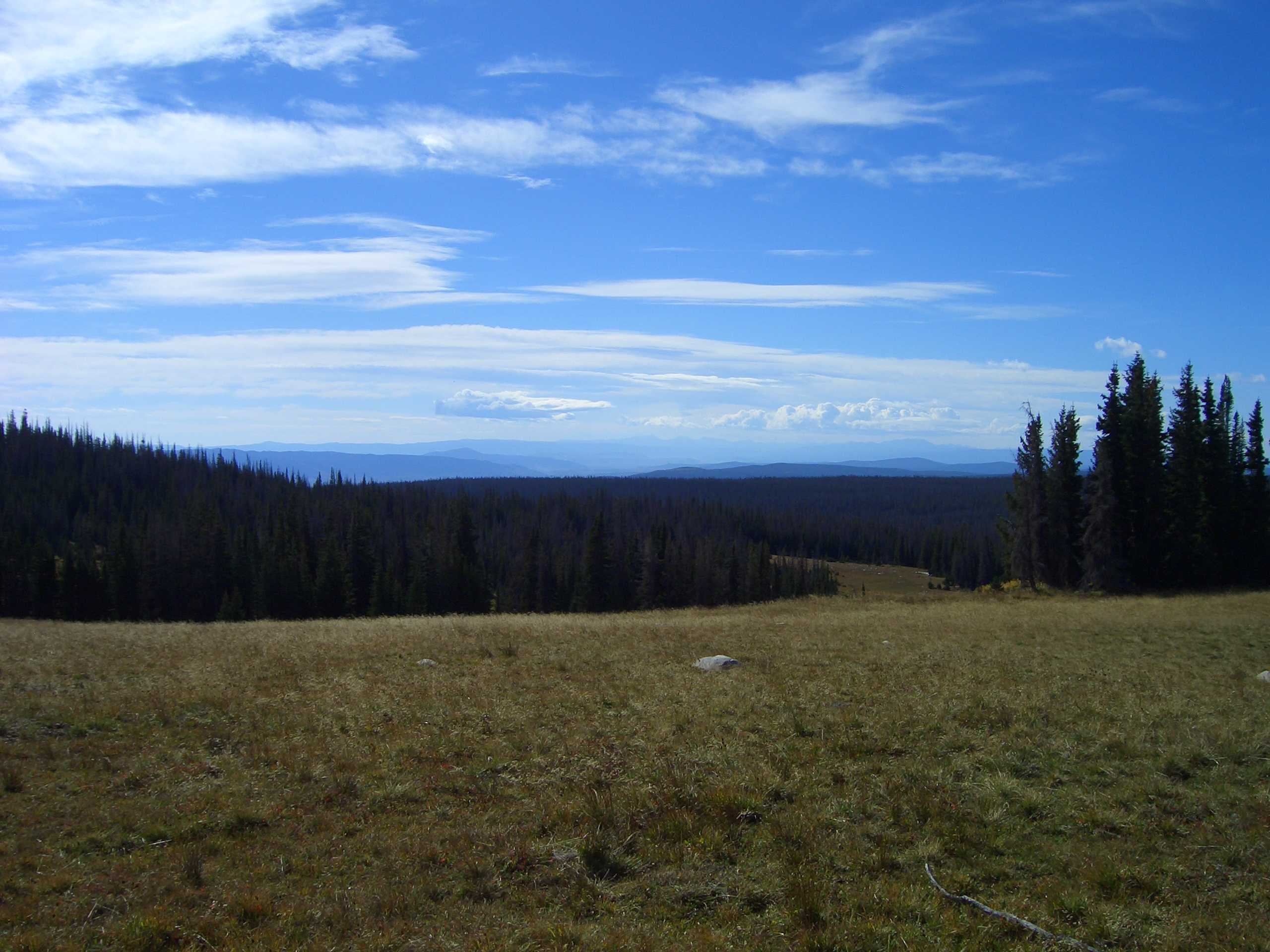
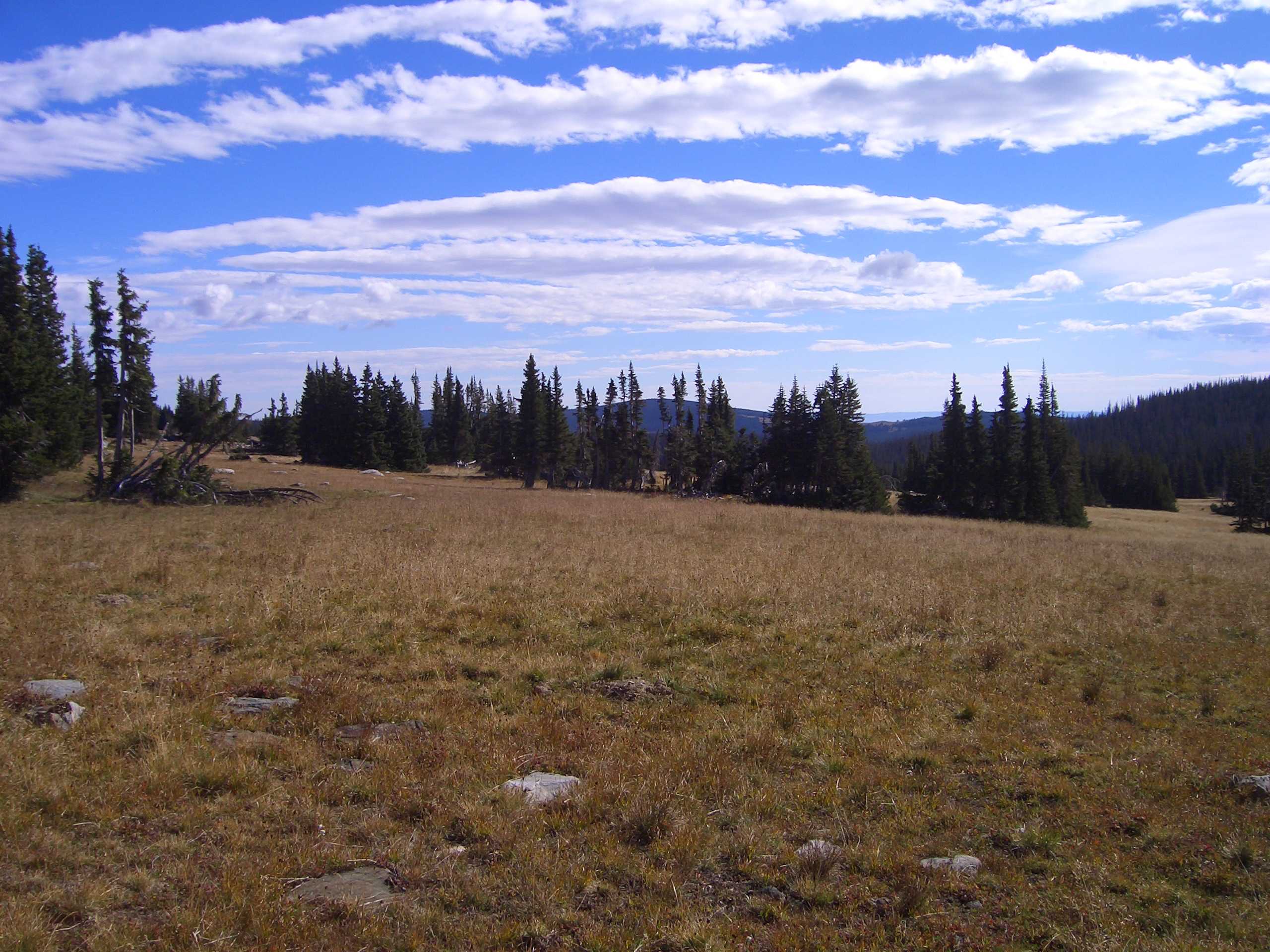
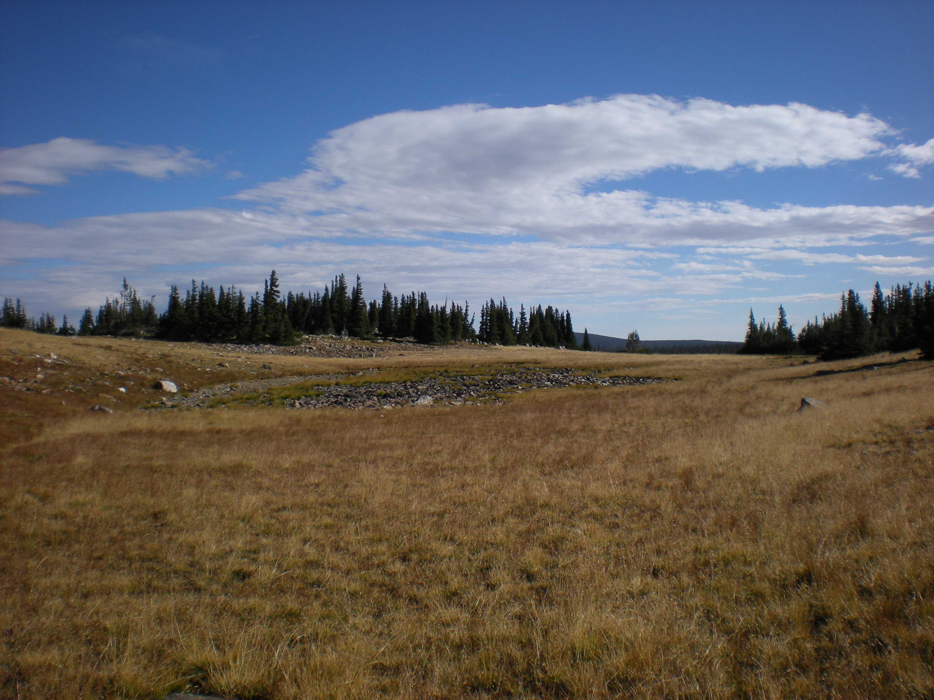
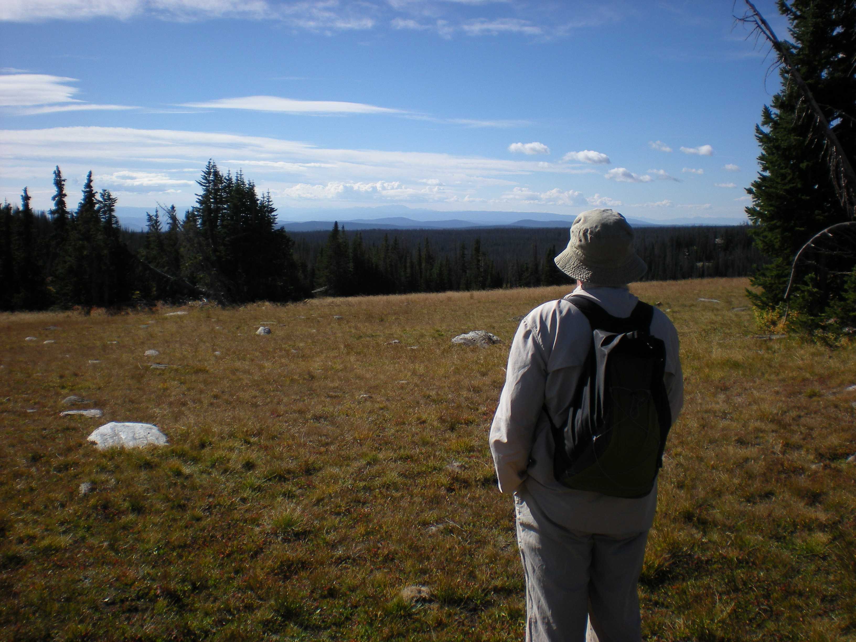
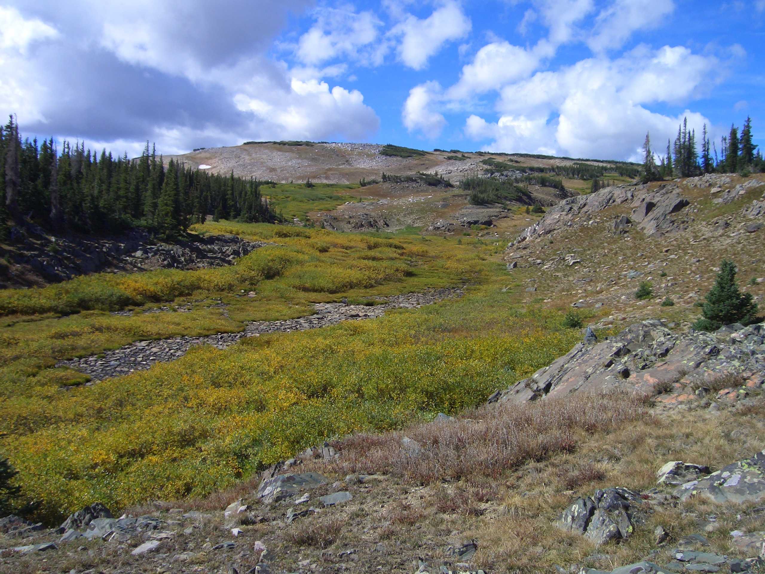
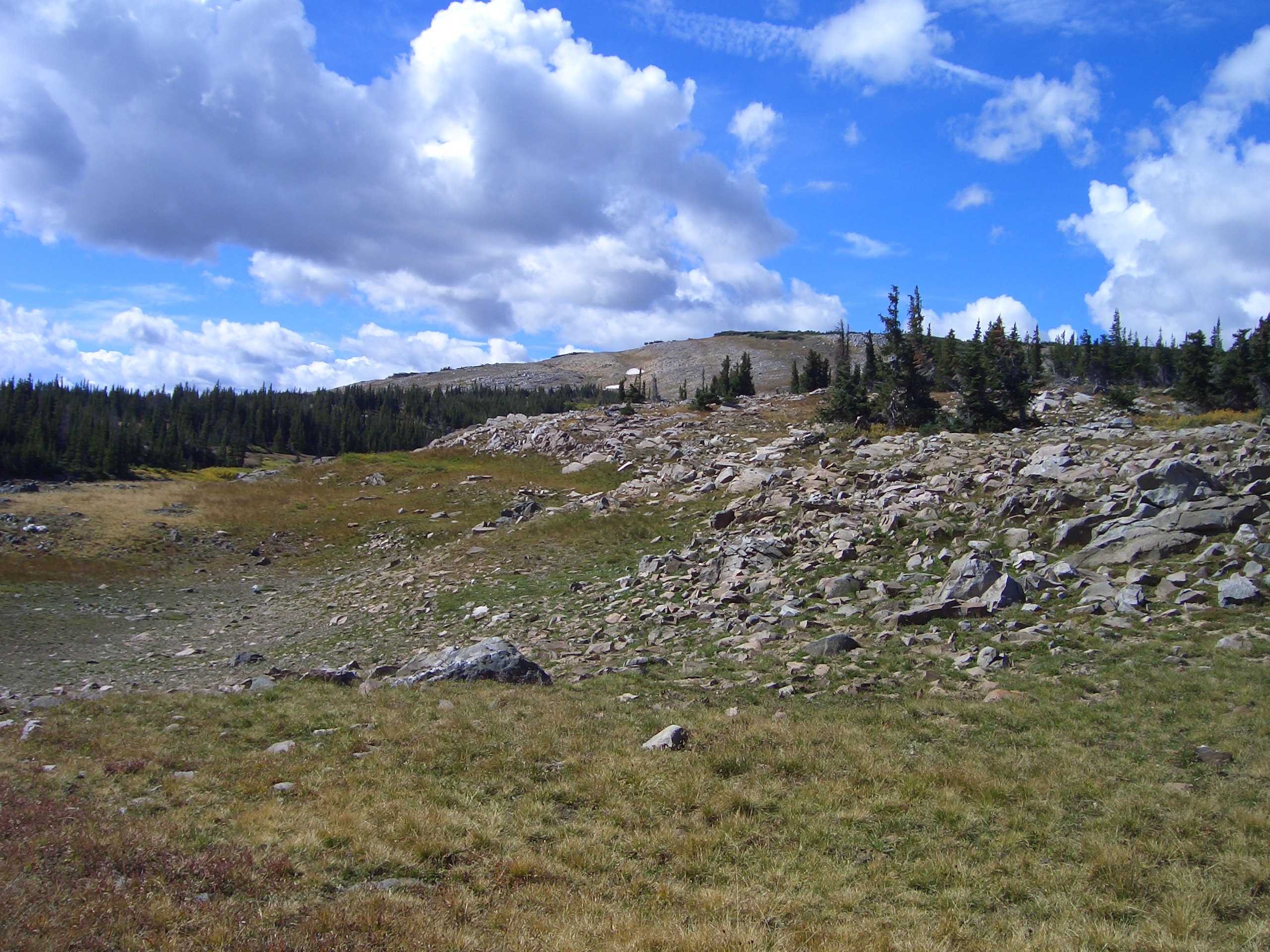
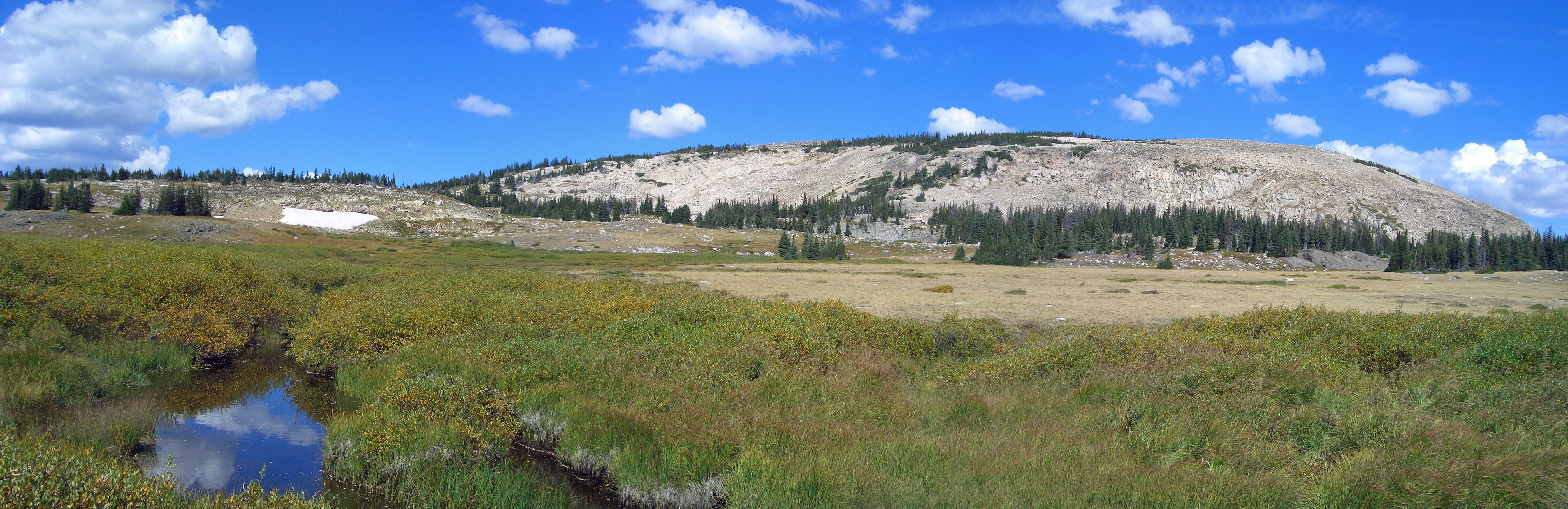
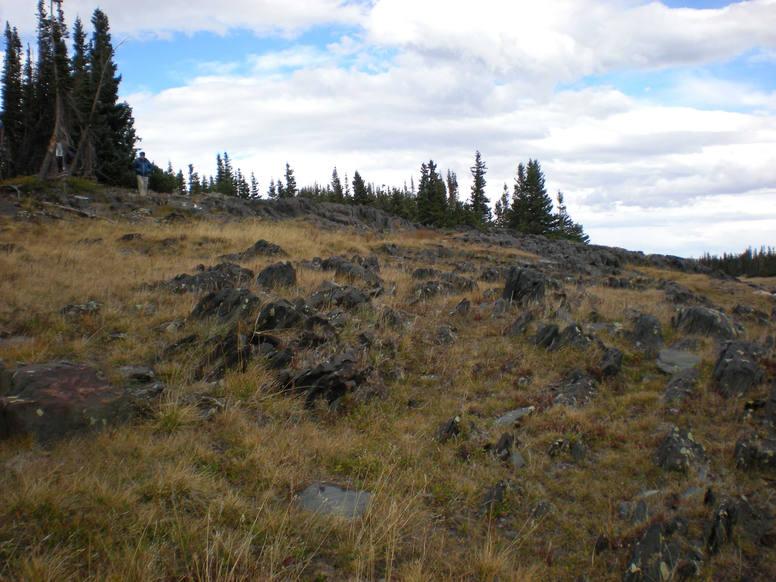
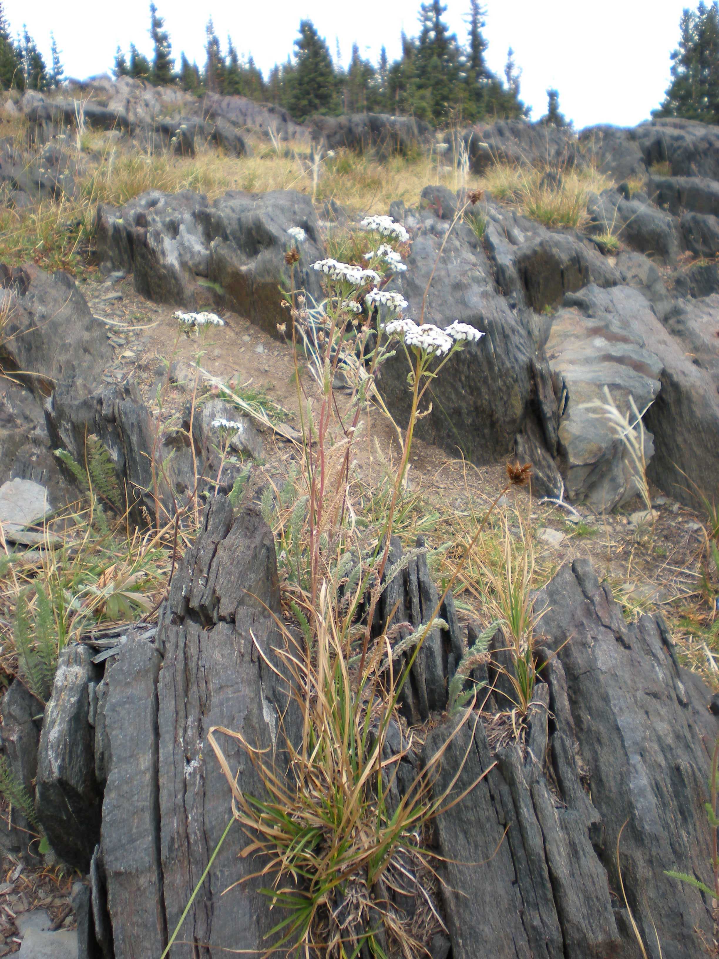
Medicine Bow Peak (12018 ft), the highest peak in the Snowy Range, was a major player in this hike present i many view. The northern extent of the Medicine Bow Mountain range is the Snowy Range.

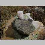
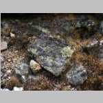
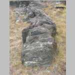
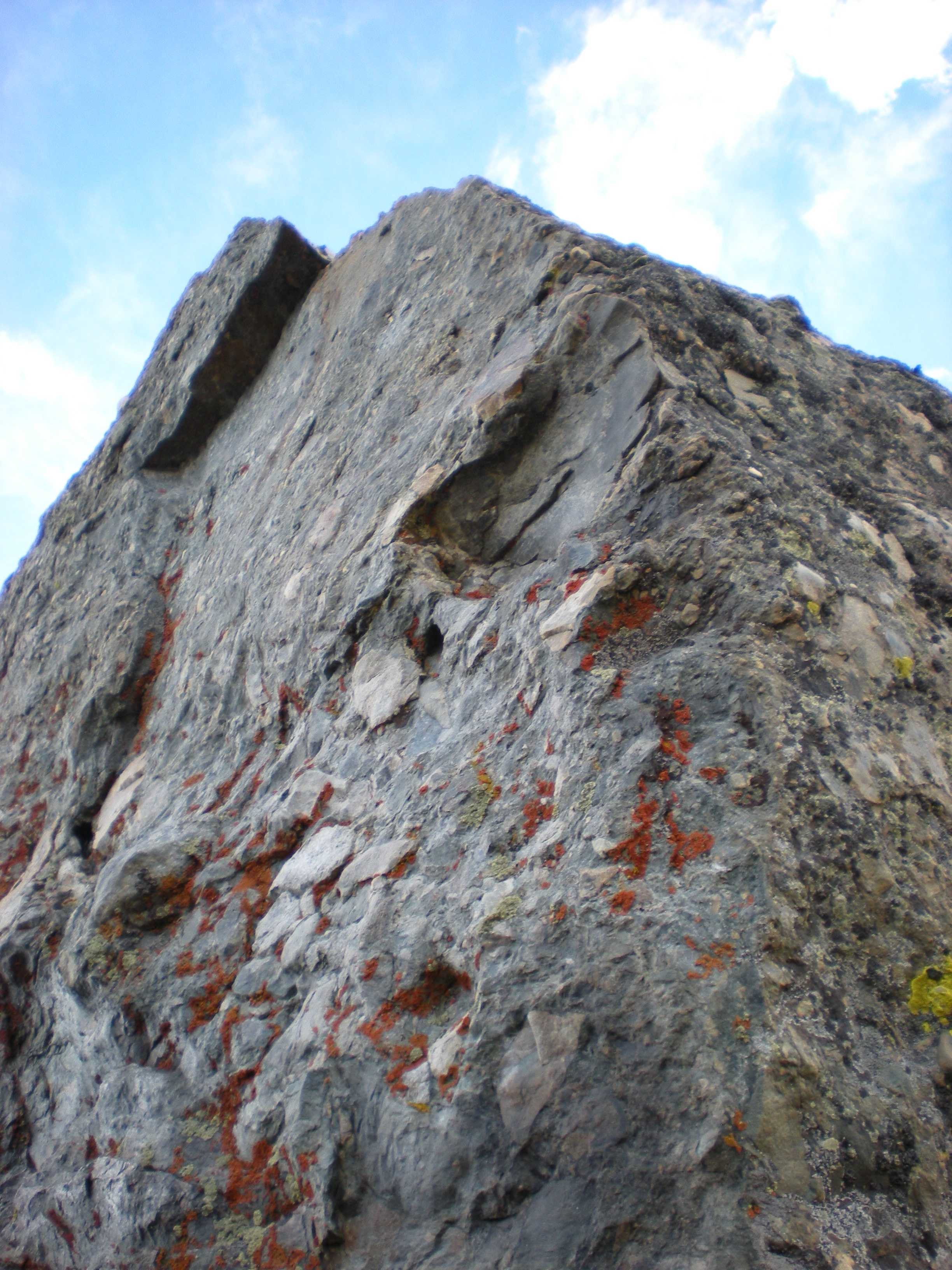
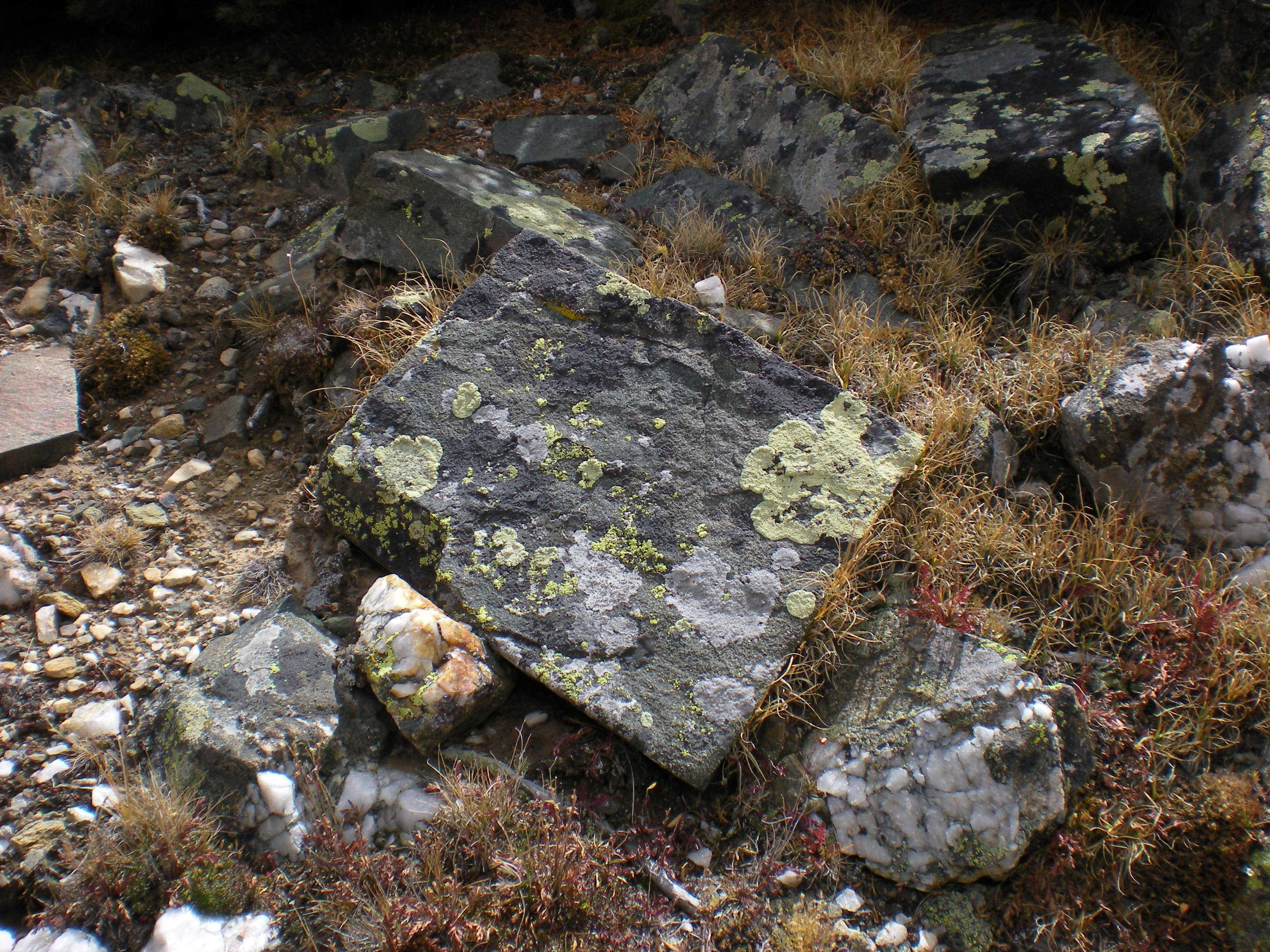
Eliot Blackwelder was describing a vein of green quartzite found west of Big Telephone Lake in the Medicine Bow Mountains. Quartzite is metamorphosed sandstone and usually is white. Small amounts of impurities can impart pastel shades with just small amounts of impurities. The green Medicine Peak quartzite contains fuchsite, a chromium-rich version of muscovite (mica).

1 / 149
2 / 149
3 / 149
4 / 149
5 / 149
6 / 149
7 / 149
8 / 149
9 / 149
10 / 149
11 / 149
12 / 149
13 / 149
14 / 149
15 / 149
16 / 149
17 / 149
18 / 149
19 / 149
20 / 149
21 / 149
22 / 149
23 / 149
24 / 149
25 / 149
26 / 149
27 / 149
28 / 149
29 / 149
30 / 149
31 / 149
32 / 149
33 / 149
34 / 149
35 / 149
36 / 149
37 / 149
38 / 149
39 / 149
40 / 149
41 / 149
42 / 149
43 / 149
44 / 149
45 / 149
46 / 149
47 / 149
48 / 149
49 / 149
50 / 149
51 / 149
52 / 149
53 / 149
54 / 149
55 / 149
56 / 149
57 / 149
58 / 149
59 / 149
60 / 149
61 / 149
62 / 149
63 / 149
64 / 149
65 / 149
66 / 149
67 / 149
68 / 149
69 / 149
70 / 149
71 / 149
72 / 149
73 / 149
74 / 149
75 / 149
76 / 149
77 / 149
78 / 149
79 / 149
80 / 149
81 / 149
82 / 149
83 / 149
84 / 149
85 / 149
86 / 149
87 / 149
88 / 149
89 / 149
90 / 149
91 / 149
92 / 149
93 / 149
94 / 149
95 / 149
96 / 149
97 / 149
98 / 149
99 / 149
100 / 149
101 / 149
102 / 149
103 / 149
104 / 149
105 / 149
106 / 149
107 / 149
108 / 149
109 / 149
110 / 149
111 / 149
112 / 149
113 / 149
114 / 149
115 / 149
116 / 149
117 / 149
118 / 149
119 / 149
120 / 149
121 / 149
122 / 149
123 / 149
124 / 149
125 / 149
126 / 149
127 / 149
128 / 149
129 / 149
130 / 149
131 / 149
132 / 149
133 / 149
134 / 149
135 / 149
136 / 149
137 / 149
138 / 149
139 / 149
140 / 149
141 / 149
142 / 149
143 / 149
144 / 149
145 / 149
146 / 149
147 / 149
148 / 149
149 / 149

Brooklyn Lake Trailhead, looking at Brown's Peak (11,722') - Medicine Bow National Forest, Wyoming lake about halfway into Twin Lakes Ted near North Twin Lakes a bit further in looking north South lake of North Twin Lakes looking NE across North Twin Lakes my tent at North Twin Lakes camp - Rock Creek Knoll (11,125') in background; Bob and Ted at camp near NW shore of the North of North Twin Lakes - Fall! Google map Water resources Rainbow - not double - taken from our campsite Rainbow - not double - taken from our campsite Fall grasses at our campsite Looking south from our campsite at the North Twin Lakes North North Twin Lakes from our campsite Our campsite looking SE dead tree art near camp 1 of 3 for pano of South Fork Rock Creek drainage and Rock Creek Knoll 2 of 3 for pano of South Fork Rock Creek drainage and Rock Creek Knoll 3 of 3 for pano of South Fork Rock Creek drainage and Rock Creek Knoll same as 5509 without sun glare same as 5507 just further back Lichen near camp early evening at camp early evening at camp early evening at camp sunset at North Twin Lakes sunset at North Twin Lakes cool clouds near sunset from camp Brian's tent with solar lamp Brian's tent with solar lamp Ted on the way to Rock Creek Knoll in background Rock Creek Knoll dayhike from summit of Rock Creek Knoll (11,125') - 5826 is SW to Brown's Peak (11,722') Medicine Bow Peak (12,013') and North Point (11,761'), 5827 is NW to Elk Mountain (11,152'), and 5828 is Brian Parks with a view NNE toward Laramie Peak (10,272') from summit of Rock Creek Knoll (11,125') - 5826 is SW to Brown's Peak (11,722') Medicine Bow Peak (12,013') and North Point (11,761'), 5827 is NW to Elk Mountain (11,152'), and 5828 is Brian Parks with a view NNE toward Laramie Peak (10,272') from summit of Rock Creek Knoll (11,125') - 5826 is SW to Brown's Peak (11,722') Medicine Bow Peak (12,013') and North Point (11,761'), 5827 is NW to Elk Mountain (11,152'), and 5828 is Brian Parks with a view NNE toward Laramie Peak (10,272') Rock Creek Knoll drainage Ted on Summit of Rock Creek Knoll Looking north from summit - Laramie Peak in distance Looking toward Medicine Bow Peak from summit Same as above, but off the summit Same position as above, but zoomed out descending from Rock Creek Knoll both views to SW descending from Rock Creek Knoll both views to SW WNW to N panorama of Rock Creek Knoll from South Fork Rock Creek (~10,650' here) - the panorama is found in climbing.trips -> backpack trips -> North Twin Lakes - Snowy Range - Sept 2017 -> Pictures -> Ted pictures -> panoramas -> 01.Rock Creek Knoll 12 Sept 2017 WNW to N panorama of Rock Creek Knoll from South Fork Rock Creek (~10,650' here) - the panorama is found in climbing.trips -> backpack trips -> North Twin Lakes - Snowy Range - Sept 2017 -> Pictures -> Ted pictures -> panoramas -> 01.Rock Creek Knoll 12 Sept 2017 WNW to N panorama of Rock Creek Knoll from South Fork Rock Creek (~10,650' here) - the panorama is found in climbing.trips -> backpack trips -> North Twin Lakes - Snowy Range - Sept 2017 -> Pictures -> Ted pictures -> panoramas -> 01.Rock Creek Knoll 12 Sept 2017 looking ~W up South Fork Rock Creek from ~10,650 looking ~W up South Fork Rock Creek from ~10,650 our crossing point for the South Fork of Rock Creek - good thing there was a Polygonum sp. in dry pond near camp more views of the dry pond near camp more views of the dry pond near camp more views of the dry pond near camp our camp. Looking NE from camp - nice clouds / nice Bob NE of Shelf Lakes (the hill in the background of 5841 is Pt 11,092 NE of Shelf Lakes (the hill in the background of 5841 is Pt 11,092 1 of 3 for pano - DayHike toward Shelf Lakes - Rock Creek Knoll is distance 2 of 3 for pano - DayHike toward Shelf Lakes - Rock Creek Knoll is distance 3 of 3 for pano - DayHike toward Shelf Lakes - Rock Creek Knoll is distance Fuzzy shot of Ted on Sheep Lake Trail toward Shelf Lakes Off trail now - Looking down toward Arrowhead lake possibly 1 of 2 for pano - Lunch break on day hike - looking east toward Medicine Bow Peak (north point) - Crescent lake below 2 of 2 for pano - Lunch break on day hike - looking east toward Medicine Bow Peak (north point) - Crescent lake below two views of North Point of Medicine Bow Peak (11,761') - Crescent Lake two views of North Point of Medicine Bow Peak (11,761') -  sans Crescent Lake Medicine Bow Peak North Twin Lakes from the Sheep Lake trail  artsy tree Moss in creek on Dayhike - heading back to camp Fungus on Dayhike - heading back to camp Sheep Lake trail heading back to camp from dayhike Dried lake bed and boulder near camp at North Twin Lakes Selfie in tent during brief rain Rainbow over camp 1 Rainbow over camp 2 1 of 3 for pano of rainbow over camp 2 of 3 3 of 3 Walk around camp after dinner - same boulder as in 5540 above Ted climbing boulder above same boulder, different angle Science in the backcountry near boulder above - likely an ecological study near sunset looking across the North of North Twin Lakes from camp Sunset at our camp Laramie lights in the distance as seen from our camp Brian's jammies! two views near our North Twin Lakes camp two views near our North Twin Lakes camp <i>Taraxacum ceratophorum</i> (Ledeb.) DC. (Asteraceae) an attempt to photograph <i>Carex</i> sp. - <i>Ribes</i> sp. (Current) in the background; <i>Achillea millefolium</i> L. (Asteraceae) Bob and Brian hiking east of North Twin Lakes (Brown's Peak in background) <i>Taraxacum ceratophorum</i> (Ledeb.) DC. (Asteraceae) NE South Twin Lakes NE South Twin Lakes (note Brian's tent) looking south from near North Twin Lakes About SE from near North Twin Lakes the area south of SW North Twin Lakes the area south of SW North Twin Lakes (Brian Parks is in 5867) the area south of SW North Twin Lakes the area south of SW North Twin Lakes just below SW North Twin Lakes NE across North Twin Lakes Twisted dead tree art on short hike around camp on the day before our last day Wild dandelion relative - Ted's index will provide the scientific name Quartz rocks - a ton of quartz in this area A bit of the hiking around our camp. Very Fall like Another dandelion relative shot Close-up with a bee on one Spruce cone toilet paper motherlode Yarrow - This and the dandelion relative were the only two prominent flowers left at this time of year more yarrow Looking across the North North Twin Lake toward our camp on the upper bluff. Big white boulder is where we obtained water Bob contemplating nature The tip of my hiking stick. That screw has seen MANY miles and terrain! Fall colors are here Looking NE up North Twin Lakes - at the North North Twin Lakes, you can see the big white rock on the shore where we get water Another shot looking NE up the lakes. Brown's Peak Brown's Peak again Pond Pond and Brown’s peak looking W from the north side of North Twin Lakes three views of the dry pond near our camp three views of the dry pond near our camp three views of the dry pond near our camp Heading back to camp. Bob in the photo at right Clouds as we head back to camp same tree as above cool quartz / basalt rock combo Square rock near place where we washed dishes White quartz rock where we always gathered water Bob at kitchen area (hanging water bag to the left) taken from water gathering spot Thin-flaked rocks. Tons of this around our camp more of same above Nothe Twin Lakes Moai Nothe Twin Lakes Moai Twin Lakes Moai Raining after hike. In the tent…time for another selfie storm clouds over North Twin Lakes (photo taken from our camp). Another shot…this time great lighting on the Rawah Range at right Brian Parks hiking on Sheep Lake Trail, just east of Brown's Peak; Ted John, same trail. Looking south - Oregon trail wagon ruts display at Eastbound I-80 rest area about 1 mile east of Sutherland, NE exit - really cool! Plaque at the wagon rut site Looking north toward I-80 - same ghost wagon wheels as in 5597 - ruts plainly visible Walkway leading to plaque (5598 above) - bricks denote wagon path - more ghost wagon wheels - looking south