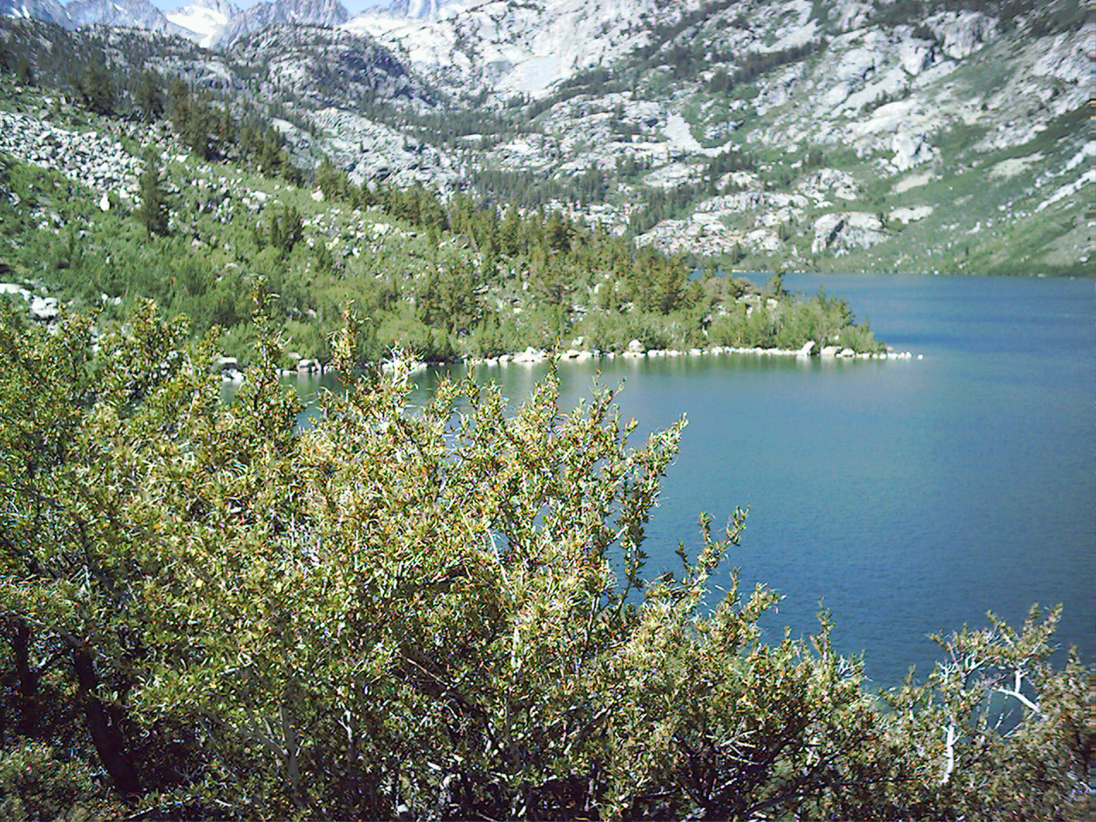
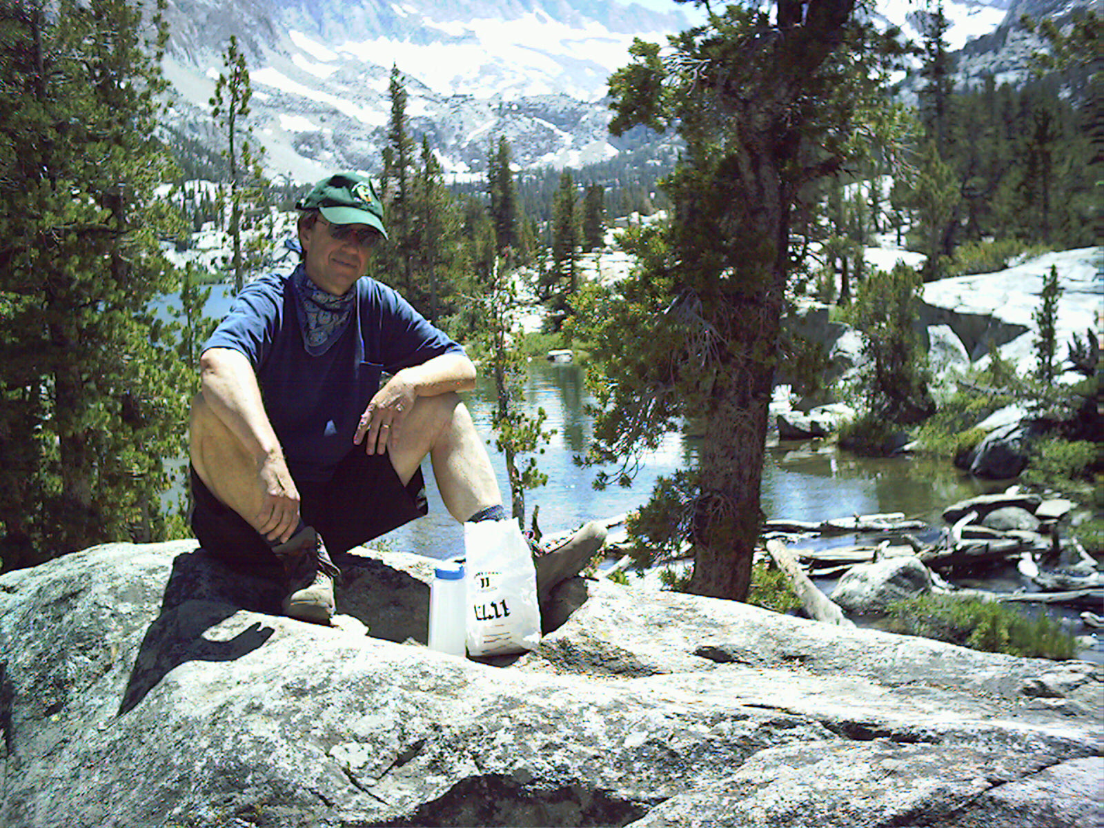
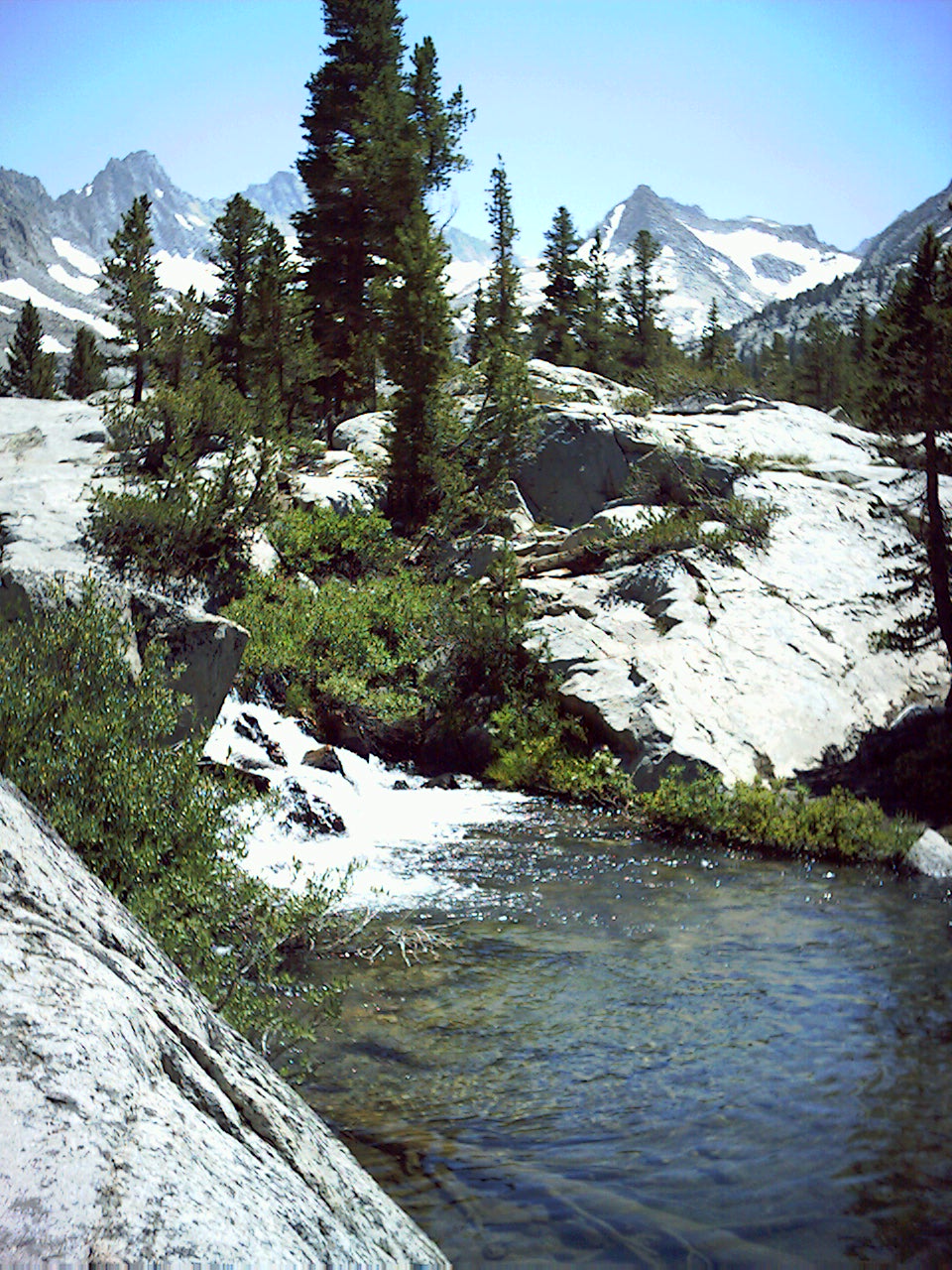
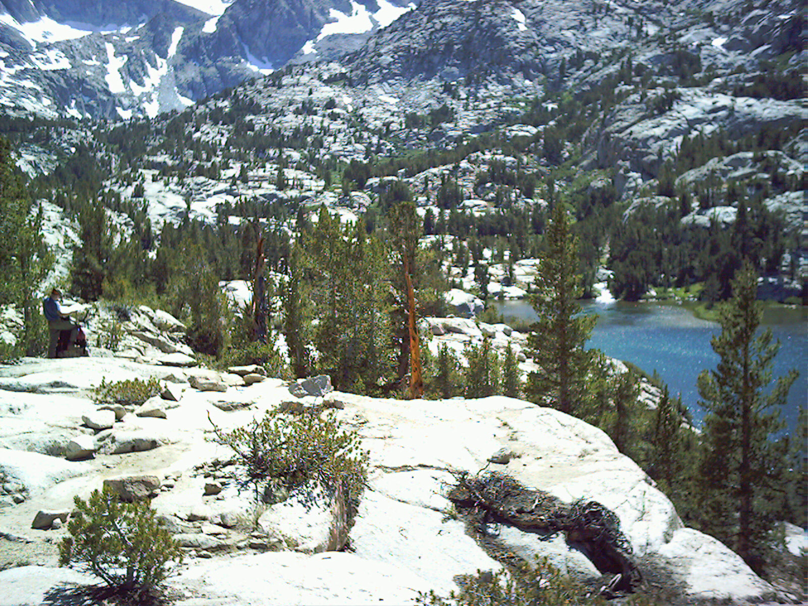
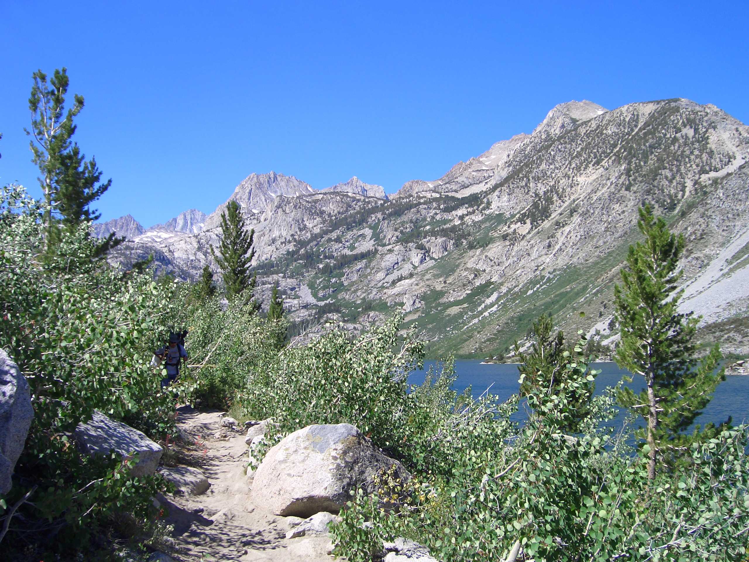
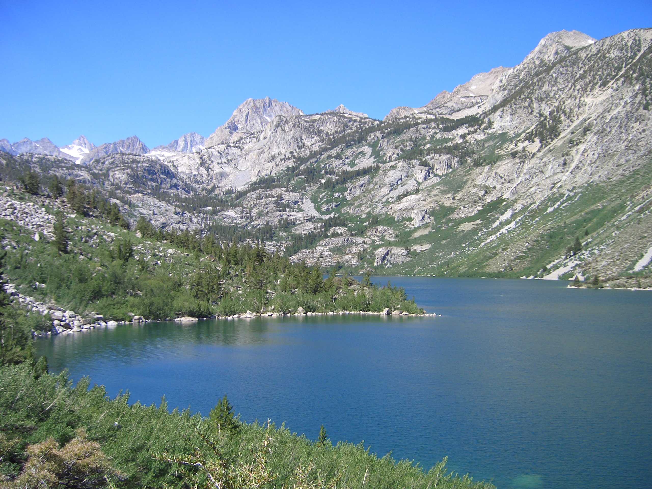
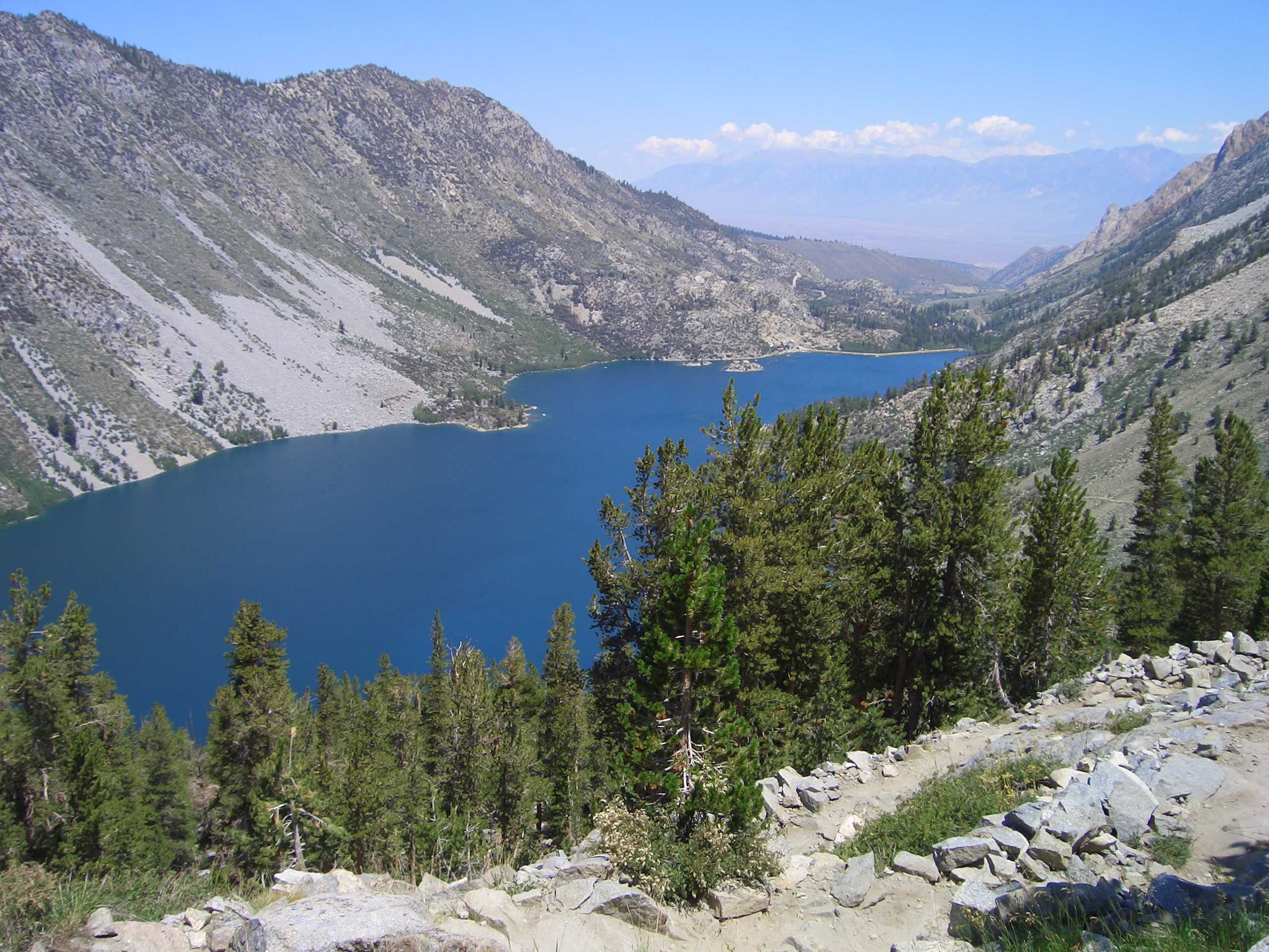
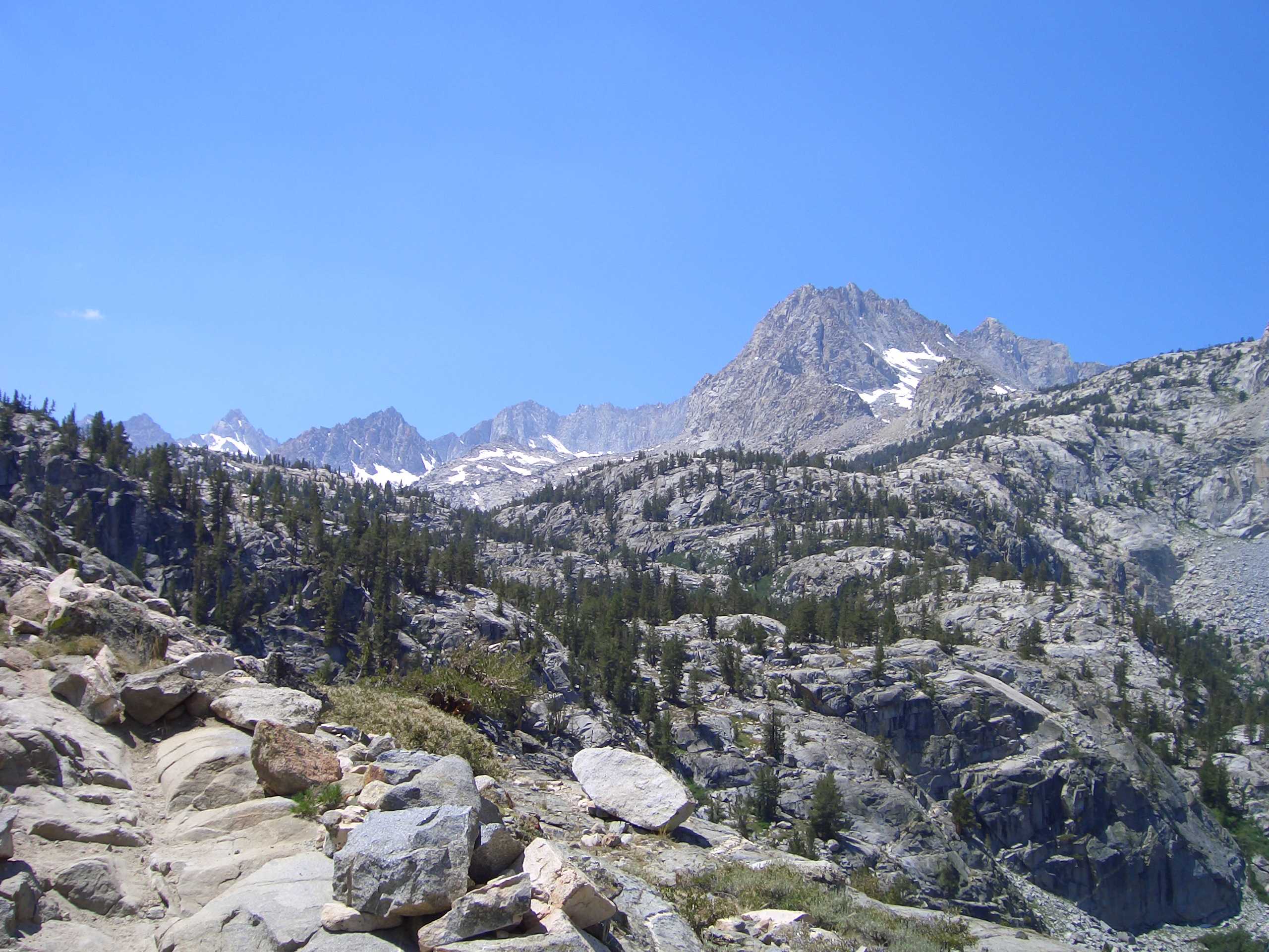
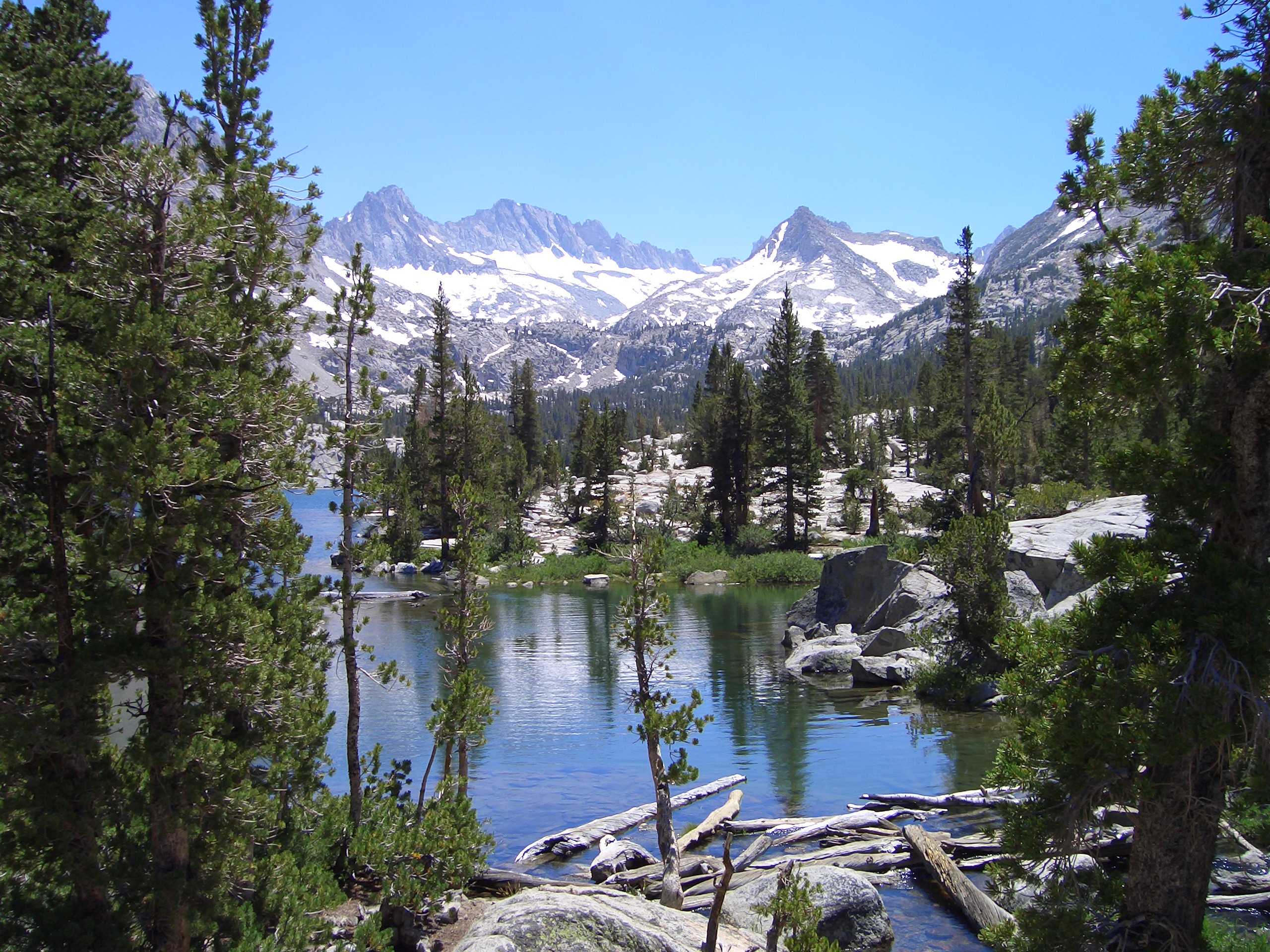
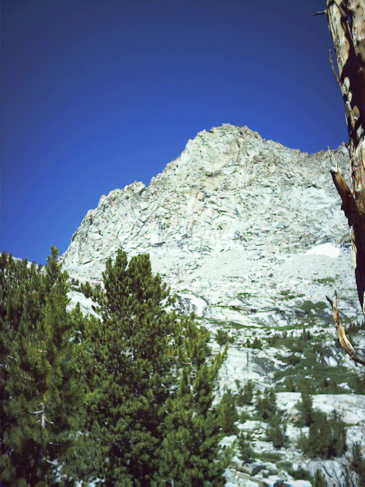
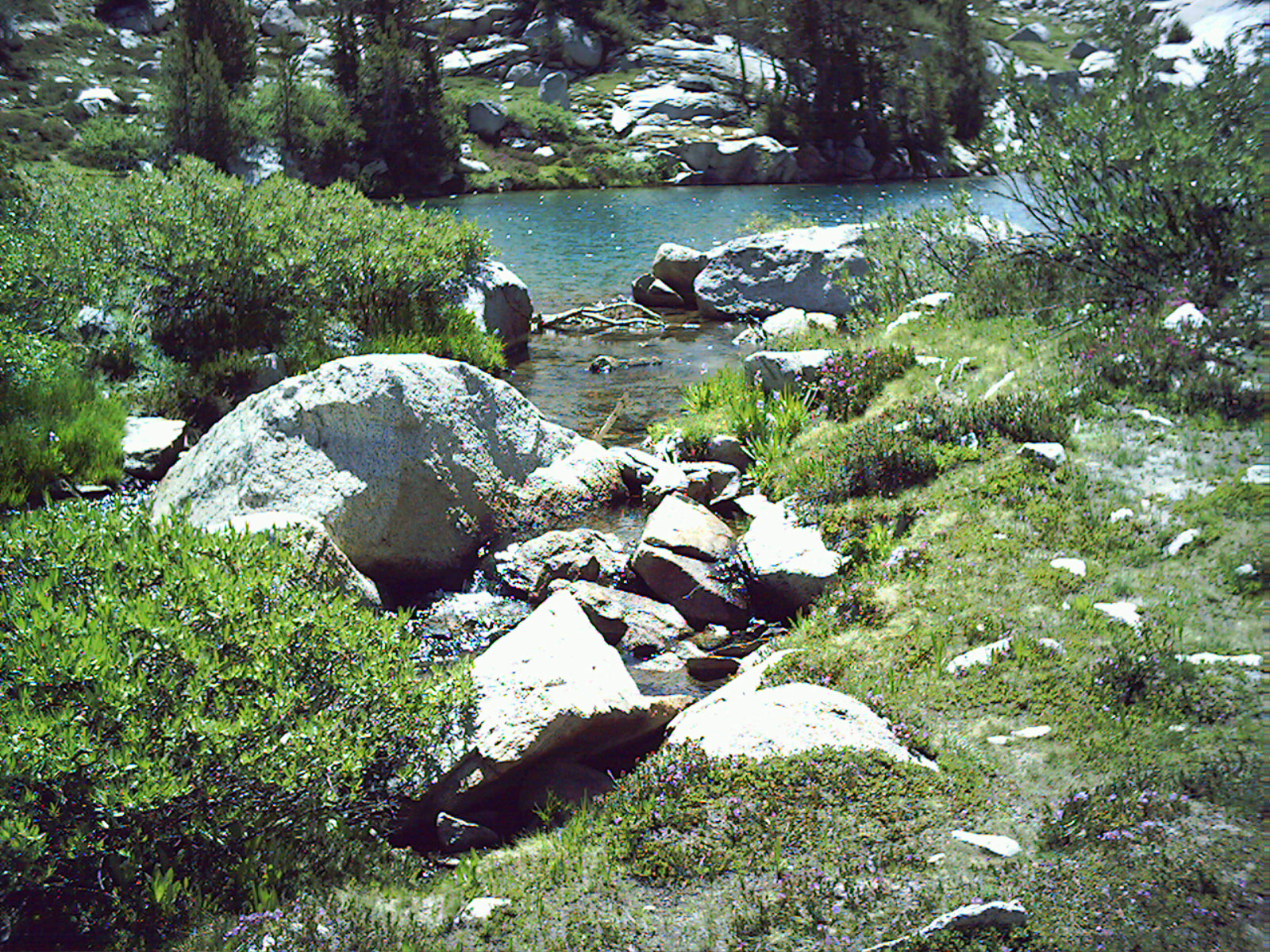
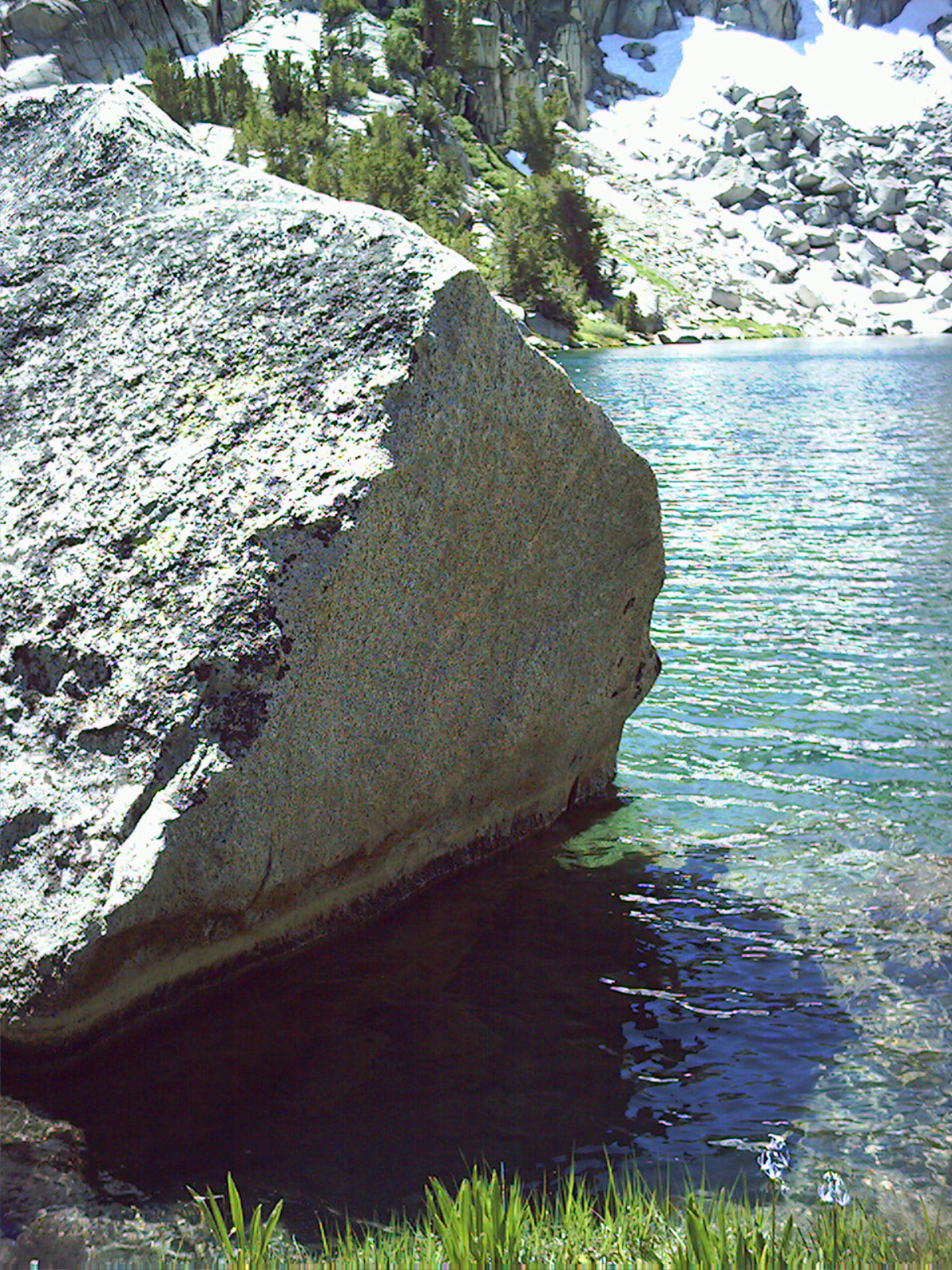
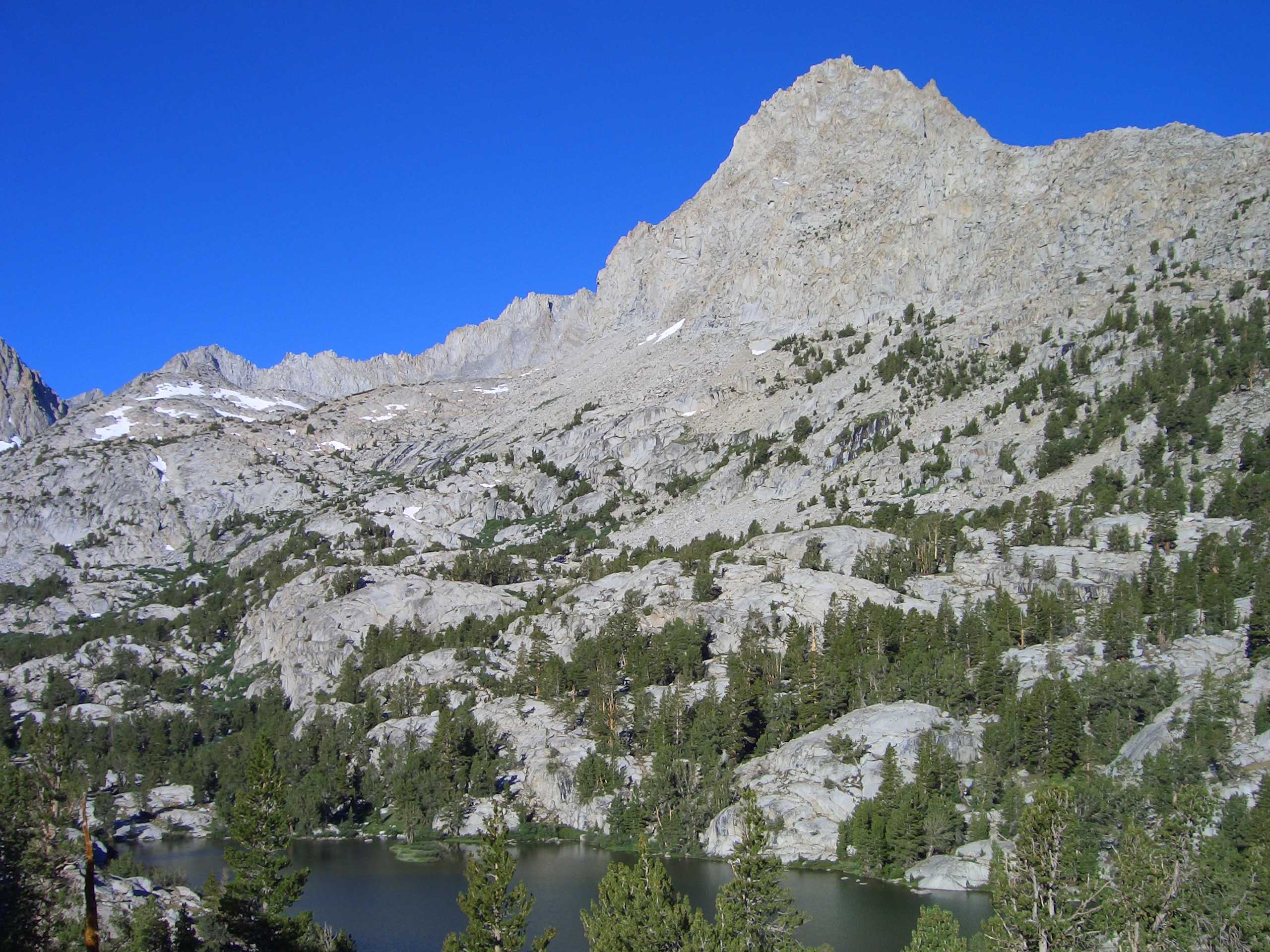
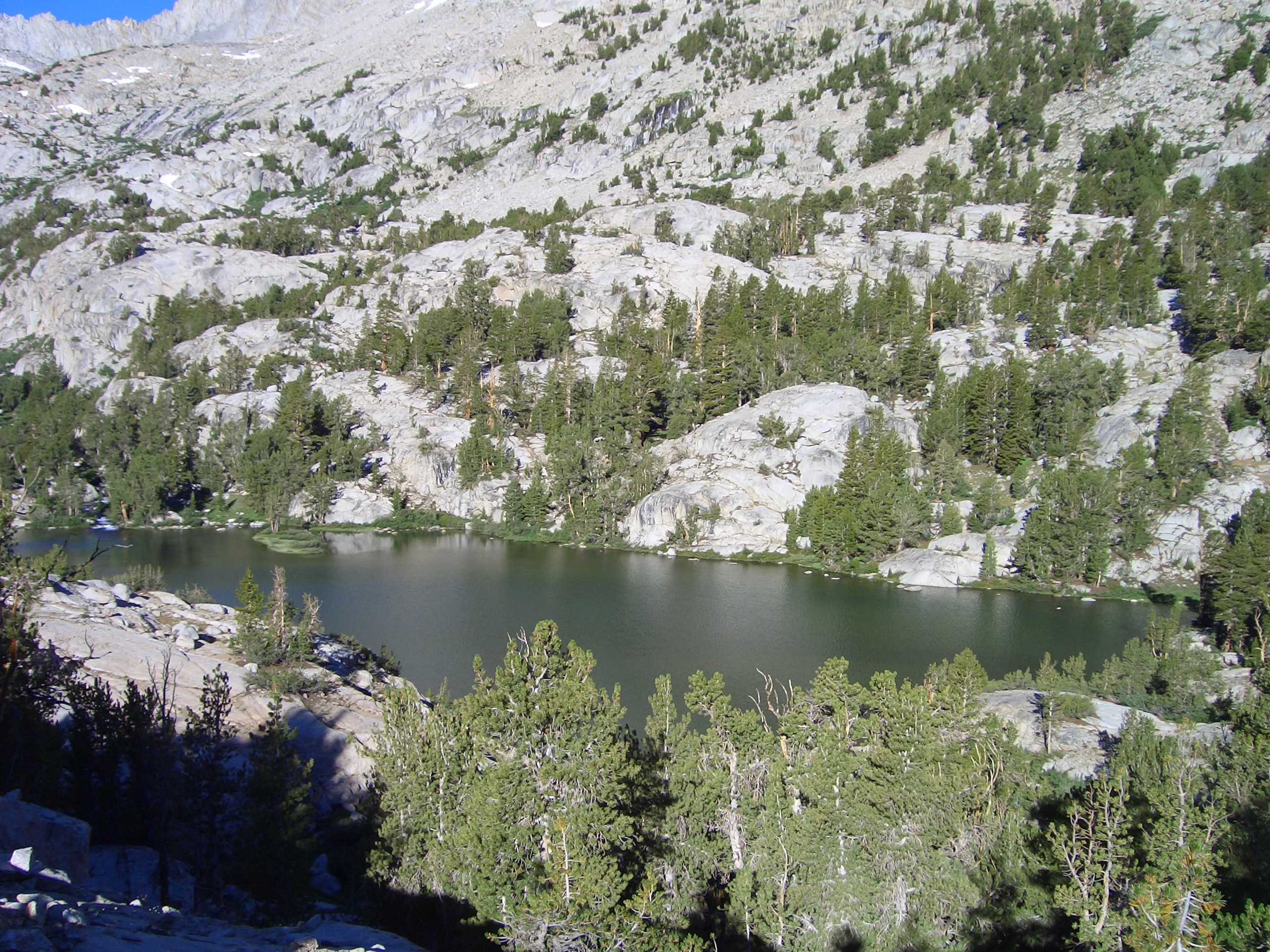
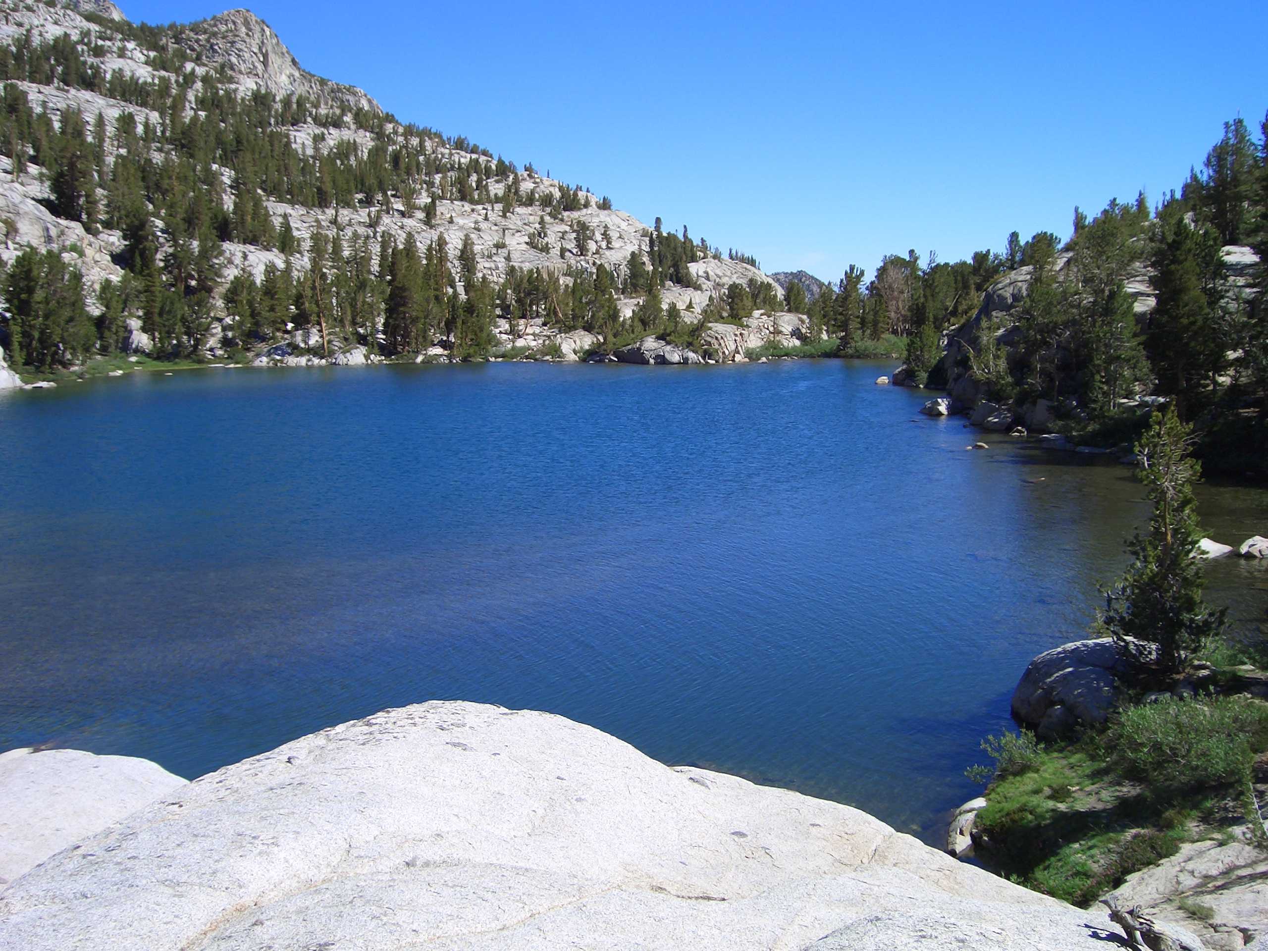
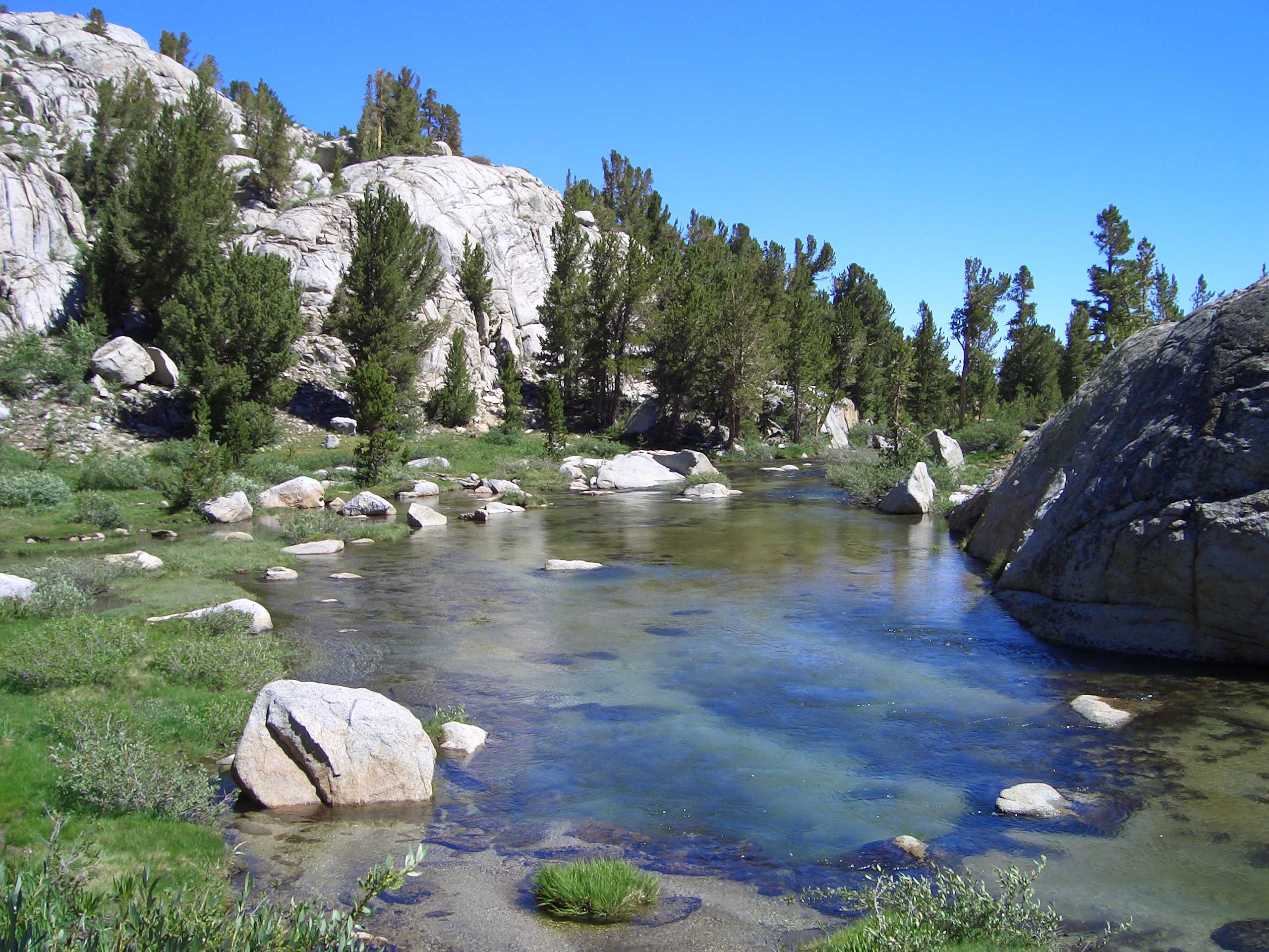
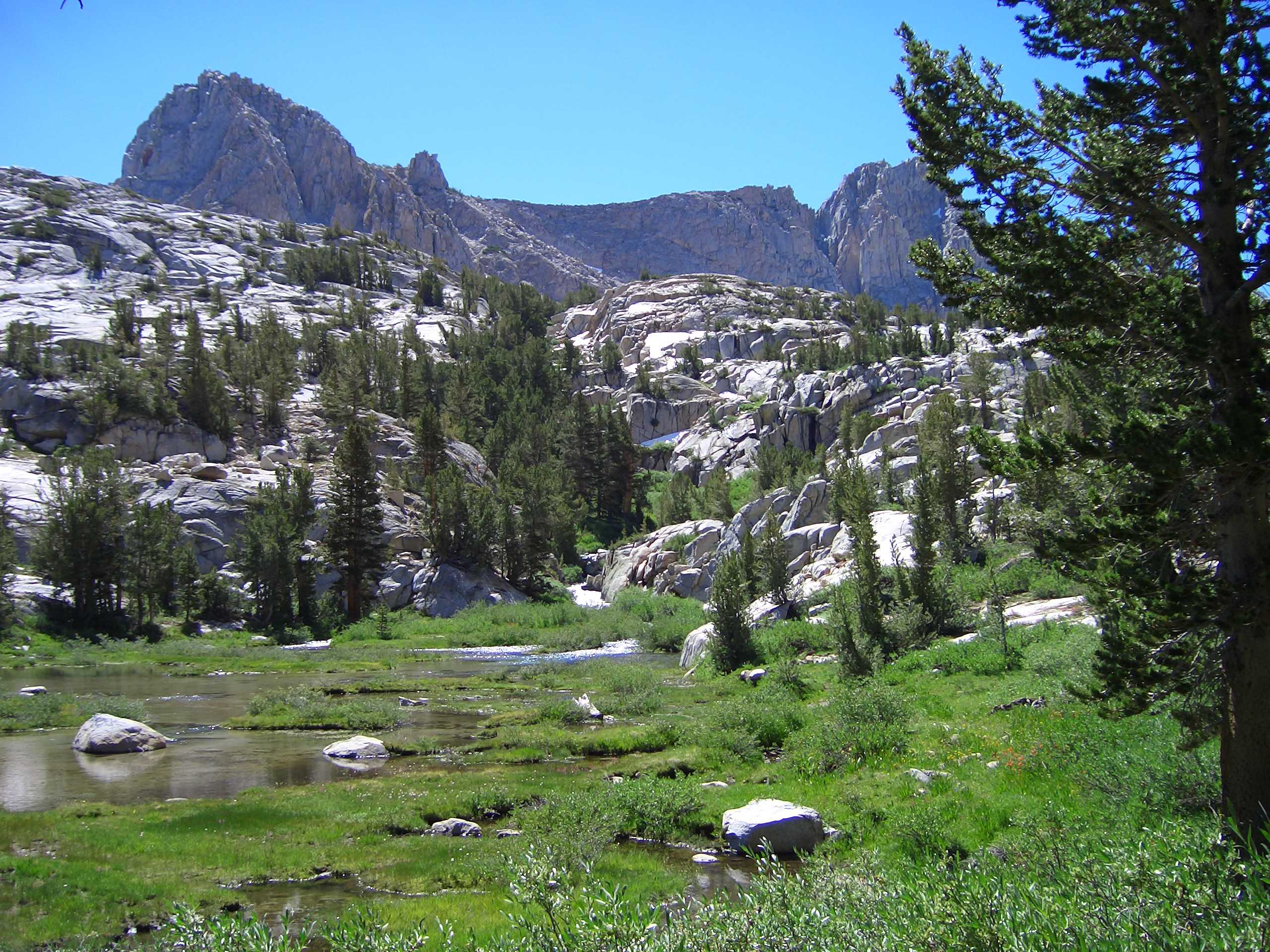
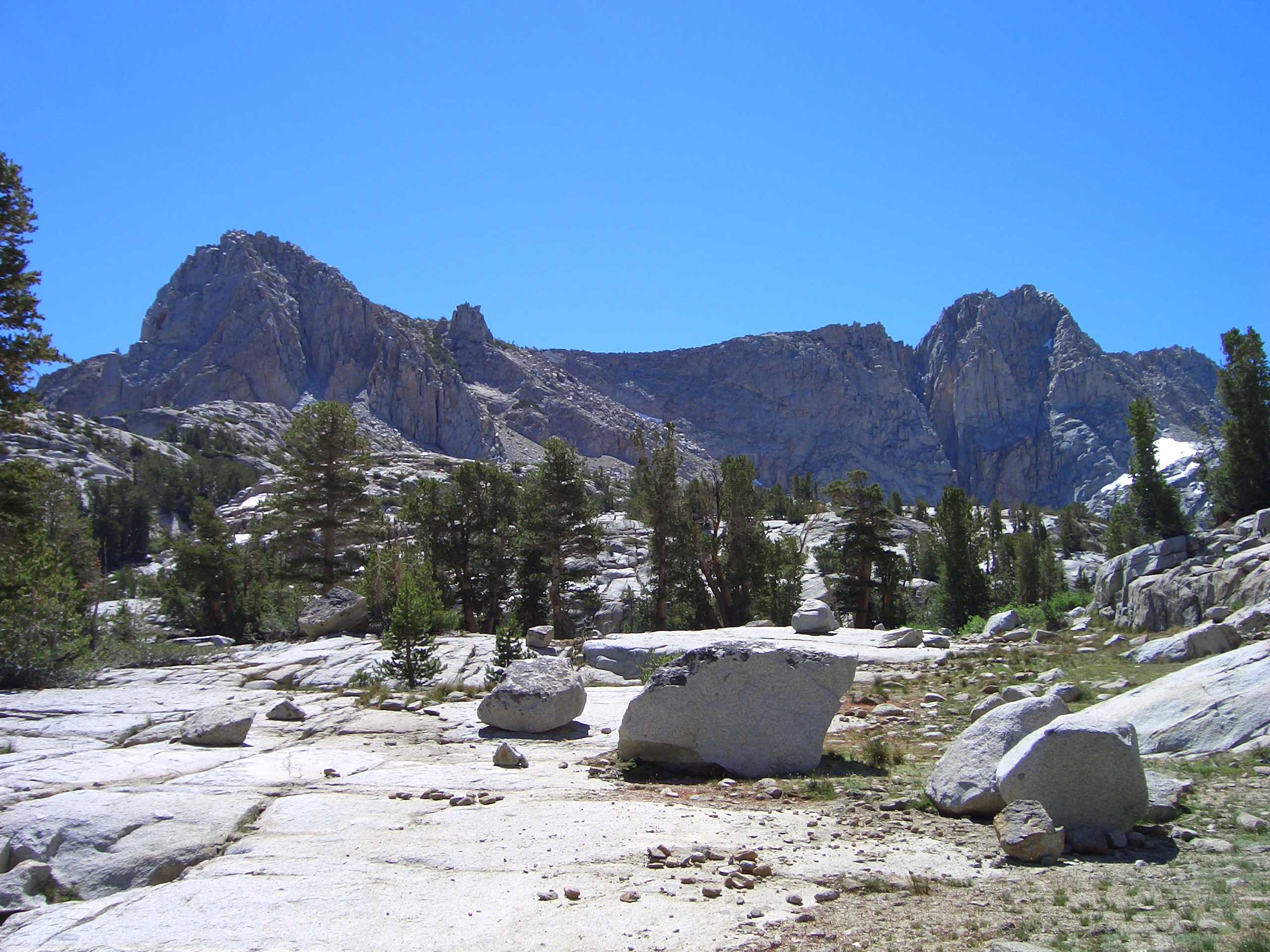
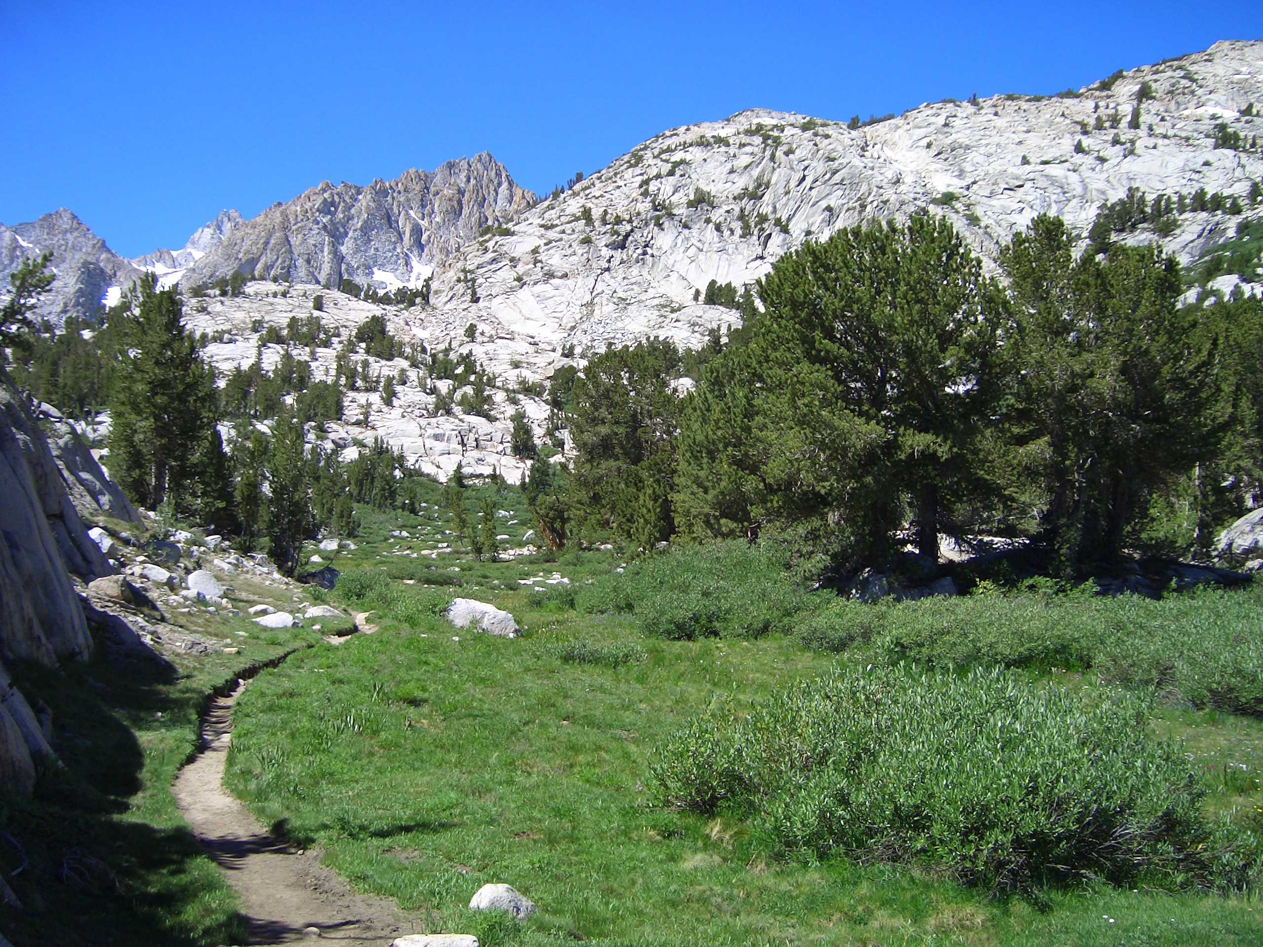
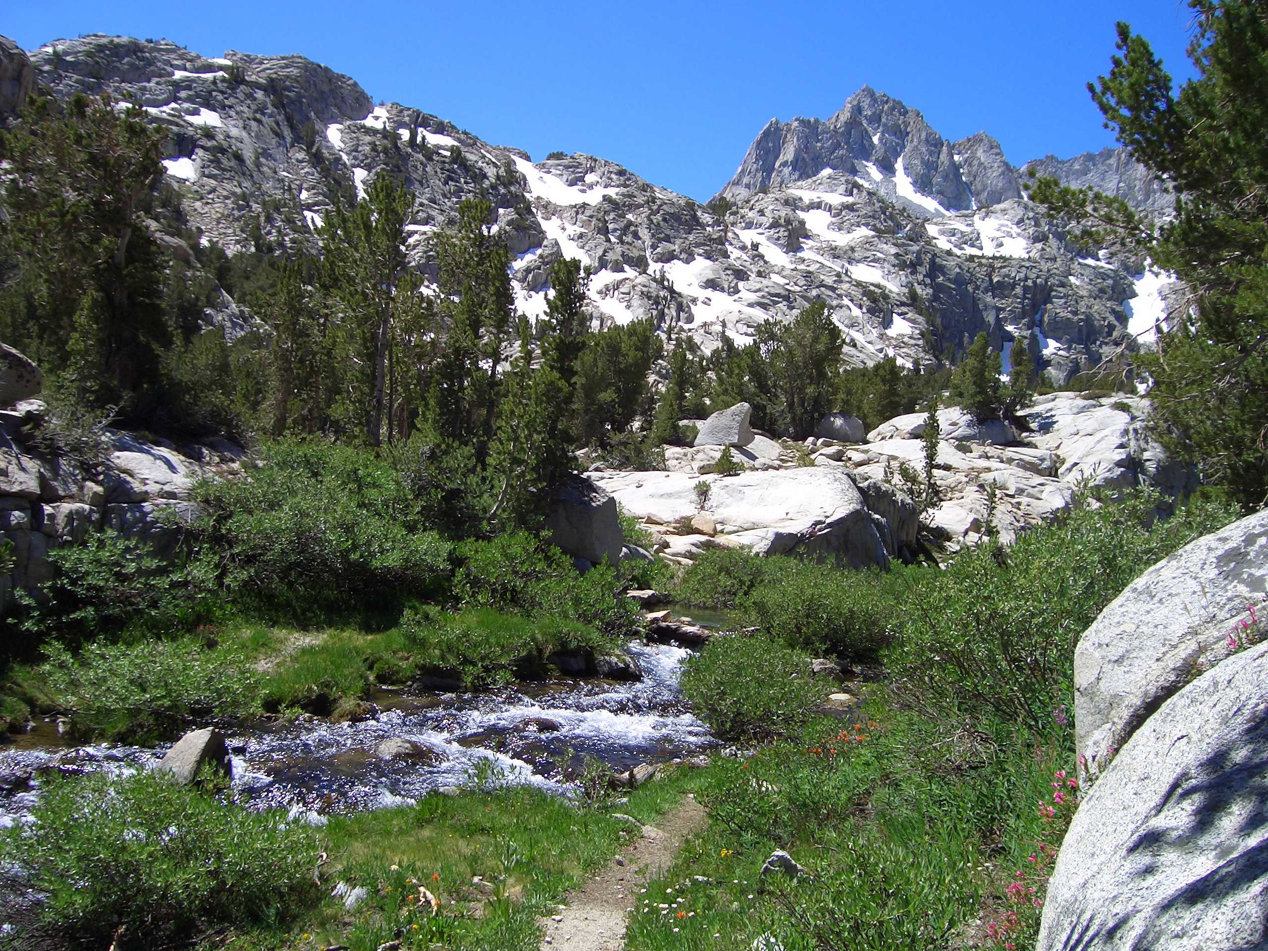
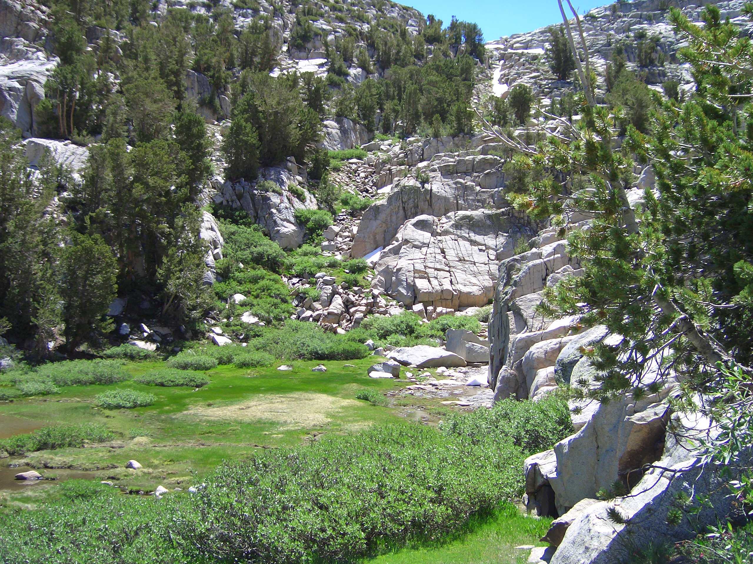
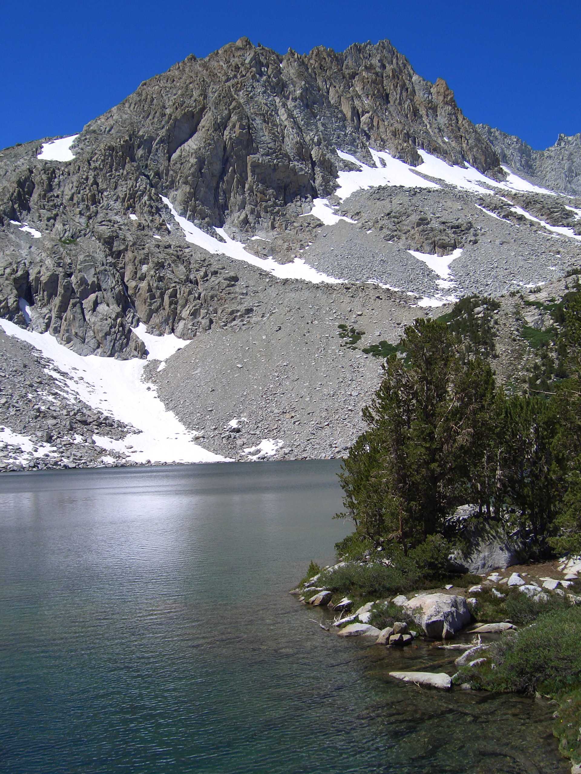
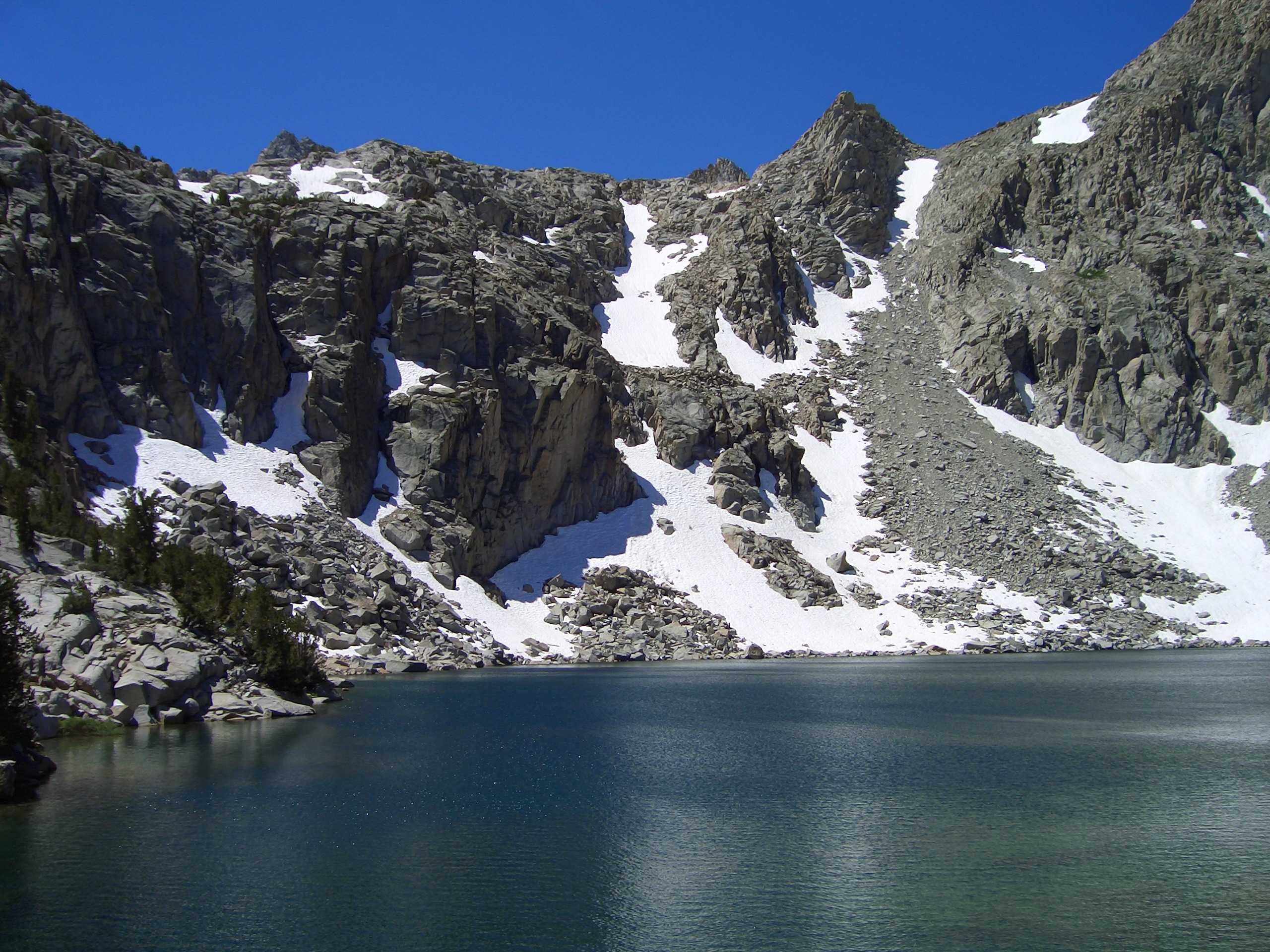
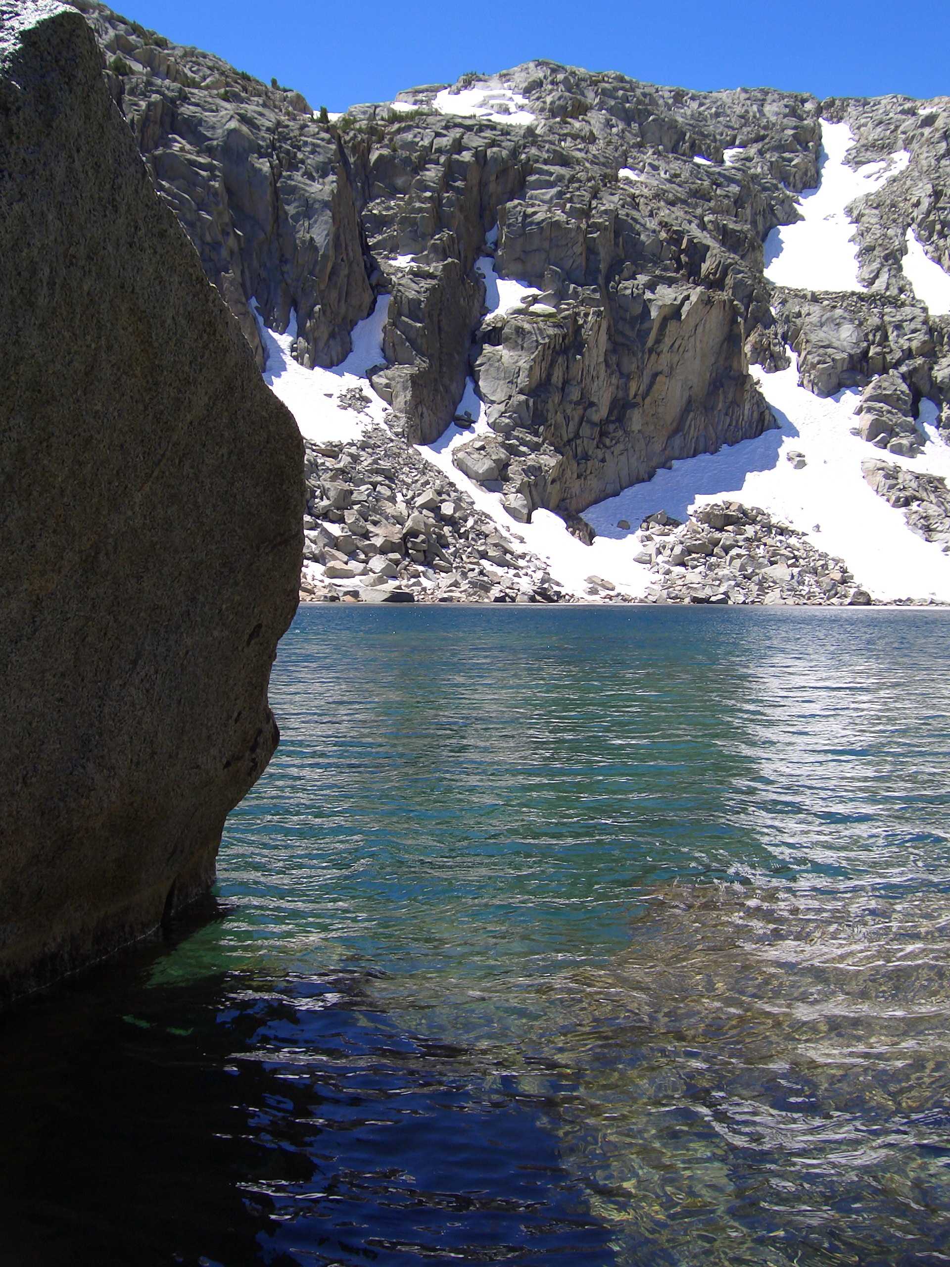
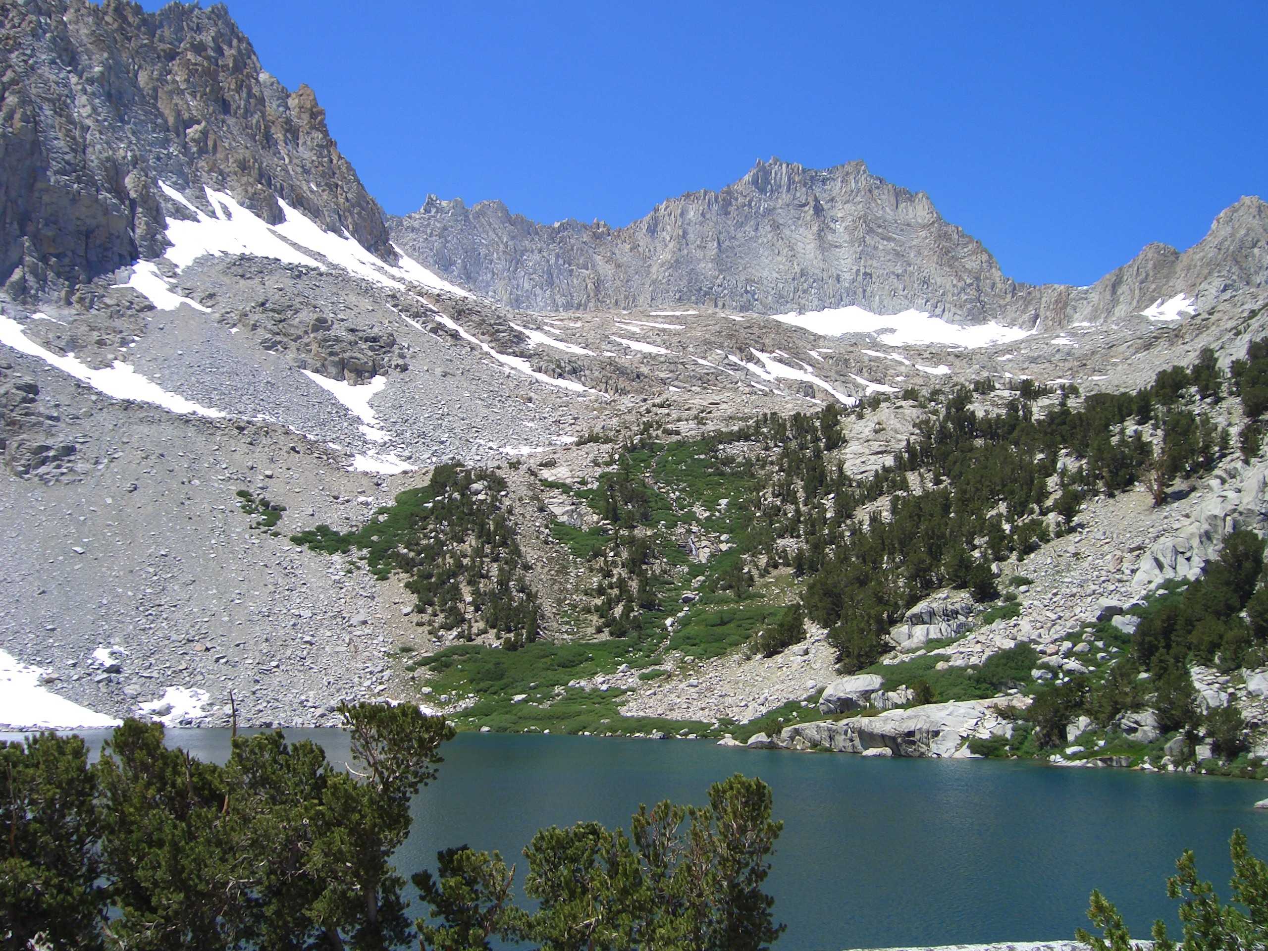
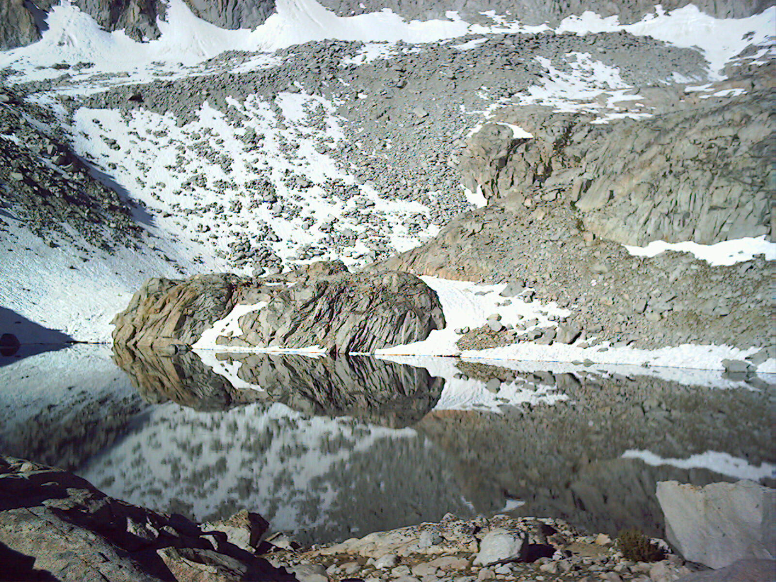
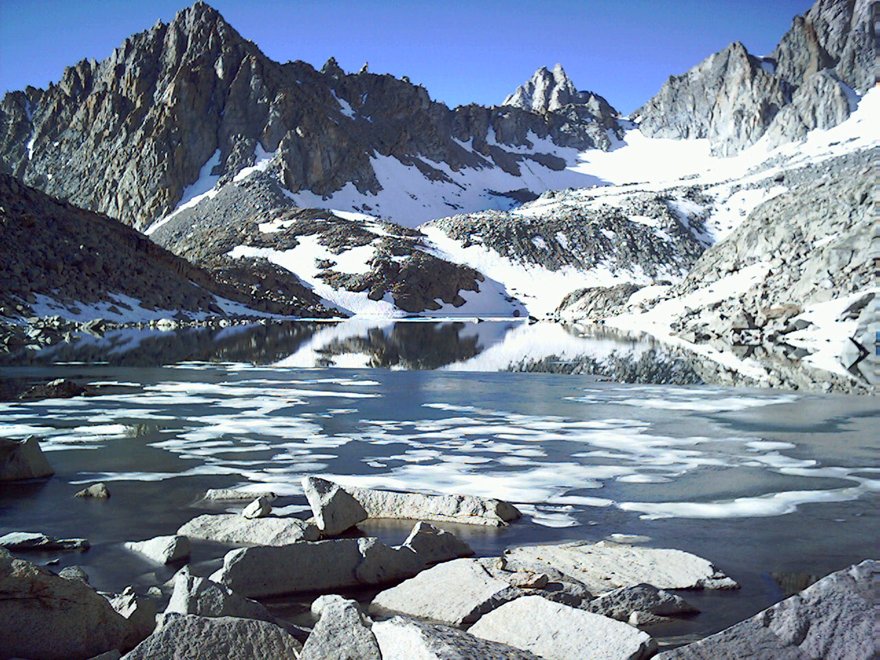
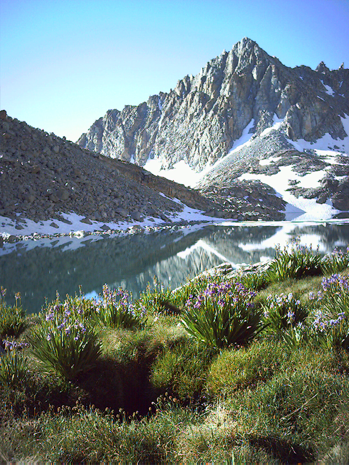
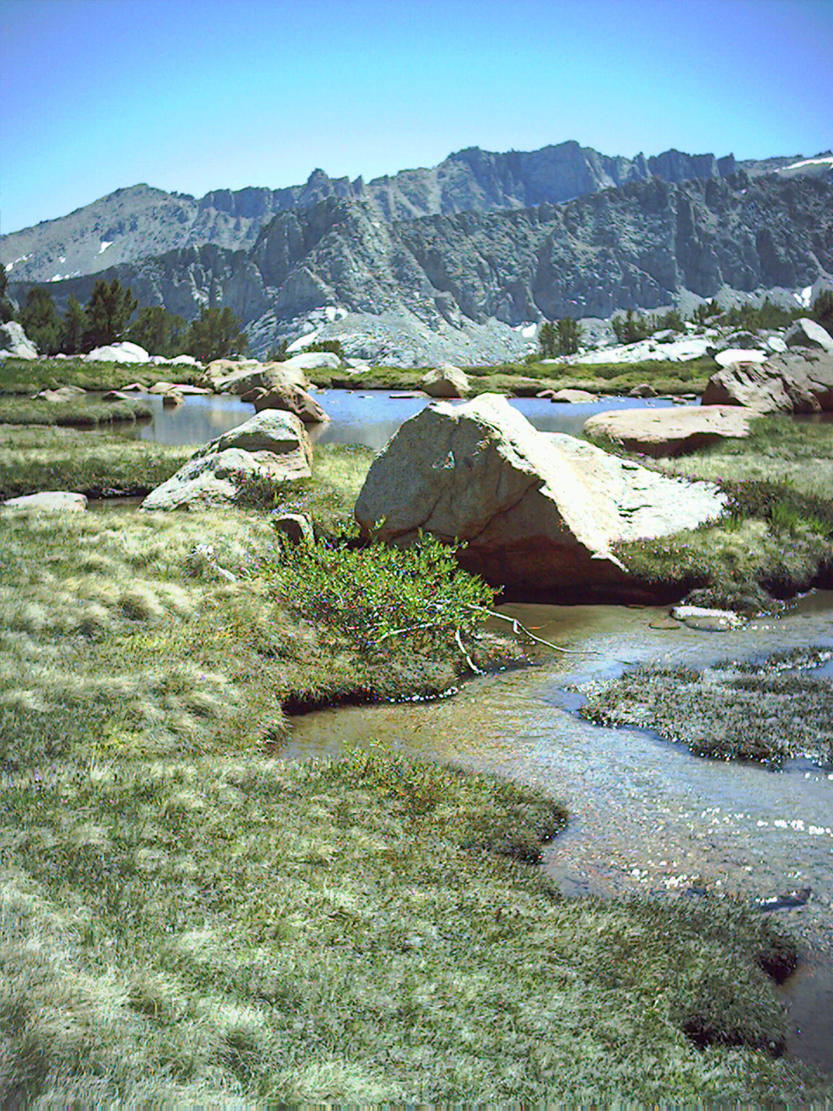
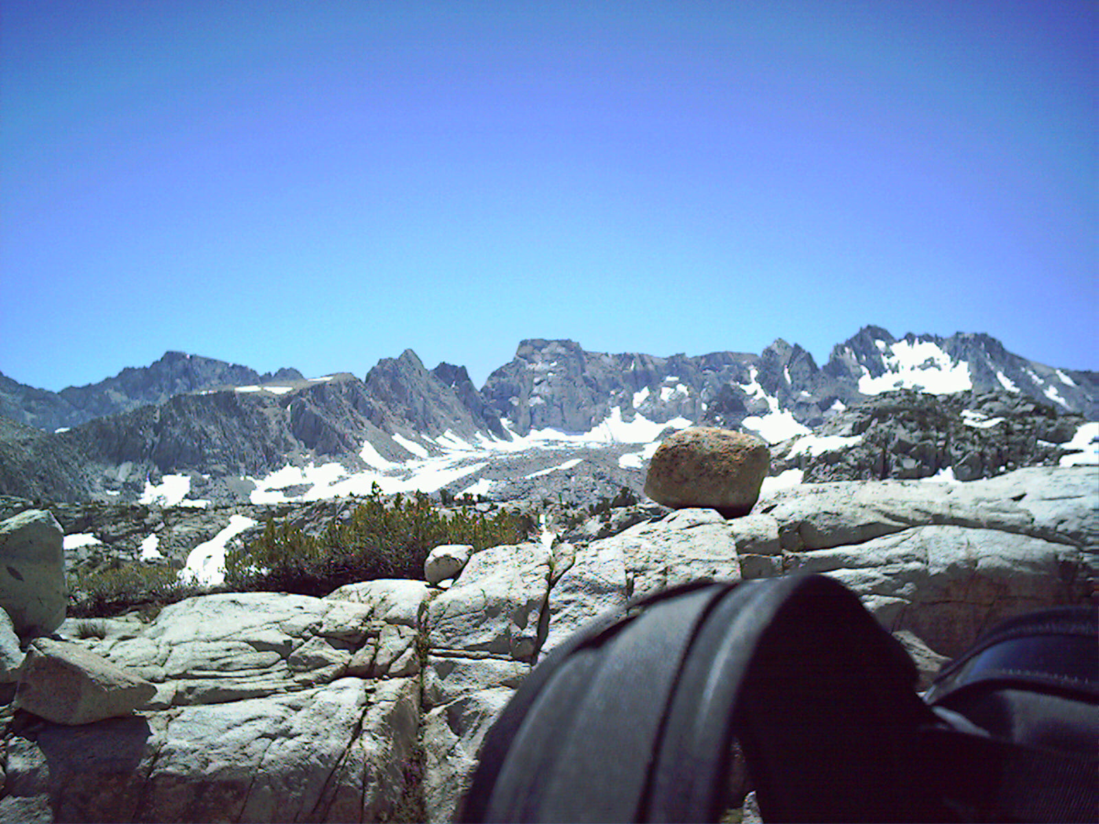
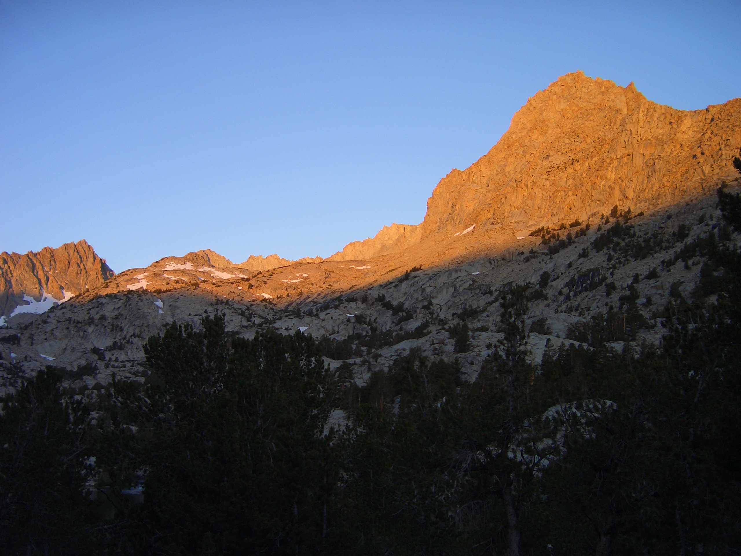
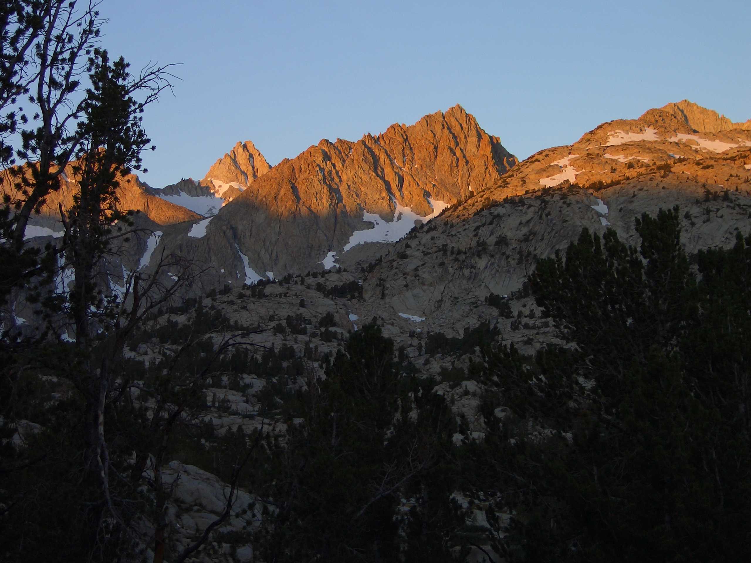
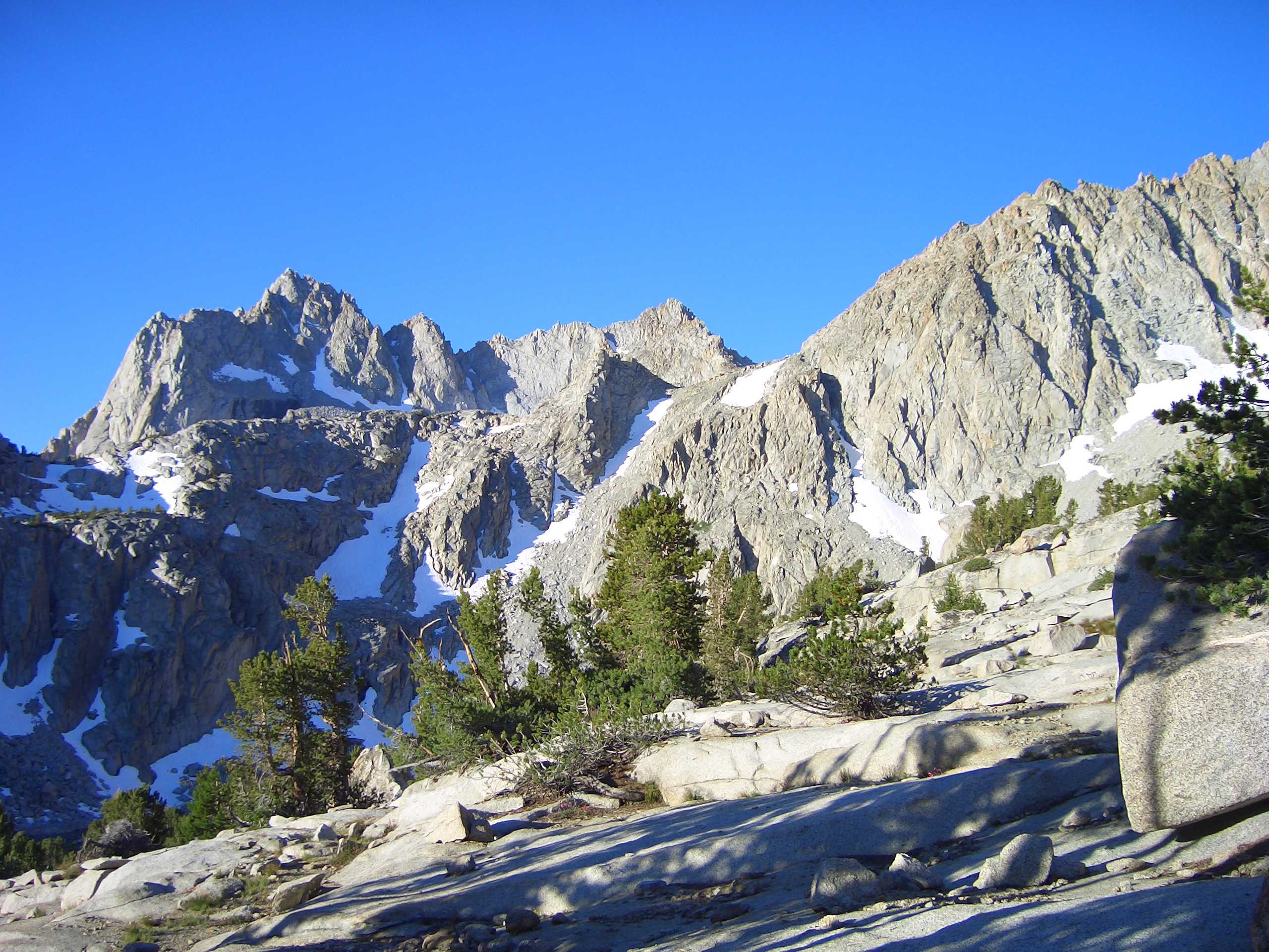
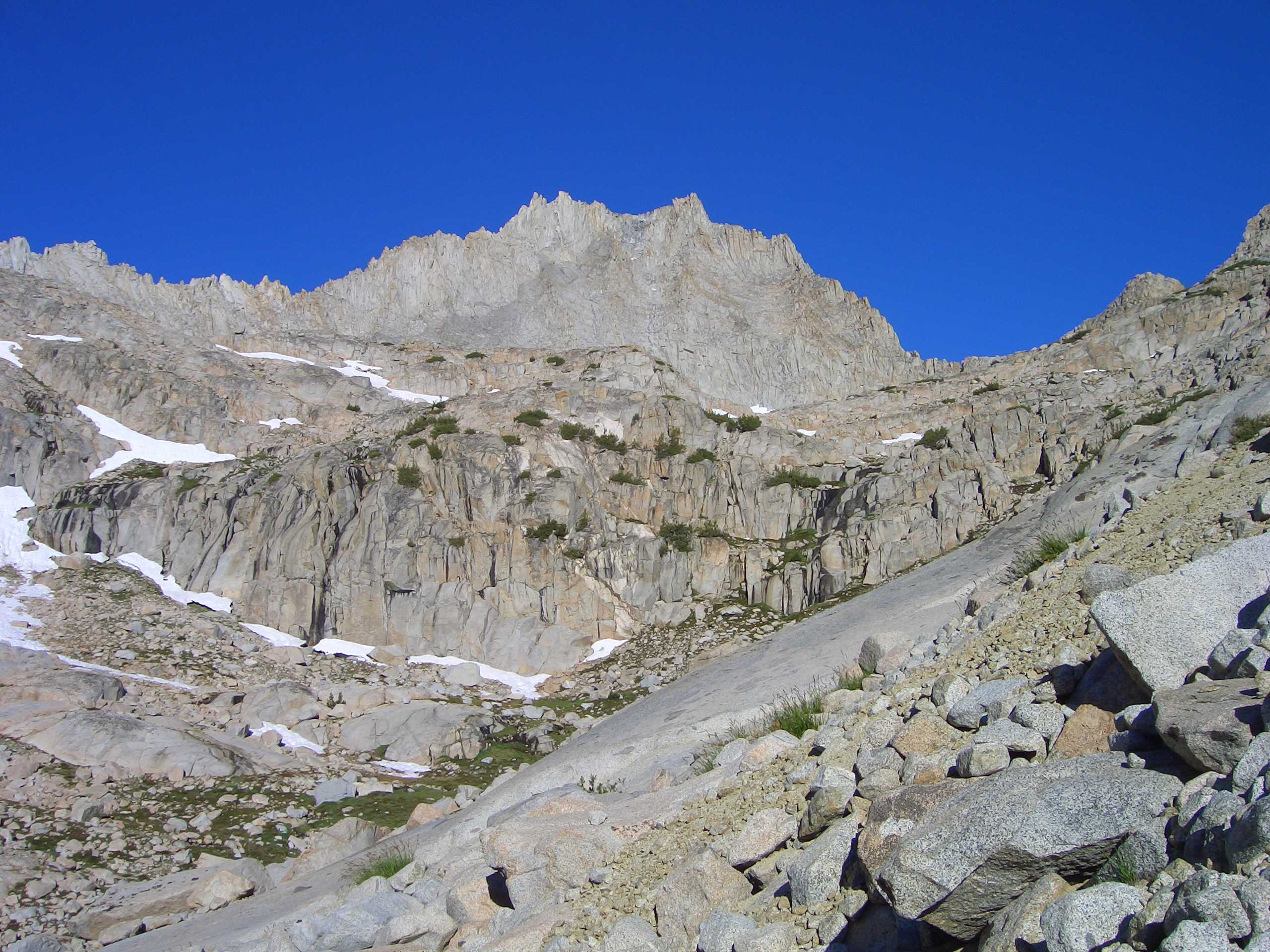
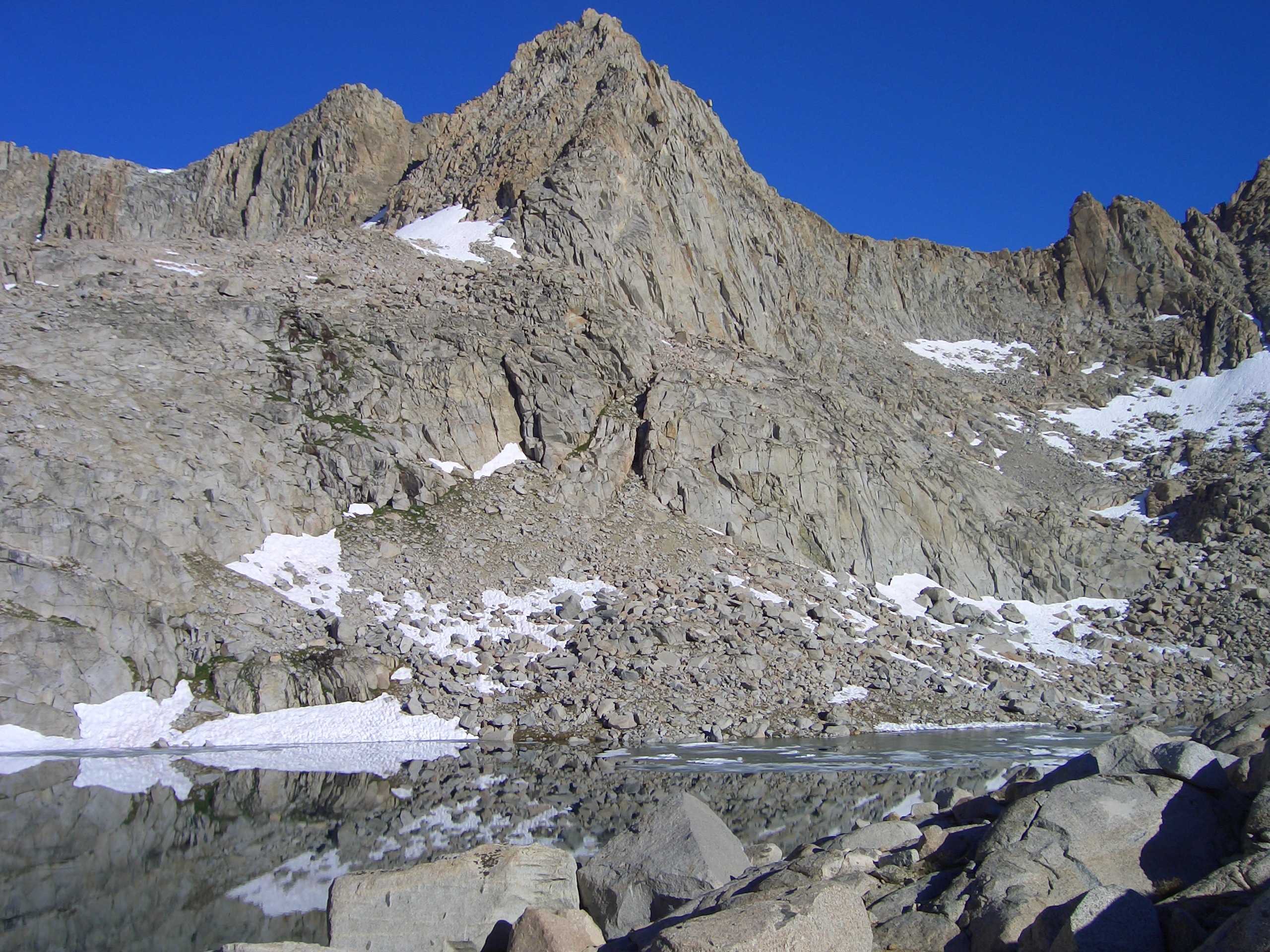
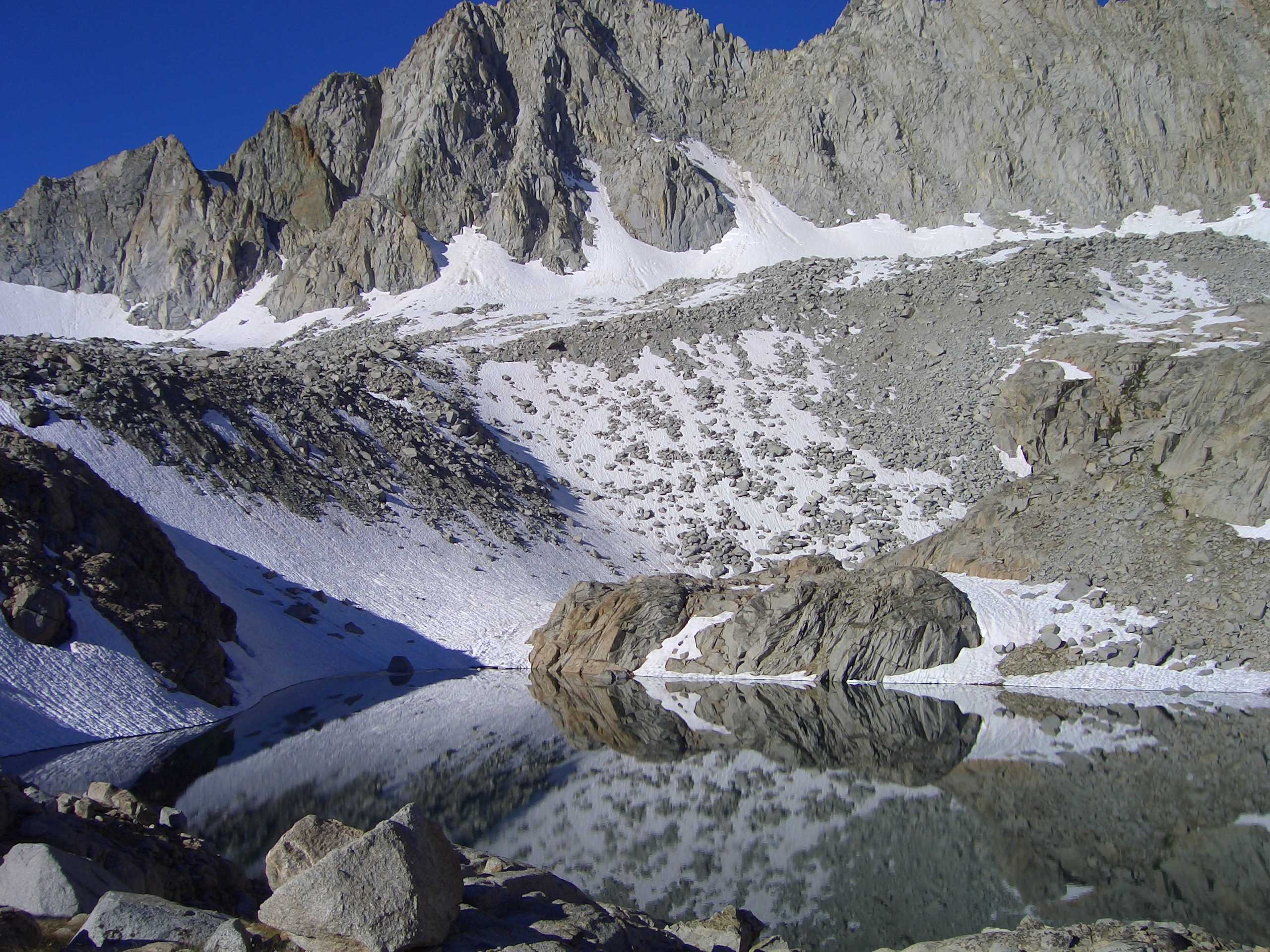
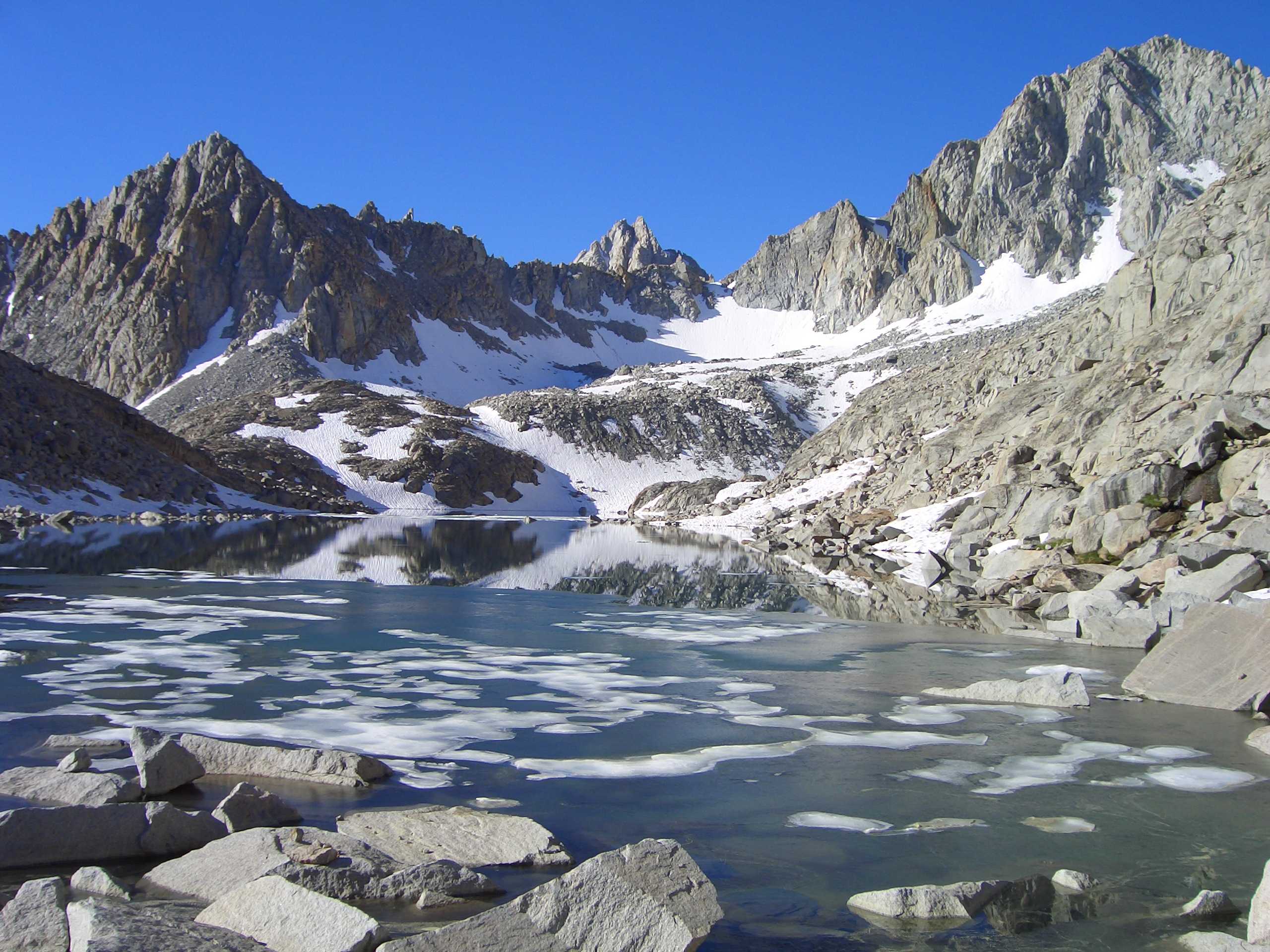
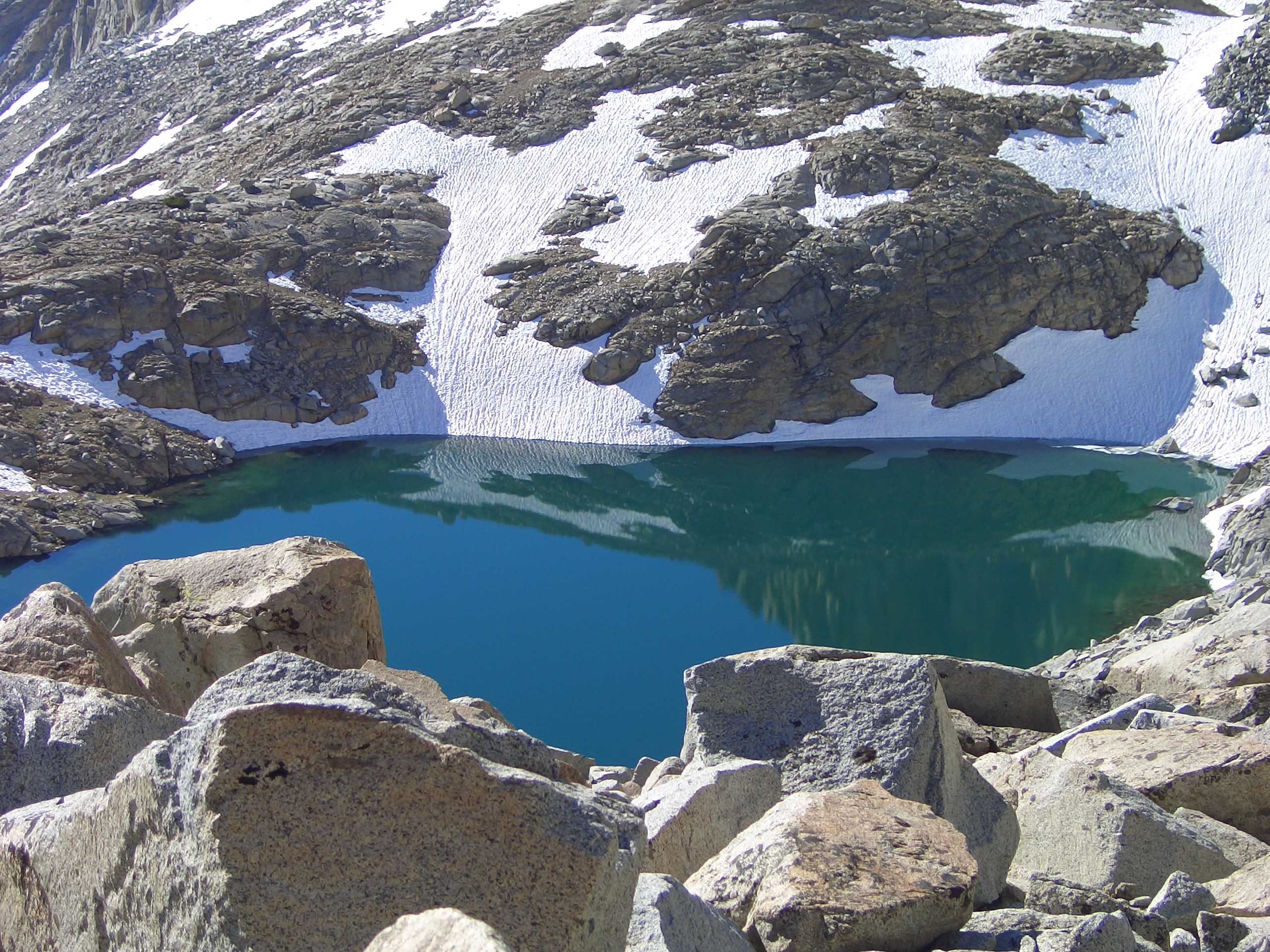
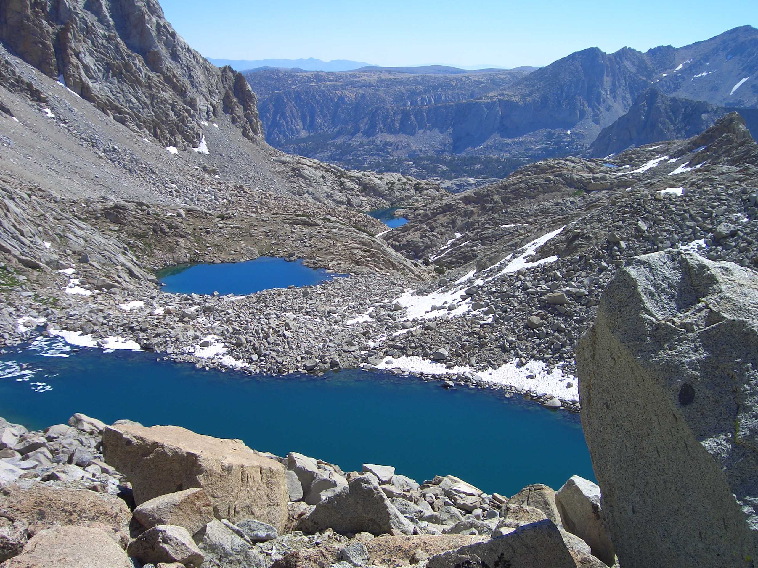
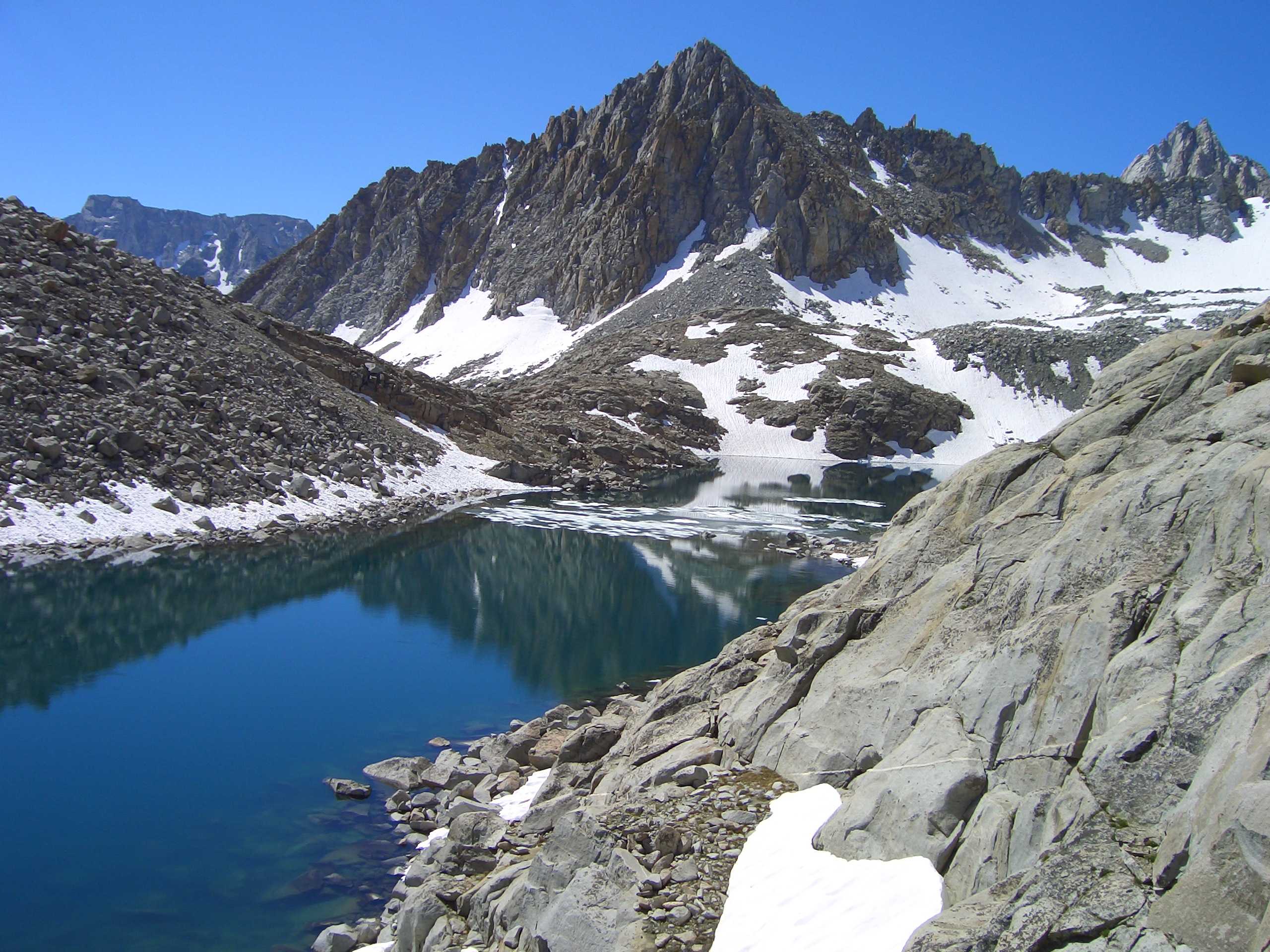
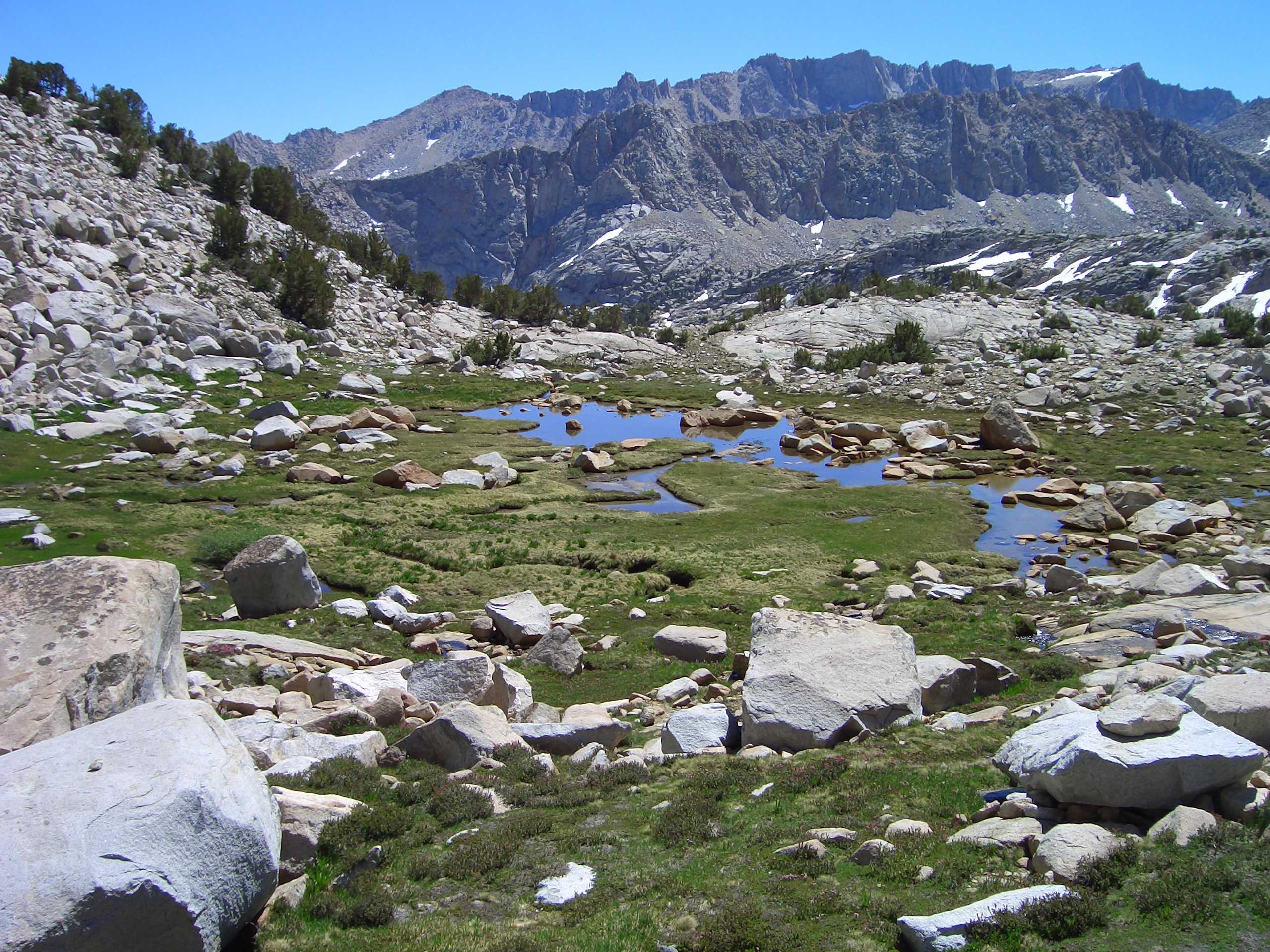
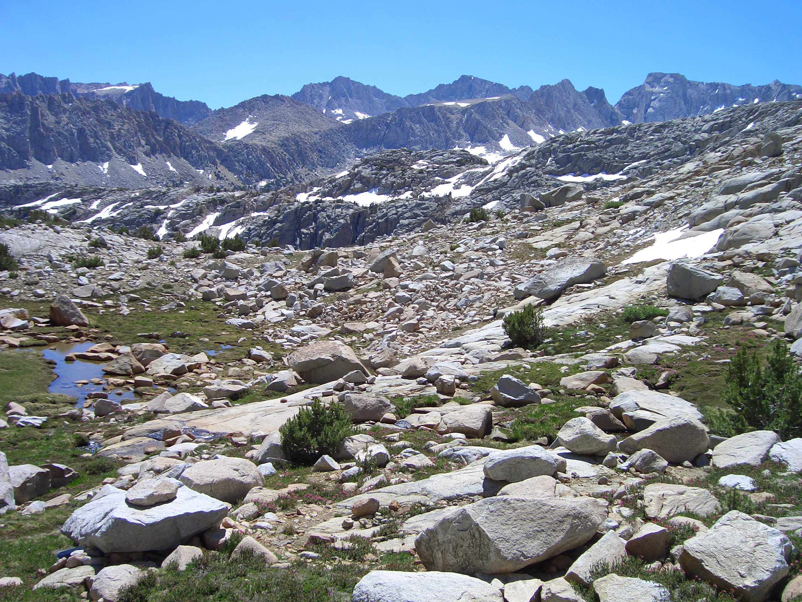
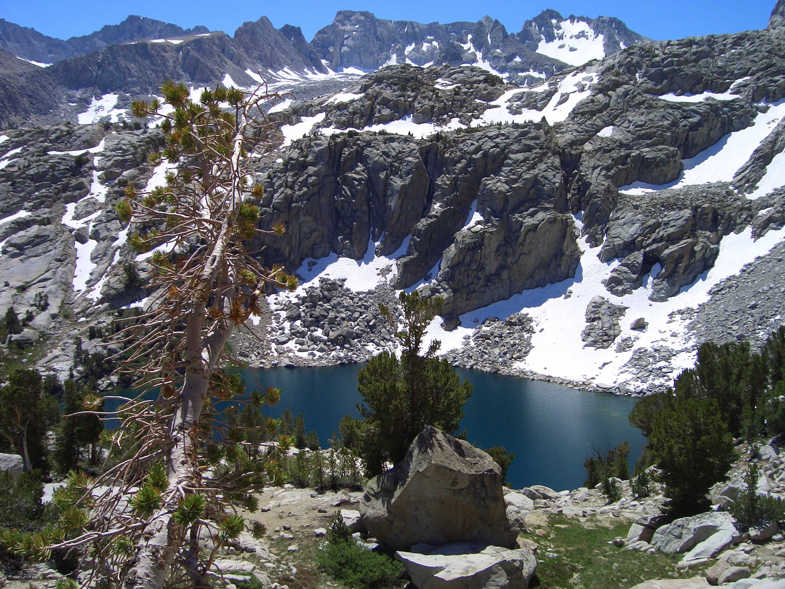
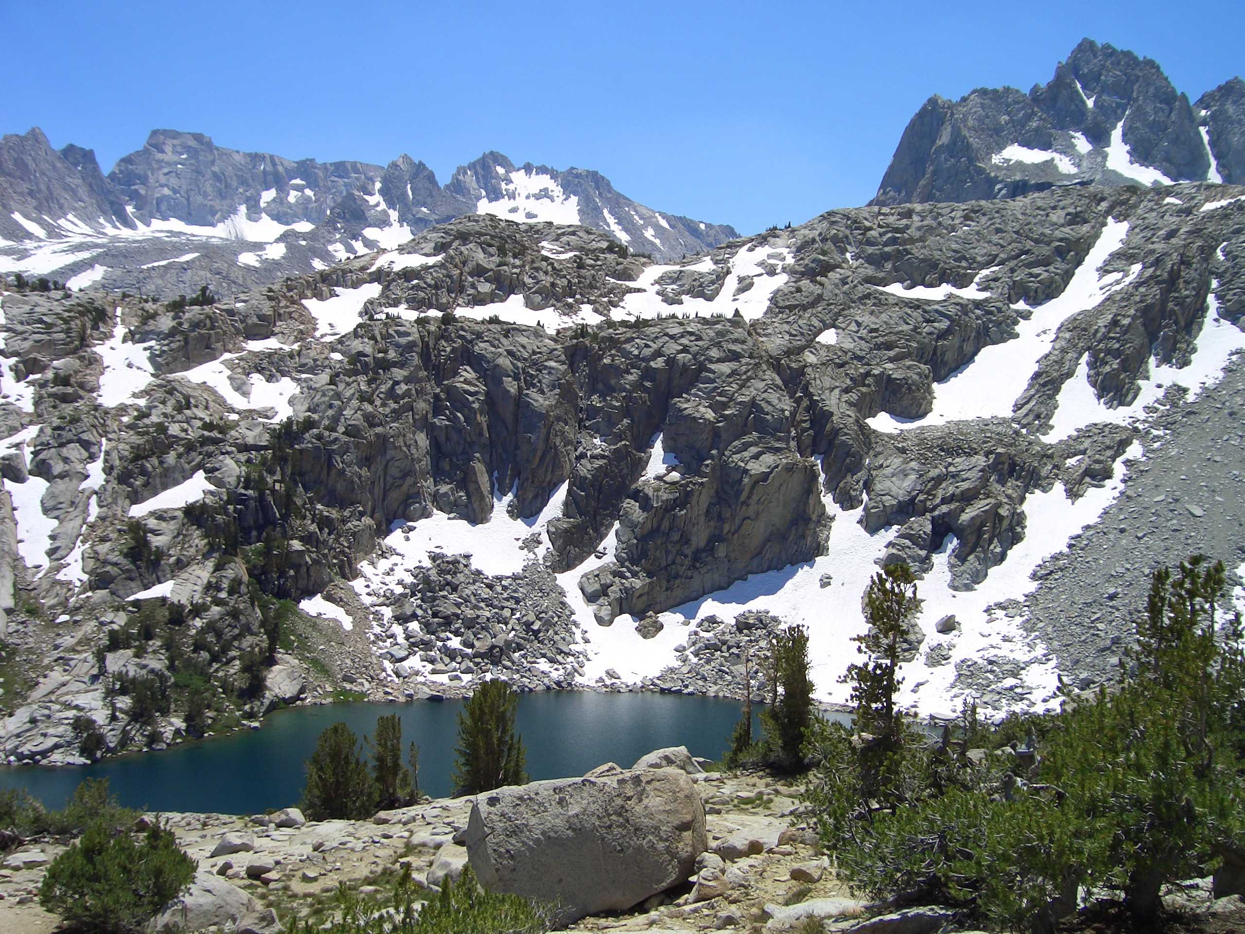
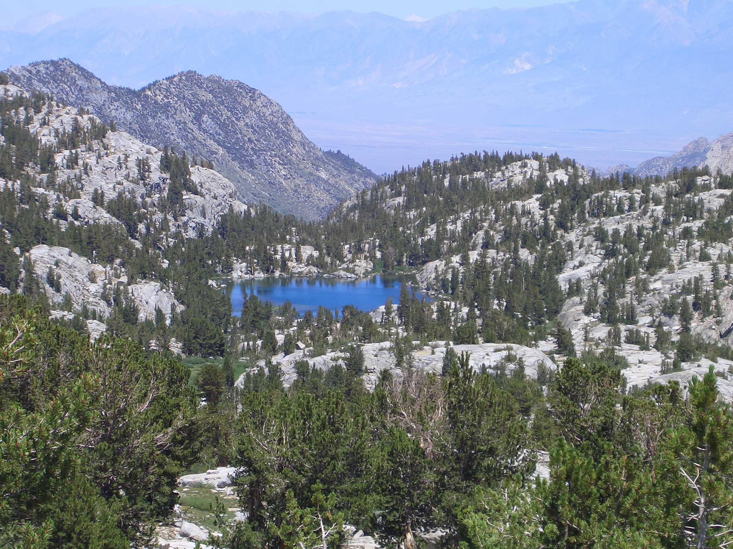
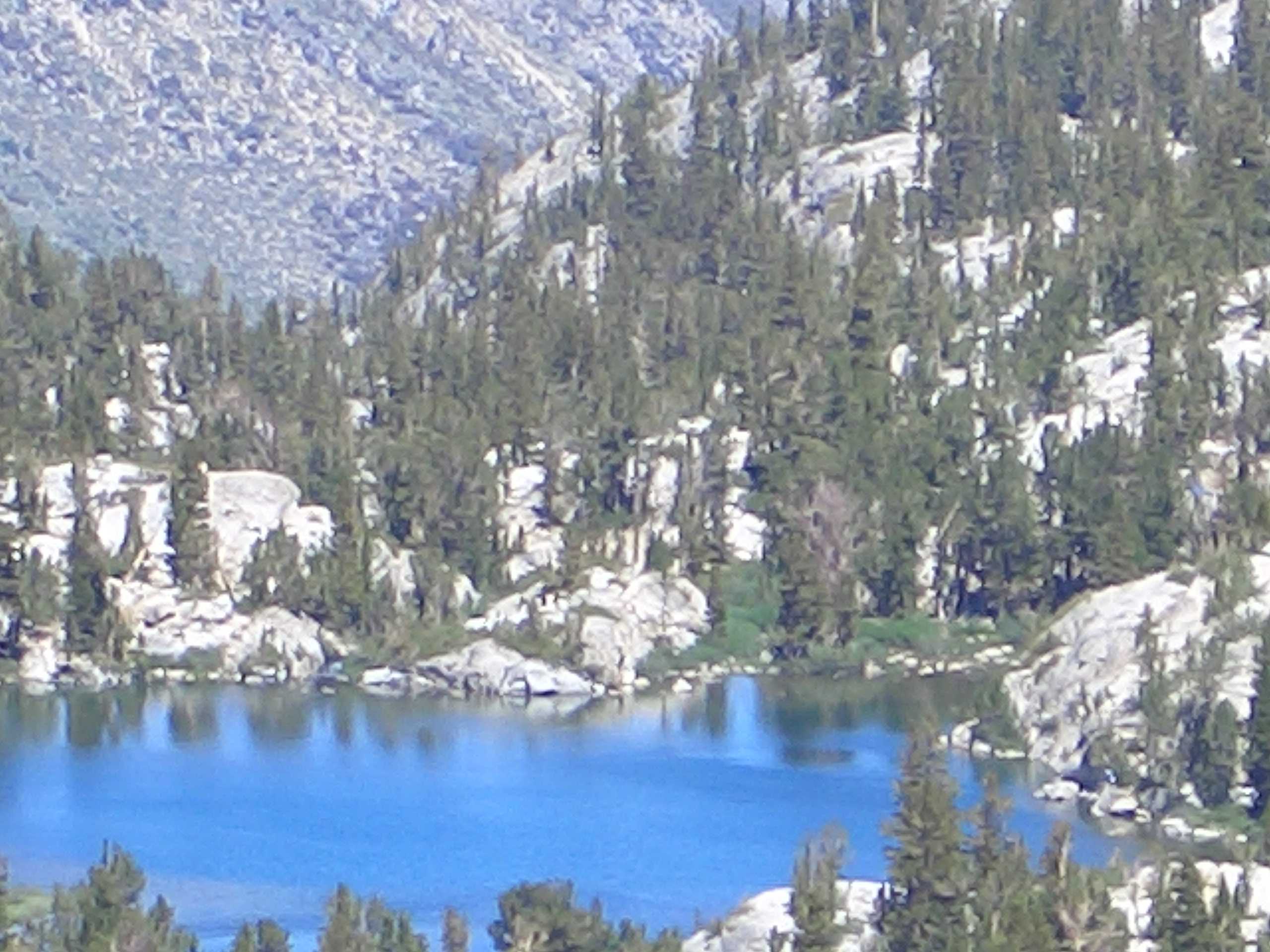
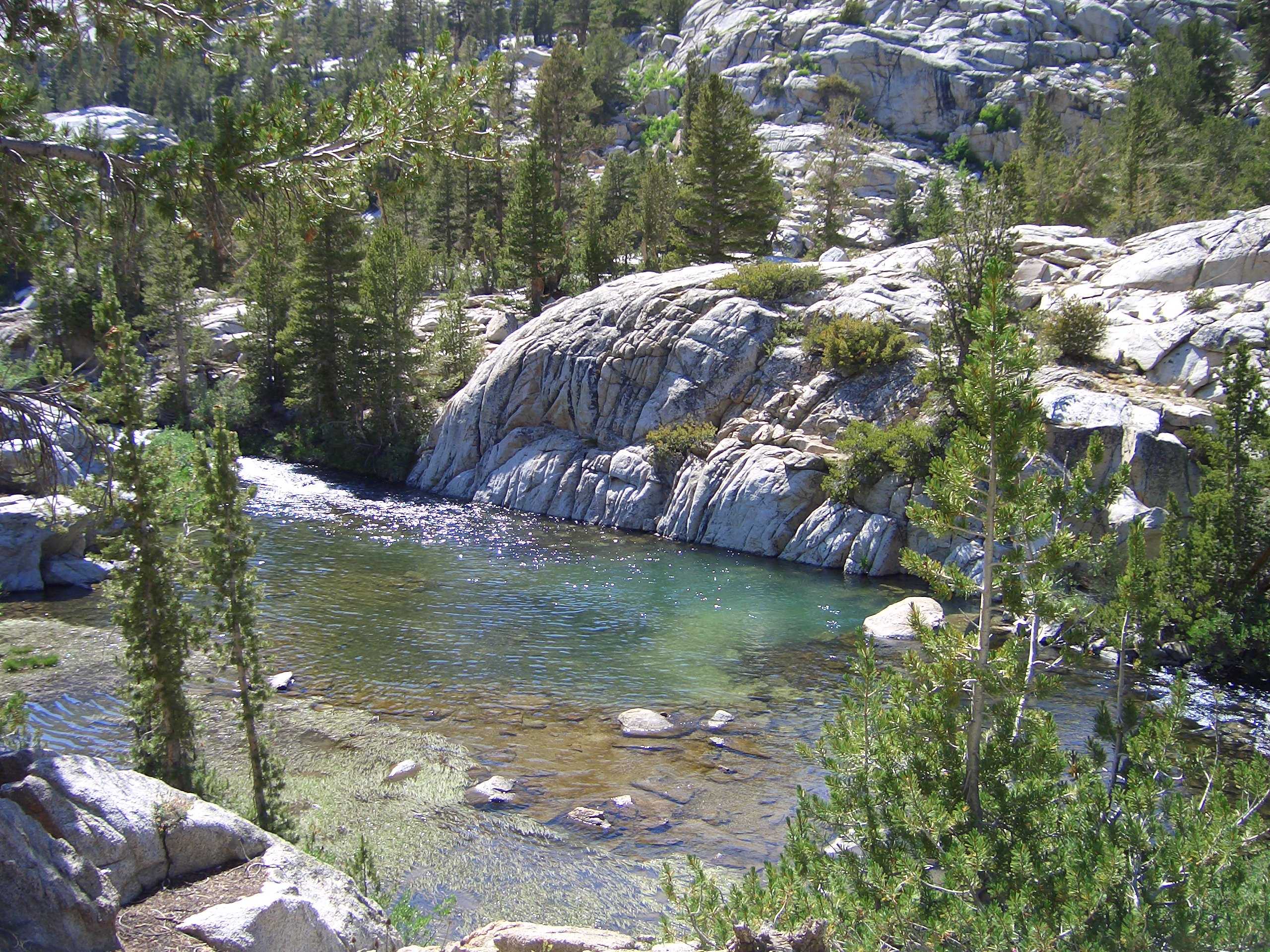
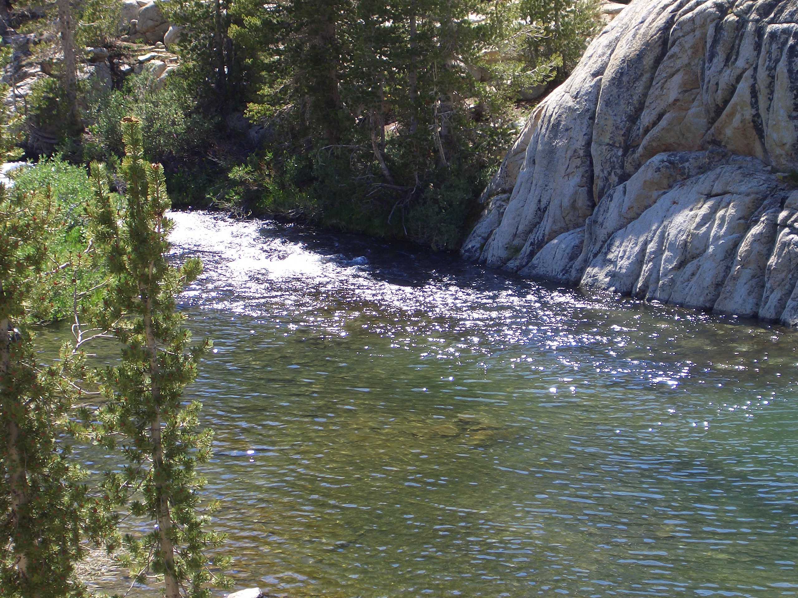
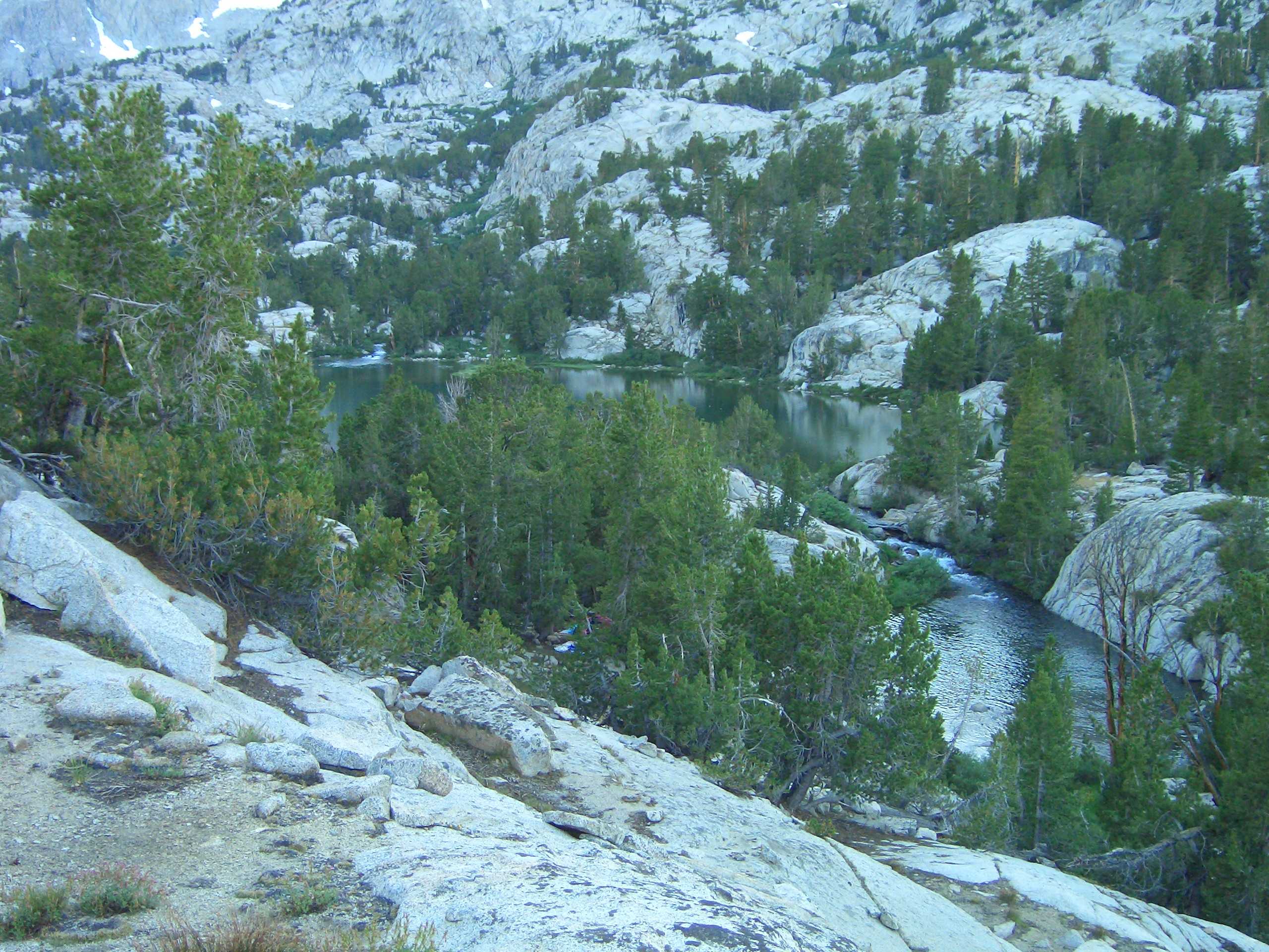
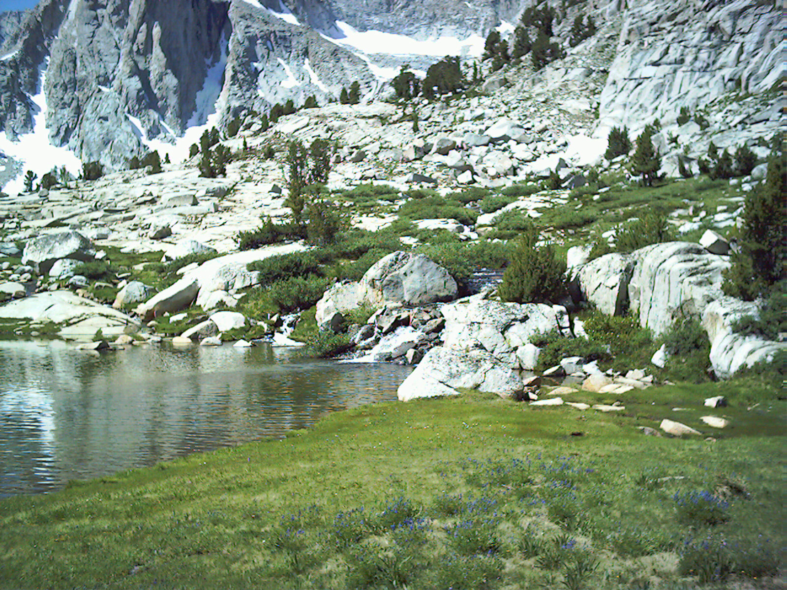
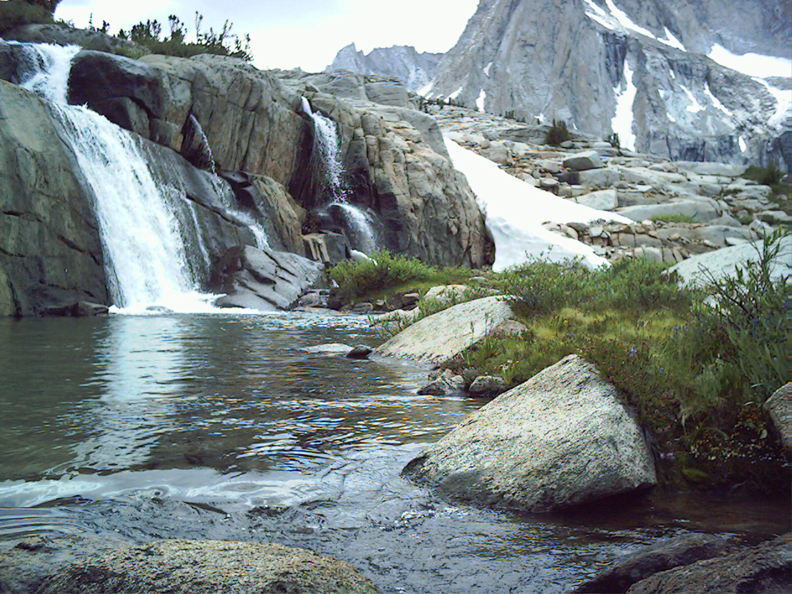
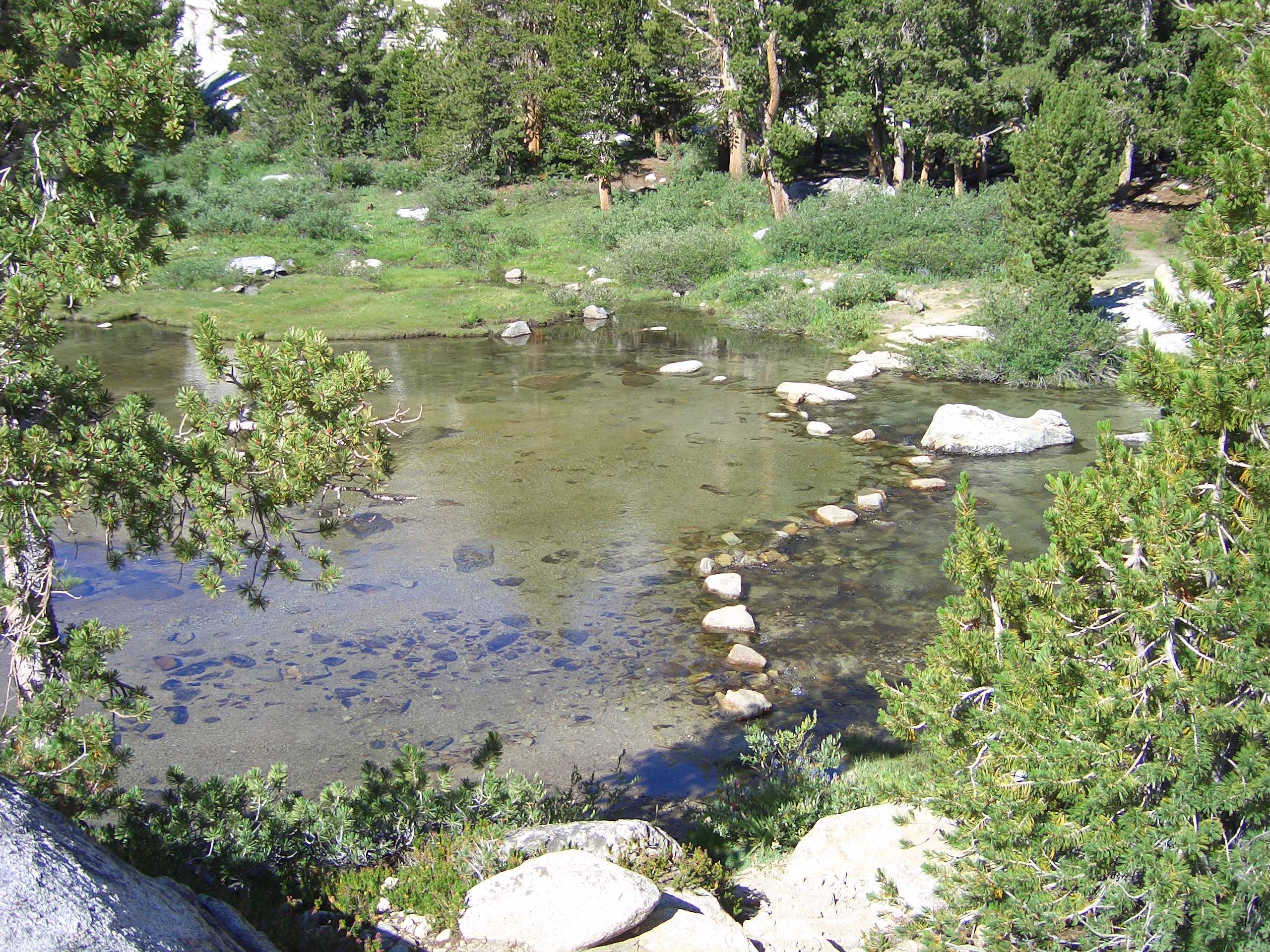
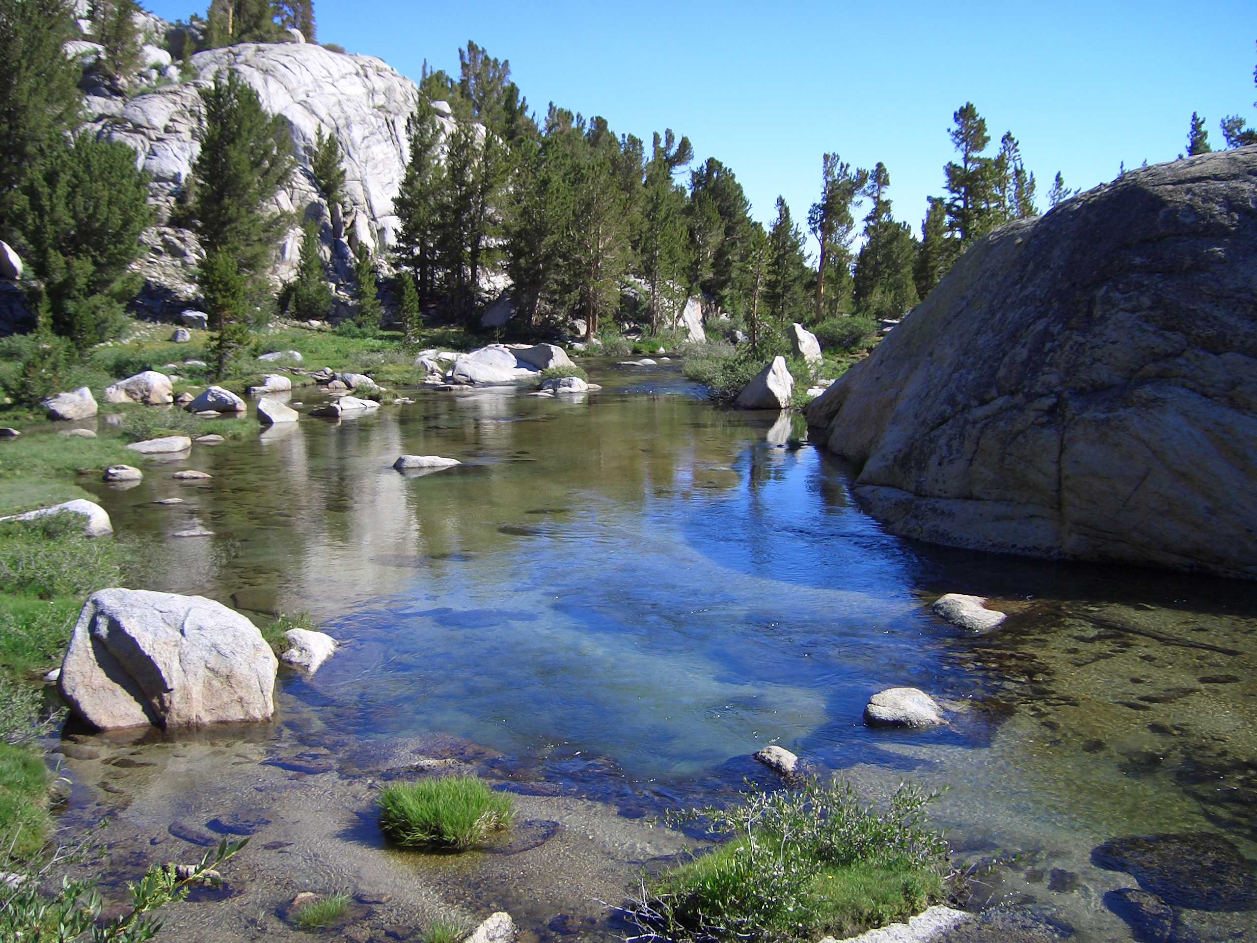
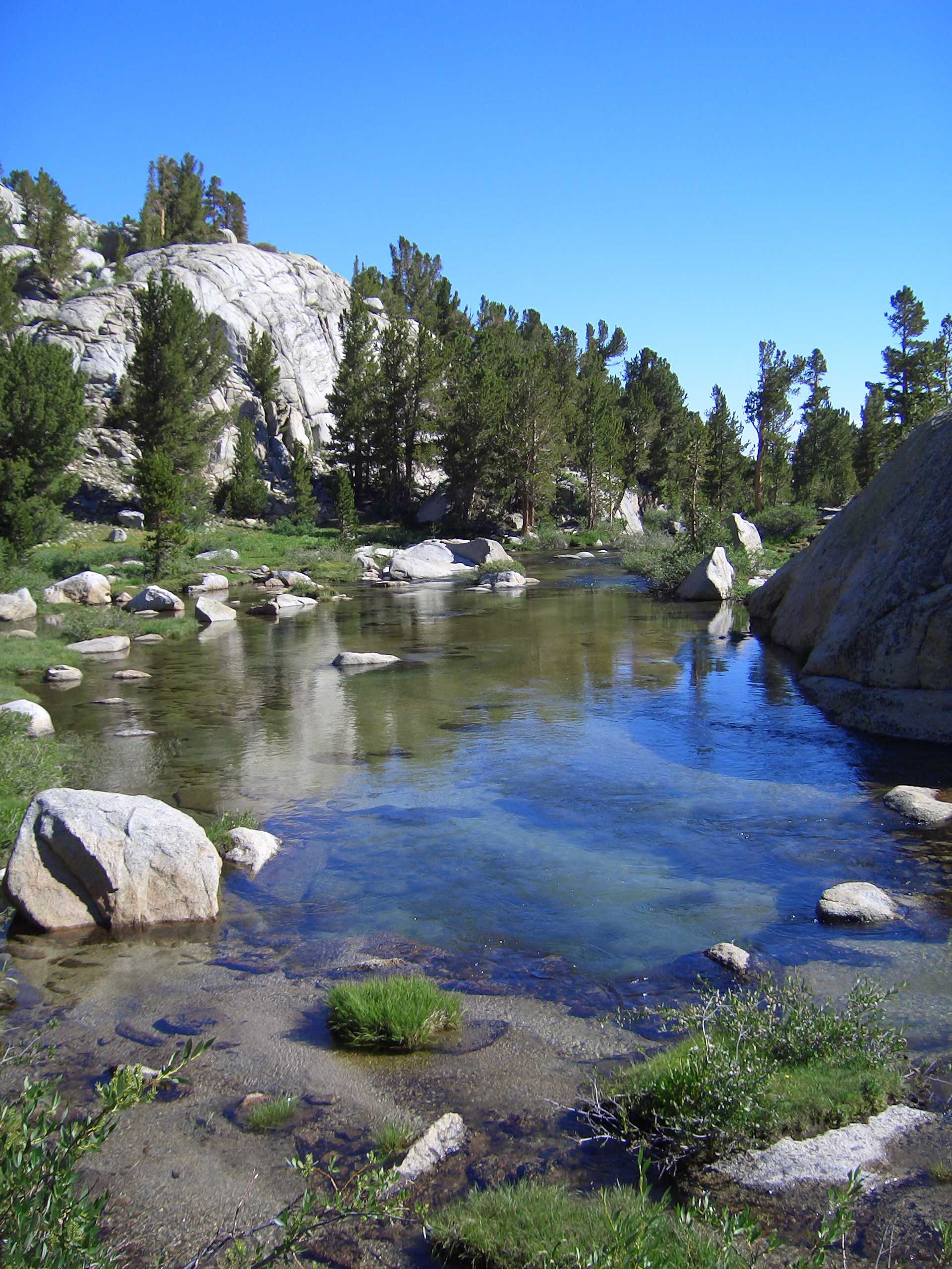
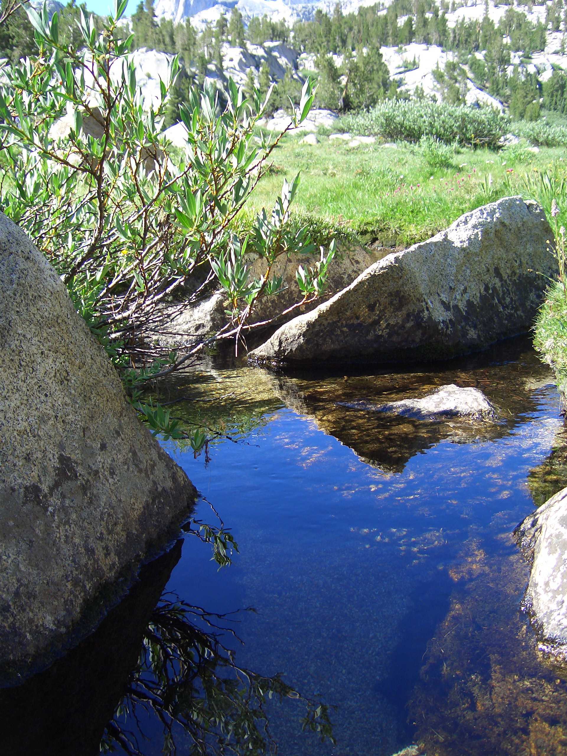
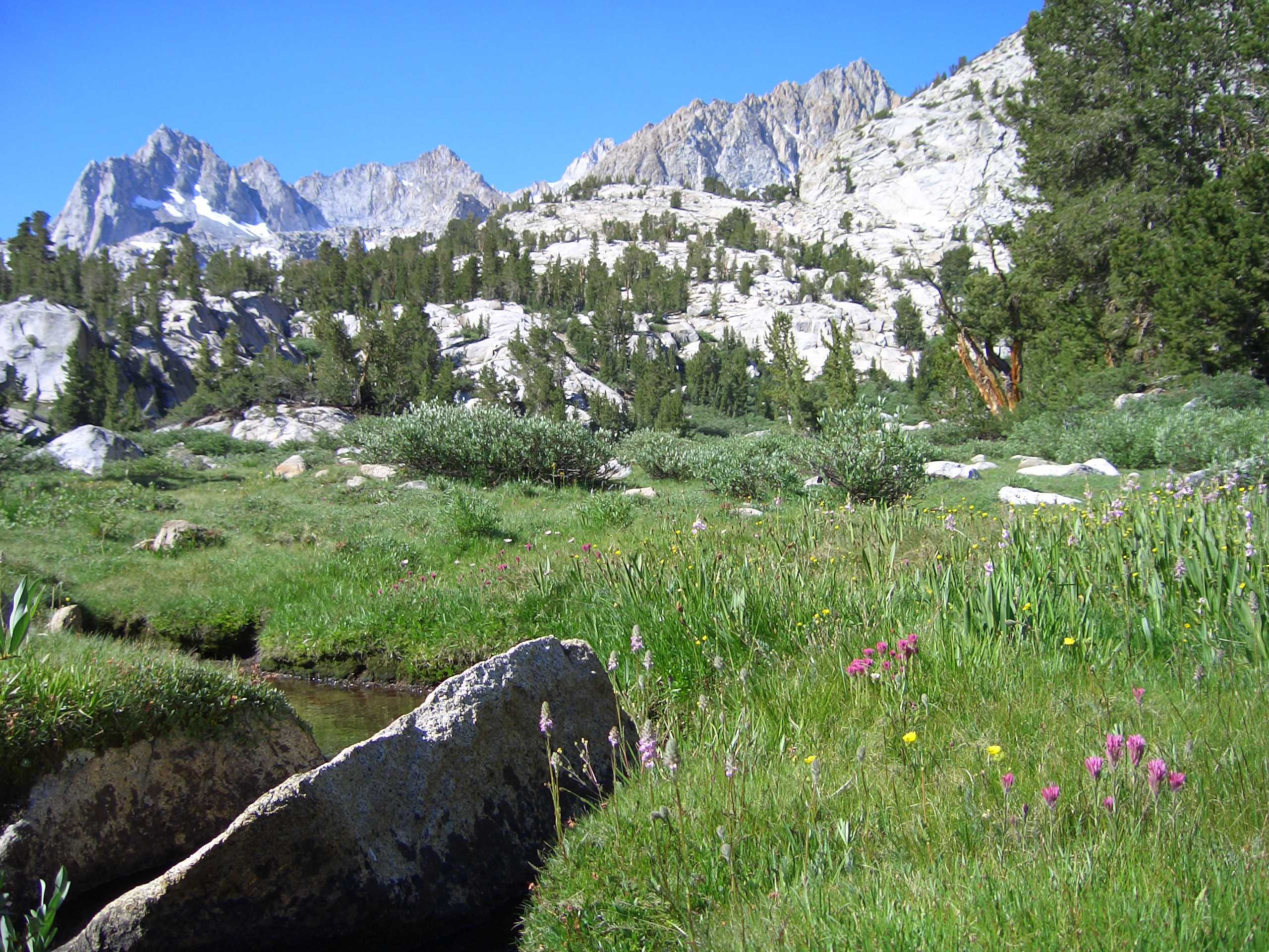
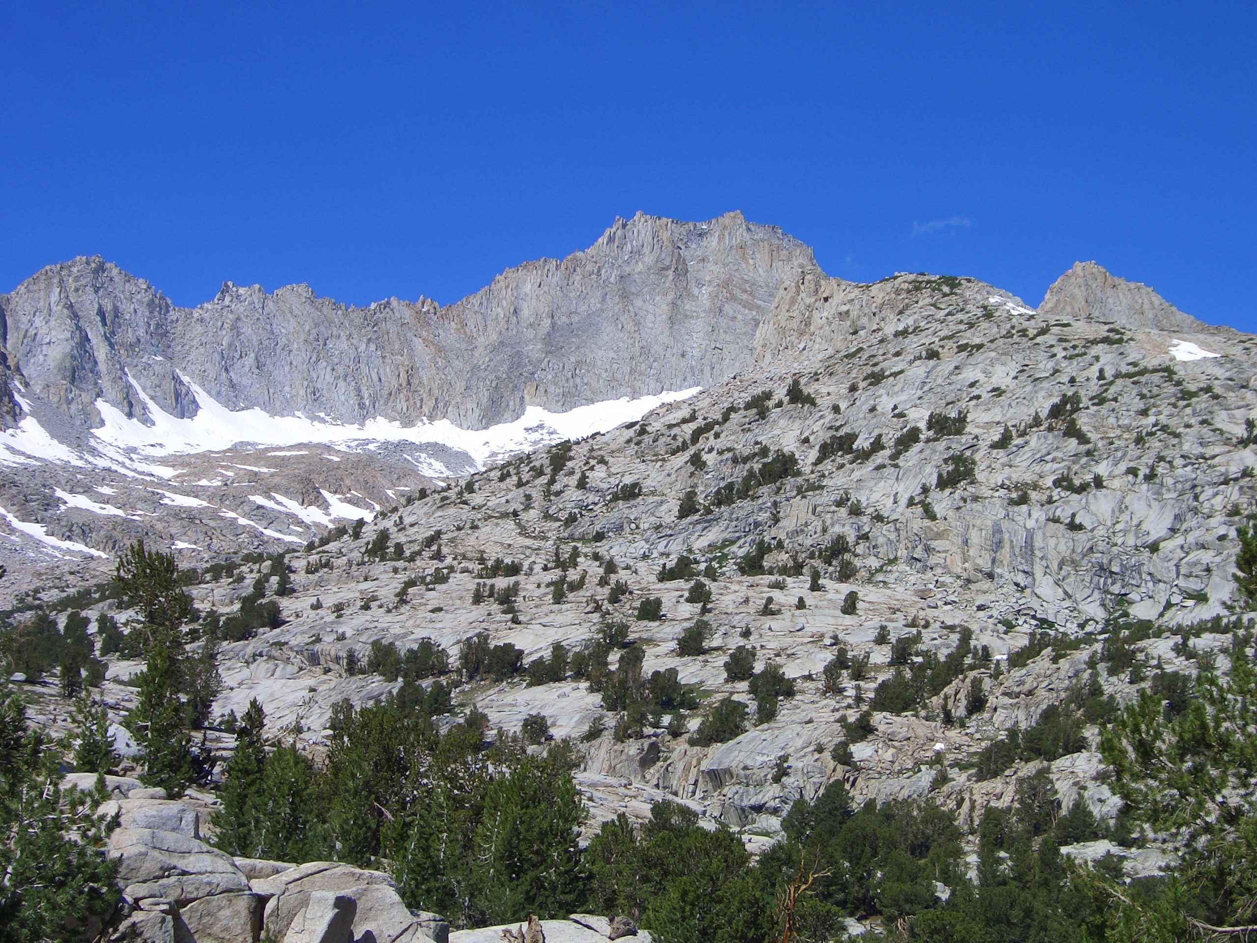
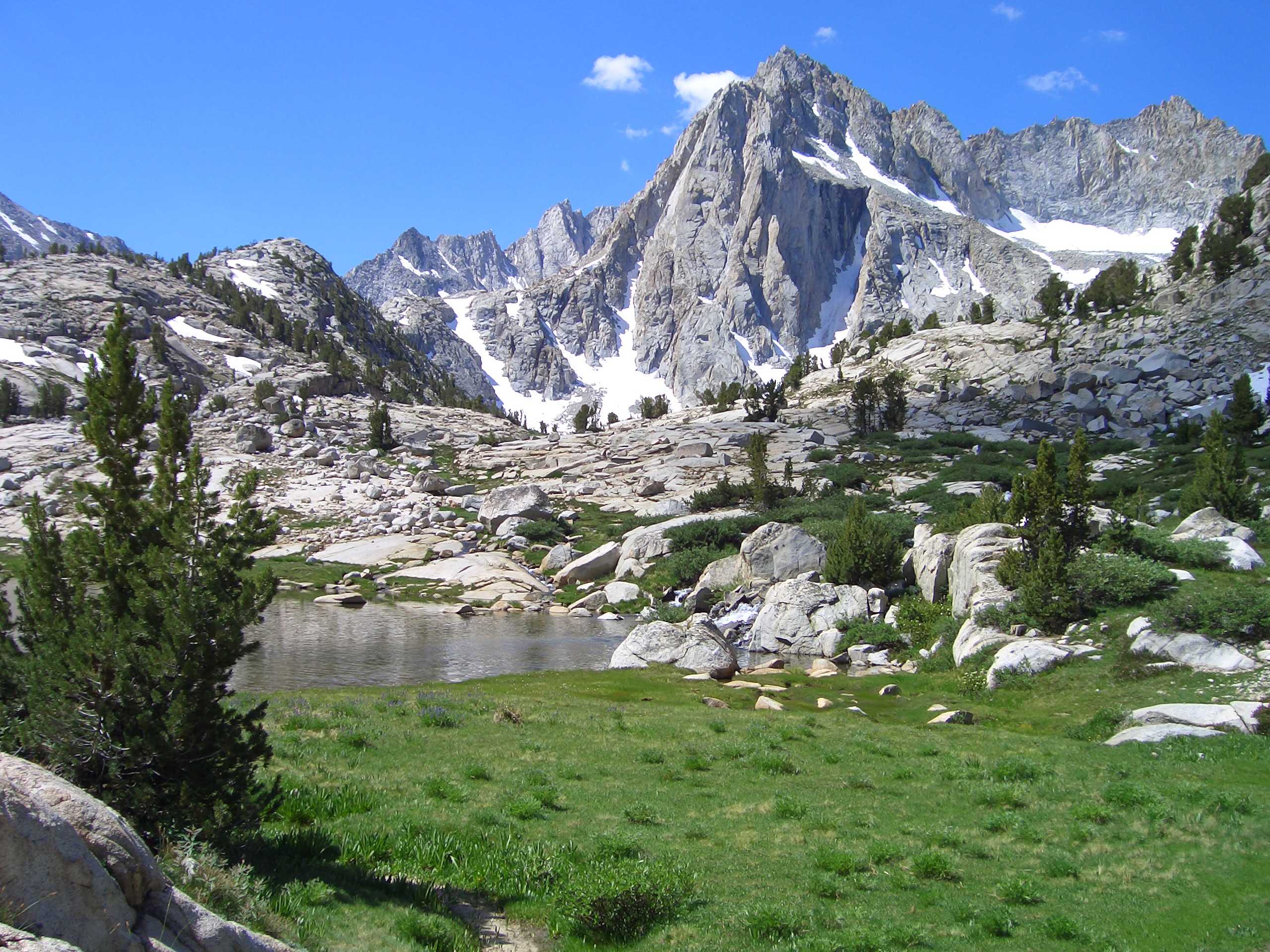
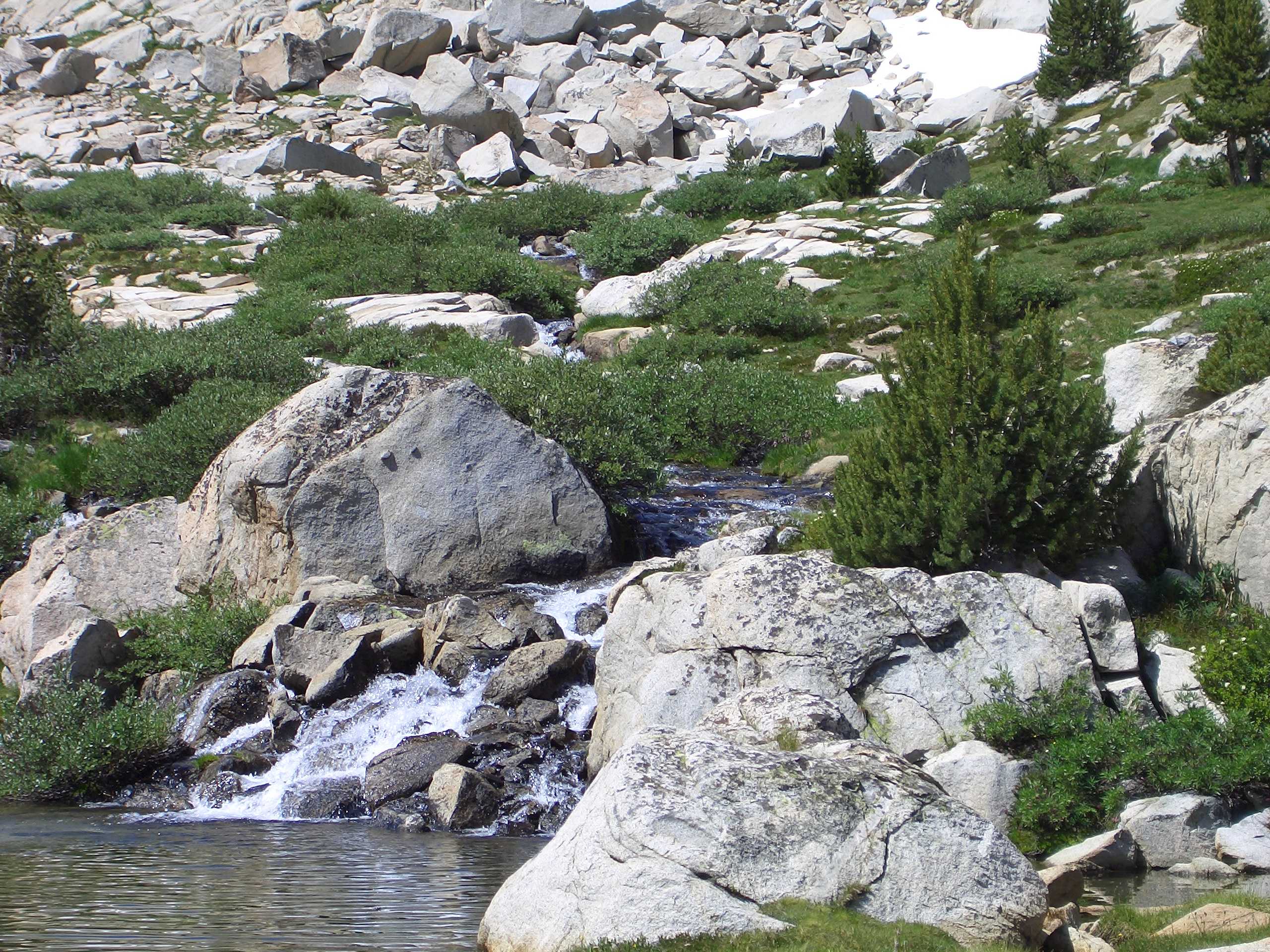
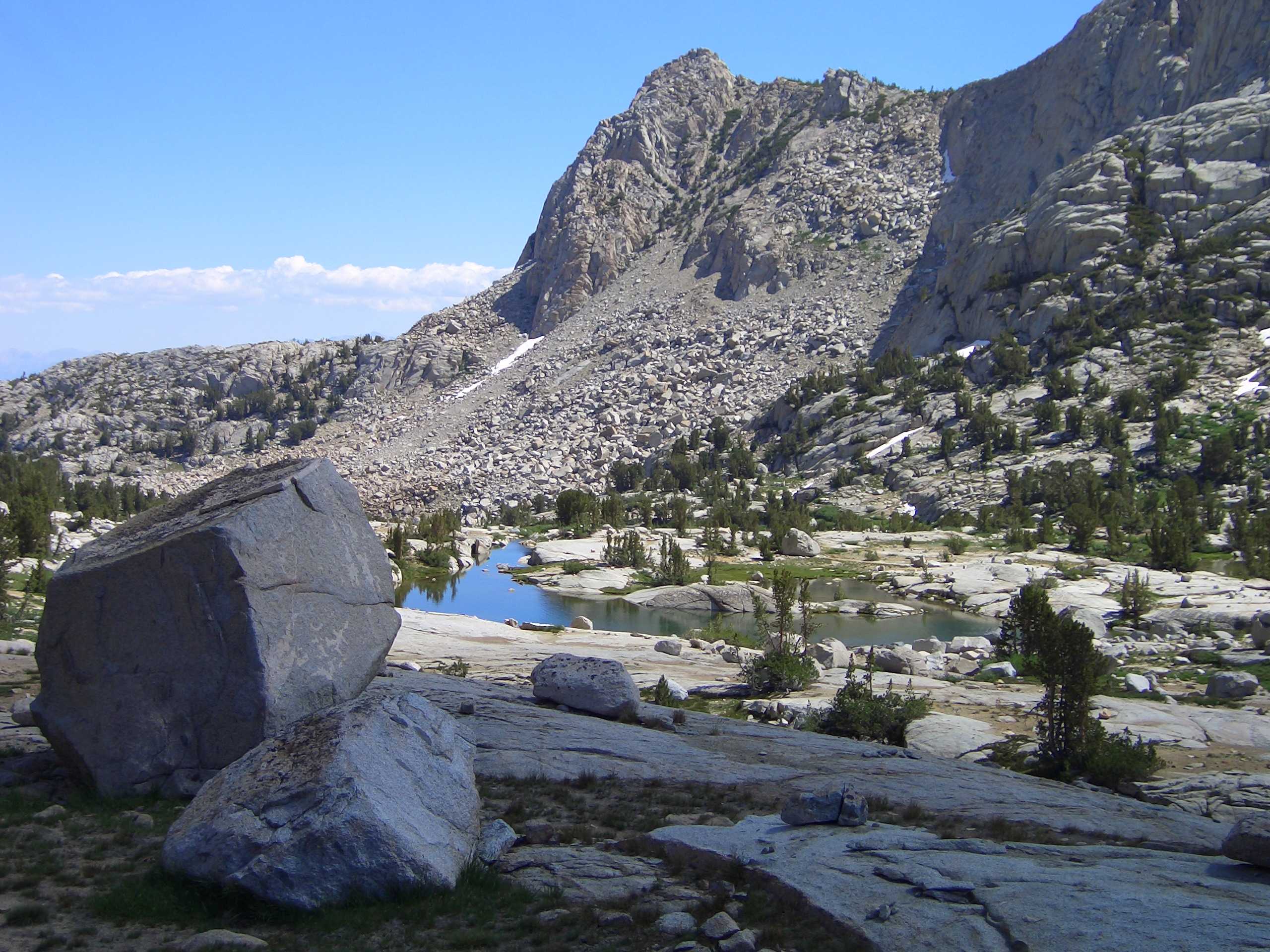
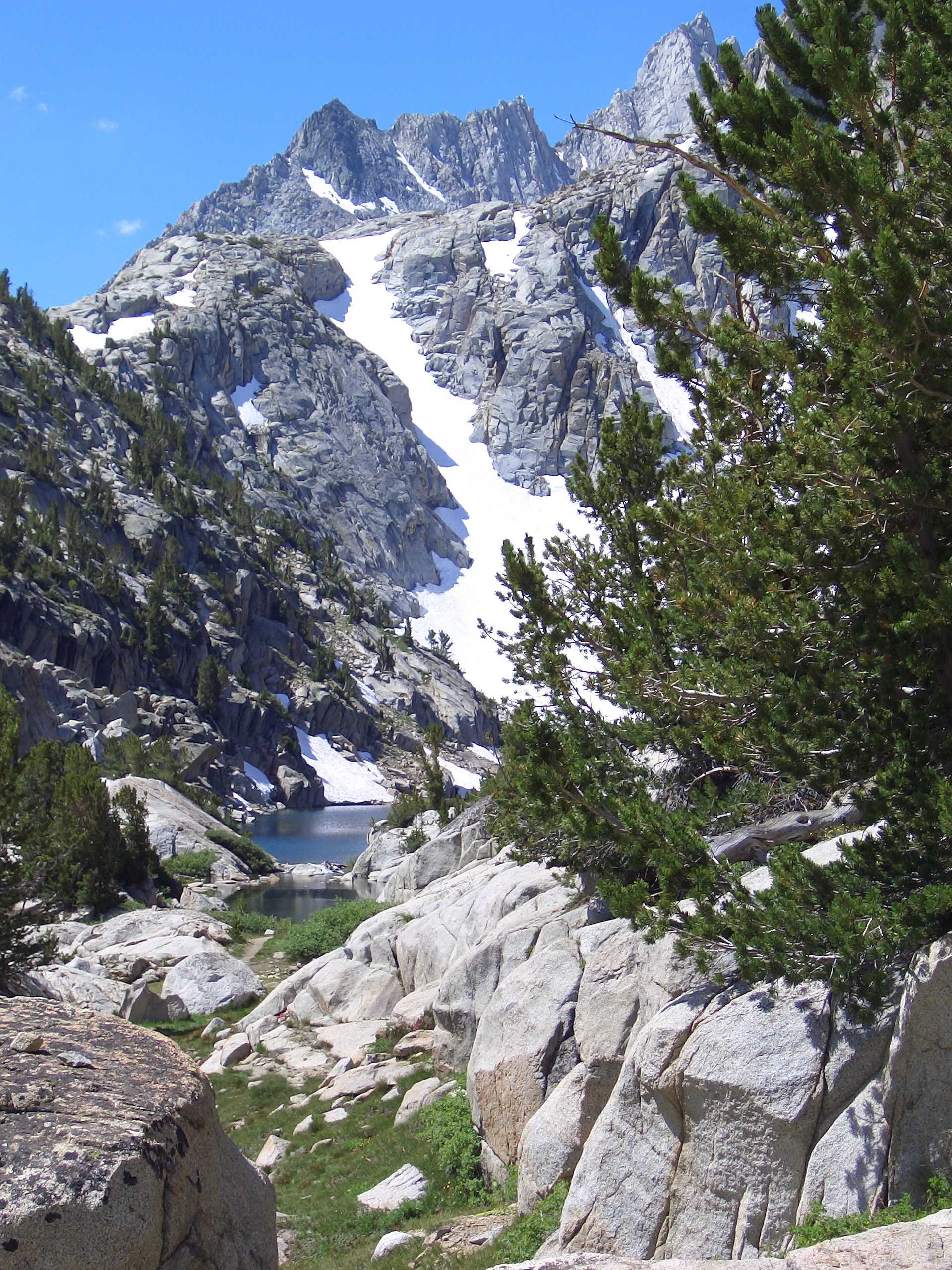
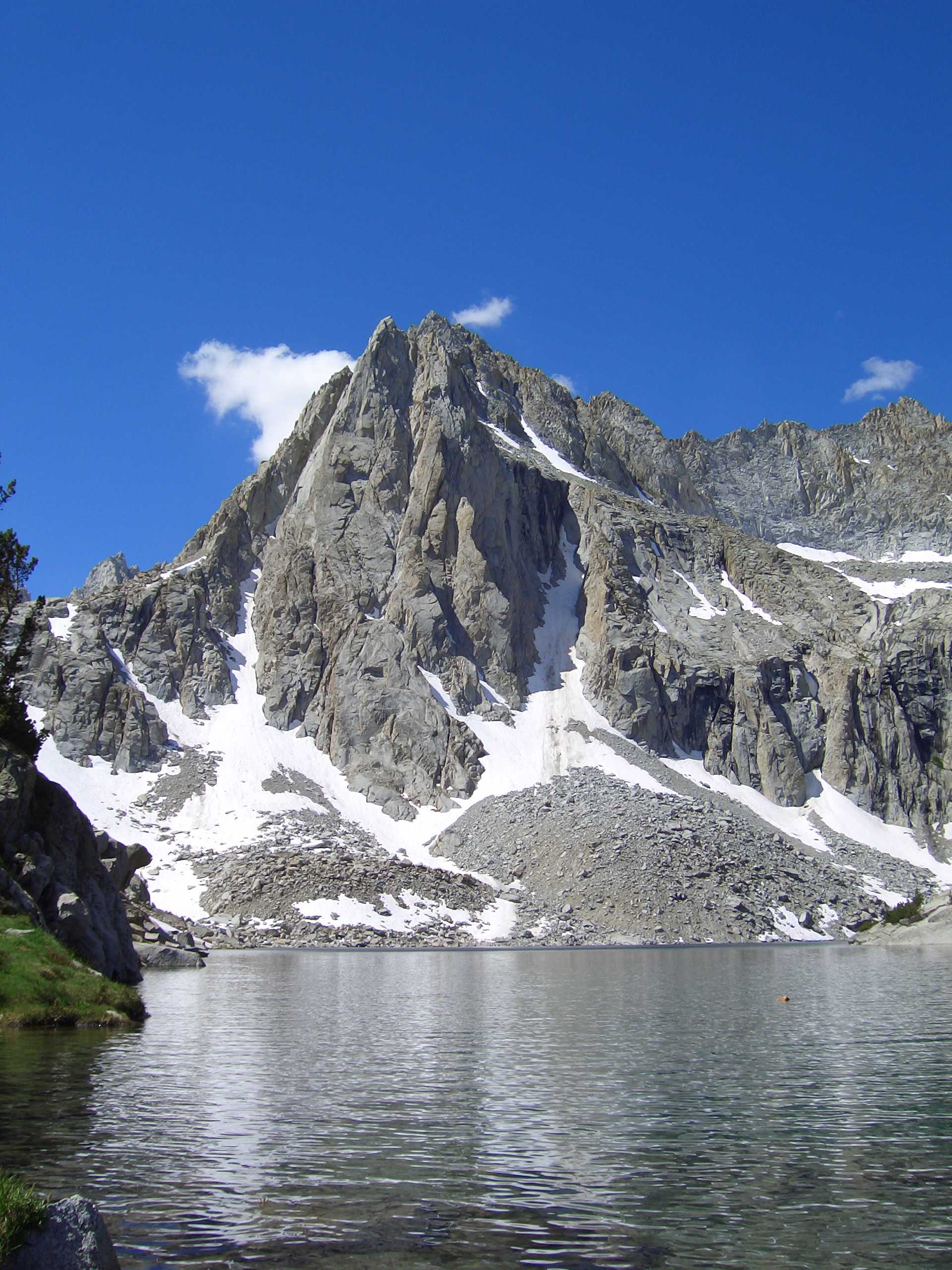
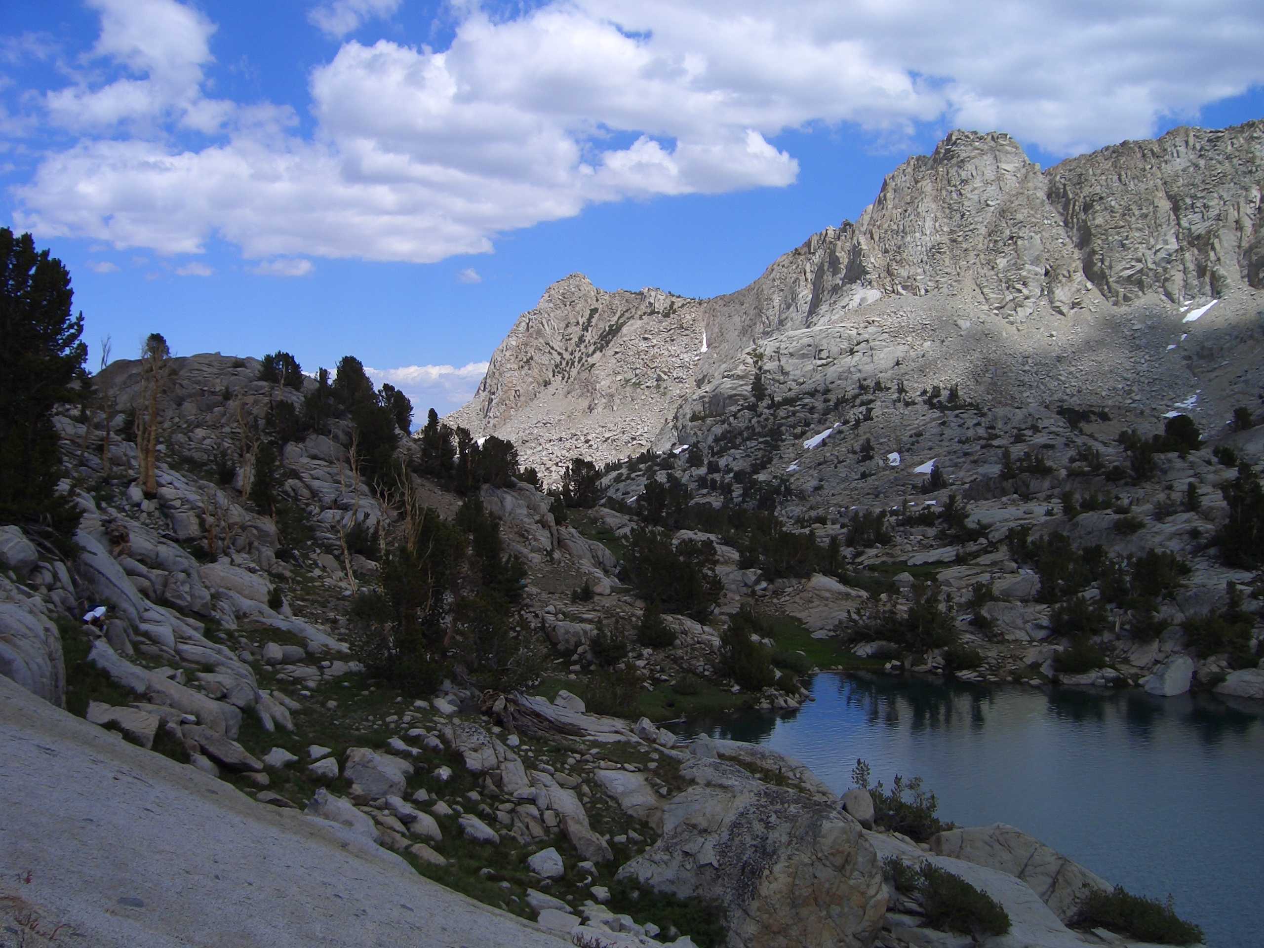
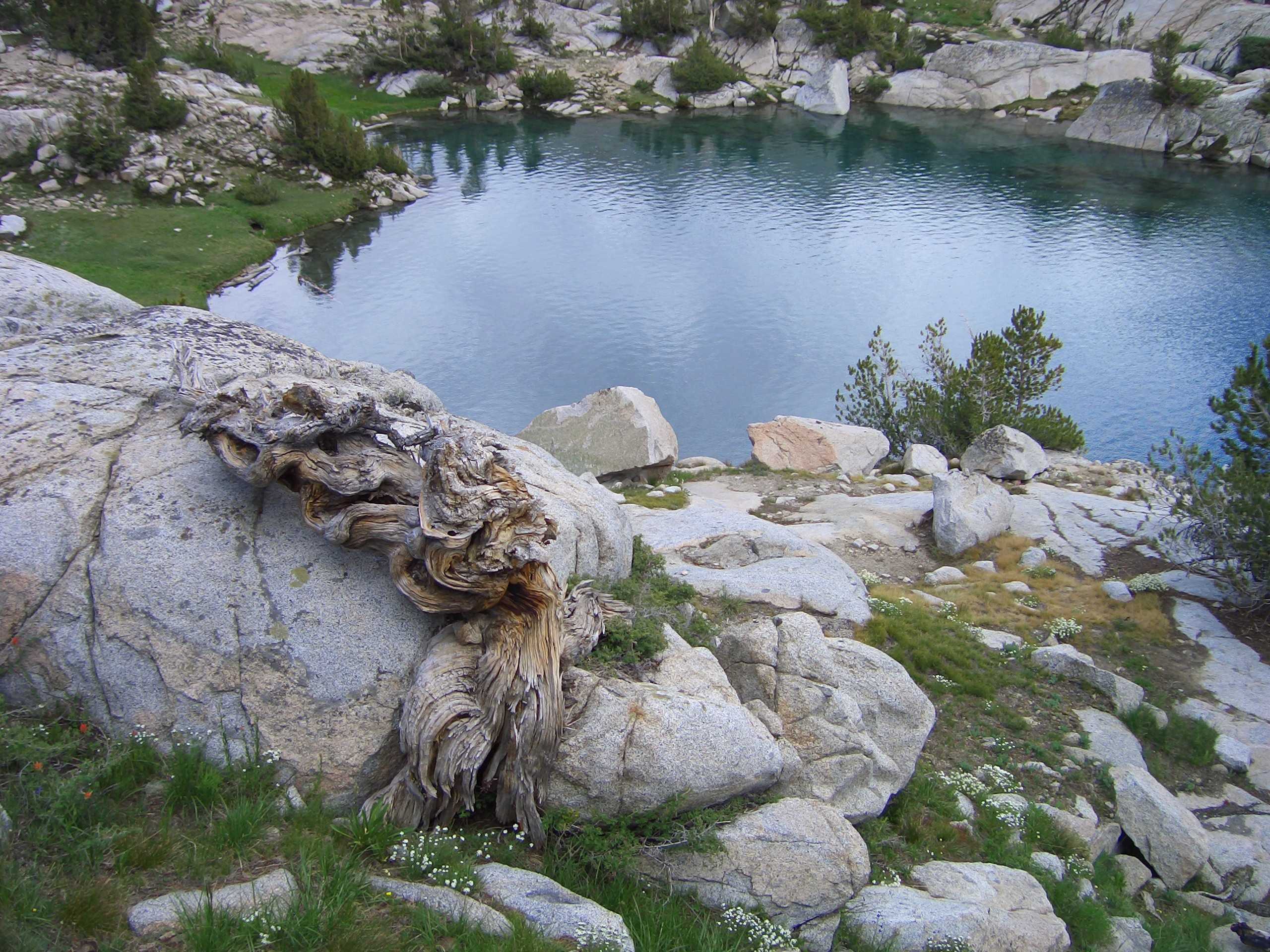
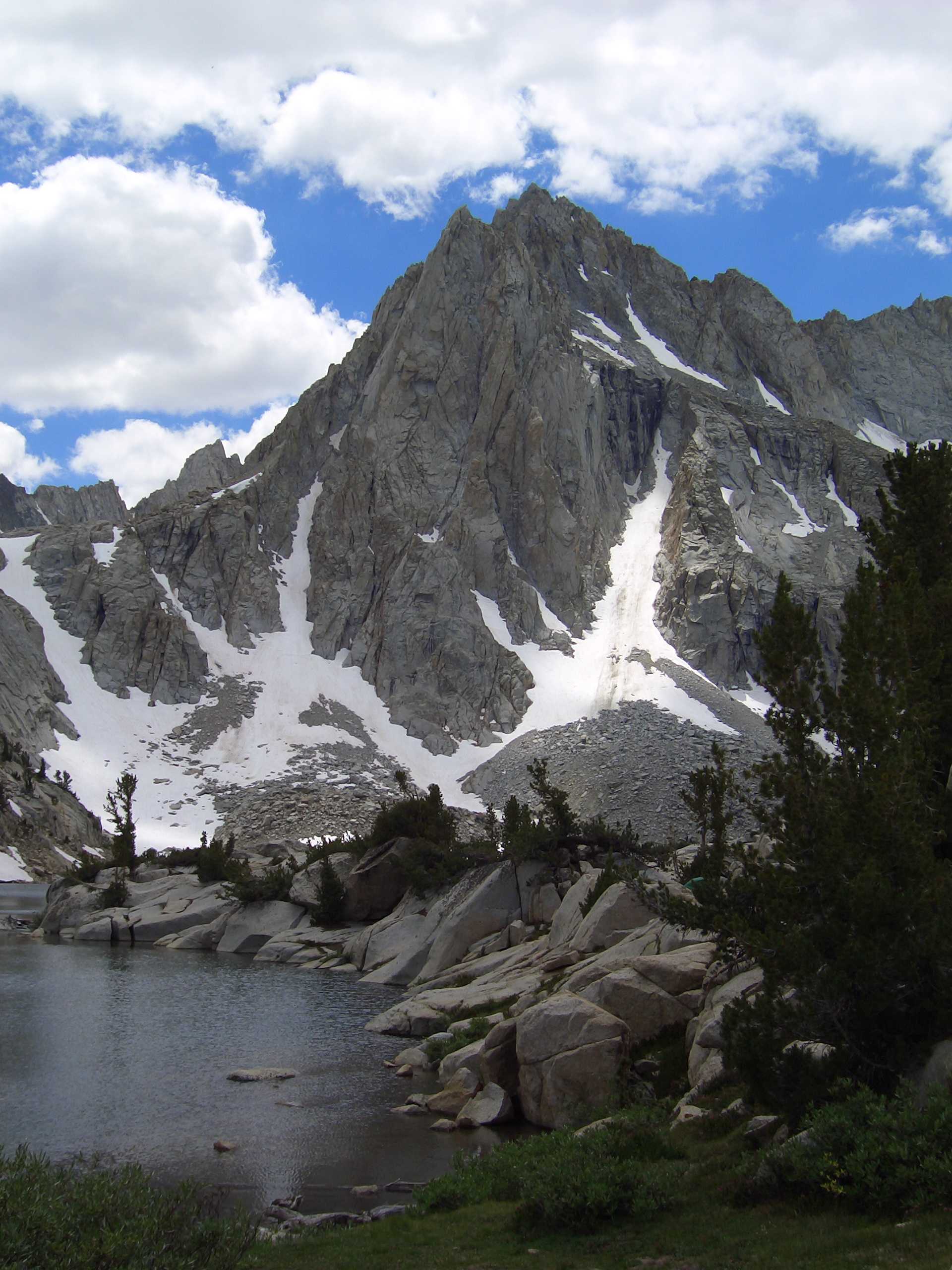
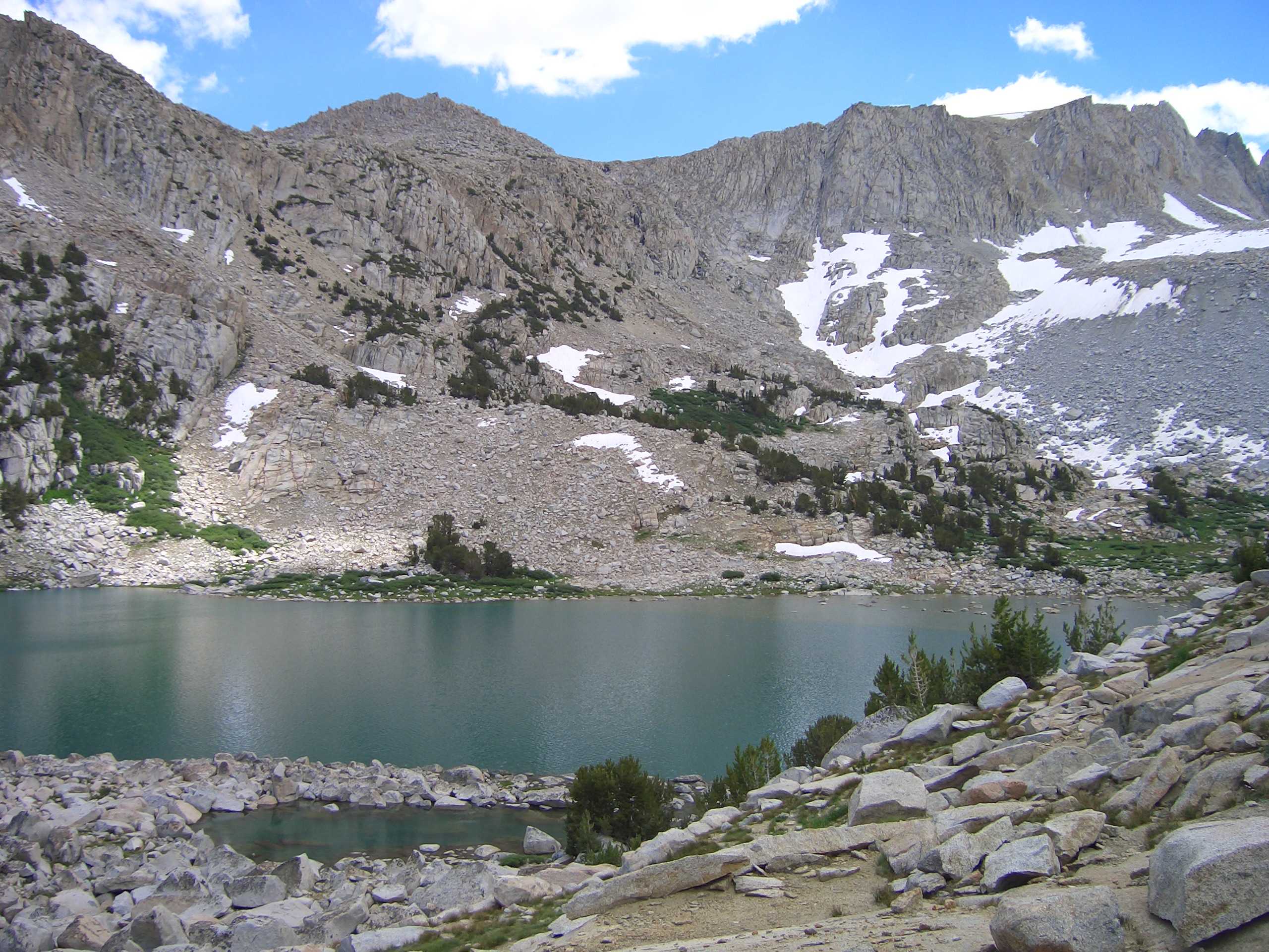
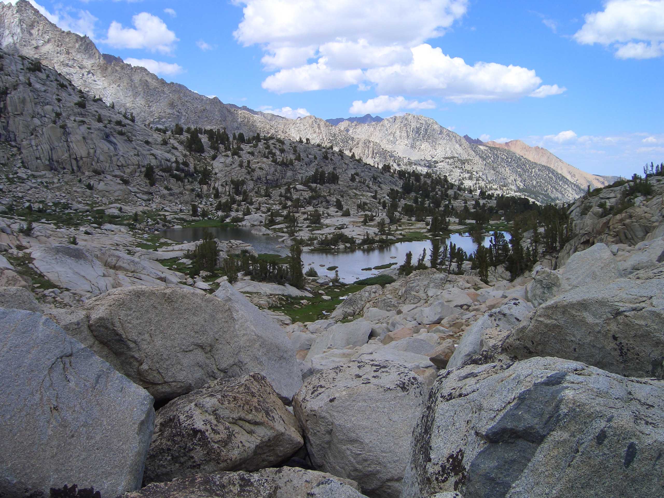
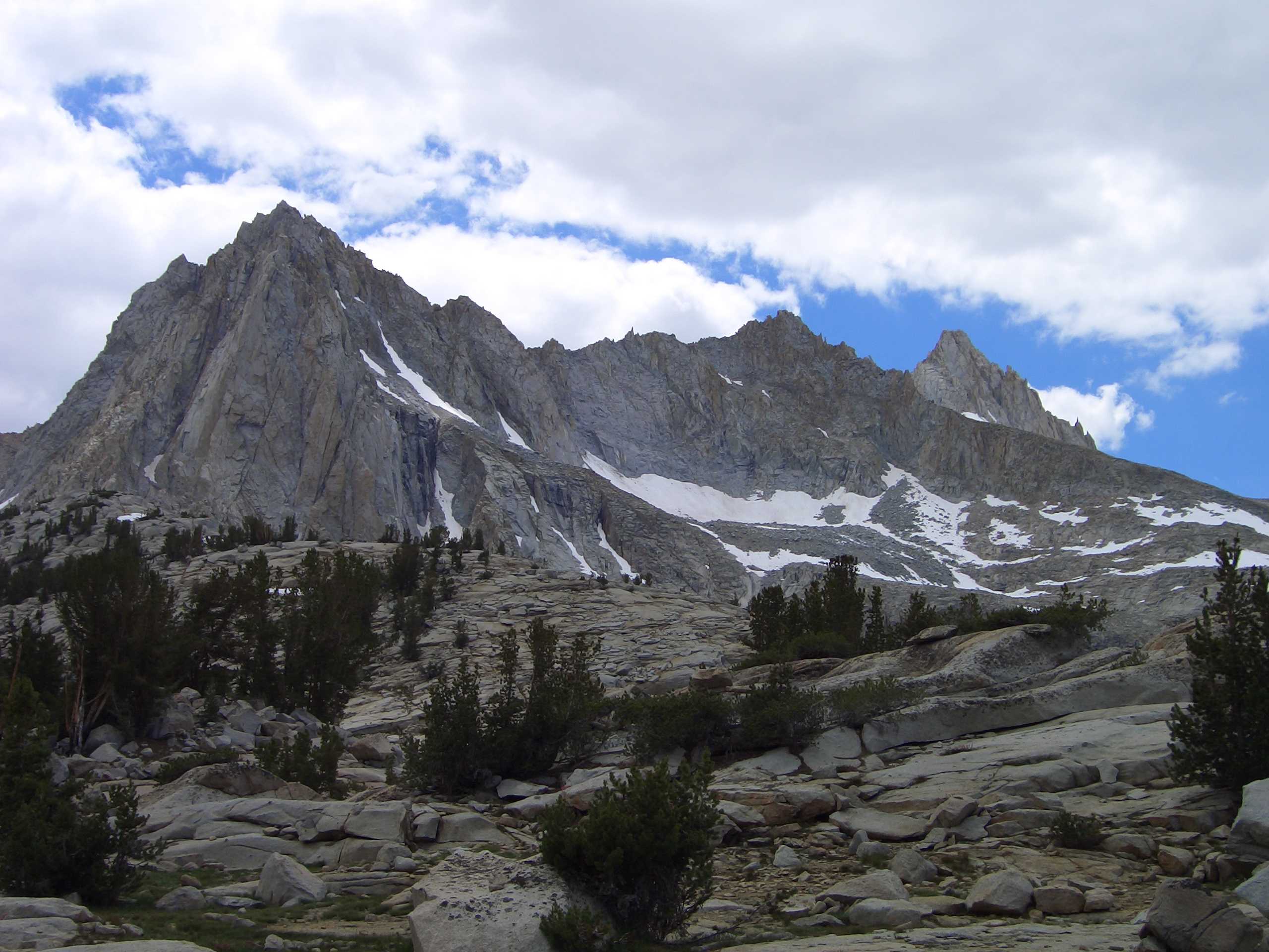
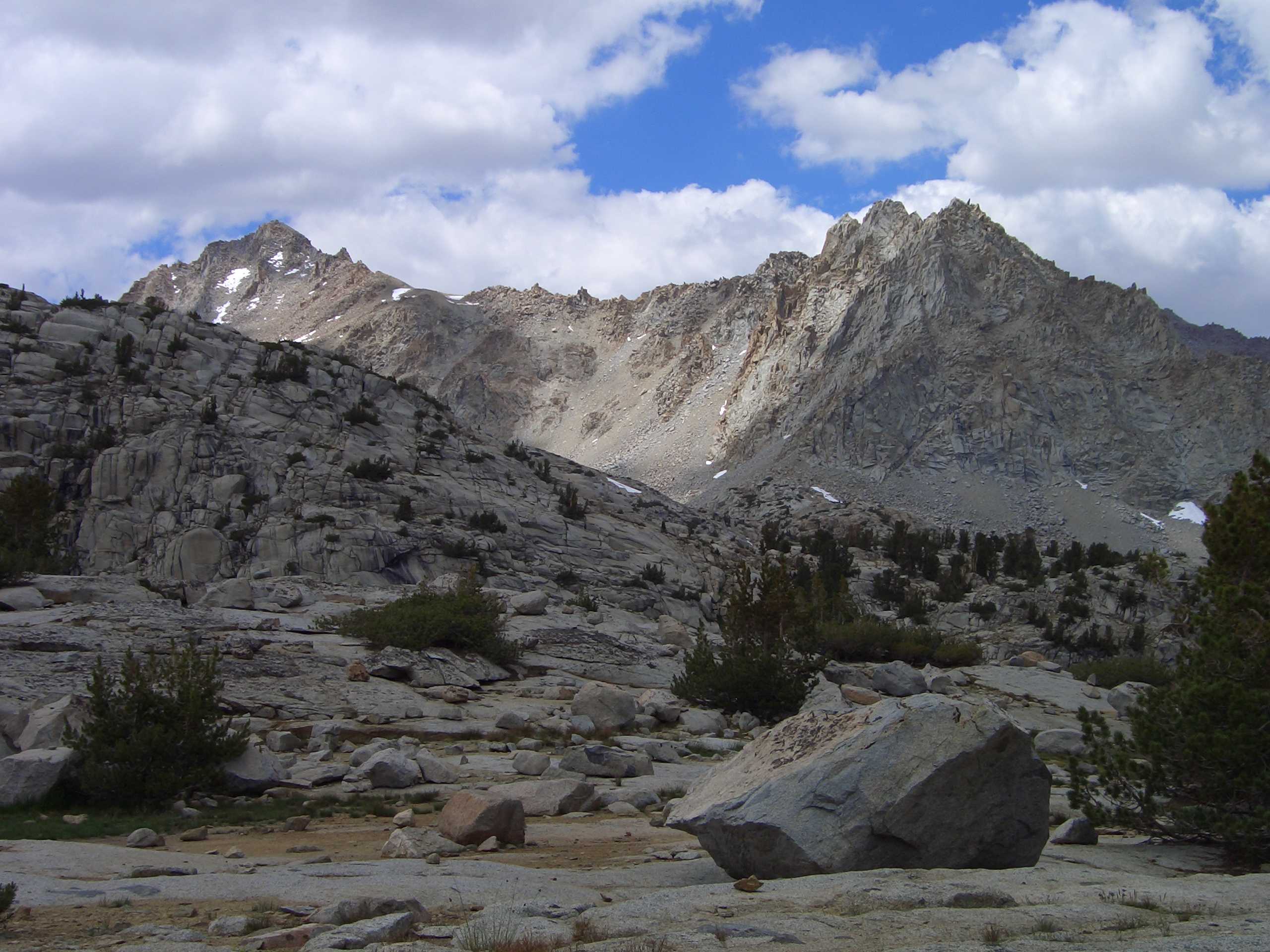
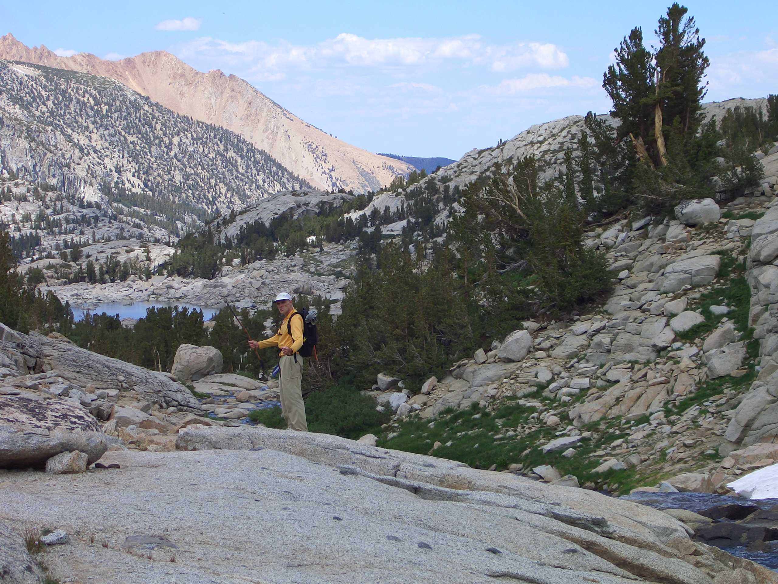
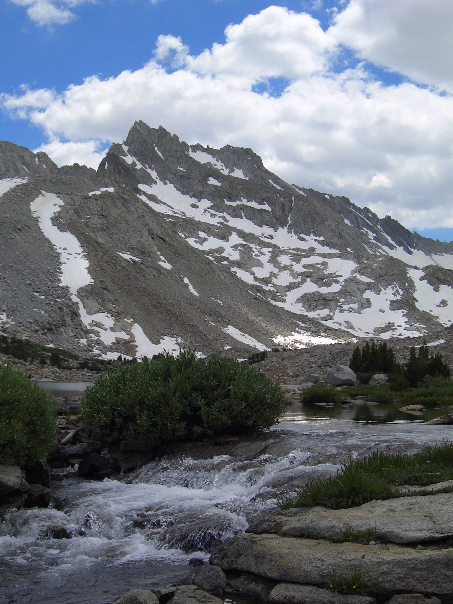
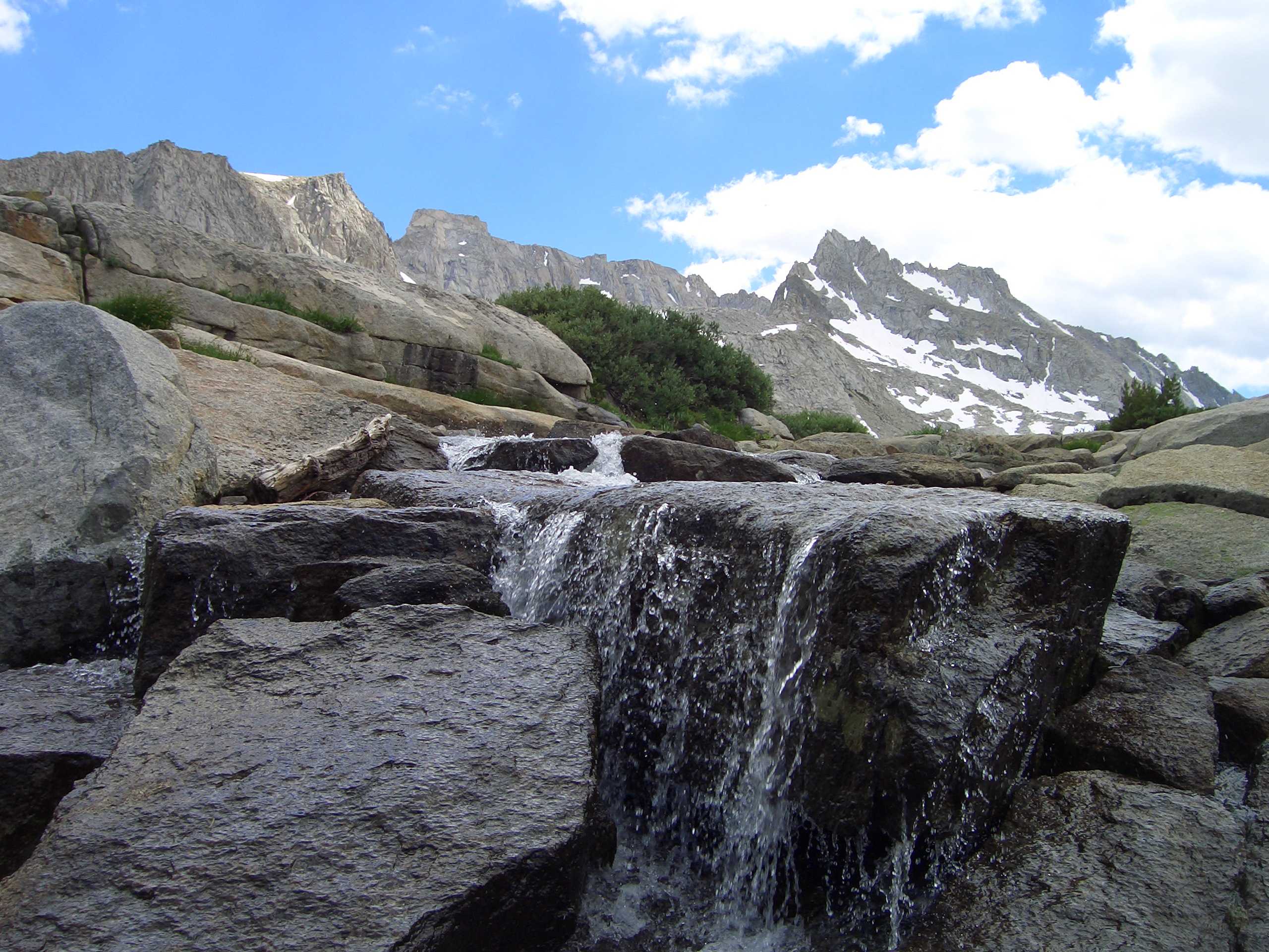
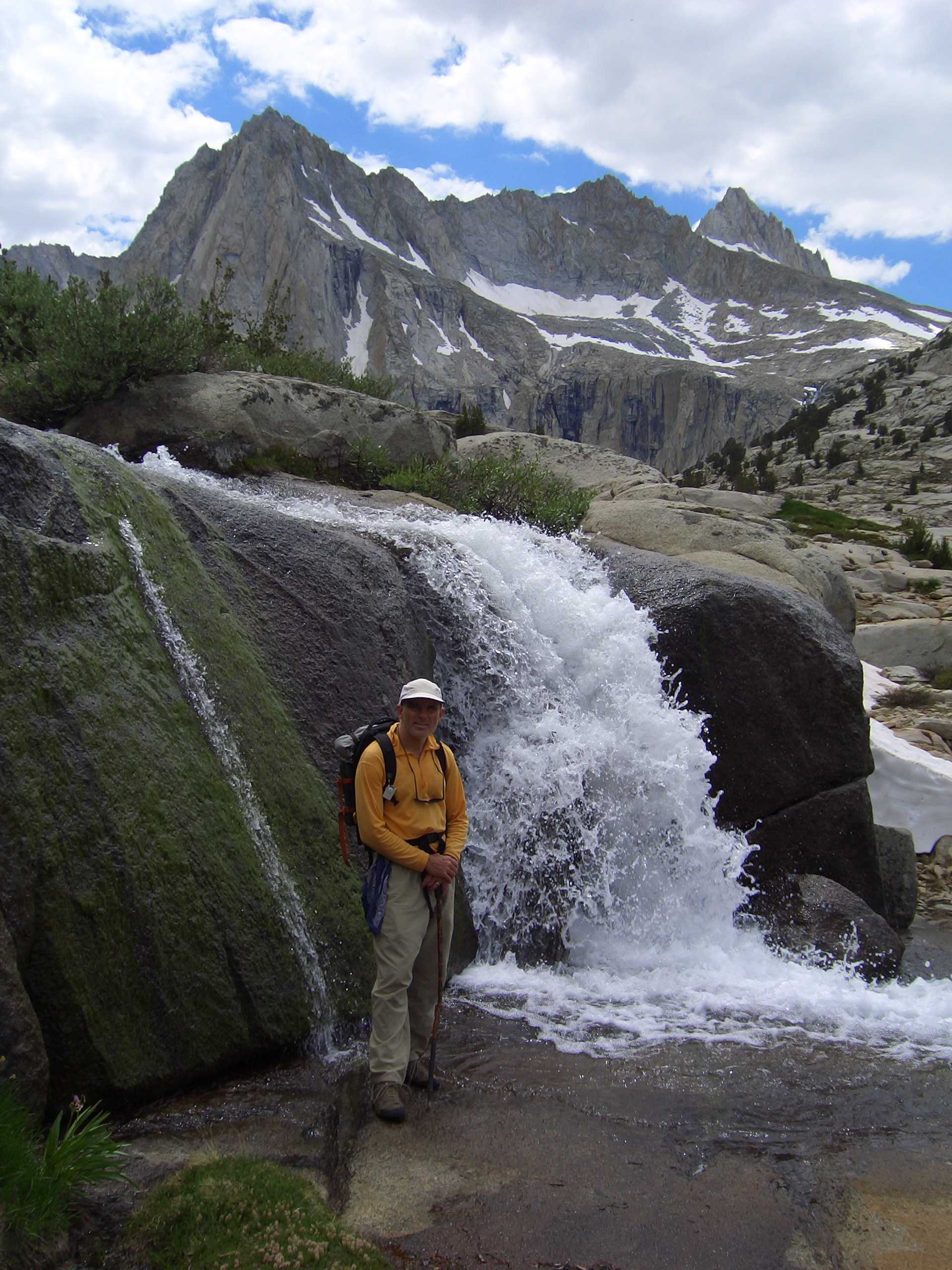
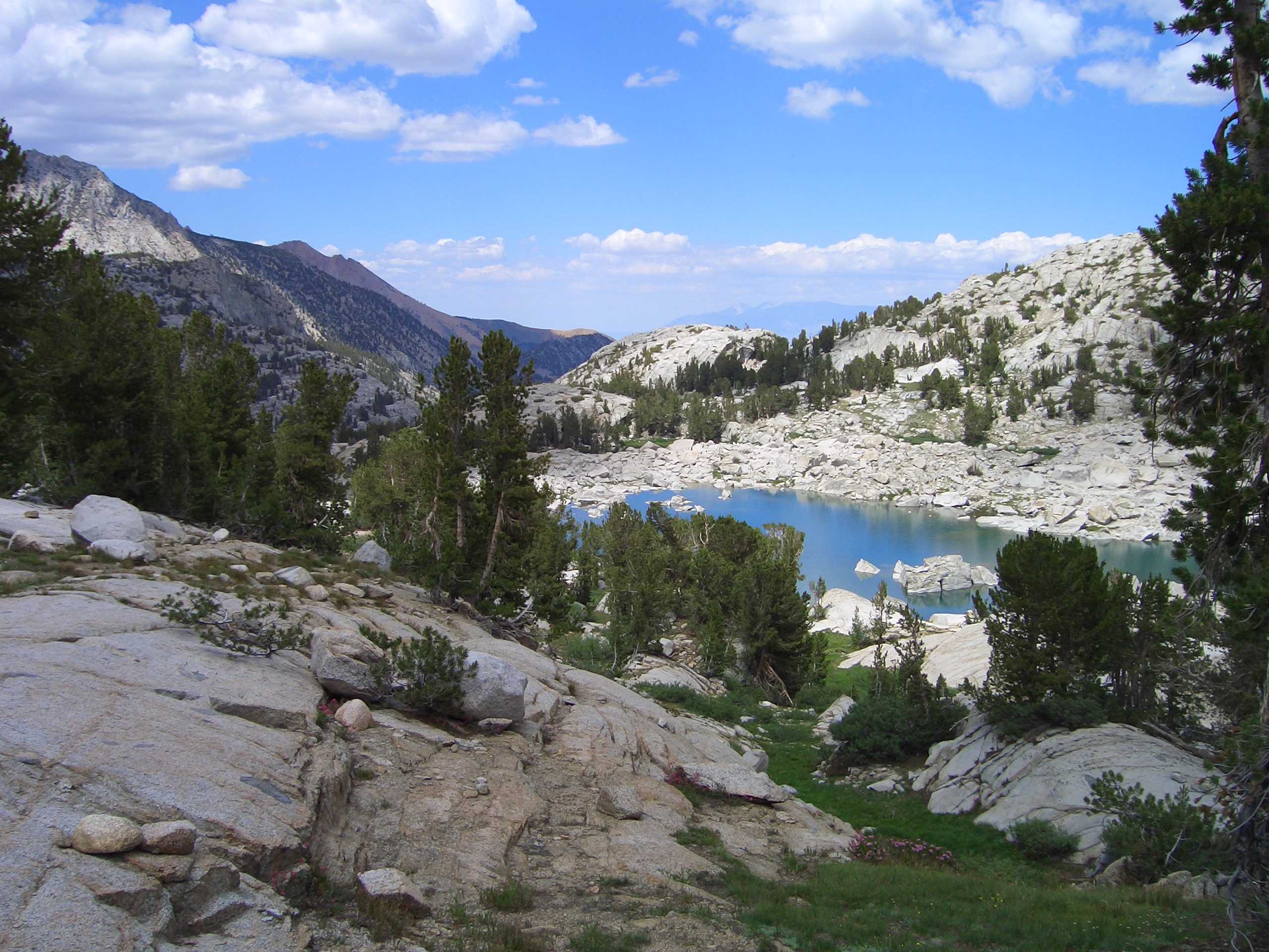
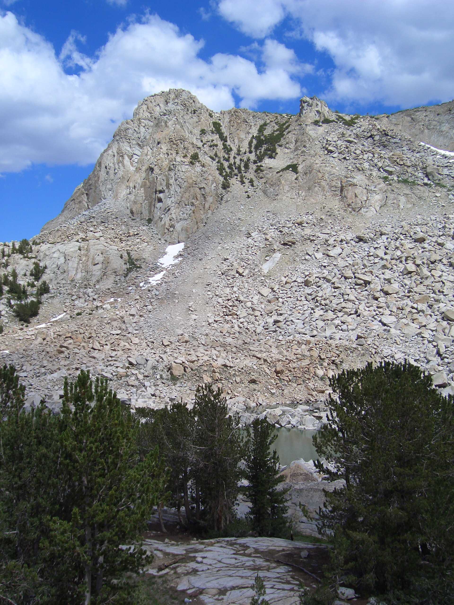
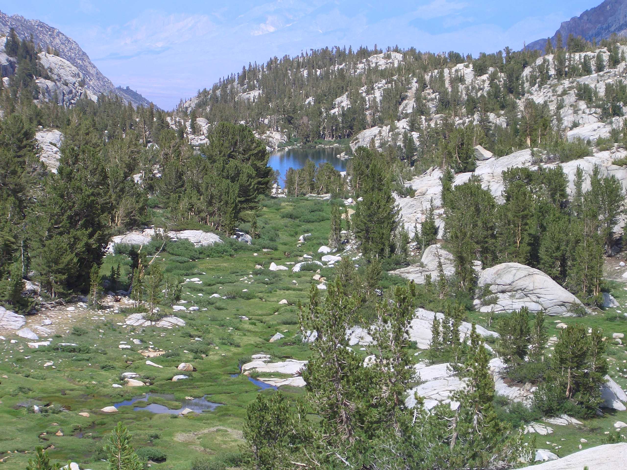
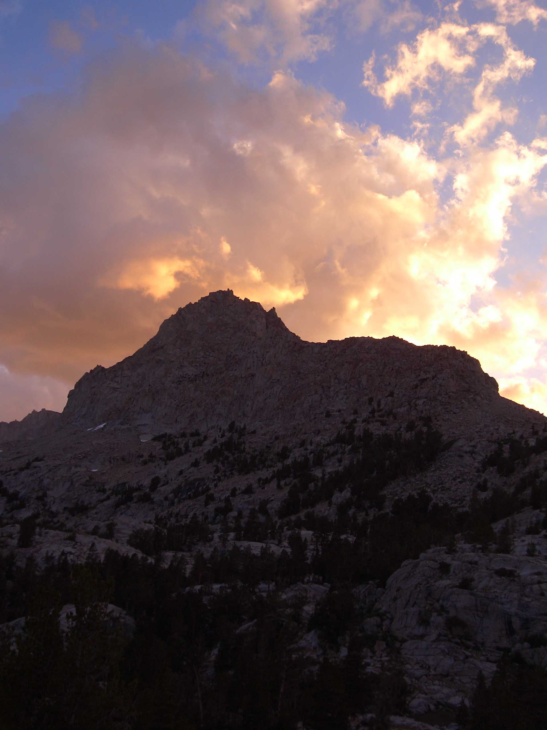
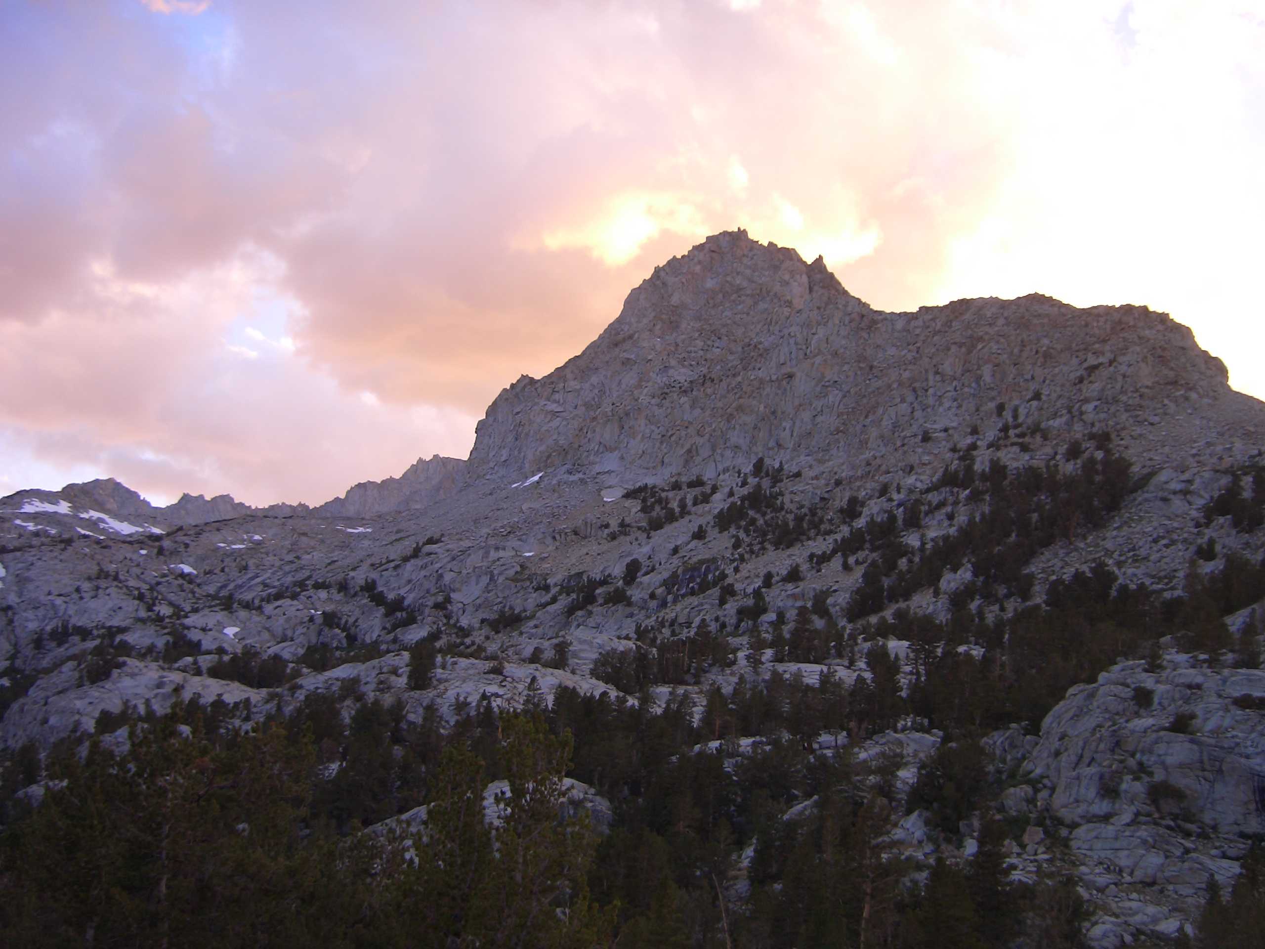
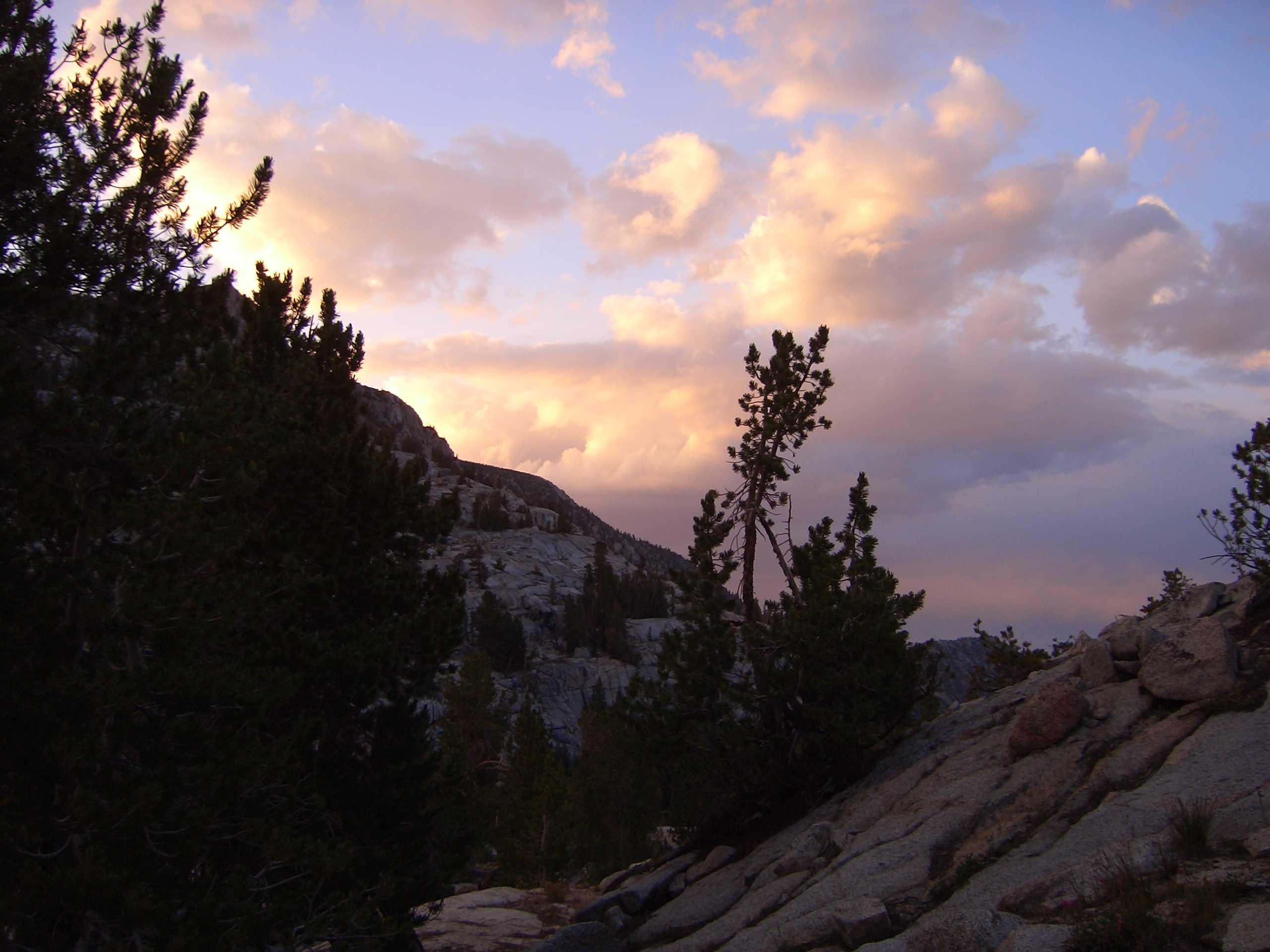
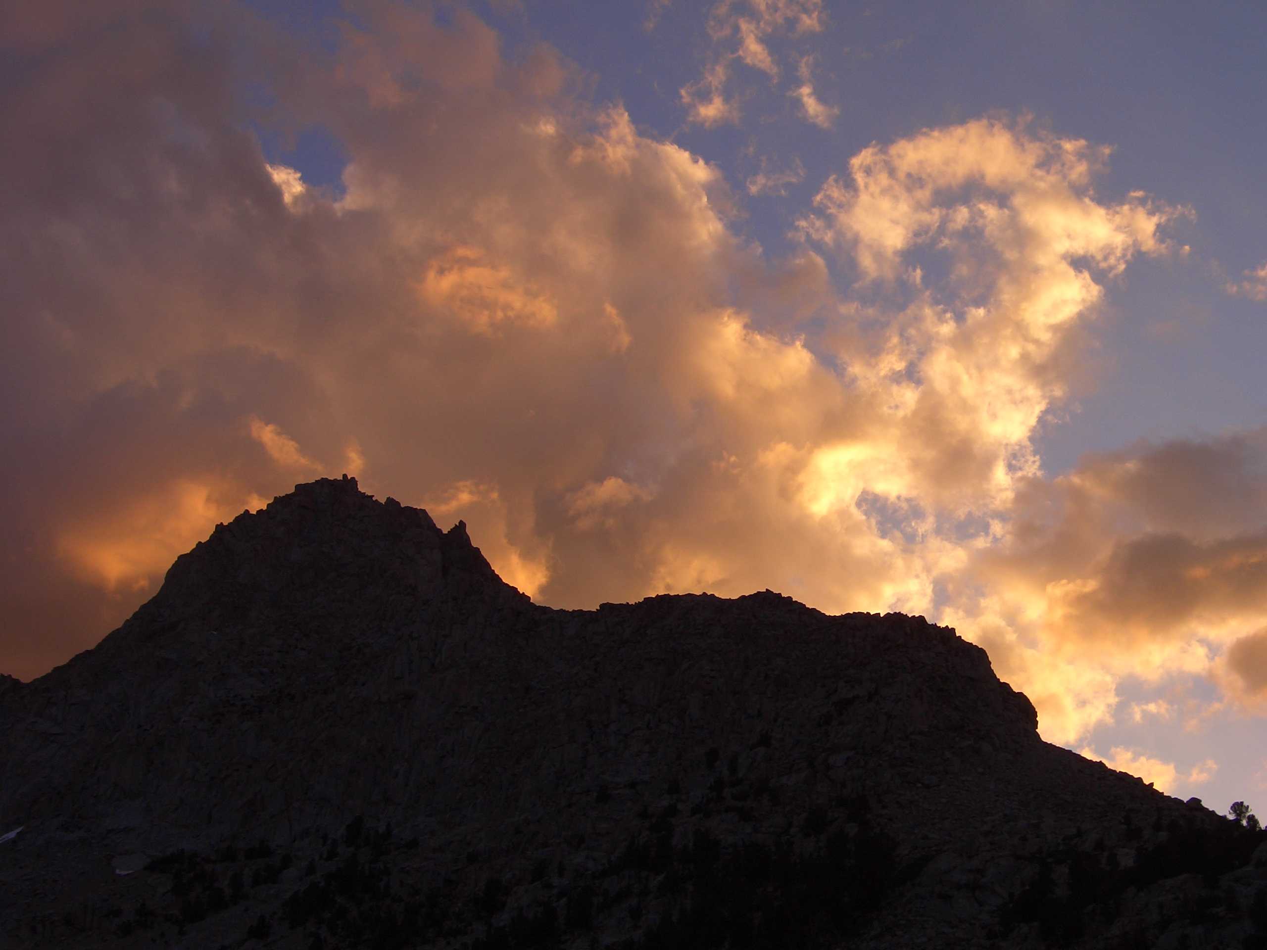
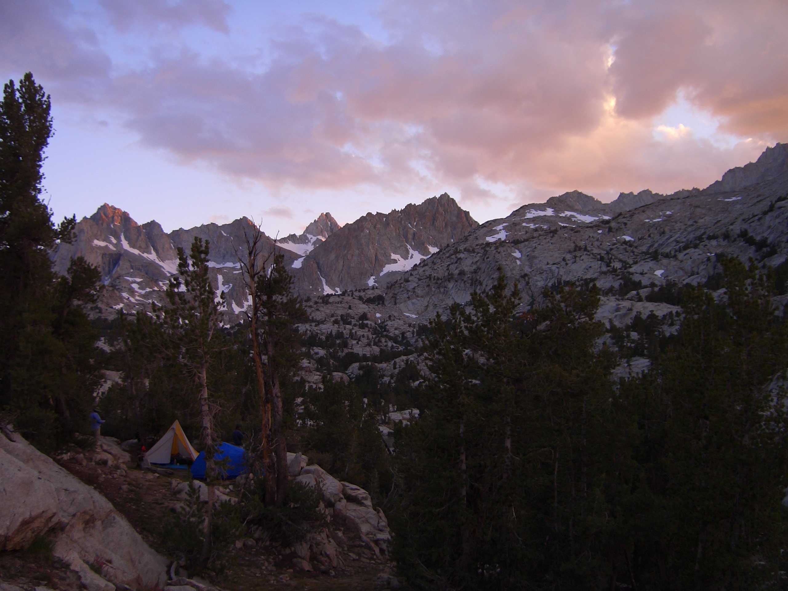
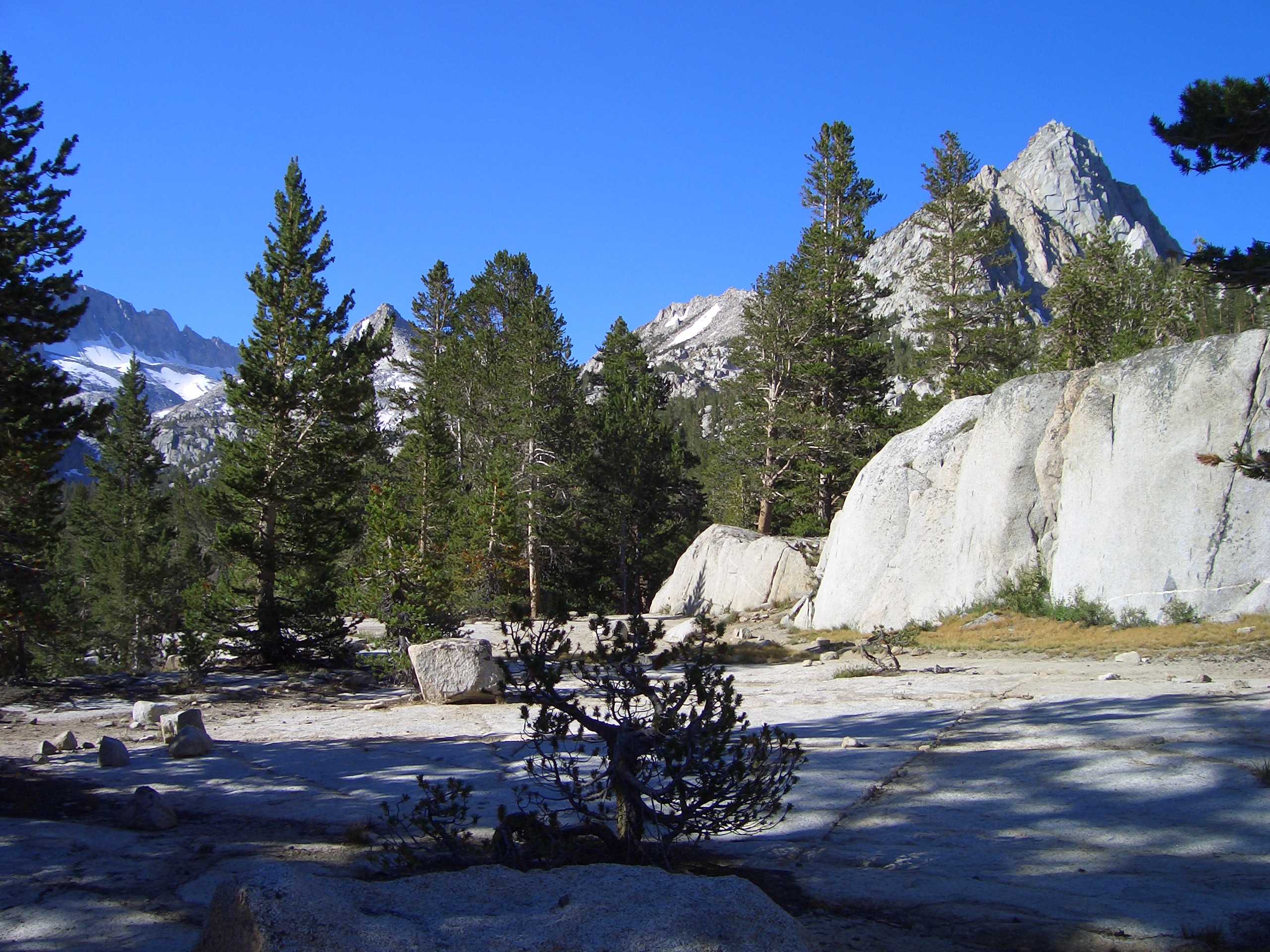
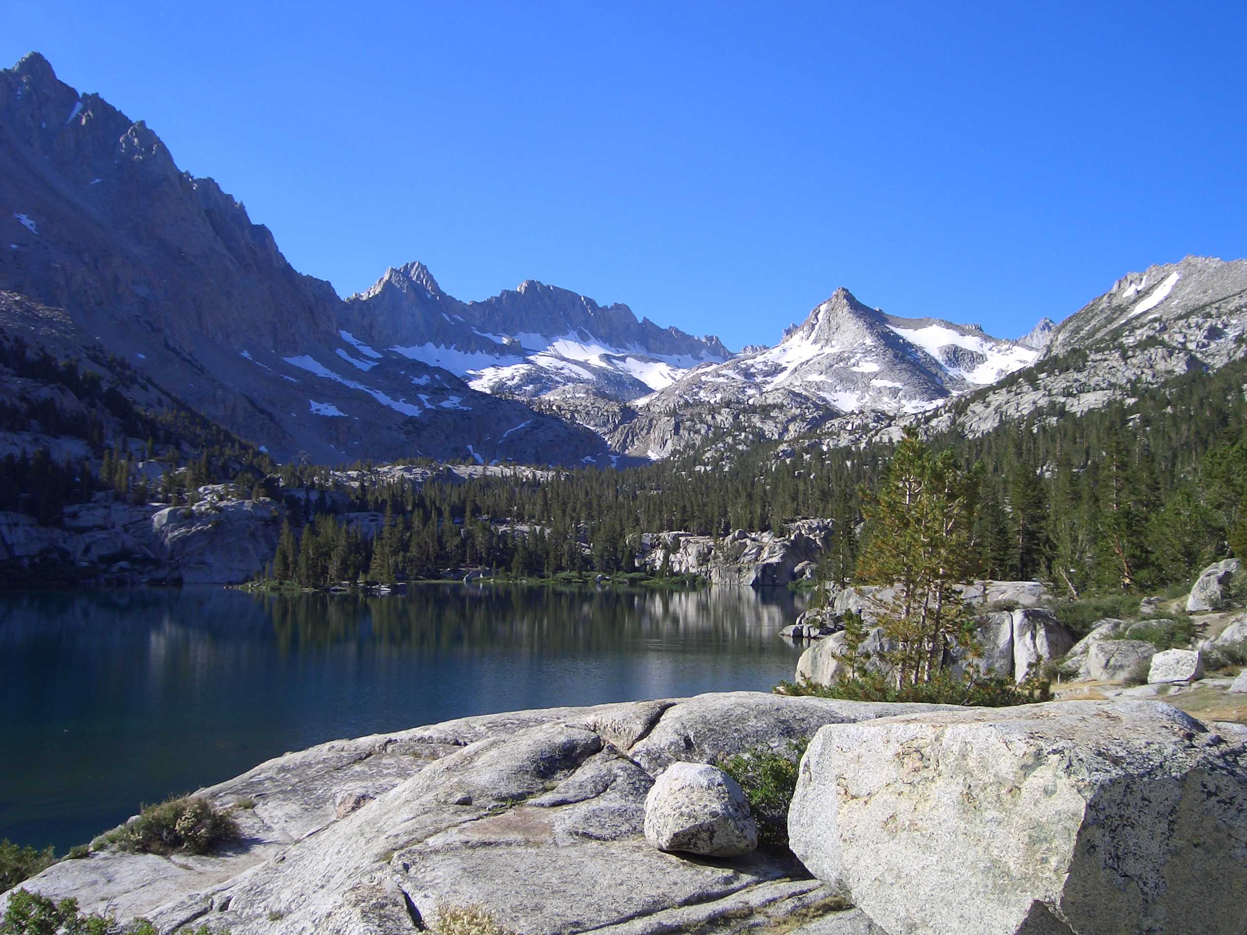
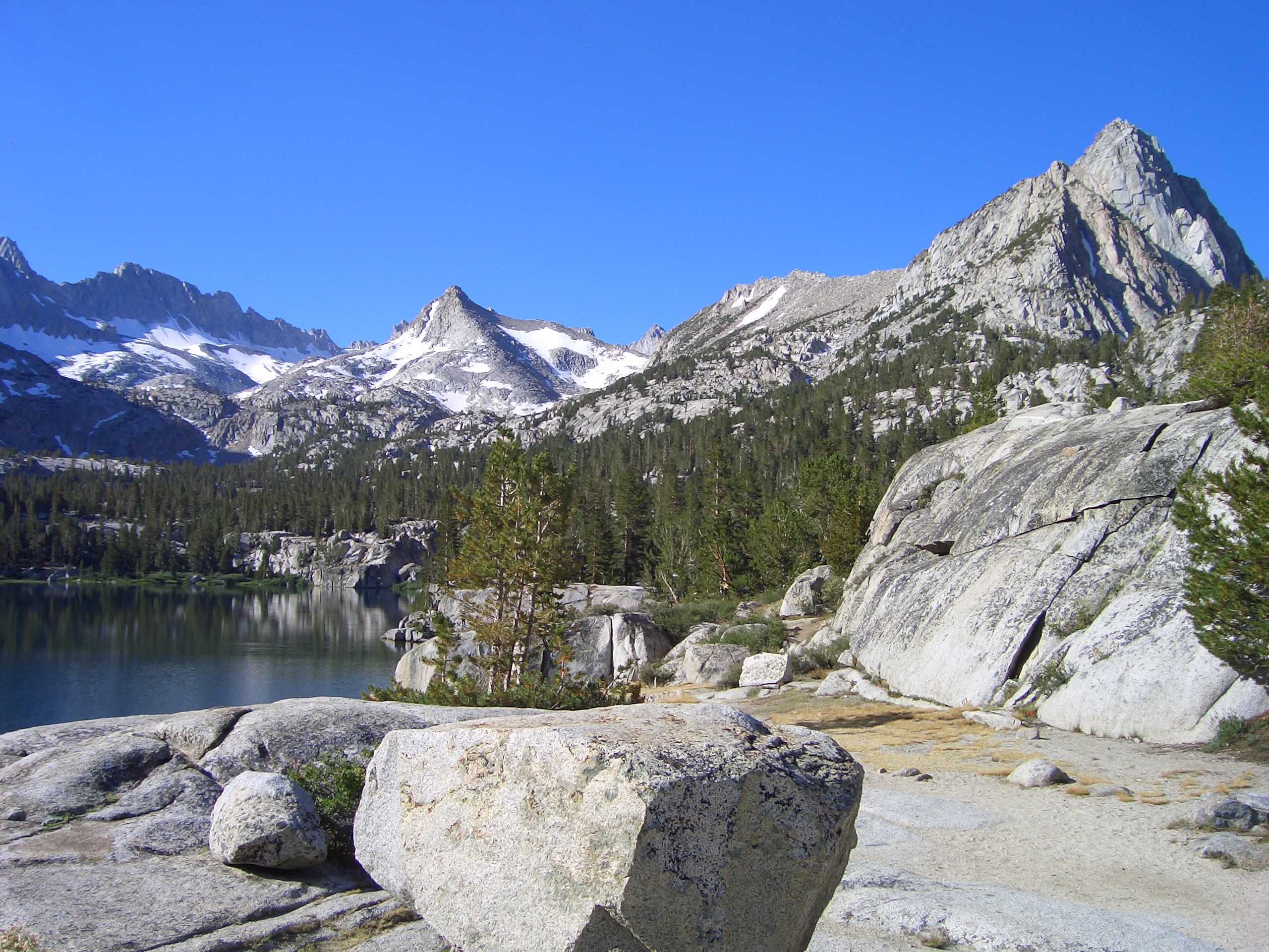
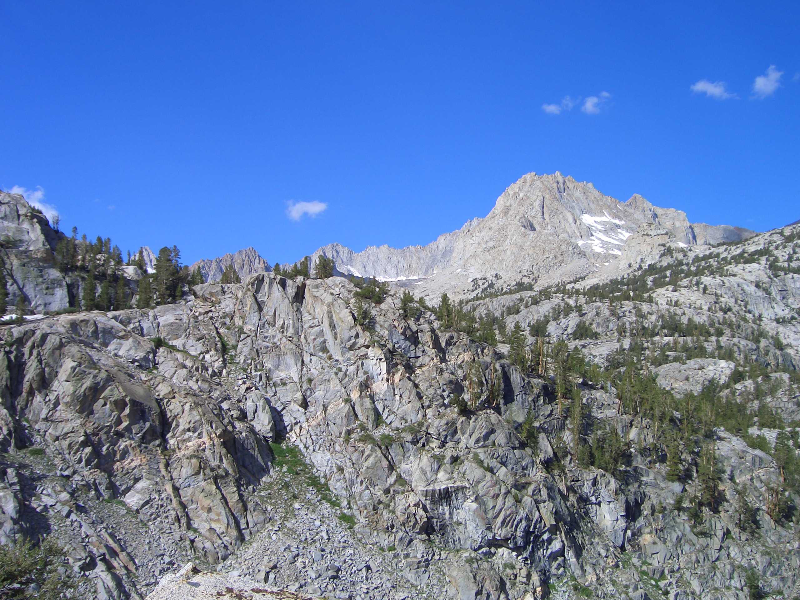
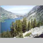
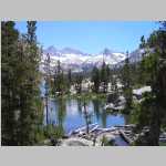
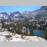
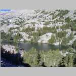
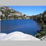
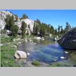
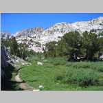
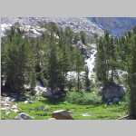
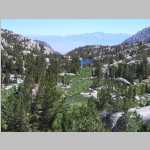
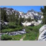
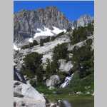
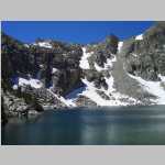
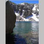
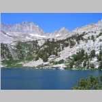
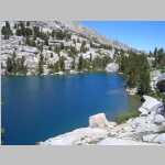
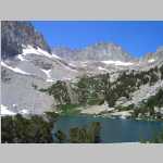
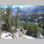
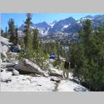
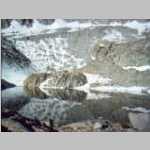
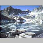
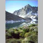
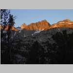
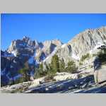
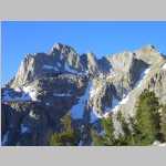
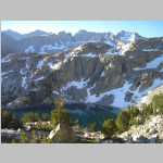
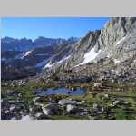
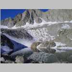
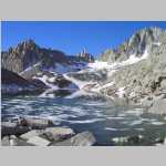
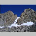
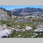
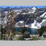
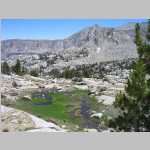
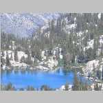
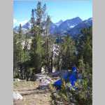
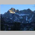
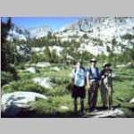
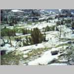
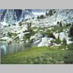
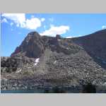
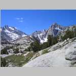
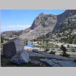
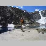
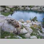
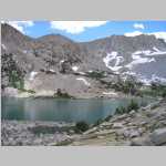
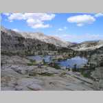
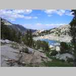
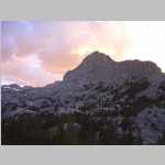
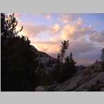
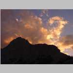
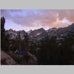
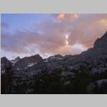
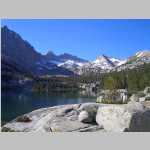
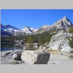
Dingleberry Lake, John Muir Wilderness, California

JAugust 1 to 5, 2005

"Keep close to Nature's heart...and break clear away, once in awhile, and climb a mountain or spend a week in the woods. Wash your spirit clean."

"The mountains are calling and I must go."

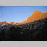
"Climb the mountains and get their good tidings. Nature's peace will flow into you as sunshine flows into trees. The winds will blow their own freshness into you, and the storms their energy, while cares will drop away from you like the leaves of Autumn."

John Muir 1838-1914

Hike Information

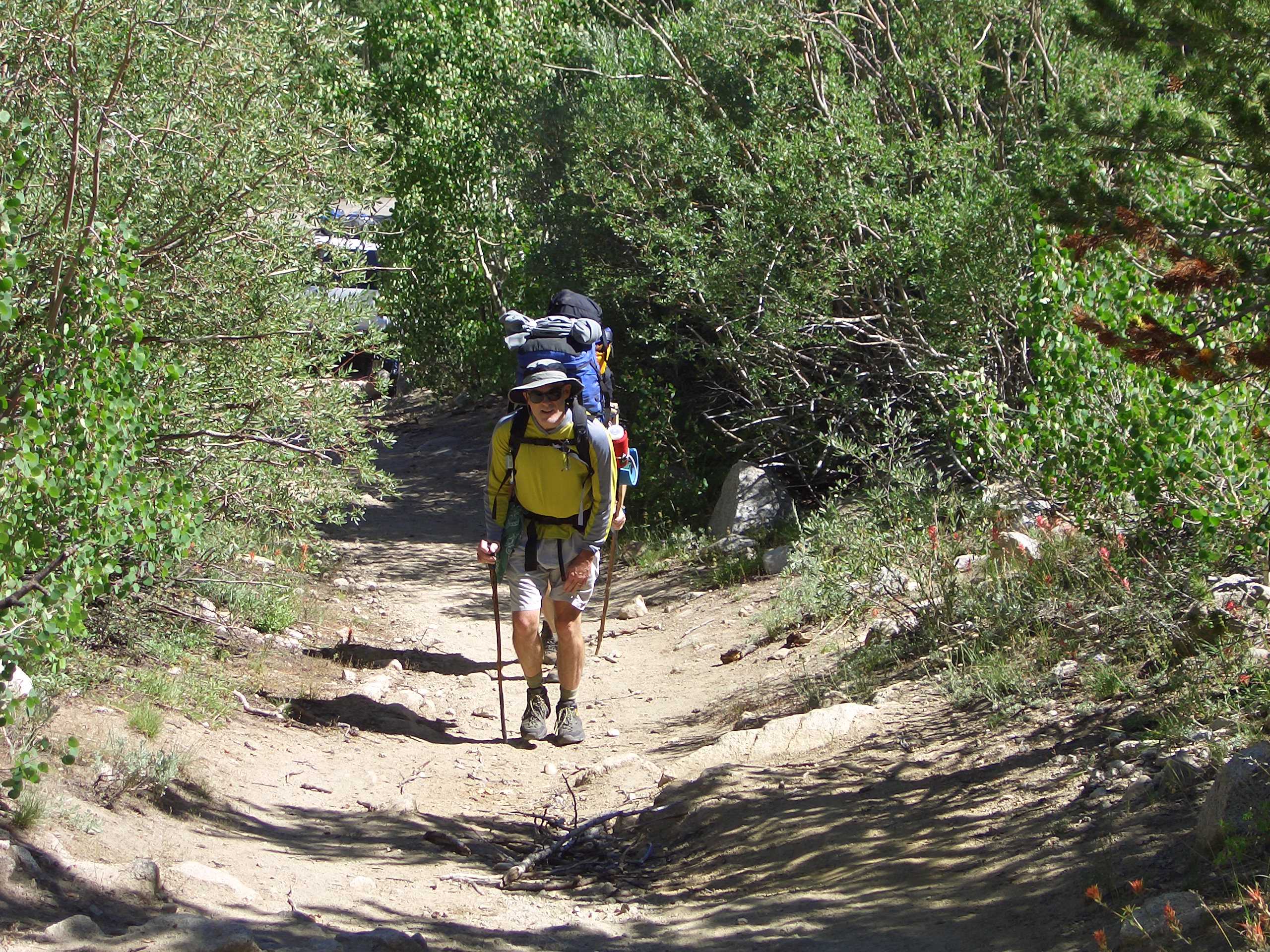
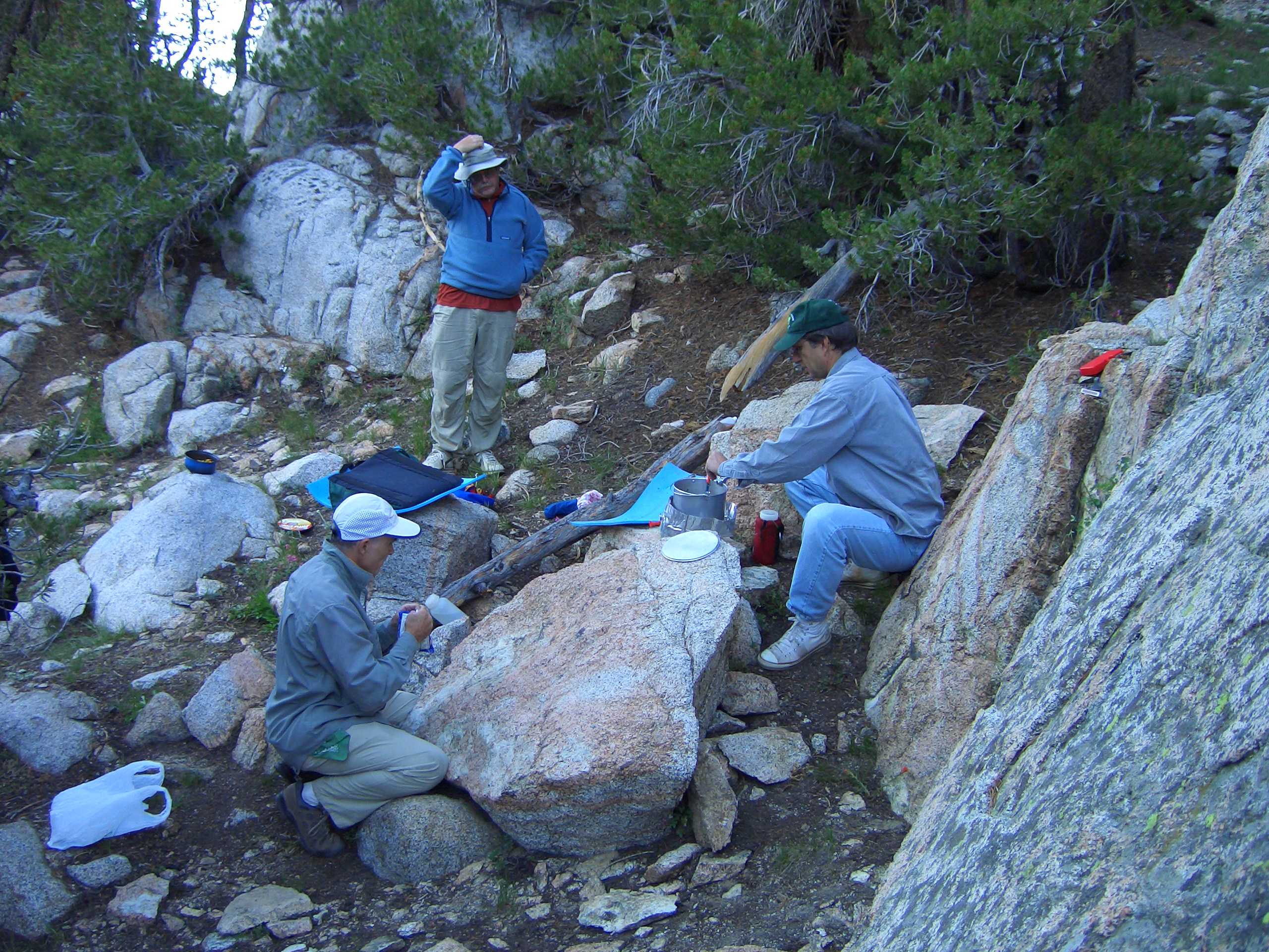
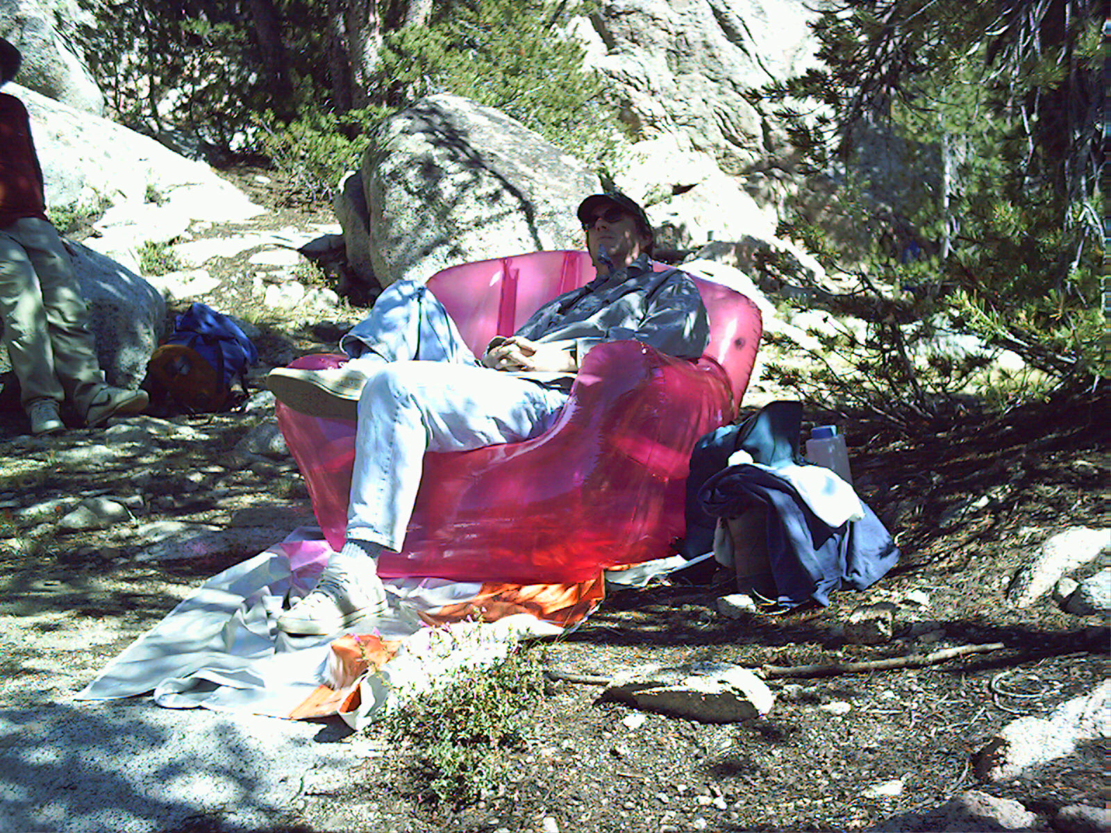
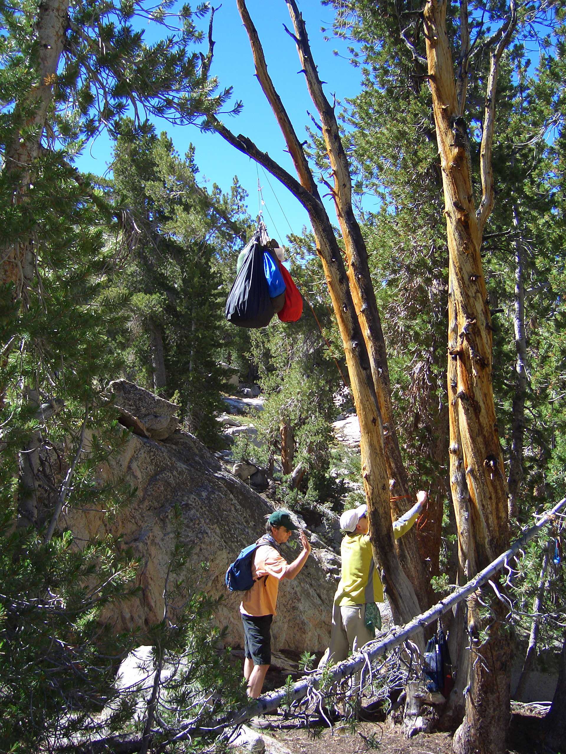
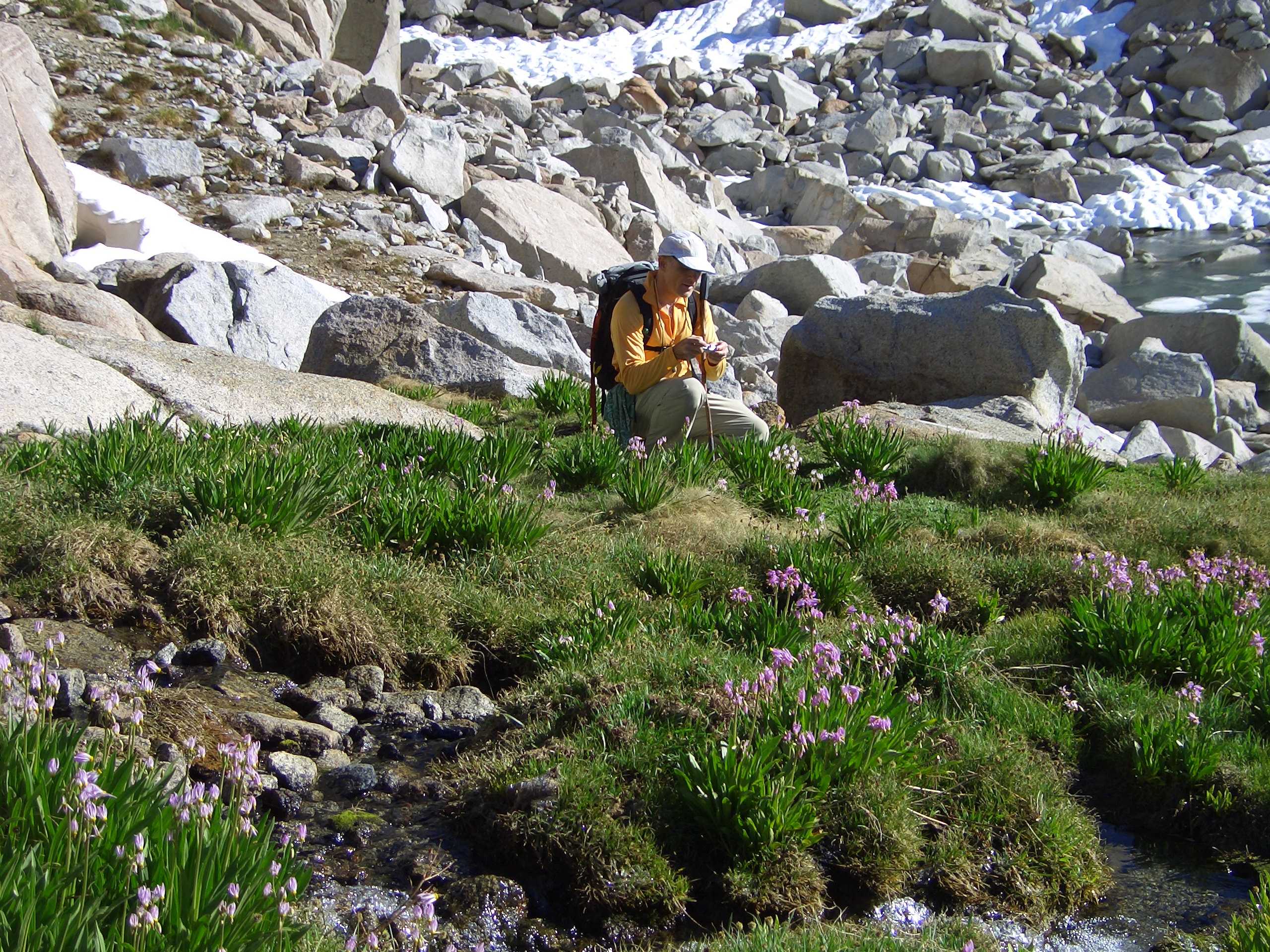
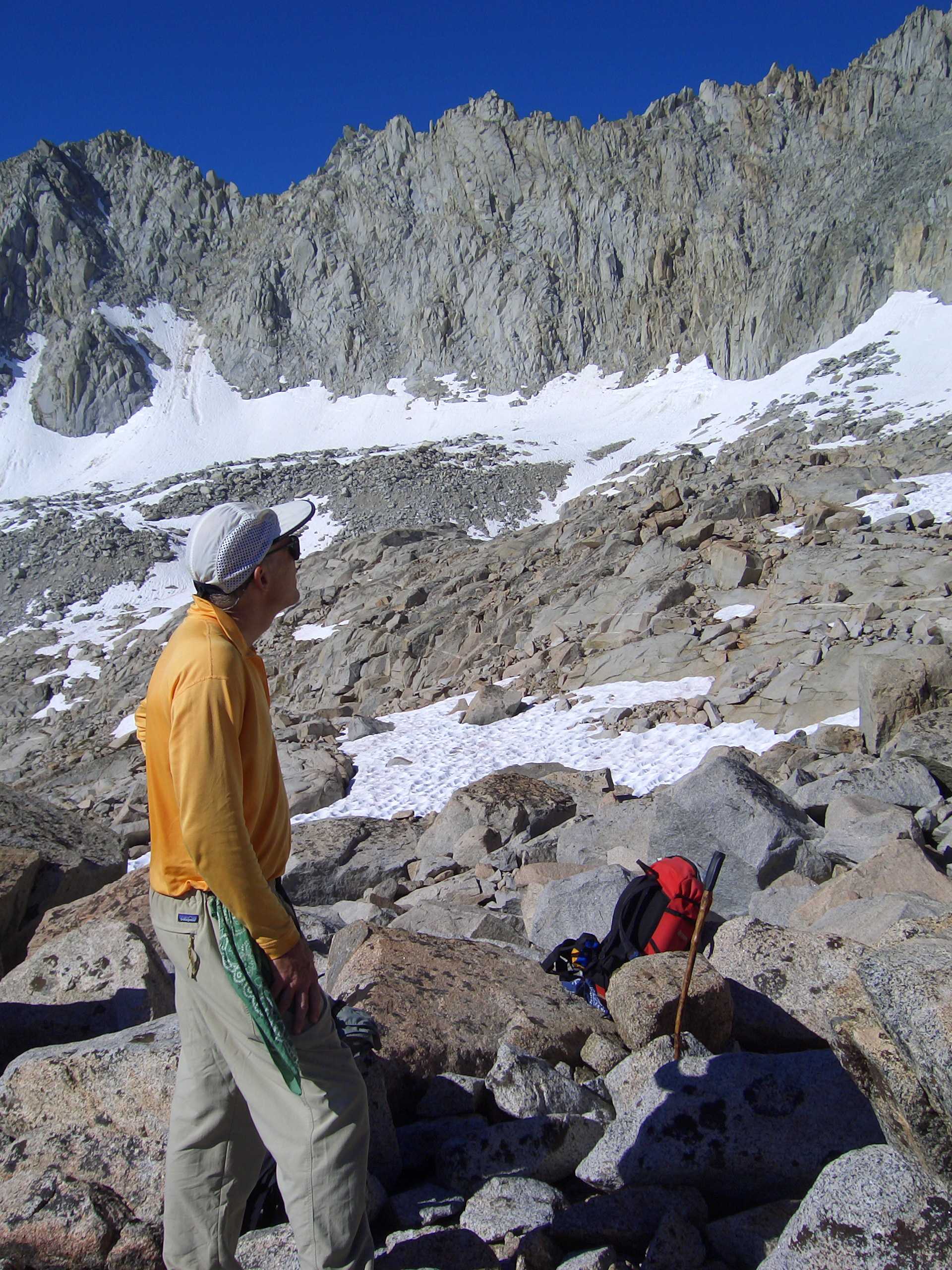
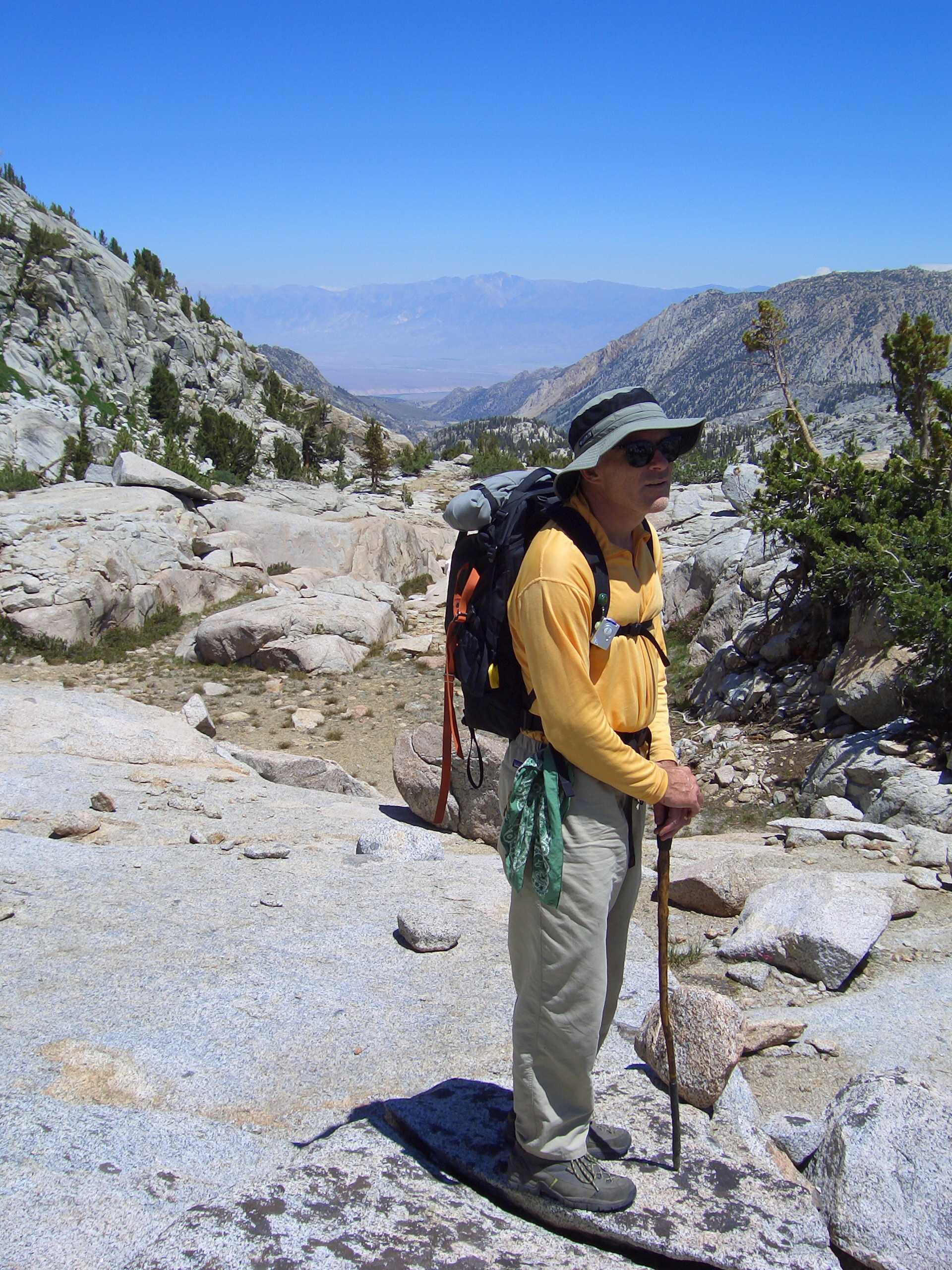
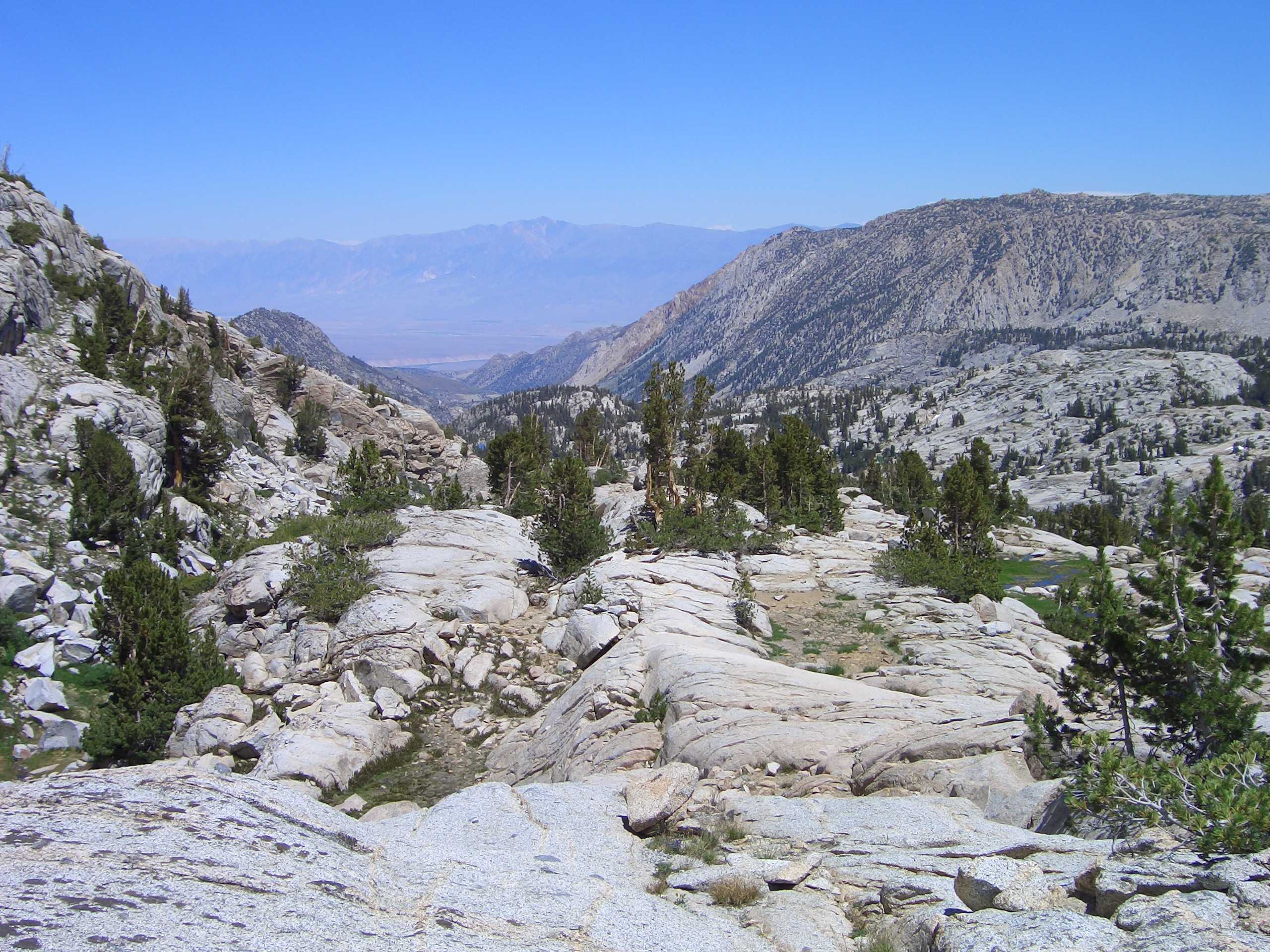
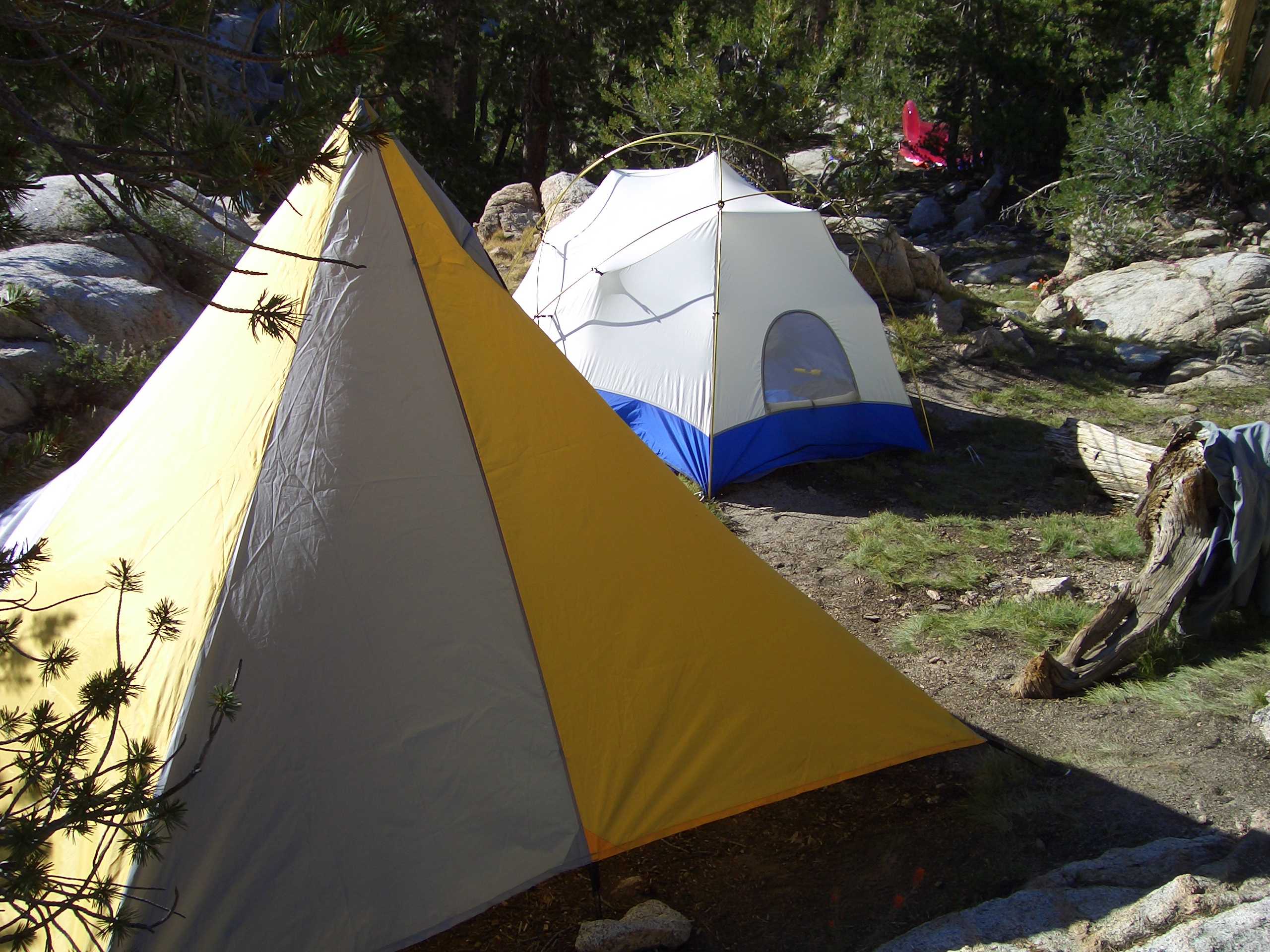
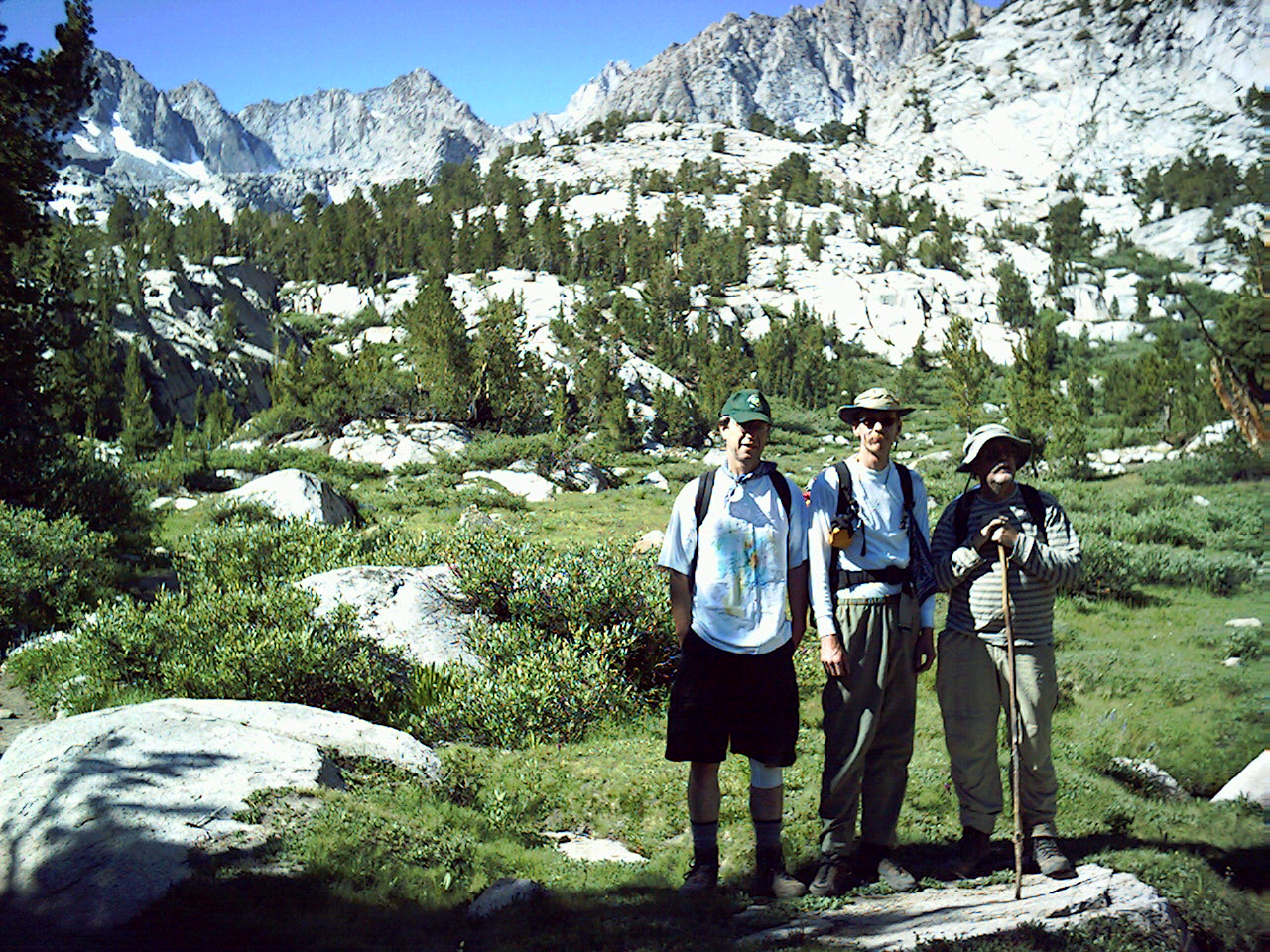
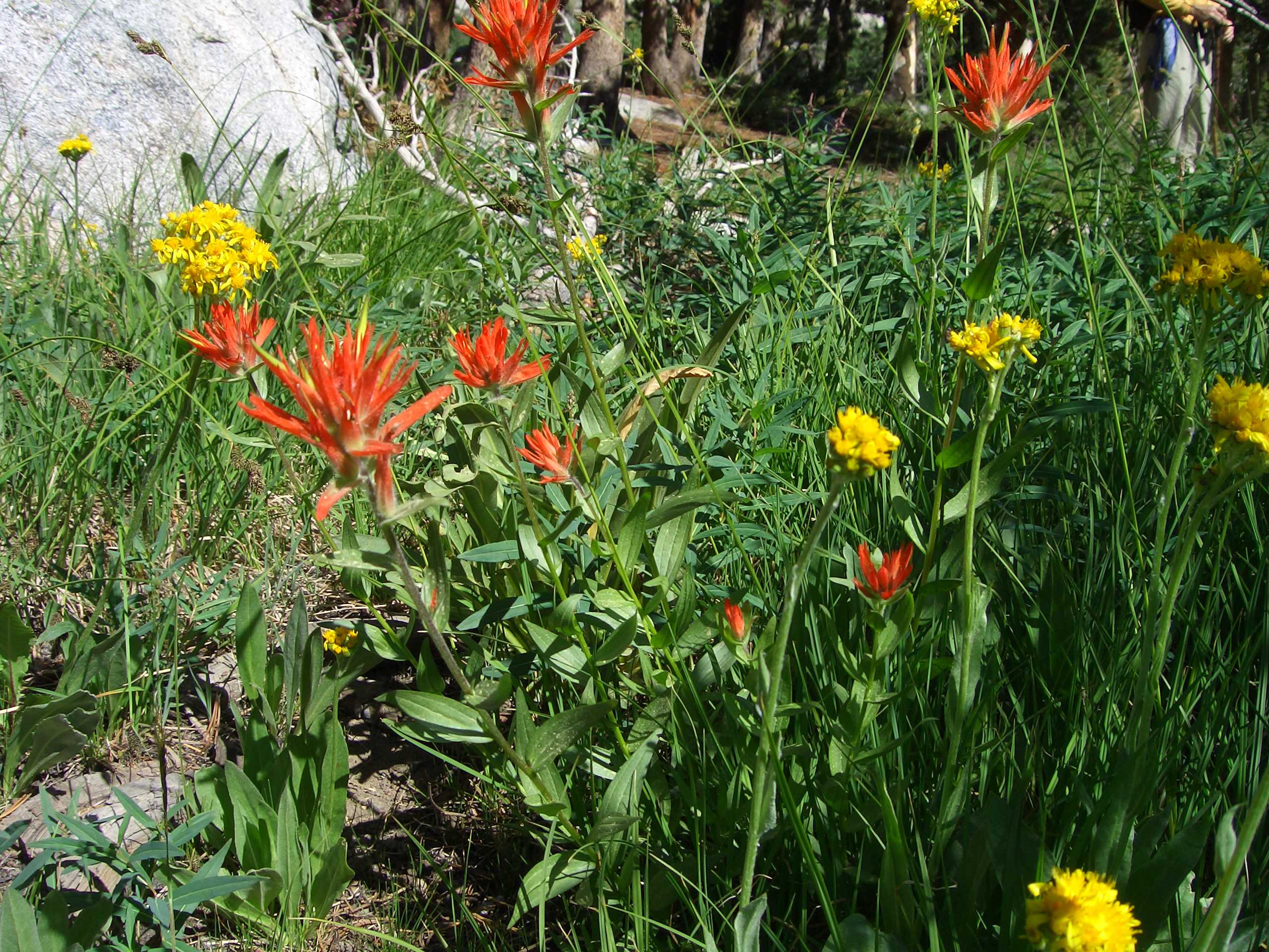
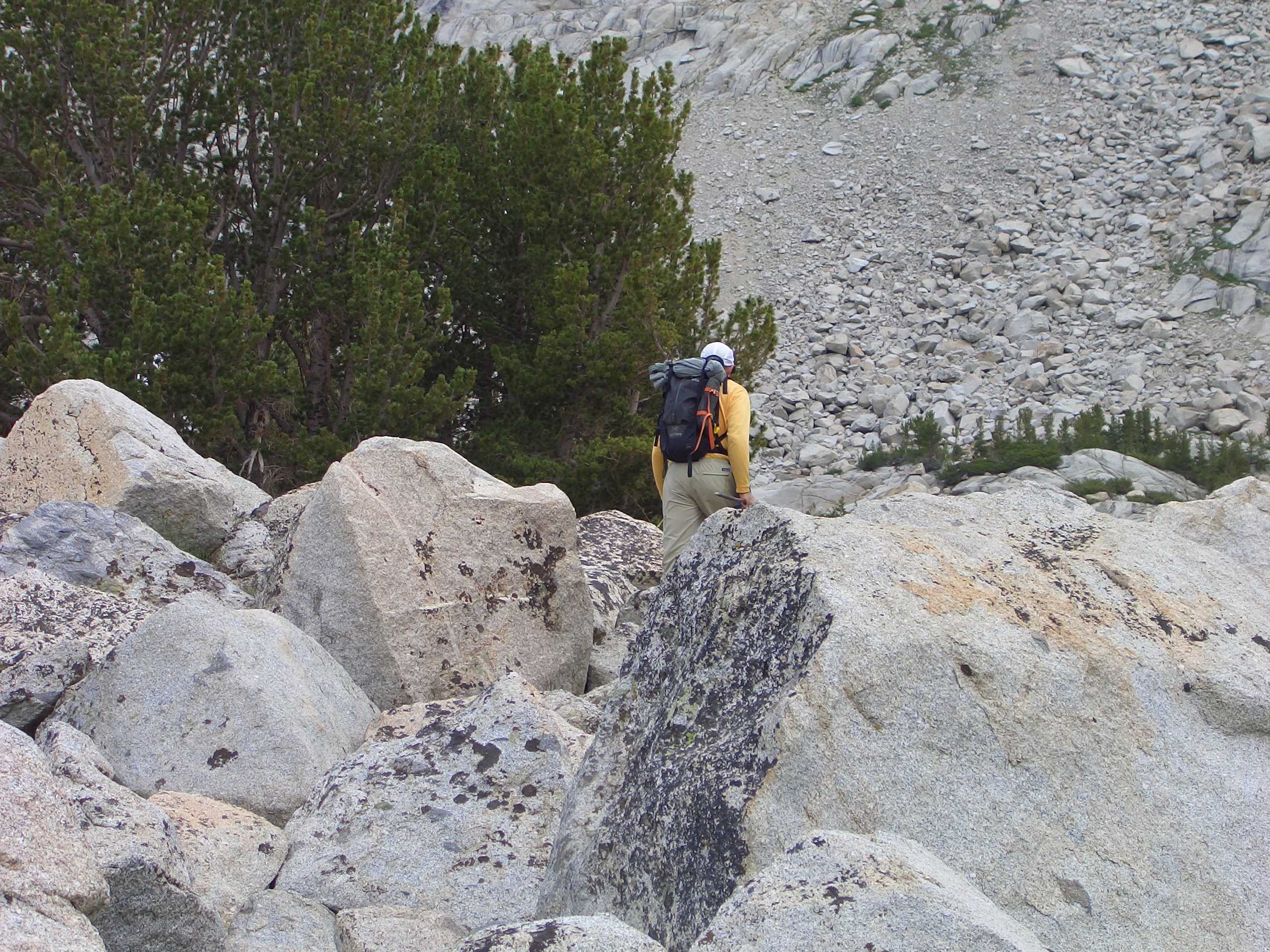
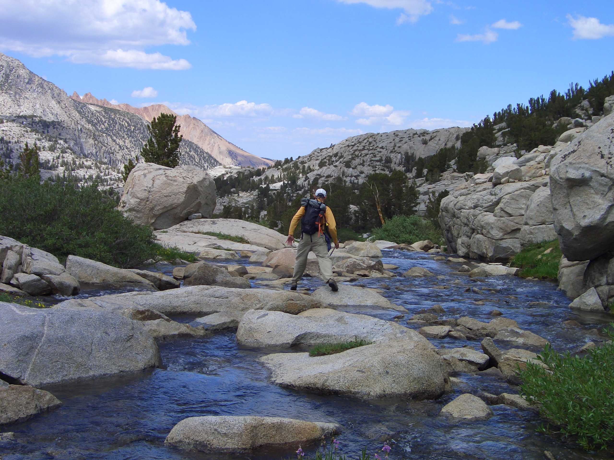
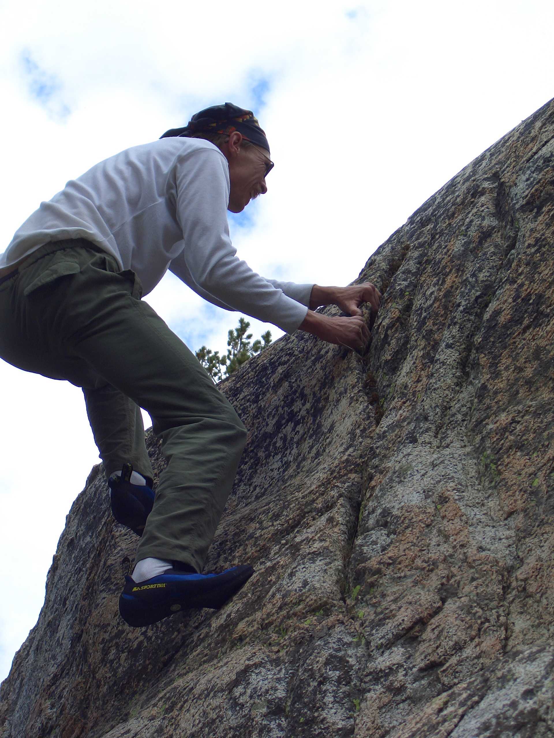
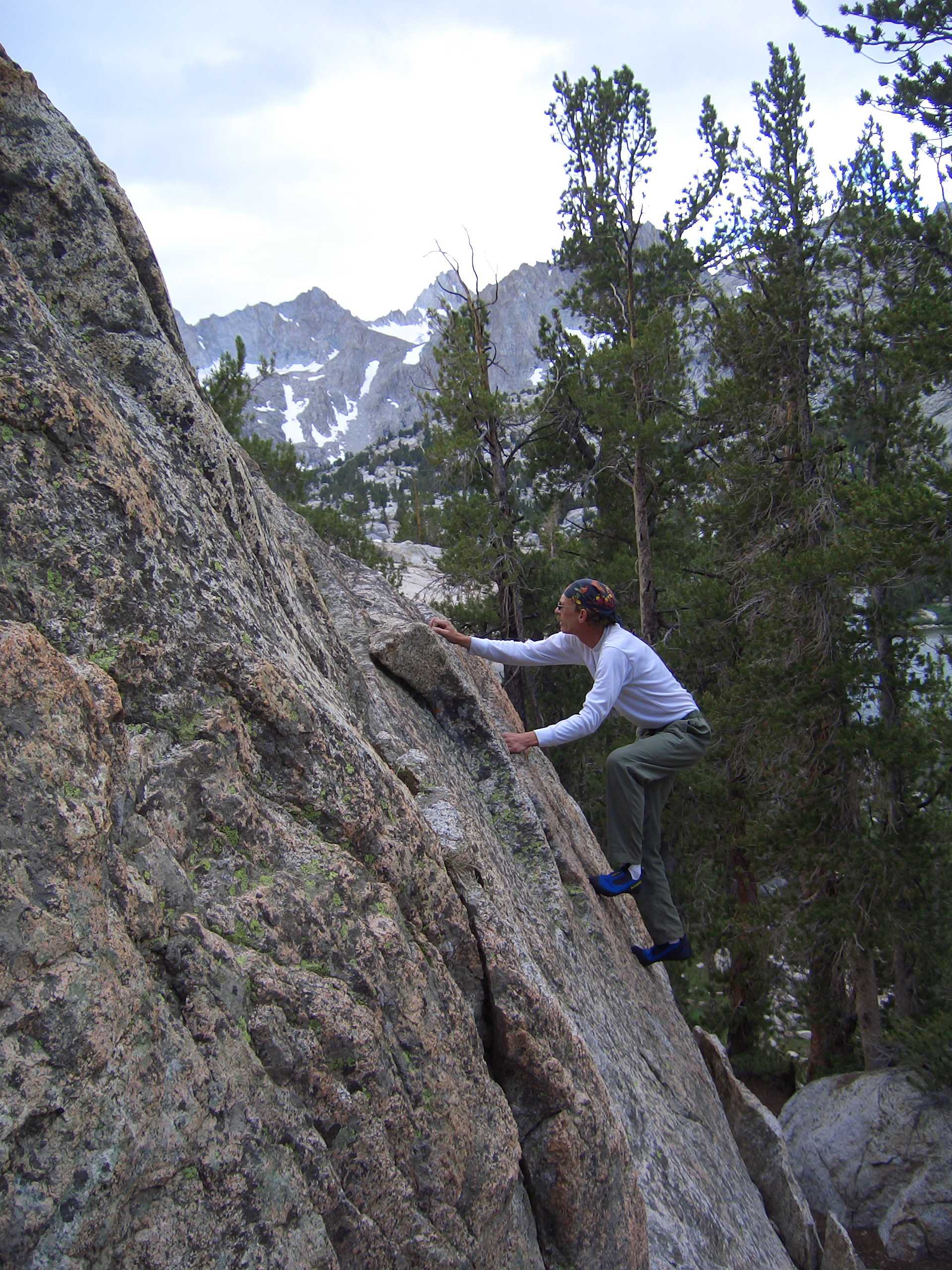
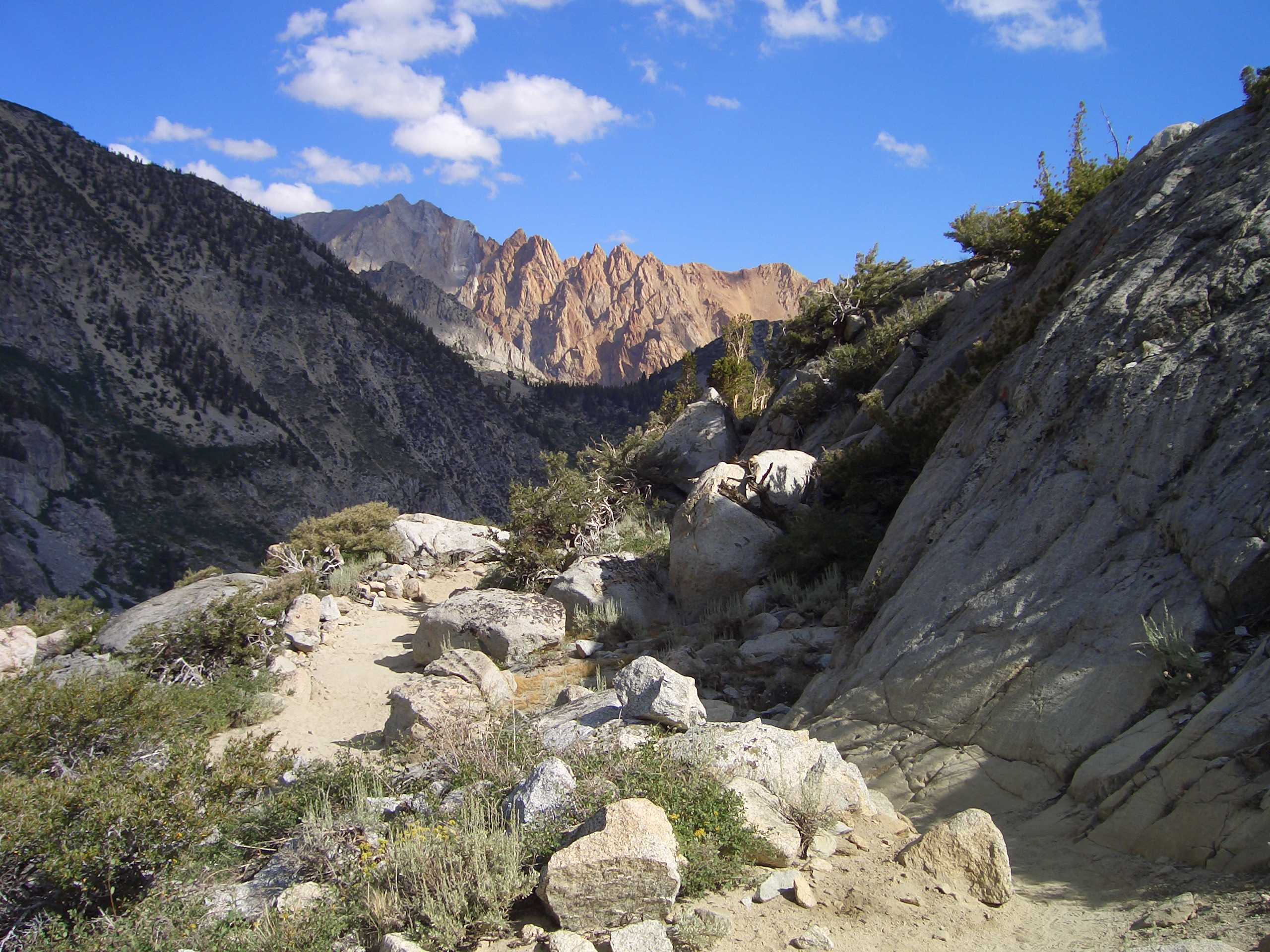
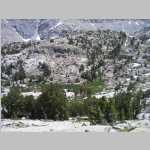
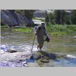
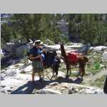
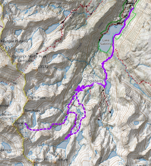
For a change of pace, this year we elected to do a hike in the Sierra Nevada moutain range, Camping in The Sierra can be a pain since a) we hate to camp around bears and b) The Sierra are full of bears. However, this route was one in which there were no reports of bears, so it was selected. Brian and Jim flew into Oakland where we rented a vehicle. The next day, we drove to Bishop CA passing through Yosemite National Park stopping at a campsite to answer the call of nature. On the way out after going through Tioga Pass we stopped at a local food joint at the junction of State Highway 120 and Route 395 (the Whoa Nellie Diner in Lee Vining). The food was ok. We then drove down to Bishop where we met up with Ted who had drove from Laramie via I-80 and Route 50. We strolled through Bishop to find a place to eat finally settling on a Mexican food establishment.

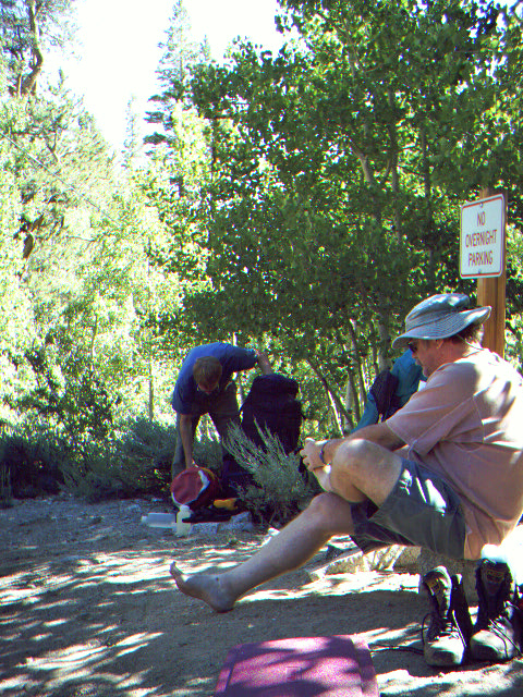
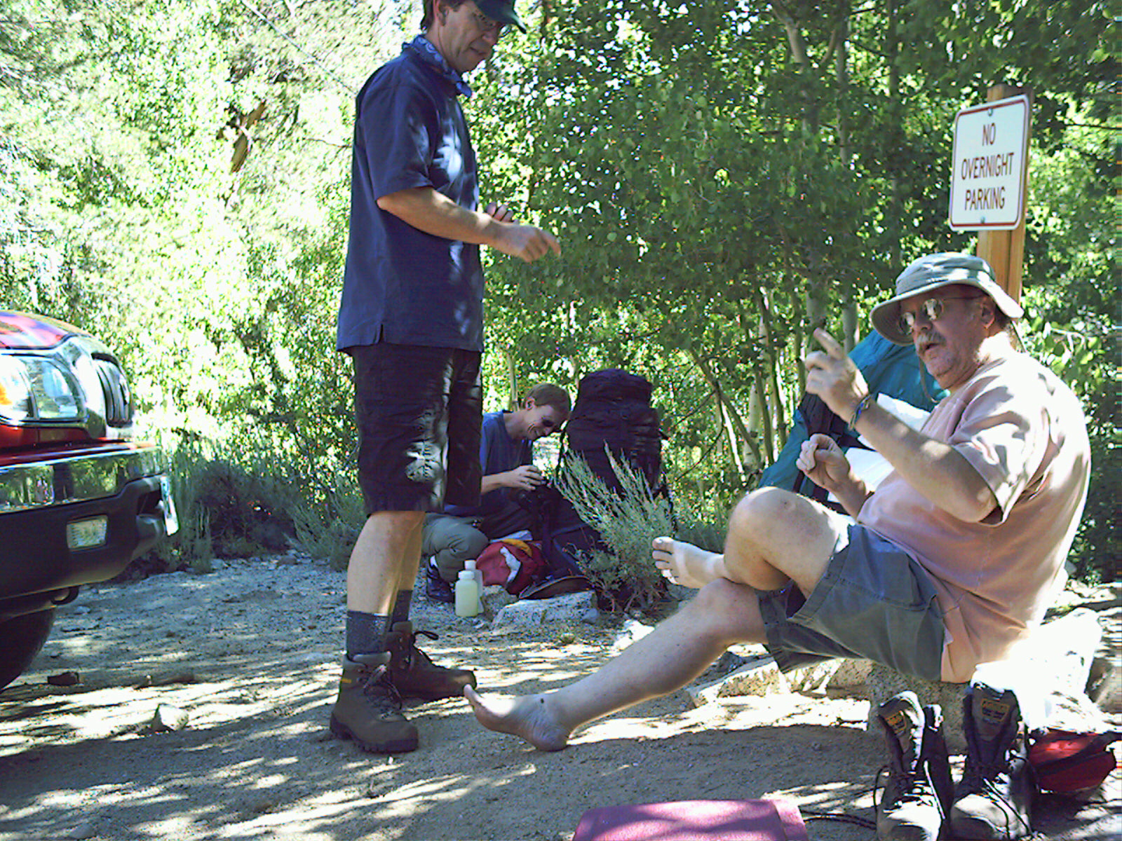
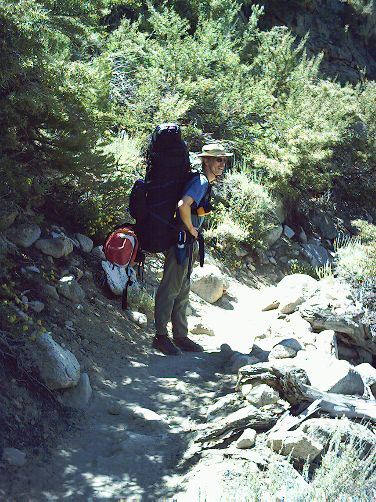
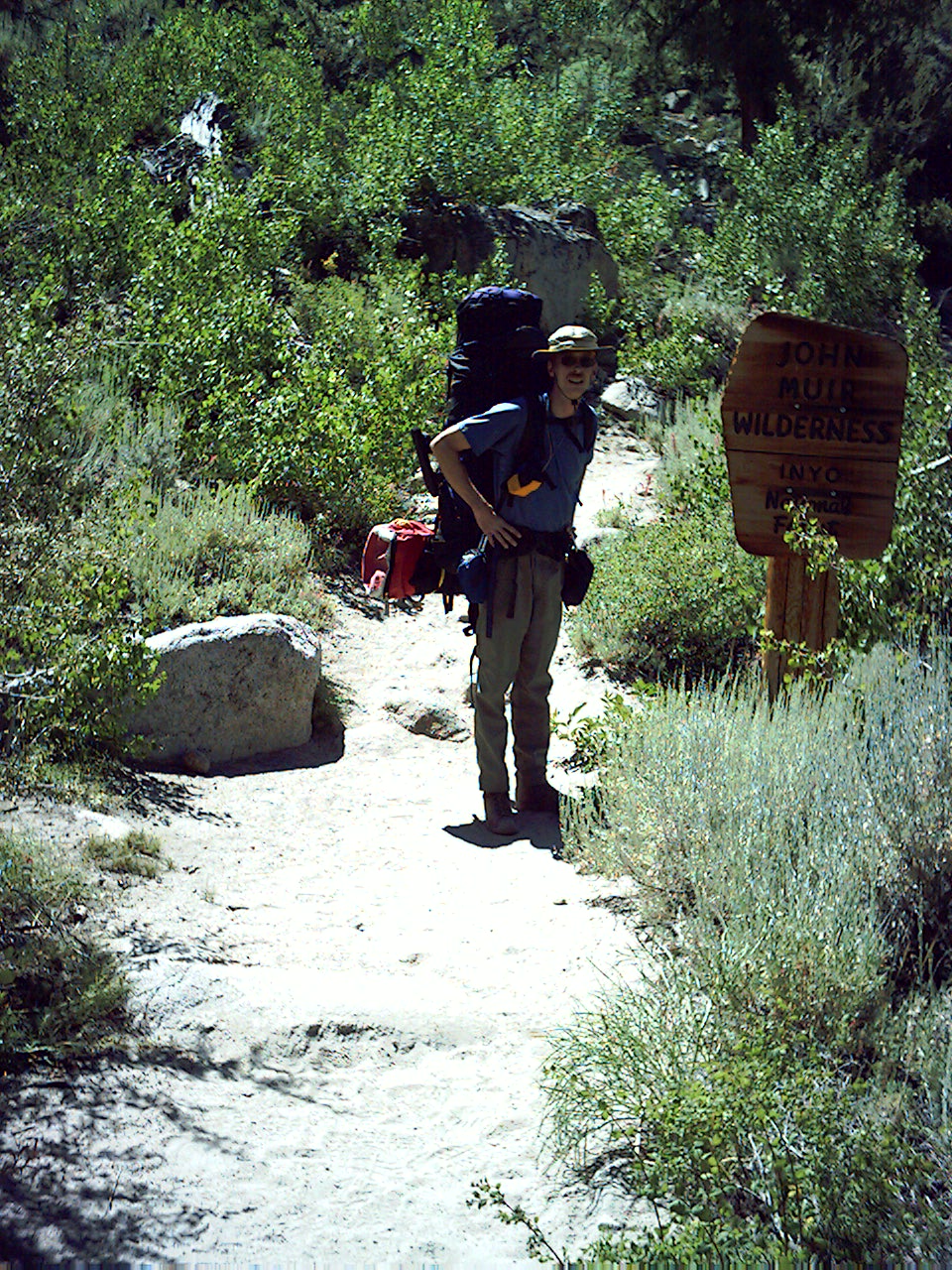
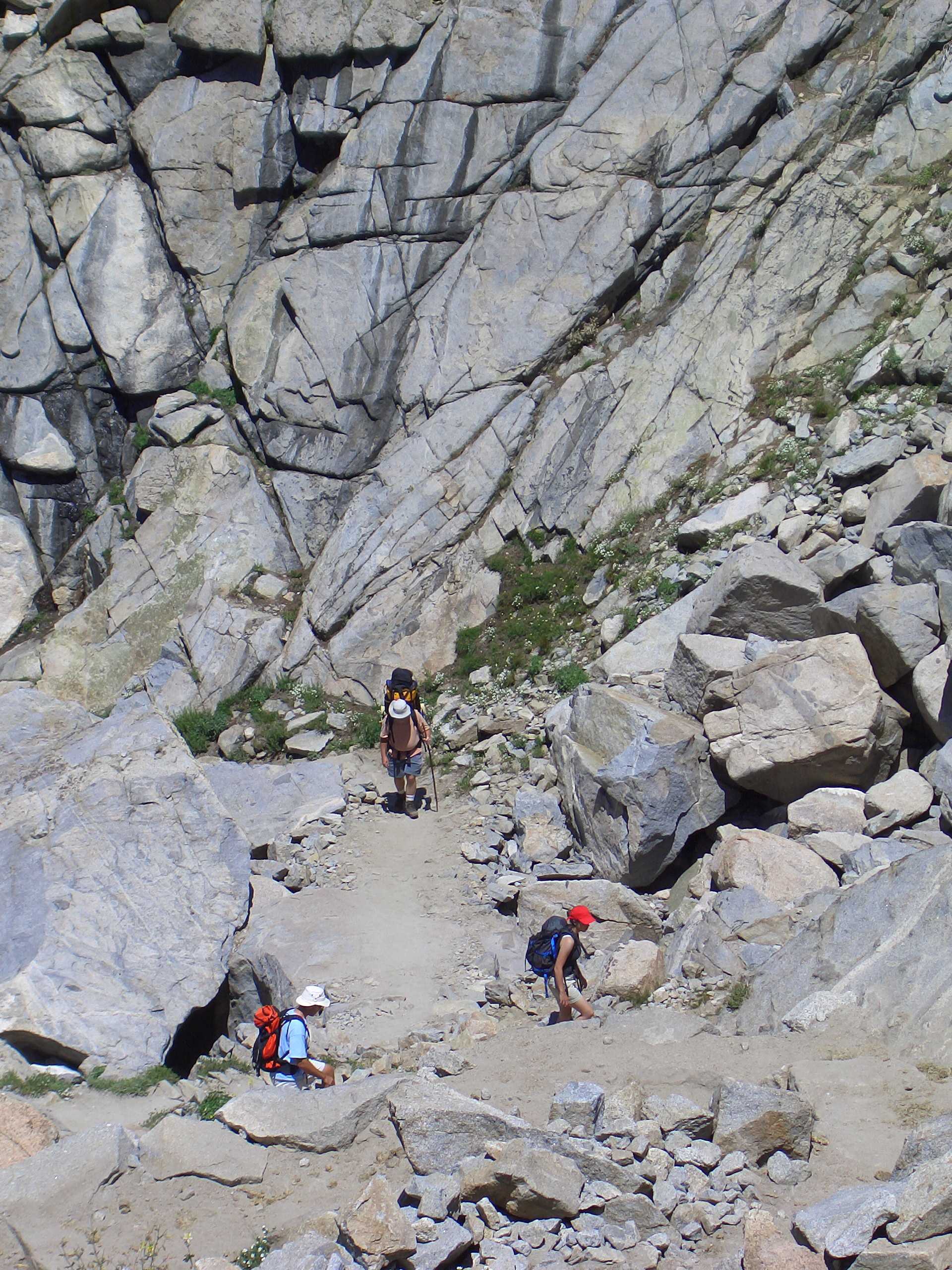
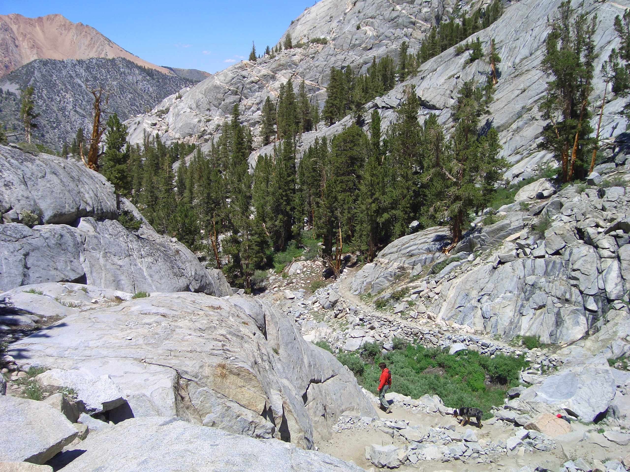
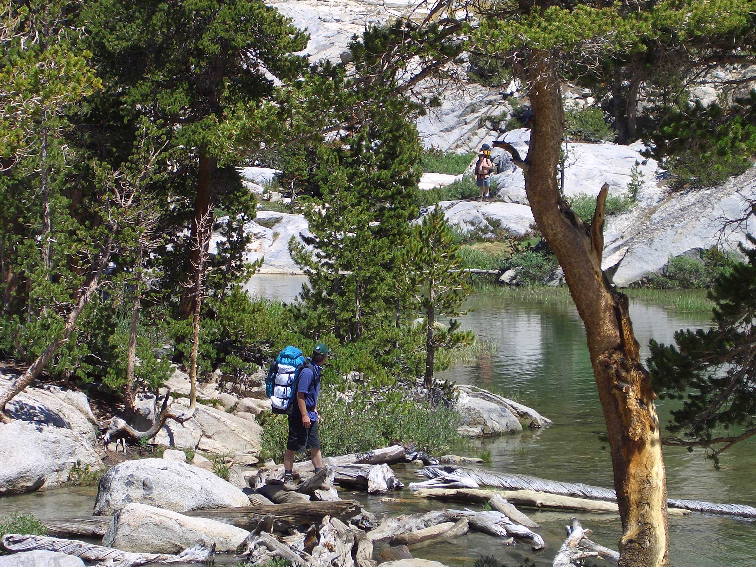
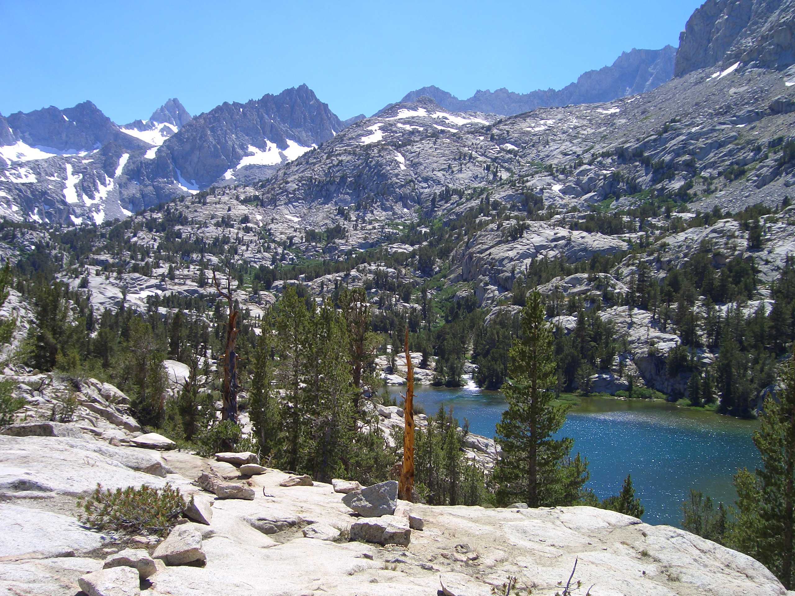
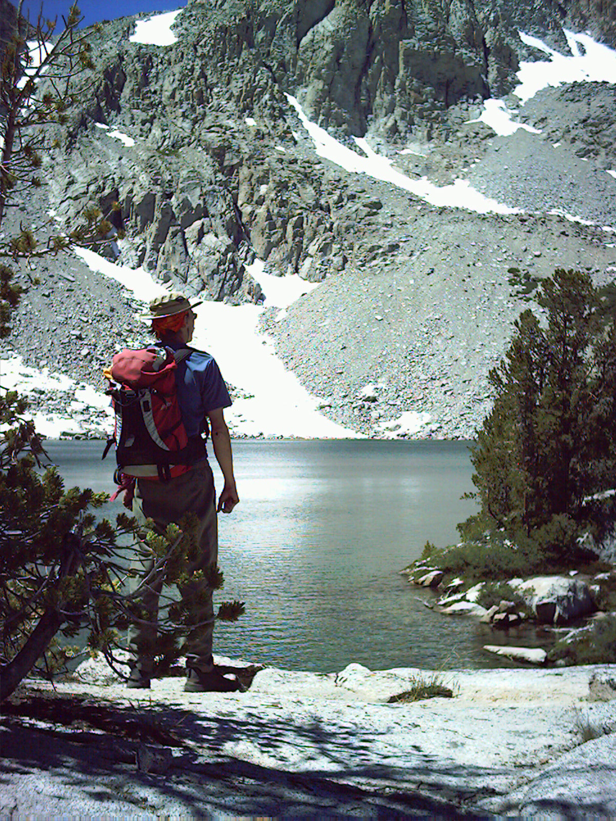
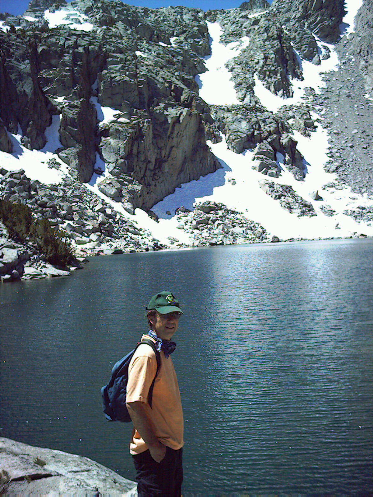
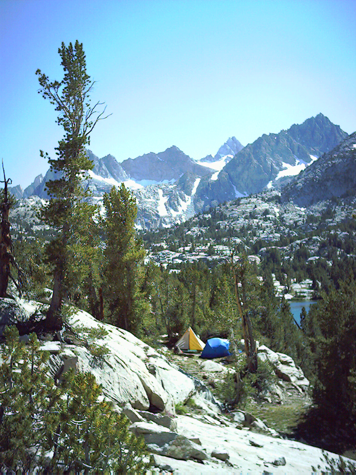
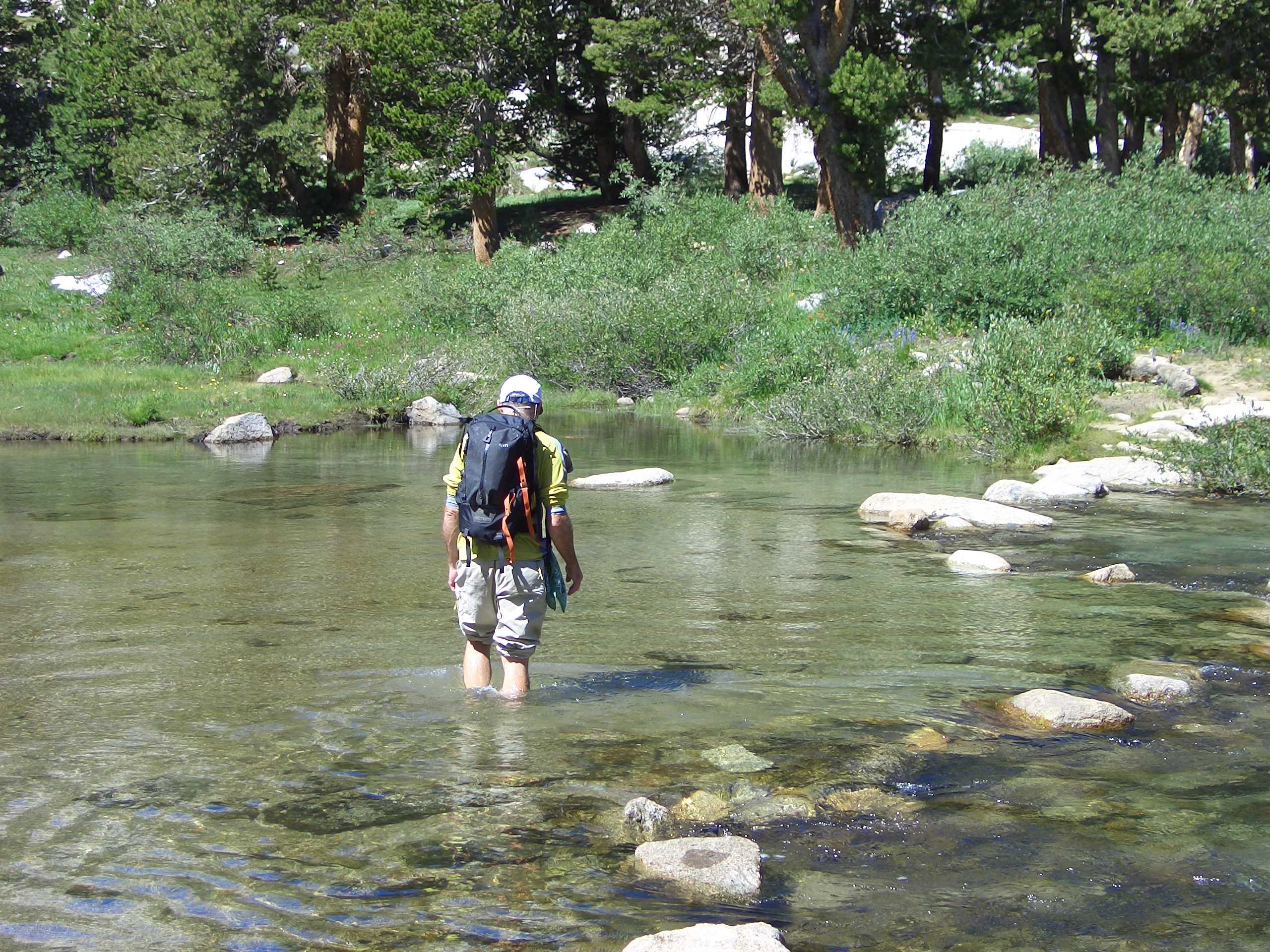
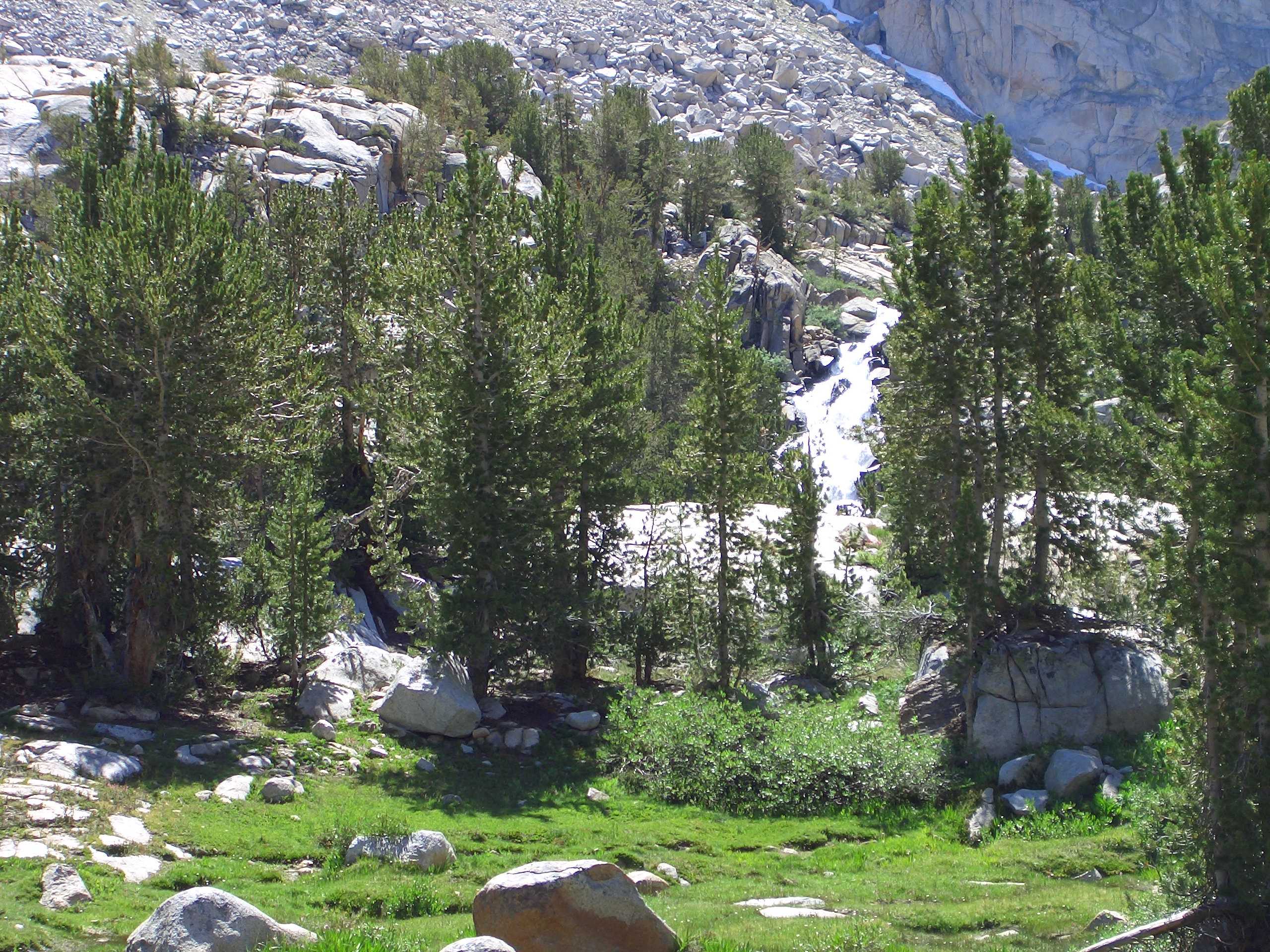
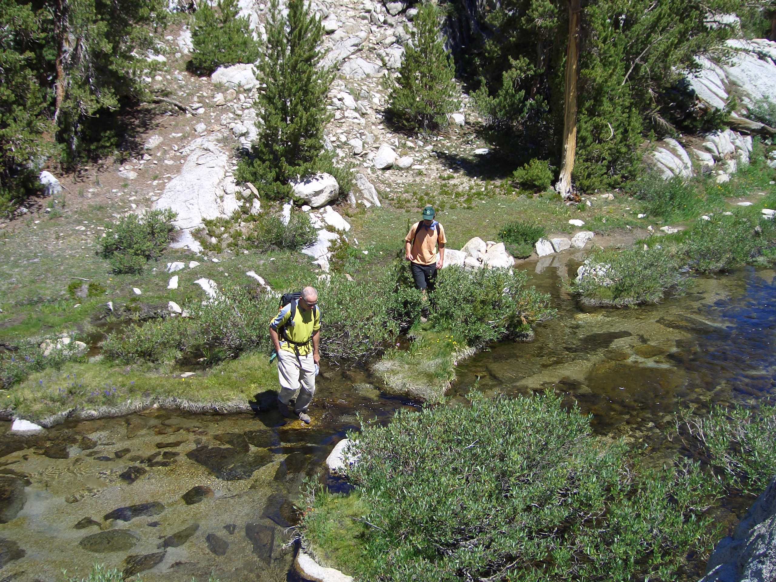
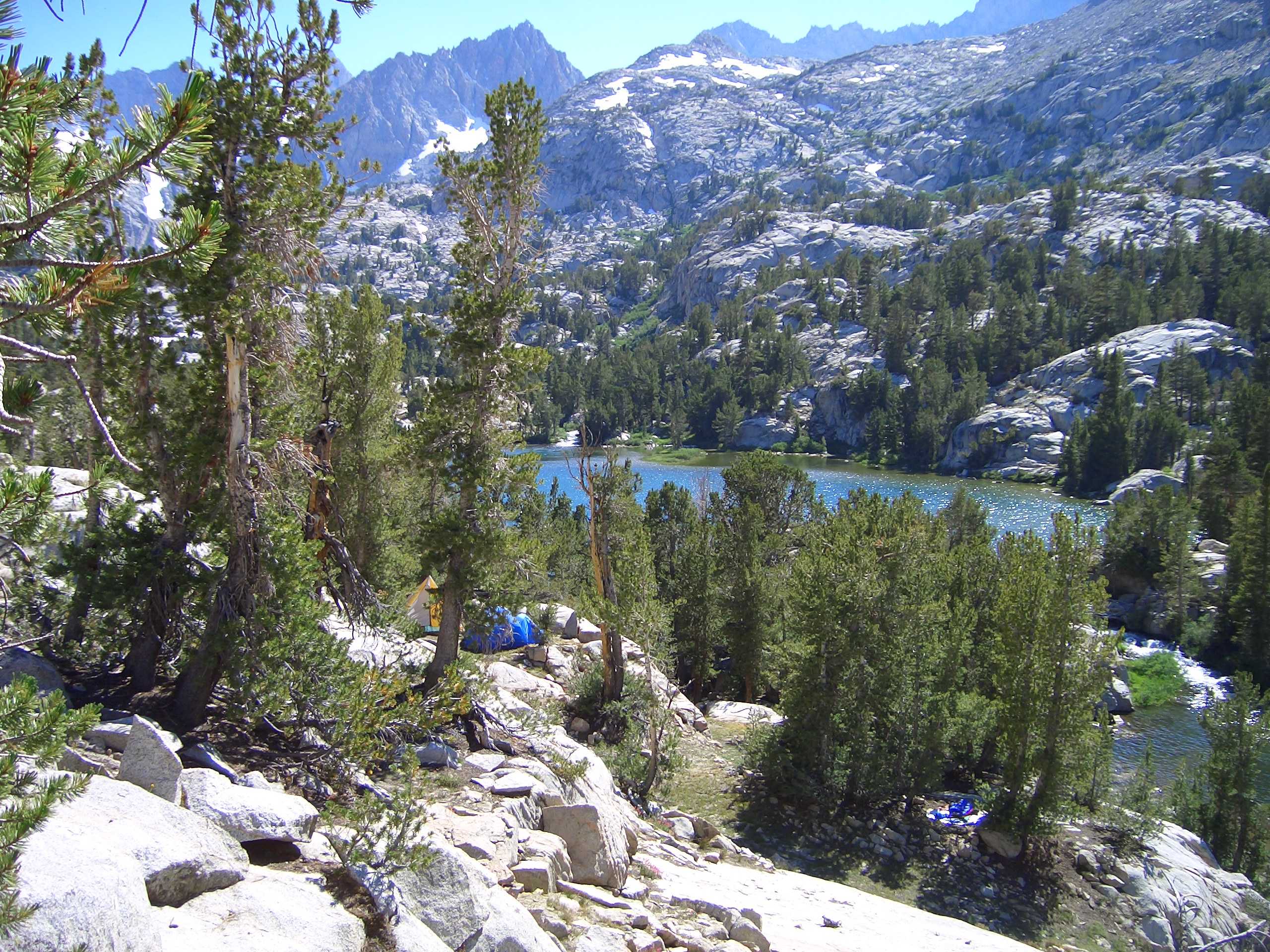
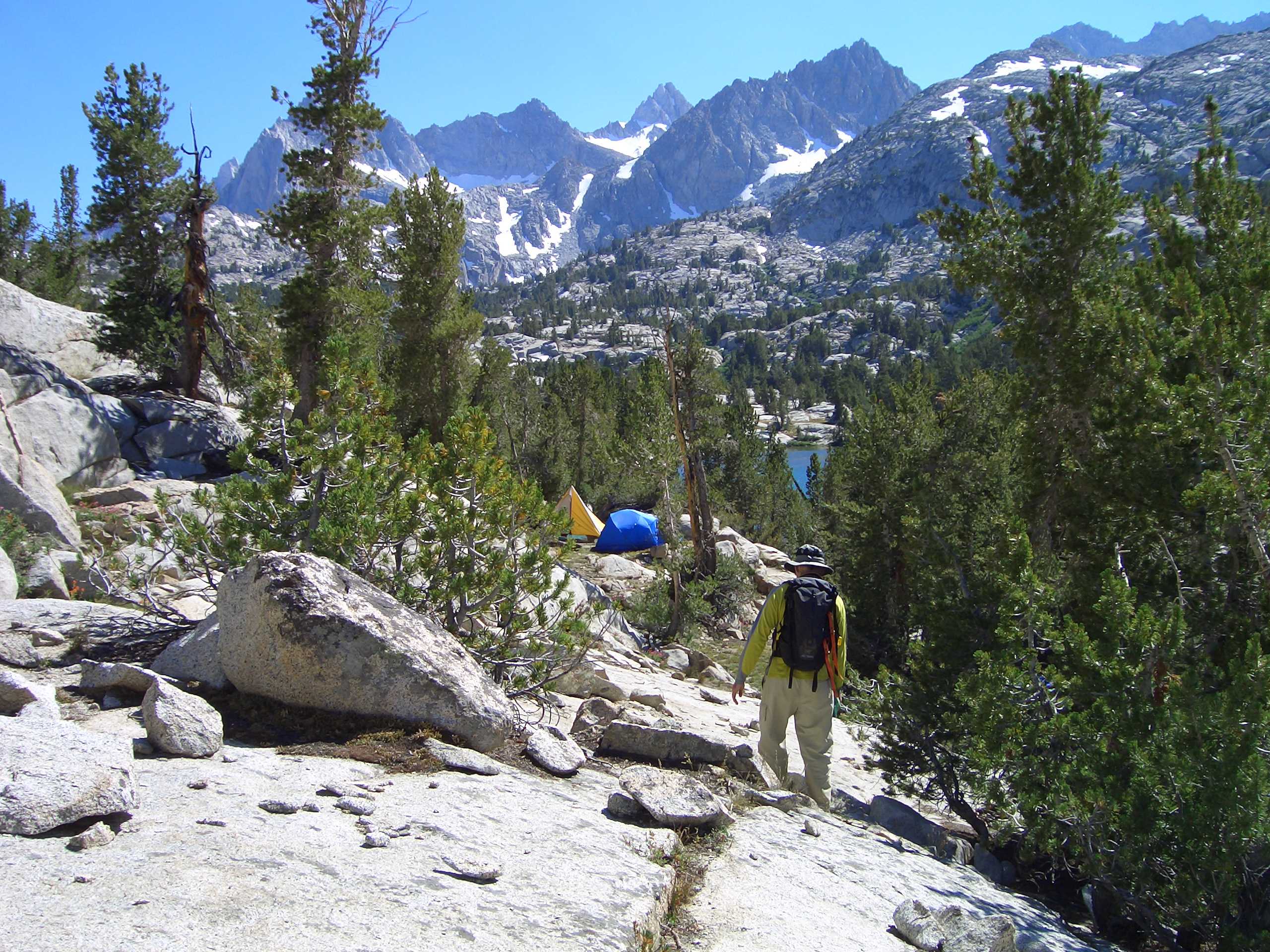
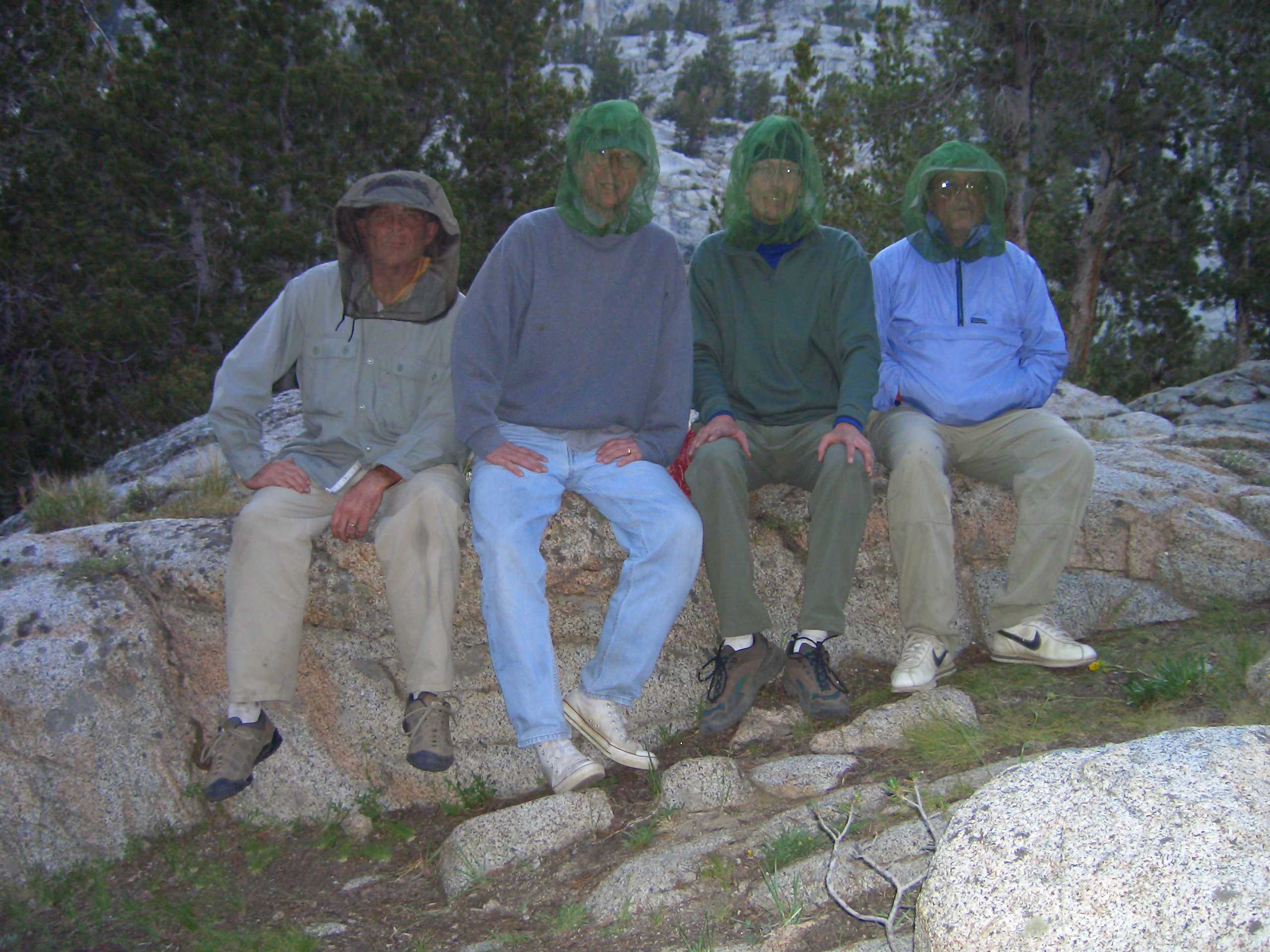
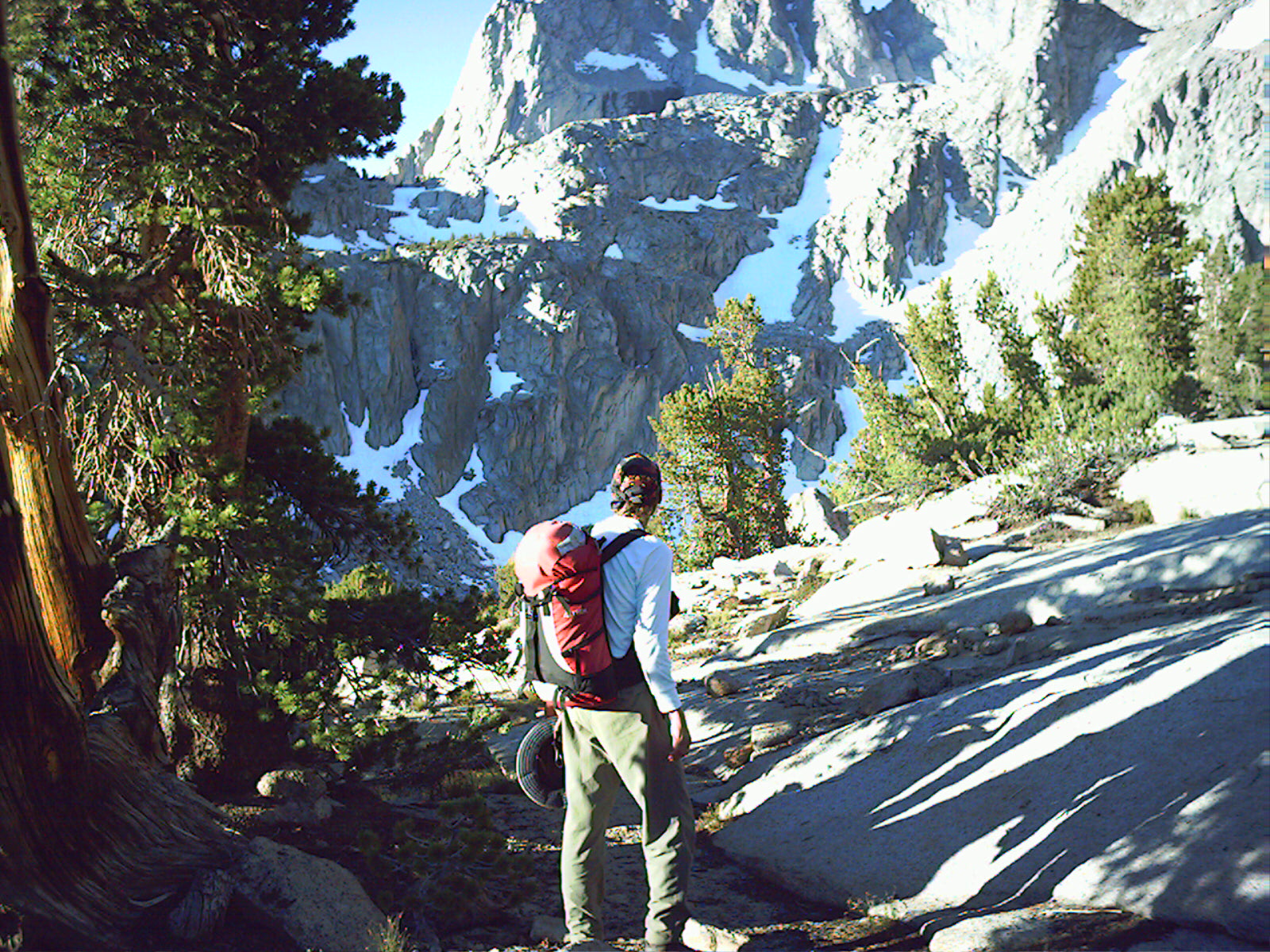
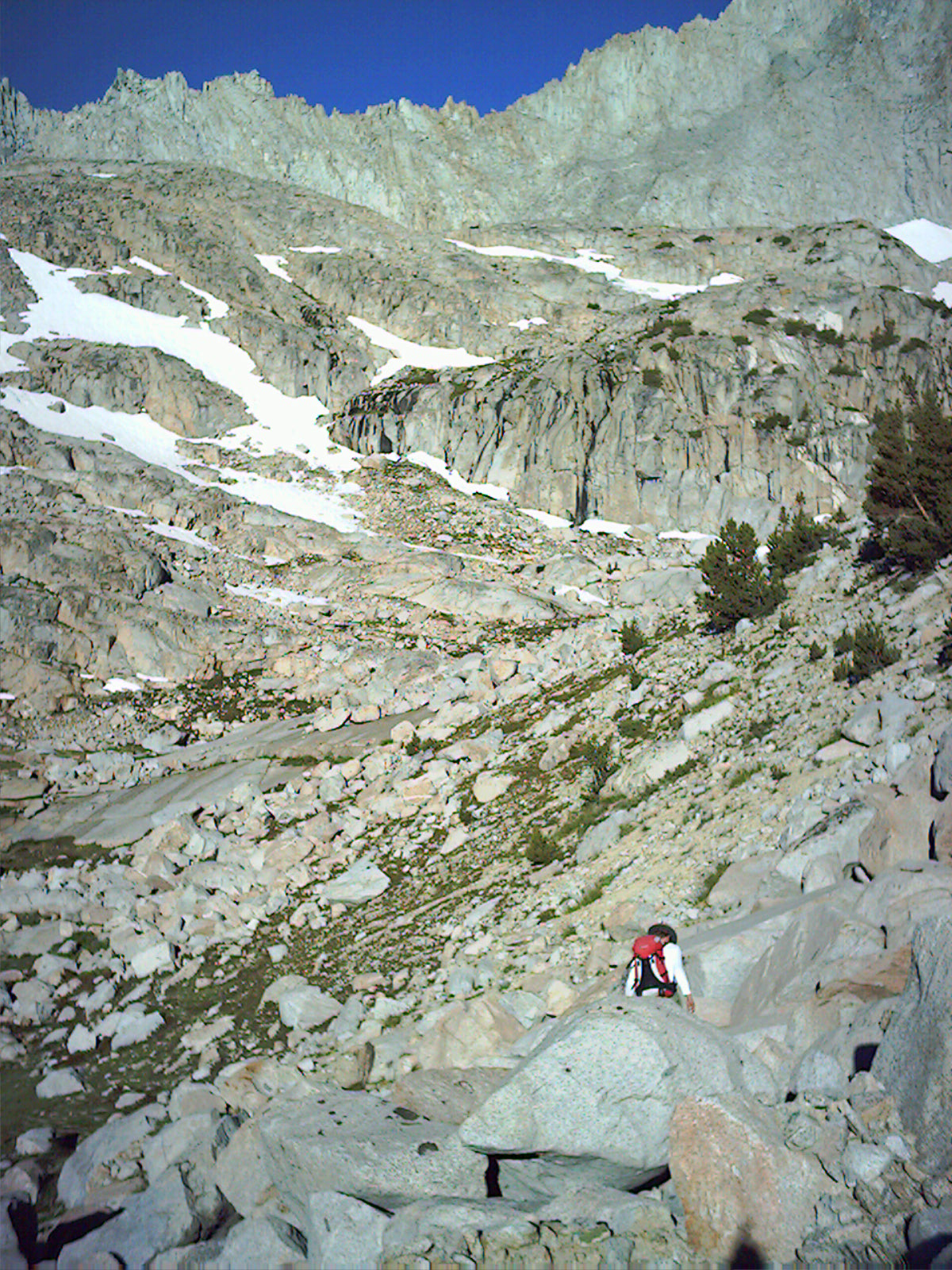
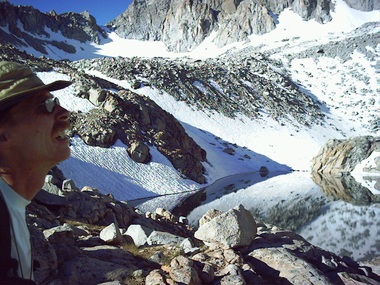
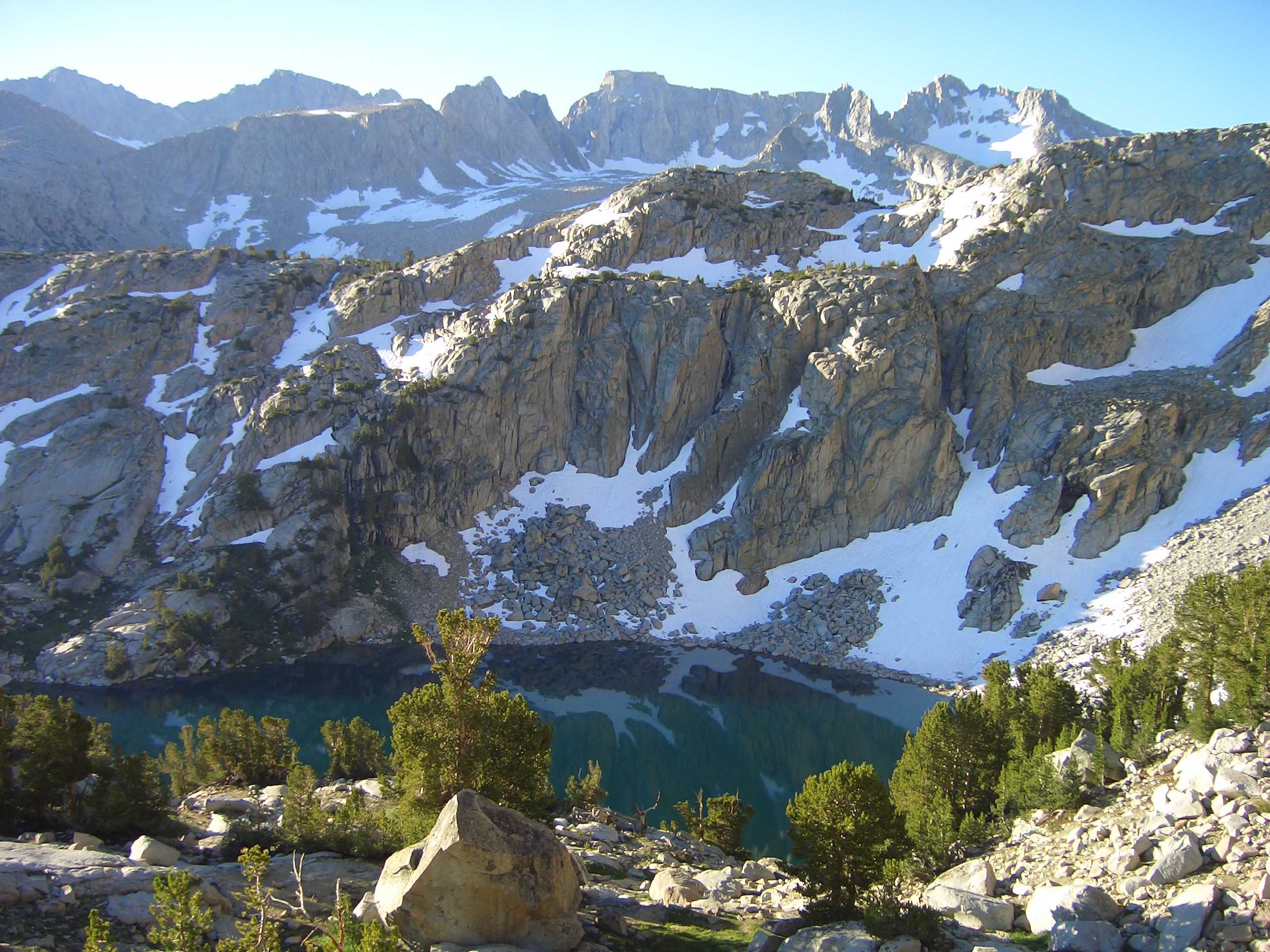
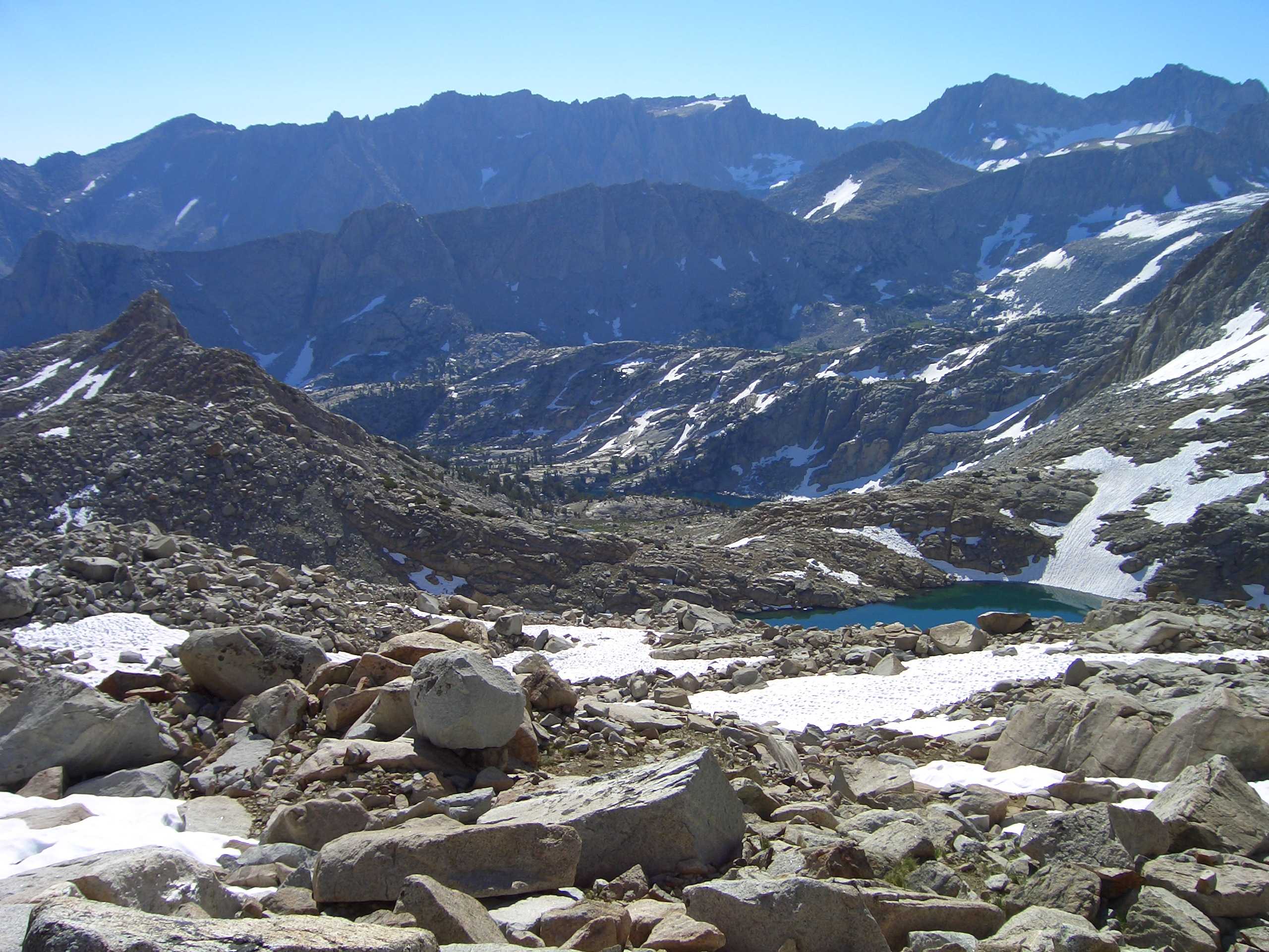
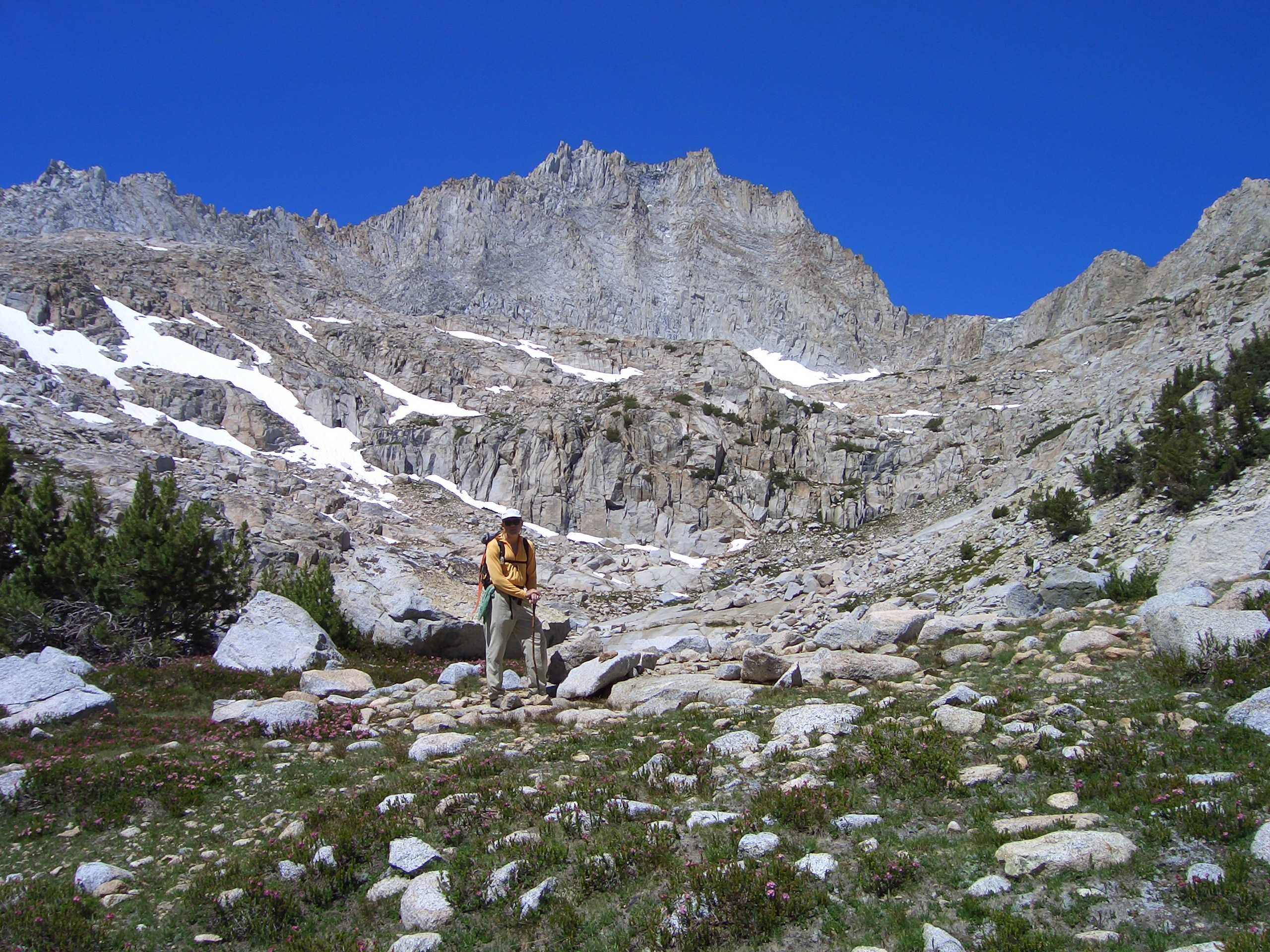
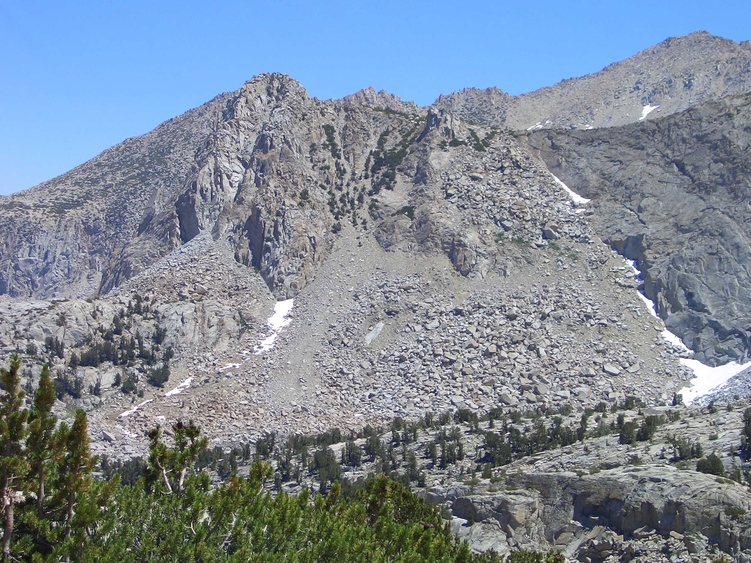
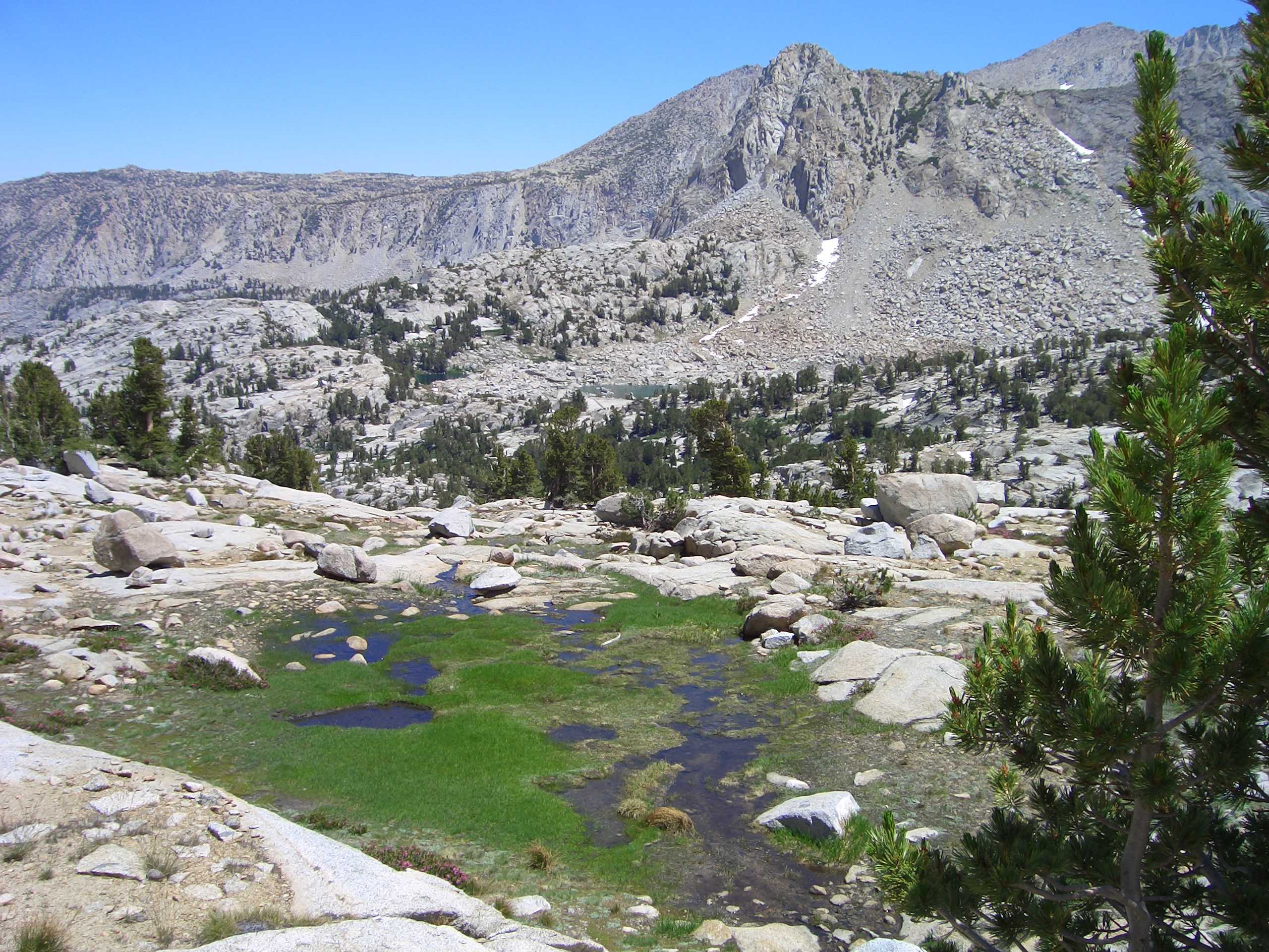
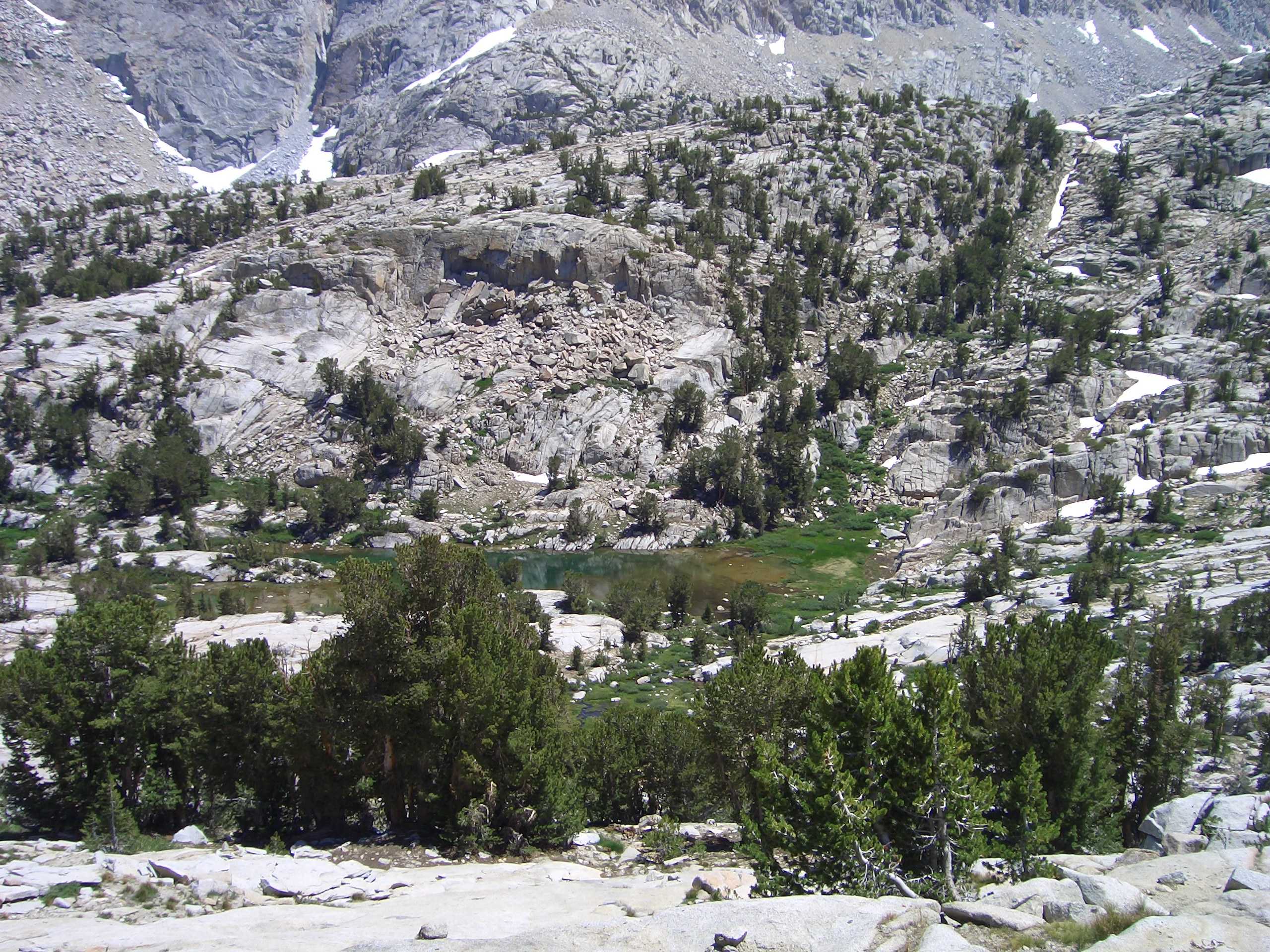
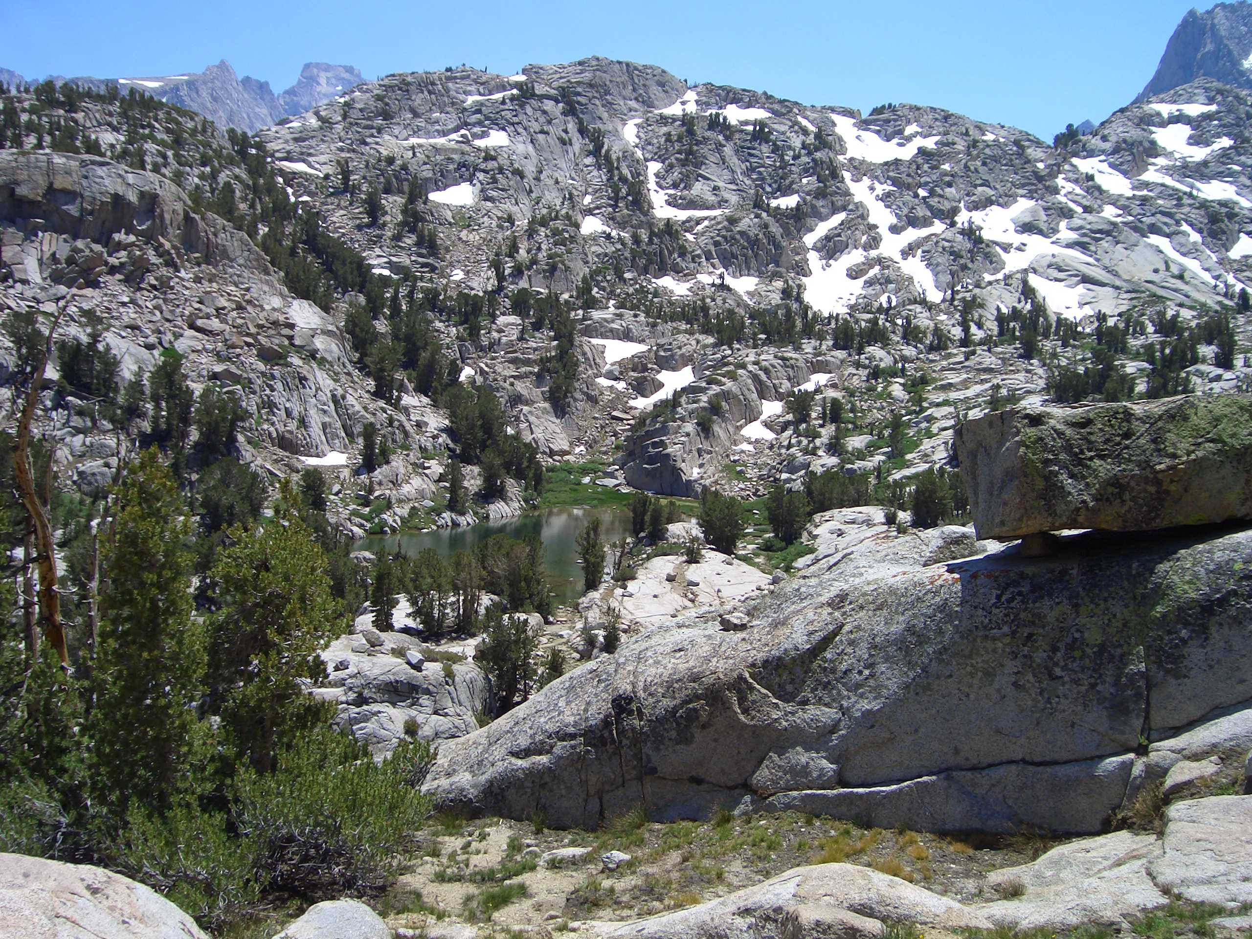
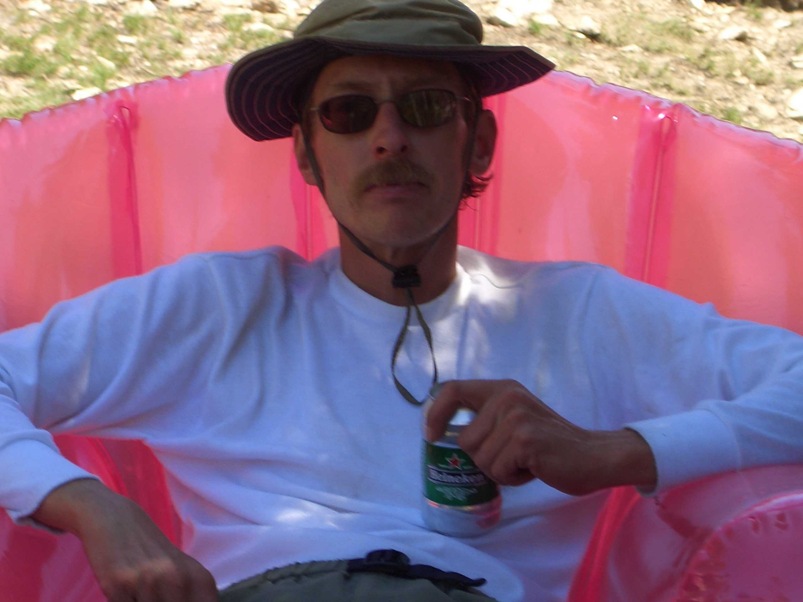
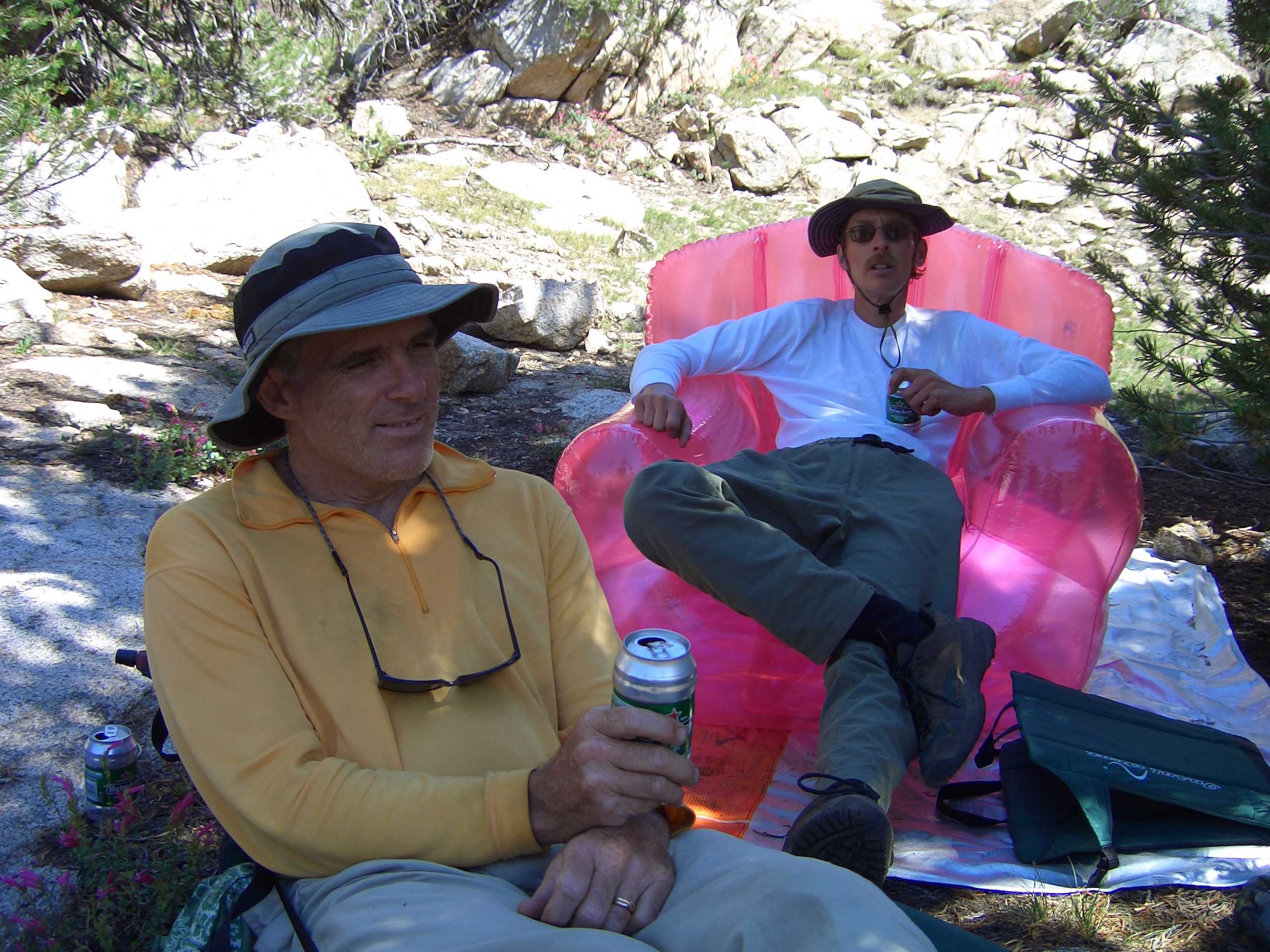
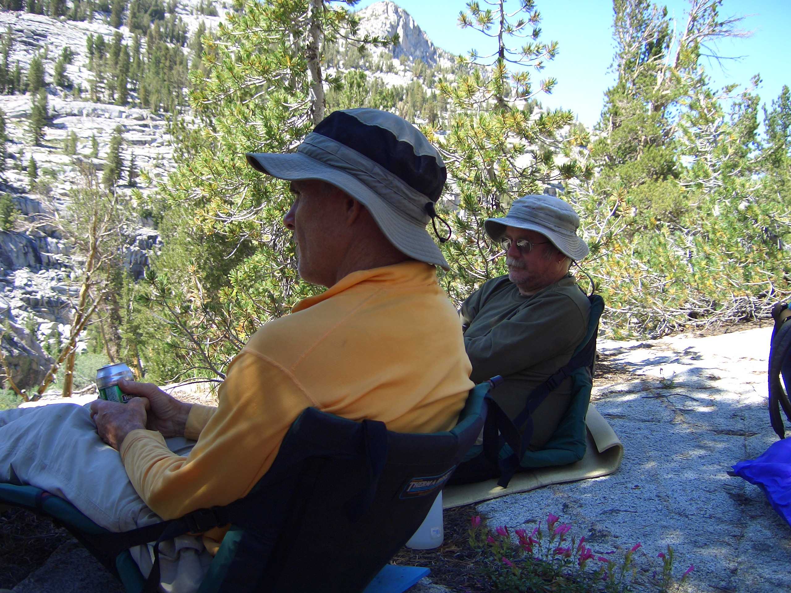
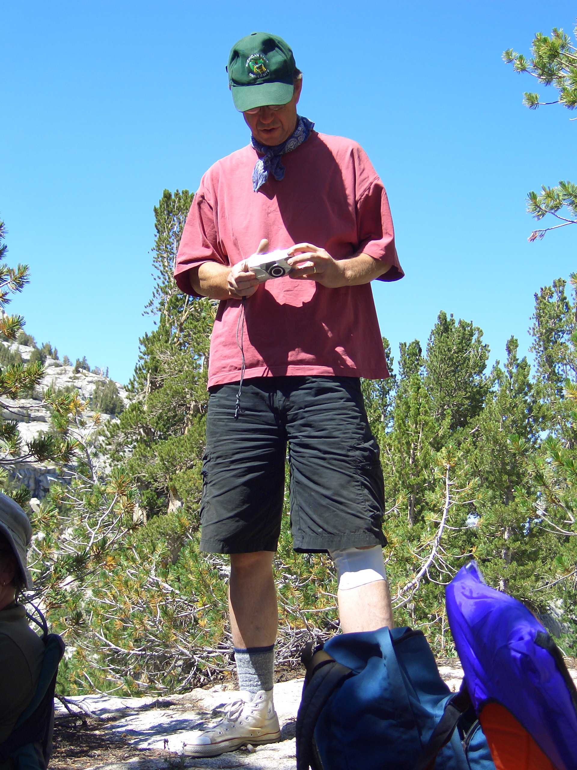
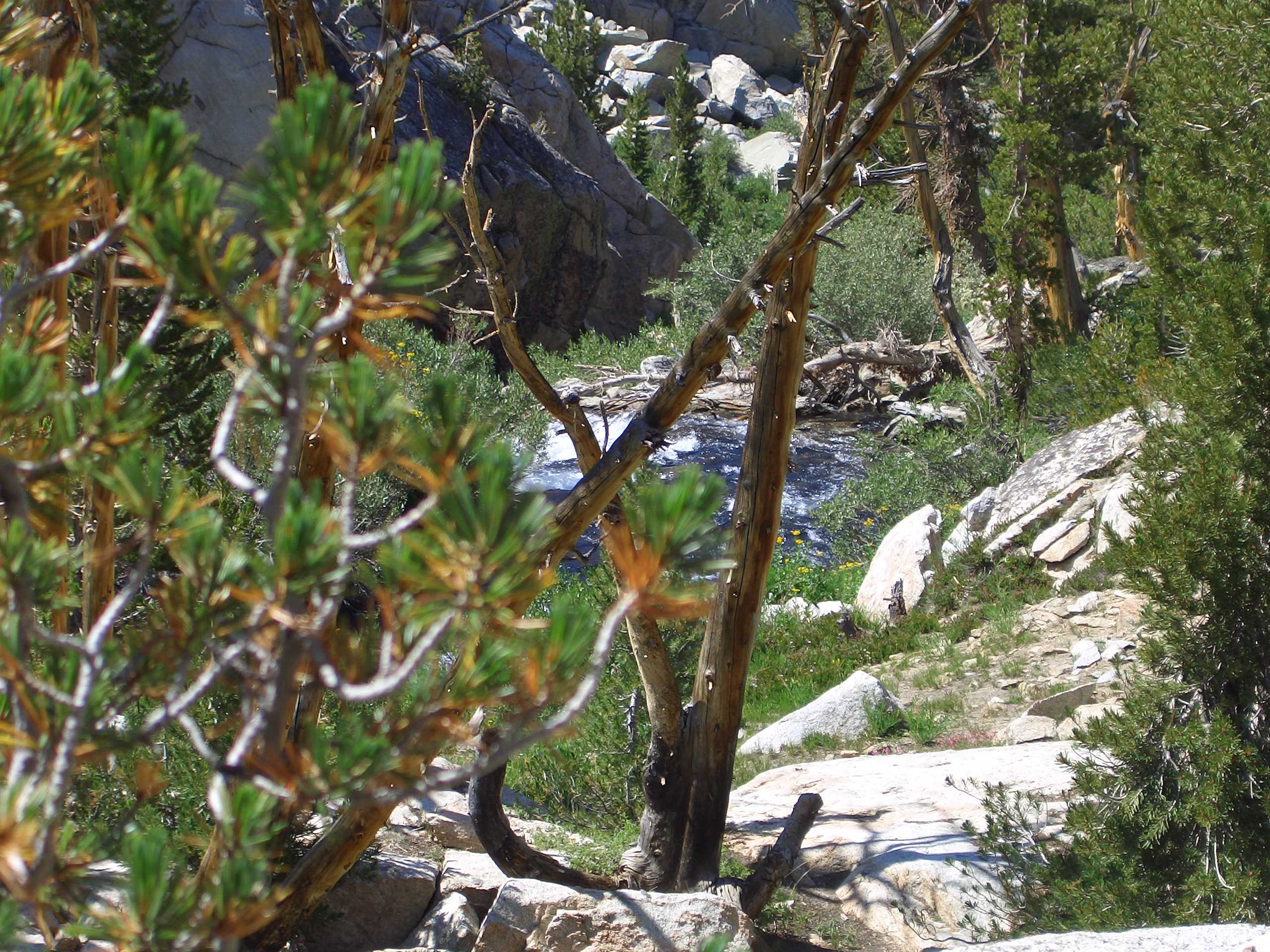
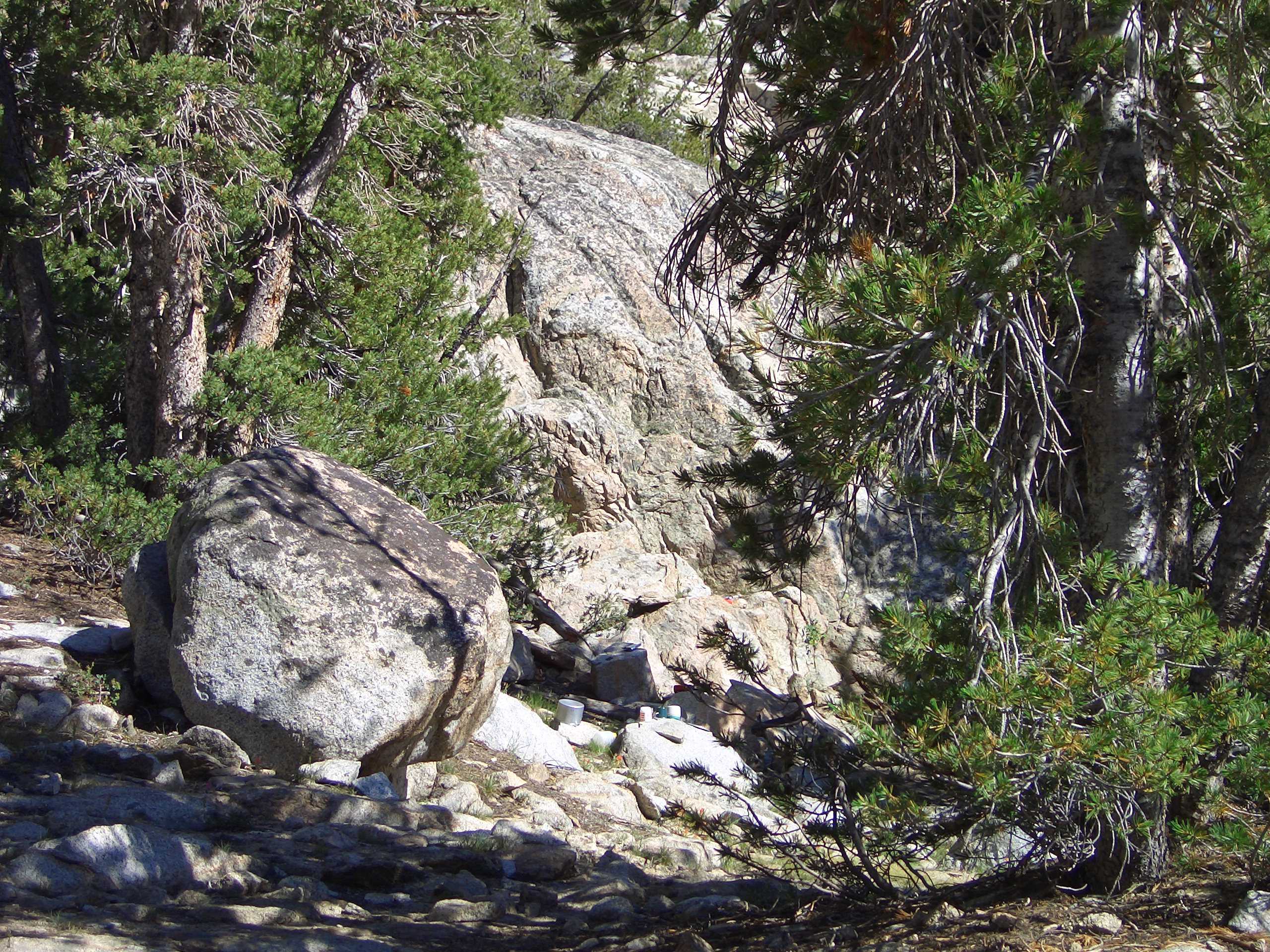
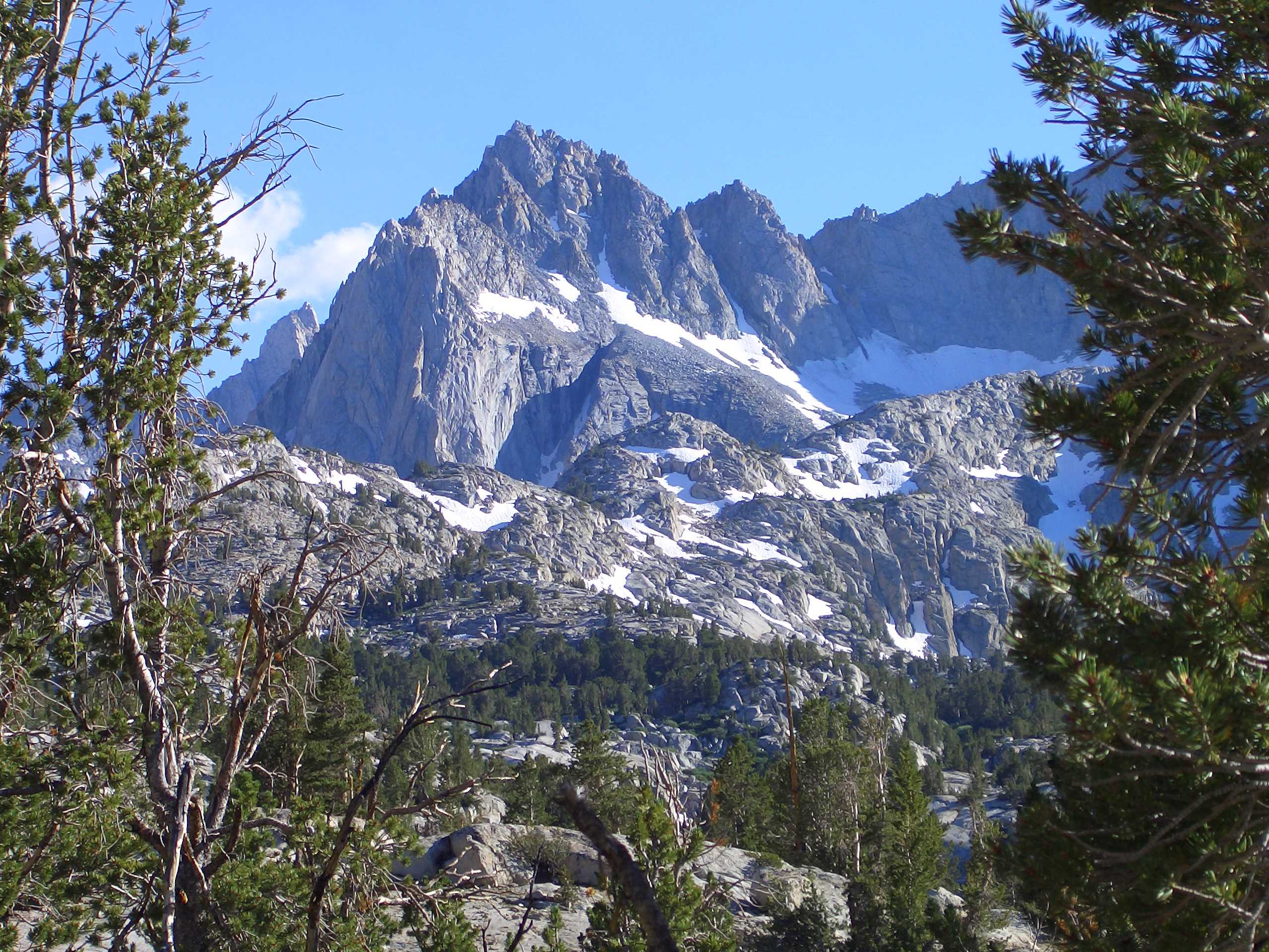
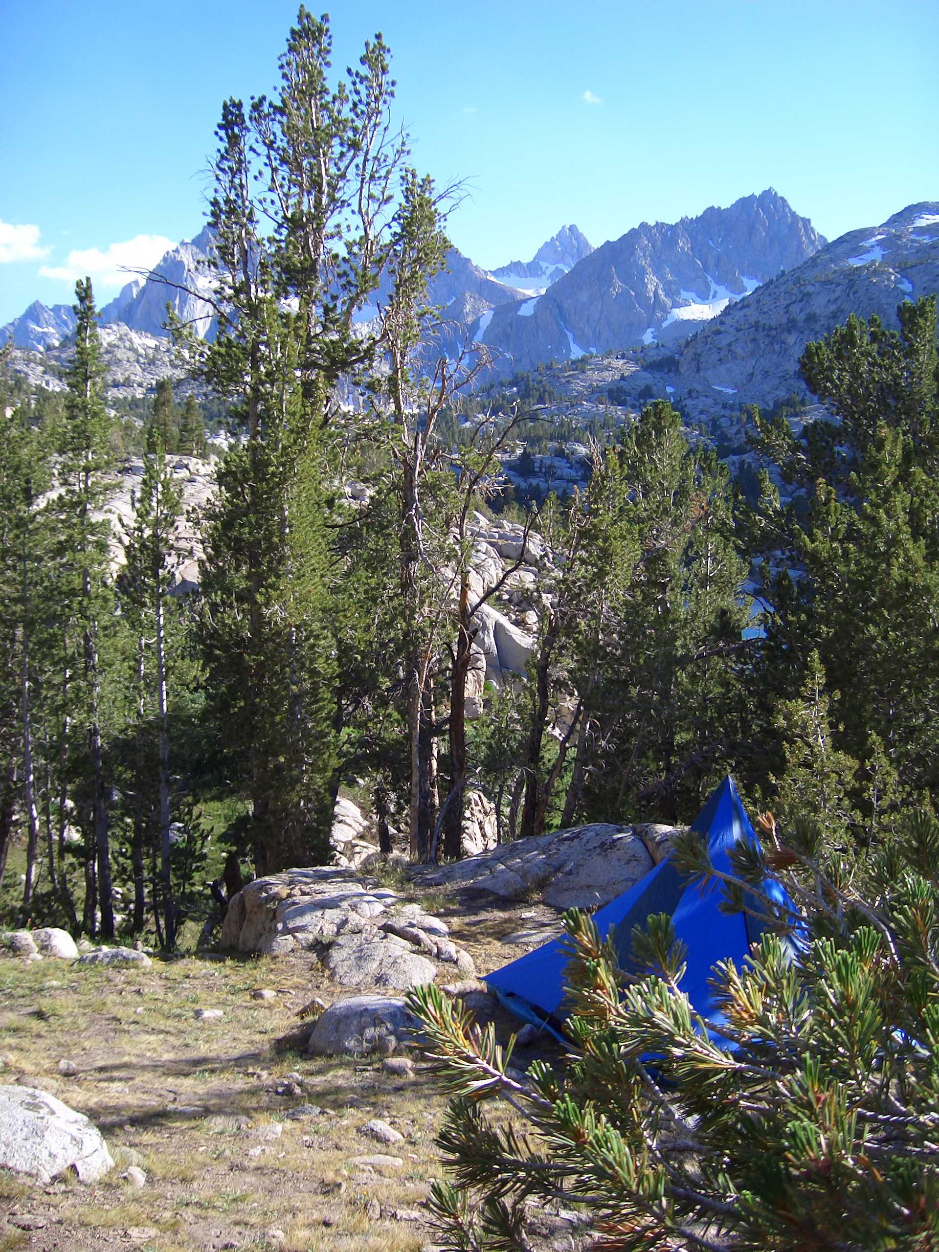
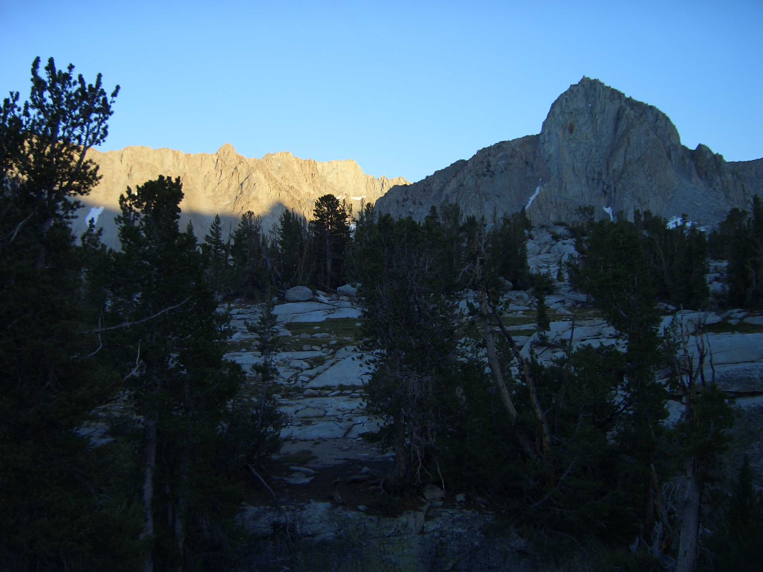
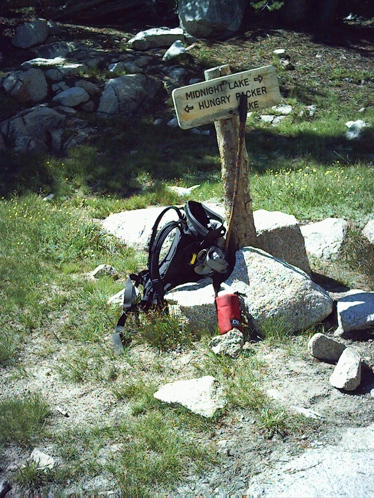
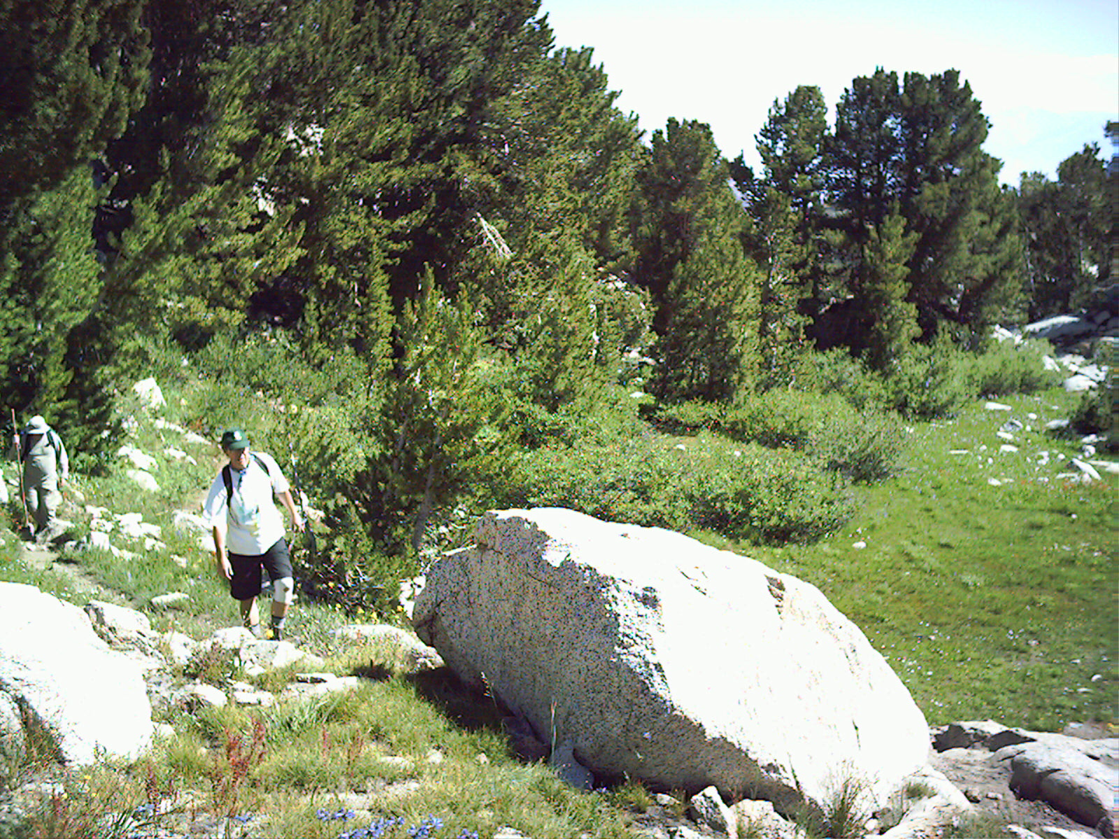
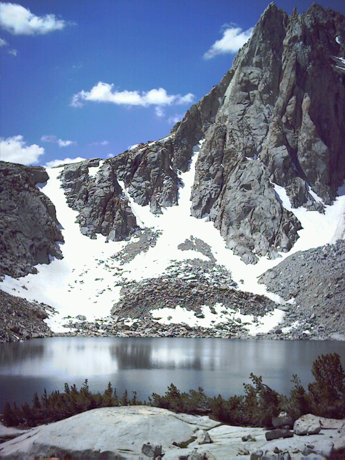
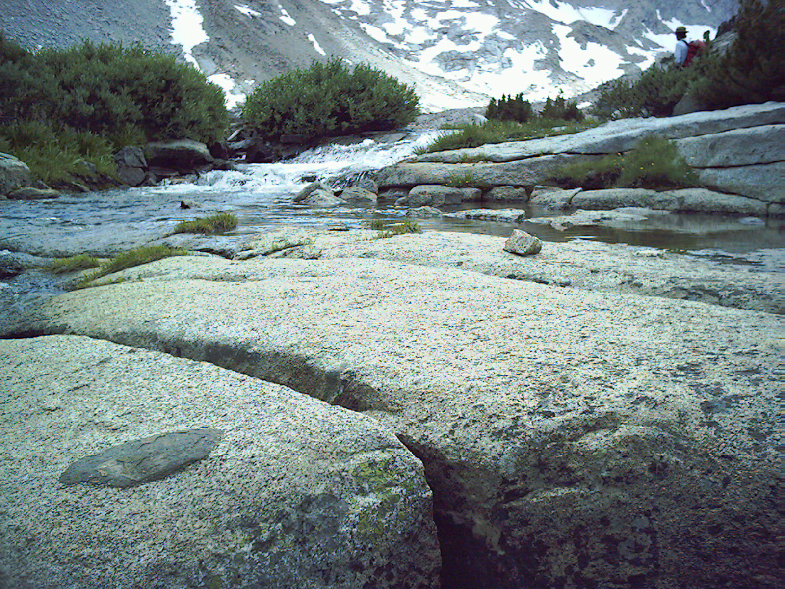
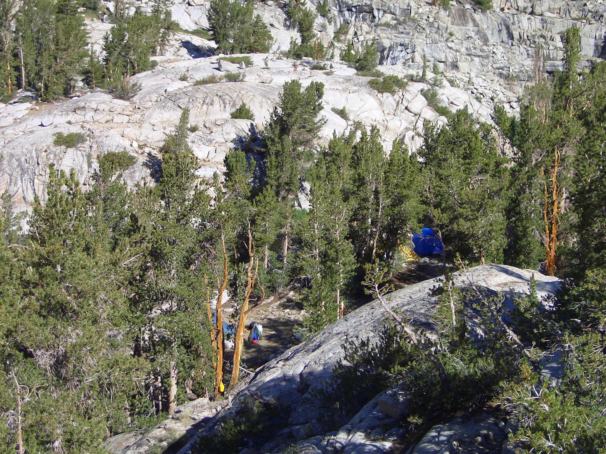
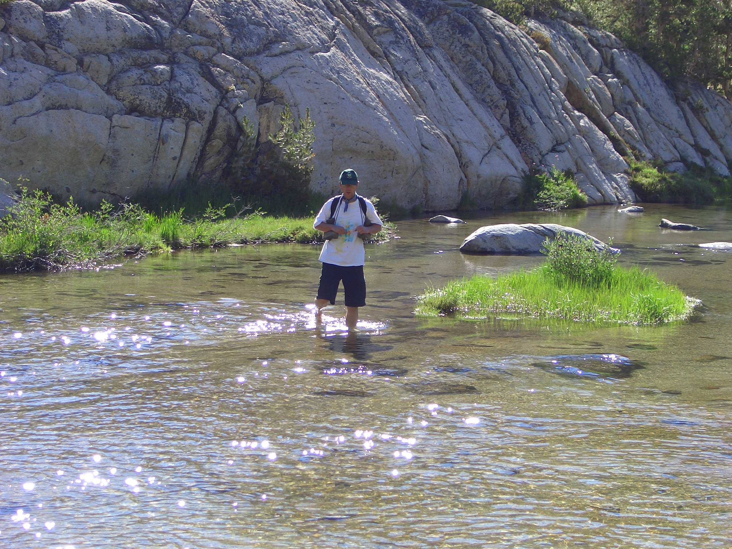
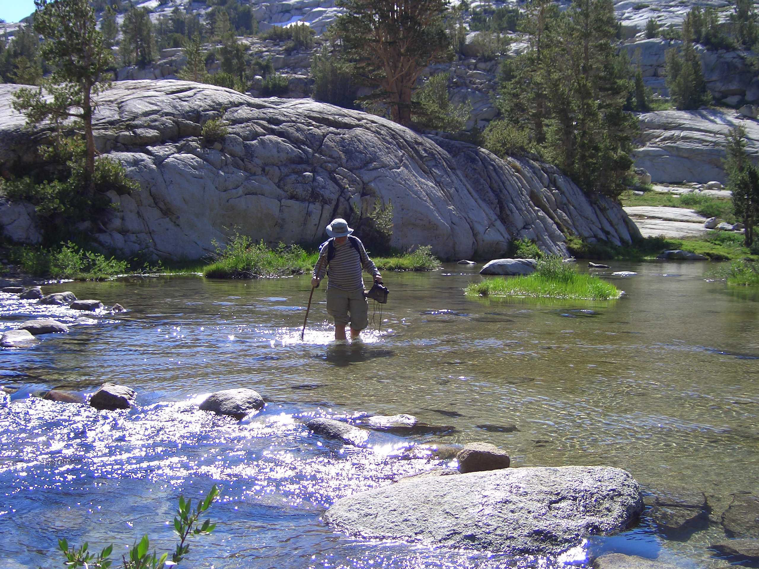
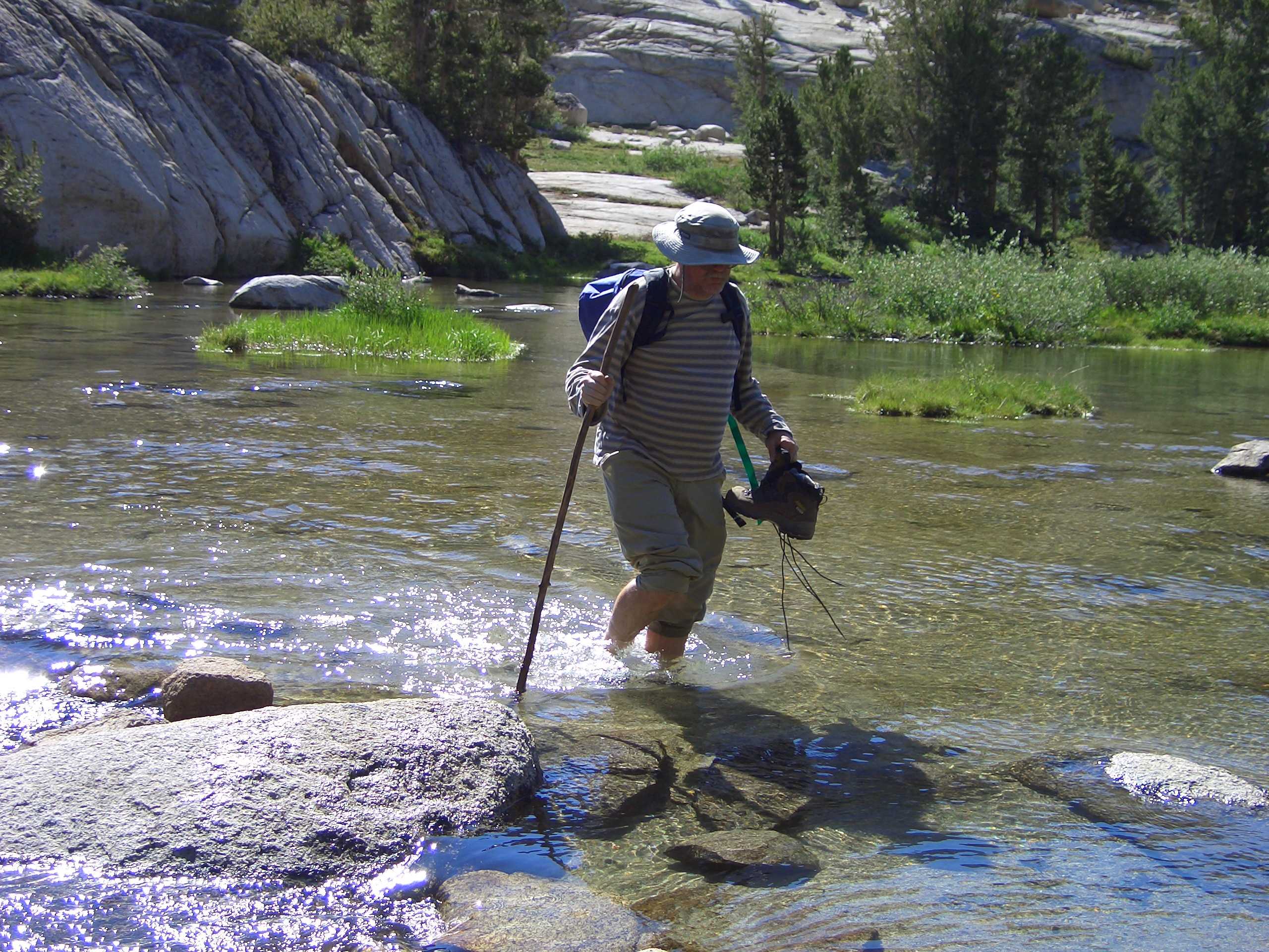
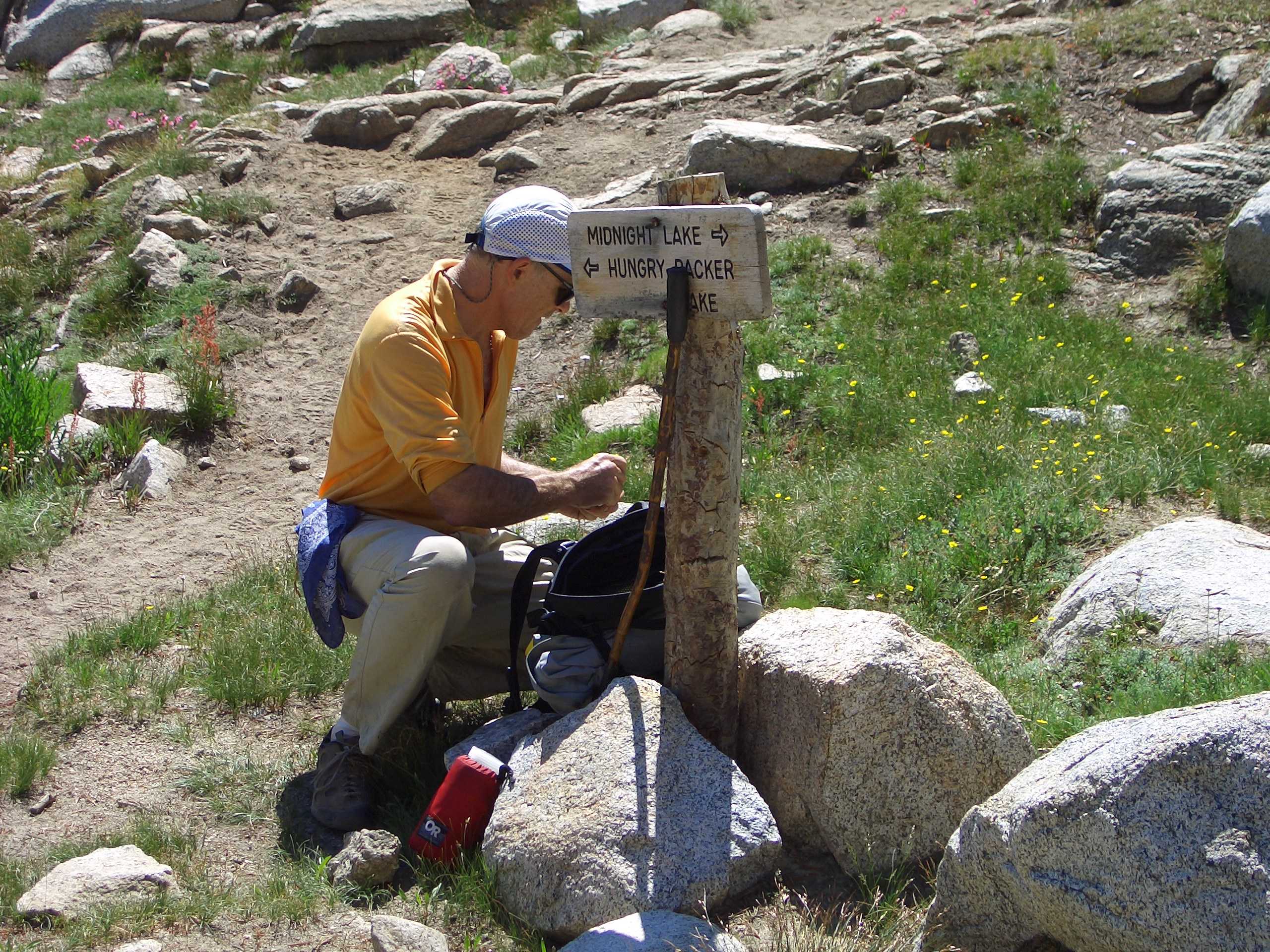
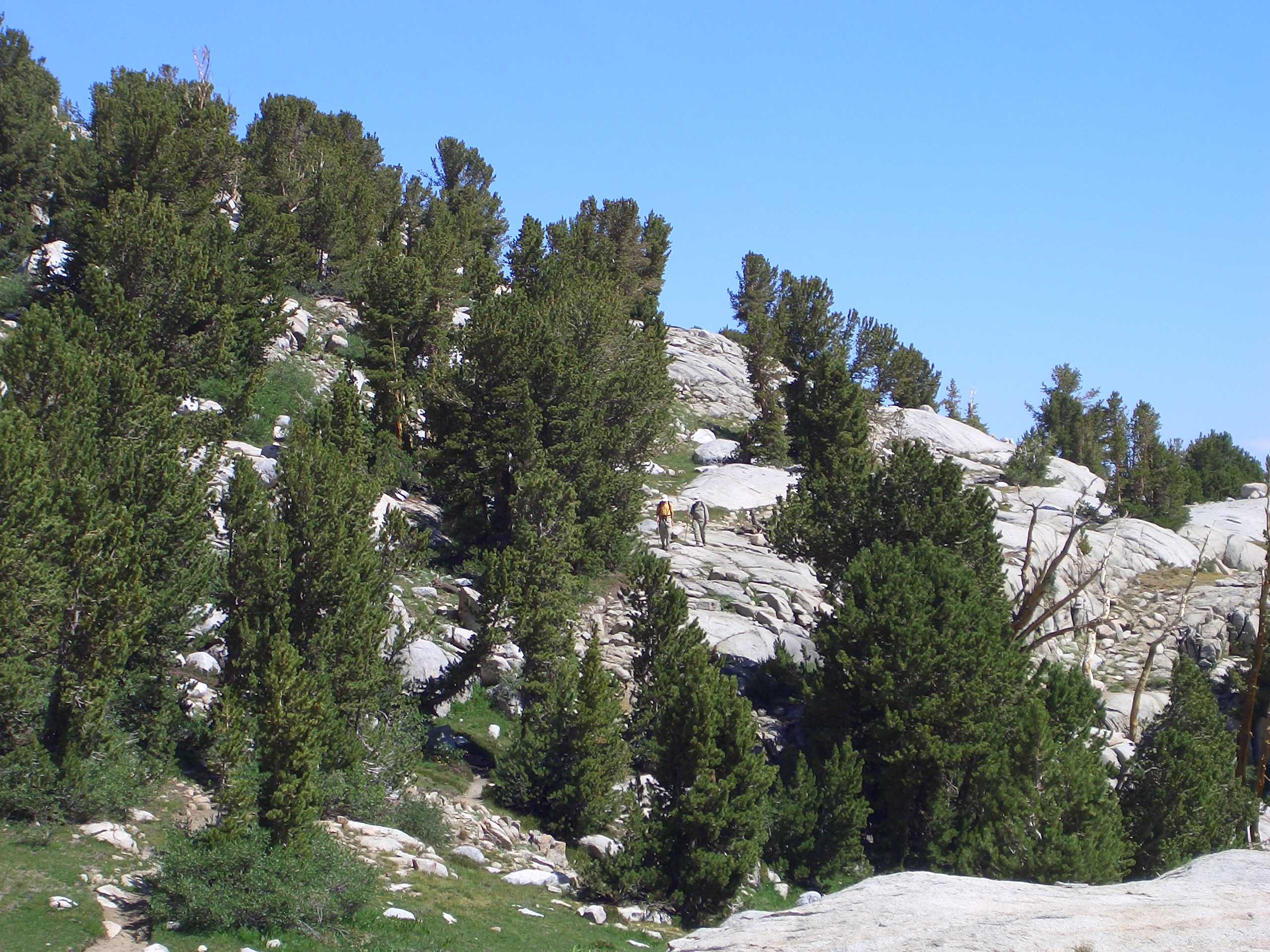
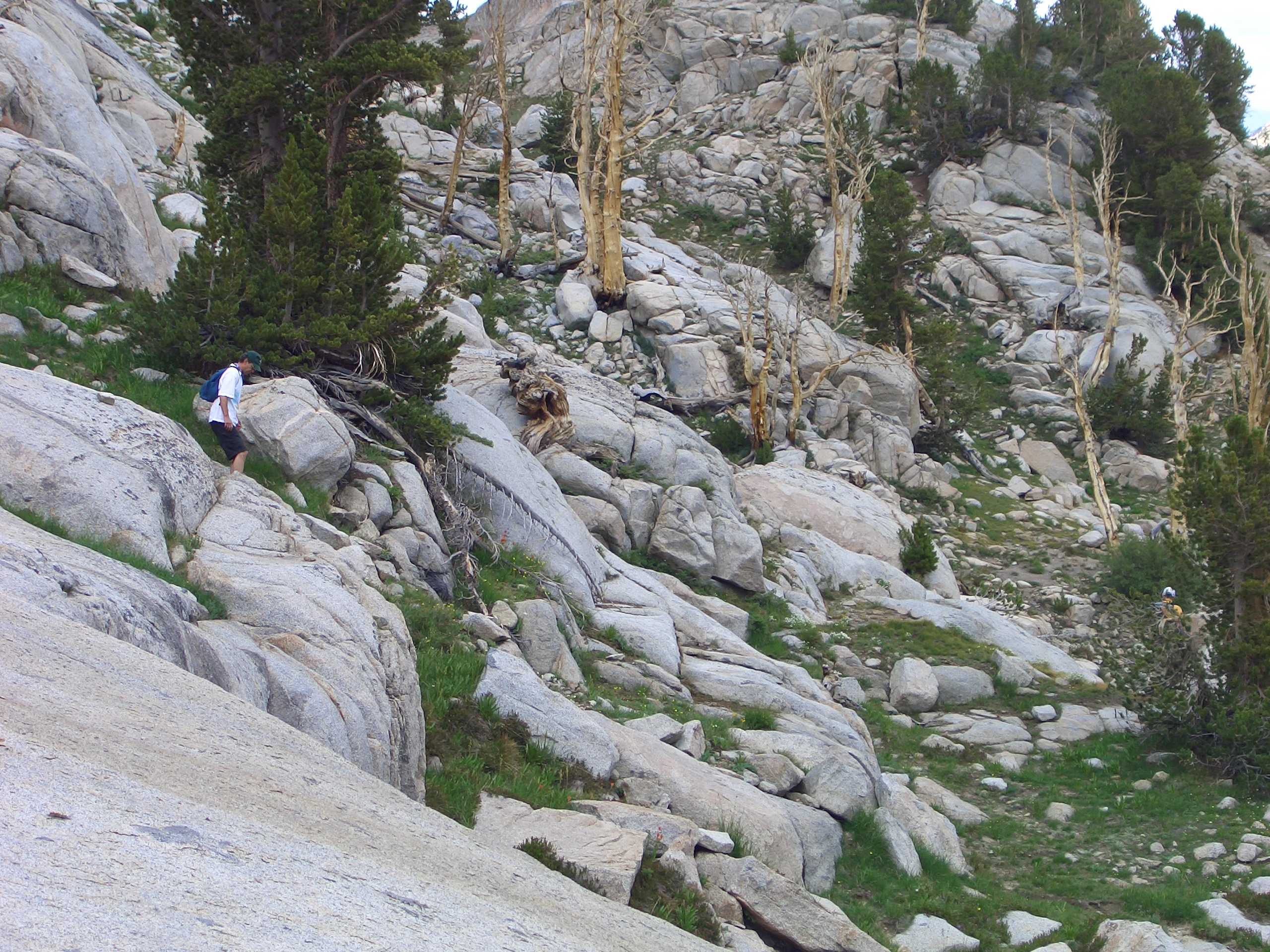
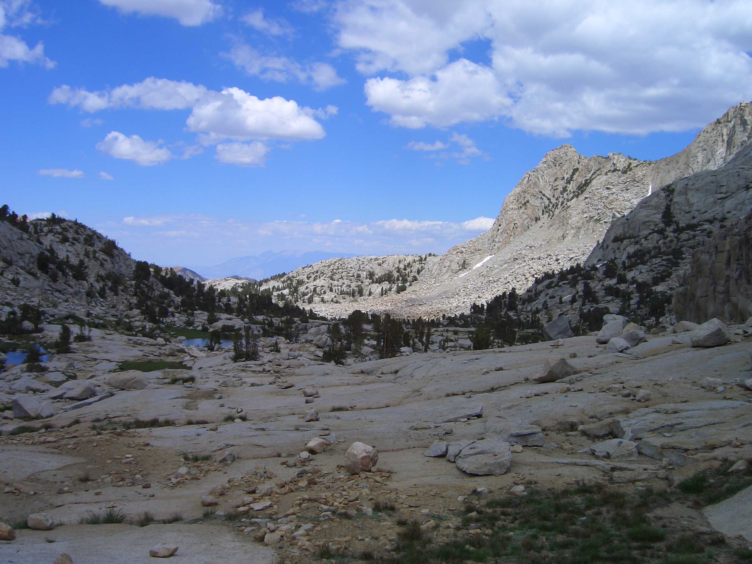
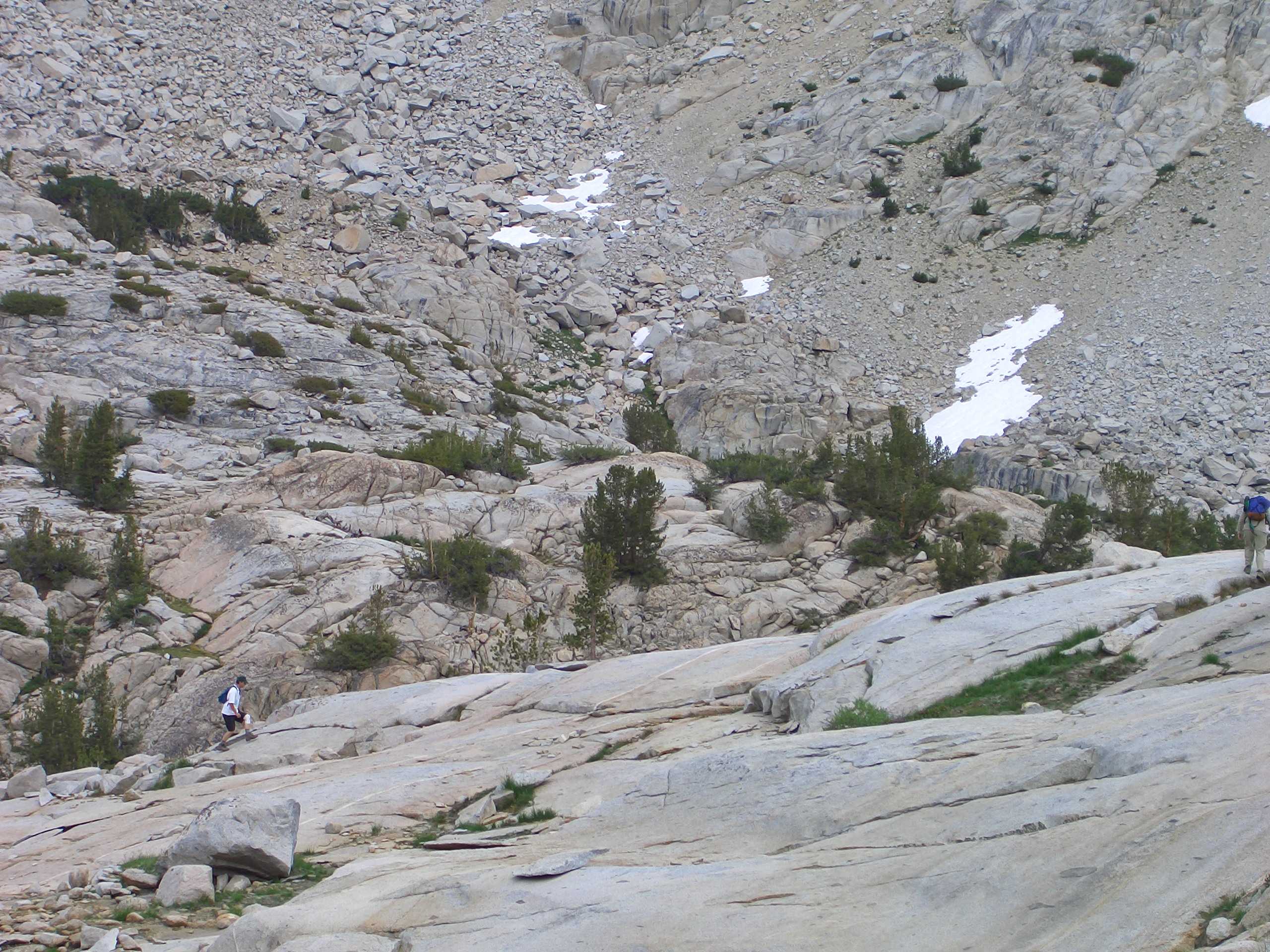
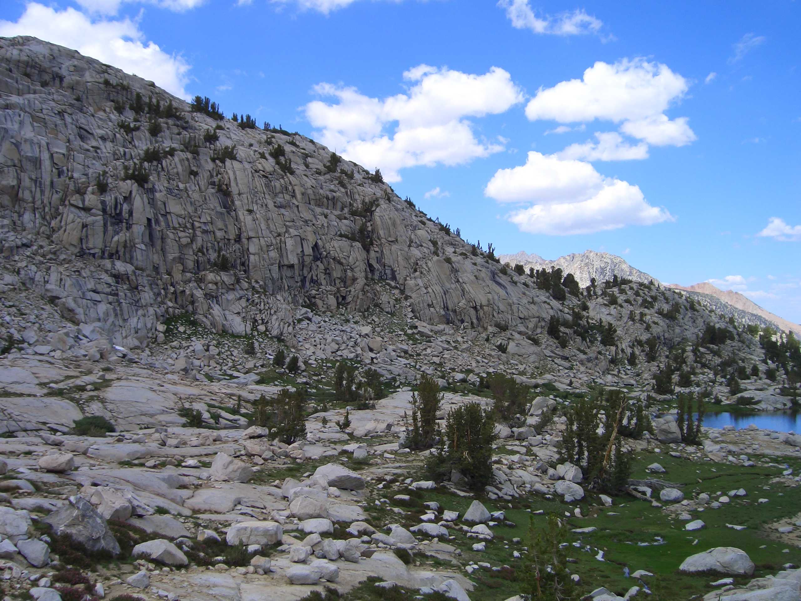
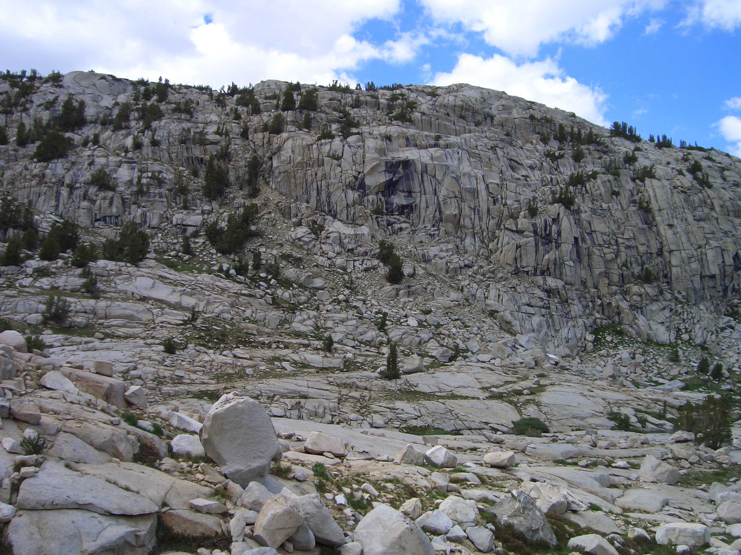
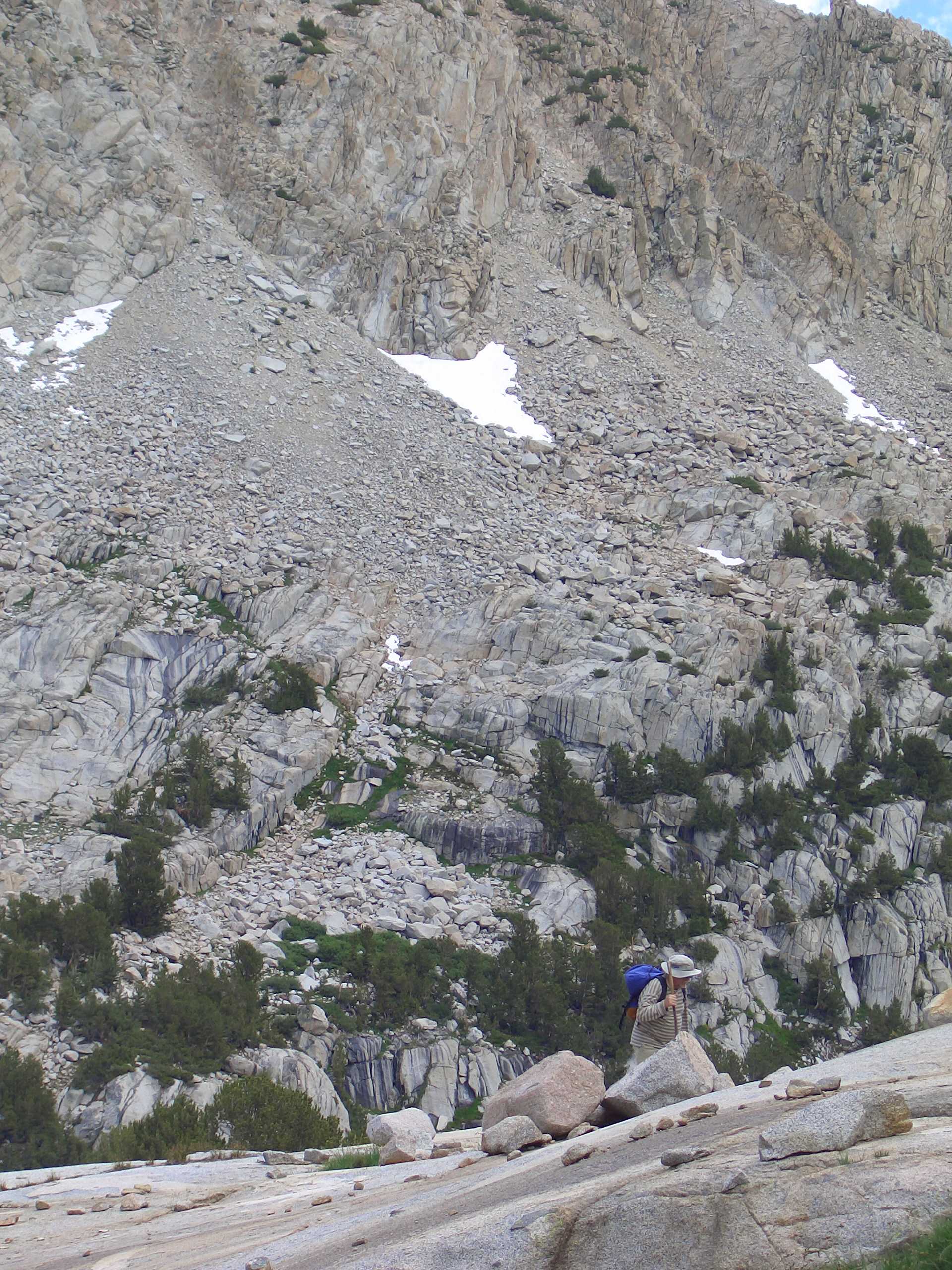
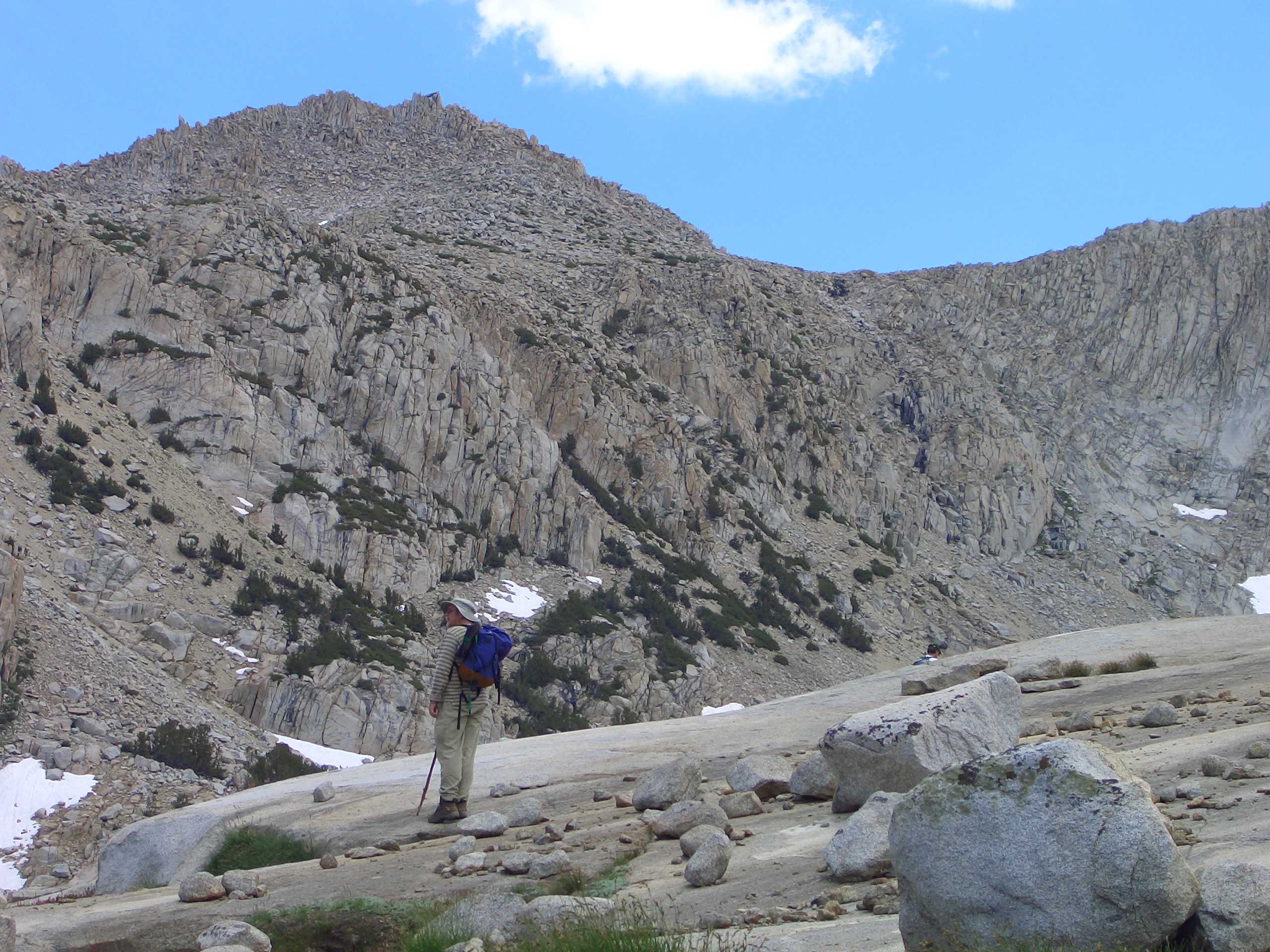
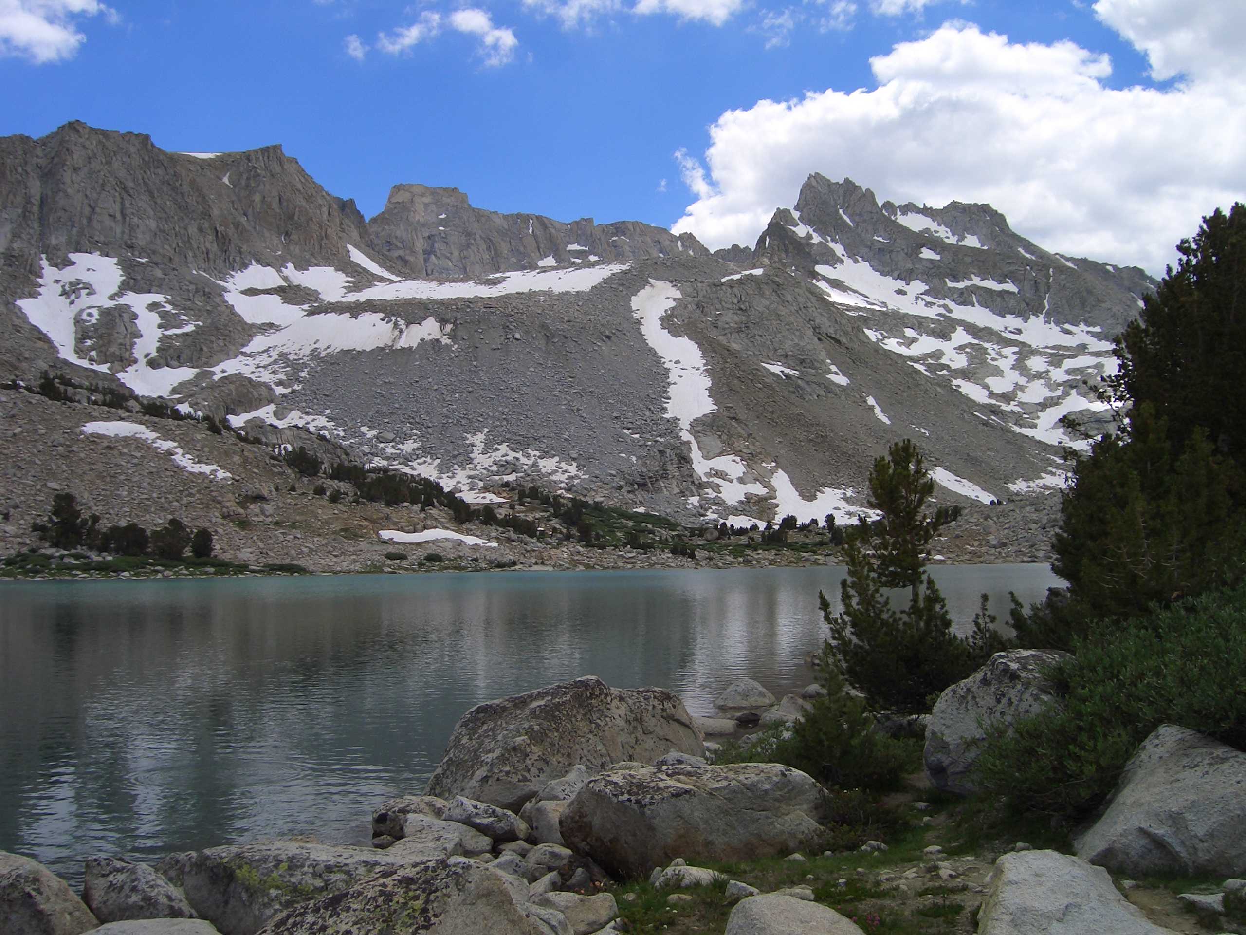
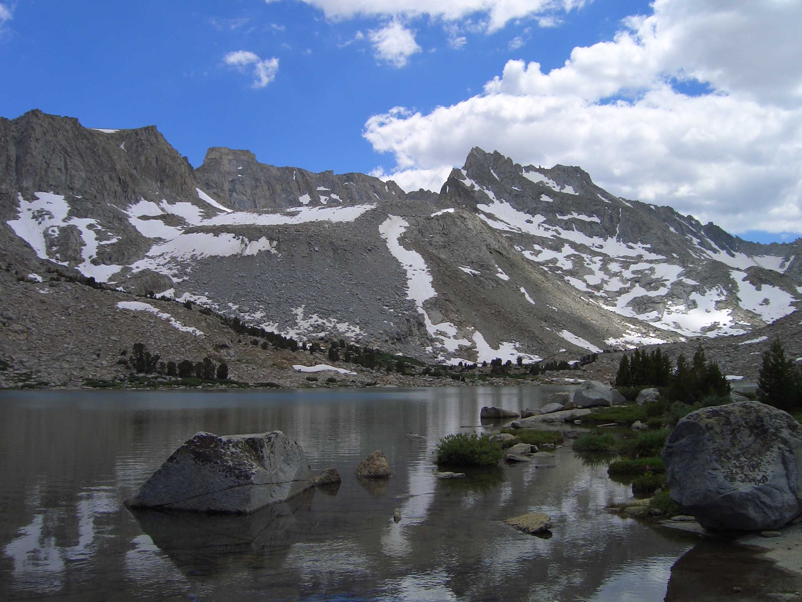
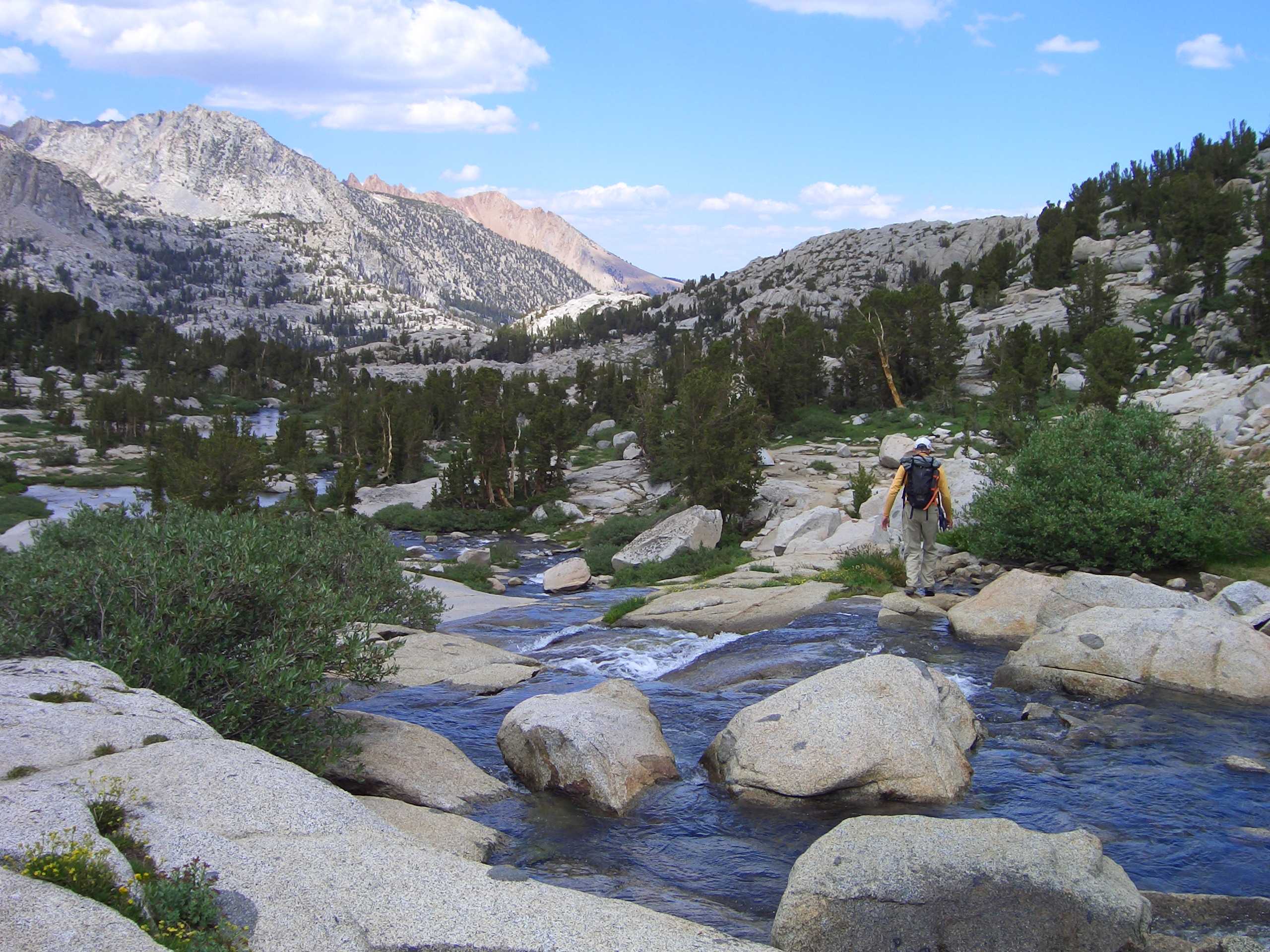
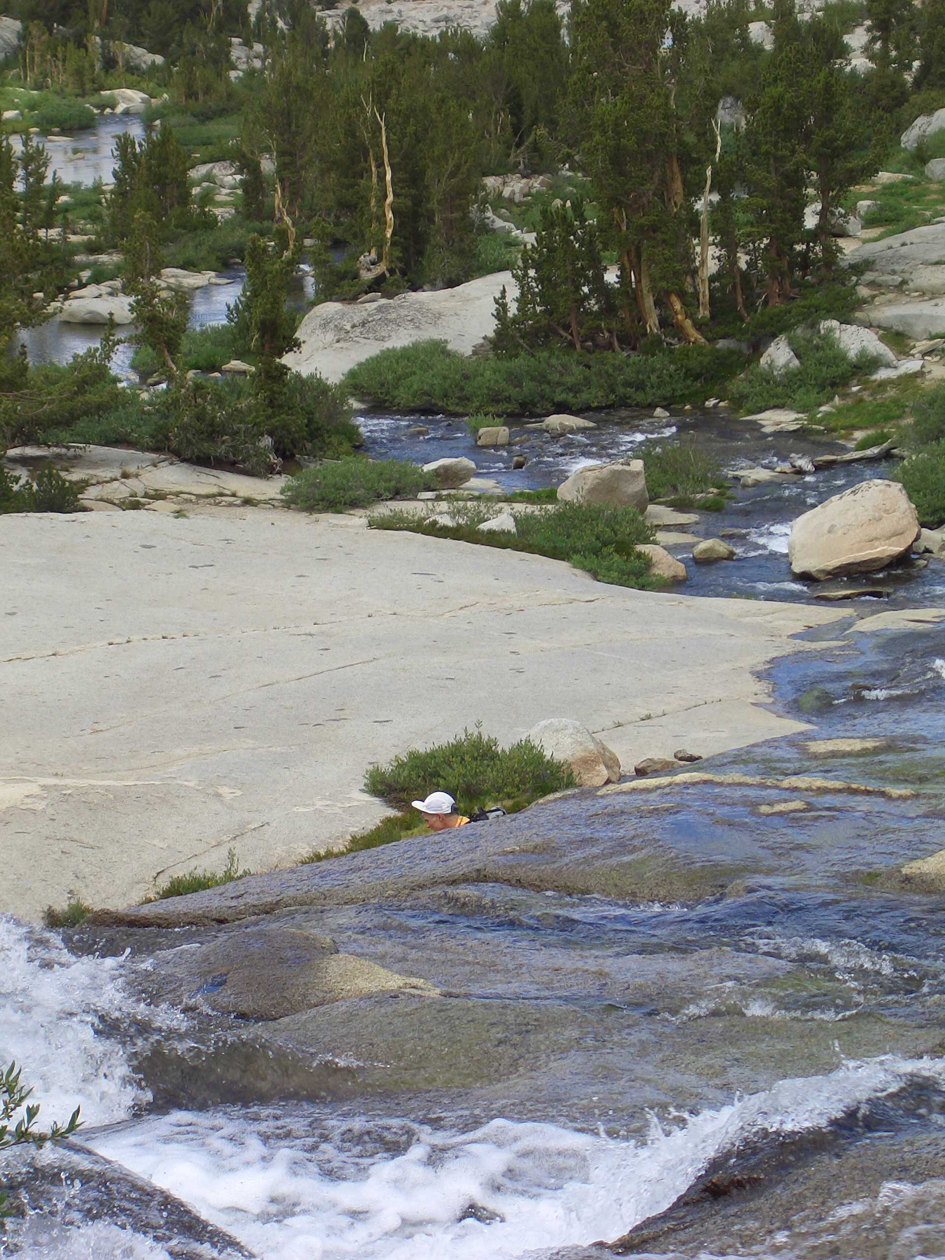
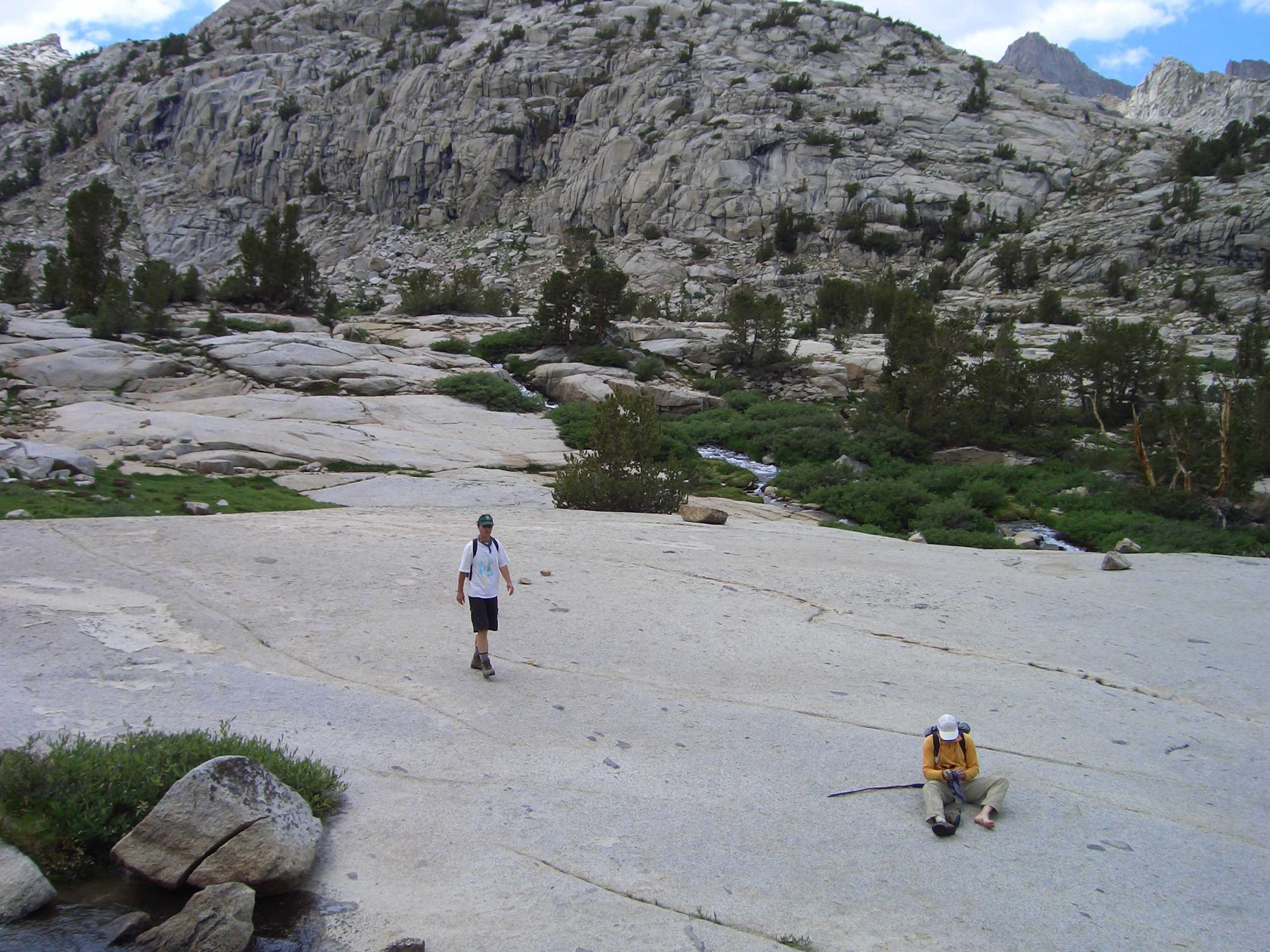
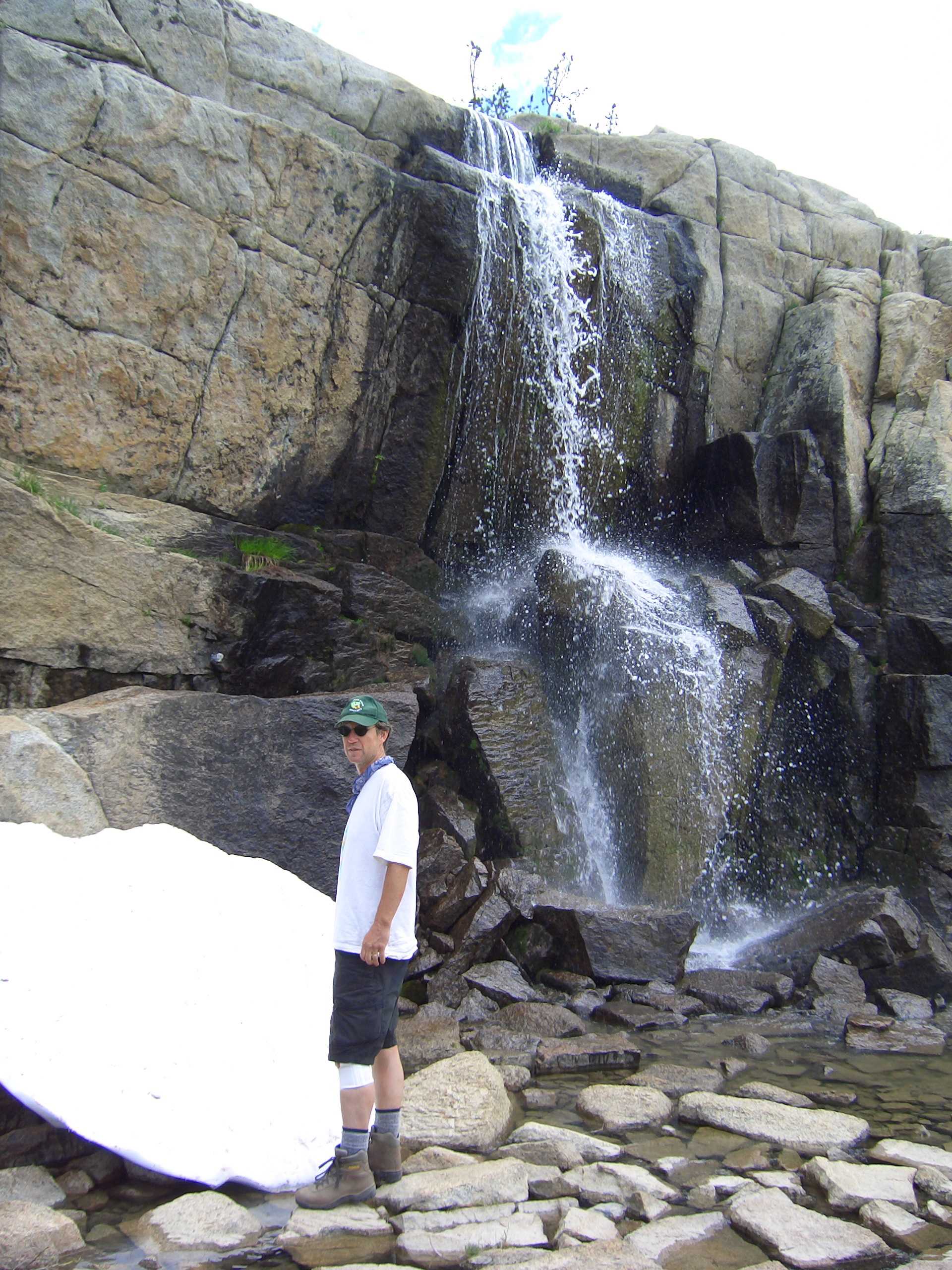
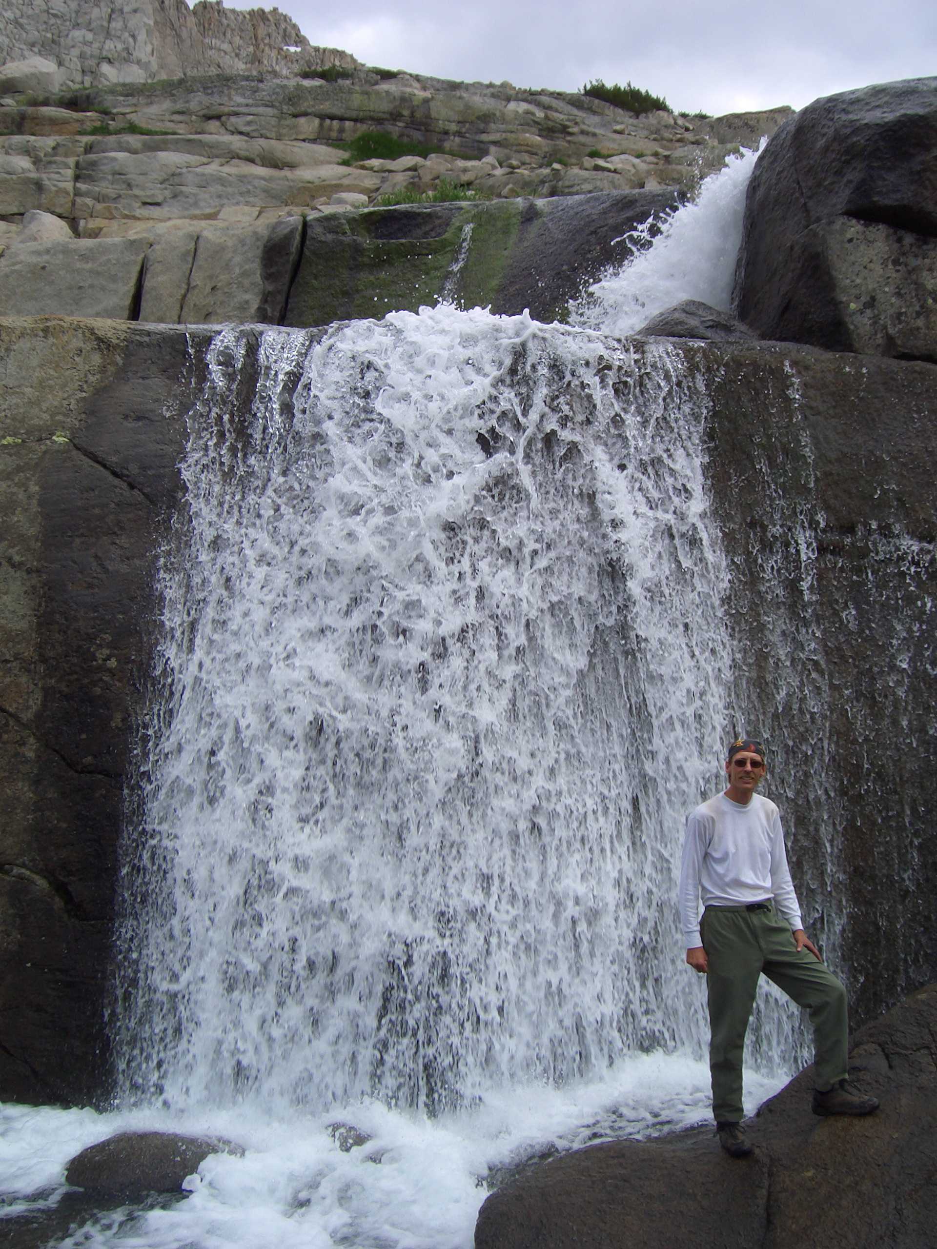
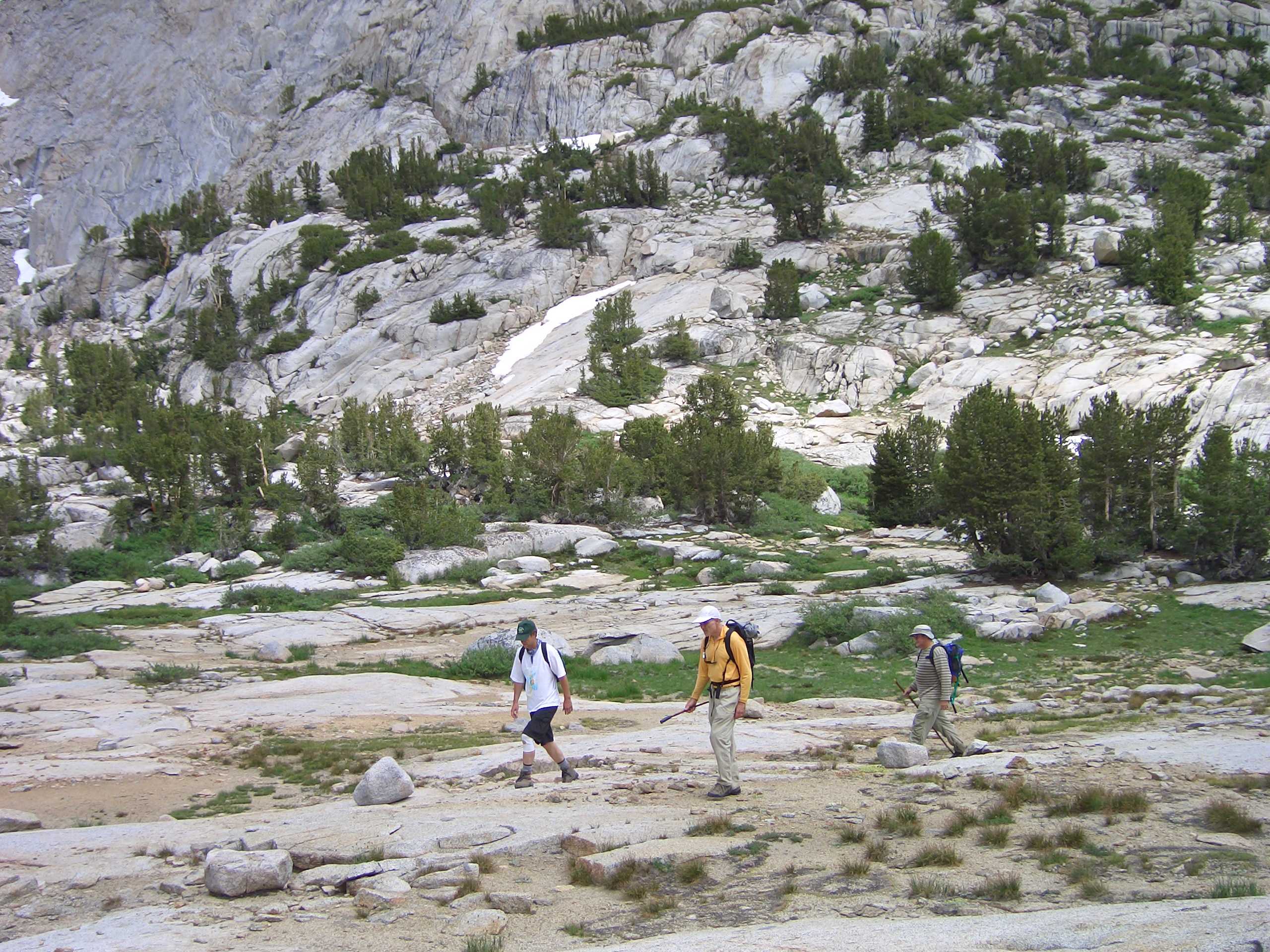
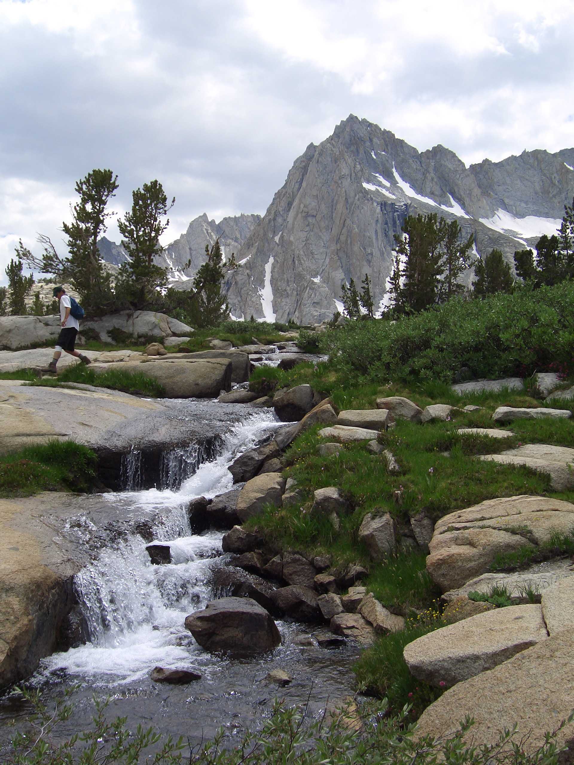
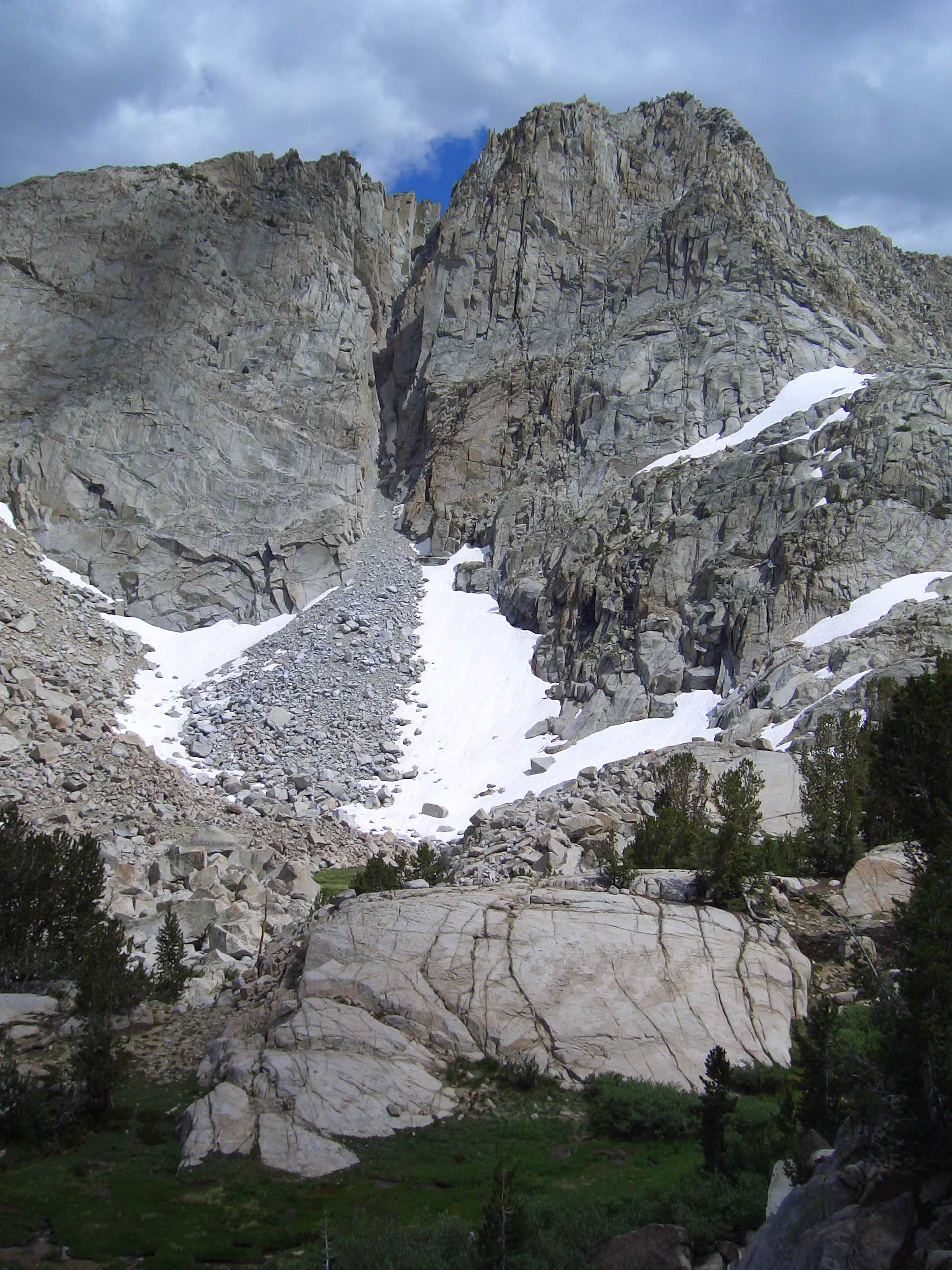
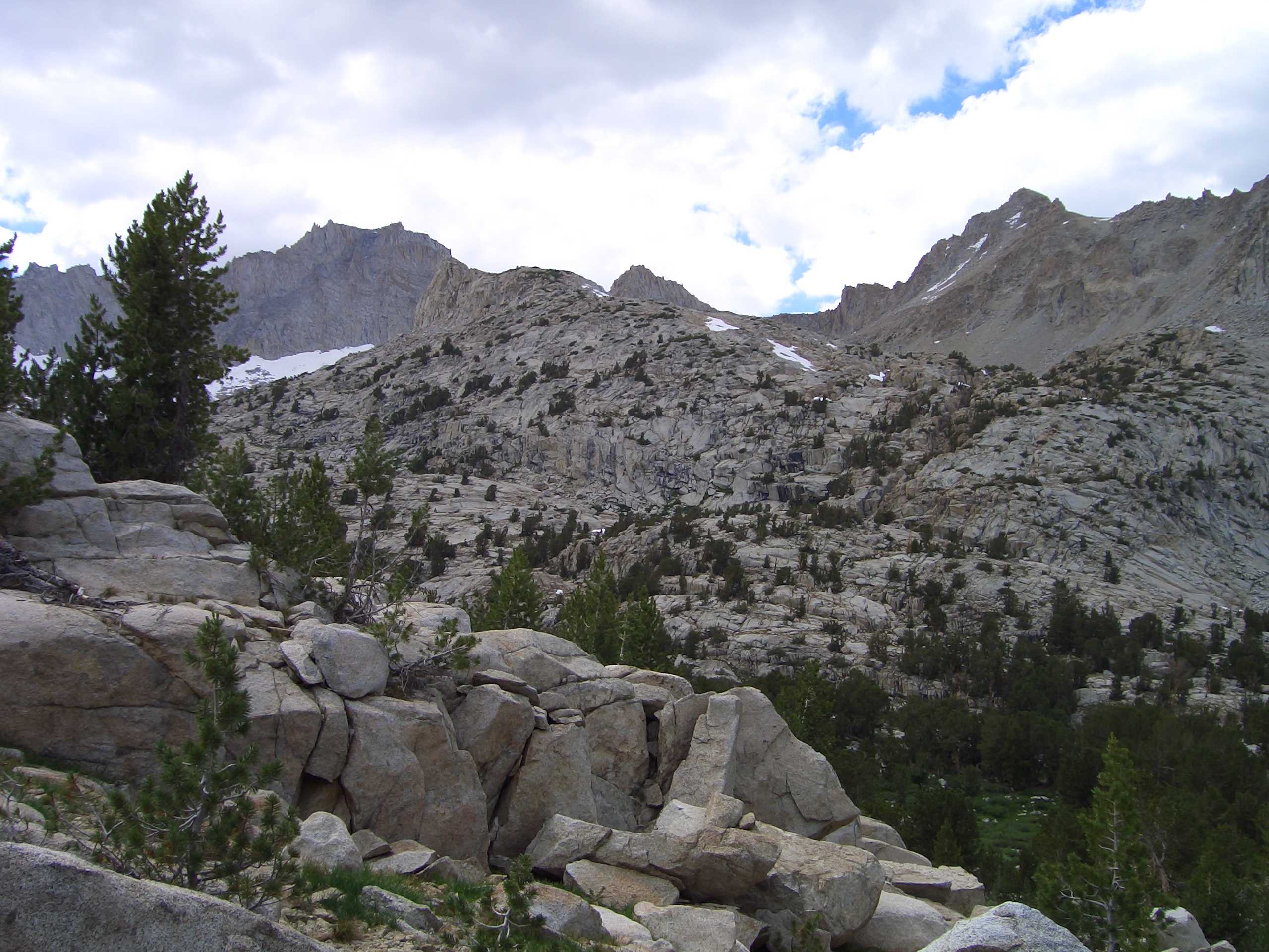
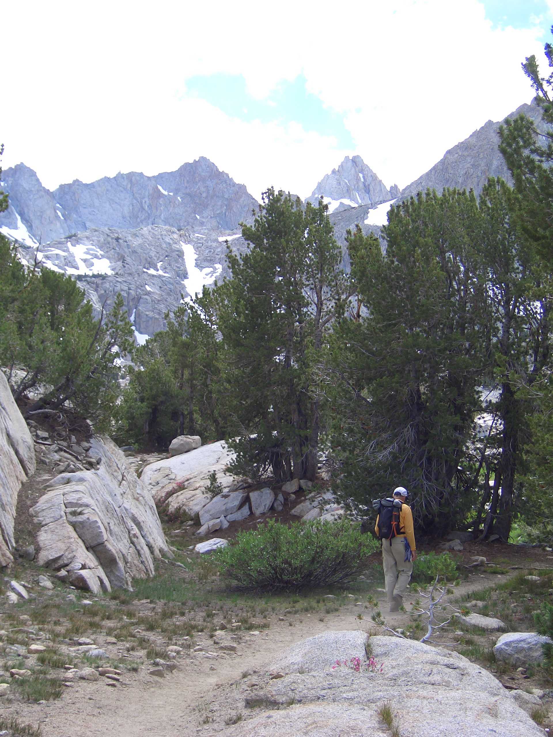
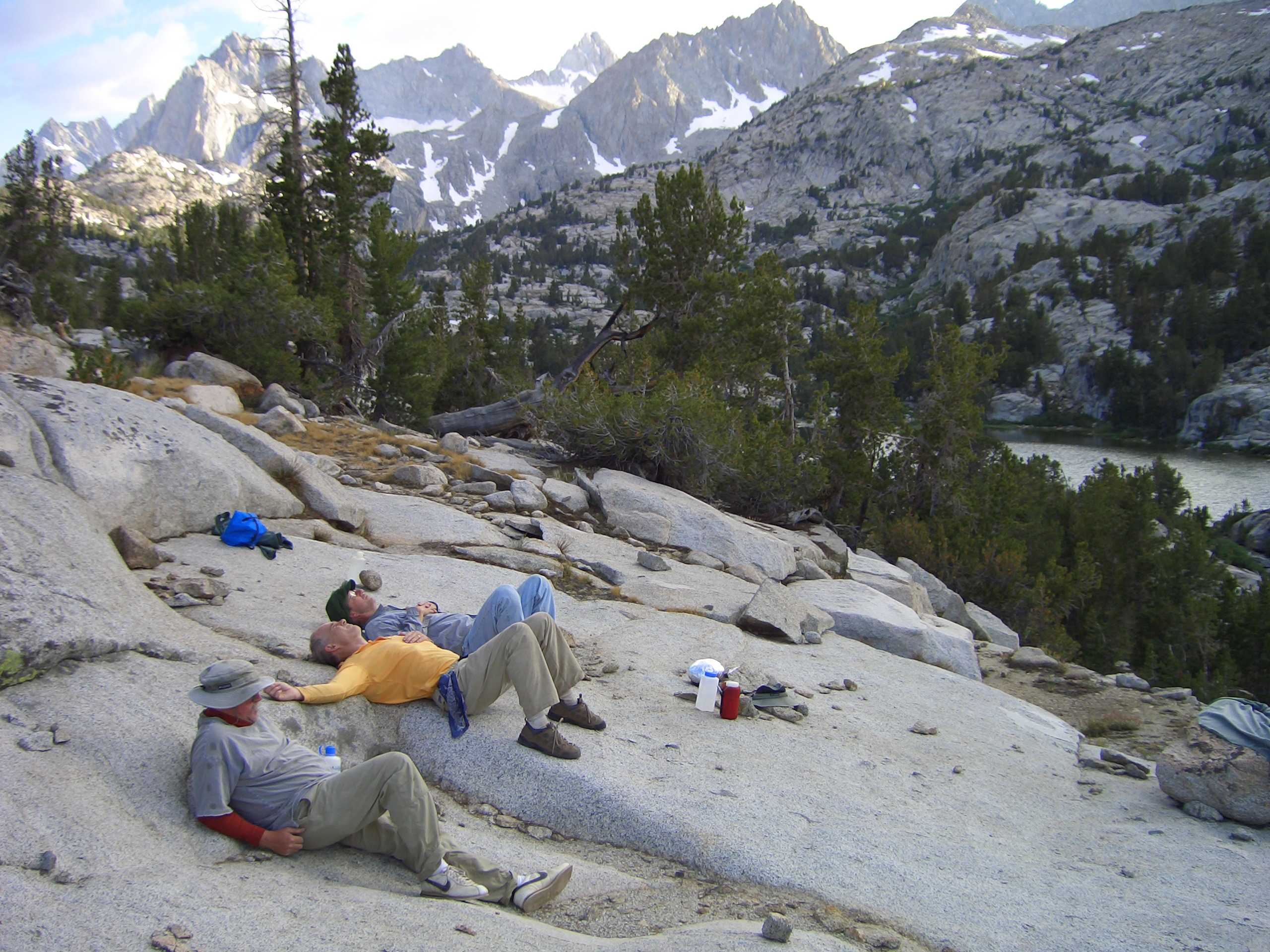
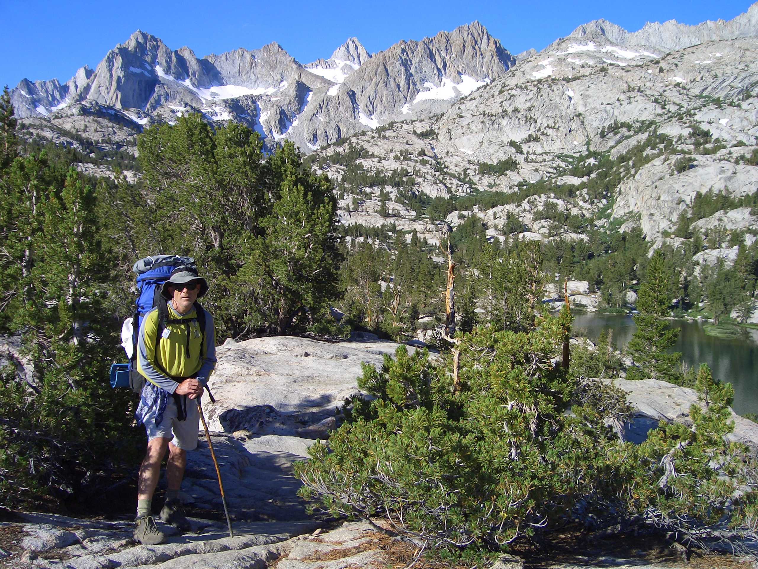
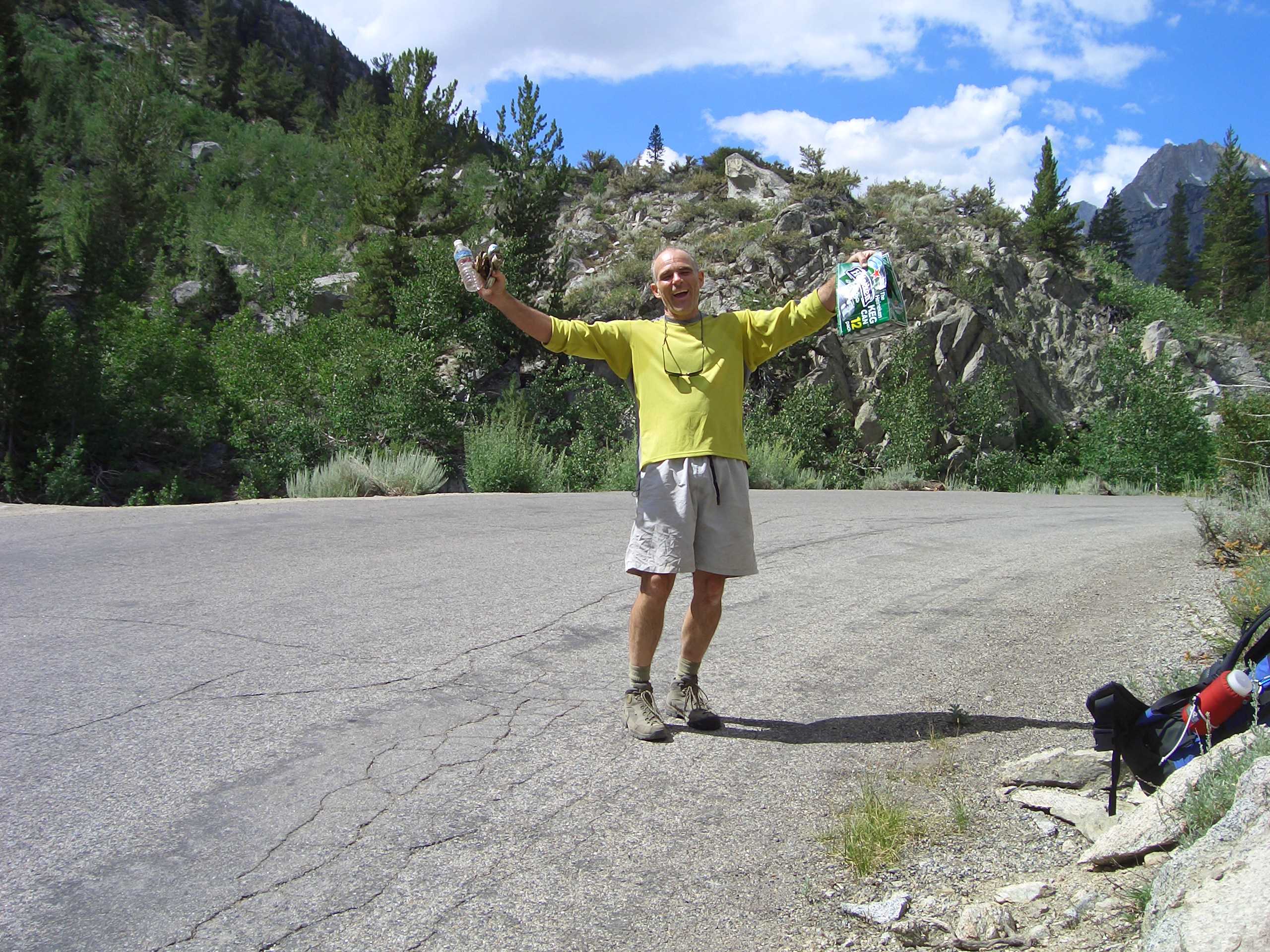
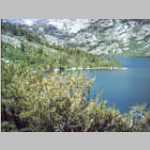
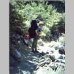
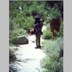
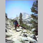
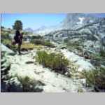
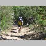
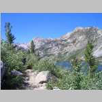
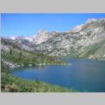
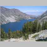
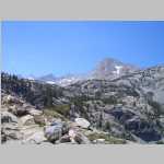
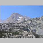
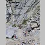
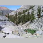
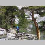
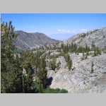
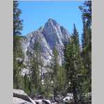
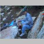
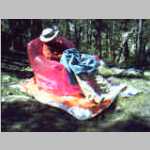
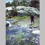
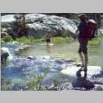
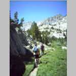
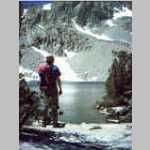
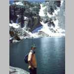
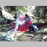
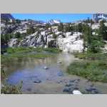
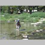
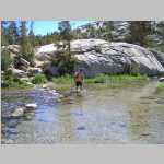
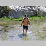
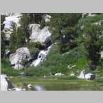
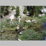
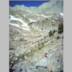
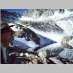
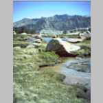
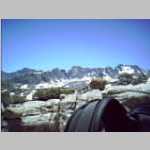
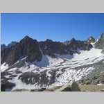
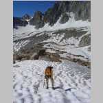
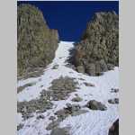
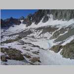
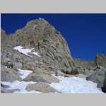
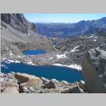
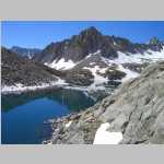
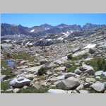
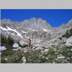
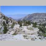
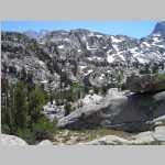
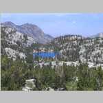
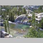
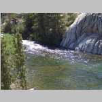
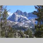
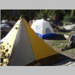
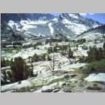
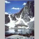
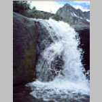
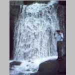
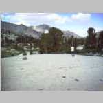
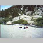
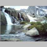
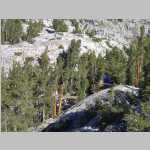
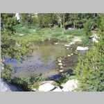
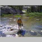
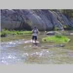
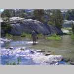
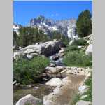
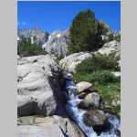
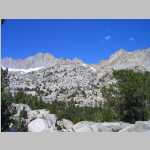
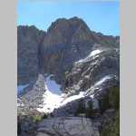
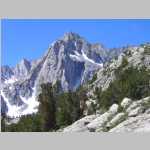
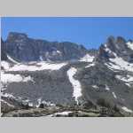
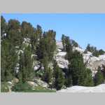
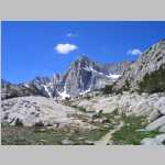
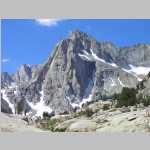
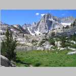
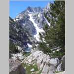
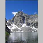
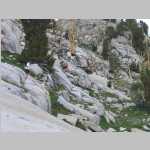
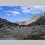
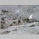
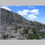
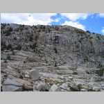
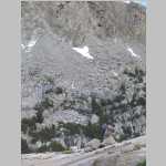
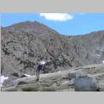
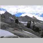
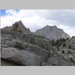
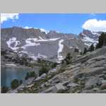
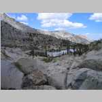
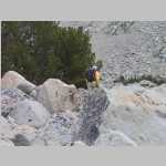
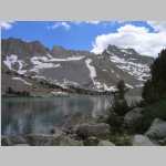
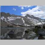
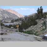
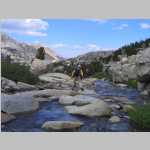
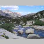
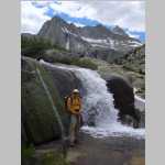
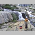
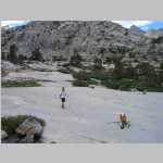
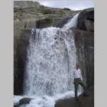
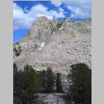
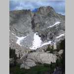
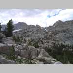
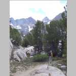
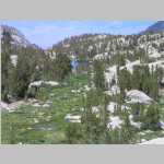
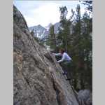
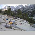
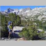
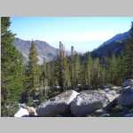
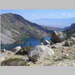
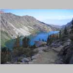
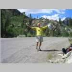
The next day we picked up our Wilderness Permit at the Inyo NF headquarters in Bishop. We then drove down State Highway 395 to the Lake Sabrina trail head. we hiked about 3.5 miles in finding a nice campsite. Mosquitoes were a bother in the evening but settled down at bedtime. Brian and Ted had planned to climb Mt. Darwin the next day but only got part way up the lower slopes. The next day we did a great day hike to Hungry Packer Lake. On the hike out we ran into a rainstorm, but it had clear enough so that we were able to play beer hunter.

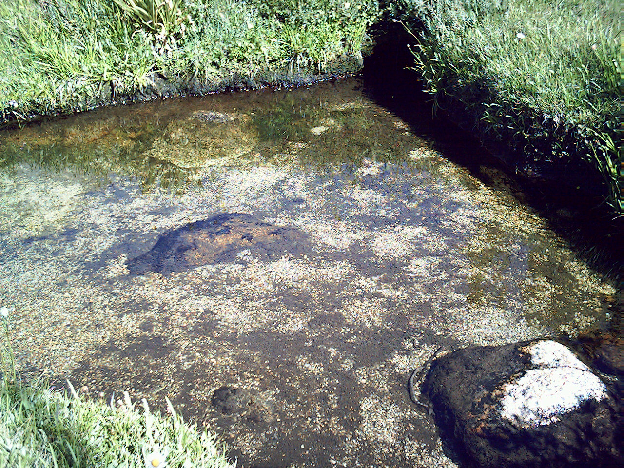
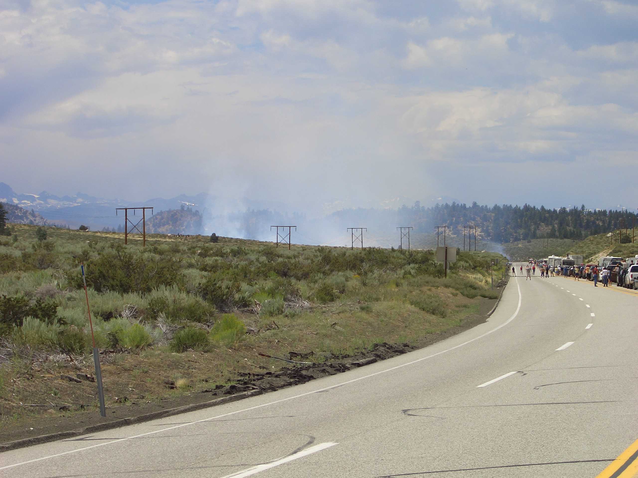
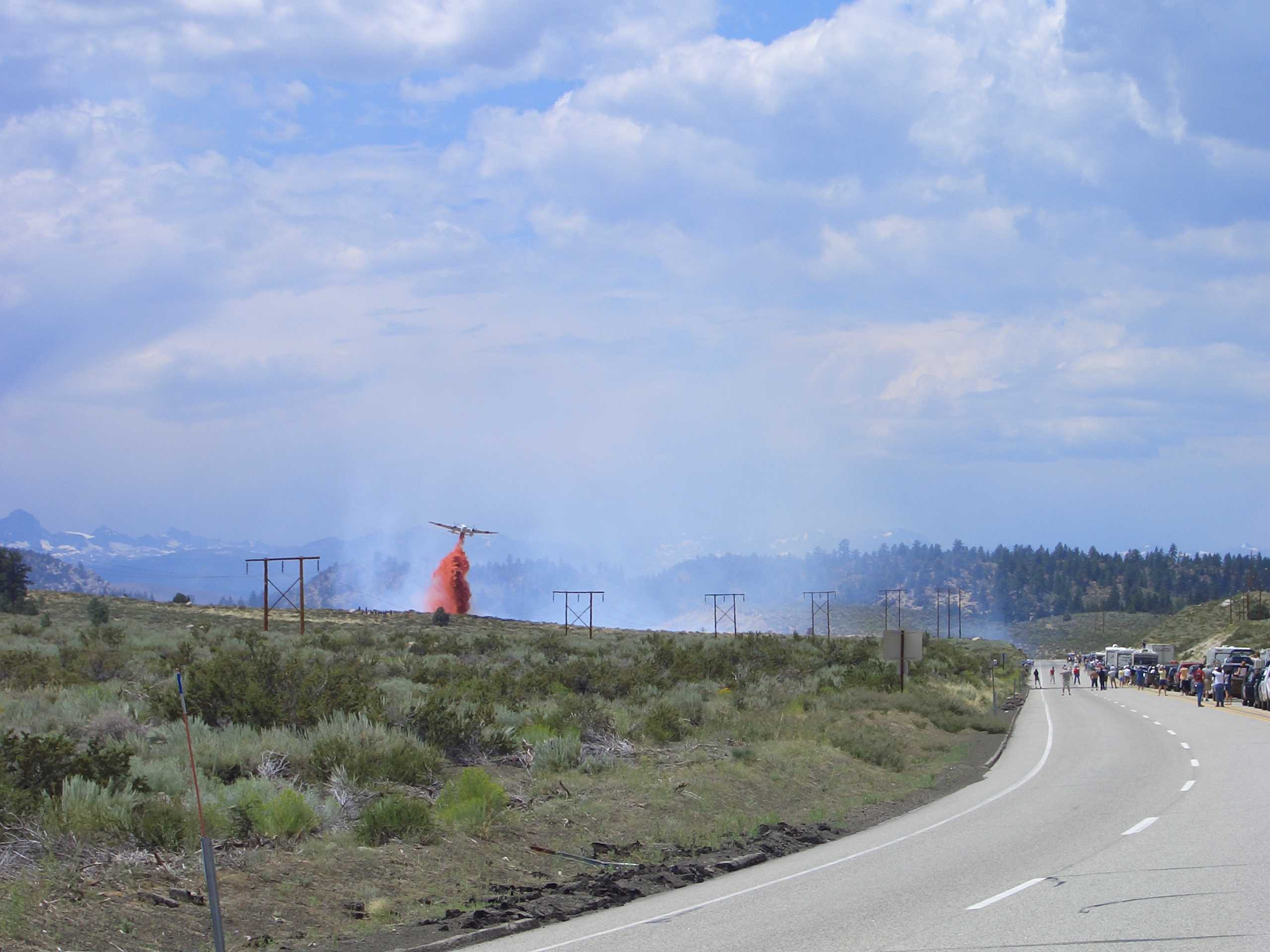
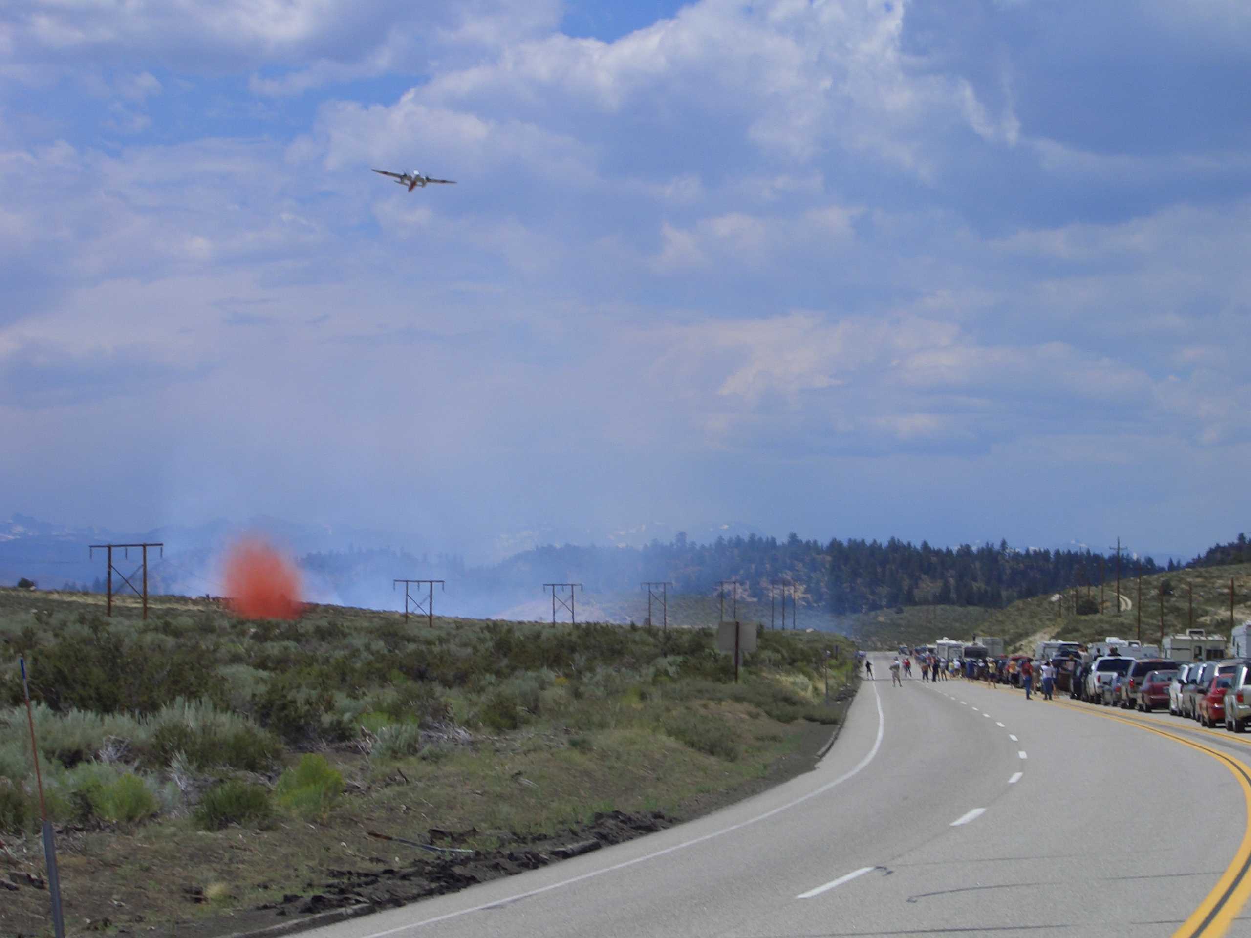
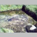
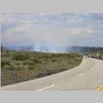
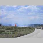
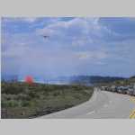
We next drove up 395 to Mammoth Lakes. We had two eventful stops during that trip. One was a Cal Fire tanker plane putting out a forest fire near the road. Traffic was stopped while the fire was being put out. We also stopped at Hot Creek State Park. The waters are very unique as the hot water bubbles up from the bottom of the creek, where the waters are heated by magma three miles below the surface. This hot water mixes with the cold creek water. If you stand in one place for a few minutes you can feel the hot water mixing with the cold, resulting in a perfect temperature depending on where you are standing. The only bad part was the hundreds of people, but it probably is a classic rest area on this highway.

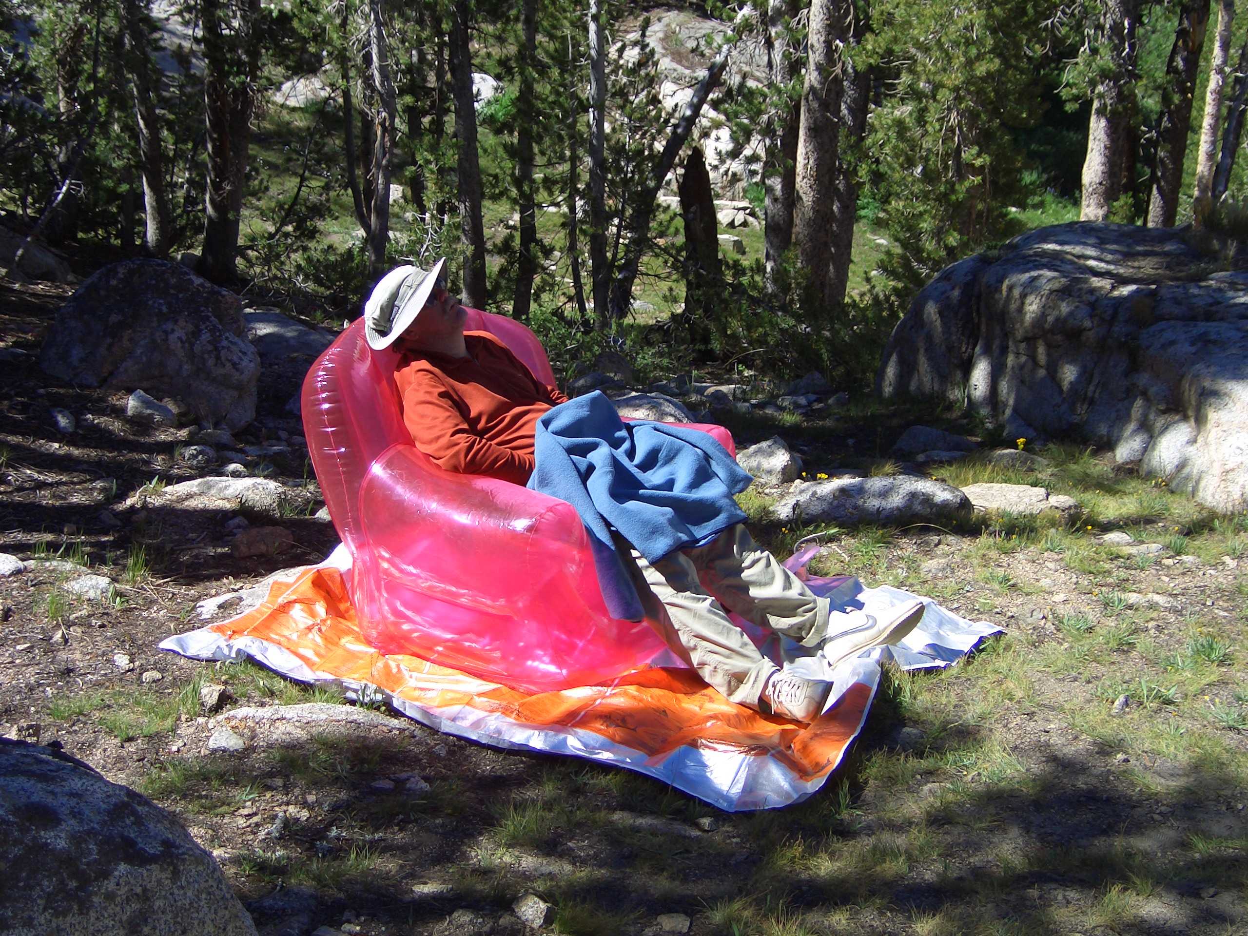
At our motel in Mammoth Lakes, we enjoyed the sounds of several motorcycles revving their engines in the underground parking garage. The engine echo's set off several car alarms. Feeling satisfied, the motorcyclists turned their engines off and checked in. We hiked around the town eventually finding a pub to eat in. I remember our waitress being irritated with us as we were not the most active group of guys she had waited on. We split the next day with Ted heading back to Laramie and the rest back to my place, stopping to pick up some fresh fruit. We also went to Triple Rock Brewery and to Fat Apples so Brian could get an Olallieberry pie to take back home

John Muir Wilderness

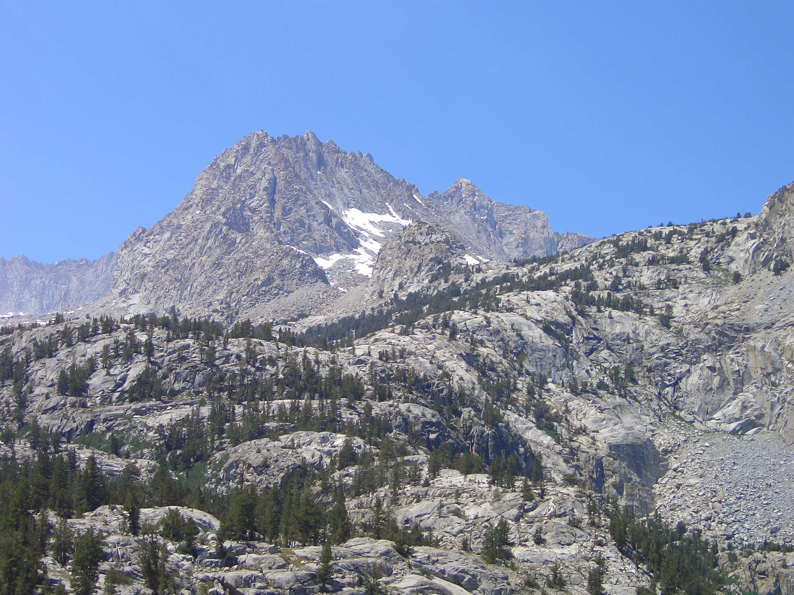
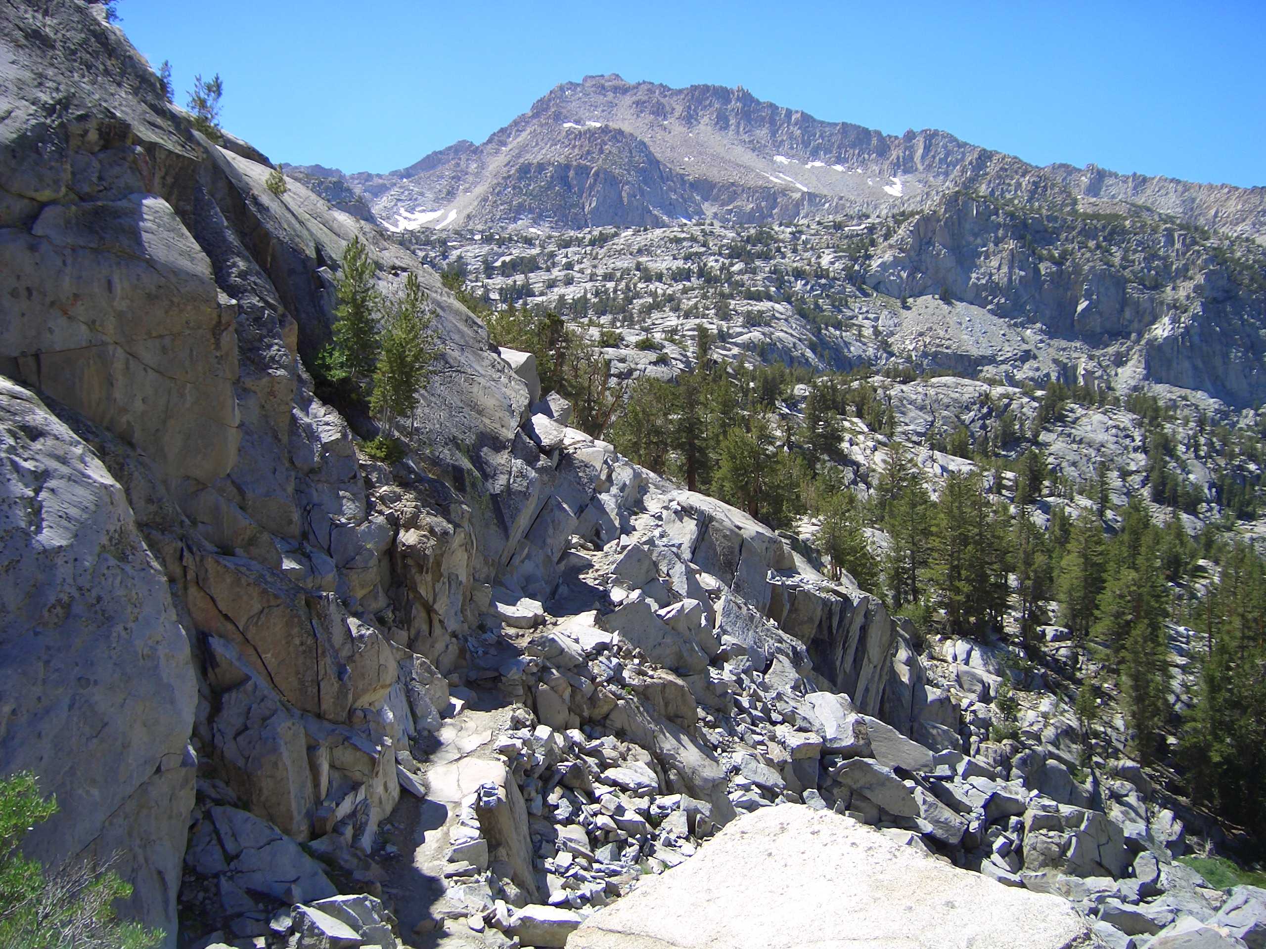
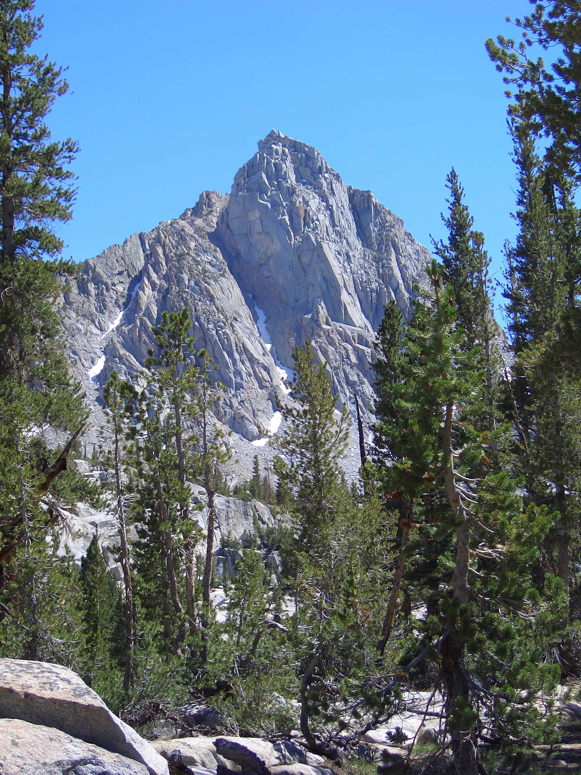
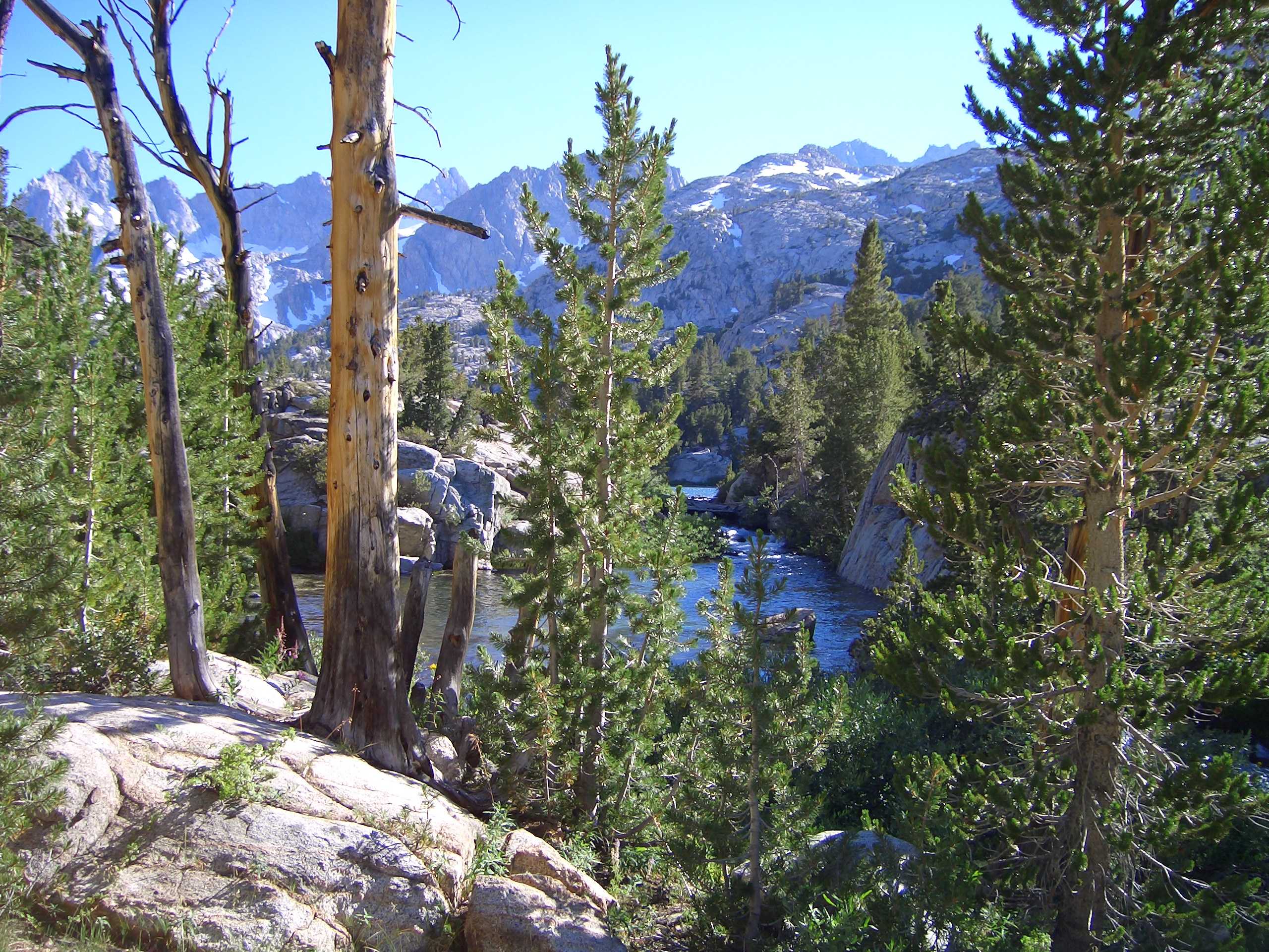
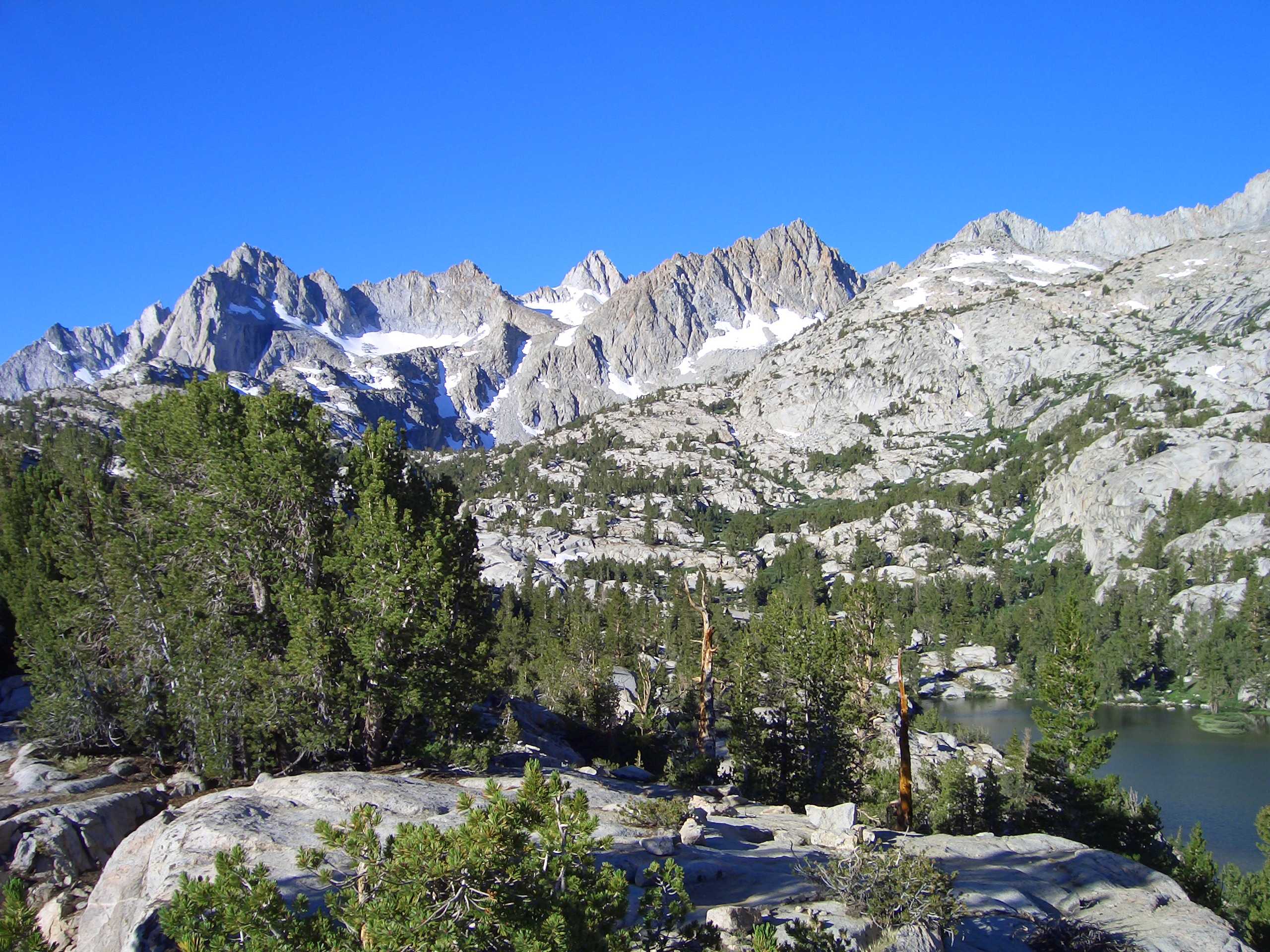
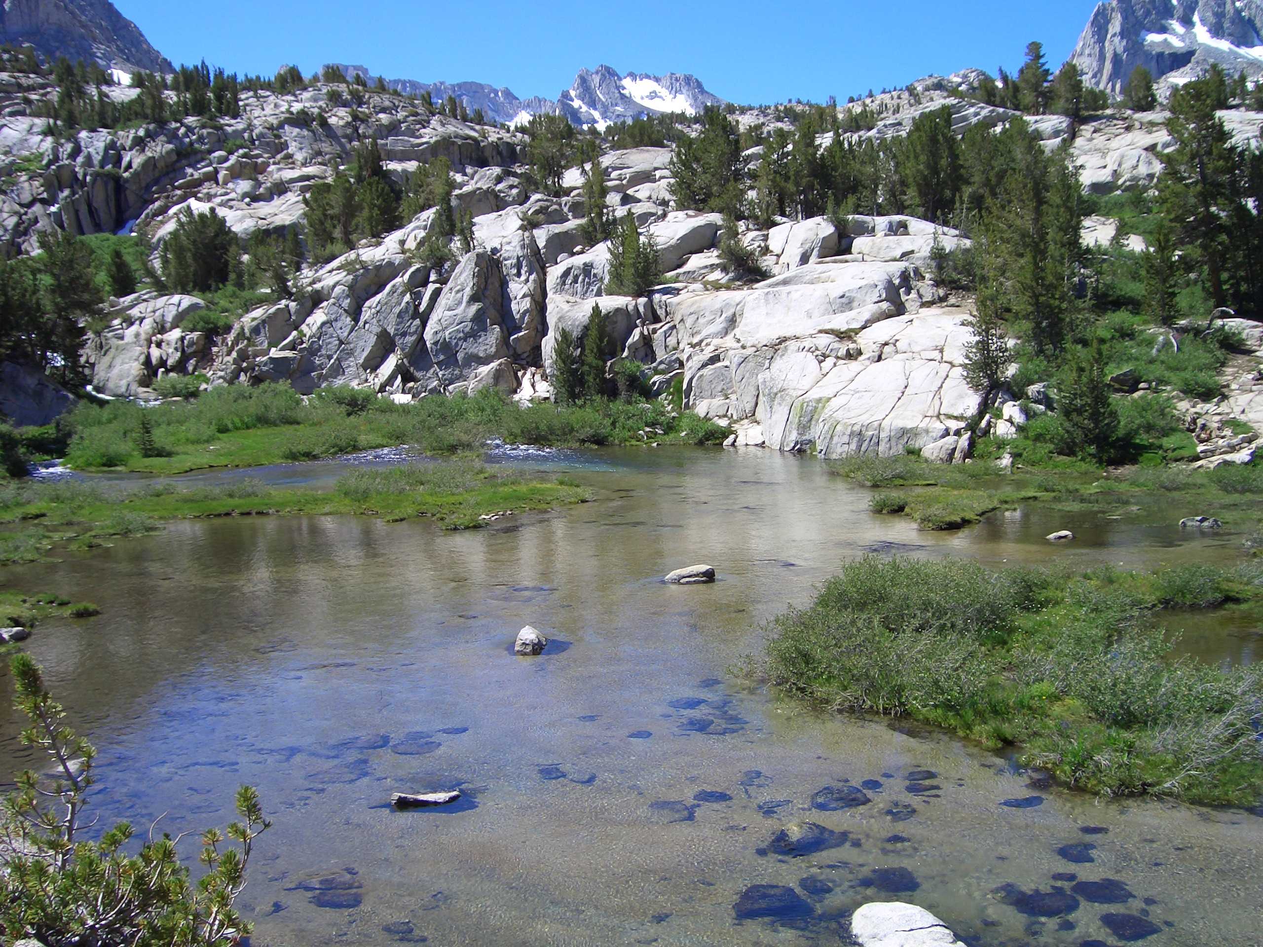
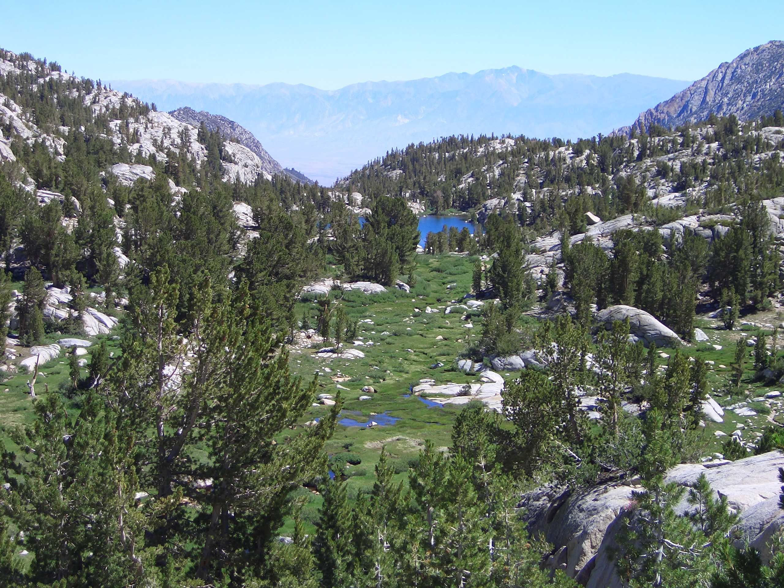
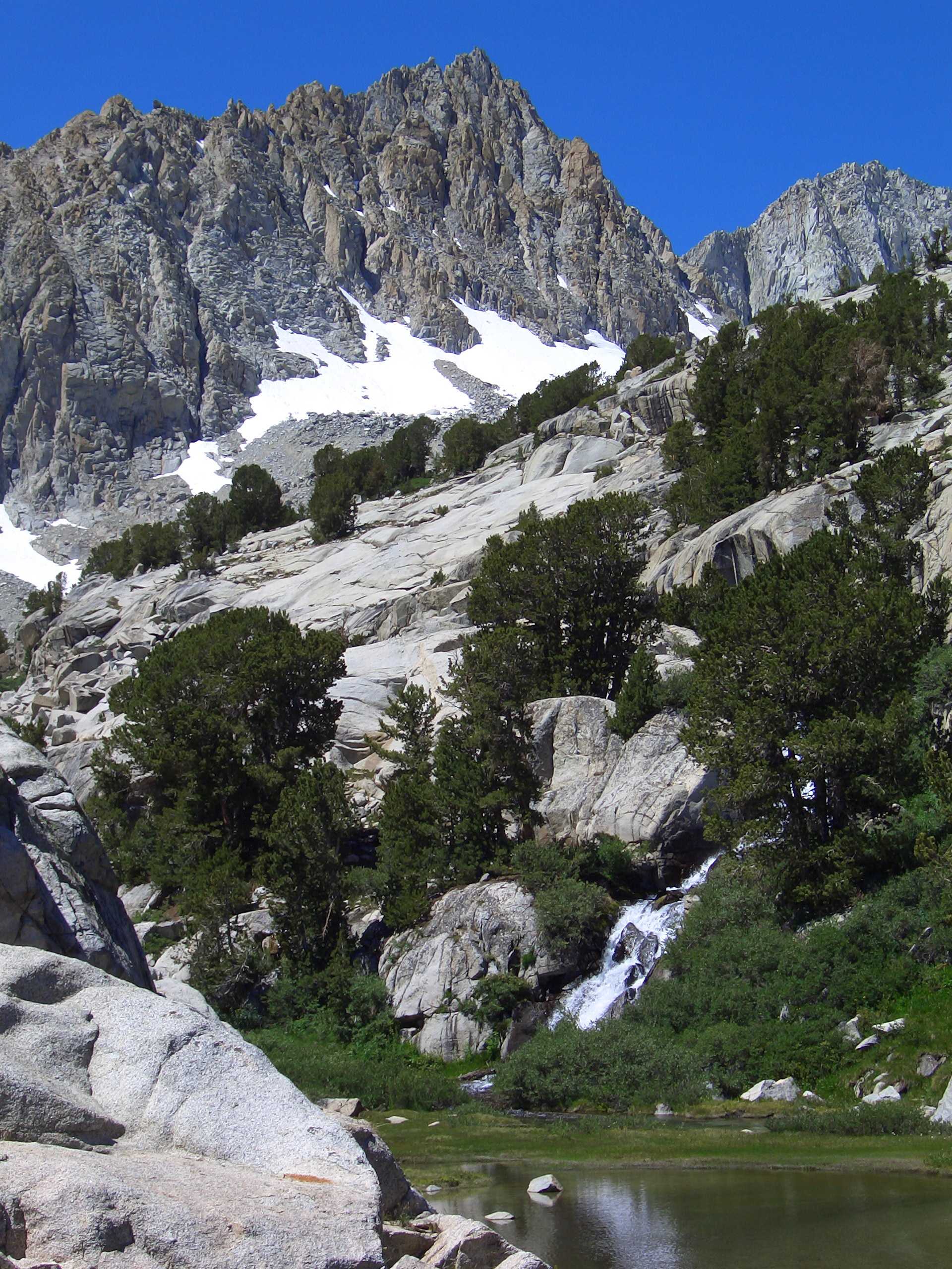
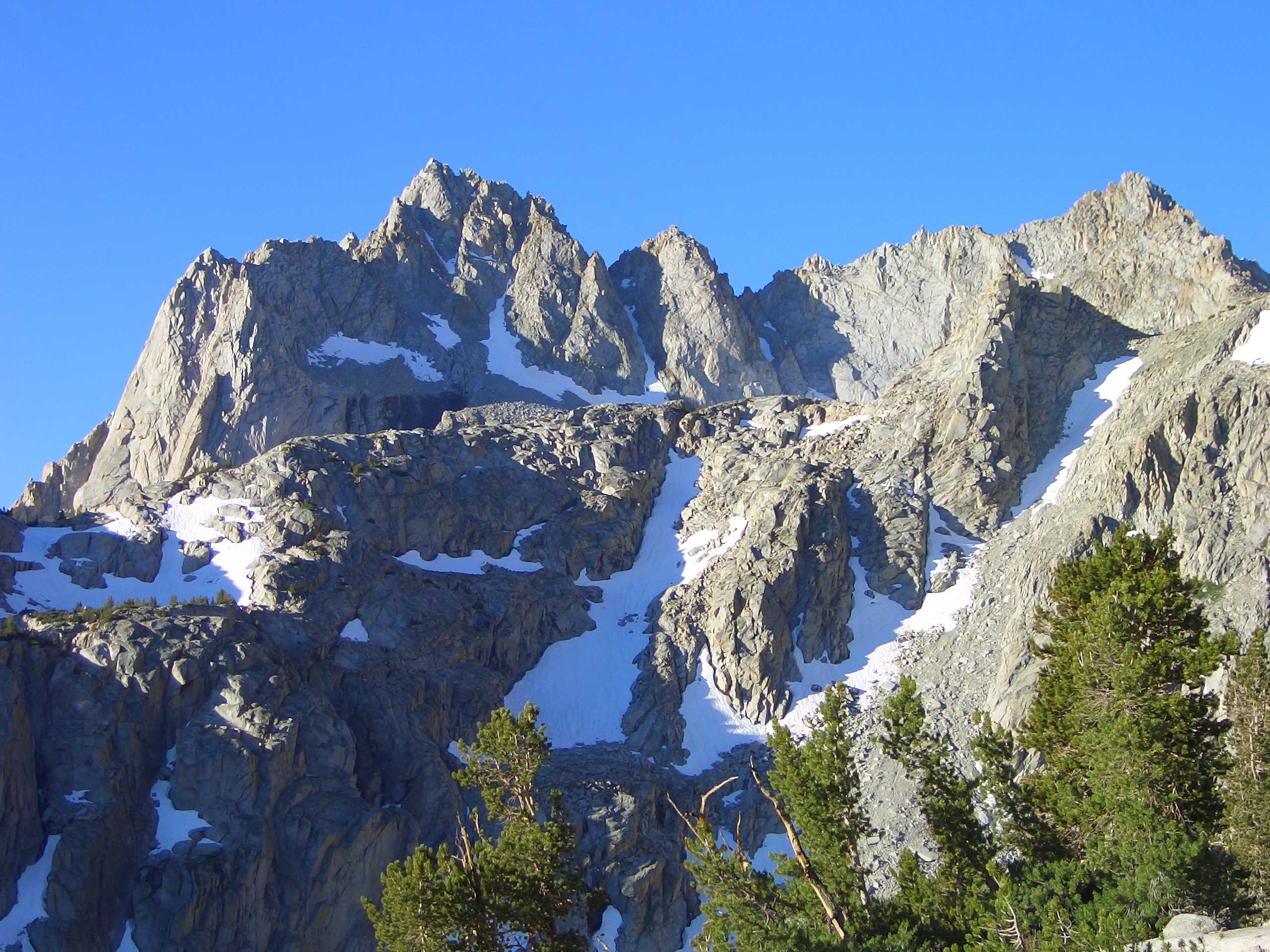
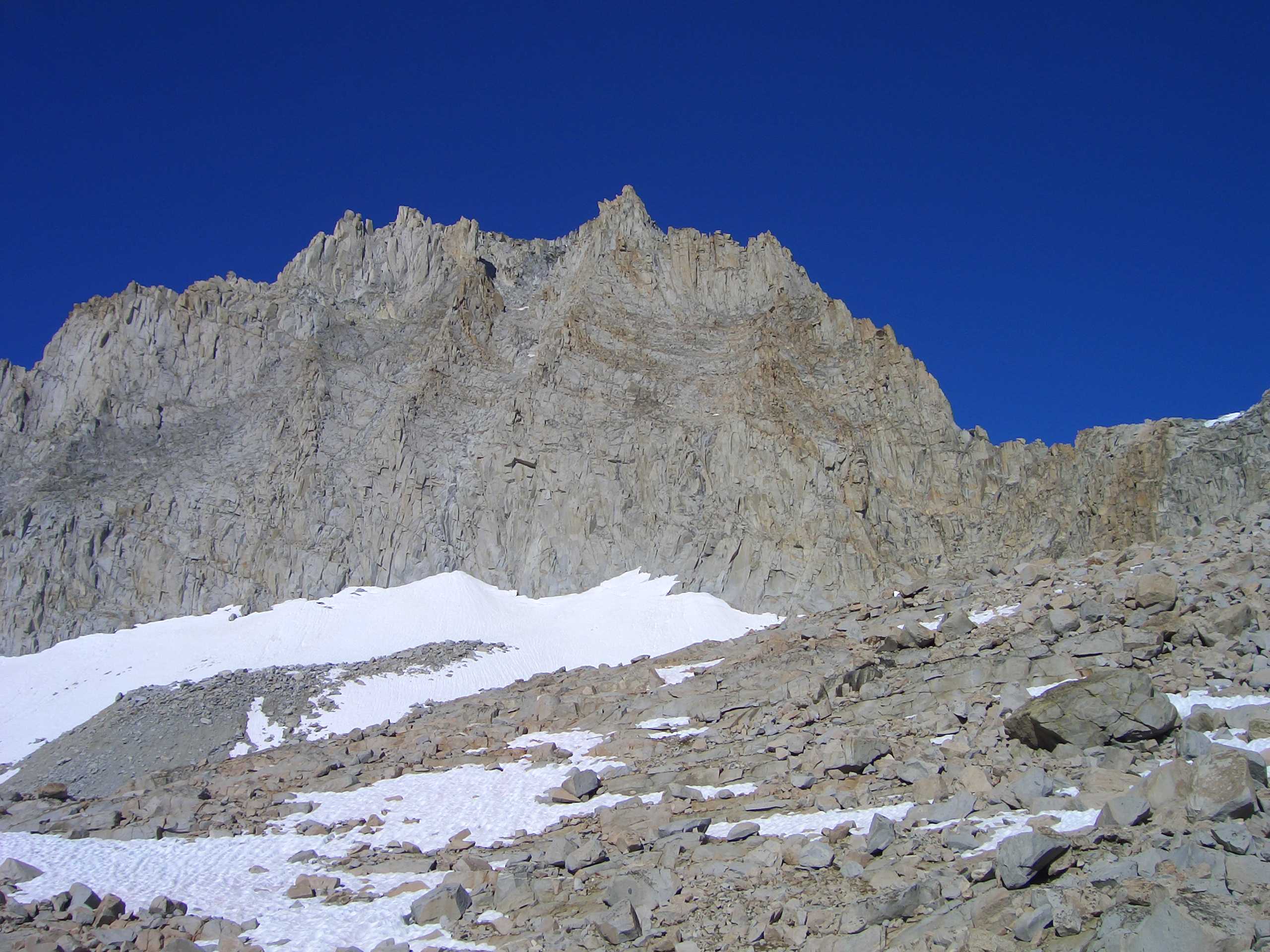
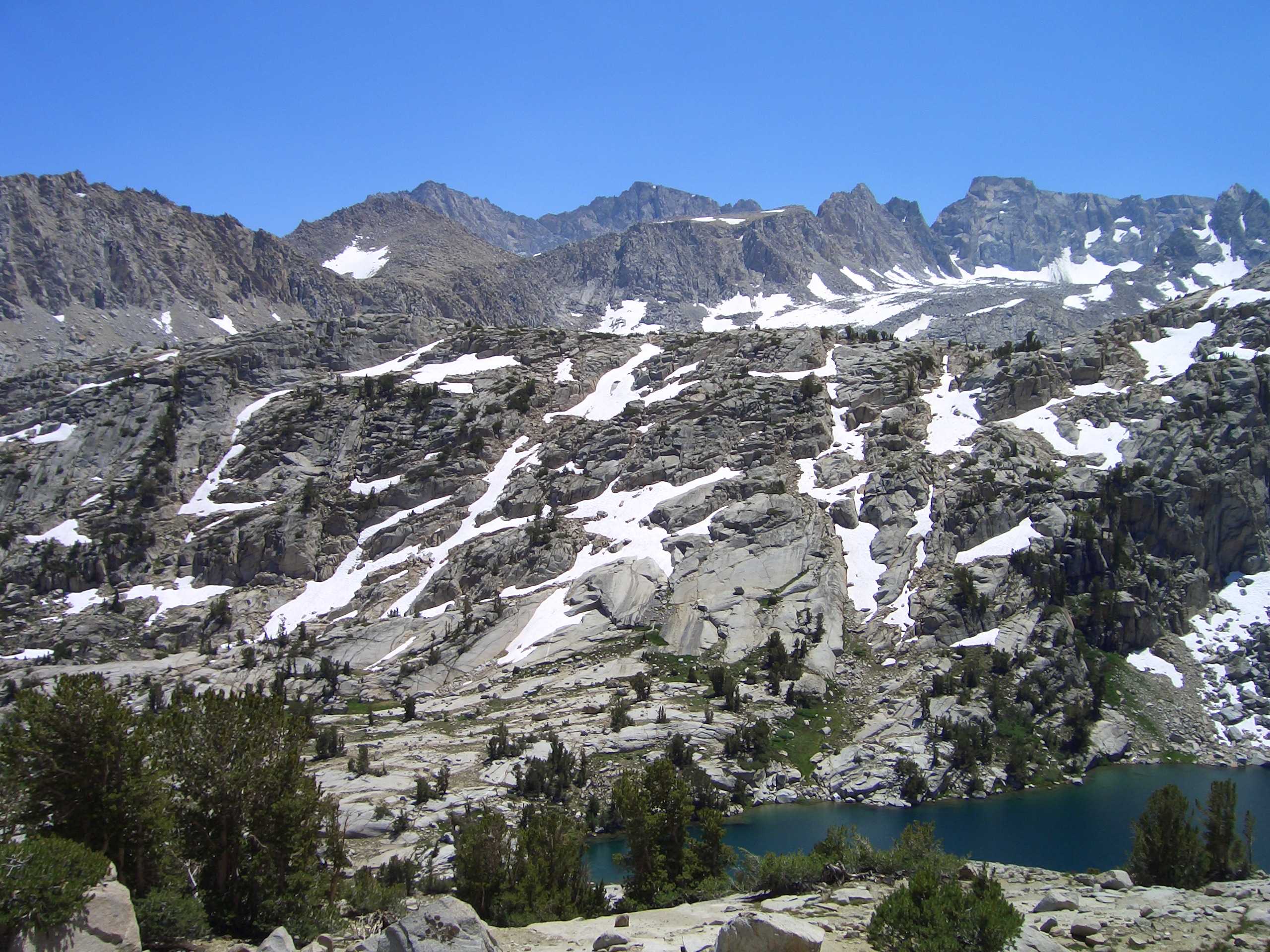
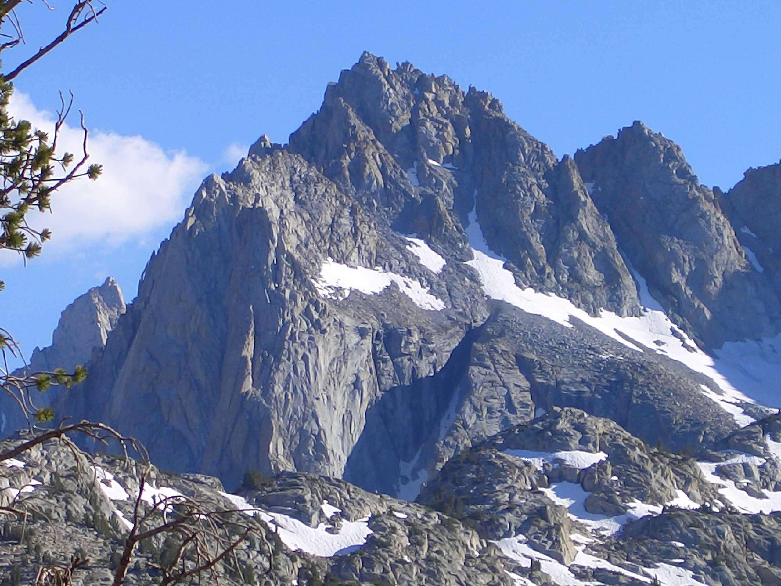
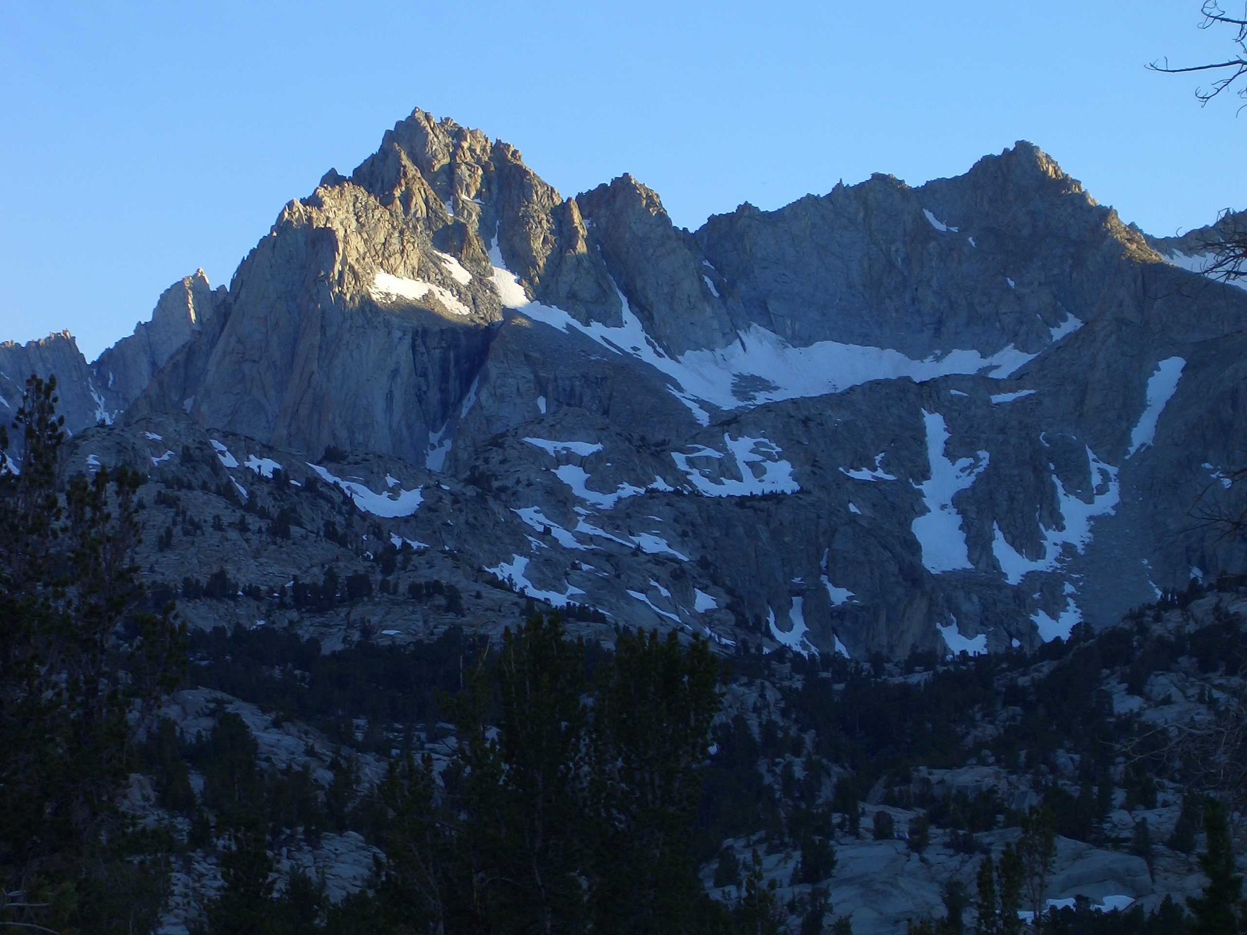
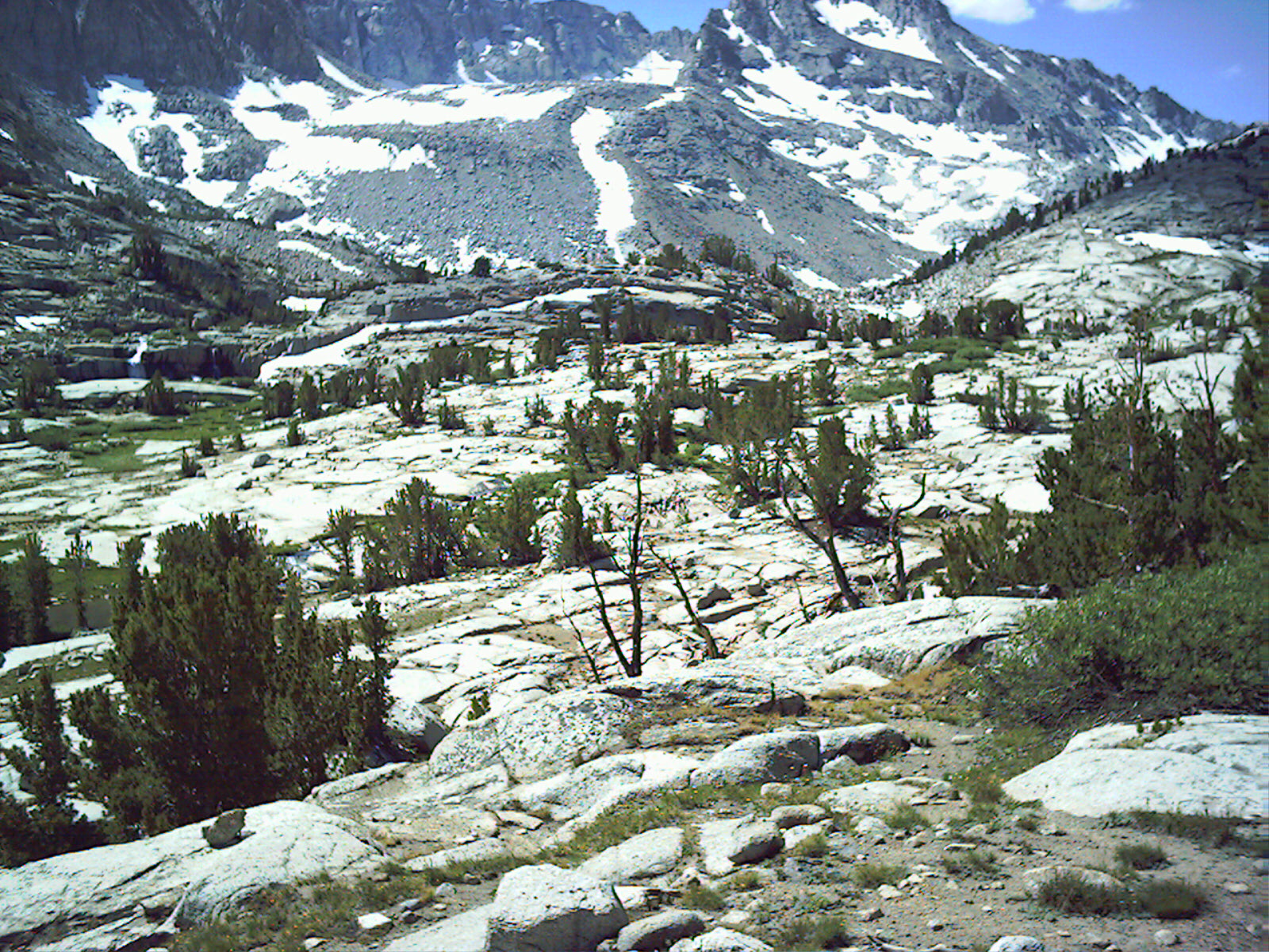
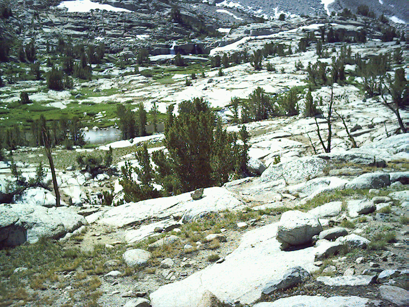
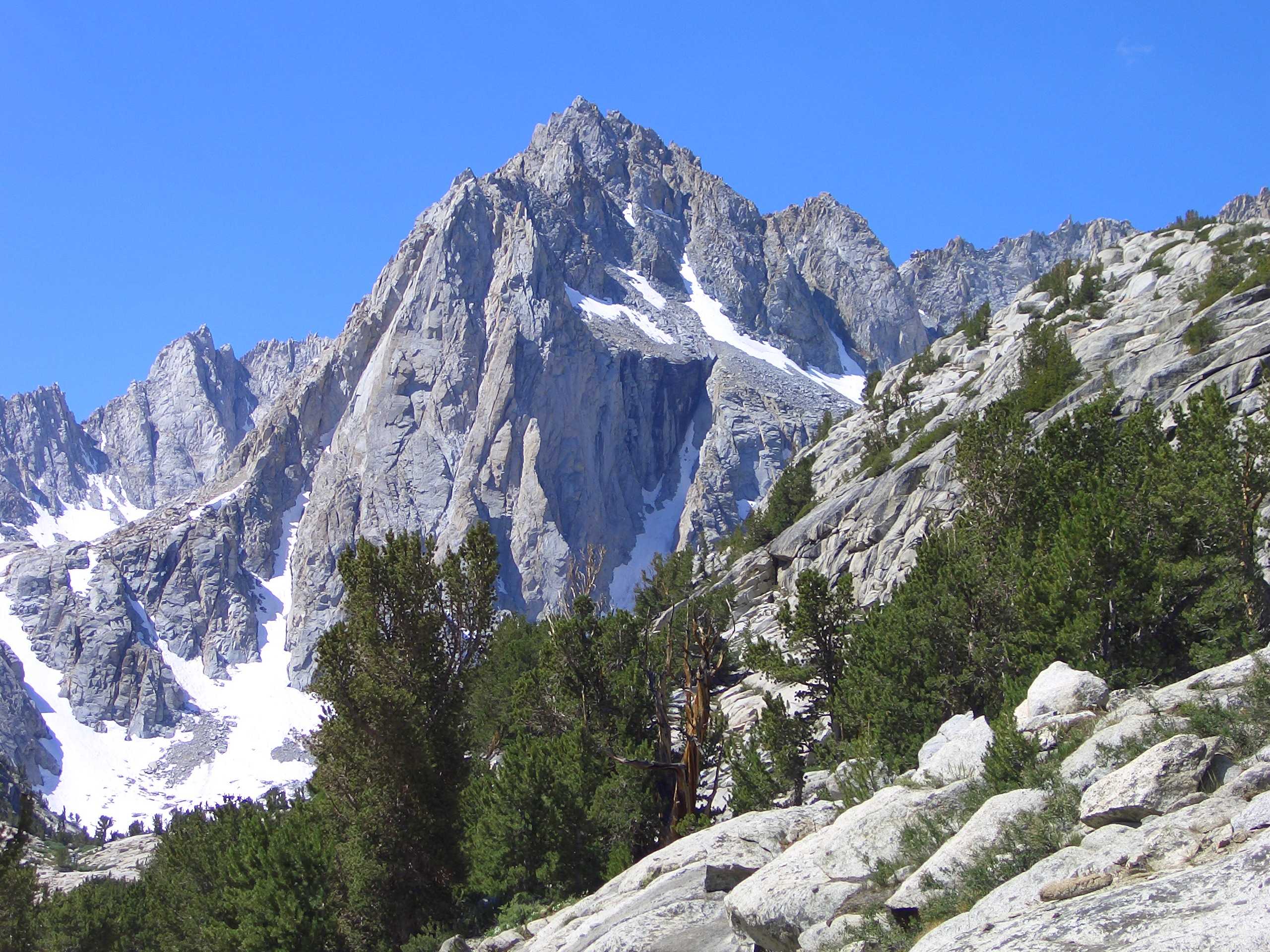
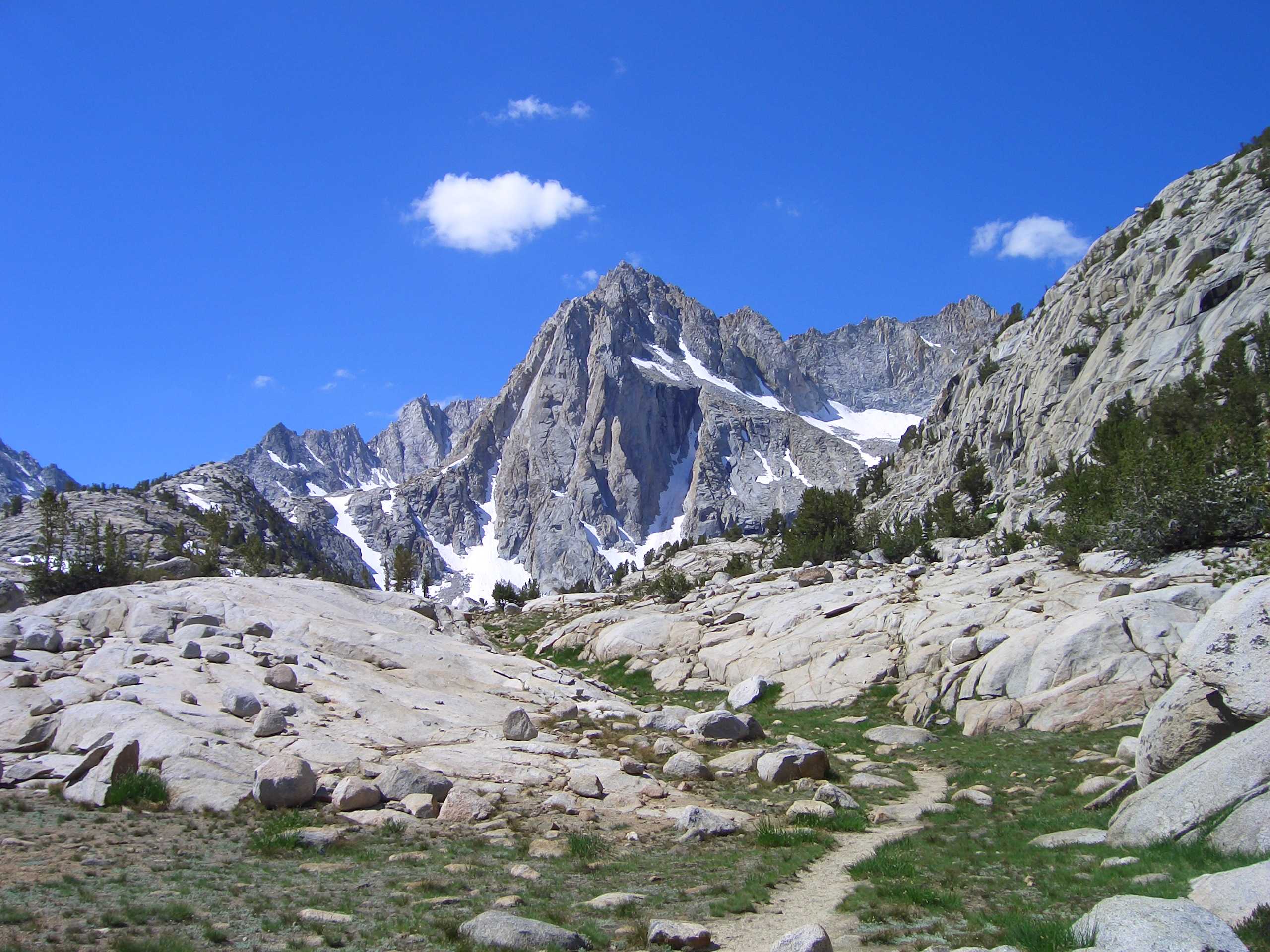
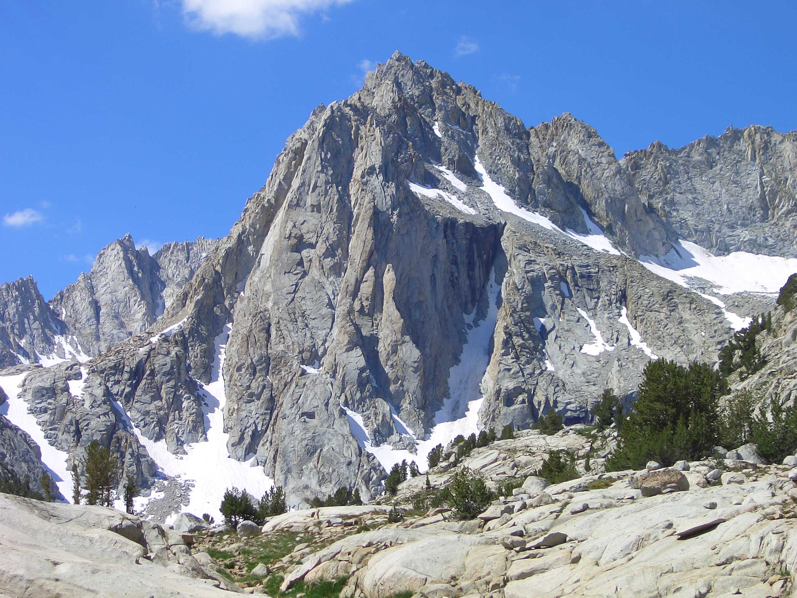
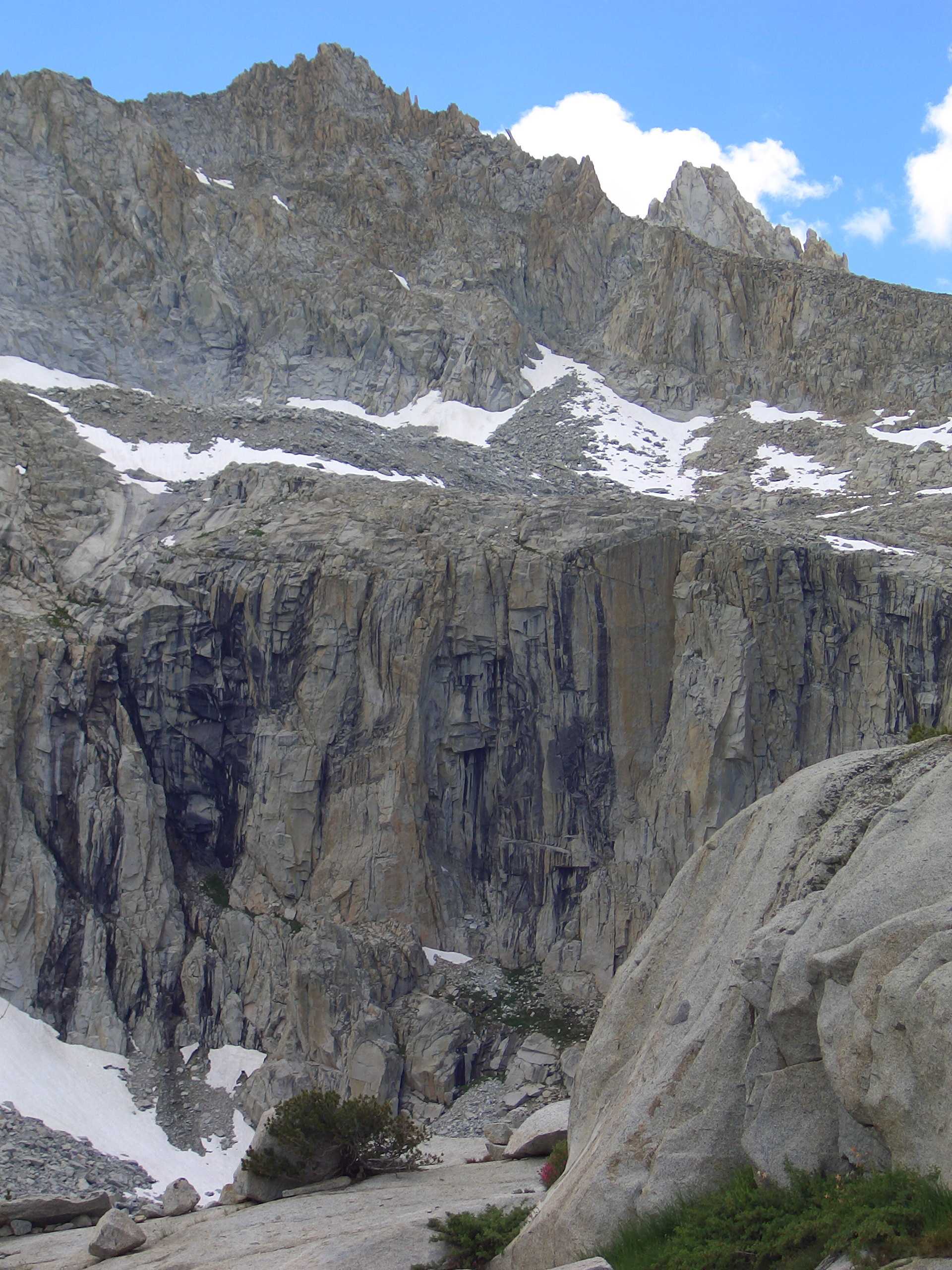
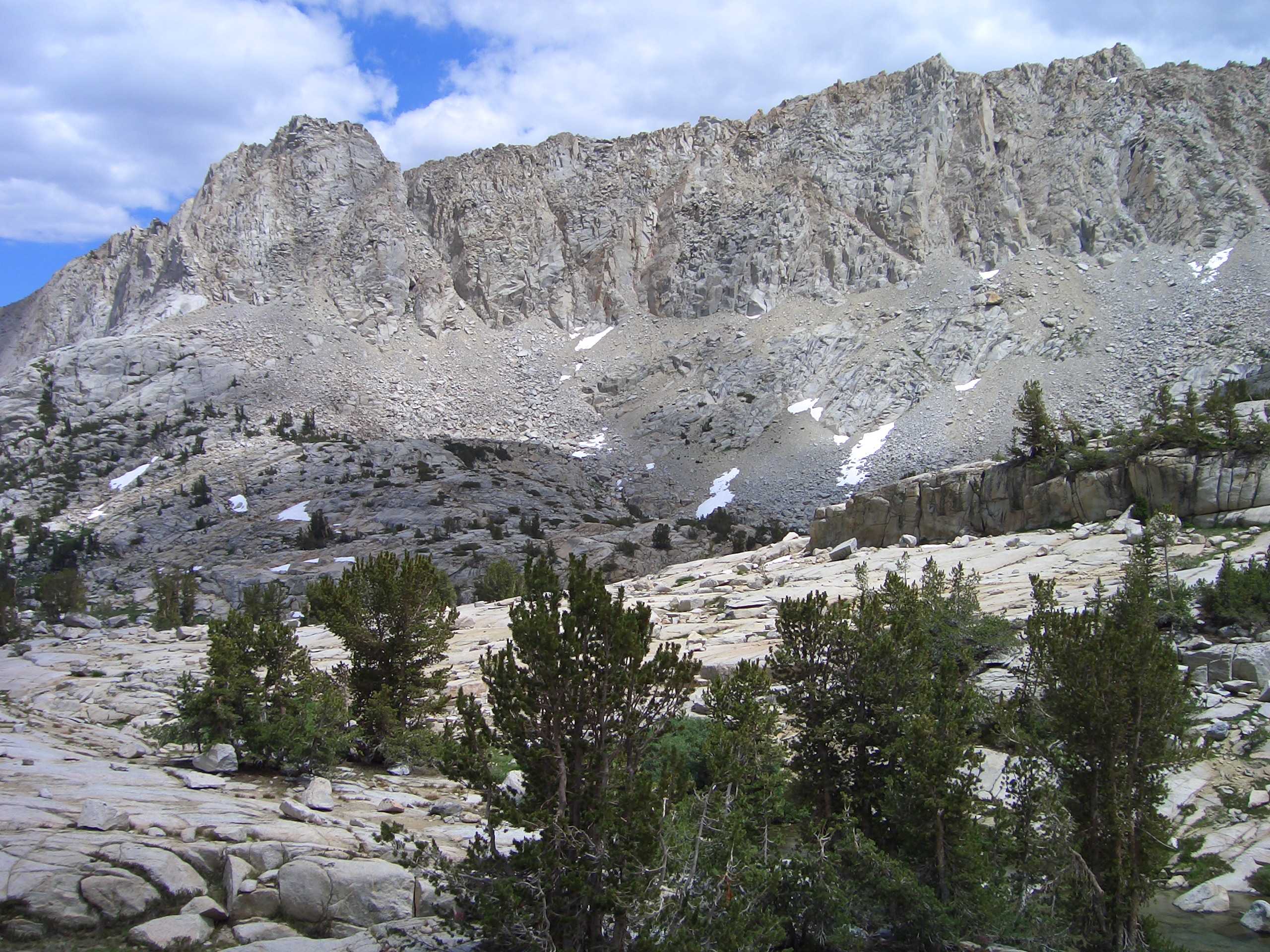
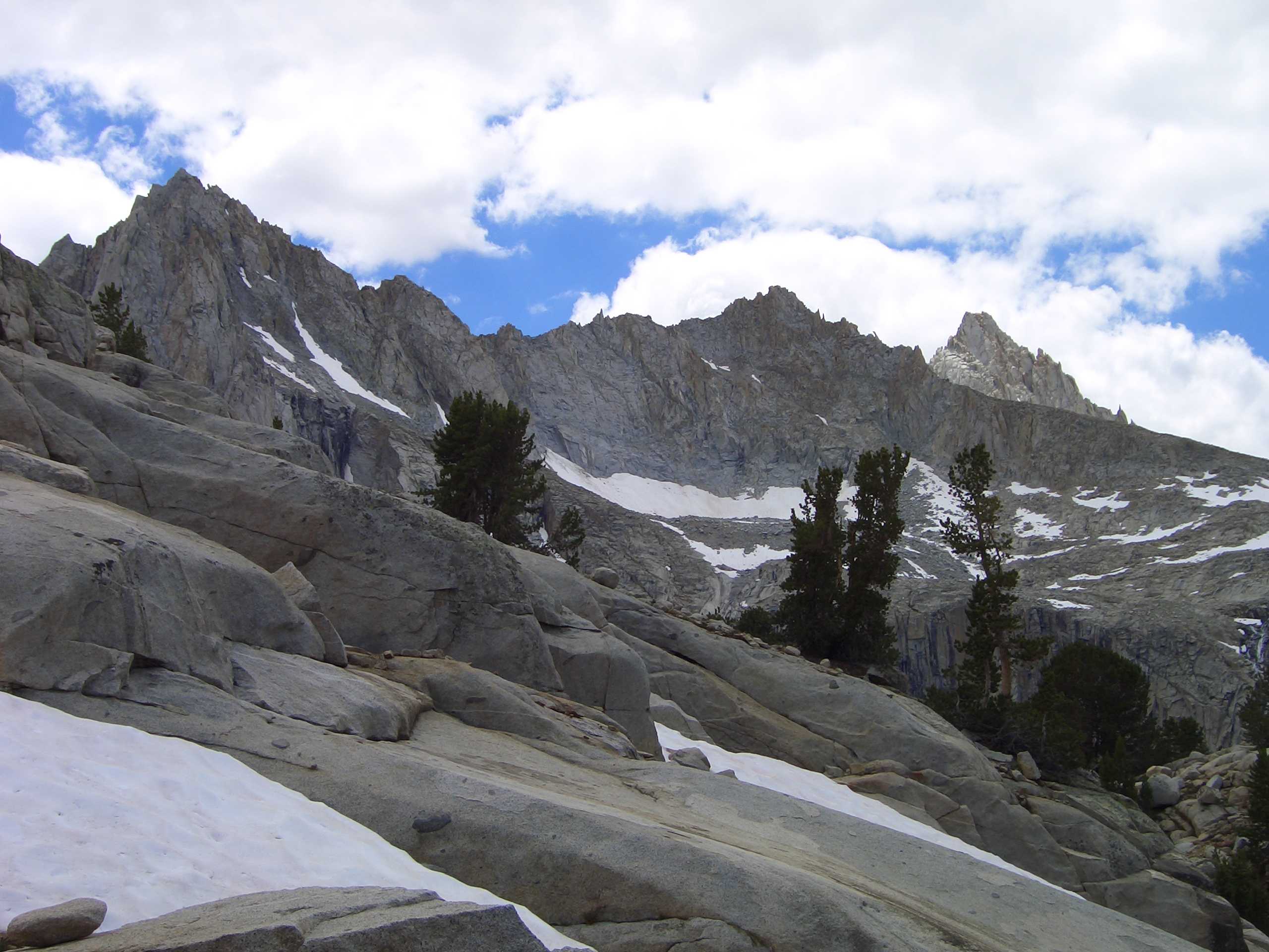
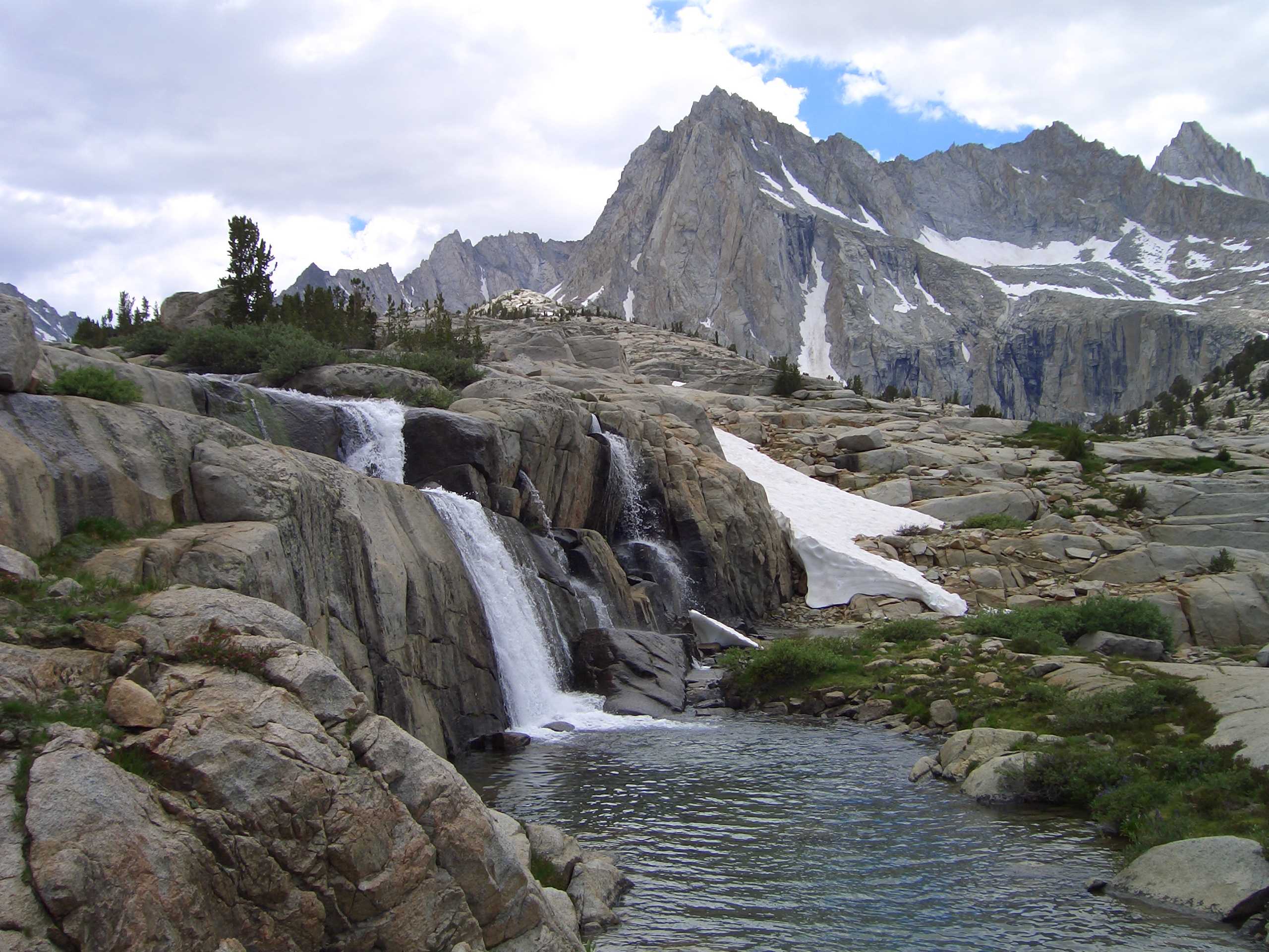
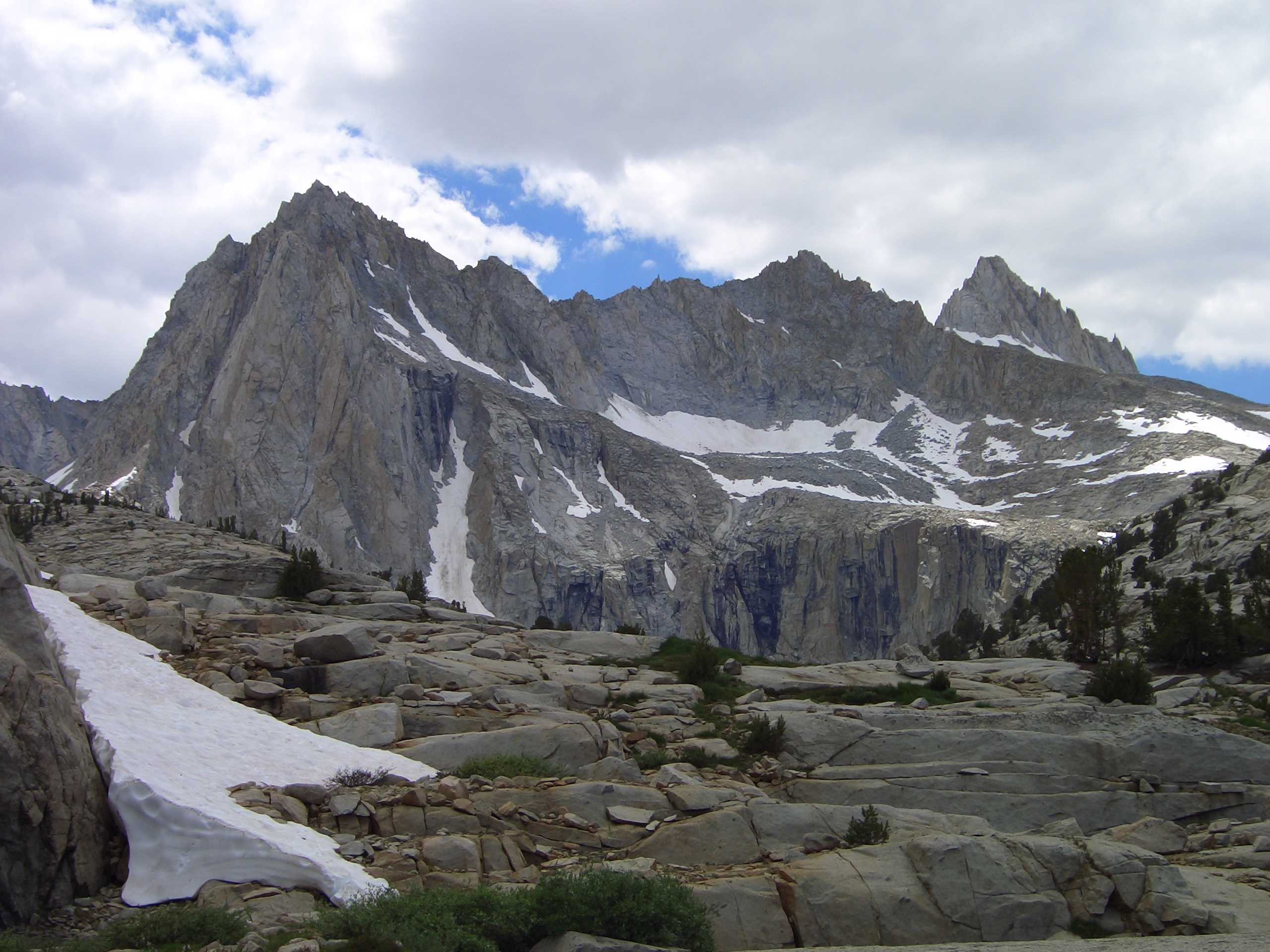
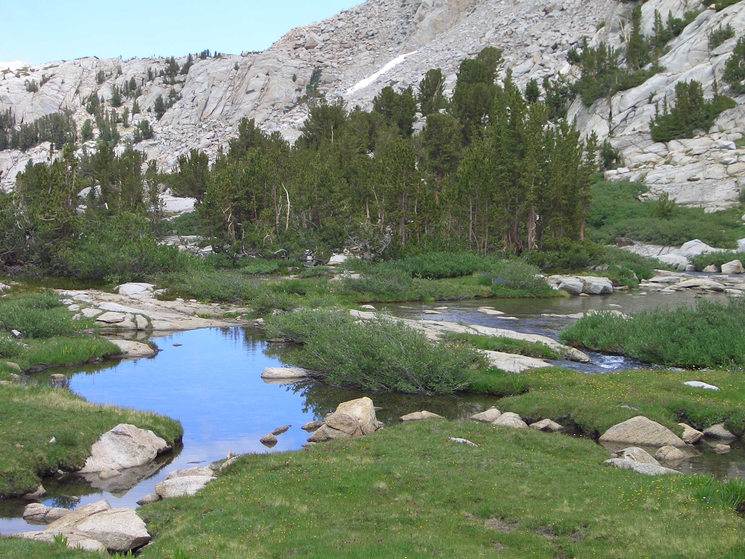
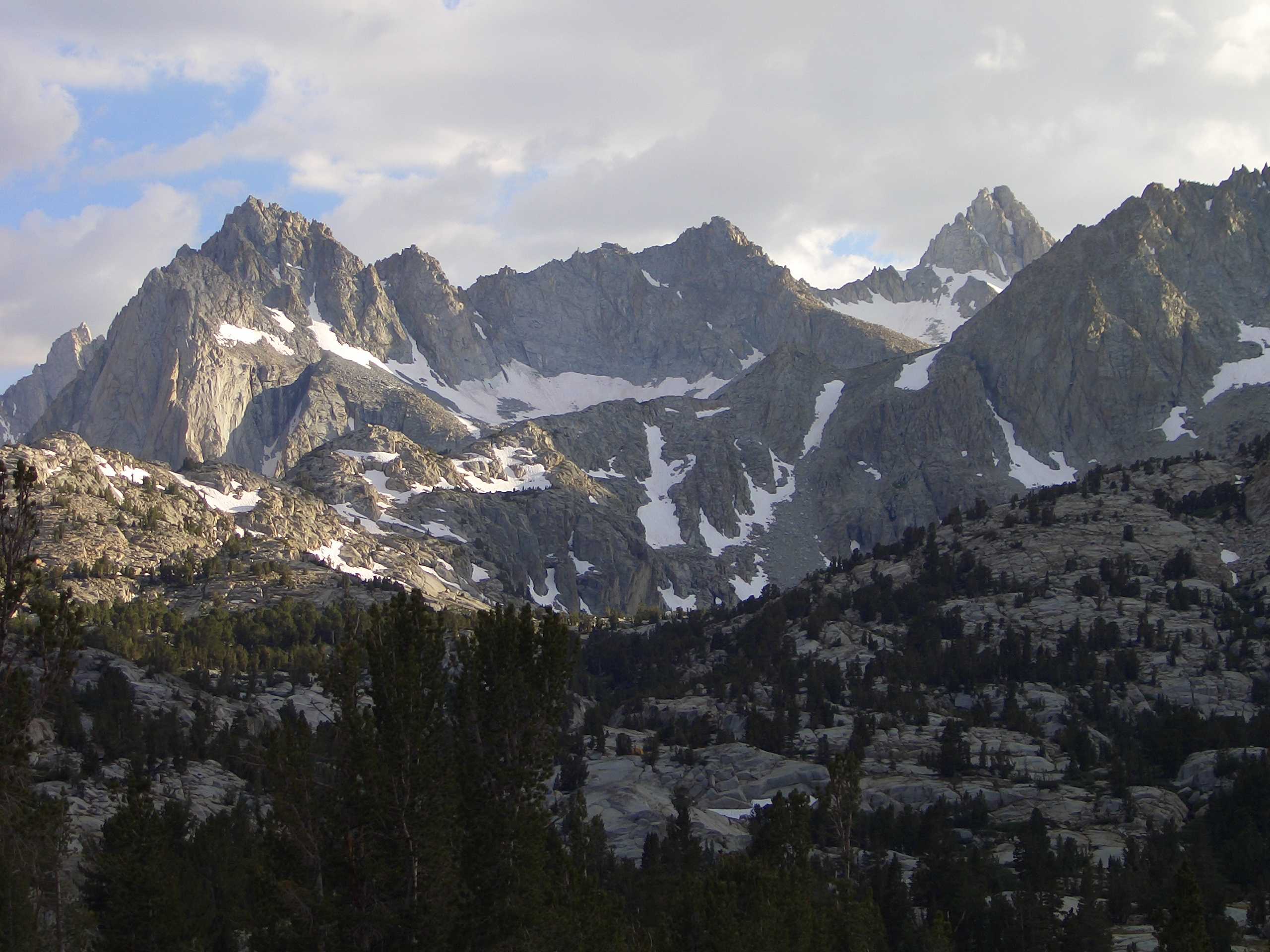
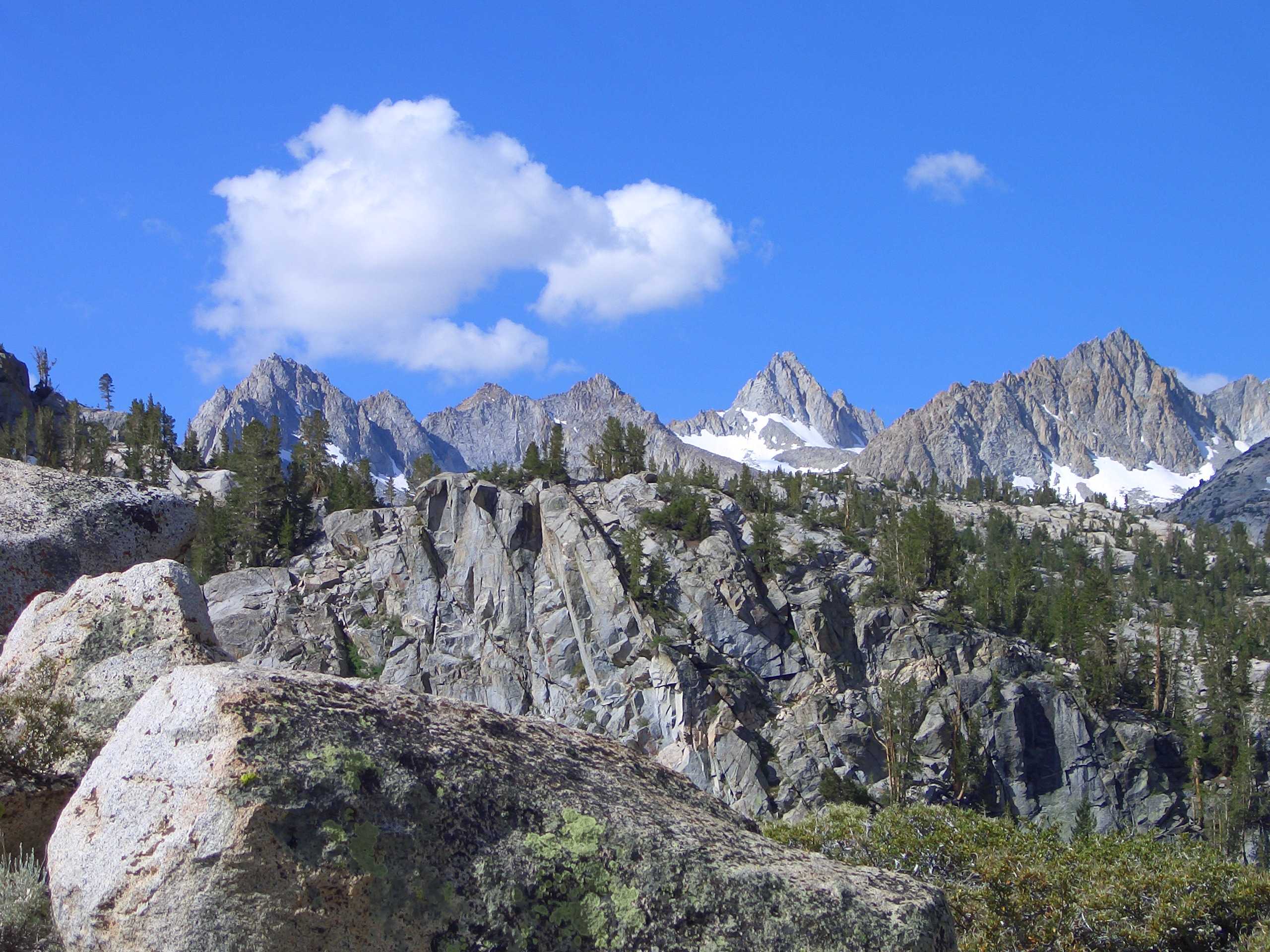
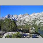
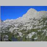
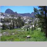
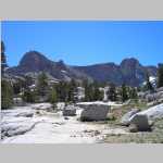
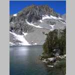
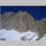
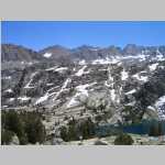
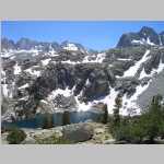
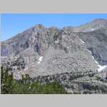
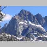
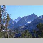
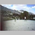
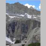
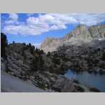
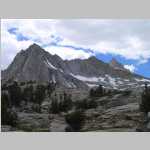
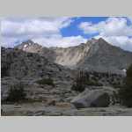
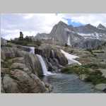
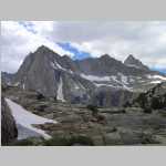
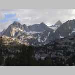
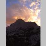
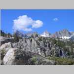
The John Muir Wilderness is a wilderness area that extends along the crest of the Sierra Nevada of California for 90 miles in the Inyo and Sierra National Forests. Established in 1964 by the Wilderness Act and named for naturalist John Muir, it encompasses 652,793 acres. The wilderness contains some of the highest peaks of the Sierra Nevada, with 57 peaks over 13,000 feet in elevation.

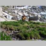
Dingleberry Lake was so named on account of dingleberries hanging on the rear of sheep in the area.

1 / 303
2 / 303
3 / 303
4 / 303
5 / 303
6 / 303
7 / 303
8 / 303
9 / 303
10 / 303
11 / 303
12 / 303
13 / 303
14 / 303
15 / 303
16 / 303
17 / 303
18 / 303
19 / 303
20 / 303
21 / 303
22 / 303
23 / 303
24 / 303
25 / 303
26 / 303
27 / 303
28 / 303
29 / 303
30 / 303
31 / 303
32 / 303
33 / 303
34 / 303
35 / 303
36 / 303
37 / 303
38 / 303
39 / 303
40 / 303
41 / 303
42 / 303
43 / 303
44 / 303
45 / 303
46 / 303
47 / 303
48 / 303
49 / 303
50 / 303
51 / 303
52 / 303
53 / 303
54 / 303
55 / 303
56 / 303
57 / 303
58 / 303
59 / 303
60 / 303
61 / 303
62 / 303
63 / 303
64 / 303
65 / 303
66 / 303
67 / 303
68 / 303
69 / 303
70 / 303
71 / 303
72 / 303
73 / 303
74 / 303
75 / 303
76 / 303
77 / 303
78 / 303
79 / 303
80 / 303
81 / 303
82 / 303
83 / 303
84 / 303
85 / 303
86 / 303
87 / 303
88 / 303
89 / 303
90 / 303
91 / 303
92 / 303
93 / 303
94 / 303
95 / 303
96 / 303
97 / 303
98 / 303
99 / 303
100 / 303
101 / 303
102 / 303
103 / 303
104 / 303
105 / 303
106 / 303
107 / 303
108 / 303
109 / 303
110 / 303
111 / 303
112 / 303
113 / 303
114 / 303
115 / 303
116 / 303
117 / 303
118 / 303
119 / 303
120 / 303
121 / 303
122 / 303
123 / 303
124 / 303
125 / 303
126 / 303
127 / 303
128 / 303
129 / 303
130 / 303
131 / 303
132 / 303
133 / 303
134 / 303
135 / 303
136 / 303
137 / 303
138 / 303
139 / 303
140 / 303
141 / 303
142 / 303
143 / 303
144 / 303
145 / 303
146 / 303
147 / 303
148 / 303
149 / 303
150 / 303
151 / 303
152 / 303
153 / 303
154 / 303
155 / 303
156 / 303
157 / 303
158 / 303
159 / 303
160 / 303
161 / 303
162 / 303
163 / 303
164 / 303
165 / 303
166 / 303
167 / 303
168 / 303
169 / 303
170 / 303
171 / 303
172 / 303
173 / 303
174 / 303
175 / 303
176 / 303
177 / 303
178 / 303
179 / 303
180 / 303
181 / 303
182 / 303
183 / 303
184 / 303
185 / 303
186 / 303
187 / 303
188 / 303
189 / 303
190 / 303
191 / 303
192 / 303
193 / 303
194 / 303
195 / 303
196 / 303
197 / 303
198 / 303
199 / 303
200 / 303
201 / 303
202 / 303
203 / 303
204 / 303
205 / 303
206 / 303
207 / 303
208 / 303
209 / 303
210 / 303
211 / 303
212 / 303
213 / 303
214 / 303
215 / 303
216 / 303
217 / 303
218 / 303
219 / 303
220 / 303
221 / 303
222 / 303
223 / 303
224 / 303
225 / 303
226 / 303
227 / 303
228 / 303
229 / 303
230 / 303
231 / 303
232 / 303
233 / 303
234 / 303
235 / 303
236 / 303
237 / 303
238 / 303
239 / 303
240 / 303
241 / 303
242 / 303
243 / 303
244 / 303
245 / 303
246 / 303
247 / 303
248 / 303
249 / 303
250 / 303
251 / 303
252 / 303
253 / 303
254 / 303
255 / 303
256 / 303
257 / 303
258 / 303
259 / 303
260 / 303
261 / 303
262 / 303
263 / 303
264 / 303
265 / 303
266 / 303
267 / 303
268 / 303
269 / 303
270 / 303
271 / 303
272 / 303
273 / 303
274 / 303
275 / 303
276 / 303
277 / 303
278 / 303
279 / 303
280 / 303
281 / 303
282 / 303
283 / 303
284 / 303
285 / 303
286 / 303
287 / 303
288 / 303
289 / 303
290 / 303
291 / 303
292 / 303
293 / 303
294 / 303
295 / 303
296 / 303
297 / 303
298 / 303
299 / 303
300 / 303
301 / 303
302 / 303
303 / 303

Getting the feet ready more of same Sabrina lake - just at start of hike Ted on the trail Ted on the trail Above Sabrina Lake Stairway to heaven The Sierra escarpment Jim just before lake outlet crossing Near outlet crossing Ted on the left - Just above our future campsite Brian at trailhead 12,760 ft/13253 ft (on Crest) center skyline Mount Haeckel (13,418 ft) SSW across Lake Sabrina (9128') 12,760 ft/13253 ft (on Crest) center skyline Mount Haeckel (13,418 ft) SSW across Lake Sabrina (9128') Northeast across Lake Sabrina to Owens Valley Haeckel Pt. 12,760 ft Pts.12,760 ft/13,253 ft Mt Darwin hidden behind 12,760 ft/13,253ft Pts 12,760 ft/13,253 ft these are west of Dingleberry Lake Bob et al. on switchbacks below Blue Lake another view of switchbacks Blue Lake 10,400 ft; Mount Thompson (13,494 ft) way back? Jim (foreground) and Bob (background)north end of Blue Lake trail west of Blue Lake Brian hiking west of Blue Lake Bishop Creek drainage looking NE Pt. 11,800 fteast of Pee Wee Lake trailside flowers SW from Dingleberry Lake (10,489 ft) (l.->r.) Pt 13,080'Mt Haeckel (13,418')Pt. 12,760' flowers Flowers Indian Paintbrush South southwest across Dingleberry Lake Picture Pk (13,120') on left Mt Haeckel about center Brian, Bob, Jim, dinner at Camp Dingleberry Jim Camp Dingleberry Camp Dingleberry Above Dingleberry lake Above Dingleberry lake Headng to Midnight lake Headng to Midnight lake Midnight Lake Midnight Lake Midnight Lake Midnight Lake Camp Dingleberry Camp Dingleberry South southwest across Dingleberry Lake panorama Picture Pk Pt. 13.080 ft Mt Haeckel Pt. 12,760 ft South southwest across Dingleberry Lake panorama Pt. 12,760 ft/13,253 ft (hidden) Dingleberry Lake (10,489 ft) Brian inflating the pink chair Jim and Brian hanging the food bags at Camp Dingleberry Jim and Brian hanging the food bags at Camp Dingleberry Bob logging pink chair time Northeast across Dingleberry Lake creek just above Dingleberry Lake Brian fording creekchilly Jim fording creek Jim fording creek creek stuff, on trail between Dingleberry Lake and turnoff to Hungry Packer Lake Pt. 11,800 ft (east of Pee Wee Lake) on trail between Dingleberry Lake and turnoff to Hungry Packer Lake Pt. 11,800 ft (east of Pee Wee Lake) on trail between Dingleberry Lake and turnoff to Hungry Packer Lake Pt 12,760 ft with Haeckel behind on trail between Dingleberry Lake and turnoff to Hungry Packer Lake flower waterfall Northeast to Dingleberry Lake Owens Valley Indian Paintbrush on trail between Hungry Packer trail turnoff and Midnight Lake some other flower on trail between Hungry Packer trail turnoff and Midnight Lake Picture Peak (13,120 ft) on trail between Hungry Packer trail turnoff and Midnight Lake Pt. 12,760 (south of Blue Heaven Lake) on trail between Hungry Packer trail turnoff and Midnight Lake waterfallon trail between Hungry Packer trail turnoff and Midnight Lake Brian and Jimanother stream crossingon trail between Hungry Packer trail turnoff and Midnight Lake on trail between Hungry Packer trail turnoff and Midnight Lake Midnight Lake (10,988 ft) and Pt. 12,760 ft Midnight Lake (10,988 ft) Midnight Lake (10,988 ft) flowers Brian and map West across Midnight to Mount Darwin (13,831 ft) and Pt. 13,048 ft north across Midnight Lake west to Mount Darwin flowers  (Ranunculaceae) Camp Dingleberry Brian and Camp Dingleberry happy campersl.->r. Brian, Jim, Ted, Bob On the way toward Midnight lake Toward Blue Heaven Lake Blue Heaven Lake Blue Heaven Lake Blue Heaven Lake Blue Heaven Lake Down from Blue Heaven lake Lunch below Blue heaven lake Pts. 12,760 ft and 12,760 ft sunrise from Camp Dingleberry Mount Haeckel and Pt. 12,760 ft sunrise from Camp Dingleberry S to Picture Peak (13,120 ft) and Pt. 13,080 ftfrom ca. 11,200'S and above Midnight Lake S to Picture Peak (13,120 ft) and Pt. 13,080 ftfrom ca. 11,200'S and above Midnight Lake SE across Midnight Lake: left distance is Pt. 13,280 and Mount. Thompson (13,494 ft); square top summit and sunny spire with snow bEast northeastath are both ca. 13,000 ft; twin peak on right with snowy face is Pt. 13,364 ftfrom ca. 11,300' SE across Midnight Lake: from ca. 11,400' above Midnight Lake W to Mount Darwin (13,831 ft)from ca. 11,400' above Midnight Lake W to Mount Darwin (13,831 ft)from ca. 11,400' above Midnight Lake North northwest across Blue Heaven Lake to Pt. 13,048 ft Blue Heaven Lake11,821 ft S across Blue Heaven Lake; Pt. 12,760 ft on left Pt. 13,332 ft on right Mount Haeckel (13,418 ft) in center Brian and flowers flower close up Mount Darwin (13,831 ft)from ca. 12,100' alpine tarn from ca. 12,100' Brian admiring Mount Darwin, from ca. 12,100', East southheast Mount Thompson on far right from ca. 12,300' Pt. 13,048 ft to right of nasty icefield (Darwin Col) panoramafrom ca. 12,500' Mount Darwin (13,831 ft) panoramafrom ca. 12,500' Mount Darwin (13,831 ft) panoramafrom ca. 12,500' Mount Darwin (13,831 ft) panoramafrom ca. 12,500' l.->r.: Pt. 12,760 ft Picture Peak (13,120 ft) Pt. 13,080 ft Mount Wallace (13,377 ft)S from ca. 12,500' Brian on bulletproof snowfield somewhere beneath Darwin Col Brian on bulletproof snowfield somewhere beneath Darwin Col looking up to Darwin Col from ca. 12,600' Mount Darwin (13,831 ft) from ca. 12,600' Pt. 13,048 ft East northeast across Blue Heaven Lake to Hell Diver Lakes a dark Pt. 11,800' (east of Pee Wee Lake) can be discerned SE across Blue Heaven Lakel.->r.: Pt. 13,000' (square top)Pt. 12,760'Mt Haeckel (13,418') East panoramafrom 11,400' Pt. 13,280 ft Mount Thompson (13,494 ft) in center; square top Pt. 13,000 ft right panoramafrom 11,400 ft close up of marsh at 11,400 ft Brian and Mount Darwin Above Midnight Lake Pt. 13,000 ft (square top) in center Pt. 13,364 ft on right from ca. 11.200 ft Pt. 13,280 ft Mount Thompson (13,494 ft) in center; square top Pt. 13,000 ft right (Brian saw a monkey face in square top) panorama SE to S; above Midnight Lake from 11,200' Pt. 13,000 ftPt. 13,364 ftPicture PeakpanoramaSE to S; above Midnight Lake from 11,200' looking Northeast to Brian and Bishop Creek drainagefrom ca. 11,200' Pt. 11,800 ft (east of Pee Wee Lake) greenish yellow rock flowers North northeast down Bishop Creek drainage to Owens Valley Pt. 11,800 ft (east of Pee Wee Lake)Pee Wee Lake can be seen pond below Midnight Lake same pond as above with Pt. 13,000 ft (square top) and Picture Peak (13,120 ft) in background skyliNortheast NNortheast from ca. 11,000 ft to Dingleberry Lakelooking for Camp Dingleberry NNortheast from ca. 11,000 ft to Dingleberry Lakelooking for Camp Dingleberry Ted in pink chair Brian and Ted Brian and Bob Jim outlet of Dingleberry Lake outlet of Dingleberry Lake outlet of Dingleberry Lake S to Picture Peak (13,120 ft) Camp Dingleberry Picture Peak (13,120 ft)Clyde Spires on left Mount Haeckel (13,418 ft) and Pt. 12,760 ft Mount Haeckel (13,418 ft) and Pt. 12,760 ftPicture Pk behind trees Brian hands, something's fishy Jim likes fish something's fishy chef Jim another dinner at Camp Dingleberry sunset on Picture Peak (13,120 ft) Dingleberry Lake (10,489 ft) SE to Pt. 11,800 ft (east of Pee Wee Lake) and ridge beyond Blue Lake On the way toward Hungry Packer lake On the way toward Hungry Packer lake Trail junction Trail junction Up toward Hungry Packer Up toward Hungry Packer Up toward Hungry Packer Up toward Hungry Packer Hungry Packer lake Outlet of Moonlight lake Outlet of Moonlight lake Near Moonlight Lake Near Moonlight Lake Near Moonlight Lake Near Moonlight Lake Near Moonlight Lake Near Moonlight Lake Near Moonlight Lake Near Moonlight Lake Near Moonlight Lake Camp Dingleberry water is a bit lower than seen yesterday, stream crossing above Dingleberry Lake Brian stream crossing above Dingleberry Lake Jim stream crossing above Dingleberry Lake Bob stream crossing above Dingleberry Lake Bob stream crossing above Dingleberry Lake stream shot stream shot flowerslooks like a lupine flowers diseased willow Indian Paintbrush et al. Indian Paintbrush et al. Dr. Smith’s diagnosis of willow disease flower water alpine meadow flower meadow flower Brian at trail fork Hungry Packer/Midnight Lakes trail fork above Dingleberry Lake llamas and handler Hungry Packer/Midnight Lakes trail fork above Dingleberry Lake Picture Peak (13,120 ft) Mount Haeckel (13,418 ft) Flowers am seeing this guy all over the place flowers East to Pt. 11,800 ft and Pee Wee Lake Pee Wee Lake Mount Darwin (13,831 ft) and Pt. 13,048 ft East to Pt. 11,800 ft and Pee Wee Lake Mount Darwin (13,831 ft) Pt. 13,048 ftand Pt. 13,253 ft Picture Peak (13,120 ft) Pt. 13,364 ft and Picture Peak (13,120 ft) Clyde Spires just left and behind Picture Pk Pt. 13,000 ft(square top) and Pt. 13,000 ft more flowers Brian and Bob Picture Peak (13,120 ft) Picture Peak (13,120 ft) Sailor Lake and Picture Peakfrom 11,000' stream shot Sailor Lake and Pt. 11.800 ft first view of Hungry Packer Lake (11,071 ft) Clyde Spires in background at Hungry Packer Lake (11,071') Picture Peak (13,120 ft)at Hungry Packer Lake (11,071') Jimat Hungry Packer Lake (11,071') Brian at Hungry Packer Lake (11,071') some sort of columbine at Hungry Packer Lake (11,071') Brian and Jim hiking along Hungry Packer Lake at Hungry Packer Lake (11,071') Mount Haeckel (13,418 ft)hiking along Hungry Packer Lake at Hungry Packer Lake (11,071') Jim and Brian hiking along Hungry Packer Lake at Hungry Packer Lake (11,071') Jim Pt. 11,800 ft sunlit in distance hiking along Hungry Packer Lake at Hungry Packer Lake (11,071') Flowers hiking along Hungry Packer Lake at Hungry Packer Lake (11,071') gnarled log hiking along Hungry Packer Lake at Hungry Packer Lake (11,071') Flowers hiking along Hungry Packer Lake at Hungry Packer Lake (11,071') fernhiking along Hungry Packer Lake at Hungry Packer Lake (11,071') Pt. 11,800 ft (east of Pee Wee Lake) at Hungry Packer Lake (11,071') Picture Peak (13,120 ft) at Hungry Packer Lake (11,071') Noth northeast to Pt. 11,800 ft hiking to Moonlight Lake Jim (left) and Bob (far right) hiking to Moonlight Lake N->SW panorama: sierra granite between Sailor and Hungry Packer Lakes (ca. 11,000 ft)hiking to Moonlight Lake N->SW panorama: sierra granite between Sailor and Hungry Packer Lakes (ca. 11,000 ft)hiking to Moonlight Lake hiking Bob hiking to Moonlight Lake gazing Bob (E to Pt. 12,138 ft beyond Moonlight Lake) hiking to Moonlight Lake Picture Peak (13,120 ft)Pt. 13,080 ftand Mount Haeckel (13,418 ft)hiking to Moonlight Lake Moonlight Lake (11,052 ft) from Moonlight Lake (11,052') NW to Sailor Lake (11,000 ft) from Moonlight Lake (11,052') Mount Darwin (13,831 ft) from Moonlight Lake (11,052') South to Pt. 13,000 ft (square top) and Pt. 13,000 ft (N of Pt. 13,364 ft)from Moonlight Lake (11,052') WNW to Sailor Lake (11,000 ft) from Moonlight Lake (11,052') Brian scrambling the boulders along Moonlight Lakefrom Moonlight Lake (11,052') S across Moonlight Lake to Pt. 13,000 ft (square top) and Pt. 13,000 ft from Moonlight Lake (11,052') S across Moonlight Lake to Pt. 13,000 ft (square top) and Pt. 13,000 ft from Moonlight Lake (11,052') Southwest to Picture Peak (13,120 ft) Pt. 13,080 ftand Mount Haeckel (13,418 ft) from Moonlight Lake (11,052') NW to Pt. 13,253 ft from Moonlight Lake (11,052') Brian at Moonlight Lake outlet (looking N) hike Moonlight Lake outlet stream to waterfalls S across Moonlight Lake Pt. 13,000 ft hike Moonlight Lake outlet stream to waterfalls Stream S to Pt. 13,000 ft (square top) and Pt. 13,000 ft (N of Pt. 13,364 ft) hike Moonlight Lake outlet stream to waterfalls Brian doing that rock hopping thanghike Moonlight Lake outlet stream to waterfalls Brian doing that rock hopping thang hike Moonlight Lake outlet stream to waterfalls Brian at falls check out his Goober hat hike Moonlight Lake outlet stream to waterfalls Brian fallsPicture Peak (13,120 ft) Pt. 13,080 ft and Mount Haeckel (13,418 ft) Moonlight Falls Brian falls Picture Peak (13,120 ft) Pt. 13,080 ft and Mount Haeckel (13,418 ft) Moonlight Falls Brian, Jim, fallsMoonlight Falls Falls Picture Peak (13,120 ft)Pt. 13,080 ft and Mount Haeckel (13,418 ft) Moonlight Falls Jim and Brian Moonlight Falls Picture Peak (13,120 ft)Pt. 13,080 ft and Mount Haeckel (13,418 ft) Moonlight Falls Brian and falls Moonlight Falls Falls Moonlight Falls Jim and fallsMoonlight Falls Ted and fallsMoonlight Falls pond Jim, Brian, Bob crossing Abbey Road? Jim more falls Picture Peak (13,120 ft) Clyde Spires on left marmot Brian on trail Topsy Turvy Lake10,800 ft Pt. 11,800 ft (east of Pee Wee Lake and Topsy Turvy Lake) SE to Pt. 12,000 Mount Darwin (13,831 ft) Pt. 13,048 ftand Pt. 13,253 ft BrianPt. 13,080 ft and Mount Haeckel (13,418 ft) Dingleberry Lake (10,489 ft) nice bouquet Picture Peak (13,120 ft) Mount Haeckel (13,418 ft)and Pt. 12,760 ft Ted bouldering on kitchen rock Ted bouldering on kitchen rock Ted bouldering on kitchen rock Bob, Brian, Jim Picture Peak (13,120 ft)Pt. 13,080 f tand Mount Haeckel (13,418 ft) Pt. 12,760 (west of Dingleberry Lake) sunset shots Pt. 12,760 (west of Dingleberry Lake) sunset shots looking north sunset shots Pt. 12,760 (west of Dingleberry Lake) sunset shots sunset shots Mount Haeckel (13,418 ft)and Pt. 12,760 ft sunset shots Brian at Dingleberry LakeClyde SpiresPicture Peak (13,120 ft)Pt13,080 ftMount Haeckel (13,418 ft)Pt. 12,760 ftPt. 13,332 ftnice shot looking north Pt. 11,800 ft (east of Pee Wee Lake) Mount Thompson (13,494 ft) looking south across Blue Lake (10,400') Mount Thompson (13,494 ft) Pt 11,800 ft (east of PeeWee Lake) Pt. 12,760 (west of Dingleberry Lake) north to Mount Emerson (13,118 ft) and Piute Crags (?) Picture Peak (13,120 ft) Mount Wallace (13,377 ft) Pt. 13,080 ft Mount Haeckel (13,418 ft) and Pt. 12,760 ft Lake Sabrina Lake Sabrina Brian at trailhead with stashed beer and bonus trash classic sign…Bishop CA this pic is for Bob slurry bomber makes a run on sage brush fire, US highway 395 north of BishopCA slurry bomber makes a run on sage brush fire, US highway 395 north of BishopCA slurry bomber makes a run on sage brush fire, US highway 395 north of BishopCA