Canyonlands National Park, Utah

September 14 to 17, 2012

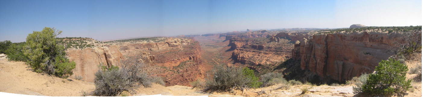
"Wherever we look, there is a wilderness of rocks, deep gorges where the rivers are lost below cliffs and towers and pinnacles, and 10,000 strangely carved forms in every direction, and beyond them, mountains blending with the clouds."

John Wesley Powell (1875) Scribner's Monthly

Hike Information

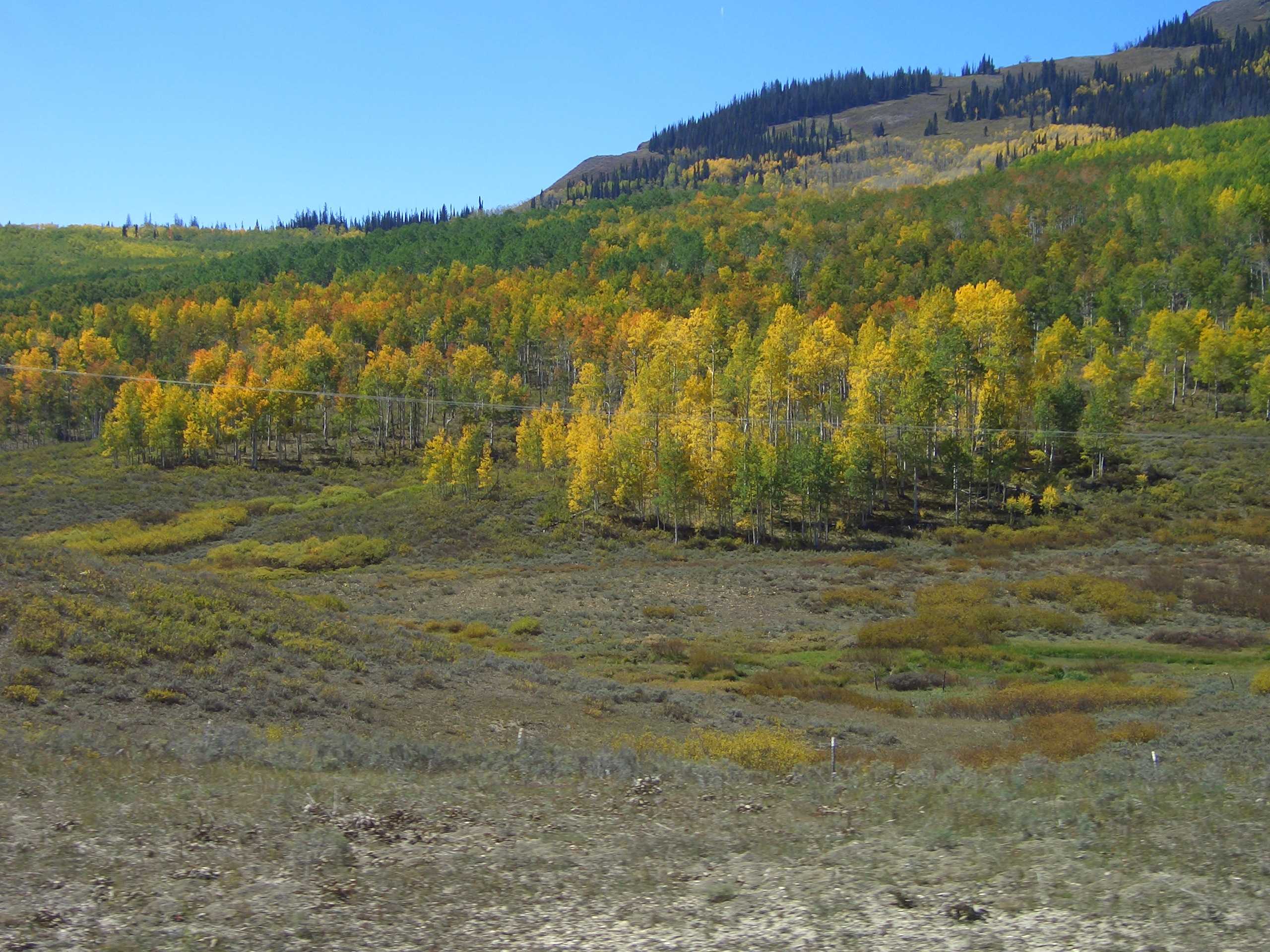
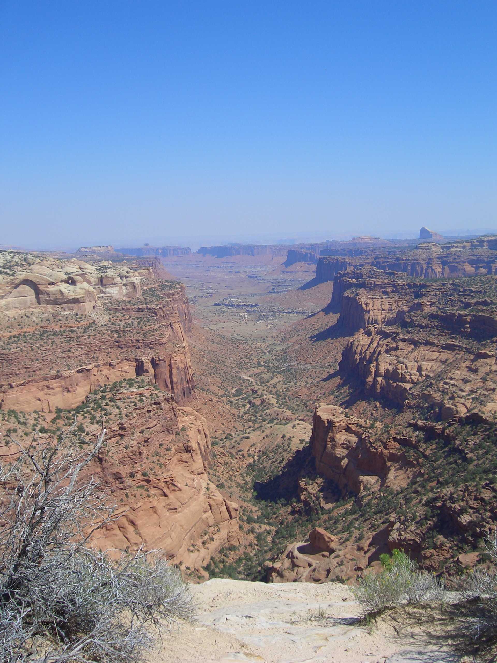
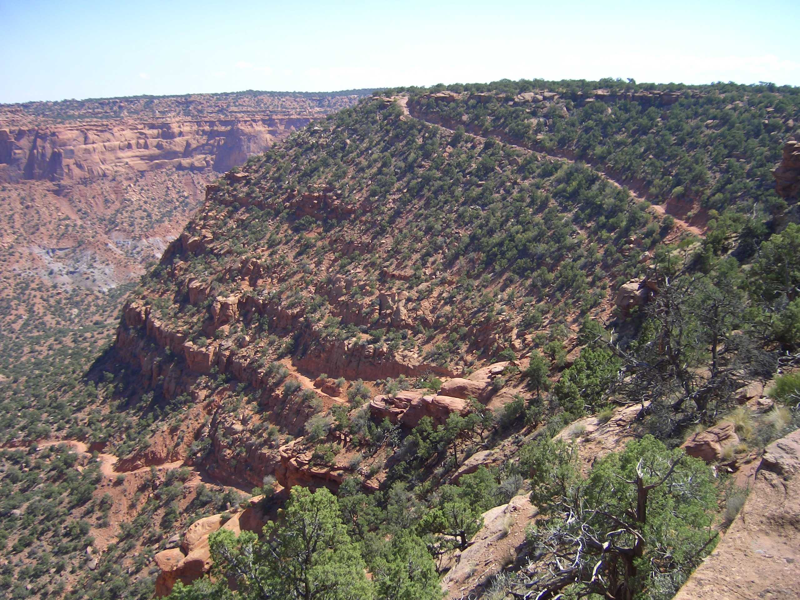
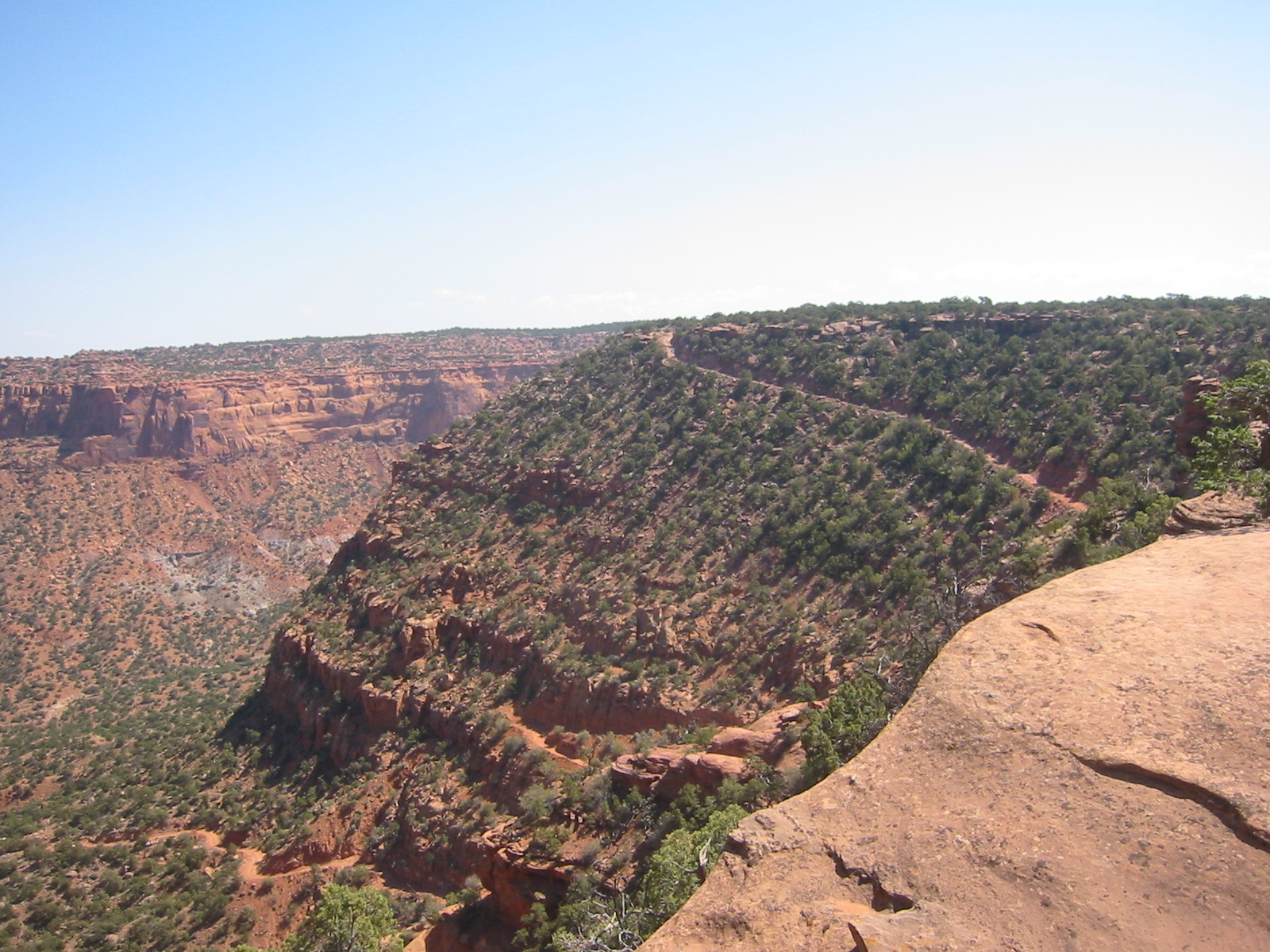
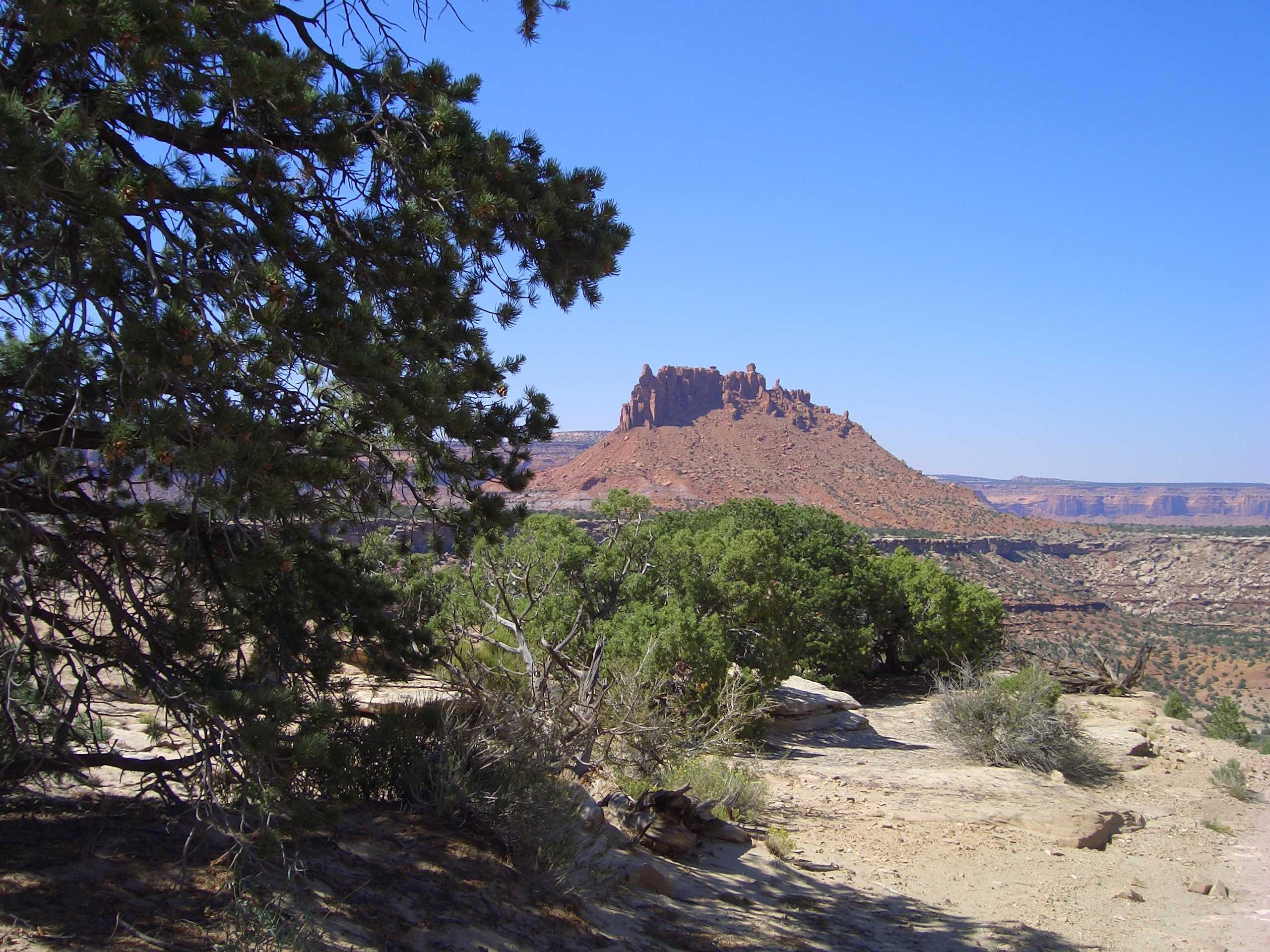
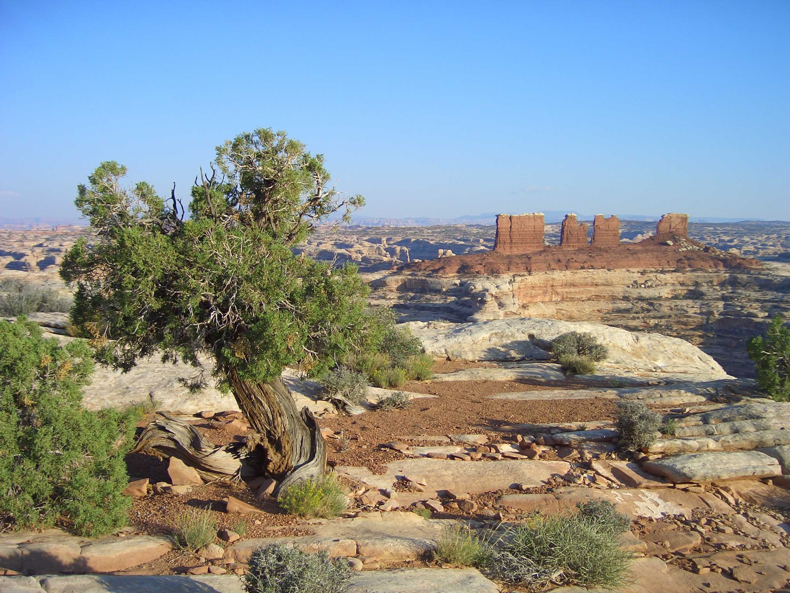
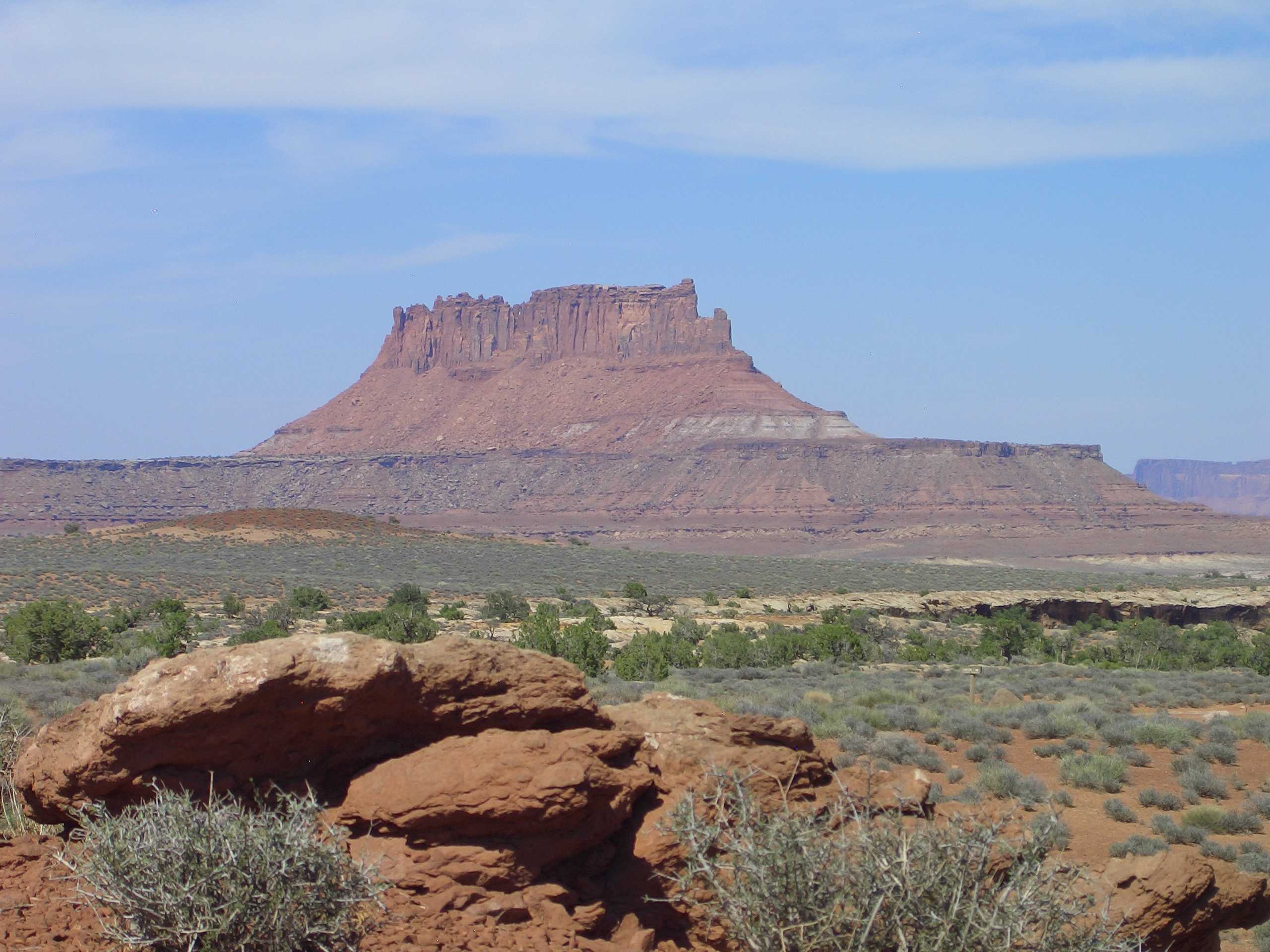
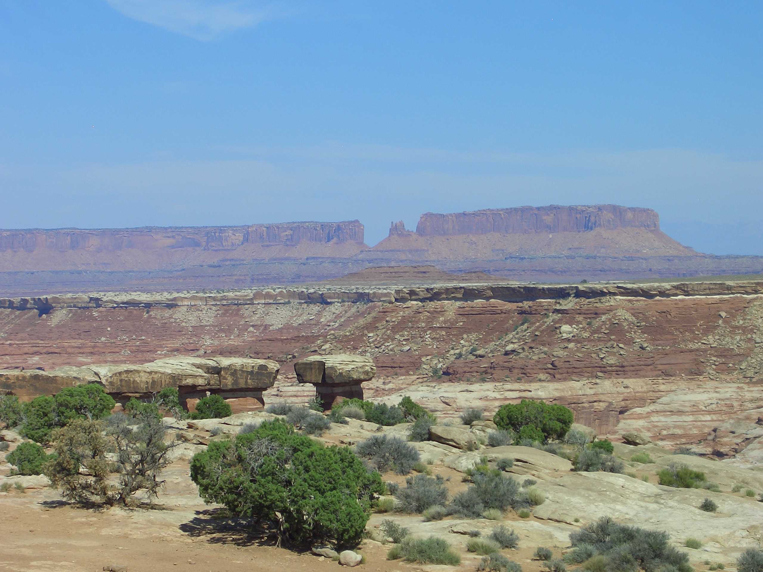
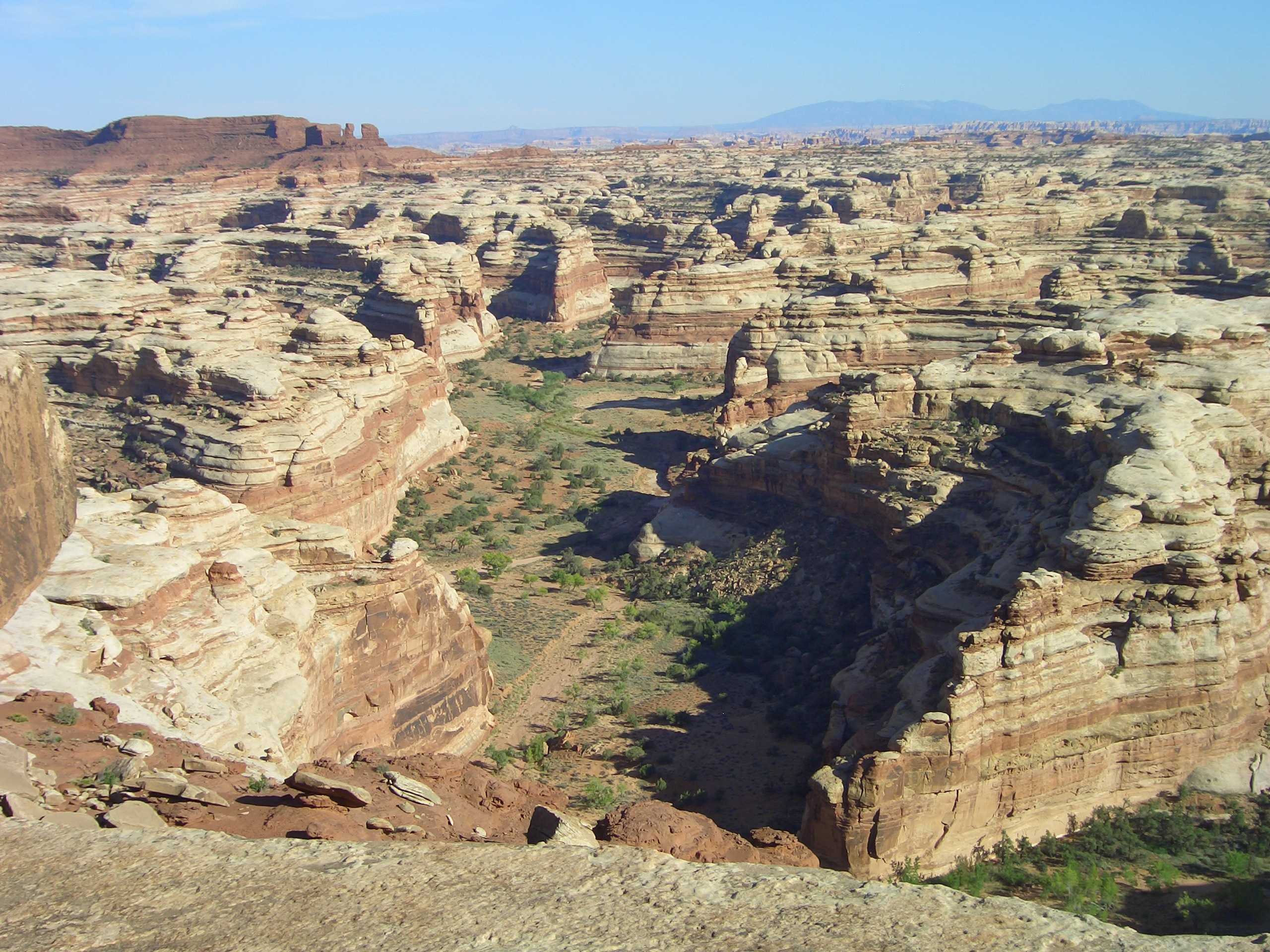
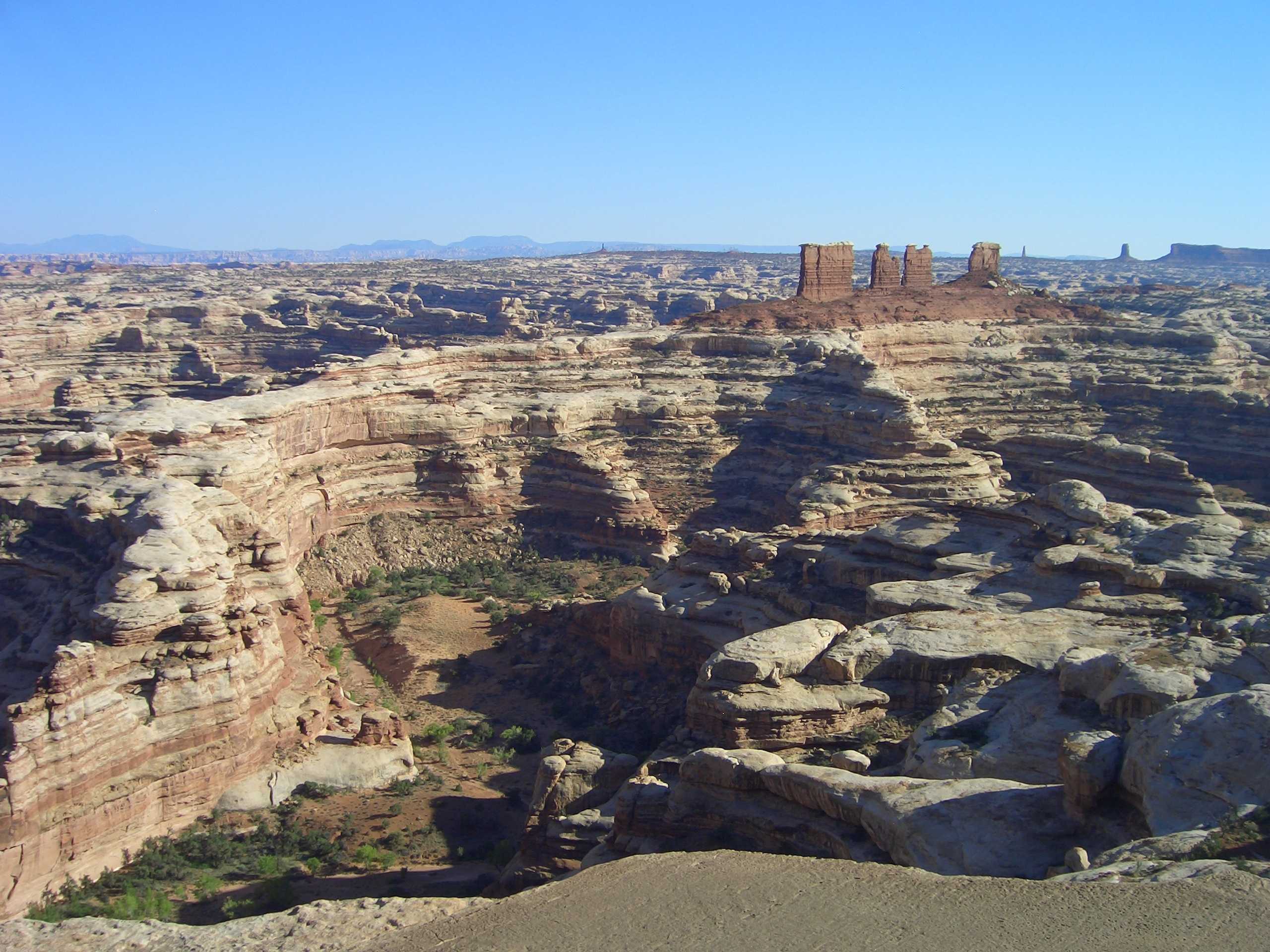
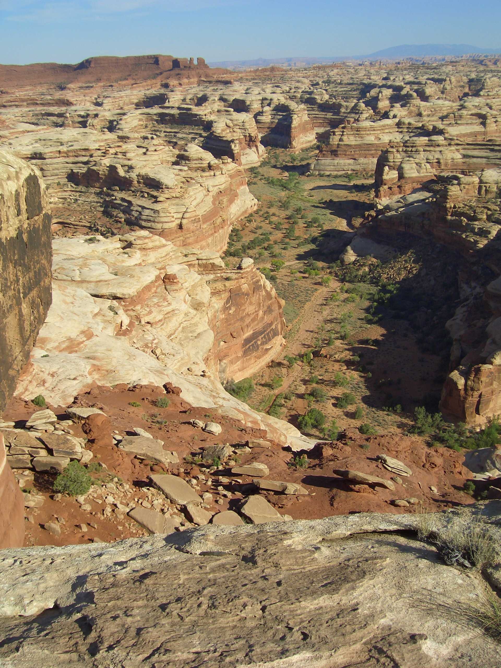
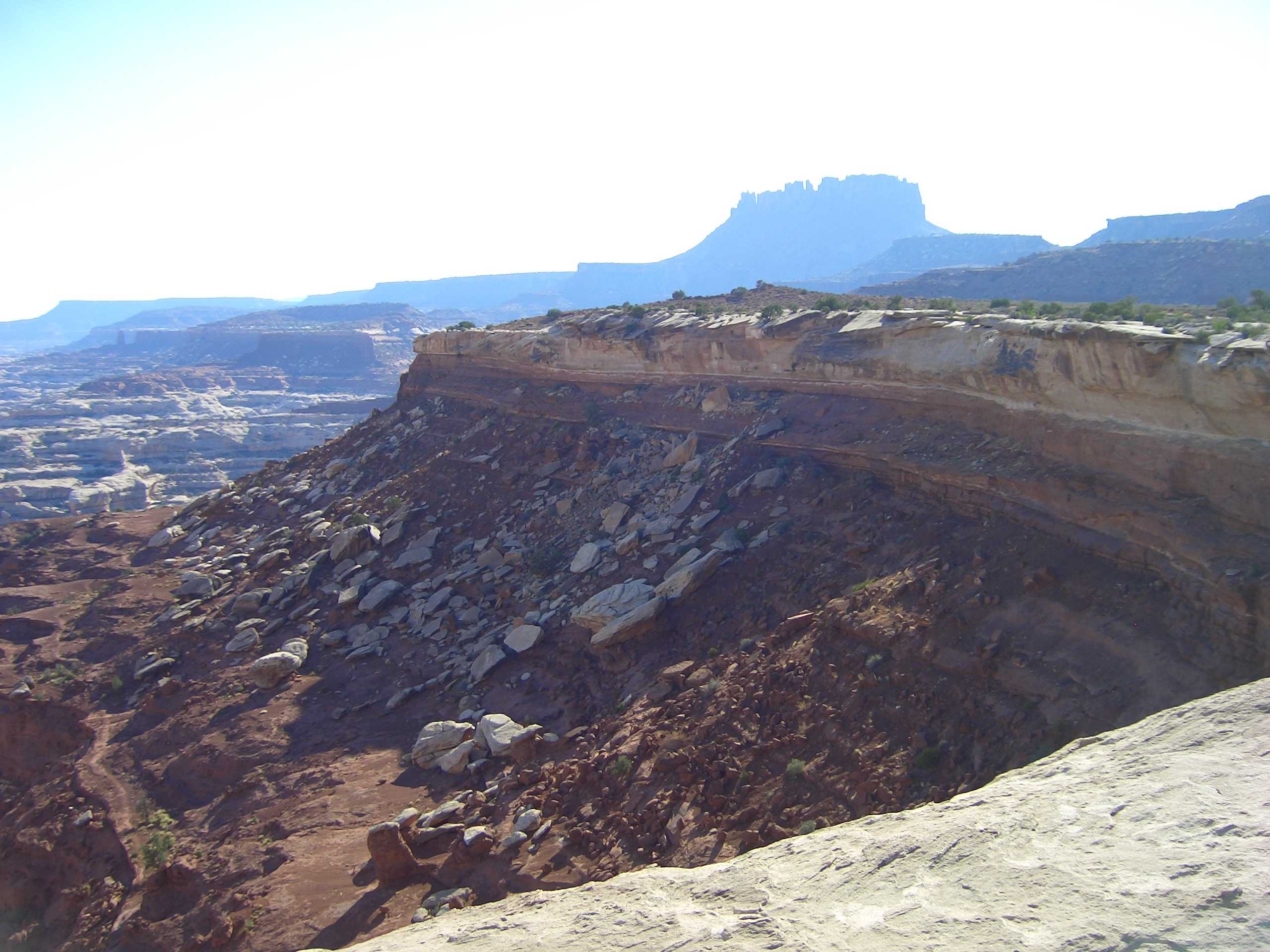
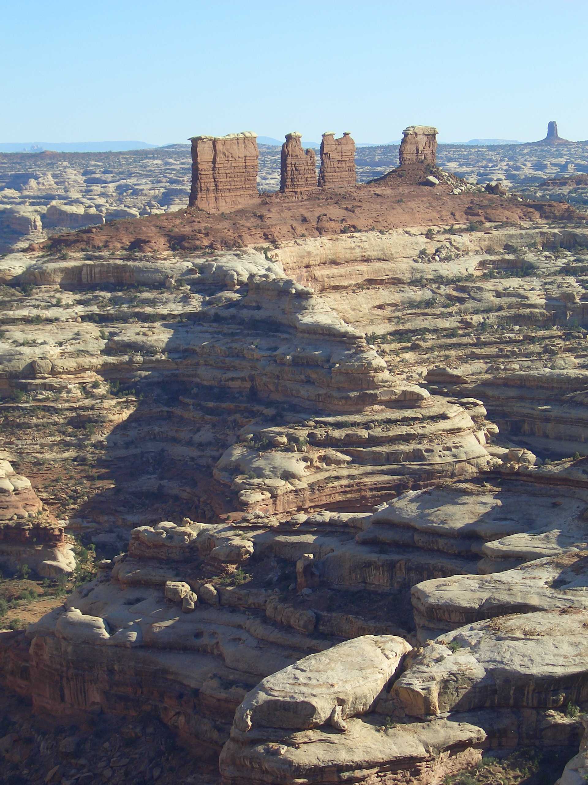
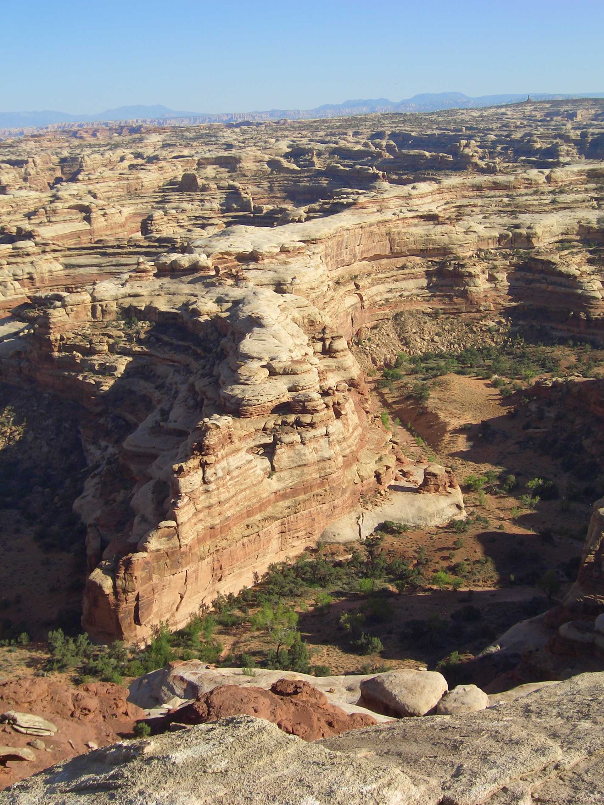
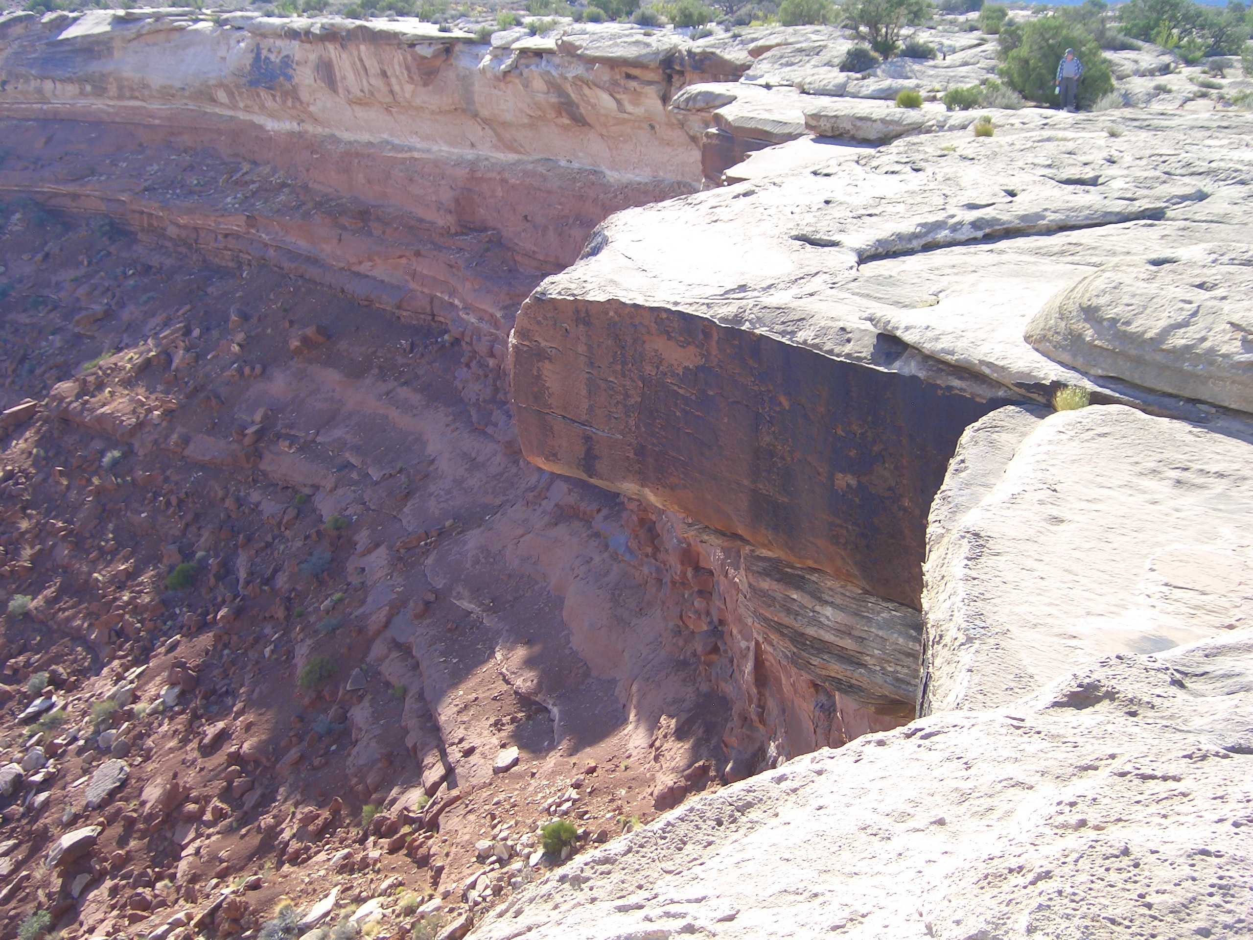
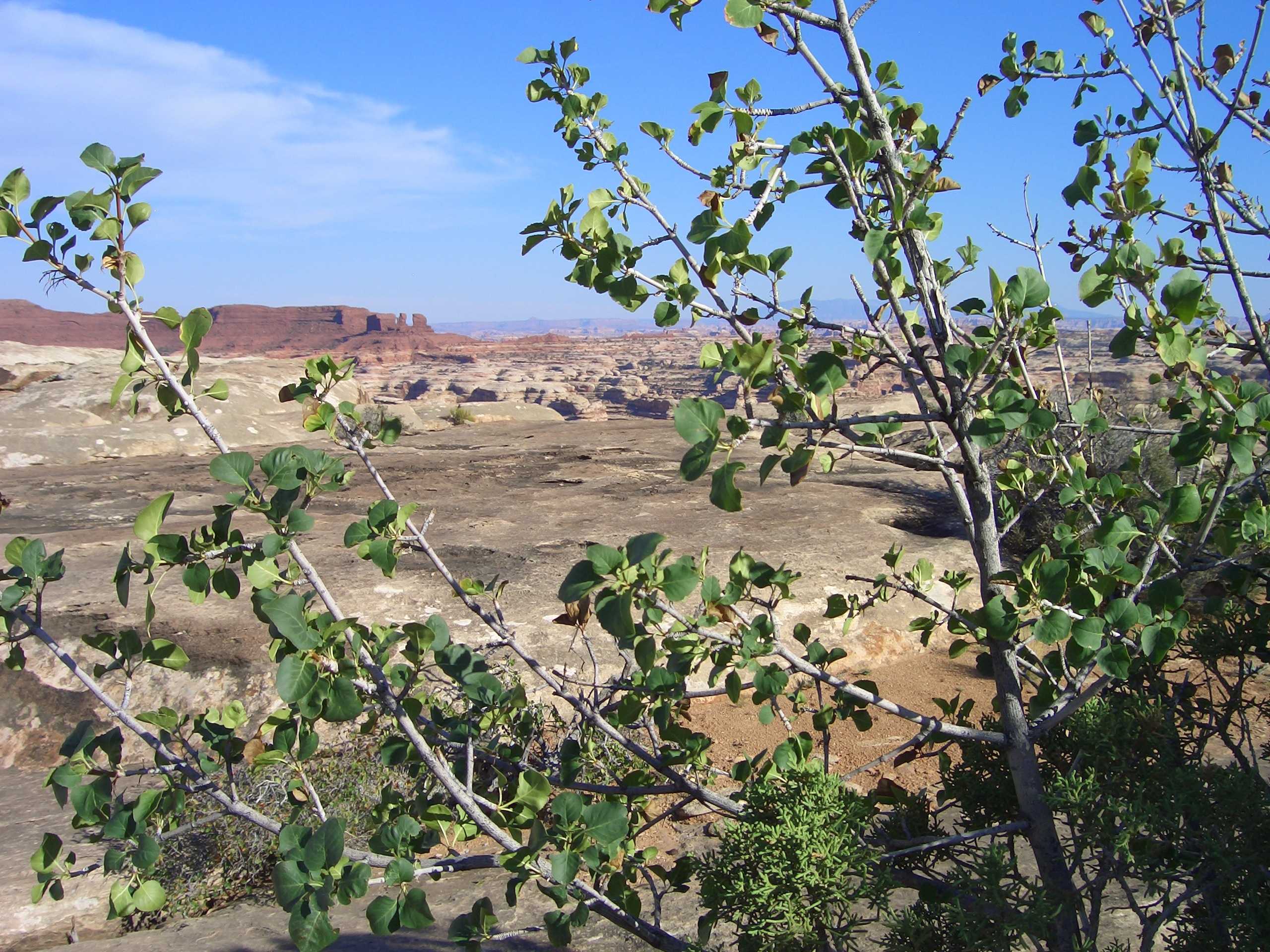
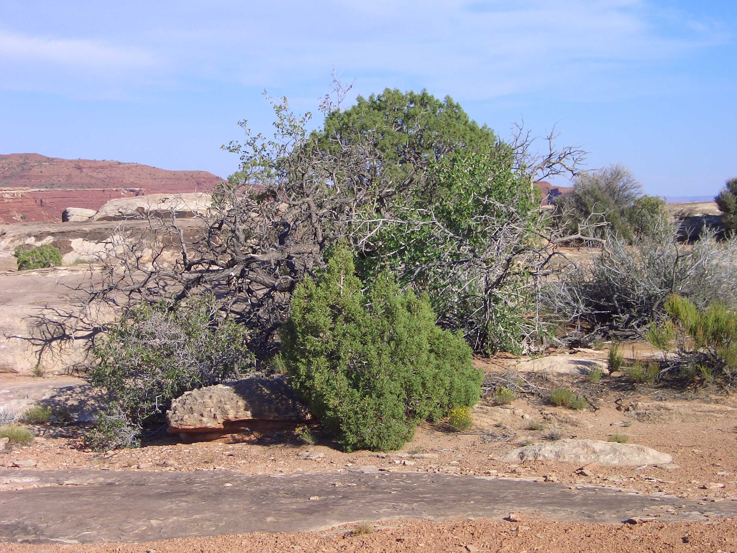
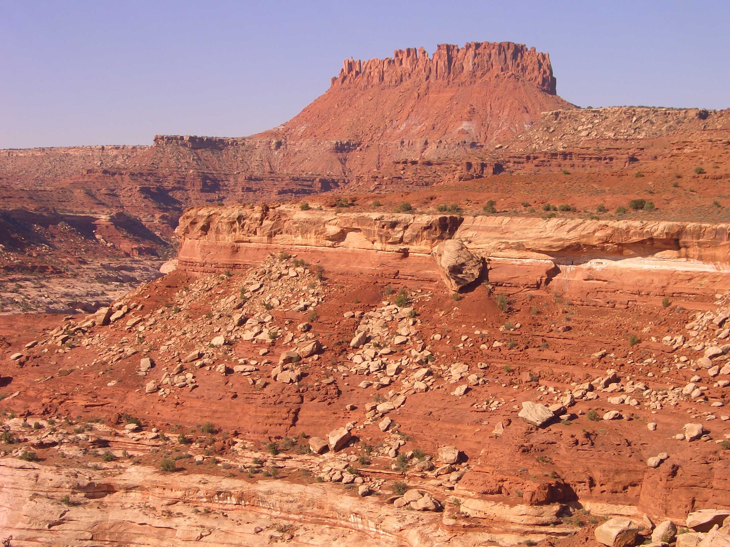
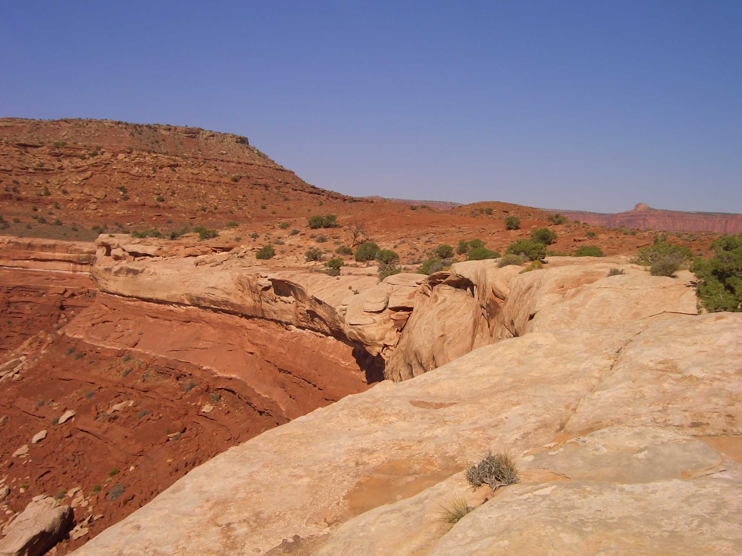
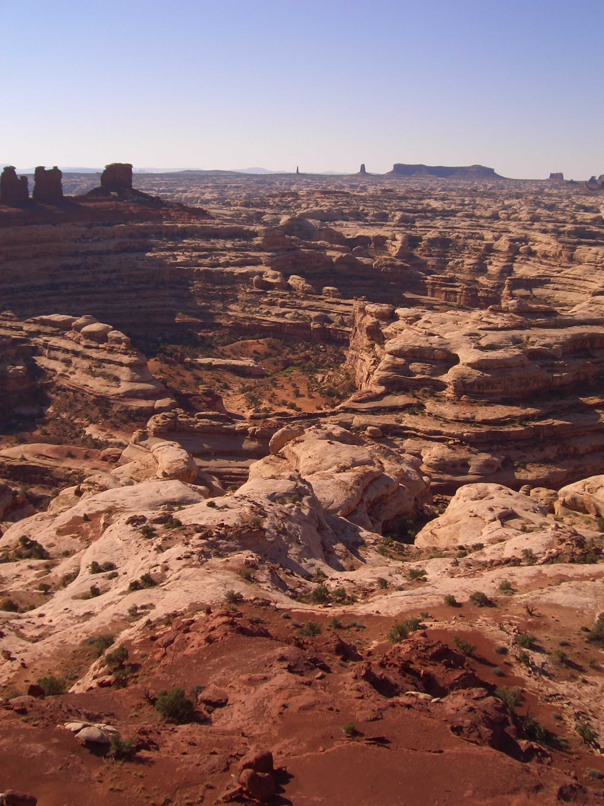
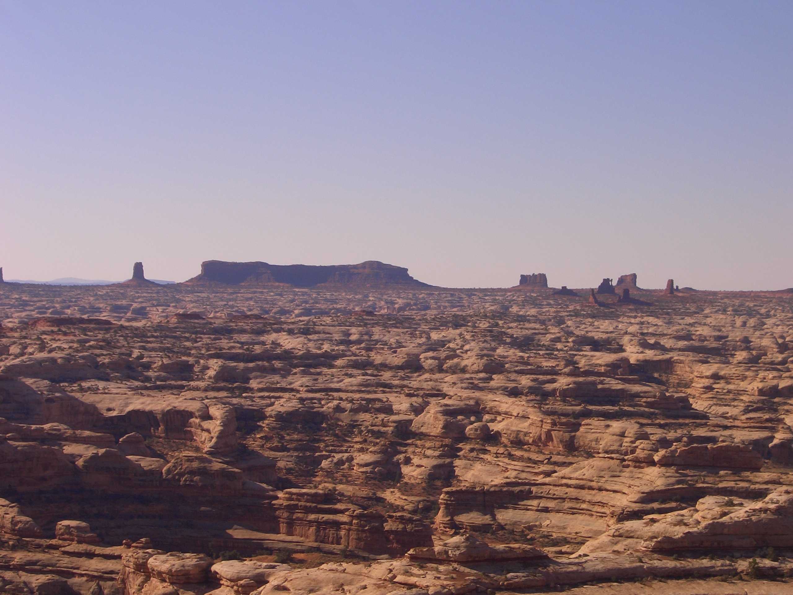
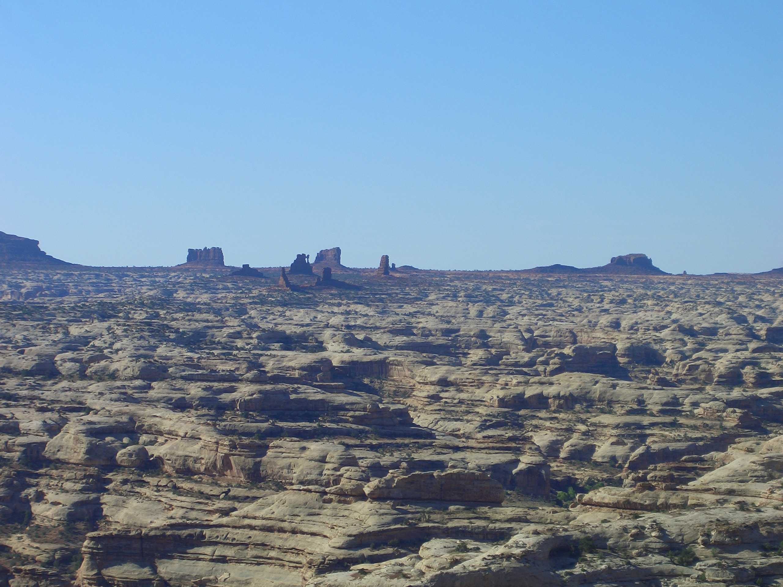
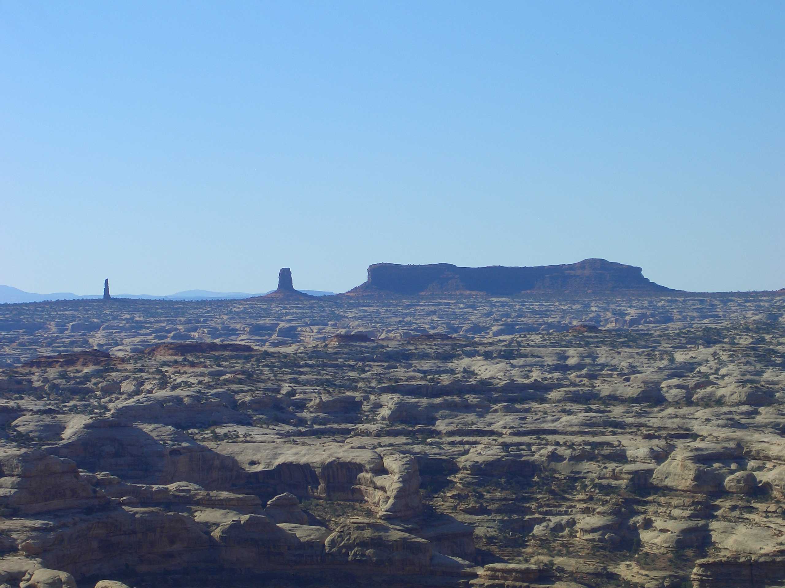
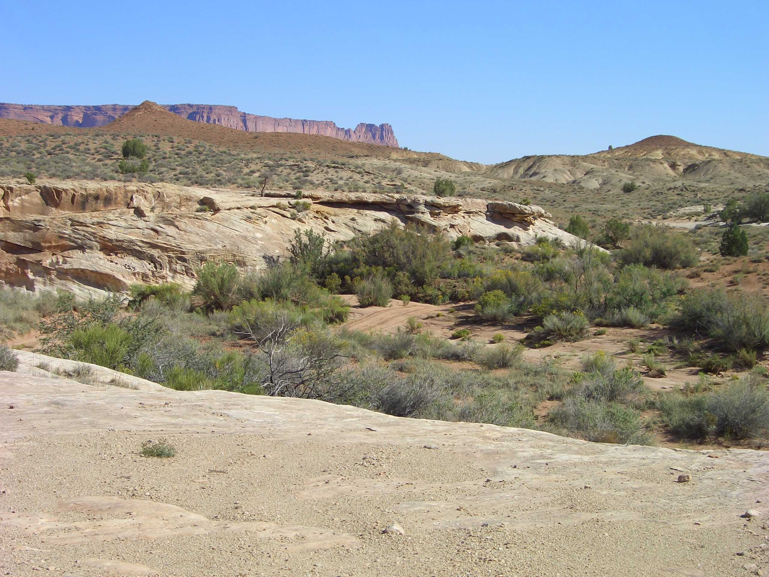
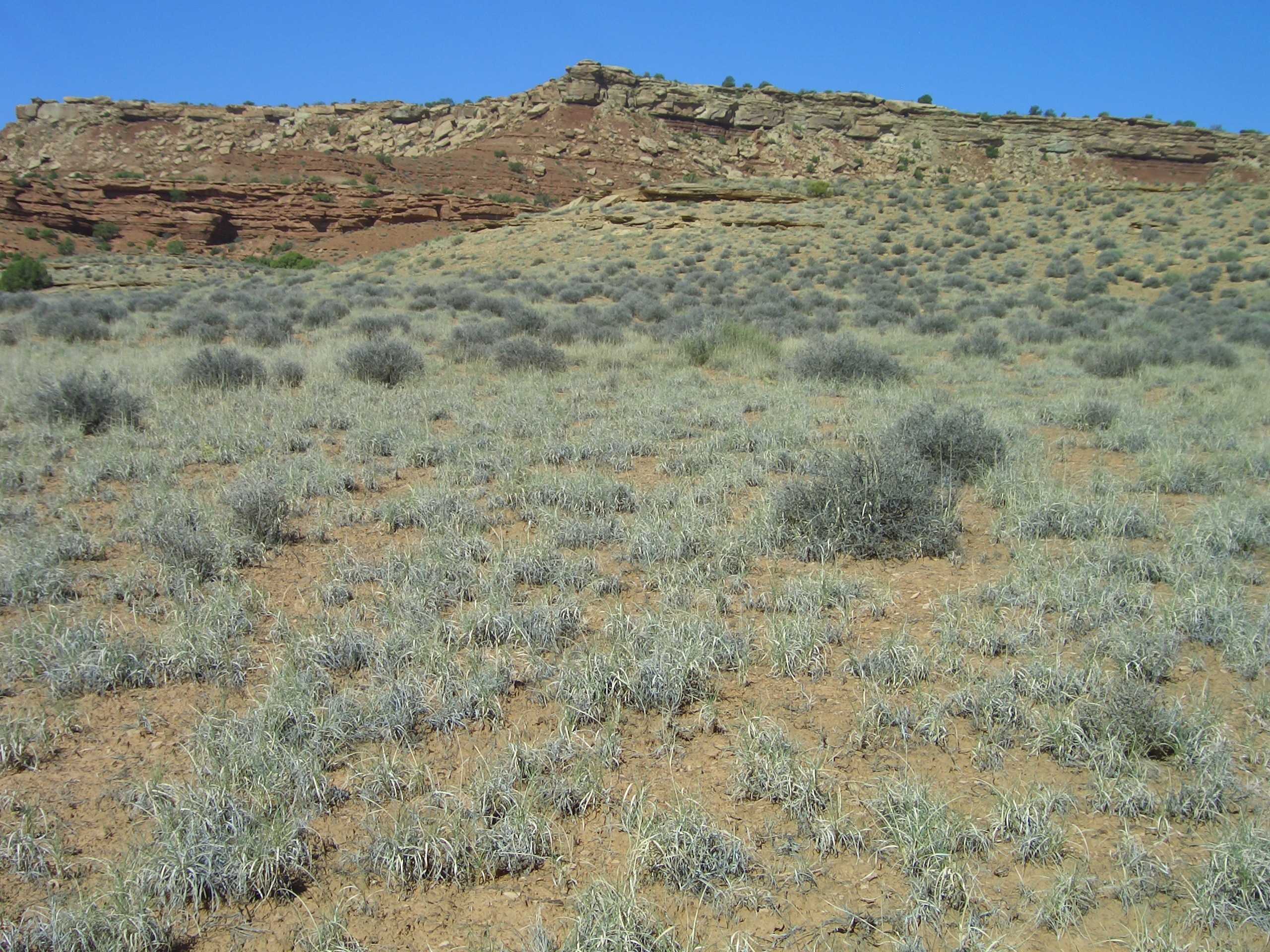
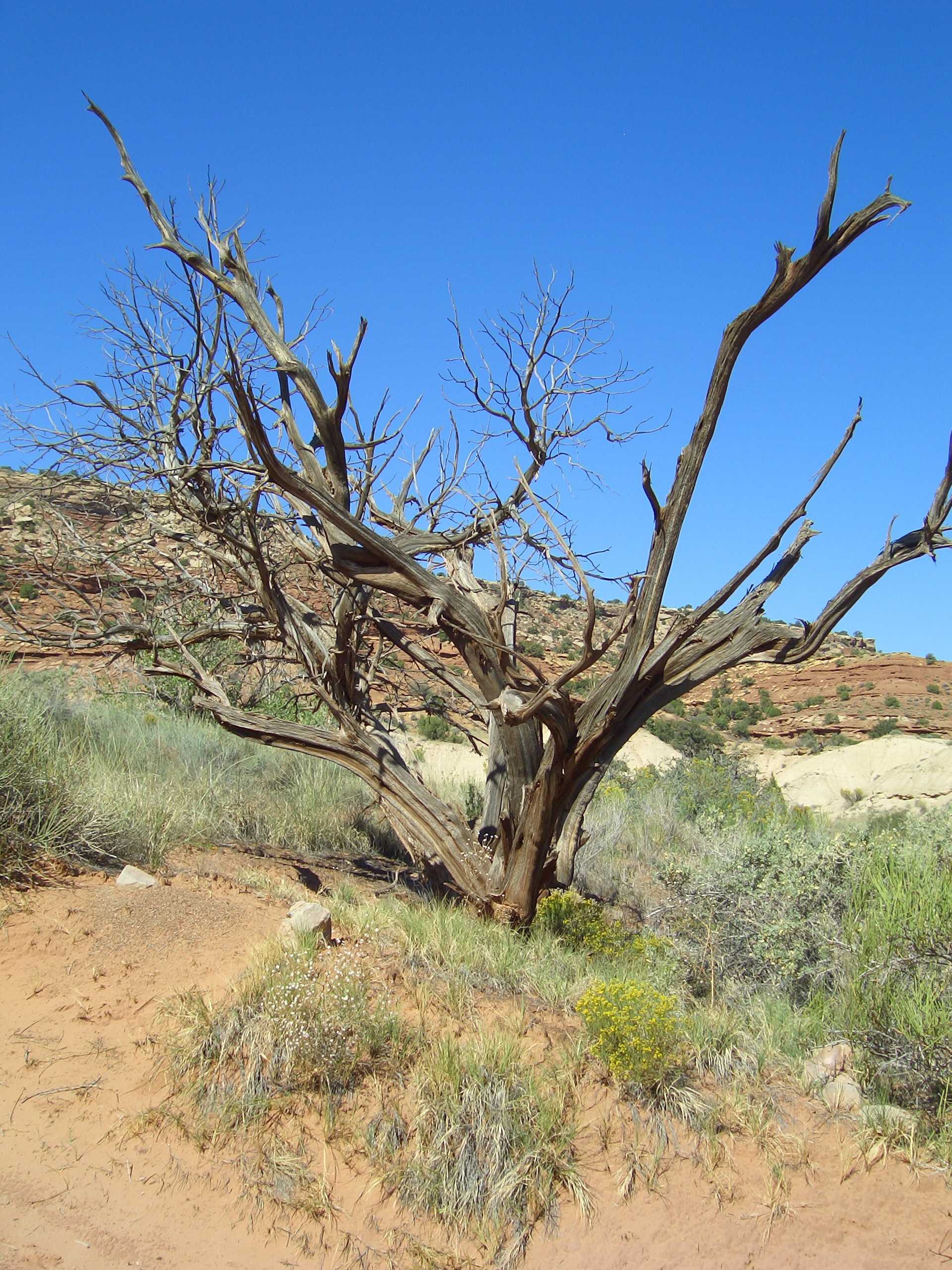
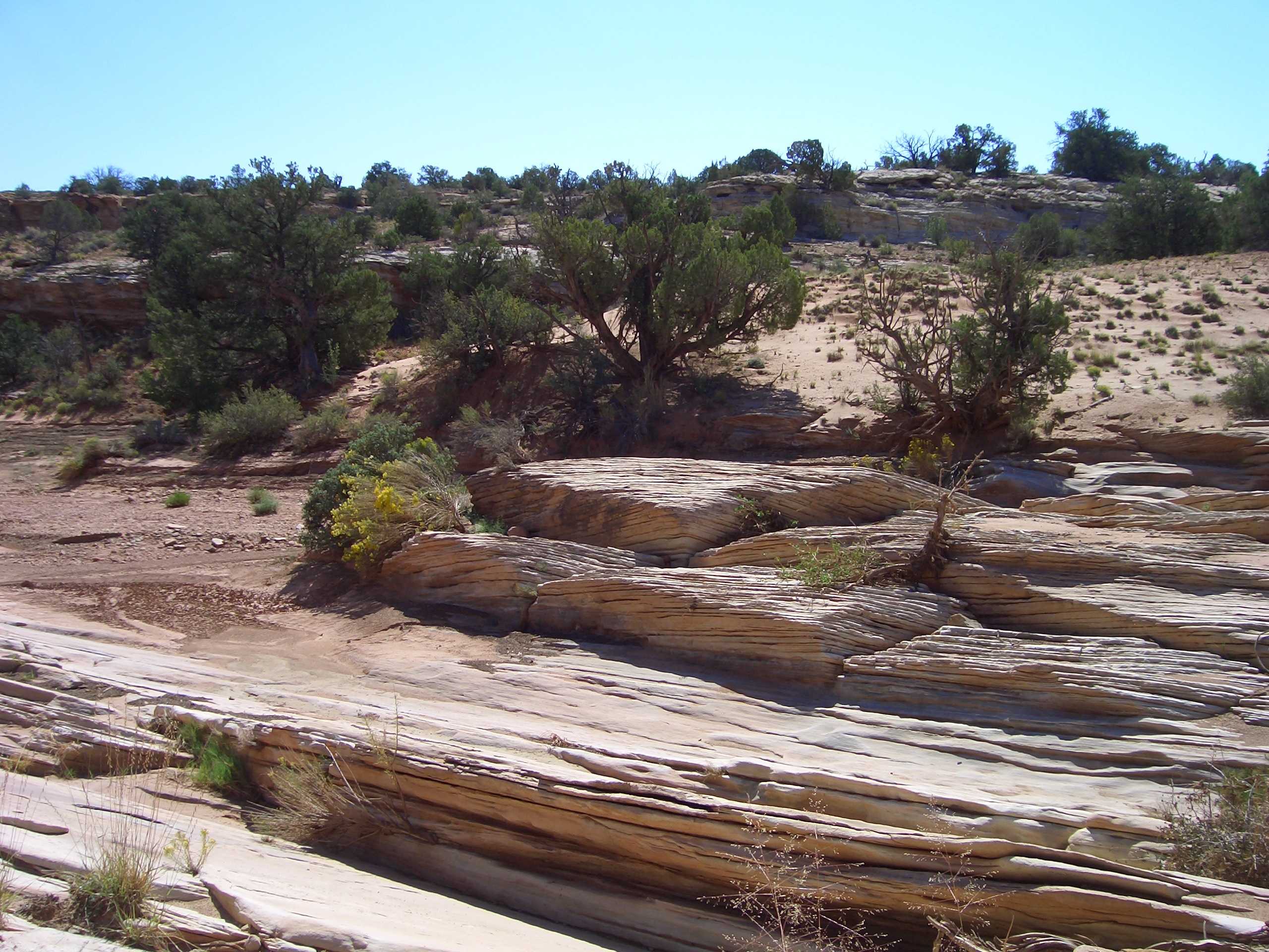
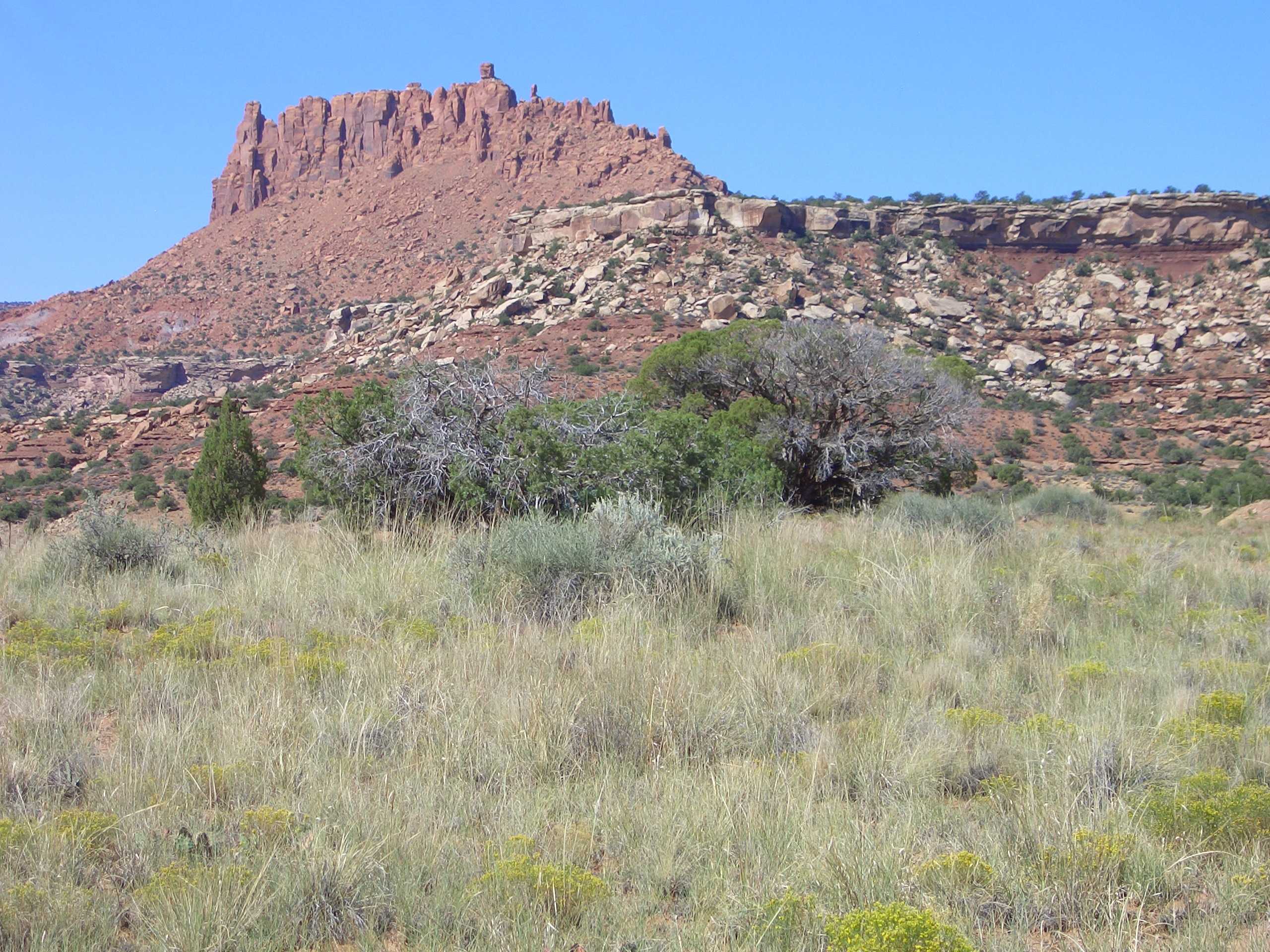
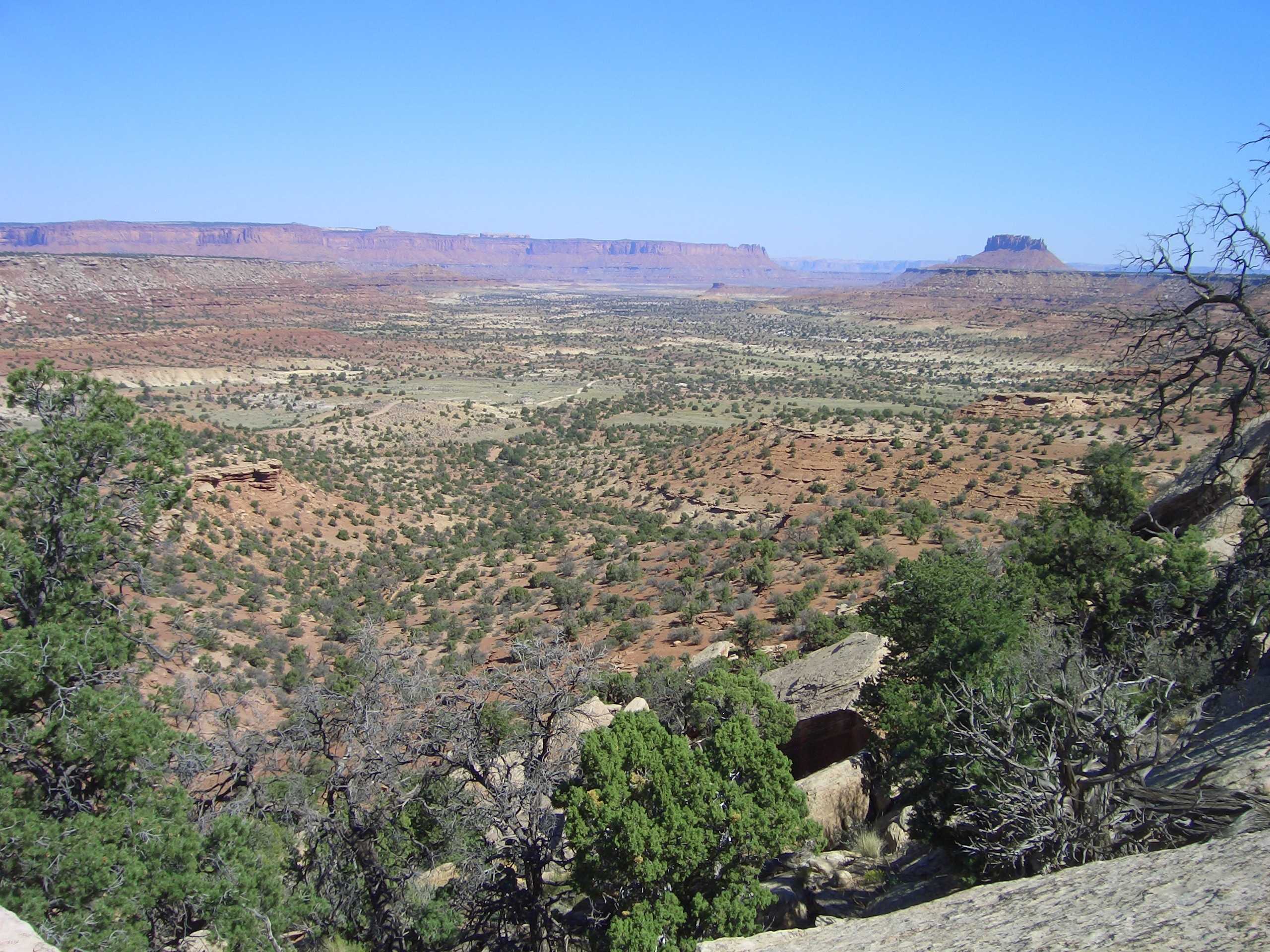
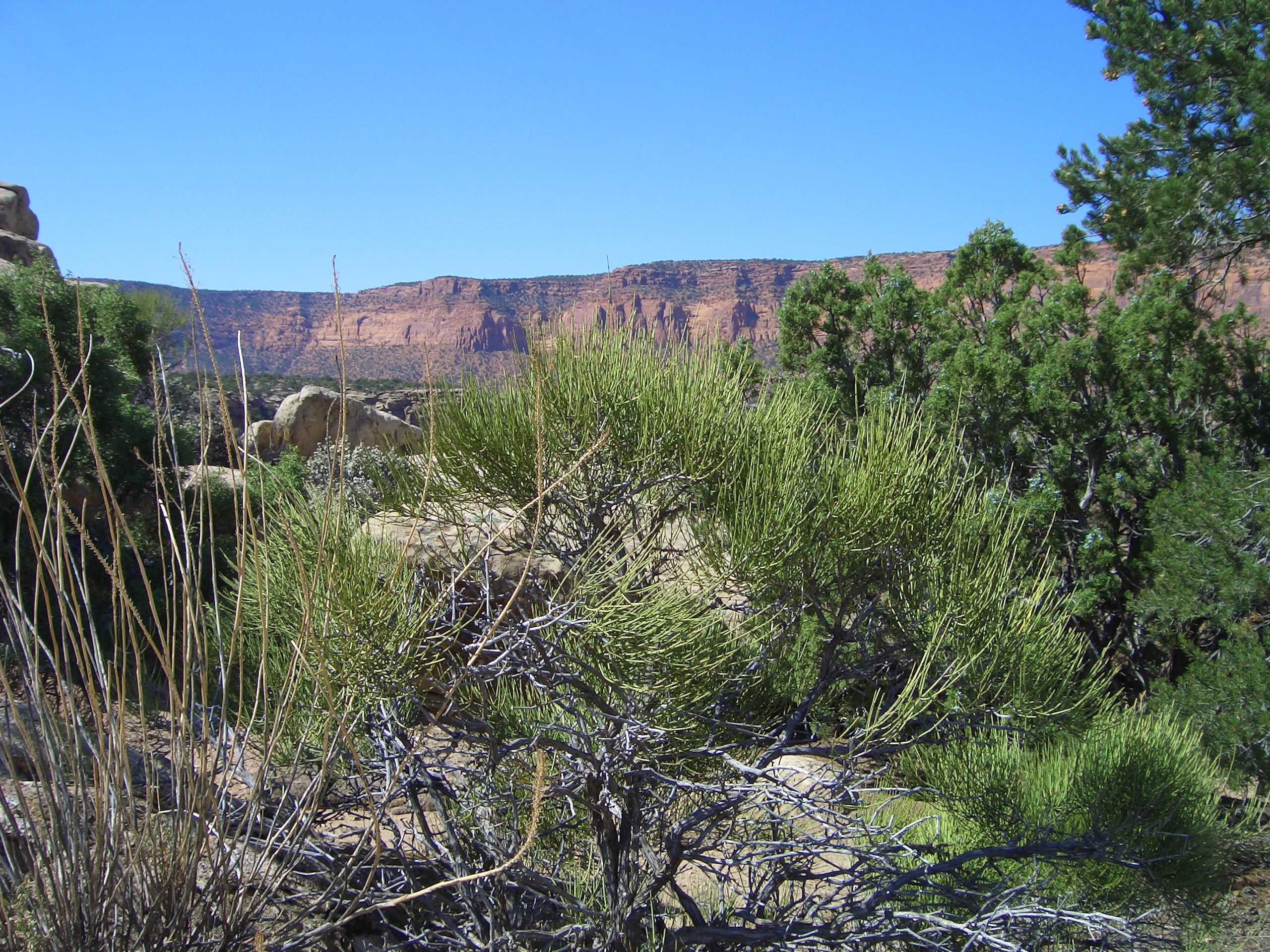
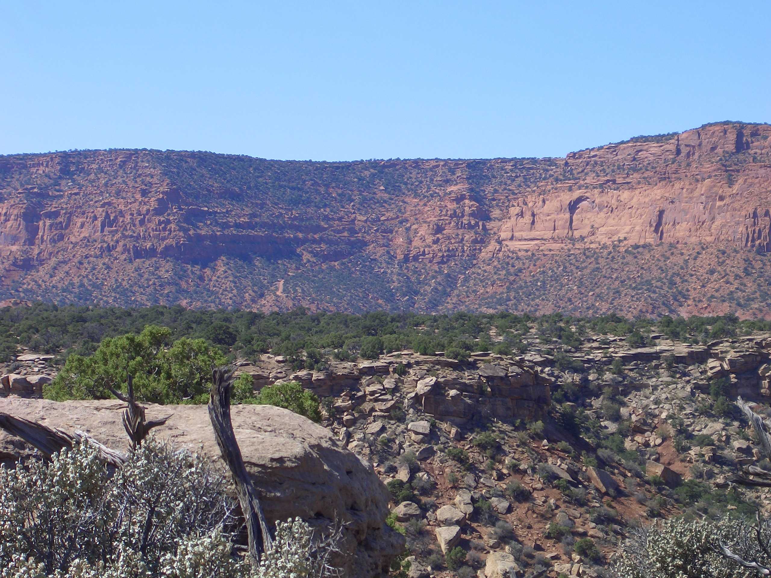
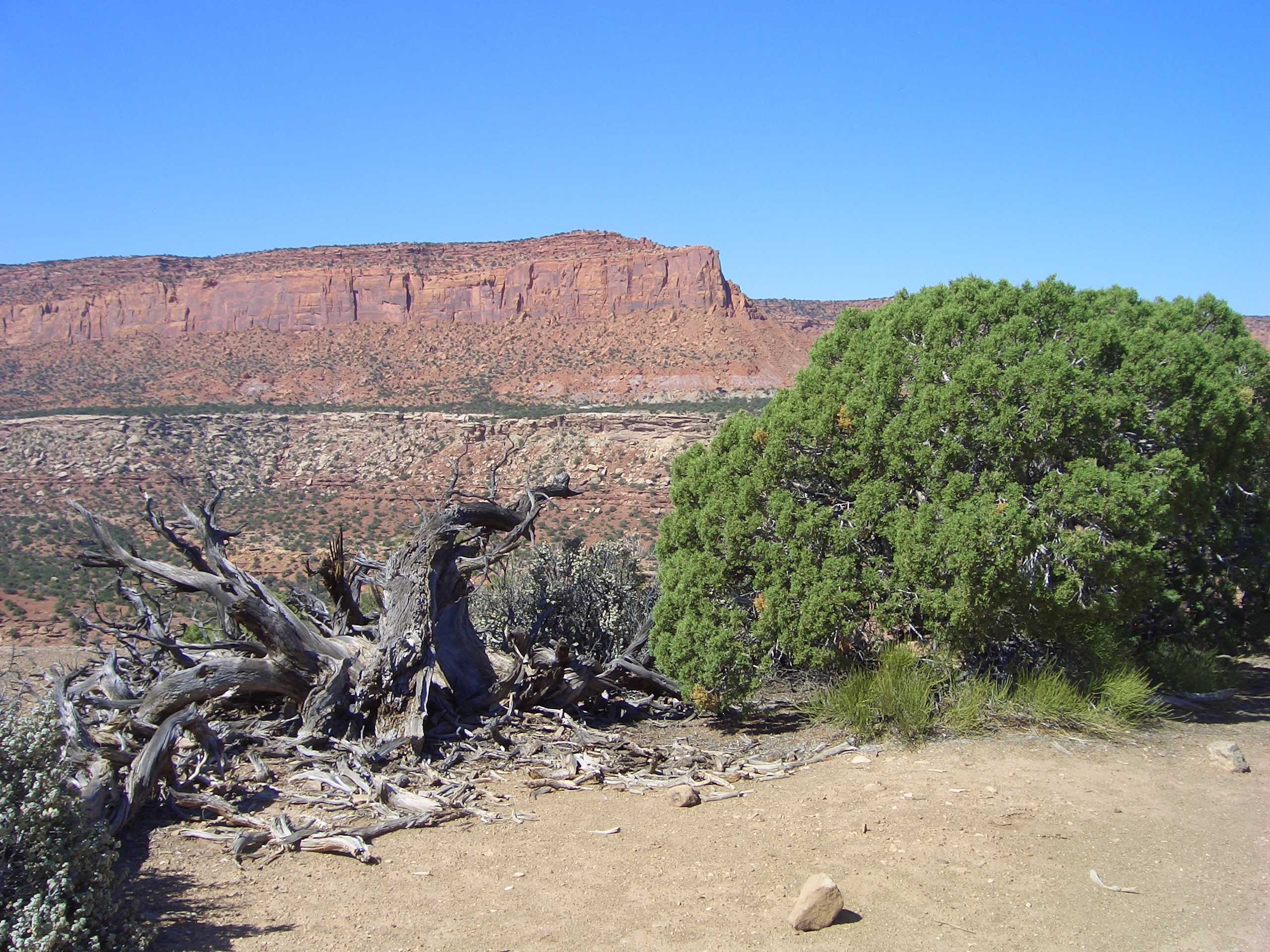
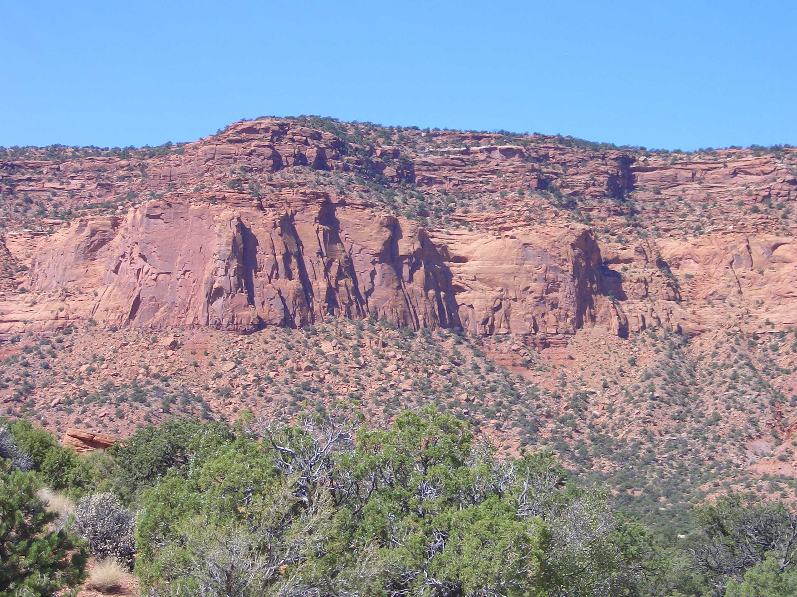
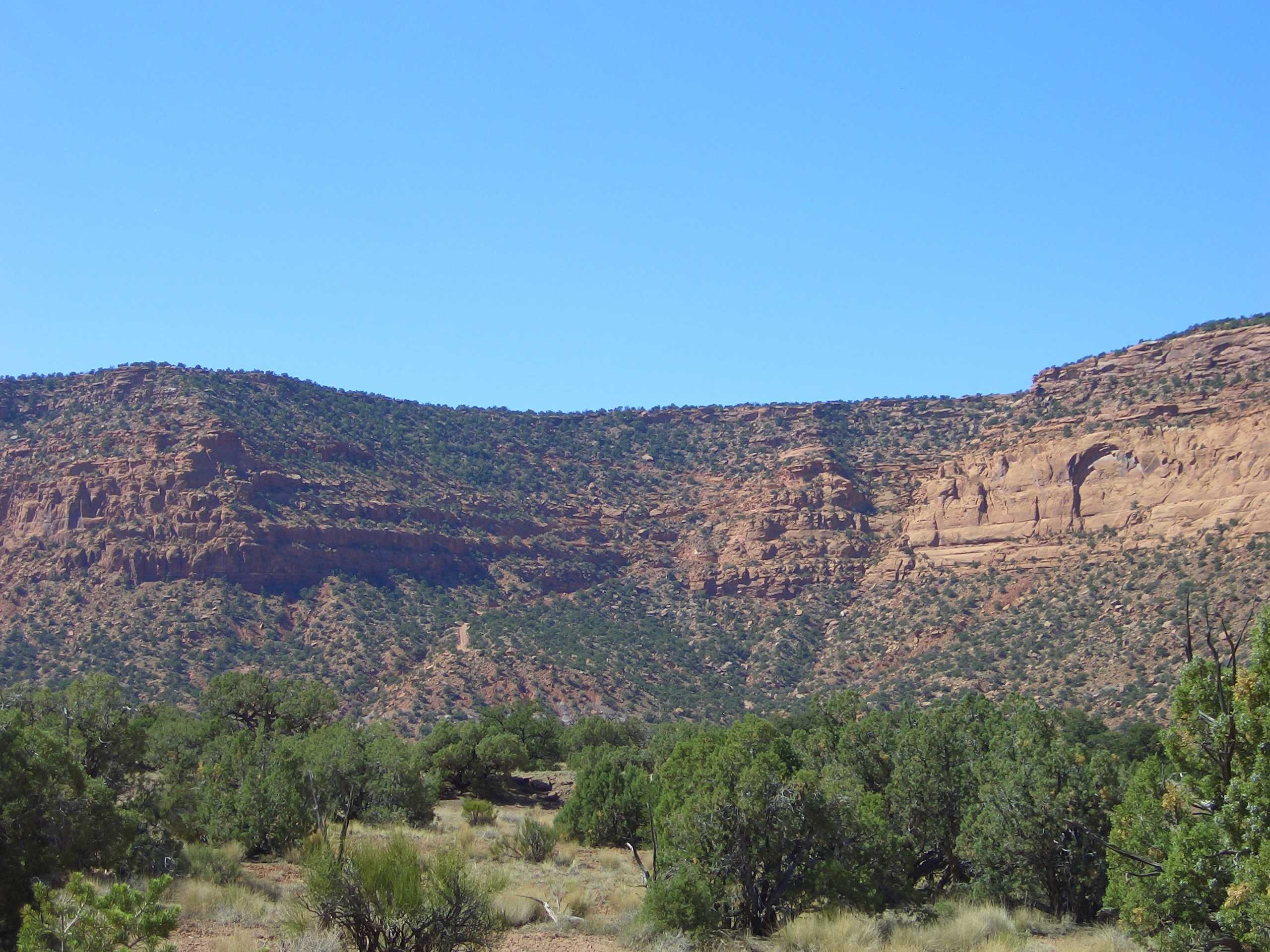
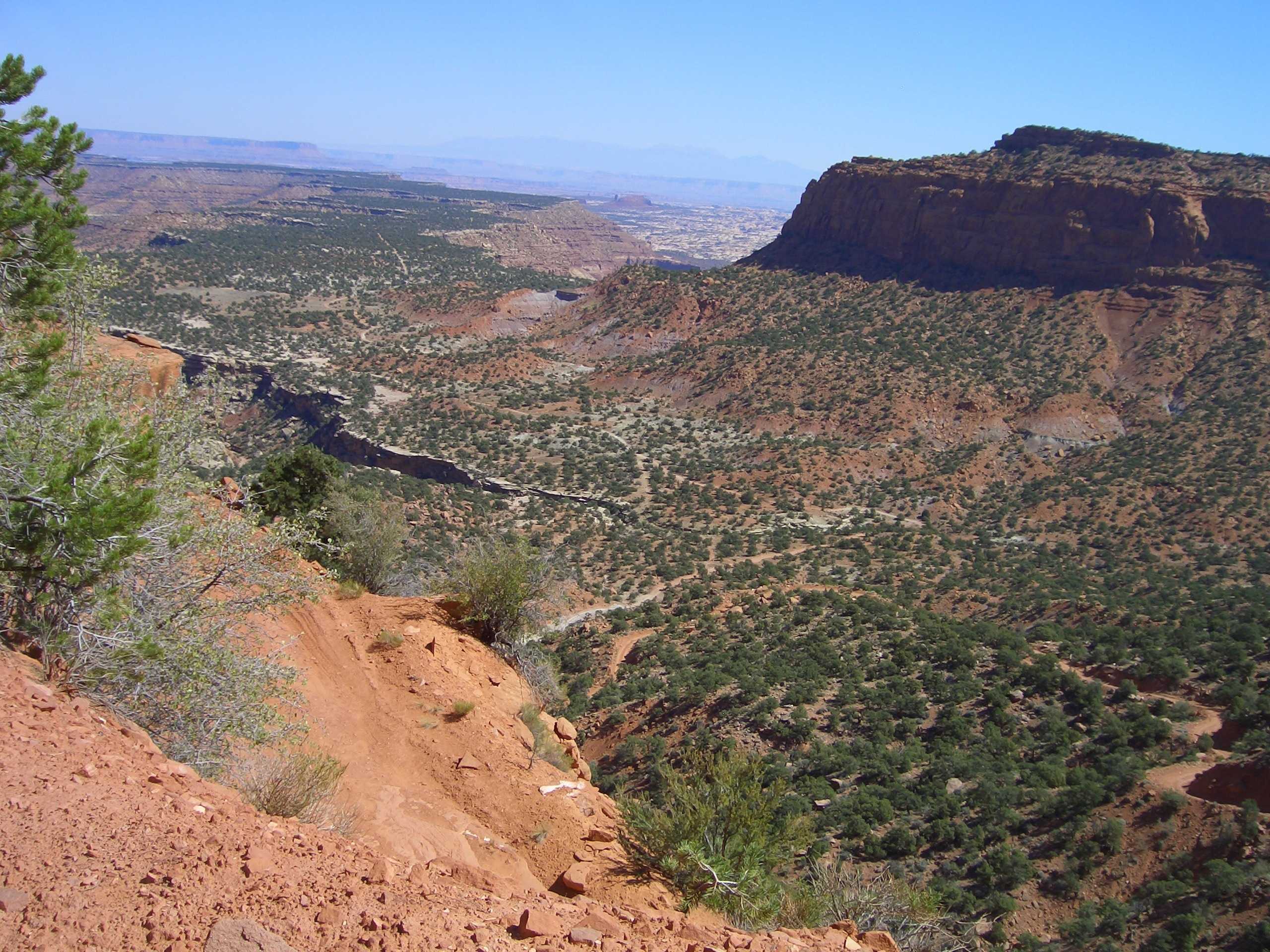
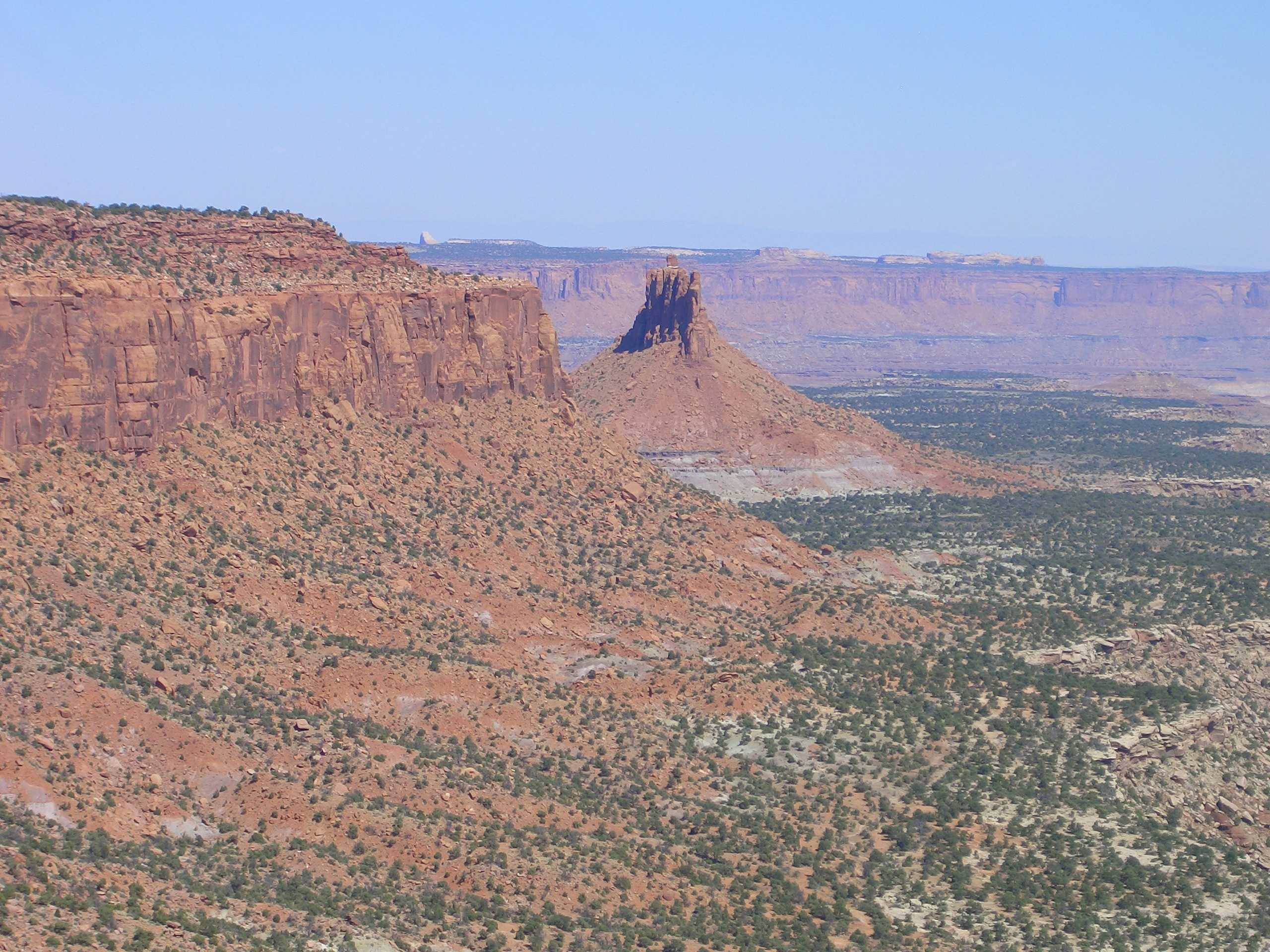
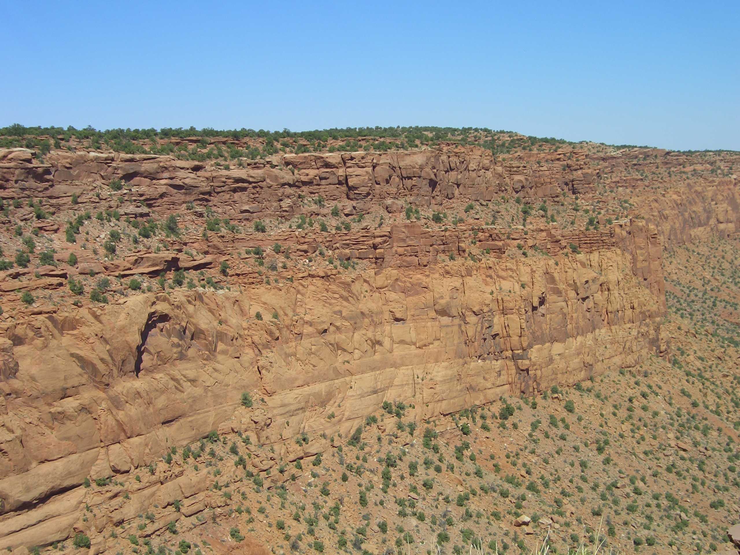
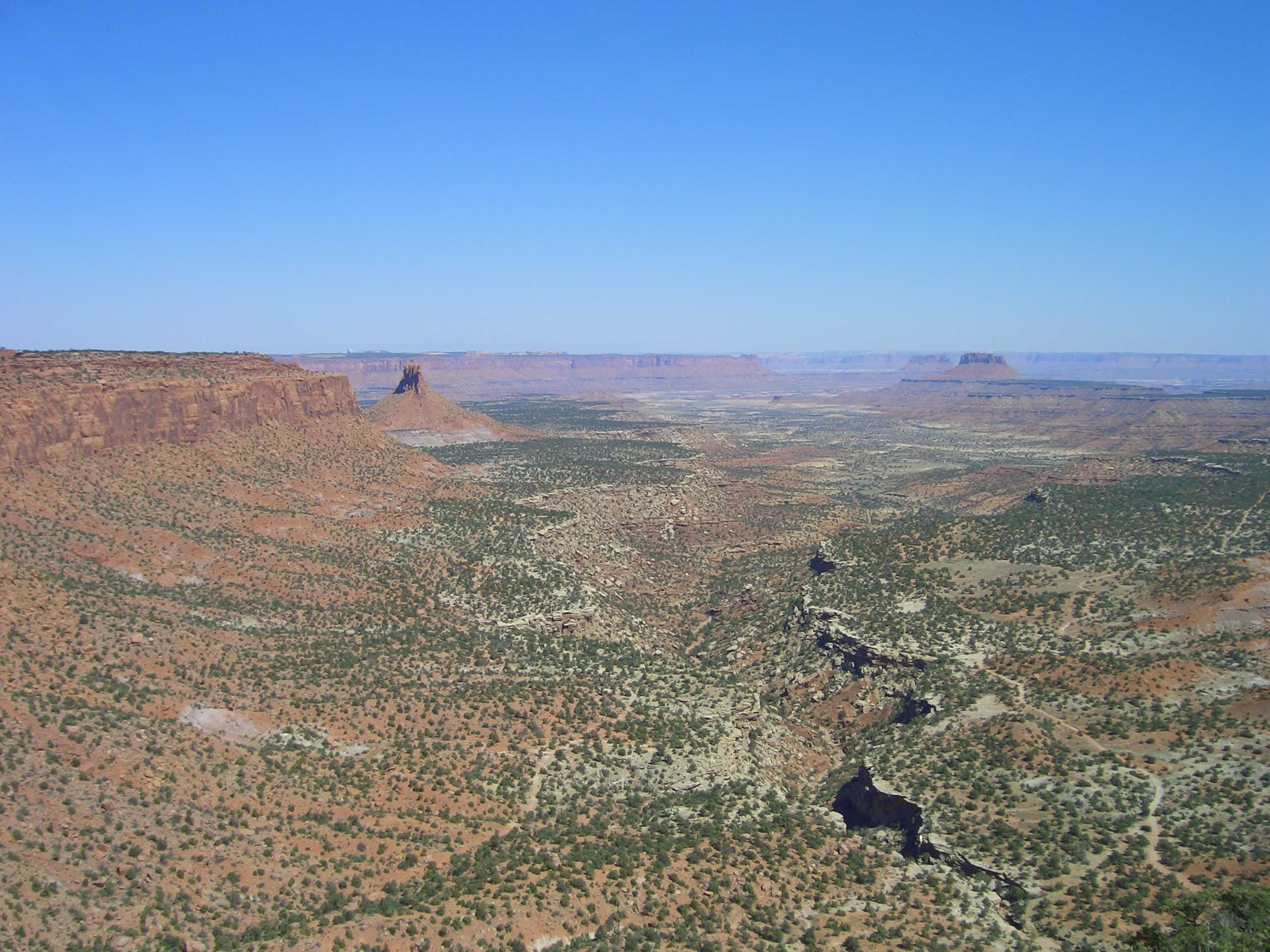
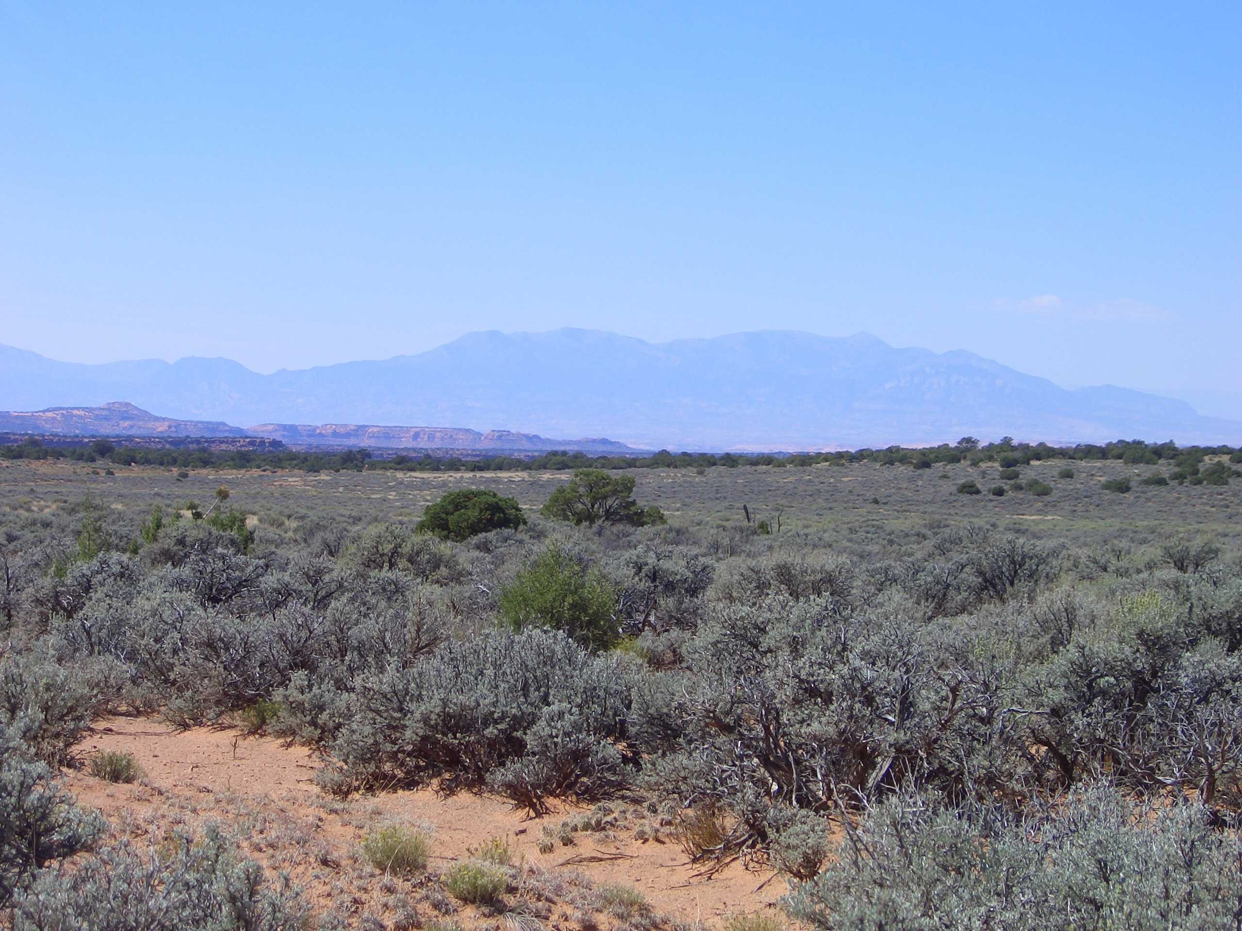
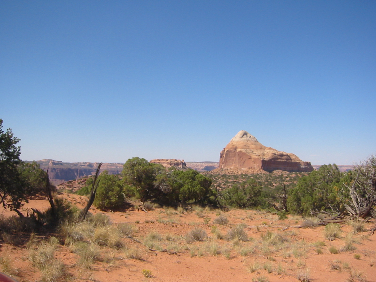
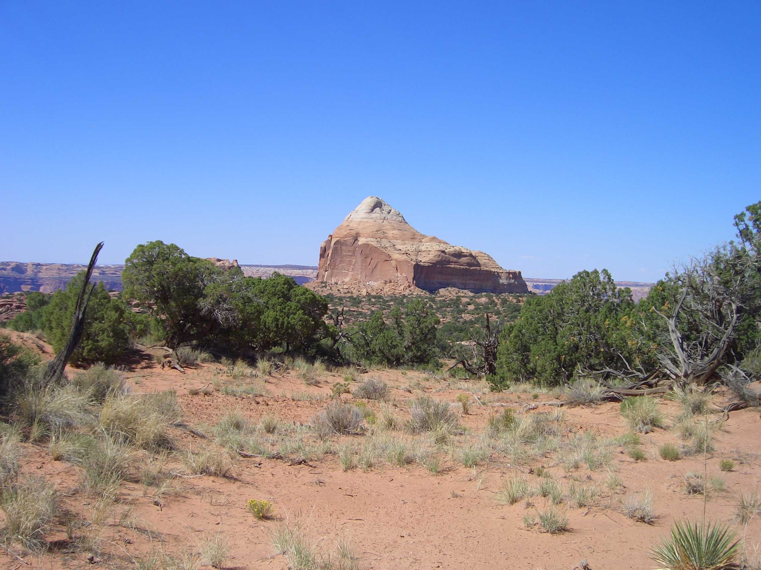
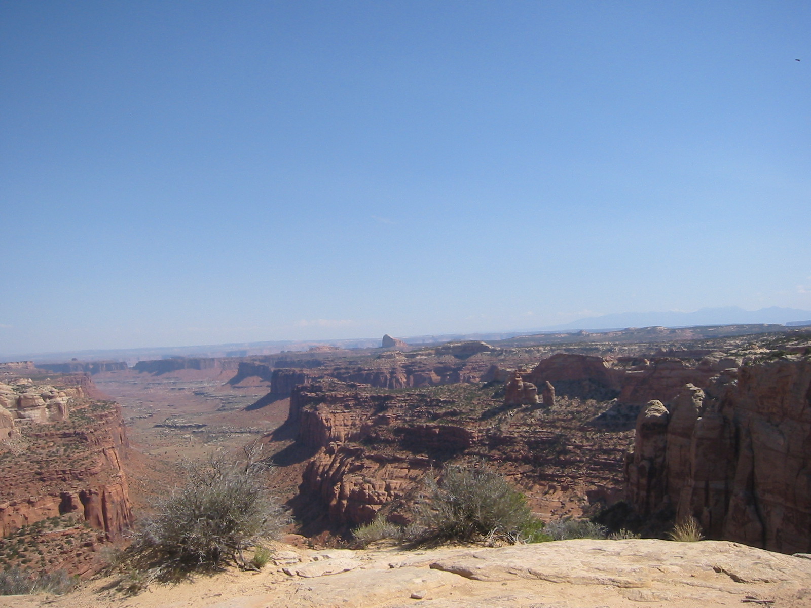
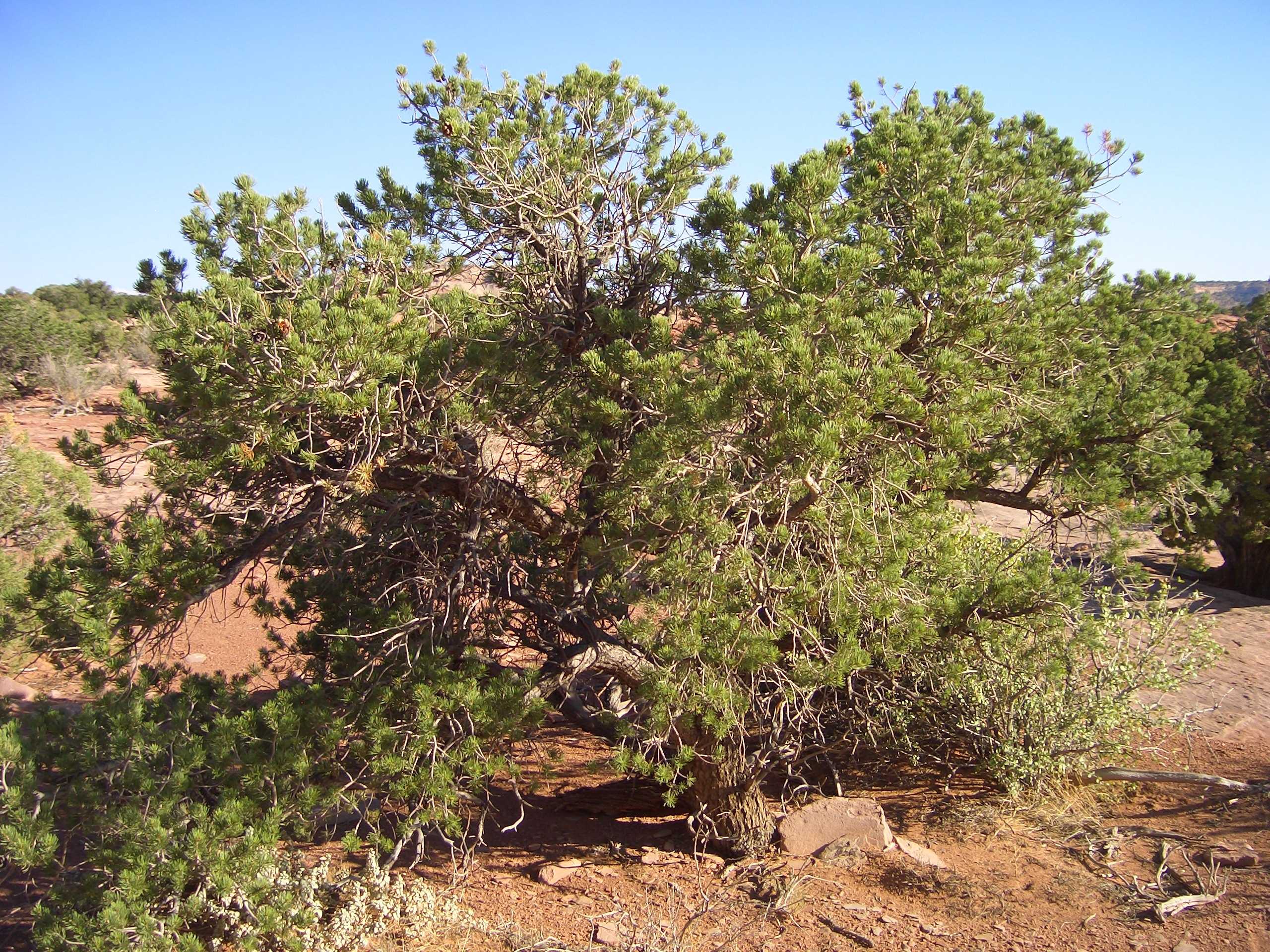
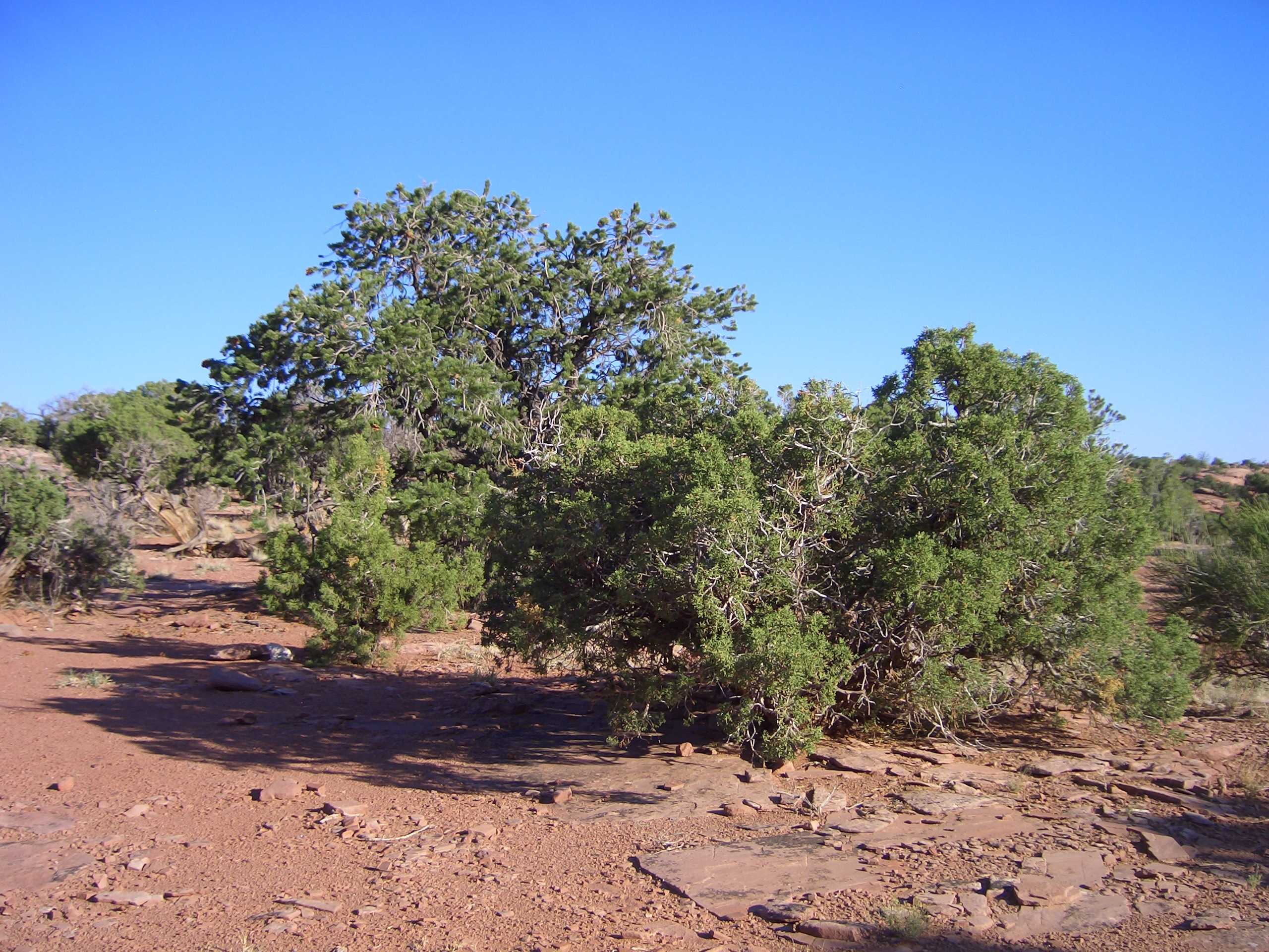
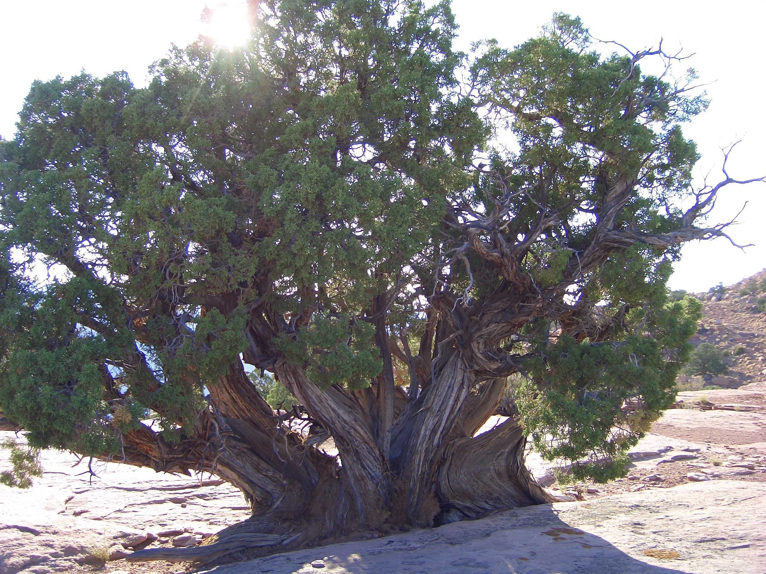
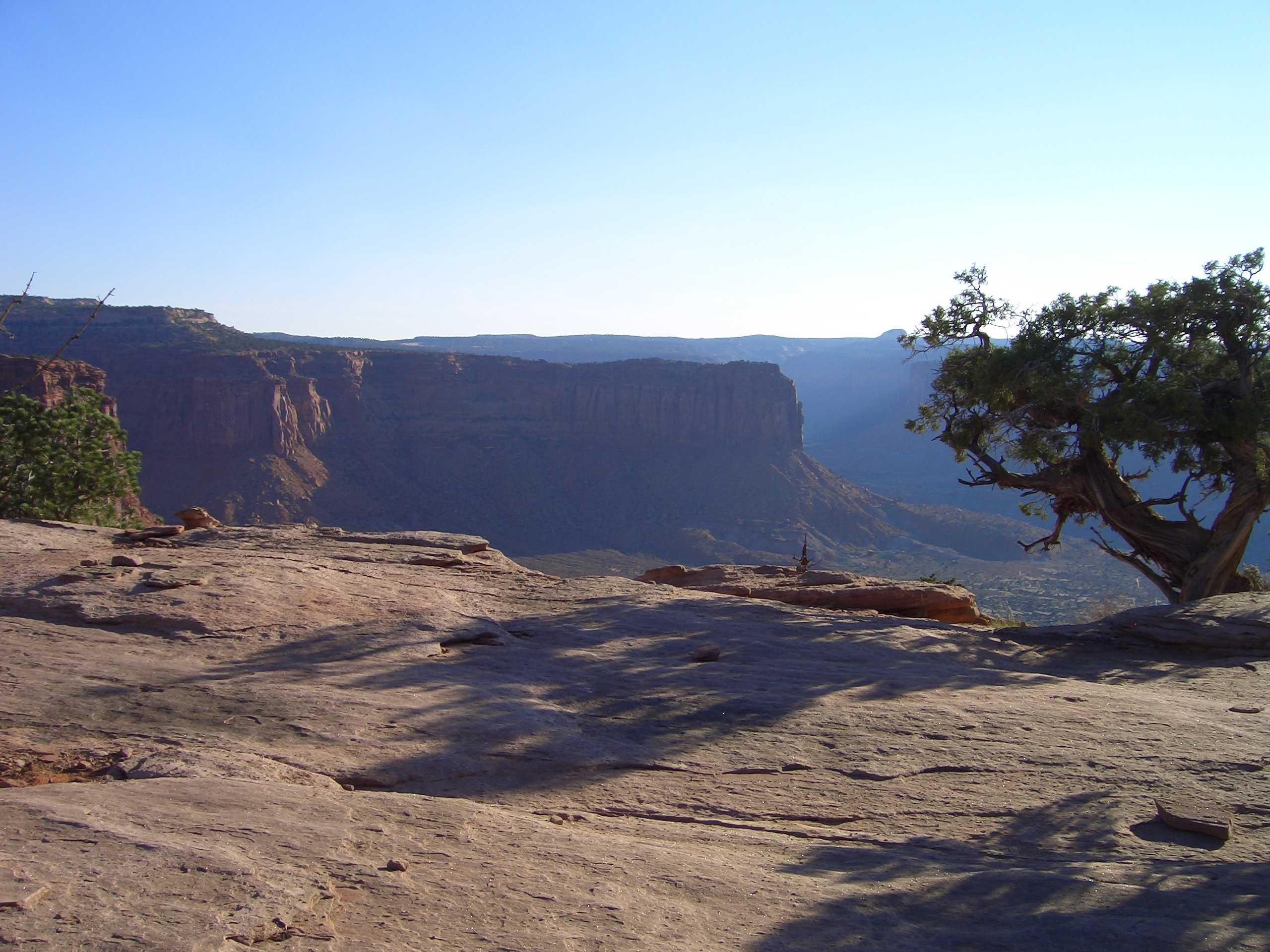
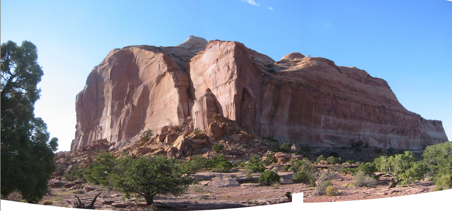
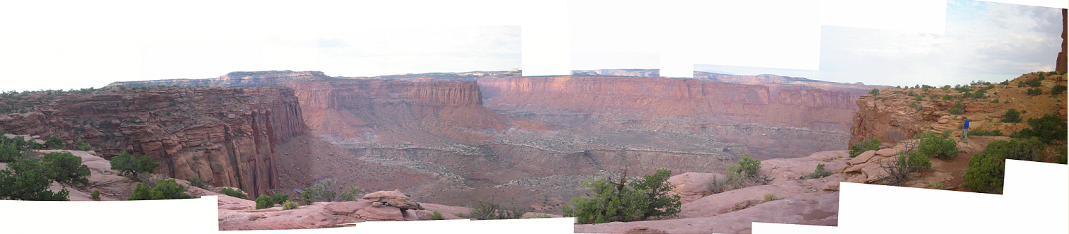
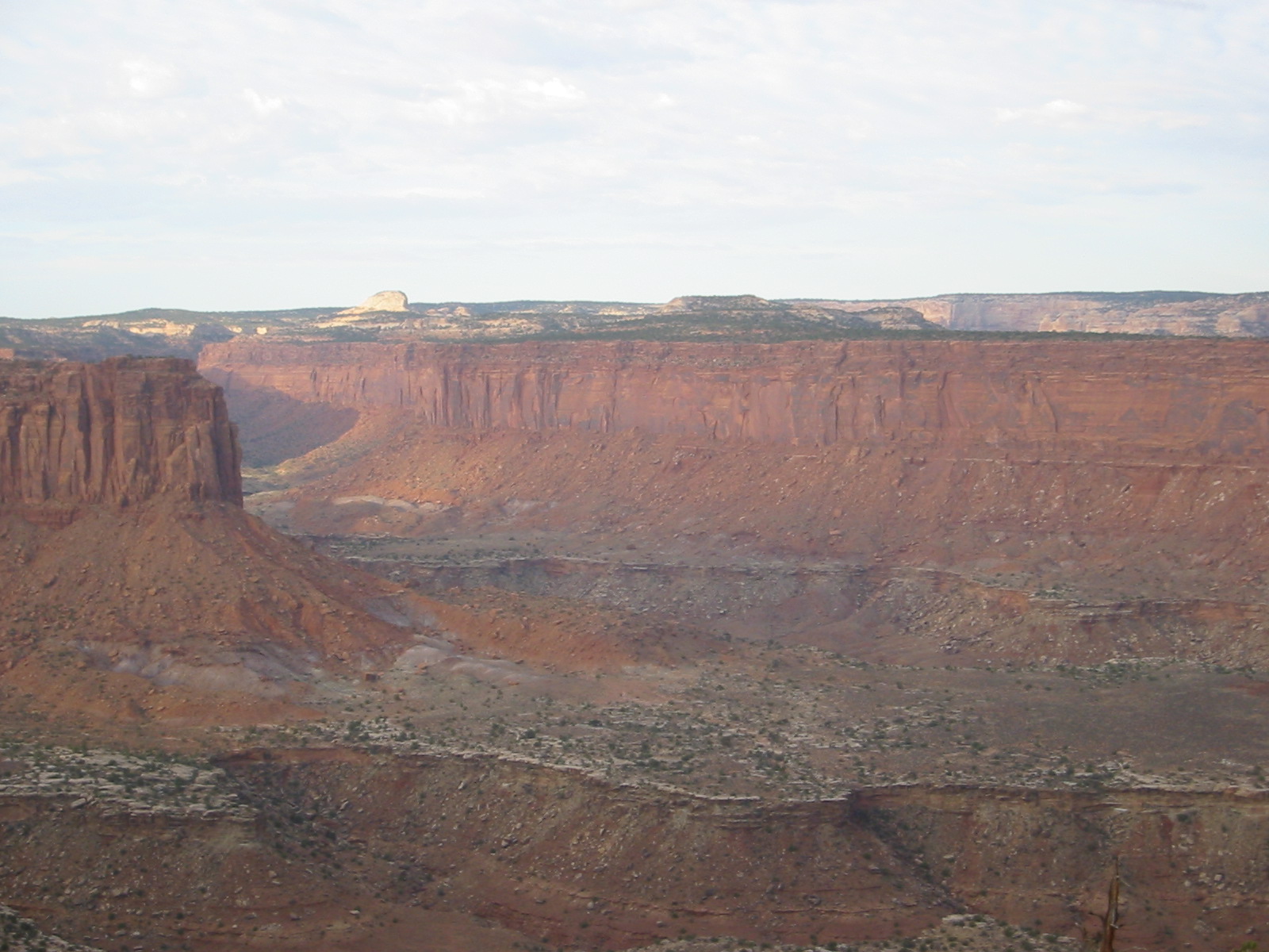
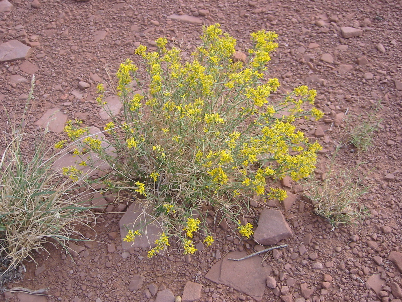
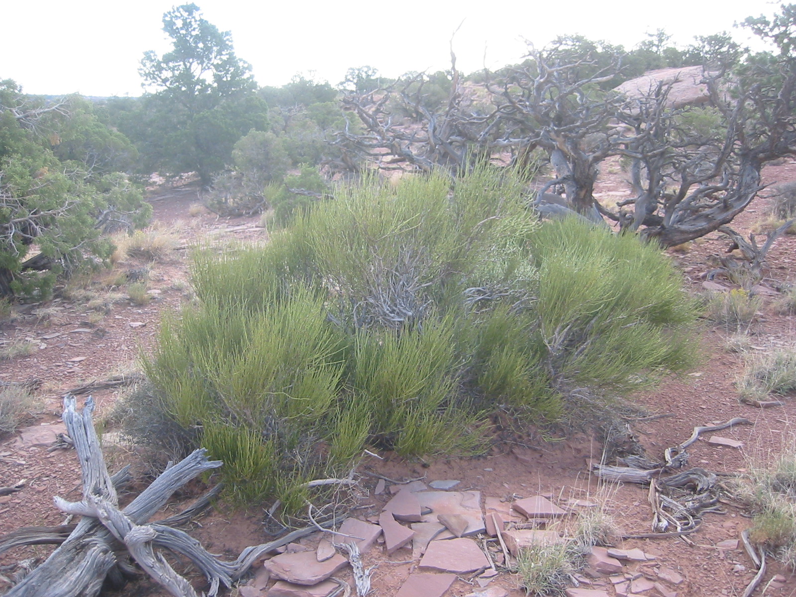
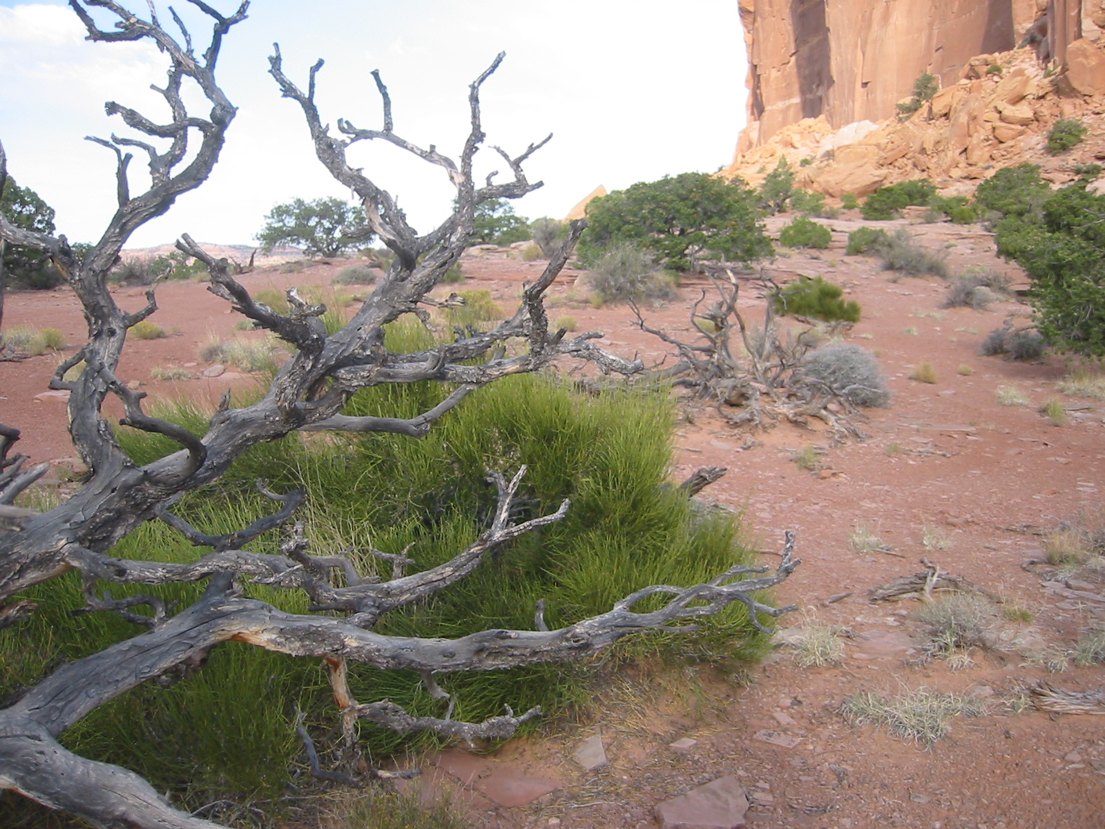
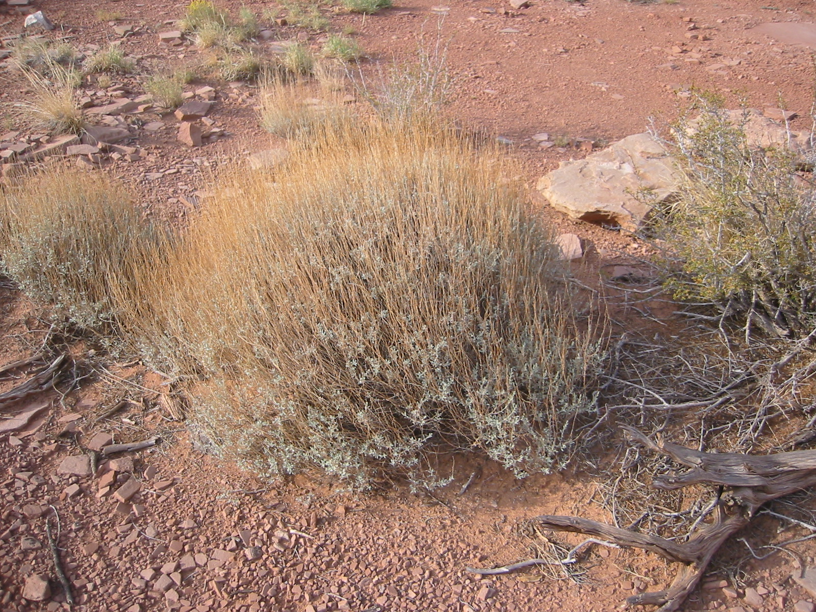
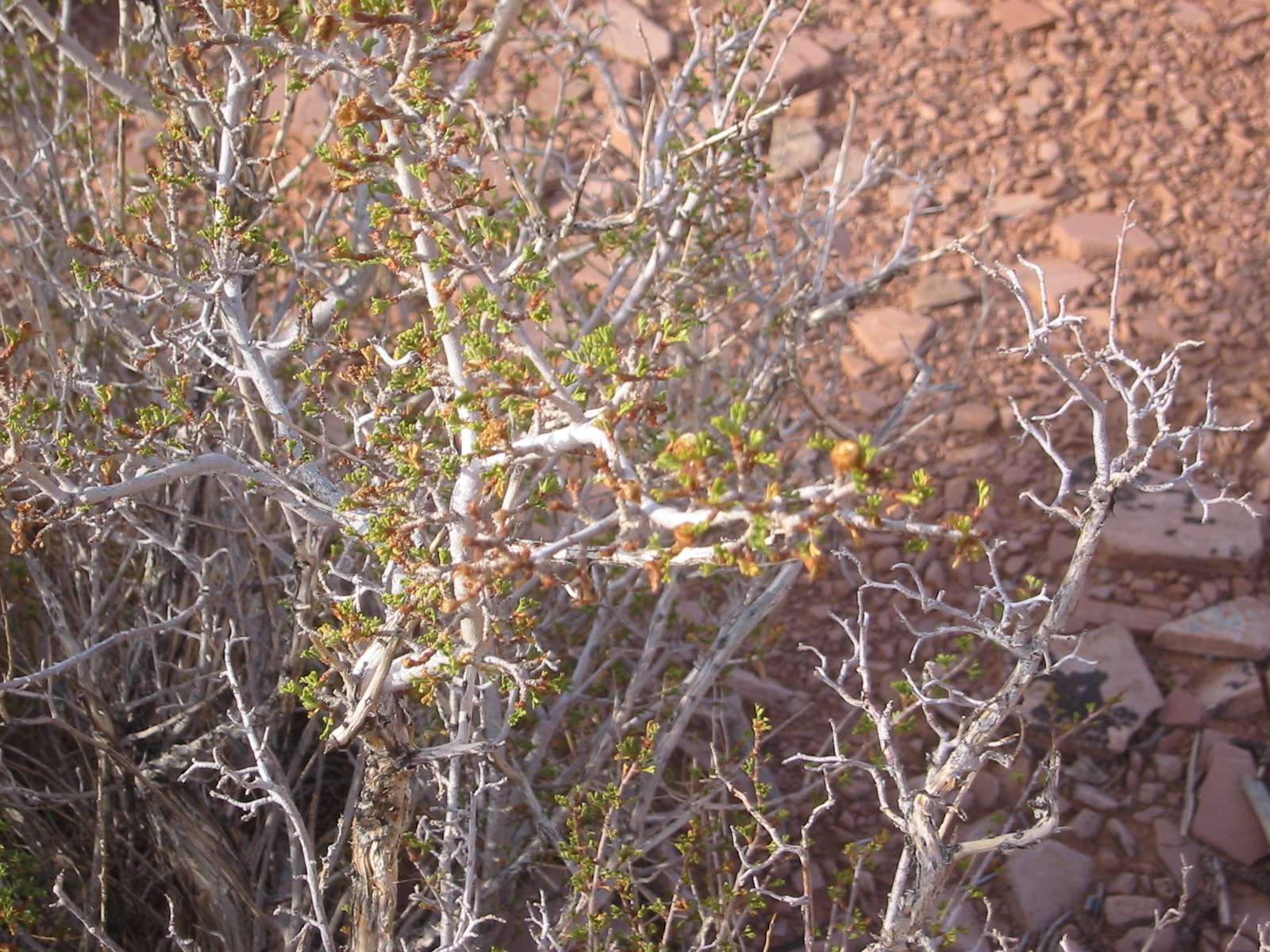
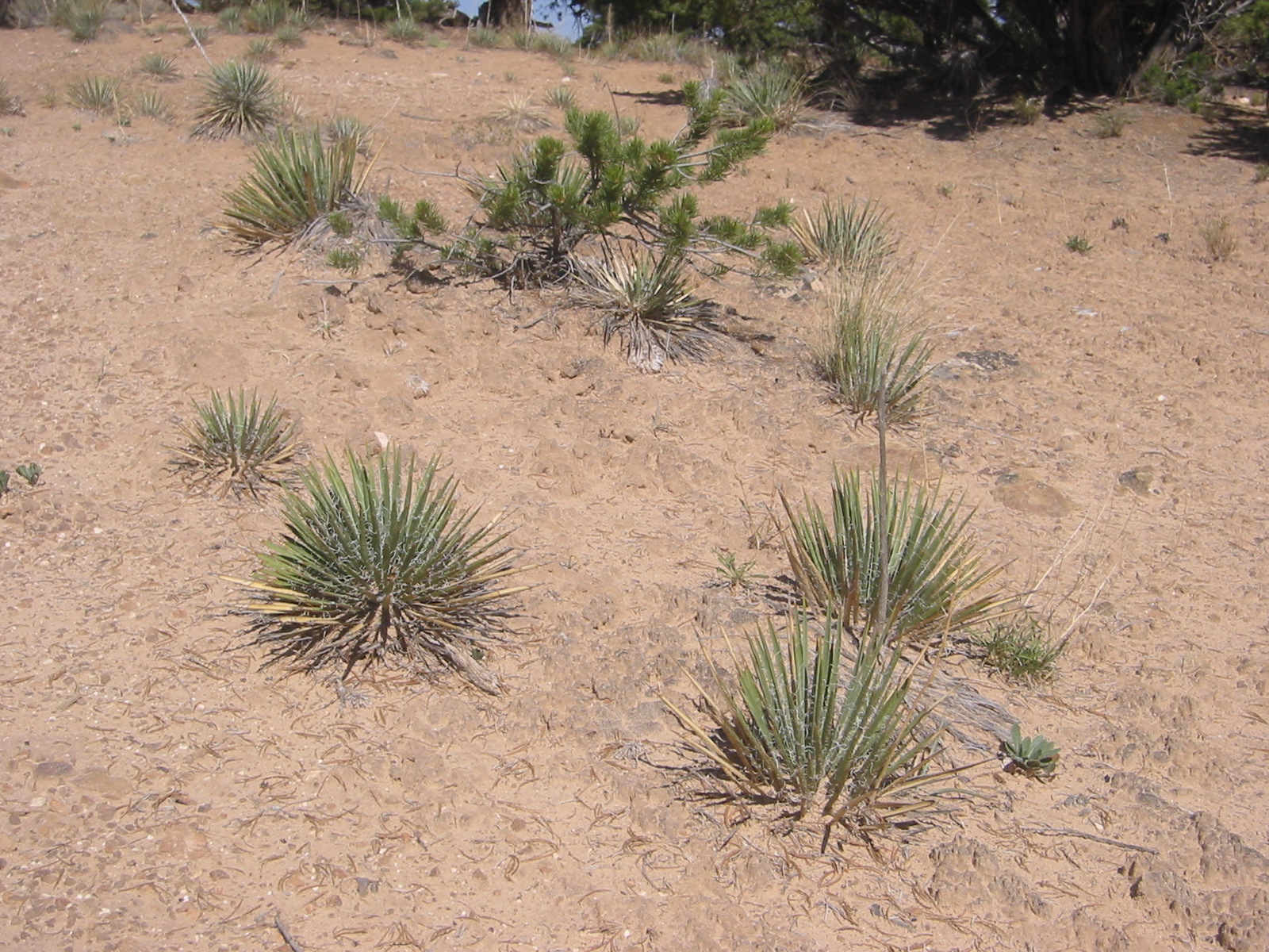
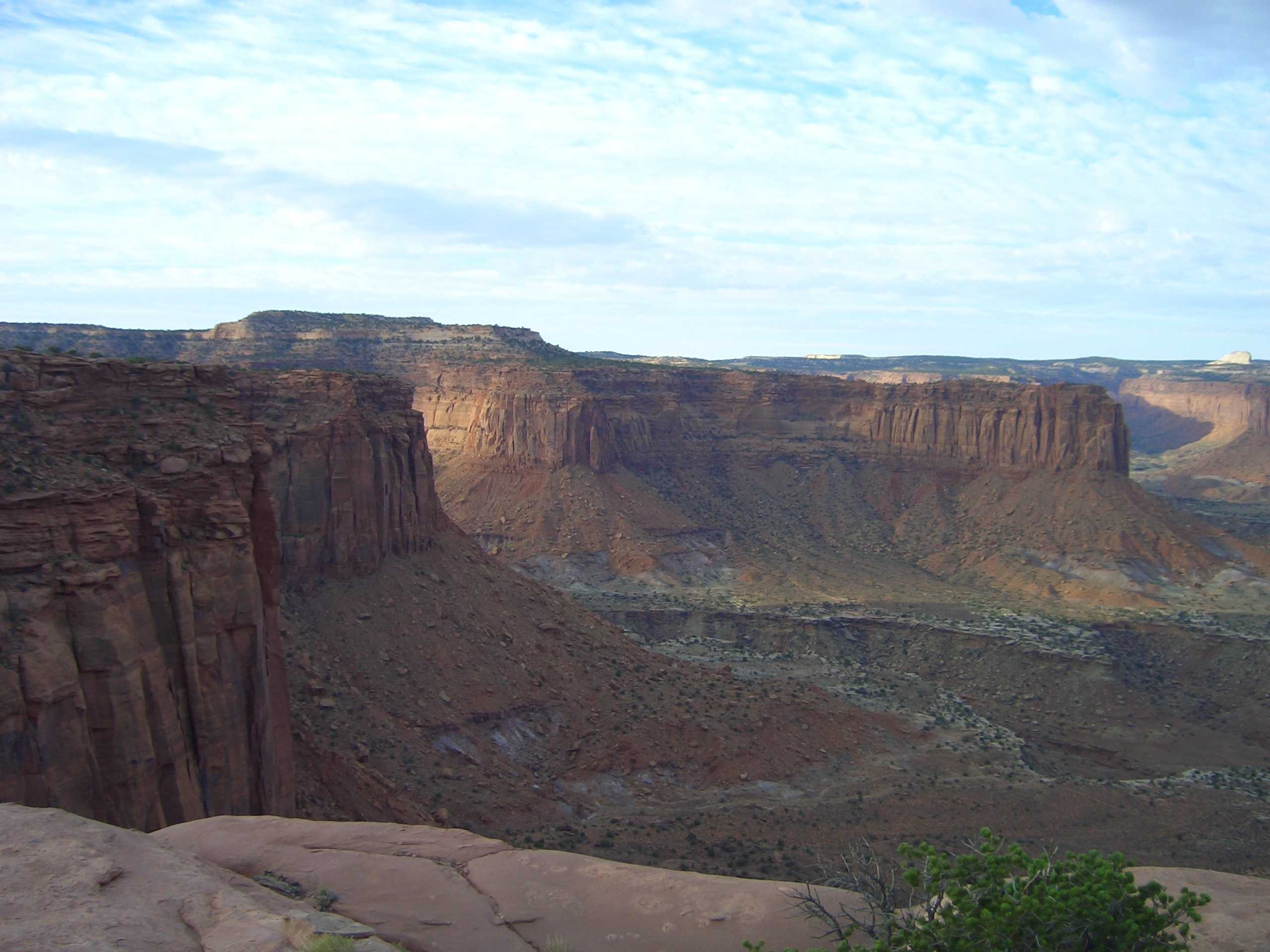
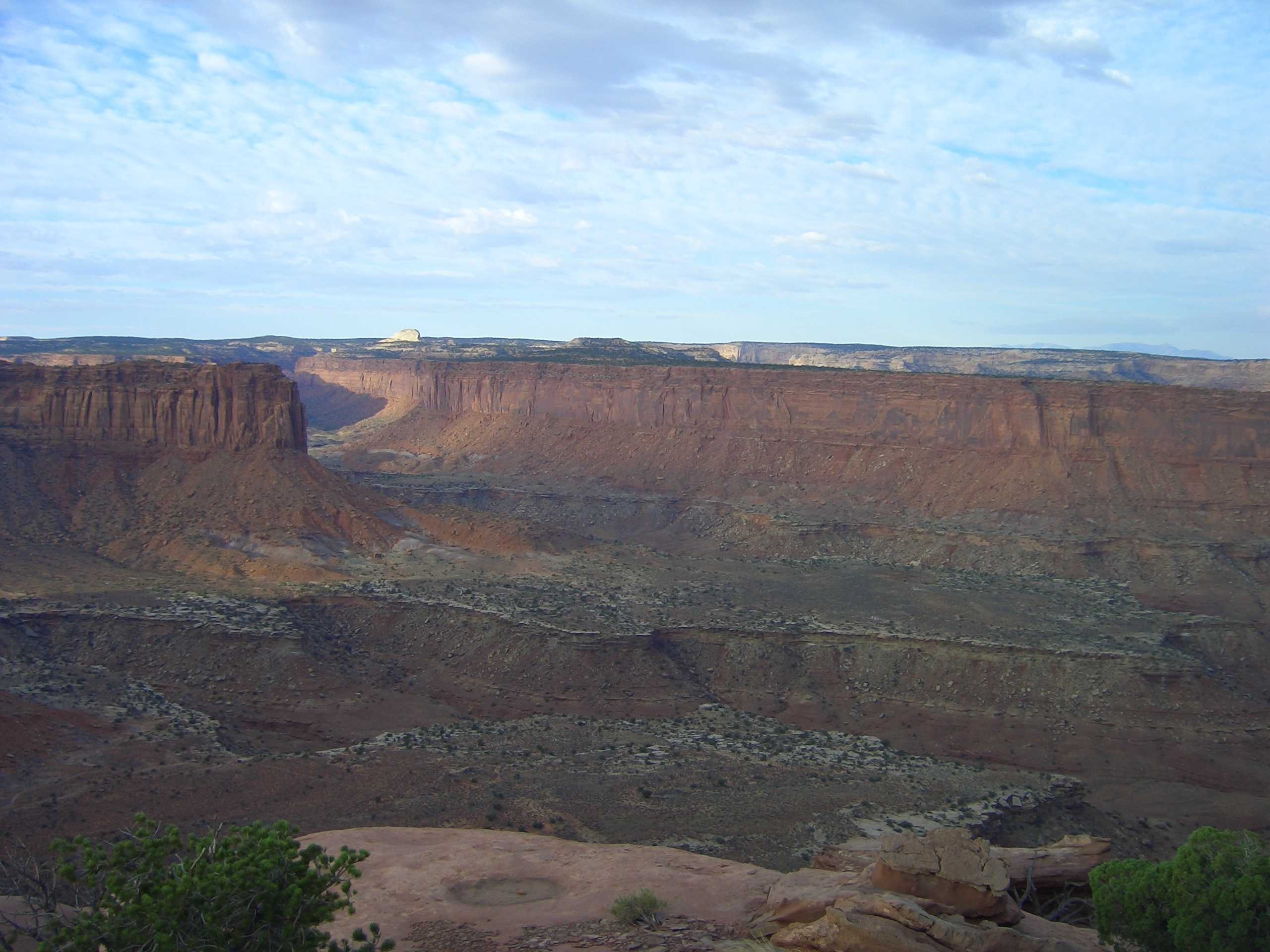
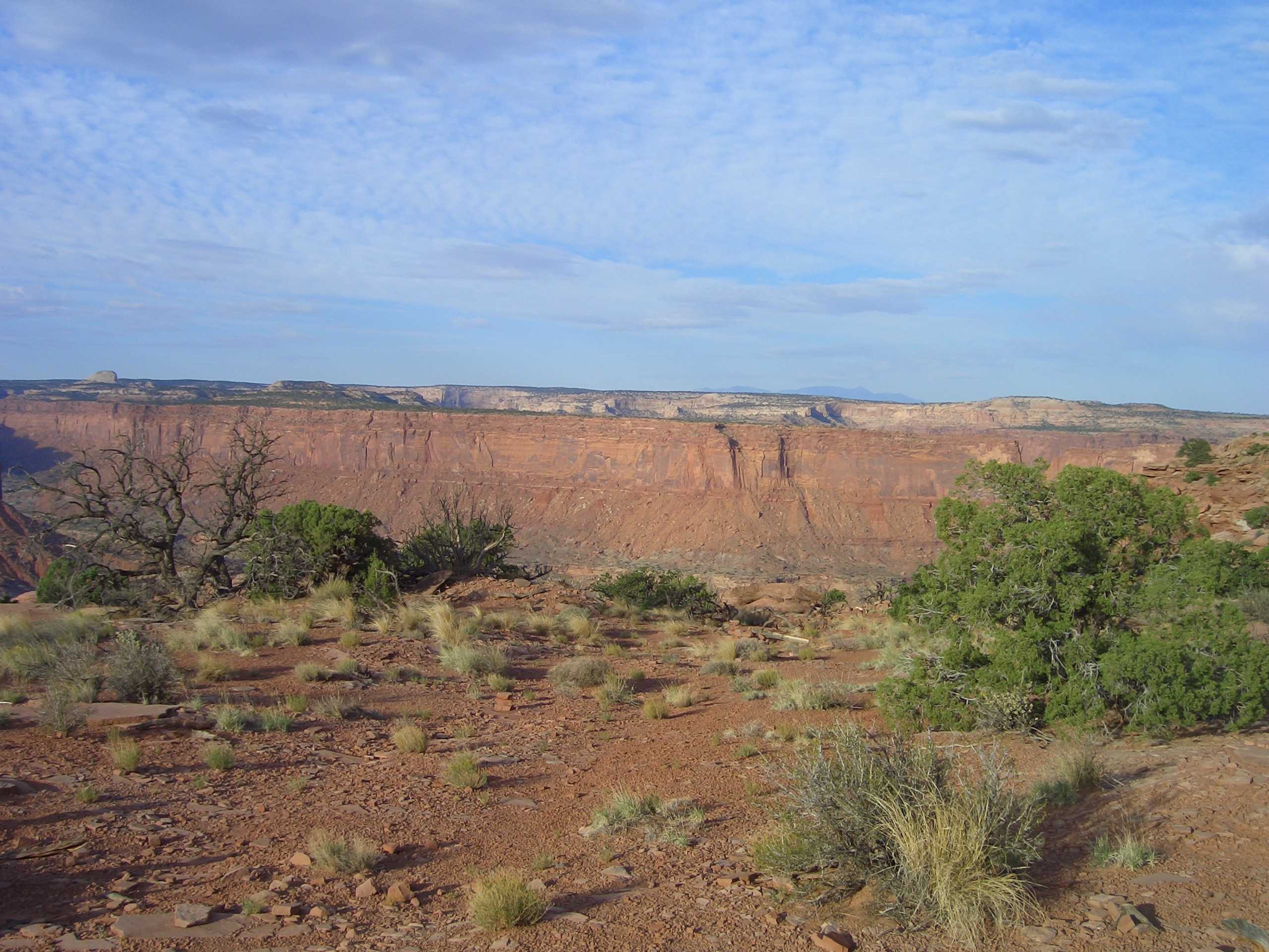
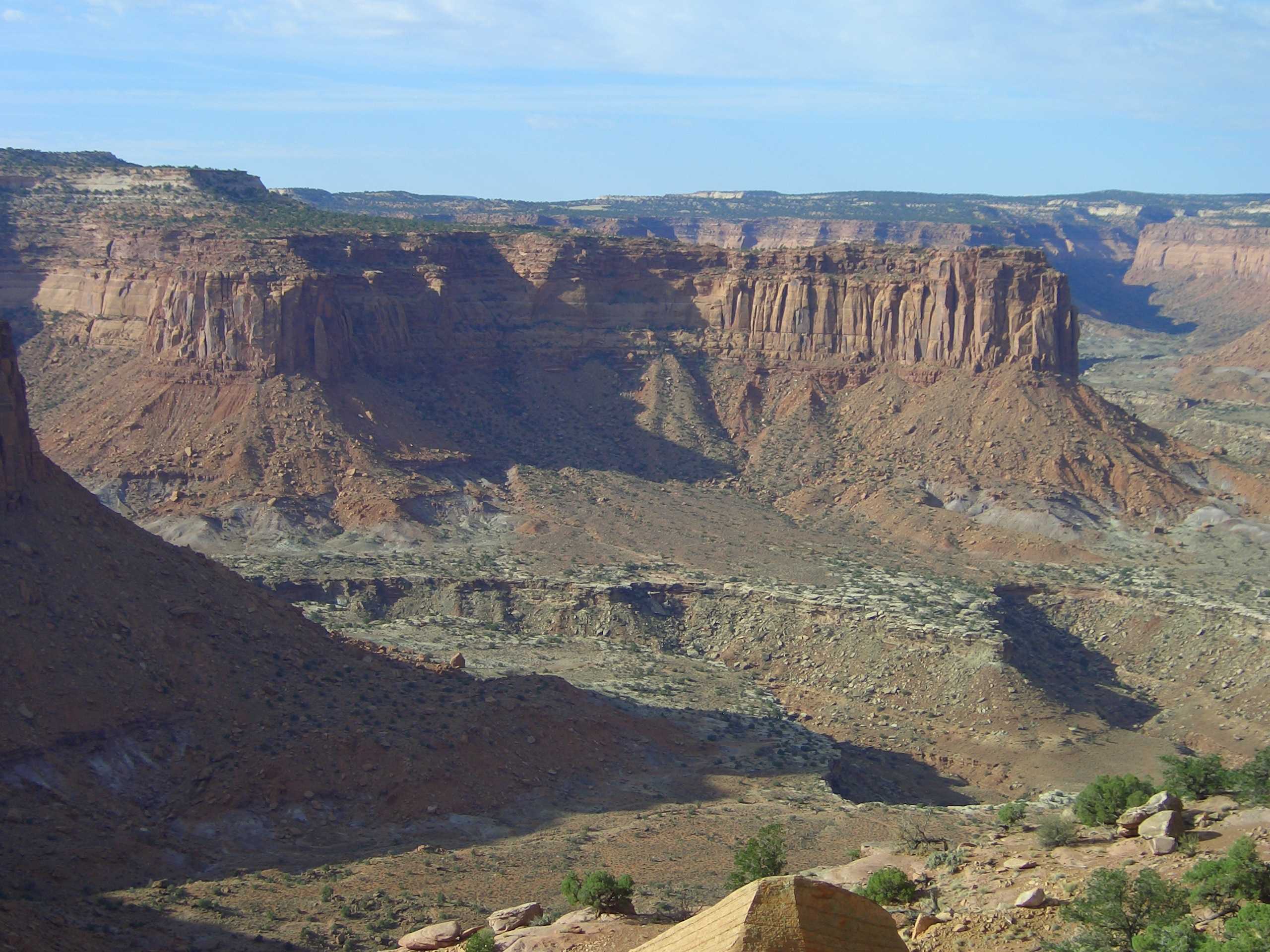
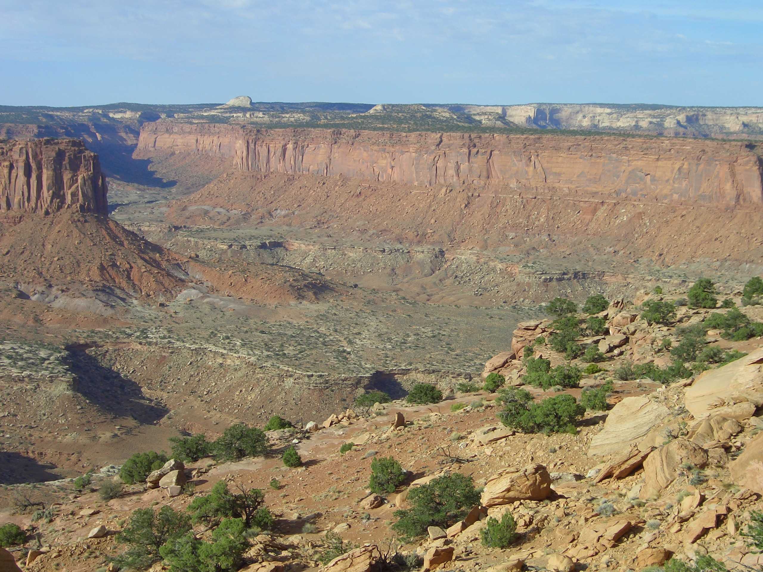
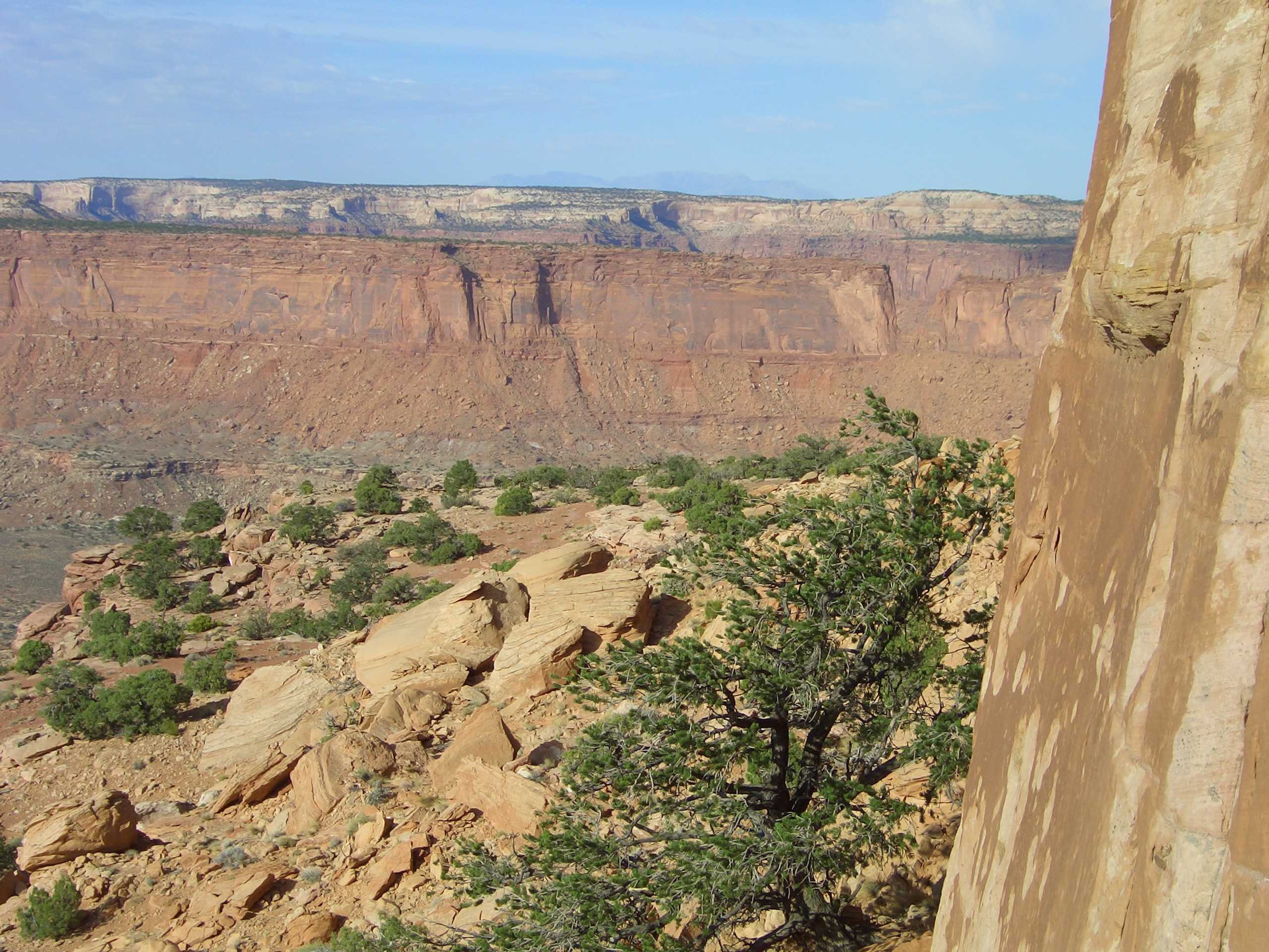
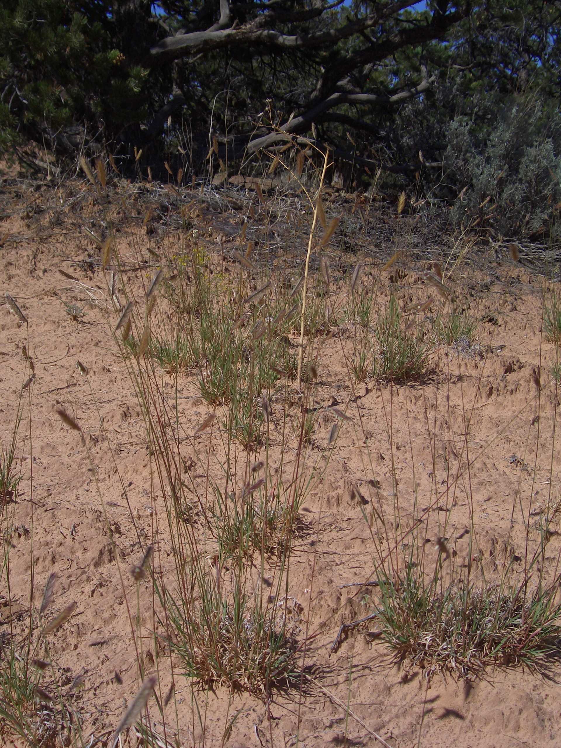
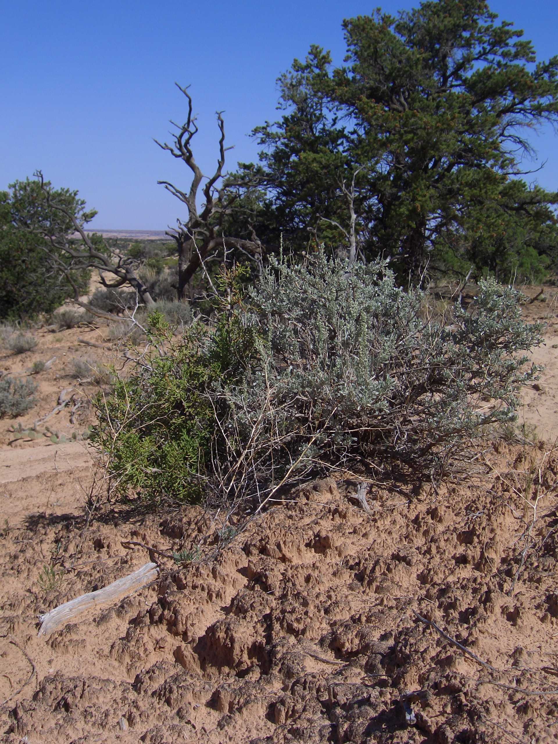
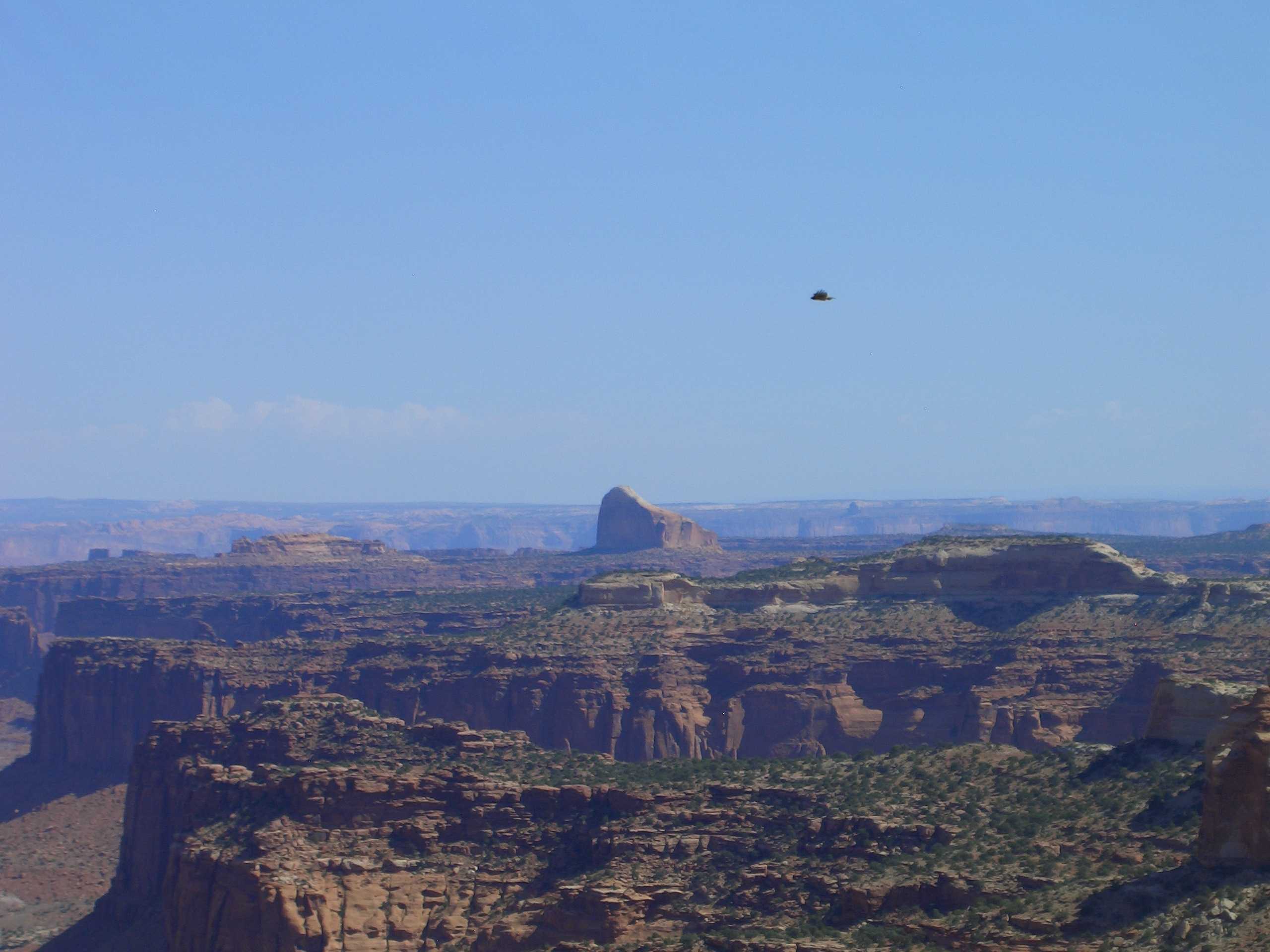
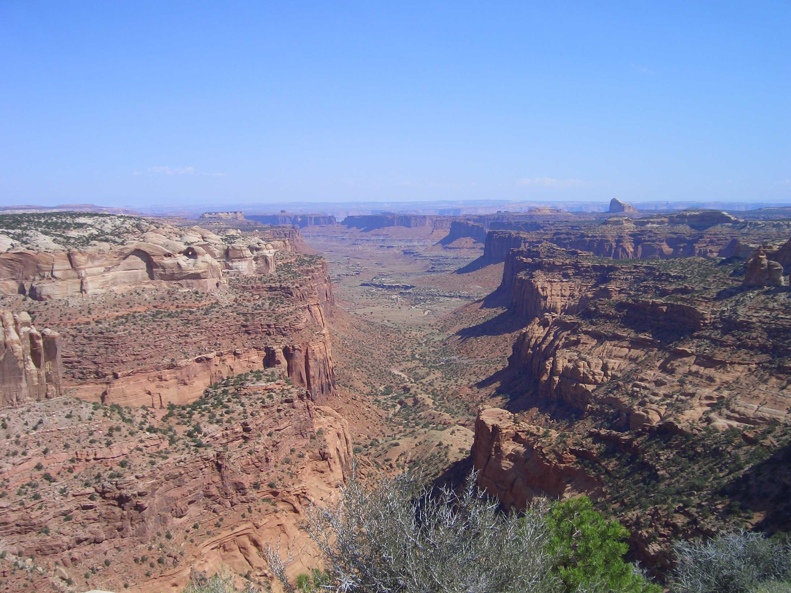
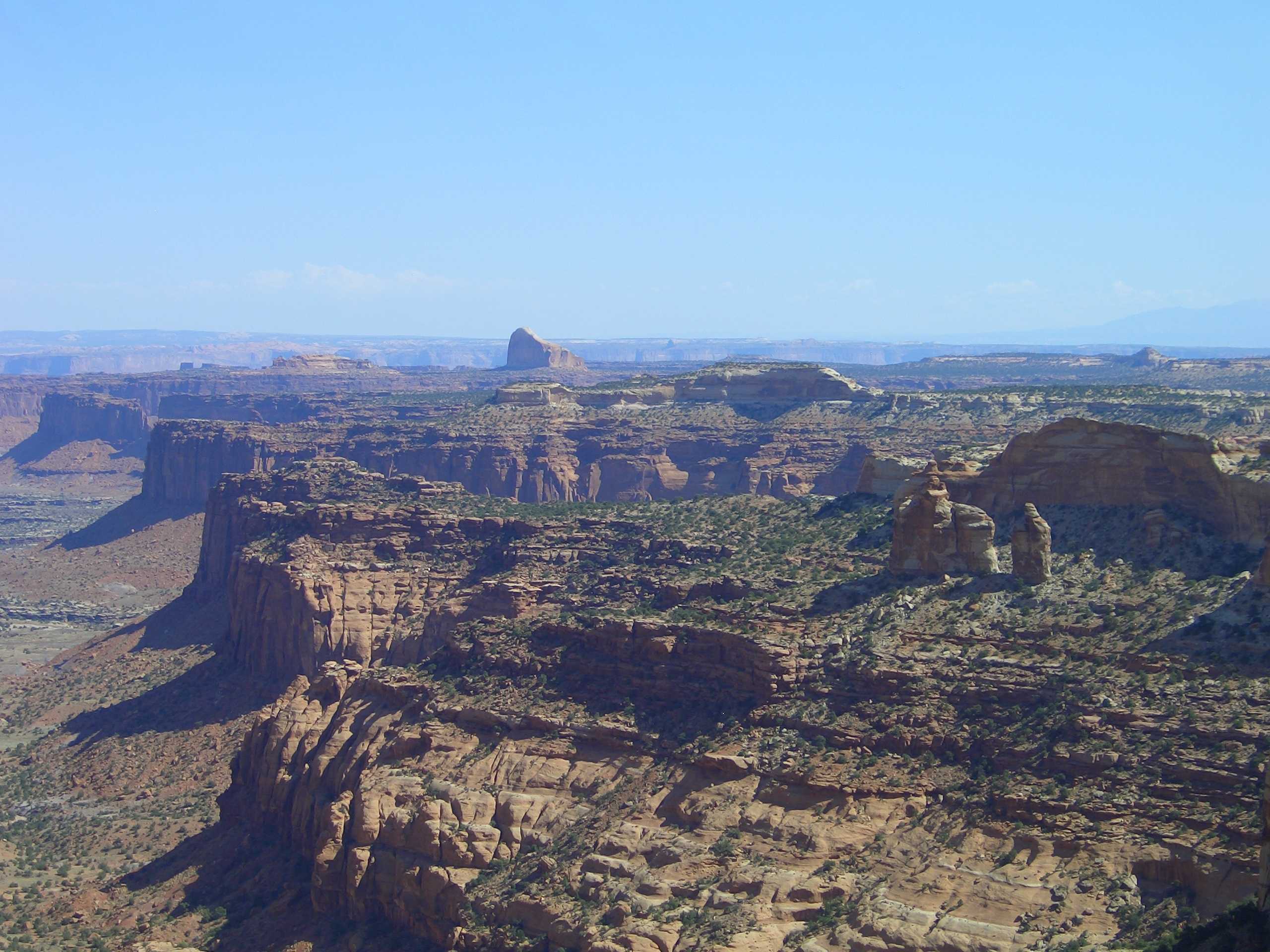
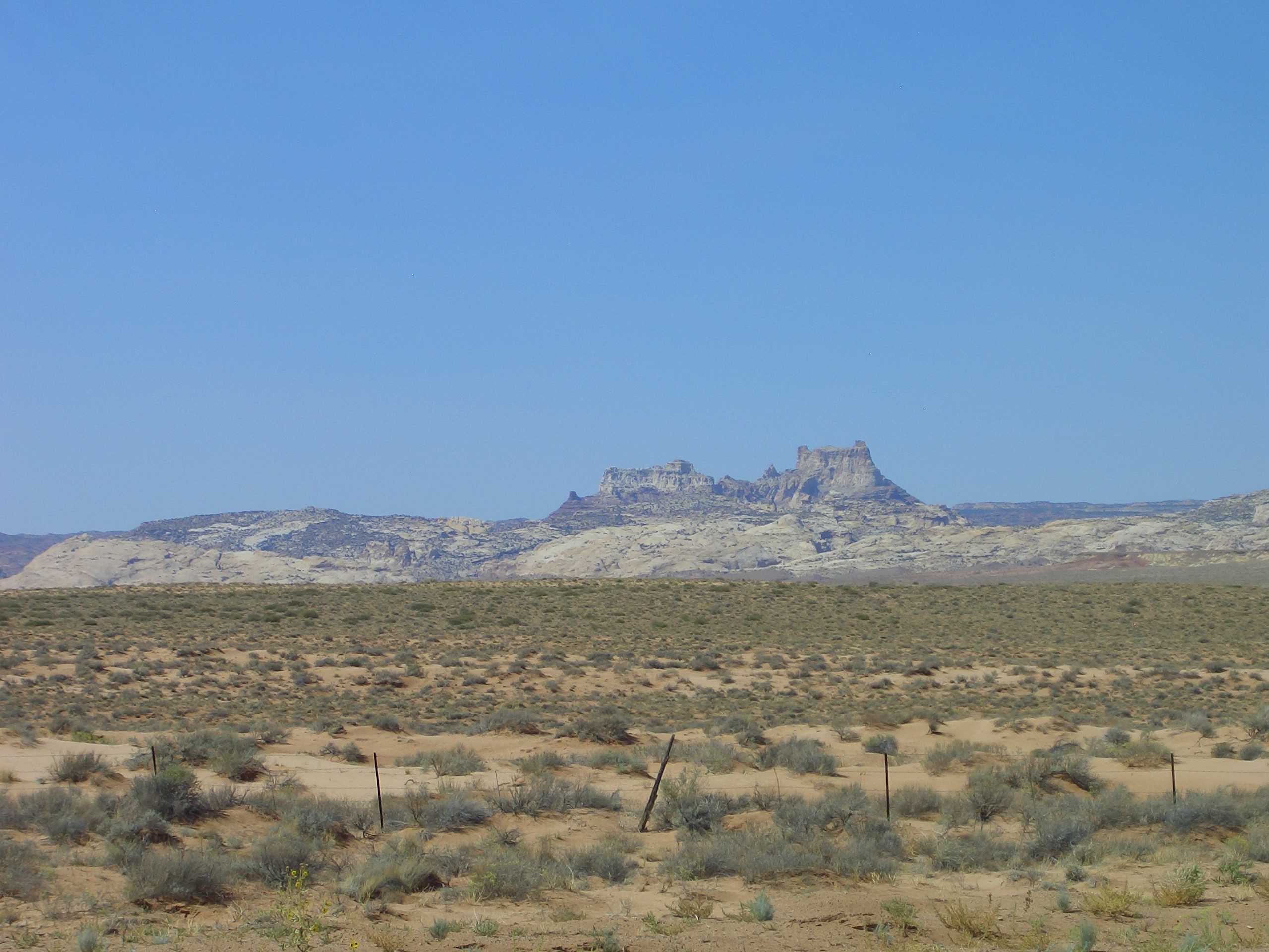
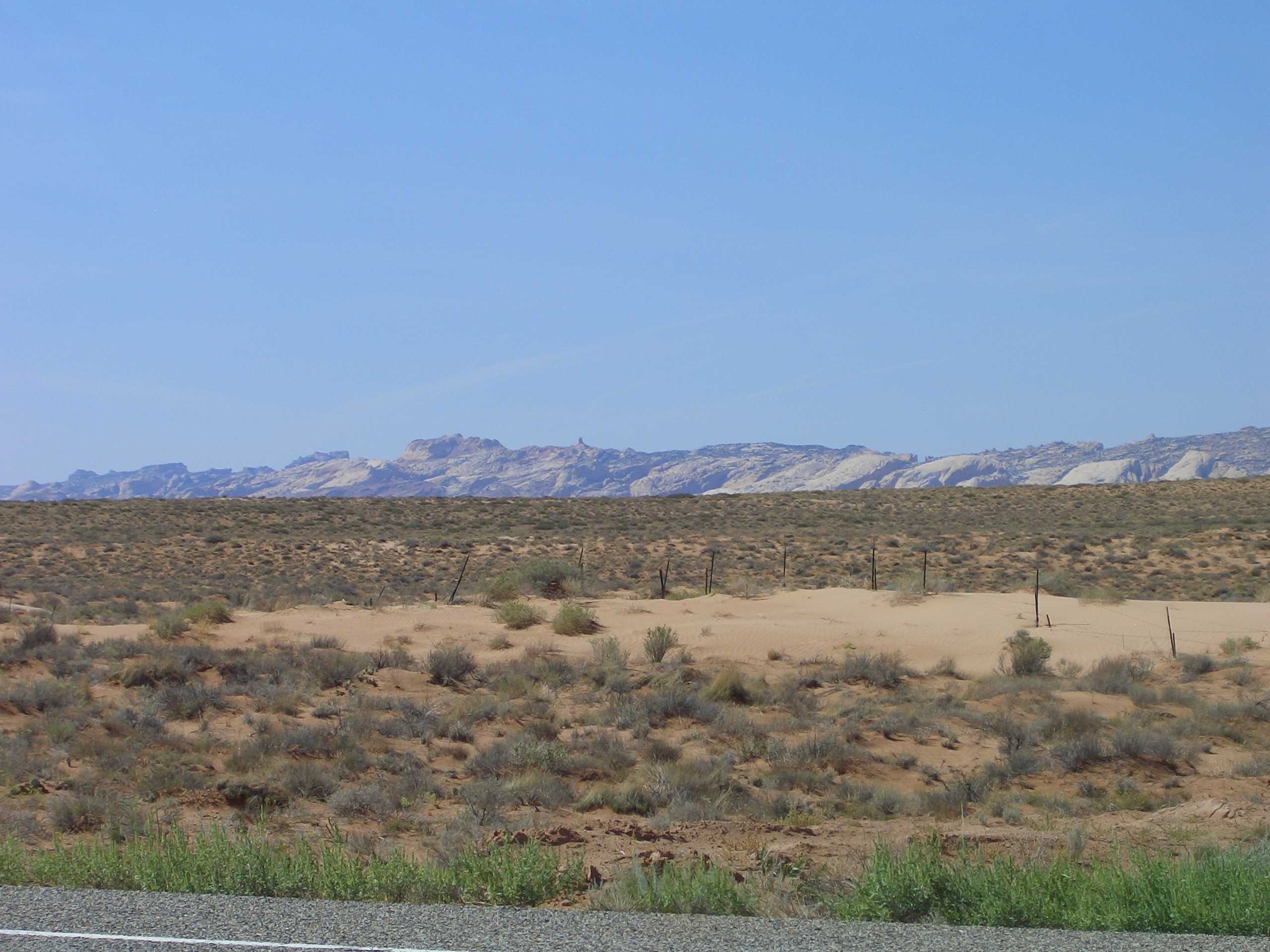
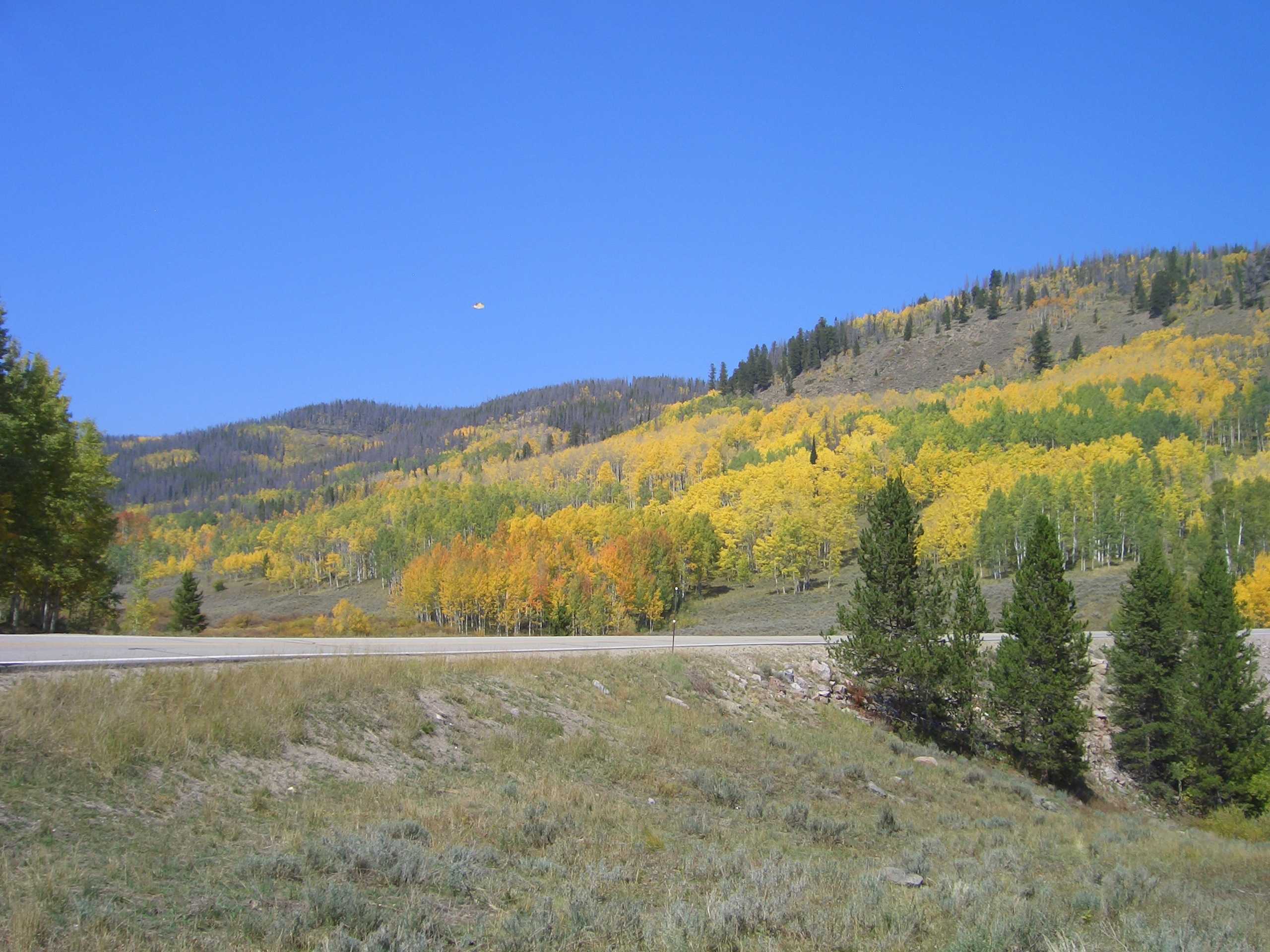
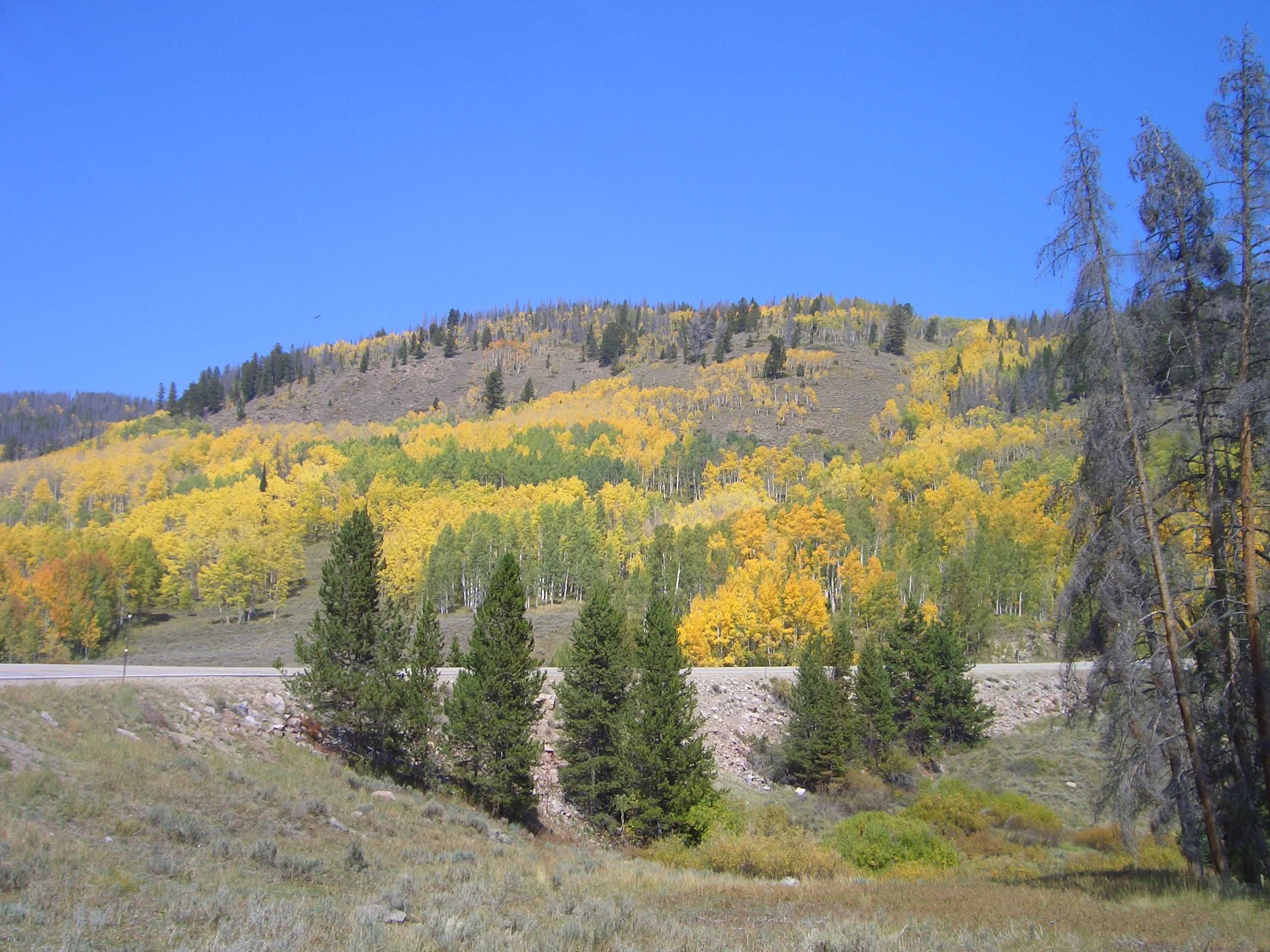
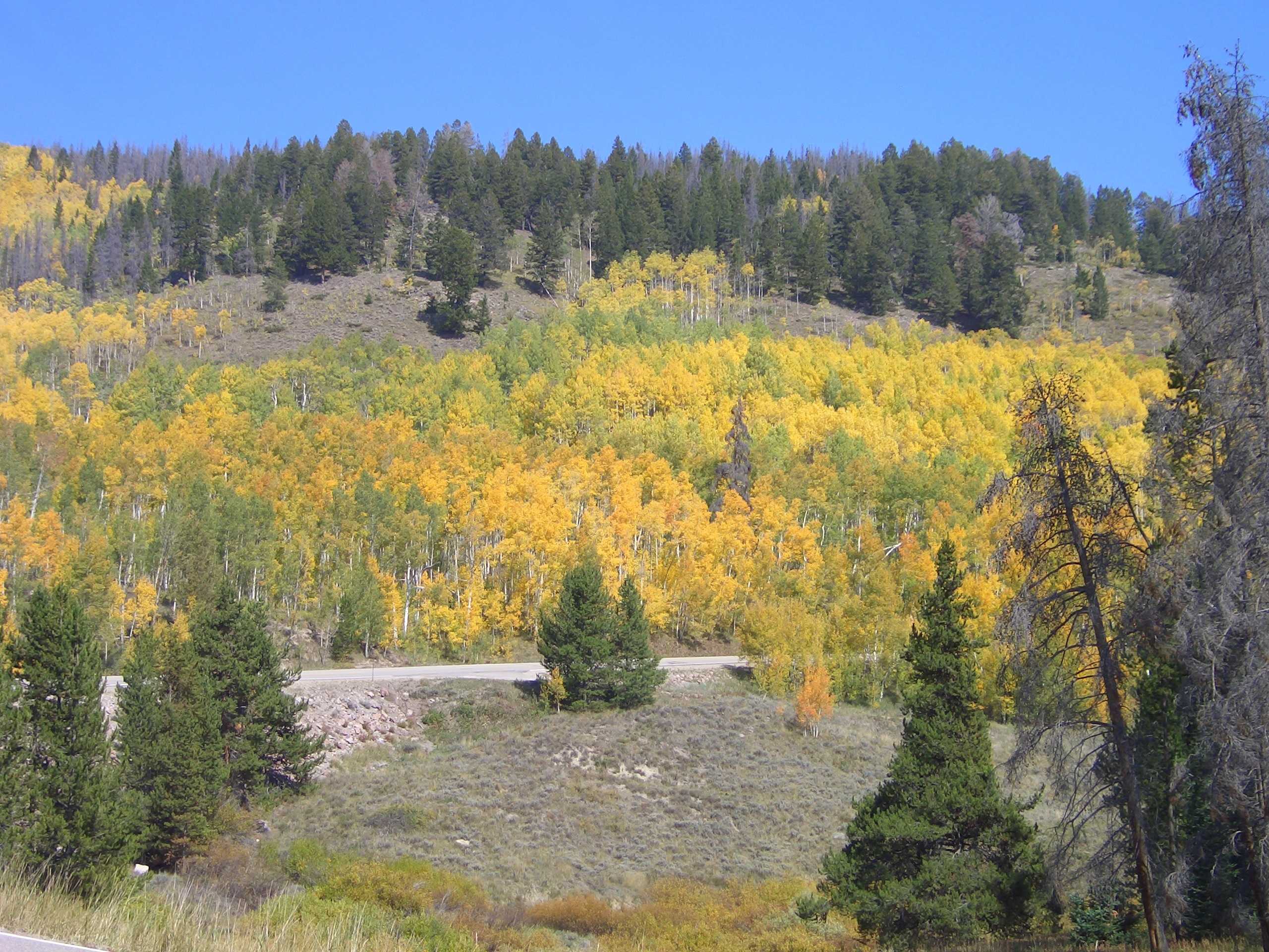
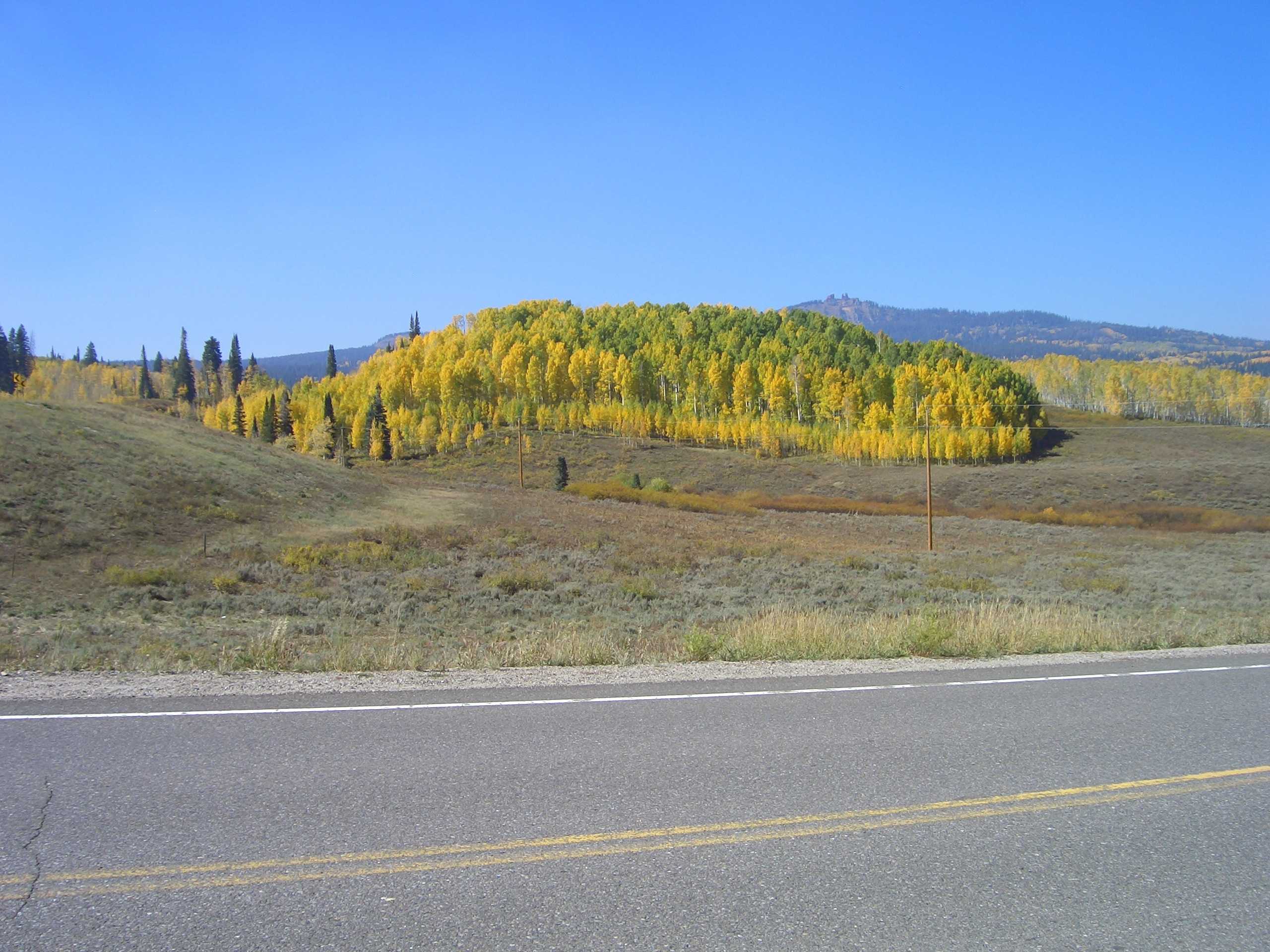
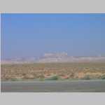
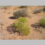
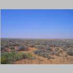
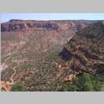
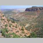
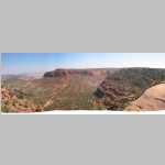
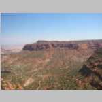
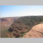
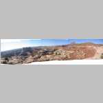
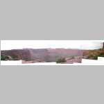
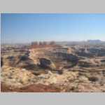
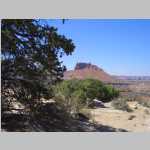
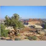
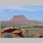
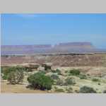
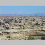
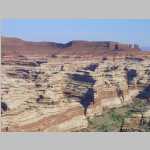
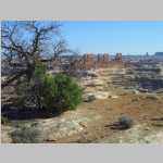
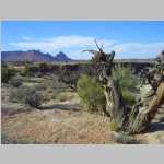
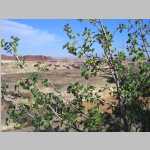
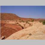
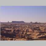
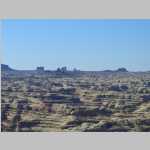
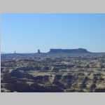
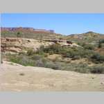
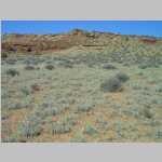
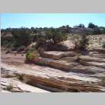
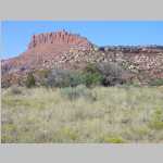
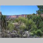
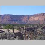
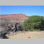
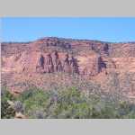
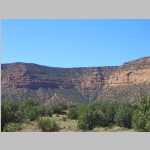
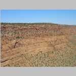
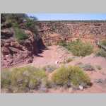
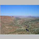
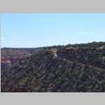
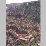
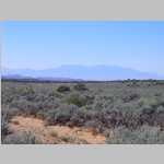
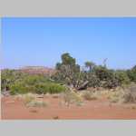
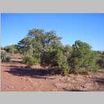
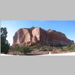
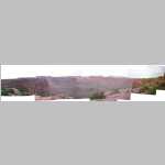
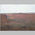
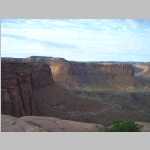
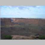
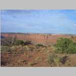
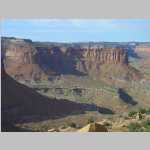
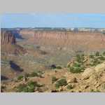
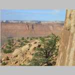
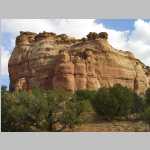
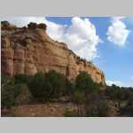
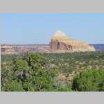
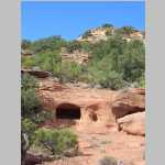
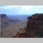
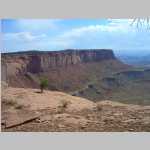
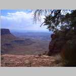
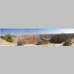
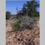
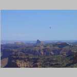
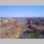
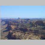
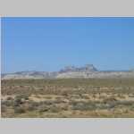
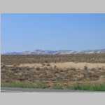
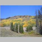
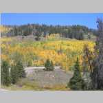
In southeastern Utah, the Green and Colorado Rivers have carved parts of the Colorado Plateau into a series of red pinnacles, mesas, buttes, spires, crimson cliffs and canyons. There are numerous National Parks in this area including Zion, Bryce Canyon, Arches, Capitol Reef, the north rim of the Grand Canyon, and Canyonlands. Canyonlands National Park is broken into three distinct districts: Island in the Sky, The Needles, and The Maze. There is an additonal unit of Canyonlands NP called Horseshoe Canyon. Several movies by John Ford (Monument Valley is located south of Canyonlands) and others (e.g. The Comancheros, The Greatest Story Ever Told, Galaxy Quest) as well as the final scene of Thelma and Louise (Island in the Sky) were filmed in or near Canyonlands. Aron Ralson became trapped in a slot canyon located in the Horseshoe Canyon unit and was forced to amputate his right arm. This was later described in his memoir Between a Rock and a Hard Place and the movie 127 Hours.

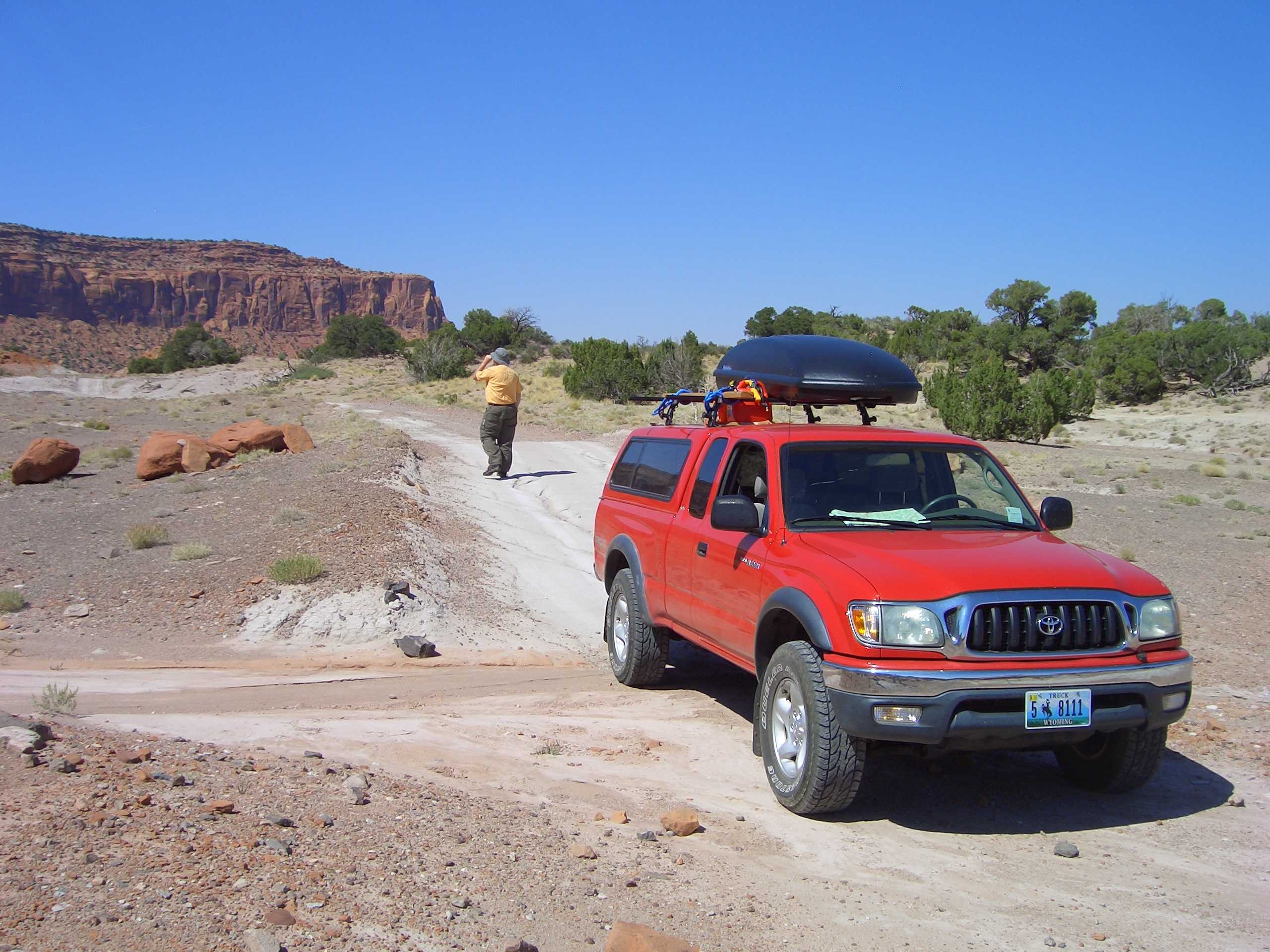
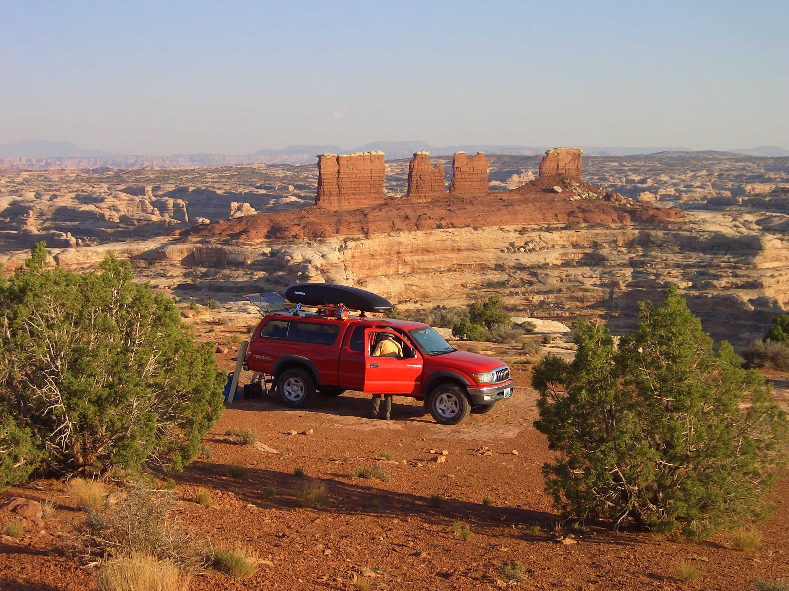
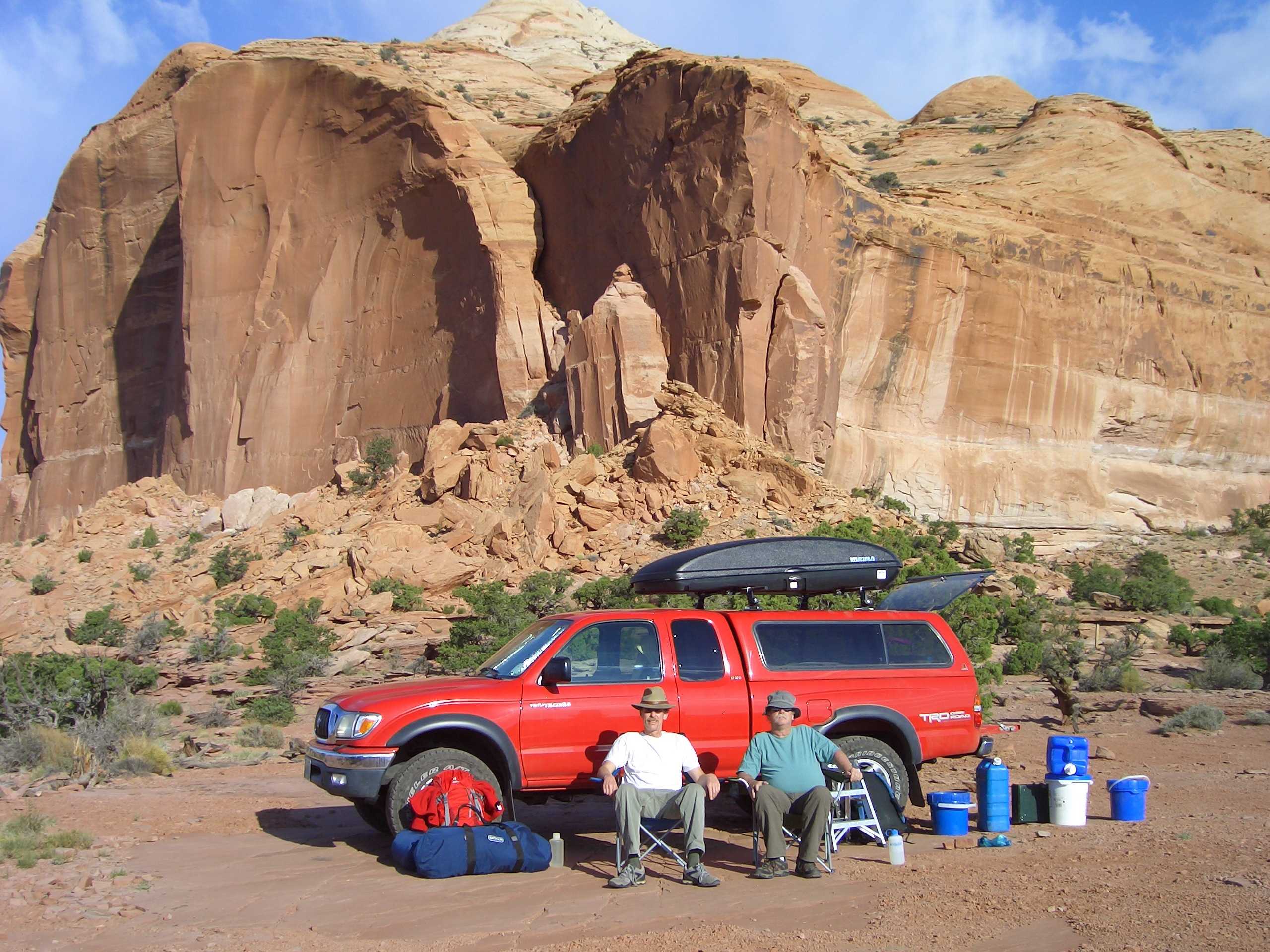
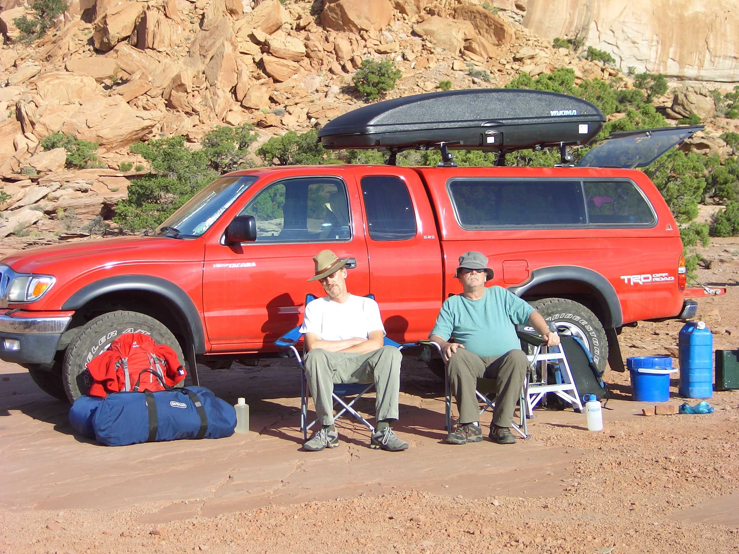
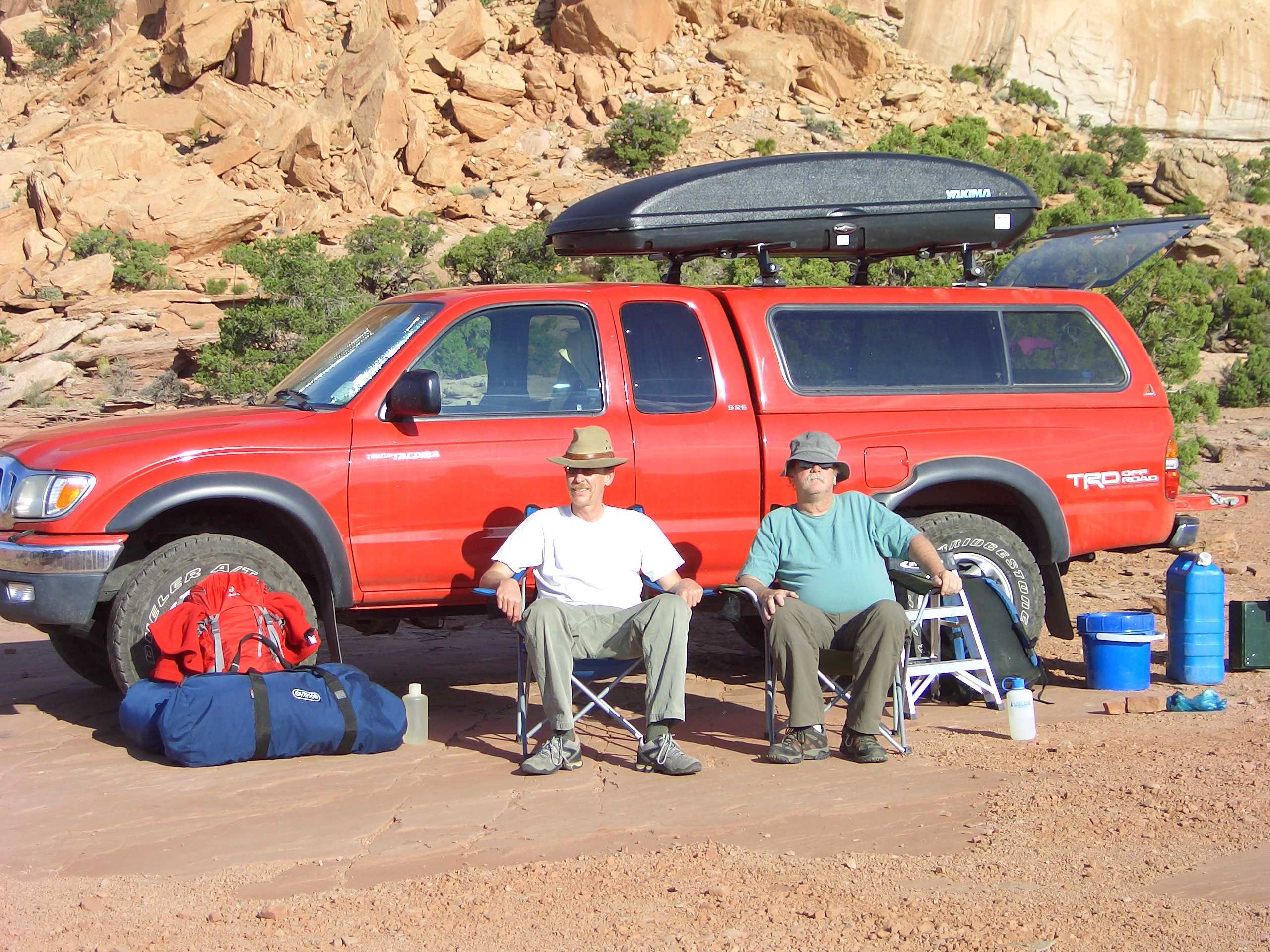
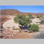
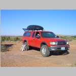
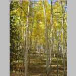
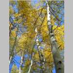
For a change of pace, we decided to do a desert trip. Ted had been to Canyonlands several times and suggested this location as a nice place to car camp. Because it is the desert, we thought it would be best to go late in the season when the temperatures would be more moderate (we had highs of 80 to 90 F and lows of 40 to 50 F). However, this meant that Brian and Jim were unable to go because of teaching commitments.

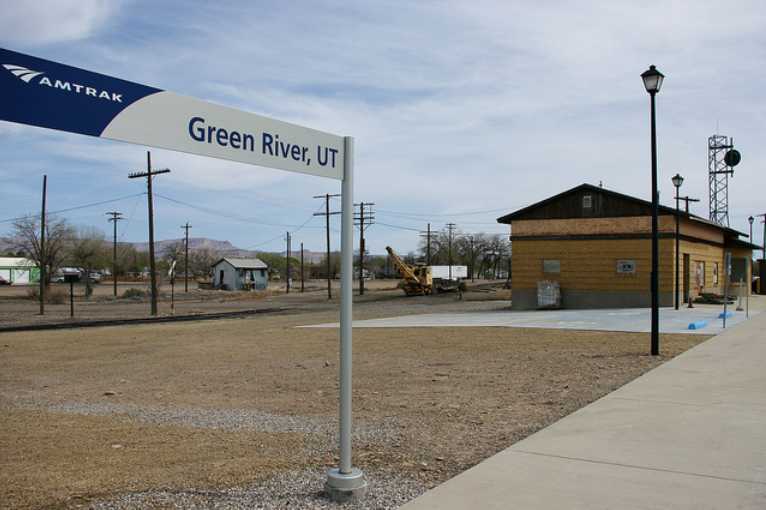
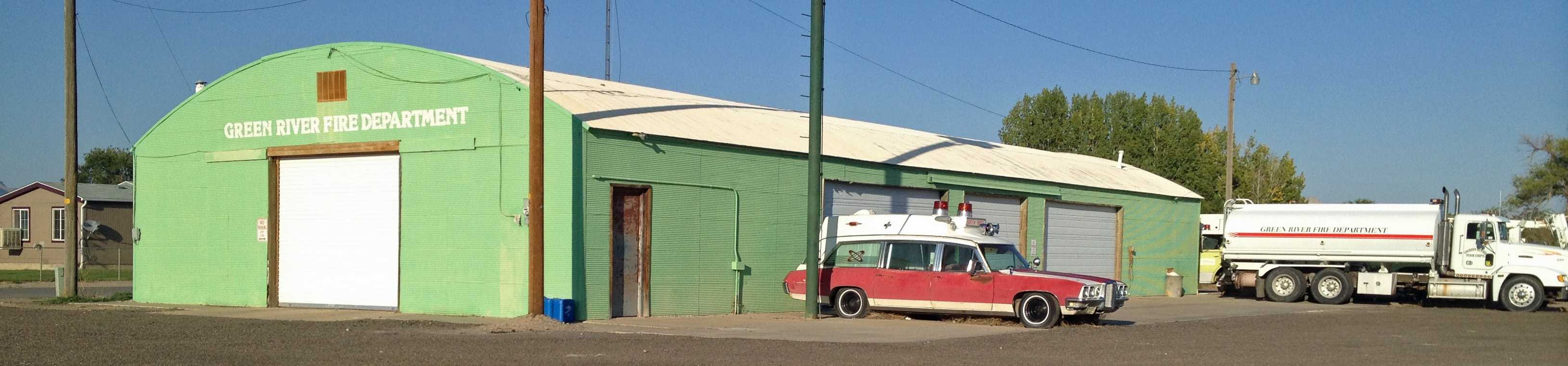
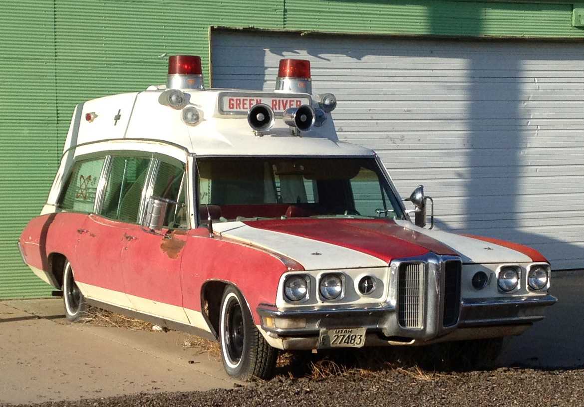
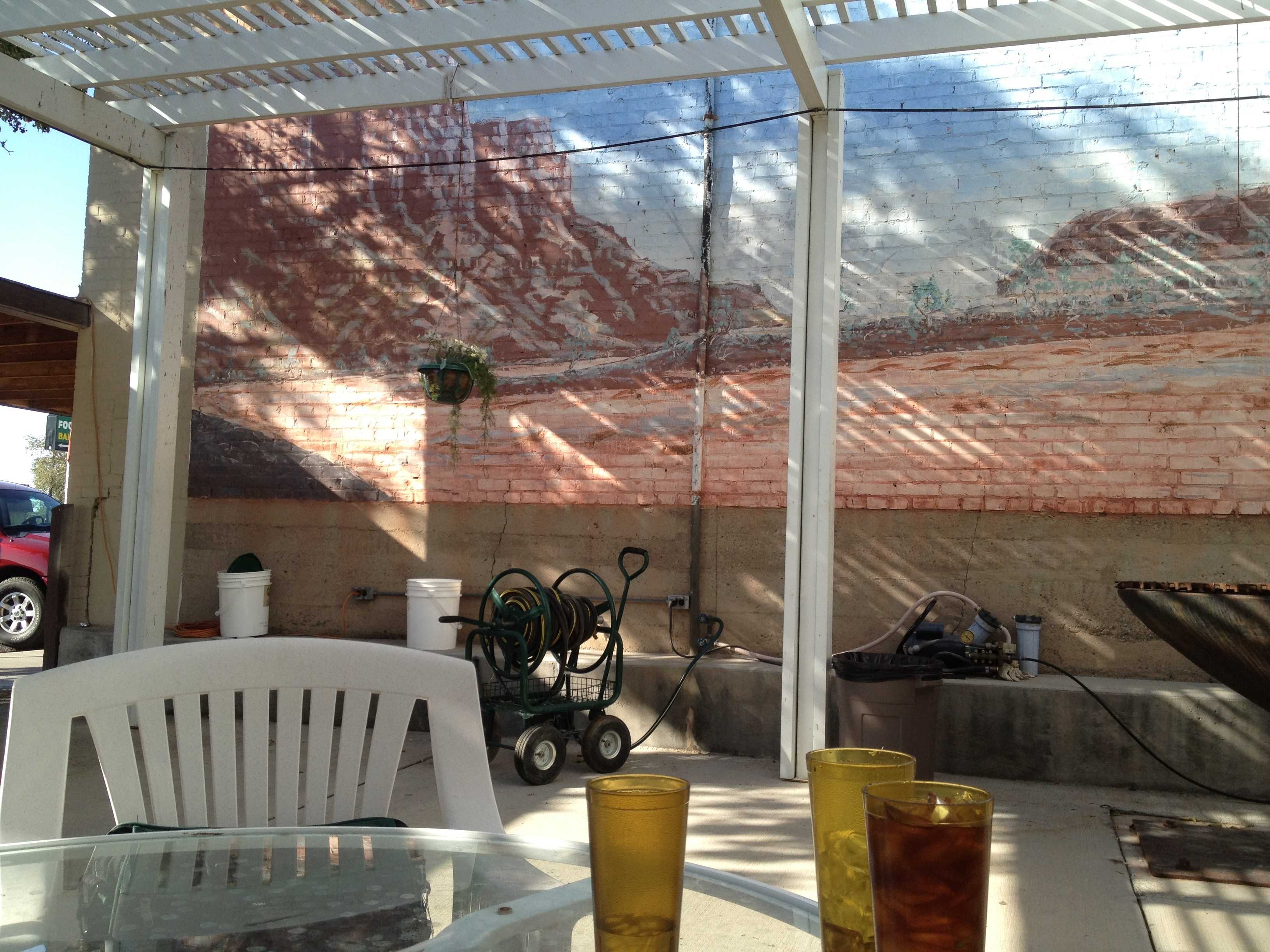
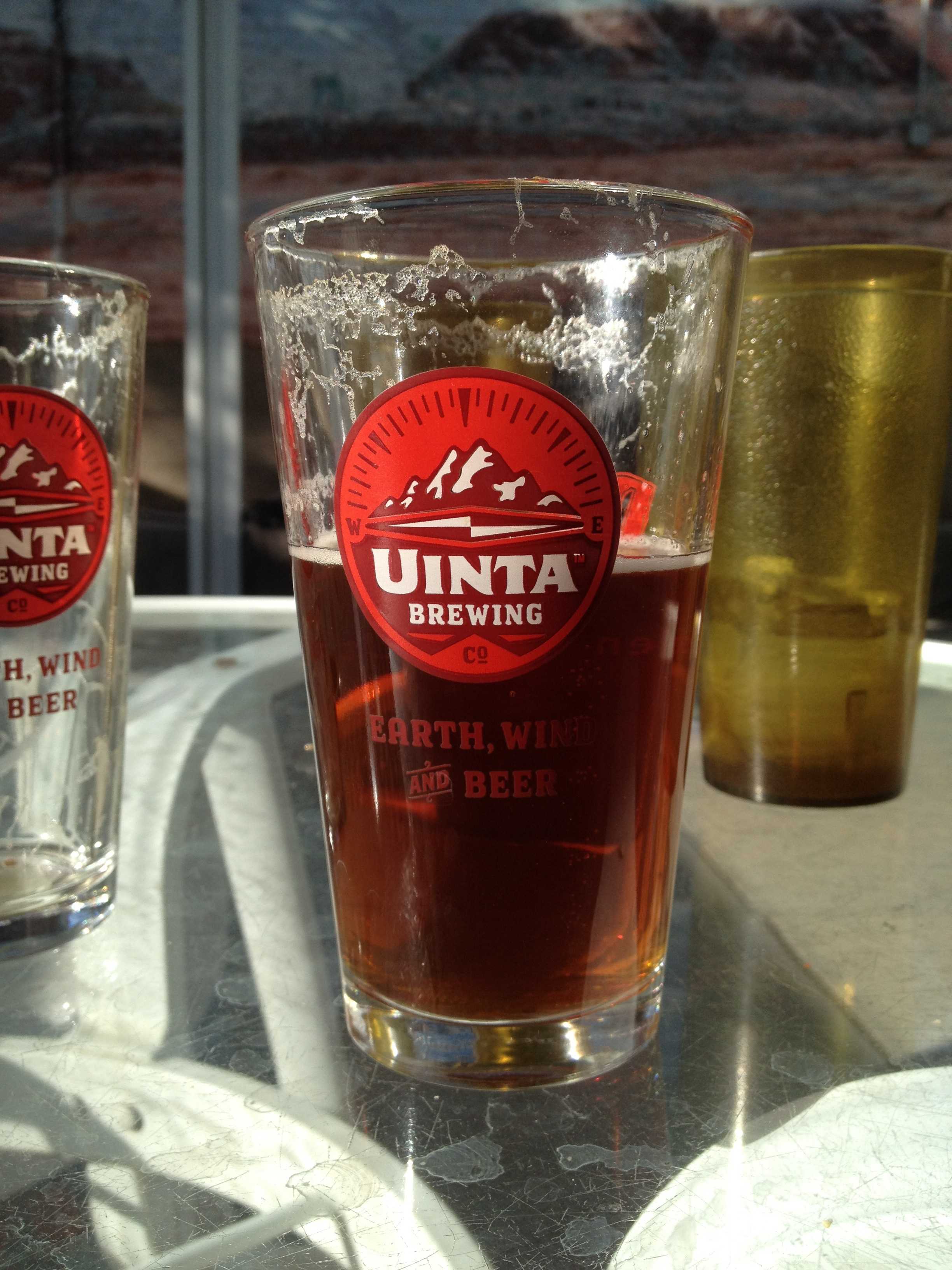
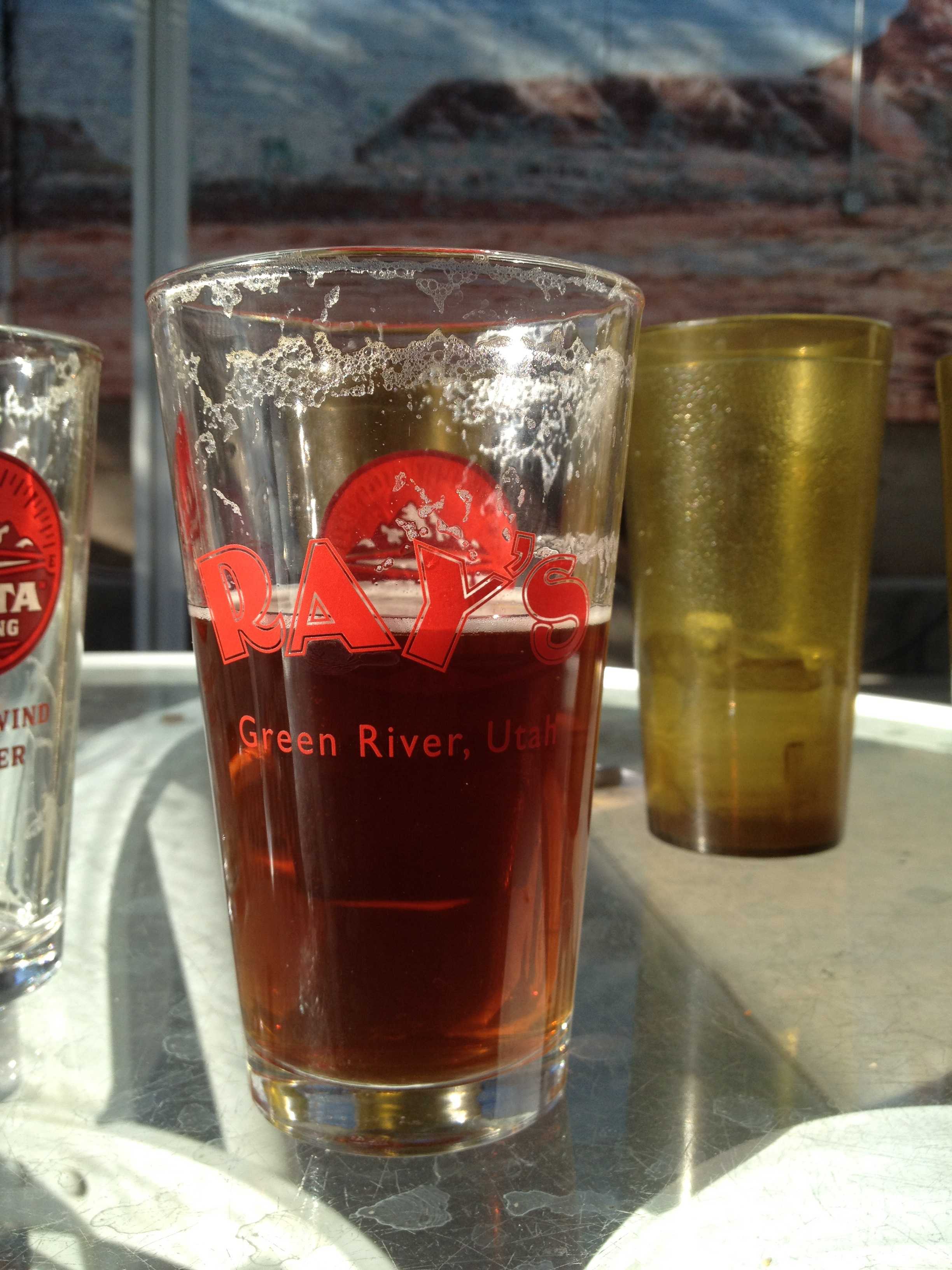
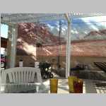
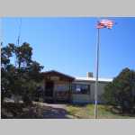
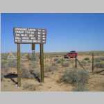
I got off train in Green River Utah at the Amtrak/UP train station. The train station was boarded up as were most of the buildings nearby. Ted had not yet arrived, so I walked down to Ray's Tavern (best burger place in town). Using modern technology, I sent an email to Brian and Jim who called Ted on his cell phone. Brian and Jim later relayed to me that Ted was on his way. We crashed at the River Terrace Motel located on the Green River across from a John Wesley Powell Museum. Great place with a great breakfast.

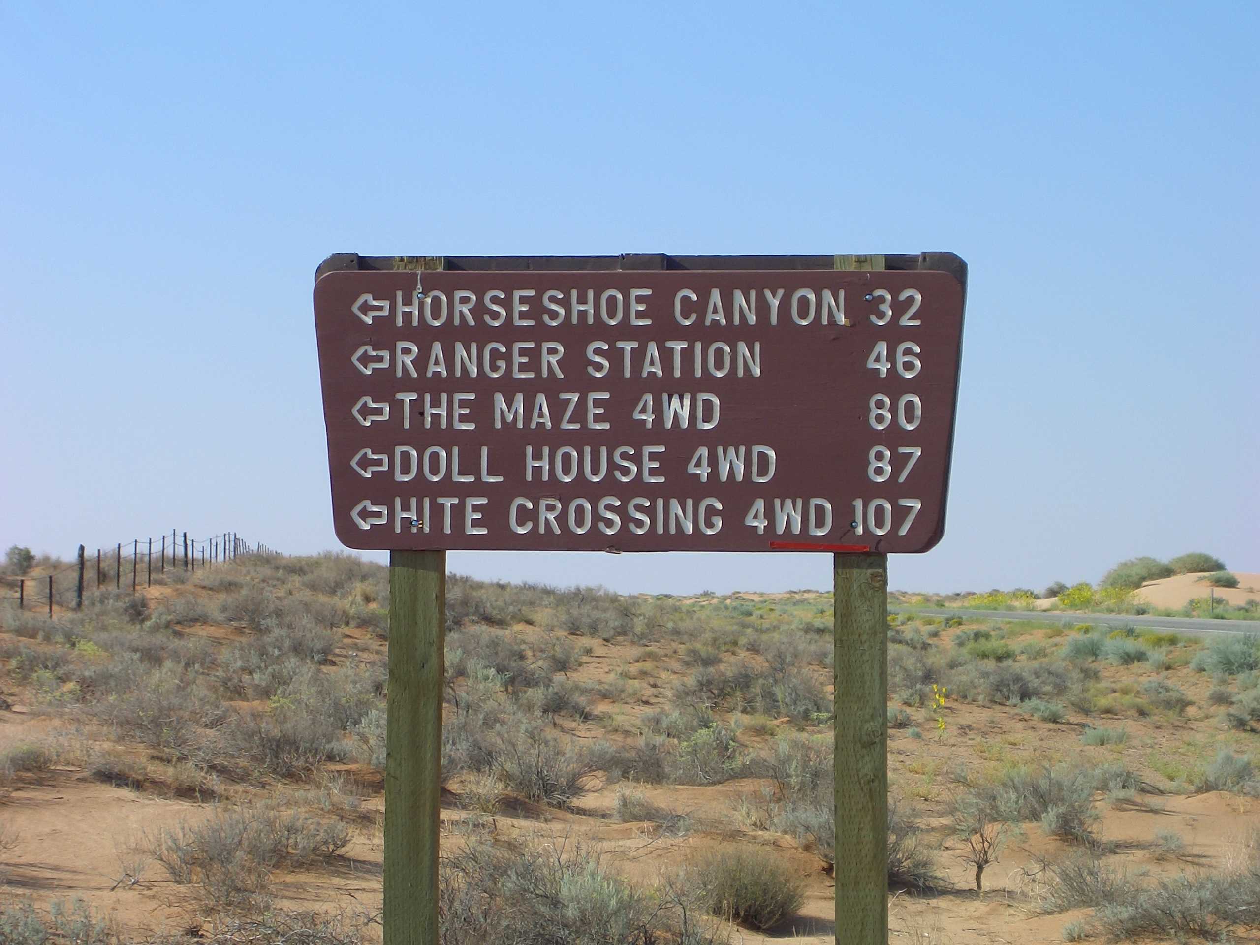
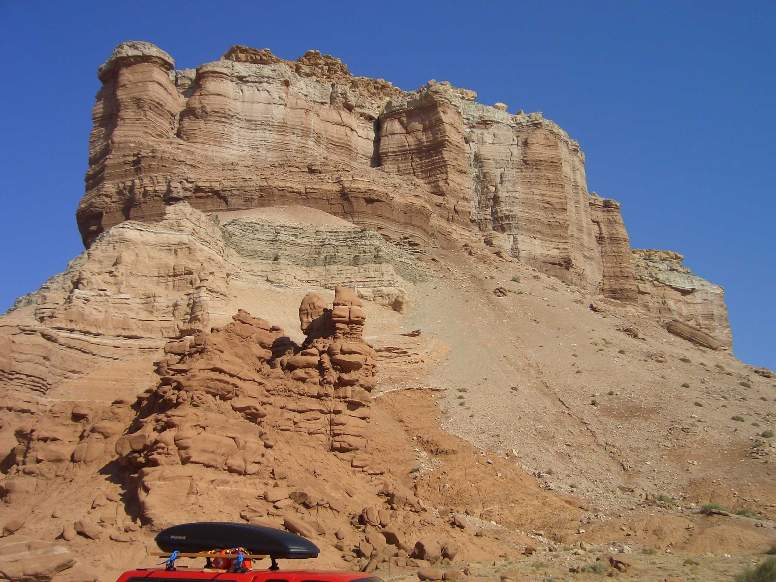
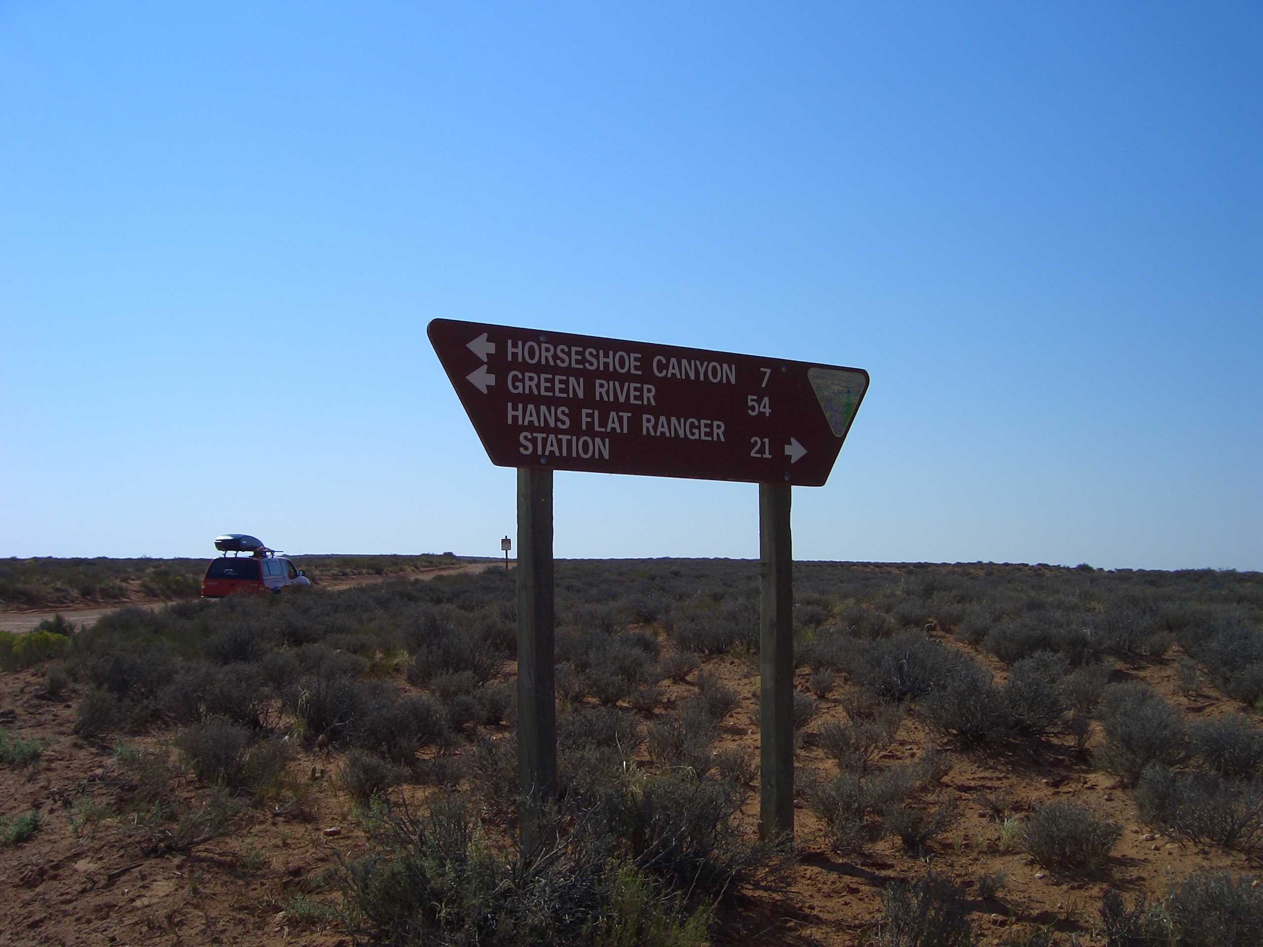
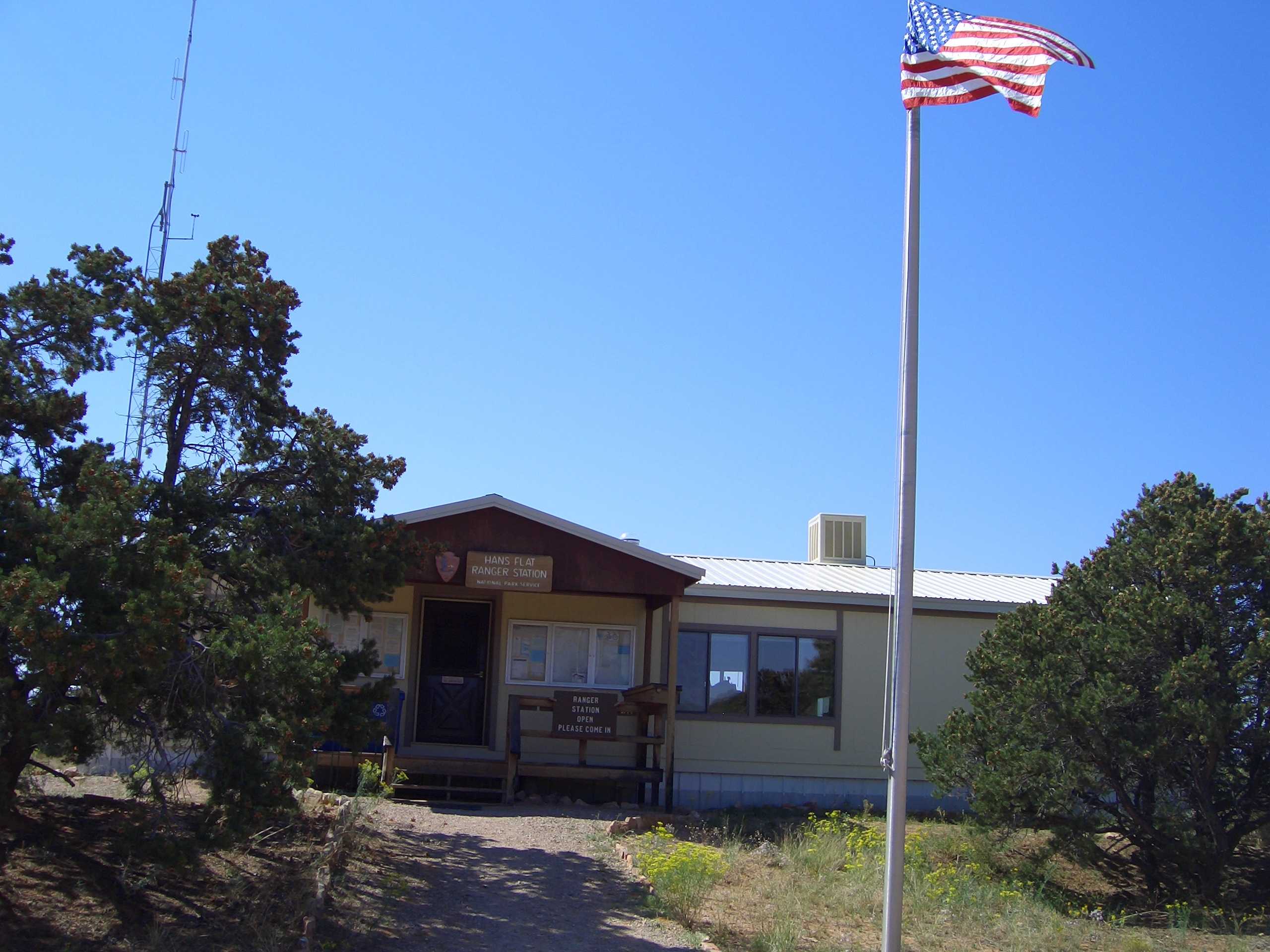
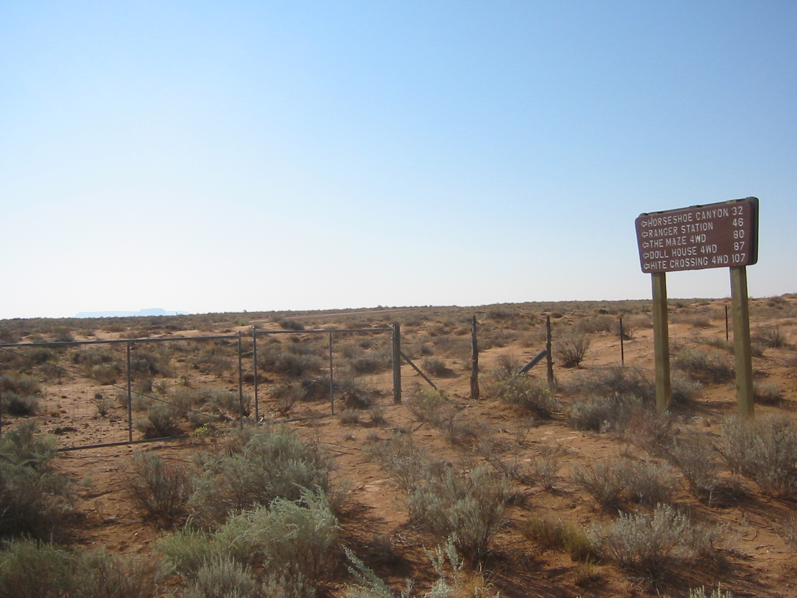
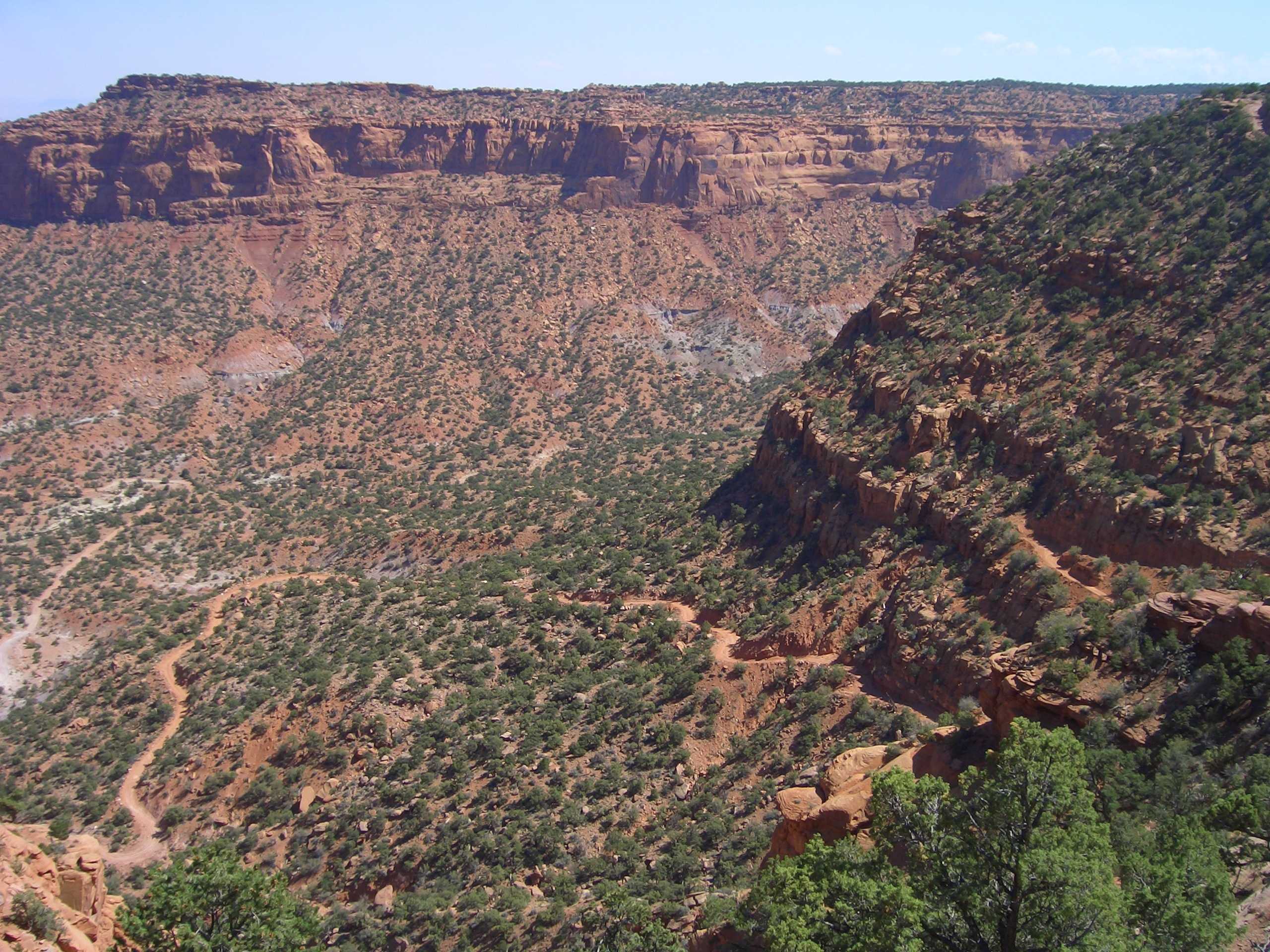
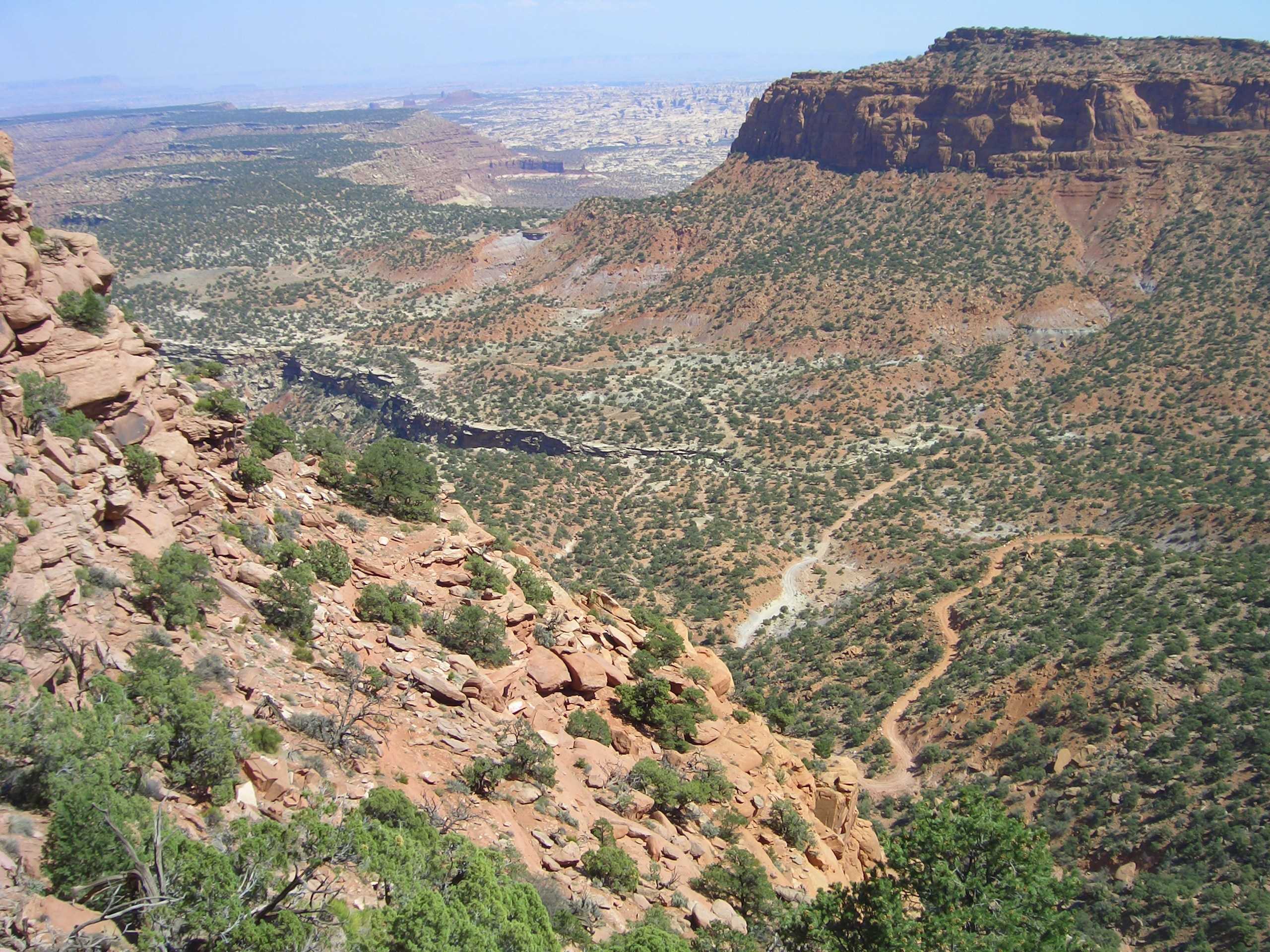
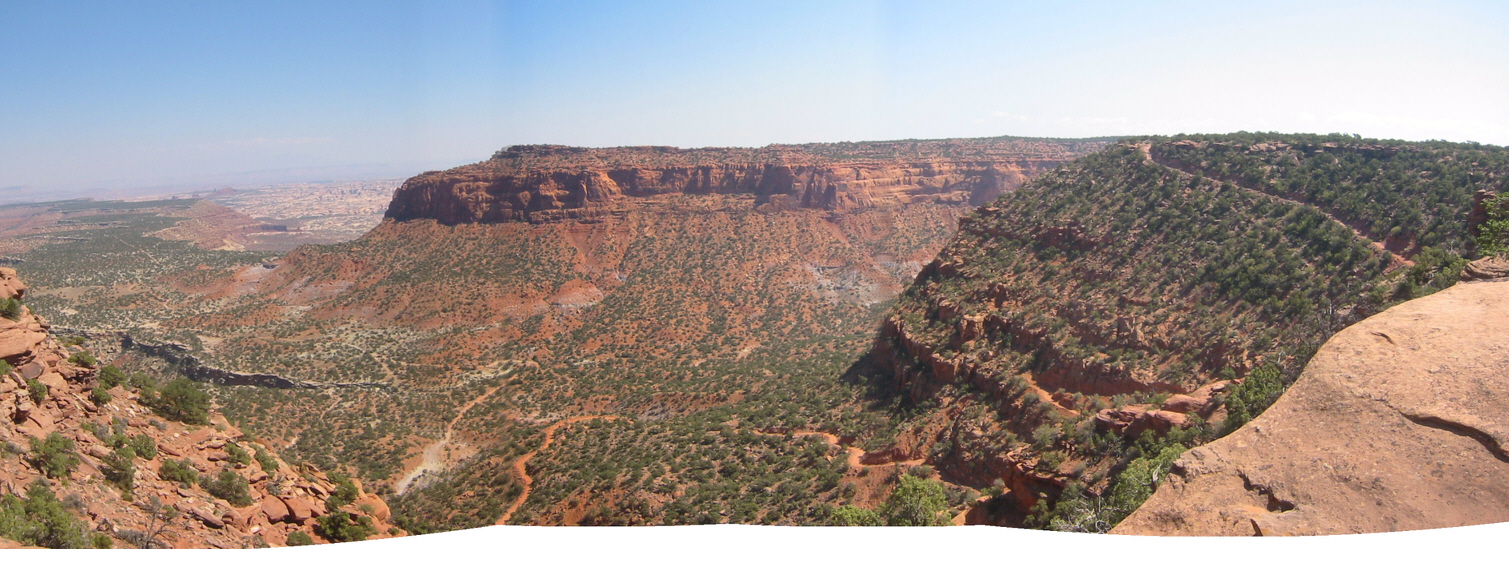
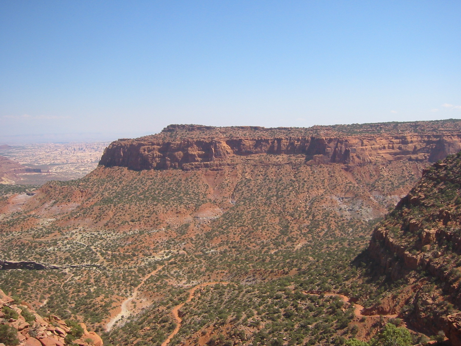
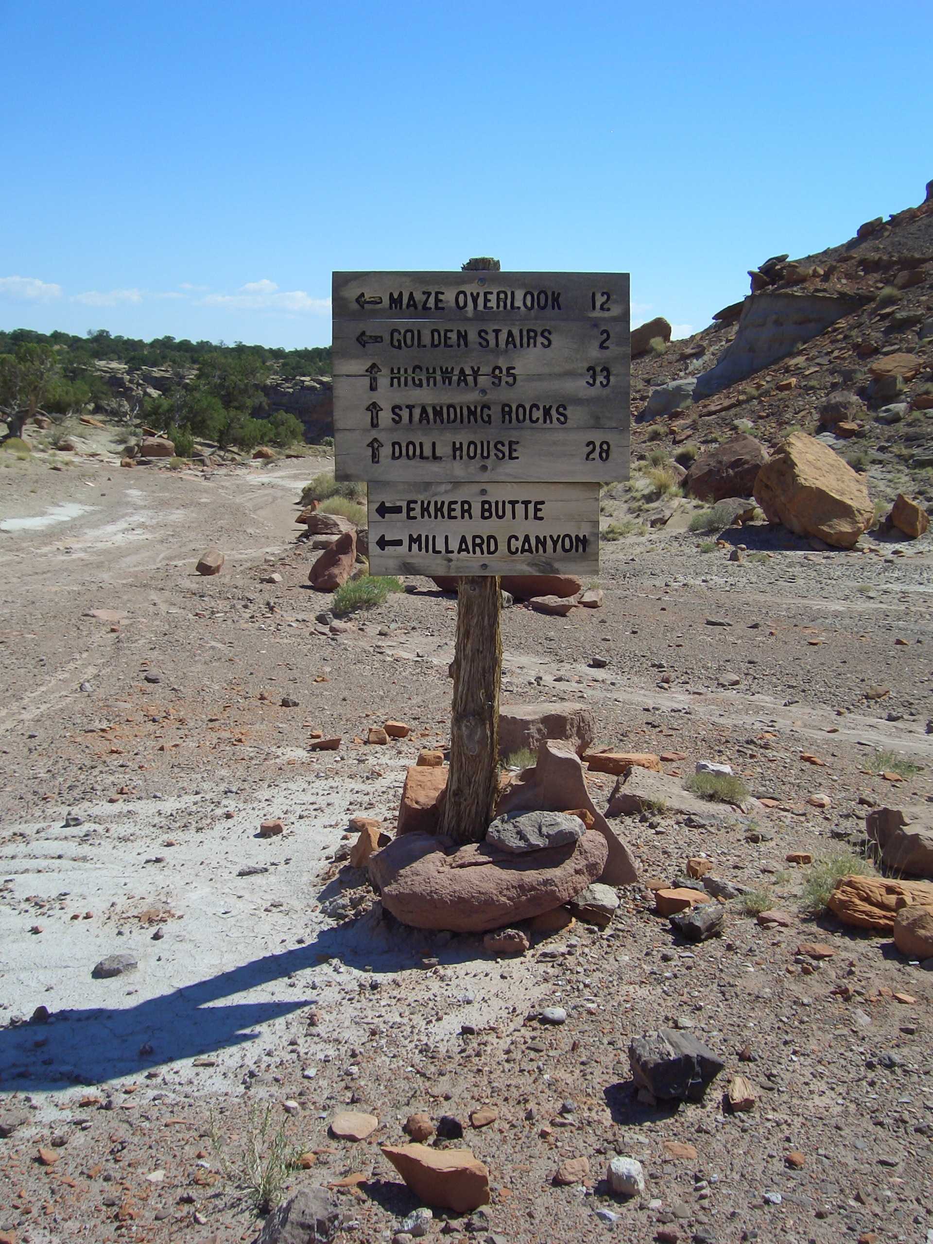
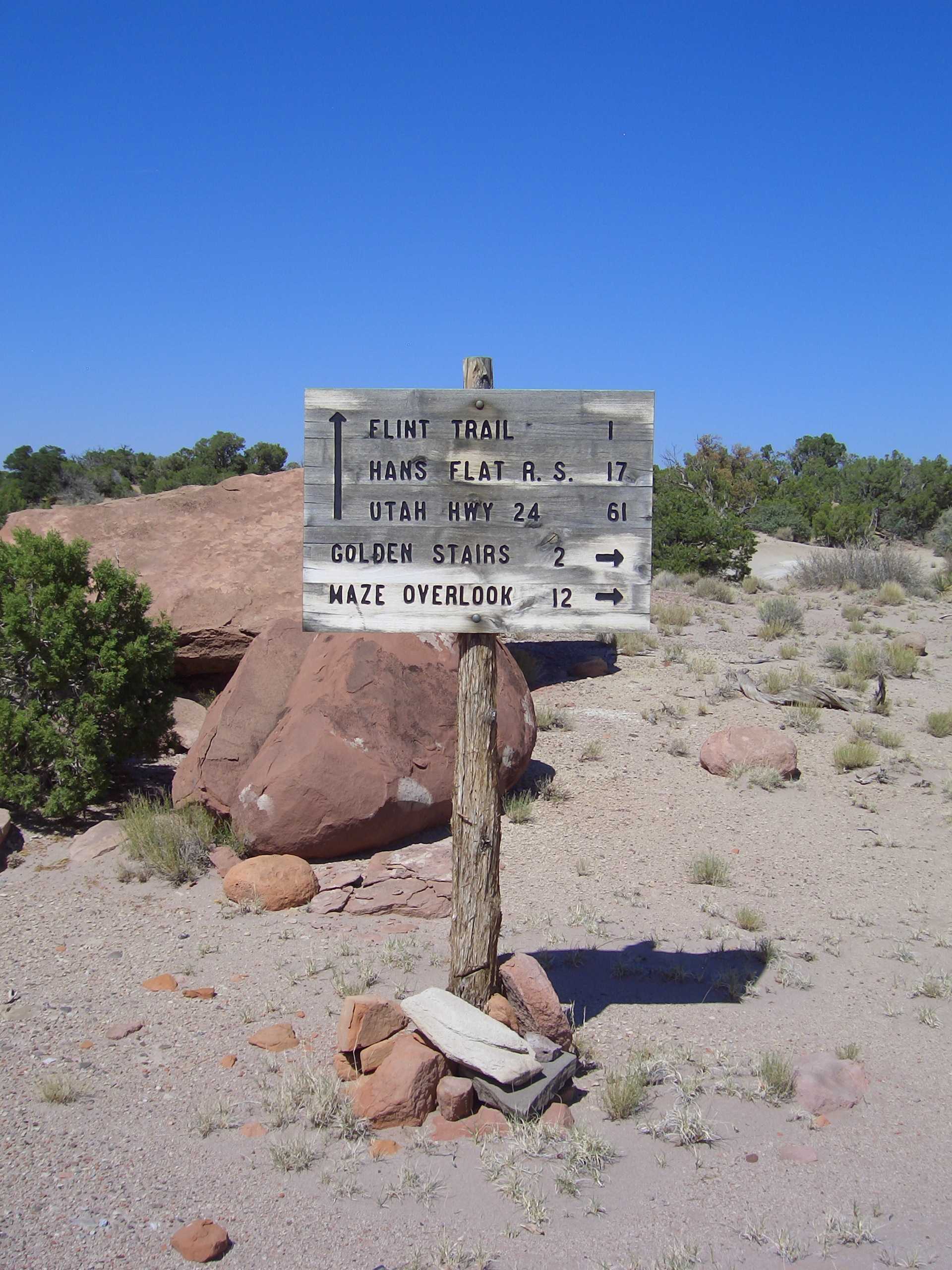
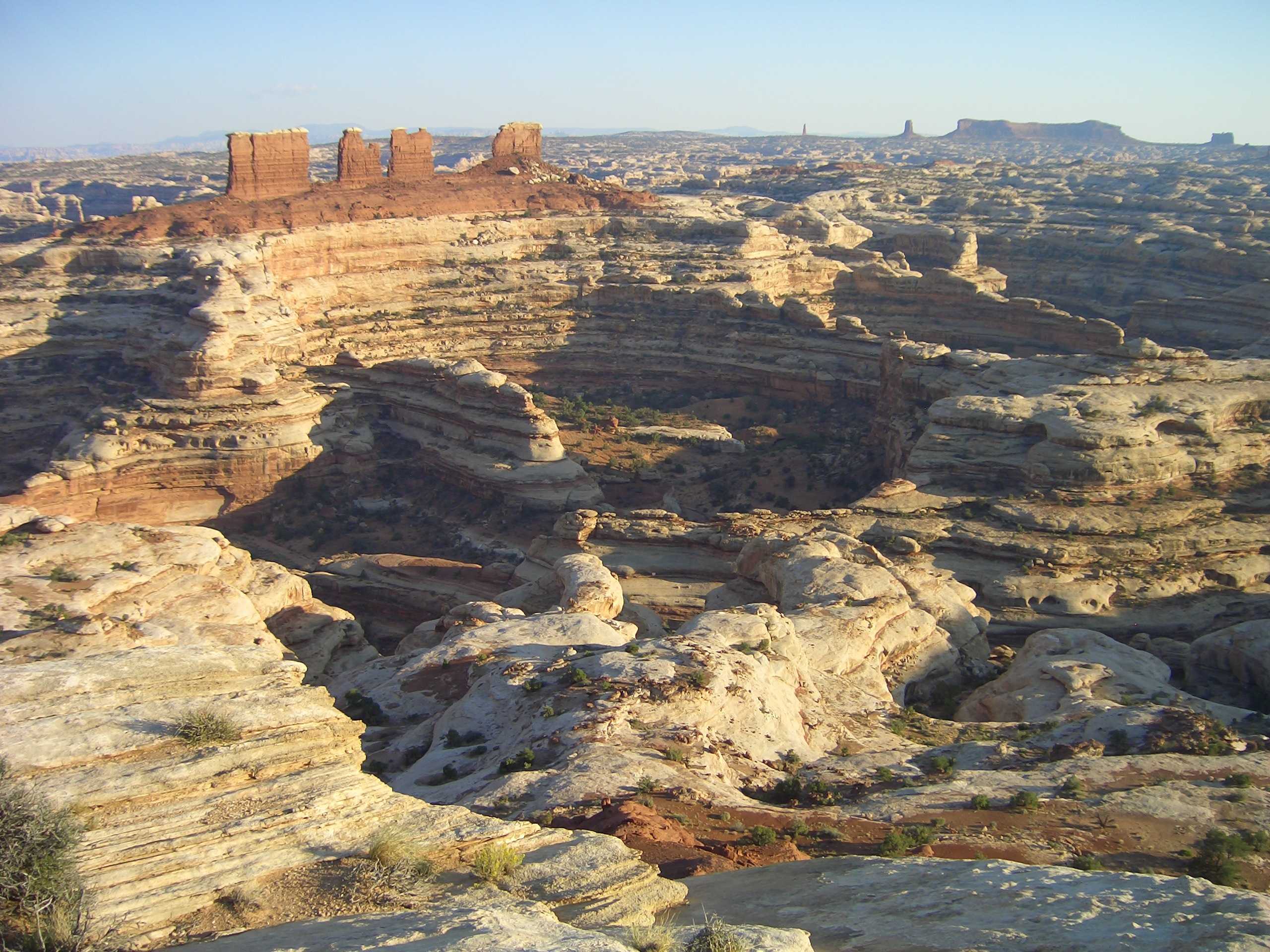
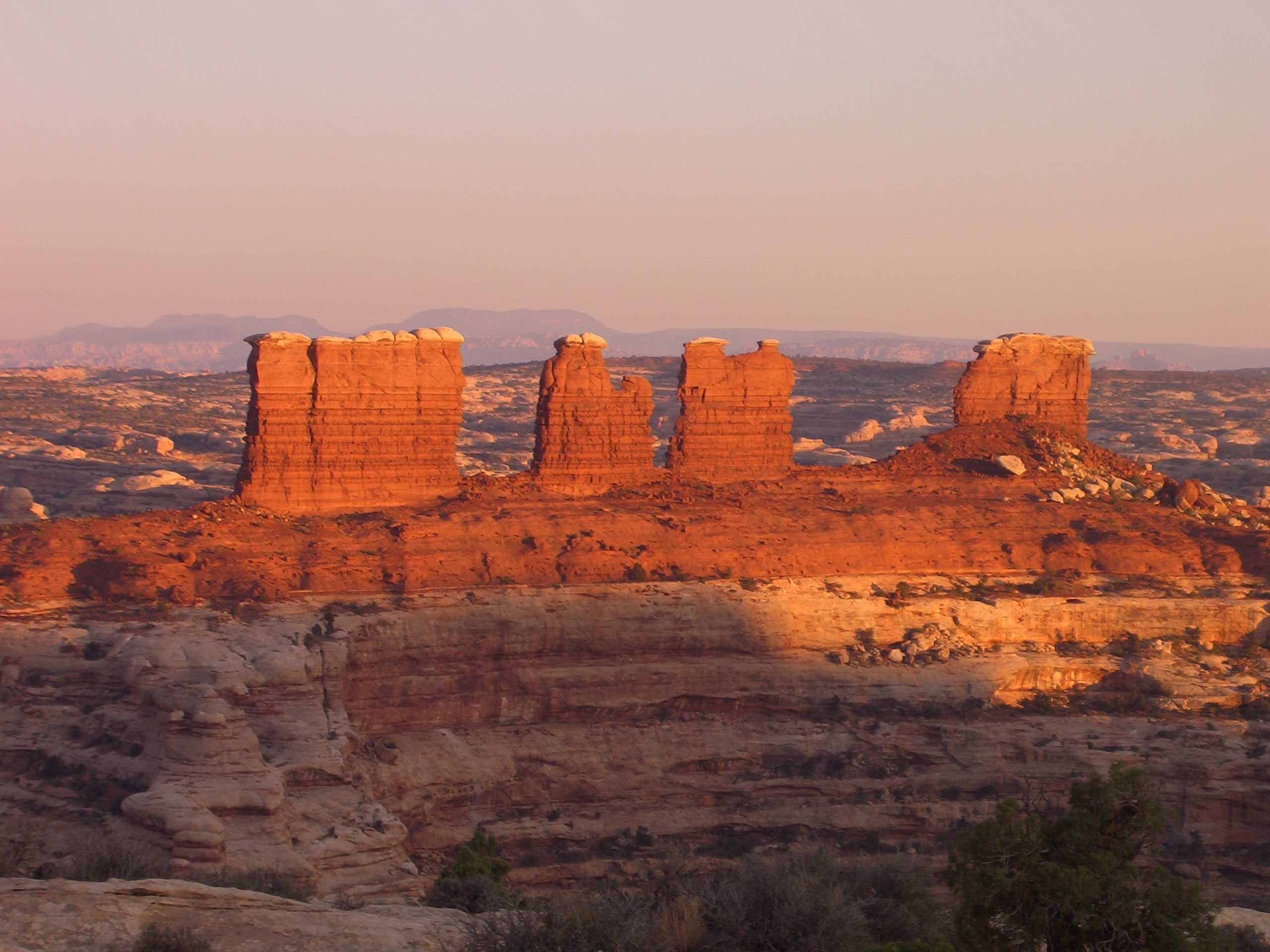
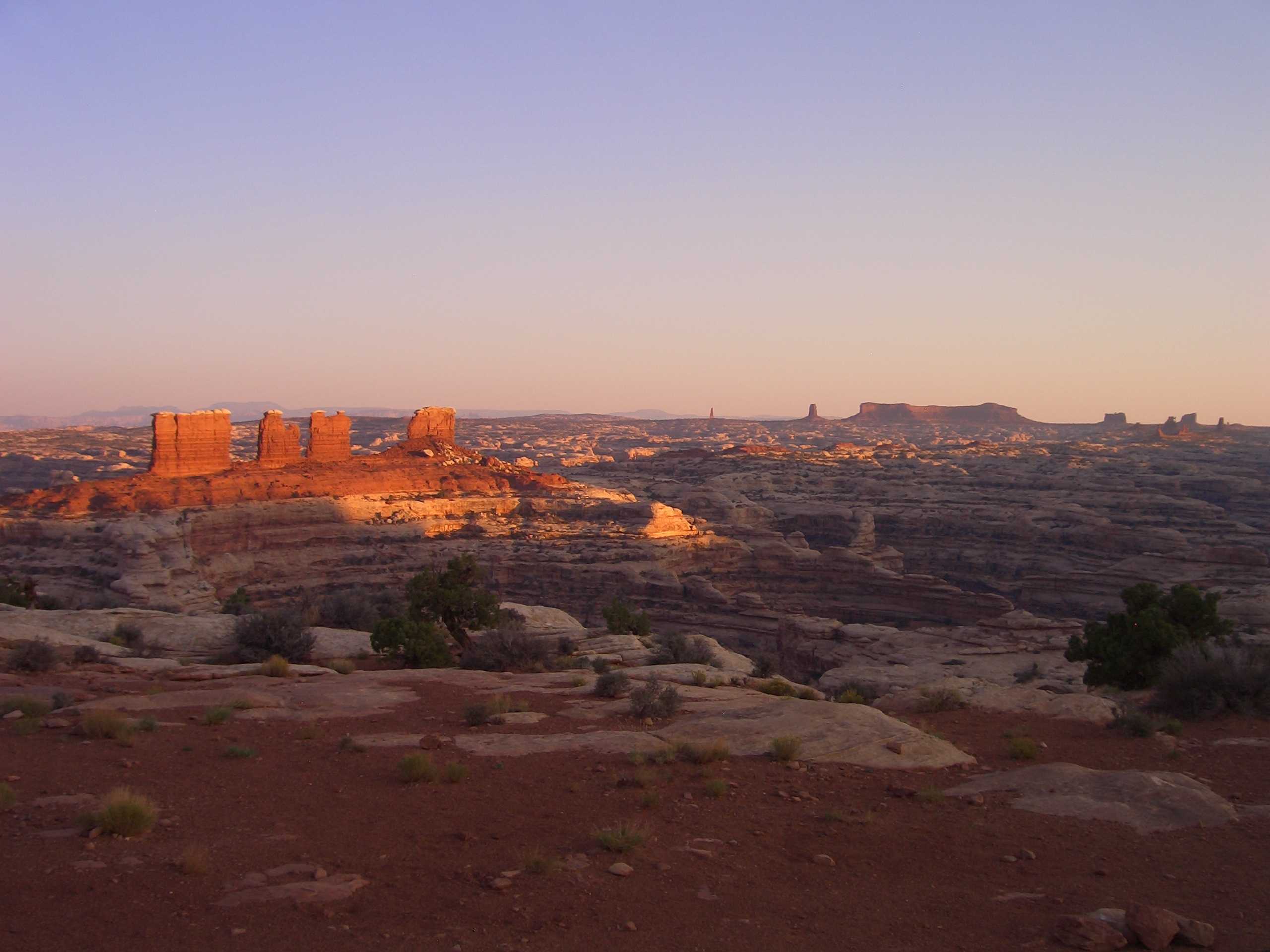
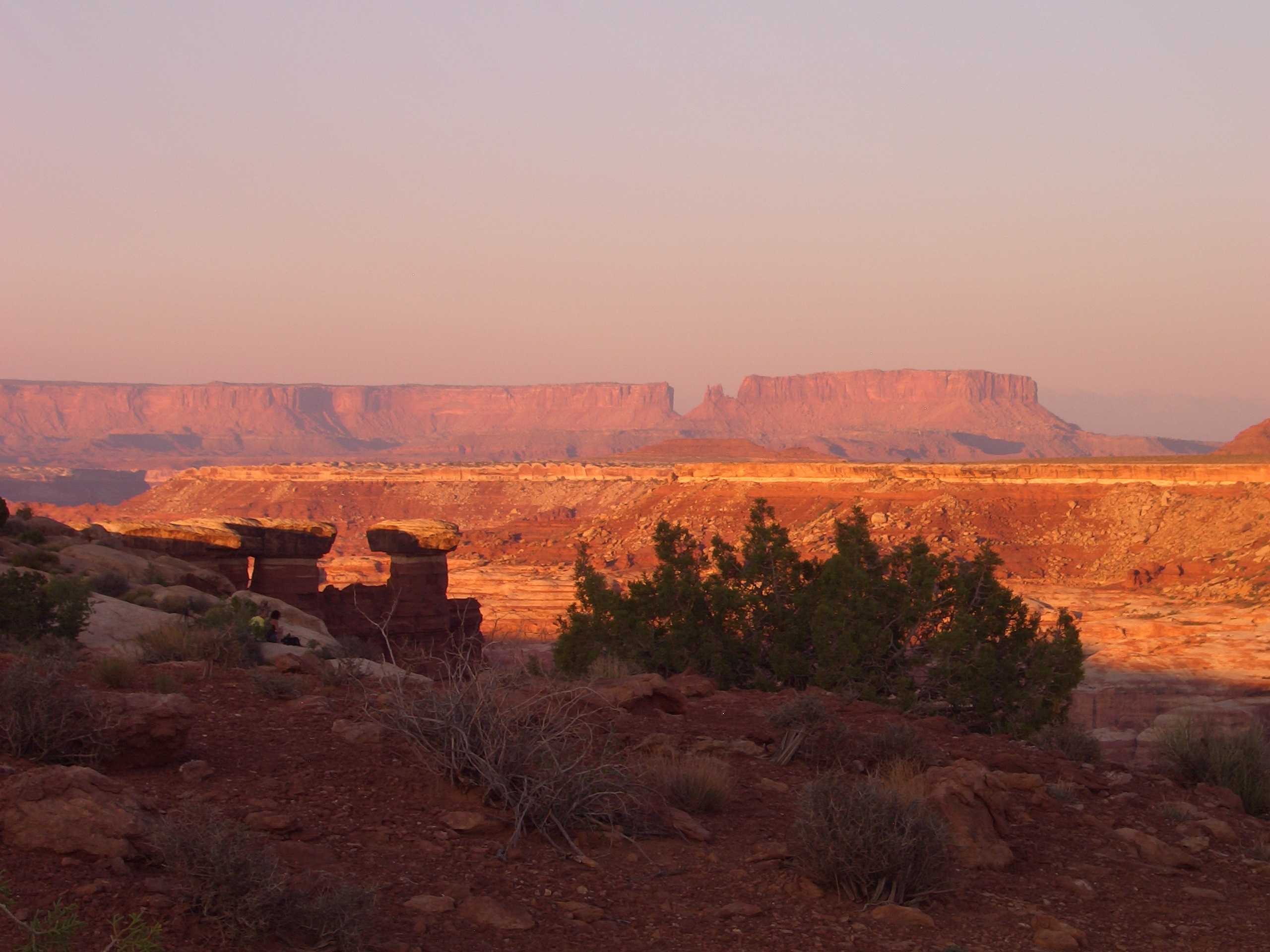
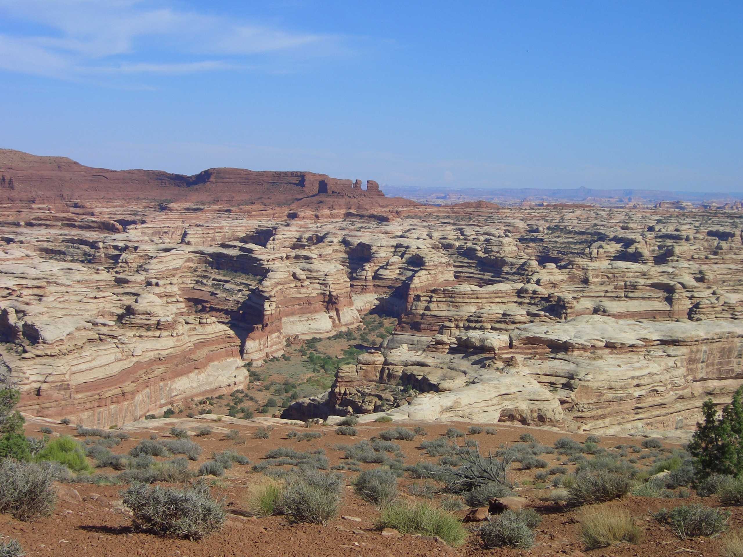
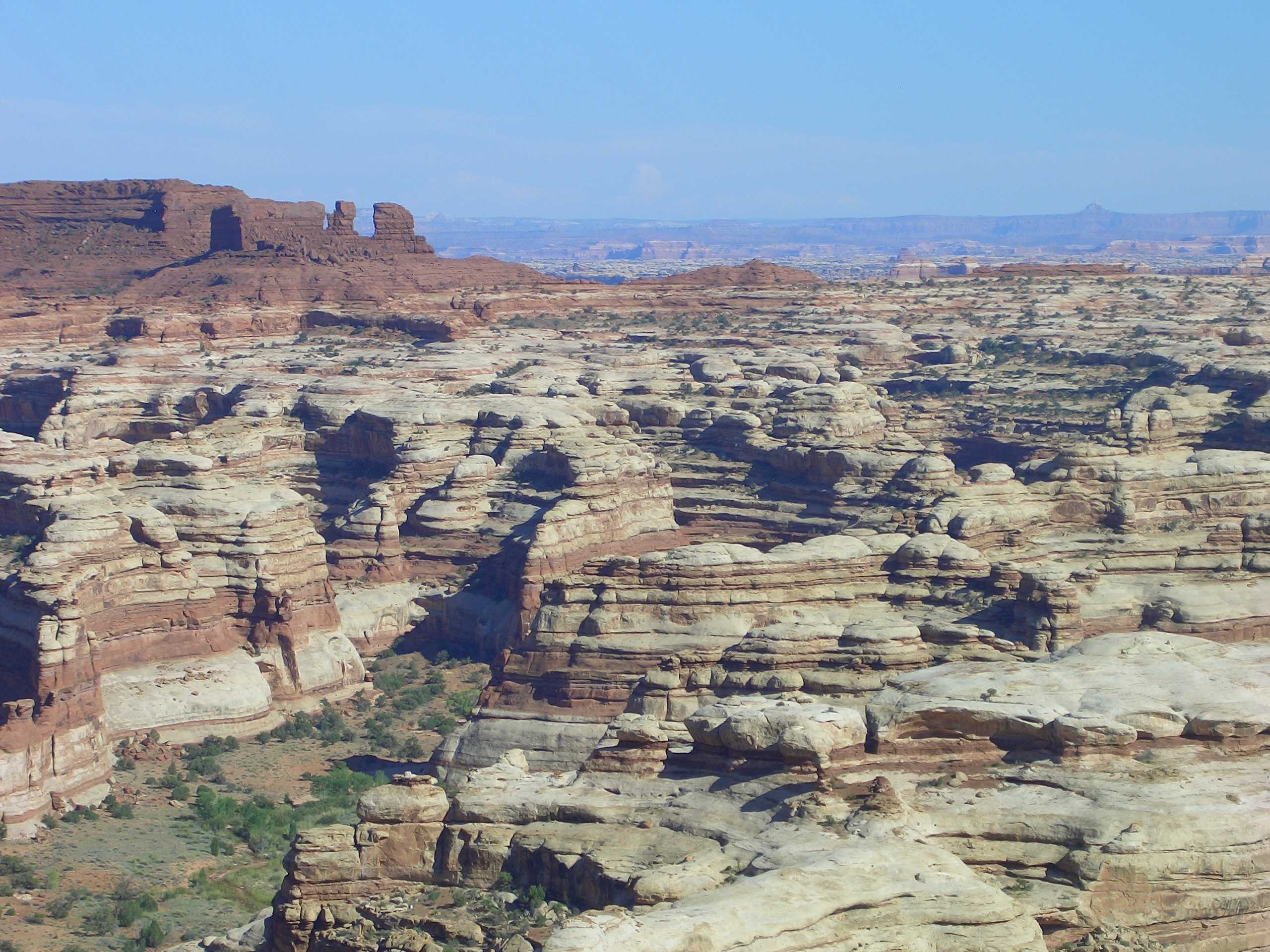
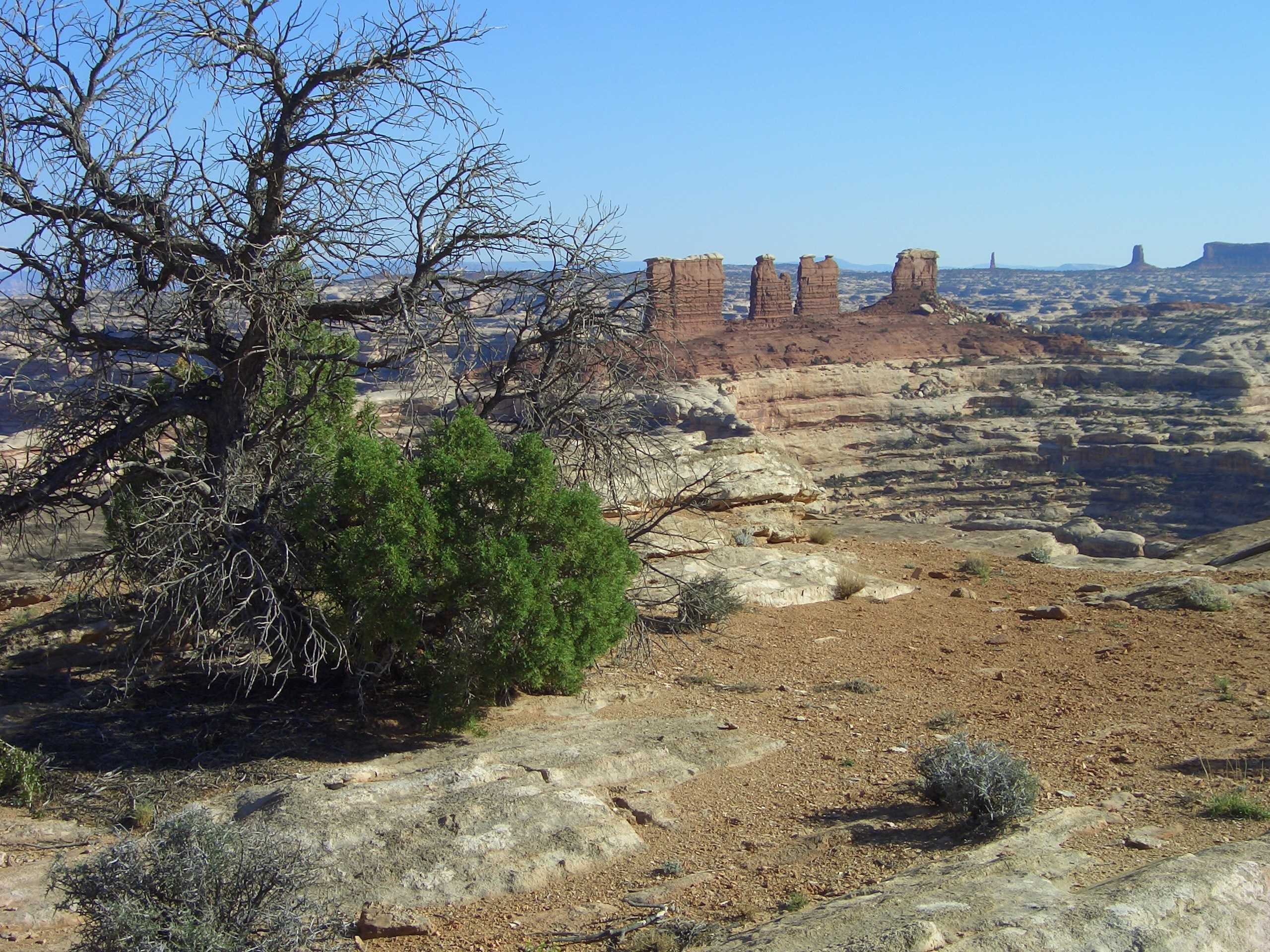
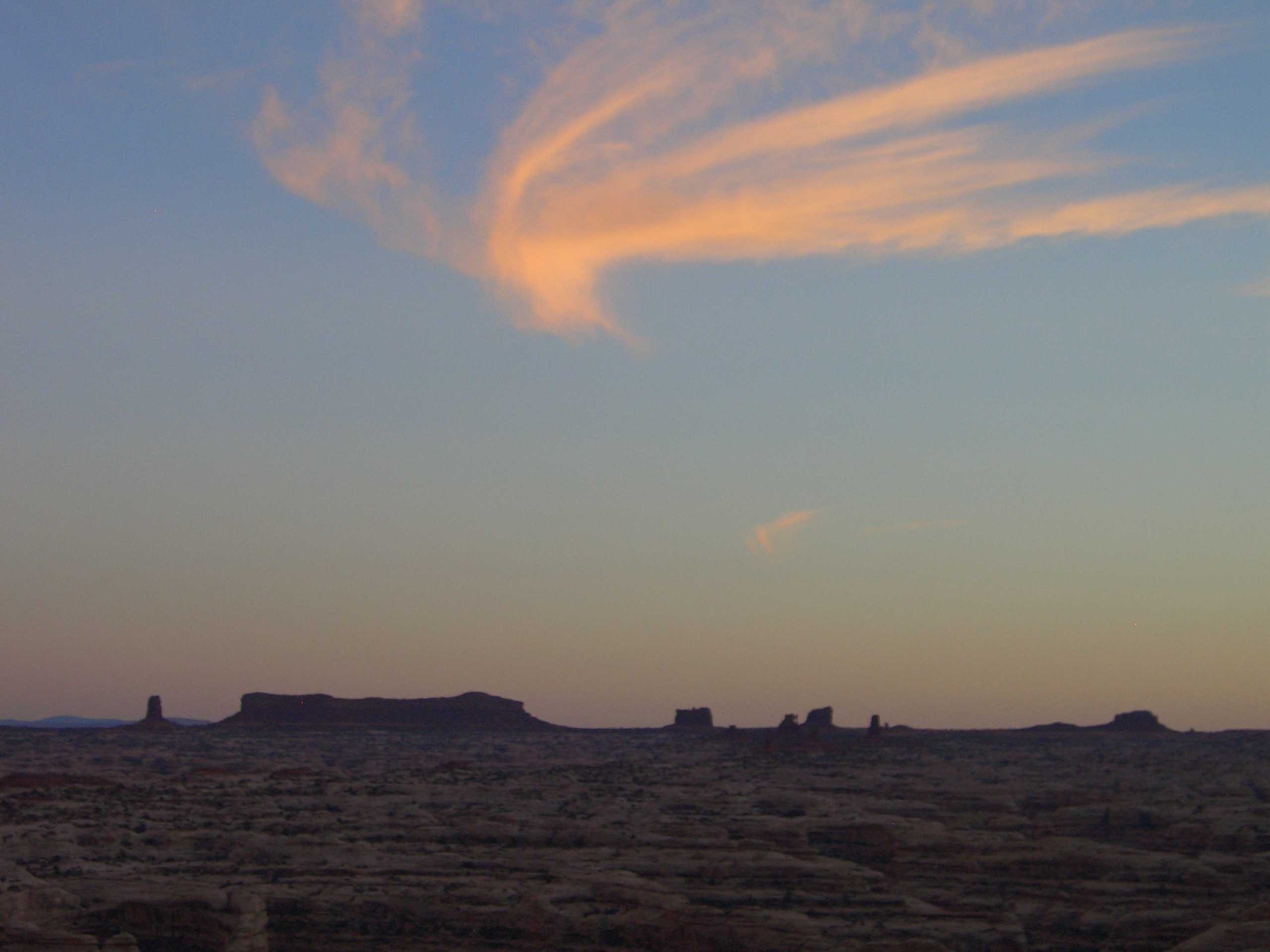
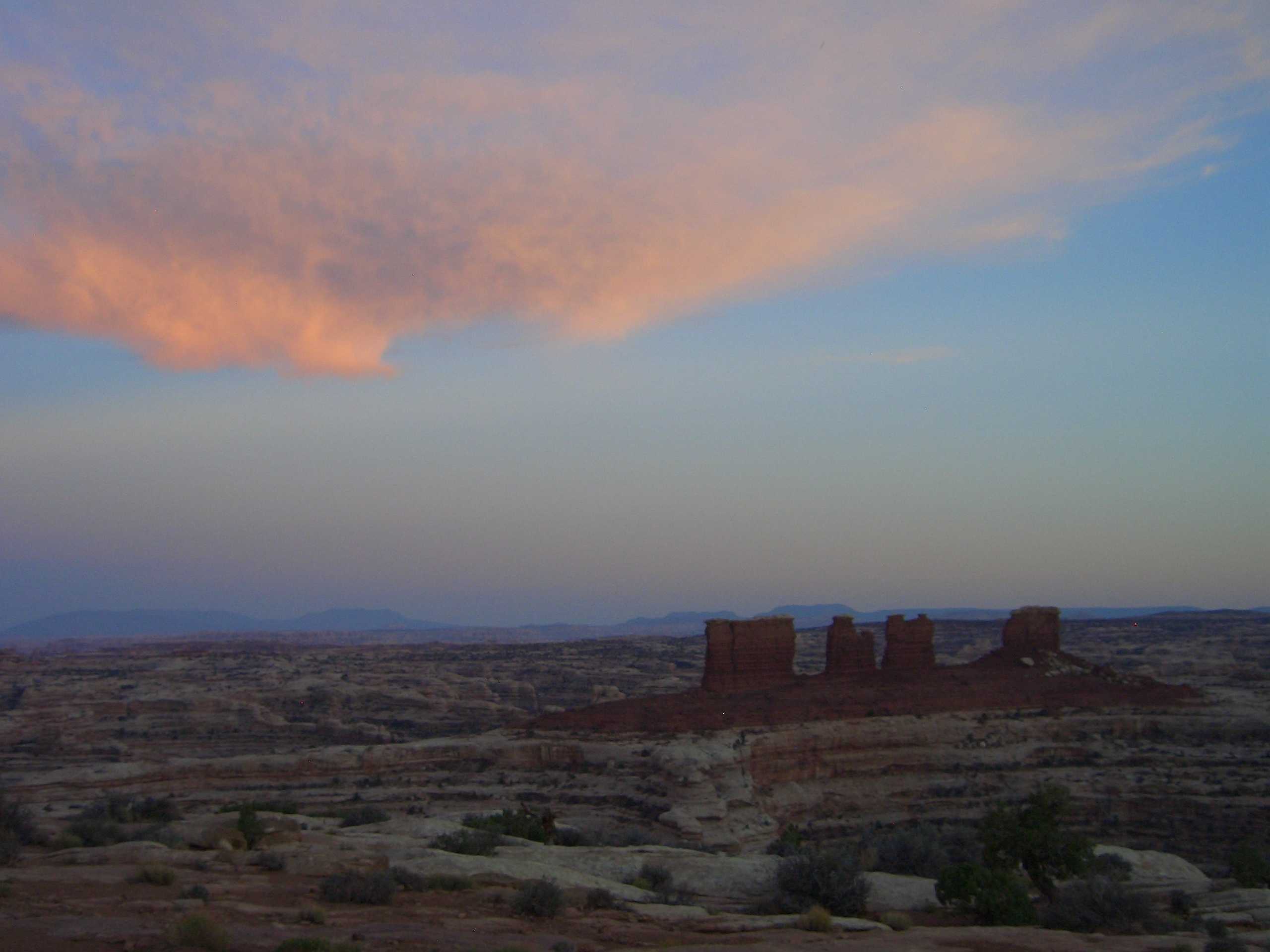
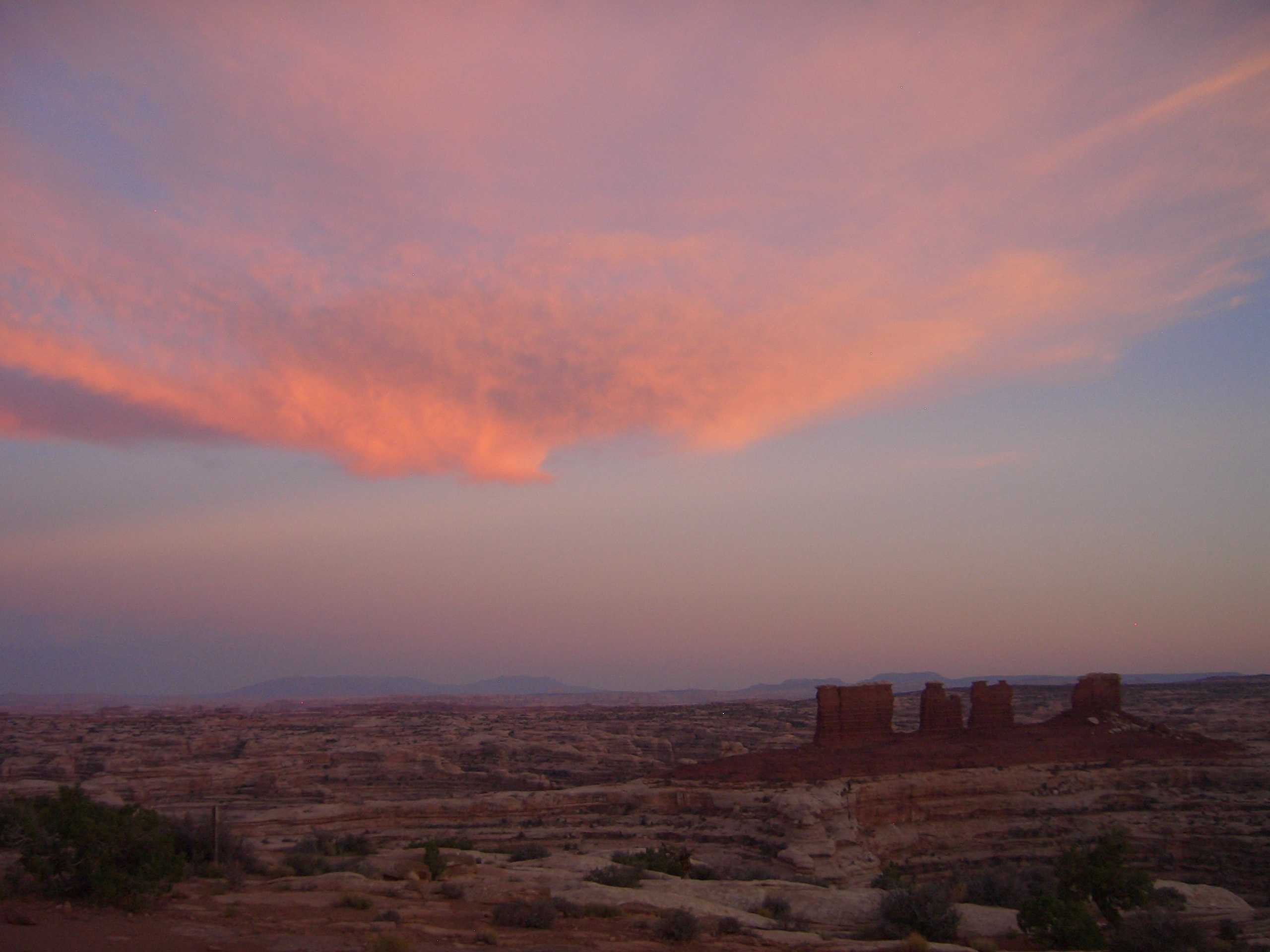
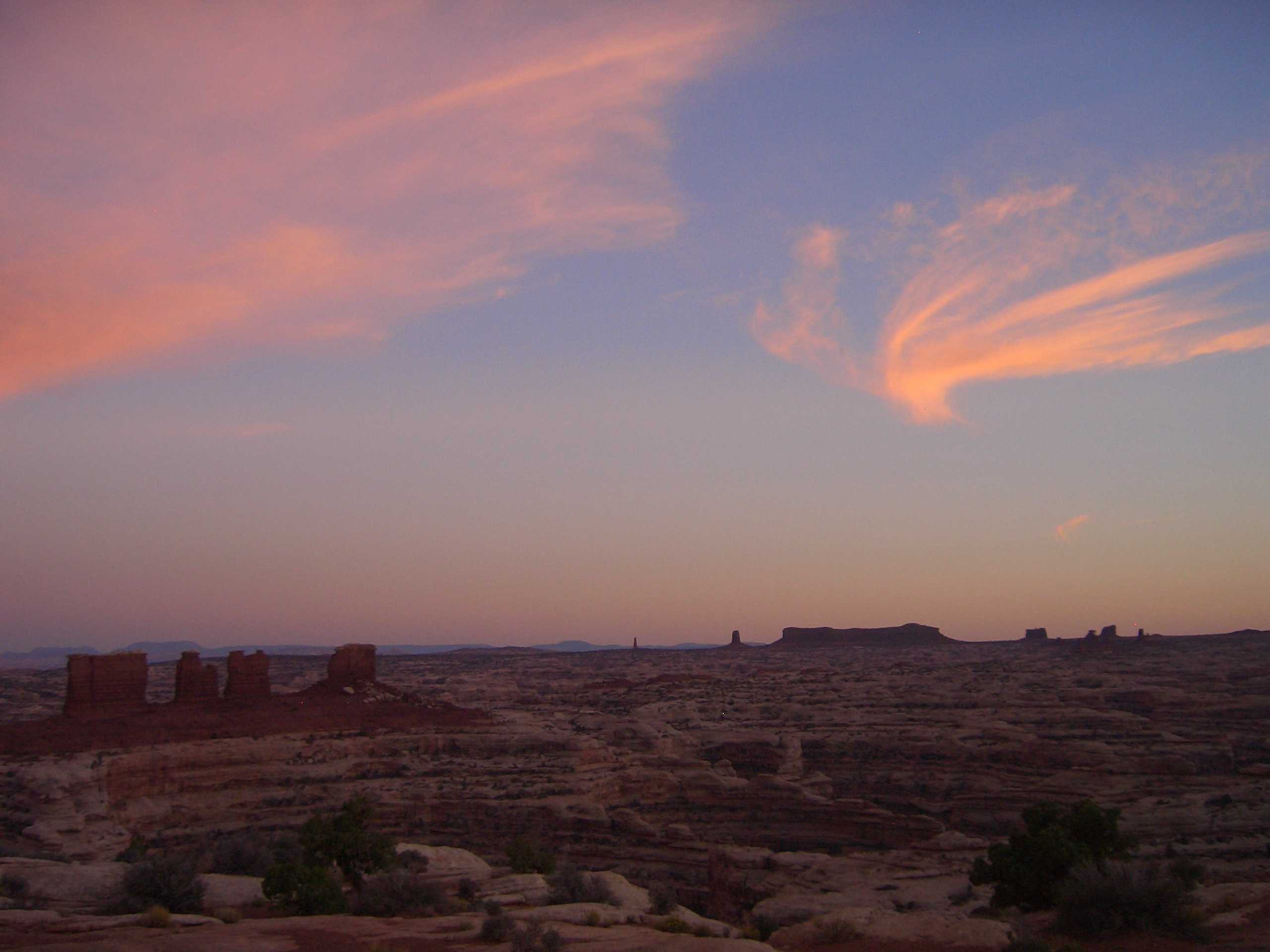
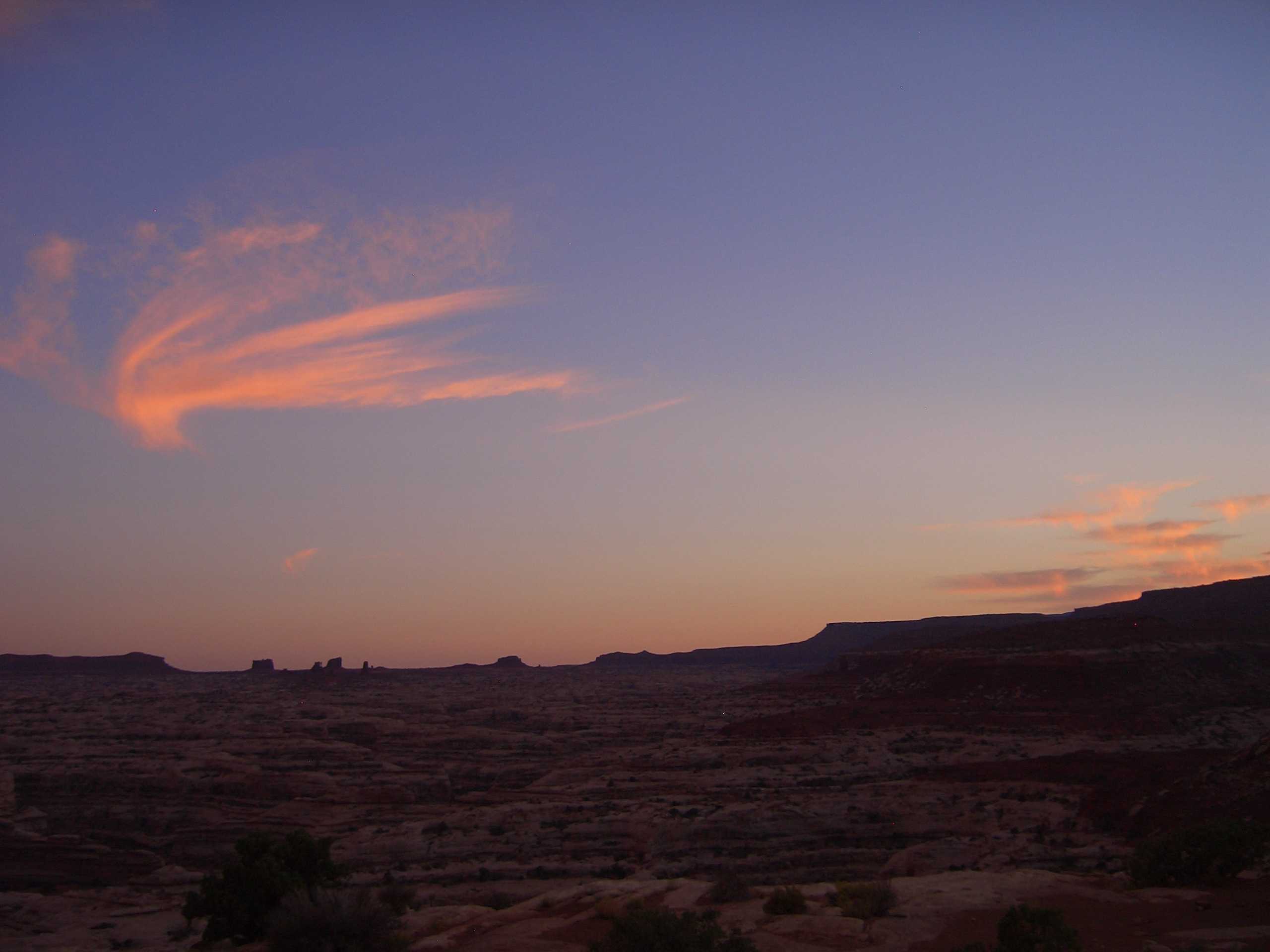
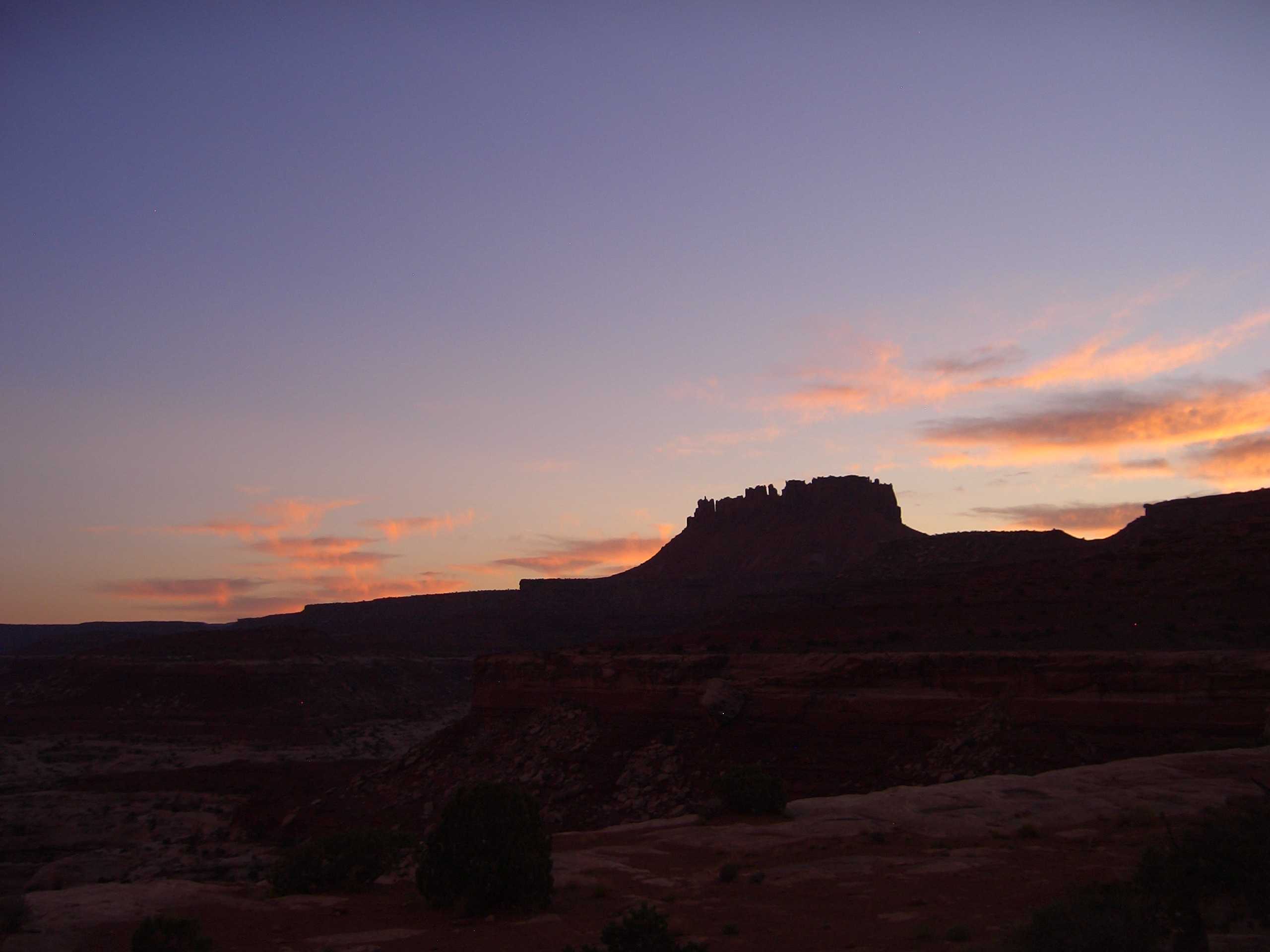
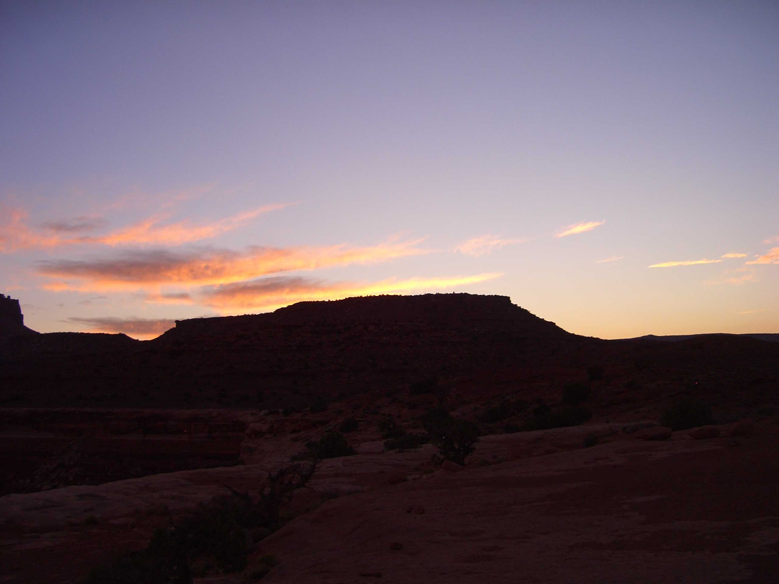
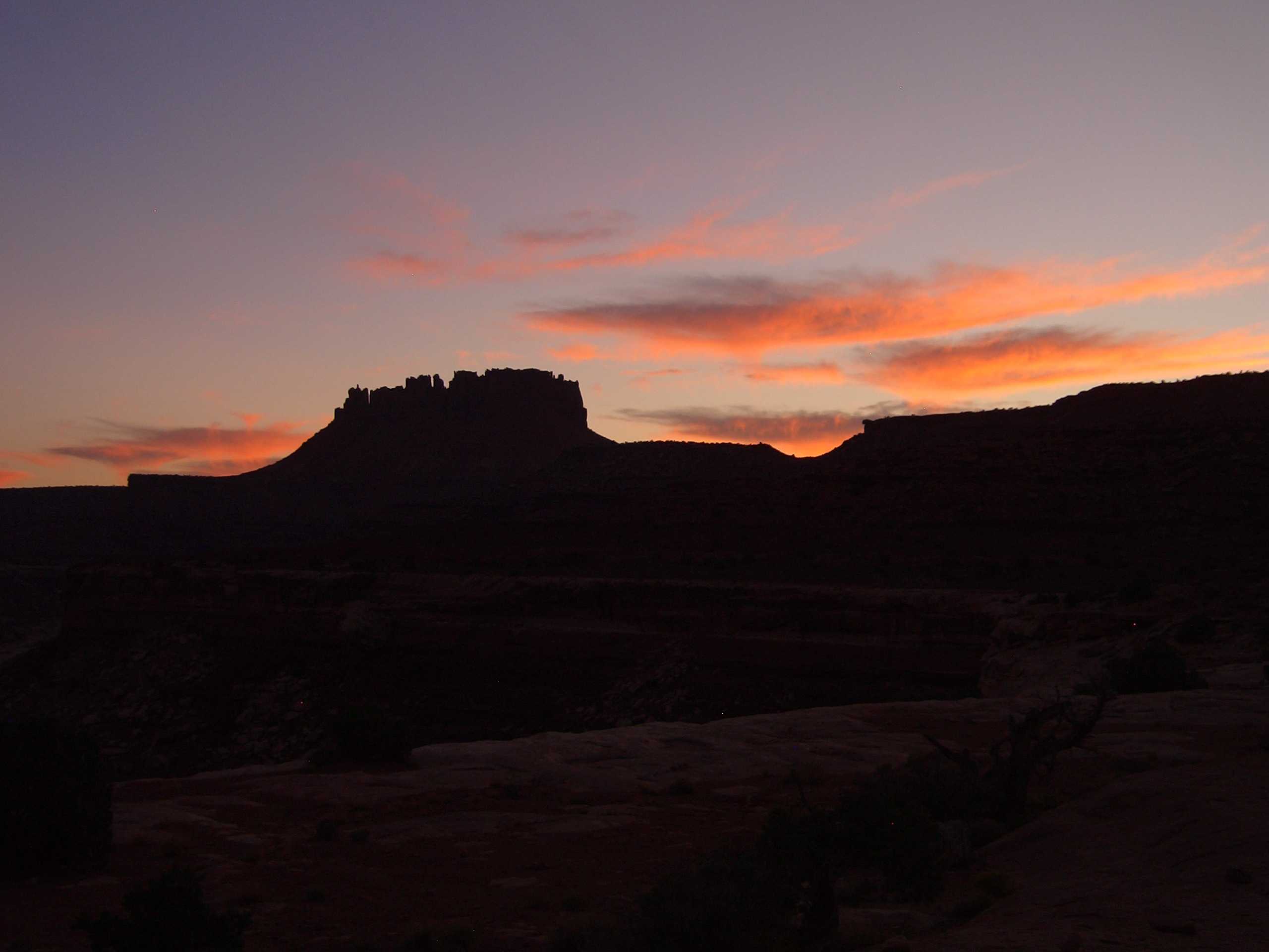
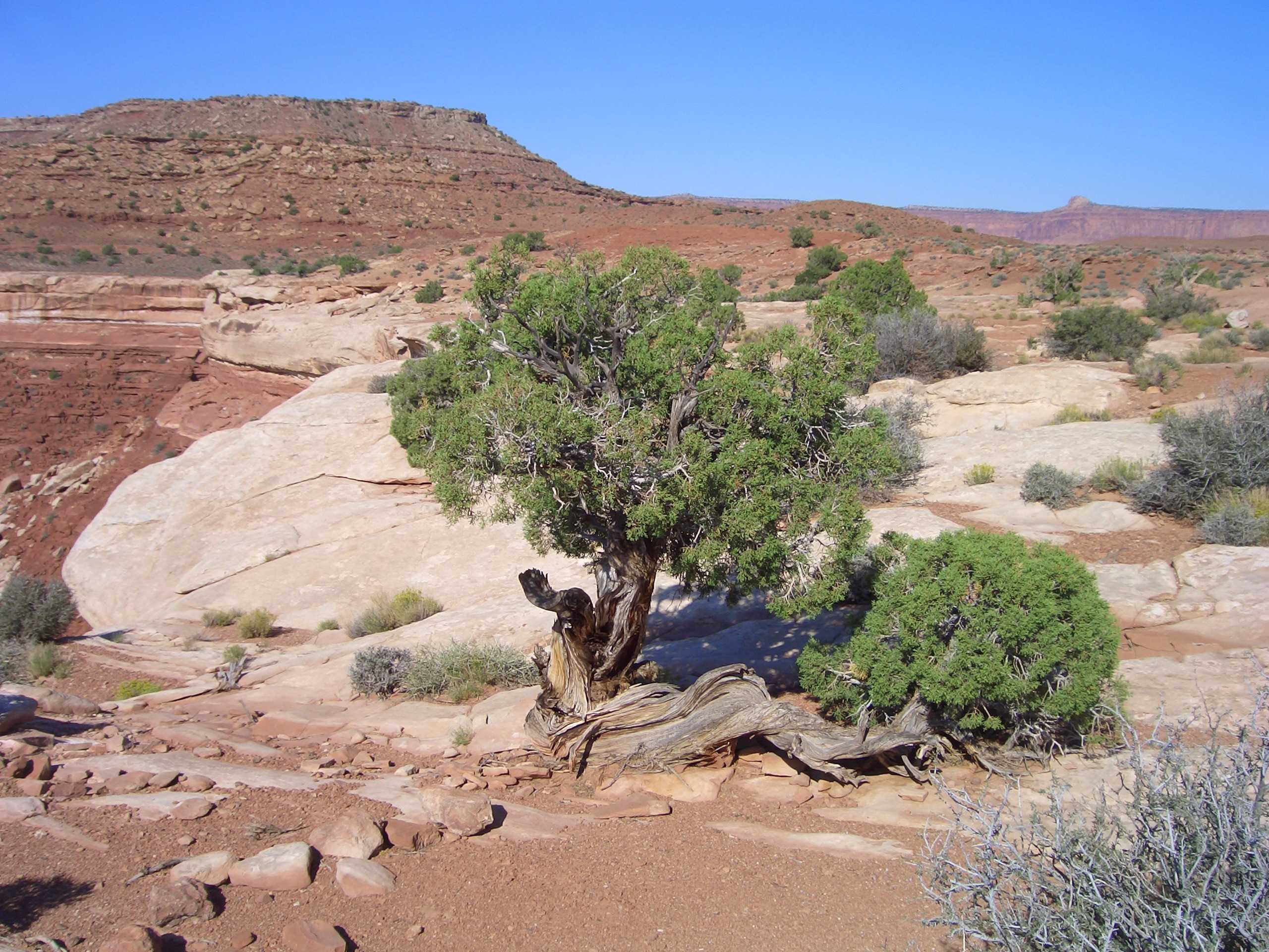
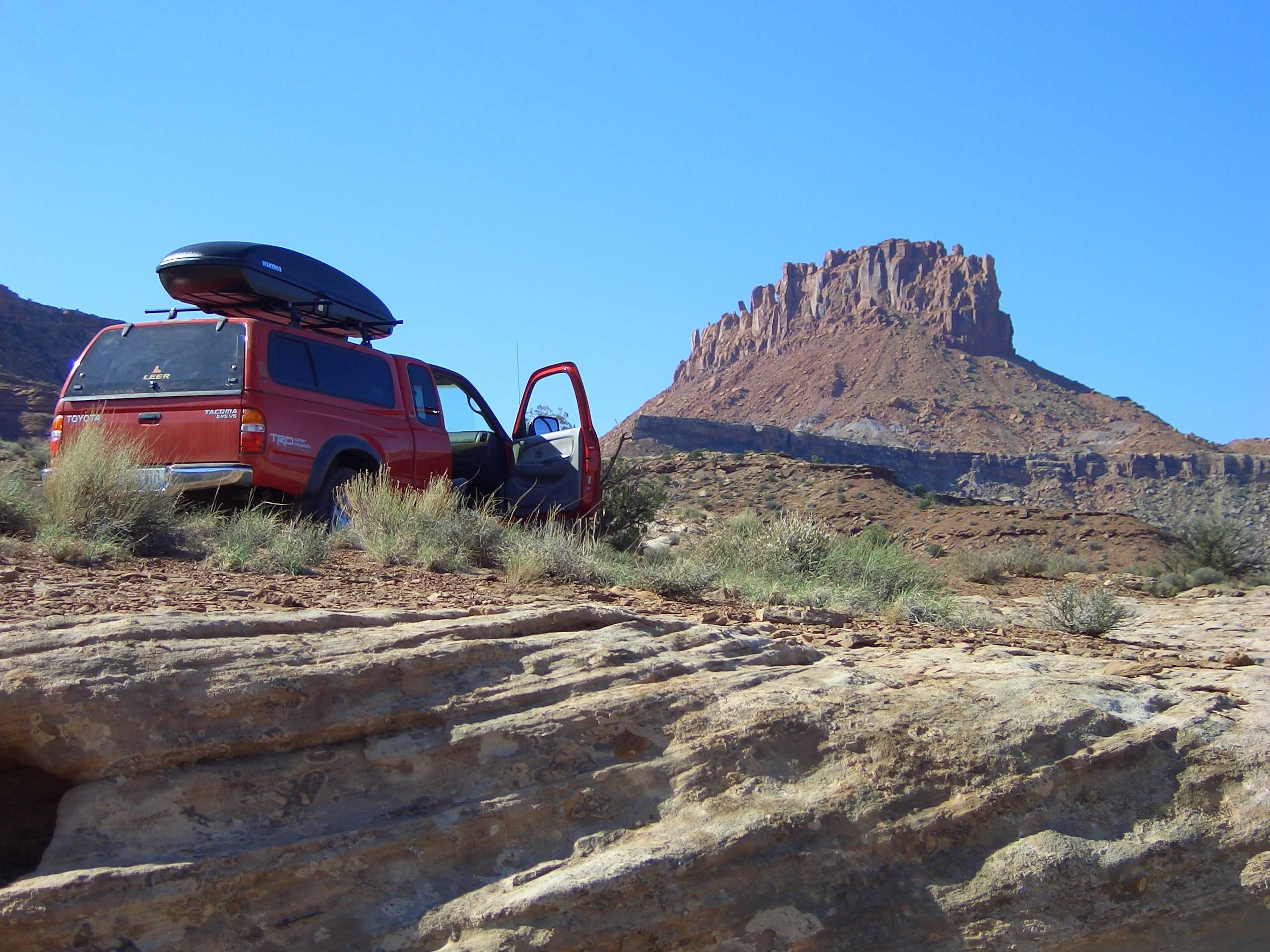
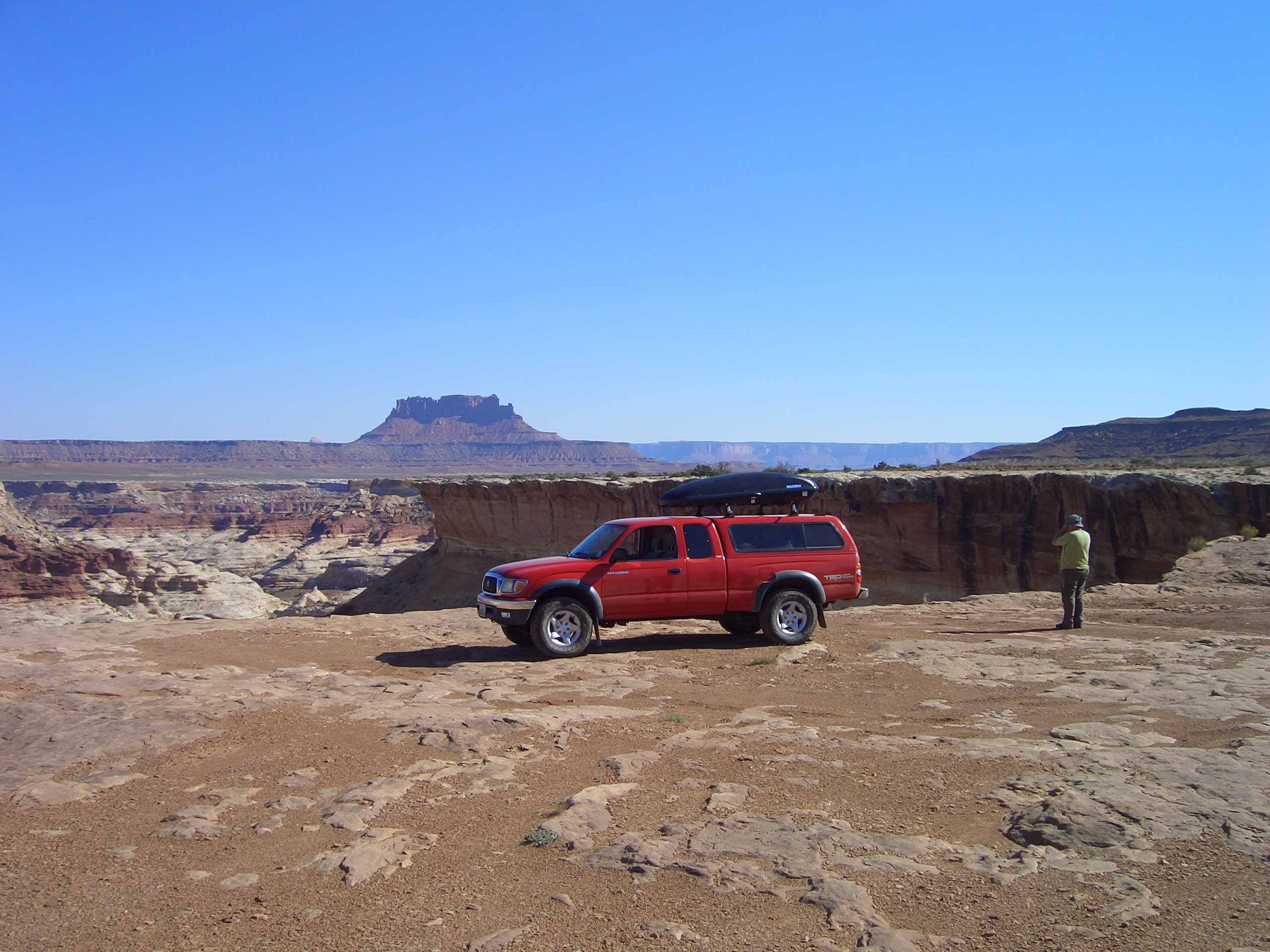
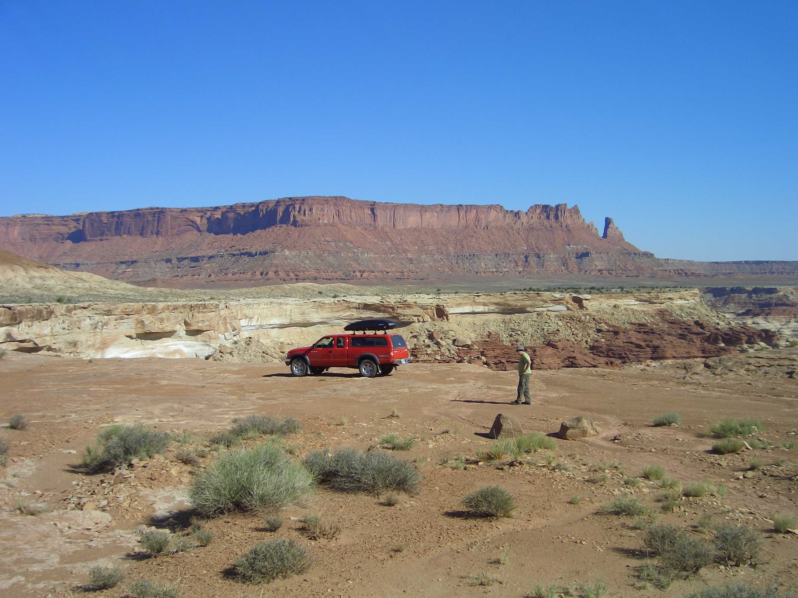
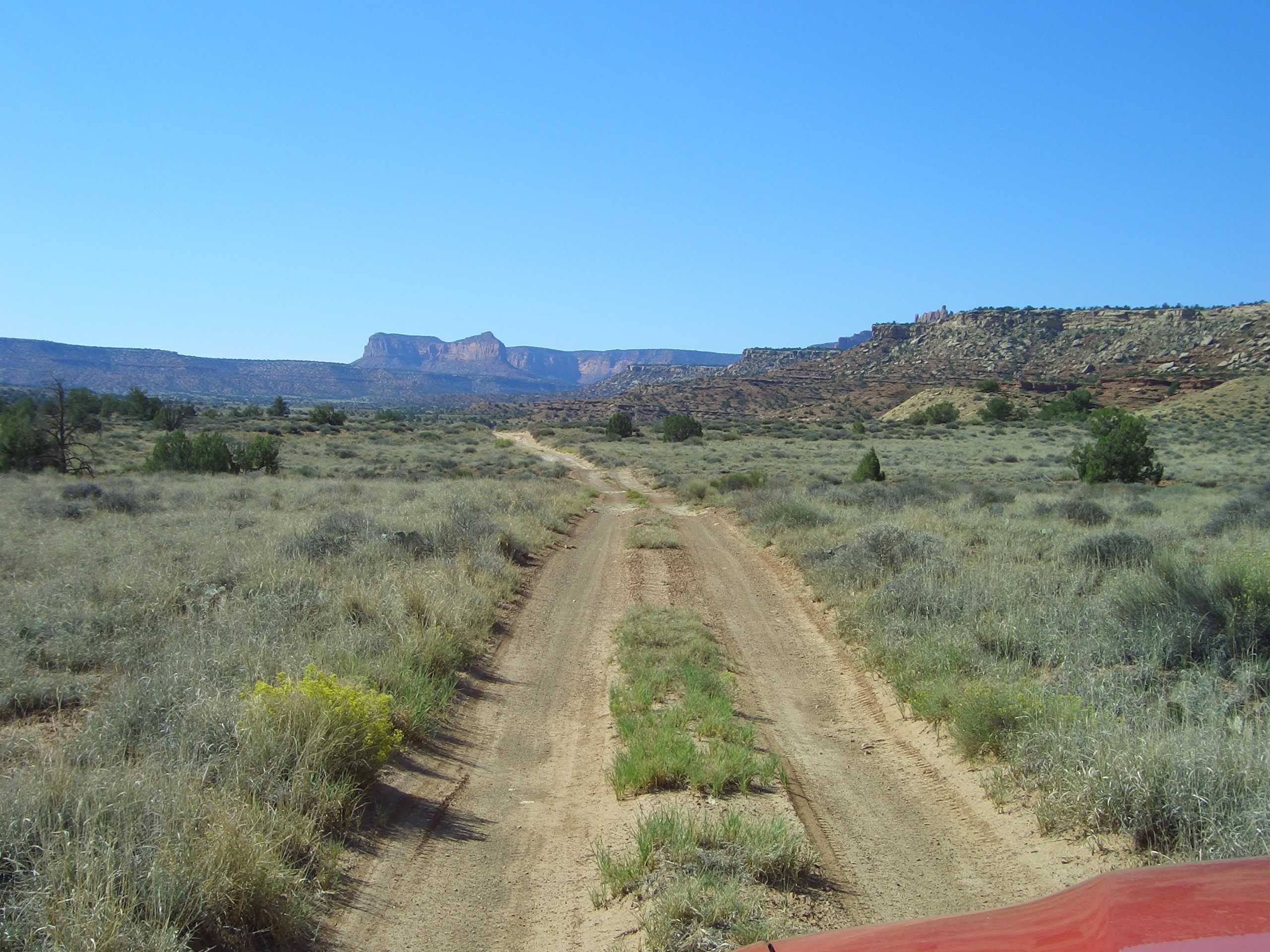
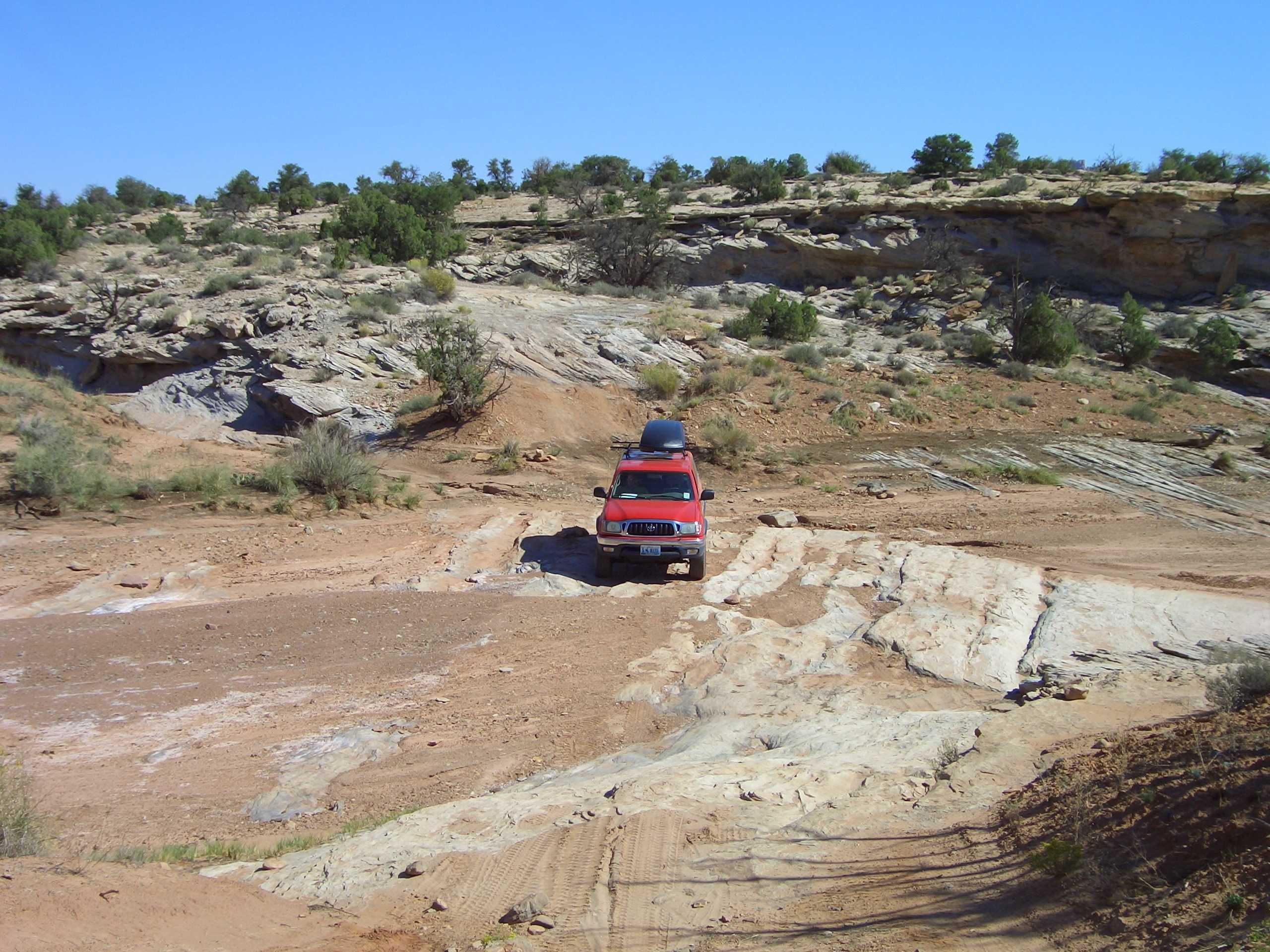
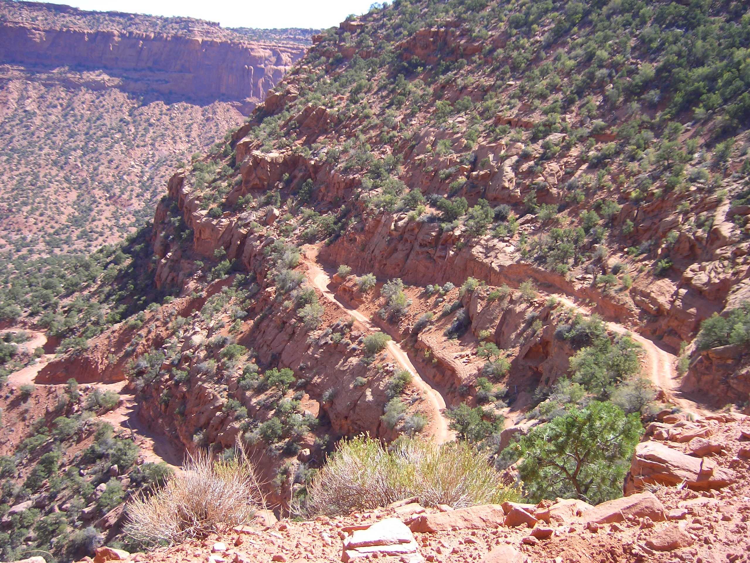
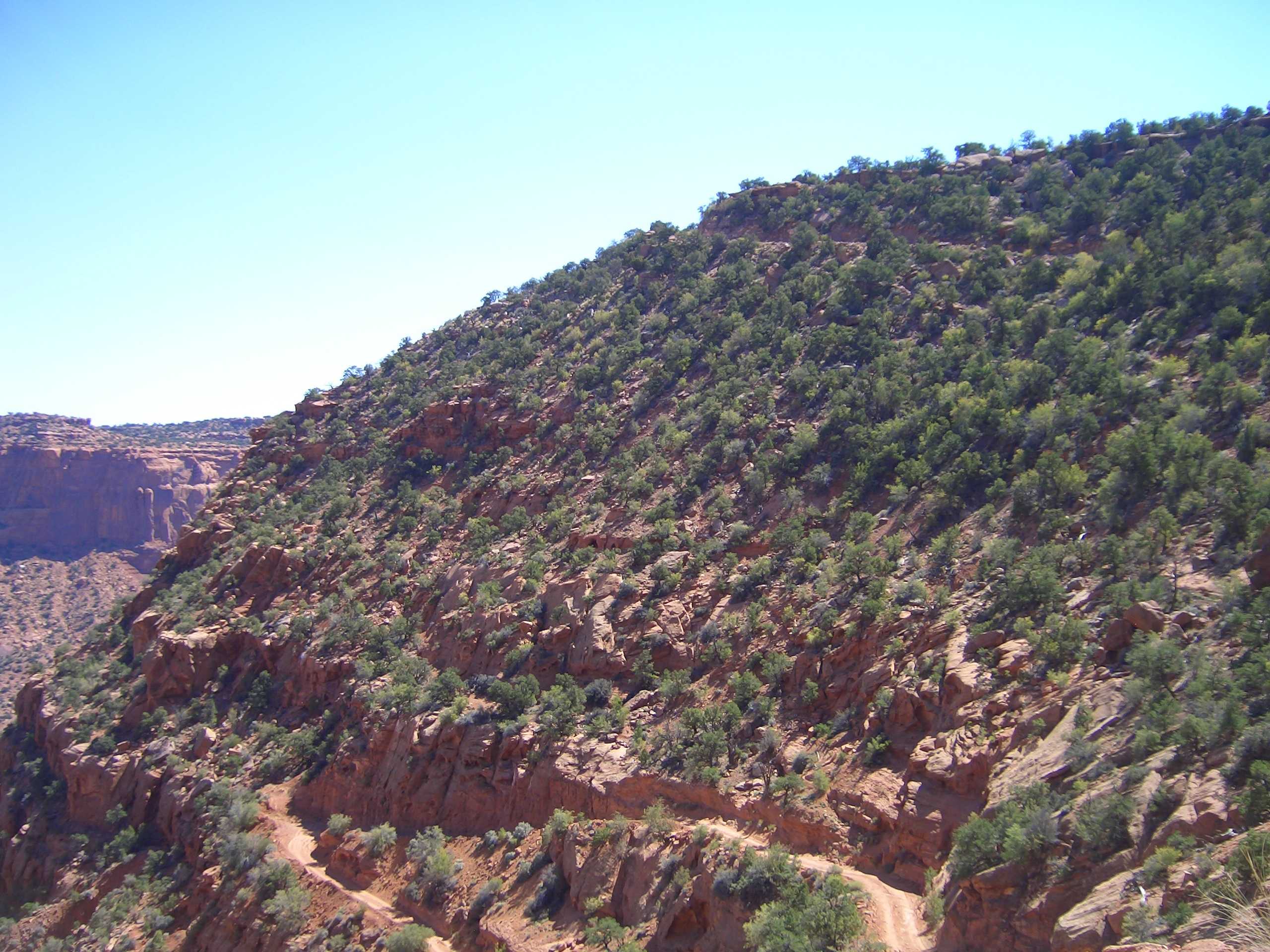
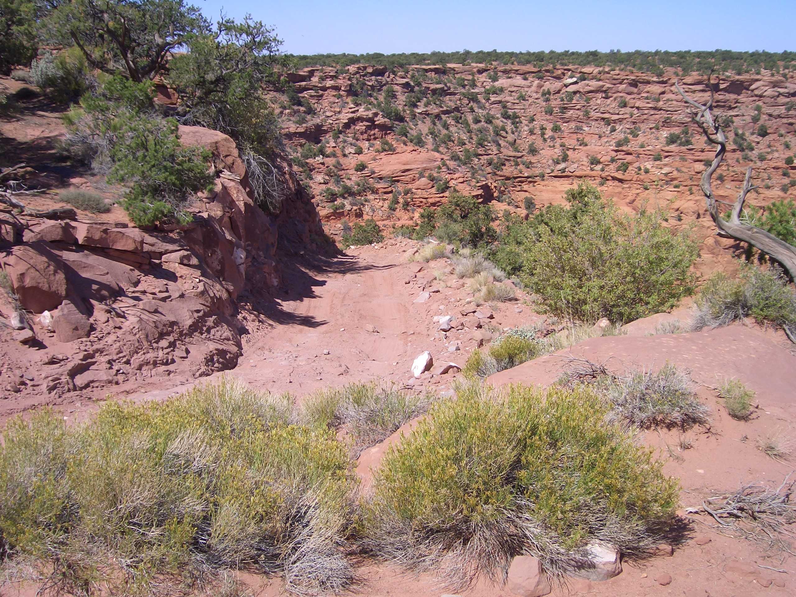
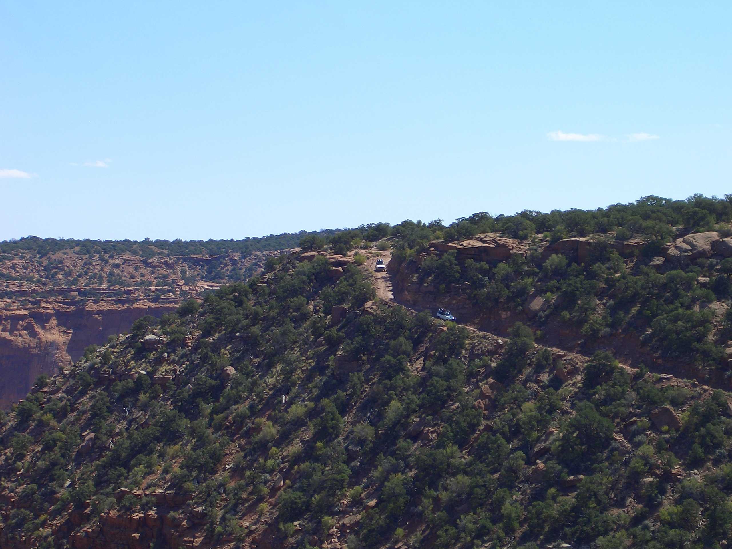
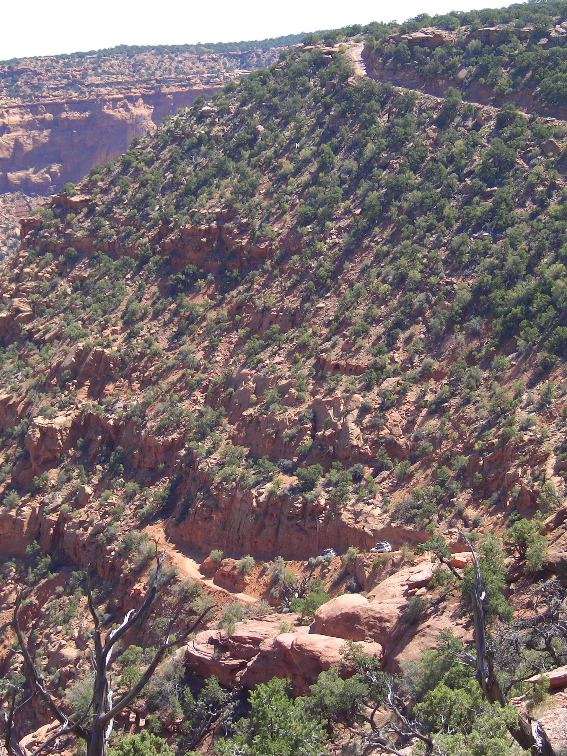
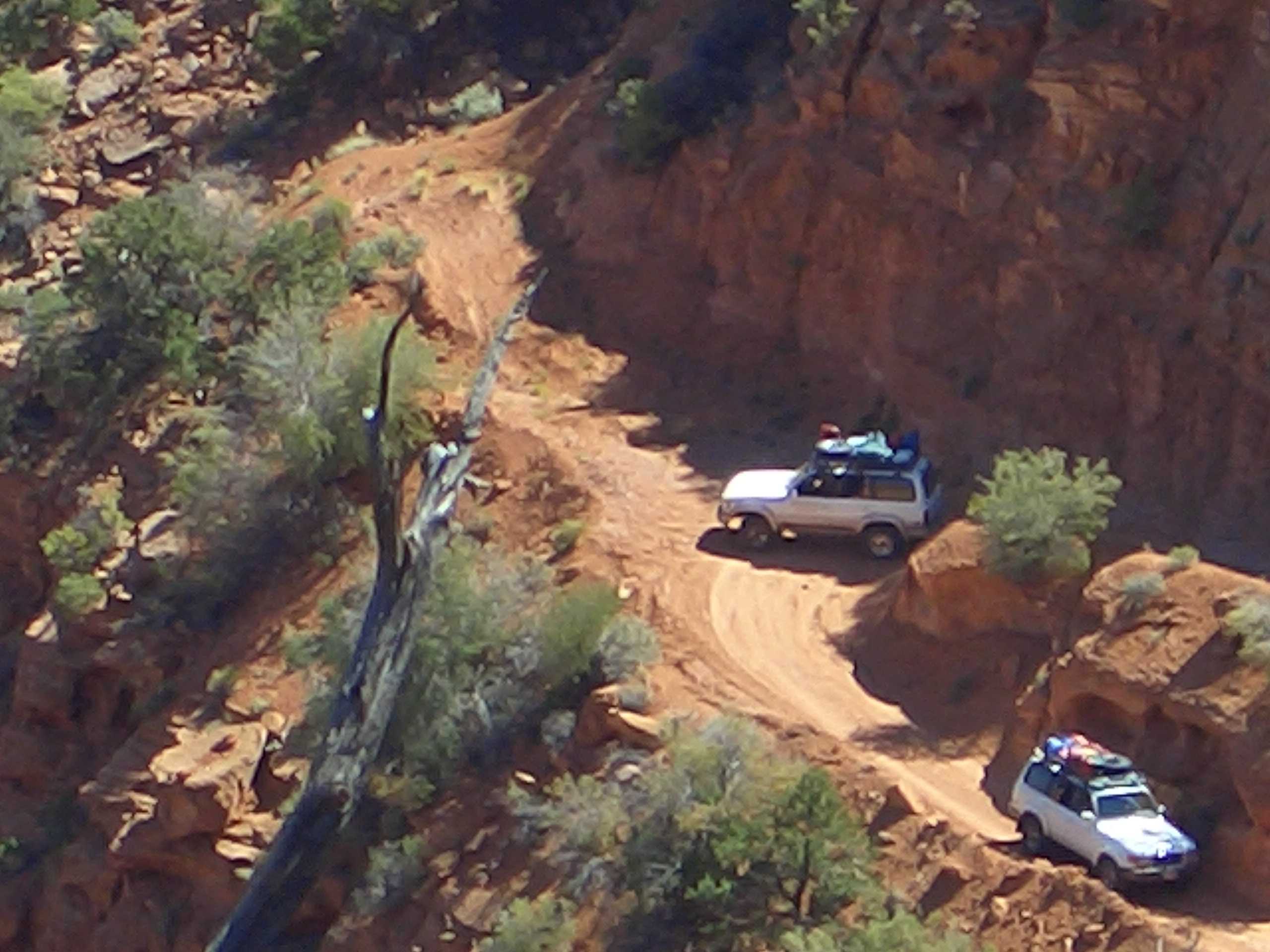
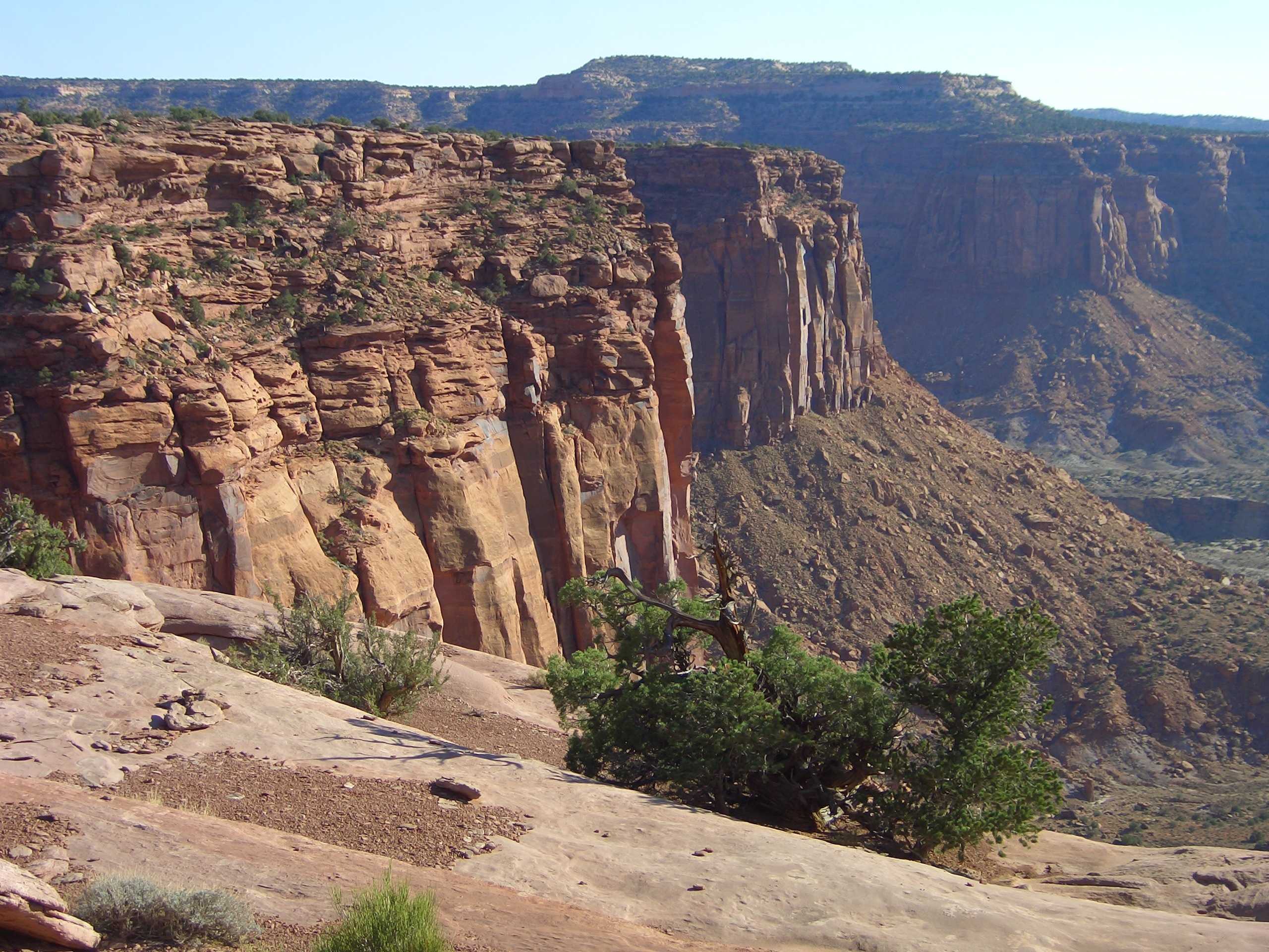
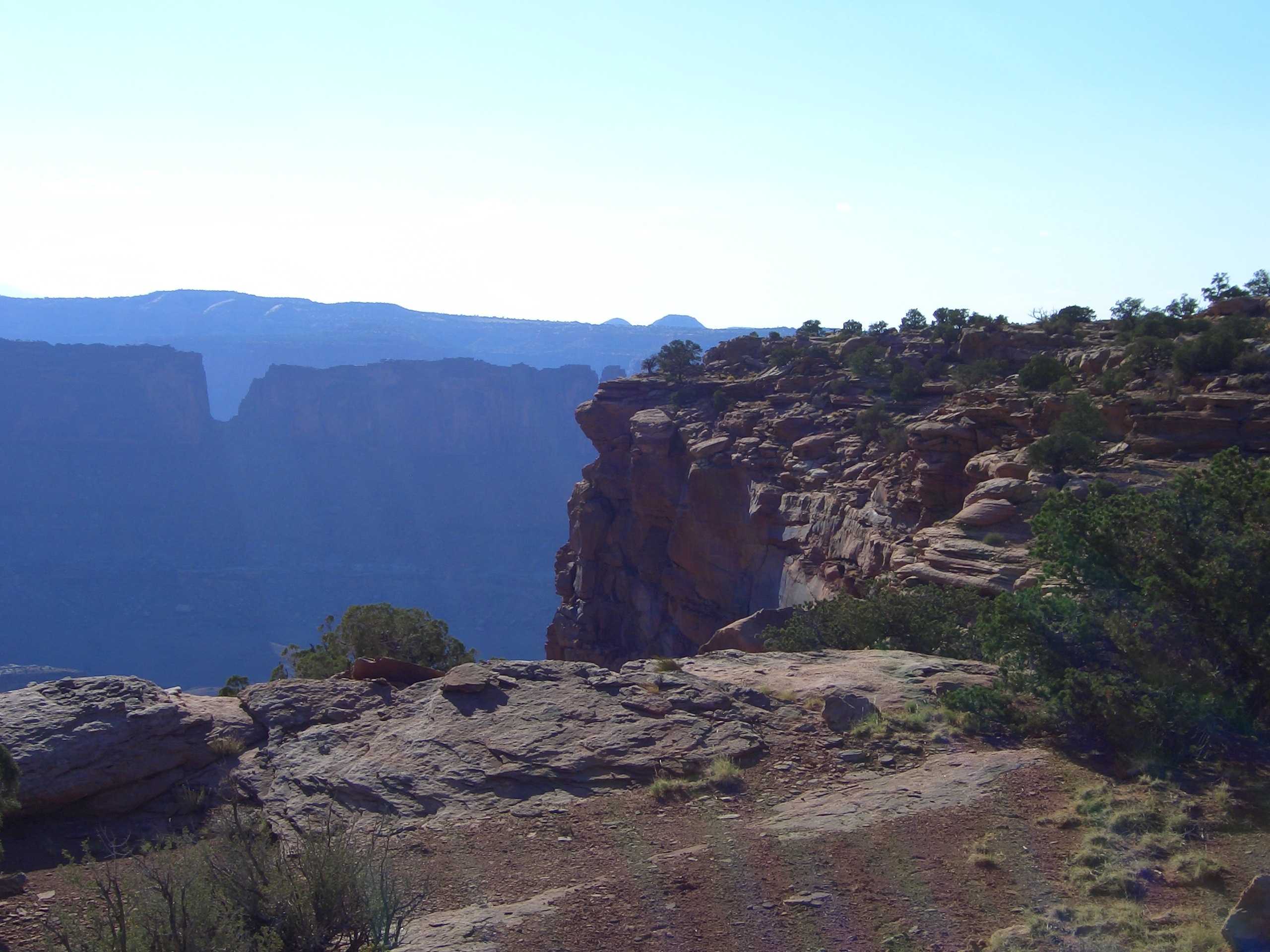
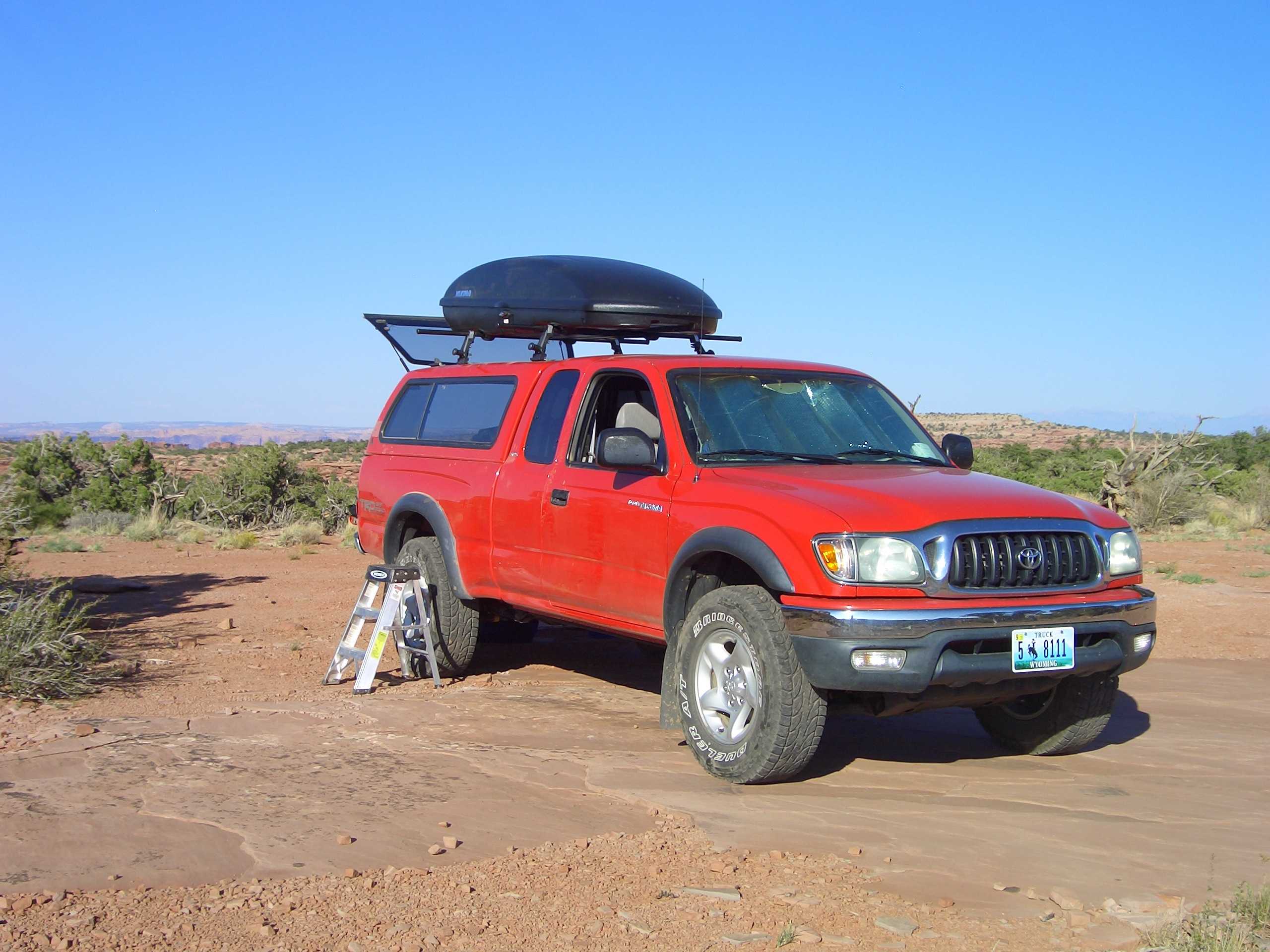
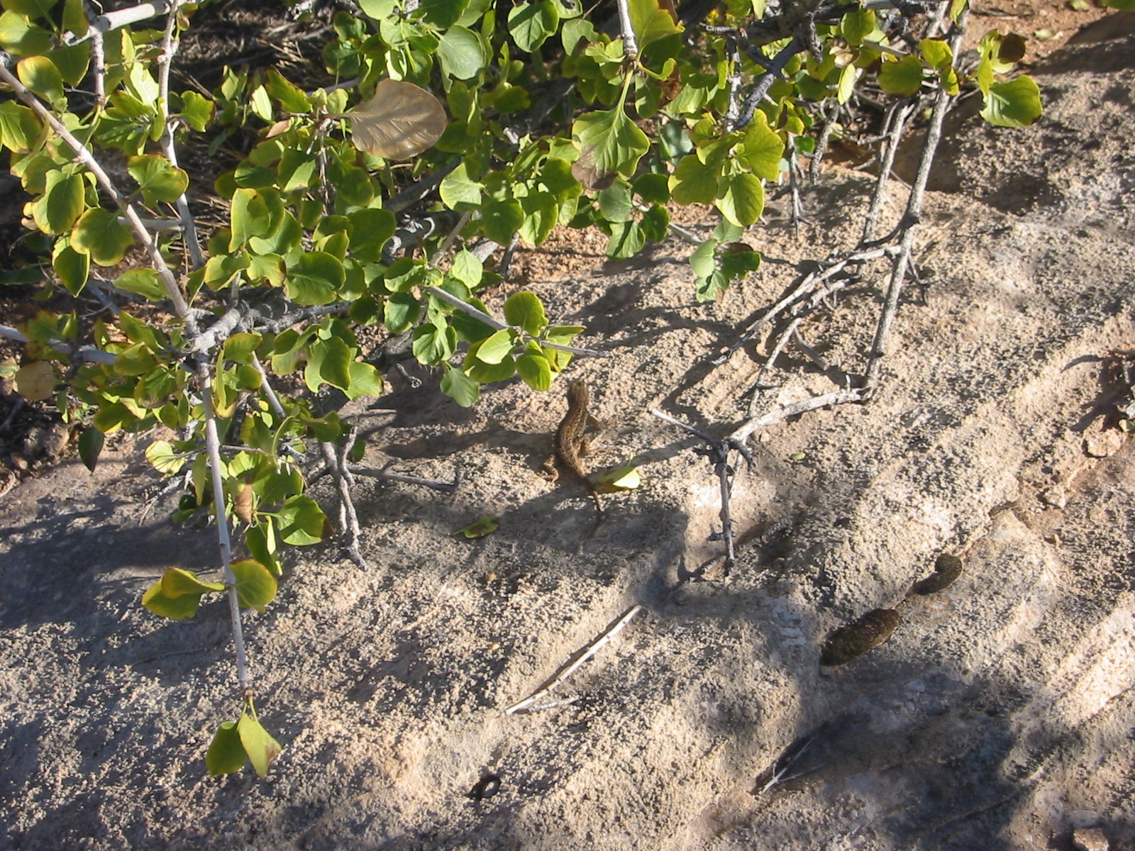
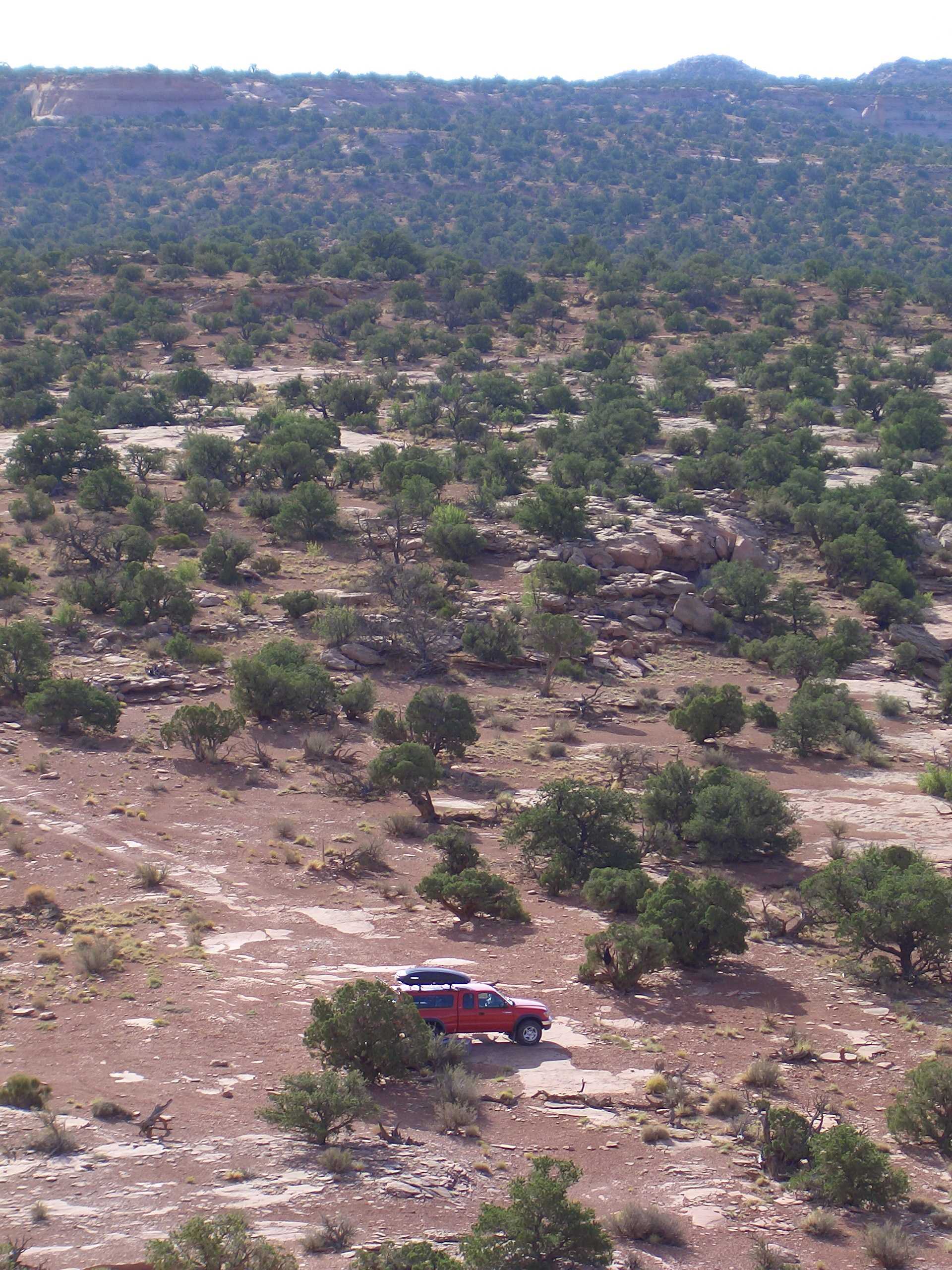
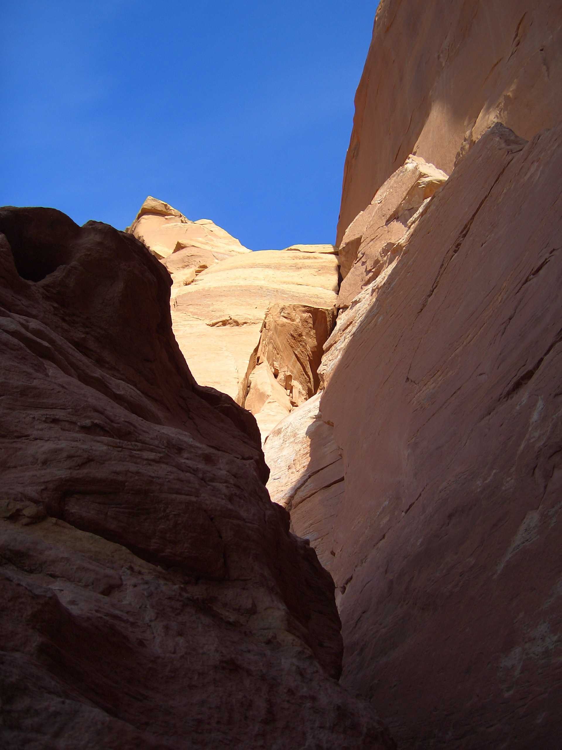
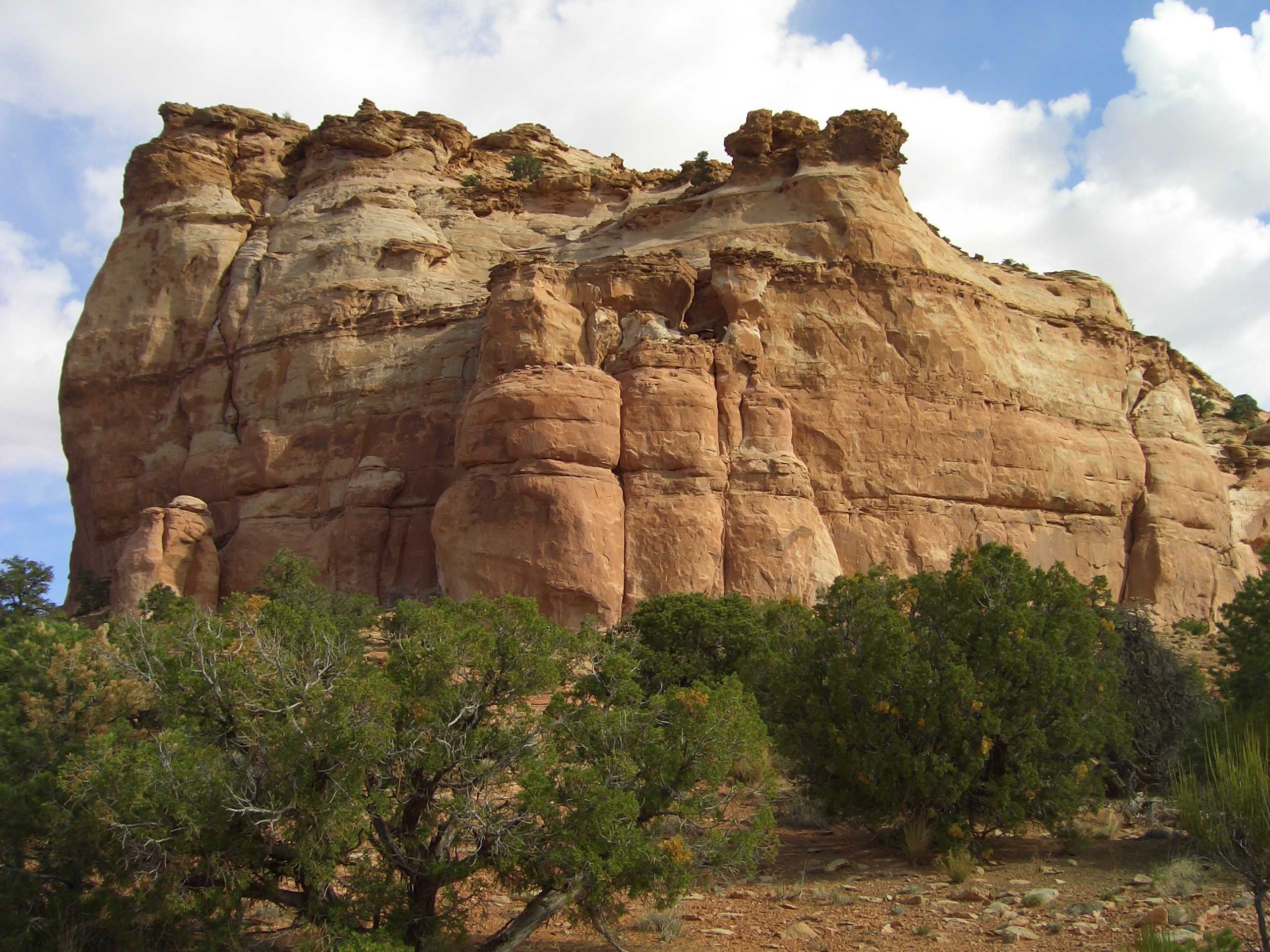
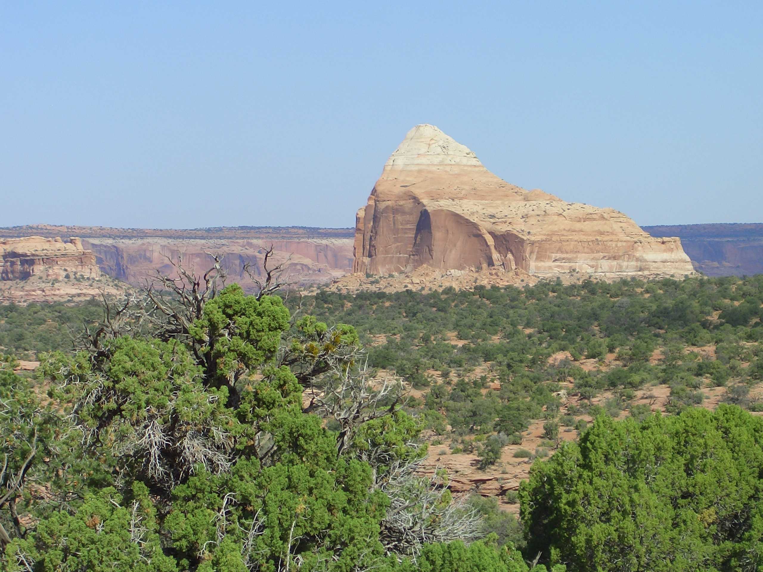
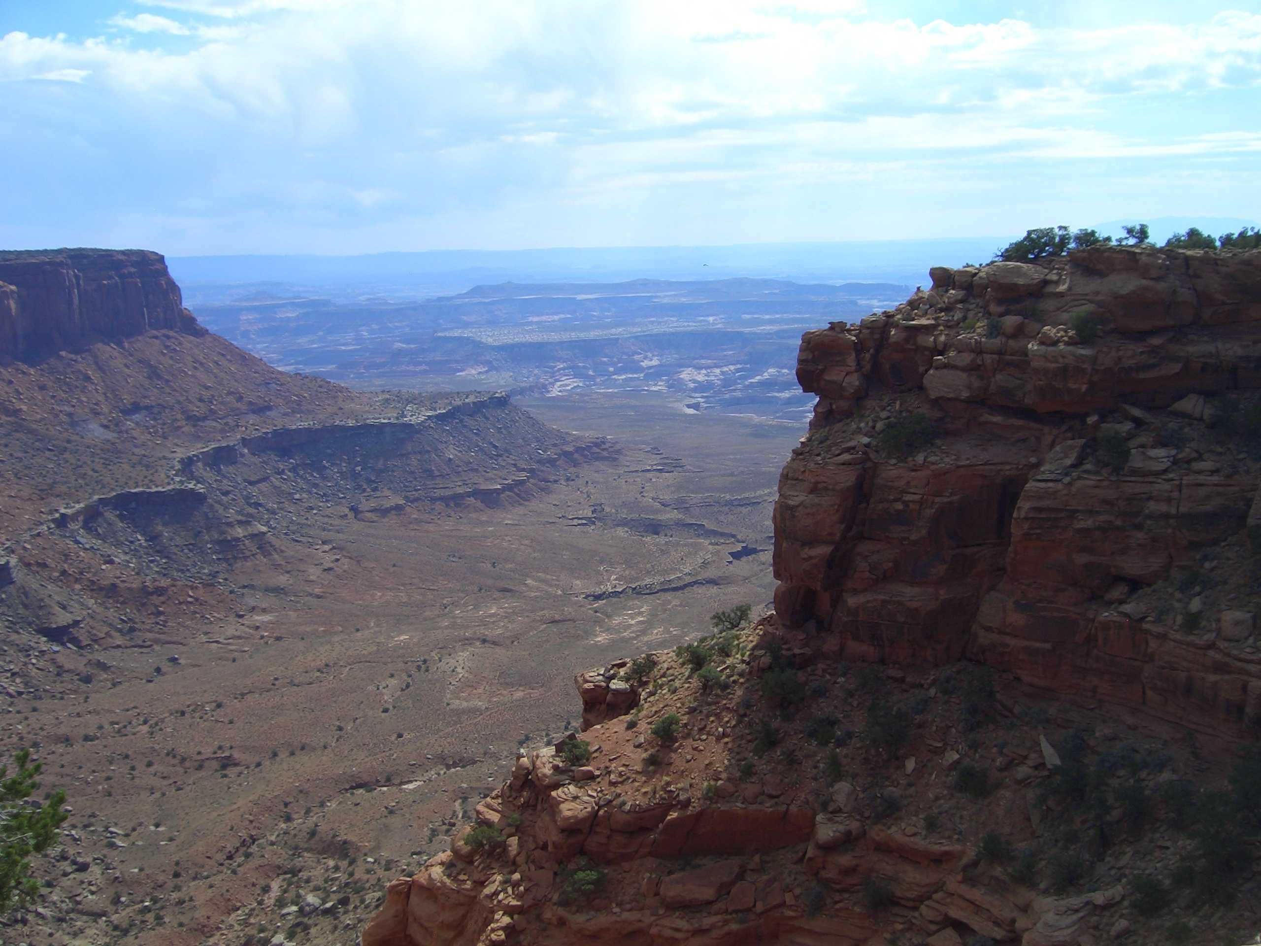
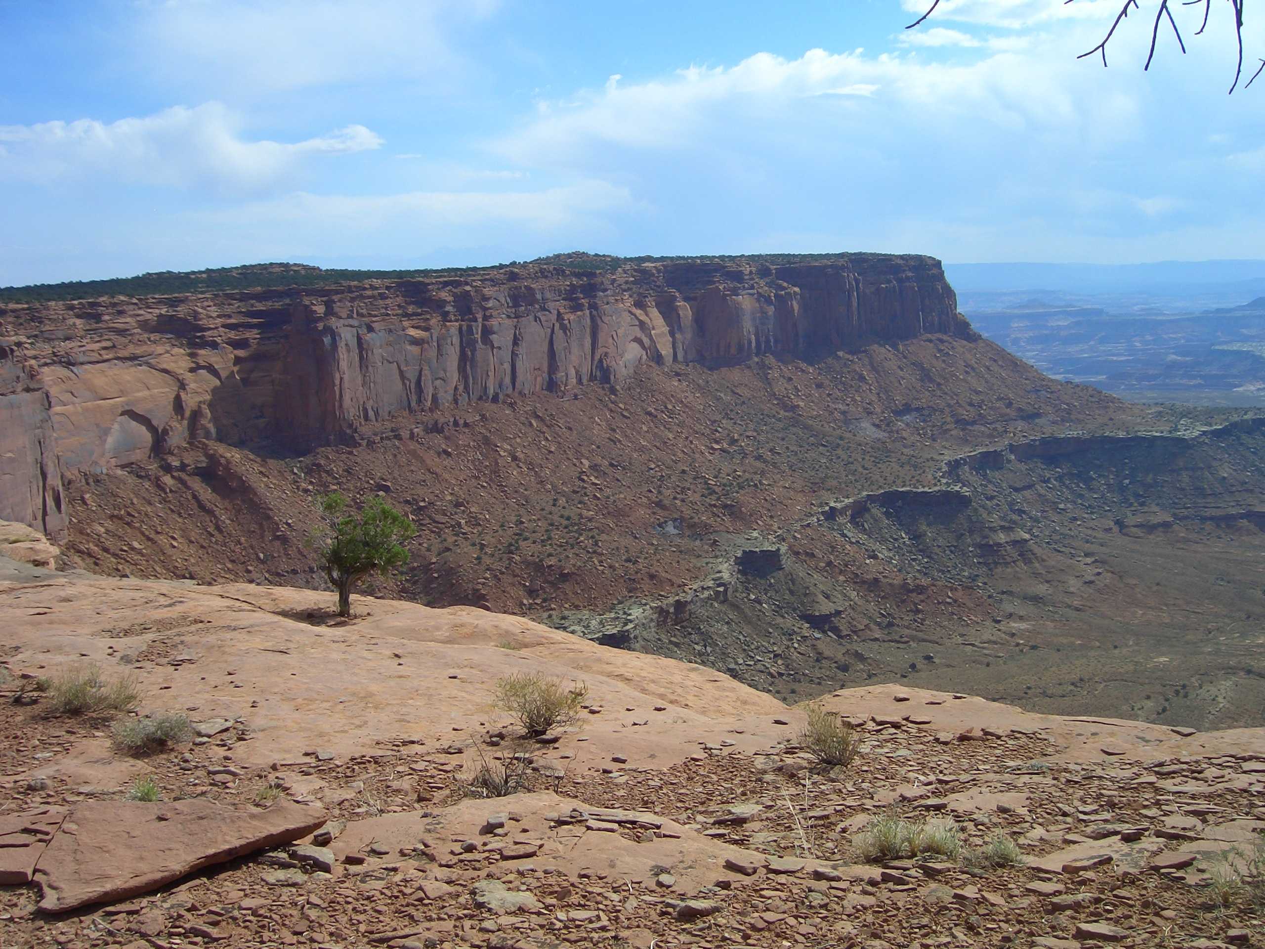
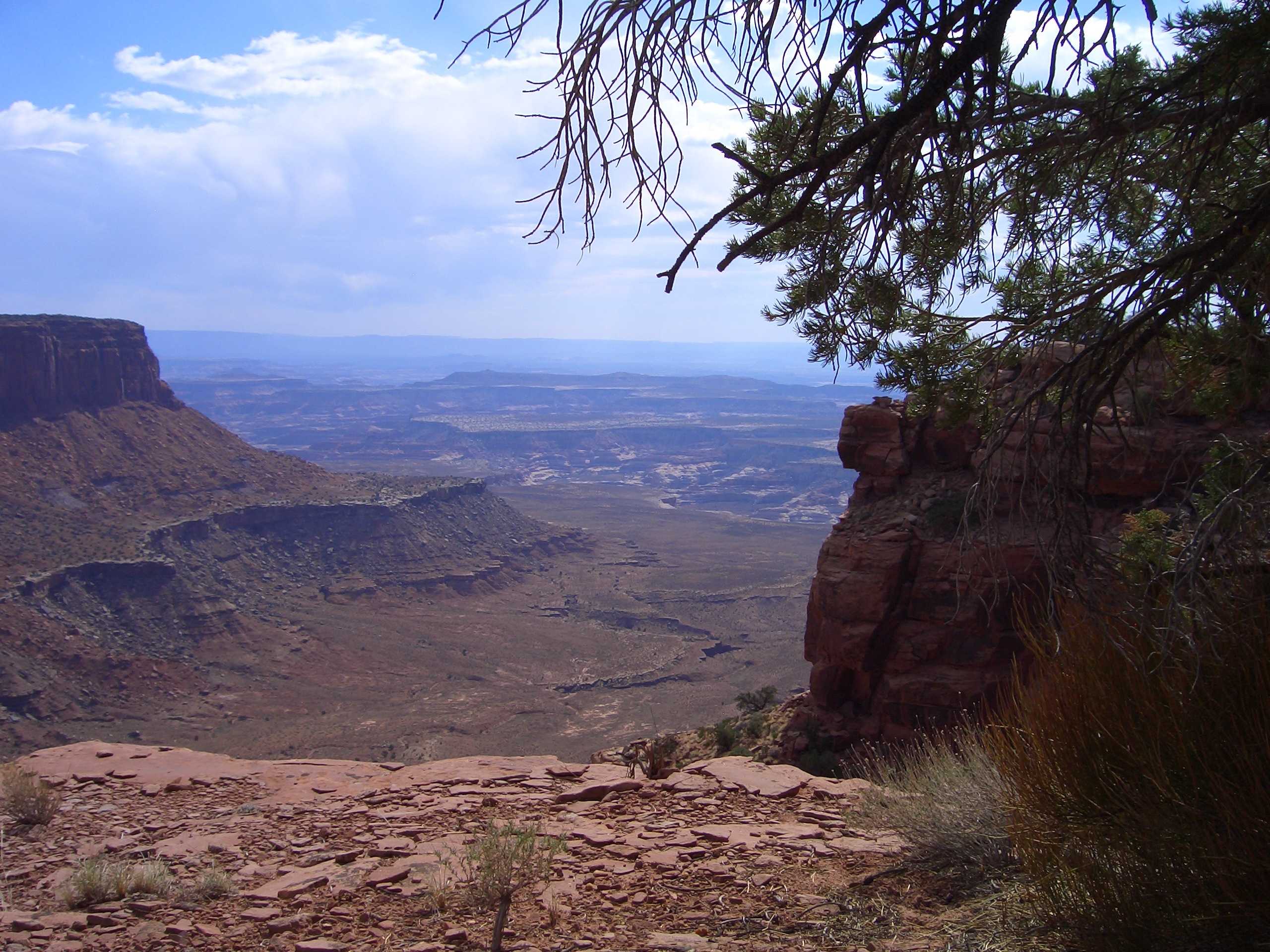
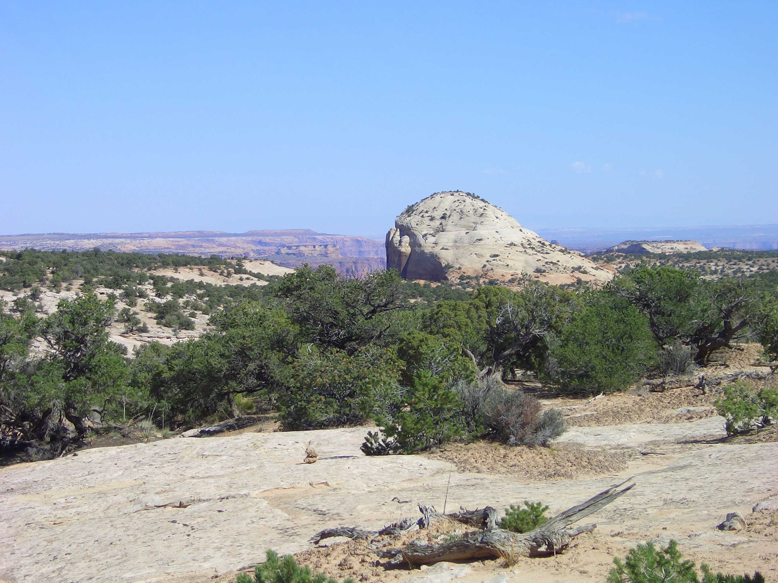
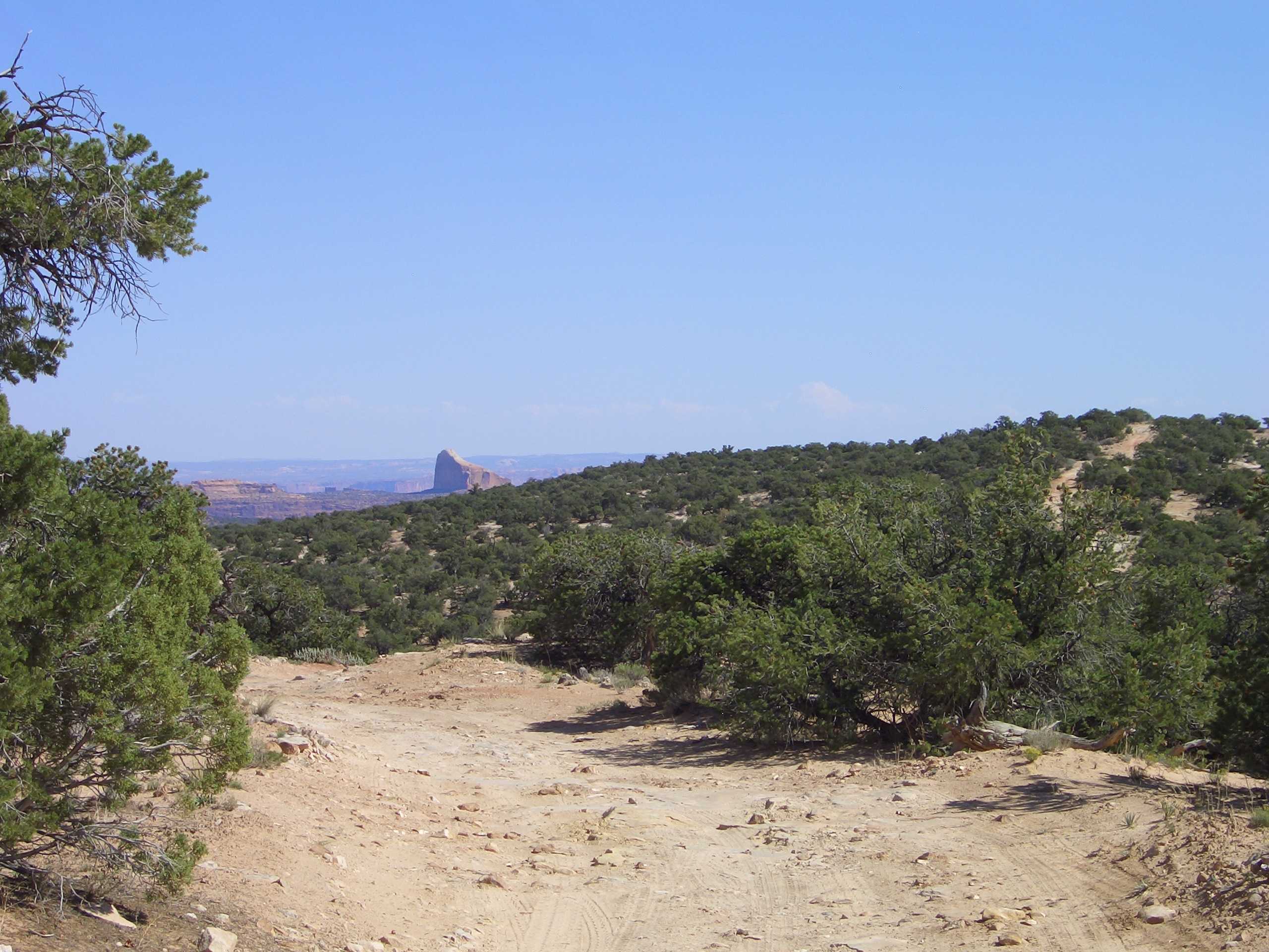
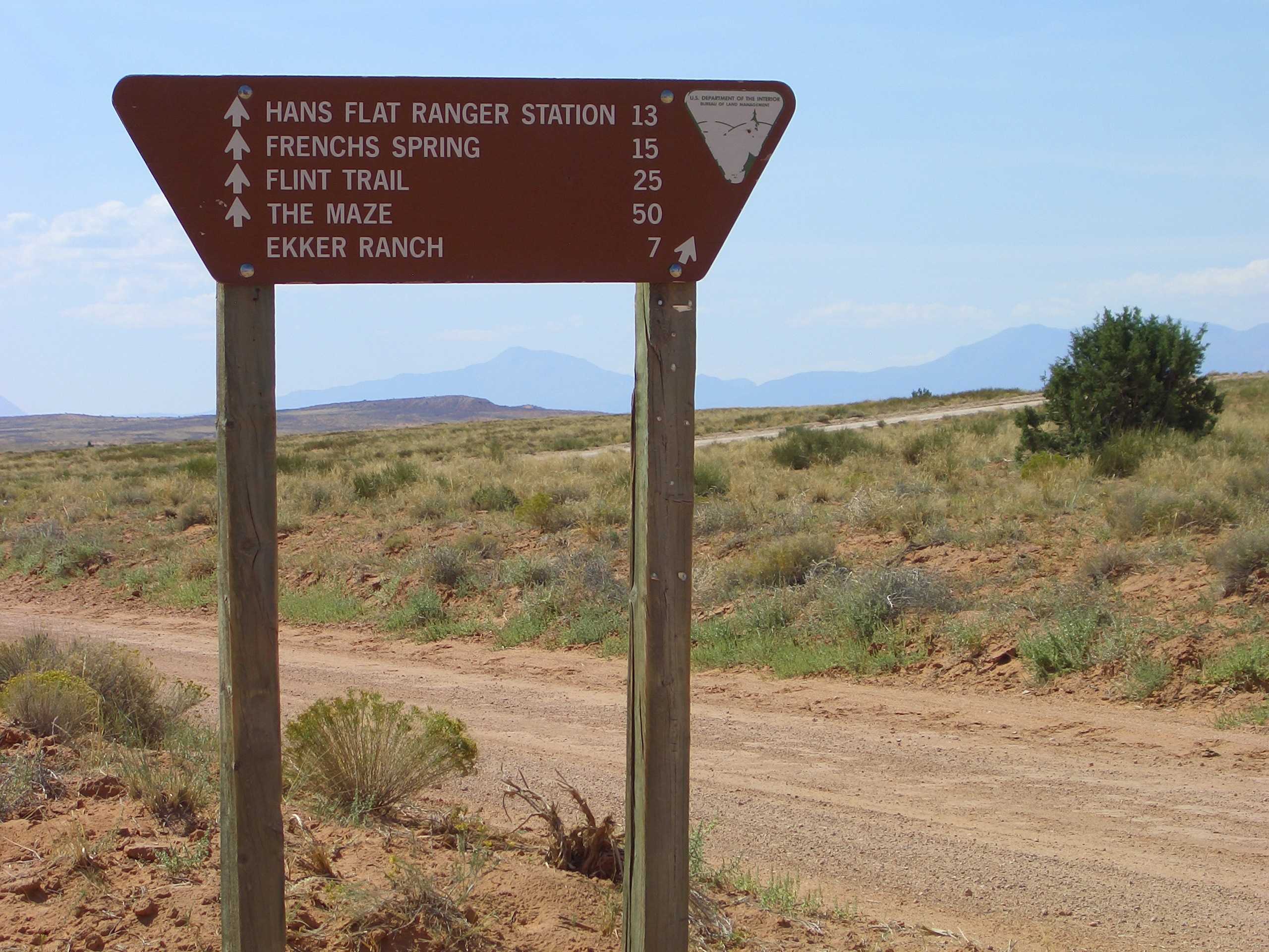
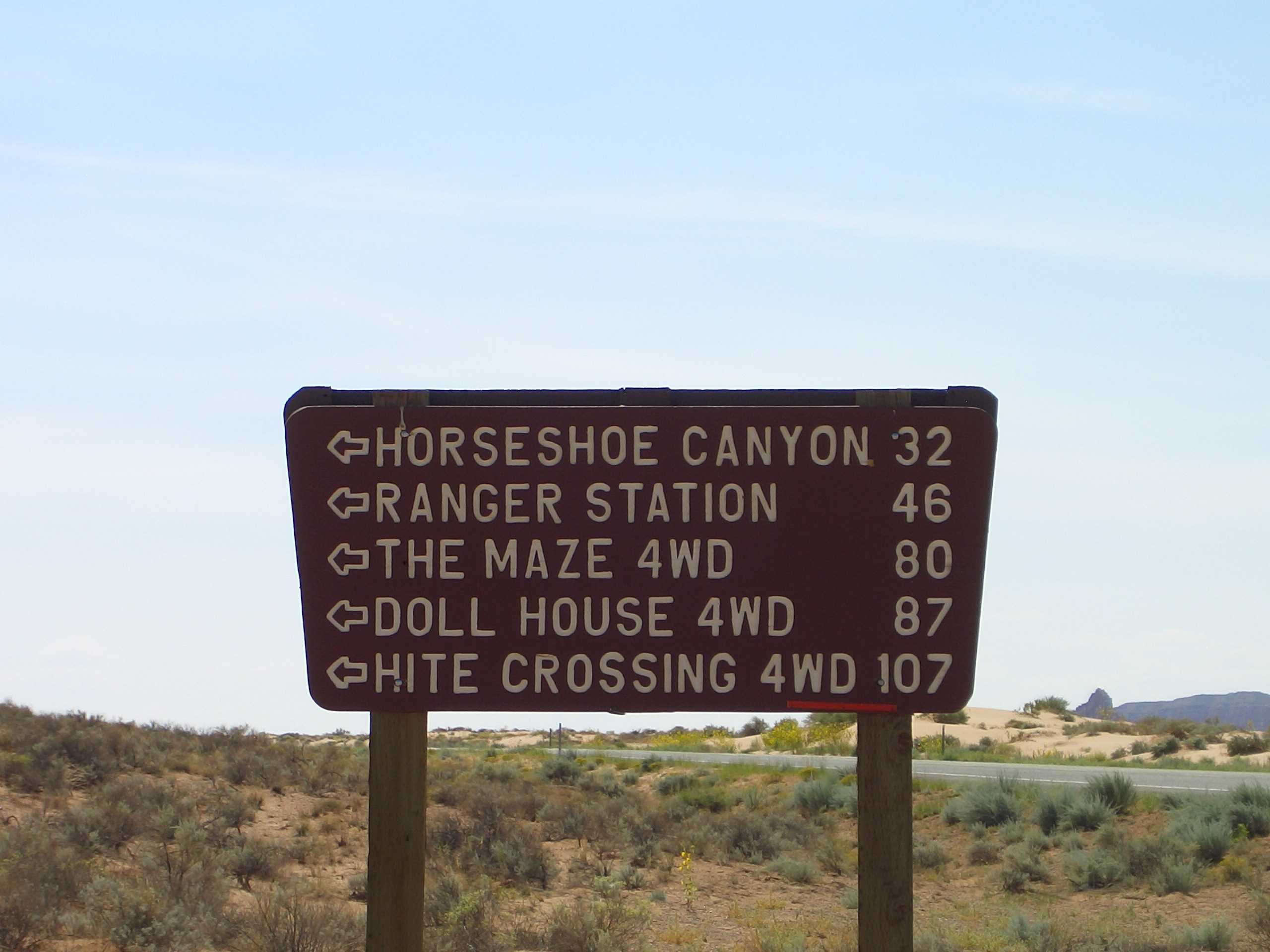
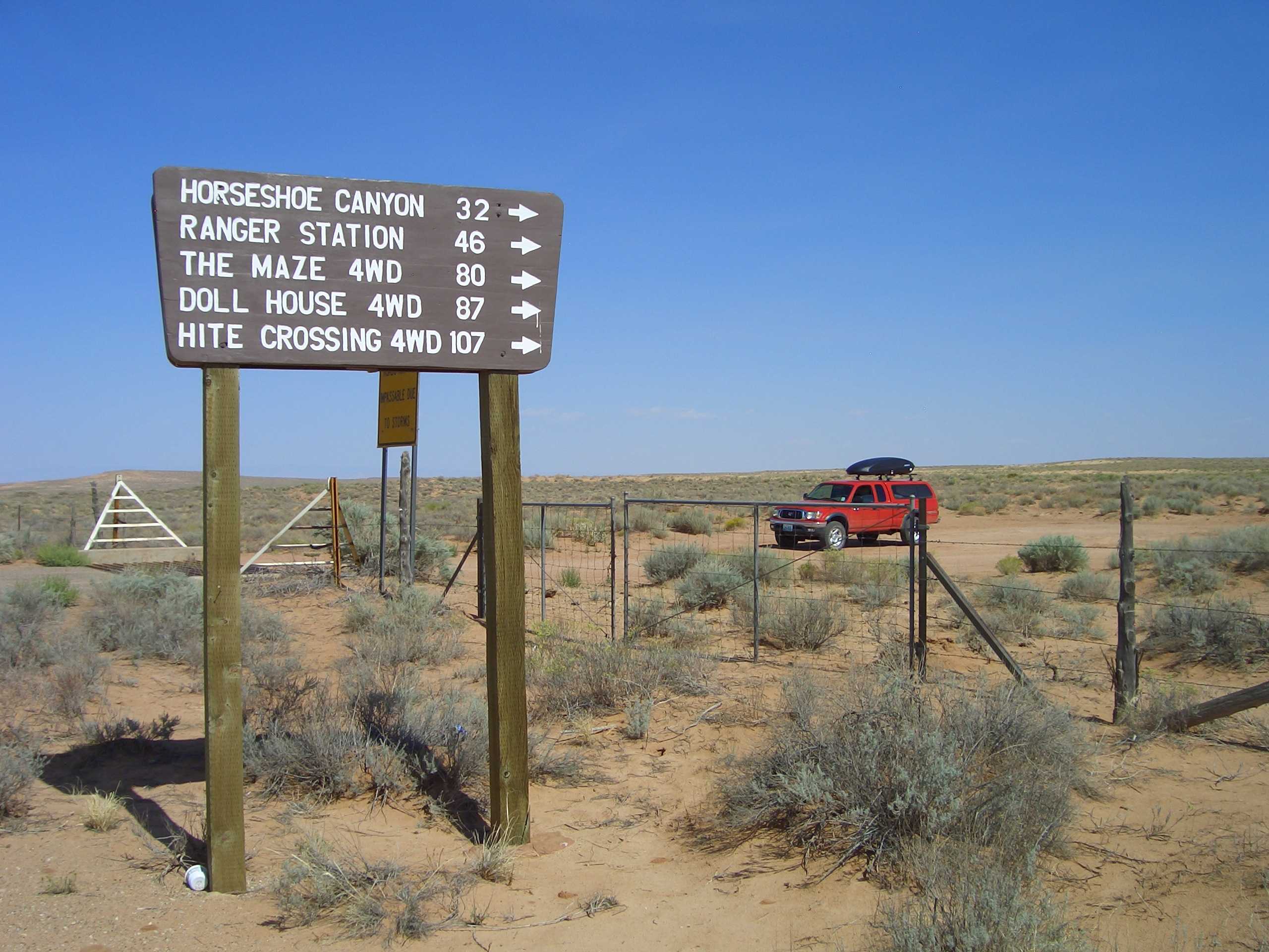
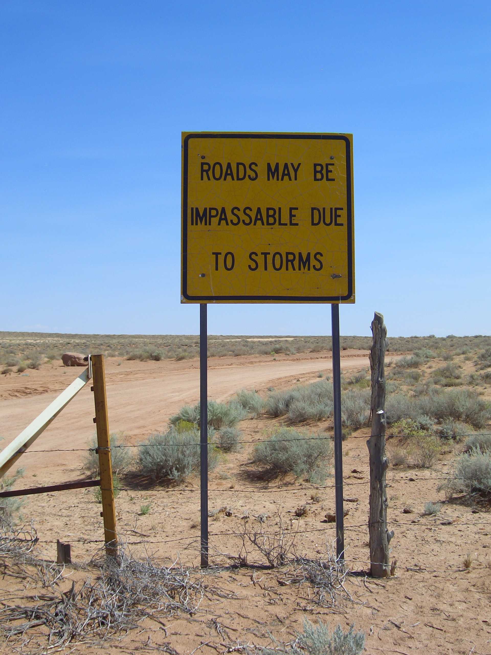
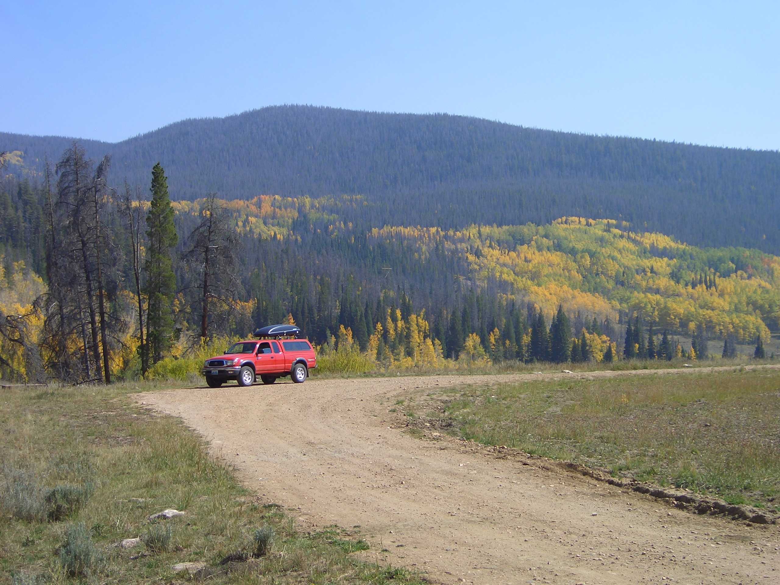
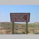
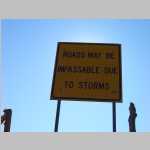
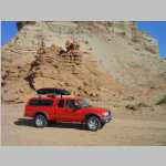
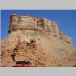
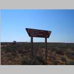
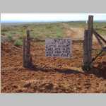
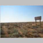
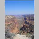
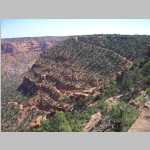
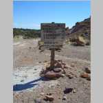
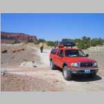
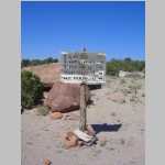
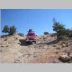
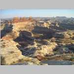
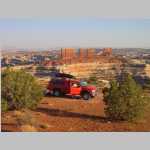
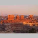
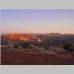
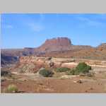
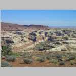
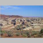
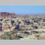
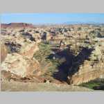
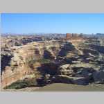
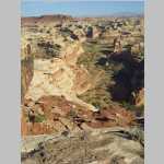
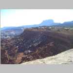
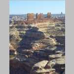
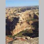
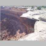
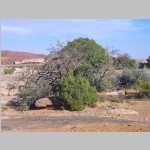
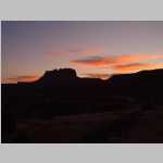
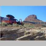
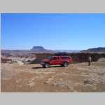
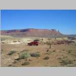
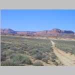
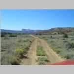
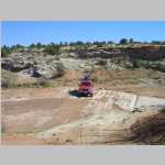
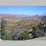
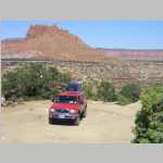
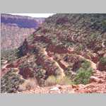
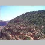
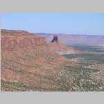
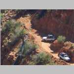
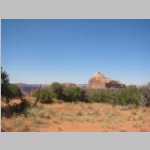
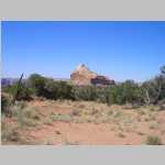
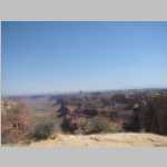
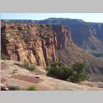
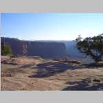
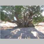
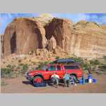
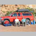
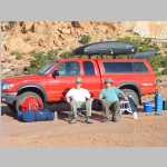
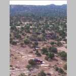
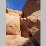
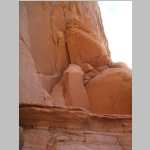
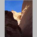
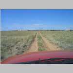
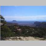
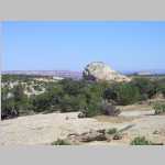
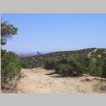
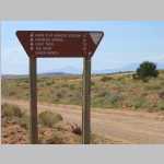
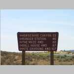
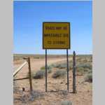
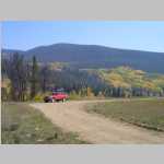
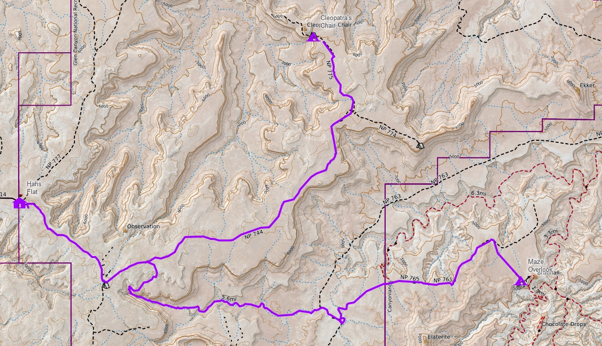
The next day, we repacked his truck, gassed up, bought ice and drove down to National Park Ranger station located in Hans Flat. This was about 60 miles on paved road and then 46 miles on unpaved 2W drive road to get to the Ranger station. We picked up our back country permit and then drove 34 miles on high clearance 4W drive to the Maze Overlook. It took us about 4 hrs to get to the Maze Overlook from the Ranger station and we stayed there for 2 nights. Then we drove 37.5 miles on 4W drive road to Cleopatra's Chair to spend the one night there.

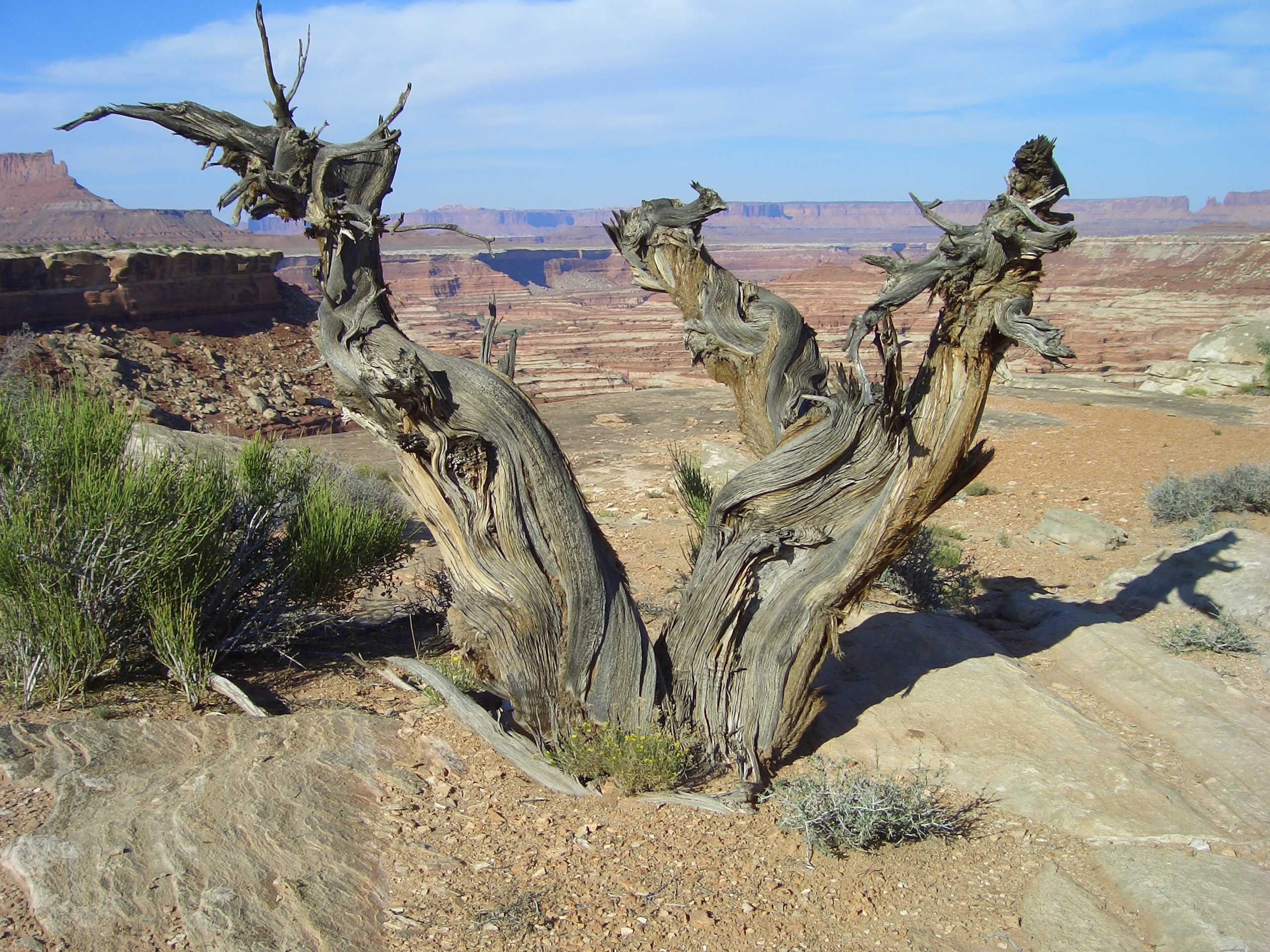
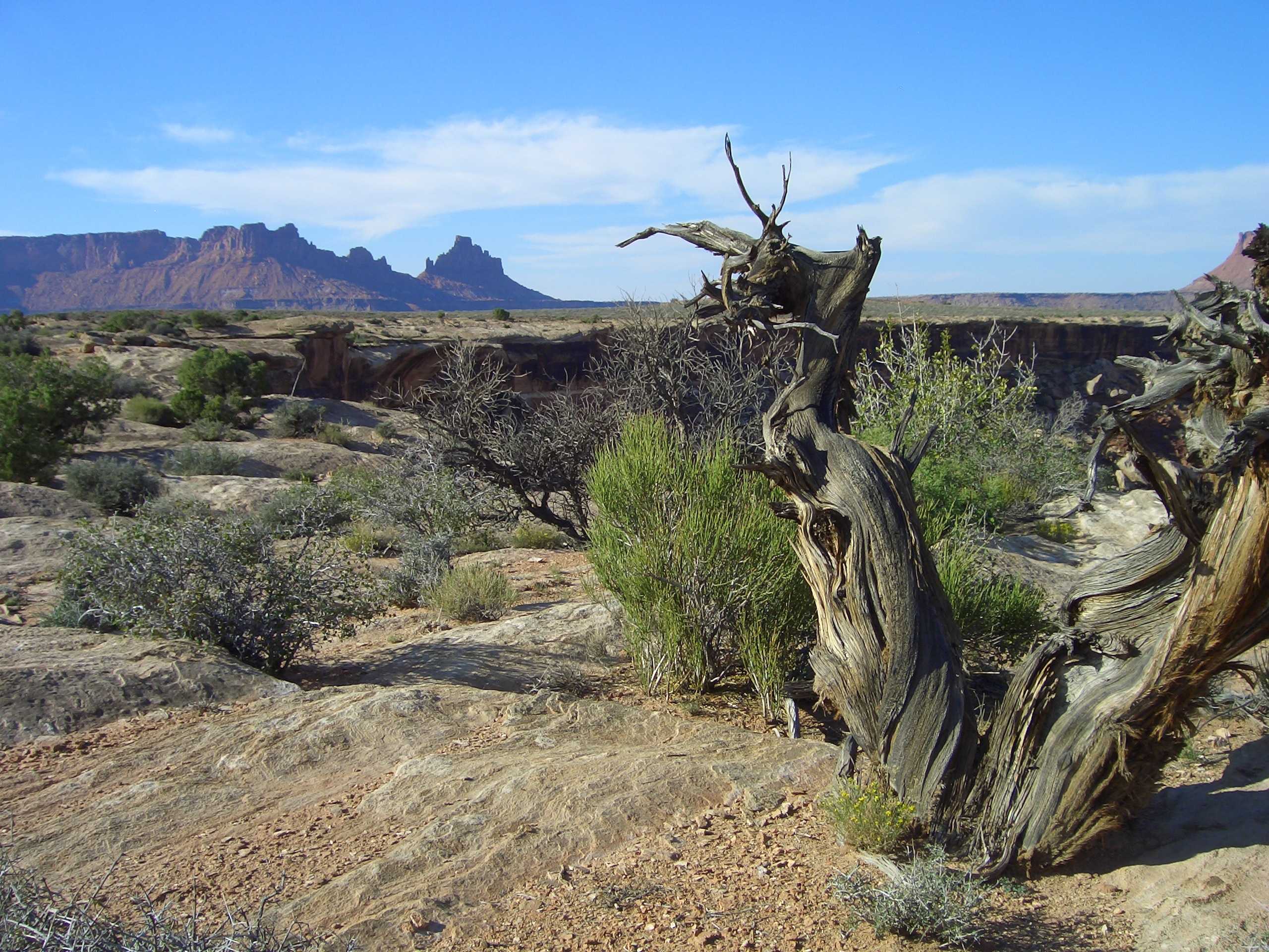
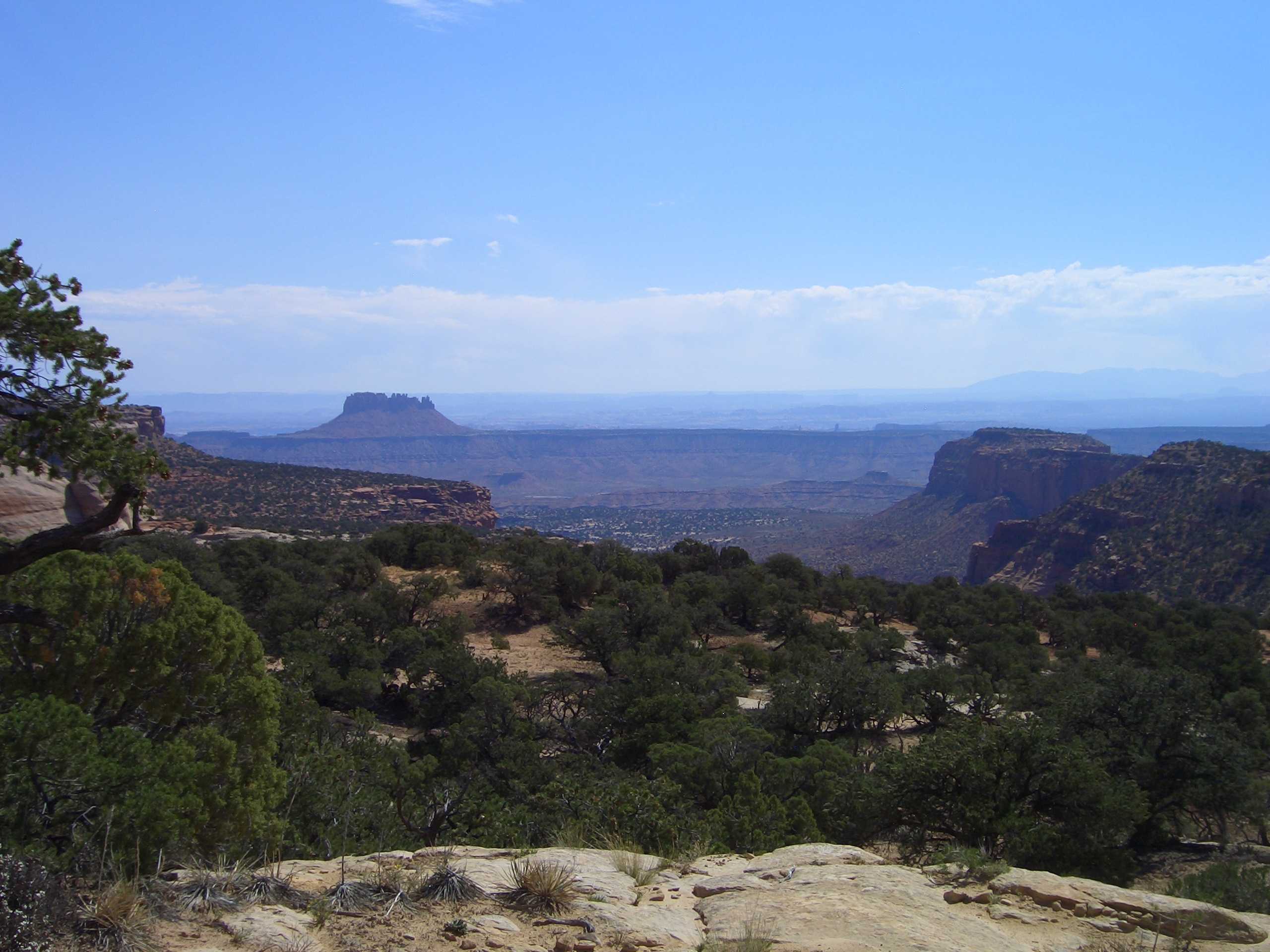
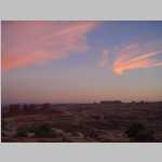
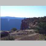
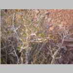
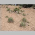
While at the Cleopatra's Chair campsite, we had a new moon and almost completely dark skies. I say almost because there were two lights we could see on Island in the Sky. I broke out my 15x30 binoculars and we observed the Andromeda Galaxy (M31; located in the constellation Andromeda), the Great Globular Cluster in Hercules (M13). We also saw the globular clusters M62 and M19 at the same field with my binoculars. These clusters are located just above Antares in the constellation Ophiuchus.

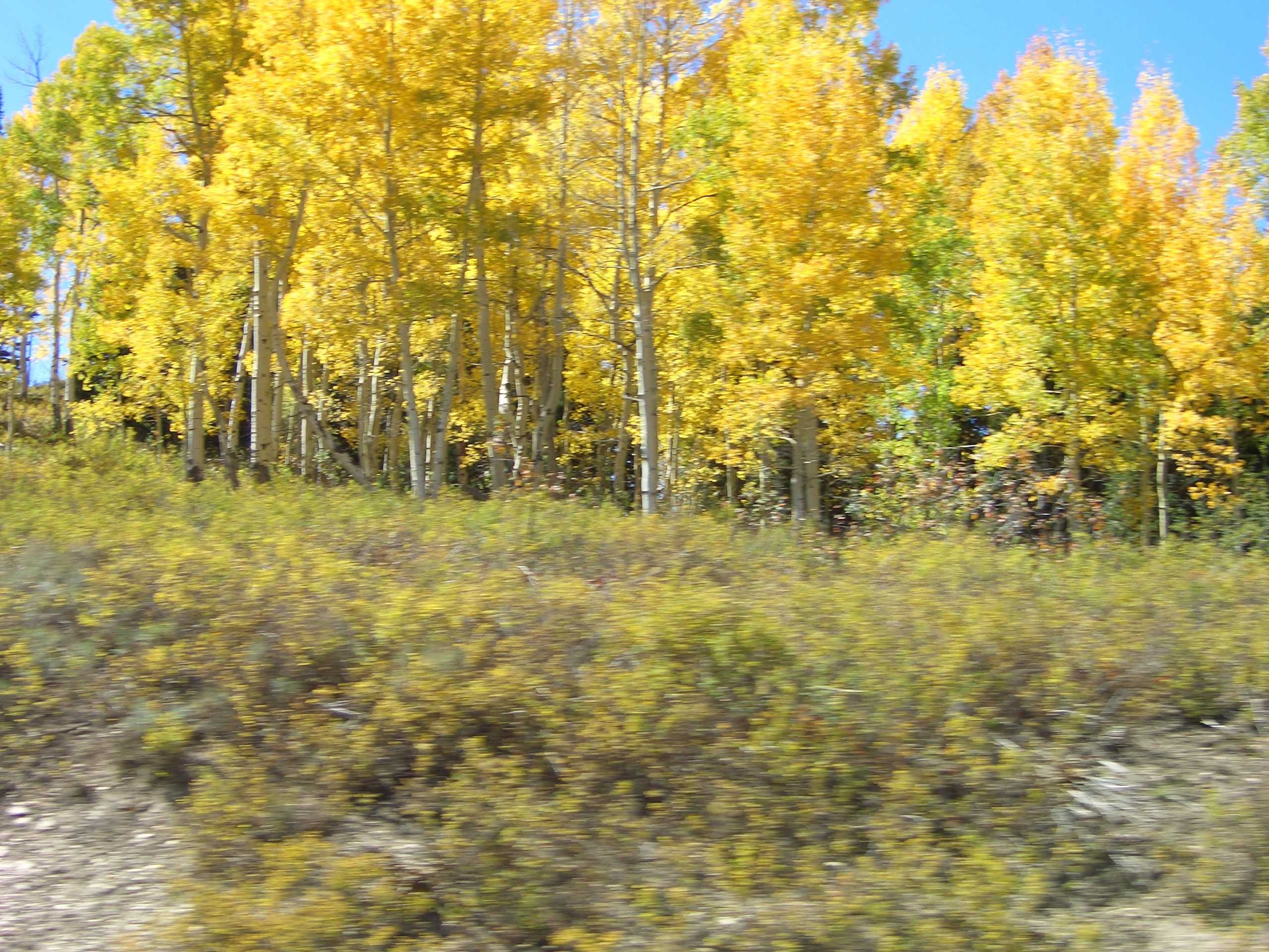
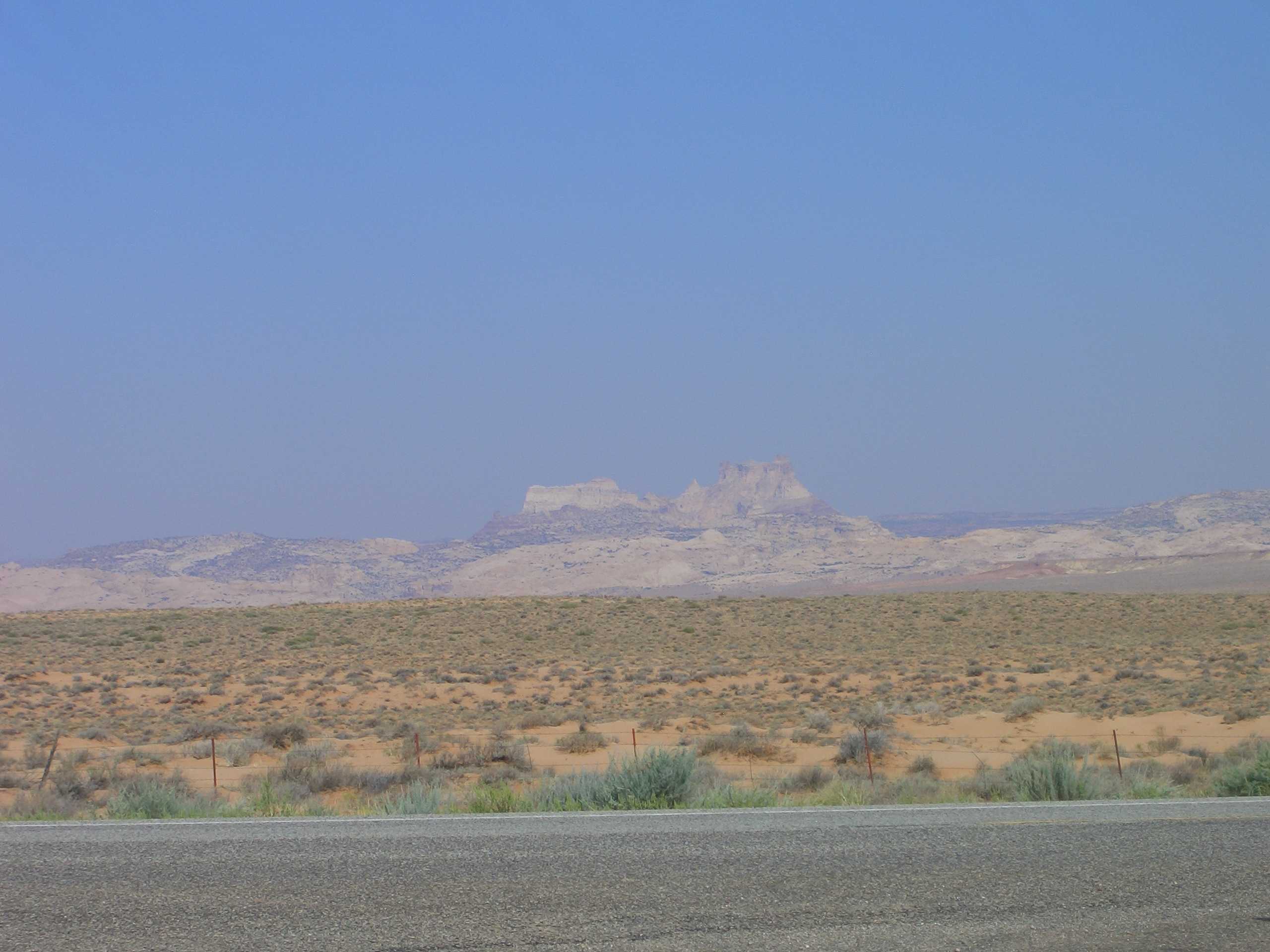
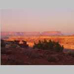
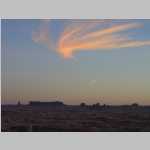
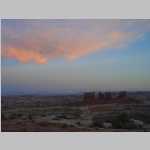
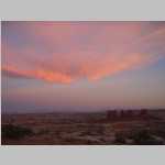
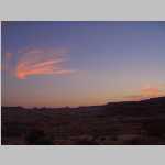
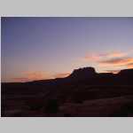
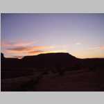
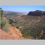
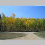
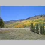
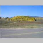
The next day we left Cleopatra's Chair and drove back to Green River stopping along he drive to take photographs.. I caught a shower in Ted's motel (Knight's Inn). Then we headed back to Ray's Tavern for some food prior to me departing on Amtrak that evening.

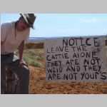
This was also the first trip where we had to pack our poop out!! Ted has this plastic toilet seat with three legs that you open up. You use a kit called Wag Bags to place a plastic bag inside that the toilet. The plastic bag contains something called Poo Powder breaks down waste with a NASA-developed gelling/deodorizing agent. The kit also contains toilet paper, a hand sanitizer, and a zip lock bag to put everything in after you are done. We then placed it in a large plastic tub (which did begin to smell like a diaper bag) and disposed of it in normal trash in Green River.

Canyonlands NP

3D Maze Overlook

>

Rock Formations

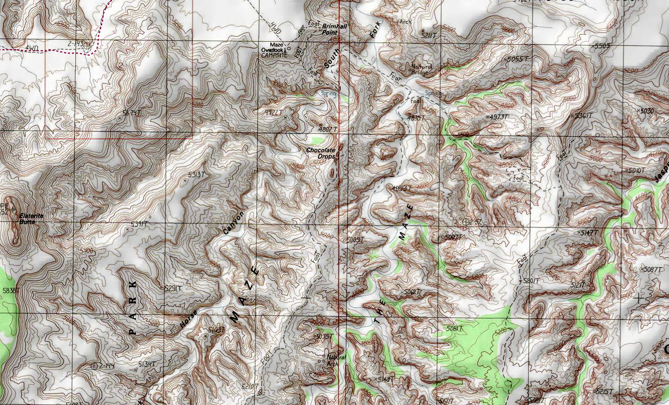
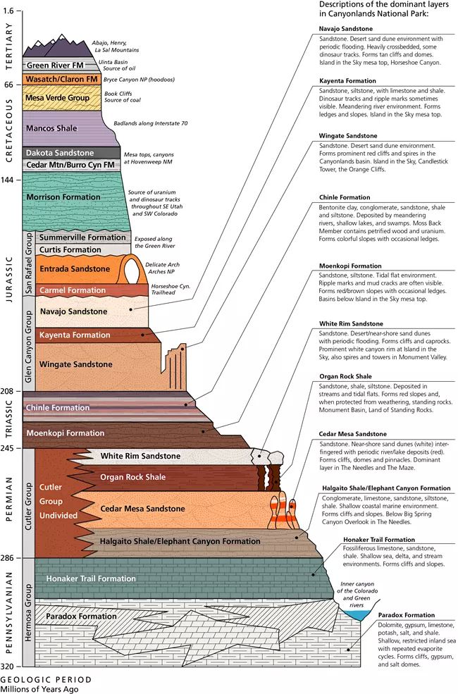
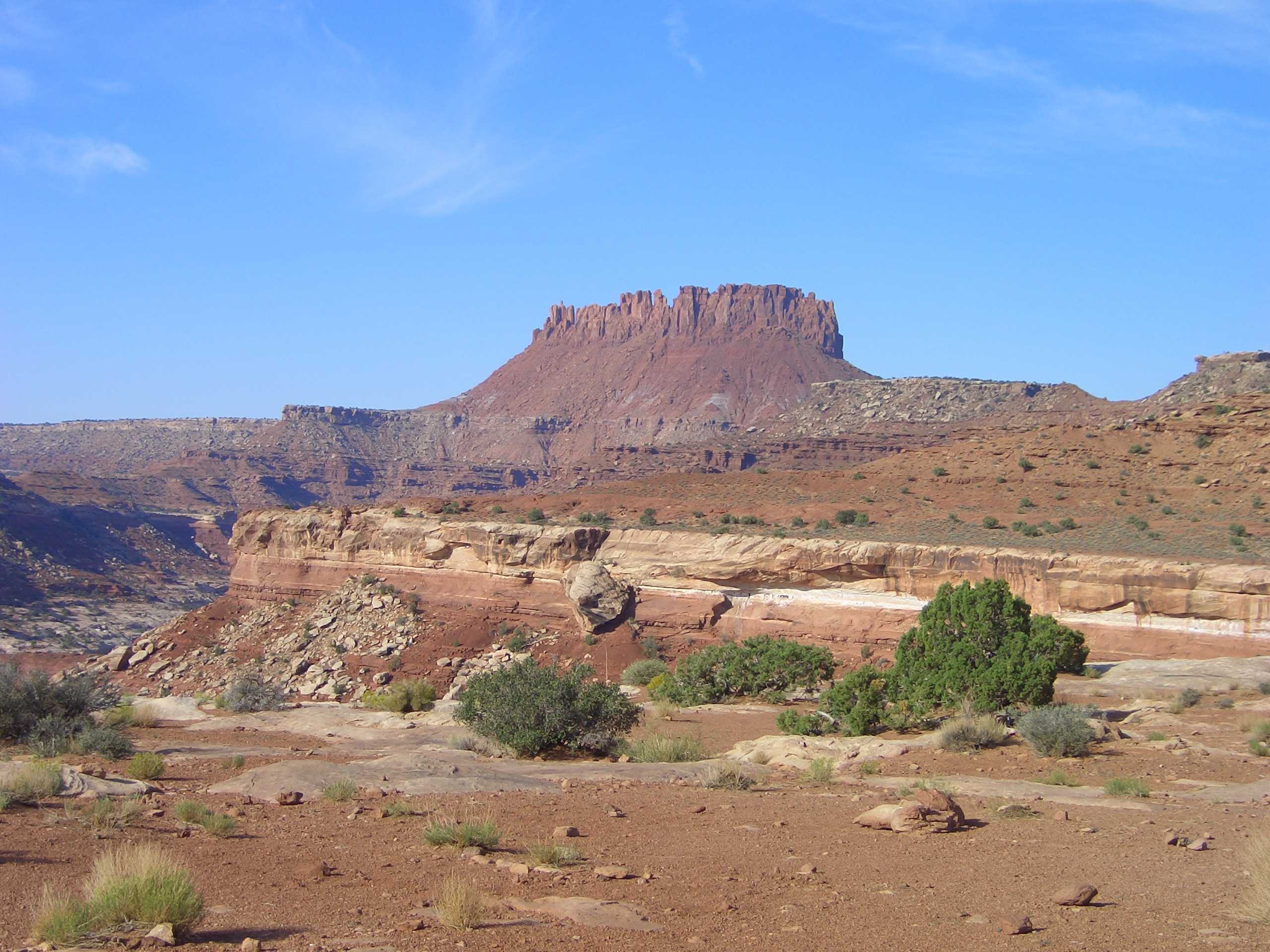
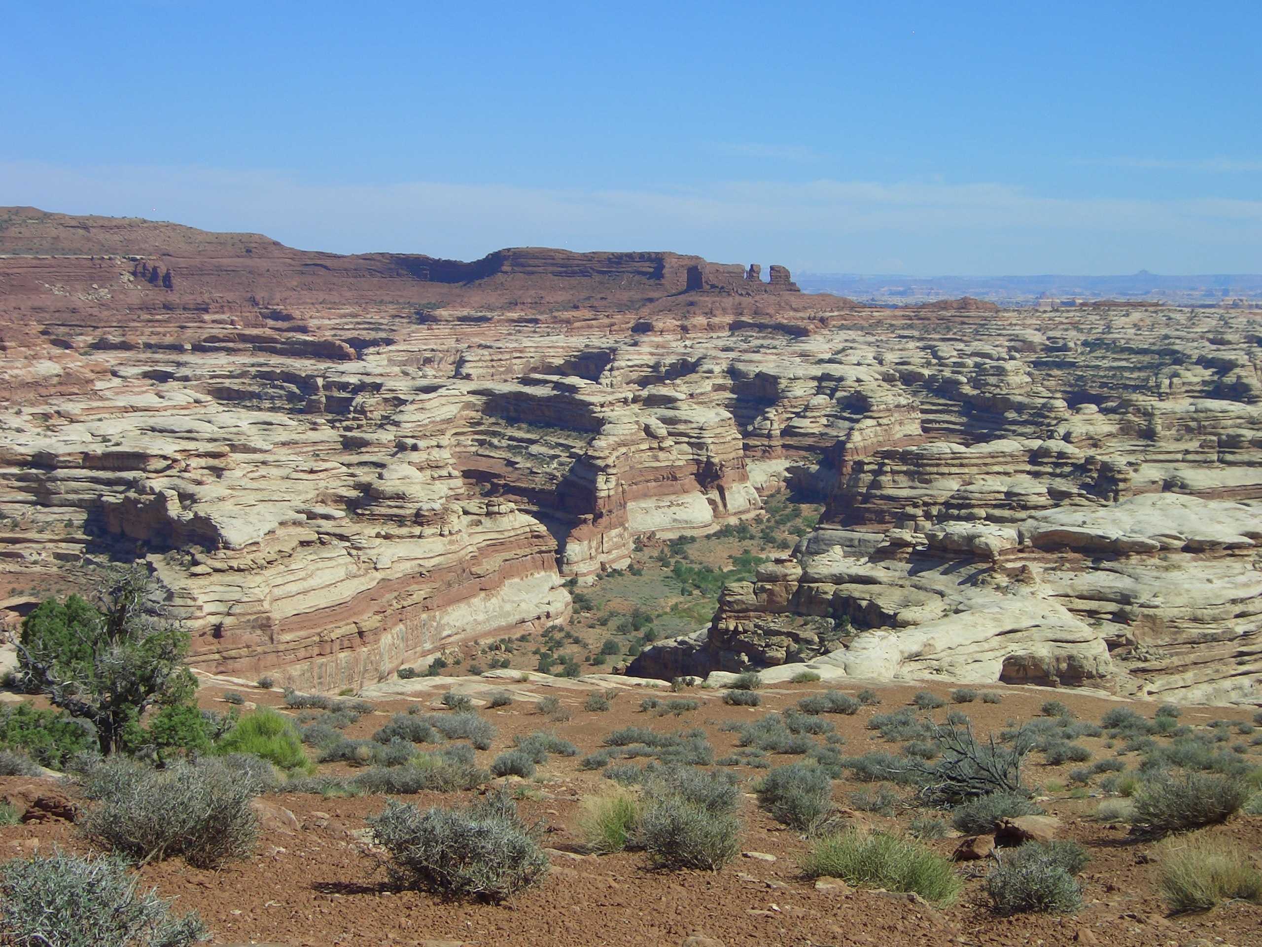
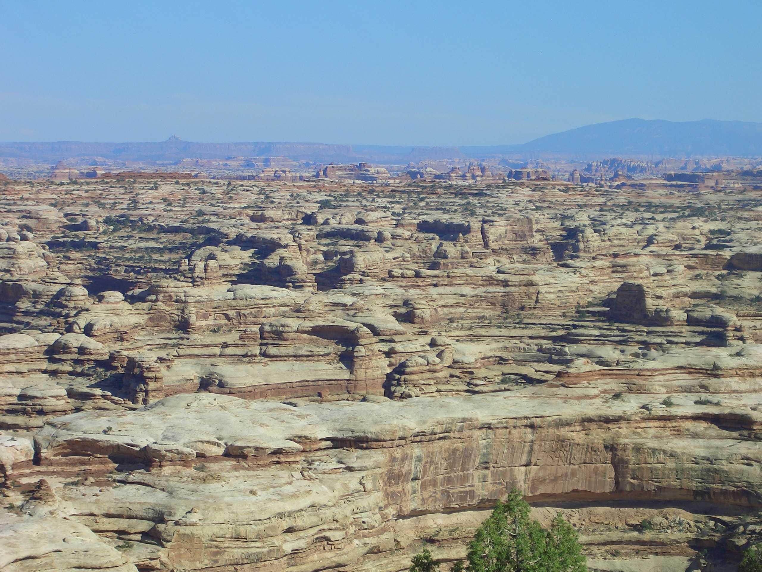
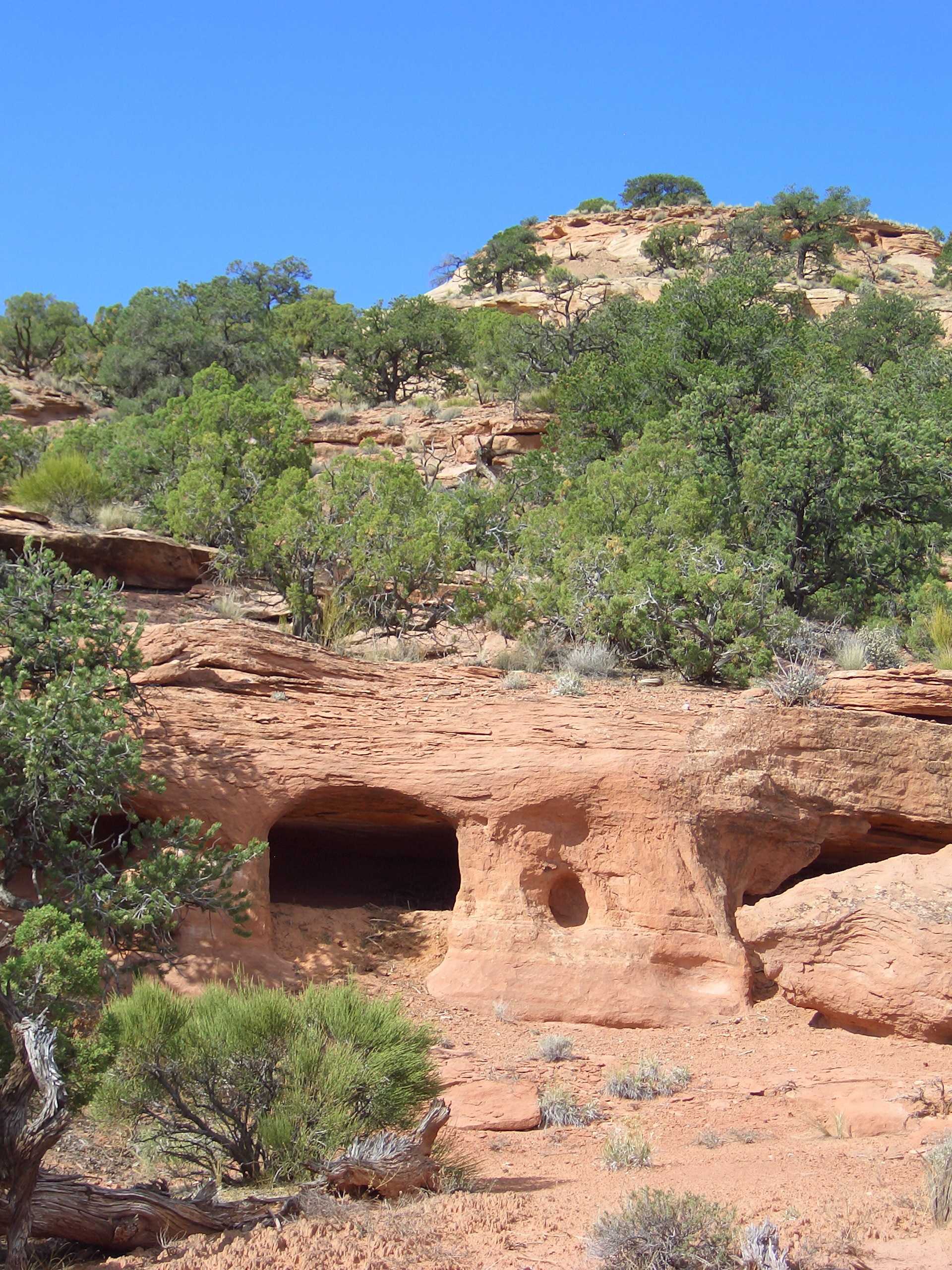
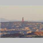
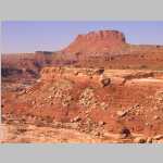
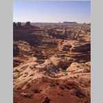
Canyonlands National Park (337,598 acres) is an American national park located in southeastern Utah created 1964. The Colorado River and Green River combine within the park, dividing it into three districts called the Island in the Sky, the Needles, and the Maze. The Colorado River flows through Cataract Canyon below its confluence with the Green River. The Island in the Sky district is a broad mesa in the northern section of the park between the Colorado and Green rivers. The Needles district is located south of the Island in the Sky, on the east side of the Colorado River. The Maze district is located west of the Colorado and Green rivers. The Maze is the least accessible section of the park, and one of the most remote and inaccessible areas of the United States. A geographically detached section of the park located north of the Maze district, Horseshoe Canyon contains panels of rock art made by hunter-gatherers from the Late Archaic Period.

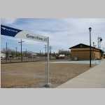
Green River (population 847 [2020 census]) is a city in Utah located on ancestral Ute indian lands. The city is located on the banks of the Green River, a major tributary of the Colorado River. John Wesley Powell embarked on the first of two voyages down the Green River in May 1869 and floated the river to its confluence with the Colorado and beyond. Throughout the 1940s, 1950s, and 1960s, the mining of uranium played a significant role in the economy of Green River. The U.S. Air Force built the Green River Launch Complex outside in 1964 to launch Athena missiles as part of research to improve nuclear missile capability. Amtrak provides service to Green River via the California Zephyr daily.

1 / 192
2 / 192
3 / 192
4 / 192
5 / 192
6 / 192
7 / 192
8 / 192
9 / 192
10 / 192
11 / 192
12 / 192
13 / 192
14 / 192
15 / 192
16 / 192
17 / 192
18 / 192
19 / 192
20 / 192
21 / 192
22 / 192
23 / 192
24 / 192
25 / 192
26 / 192
27 / 192
28 / 192
29 / 192
30 / 192
31 / 192
32 / 192
33 / 192
34 / 192
35 / 192
36 / 192
37 / 192
38 / 192
39 / 192
40 / 192
41 / 192
42 / 192
43 / 192
44 / 192
45 / 192
46 / 192
47 / 192
48 / 192
49 / 192
50 / 192
51 / 192
52 / 192
53 / 192
54 / 192
55 / 192
56 / 192
57 / 192
58 / 192
59 / 192
60 / 192
61 / 192
62 / 192
63 / 192
64 / 192
65 / 192
66 / 192
67 / 192
68 / 192
69 / 192
70 / 192
71 / 192
72 / 192
73 / 192
74 / 192
75 / 192
76 / 192
77 / 192
78 / 192
79 / 192
80 / 192
81 / 192
82 / 192
83 / 192
84 / 192
85 / 192
86 / 192
87 / 192
88 / 192
89 / 192
90 / 192
91 / 192
92 / 192
93 / 192
94 / 192
95 / 192
96 / 192
97 / 192
98 / 192
99 / 192
100 / 192
101 / 192
102 / 192
103 / 192
104 / 192
105 / 192
106 / 192
107 / 192
108 / 192
109 / 192
110 / 192
111 / 192
112 / 192
113 / 192
114 / 192
115 / 192
116 / 192
117 / 192
118 / 192
119 / 192
120 / 192
121 / 192
122 / 192
123 / 192
124 / 192
125 / 192
126 / 192
127 / 192
128 / 192
129 / 192
130 / 192
131 / 192
132 / 192
133 / 192
134 / 192
135 / 192
136 / 192
137 / 192
138 / 192
139 / 192
140 / 192
141 / 192
142 / 192
143 / 192
144 / 192
145 / 192
146 / 192
147 / 192
148 / 192
149 / 192
150 / 192
151 / 192
152 / 192
153 / 192
154 / 192
155 / 192
156 / 192
157 / 192
158 / 192
159 / 192
160 / 192
161 / 192
162 / 192
163 / 192
164 / 192
165 / 192
166 / 192
167 / 192
168 / 192
169 / 192
170 / 192
171 / 192
172 / 192
173 / 192
174 / 192
175 / 192
176 / 192
177 / 192
178 / 192
179 / 192
180 / 192
181 / 192
182 / 192
183 / 192
184 / 192
185 / 192
186 / 192
187 / 192
188 / 192
189 / 192
190 / 192
191 / 192
192 / 192

Aspens near Rabbit Ears Pass, Colorado, on the way to Green River, Utah Aspens near Rabbit Ears Pass, Colorado, on the way to Green River, Utah Amtrak Station Green River Green River Utah Fire Department. Green River Utah Fire Department. Beer at Ray's Tavern, Green River, Utah Beer at Ray's Tavern, Green River, Utah Beer at Ray's Tavern, Green River, Utah Between Utah 24 and Hans Flat Ranger Station Between Utah 24 and Hans Flat Ranger Station Between Utah 24 and Hans Flat Ranger Station Between Utah 24 and Hans Flat Ranger Station Between Utah 24 and Hans Flat Ranger Station Between Utah 24 and Hans Flat Ranger Station Between Utah 24 and Hans Flat Ranger Station Between Utah 24 and Hans Flat Ranger Station Between Utah 24 and Hans Flat Ranger Station Between Utah 24 and Hans Flat Ranger Station The sign at the side of Utah Highway 24 From Millard Canyon overlook From Flint Trail overlook; From Flint Trail overlook; From Flint Trail overlook; Flint Trail Overlook The Flint Trail Road, The switchbacks were just big enough for Ted's truck. The grayish portion of the roadway in the bottom of the second picture is Bentonite (used in kitty liter) Flint Trail Road Road intersection in the bentonite at bottom of Flint Trail Road intersection in the bentonite at bottom of Flint Trail Road intersection in the bentonite at bottom of Flint Trail One of the easier stretches on the road Campsite 2 at the Maze Overlook Another nice view from campsite 2 The view from our campsite for two nights at the Maze Overlook. The Chocolate Drops can be seen in the distance Evening shots at Maze Overlook 2 campground including sunset pictures Evening shots at Maze Overlook 2 campground including sunset pictures Evening shots at Maze Overlook 2 campground including sunset pictures Evening shots at Maze Overlook 2 campground including sunset pictures Evening shots at Maze Overlook 2 campground including sunset pictures Evening shots at Maze Overlook 2 campground including sunset pictures Evening shots at Maze Overlook 2 campground including sunset pictures Evening shots at Maze Overlook 2 campground including sunset pictures Evening shots at Maze Overlook 2 campground including sunset pictures Evening shots at Maze Overlook 2 campground including sunset pictures Elaterite Butte from Maze Overlook 2 CG Looking into the Maze Ekker Butte from Maze Overlook Grandview Point and Junction Butte (Island in the Sky) from Maze Overlook Maze from Maze Overlook CG Maze from Maze Overlook CG Maze from Maze Overlook CG Maze from Maze Overlook CG Maze and surrounding area taken from Brimhall Point (trailhead into Maze) Maze and surrounding area taken from Brimhall Point (trailhead into Maze) Maze and surrounding area taken from Brimhall Point (trailhead into Maze) Maze and surrounding area taken from Brimhall Point (trailhead into Maze) Maze and surrounding area taken from Brimhall Point (trailhead into Maze) Maze and surrounding area taken from Brimhall Point (trailhead into Maze) Maze and surrounding area taken from Brimhall Point (trailhead into Maze) Maze and surrounding area taken from Brimhall Point (trailhead into Maze) Maze and surrounding area taken from Brimhall Point (trailhead into Maze) Maze and surrounding area taken from Brimhall Point (trailhead into Maze) Maze and surrounding area taken from Brimhall Point (trailhead into Maze) Maze and surrounding area taken from Brimhall Point (trailhead into Maze) Maze and surrounding area taken from Brimhall Point (trailhead into Maze) Maze and surrounding area taken from Brimhall Point (trailhead into Maze) Maze and surrounding area taken from Brimhall Point (trailhead into Maze) Sunset from Maze Overlook 2 CG Sunset from Maze Overlook 2 CG Sunset from Maze Overlook 2 CG Sunset from Maze Overlook 2 CG Sunset from Maze Overlook 2 CG Sunset from Maze Overlook 2 CG Sunset from Maze Overlook 2 CG Sunset from Maze Overlook 2 CG Morning views from Maze Overlook 2 CG, Maze, Standing Rocks, Elaterite Butte, etc Morning views from Maze Overlook 2 CG, Maze, Standing Rocks, Elaterite Butte, etc Morning views from Maze Overlook 2 CG, Maze, Standing Rocks, Elaterite Butte, etc Morning views from Maze Overlook 2 CG, Maze, Standing Rocks, Elaterite Butte, etc Morning views from Maze Overlook 2 CG, Maze, Standing Rocks, Elaterite Butte, etc Morning views from Maze Overlook 2 CG, Maze, Standing Rocks, Elaterite Butte, etc Morning views from Maze Overlook 2 CG, Maze, Standing Rocks, Elaterite Butte, etc A tributary of Horse Canyon including, Panorama Point in background, Elaterite Butte (nearby), Ekker Butte (distance); A tributary of Horse Canyon including, Panorama Point in background, Elaterite Butte (nearby), Ekker Butte (distance); A tributary of Horse Canyon including, Panorama Point in background, Elaterite Butte (nearby), Ekker Butte (distance); Cryptogamic soil and desert greenery in the Elaterite Basin Cryptogamic soil and desert greenery in the Elaterite Basin Cryptogamic soil and desert greenery in the Elaterite Basin Cryptogamic soil and desert greenery in the Elaterite Basin Cryptogamic soil and desert greenery in the Elaterite Basin In Big Water Canyon (still Elaterite Basin) In Big Water Canyon (still Elaterite Basin) In Big Water Canyon (still Elaterite Basin) Still in Big Water Canyon, Bagpipe Butte in background Still in Big Water Canyon, Bagpipe Butte in background The climb out from Big Water Canyon, Bagpipe Butte in background The climb out from Big Water Canyon, Bagpipe Butte in background The climb out from Big Water Canyon, Bagpipe Butte in background The climb out from Big Water Canyon, Bagpipe Butte in background Approaching Flint Cove/Flint Trail Approaching Flint Cove/Flint Trail Approaching Flint Cove/Flint Trail Climbing the Flint Trail Climbing the Flint Trail Climbing the Flint Trail Cool shot of Bagpipe Butte with Cleopatra's Chair in the distance Climbing the Flint Trail Climbing the Flint Trail Climbing the Flint Trail Cryptobiotes!! From Flint Trail Overlook, including another party descending the Flint Trail From Flint Trail Overlook, including another party descending the Flint Trail From Flint Trail Overlook, including another party descending the Flint Trail Along Flint Flat with snake in road and Henry Mountains Along Flint Flat with snake in road and Henry Mountains On the road to Cleopatra's Chair Cleopatra's Chair from North Point Road, still one hour away from the CG Cleopatra's Chair off in the distance) Cleopatra's Chair Campground Cleopatra's Chair Campground Cleopatra's Chair Campground Cleopatra's Chair Campground Cleopatra's Chair Campground Cleopatra's Chair Campground Cleopatra's Chair Campground Cleopatra's Chair Campground Cleopatra's chair. Our campsite is behind me View off to the left side of Cleopatra's chair. Ted can be seen to the right A local coming by to say hello Another local visiting us at Cleopatra's Chair Cool tree at Cleopatra's Chair campsite View at Cleopatra's Chair Unknown plant 2 Unknown plant 1 Probably <i>Ephedra viridis</i> var <i>viridis</i> - Green Mormon Tea Another shot of Green Mormon Tea Unknown plant 4 Unknown plant 3 Unknown plant 5 Probably <i> Yucca angustissima</i> - Narrowleaf Yucca; Fineleaf Yucca Morning at Cleopatra's Chair CG Morning at Cleopatra's Chair CG Morning at Cleopatra's Chair CG Ted  & Bob Cleopatra's Chair CG Ted  & Bob Cleopatra's Chair CG Ted  & Bob Cleopatra's Chair CG Ted  & Bob Cleopatra's Chair CG Base of Cleopatra's Chair Base of Cleopatra's Chair Base of Cleopatra's Chair Base of Cleopatra's Chair Base of Cleopatra's Chair Base of Cleopatra's Chair Base of Cleopatra's Chair From Cleopatra's Chair CG to intersection with road to Panorama Point. From Cleopatra's Chair CG to intersection with road to Panorama Point. From Cleopatra's Chair CG to intersection with road to Panorama Point. From Cleopatra's Chair CG to intersection with road to Panorama Point. From North Point Road, some views are of Panorama Point and into Horse Canyon From North Point Road, some views are of Panorama Point and into Horse Canyon From North Point Road, some views are of Panorama Point and into Horse Canyon From North Point Road, some views are of Panorama Point and into Horse Canyon From North Point Road, some views are of Panorama Point and into Horse Canyon Along North Point Road, nice views south to Bagpipe Butte and Flint Cove Pictures from North Point CG Pictures from North Point CG Pictures from North Point CG Pictures from North Point CG Pictures from North Point CG Millard Canyon Overlook From Millard Canyon Overlook, including a Golden Eagle. From Millard Canyon Overlook, including a Golden Eagle. From Millard Canyon Overlook, including a Golden Eagle. From Millard Canyon Overlook, including a Golden Eagle. From Millard Canyon Overlook, including a Golden Eagle. From Millard Canyon Overlook, including a Golden Eagle. Hans Flat Road, including Pronghorn shots Hans Flat Road, including Pronghorn shots Hans Flat Road, including Pronghorn shots Rancher Steve's sign along Hans Flat Road Intersection of Utah 24 and Lower San Rafael Rd/Hans Flat Rd Intersection of Utah 24 and Lower San Rafael Rd/Hans Flat Rd Intersection of Utah 24 and Lower San Rafael Rd/Hans Flat Rd Intersection of Utah 24 and Lower San Rafael Rd/Hans Flat Rd Intersection of Utah 24 and Lower San Rafael Rd/Hans Flat Rd Aspens on the way home to Laramie Aspens on the way home to Laramie Aspens on the way home to Laramie Aspens on the way home to Laramie Aspens on the way home to Laramie Aspens on the way home to Laramie Aspens on the way home to Laramie Aspens on the way home to Laramie