Sugarloaf Campground, Medicine Bow-Routt National Forest, Wyoming
August 9 to 10, 2008
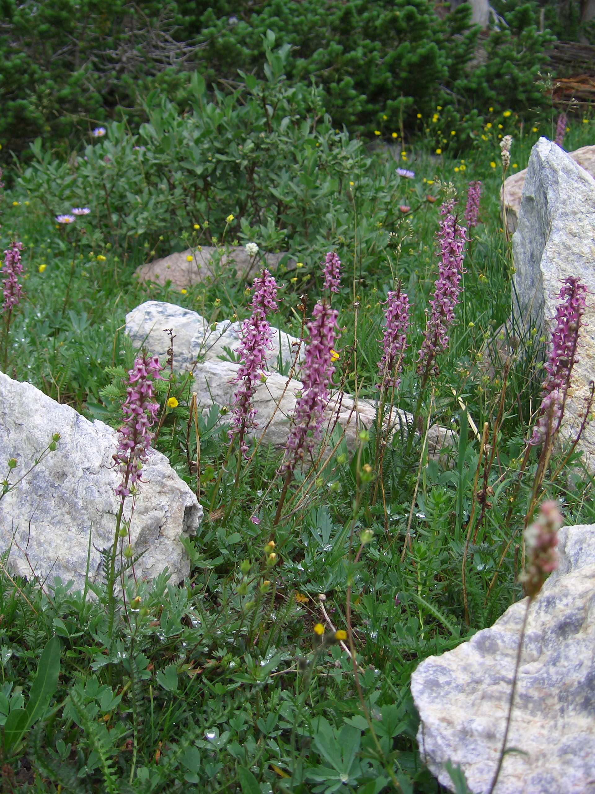
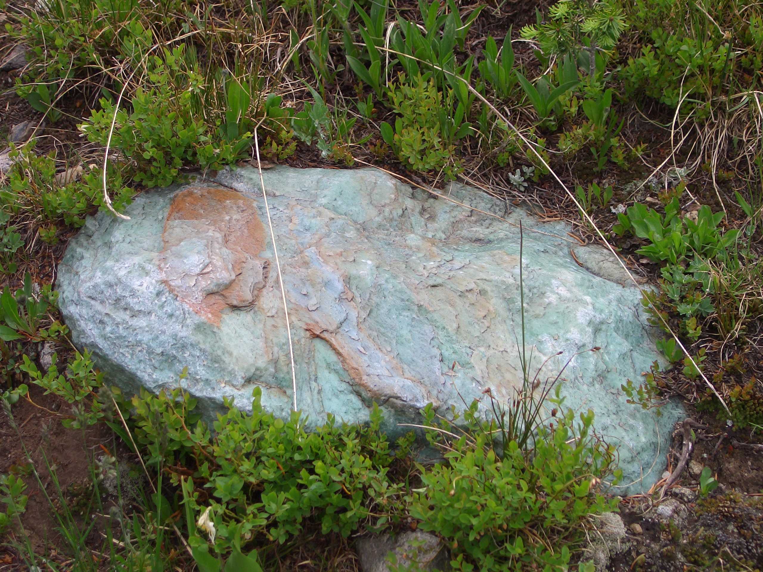
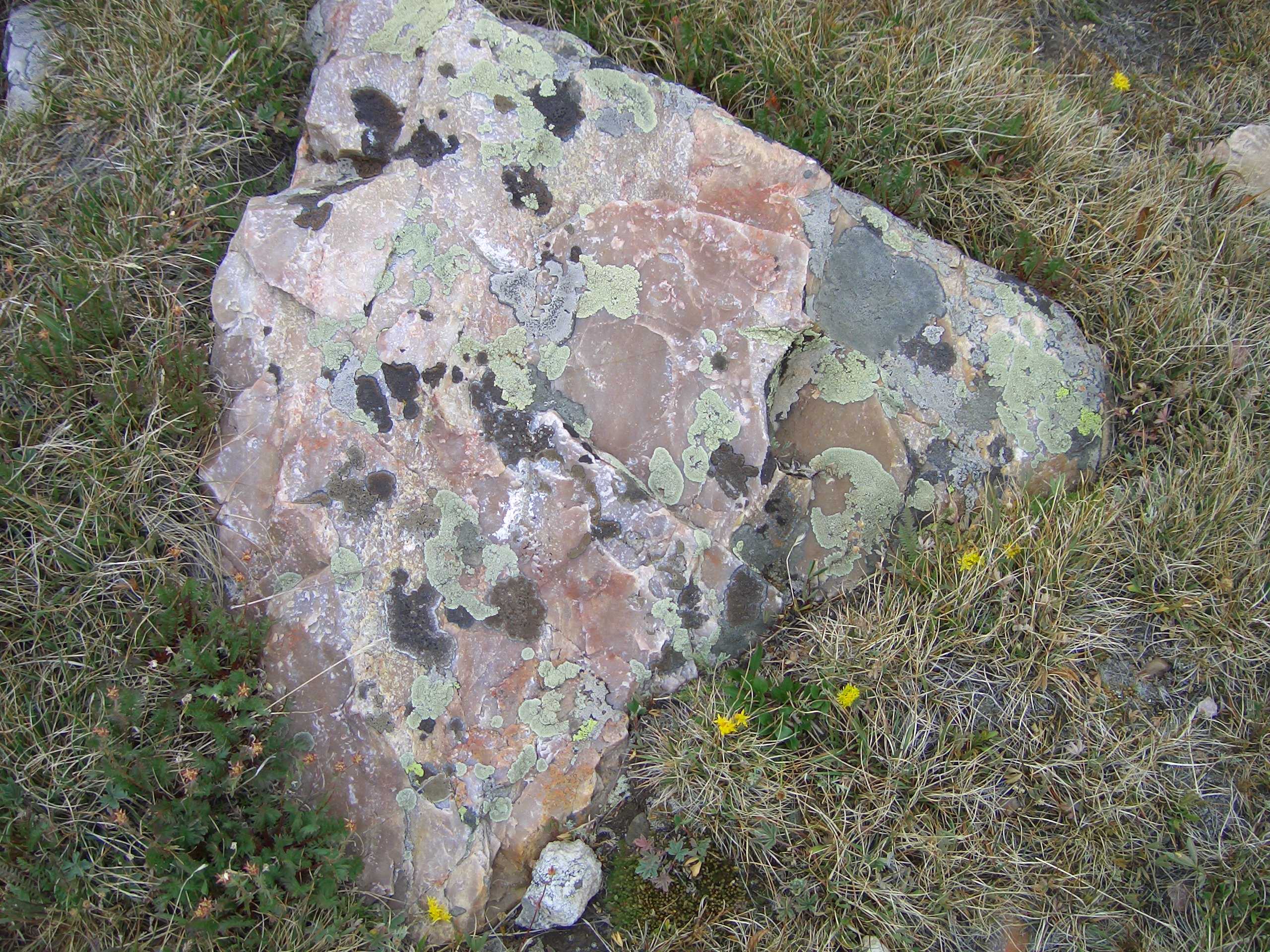
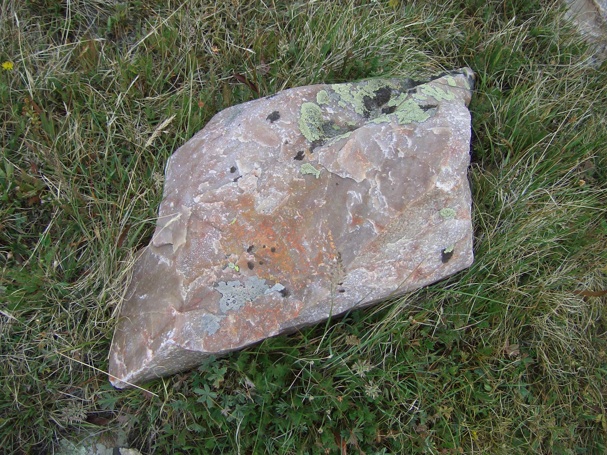
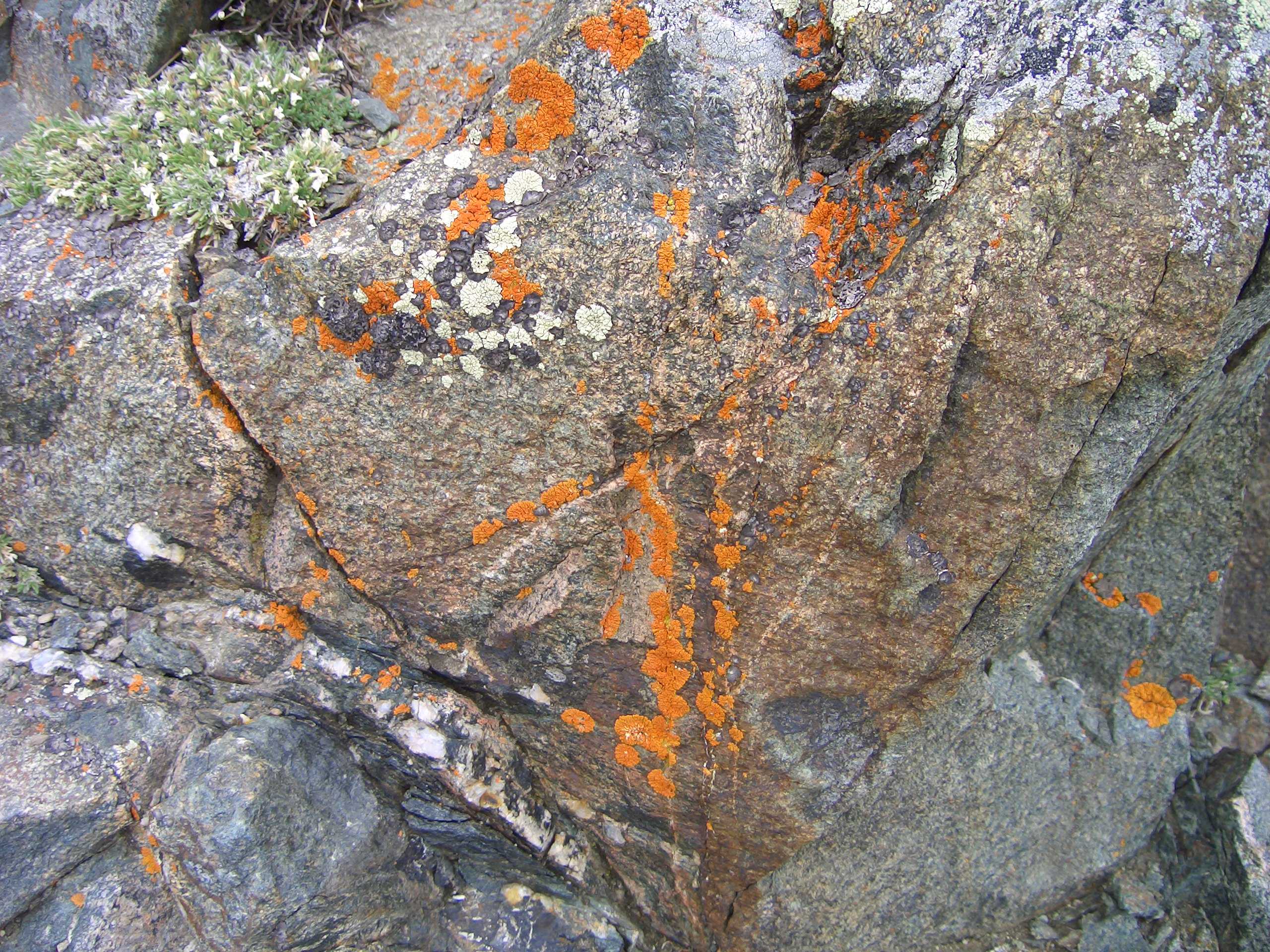
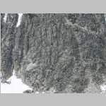
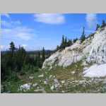
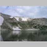
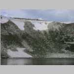
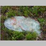
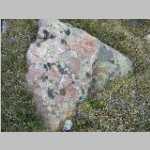
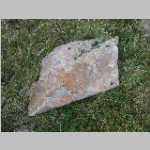
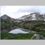
"There is one bed of a bright emerald green, about 60 feet thick ... "
Eliot Blackwelder, 1926
Hike Information
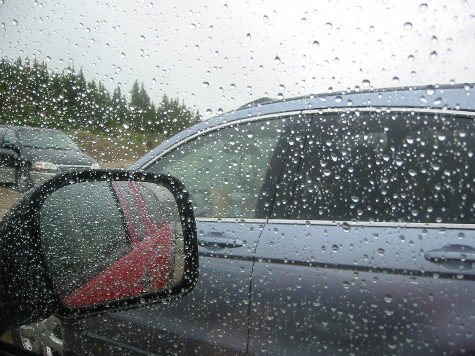
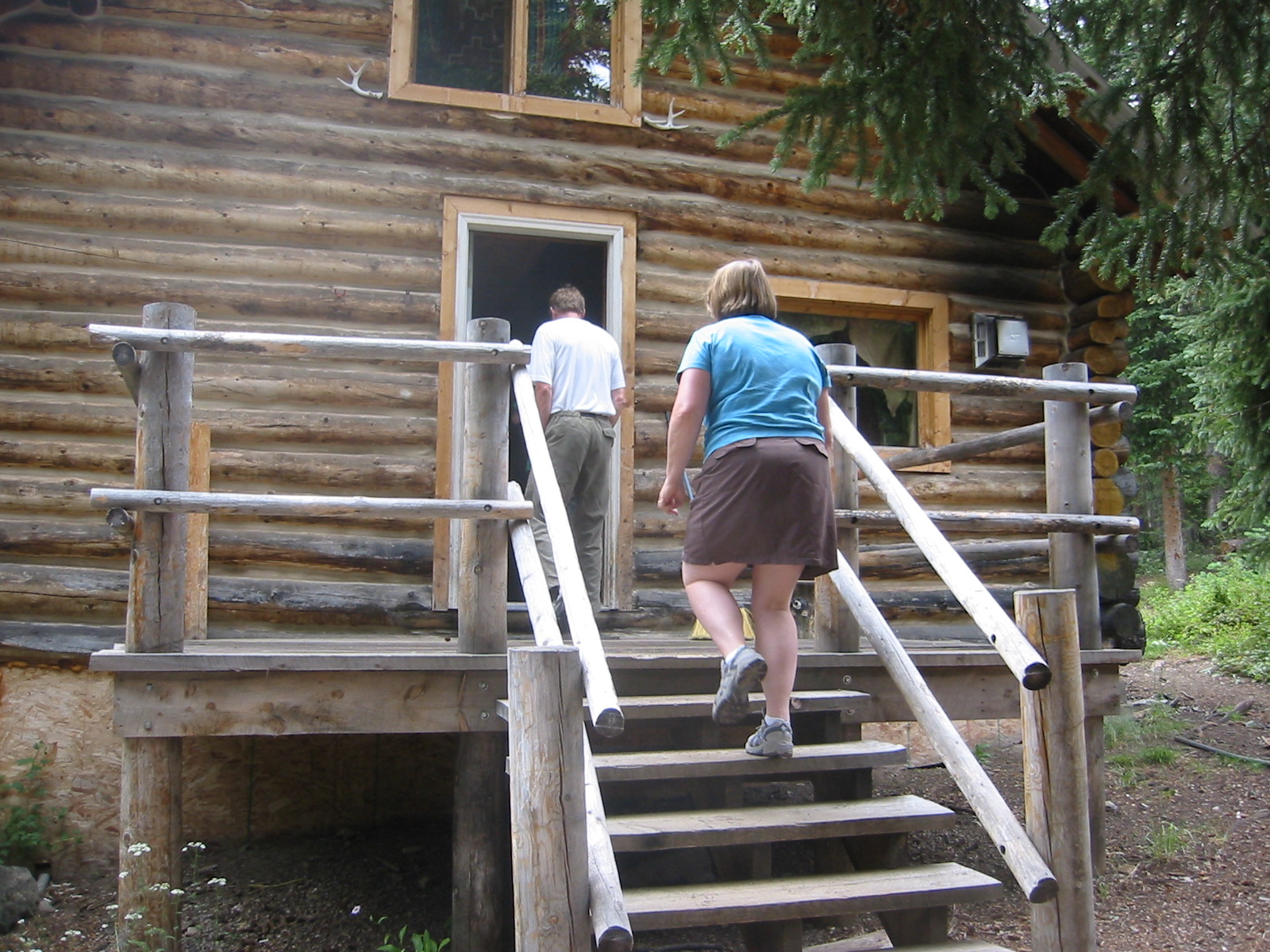
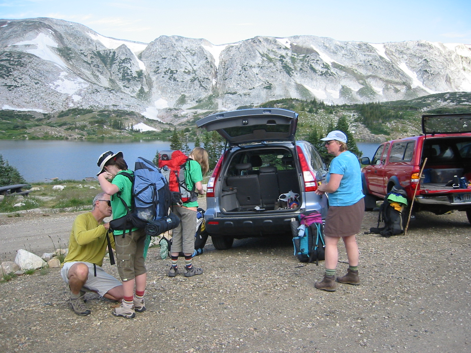
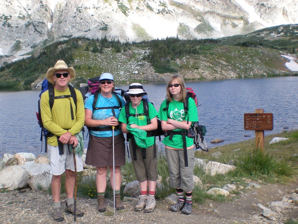
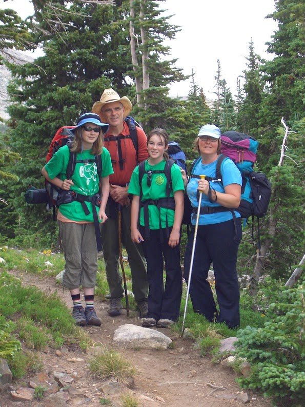
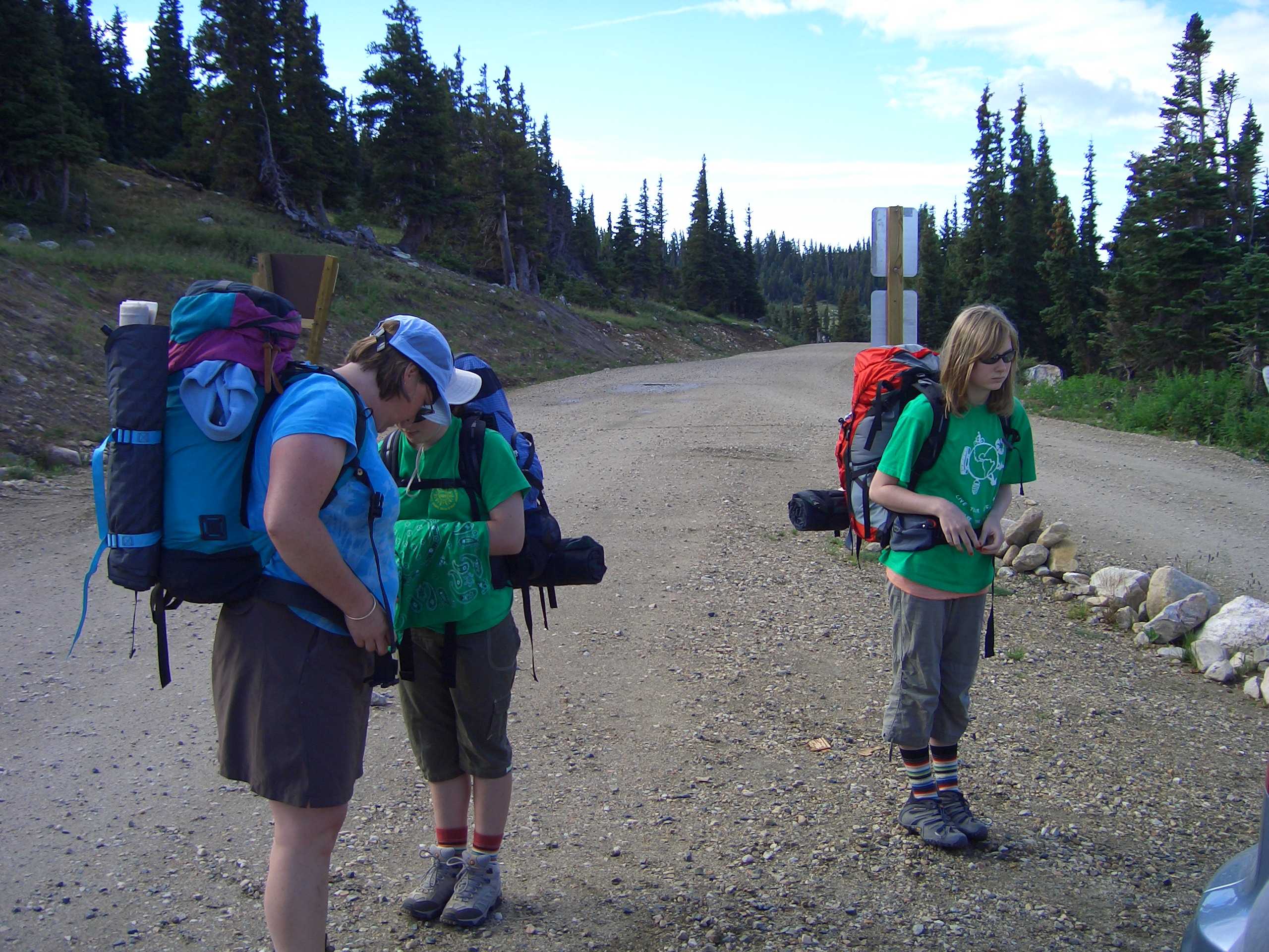
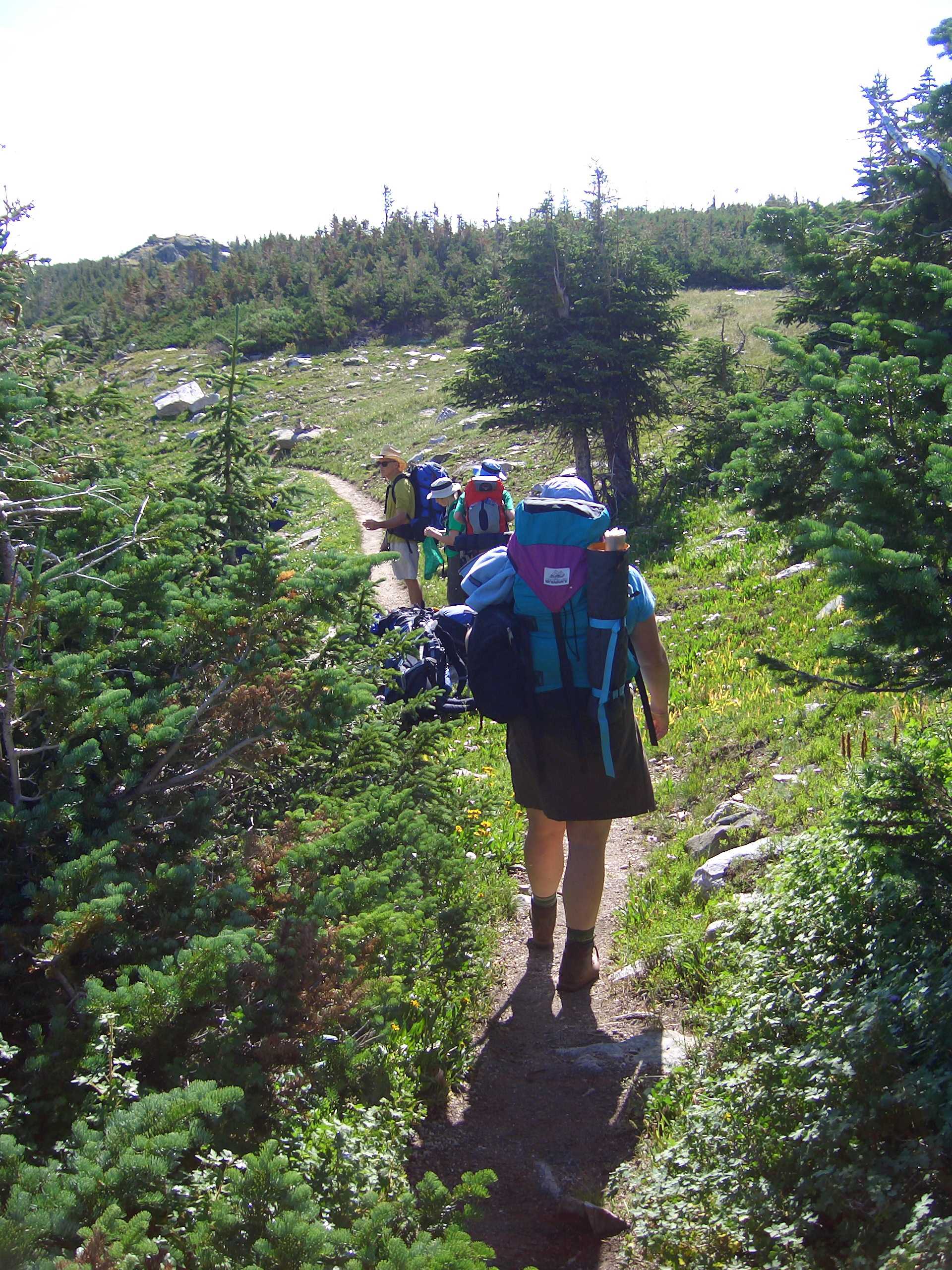
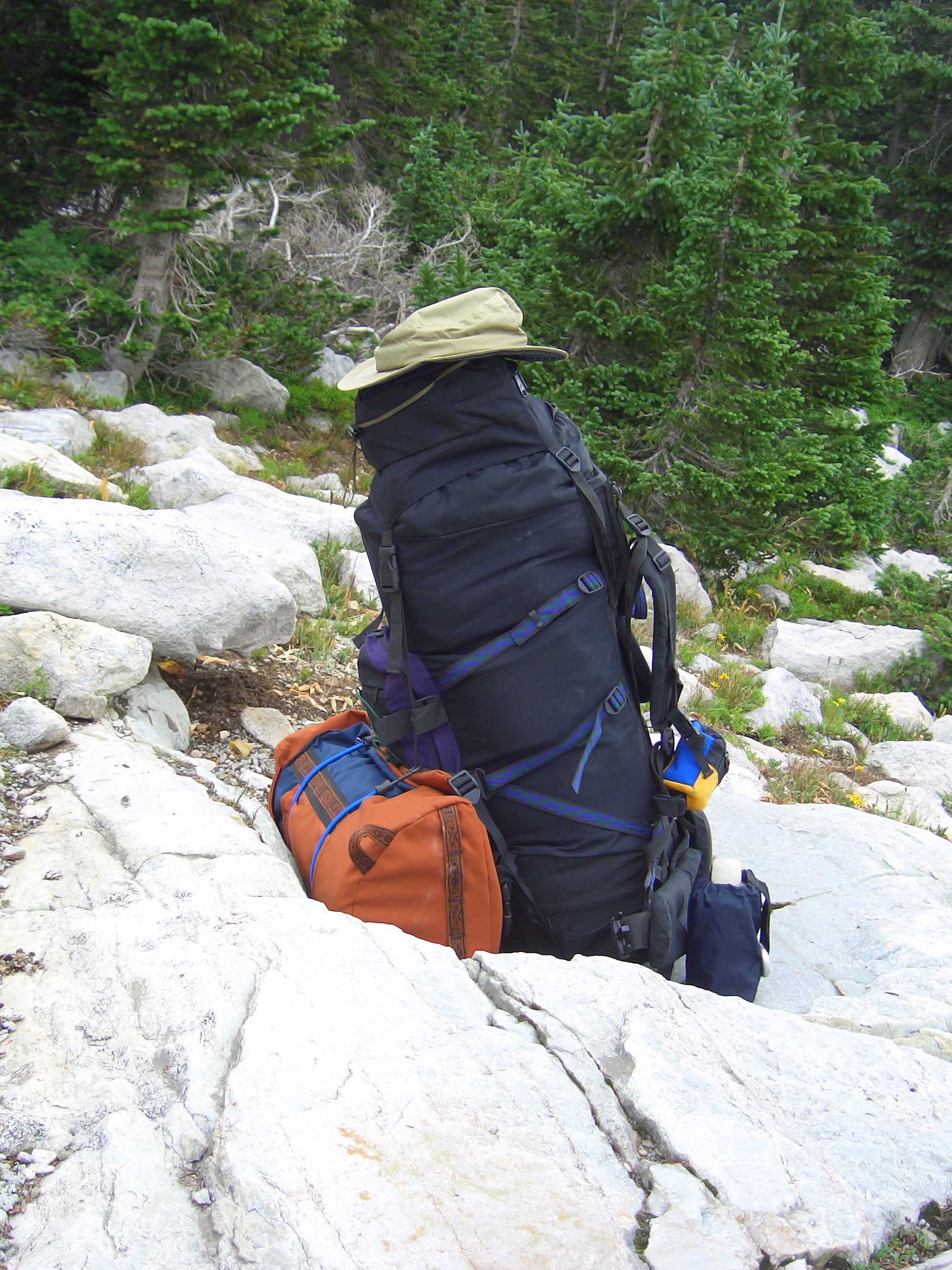
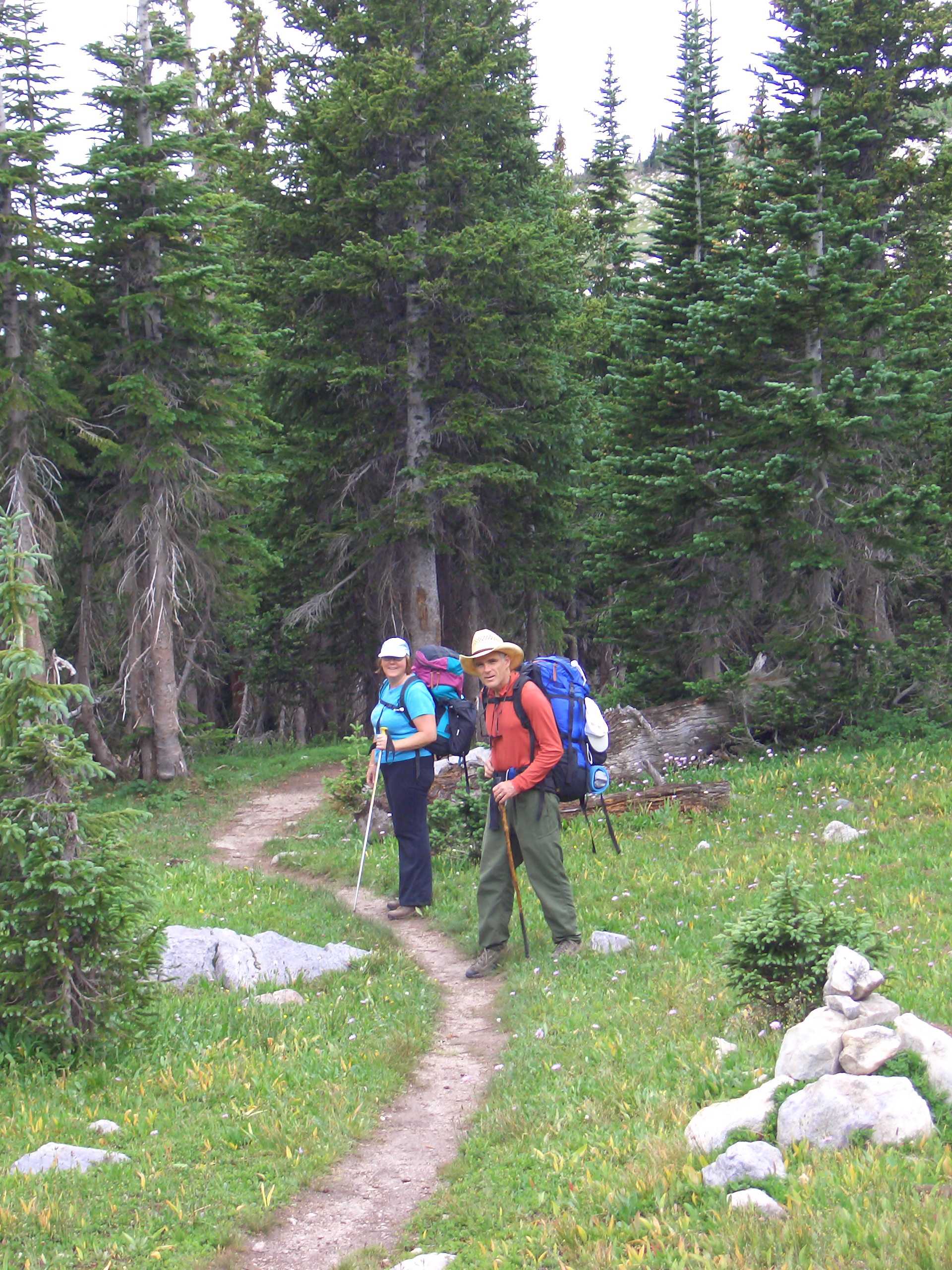
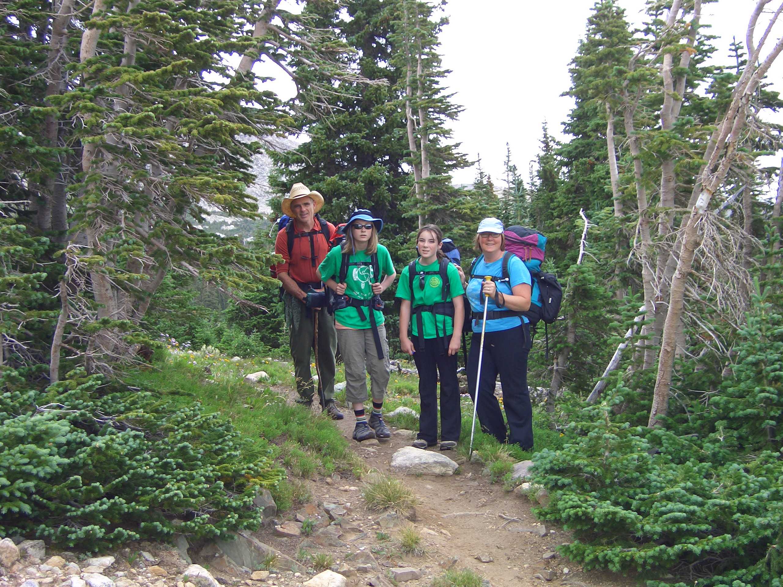
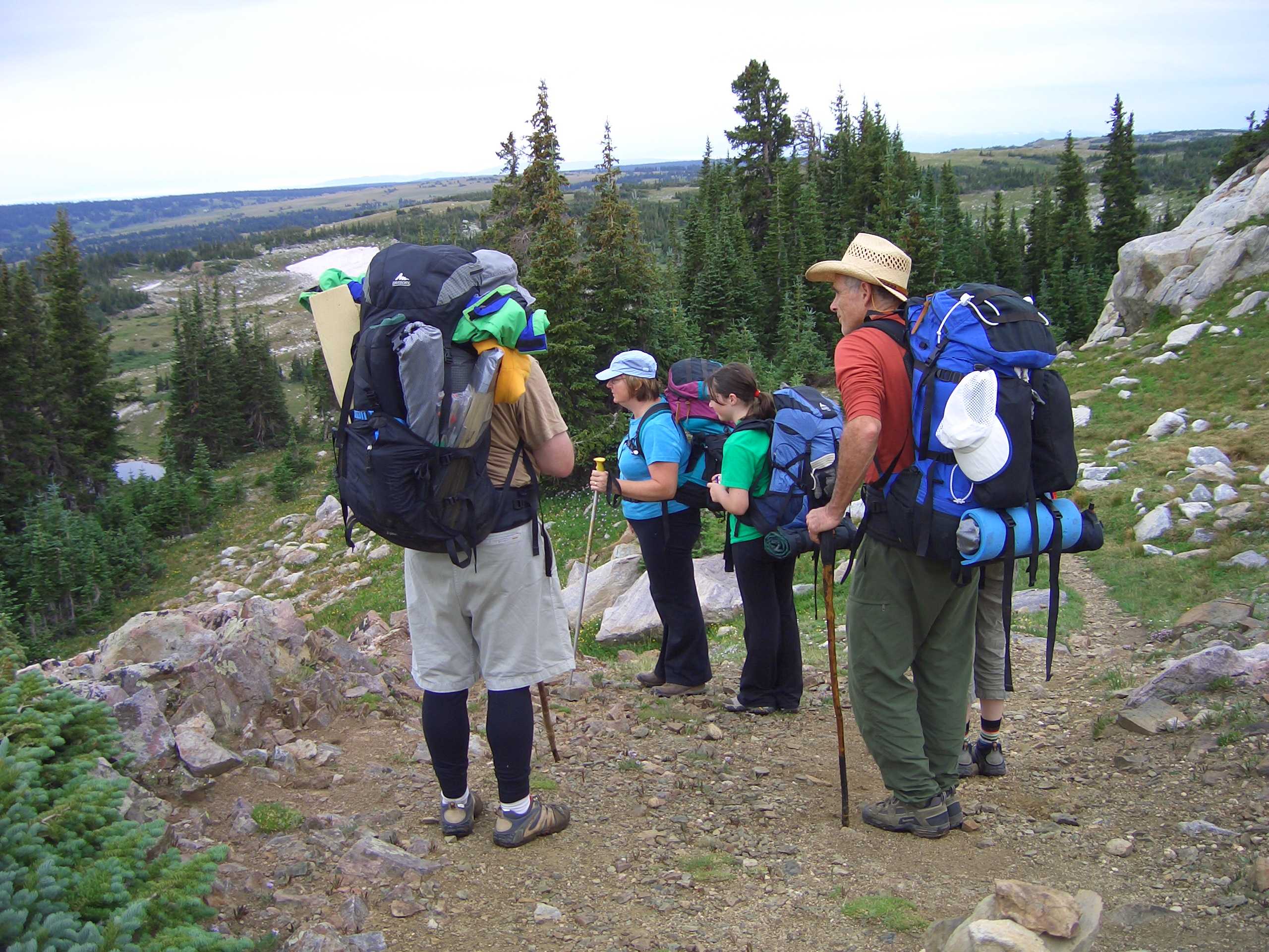
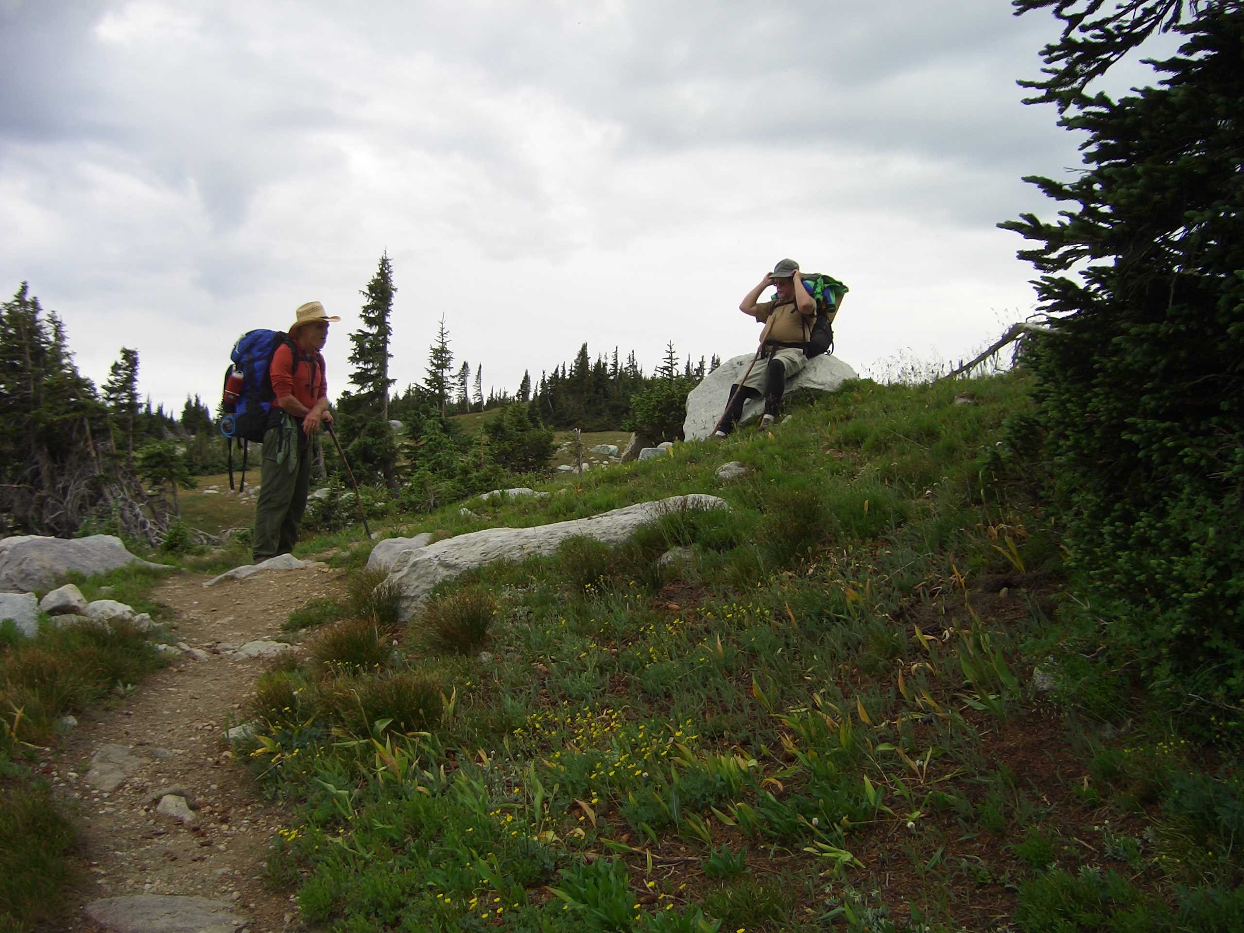
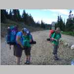
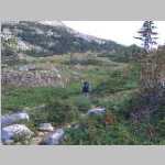
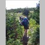
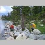
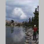
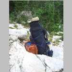
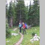
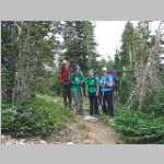
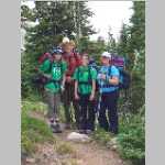
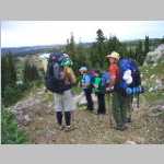
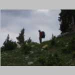
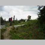
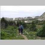
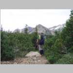
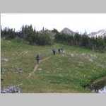
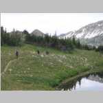
Bob, Ted, and Brian's family (Jean, Tess, and Faye) went on a short hike in the Snowy Mountains near Sugarloaf Campground. It had started raining when we arrived at trailhead so we defaulted to a nice cabin at Medicine Bow Lodge about 12 miles away. This lodge has changed hands several times since we stayed there, I have given the current name but double check. The rooms were nice, food good, and we played shoot was thats game name.
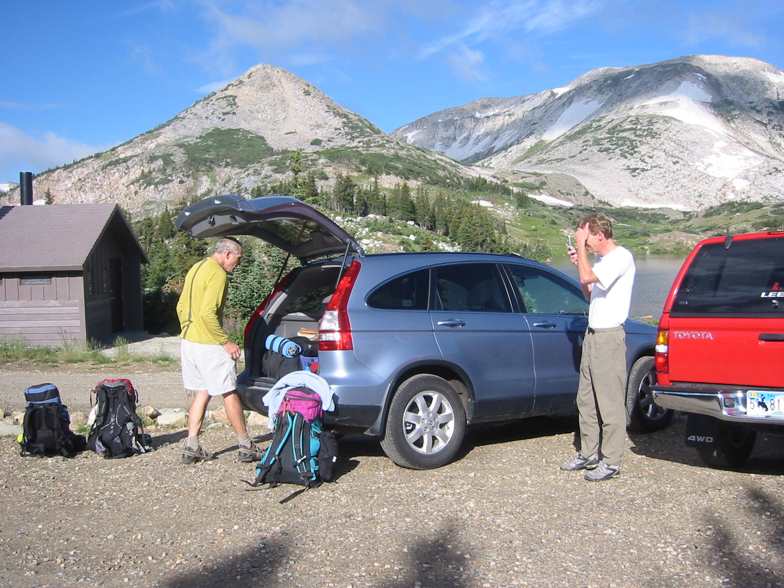
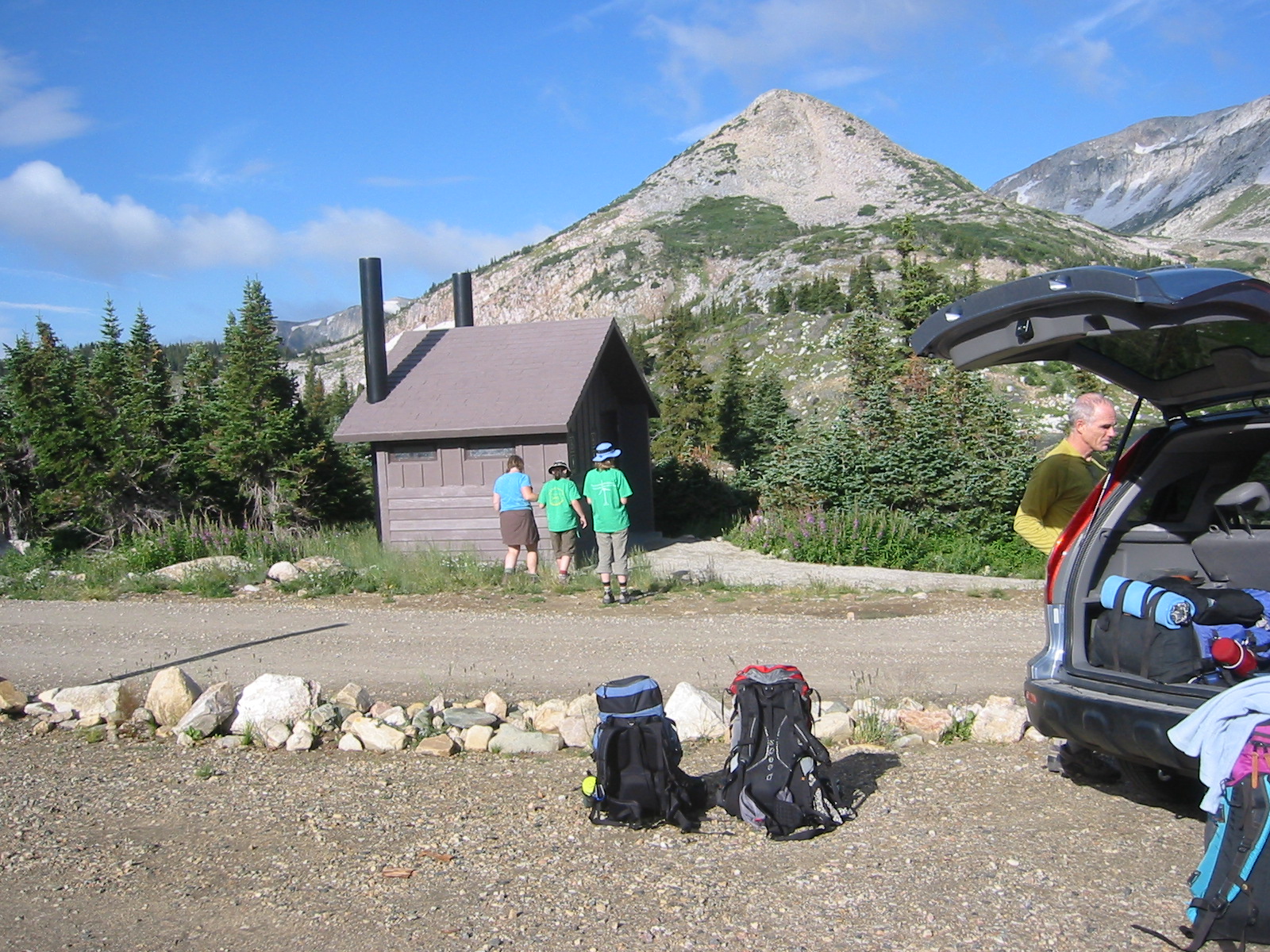
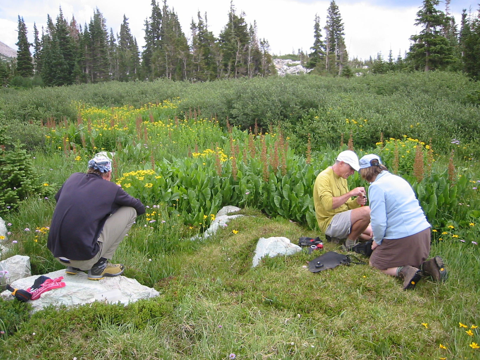
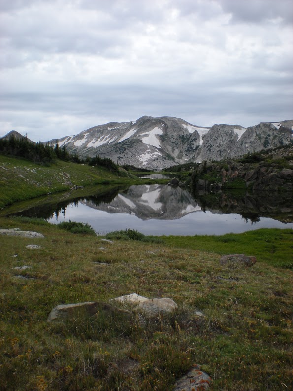
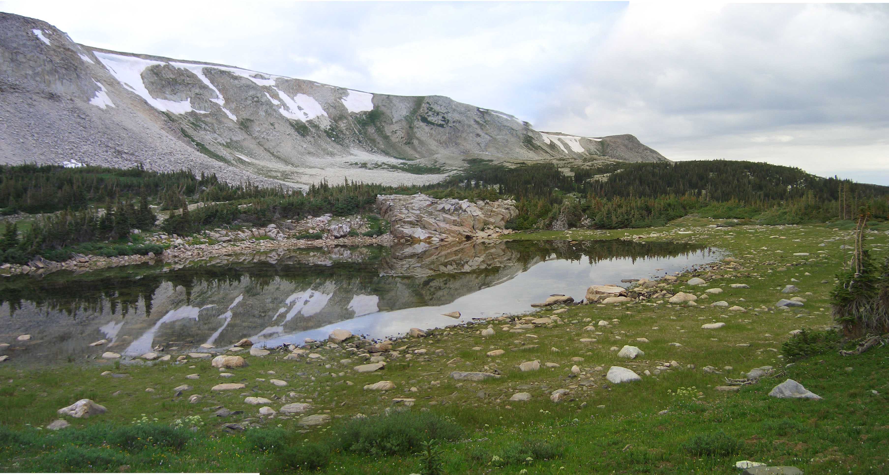
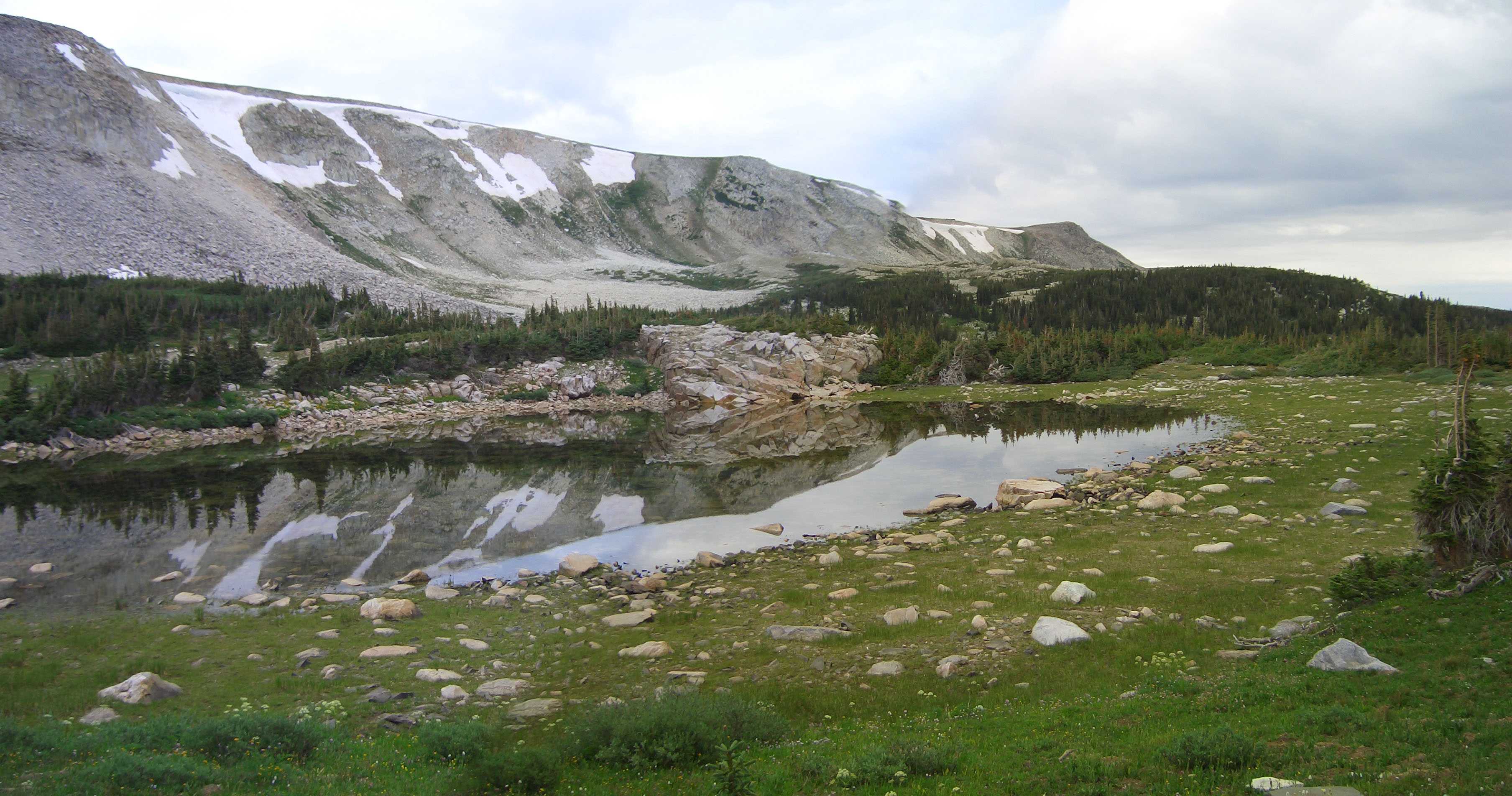
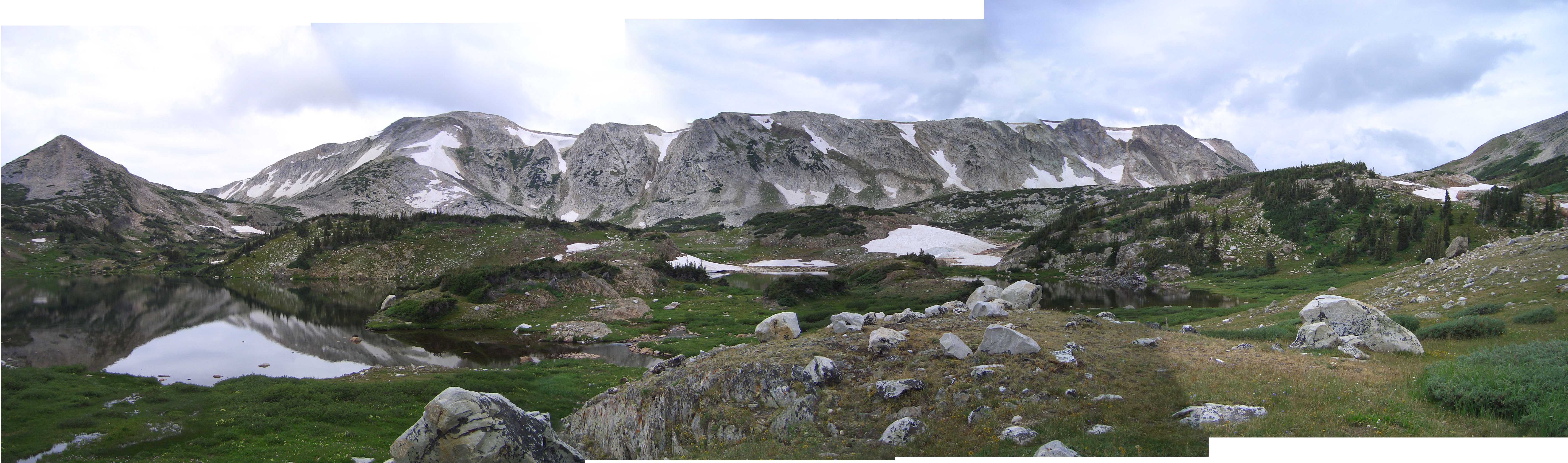
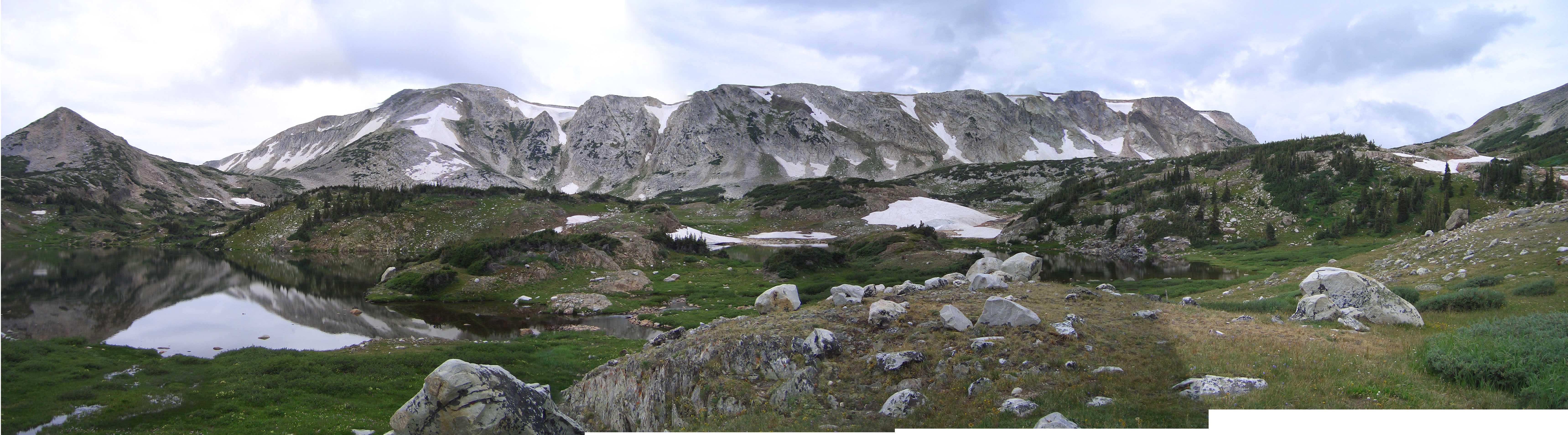
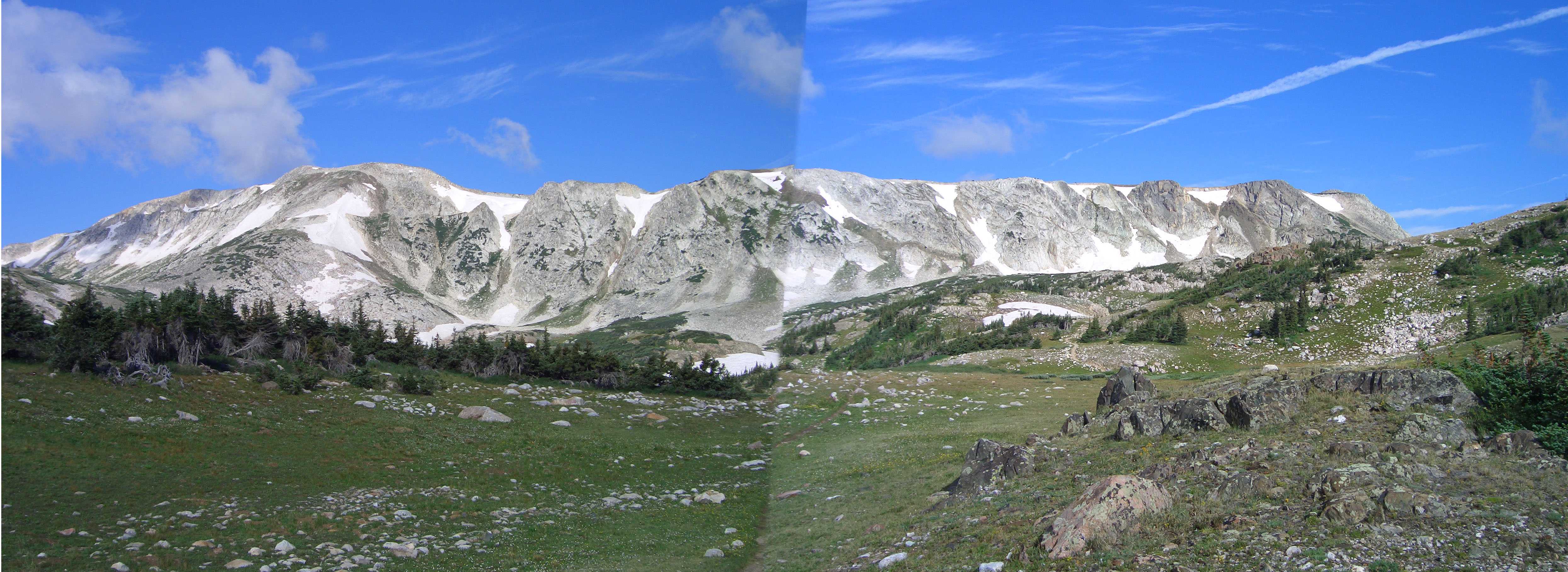
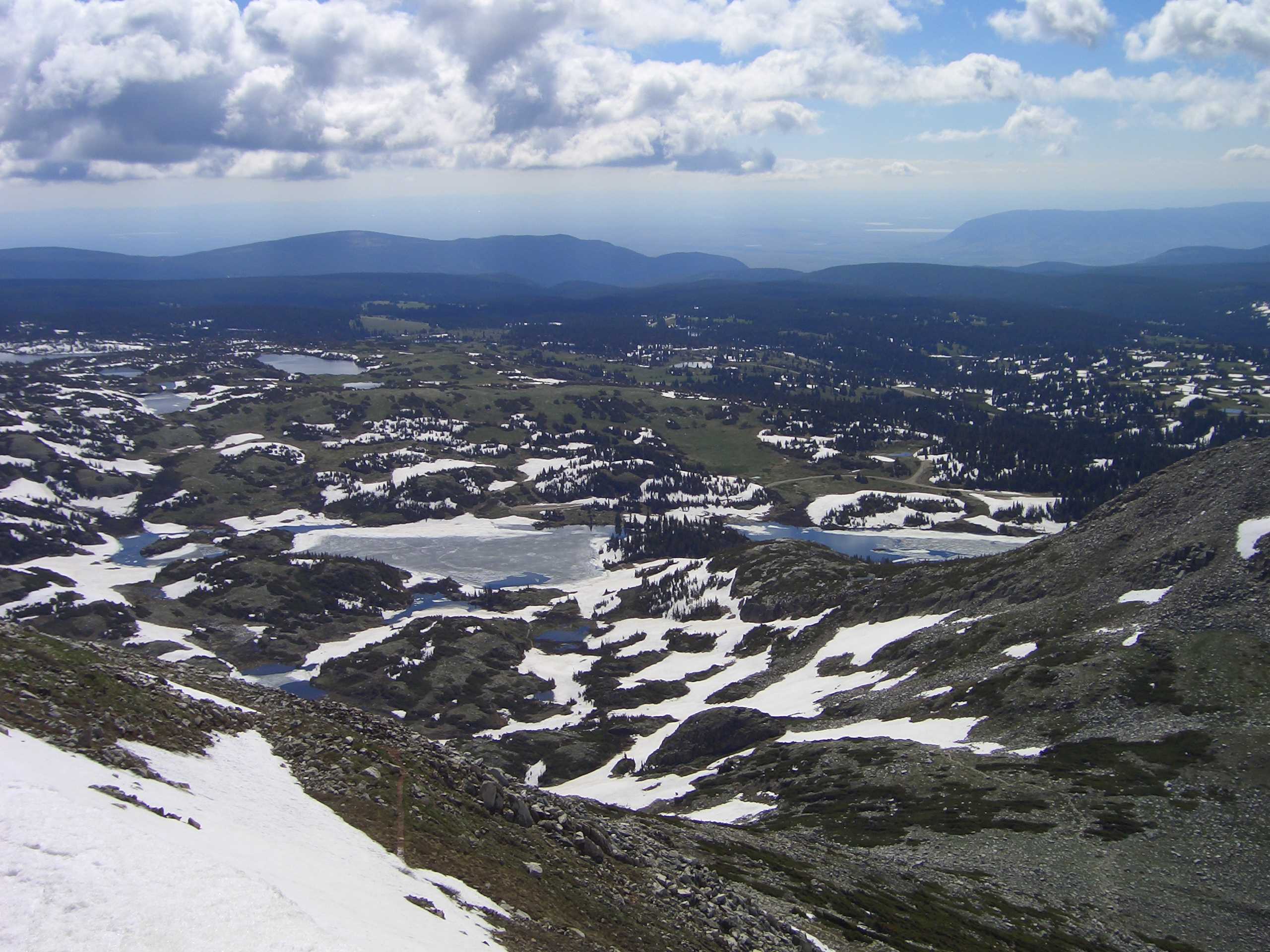
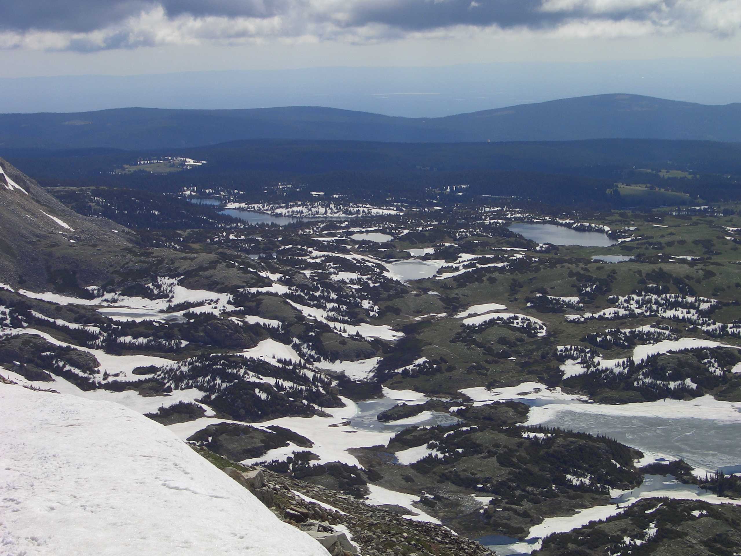
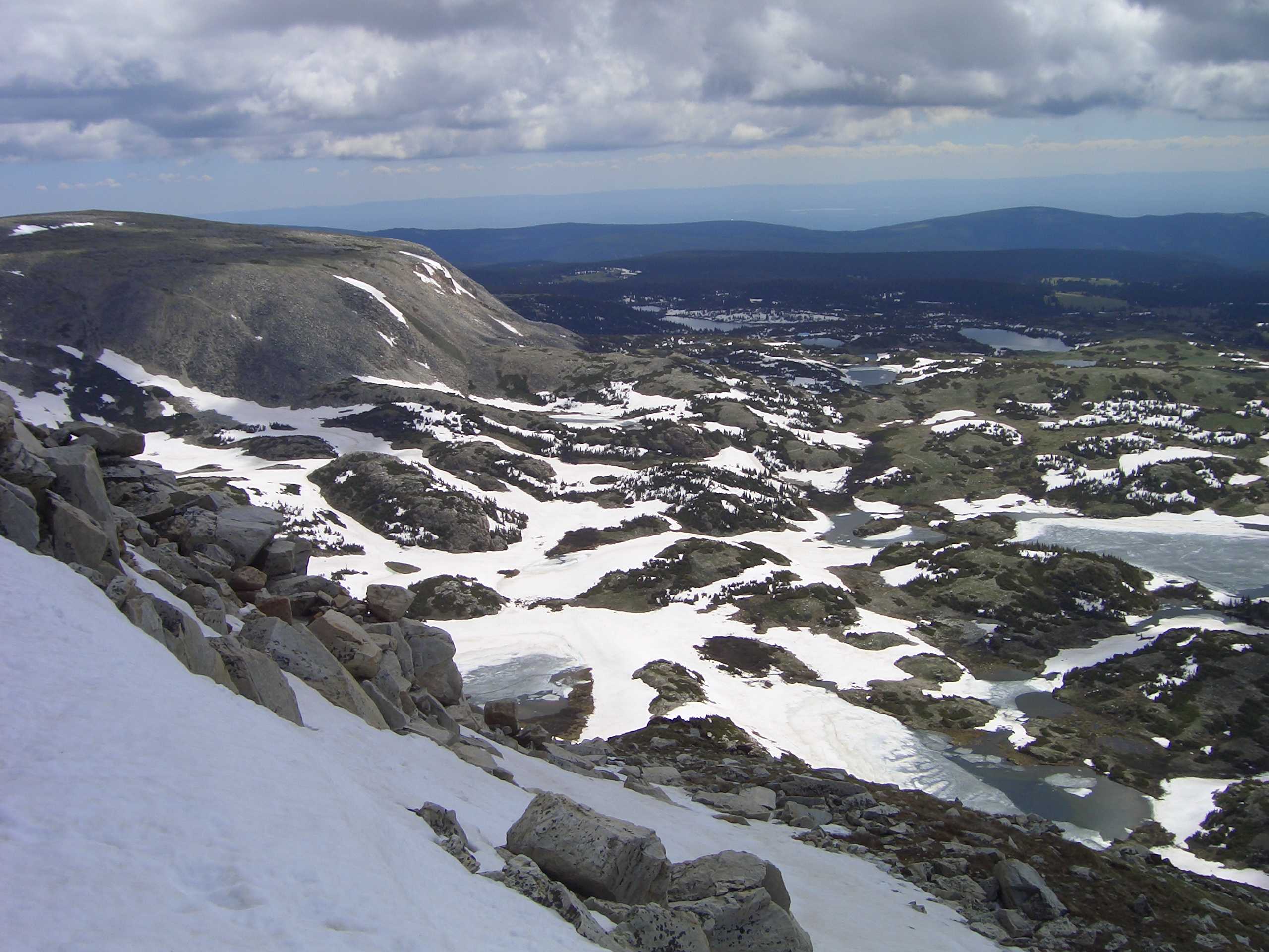
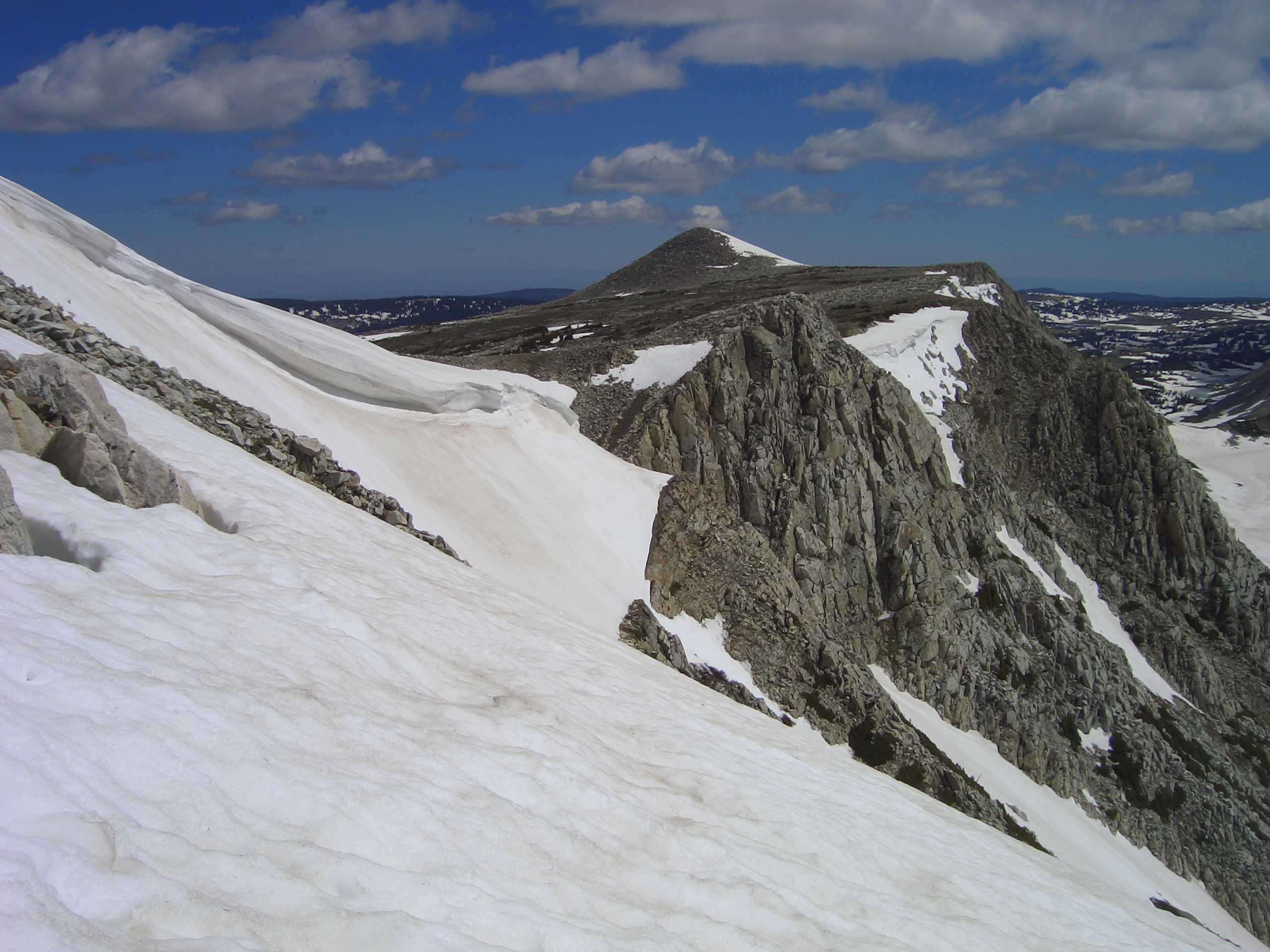
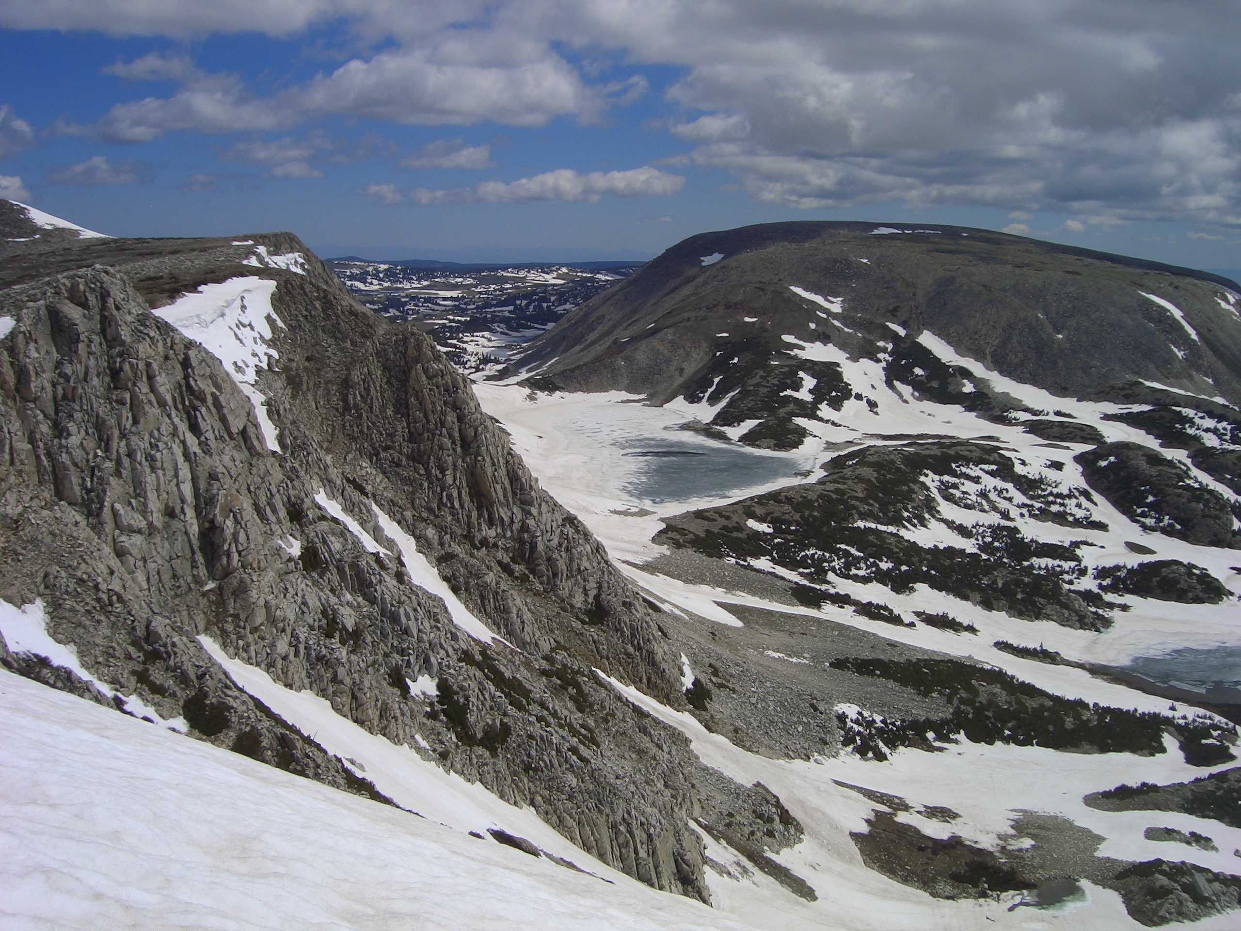
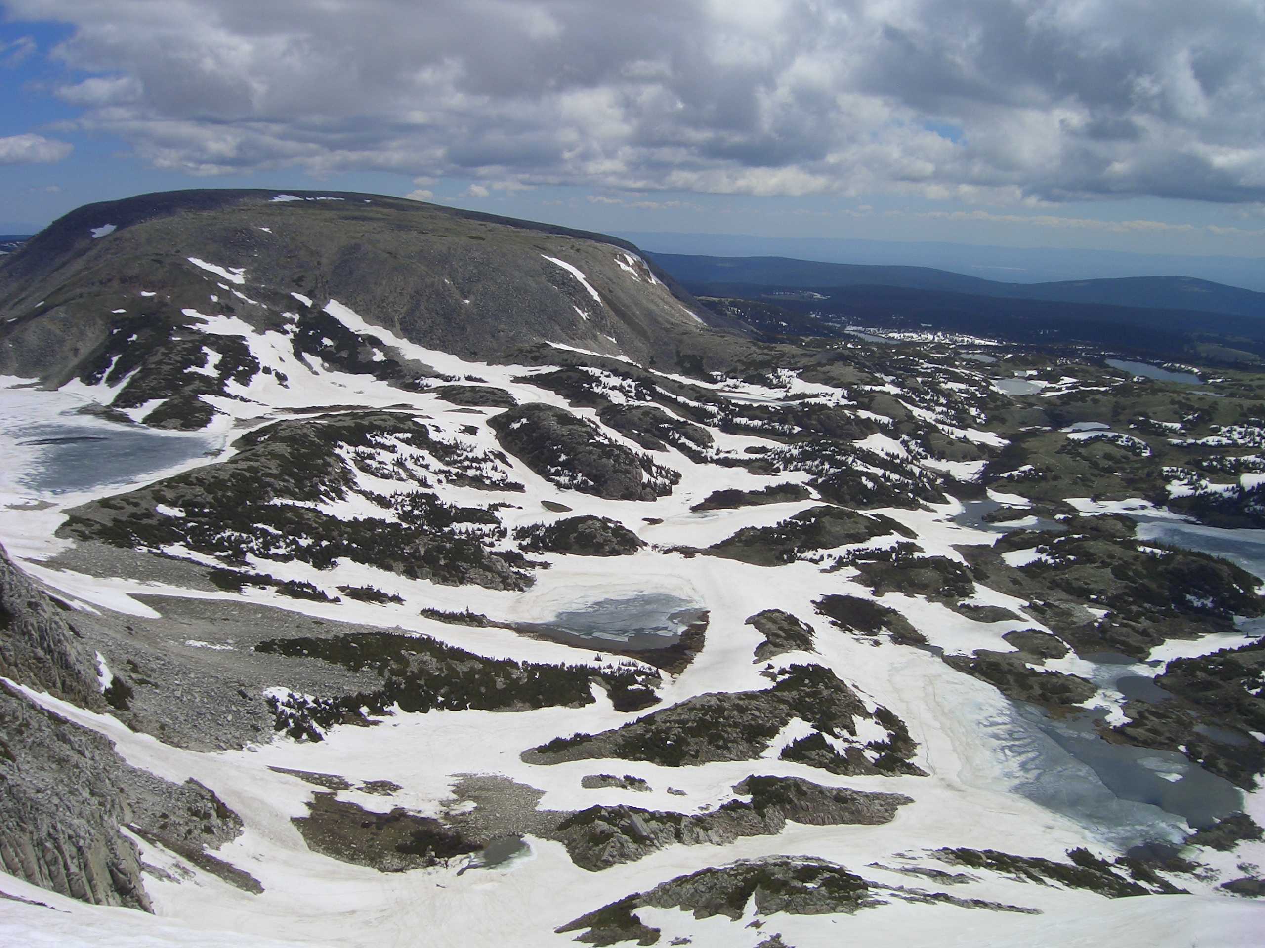
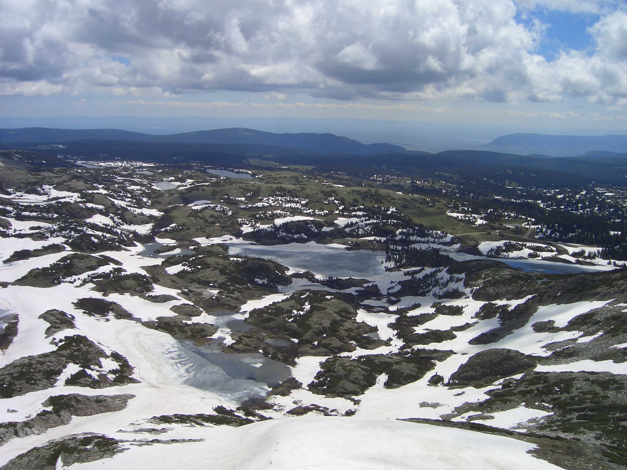
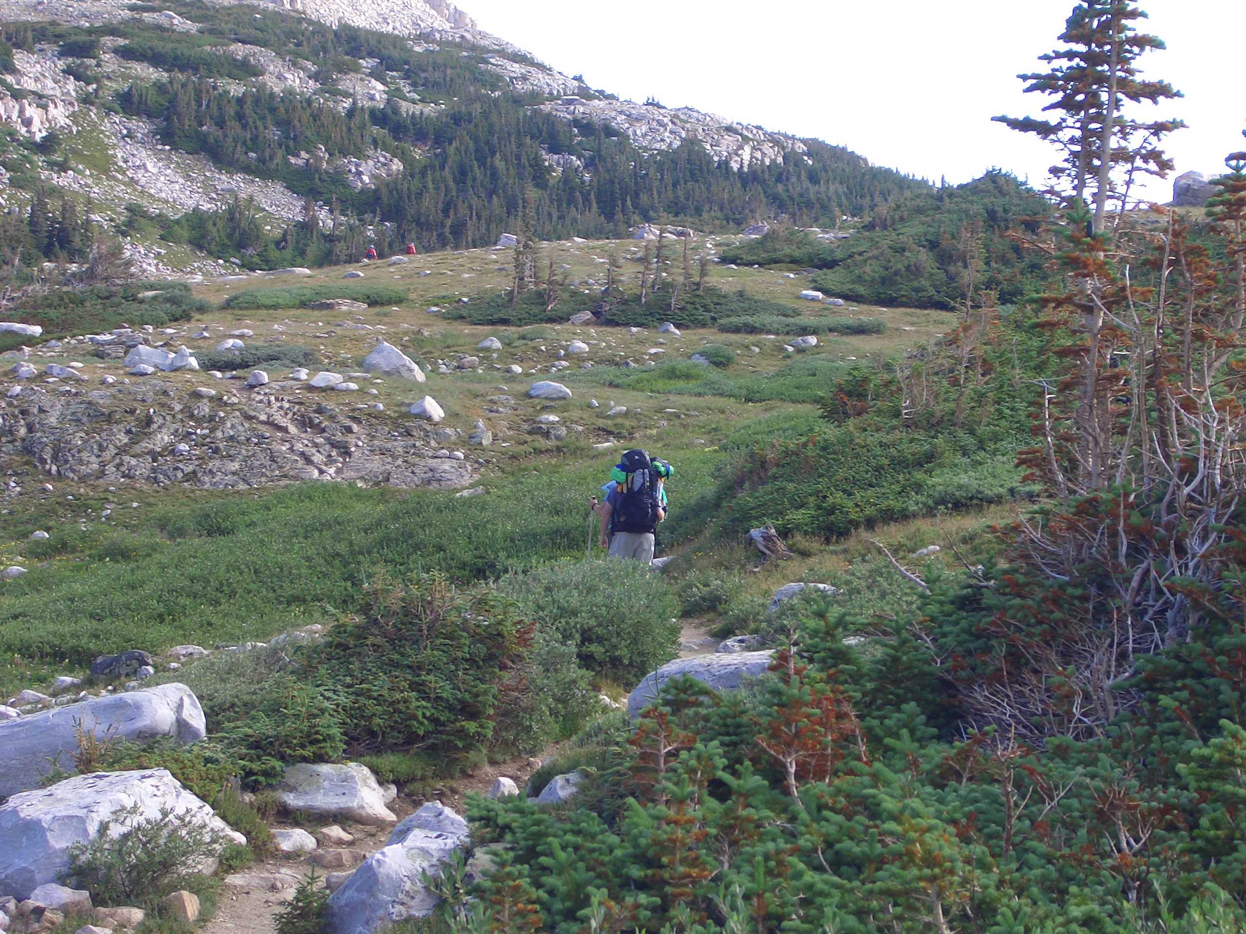
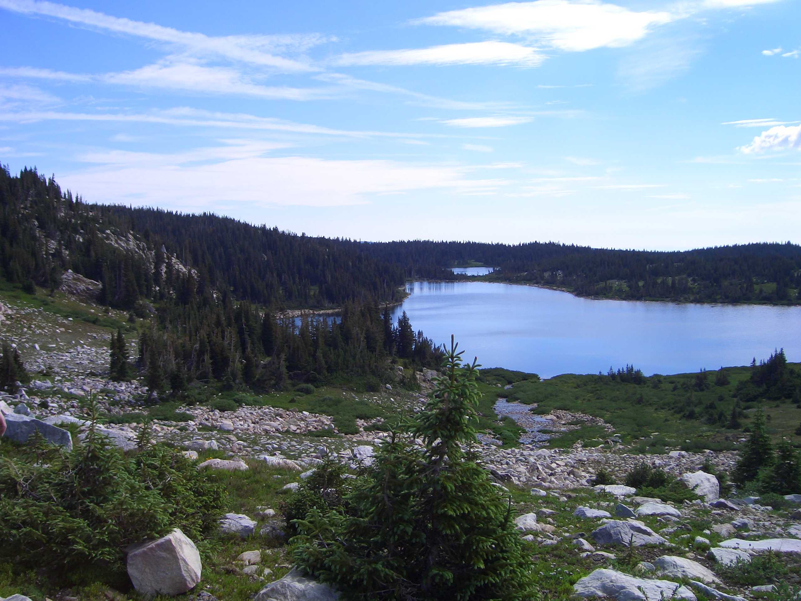
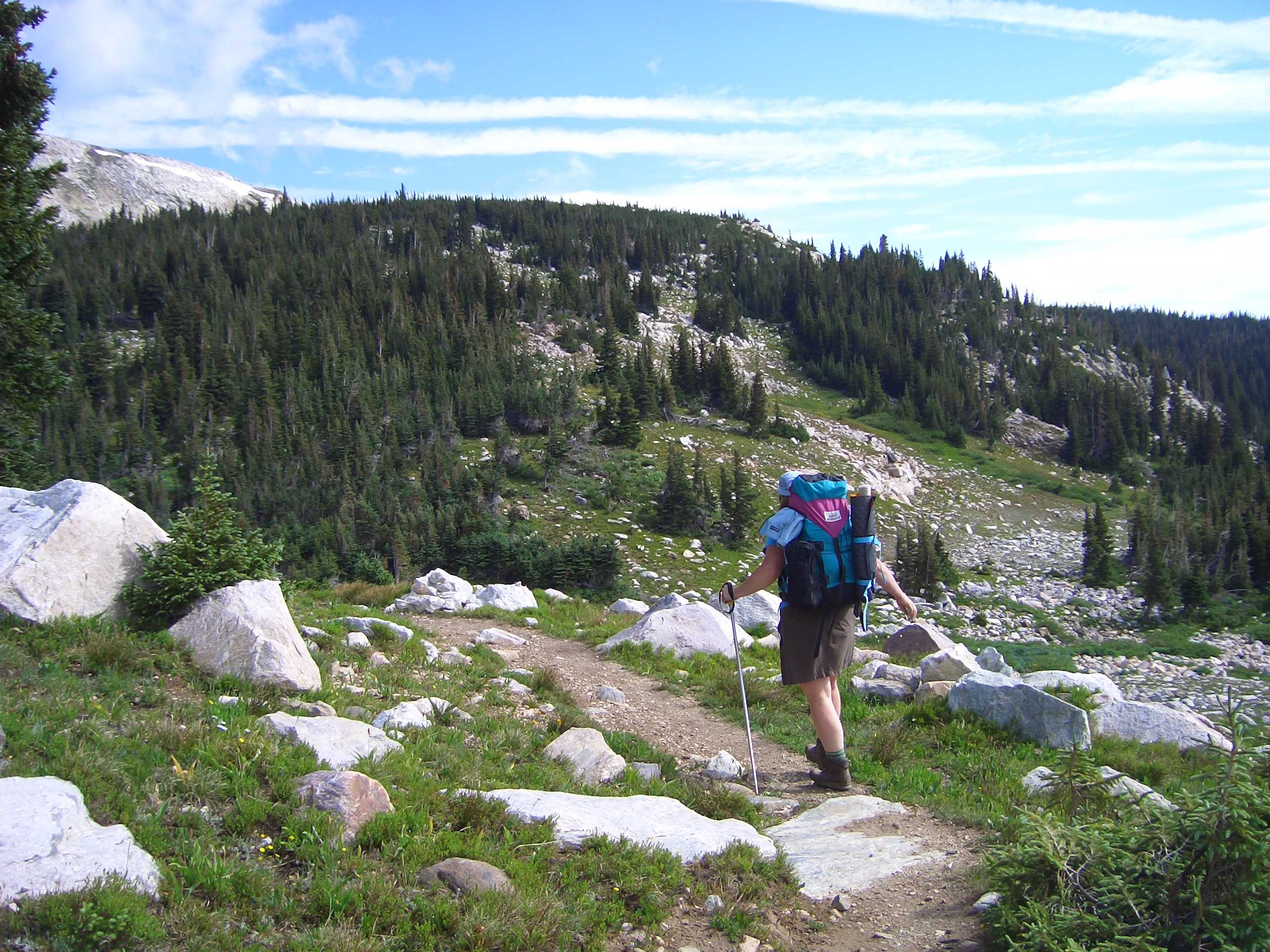
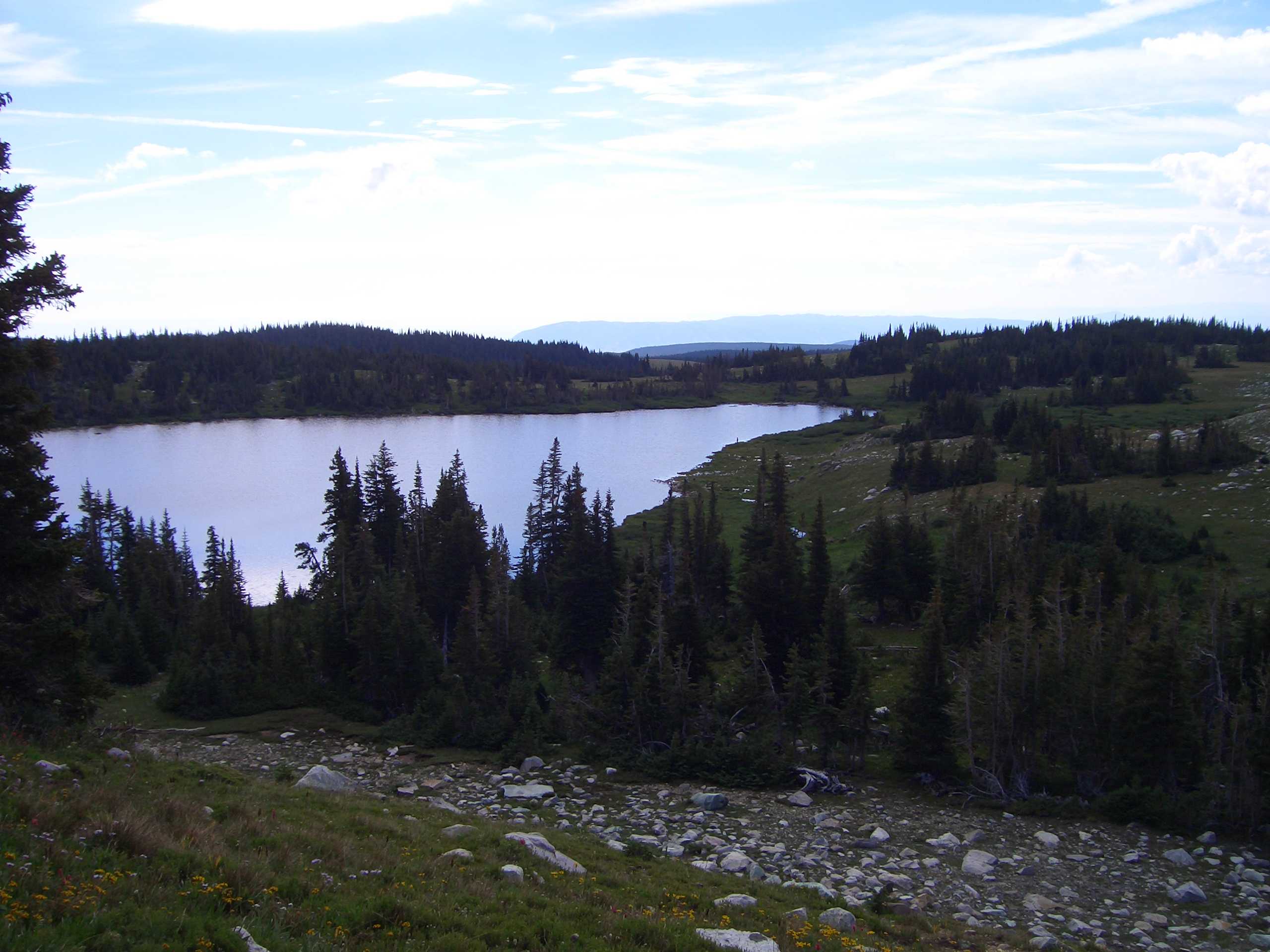
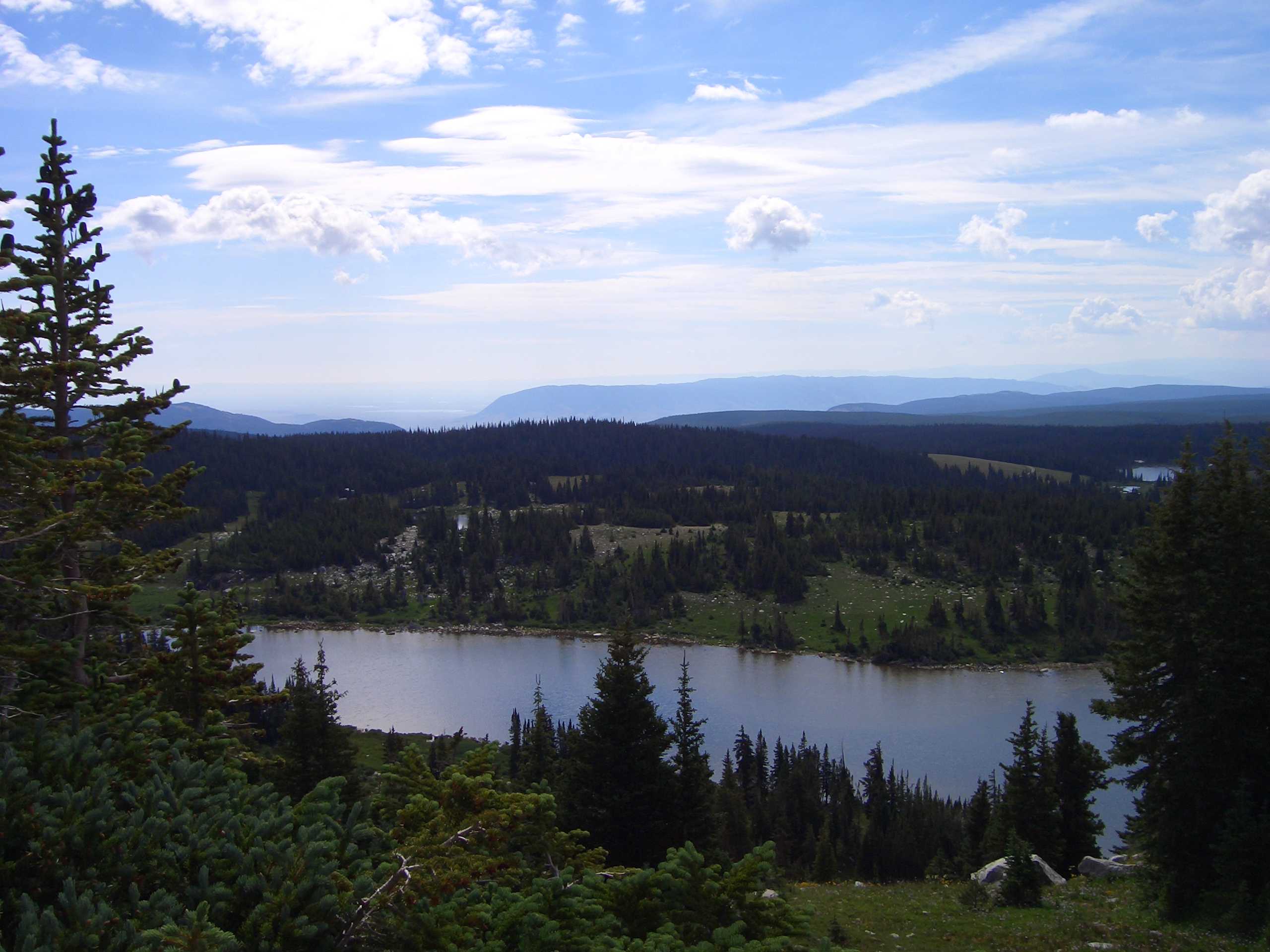
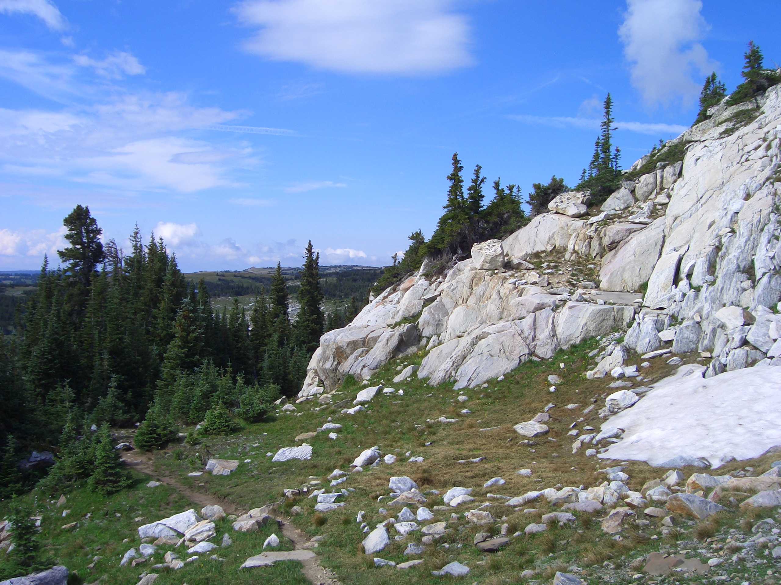
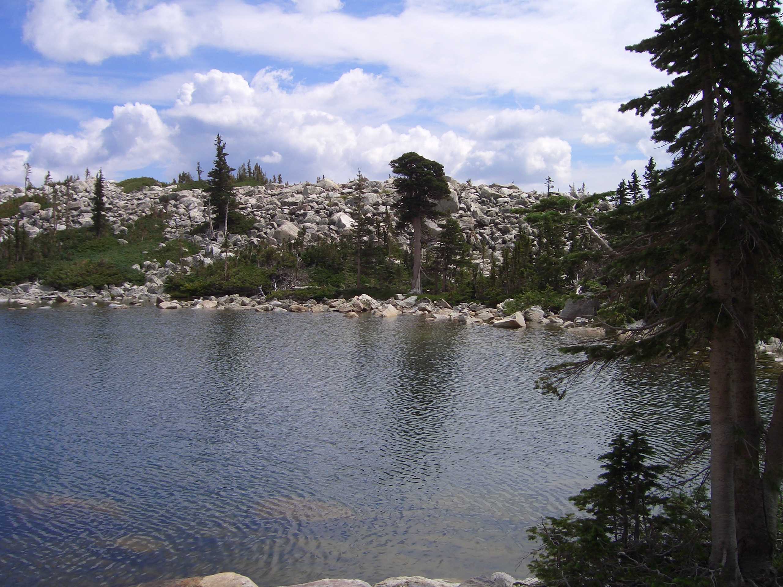
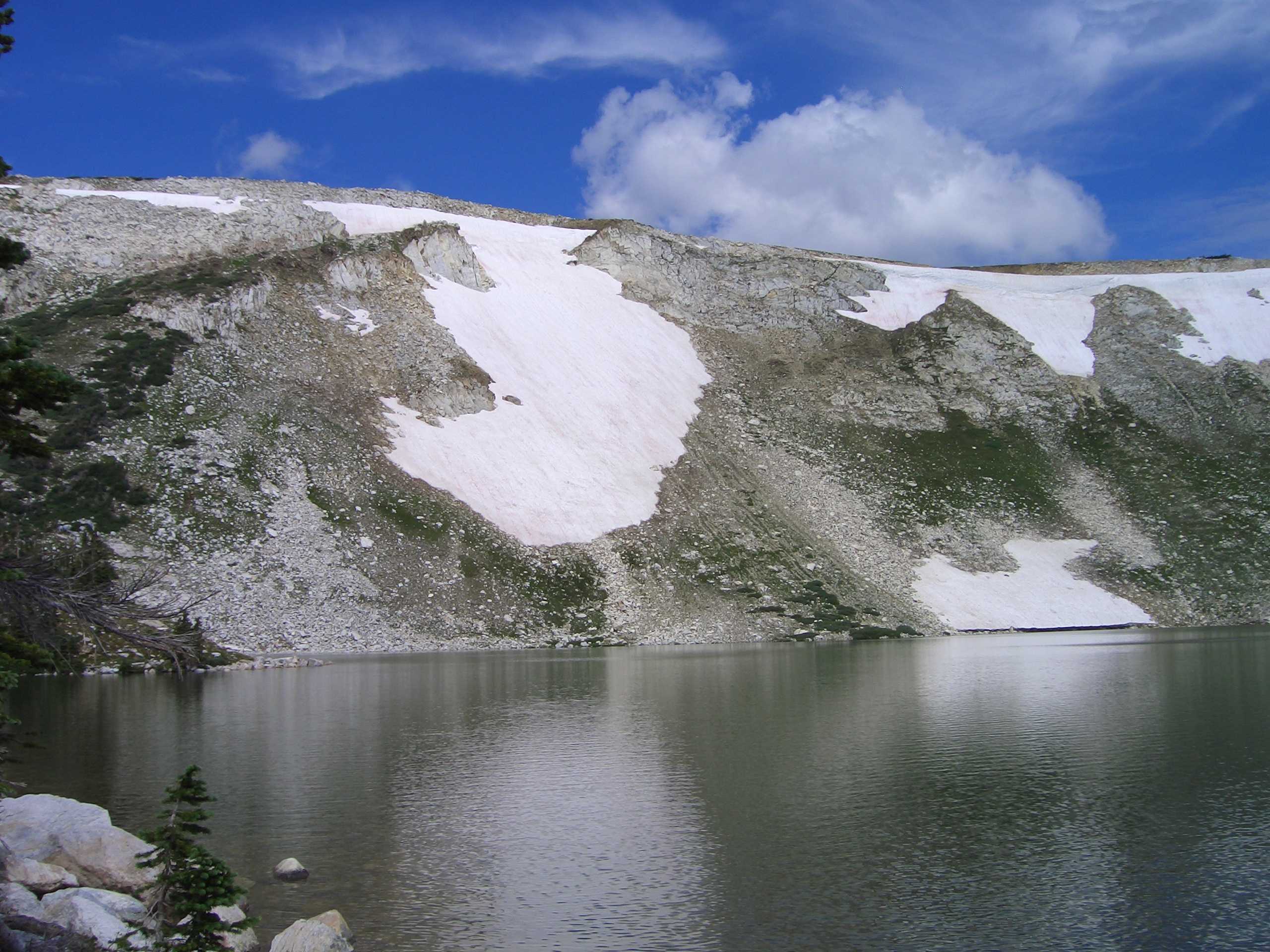
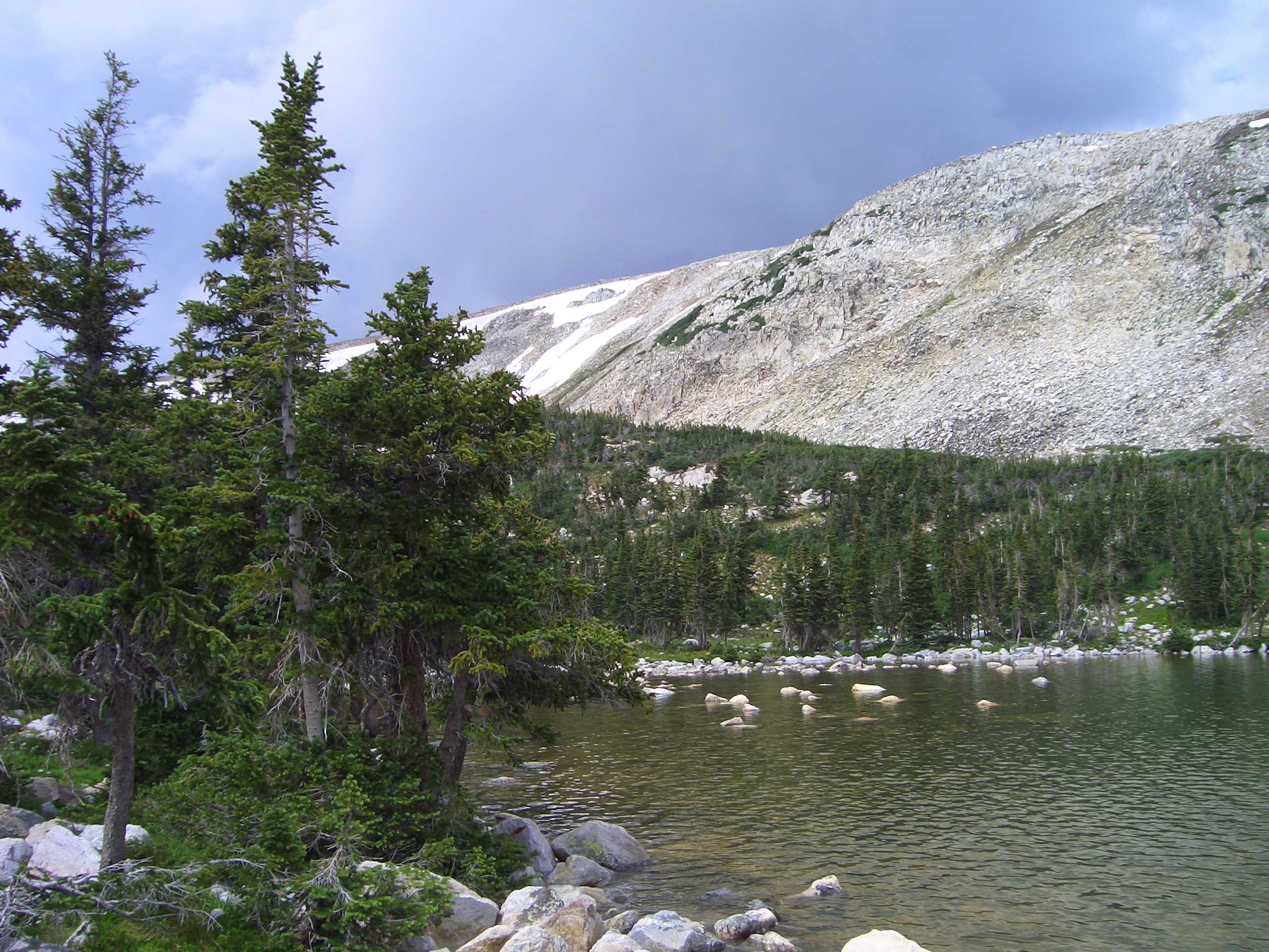
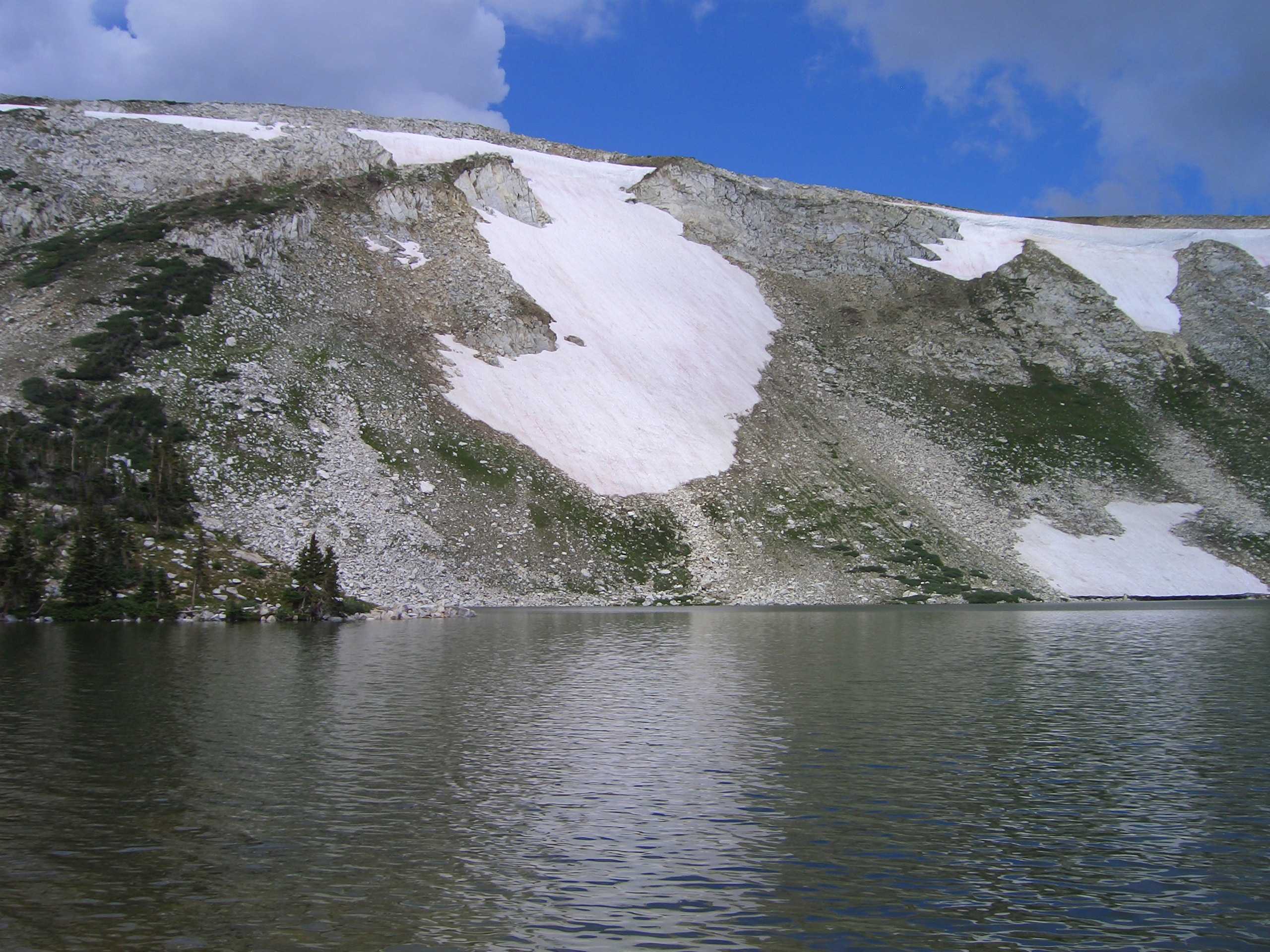
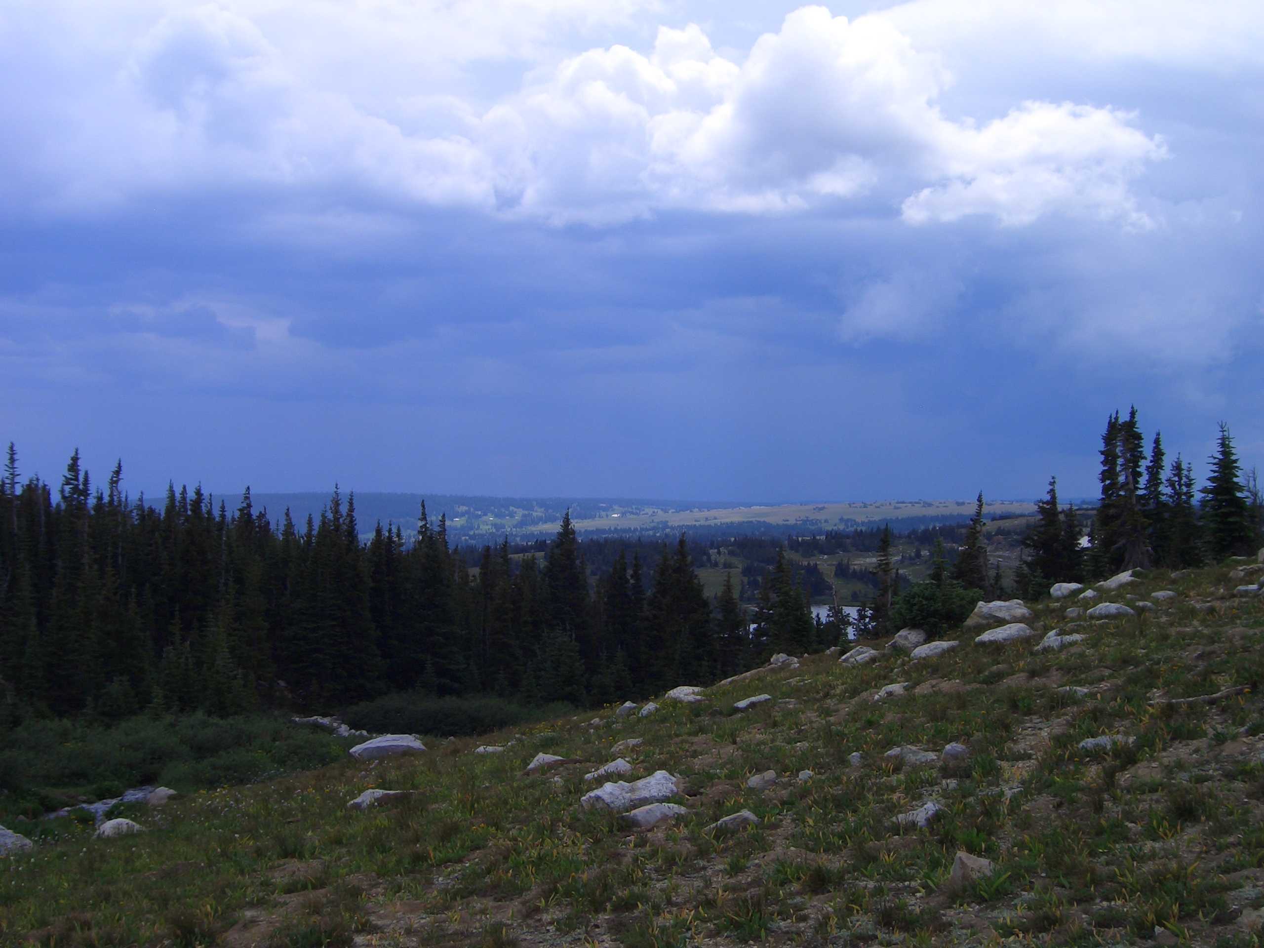
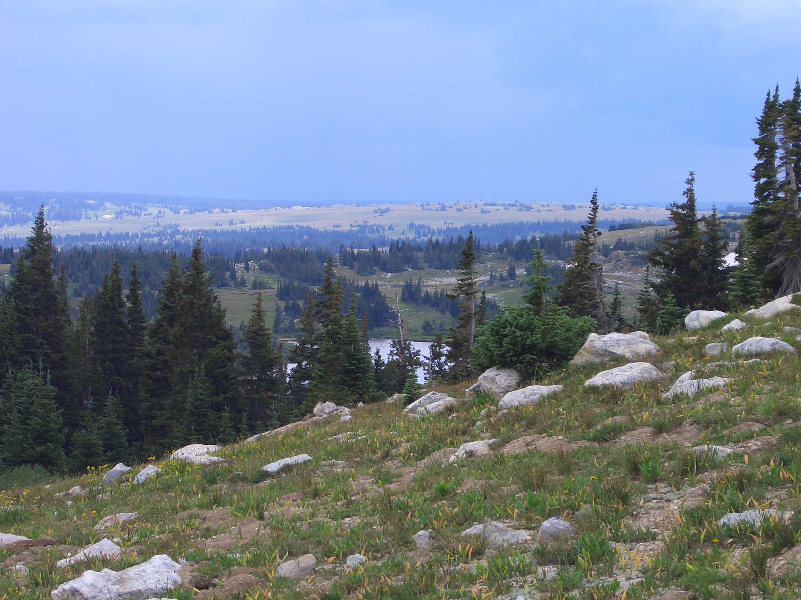
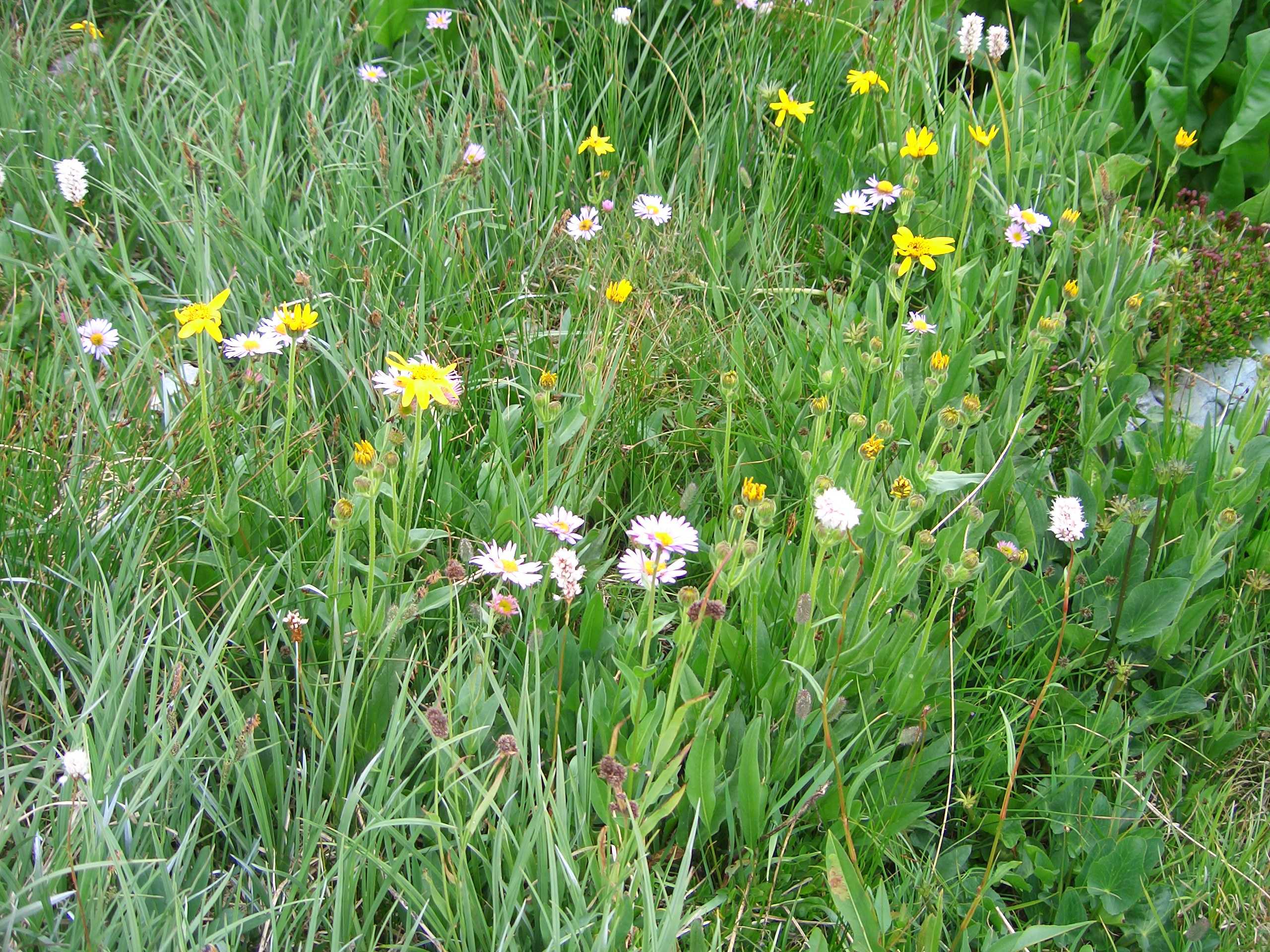
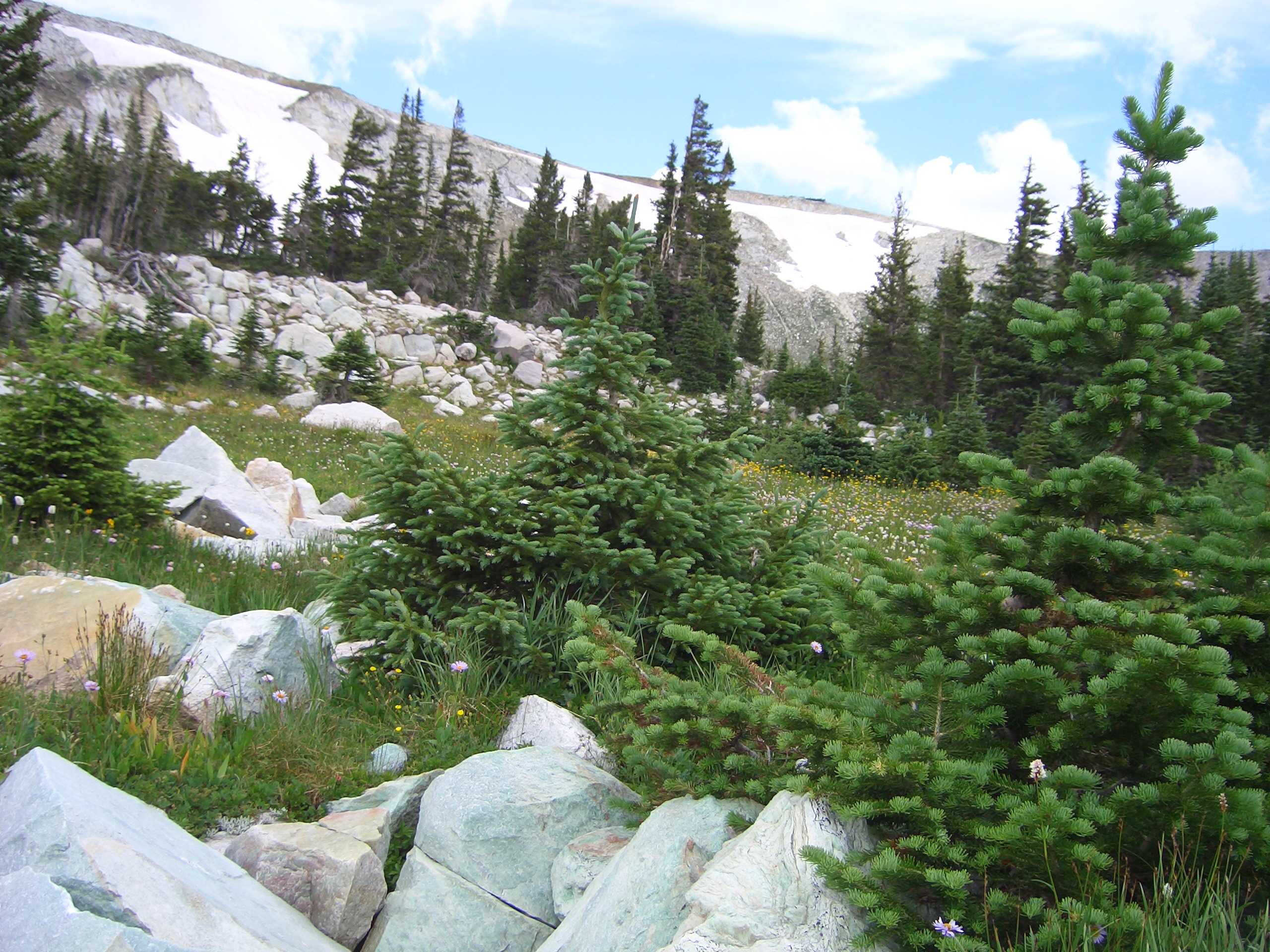
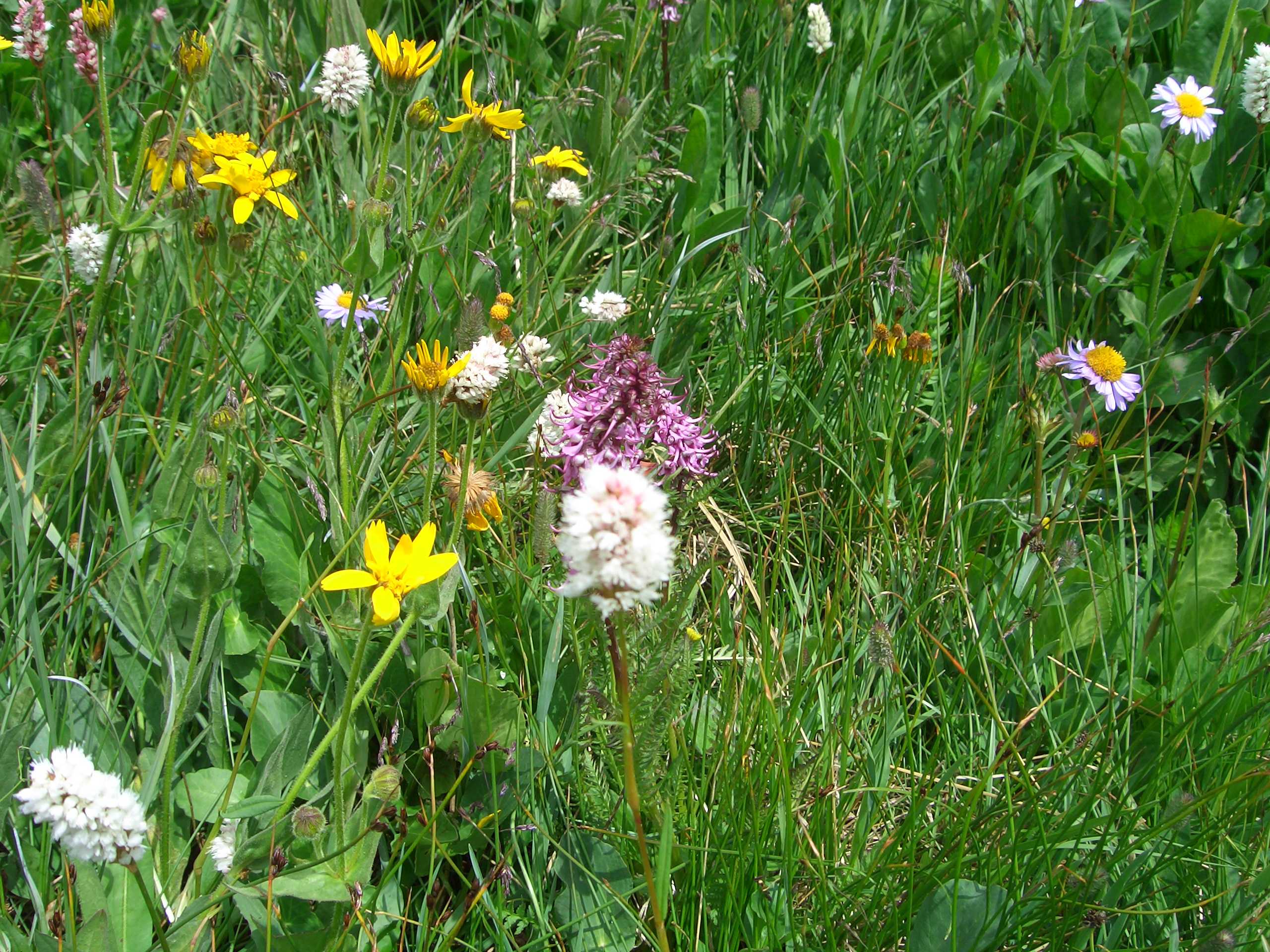
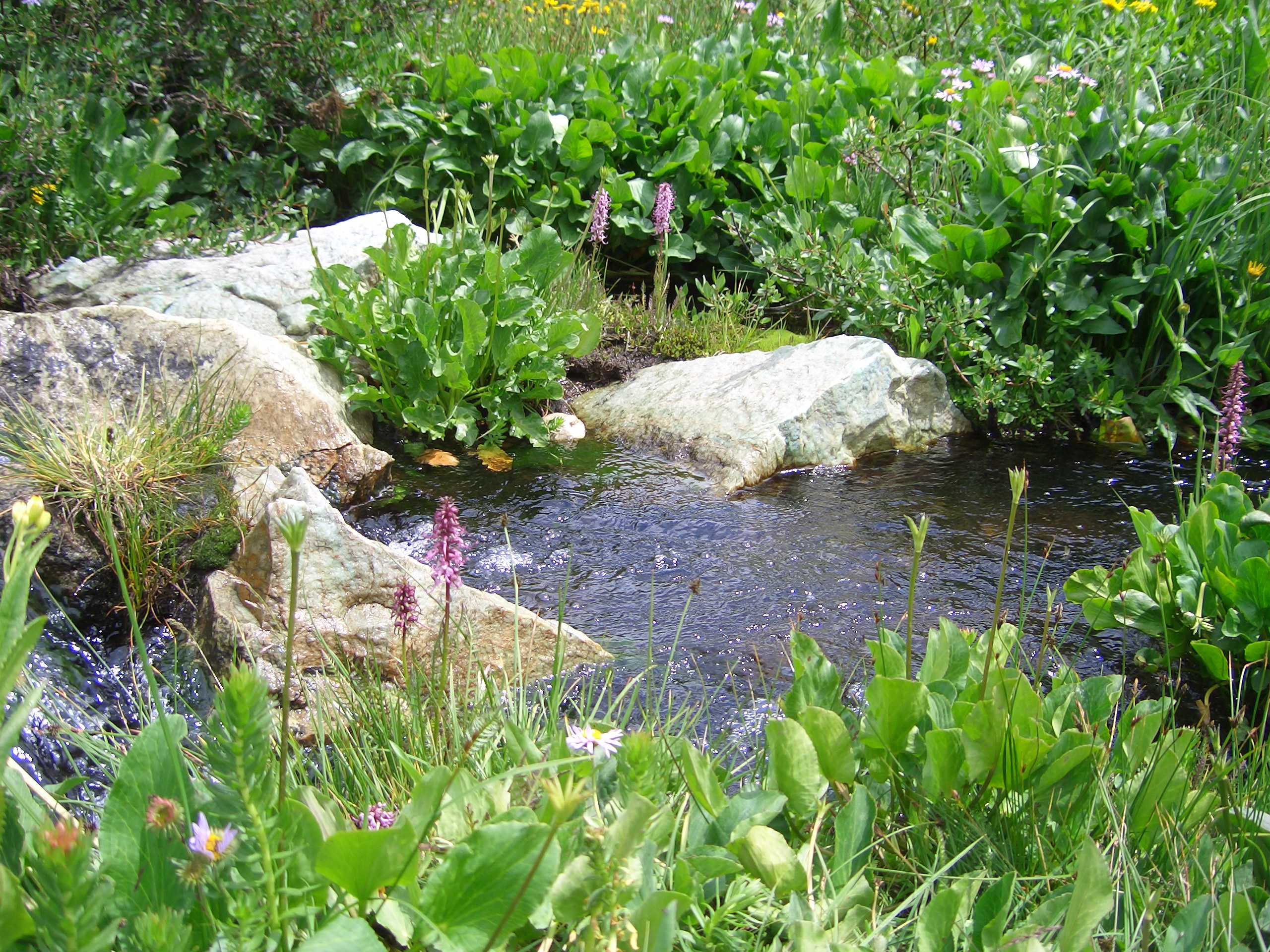
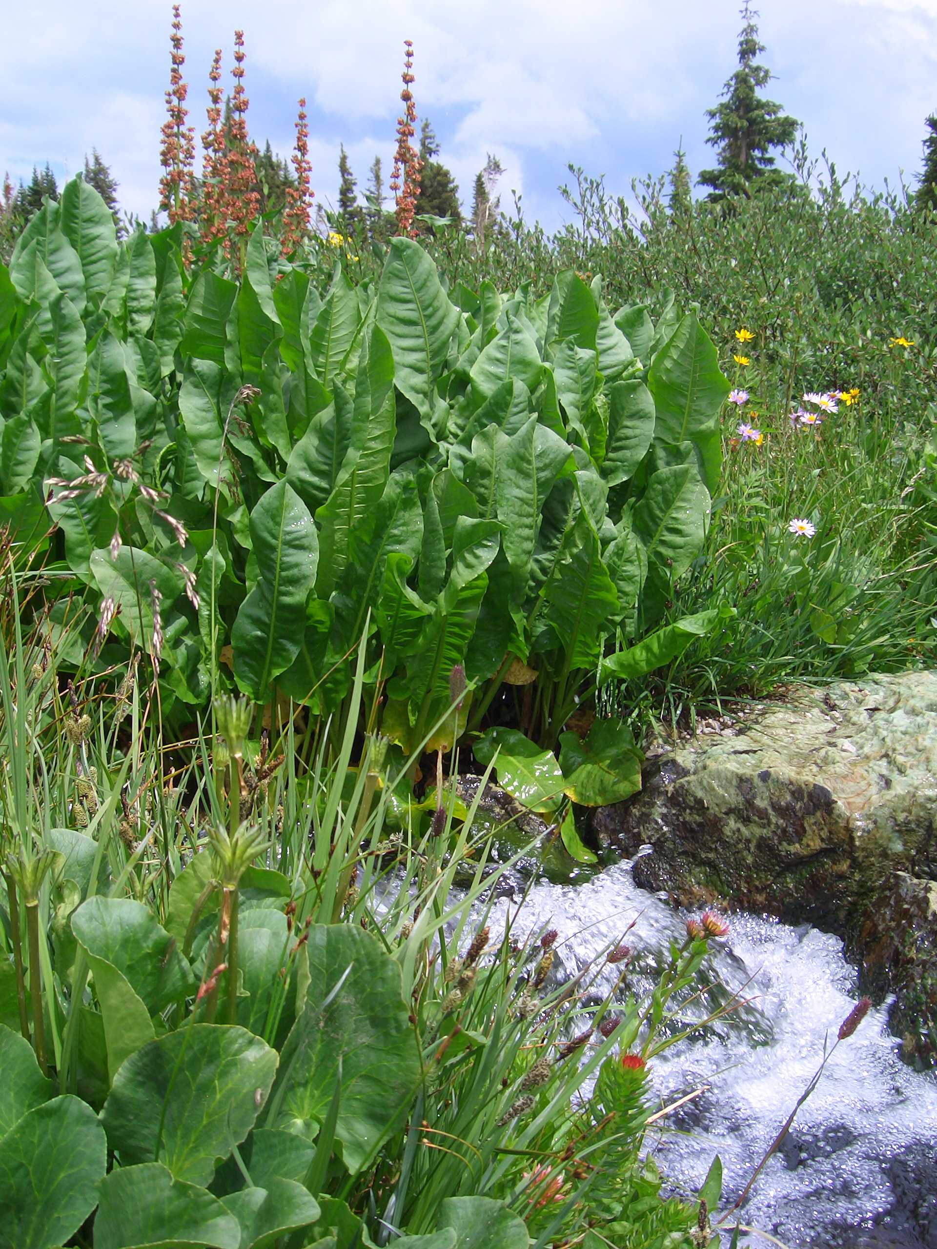
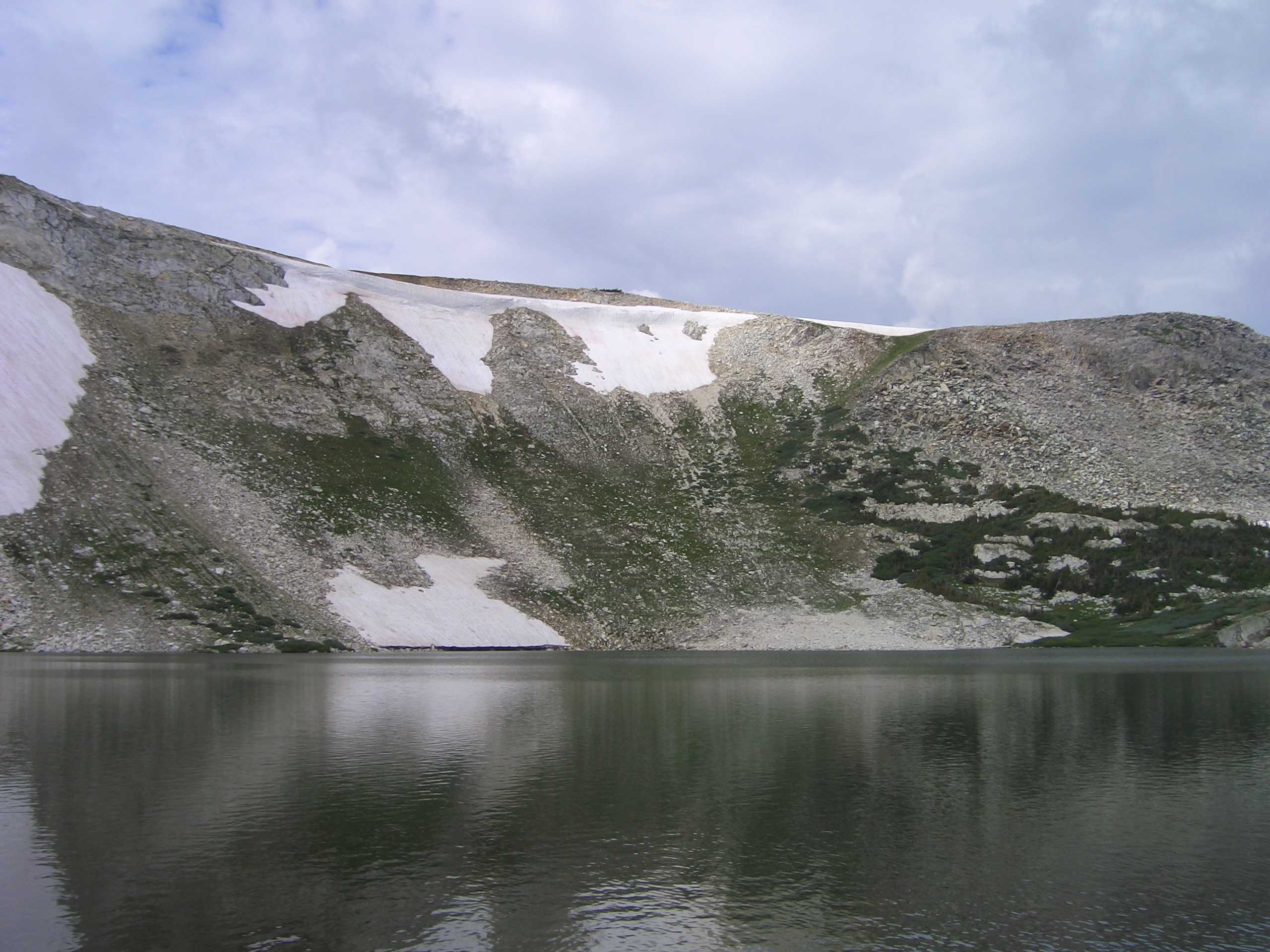
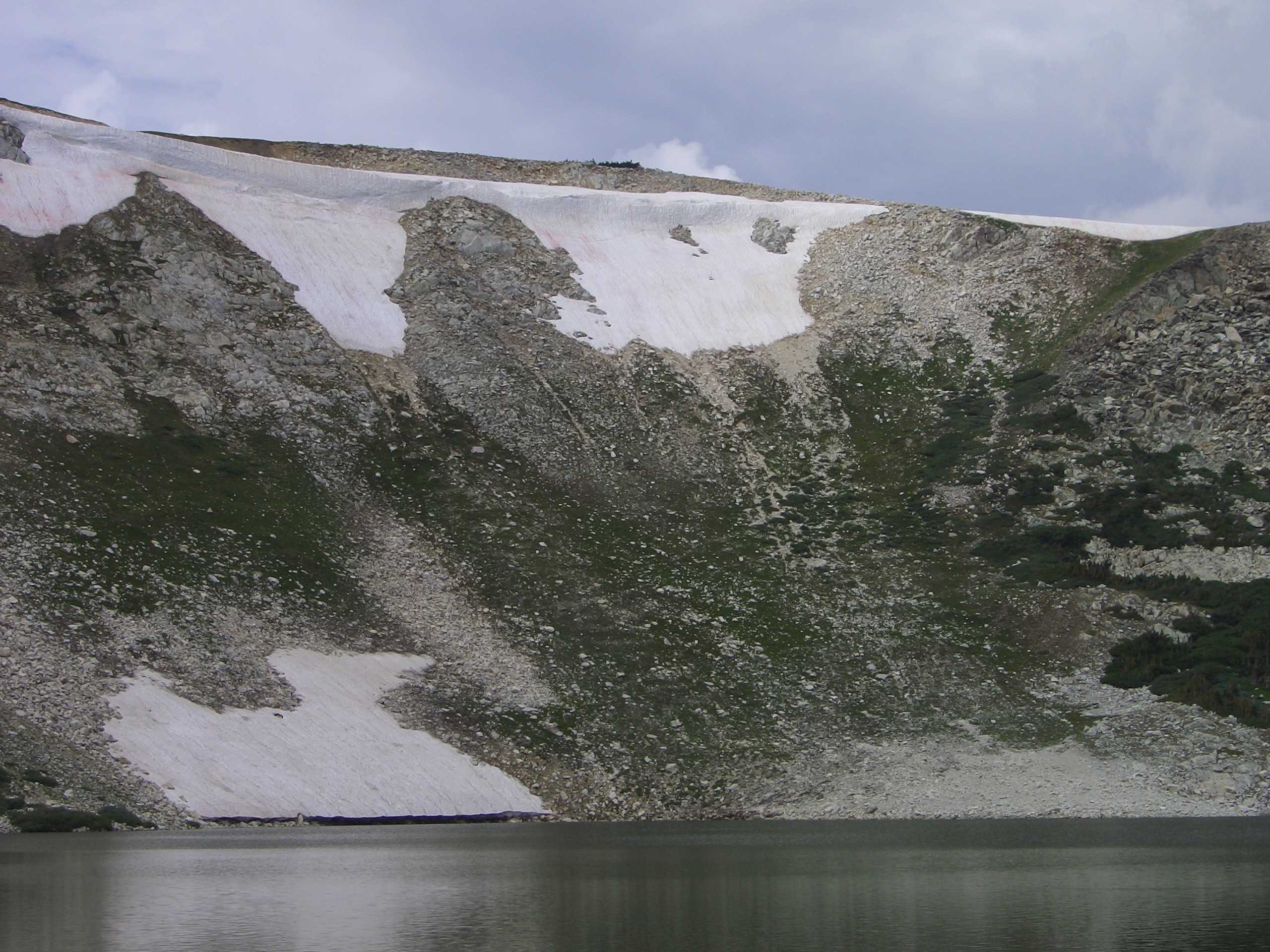
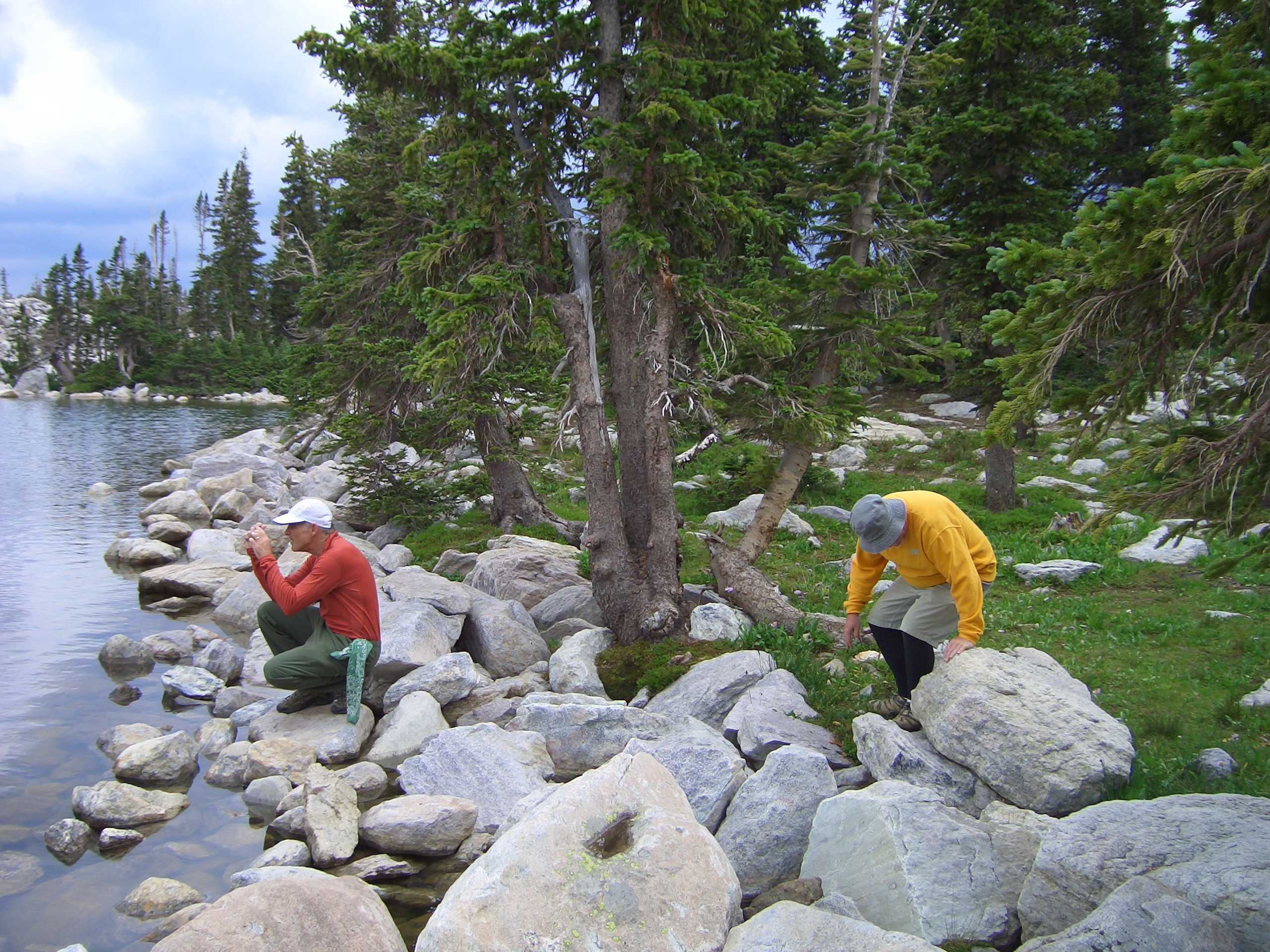
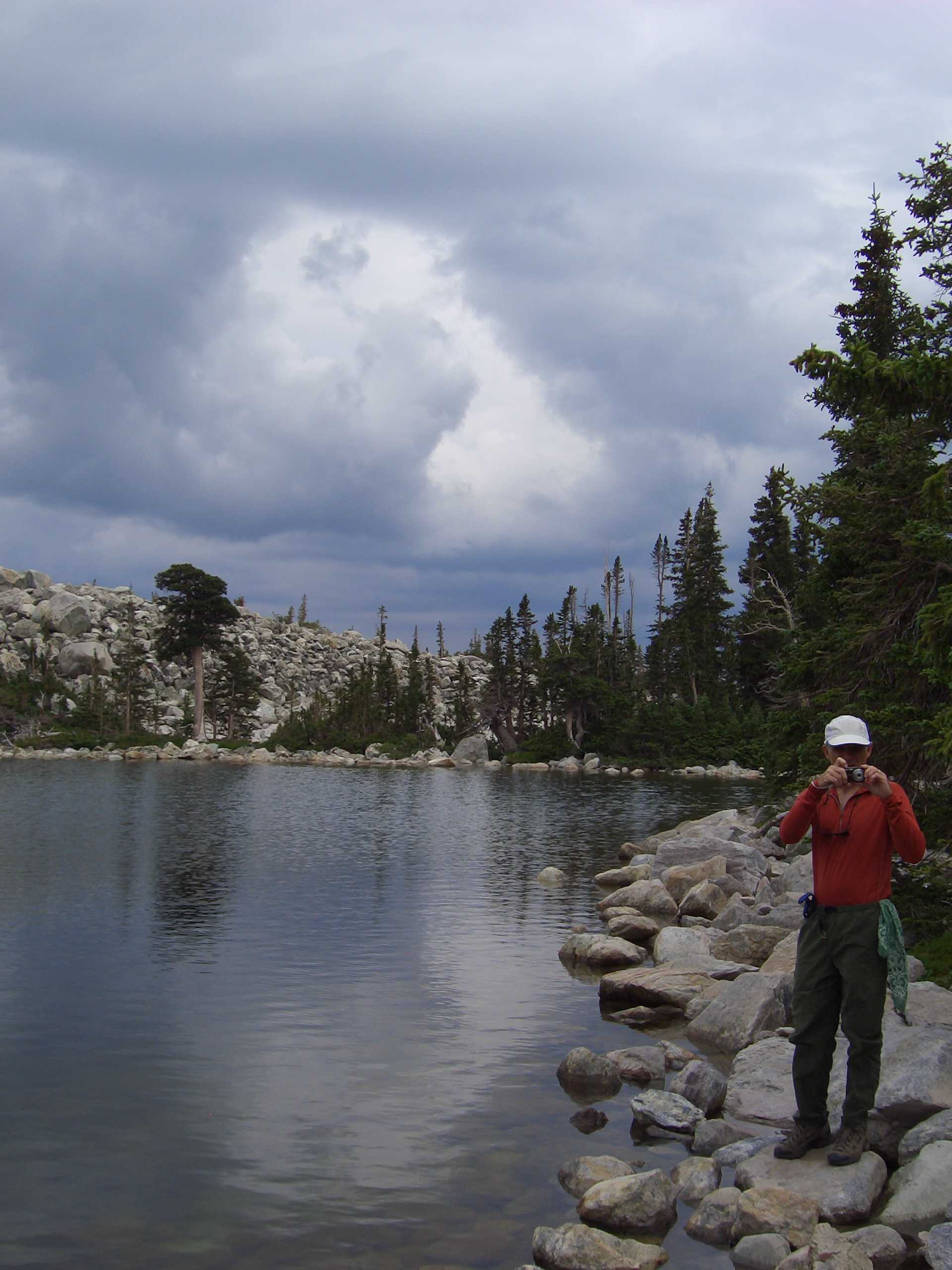
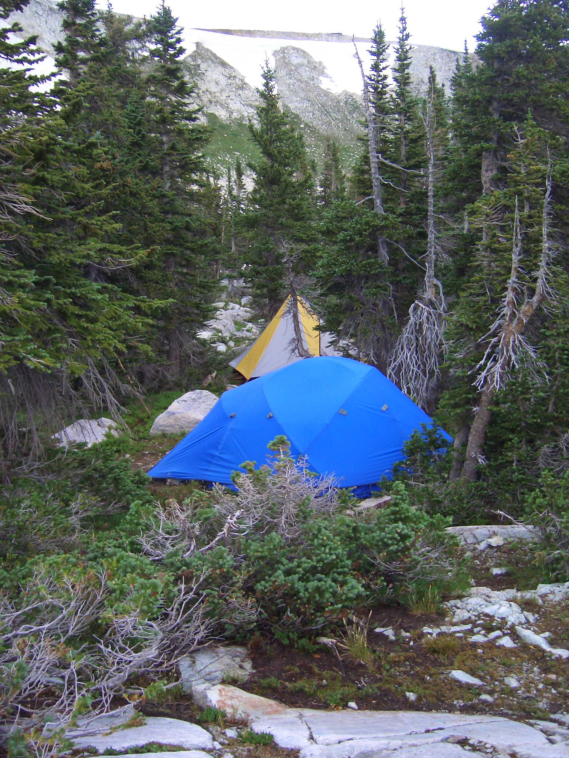
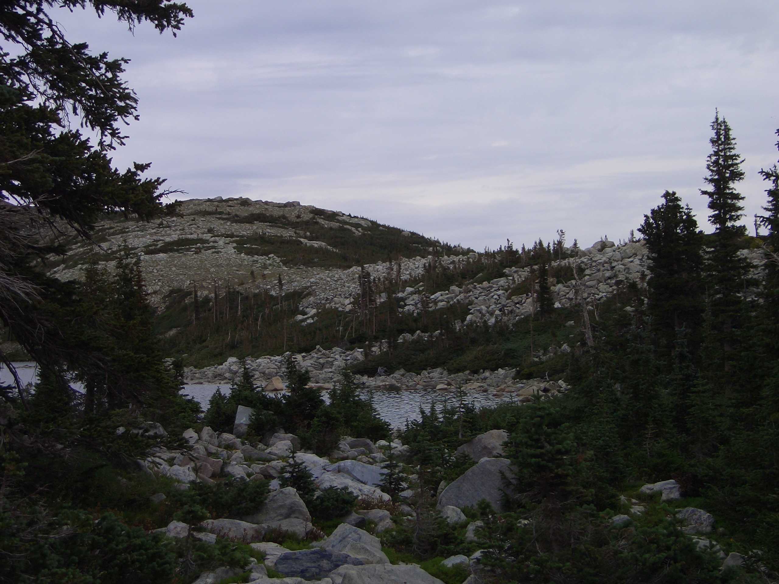
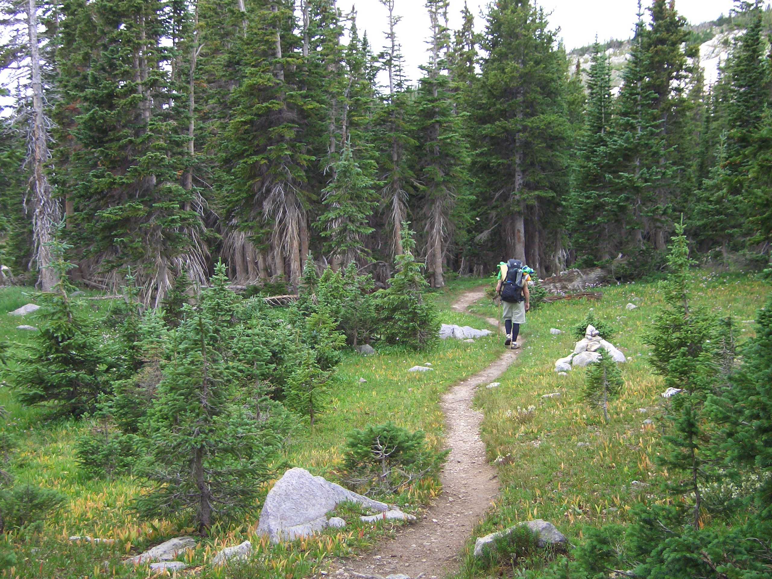
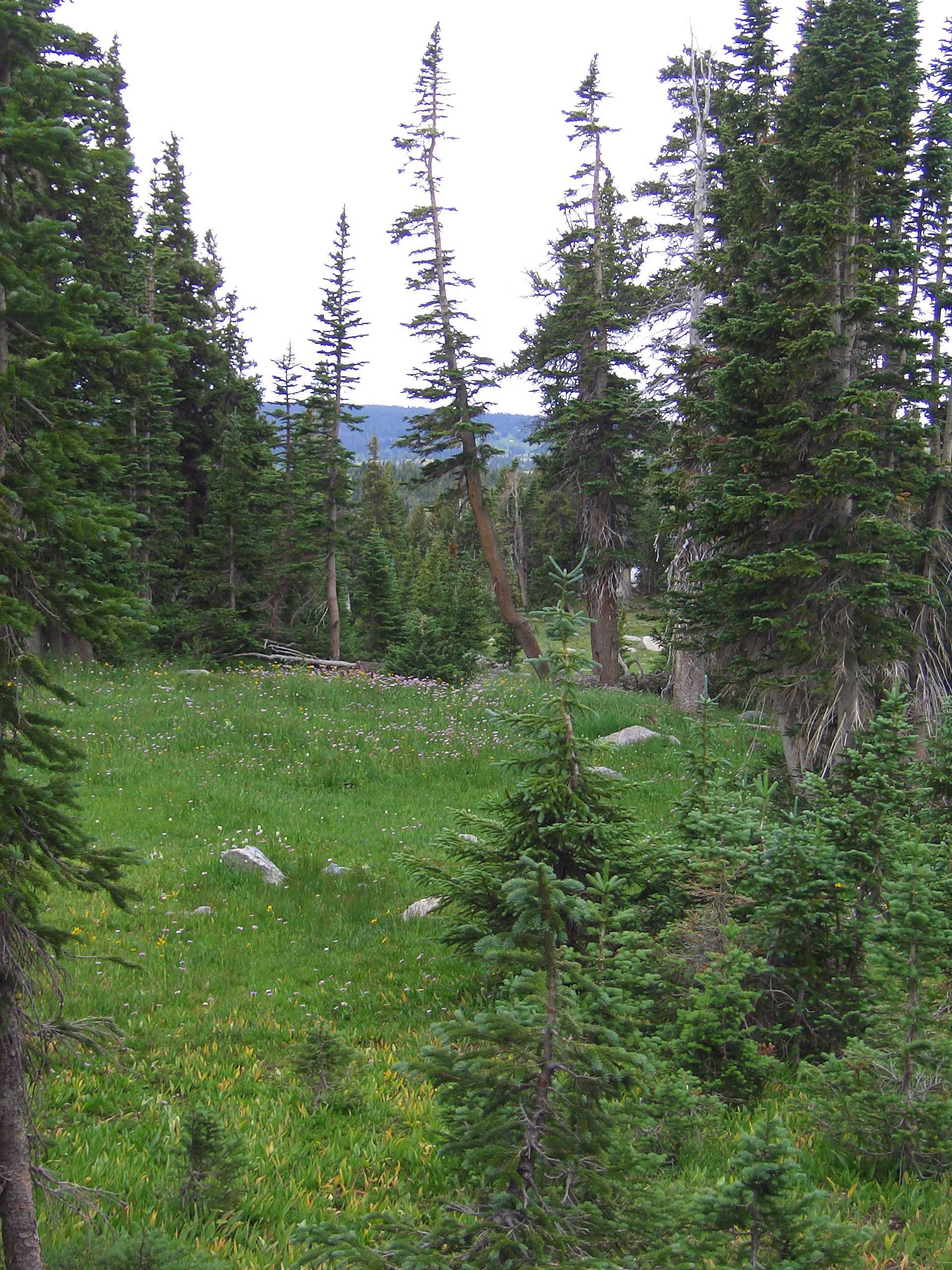
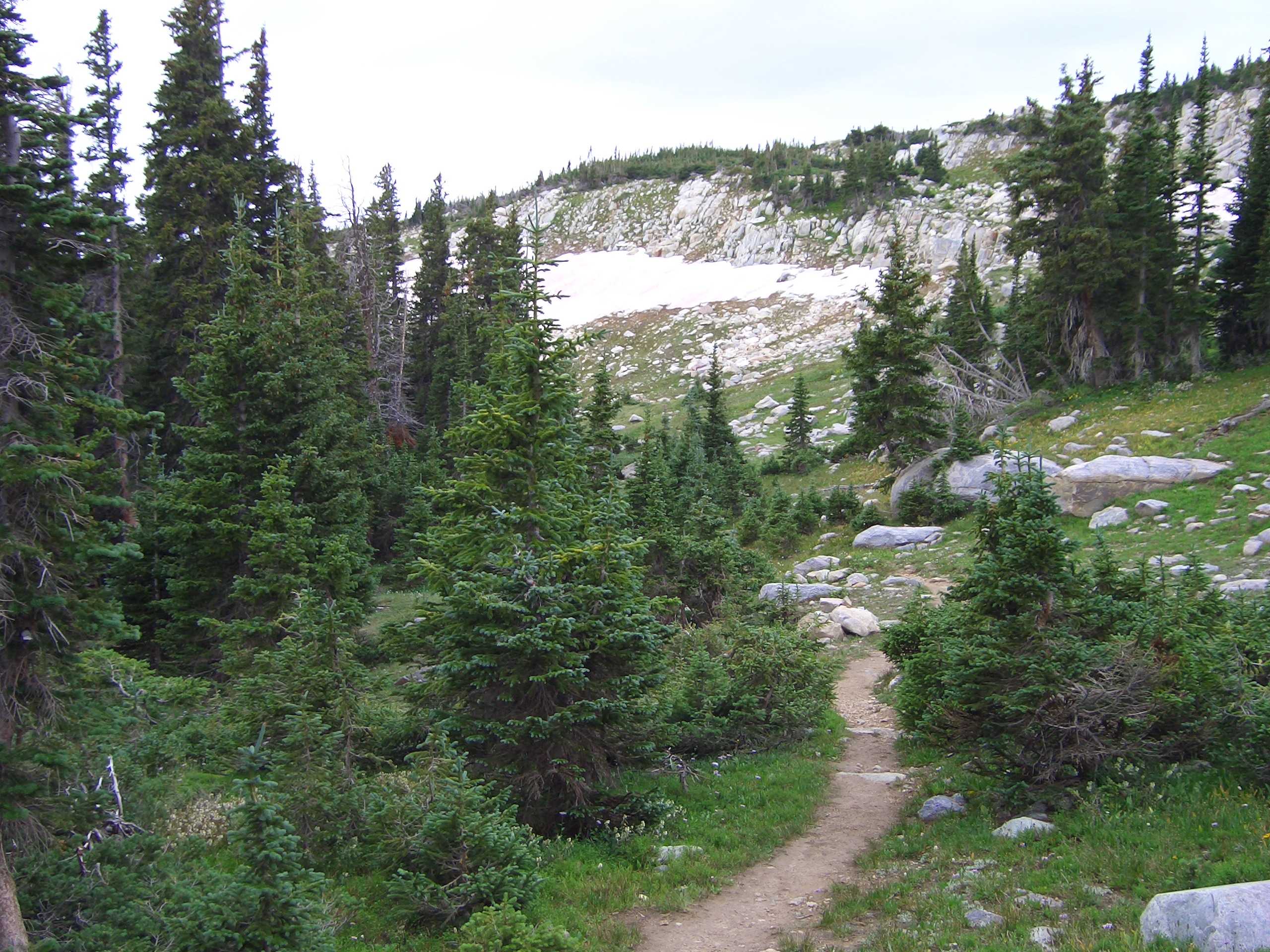
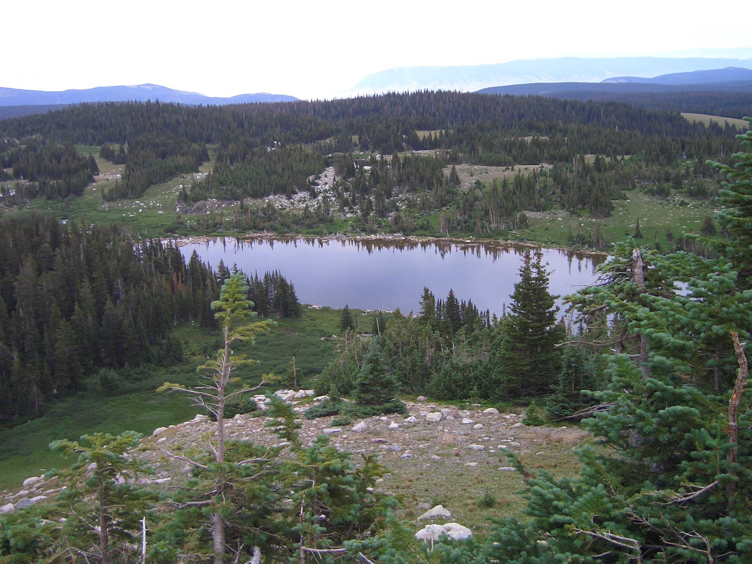
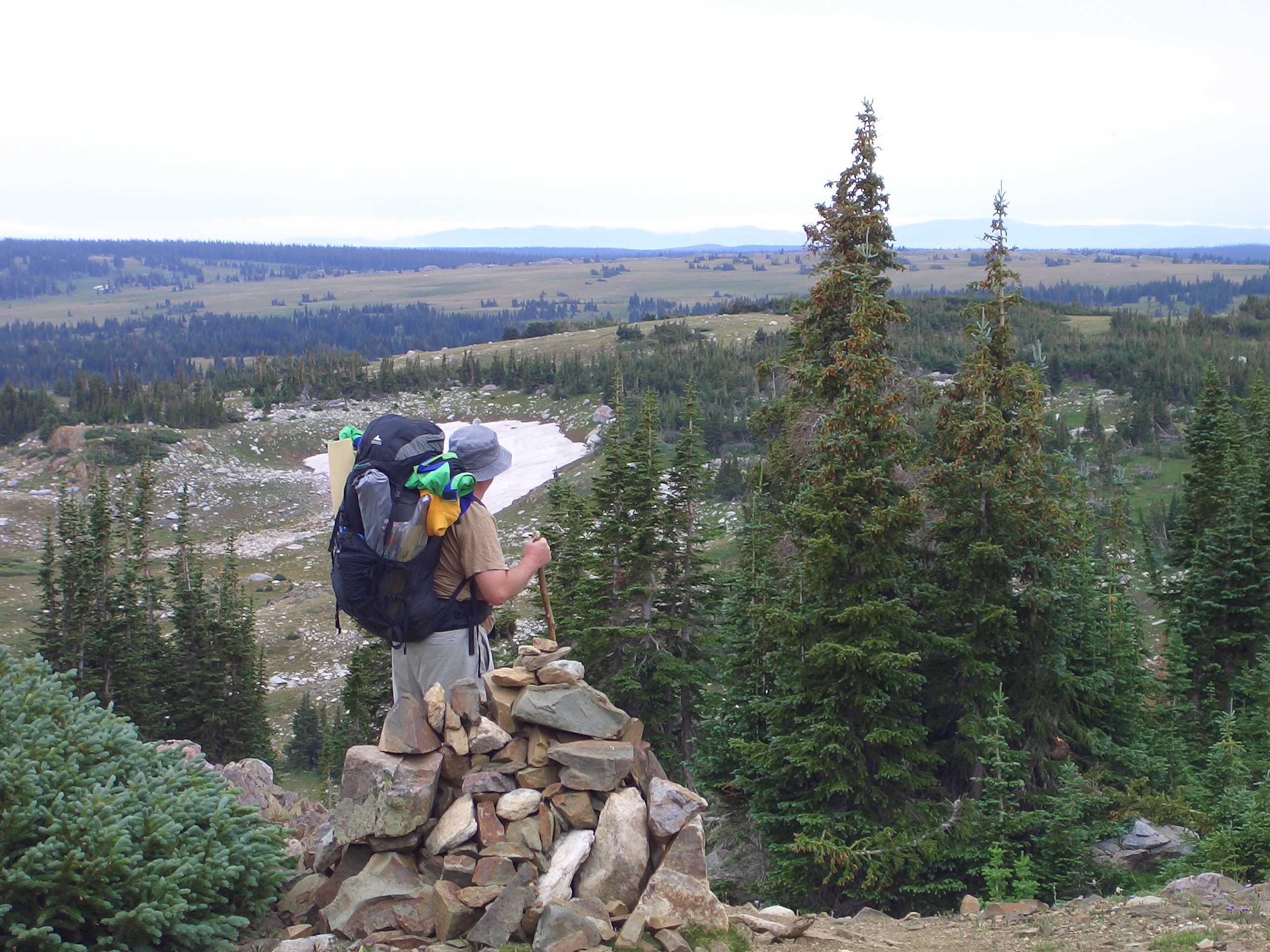
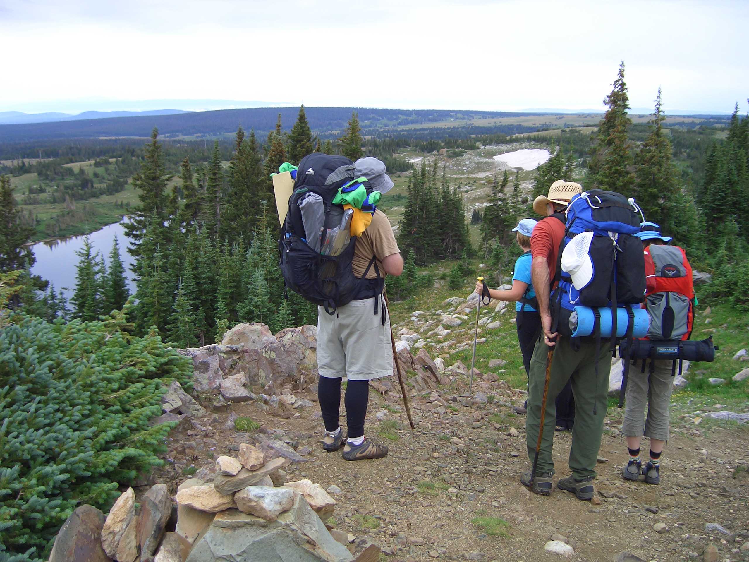
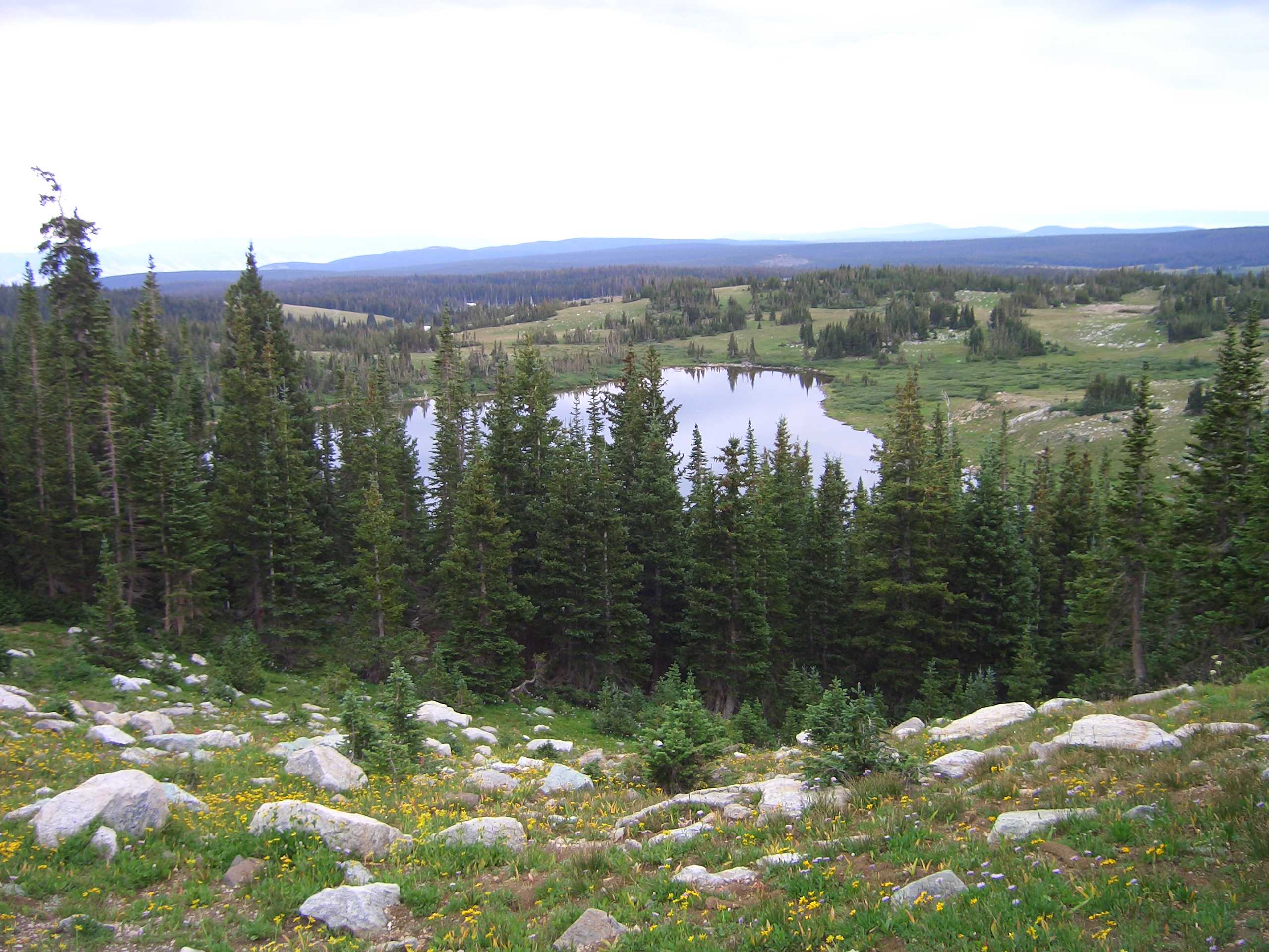
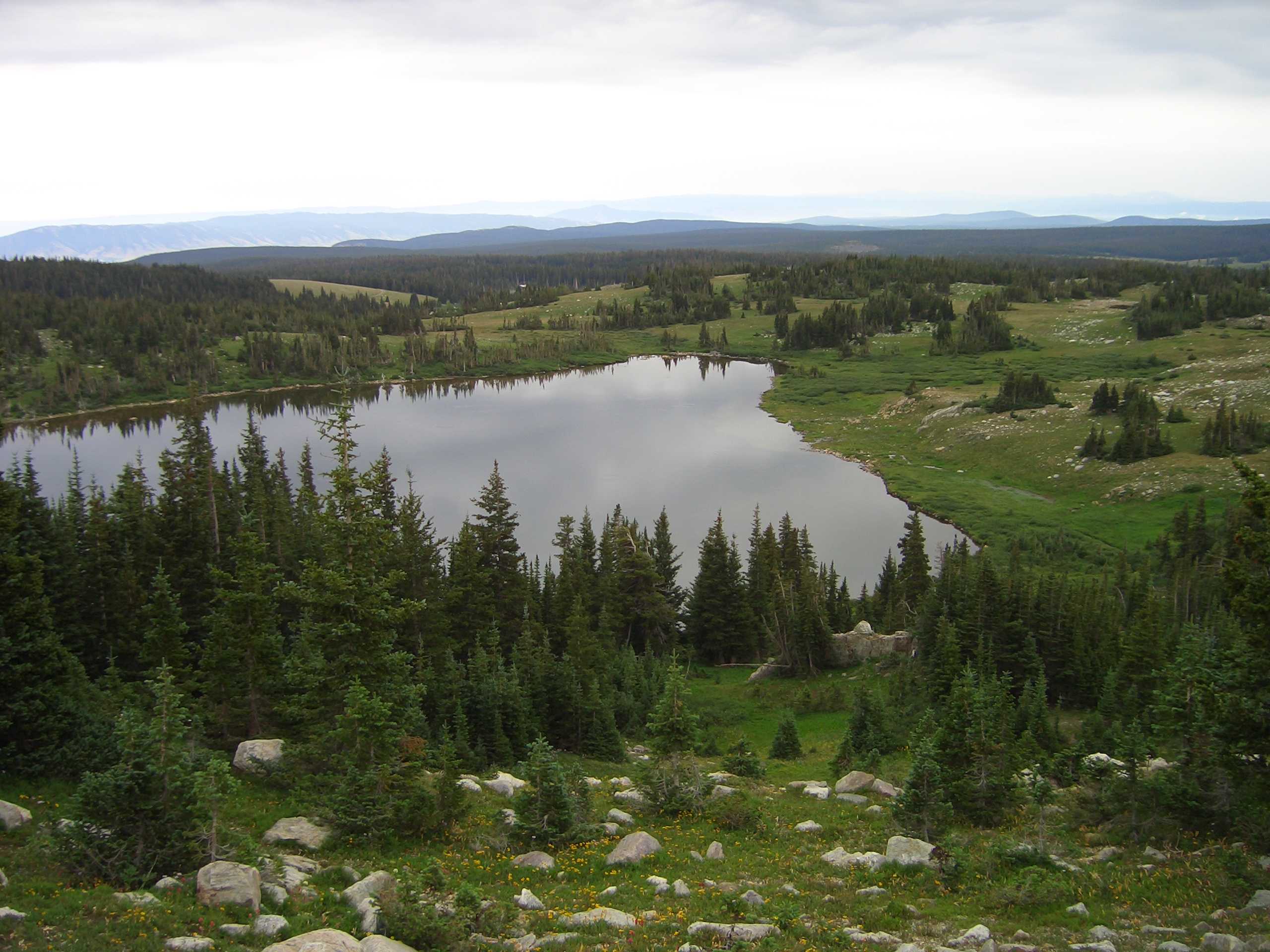
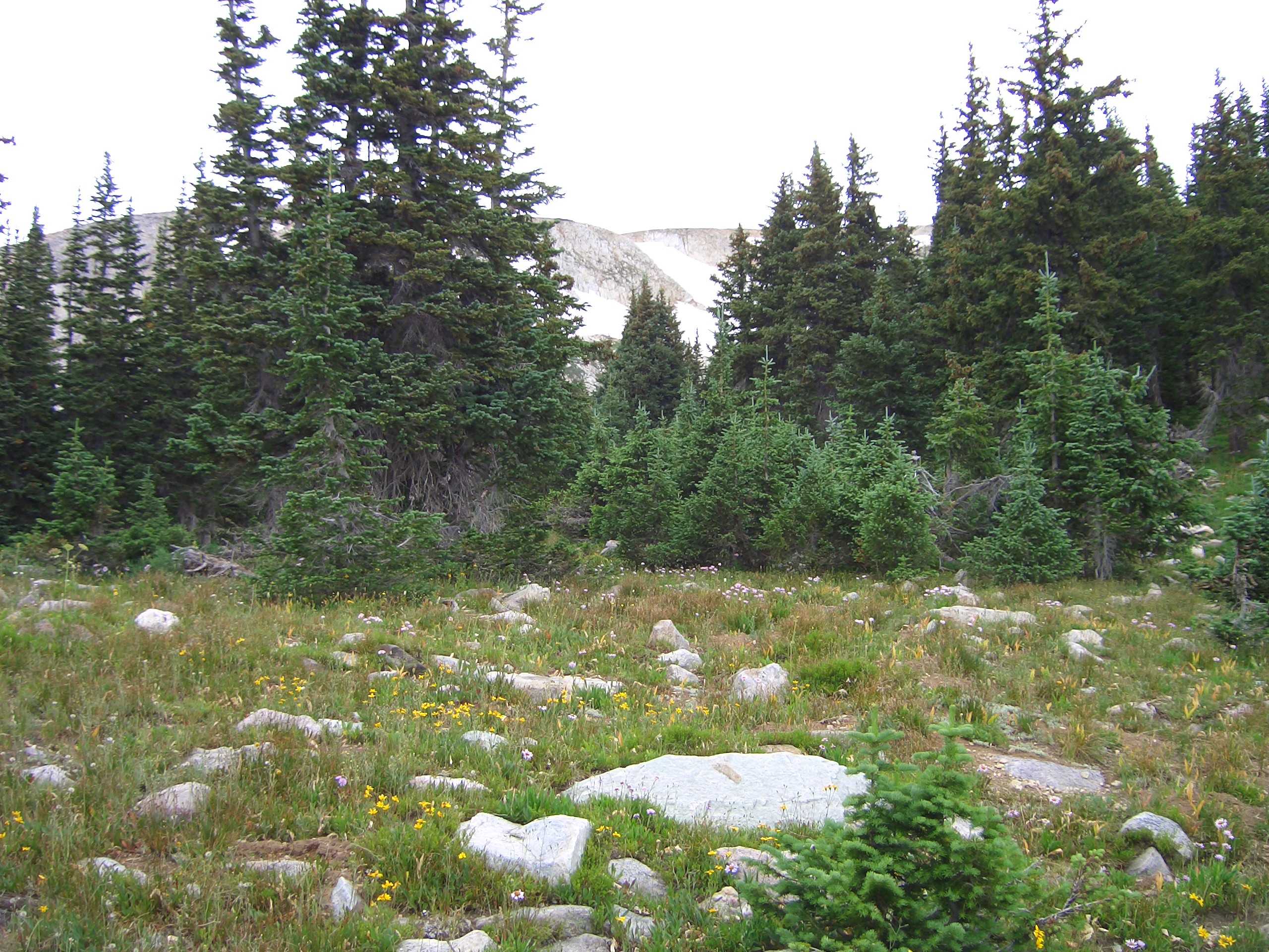
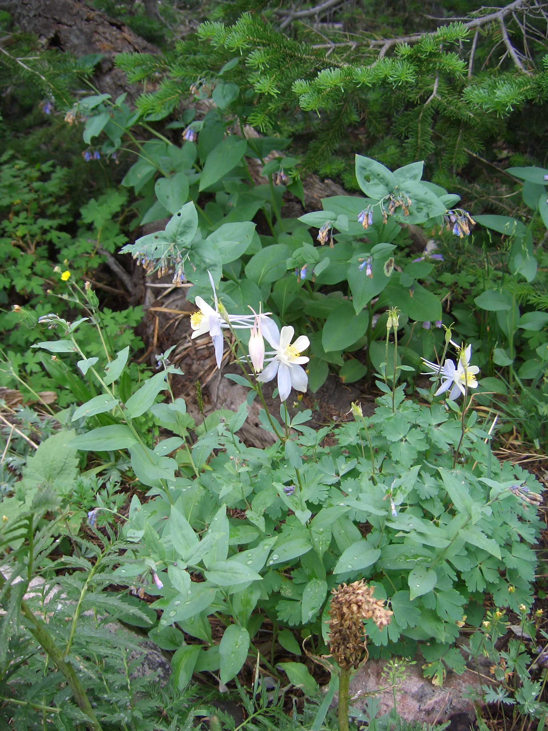
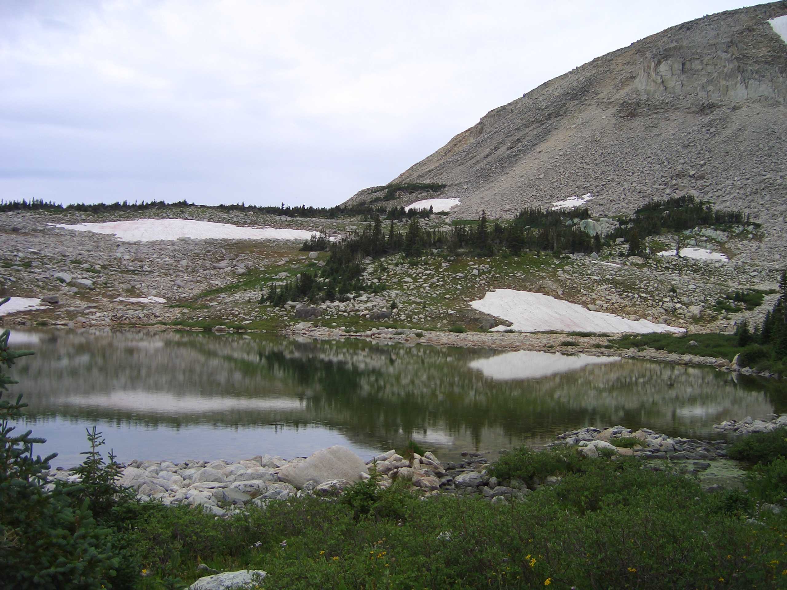
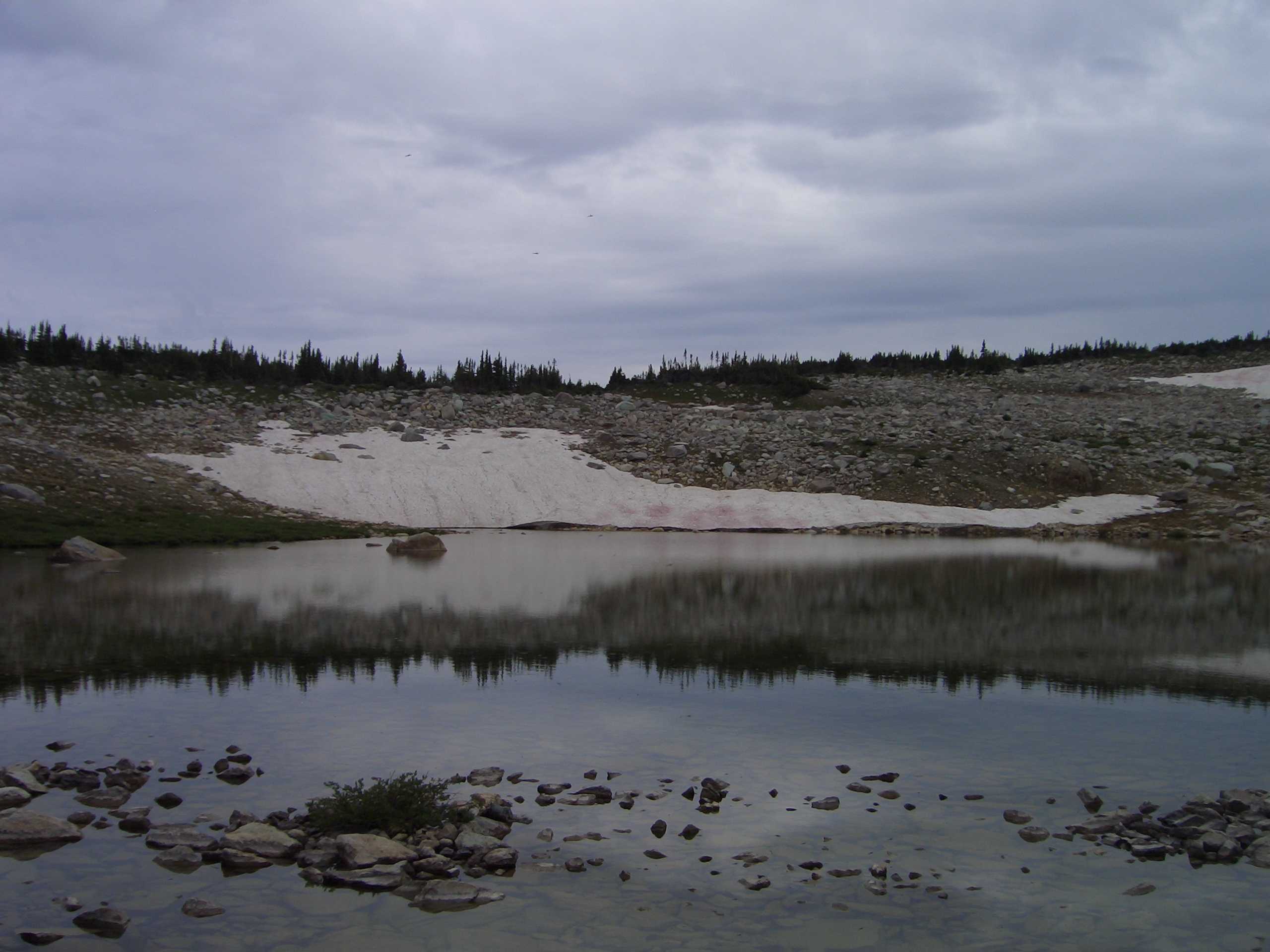
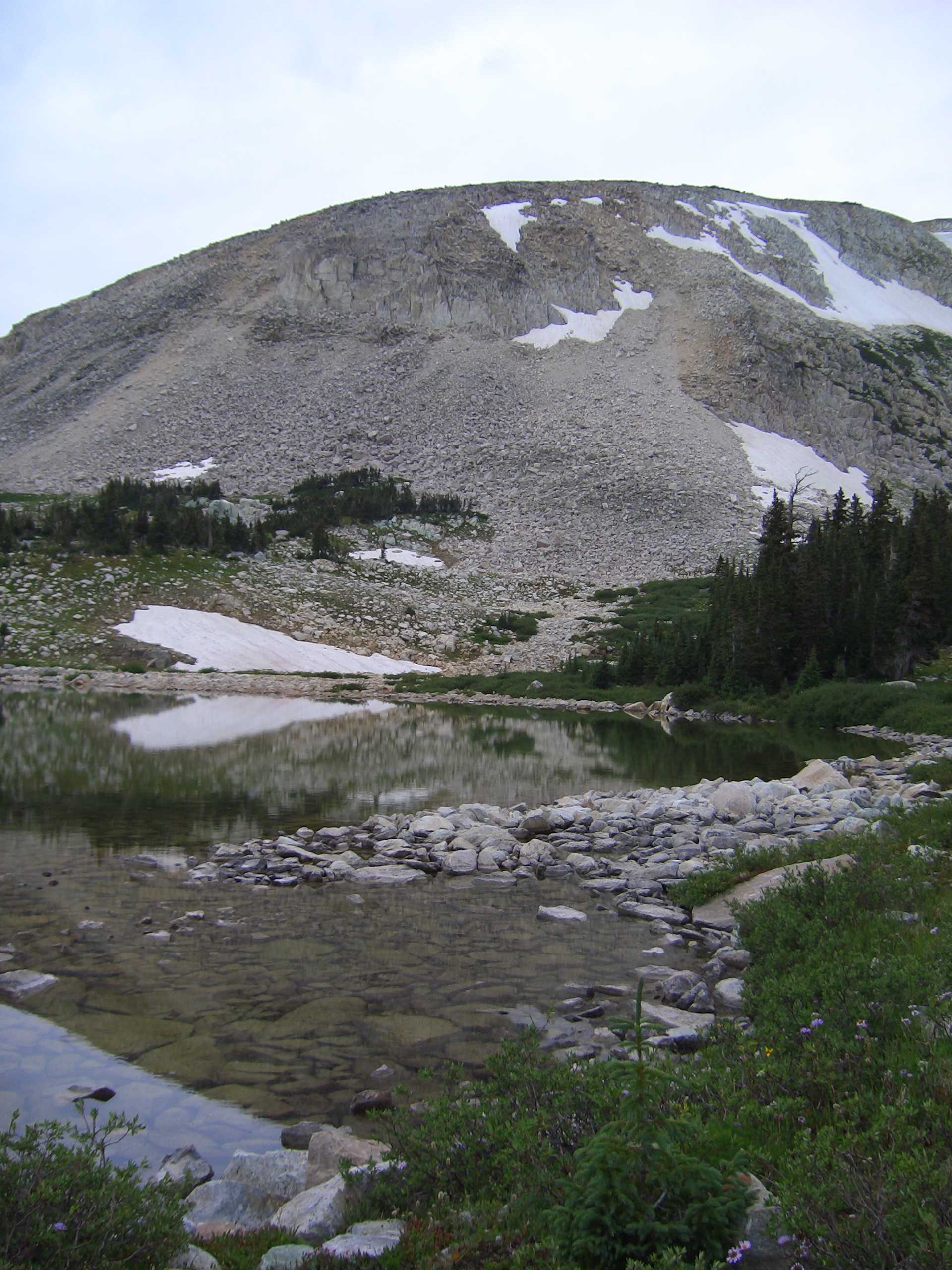
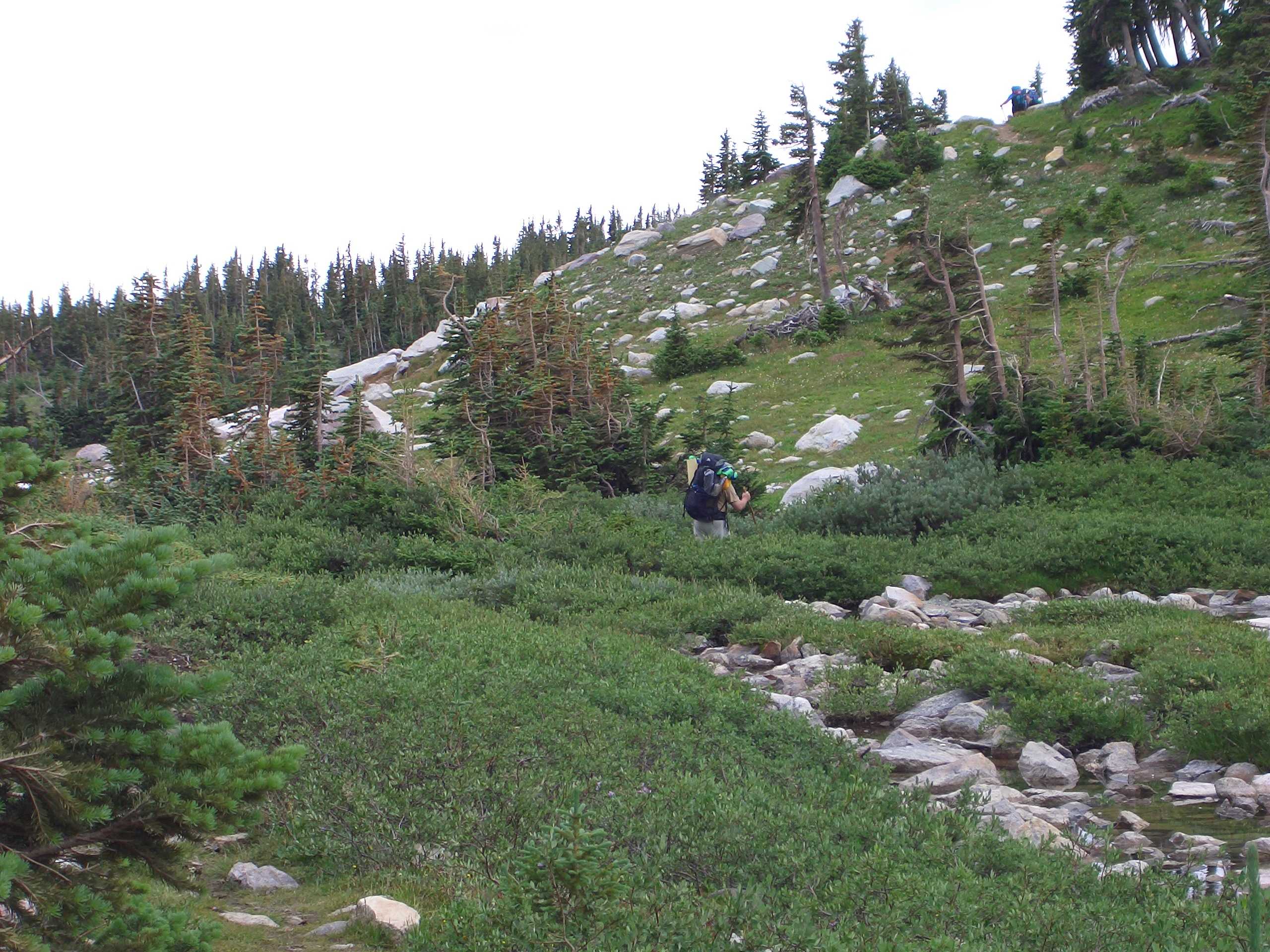
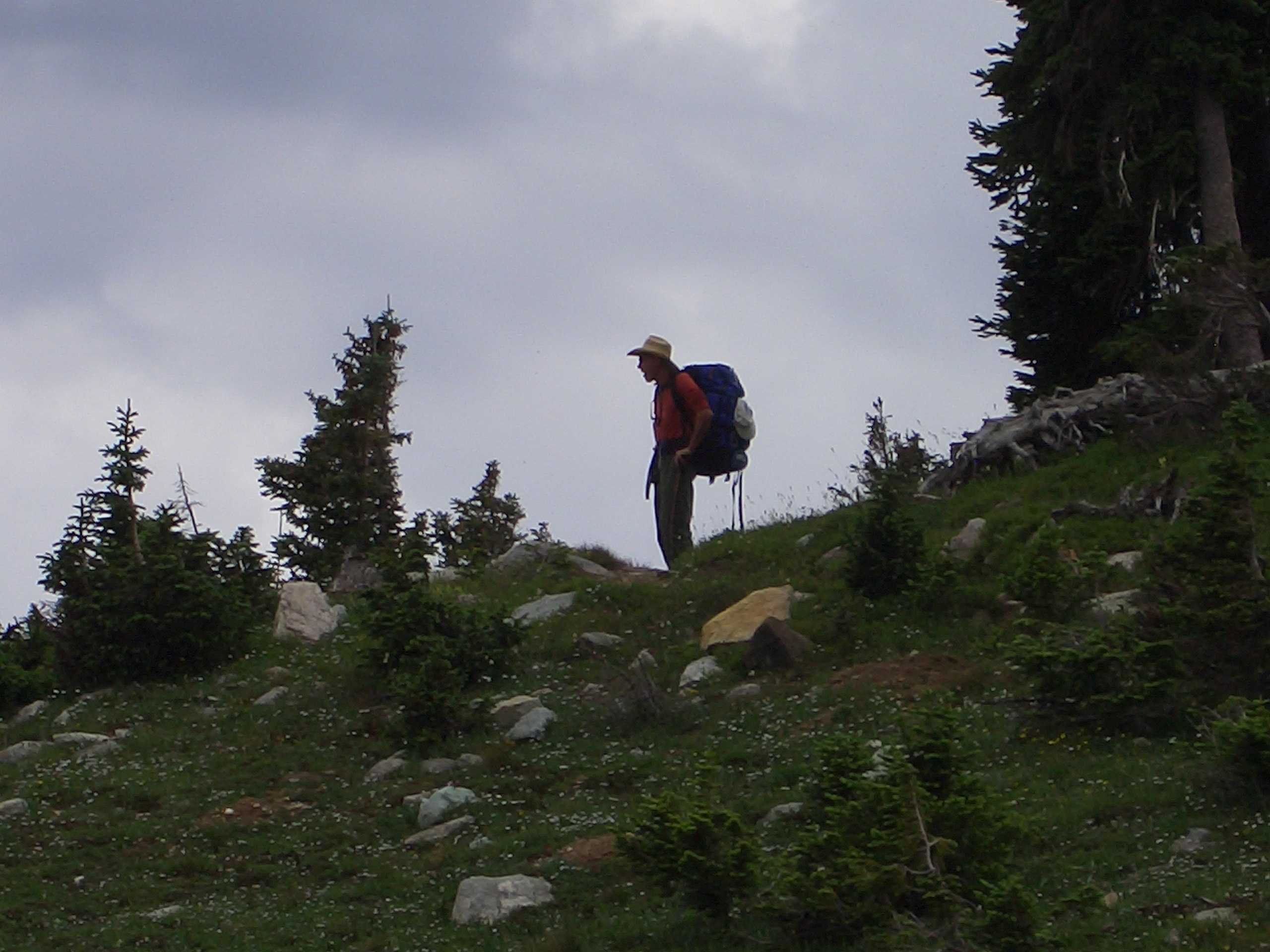
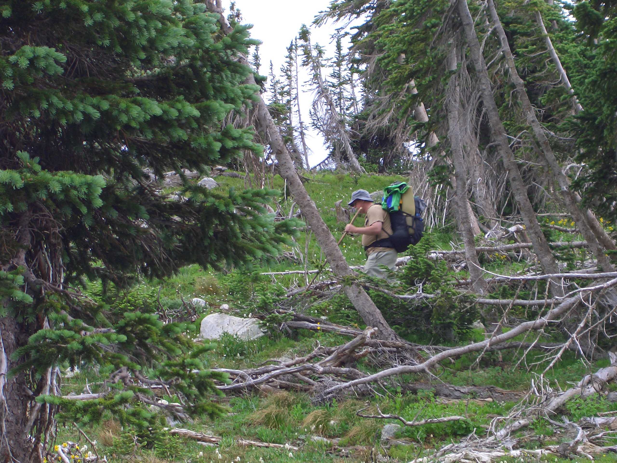
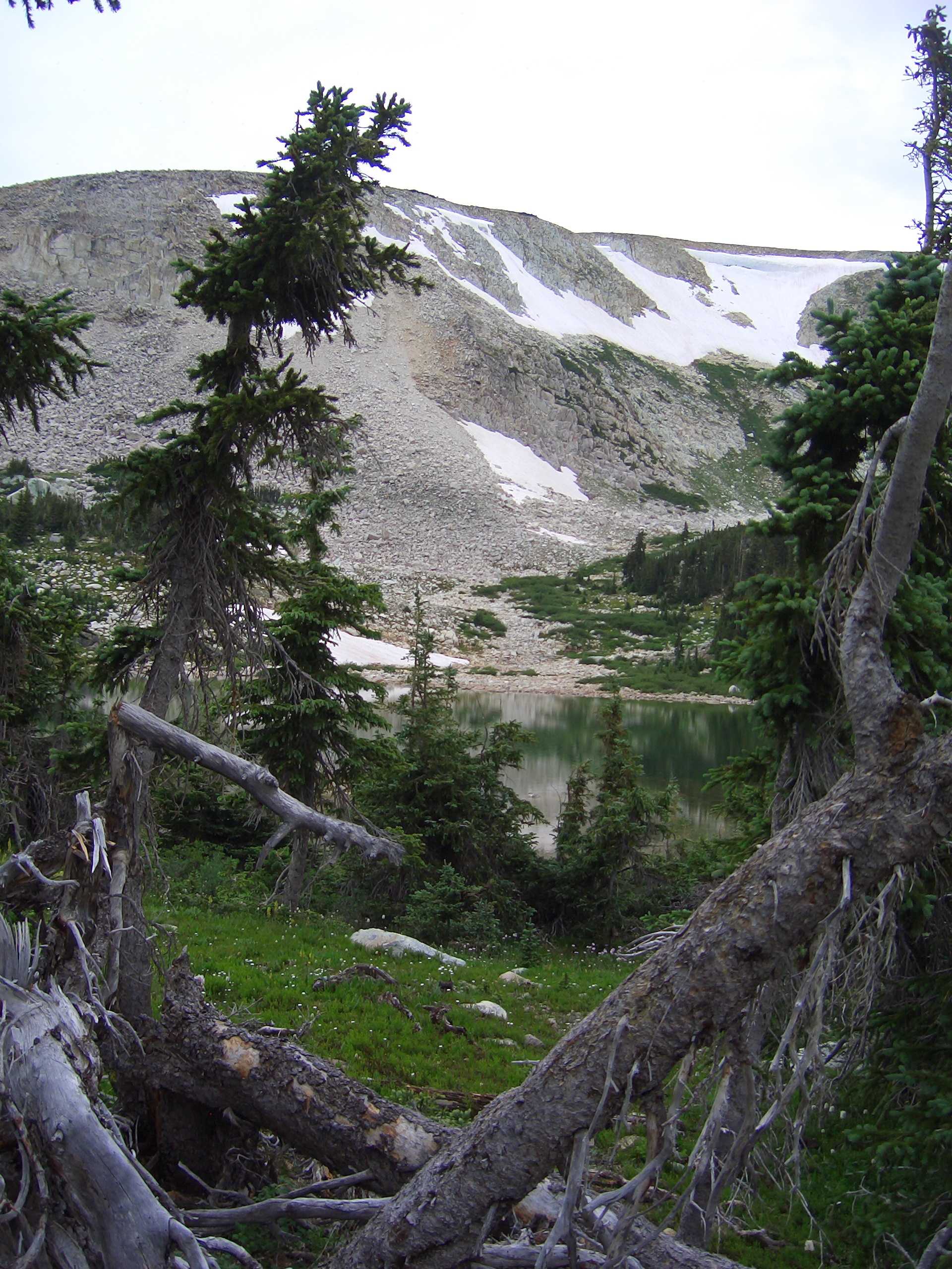
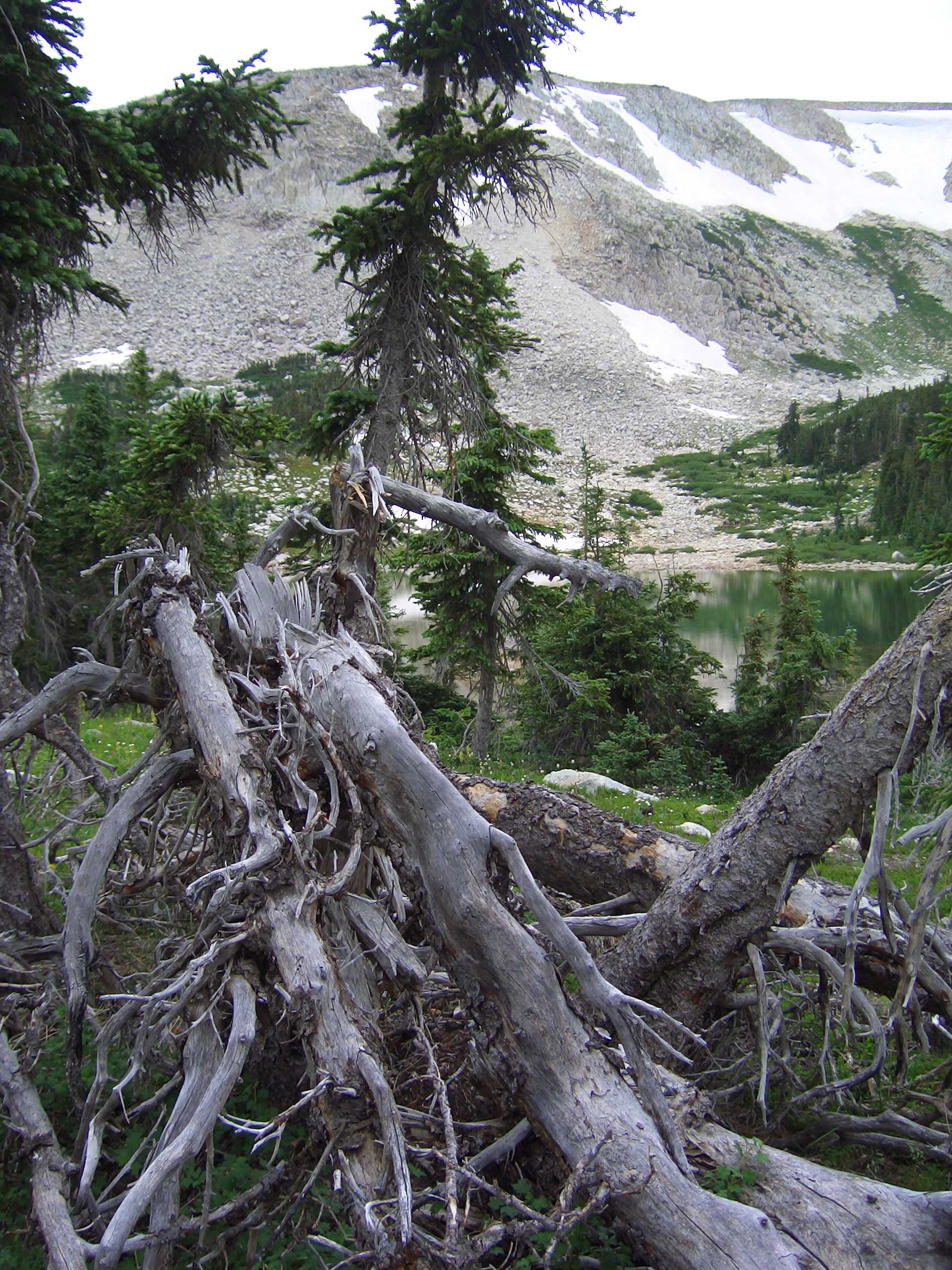
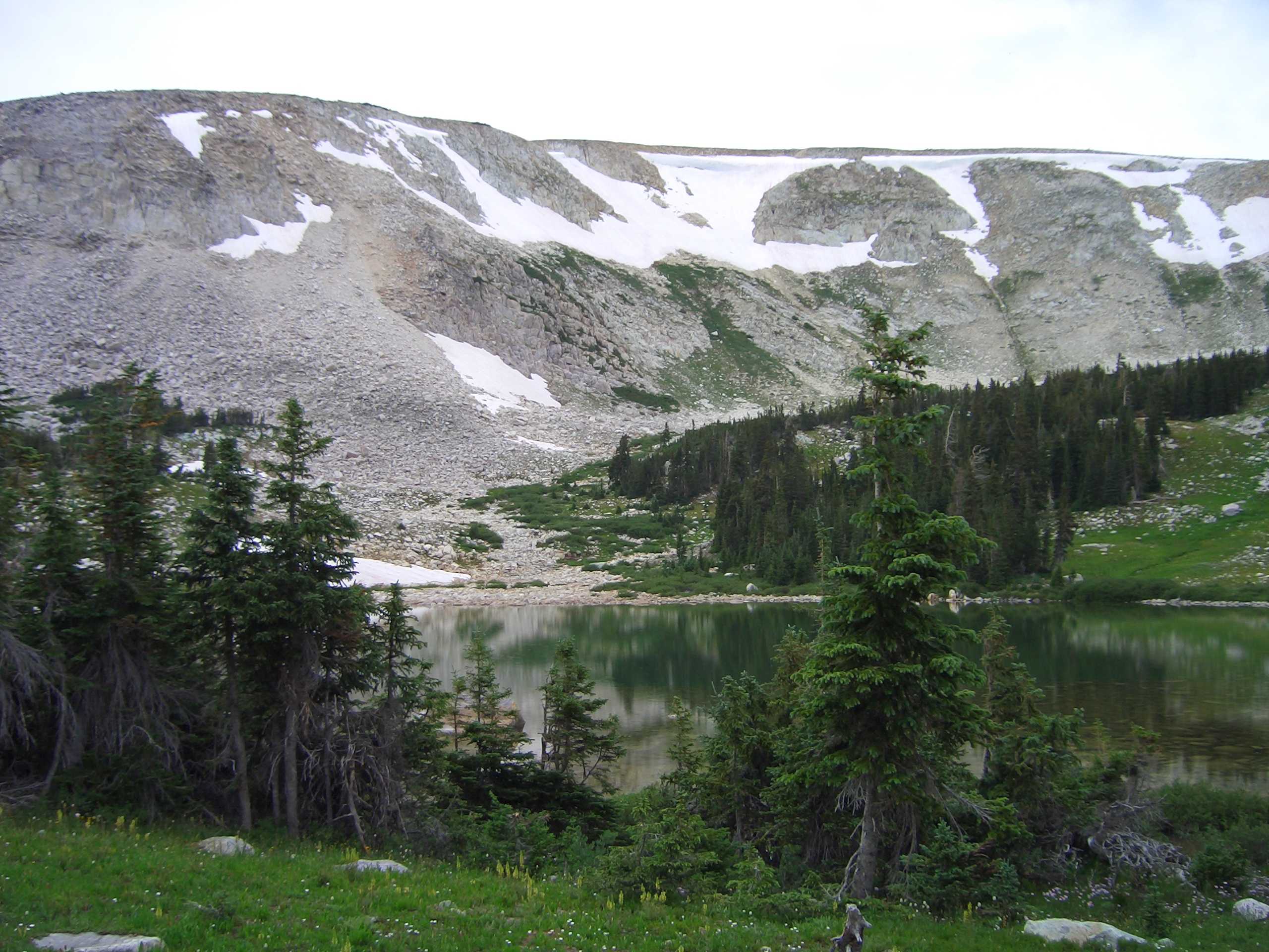
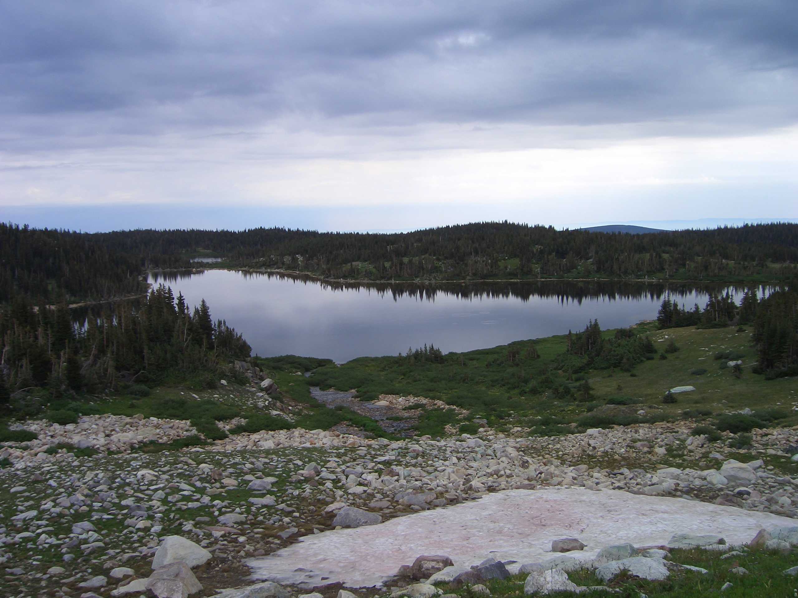
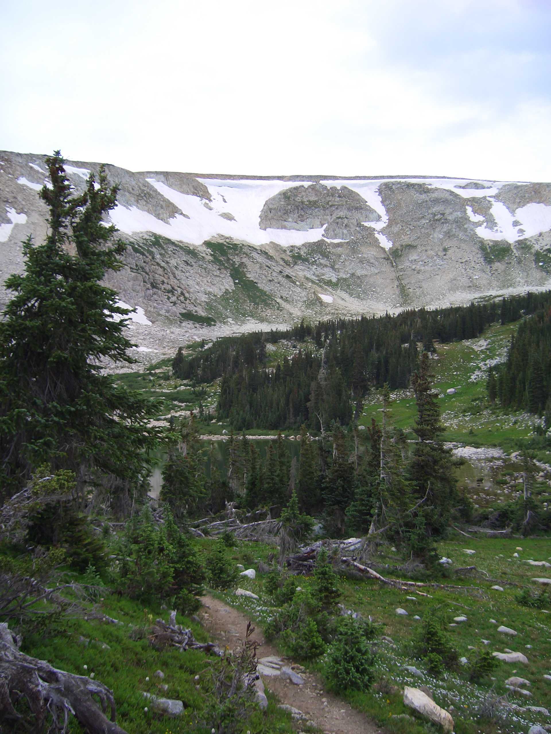
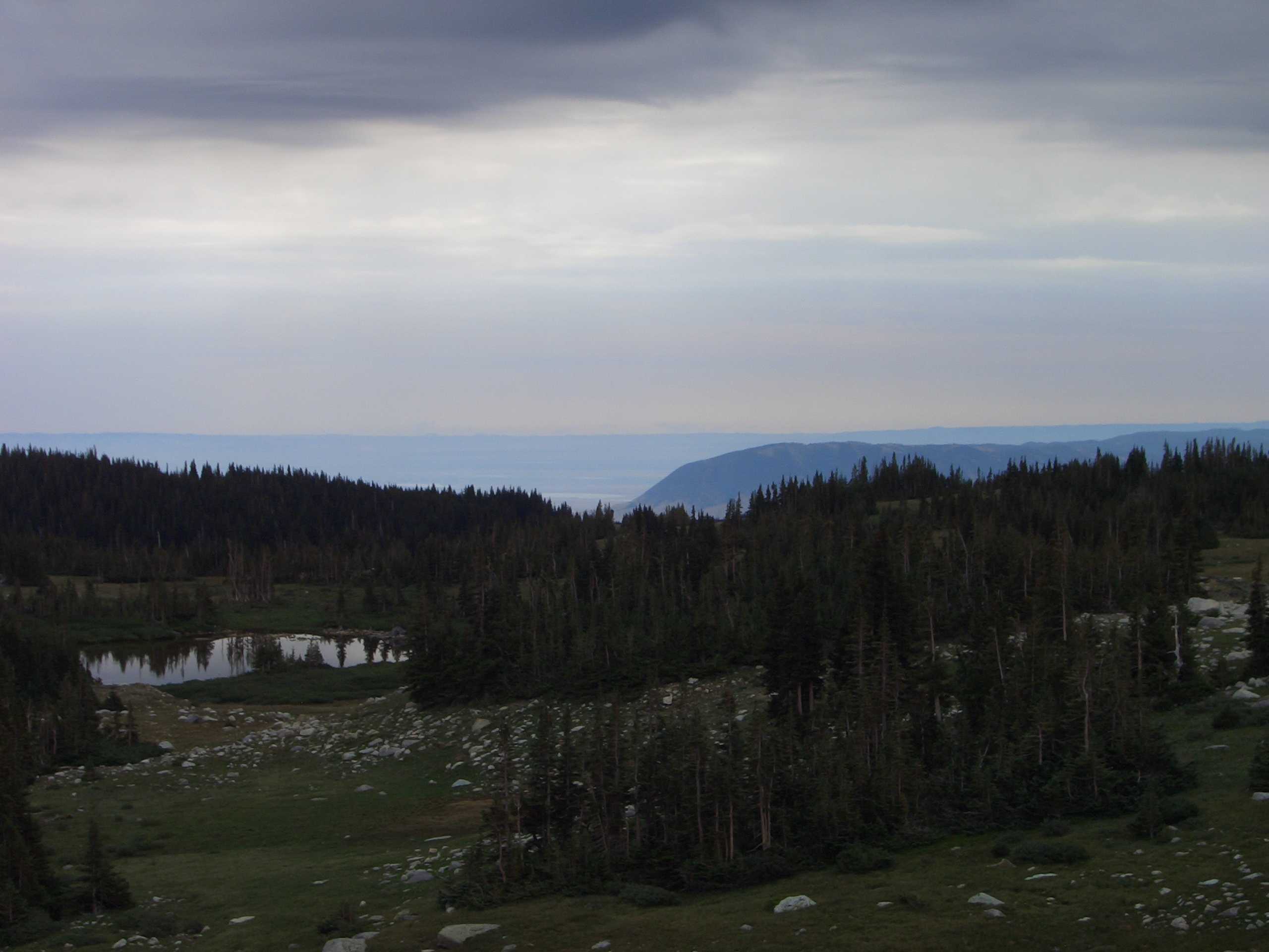
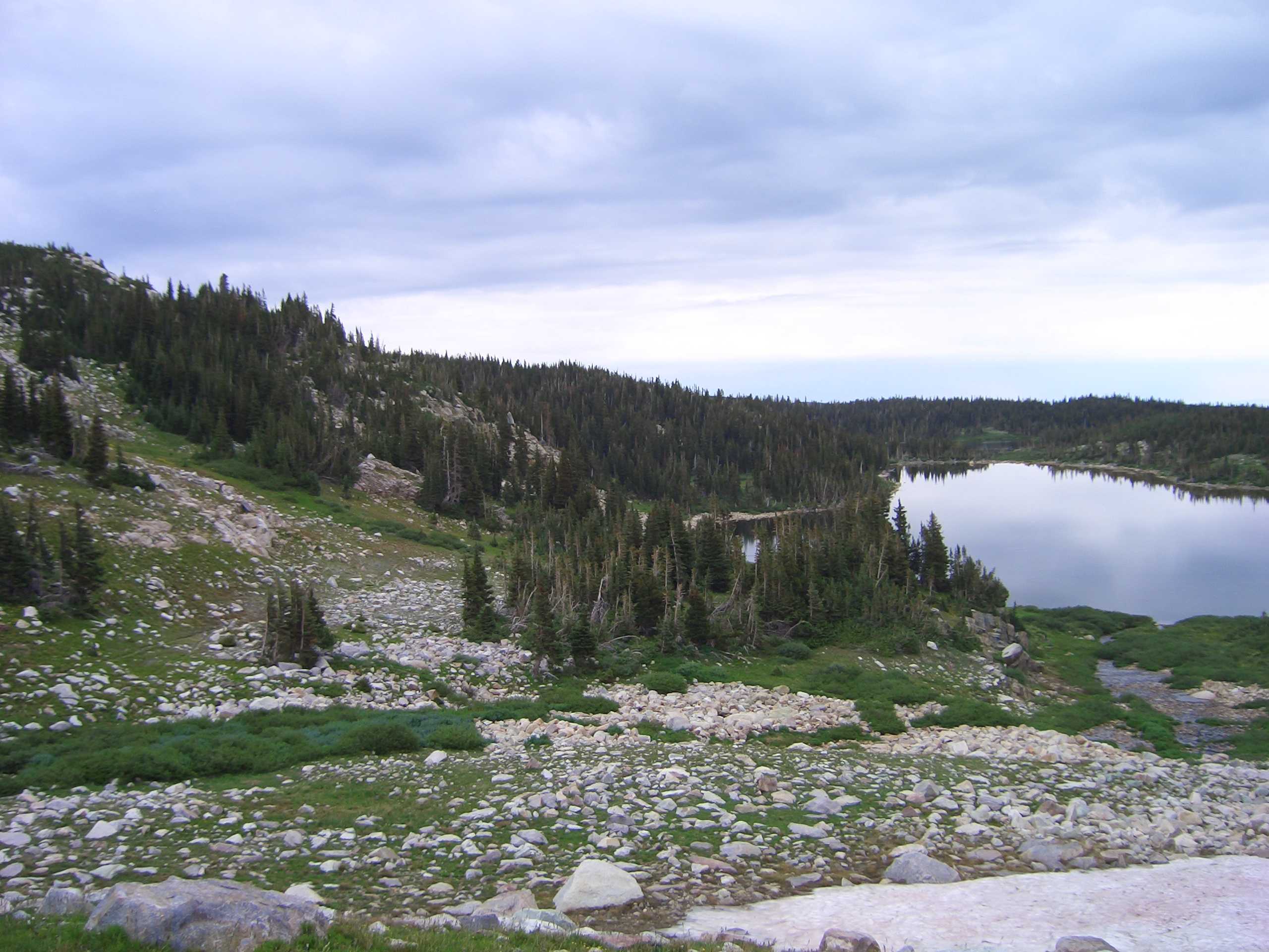
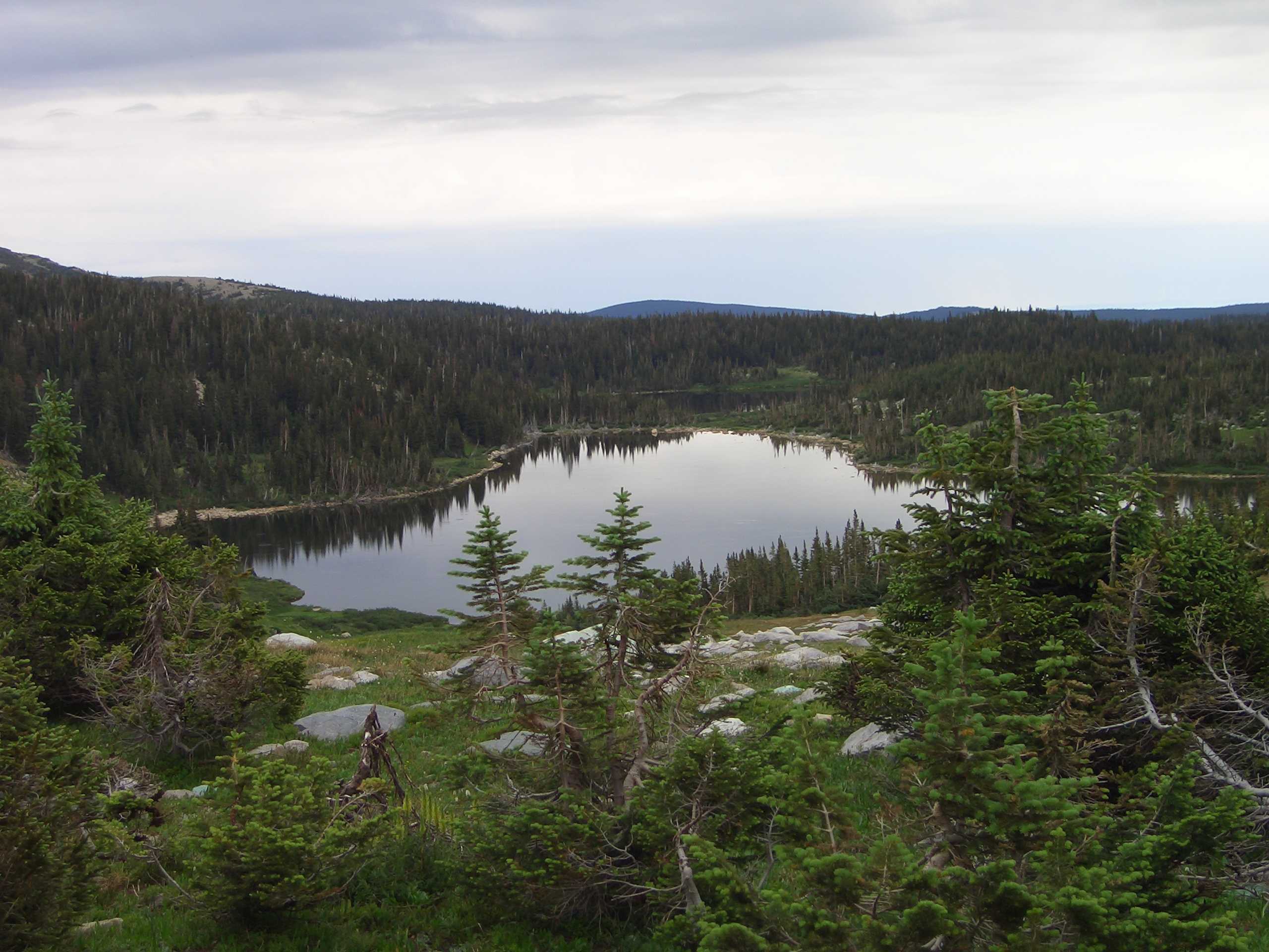
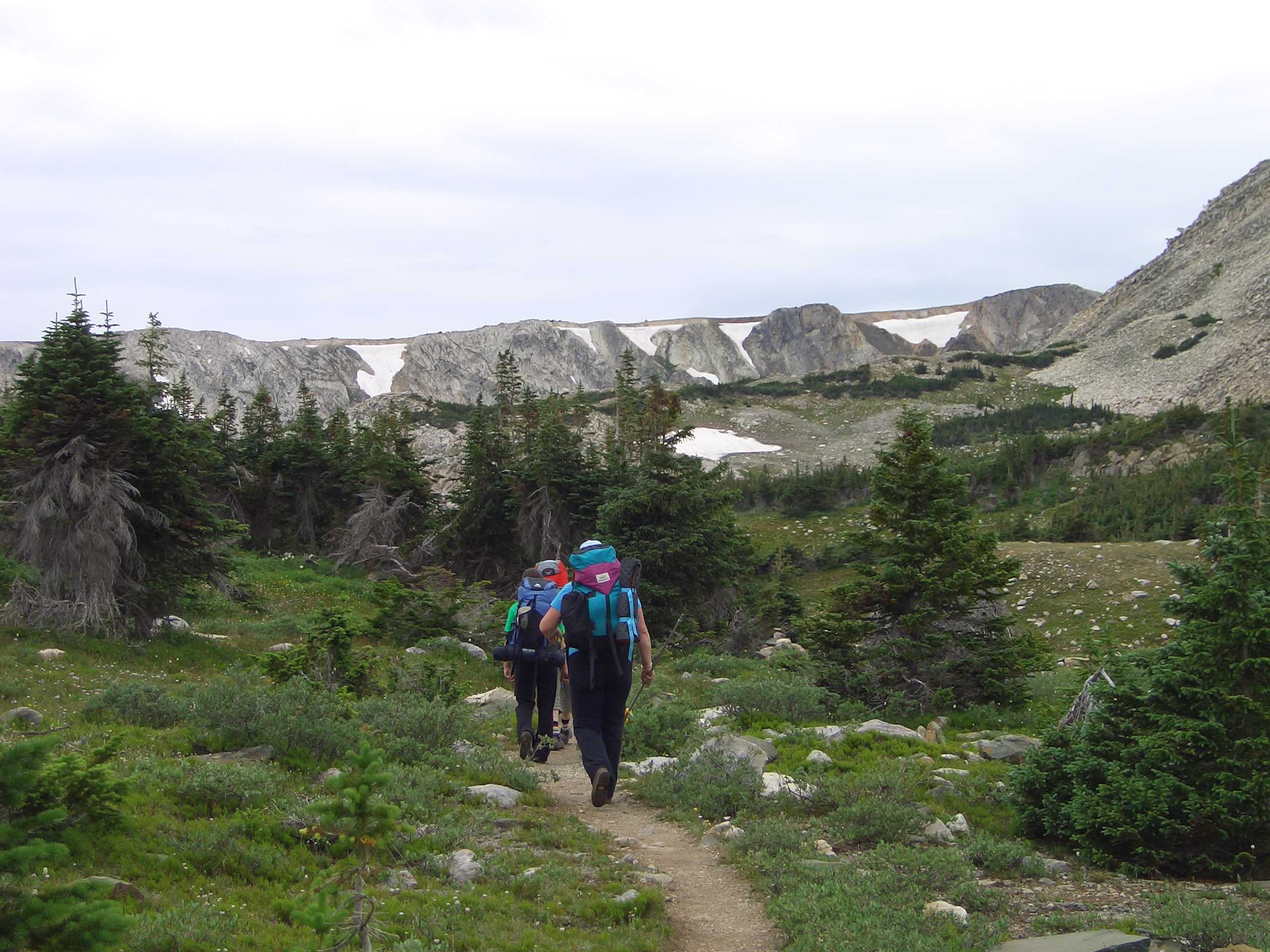
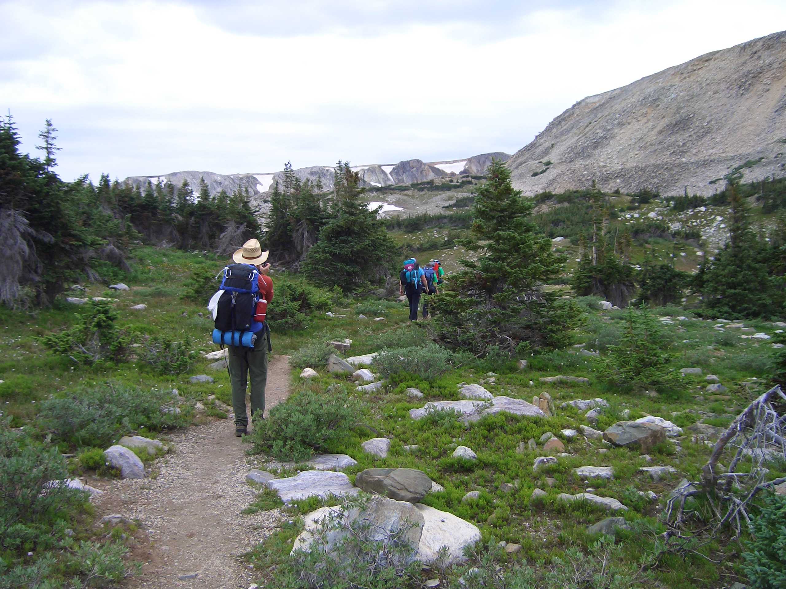
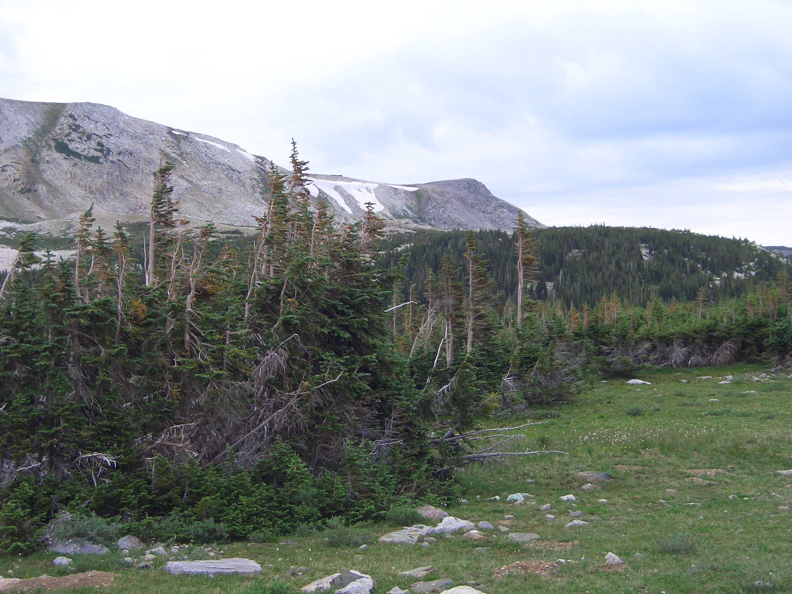
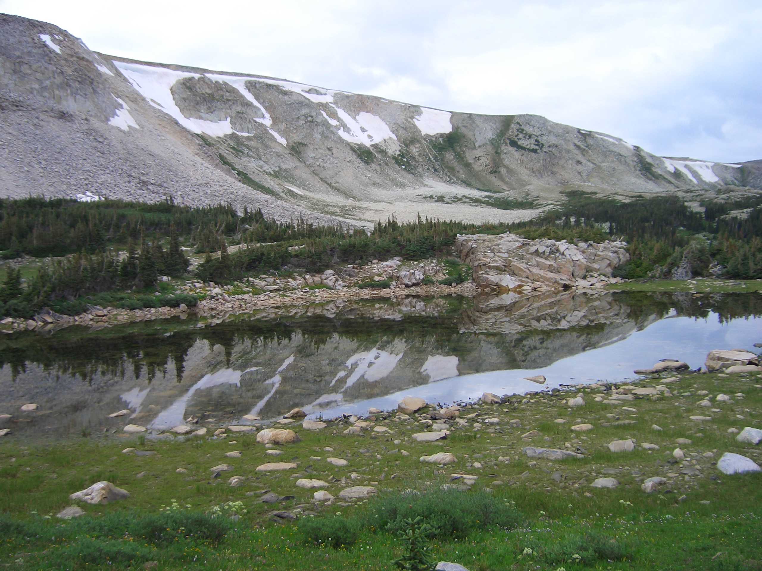
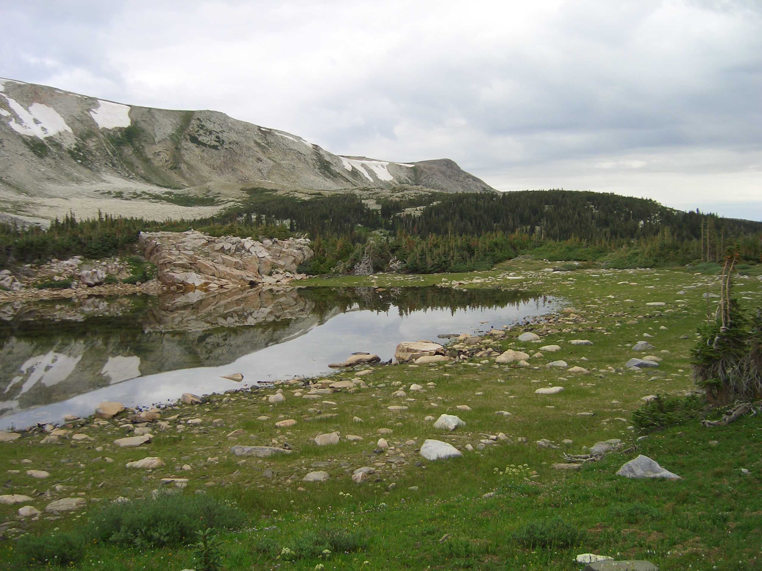
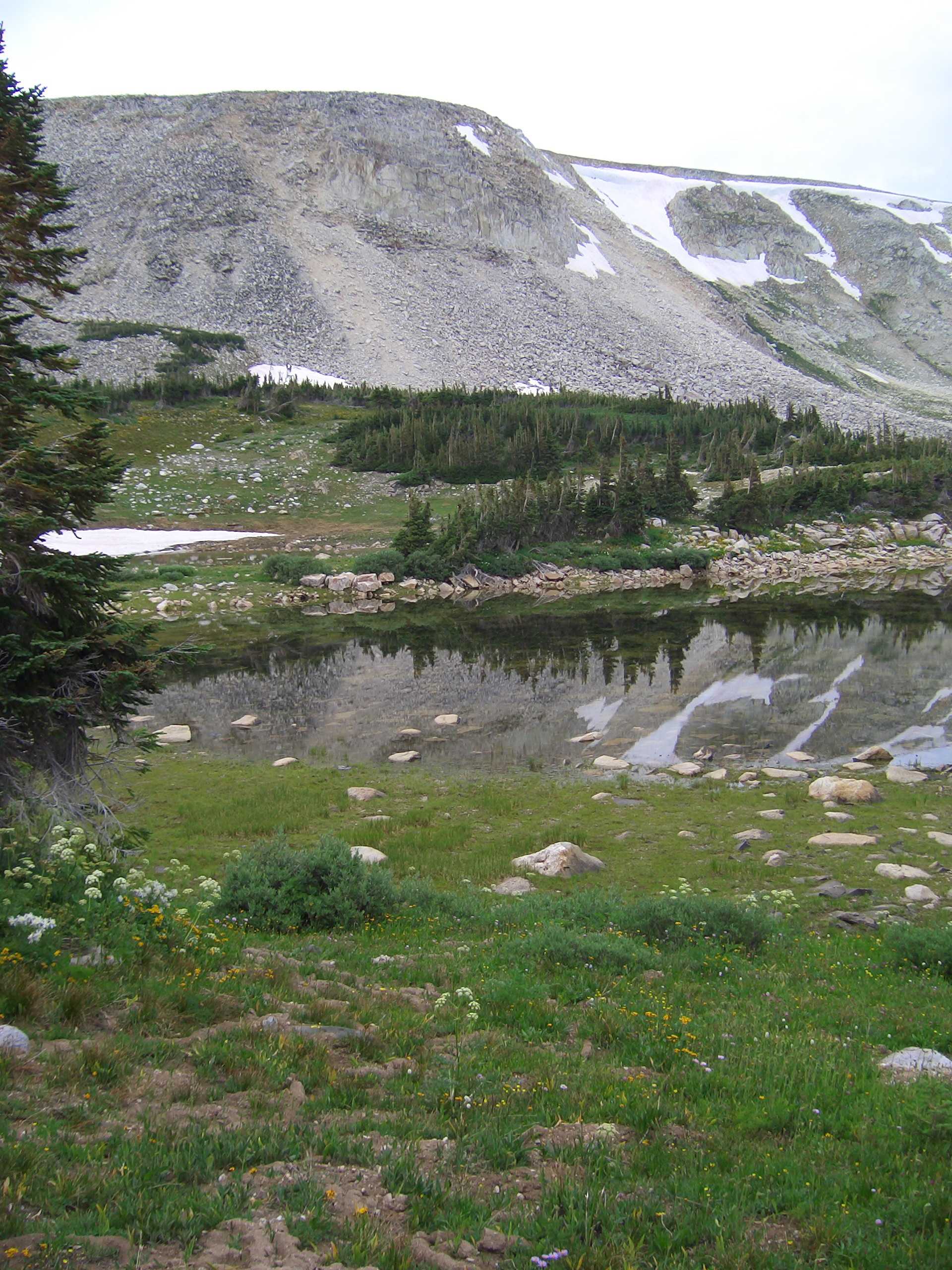
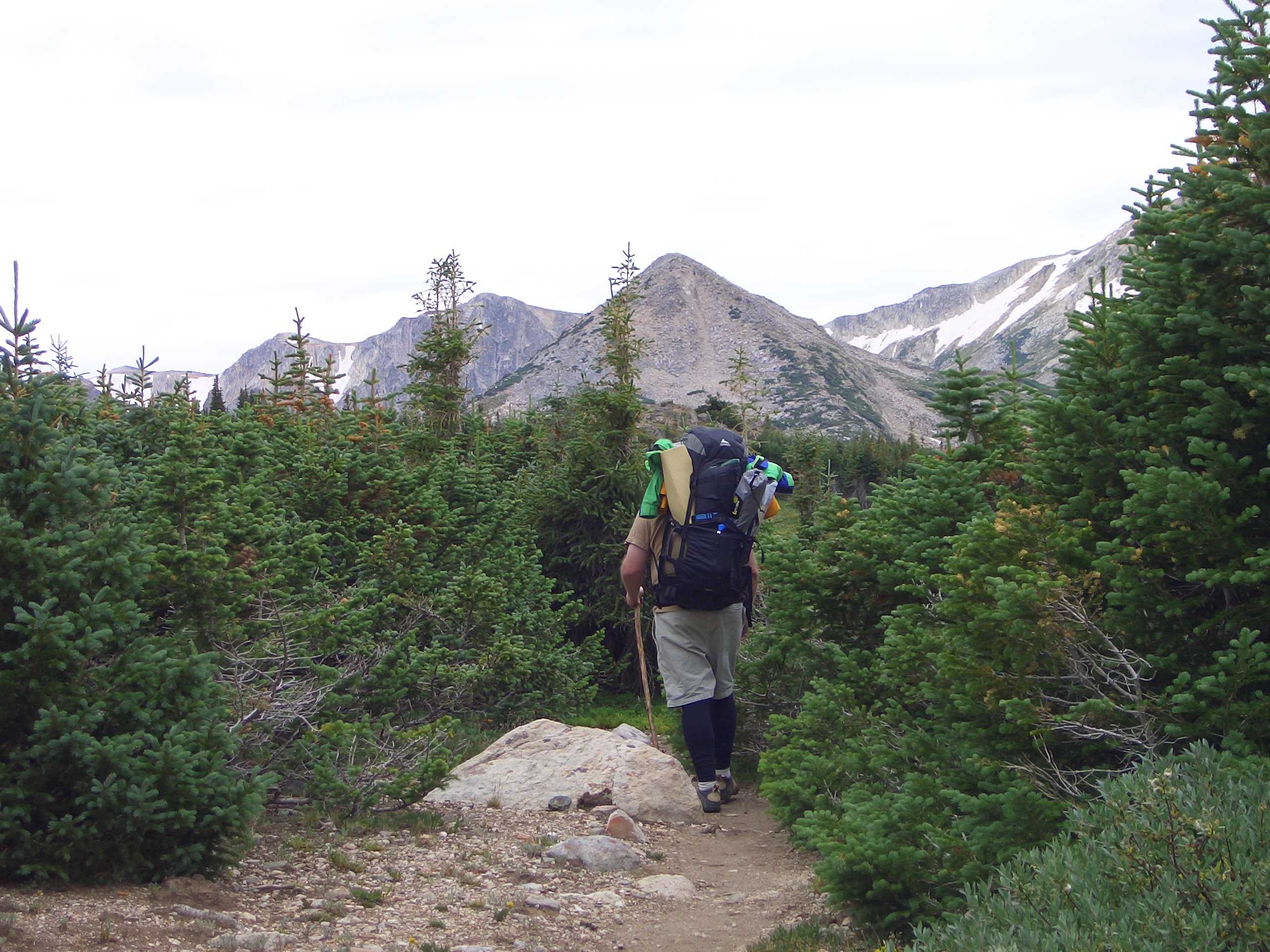
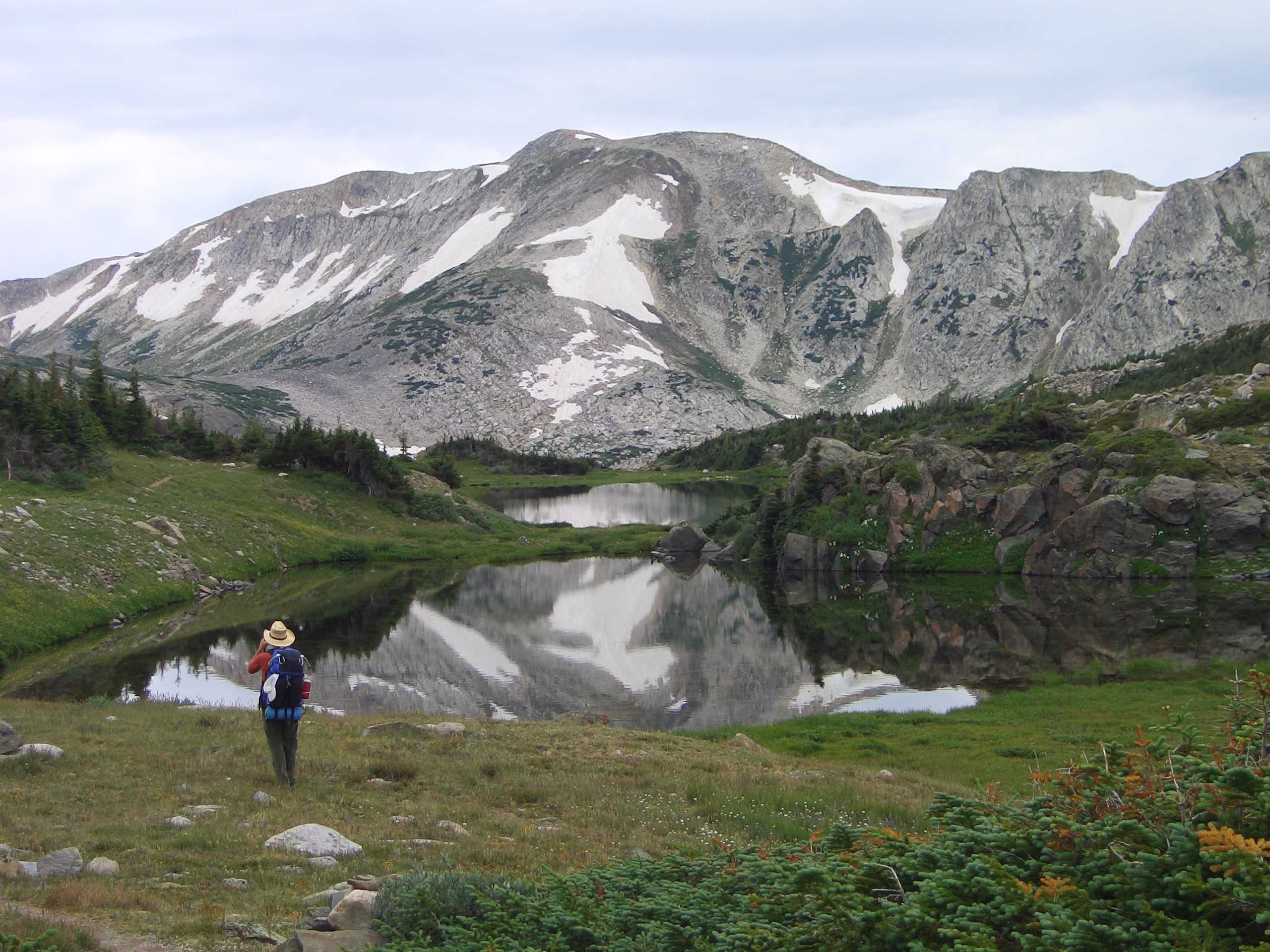
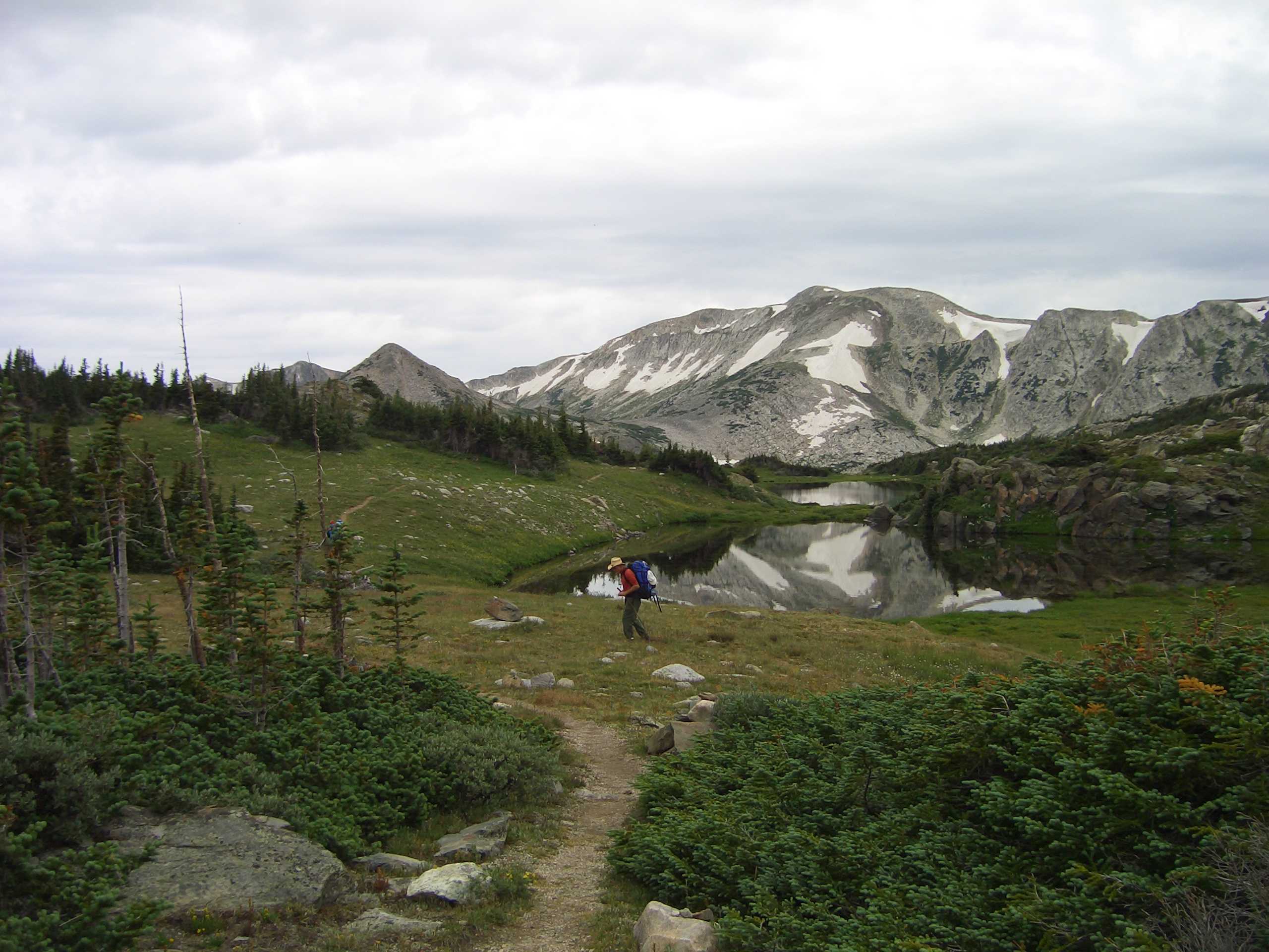
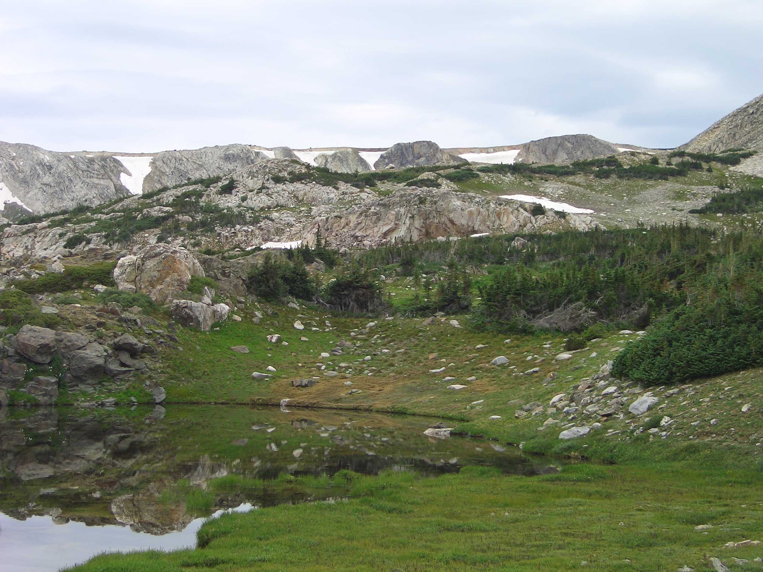
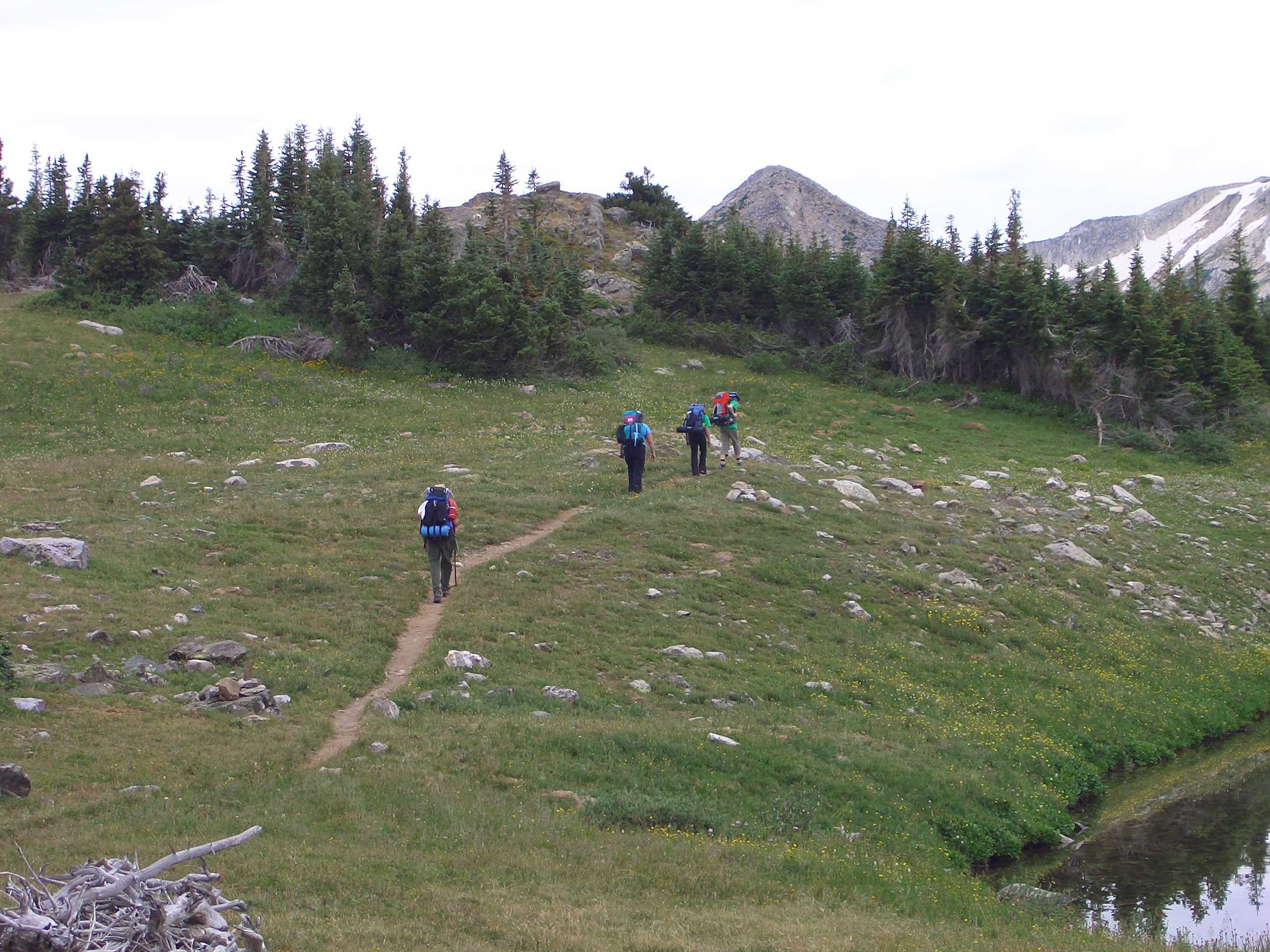
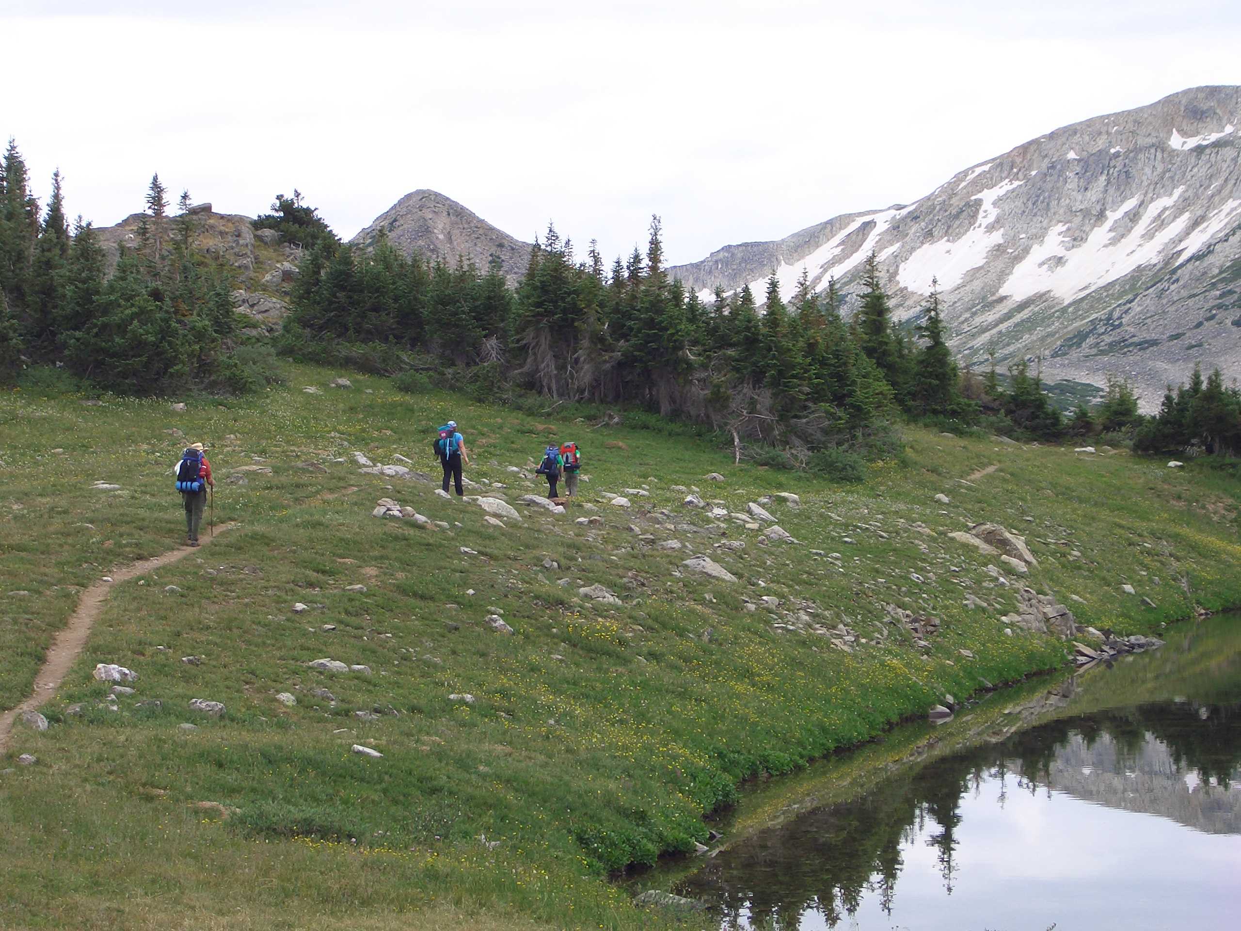
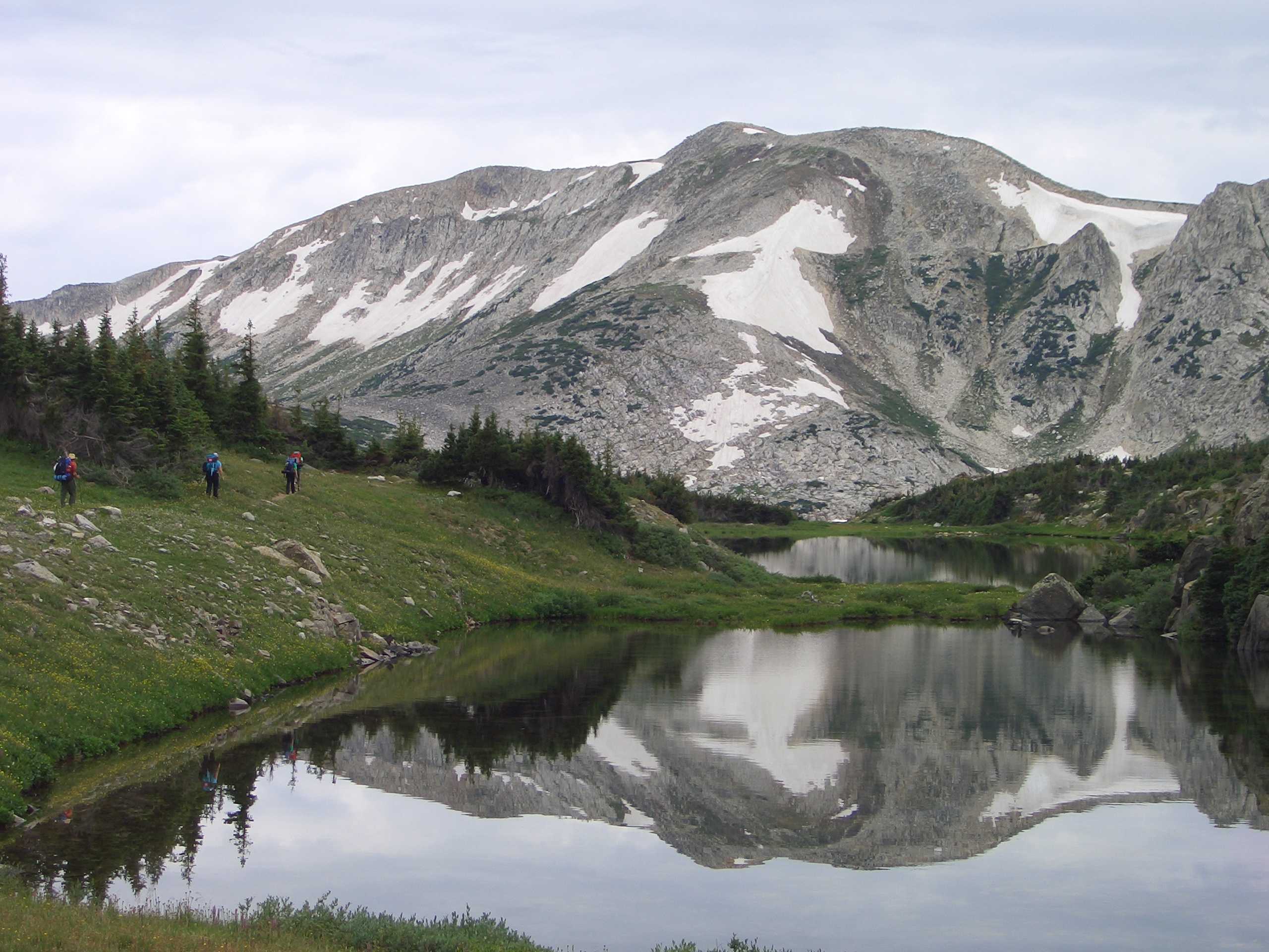
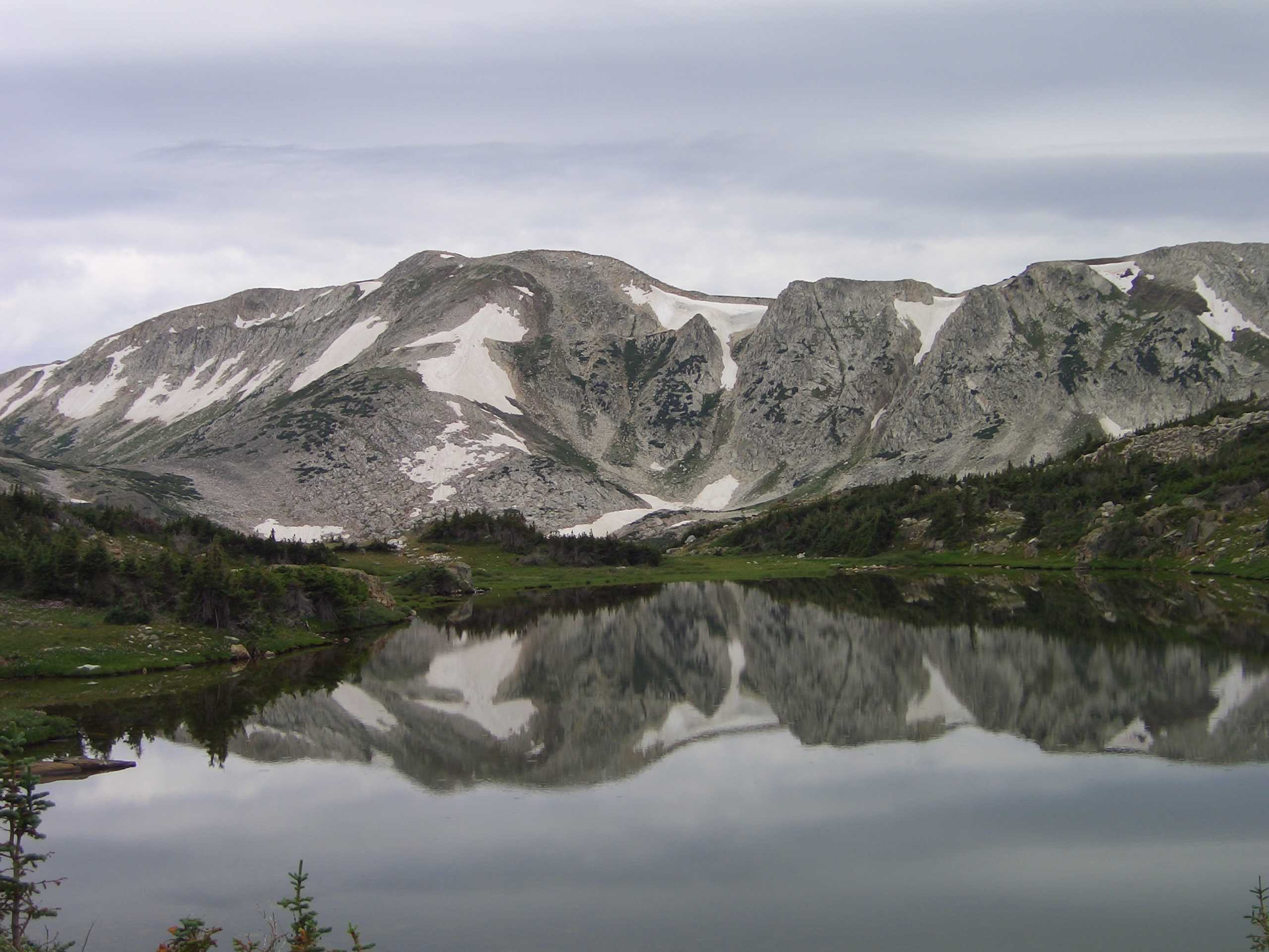
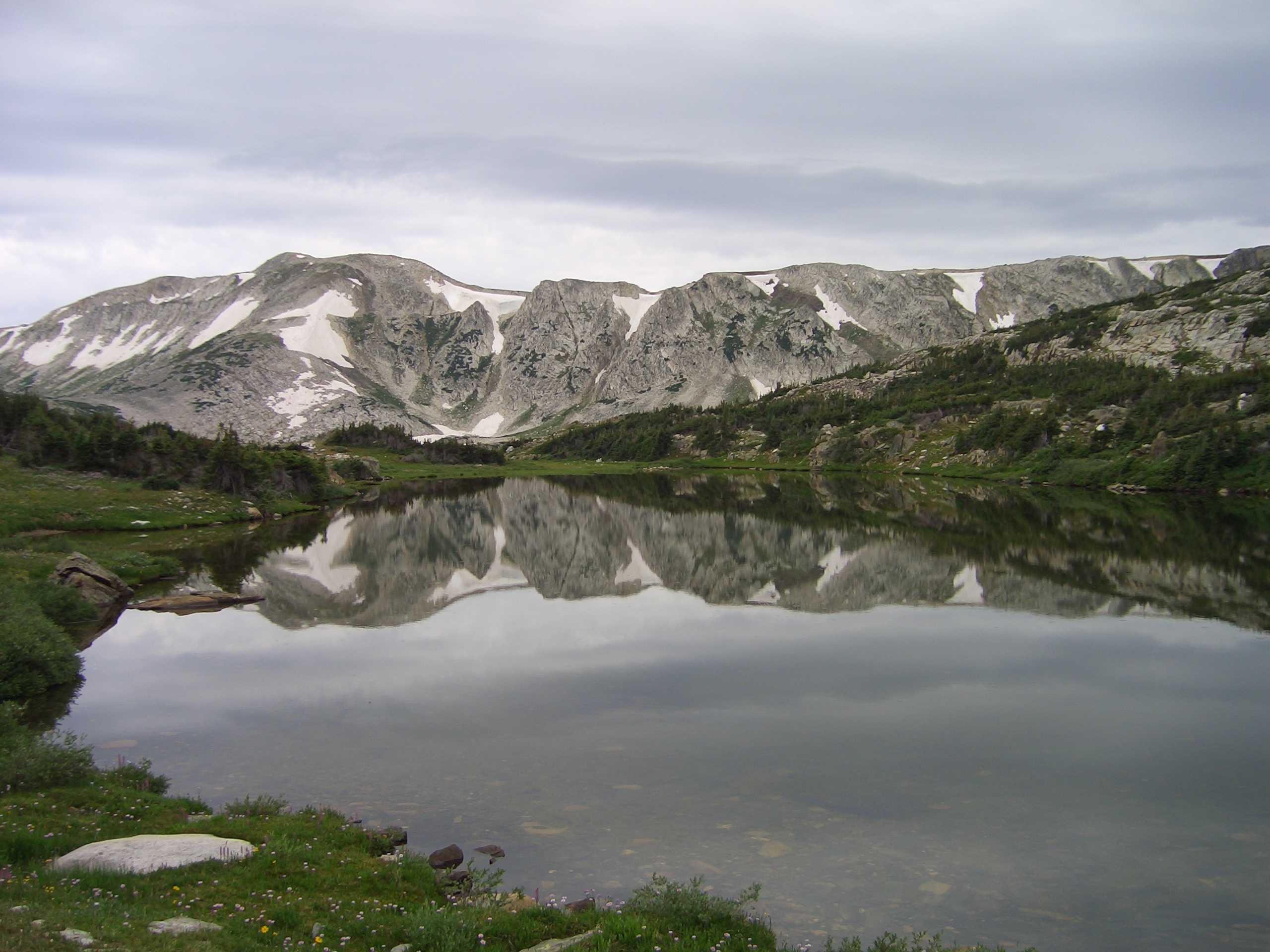
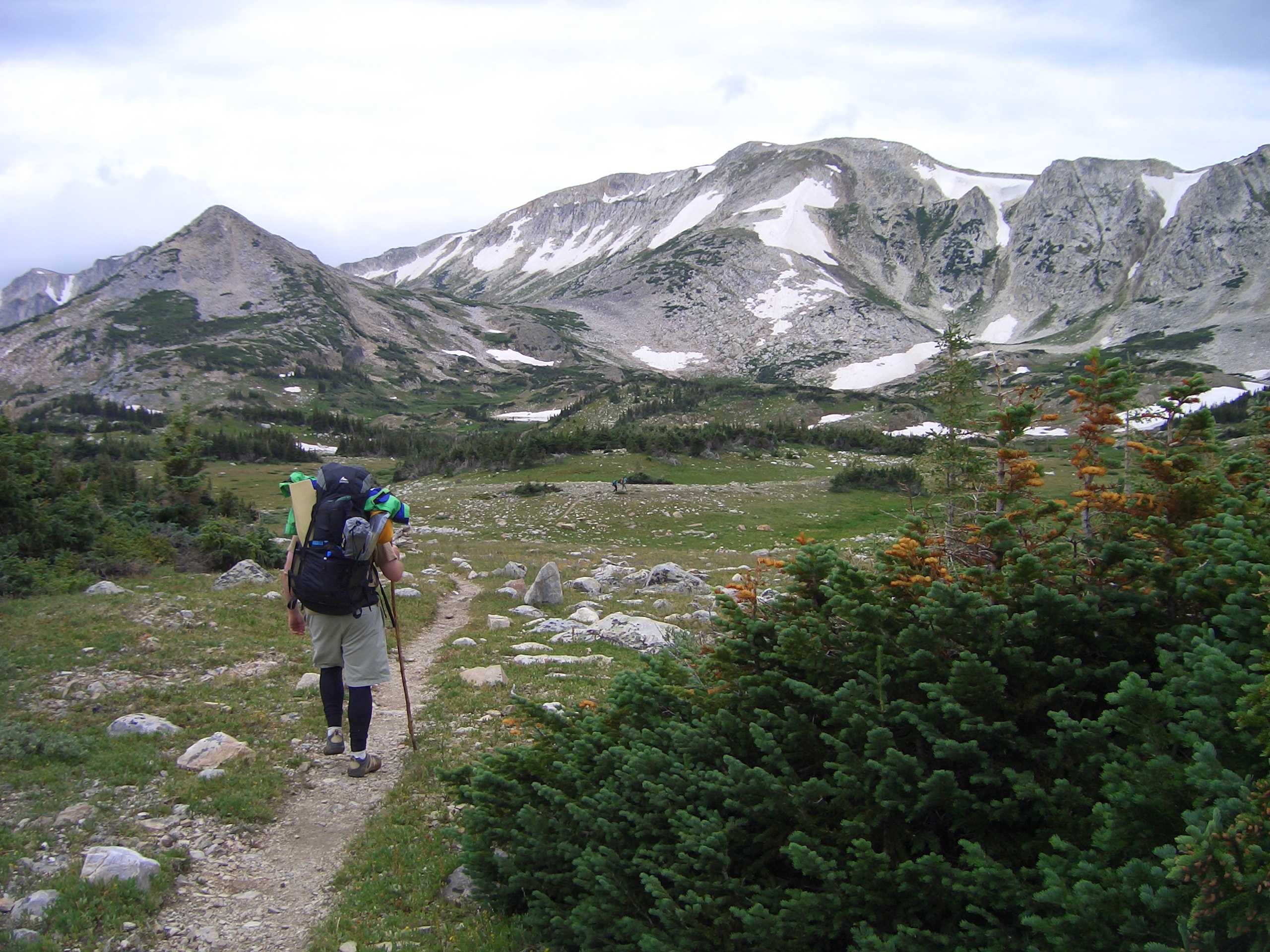
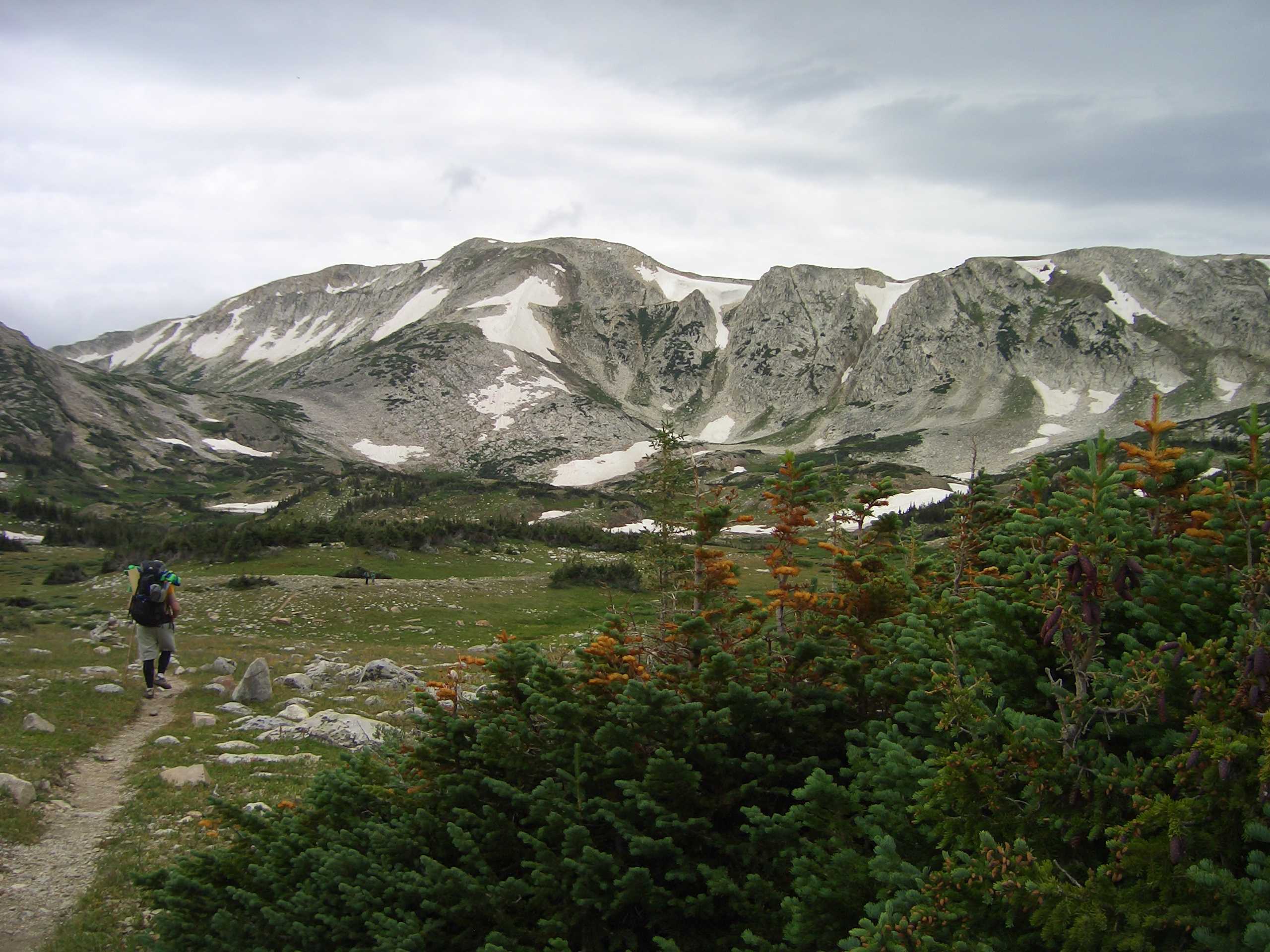
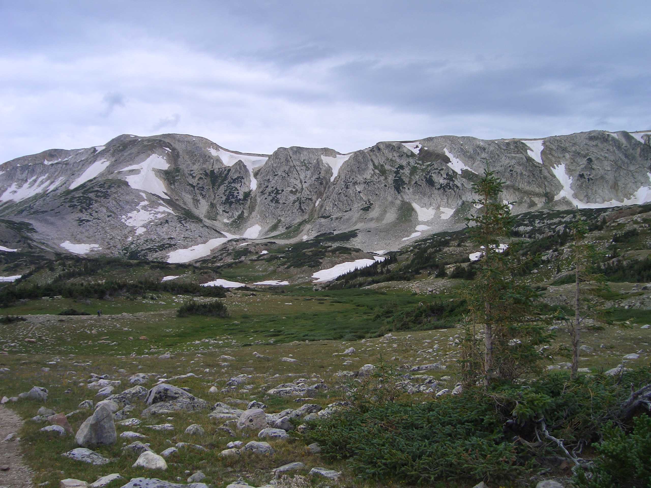
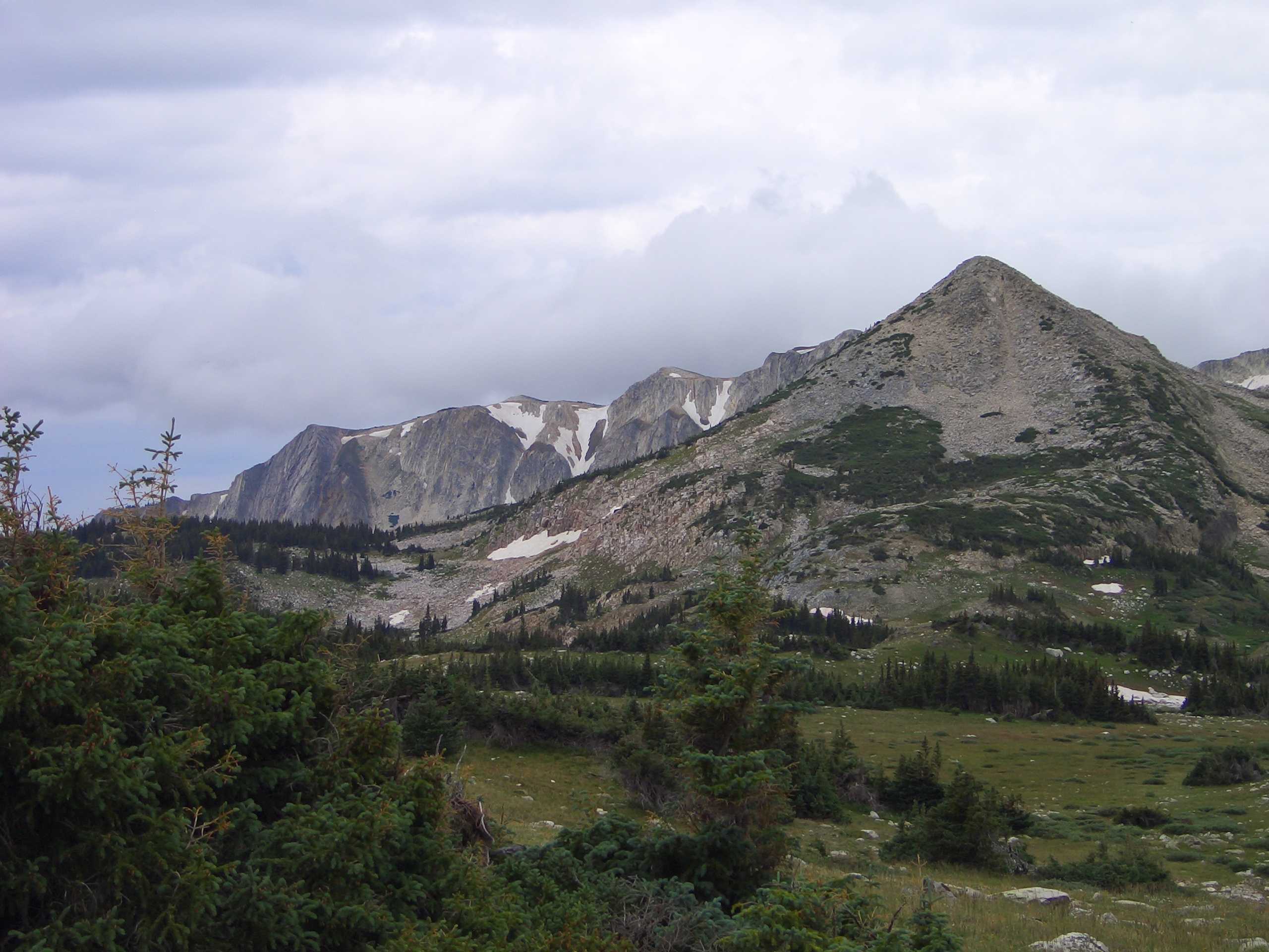
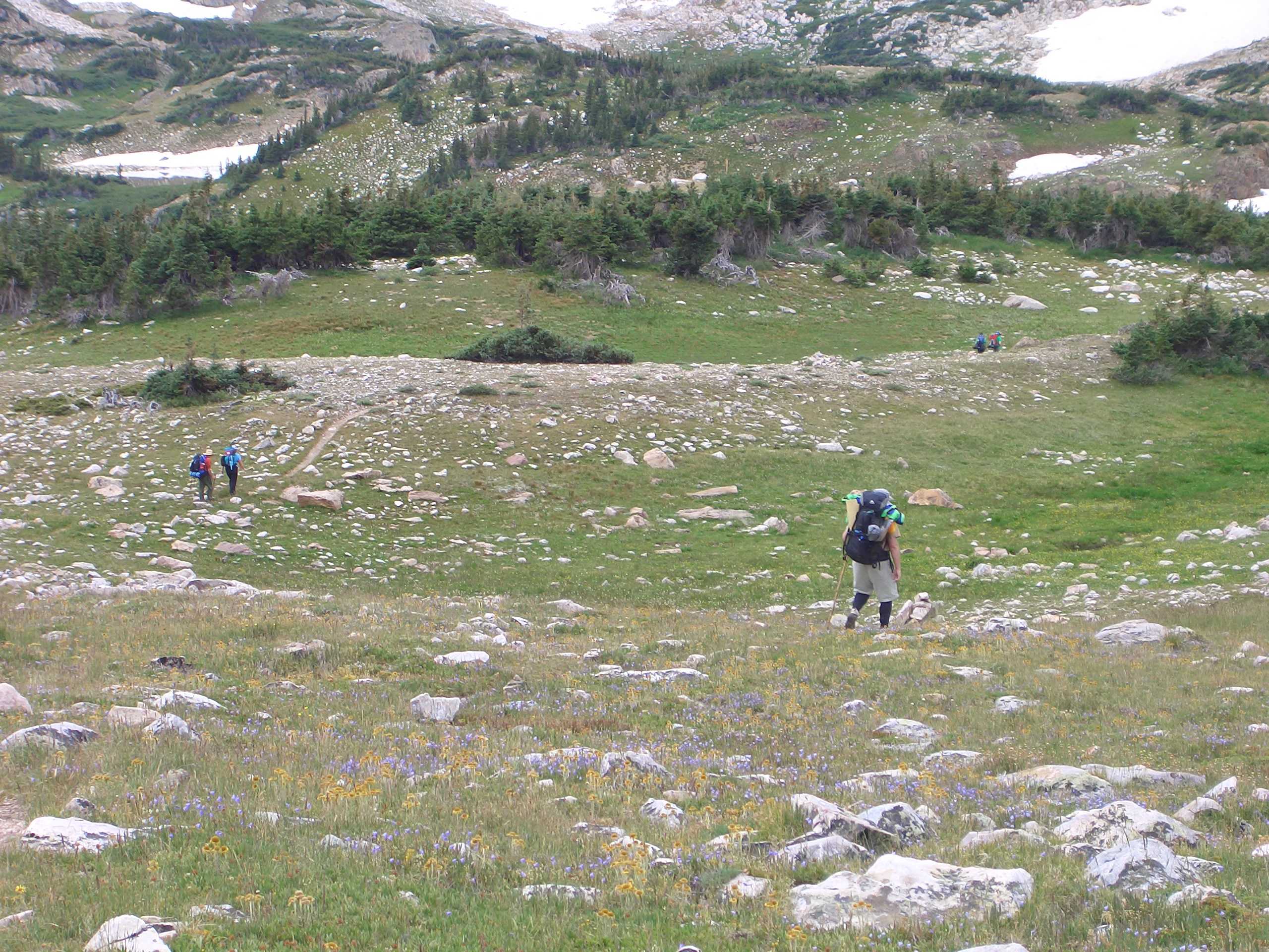
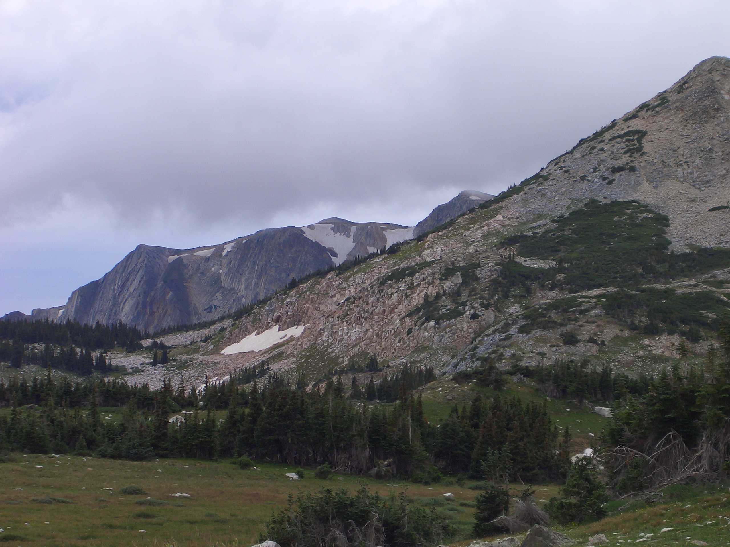
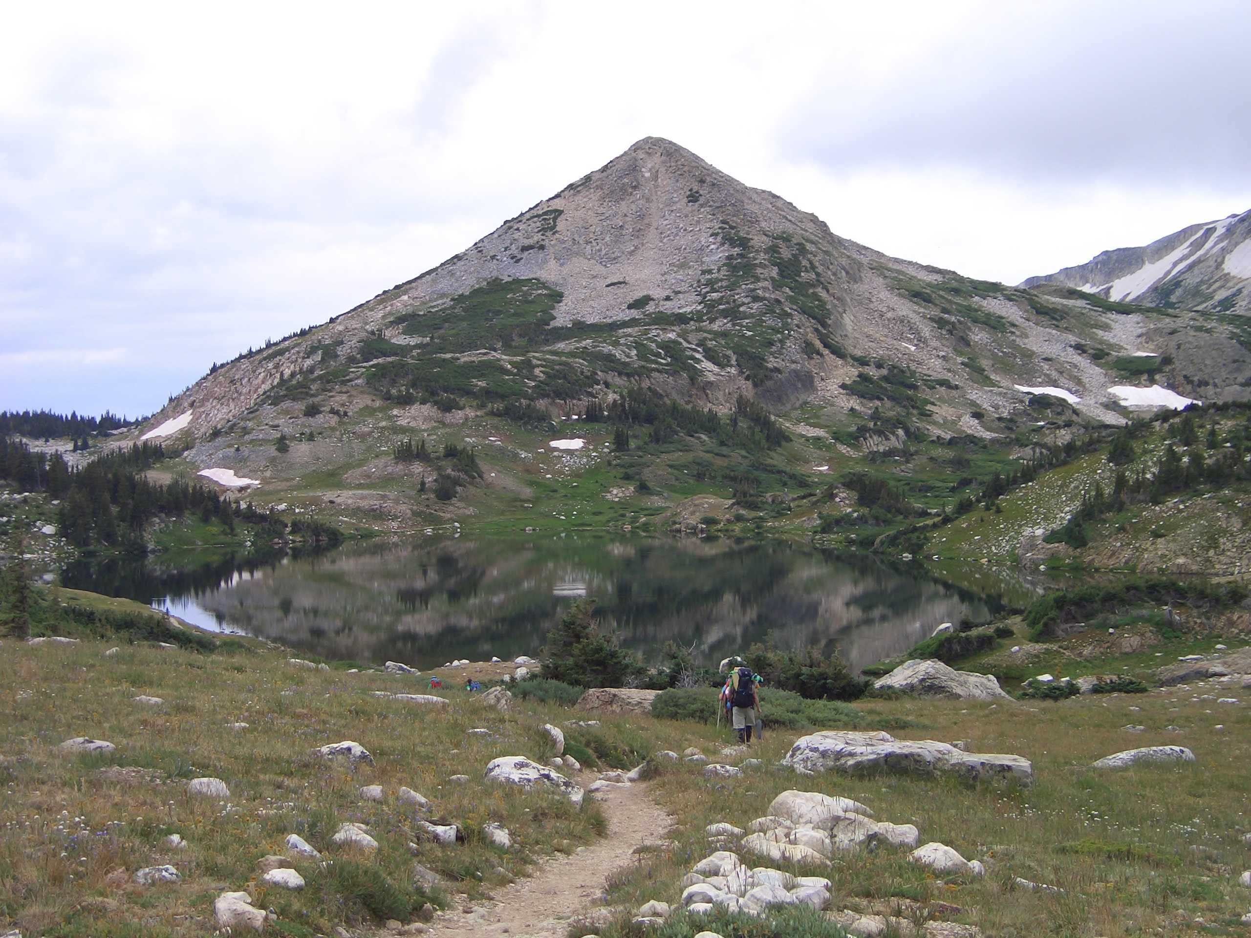
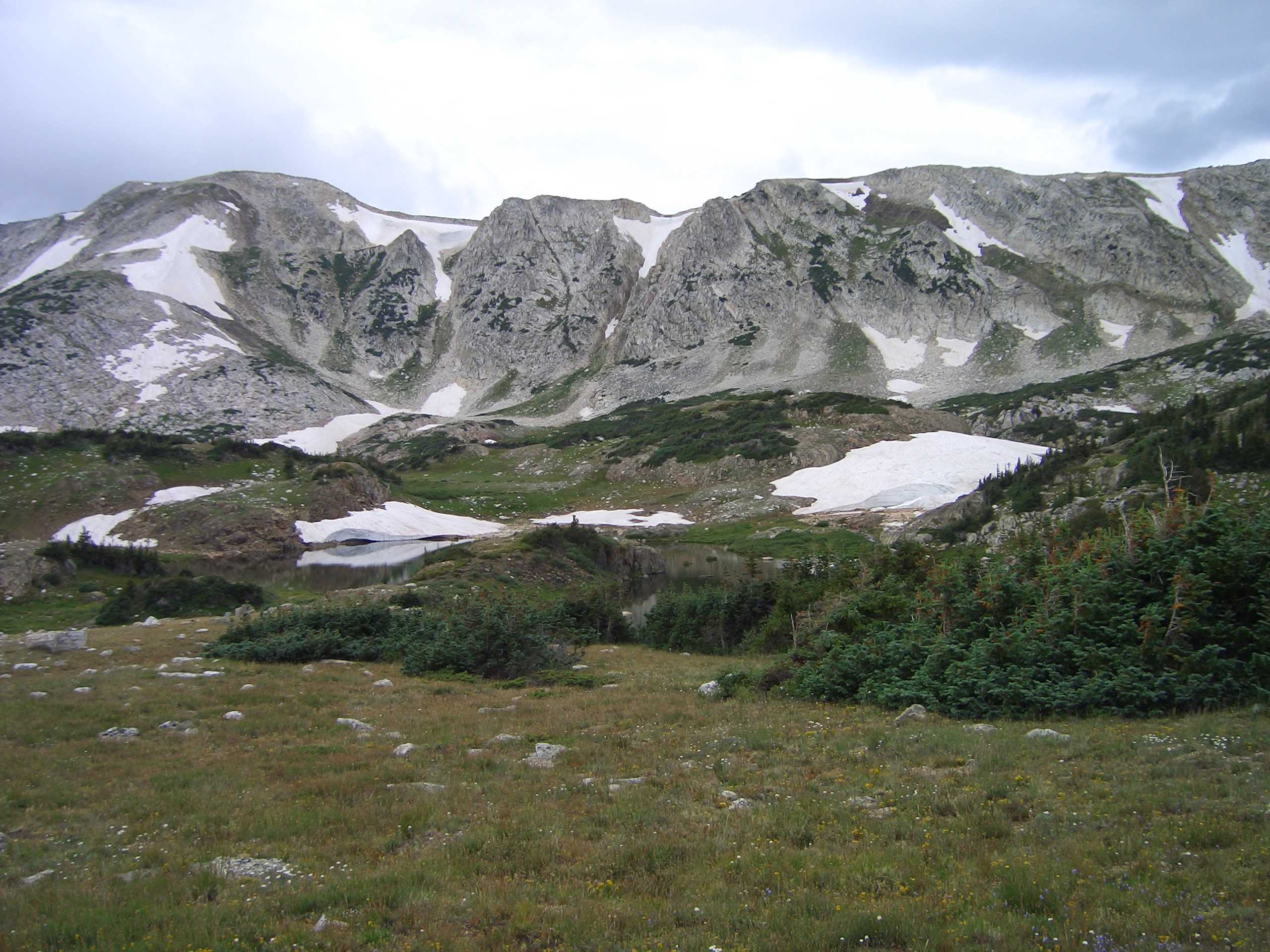
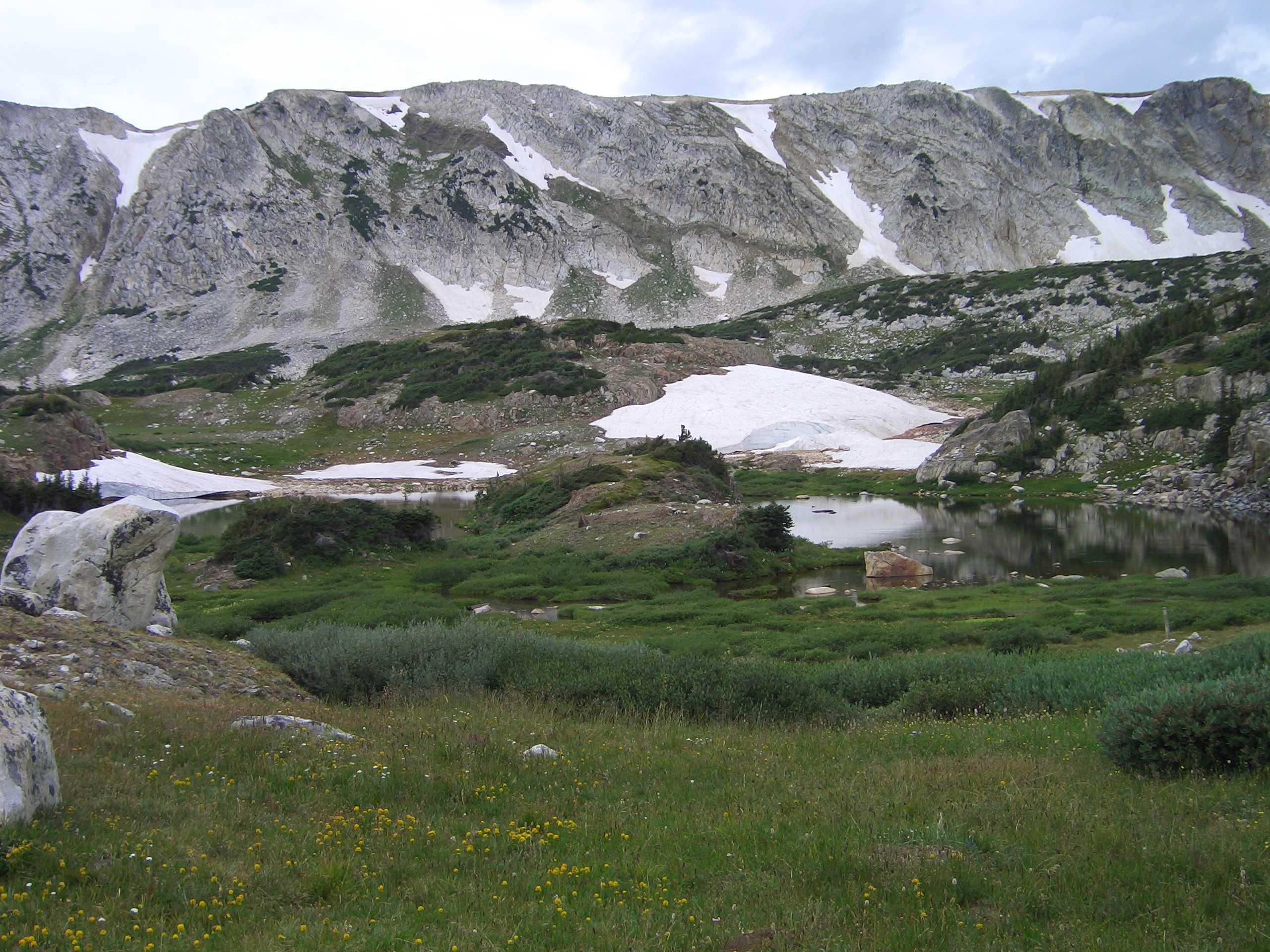
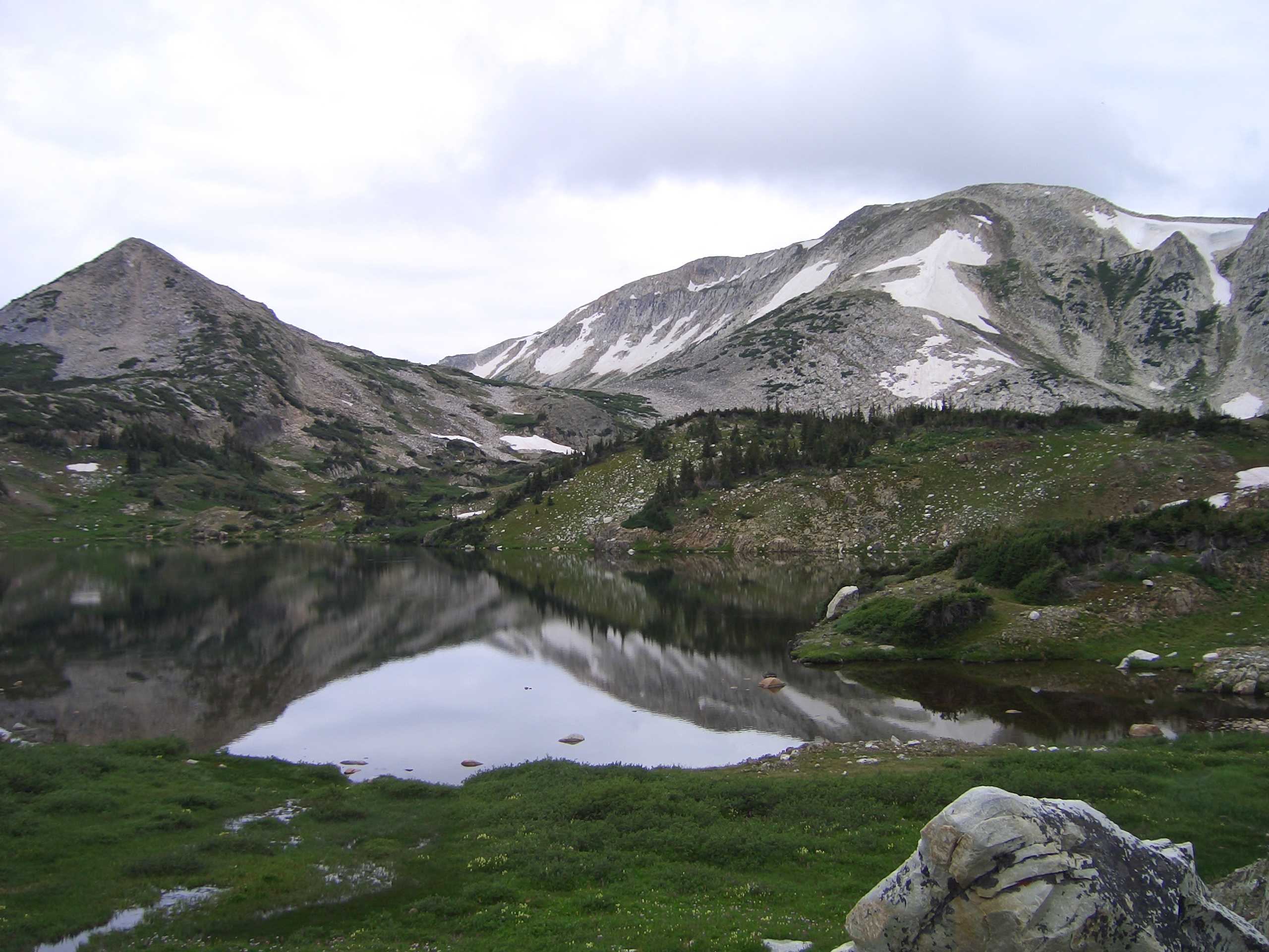
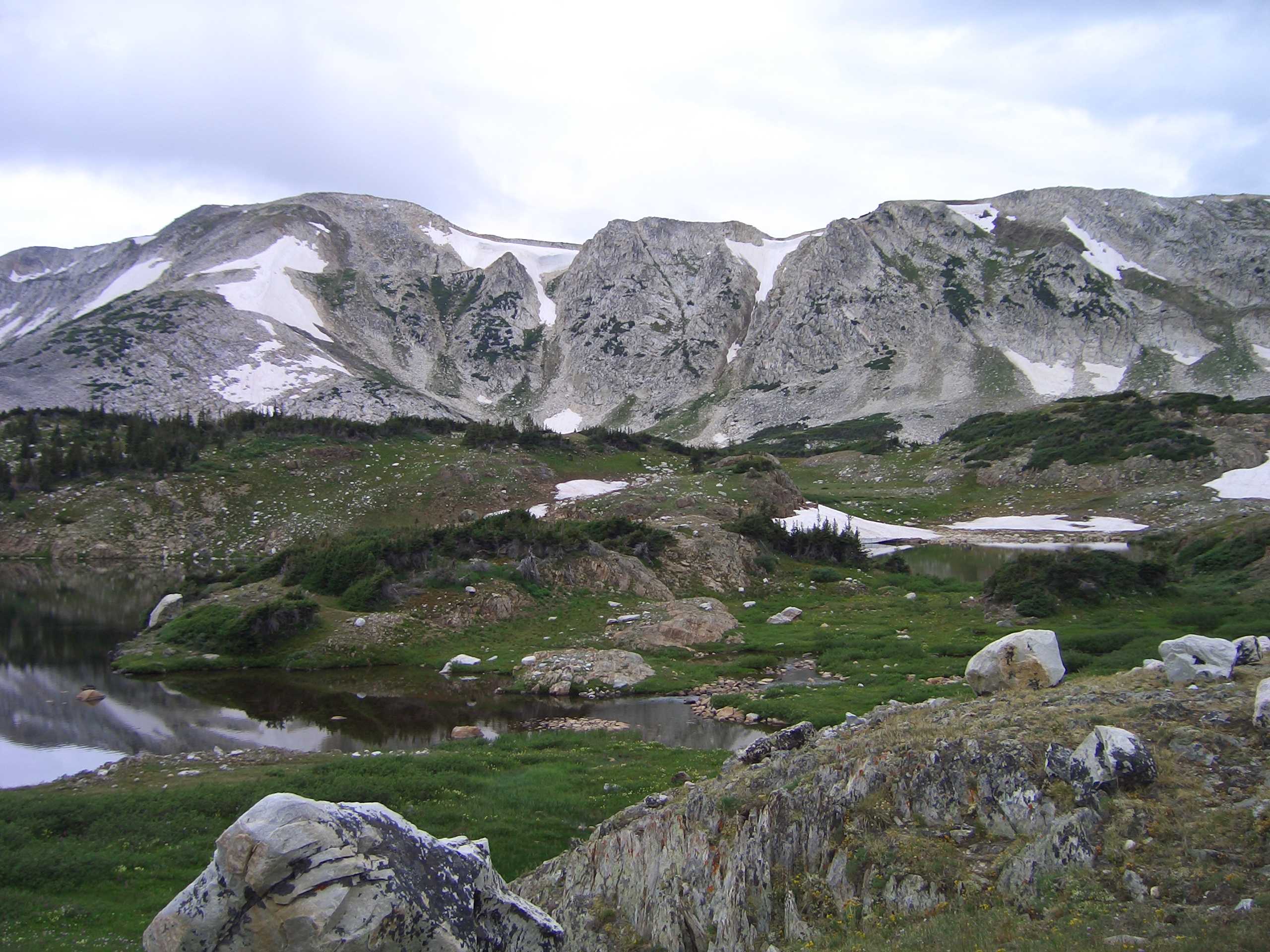
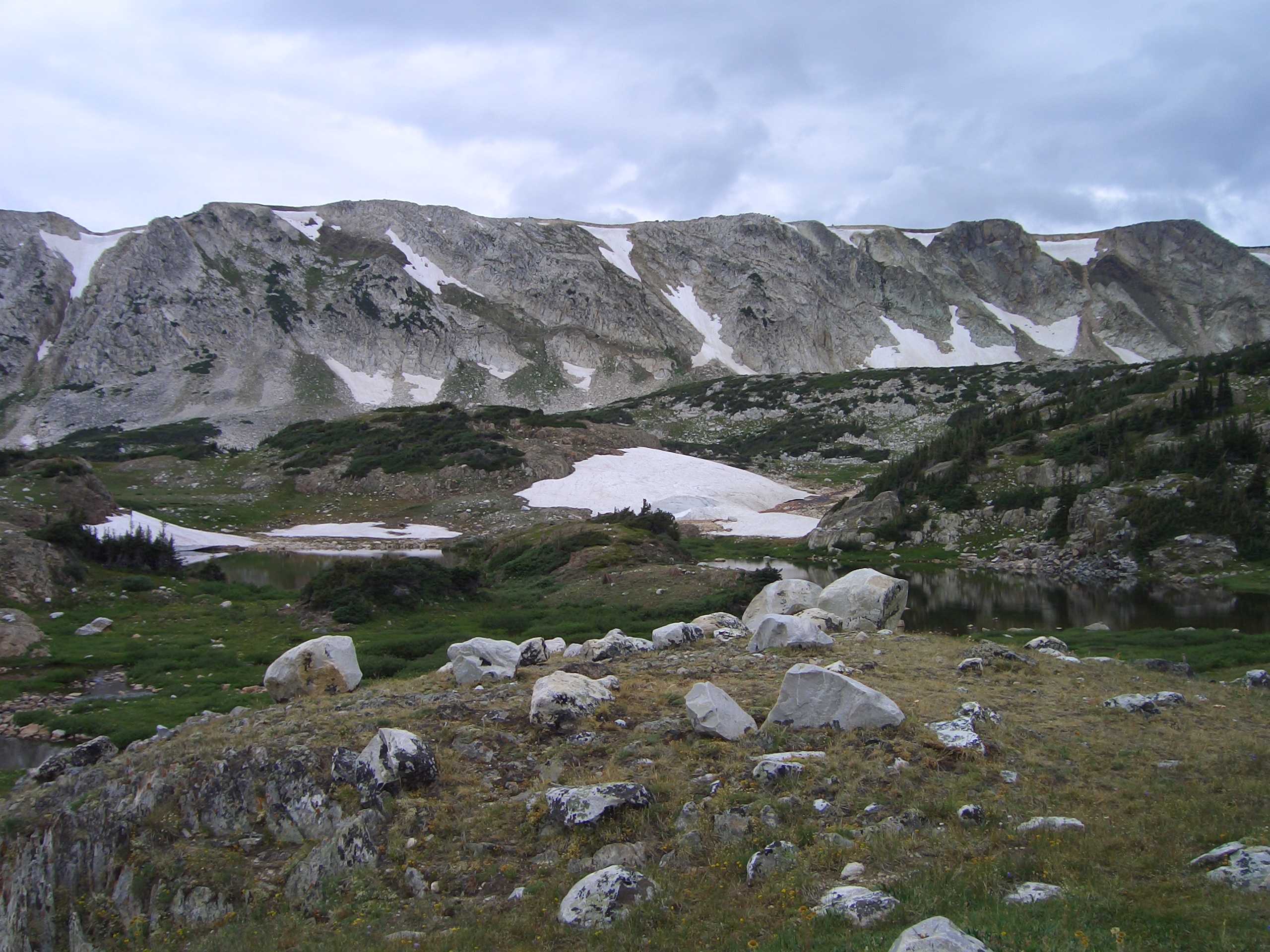
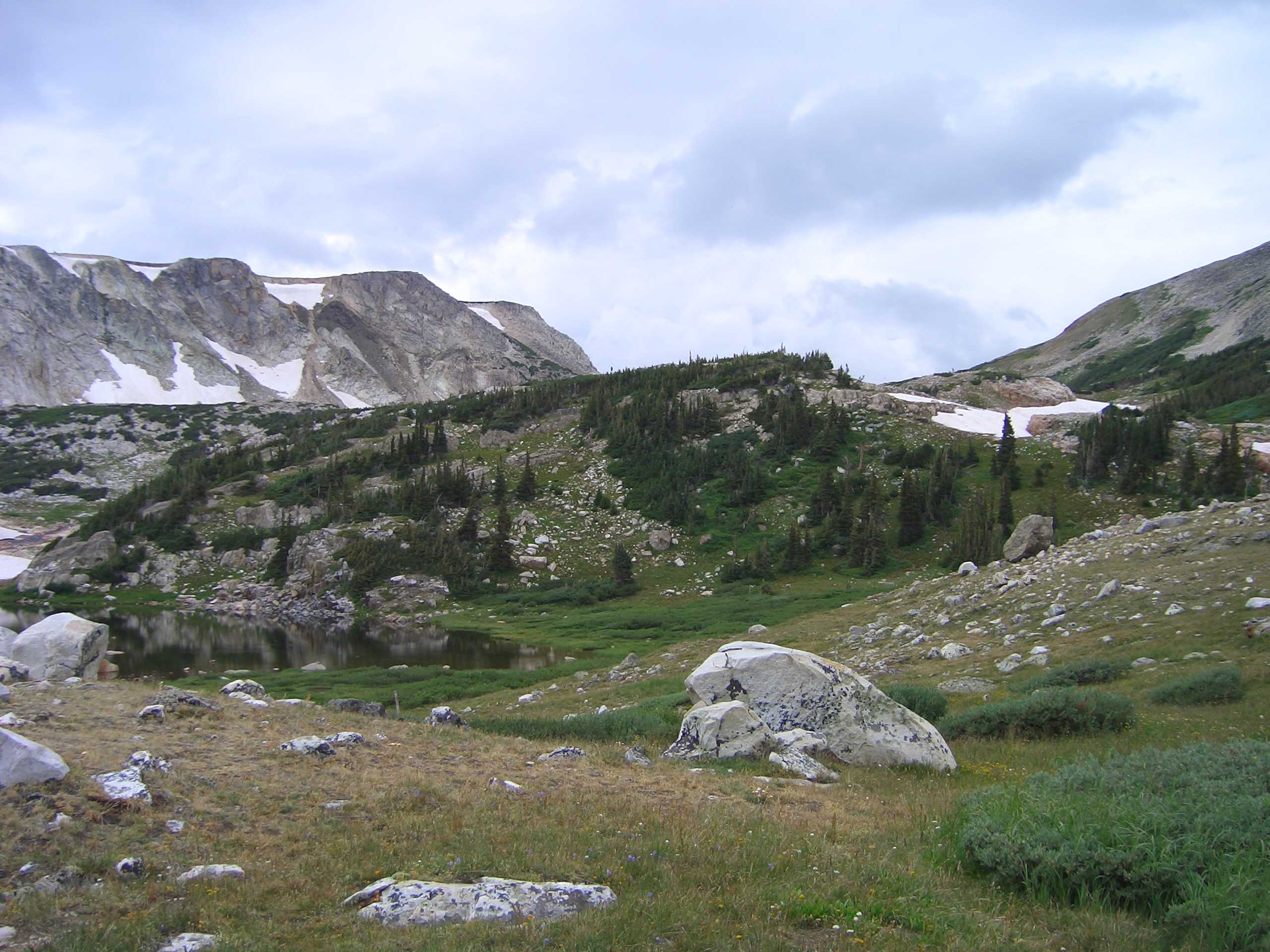
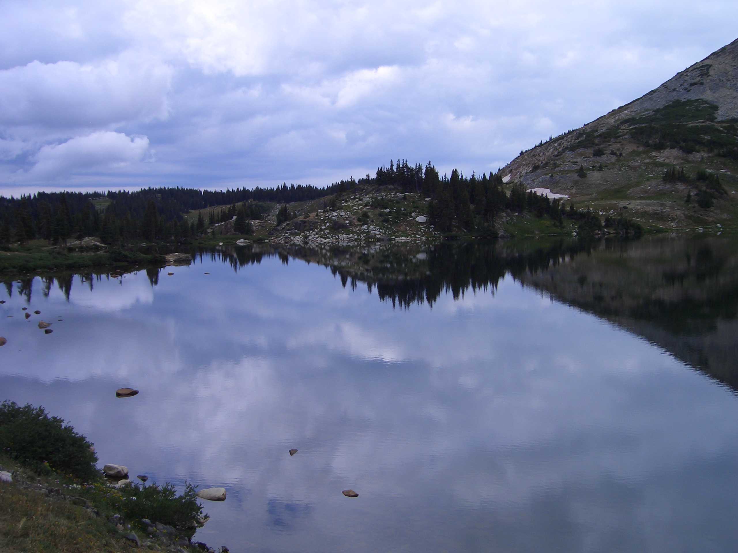
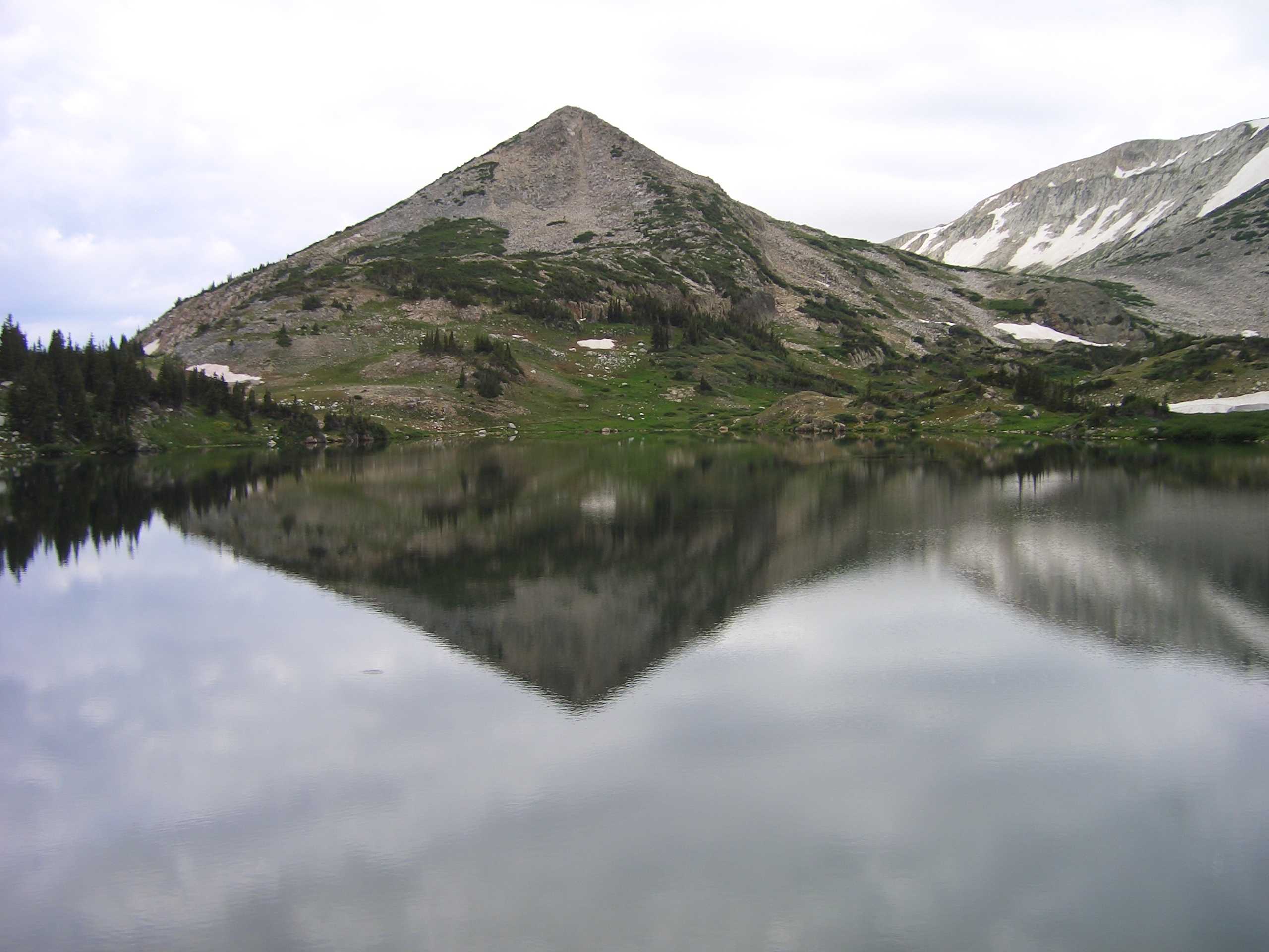
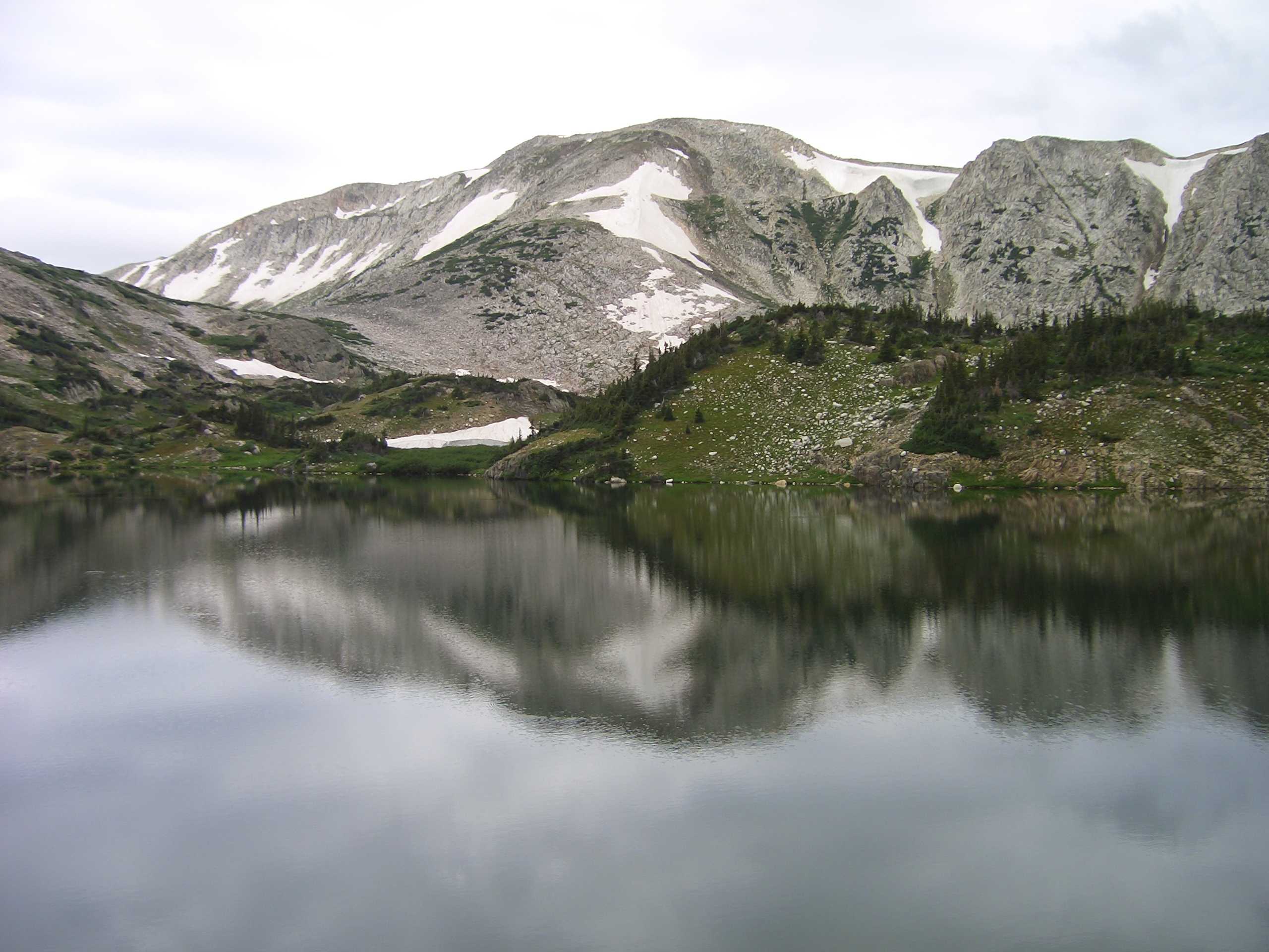
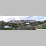
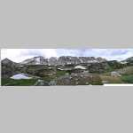
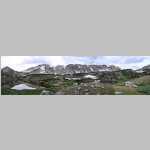
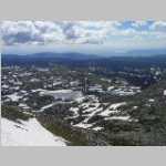
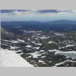
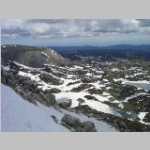
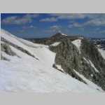
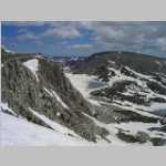
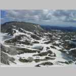
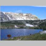
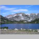
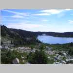
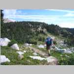
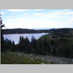
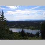
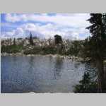
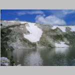
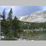
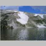
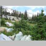
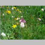
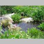
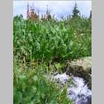
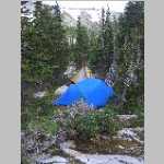
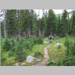
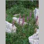
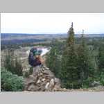
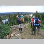
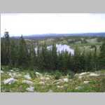
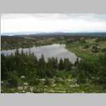
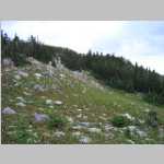
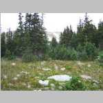
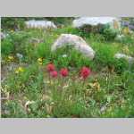
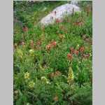
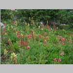
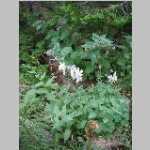
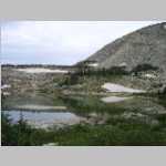
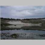
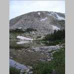
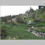
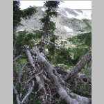
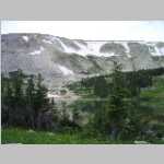
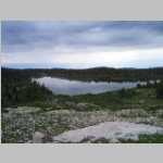
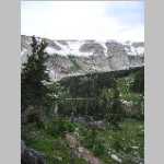
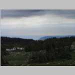
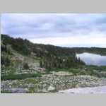
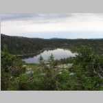
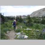
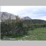
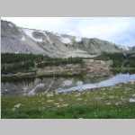
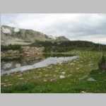
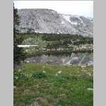
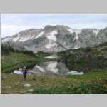
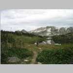
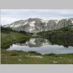
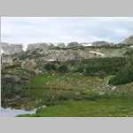
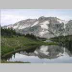
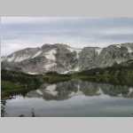
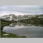
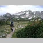
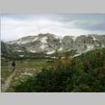
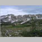
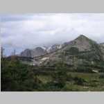
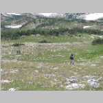
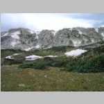
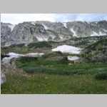
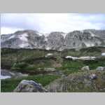
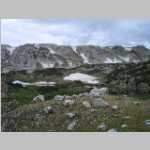
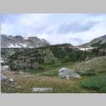
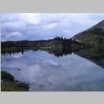
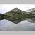
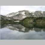
The next day we hiked out to Lost Lake and spent two nights. We did a nice day hike around the area and Brian's children were exposed to camping. It was a fun experienceA green colored form of quarztite, Medicine Peak quartzite, is found in much of the Snowy Range on the crest of the Medicine Bow Mountains.
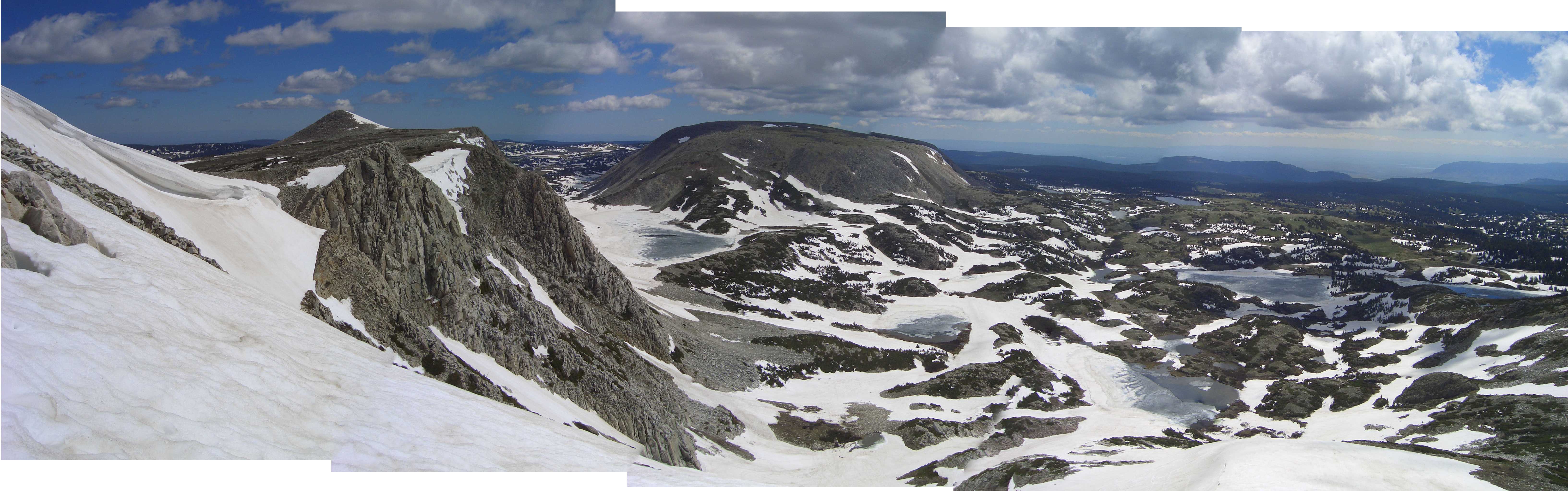
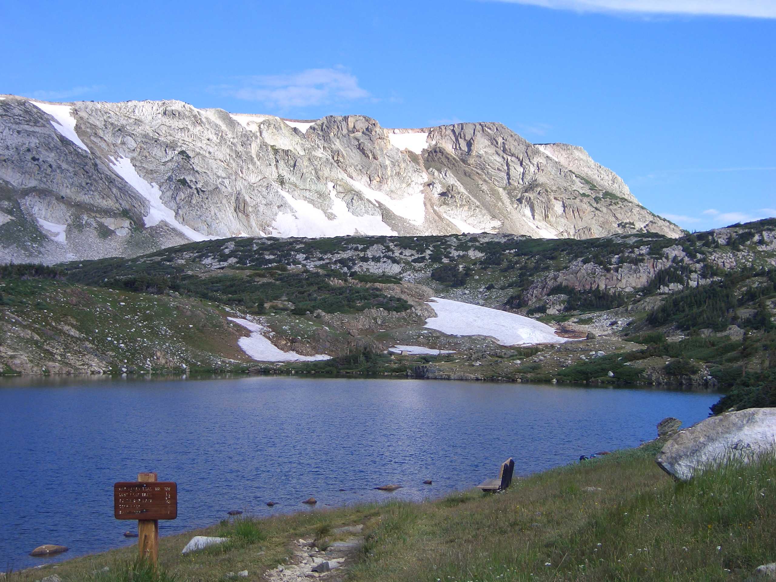
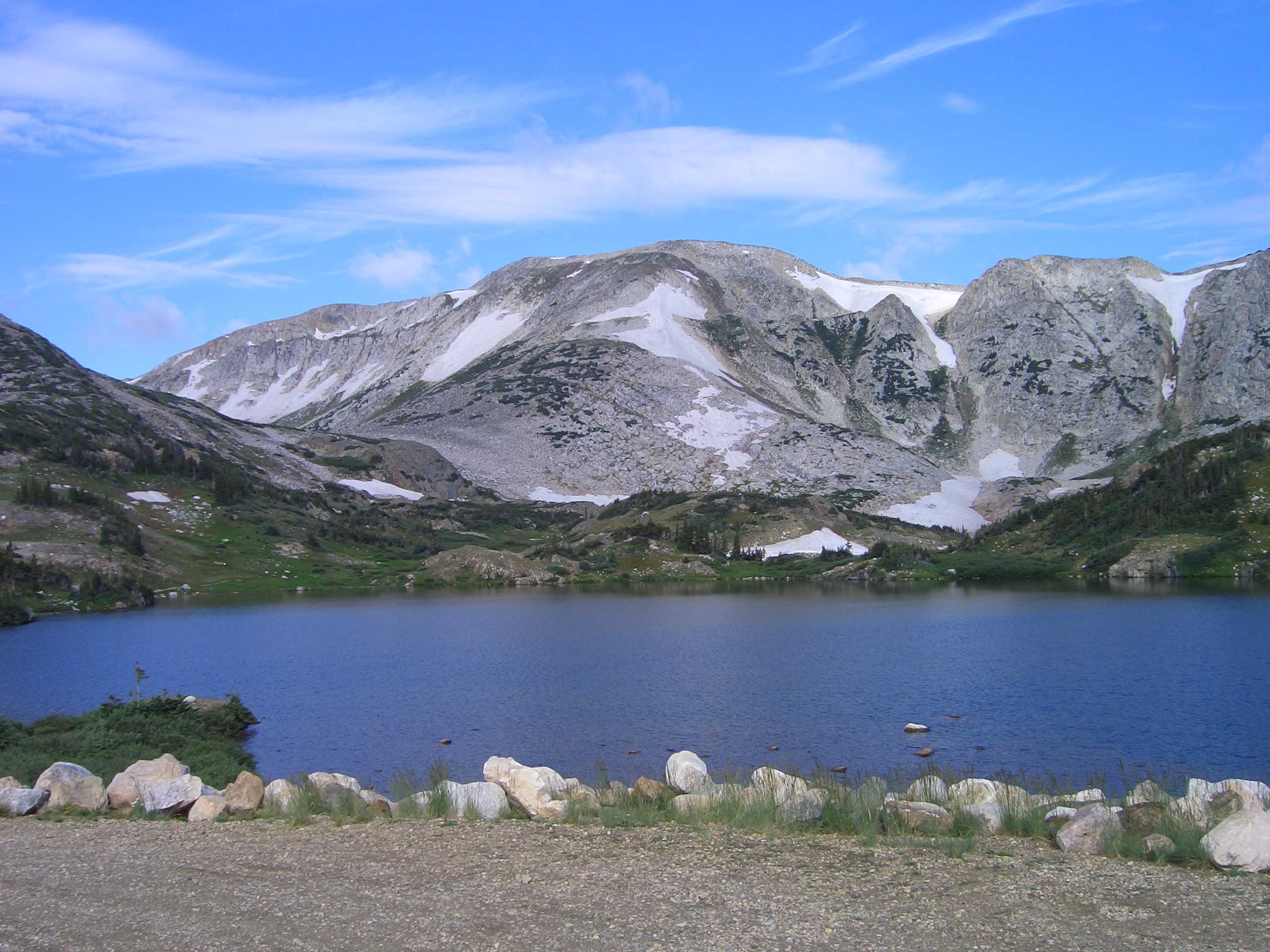
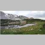
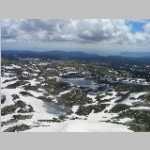
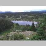
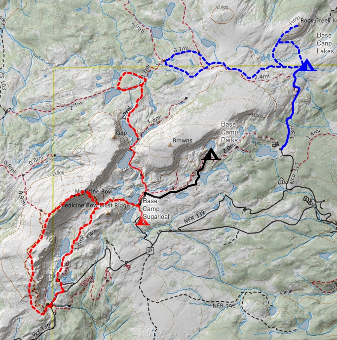
This map shows three hikes in this area of the Snowy Range - in black Lost Lake 2008, Sugarloaf Campground (2006), North Twin Lakes (2017), .
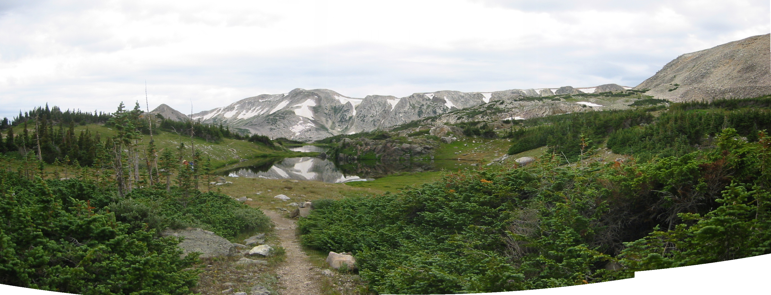
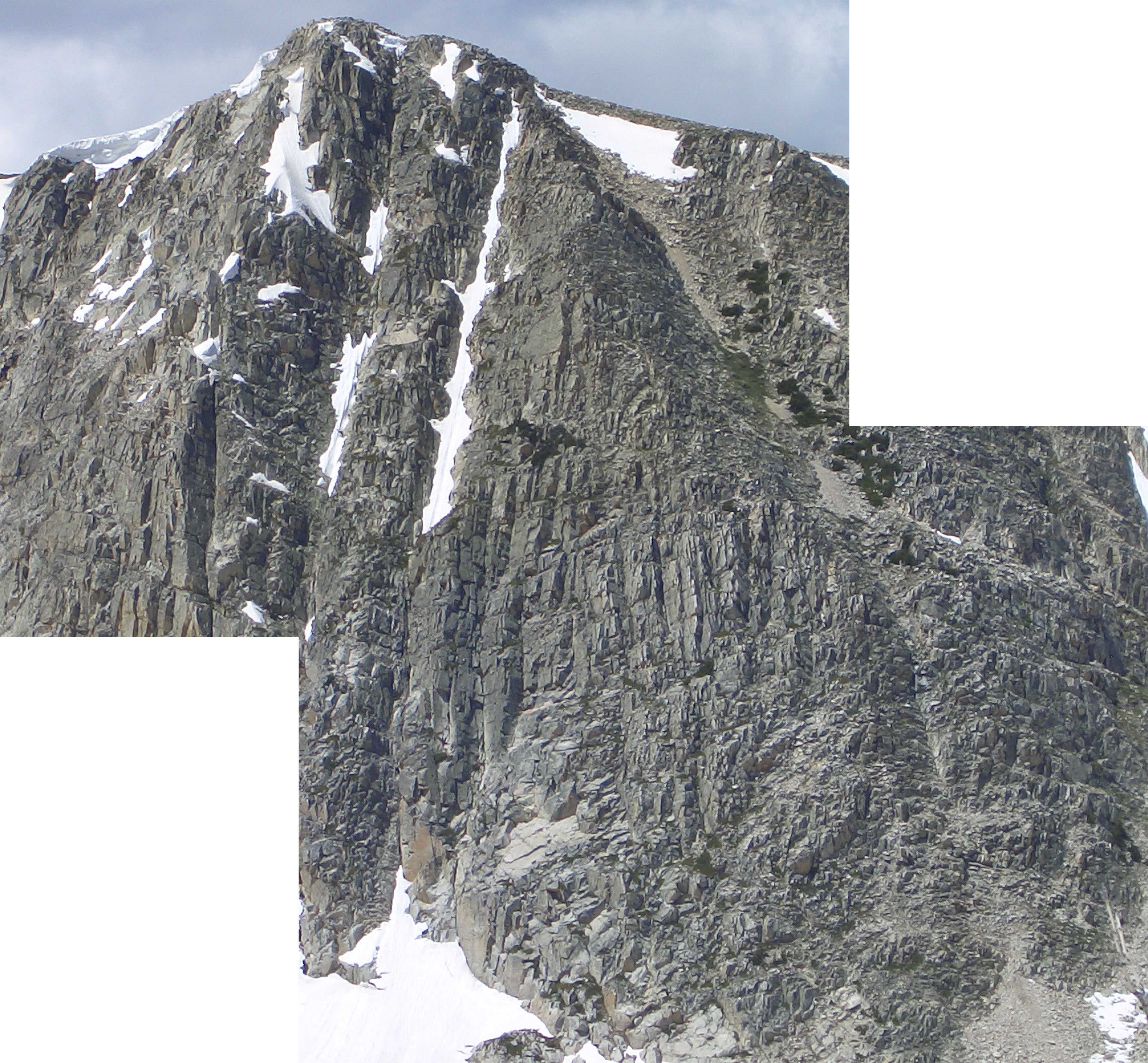
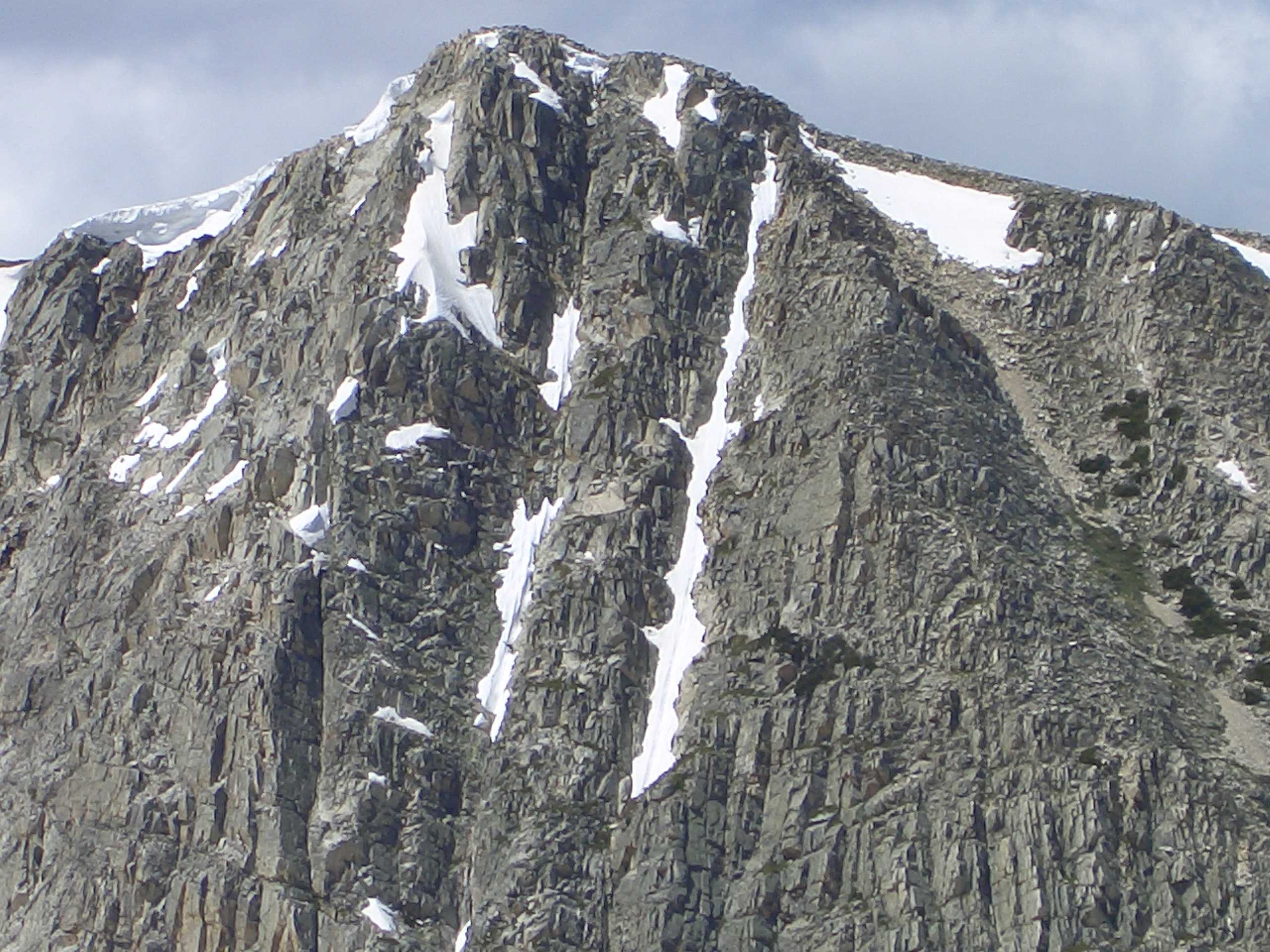
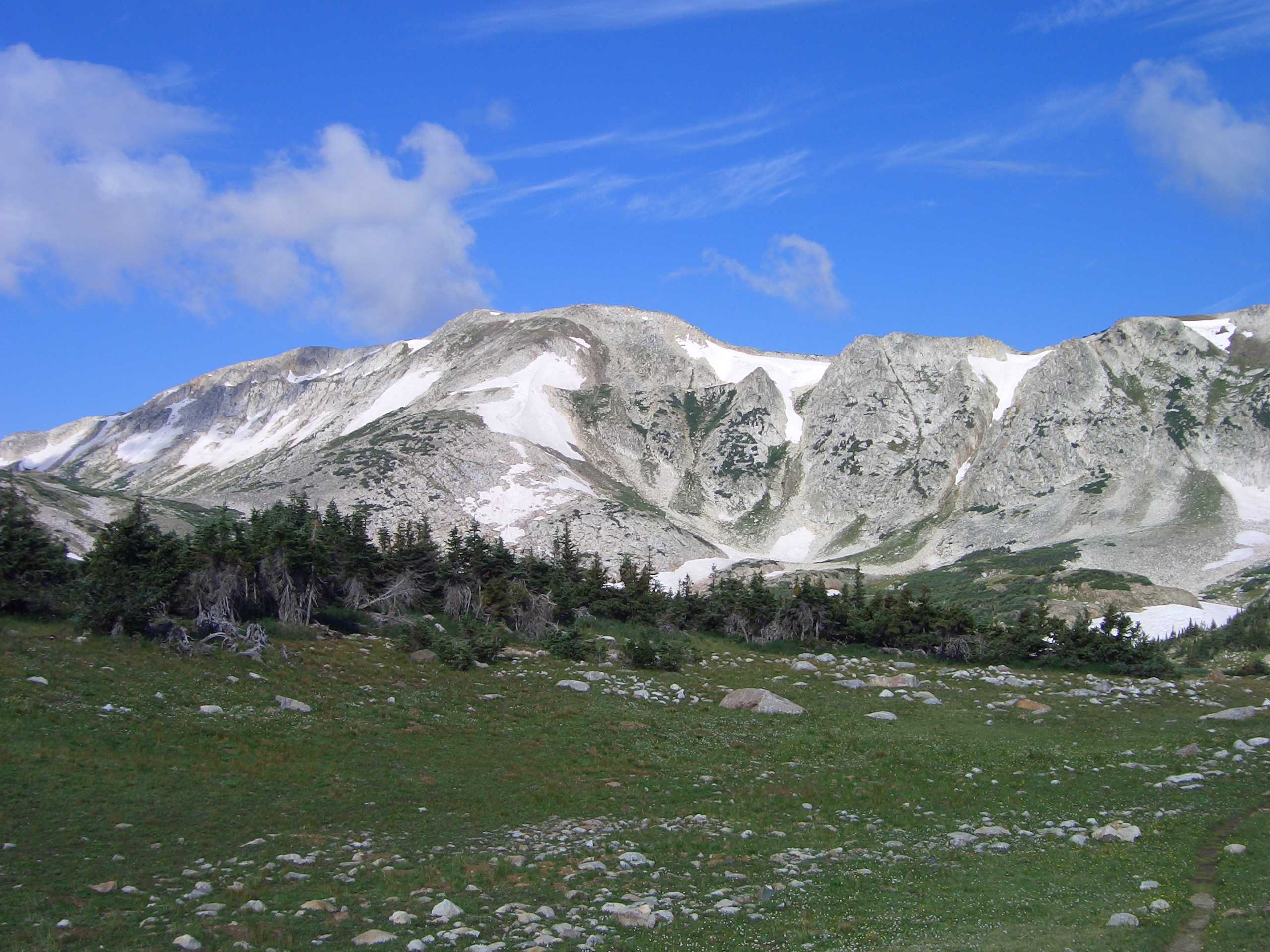
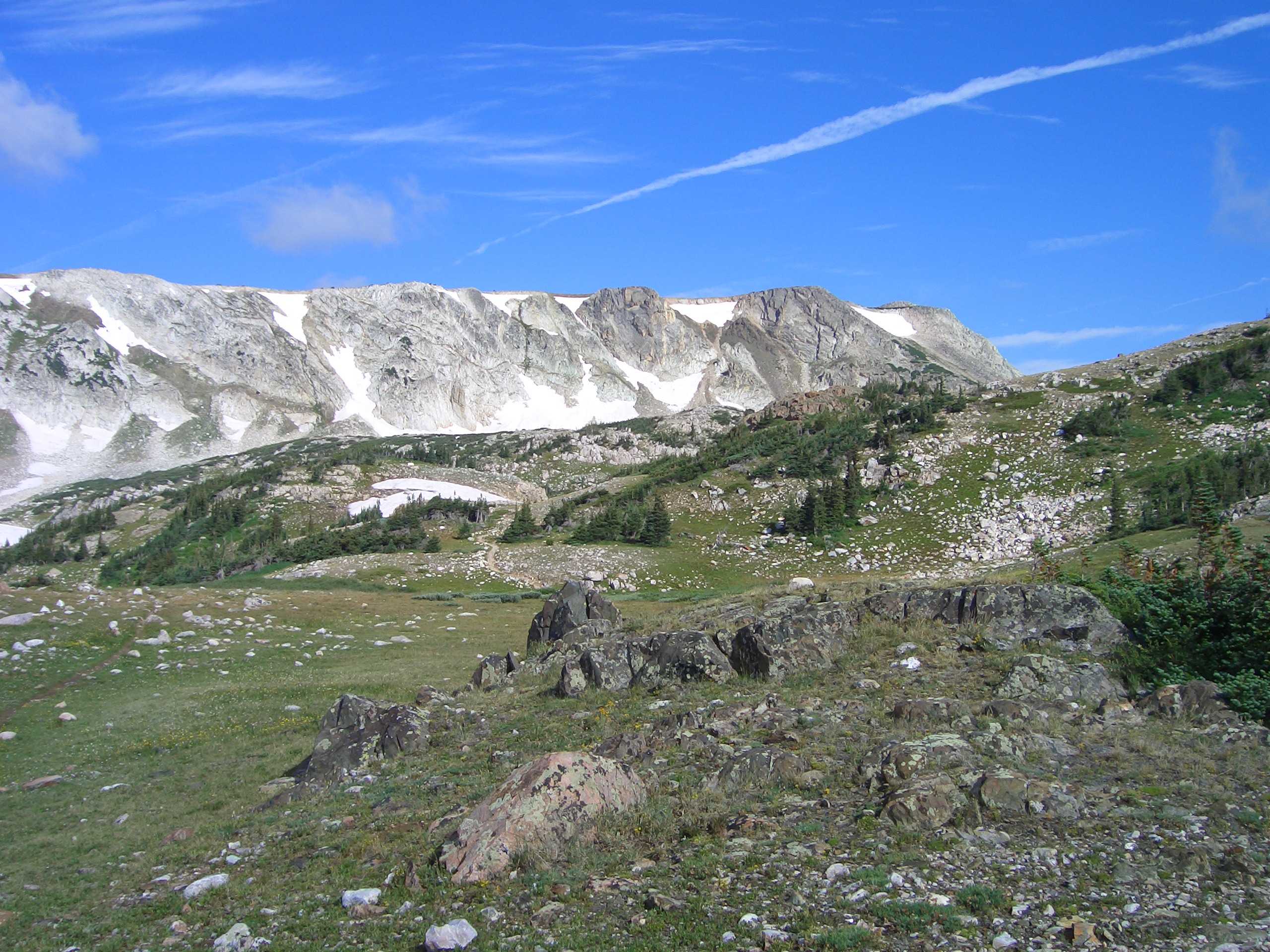
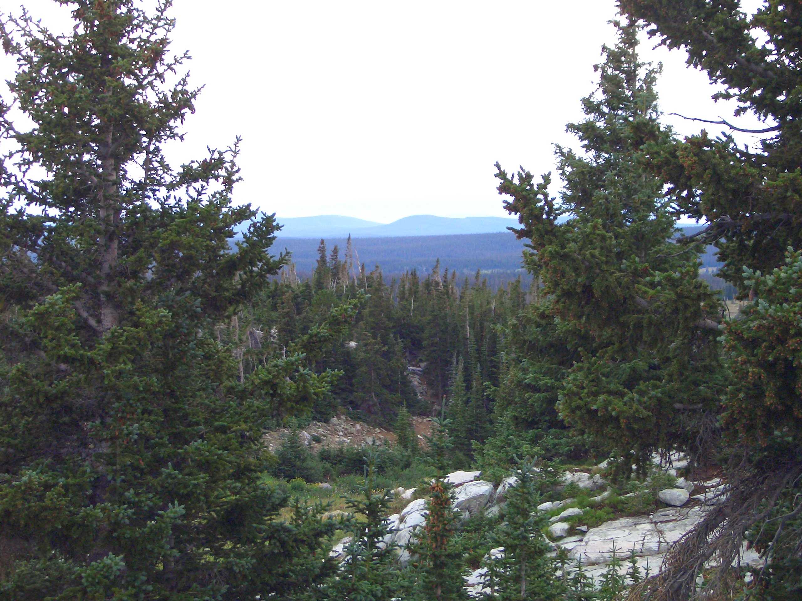
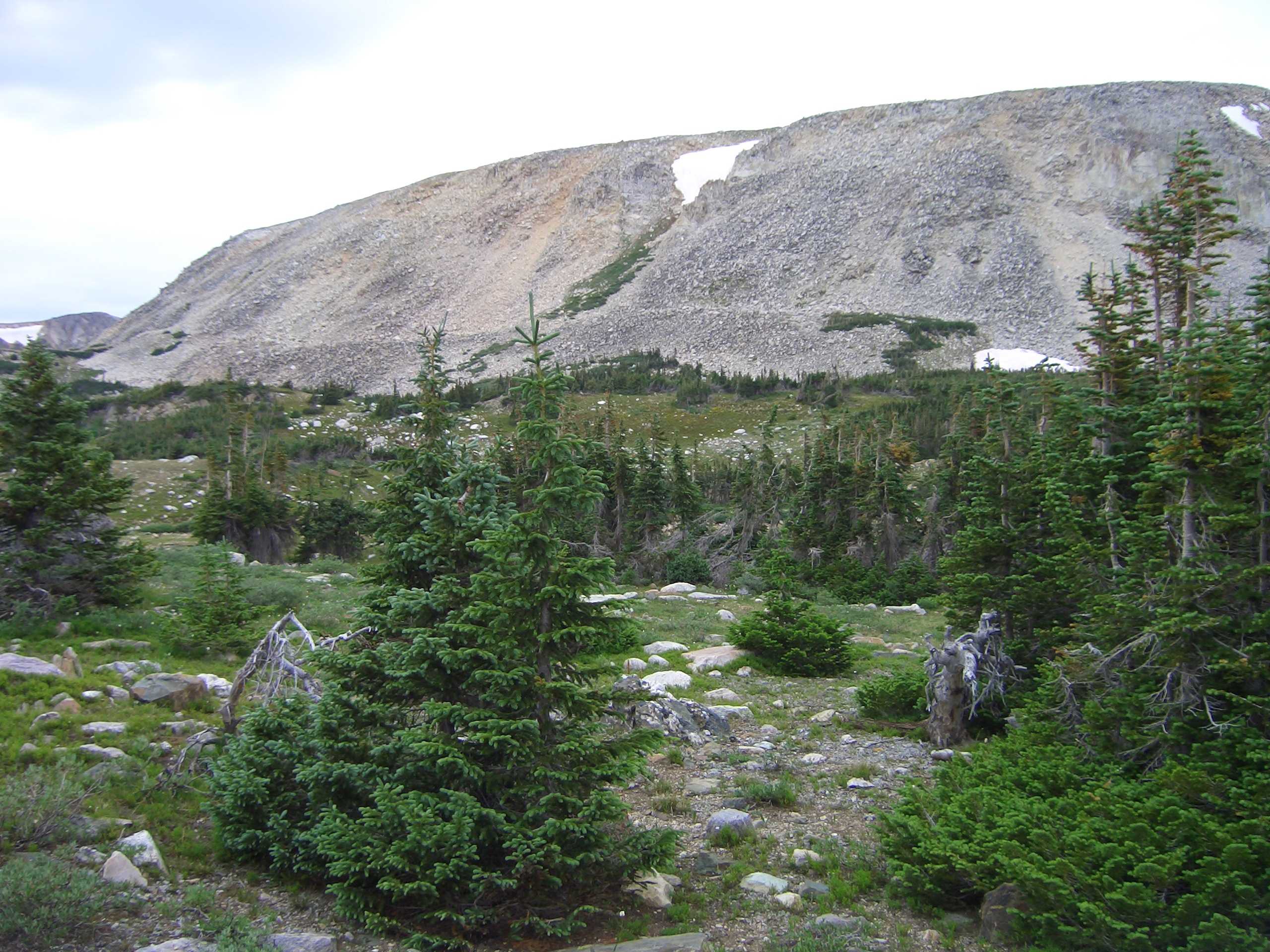
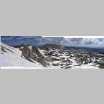
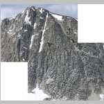
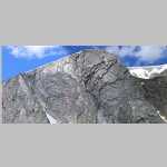
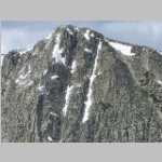
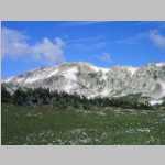
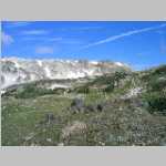
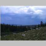
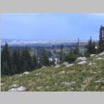
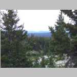
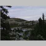
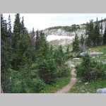
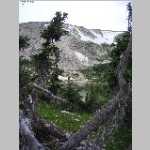
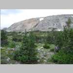
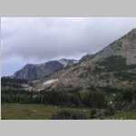
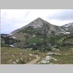
At an elevation of 10800 ft, Sugarloaf Campground is the highest elevation campground in the Medicine Bow-Routt National Forest located about 35 miles west of Laramie, Wyoming. This rustic campground has awesome views of Medicine Bow Peak (12018 ft), the highest peak in the Snowy Range. The northern extent of the Medicine Bow Mountain range is the Snowy Range.
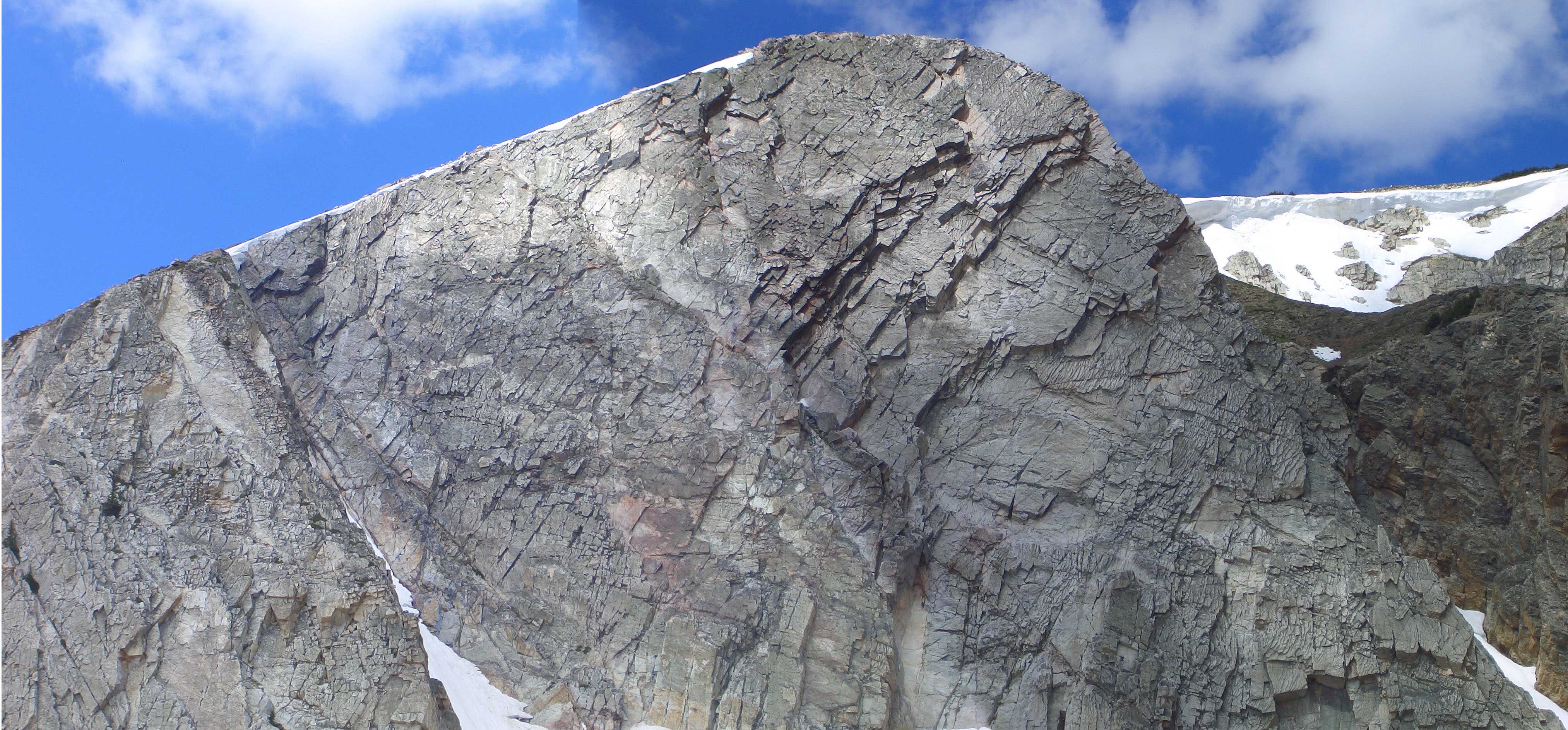
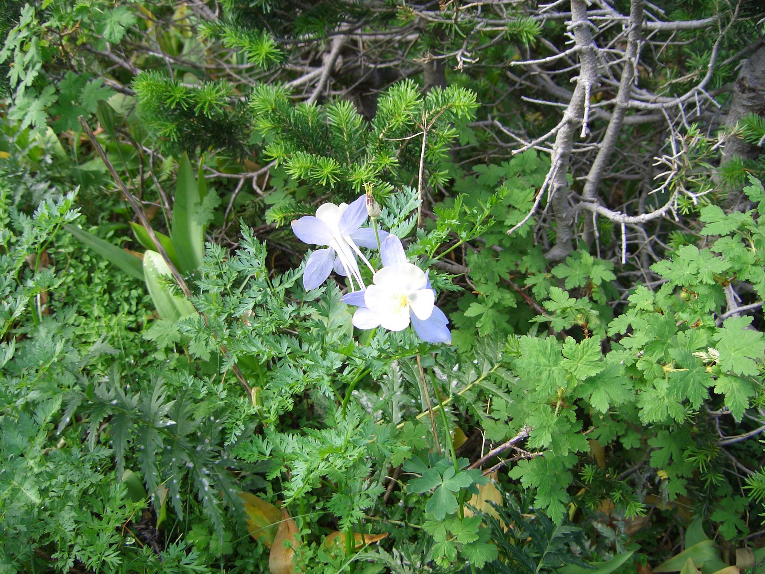
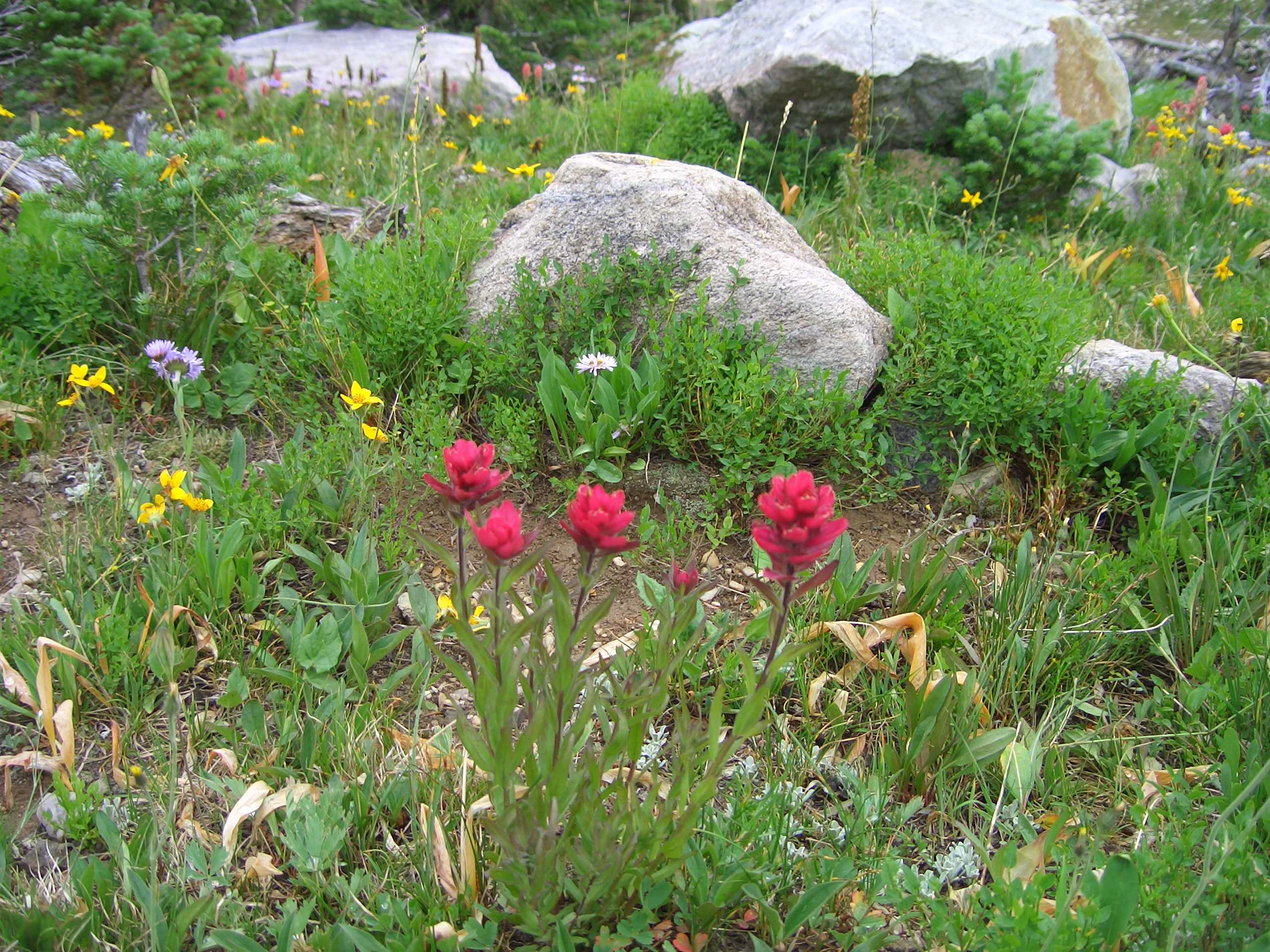
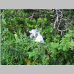
Eliot Blackwelder was describing a vein of green quartzite found west of Big Telephone Lake in the Medicine Bow Mountains. Quartzite is metamorphosed sandstone and usually is white. Small amounts of impurities can impart pastel shades with just small amounts of impurities. The green Medicine Peak quartzite contains fuchsite, a chromium-rich version of muscovite (mica).